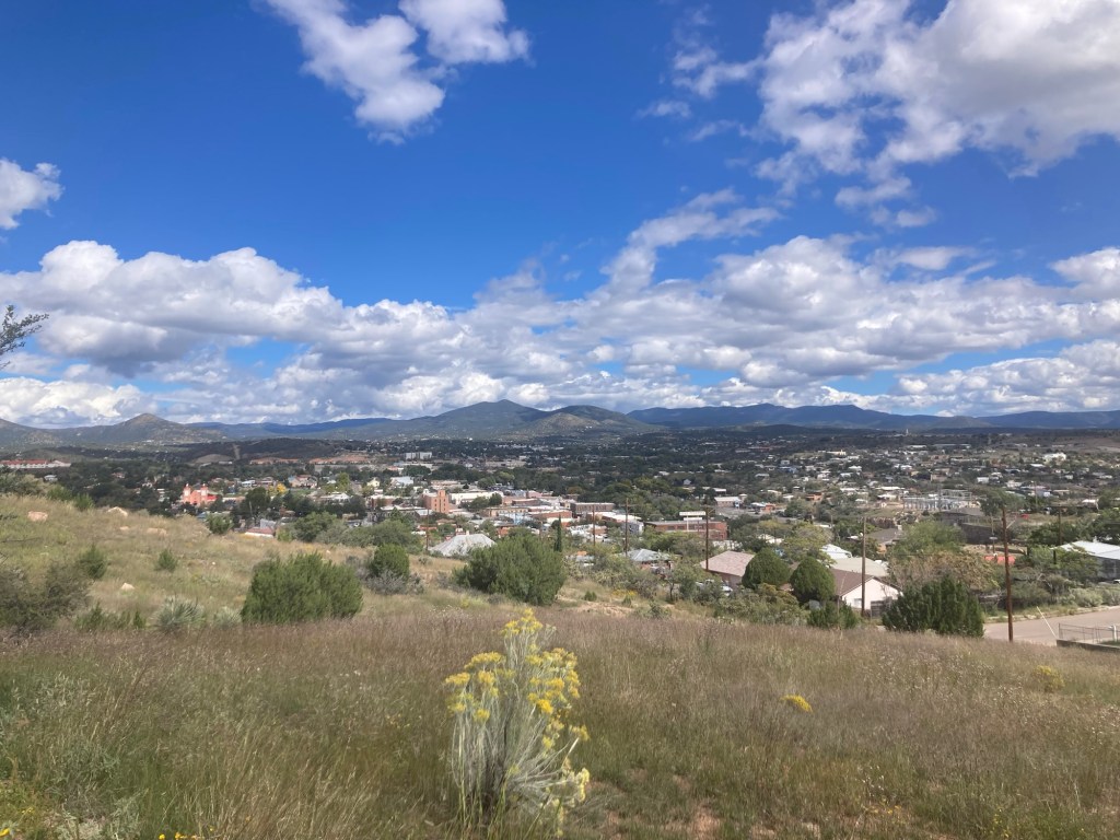
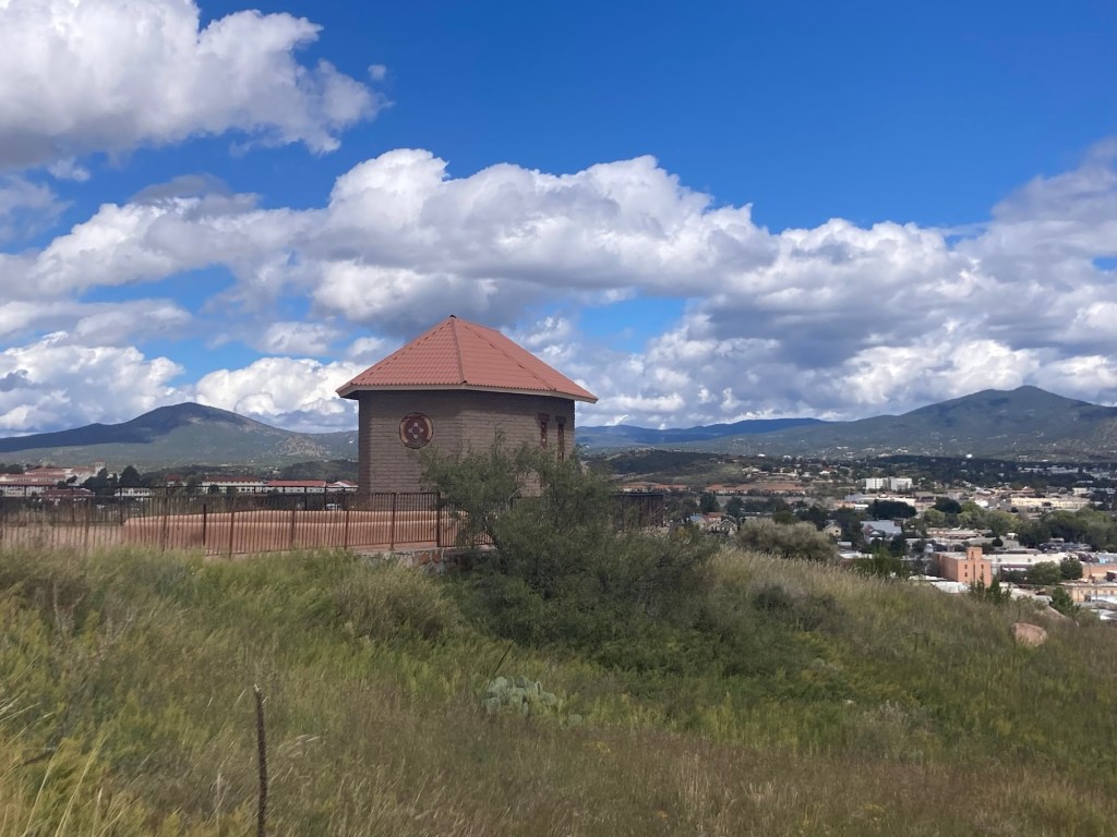
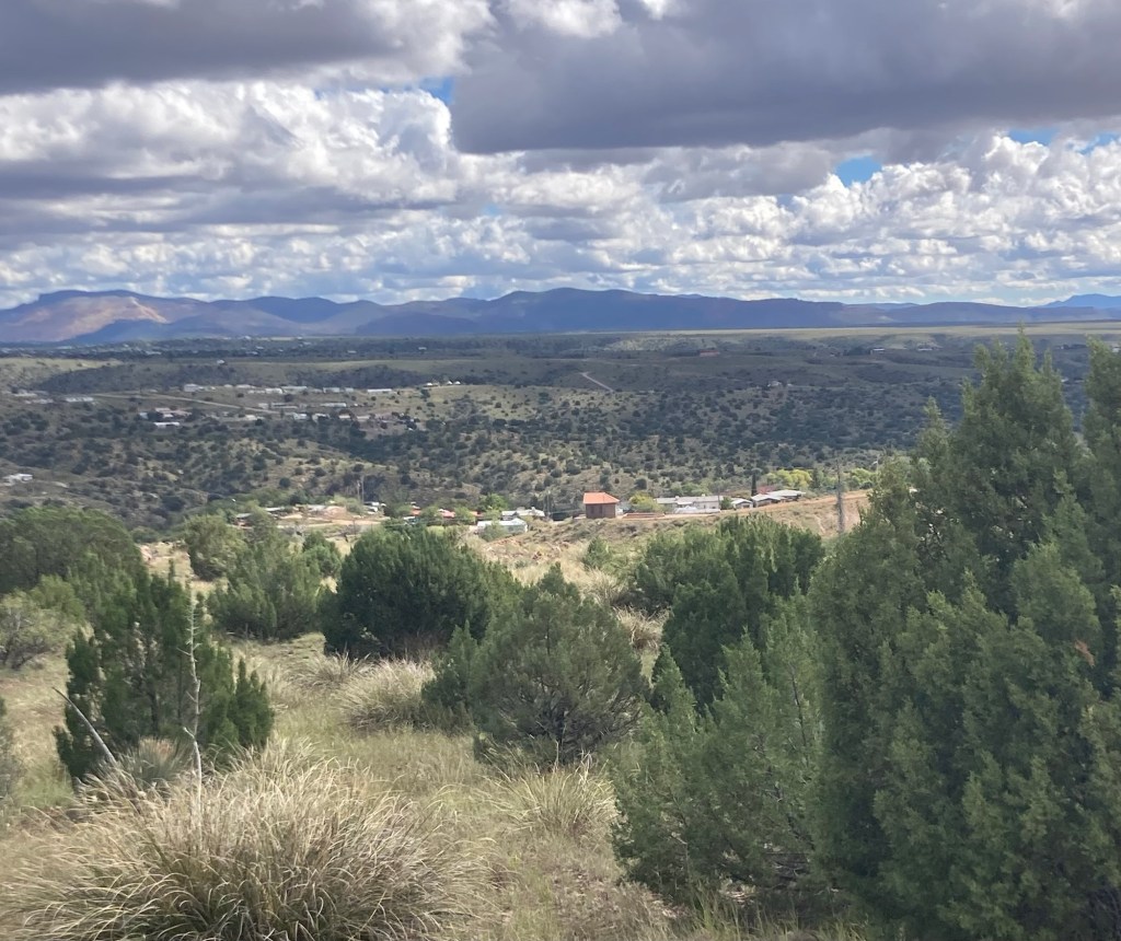
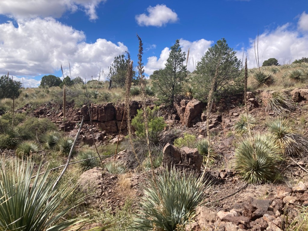
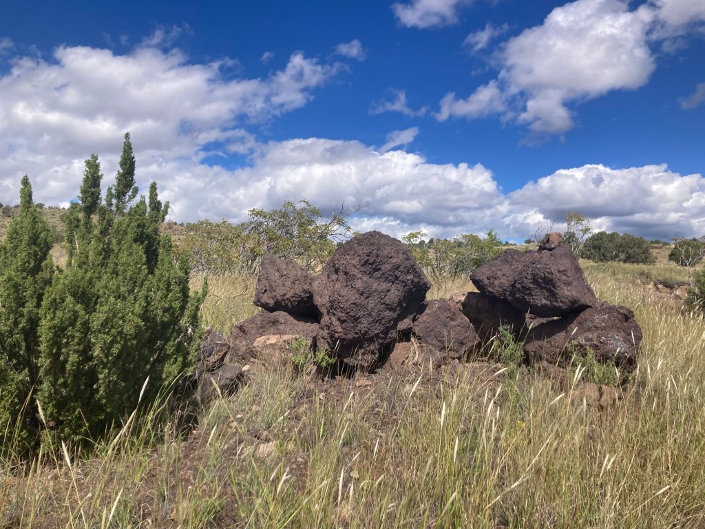
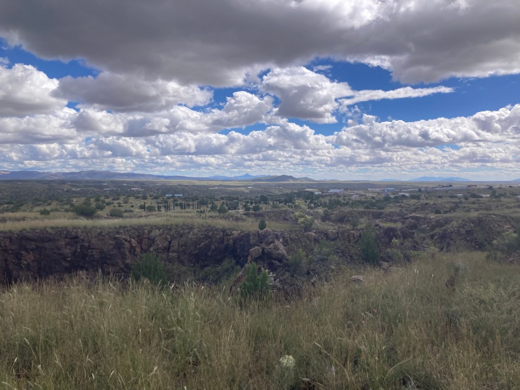
When Bob and I went to the Silver City Museum, we read about La Capilla Chapel, and we have seen it from a distance as we’ve walked around town as it sits on a hill on the southern side of Silver City. Yesterday we walked about 30 minutes from the house to see it up close.
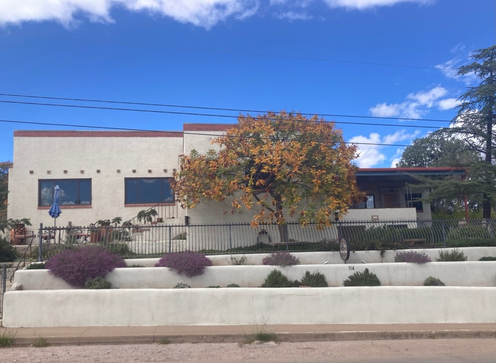
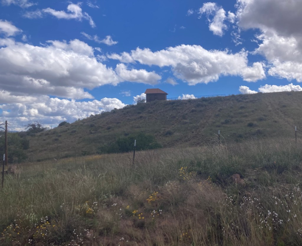
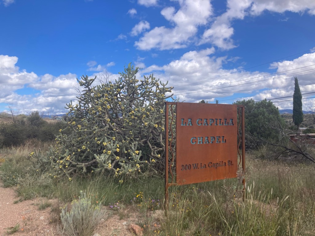
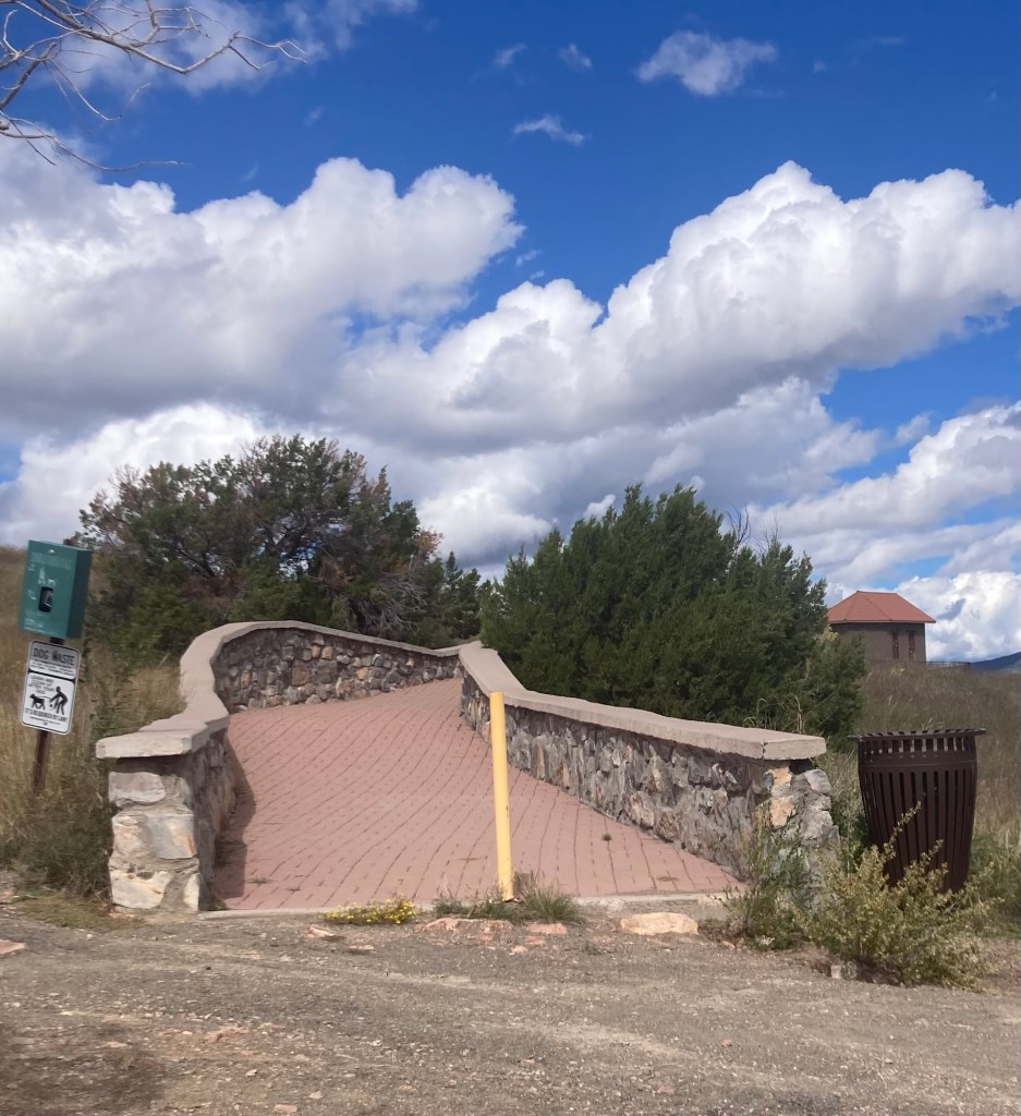
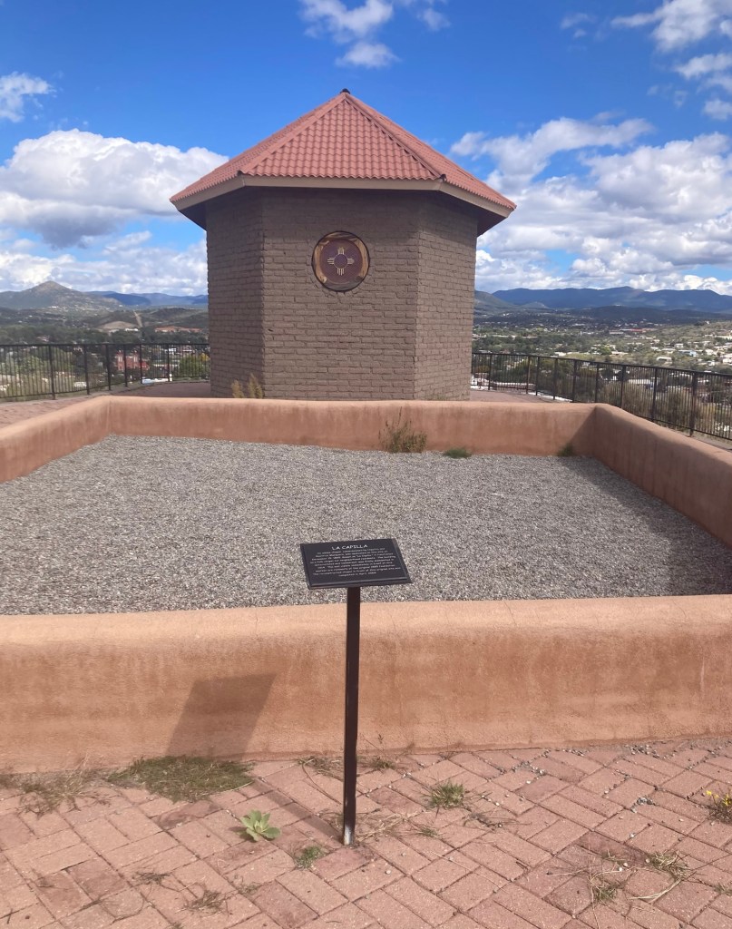
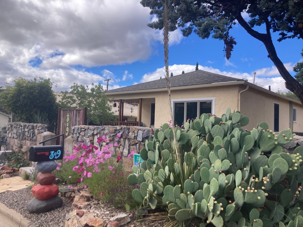
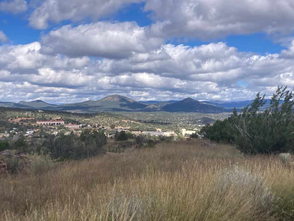
An attractive house on Cooper Street that we passed on our walk. It appears to have a number of units.Looking up at the little chapel as made our way thereThe entranceA fancy walkway to the chapel off of a gravel parking lotA view of Silver City as we walked towards the chapelThe chapel with the town in the background
A helpful sign at the site told the history of the chapel. The original adobe chapel was commissioned on this site in 1885 by Hipolito and Beatrice Monquero. It was known as “La Capilla” and served as a folk chapel for neighborhood residents. The original building was dismantled in 1914 due to deterioration and vandalism. The current chapel was built in 2004 in front of where the original chapel stood.
The wall showing where the original chapel stood with the new chapel in the background.
The new chapel was locked when we were there. Not sure if it is used for anything or not.
Today, Bob and I walked back to the Boston Hill Open Space near the house to do the 5+ mile loop that circles the park space. With a few wrong turns on the hike and the walk to and from the park, we ended up walking 8 miles.
Some fun facts about the park. It was named around 1880 for the Boston Mining Company. The area was heavily mined for silver, copper, and iron ore from the 1870s until the early 1970s. The town of Silver City purchased the land in 1999 to preserve it as a public open space.
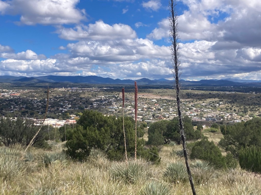
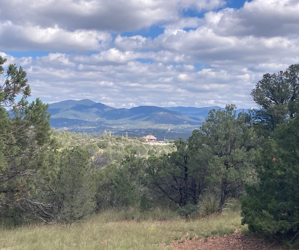
We got a good workout and views in every direction from the hills.
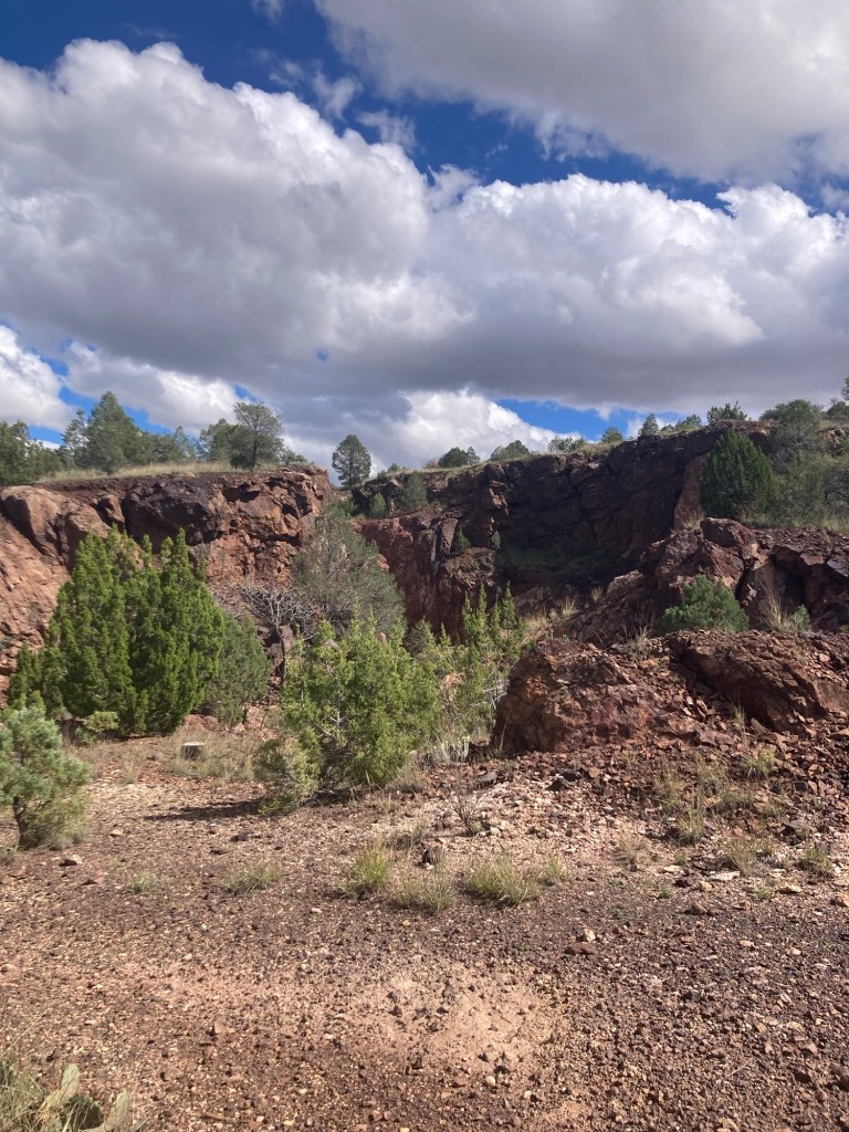
A colorful Southwestern garden in front of a house on the way to the trailhead Today, we looked down on the chapel we had walked up to yesterday.Maybe some remnants of the prior mining operations?
The following are some photos from the last few days in Silver City.
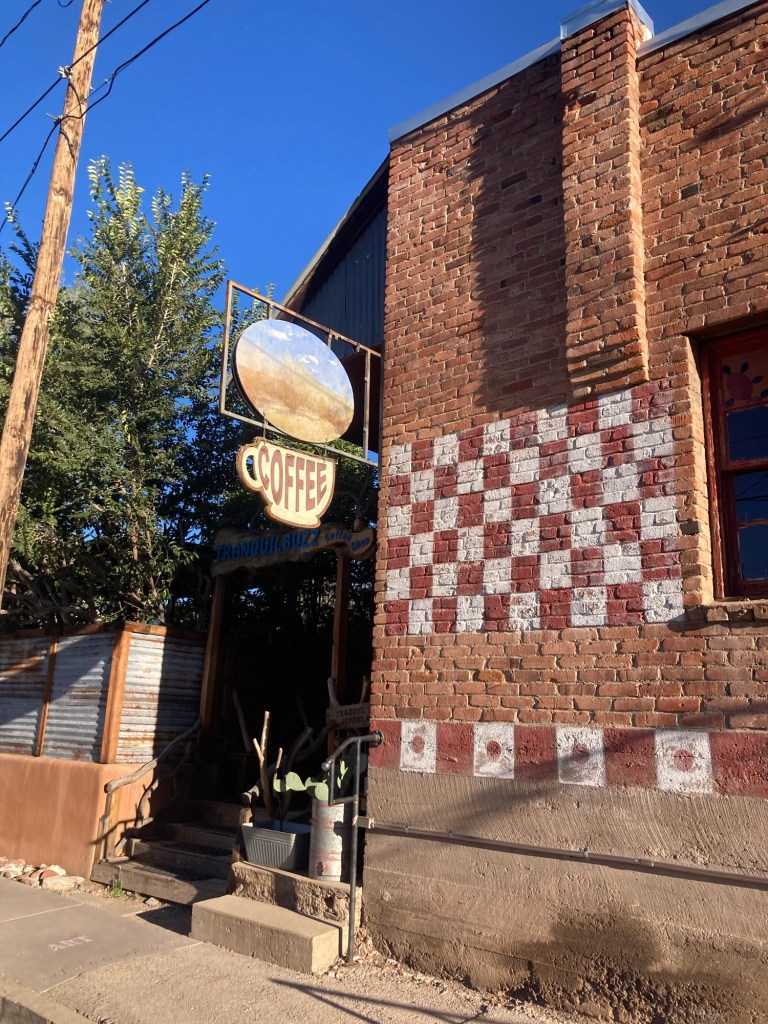
Tuesday we decided to head downtown for a light breakfast out. Our first choice was the Tranquil Buzz coffee shop as it was recommended by our homeowners. However, due to probable staffing issues, the coffee house is now closed on both Monday and Tuesday instead of just Monday as their website had indicated.
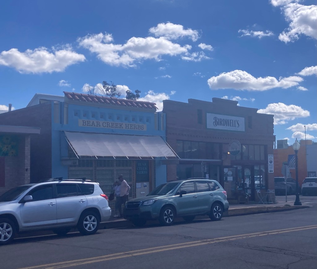
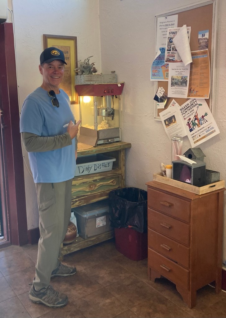
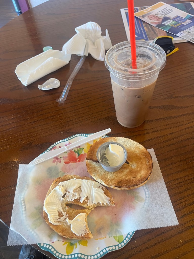
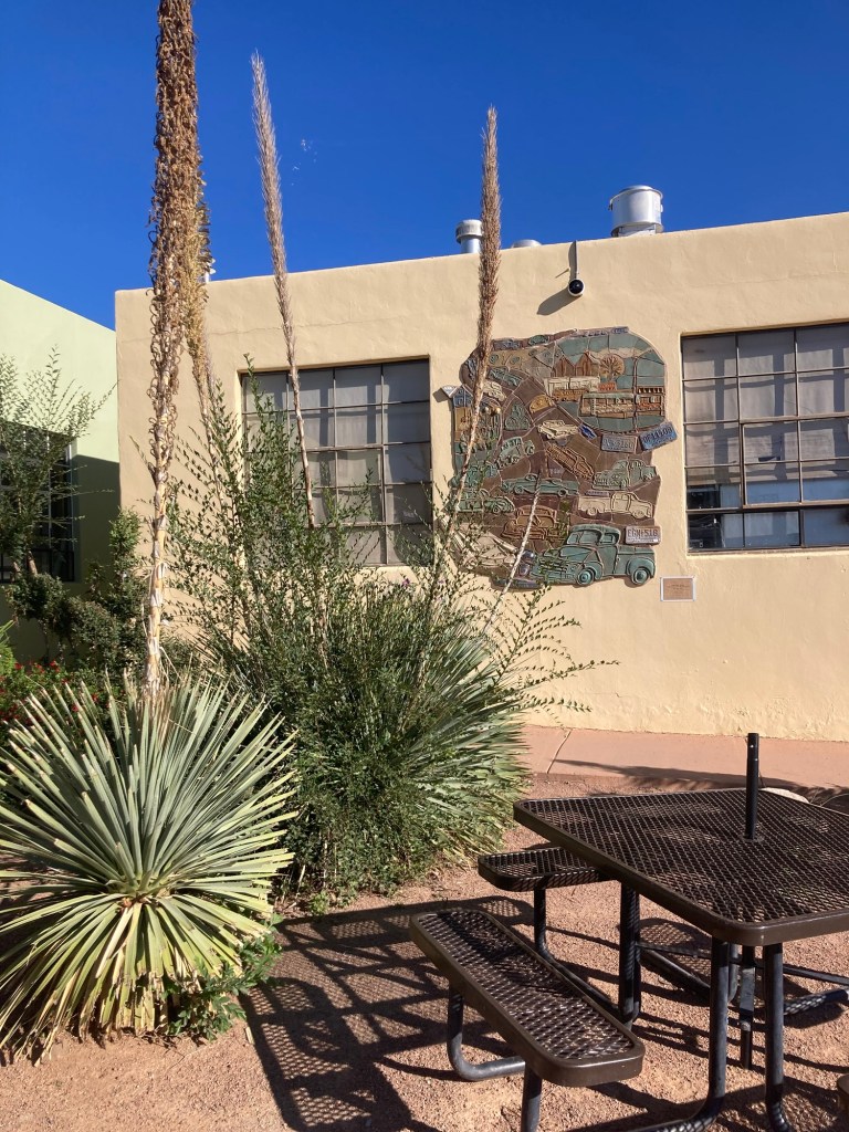
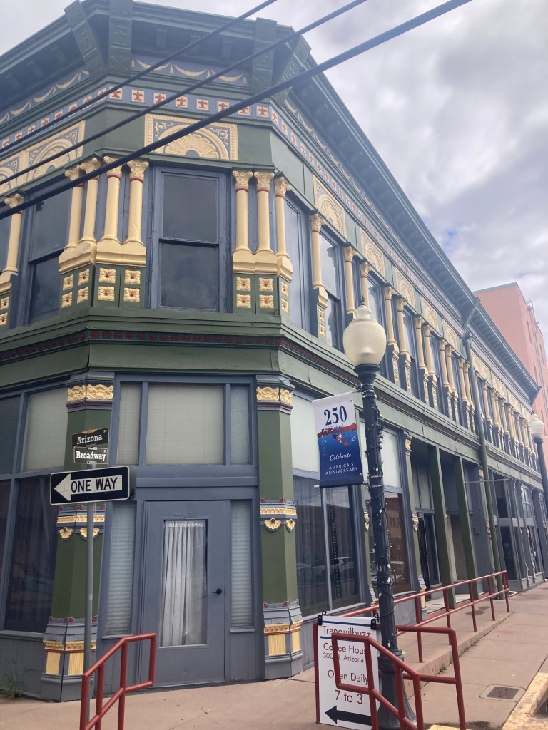
The entrance to the as yet untried (by us) Tranquil Buzz.There are a few other options downtown, but we landed at Birdwell’s (on the corner).We didn’t have popcorn for breakfast, but they do offer free popcorn later in the day.We both had coffee and a bagel. This is Bob’s.Another cool mosaic. This one is in a square across from Birdwell’s.
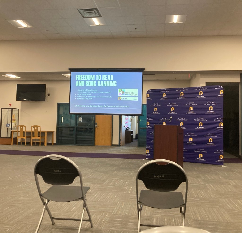
When we checked out the public library a week or so ago, Bob had seen a flyer announcing a Banned Book presentation at the university. We attended on Wednesday. It was from 2:30-4:00, and a couple of locals chatted us up ahead of the presentation. We learned a bit about the history of book banning as well as current efforts. The program was presented by the lead librarian from the public and university libraries.
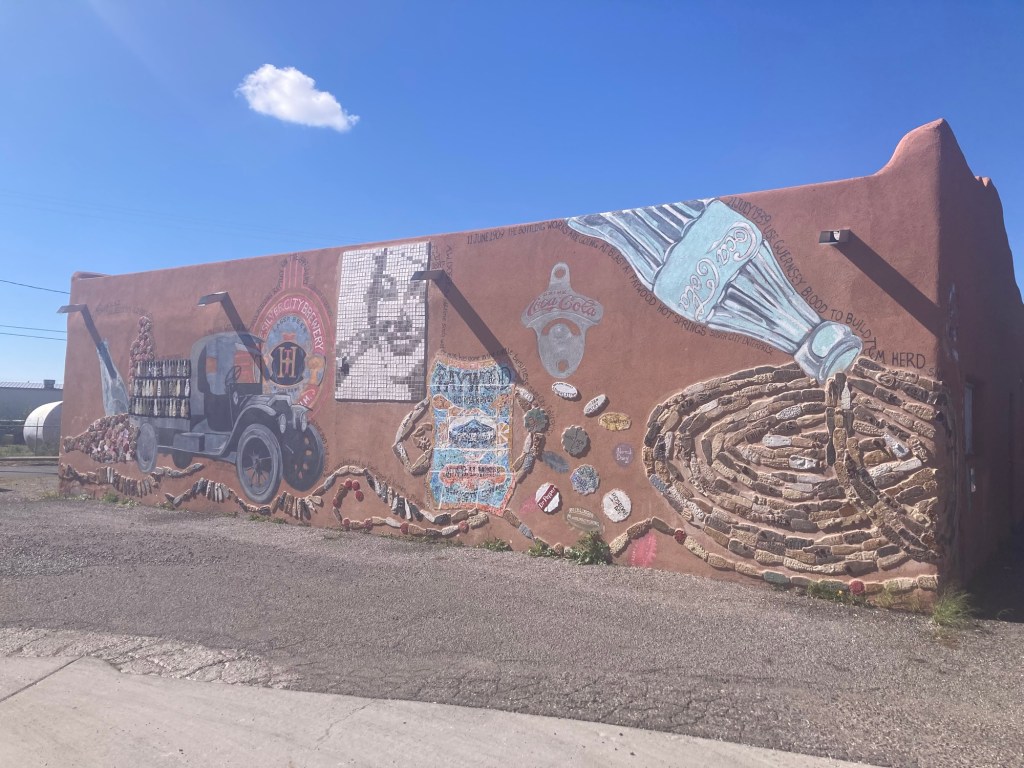
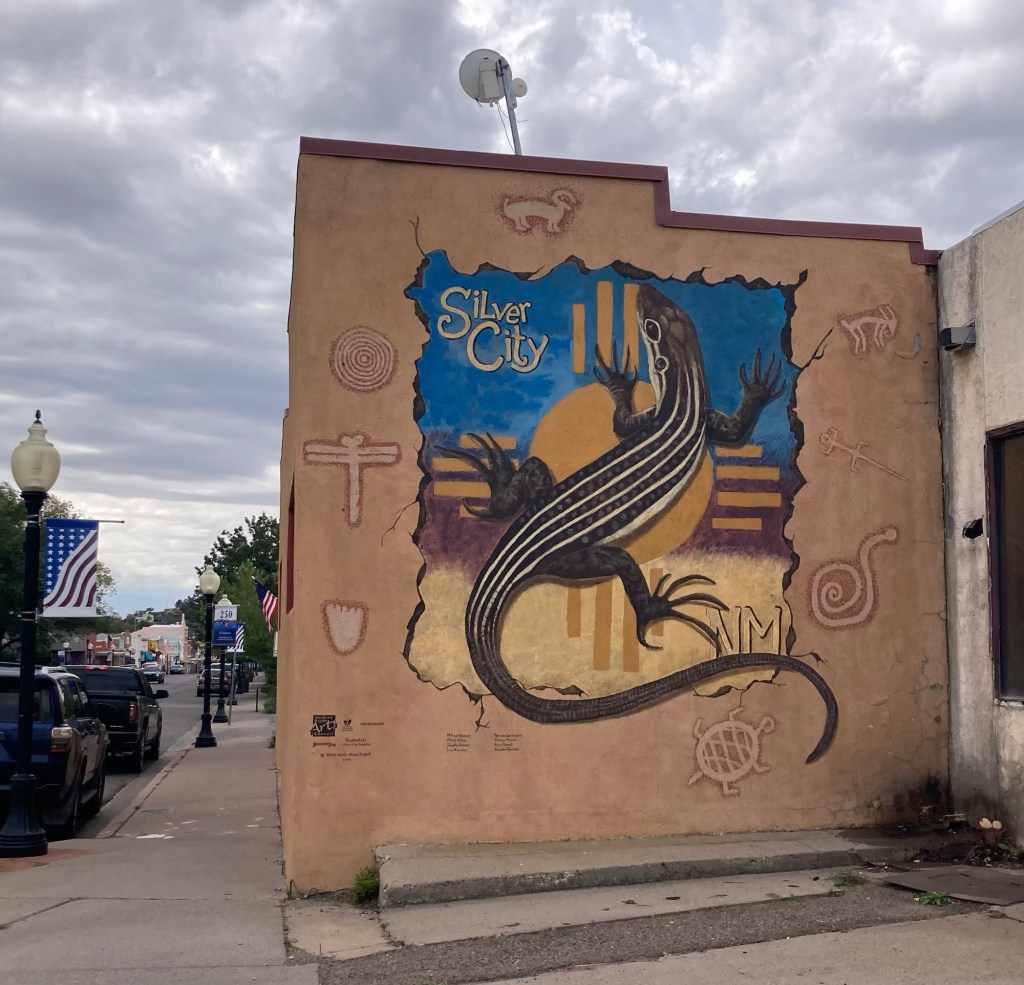
Waiting for the presentation to start. It was mostly attended by members of the university’s continuing education program but students attended as well.Another mural, this one on the main road into town.
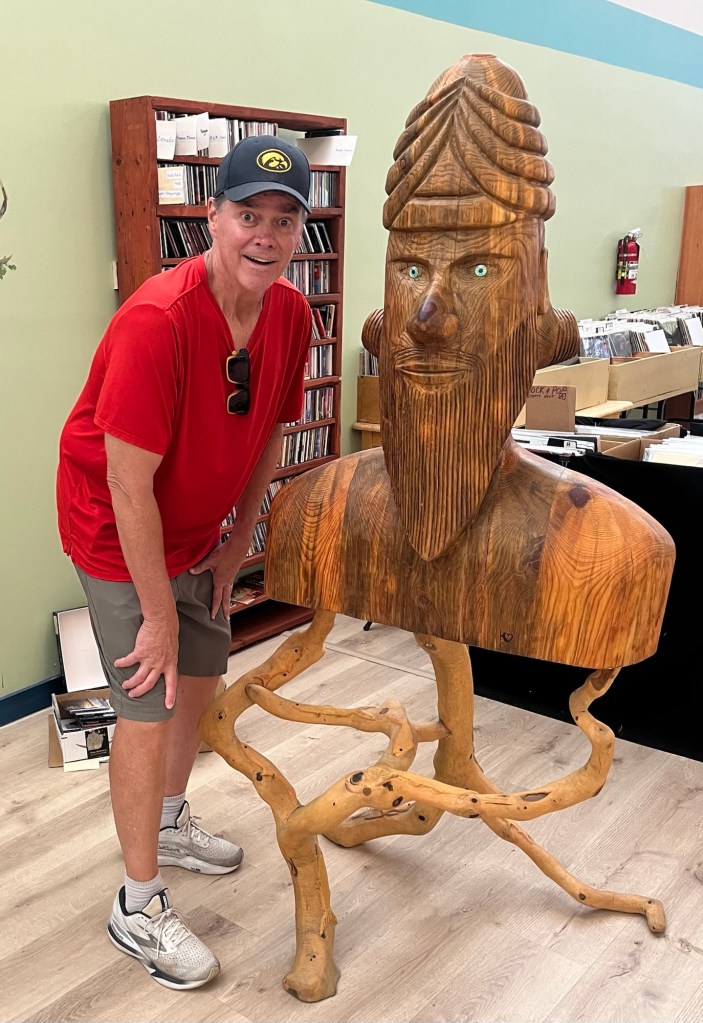
Bob and I poked into a couple of used book stores yesterday, and Bob scored a big head photo in one of them.
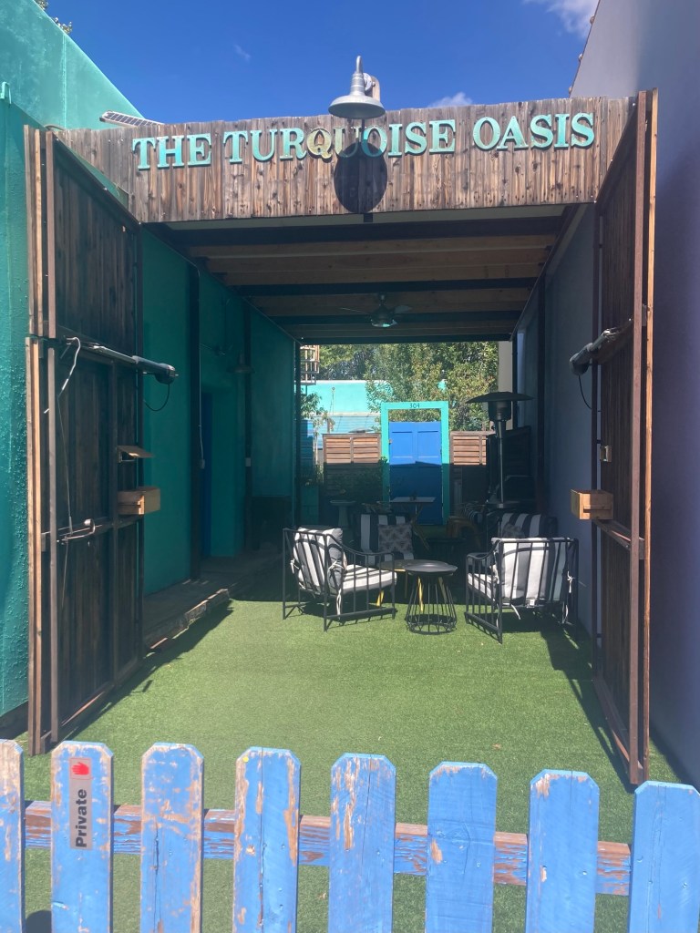
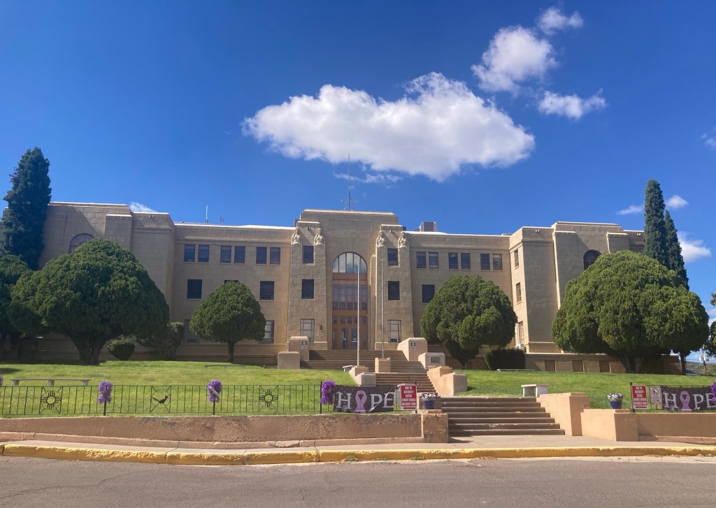
A random gathering space in between 2 stores downtownA closer shot of the courthouse, decorated for domestic violence awareness
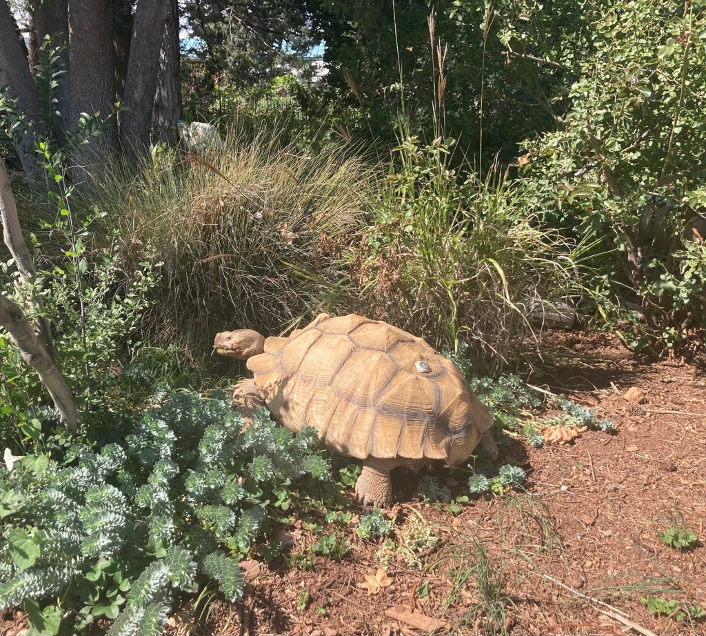
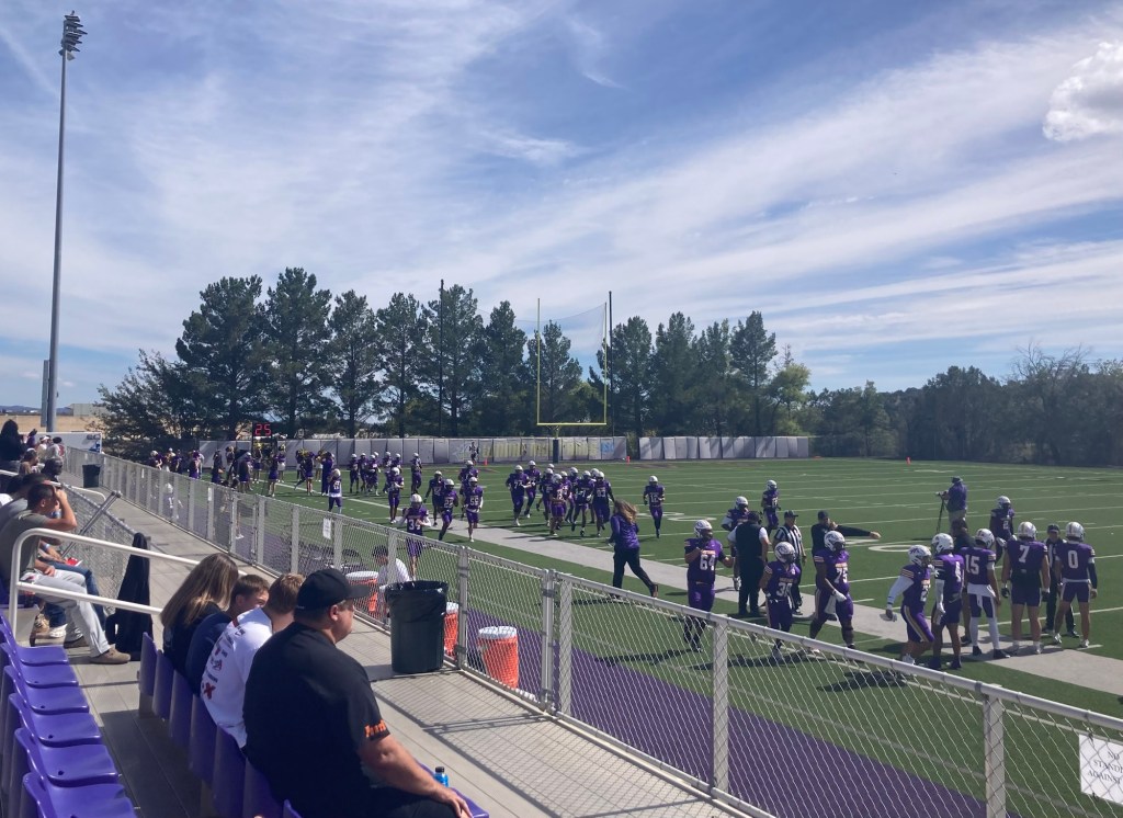
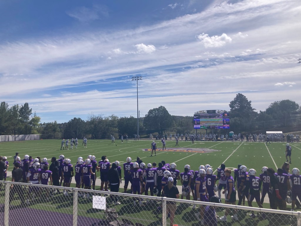
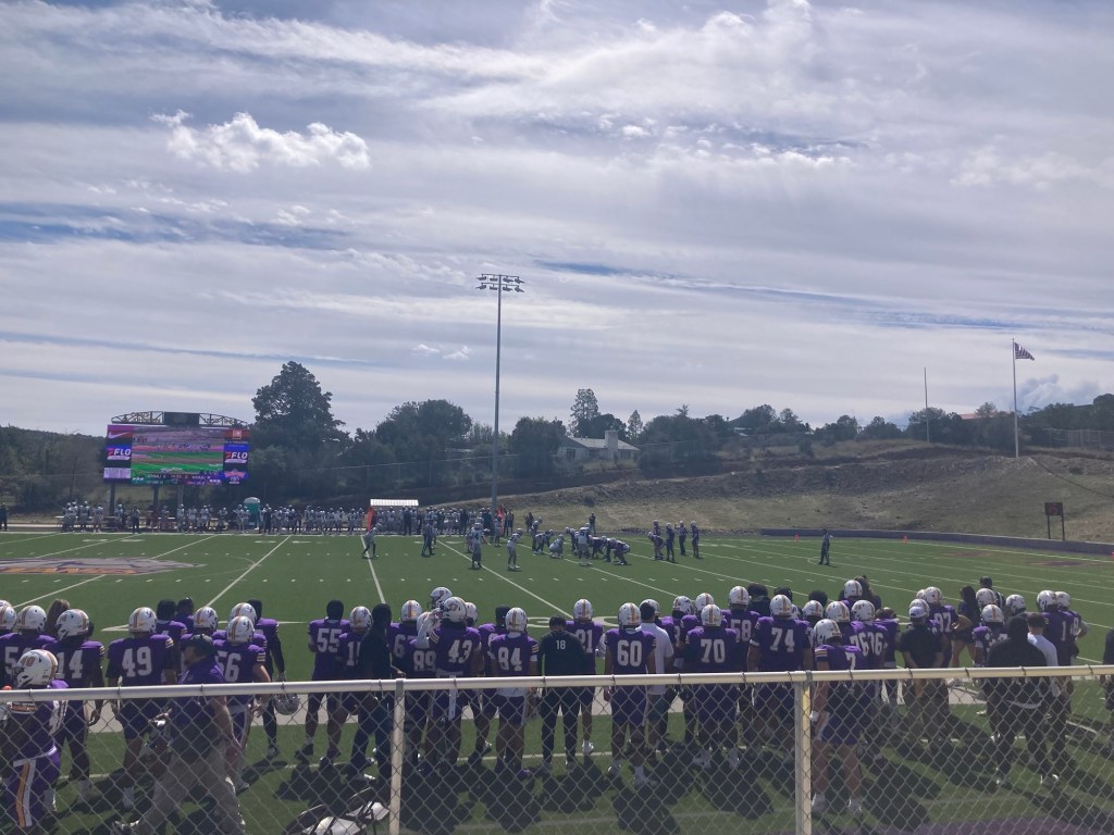
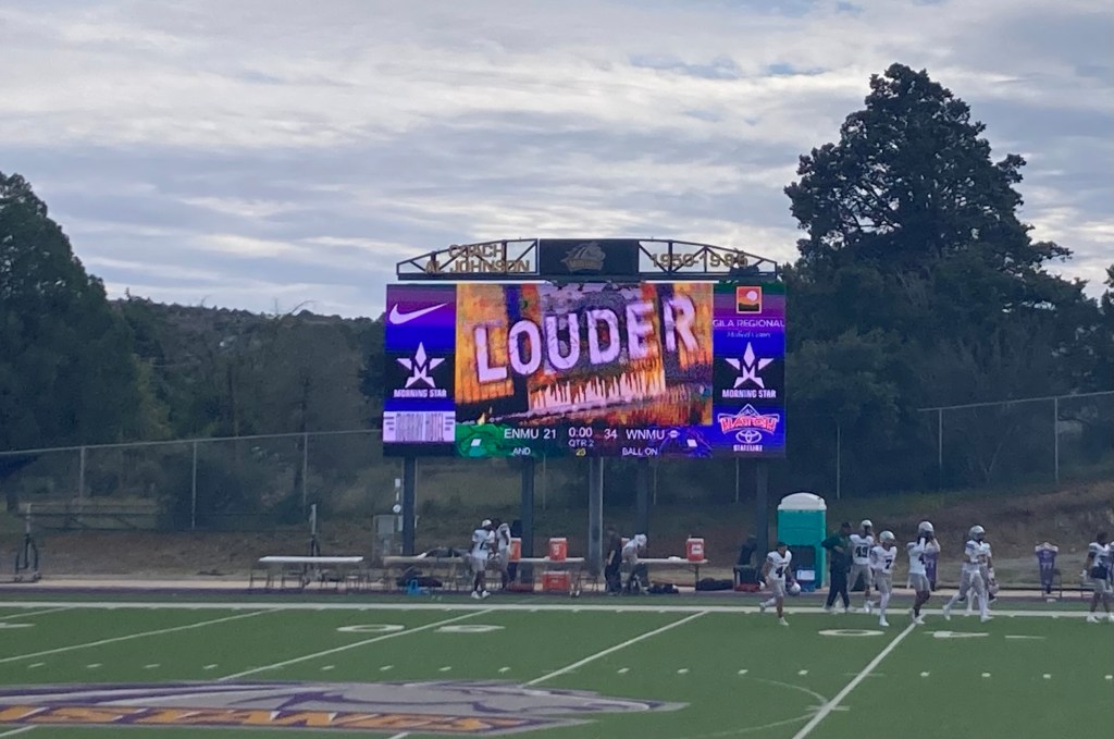
This afternoon we attended the homecoming football game between the Western New Mexico University Mustangs and the Greyhounds of Eastern New Mexico University from Portales, New Mexico. But before we headed to the game, I walked to a nearby park with a free little library to exchange a book. On the way, I met an impressive neighbor in his (her?) garden.
Quite the sizable tortoise!
The game started at 2:00. Bob had bought tickets ($11 each for general admission), but no one scanned us or asked for them as we went in. We did notice other people with wristbands so they could come and go, so I think we were supposed to stop at Will Call, but anyway, we got in.
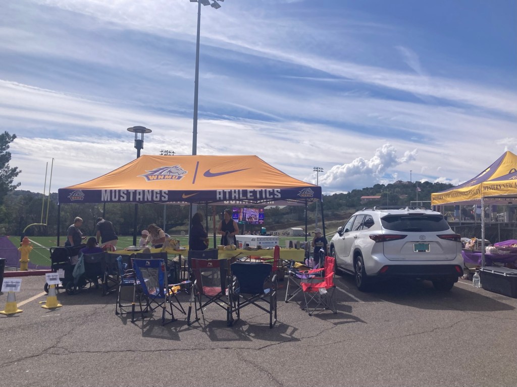
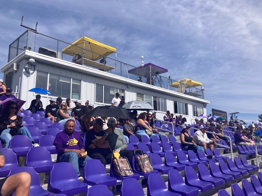
Some tailgaters outside the stadium Looking up from our seats in the 3rd row before the gameAs the team was coming onto the field at about 1:58Kick offIt was crazy to be so close to the players and coaches. No need to lip read today, we heard the comments from the players and an f bomb from one of the coaches.We left after halftime with WNMU up 34-21.
One thing that Bob and I hadn’t seen before in a college football game. At one point (shortly after we had intercepted a pass), the other team recovered a fumble and ran it in for a touchdown. They then attempted a point after, which was not successful, but a penalty was called on us and they were going to get to retry the attempt. At that point however, WNMU asked for the fumble recovery to be reviewed as they argued that it wasn’t a fumble. The play was reviewed and reversed. First time we had seen a play reviewed after a subsequent play had already occurred.
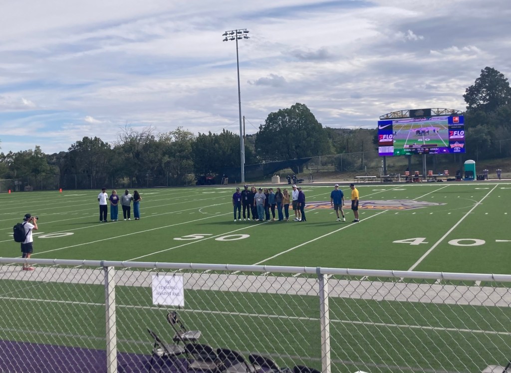
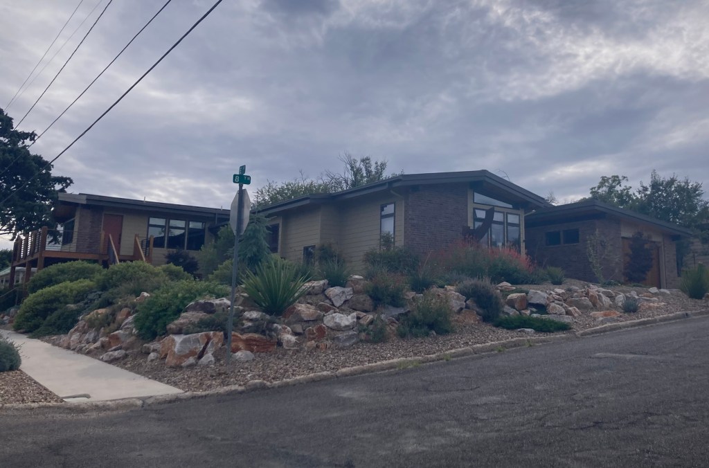
The presentation of the 2026 Hall of Fame athletes for WNMU — a football player and coach, a basketball player, and a sports photographer for the local paper. Each brought family out with them for the presentation.One of our favorite houses in Silver City which we pass coming and going from the university.
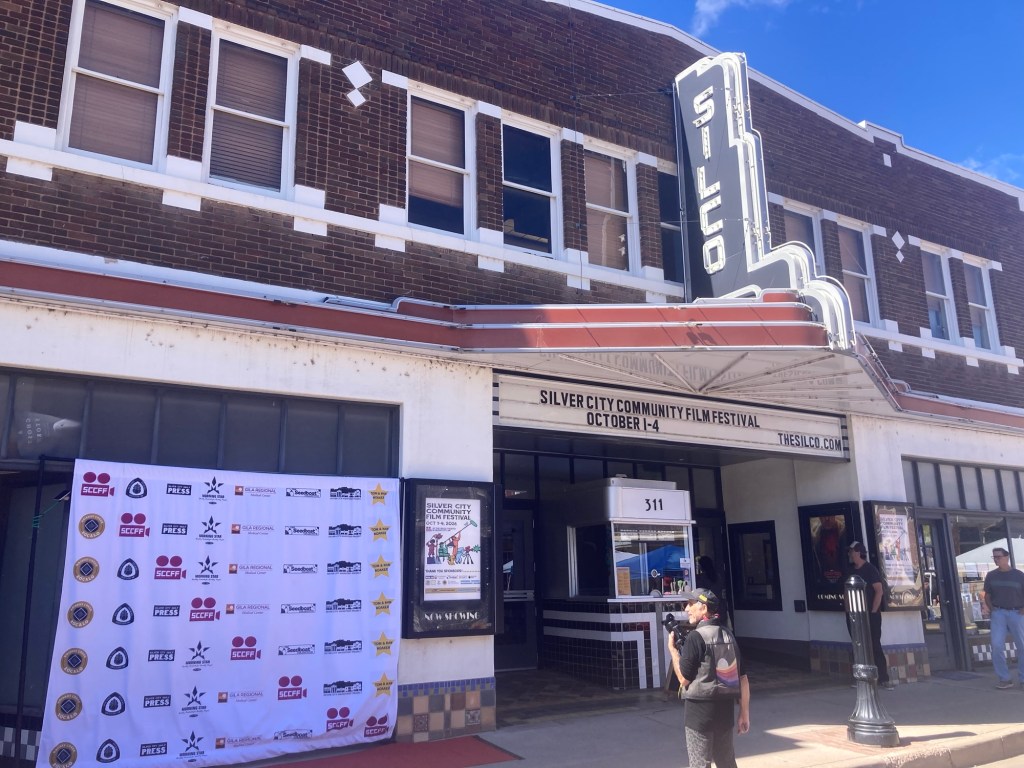
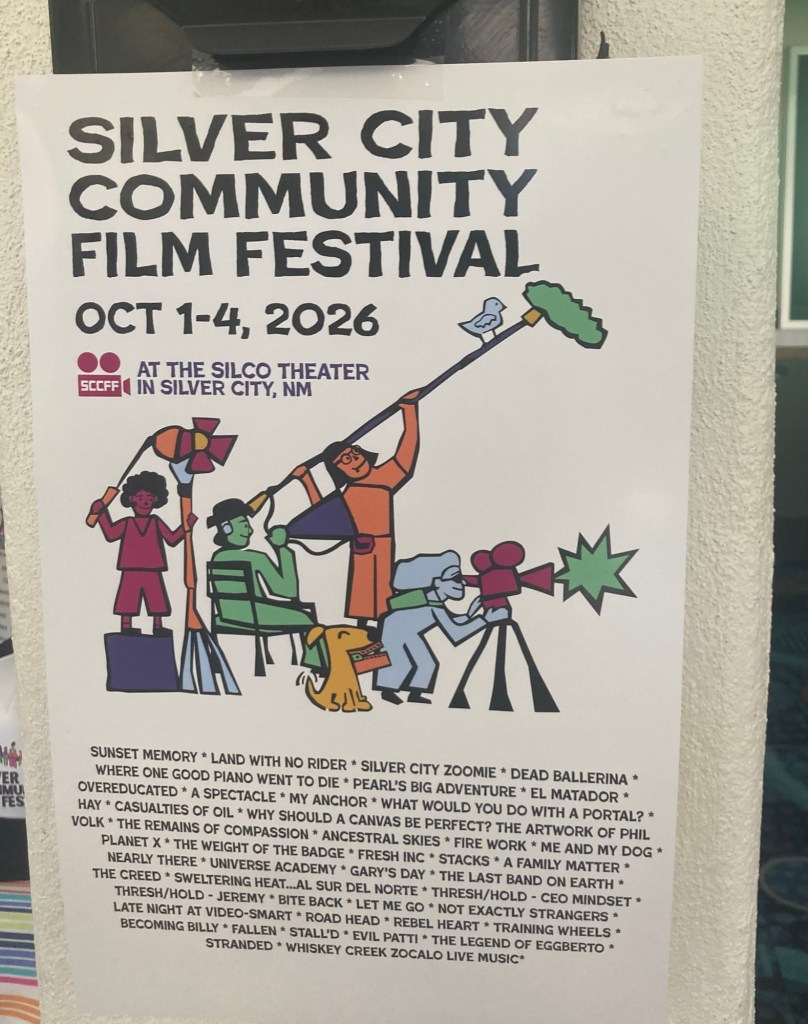
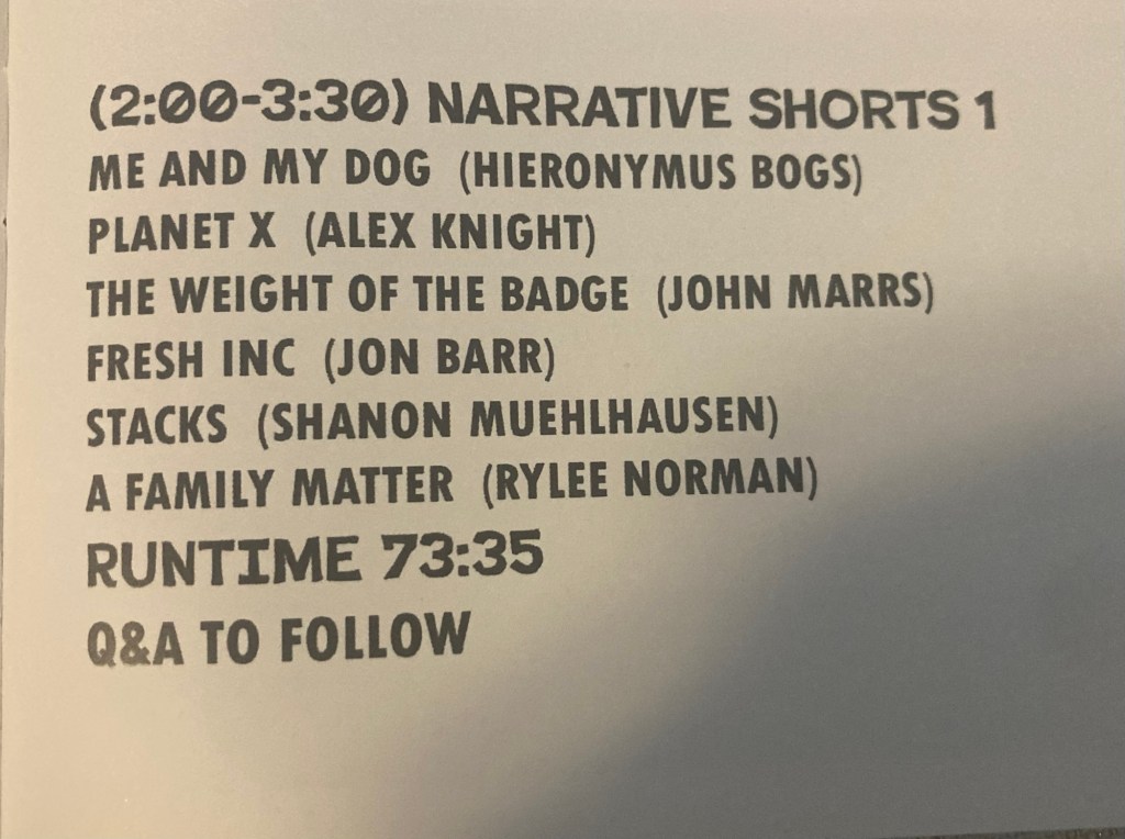
This past weekend Silver City held its third annual Silver City Community Film Festival. The festival provides a showcase for regional filmmakers. There were full-length movies shown on Thursday night and Friday, and then on Saturday and Sunday, a group of shorts were presented based on categories— animation, documentary, narrative, student films, etc. Awards are given out in each category. Bob and I bought tickets for the narrative shorts category on Saturday afternoon.
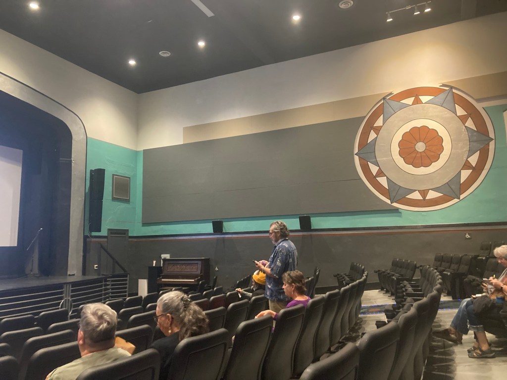
The Silco Theater where all of the movies were shown. A photographer was on hand to take “red carpet” photos in front of the white screen, but we opted out.Inside the theater before the movies beganThe film festival brochure The list of movies we saw.
We weren’t bowled over by the movies, and sadly, the movie that we could recognize as being filmed in Silver City had some issues with the synchronization of the sound with the characters, but we enjoyed the variety and seeing the inside of the local theater.
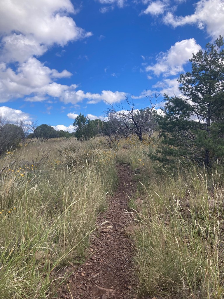
Today, we decided to finally check out one of the local trails in the hills behind the house.
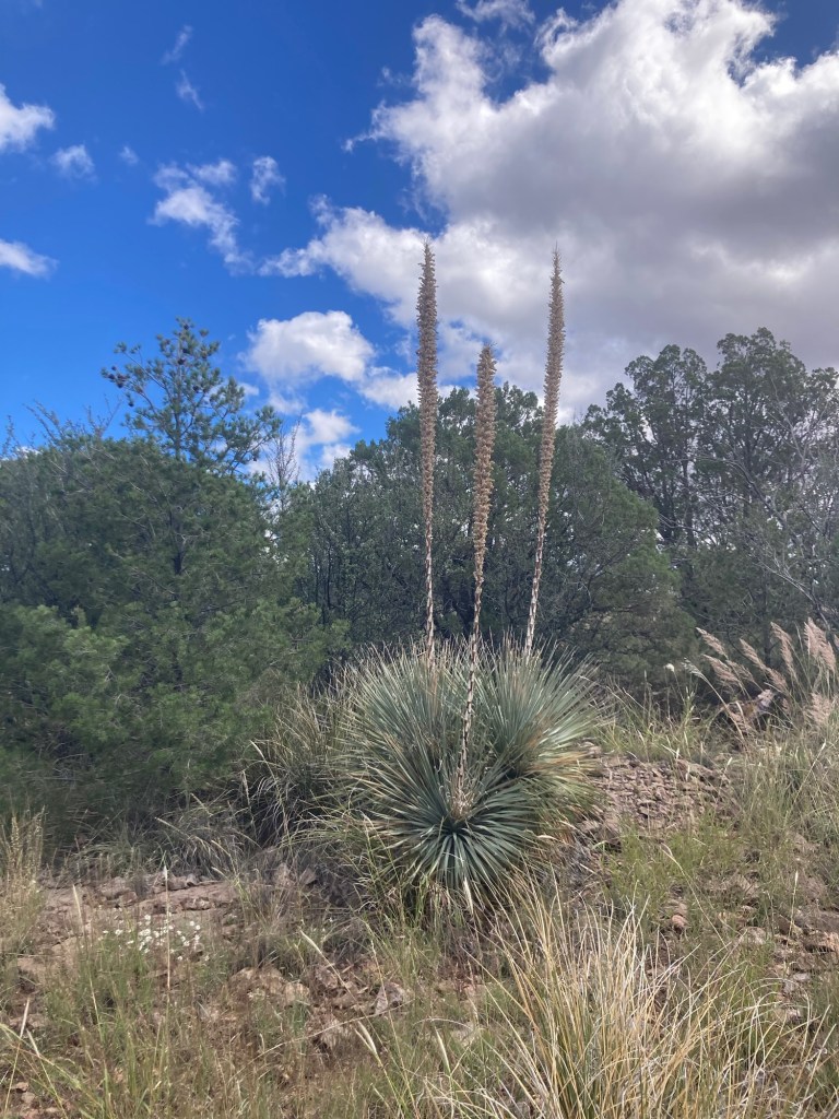
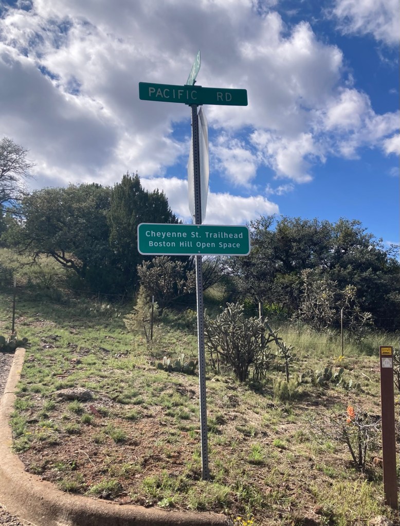
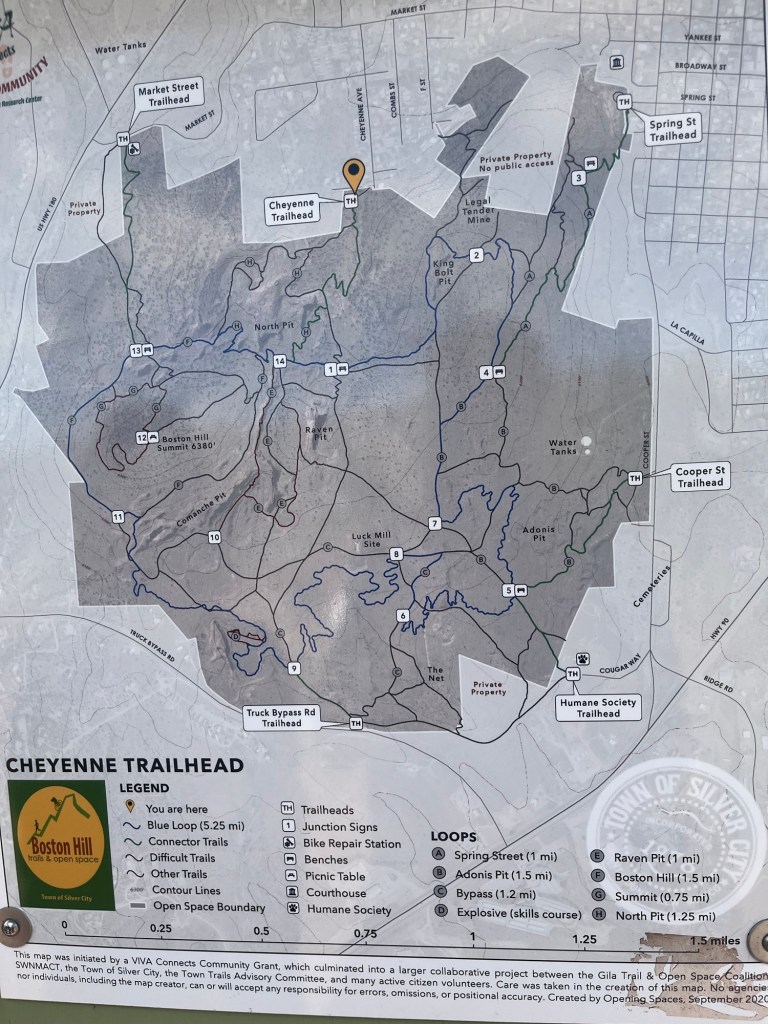
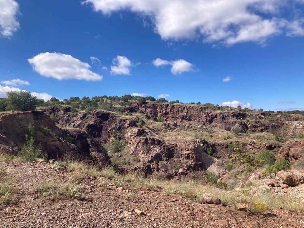
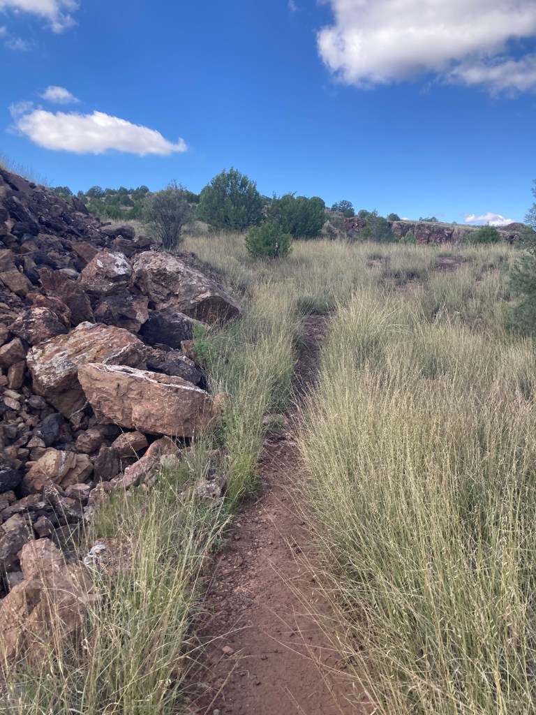
The Boston Hill area of Silver City is southwest of the historic downtown and includes the La Capilla (Little Chapel) Heritage Park and more than half a dozen former mining sites. One of the trailheads for the Boston Hill Open Space Trail System is just a short 5-10 minute walk from the house. We were impressed with the visibility of the trails and the signage along the paths.
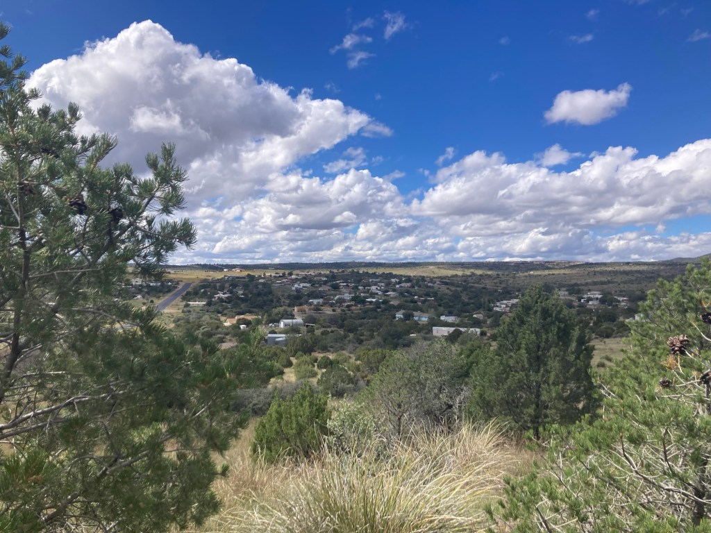
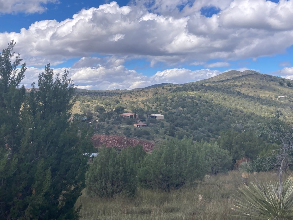
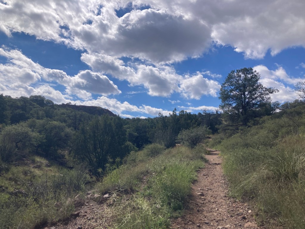
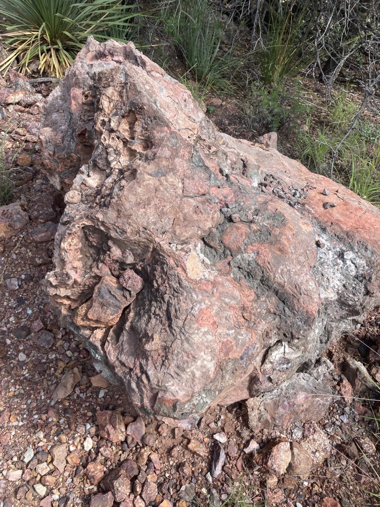
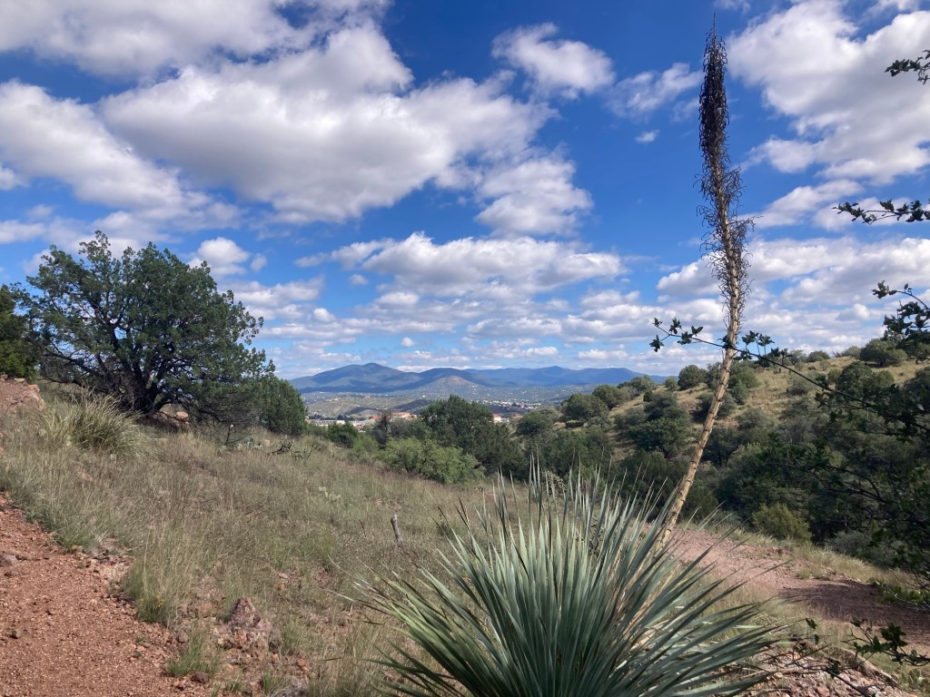
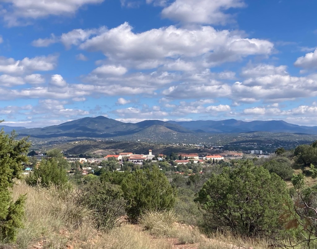
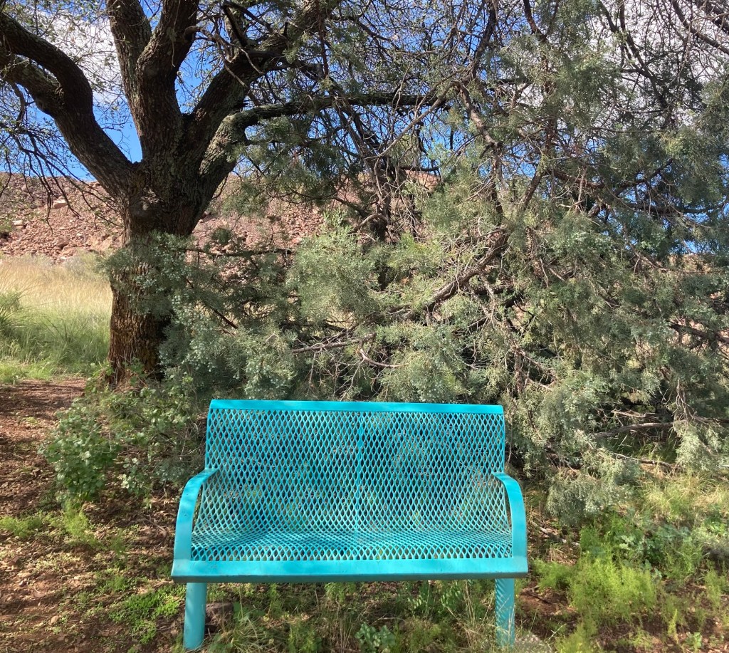
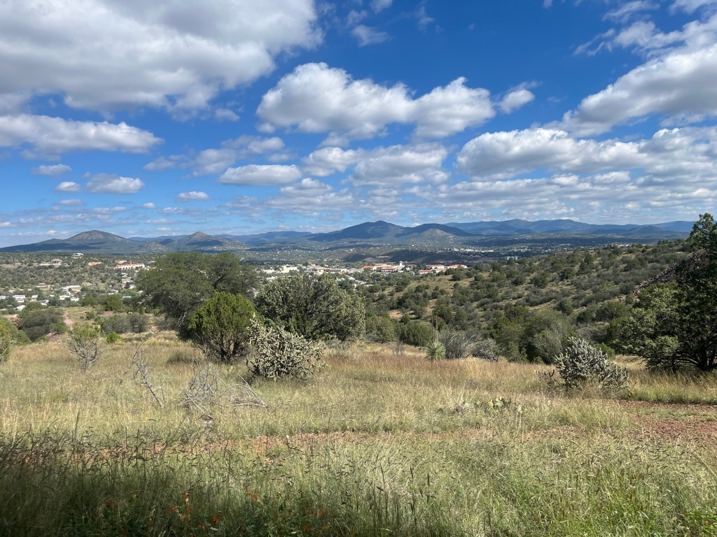
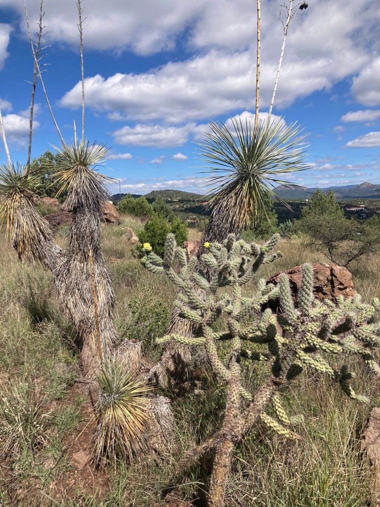
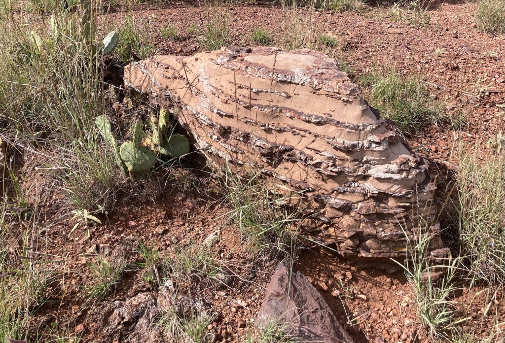
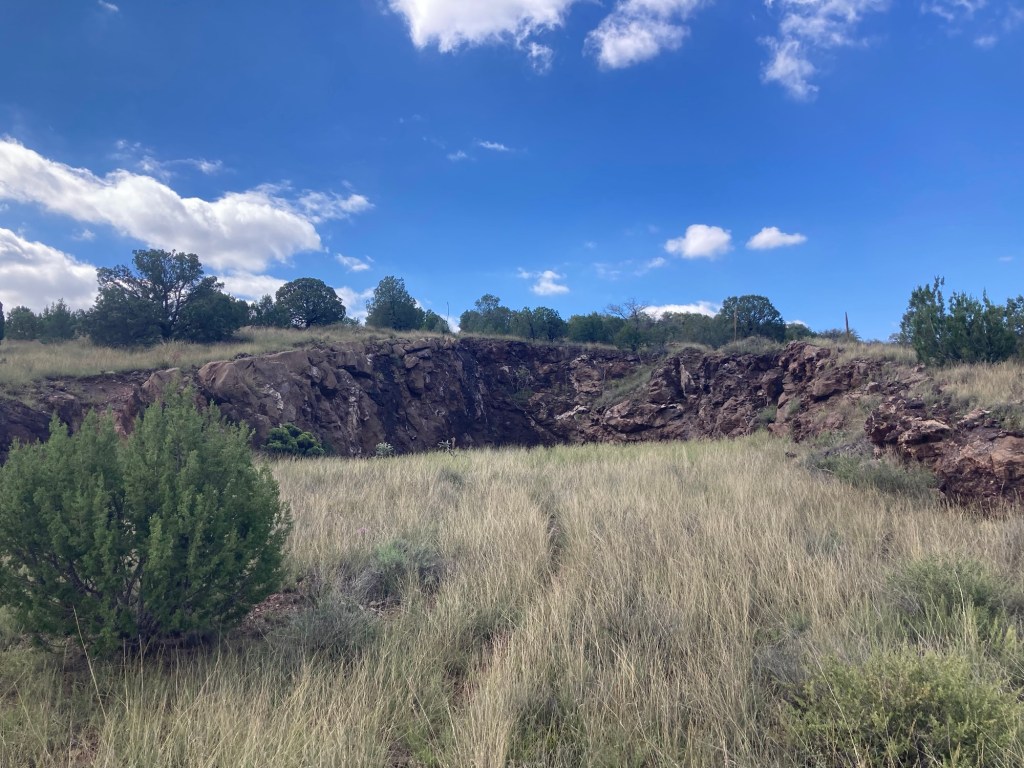
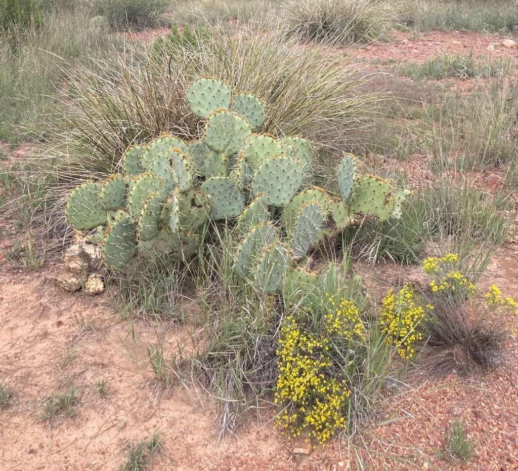
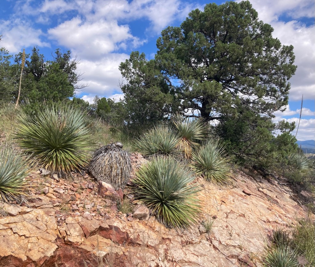
The trailhead where we started our hikeThe map of the trail system. We just did about an hour hike today, as we wanted to check out the footing and waymarking, but we want to get back to walk to the summit and do the entire Blue Loop.Starting outWe saw a lot of interesting rocks along the trail.Looking towards townA view of Western New Mexico UniversitySome evidence of prior mining activity Another portion of the pathThere were a number of benches along the trails which were also noted on the map for ease of determining your location.Another view into townVarious cactiAnother cool rockMore evidence of prior mining Another cactusThis house must have amazing views of the areaThis just seemed like a great Southwestern shotDitto
Happy October! It was a tricky end of September with the rainy weather around much of the country, so hopefully the weather in October proves to be a treat. So far, so good here.
While Bob and I have been going to the rec center at the WNMU campus and poked in the student union, we hadn’t walked the whole campus, so we did that today.
WNMU was founded in 1893 and has had four names — Normal School, New Mexico State Teacher’s College, New Mexico Western College, and now WNMU. The longest tradition is the Great Race which began in 1967 and which we learned a bit about at the museum (more below). The university currently offers more than 70 fields of study, and they offer fully online master ‘s and bachelor’s degrees. 3,500 students are enrolled, and while 50% of the undergraduate enrollees are Hispanic, over 18 countries are represented in the student body.
We saw students on the tennis courts and in the library but hardly any walking around campus which would indicate a large portion of online attendance.
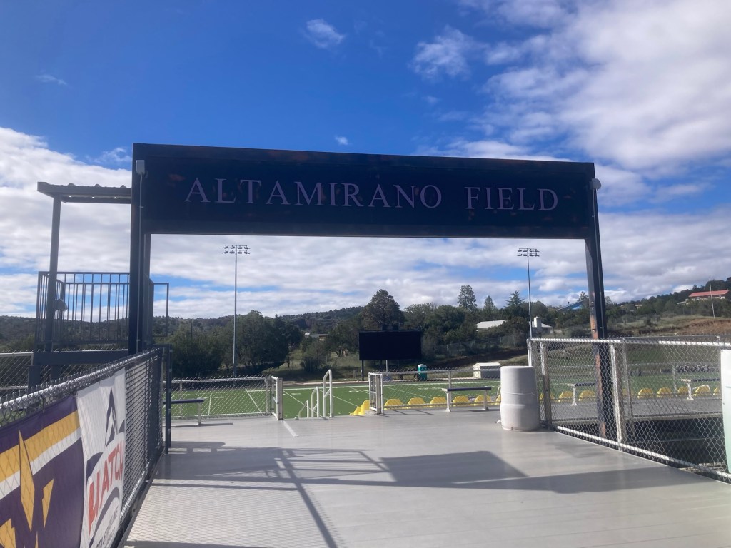
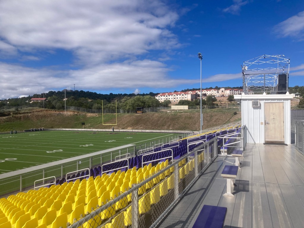
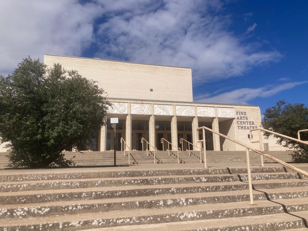
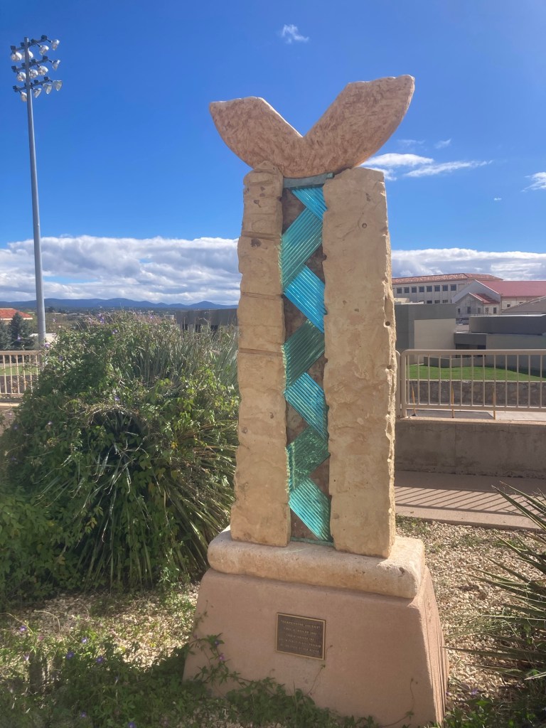
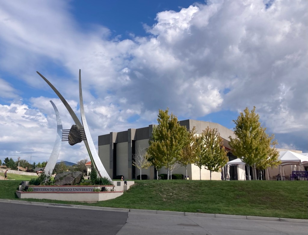
The entrance to the football field Looking across the stadium seats to housing on the hillsideThe Fine Arts Theatre“Serpentine Ascent,” Greg Reiche, 2002, in front of the Fine Arts Theatre
We wanted to go into the McCray Gallery of Contemporary Art on campus, but a posted sign on the door noted that it is closed until October 18th as they prepare for a new exhibition. We’ll try again after the 18th.
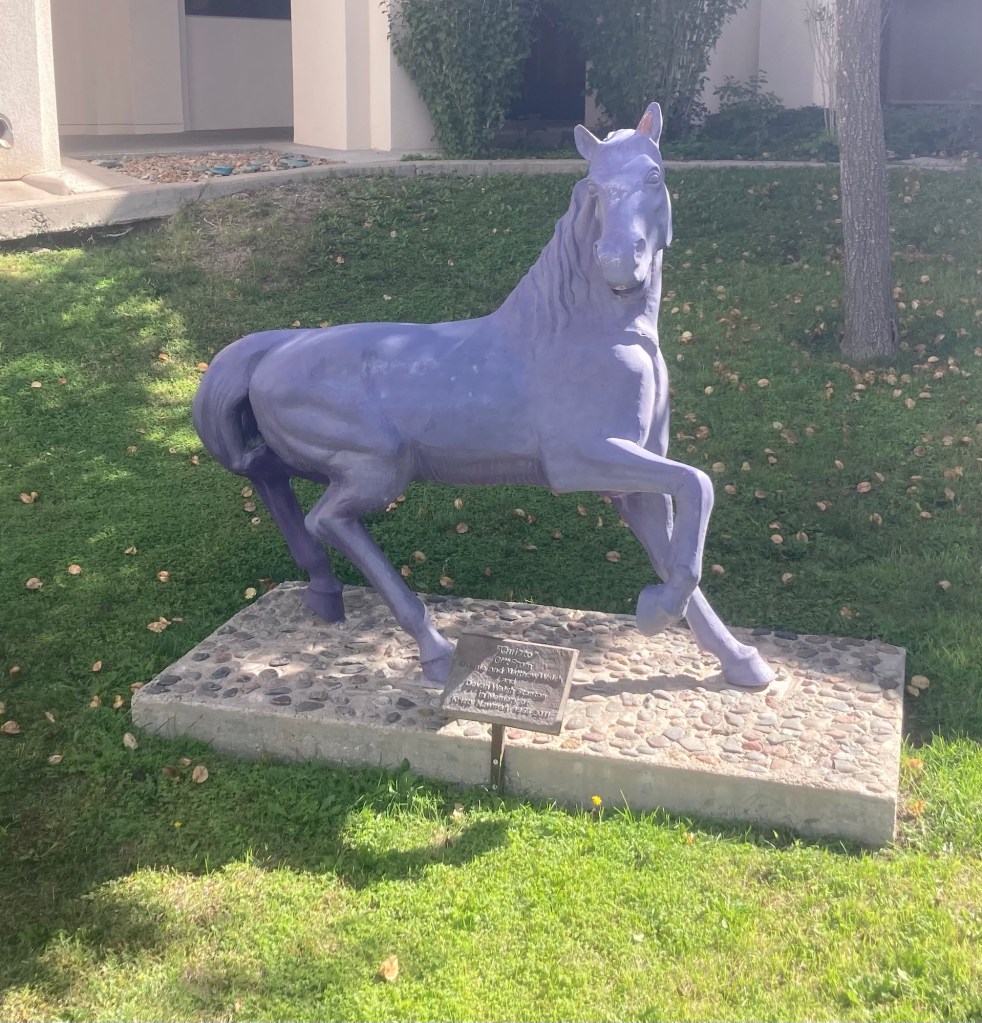
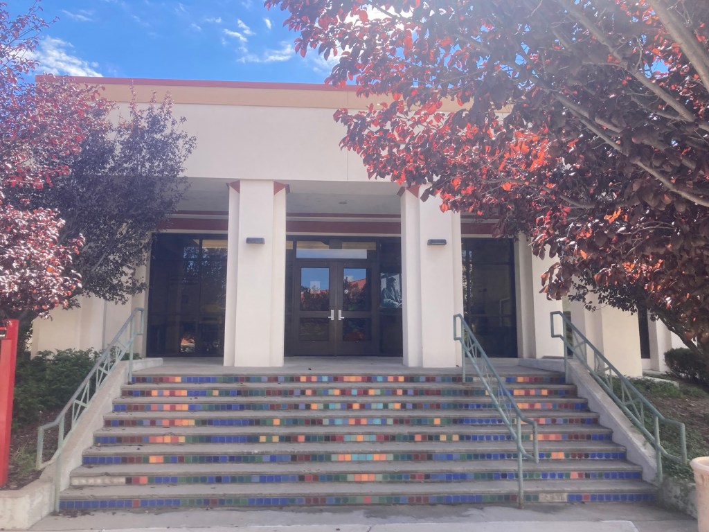
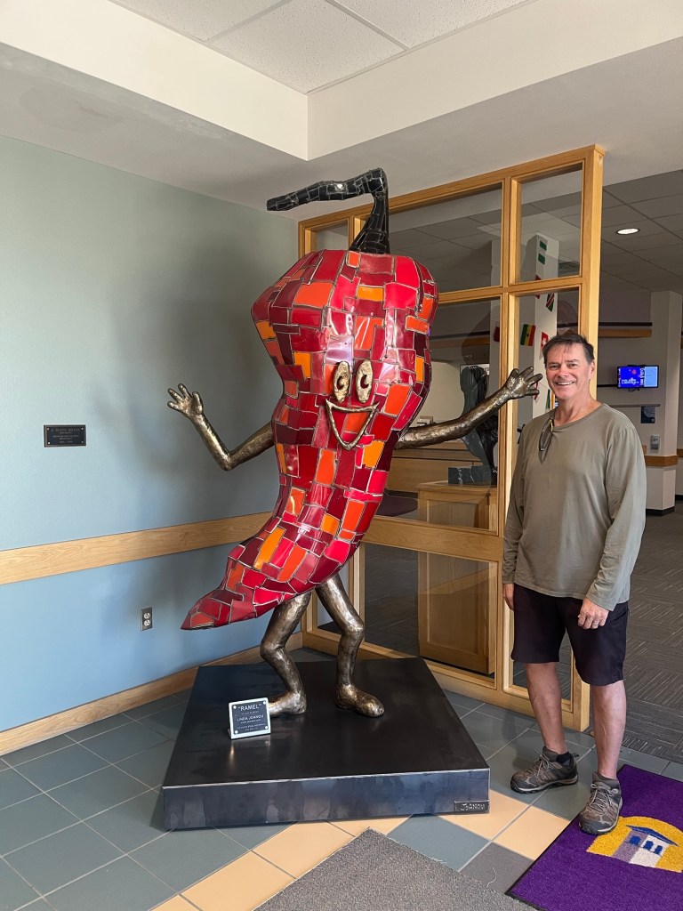
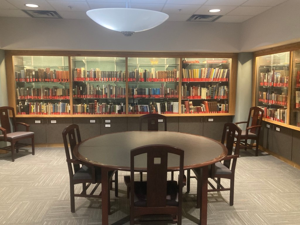
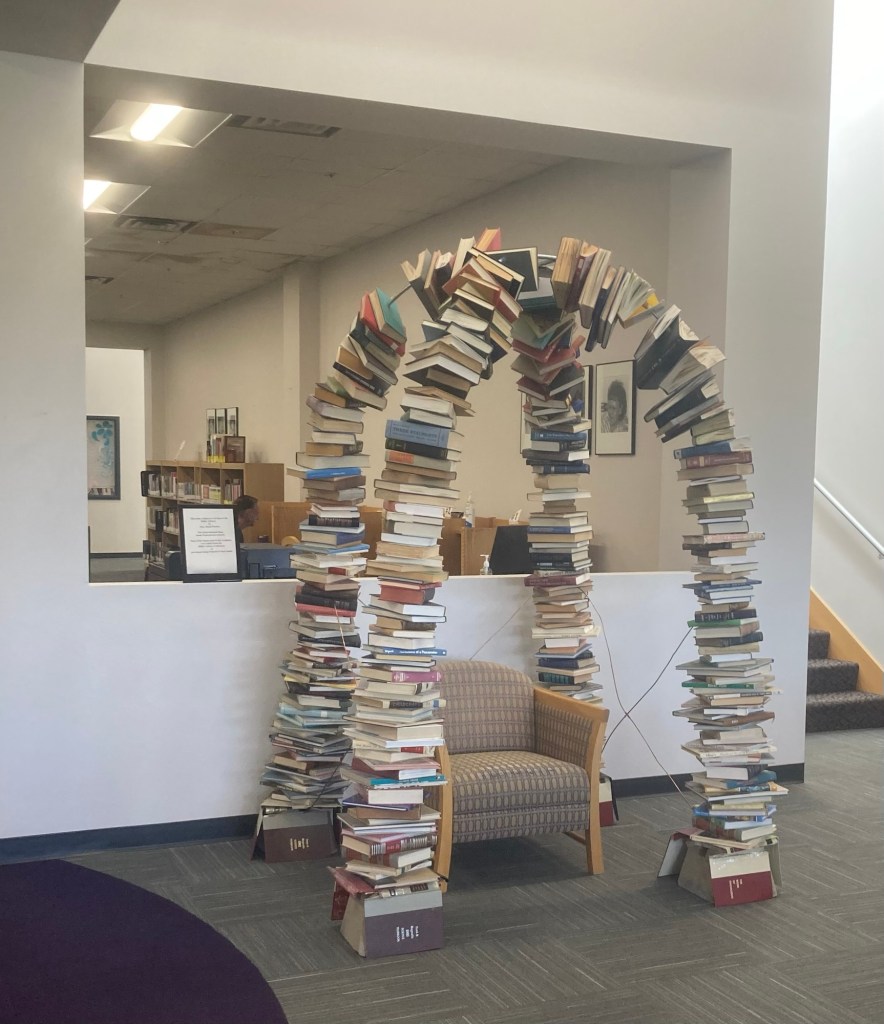
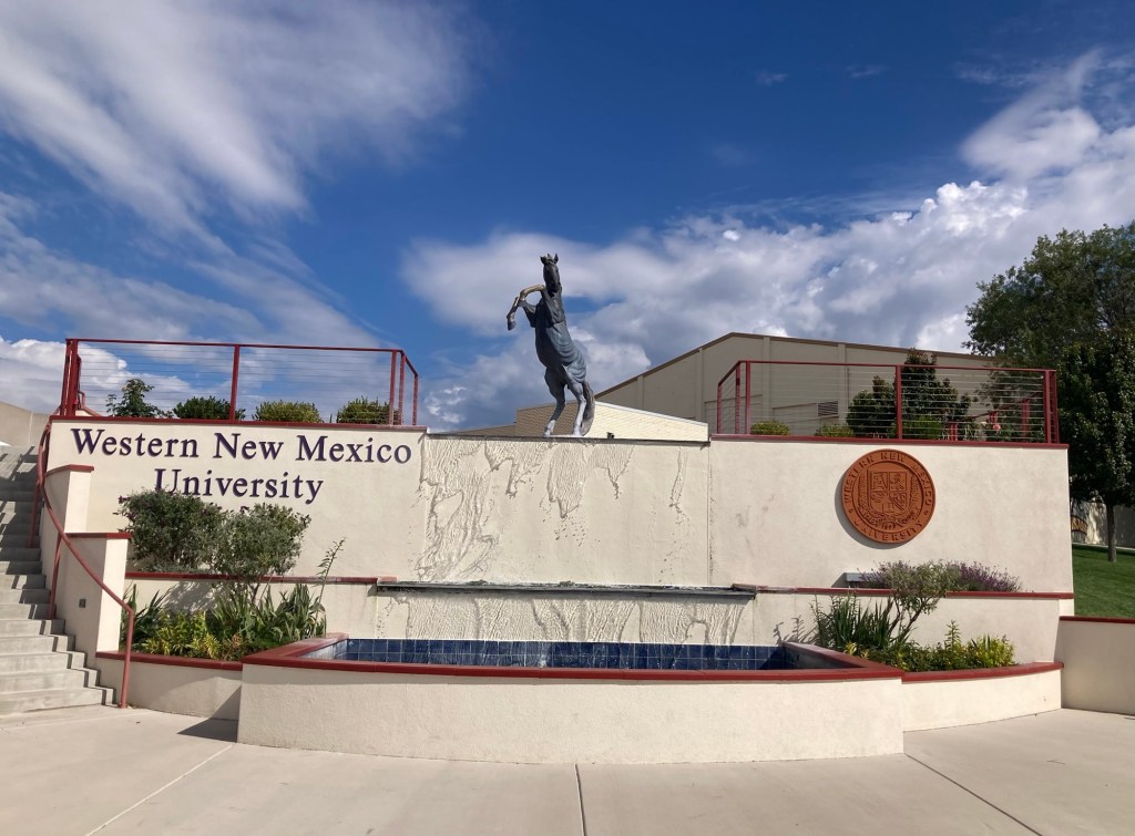
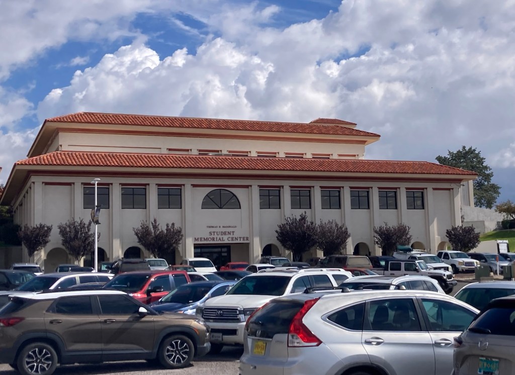
A statue of the mustang mascot given in memory of Kristy Nawman (1958-2011)The entrance to the portion of the Student Memorial Building which houses the school library “Ramel,” Linda Joanou — a very Southwestern big head find!A small room in the libraryA book arch given as a gift to the library, and the sign notes that the books are from the artist’s private collection (not the library’s) and no state or federal funds paid for the display.
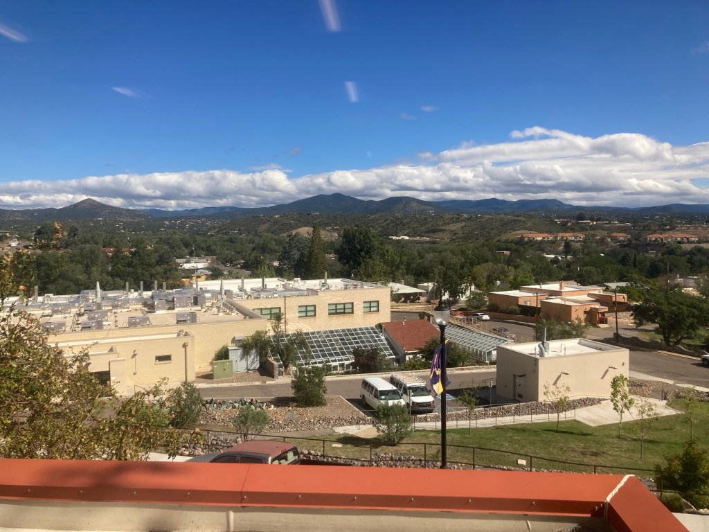
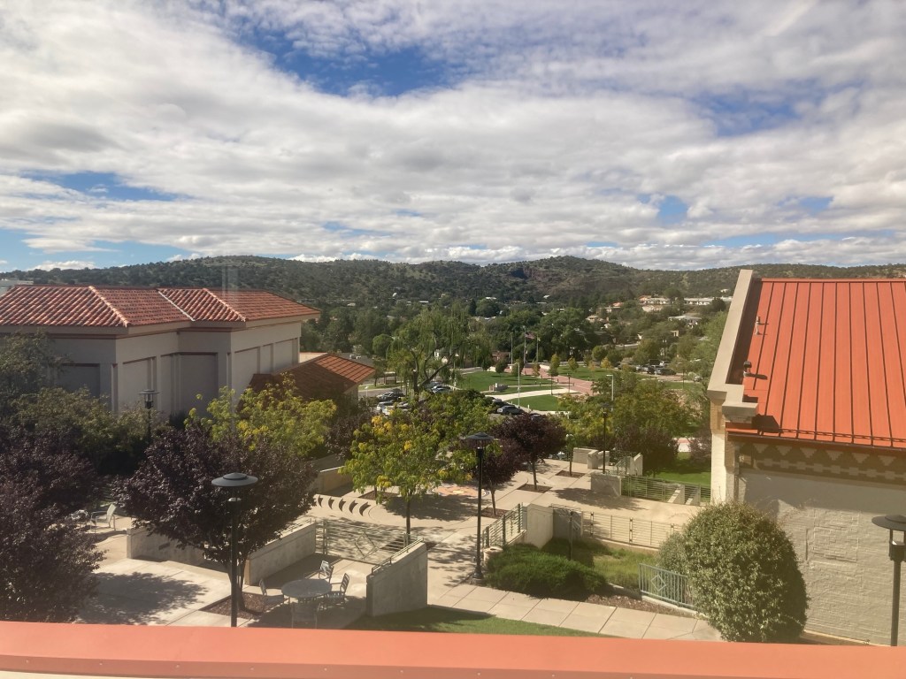
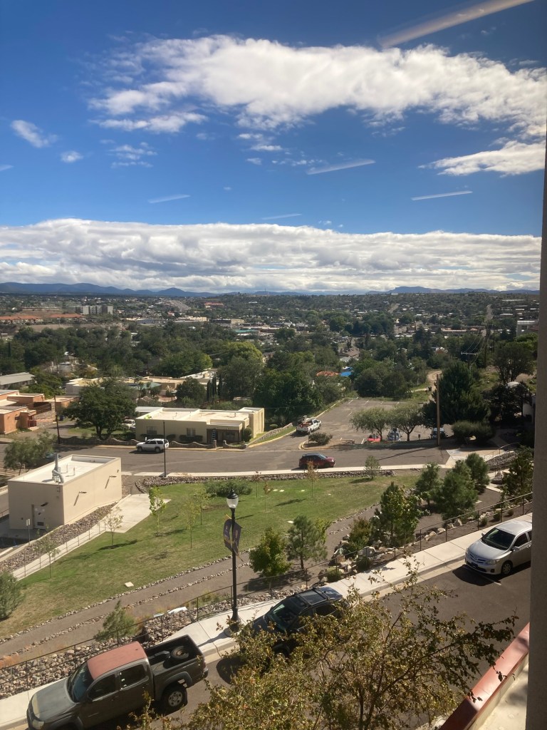
The upper level of the library had some great views of Silver City and the surrounding area.
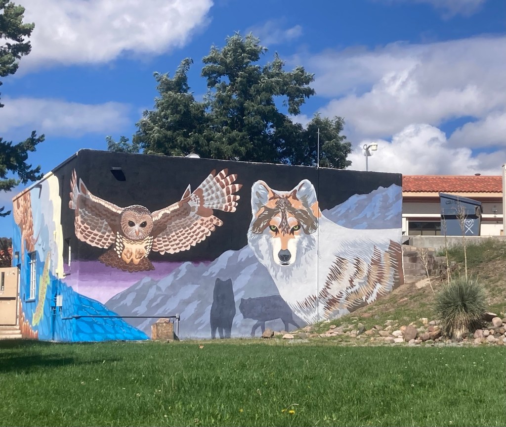
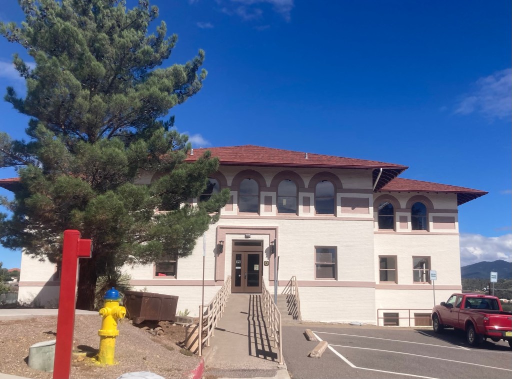
The sign in front of this muraled building says “Outdoor Gear Rental,” not a typical campus building.Fleming Hall, the University Museum
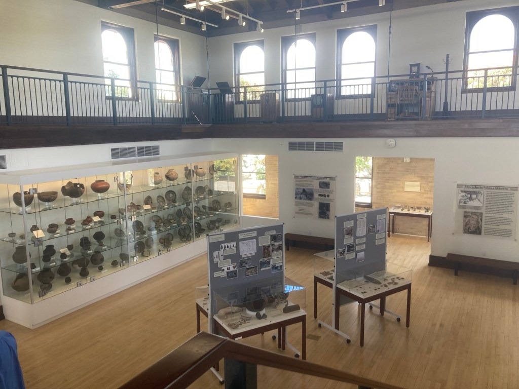
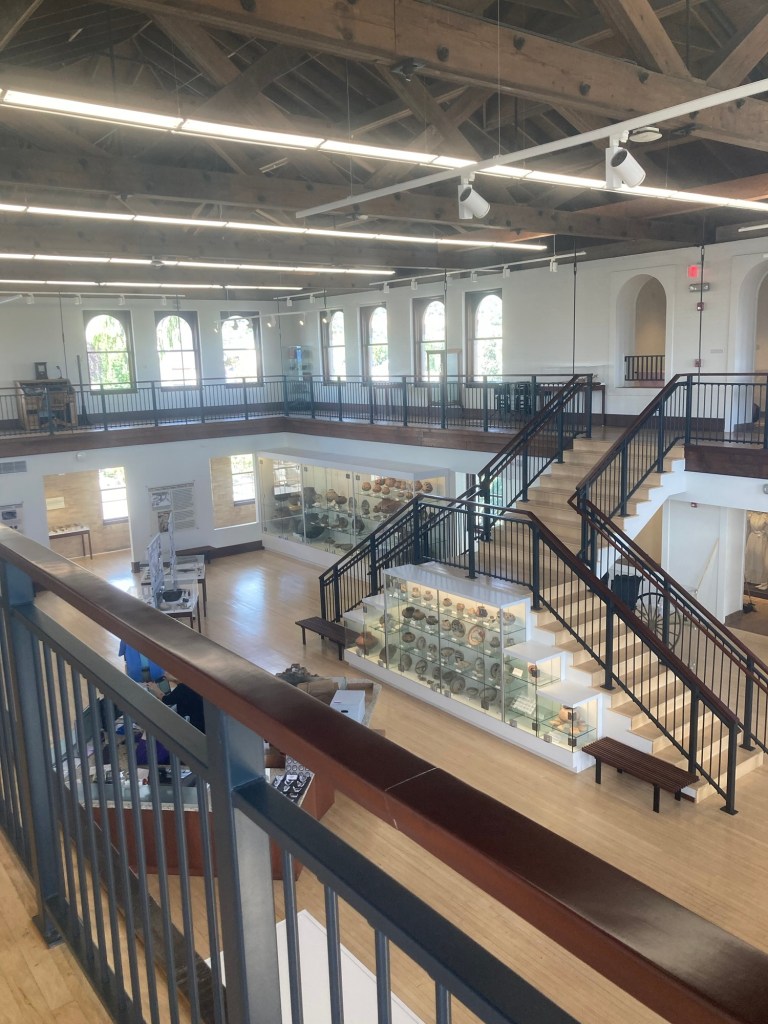
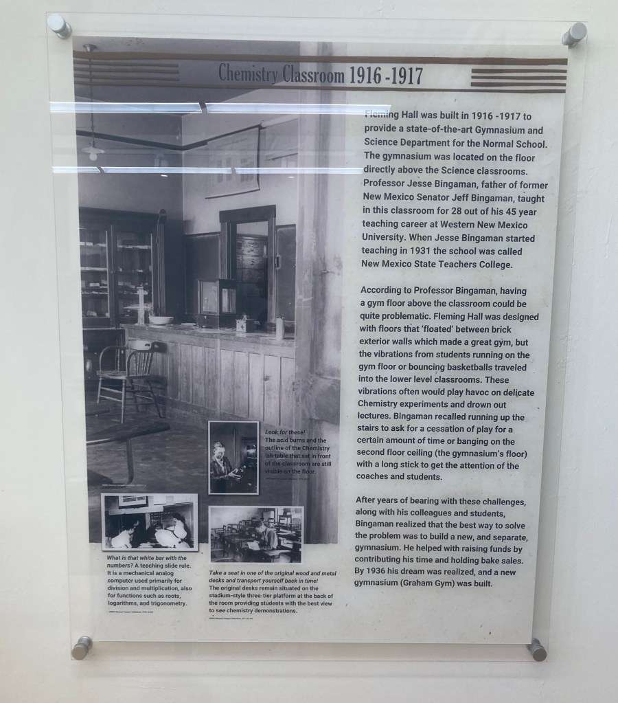
Fleming Hall was built between 1916 and 1917 by El Paso architects Trost and Trost to serve as the university’s gymnasium and science center (quite a combination). It was the last building built on the original 20 acre campus. It served briefly as the home to the library and expressive arts department before opening as the university museum in 1974. It provides some history of the university and building but mostly focuses on its pottery collection of the Mimbres Pueblo in the Mimbres Valley, a region in Southwestern New Mexico defined by the Mimbres River.
Although impressed by the age of the Mimbres-Mogollon culture whose villages were established around 200 AD and whose height of cultural significance was between 1000 and 1130 AD, we were honestly more interested in learning about the much more recent history of the university.
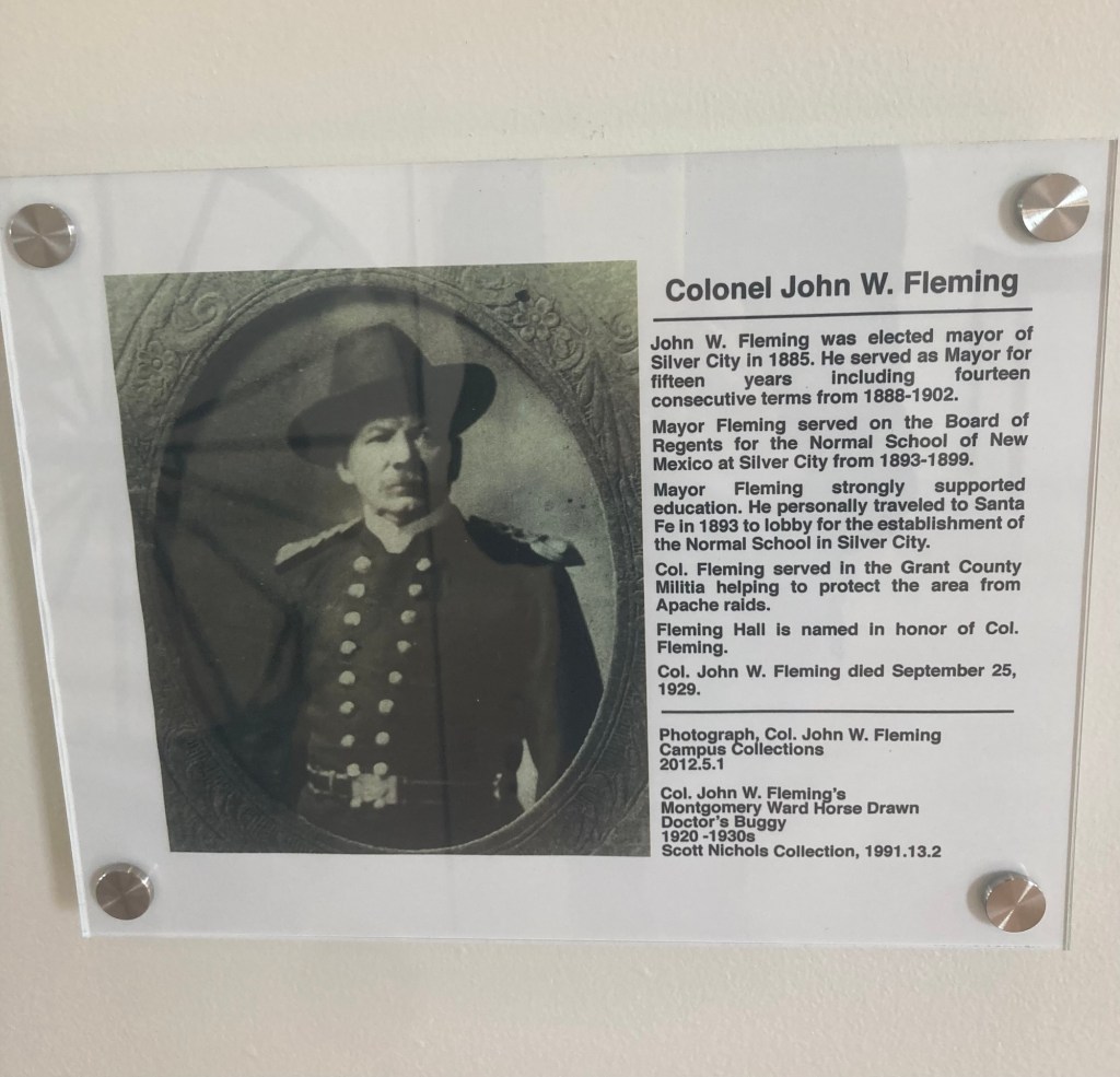
The namesake of the building View 1 of the main floor of the museum with its pottery collection View 2
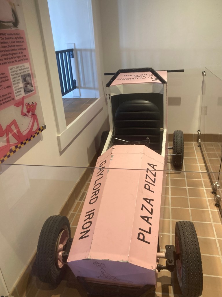
In 1967, WNMU students started participating in The Great Race. Inspired by soap box derbies and the Indianapolis 500, teams of students and faculty race around campus.
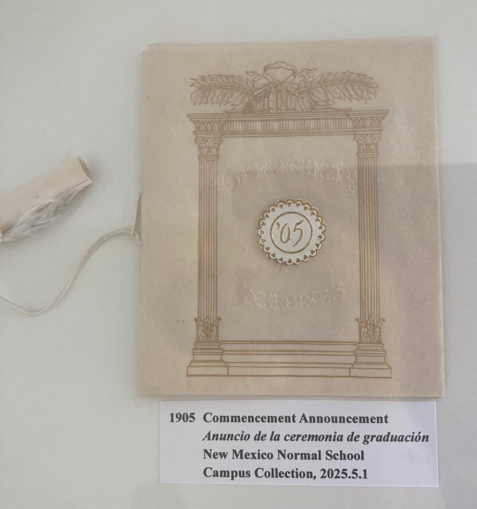
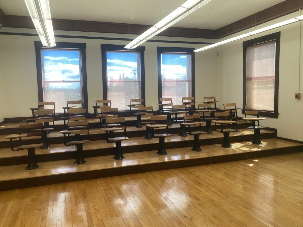
The car for the 1968 Pink Panthers Bowden Hall Women’s Team. 1968 was the first year women could participate.There was a collection of commencement announcements from throughout the years.An old chemistry classroom located one floor below the entrance level A description of some of the challenges that came with having a chemistry lab located directly below the gymnasium
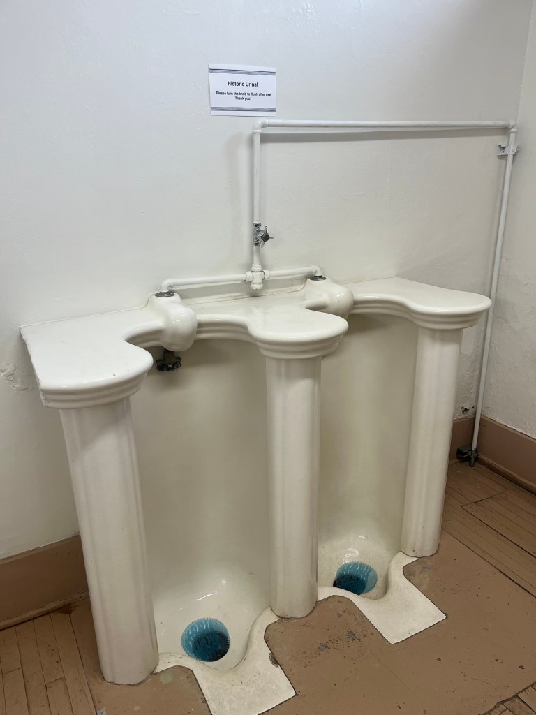
We opted to use the museum restrooms before continuing on with our walk, and Bob got to use a historic urinal.
A nearby note stated that it is a simple Ionic column design made by J. L. Motts Ironworks.
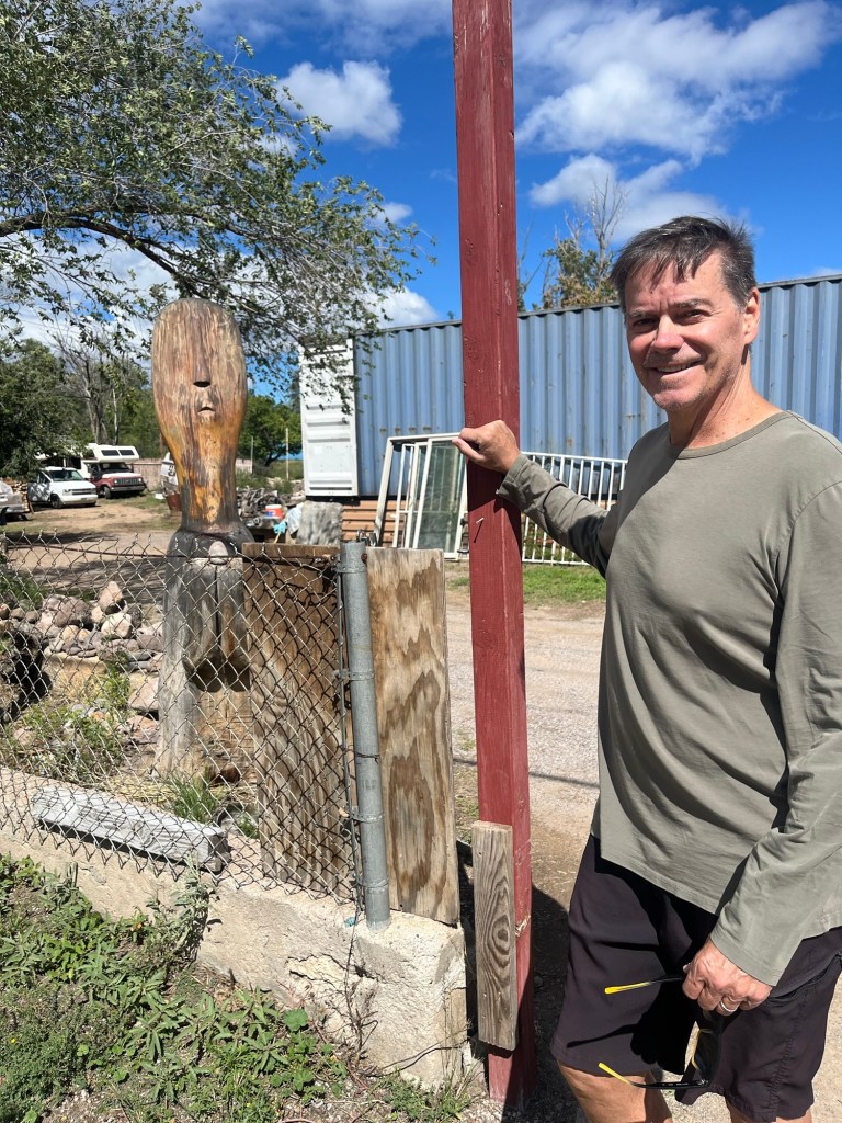
After leaving campus, we walked to the public library to look inside and then a bit further to check out a couple of small local stores. We found another big head.
Before beginning today’s blog, just a quick note that Silver City escaped the tropical system that has been going through the area that past few days relatively unscathed. We just got rain and sometimes intense downpours, but they moved through rather quickly. The surrounding area was not as lucky, as we saw stories on the news about bad flooding and road destruction in Albuquerque and Rincon. Also, our homeowners called today to warn us not to visit a couple of areas of interest due to flooding closures between us and them. I see that it is raining again as I type this. ☂️
Bob and I headed out this morning after our gym visit to walk into downtown to check out the Silver City Museum, a couple of downtown hotels, and a beauty salon to schedule a much needed hair appointment for me. As per usual, we saw other things that caught our eye while we were out, and we were able to learn a bit more about the local area.
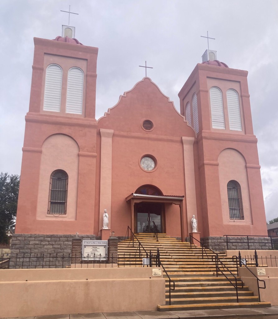
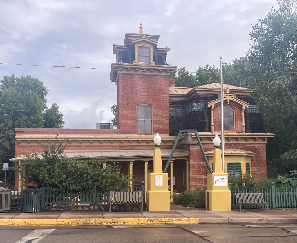
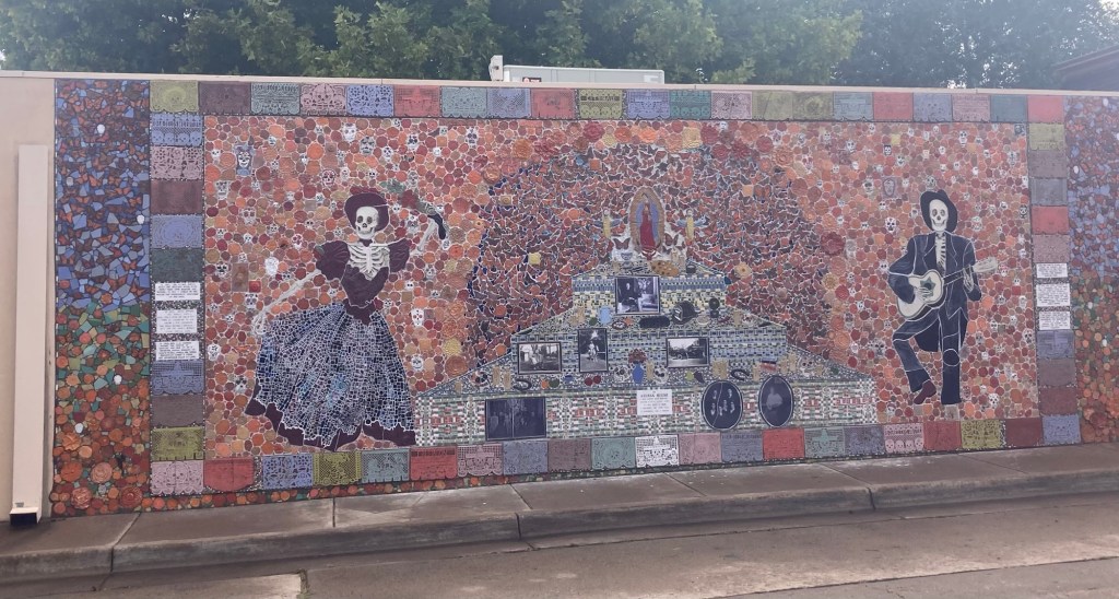
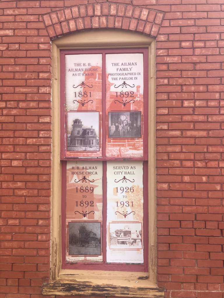
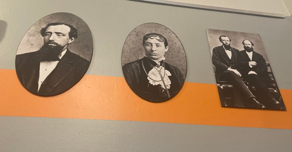
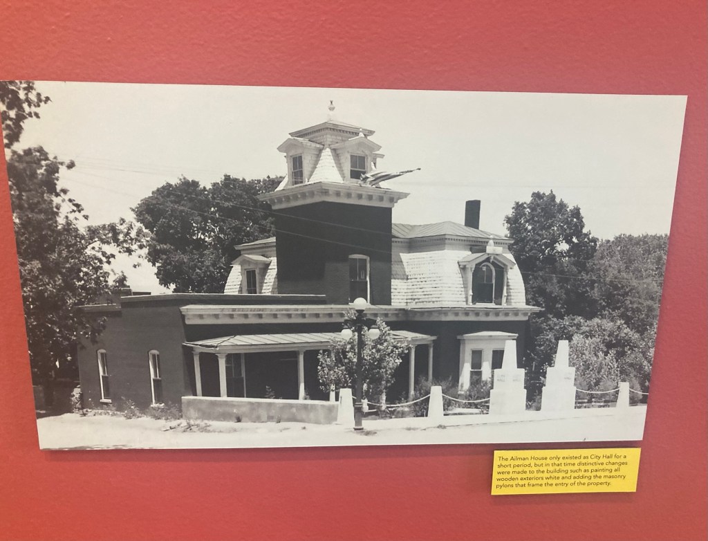
The St.Vincent de Paul Church which was started in 1874.The former home of H.B. Ailman and his family which currently houses the Silver City Museum.A Day of the Dead inspired mosaic on the wall along the museum grounds A timeline of the functions of the former Ailman HomeOn the left is Henry Ailman, who arrived in Silver City in the summer of 1871. He managed a silver mine and bank until the silver mine ran dry.
His wife, Theora Virginia Smith Ailman, is the second photograph, and the third is of Henry Ailman and his business partner Hartford Meredith.
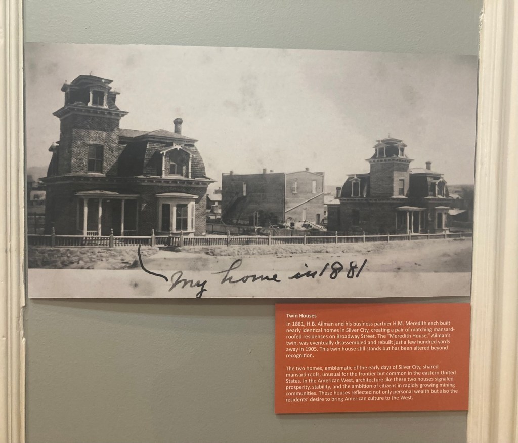
The twin houses of Ailman and Meredith. Ailman’s (now the museum) is on the left. Meredith’s house has been moved and “altered beyond recognition.”A photo of the house when it served as City Hall
Some important events in Silver City history.
The territory of New Mexico was established with the Gadsden Purchase. It wouldn’t become a state until 1912, the country’s 47th.
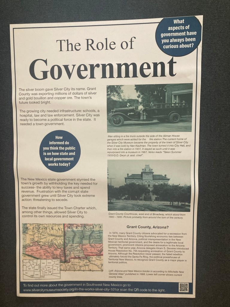
Silver ore was discovered near the current courthouse in 1870. The original settlement was called La Cienega de San Vicente but later renamed Silver City.
In 1872, a lumberyard and brick factory were established, and Silver City became a supply center for mining in the area.
In 1893, the silver market crashed and most miners left.
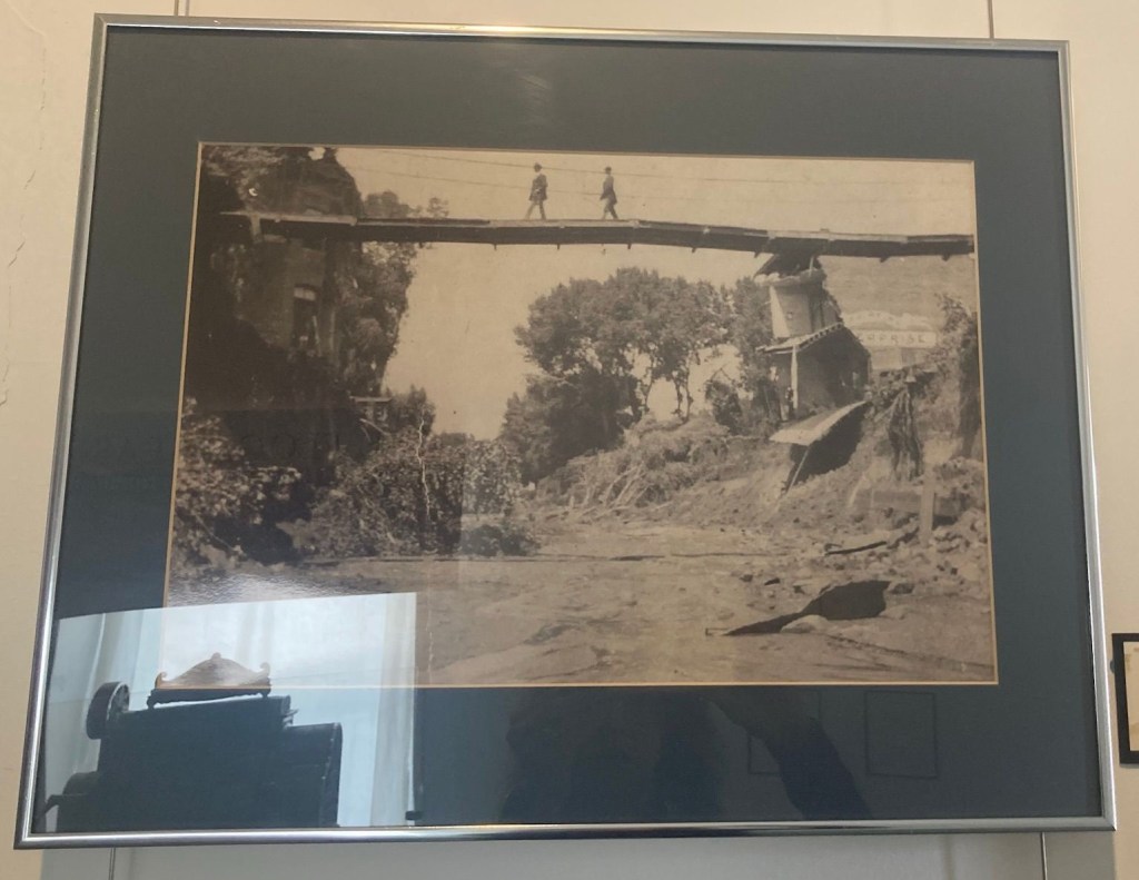
A flood in 1895 and another in 1905 destroyed Main Street and created the Big Ditch which still runs through the center of downtown.
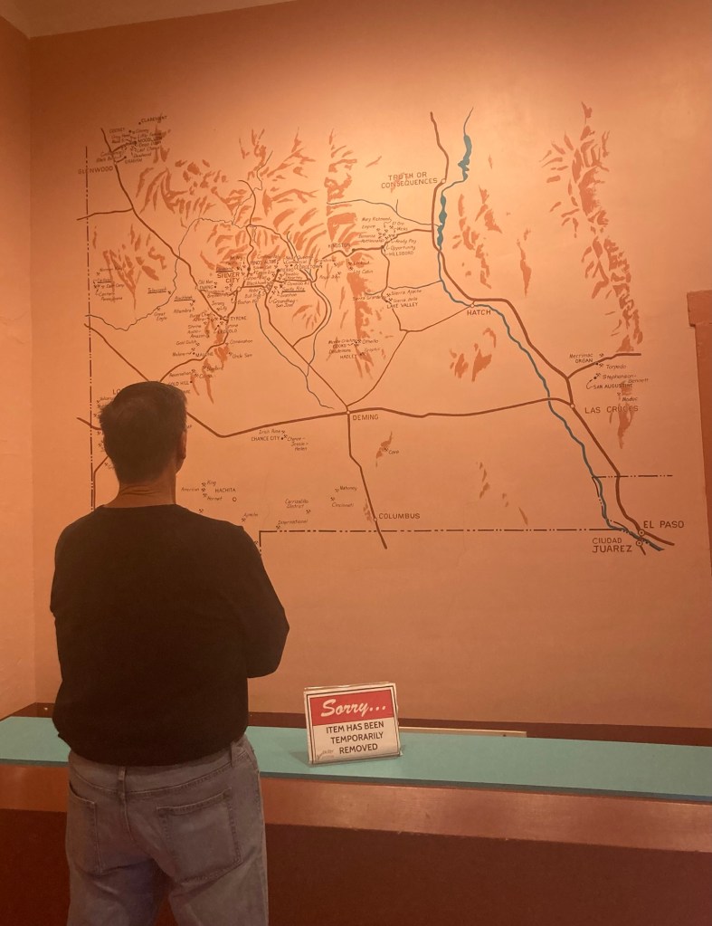
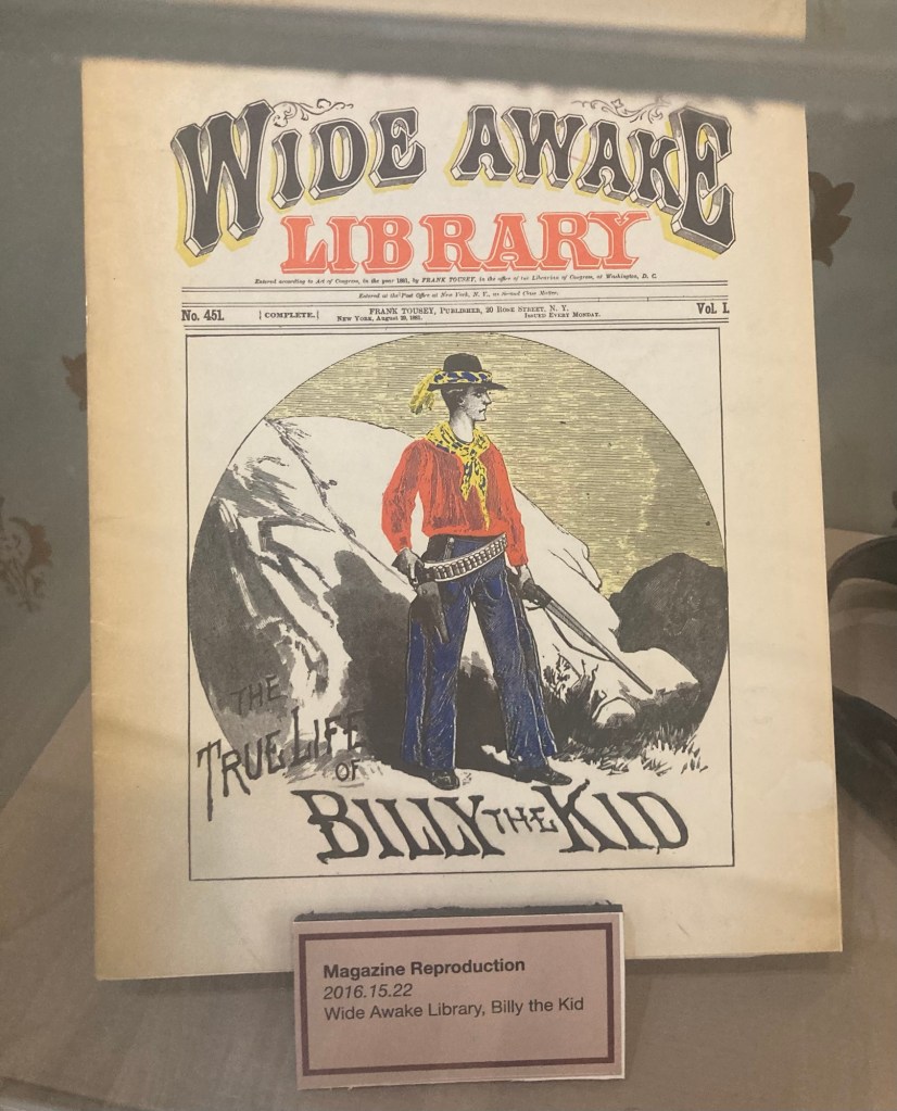
In 1876, Silver City citizens advocated for secession from the New Mexico territory and join the Arizona territory, as the New Mexican territorial government was withholding approval for a town charter to allow for the levying of taxes and spending of revenue for Silver City.A map of former mines in the local areaIn 1873, Henry McCarty, alias William Bonney or Billy the Kid, arrived in Silver City at age 14 with his mother.
Note: I couldn’t remember why I know about Billy the Kid, so if you have the same issue, in a nutshell, he was an outlaw and gunfighter of the Old West and is linked to 9 murders. Wikipedia tells me he was orphaned at 15 and first arrested at 16 for stealing food, and then lived life on the run from the law after killing a blacksmith in 1877 following an altercation.
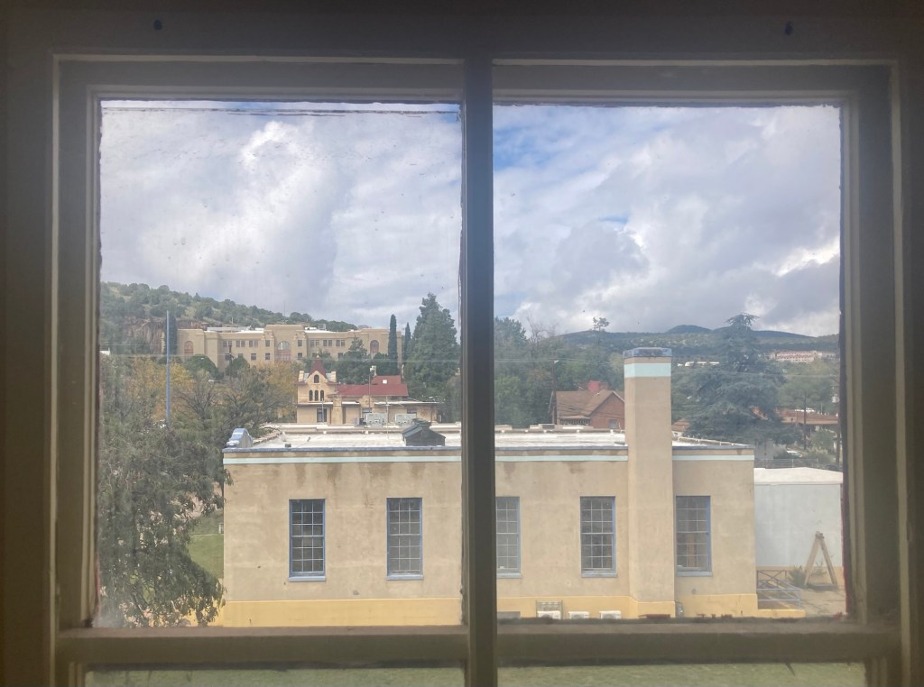
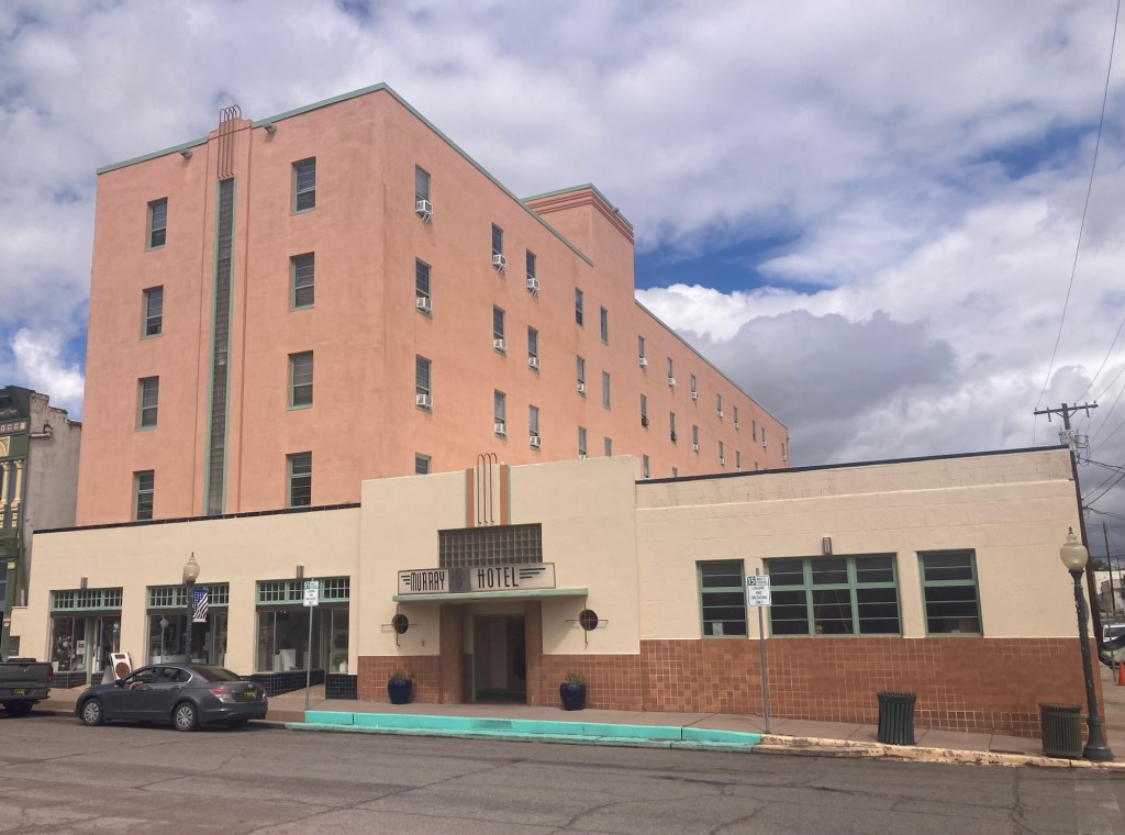
A photograph of people finding a way across the Big Ditch the day after the big flood. Also a reflection of another item in the museum.The view of the current courthouse (large structure in the back up the hill) from the cupola of the museum.An attractive downtown building that appears to be mostly empty at the moment.The art deco Murray Hotel.
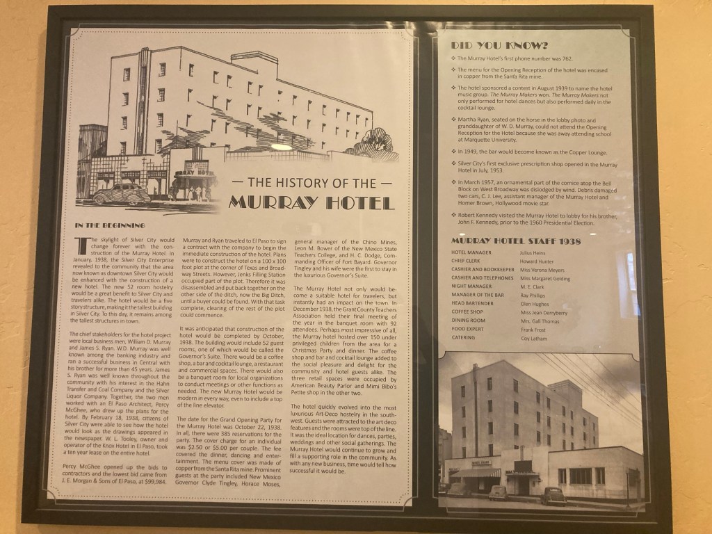
The Murray Hotel is named after W.D Murray, who helped finance the building of it in 1938 along with his son-in-law. W.D. Murray played an important role in Grant County by establishing telephone networks in the area, running a bank, signing the state charter for New Mexico, and becoming Grant County’s first State Senator.
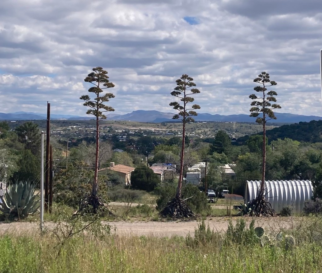
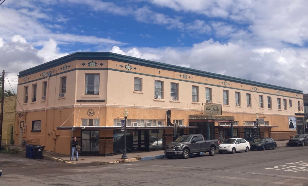
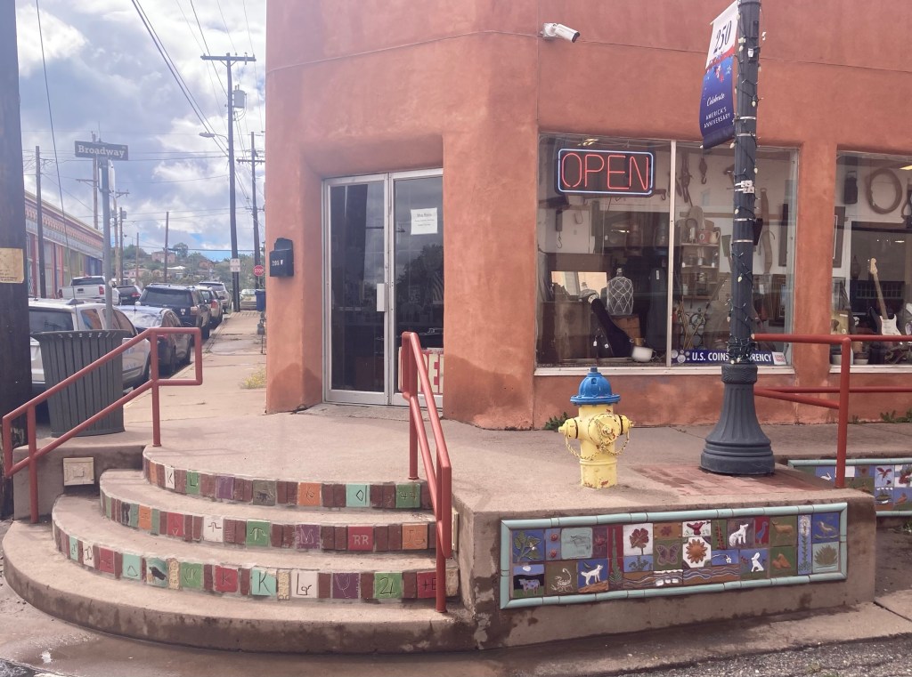
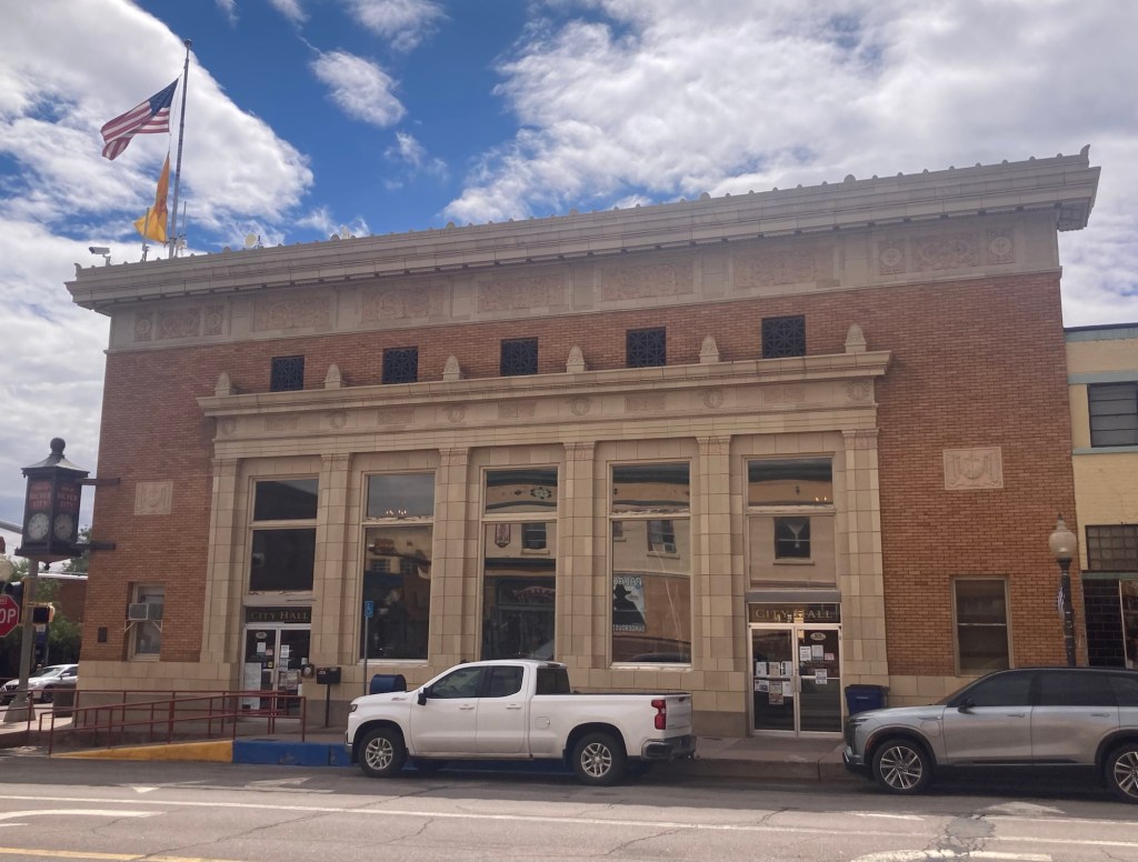
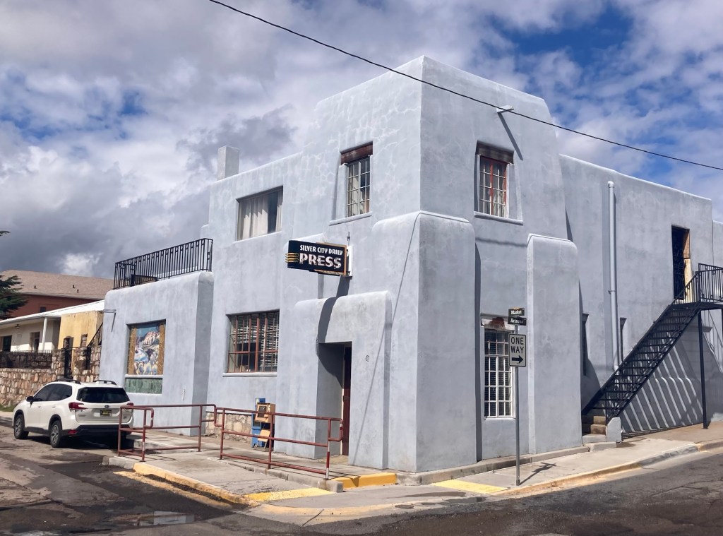
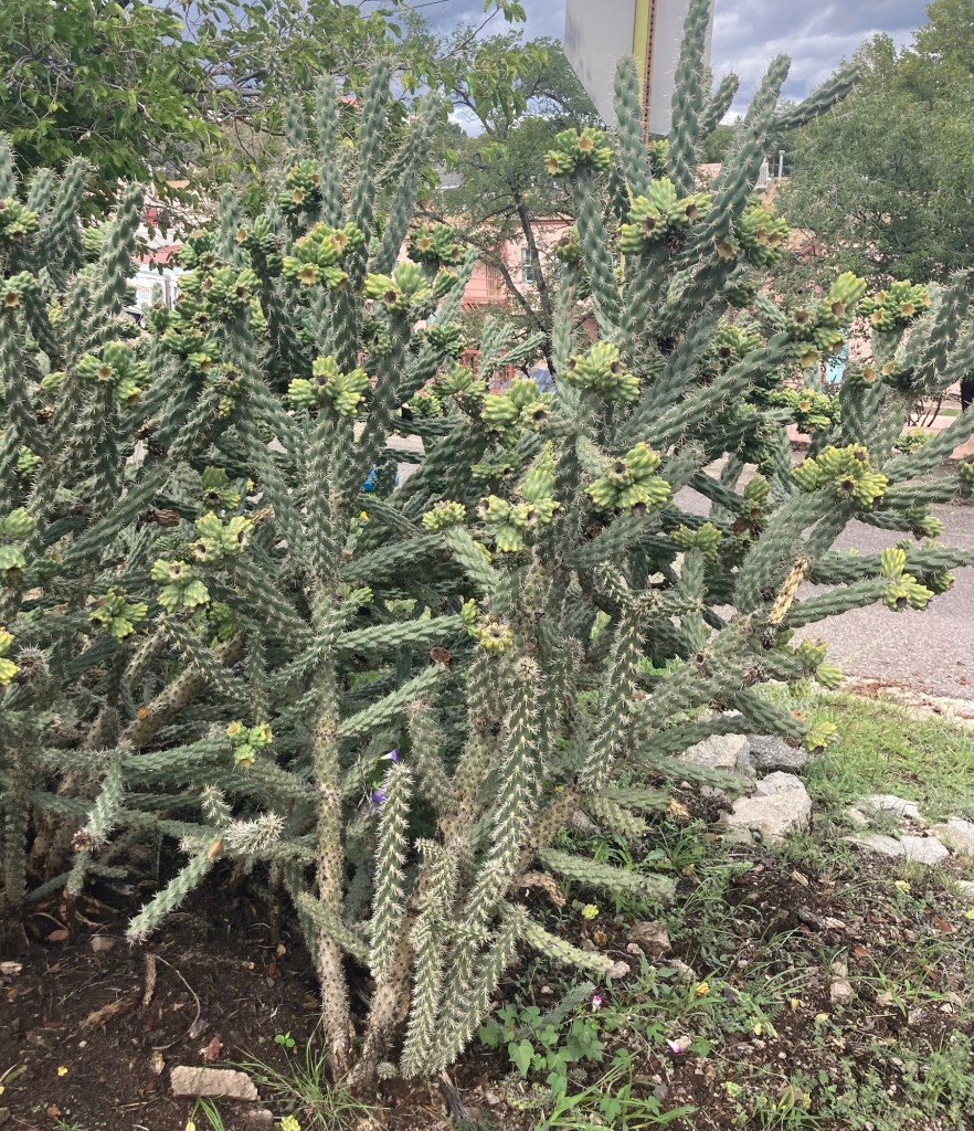
A history and list of facts about the Murray Hotel. At five stories, it was the tallest structure in Silver City when it was built and is still one of the tallest buildings in downtown.The almost next door Palace Hotel. The lobby was closed when we went by, so we just got to peek in. It is older than the Murray Hotel, as it was established in 1881.Art-filled curbs in downtown The current City HallAn attractive southwest style building which houses the Silver City Daily Press, a small newspaper which sells for $1.We are fans of desert flora
Today we are in the second of a three day rain event and under a flood watch which ends early tomorrow morning. So far, the rain has been consistent but light to moderate in intensity with no storms or high winds. Per last night’s news, the wind situation may pick up late this afternoon. I think the system is the remnants of some tropical storms in the Pacific. We feel fortunate not to have experienced (so far) some of the really bad flooding we’ve seen in other parts of the country.
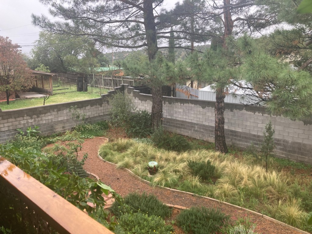
Part of the lovely backyard of the house from the back porch. They have everything from flowers to pumpkins to cucumbers and tomatoes and pomegranates,
We used the recreation center at the university this morning for the first time and were really happy with it. There are plenty of cardio and weight machines and even a pool. It’s just a 10 minute walk from the house, but like in Tarrytown, it’s uphill on the way back.
I don’t know if we’ll get out much more today, but I found some fun facts on Silver City from some brochures the homeowners left us that I thought I’d share before I forget. Silver City has a population of about 10,000, and it is located in southwestern New Mexico, only about 50 miles from the Arizona border. It is the county seat of Grant County.
The brochure tells me that “Silver City boasts dark skies, a pleasant climate, abundant sunshine, 339 species of birds, five life zones, and enough precipitation to transform the high desert hillsides into gorgeous, lush landscape from summer through fall.” It is located at 6,000 feet above sea level.
We plan to go through the Silver City Museum soon to learn more about the local history.
Bob and I had a quick but productive stop in Iowa last week, where we were able to get in a couple of doctors appointments, submit our request for mail-in ballots for the upcoming election, and see family.
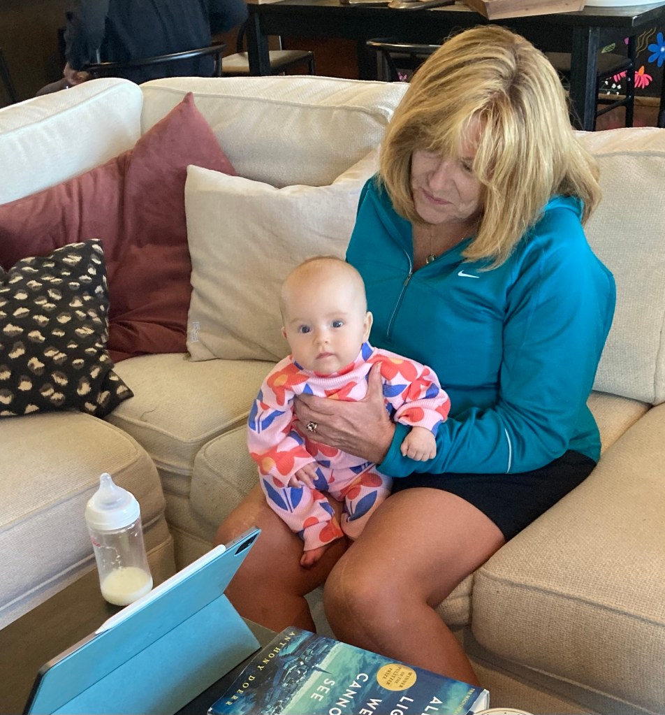
We were particularly happy to meet our newest great niece in person.
Little Jane with her grandmother (Bob’s sister) Cheryl
On Thursday, we hit the road for our drive to our housesit in Silver City, New Mexico. As with the drive into Wisconsin and the flat tire, this drive would also prove to be a bit more dramatic than we had hoped with back-to-back stays in hotels undergoing renovations and a costly car issue that luckily happened at a time and place where we could get it resolved and still make it to our housesit on time.
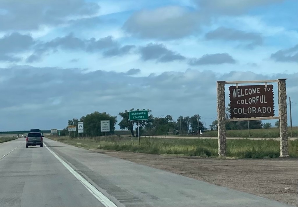
A friendly welcome into Colorado before the car issue began
We were driving into the very small community of Limon, Colorado, when the check engine light came on along with a couple of other lights and the cruise control went off. This was about midday on Friday. Luckily, Bob spotted an auto parts store that had a guy who could come out and run a quick diagnostic test on the car. He said it was a ratchet something or other and that it could potentially be serious. He recommended we check with either of the auto repair shops in town.
We went to the shop right across the street. They had a wireless diagnostic device that had trouble connecting with our car. He eventually said that the car should be fine until we got to Pueblo, Colorado, where we had reservations for the night, but we should get it looked at there. Pueblo was another hour+ down the road, but the car ran fine. We drove it directly to a Firestone, as it was the only repair shop we could find online in Pueblo that was open on the weekend. We got to the shop about 3:00 pm and agreed to pay the $130 for the full diagnostic test. Long story short, there were a couple of new parts needed that came to about $1,000 with labor.
We were able to leave Pueblo about noon on Saturday with a healthy car. We didn’t see as much of Pueblo as we would have liked, but we found a few things.
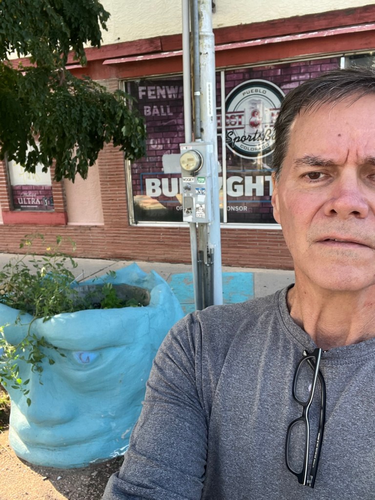
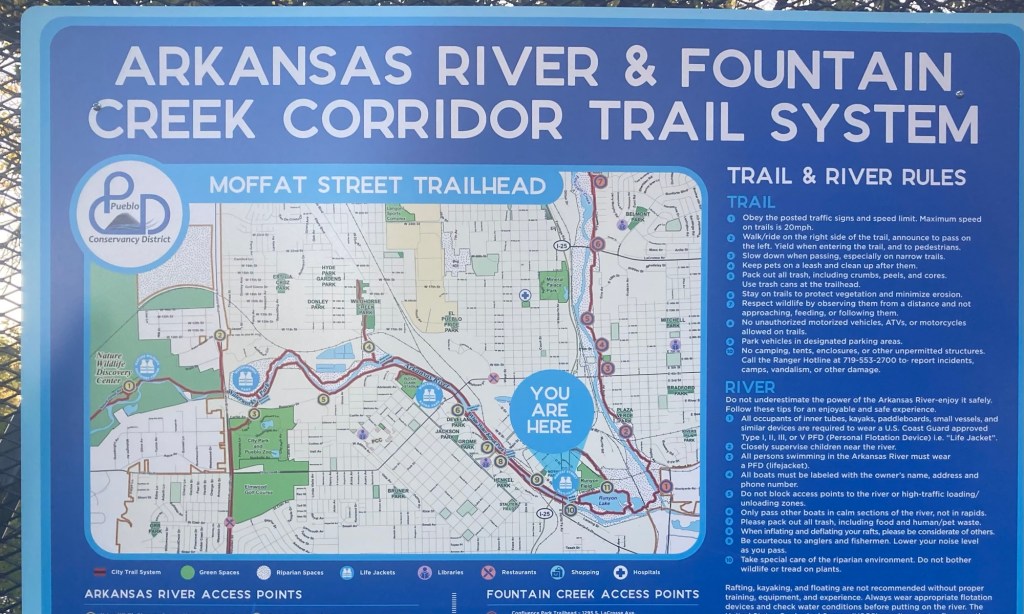
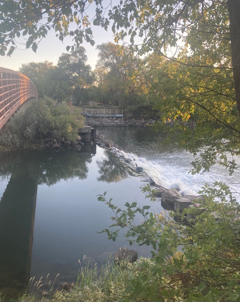
Bob got a big head photo with a blue head planter.I found a great trail to run on Saturday morning before we left.A pretty bridge and weir on the trail where my run ended
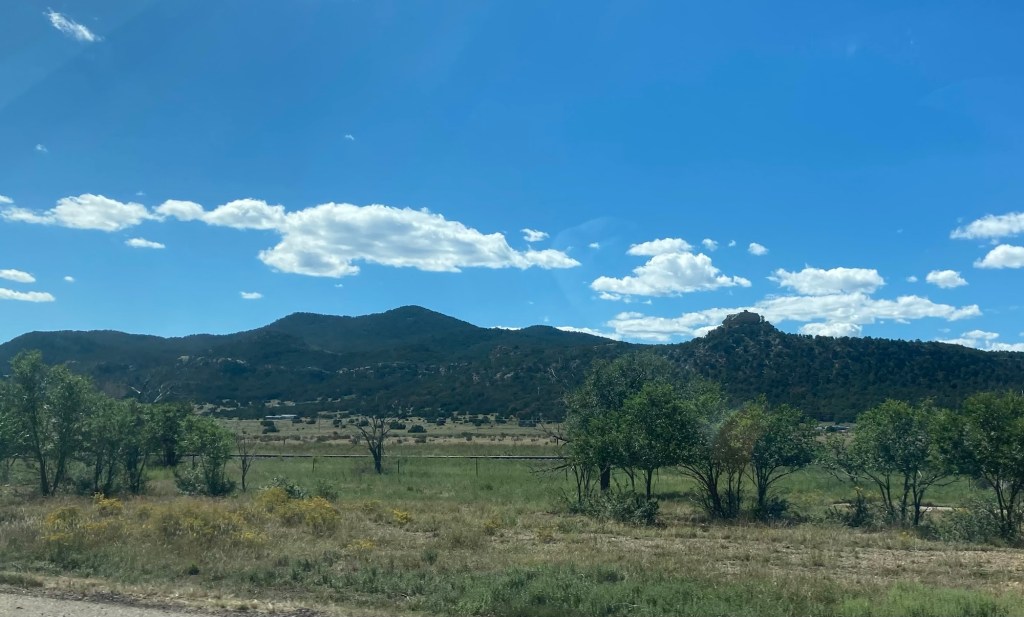
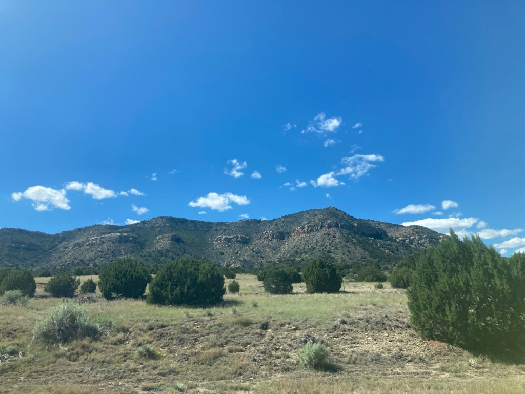
From Pueblo, we had a scenic drive to Albuquerque and then on to Silver City.
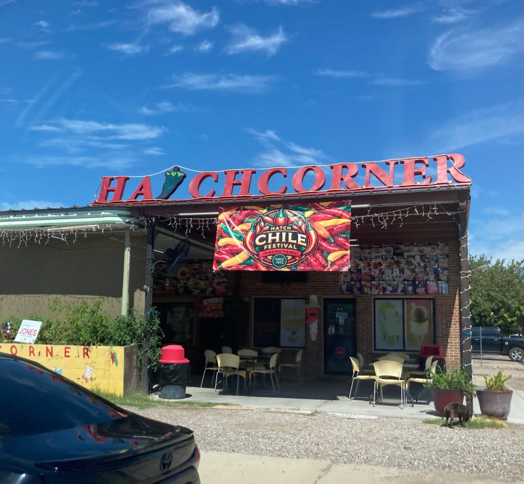
Little Hatch, New Mexico, famous for their chilis. Bob and I biked through Hatch and Silver City on our bike ride across the US in 2012.
We drove into Silver City, New Mexico, about 2:00 pm yesterday, and had a great reunion with two of our favorite homeowners. Bob and I both sat for them for three months in their house in Green Valley, Arizona, and cared for their dogs Molly and Maya. Bob cared for their home and dogs in Tubac, Arizona, while I was caring for my sister and when COVID brought the world to a standstill.
We were so happy to be able to visit with them yesterday for four hours before they headed out to start their latest adventure. Molly and Maya have sadly both passed, so we’re just caring for their lovely home and gardens for about two months. Before they left, we got the full walk through of the house, a drive around town, and were treated to a great meal in a fun downtown restaurant.
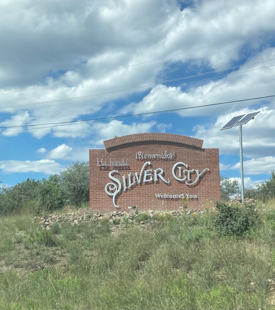
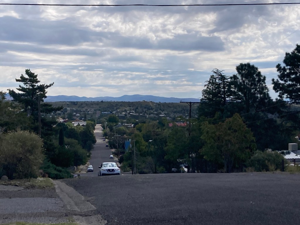
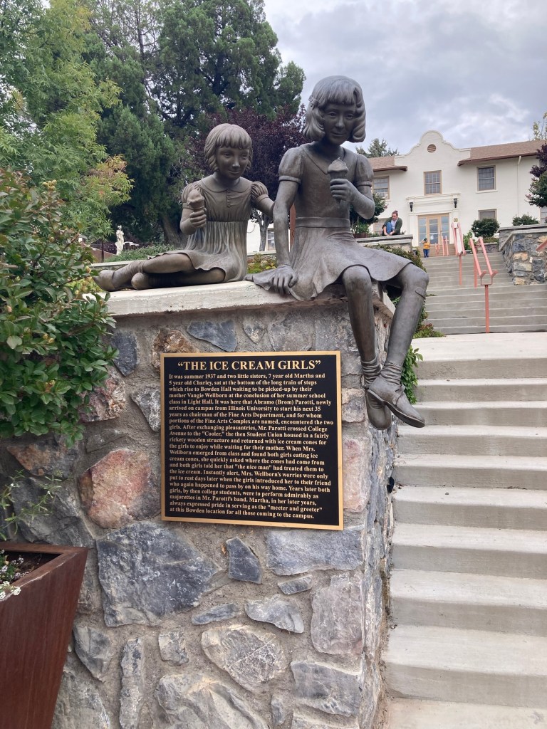
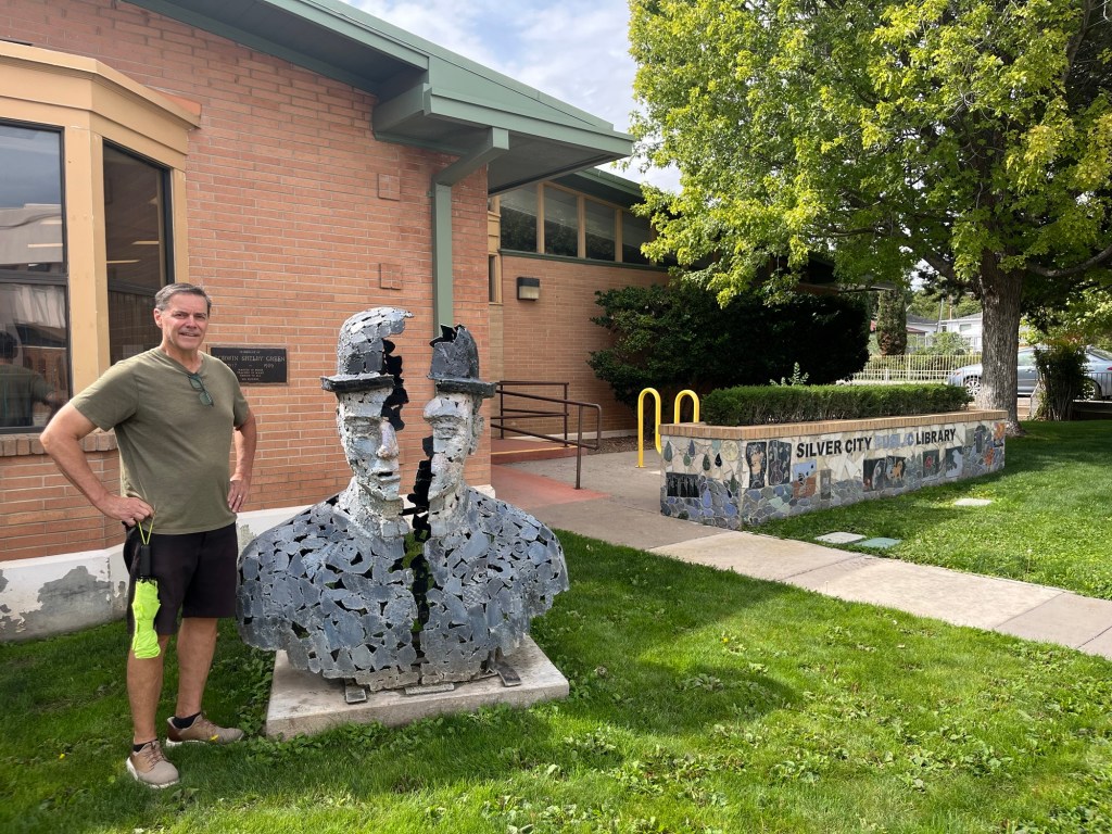
Entering townWalking down a steep hill on “our” street on our walkabout this morning An attractive entrance to the Western New Mexico University campus near the house. The building houses a rec center that we paid for memberships to this morning.Another entry to the campus. The mustang is their mascot.The student union, where we learned you pay $15 for lunch and it’s all-you-can-eat. Bob is considering the challenge.A cute story about 2 local girls and the head of the Fine Arts Department on campus.Bob with a big head in front of the public library
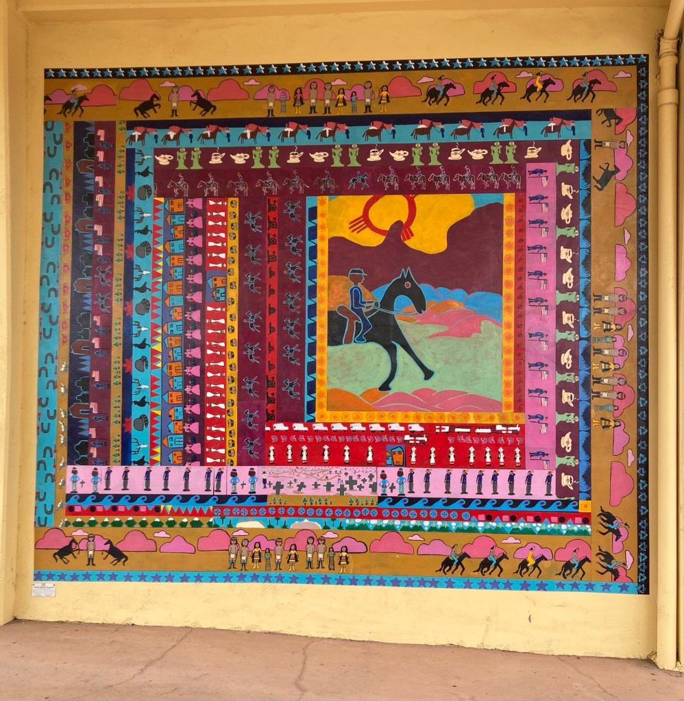
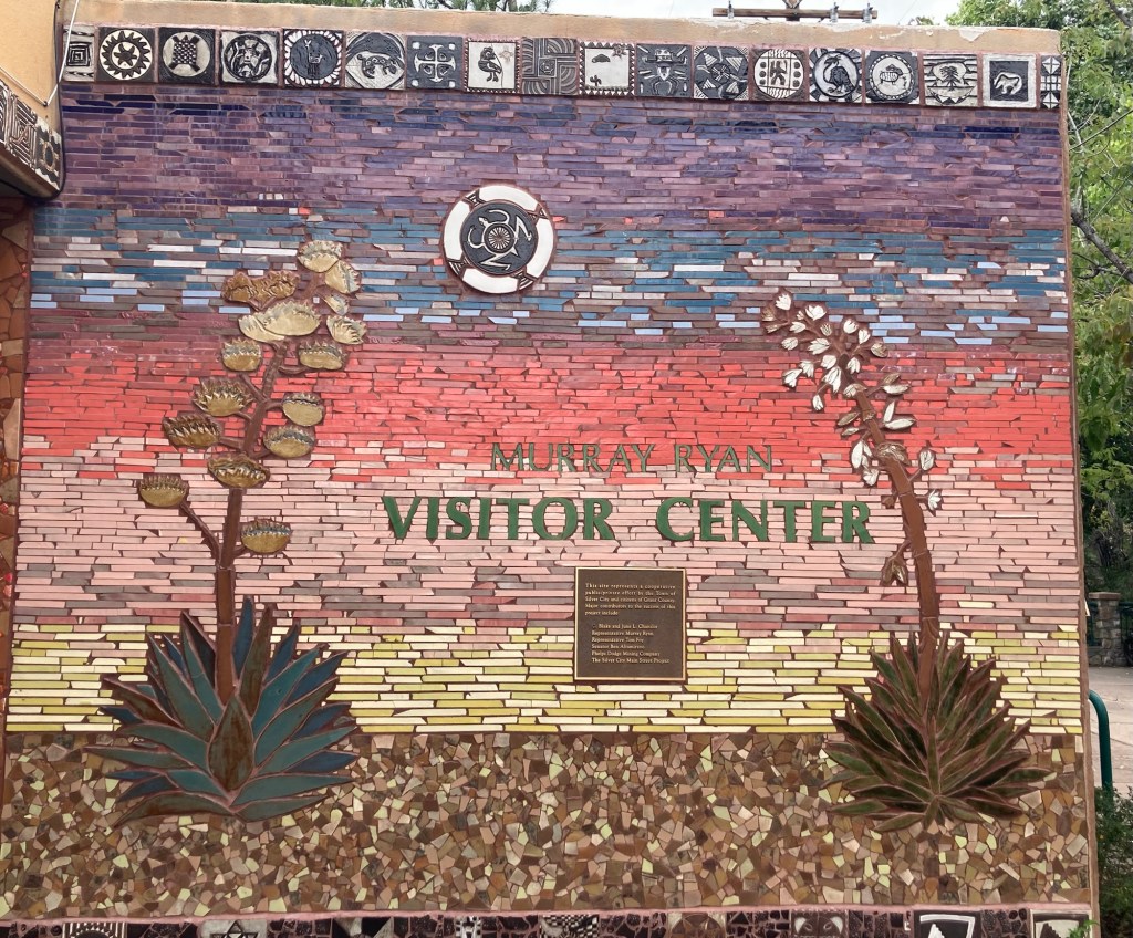
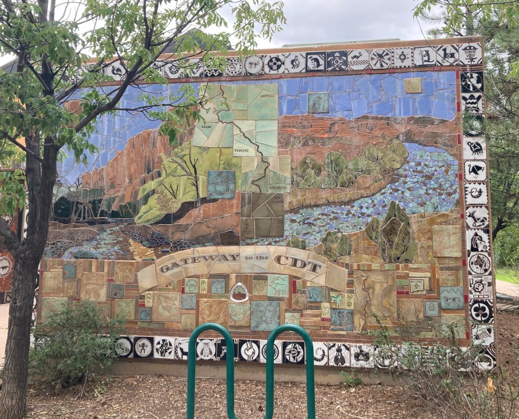
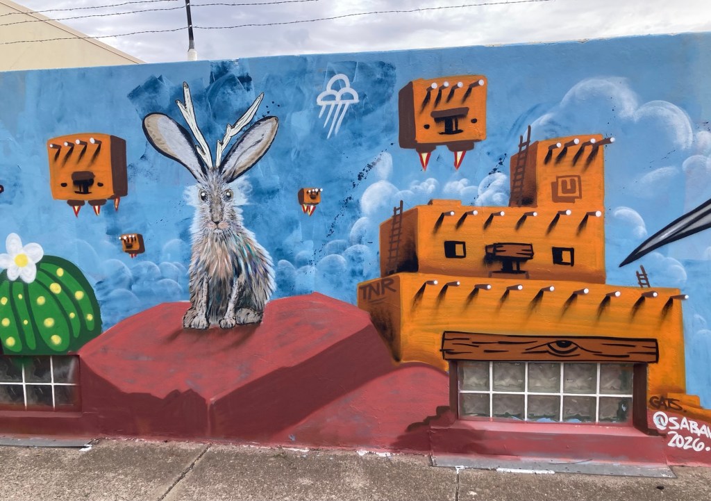
And lots of murals and mosaics from around the downtown area.
Silver City is near the CDT, Continental Divide Trail, which runs from Canada to Mexico
More specifics on Silver City to come. We’re excited to explore this area. We love being surrounded by mountains once again.
We left Indianapolis on Thursday, September 10, for a 4+ hour drive to Janesville, Wisconsin. It ended up being a bit more dramatic than we would have liked, as we got a flat tire a little over an hour into the trip. We were “rescued” by a very nice man who stopped to help us as we were trying to call for a tow. He helped Bob get the flat tire off and get the spare on.
We headed for a tire place we found online that was about a 30 minute drive from where we got the flat. That place was crazy busy so recommended another place that confirmed that they had our tire, but we had to drive an hour on our spare tire to get there. We waited about 2.5 hours to get the new tire before being able to resume our travel to Janesville.
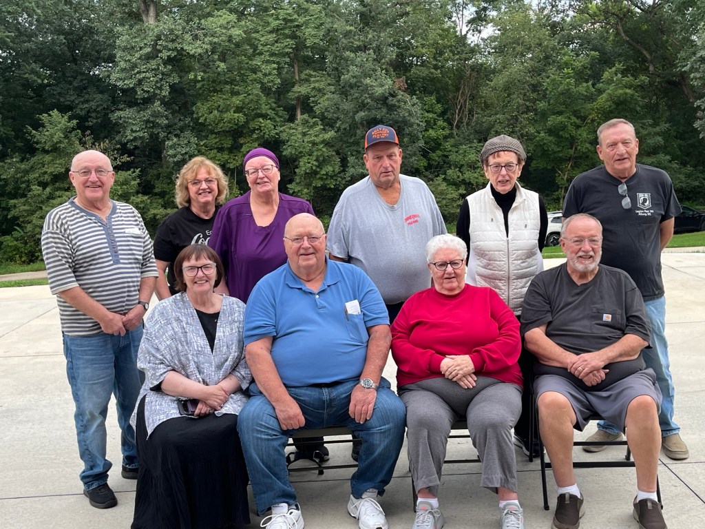
We had a great week in Janesville, visiting with my mom and other family and got to attend my uncle’s 80th birthday party before heading towards Iowa.
My mom (bright pink in front row) and 9 of her 11 living siblings.
After the party, we drove to Dodgeville, Wisconsin, for the night before driving into Iowa on Saturday. Almost every day we have been in Wisconsin and Iowa have been rainy, with many days having flood watches or warnings.
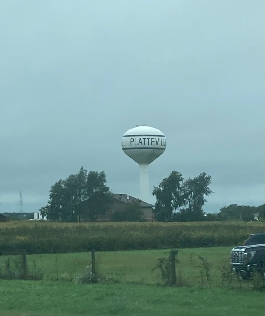
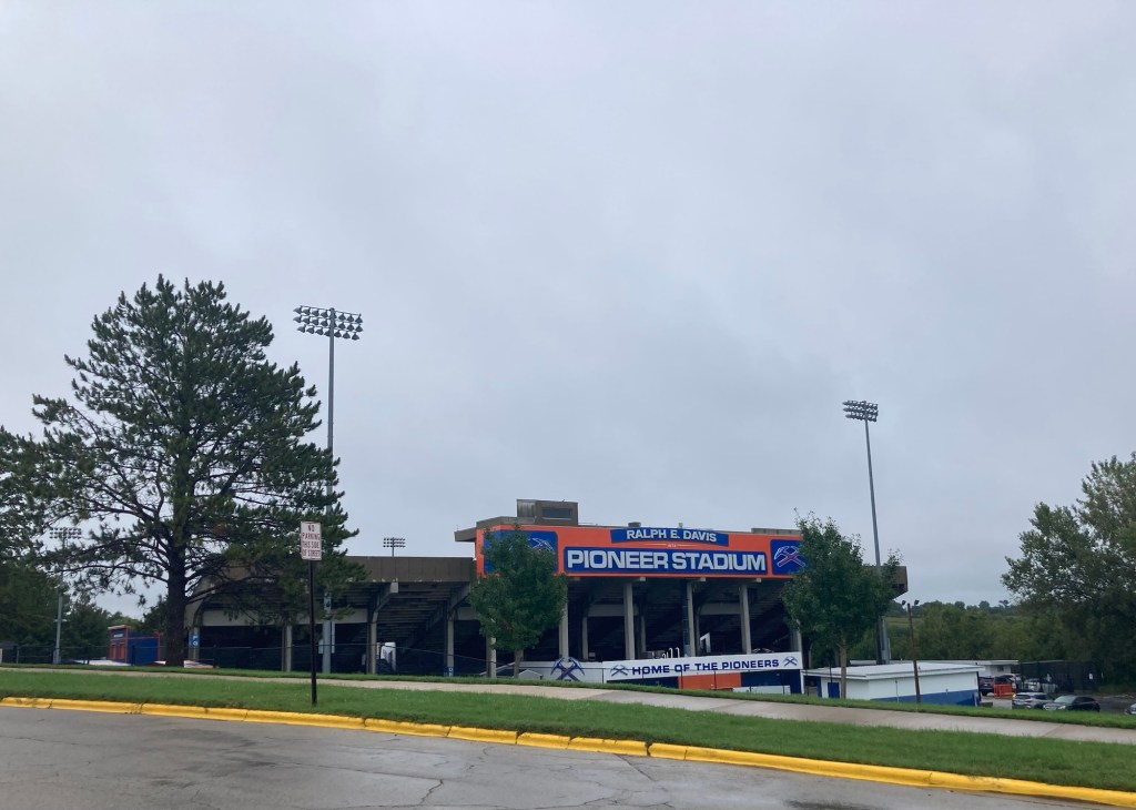
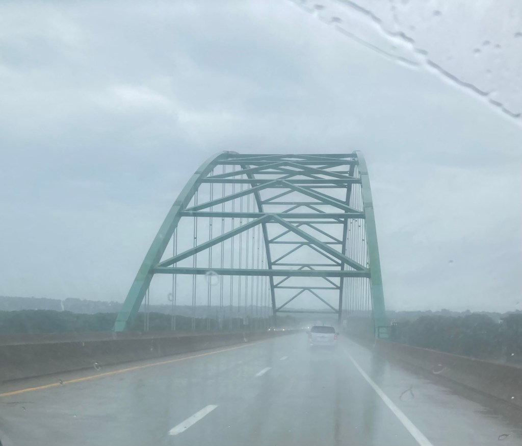
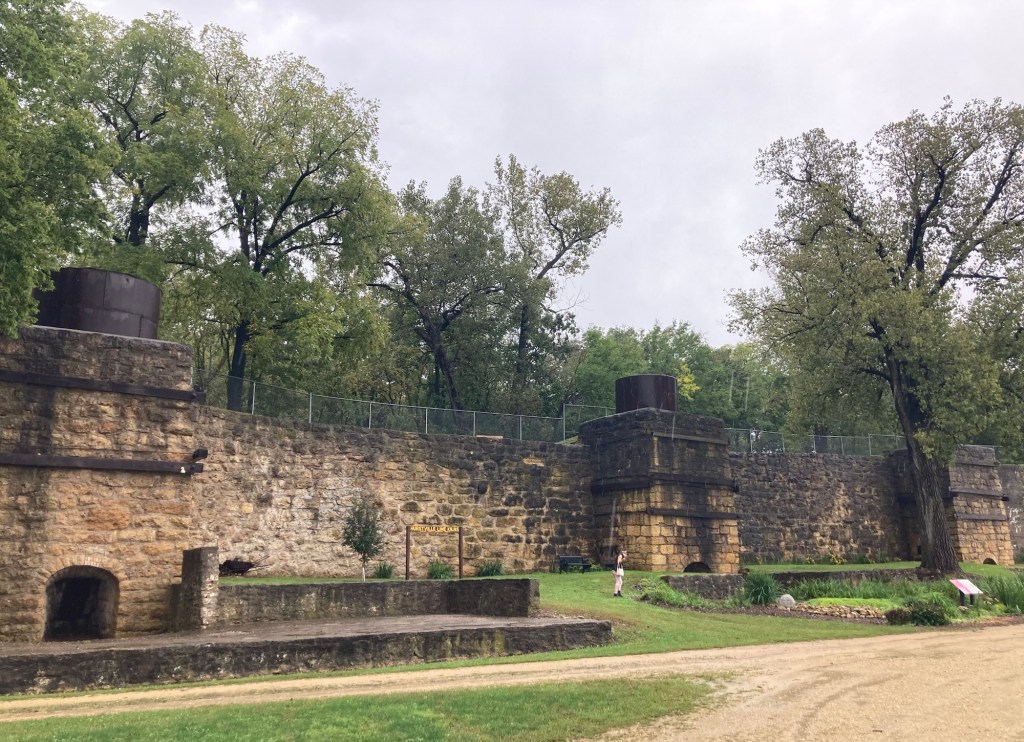
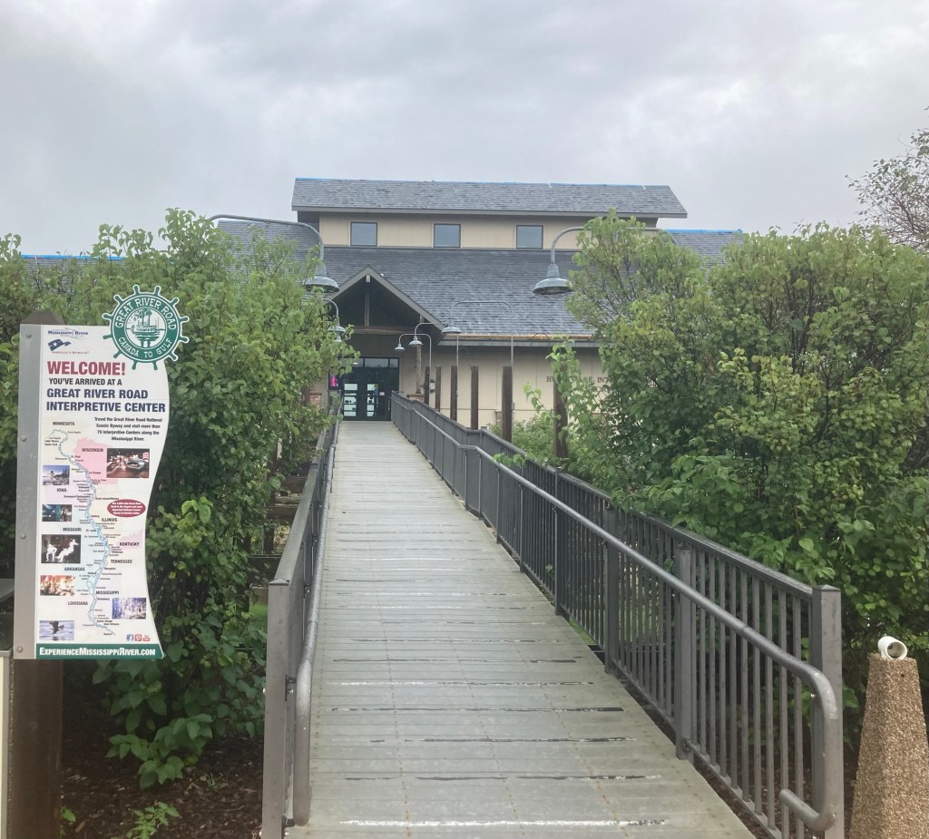
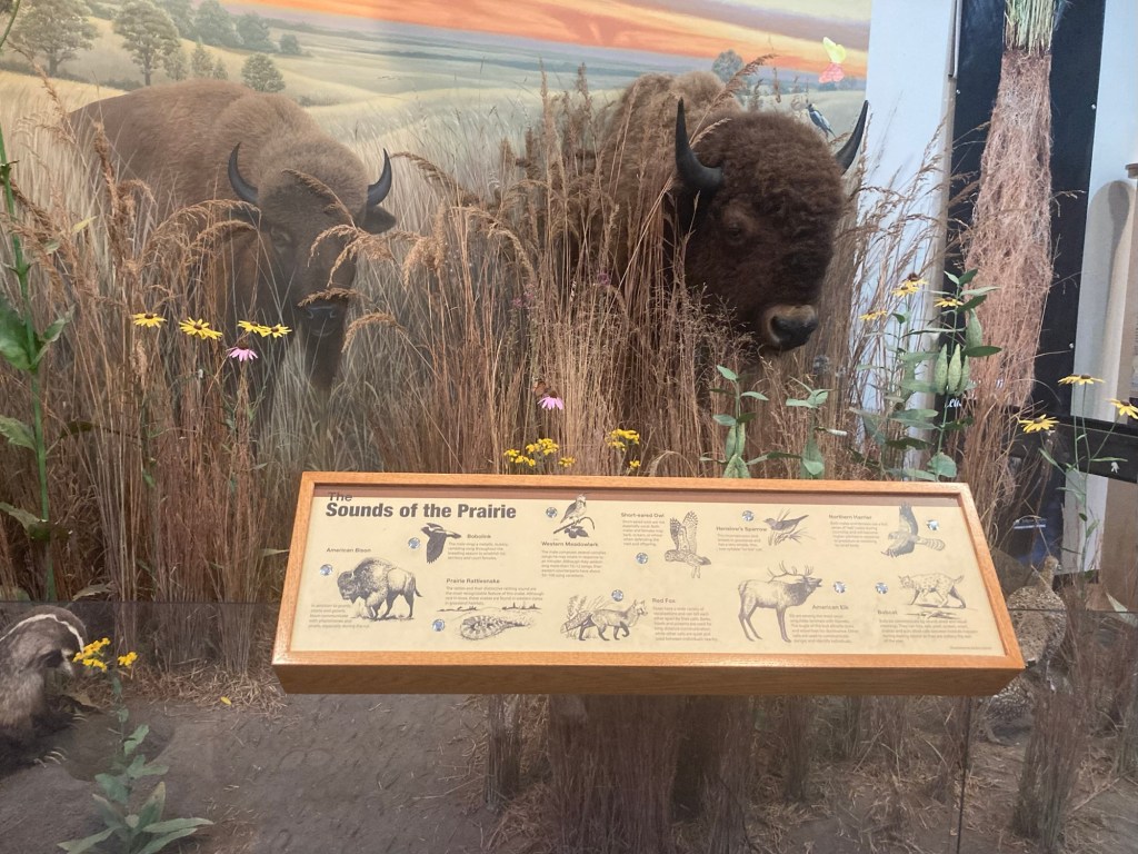
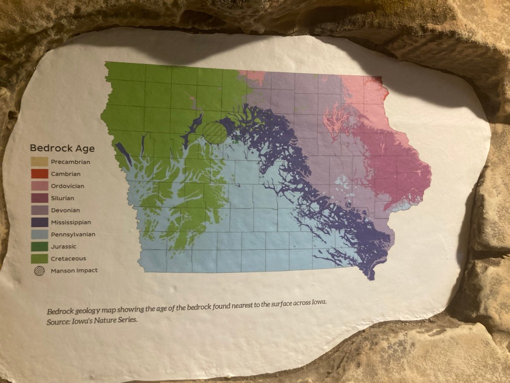
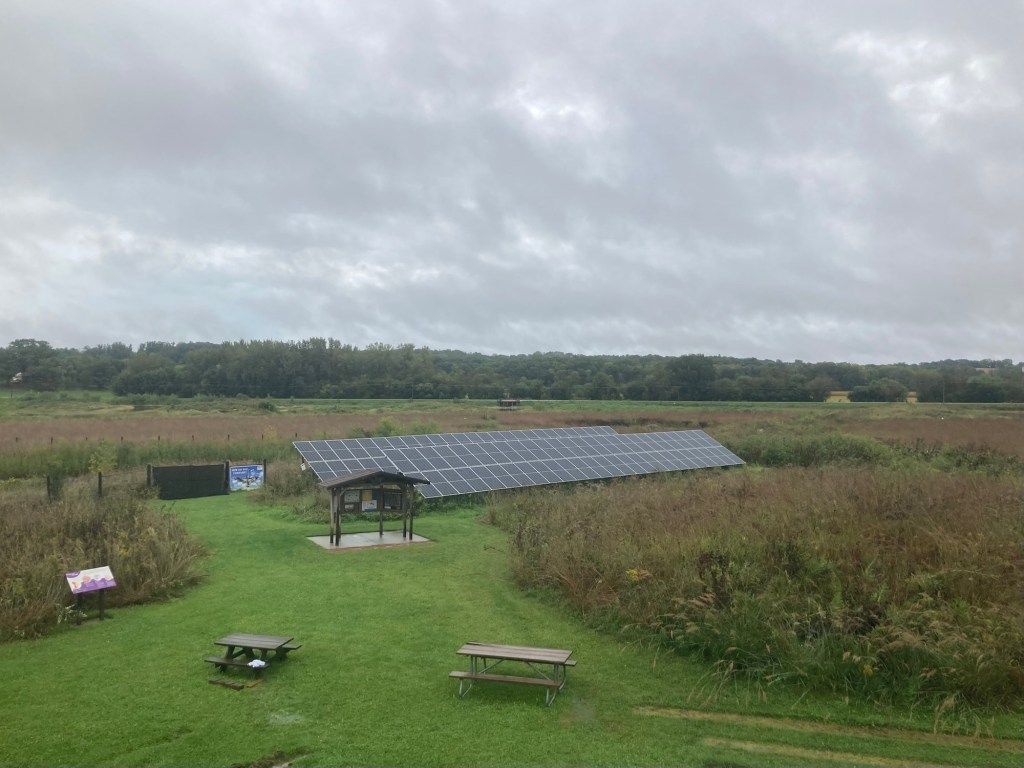
The water tower for Platteville, Wisconsin.The stadium for the University of Wisconsin- Platteville campus.Driving across the Mississippi River from Wisconsin to IowaHistoric lime kilns in Hurstville, Iowa. Built in 1871 by Alfred Hurst to produce powder lime.We also stopped at the Hurstville Interpretive Center. Walking into the Hurstville Interpretive CenterThe center provided a good overview of woodland, prairie, and wetland areas.This shows the age of bedrock throughout the state. Another area stated that 430 million years ago, the land that is now Iowa was a shallow tropical sea near the equator!The view of the conservation area behind the center
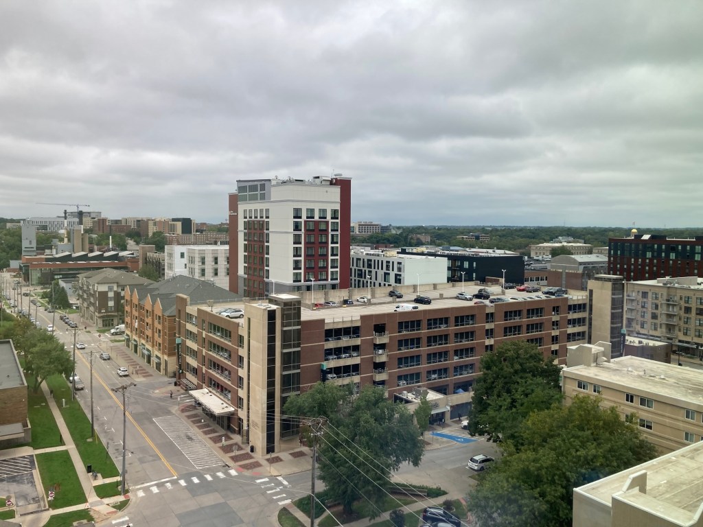
Today we drove to Iowa City for an appointment with Bob’s neurologist tomorrow. Here’s a couple of photos from our hotel room.
Bob and I arrived in Indianapolis yesterday afternoon for a two night stay on our way to my hometown of Janesville, WI, for a visit with my mom before heading to Iowa for a couple of doctor’s visits and time with family. Our schedule is changing a little bit due which I’ll get to later.
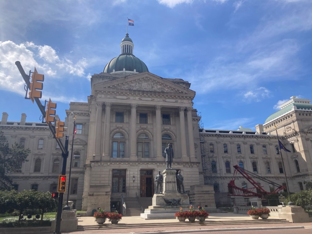
Some photos from this visit to the state capital of Indiana.
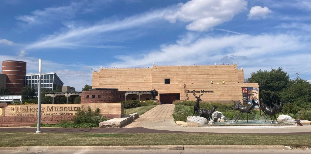
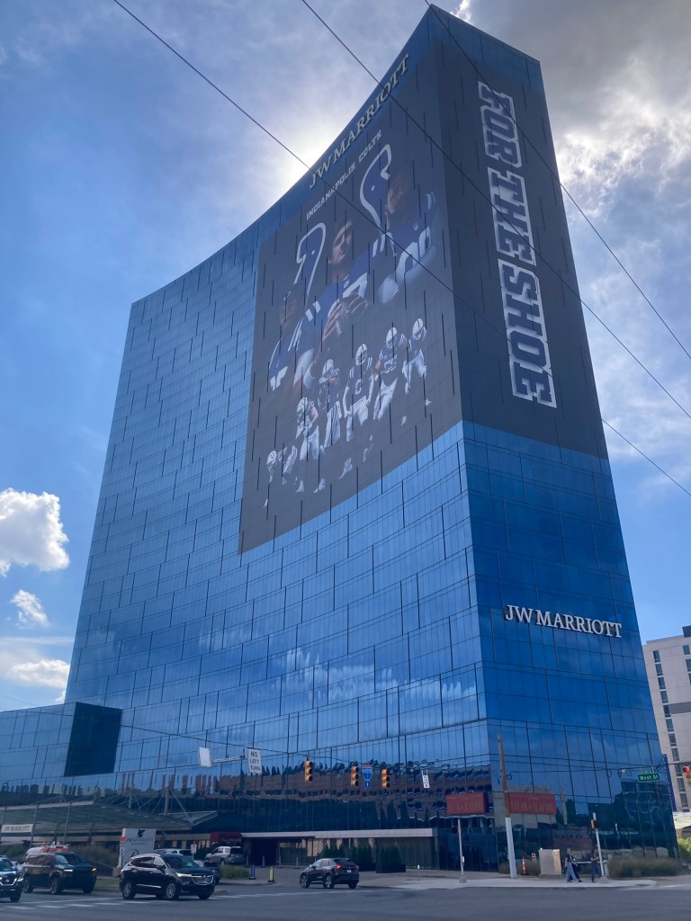
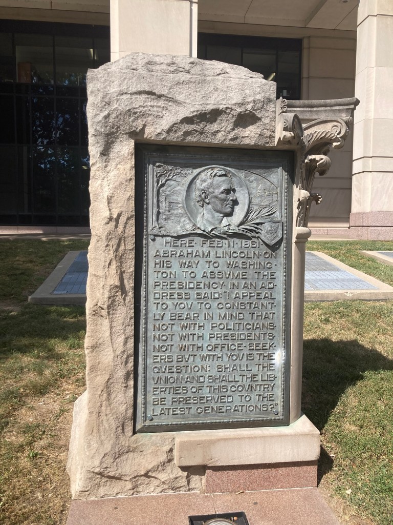
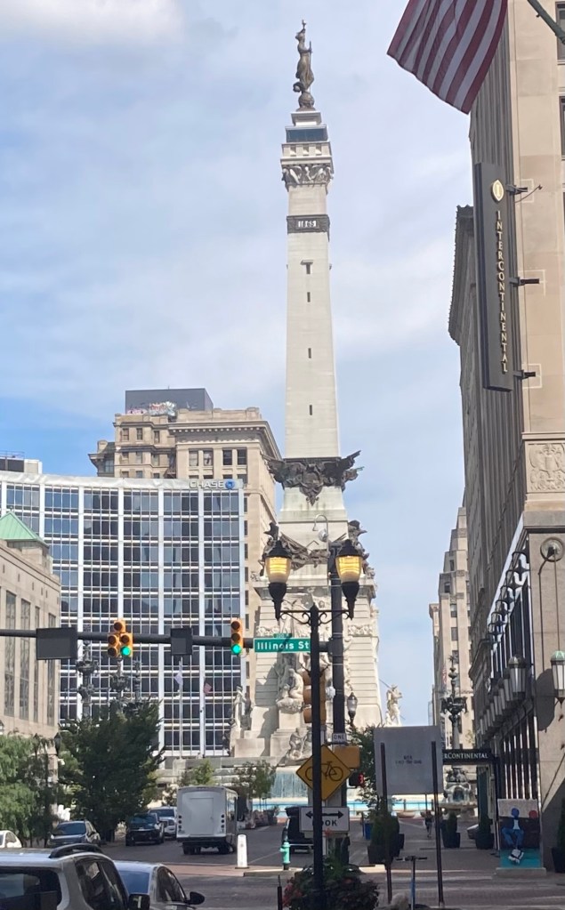
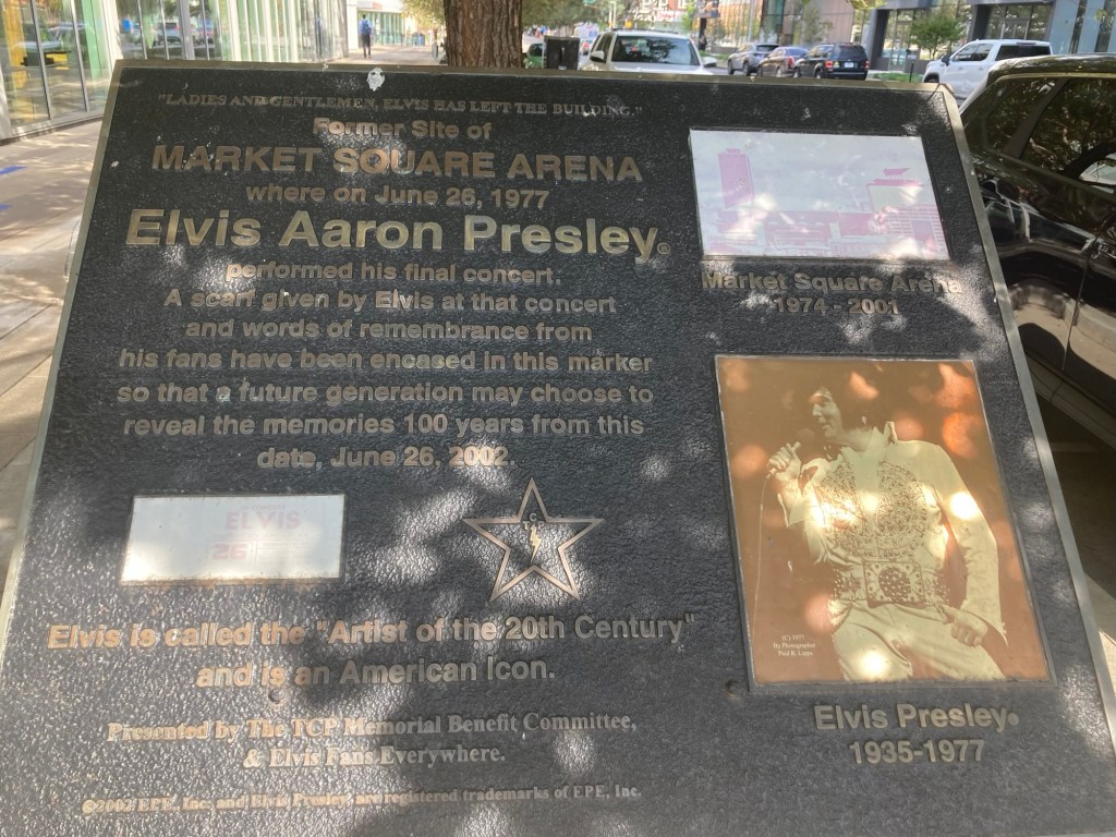
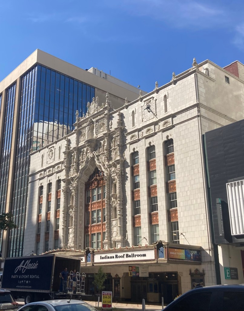
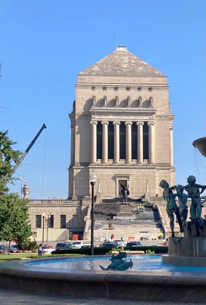
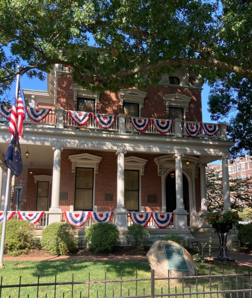
One of a number of museums near the Fairfield Inn where we are staying. This museum of Western Art is right across the street.The impressive JW Marriott hotel right next to our hotel A marker where Abraham Lincoln addressed the crowd and said that it was up to citizens rather than politicians and presidents to ensure the preservation of the Union and its liberties.The impressive Soldiers and Sailors monument and fountain in the middle of Monument Circle downtown A marker and time capsule to commemorate the site where Elvis Presley performed his final concert The Indiana Roof Ballroom, an event venue The impressive Indiana World War Memorial building The former home of Benjamin Harrison (1833-1901), Brigadier General in the Union Army, United States Senator from Indiana, and the 23rd President of the United States
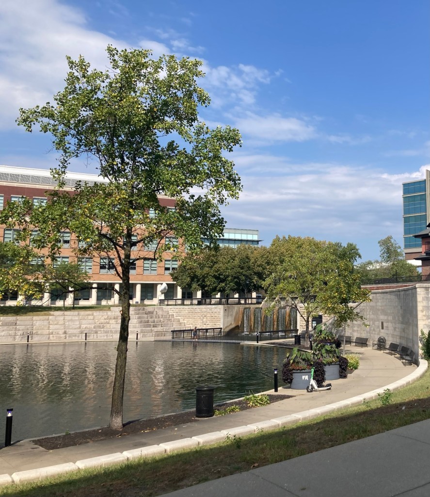
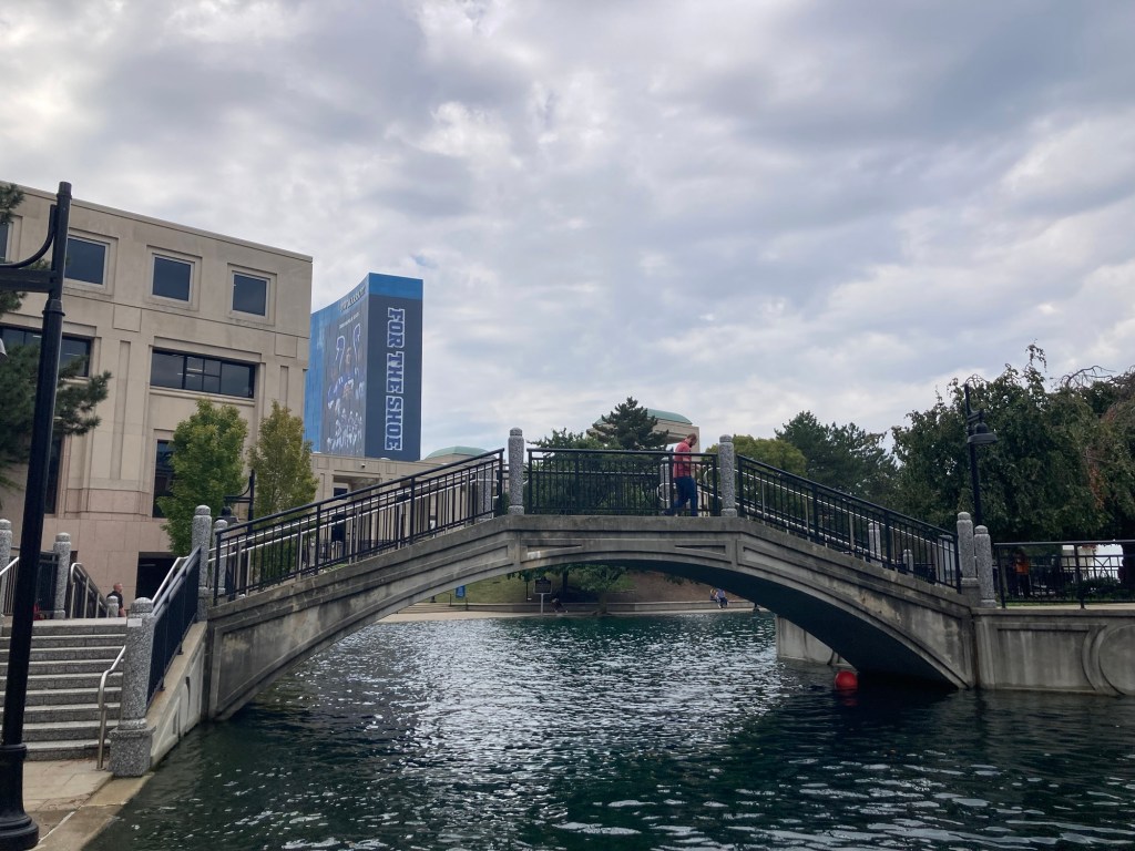
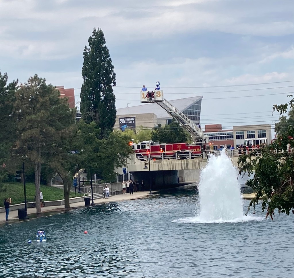
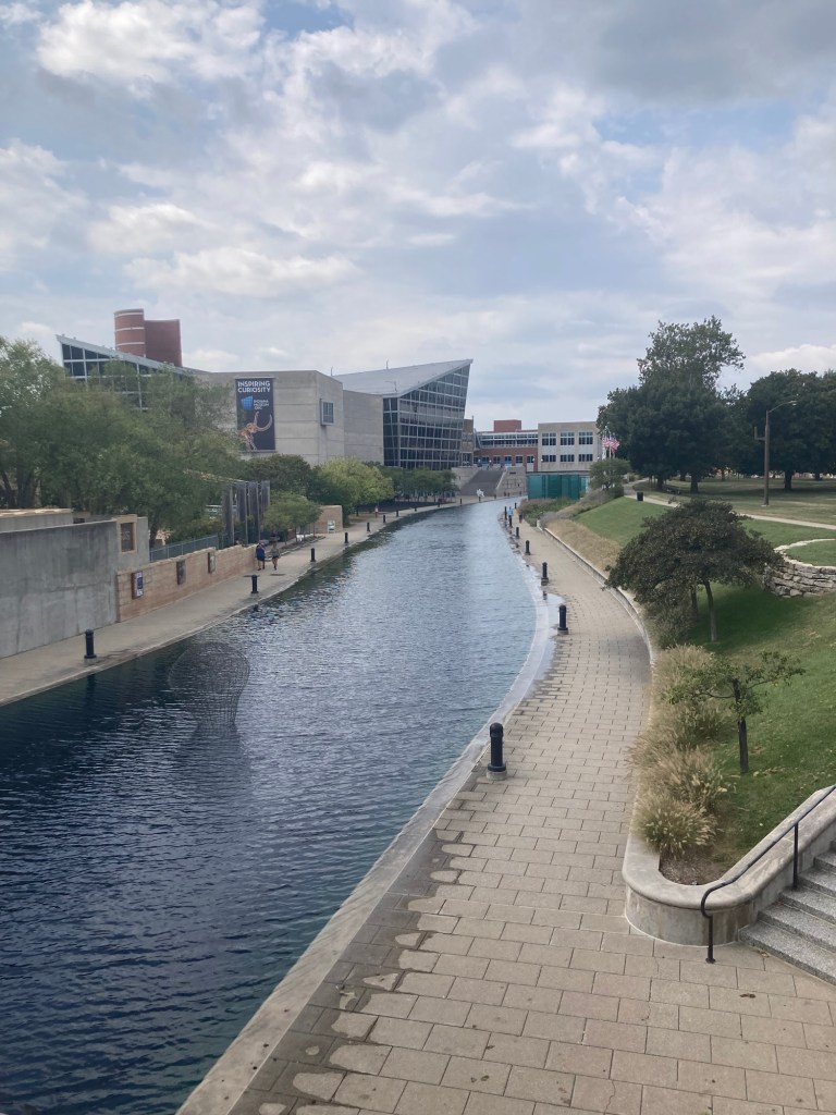
There is a canal walk in downtown that we walked along for awhile.
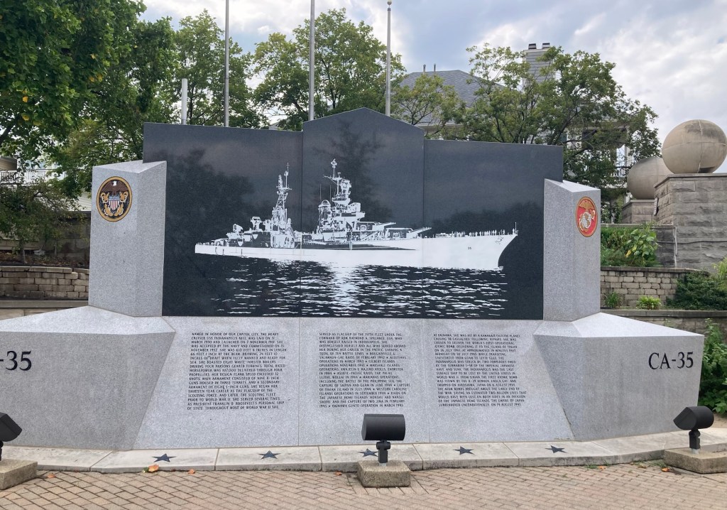
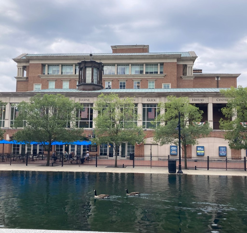
Where we started on the canal walk A display about the USS Indianapolis which was launched on 1931. It served as FDR’s personal ship, was at the capture of Iwo Jima, and delivered the world’s first operational atomic bombs among many other operations.Marilyn Eugene Glick Historical Society Building along the canalA small bridge across the canalBlue, the mascot for Riley’s Children’s Hospital throwing shots at the basketball hoop in the canal
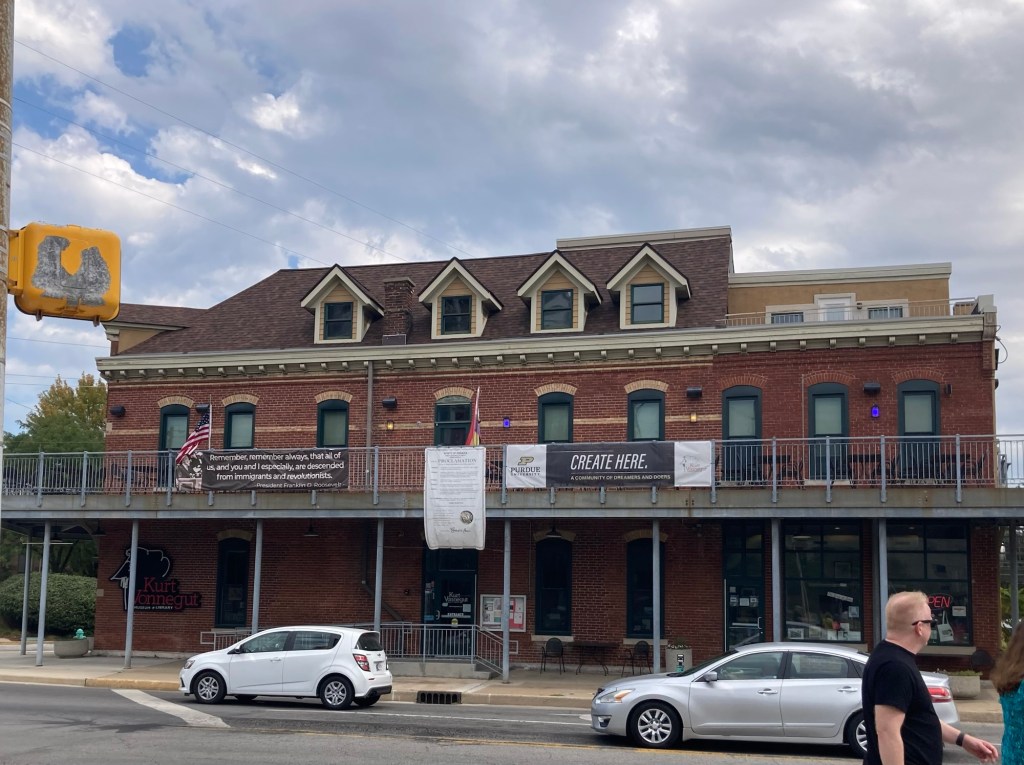
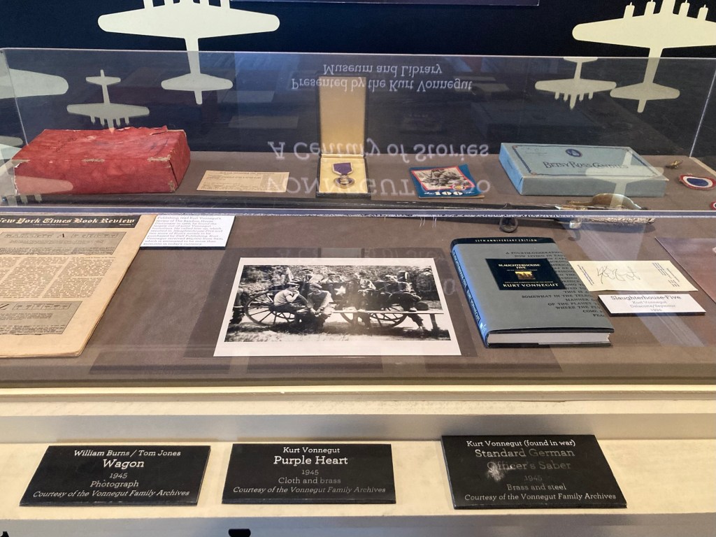
We paid for guided tour of the Kurt Vonnegut Museum and Library.
Kurt Vonnegut Museum and Library
Kurt Vonnegut was born and raised in Indianapolis and enlisted in in the US Army in 1943. He was taken as a POW in Dresden. He survived the war and became a best-selling author of many books, including “Slaughterhouse Five.”
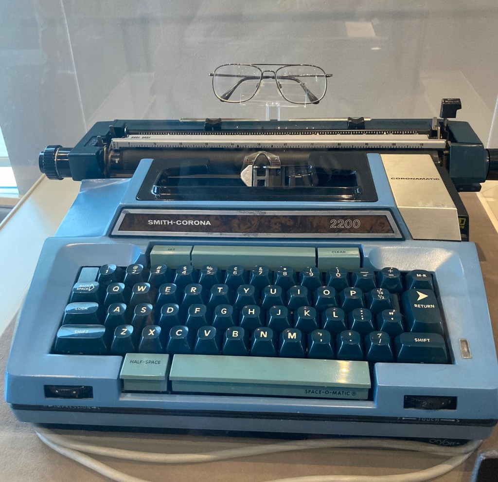
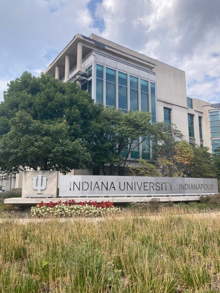
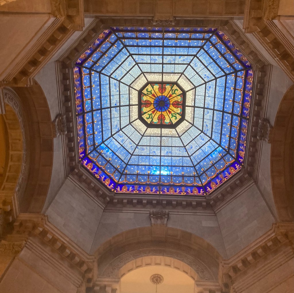
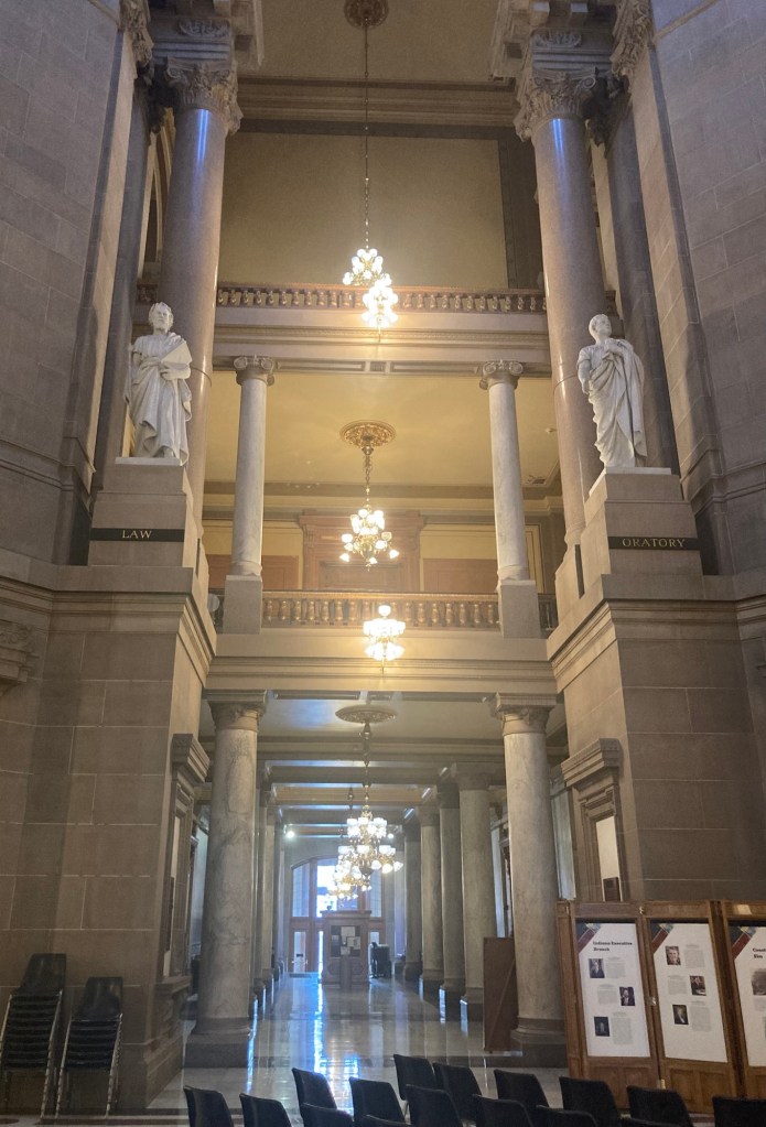
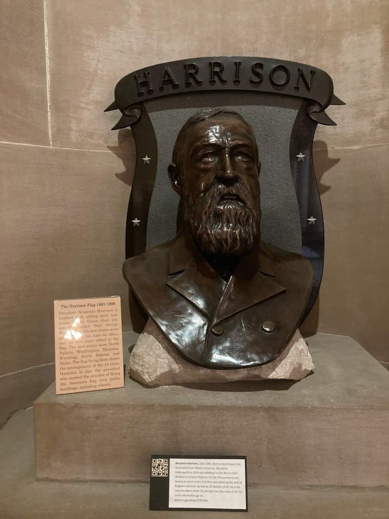
Vonnegut’s typewriter and glassesSome of Vonnegut’s mementos, including his Purple HeartBoth Indiana University and Purdue University have satellite campuses in Indianapolis Another view from above of the canal in downtown The Indiana capitol in Indianapolis The top of the capitol rotundaTwo of the statues in the wings off of the rotunda A bust of Benjamin Harrison in the capitol
We learned that Bob’s mom passed on 9/8 before we arrived in Indianapolis after a long decline in a nursing home. The burial service is planned for next week.
Bob and I left Tarrytown yesterday morning after a fretful last day with Bella who was definitely not herself most of the day but then came upstairs with Cleo Sunday morning to wake us up and ate her food again. We were in touch with the homeowners and everyone was relieved that she seemed back to normal. We will definitely miss those adorable and playful kitties.
We then had a lovely, relatively low traffic 6.5 hour drive on the Sunday before Memorial Day to Pittsburgh, Pennsylvania. The aim for our visit was to see the stadium of Bob’s favorite professional football team, the Pittsburgh Steelers, but today’s visit has been a lot more than that and has left us both very impressed with the city, at least the North Shore, Riverfront Trails, and the downtown areas near the three rivers of the city (more on that later).
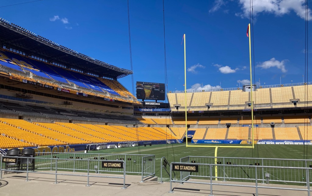
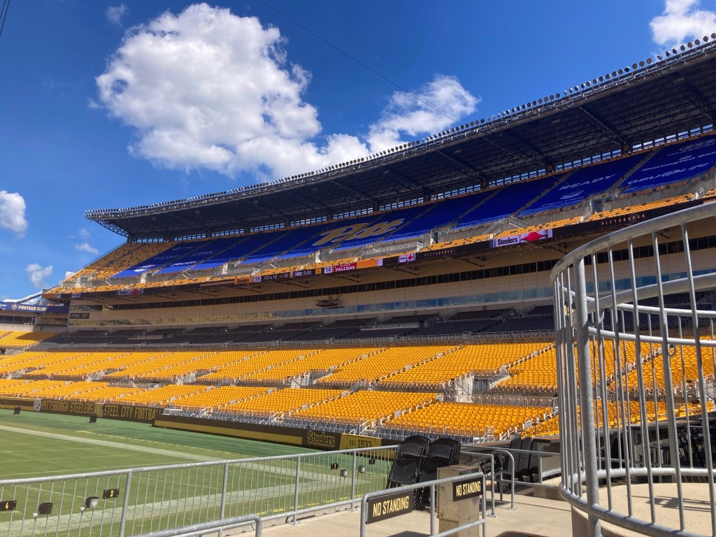
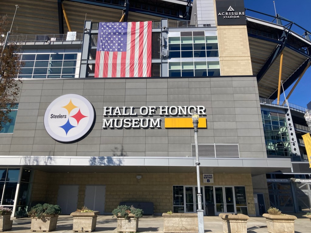
First, let’s start with the Pittsburgh Steelers, the first professional football team to win six Super Bowl championships. We had tickets for a “blitz” tour of the stadium and a visit to the Hall of Honor Museum which is also in the stadium.
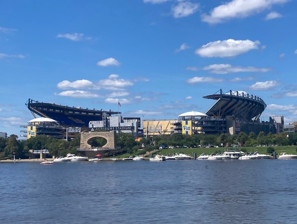
The view of Acrisure Stadium from across the Allegheny River
The tour basically took us into a private club house, out to the field, and into the locker room. The Steelers may be the only professional football team to not own their stadium and share the use of it during the football season with the University of Pittsburgh football team. The tour guide also mentioned that the field is natural grass and costs about $500,000 to replace each time, which is typically 3 or 4 times a year due to wear and tear during games. Neither the Steelers nor the Pitt Panthers practice on the field, but the stadium also hosts concerts for which the grass would also be removed.
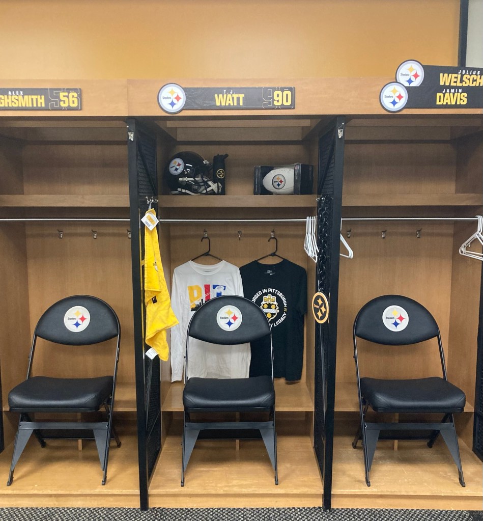
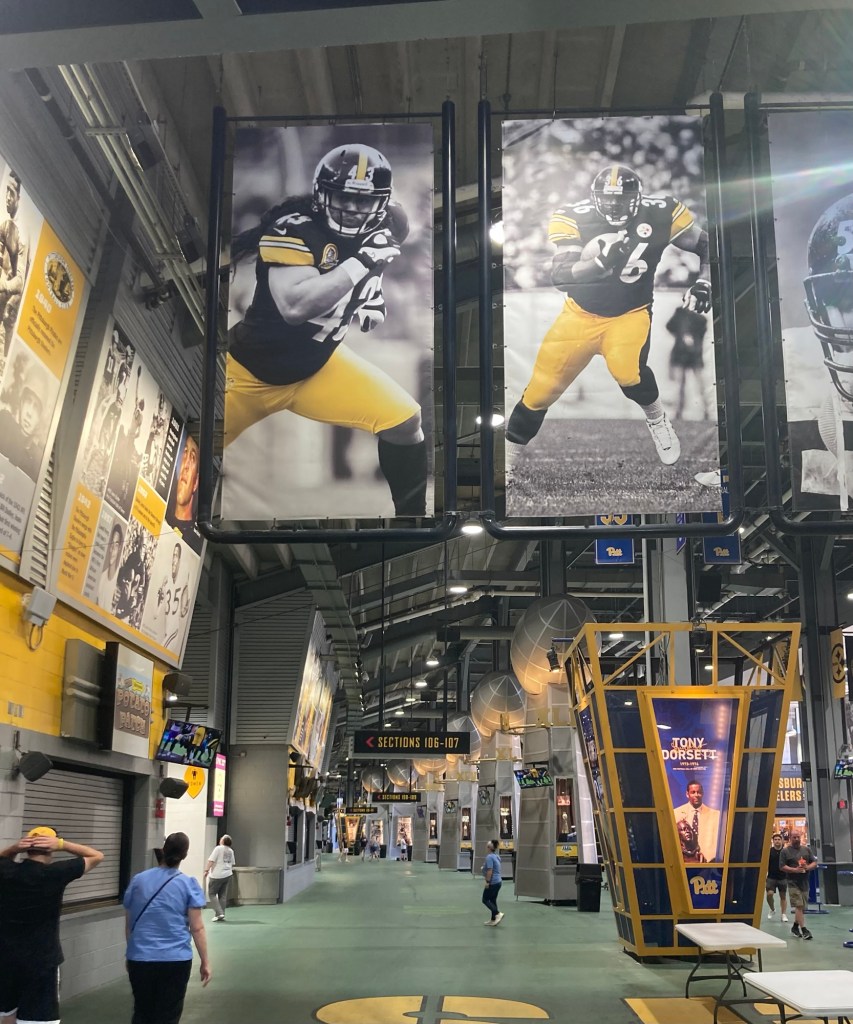
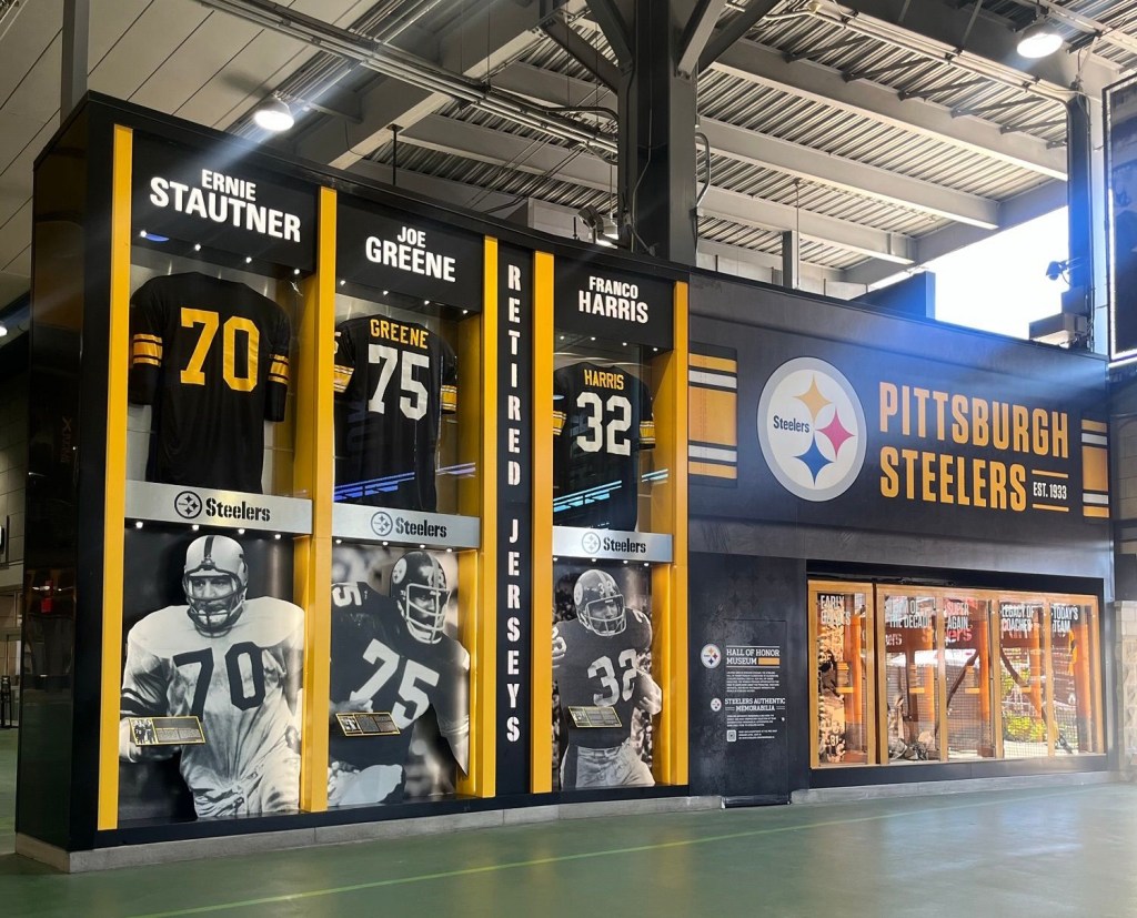
Three of the lockers in the locker room. T. J. Watt’s locker has stuff in it to show that he is a team (defensive) captain. The locker on the right has 2 names until Friday when the team has to get down to their final roster for the season.This is the great hall within the stadium that provides a lot of information about the history of the Steelers and is free to visit.An exhibit on the three Steelers players who have had their jersey retired The Hall of Honor Museum
The museum visit began with a timed entry to a film and then a self-guided tour of the museum.
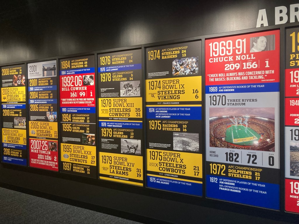
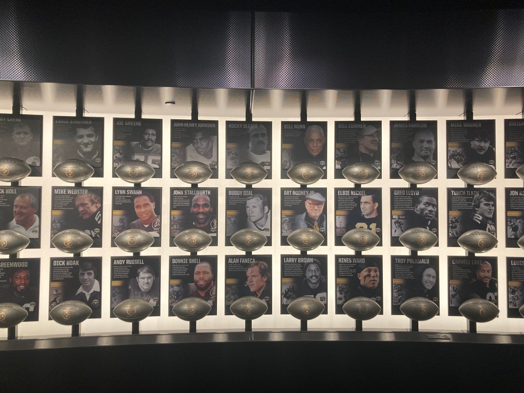
Some important dates in Steeler history Part of the Wall of Honor in the Museum
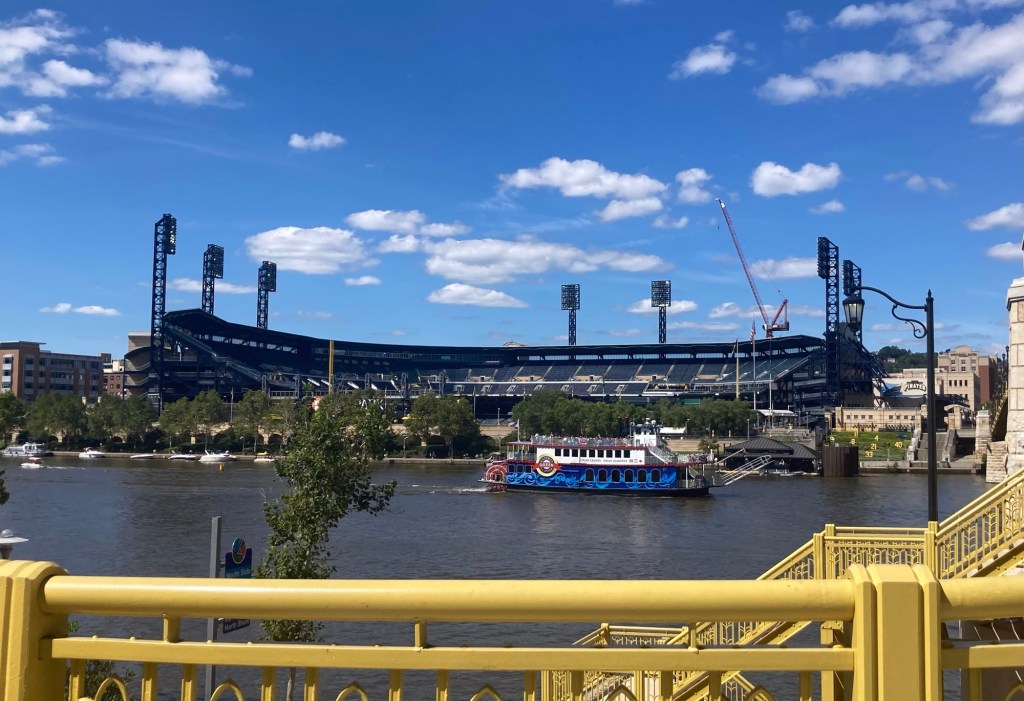
Another sports team in Pittsburgh is Major League Baseball’s Pittsburgh Pirates (formerly Homestead Grays and Pittsburgh Crawfords). The Pirates had a game yesterday afternoon that ended shortly after we checked in to our hotel which is in between the football and baseball stadiums.
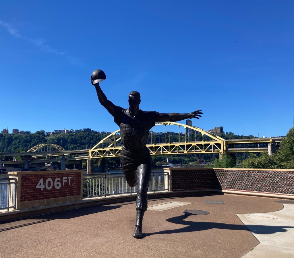
A view of the baseball stadium, PNC Park, from across the Allegheny RiverA statue of Bill Mazeroski, who played second base for the Pirates.
On October 13, 1960, Maz hit the only walk-off home run in a game 7 of a World Series to break the 9-9 tie against the Yankees and win the World Series for the Pirates. This captures the moment he rounded second base to score after hitting the ball over the 406 ft wall.
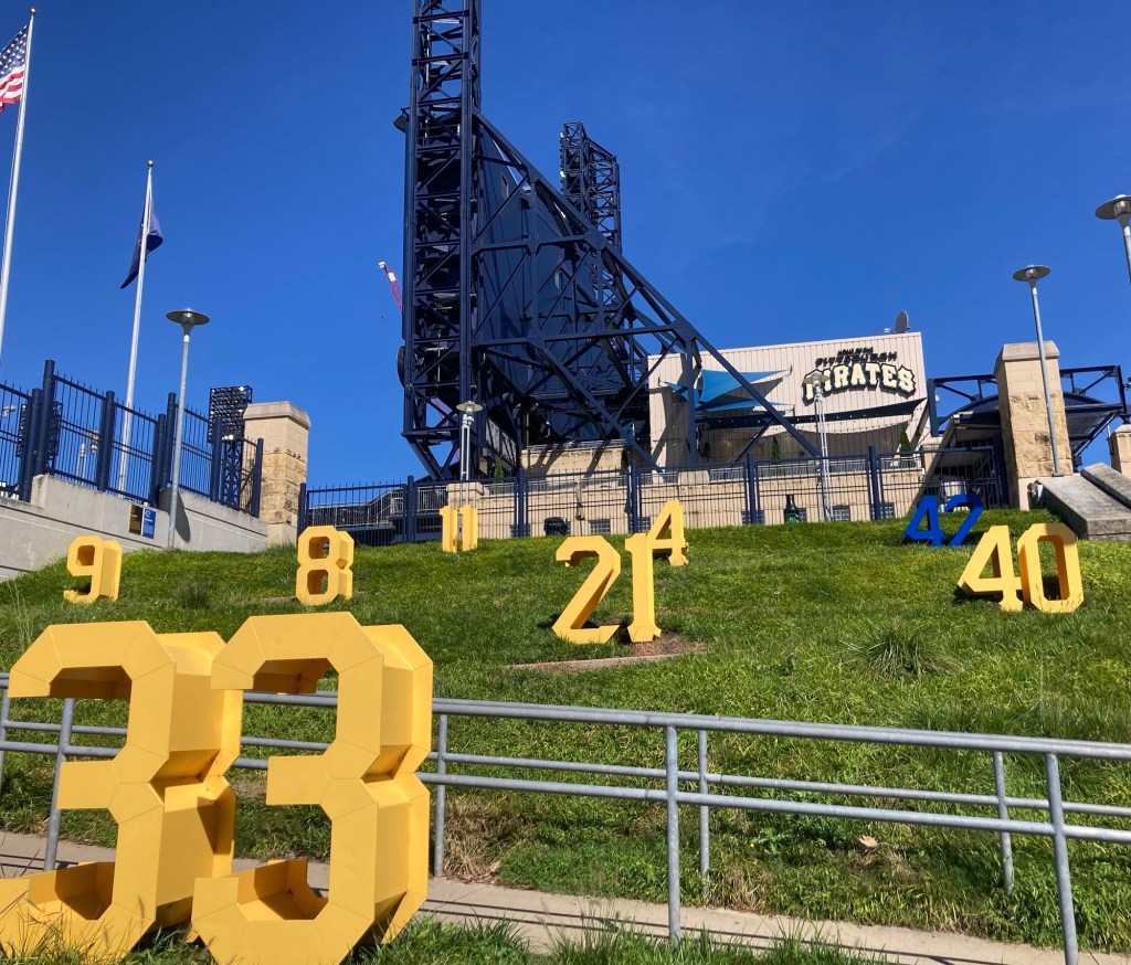
As you walk along the Riverwalk along the stadium, there are other displays of honor for former Pittsburgh players who are in the National Baseball Hall of Fame.
The player who wore #42, uniquely in blue, was Jackie Robinson, the first African American in the Major Leagues. He played for the Brooklyn Dodgers, not the Pirates, but his number has been retired league-wide for his breaking of the color barrier in baseball.
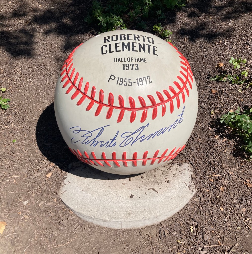
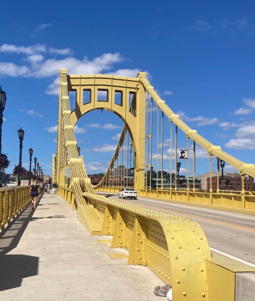
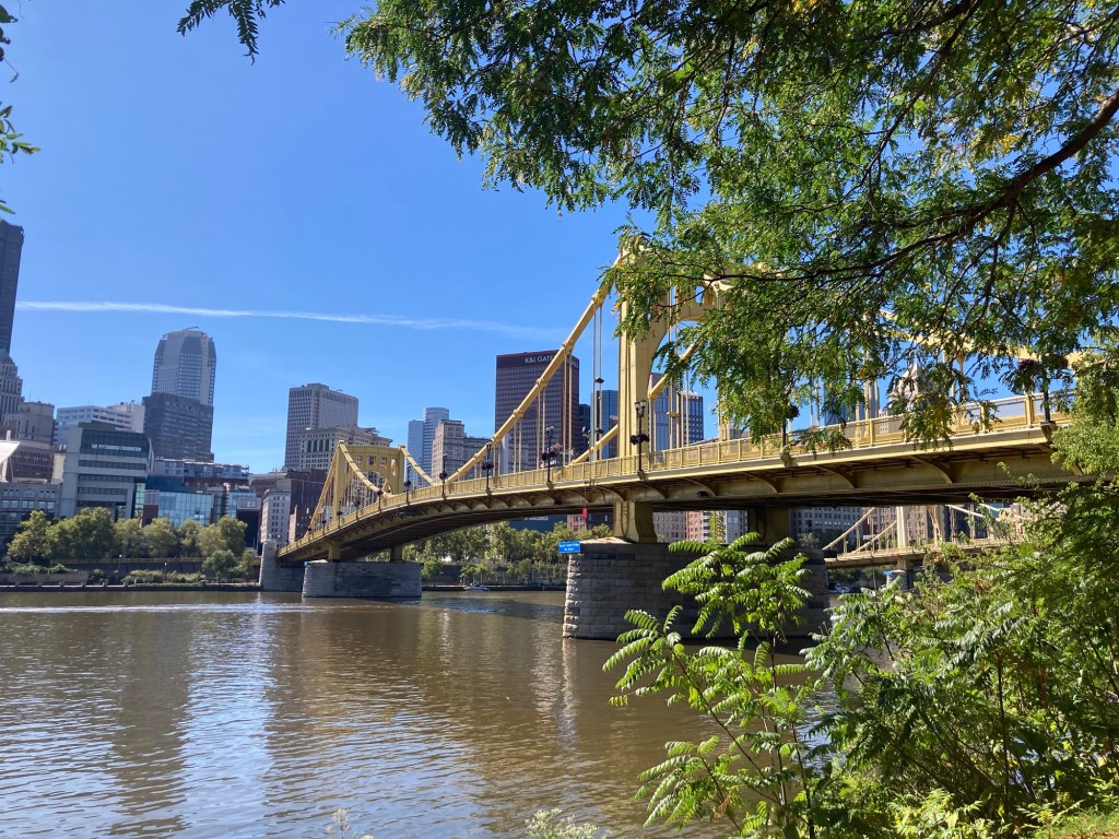
Roberto Clemente played for the Pirates from 1955-1972. He was inducted into the Hall of Fame a year later (very unusual) as he was killed in a plane crash in 1972 in a plane that he chartered to take relief supplies to survivors of a massive earthquake in Nicaragua.The Roberto Clemente Bridge in Pittsburgh, which spans the Allegheny River to connect the North Shore area (with the stadiums) to the downtown area of Pittsburgh.
Pittsburgh, a city of about 303,000 in the southwestern portion of Pennsylvania, is known for its three rivers, which are actually two rivers, the Allegheny and the Monongahela, that meet in Pittsburgh and form the Ohio River. The city has established riverfront walks along the three rivers to make an impressive and scenic trail system.
Some pics from along the North Shore Riverfront Trail.
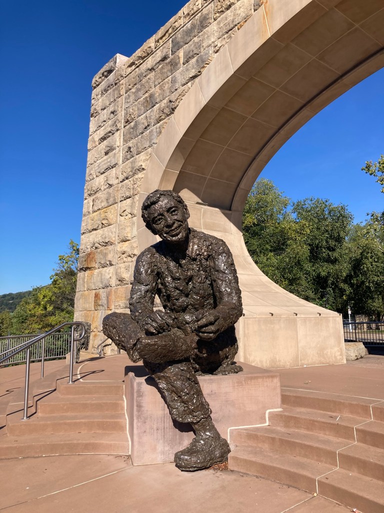
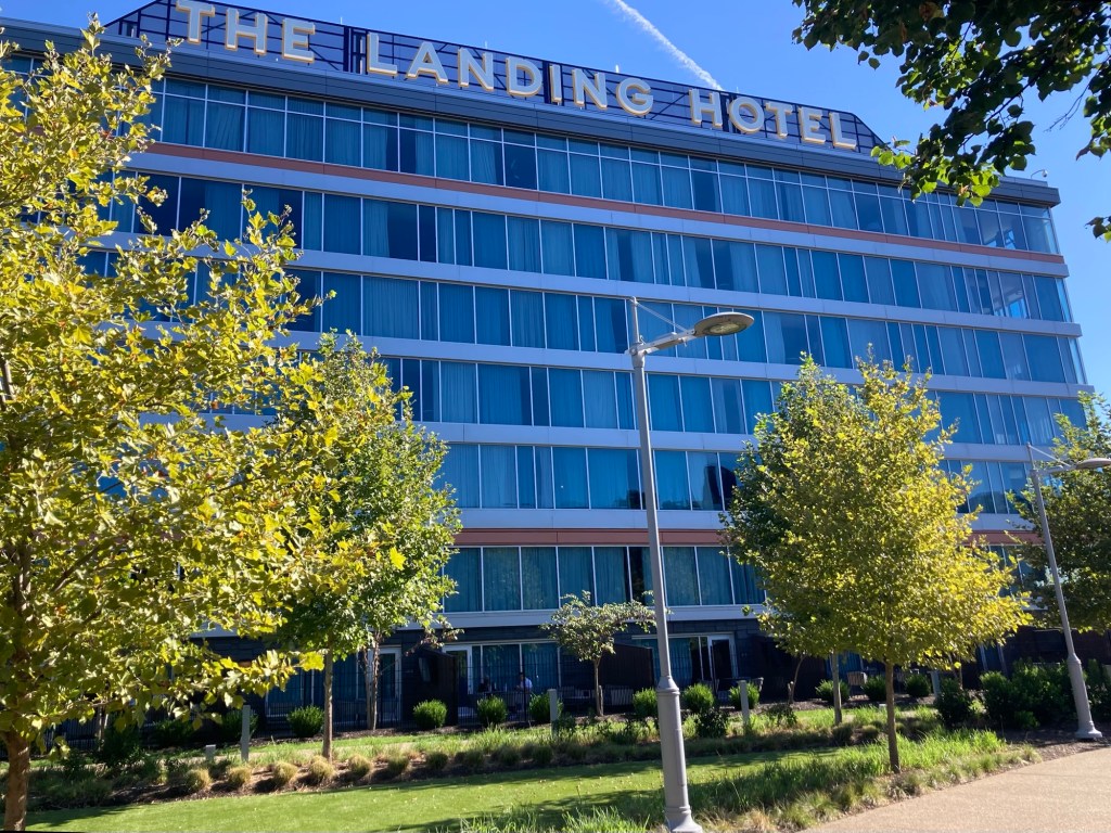
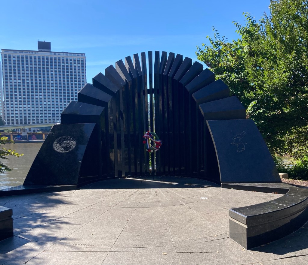
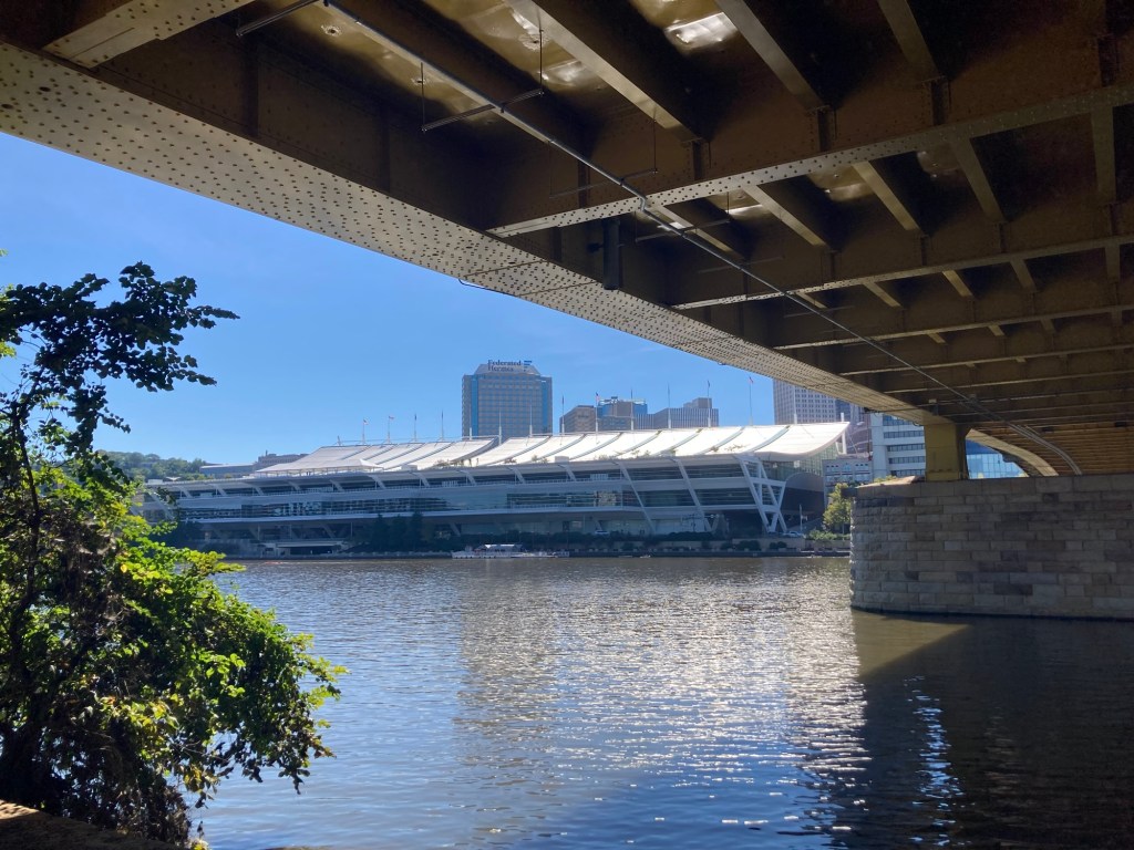
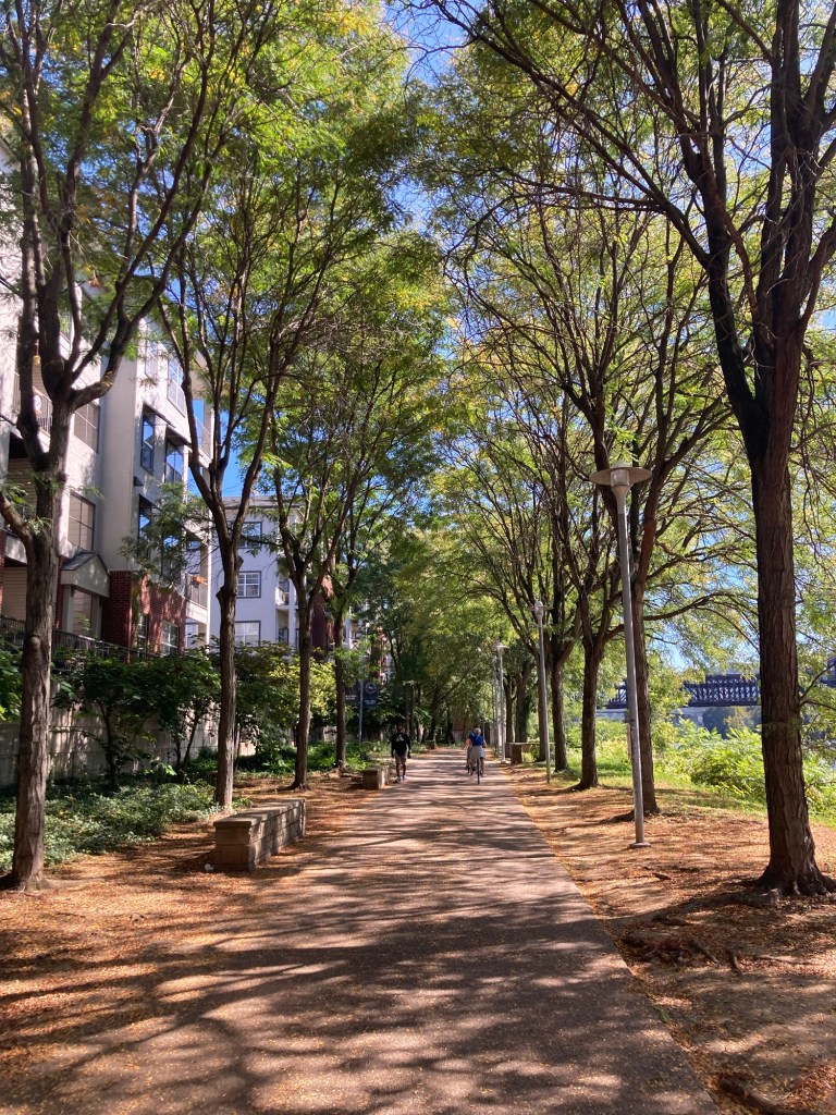
A statue of Mr. Rogers (of the children’s show Mr. Roger’s Neighborhood) made possible by his local friend Cordelia May.A pretty hotel attached to a casino along the Riverwalk A Memorial to soldiers of the Korean WarThe Pittsburgh Convention Center A tree-lined section of the RiverwalkLooking across the Rachel Carson (environmentalist and author of Silent Spring) Bridge to downtown Pittsburgh
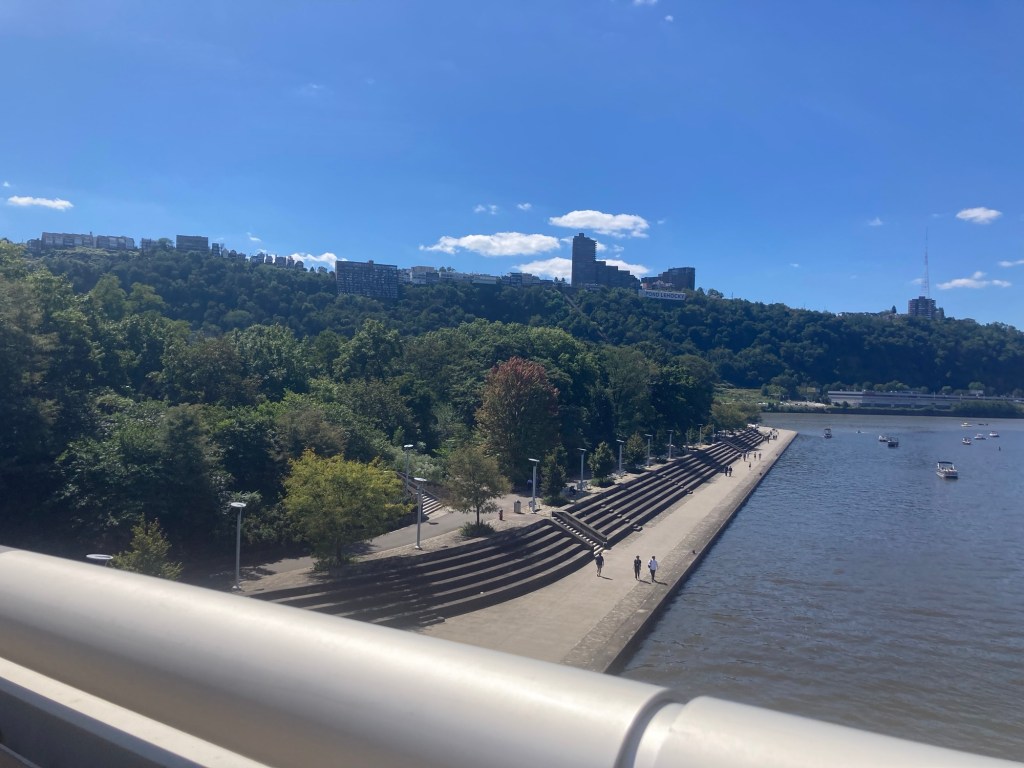
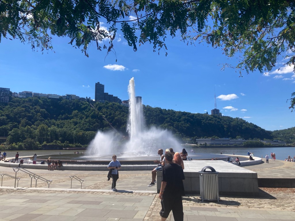
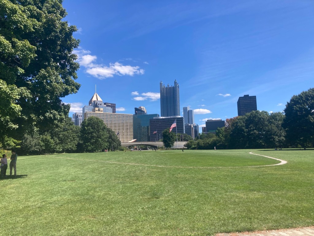
After the museum tour at the stadium, we walked across the Allegheny River on the Fort Duquesne Bridge to the Point State Park at the intersection of the Allegheny and Monongahela Rivers.
Looking down on the state park from the bridge The impressive fountain at the end of the state park where the two rivers meet to form the Ohio River A large green lawn in the park facing downtown, where the original Fort Duquesne stood, outlined by the concrete path in the lawn