Categories
Uncategorized

Sing Sing in Ossining (8/31/26)

Bob and I had a unique 1.5 hour tour today about the American penal system and Sing Sing Correctional Facility in particular. A Sing Sing Prison Museum is being built, but in the meantime, they are offering theses tours in Louis Engel Park along the banks of the Hudson River and next to where the Sing Sing Correctional Facility is located.

While there is much to be improved with the American justice system and prison experience, and we were asked specific questions about our views on the purpose of prisons, etc. during the outside walking tour, I won’t go into that portion of the tour but just share the very few facts that we learned about Sing Sing.

First, Sing Sing is a maximum security facility with a capacity of 1,600 men. It is located in Ossining, NY, about 6 miles north of Tarrytown. It is the only prison that has a trainline running through it. It was built by convicts beginning in 1825 and completed in 1827 using marble (now called Sing Sing marble) quarried from the site. The new prison was needed as prisons in New York City were no longer adequate and it was too cost prohibitive to build in the city.

The name Sing Sing comes from the mishearing of the Native American term for the area, Sinck Sinck, meaning stone upon stone. Originally, the name for the prison was Mount Pleasant and the town that grew up around it was called Sing Sing, but eventually, people decided that Mount Pleasant was a poor name for a prison, so they renamed the prison Sing Sing as well. The town wasn’t happy being known by the same name as the prison and renamed the town Ossining in 1901 as another variation of the Native American term for the area, Sint Sinks.

Before the tour, we were able to take photos of the lovely park area that we walked around. We were only able to go near not on the prison grounds and could only take a couple of quick photos at that location.
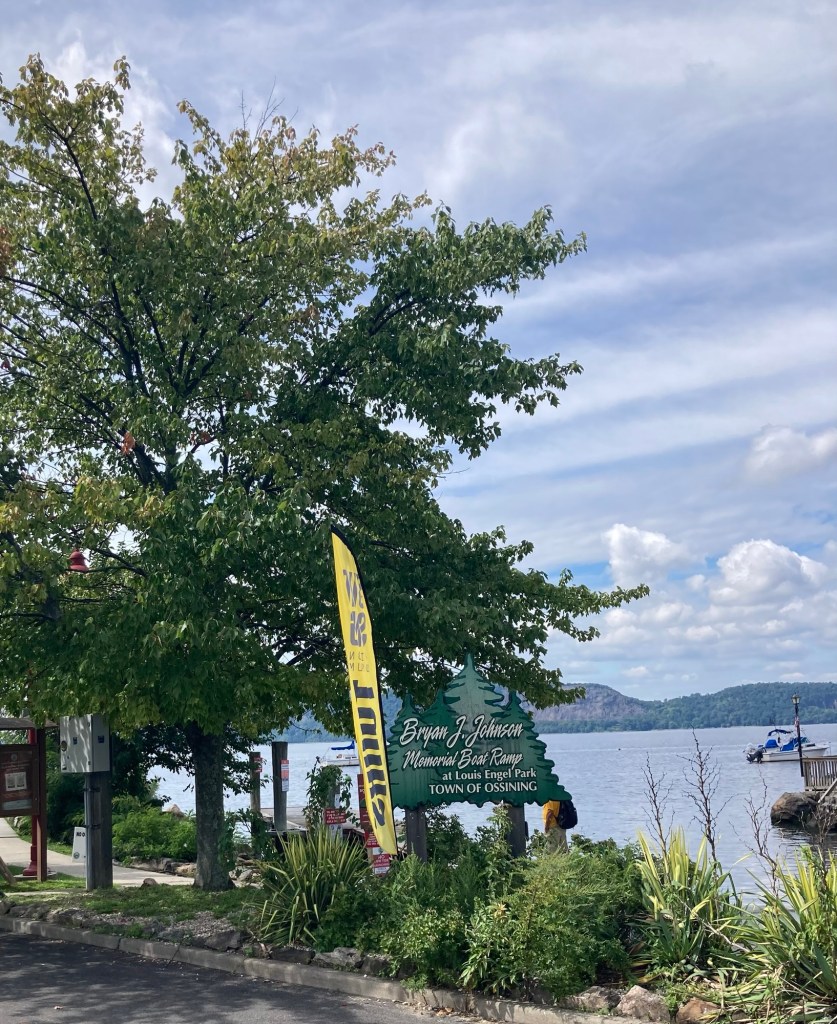
The yellow sign for our tour which began
near the boat and canoe rental facility in Louis Engel Park.
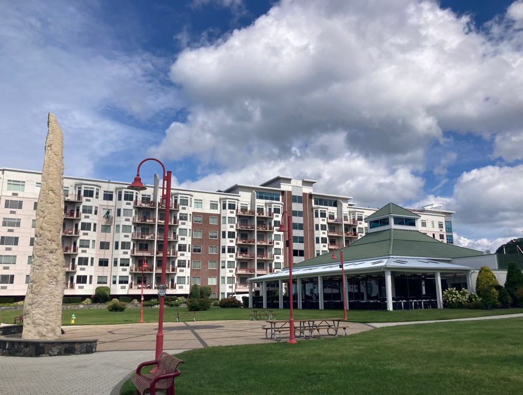
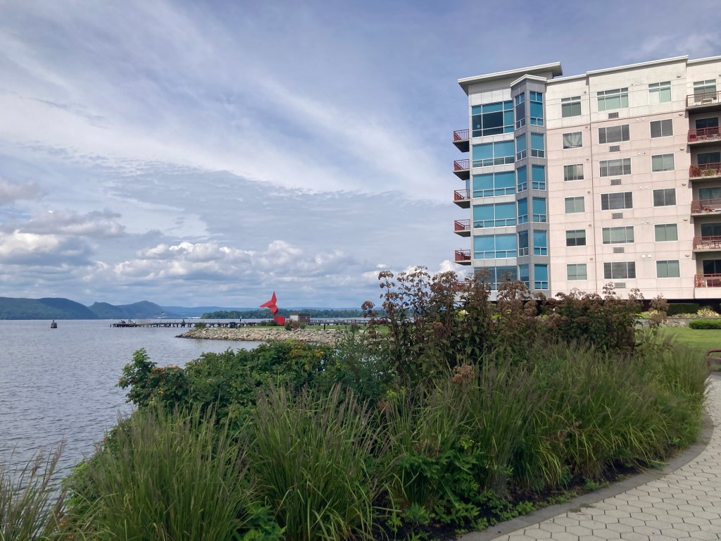
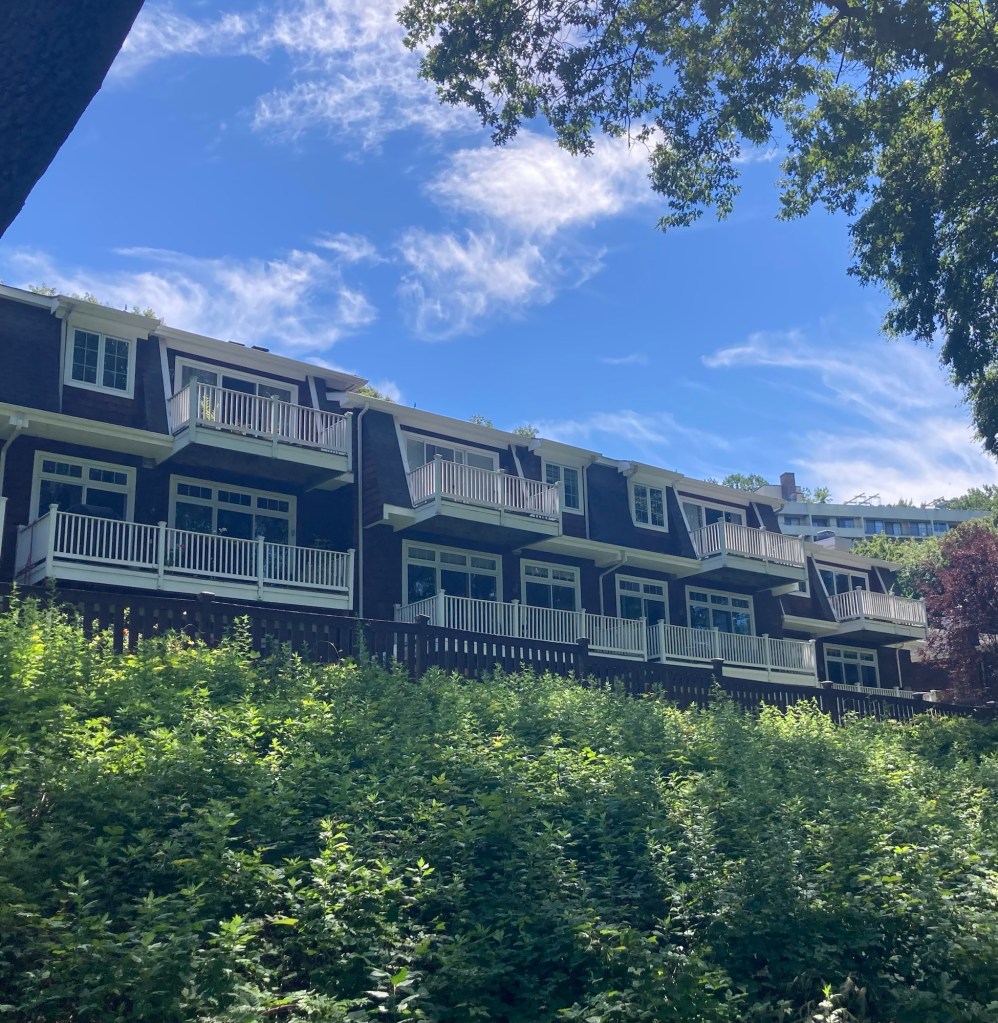
A pretty restaurant and residences just north of the park area where we had our tour
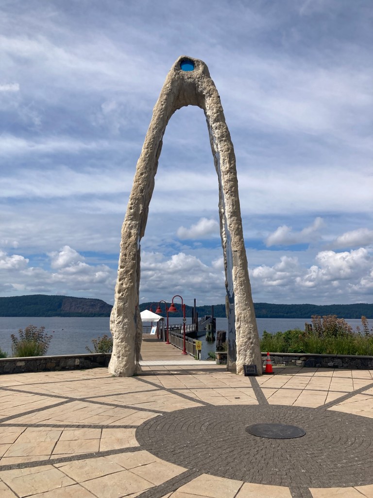
“River Arch” by Peter Lundberg, 2016
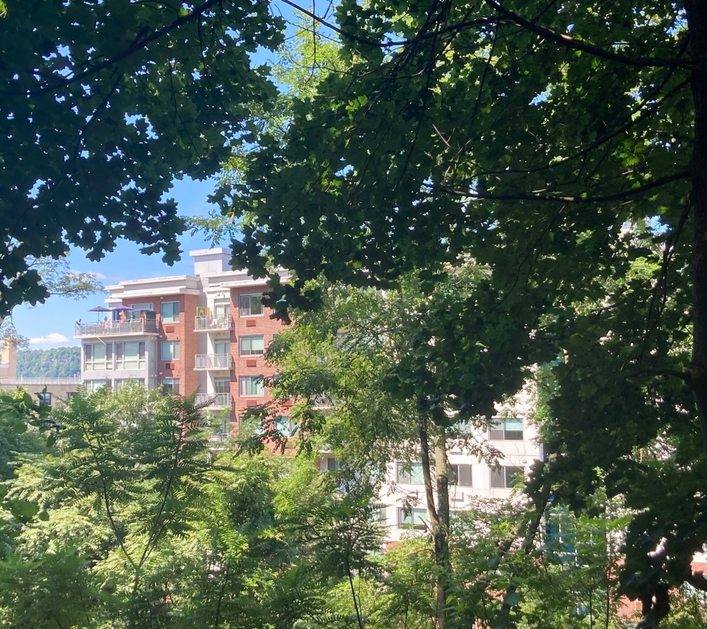
More landscaping, art, and residences along the riverfront
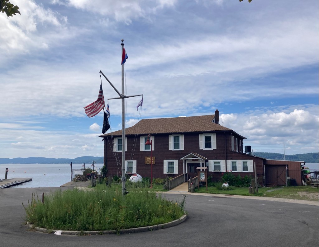
The boat and canoe rental building
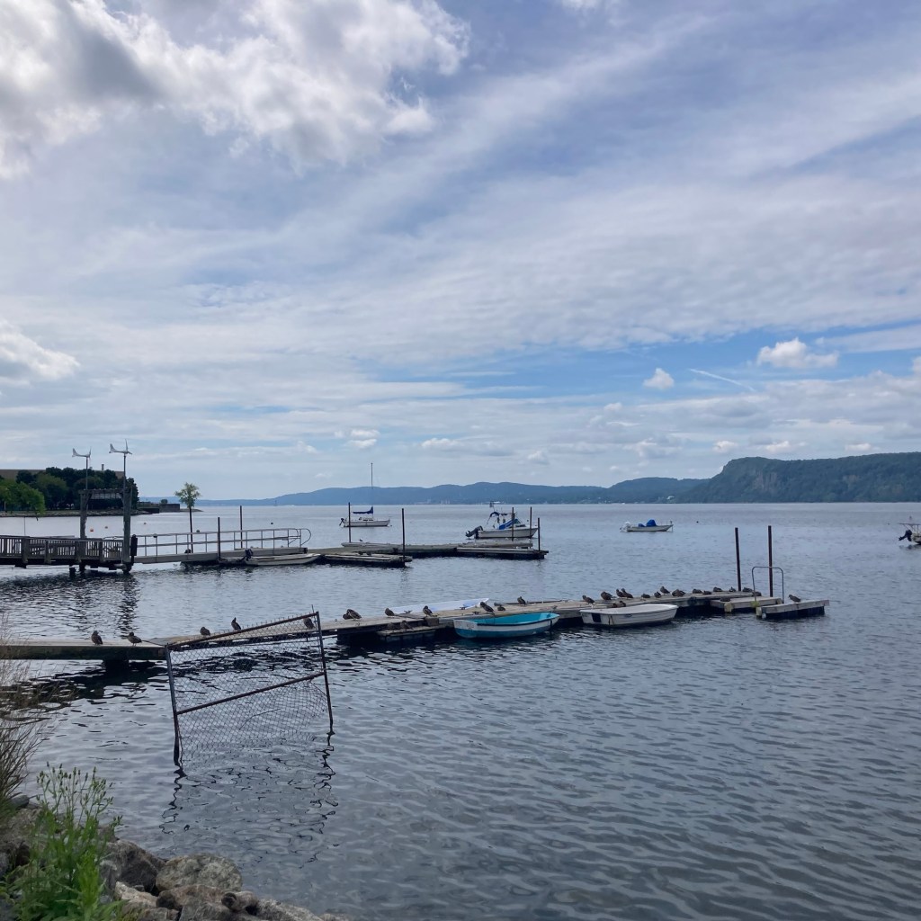
Looking south at all the ducks by the rental boats
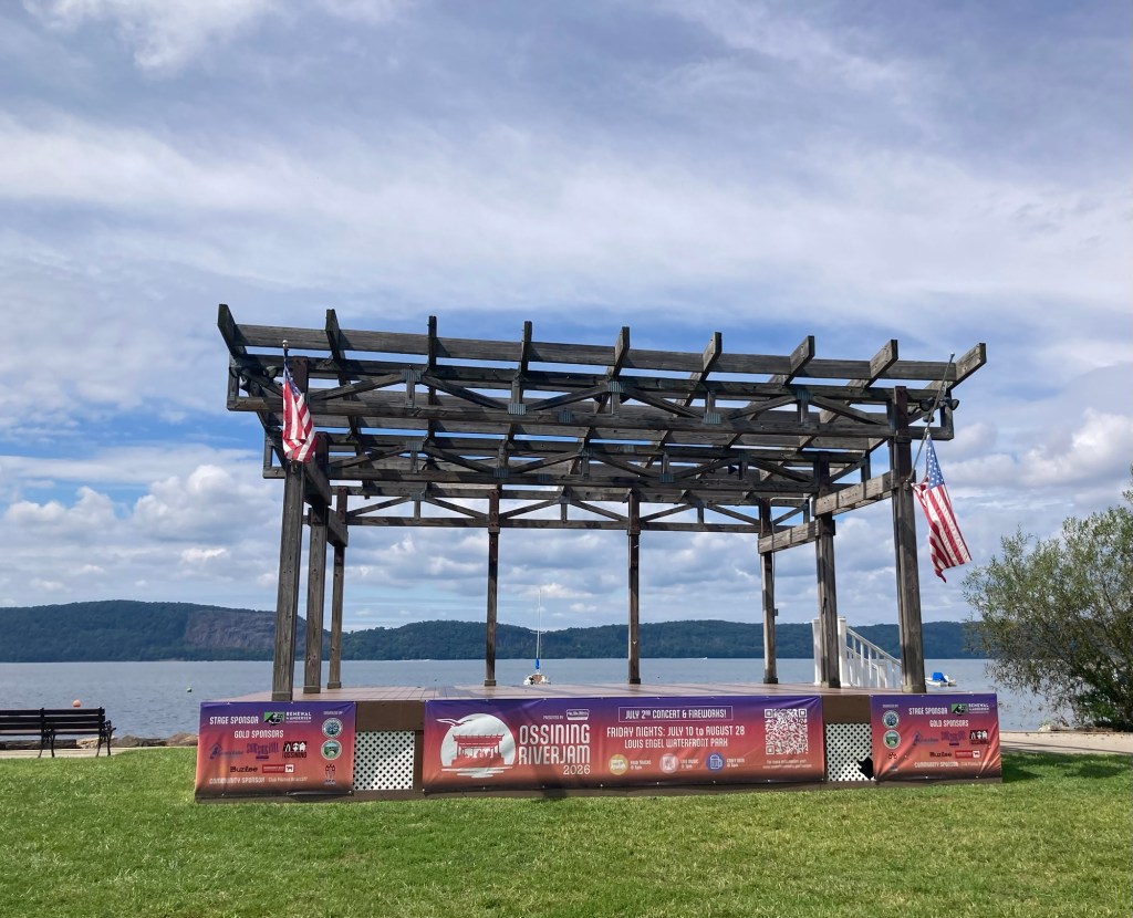
A small band stage in the park
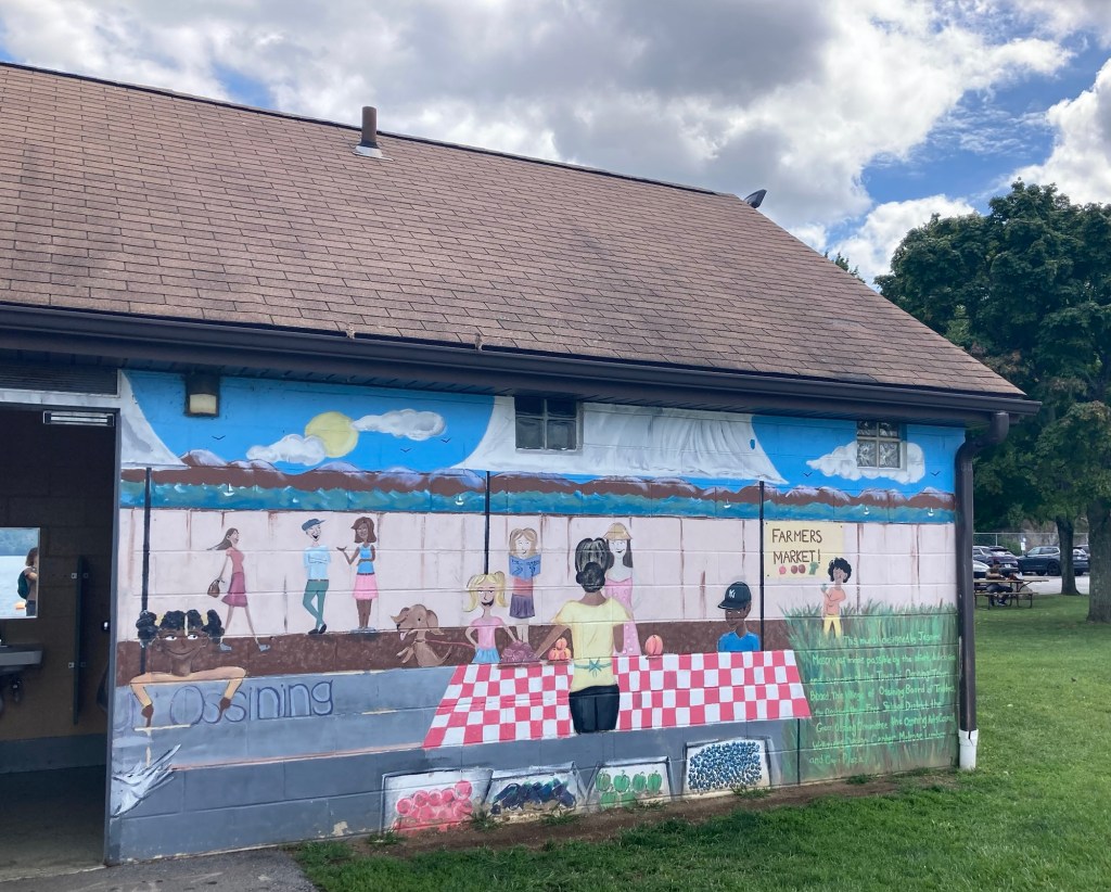
A colorful mural on the public restroom in the park
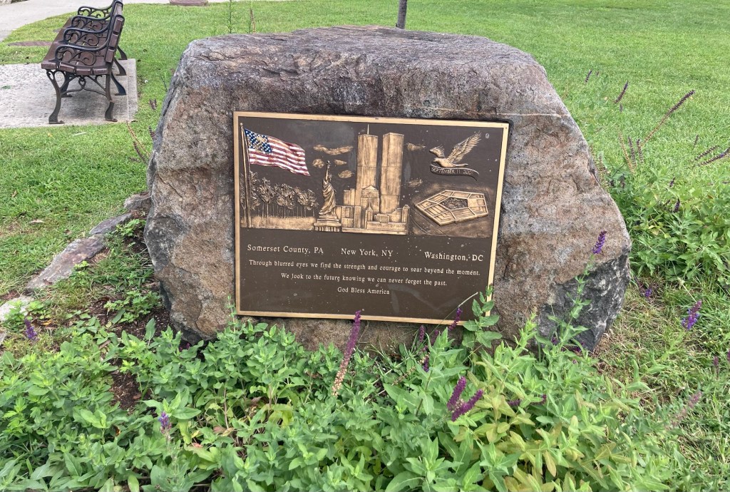
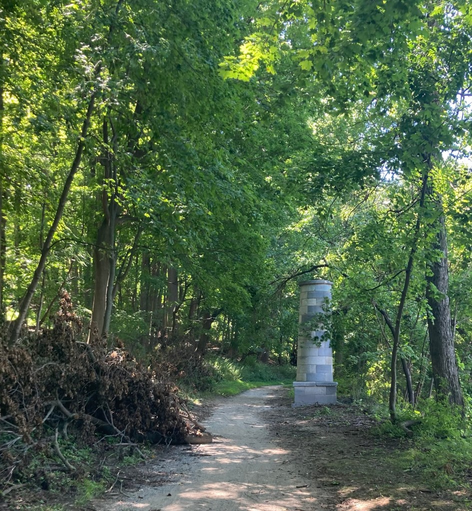
A memorial stone for 9/11
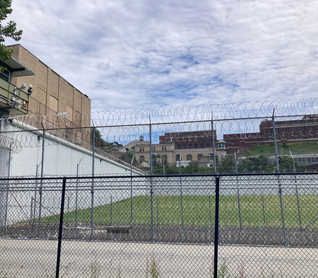
Looking across the prison field
to the new prison housing facilities on the hill
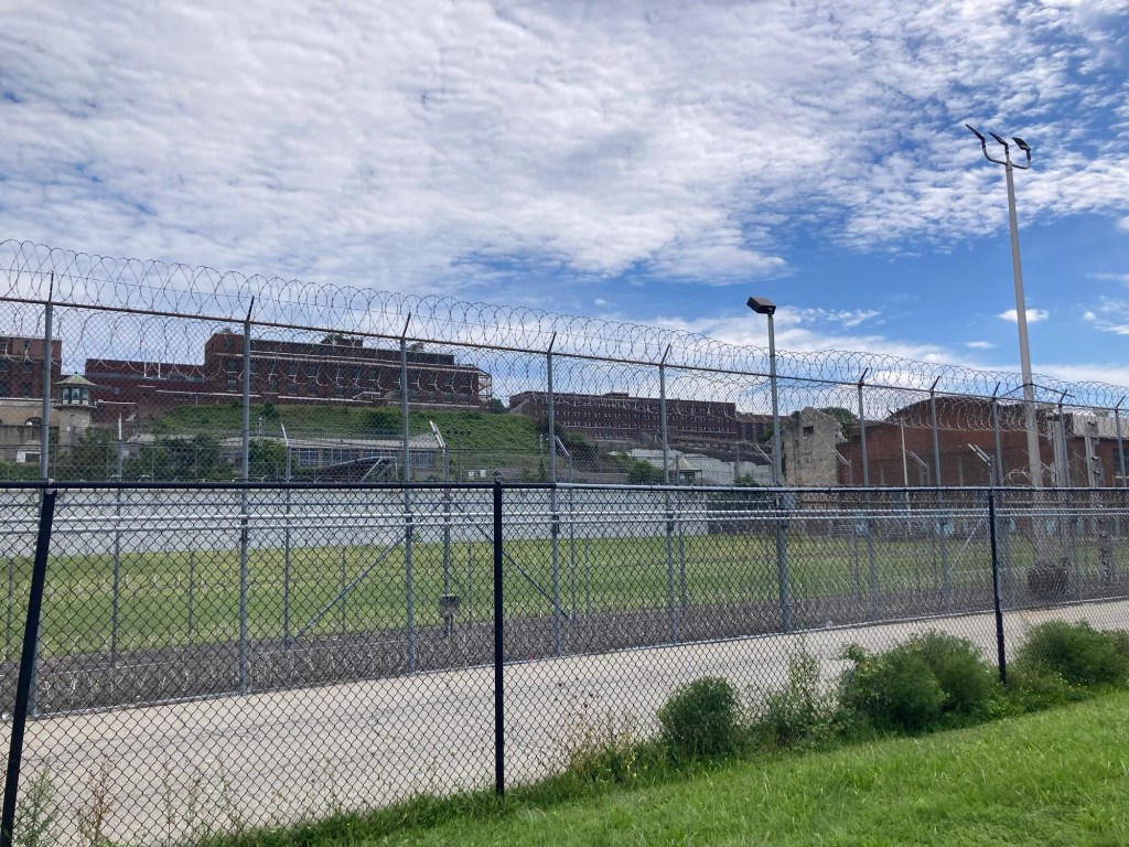
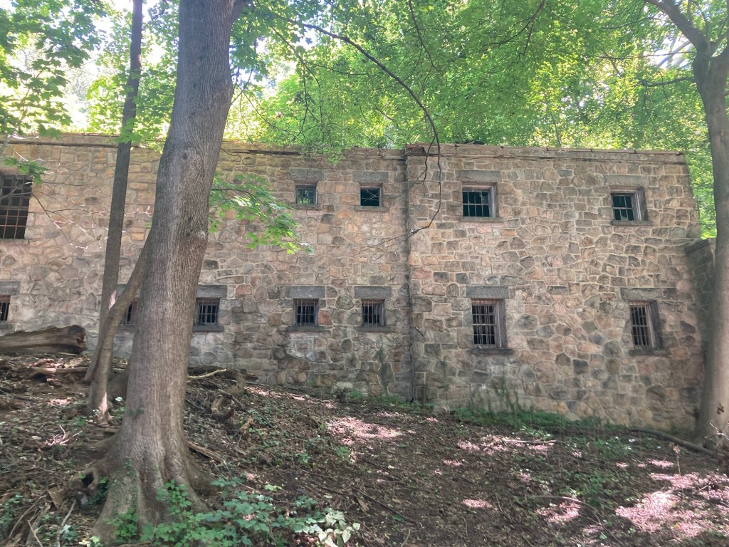
The buildings at the end of the field are no longer in use.
The white brick building is the shell (no longer has a roof)
of the original dormitory, and the red brick building beside it was a gym provided by the former head of Warner Brothers Studios.

Apparently there was an agreement with Warner Brothers that allowed them some use of the prison for films. The tour guides made a point of saying at the beginning of the tour that they would not be discussing any specific prisoners or media related to the prison, although one guide mentioned a Bugs Bunny episode about Sing Sing and they offered up this little tidbit about the Warner Brothers executive. Bob and I wouldn’t have minded hearing more specifics about the prison, including those kind of stories, but they were more focused on getting people to really think about the prison system and how it functions in our society.
Categories
Uncategorized

One Last Walk on the Empire Trail (8/30/26)

It’s hard to believe, but Bob and I only have a week left in Tarrytown with the adorable and amusing Bella and Cleo. As the next few days are to be rainy, and we will get busy with last minute errands and housecleaning and yard work, we headed back to the Empire Trail today a little further north than we’ve been on it. So, here’s a few snaps from the outing.

Where we entered the trail from a large trailhead
off of Highway 117 in Pleasantville
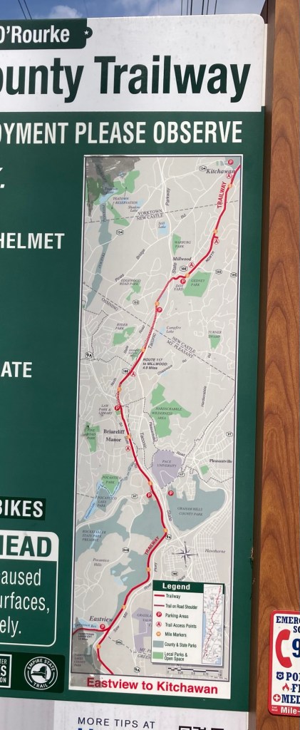
We started at the trailhead across from Pace University
and ended after the railroad looking lines
by the Law Park and Library .
These lines indicate the trail is on the shoulder of a road.
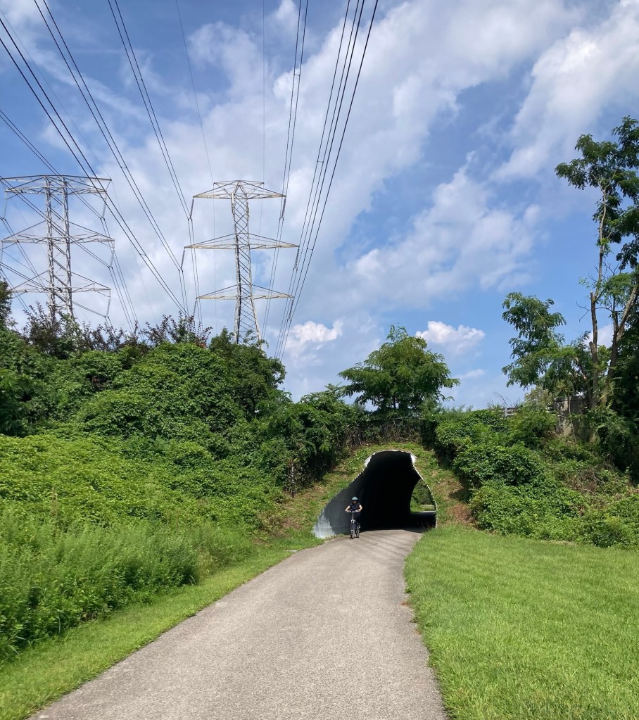
Going under a road to begin the walk on the trail
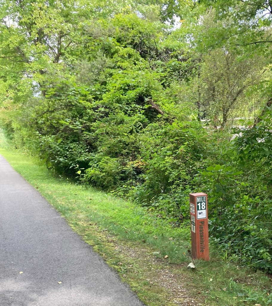
We passed this mile marker shortly after we started.
We turned around a bit after the 20 mile marker.
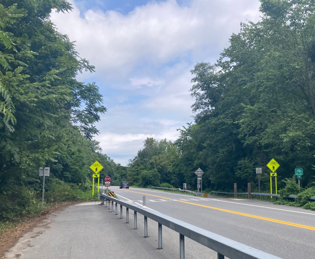
The beginning of a road crossing
Again, a very nicely shaded trail and busy on a Sunday at midday.
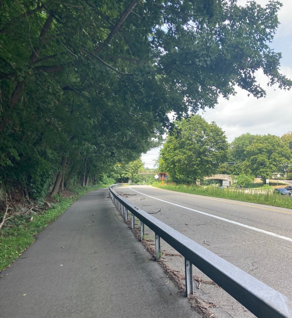
The trail along the shoulder of the road.
This actually felt quite safe.
We were more stressed by the cyclists flying by us on the trail without giving any warning.
An old rail station along the route
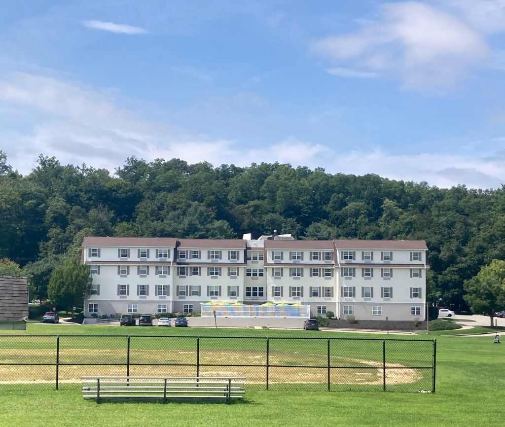
A ball field and residences along the trail
We crossed the road to continue on the trail off of the shoulder and back on the ”land.”
This part of the trail had a creek running next to it.
We turned around at the next road crossing.

We have tickets tomorrow for a tour, so there will be at least one more blog before we head out.

Categories
Uncategorized

In the Beginning Was The Dam (8/28/26)

If you have followed many of our blogs from our current sit in Tarrytown, you will be very familiar with the Old Croton Aqueduct Trail, parts of which we have walked on a number of days here. It traces most of the route of the aqueduct created to bring clean water to New York City in the mid-1840s. Today, we drove about 30 minutes to Croton Gorge Park to see the Old Croton Dam (no longer open to vehicles), which was built to allow for the creation of the aqueduct. It was an impressive visit.

The Croton Gorge Park is a 97-acre property at the base of the Old Croton Dam. It is apparently a popular spot for fishing, picnicking, and hiking, and is the start of the Old Croton Aqueduct Trail that we have been hiking. The park charges $10 per car (cash only) to park. You can walk in free of charge.

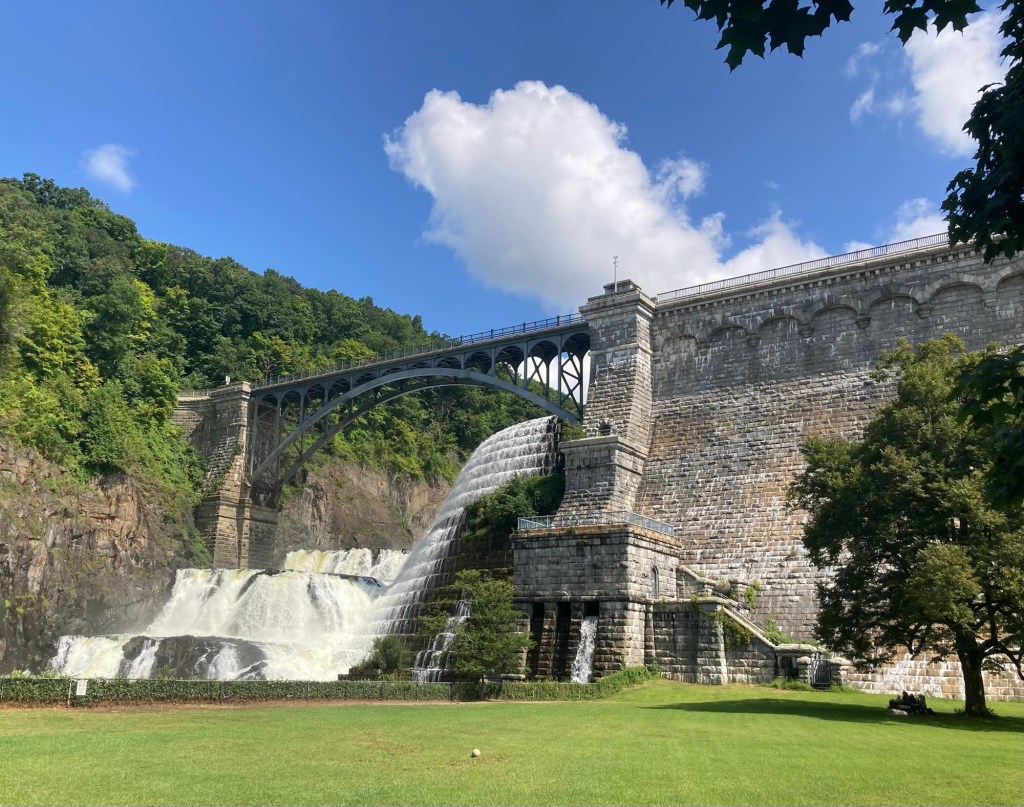
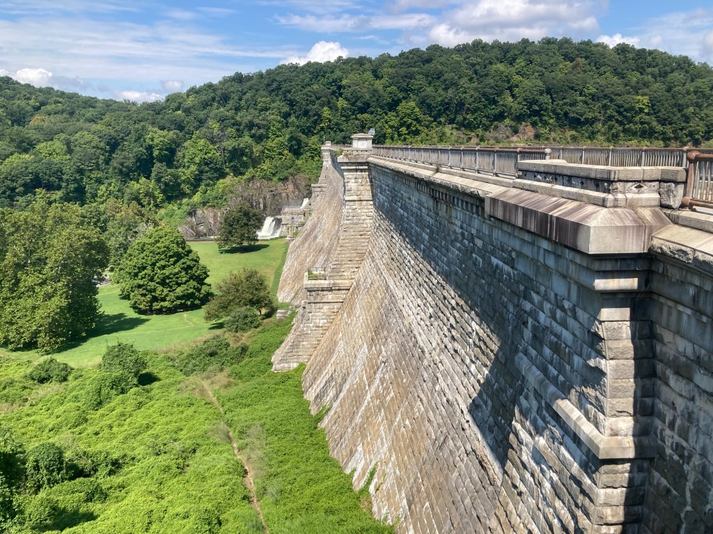
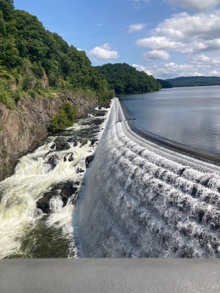
The impressive dam and spillway.
It was the first large masonry dam in the United States
when it was completed in 1842.
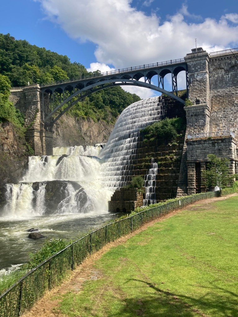
A closer view
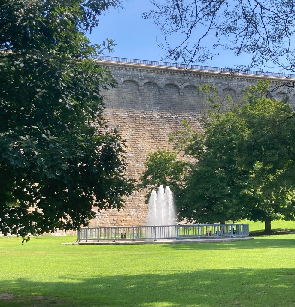
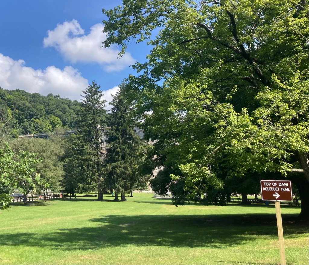
A fountain in the park in front of the dam
In the park, there is a trail to the top of the dam as well as the trail that begins the Old Croton Aqueduct Trail.
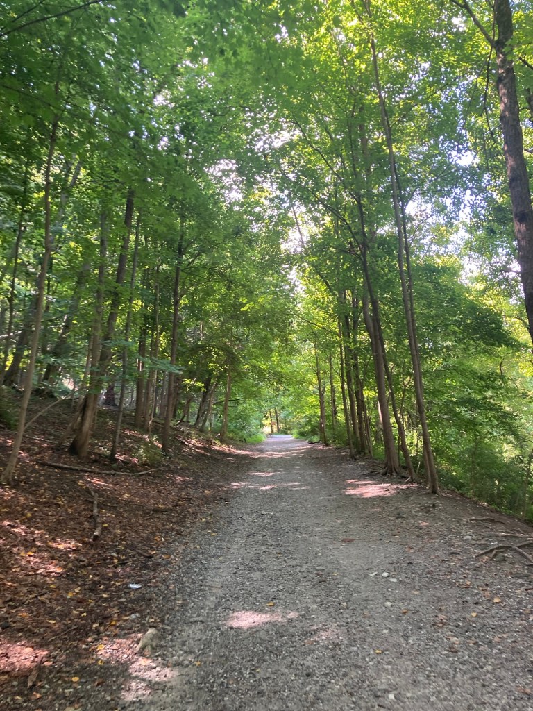
Heading up to the top of the dam
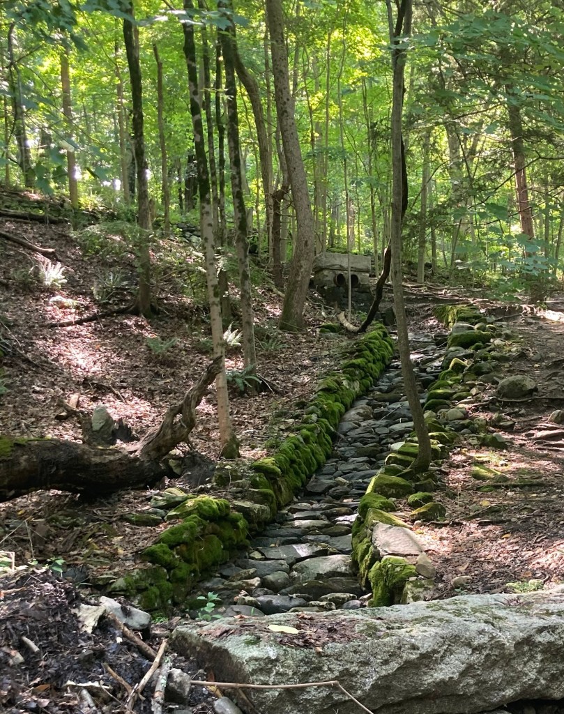
A path for rain runoff along the trail
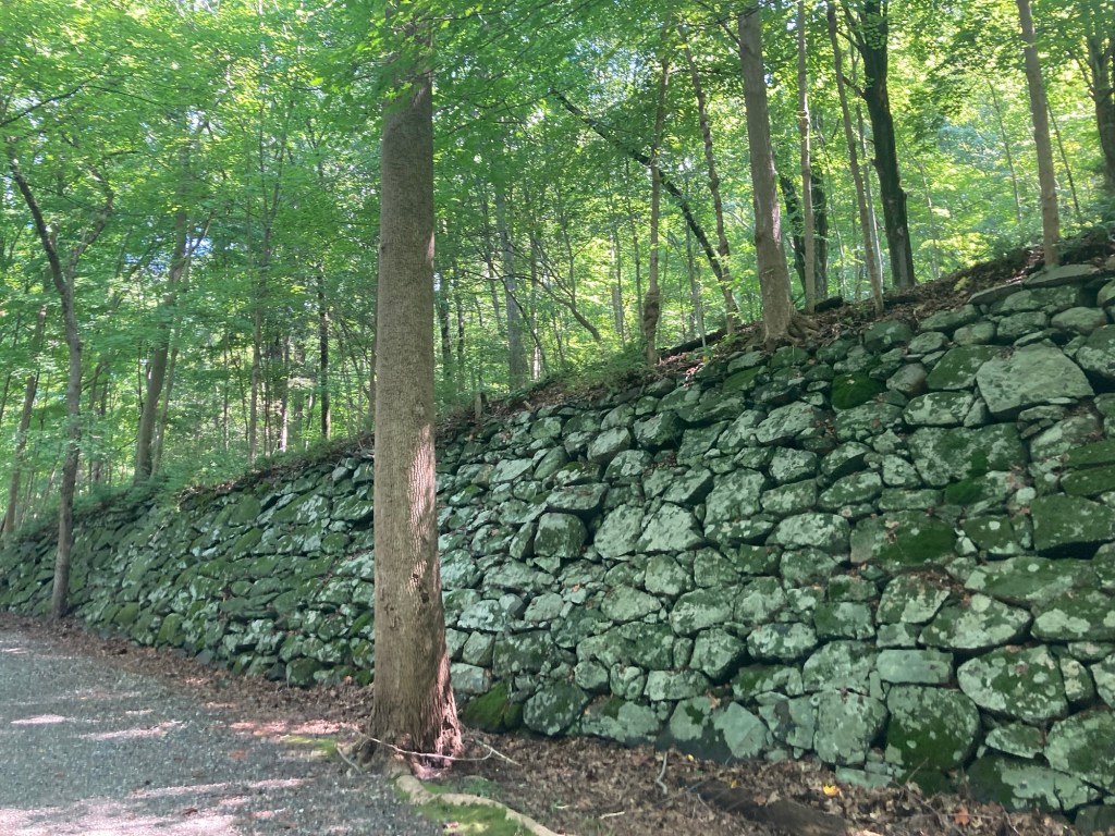
An impressive stone wall along the trail
Looking back from where we had walked
to continue up to the top of the dam,
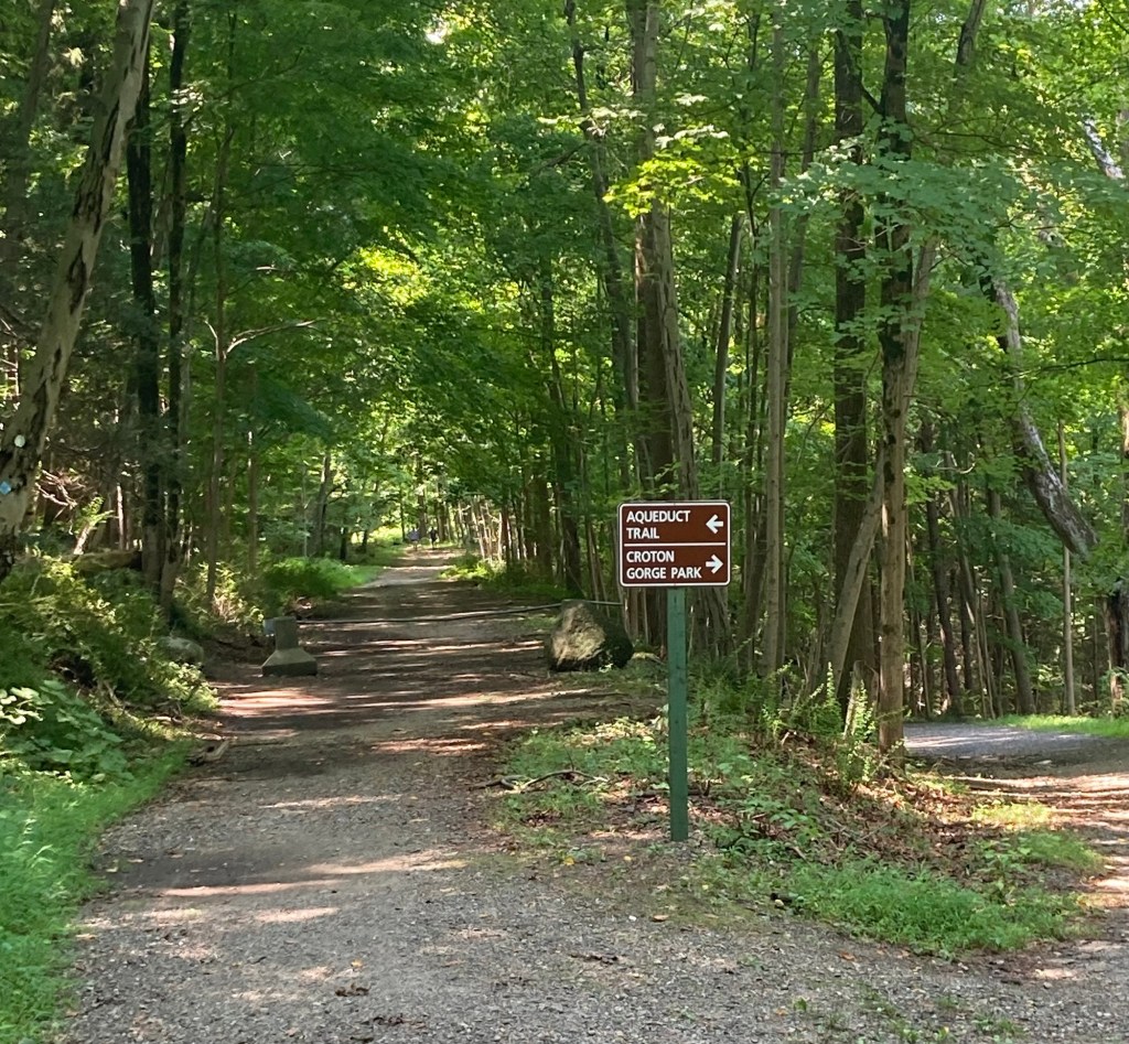
you can see the start of the Old Croton Aqueduct Trail
as well as the route back into the park
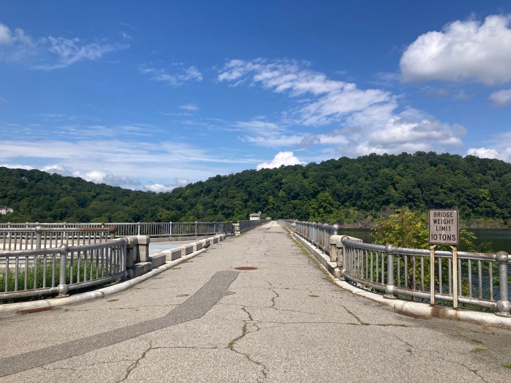
The road across the top of the dam,
which is now blocked off from vehicles on both sides
As we looked across the bridge,
we were very far up when looking to the left
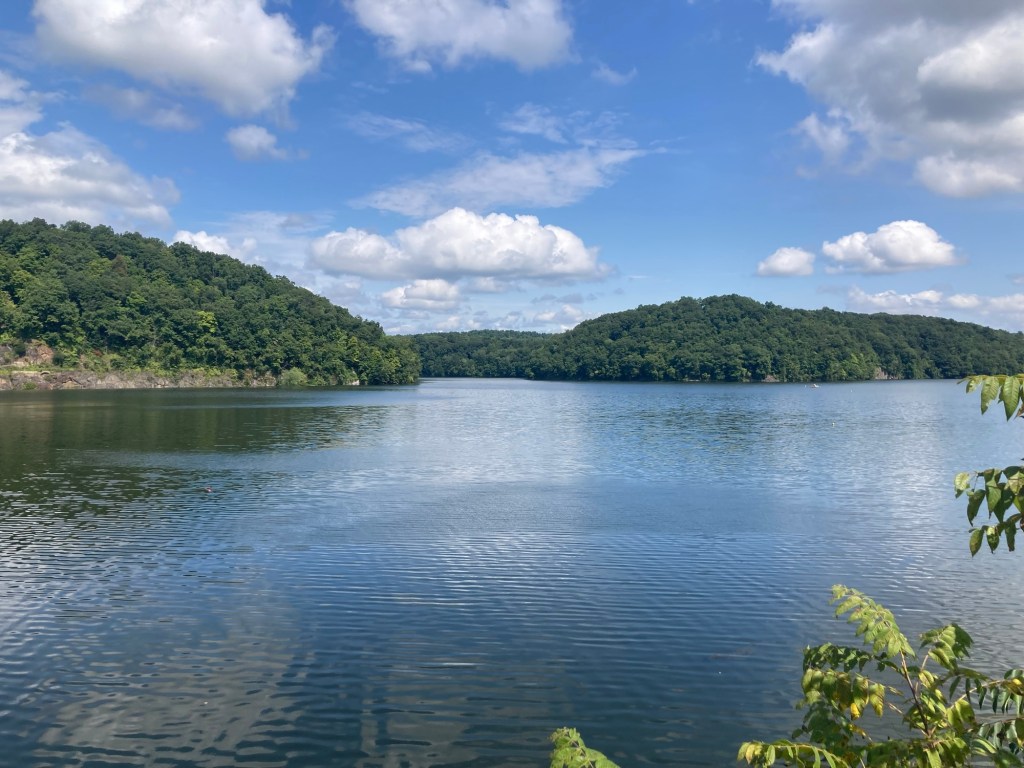
and at reservoir level when looking to the right.
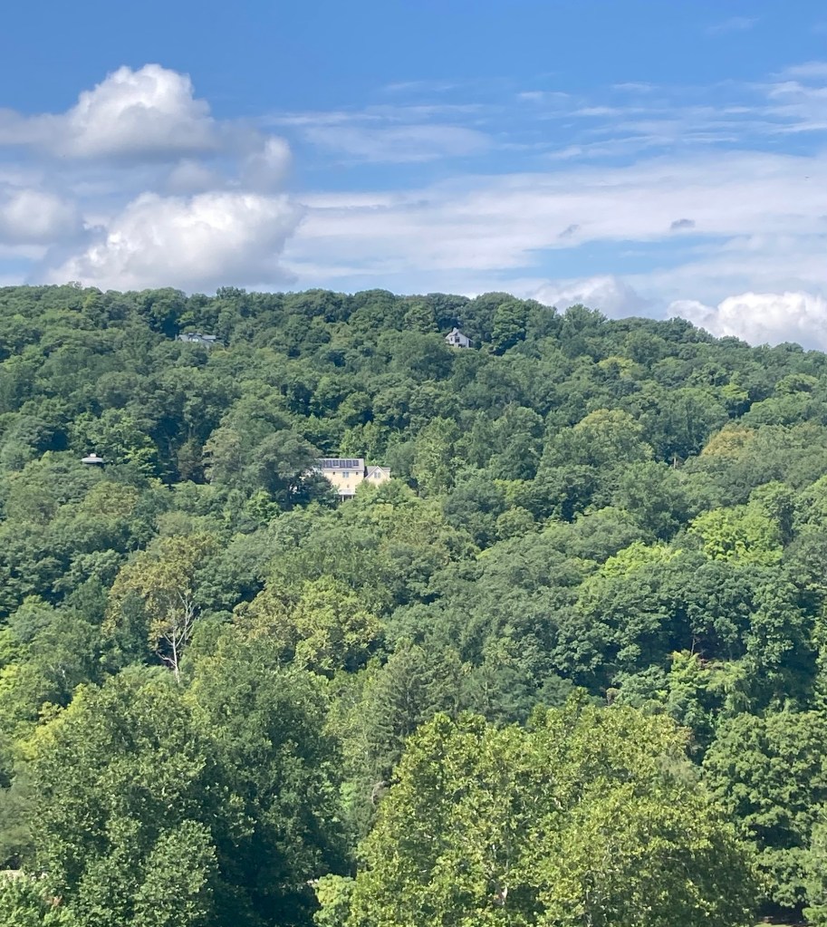
We noted some nice looking homes in the hills above the park.
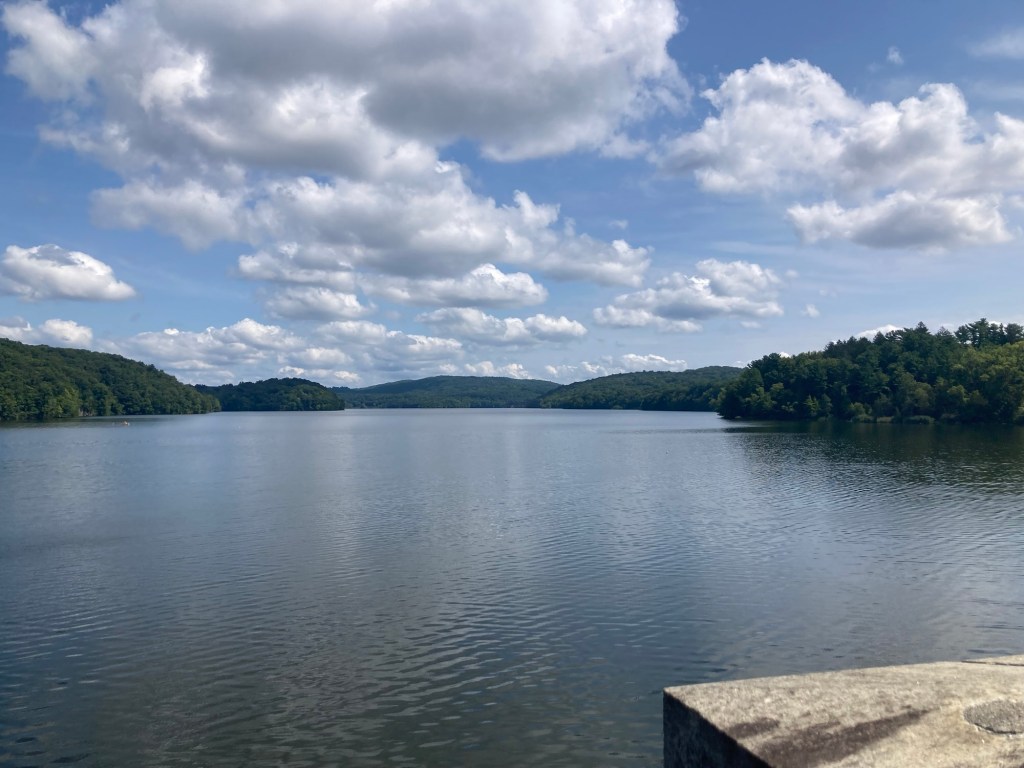
Another view at reservoir level as we crossed the bridge
The top part of the dam and spillway
on the right side of the bridge
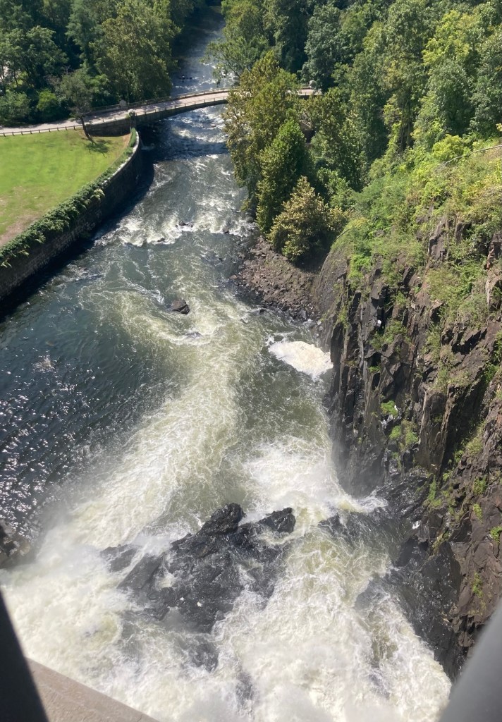
Looking down on the left to the small bridge we crossed by car
to get into the park
We returned to the park from a path on the far side of the bridge from where we had come up.
It was marked by blue blazes instead of the posted signs.
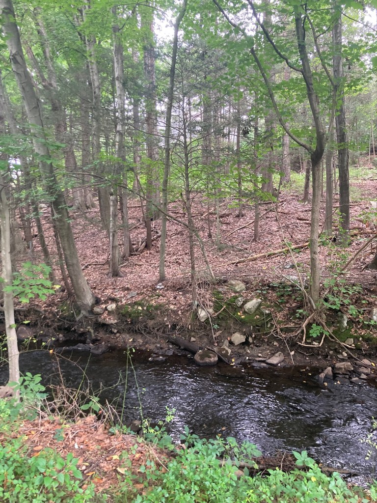
A bridge over a creek near the end of the trail,
which brought us back to the road we had come in on

Yesterday was quite rainy. Luckily, no storms, just rain most of the day, so it was extra nice to be out this morning in sunshine and temperatures in the low 80s F.

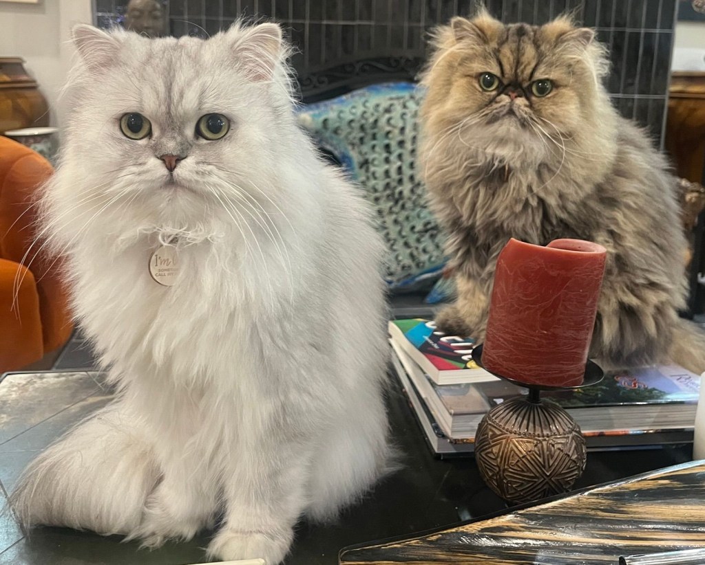
And just cuz it’s so rare to get the two of them in one shot, another photo of the feline photogenic duo that are letting us respond to their needs for food, treats, and play.

Bella and Cleo
Categories
Uncategorized

Tow to Toe (8/23-8/26/26)

Well, this housesit has been one to remember for a number of reasons, but our car getting unnecessarily towed is certainly an event that we won’t forget too soon.

In a nutshell, Bob and I heard a car alarm sounding late Sunday afternoon. When Bob looked out to see what was causing the noise, he saw that our car was up on a tow truck. We ran outside to see what we could do, but the tower had left. We did manage to flag down a cop to speak with.

As a back story, Bob and I had heard from our brother-in-law on Saturday about a letter we had received from the Tarrytown Police Department that our car had been parked in the same spot (directly in front of 10 Benedict Street) for five days and if it was still there on the 23rd (Sunday), it would be towed. So, after we ran our errands on Sunday, we made sure to park in a different spot, as far up the hill on our block as possible.

We explained the difference to the cop who was apologetic as he had “just eyeballed” where we were parked. He said that he would waive the city fine, but that we would still have to pay the towing fee. We went to the Police Station to get the paperwork for the towing agency to release our car to us, and then he encouraged us to head there as soon as possible to minimize their fees. Not having a car, we paid for an Uber to get to the tow lot. They were closed. We paid for an Uber back to the house, and I fed the cats.

Bob called the police station to see if they could contact the towing company to see if we could still get the car that night, as they did not respond to our messages. That did the trick, so we paid for a third Uber to go get our car.

Two and a half hours and $250 later, we were happy to have the car back that should never have been towed in the first place. Our homeowners’ car has definitely been on the street and not moved for much longer than five days. We think it was probably a complaint based act, as the city has been doing work on the water lines on this street for a month now and it often cuts down on the number of parking spaces available. We come and go during the middle of the day, so have more options than residents returning later and we were an easy target with out-of-state plates. Still debating on writing a letter…

Cleo looking as confused as we felt on Sunday

Yesterday, we got our toes moving back over the Mario Cuomo Bridge and back to walk and talk out all the stress from the prior evening. I didn’t take any photos as we had walked it before.

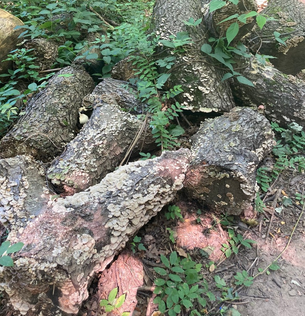
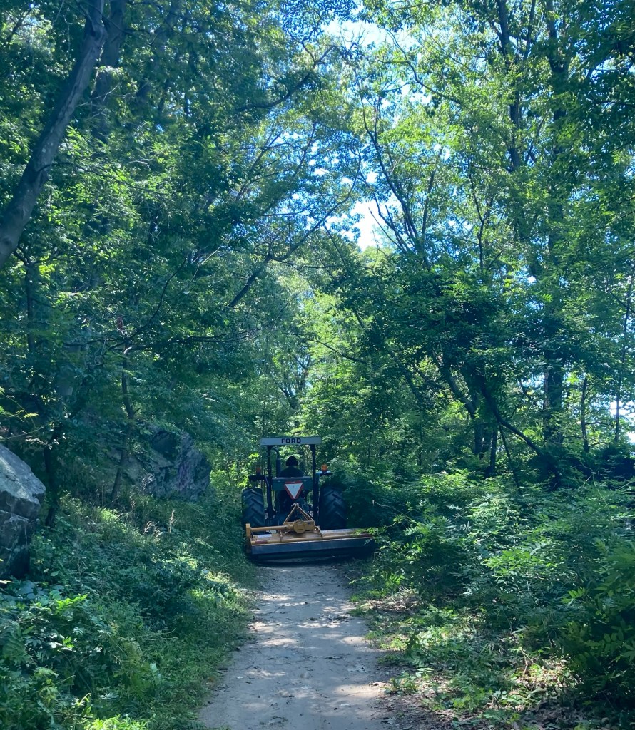
And today, our toes took us back south for more of the Old Croton Aqueduct Trail. We started in Hastings-on-Hudson and ended in Glenwood. We started in an area that ran below a nature reserve and then the large gardens that we had visited a week or so ago. Once again, we saw a number of cute houses, got pretty glimpses or larger views down to the Hudson River, but this time we also had to maneuver around a trail worker on a riding tractor and found a good fungi photo as well.

No captions, just pics.

Categories
Uncategorized

Stone Barns Center for Food and Agriculture on a Birthday (8/22/26)

The last piece of the Rockefeller Nature Preserve that we have wanted to visit was the Stone Barns Center for Food and Agriculture. Their mission is to catalyze an ecological food culture in the Hudson Valley through agroecosystem research and production, advisory services, strategic partnerships, culinary research, and community engagement and education. They sustainably raise food and and animals within the preserve but also have a cafe, a high-end restaurant, host educational tours about their work, as well as hosting culinary demonstrations, and providing space for community and private events.

We went today to their monthly market. We parked off-site and walked in through the park as they charge $20/car for parking on the weekends. It was a short 15 minute hike from the car. Sustainability comes with a price, but it is definitely a beautiful venue and who can argue with research that could result in healthier food?

Walking into the preserve to visit the center
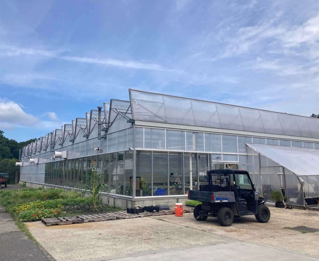
Passing their greenhouses
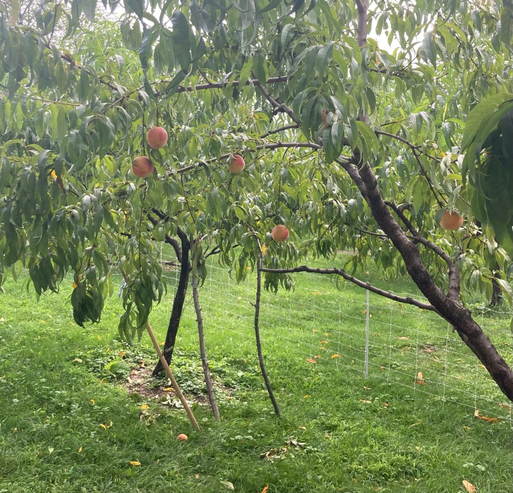
Peach trees
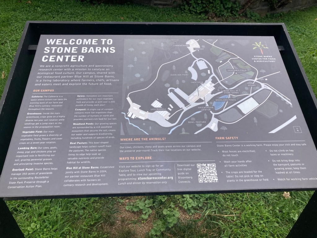
A map of the Stone Barns Center in the preserve
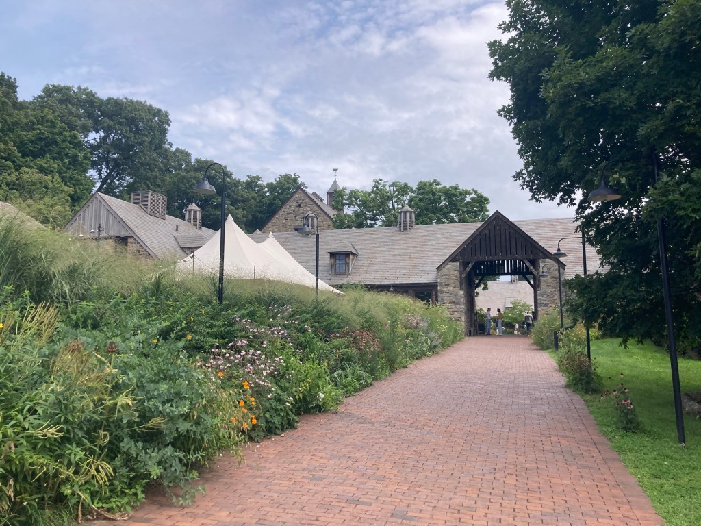
Walking up to the main visitor area of the Stone Barns Center
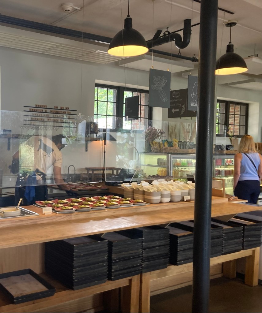
Inside the Blue Hill Cafeteria
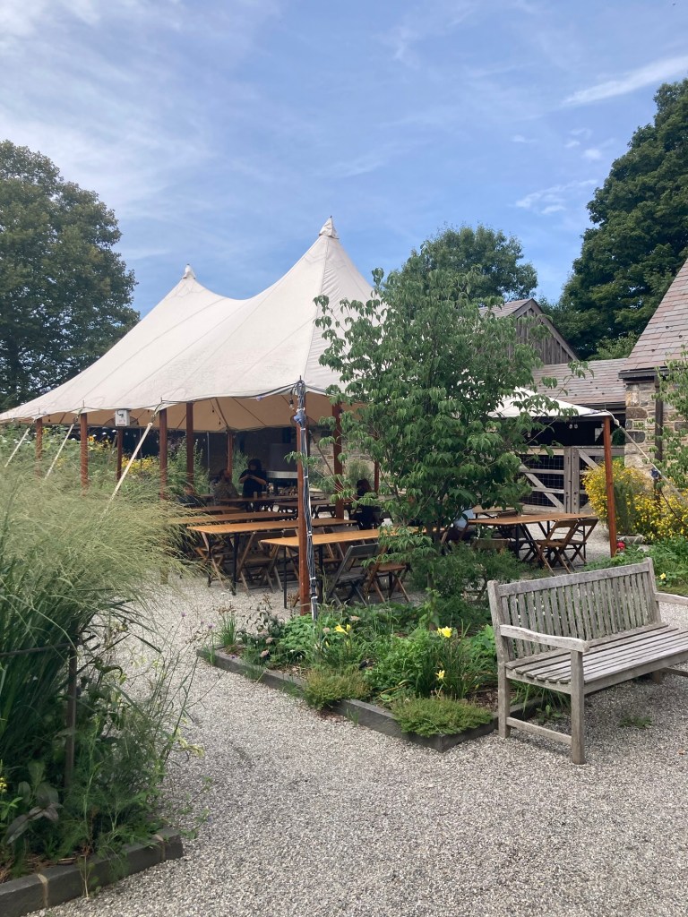
The outside dining area for the cafeteria
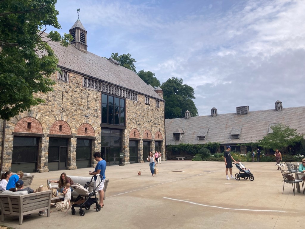
The courtyard. The building on the left
was hosting a culinary demonstration while we were there.
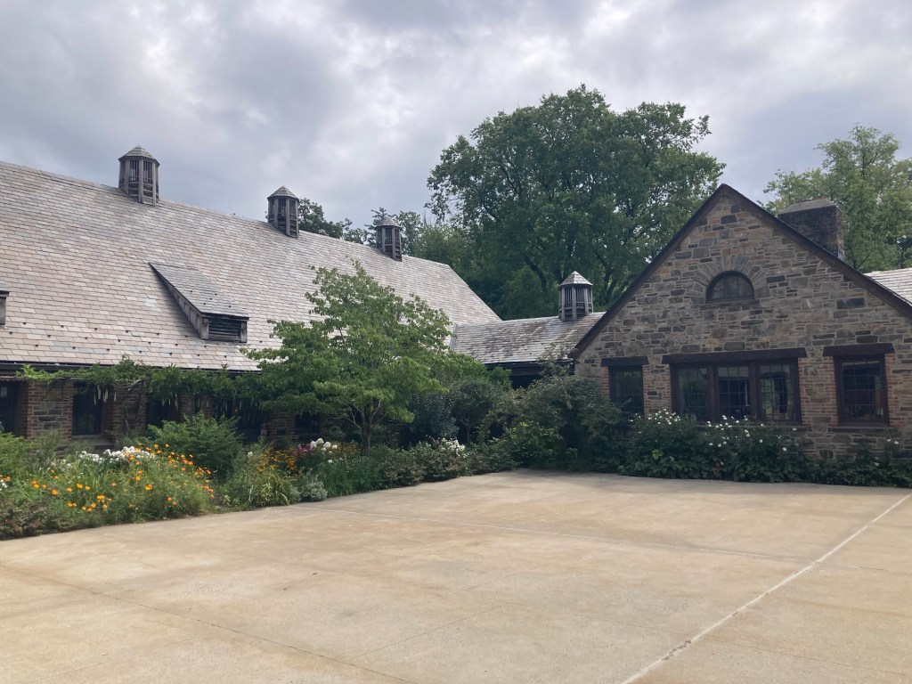
The Blue Hill Restaurant

I mentioned that the restaurant was high-end. You can decide for yourself with this information from their website. The menu price is $458 per guest exclusive of tax and a 22% administrative fee that goes towards operational expenses. They do not accept gratuities for employees, so hopefully they are paid appropriately. The menu price is prepaid at the time of booking. Drinks are charged separately on the night of the meal. Should you want to bring a bottle of wine to have with your meal rather than buying off of their wine list, they are happy to accommodate one 750 ml bottle for a corkage fee of $150. On the upside (?), a free walking tour of the property usually precedes the meal. Of course, they also expect you to be dressed appropriately (jackets encouraged).

Pretty sure we won’t be headed here to eat before we leave…

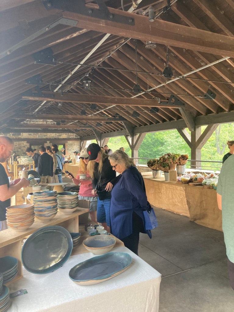
The small market, where you may not be surprised to learn
that heirloom tomatoes were priced at $16 each.
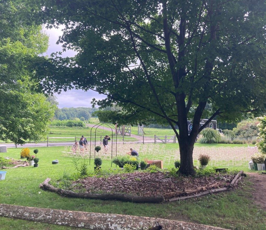
They were setting up for a wedding.
It is a beautiful setting but can’t imagine the cost
for having a wedding and reception there.
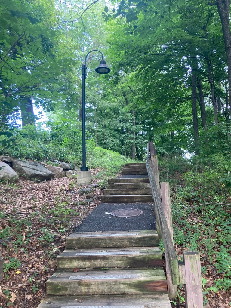
Steps up to the Overlook Point
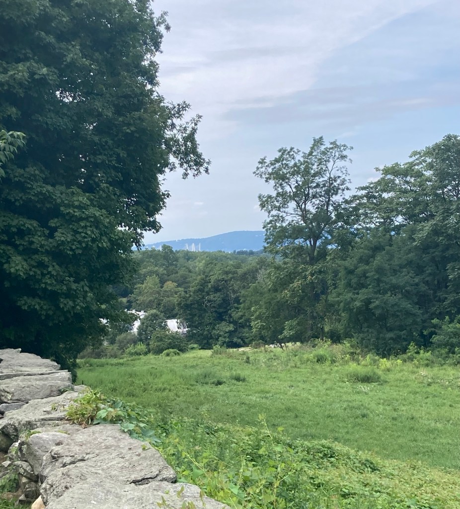
A peek of the Mario Cuomo Bridge over the trees
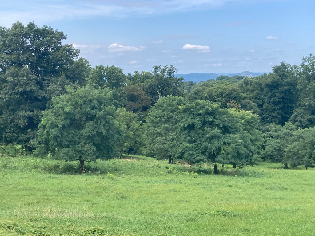
A couple of cows are under the tree on the right
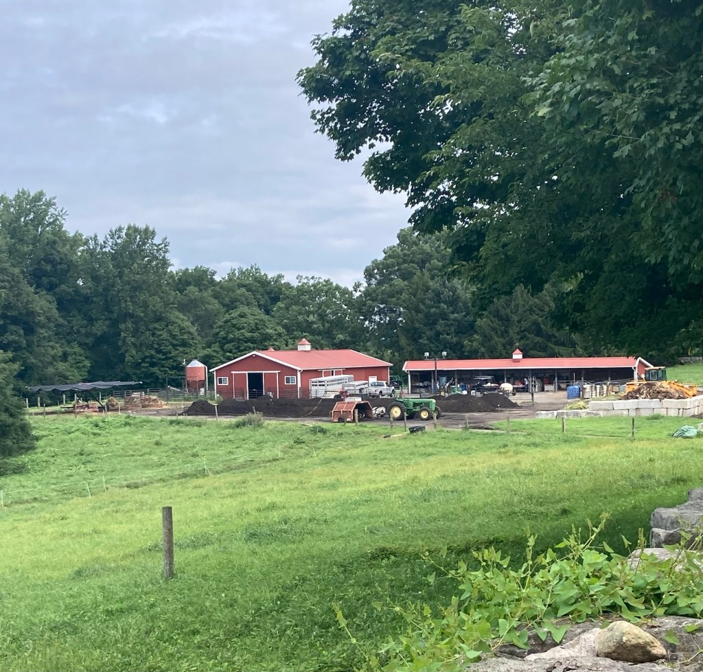
A barn and a farm shed
We walked out the same way we walked in,
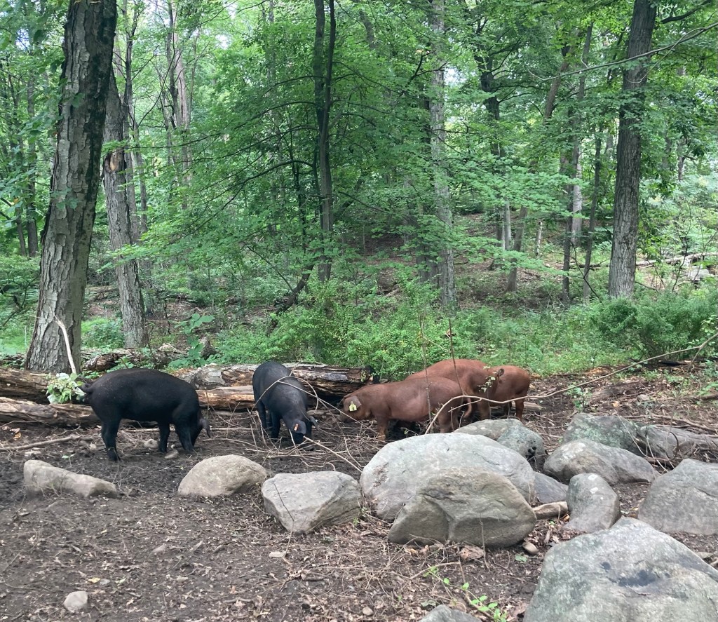
but pigs were out when we walked by the second time.
More of the pretty preserve

Today is also Bob’s birthday. We have both gotten a year older during our time in New York. We shopped for an in-home dinner after our outing, as it is to rain tonight and Bob wants to follow the UT Volleyball game tonight.

Categories
Uncategorized

A Library Visit in the City (8/21/26)

To date while in Tarrytown, we have walked from the house, driven into neighboring towns or driven or took the train north on our little excursions. Today, we finally took the train into New York City. We went to visit a library made possible by John Pierpont Morgan, another of America’s Gilded Age Barons, many of whom seem to have made their money based in this area.
After a breakfast at the little cafe in the Tarrytown train station, we caught an express train into the city. The end of the line for the Hudson Line Trains is Grand Central Station. That is where we were headed, and there was only 1 stop before that, so the trip in took about 40 minutes.
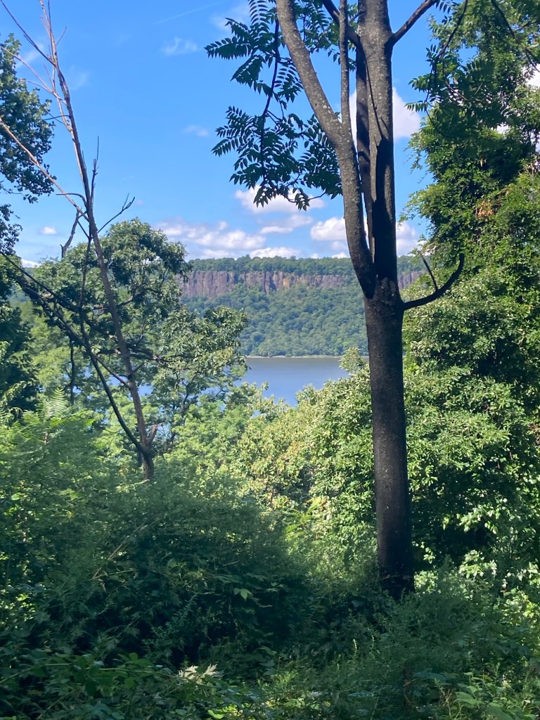
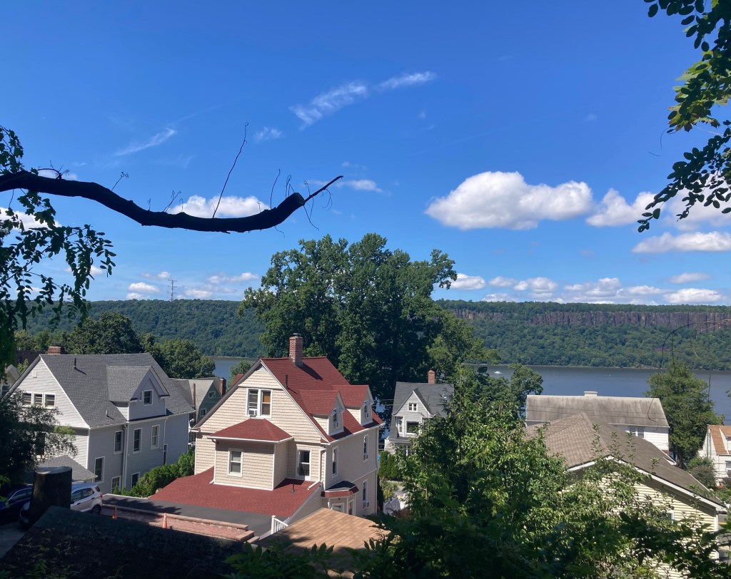
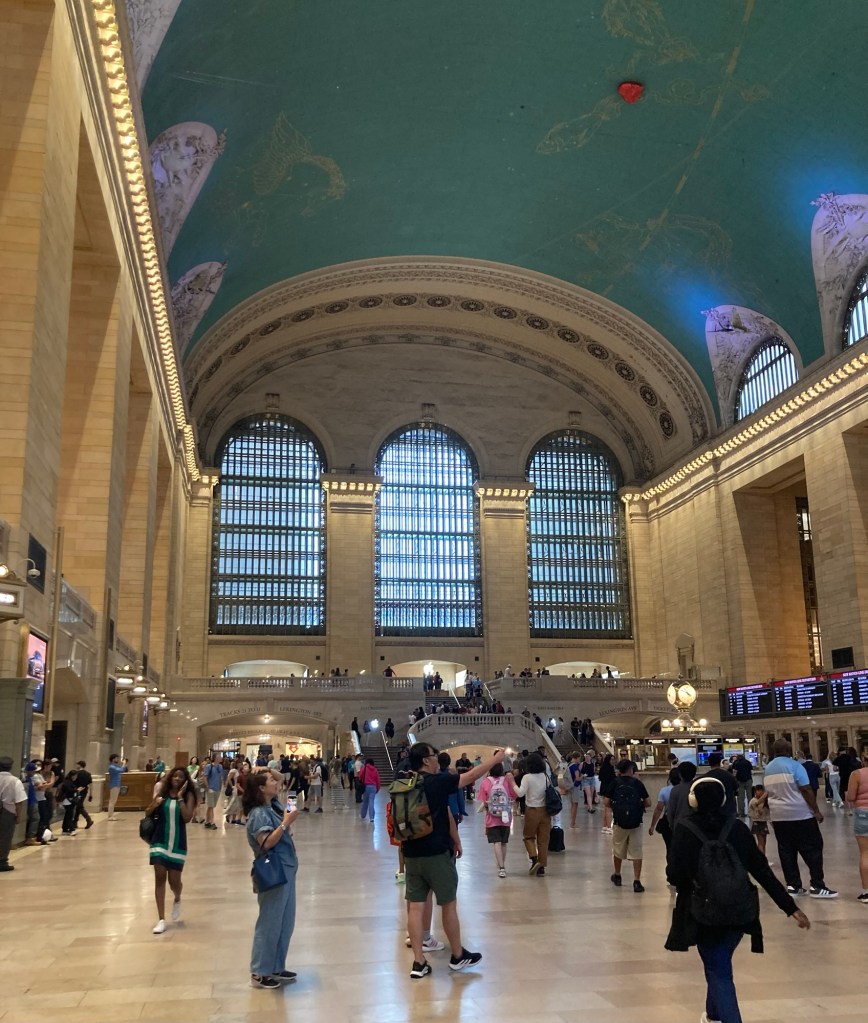
The main concourse of Grand Central Station
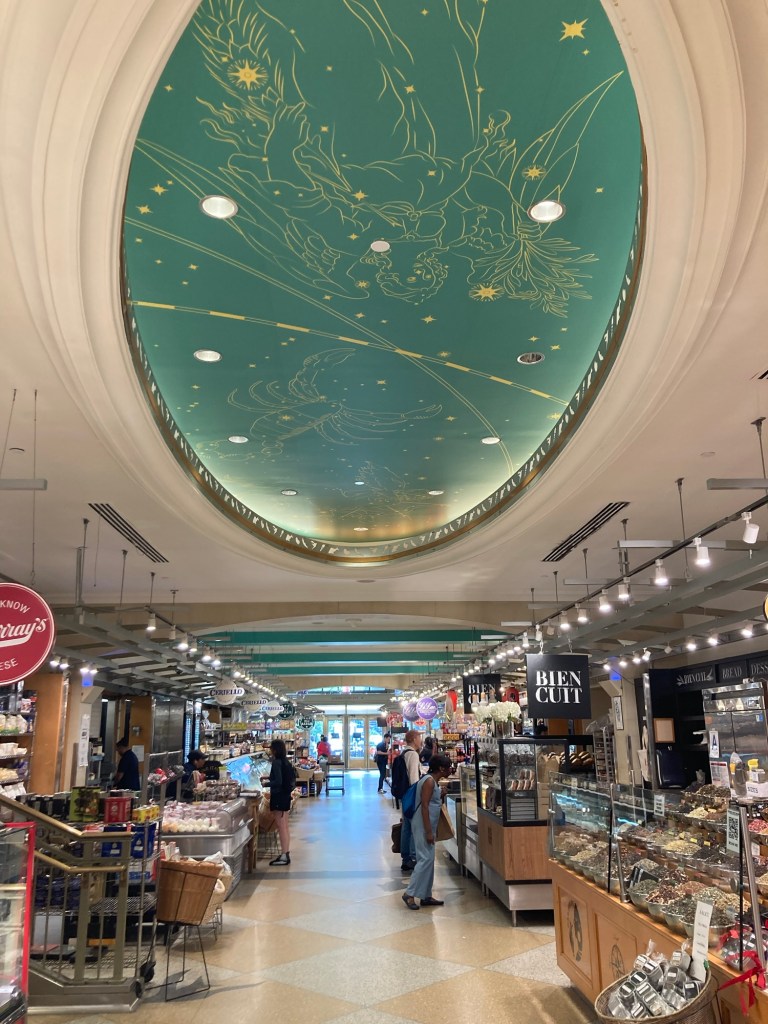
Of course we had to walk through the Food Market in the station.
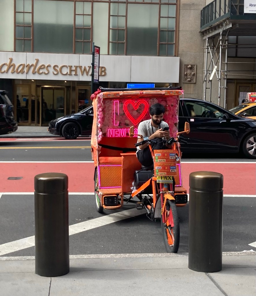
A pedicab driver

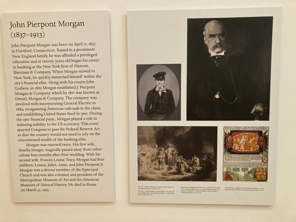
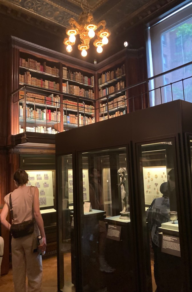
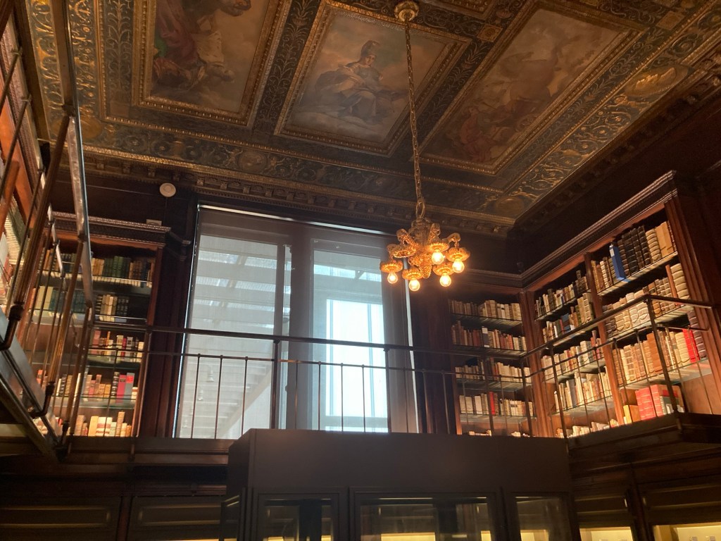
We had tickets for an 11:30 entry to the Morgan Library and Museum, about an 8 minute walk from Grand Central Station. This museum and independent research library began as the personal library of John Pierpont Morgan, a banker and financier whose company, Drexel, Morgan, and Company, was involved in incorporating General Electric in 1889, reorganizing American railroads in the 1890s, and establishing United States Steel in 1901.

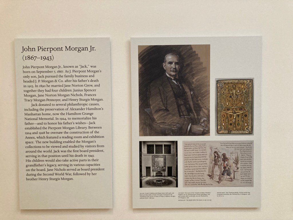
Mr. Morgan’s Library, as it was known in his lifetime, was built between 1902 and 1906 adjacent to his New York residence. It was originally built as three rooms in an Italian Renaissance style palazzo. In 1924, 11 years after his death, his son John Pierpont Morgan, Jr., fulfilled his father’s dream of making the library and collections available to the public by transforming it into a public institution.

Photos and information on John Pierpont Morgan
Photos and information on his son

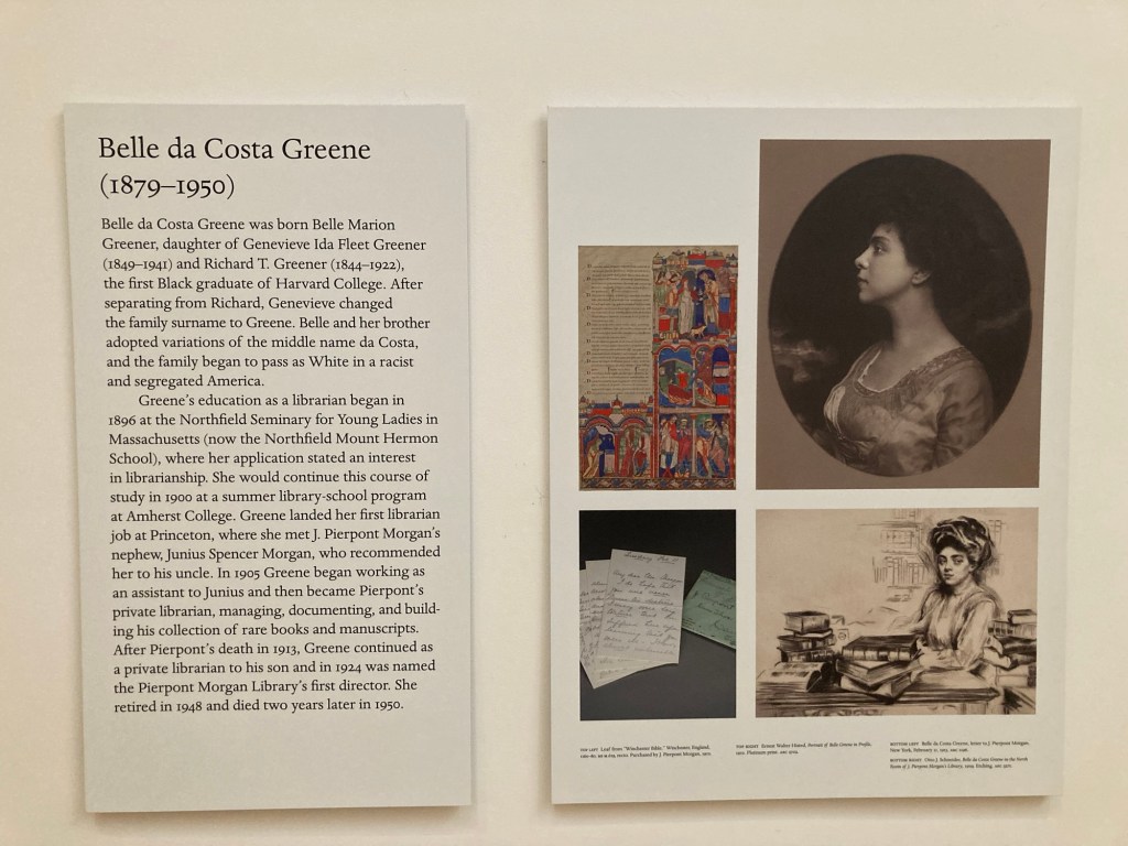
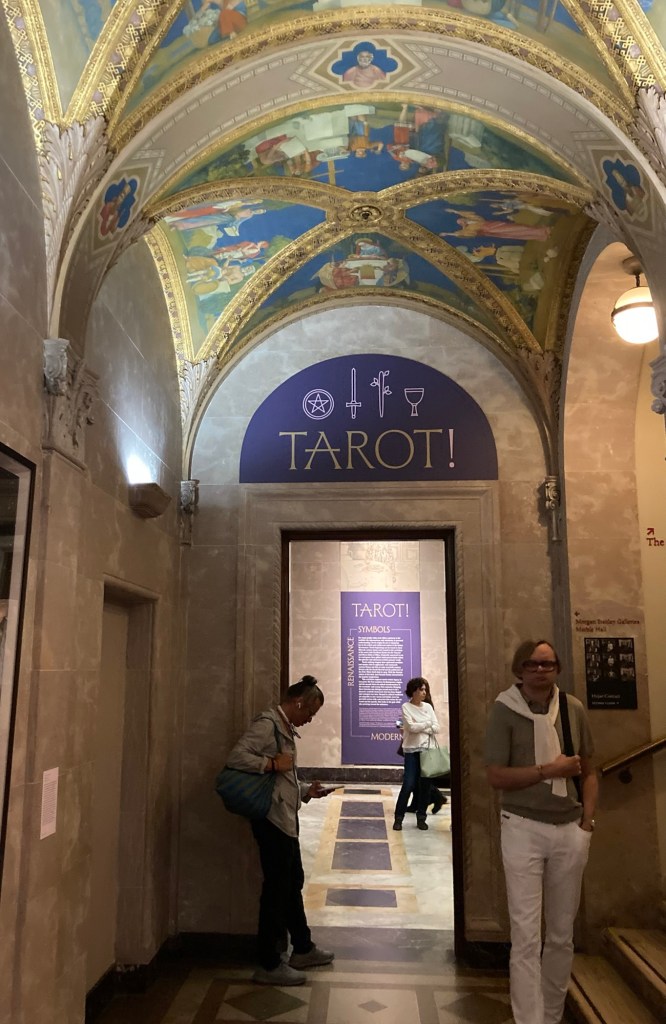
A key player in Morgan’s impressive collection was Belle Da Costa Greene, a young, single Black woman who was passing as White in the segregated country. Her first librarian job was at Princeton, where she met Mr. Morgan’s nephew who recommended her to his uncle. Her story is perhaps most well known now from the recent book, “The Personal Librarian.”

Belle da Costa Greene became
the first Director of the library and museum
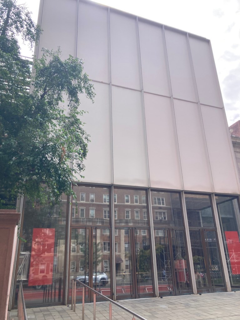
The modern glass entrance connecting
the two Italian Renaissance style buildings
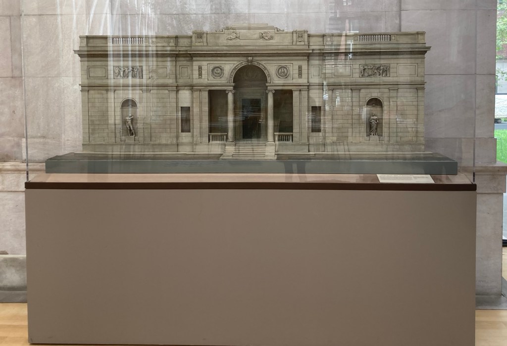
A model of the original building
designed by Charles Follen McKim
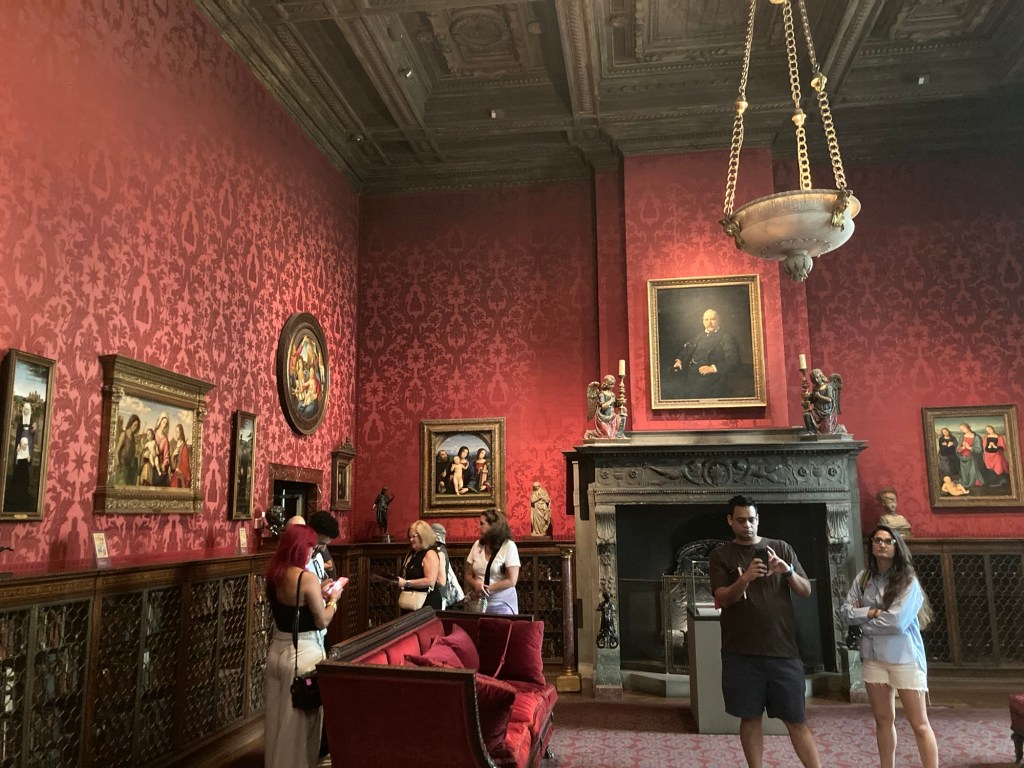
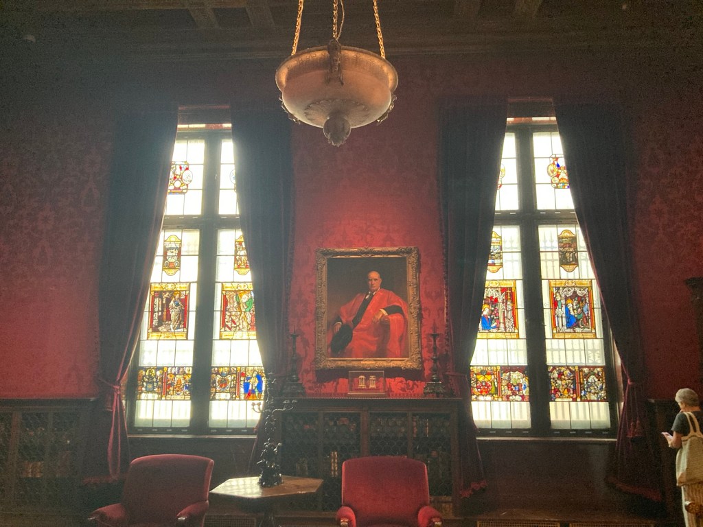
The study
Another view of the study
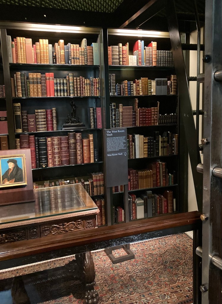
The West Room Vault off of the study
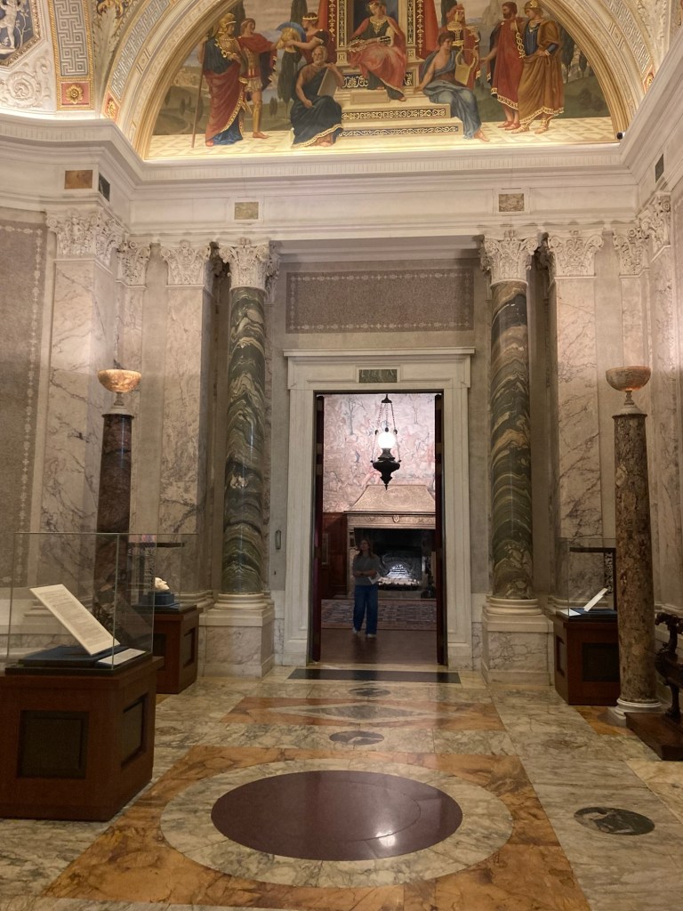
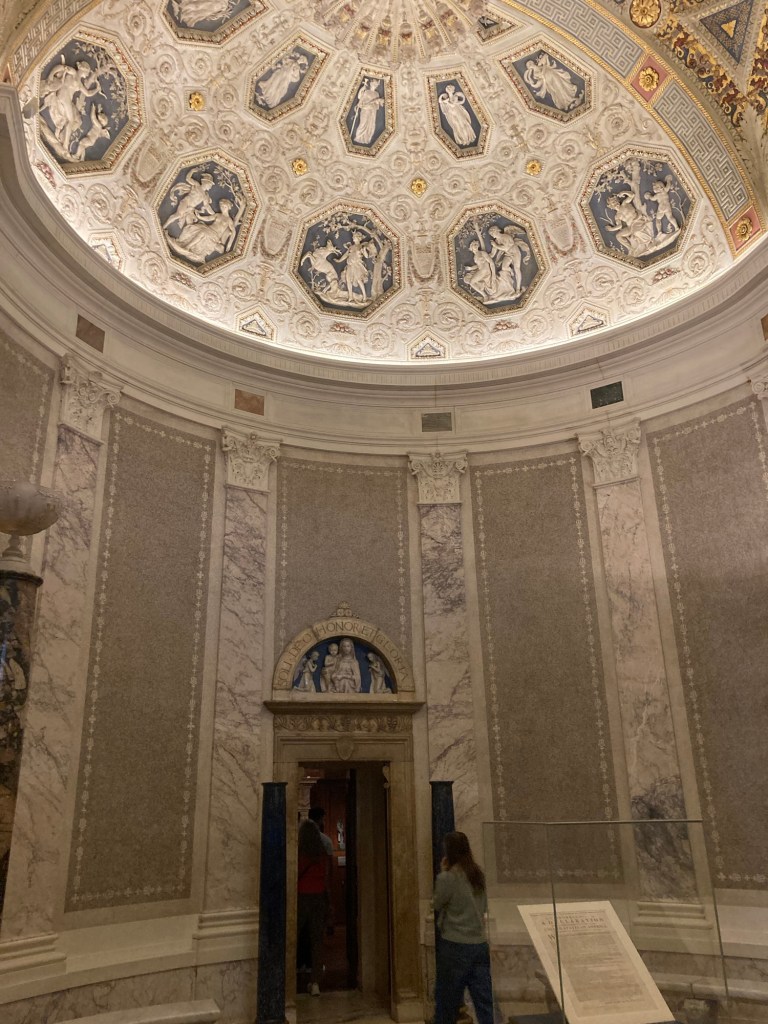
The rotunda
Another view of the rotunda
This room was set up with lots of information about Belle
The upper level.
We never did see how one might access this upper level.
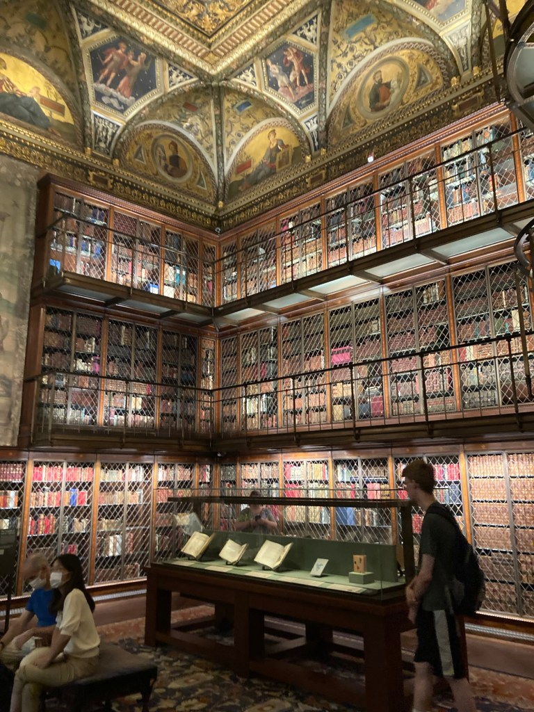
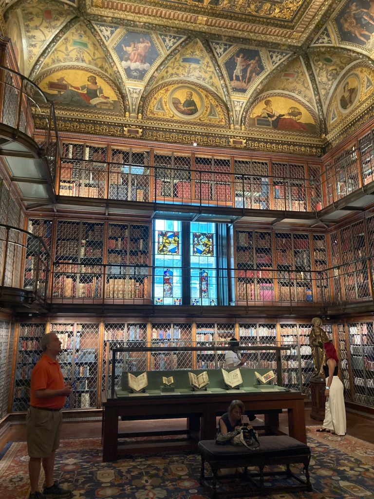
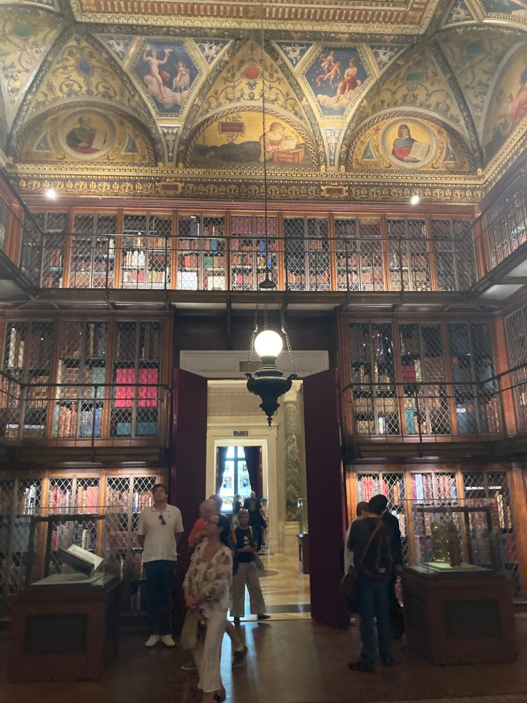
The main library!
Another view
Looking back out to the rotunda

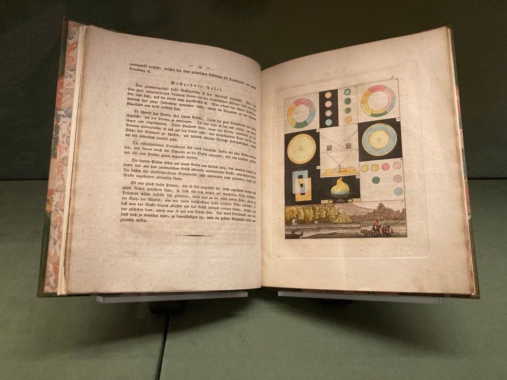
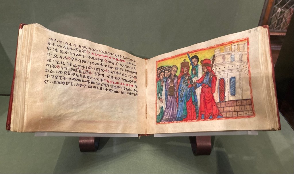
I took some photos of a couple of the volumes that were on display in the cases.

This is a book of color theory
by the German novelist Goethe (“Faust”).
He produced 14 volumes of scientific writings.
In this book, he discussed his ideas on the emotional effects
of color and the interaction of light and shadow.
The Keira Nagast, or the Glory of Kings,
is a national epic of Ethiopia. It traces the Solomonic dynasty from King Solomon and the Queen of Sheba.

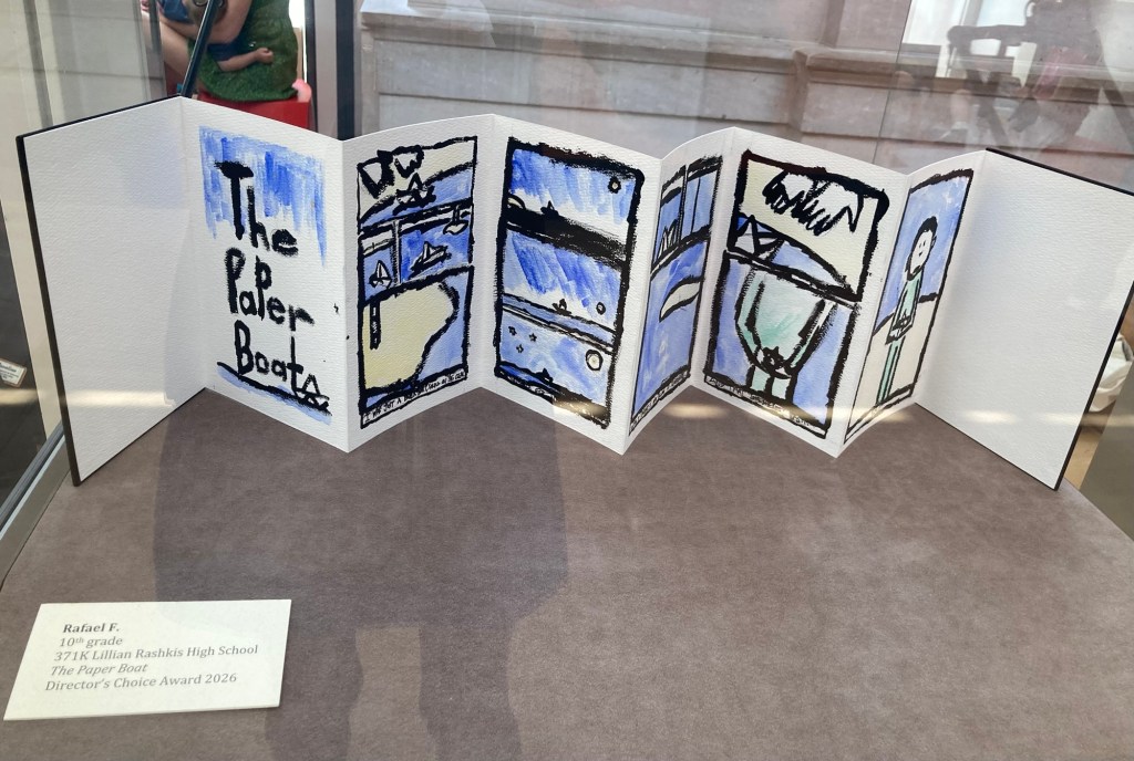
The library supports the annual Morgan Book Project, a yearlong partnership program for 3rd-12th grade classes in New York City public schools. Participating classes visit the Morgan to explore the collections and learn about traditional methods of bookmaking and then create books based on their visits. Some of the honored pieces were on display.

This one was made by a 10th grader
and received the Director’s Choice Award.
A lovely hallway into more exhibition space for their collections.
A small display room into the basement
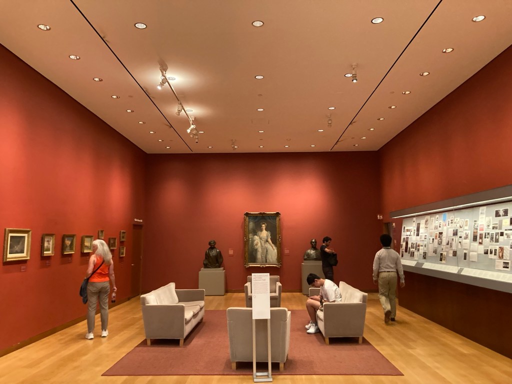
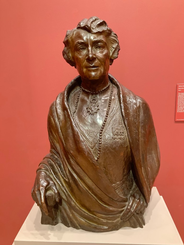
Anne Tracy Morgan, youngest child of John Pierpont Morgan
and a champion of women’s rights.
She also helped raise money to fund
the rebuilding of France after WWI.
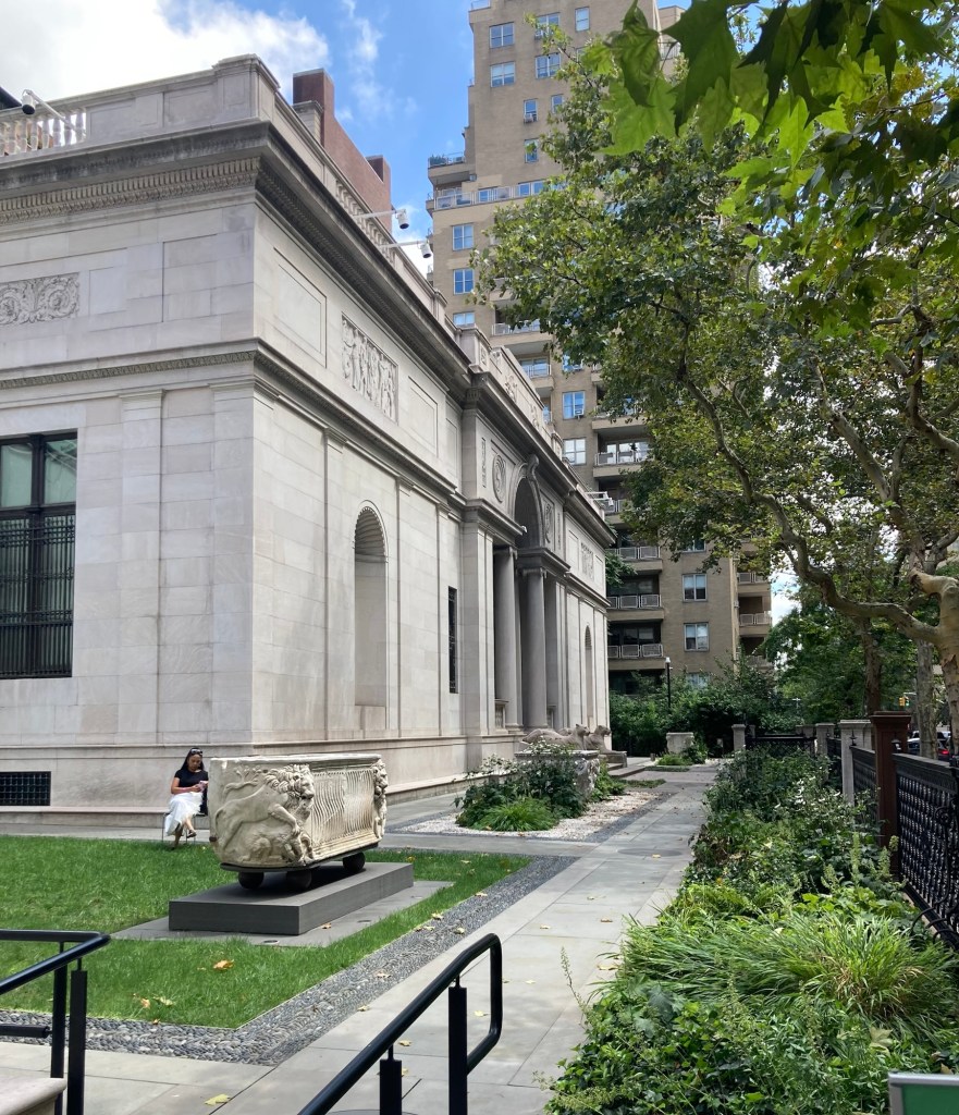
The small Morgan gardens outside the annex building
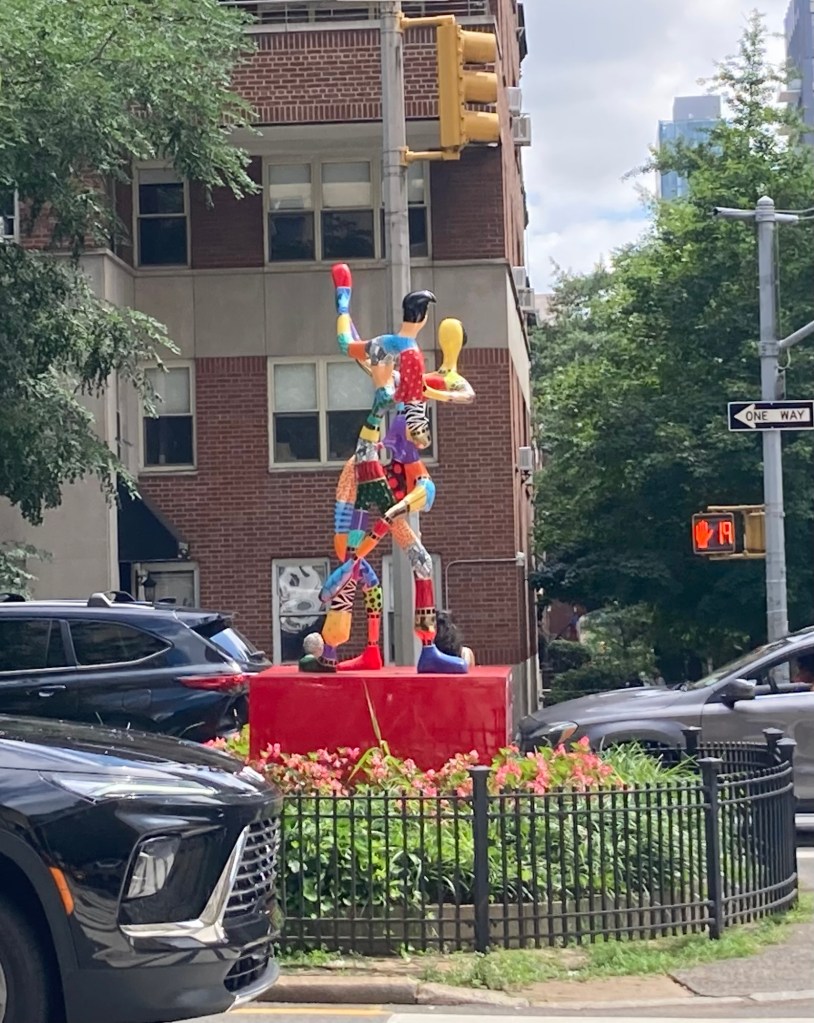
Some colorful sculptures in the meridian of Park Avenue, the street we walked back to the train station on
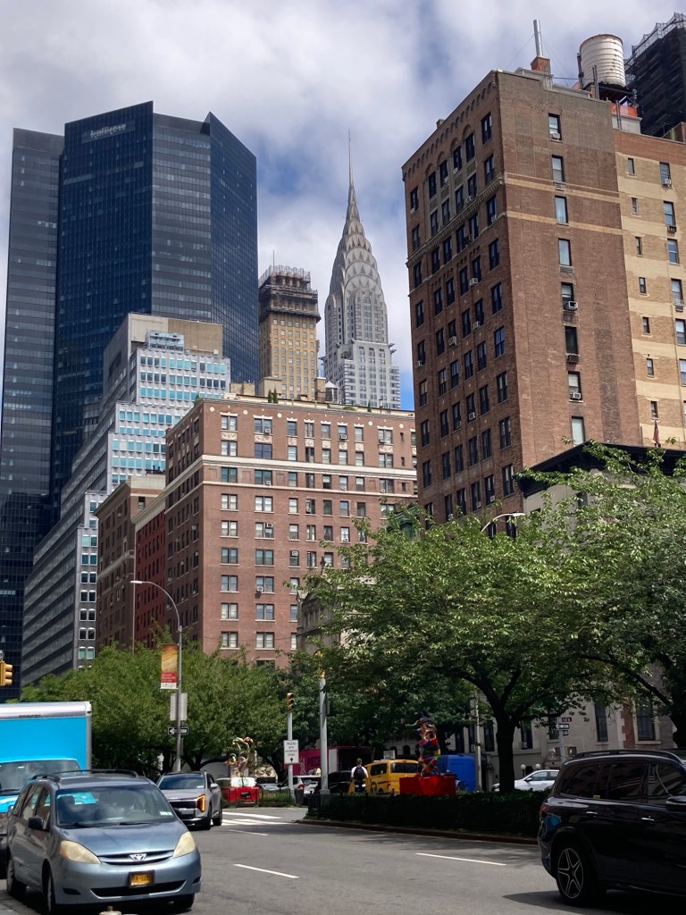
A peak of the Chrysler building amongst other buildings
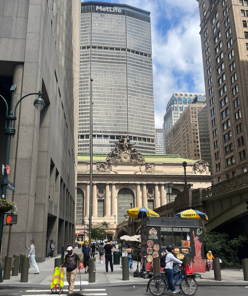
Grand Central Station
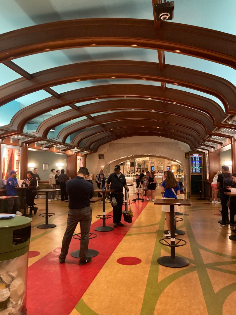
A hallway of the dining concourse in the station

The train we brought back to Tarrytown was a local with a number of stops before Tarrytown, so the trip back took about an hour.

Categories
Uncategorized

Aqueducting Again (8/19/26)

Bob and I continued on our journey south along the Old Croton Aqueduct Trail. The last time we walked south, we walked from Irvington to Dobbs Ferry and explored Dobbs Ferry. Today, we started in Dobbs Ferry and walked into Hastings-on-Hudson but not into the main downtown area. On today’s walk, we walked by more information markers about the trail, which I am citing below.

The Old Croton Aqueduct, constructed on the same principles used in Ancient Rome, was the first of its size and design in the modern world. Engineers dammed the Croton River to create a reservoir. From the reservoir, gravity carried fresh water through underground pipes, dropping 13 inches per mile. Arched bridges carried the aqueduct over the Sing Sing Kill and the Harlem River and 16 tunnels cut through hills along the aqueduct’s course. When the aqueduct was completed in 1848, it had the capacity of 100 million gallons of water per day.

As per usual on our trail hikes going south, we saw lovely homes, parks, and views of the Hudson River.

The marker in Dobbs Ferry where we started today’s walk
An old building at the small
Old Croton Aqueduct State Historical Site along the trail
The Keeper’s House (now an educational center)
where the former Croton Aqueduct Division Superintendent lived. It was built in 1857.
A full-scale cross section of the Old Croton Aqueduct conduit
Part of the path, much of which was shaded
A view off the trail towards the river
One of many lovely homes overlooking the trail
and with great views of the Hudson River
Ditto
A ballpark
Rejoining the trail after a road crossing.
We had a number of road crossings today.
An information marker in Hastings-on-Hudson
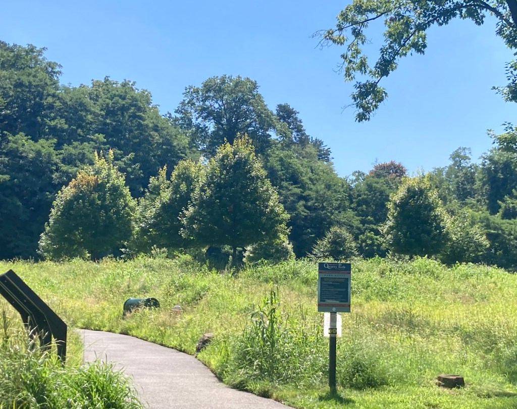
The small Quarry Park at the site
of a former dolomite marble quarry,
which became Hasting-on-Hudson’s first industry
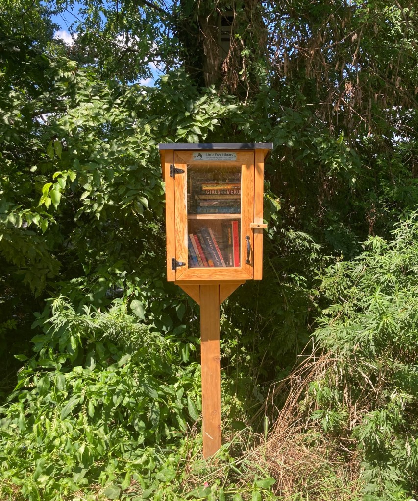
A free little library across from the park
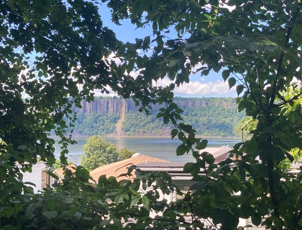
Another view of the Hudson and the cliffs across the river
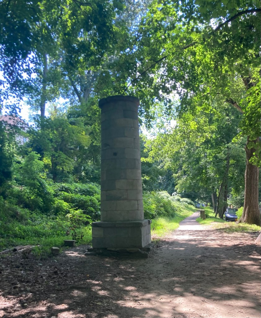
One of many ventilation structures for the aqueduct along the trail
Another view of the Hudson from along the trail
Looking up at another lovely home
Backyard art along the trail
A more modern housing unit along the trail
Categories
Uncategorized

A School, A Town, A Drive (8/18/26)

The day started with a dead mouse. We assume the cats were busy last night while we slept. I have to say it was better than watching them play with a live one which happened shortly after we first arrived here.

However, that was not the highlight of the day. We headed off to West Point to check out the Visitor Center there and walk the Main Street of Highland Falls, New York, where the school is located.

We were very impressed with the Visitor Center which provides a great overview of the mission of West Point, the four year experience of the students, and the impact of the school and students in multi-media exhibits. We started with the 9 minute film which is shown every 20 minutes and were impressed with the film and the attractive and informative displays.

We learned a few fun facts about the school. It is the nation’s oldest continuously occupied military post, as it was used as a base during the War of Independence. It was opened as the United States Military Academy at West Point in March of 1802. The students are known by different names throughout their 4 years at the school. They begin as plebes, become yearlings in their second year, then cows (really), and oddly, become firsties as seniors.

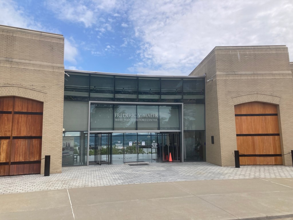
The entrance to the Visitor Center,
which provides a great view of the Hudson River.
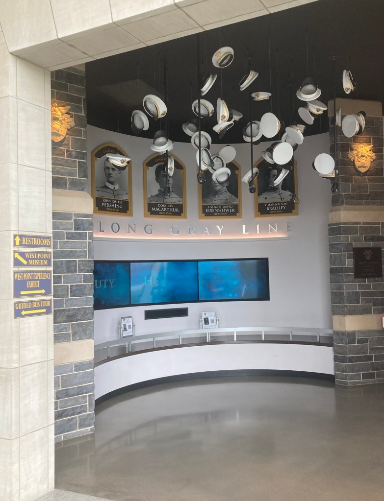
An attractive display of a graduate celebration
at the start of the exhibit.
Note the “long gray line” reference for the gray dress uniforms that they wear and some famous West Point graduates.
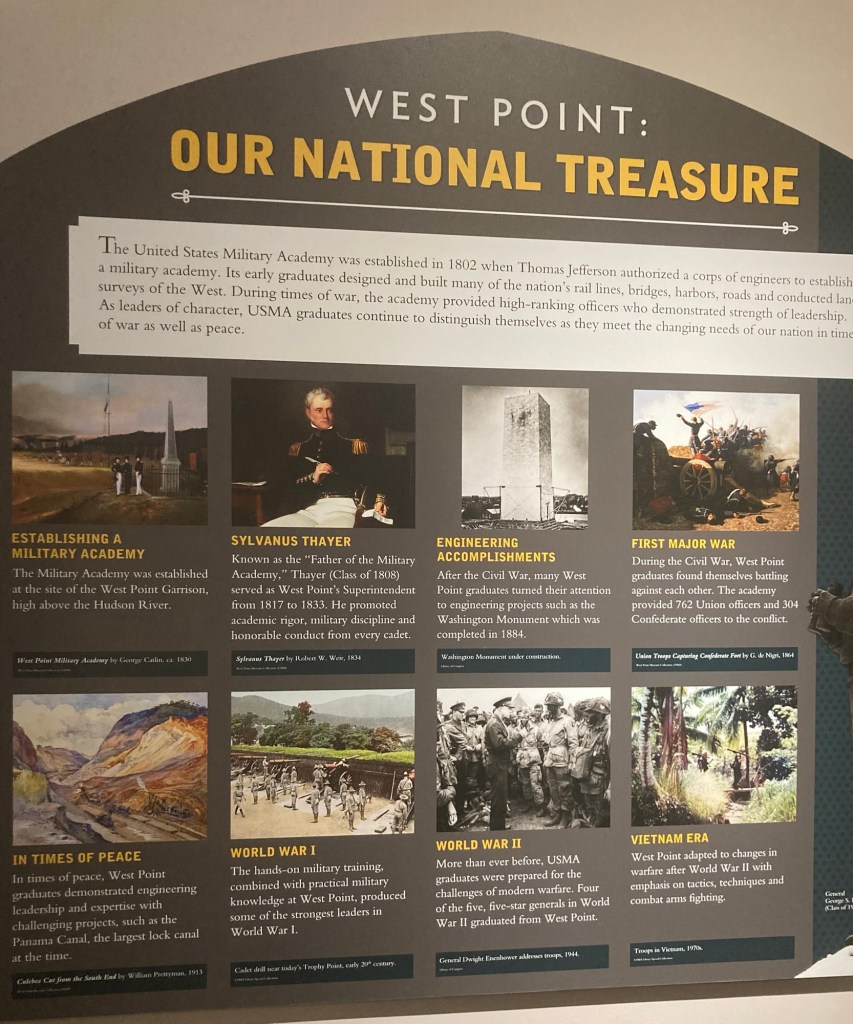
This provides some interesting information about West Point. Under the First Major War panel,
it notes that West Point graduates fought
on both sides of the battle—
762 for the Union and 304 for the Confederacy.
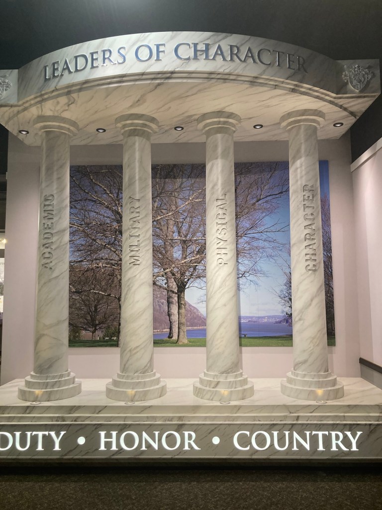
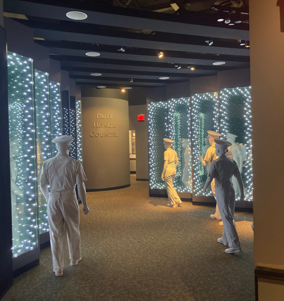
The Army motto of Duty, Honor, Country,
under the four pillars of concentration for the school.
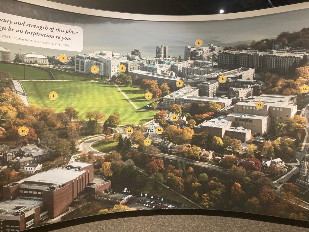
A photo of the campus, as we could only get on campus
through a scheduled tour.
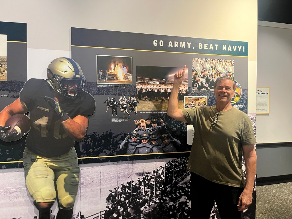
Bob’s brother graduated from the Naval Academy.
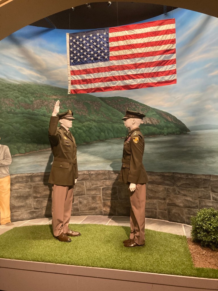
A demonstration of the commissioning ceremony of a graduate
as a Second Lieutenant.
An impressive end to the exhibit

After our visit to the Visitors Center and a brief stop in the museum which is under construction, we headed out to peruse the Main Street of Highland Falls, NY, where West Point is located. Wikipedia tells me that the village has a population of not quite 4,000 residents and used to be called Buttermilk Falls. It is in an idyllic setting, and was very quiet on this Tuesday.

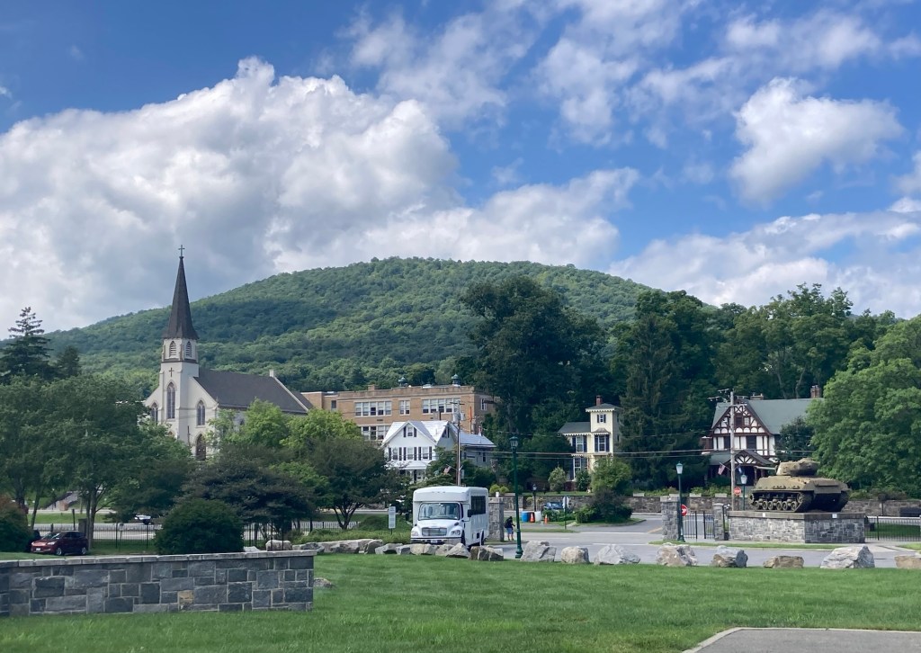
This is the view of the town as you come out
of the West Point Visitor Center.
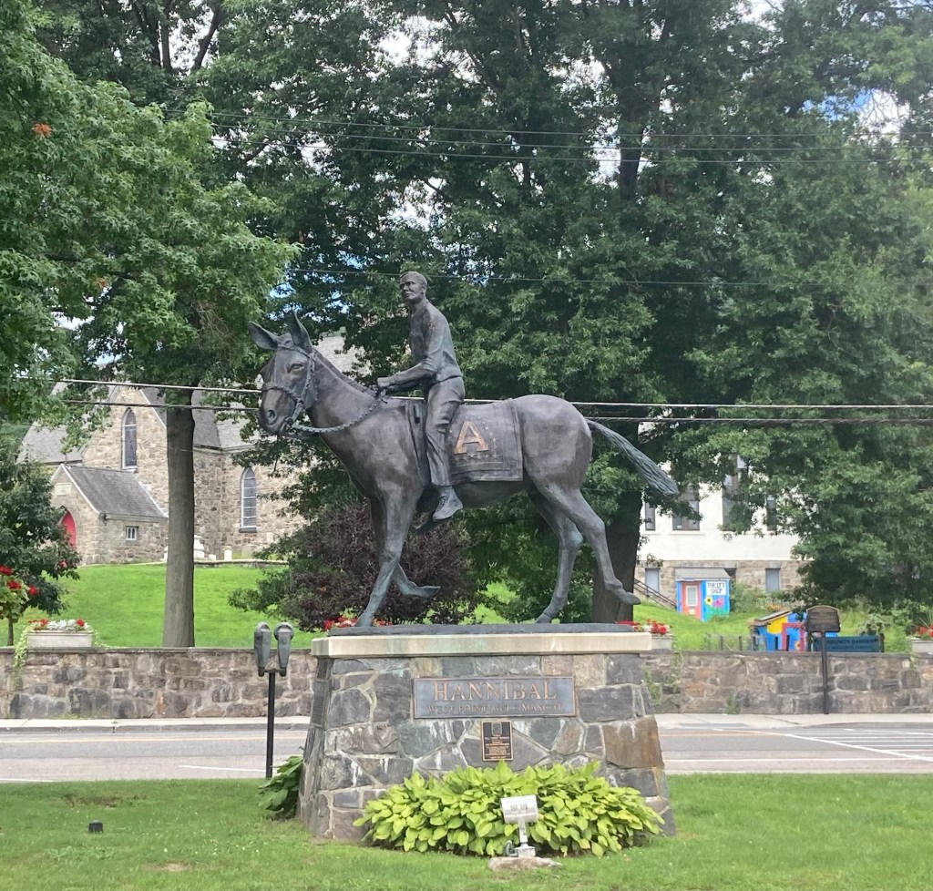
A statue of Hannibal, the West Point mule mascot,
in the median of Main Street across from the school
One end of Main Street which goes back into campus
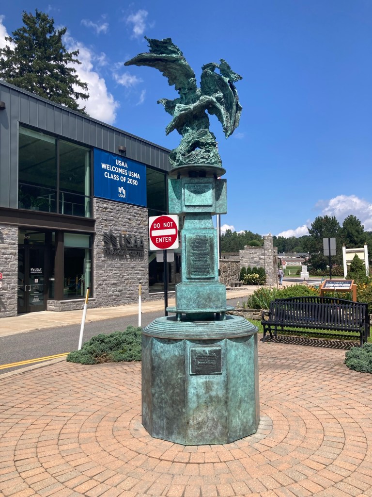
A statue with the words to the school alma mater
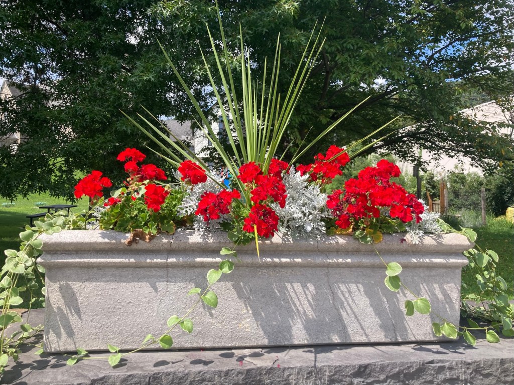
One of a series of box flowers along a wall of the street
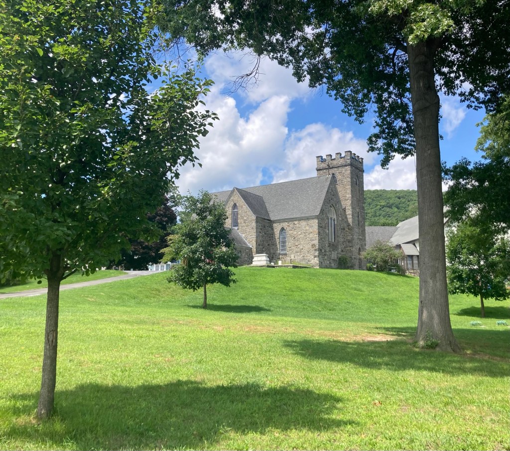
The Church of Holy Innocents
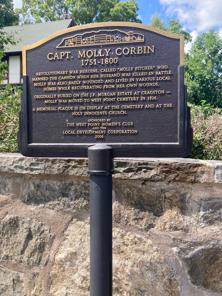
One of a number of plaques with local historical information along Main Street
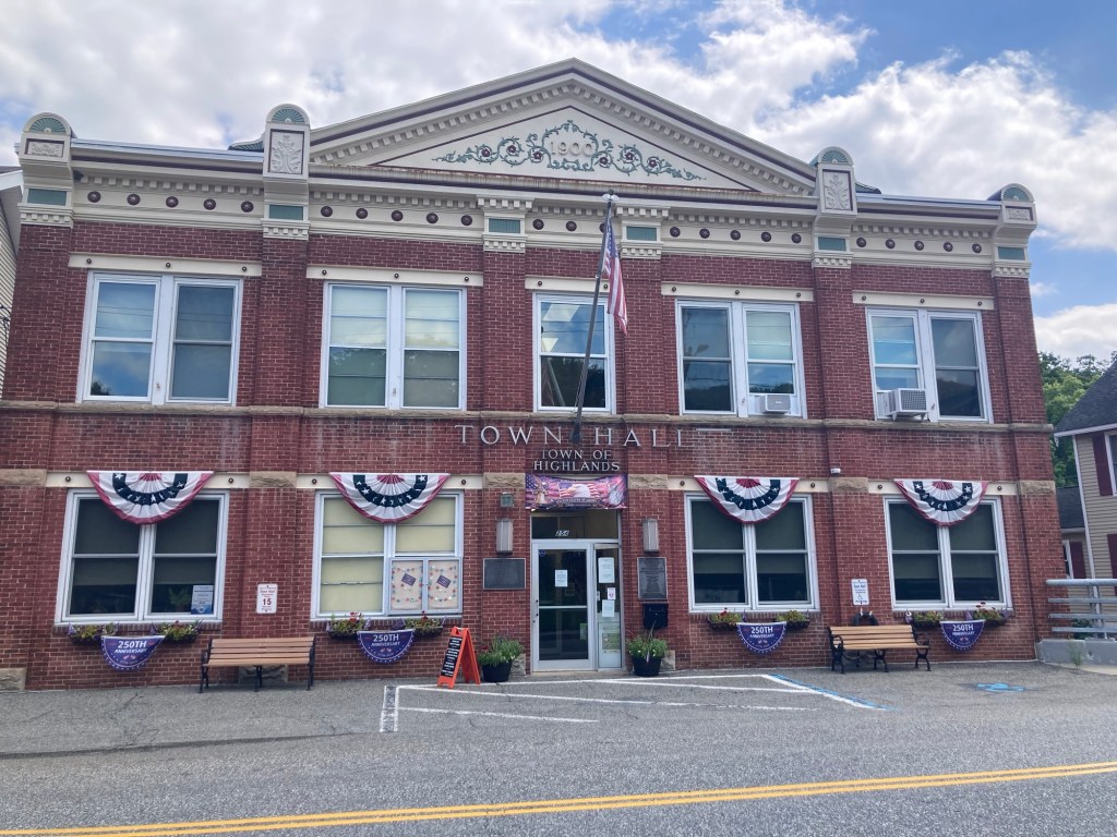
The Town Hall
Some of the businesses along Main Street
A pretty park

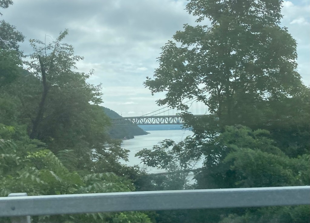
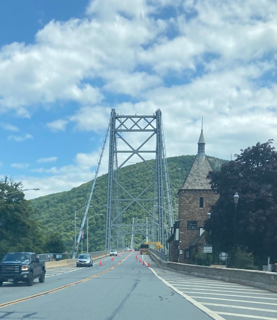
On the way to West Point, we drove the fast route, which took us over the Hudson on the Mario Cuomo Bridge and then north on the Palisades Parkway. Coming back to Tarrytown, we drove a slower but more scenic route. We crossed the Hudson on the Bear Mountain Bridge and then came south up and down the mountains on Bear Mountain Bridge Road before reconnecting with Highway 9 which comes into Tarrytown.

Bear Mountain Bridge
Crossing the bridge
A shot from a scenic viewpoint
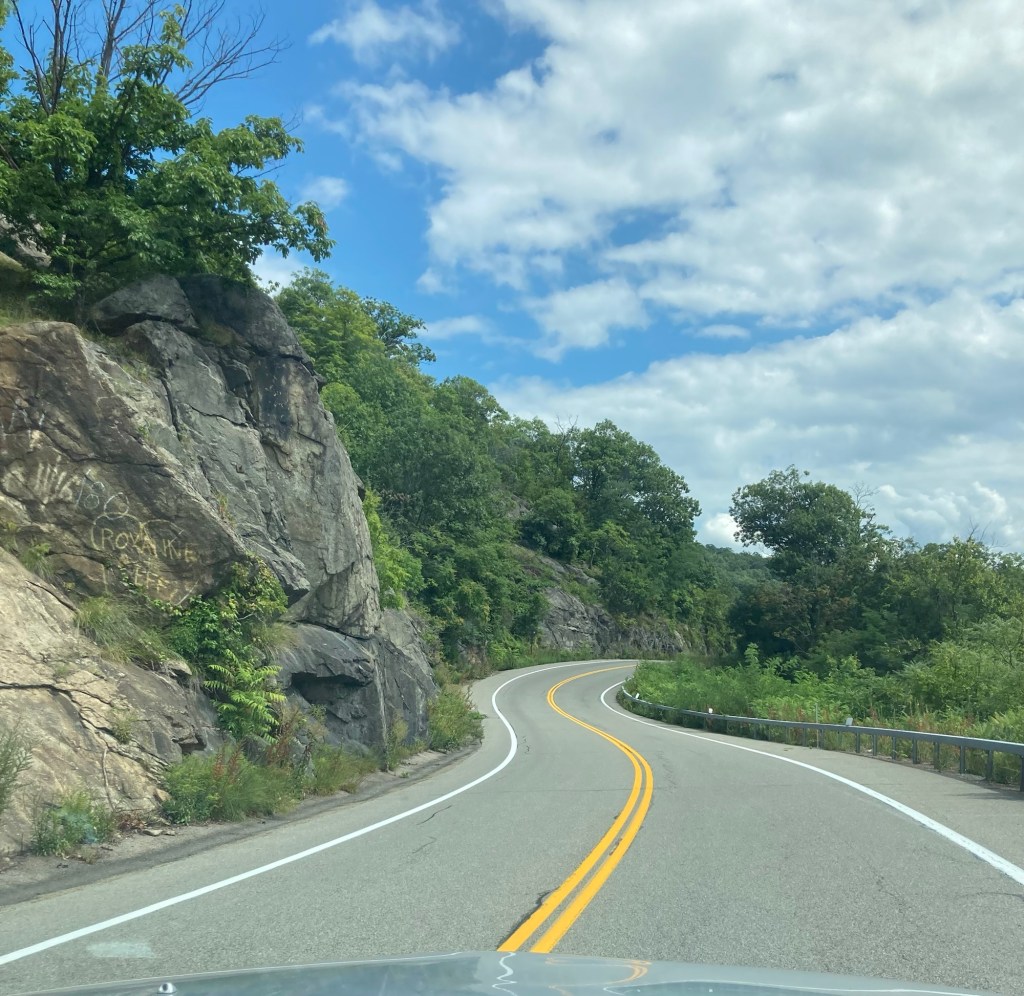
Some of the twisty up and down road
A view from back at river/ground level
Categories
Uncategorized

A Beautiful Plan B Outing (8/15/26)

After our trip up to Cold Spring yesterday, Bob and I had planned to drive the 45 minutes up to the Visitors Center for West Point Military Academy and then walk around the town of Highland Falls where West Point is located. Luckily, while we were getting ready Bob discovered that a parade was happening there today to celebrate the return to school. We didn’t want to get in the middle of that, so we found an alternative plan for the day.

Instead of driving across the river and up to Highland Falls, we drove about 20 minutes straight down Highway 9, which we live right off of, to the community of Yonkers, New York, to visit the Untermyer Park and Gardens. It was quite a find, and a lot of people were out enjoying the free 43 acre park on this beautiful mid-80 degree Saturday.

Yonkers, New York, has a population of about 211,000, making it the third most populous city in New York State and the largest in Westchester County. It borders the northern edge of the Bronx, so is south of Tarrytown.
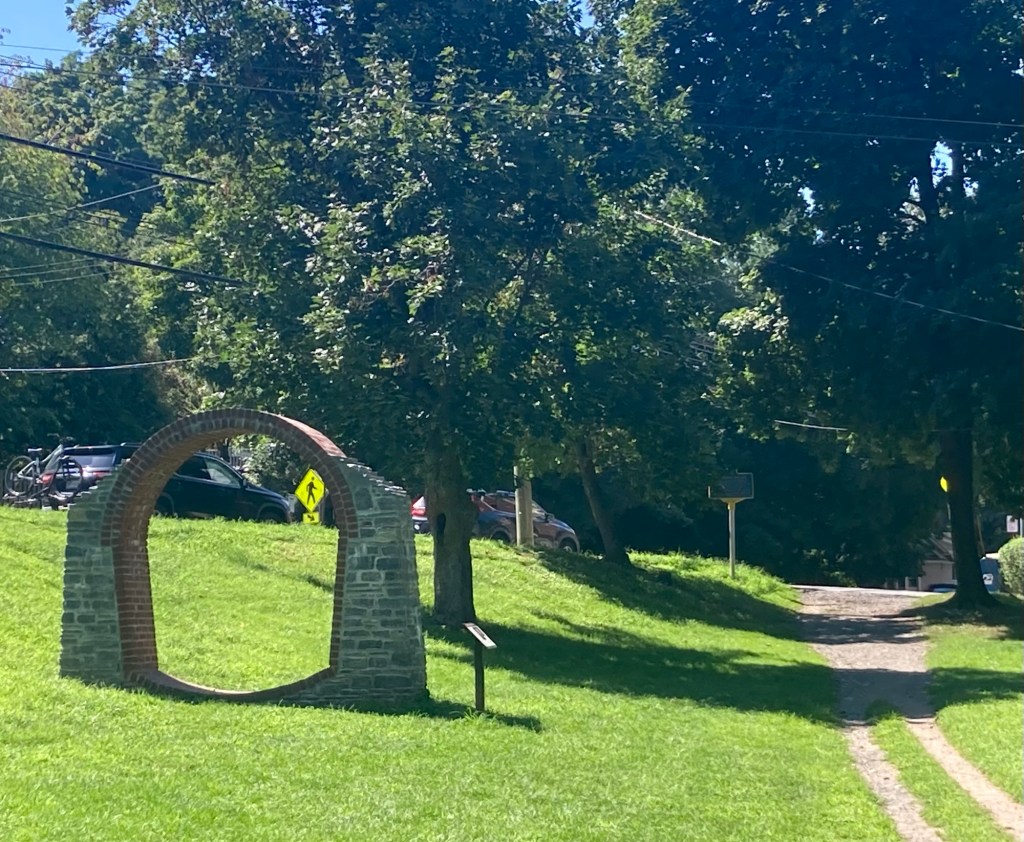
The brochure we were given at the gardens says that the Untermyer Gardens were once called America’s most spectacular garden. They were created in 1917 by Samuel Untermyer (1858-1940) on the grounds of his estate overlooking the Hudson River.

The current park includes 43 of the once 150 acres that comprised the Untermyer estate. The highlights of the park include a walled garden, The Vista, Ruin Garden, Carriage Trail, Stumpery, and Temple of Love.

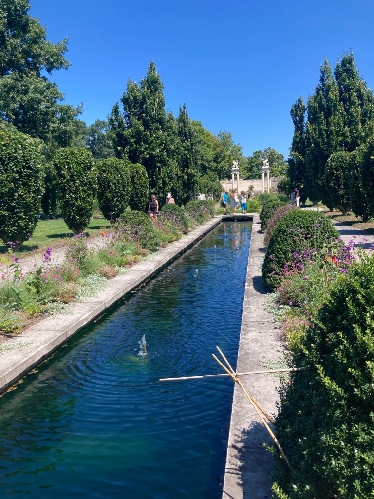
We started in the Walled Garden. The brochure states that the Walled Garden is based on the Garden of Eden as described in the Book of Genesis, and is the finest Indo-Persian garden in the Western Hemisphere.

Walking up to the entrance to the Walled Garden
One of the crisscrossing canals
symbolizing the 4 rivers of Paradise
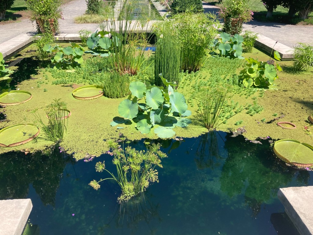
A lily pond
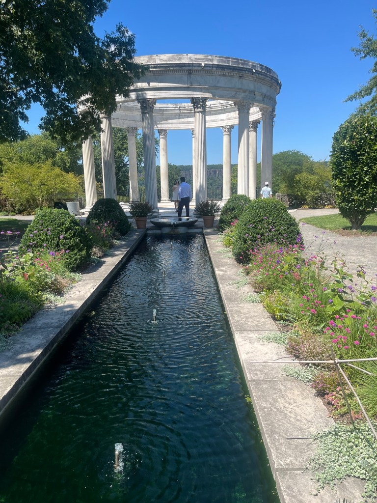
The Temple of the Sky
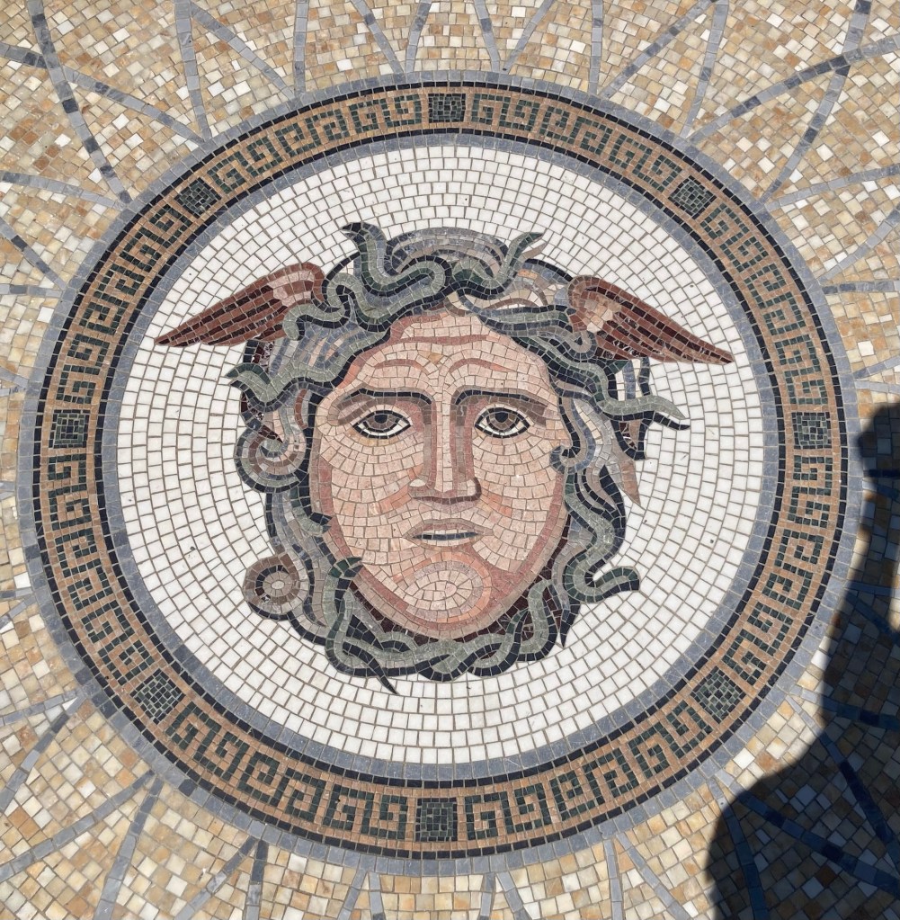
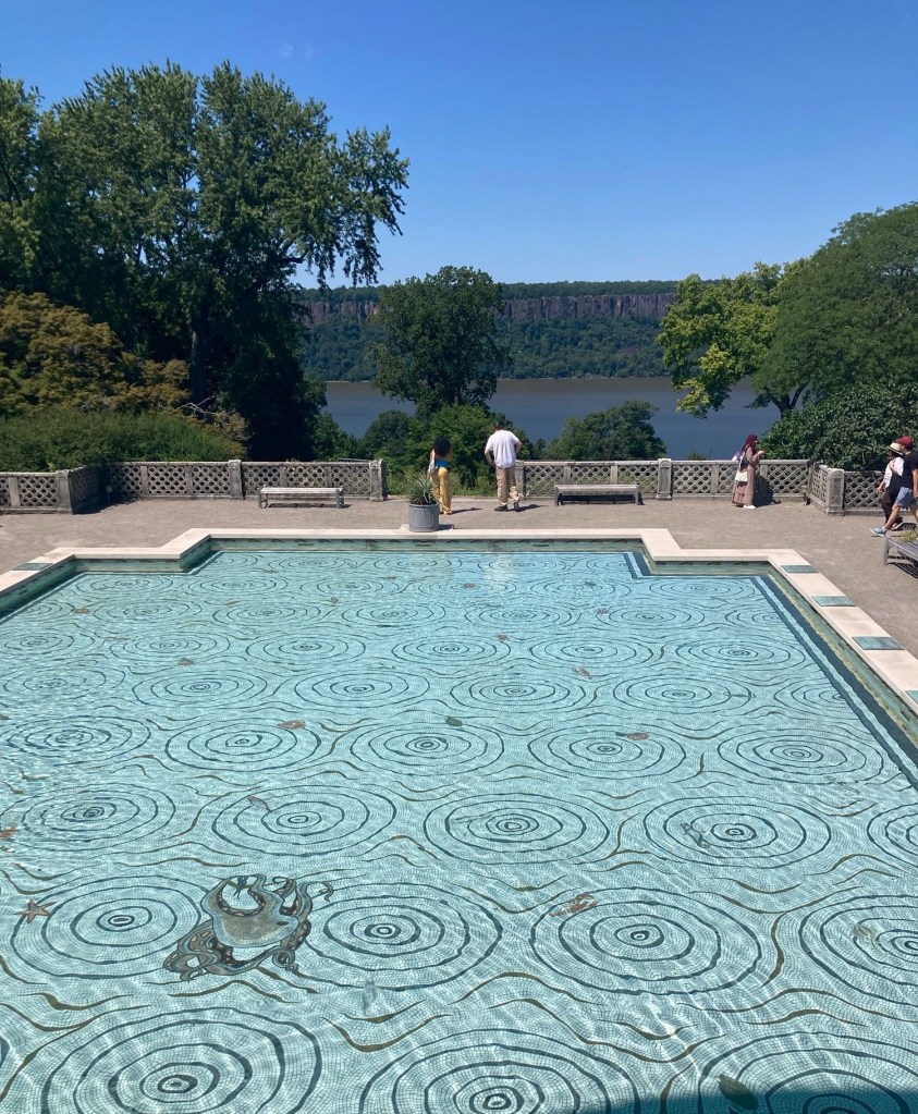
Mosaic of Medusa
The Persian Pool below the Temple of the Sky,
with an overlook of the Hudson River
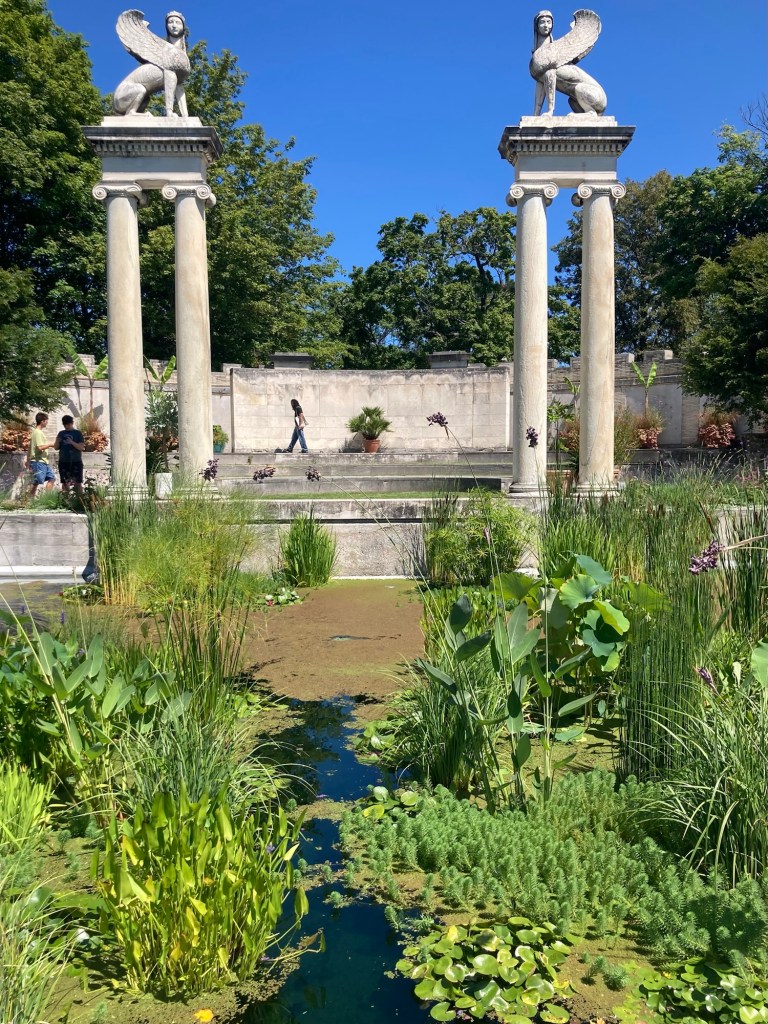
An amphitheater flanked by 2 sphinxes
at the far end of the garden opposite the entrance
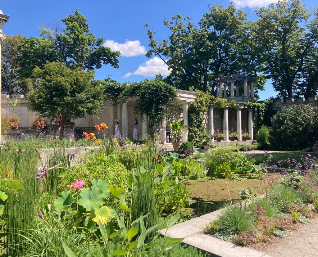
One of two loggia on each side of the amphitheater
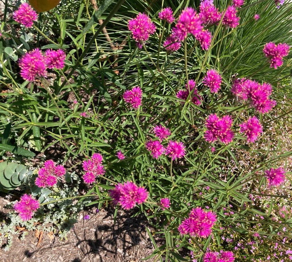
Colorful flowers
Ditto
A statue in one of the loggia as we exited the walled garden
Looking back towards the Persian Pool and Temple of the Sky

Walking through an inconspicuous doorway in the north loggia of the Walled Garden took us to along staircase leading down towards the Hudson River.

The aptly named Vista

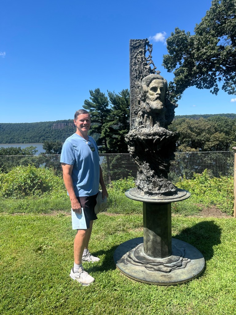
On one side of the staircase down to The Vista are remnants of two of the estate gardens, where they are currently displaying bronze busts of seven prominent Hudson River School painters.

Bob with Jasper Francis Cropsey (1823-1900),
as sculpted by Greg Wyatt in 2024

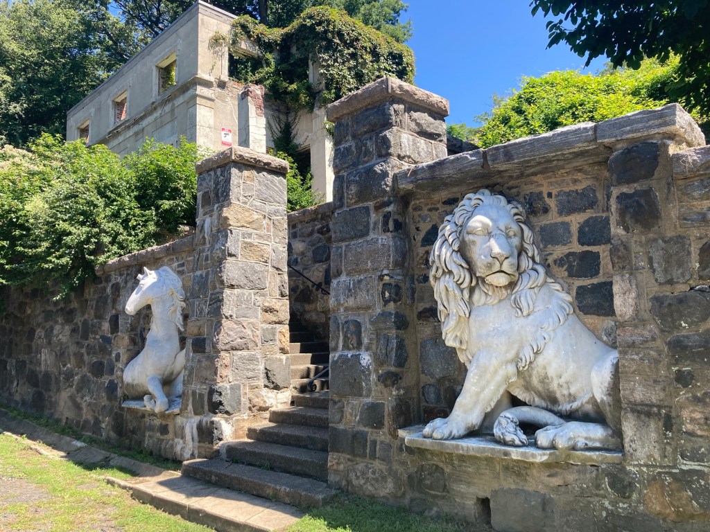
The Ruin Gardens contains a now roofless gate house at the intersection of the Old Croton Aqueduct Trail and the Carriage Trail as well as the Gate House walls.

The Gate House and Walls with a sculpture of a lion and unicorn
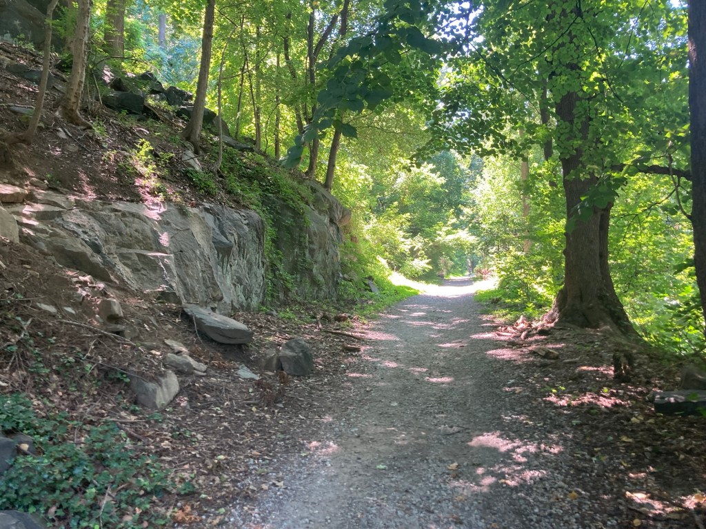
Walking along the Carriage Trail at the bottom of the park

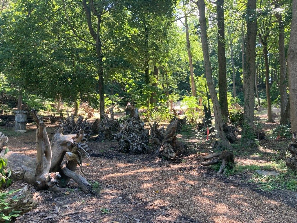
Approximately 150 upended tree stumps have been gathered to form the basis of a woodland garden called The Stumpery. It is to be enhanced with water features and ferns in the future. Bob and I saw our first Stumpery in the UK when we were exploring the grounds of a lovely estate near Bury St Edmunds with friends.
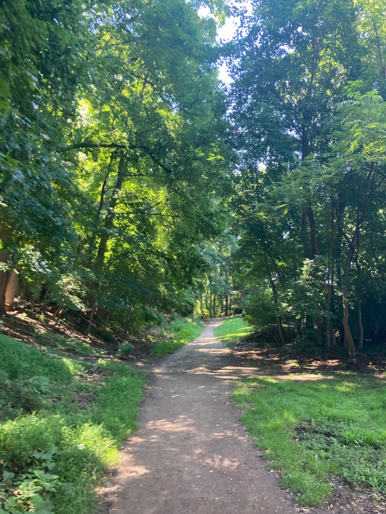
Some of the stumps in The Stumpery
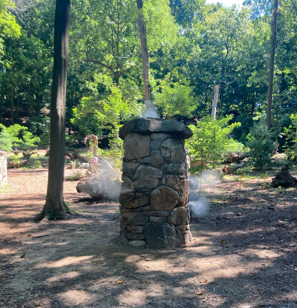
There were a couple of these cistern structures
misting The Stumpery.
We don’t know why, we’re a bit stumped.

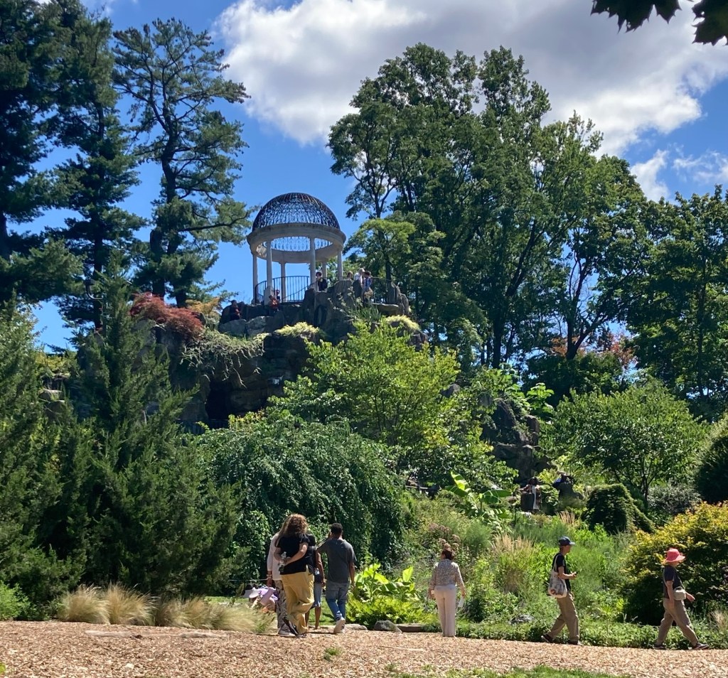
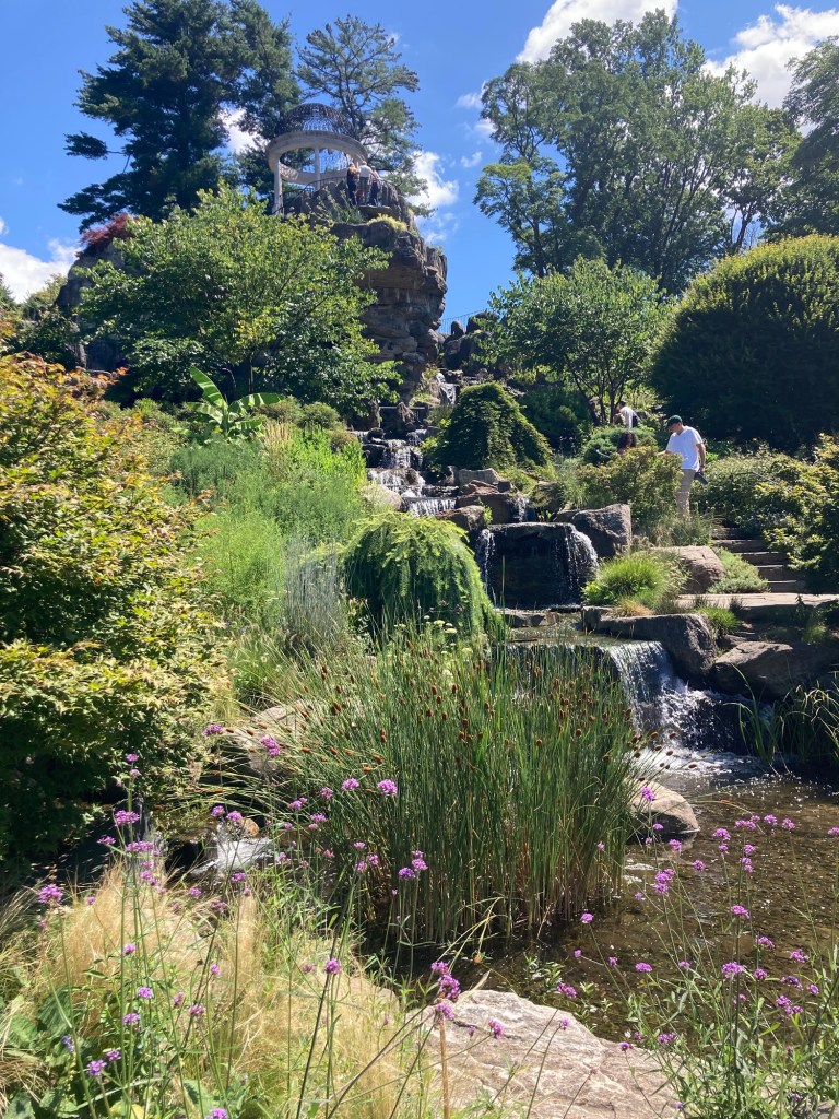
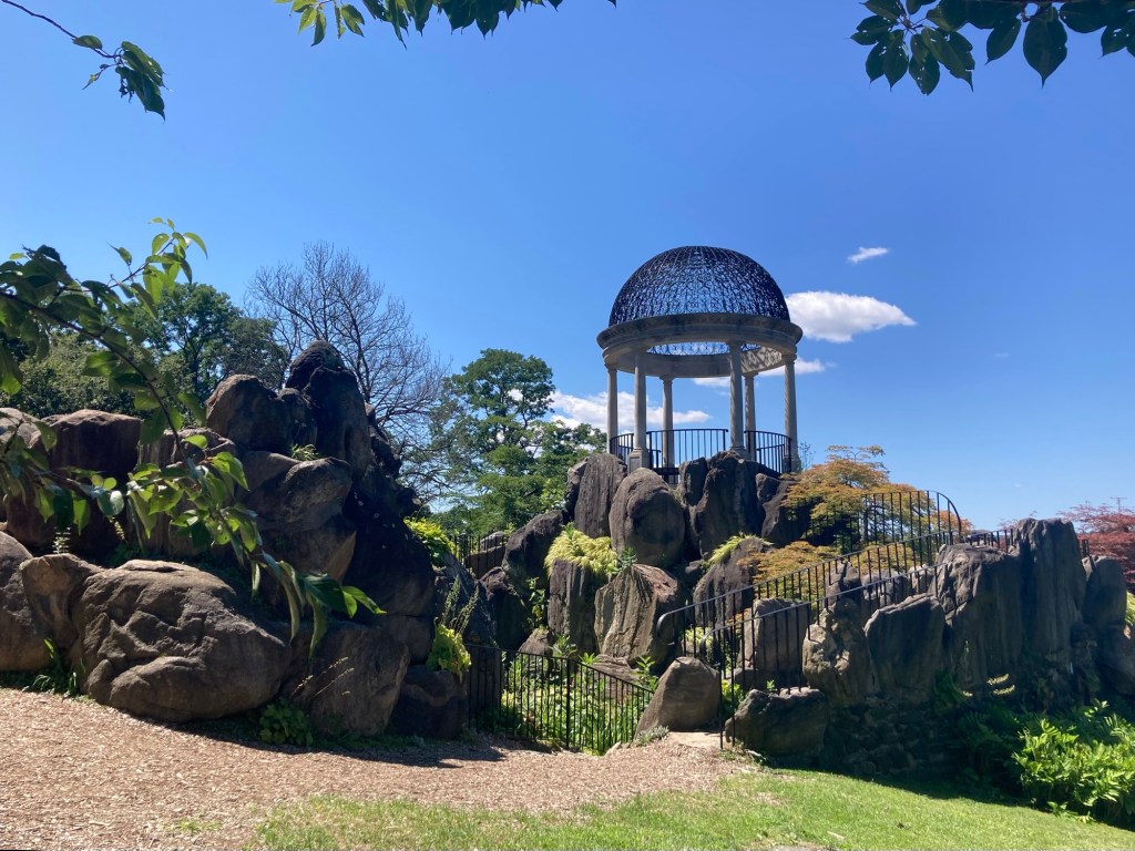
As if the Walled Garden and the Vista weren’t enough, the Temple of Love was also pretty attractive. It provides another great view of the grounds and Hudson River and is also the centerpiece of a series of rock gardens.

Looking up to the temple from below
One of many rock gardens and waterfalls around the temple
Approaching the temple from the back
Looking down from the temple
Categories
Uncategorized

A Cold Spring Visit on a Hot(ish) Summer Day (8/14/26)

Bob and I caught the train again today for a further trip up the Hudson River to the very cute village of Cold Spring. It was a 45 minute trip on the hourly train, and the day pass was about $13 apiece.

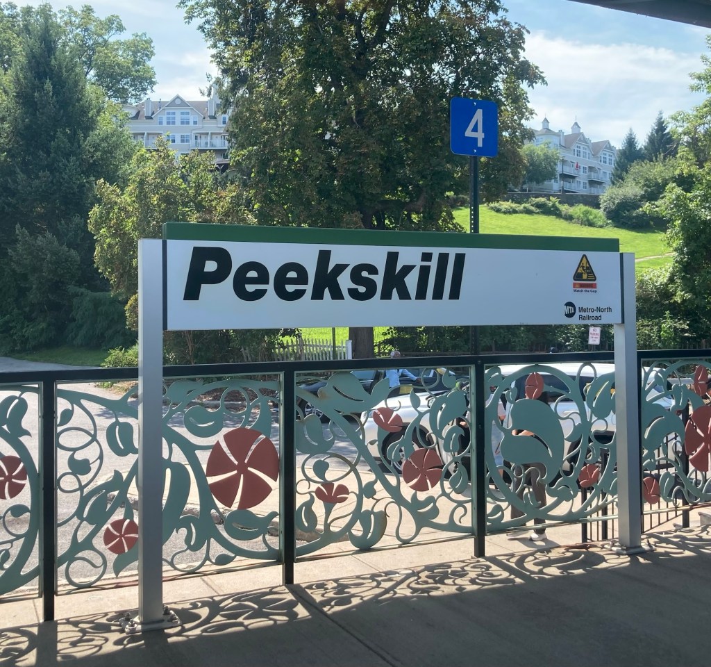
It was a busy Friday on the train. There were seats available both ways, but we were unable to get seats on the Hudson River side on the way up. Still, I got a quick shot of what looked to be an attractive area in Peekskill before the train continued on.

The village of Cold Spring was incorporated as a village in 1846 and currently has about 2,000 residents. It is part of the town of Philipstown. It grew rapidly in the 19th century due to the establishment of the West Point Foundry, which manufactured iron and munitions.

After deboarding the train, we headed to the Hudson River side of the train station to check out a couple of waterfront parks and a historic church.

A view of the Hudson River
from the very small Foundary Dock Park which seemed
to serve mostly as a boat rental point for kayaks.
Another view from the park,
but this time looking north towards a small park/play area.
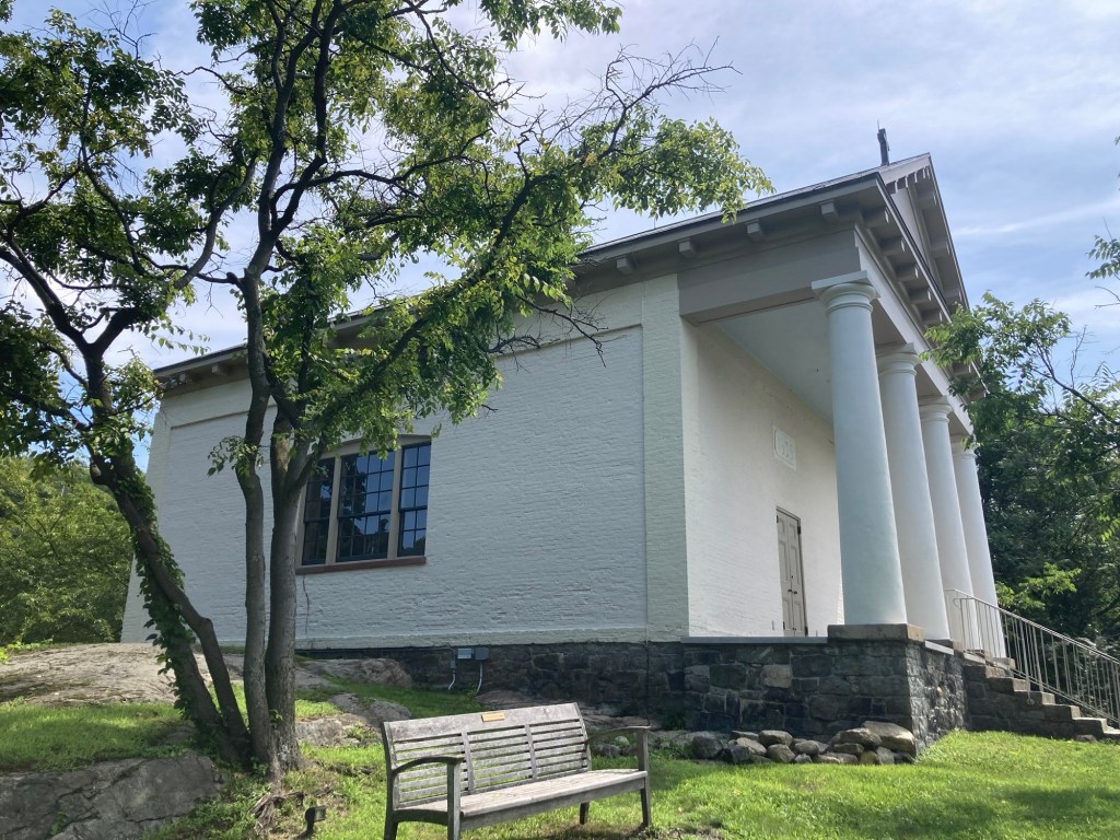
The Chapel of Our Lady, a small chapel built in 1833
as a chapel for West Point Foundry workers.
It was abandoned in 1907 and restored in 1975.
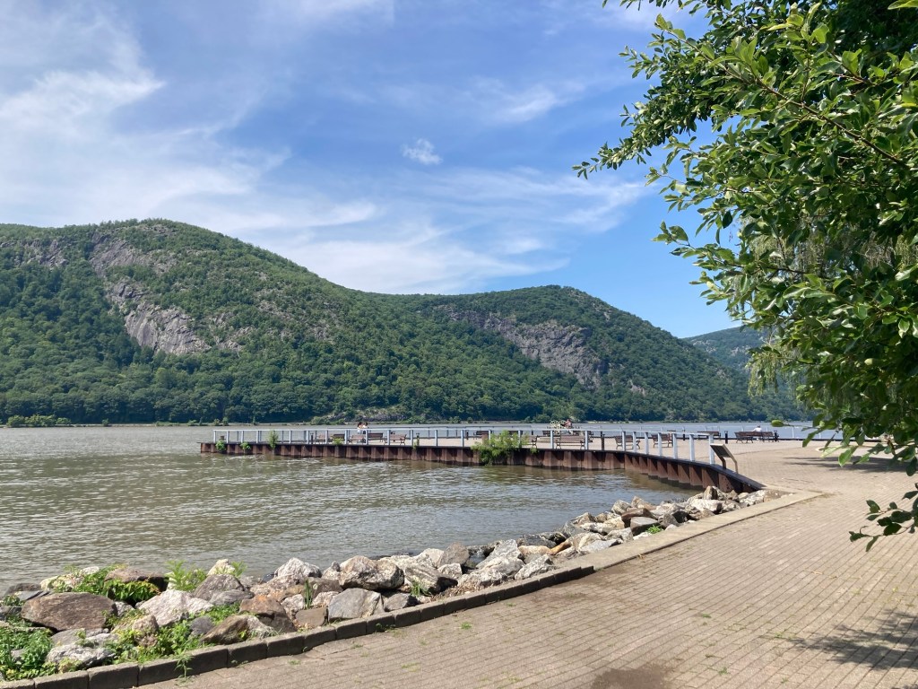
The Cold Spring Pier
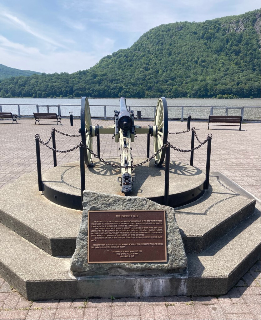
A display of a Parrot Gun at the end of the pier.
This type of cannon was manufactured at the West Point Foundry and first used in the Civil War at the Battle of Bull Run.
The gun was named for Robert Parrott,
the Foundry Superintendent.
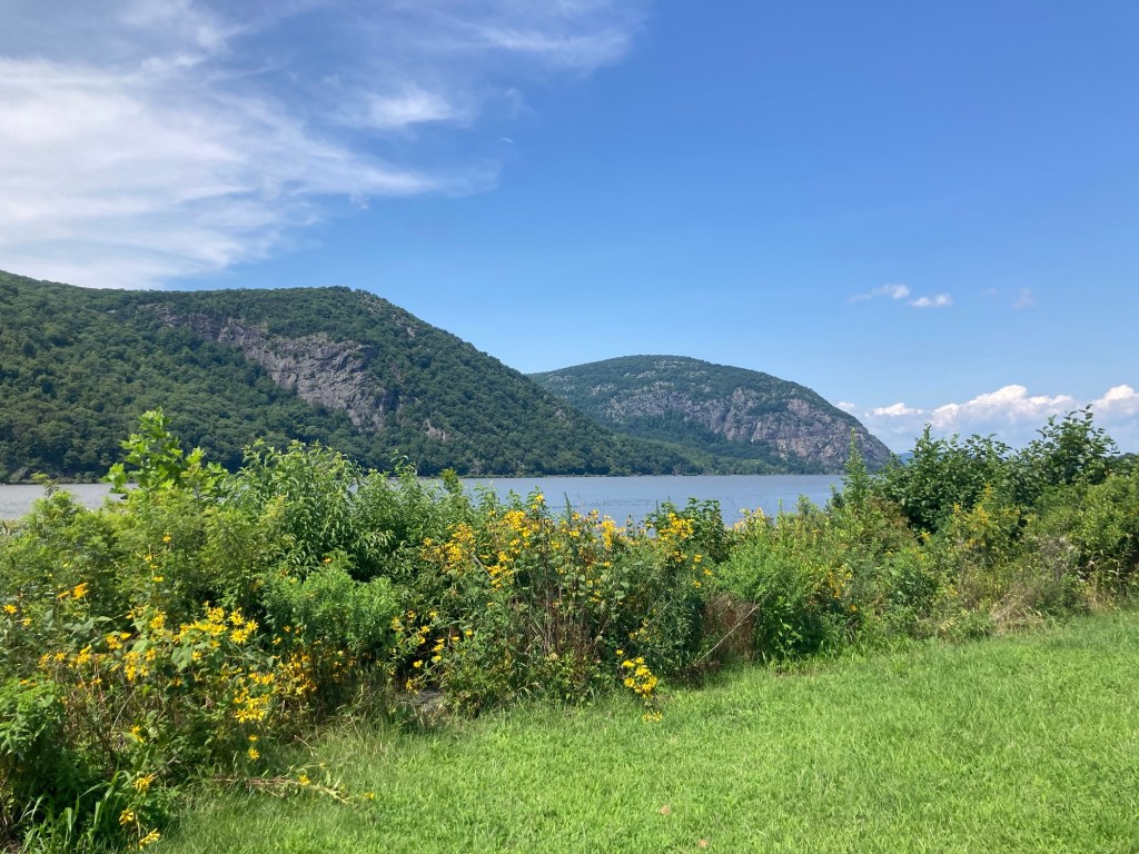
Looking across the park next to the pier

Next we walked up Main Street. We started on lower Main Street (below the train station), and then continued onto upper Main Street via a tunnel. We were impressed with the signage around town to assist visitors in finding local sites.

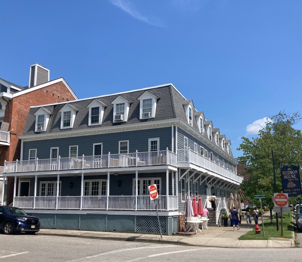
Hudson House River Inn across from the pier
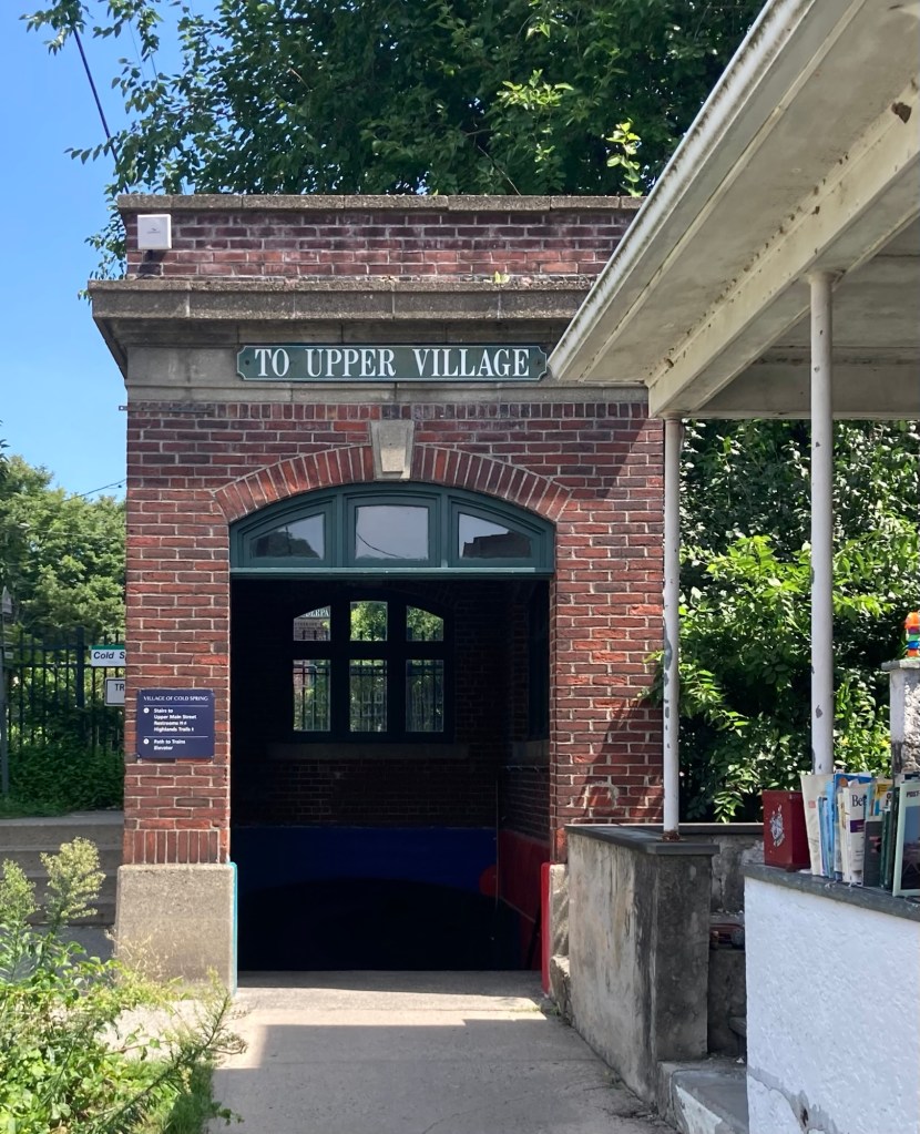
The entrance to the tunnel taking us
into the main Main Street retail area.

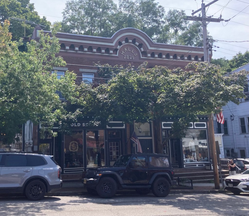
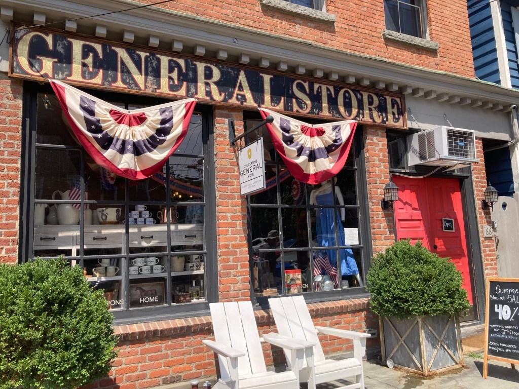
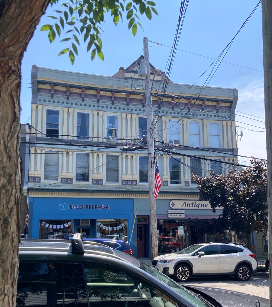
This was definitely our favorite of the Main Street areas we have visited in the Hudson River Valley. We found a number of stores to pop into.

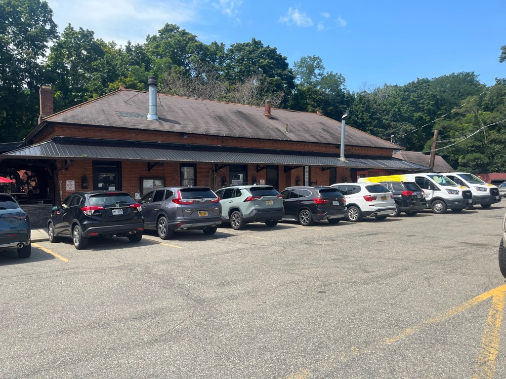
The Cold Spring Depot Cafe in the former train depot.

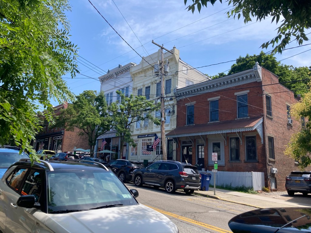
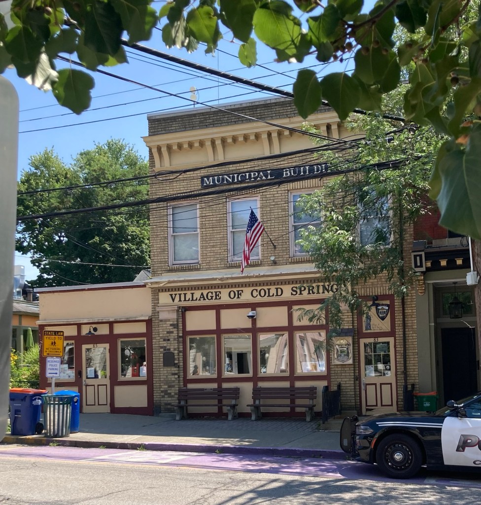
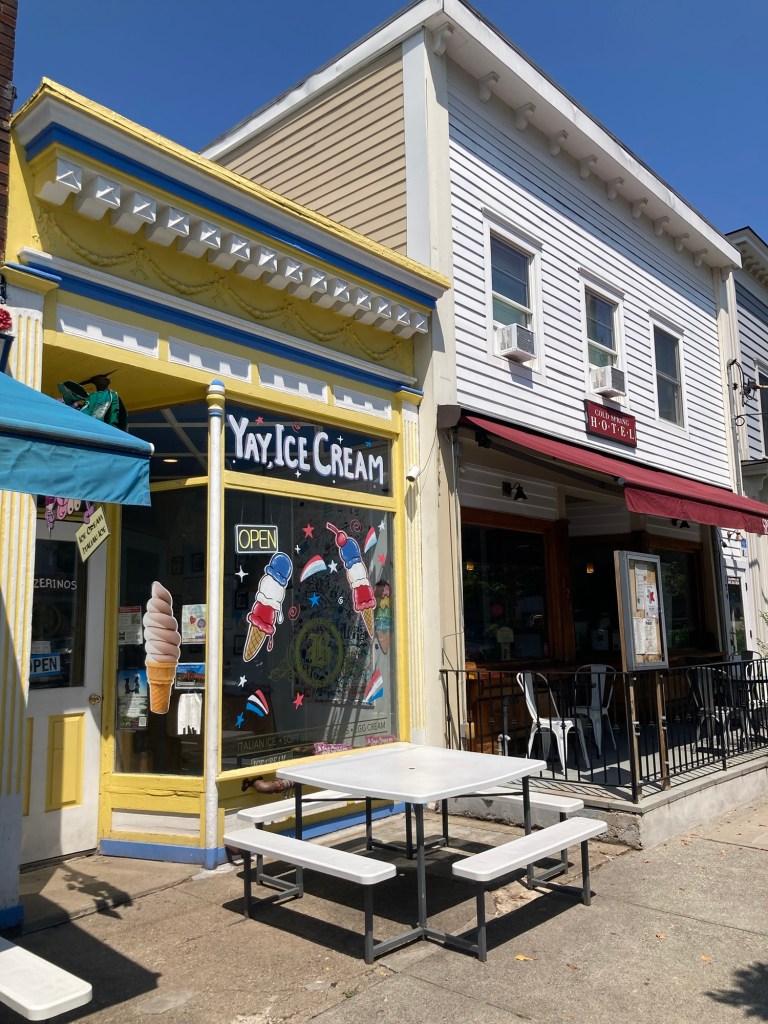
A few of the shops and buildings on Main Street.

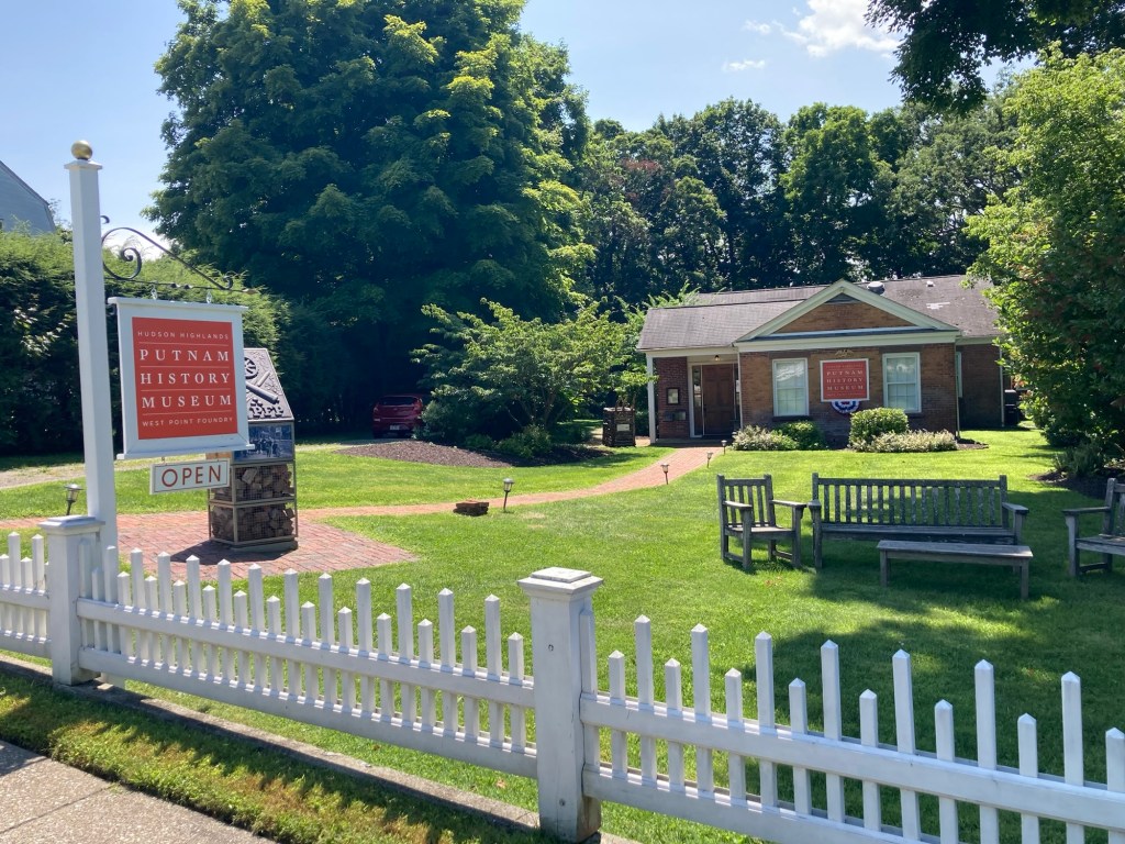
From Main Street, we headed back south a bit to get a photo of the Putnam County History Museum.

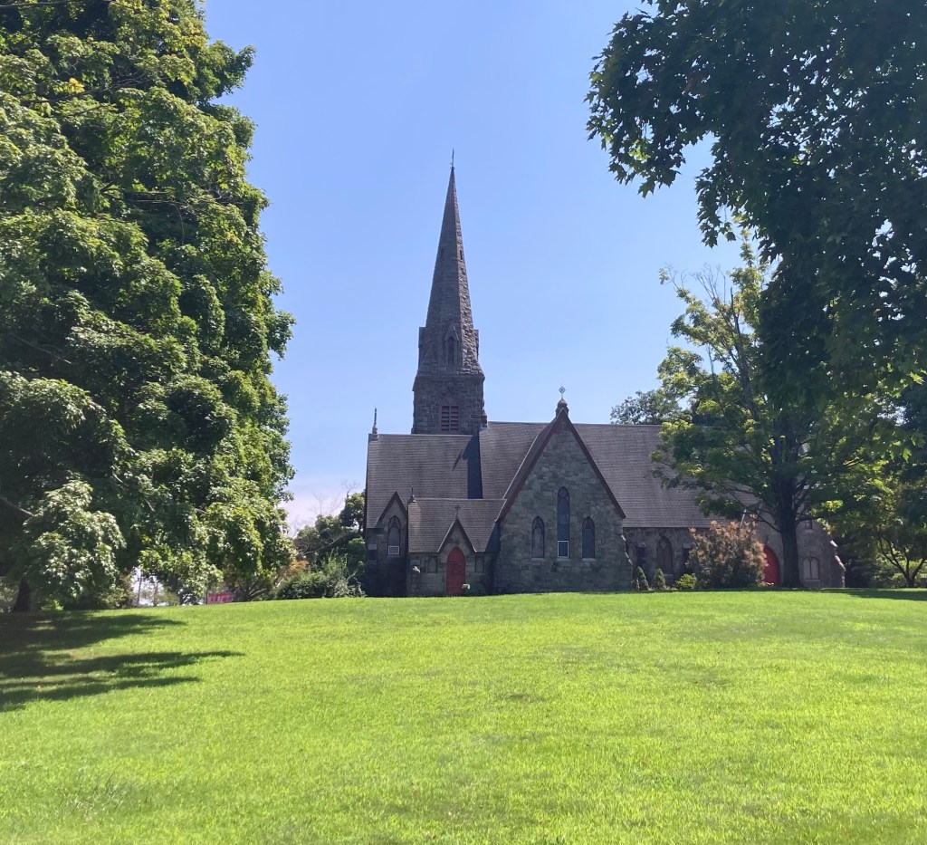
St Mary Episcopal Church
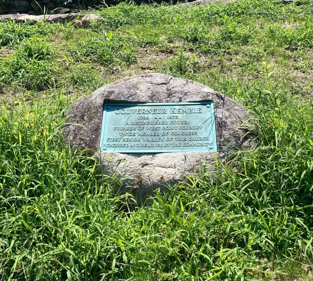
A memorial marker for Gouverneur Kemble (1786-1875),
the founder of West Point Foundry and twice member of Congress.
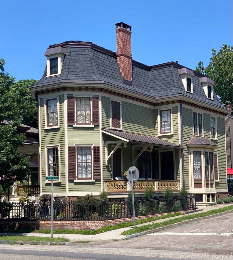
A house that caught my eye across from the church
The Putnam History Museum,
housed in a former Foundry building

We then continued our walk, but now heading back towards the river to check out a bit of the West Point Foundry Preserve before catching the train back to Tarrytown.

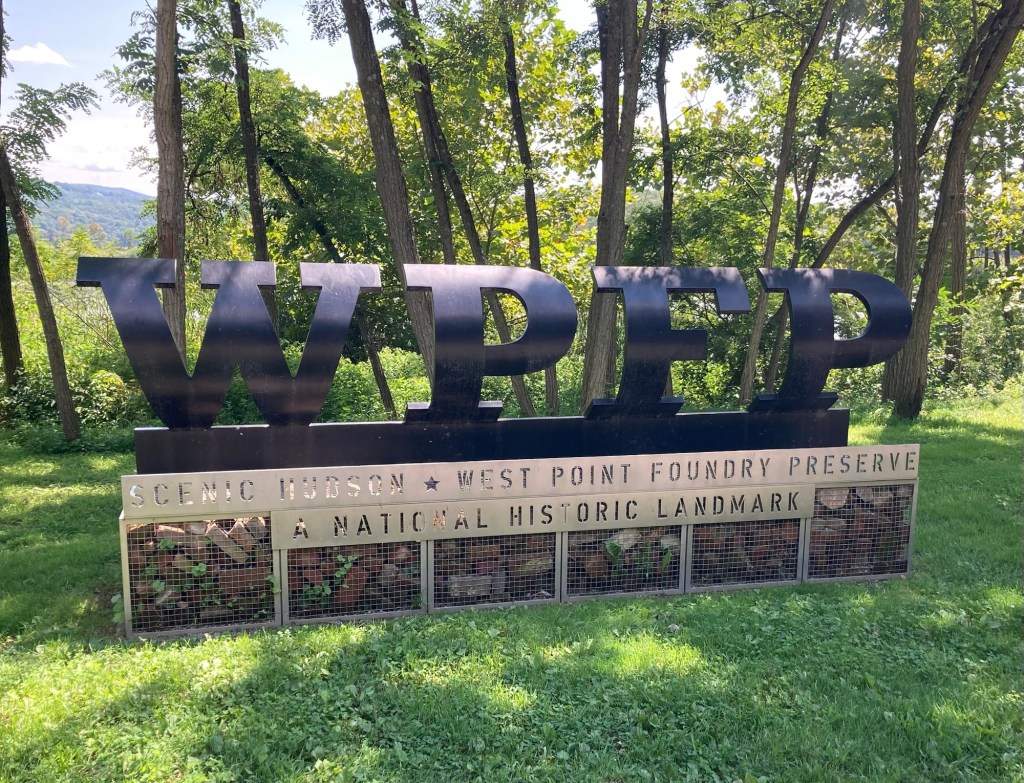
The West Point Foundry opened in 1818 just south of the village. The site was an ideal location, as the surrounding forests were harvested for charcoal production, the mountains mined for ore, and the Hudson used to transport materials and products before the railroad came to Cold Spring in 1849.

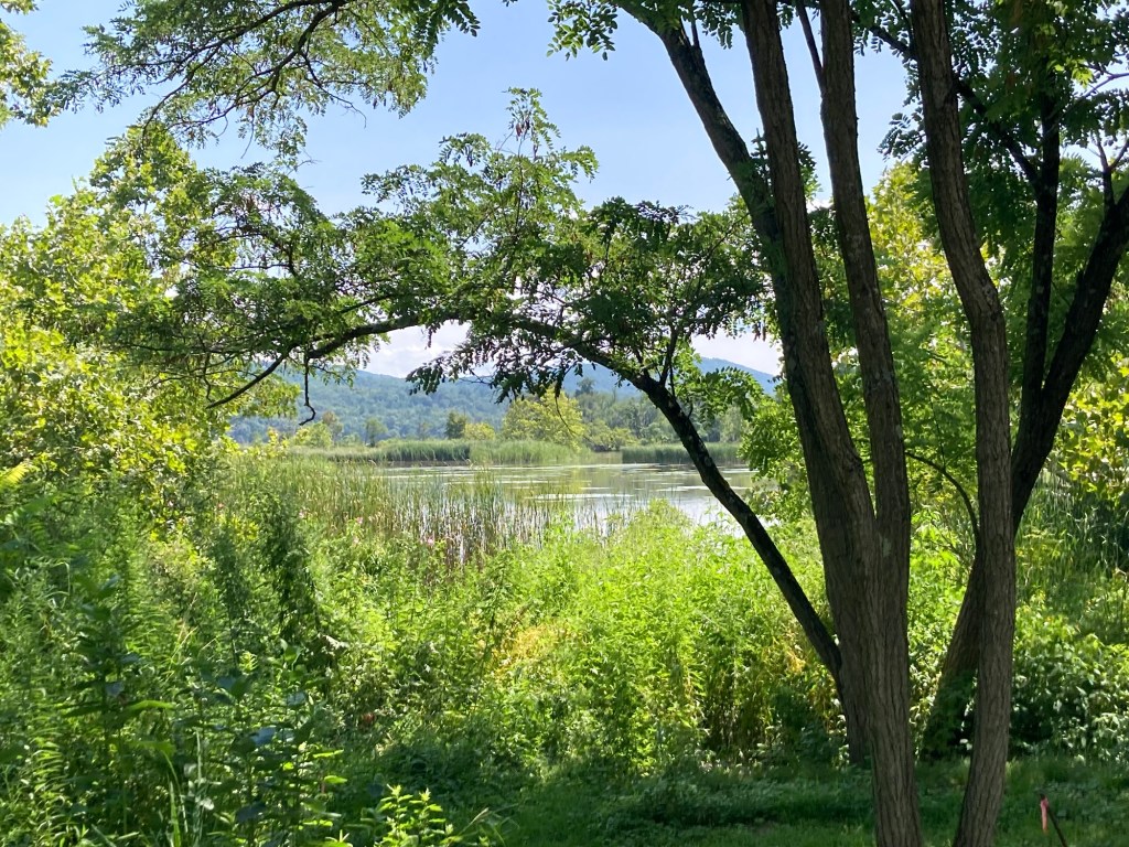
The entrance to the pretty natural area
which overlooks an inlet of the river

On the way back to Tarrytown, we were able to get seats on the Hudson River side of the train for a more scenic ride.

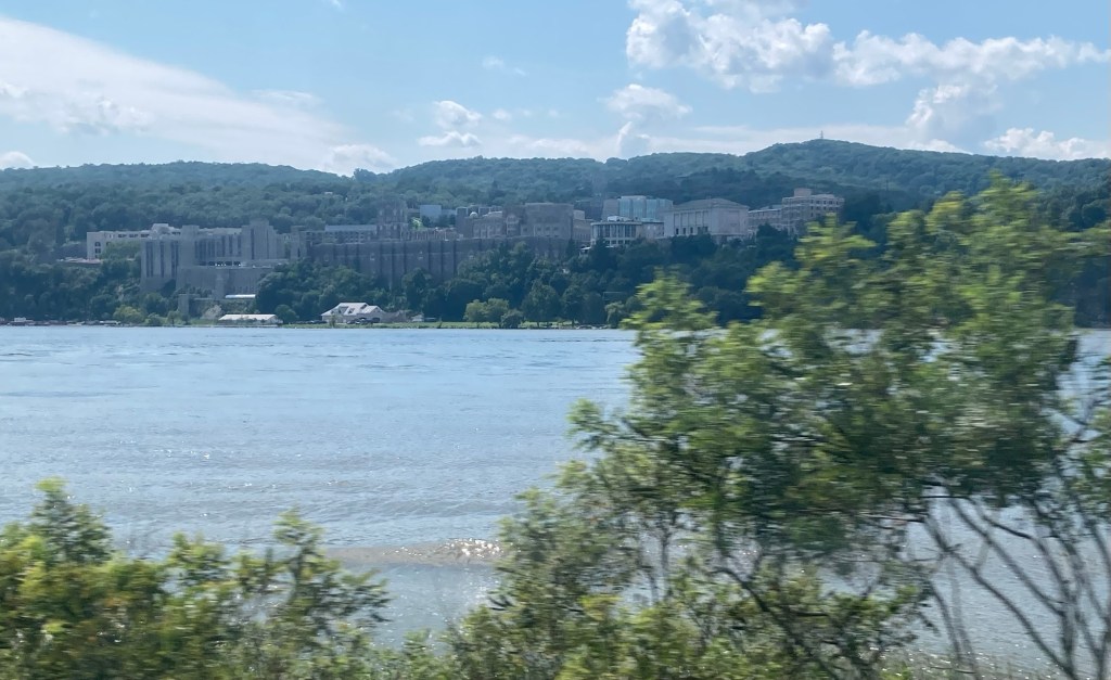
West Point Military Academy
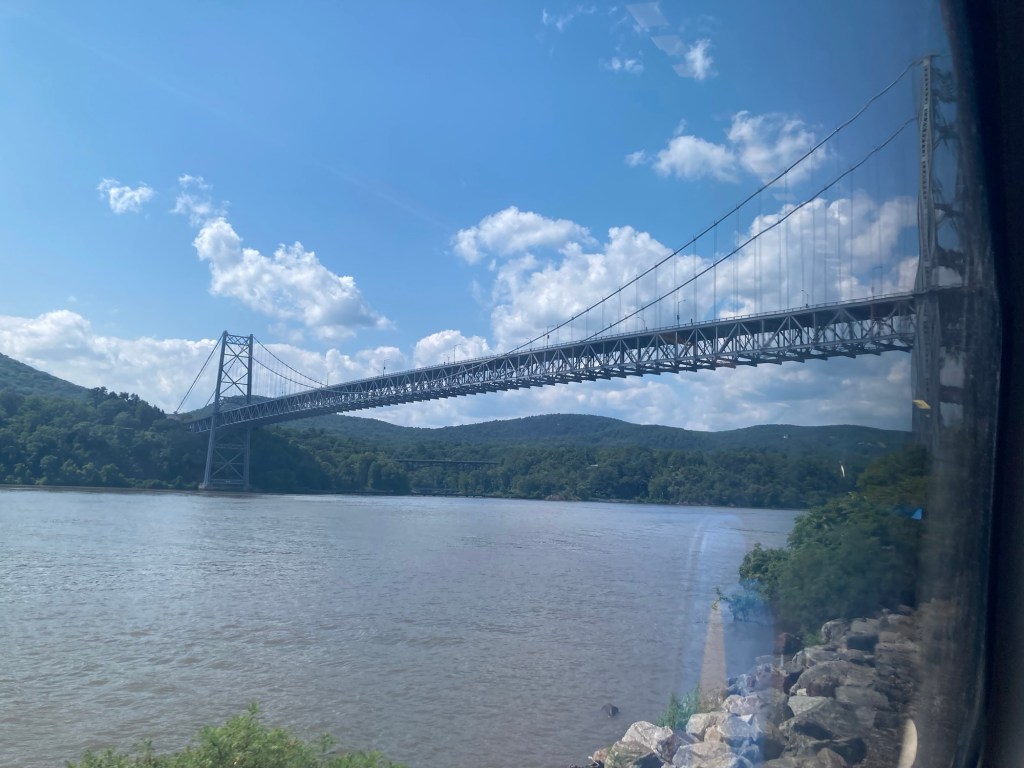
Bear Mountain Bridge across the Hudson