Categories
Uncategorized

OCA to Dobbs Ferry (8/11/26)

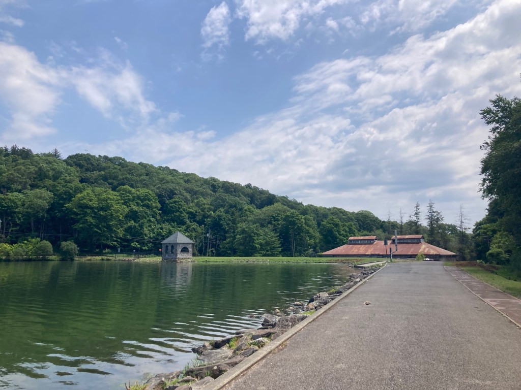
Bob and I headed back out on the OCA (Old Croton Aqueduct) trail today. We have walked it north for about an hour from right in our neighborhood, and we’ve walked it south as far as the village of Irvington. Today, we drove to Irvington to walk the trail from there to Dobb’s Ferry. It was a warm walk, as it is a bit more humid than yesterday and much of our walk in Dobb’s Ferry was not shaded,

Just as a reminder, the Croton Aqueduct was built in the 1830s to bring water from the Croton Reservoir, 41 miles north of New York City, into the city using just gravity to convey the water. In 1968, the state bought 26.2 miles of the original aqueduct path to create a linear park.
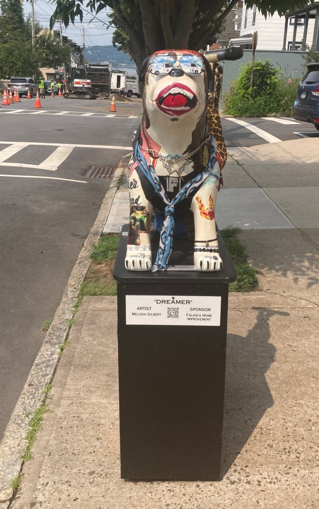
Main Street in Irvington displays painted bulldogs.
This one was next to our parking space for today’s walk.
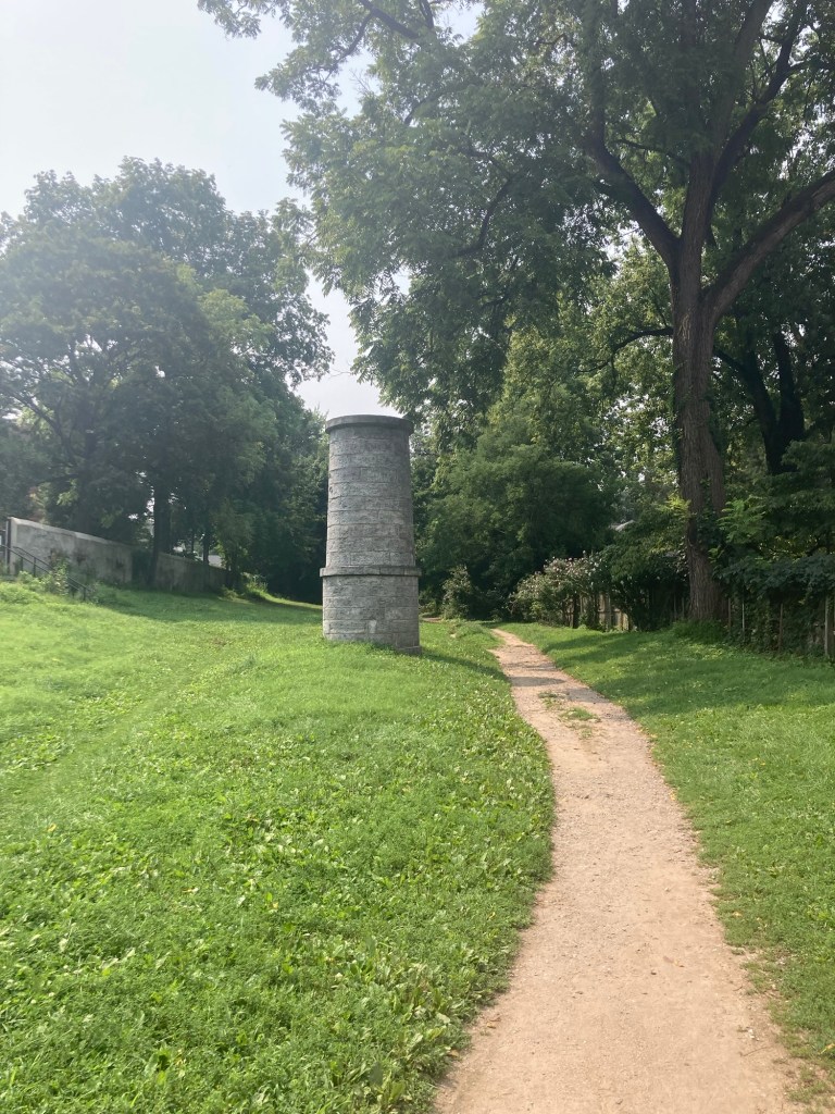
Our entrance onto the trail in a park off Main Street

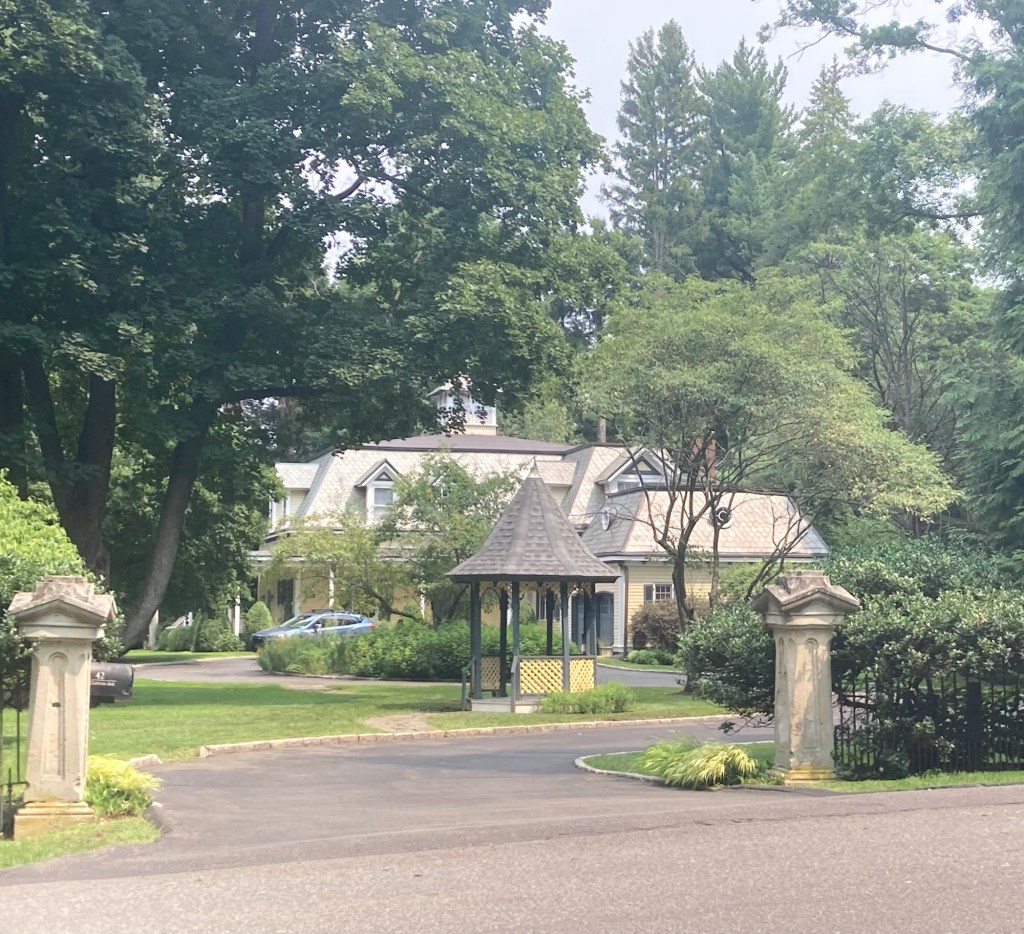
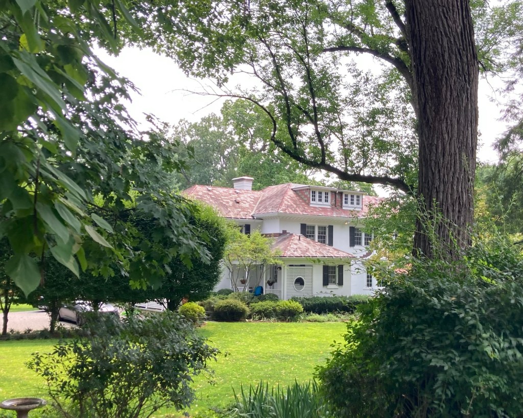
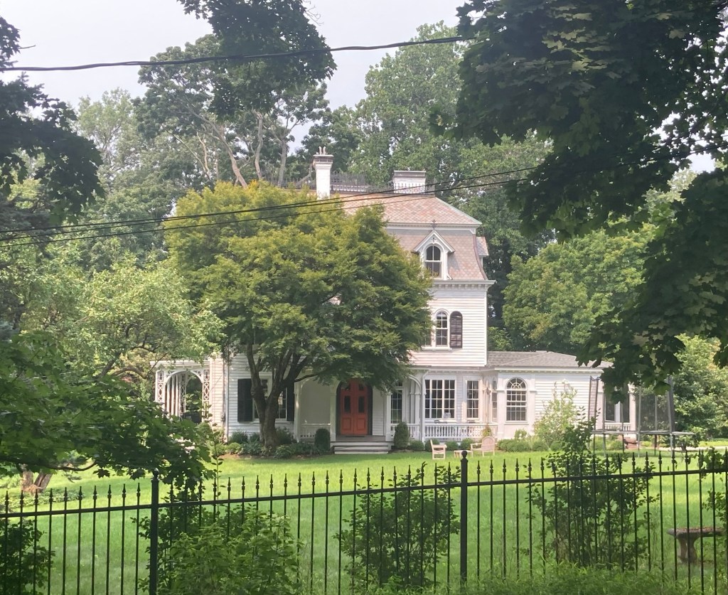
As when we walked from Tarrytown to Irvington, we saw a number of lovely homes along the trail.
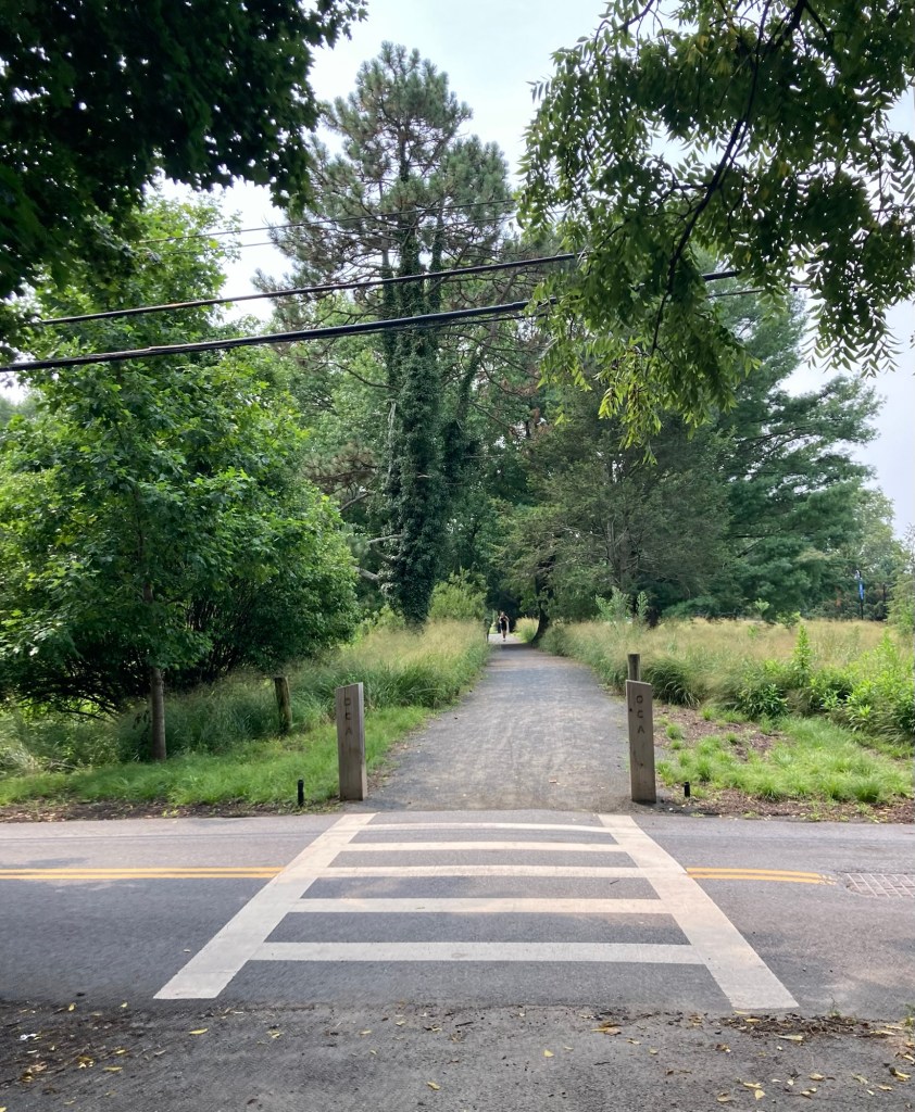
We had a few crossings of quiet roads
between Irvington and Dobbs Ferry
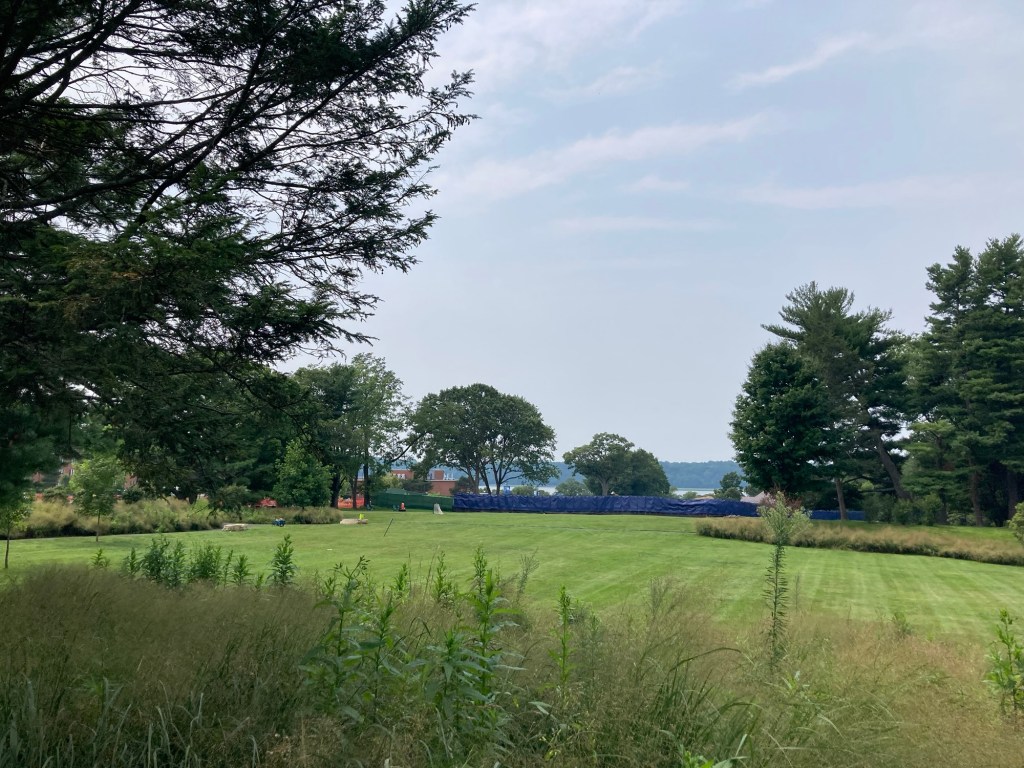
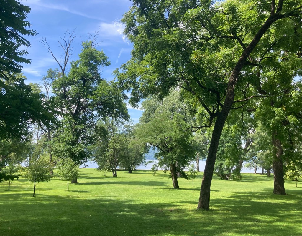
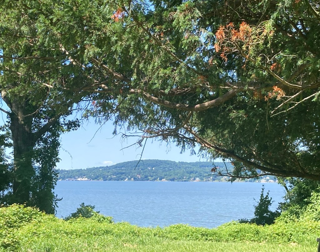
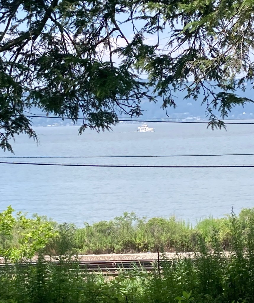
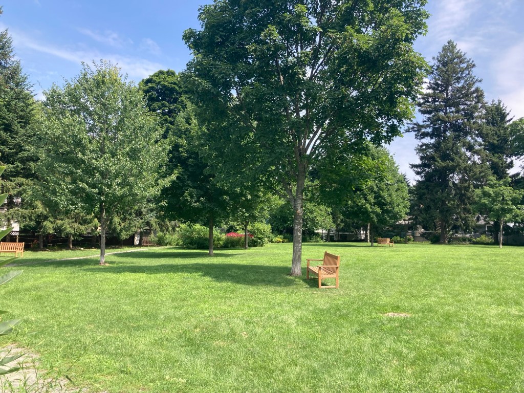
A pretty lawn between the trail and the Hudson River
near Mercy University, which lies directly alongside the trail

Mercy University is a private, non-sectarian, non-profit, co-educational research university. Its main campus is on these 66 acres in Dobbs Ferry, but it also has campuses in Manhattan, the Bronx, and Yorktown Heights. It offers more than 90 undergraduate and graduate programs.
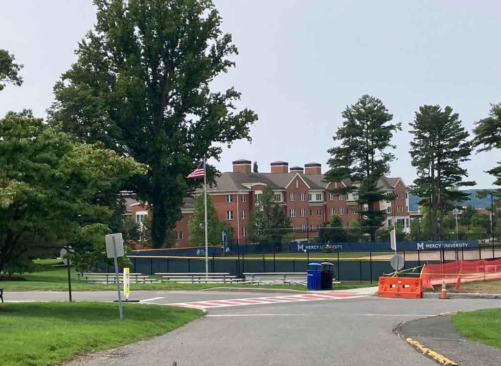
The main Mercy University building we saw from the trail
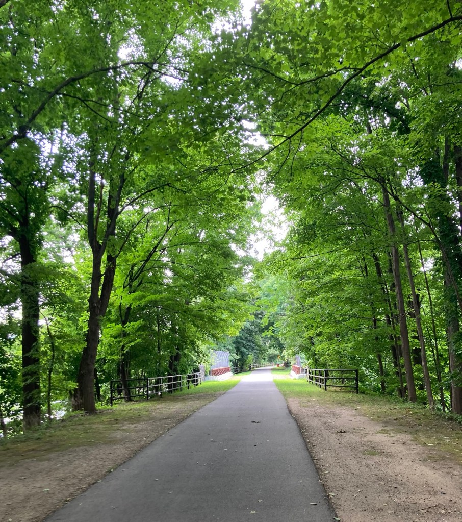
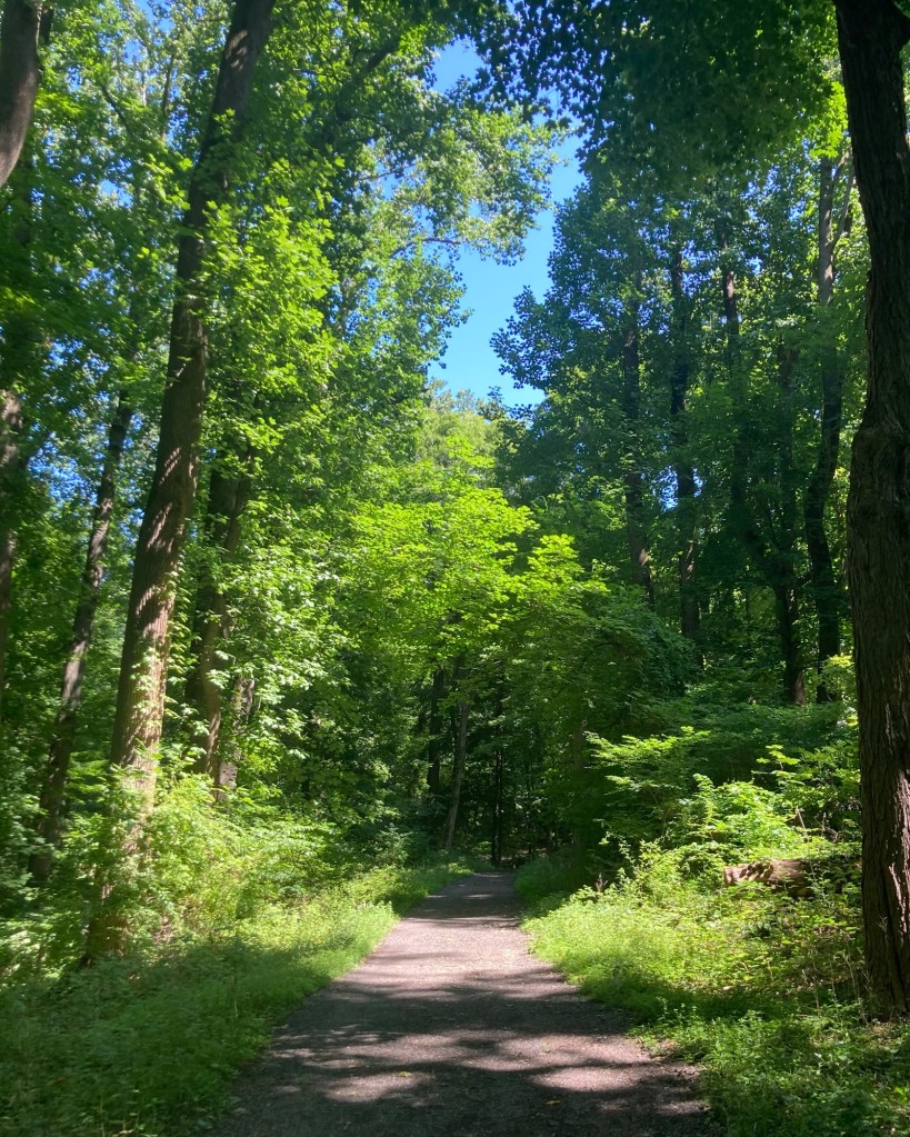
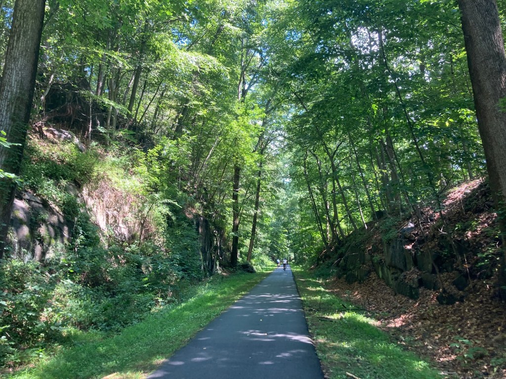
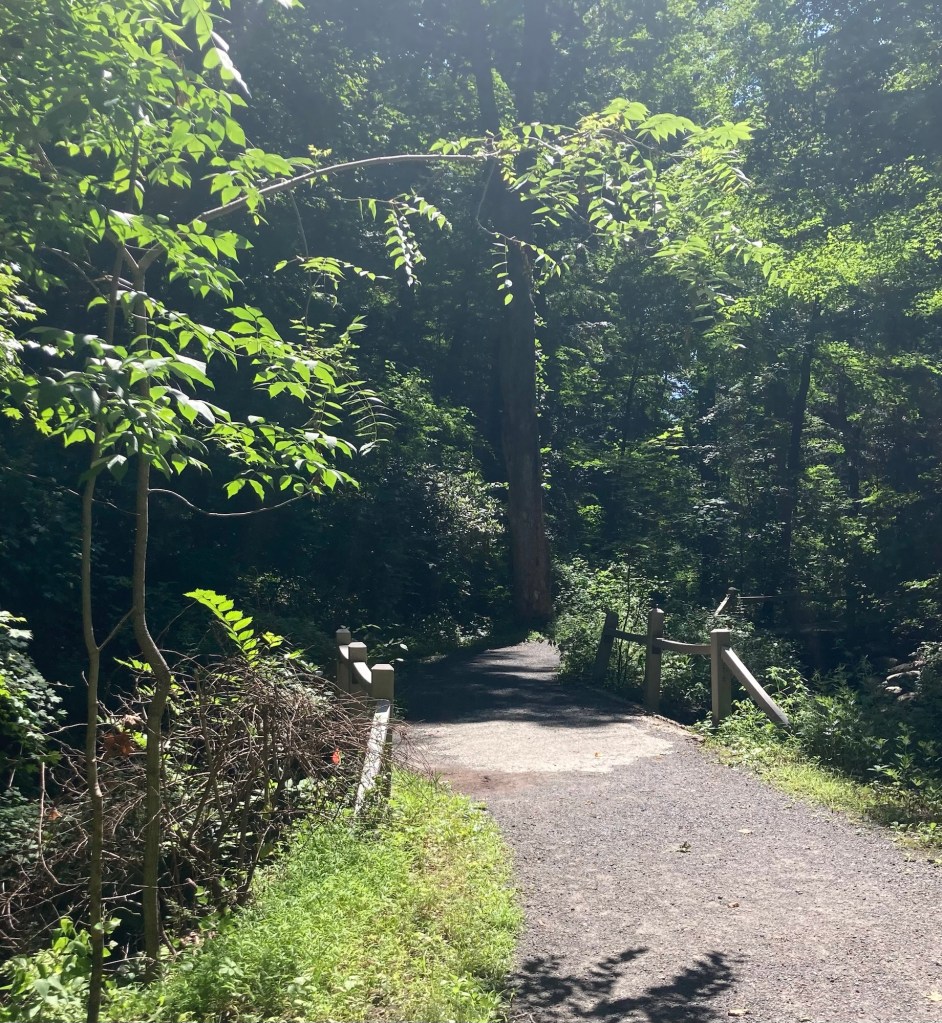
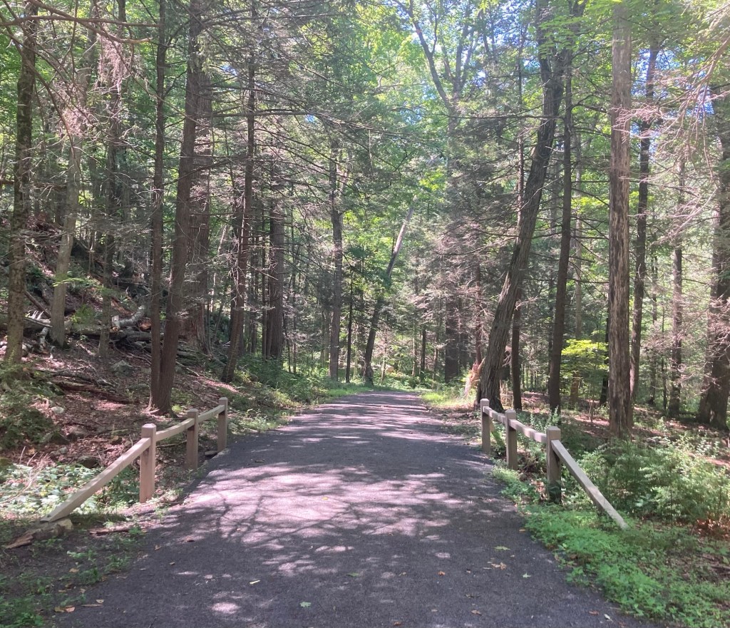
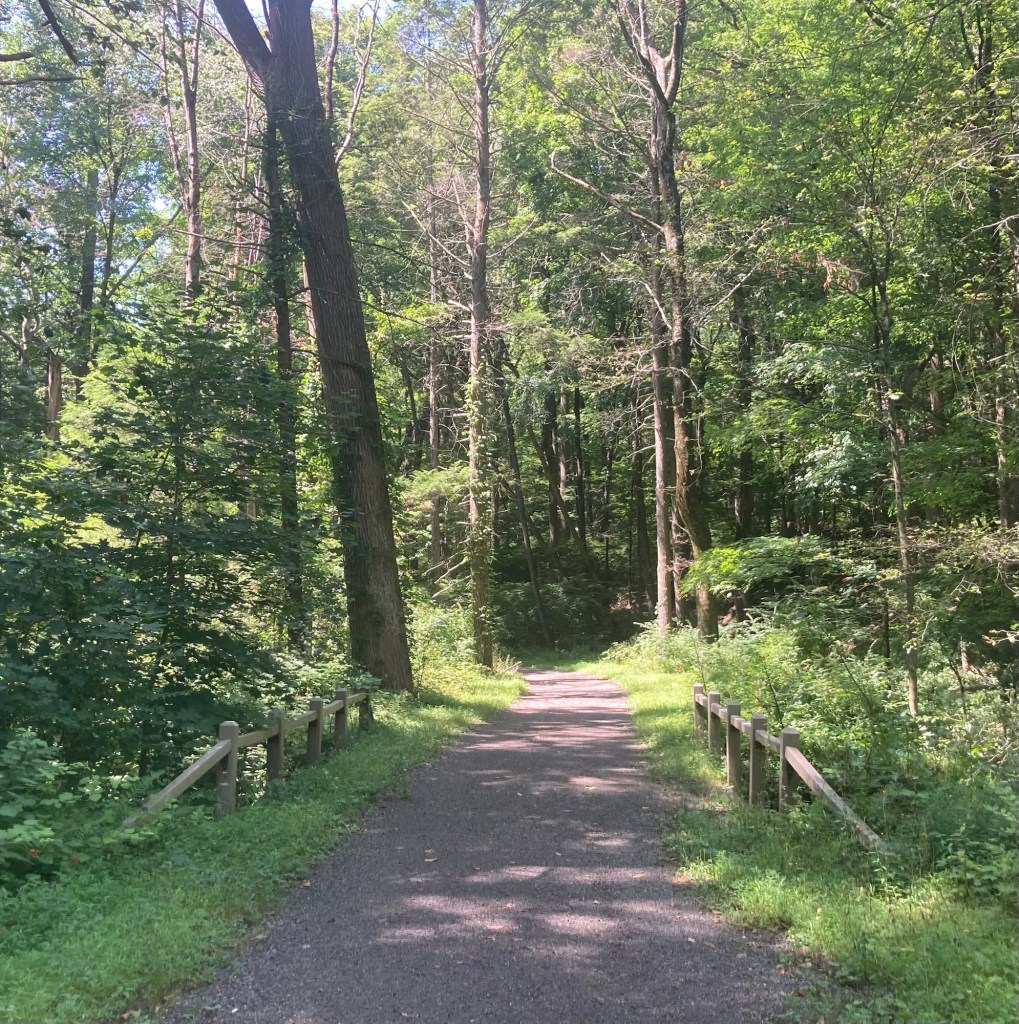
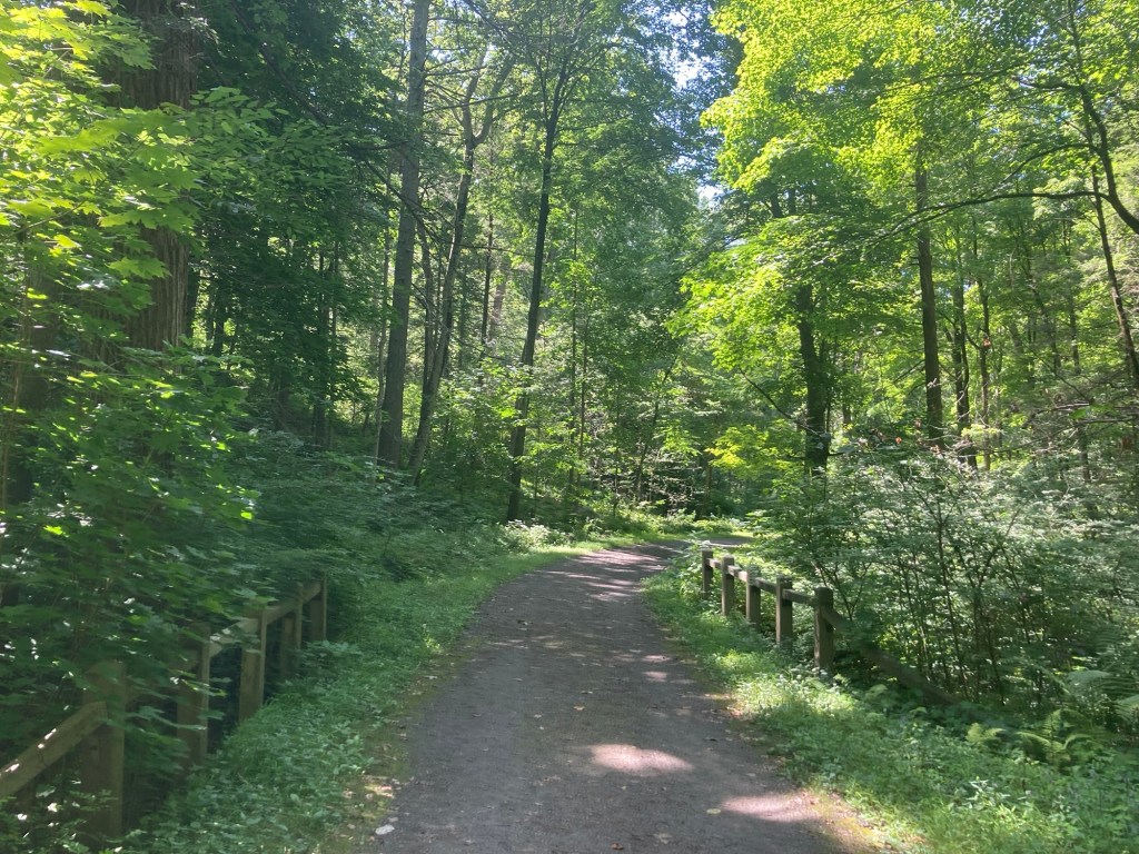
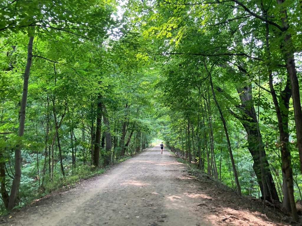
A nicely shaded portion of the walk
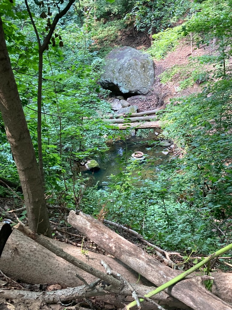
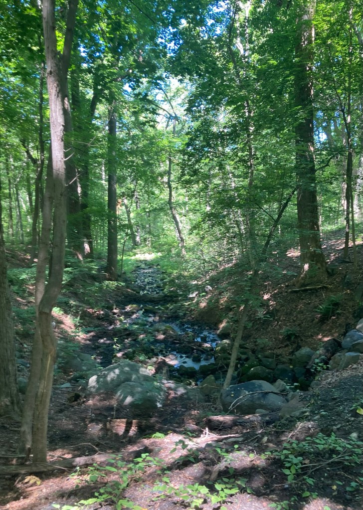
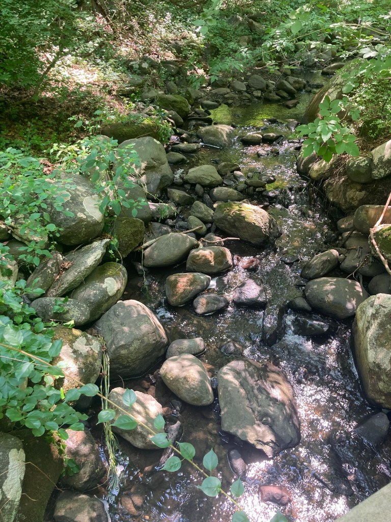
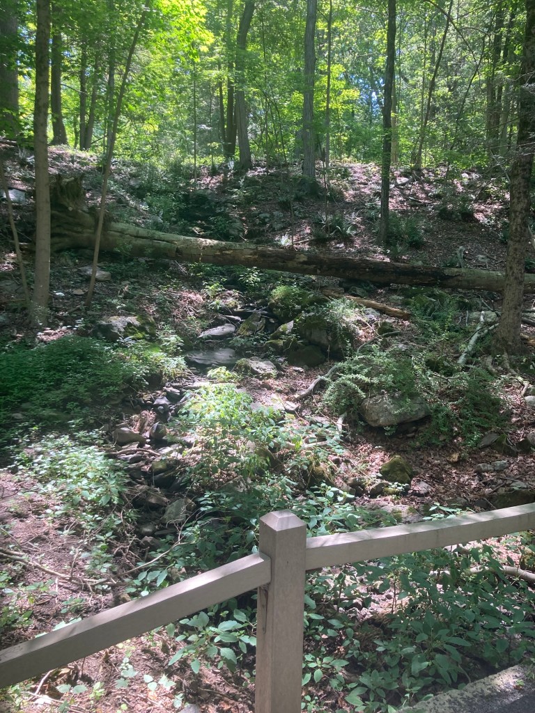
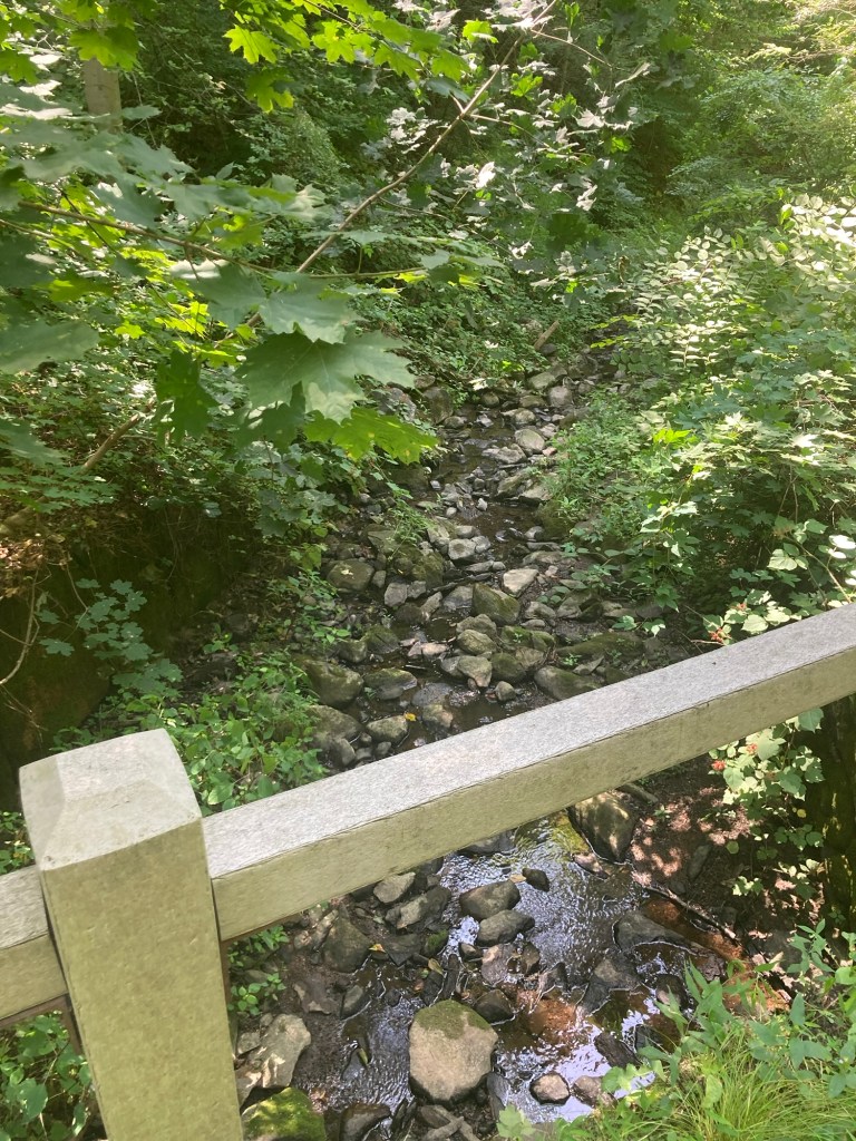
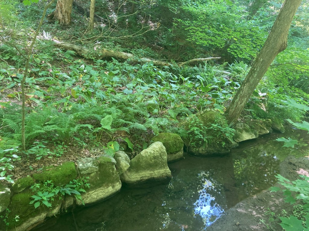
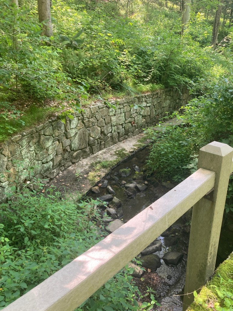
Looking down into a creek

The portion of the trail that we walked today is sometimes on the same level as the surrounding land, but is sometimes above the areas surrounding it.
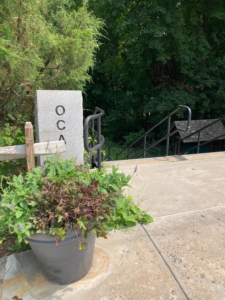
Where we exited the OCA in Dobbs Ferry
to explore the Main Street and the park along the Hudson River.

Dobbs Ferry, also in Westchester County, is a village of about 11,500 people today. It is named for the ferry service started in the early 1700s by John Dobbs. The ferry service provided key transportation for American forces in August of 1781 to allow additional troops to join Washington’s in a battle at Yorktown that helped end the war. The ferry service here continued until 1945.

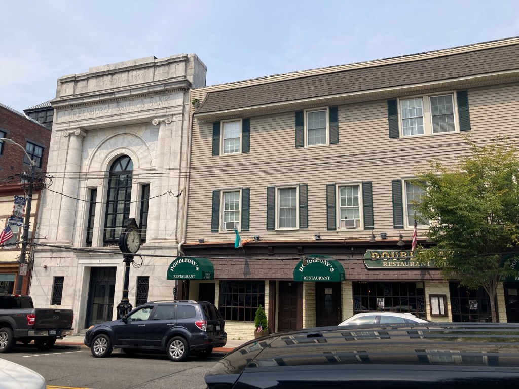
We walked along Main Street in Dobbs Ferry and saw a number of retail stores and restaurants as well as a bank and a library in a mix of older and newer buildings.
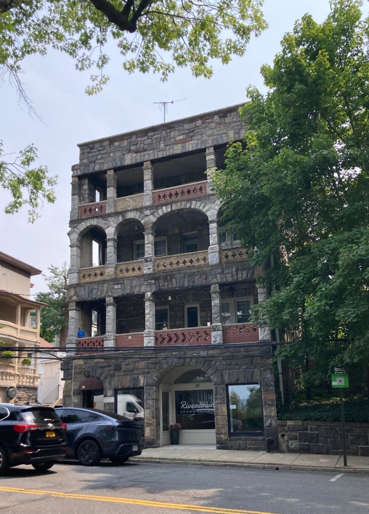
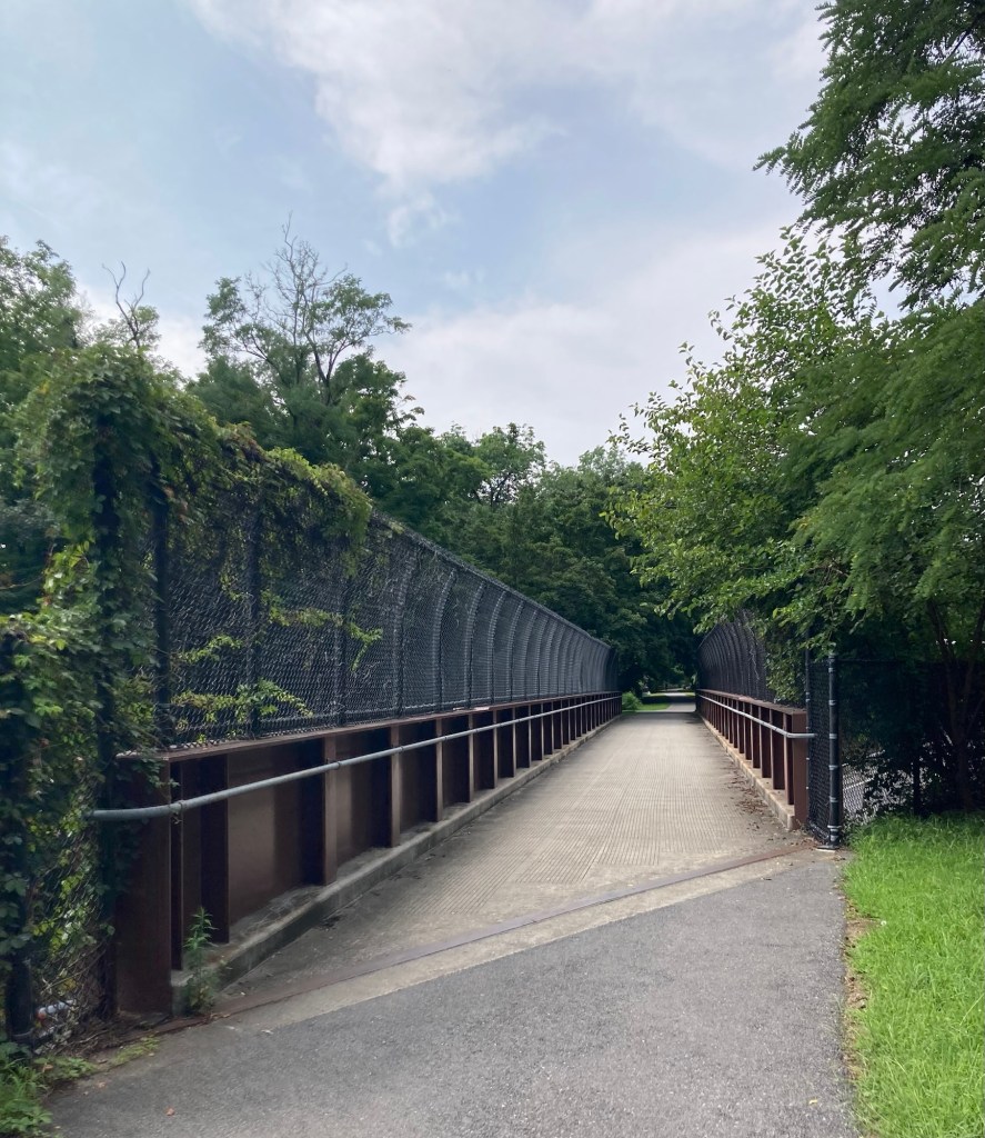
We then walked across the train tracks, via the walkover bridge, to check out the Dobbs Ferry Waterfront Park. We even got a faint view of part of the New York City skyline.
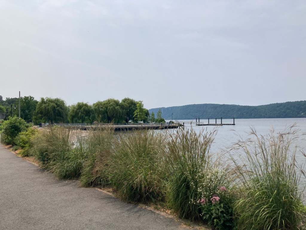
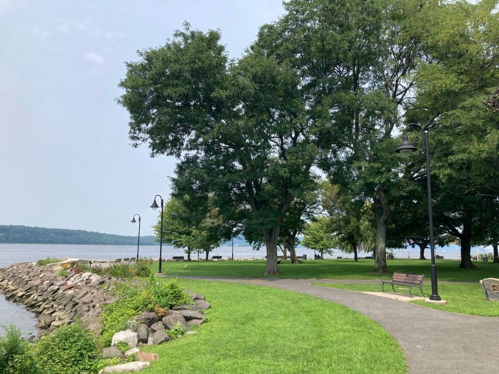
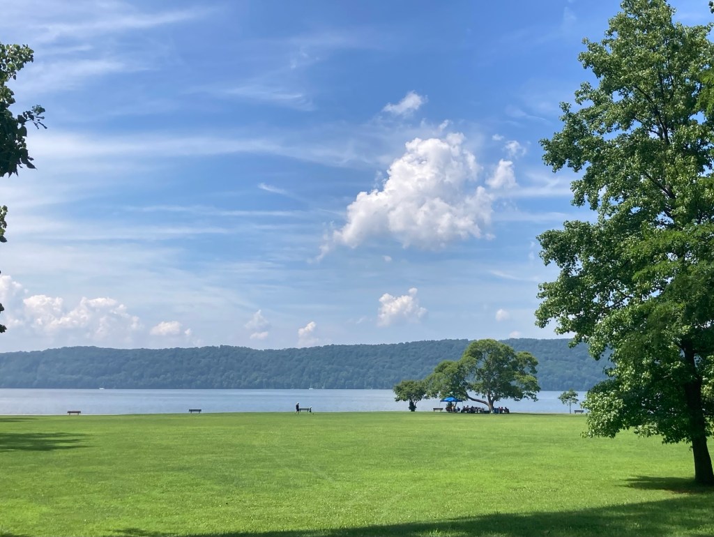
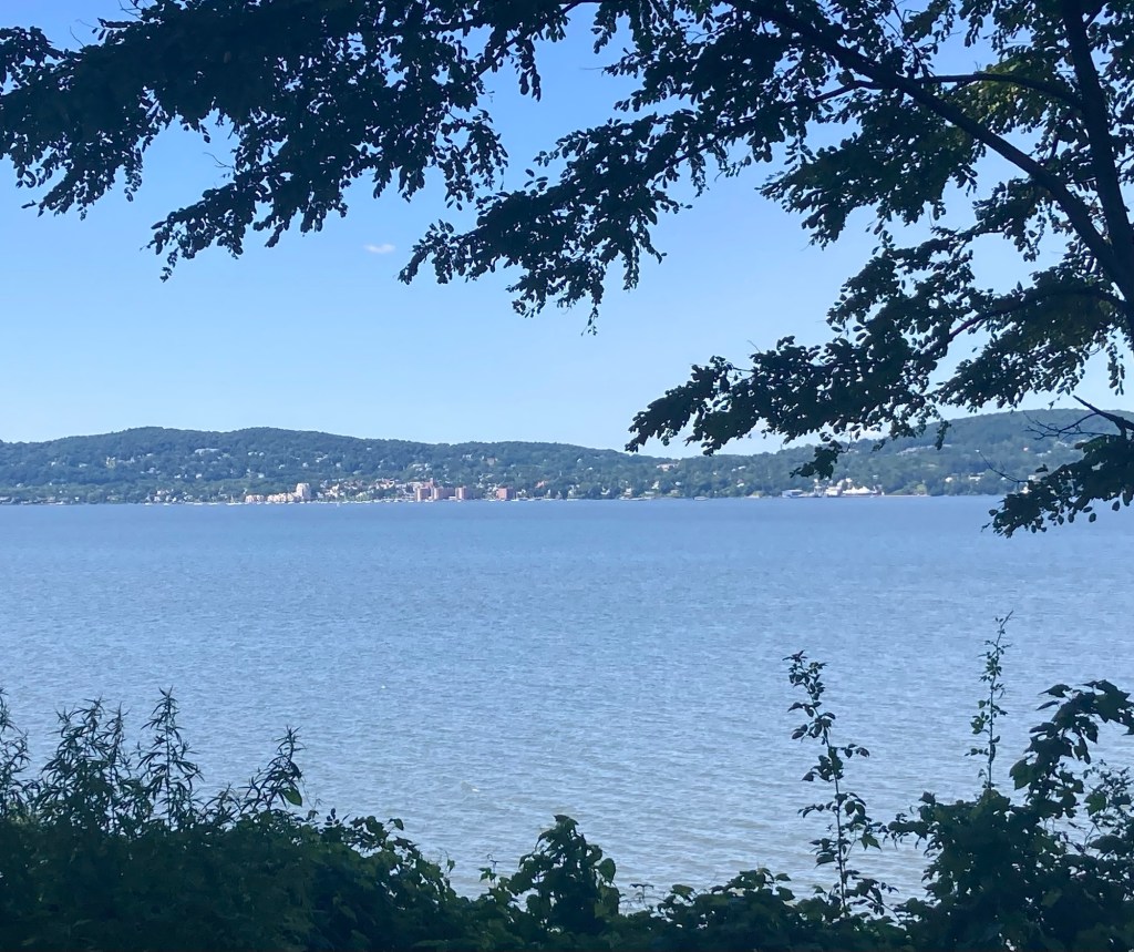
Looking south towards the city
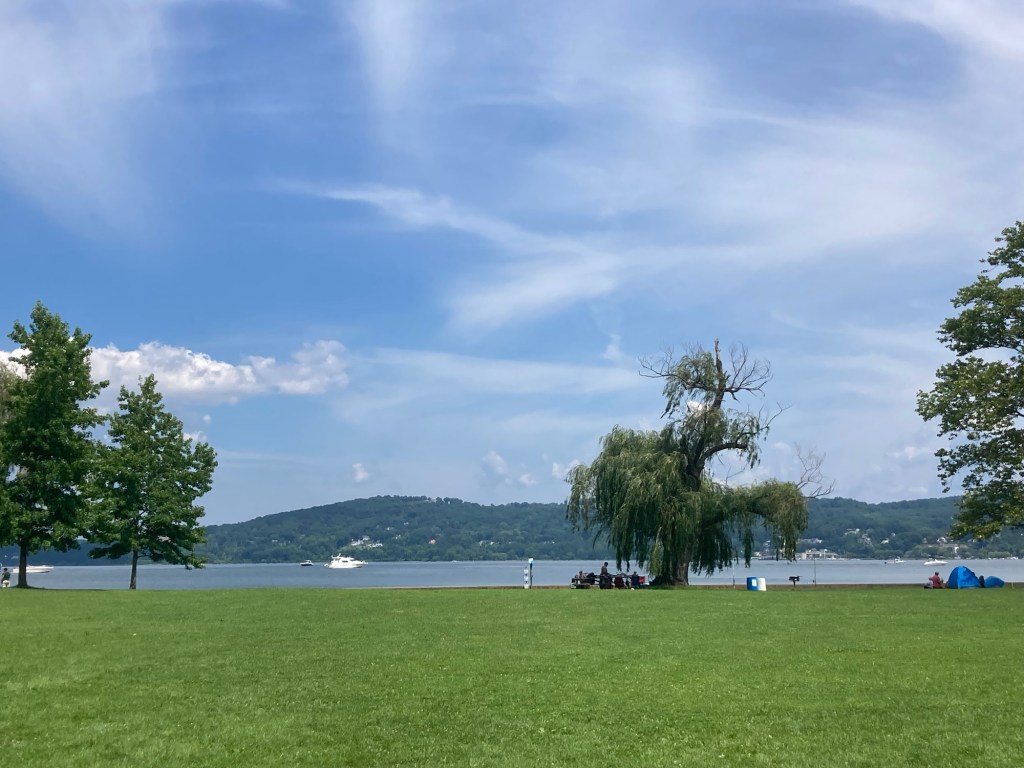
Looking north towards Irvington
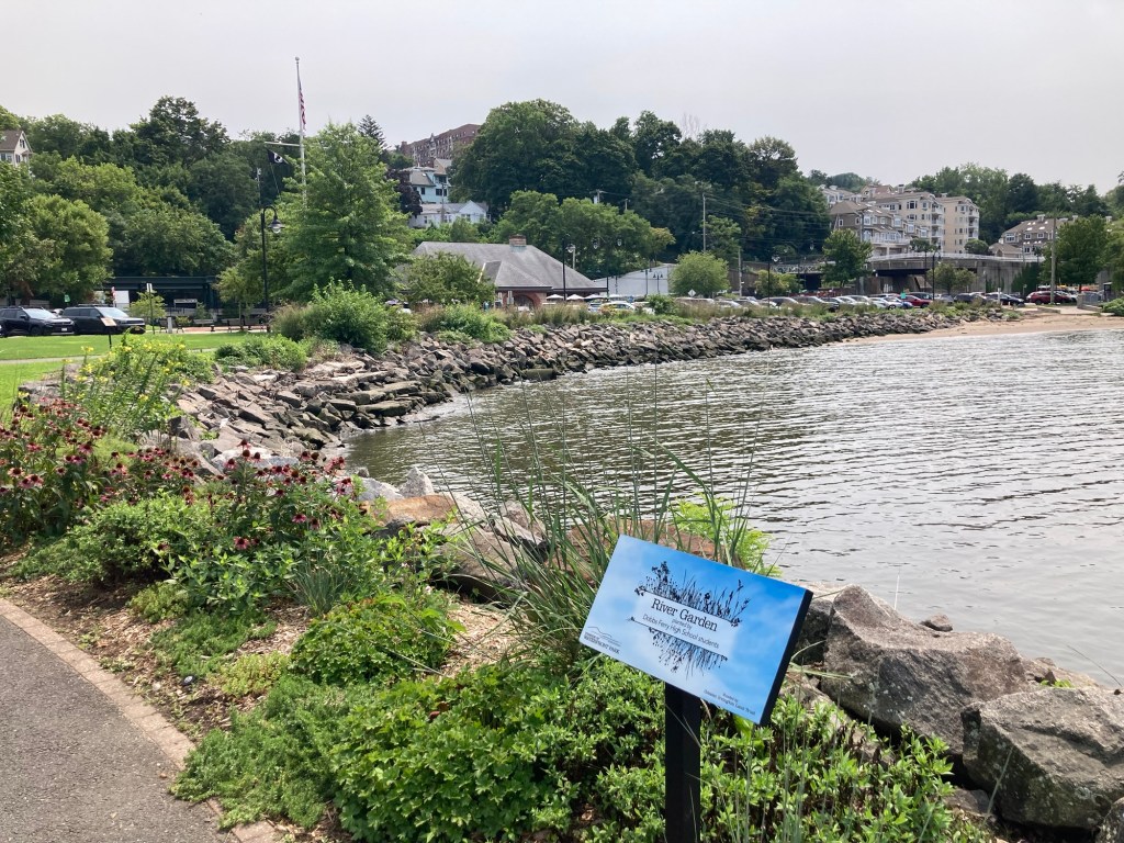
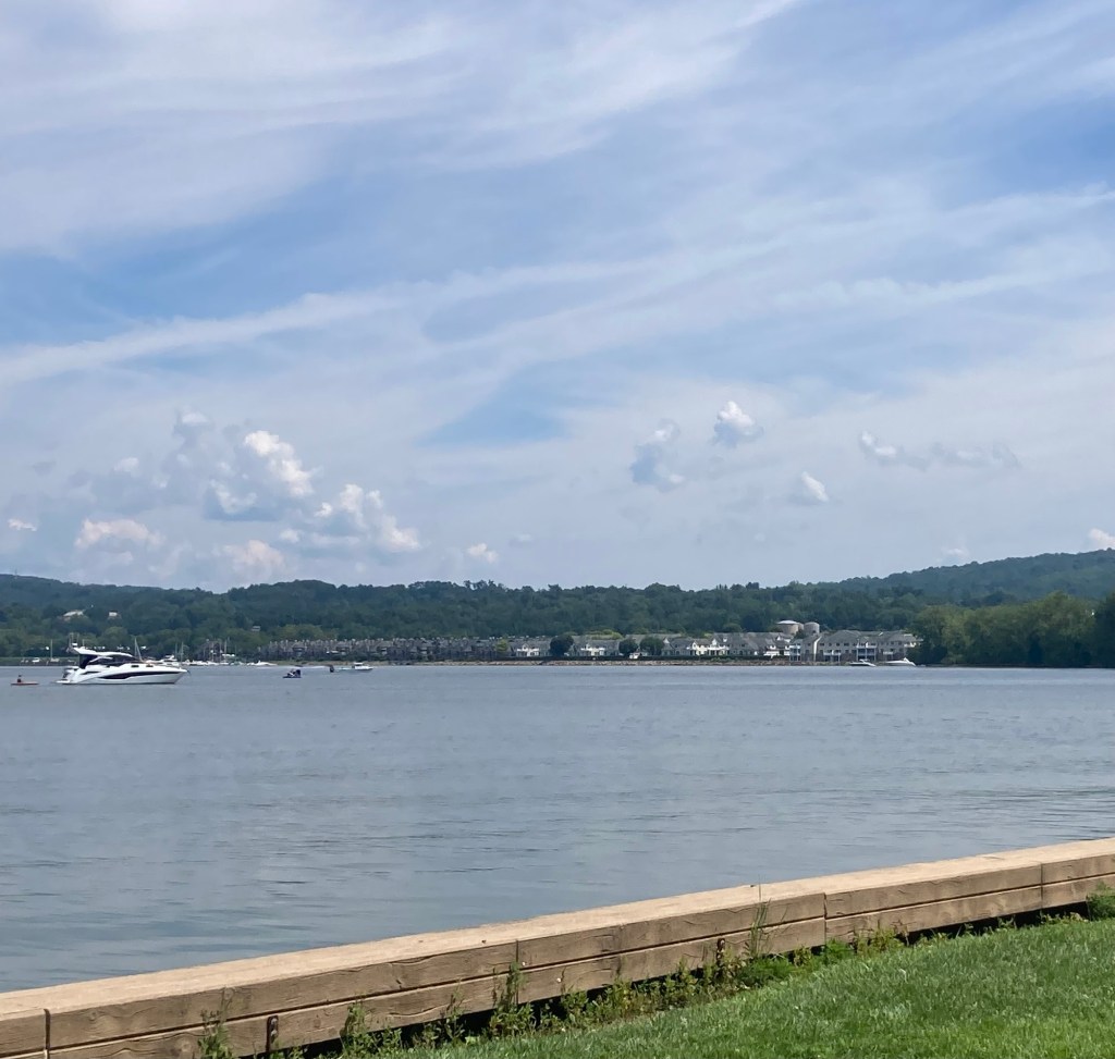
Pretty landscaping along the shoreline
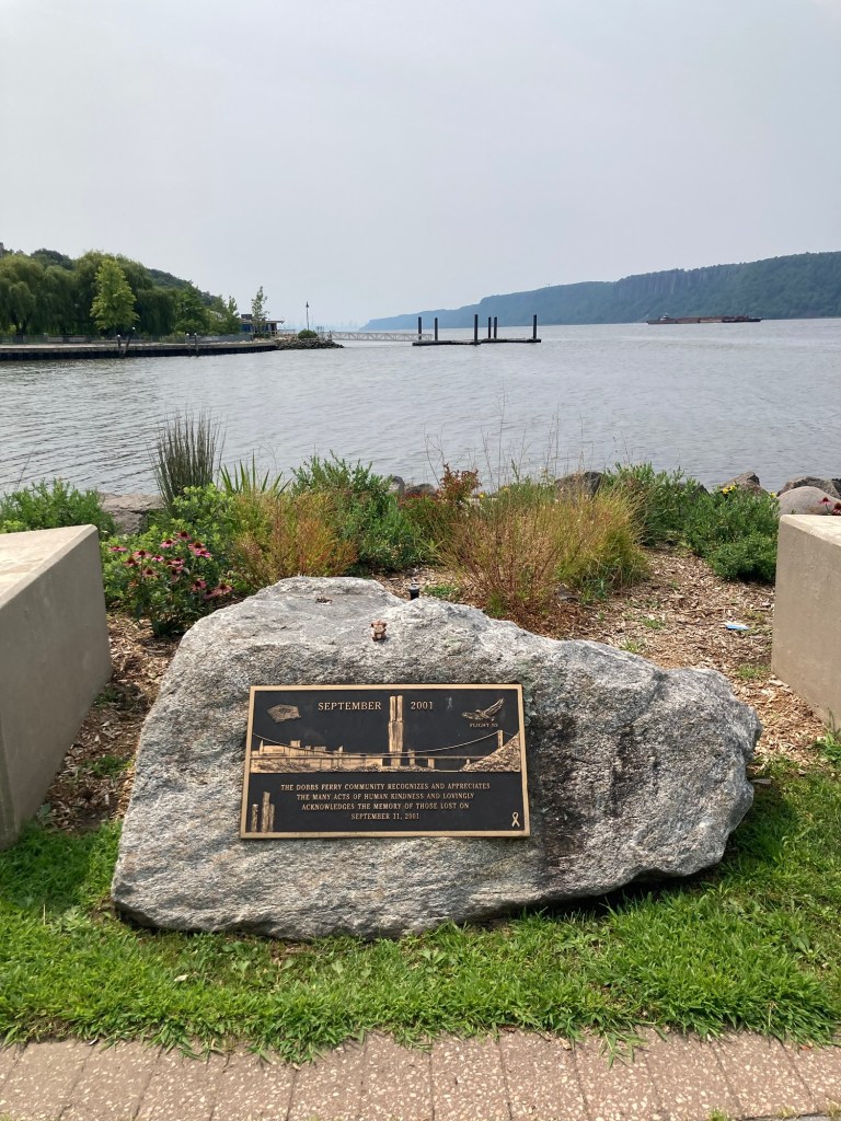
A memorial marker to honor those killed on 9/11.
If you enlarge the photo, you can faintly see the city skyline.
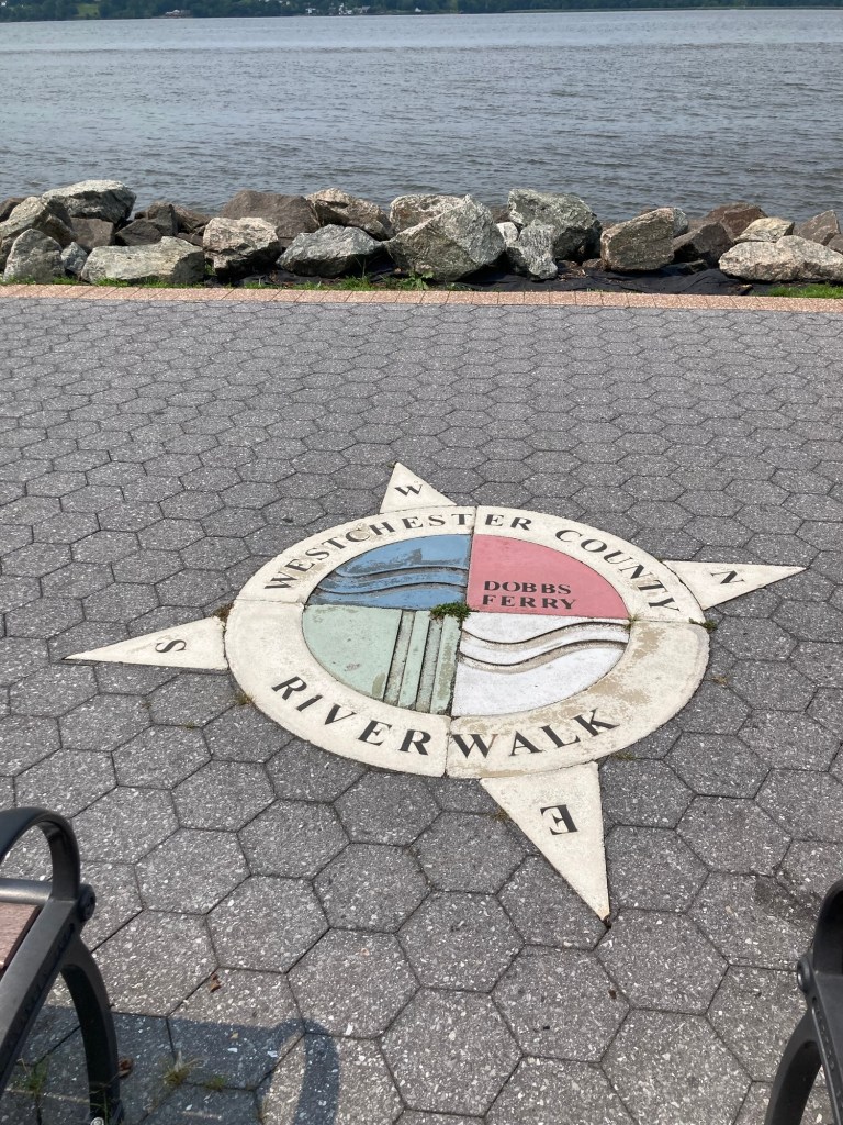
The walk along the river appears to be a continuation
of the Westchester County Riverwalk that we have walked on
in Tarrytown and from Tarrytown towards Irvington.
Categories
Uncategorized

A Walk in Gnature (8/10/26)

Yesterday, Bob and I had a great visit with my cousin Traci and her husband Paul who made the 2 hour drive down from Kinderhook, NY, to Tarrytown. They got here about 12:30. We were able to catch up for about 45 minutes before we walked downtown for our lunch reservations and then we chatted back at the house again afterwards until they headed back about 4:15. It was a lovely and very unusual day for us when we are housesitting, and, of course, we had cleared having them in the house with the homeowners ahead of time.

Since the weekend was mostly filled with us planning and cleaning for their arrival (we may be a bit OCD about this since we don’t entertain very often), we were ready to get out for a walk today.

We drove back to the trailhead near the reservoir to walk on the Empire State Trail again, but this time heading south. It was still a lovely, shaded walks with lots of cyclists, but it took us by an industrial/business area with a couple of street crossings. There is a humane society located along the path as well, so we saw a number of volunteers out walking the shelter dogs. The downside was there were a lot of gnats along the trail, mostly at the end of the walk, otherwise we may not have walked as far.

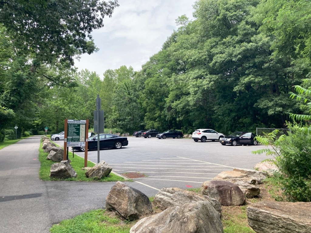
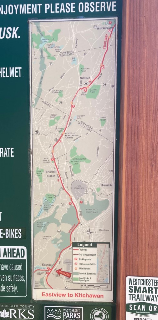
This is the map at the trailhead.
Today, we walked off of the map to the community of Elmsford.
A bridge across a busy road
Walking towards a second bridge/road crossing
Another trailhead along the path
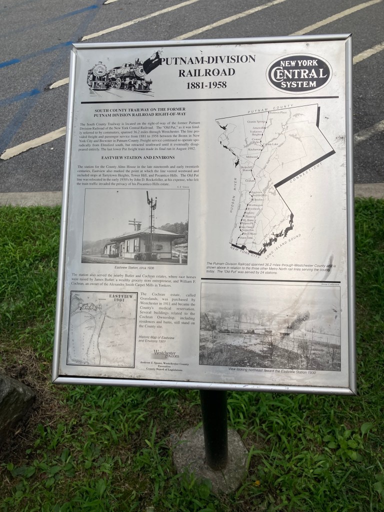
A description at the trailhead about the path’s connection
with a former railroad
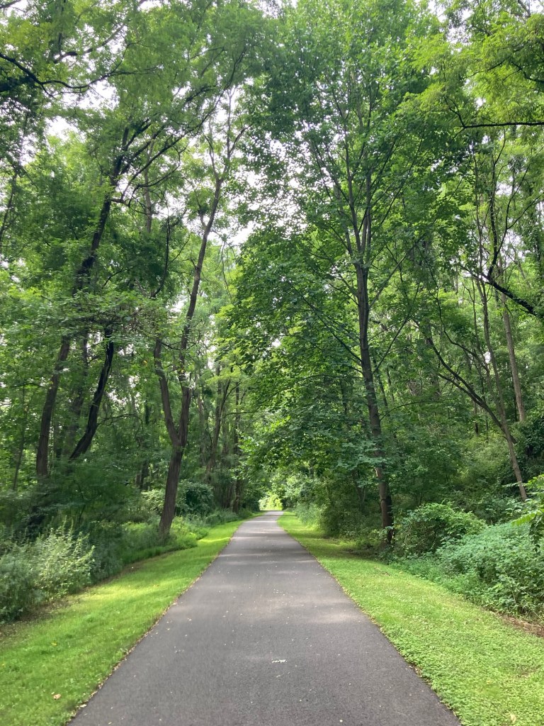
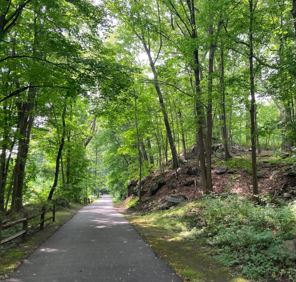
Another view of the shaded path
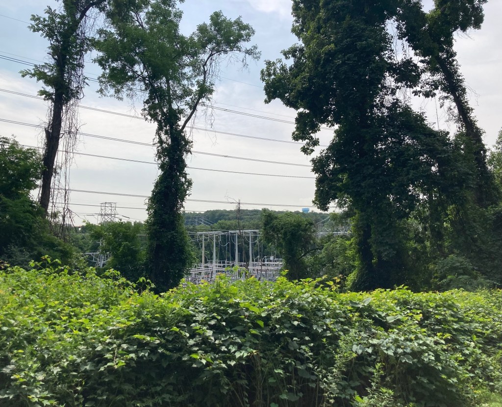
The trees hid a lot of the businesses, etc,
but we did get a view of an electrical substation below the trail
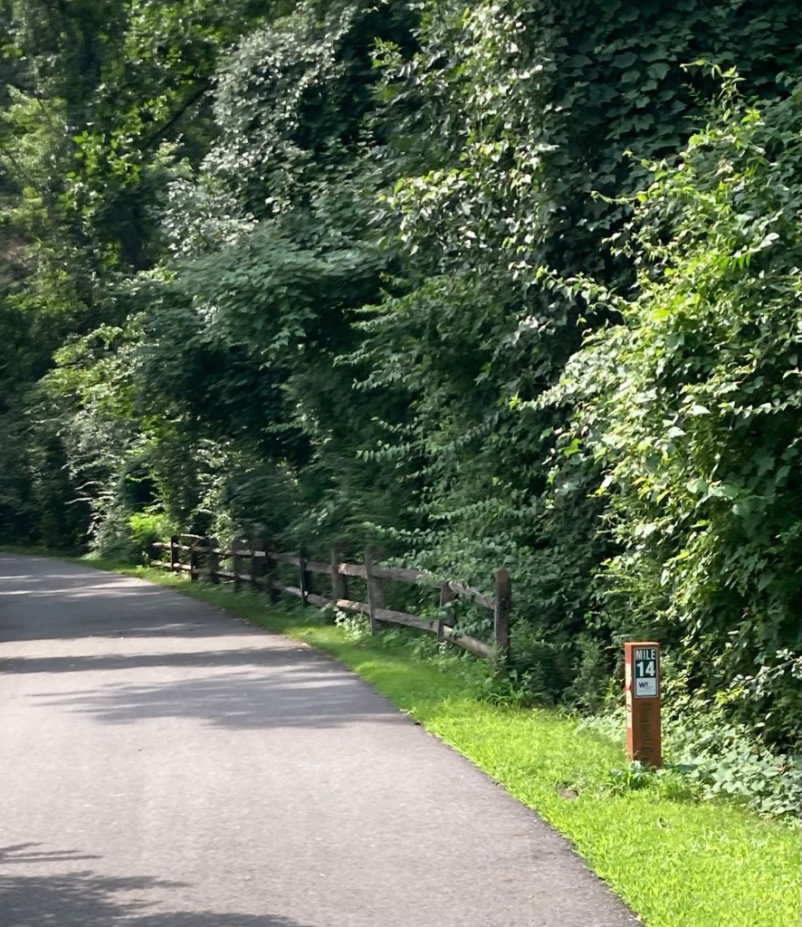
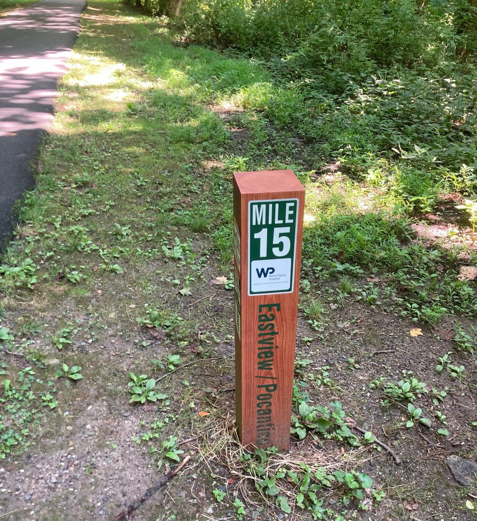
Passing the mile 14 marker.
Going north, we passed markers 15-17.
Some more of the big rock that we see in this area
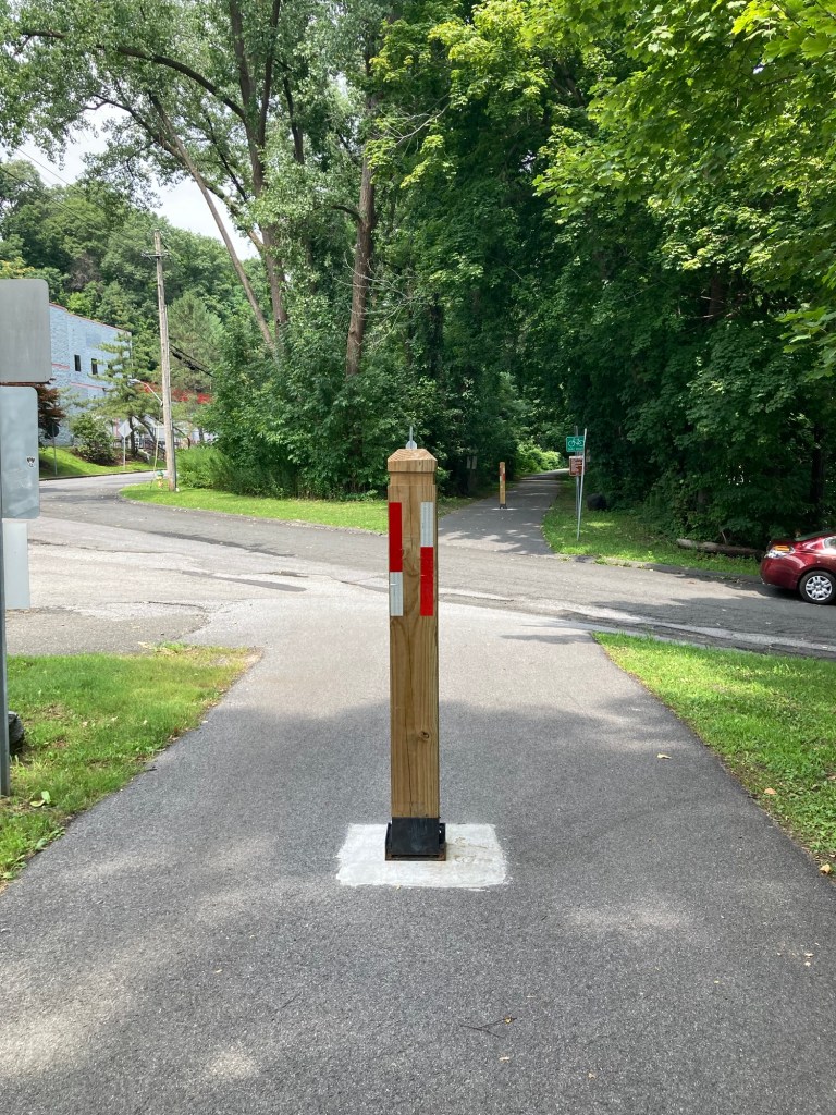
One road crossing
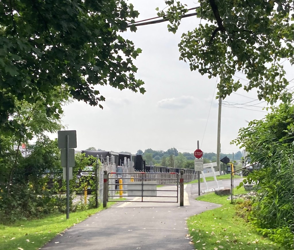
A gate at a second road crossing.
This one was near a scrap metal yard behind the fence on the left.
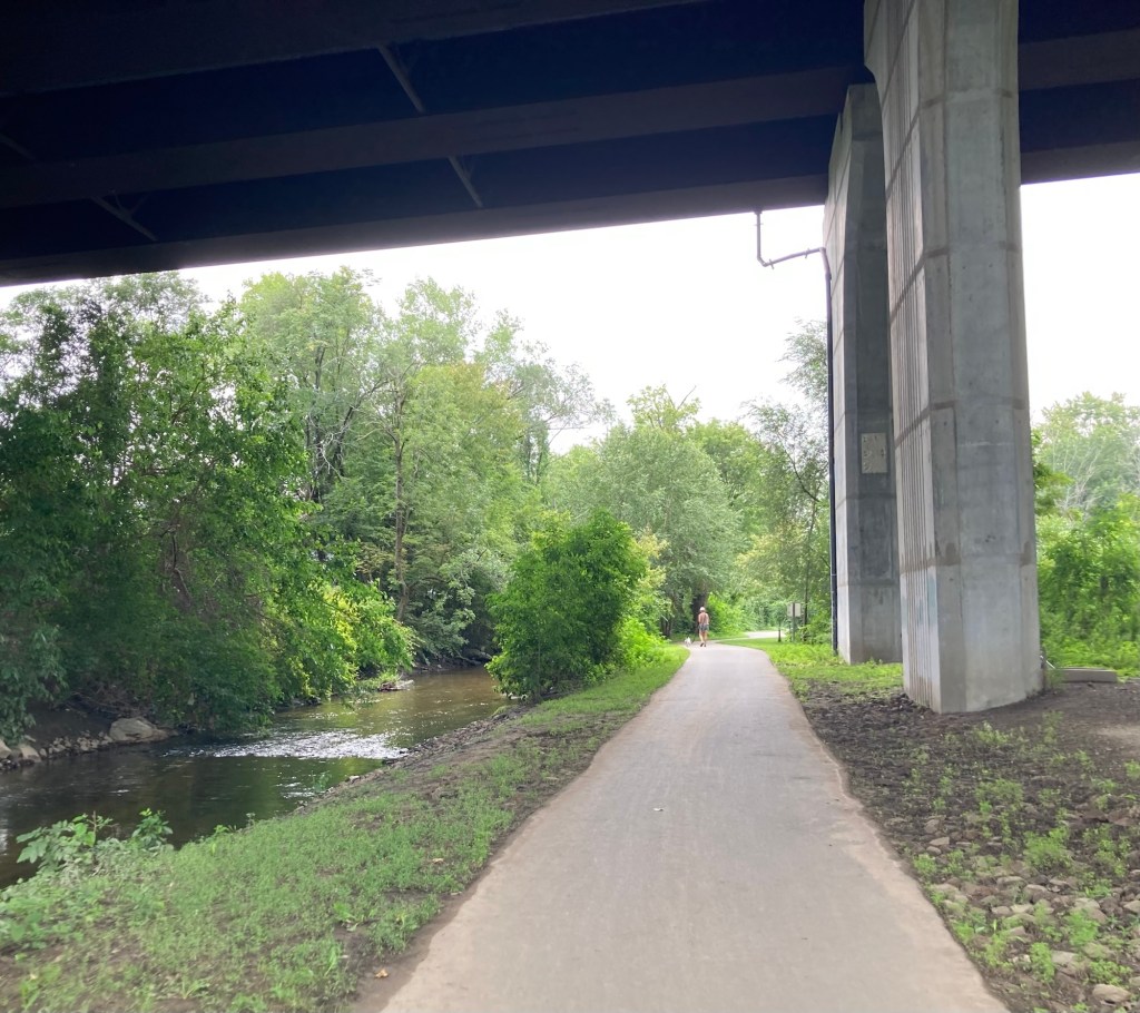
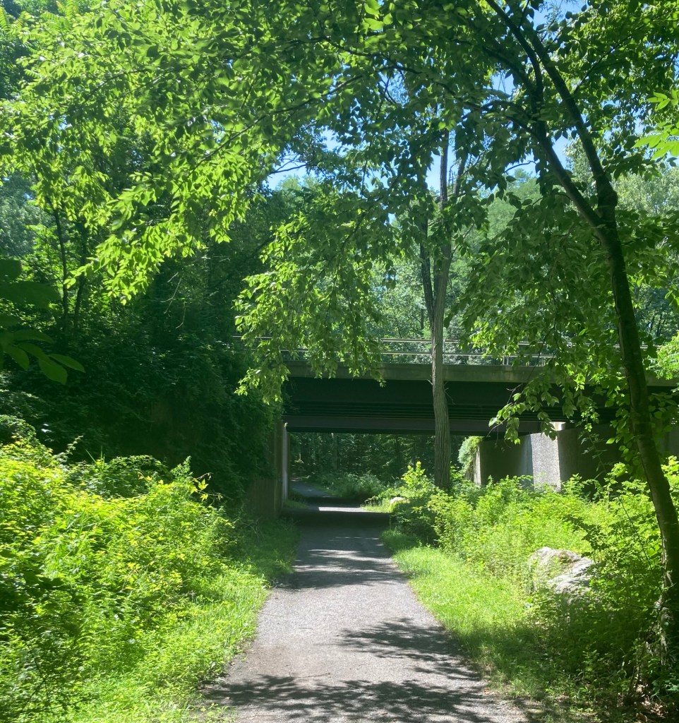
Walking under a highway and beside a fast moving creek
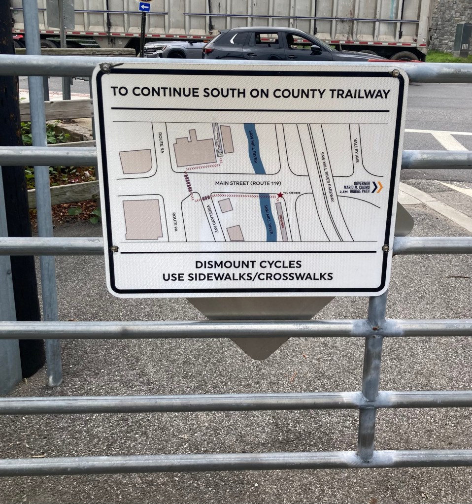
A helpful sign in Elmsford to show you how/where
to reconnect with the trail to continue south
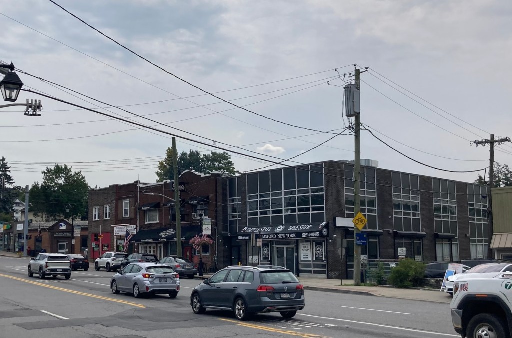
The busy street in Elmsford that you need to cross
to reconnect with the trail
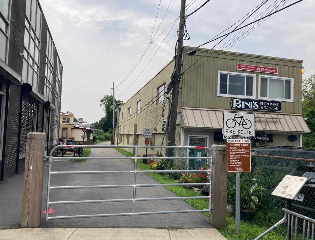
The start of the trail to continue south

We did not continue on the trail at this point. We stopped at a gas station instead to cash in a winning lottery ticket ($4) and to purchase a couple of tickets for tonight’s drawing.

Categories
Uncategorized

Swan Lake Without Tutus (8/4/26)

Before I start on today’s short outing, I wanted to make a quick remark about the weather. While large parts of Europe, Canada, and the American Northwest are or have been dealing with destructive and sometimes deadly wildfires, the weather worry here has been rain. We have had at least one flood watch or warning here every week that we’ve been here and many places in the surrounding states have been flooded.

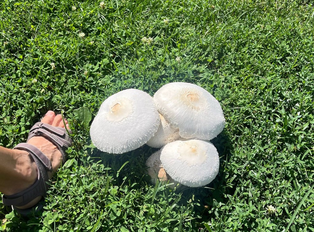
We have been lucky so far in Tarrytown, and perhaps living at least half a mile steeply uphill from the river helps, but there are signs of the wet weather, including the photo below.

These huge mushrooms are growing in the front yard of a home just around the corner from us.

Anyhoo, today was sunny after another rainy day yesterday, so we got out to do a bit of hiking. We headed back to the Rockefeller State Park Preserve for our 3rd hike. This time, we were headed for the trail that goes around Swan Lake within the park. This was the most populated trail that we’ve hiked in the preserve, with lots of dog walkers, a couple of photographers (with actual cameras), and a bird watcher, in addition to others of us just out for a walk. As with the duckless Duck Pond in Croton-on-Hudson the other day, Swan Lake was swanless but pretty all the same.

Heading out on the trail
A gurgling creek
A meadow
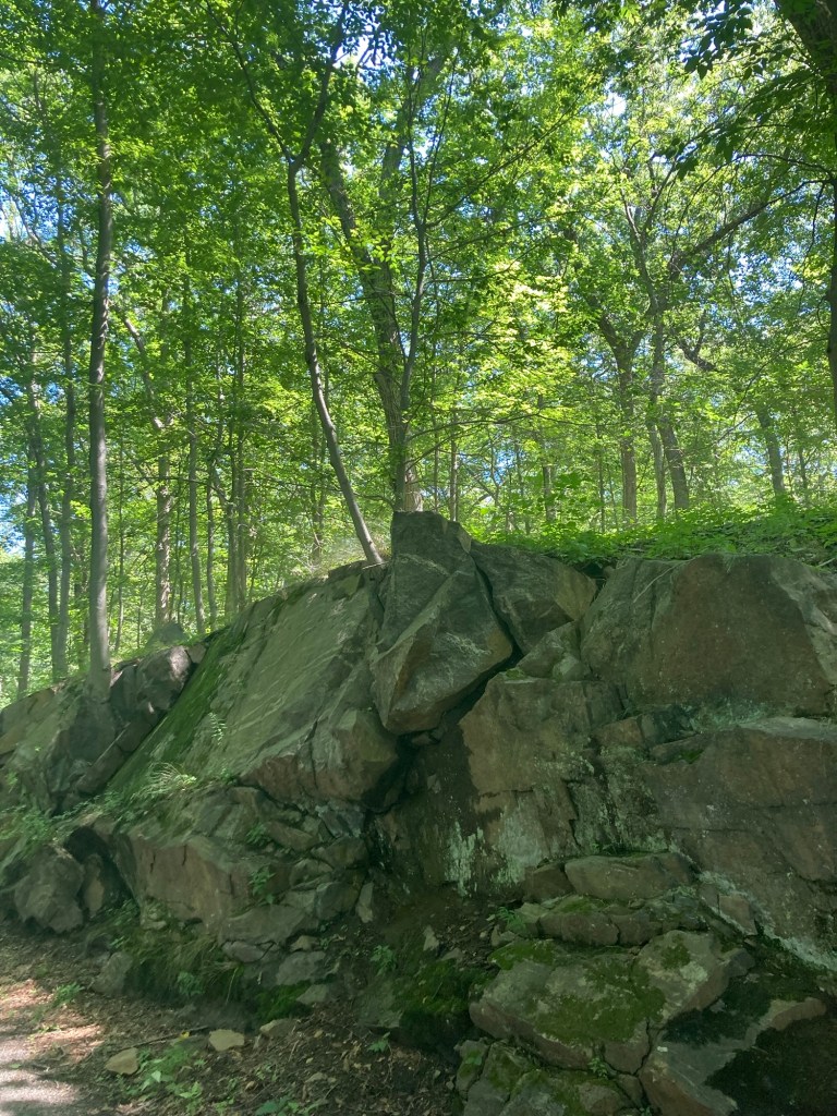
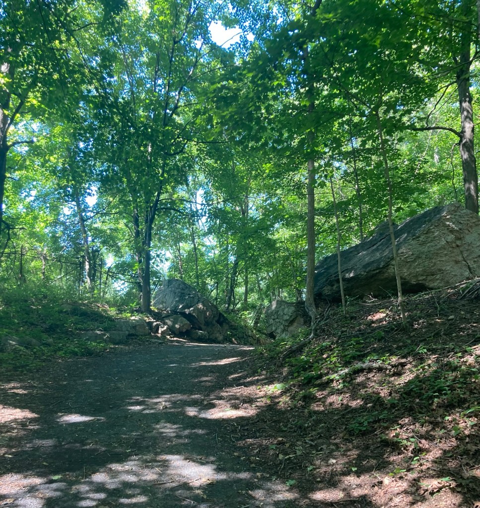
My kind of big rocks
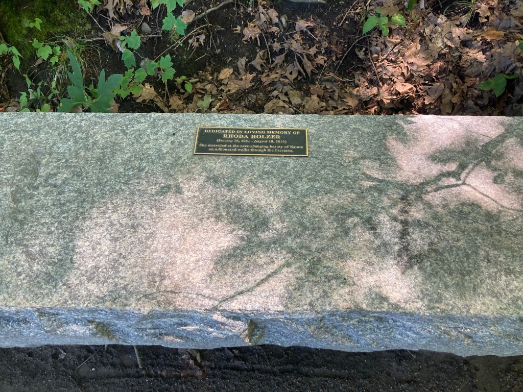
A bench beside the lake dedicated to someone
who apparently spent a lot of time in the preserve
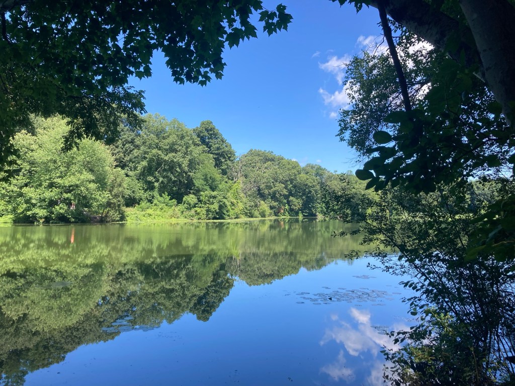
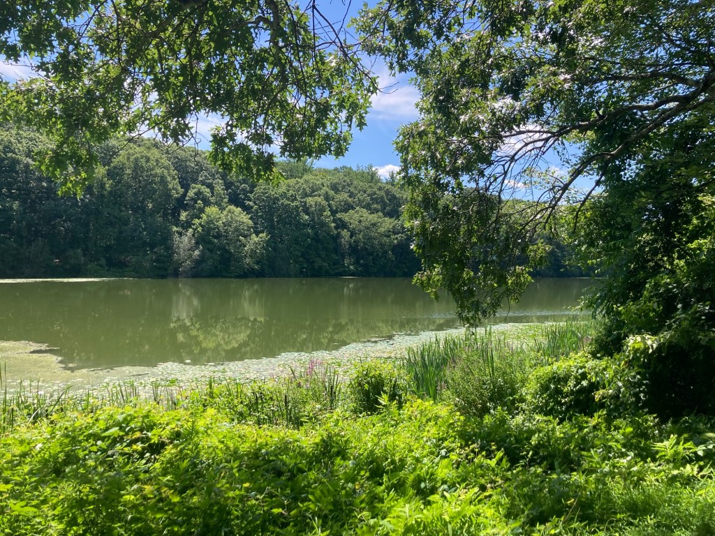
Swan Lake
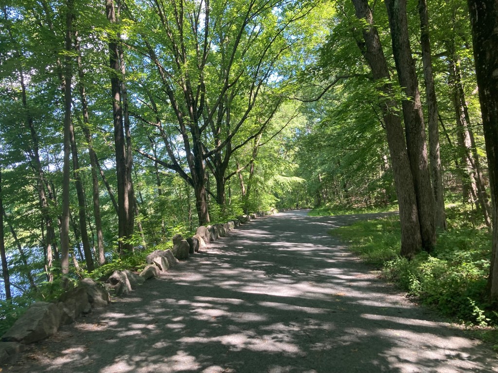
The wide stone lined path along the lake
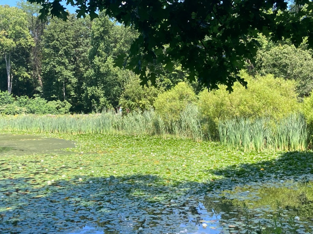
Lilypads!
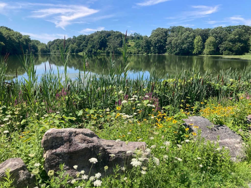
Loved the flora at one end of the lake
Shades of green
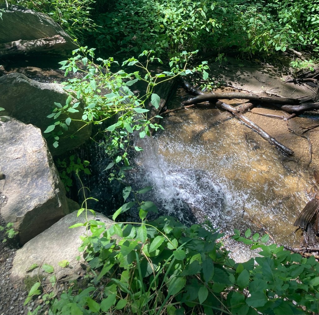
A small waterfall from a stream
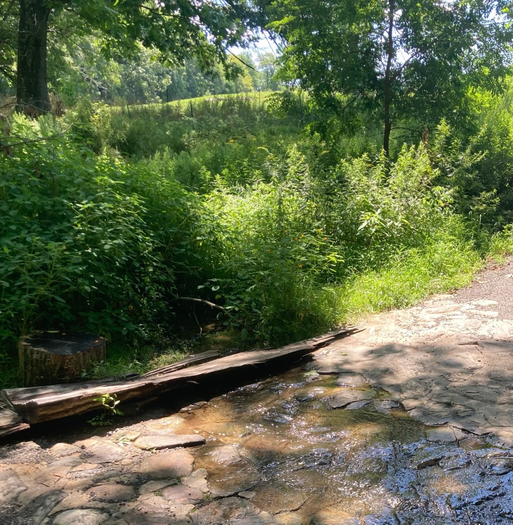
A shallow creek over the path
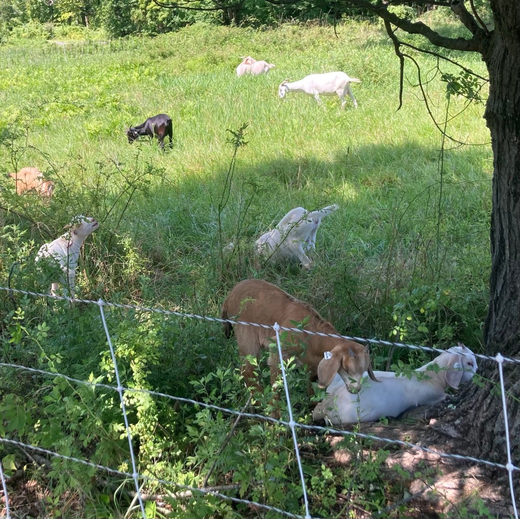
There appears to be a working farm on part of the preserve. In addition to these goats, we also saw chickens and plowed fields.
Categories
Uncategorized

More New York Rambles (7/31-8/1/26)

Some days on our outings we walk to walk, and sometimes we walk to explore. Yesterday, we headed out to walk part of yet another trail in the area. We drove about 10 minutes to a trailhead for the 750-mile Empire State Trail. We walked an hour out and an hour back — somewhere between 2 and 3 miles each way, so we barely scratched the surface of this trail. And we were not alone, we saw a couple of runners and two or three other walkers, but we were passed by quite a few bikers on the paved trail.

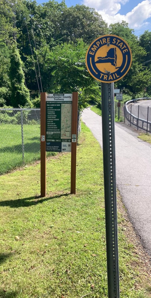
Signage at the trailhead we started at
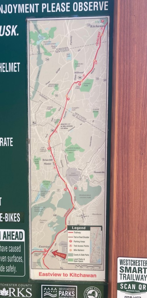
A posted map of a portion of the trail
Heading out — it was pretty shaded
throughout the section that we walked.
We passed the markers for miles 15, 16, and 17.
The portion of the trail that we were on
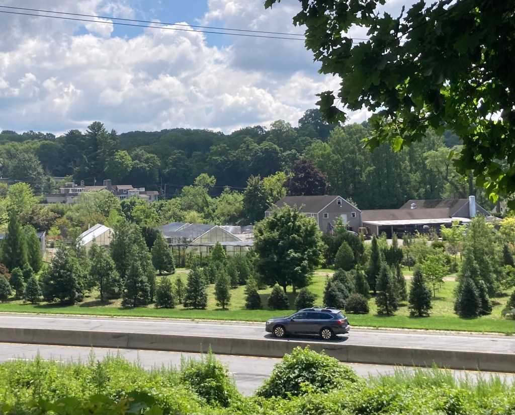
runs alongside (but higher up) a busy highway.
Usually the trees kept us from seeing too much of it.
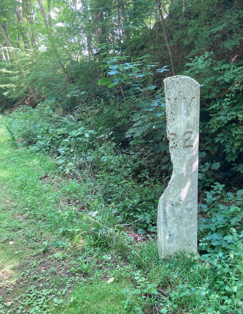
A much older mile marker — maybe for an old rail line,
as much of the trail route repurposes historic railroad beds,
canal towpaths, and off-road bike paths.

Today we took the Metro North Railroad train that runs south to Grand Central Station in New York City and north along the Hudson River to Poughkeepsie for the first time. We went north for the 20 minute trip to the Croton-Harmon station, the second stop from Tarrytown. We first explored Croton Point Park, which lies west of the train station, and then walked back past the train station to explore a bit of the town.

Croton Point Park is a 508 acre park situated on a peninsula in the town of Croton-on-Hudson, New York. It has a small beach, Nature Center, and lots of picnic areas along the Hudson River which were being used on this sunny Saturday.

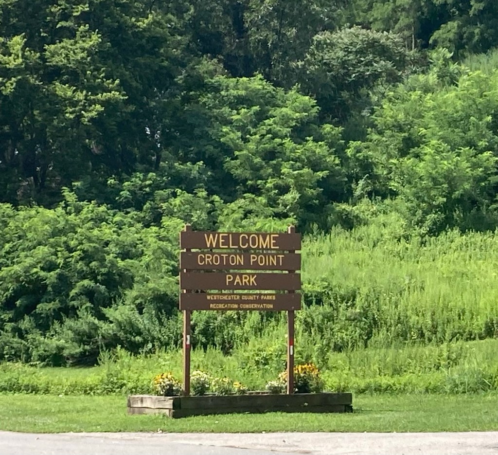
The sign at the park entrance
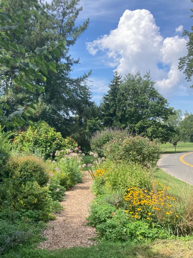
A path through a pollinator garden
The path we walked up and over a grassland reclamation area
The view from the top of the small hill
The lovely parkland
Benches along the Hudson
A small cove/inlet
Looking across the inlet towards Croton-on- Hudson
The small beach and bathhouse
Some people and lots of geese
were enjoying the pay-to-enter beach ($10/adult).
It was also $10/car to drive into the park.

Croton-on-Hudson, still in Westchester County, is a village of about 8,300 about 21 miles north of Tarrytown. Bob found us a couple of different retail areas to explore.

Baked by Susan, a cute, local bakery
A pretty Italian restaurant close to the bakery
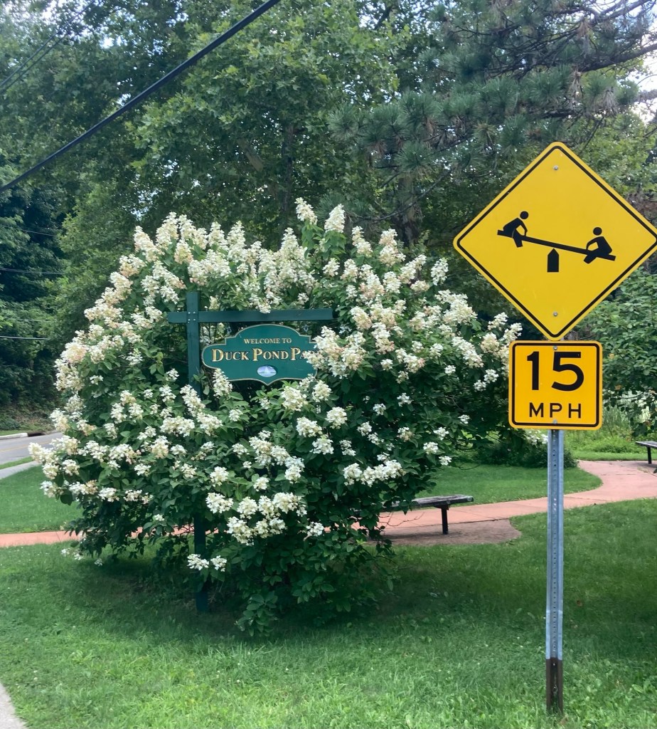
A sign for the small Duck Pond Park
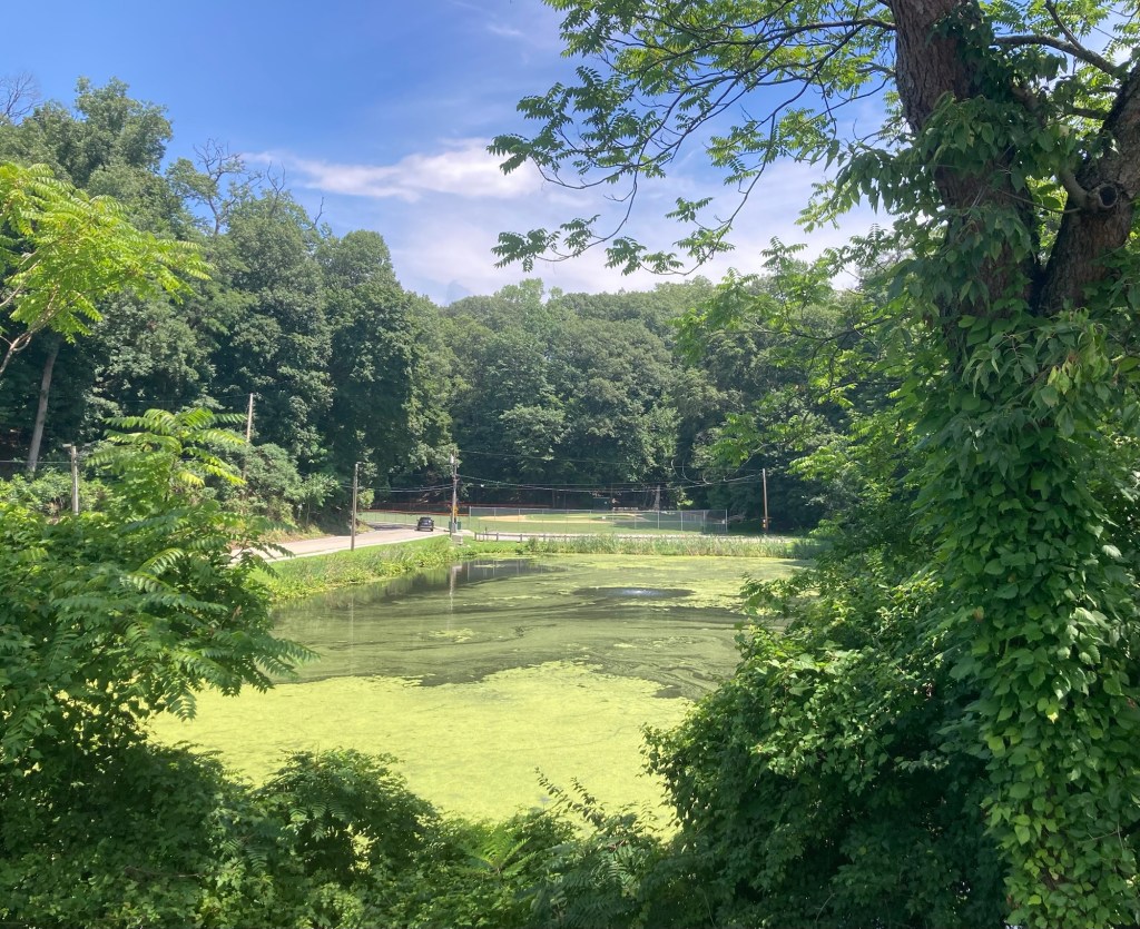
The duckless Duck Pind
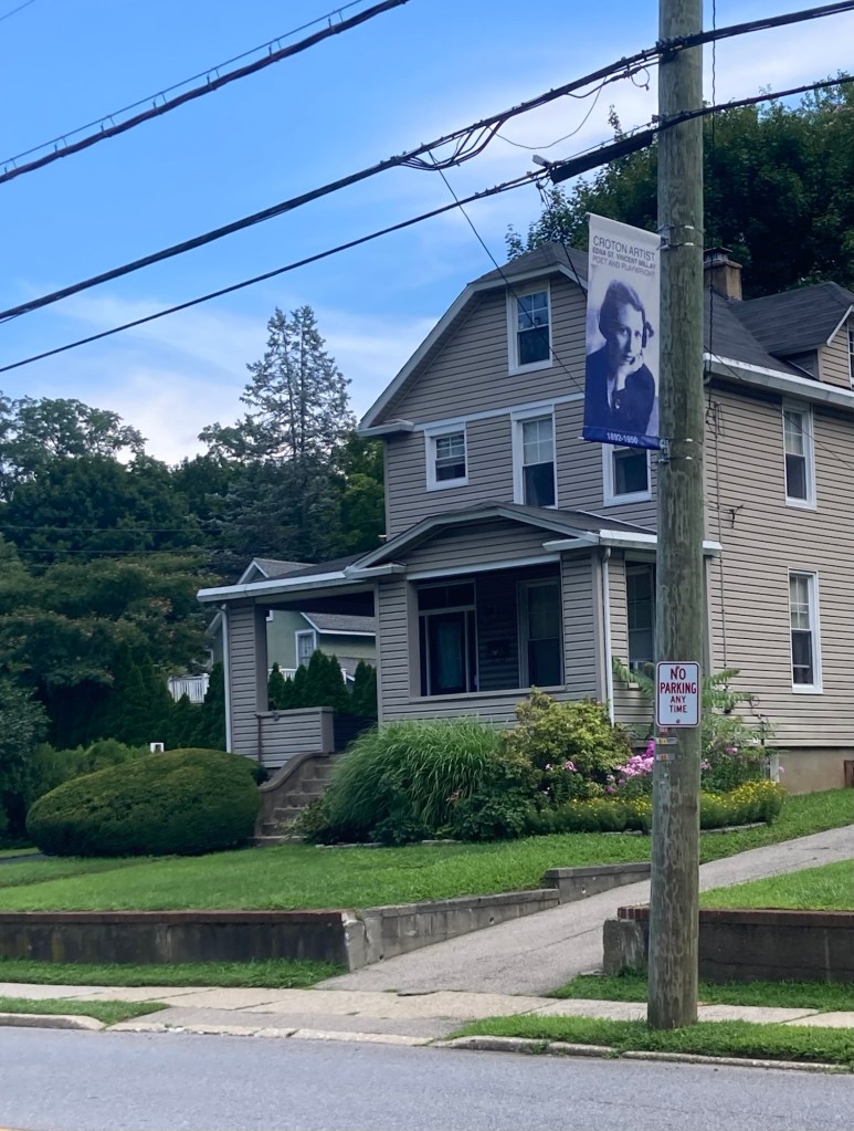
Edna St. Vincent Millay, one of many Croton artists
celebrated by these banners
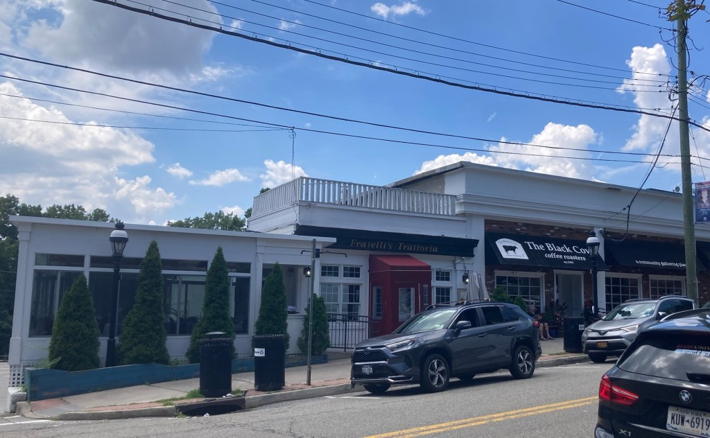
More local businesses
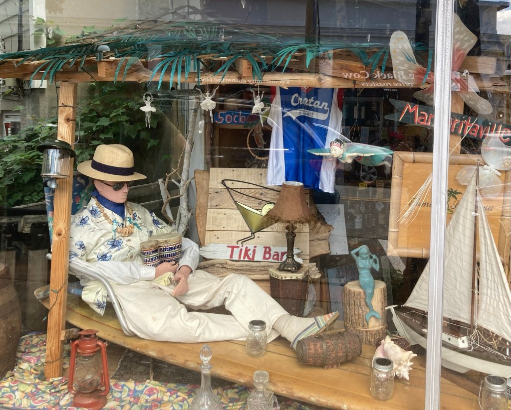
A unique window display in a liquor store
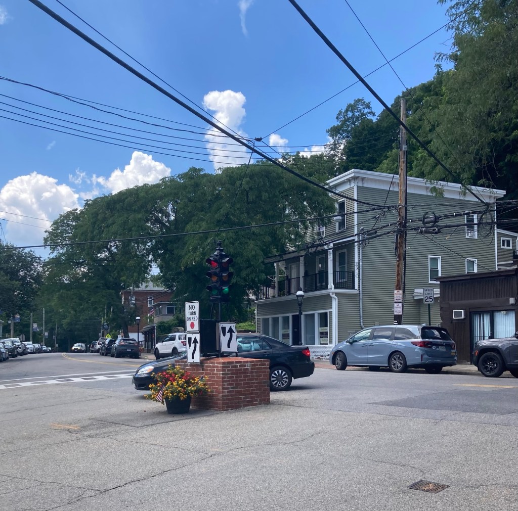
A very short streetlight in the center of an intersection
in the small downtown
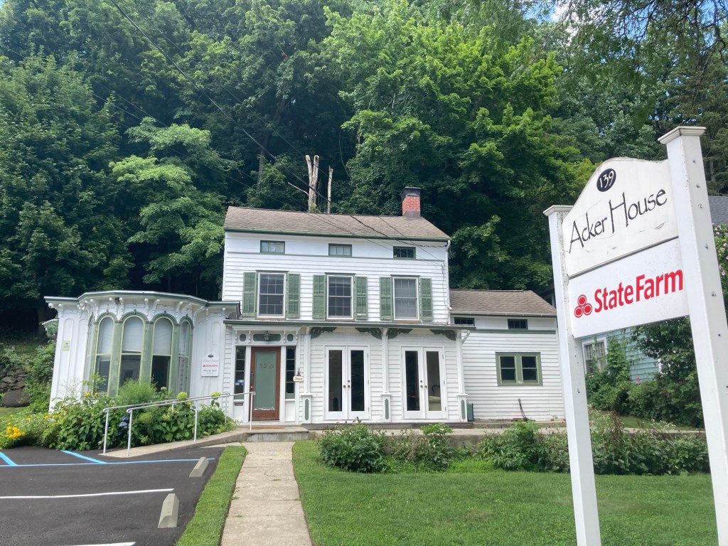
A business in a historical house
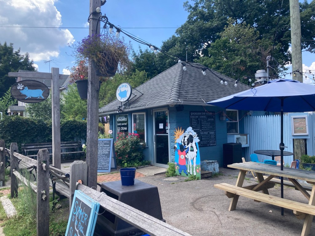
The Blue Pig local ice cream store
Categories
Uncategorized

Return to Lyndhurst Mansion (7/27/26)

A week or so ago, Bob and I walked south to the village of Irvington along the Old Croton Aqueduct Trail. This route took us onto the lovely grounds of Lyndhurst Mansion. Yesterday we went back to the estate grounds to tour the home. It was $26 apiece for the one hour tour, which we really enjoyed. We also viewed the 20 minute video of the estate at the Welcome Center and perused the cute gift shop.

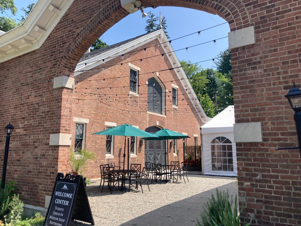
Walking into the courtyard which separates the Welcome Center from a building currently holding an art exhibit.

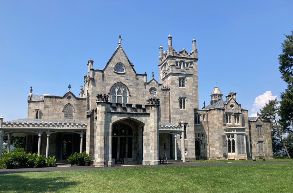
Our tour guide was very good, and there were a total of 14 of us on the tour. The Gothic Revival mansion was designed in 1838 by the architect Alexander Jackson Davis as a summer home for William Paulding, a former NYC Mayor and his family. It was only owned by three families — the Pauldings, the Merritts, and the Goulds— before it was donated to the state in 1961.

Each time it was sold, the home was sold furnished (minus art and books), so much of the furnishings are from one of the three families.

Lyndhurst Mansion as it looks today

When the house was originally built for the Pauldings, it ended before the highest tower. George Merritt bought the house for his family in 1864 and had the building expanded to accommodate his larger family. He was able to hire the original architect who designed the expansion of the house, which included a large dining room, additional bedrooms, and the large tower with the initials of Merritt’s children. The expansion nearly doubled the size of the house from its original 7,000 square feet.

Mr. Merritt was the first to refer to the house as Lyndhurst due to the many linden trees on the property. He also converted the landscape from open farmland to a country estate with additional trees, walkways to view the Hudson River, and a grand wood-framed greenhouse.

Mr. Merritt’s widow Julia decided to sell the estate, and it was purchased by the railroad tycoon Jay Gould in 1880. The biggest change Jay Gould made to the estate was to replace the greenhouse, which burned to the ground, with an 18,000 square foot metal-framed one that allowed for 14 different temperature zones for his plants. After Jay Gould’s death, the house was lived in by his oldest daughter Helen and her family and then by the youngest daughter Anna after Helen passed. Anna then donated the estate to New York upon her death in 1961.

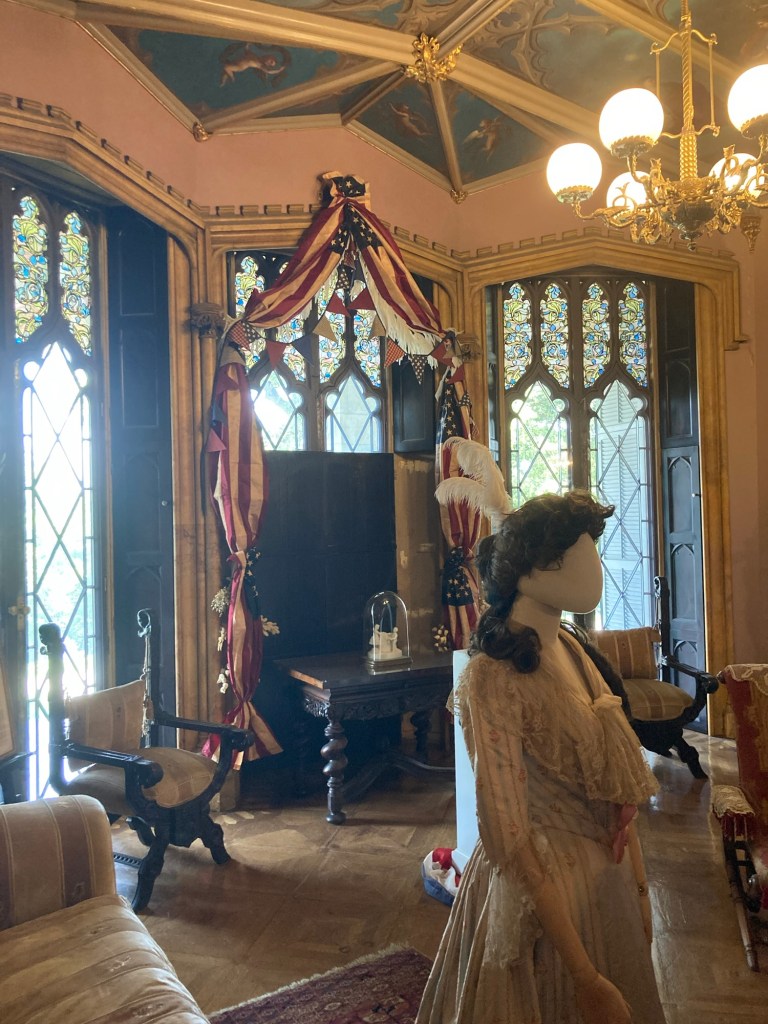
The reception room at the front of the house.
The bunting is for the 250th anniversary of the US.

Note: The dress on the mannequin is one worn by Helen Gould to a costume party where she dressed as Martha Washington.
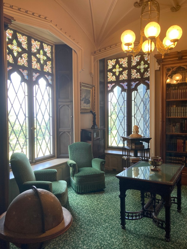
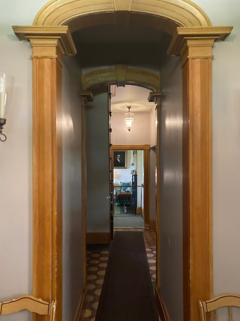
The study
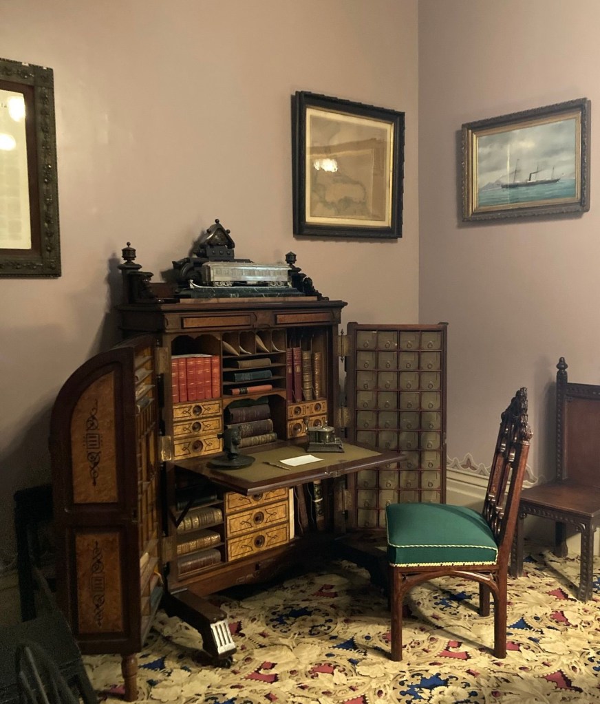
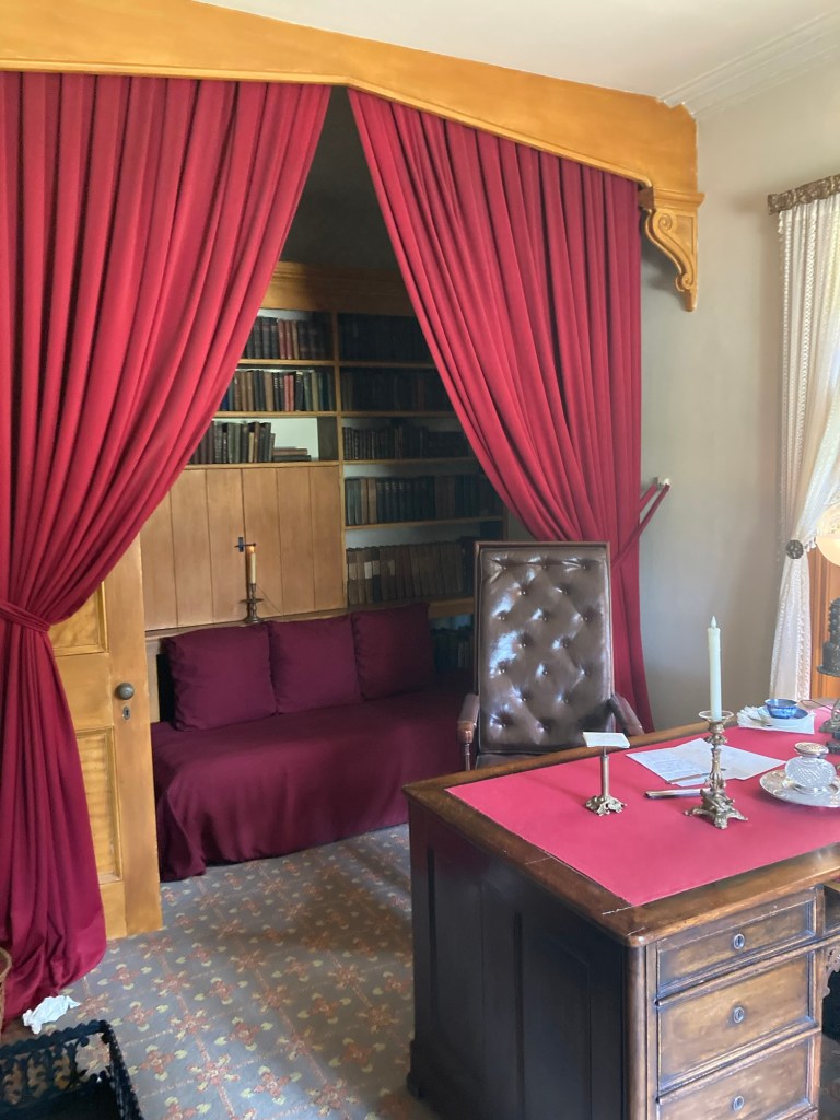
The office with Jay Gould’s Wooton desk
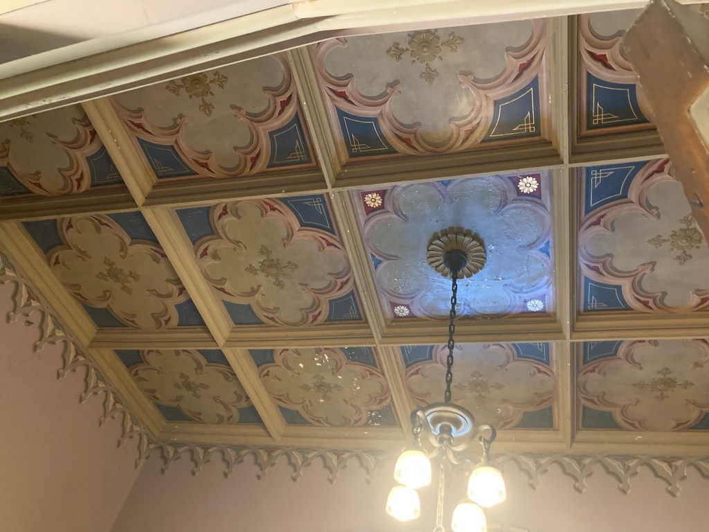
The ceiling of the office
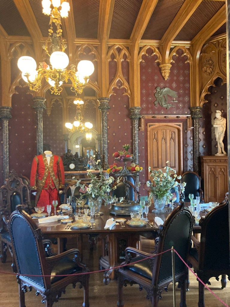
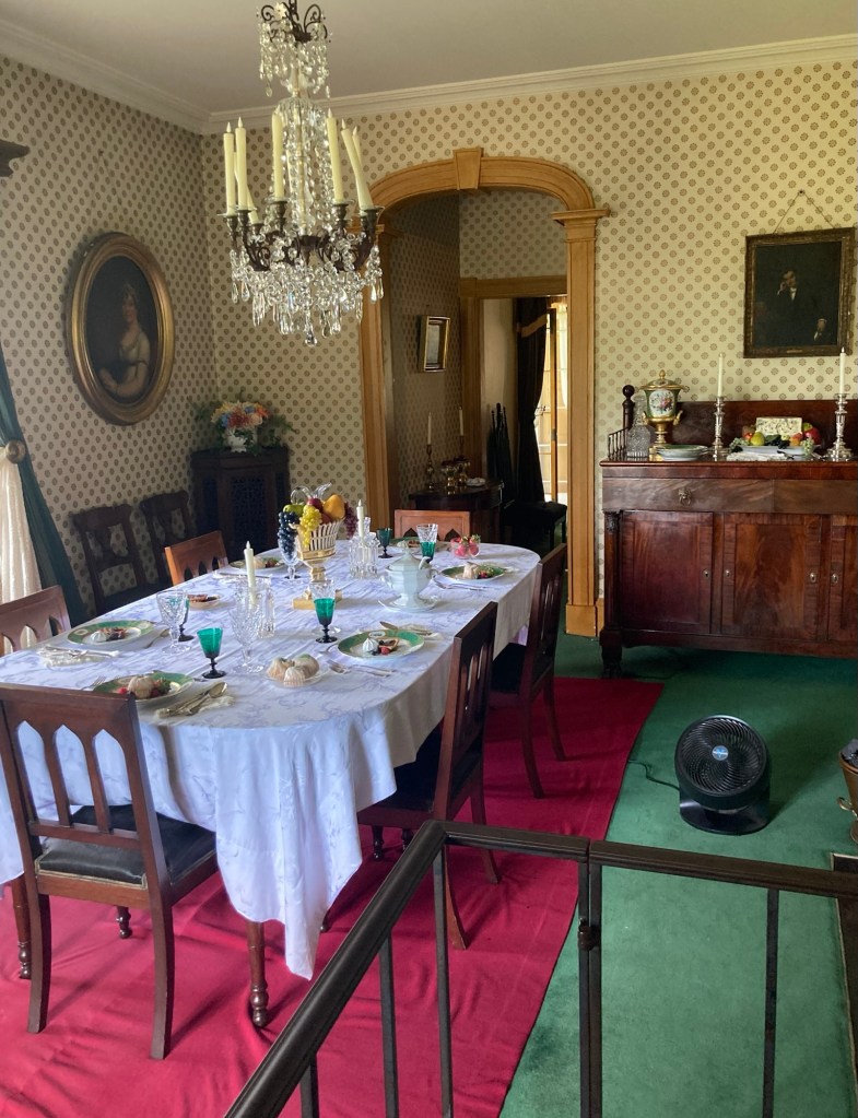
The dining room added by the Merritts
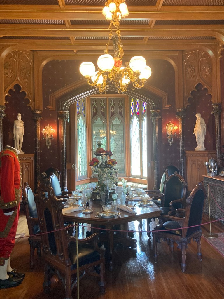
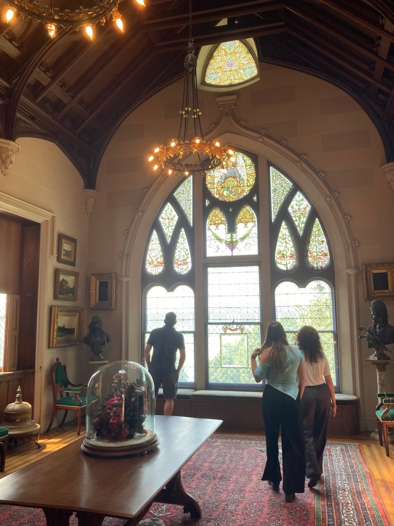
Another view looking towards the stained glass windows
at the front of the house
This room on the upper level was used as the study/library
by the Pauldings but was converted
to an art gallery by the Merritts.
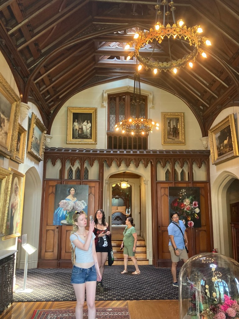
Looking across the art gallery in the other direction,
with a bedroom up the stairs behind the woman in green
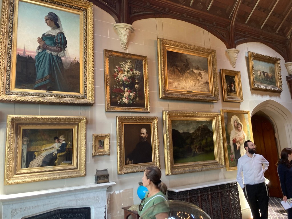
Some of the art work from the Gould’s collection
as the Merritts took theirs when they sold the property
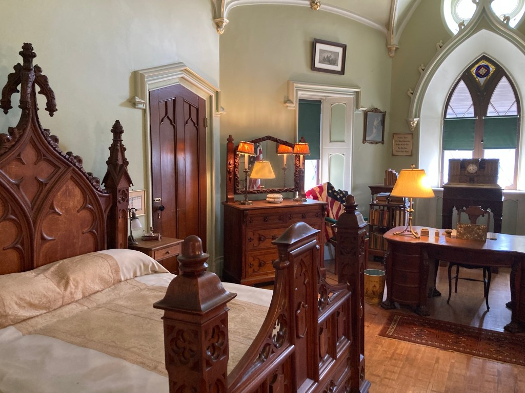
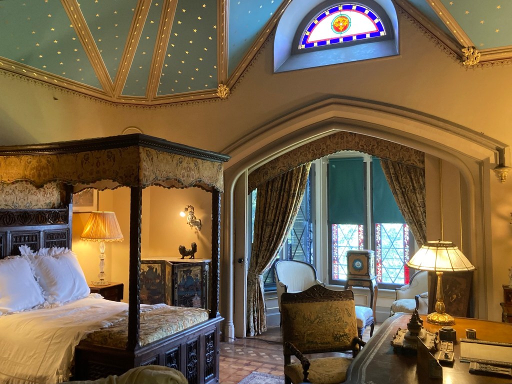
The master bedroom off the art gallery
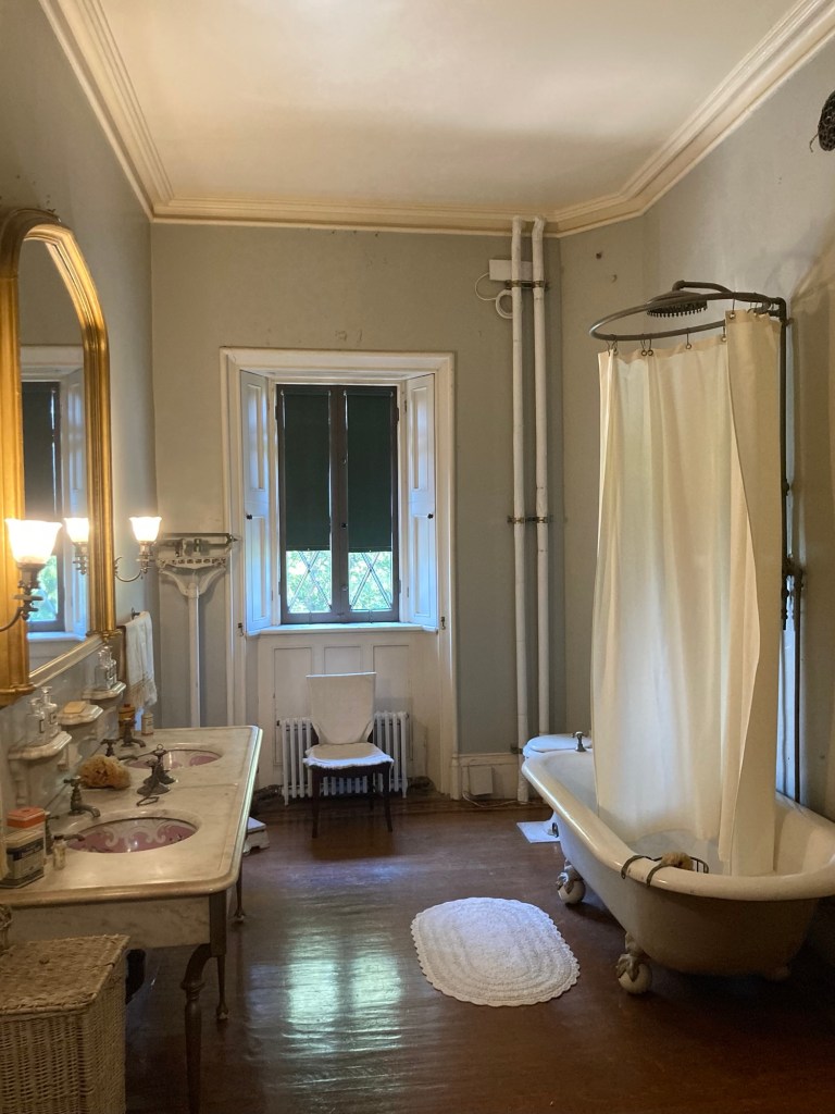
The bathing room. Servants brought up water for the Pauldings but plumbing was added by the Merritts.
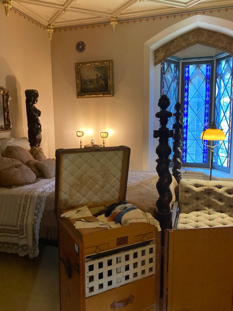
The bedroom used by Helen Gould as a child.
She and her husband used the master bedroom
when they lived in the house with their children.

Note: Helen Gould married at the age of 44. She and her husband then adopted 4 children that they raised on the property. She added a bowling alley and enclosed swimming pool on the property.

The bedroom Anna Gould used as a child
and that she would use again when she returned from France
to manage the property after her sister’s death.
She chose to live in the city and just spend summers here.
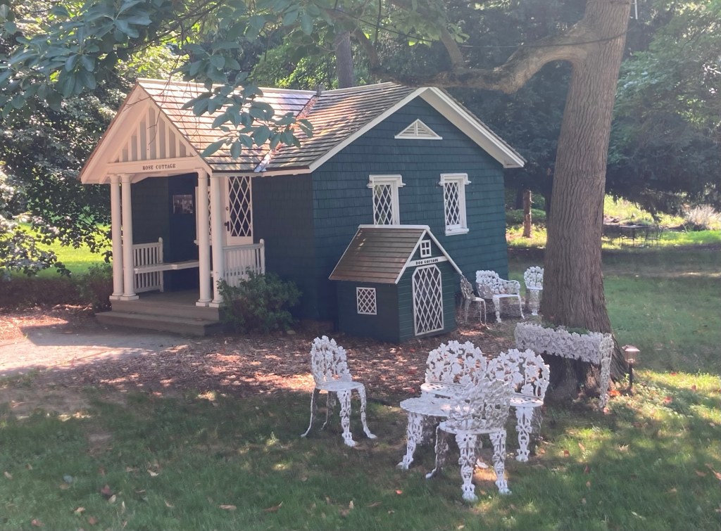
A playhouse and dog house
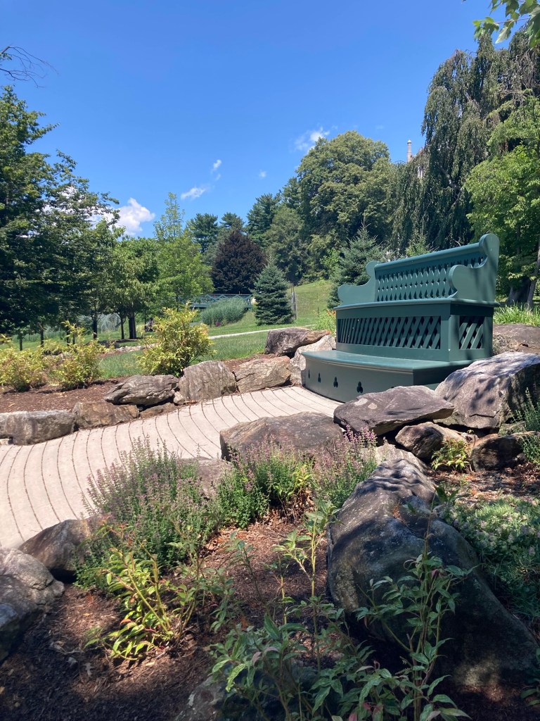
A pretty viewing area that we saw on our first walk through the property but now know was added by Anna Gould.
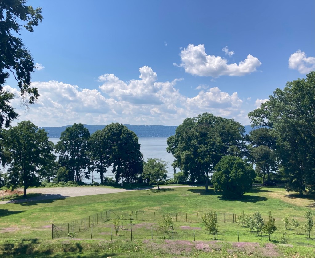
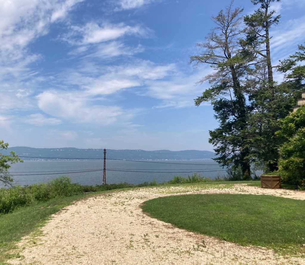
A view of the Hudson from the viewing area behind the mansion
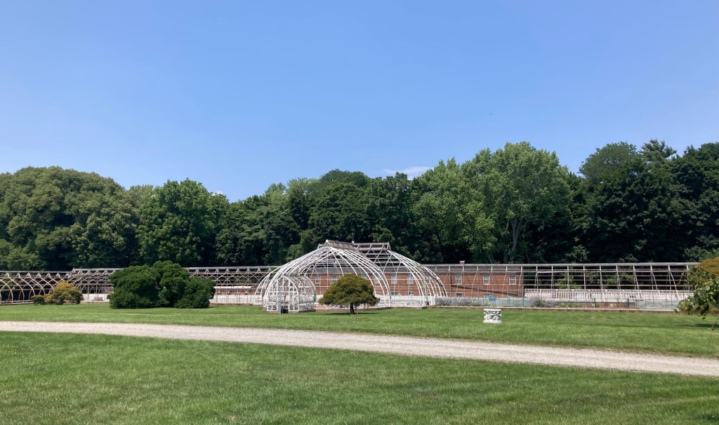
The remains of the grand metal greenhouse
Categories
Uncategorized

A Pleasant Afternoon Outing and a Retro Evening (7/24-7/25/26)

In driving to some of our other destinations, we had seen signs for Pleasantville, and then we saw that it was on a list of New York’s Most Charming Small Towns. So we drove the 10 miles or so there on Friday to check it out.

Pleasantville is also in Westchester County but is not situated along the Hudson River. Wikipedia says that Pleasantville is a village in the town of Mount Pleasant and is located 30 miles north of Manhattan and northwest of Tarrytown. It has a population of about 7,500. We walked around the smallish (but larger than Tarrytown or Sleepy Hollow) downtown and found a number of cute shops, lots of restaurants, and a film center.

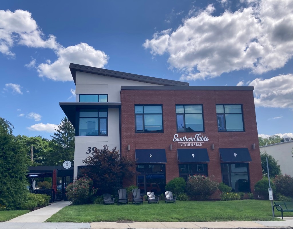
Truth in advertising, the Southern Table website says
that they serve Southern Cuisine.
One of two French restaurants that we saw
A pub in the old rail building near their rail station
Lots of colorful potted plants in the downtown area
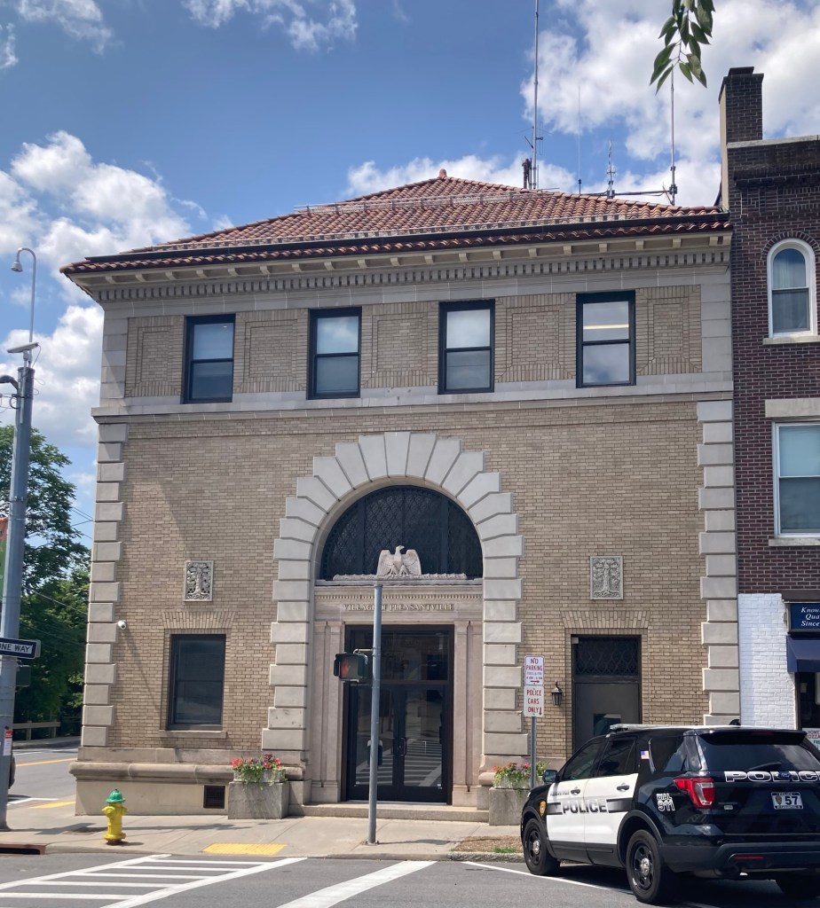
The Village Hall
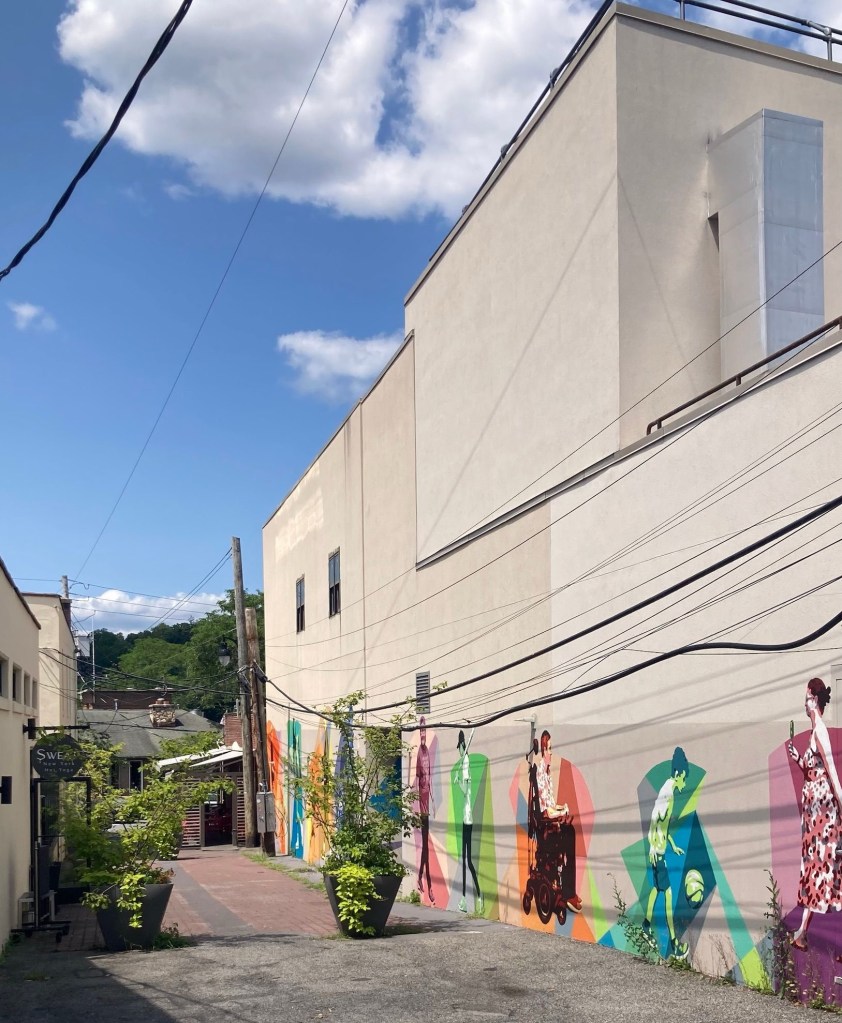
The Walking Mural located on the back
of the Jacob Burns Film Center building on Jackson Alley
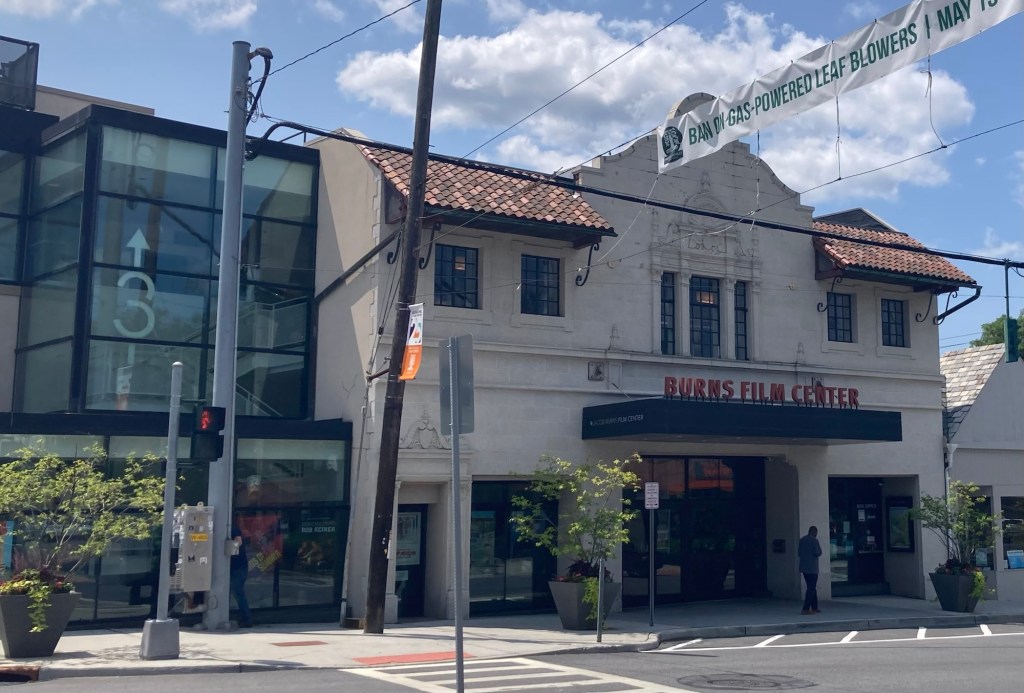
The front of the Jacob Burns Film Center,
a nonprofit cinema started by the community only 25 years ago
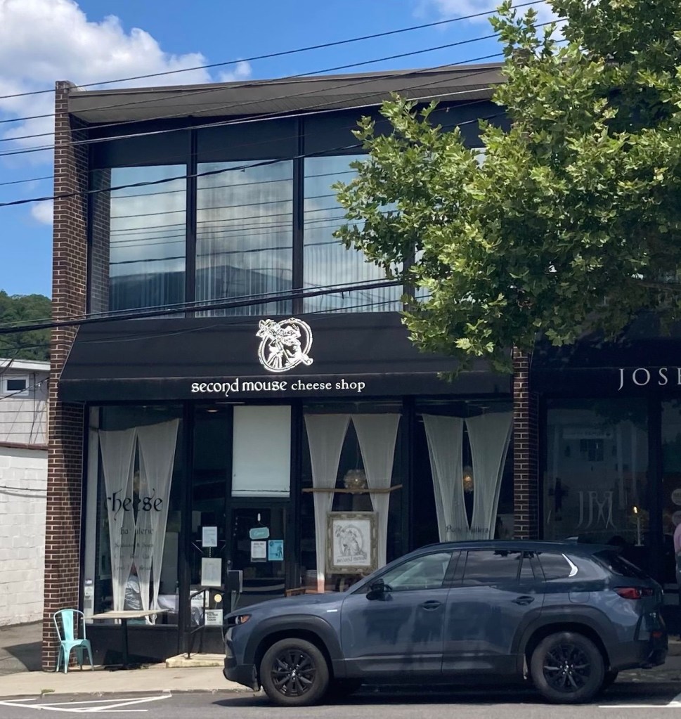
Of course we checked out the cheese shop — very cute!
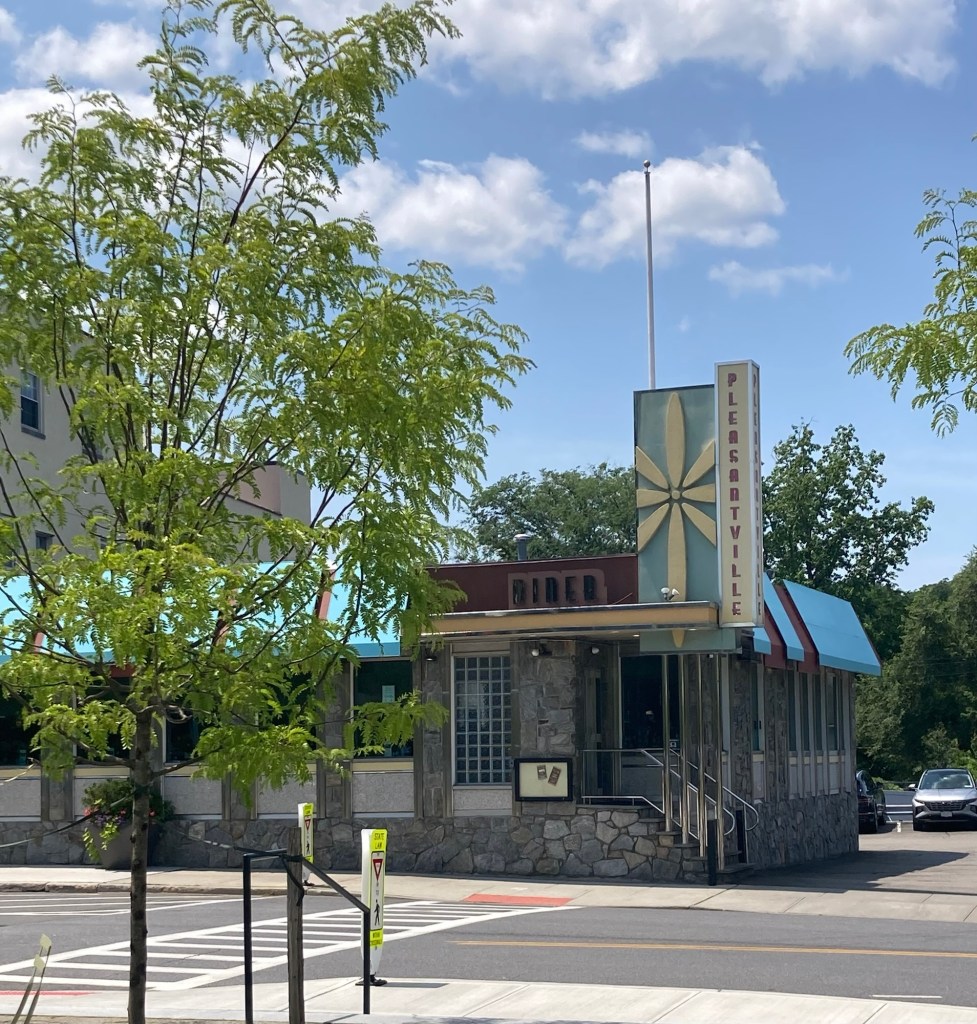
Love the signage for this cute diner

We really enjoyed the walkabout and also found a great bookstore which sadly had 2 tip jars near the checkout. While they were labeled “Fiction” and “Nonfiction” in keeping with the theme of the store, I just am not sure what this means for the state of physical retail shopping if you are to tip people now for just handing you back the item you just purchased. Having said that, I’m pretty sure Pleasantville hasn’t seen the last of us.

Last night, was a rare night out for the Pecks. We had purchased tickets to a show at Tarrytown Music Hall, as we wanted to see the inside of the theater and they don’t do tours. Last night was our event, but before the show we ate at a local restaurant near the theater called Sweet Grass Grill.

The restaurant gets good reviews and was also recommended by our homeowners. Much of its menu is either vegan, vegetarian, or gluten free, or some combination. We had a great meal, and the place was hopping. The group that sat to the left of us (from where I was) ending up sitting to the right of us in the same row at the theater.
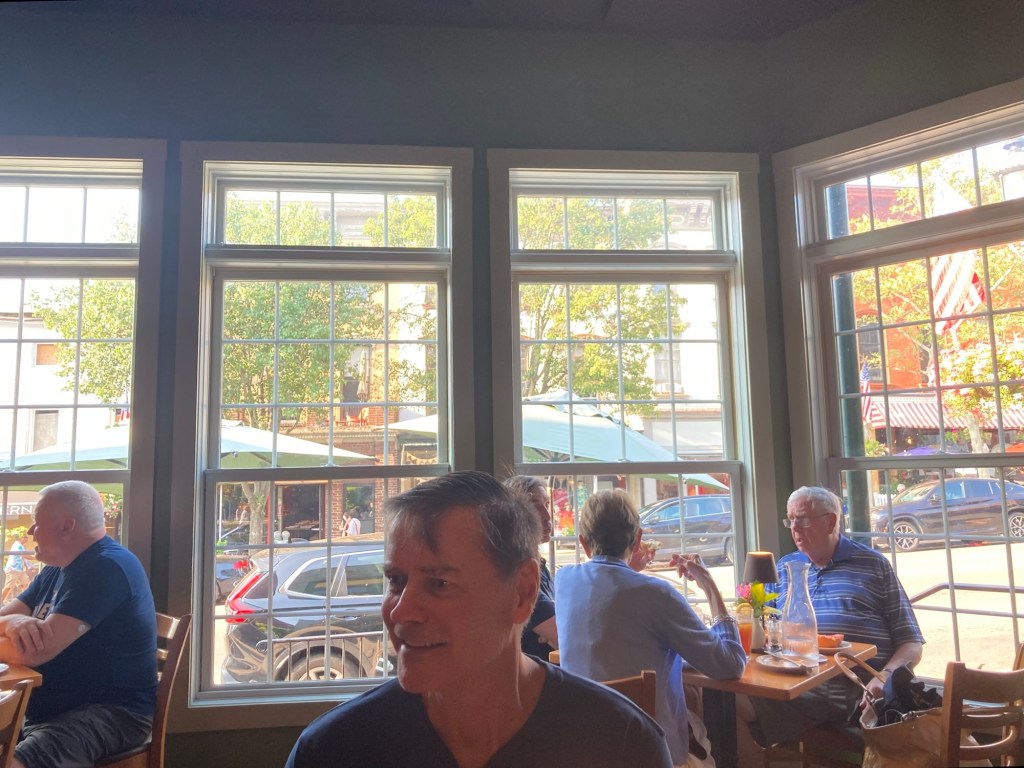
My view at the restaurant
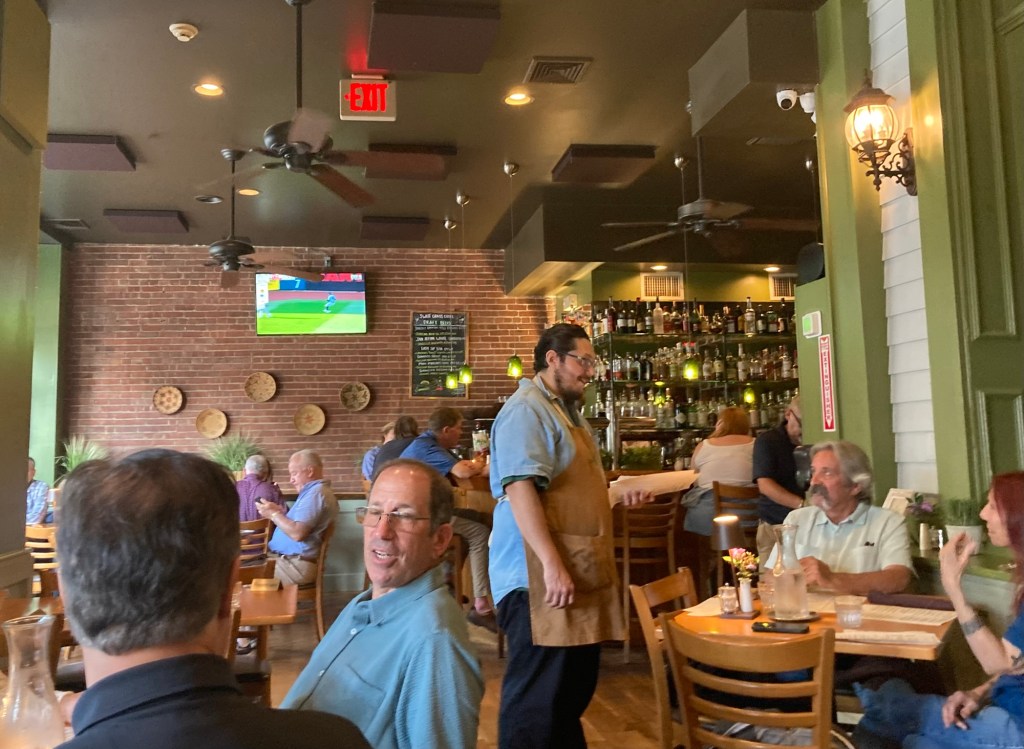
Looking towards the bar

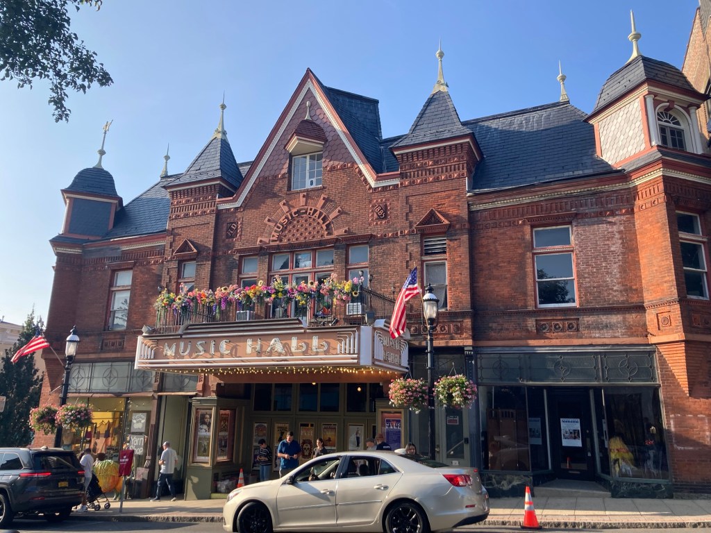
The nonprofit Tarrytown Music Hall was built by William L. Wallace, a wealthy candy manufacturer, and designed by Theodore de Lemos and August Cordes. It opened on December 12, 1885, with the new Gilbert and Sullivan opera, “The Mikado.” This was the same year that Grover Cleveland became president, Karl Benz engineered the first automobile, and the Statue of Liberty arrived in New York Harbor. It is the oldest theater in Westchester County, the 5th oldest in New York, and one of the oldest in the nation.
Tarrytown Music Hall
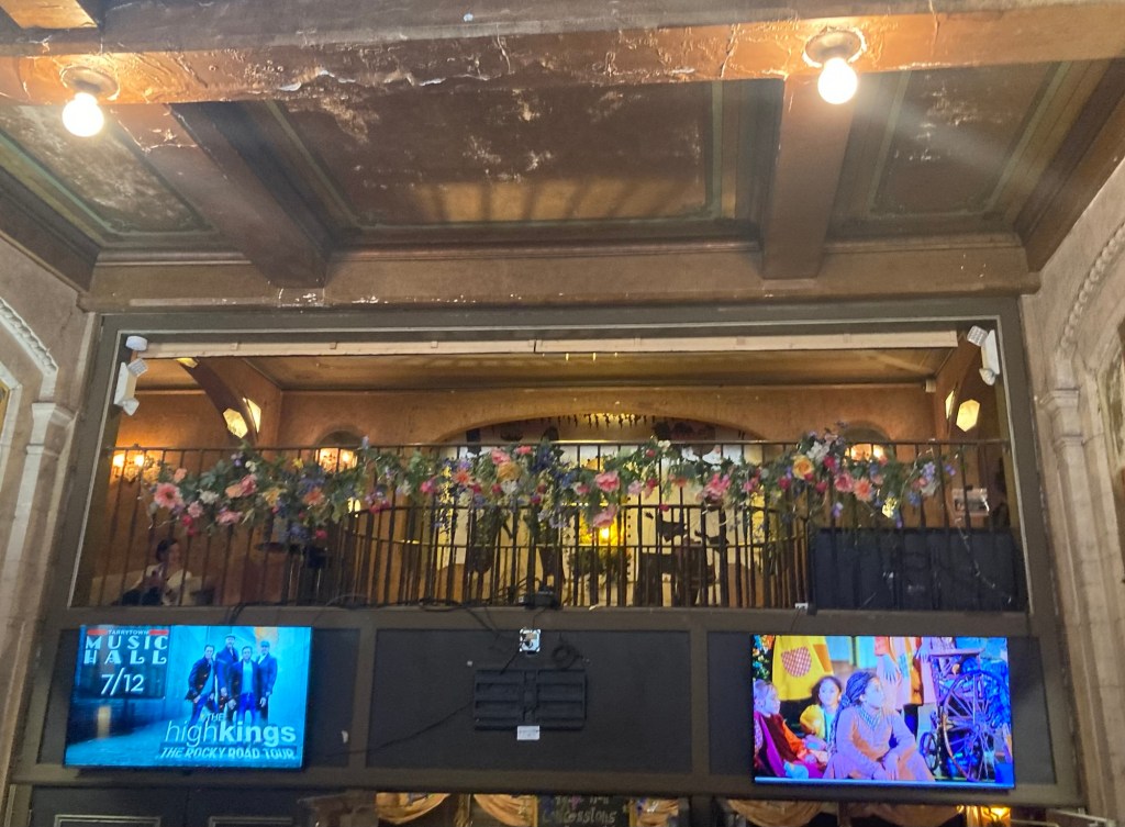
Looking up to the 2nd story as we entered the lobby
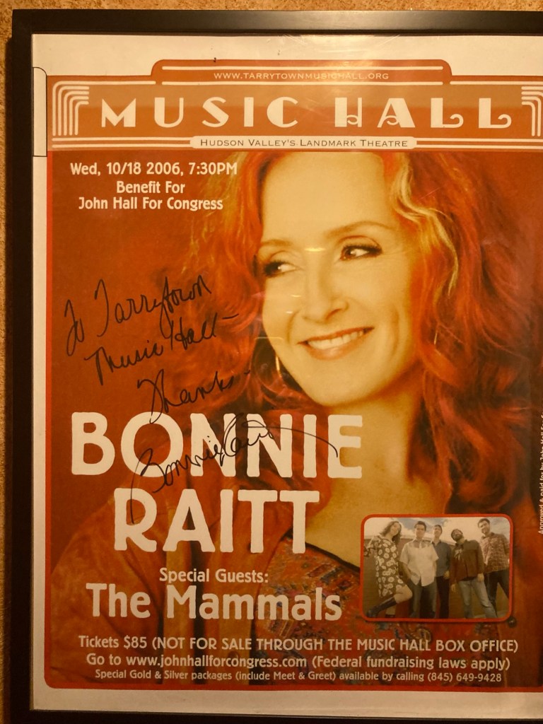
Signed artist portraits line the hallway up to the mezzanine
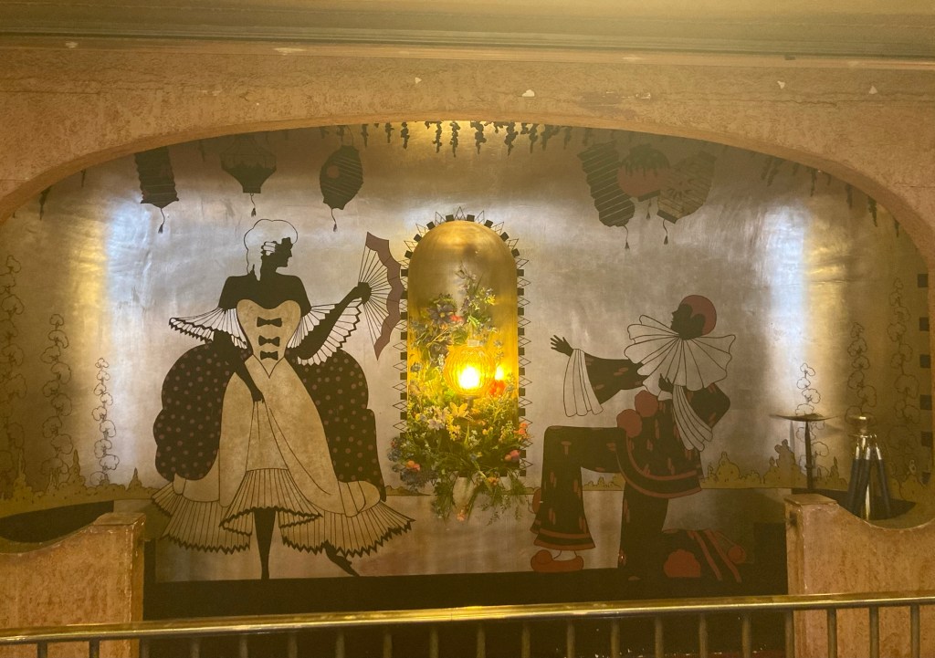
A decorated alcove on the mezzanine level
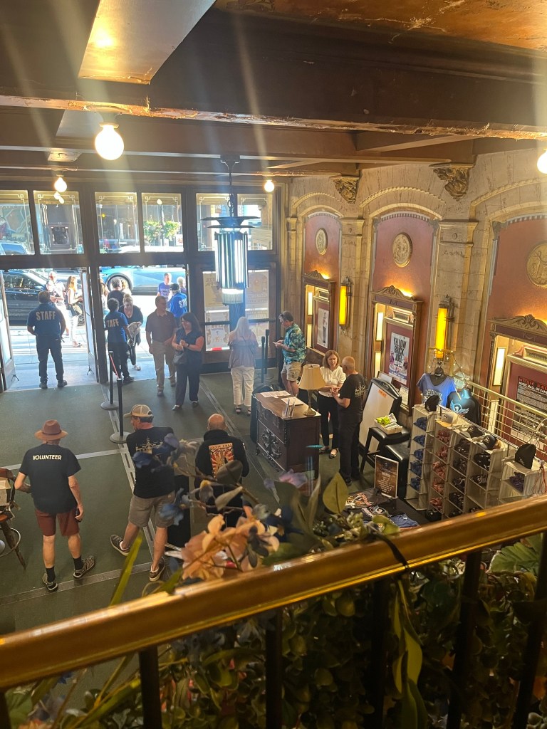
Looking down into the lobby

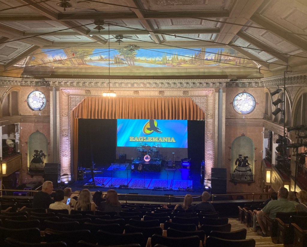
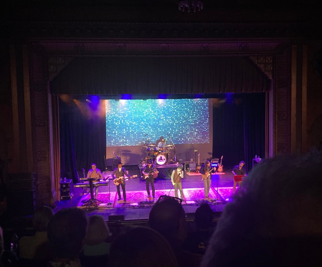
We had tickets to see an Eagles cover band called EagleMania.
Looking down to the stage before the show
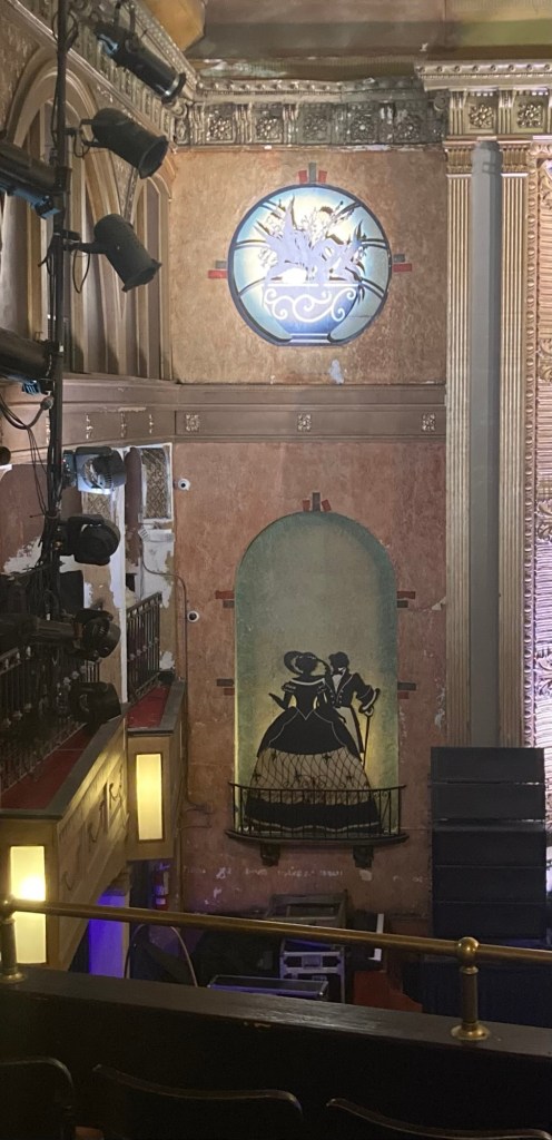
A closer look at the designs alongside of the stage
EagleMania performing

The show was fun, but then you can’t really go wrong with Eagles’ songs, as there are so many good ones to choose from.

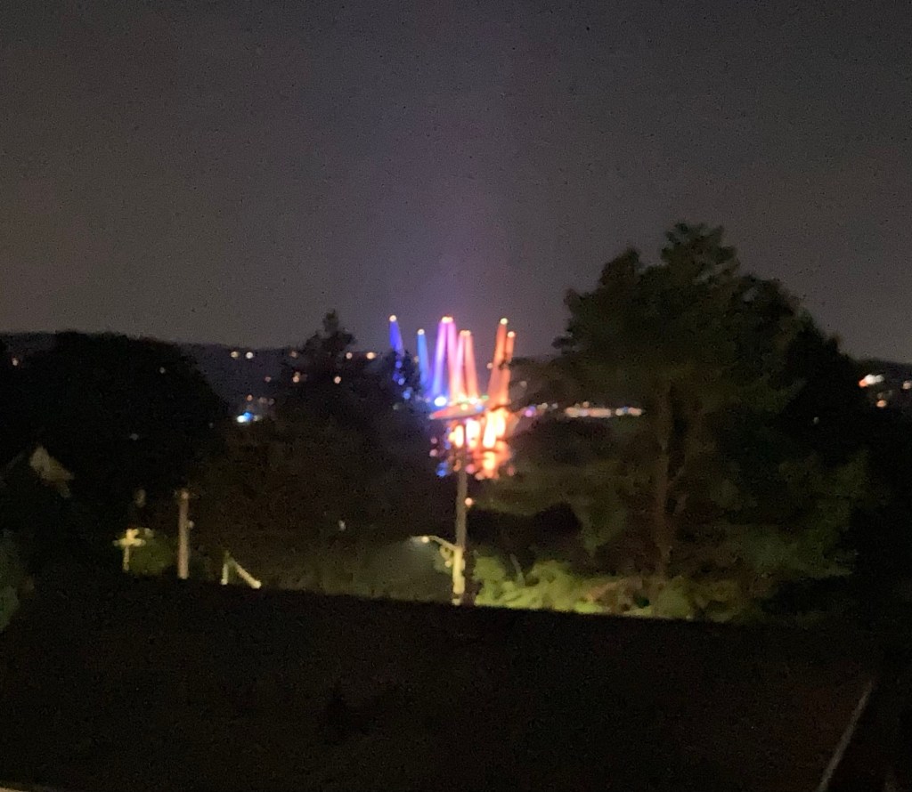
The Mario Cuomo Bridge colorfully lit up last night
Categories
Uncategorized

More Hudson Happenings (7/22-7/23/26)

As with everywhere it seems, we’ve had a bit of weather. So far, we’ve been very lucky. Tuesday was a rain-filled day where it really poured for quite a few hours. I think we got 4.8 inches, but we were under a flood and tornado watch and luckily neither of those materialized for Tarrytown. Except for a couple of quick errands in downtown, we were in all day Tuesday.

Yesterday, we wanted to do some walking but nowhere that might have been really impacted by all the water, so we headed down near the coast of the Hudson River to check out two restaurants that were near the yacht and boat clubs to see how they looked and the best way to get to them if we decide to go sometime.

The entrance to the closest one to us.
It’s on the other side of the pickleball/tennis courts
near the rec center that we go to.
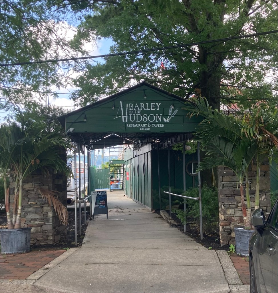
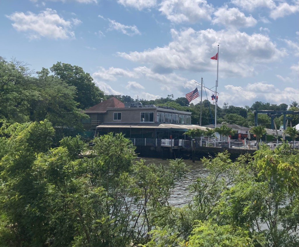
Barley on the Hudson building. We didn’t go in.
Walking south along the Hudson, we passed the yacht club
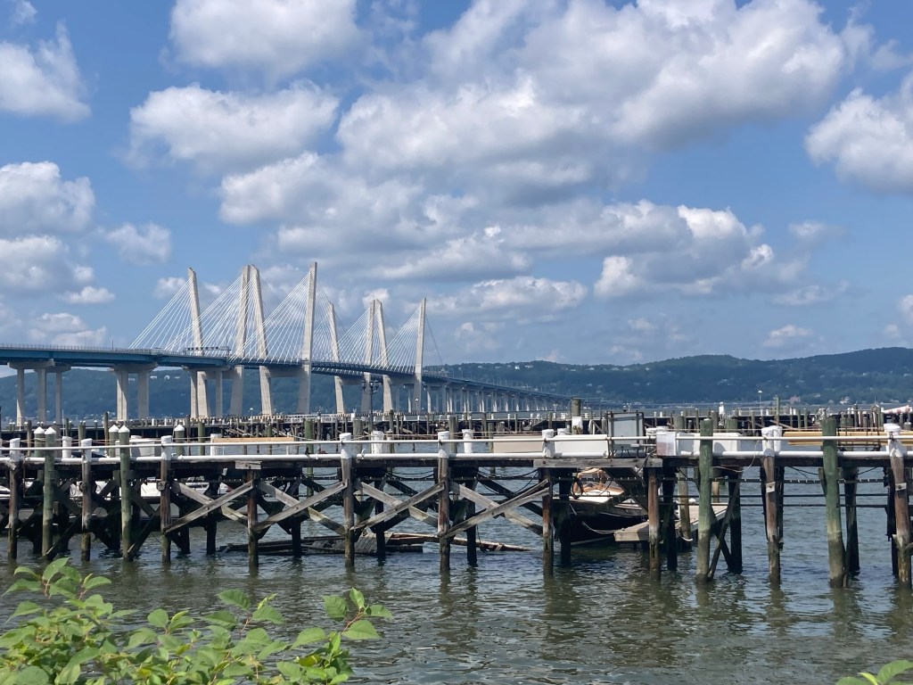
and got another view of the Mario Cuomo Bridge.
There is a nice walking trail along the Hudson
to the second restaurant.
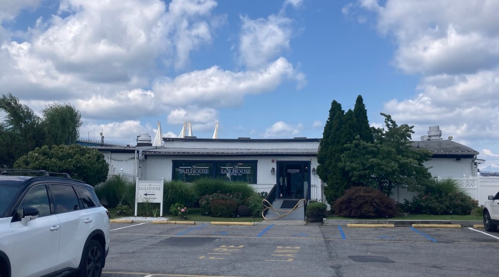
The outside of the indoor/outdoor Sailhouse Restaurant
near the Westchester Boat Club
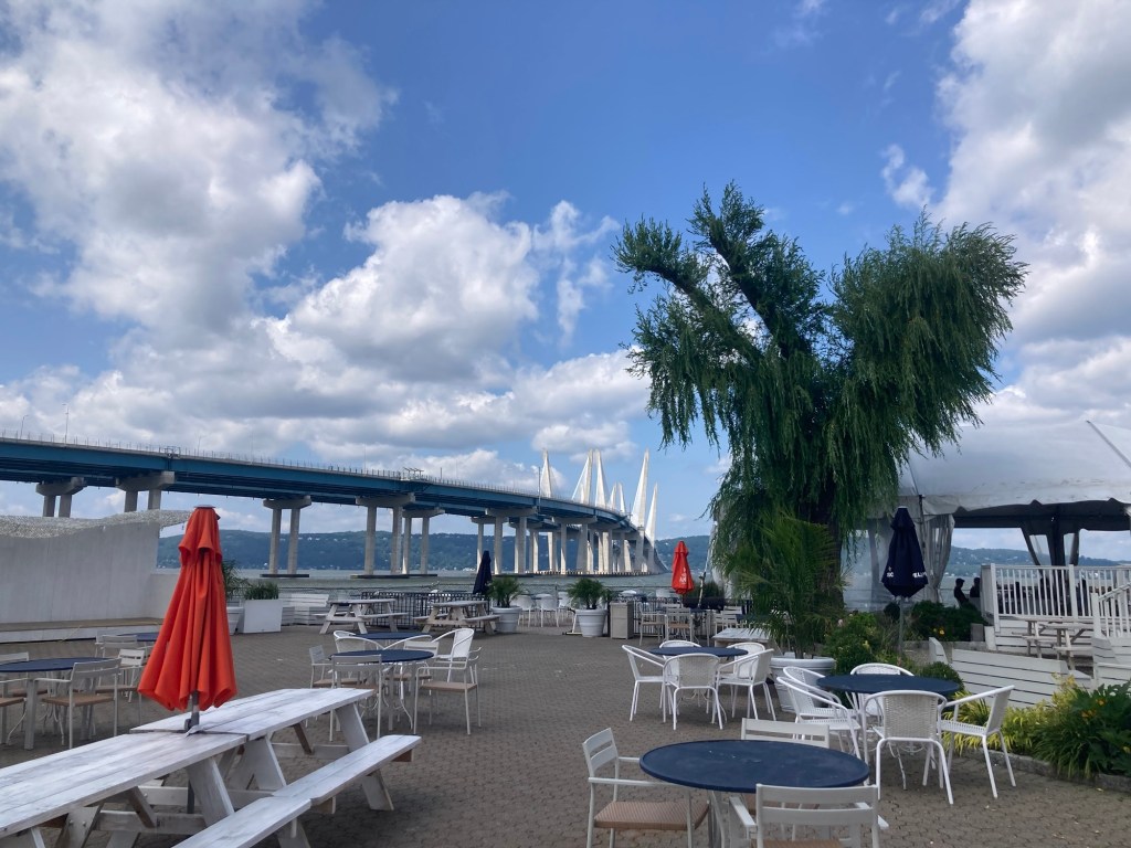
What a great view from their patio!
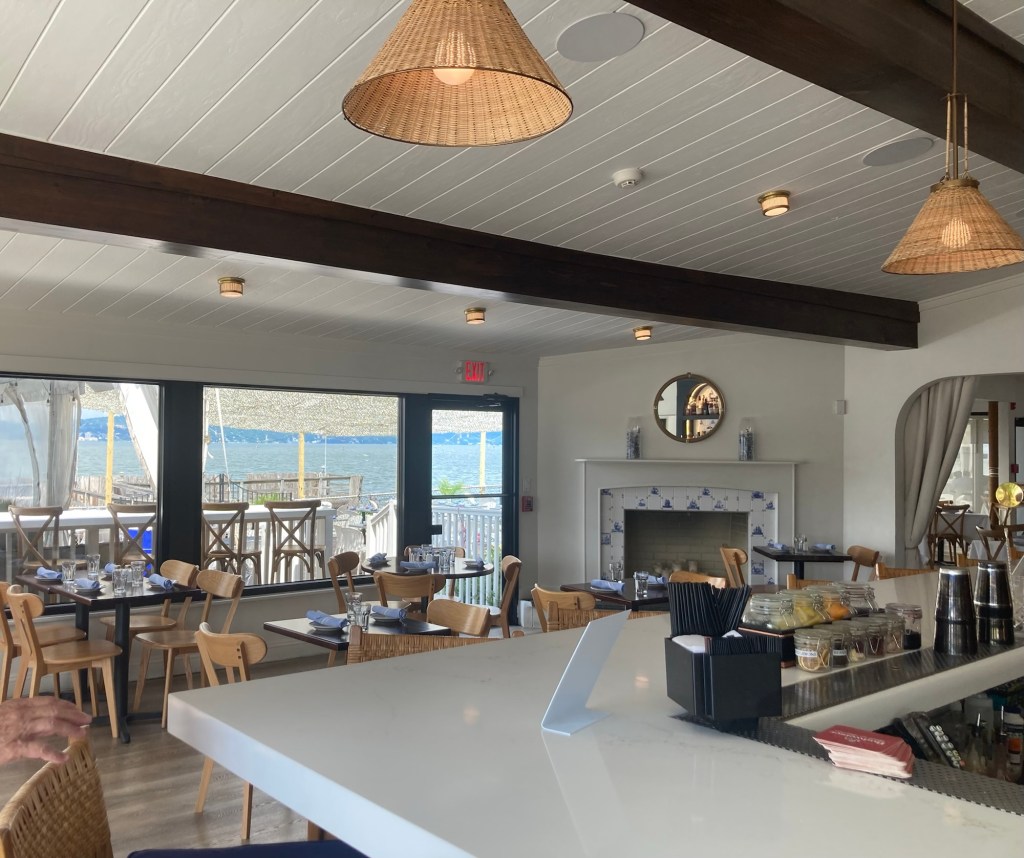
We checked out the inside as well.

Some fun facts about the Hudson River since it figures so predominately in our time here. It is 315 miles long, flowing from the Adirondack Mountains to the Atlantic and forming part of the border with New Jersey. The lower 154 miles (including where we are) are a tidal estuary which means saltwater from the ocean mixes with freshwater from the river. While it is now named for the explorer Henry Hudson, the native Lenape tribe gave it a name which means river that flows both ways, as it does appear to do that in the estuary part of the river.

Today, we went a tiny bit further afield and drove to another portion of the huge Rockefeller State Park Preserve to see more of the park. This section of the preserve, separated a bit from the main sections, had free (although somewhat limited) parking.

The section we visited today was the Rockwood Hall section
in the upper left hand corner of the map.

The Rockwood Hall section is aptly named as it is the site of William Rockefeller’s former mansion of that name. The mansion, which was designed by Frederick Law Olmstead of Central Park fame, had 202 rooms, but sadly, no longer exists.

Heading out on the Lower Trail
which ran along the Hudson at the base of the property.
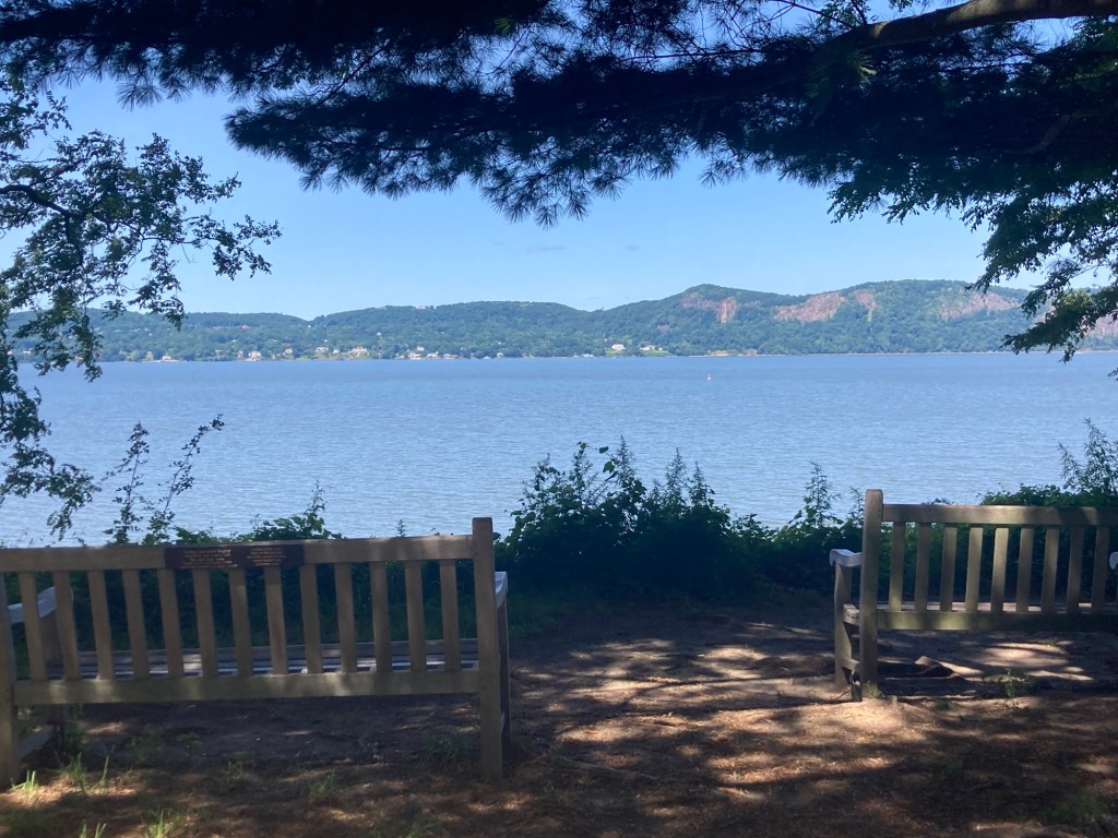
There are a number of benches placed along the trail to sit and enjoy the views.
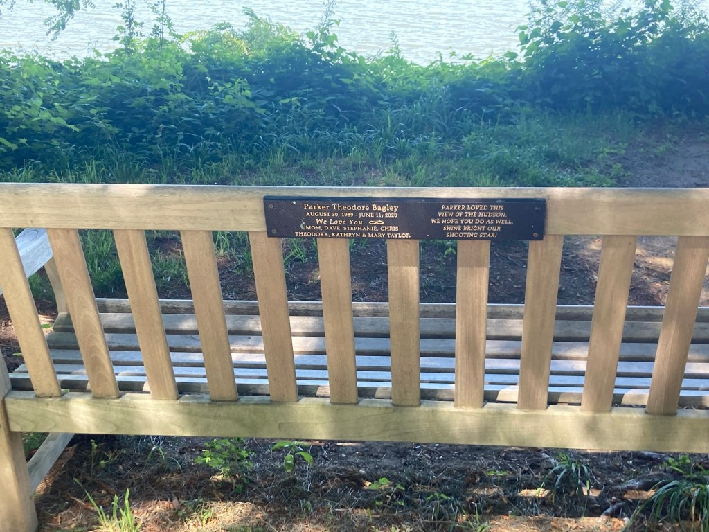
This one is dedicated to a beloved son and brother.
Another view across the Hudson on the Lower Trail
Looking up to the top of the property
More of my photos from the benches along the Lower Trail
As we curved around to begin the hike to the top of the property, we crossed a few bridges over a creek.
The creek
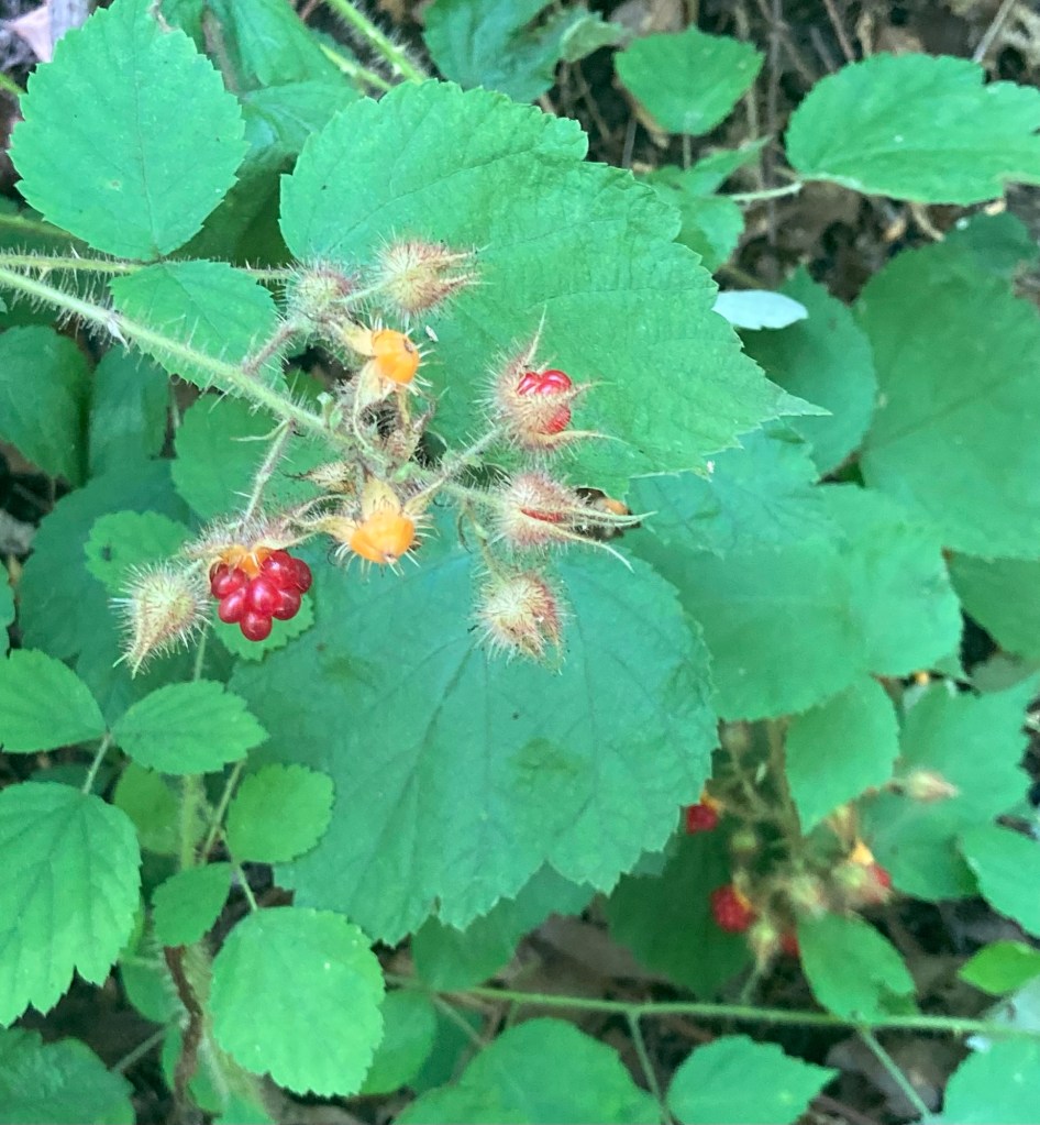
Colorful berries along the trails that we didn’t eat
Starting the Foundation Trail at the top of the property
Stairs to nowhere now
What a view!
There were signs indicating that the hill can be used
for sledding by the public in winter
Categories
Uncategorized

A Bridge Too Far? (7/20/26)

No more World Cup games, summer storms, or Canadian wildfire smoke to keep us inside today, so we headed to the nearby (15 minute car ride) Rockefeller State Park Preserve for a hike. When asking the Google/AI guru what to do near us, it had brought up the 13 bridge trail at the preserve, so we thought we’d start with that one.

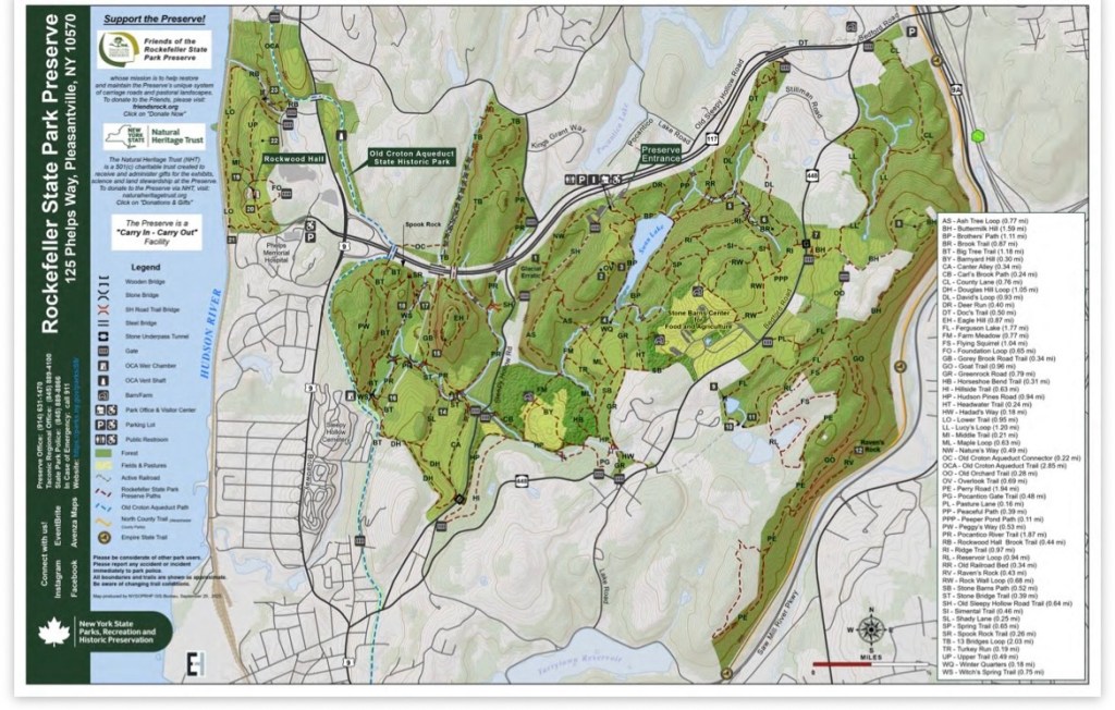
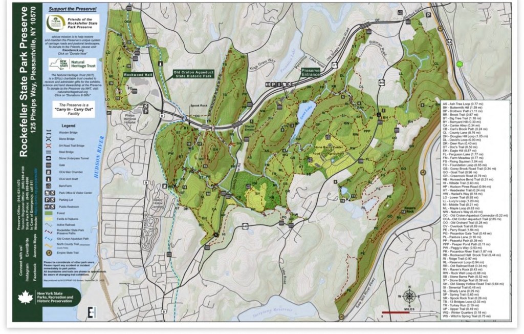
As you will see by the map below, there are plenty of trails to choose from. We paid the required $6 fee to park near the Visitor Center, but we noticed a number of cars parked along the main road, so we may try that sometime depending on which trail we are wanting to hike. We definitely don’t mind supporting state parks.

The art gallery at the Visitor Center
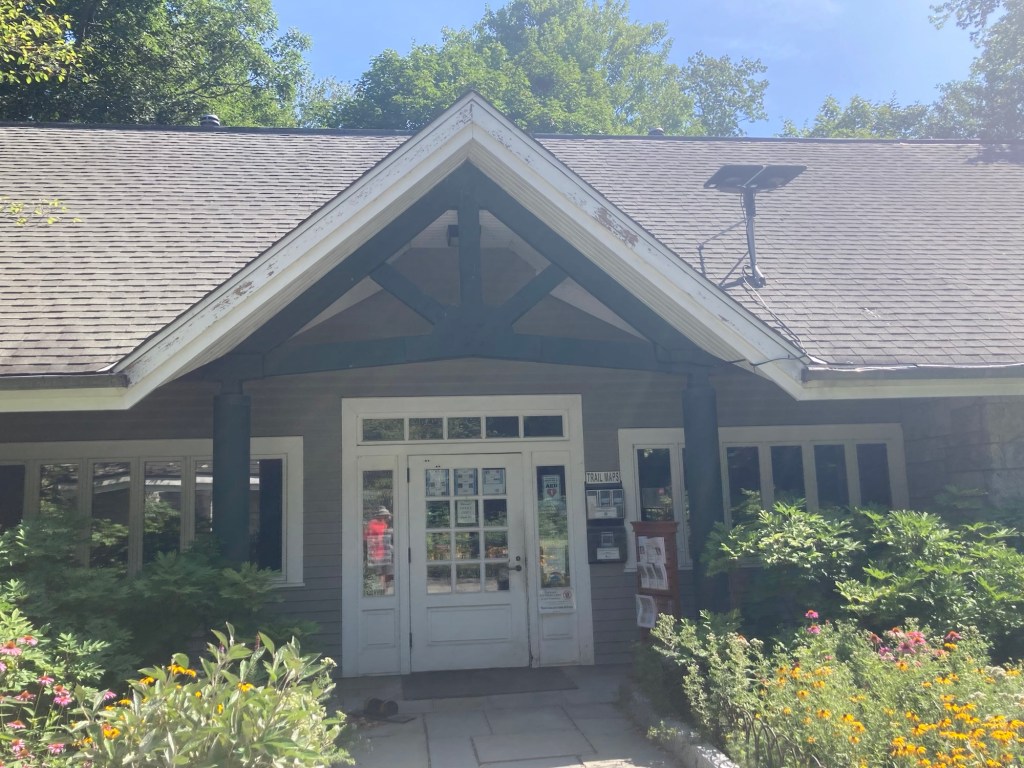
The Visitor Center which basically provides trail maps and other brochures and has staff behind windows to answer questions

The map below shows the large expanse of the preserve. It is a 1,775 acre park featuring 45 miles of gravel covered carriage roads for walking, jogging, or horseback riding. As you may have guessed from the name, the land was donated by the Rockefeller family.

The list of all the different trails are on the right.
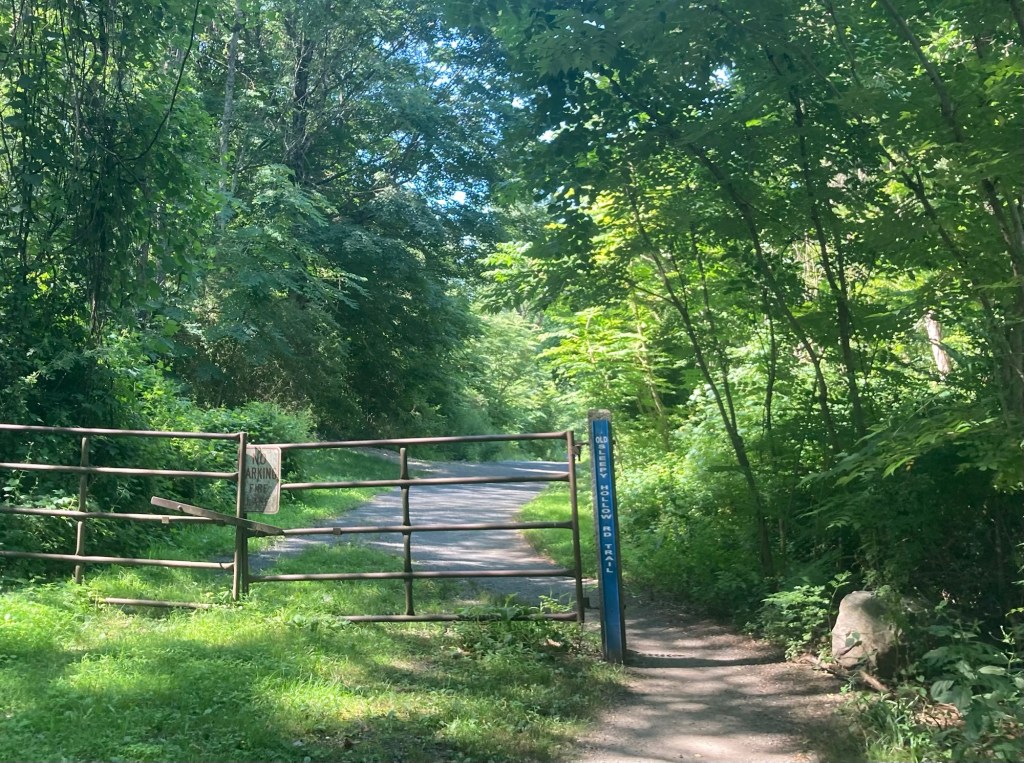
Heading out on the Old Sleepy Hollow Road Trail
to get to the 13 Bridges Trail
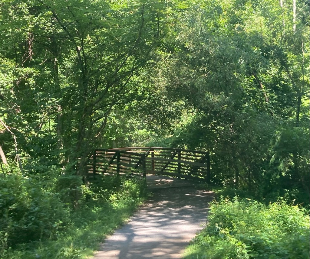
This is not one of the 13 bridges, as we were not on that trail yet. Sadly, it is nicer than all of the 13 on the 13 Bridges Trail.
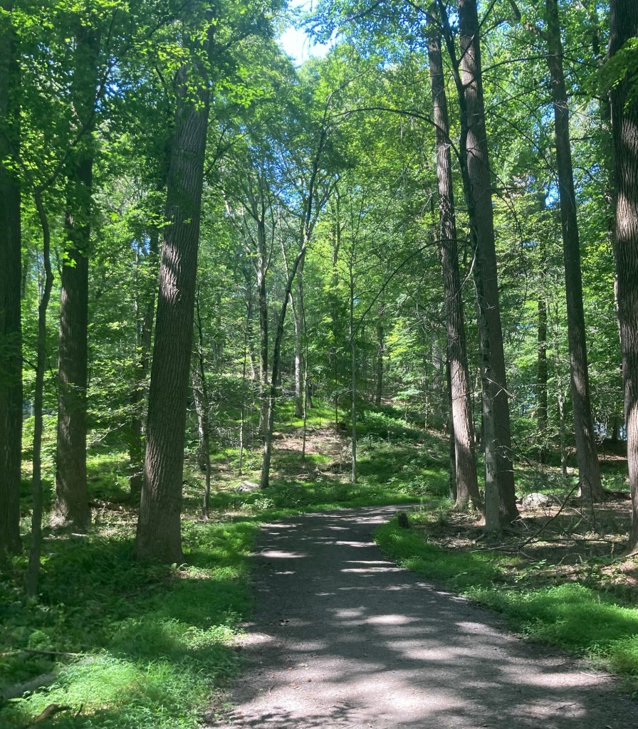
We had a lovely, shaded walk throughout the parts
of the preserve that we were in.
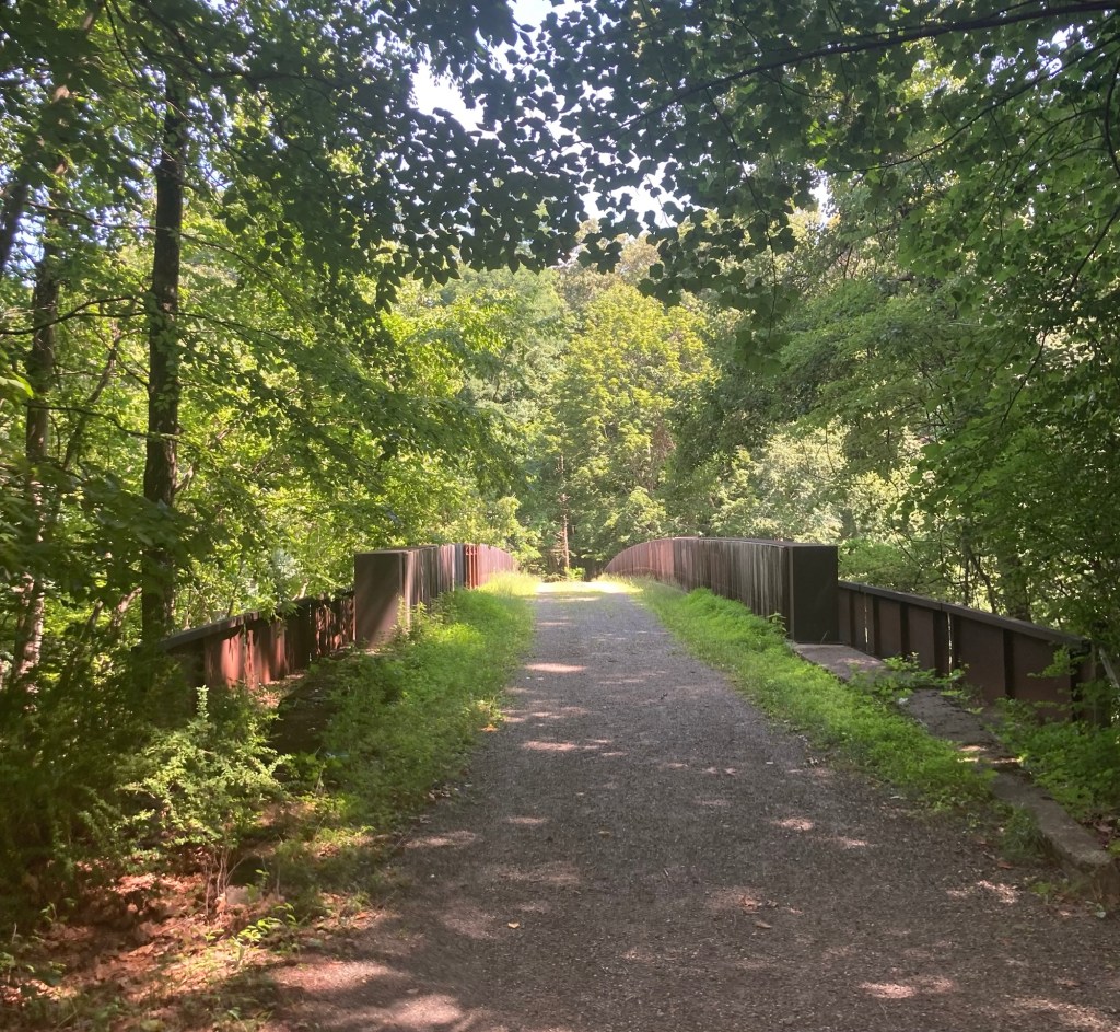
This bridge (still not one of the 13) allowed us
to cross a major highway.
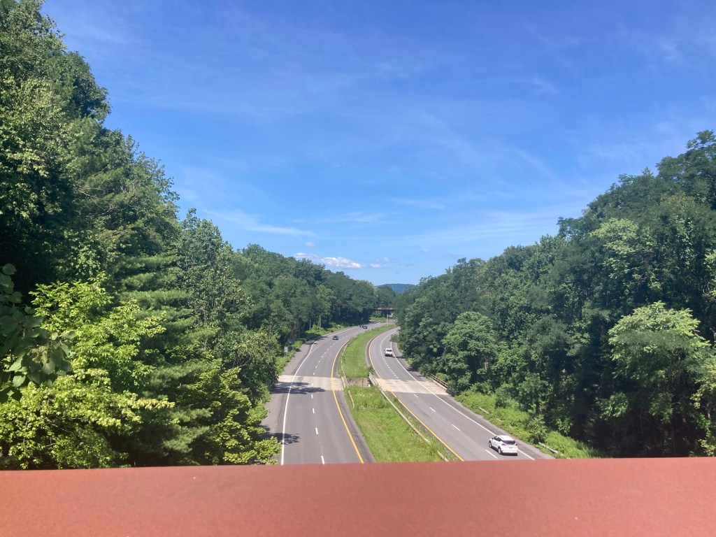
Looking down at the highway from the bridge
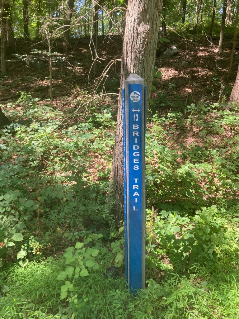
We have reached the trail!

As a side comment, we were very impressed with the trail signage throughout the parts of the preserve that we were in.

This is the 1st (in the direction we were going) of the 13 bridges.
It kept us from walking through this culvert or drainage ditch.
Number two.
This time there was a bit of water in a meandering creek
that the rest of the bridges crossed.
Number three.
Love the green!
Four.
Five.
Wall and creek

It went on like that. Nothing displeasing to the eye, just not terribly exciting. It was an aptly named trail, as there were 13.

We crossed under the highway on the return of the looped trail.
Categories
Uncategorized

Sunnyside Under Smoky Skies (7/17/26)

Bob and I have spent a good deal of time over the last few days watching the World Cup Semifinals. Unfortunately, they were played during the afternoons of the last two non-smoky days we may have for awhile. There are wildfires going on all over the world right now, but we are focused on those burning in Ontario, Canada, as the smoke from those is really impacting the air in much of the Midwest and Northeast of the US.

We water the plants every night.
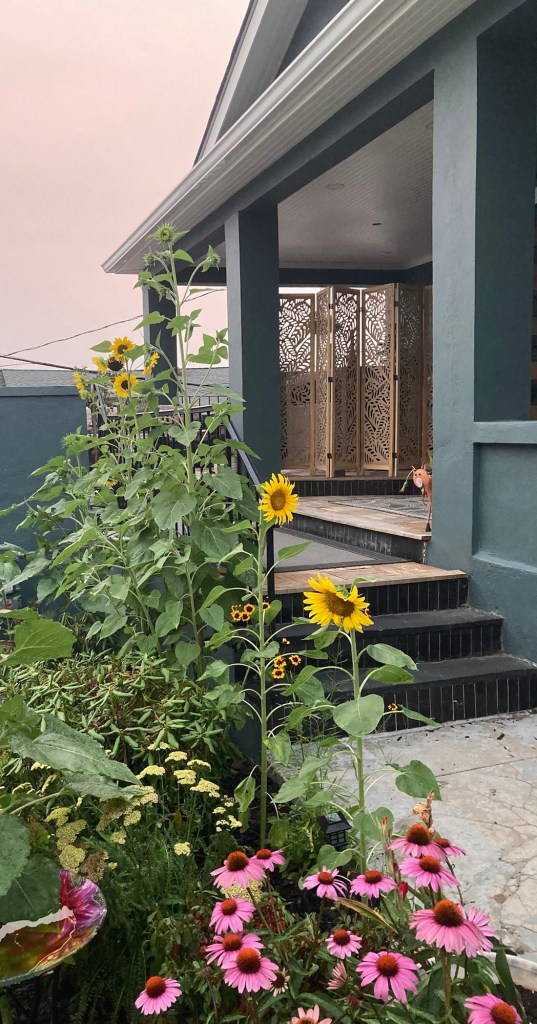
The sunflowers are really blooming now,
but the sky is not usually the shade of pinkish orange.

Except for watering last night, we stayed inside to just not deal with all the fine particulates in the air. Today, is a little better, and we were a bit stir crazy, so we walked a little over 2 miles (round trip) to tour Sunnyside, the home of Washington Irving.

Washington Irving (1783-1859) was born in New York City and died in Tarrytown in his home called Sunnyside. He is considered America’s first professional writer. Best known for his short stories, “The Legend of Sleepy Hollow” and “Rip Van Winkle,” he was also the author of many celebrated works of travelogue and biography, including volumes on Christopher Columbus, the American West, and George Washington (for whom he is named).

We learned during the tour that he was the youngest of eight surviving children, never married (although he was once engaged to a woman who died of tuberculosis before they were to marry), and lived in Europe for about 17 years. Sunnyside was the first and only home that he owned.

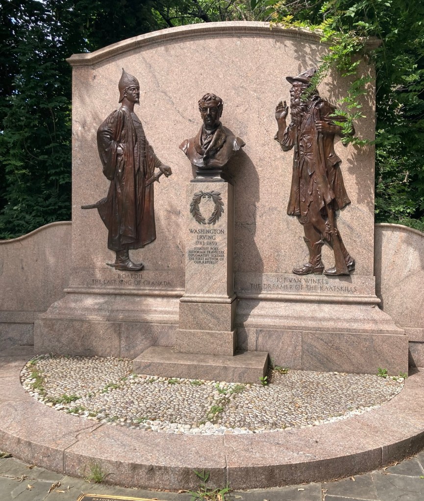
A monument to Washington Irving on Broadway street
at the entrance to the road to his home.
It was created in 1927 by Daniel Chester French,
who also created the Lincoln Memorial among other works,
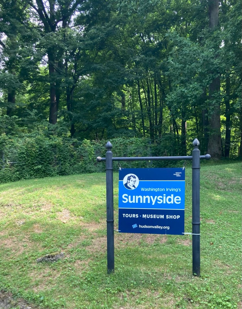
Walking onto the property for our 11:30 tour
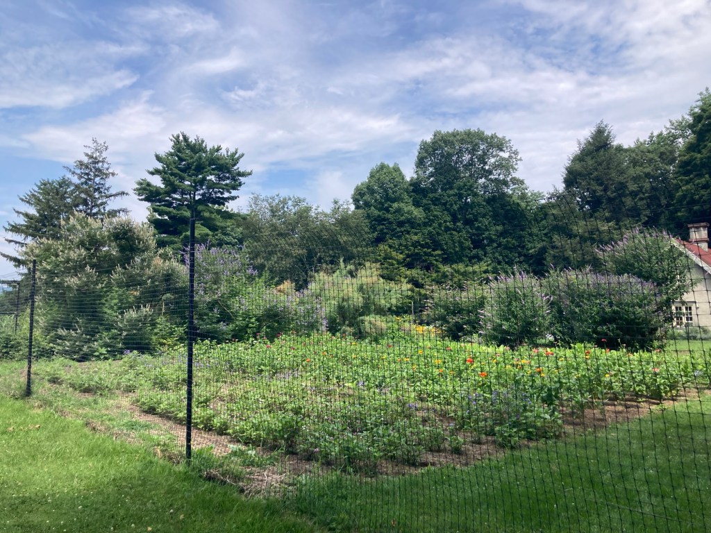
A small garden on the estate
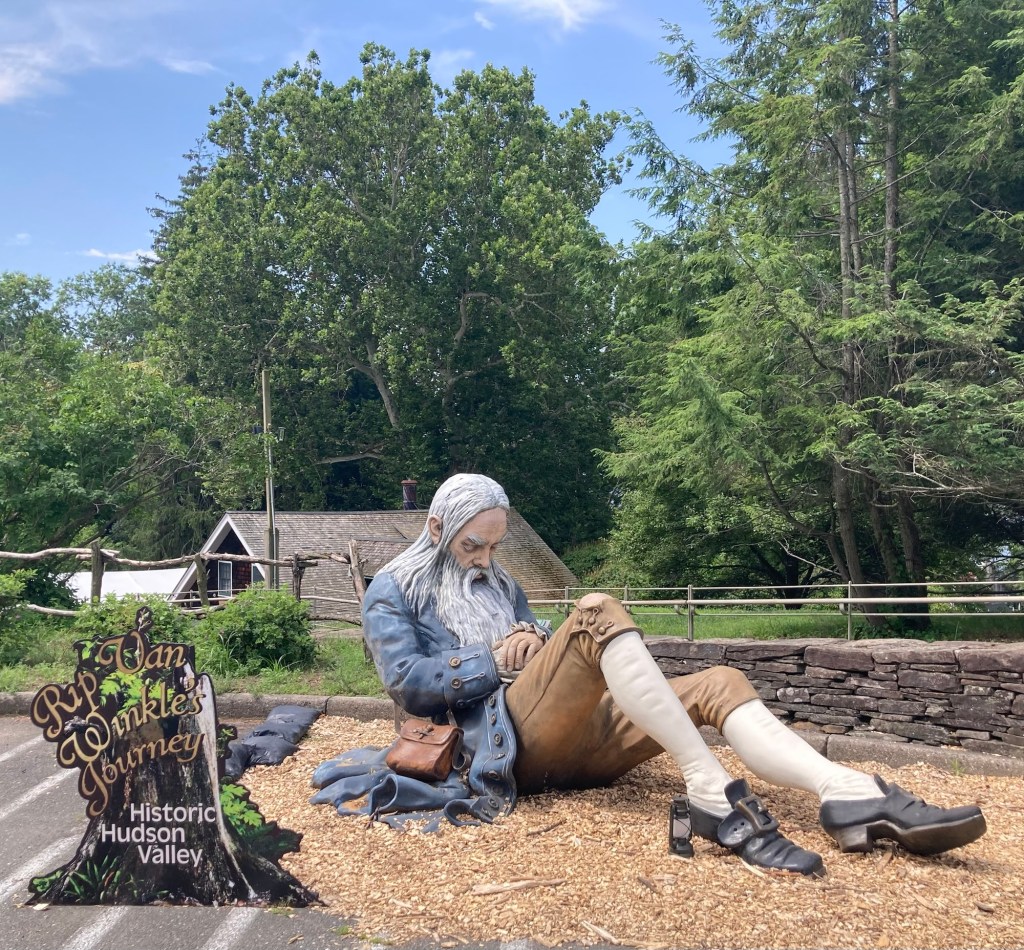
A still sleepy Rip Van Winkle
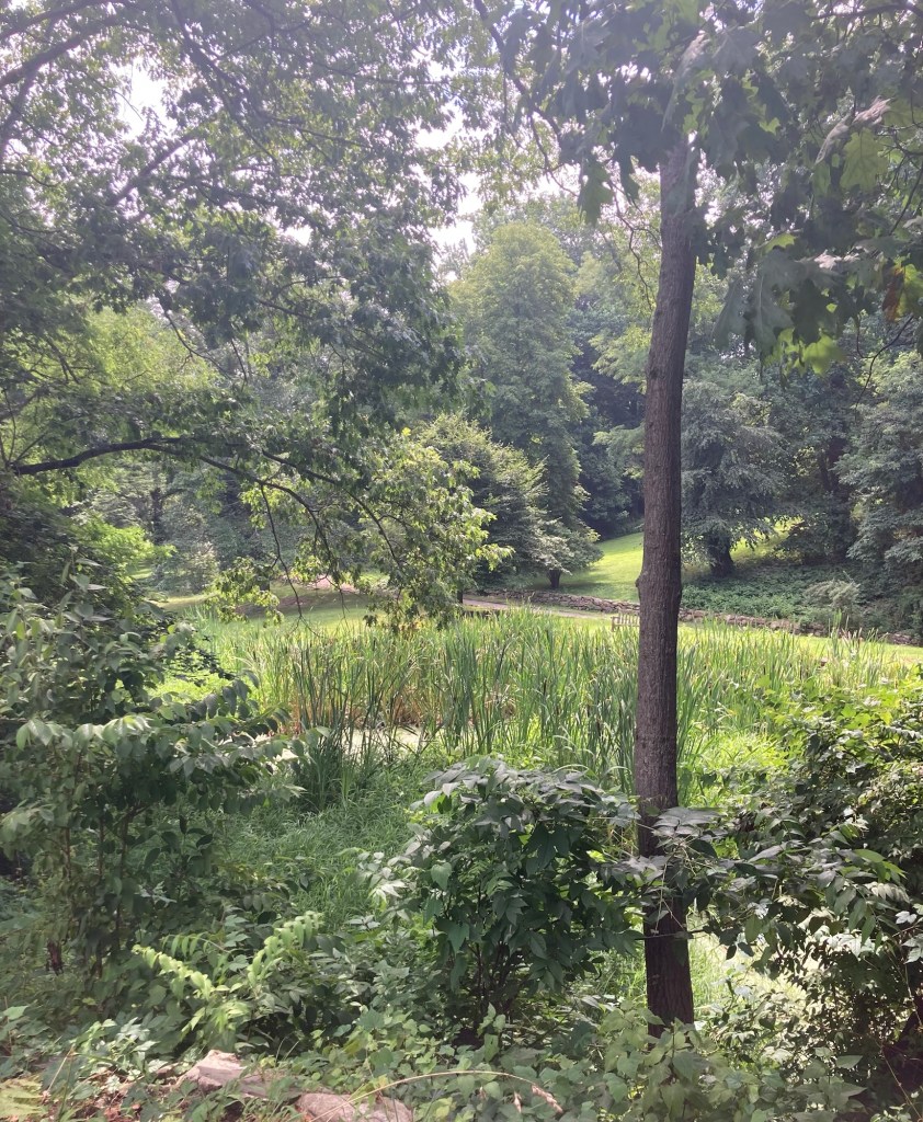
A pond near the Visitor Center and gift shop.
It used to be clear and was used as a source of water for cooking via pipes that ran downhill from the pond to the house.
The Visitor Center/Museum Shop is in the background.
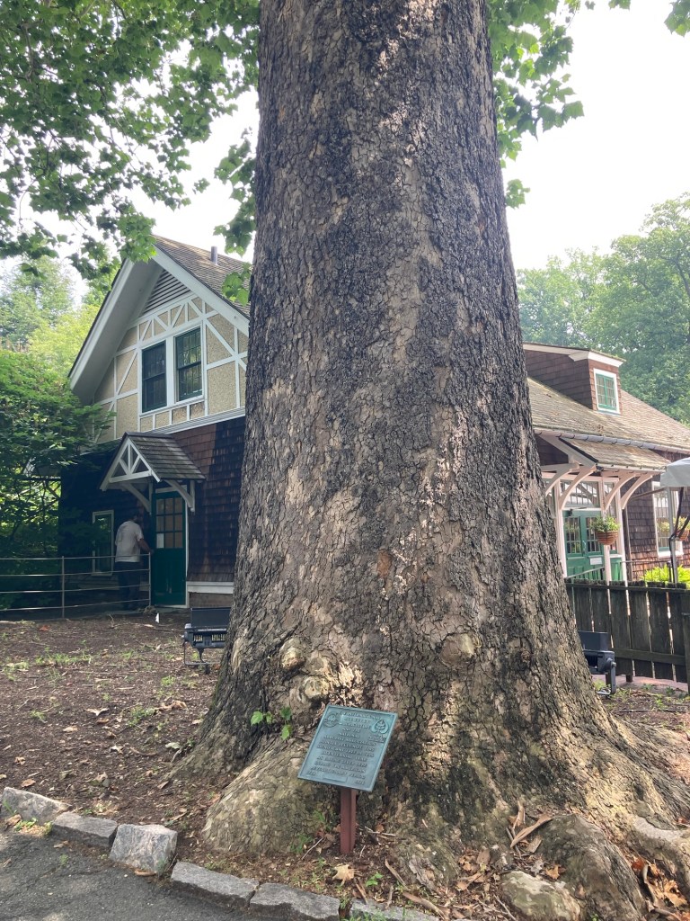
The marker in front of the tree as having been around
since the American Revolution.
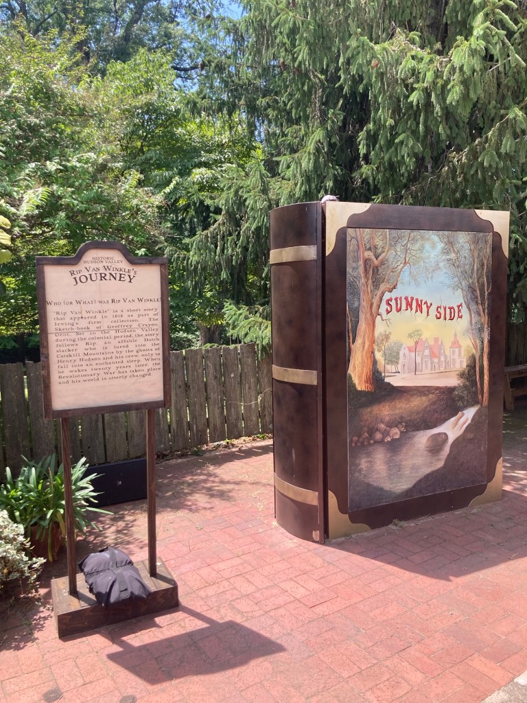
A bookish exhibit on the patio beside the Visitor Center.
The placard tells the gist of the story of Rip Van Winkle.
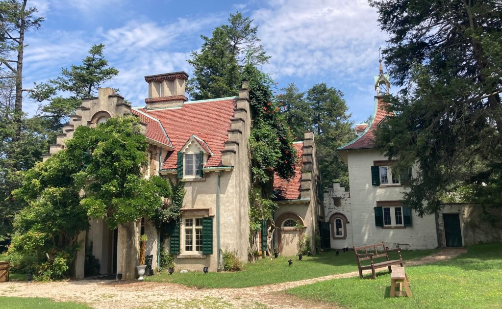
Sunnyside. The original house was a two-room cottage
(the front portion of the left section of the house).
The “tower” on the right was added later
to house his female house staff.
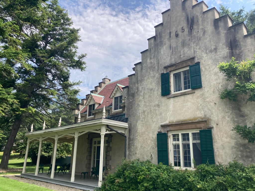
The west side of the house and portico facing the Hudson River
The view of the Hudson from the carriage turn around area
in front of the house. The train line,
which was added after he had finished the house,
is right below the fence.
The narrow hallway that you enter immediately into.
Communal rooms are off either side of this hallway
with all of the family bedrooms upstairs.
The study, one of two of the original first floor rooms of the house. There would have been a ladder in the room
which went up to a sleeping loft.
The dining room with a table that could be added to
to accommodate 12 people.

While Washington Irving never married, he lived in the home with a widower brother and two of his older sisters.

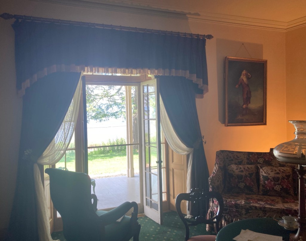
The living room, which allows for great views of the Hudson River
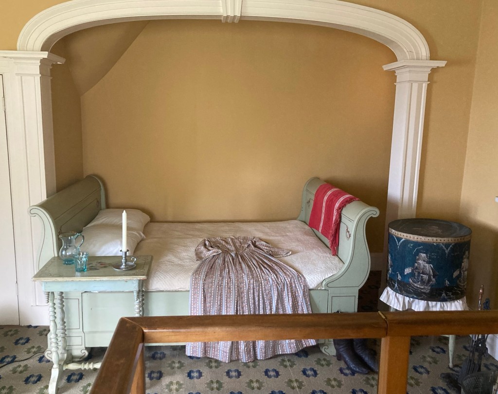
The front part of the guest bedroom
A sleigh bed put into an alcove in the guest bedroom
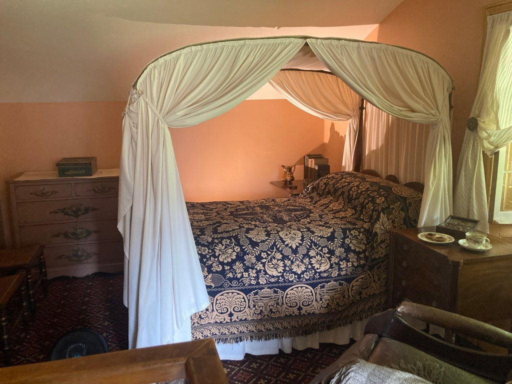
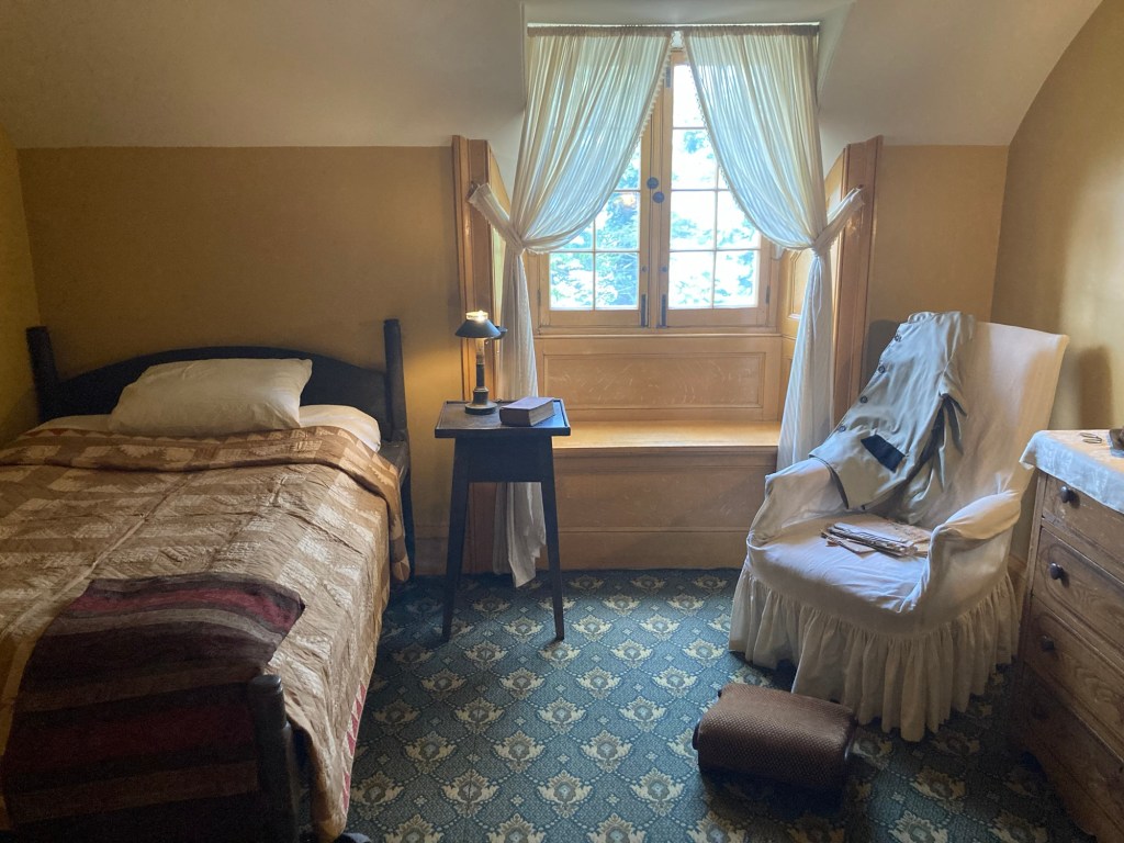
Washington Irving’s bedroom. That is his parent’s bed.

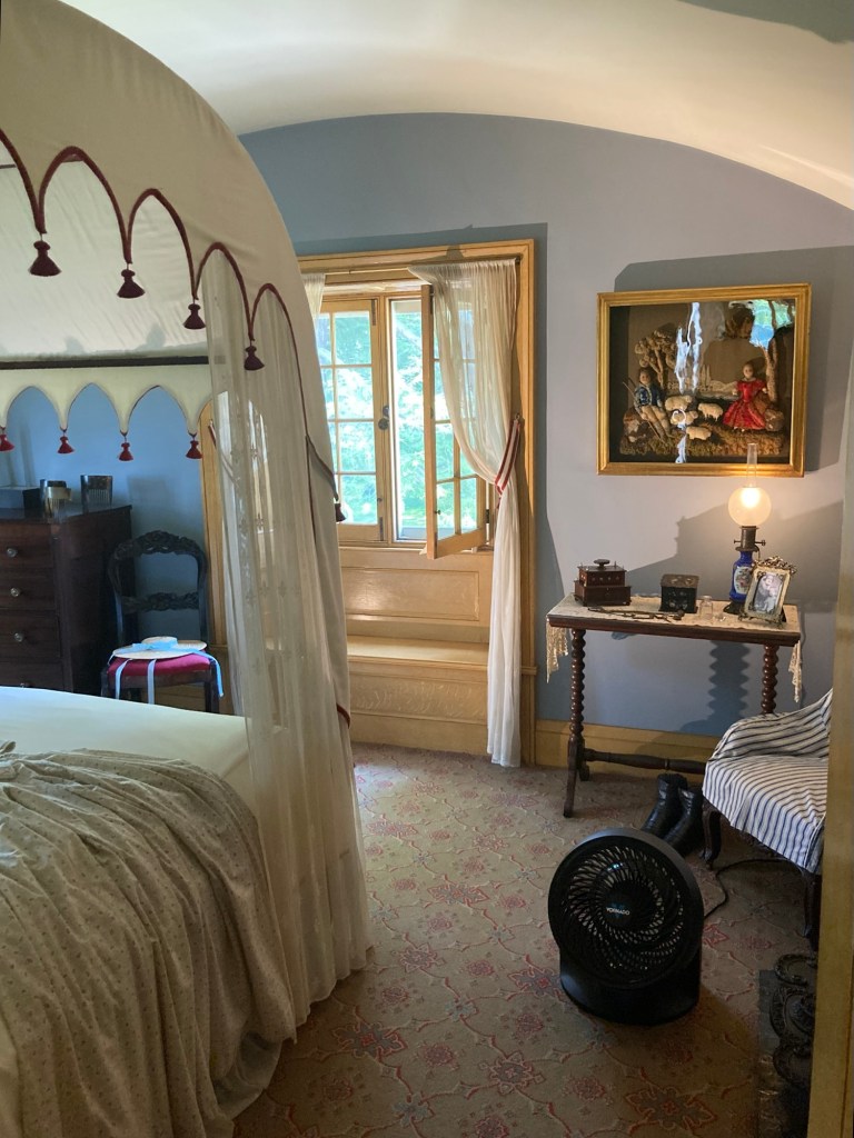
Much of the house and furnishings remained intact after he and then his sisters passed away because the family that purchased the property thought the cottage style house was too small and built a mansion next to it without razing or disturbing the property.

The brother’s bedroom
The sisters’ bedroom
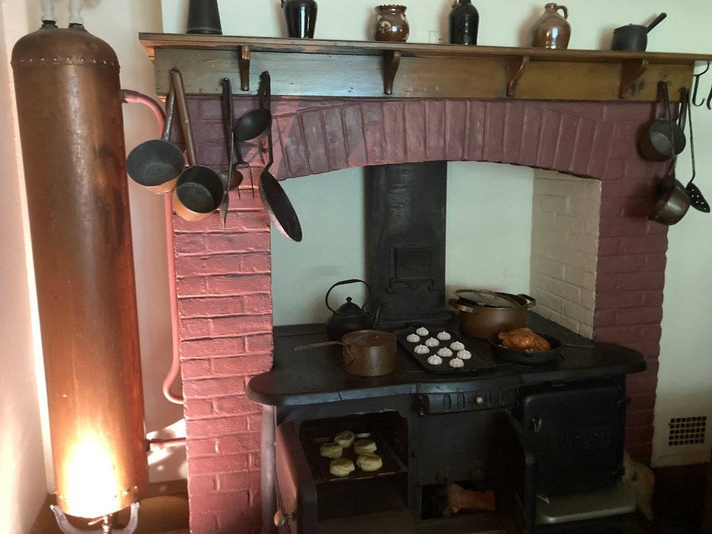
The copper water tank that was fed water from the pond
and a stove that burned both coal and wood
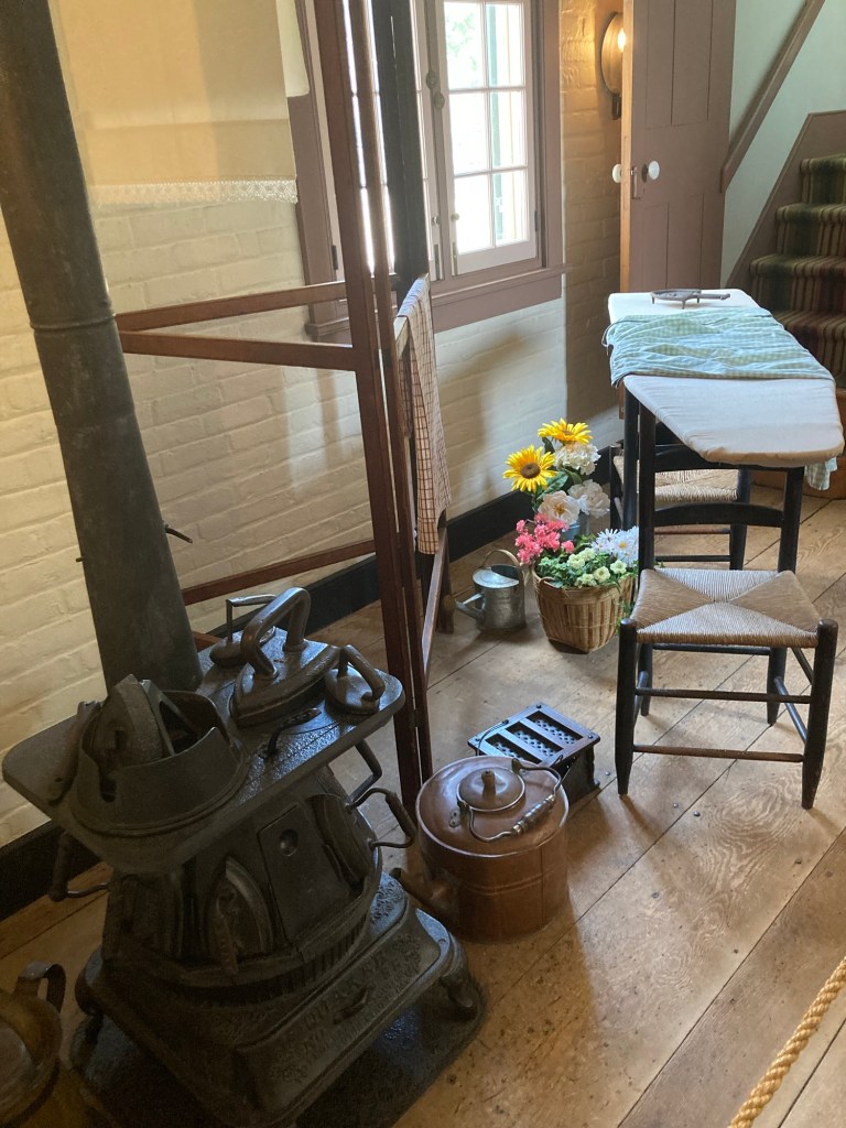
A stove just for heating irons and an ironing board
that was put on top of chairs to use
Another view of the train lines and Hudson River
as we briefly sat on the portico at the end of the tour
The uniquely designed ice house
Looking back at the house from up the hill near the Visitor Center
Categories
Uncategorized

Tarrytown Lakes Park (7/13/26)

This place is crazy with trails, and we are loving it! Today, we walked about 30 minutes northeast of the house to Tarrytown Lakes Park to walk some trails there.

This nearby park is Neparan Park, where there was a sign
noting that it is on the former site of the Mott House Hotel, 1860-1910.
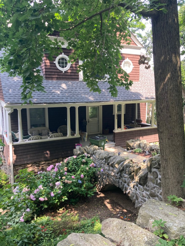
We passed this house with a cool looking bridge
connecting the house to the sidewalk.
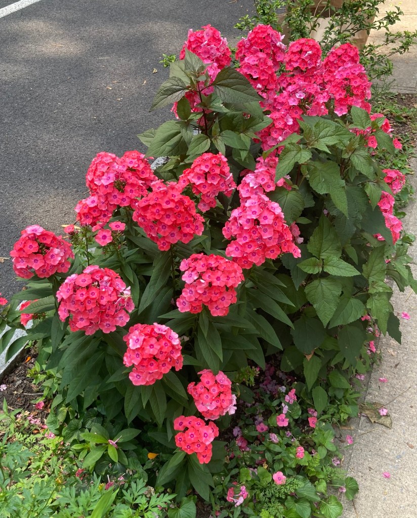
There are so many flowers around,
which I have neglected to capture,
but these bright ones caught my eye.
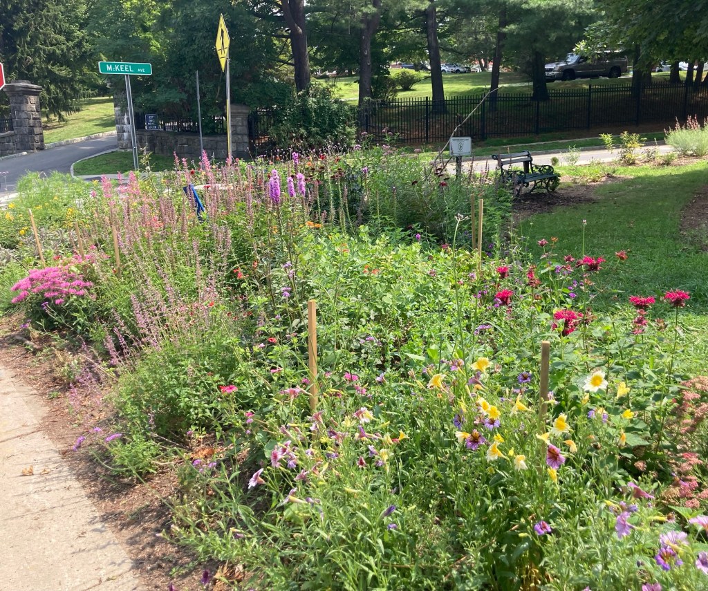
This is a small pollinator garden in a triangular median
separating a few roads.

Tarrytown Lakes Park is a72 acre park in Tarrytown featuring two man-made reservoirs which were the village’s drinking supply until 1993. Today, it’s a recreational area with paths for hiking/biking/running plus opportunities for canoeing/kayaking and fishing.

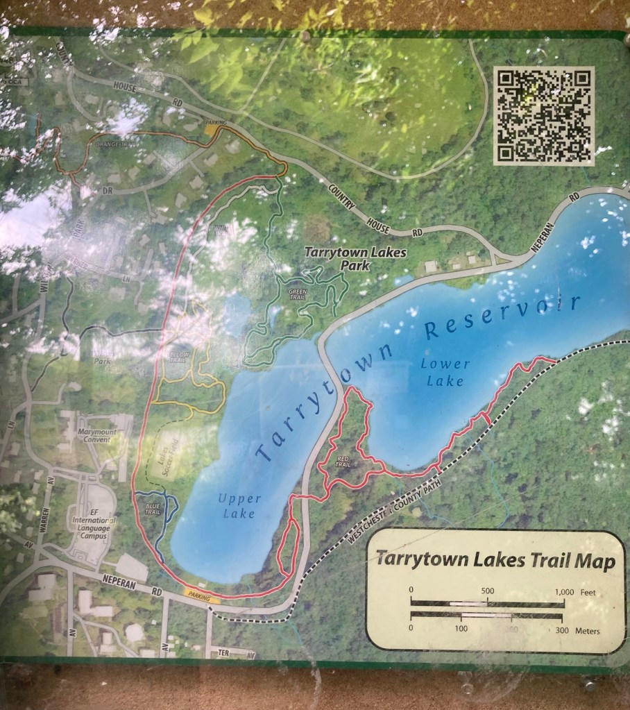
The map we used for hiking. We started at the parking area
and went east on the red trail along the upper and lower lakes before going to a parking area (off the map)
for the Westchester County Path and then returning.
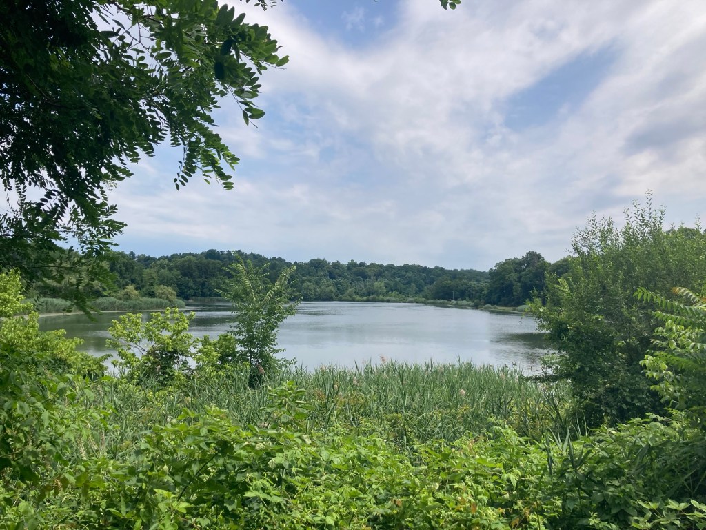
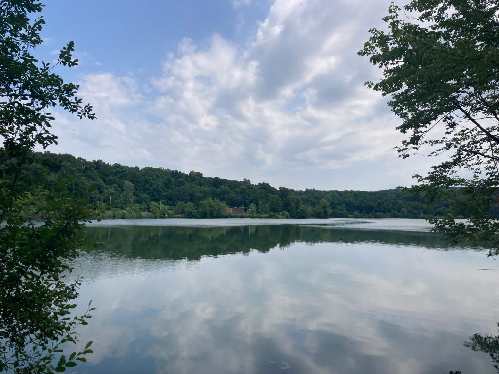
View of the Upper Lake from the parking area
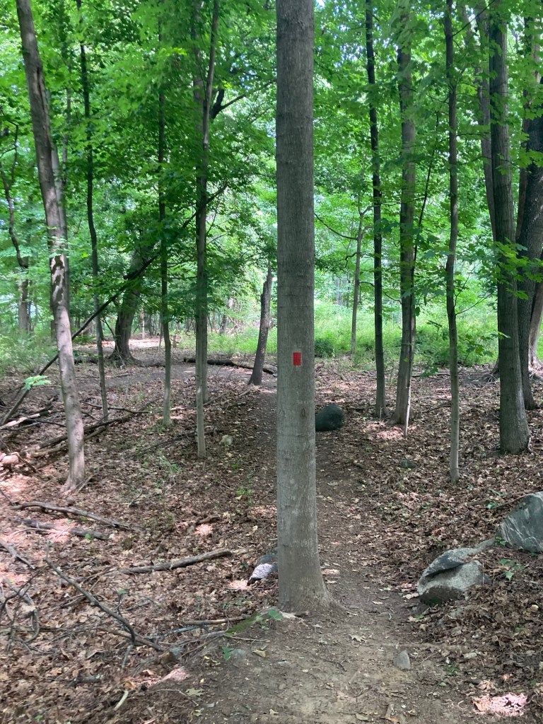
Heading out on the red trail
Following the red markers through the woods around the lakes
Another view of the Upper Lake
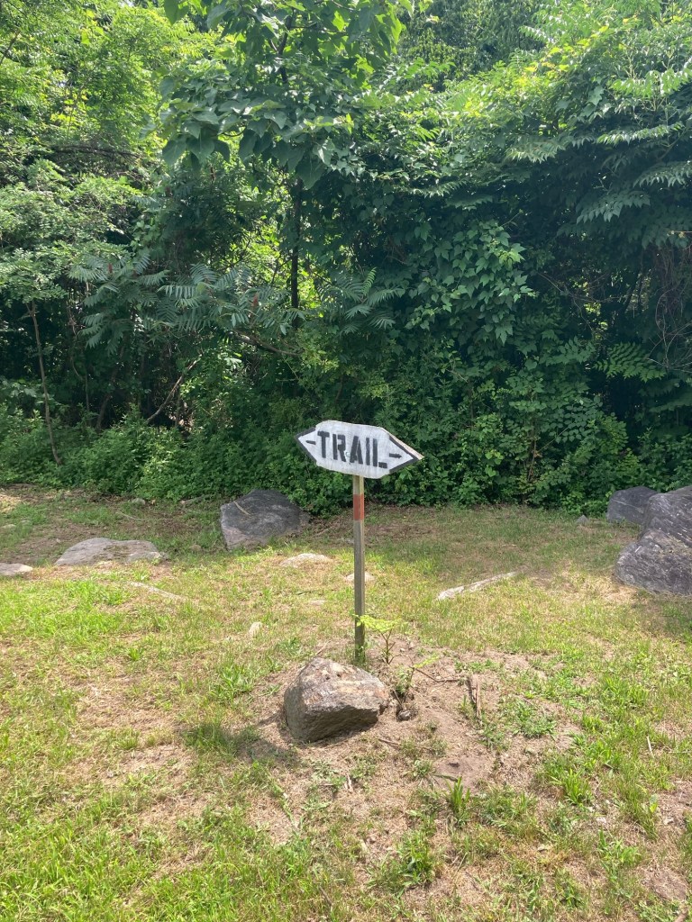
A trail marker in a clearing near a trailhead
on the road between the two lakes
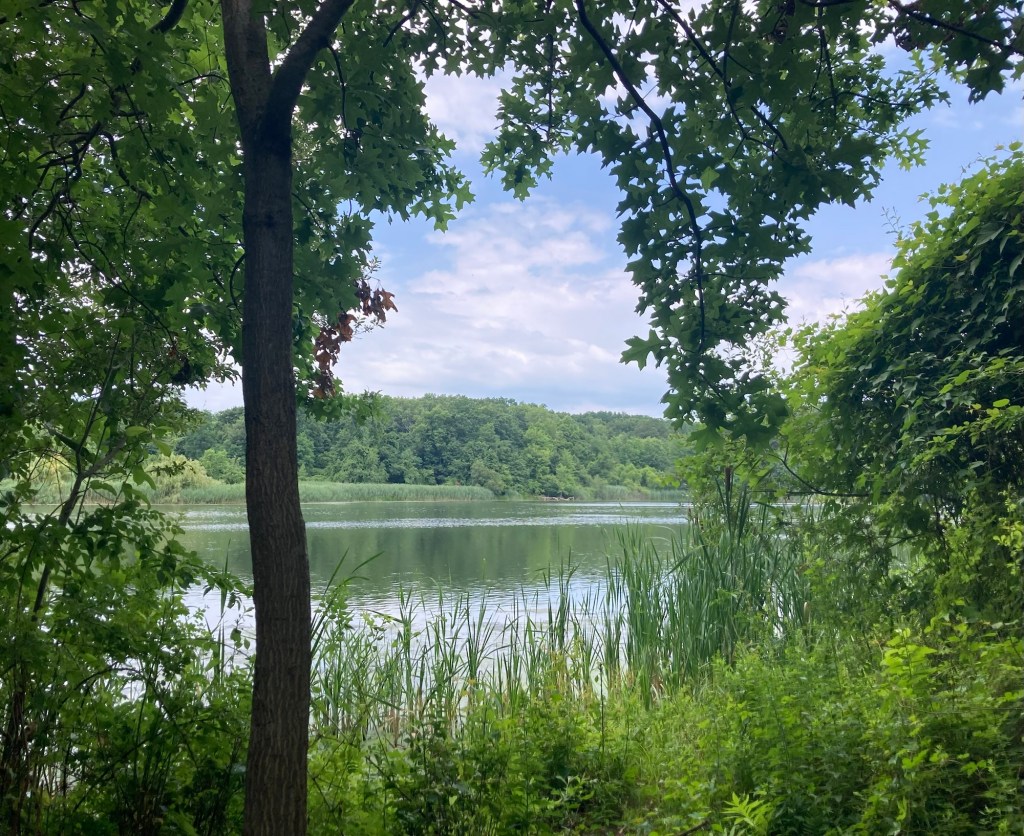
The Lower Lake
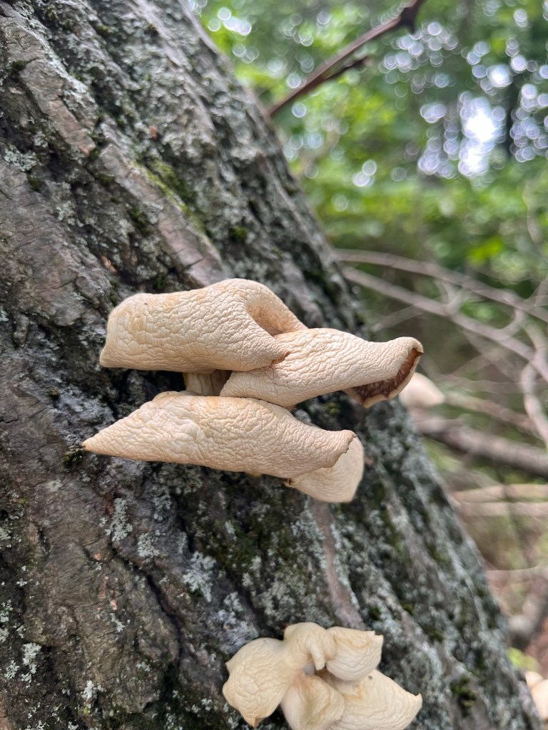
Some interesting looking fungi
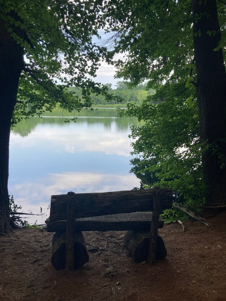
A shaded spot to sit a spell
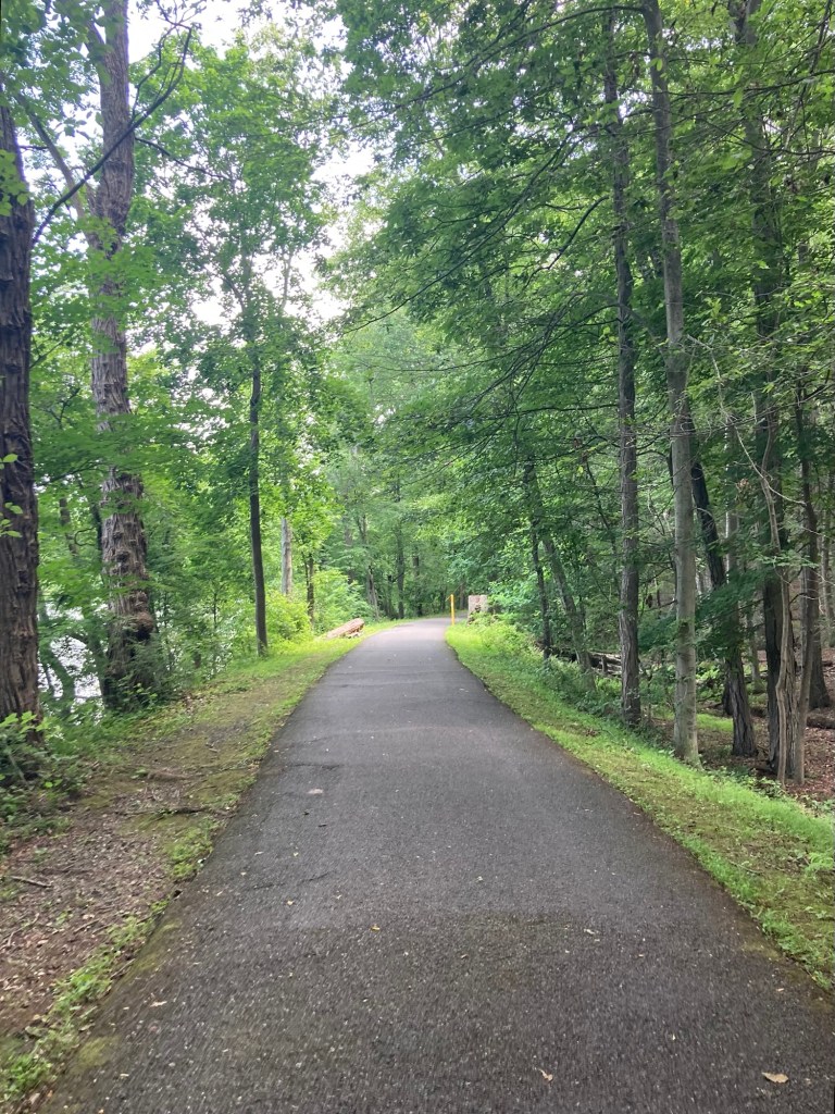
The paved Westchester County Path
Near where we turned around to head back.
One of the old waterworks structures that remain on the lakes.
Looking back up the Lower Lake
as we headed back to the start and then into downtown