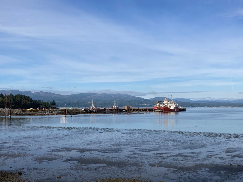
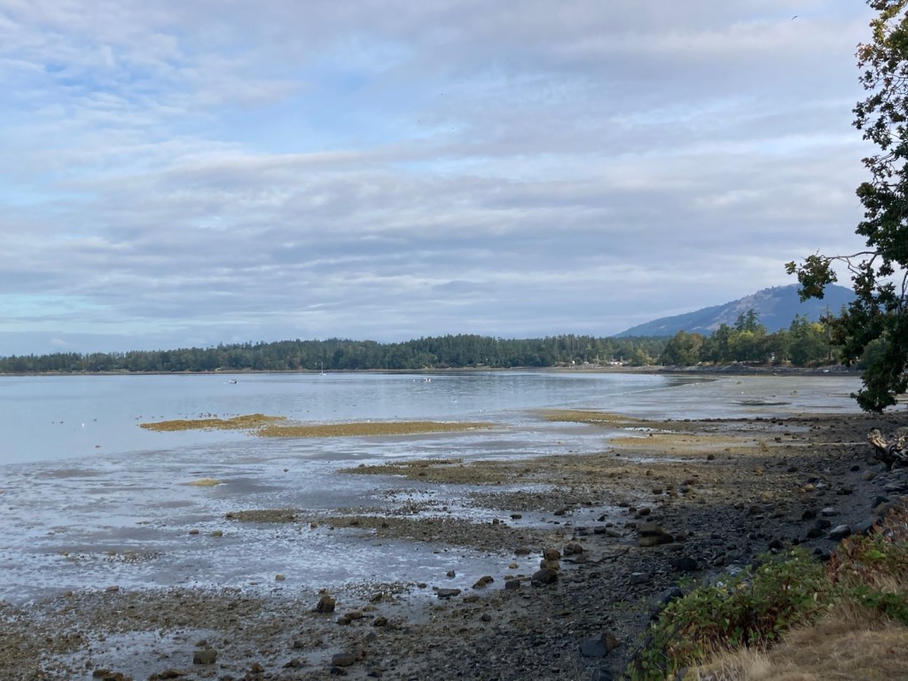
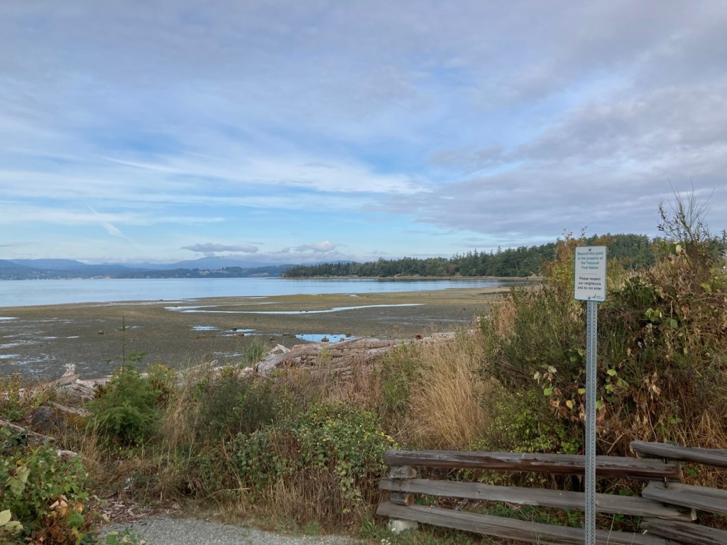
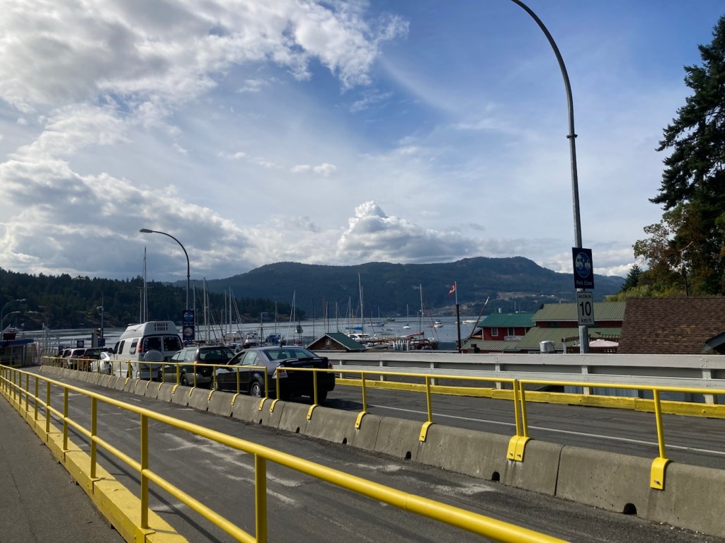
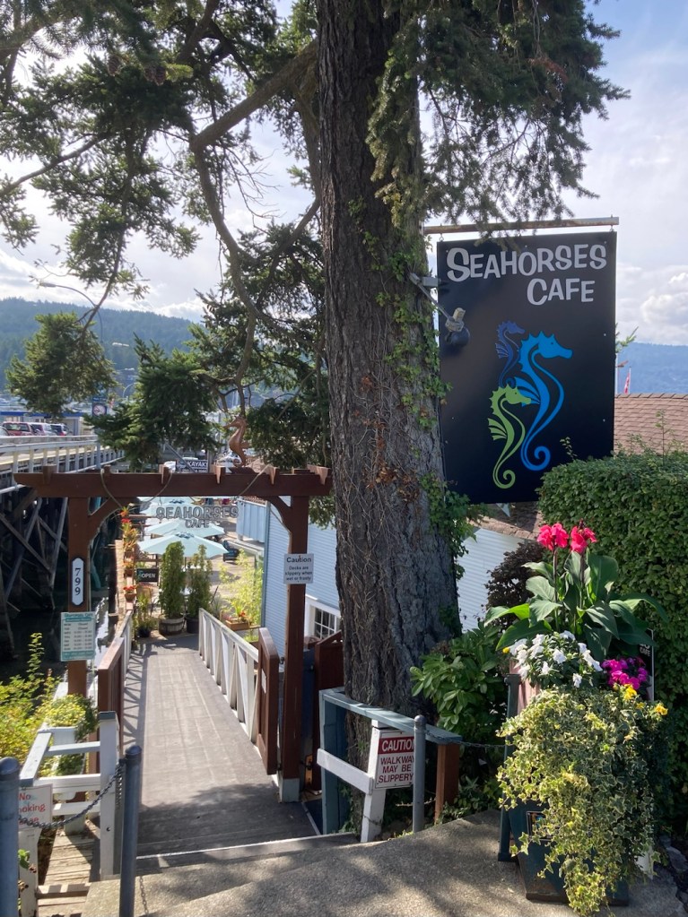
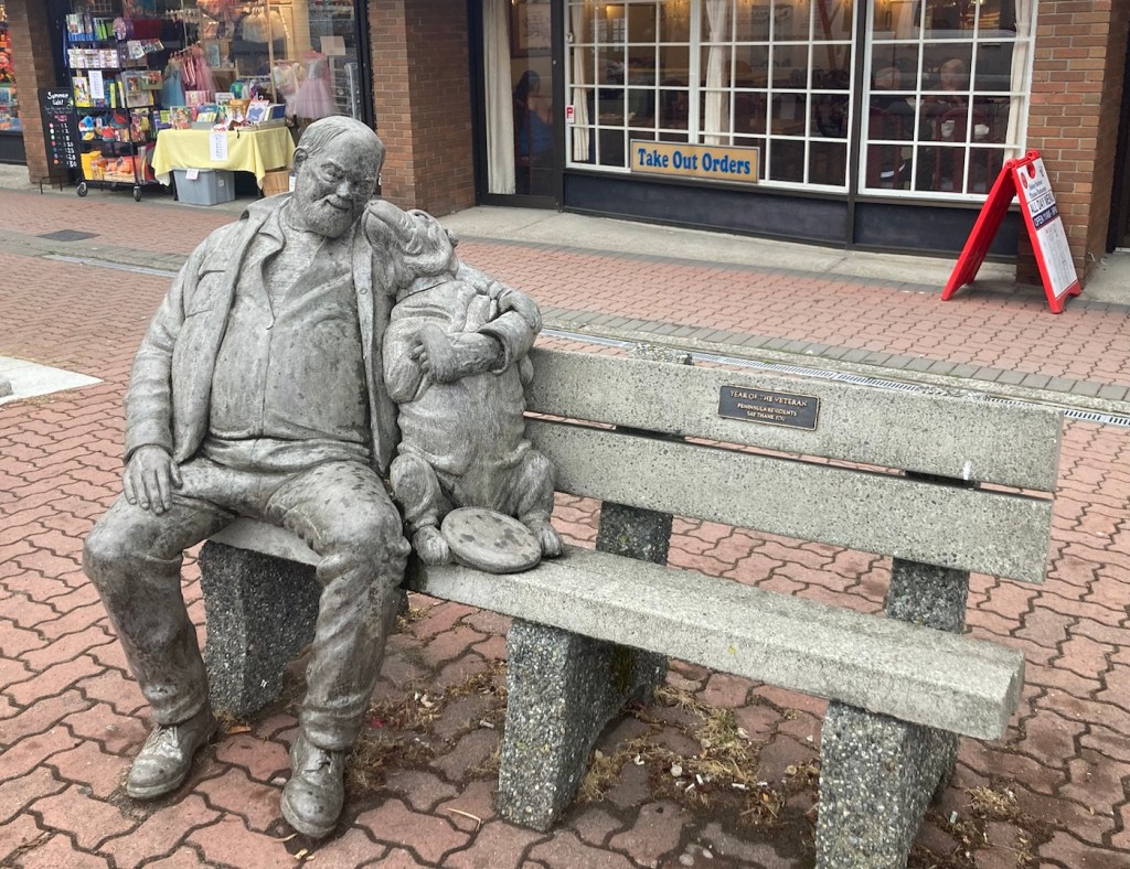
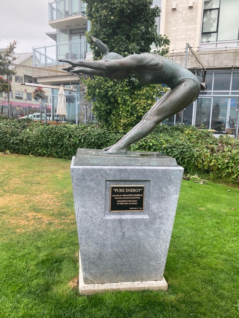
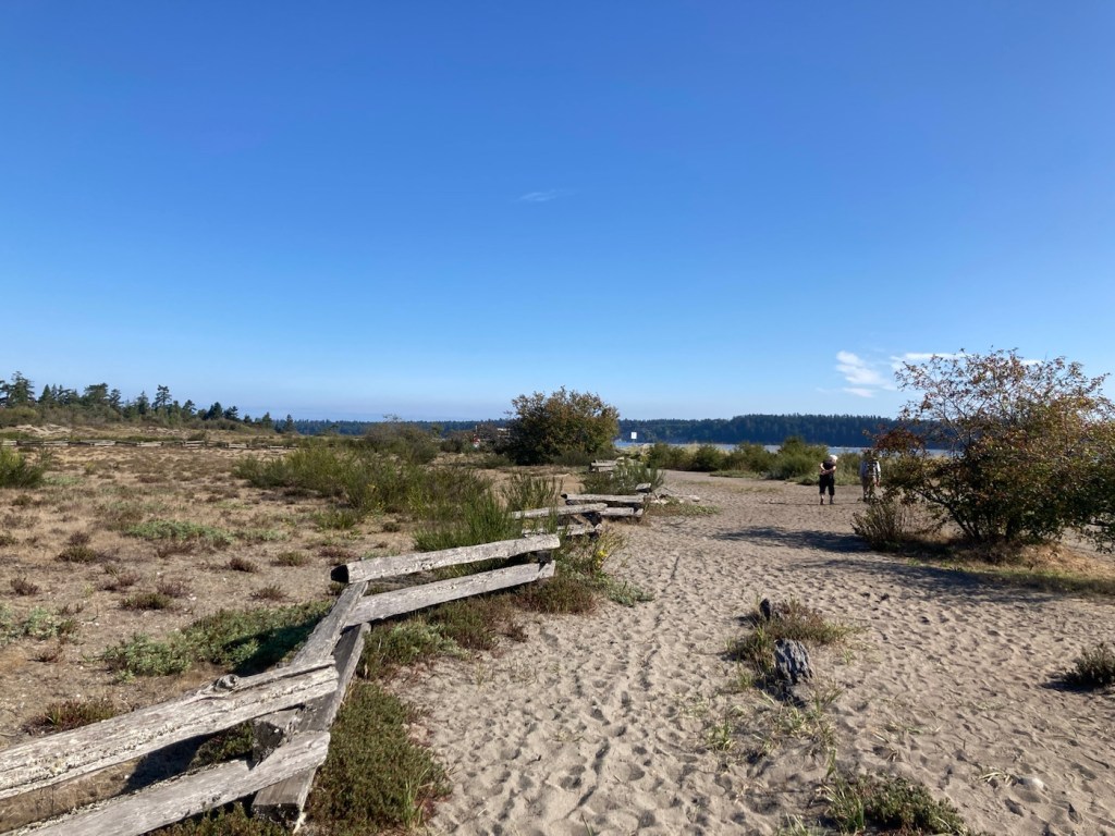
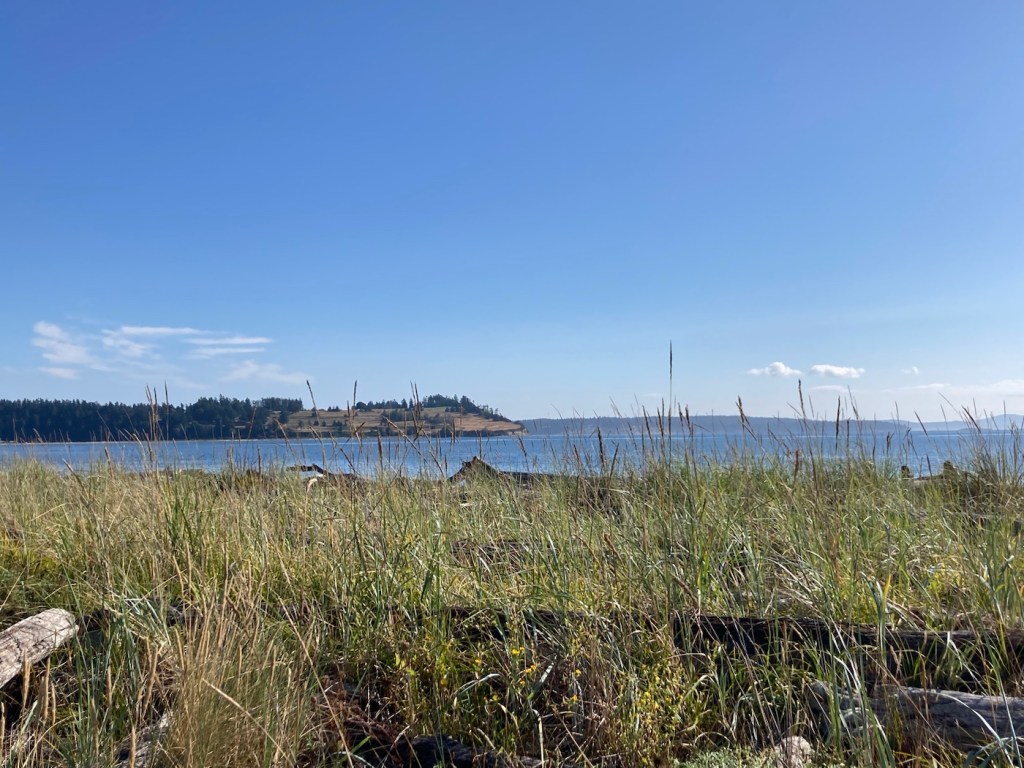
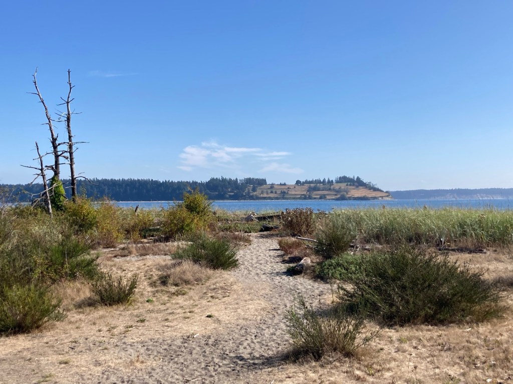
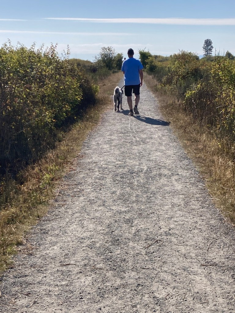
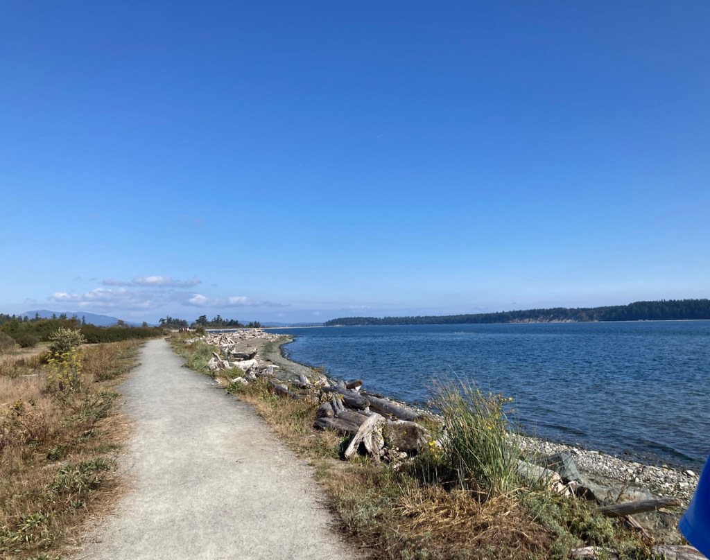
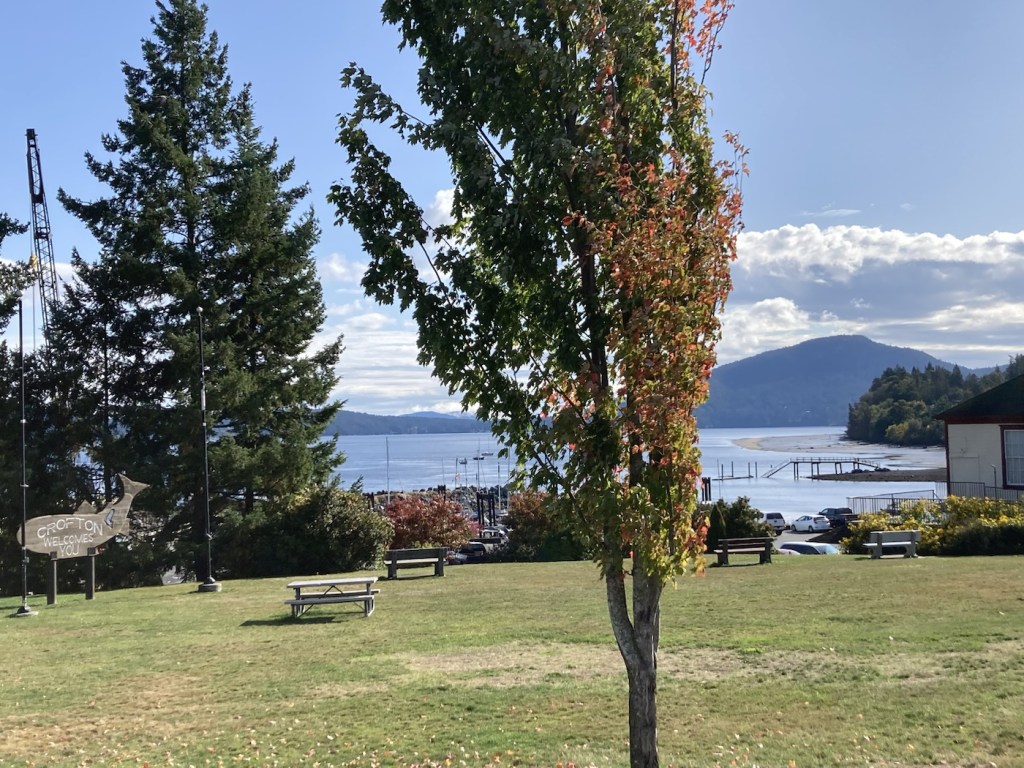
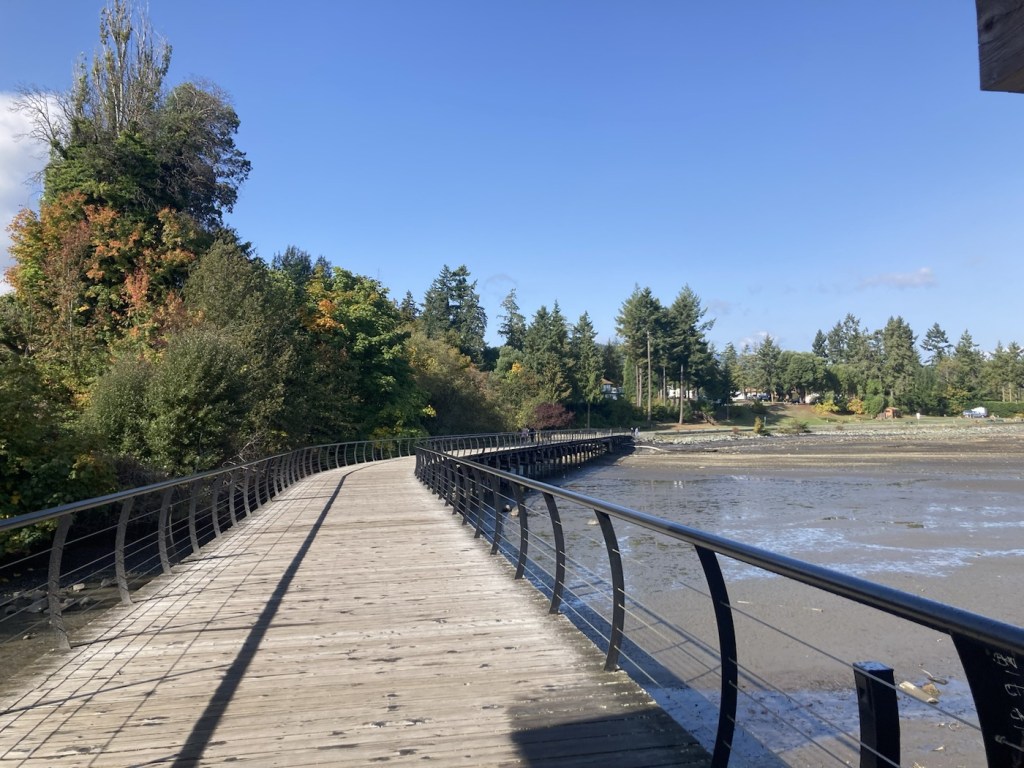
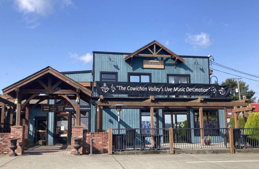
We had more rain overnight, but otherwise, a sunny day today. We decided to head down (south) to the small community of Crofton (population 1,500ish), which was on the news last night for the reopening of their paper mill. But we were headed there to walk along their newly extended waterfront walkway that we had read about in some of our travel brochures we picked up at the local Visitor’s Center.
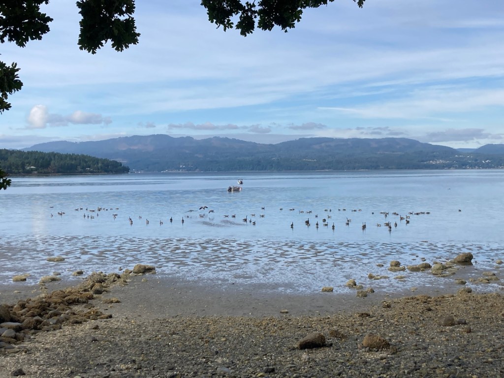
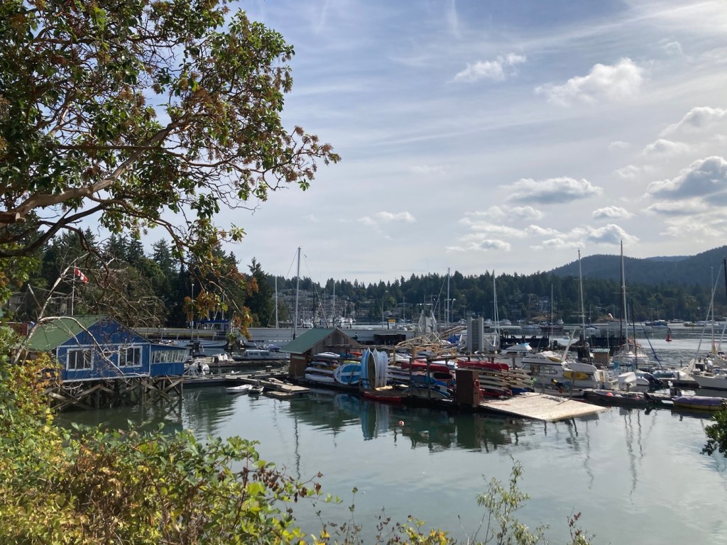
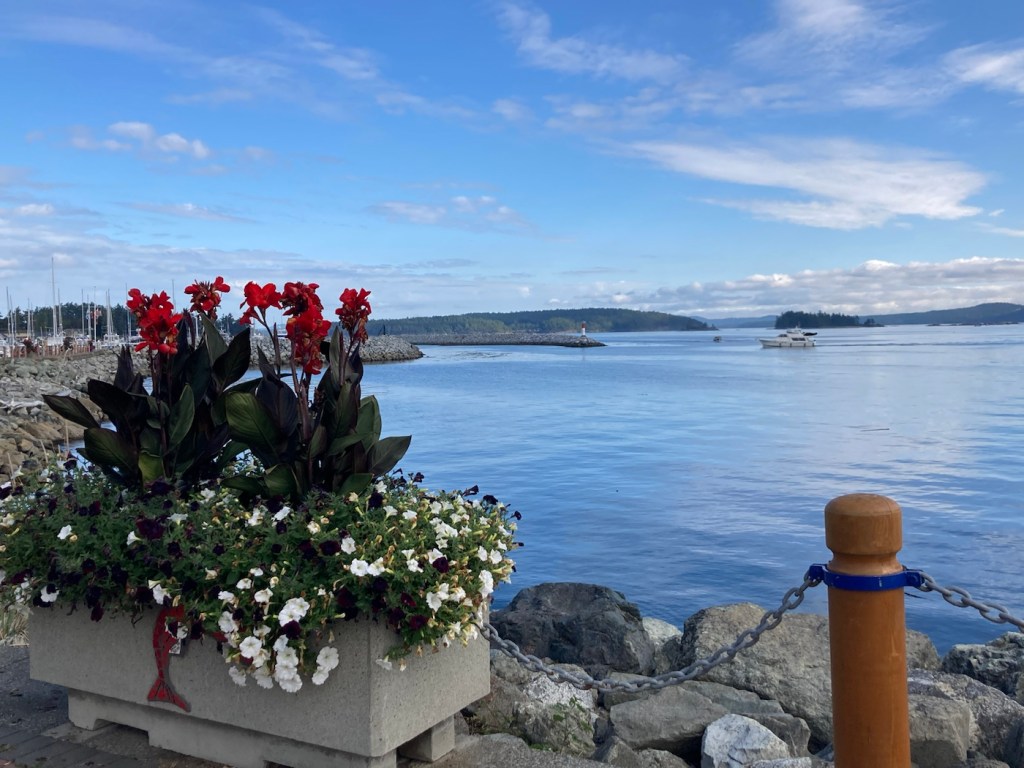
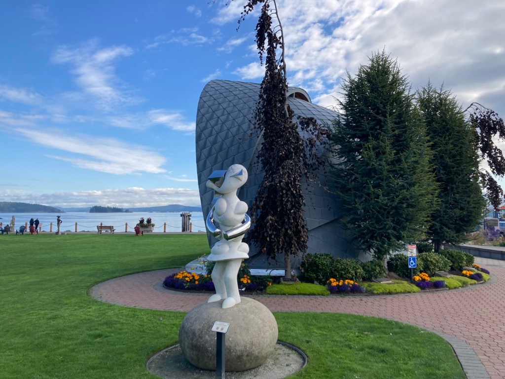
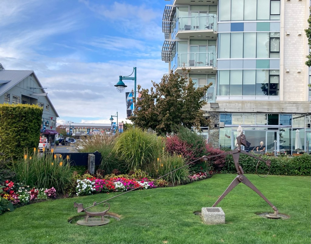
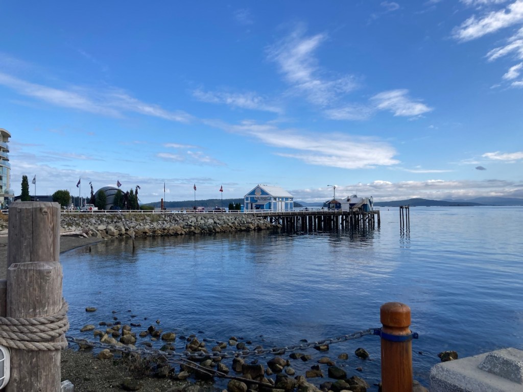
It was a short but lovely walk that lead us by two parks, along the Stuart Channel, and we got to see a ferry going to the nearby Salt Spring Island being loaded with cars.


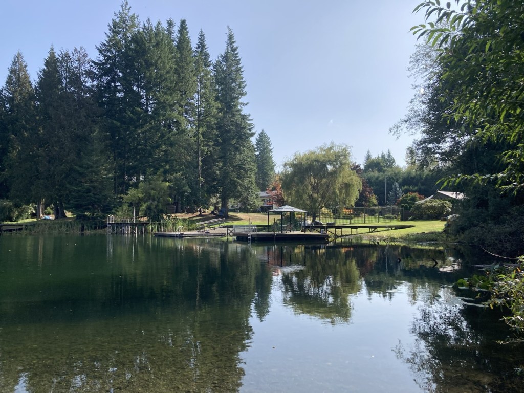
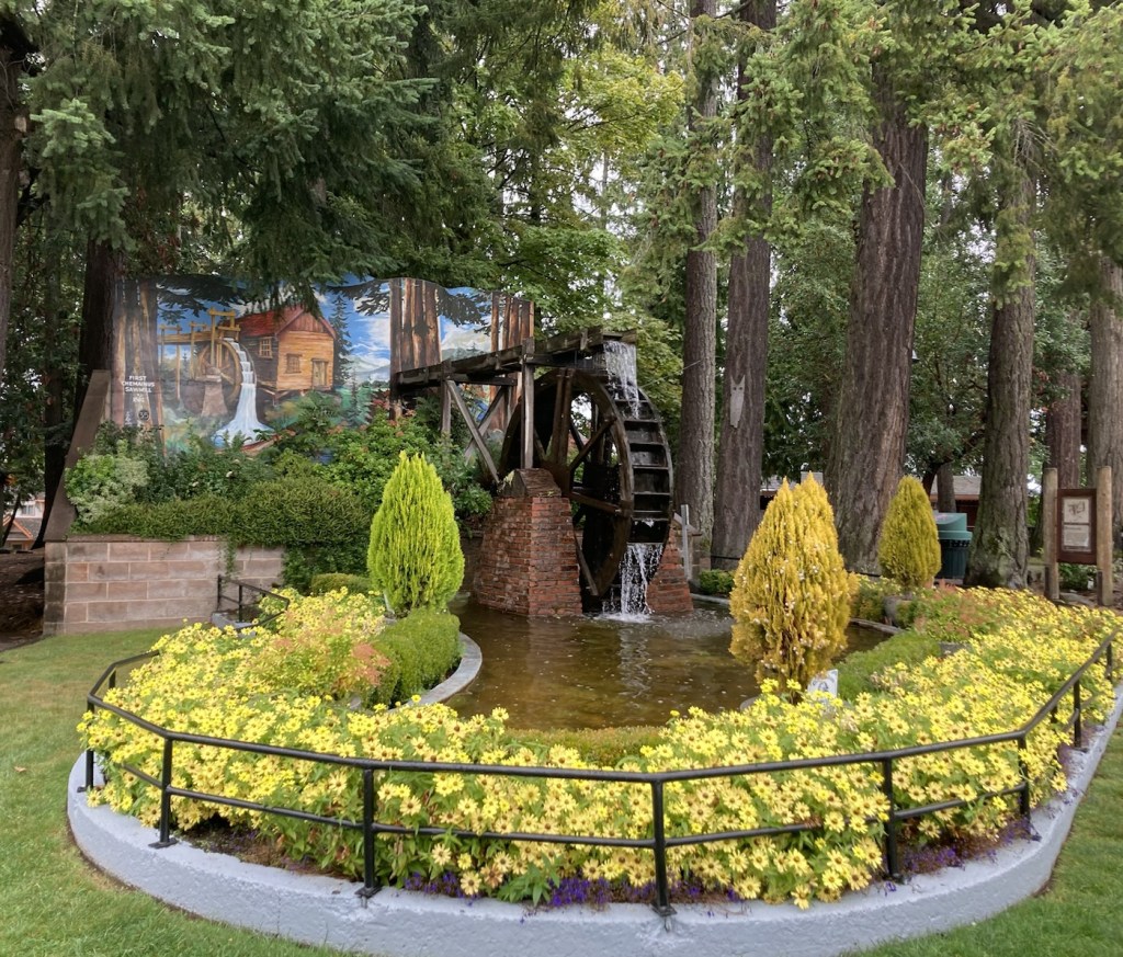
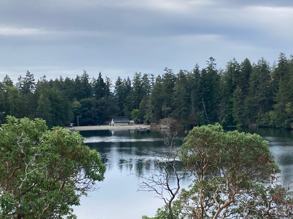
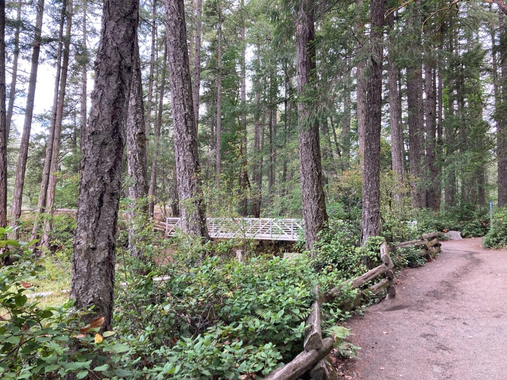
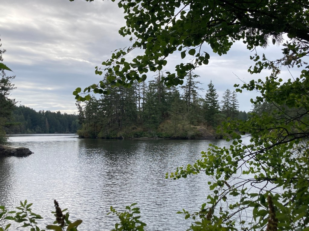
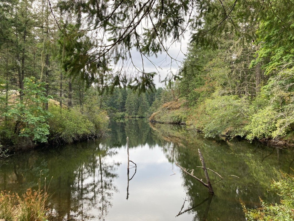
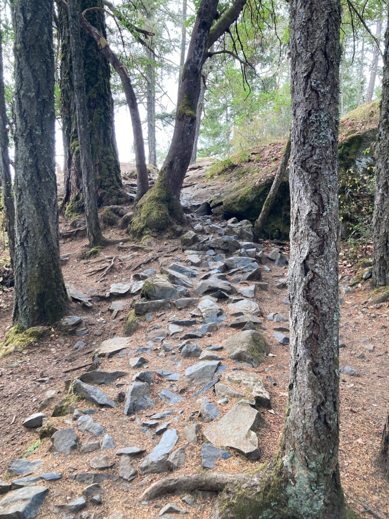
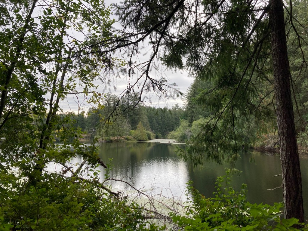
After our walk around Crofton, we headed to Fuller Lake Park, which is near the exit to Chemainus off of Trans Canada Route 1, so we had seen signs for it. It is a lovely park, even though much of the land around the lake is privately owned, so you can’t hike around it. No one was swimming, but there were a number of people fishing, and quite a few games of pickleball underway on the courts across from the parking lot. The tennis courts, on the other hand, were not being used.