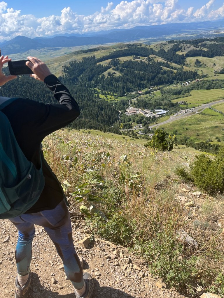
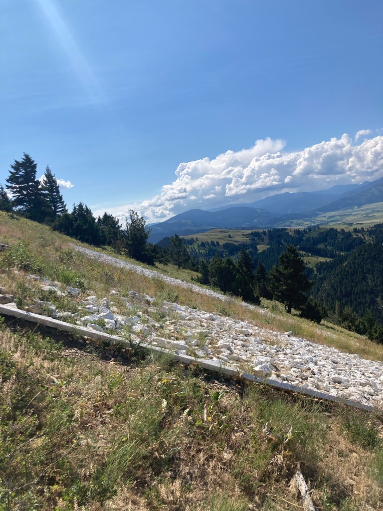
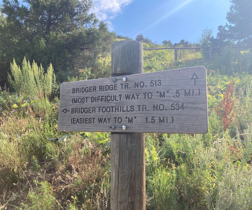
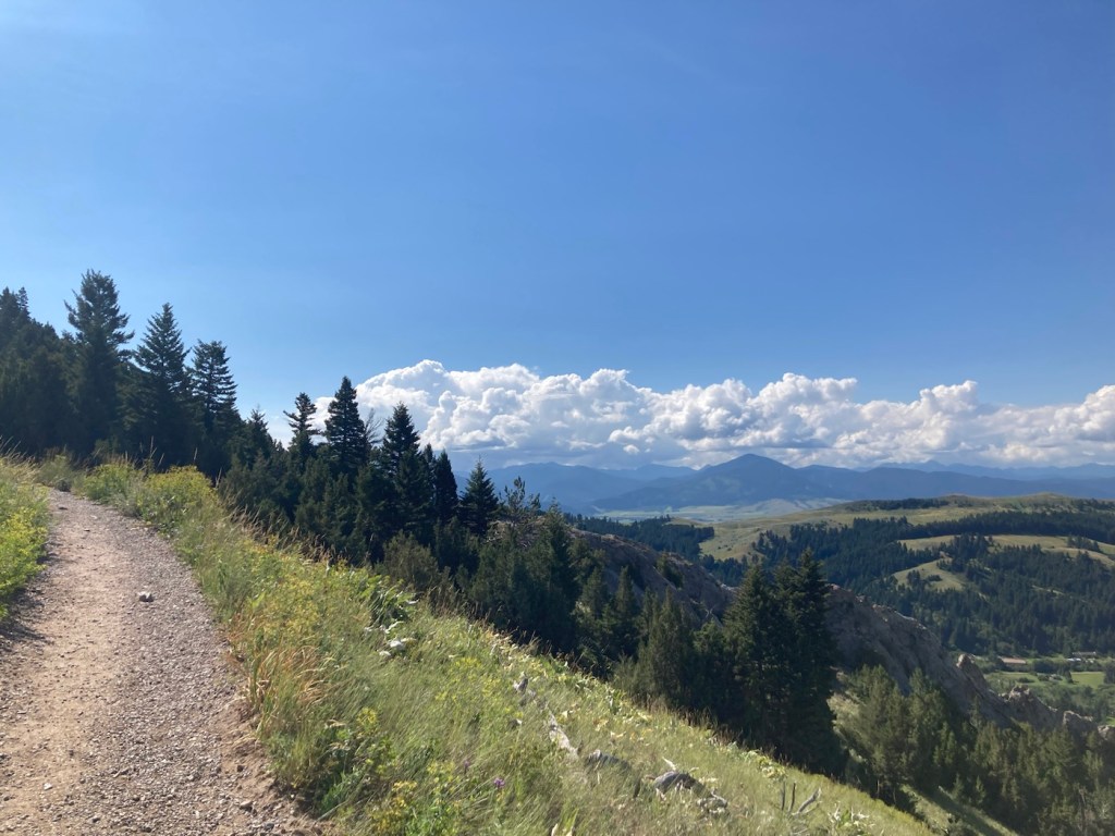
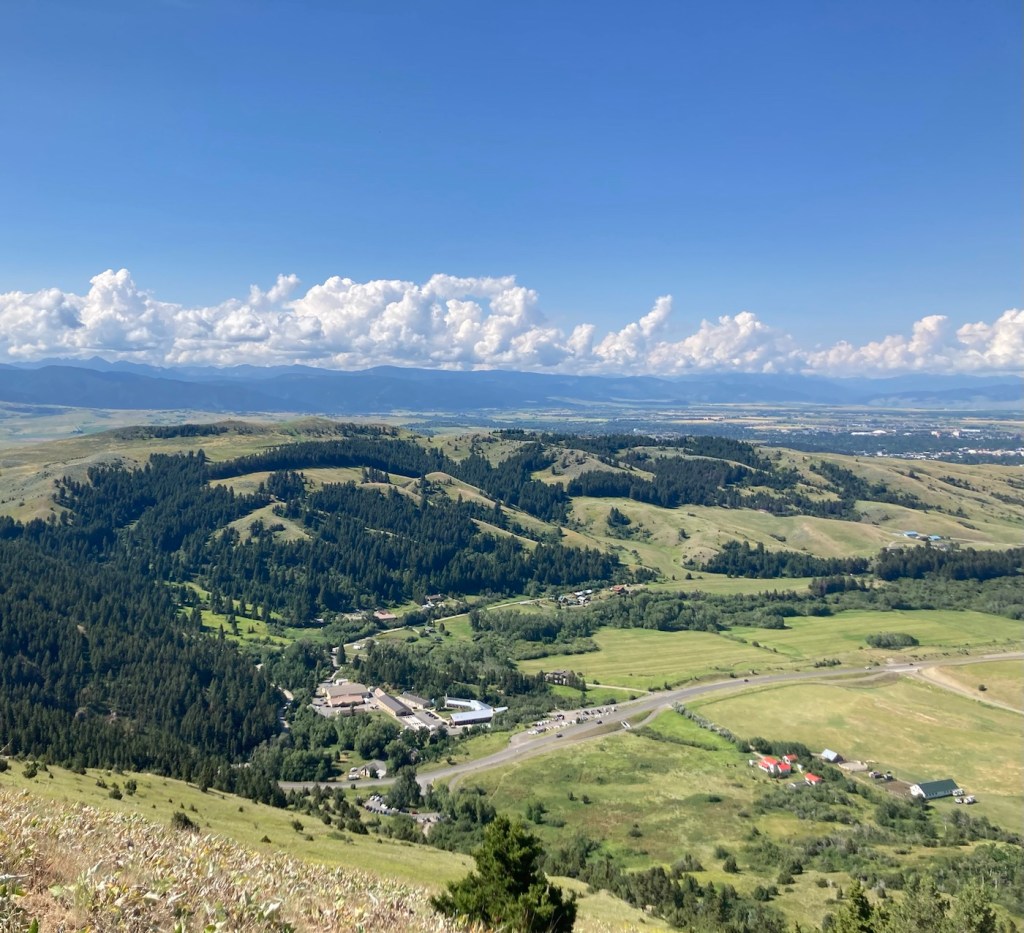
In 1915, Montana State University students created an M on a mountain at the mouth of Bridger Canyon. I’m not sure what it was originally made of, but it now consists of 250 feet of whitewashed rock. There are two routes up to it, one short (.5 miles) and steep, and the other longer (1.5 miles) and less steep. Both are popular for hiking and running, as we found when looking for a parking spot this morning.
We chose the less steep (deemed easiest on the trail signage) to spare our knees and have a longer hike.

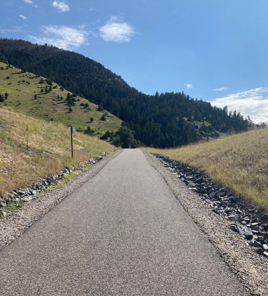
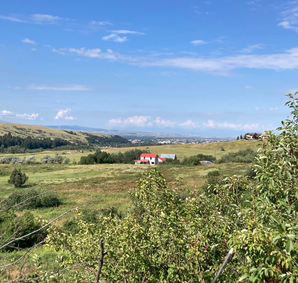
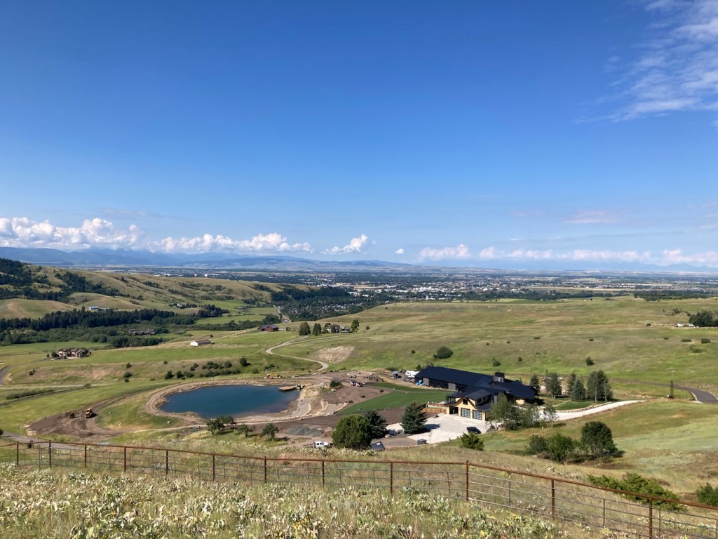
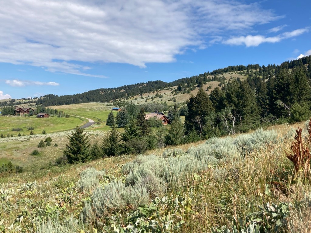
on the Main Street to Mountains hike/bike path that ends at the M trailhead


and we were afraid we had our first grizzly sighting.

(not to mention the lovely surroundings)