Categories
Uncategorized

A Bookish Day (4/24/24)

Today, was all about reading and books, although a bit differently than we expected. We started with a leisurely morning reading the paper, and John Crace making me laugh with his word phrasing

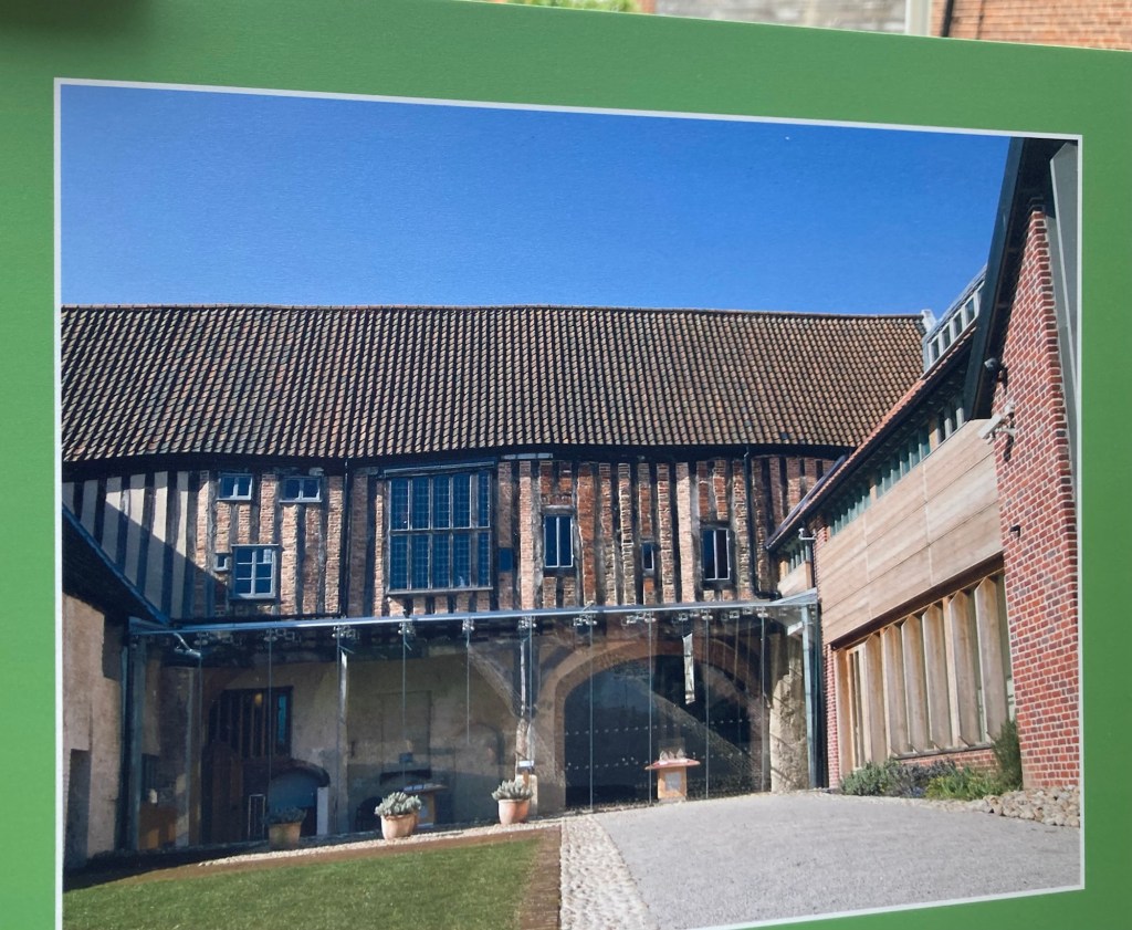
Then we headed off to the National Centre for Writing where we thought we would learn a bit about English writers. We did not, but we did learn about Dragon Hall, the lovely medieval building in which the Centre is housed. It was built around 1427 by a wealthy merchant.

Dragon Hall, currently home to the National Centre for Writing a
s well as an event space
Part of the interior of one of the rooms
A photo of what the rear of the building currently looks like
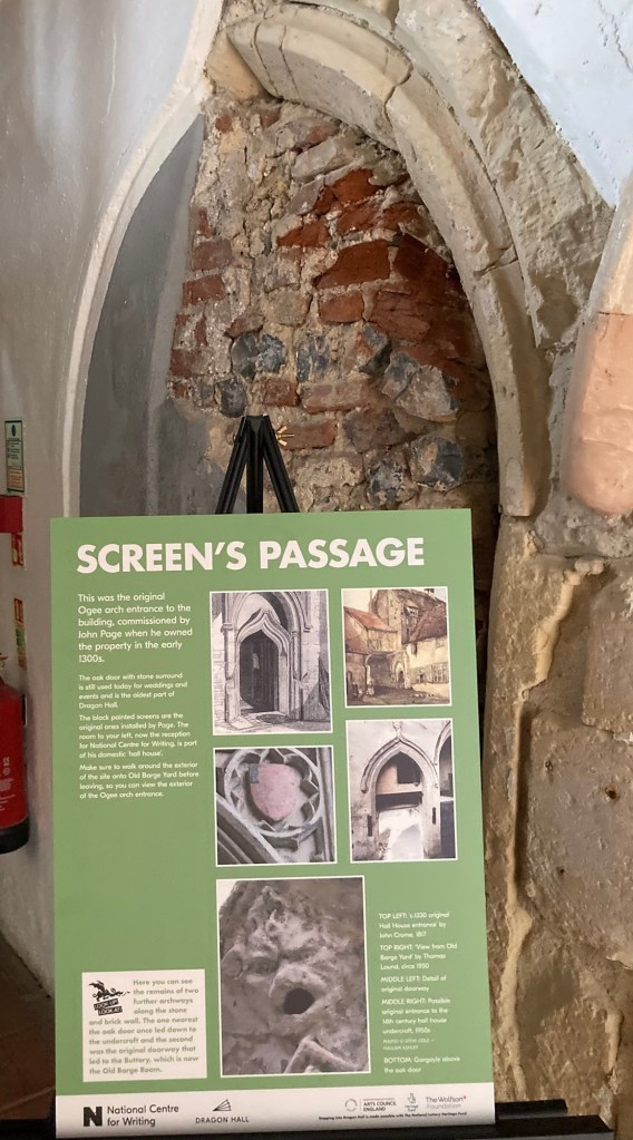
I mostly like this information panel and related arch,
as it allowed me to really learn the term ogee,
which I only know from crossword puzzles
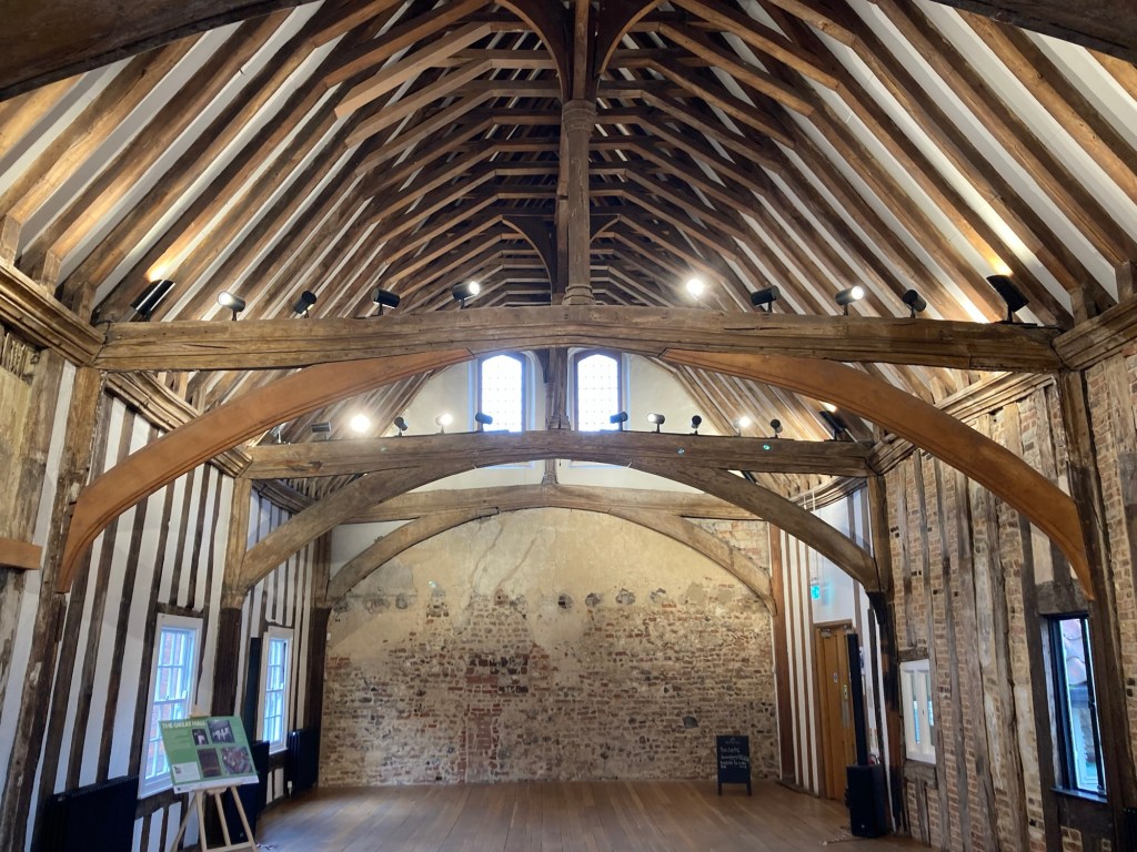
The great hall upstairs,
which is used for weddings and other events

While we didn’t learn anything about writers from our tour, the National Centre for Writing does seem to host a number of writing related events for the community and even has a cottage nearby to house writers or translators in residence. Also, I picked up a brochure that we would use for another walking tour of the city after we checked out the public library that Bob had researched for us.

The impressive sounding Norfolk and Norwich Millenium Library is housed in an impressive modern building called The Forum, which also houses cafes and other businesses.

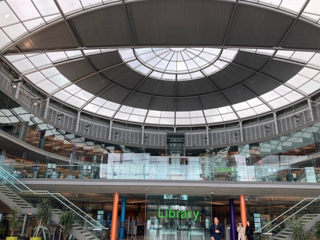
The Forum
The library inside The Forum
Looking out towards the city from inside the library

After exploring the library, we headed out to do the walking route to find the book-themed benches around Norwich. During our walk, we also popped into the department store, Jarrold’s, which we had seen yesterday but hadn’t explored (very impressive food hall and 4 restaurants within the store!), and stopped into a local bakery, which used to just be a stall in the market but has now transferred into a brick and mortar building, for a lovely cheese scone. The walk also took us through a number of small alleyways in Norwich, so it made for a great walk even with the on again/off again rain that was not noted in our weather app.
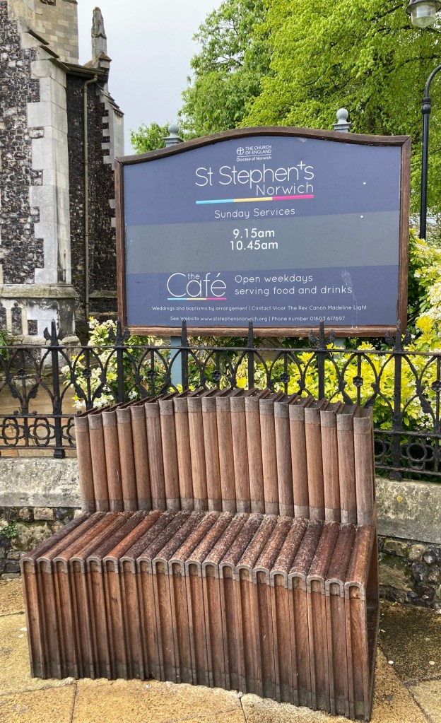
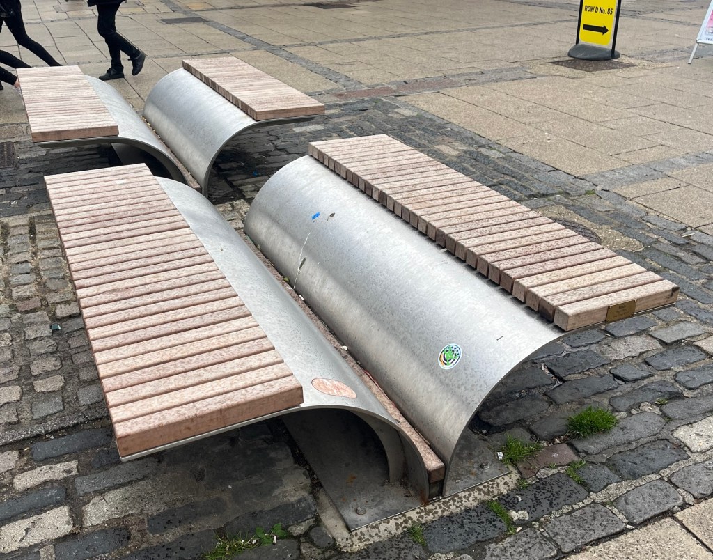
There are 2 of these to represent books
as though stacked on a shelf.
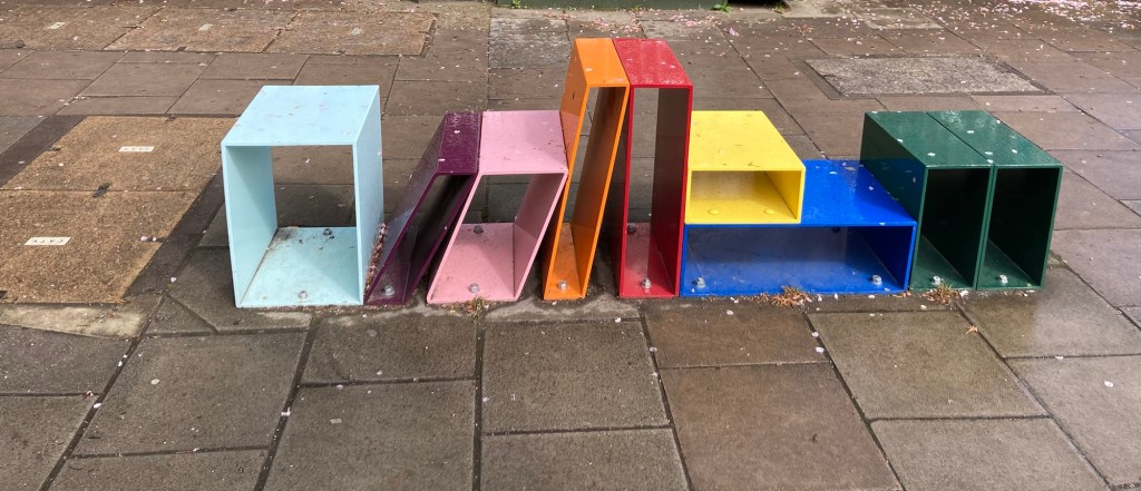
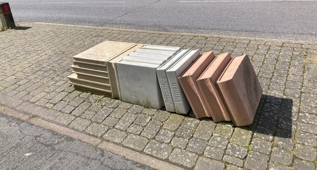
This one is a bit more obscure,
but each rectangle is to represent a book is a different color
to represent the different districts within Norwich.
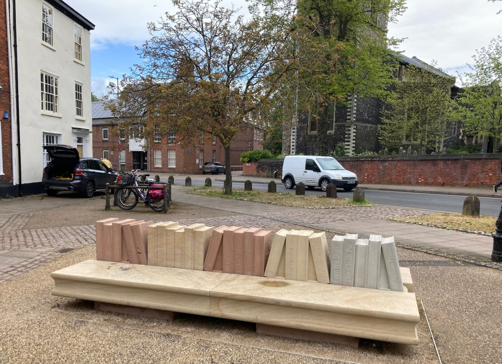
Made of UK stone,
they have names of authors from Norwich
or books about the region.
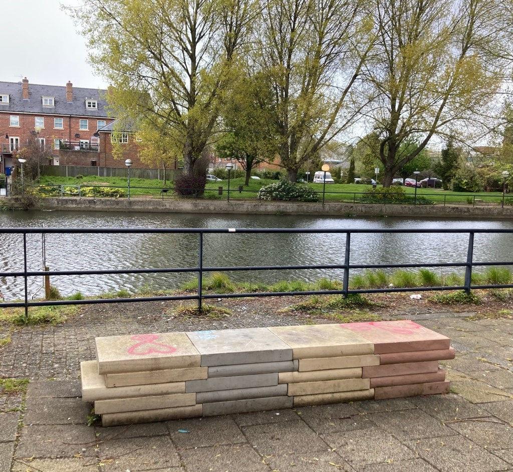
More stone books but this time placed
so you can watch the River Wensum.
The longest of the benches, featuring 25 books related to Norwich
This is outside the Norwich University of the Arts,
and looks like a book layer down open,
which really isn’t the best way to treat a book.
Stacks of stone books outside St. Giles Church
Books open on their spine near Norwich Castle.

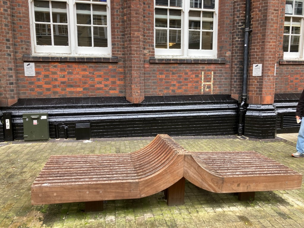
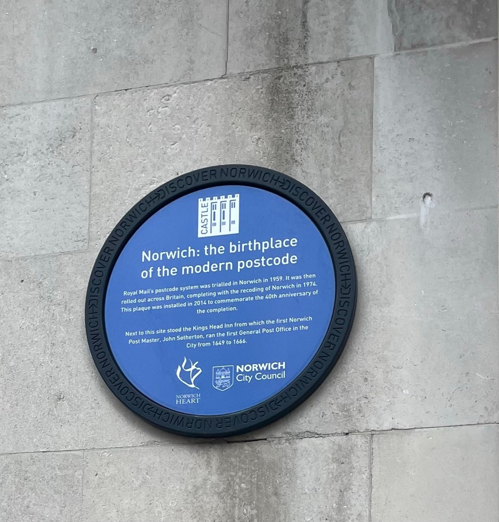
Fun find of the day, and in memory of Bob’s dad who worked for the US Postal Service for many years.
Categories
Uncategorized

Getting about in Norwich (4/23/24)

Norwich is a city within the county of Norfolk, England. It is about 100 miles northeast of London and has a population of about 144,000. It claims to be the most complete medieval city in the UK. In 2012, it was designated as England’s first UNESCO City of Literature. (We hope to learn more about that tomorrow.)

Our inn had a handy map to help us explore, so we identified some places of interest to visit and headed out in the misty day.

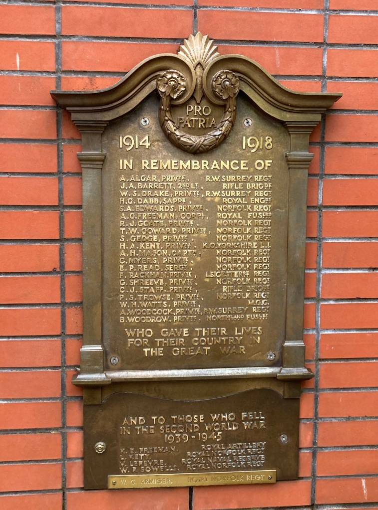
We stumbled on this memorial marker
for the Norwich Brewery Companies
that were killed in WWI and WWII.
These markers are found around town.
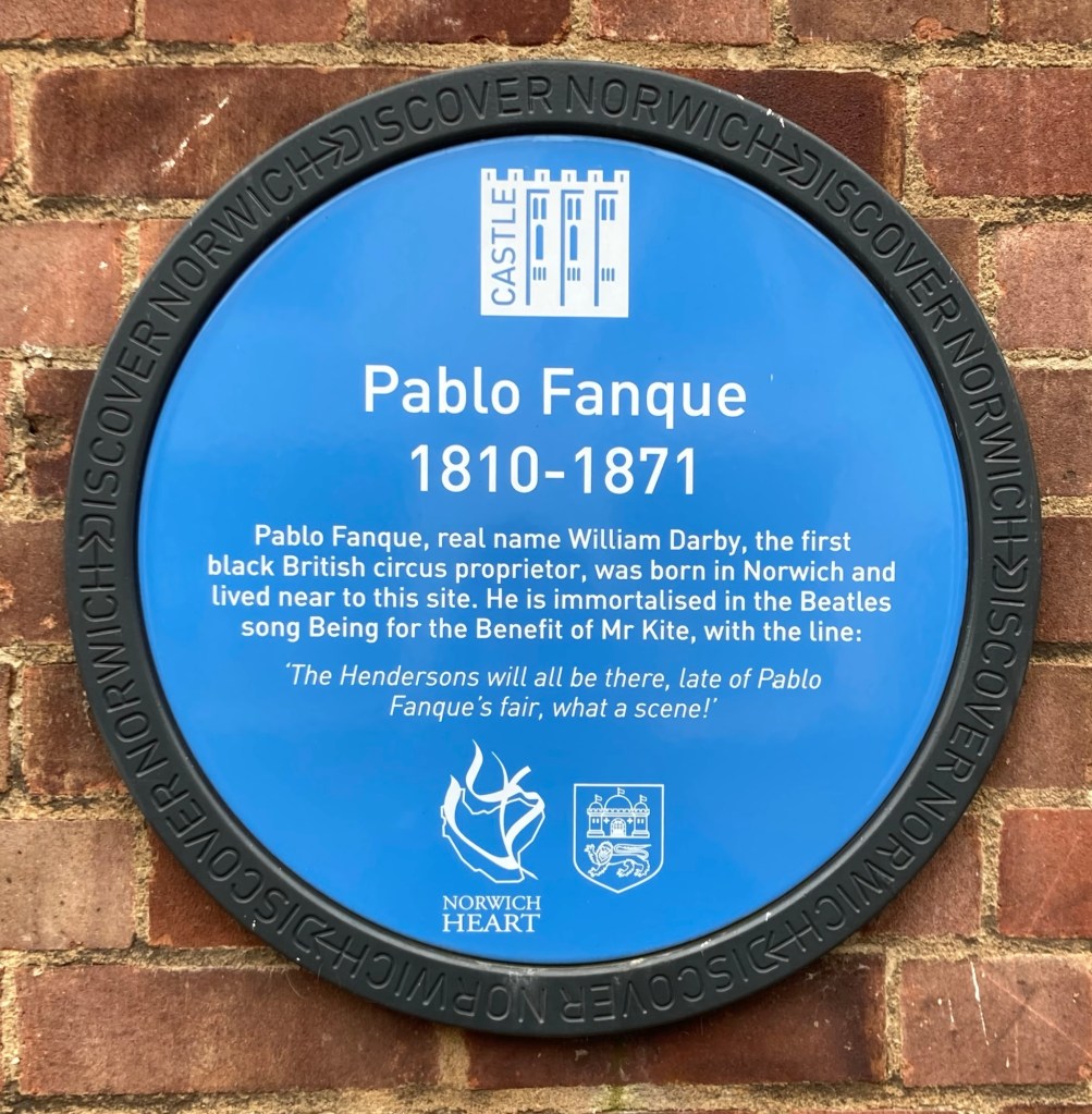
This may be of interest to any diehard circus or Beatles fans.
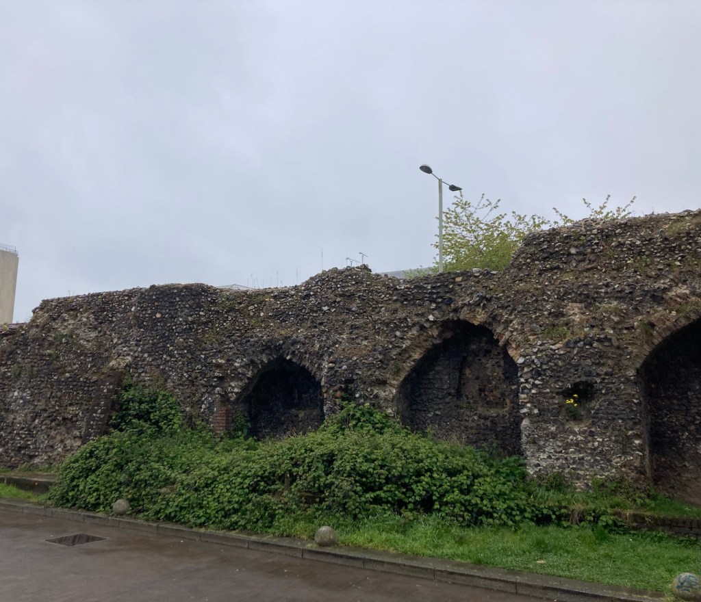
A section of the old city wall that is still standing.
They were completed in the mid-14th century,
and at that time formed the longest circuit
of urban defenses in Britain.
The city walls were near the cute Chapelfield Gardens
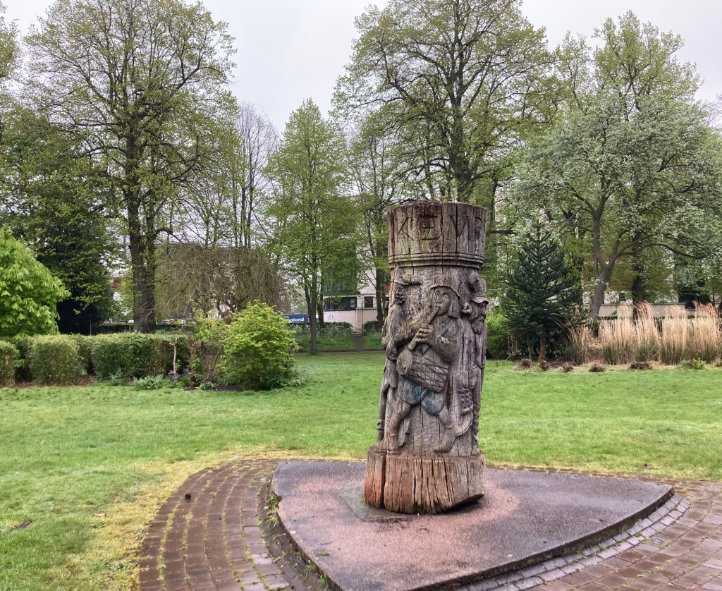
with this tree sculpture
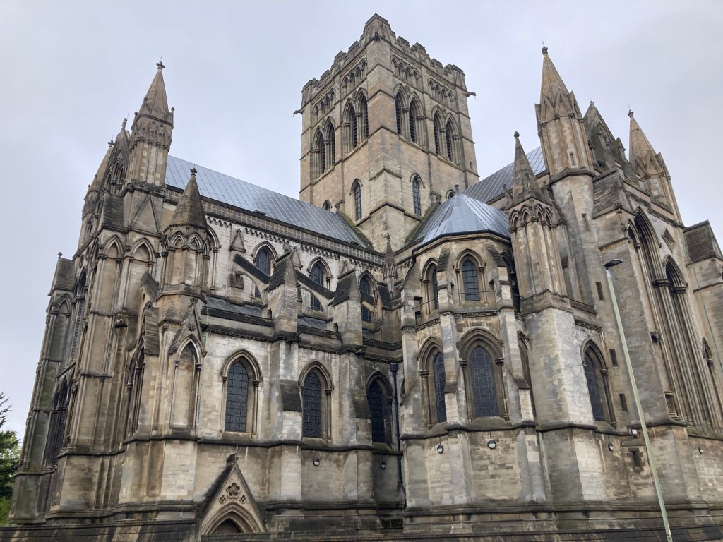
St. John the Baptist Catholic Cathedral, begun in 1882, opened for worship in 1894, and finally completed in 1910.
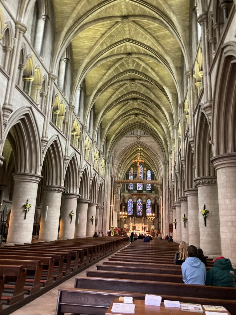
The central nave of the church

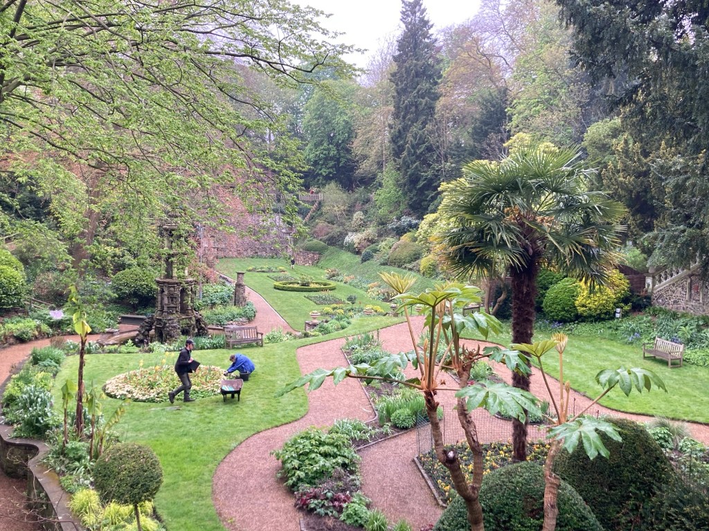
We had seen that the Plantation Gardens were a must see, and they are located very close to the cathedral. We paid the 2 pounds to visit the small, but very lovely Italian gardens. The gardens were established over 100 years ago in an abandoned chalk quarry.

A view of the Italianate terrace from above
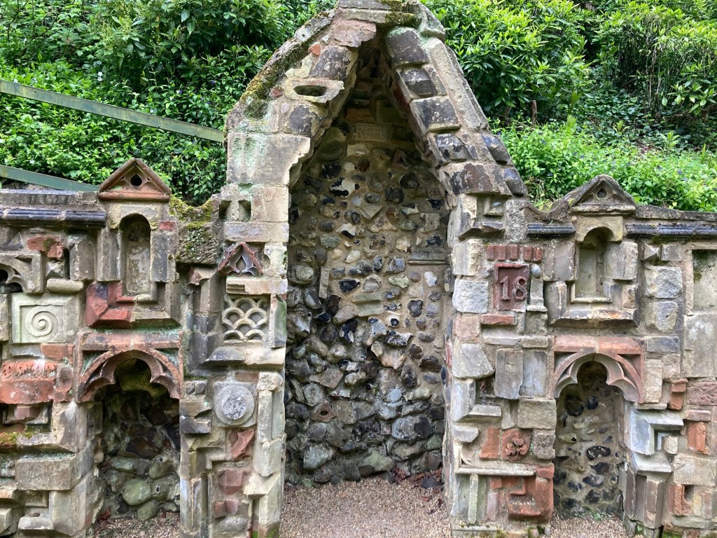
A section of some of the interesting mixed stone walls
around part of the terrace
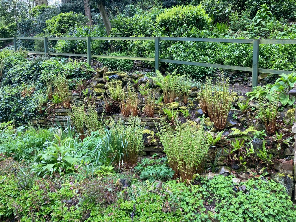
The green plants along the outer perimeter
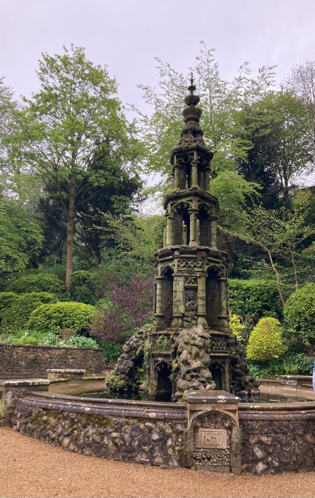
A gothic fountain
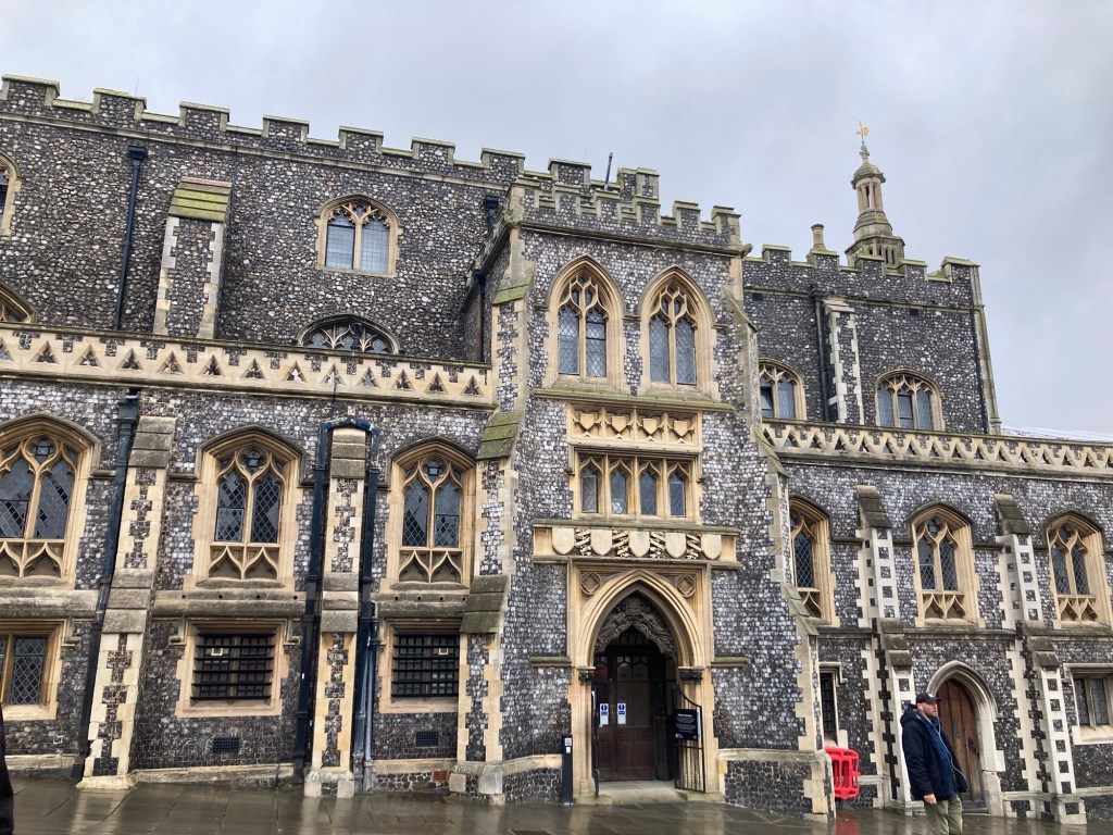
Norwich Guildhall
Looking across the top of the colorful stalls of the Norwich Market, selling everything from takeaway food to produce and baked goods to antiques, clothing and accessories, and flowers.
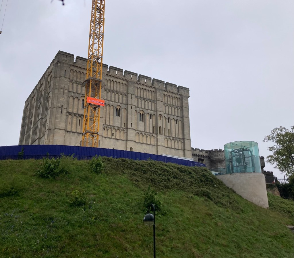
The Norwich Castle under refurbishment
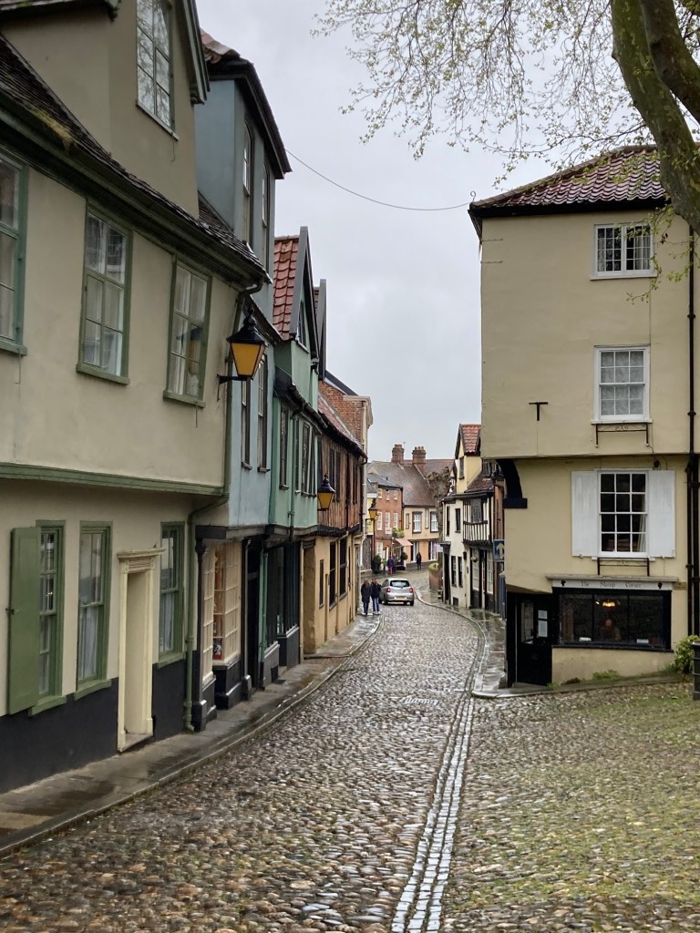
The cute, quaint Elm Hill shopping district
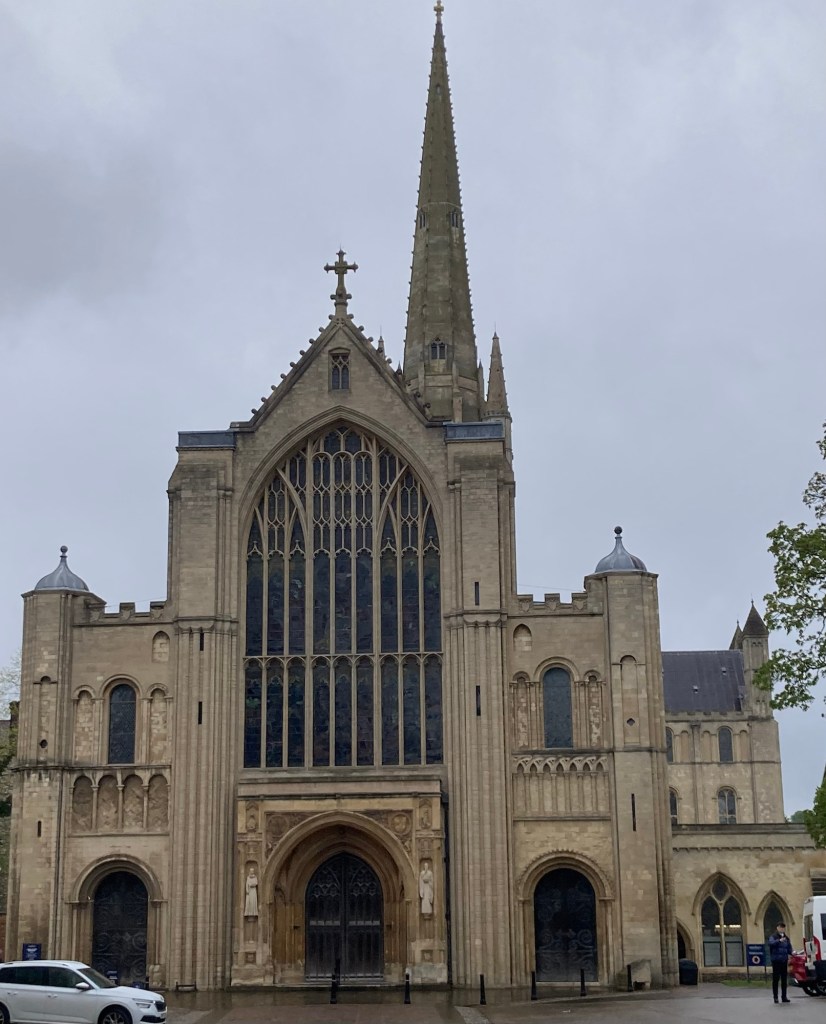
Norwich Cathedral
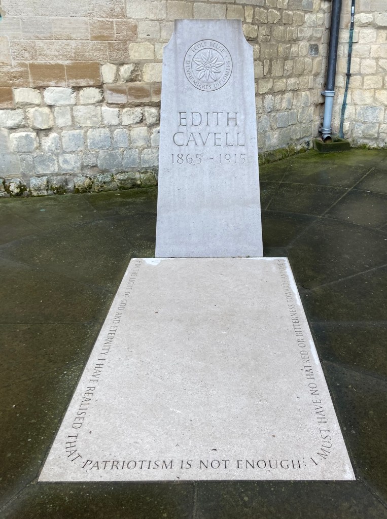
The grave of Edith Cavell, a nurse in WWI
who cared for soldiers on both sides
and was later executed by the Germans
for helping Allied soldiers escape Belgium.
Categories
Uncategorized

Now in Norwich (4/22/24)

Bob and I arrived in Norwich this afternoon at about 3:20 after having traveled by train from Eastbourne to London, switching stations in London by tube, and then onward to Norwich. We had a short 10 minute walk to our hotel, where we’ll be for 3 nights.

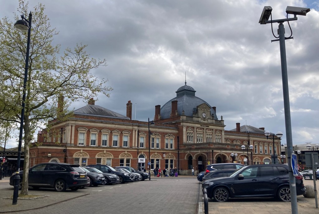
The Norwich Rail Station

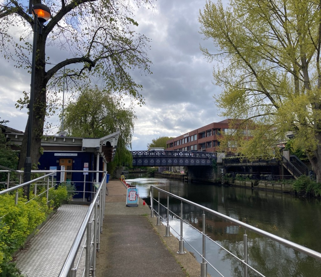
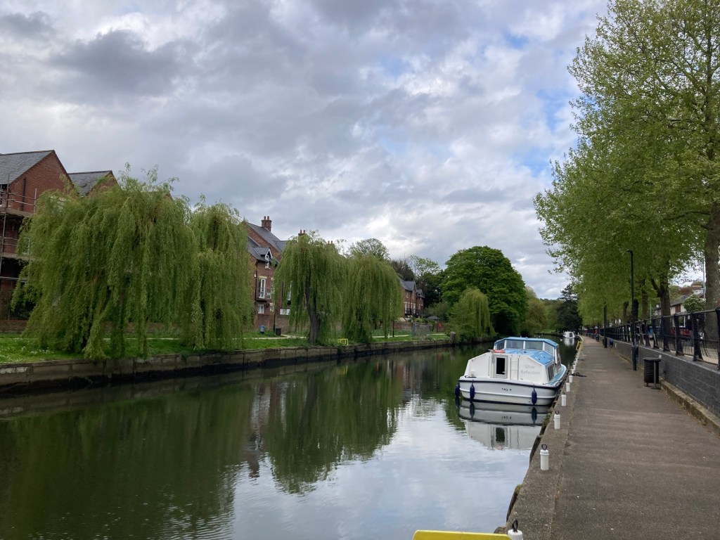
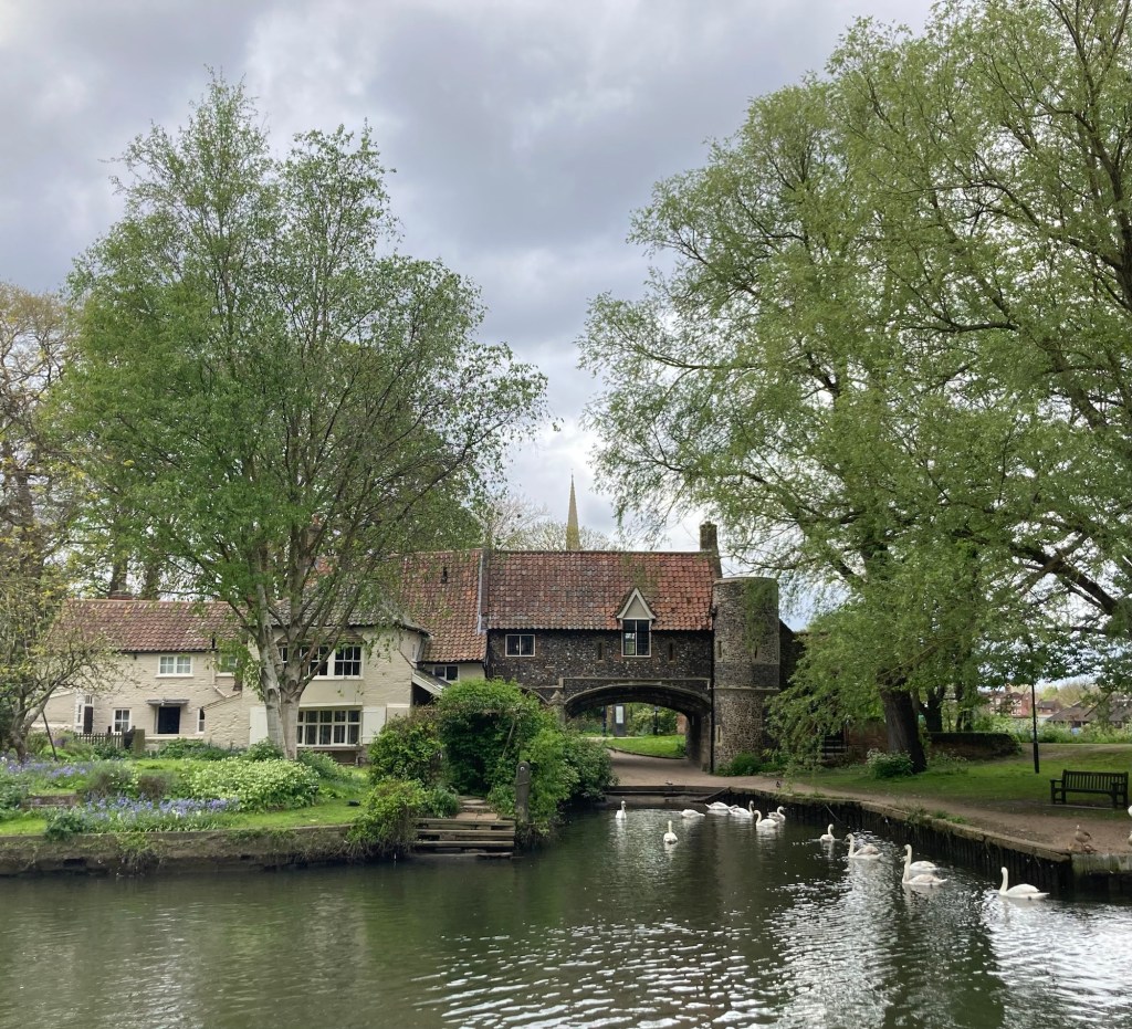
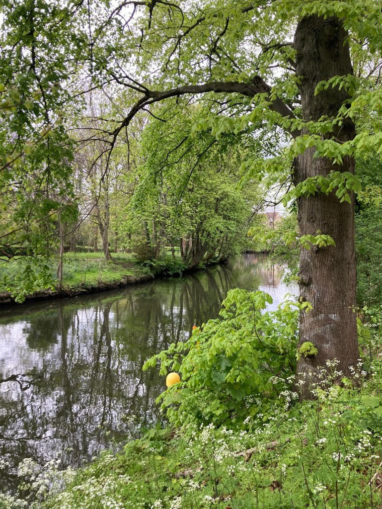
Shortly after unpacking we went for a walk along the riverside walking path that we could catch near the train station.


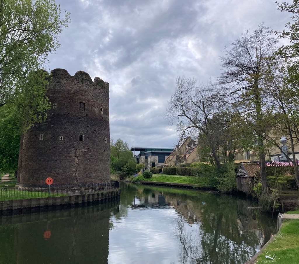
One of the earliest artillery blockhouses in England,
this brick tower was built in about 1398-9
to command a strategic point in Norwich’s city defence.
St. James Mill built in 1839, now the head offices of Jerrold & Sons
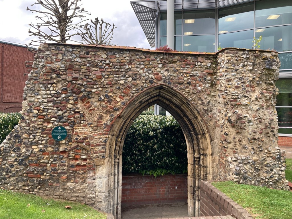
The marker regarding the burial of Lady Butler (Eleanor Talbot)
in the church of the Carmelite Friars.
She was claimed to have had a pre-contract of marriage
to Edward IV, which Richard III used
to deny the throne to Edward’s children.
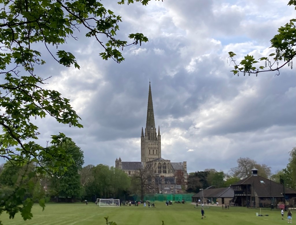
The impressive Norwich Cathedral

We’re looking forward to exploring more of Norwich tomorrow.

Categories
Uncategorized

A Day of Ease in Eastbourne (4/21/24)

After completing the multi-day hike and before a day of travel to Norwich tomorrow (a train, a tube and another train), Bob and I have had a pretty lazy day in Eastbourne.

We had the free breakfast at the hotel (a good buffet of hot and cold options), and then headed to a launderette to do some much needed laundry. The launderette was staffed, so we could get the proper coinage (7 pounds here for a wash versus 6 in Winchester) and we had a nice chat with a man, originally from South America but who has been in England for 60 years and has served king and country (his words) by serving some time in the military. He helped us as well with the machines.
View from our window at The View Hotel

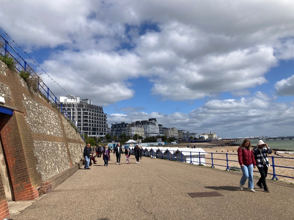
From there, we walked to the rail station to print our tickets for tomorrow. After folding and packing our clothes. We had a lovely but windy walk on the promenade and out to the pier.
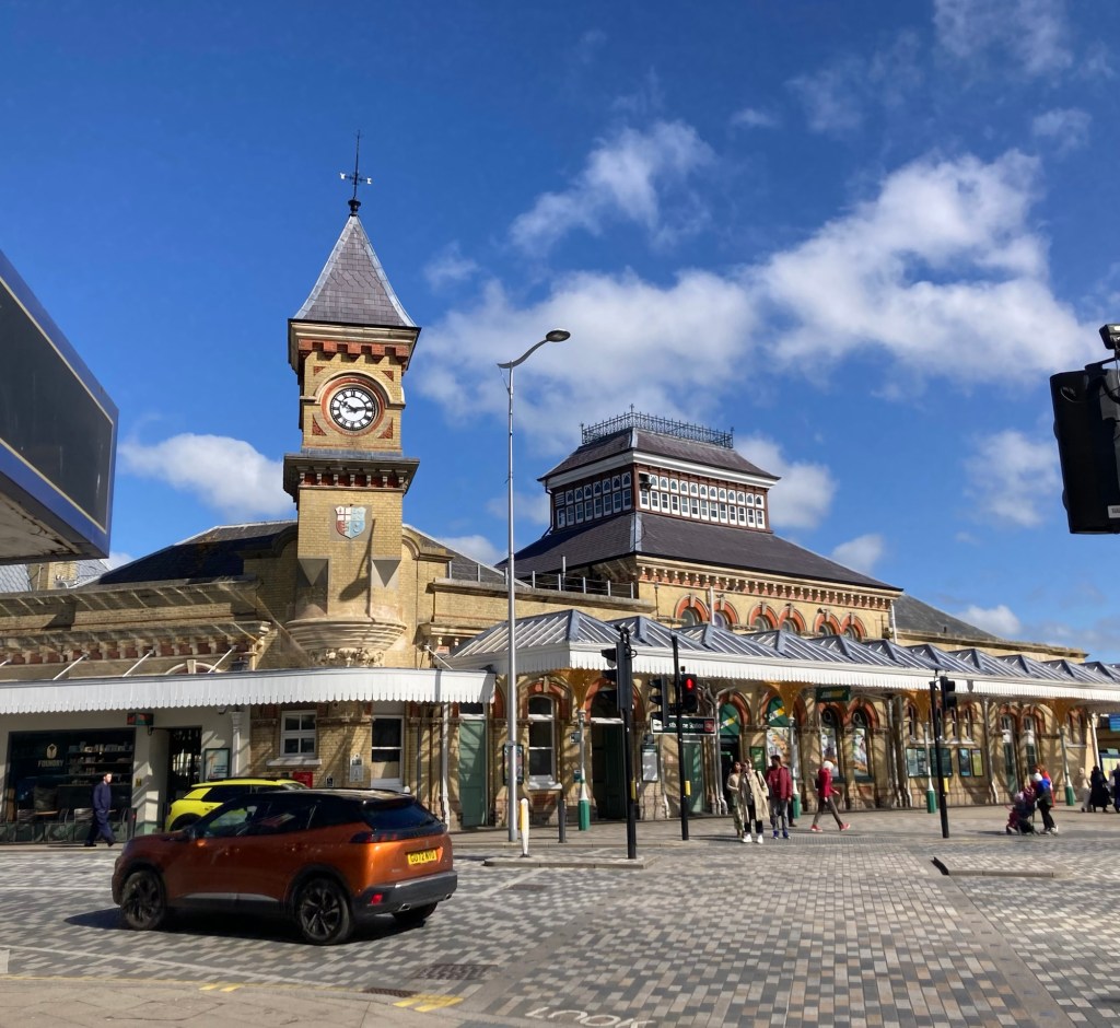
The Eastbourne Rail Station
from which we’ll catch a train to London Victoria
and then catch a tube to the Liverpool Street Station
to head onto Norwich.
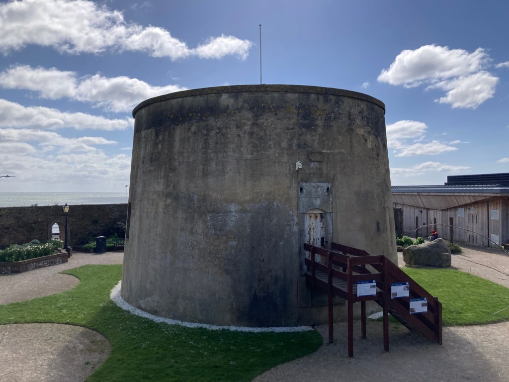
The Wish Tower, one of over 100 Martello Towers built to defend against the anticipated invasion by sea from Napoleon.
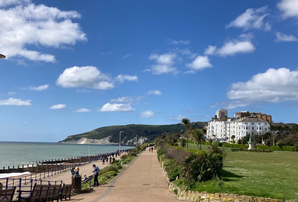
The promenade along the sea,
looking back towards where we walked from yesterday
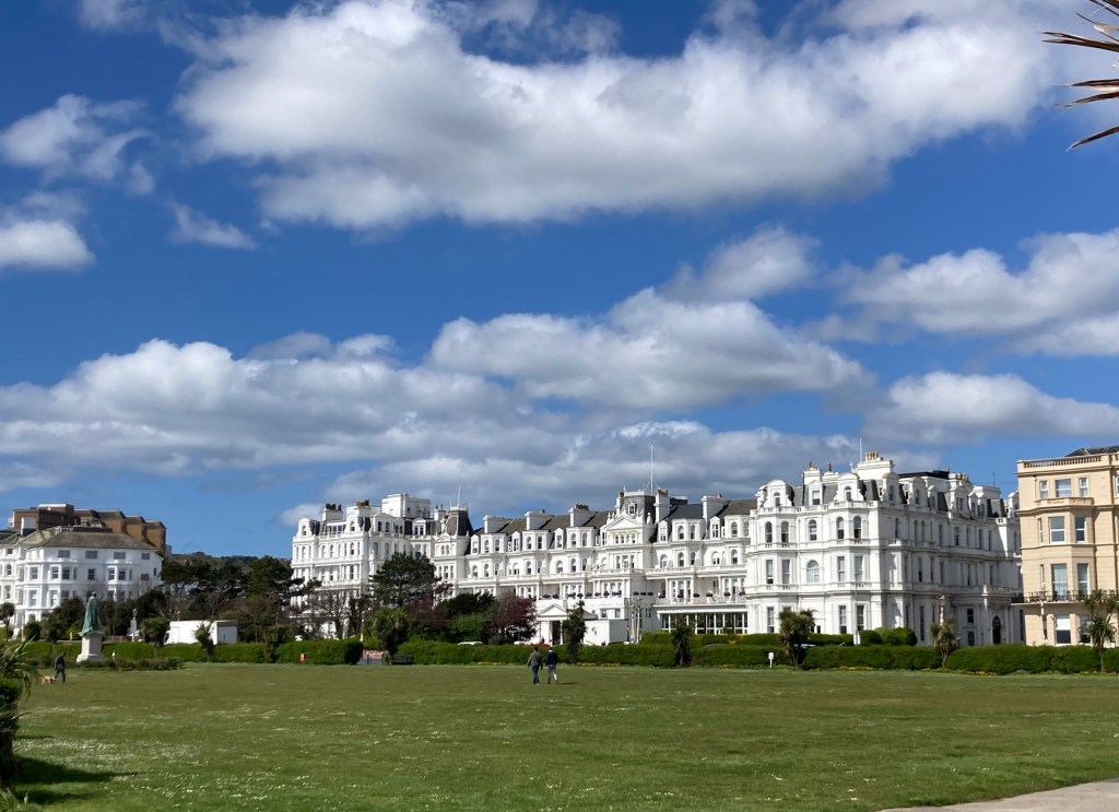
The Grand Hôtel down the street from our hotel
Looking down the promenade towards town
The view of our hotel, The View Hotel from the promenade
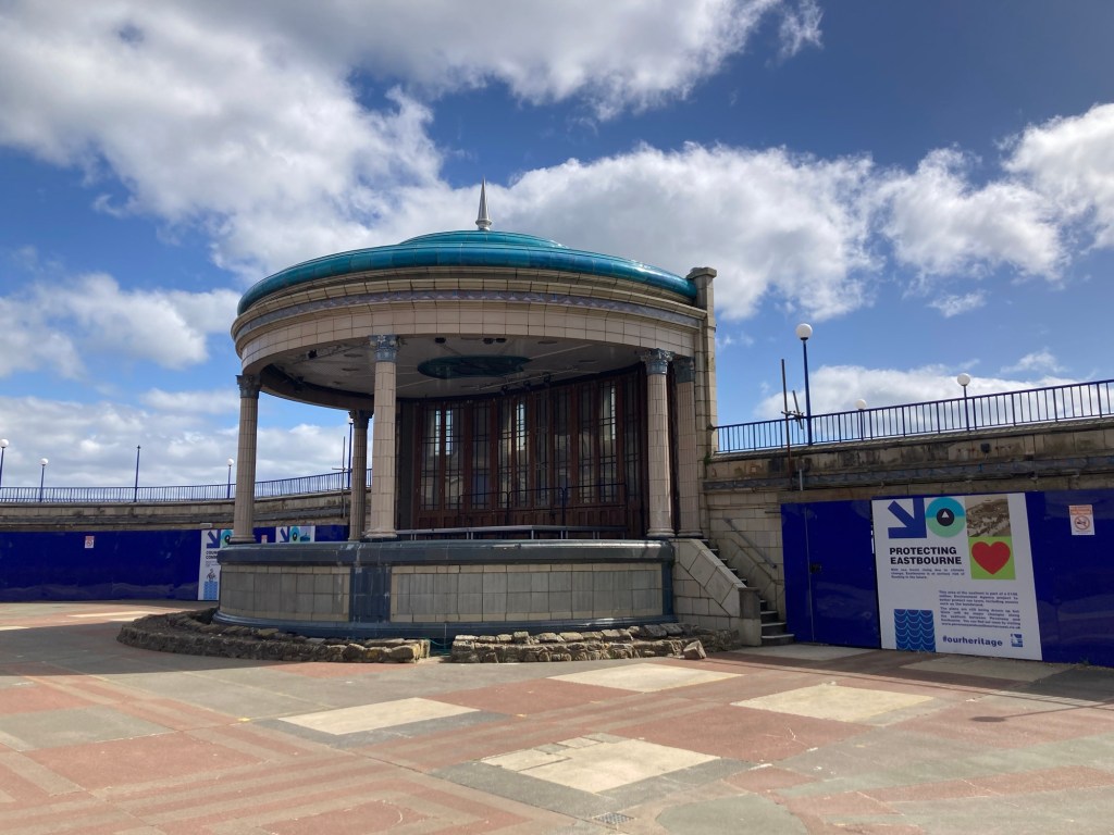
The bandstand along the promenade.
A nearby marker notes the fact that John Wesley Woodard
played with the local municipal orchestra
before joining the White Star Line company
and sailing on the Titanic where he perished.
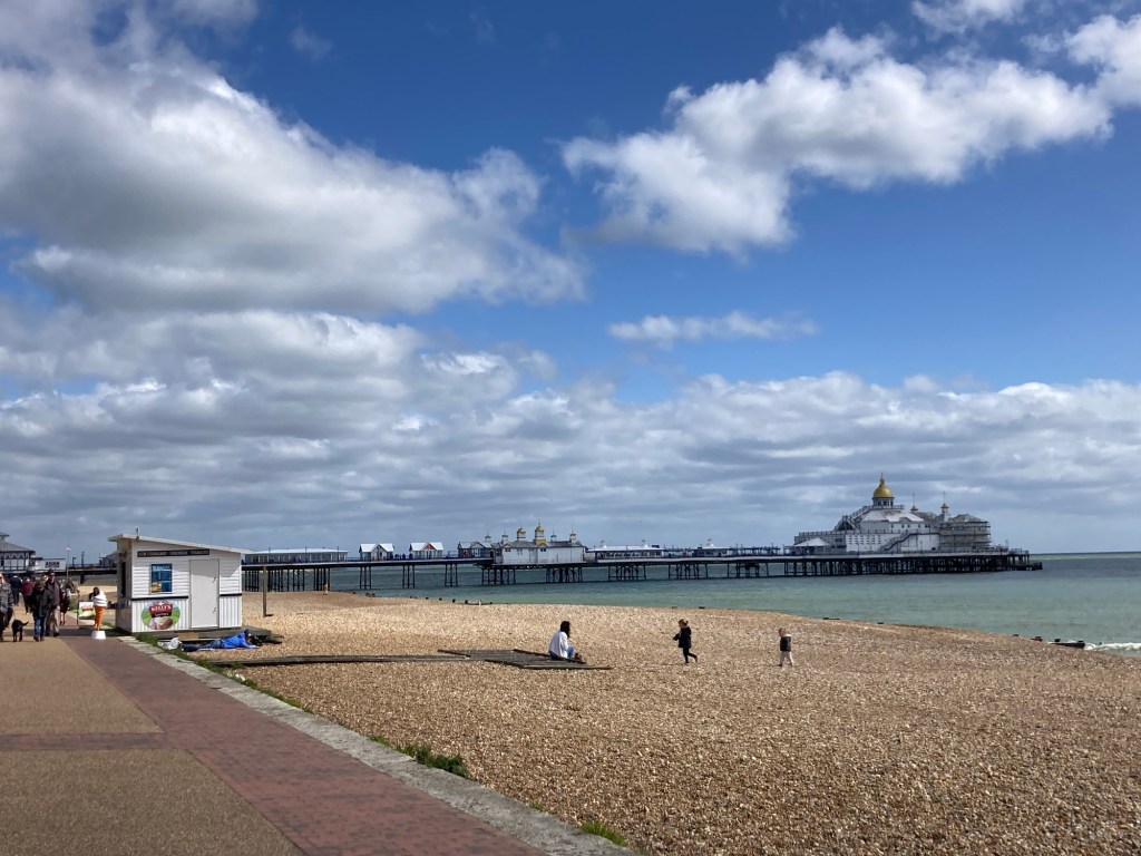
Walking on the promenade towards the Eastbourne Pier
More of the view along the coast to the east from the pier
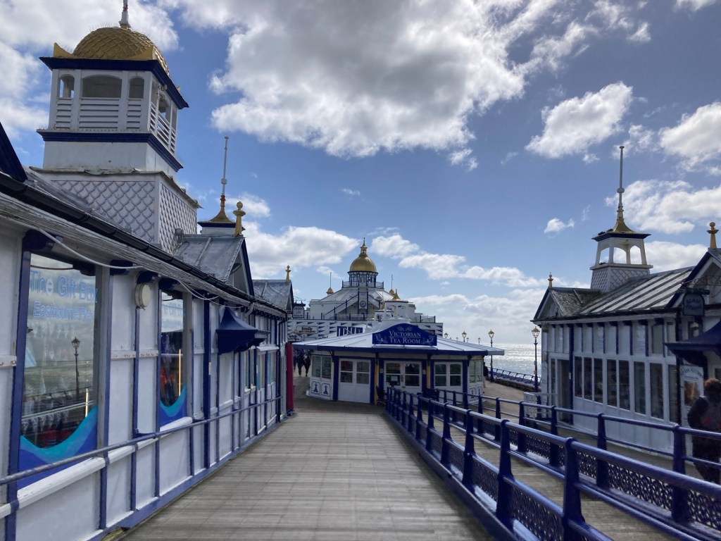
Walking along the pier

We have just woken up from a nap and feel quite content not doing much else today.

Categories
Uncategorized

Put a Fork in it, It’s Done! (4/20/24)

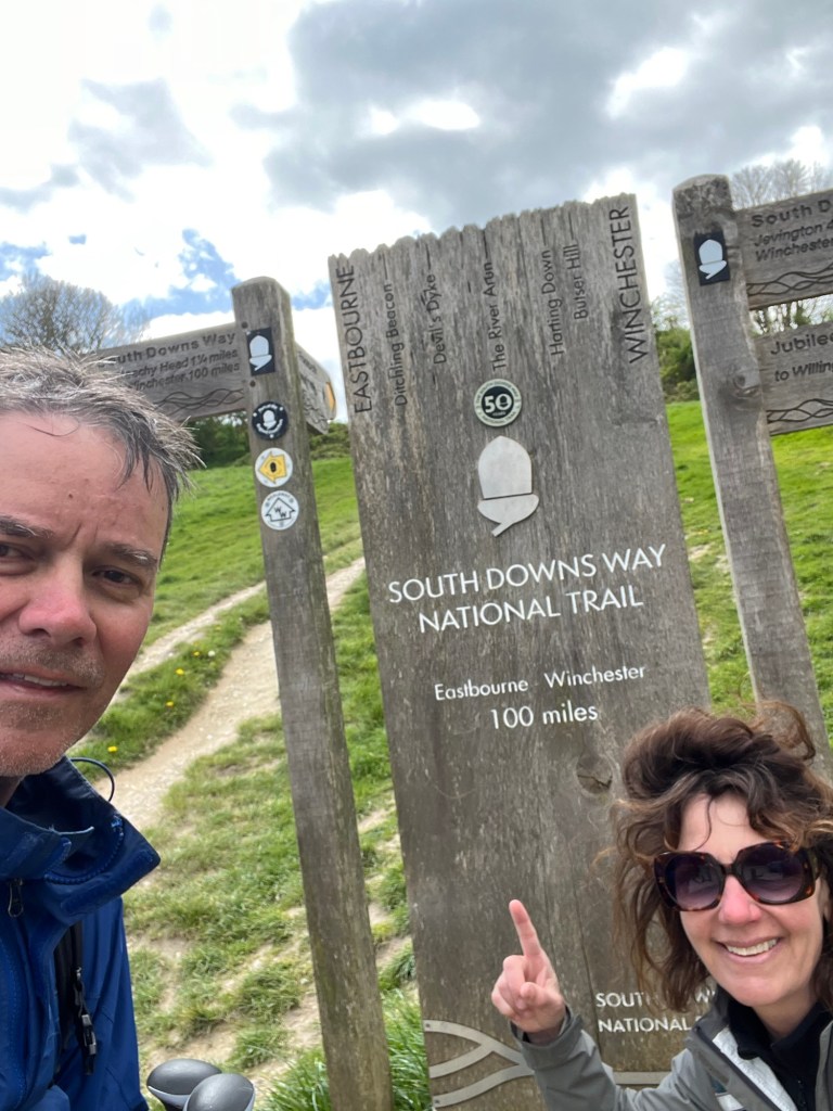
Bob and I completed the South Downs Way (SDW) at about 2:00 pm this afternoon. Today, we are the Big Head photo after almost 130 miles (according to Bob’s fitness tracker) with mileage to and from our accommodations included.

The SDW start (or end) in Eastbourne

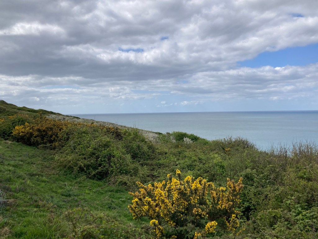
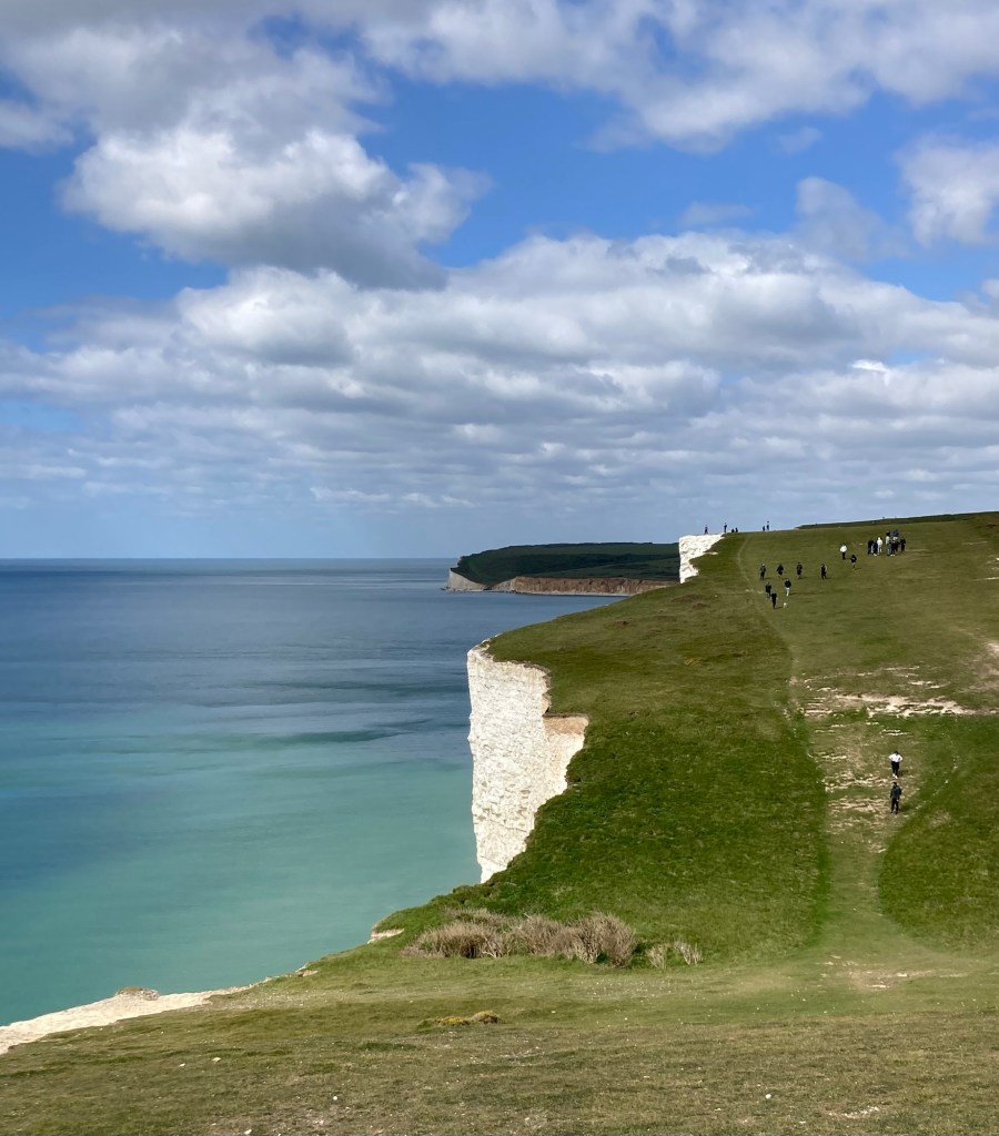
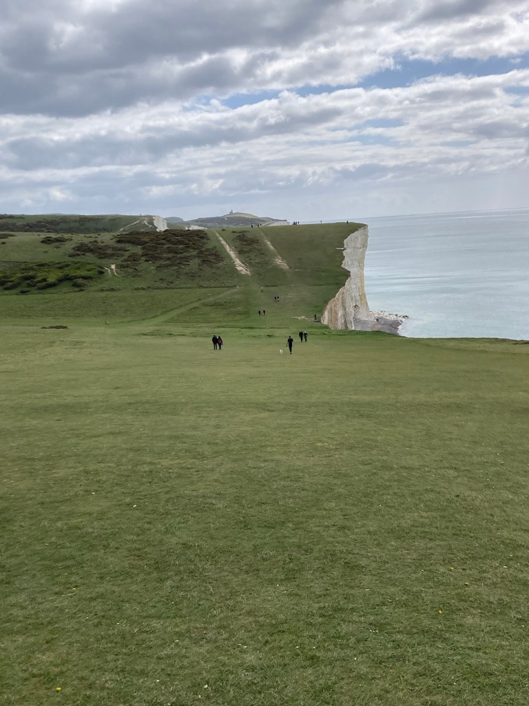
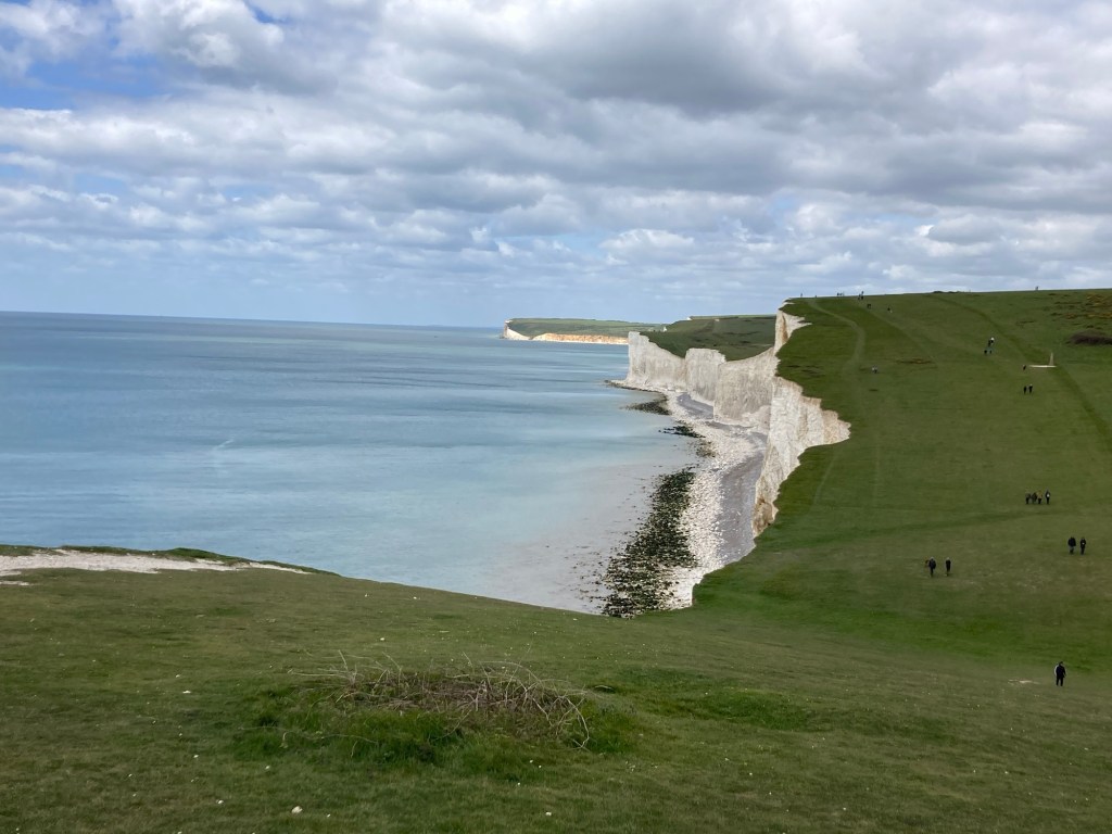
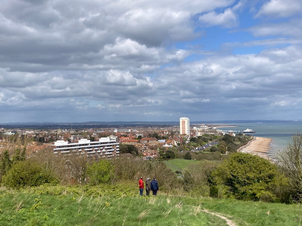
Today’s route was just over 13 miles with the most climbs balanced by awesome views, as we went up and over the Seven Sisters, down into Birling Gap, up and over Beachy Head, which seemed never-ending and then steeply down only to be taken backup and over a couple more hills to get into Eastbourne. There will be wine and a proper meal out tonight. Photos below.

Walking the narrow trail along the road back into Alfriston
to get back to the trail start this morning
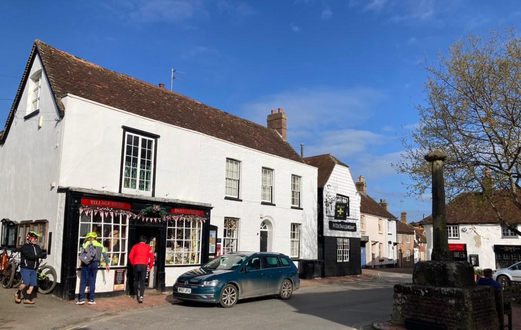
The market square in Alfriston
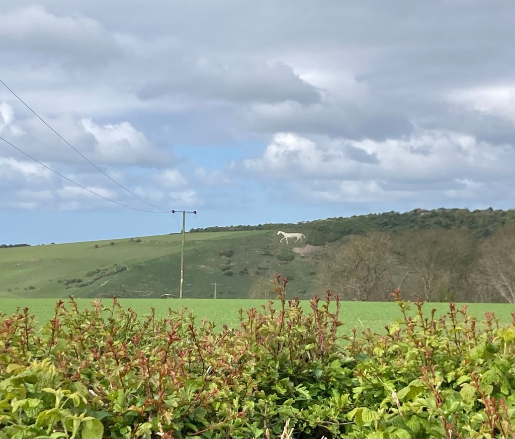
A chalk horse on a hill on the slopes of High and Over
(that location sounds made up but that’s what the guidebook says)
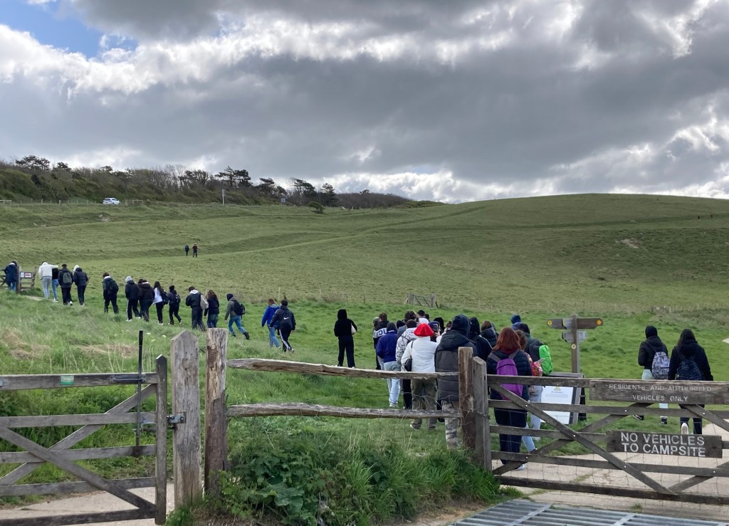
Entering the Seven Sisters National Park
The unloading of a tour bus.
Don’t recommend timing your walk to end on a weekend.
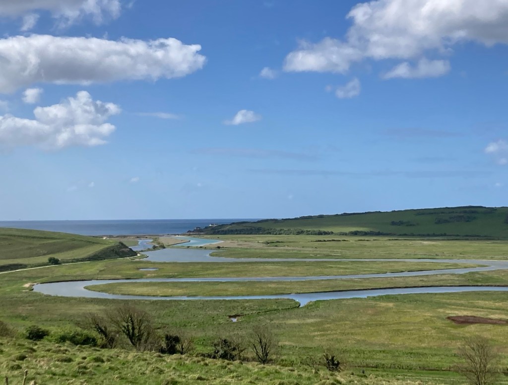
Our first look at the cliffs along the English Channel
Our ascent of the initial “sister”
Coming down one and looking ahead to the next “sister”
Looking back — beautiful!
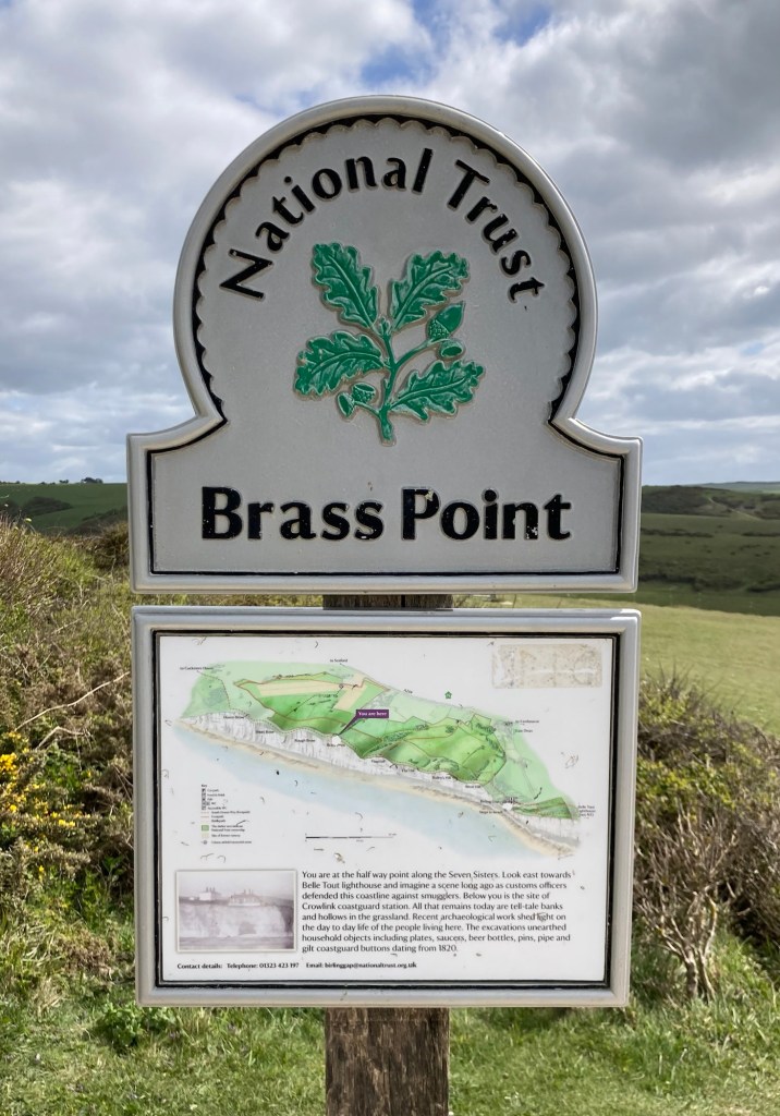
Finding out that we were only at the halfway point of the “sisters”
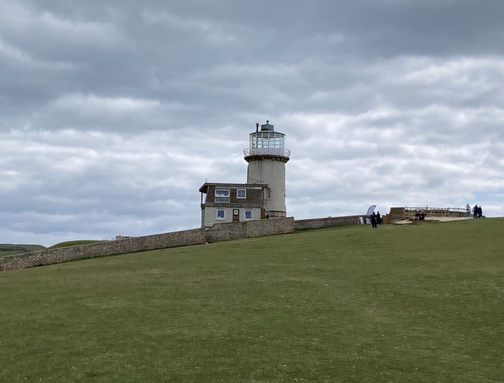
Looking forward (east) to a lighthouse which is now a B&B
Another view back to the west
An obelisk dedicating this land to the National Trust in memory of two brothers killed in WWI
A closer view of the lighthouse
Another view west
A war memorial along the coast
Steeply down. Surely we’re on level ground from here.
Nope, atop last hill before entering Eastbourne
Categories
Uncategorized

Wind, Rain, and Hills, Oh my! (4/19/24)

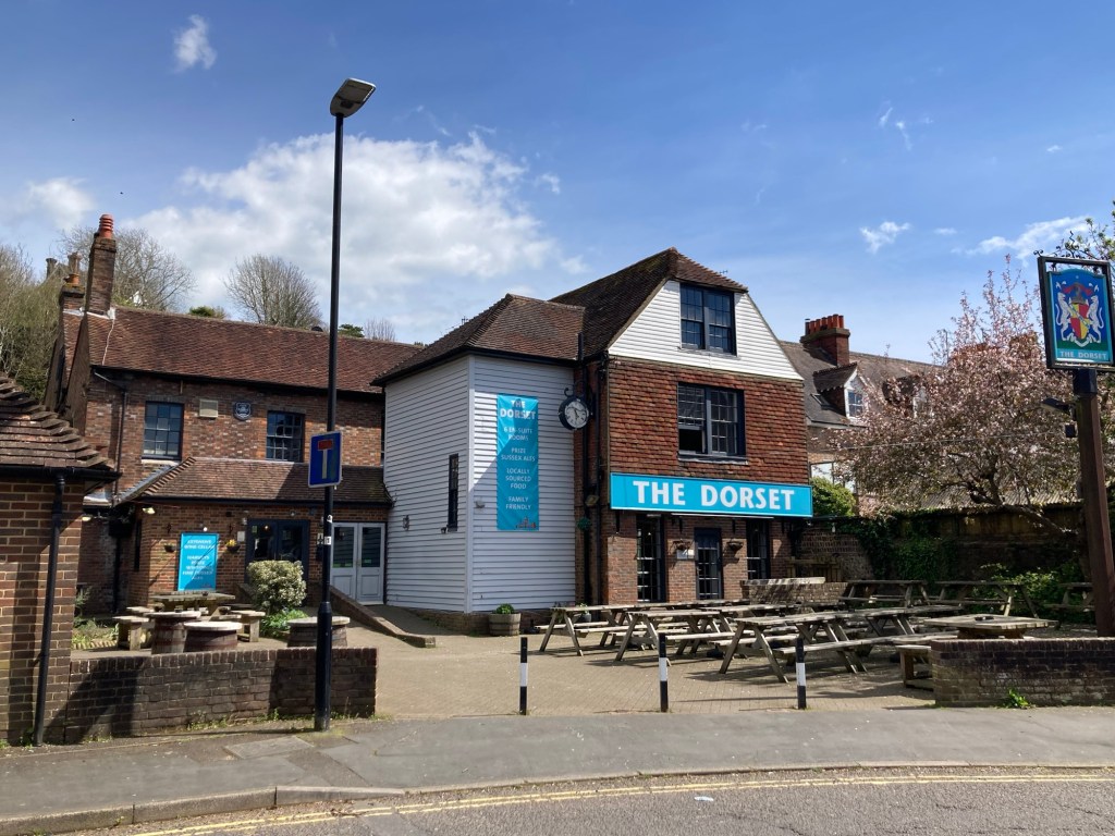
We left The Dorset Inn in Lewes this morning a little less pleased with it than initially after the coffee machine in the room didn’t work and they offered only a continental breakfast of store-bought rolls, some fruit, cereal, and yogurt, and bread for make-your-own toast. That isn’t horrible, but there were no plates (but a few bowls), and when the other guest eating at the same time as us asked for butter for the toast, the staff member brought him 2 pats of butter. We would have had to ask for our own. Quite a unique experience and good for a story.

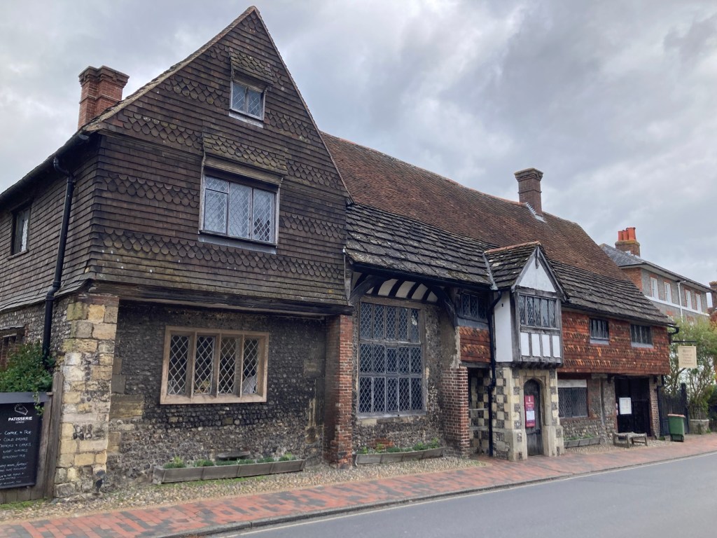
On the way back out of Lewes to return to the trail, Bob found us a route that took us by the home of Anne of Cleves, so we could at least get a photo. Anne was the 4th wife of Henry VIII, so was Queen for about 7 months in 1540. She was lucky enough to get out of the marriage with just an annulment instead of a beheading.

Anne of Cleves home sort of.
It was gifted to Anne at the end of her marriage to Henry,
but she never lived there.

Bob tells me that today’s walk was the same length as yesterday’s, but it felt much different. We had an hour and 20 minute walk back to the trail, much of it steeply uphill, and that was only one of quite a few hill climbs today. We also had quite the downpour for about 30 or 40 minutes atop a couple of the hills later in the walk, that we luckily had dressed for before it started. However, after the burst, we were treated to sun that helped dry us out.

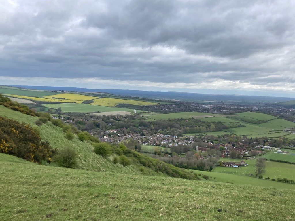
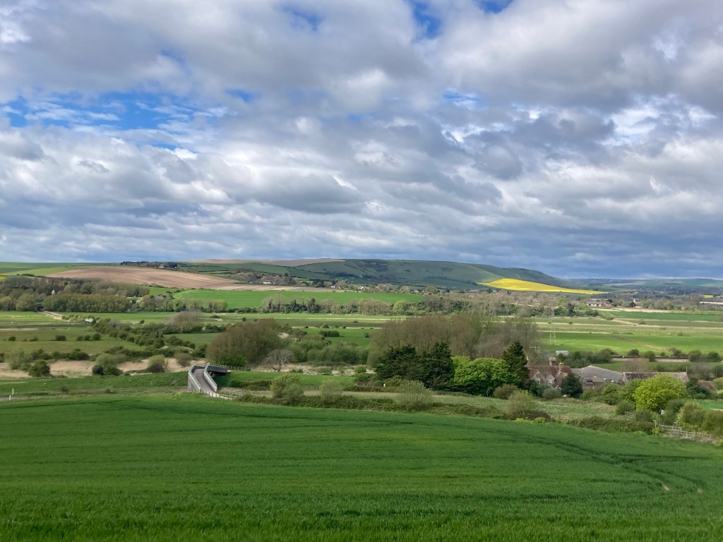
Looking back towards Lewes
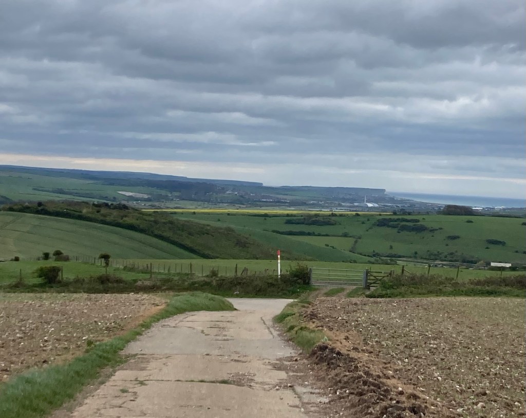
Walking what seemed to be a random concrete road
in the middle of 2 fields while looking towards the coast.
A marker denoting the prime meridian
dividing the eastern and western hemispheres.
This spot also lies along the Greenwich Meridian Trail.
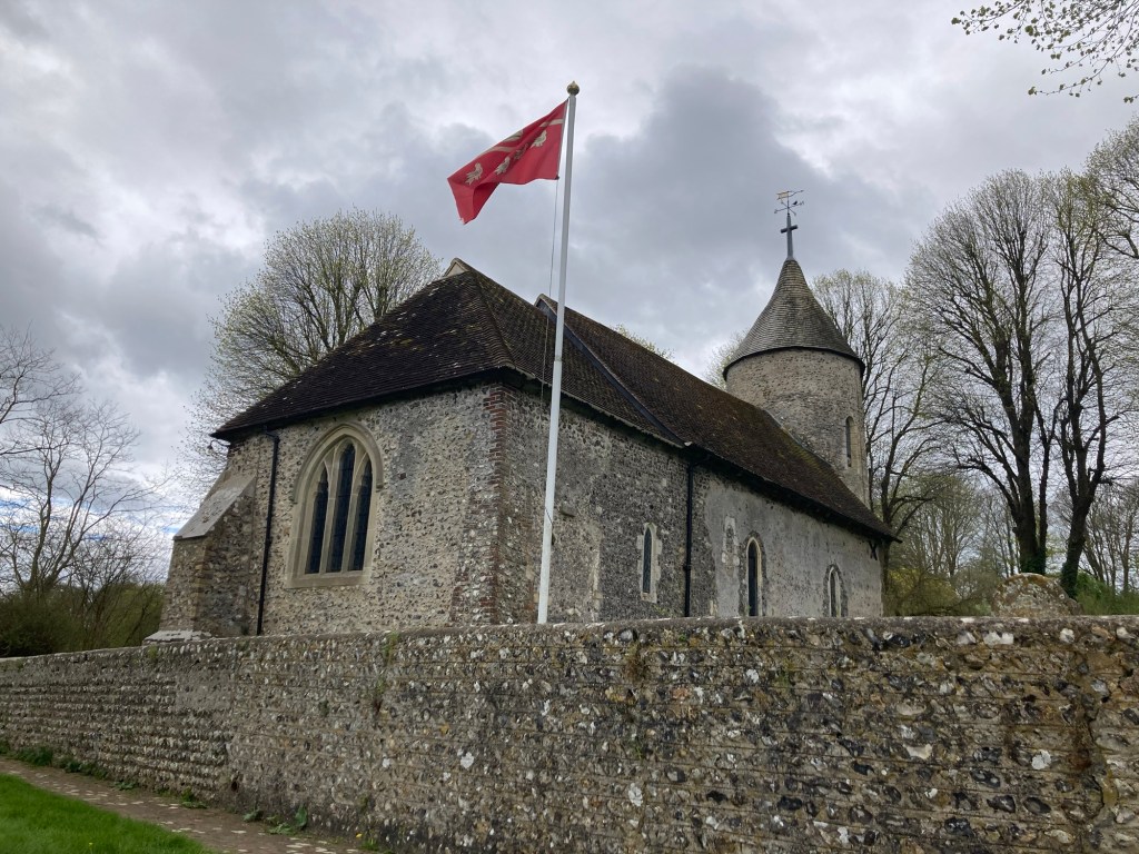
St. Peter’s Church in the tiny community of Southease
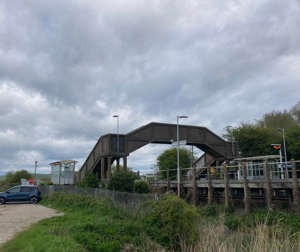
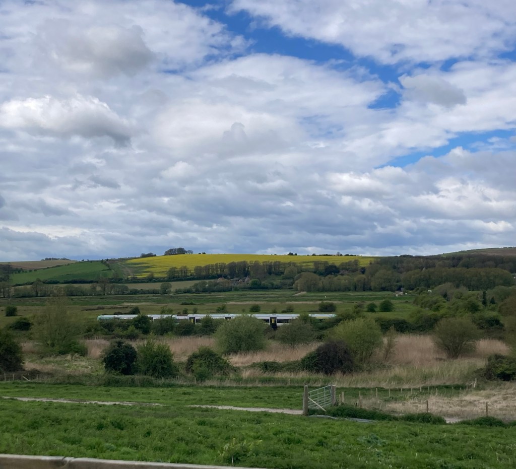
The rail station that we crossed in Southease.
We were surprised to find a station there.
Looking back towards Southease to see the trail passing through
Another view looking back towards Southease
Watching the weather come in
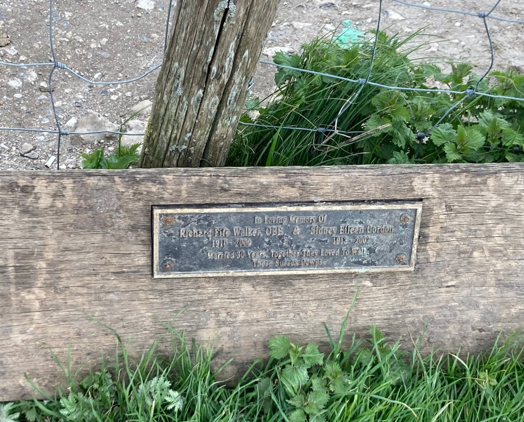
Another memorial along the trail
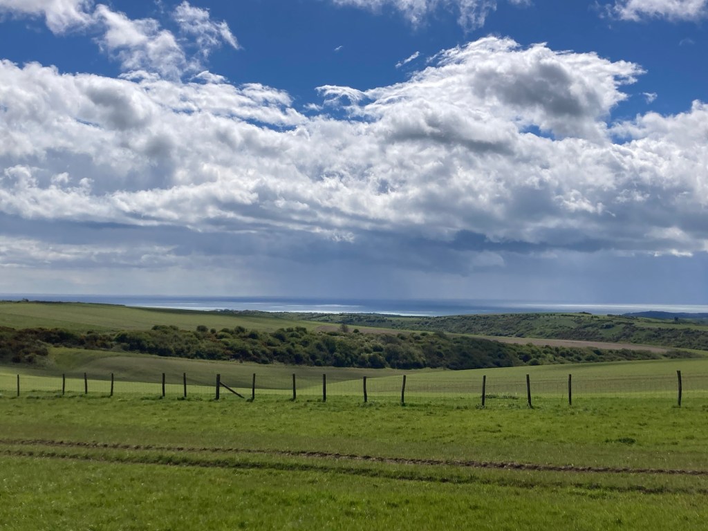
Looking towards the coast after the rain has passed
Lambs feeding on the gorse
Beautiful countryside
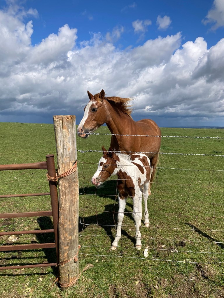
Passing close to a horse and foal
Walking into the small but busy community of Alfriston, where we’re spending the night.
Riverdale House, a bed and breakfast
where we’re spending the night.
We have a bedroom and a sitting room!

Categories
Uncategorized

A Little Luck in Lewes (4/18/24)

Bob and I really enjoyed our stay at the Tallai House last night. The room was cute and comfortable, and the host couple were very nice. Breakfast was also very good. I’m on a three day streak of salmon and scrambled eggs with toast for breakfast, and this morning, Bob joined me with the same order.

Our walk today was 15 miles from Pyecombe to Lewes (pronounced Lewis not Lou’s). The walk directly to Lewes would be much shorter, but the directions kept us west of Lewes for a bit along the South Downs Way before heading us back towards Lewes for a 3.3 mile walk off the trail to our inn, which gave us an opportunity to see a bit of this relatively large town (population 17,000).

We arrived at the inn in Lewes at about 2:10 and for the first time on this trip when we have arrived before check-in time (generally 3:00 pm, although yesterday it was 4:00), we were able to get into our room. It’s just always nice to be able to settle in, shower, etc., when we get into town, especially in the smaller communities with nothing else really to do. Our room here is also the largest so far, which adds to the comfort of the stay.

It was a good walk with good weather. Some cold winds initially, but the sun stayed out for most of the walk and helped to warm things up.

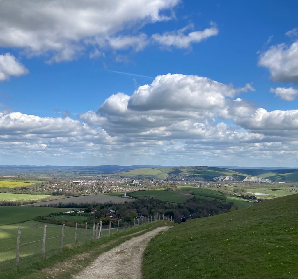
Looking back over a golf course toward Pyecombe
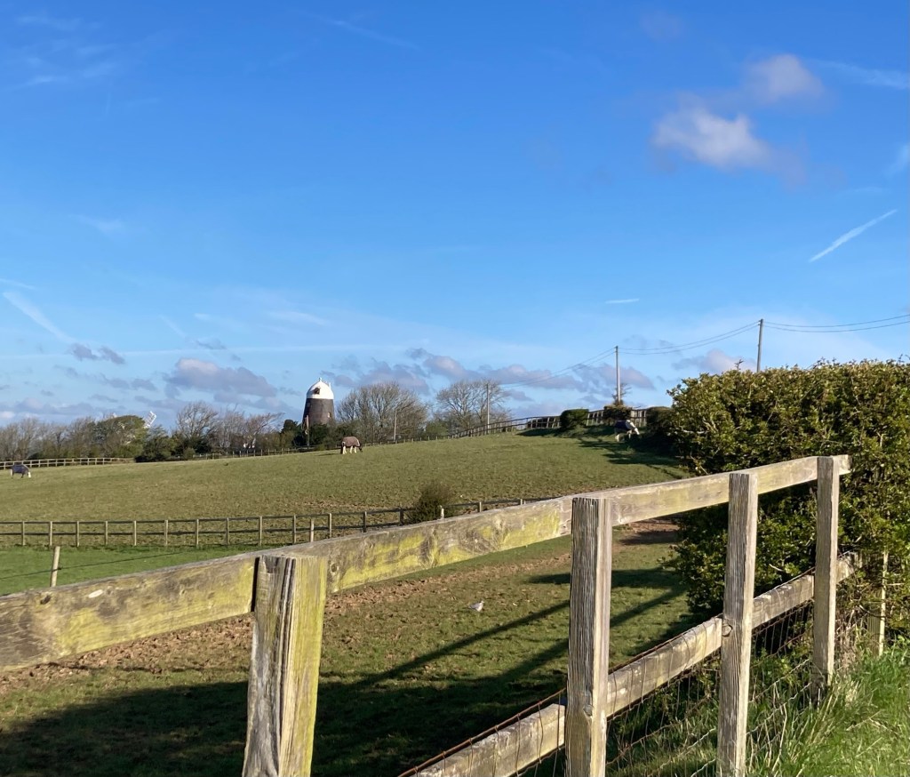
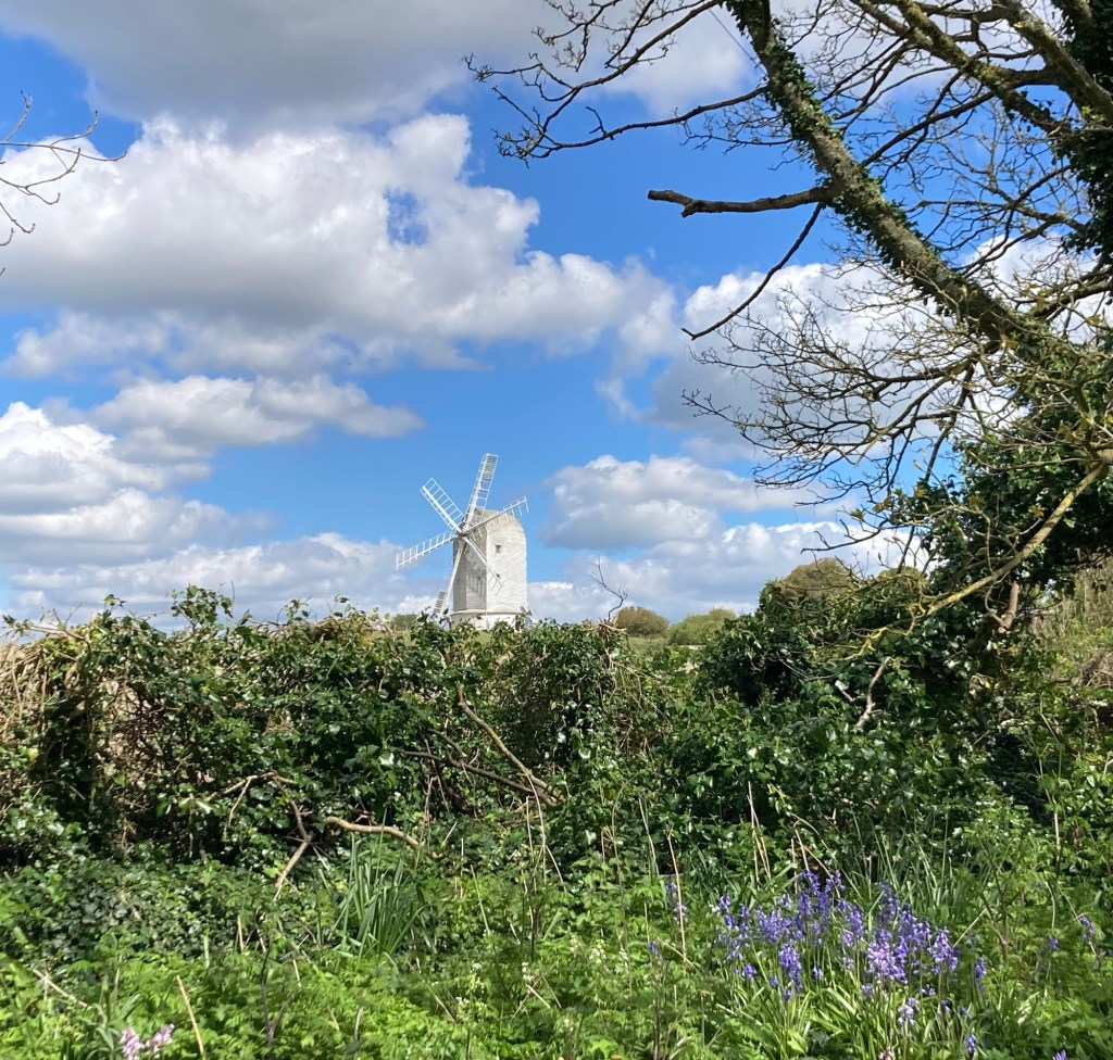
A Clayton windmill above noted in our guidebook
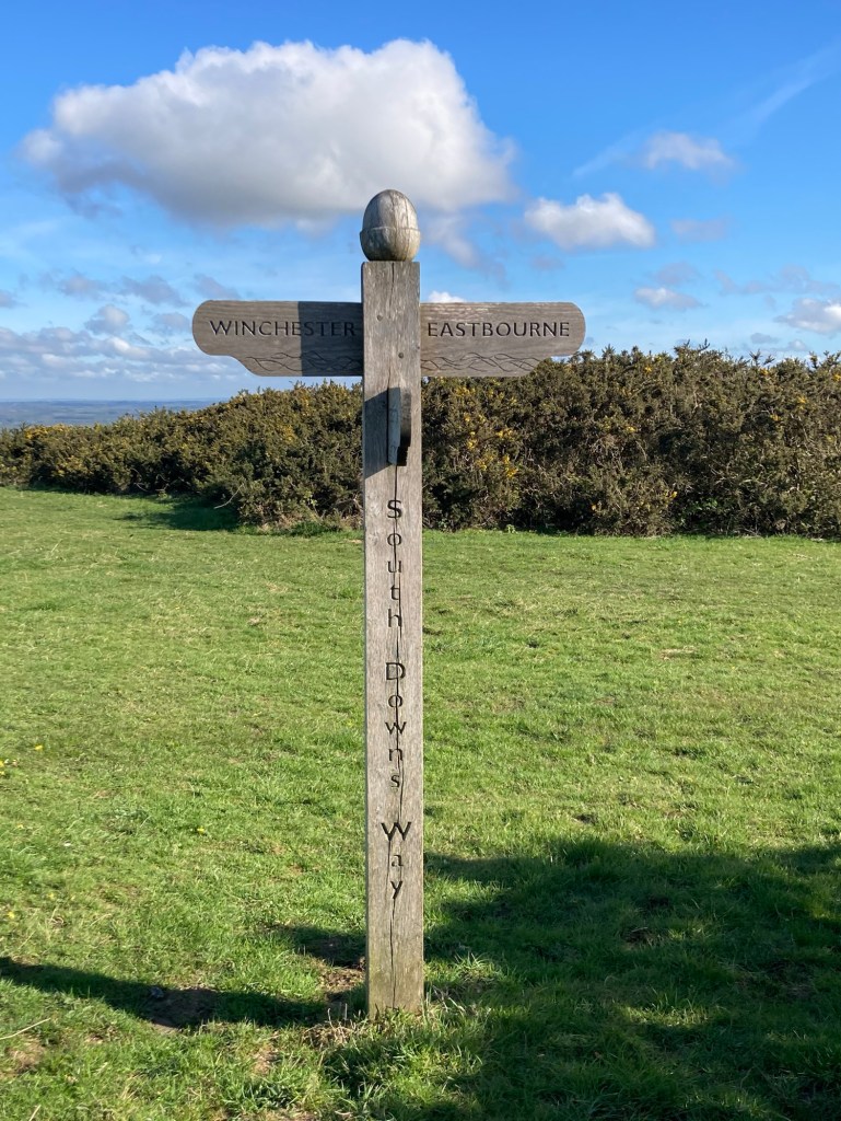
The Keymer Post marking the boundary
between East and West Sussex
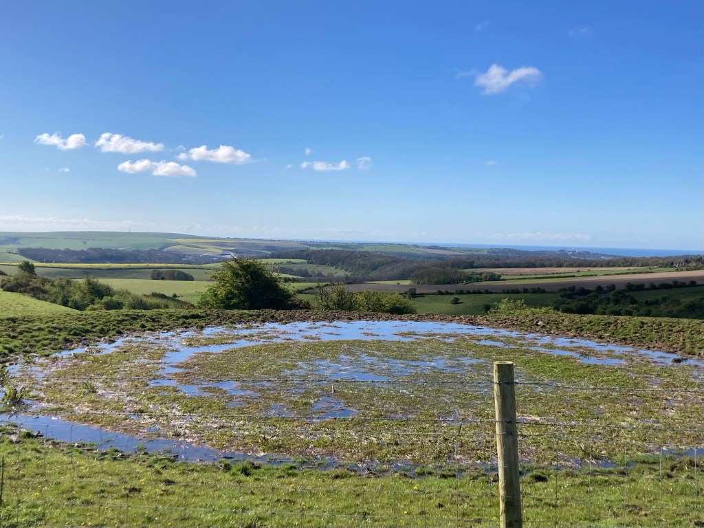
One of a number of dew ponds (artificial pond usually at the top of a hill used for watering livestock) along the route today
Not sure if you can tell,
but this cow was using the sign as a scratching post
You can see the top edges of Falmer Stadium, which opened 2011 and is home to the Brighton and Hove Premier League club
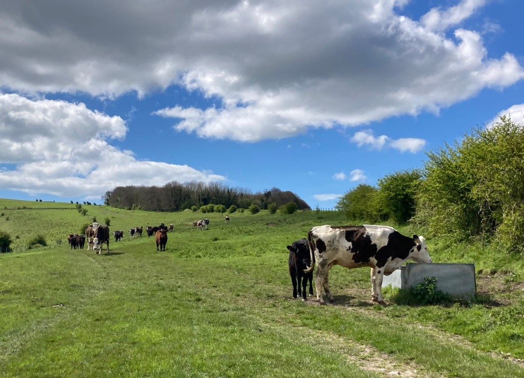
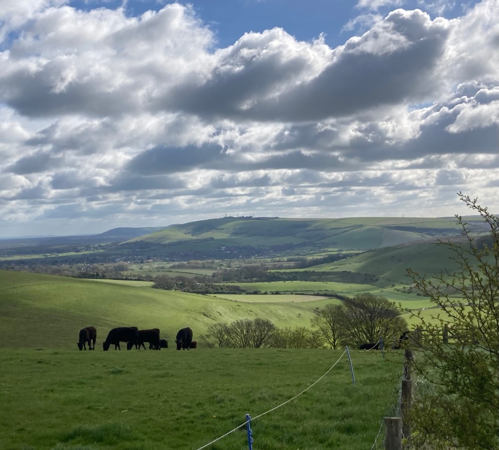
We got up close with a whole herd of cows outside of Lewes
(from Bob—one almost seemed like he was gonna charge!)
Our first glimpse of Lewes as we were coming down from the trail
A windmill near Kingston,
a community we passed through on our way to Lewes
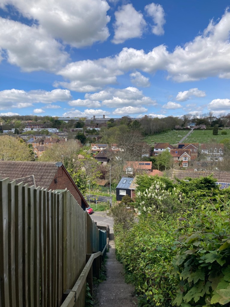
Lewes is multi-level.
We walked down a number of stairways
to get to the level of the High Street.
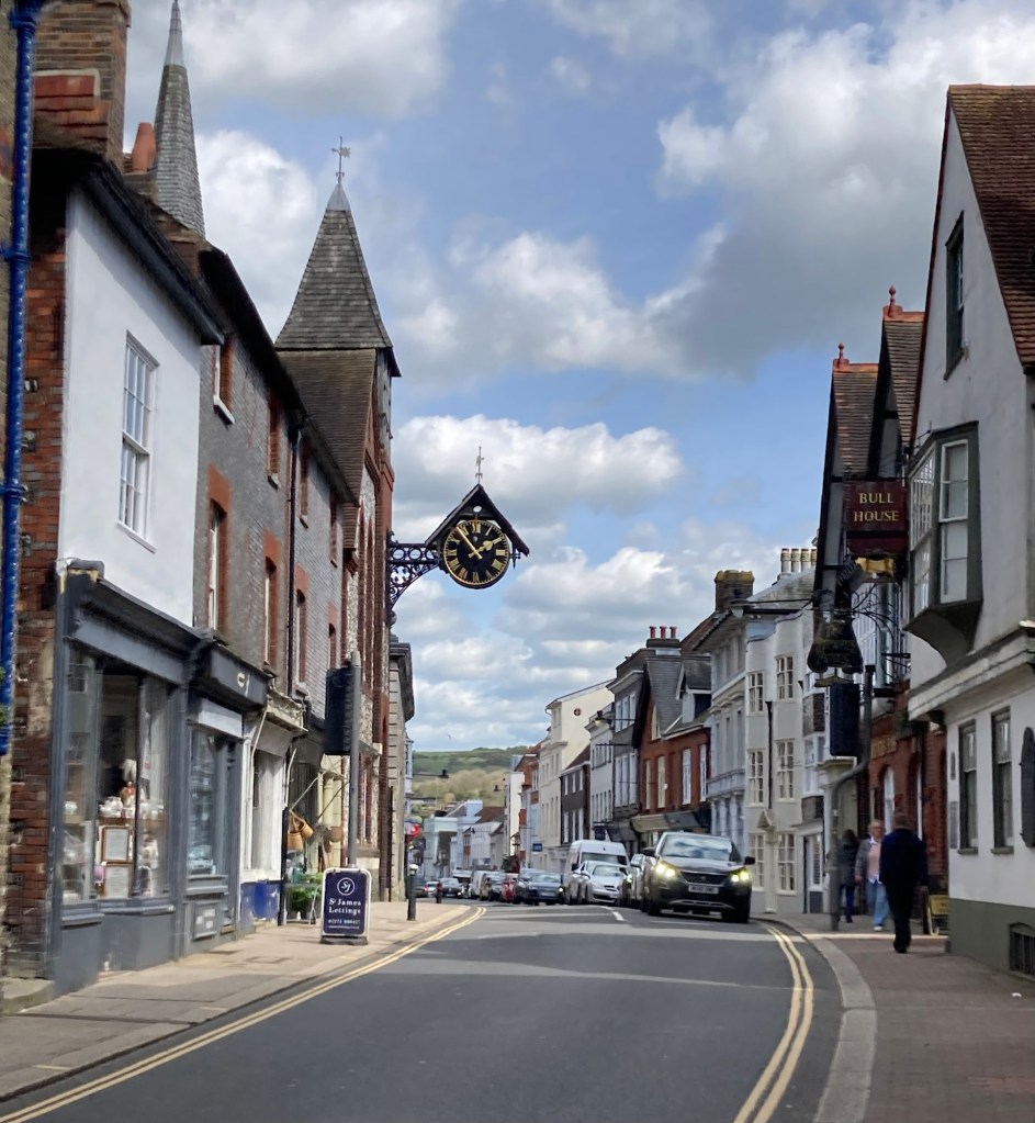
High Street in Lewes
An old vault that you can see in the sidewalk
where 10 of the 17 Protestant martyrs
who were burned at the stake in Lewes were imprisoned
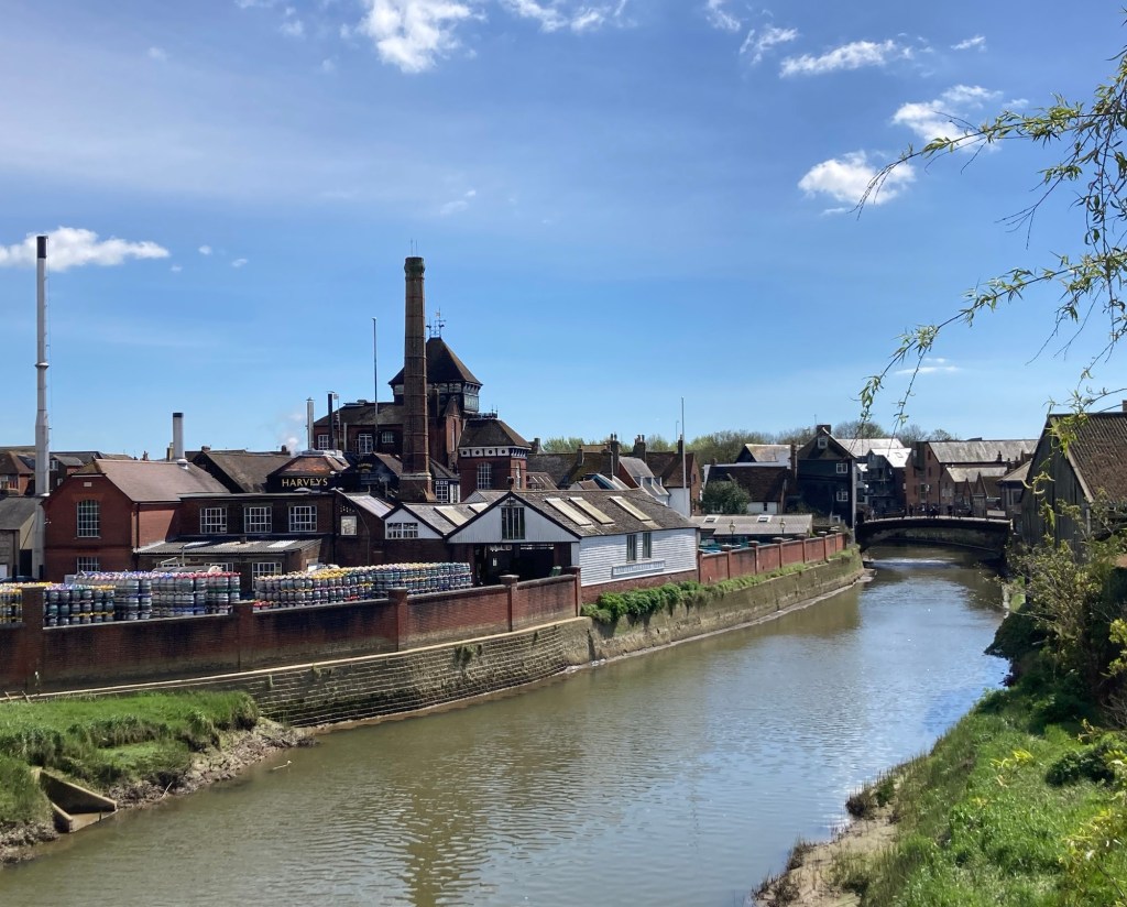
Harvey’s Brewery on the River Ouse near where we are staying
Our accommodations for the night
Categories
Uncategorized

Hiking to Pyecombe* (4/17/24)

In addition to the new scenery that Bob and I are seeing on this trip, we have been learning some new geography terms as well in reading the route instructions in the guide book. For example (definitions based on a quick Google search) —

Downs (as in South Downs Way) — an area of open land with low hills, especially in South England.

Weald — a formerly wooded district of Southeastern England

*Combe (rhymes with room according to our host for the night) — a short valley or hollow on a hillside or coastline

That’s it for today’s lesson, but interesting to learn some terms particular to this region.

Today’s hike was a short 12 miles; however, with a number of ups and downs, weather related clothing changes, and a short stop for a lunch snack, it took us almost exactly 6 hours, which is about the same or a bit longer than our last 2 hikes even though the mileage was longer.

We had breakfast (included in the tour daily) at about 7:30 and we’re on our way by about 8:15. The wind continued to be fairly strong and chill, and we had a bit of rain as well today, although not as strong as Monday. We began with an hour walk through and out of Steynring to get back to where we had left the trail yesterday.

A nice memorial right where we reconnected with the trail today
Cows and the low hilly horizon (see definition of downs above)
And pigs
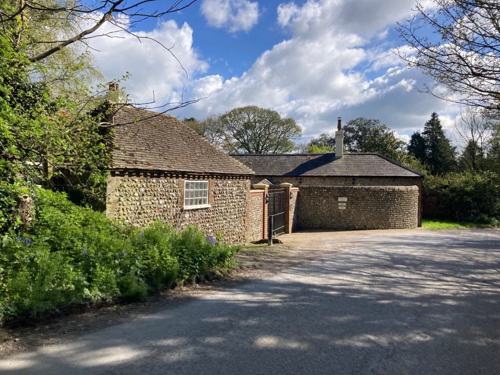
We love the flint rock (see house above)
that is seen on many local buildings,
although our feet aren’t as found of it as a walking surface.
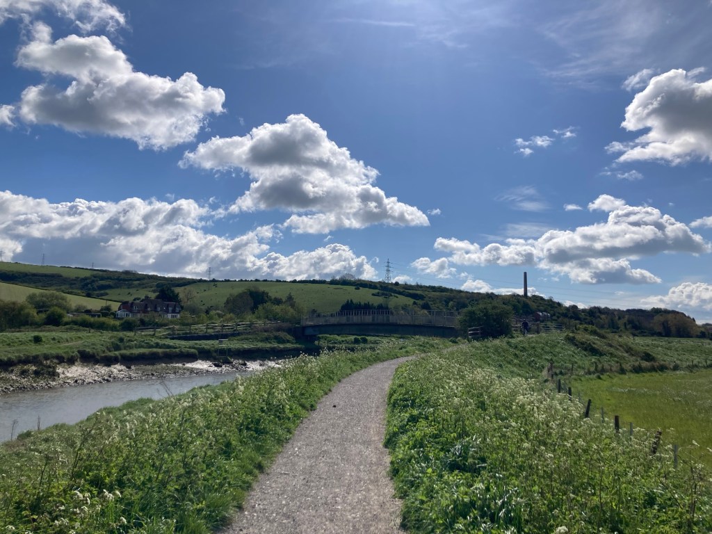
A short walk on an embankment along the River Artur
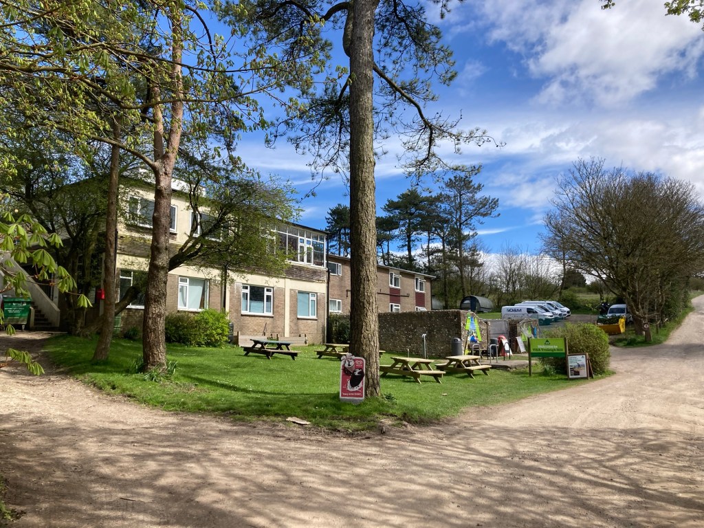
A youth hostel we passed on Truleigh Hill
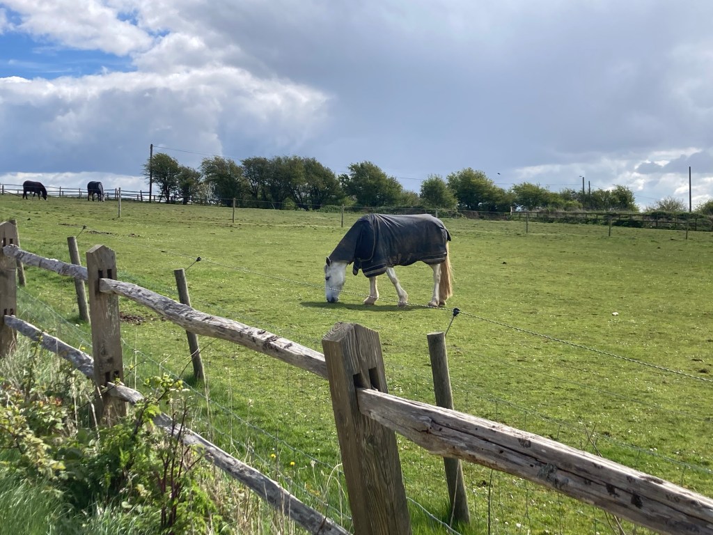
Even the horse has a coat on
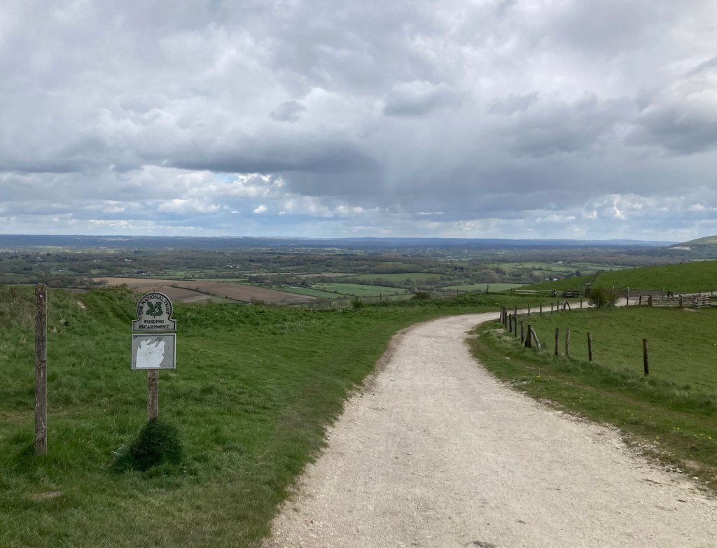
One of a number of National Trust lands
that we’ve walked through.
This one is on the Fulking Escarpment,
which is clearer written than pronounced.
The chalky path ahead
Looking down on the village of Fulking
The Devil’s Dyke Pub on top of Fulking Hill
Looking south towards the coast.
We’re definitely getting closer to water
and saw Brighton for much of the day.
Looking north over the Devil’s Dyke,
Britain’s largest coombe of chalk karst
No judgment
Looking down at Pyecombe
Walking across the busy A23 to reach Pyecombe
The Tallai House B & B, our accommodation for the night
Categories
Uncategorized

A Windy and Rainy Amble to Amberley (4/15/24)

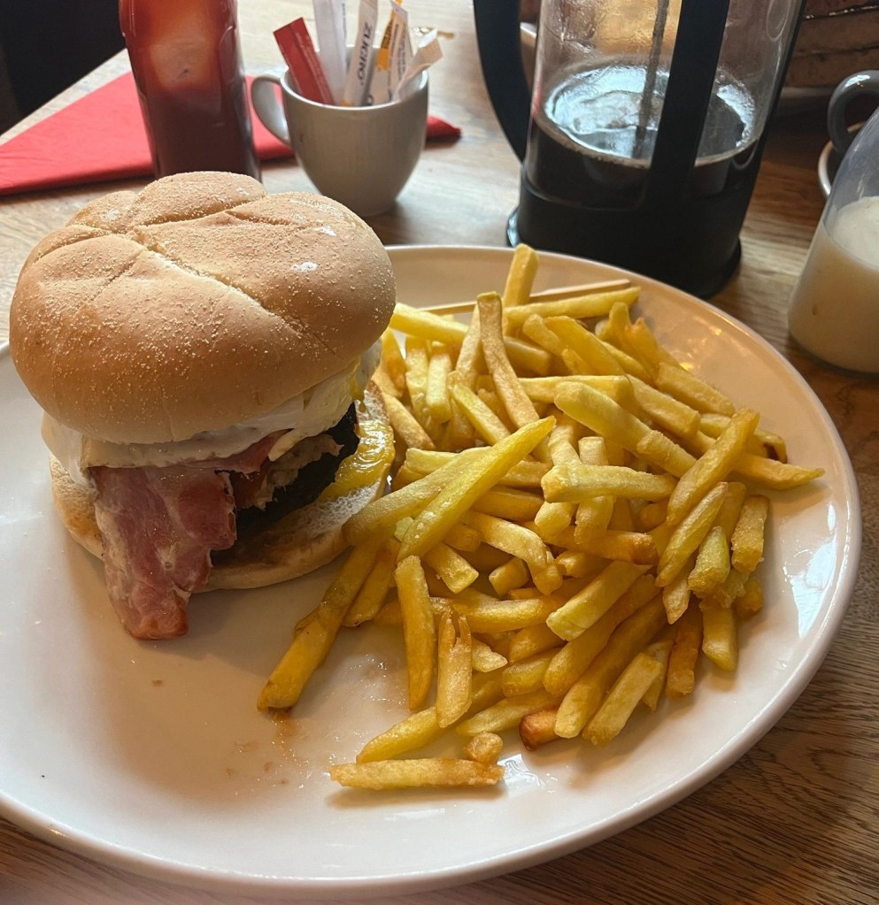
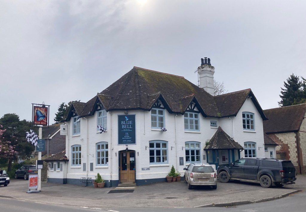
Day 3 of 8 hiking days. The lodging properties that our hiking outfitter selected includes breakfast. This morning’s meal at the Blue Bell Inn in Cocking was our best yet. Bob got a breakfast burger (egg, sausage, bacon, hash brown, and mushroom) that came with fries, and Beth got a vegetarian main. Both were tasty.

Today’s route took us from Cocking to Amberley. Checking our weather apps, we saw chances of rain around 9-10 am, so we got out ahead of it so we might get an initial big hill in prior to the rain. We succeeded, but Bob saw on radar a fairly big system likely to pass through at 10:30. We were prepared for it, but the wind and rain for awhile was fairly intense. Luckily, both came from behind and slightly to the right, so as we had trees on our right-side, they helped serve as a buffer to both. Of course, the rain increased the muddiness of the trail.

Even after the front went through, the wind stayed strong and was mostly at our backs, pushing us to Amberley. The mileage today of 12 miles was significantly lower than the 21 and 20 miles we had the previous two days, which allowed us to get to town early. We couldn’t check-in until 3pm, so we walked around the small town.

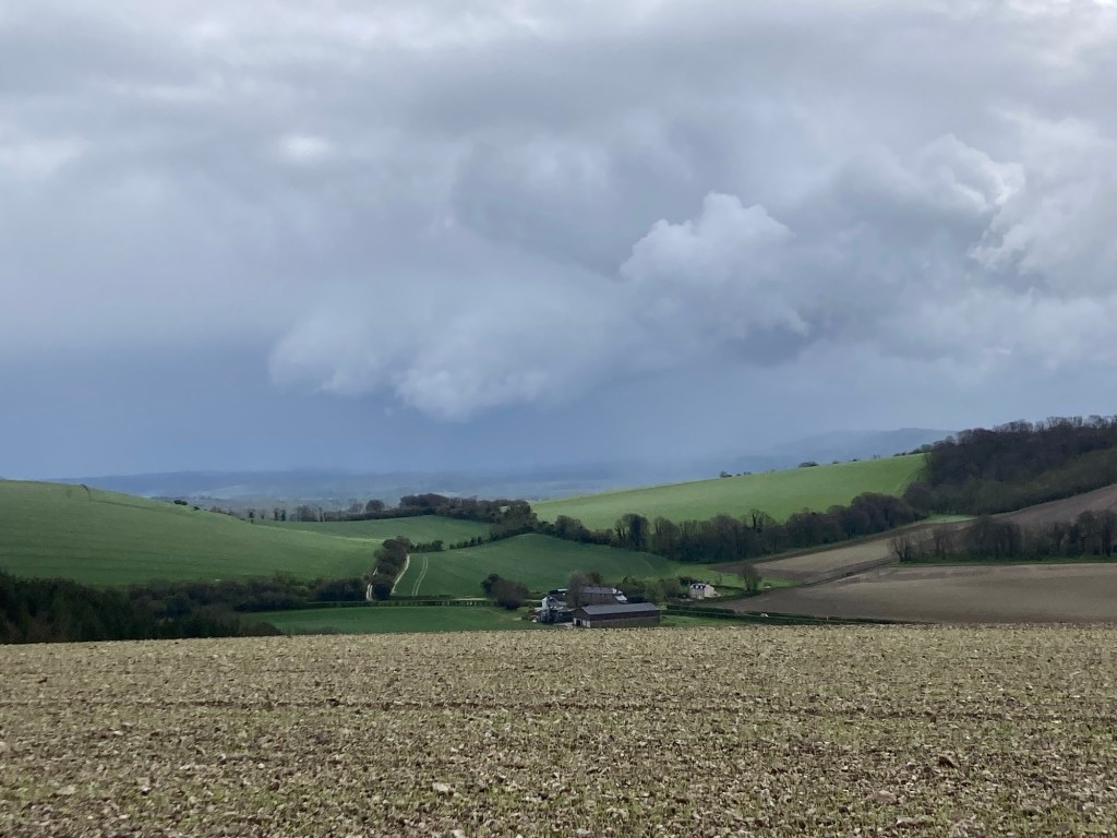
View of some of the woods before the rain started
Onward through some mud
We were not happy to see we’d be slogging through
an open field after the rain.
View to the side as we made our way down the field
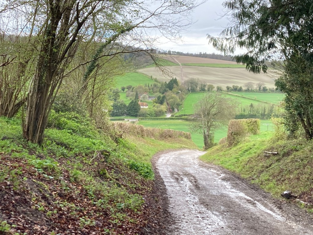
Heading down
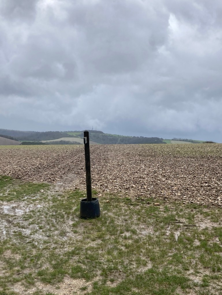
One of the markers referenced in our trail description
And back up
I kept the rain gear on the entire walk,
as it helped with the wind and muddy fields.
The view from a summit of Bignor Hill
A memorial at the top of the same hill
for Toby Wentworth-Fitzwilliam,
one time secretary of the Cowdray Hounds (trail hunting)
We ended up walking right below the barns
Directions near a muddy field walk to cross the River Arun
close to where we turned to head into Amberley
River Arun
Our room for the night
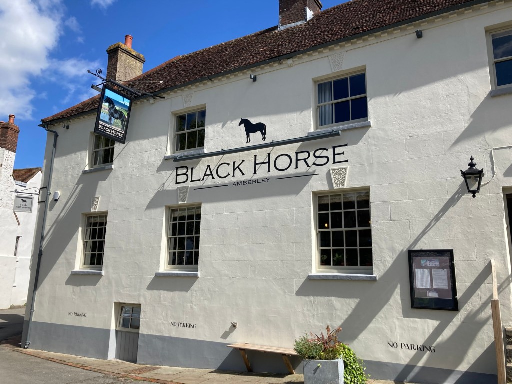
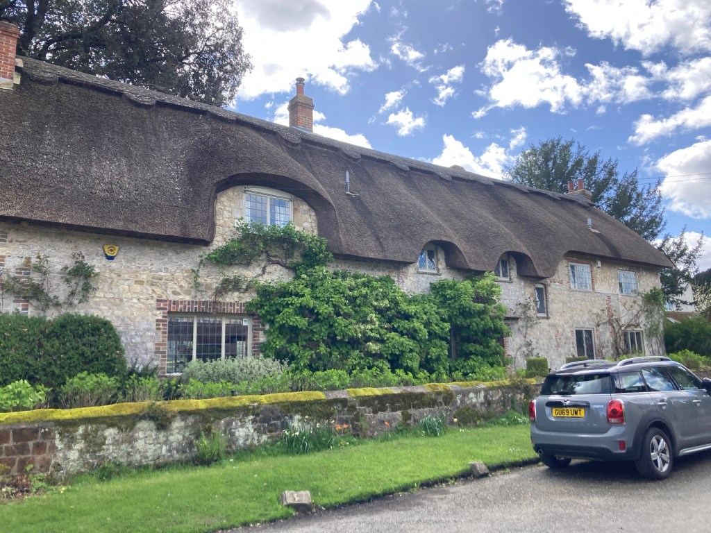
Lots of lovely thatch roofed homes in the village
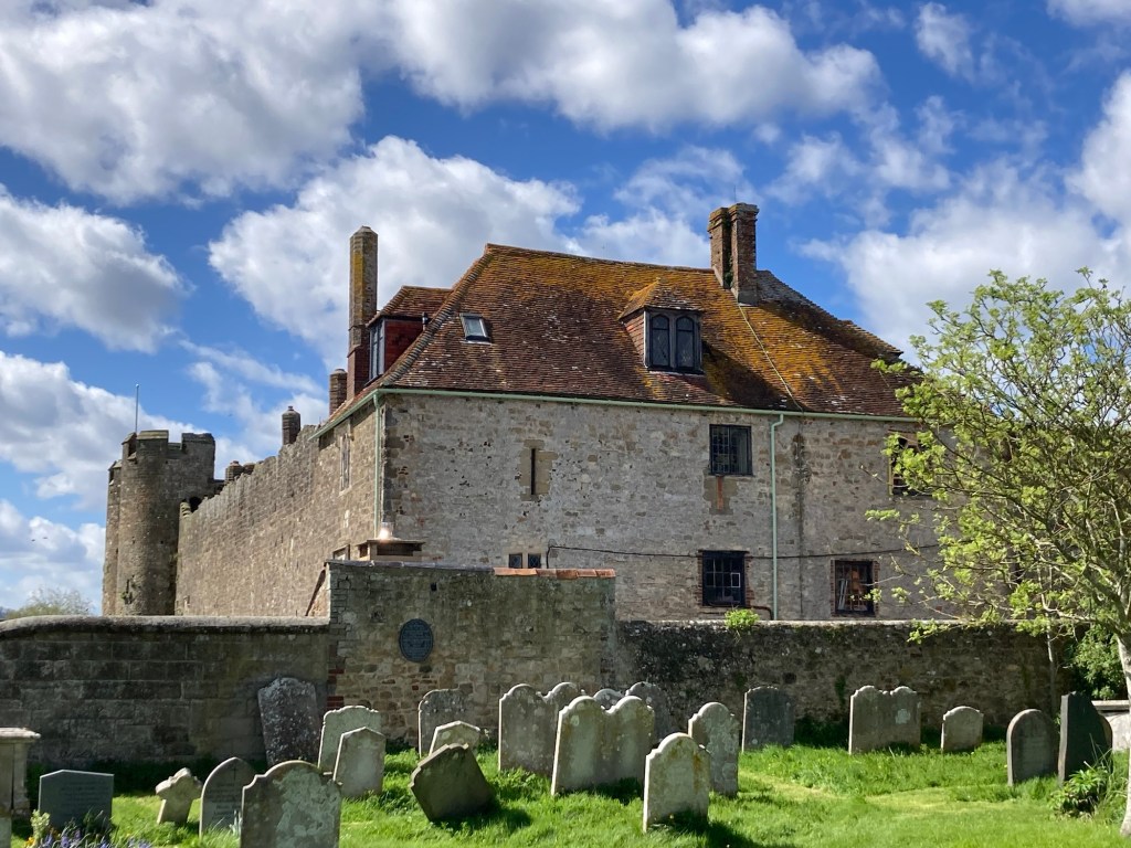
St. Michael’s, a 12th century church in the village
Looking over the church wall to the Amberley Castle
(open as hotel and restaurant)
Categories
Uncategorized

Up and Down (Repeat for 21 miles)

Bob and I have completed our longest hike of the tour. 21 miles, 8 hours and 20 minutes. We rolled into the Blue Bell Inn and Pub in Cocking at about 5 pm and quickly showered and changed, so we could hit the pub before it closed at 6:00. We were out of luck for food since it’s a Sunday and kitchen closed at 4pm but we’re able to get a celebratory wine and a couple bags of chips. We had also picked up some canned goods before leaving East Meon, knowing that nothing would be open tonight.

Our abode for the evening

We’re feeling pretty cocky after having climbed and descended quite a few hills (Salt Hill, Hyden Hill, Tegdown Hill, Butser Hill, Tower Hill, Pen Hill, Treyford Hill) and trekked through a park and natural area (Queen Elizabeth Country Park, Harting Downs Nature Reserve). And we think we should feel cocky in Cocking, a small village with an 11th century church that we passed on the way into town.

St. Catherine of Siena Church

Our day didn’t start great, as we wanted to have an early start. However, our bed and breakfast didn’t start serving until 8:00 am and that seemed to be a stretch for them. We were down right at 8 and were offered coffee, orange juice, cereal, and toast. Not bad, but we were hoping for a bit more before the long hike. However, it ended up being fine, as did the hike today since we didn’t run into bad weather and didn’t have to walk through water today until coming into Cocking.

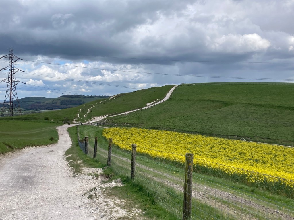
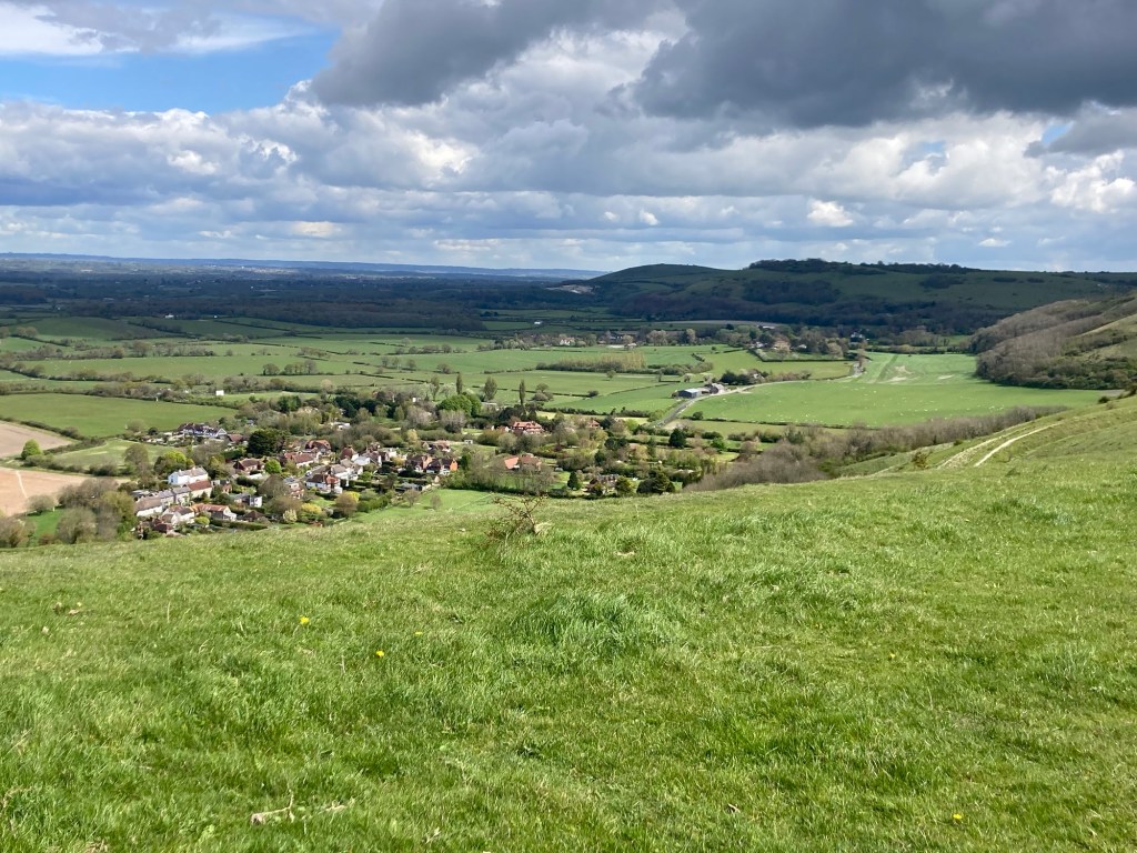
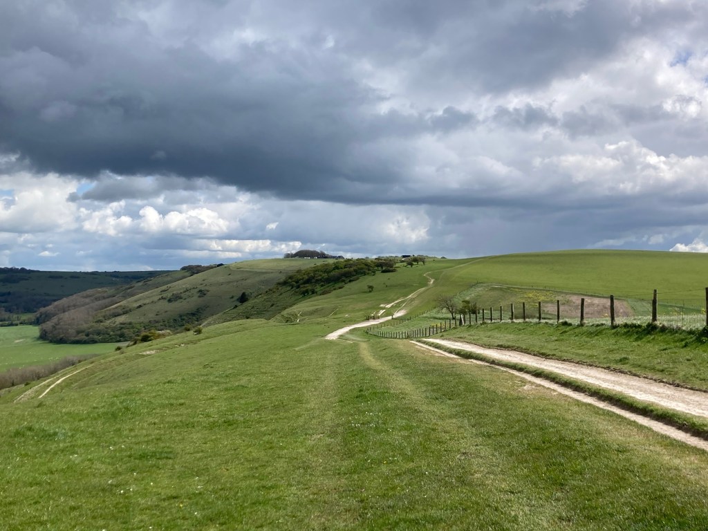
Here are photos of the hike.

Leaving East Meon this morning
After the steep summit of Salt Hill,
we came to a section of really cute homes.
We walked through some great wooded areas.
We loved the moss covered trees here.
Eye candy along the route
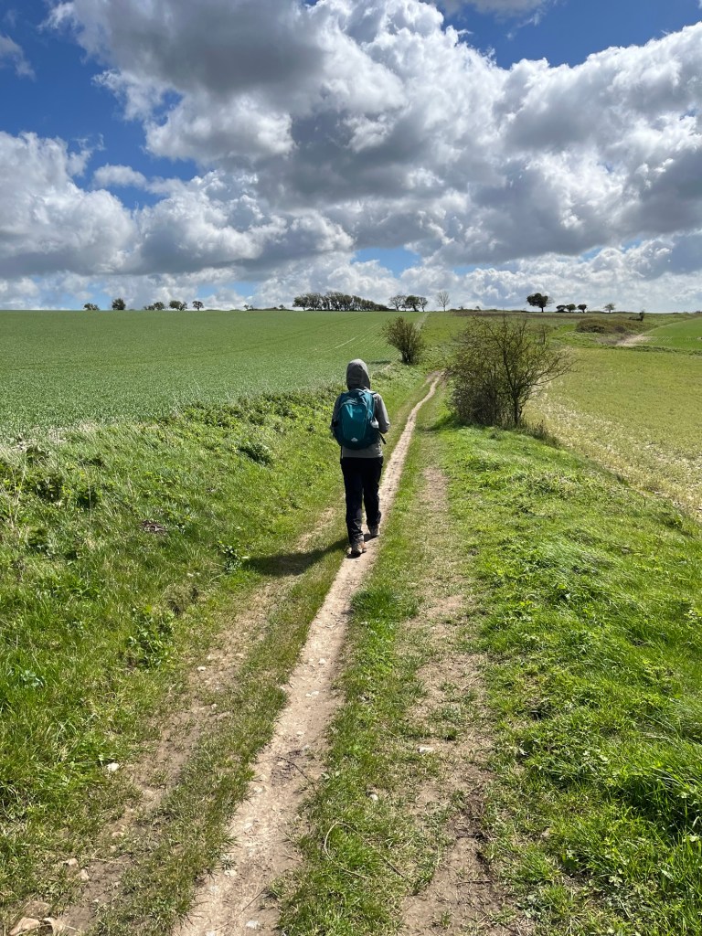
Summitting a hill on a grass path
And heading back down
Beautiful countryside
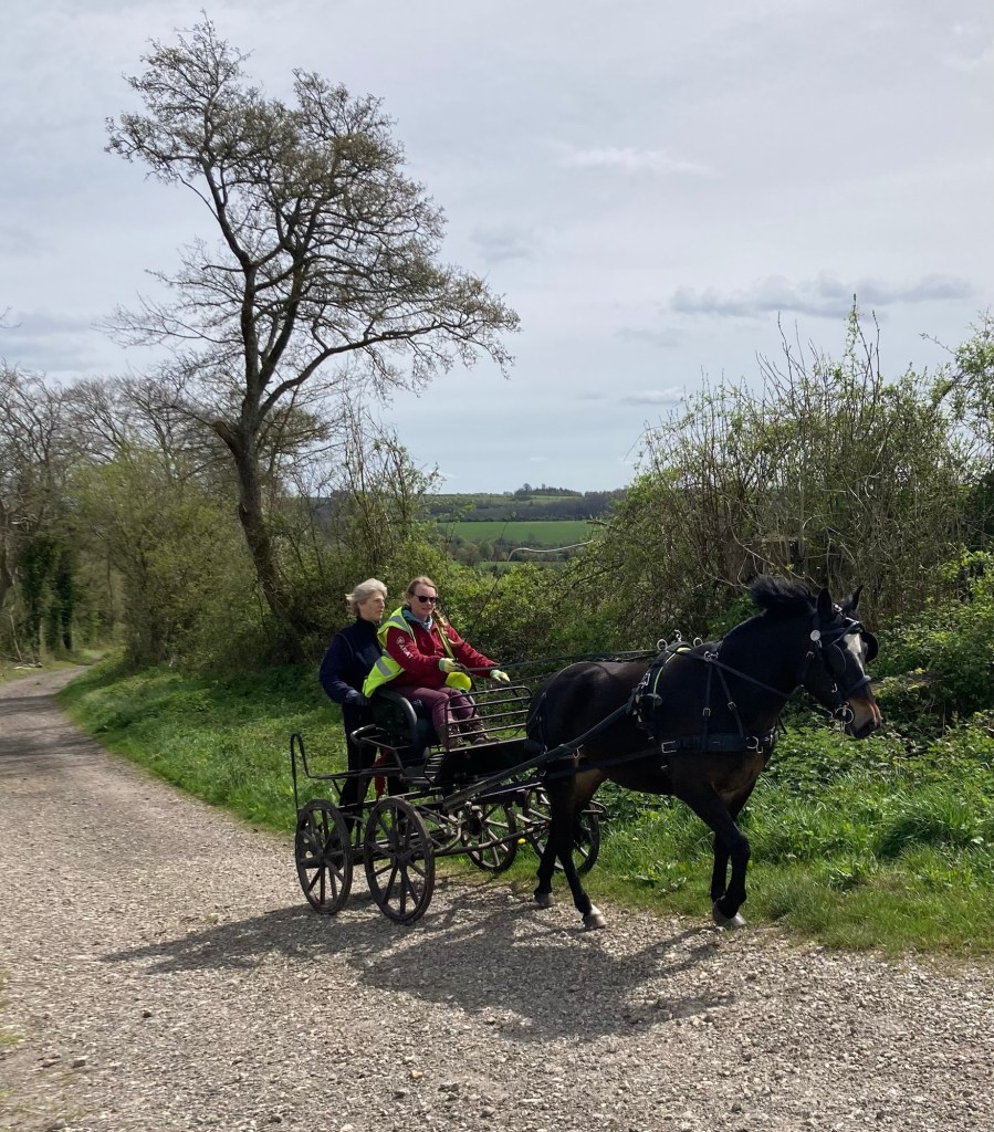
A small horse and buggy.
They turned around shortly after the photo,
and we followed them for awhile.
Green!
Heading down while looking at the next “bump” in the road
South Harting
2 hills meeting
On we go
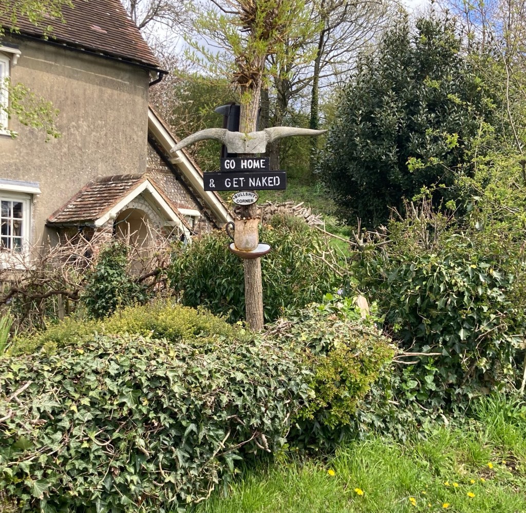
Every family has one. . .