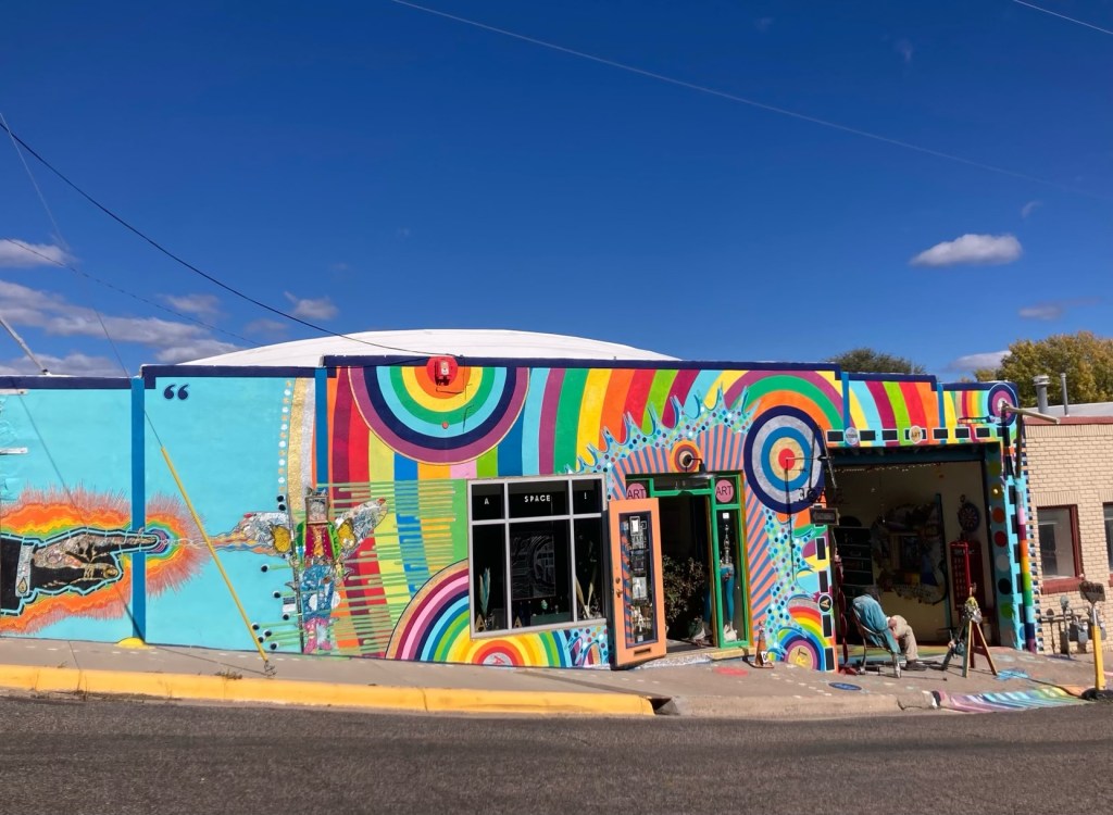
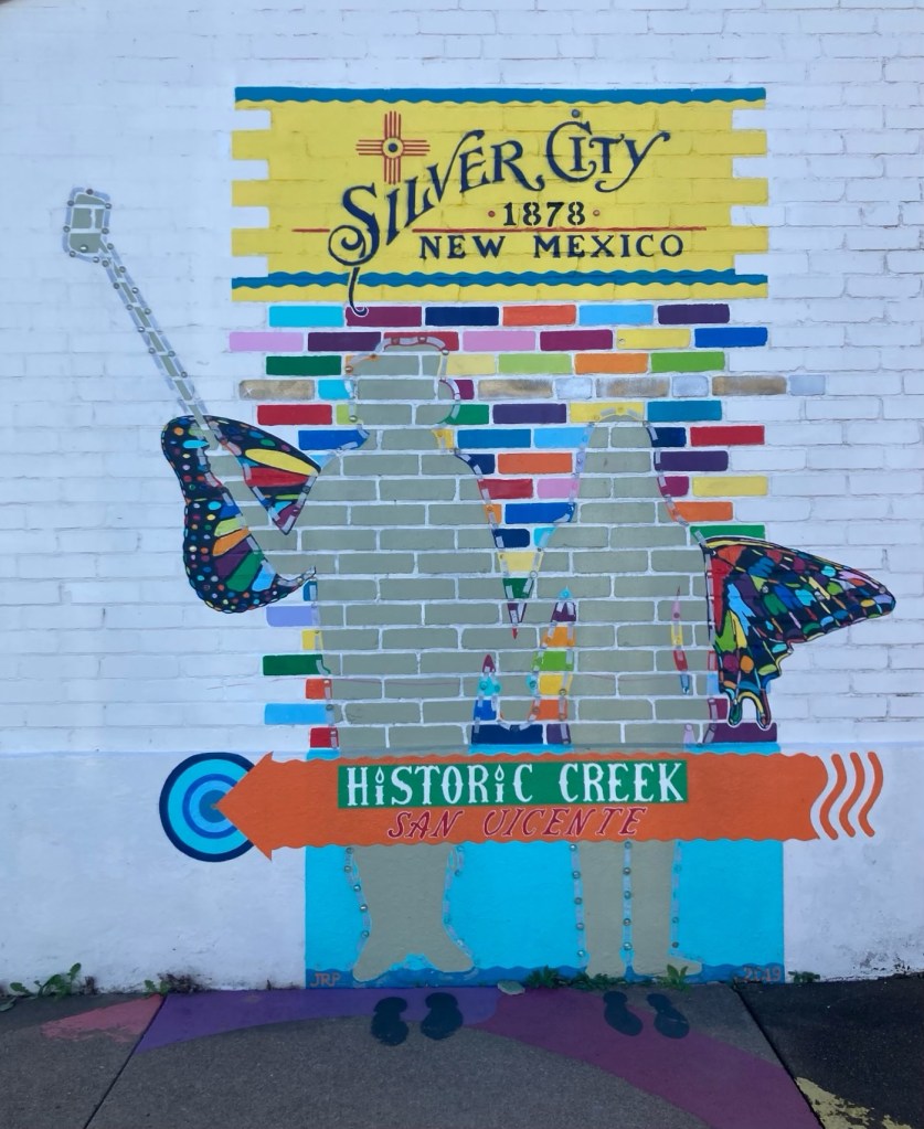
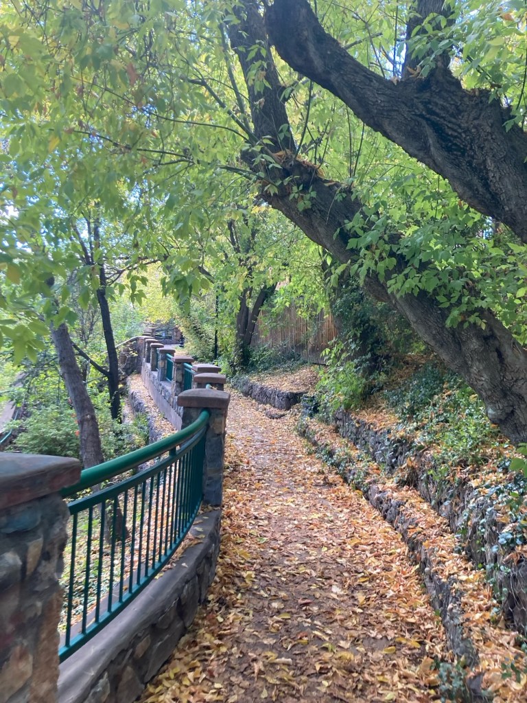
Yesterday, Bob and I did some walking errands to exchange a book for me in a little free library, return a credit card by mail for recycling , and pick up a couple groceries. I snapped a few photos along the way.
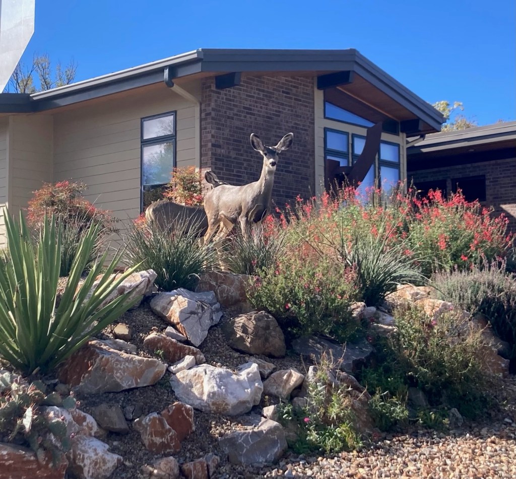
of our favorite houses in the neighborhood)
on my walk back from the rec center yesterday morning.
Today, we hiked part of the Continental Divide Trail, which has been on our To Do list while we are here. The Continental Divide of the Americas is a natural topographical and hydrological ridge which separates the water systems draining into the Pacific Ocean from those draining into the Atlantic and Arctic Oceans. It is also known as The Great Divide, as there are other continental divides within the United States that separate other water systems.
The Continental Divide National Scenic Trail, on the other hand, is a long distance hiking route that follows the spine of the Rocky Mountains from the border of Mexico to the border of Canada. It is approximately 3,100 miles long and crosses the states of New Mexico, Colorado, Wyoming, Idaho, and Montana. It was designated as a National Scenic Trail by Congress in 1978 and forms part of American hiking’s “Triple Crown” alongside the Appalachian Trail and the Pacific Crest Trail.
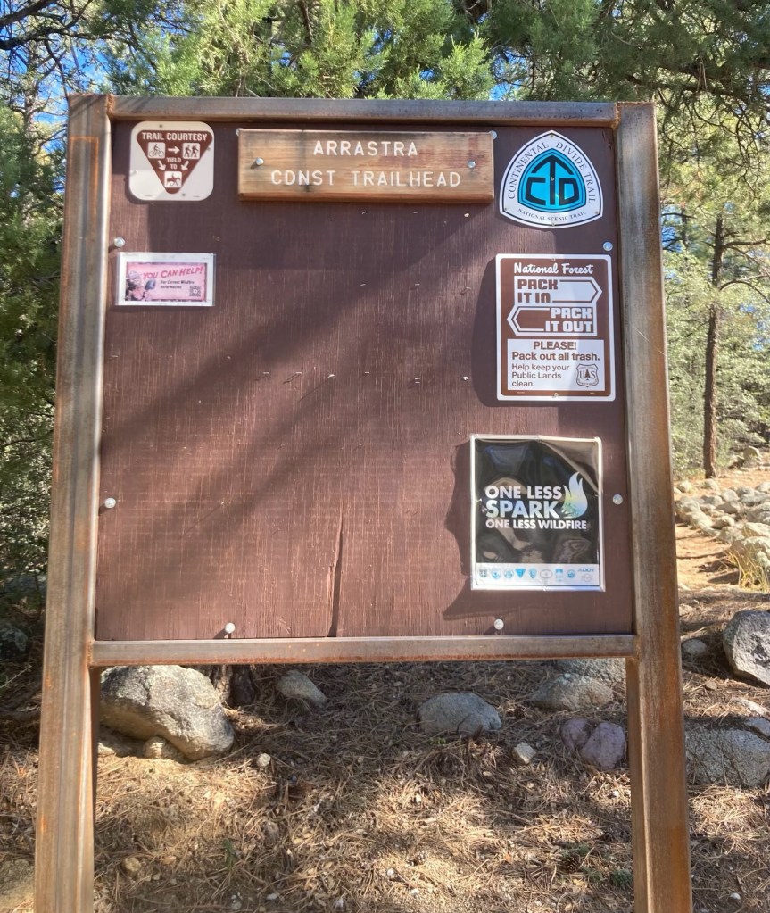
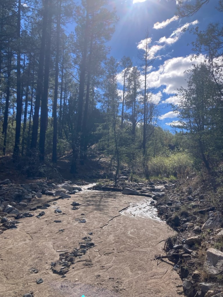
We drove about 20 minutes to the Arrastra Trailhead north of Silver City and walked about 4.5 miles out and back on section #74 of the CDT. This section is 248 miles and is located entirely within the Gila National Forest.
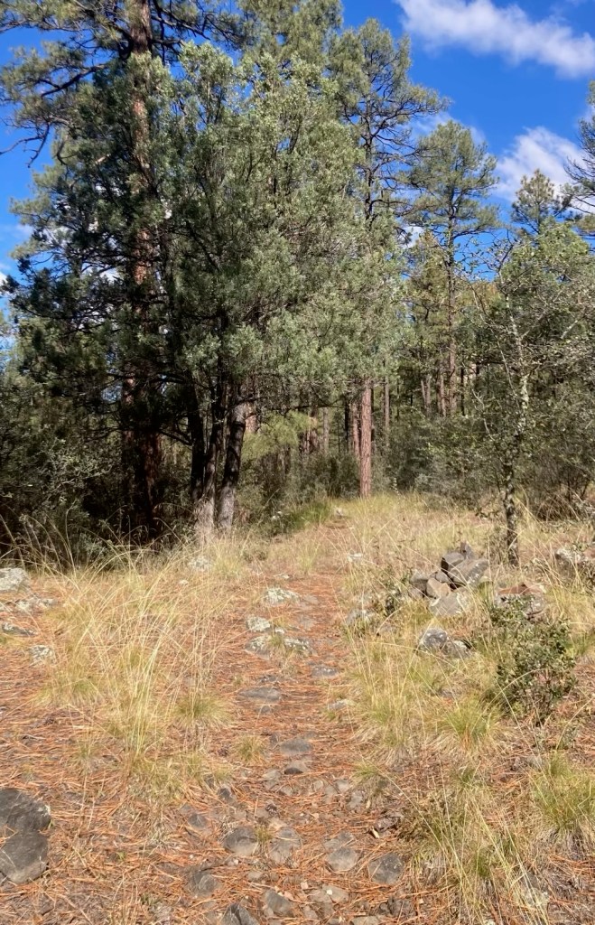
We saw mountain bikers later that were struggling with the route.
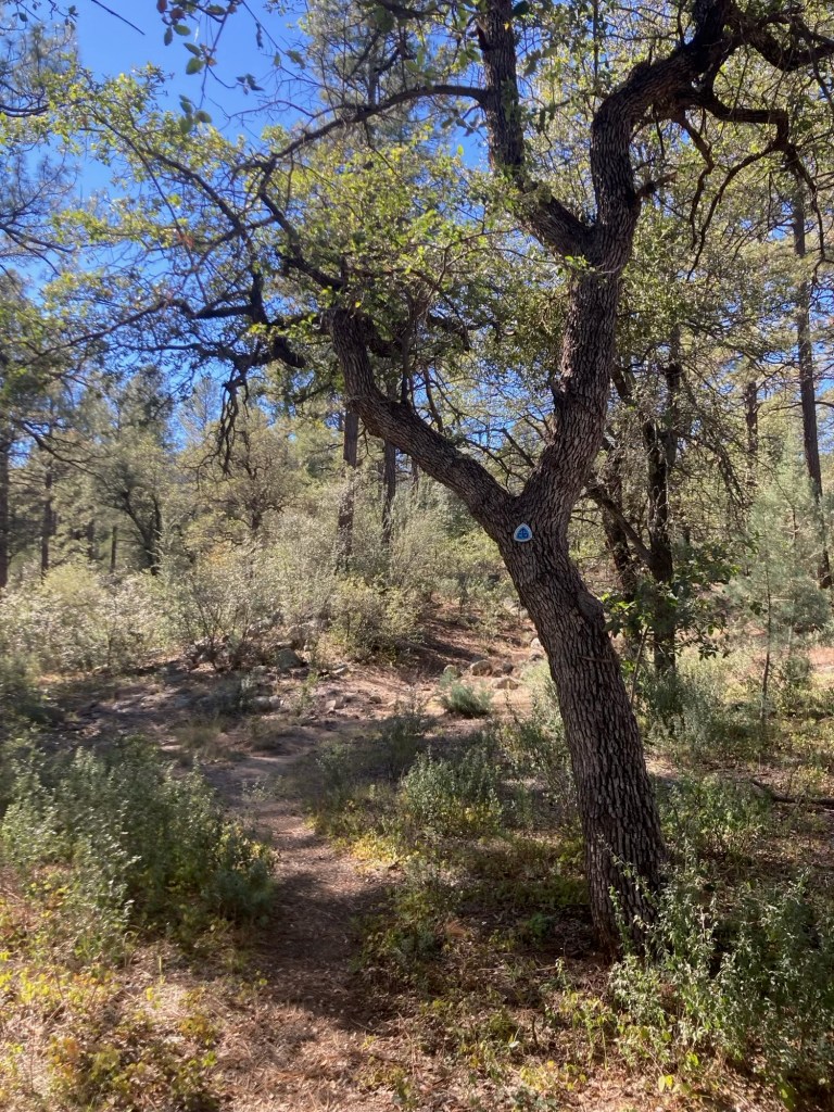
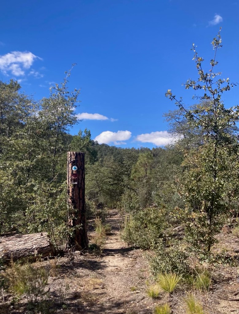
a transmission line right-of-way
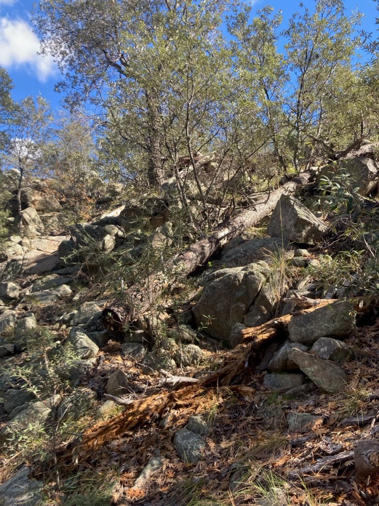
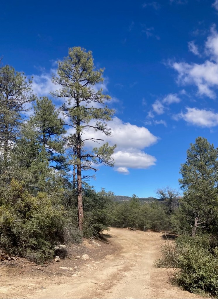
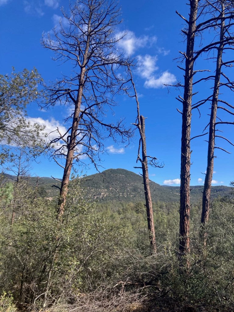
but before we turned around,
we got a view through the trees of the nearby mountains
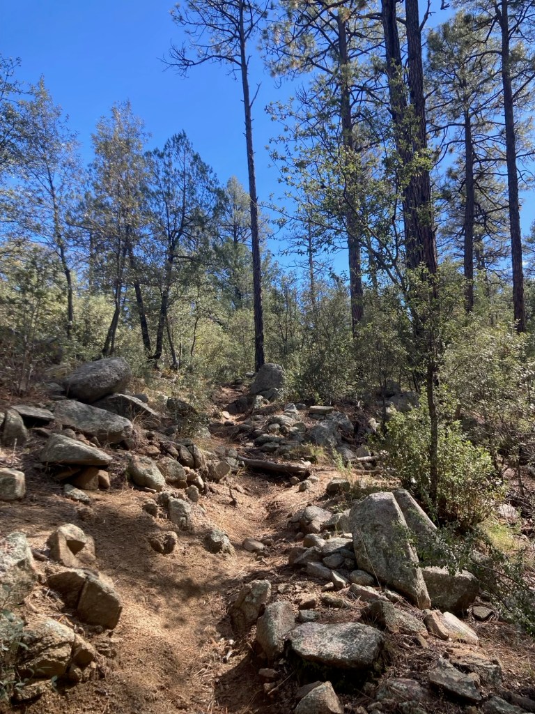
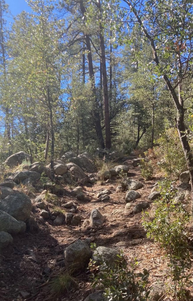
as you needed to watch your step.
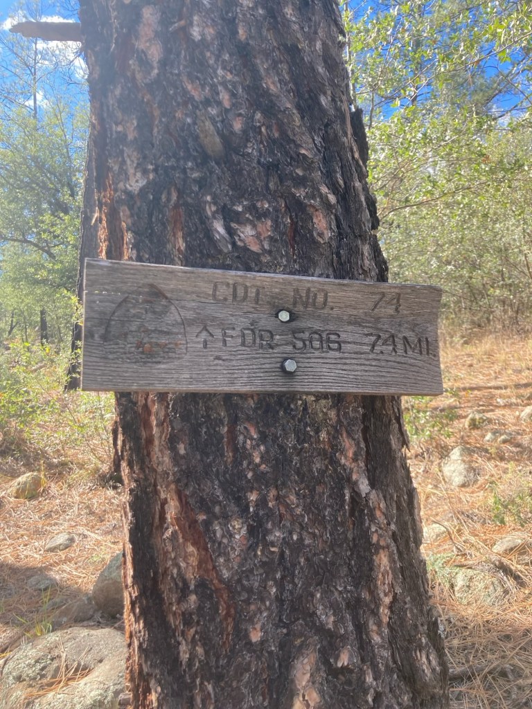
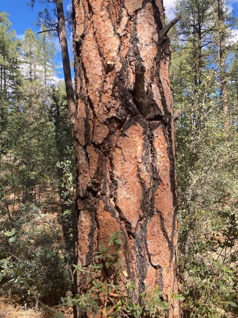
in addition to the white and blue trail markers.
On the way back, we met a man here with his dog named Bob.

