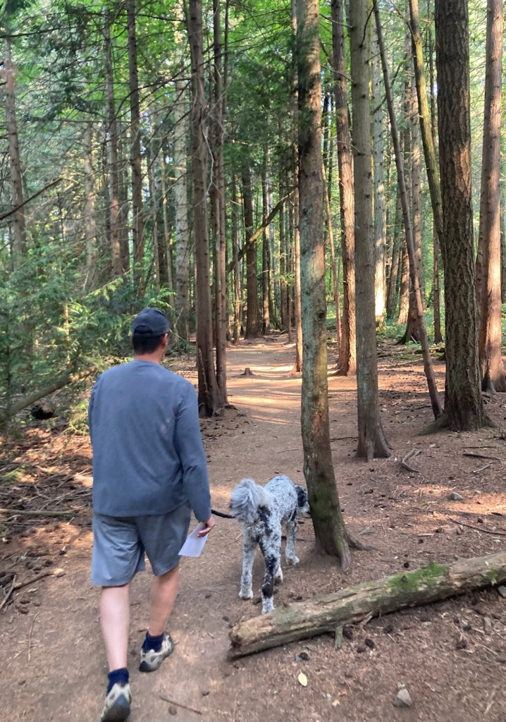
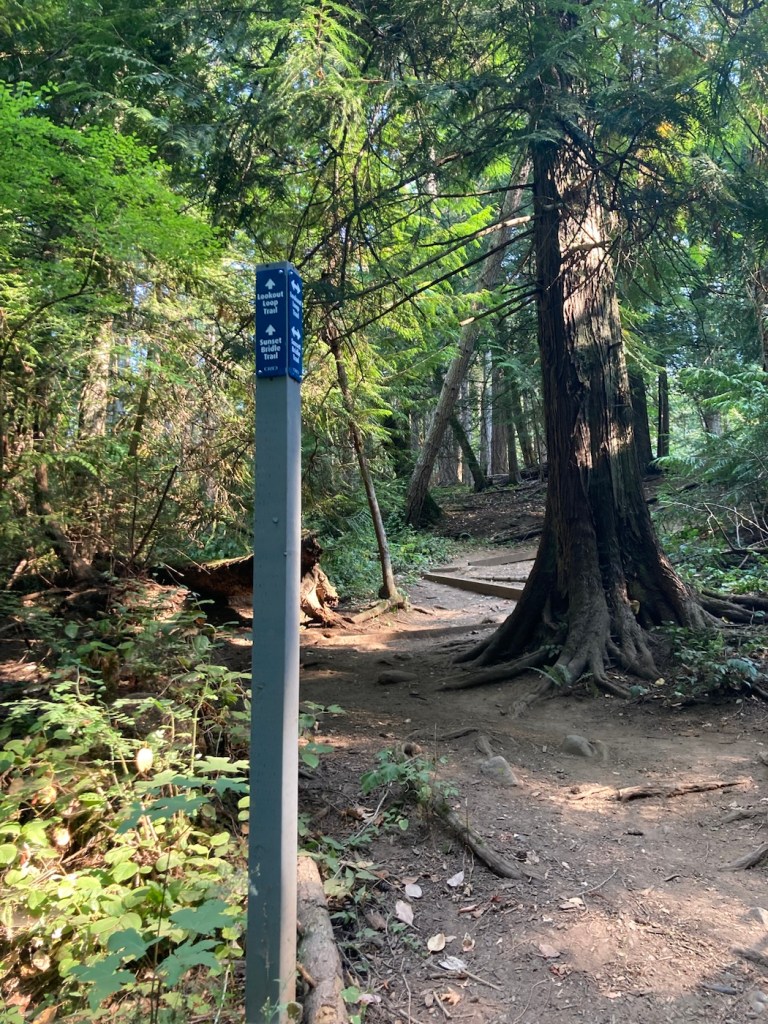
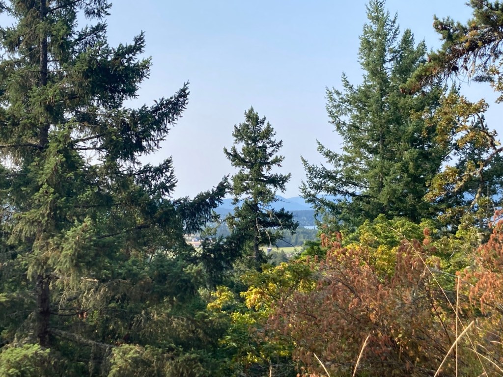
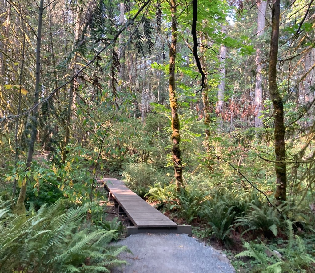
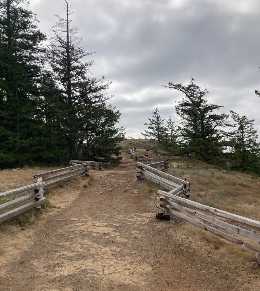
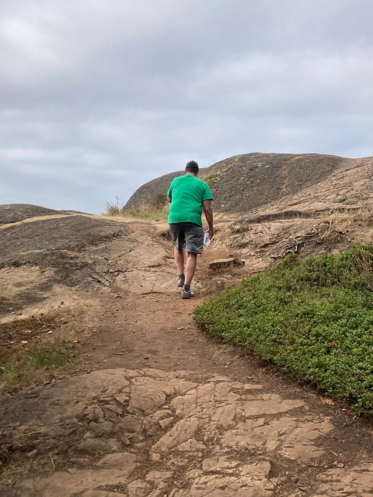
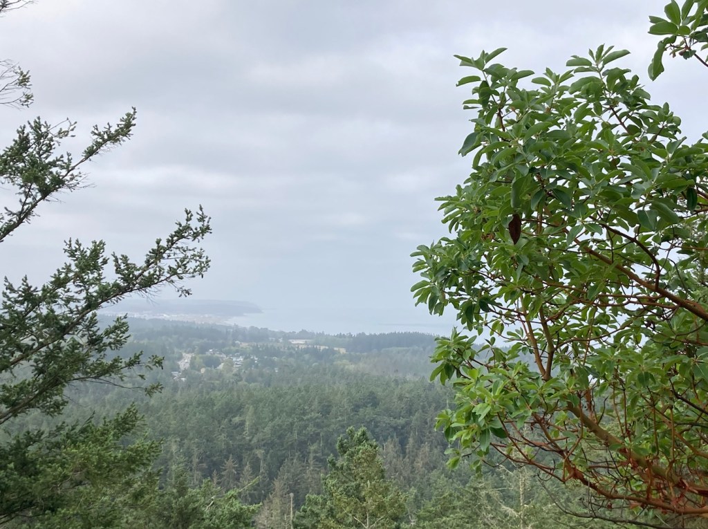
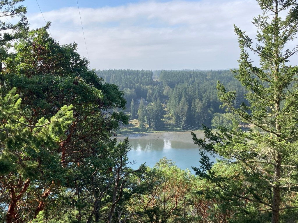
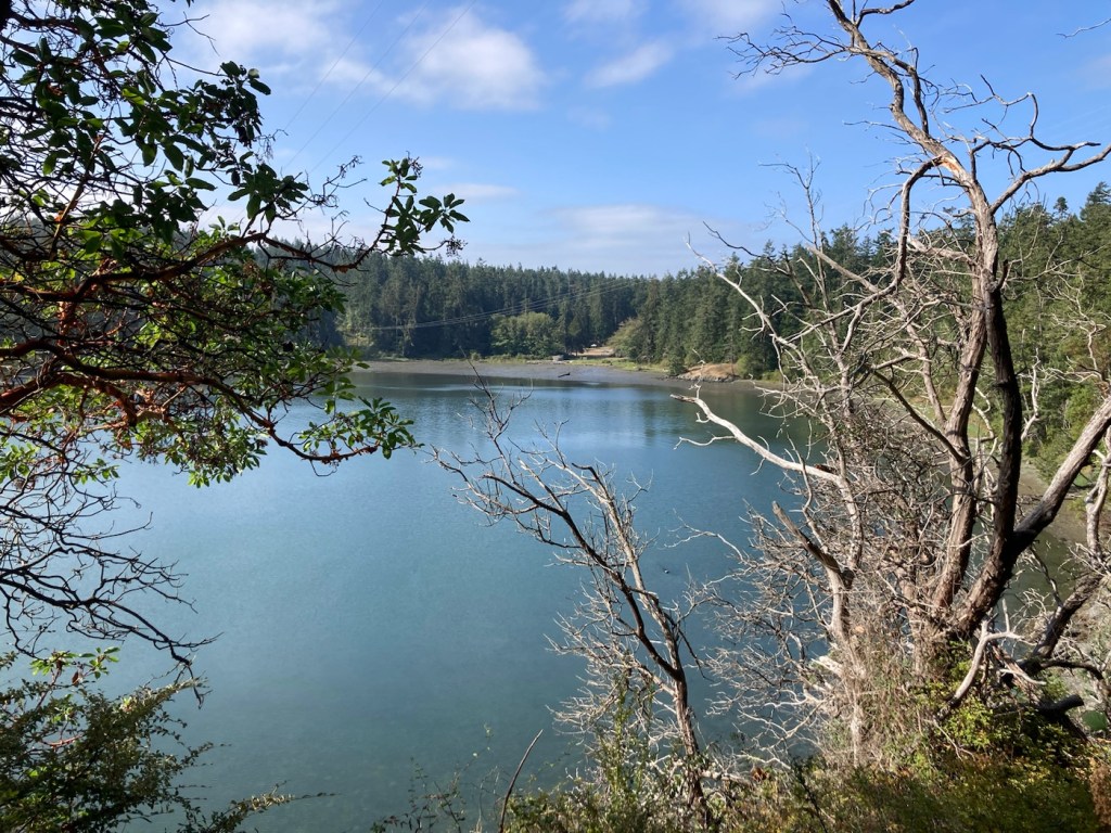
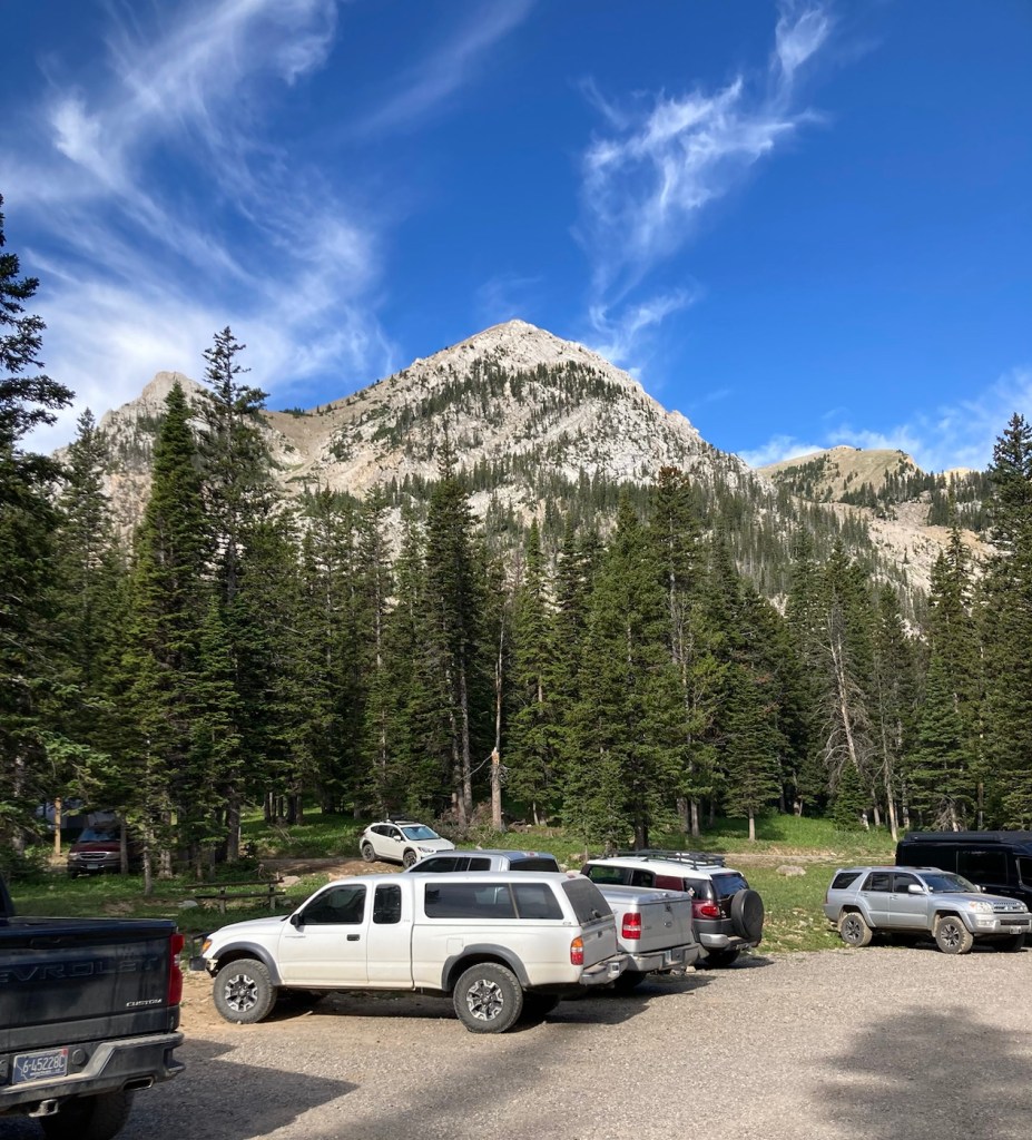
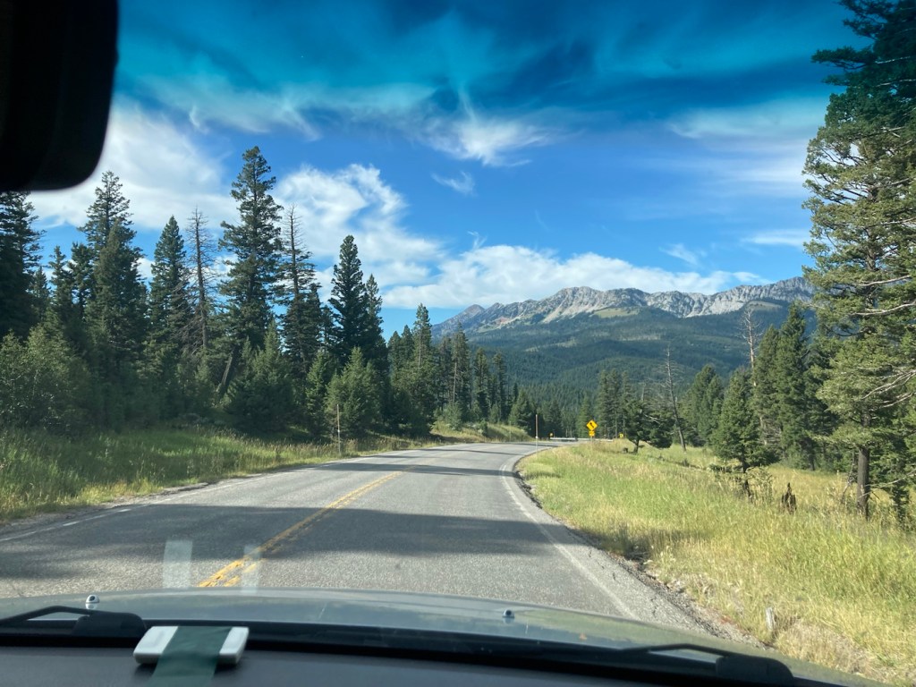
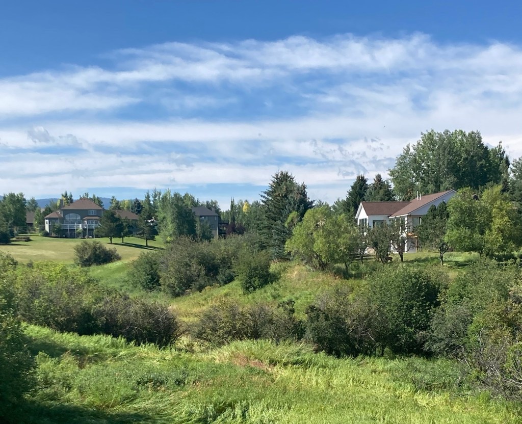
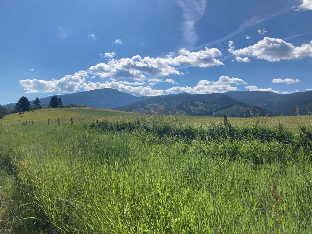
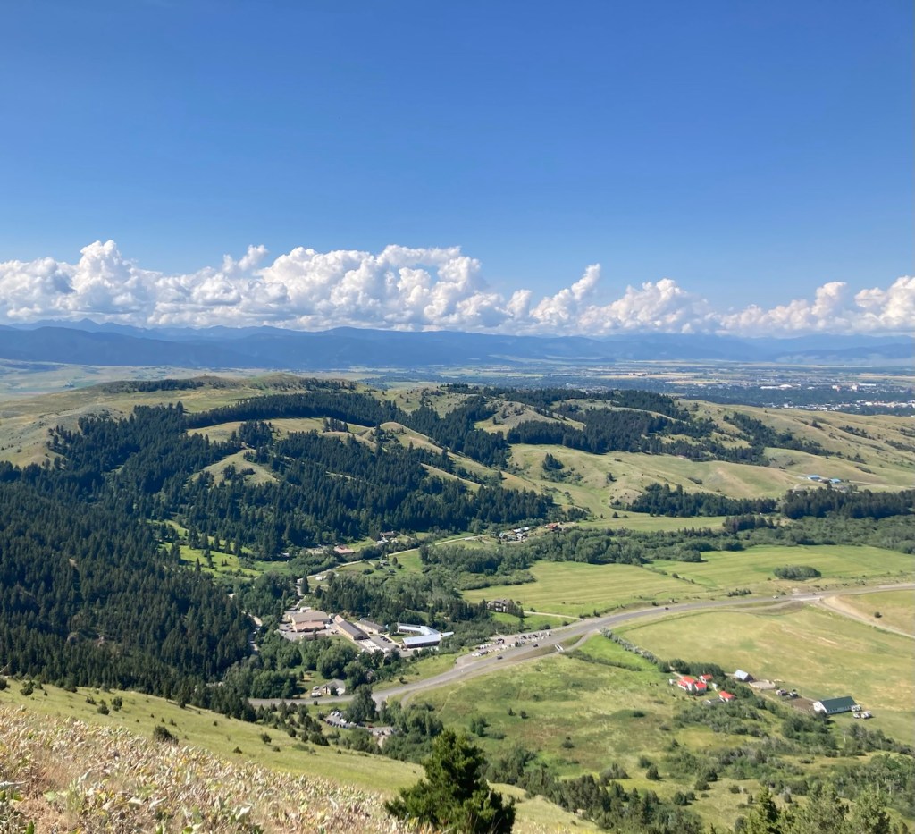
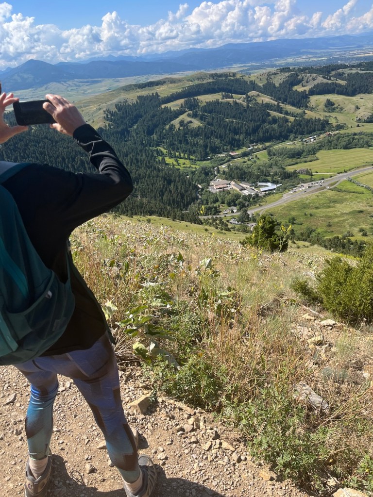
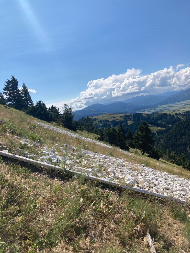
Bob is officially 60 years old! His birthday was Tuesday, and we celebrated with a lovely dinner out in downtown Sidney after a trip to the dog park with Rafa. While we have done a couple of urban walks with Rafa, today we ventured out a bit to Horth Hill Régional Park at the very north part of the island. It was a quick 10 minute drive from the condo.
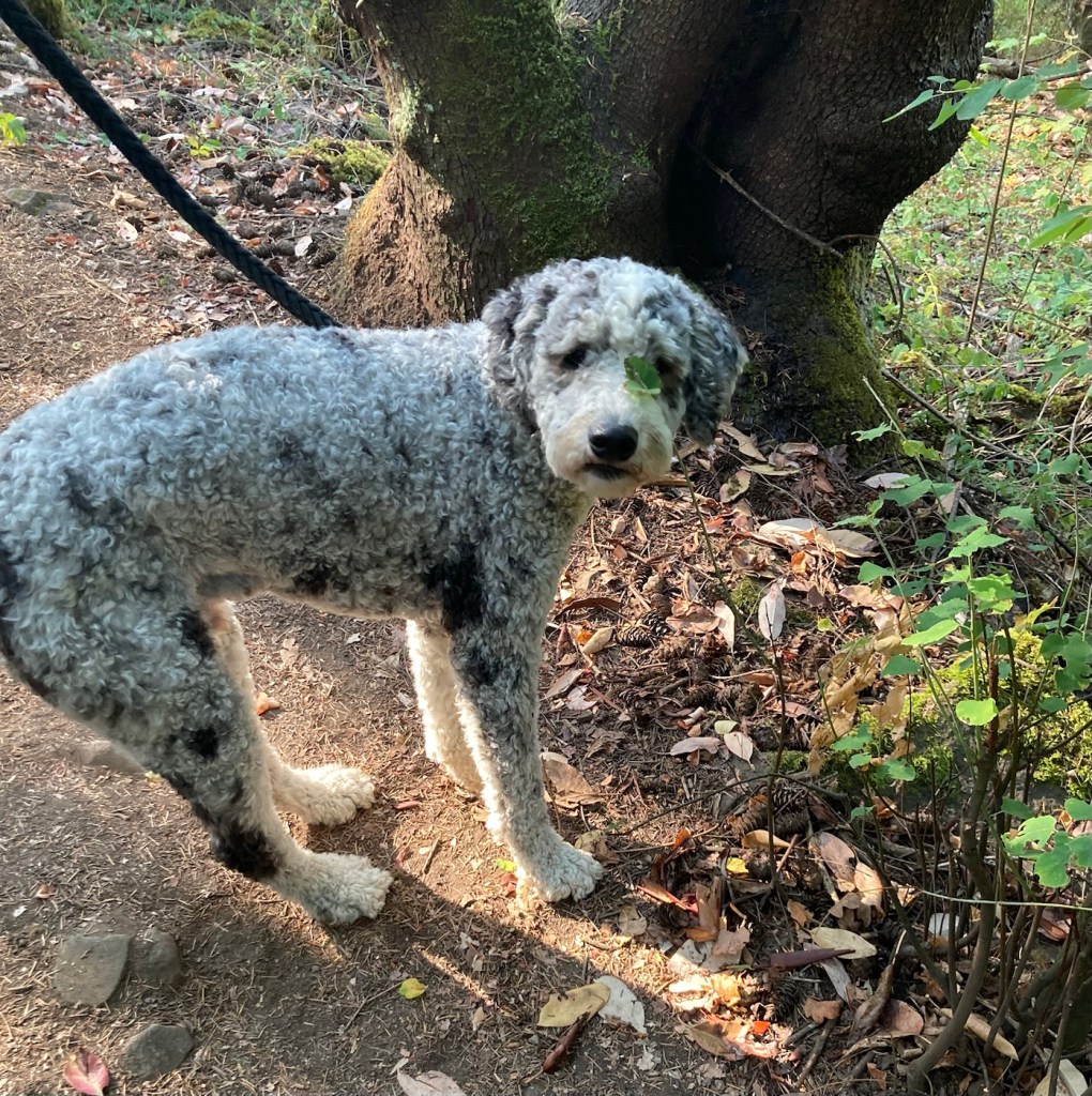
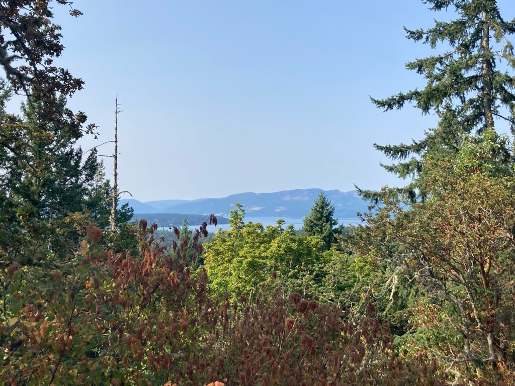
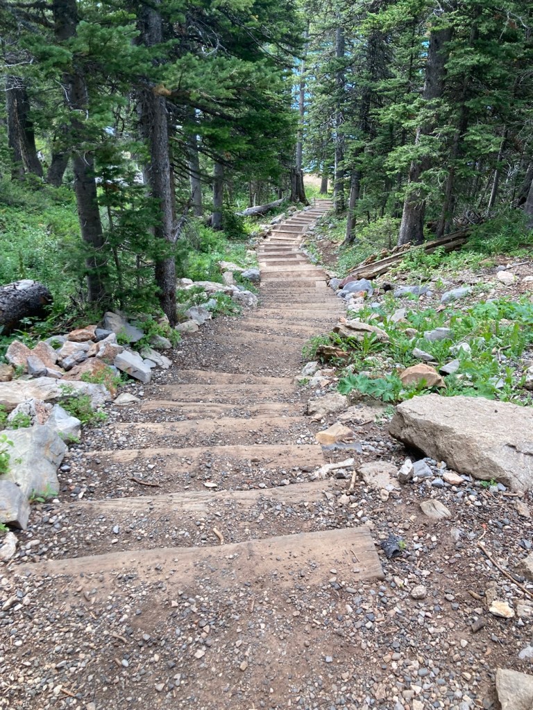
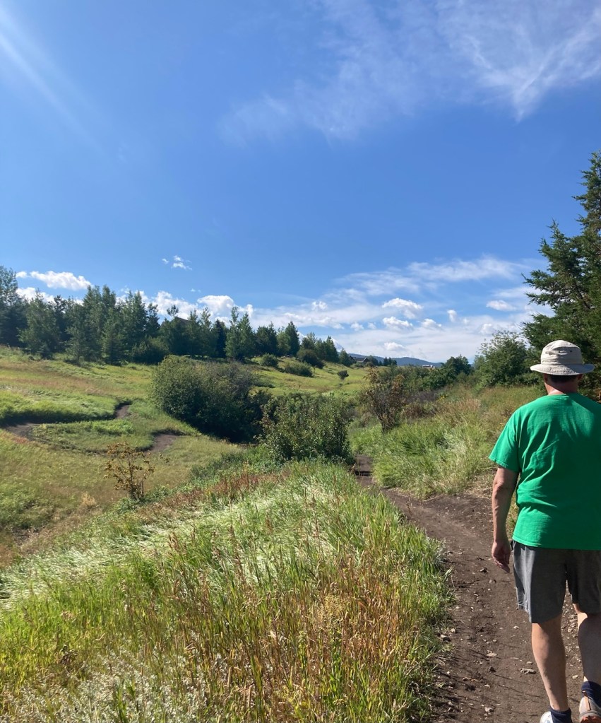
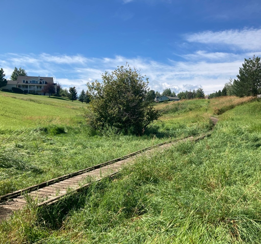
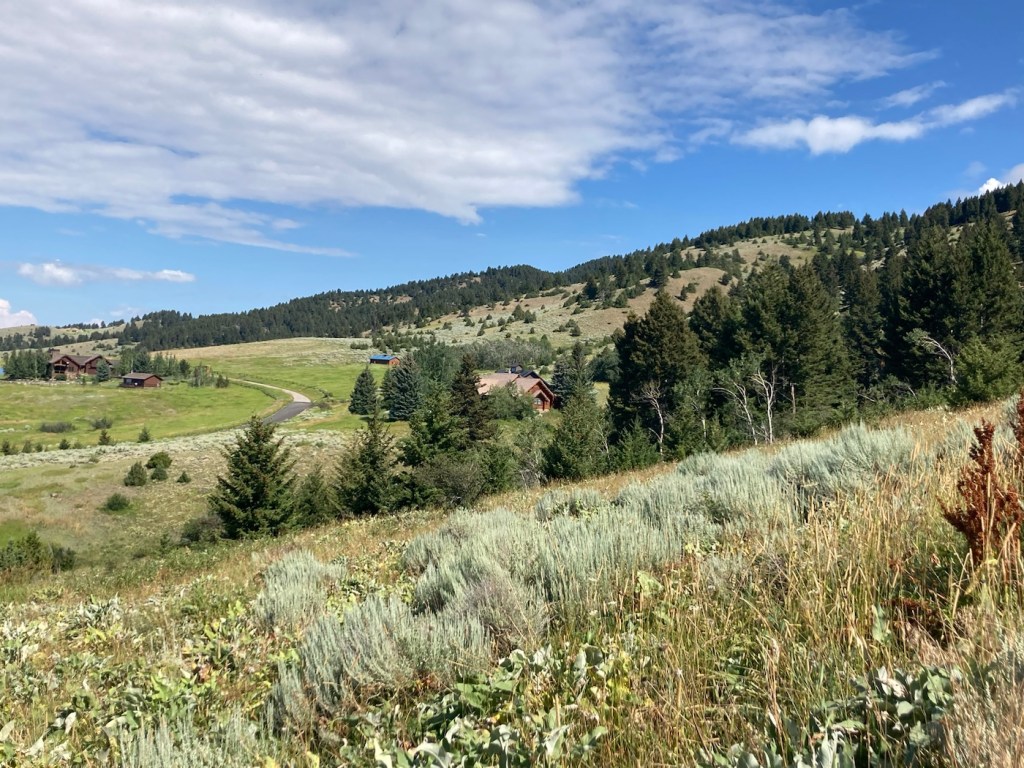
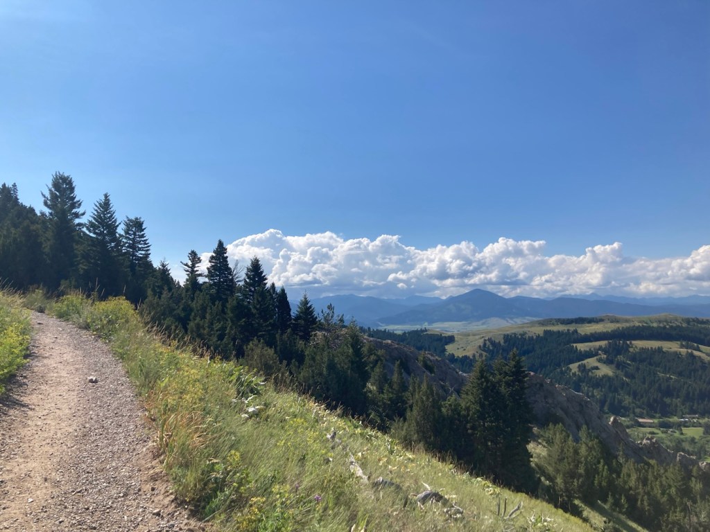
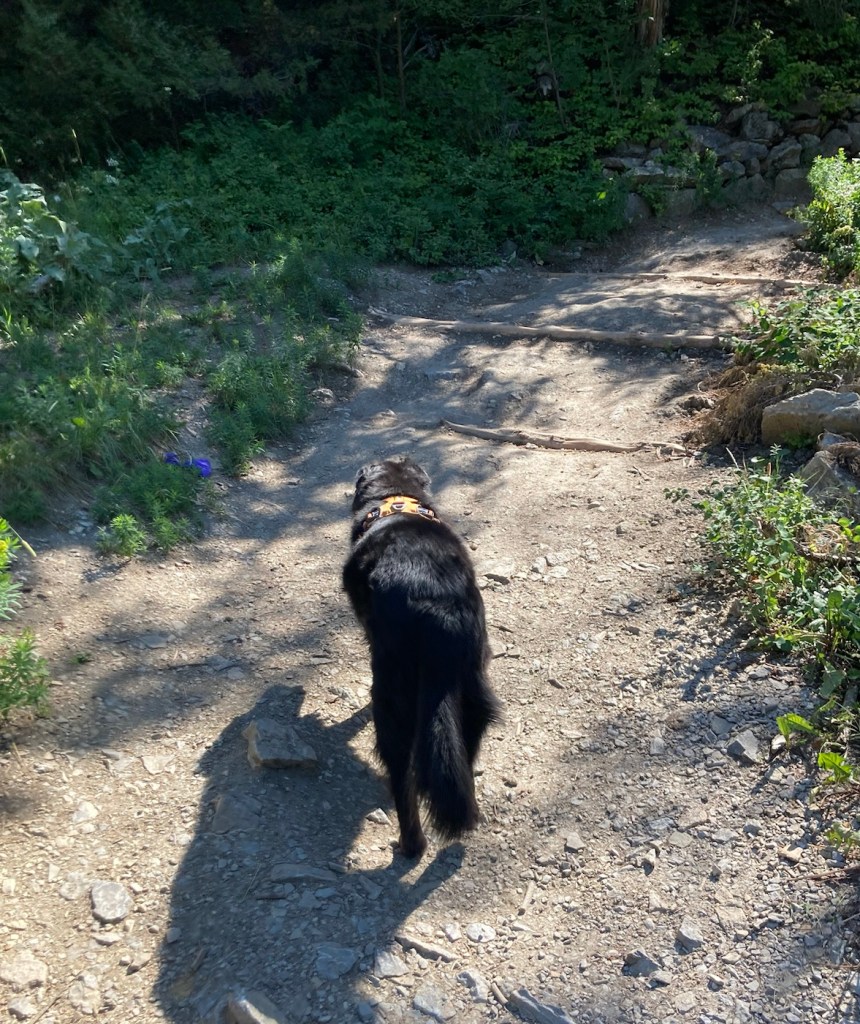
Heading out to check out the Ridge and Lookout Trails.Signage along the pathRafaThe scenic view of the Saanich Inlet from the Lookout TrailAnother view of the surrounding area through the treesA short footbridge along the pathBottoms up. Bob is a young pup compared to this fallen tree!
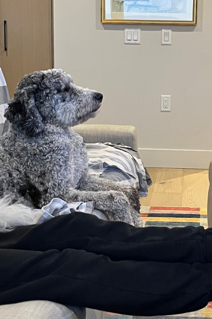
We enjoy watching tv at night with Rafa, as he often seems quite intent on what is happening, especially if there’s a dog involved.
Bob and I left La Conner, WA, on Saturday to drive across the Canadian border and then take a 1.5 hour ferry ride to Vancouver Island. It was then a quick drive to Sidney, and we had a great walk through with our homeowners starting at 4. We were able to go with the homeowners to a popular park/beach to walk Rafa, our cute new canine charge. They also made a great pasta dinner. On Sunday, we were able to visit another dog park and meet some of Rafa’s and the homeowner’s friends before Bob drove them to the airport for their visit with family and friends in England and Spain.
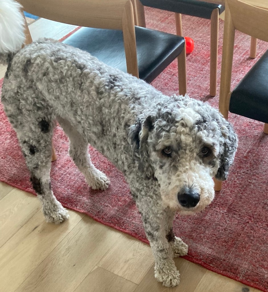
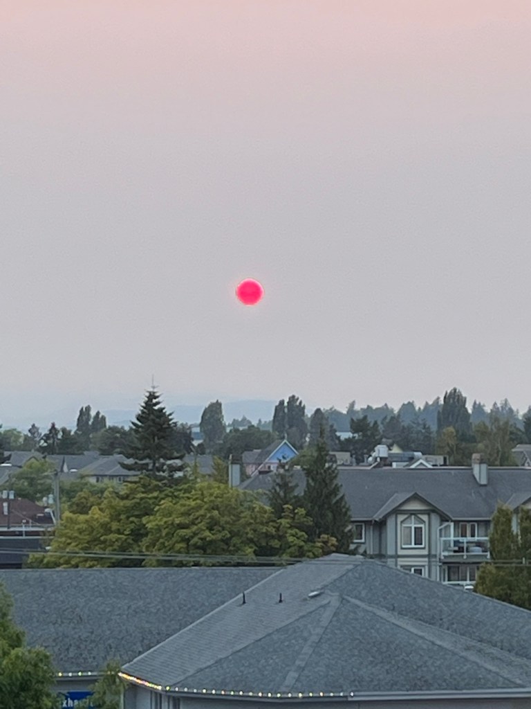
Rafa, an old soul in a 2 year old bodyThe bright red sun from our condo, caused by the smoke in the air from the Canadian wildfires
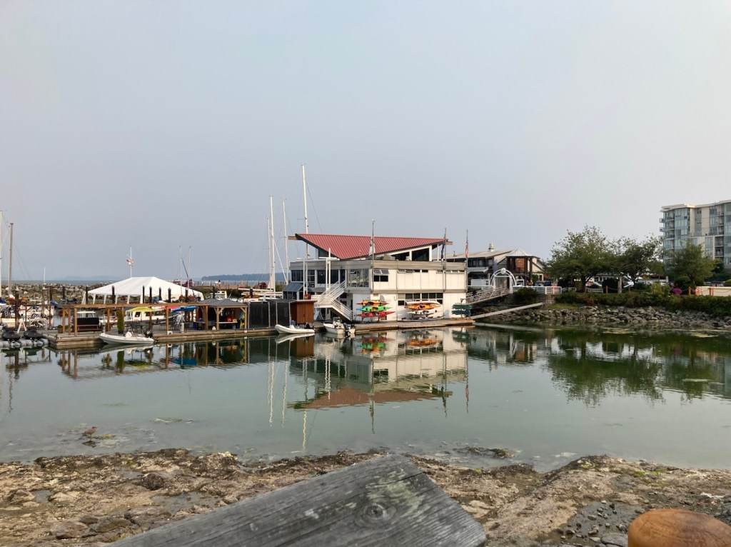
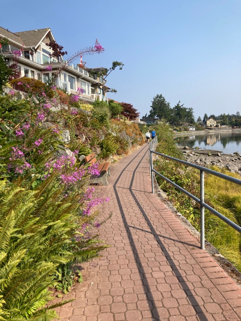
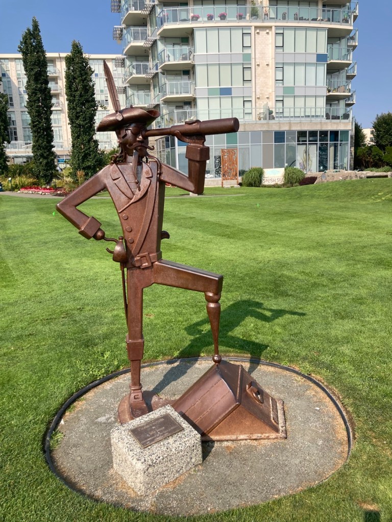
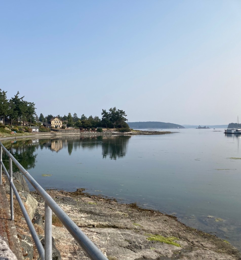
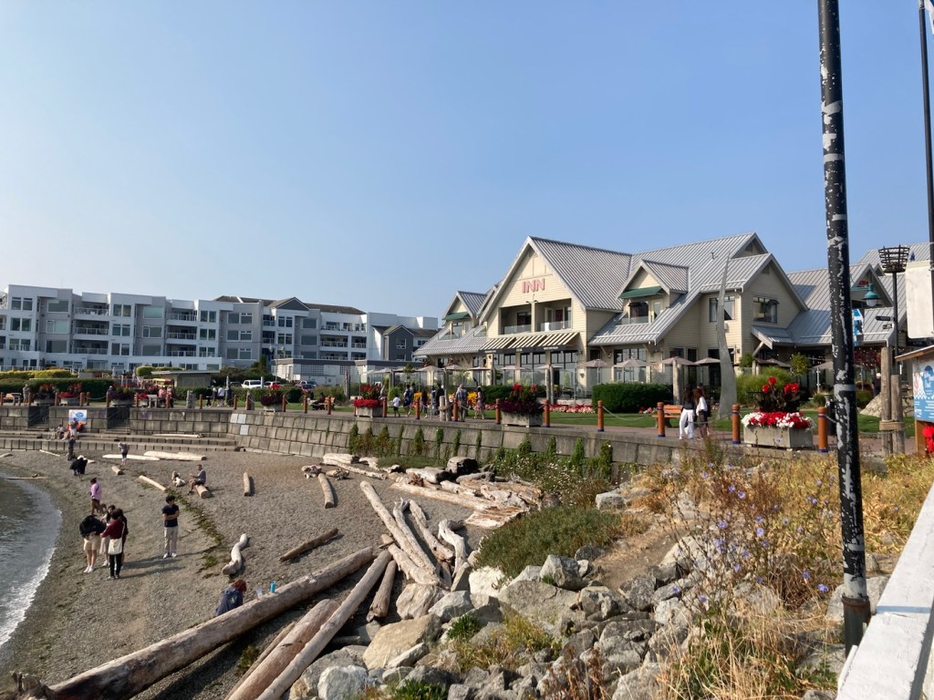
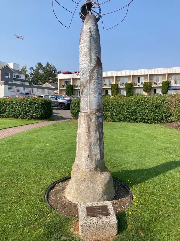
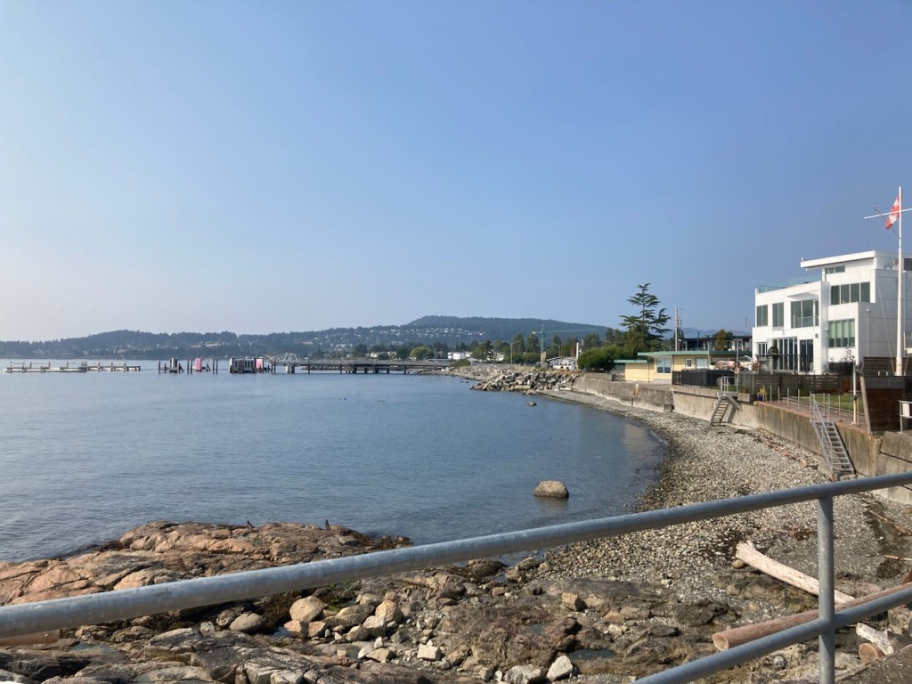
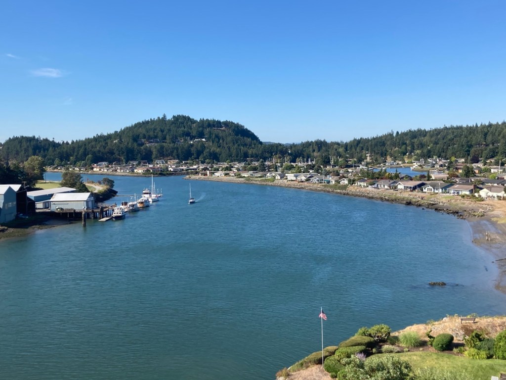
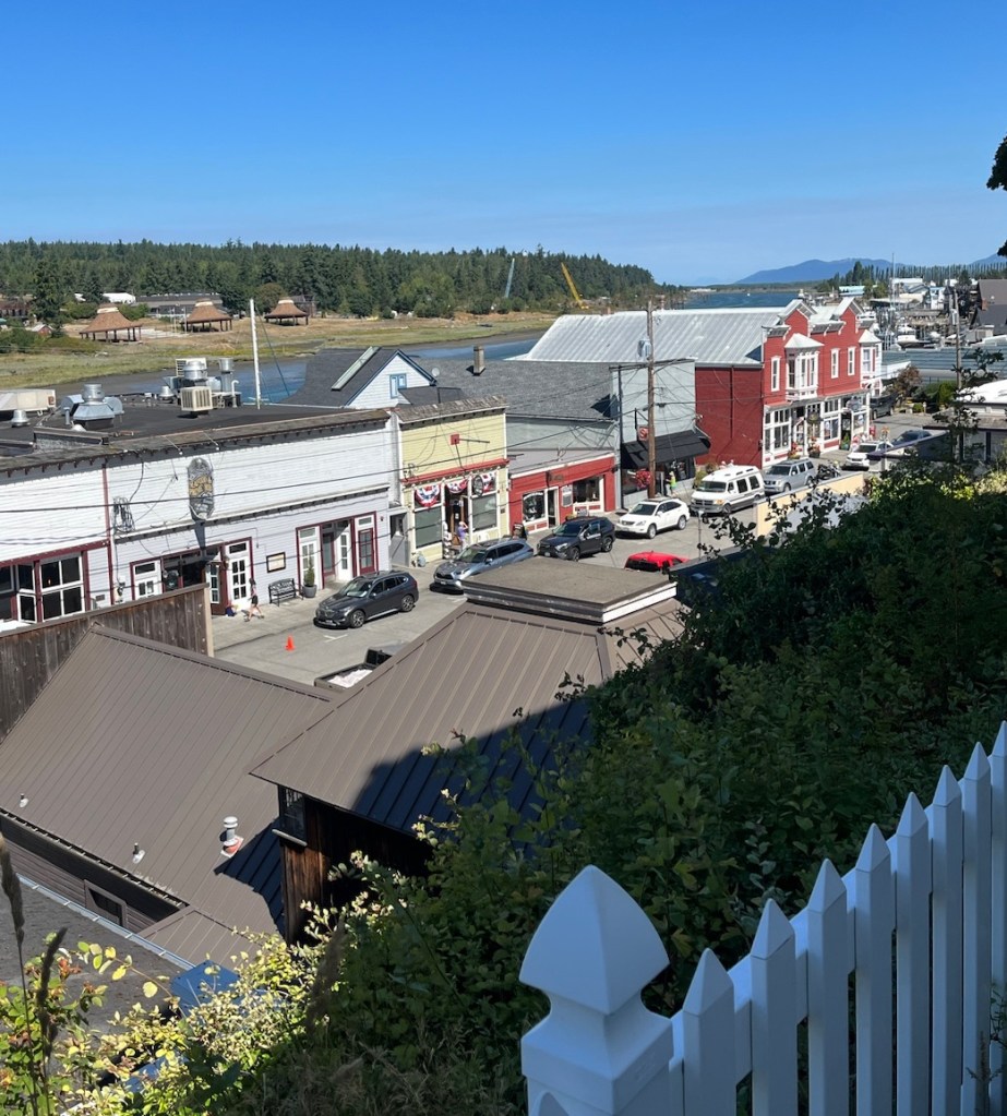
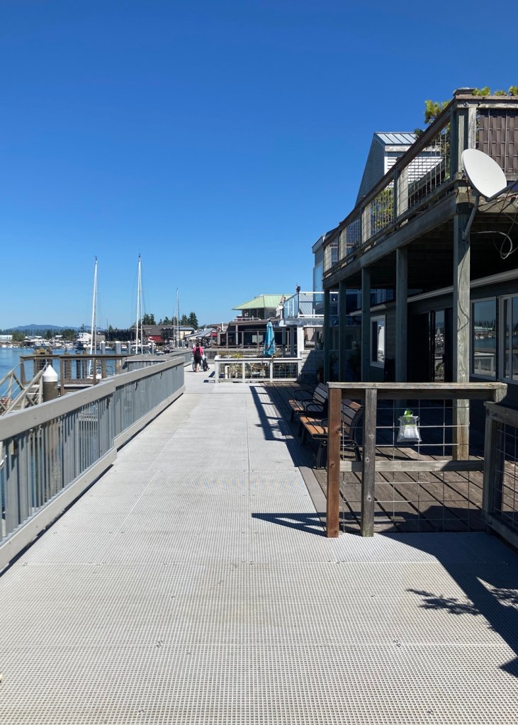
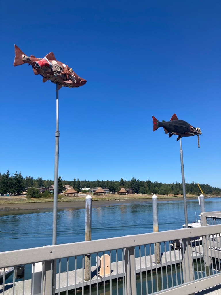
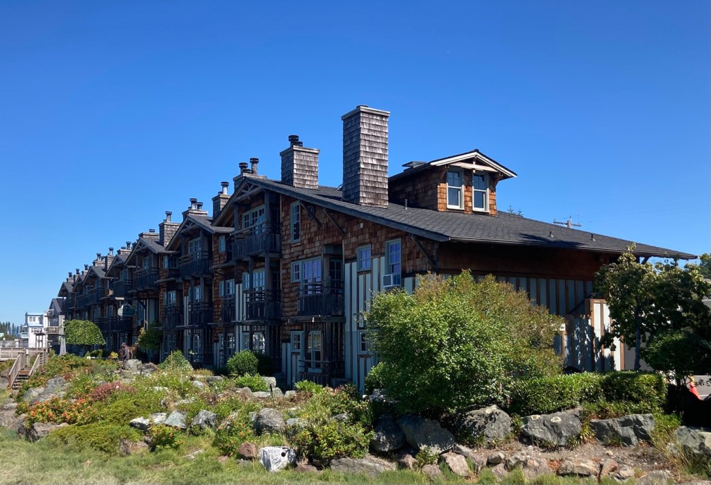
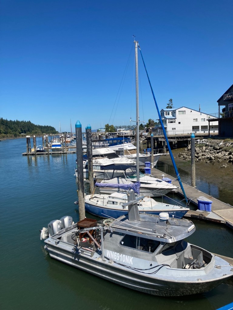
Today, for our longer walk with Rafa, we walked the 2.5k Sidney Waterfront Walkway and Sculpture Walk. This took us by a marina, restaurants, homes, city parks, and public art.
Part of the downtown marinaAnother view The flowered walkwayA different type of flowered walkwayPublic art in front of a multi-unit residenceMore artThe shoreline The downtown beachA sculpture called Tsunami, as close as we want to get to oneAnother inletÀ Sidney sign along the walkwayBeautiful natureBeautiful homes
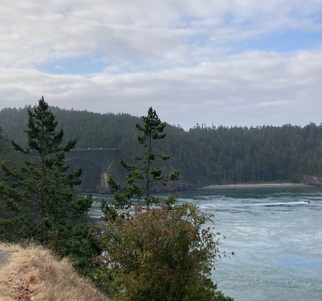
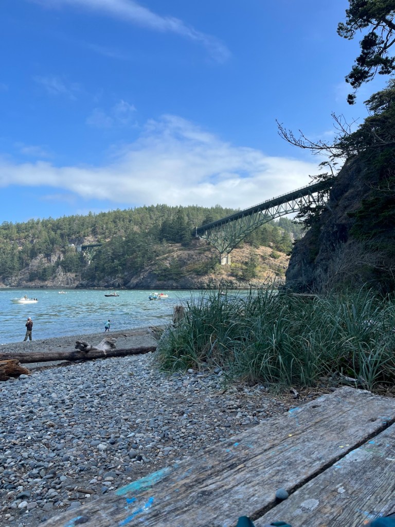
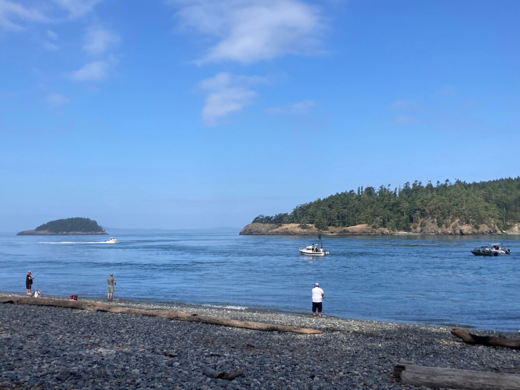
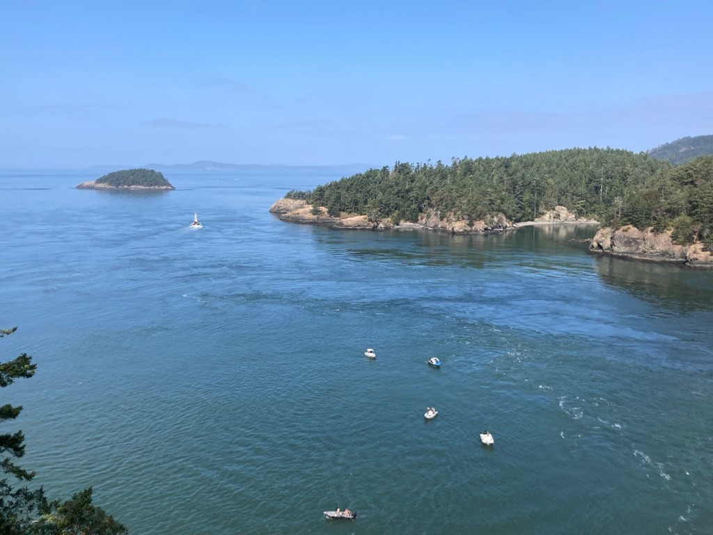
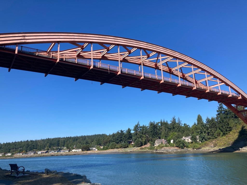
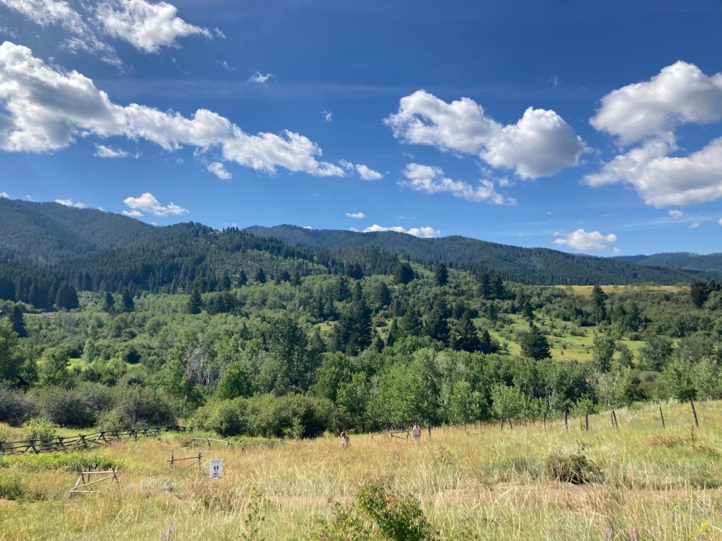
This morning Bob and I headed out early for the 25 minute drive to Deception Pass State Park to beat the crowds. We arrived a little before 9 am, and it was a brisk 58 degrees. I have since learned that Deception Pass is Washington’s most visited state park, which just shows that we are in the know even when we’re not!
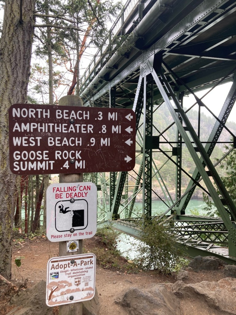
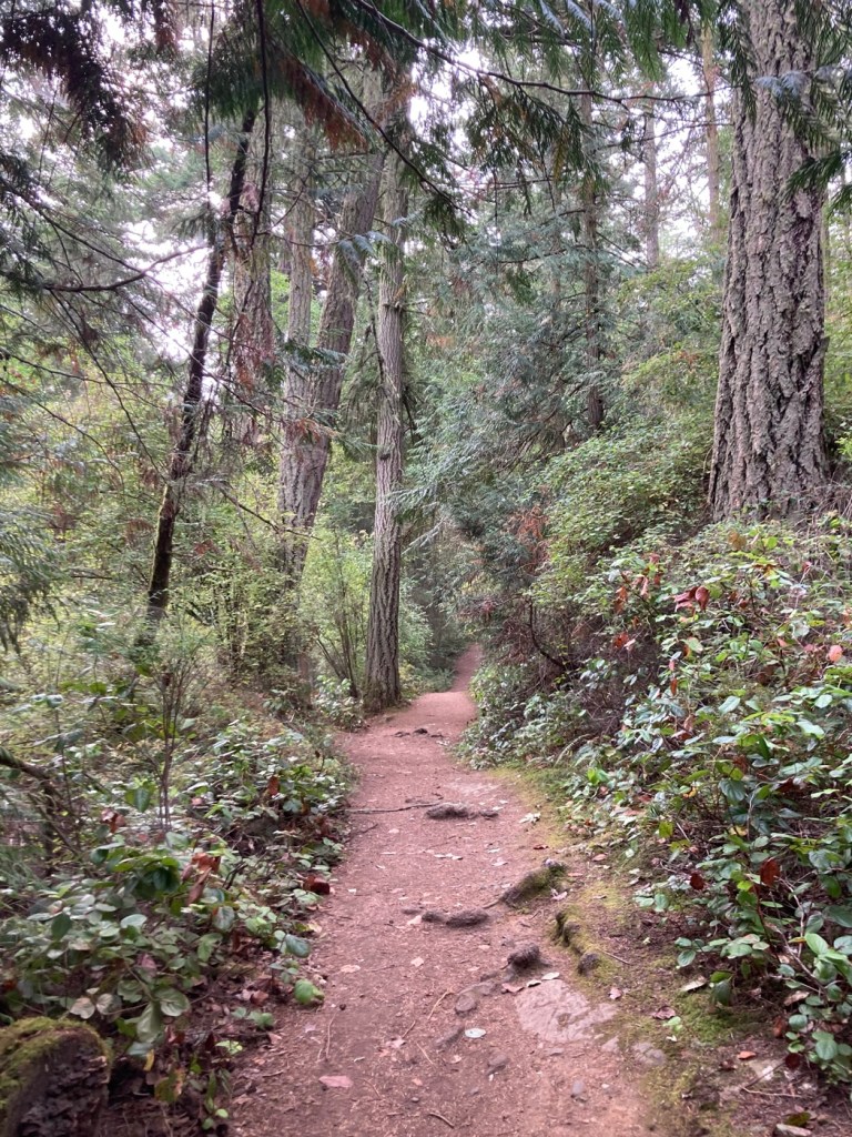
Deception Pass State Park spreads over 3,854 acres across 2 islands, Fidalgo to the north and Whidbey to the south. We drove across Fidalgo Island and the Deception Pass Bridge to get to the park. We happily paid the $10 park fee and went off to explore the Goose Rock Summit and Perimeter Trails before heading down to the bay for a light breakfast as we watched the boats, fishermen, and got a proper look at the impressive bridge.
Quick view of Deception Pass bridge on the drive inFirst signs for the trail as we descended from the parking lot under the bridge Heading up to the summitRailings to help keep visitors in the appropriate areas at the top of the hillBob walking to the summitView of the bay to the south (opposite direction from which we came)Strawberry IslandView of the bay as we descend and the sun appears Looking down at the beach from right below the bridge Deception Pass BayDeception Pass Bridge from our picnic spotSome of the people fishing in the bayA view of Deception Pass Bay from the bridge
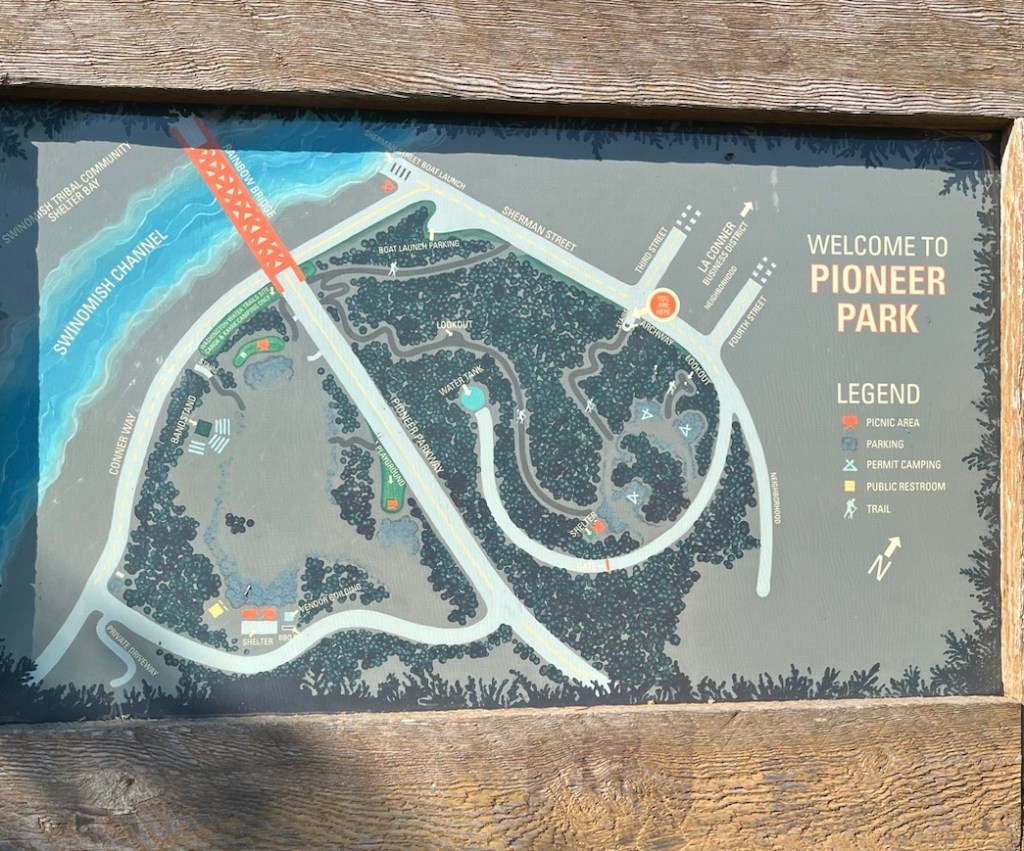
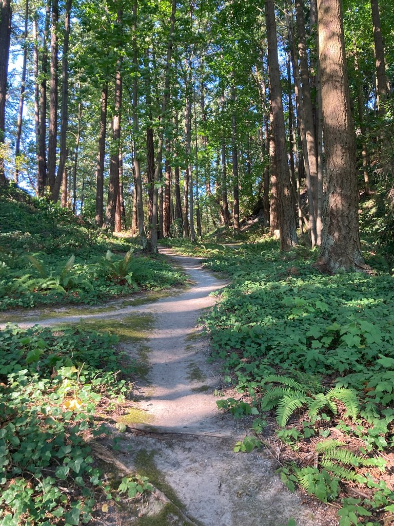
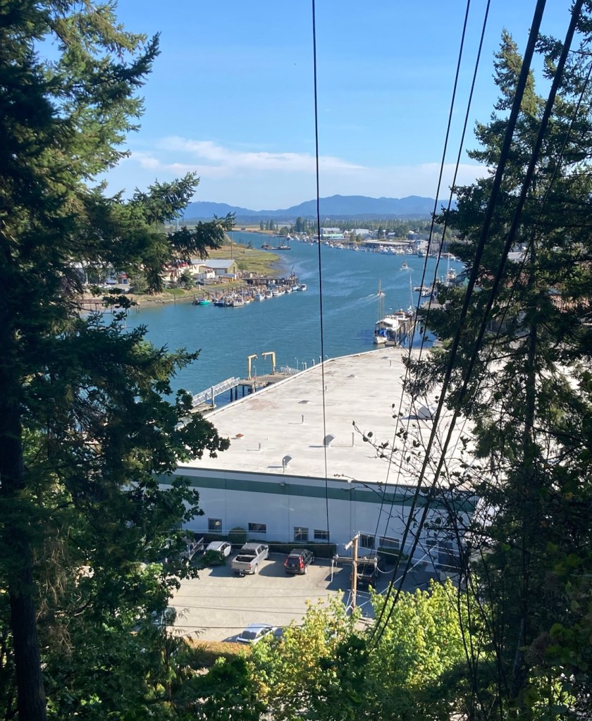
We explored a variety of sites with our first full day in La Conner, Washington. First, we walked to Pioneer Park, which had a short trail with somewhat of an overlook of La Conner.
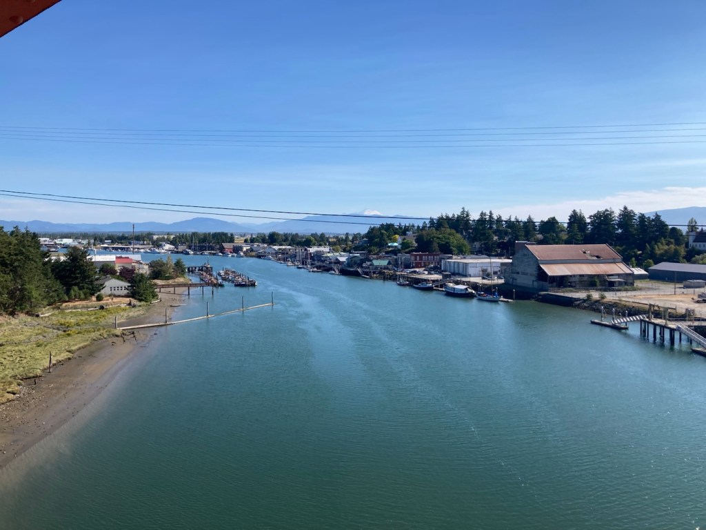
Map of Pioneer ParkStarting up the trail to the lookoutThe trail then hugged the edge of the hill for the viewView of the Swinomish Channel from the overlook in Pioneer Park
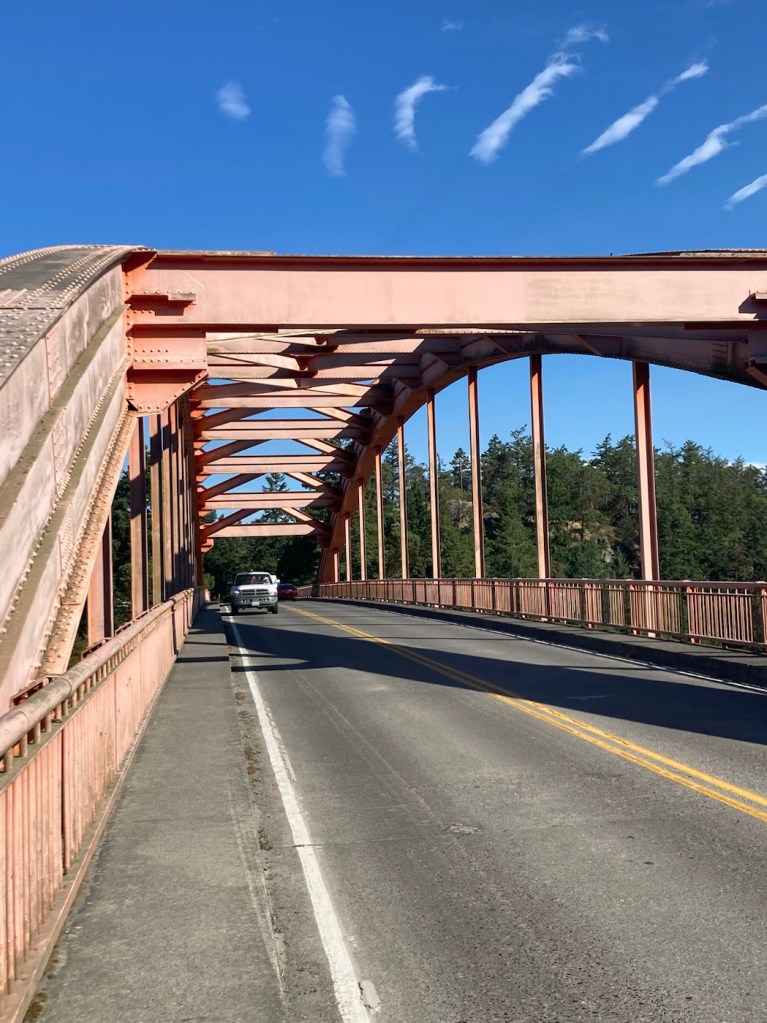
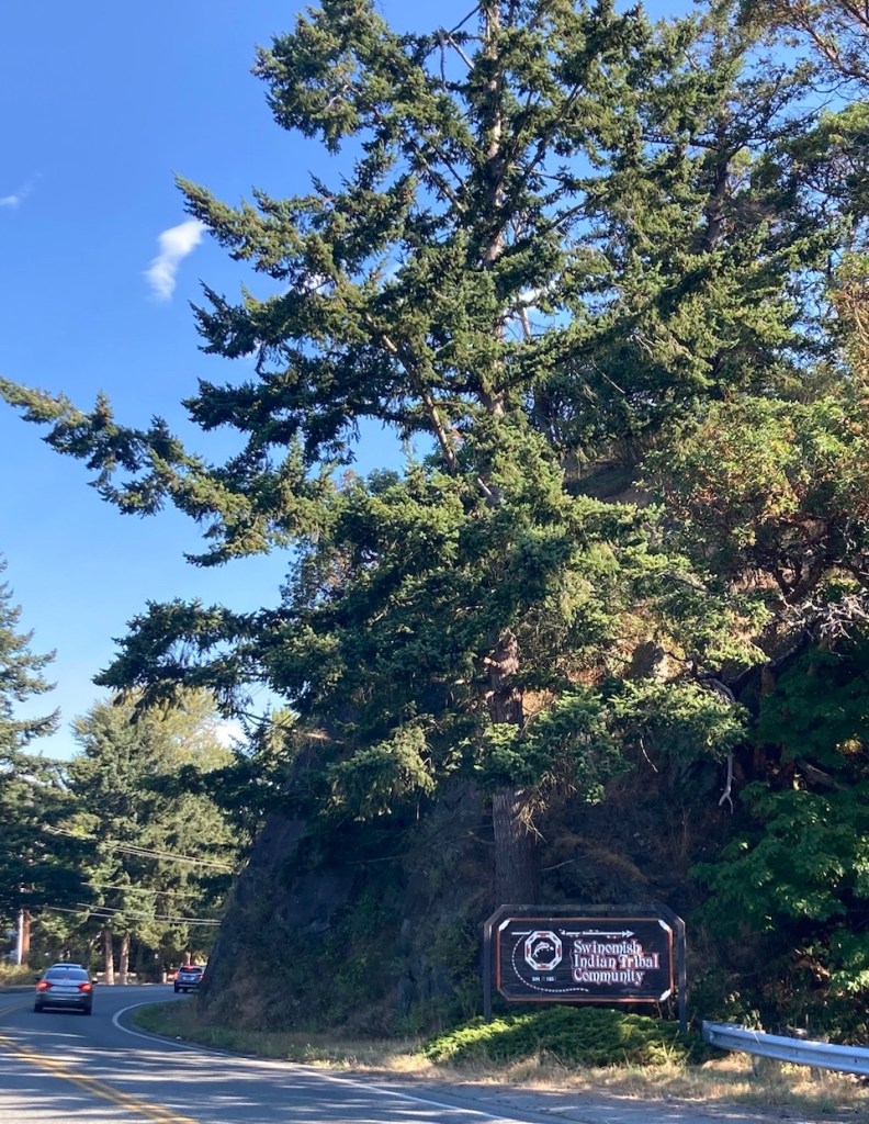
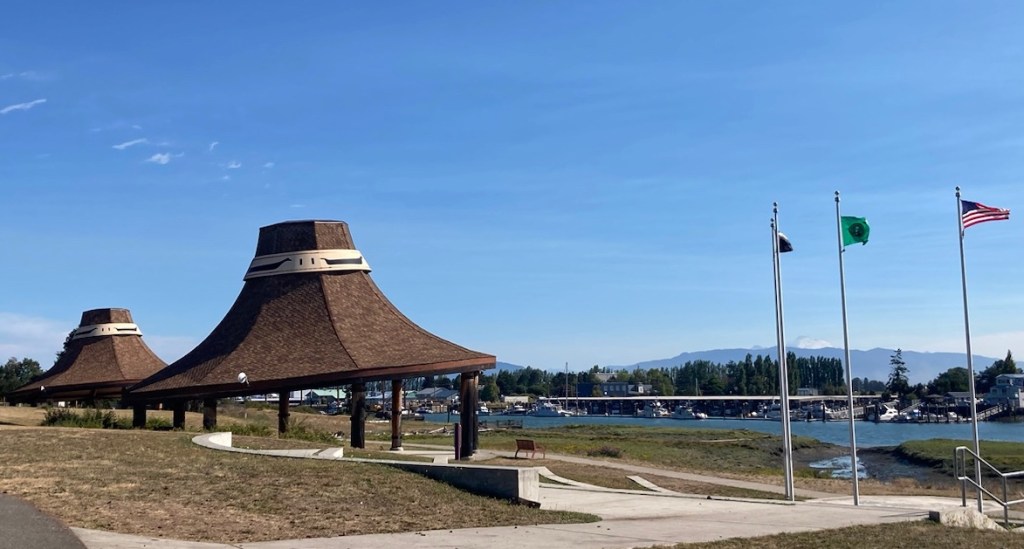
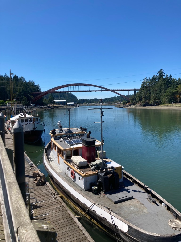
The park trail descended close to the road across the Rainbow Bridge, so we walked across and explored some of the area in the Swinomish Indian Tribal Community.
Walking across Rainbow Bridge, built of steel in 1957 and 770’ longView of the Swinomish Channel, looking away from the town center Entering the Swinomish Tribal Community Cedar Hat Huts used as pavilions in Swedebs Park across the channel from La Conner town center
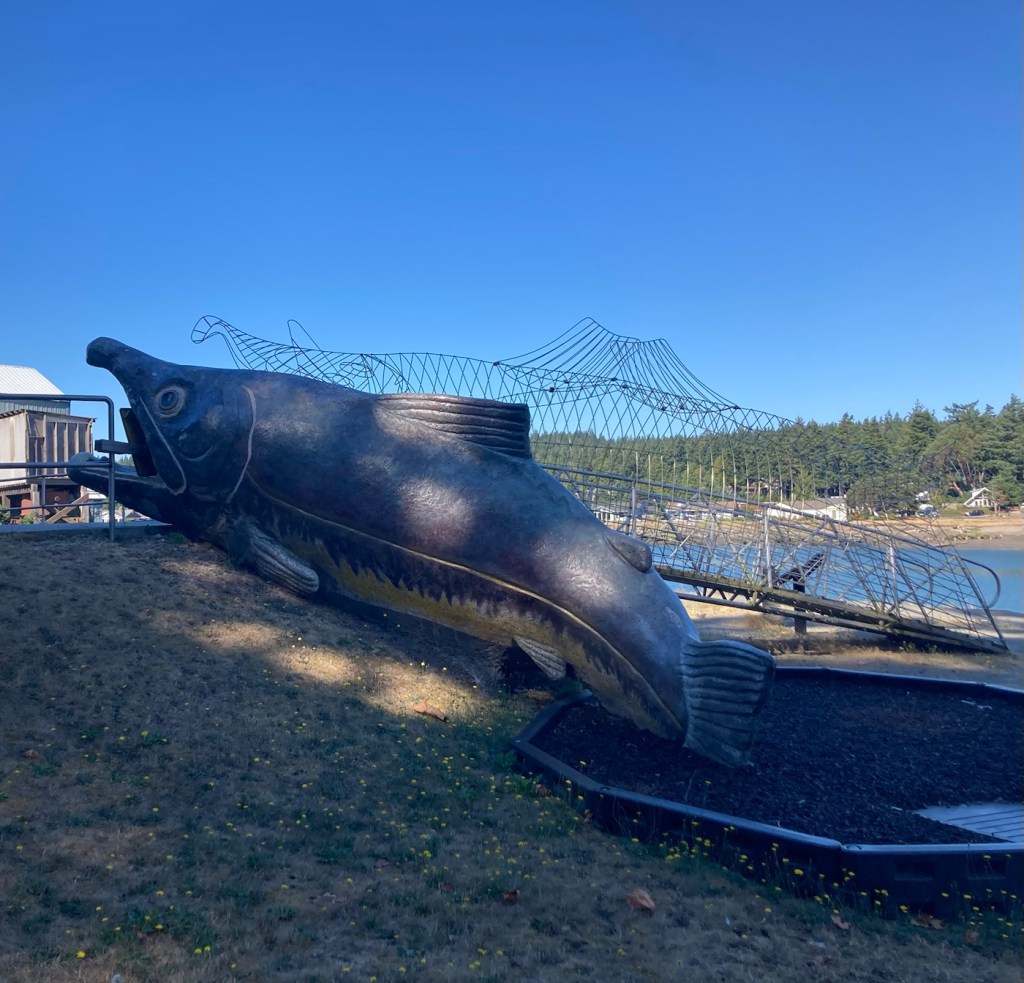
We returned over the Rainbow Bridge back to La Conner and walked through the La Conner Waterfront Park before heading back into the town center.
View of the Swinomish Channel from the Rainbow Bridge, looking towards the town center The Rainbow Bridge from belowA whale slide in the waterfront park
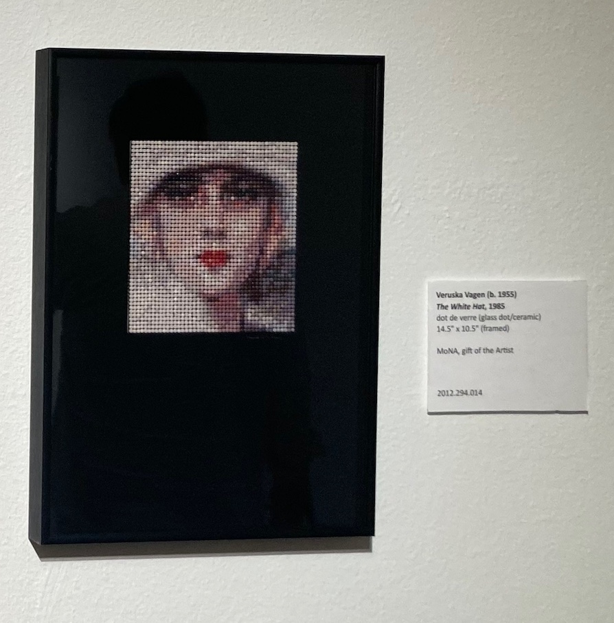
Back in the town center, we headed down 1st Street, the street that runs along the waterfront with much of the retail and restaurant business, to visit the Museum of Northwest Art (MoNA). The MoNA has a permanent collection of more than 2,400 artworks that showcase the rich artistic history of the Northwest. Admission was free.
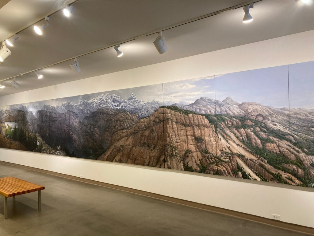
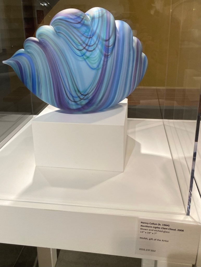
MoNA“The White Hat” by Veruska Vagen, made up of tiny glass dotsThis felt like the most stereotypically Northwestern of paintings, “In the Rockies” by Charles Lauren’s Heald. Continued below.The painting is comprised of 16 panels of 72” x 42” eachA beautiful glass piece, “Northern Lights Clam Cloud” by Nancy Callan
We then climbed some stairs for an overlook of 1st Street and the channel before returning to the hotel.
This afternoon, we’re headed to the small community of Mount Vernon to check out what’s on offer there.
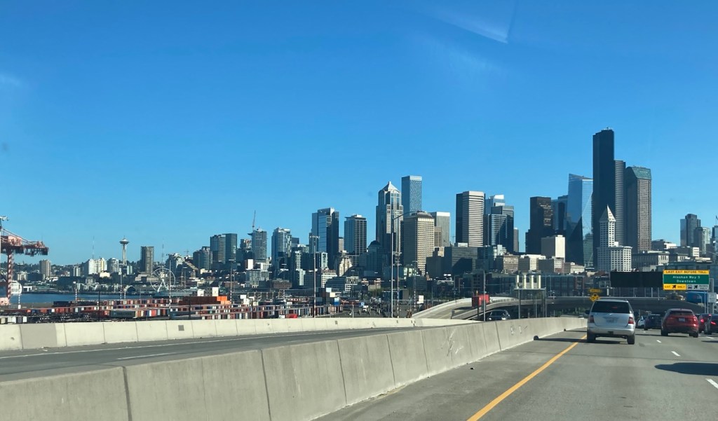
Bob and I left our Bozeman housesit shortly after 4:00 pm on Monday, August 14, to drop the homeowners’ car at the airport for their use when they flew in later that night and then headed out for a 3 hour drive to Missoula, Montana. We only spent the night there (home to the University of Montana and 2nd largest city in the state). Tuesday, we were off early for a 7+ hour drive to Kent, Washington (a southern suburb of Seattle) for a meet-up with Beth’s cousin and his wife.
Jennifer, Beth, and Kris, at their new house in Kent. They fixed us an awesome meal of Pacific Coast salmon!
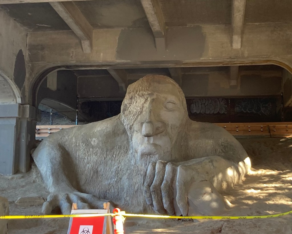
Jennifer and Kris also recommended a local site that Bob might want to see. We stopped by this am after we left their house, but we couldn’t get Bob in the photo, as there was no available parking in the area, and the parking police were out.
Driving into Seattle from KentMeet the Fremont Troll, located under the north end of the George Washington Memorial Bridge
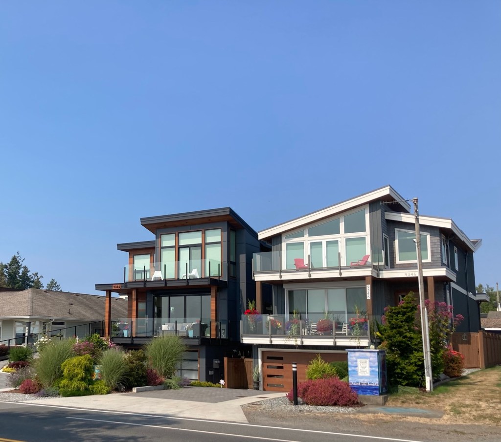
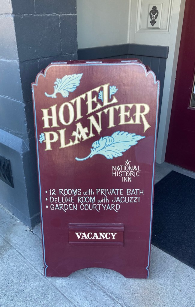
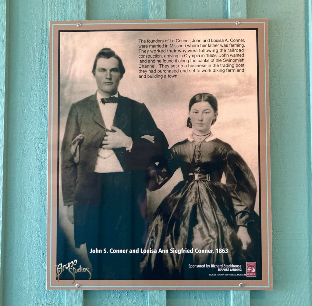
We are spending 3 days in La Conner, Washington, before our next housesit in Sidney, Vancouver Island, Canada. La Conner is a small town (population 965) in Skagit County, in the far upper northwestern corner of Washington state. It is located on the Salish Sea between Seattle and Vancouver. We’re staying in the historic Hotel Planter on the main road in La Conner.
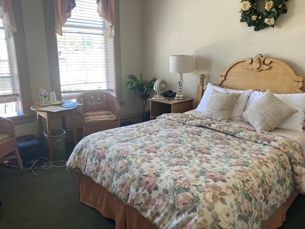
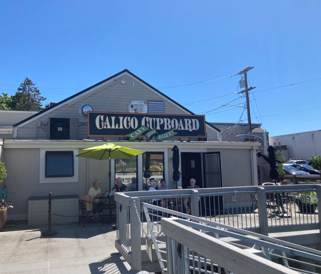
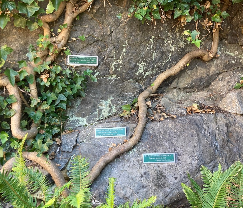
Historic, so no AC, which is unfortunate with the current heat advisory for the area.A portion of our room, fan included!Looking down the Swinomish Channel of the Salish Sea towards the Rainbow BridgeWalking along the boardwalk along the channelA better view of the boardwalkBoats moored and motoringPublic art along the boardwalk La Conner Lodge along the channelMore boats moored along the channelA shop along the main street The couple for whom La Conner is namedPeace Park with the Silent Words, Peace Dove, and Could You Have Been Her statuesPeace related sayings on the rocks at the back of Peace Park
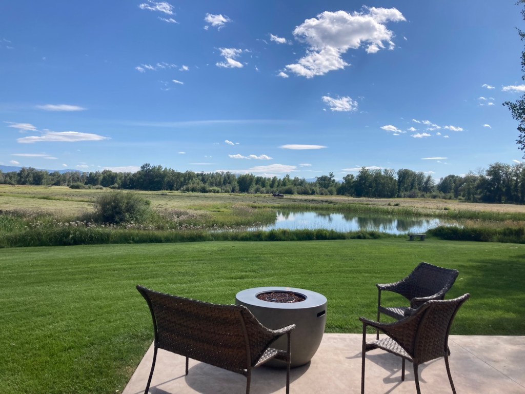
The other night, Bob and I went to the Gallatin River Lodge for a drink. It was an easy 10 minute drive from the house and further west of town, which is not our usual direction. We enjoyed the views as well as talking to the local staff, who gave us some good recommendations on places for gifts as well as another sight to see while we are here. We took advantage of both recommendations.
The view from the patio of the Gallatin River Lodge
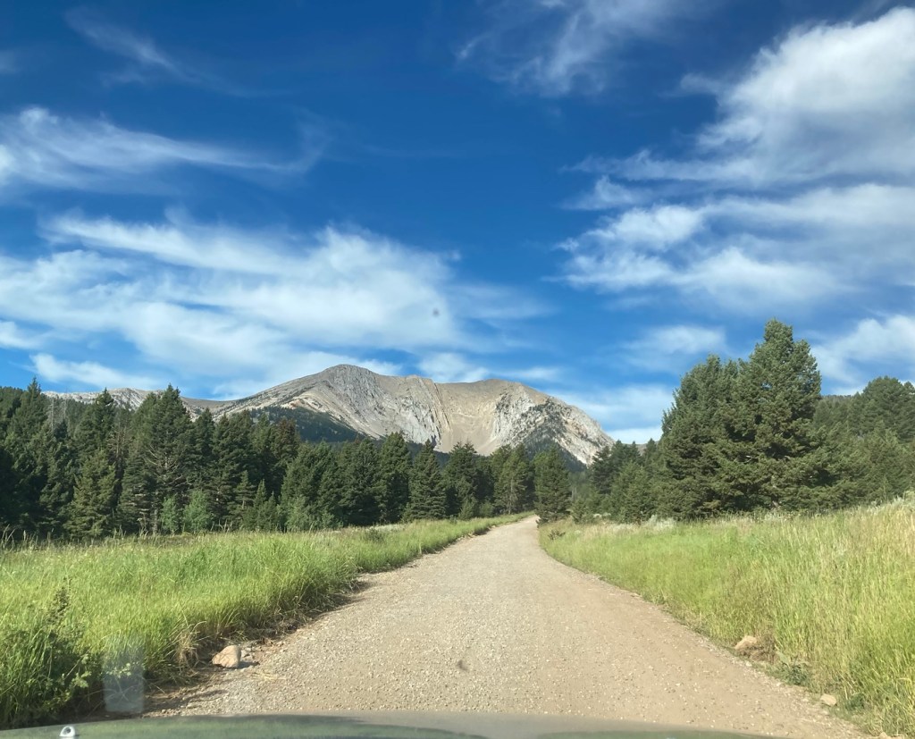
The young bartender, who has moved to Bozeman to ski, recommended that we check out Fairy Lake, which is a few miles from Bridger Bowl, where he likes to ski. Both are “easily” accessible from Bozeman.
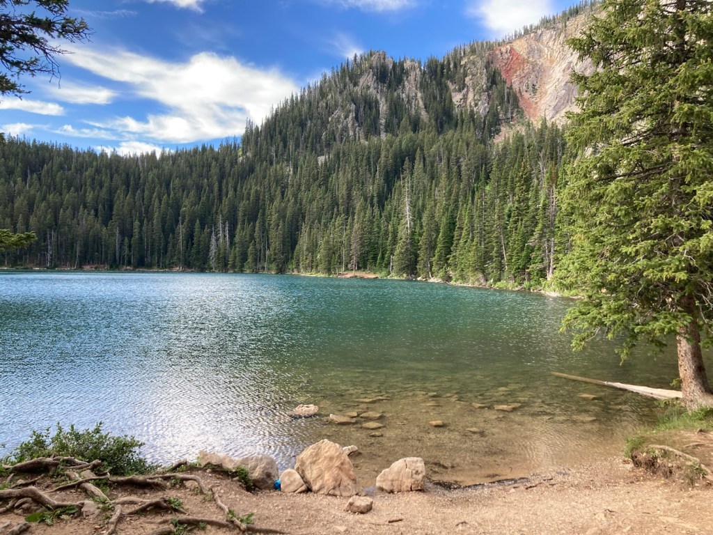
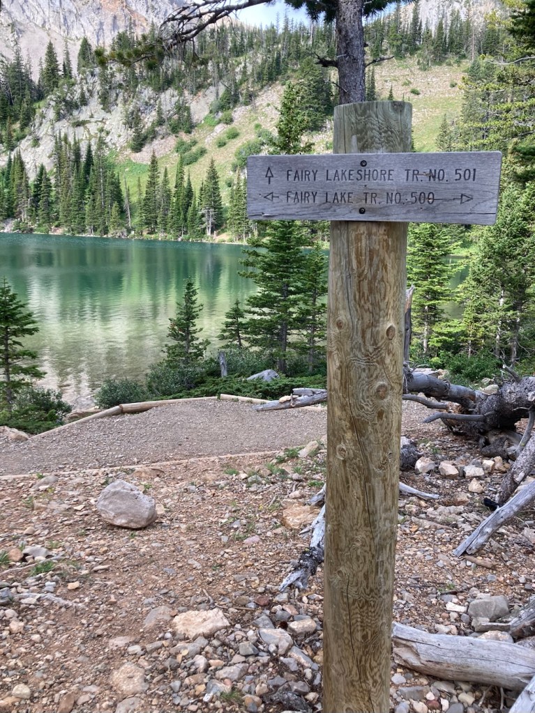
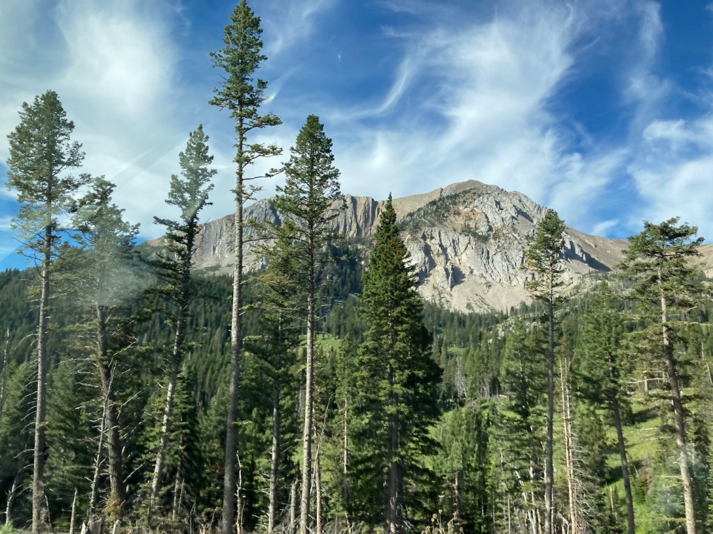
Fairy Lake is an alpine lake in a forested bowl at the base of Sacagawea Peak in the Bridger Mountain Range. It sits at an elevation of 7,557 feet.
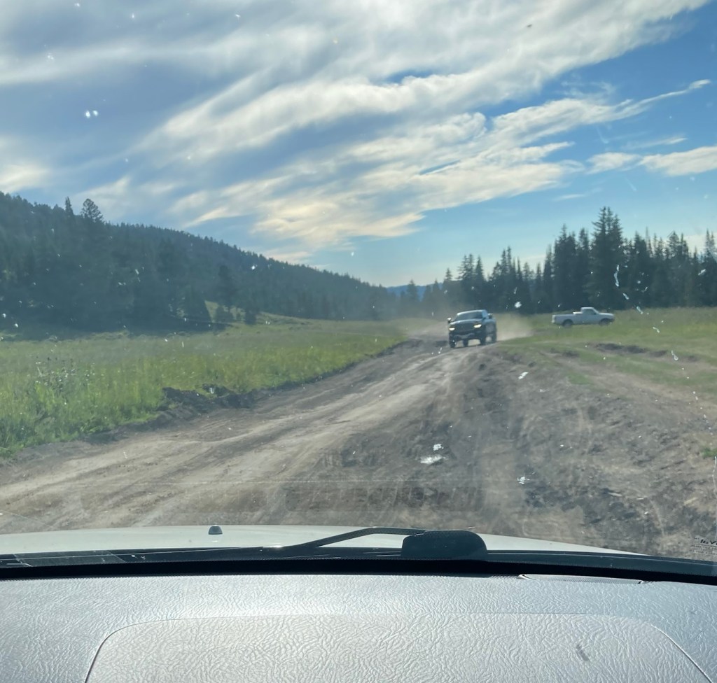
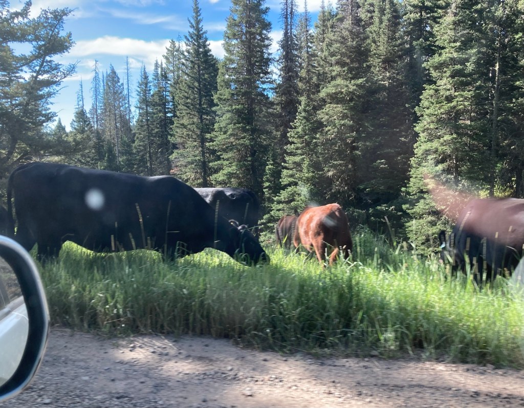
It is just 34 miles from where we are staying but takes over an hour to reach, even though all but 6 miles of the drive are on city streets and a well-paved highway. The last 6 miles are on a narrow dirt, gravel and/or rocky road that is negotiated at a slow pace to accommodate the many, many curves as well as cattle and oncoming autos. It was a relief (especially for Bob, the driver) to get out of the car! Luckily, the view was worth it.
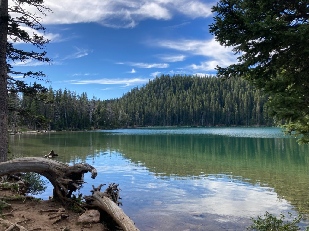
Beginning the drive on the dirt roadThe view from the parking lotStarting down the staircase shortcut to the lakeFirst view — look at that clear water!Fairy Lake under Sacagawea PeakBest background to a trail sign ever!Car dance on a dirt roadBeautiful view heading outSome of the cows that politely stayed on the sides of the roadDriving back towards Bozeman
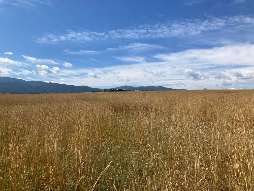
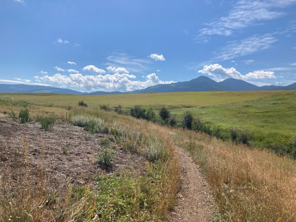
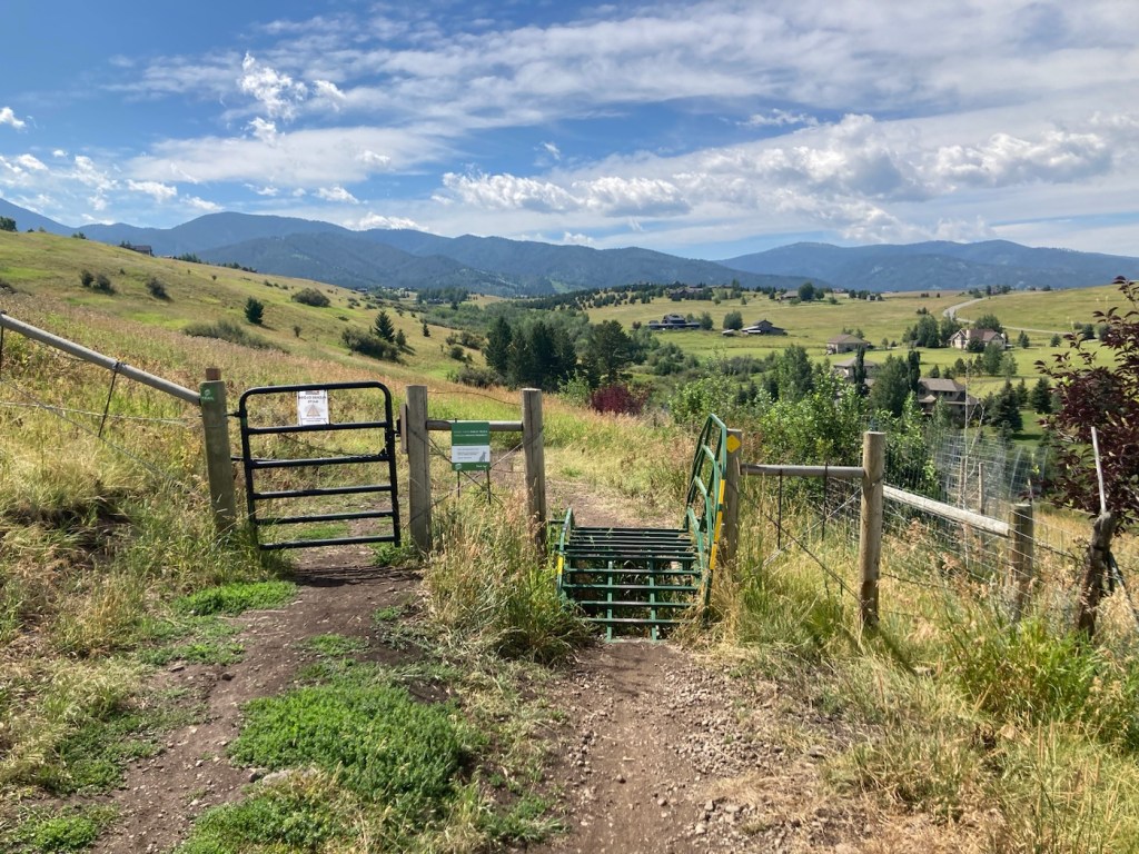
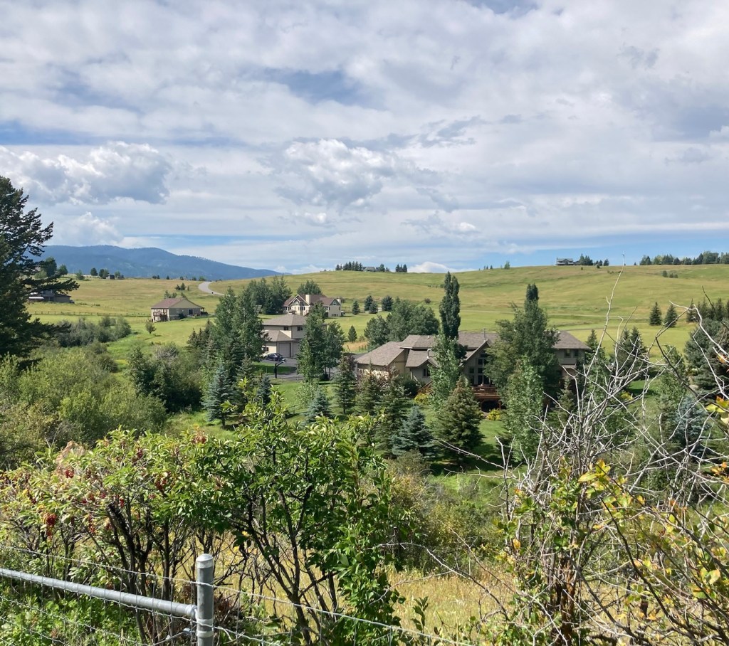
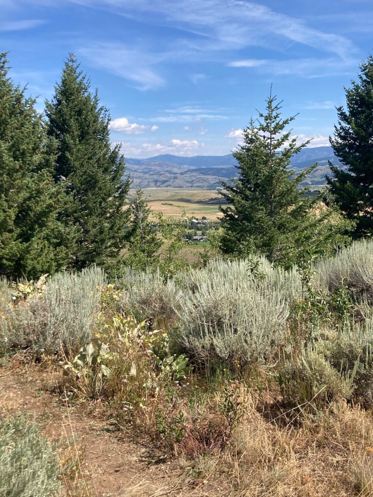
Yesterday, Bob and I walked the Painted Horse Trail, which started in town, to the t intersection with the Triple Tree Trail that we had hiked the day before. We walked a total of about 8.4 miles with the out and back route. We didn’t go up a mountain, but we did climb just a bit from prairie to a ridge line and, like the prior day, encountered runners and bikers on the mostly narrow trail.
First signpost. We weren’t going to the summit again, just to the t intersection between the 2 trails.Our hike began alongside a subdivision of lovely homes on our right.The twisty trailA footbridge Looking back towards the Bridger Mountains as we walked in the other direction Wide open spaces (at least for now in this fast growing community)Montana in the summerOur first gate onto state landsOnward to the Triple Tree PathCrossing through the second gateMore lovely homesReaching the connection with the Triple Tree Trail
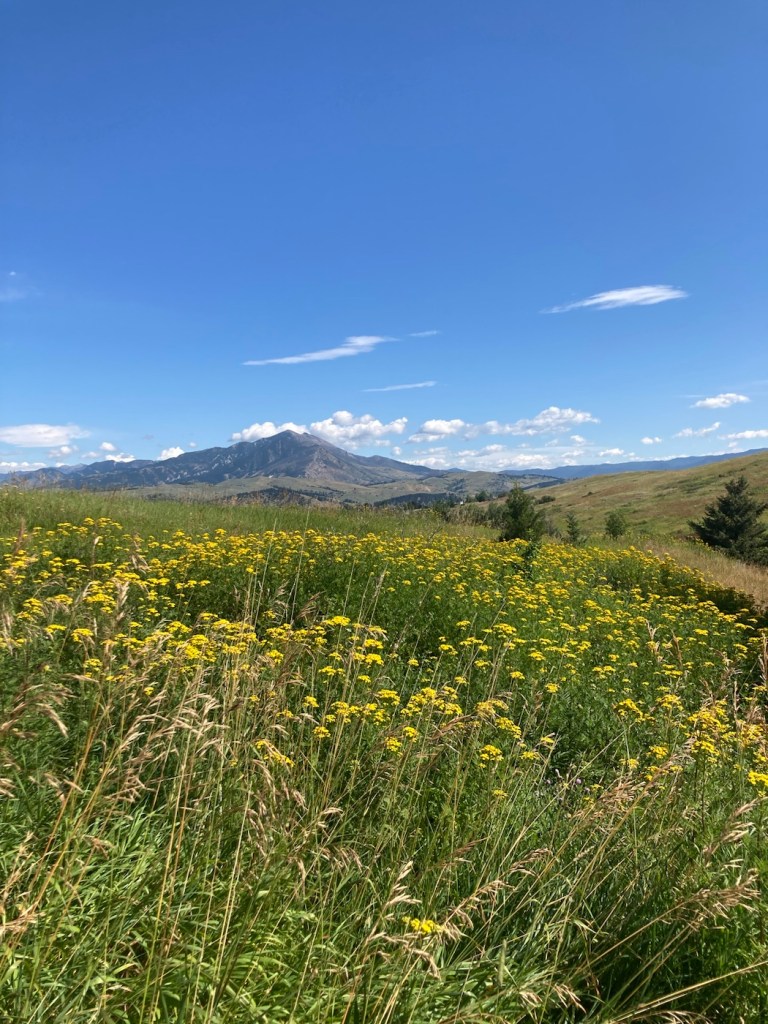
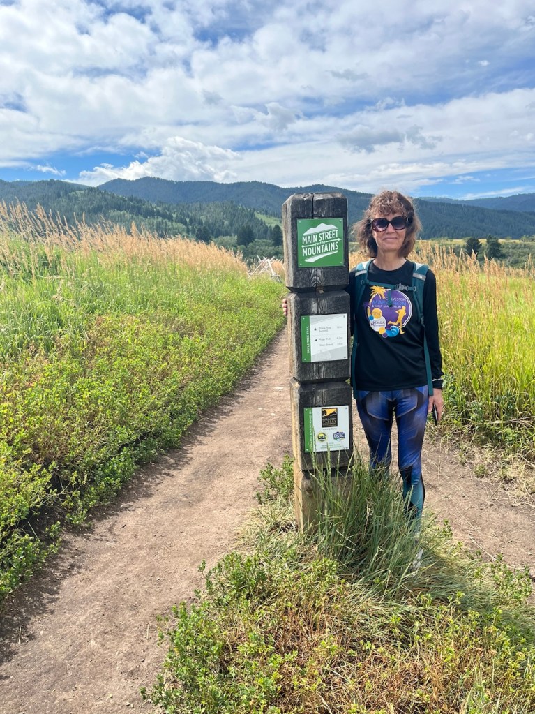
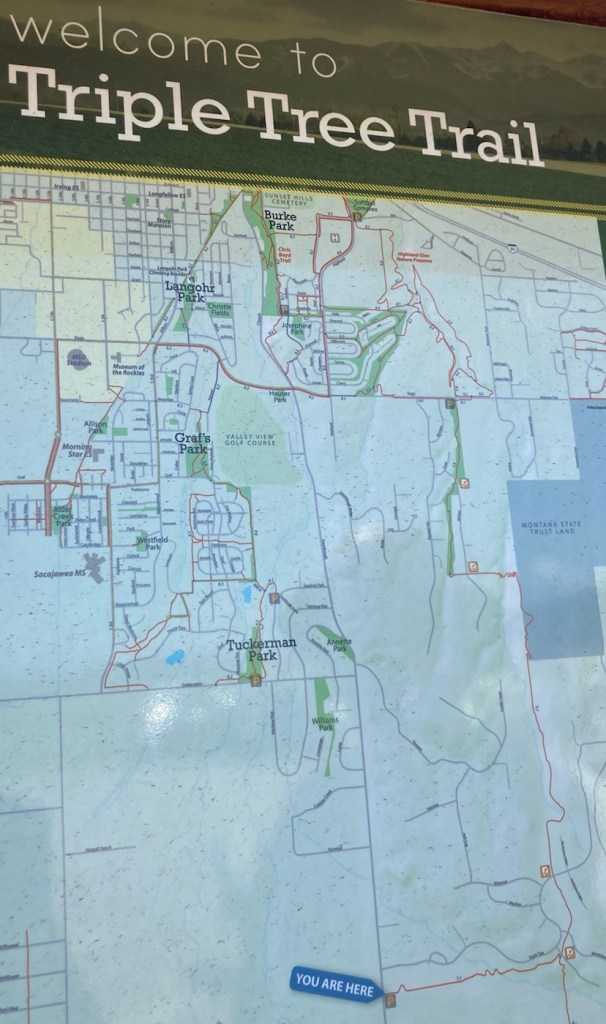
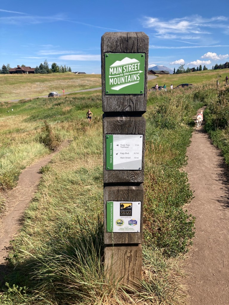
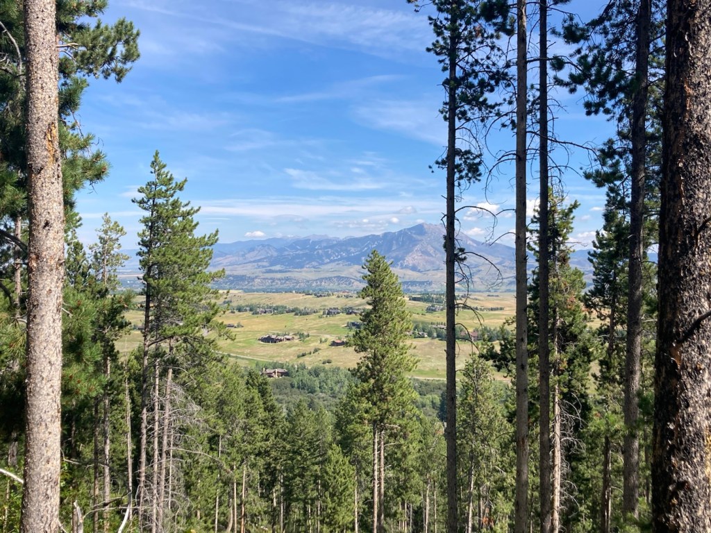
Today we drove about 20 minutes east to the trailhead for the Triple Tree Trail on the south side of Bozeman. It was a 5.4 mile distance, out and back, with an elevation gain of about 950 feet. It crosses Limestone Creek (which dogs seemed to enjoy) and is on state land on the northwest slope of Mount Ellis.
We saw a couple of Beware of Bears signs, always a bit disconcerting. However, there was quite a few people using the trail (hiking, biking’ and running), so we felt better about maybe not having a bear encounter.
Prior to the hike, Bob helped another hiker jump her battery, so that she could leave the trailhead parking lot. I thought it was good that we arrived when we did, but I’m sure others arrived after us that could have helped as well.
Below are pictures from another great Bozeman hike.
We hiked from the You Are Here sign and then turned right at the T before doing a loop trail to get us up and then down the mountain.The trailhead appears to be in a newer subdivision (but then, aren’t they all here?), so views of nice homes at the beginning of the hike.Signage at the T. We came from where the woman is running, and then headed in the opposite direction of the dog.
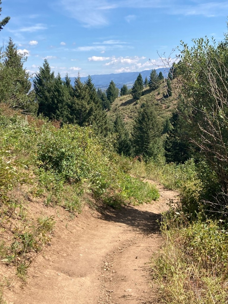
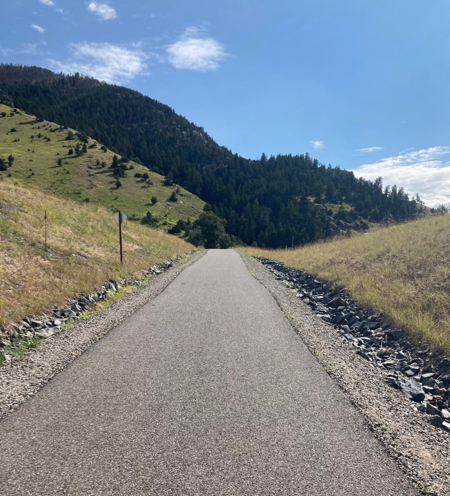
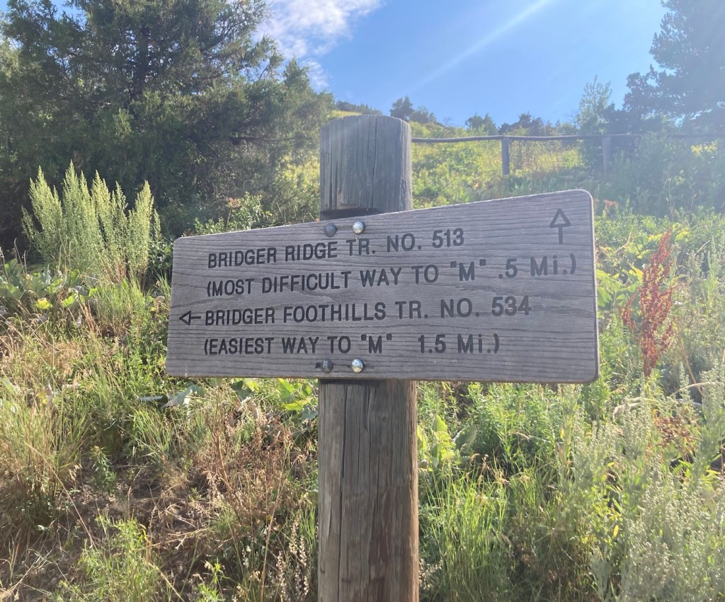
In 1915, Montana State University students created an M on a mountain at the mouth of Bridger Canyon. I’m not sure what it was originally made of, but it now consists of 250 feet of whitewashed rock. There are two routes up to it, one short (.5 miles) and steep, and the other longer (1.5 miles) and less steep. Both are popular for hiking and running, as we found when looking for a parking spot this morning.
We chose the less steep (deemed easiest on the trail signage) to spare our knees and have a longer hike.
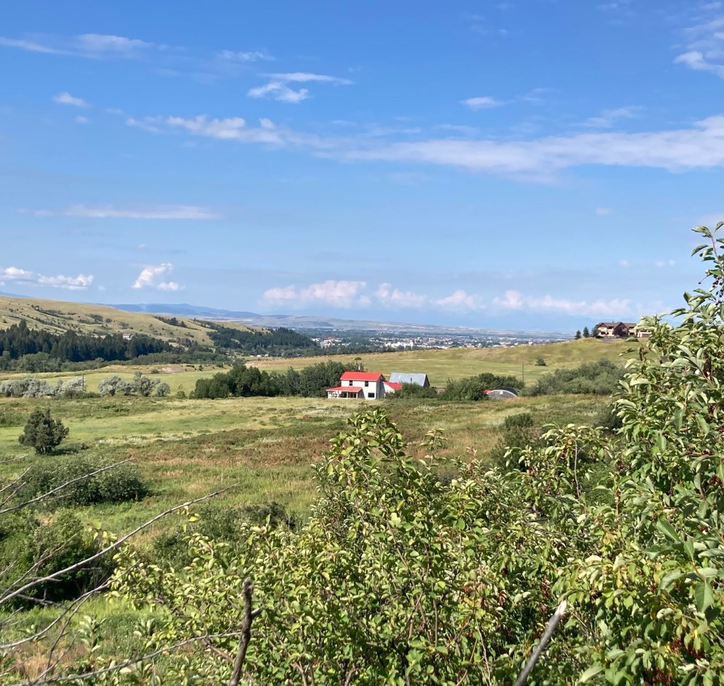
The Montana State University MFrom the parking lot, we walked a short distance on the Main Street to Mountains hike/bike path that ends at the M trailhead Being shamed by a sign for our trail selection Looking back towards Bozeman Forest management offices and more mountains across the road from the M.A new house with great views next to the M mountain More homes near the mountainThe path upA happy blue and green viewA few minutes before this pic, this dog was in the woods beside us, and we were afraid we had our first grizzly sighting. Another peak at Bozeman The park offices and homes from higher up (not to mention the lovely surroundings)Me taking the above photoThe side view of the top of the M
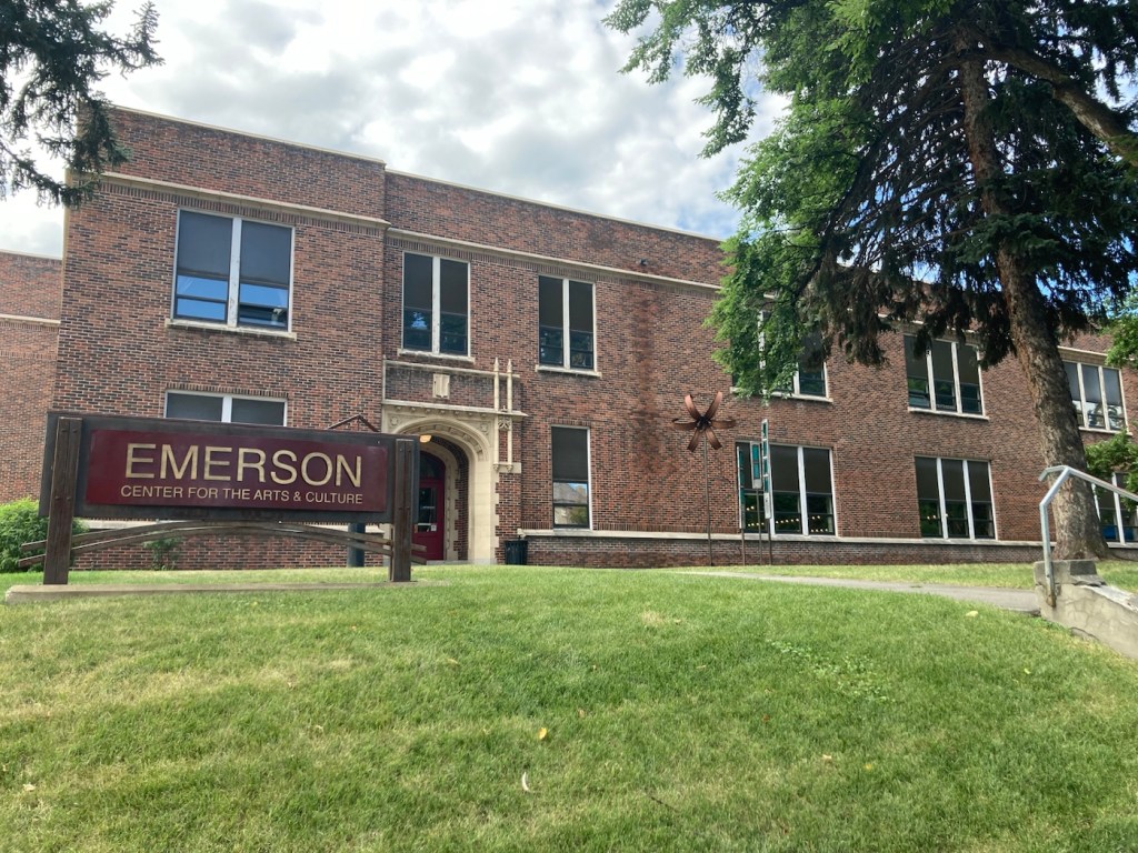
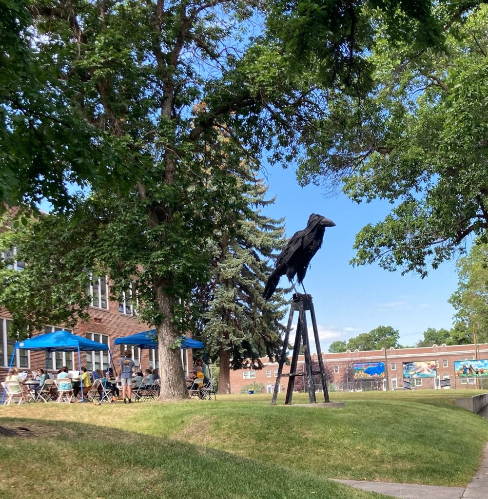
One of the places that Bob and I had read about to visit is the Emerson Center for the Arts and Culture. We headed there today before running some errands. The center is housed in the former Emerson School, named after Ralph Waldo Emerson. The building was constructed from 1918 to 1920, to serve as an elementary and junior high school. It ceased being used as a public school building in 1992.
However, the center continues its educational focus by expanding the community’s exposure, understanding, and engagement in the arts not only through exhibits of local artists ‘ work, but also providing a space for artist studios, a theater, music instruction spaces, design studios, classrooms, and shops.
The Emerson Center for Arts and Culture A cool sculpture outside the building where an art class was underway
There were three exhibits at the center. The first was a photography exhibit by Matthew Hamon, a Montana-based freelance photographer. This set of photographs focuses on capturing the myths of the West.
This is taken in the ironically (at least now) named Metropolis, Nevada, a ghost town since 1950.
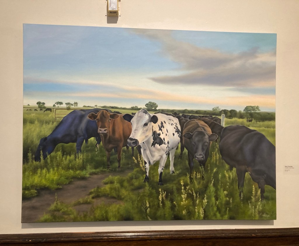
The second exhibit was titled Barns, Bovines, and Botanicals, by Shari Chandler, a Bozeman, MT resident since 2017. Her paintings were much more lighthearted than the photographs, and the title of the exhibit was accurate.
Cookie and Crew.
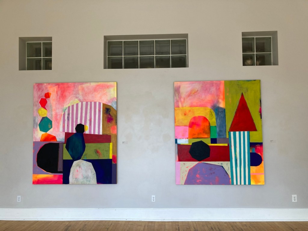
The third exhibit was titled Flat Lens by Jennifer Combe, an associate professor of art at the University of Montana. She states that her artistic work explores cultural constructs around gender and mothering, ability and schooling. She distills her understanding of an experience into simple geometric shapes.
I didn’t get a close-up of the names of these works. Feel free to create your own titles.
In addition to the exhibits, we just enjoyed walking around the first two floors of the building, looking at the art on offer in the shop as well as others on display.
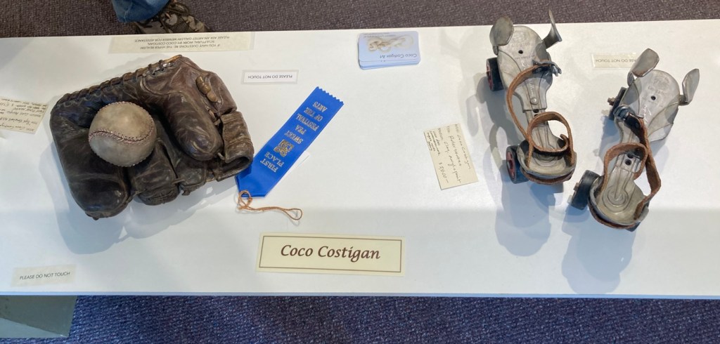
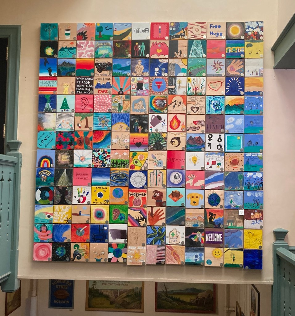
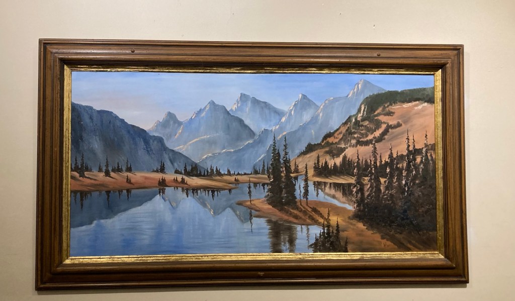
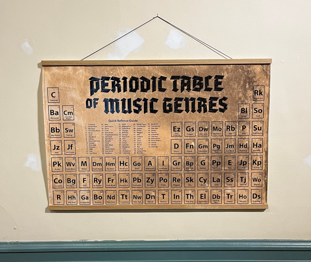
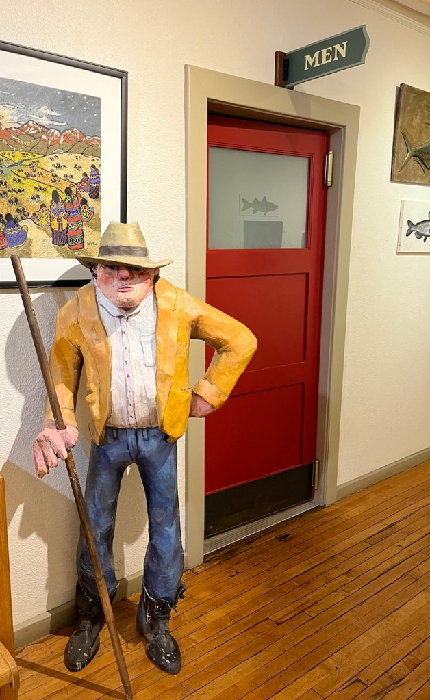
These are samples of stained glass windows created by Bozeman High School students in 1980.Sculptural ceramic pieces by Coco Costigan, a member/artist of the Artists’ Gallery in the Emerson Center.Tiles painted by students and put together to form a “quilt.”A very Montana-esque painting, with a signature that looks like SIL and 1981.A fun take-off on the periodic tableMaybe the restroom was occupied?