Categories
Uncategorized

West Coast Interlude (8/16/23)

Bob and I left our Bozeman housesit shortly after 4:00 pm on Monday, August 14, to drop the homeowners’ car at the airport for their use when they flew in later that night and then headed out for a 3 hour drive to Missoula, Montana. We only spent the night there (home to the University of Montana and 2nd largest city in the state). Tuesday, we were off early for a 7+ hour drive to Kent, Washington (a southern suburb of Seattle) for a meet-up with Beth’s cousin and his wife.

Jennifer, Beth, and Kris, at their new house in Kent. They fixed us an awesome meal of Pacific Coast salmon!

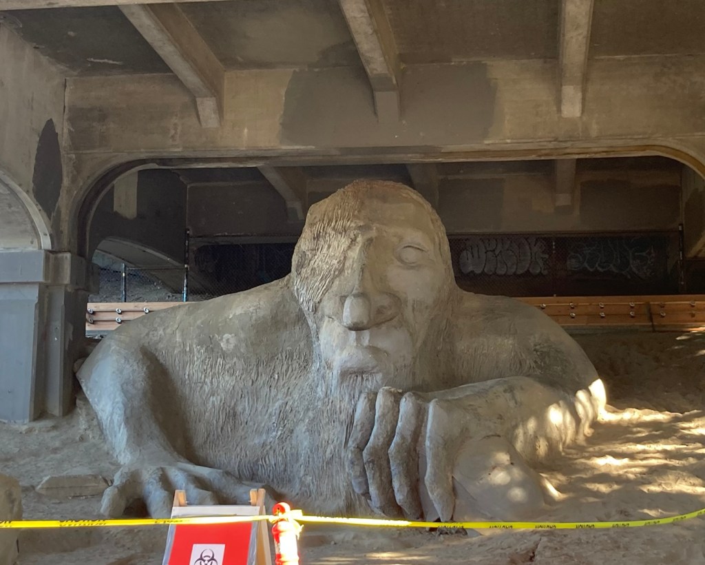
Jennifer and Kris also recommended a local site that Bob might want to see. We stopped by this am after we left their house, but we couldn’t get Bob in the photo, as there was no available parking in the area, and the parking police were out.
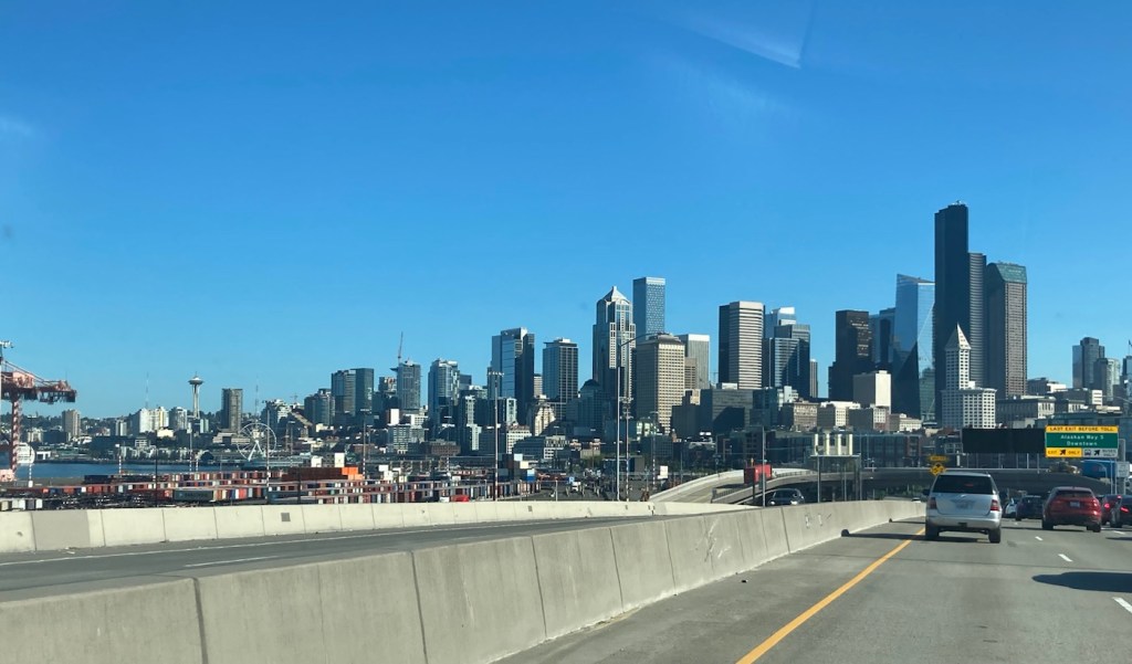
Driving into Seattle from Kent
Meet the Fremont Troll, located under the north end of the George Washington Memorial Bridge

We are spending 3 days in La Conner, Washington, before our next housesit in Sidney, Vancouver Island, Canada. La Conner is a small town (population 965) in Skagit County, in the far upper northwestern corner of Washington state. It is located on the Salish Sea between Seattle and Vancouver. We’re staying in the historic Hotel Planter on the main road in La Conner.
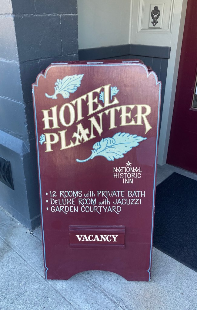
Historic, so no AC, which is unfortunate
with the current heat advisory for the area.
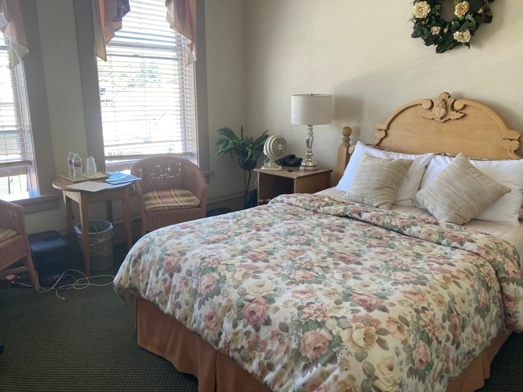
A portion of our room, fan included!
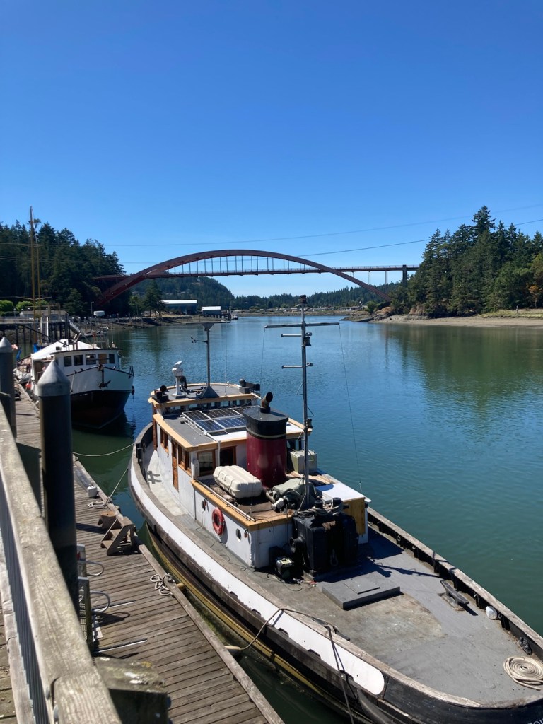
Looking down the Swinomish Channel of the Salish Sea
towards the Rainbow Bridge
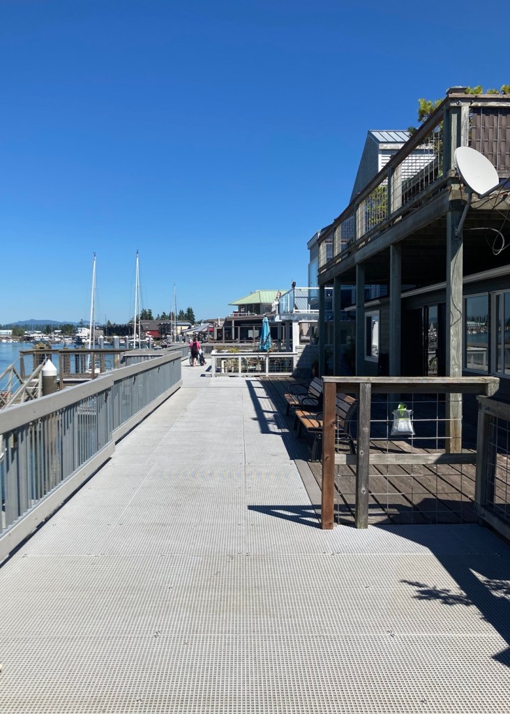
Walking along the boardwalk along the channel
A better view of the boardwalk
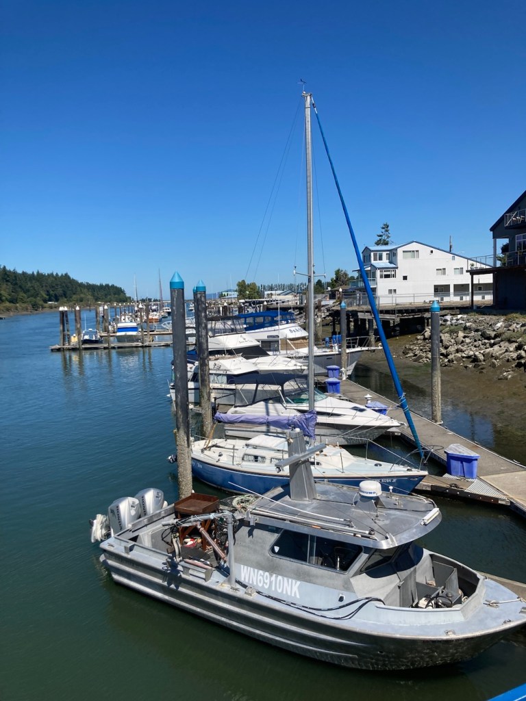
Boats moored and motoring
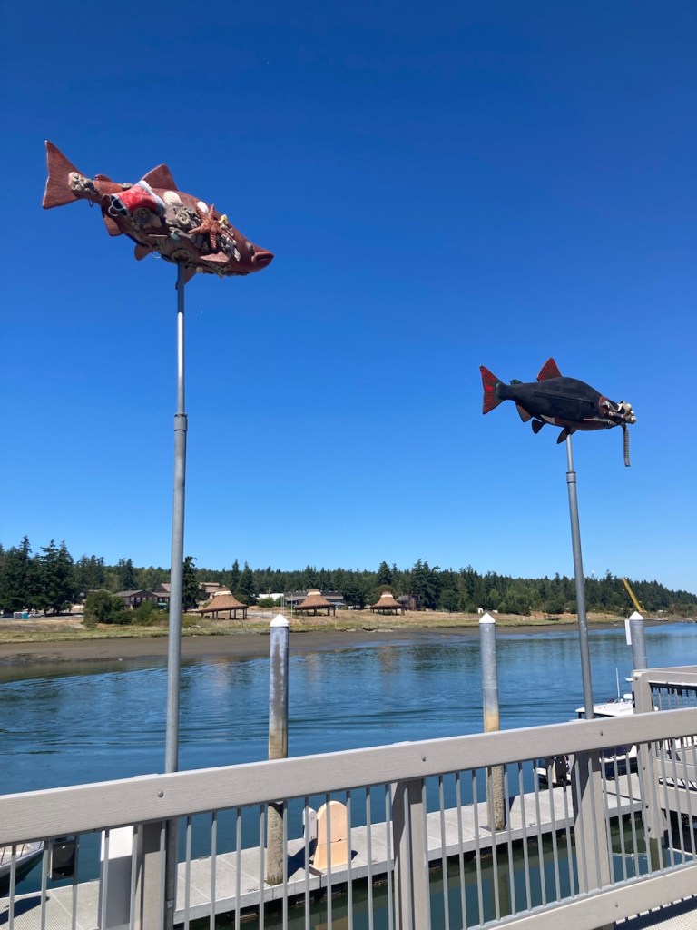
Public art along the boardwalk
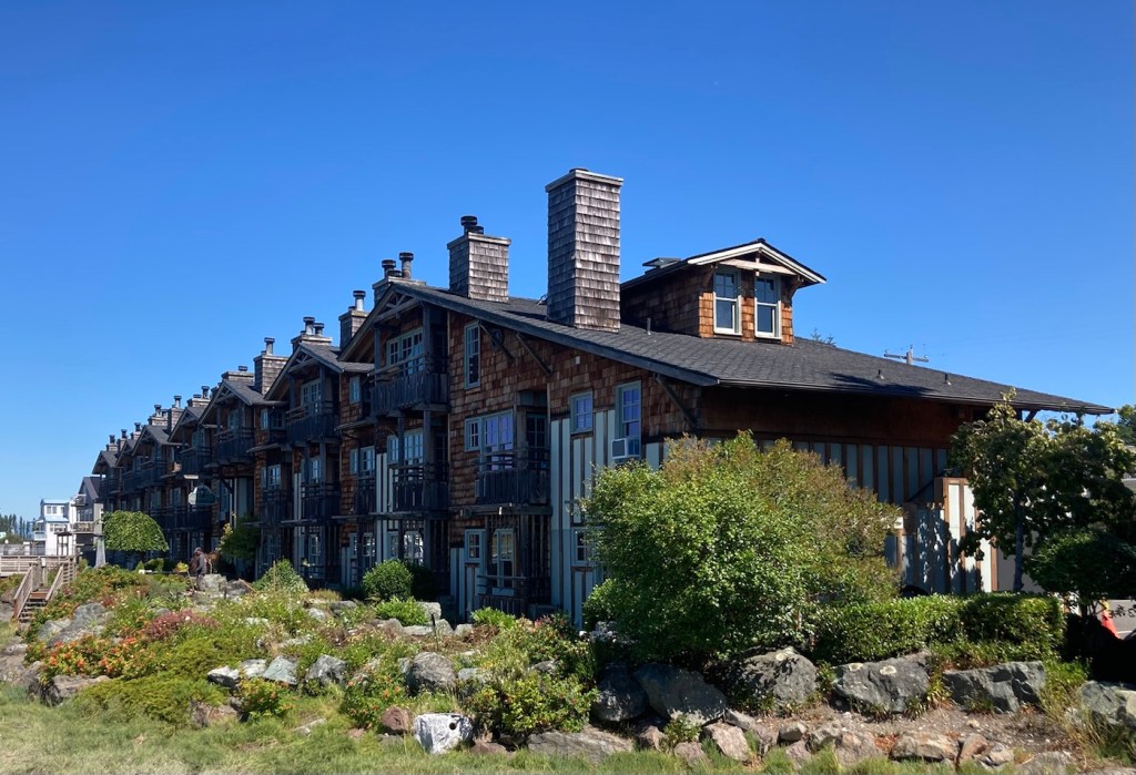
La Conner Lodge along the channel
More boats moored along the channel
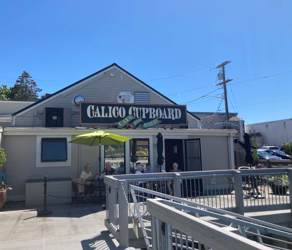
A shop along the main street
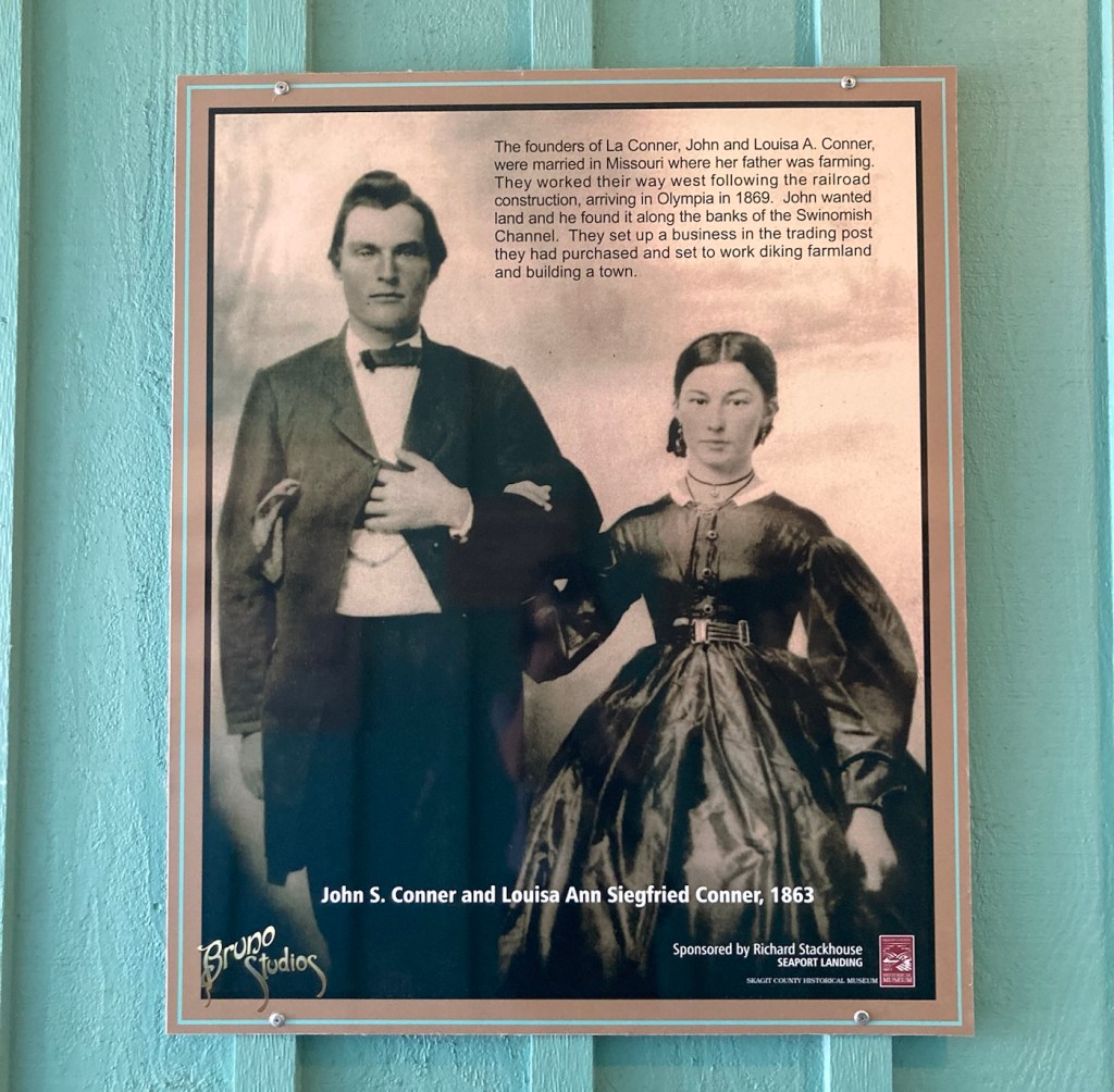
The couple for whom La Conner is named
Peace Park with the Silent Words, Peace Dove,
and Could You Have Been Her statues
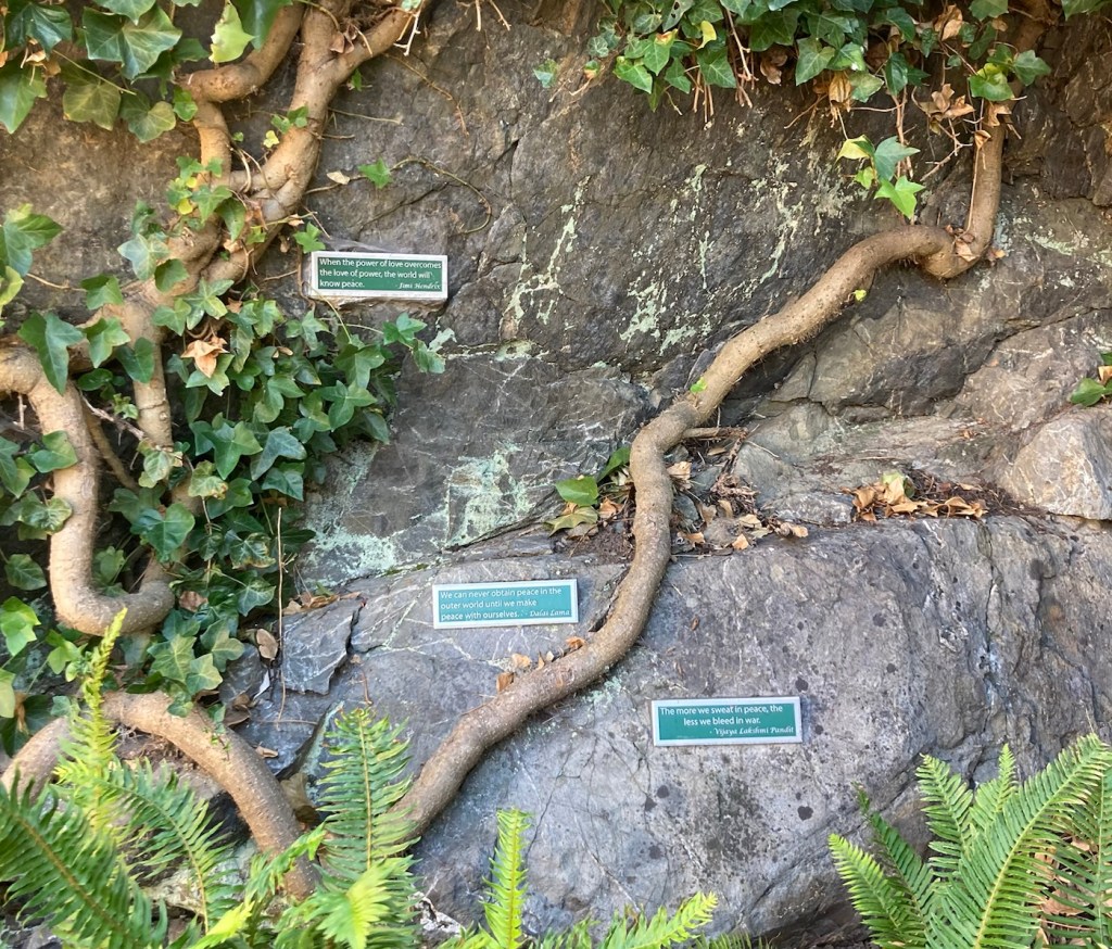
Peace related sayings on the rocks at the back of Peace Park
Categories
Uncategorized

Wild Ride to a Calm Lake (8/12/23)

The other night, Bob and I went to the Gallatin River Lodge for a drink. It was an easy 10 minute drive from the house and further west of town, which is not our usual direction. We enjoyed the views as well as talking to the local staff, who gave us some good recommendations on places for gifts as well as another sight to see while we are here. We took advantage of both recommendations.

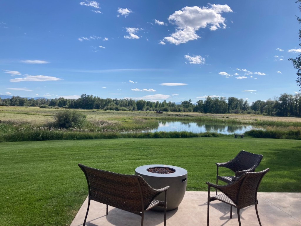
The view from the patio of the Gallatin River Lodge

The young bartender, who has moved to Bozeman to ski, recommended that we check out Fairy Lake, which is a few miles from Bridger Bowl, where he likes to ski. Both are “easily” accessible from Bozeman.

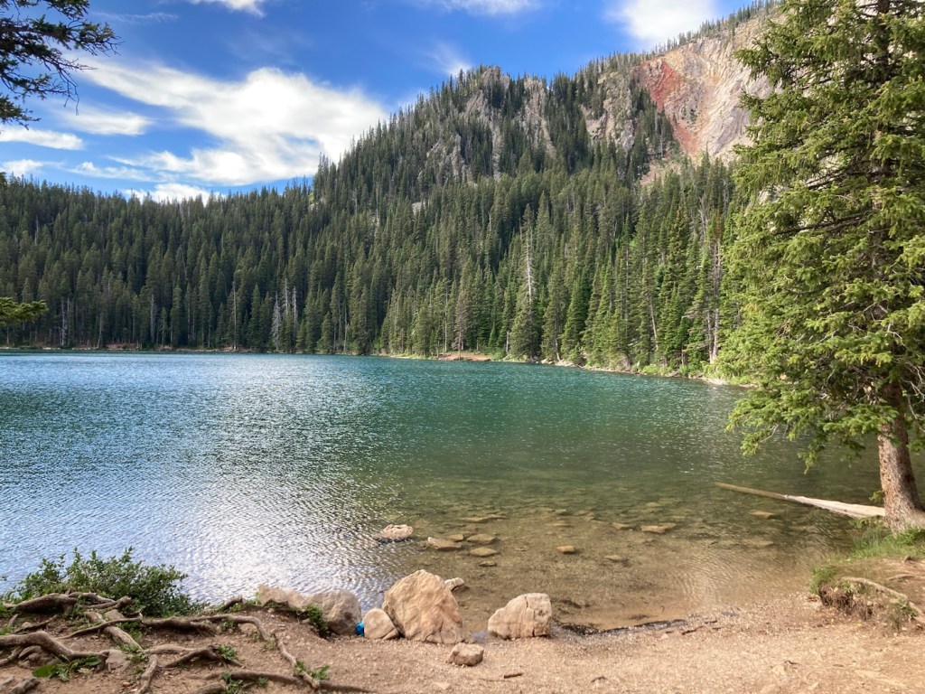
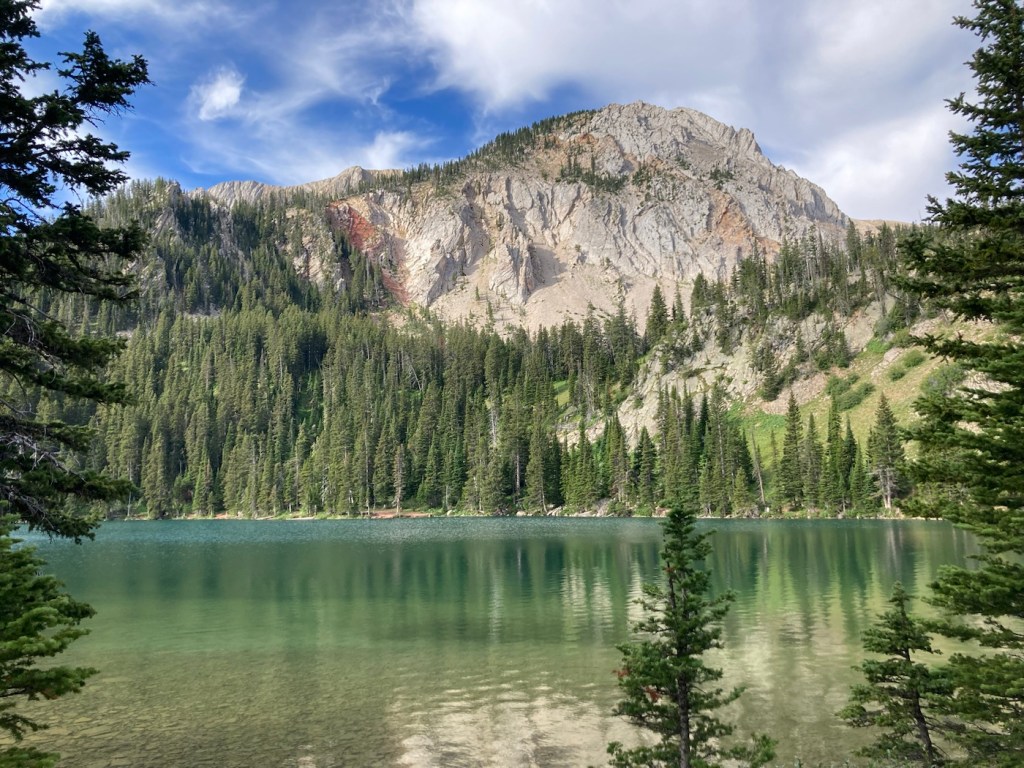
Fairy Lake is an alpine lake in a forested bowl at the base of Sacagawea Peak in the Bridger Mountain Range. It sits at an elevation of 7,557 feet.

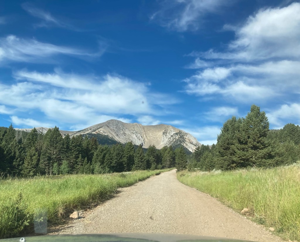
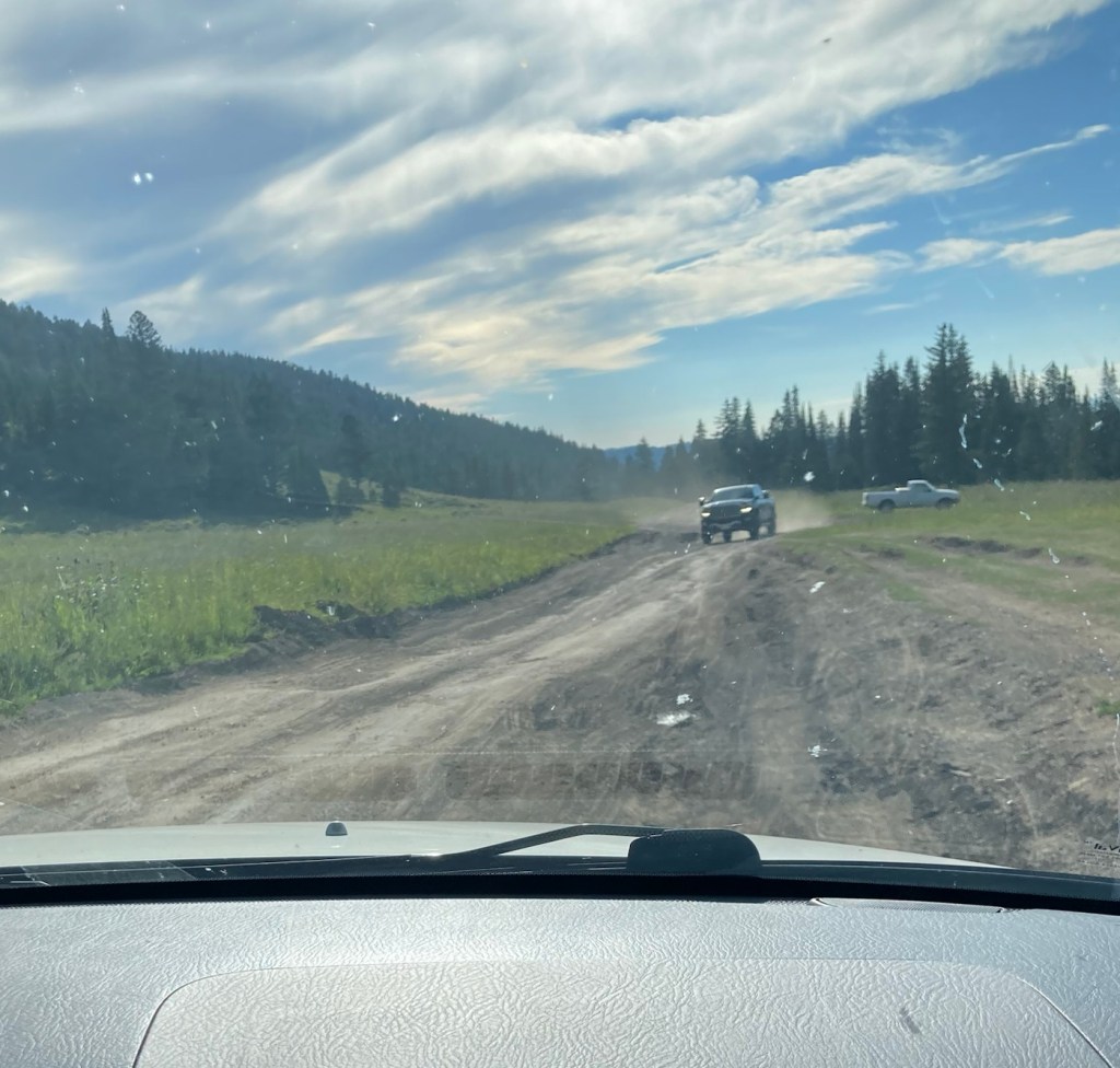
It is just 34 miles from where we are staying but takes over an hour to reach, even though all but 6 miles of the drive are on city streets and a well-paved highway. The last 6 miles are on a narrow dirt, gravel and/or rocky road that is negotiated at a slow pace to accommodate the many, many curves as well as cattle and oncoming autos. It was a relief (especially for Bob, the driver) to get out of the car! Luckily, the view was worth it.

Beginning the drive on the dirt road
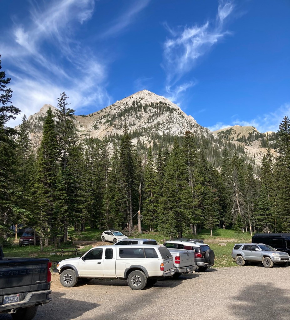
The view from the parking lot
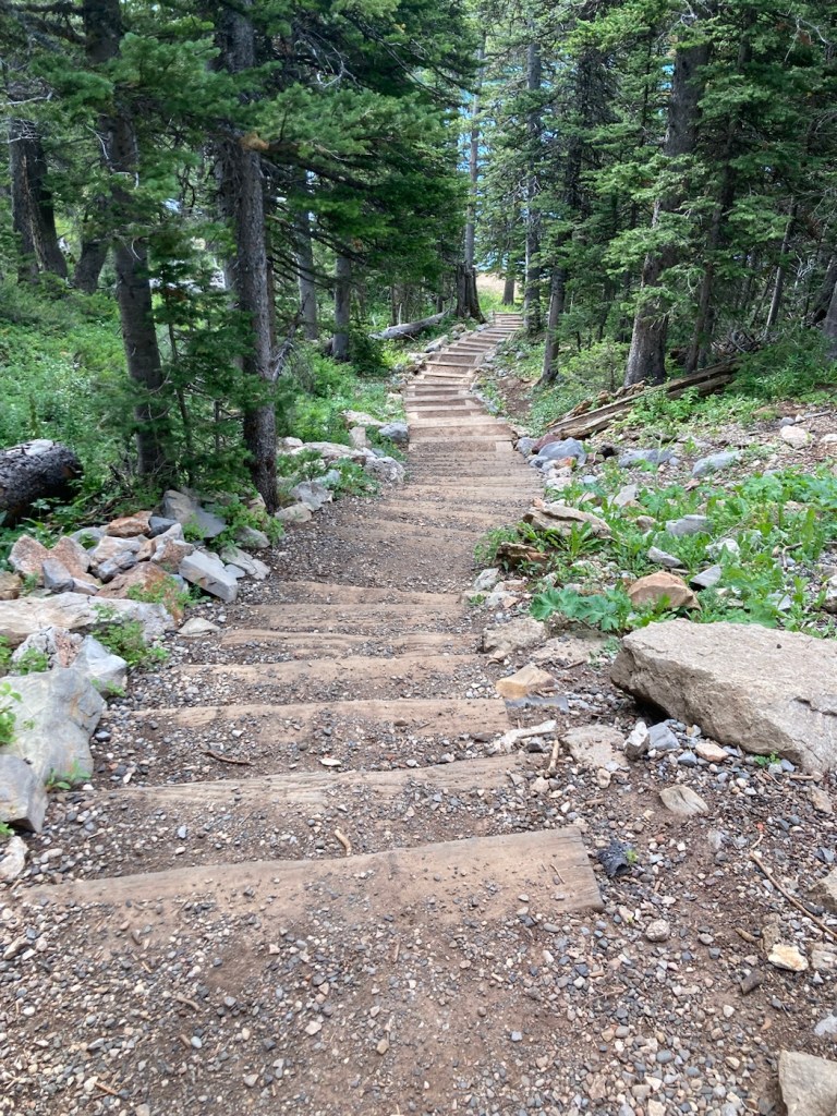
Starting down the staircase shortcut to the lake
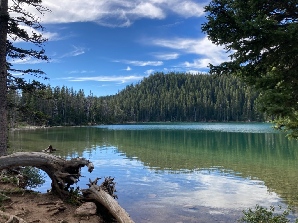
First view — look at that clear water!
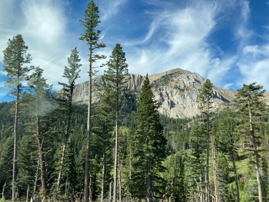
Fairy Lake under Sacagawea Peak
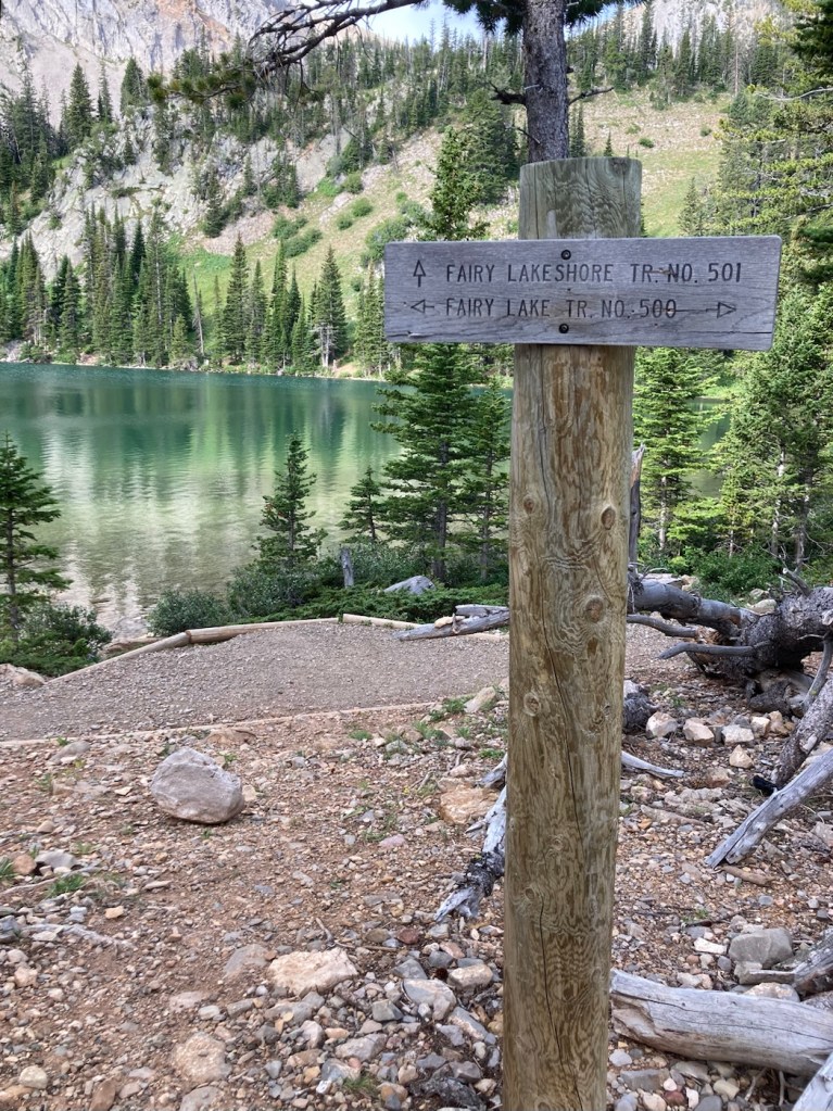
Best background to a trail sign ever!
Car dance on a dirt road
Beautiful view heading out
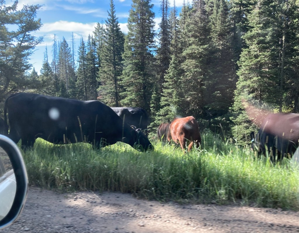
Some of the cows that politely stayed on the sides of the road
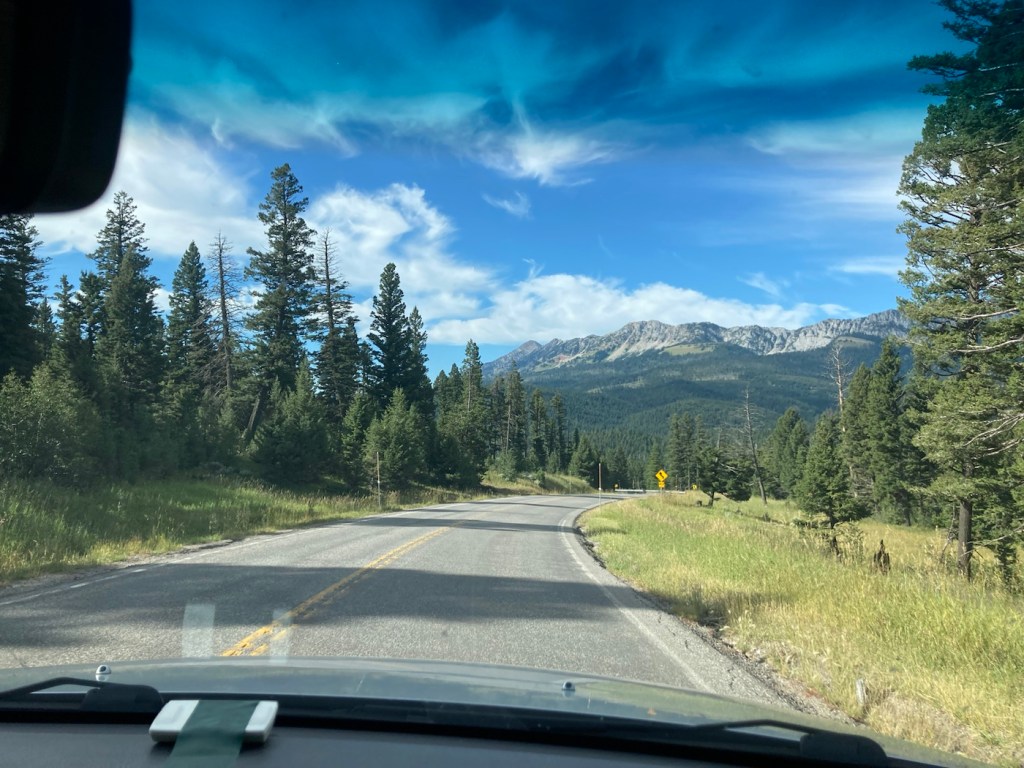
Driving back towards Bozeman
Categories
Uncategorized

Walking Painted Horse (8/10/23)

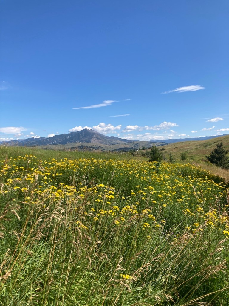
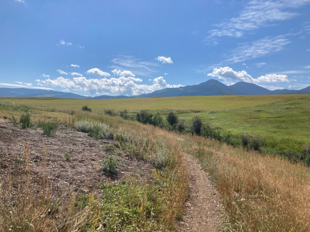
Yesterday, Bob and I walked the Painted Horse Trail, which started in town, to the t intersection with the Triple Tree Trail that we had hiked the day before. We walked a total of about 8.4 miles with the out and back route. We didn’t go up a mountain, but we did climb just a bit from prairie to a ridge line and, like the prior day, encountered runners and bikers on the mostly narrow trail.

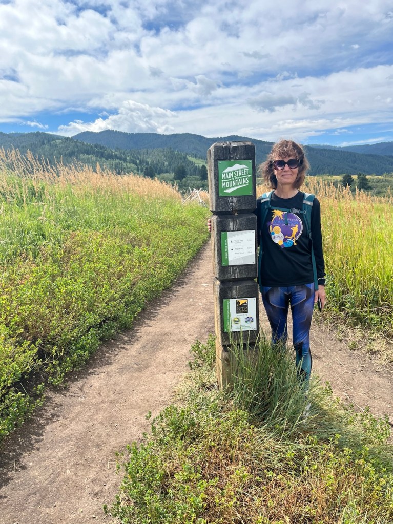
First signpost. We weren’t going to the summit again,
just to the t intersection between the 2 trails.
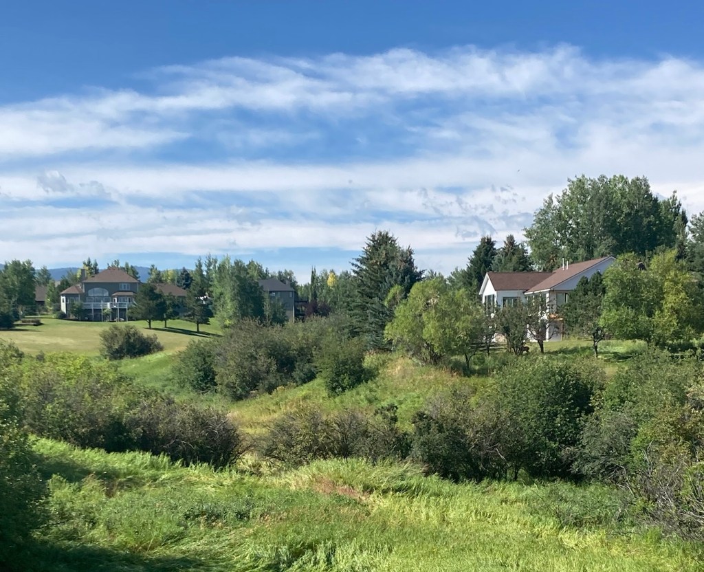
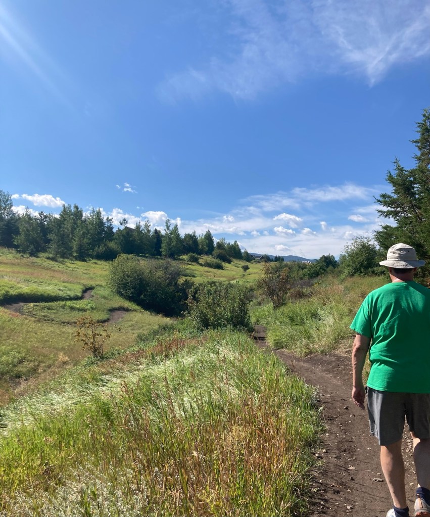
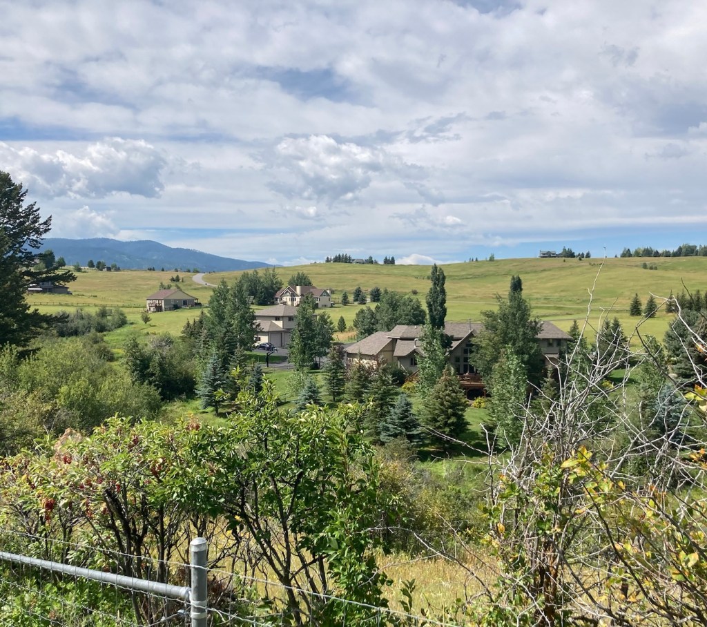
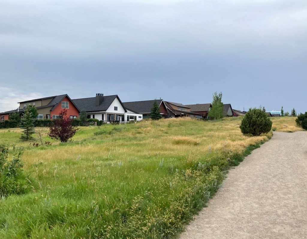
Our hike began alongside a subdivision of lovely homes on our right.
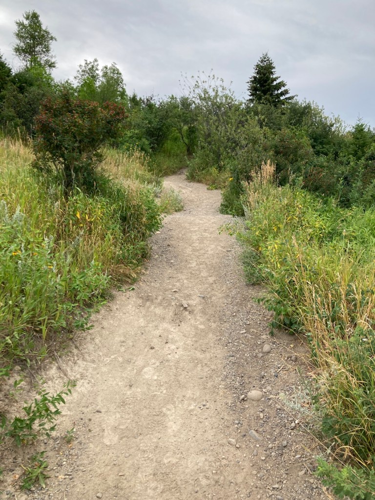
The twisty trail
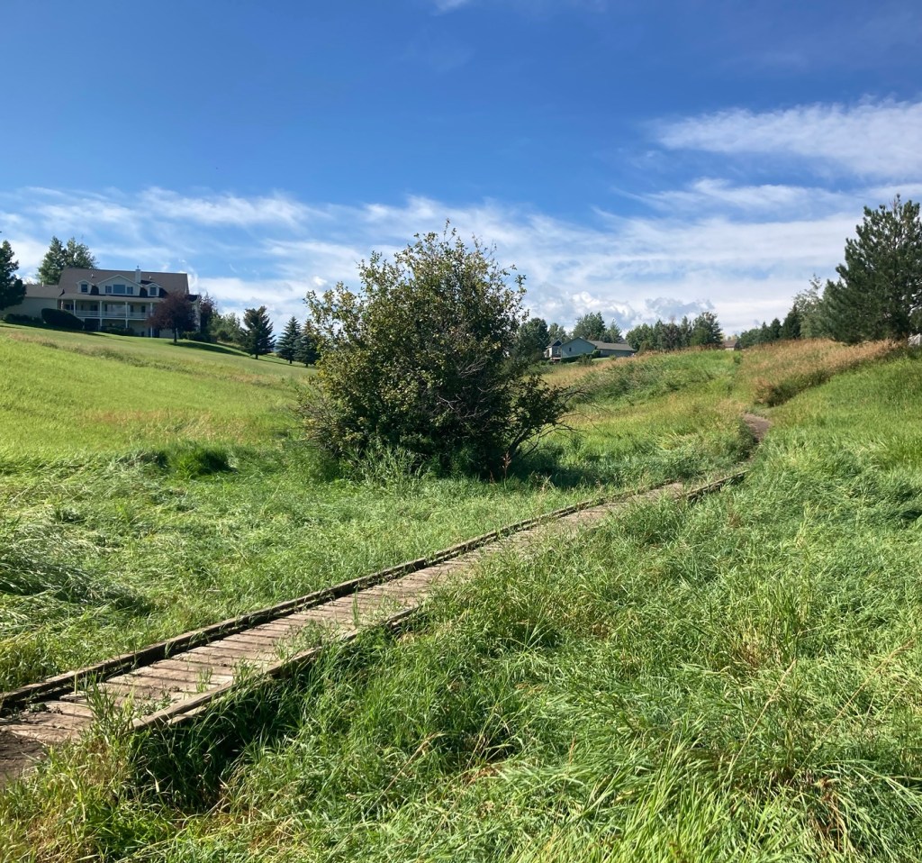
A footbridge
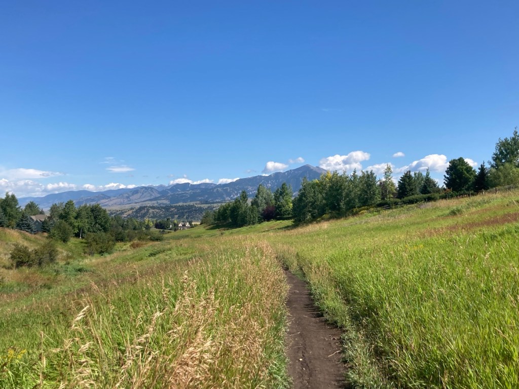
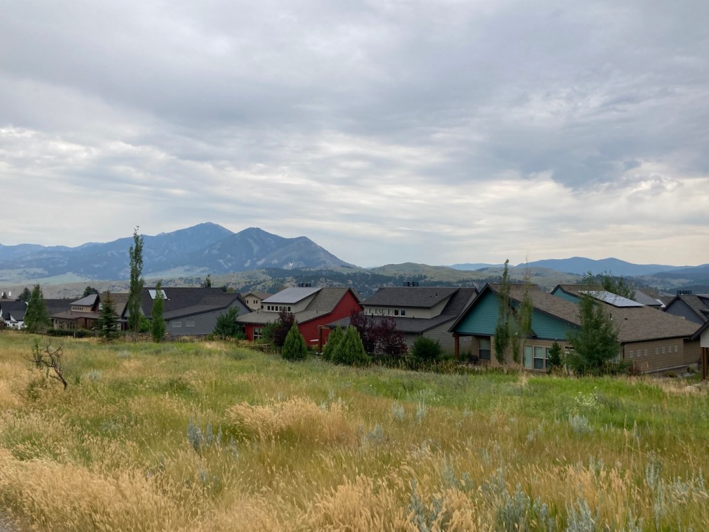
Looking back towards the Bridger Mountains
as we walked in the other direction
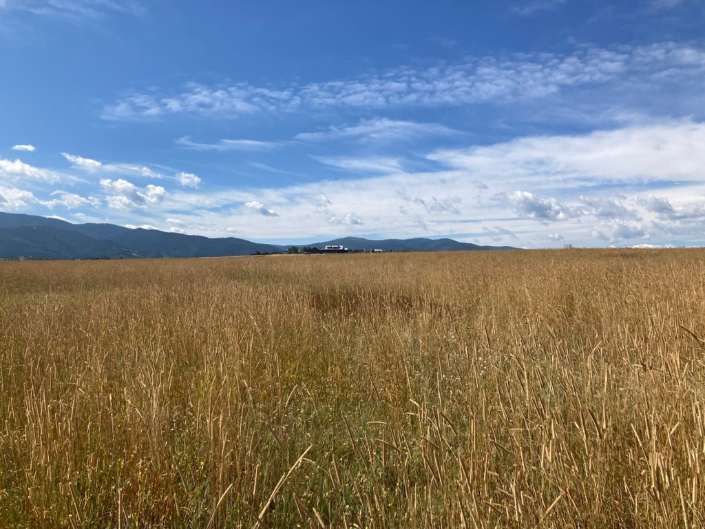
Wide open spaces (at least for now in this fast growing community)
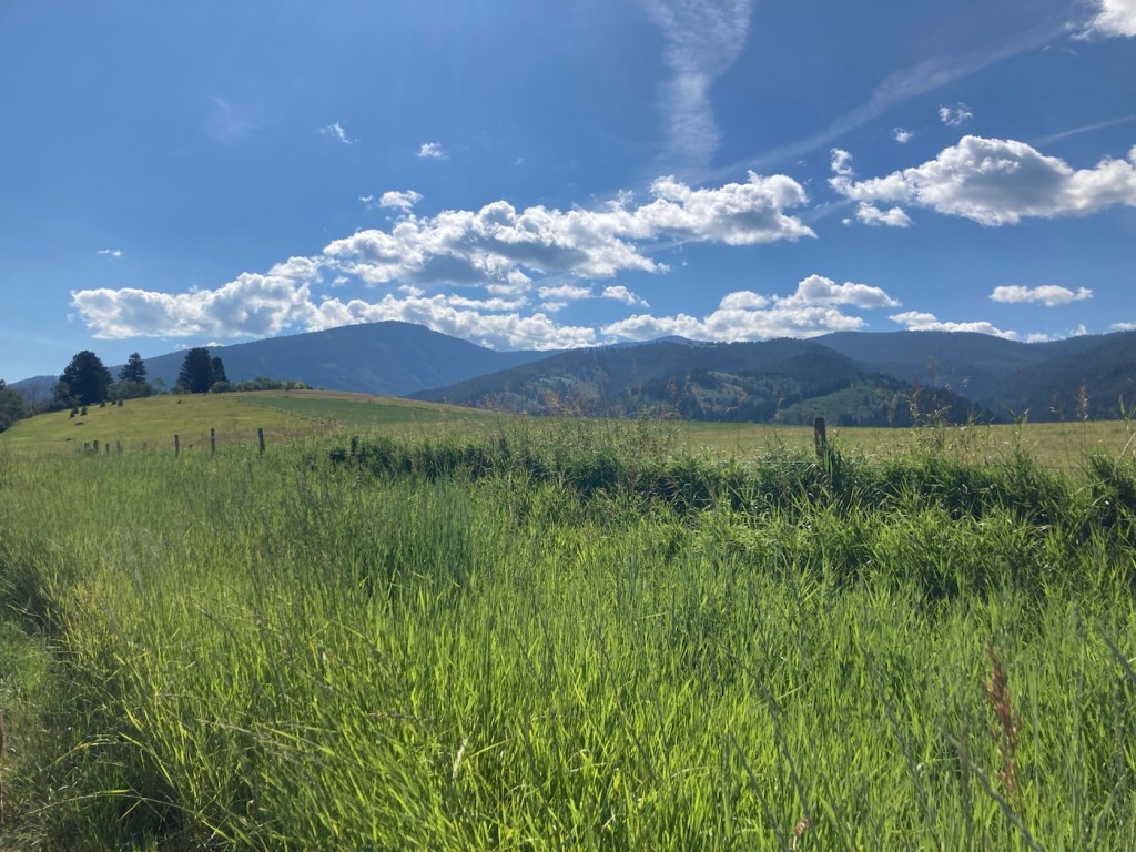
Montana in the summer
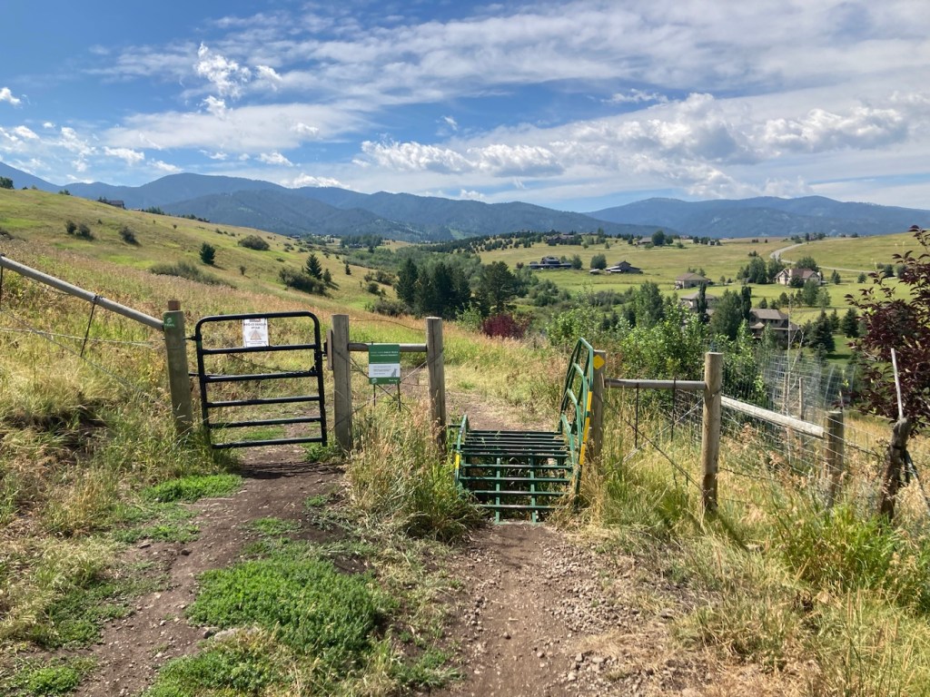
Our first gate onto state lands
Onward to the Triple Tree Path
Crossing through the second gate
More lovely homes
Reaching the connection with the Triple Tree Trail
Categories
Uncategorized

Triple Tree Trail Hike (8/9/23)

Today we drove about 20 minutes east to the trailhead for the Triple Tree Trail on the south side of Bozeman. It was a 5.4 mile distance, out and back, with an elevation gain of about 950 feet. It crosses Limestone Creek (which dogs seemed to enjoy) and is on state land on the northwest slope of Mount Ellis.

We saw a couple of Beware of Bears signs, always a bit disconcerting. However, there was quite a few people using the trail (hiking, biking’ and running), so we felt better about maybe not having a bear encounter.

Prior to the hike, Bob helped another hiker jump her battery, so that she could leave the trailhead parking lot. I thought it was good that we arrived when we did, but I’m sure others arrived after us that could have helped as well.

Below are pictures from another great Bozeman hike.

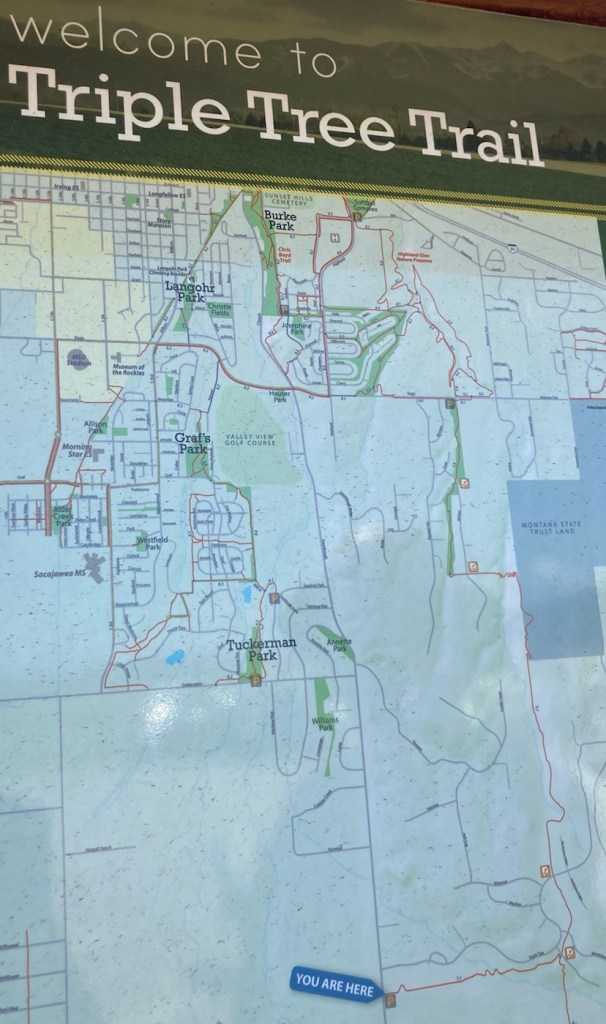
We hiked from the You Are Here sign and then turned right at the T
before doing a loop trail to get us up and then down the mountain.
The trailhead appears to be in a newer subdivision
(but then, aren’t they all here?),
so views of nice homes at the beginning of the hike.
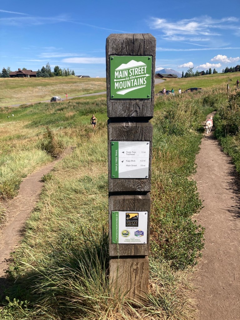
Signage at the T. We came from where the woman is running,
and then headed in the opposite direction of the dog.
Categories
Uncategorized

The Popular M Trail (8/8/23)

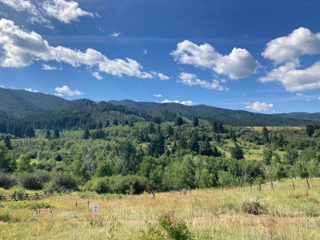
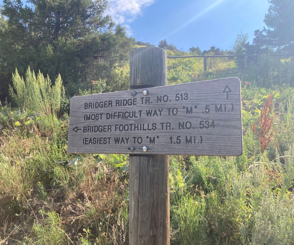
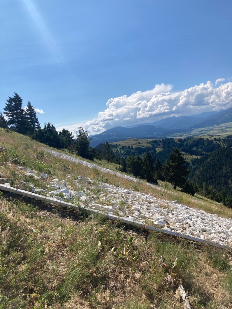
In 1915, Montana State University students created an M on a mountain at the mouth of Bridger Canyon. I’m not sure what it was originally made of, but it now consists of 250 feet of whitewashed rock. There are two routes up to it, one short (.5 miles) and steep, and the other longer (1.5 miles) and less steep. Both are popular for hiking and running, as we found when looking for a parking spot this morning.

We chose the less steep (deemed easiest on the trail signage) to spare our knees and have a longer hike.

The Montana State University M
From the parking lot, we walked a short distance
on the Main Street to Mountains hike/bike path that ends at the M trailhead
Being shamed by a sign for our trail selection
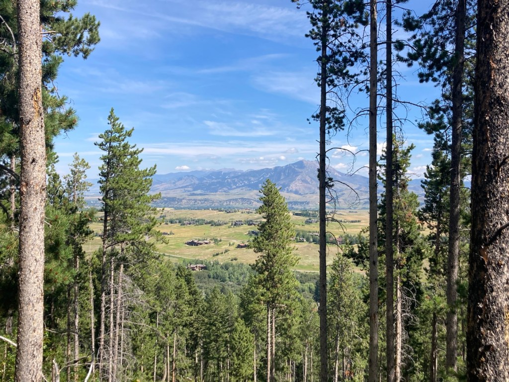
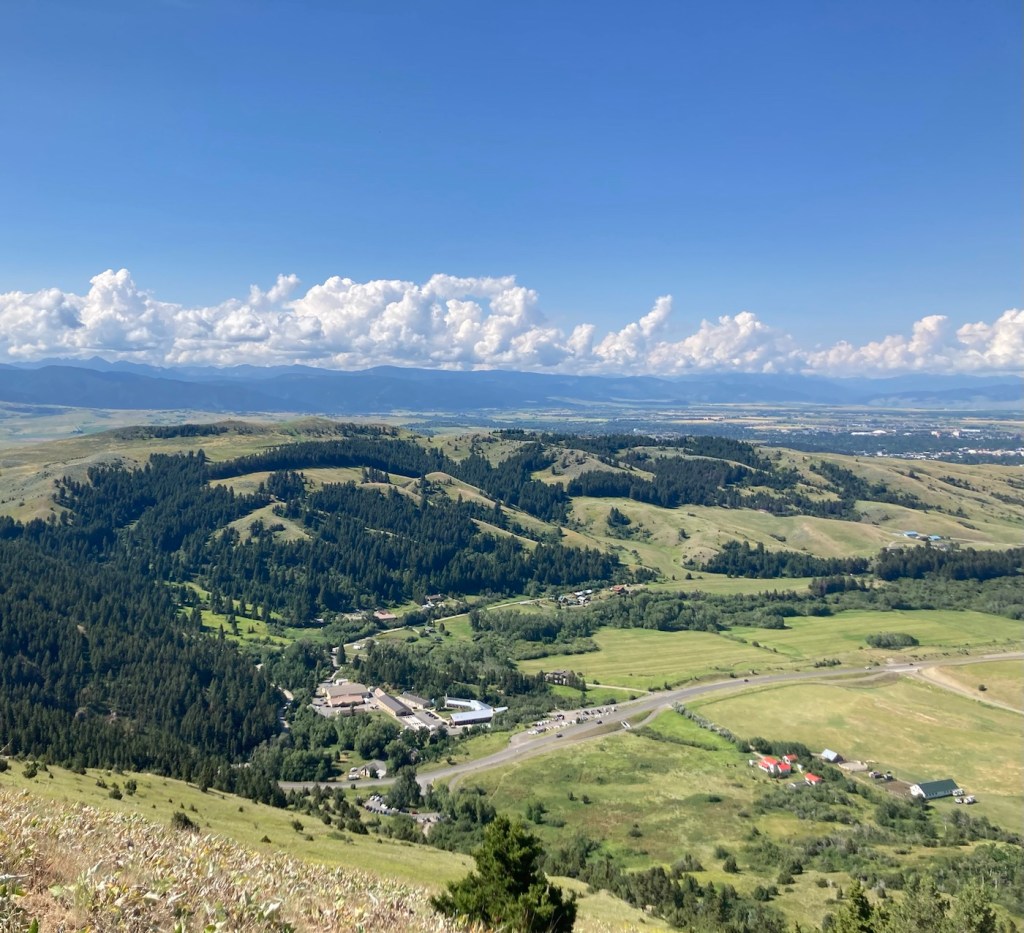
Looking back towards Bozeman
Forest management offices and more mountains across the road from the M.
A new house with great views next to the M mountain
More homes near the mountain
The path up
A happy blue and green view
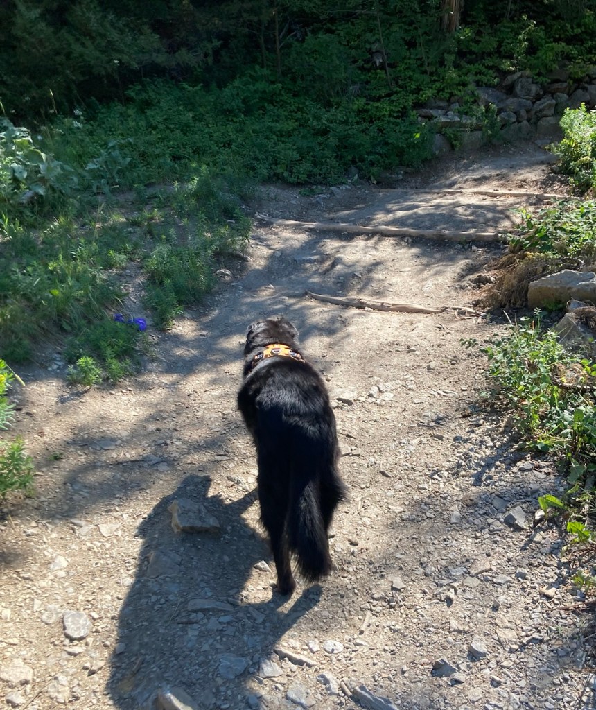
A few minutes before this pic, this dog was in the woods beside us,
and we were afraid we had our first grizzly sighting.
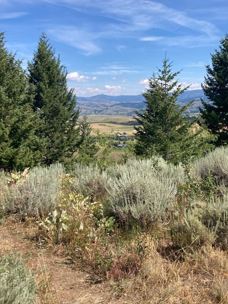
Another peak at Bozeman
The park offices and homes from higher up
(not to mention the lovely surroundings)
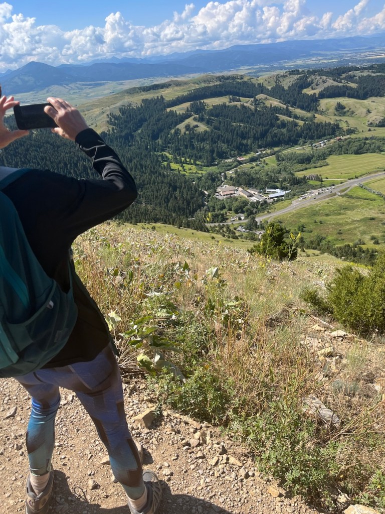
Me taking the above photo
The side view of the top of the M
Categories
Uncategorized

A Local Art Center and So Much More (8/7/23)

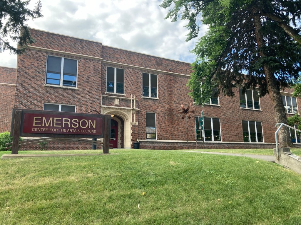
One of the places that Bob and I had read about to visit is the Emerson Center for the Arts and Culture. We headed there today before running some errands. The center is housed in the former Emerson School, named after Ralph Waldo Emerson. The building was constructed from 1918 to 1920, to serve as an elementary and junior high school. It ceased being used as a public school building in 1992.

However, the center continues its educational focus by expanding the community’s exposure, understanding, and engagement in the arts not only through exhibits of local artists ‘ work, but also providing a space for artist studios, a theater, music instruction spaces, design studios, classrooms, and shops.
The Emerson Center for Arts and Culture
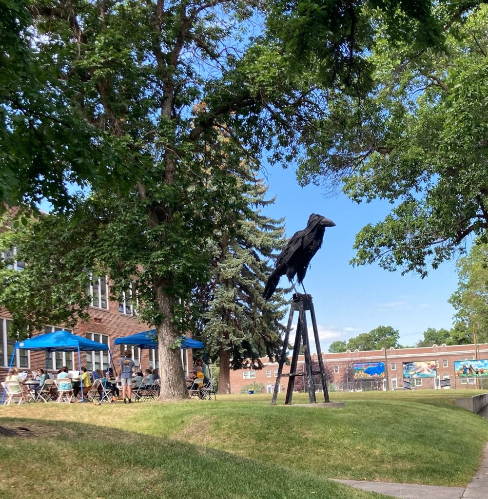
A cool sculpture outside the building where an art class was underway

There were three exhibits at the center. The first was a photography exhibit by Matthew Hamon, a Montana-based freelance photographer. This set of photographs focuses on capturing the myths of the West.
This is taken in the ironically (at least now) named Metropolis, Nevada,
a ghost town since 1950.

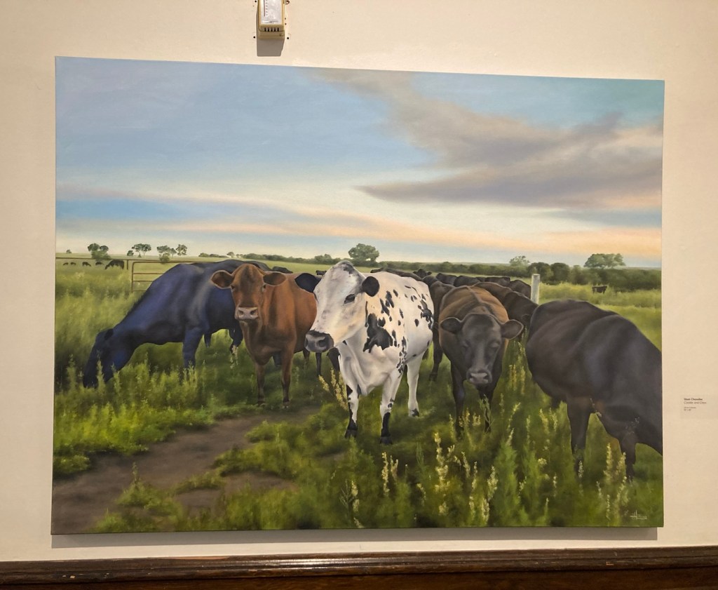
The second exhibit was titled Barns, Bovines, and Botanicals, by Shari Chandler, a Bozeman, MT resident since 2017. Her paintings were much more lighthearted than the photographs, and the title of the exhibit was accurate.

Cookie and Crew.

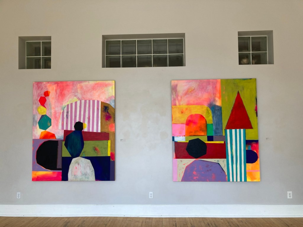
The third exhibit was titled Flat Lens by Jennifer Combe, an associate professor of art at the University of Montana. She states that her artistic work explores cultural constructs around gender and mothering, ability and schooling. She distills her understanding of an experience into simple geometric shapes.
I didn’t get a close-up of the names of these works.
Feel free to create your own titles.

In addition to the exhibits, we just enjoyed walking around the first two floors of the building, looking at the art on offer in the shop as well as others on display.

These are samples of stained glass windows
created by Bozeman High School students in 1980.
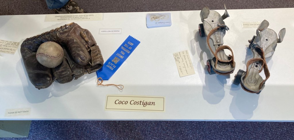
Sculptural ceramic pieces by Coco Costigan,
a member/artist of the Artists’ Gallery in the Emerson Center.
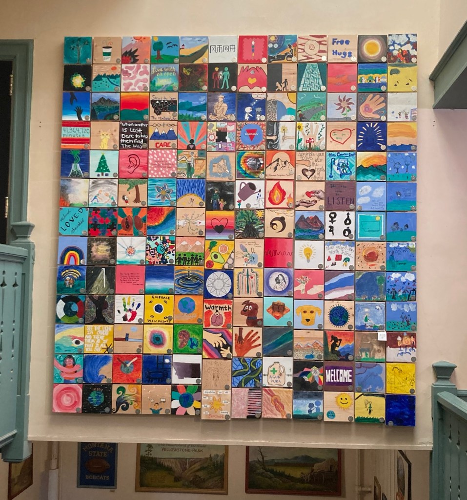
Tiles painted by students and put together to form a “quilt.”
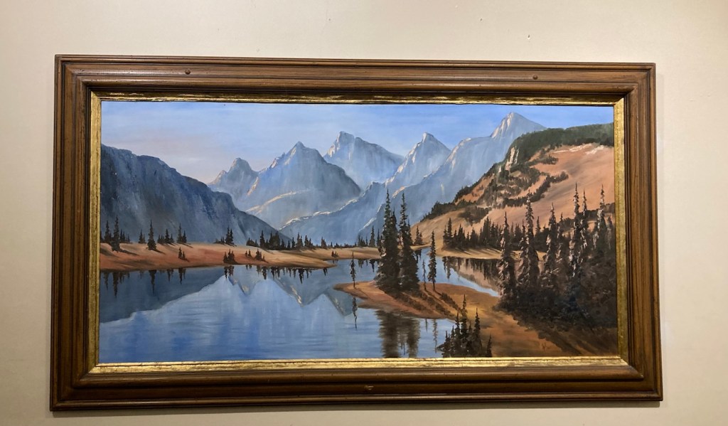
A very Montana-esque painting, with a signature that looks like SIL and 1981.
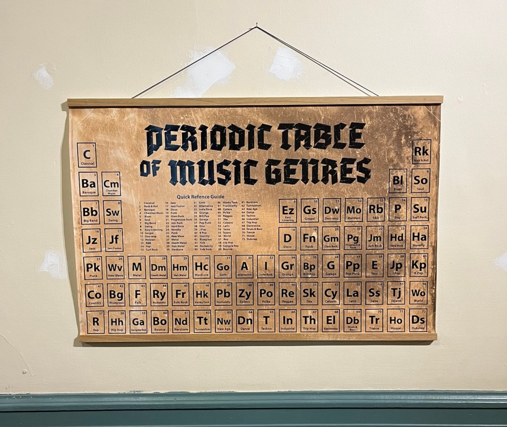
A fun take-off on the periodic table
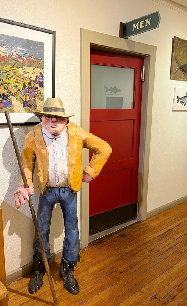
Maybe the restroom was occupied?
Categories
Uncategorized

Why Mountains are our Beach (8/6/23)

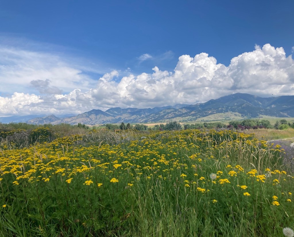
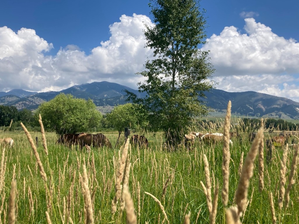
In the question between beaches or mountains in terms of places to vacation and/or live, at least for those of us not fortunate enough to grow up around either, Bob and I tend to fall on the side of mountains. Obviously, both are great (as are forests and other types of geographic phenomena), but the photos from our in-town walk today reinforce my love for mountains, even as a backdrop.

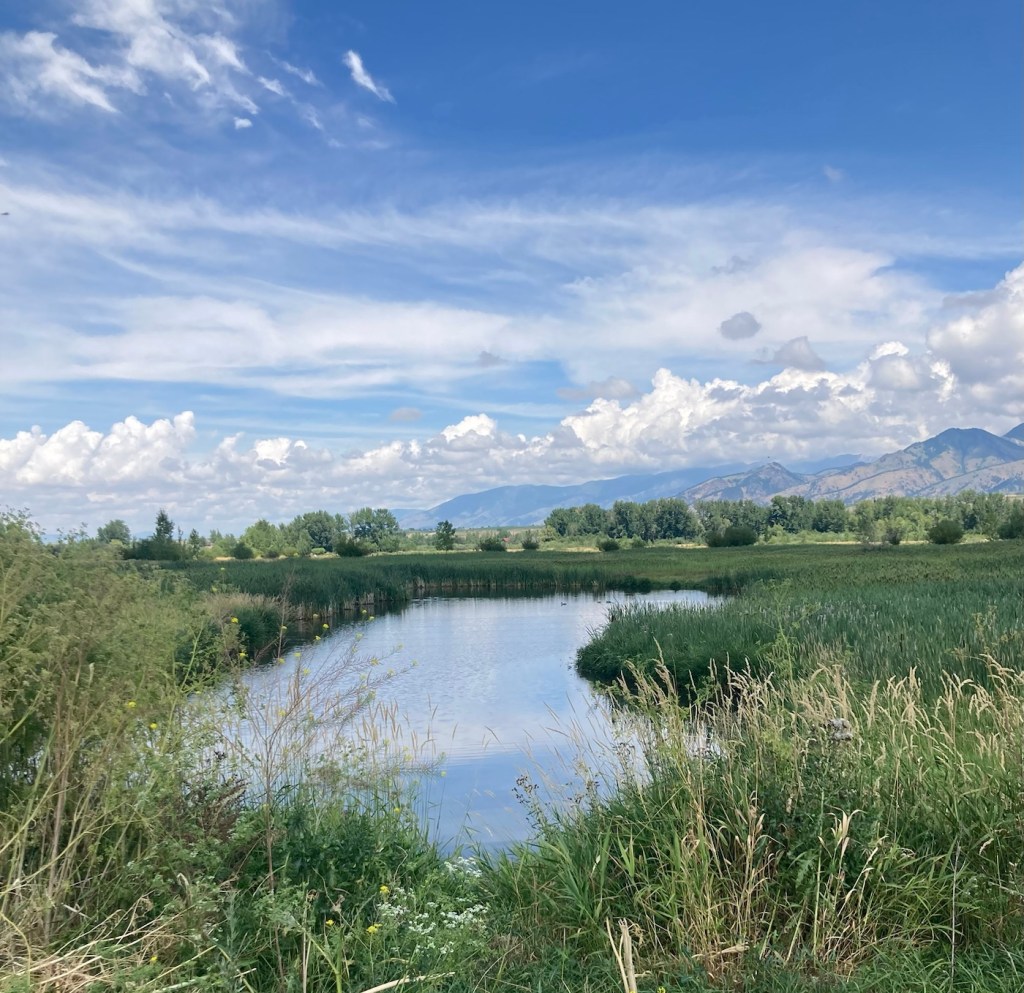
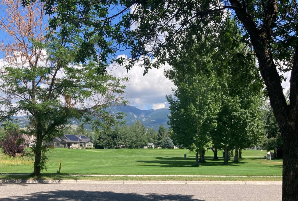
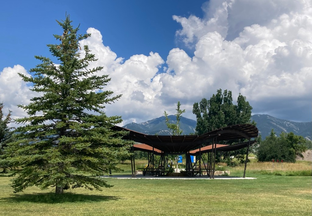
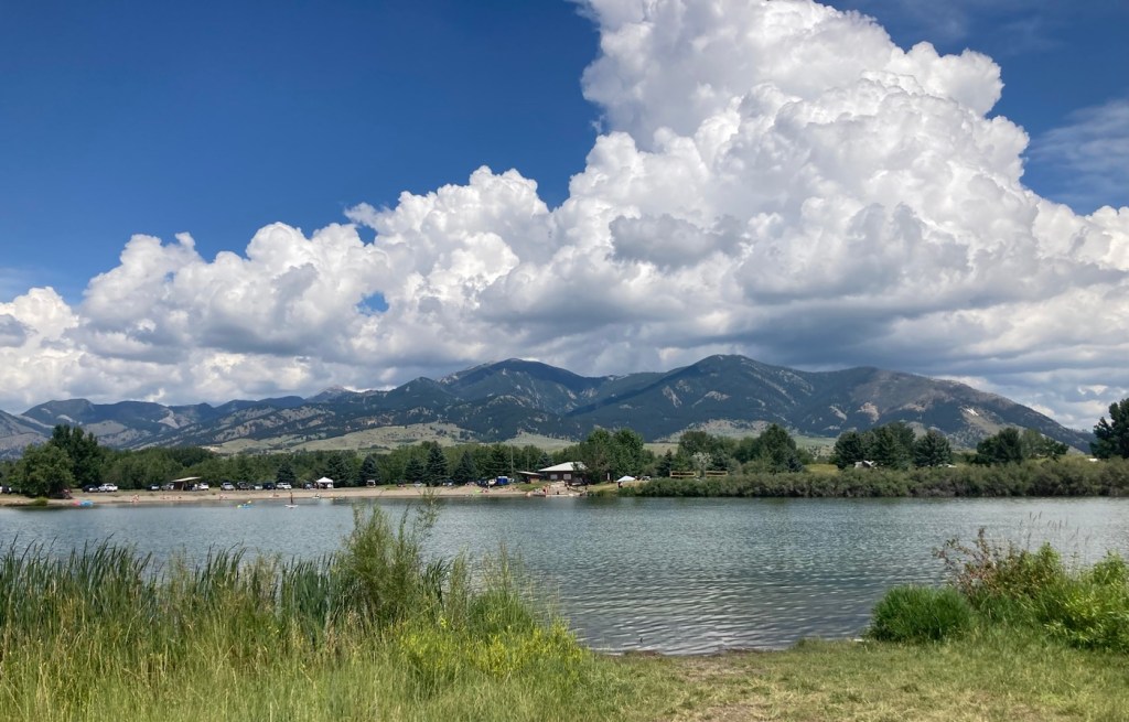
We did about a 5 mile hike this afternoon by combining the trails around the Cherry River and Glen Lake, both in the valley below the Bridger Mountains, on a beautiful, sun-filled day. Enough said, I’ll let the photos do the talking today.

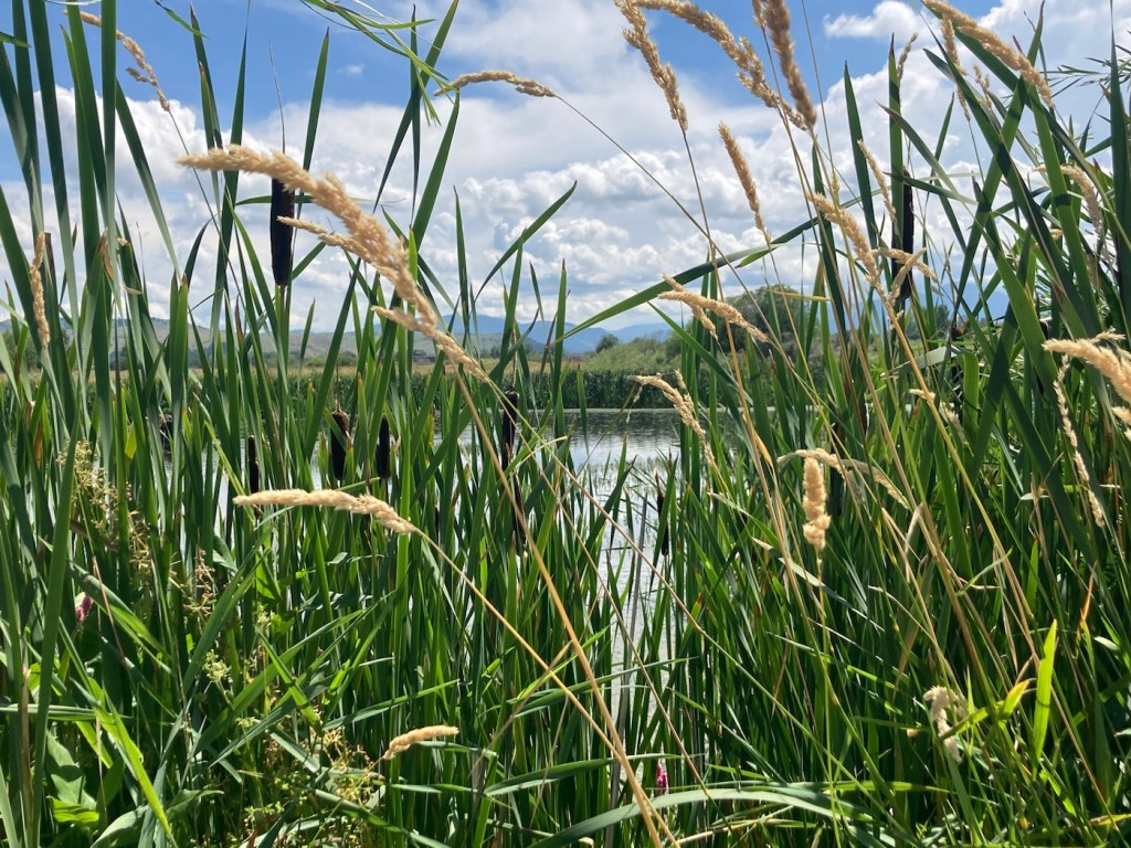
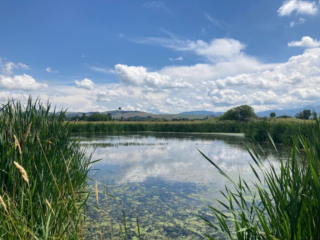
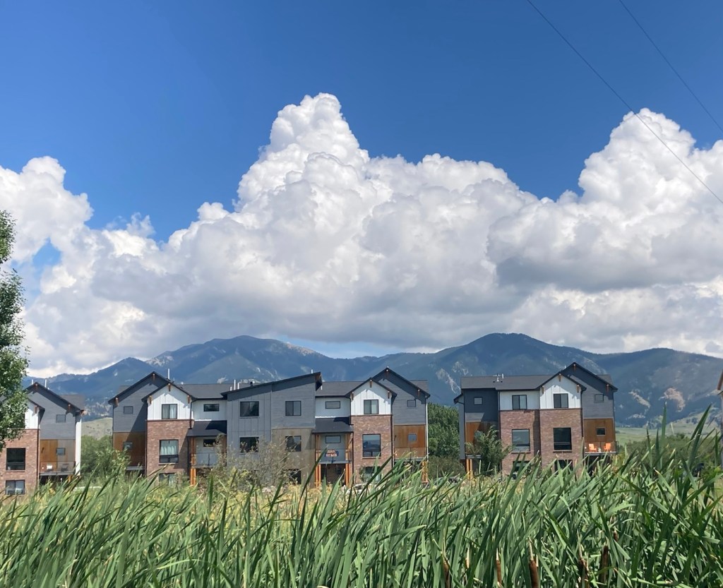
Pics from the Cherry River Trail Walk.

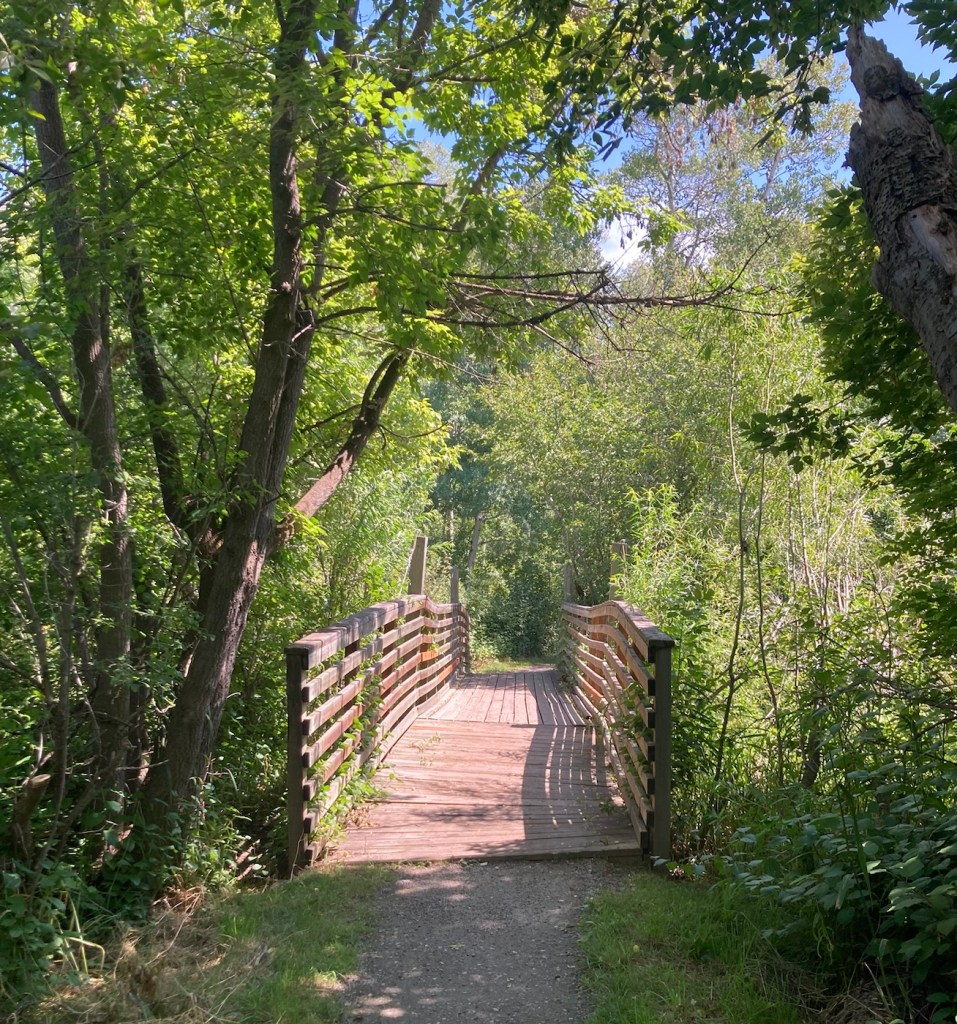
Pics from the Glen Lake Walk.

Categories
Uncategorized

A Beautiful Plan B (8/5/23)

We’ve had a few days recently where it has rained off and on here in Bozeman. Luckily, we were able to get the lawn mowed yesterday in between the morning programmed watering schedule and the afternoon programmed watering schedule (followed by rain and then a brief storm later in the evening). The weather forecast keeps changing, but we had some rain today and look to have more tomorrow.

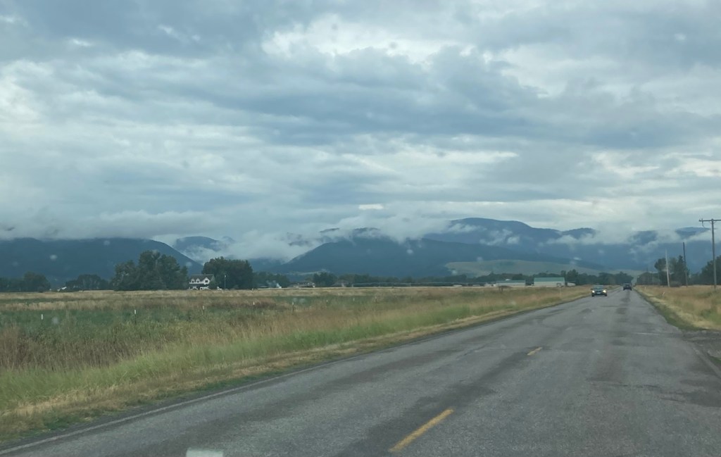
Today, we headed out for Palisade Falls because we wanted to see the waterfall, but also because there is a big music and art festival in Bozeman so we wanted to avoid activities near downtown to avoid traffic, which doesn’t seem to move well here. As per usual for the past few days, the sky was overcast, but it gave us some great views of low clouds against the Gallatin Mountains.

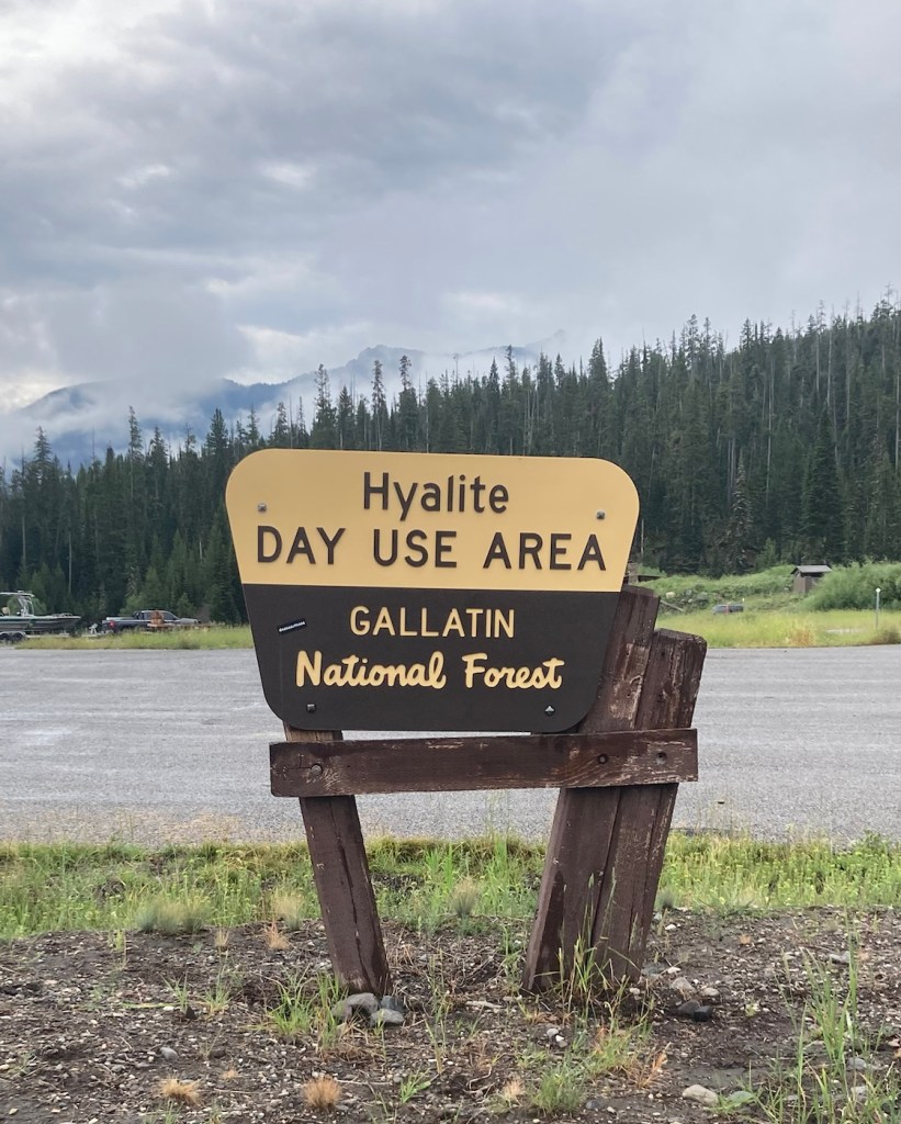
Palisade Falls is a towering waterfall dropping more than 80 feet off a vertical rock wall at the southern base of Palisade Mountain in the Hyalite Recreation Area south of Bozeman. And we will have to take the website’s word about, as we were unable to get there, but we did end up with a beautiful drive through national forest and walked a bit by the lovely Hyalite Reservoir.

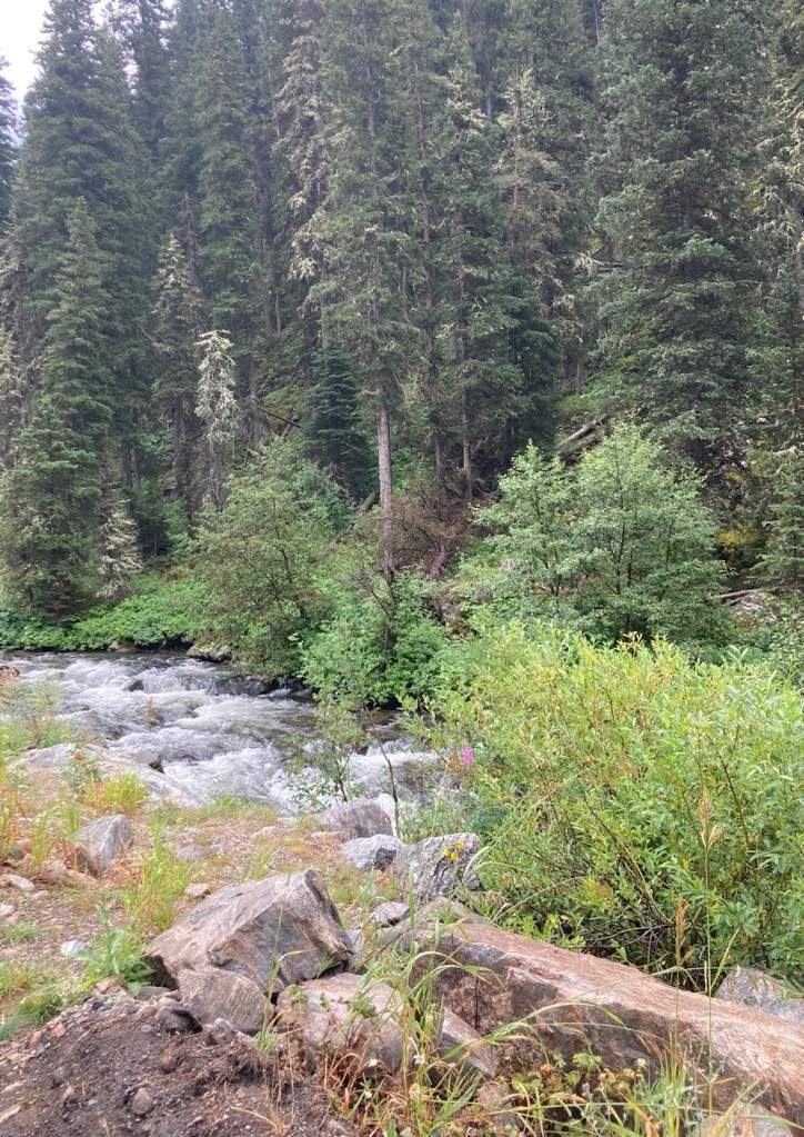
Driving by a fast flowing creek in the national forest
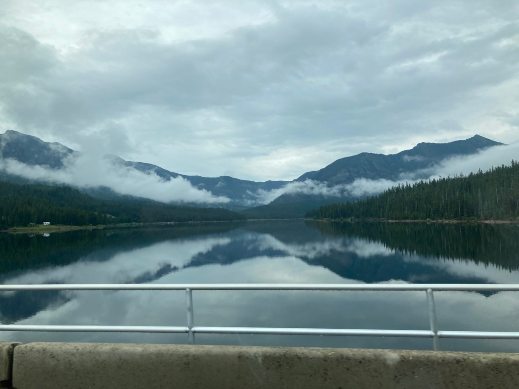
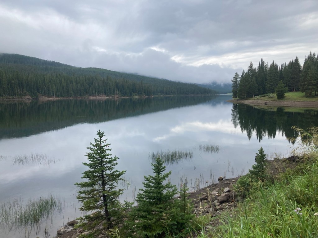
Our first sighting of the Hyalite Reservoir
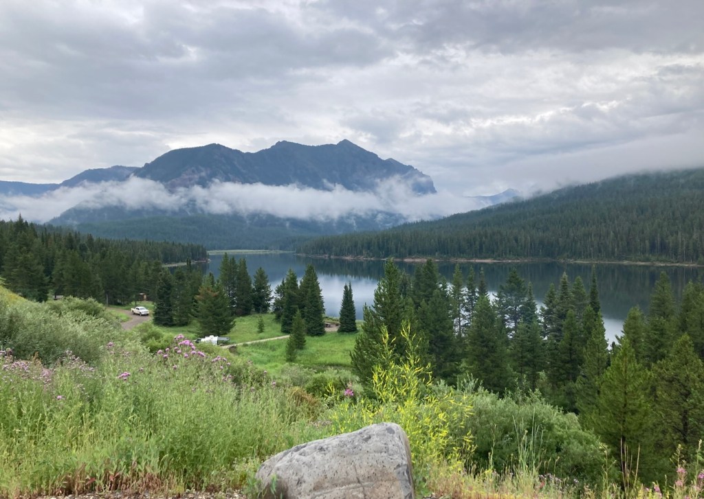
Another view of the reservoir from a pullout area

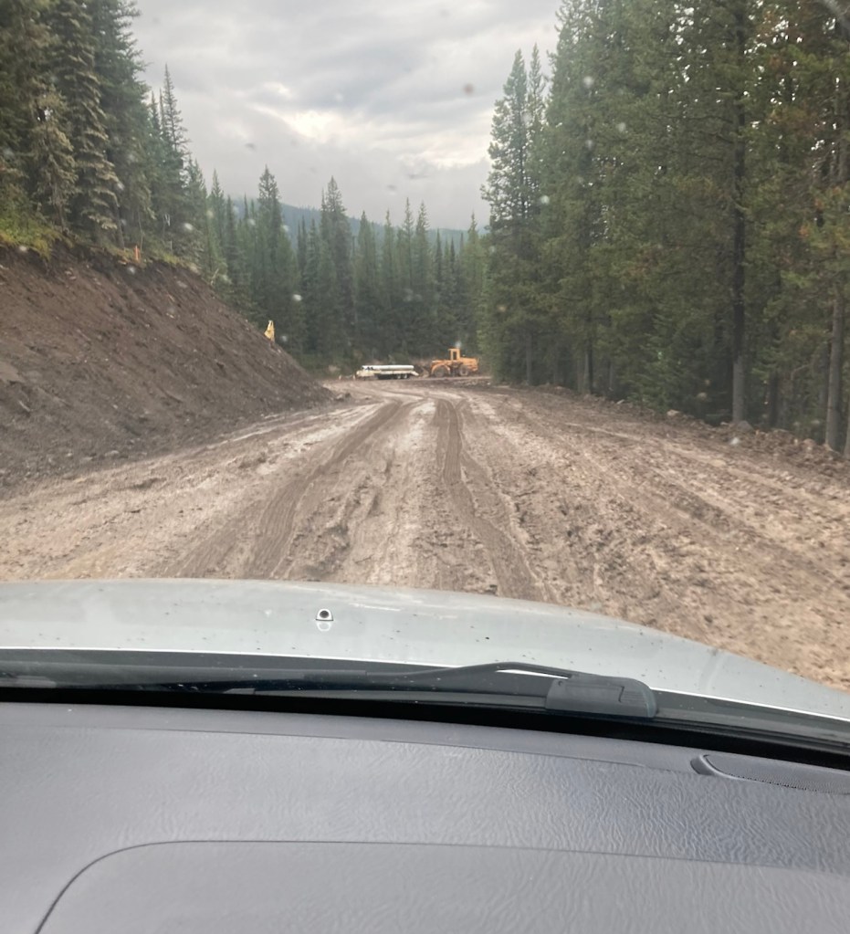
Before we left for the Palisade Falls, we had read that the road to the trailhead was currently only open on Saturday and Sunday. We didn’t know why, but I assumed this was just the most popular time to visit. That could be the reason, but they are also doing roadwork, or maybe creating a paved road from what is a dirt road now. You can see below that with the rain, the dirt had become mud, serious mud in some areas. We made it past the construction vehicles in the photo before things got even worse, and we decided that without 4-wheel drive it might be best to turn around before someone had to dig us out.

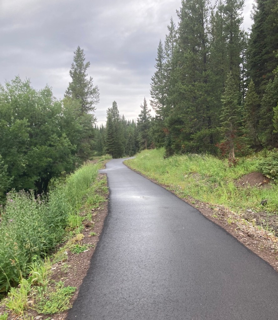
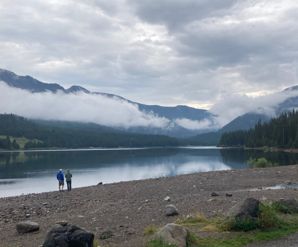
We drove back to a picnic area we had passed and walked along a paved path near the reservoir, where some brave woman (local likely) as going in for a cool dip.

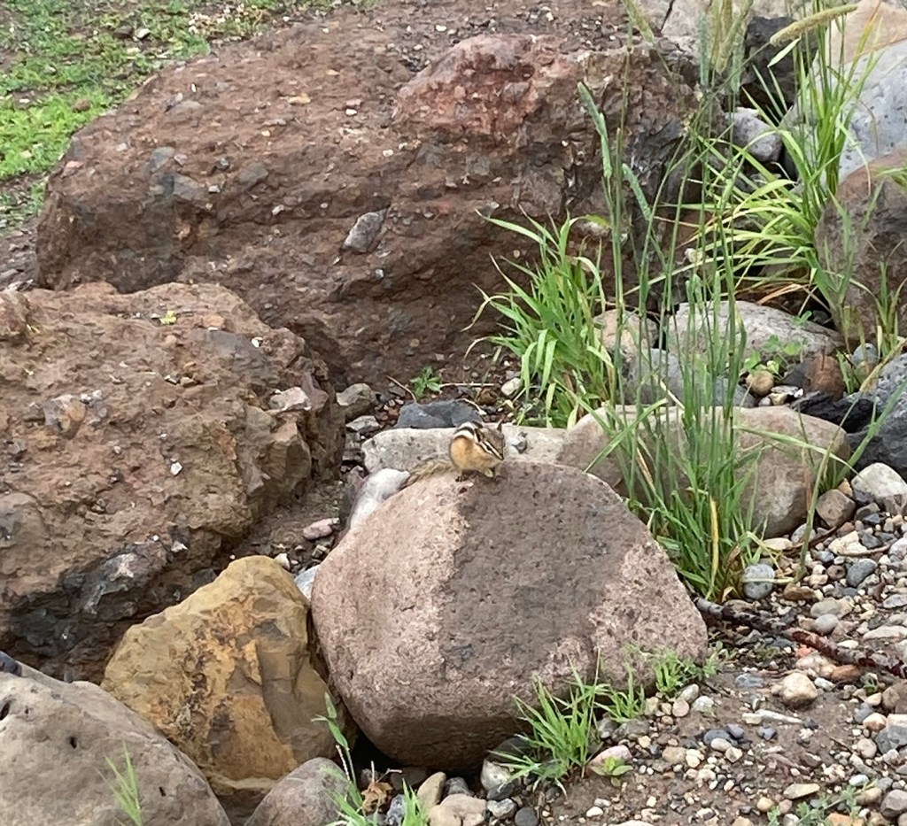
The first real “wildlife” we’ve seen.
The trail along the reservoir
A view of the reservoir from our walk
We stopped at the reservoir on the way back for a couple more photos
Can’t complain about Plan B with this view!
Categories
Uncategorized

Beautiful Burke Park and Beyond (8/3/2023)

Today, we did a little over five-mile hike in and around Burke Park, which is near the sculpture garden we had explored on our first night in Bozeman. Listed by the city as moderate exertion, trails in the park take you up Peet’s Hill, which is supposedly the best sunset view in town . After walking the main trail (there are many) through the long, narrow parkland, we connected to a few other trails towards the west of town.

Heading up Peet’s Hill
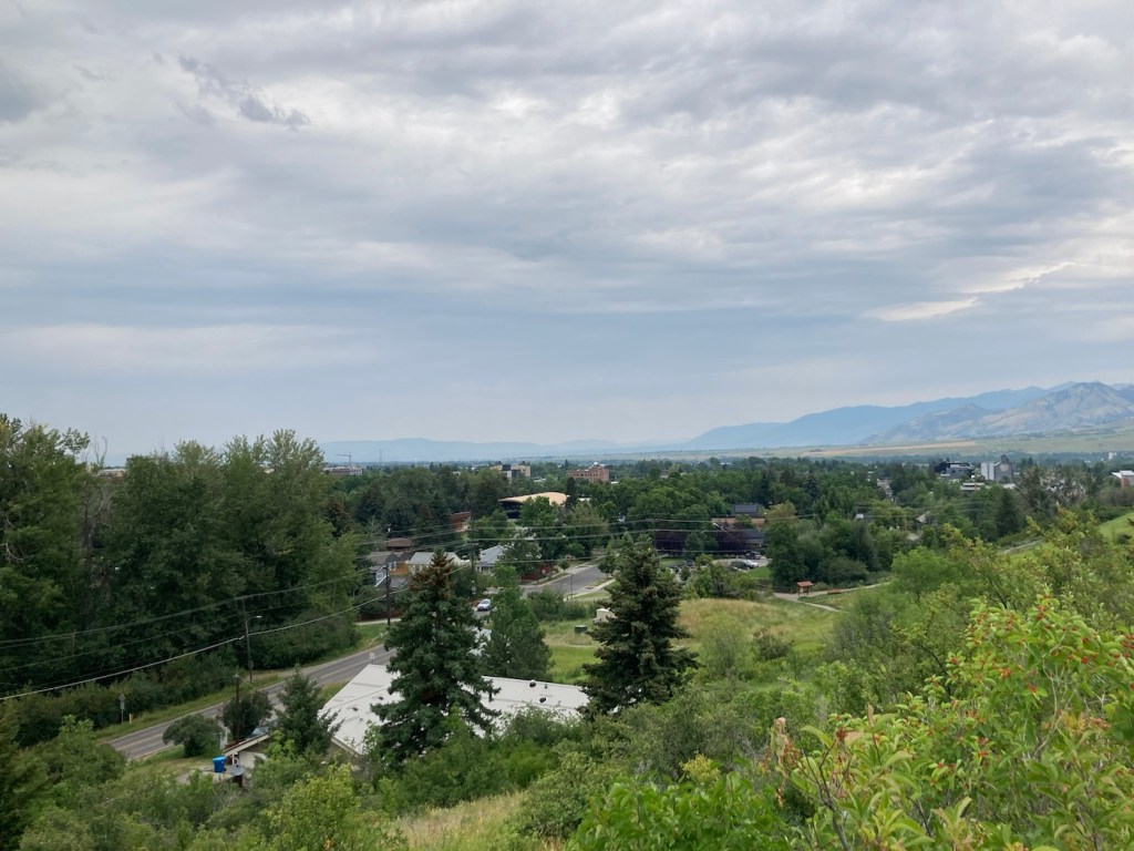
A view of Bozeman as we ascended
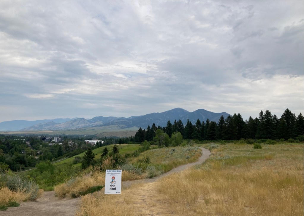
A view of the Bridger Mountains from atop Peet’s Hill
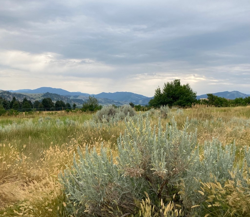
Loved the different textures and colors
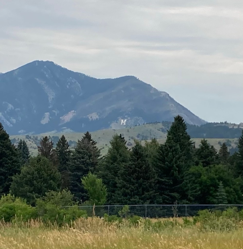
Zooming in to get the M
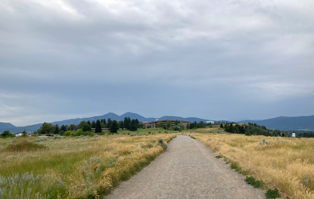
Continuing through the park toward a residential area
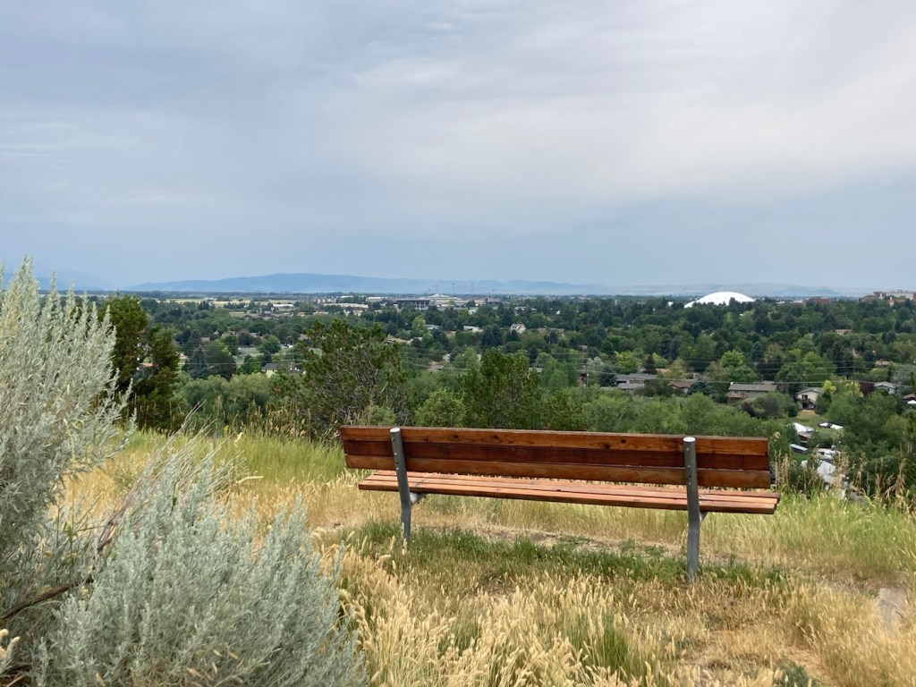
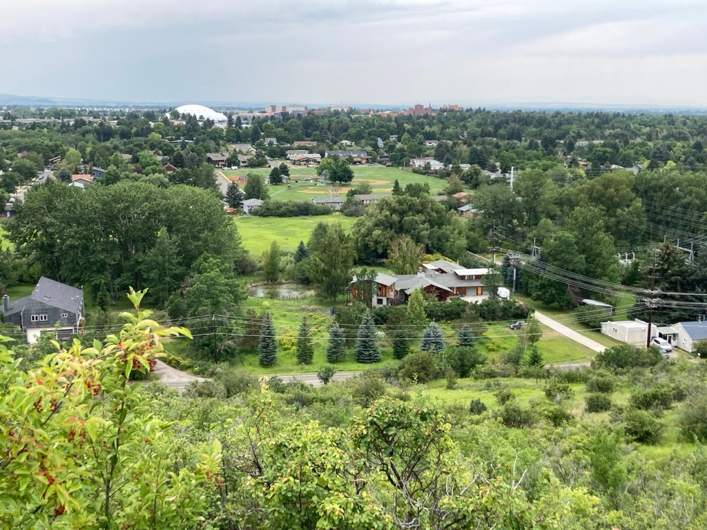
A bench for gazing. The white dome is the practice field on the MSU campus.
Some of the homes along the path
More houses with great views
Love this scenery!
Another view from further on, looking towards the university area
At the end of Burke Park, we walked along a busy road
until we joined up with another trail. I liked the flowers in this yard.
Walking back towards the library/sculpture park
from a trail near the Highland Glen Nature Preserve
a bit southeast of downtown
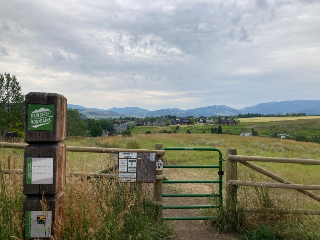
Signage for and a gate into the Highland Nature Preserve
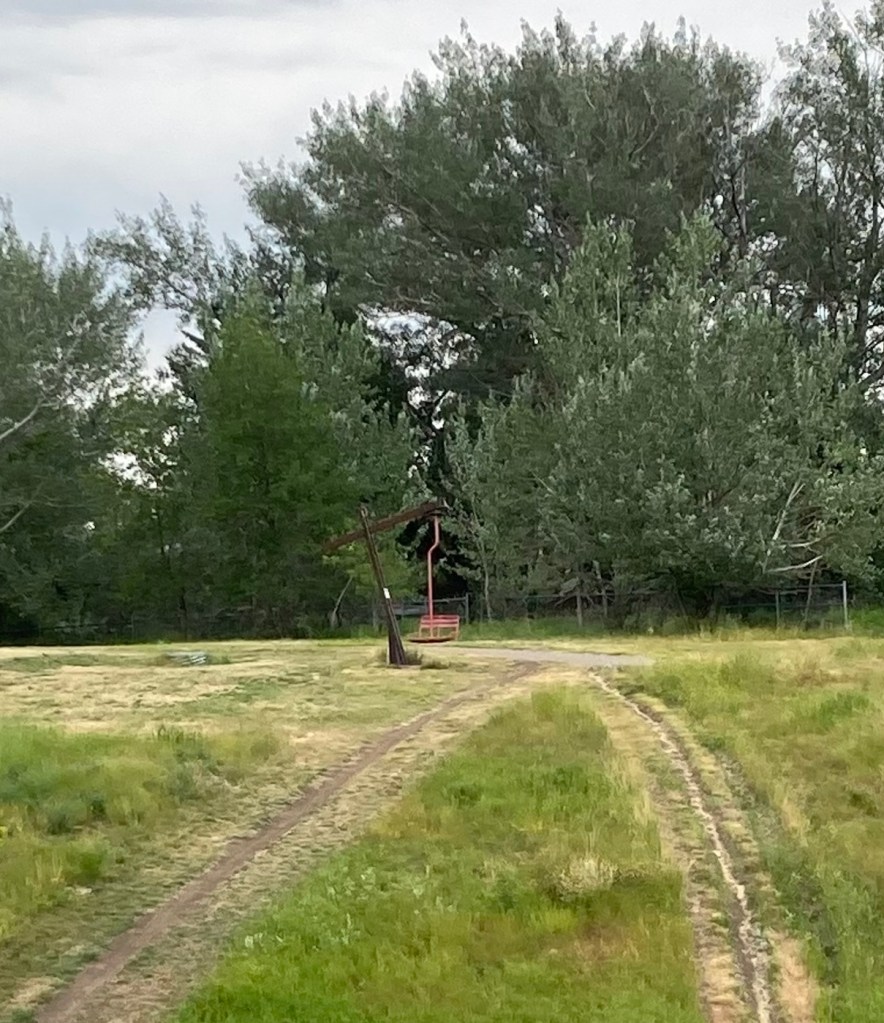
Another ski lift seat as sculpture, at least the 3rd one we’ve seen in Bozeman.
Categories
Uncategorized

Main Street Bozeman (8/2/23)

Yesterday, we headed to downtown Bozeman to walk Main Street to check out what this area had to offer. It’s a fairly small downtown area, about 8 blocks or so and not fully utilized, but it was still pretty vibrant with people out and about and lots of variety in retail and restaurants.

Our first stop was at the Community Food Co-op.
The cute sign for the Lewis and Clark Hotel. Hotel prices are crazy here. Almost all rooms go for over $300 per night right now.
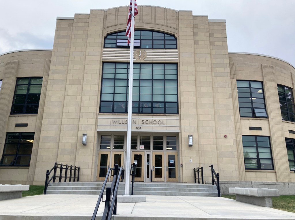
A very Art Deco looking former school
that now appears to serve as an educational foundation
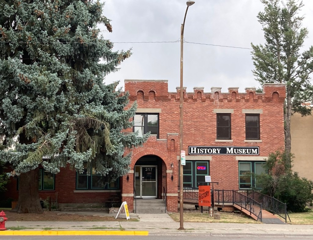
The Gallatin County History Museum
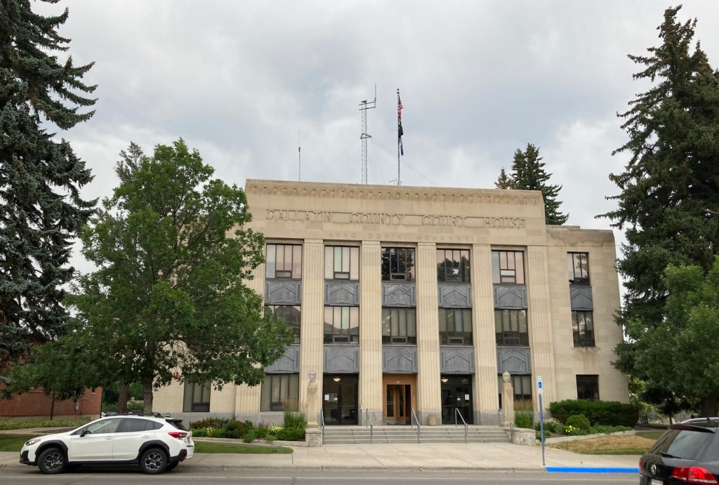
Gallatin County Courthouse
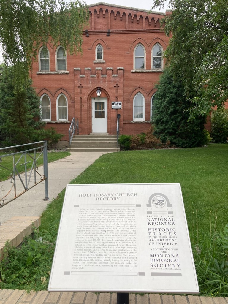
A designated historical building on Main Street
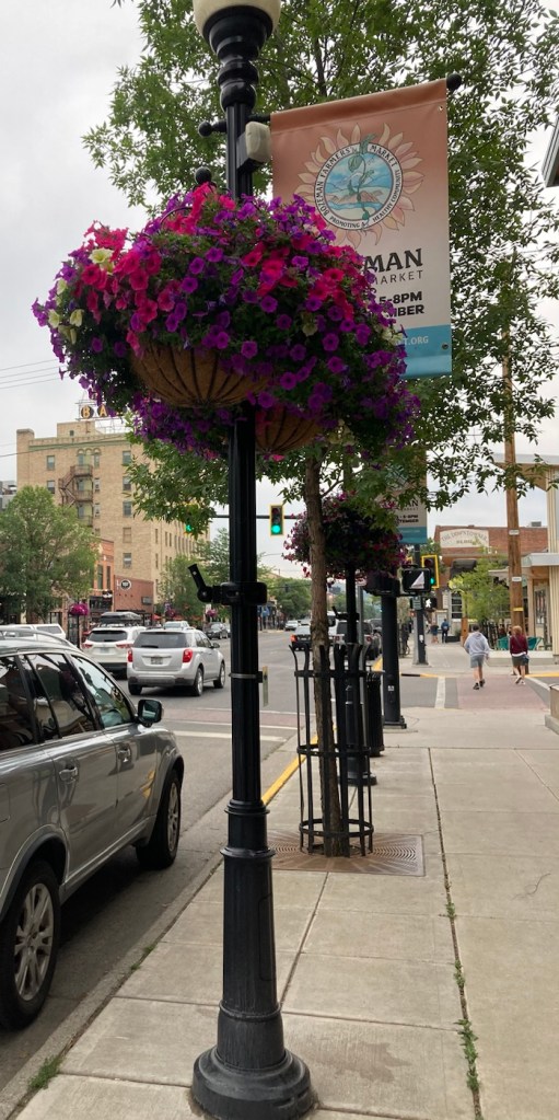
Lots of street lamps with banners and hanging flower baskets on Main
Former Hotel Baxter, which is now an event space and also houses a pub
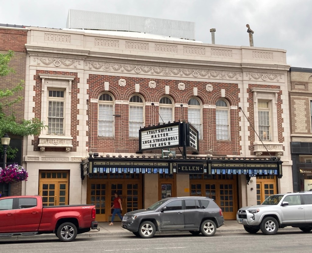
Not sure what this currently is but thought it was a lovely building
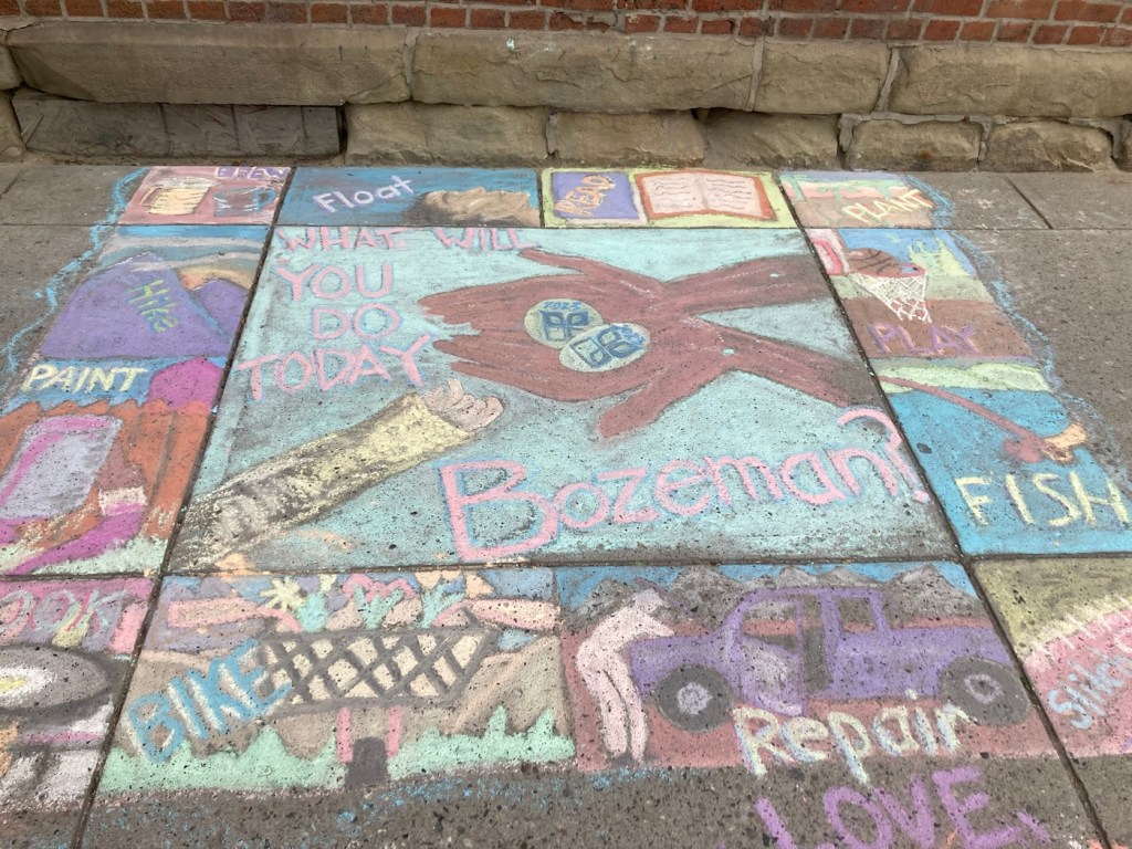
They had had a chalk art event downtown yesterday,
so the sidewalks were colorful
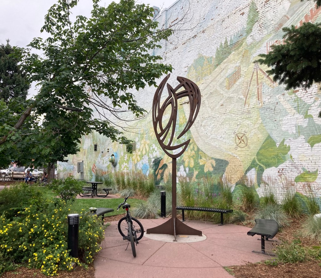
A pocket park on a corner
Apparently, John Steinbeck was a real fan of Montana

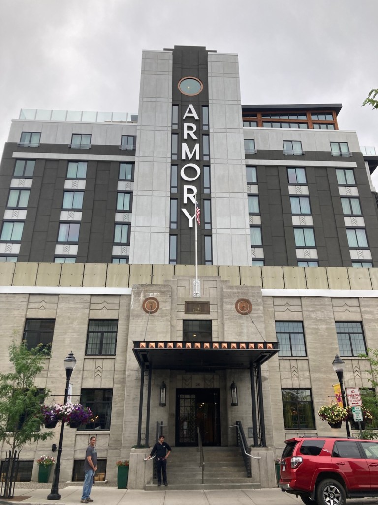
We ended our walkabout with a drink at the Armory Hotel, as its bar has a view.

We liked that the new hotel had incorporated
a part of an older building for the facade
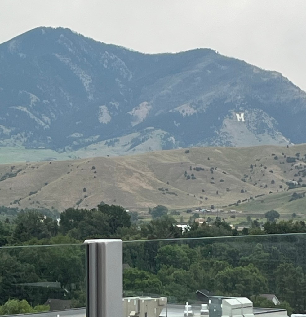
The view from the window above the A in the prior photo
A zoom in on the mountains with the M for Montana State