It’s crazy to think that we will be leaving Vancouver Island on Tuesday to begin an 8-day drive across the US before driving back into Canada in Ontario, a little Canadian province swap with a US filler.
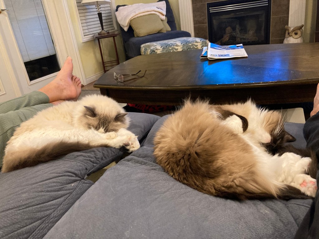
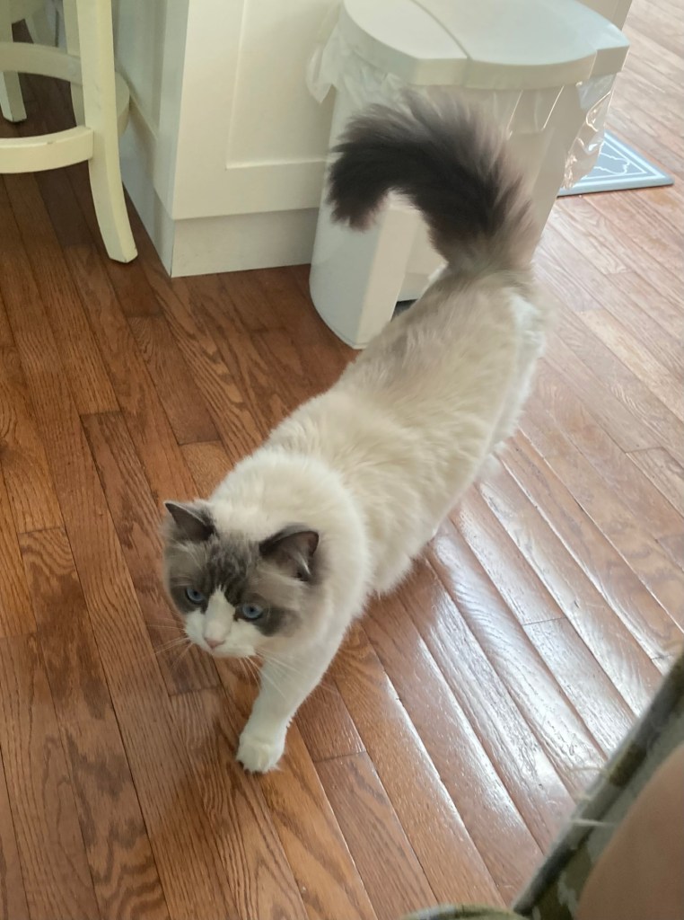
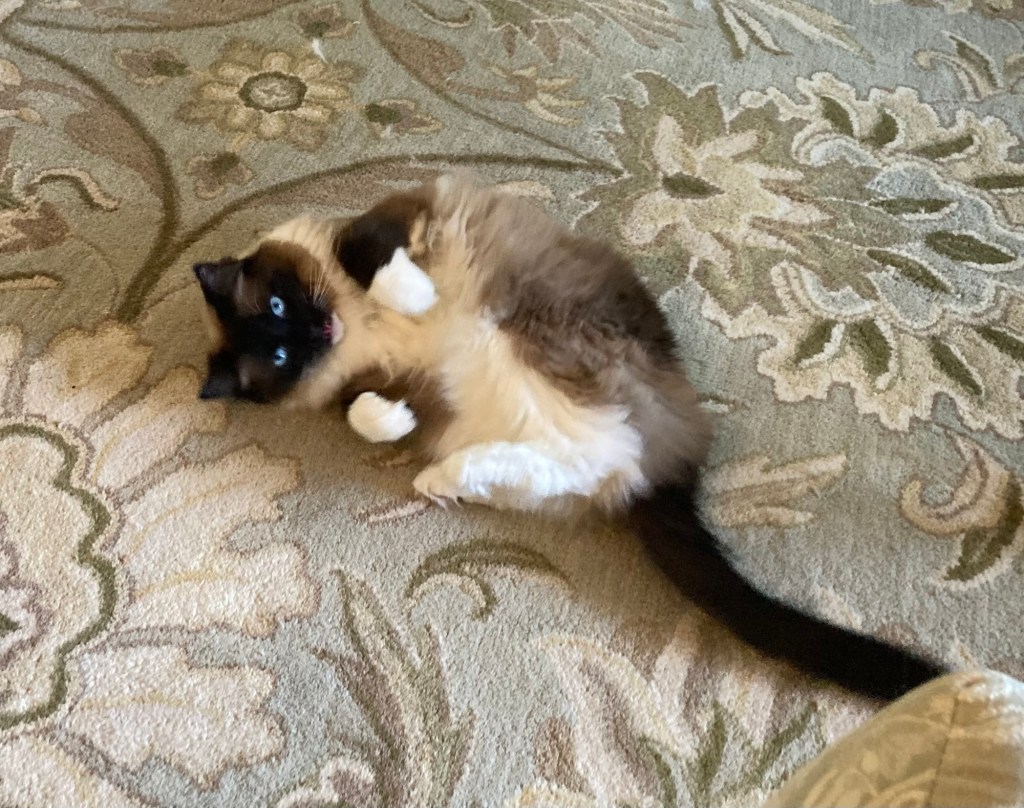
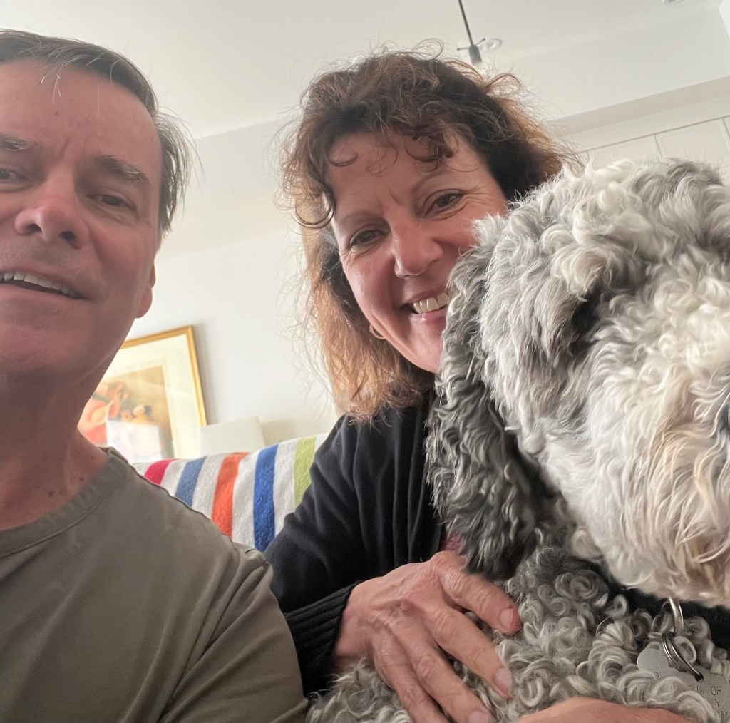
In the meanwhile, we are taking in the last days with the wiley Ws. Wall-E and Willow are sweet cats, who love their food, their naps, and chilling with us in the evening. We will definitely miss Willow’s curiousness and Wall-E’s thoroughness in ensuring all food bowls have been emptied.
Wall-E and Willow
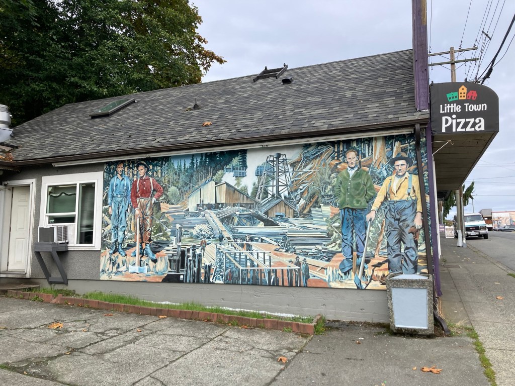
Yesterday, we spent a couple of hours poking in and out of the downtown shops, walking down towards the water, and picking up toppings for a red fife (new grain for us) pizza dough that we had bought at the great bakery in Cowichan Bay.
One of the many murals in ChemainusSome beautiful trees
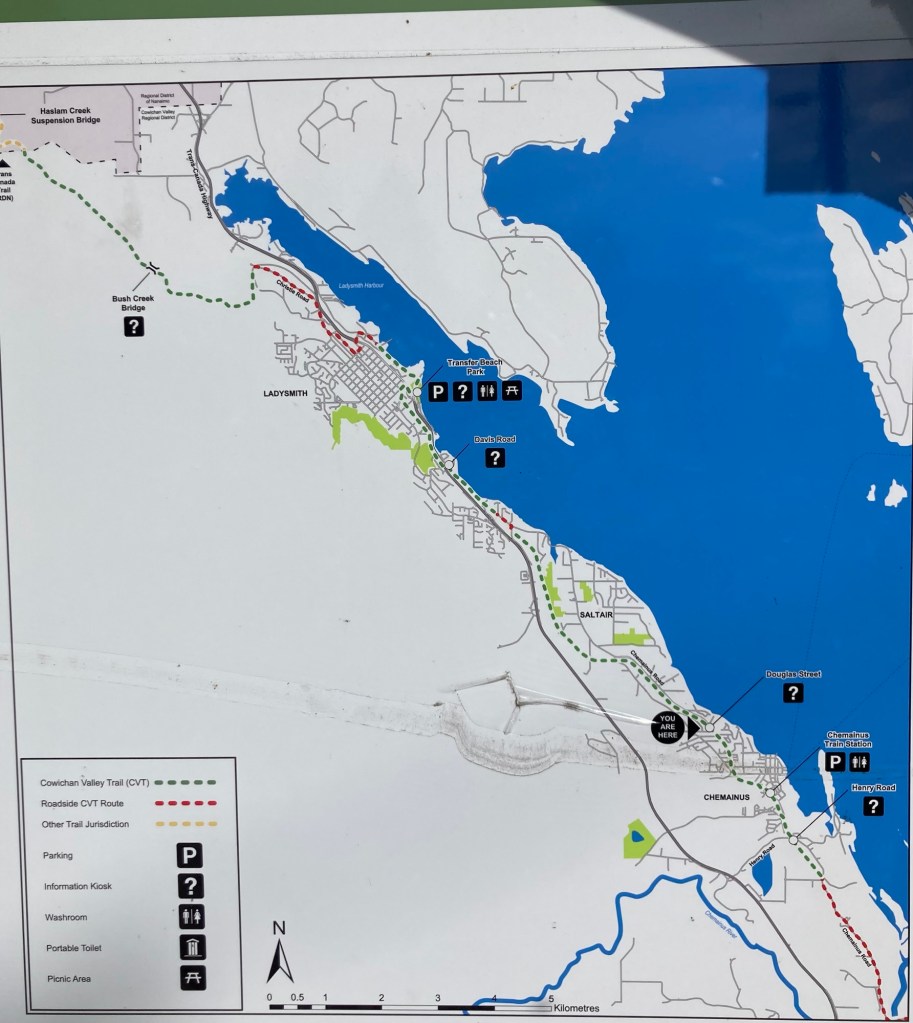
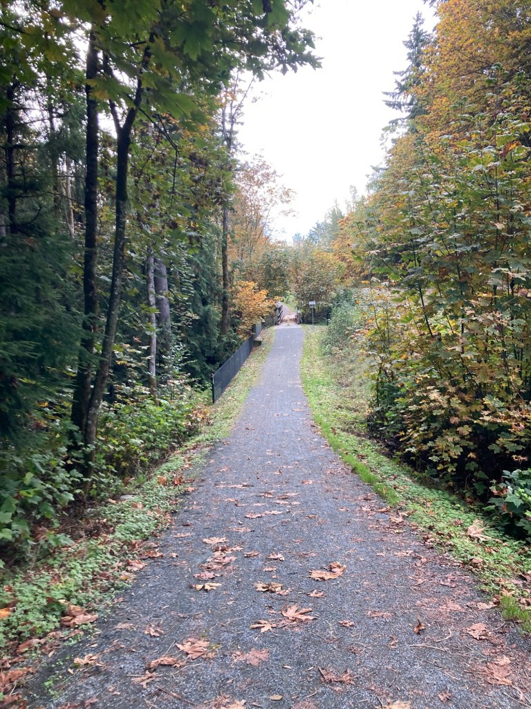
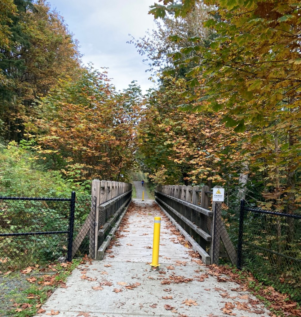
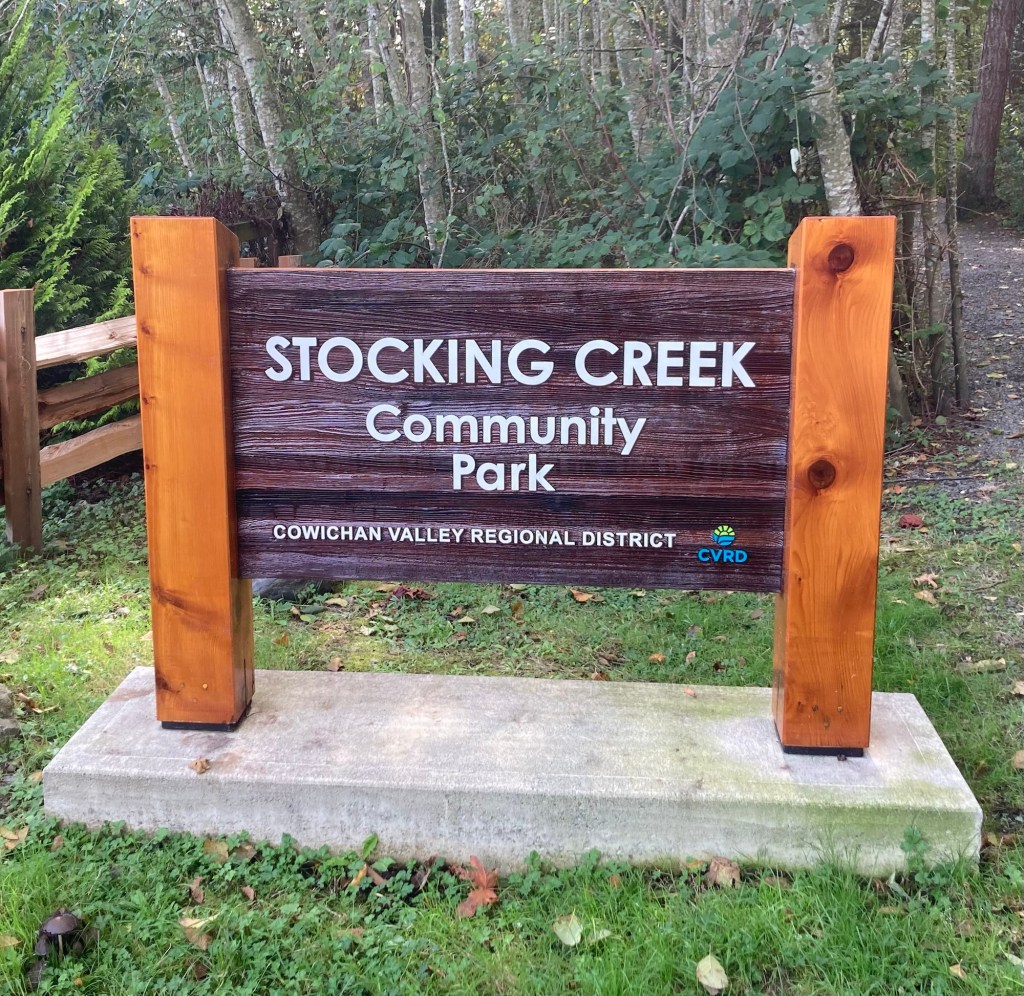
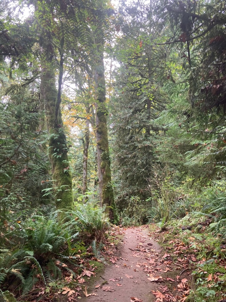
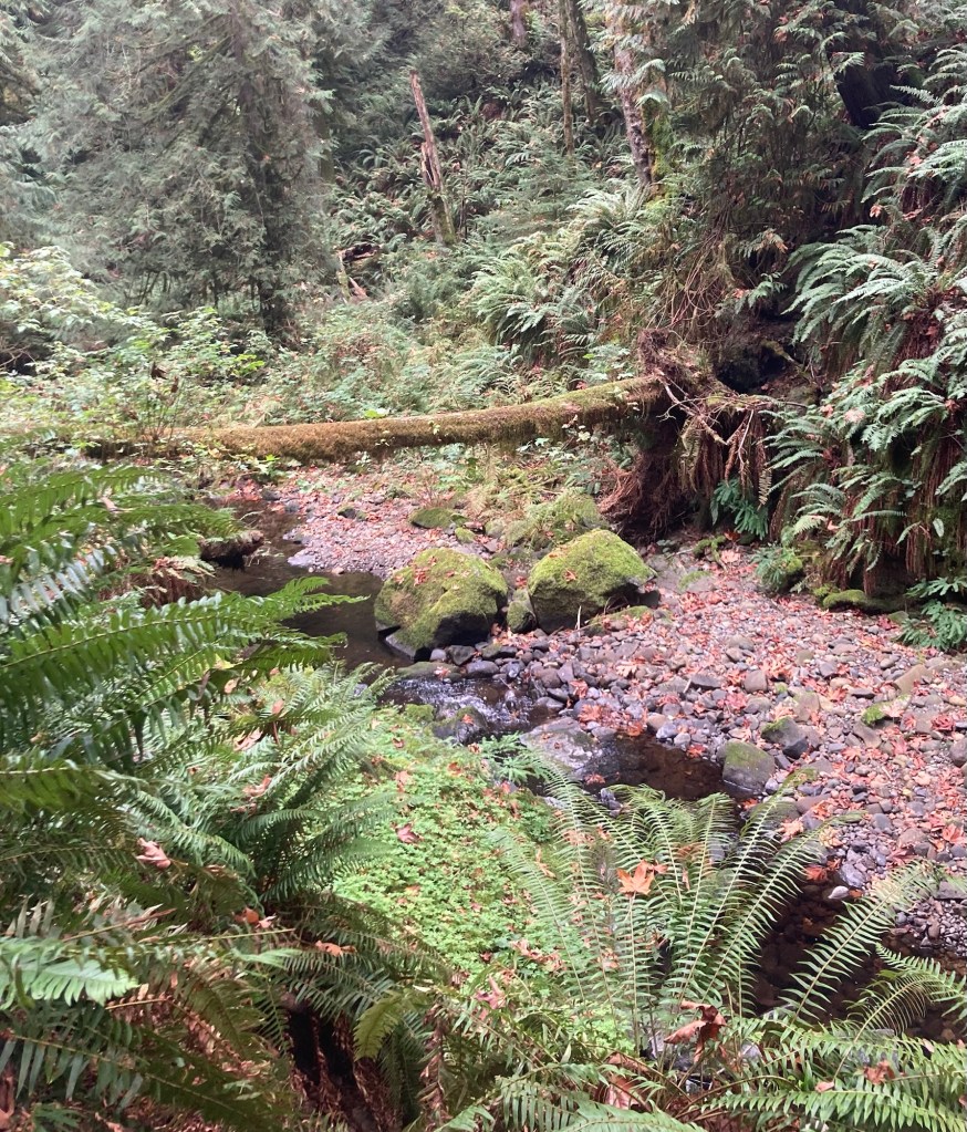
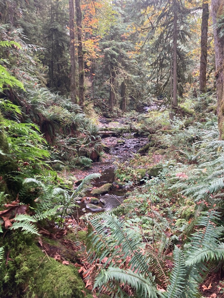
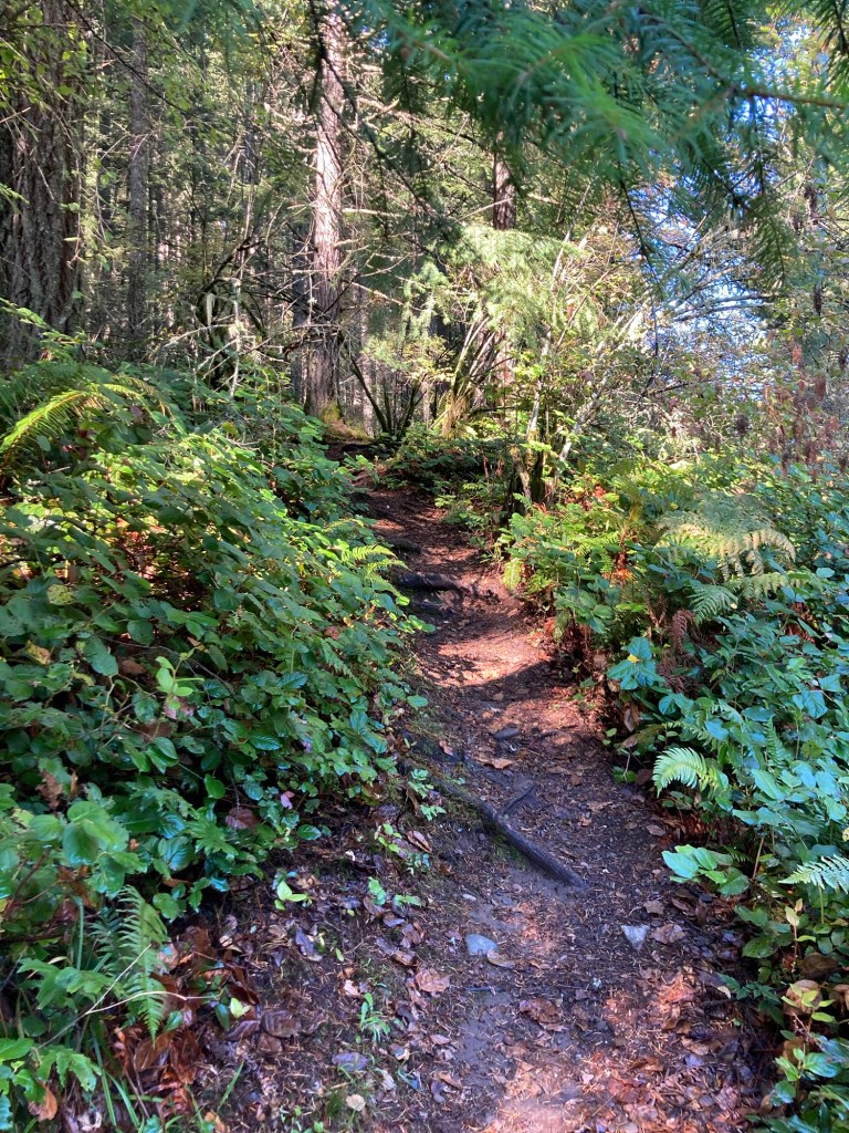
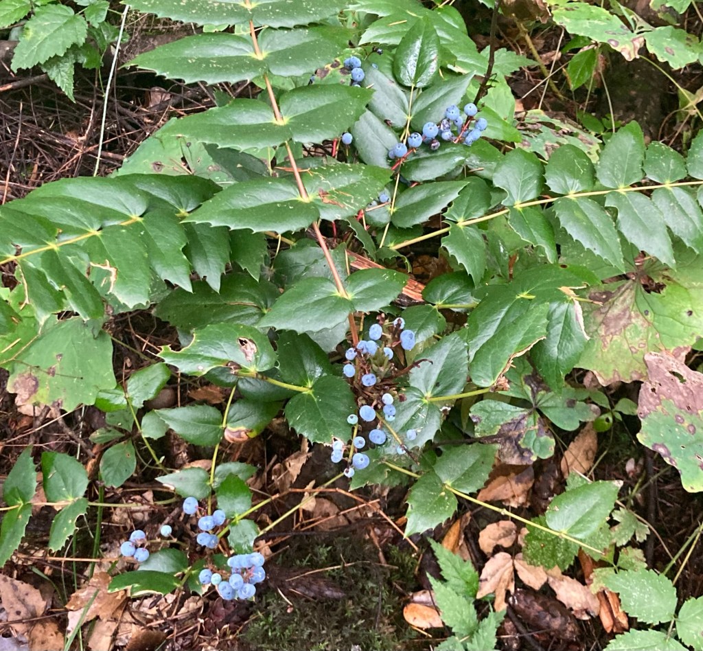
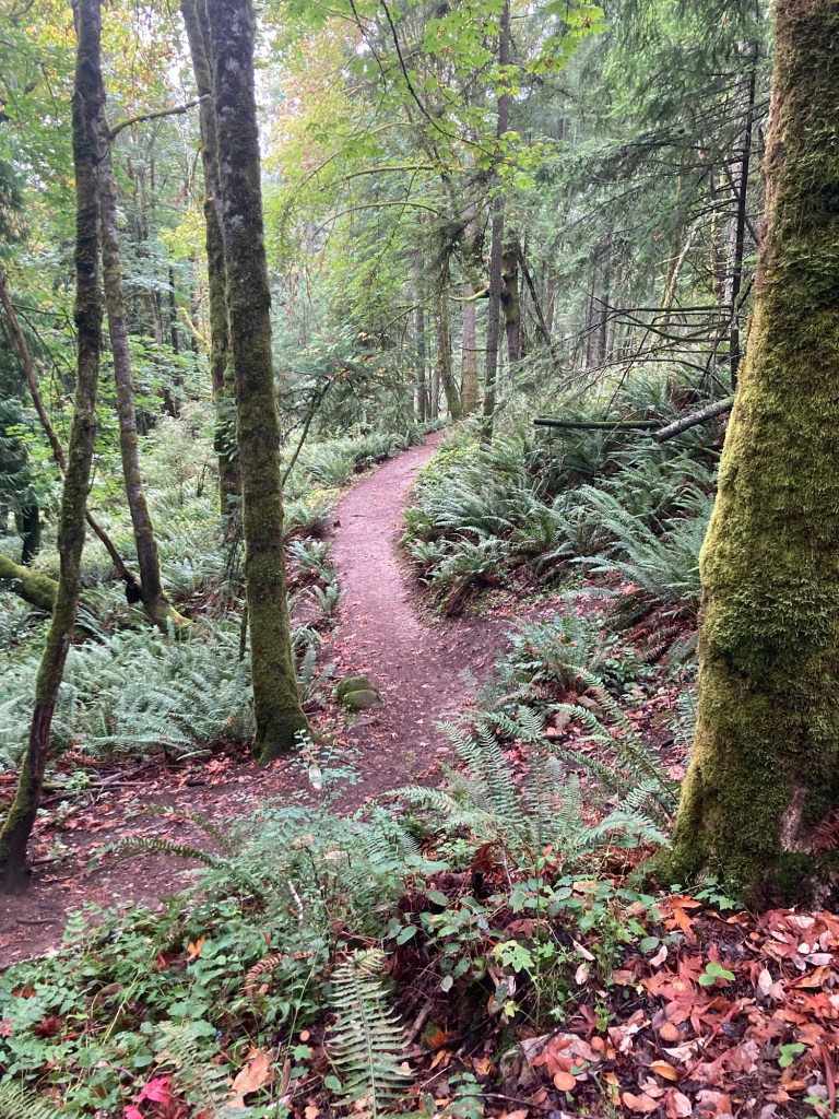
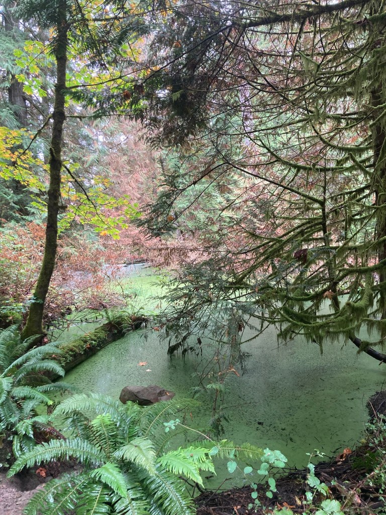
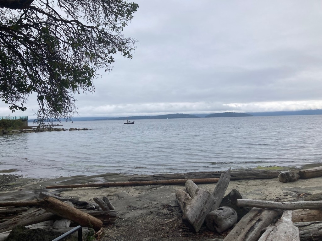
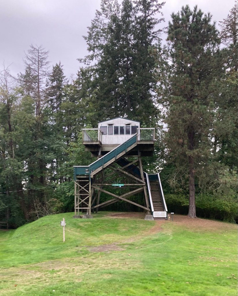
Today, we drove out to Stocking Creek Park to do a couple hour hike on the very impressive 101 kilometer Cowichichan Valley Trail. We walked from the park in Saltair back towards Chemainus.
Map of the trail
The following are some pics of the great walk on a beautiful fall day (low 60s F).
Bob and I left the house last night for a planned dinner and theater show at the Chemainus Theatre. We loved our experience last year, so had bought tickets for this year’s show and chose to do dinner at the theatre as well. It was a great evening, enhanced by our ability to be clean when we went, which is a whole other (now funny) story involving a lack of hot water, two American wussies who don’t enjoy cold showers, and a local plumbing company who insisted a new water tank was needed to resolve the issue before finally sending a technician who fixed the issue by pushing a reset button on the water heater (which we now realize is behind insulation in the panel on the tank).
Today, we ventured out to a local park to see a waterfall, check out a small bay community south of Chemainus and some seals, and stop at a couple of farmer’s markets.
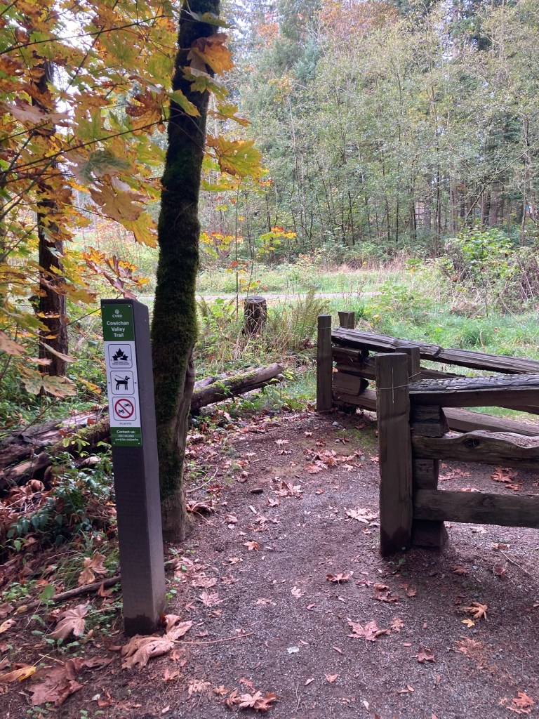
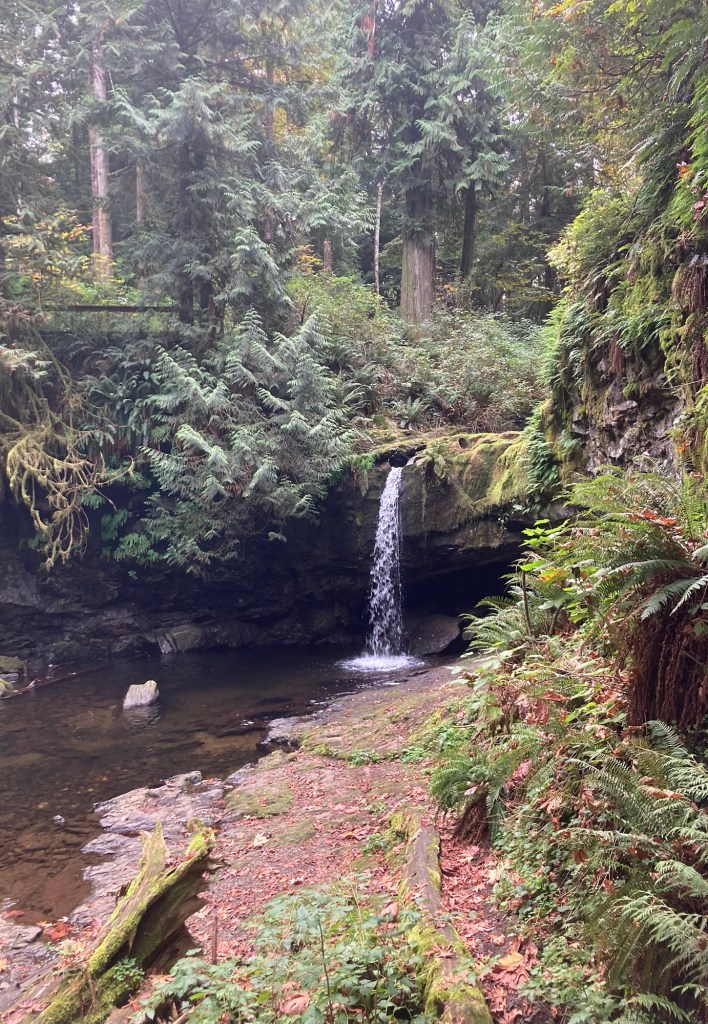
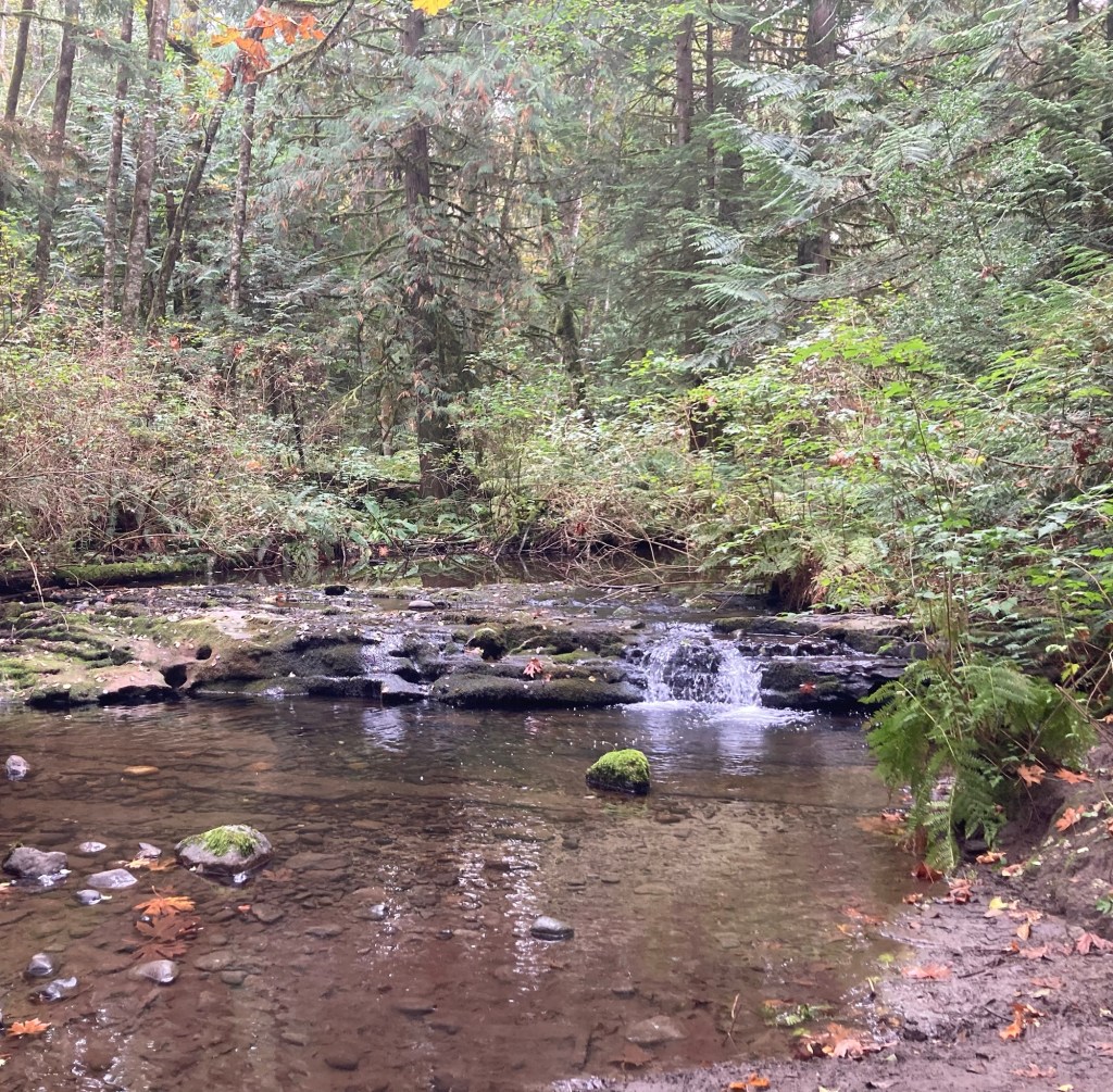
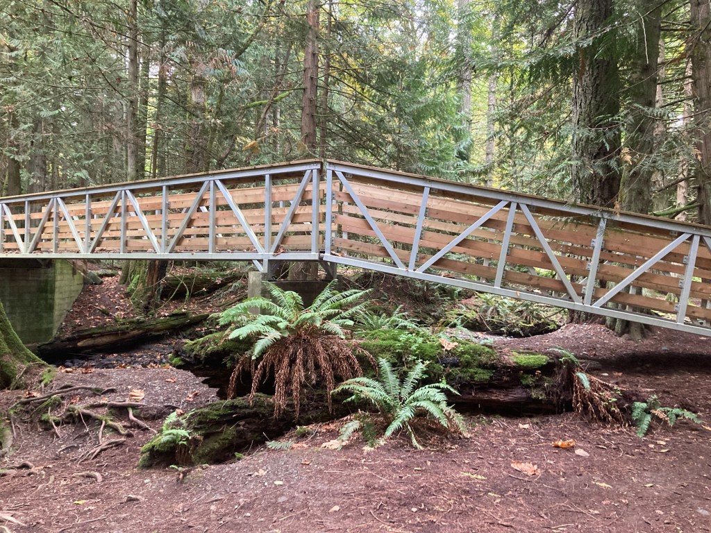
Our first stop was Stocking Creek Community Park, which is located in the community of Saltair and has a network of nature trails through a rainforest and provide viewing access to a small waterfall. The park also runs alongside the Cowichan Valley Trail, which I run on in Chemainus.
A sign at one of the trailheads into the parkThe waterfallA bridge in the park
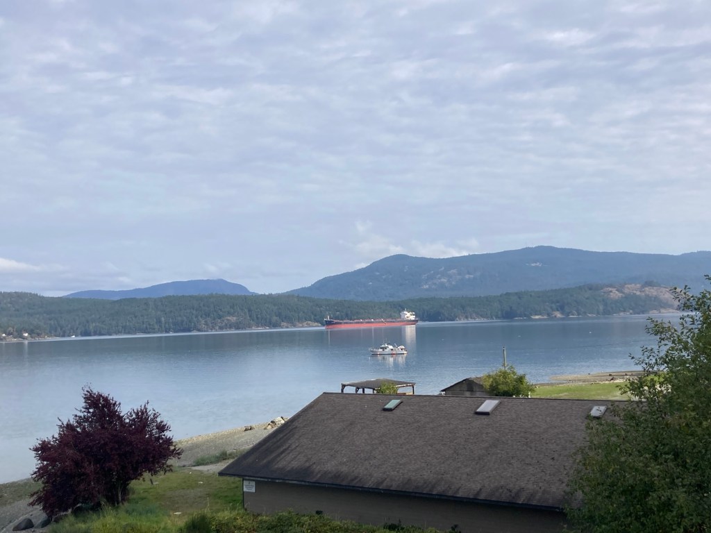
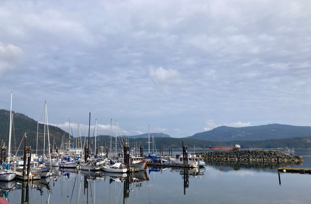
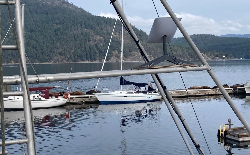
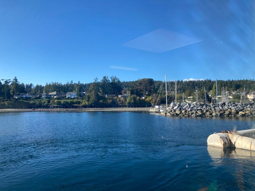
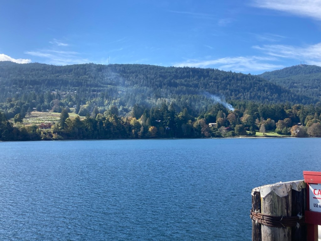
We then drove about 35 minutes south to Cowichan Bay to check out the waterfront there. This is a fishing community, but we had also read about Steller Sea Lions from California that hang out on the docks in the fall on their migratory journey.
View of the Salish Sea bay from the parking lot of a hotelPart of the marinaWalking out to the wharf past some floating housesA close up of one of the floating homesIf you enlarge this photo, you can better sea the seals on the dock. They were quite talkative.Homes along the sea but on land
We stopped at two farmer’s markets. The first between Cowichan Bay and Duncan, which was hopping and where we found food for dinner tonight, and a second one close to Chemainus which paled in comparison.
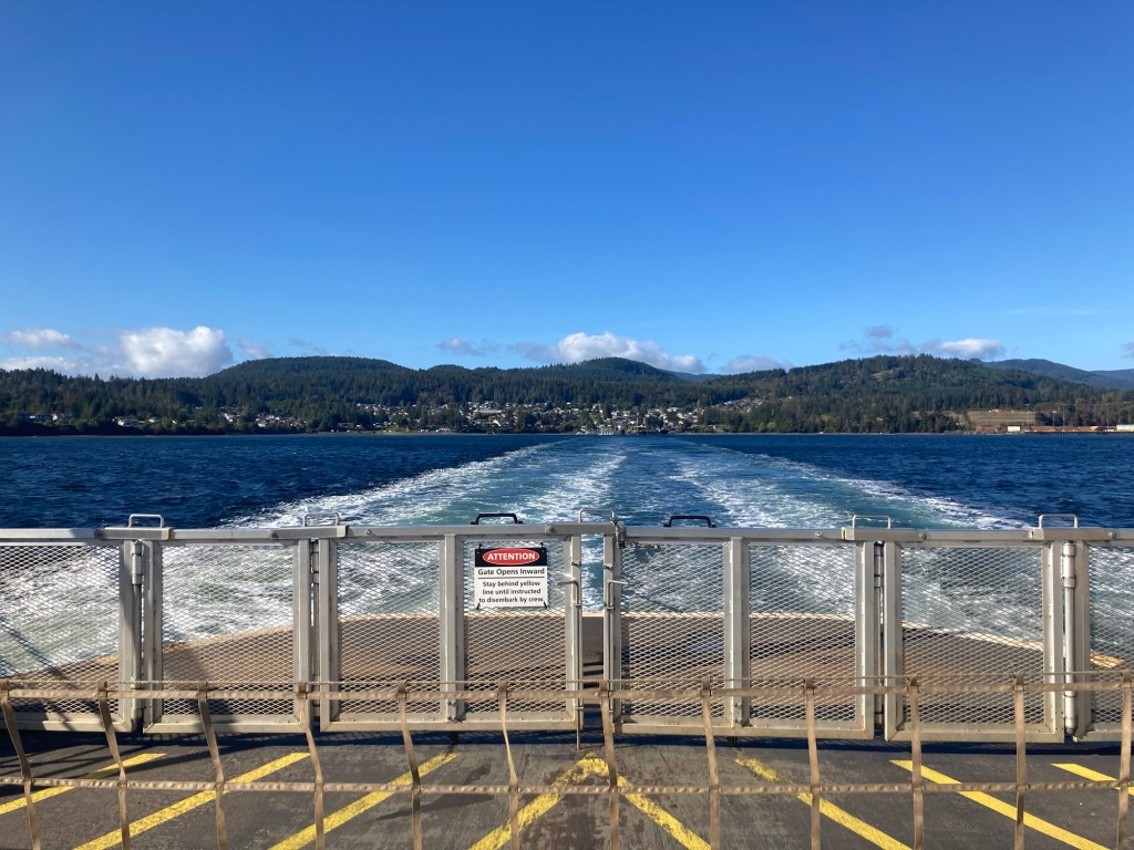
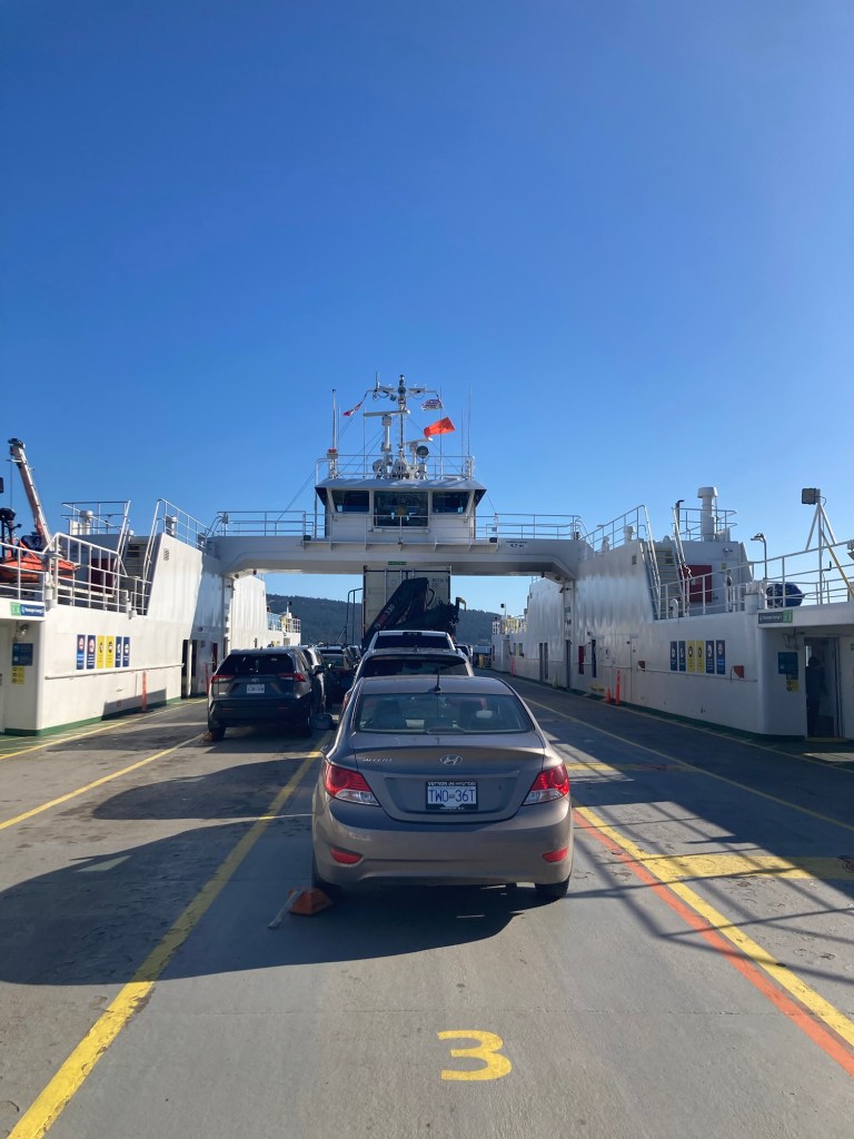
Today, we traded Vancouver Island for Salt Spring Island, at least for part of the day. This morning we drove five miles south to the community of Crofton to catch the 10:10 ferry for the 20 minute ride to Salt Spring Island.
Catching the ferry was super easy, as we just paid from the car and then drove into line to await the arrival andthe loading. It was a beautiful day (mid 60s F) for the excursion.
Looking back at Crofton as we sailed outThe ferry going over. The one we caught coming back this afternoon was completely full of cars and trucks.Coming into the Vesuvius Terminal, one of three on Salt Spring Island.
Salt Spring Island lies between mainland British Columbia and Vancouver Island. It is 70.5 square miles and has a population of about 11,500 people. It is known for its artisan community, numerous parks for hiking, and its agriculture, including produce, cheese, and grapes/wineries.
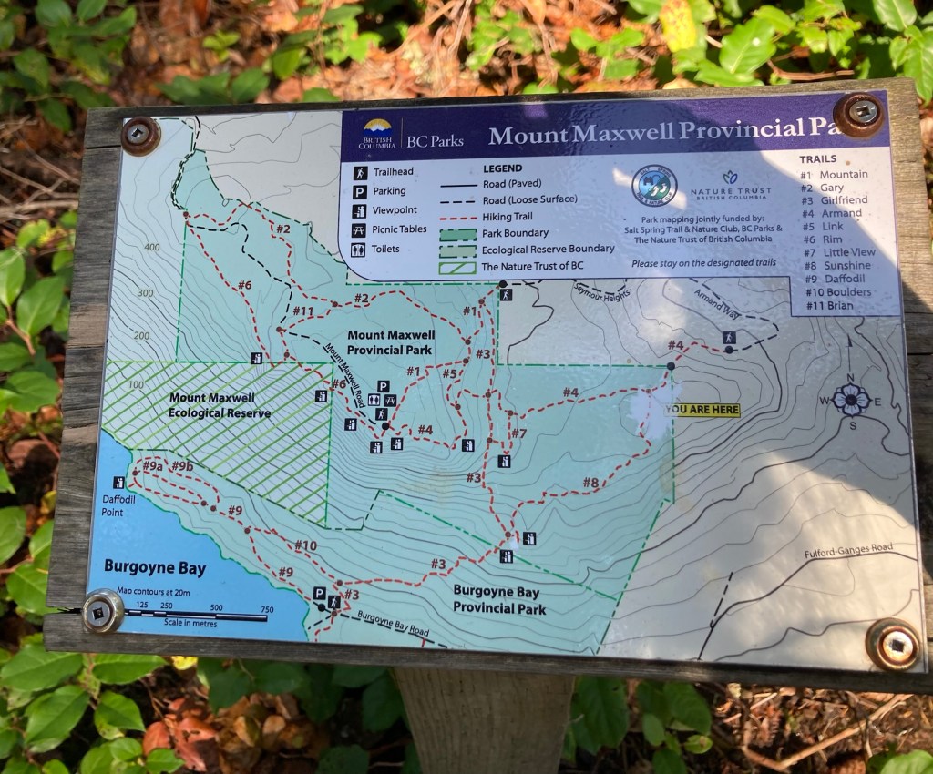
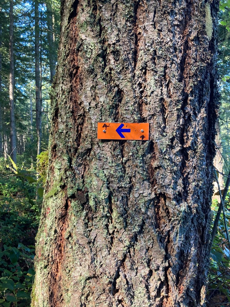
We started at Mount Maxwell Provincial Park for a hike to Baynes Peak.
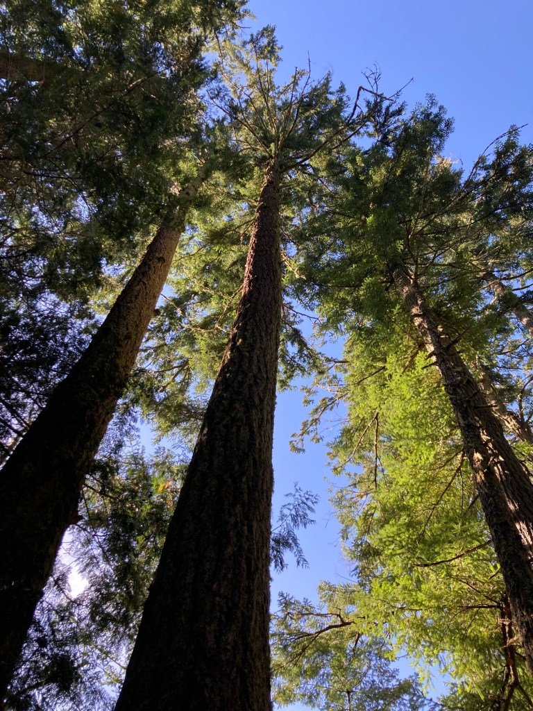
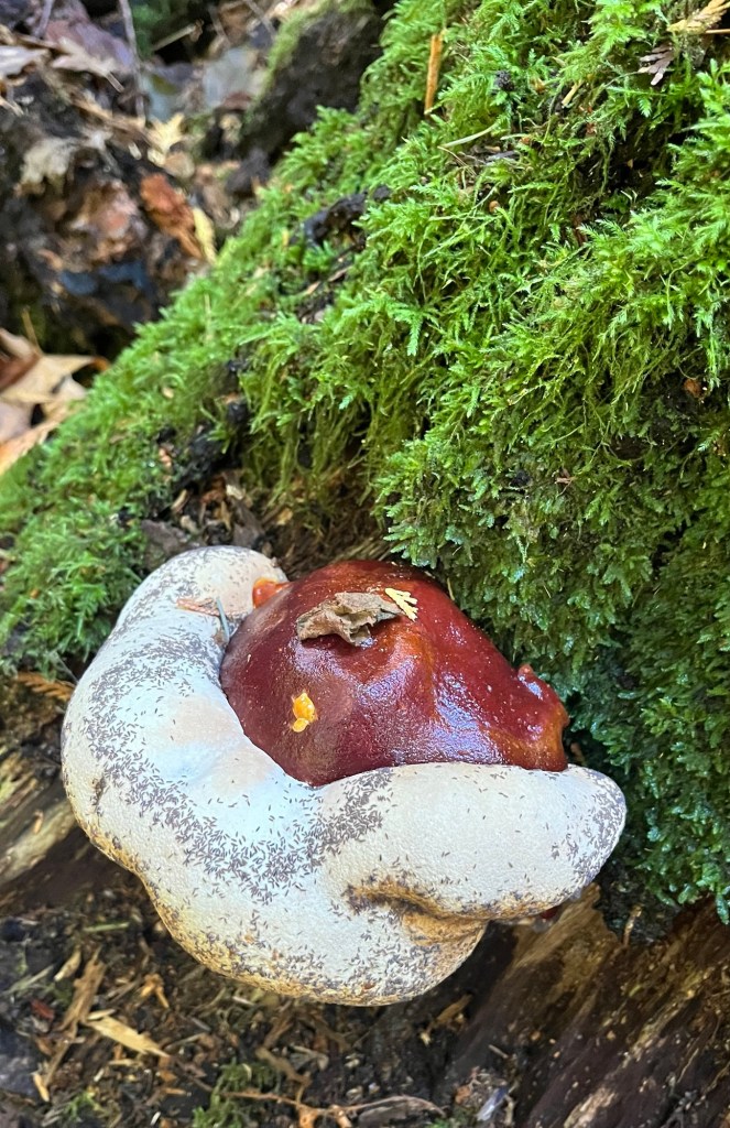
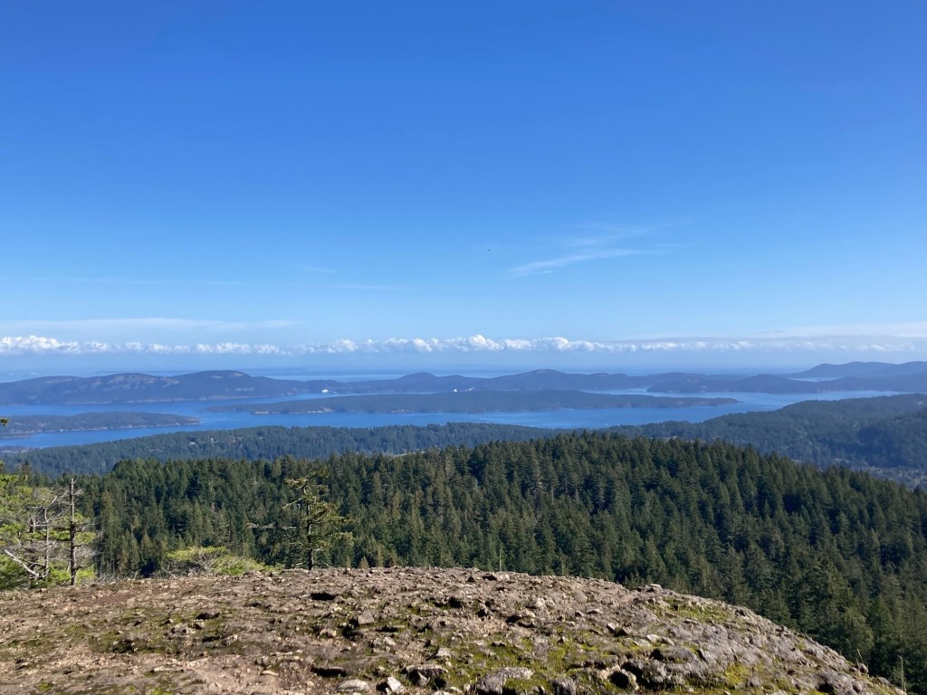
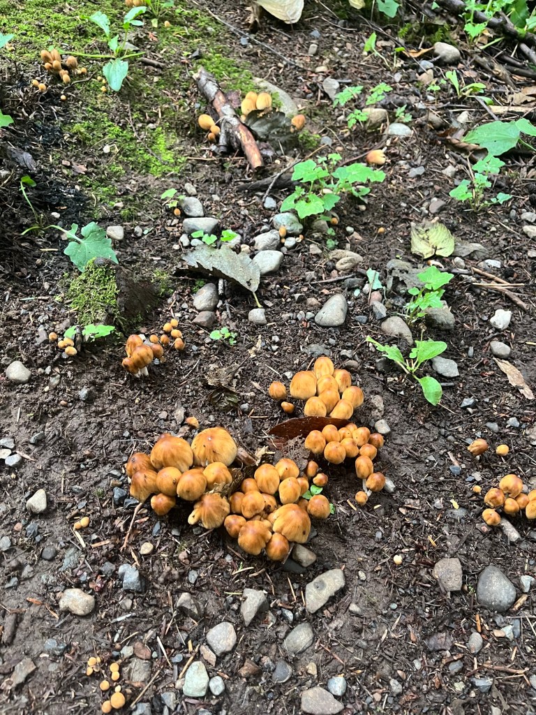
We started on a trail at the end of a residential street, which took us into the park.Map of the parkWe were on the well-marked trail #4We saw lots of very tall treesVery interesting fungiAnd then, great views
After the hike, we thought we’d check out one of the local wineries. Mostly, we wanted to see what was on offer and to check out views from there. We had a very brief and somewhat disappointing stop at Salt Spring Winery, limited parking, very few wines, and not terribly friendly staff.
But pretty outdoor setting
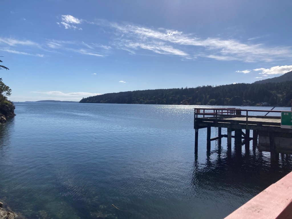
From there, we drove to Fulford Harbor, another ferry terminal on the island, and a cute community with a few shops. We popped into a local grocery for some sodas before heading on.
Looking out into Fulford HarborLooking across the bay. Somebody was burning something.Two of the stores near the harbor
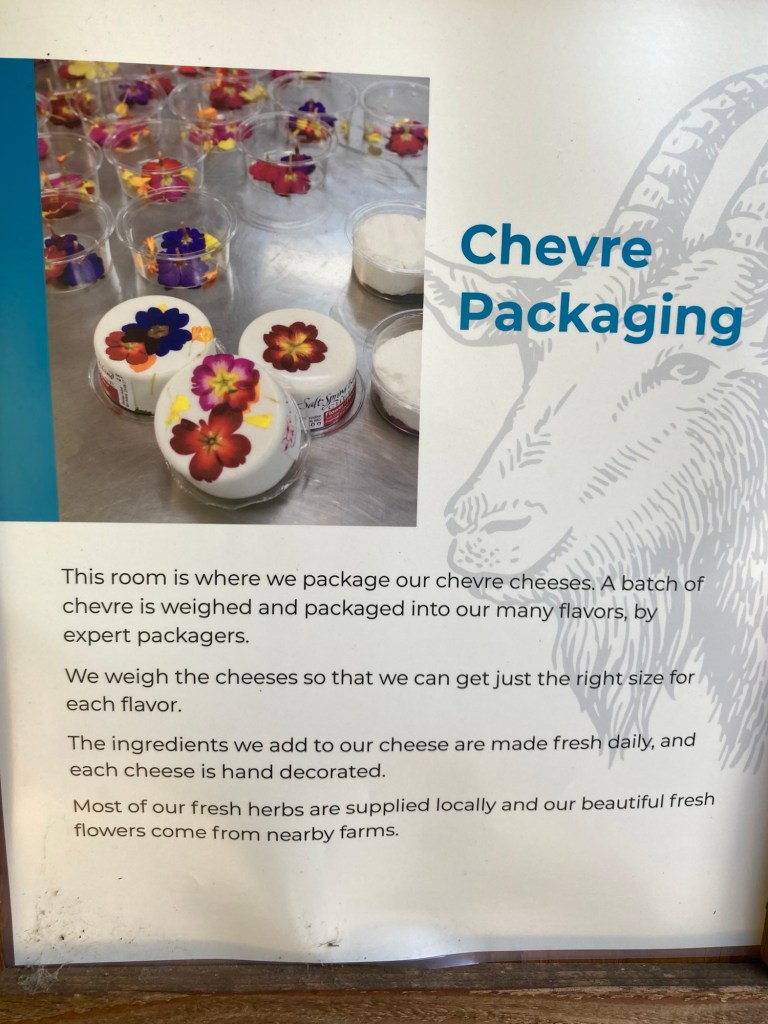
One of the big draws for us was the Salt Spring Cheese store. Salt Spring Cheese makes artisan handmade goat cheeses. They are sold in round packaging, which shows off the herbs or other flavorings added to the cheese. We ended up having lunch at the farm with some unexpected guests.
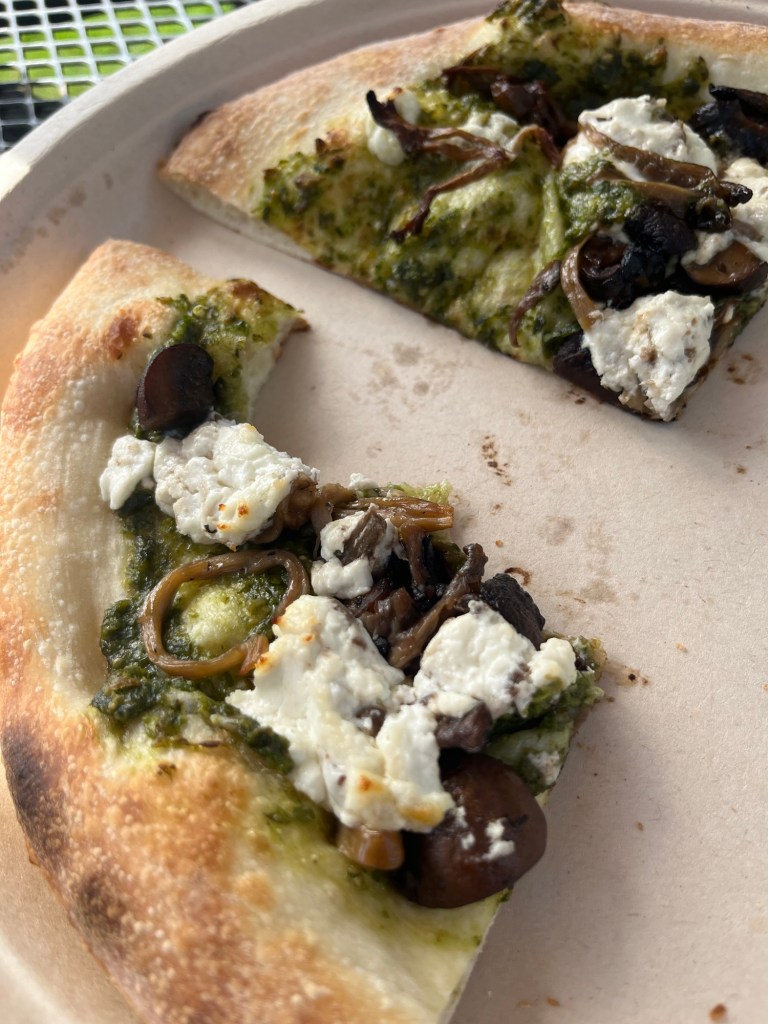
They had windows in the back of their cheese shop so that you could watch the process (not much happening while we were there) with these helpful posters describing the different steps.Our view for lunchA photo of part of very yummy pesto truffle pizzaA couple of farm chickens hung out with us
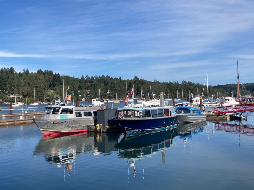
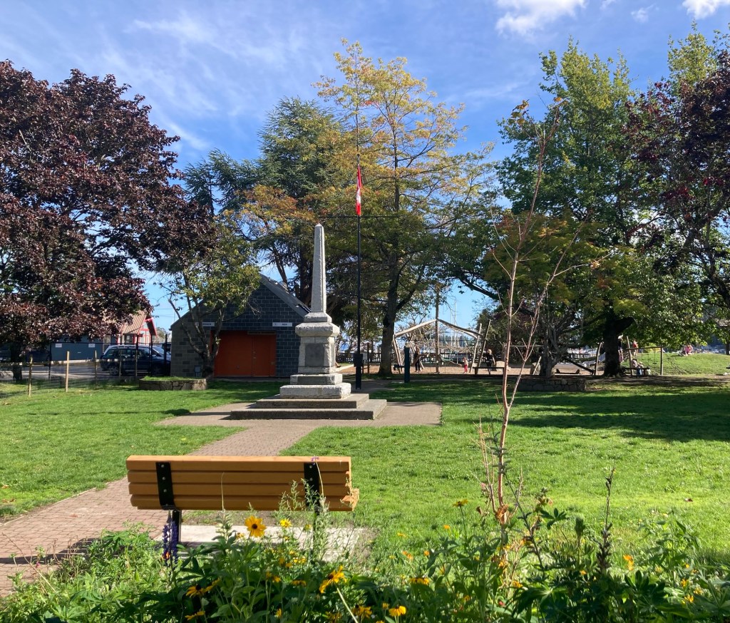
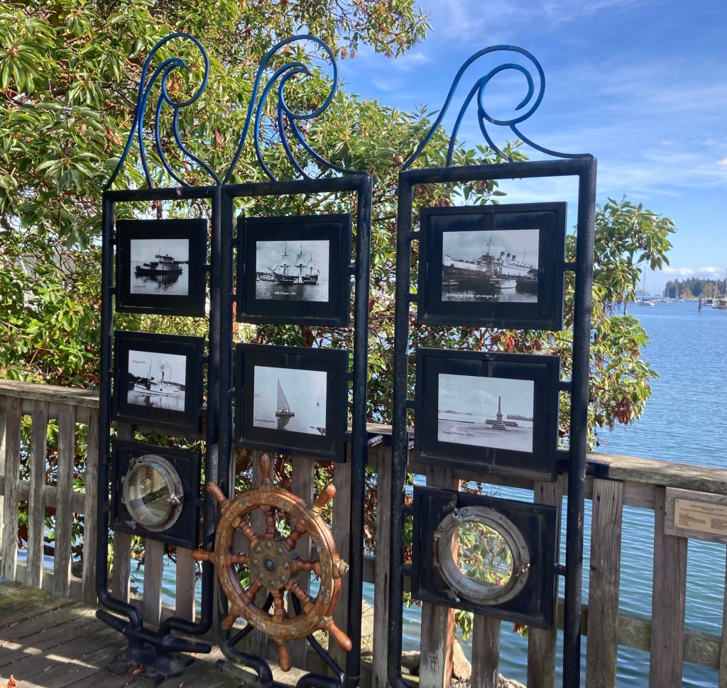
Finally, we headed to Ganges, the main community on the island. It was cute, but very busy with limited parking. Neither of us were sure how they deal with bigger crowds during the summer.
A marina in GangesCentennial ParkA nautical exhibit along the boardwalk
Yesterday was a lazy rain day. The rain started about 9 am and continued steadily on until 2 or 3 in the afternoon and then off and on for a few more hours. It wasn’t stormy, and these rainforest-like forests here can’t green themselves, so it was probably a good thing.
Some rain today as well, but the big event for us came about 4 am this morning when a 4.0 earthquake hit on the island and woke us both us. It was centered 10 miles east of Saanichton, which is much closer to Sidney than here. Apparently, it was even felt in Vancouver.
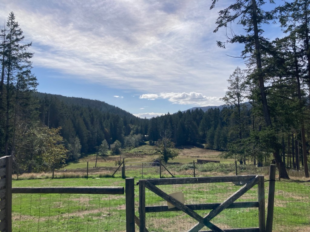
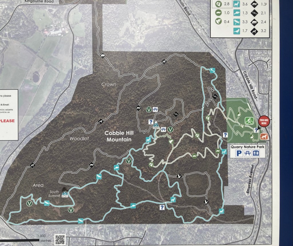
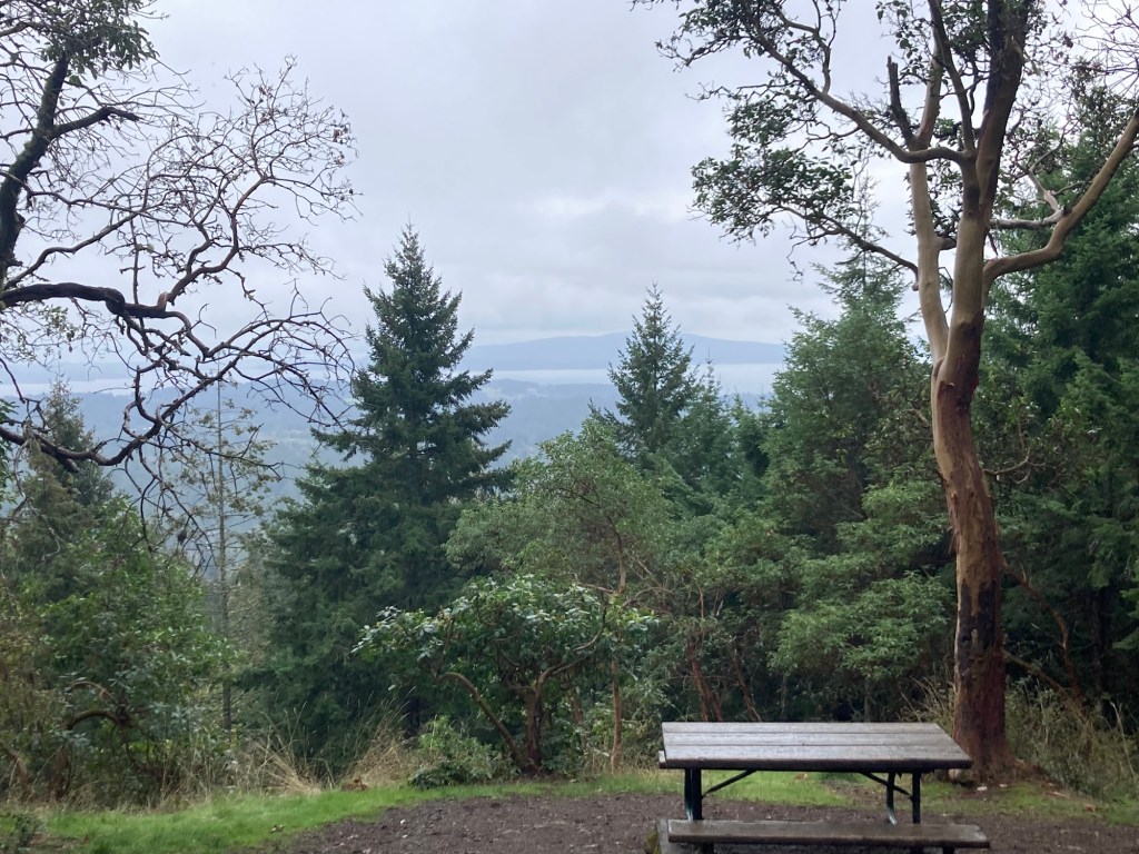
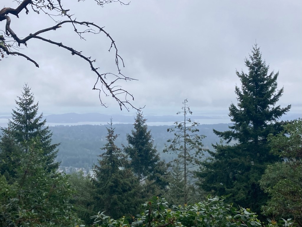
The weather for today forecasted rain beginning about mid-afternoon, so after I did some work online and Bob ran an errand, we headed to the community of Cobble Hill to get a short hike in while the weather was dry.
Cobble Hill is both the name of a small community as well as the mountain we would be hiking. We hadn’t visited either on our visit last year. It was a little shy of a 30 minute drive to the Quarry Nature Park in Cobble Hill where we would begin our hike up Cobble Hill Mountain. The Nature Park has an off-leash dog park and a bike skills park, along with being the starting point for a number of hikes that go into the Cobble Hill Mountain Regional Recreation Area.
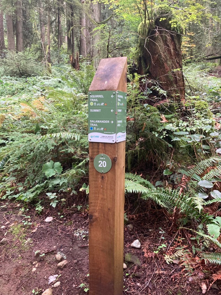
We hope to get back to do some longer hikes, but here’s the pics from today.
Map of the plethora of hiking possibilities
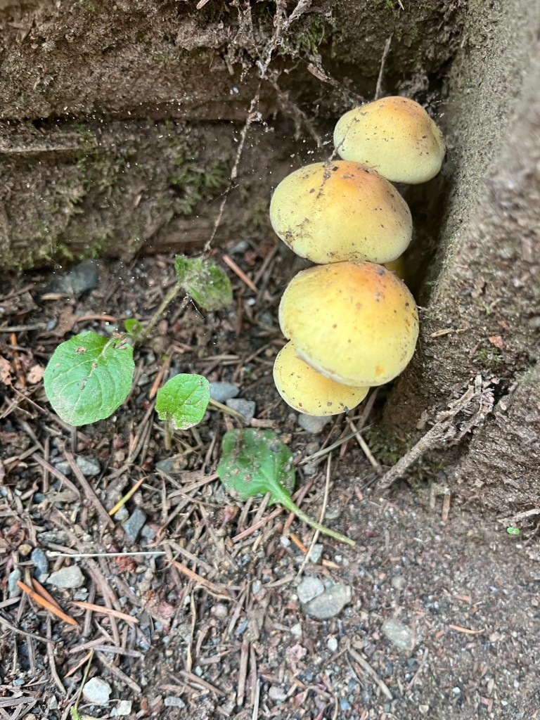
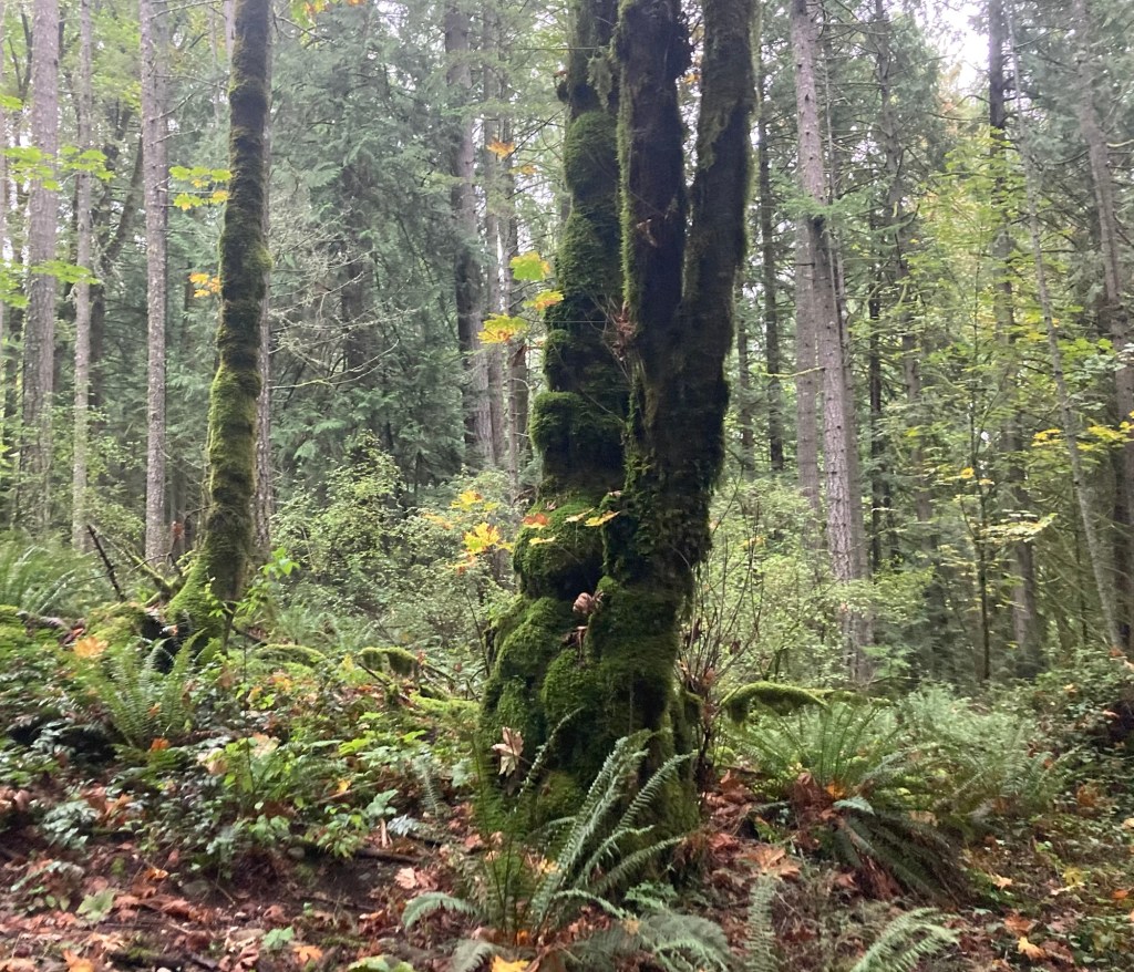
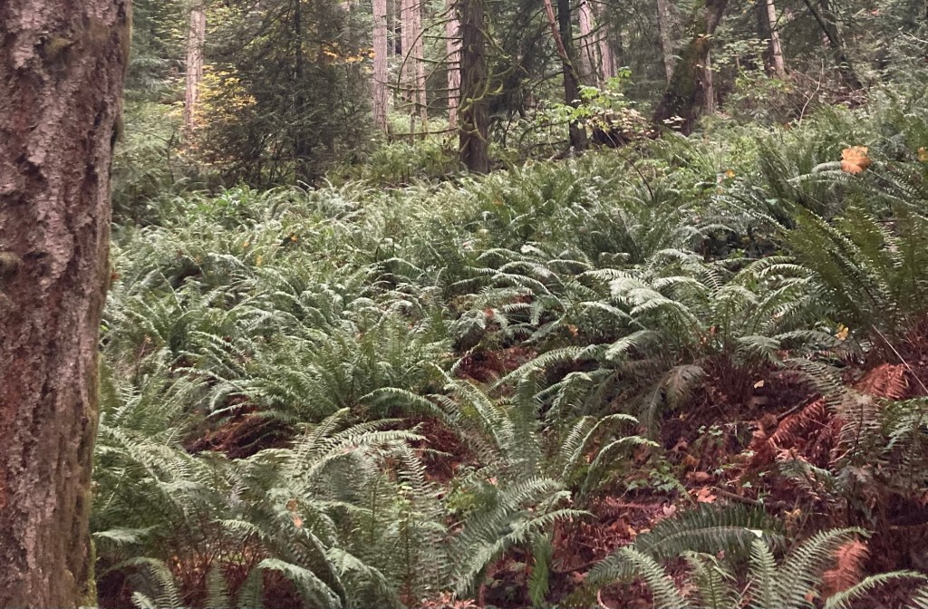
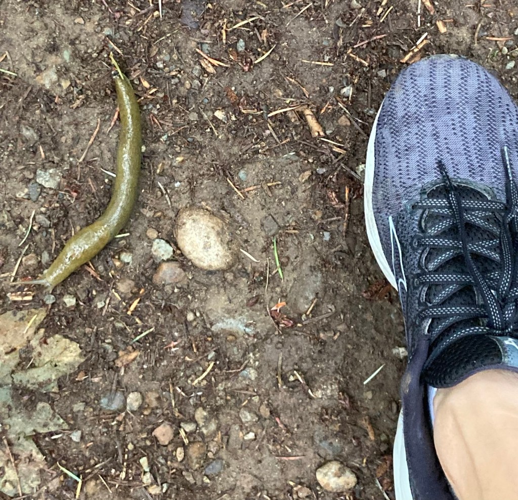
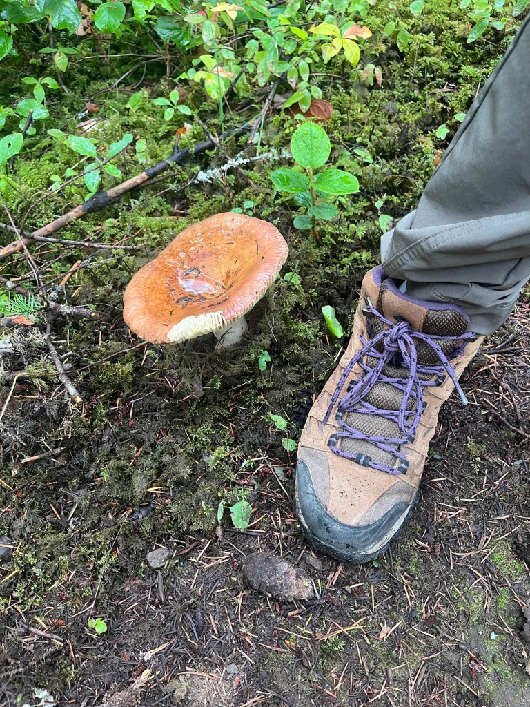
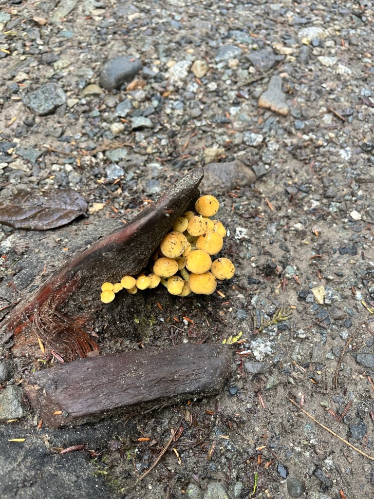
The trails were well marked, and as per usual, we were surrounded by green. We also snapped some mushrooms and a slug along the route.
After our hike, we stopped at one of the many farm market type shops on the island. Awesome shop — fun perusal and decent prices.
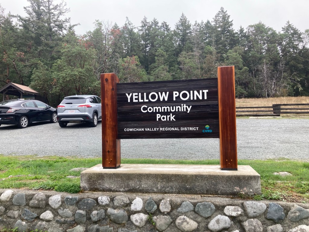
Today, Bob and I headed north to the coastal hamlet of Yellow Point. We read about a couple of parks there in a magazine we picked up the other day. Yellow Point is located on the east coast of Vancouver Island. A forested peninsula that juts out into the waters of Stuart Channel in the Strait of Georgia. We headed to a couple of parks that were about a 25 minute drive from our house.
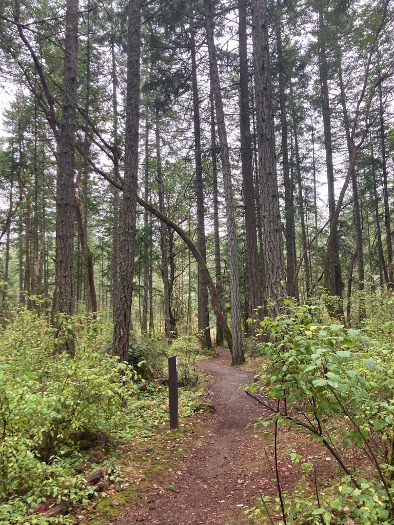
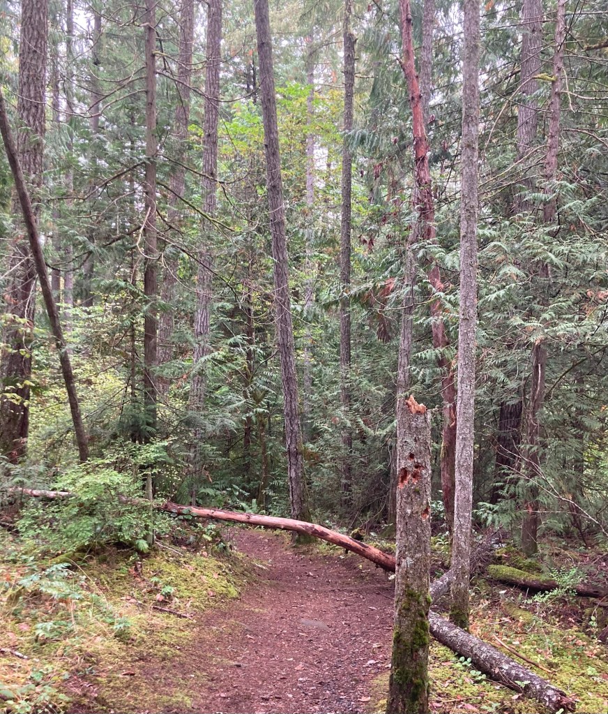
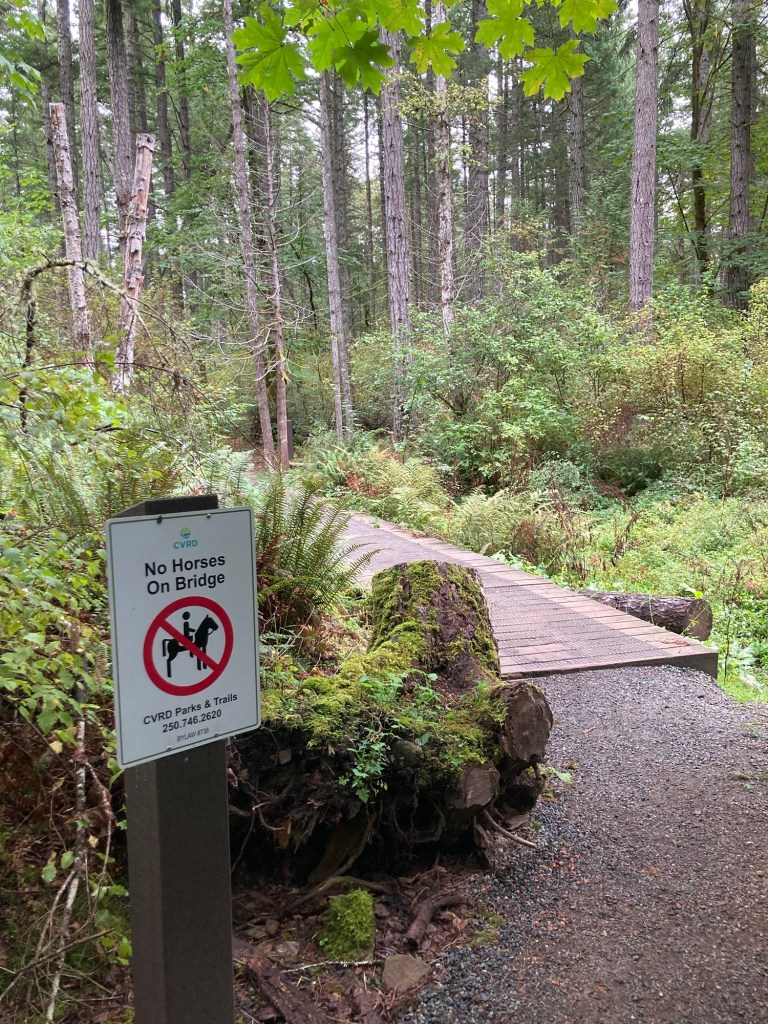
We started with a 4k hike at the Yellow Point Community Park. It continued our treks through rainforest like conditions.
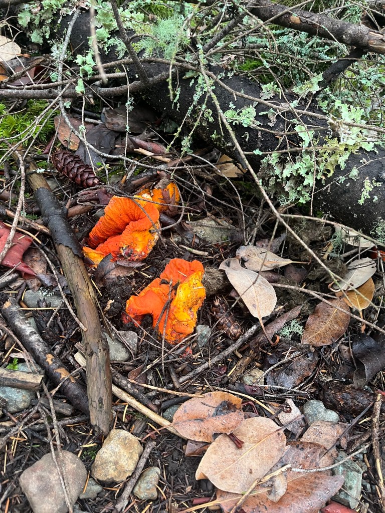
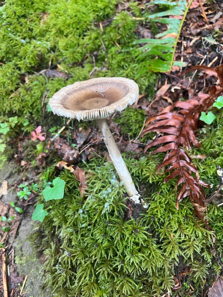
One of three bridge crossings in the park, Two of which were intact. Because of the dampness, we got to add to our mushroom photo collection.We moved from the Main Trail to the aptly named Fern Gully Trail, after hitting a closed bridge on the Main Trail.
After we finished the hike at the Yellow Point Park, we drove down to the end of Yellow Point Road to Blue Heron Park along the coast.
This looks onto one of many resorts along the coast.
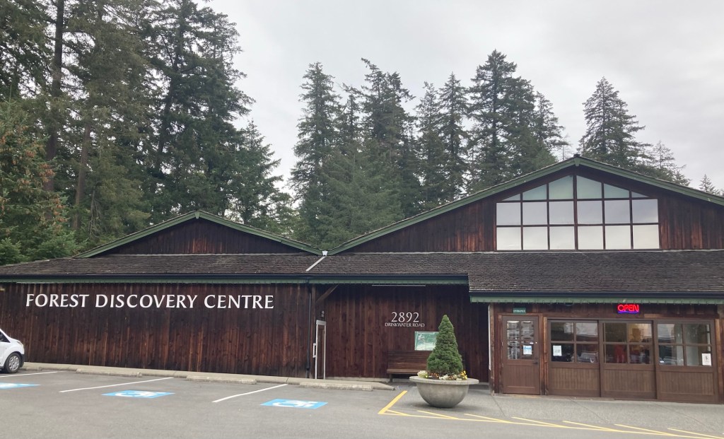
On the last day of the regular (non-holiday) season, Bob and I spent a bit of time learning about forestry/logging at the BC Forest Discovery Center, about a 15 minute drive from the house.
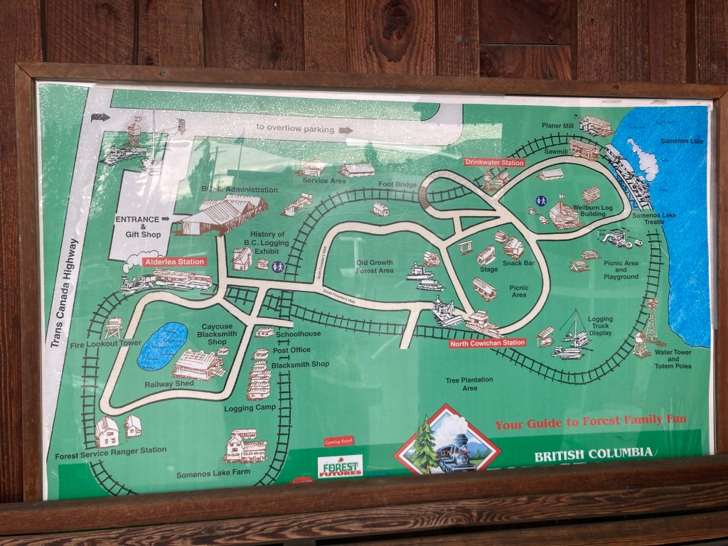
The entrance to the main building of the center, with both indoor and outdoor exhibits and a train ride.Map of the property and the train route
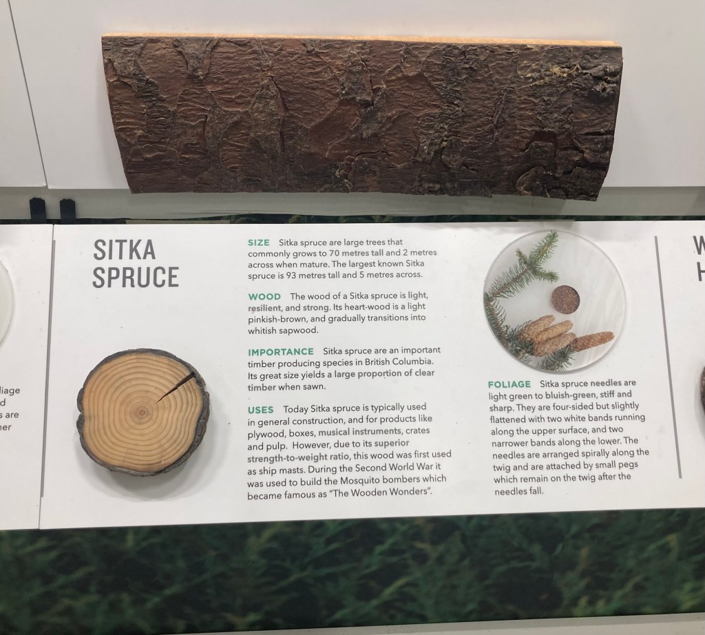
We began by perusing the indoor exhibits in the bright main building. Through the displays, we learned that 90% of British Columbia’s forests are coniferous (versus deciduous), and we got to learn a bit about the different types of coniferous trees native to the province.
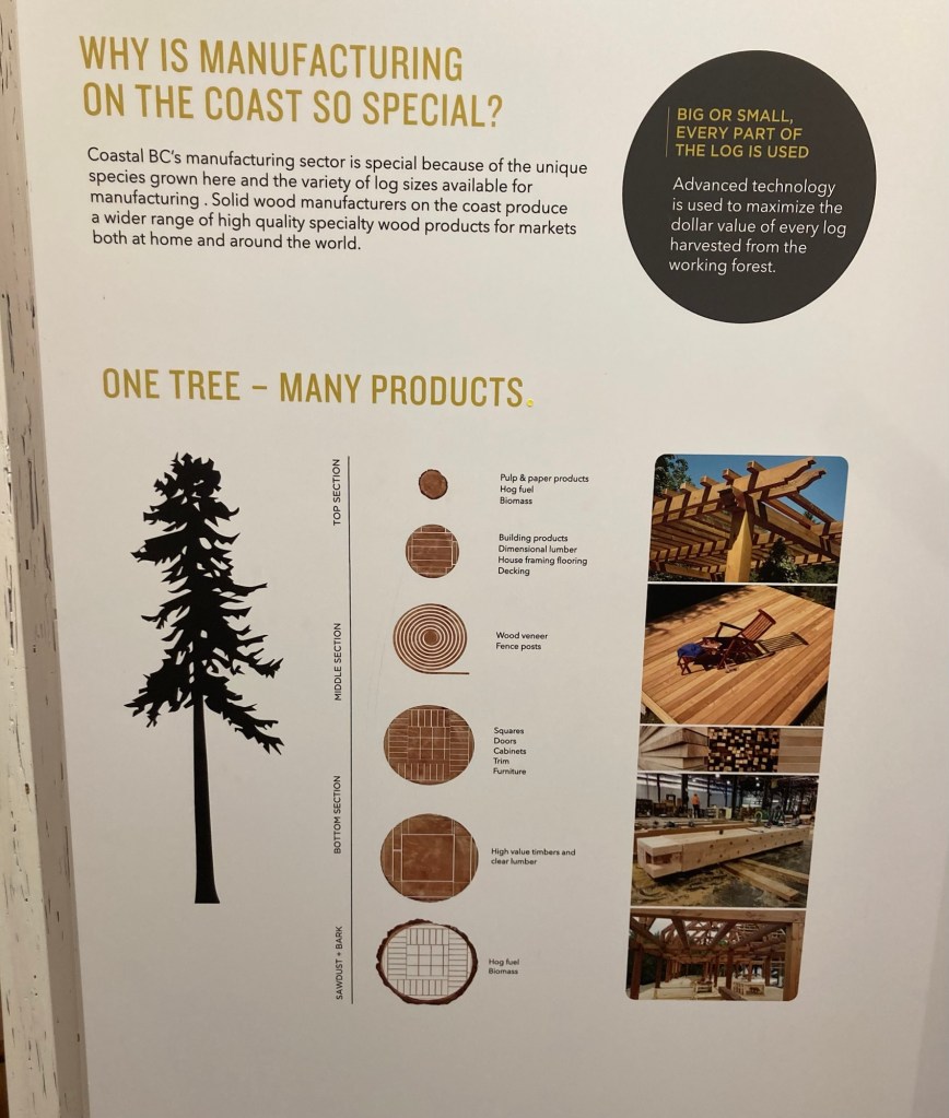
We learned that by law, all forested areas must be reforested. Three trees are planted for every tree harvested. 140,000 jobs, or 1 in 17, in British Columbia are tied to the forest sector. There was also some impressive exhibits on how each part of the tree is used as well as the advantages of building with wood versus steel or concrete in terms of sustainability.
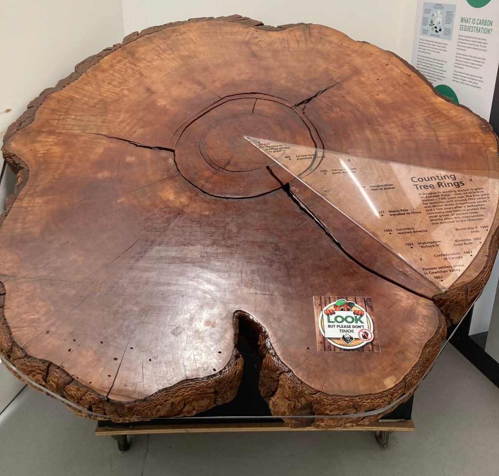
My favorite exhibit might have been an old tree stump. This showed the age of the tree through dendrochronology (fun new word!) or the use of tree rings to date/interpret events based on those rings.
Douglas fir tree that started to grow in 640 AD. It was blown down by a hurricane in 1962!
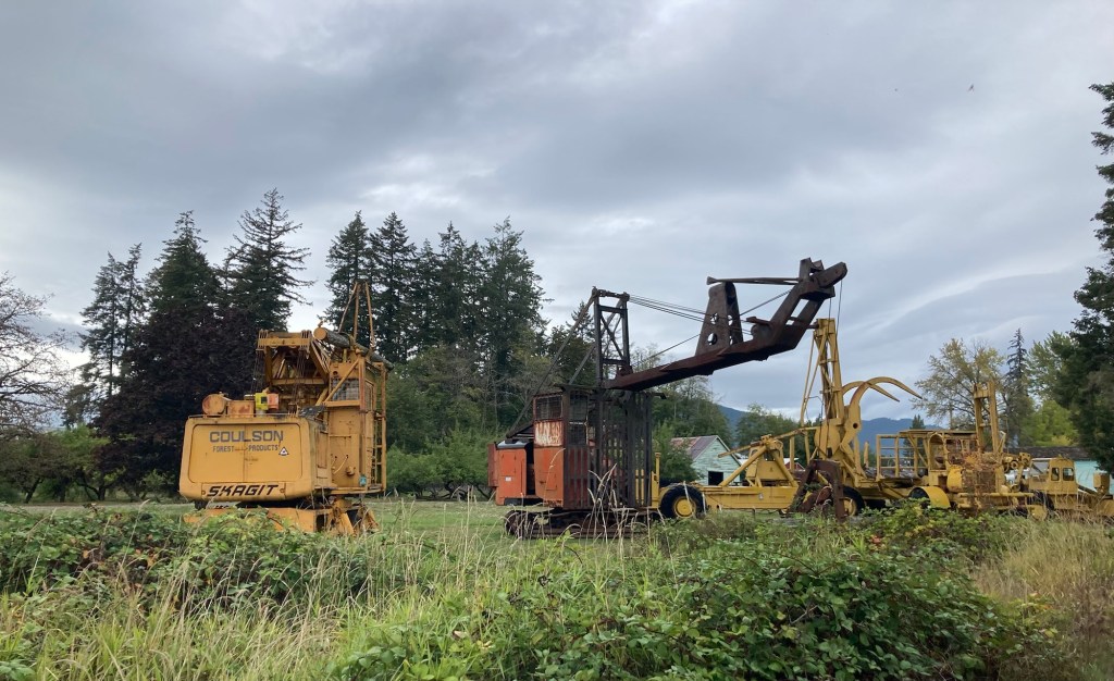
The train around the property only runs once an hour, so we started making our way in that direction a little before the designated time. We saw some old vehicles used in forestry on the way.
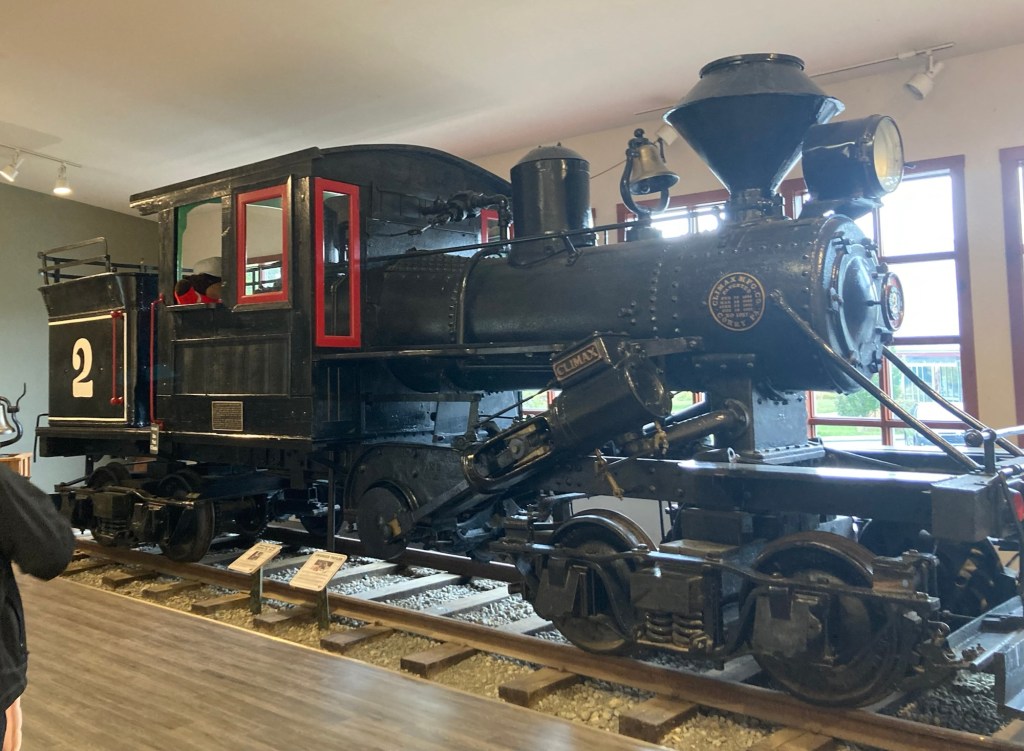
Built in Pennsylvania, this 1910 25 ton, Climax Class B engine was used by the Shawnigan Lake Lumber Company until 1922 when it was sold to another logging company.A 10 ton 1949 Diamond T logging truck used locally to haul logs on the island
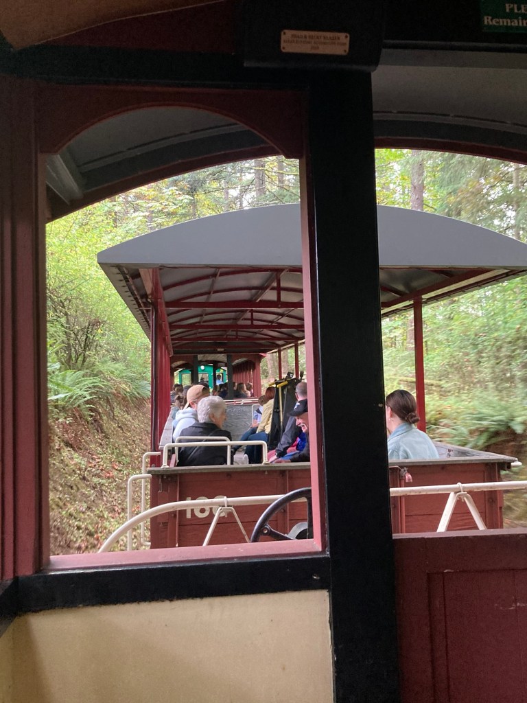
The following photos were taken on our short train ride through half of the property. We chose to walk back to explore more of the sites.
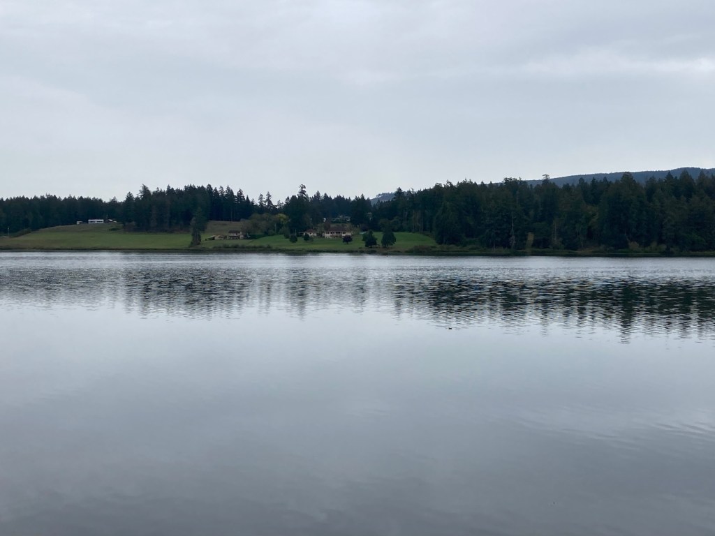
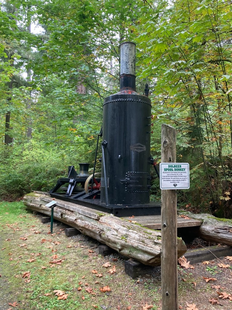
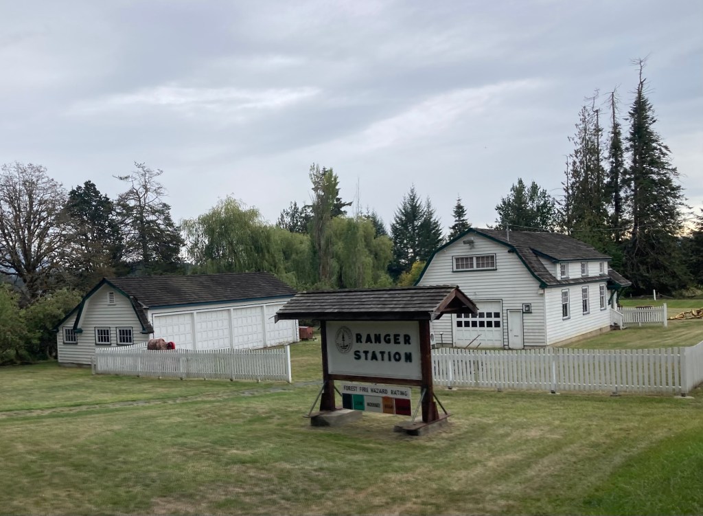
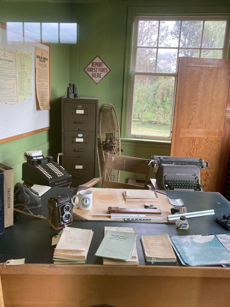
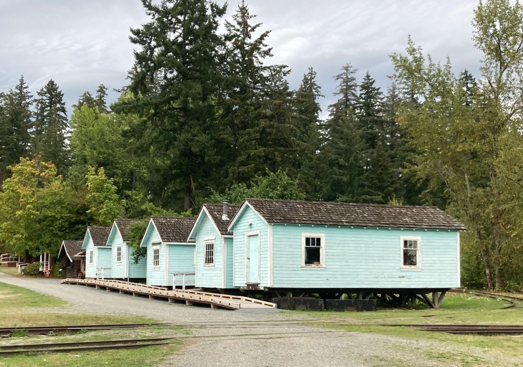
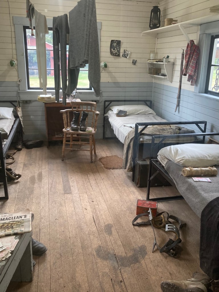
On board the 3 car trainAn old fire spotting towerSome old logging equipment Going over a trestle in Lake SomenosLooking across the lakeAn old spool donkey (logging engine) that we passed on our walk back to the main building.The Somenos Marsh area next to the Forestry Center. A former ranger stationAn exhibit within the ranger station of an example of a ranger officeA former logging camp that has been moved to the museum
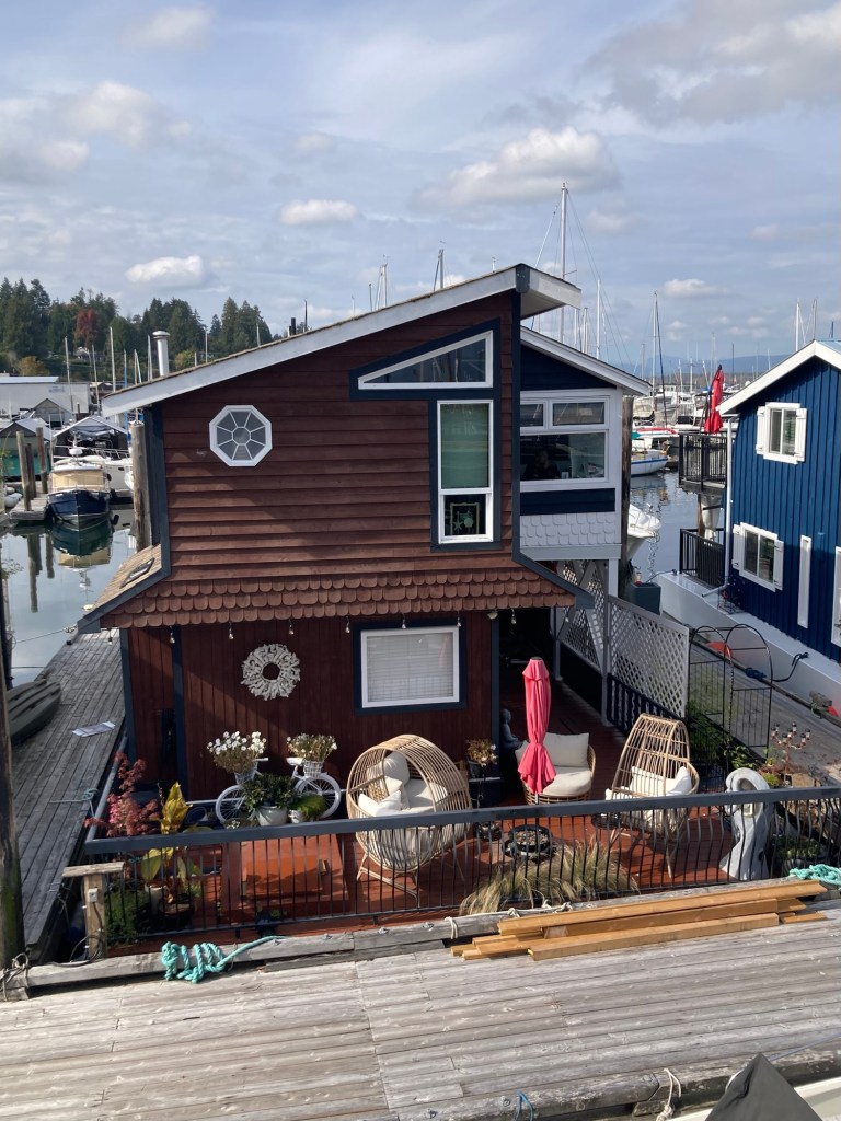
Yesterday, Bob and I left Tofino a little after 8 am to drive 3.25 hours to Chemainus for our second repeat housesits on the island. We again had the hilly, windy roads as well as roadwork, but arrived by noon, as we had wanted and had a great 30 minute handover with our homeowners. It is always great to drive where you know where you are headed.
Our current “home” lies between B and C above the red Trans Canada Trail
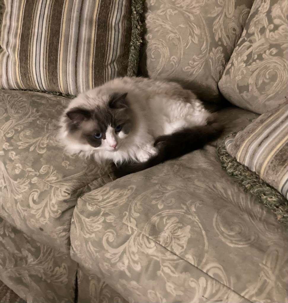
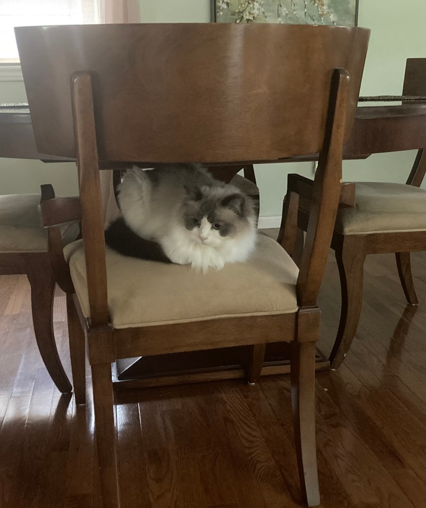
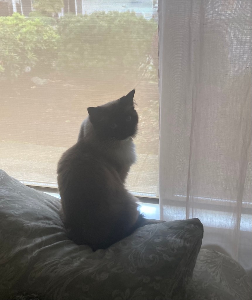
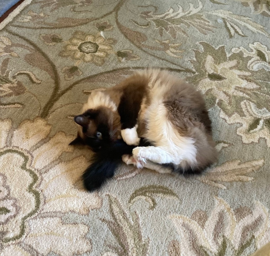
We will again be caring for the very cute and playful Willow and Wall-E.
Photos of Wall-E.
Photos of Willow.
We also have fish, but since they are on an auto feeder, there isn’t much for us to do except play with the color of the lights above the aquarium, bright for daytime and darker for night.
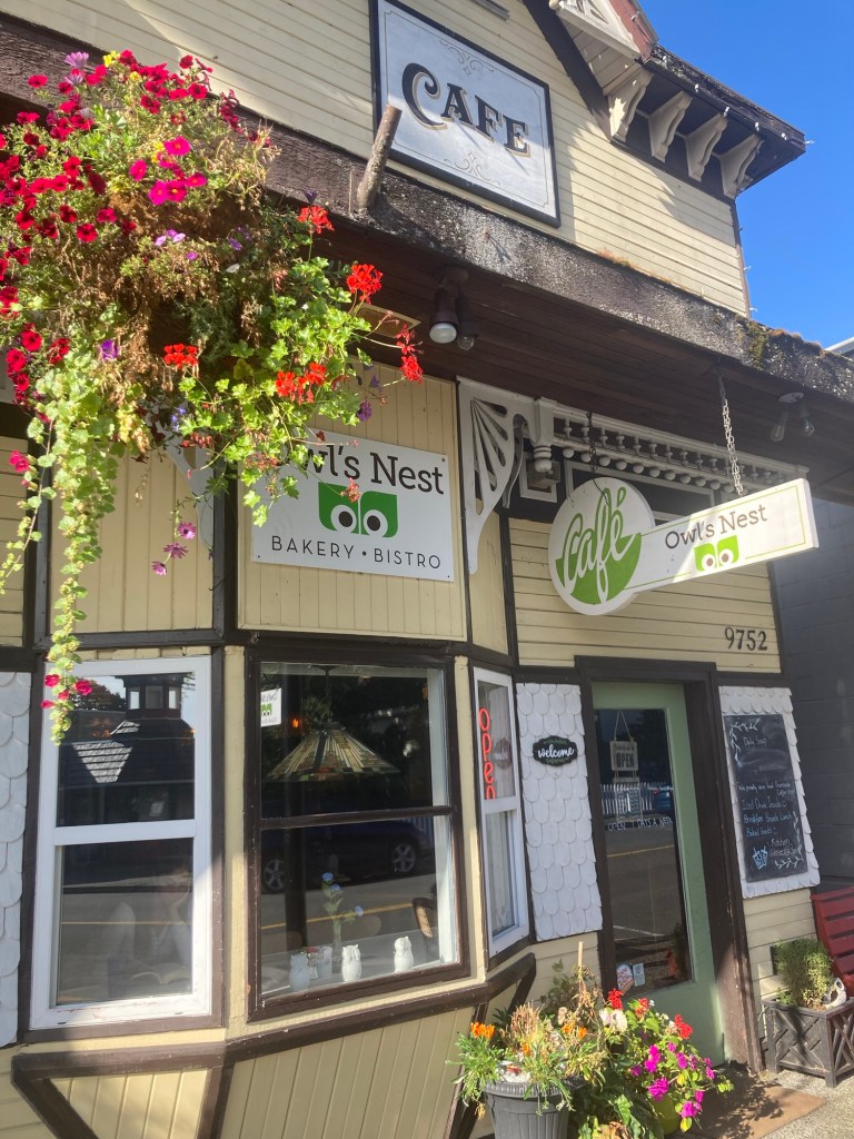
Today, we walked into the town center (about 15 minutes) to the Owl’s Nest, our favorite bakery in town, for a scone breakfast at nine. They make maybe the best scones ever. We usually get the cheese scone, but they didn’t make those today, so Bob got the mushroom and feta scone and I got the blueberry, and they were both great as well.
The Owl’s Nest. We should probably try something other than their scones, but we don’t go often and they make us very happy.Looking towards the front of the bakery from our table in the back
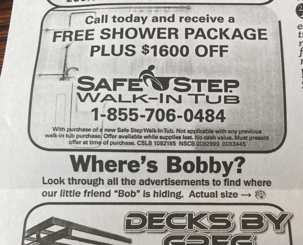
I had picked up a Coffee News little front and back newspaper, really venue for ads for local businesses. While purusing the little paper, I noticed this.
I knew where my Bobby was, but I decided to try to find where the little Bob was hiding (almost the opposite of a big head search, ironically enough).And there he was, appropriately (?) hiding amongst the vintage items.
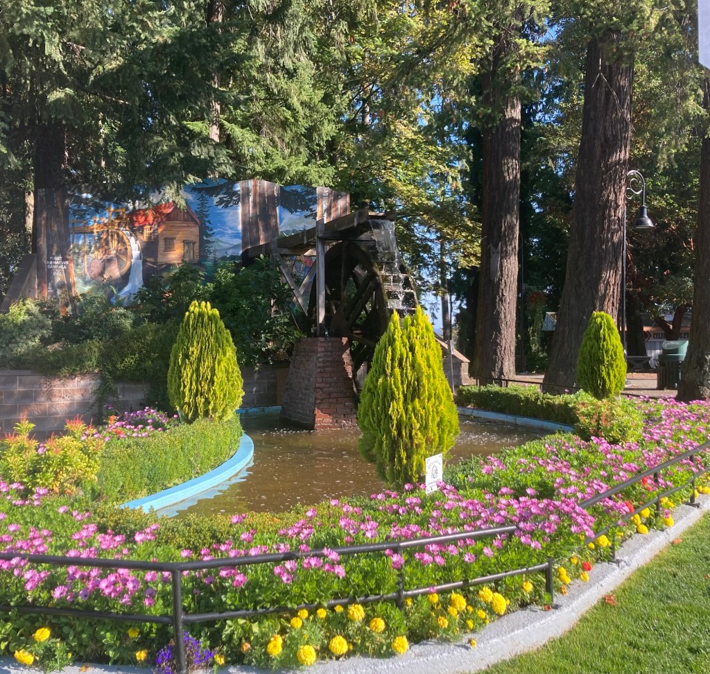
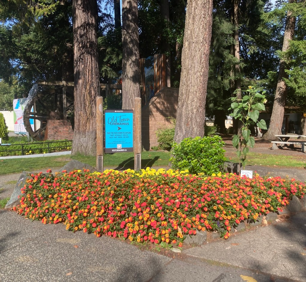
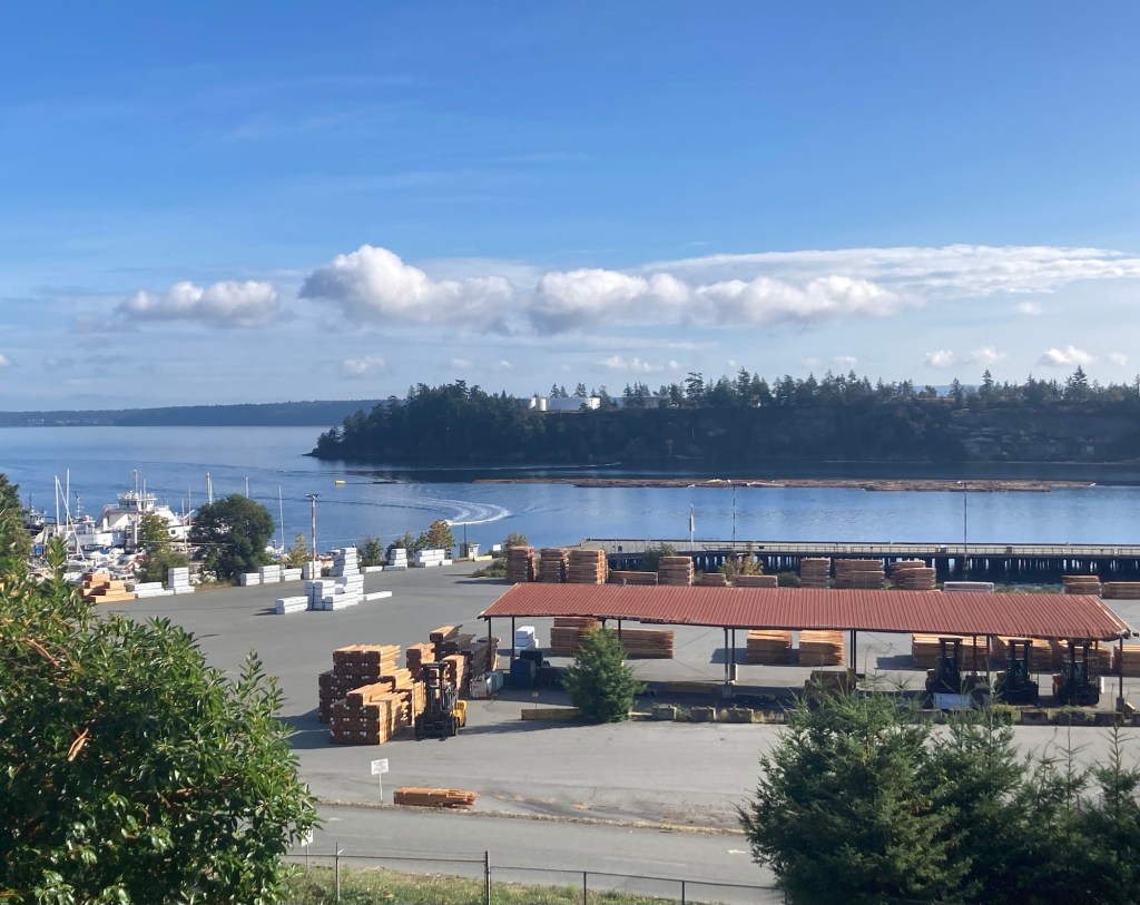
We dawdled over breakfast because we wanted to stop at the Visitor Center and pick up some information, and they don’t open until 10 am on Saturdays. Their posted hours on the door when we got there also said 10 and we arrived at 10:20, but they were not open. We took some photos of the very attractive Waterwheel Park near the center as well as the logging operation and ferry terminal behind the center.
The waterwheel fountain in Waterwheel ParkMore pretty flowers in the parkA wooden tribute to their logging tradition View of the ferry terminal as well as the lumberyard and some logs in the water
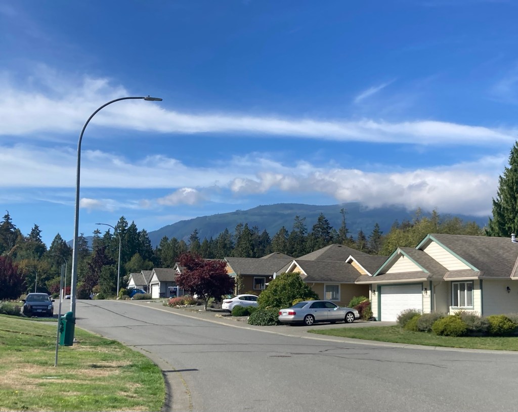
We then walked to The Country Grocery, the only grocery store in Chemainus and a nice one, to restock on some items. It’s a beautiful day here, and we’re excited to be back and do some repeat favorite activities (like the bakery and the theater) as well as some new activities.
The view today as we were walking up our street back to the house
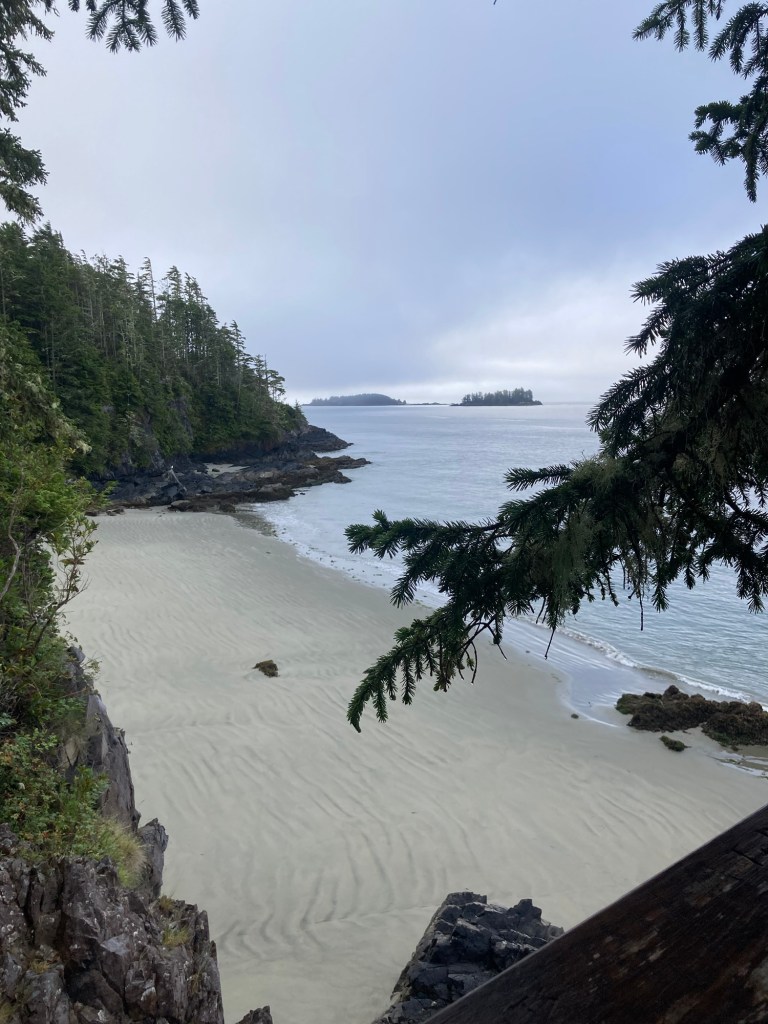
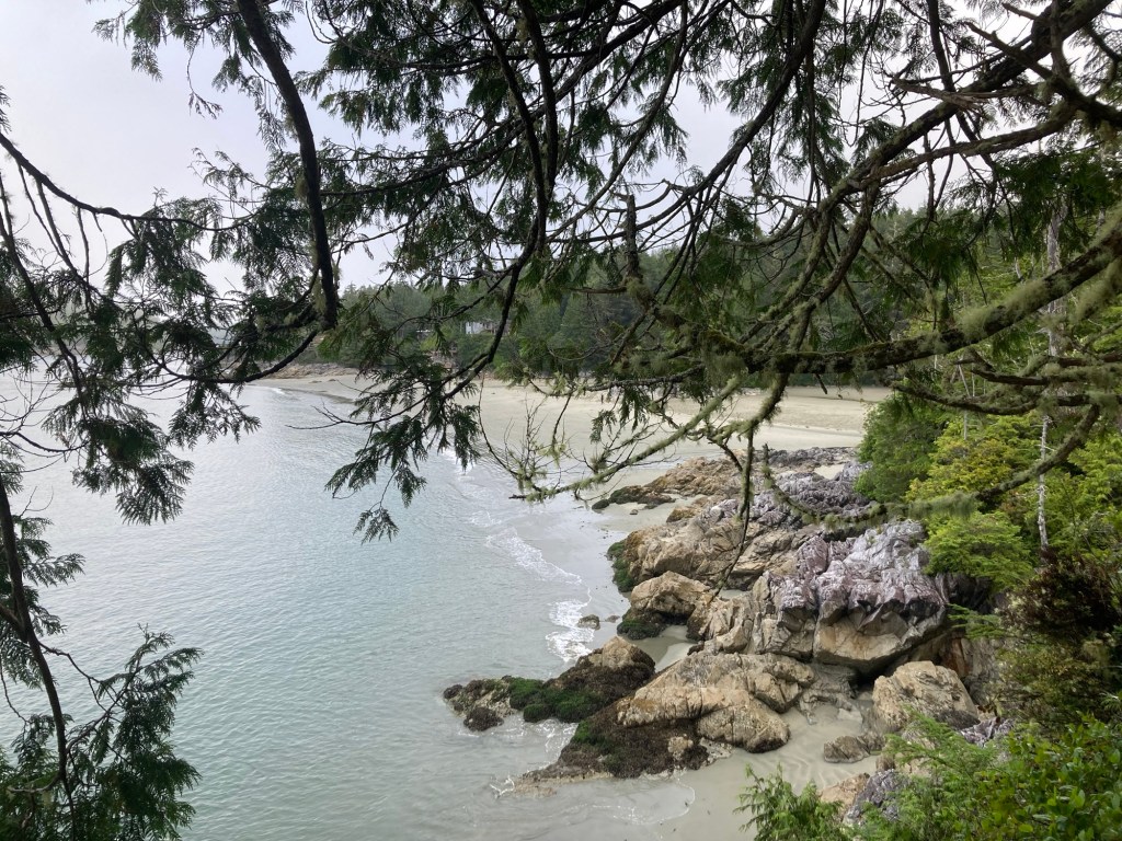
Today we wanted to do some hiking in Canada’s Pacific Rim National Park Reserve, which lies in between Tofino, where we’re staying, and Ucluelet. The national park is 197 square miles, bordered on one side by the Pacific Ocean. It is divided by a highway that runs through it and connects the two towns (Tofino and Ucluelet). It has a number of trailheads that can be accessed by car, as well as by foot and bike due to the multi-use trail which also connects the two towns.
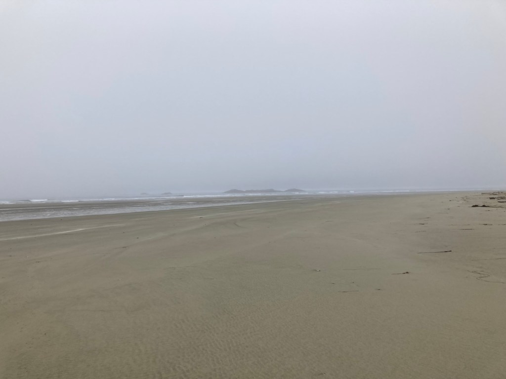
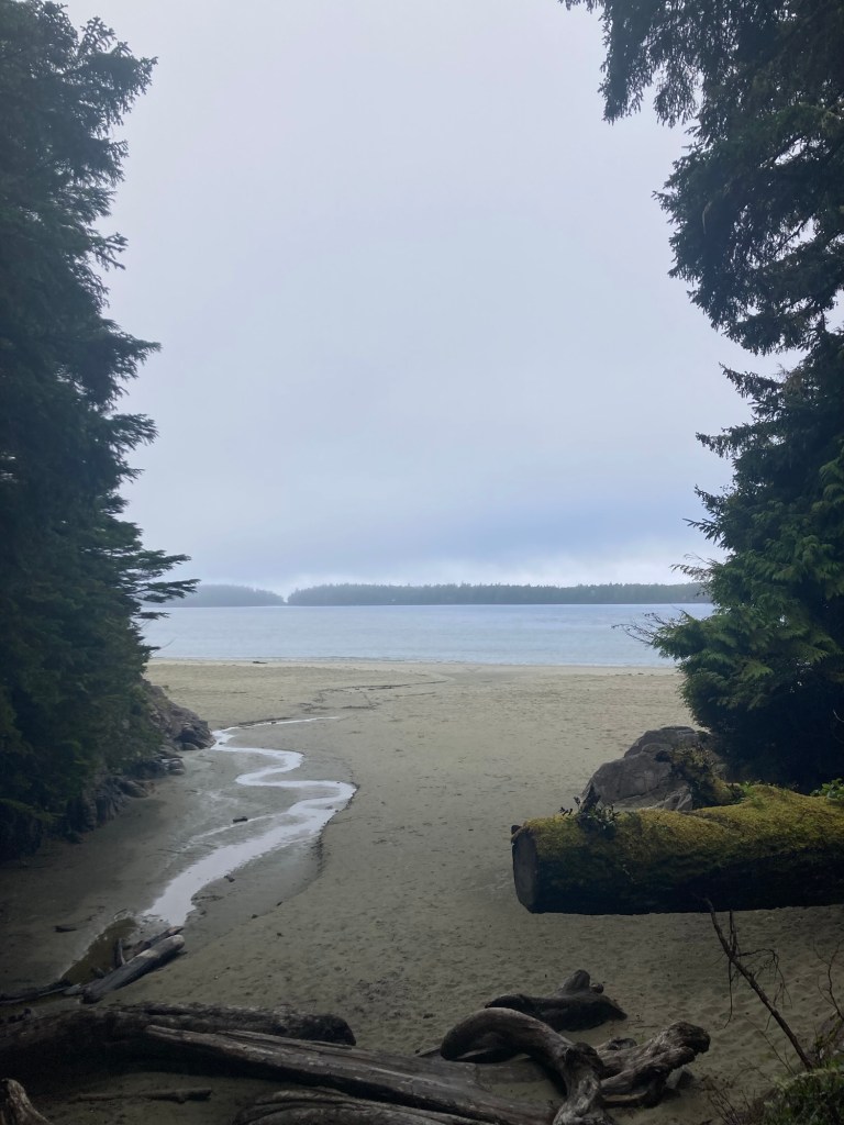
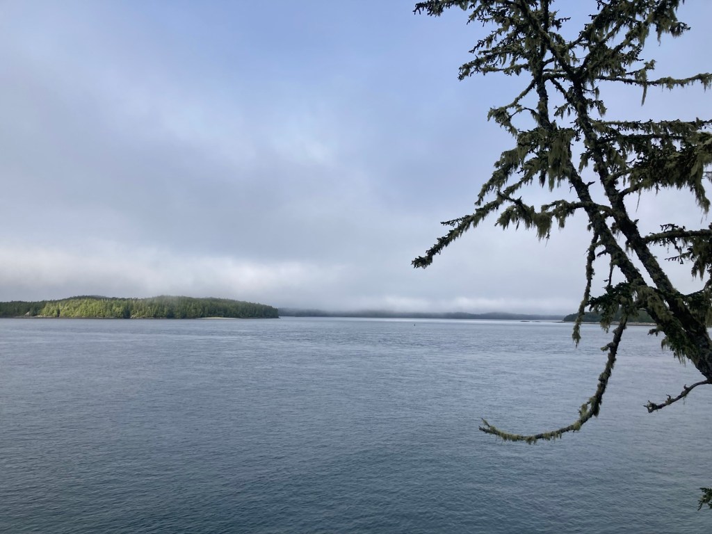
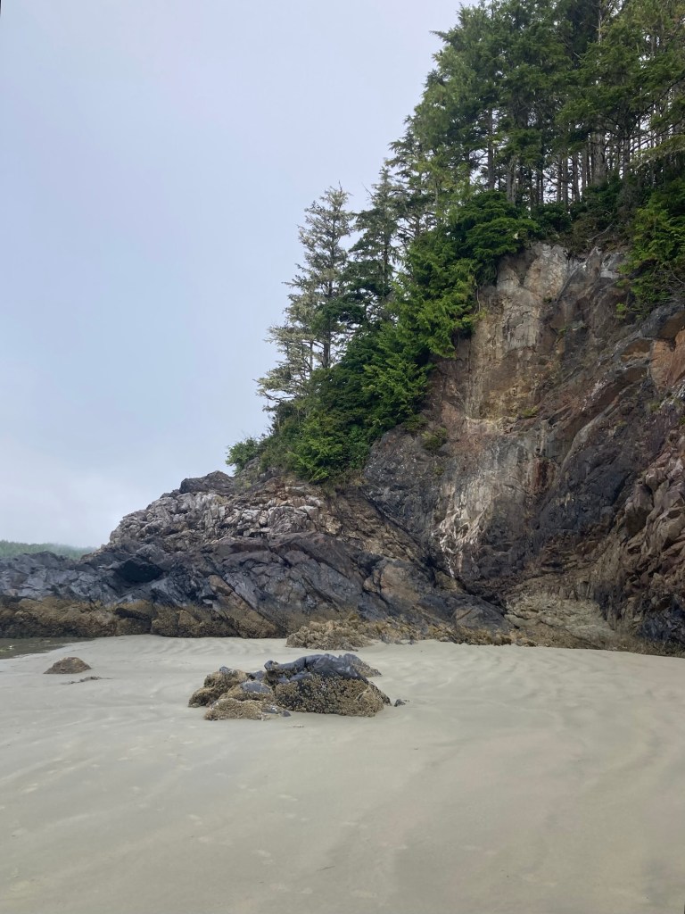
Our first stop this morning was Combers Beach Trail. There was plenty of parking in the large lot on (what was then) a misty/foggy day. As required, we purchased a day use pass from the handy pay parking machine in the lot. The cost was a very reasonable $22 Canadian ($16.22 US, £12.22), especially as it was a group price for 2 to 7 people.
The trail to the beach was a relatively short downhill trek. When we got to the beach the tide was out, which really made the beach seem huge.
Combers Beach to the SouthCombers Beach to the NorthLooking back at the trail and forestLiving, at least at one time, beach debris
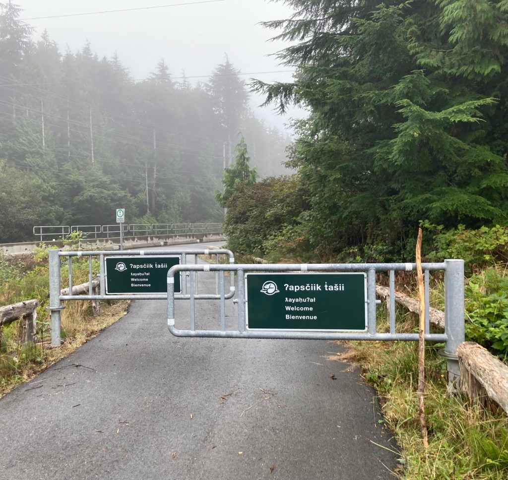
We left our car parked and walked a little over a mile to our second trail, as it was connected by the great multi-use trail that parallels the Pacific Rim Highway.
Gates on the multi-use trail
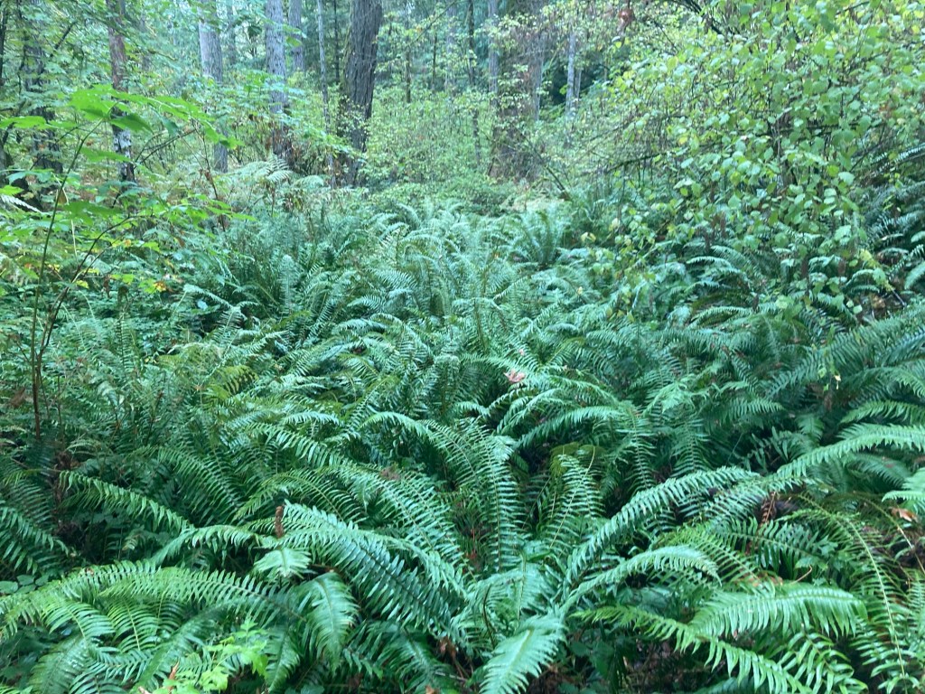
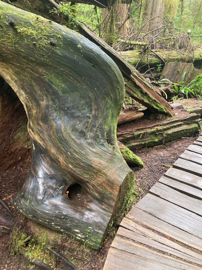
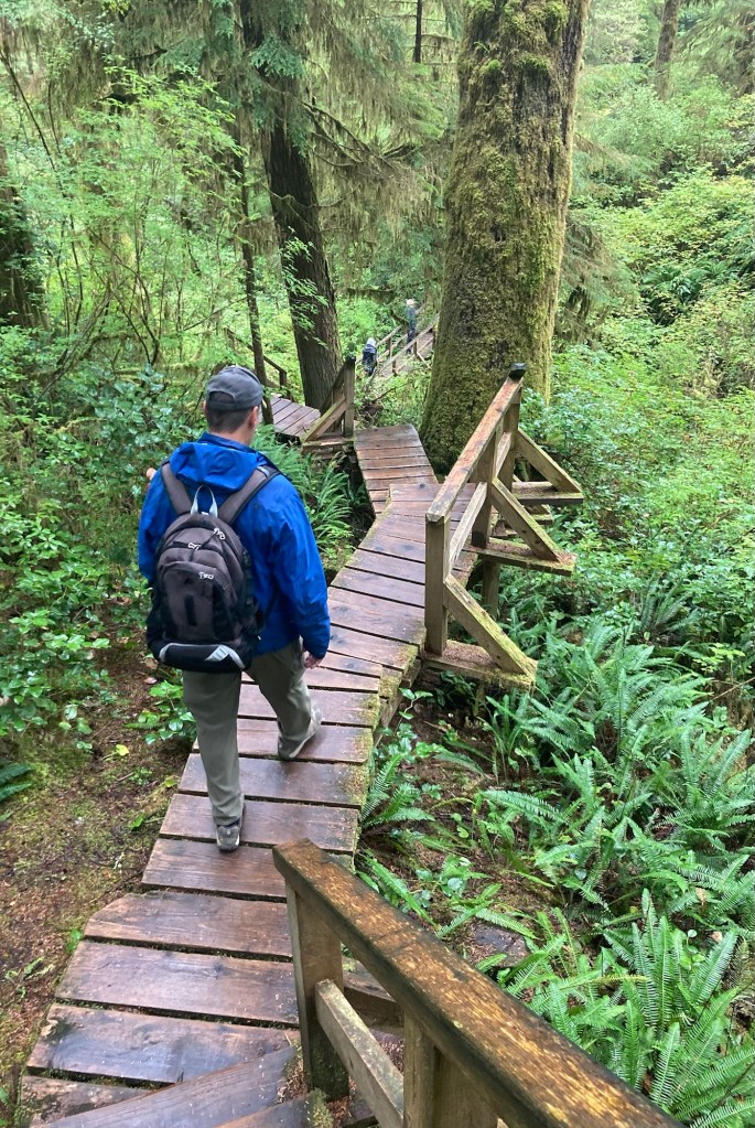
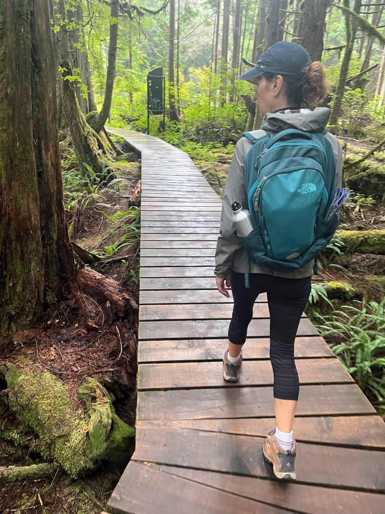
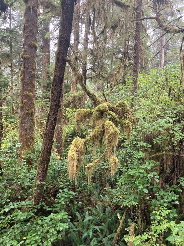
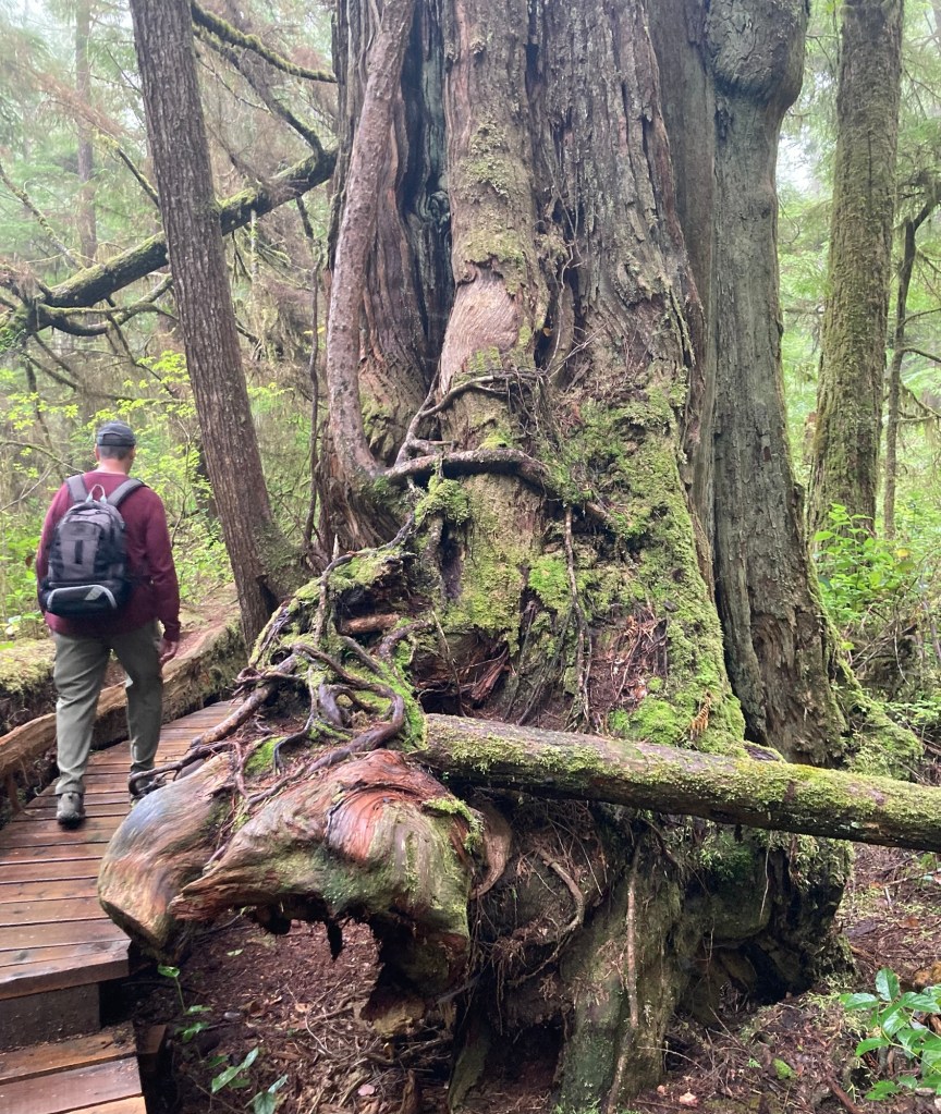
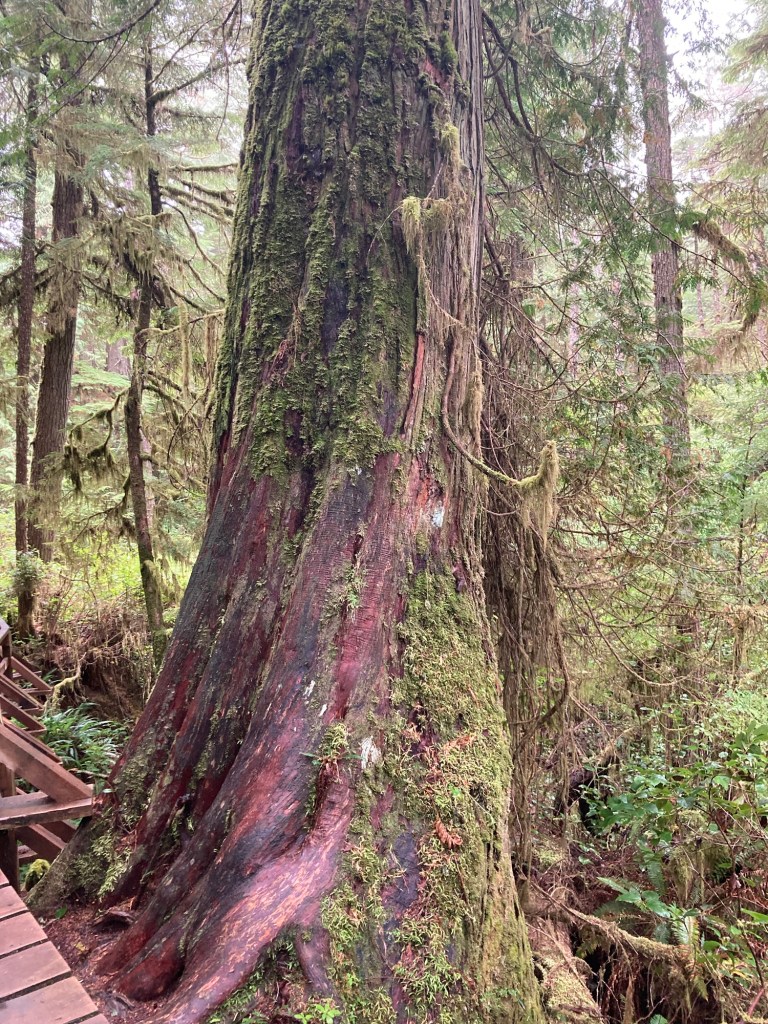
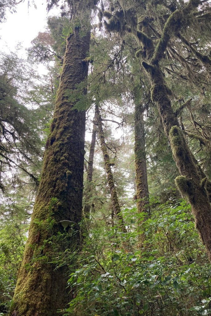
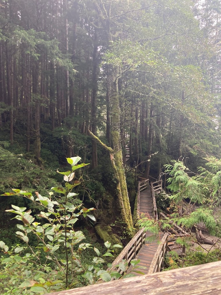
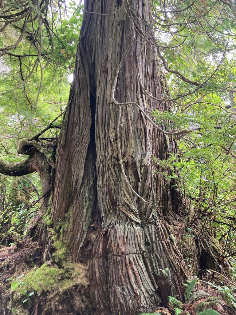
Our second hike was the two-loop (one on each side of the highway) Rainforest Trail. Unless you’re allergic to green or damp, it was an almost mystical hike, almost entirely on boardwalk, through the rainforest.
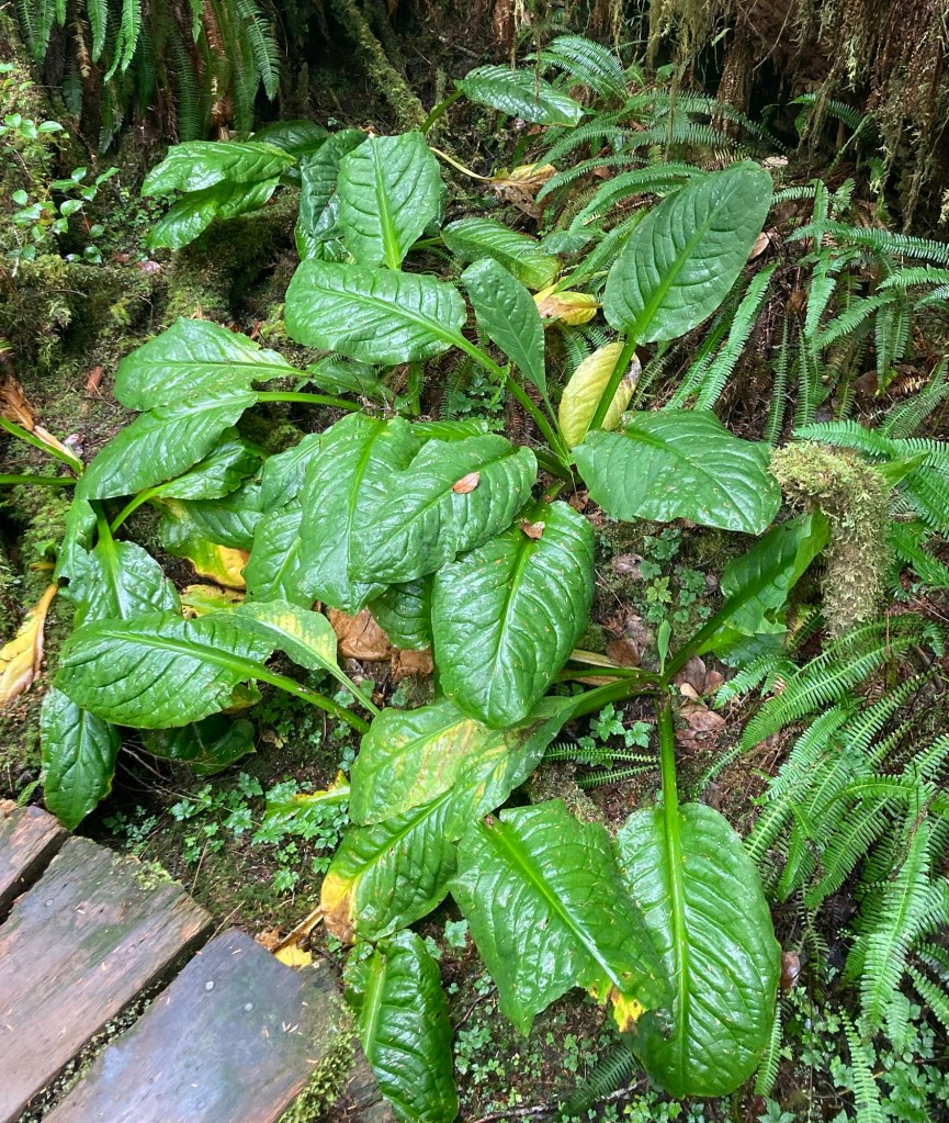
Part of a now very smooth tree near the boardwalk Down through the gallery of greenThere were arrows indicating the required travel direction, as it wasn’t amenable to passing, except in some pull-off areasLots of moss on treesLove these wispy green plantsThe size of some of the trees continues to impress usDittoThis long boardwalk was made with one long plank of wood!Some trees aren’t as big around, but they are all very tallSaw a lot of these plants. Maybe skunk cabbage, although we didn’t detect any odor.
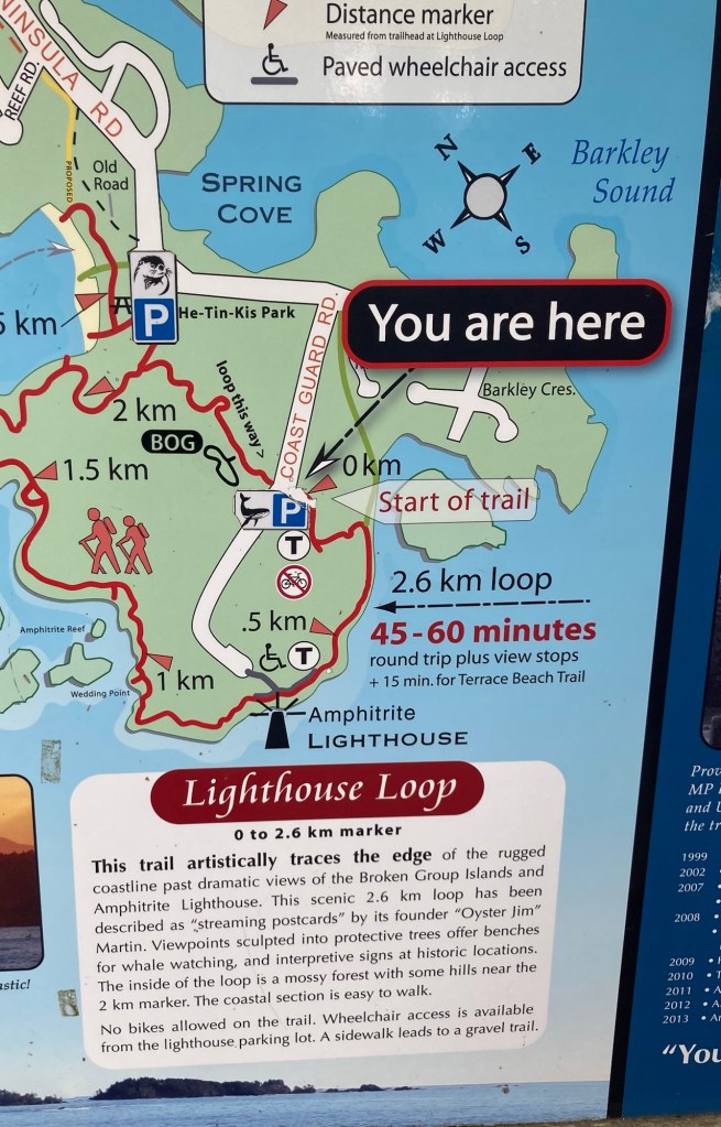
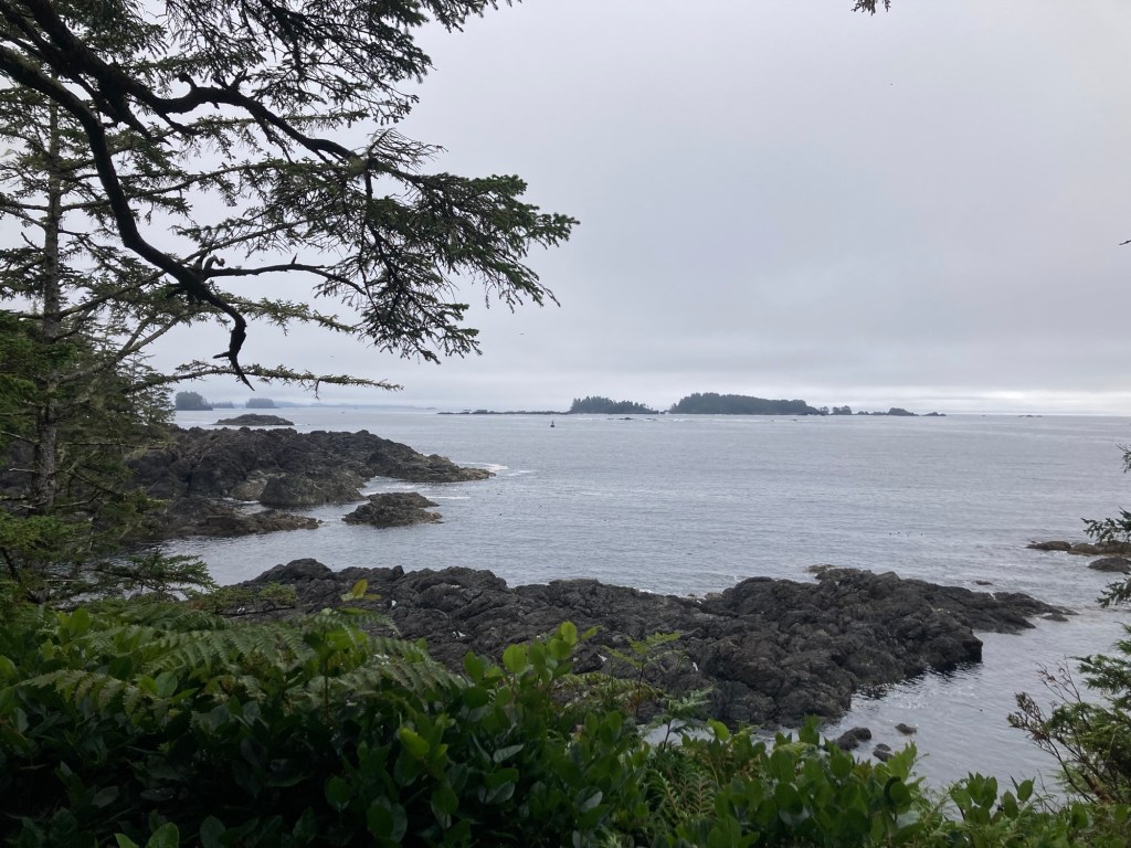
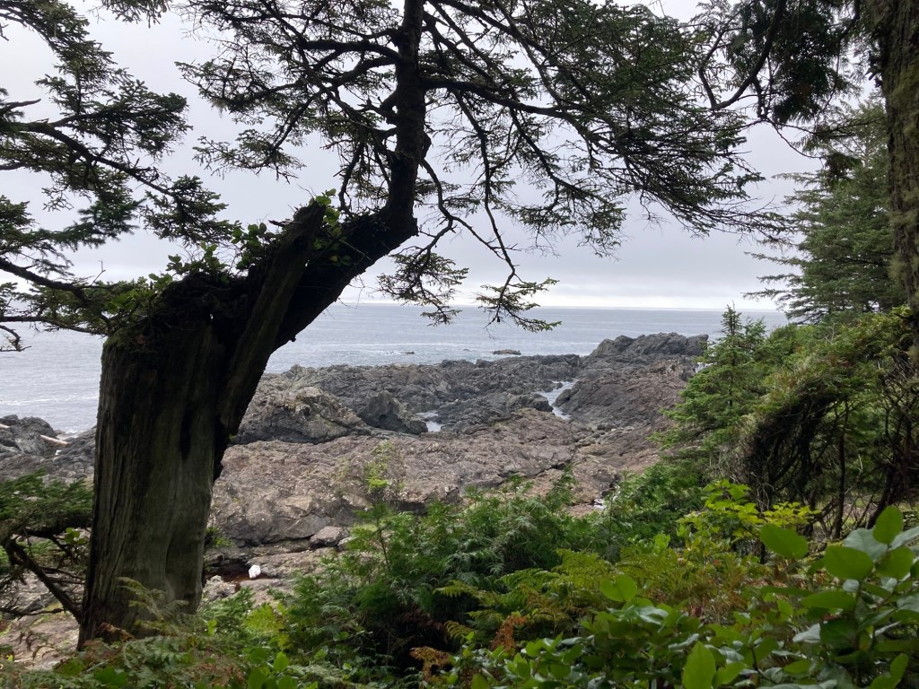
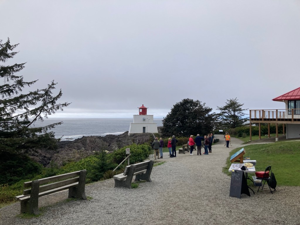
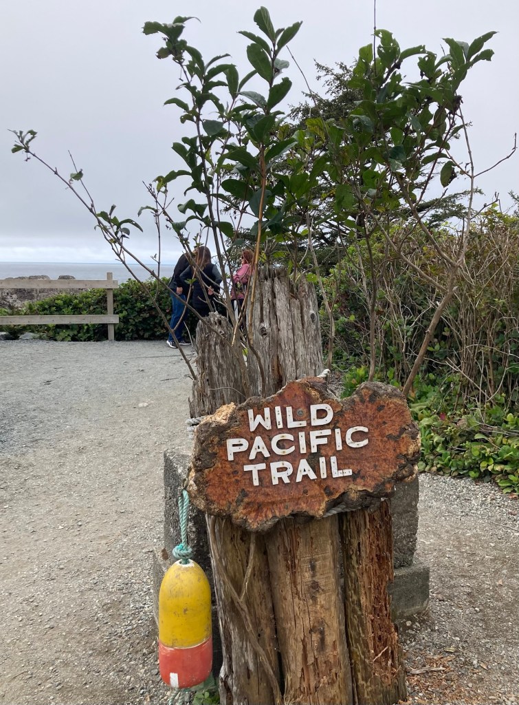
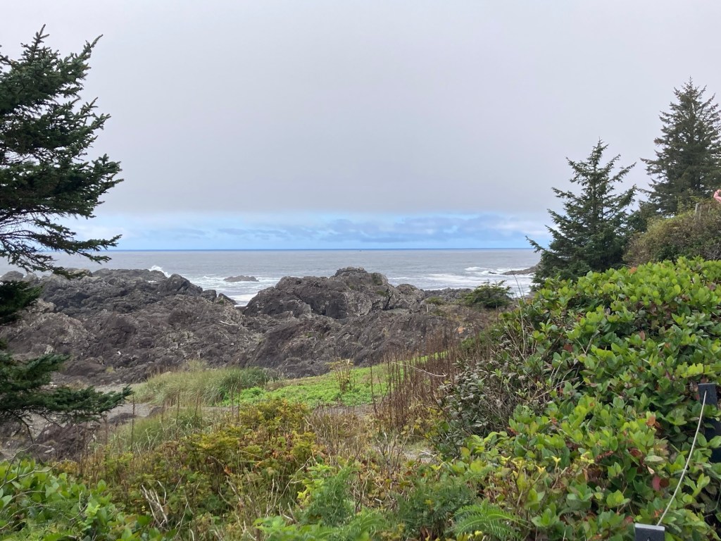
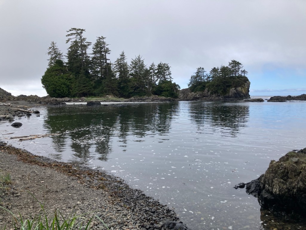
Finally, I had read about a Lighthouse Loop in the town of Ucluelet. We headed to the southernmost point of the town for our final hike of the day. This one would provide us with lots of views of the Pacific Ocean without the morning mist/fog.
The map at the trailhead
Below are some photos of the scenic route.
Walking by the somewhat low key lighthouseThe Lighthouse Loop is part of the Wild Pacific Trail, which hugs the coast.
Today, we explored Tofino, starting with my early morning run along the impressive paved Multi-Use Path, which runs for 23 kilometers across the Pacific Rim National Park. I didn’t run 23 kilometers, but it made for a great, car-free run. Bob started his morning with a walk around town, on which he discovered some big heads that we photographed later.
We had a rare breakfast out at a local bakery just a couple blocks from our stay, and we sat upstairs and watched a street crew dig up a road. It seems to be the time of year in this part of the world. . .
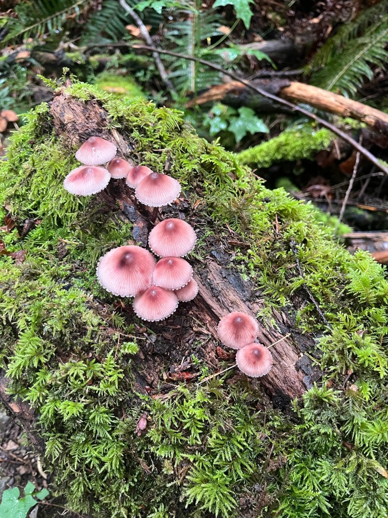
We then headed off to find and walk the Tonquin Trail and the Tonquin Connector Trail, which connects the Tonquin to the multi-use path that you can bring back into town. The Tonquin Trail begins at Tonquin Beach and then heads through almost a rain forest type environment to Third Beach and Middle Beach.
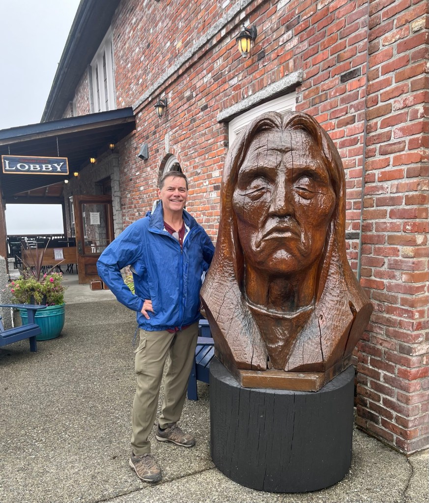
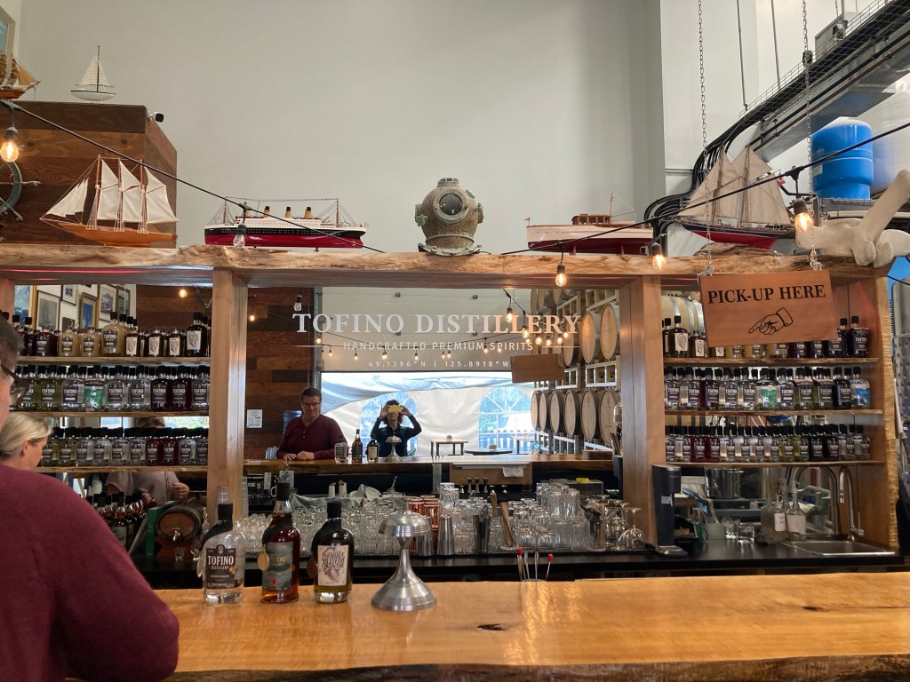
Always good to know where you arePart of the walk was on wooden staircasesLooking out onto Tonquin BeachLooking down on Tonquin Beach from a viewpoint on the trailLooking across to another island. This part of the world is crazy with islands, so no island is an island, if you know what I mean.“Third Beach,” but only our second of the daySome of the rocky landscape creating the different beachesOne of many cool looking trees along the hikeLots of mushrooms tooThe Tonquin Connector TrailThe Multi-Use Path back into town1st big head statue, located outside a sushi restaurant Same sushi restaurant This one was one of many beautiful wooden art pieces at the lovely Wickaninnish Inn, which we drove toWe didn’t partake, but we stopped at the Tofino Distillery, where I unintentionally got a selfie of the two of us
We are surprised at the level of activity here. We thought that mid-week in mid-September, it might be fairly quiet, but it’s still busy with people, though likely not as busy as in the height of summer. We’re heading to the Pacific Rim National Park tomorrow.
Today, Bob and I completed our Sidney, BC housesit for the sweet and very special Rafa.
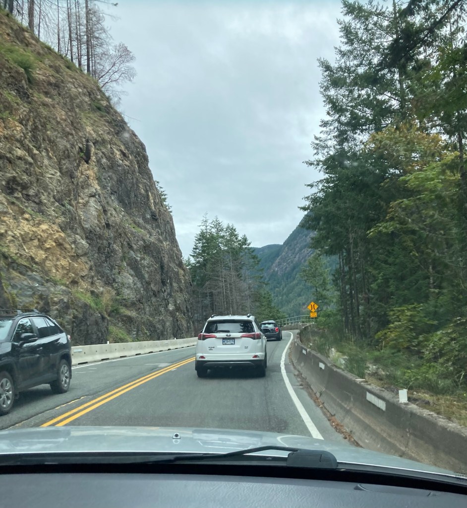
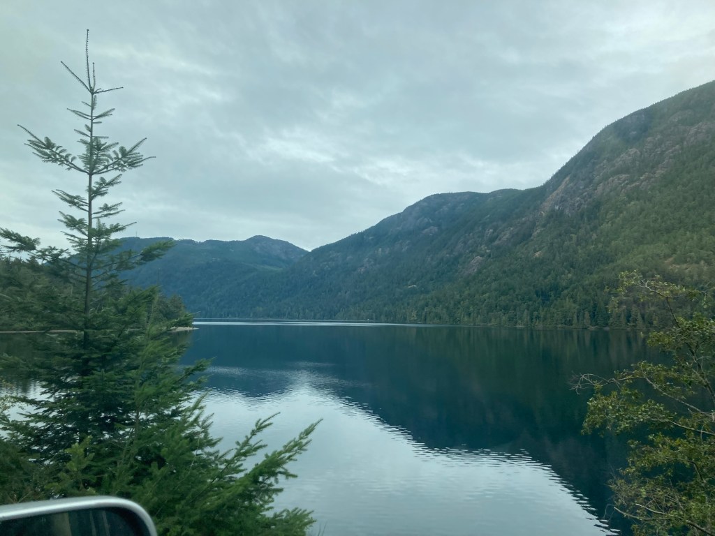
Based on the homeowner’s (and later other’s) recommendation, we drove from Sidney to Tofino for a visit to the west side of the island before the start of our next housesit on Friday. While it is only just over 200 miles from Sidney to Tofino, it is nearly a 5 hour drive due to the windy and curvy roads as well as some roadwork on the way. We also hit a bit of rain today just to add to the fun.
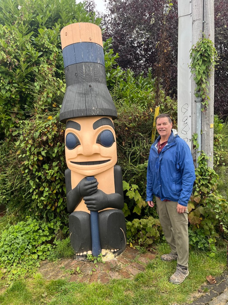
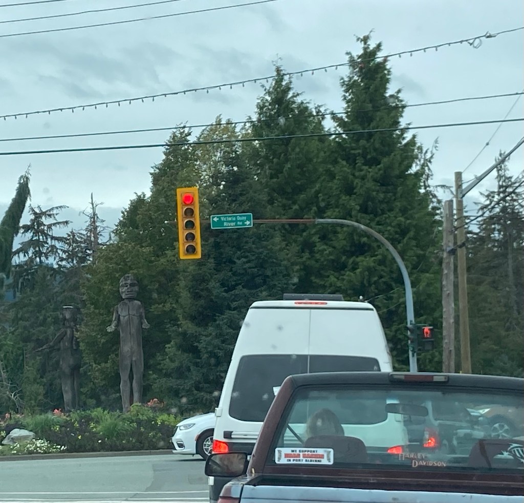
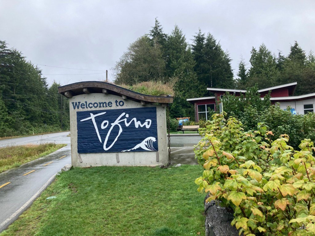
Part of the drive through the mountains One of the many pretty lakes along the wayDriving through Port AlberniA couple of totem people on our way out of Port AlbertiThe Tofino Visitor Center, where we picked up some helpful brochures and got some recommendations from the staff
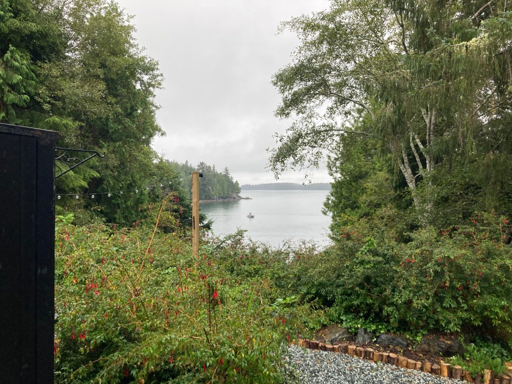
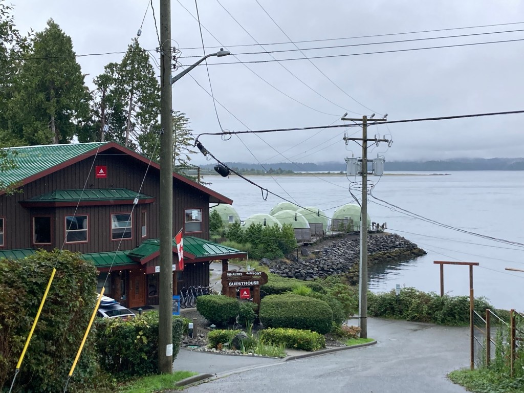
We are staying at the Lunar Cove Inn, which we reserved through AirBnB. We got a scare last night when Bob found some info online that the inn had closed. We had been receiving texts about our stay, so we reached out and learned that we are the last guests as the owners have sold the place. I was a bit worried driving here, but we do actually have a room that is as advertised. We are about a block off the main section of Tofino.
The view of the Pacific Ocean from our patioA guest house near us with igloo shaped units
Tofino and this area of the west coast of Vancouver Island attracts surfers, hikers, nature lovers, and bird watchers. It is just outside the Pacific Rim National Park, which we hope to visit while here. It has a couple of great hiking/biking trails as well as numerous beaches.