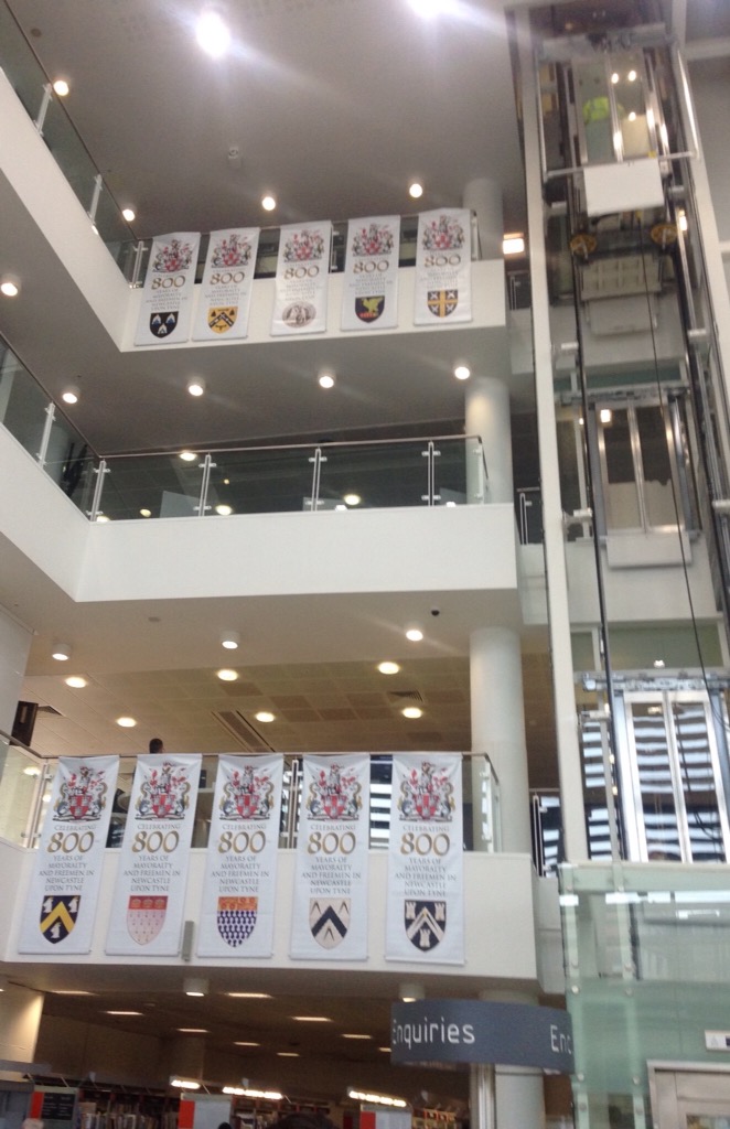
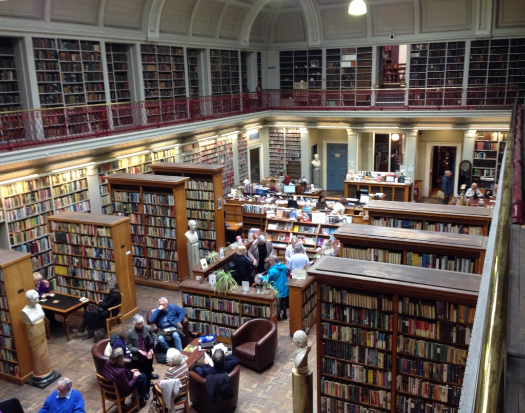
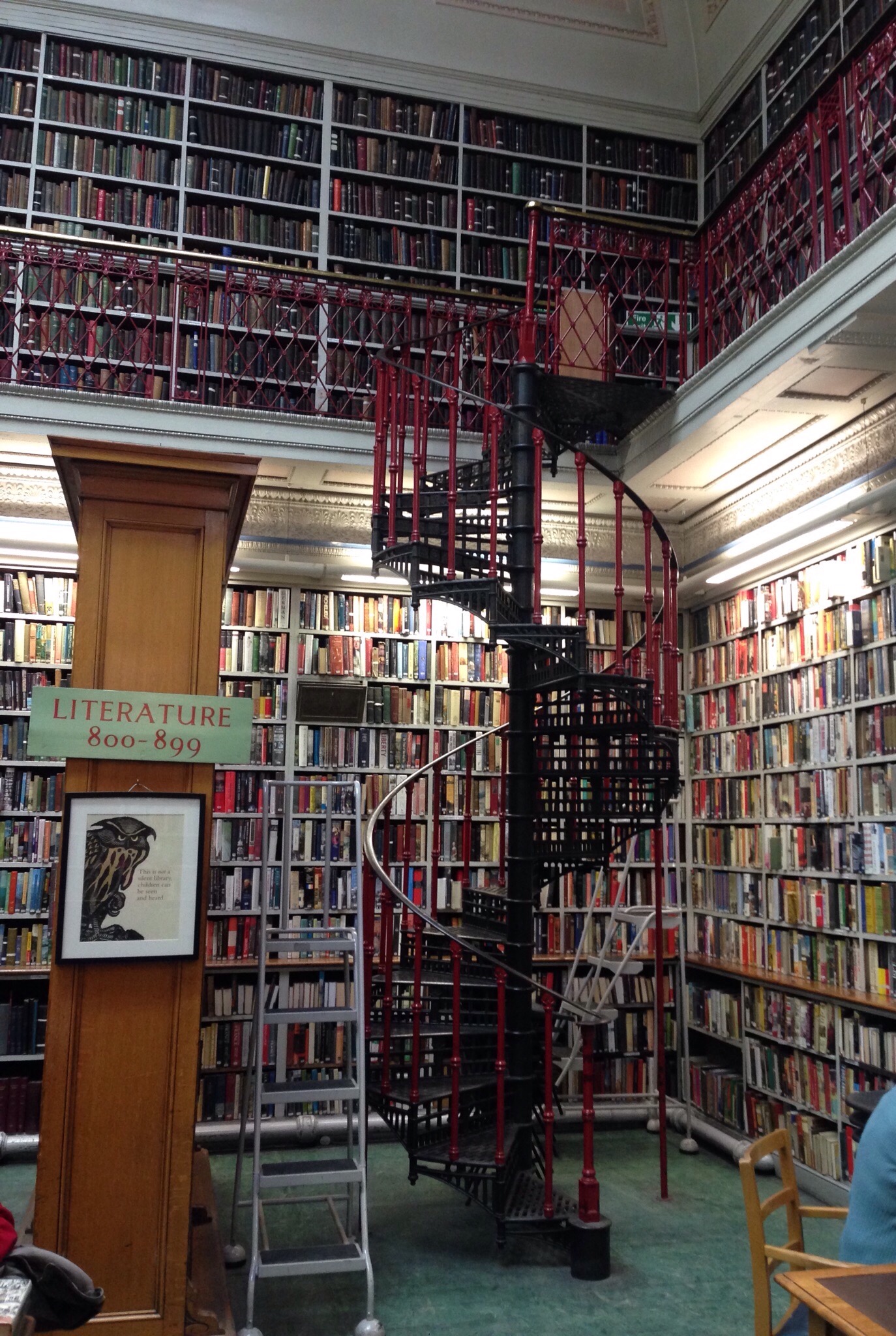
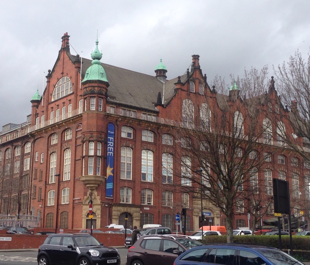
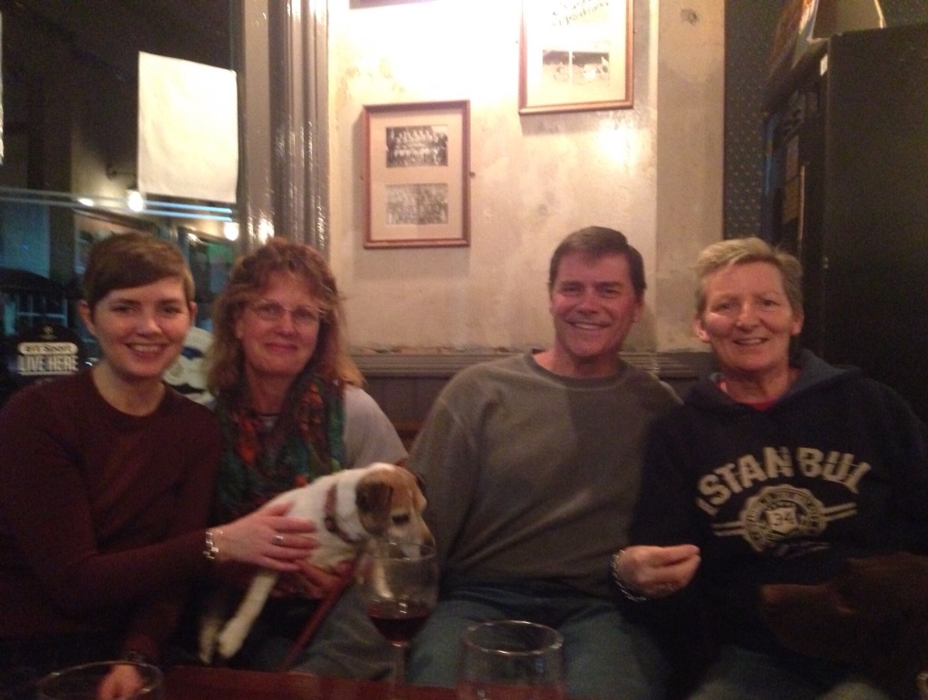
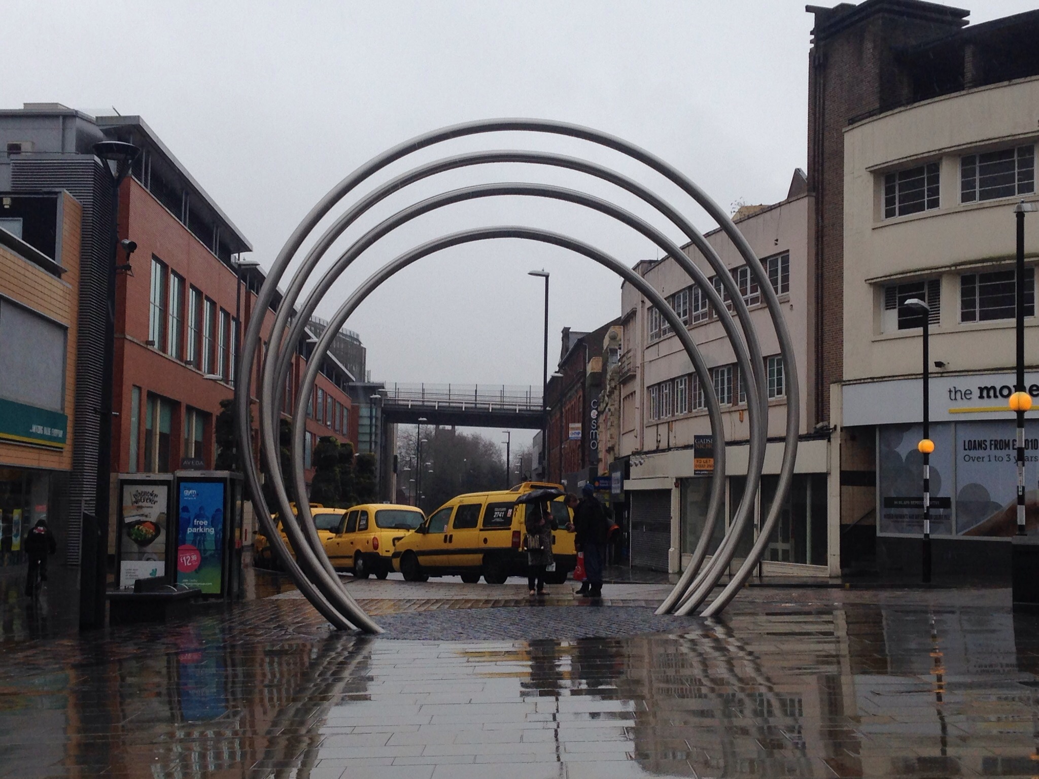
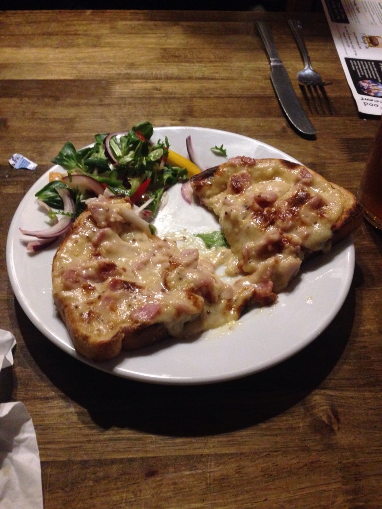
We Megabussed into Newcastle (for $7.50 per person!) from Leeds last Thursday, arriving about mid-afternoon. The bus stopped right outside of the public library, so we popped in to see if they had any information on sites to see/things to do in Newcastle. The librarian had a great map and pointed out three free museums, the location of the Angel of the North sculpture and how to get there by bus, as well as the name and location of a couple of pubs that we might like. Besides being a wealth of information, the library was located just up the street from the Euro Hostel where we were staying.
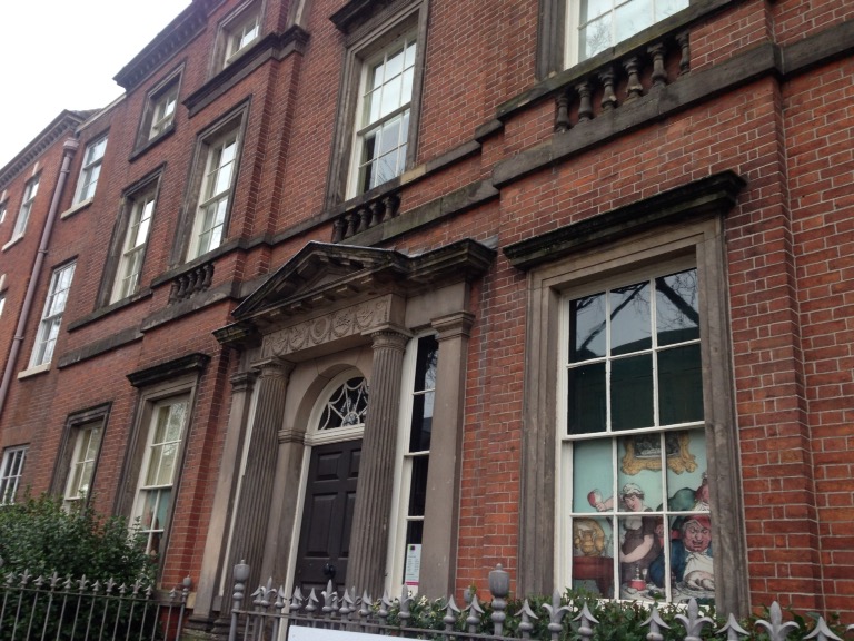
After checking into the Hostel (we had a private room with bath — though the room contained 2 sets of bunk beds), we walked back towards the Library to visit the Laing Art Center that we had noticed across the street from the library. The museum is free though there is a charge for special exhibitions. It mostly contains paintings from 18-20th century British artists.

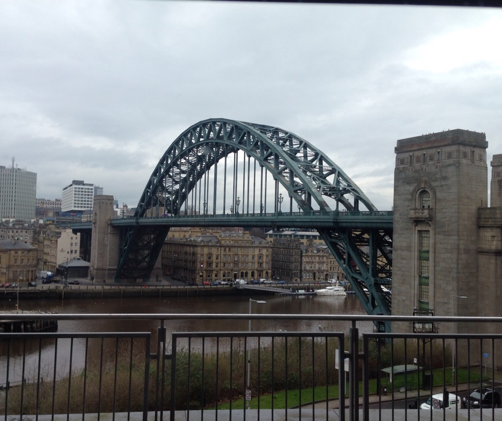
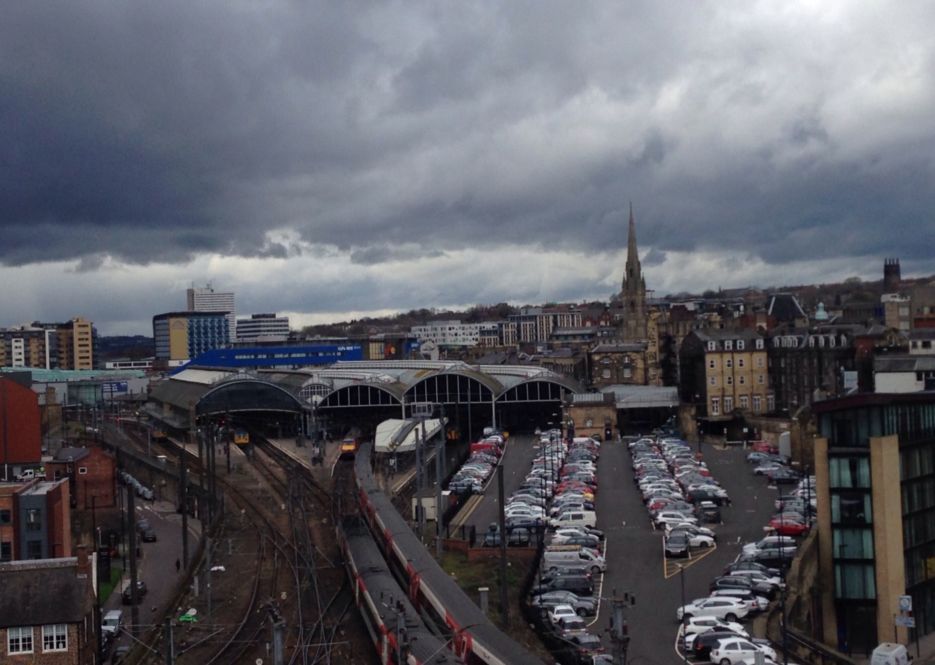
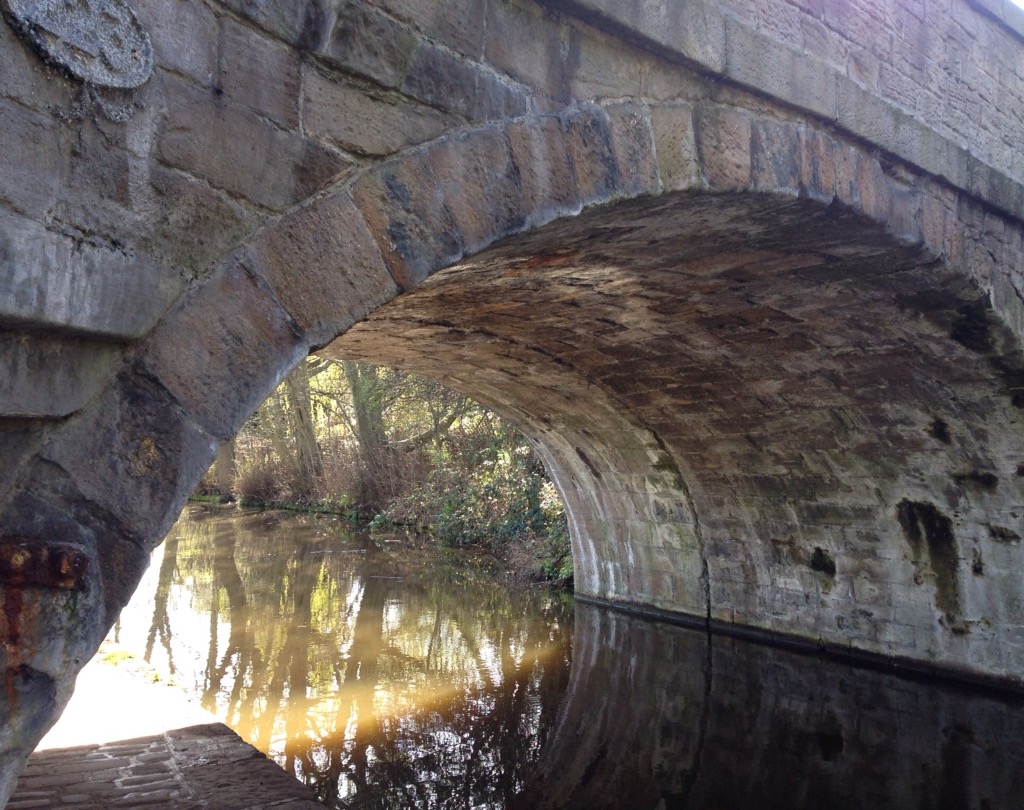
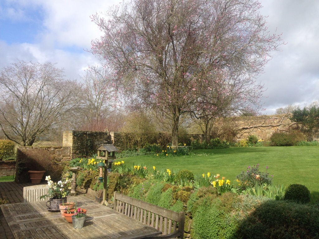
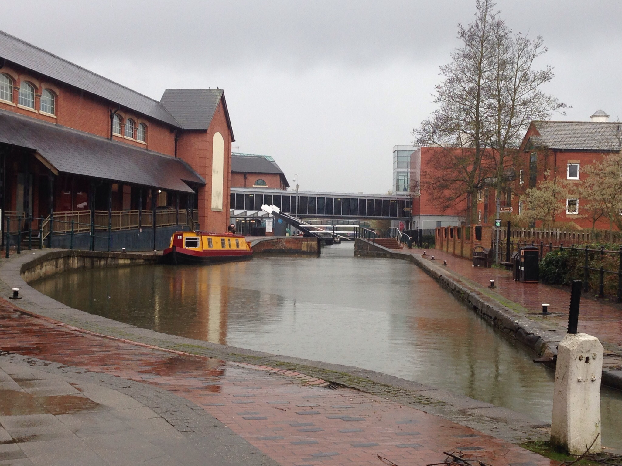
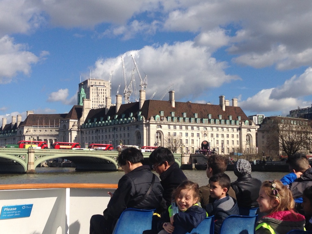
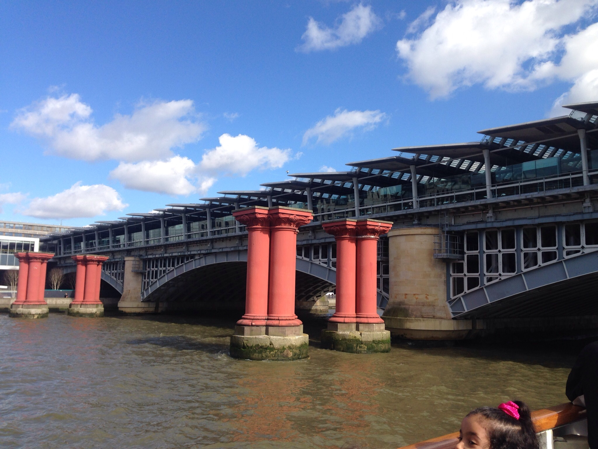
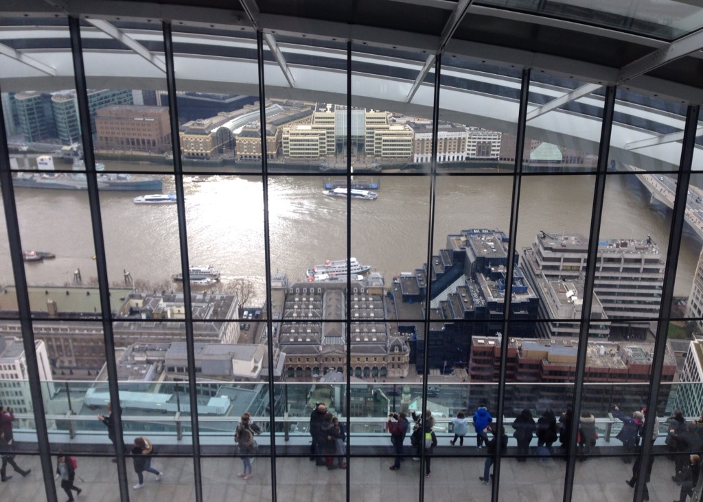
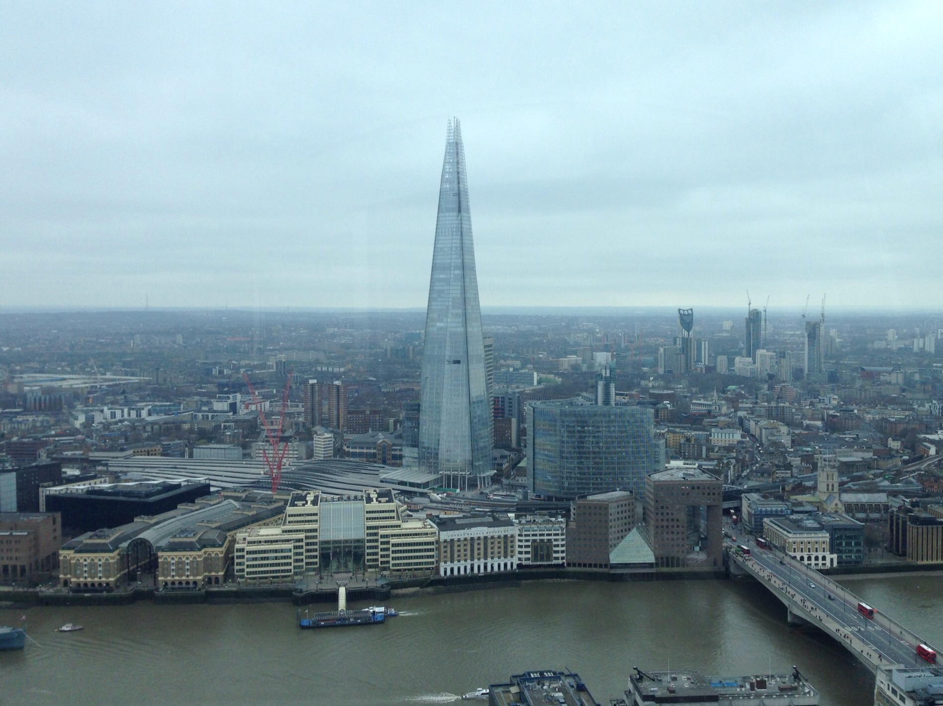
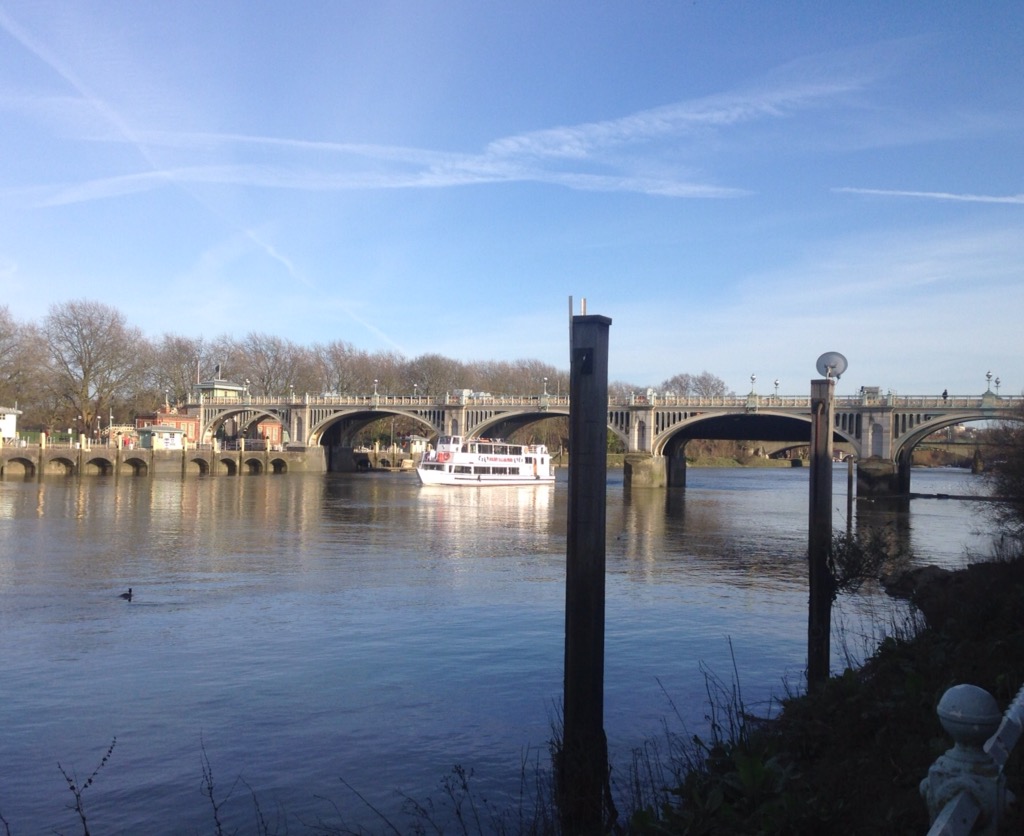
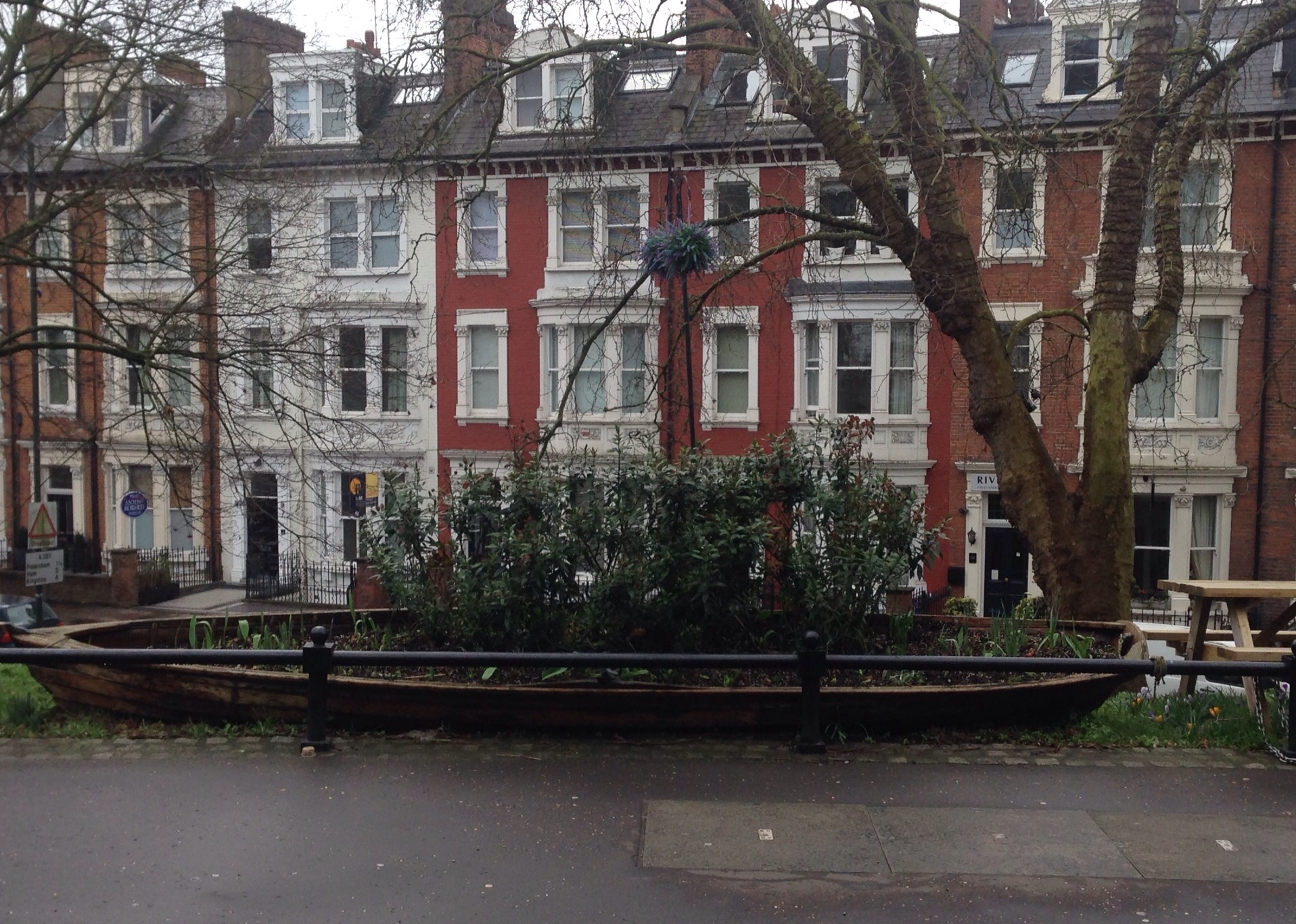
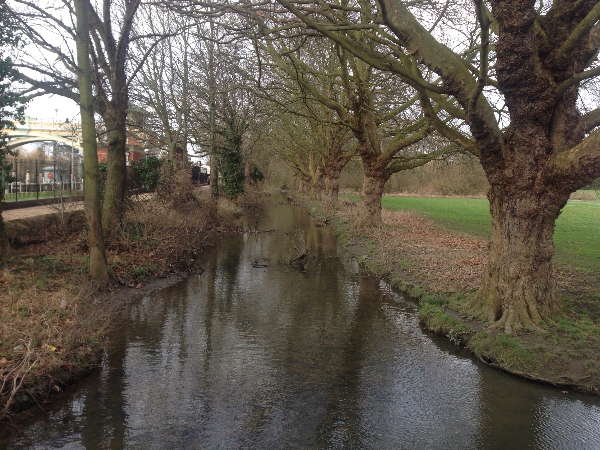
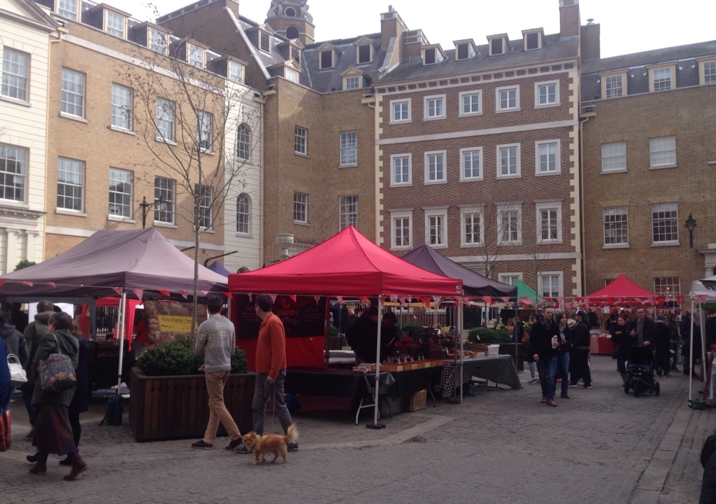
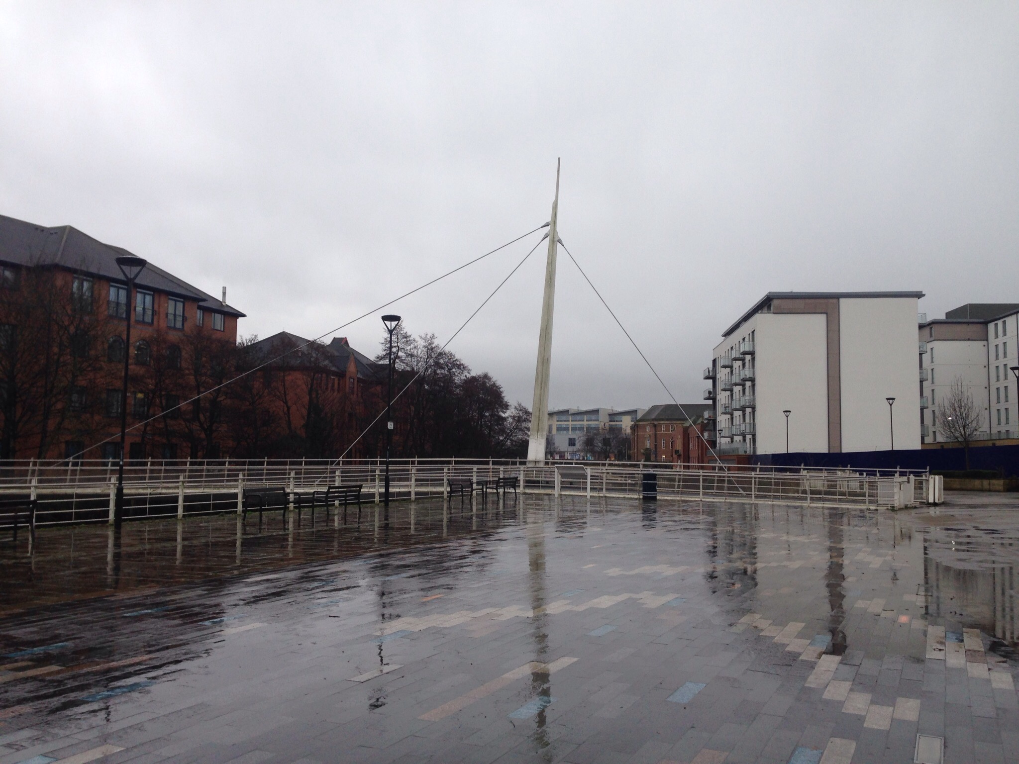
We then walked down to the River Tyne to walk along the river and check out some of the seven bridges over the Tyne. We would gravitate towards the waterfront area for much of our visit. I enjoyed a couple of runs along the waterfront paths.

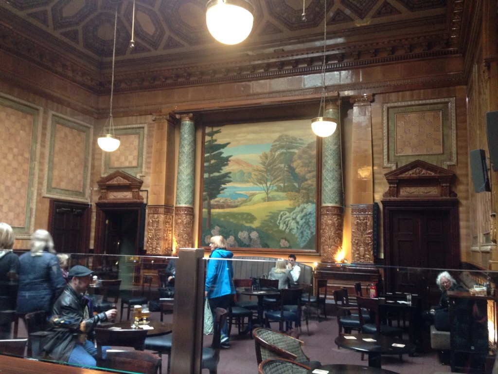
As we needed to print out our train tickets for our trip to Dumfries, we walked up to the Rail Station and then grabbed a drink at the Centurion pub in the train station (and recommended by the librarian).
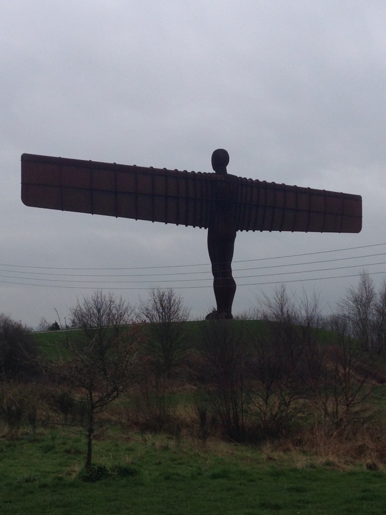
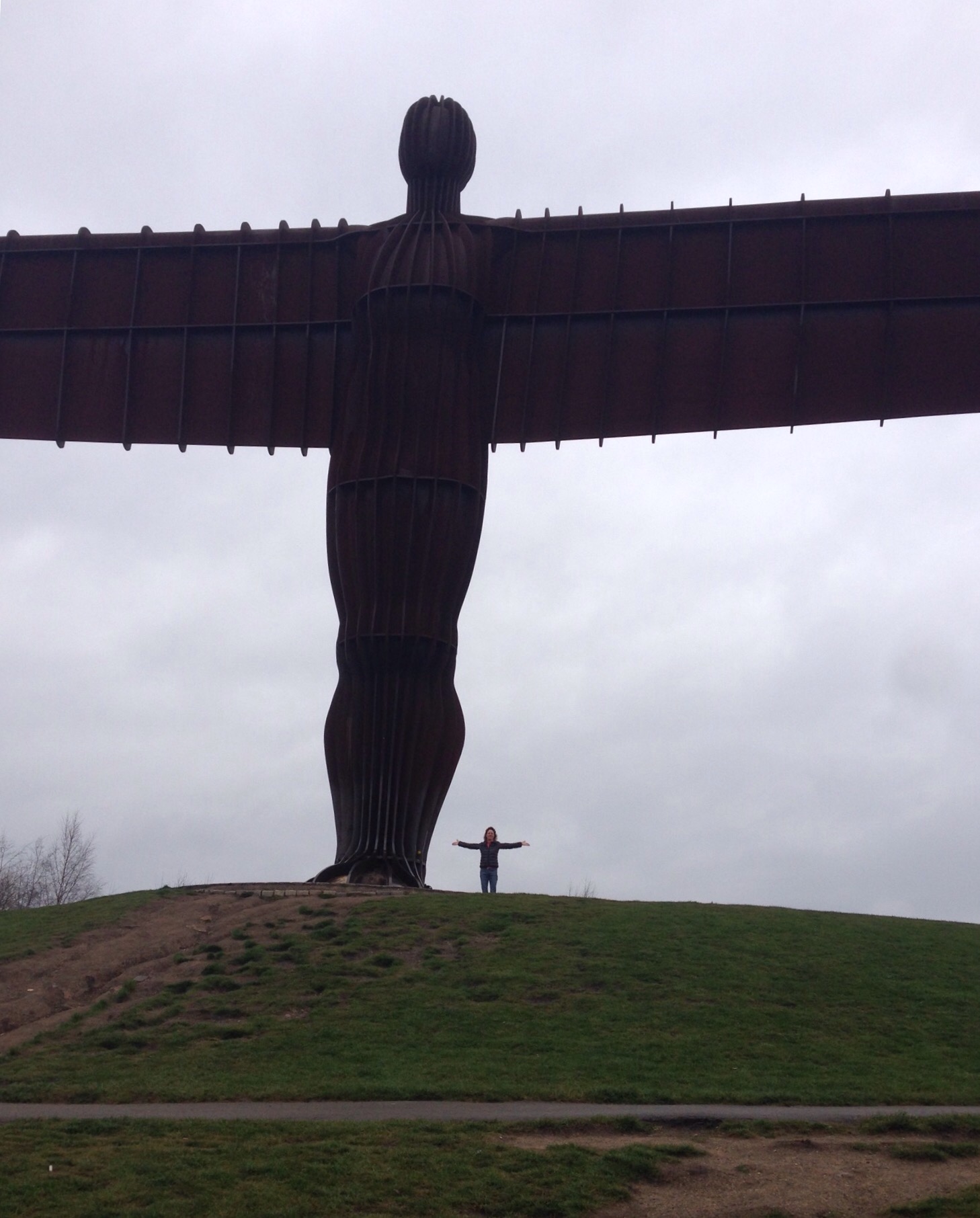
Most of our first full day in Newcastle (also called Newcastle-upon-Tyne) was walking to and from the Angel of the North statue and visiting the fun Baltic Contemporary Art Center. The Angel of the North statue is not really in Newcastle proper but in Gateshead which sits across the Tyne from Newcastle. We walked across the High Level Bridge (double decker bridge — one level for cars and pedestrians and the other level for trains which was opened by Queen Victoria) into and through Gateshead to find the statue which appears to be a roadside attraction for motorists. It was designed by Antony Gormley and completed in 1998. It is made of steel, is 65 feet high, and has a wingspan of 175 feet. It can withstand winds of over 100 miles per hour.


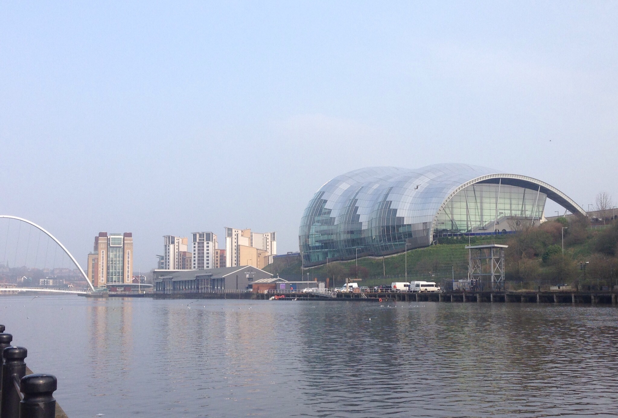
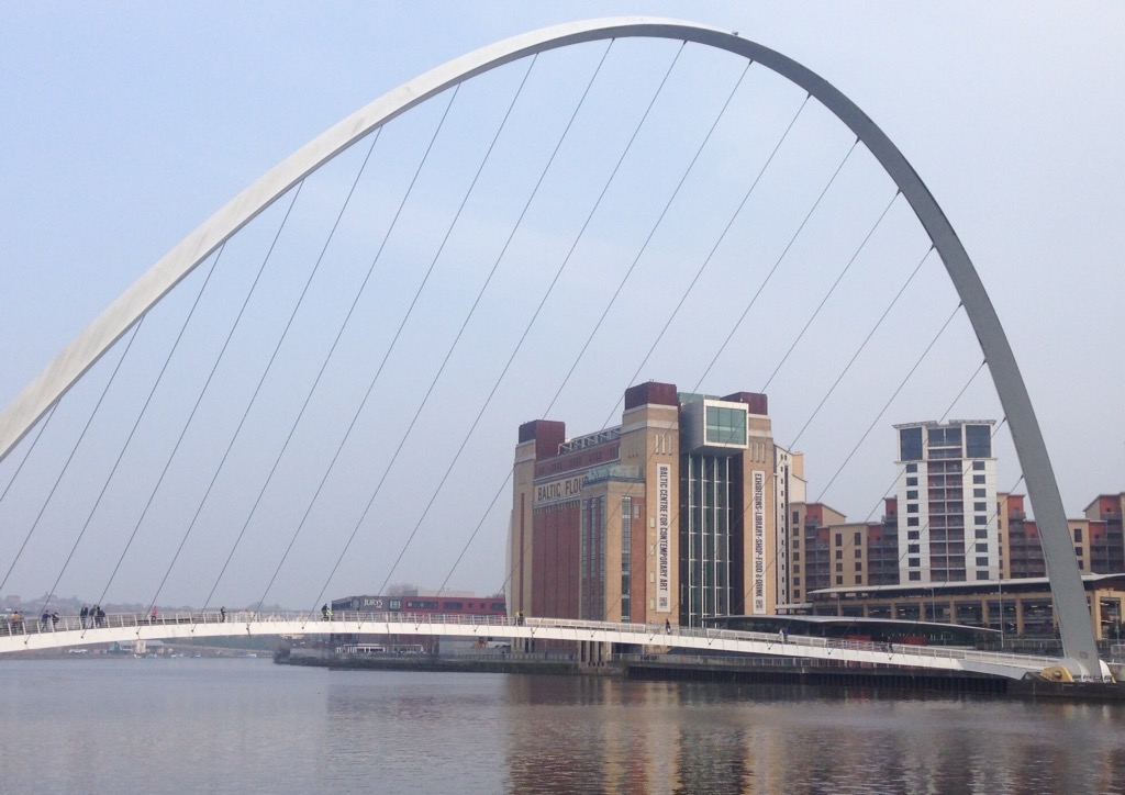
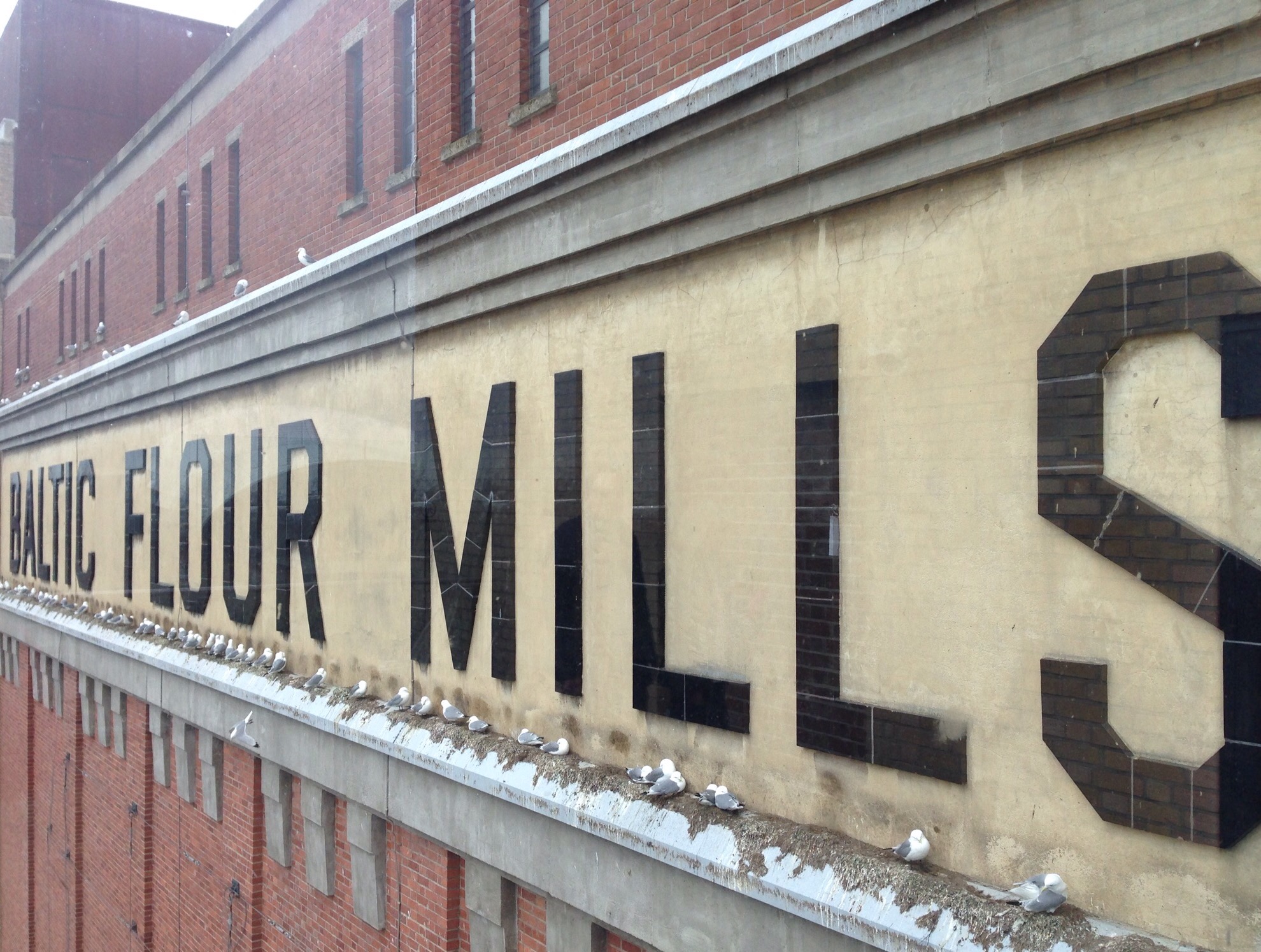
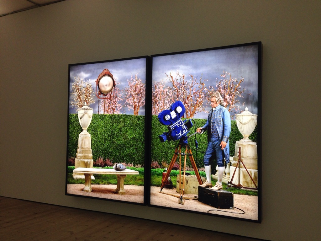
The Baltic Contemporary Art Museum is also located in Gateshead, right across the Millenuum Bridge from Newcastle. It is housed in a 1950s industrial building that was renovated in the late 1990s. It opened in 2002 and has rotating exhibitions of contemporary art. It also has a great gift shop where Bob and I amused ourselves for awhile reading all of the fun cards.

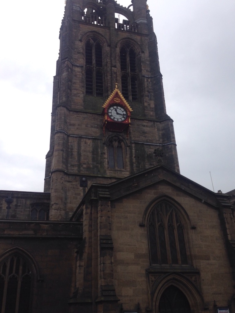
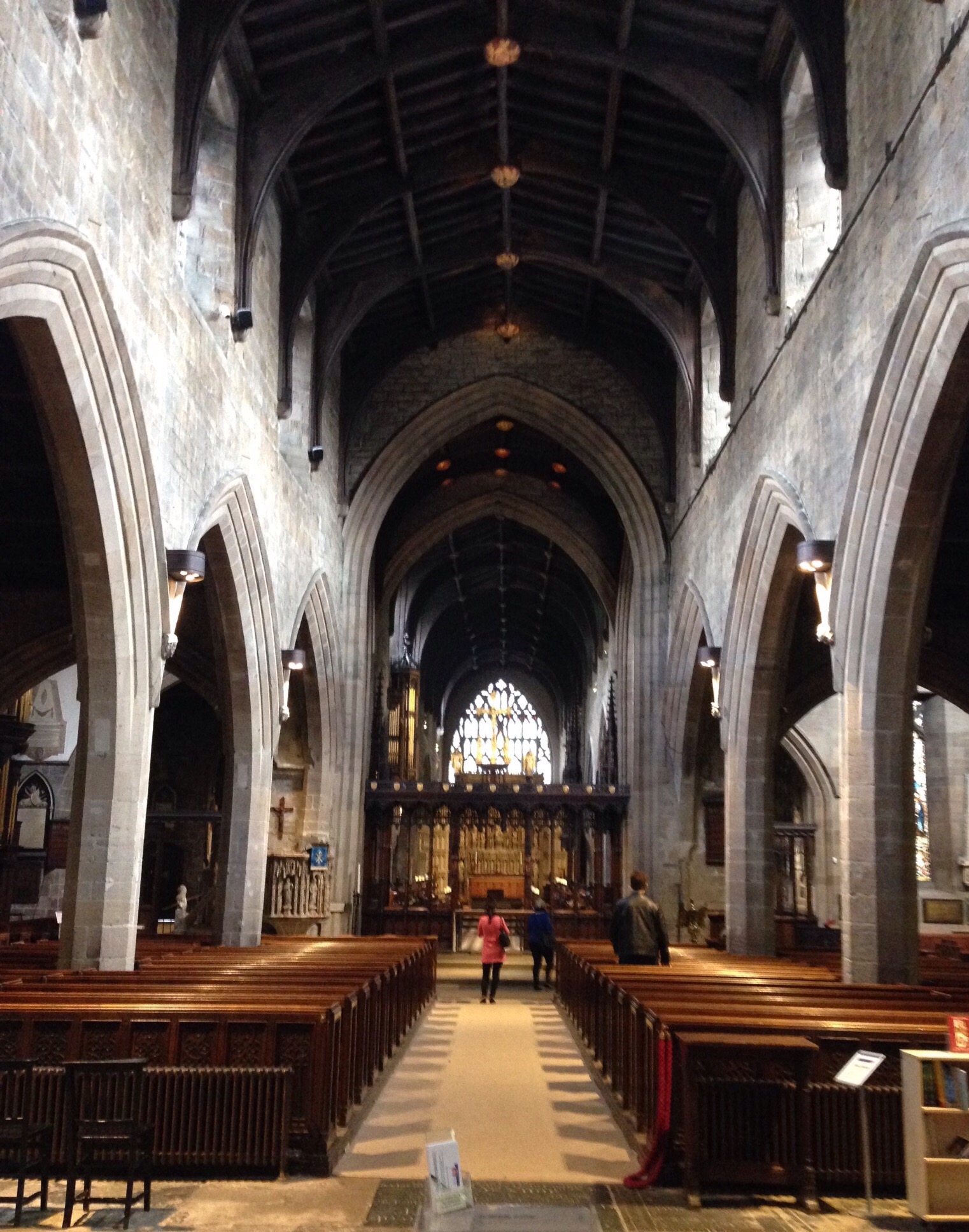
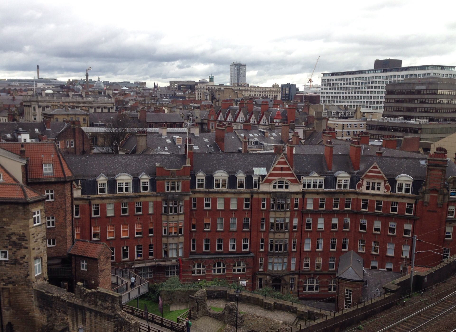
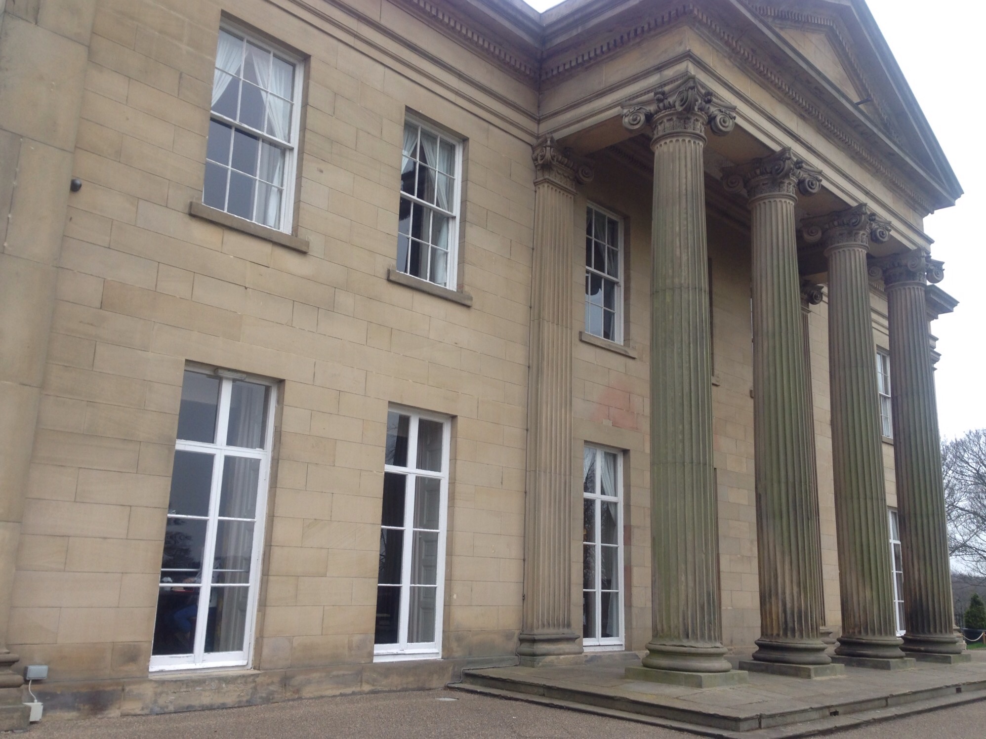
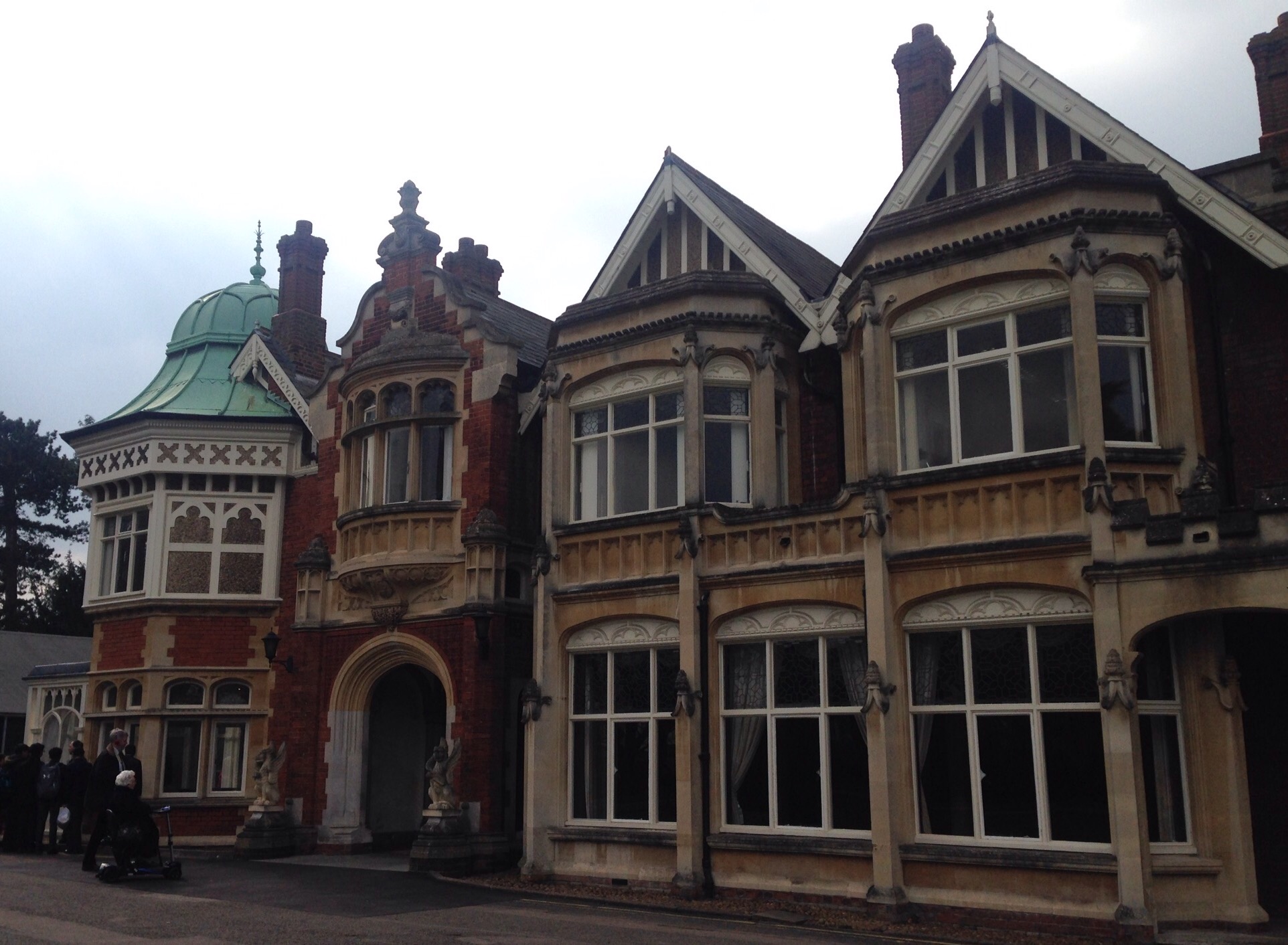
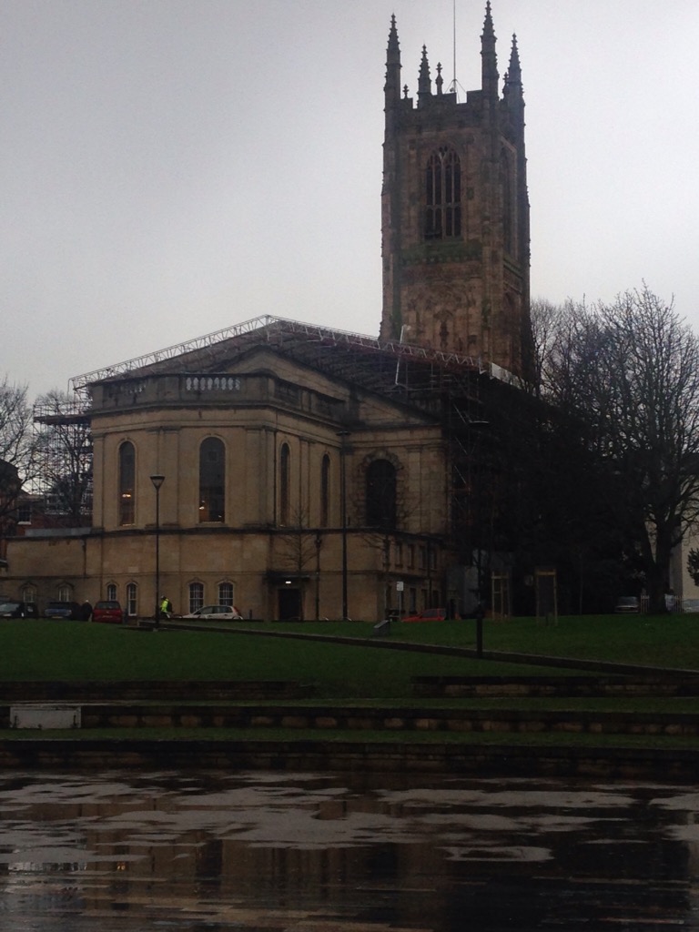
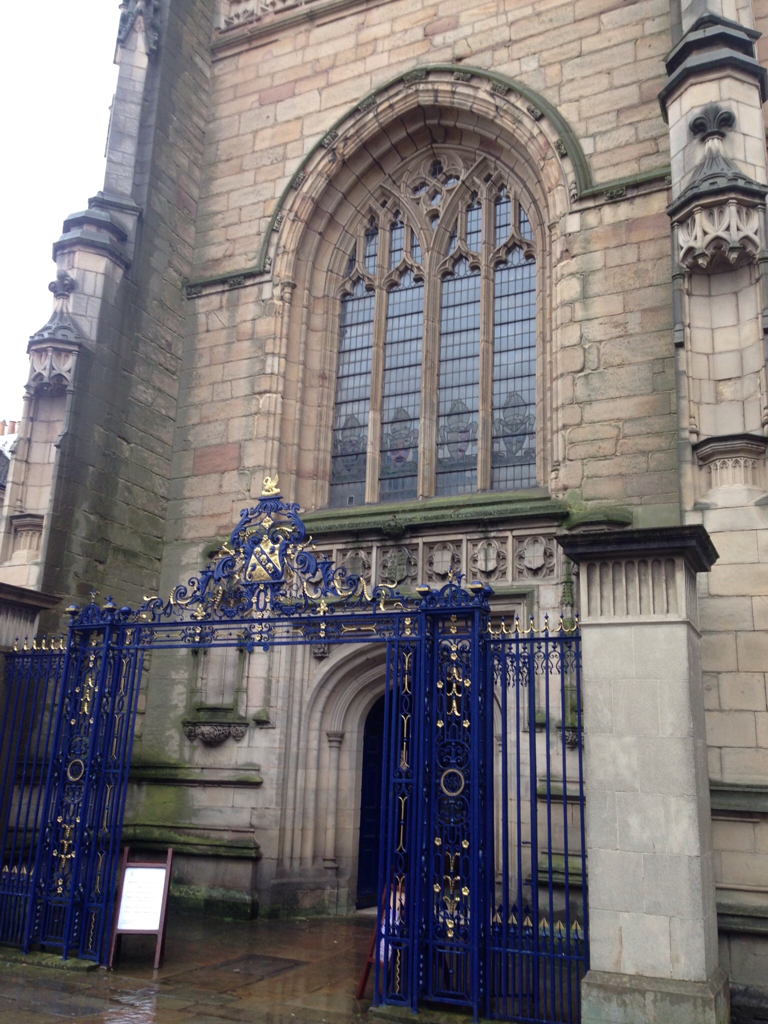
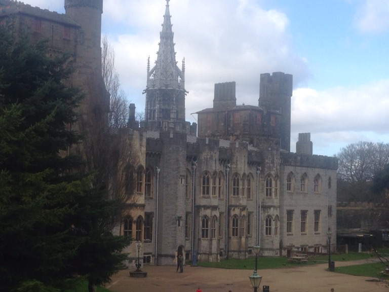
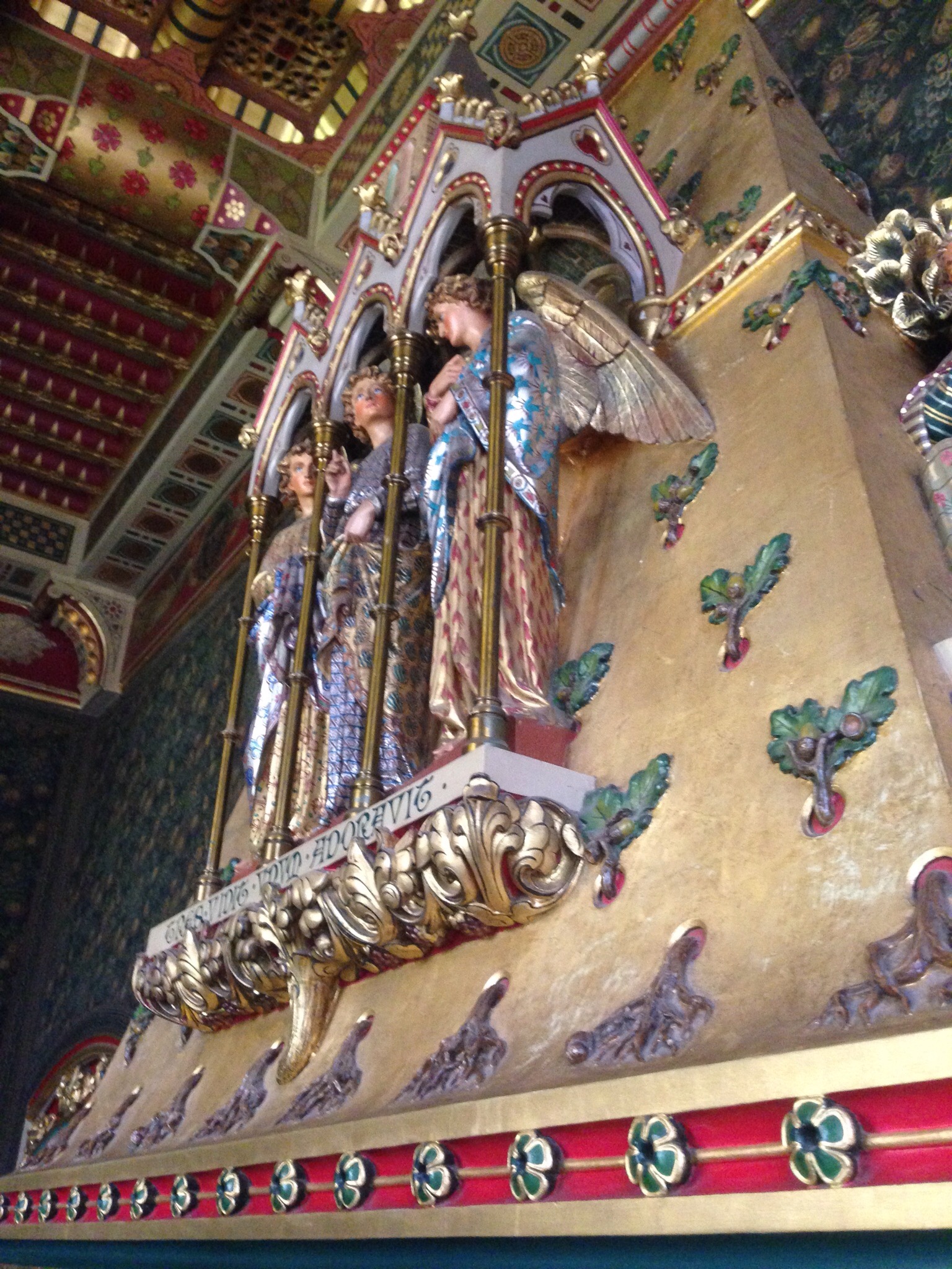
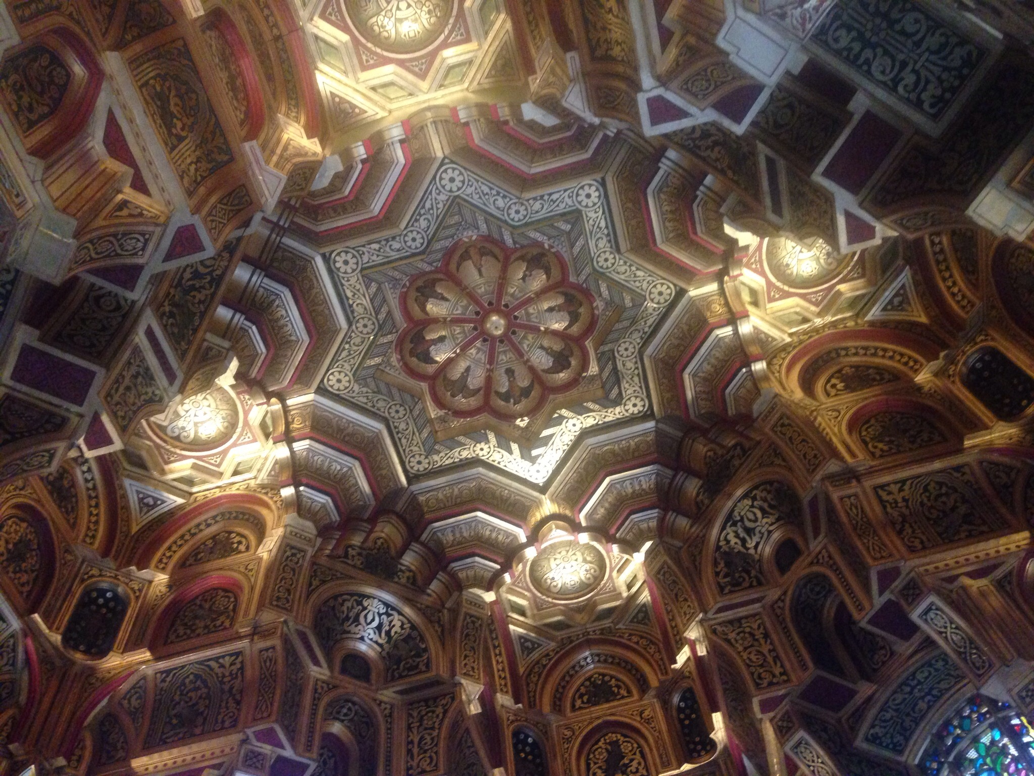
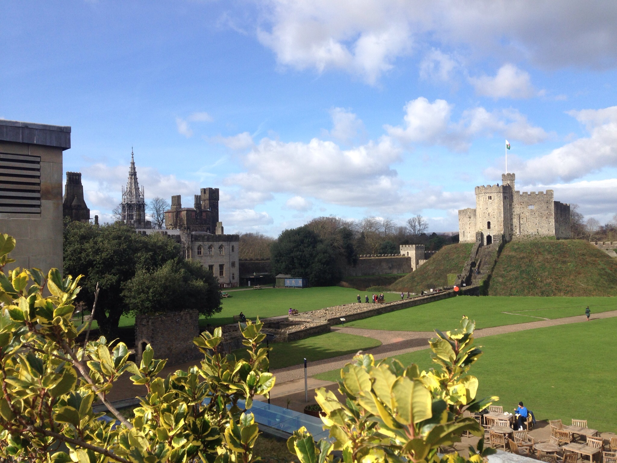
The St. Nicholas Cathedral, is a Church of Englad cathedral that is the seat for the Bishop of Newcastle, the most northerly diocese of the Anglican Church in England. It was founded in 1091 during the same period as the castle .
That was awesome, but we continued on to learn a bit more about the history of Newcastle at the free Discovery Museum. Are we the only ones that didn’t know that Earl Grey was more than just a tea? He (Charles Earl Grey, 2nd Earl Grey) was Prime Minister of the U.K.from 1830-1834. Something to think about over your next cuppa. Newcastle even has a column for him.
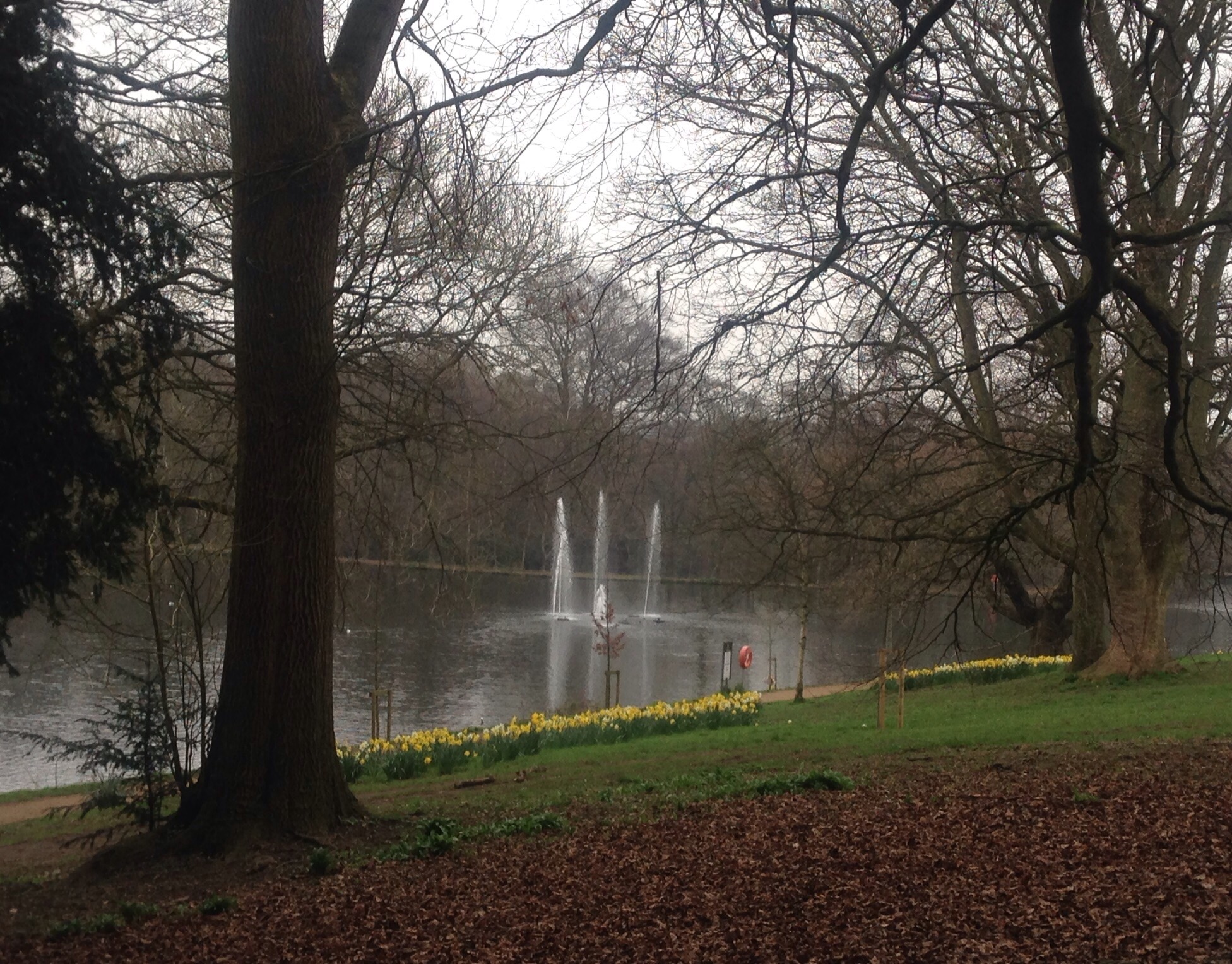
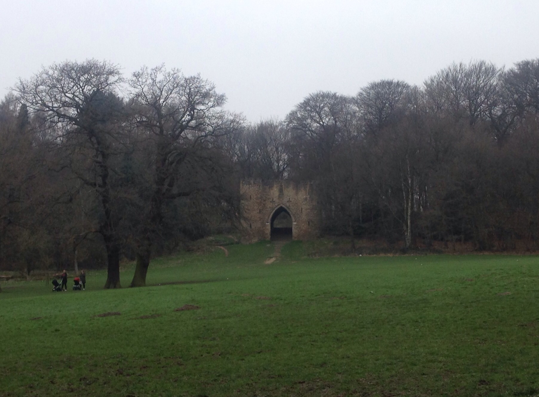
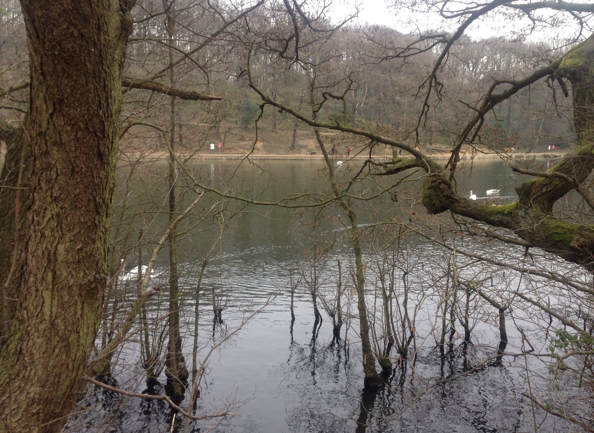
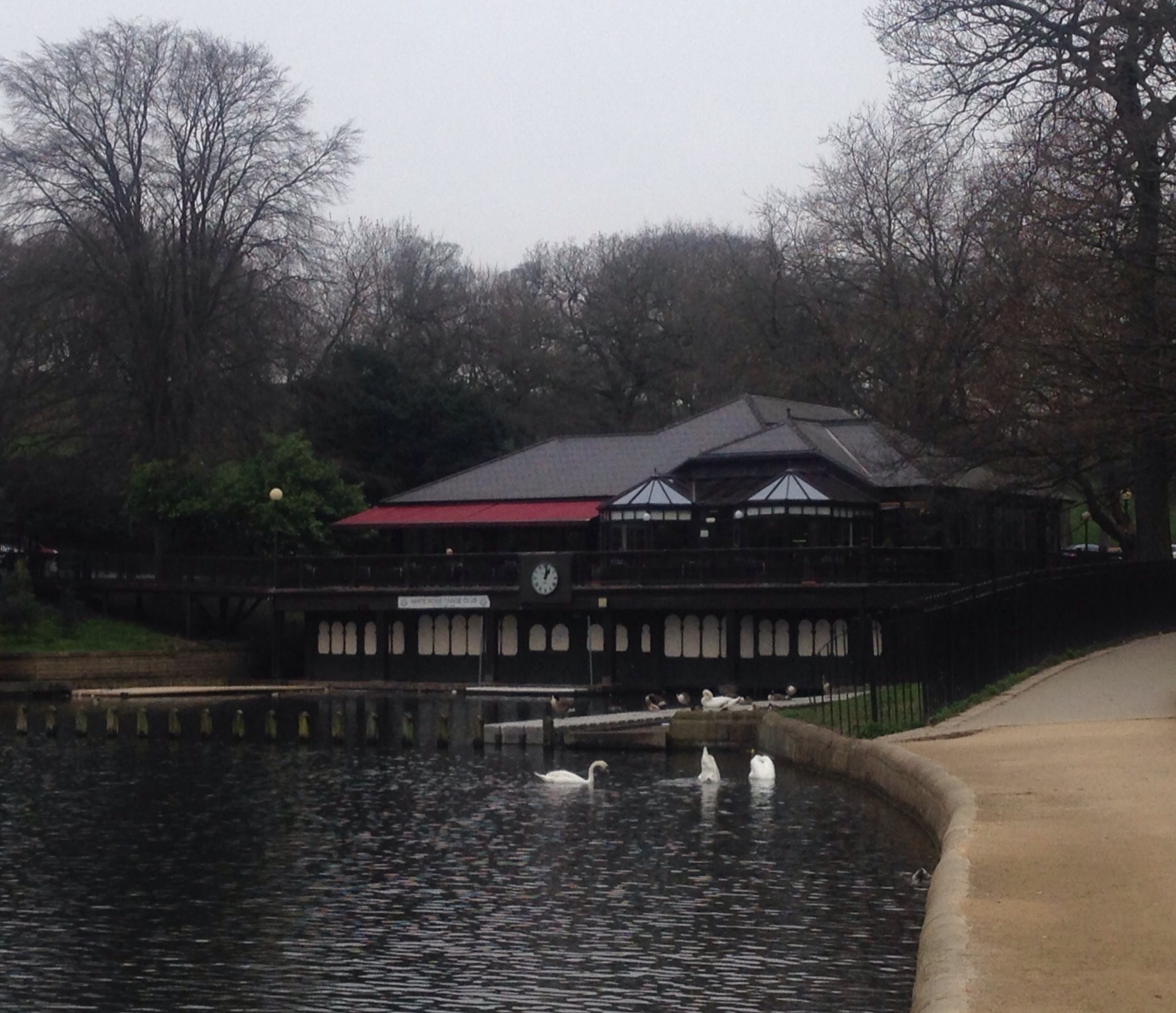
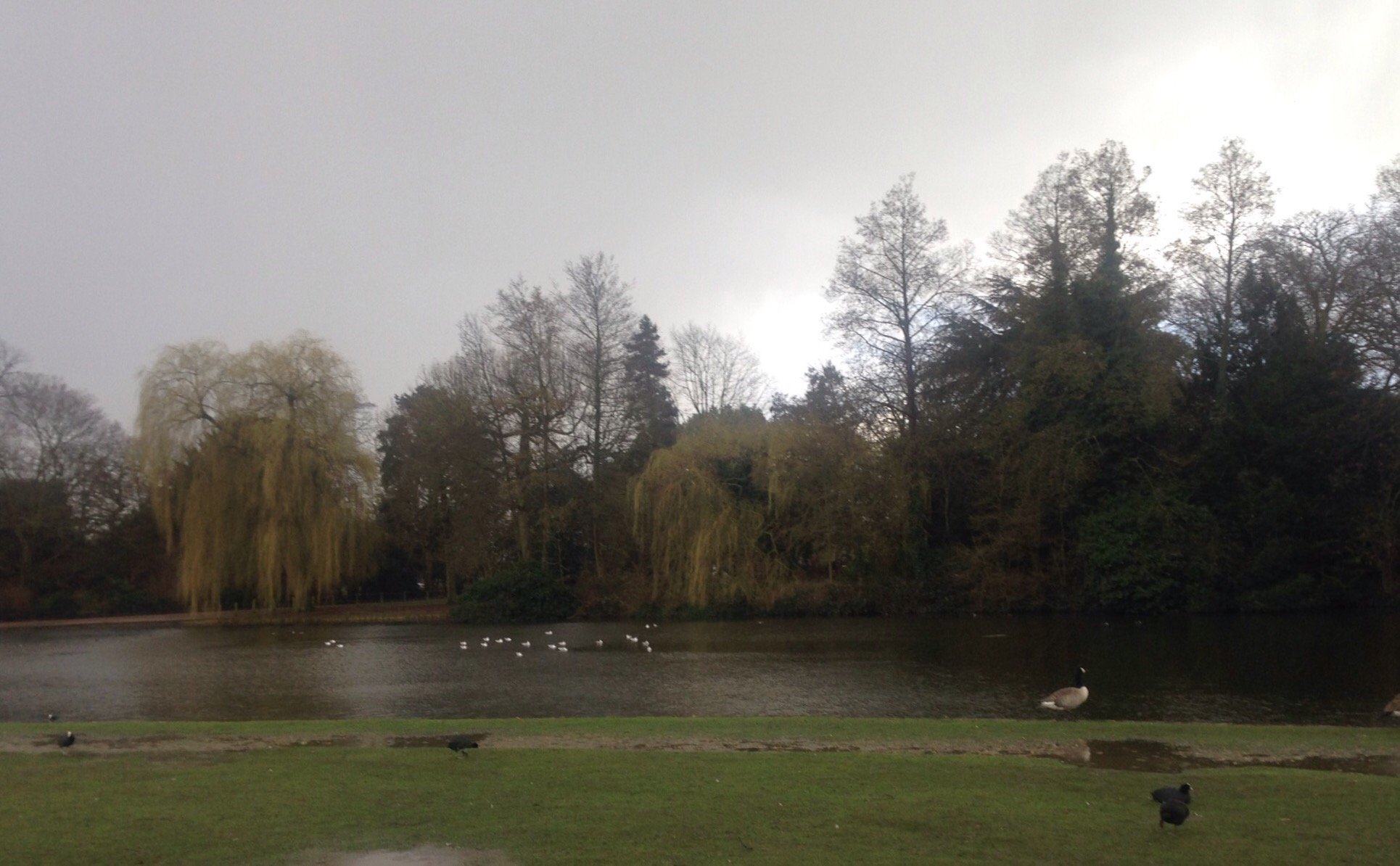
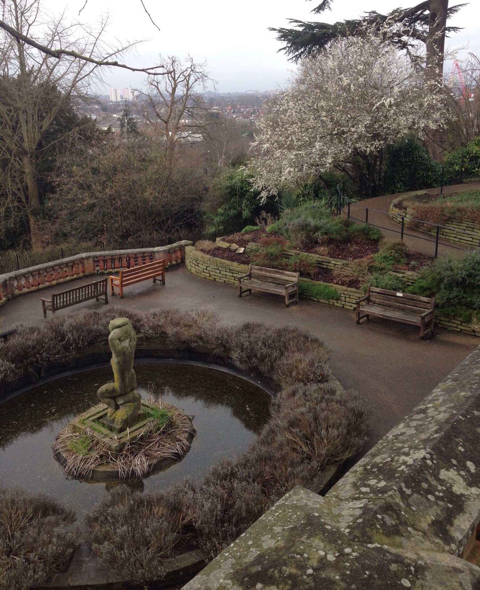
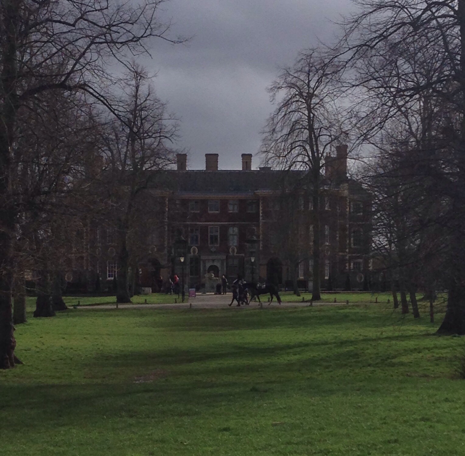
We explored a bit of Leazes Park and saw the Newcastle United stadium immediately adjacent to it.


