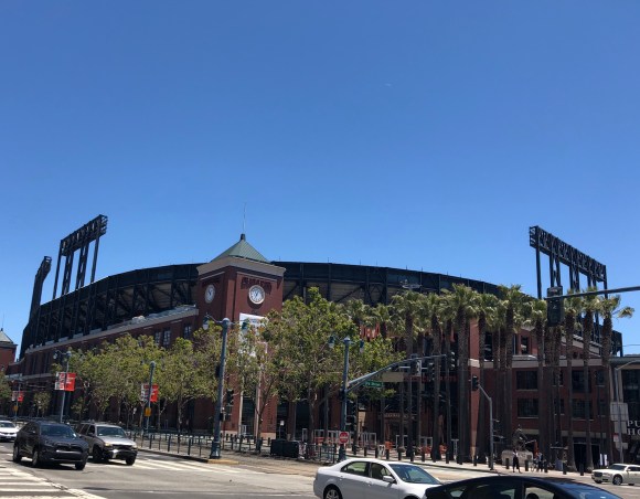
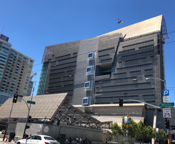
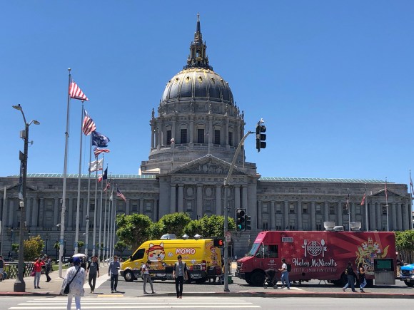
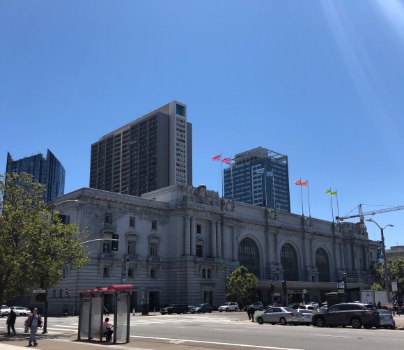
On our first full day in San Francisco Bob and I walked from “our” home in the Portola District down to Oracle Park, home of the Giants and then further into downtown to the Civic Center Plaza with lots of governmental buildings before walking back to “our” home mostly along Mission Street.
It was a great walk on a beautiful day and Bob got a photo to share with his nephews and brother-in-law to remind them of a prior baseball trip.
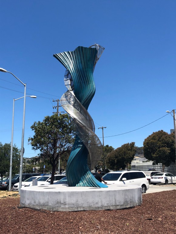
Public art piece
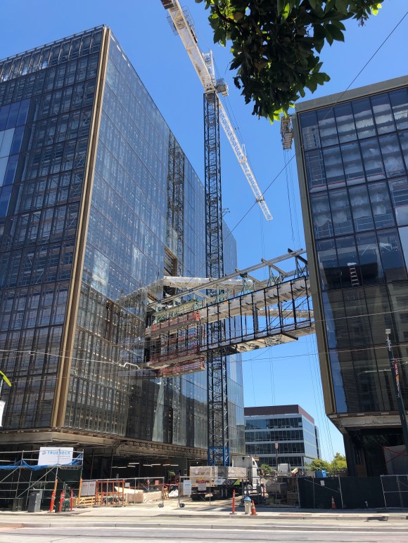
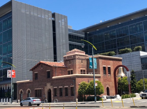
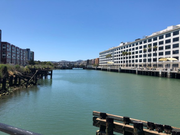
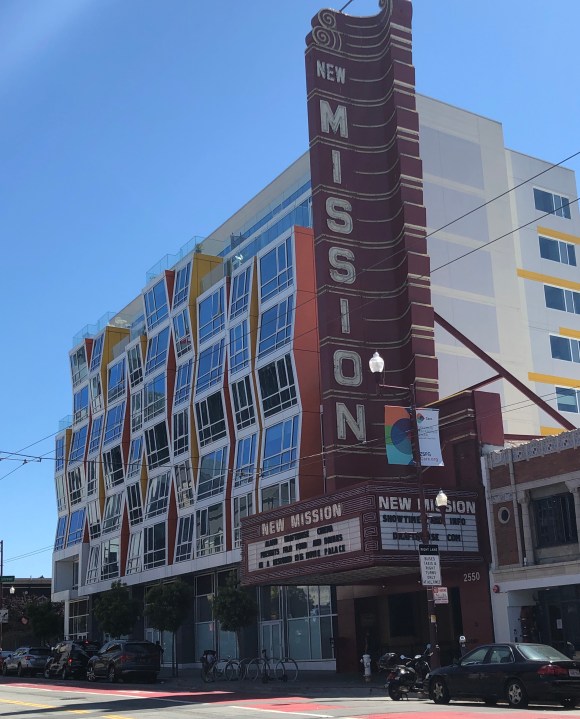
Sign of continued growthA miniature golf course in a median, seemed like kind of a pop-up kind of thingNew public safety building next to a historical one. We were impressed with the big bell.Crossing McCovey Cove next to Oracle ParkOracle ParkAwesome federal administration buildingWhat an amazing city hall!!Civic AuditoriumInside the public library which is also located on the plazaThe San Francisco site of Austin’s own Alamo Drafthouse theater — located on Mission St
On Thursday evening of this week, Bob and I moved across the bay from Oakland to San Francisco to do a brief house sit for a couple who are getting married in Oregon while they are away. Their dog is in the ceremony, or at least accompanied them, so we having been caring for their house and their sweet, friendly cat Frankie. There was no adjustment time needed for this cat. She took right to us, and she’s been very easy to love right back.
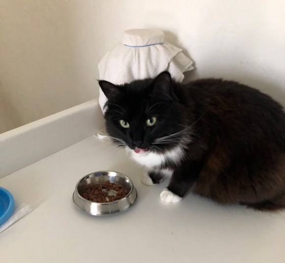
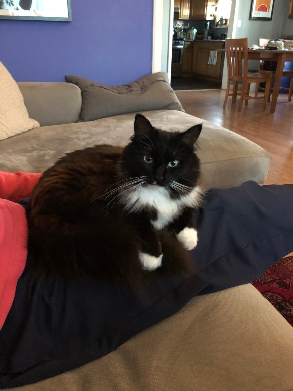
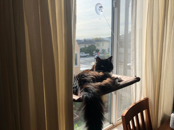
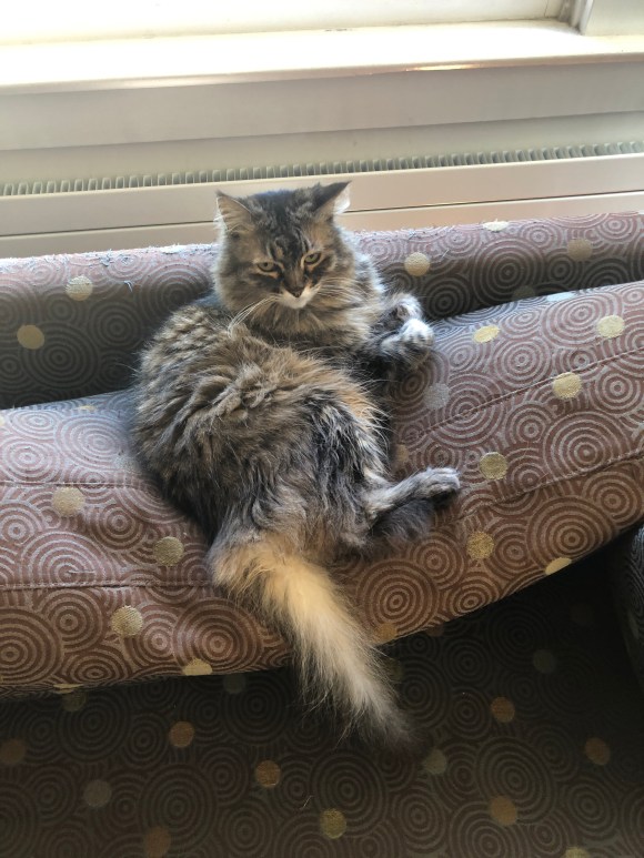
Meet Frankie.
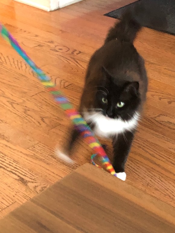
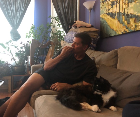
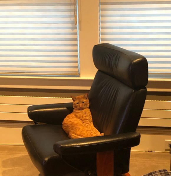
Happily eating her food on her dining counter.Getting comfy with usSunning on her window bedPlaying with her yarn wandWatching tv with Bob
Our San Francisco “home” is in the Portola neighborhood which is in the very southeast section of the city. It’s known as the secret neighborhood with its own public radio station. It has a lot of schools and the main retail street, San Bruno, has a number of mostly Asian groceries and restaurants– the real kind with occasional English subtitles. As with the rest of San Francisco, if you walk outside with your eyes open you’ll see serious hills and if you walk more than a few blocks you’ll feel them whether your eyes are open or not. DISCLAIMER: I am not advising anyone to walk outside with their eyes closed!
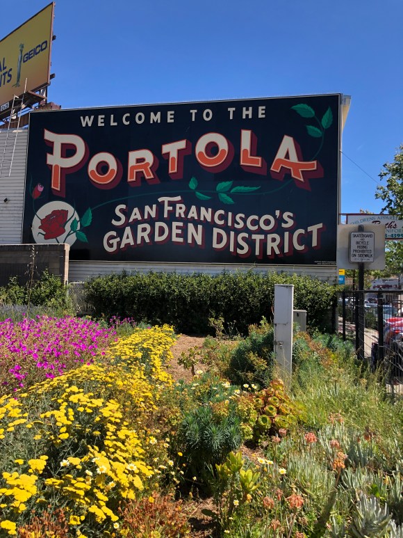
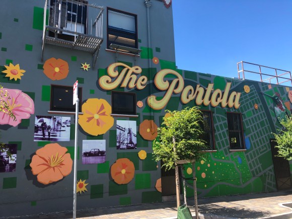
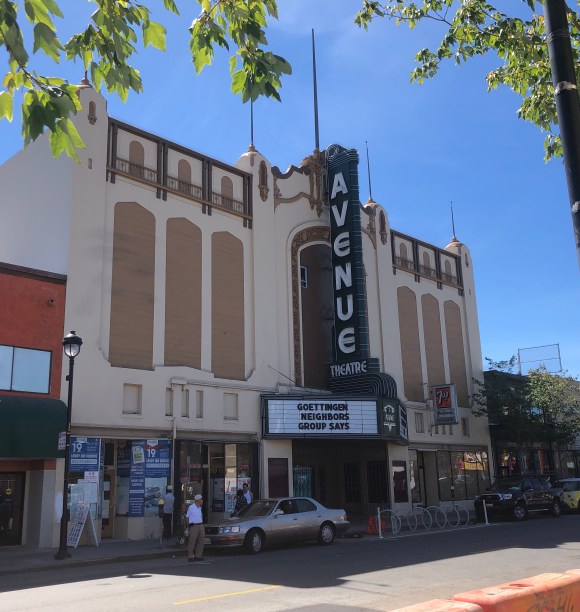
Large sign at one end of San Bruno. We have not seen many gardens.Lovely mural on building on San Bruno.Common display in restaurant windowsLovely old theater on San Bruno
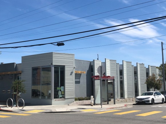
Portola Branch Library
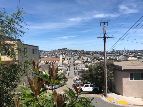
Not sure this captures the steepness of the hills or not
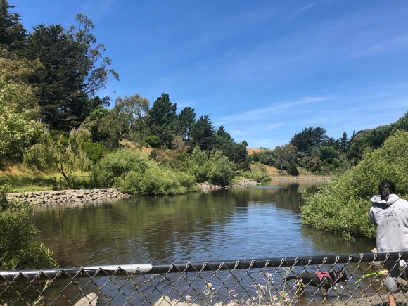
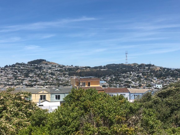
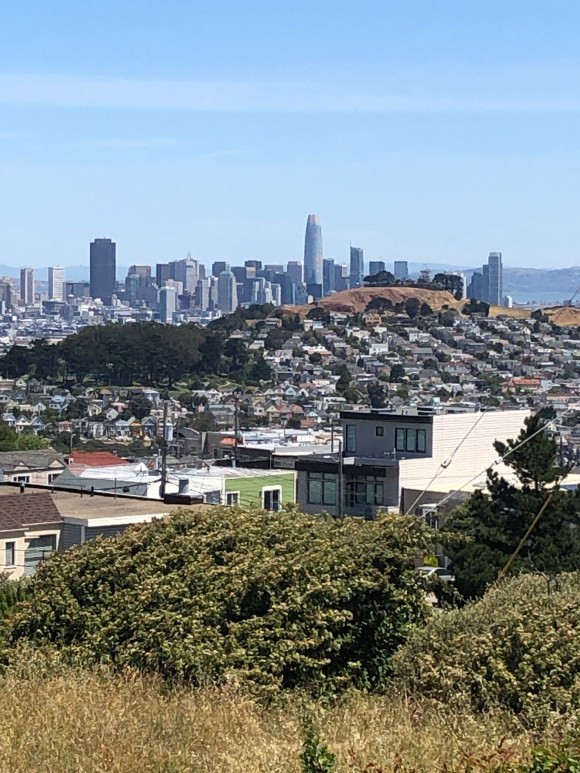
One of the highlights of the neighborhood besides all of the schools and a great rec center down the street from us is the huge John McLaren Park. At 313 acres, it is the 3rd largest park in San Francisco after Golden Gate and Presidio. Pretty amazing for a city to have so many large parks.
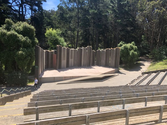
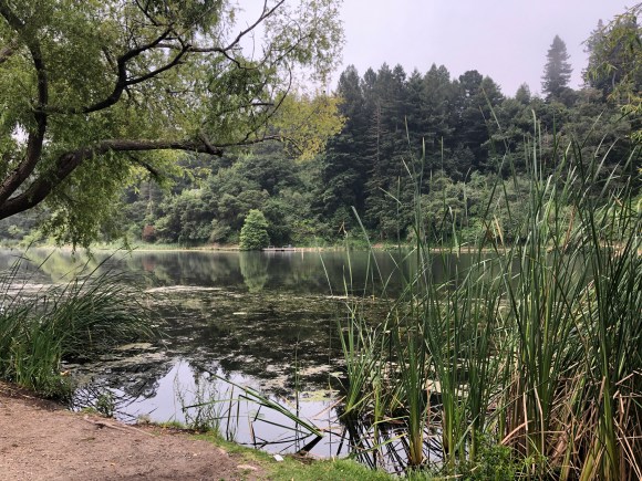
Entrance to the park from University St.One of a few ponds within the parkThe Jerry Garcia amphitheaterAnother pond or small lake popular with dogsView 1 of San Francisco from the water tower at one of the highest points in the parkView of downtown San Francisco from the park
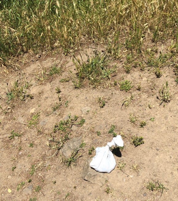
Just a brief rant, but I don’t think when the parks post signs for people to pick up after their dogs that they mean for them to then drop the dog’s poo back down in the park just because it’s bagged. We see this fairly frequently.
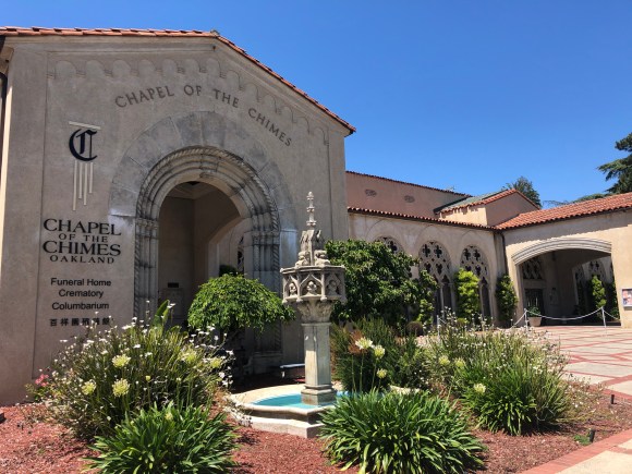
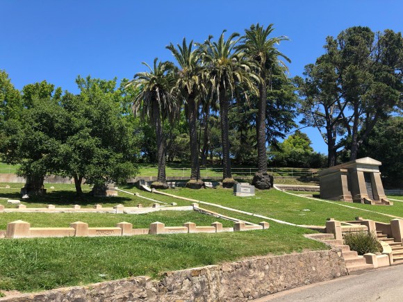
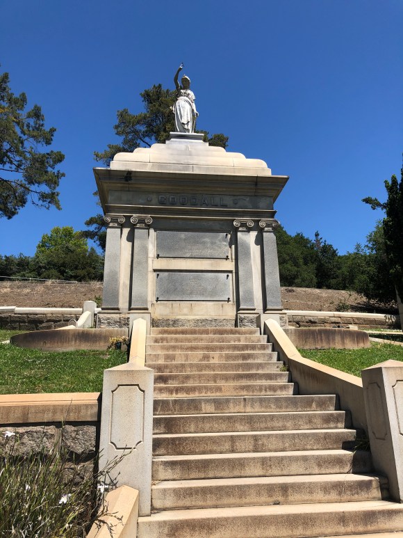
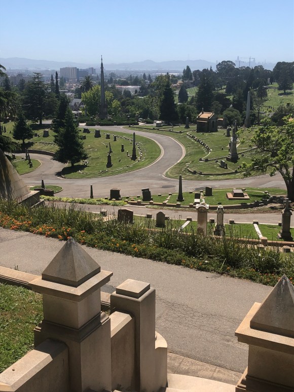
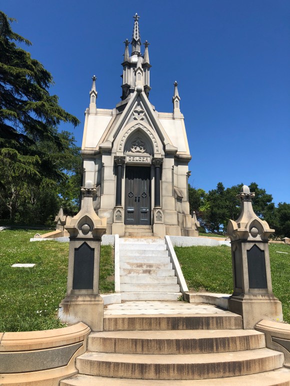
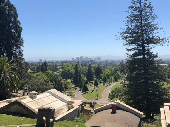
In our walks north (and steeply uphill) from where we are staying, we have noticed a large green space which consists of a golf course as well as a cemetery. We walked close to the entrance to the cemetery on our walk to Lake Merritt last week and thought we might go back and explore. Before you think we’re morbid, the cemetery was designed by Frederick Olmstead, the same gentleman who was the architect for New York’s Central Park and DC’s capitol grounds. Docent-led tours of the cemetery are conducted twice a month. Mountain View Cemetery has 226 acres, and what appears to be every type of burial option imaginable. It also has what is even marked on our Google map as Millionaires Row.
Chapel at entrance to cemetery.Fountain inside the gatesWalking up to Millionaires RowStart of Millionaires RowApparently one of the MillionairesView from Millionaires RowAnother MillionaireAnother view from the top
It is always bittersweet to leave our adopted pets as we move on to our next house sit. These four are quite the charmers.
Miss Trudy, shy and sweet, and always ready for a treat.
Kimchi keeping me company while I “work.”Spot practicing for the canine Cirque show.Dr. Kimchi is in — when did you first start having these feelings?
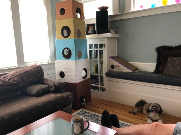
Spot in the cat tree with Rubie looking on.
In other news, one of my must-haves when traveling is a good book preferably the kind that killed part of a tree. (Maybe if I say it that way I’ll get over my need for the real thing.). Anyhoo, when we are outside of a vicinity where I have a library membership, I will look for Little Free Libraries in neighborhoods. Rockridge has a bunch of them, so I was happy to have finished my current book, Darling Girl (written by Terry Watkins a friend of a woman in Bob’s book club — I recommend it) so that I could drop it off and pick up another. I found March by Geraldine Brooks. Can’t wait. Also looking forward to picking up a library book when we swing thru Austin next week.
Bob and I, along with our canine walking companions, have recently perambulated (impressive, right?!) around two additional bodies of water, termed lakes for ease of reference and to continue a theme from a prior blog, though the term is not accurate for either. However, if you’re willing to indulge a bit of poetic license, the following is a mostly pictorial summary of the latest two episodes of Pecks Walking the Lakes.
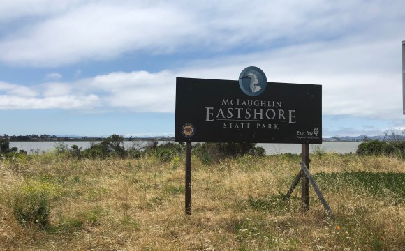
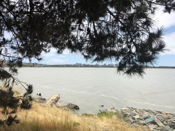
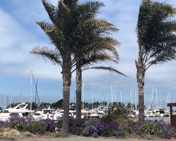
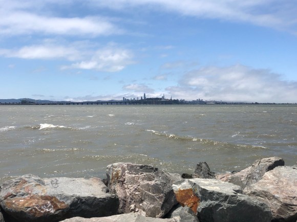
On Sunday, we ventured out without the puppies for a 3.8 mile (one-way) walk to the McLaughlin Eastshore State Park which is a narrow strip of park and wildlife refuge along the San Francisco Bay shoreline of the East Bay. It was a unique park in that it is, for the most part, a walking path between the road and the protected land along the shoreline on both sides of the narrow peninsula that juts into the bay.
We discovered the lovely community of Emeryville on the way.
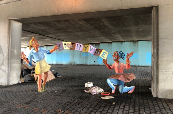
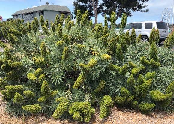
Fun art under the bridge to get to the state park. Also evidence of homelessness.Sign at the “entrance” to the park.Looking across the reserve towards the city.The walking path with the protected land near the bay.Looking across to the port of OaklandThere is a marina in the harbor on the peninsula.Because there must be a flower/pretty plant photoLooking at the city where Tony Bennett left his heart.Looking at yachts and Emeryville from tip of peninsula
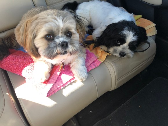
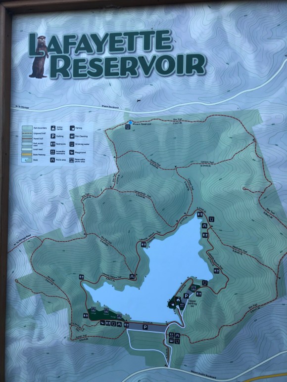
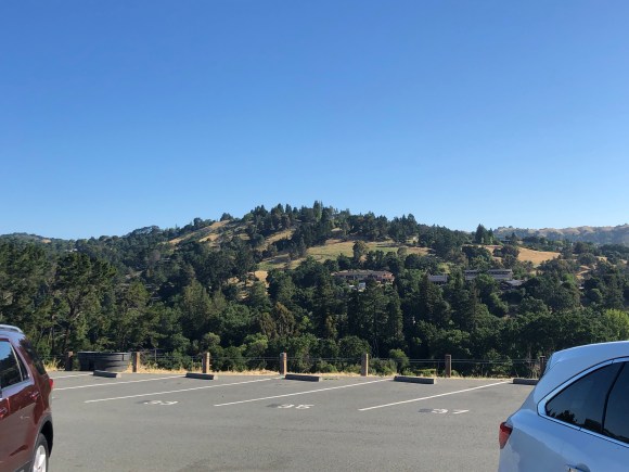
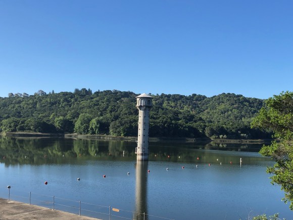
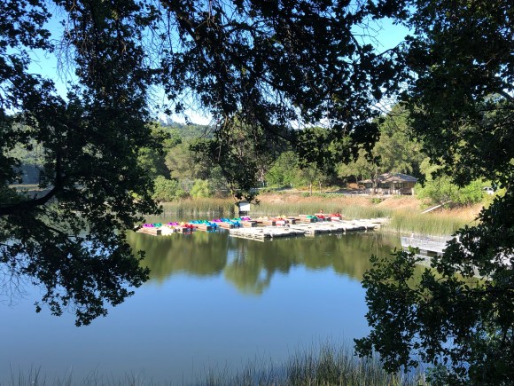
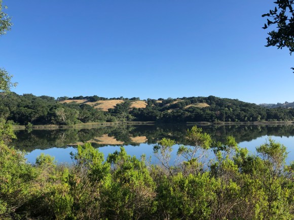
On Tuesday, we used our home owner’s car (with her permission) to drive to the Lafayette Reservoir for a lovely walkabout with the energetic (ah youth!) Spot and Rubie. This is an amazing wide, paved path around a water storage reservoir (boating allowed but no swimming) that accommodates walkers, runners, and bikes. If it had been in Austin, there likely would have been scooters too. As you’ ll see it’s in a lovely area.
Rubie and Spot ready to roll.Map of the park and reservoirThe surrounding areaOne view of the reservoirRental boatsReservoir and park areaA quick photo break
In our pursuit of lovely walking destinations both with and without canine companions we have recently visited two lovely lakes in the local area. The first one, Lake Merritt, is a large tidal lagoon (thank you Wikipedia) in the center of Oakland. It is visually impressive but also impressive in that it was the US’s first official wildlife refuge, designated in 1870!
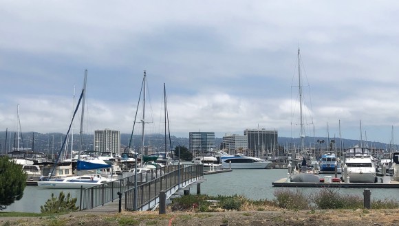
It is about 2.3 miles (thank you Google Maps) from where we are staying. Bob and I had a good walk to and from there yesterday as well as around the lake (3.4 miles). Here are some scenes from our first CA episode of Pecks Walking the Lakes.
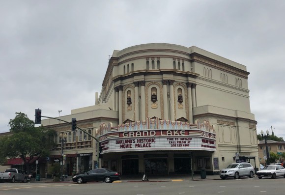
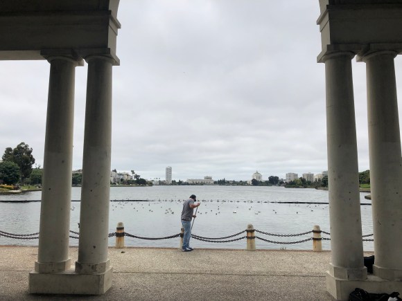
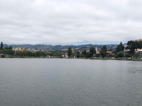
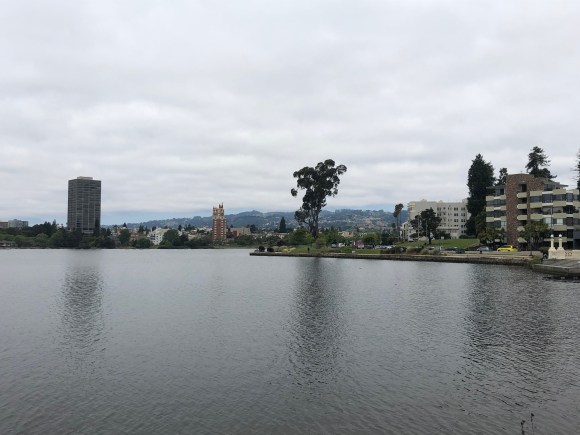
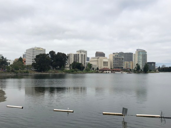
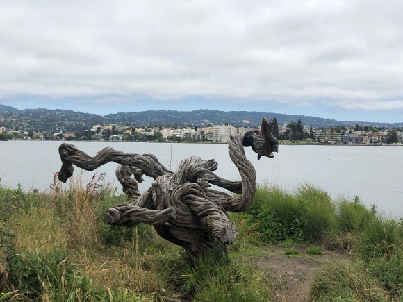
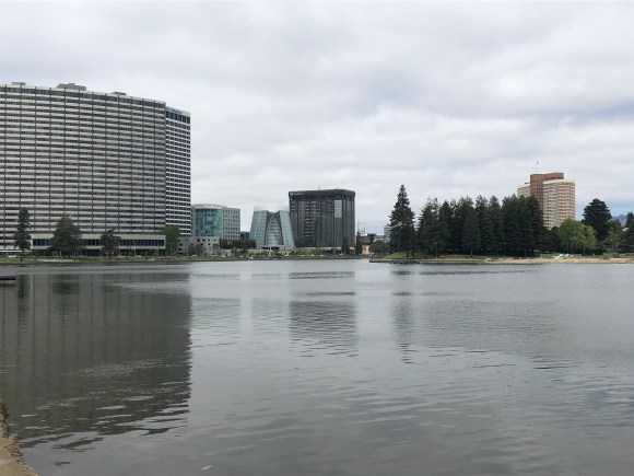
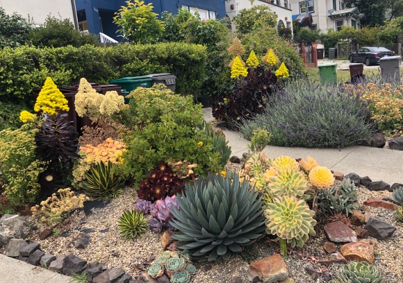
Awesome historic movie theater (still in use) on our way to Lake Merritt.View of the lagoon from our entry point onto the trail.View across the lagoonView across the lagoon to the surrounding areaA boathouse and buildings across the lagoonGnarly treeAnother view of surrounding areaSome cool buildings near the lagoonMy flower picture-taking habit is becoming a problem
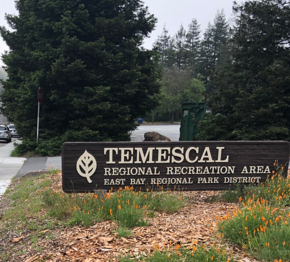
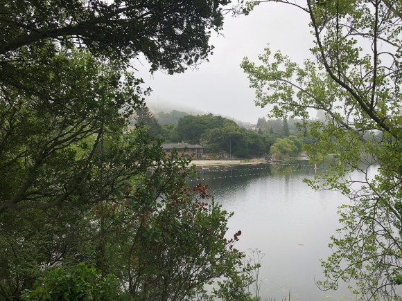
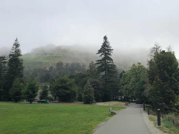
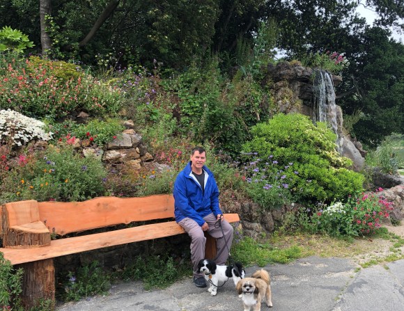
Episode 2 of Pecks Walking the Lakes had us venturing out closer to “home” with Rubie and Spot leading the way to Lake Temescal, a small reservoir not quite a mile from the house. It is the central feature of the Temescal Regional Park. The paths around both lakes we visited were being used by walkers and runners which is always good to see.
North entrance to the parkSwim house near lake and swimming areaPath and view of the surrounding hillsBob, Spot, and Rubie near a waterfallAnother view of the reservoirA creek runs through itA downhill portion of our walk (near some more lovely plants)
As soon as Bob and I knew we would be in this section of Oakland, we knew we had to visit the Berkeley campus. A couple of days ago we walked just over 2 miles north from “our” house to the campus. One of our first sights was the student union where we realized (how did we not know this?!) that the U of Cal refers to the Berkeley campus. We weren’t sure what campus we thought it referred to, but we definitely didn’t think Berkeley. So now we know if any of our college teams play the U Cal Bears, they are playing Berkeley.
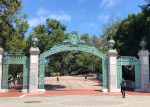
U Cal (Berkeley) Student UnionAdministration BuildingSather Gate, completed in 1910, it used to mark the university’s southern entrance.
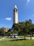
Our house owners had left us a section of the local paper that listed things to do in Berkeley. From this we learned about Sather Tower, the university’s campanile and most recognizable symbol. It is the third tallest bell and clock tower in the world and currently contains a 61 bell carillon that plays at designated times during the day.
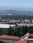
We read that the public is able to go up in the tower, and we decided to do that once we got to campus. For $4 each we were able to take a short elevator ride and then climb a few stairs for these gorgeous views.
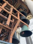
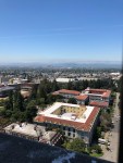
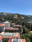
Sather TowerSome of the bells in the towerView 1 of campus and surrounding areaView 2 of campus and surrounding areaView 3 of campus and surrounding areaView 4 of campus and surrounding area
We had also read about the beautiful Morrison Library on campus, and since we’re always interested in checking out libraries (no pun intended) we decided to look that up as well. The Morrison Library was built in the 1920s and has wood-paneled walls, Turkish rugs, and cushy chairs. It’s open to the public (though no photos inside) and is the kind of place that makes you want to pick out a good book and read for a spell. It is located within the larger Doe Memorial Library.
Entrance to the library. We could go in but no photos.The upstairs reading room in the Doe Library.
Finally, the tag line for the Visit Berkeley campaign is “Everyone’s a little Berkeley,” which I think is a lovely thought. So go be a little Berkeley today.
Greetings from Oakland, CA, more specifically the Rockridge section of Oakland. Bob and I really haven’t spent any time in the area prior to this house sit though Bob had a brief visit with his nephews and brother-in-law on their west coast baseball trip a few years ago. (Cue Bob story/joke/wish about having a big bat or being winked at by some blonde.). I’ll probably get to hear one of these jokes in a bit as Bob returns from today’s Oakland/LA game.
I’ll just stick with discussing what we are learning about Oakland this go round. First, courtesy of Wikipedia, you should know that Oakland is the largest city and the county seat of Alameda County. It is the eighth largest city in CA (home to many large cities). I believe that many people think of it as the step sibling to San Francisco (which I believe I first heard of thru the Rice-a-Roni jingle, but I’m old and not from these parts).
Also courtesy of Wikipedia, Rockridge is the residential and commercial neighborhood in Oakland bordered by Telegraph Ave, Berkeley, Oakland Hills, and 51st Street.
Anyhoo, for us, the most important part of Oakland is the great home owners for whom we are house sitting and these four cuties —
This is Miss Trudy. She prefers to stay in her own quiet places — at least until feeding time.Kimchi getting up from a nap in his scratch lounge. He is usually playing in the backyard.This is Spot, and yes, he is that cute and sweet.Spot’s sister Rubie. Just as sweet and cute.
We have been enjoying getting to see Rockridge while walking the dogs. We started out with each of us walking one dog with separate harnesses but have decided we prefer taking turns walking both of them on a shared leash as they walk so well side-by-side and actually walk us when they get going.
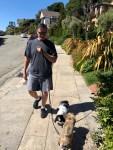
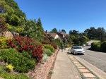
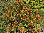
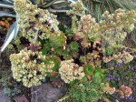
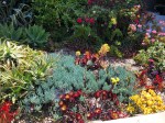
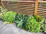
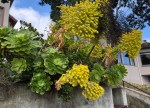
The other thing that we love about this area are the beautiful craftsman style homes and all thegorgeous flowers. I try not to creep people out by taking photos of their homes, but I’m not as restrained about the plants and flowers.
We are not in Tucson any longer, but we had a lovely stay and have plans to return. Our last few days in Tucson had us catching up with friends, getting some much needed haircuts, touring a big Cave, and going for one final hike (for this trip). Oh yes, and being “gifted” with two hummingbirds from Taj, the hunter.
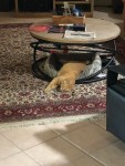
SammyTaj and Sammy at playTaj when not out hunting — just out
In 2016, we house sat in Green Valley for 3 months. We met up with that couple (the humans not the dogs we cared for) for lunch and got caught up with their travels including an upcoming one to South America. They were kind enough to ask us to sit for them during that trip, so from late February to late March of next year, we will be caring for their new home in Tubac (a little south of Green Valley) as well as their dogs Molly and Maya.
We also had dinner with the woman for whom we did a 2.5 week house sit in July of 2017. We had a great visit with her after getting a tour of her newly-renovated house and getting reacquainted with her dogs, Dot and Raina. It was great catching up, and we hope to visit with her again when we are back in the area next year.
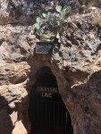
We also made time for a trip to the Colossal Cave just outside of Tucson proper. We had a fun tour and a little picnic on the grounds.
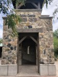
View back towards Tucson from the Colossal CaveNature Trail at the Colossal CaveEntrance to the CaveThe CCC building that houses the ticket center and gift shop
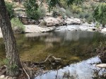
On our last full day in a Tucson we had a great hike to the Romero pools in Santa Catalina State Park. This was a challenging hike with some good elevation changes. While we were pleased to see that there was actually water in the pools, the scenery on the way is what really made the hike great.
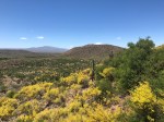
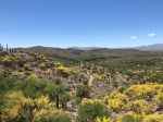
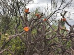
Great mosaic at the trail headHeading off on the trail. It started out sandy but became very rocky as we ascended.Onward through the rocksView of trail looking back at TucsonFlowering cactiMore desert bloomsOne of the Romero Pools
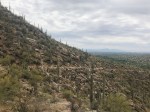
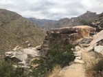
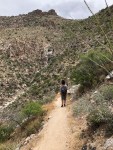
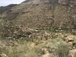
We have had so many good hikes in Tucson, but yesterday we got to Sabine Canyon Recreational Area, a lovely park which we had not explored on our prior visits. It is a national recreational area in the front range of the Catalina mountains.
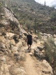
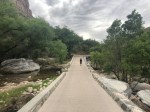
It was a lovely Sunday, so the parking lot was crowded when we got there about 11:30 but luckily it’s a big park so our actual hike was not busy. We asked about recommendations for a scenic hike at the Visitor’s Center. They recommended the Phoneline Trail which is 5.5 miles one-way, uphill. It did not disappoint. While the uphill was not too challenging, the skirting of the mountain with just a drop-off on one side kept us alert.
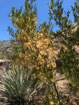
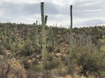
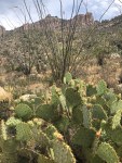
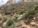
It reminded us again of the beauty of the mountains and the appeal of the desert cacti. See what you think.
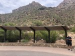
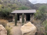
At the end of the trail, we walked down to the shuttle stop. After a quick snack at this lovely way station, we walked the 3.7 mile road back to the Visitor’s Center. We had seen others doing this during our hike, and it provided another lovely perspective of the park. The only automotive traffic on it is the park shuttle which only runs every 20-30 minutes.
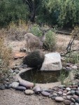
We didn’t see any wildlife during our hike but then were surprised by this guy once we were back in the Visitor’s Center.
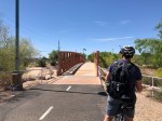
Our Tucson hosts left us the use of their bikes while they are away. They are great bikes, and the couple is conveniently about the same height as we are so we were good to head out for a ride. We have been blessed with much cooler weather here than we’ve had in the past (The hottest day has been 87 but most have been in the low 80s with wonderful 60 degree mornings.), so we decided to get out onto Tucson’s amazing bike loop. And, for our Austin friends it really is a loop. In total, the whole system of paved shared use (hike/bike) paths and short stretches of buffered bike lanes is 124 miles! The actual section that forms a loop is 54 miles — awesome! It goes all the way around Tucson proper.
We did not ride 54 miles. We rode about 20 something. And TMI alert: without bike shorts that was about what we could do even on their great bike seats. It was still a great ride. Below are some photos of our outing including scenery, signage, conveniences, artwork, and solar panels —
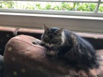
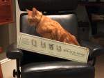
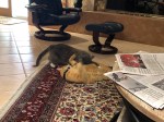
And just cuz they’re so darn cute a couple more cat photos —