Bob and I headed to St. Pete Beach this morning once the thick fog cleared. I wish I had thought to take a photo of it from the condo because it seemed thicker higher up.
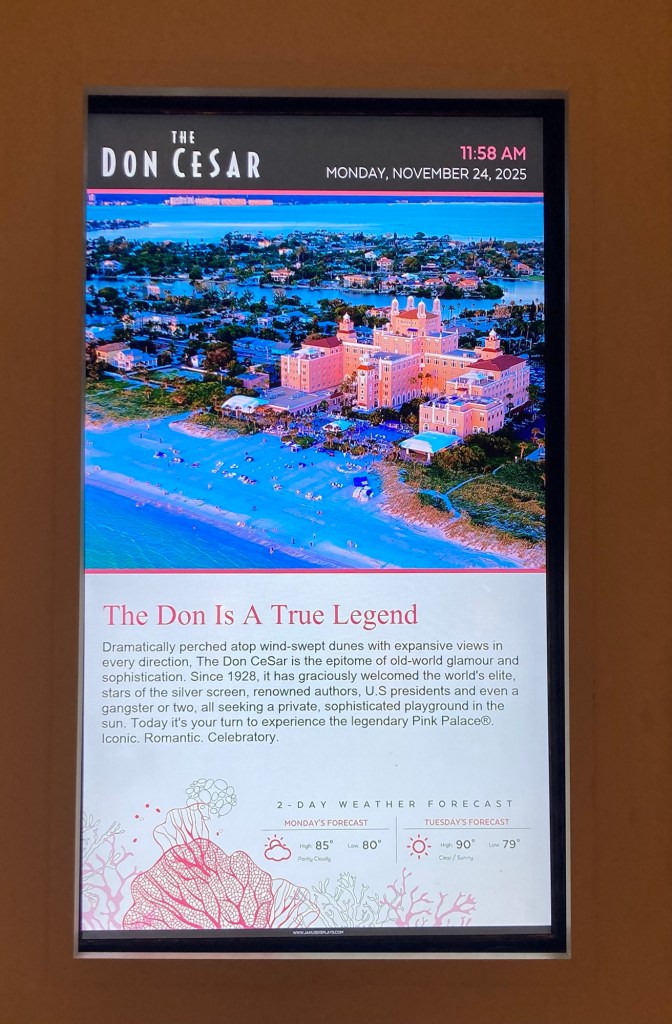
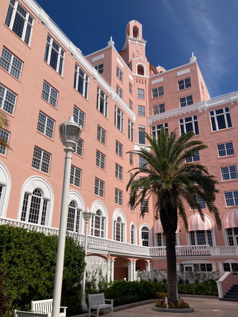
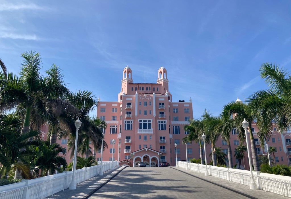
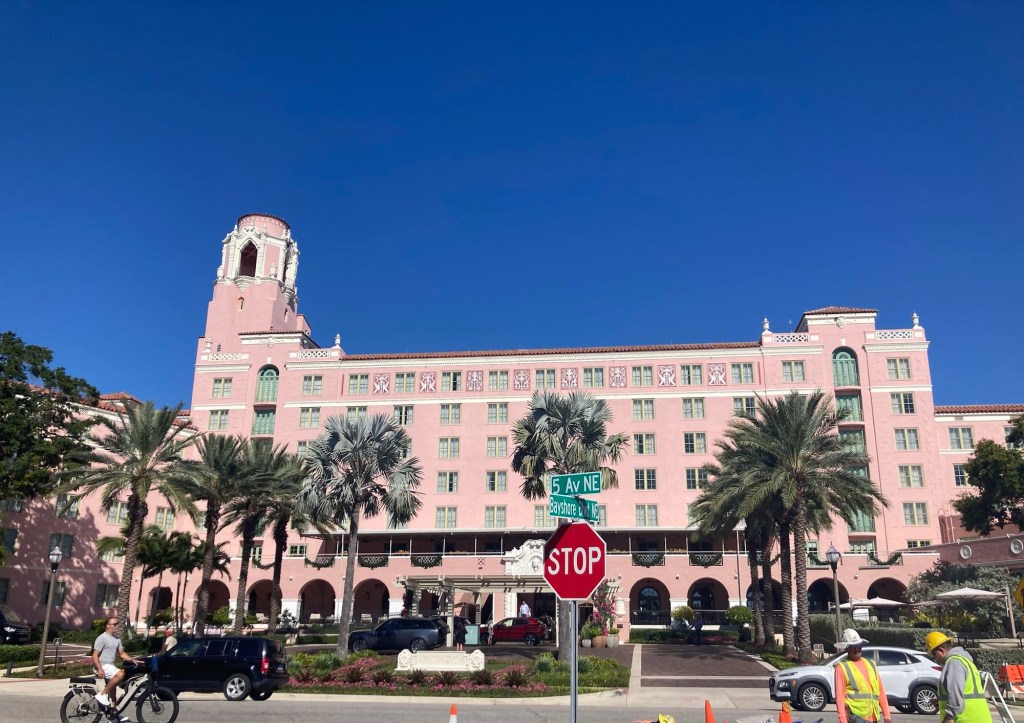
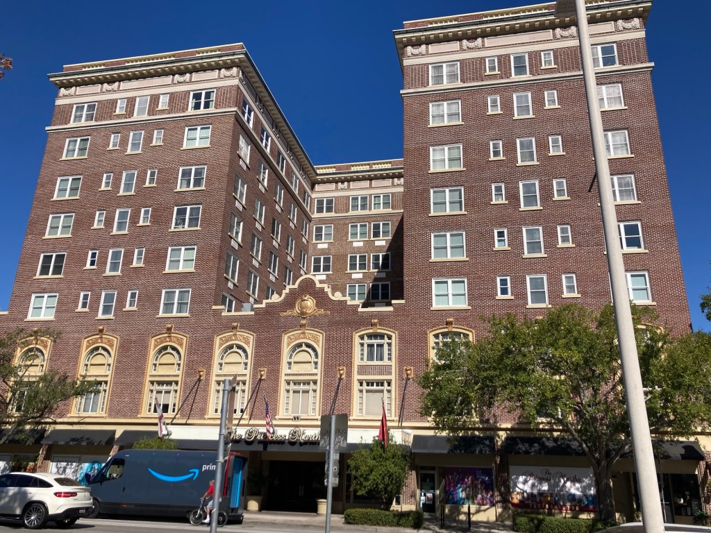
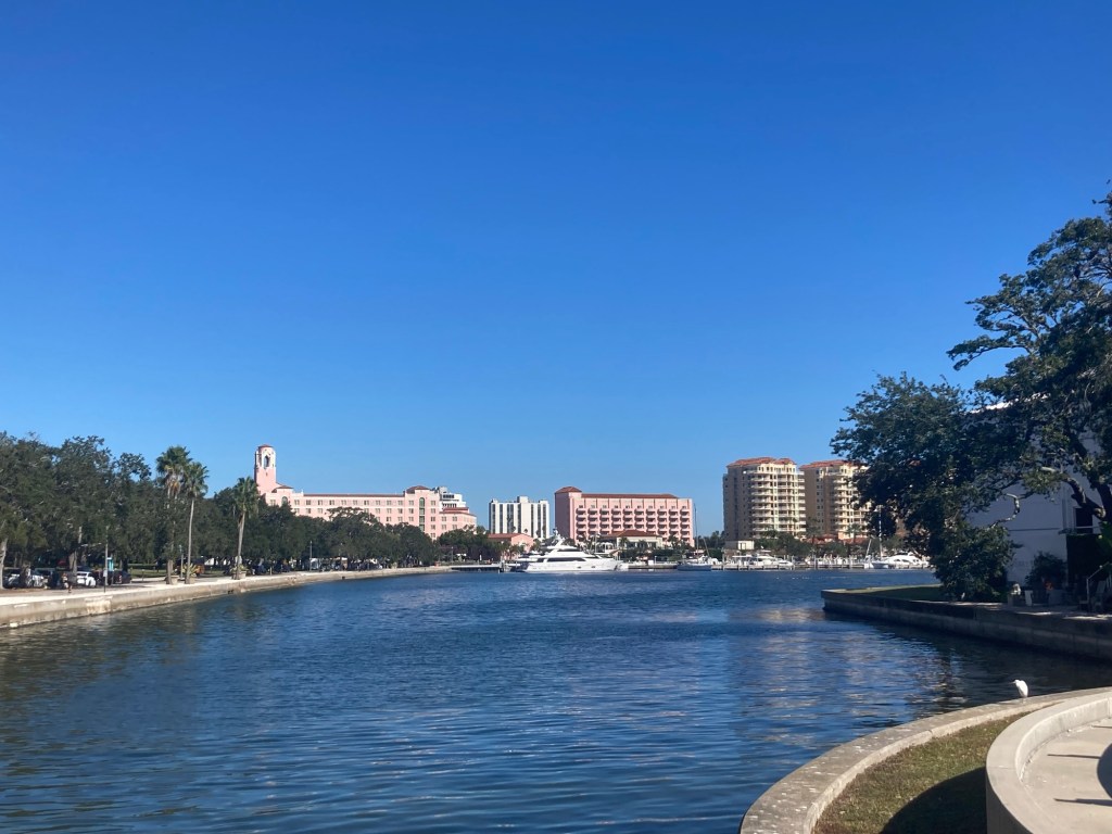
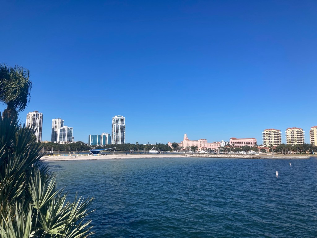
St. Pete Beach is about 7 miles from downtown St. Pete and lies on the Gulf of Mexico. It is a barrier island community of about 9,000 known for its white sand beaches and claims to be the Sunset Capital of Florida. It is also home to the Don Cesar Hotel, which is why we were there, as it was recommended as a place to check out by our homeowner.
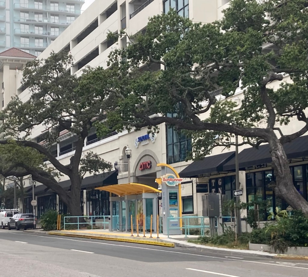
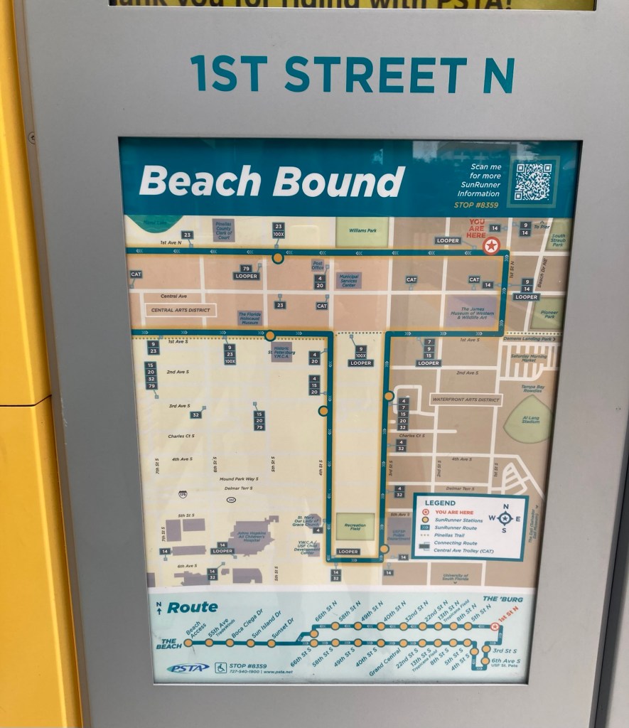
St. Pete Beach is not known for having lots of parking and non-guests at the Don Cesar pay $38 for valet (only option) parking at the hotel, so Bob found us a bus route that goes to St. Pete Beach for a nominal fee of $4.50 round trip. The ride took about 25 minutes, and we both got to enjoy seeing new views of the area. The bus system is called the SunRunner, and the route was Sun to the Beach. The buses are hybrid electric, and this route runs every 15 minutes.
The bus stop in downtown where we caught the bus.A map of the downtown area and the route.A couple of photos from the bus as we crossed the Boca Ciera Bay
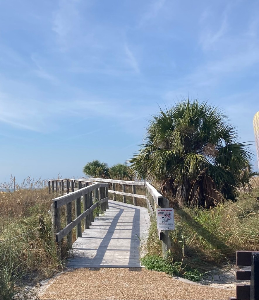
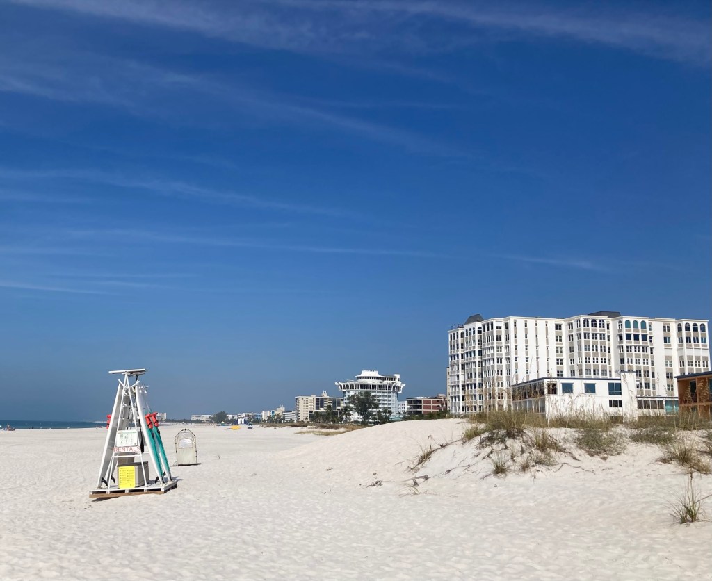
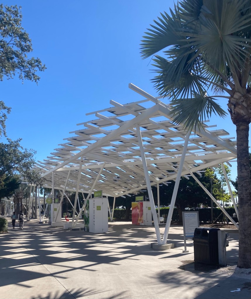
The route ends at a Beach Access point, complete with boardwalks to the beach, a shower for rinsing off, and public restrooms.
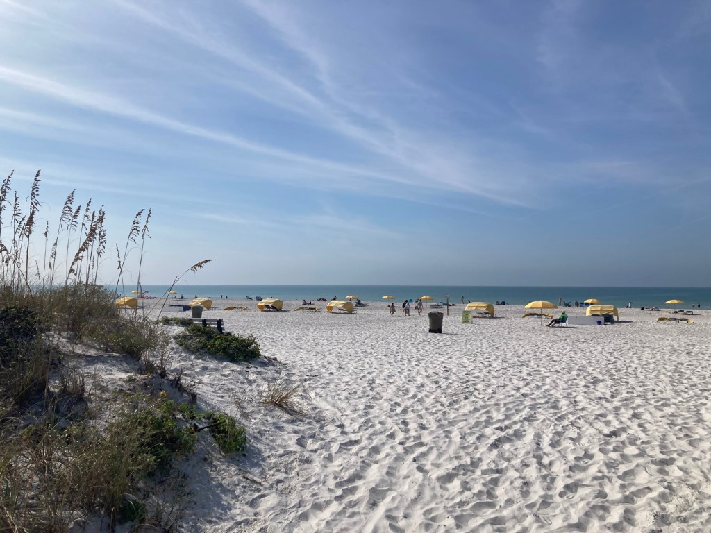
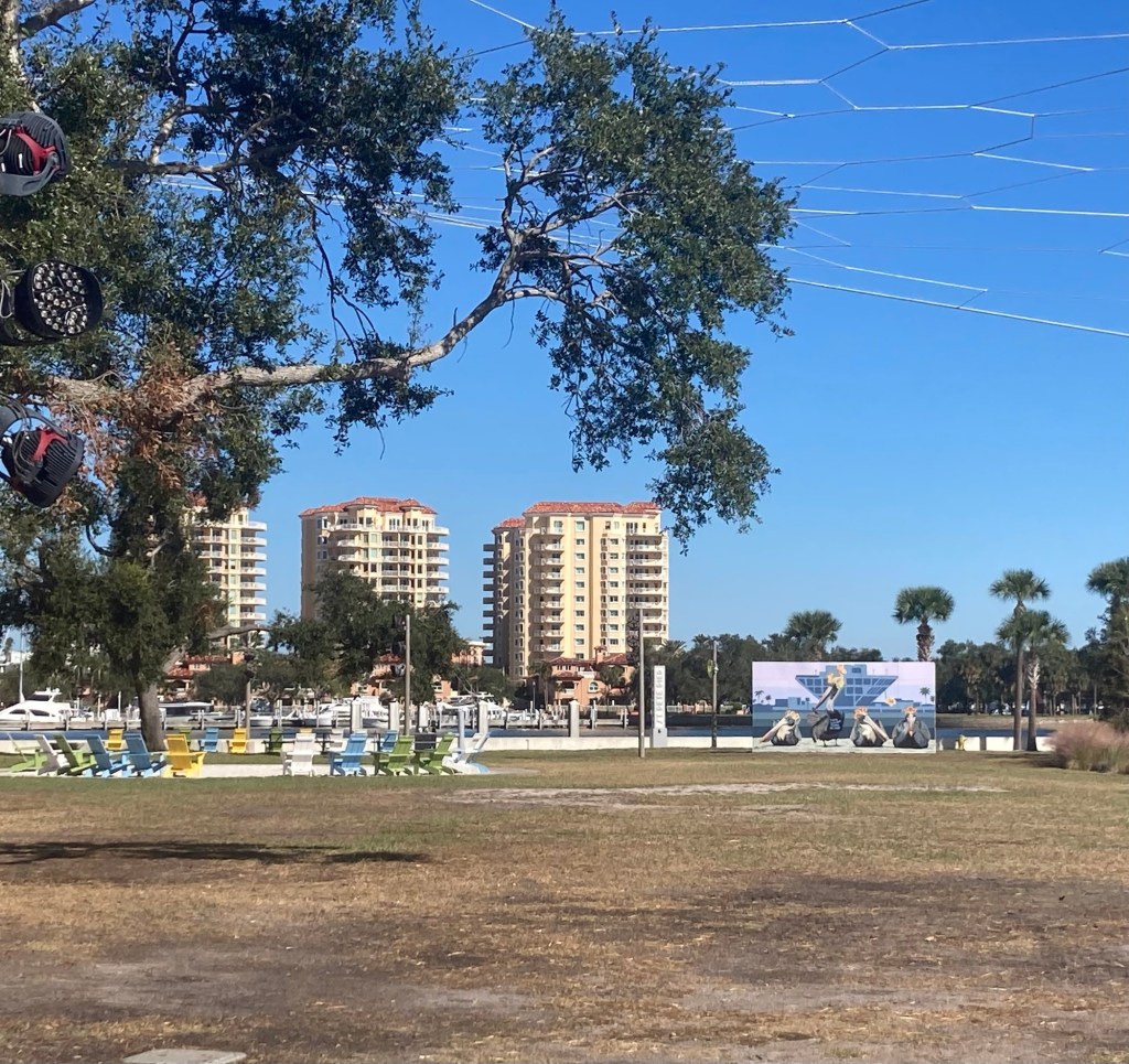
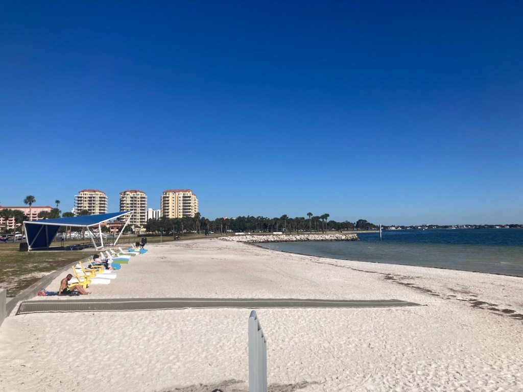
One of the boardwalksThe beautiful white sand beach. An umbrella and two chairs were available for rent for $45.Looking in the other direction
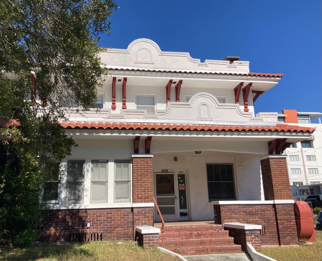
After coming back out on the boardwalk, we walked about 1 mile along the busy Gulf Boulevard to the Don Cesar Hotel.
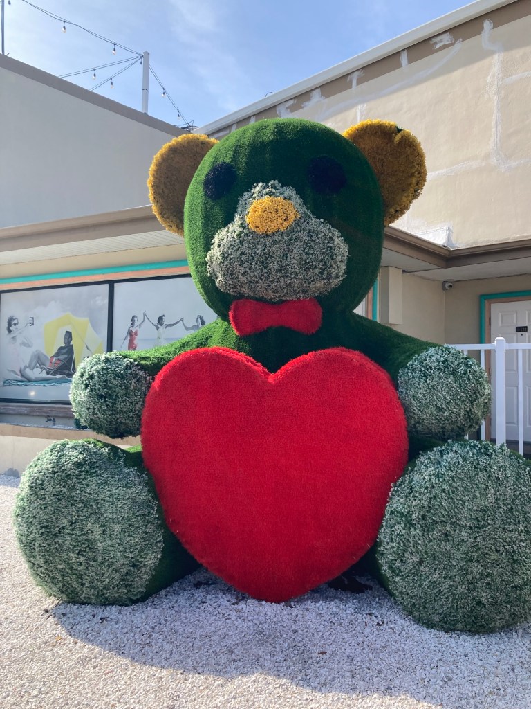
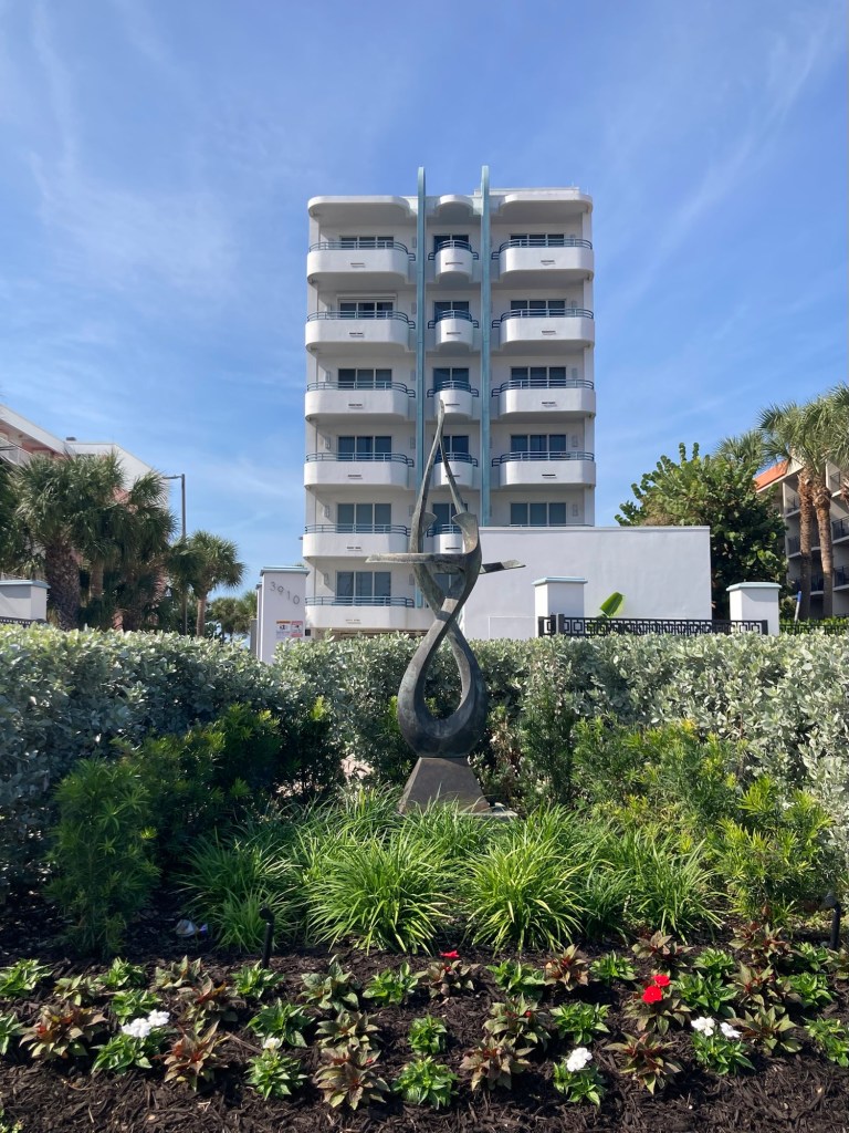
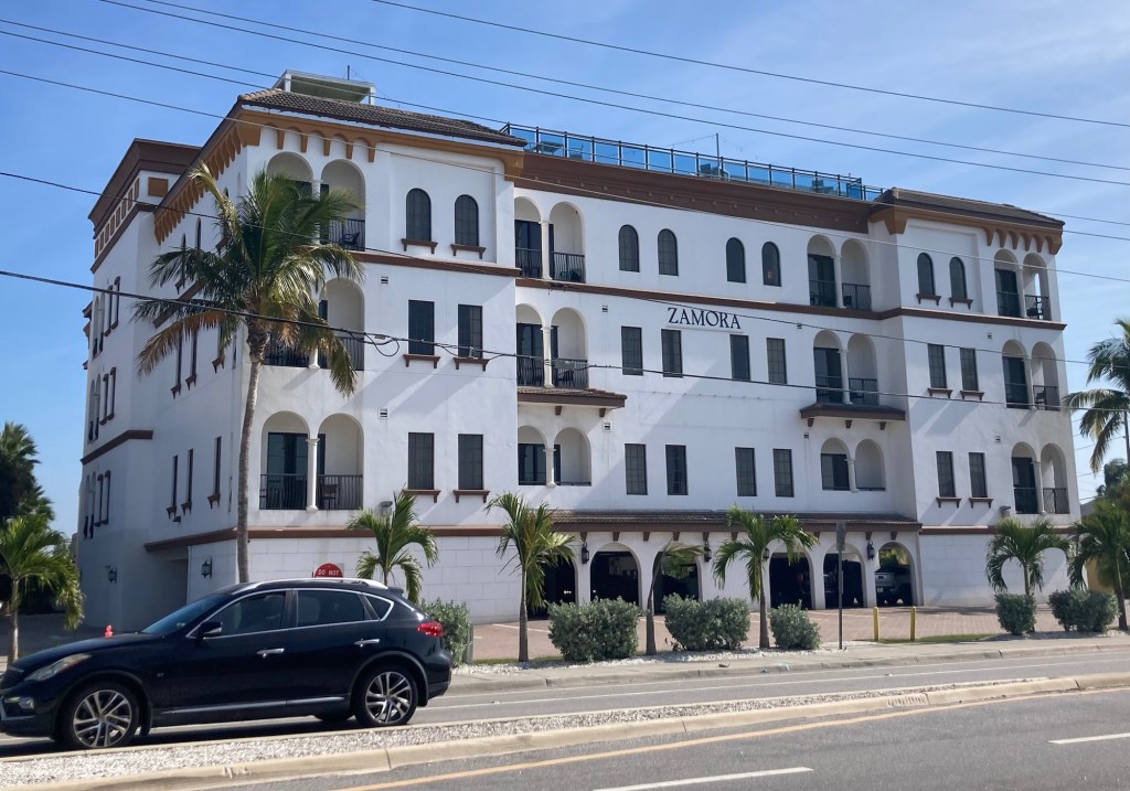
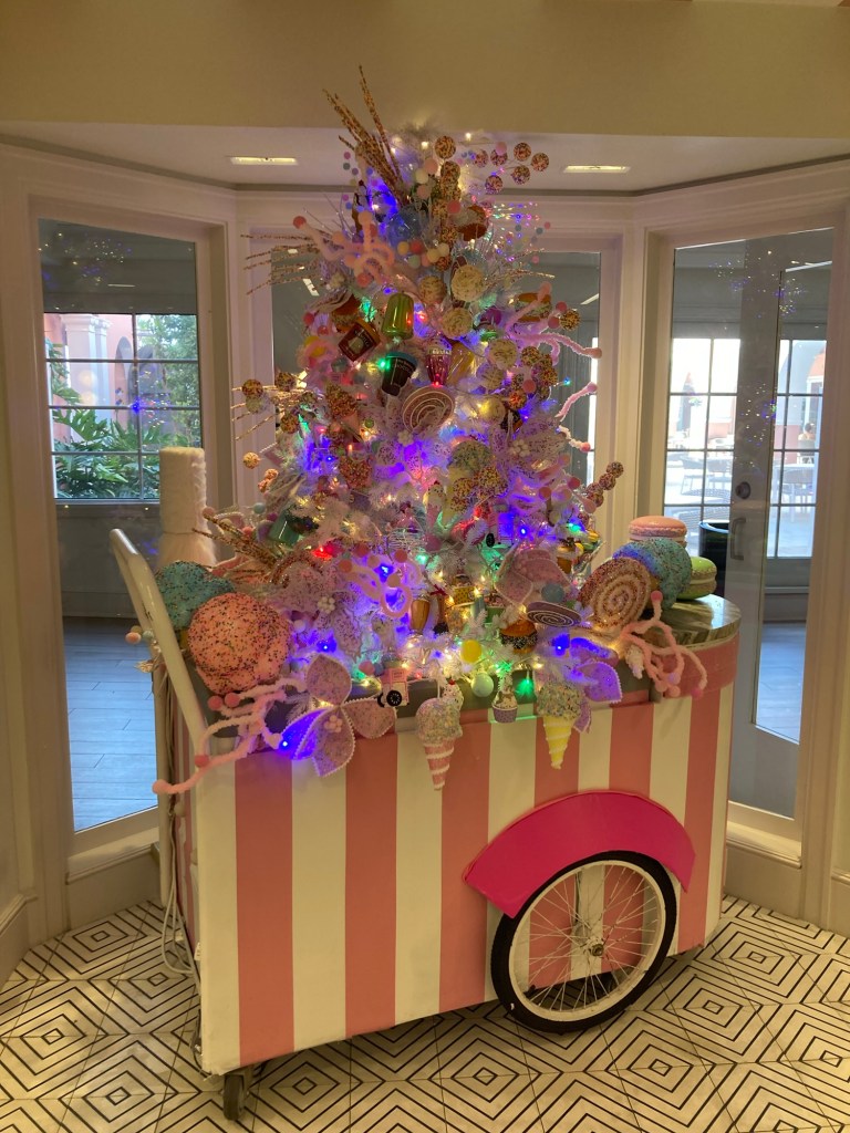
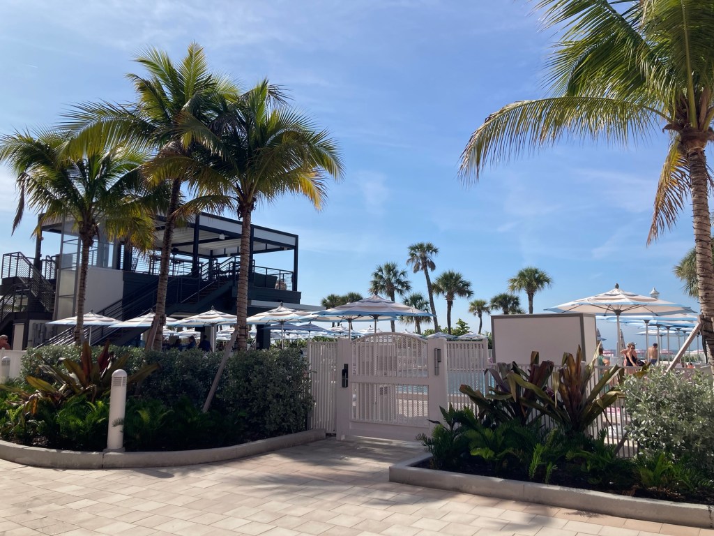
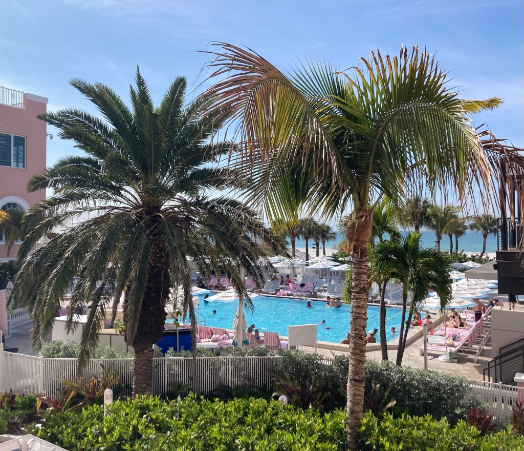
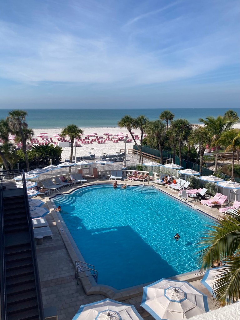
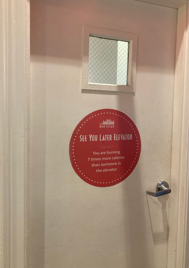
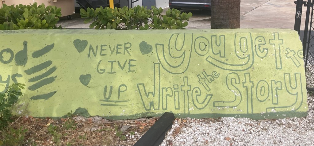
A big floral (I think) structure in front of one of the motels we passed on our walk.A condo or hotel along the wayThe Hotel Zamora across the streetThe historic marker placed in front of the restored hotel in 1975, detailing its history as a hotel, rehabilitation center during WWII, and a federal office building.This was on the elevator, and it’s better than any photo I could take. It also shows another variation on the spelling of the name as well as that it is also known as The Pink Palace,A festive cart in one of the upscale shops in the hotelThe pool area from the courtyard Looking back at the hotel from the courtyard A view of one of the pools as we climbed stairs up to the 4th floor of the hotelA second pool and the beachLooking north along the beachA fun note on a door to a stairwell. Hotels generally don’t seem to encourage the use of stairs.The entrance to the Don Cesar
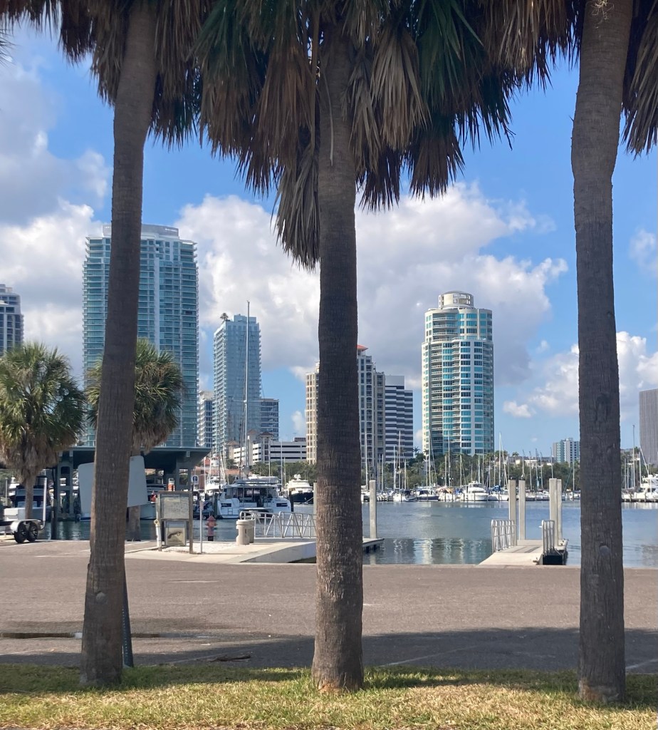
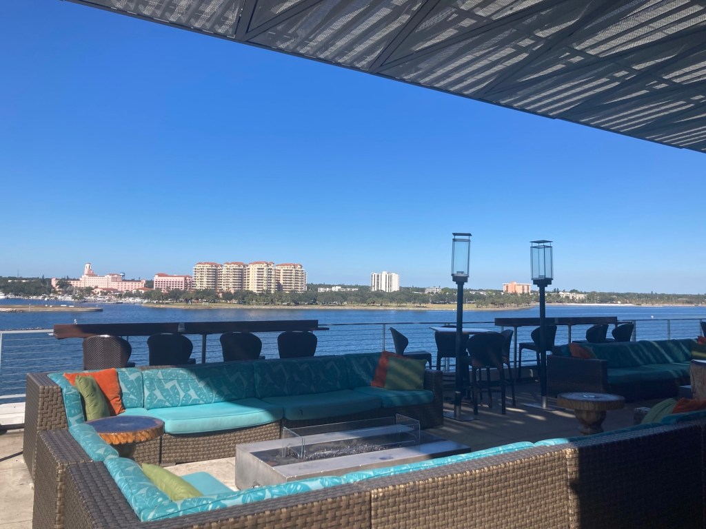
Bob and I were back along the bayfront today. It has become our happy place, and there was more to explore. It’s Saturday, so the market was hopping across the street in the parking lot of Al Lang Stadium, home of the Tampa Bay Rowdies Soccer Team.
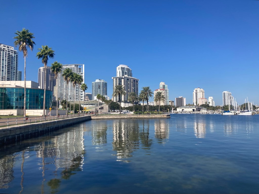
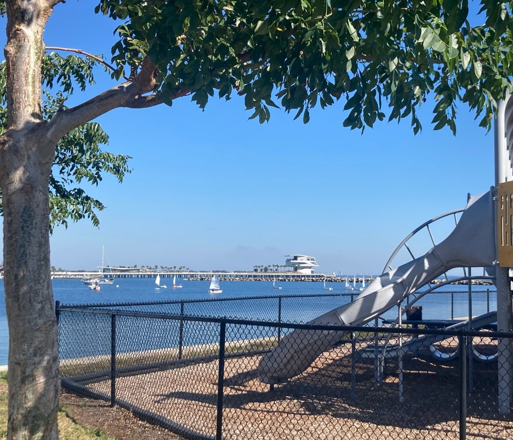
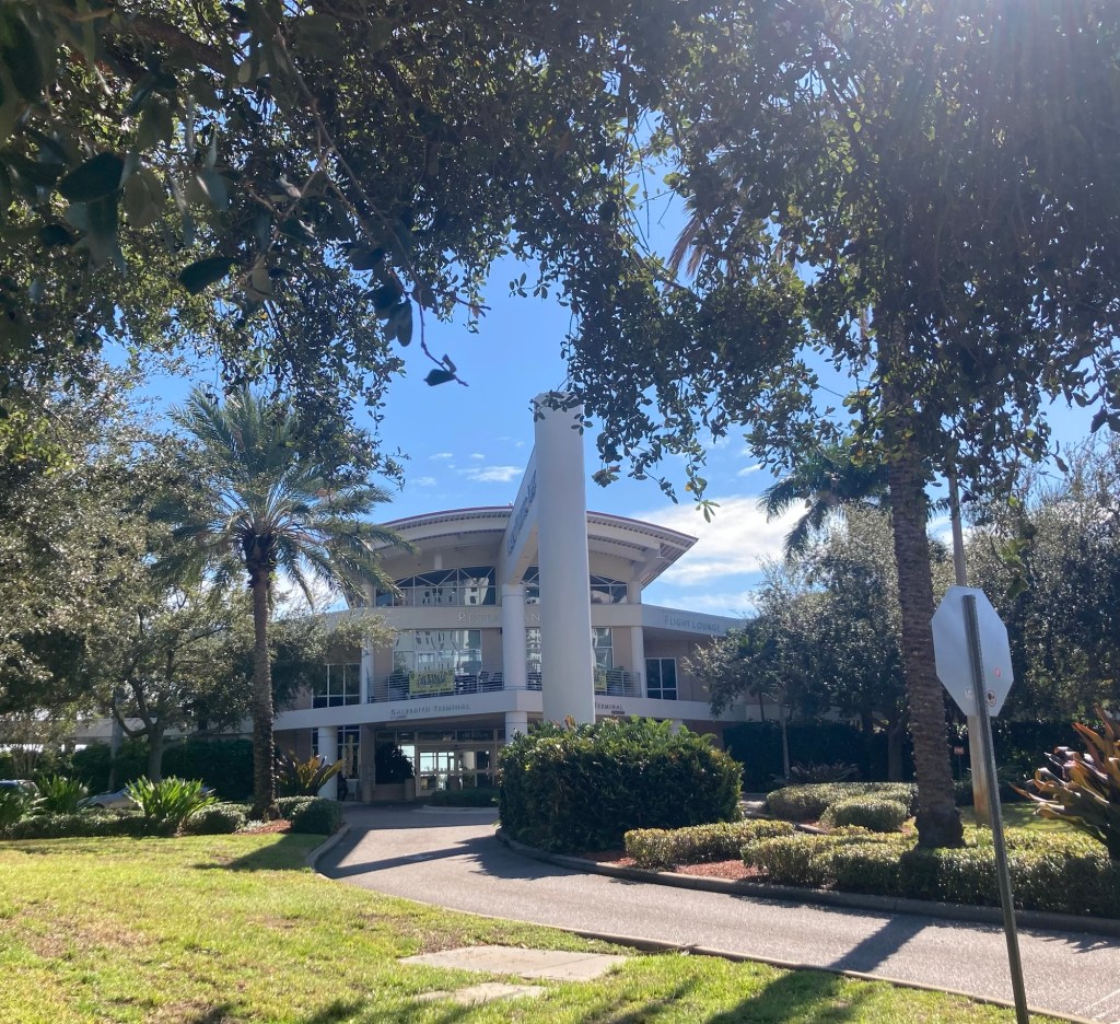
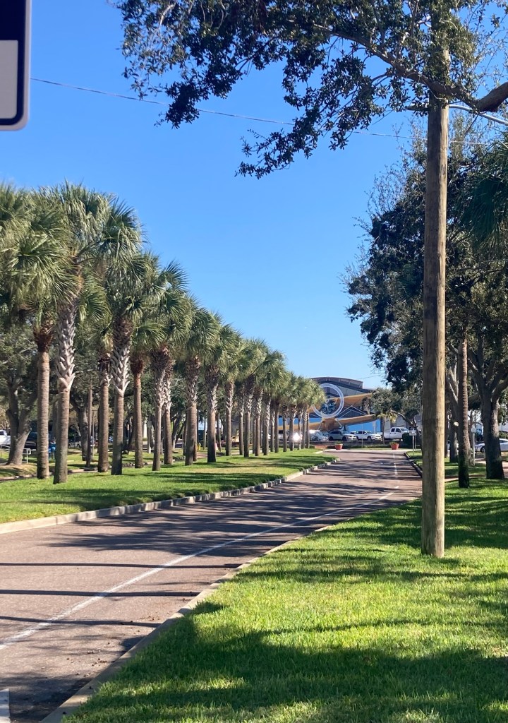
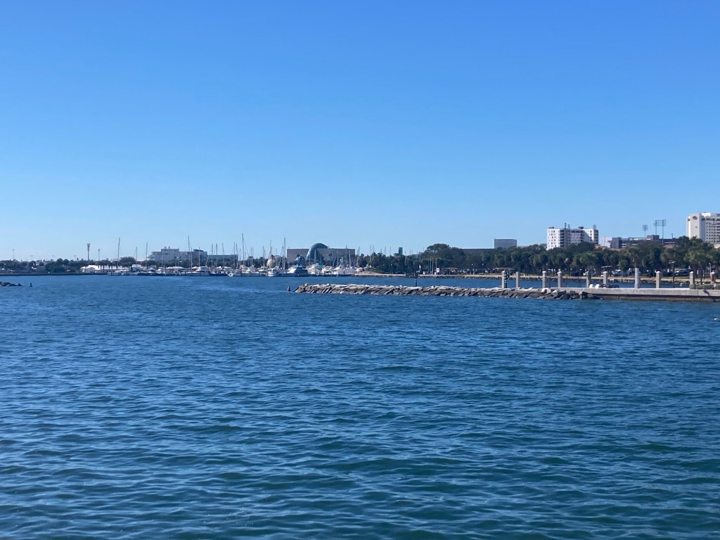
We walked past the market to get to the bayfront and then turned south to walk to Albert Whitted Park, which lies between the municipal airport terminal and the air control tower.
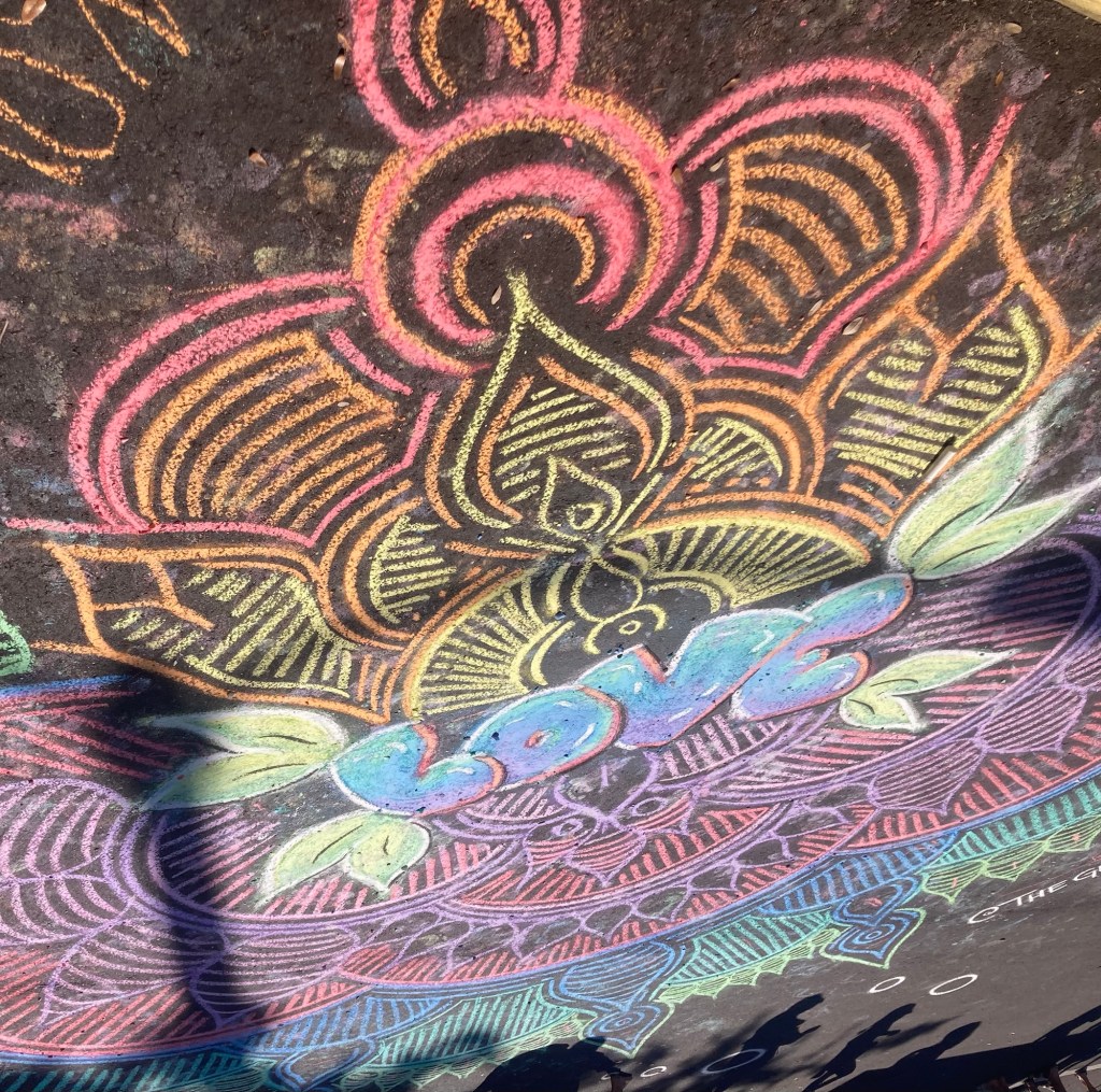
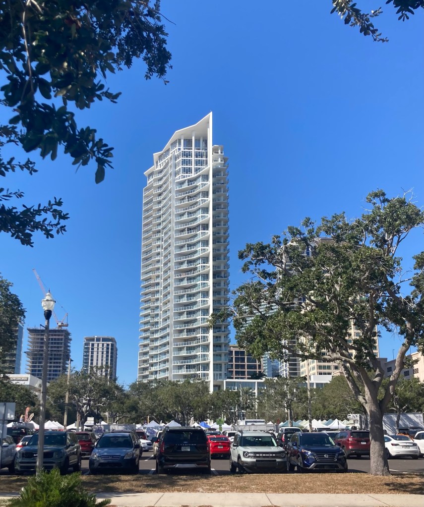
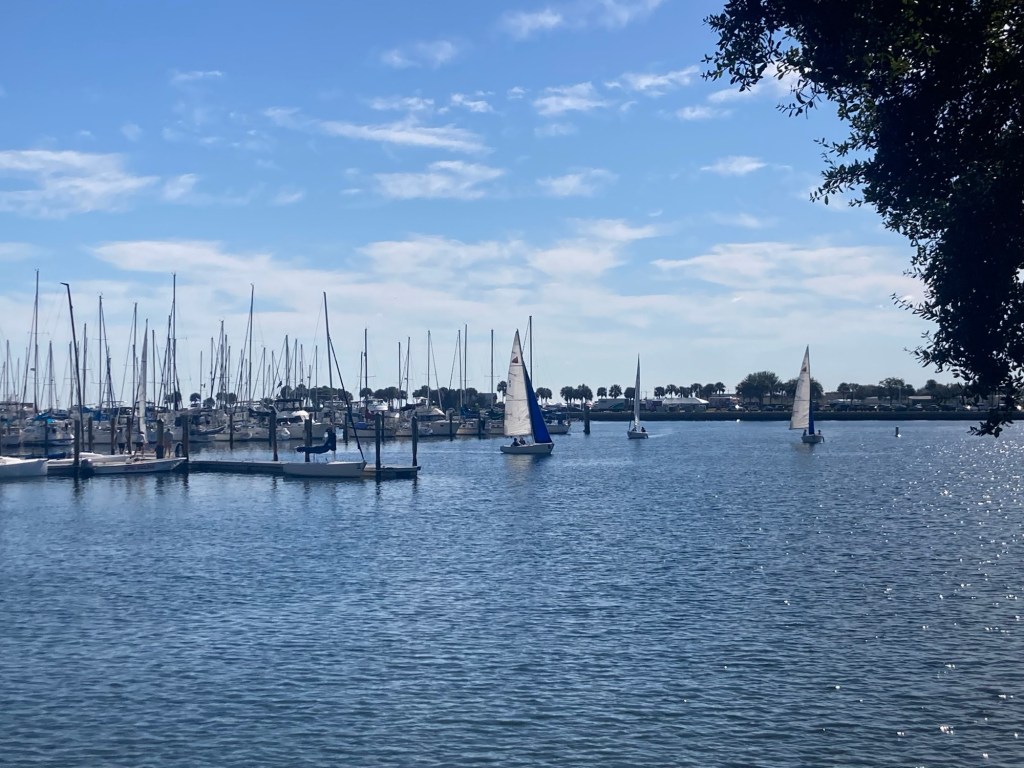
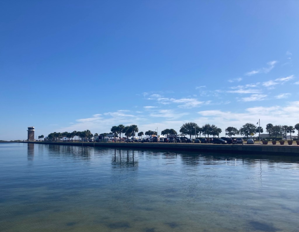
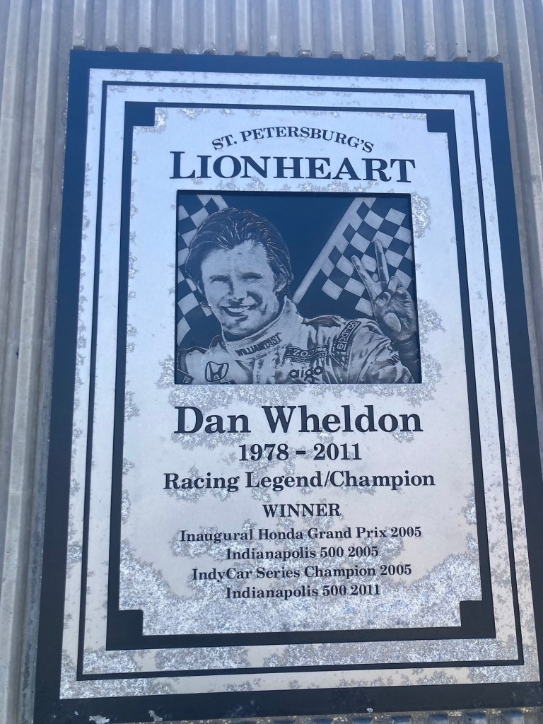
A colorful chalk display at the market Looking across the market at the condoLots of sailboats outLooking back at the Tampa Bay Rowdies Stadium Looking towards Albert Whitted Park and the air control tower The Salvador Dali Museum across the street from the park. We have tickets to go on Tuesday.Looking north along the bayLooking over a children’s play area at the end of the park towards the St. Pete PierA tribute to Dan Wheldon near the airport. He was born in England, but the Honda (now Firestone) Grand Prix is in St. Pete. He was killed in Las Vegas in an Indycar Race in a multi-car crash.The front of the terminal for the Albert Whitted AirportLooking down the street towards the airport hangar
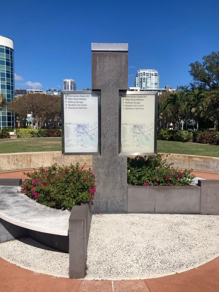
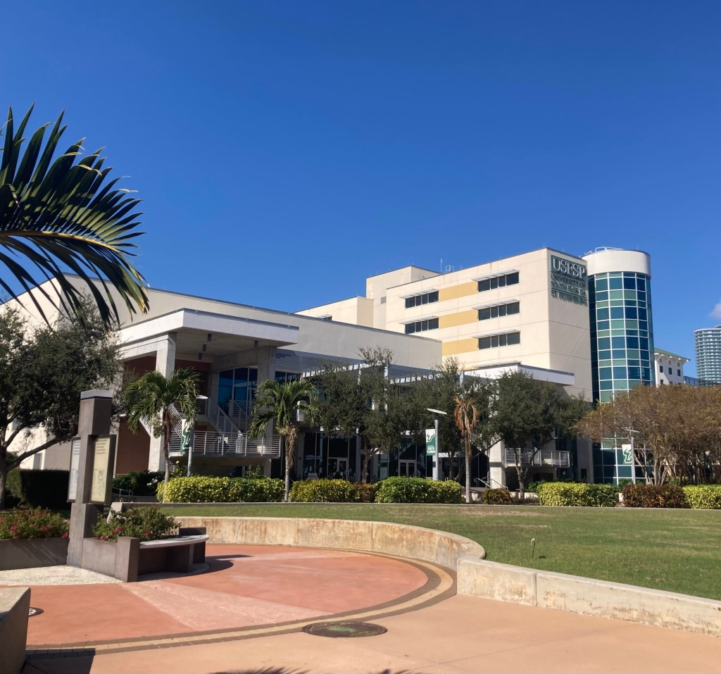
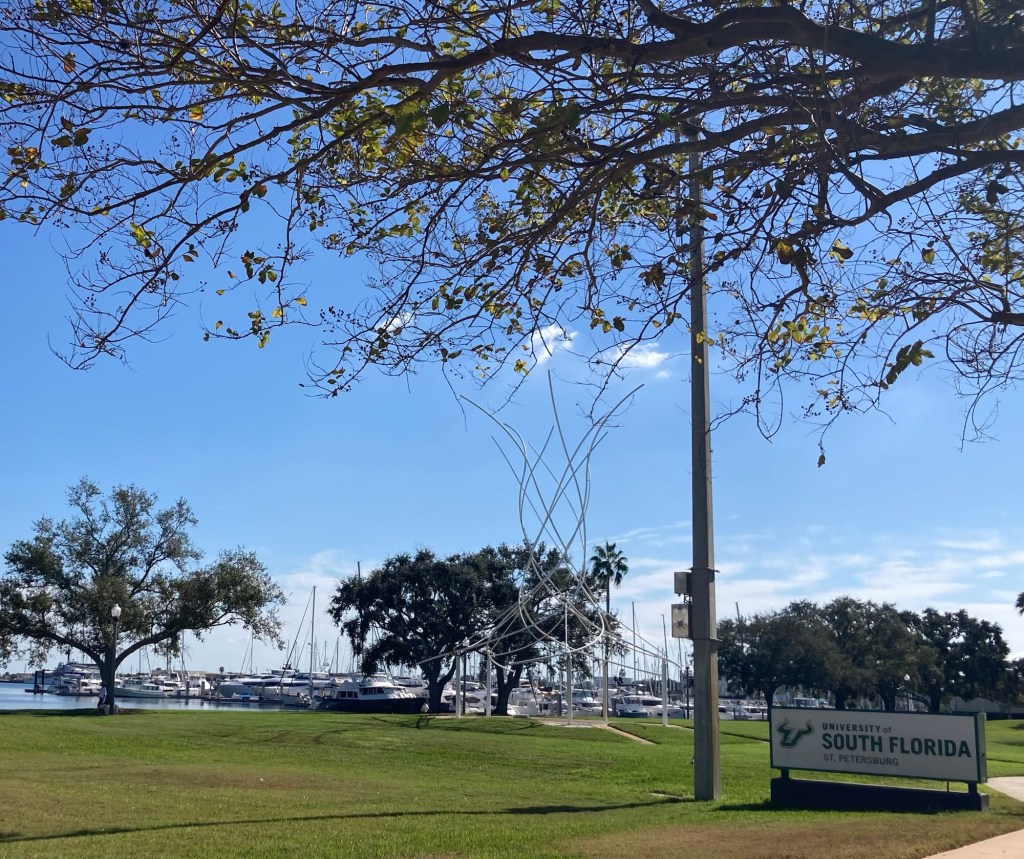
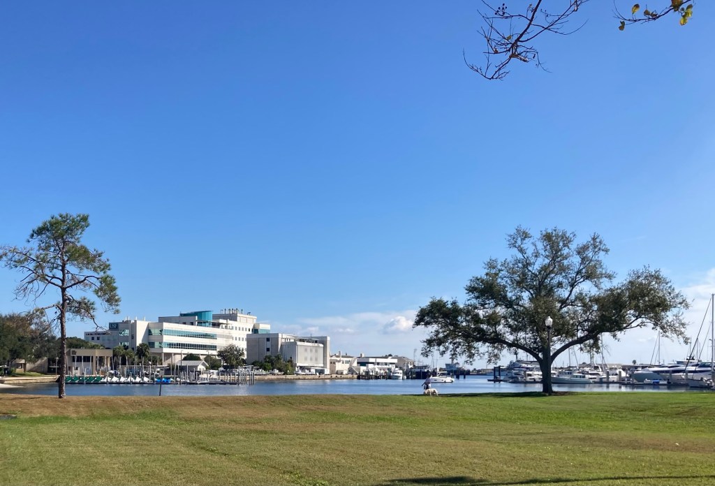
Bob and I always enjoy walking around college campuses and we had noticed that there was a college campuses near us, so we had to go check it out. It is the University of South Florida St. Petersburg. That name made no sense to us as St. Petersburg is not located in South Florida, so we thought it must be a satellite campus for a university in Miami or Fort Lauderdale. It is a satellite campus, but the main campus is just across the bay in Tampa, so don’t know, but guess it’s south enough.
The pretty landscaping near the end of campus just up the street from the airport Some directional signageAnother look at the Student Activity Center and green spaceThis may be the first university sign that I’ve photographed with a marina behind it. This end of the campus lies on Bayboro Harbor, an inlet from Tampa Bay.Another USF building across the harbor
Just a note, Bob reminded me the other day, as he reviewed the blog, that we have been referring to Tampa Bay the body of water, but most people think of Tampa Bay the city which is just across the (Tampa) Bay from St. Petersburg.
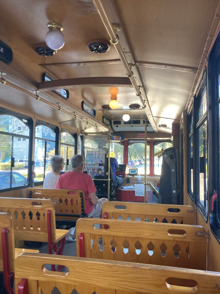
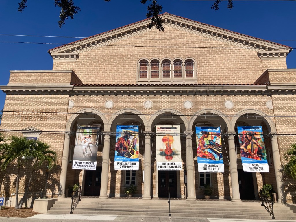
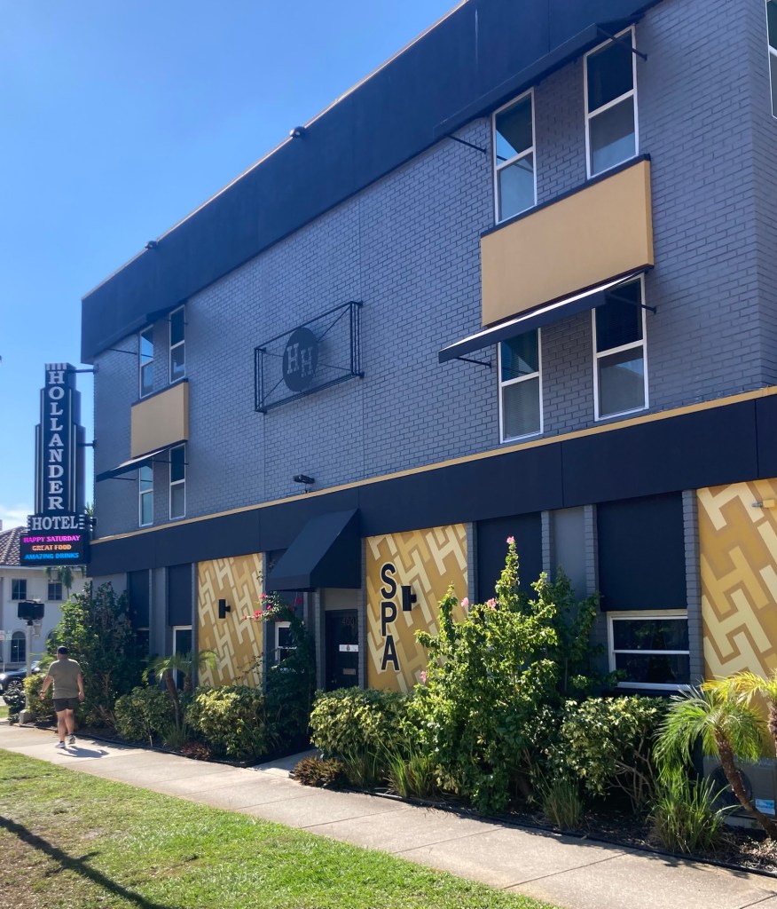
St. Pete offers a free trolley called The Looper which goes around the downtown area with stops at many of the popular attractions— Dali Museum/Mahaffey Theater, Al Lang Stadium, the Arts District, Central Avenue retail/restaurant area, and the hospitals. We decided to ride the loop today just to see if we’d see any new sites.
The Looper, the seats are not very comfortable on the back.Palladium Theater, performing arts center associated with St. Petersburg College A modern hotel, apparently with a spa, great food, and amazing drinks The colorful John Hopkins Children’s Hospital
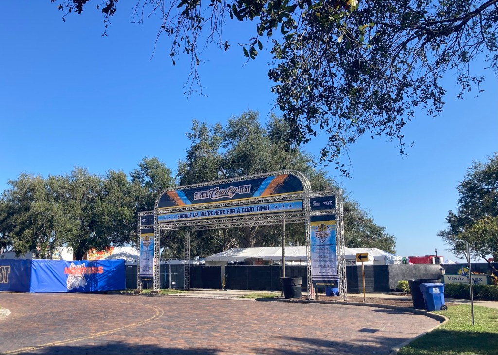
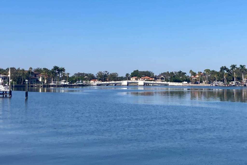
There is a Bay Trail that runs along the downtown area along Tampa Bay north to the perky sounding Coffeepot Bayou which borders the very nice Old Northeast Neighborhood. The walk was a bit different than we were expecting as part of the trail was blocked while they are setting up for this weekend’s Countryfest.
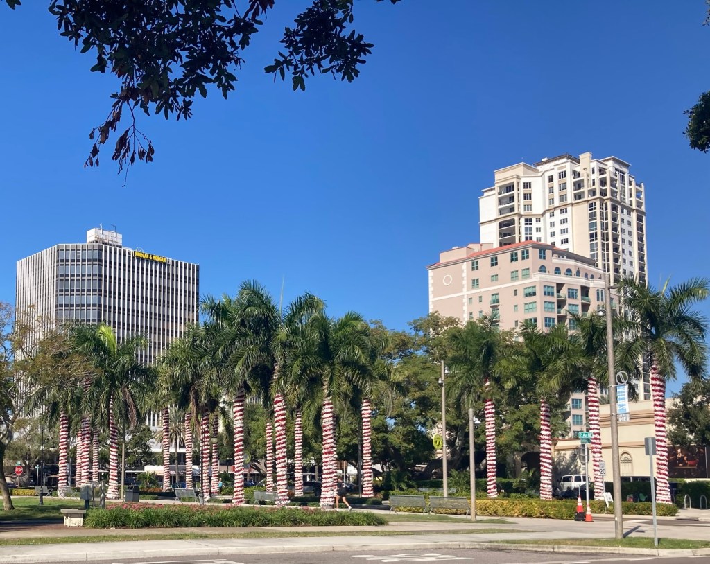
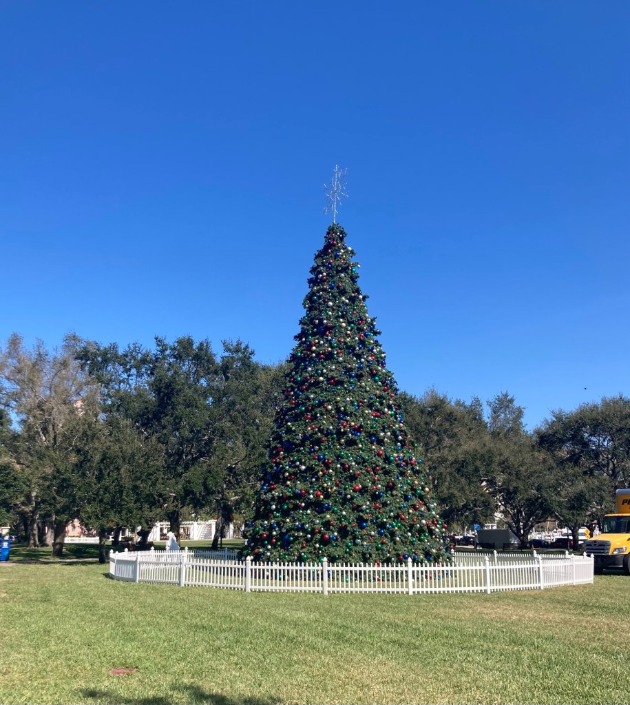
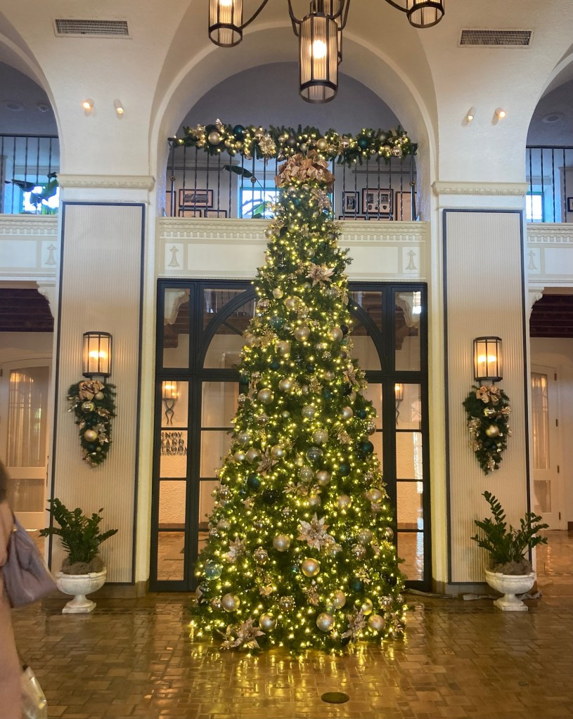
The downtown area is getting dressed for the holidays. We need to get out and walk around at night in a couple of days when they have all the decorations set up. It’s definitely a Florida version of the holidays.
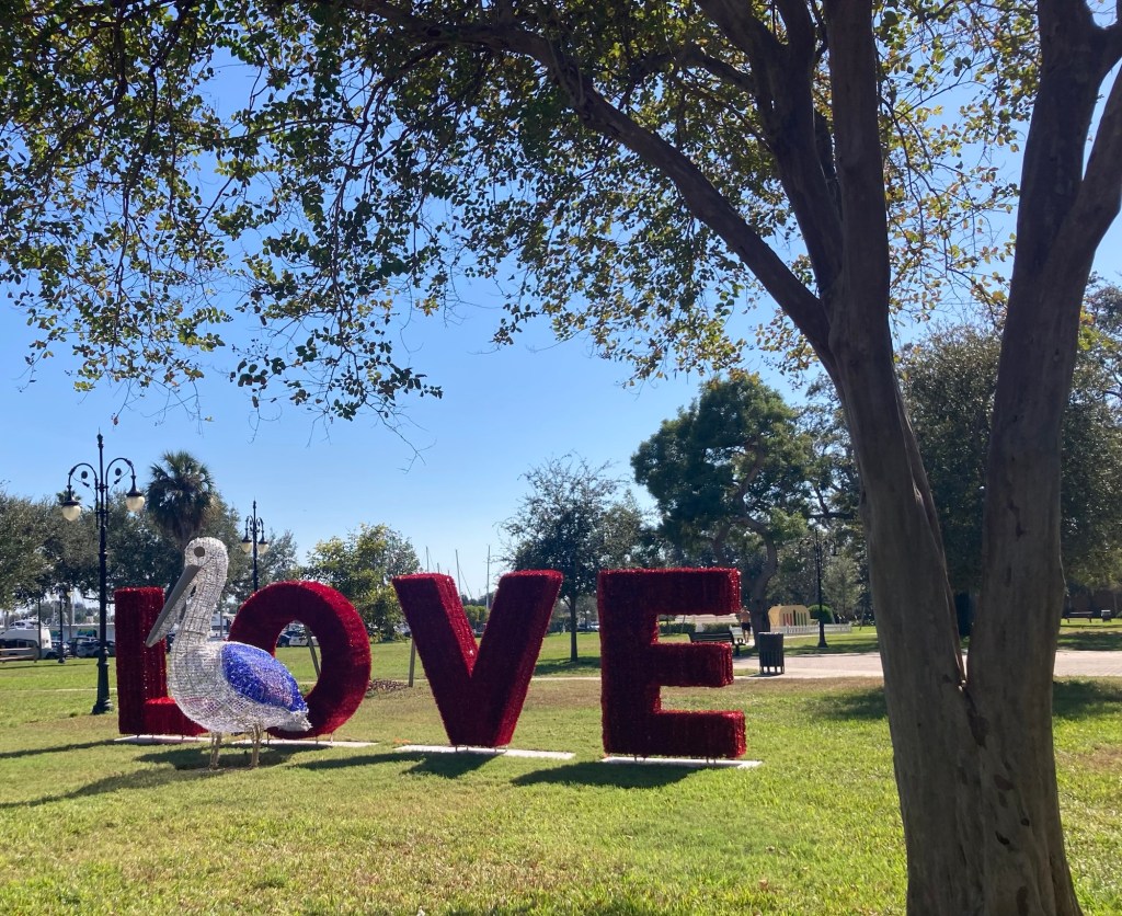
Festive palm treesA big Christmas tree in a downtown parkLove a pelican? Pelican love? Both cute but maybe not in their final positions.
Back to the Bay Trail…
Walking north past the St. Pete PierLooking back towards the pier and another Christmas tree
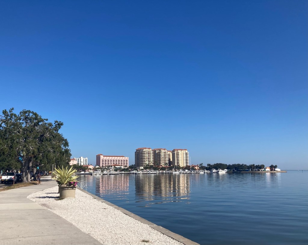
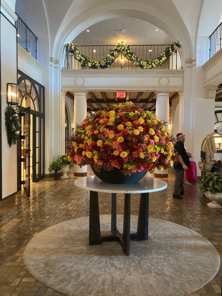
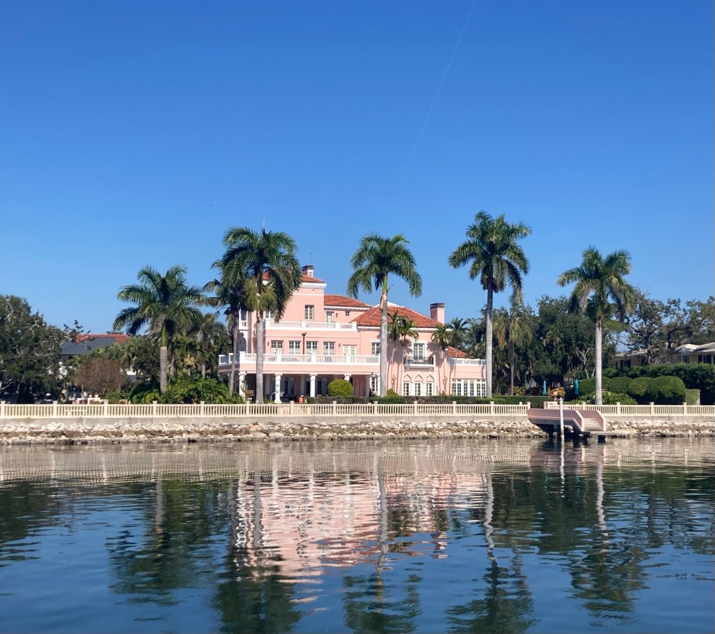
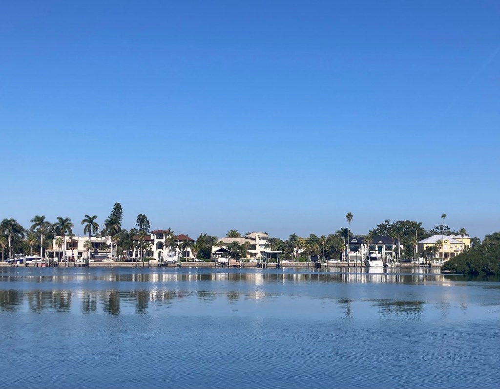
One of the lovely sites along the trail is the historic Vinoy Hotel, the land for which was purchased by Ahmed Vinoy Laughner in 1923. It opened on New Year’s Eve 1925. It was used as a training center during WWII and then closed in 1974. It reopened in 1992 as a luxury resort after a $93 million restoration. It has associated condominium properties and its own marina. We walked in to look around. Not too shabby…
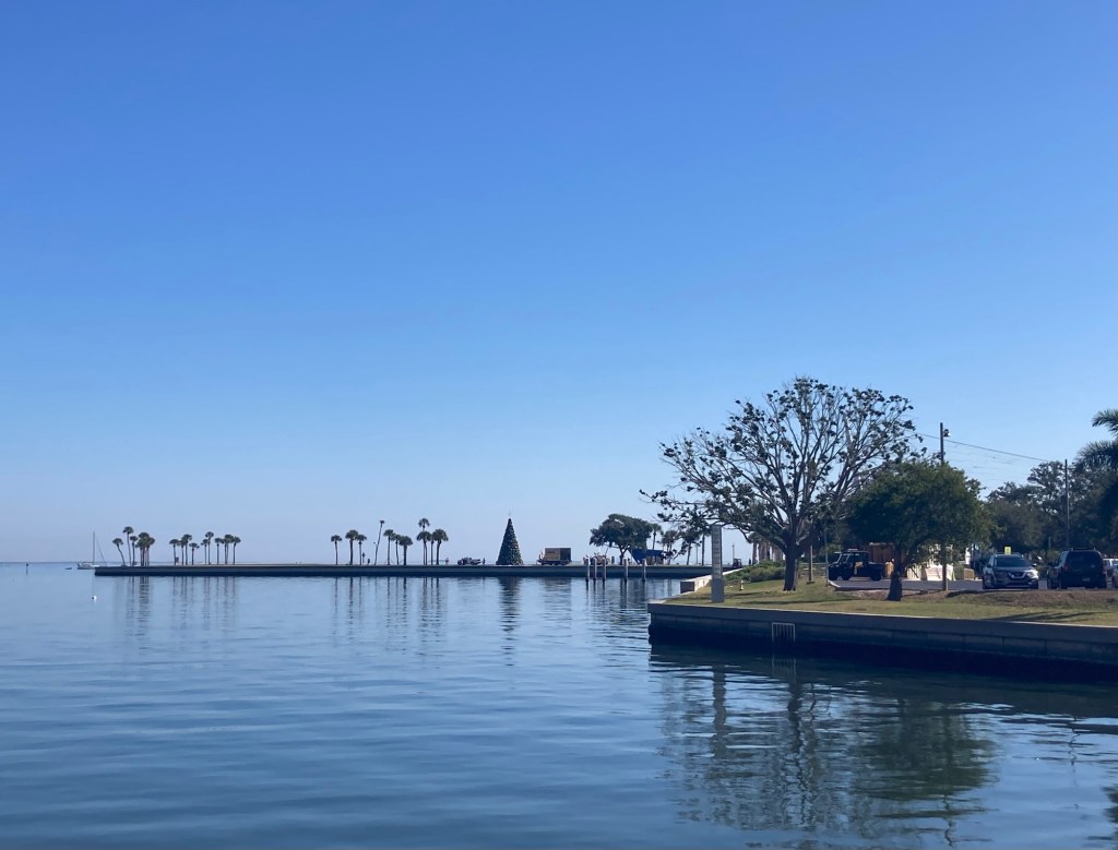
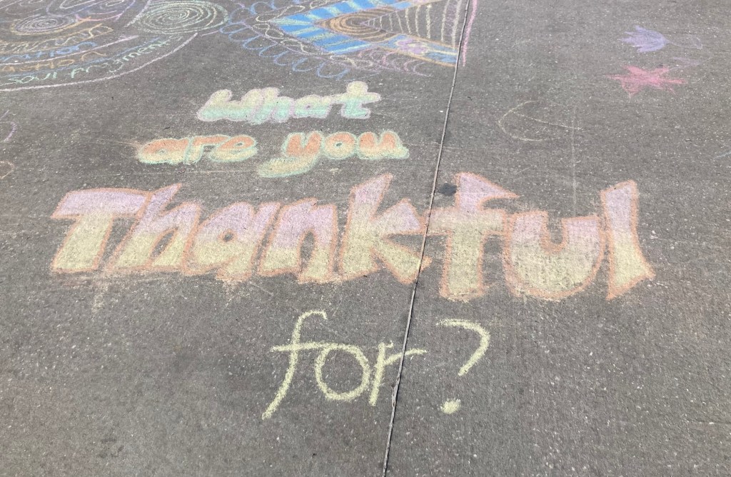
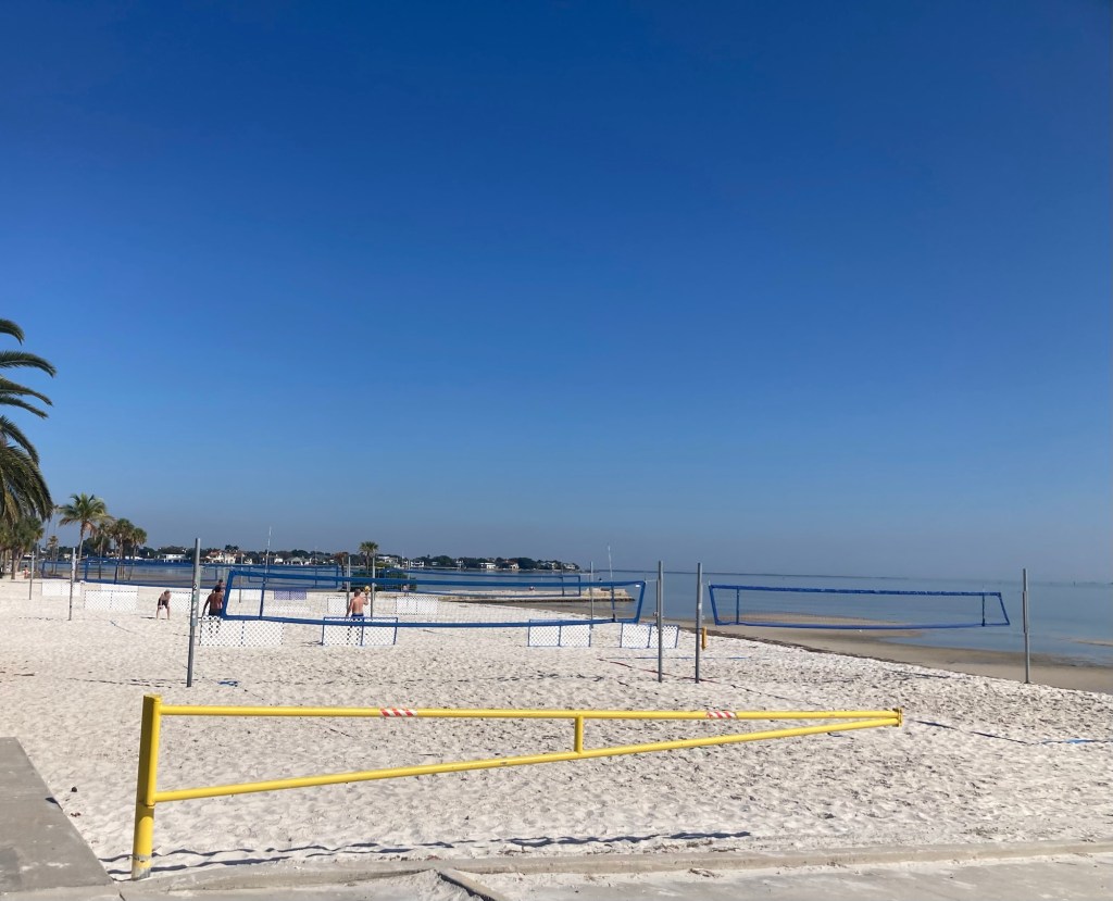
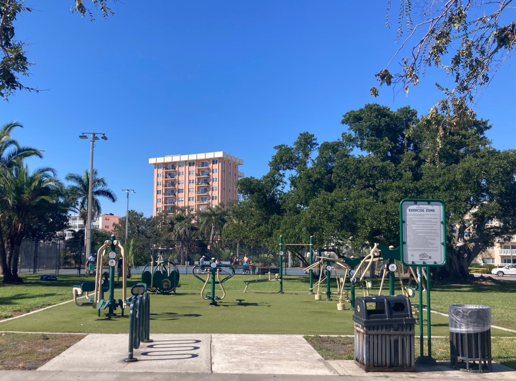
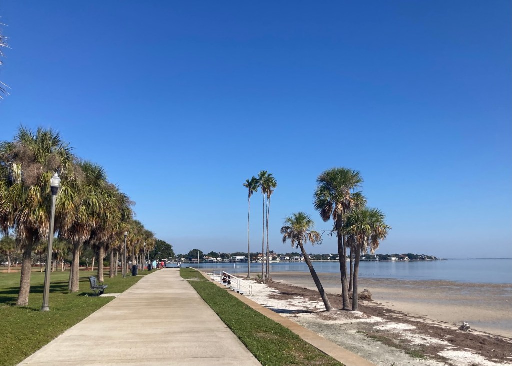
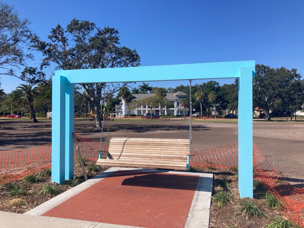
The Vinoy HotelTheir Christmas treeA stunning floral arrangement You can even take a miniature hotel home with you, but I was more intrigued by the personal shopping experience by Sak’ Fifth Avenue.And just down the bayfront from the hotel will be the Countryfest celebration this weekend.There was a section of the trail given over to sidewalk art. This seemed an appropriate question for always, but especially this time of year.Beach volleyball An outdoor exercise parkThe trail as we continued northA brand new swing to provide a great place to sit and look out at the bay
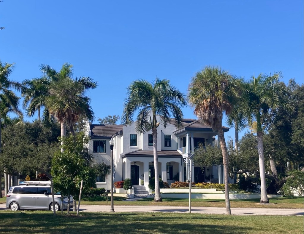
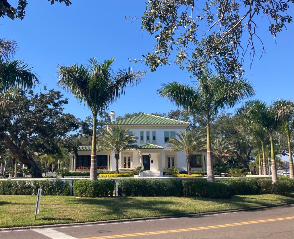
We now had Tampa Bay on our right and St. Pete’s Old Northeast Neighborhood on our left. This neighborhood was established in 1911 and was the city’s first residential subdivision. It is known for its beautiful architecture, tree-lined streets, and proximity to downtown.
Some examples of the homes…
We have now turned inland (west), and this house is on the other side of Coffeepot Bayou.The bridge over the bayouMore nice homes on the other sideLooking back towards Tampa BayWe walked Beach Drive back through the Old Northeast Neighborhood. This is one of the tree-lined streets that goes toward Tampa Bay.
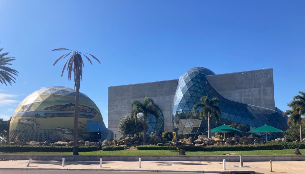
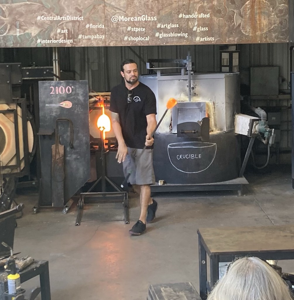
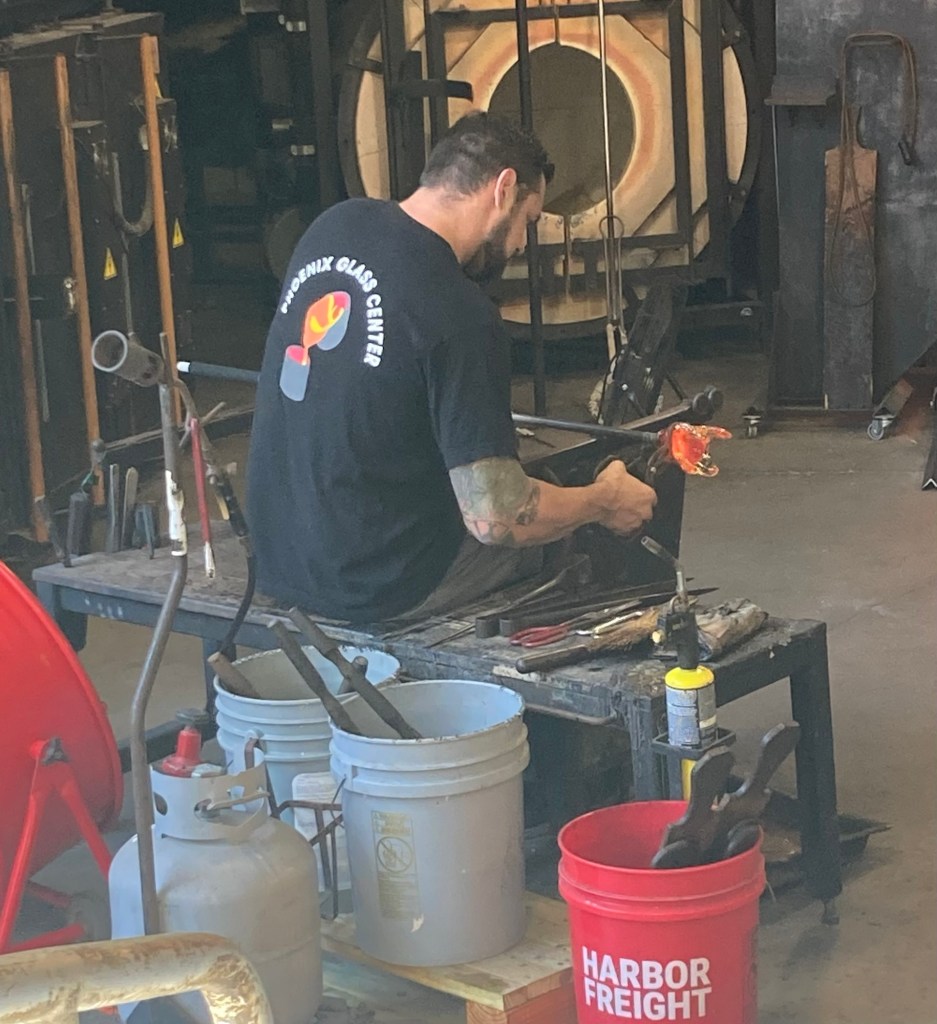
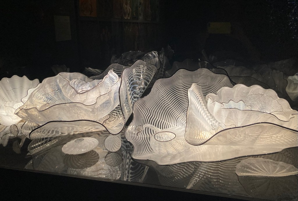
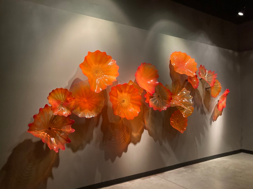
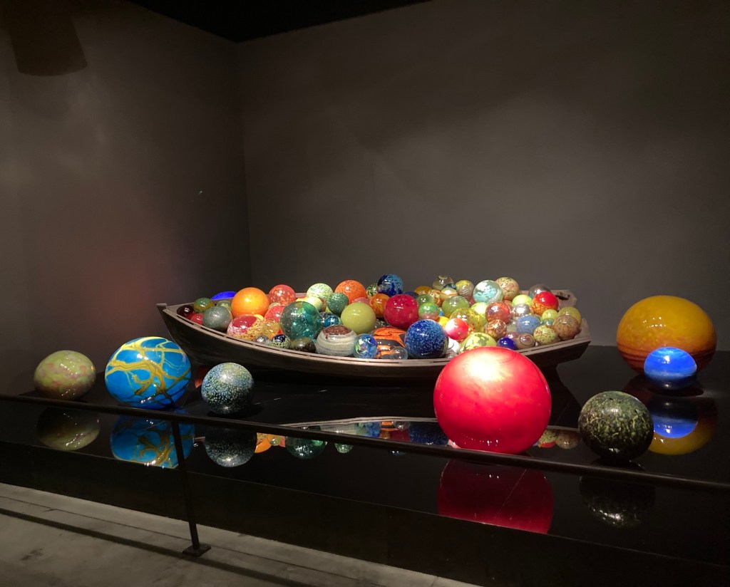
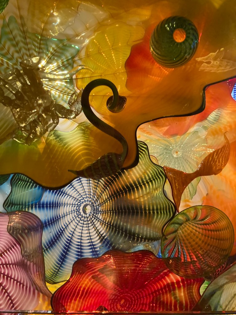
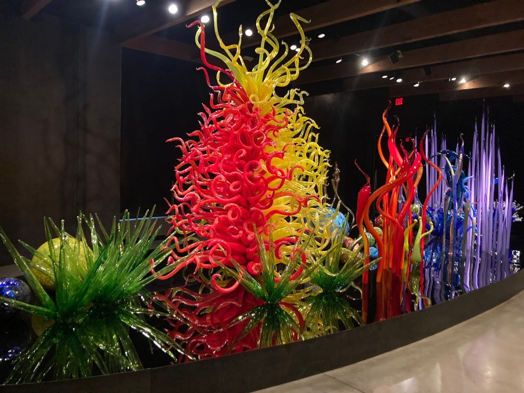
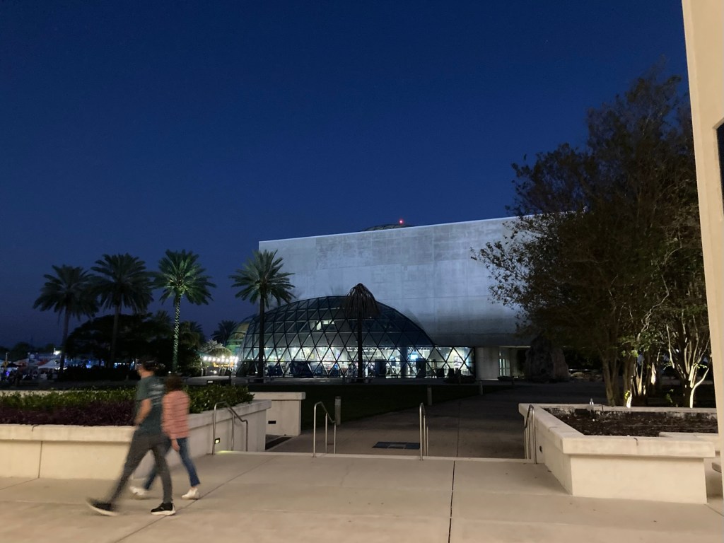
Ever since Bob and I saw Dale Chihuly’s incredible glass work on the ceiling of the lobby at the Bellaggio Hotel and Casino inLasVegas, we have been interested in his work and in glass blowing in general. We were excited to discover the “Blown Away” competition show on Netflix and have watched all of those episodes. We knew when we saw that St. Pete had a Chihuly collection that we would have to see it.
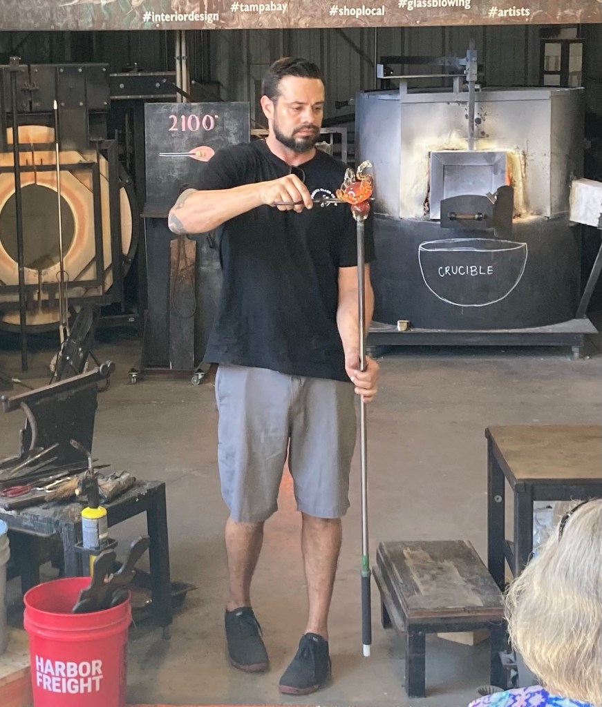
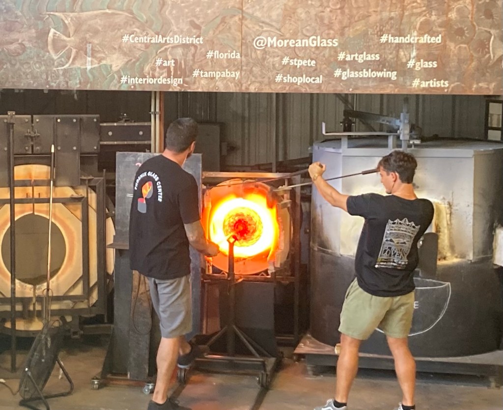
The ticket to the collection ($22) gets you entry to their collection of Chihuly’s work as well as a glass blowing demonstration in the Morean Art Center glass studio. We went today and began our visit at the glass studio.
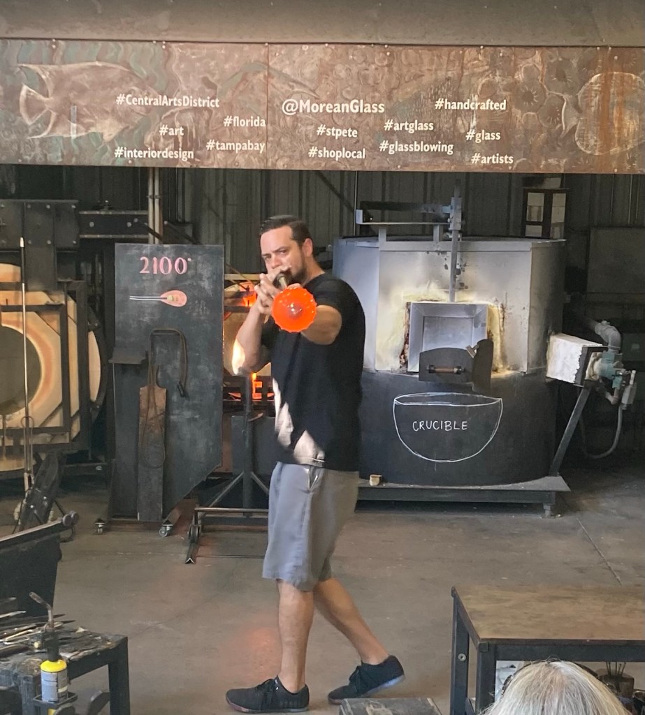
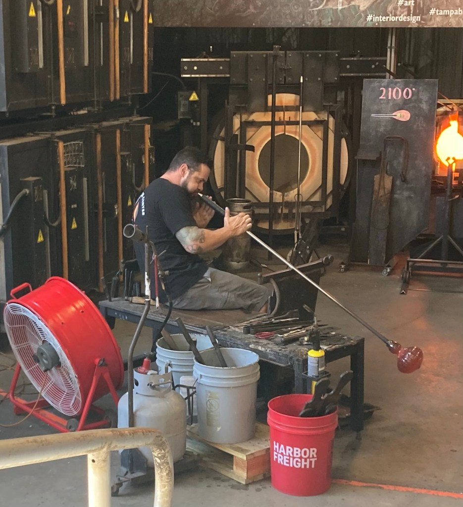
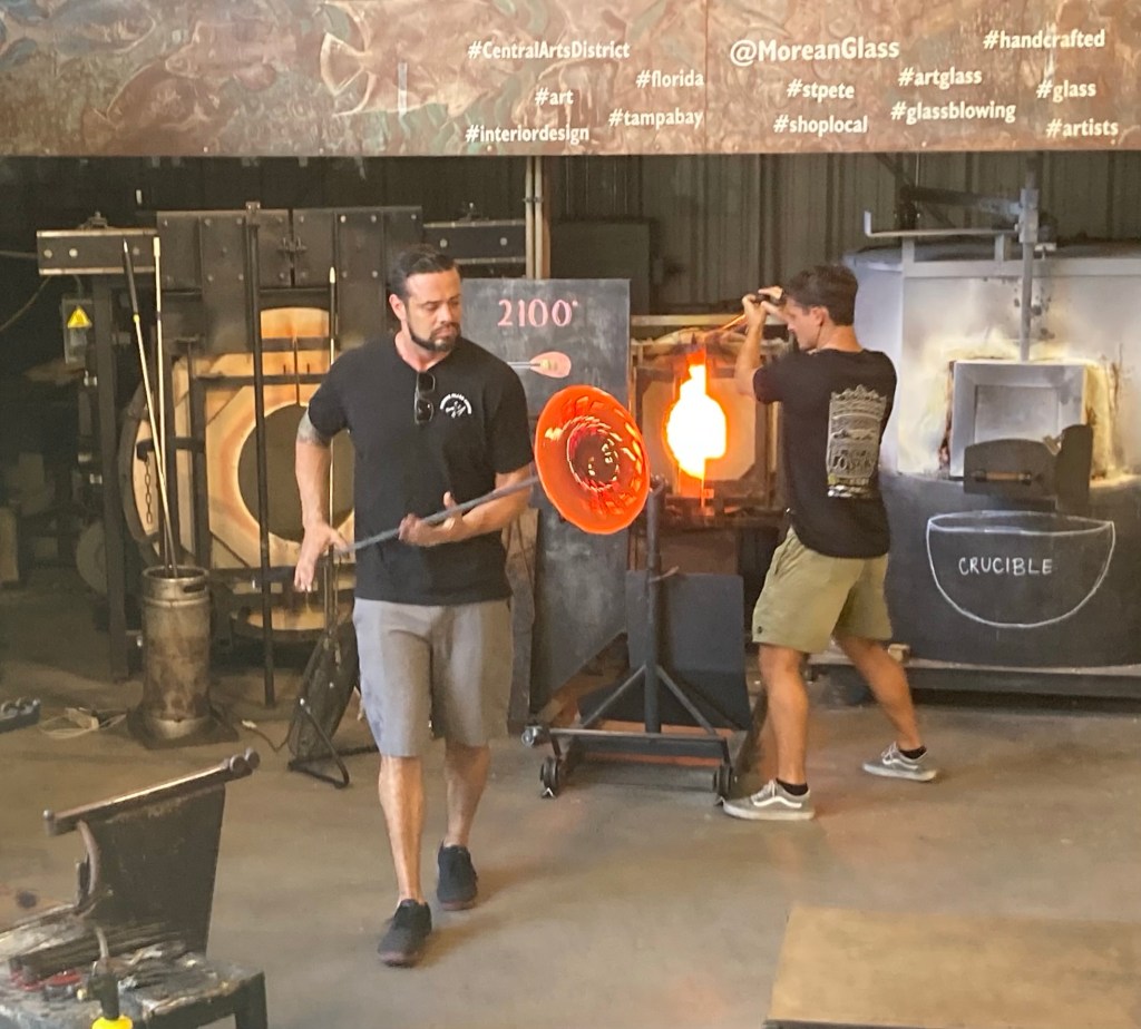
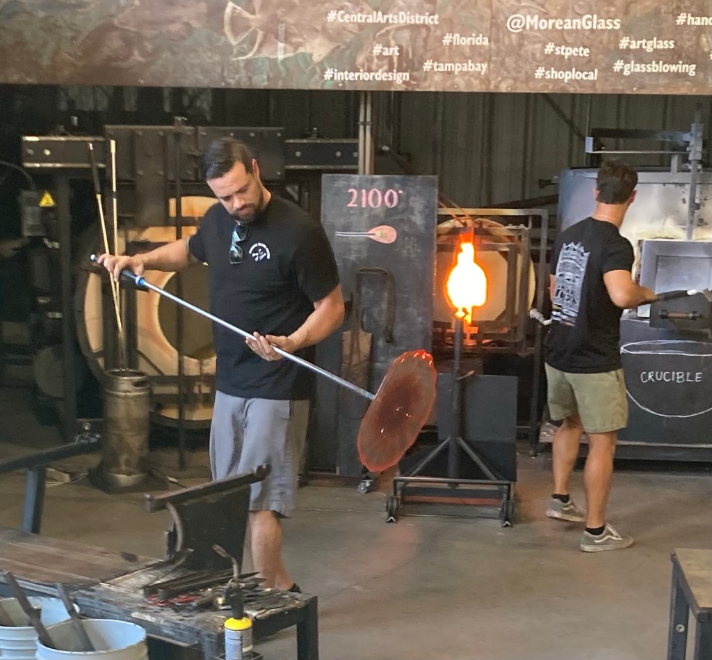
Dan Alexander made two pieces of glasswork while another artist discussed what he was doing. It’s crazy what fire, sand, human breath, and manipulation of hot glass can create.
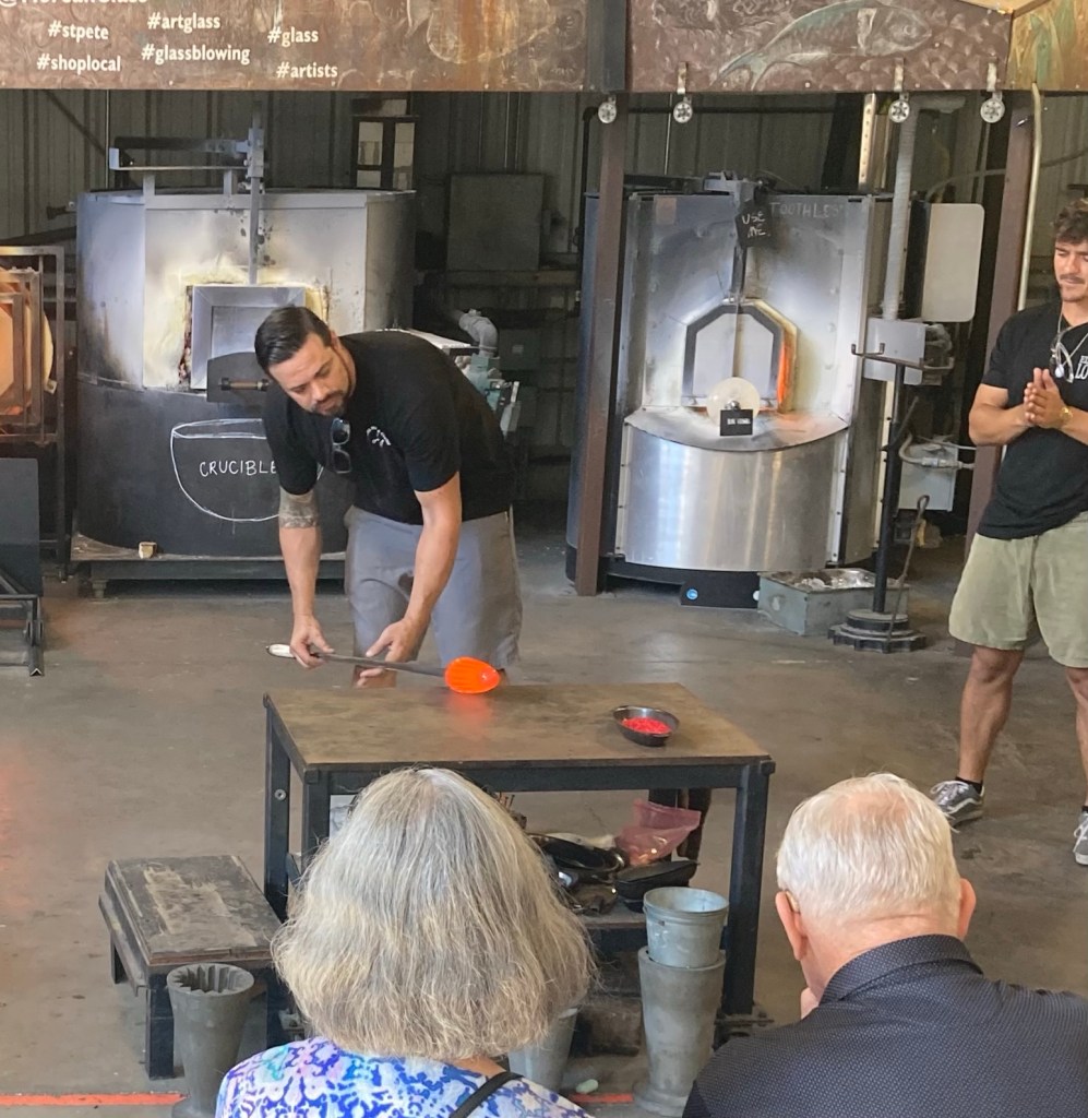
The first photos show Dan working on a glass swan.
The swan took about 5 minutes to make. He then created a platter.
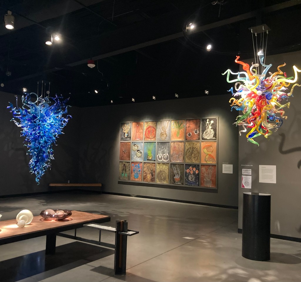
Back at the Chihuly Collection, we learned that Dale Chihuly studied glassblowing at the University of Wisconsin (Go Badgers!) after getting his degree in interior design and architecture from the University of Washington. He also worked at the Venini glass factory on the island of Murano, Italy.
Two of his chandelier piecesSeaformsSunset Persian Wall, 2010Float Boat, 2007A Chihuly glass covered ceiling in a hallway “Ruby Red Icicle Chandelier,” 2010“Chartreuse and Black Venetian with Orange Coil”, 1991 a nd Black Over Orange Venetian with Chartreuse Coil,” 1991“Mille Fiori,” 2003
At the end of the collection, they showed a number of short films about his work, much of which resides in conservatories or other natural environments.
After most of the morning inside the condo on Monday waiting for the cleaning crew to arrive, Bob and I took Lulu out for a walk to a local cafe for a bagel. The cleaning crew comes every other week, so this is the one time we will have them, and since they have a number of workers, we only needed to kill an hour out of the condo while they worked. That was easily done by the walk to and from the bagel shop as well as dining time, as Lulu found lots of smells of interest along the route.
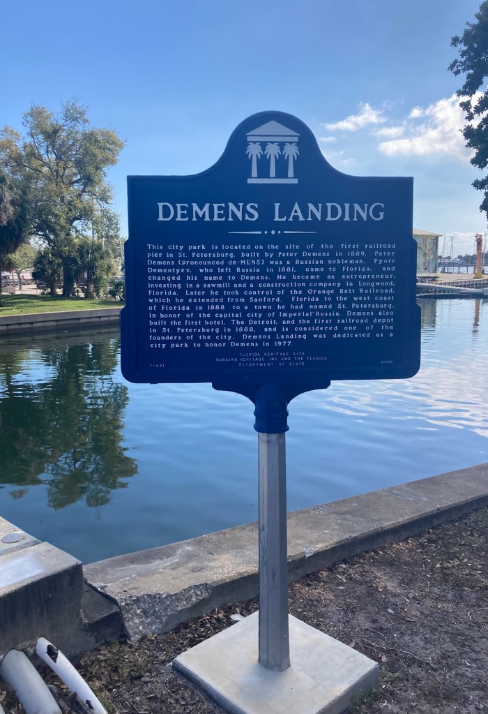
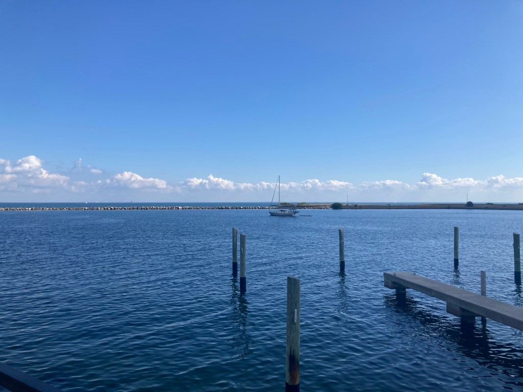
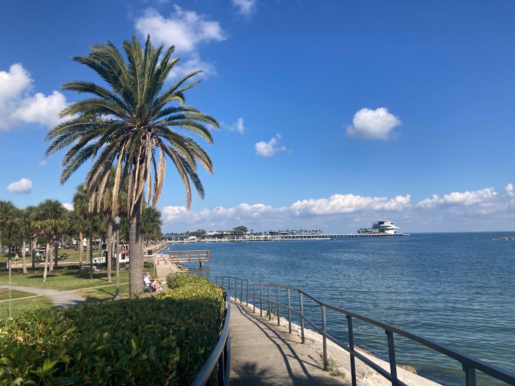
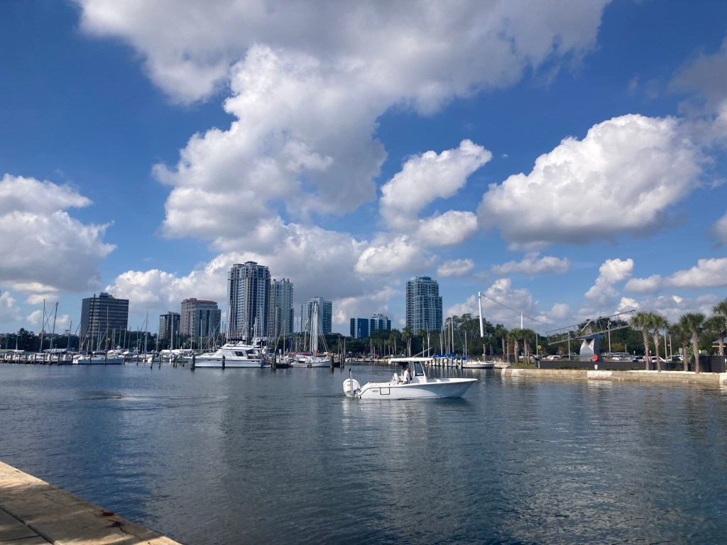
That afternoon, we just walked around Demens Landing, which is a small piece of land that juts into Tampa Bay between the St. Petersburg Pier and a small municipal airport.
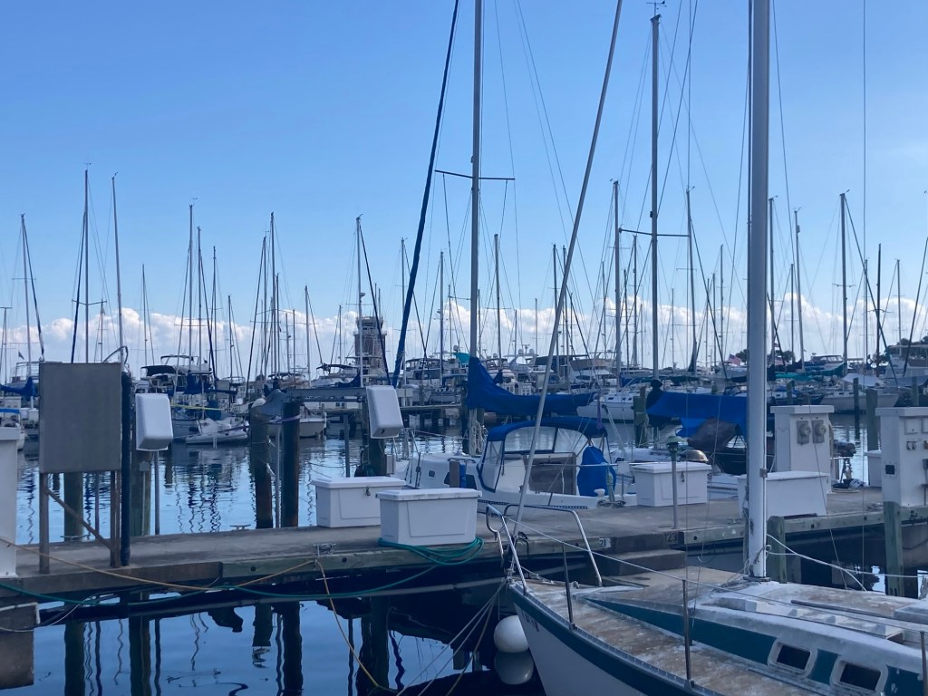
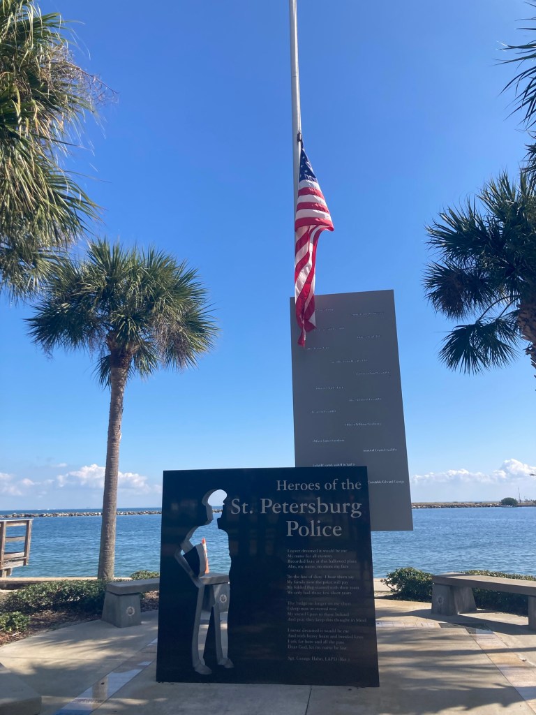
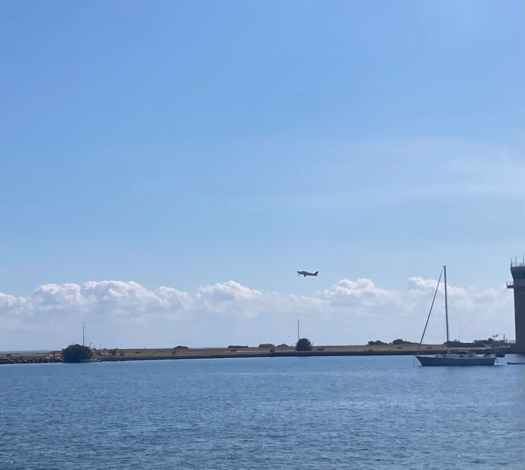
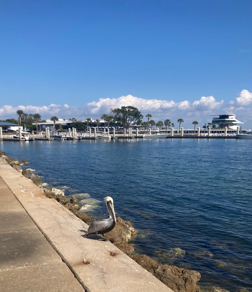
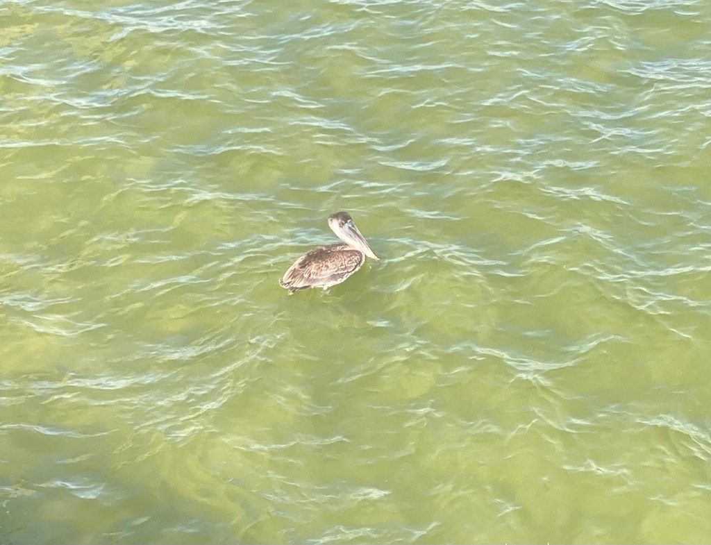
The area and park is named after an immigrant from Russia, who became a successful entrepreneur and named St. Petersburg after the capital city of Imperial Russia.There is a marina immediately on either side of Demens Landing.View of Tampa BayView of the Bayfront walk and the St Petersburg Pier A memorial to the St. Petersburg police who have died in the line of dutyA memorial to the St. Petersburg firefighters who have died in the line of duty Watching a plane take off from the nearby airport A pelican along the walk
A couple of views back towards the city
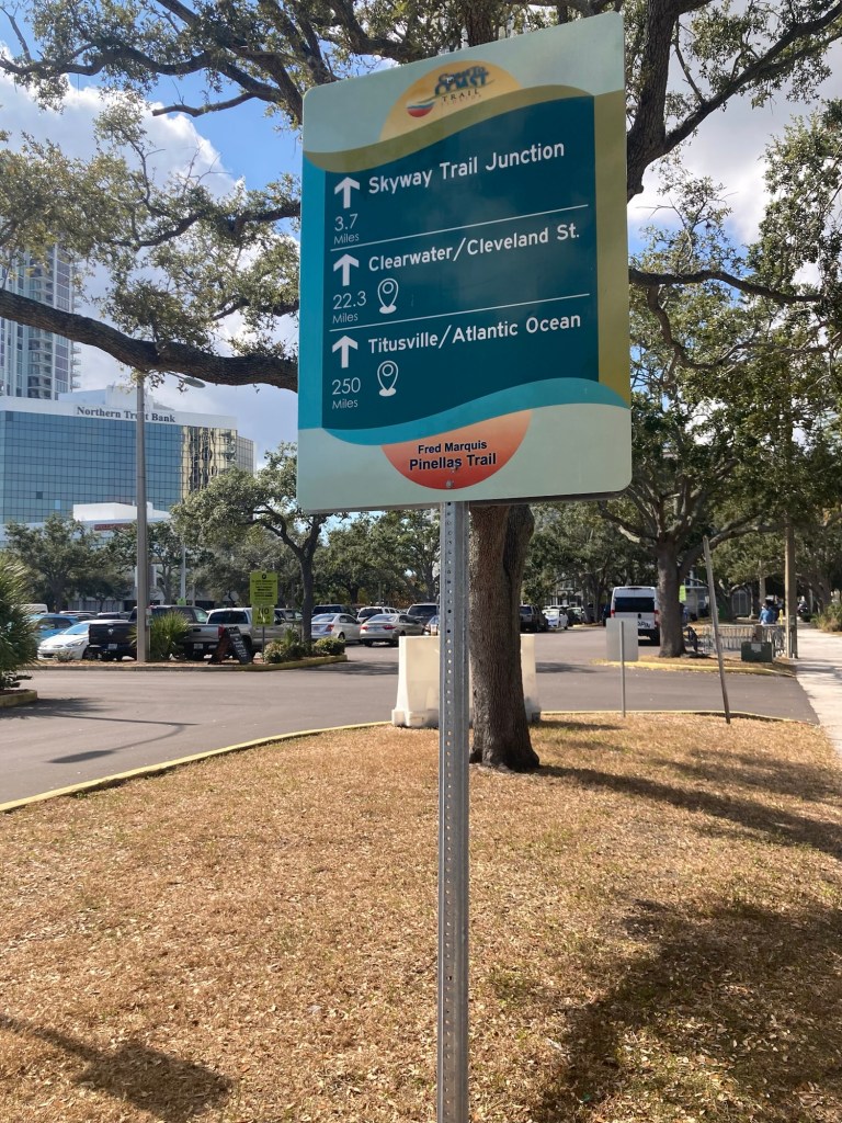
Demens Landing is the very end of the Pinellas Trail. This is a mile marker for a few sights along the trail.
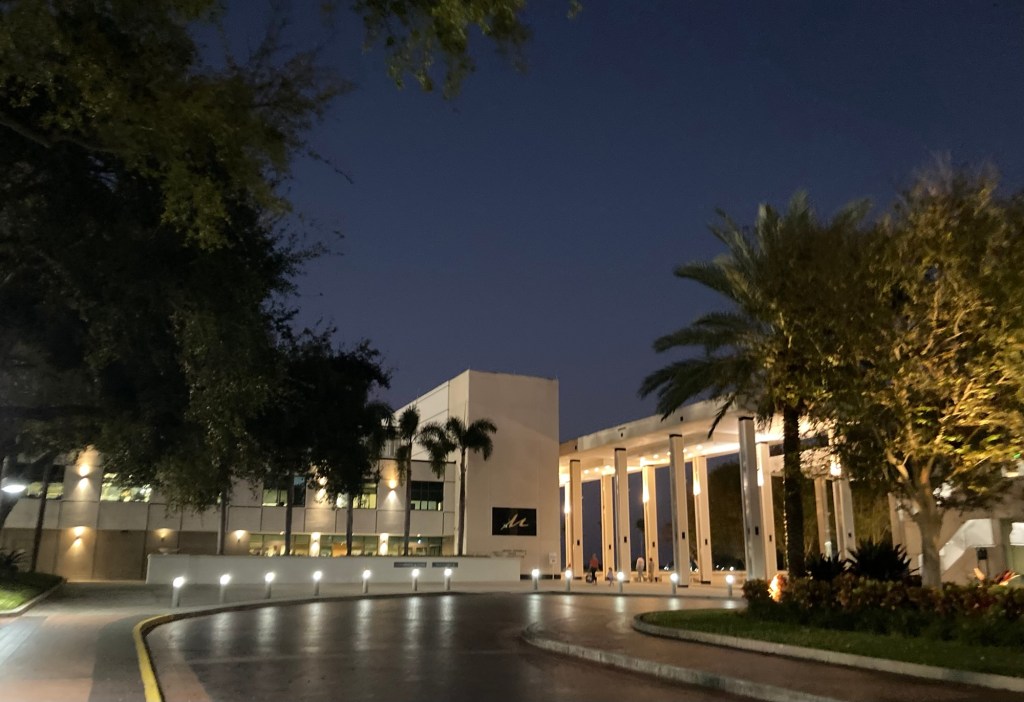
Bob and I had a great night out at the Mahaffrey Theater on Friday night to see Phil Rosenthal. The show started at 7:00, and the doors opened at 6:00, so we went a bit early to peruse the theater with a glass of wine. Sadly, no photography was allowed anywhere inside the theater, so I have few photos of the night.
The show was great with a short montage of clips from “Somebody Feed Phil” and then an hour of him responding to questions about his history in Hollywood from a local chef and then Q and A with the audience. The Q and A was the worst part, as you always have people who just need to get their 15 minutes of fame by telling unnecessary stories or expressing opinions before finally getting to a question that’s another version of one somebody else already asked. Never mind that there’s 30 other people waiting to ask a question.
The Mahaffey TheaterA night view of the Salvador Dali Museum across from the theater. We have tickets for that museum for later in our stay.
Every Saturday from October through May, there is a Saturday Market in the parking lot of the St. Pete Rowdies’ Soccer Stadium right across from the condo. It was hopping when we went. We bought some produce for a veggie omelet, some fruit, and a small “personal” chocolate bourbon pecan pie. Whoever came up with the idea to give out samples knew what they were doing!
Sunrise yesterday from the room
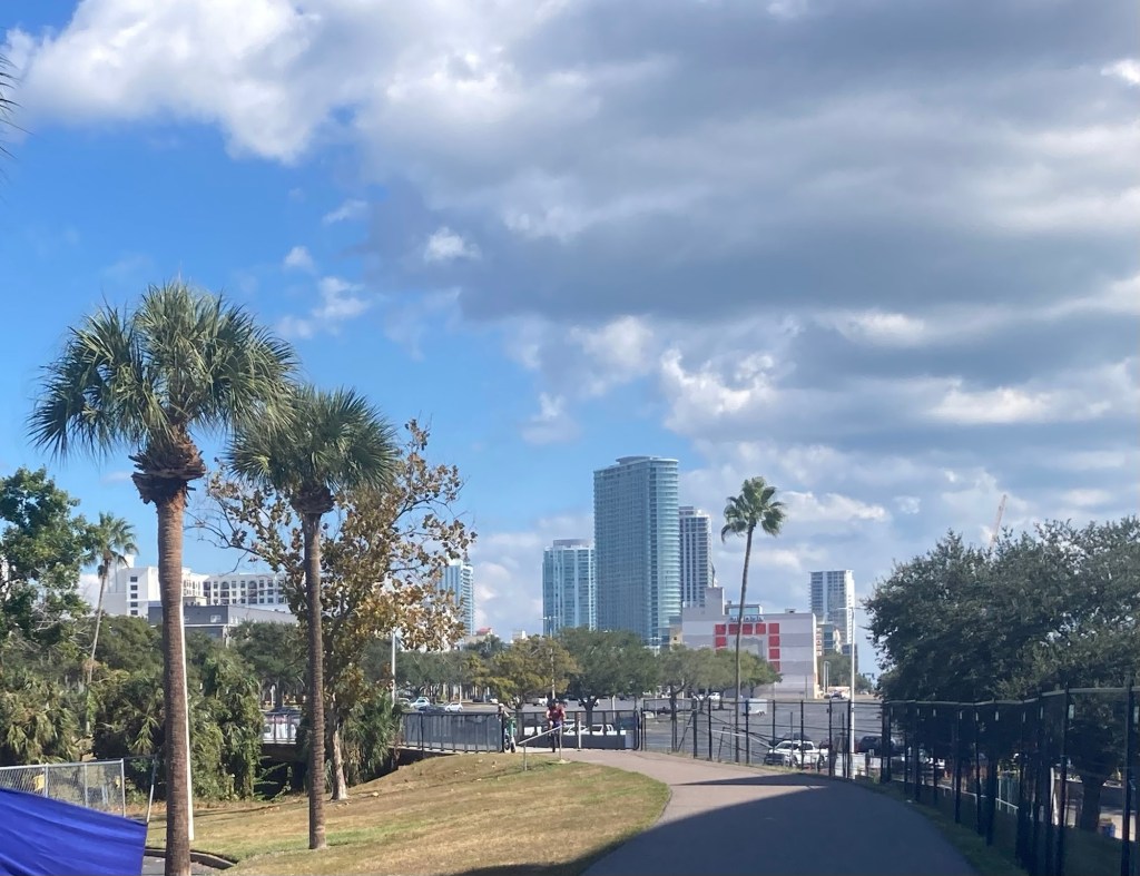
Today, we decided to walk a bit of the Pinellas Trail. The Pinellas Trail is a 75 mile multi-use trail following an abandoned railroad corridor. It runs from Tarpon Springs in the north to the waterfront of St. Petersburg and runs through other cities like Clearwater and Dunedin. The end of the trail is literally right outside of the condo, with the last few blocks being on city sidewalks along First Avenue South.
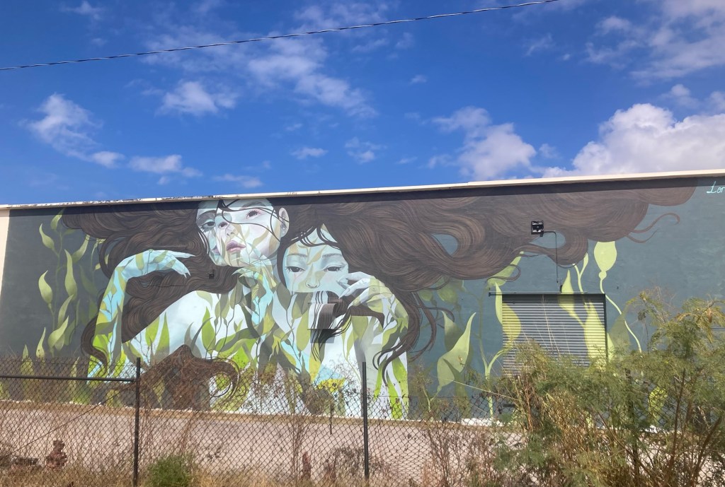
Since we started at the St. Pete end, we walked the first few blocks on city sidewalks before getting on the asphalt trail near the baseball stadium. We saw a lot of residential buildings downtown before walking through a bit of the Arts District and more industrial areas. There were murals and other art along the trail. We only walked an hour out before turning around, so there is a lot more of the trail to explore.
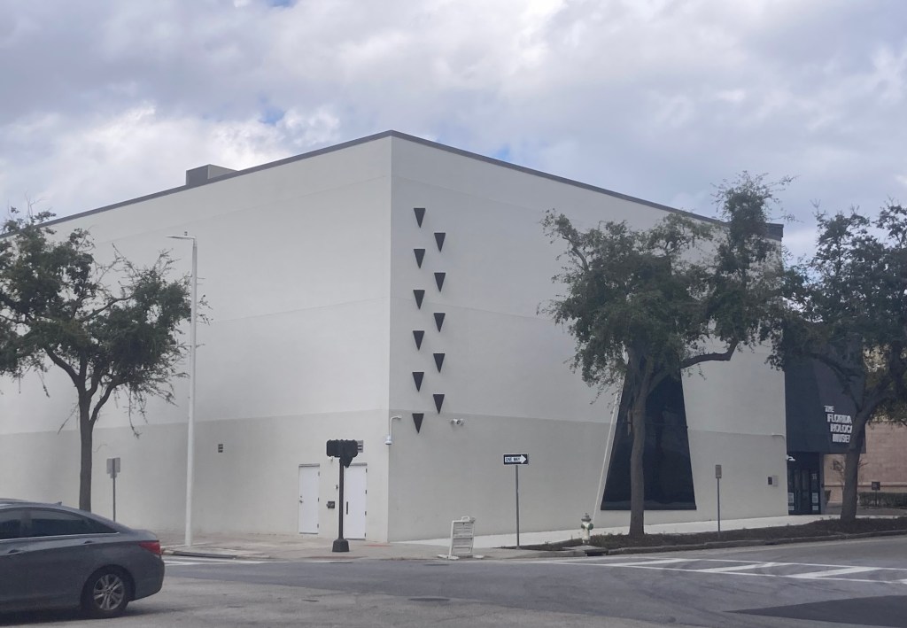
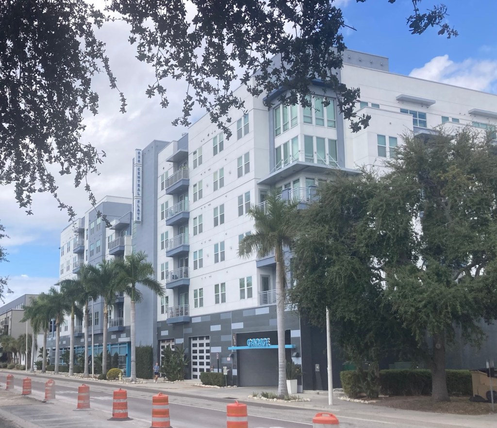
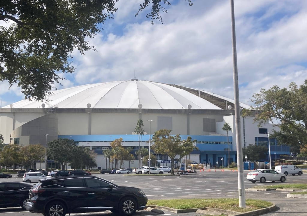
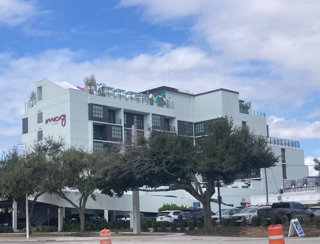
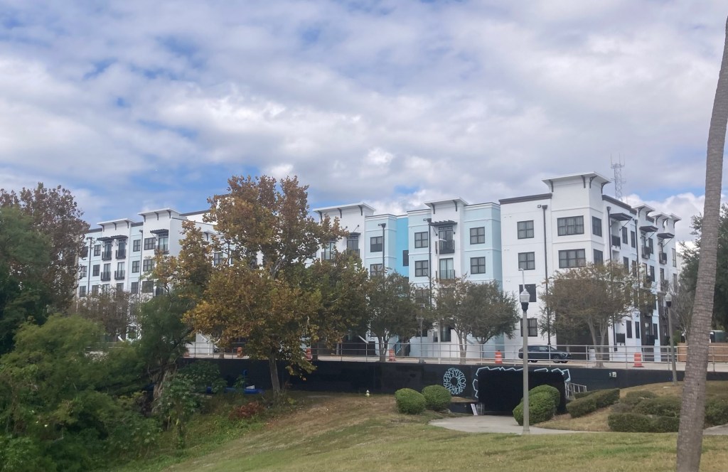
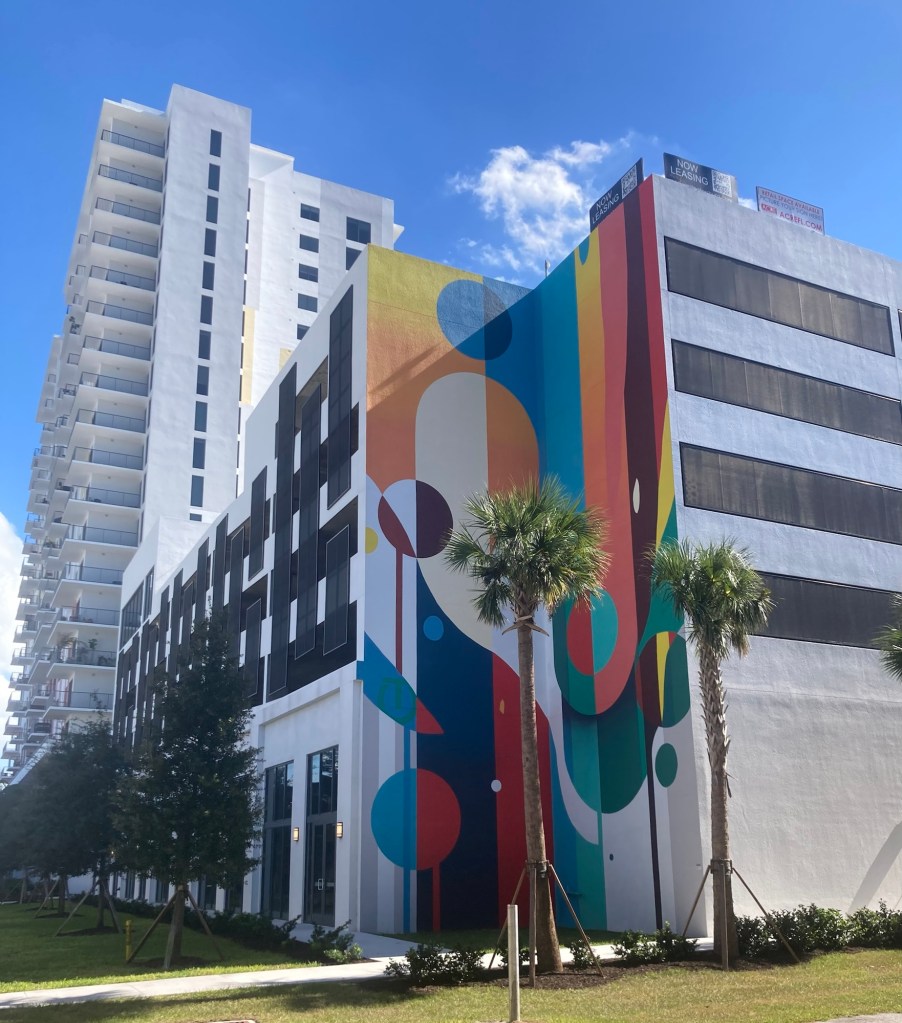
A new high rise being built. We think it’s the tallest one we’ve seen.The Florida Holocaust MuseumA colorful mural on a downtown building Another residential building— very near a grocery and the baseball stadium The side of Tropicana Field, home of the Tampa Bay Rays professional baseball team. The stadium was damaged last year during one of the hurricanes (see roof), so the team has played their home games this year in a minor league stadium in Tampa.A Moxy Hotel (Marriott brand) across from the stadiumMore residential buildings near the stadium (and the trail!)An apt mural along the trailA painted barricade along the trailDitto A painted post at one end of the Arts District One of two distilleries that we passed along the trail. This seems to be a female version of the famous 1932 photograph, “Lunch Atop A Skyscraper,” with 11 ironworkers sitting on a steel beam.This was one of our favorite murals and reminded us of some holographic art that was on display in the theater on Friday.A high school along the trailA pretty park with their display of a steel beam from the World Trade CentersA diagonal street crossing for trail usersArtwork on a residential building A view of downtown St. Pete as we walked back into the city
Bob and I continue to be impressed with the walkability of the area we are in — easy access to grocery, restaurants, retail, museums, theaters, and sports stadiums, not to mention the bay and water activities.
The other day when we had popped into the Visitors Center, Bob had picked up a brochure for a self-guided tour of downtown St. Pete (DTSP) and the waterfront. I identified the buildings that seemed the most interesting of the 71 listed in the brochure, and Bob led the almost 2 hour walkabout today. We didn’t get to the waterfront sites yet, but hope to see one tonight and one tomorrow.
The brochure provided information on year of construction, architects and architectural style, and changes over the years. We learned a little bit about St. Petersburg history in the process and saw more of the downtown area — both historic and modern.
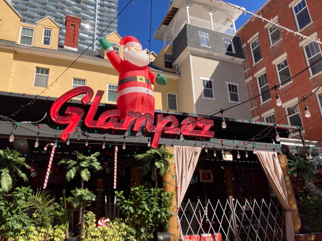
The first few photos are taken along the very happening Central Avenue North, a couple of blocks from the condo.
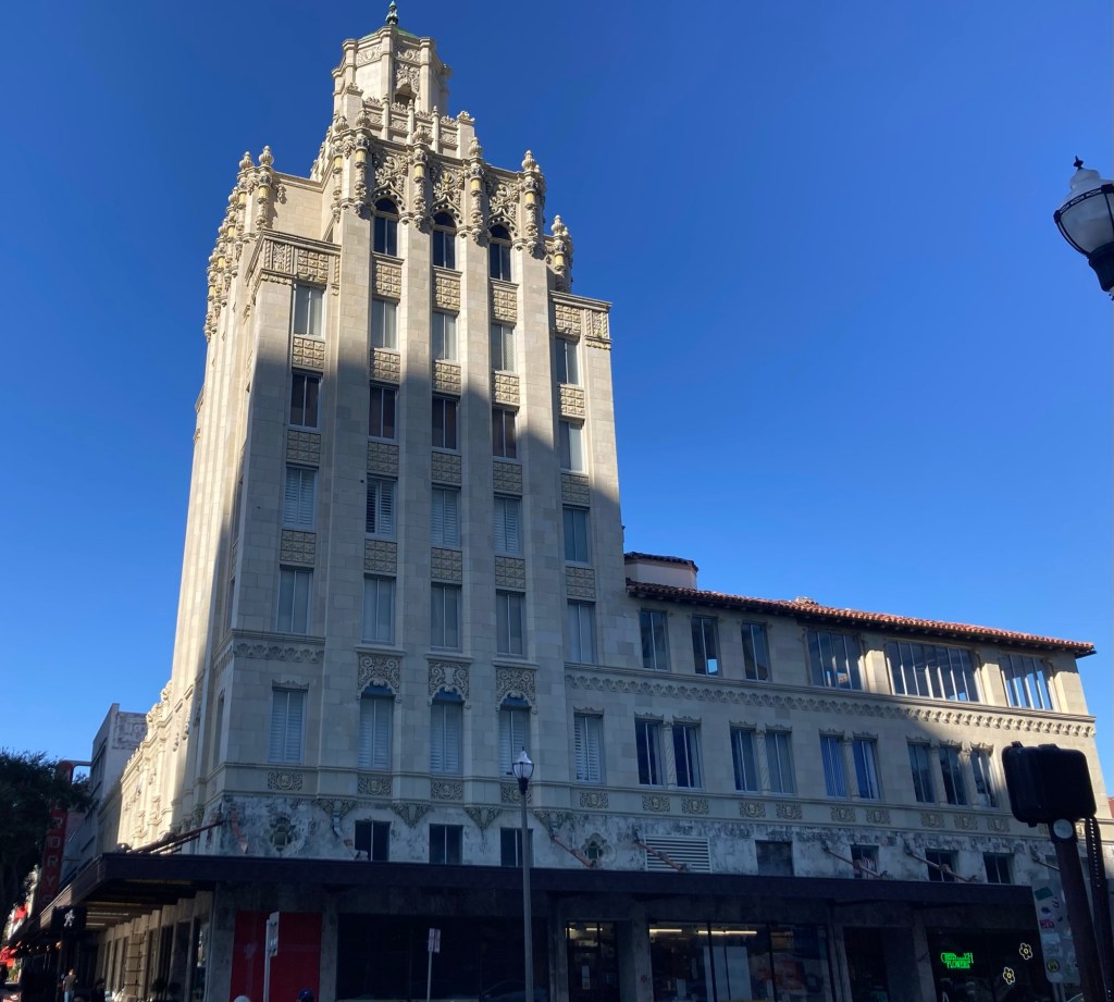
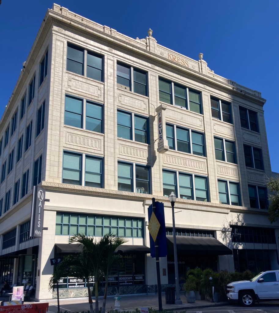
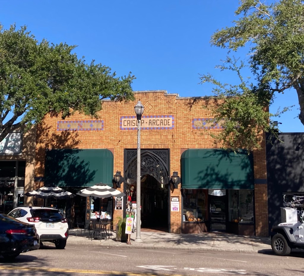
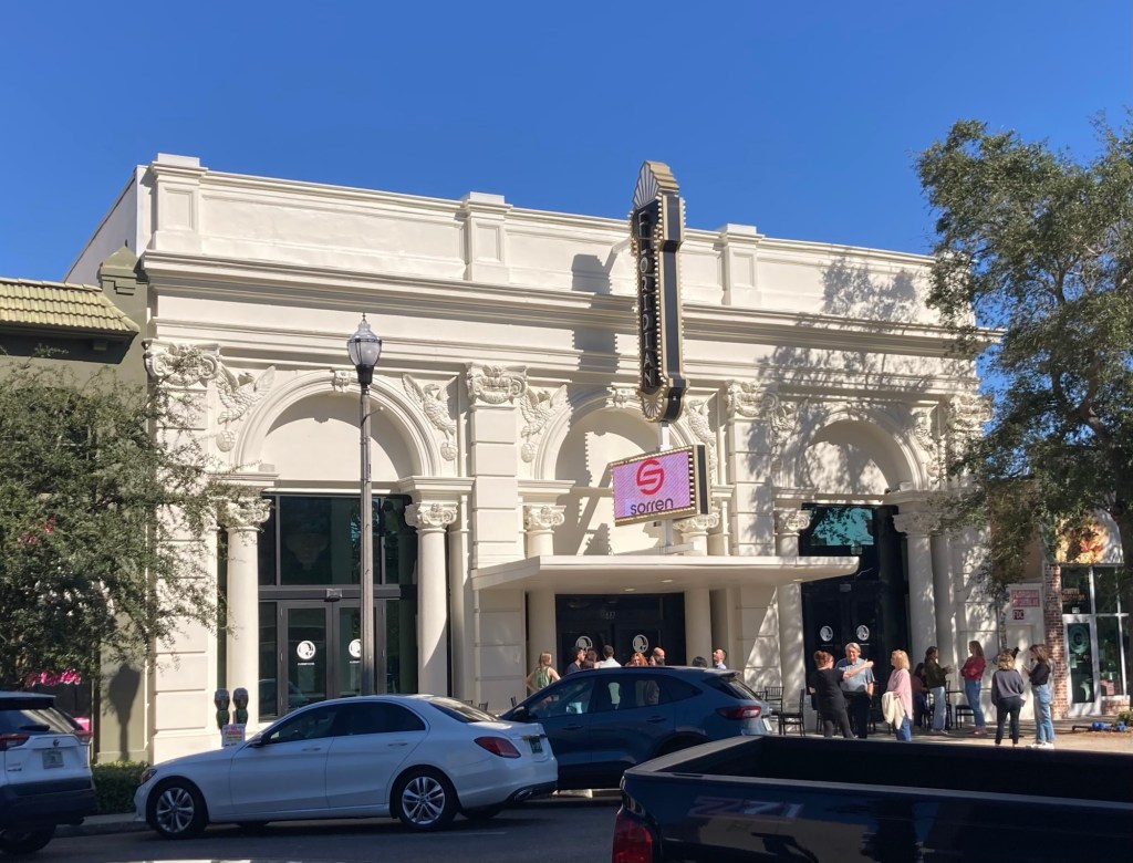
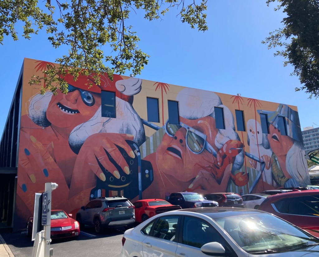
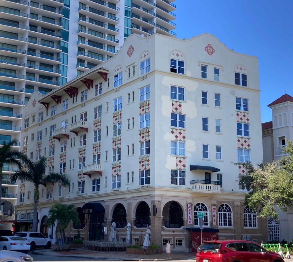
A pop up Christmas bar. Didn’t know this was a thing, but why not?The Snell Building, constructed for local land developer C. Perry Snell in 1928, who lost it to foreclosure during the depression.One of many Akers’s buildings we have photographed as Samuel Kress branded his retail buildings to distinguish them from competitors. This one was built in 1927.A fun mural, one of many in the downtown areaThe Cristlip Arcade, built in 1926, was one of 10 shopping arcades in DTSP between the ‘20s and the ‘50s.The State Theater, now The Floridian, was built in 1924 as the Alexander National Bank. It is done in the Beaux Arts style.
Moving off of Central, most of the rest of the walk took us north until the very end when we headed back towards the condo.
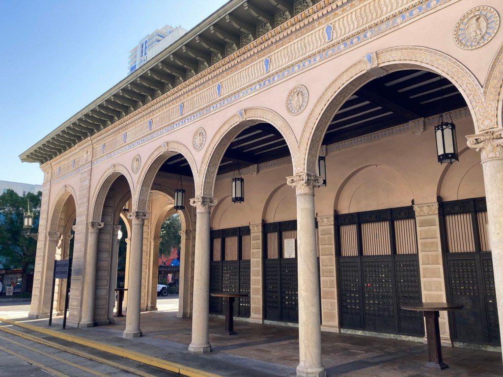
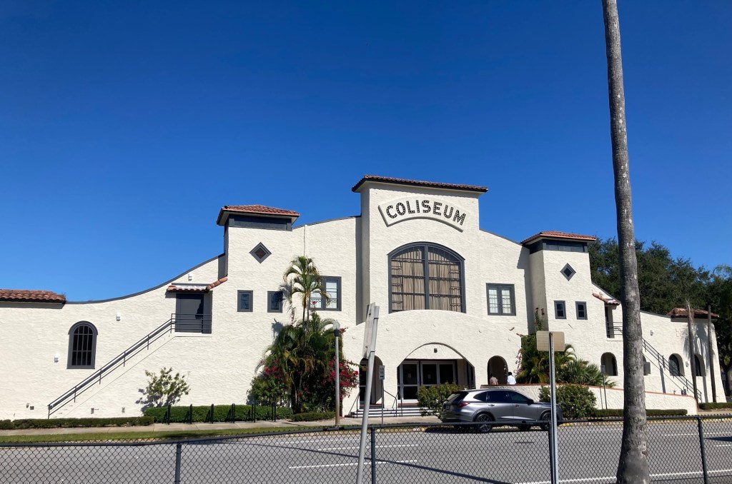
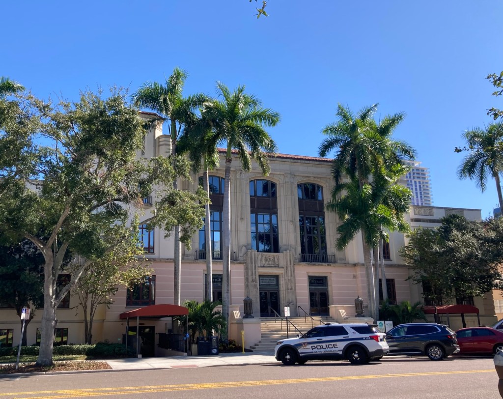
Another fun muralBuilt in 1916, it is the nation’s first open air post office. Note the brown old fashioned post office boxes.Built as The Mason Hotel in 1924, it is one of St. Pete’s best examples of the Neo-Classical Revival Style (per the brochure).An impressive (but not yet historic) court houseThis was built in 1915 as one of the Carnegie libraries and was the city’s first permanent public library.The Coliseum, built as an entertainment venue in 1924
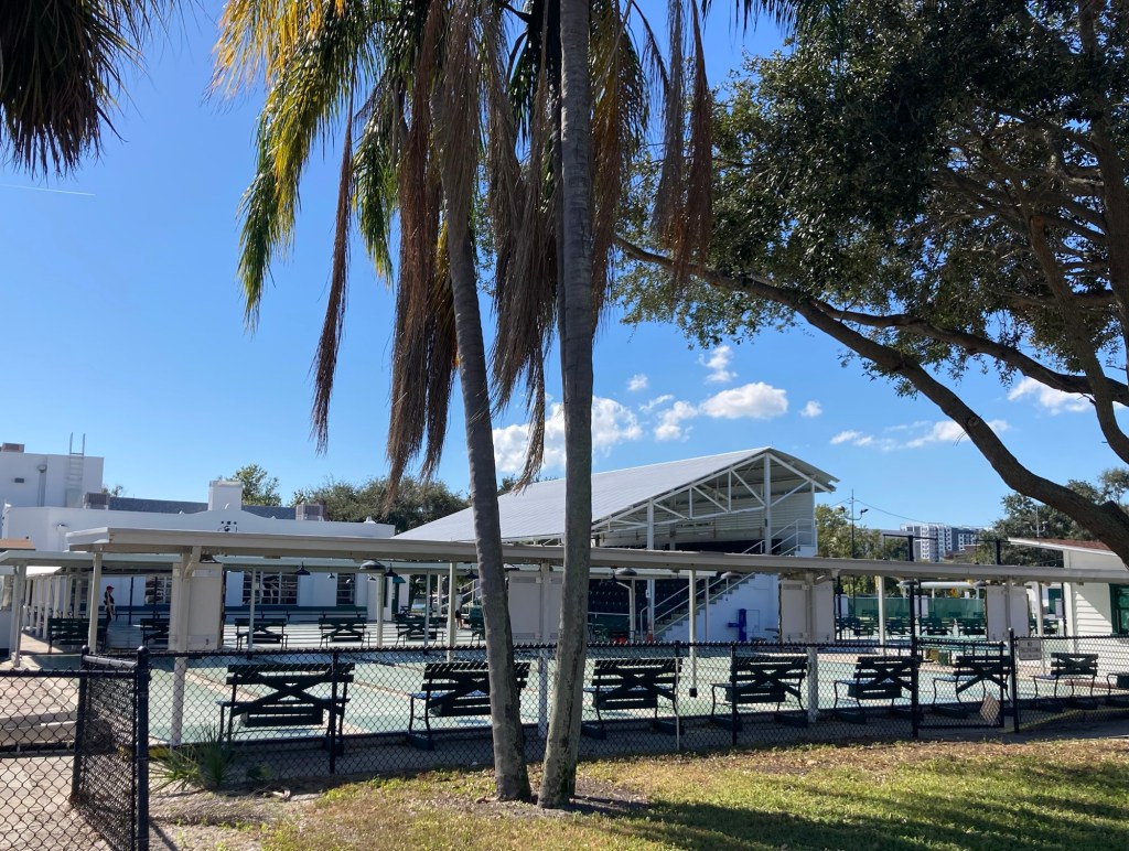
The next photo was one of the most interesting things we learned about St. Pete. It is the St. Petersburg Shuffleboard Club, and it is housed next to the historic lawn bowling club. More impressively, the club was formed in 1924 and is the oldest and largest shuffleboard club in the world. The rules of the sport were codified here. The club reached 5,000 members by 1944, and is enjoying a resurgence of interest with 2,000 current members.
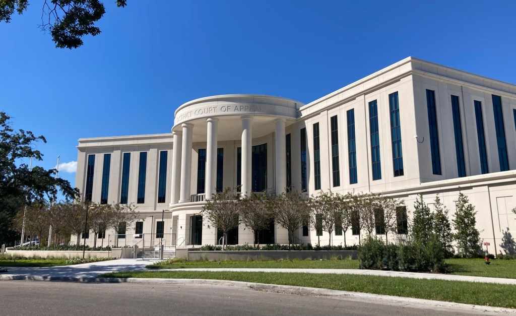
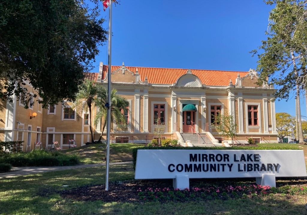
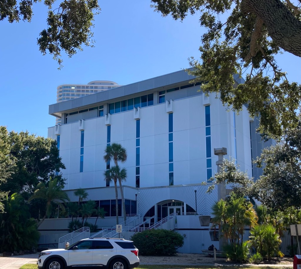
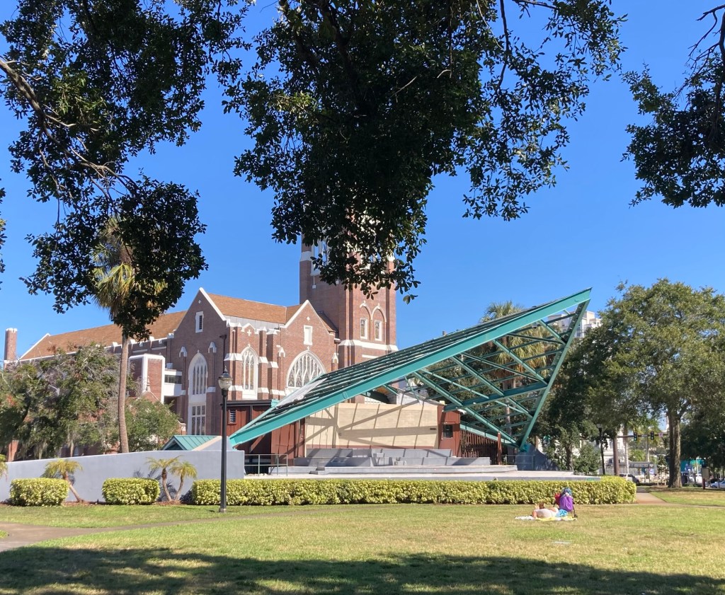
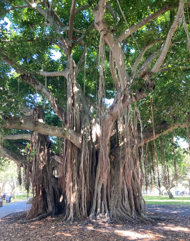
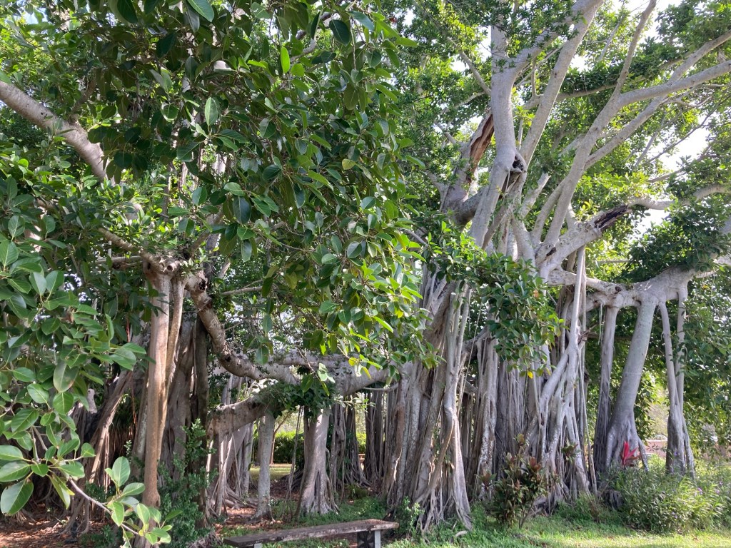
One set of shuffleboard courts — with a grandstand. It hosts local, state, national, and international tournaments.The aptly named and very beautiful Mirror LakeThe mid-century modern style judicial building built in 1968St. Pete City Hall, built in 1939 with funds from Roosevelt’s Public Works Administration. While it was always intended to be used as a city hall, the funds were designated for other purposes, so it opened as a city utility building.Williams Park Band Shell and Pavilion, built in 1954. The panels in the roof are currently missing — either due to a refurbishment or as a result of one of last year’s hurricanes.The Crislip house, built in 1925, in the Mission styleThe current Birchwood building was built in 1924 as the Lantern Lane Appartments. It is now a combination of residential and retail.One of a pair of 100 year old banyan trees in a park across from The Birchwood. We find these trees fascinating, with their aerial roots that grow down to help support the branches.The Ponce de Leon Hotel built in 1922 as a Mission Revival style building
It was a great day for a walk, and Bob and I are excited about a rare night out for us. A couple of months ago, we learned that Phil Rosenthal of “Everybody Loves Raymond” and “Somebody Feed Phil” fames was going to be doing a show in St. Pete while we were here. We love “Somebody Feed Phil,” basically a travel show but based around food. We got tickets, and the theater is a 10 minute walk from the condo. We’ll share our review tomorrow.
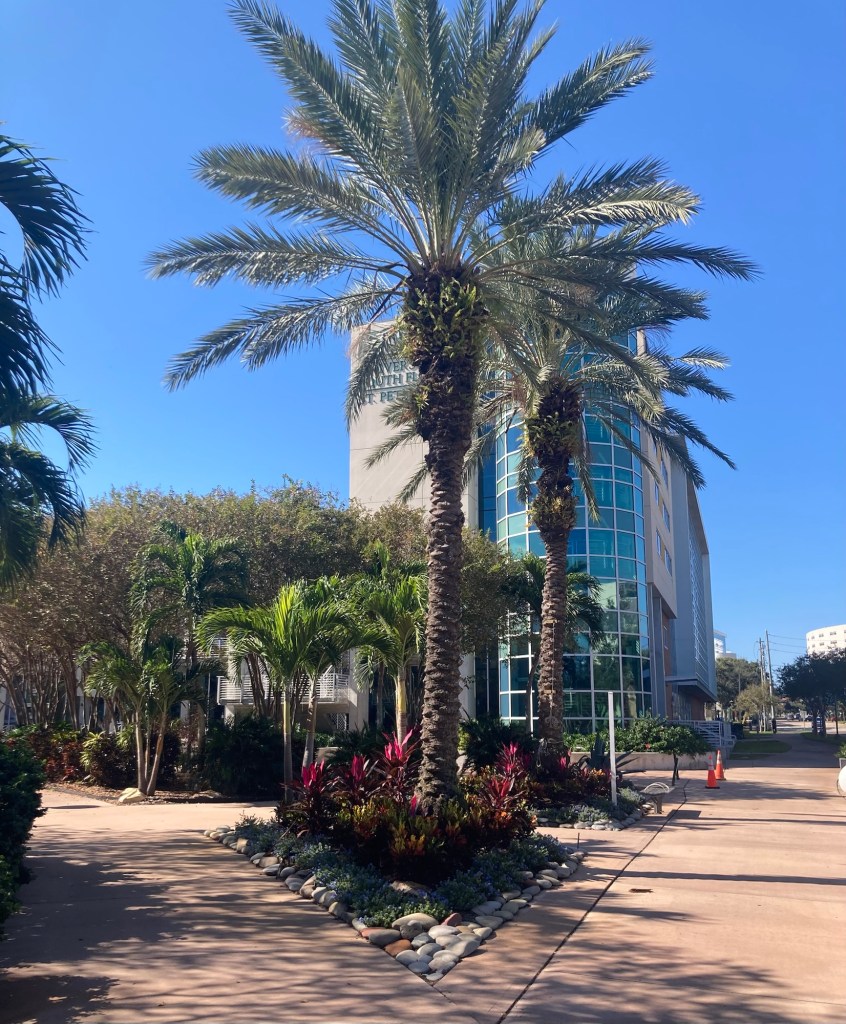
Our first full day in downtown St Petersburg, and we are smitten. The lovely weather does not hurt — highs in the low 70s F and low humidity. We love being in shorts in November.
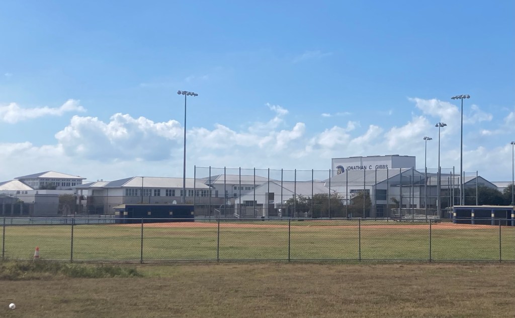
St. Pete, to locals, is located about midway down the state of Florida on the Gulf of Mexico side. It is known as the “Sunshine City” and is part of the Tampa Bay Area. It is recognized as the birthplace of scheduled aviation as well as for Major League Baseball spring training. It has a population of approximately 250,000.
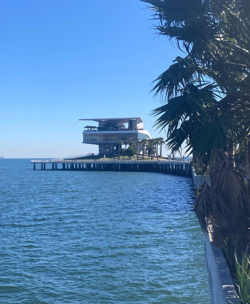
We can see the St. Pete pier from the condo, so we decided to check it out up close this morning. The St. Pete Pier is 26 acres that merges the waters of Tampa Bay with the parks of downtown St. Petersburg. It is a great place to walk, bike, hop on a trolley, dine along the waterfront, attend an outdoor festival, or pop into a museum.
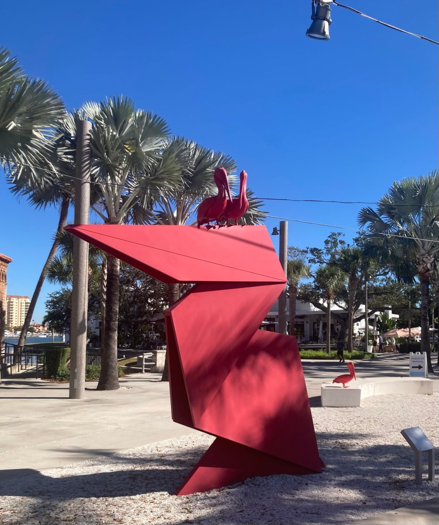
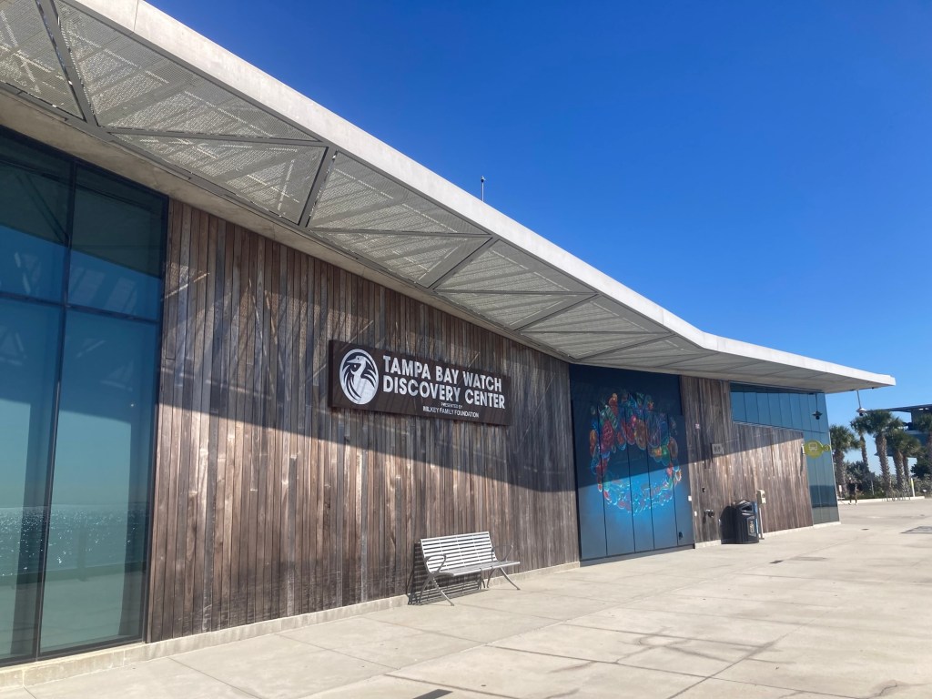
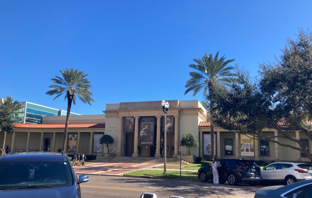
Looking back towards the high rise (2nd from left) from a park near the pier“Myth (Red Pelican),” Nathan Mabry, 2020. The pelican is the symbol of St. Petersburg.Looking across Tampa Bay at the start of the pier. A semi-shaded pedestrian area that runs along the middle of the pier. The outer edges are prioritized for a free trolley.An event spaceAn urban beach along the bayOne of many live pelicans we saw on the pierAnother look back towards downtown St. PeteThe building at the end of the pier, which has a cafe, retail shop, and restaurant/barA Discovery CenterThe view from the Teak Restaurant on the top level of the building at the end of the pierAnd the first Big Head that Bob has been able to sit in“Olnetopia,” Nick Ervinck, 2020.Looking back towards downtown St. Pete on the other side of the pierThe St. Petersburg History Museum on the pierThe Museum of Fine Arts a block off of the pier in downtown
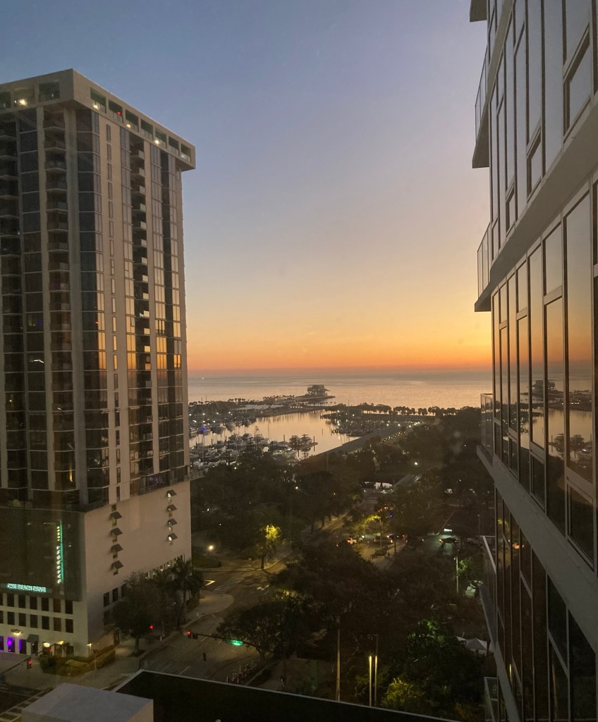
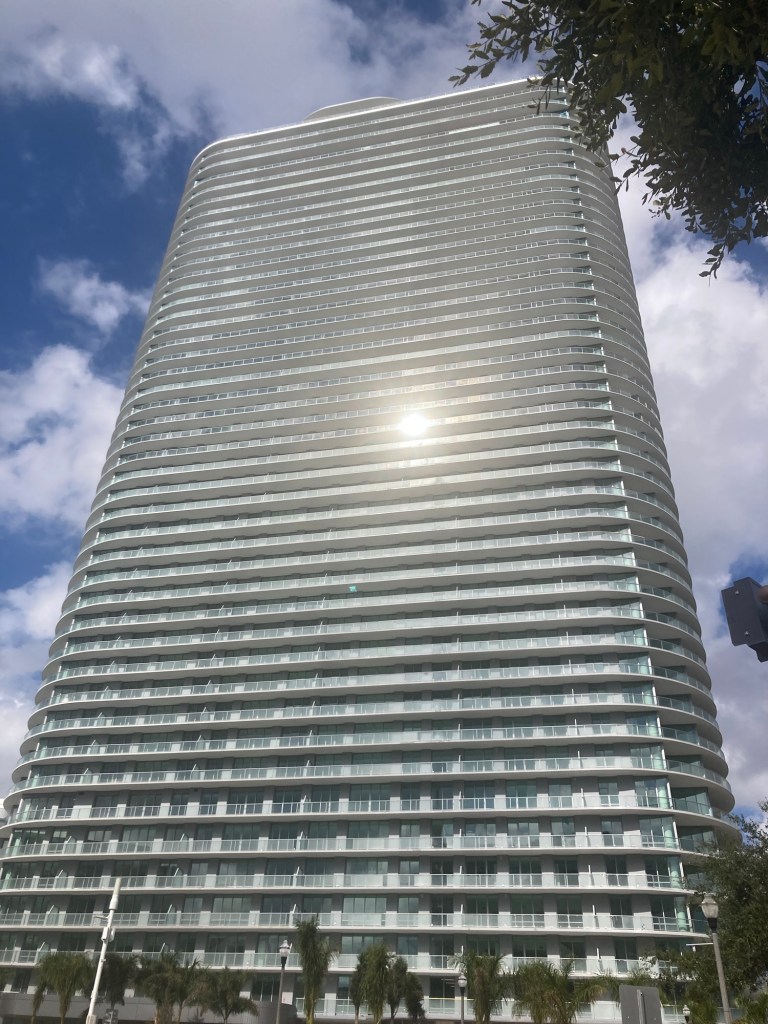
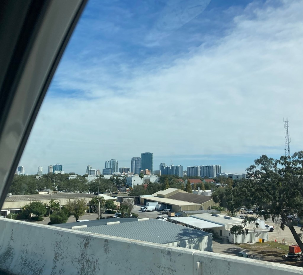
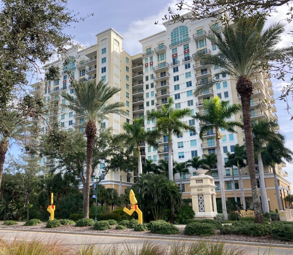
Bob and I have ended our gadding about for quite awhile. We have enjoyed seeing a bit of Florida, and will get to now explore St. Petersburg (just an hour’s drive north of Sarasota) until the end of the month while we care for Lulu on the 15th floor of a high rise (30+ floors total) in downtown St. Pete.
We drove up from Sarasota yesterday and spent the night in an AC Hotel very close to here to be nearby for today’s walk through with the homeowner.
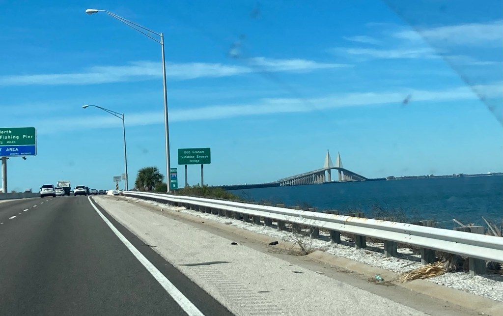
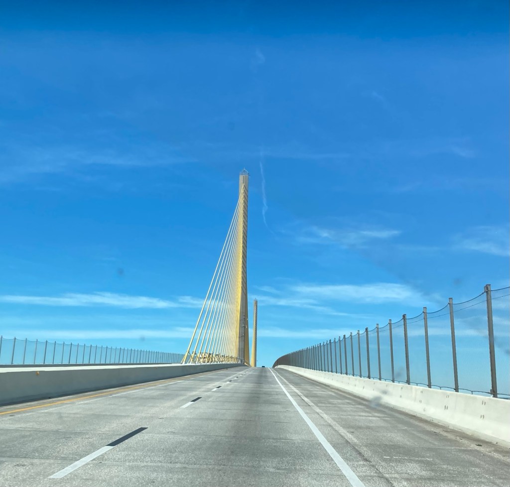
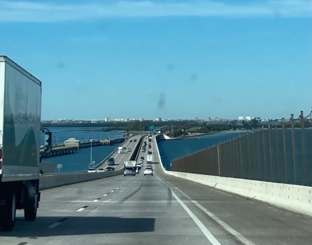
We crossed the Bob Graham Skyway Bridge into St. Petersburg. Note the cables of the bridge look white from a distance.But were actually yellow.The first glimpse of Clearwater — St. Petersburg is off to the right.Looking over downtown St. Pete yesterday afternoon Lulu, a sweet, shy girl with an impressive yip when startled
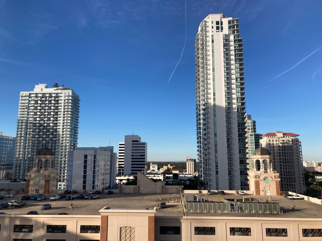
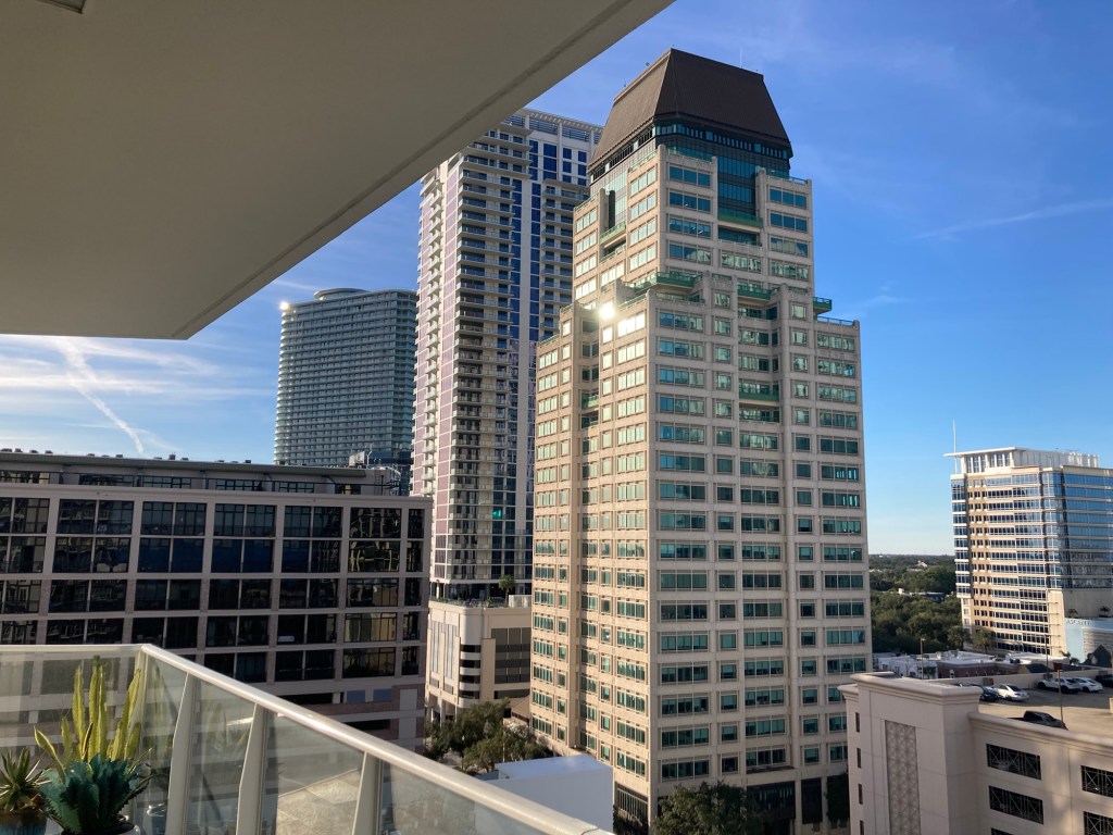
Some views from the unit.
Looking east towards Tampa Bay Looking northLooking west
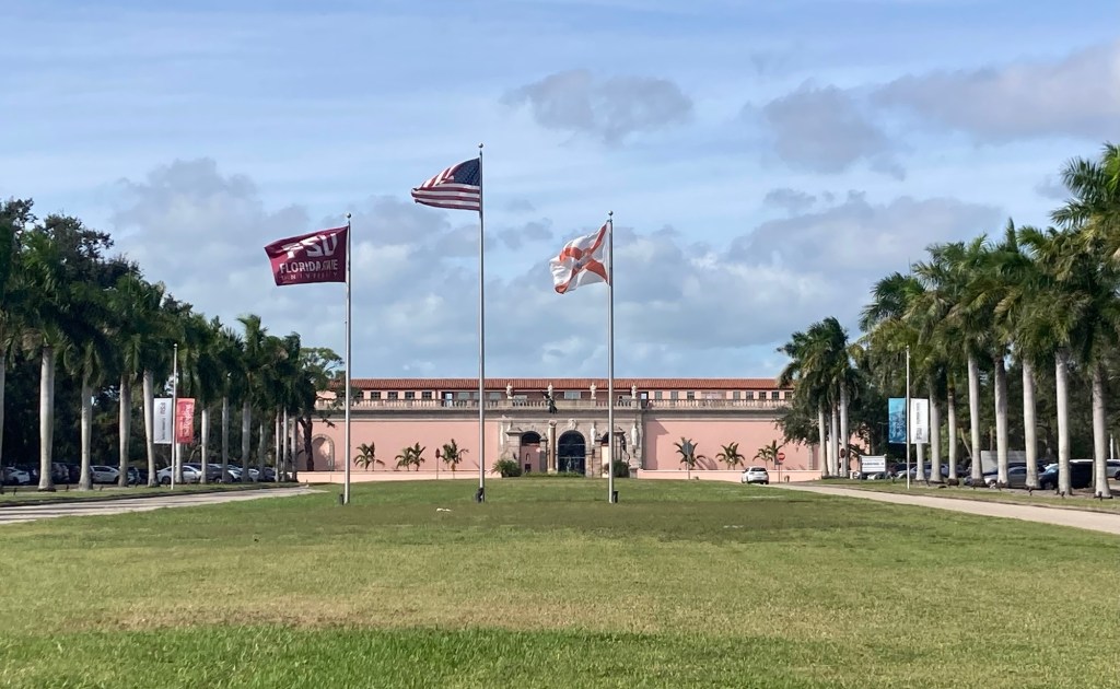
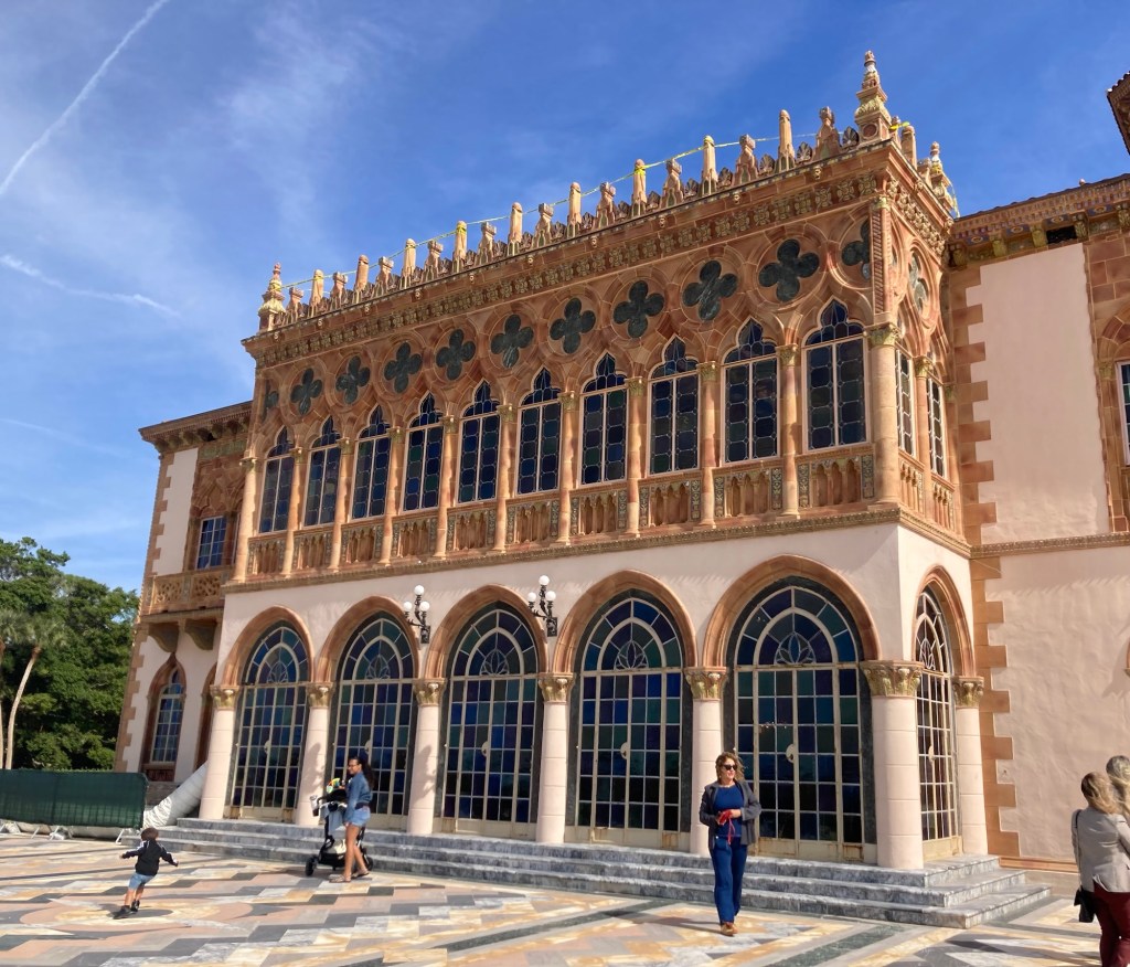
The Ringling, collectively the State Art Museum of Florida, a circus museum, the former home of John and Mabel Ringling, the historic Asolo Theater, and Bayfront Gardens on the former site of John and Mabel Ringling’s waterfront winter home in Sarasota. John Ringling was one of 5 Ringling brothers who took their first circus show on the road in 1884. John (born Johan Nicholas Rungeling in McGregor, Iowa) became the most financially successful of the brothers, diversifying his investments in ventures such as railroads, ranching, and real estate.
John and Mabel collected over 600 pieces of art during their marriage, and they decided to leave it to the people of Florida as their legacy. This collection was the start of the State Art Museum of Florida.
Last night, Bob and I were debating about whether to go to the Ringling today or not as tickets begin at $30 per person and increase to $45 if you want to see the both museums and the part of the home that is open to the public. This seemed a bit steep for us, but then Bob discovered that today the art museum, glass pavilion, and grounds would be open to the public for free, so that made the decision to go today very easy.
It was a little over a 3.5 mile walk there along a major city street, so it wasn’t the calmest walk, but we did find a few sites along the way.
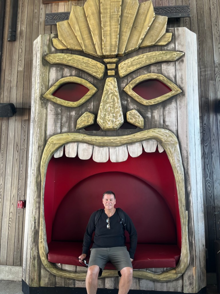
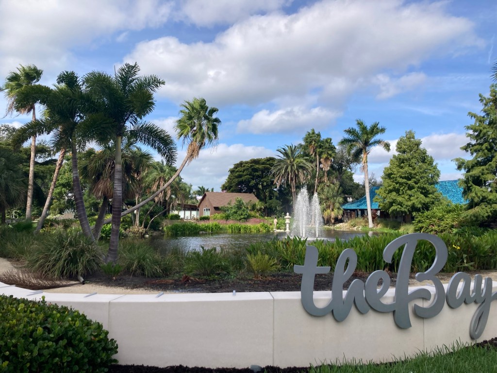
The nicely landscaped entrance to The Bay residential development More residences across the street with “The Runners” sculpture by Jorge Blanco in front.Sarasota’s Municipal Auditorium, a multi-purpose facility built in 1938.A canal that we could see from the streetBob and a Big Head. I think the Florida state government would be shocked to see that this resort holds drag bingo on Sundays.Miniature golf with live alligators — a potentially dangerous way to lose your balls!😳😂
There were a lot of cars already at The Ringling today take advantage of the free day as well as ticketed access to the circus museum and the Ringling home. We thought it was going to be super crowded walking through the art museum and grounds, but we were pleasantly surprised. It was obviously busy but not too crowded.
The State Art Museum of Florida, now owned by Florida State University.
The first stop we made once we checked in was to visit the Glass Pavilion. This pavilion houses the museum’s collection of contemporary studio glass, provides rehearsal and dressing rooms for the historic Asolo Theater, and serves as the reception lobby for the theater.
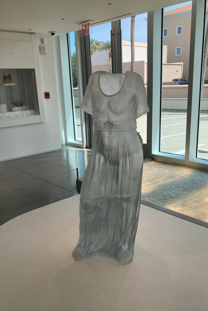
“Rose Dress,” Karen LaMonte, 2002
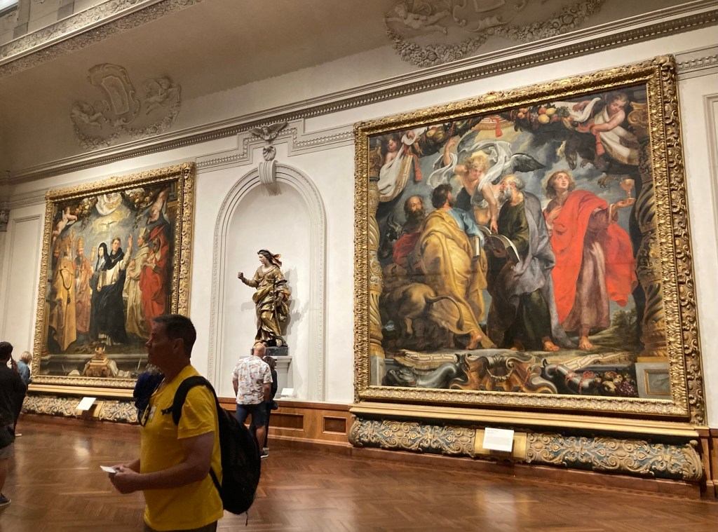
From the Glass Pavilion, we moved to the State Art Museum of Florida. The art museum has a wide collection of European art across the ages, Asian art, as well as contemporary art.
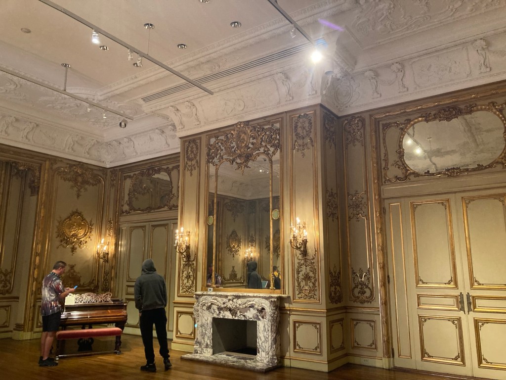
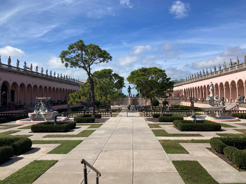
Two of the large paintings of Peter Paul Rubens’ “Triumph of Eucharist” series.A salon from the Astor mansion in New York that John Ringling purchased in 1926 prior to the demolition of the mansion.One view of the attractive courtyard around which the museum is builtA view of the entire courtyard
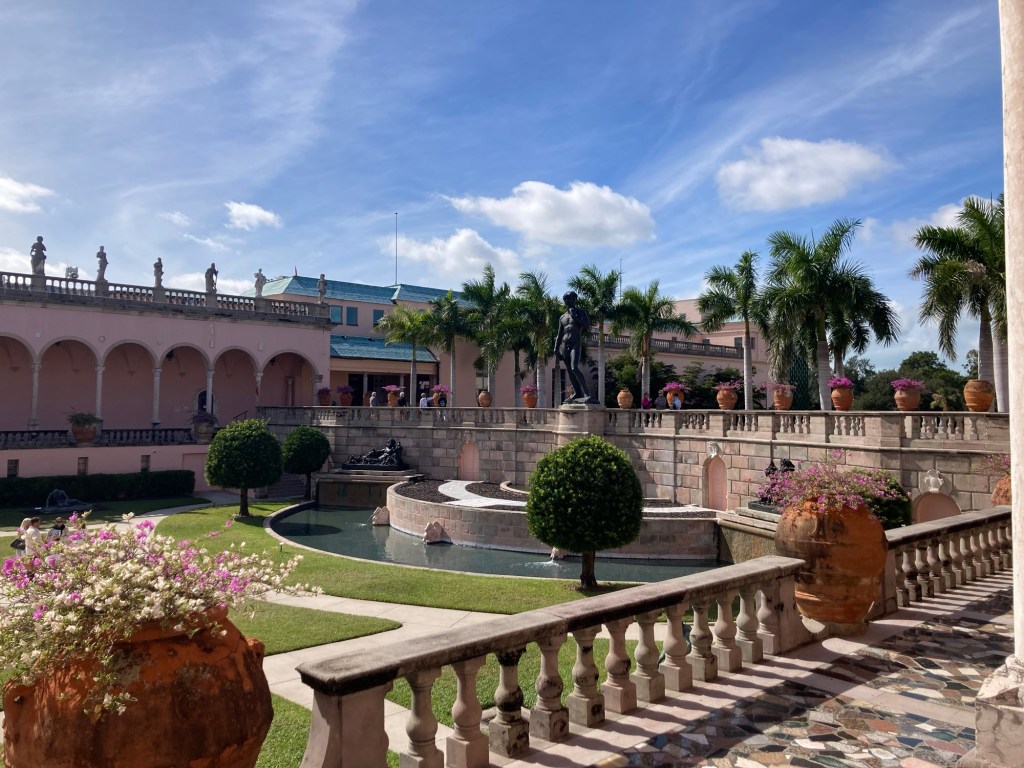
We enjoyed the art museum and really loved walking around the beautiful grounds of the former Ringling estate.
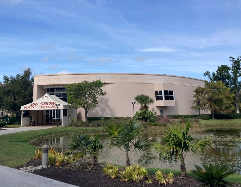
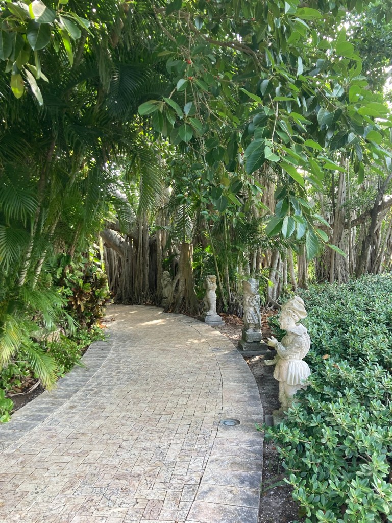
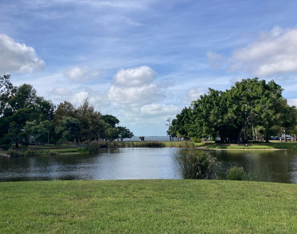
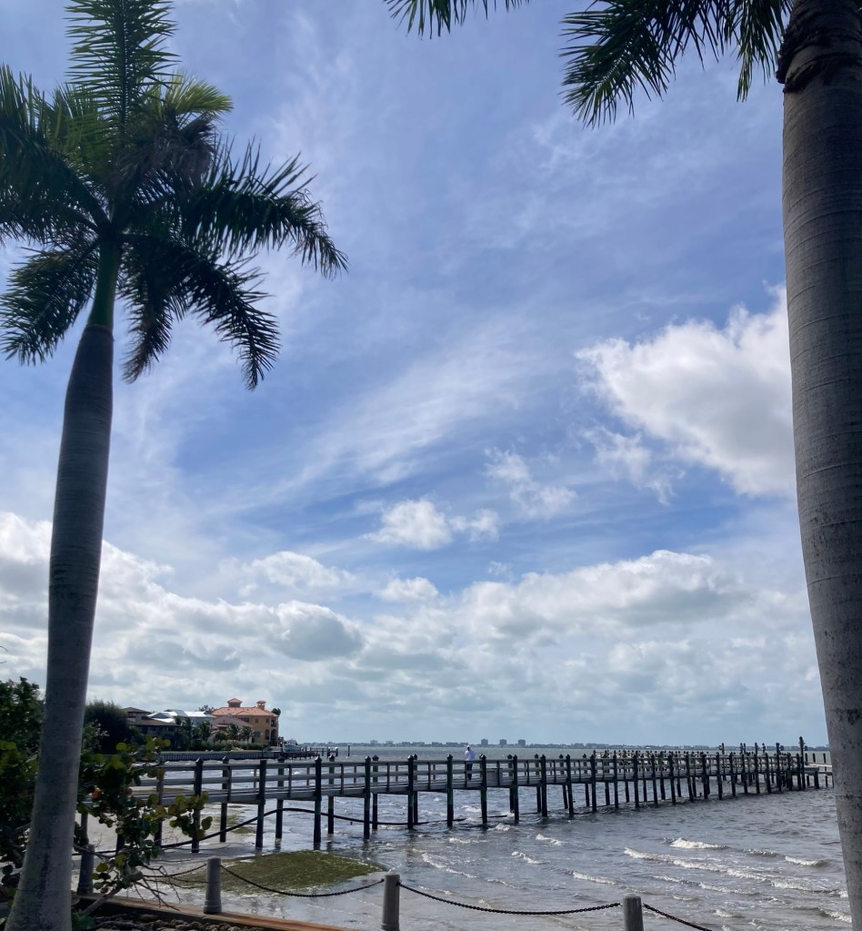
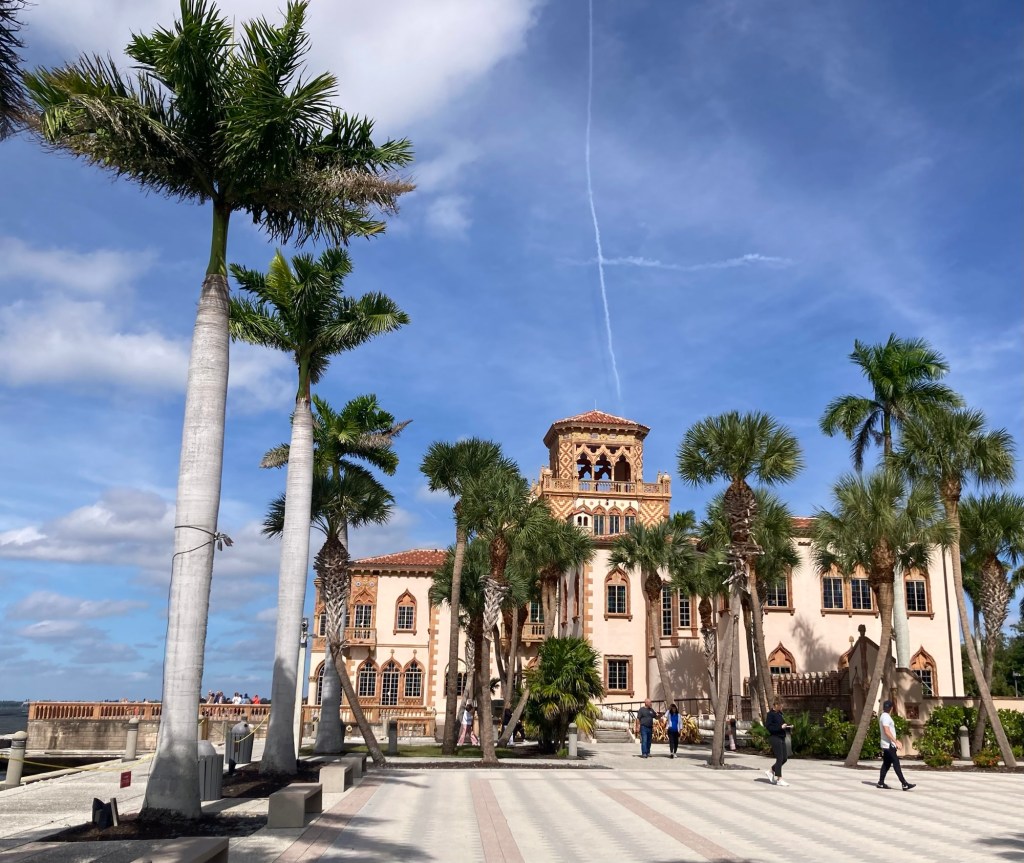
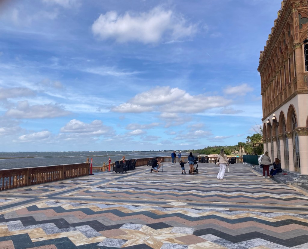
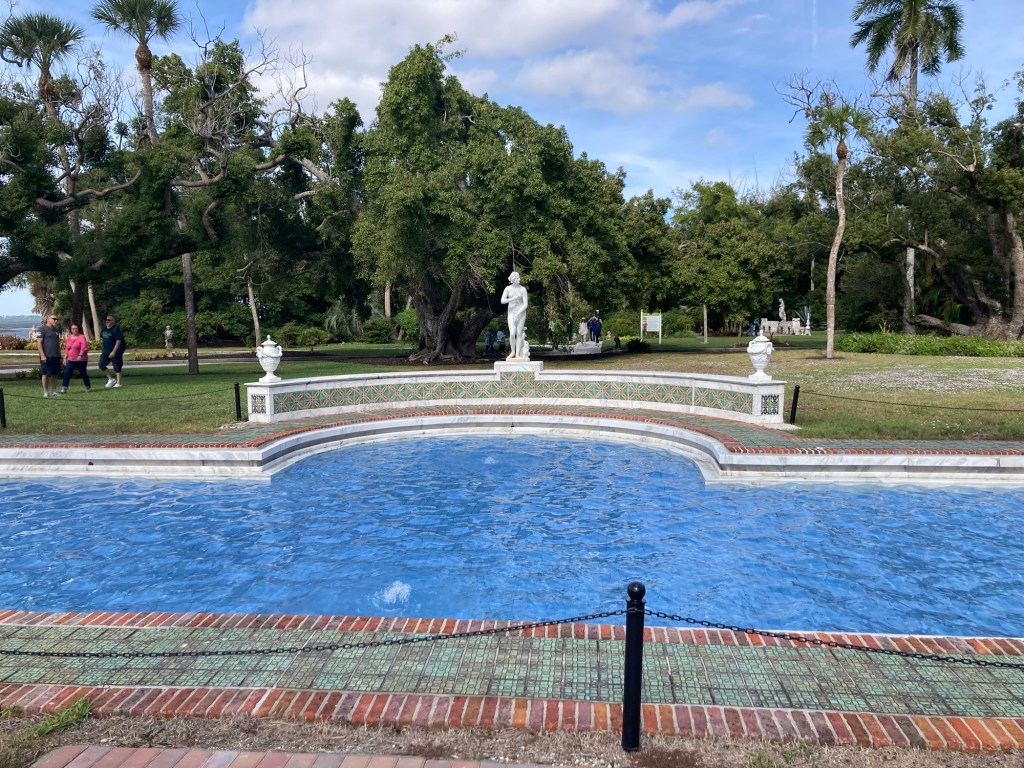
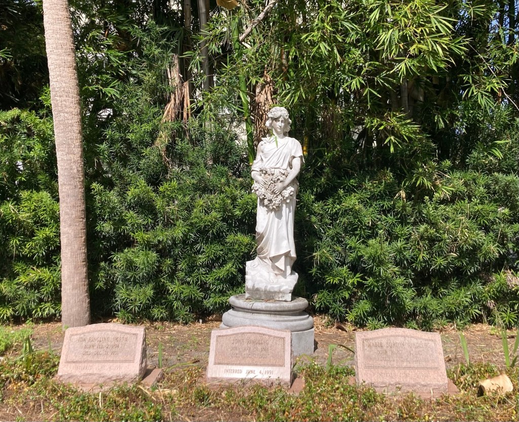
One of the circus museum buildings One of many ponds on the estateA banyan tree and statue lined pathMore banyan trees. We find them fascinating.Looking across another pond toward Sarasota BayLooking across Sarasota Bay towards the city (in foreground) and City Island in the distance Ca’ d’Zan, literally “The house of John” in the Venetian dialect. This is John and Mabel’s winter home.The home’s front plaza situated on the waterfrontThe front of the homeA reflecting pool behind the homeThe grave sites of John, Mabel, and John’s sister Ida. Sadly, John lost most of his fortune in the Great Depression, but was able to retain his home, museum, and art collection.