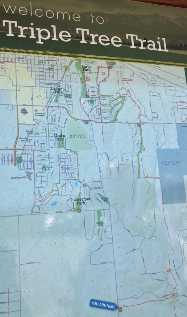
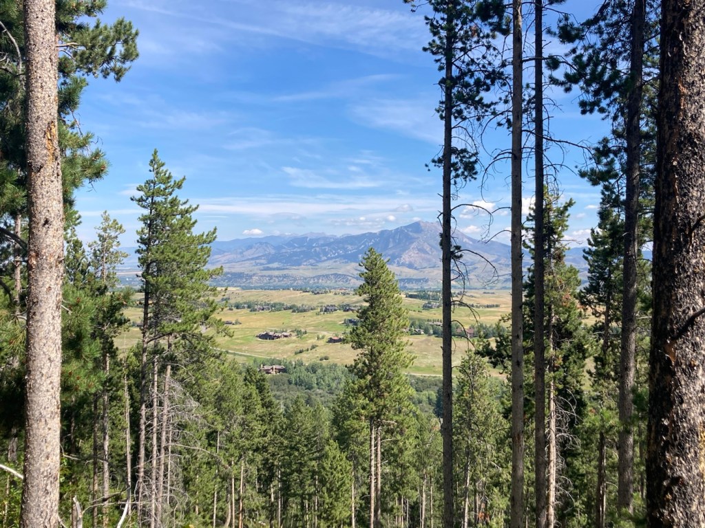
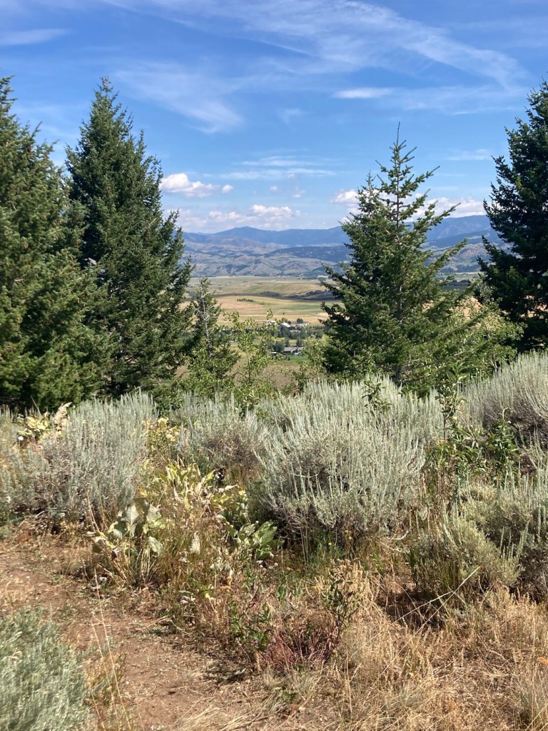
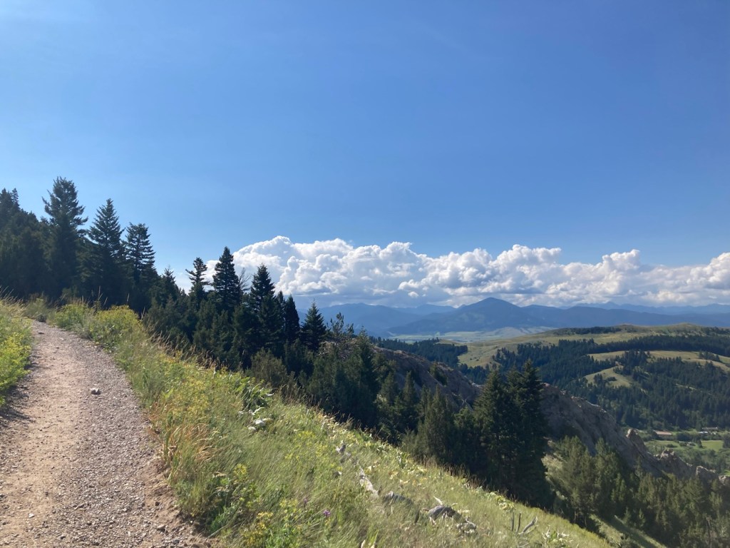
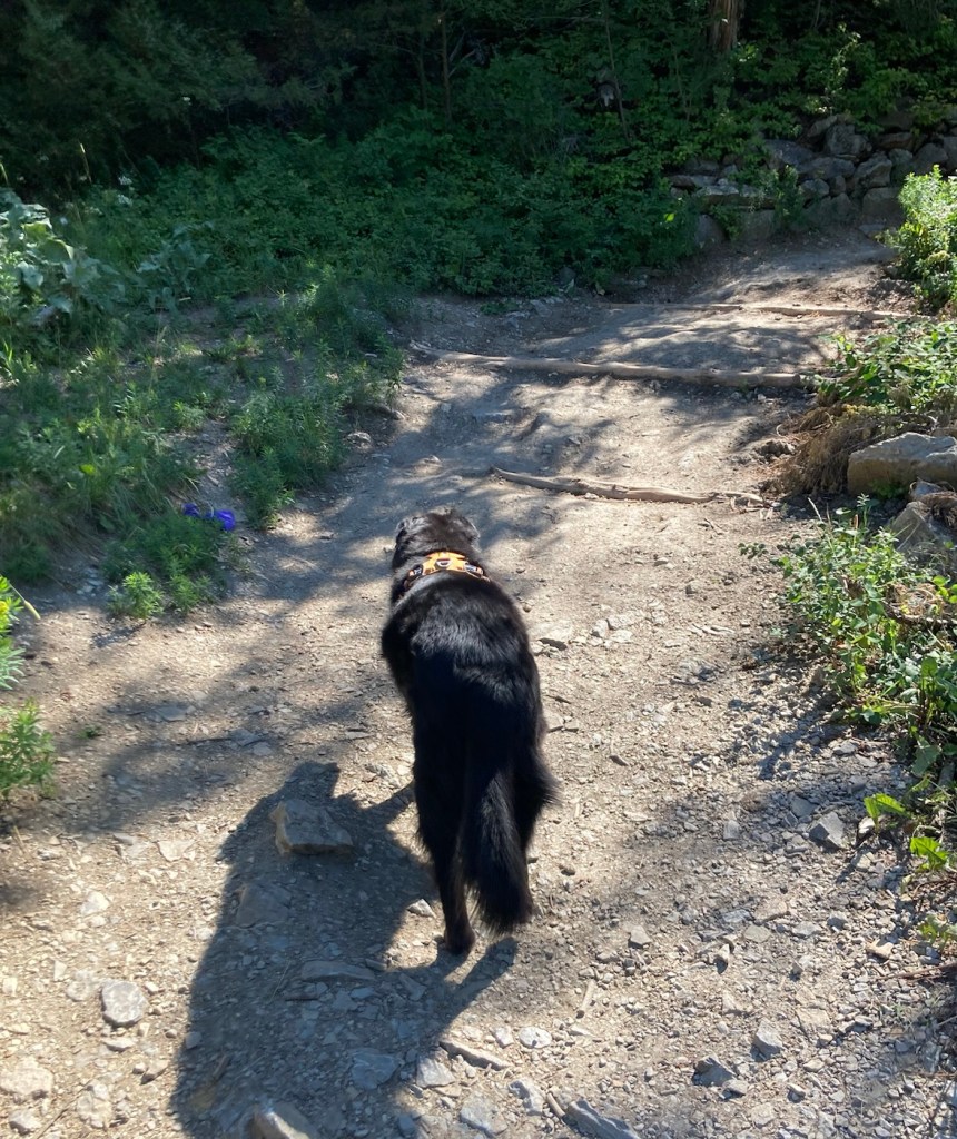
Today we drove about 20 minutes east to the trailhead for the Triple Tree Trail on the south side of Bozeman. It was a 5.4 mile distance, out and back, with an elevation gain of about 950 feet. It crosses Limestone Creek (which dogs seemed to enjoy) and is on state land on the northwest slope of Mount Ellis.
We saw a couple of Beware of Bears signs, always a bit disconcerting. However, there was quite a few people using the trail (hiking, biking’ and running), so we felt better about maybe not having a bear encounter.
Prior to the hike, Bob helped another hiker jump her battery, so that she could leave the trailhead parking lot. I thought it was good that we arrived when we did, but I’m sure others arrived after us that could have helped as well.
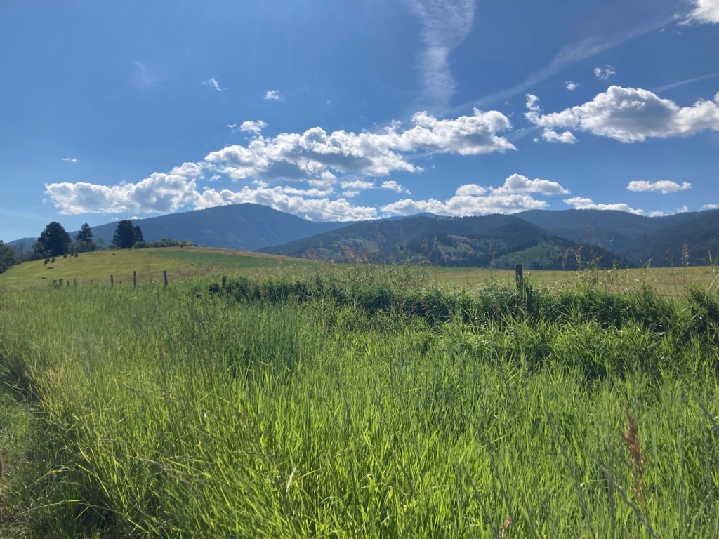
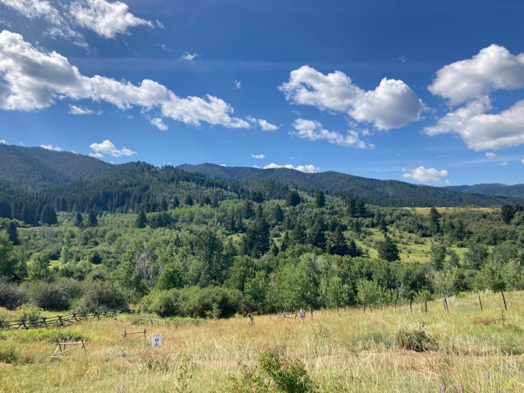
Below are pictures from another great Bozeman hike.
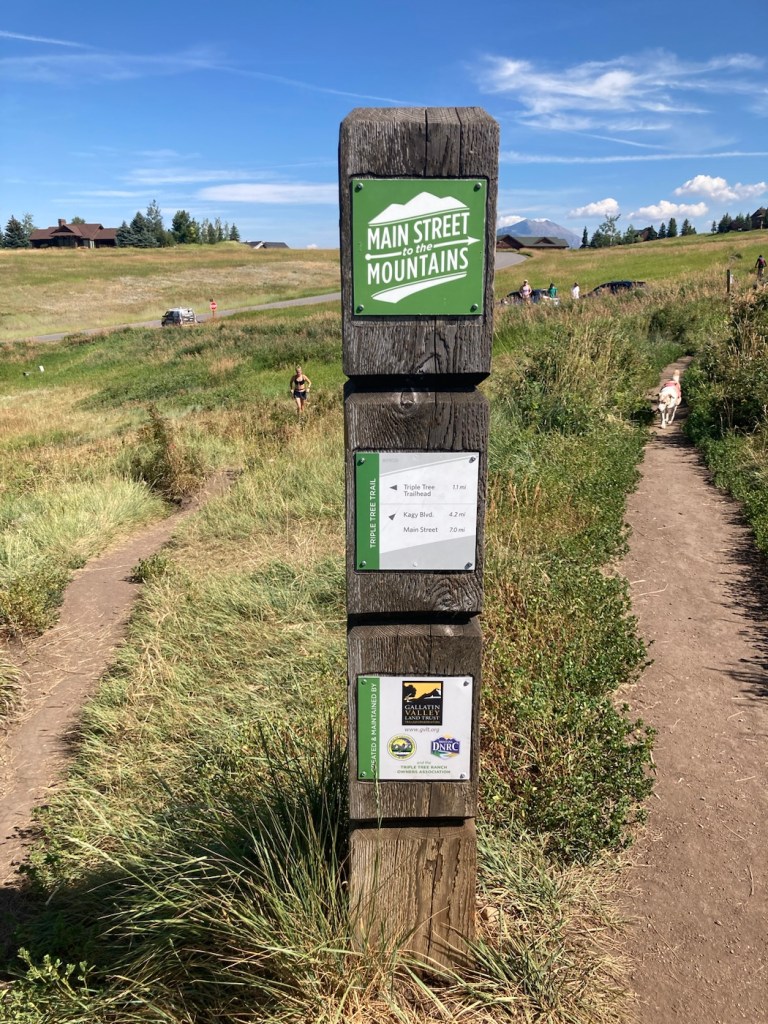
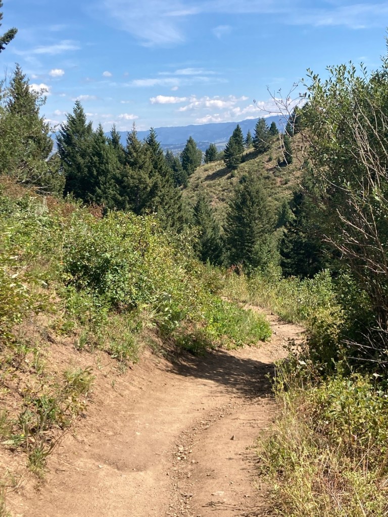
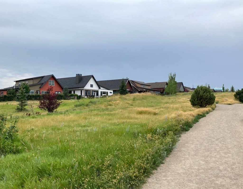
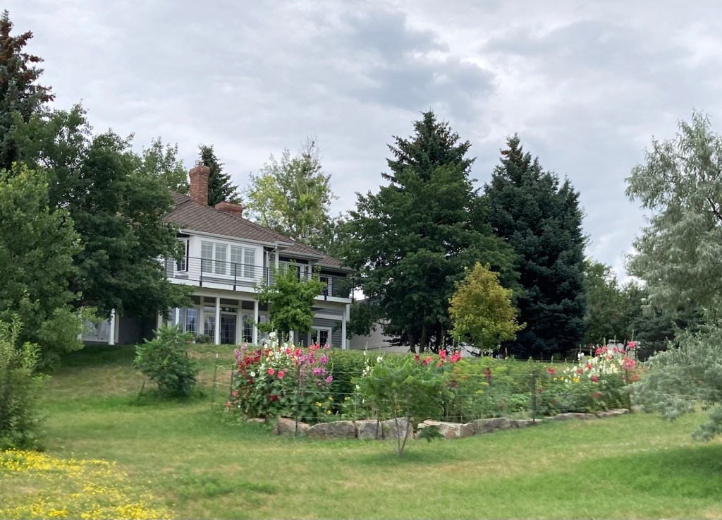
We hiked from the You Are Here sign and then turned right at the T before doing a loop trail to get us up and then down the mountain.The trailhead appears to be in a newer subdivision (but then, aren’t they all here?), so views of nice homes at the beginning of the hike.Signage at the T. We came from where the woman is running, and then headed in the opposite direction of the dog.
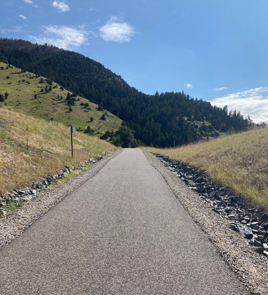
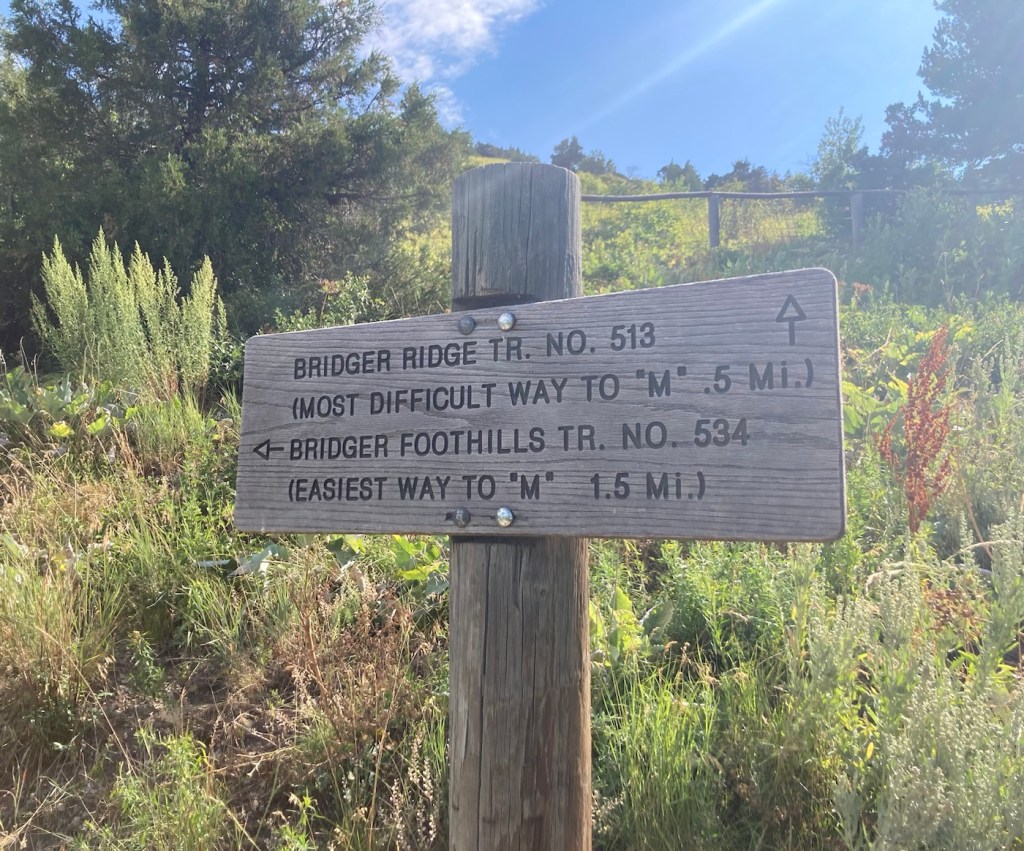
In 1915, Montana State University students created an M on a mountain at the mouth of Bridger Canyon. I’m not sure what it was originally made of, but it now consists of 250 feet of whitewashed rock. There are two routes up to it, one short (.5 miles) and steep, and the other longer (1.5 miles) and less steep. Both are popular for hiking and running, as we found when looking for a parking spot this morning.
We chose the less steep (deemed easiest on the trail signage) to spare our knees and have a longer hike.
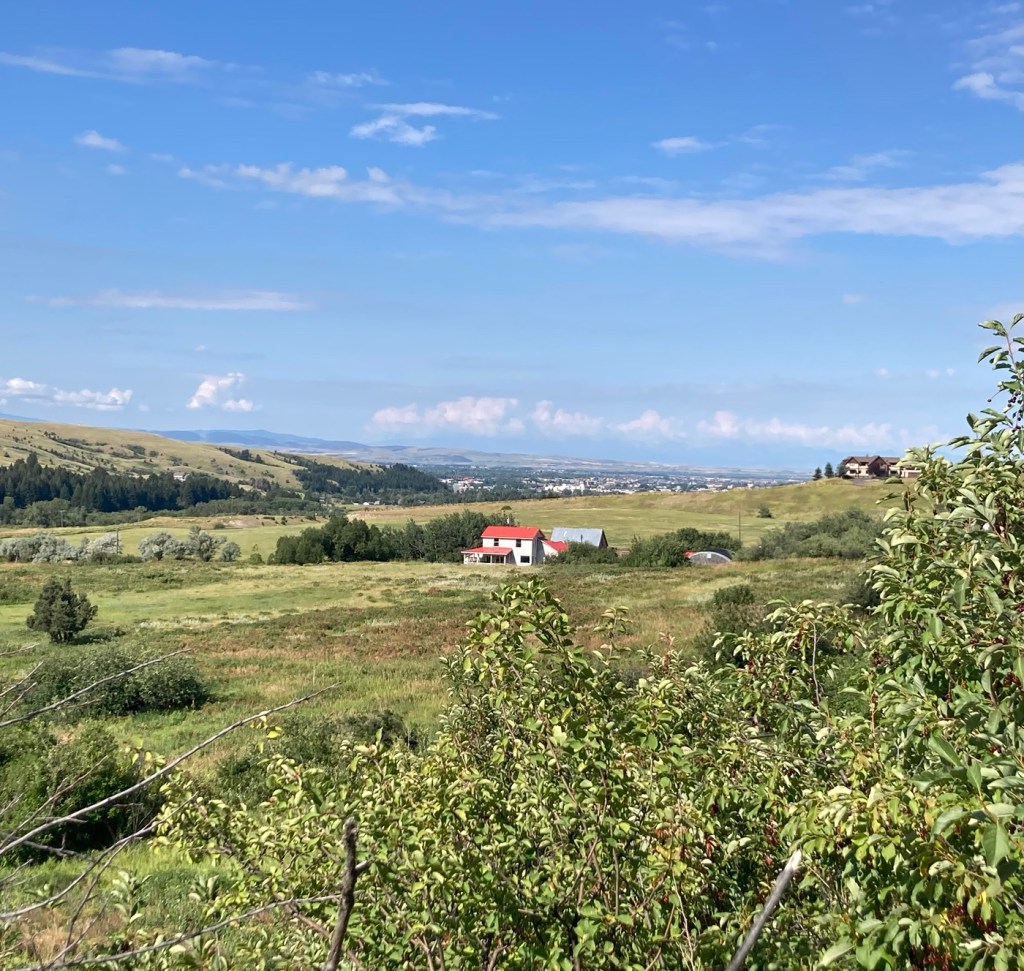
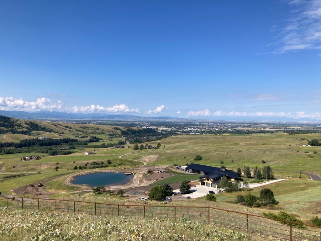
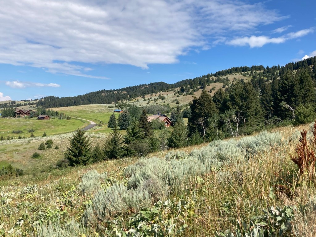
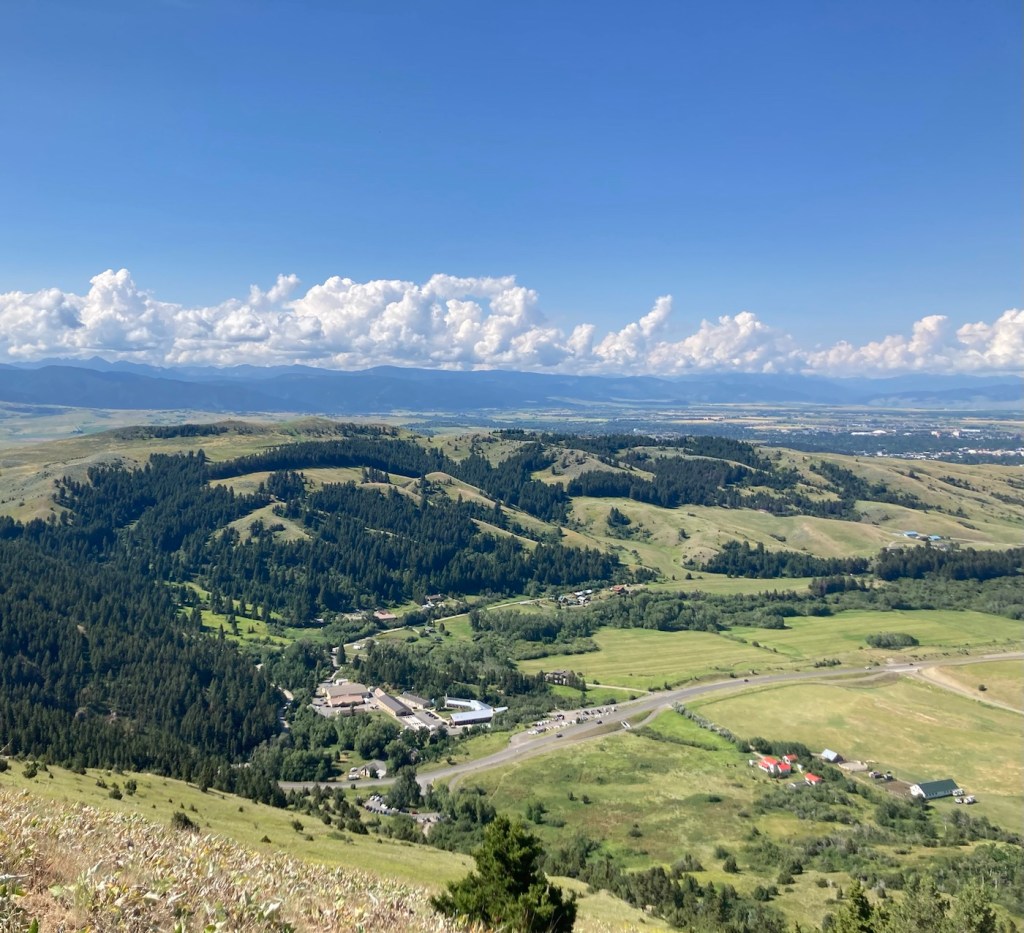
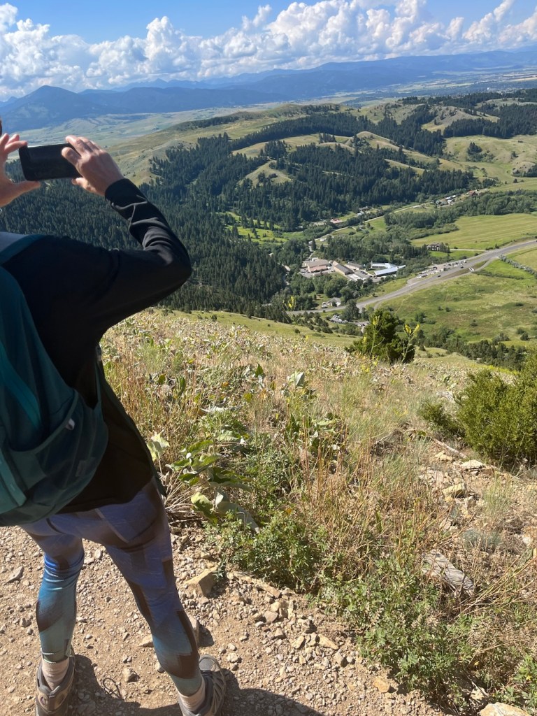
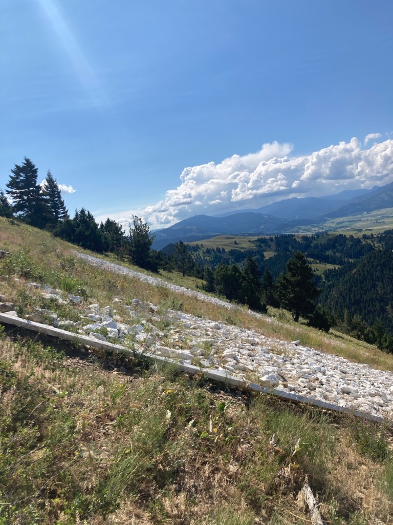
The Montana State University MFrom the parking lot, we walked a short distance on the Main Street to Mountains hike/bike path that ends at the M trailhead Being shamed by a sign for our trail selection Looking back towards Bozeman Forest management offices and more mountains across the road from the M.A new house with great views next to the M mountain More homes near the mountainThe path upA happy blue and green viewA few minutes before this pic, this dog was in the woods beside us, and we were afraid we had our first grizzly sighting. Another peak at Bozeman The park offices and homes from higher up (not to mention the lovely surroundings)Me taking the above photoThe side view of the top of the M
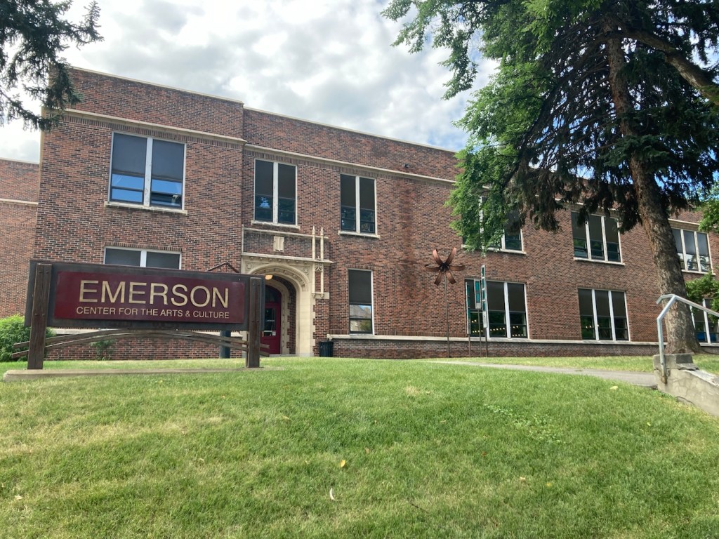
One of the places that Bob and I had read about to visit is the Emerson Center for the Arts and Culture. We headed there today before running some errands. The center is housed in the former Emerson School, named after Ralph Waldo Emerson. The building was constructed from 1918 to 1920, to serve as an elementary and junior high school. It ceased being used as a public school building in 1992.
However, the center continues its educational focus by expanding the community’s exposure, understanding, and engagement in the arts not only through exhibits of local artists ‘ work, but also providing a space for artist studios, a theater, music instruction spaces, design studios, classrooms, and shops.
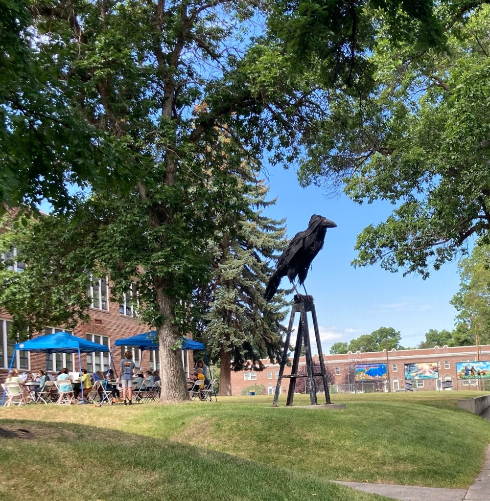
The Emerson Center for Arts and Culture A cool sculpture outside the building where an art class was underway
There were three exhibits at the center. The first was a photography exhibit by Matthew Hamon, a Montana-based freelance photographer. This set of photographs focuses on capturing the myths of the West.
This is taken in the ironically (at least now) named Metropolis, Nevada, a ghost town since 1950.
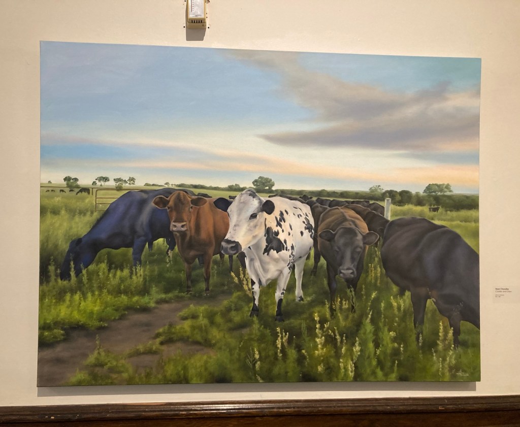
The second exhibit was titled Barns, Bovines, and Botanicals, by Shari Chandler, a Bozeman, MT resident since 2017. Her paintings were much more lighthearted than the photographs, and the title of the exhibit was accurate.
Cookie and Crew.
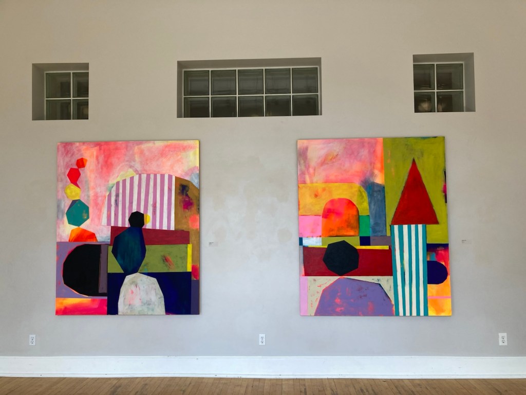
The third exhibit was titled Flat Lens by Jennifer Combe, an associate professor of art at the University of Montana. She states that her artistic work explores cultural constructs around gender and mothering, ability and schooling. She distills her understanding of an experience into simple geometric shapes.
I didn’t get a close-up of the names of these works. Feel free to create your own titles.
In addition to the exhibits, we just enjoyed walking around the first two floors of the building, looking at the art on offer in the shop as well as others on display.
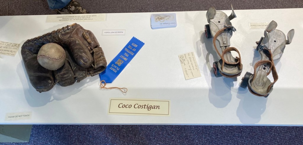
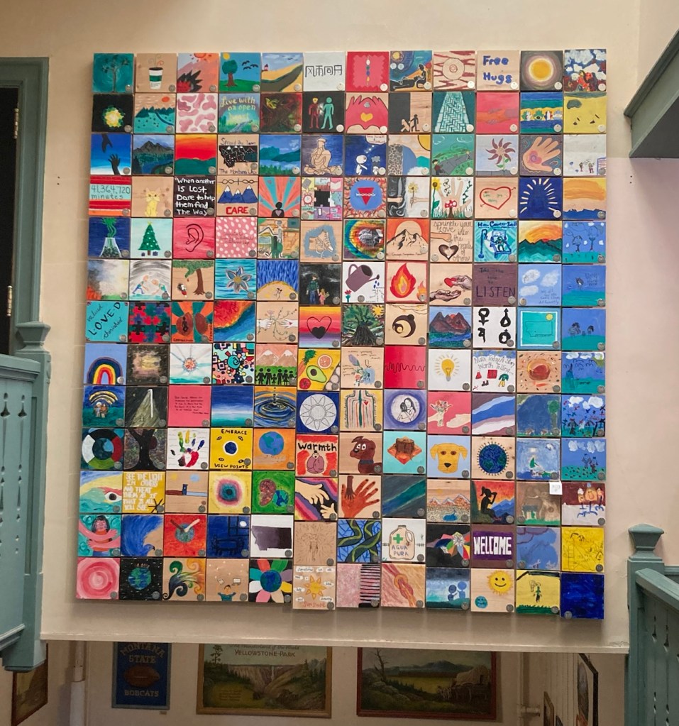
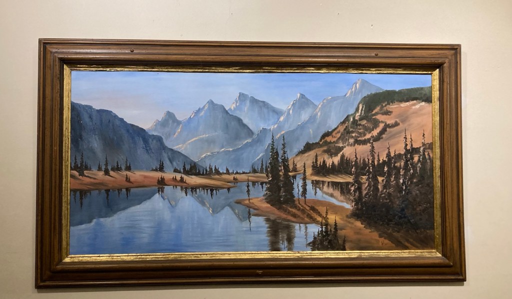
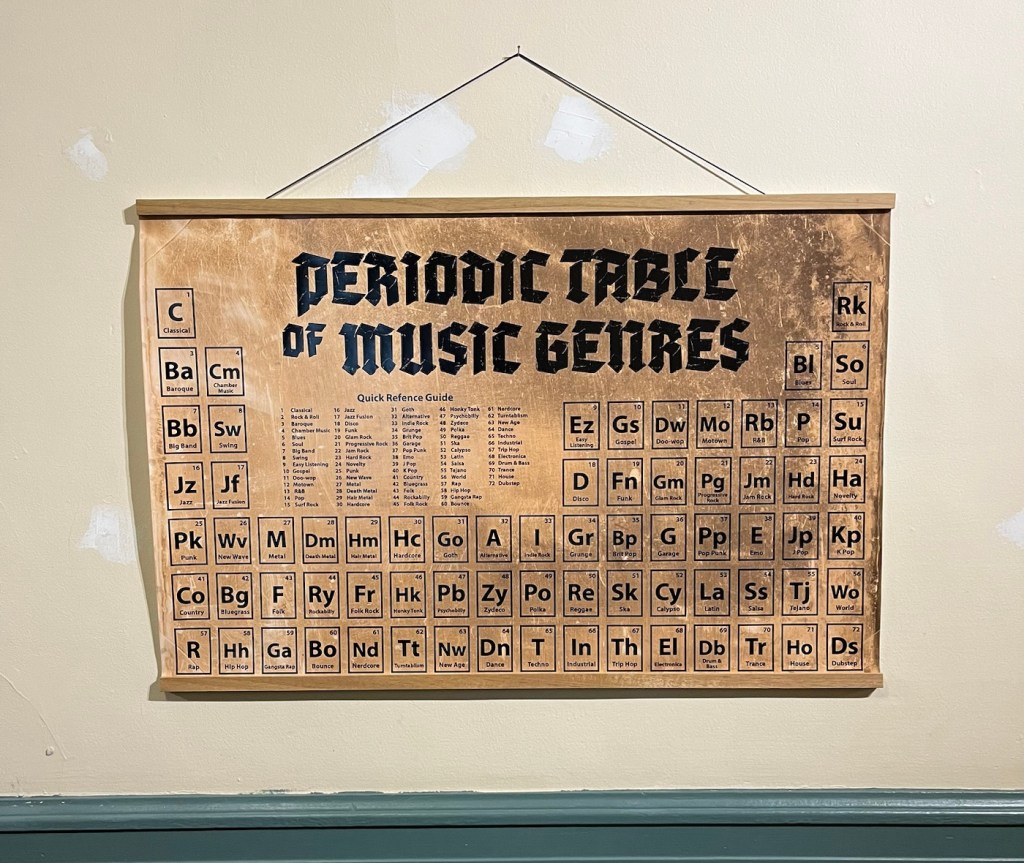
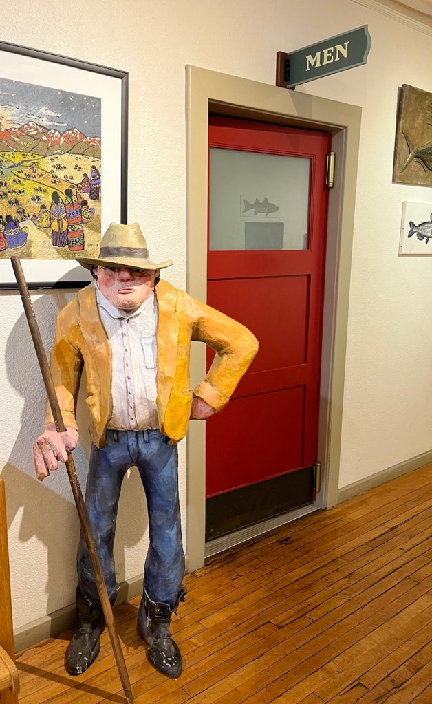
These are samples of stained glass windows created by Bozeman High School students in 1980.Sculptural ceramic pieces by Coco Costigan, a member/artist of the Artists’ Gallery in the Emerson Center.Tiles painted by students and put together to form a “quilt.”A very Montana-esque painting, with a signature that looks like SIL and 1981.A fun take-off on the periodic tableMaybe the restroom was occupied?
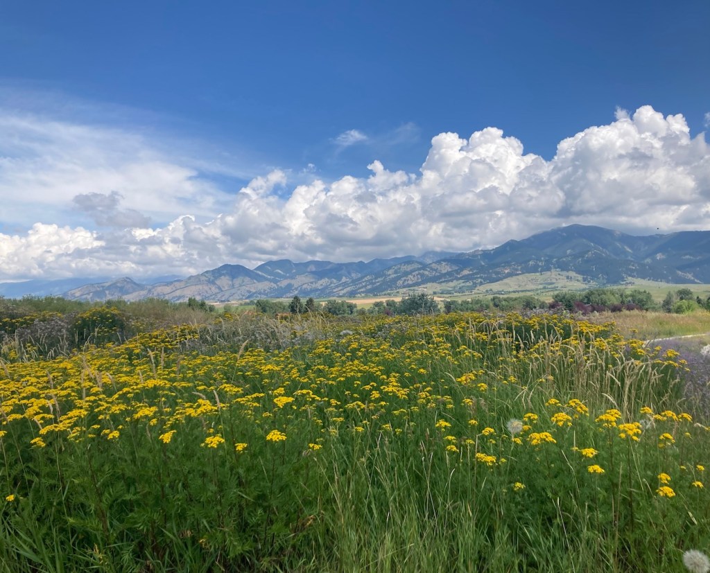
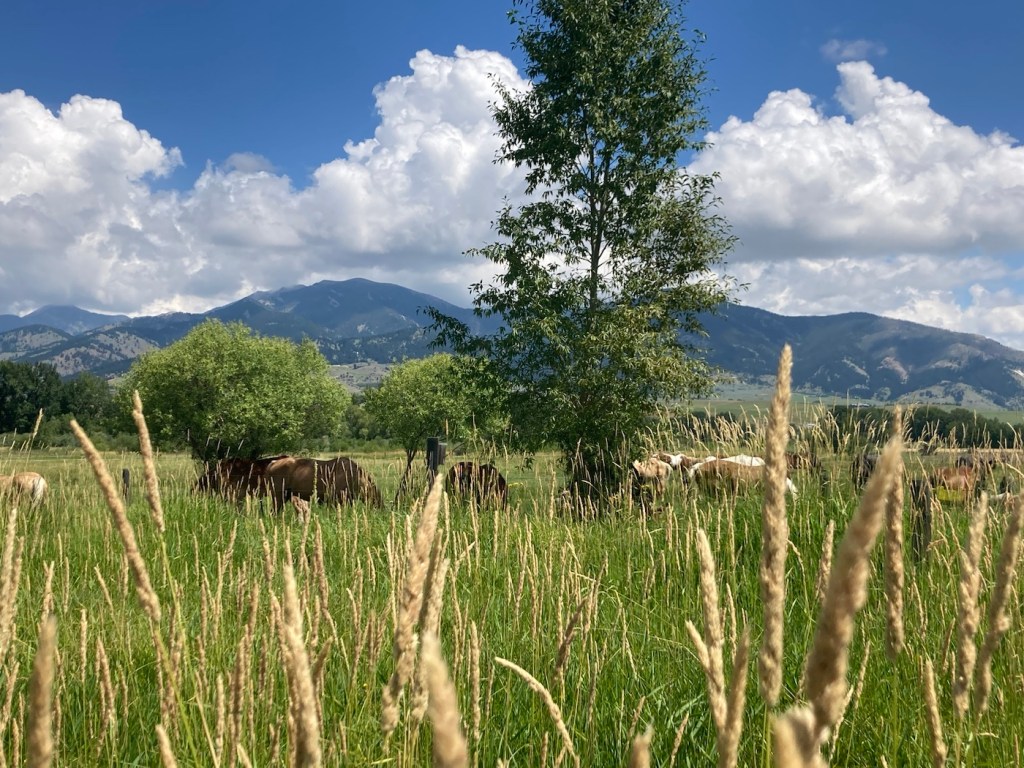
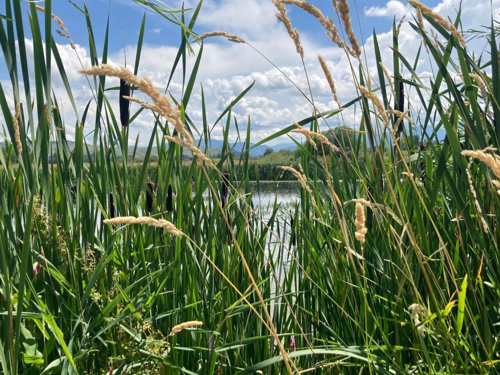
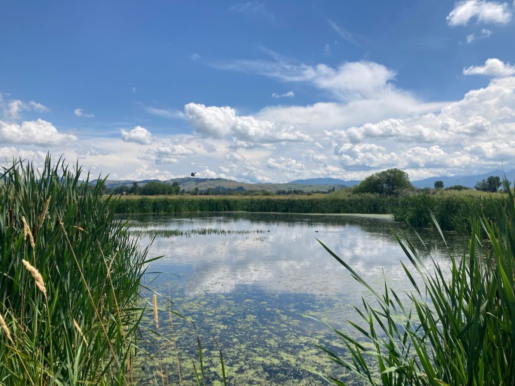
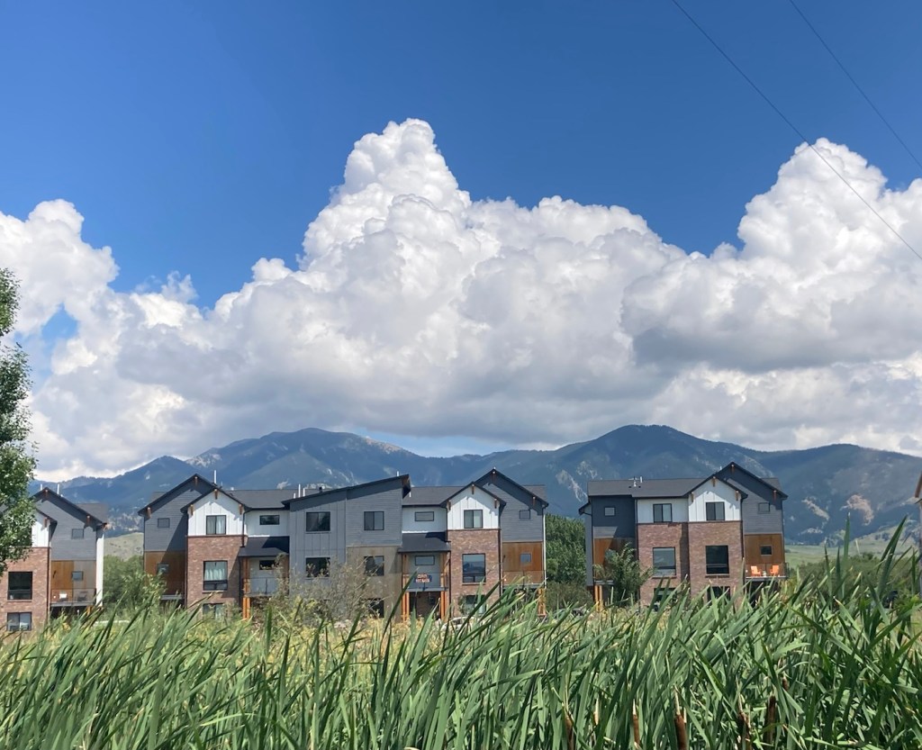
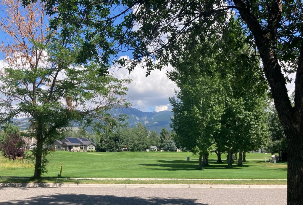
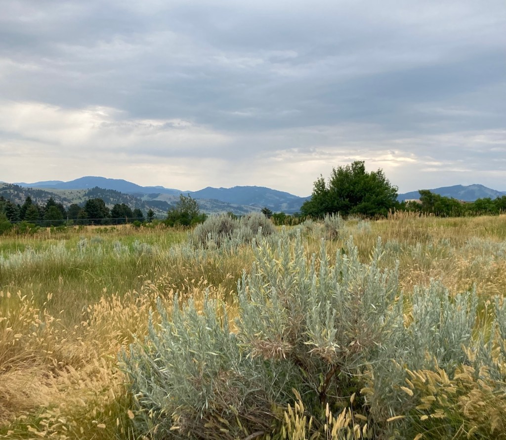
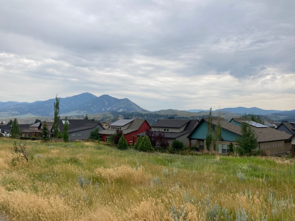
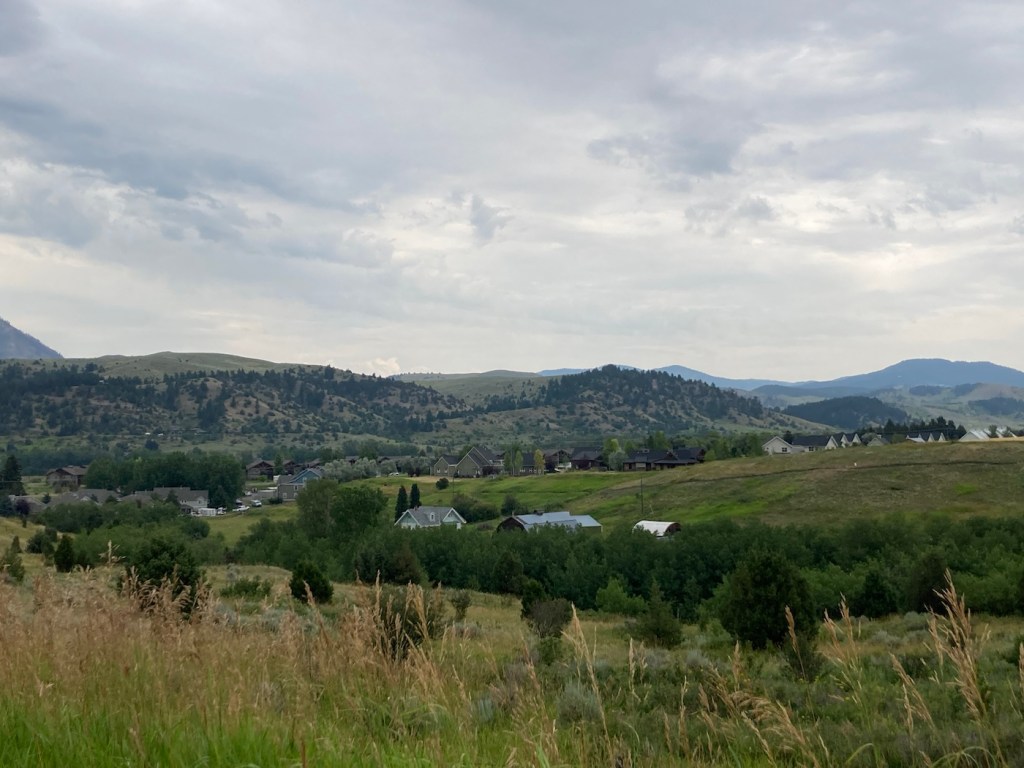
In the question between beaches or mountains in terms of places to vacation and/or live, at least for those of us not fortunate enough to grow up around either, Bob and I tend to fall on the side of mountains. Obviously, both are great (as are forests and other types of geographic phenomena), but the photos from our in-town walk today reinforce my love for mountains, even as a backdrop.
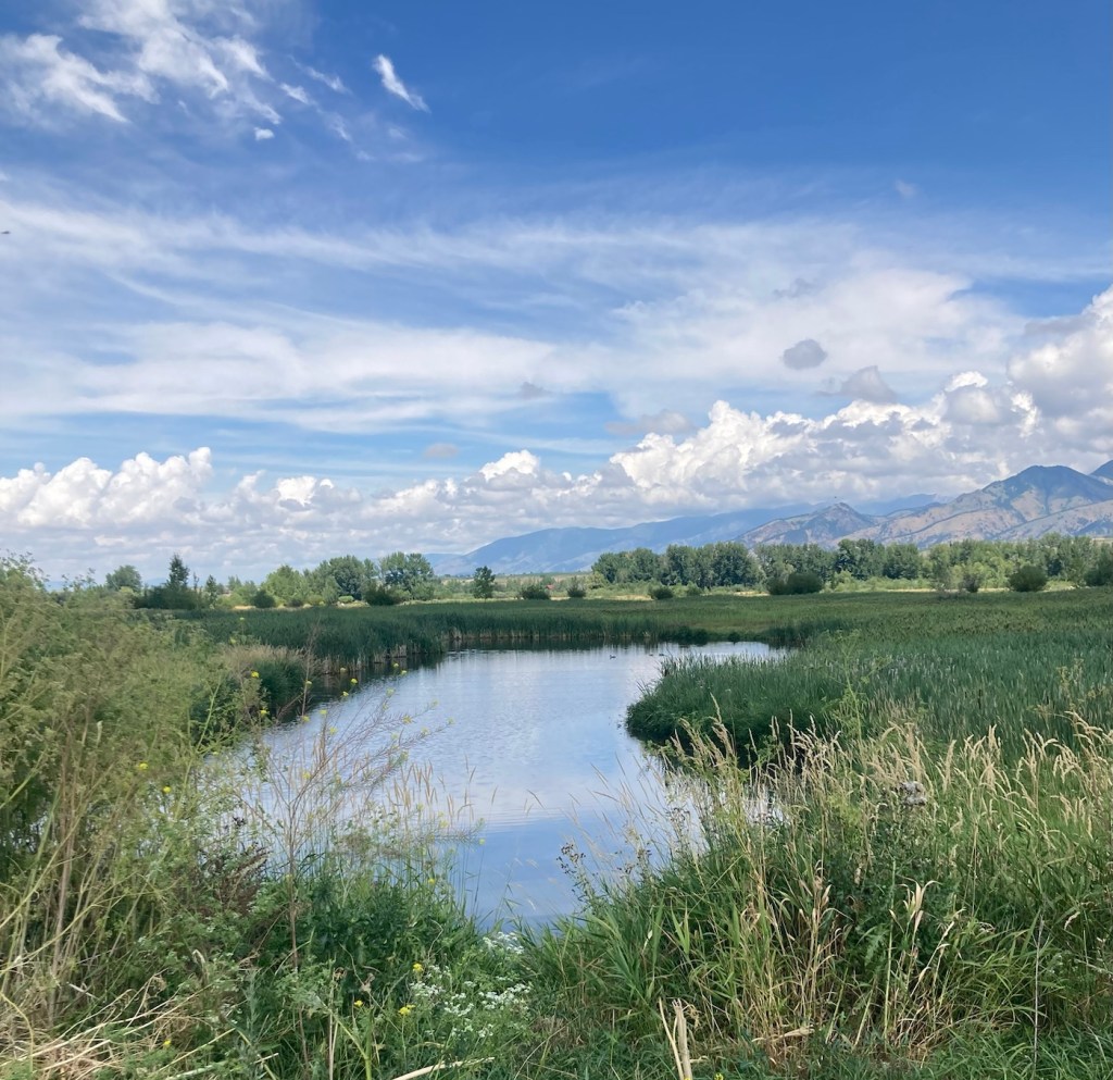
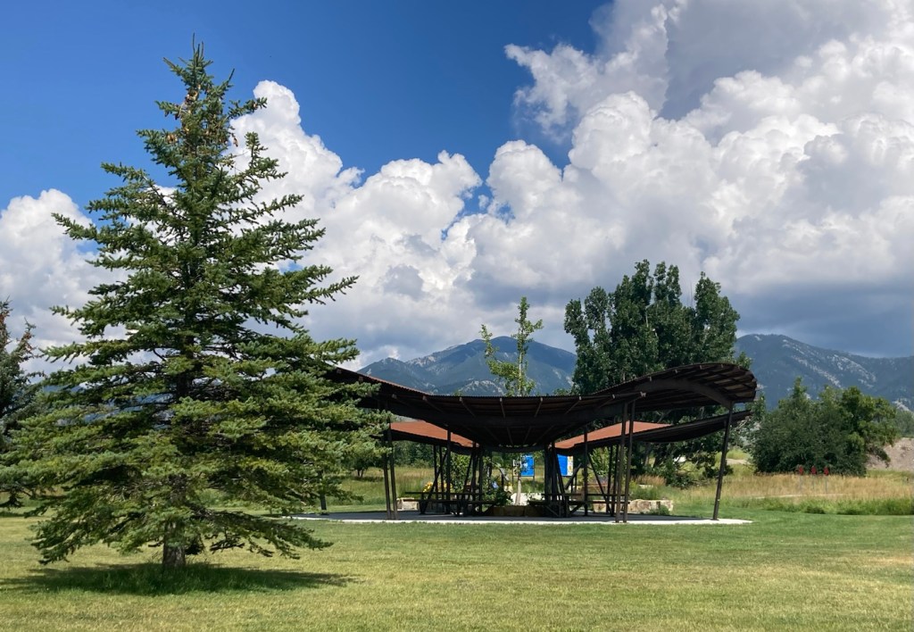
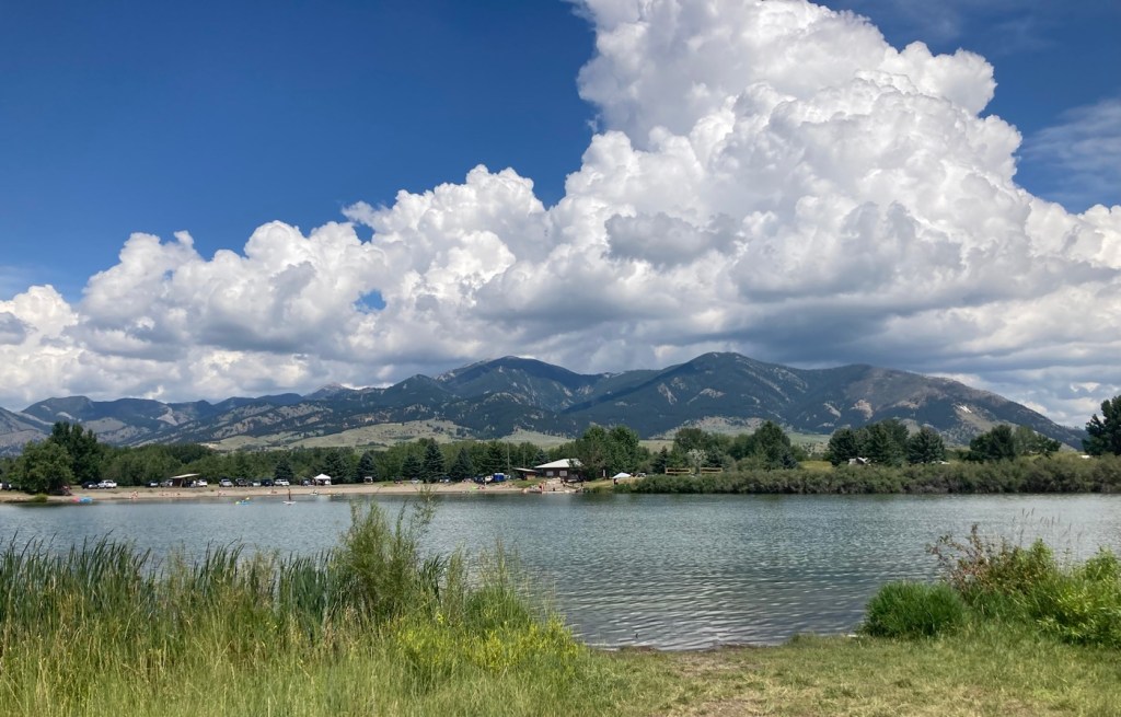
We did about a 5 mile hike this afternoon by combining the trails around the Cherry River and Glen Lake, both in the valley below the Bridger Mountains, on a beautiful, sun-filled day. Enough said, I’ll let the photos do the talking today.
We’ve had a few days recently where it has rained off and on here in Bozeman. Luckily, we were able to get the lawn mowed yesterday in between the morning programmed watering schedule and the afternoon programmed watering schedule (followed by rain and then a brief storm later in the evening). The weather forecast keeps changing, but we had some rain today and look to have more tomorrow.
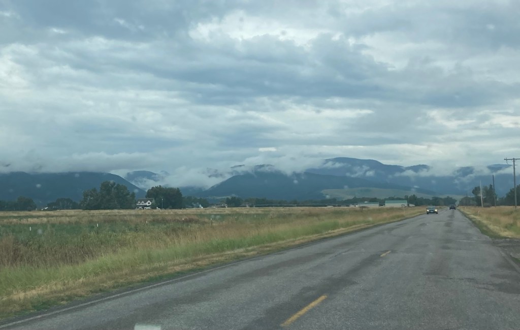
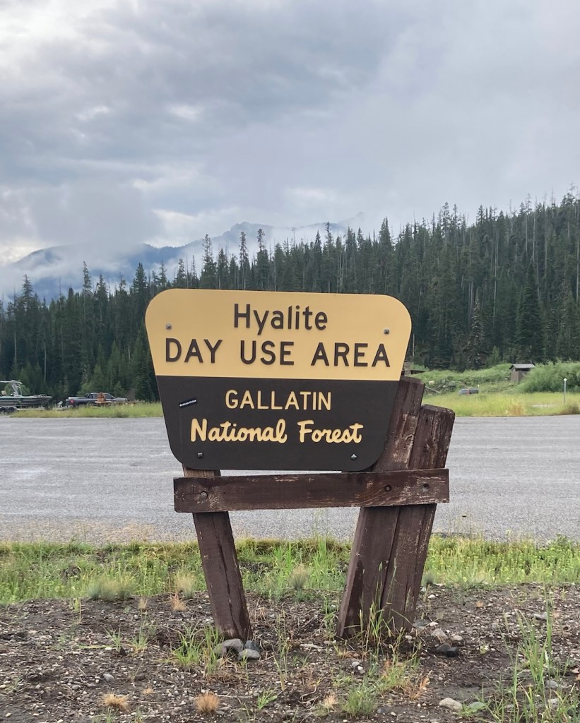
Today, we headed out for Palisade Falls because we wanted to see the waterfall, but also because there is a big music and art festival in Bozeman so we wanted to avoid activities near downtown to avoid traffic, which doesn’t seem to move well here. As per usual for the past few days, the sky was overcast, but it gave us some great views of low clouds against the Gallatin Mountains.
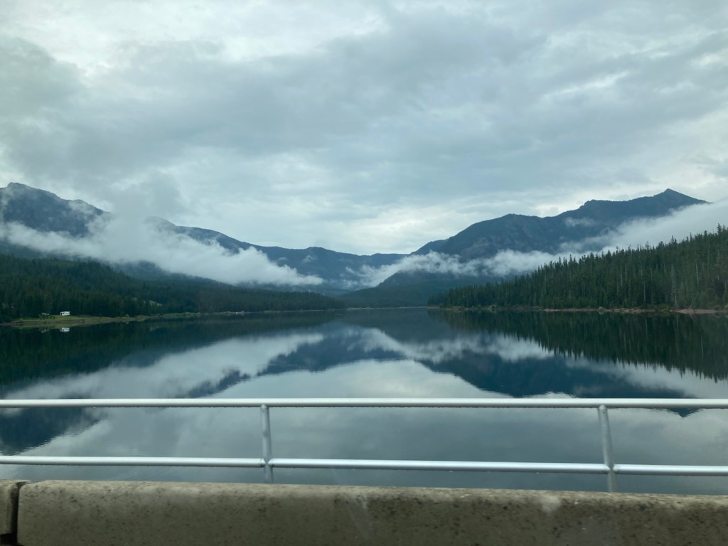
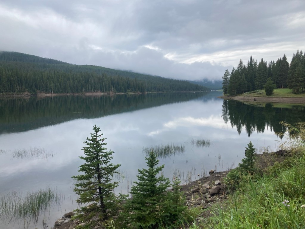
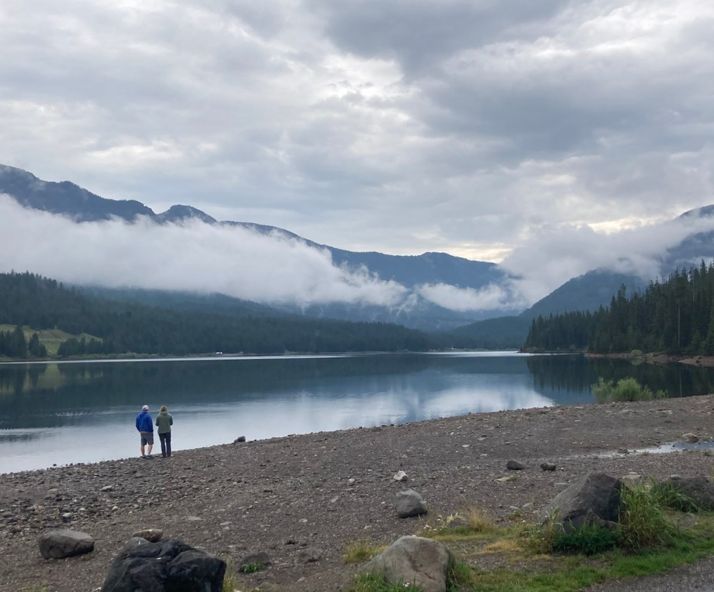
Palisade Falls is a towering waterfall dropping more than 80 feet off a vertical rock wall at the southern base of Palisade Mountain in the Hyalite Recreation Area south of Bozeman. And we will have to take the website’s word about, as we were unable to get there, but we did end up with a beautiful drive through national forest and walked a bit by the lovely Hyalite Reservoir.
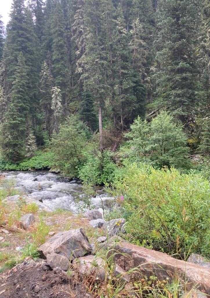
Driving by a fast flowing creek in the national forestOur first sighting of the Hyalite ReservoirAnother view of the reservoir from a pullout area
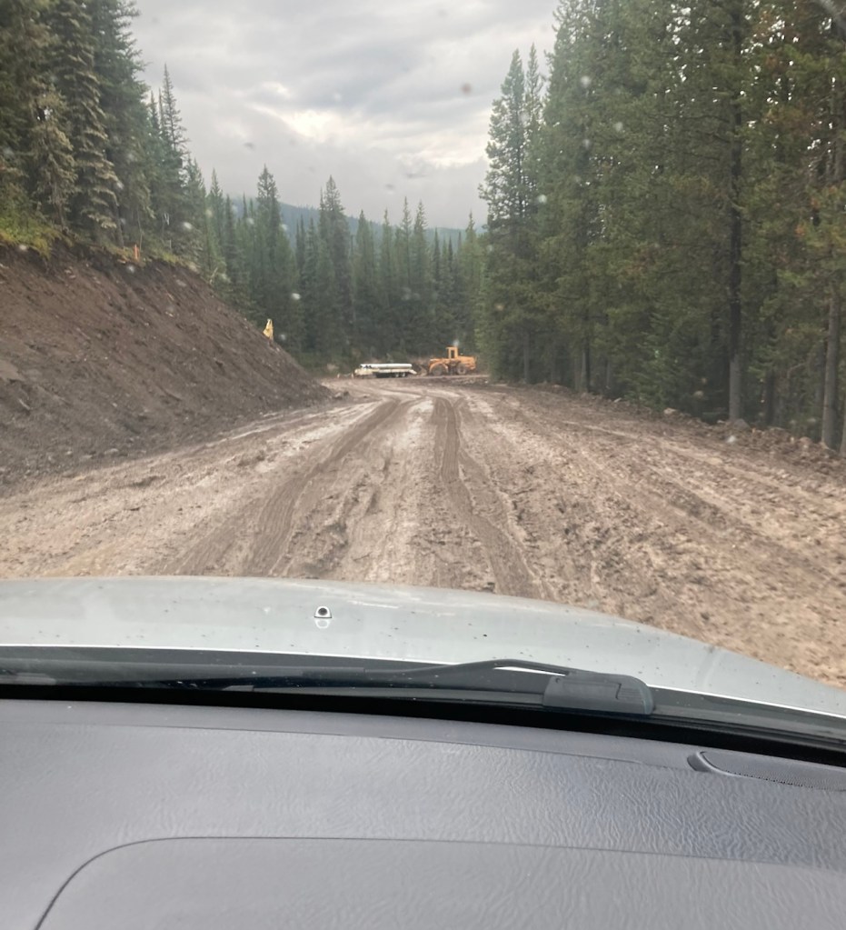
Before we left for the Palisade Falls, we had read that the road to the trailhead was currently only open on Saturday and Sunday. We didn’t know why, but I assumed this was just the most popular time to visit. That could be the reason, but they are also doing roadwork, or maybe creating a paved road from what is a dirt road now. You can see below that with the rain, the dirt had become mud, serious mud in some areas. We made it past the construction vehicles in the photo before things got even worse, and we decided that without 4-wheel drive it might be best to turn around before someone had to dig us out.
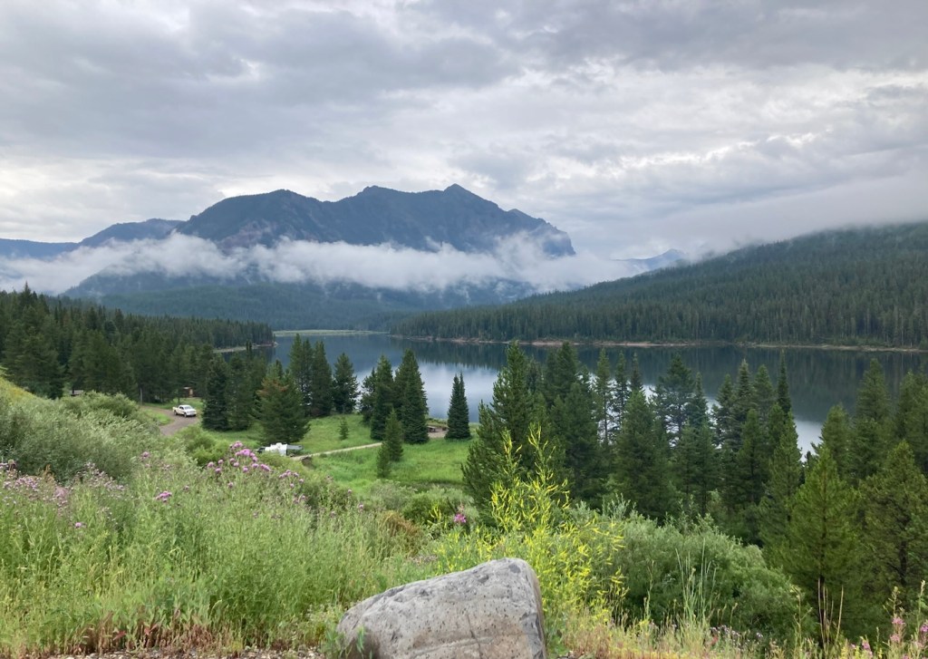
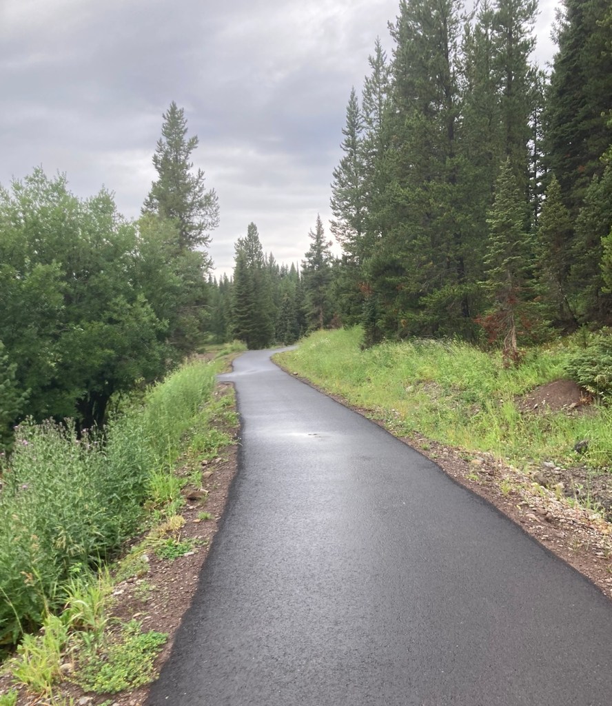
We drove back to a picnic area we had passed and walked along a paved path near the reservoir, where some brave woman (local likely) as going in for a cool dip.
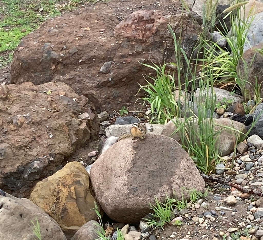
The first real “wildlife” we’ve seen.The trail along the reservoir A view of the reservoir from our walkWe stopped at the reservoir on the way back for a couple more photos Can’t complain about Plan B with this view!
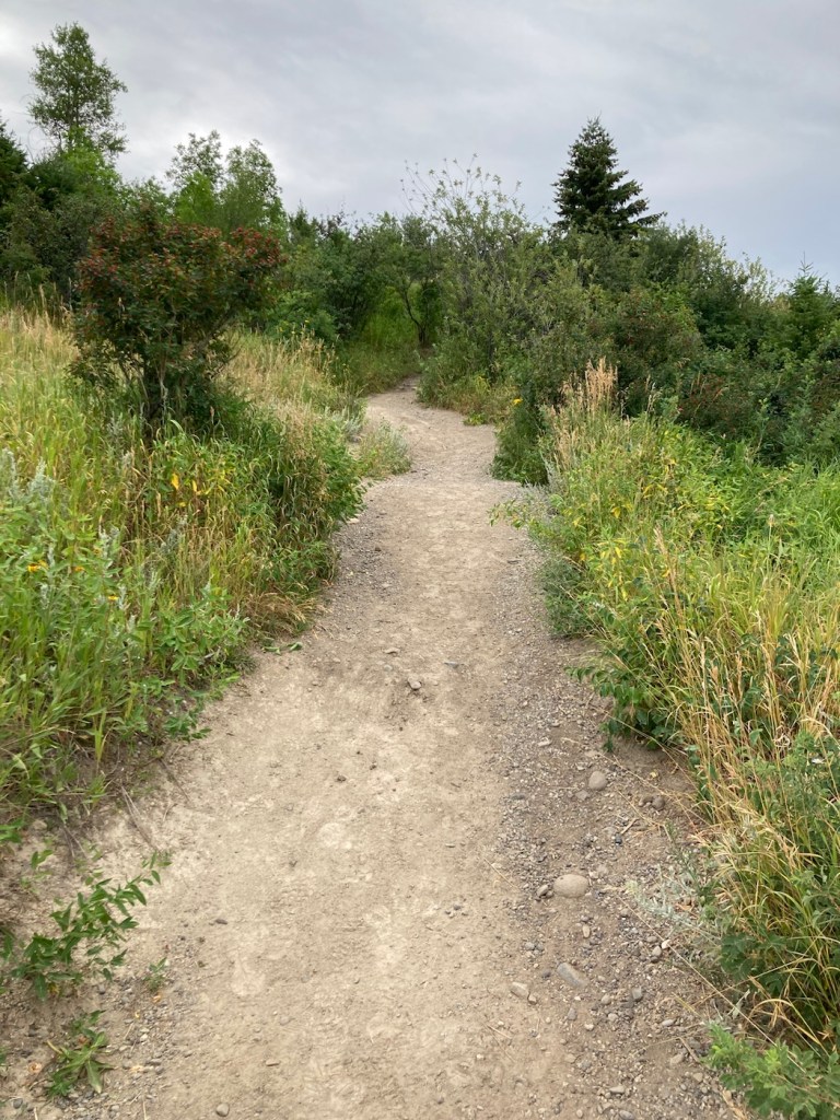
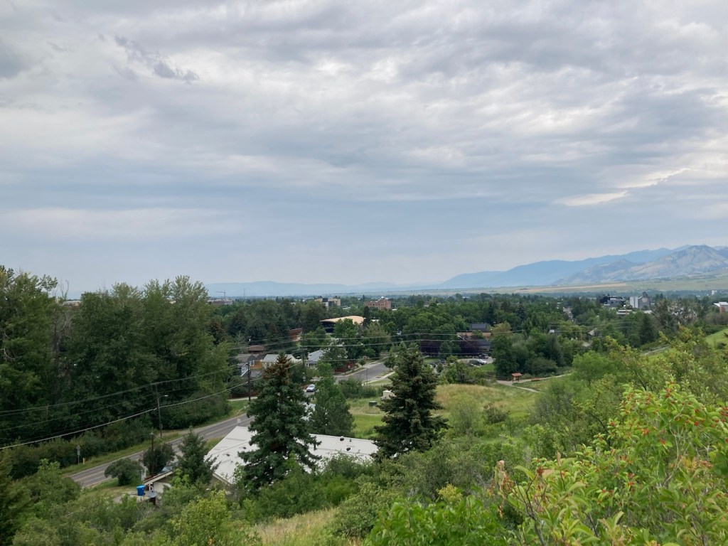
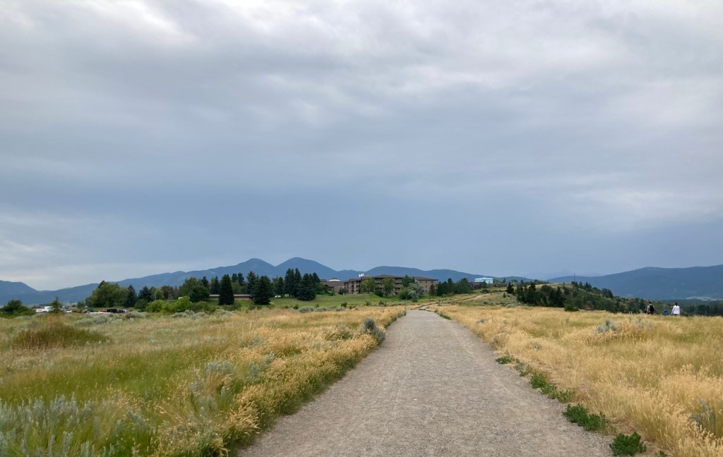
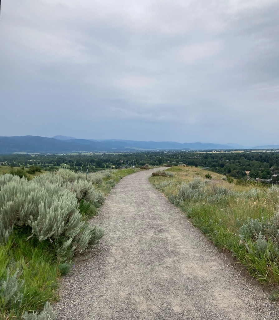
Today, we did a little over five-mile hike in and around Burke Park, which is near the sculpture garden we had explored on our first night in Bozeman. Listed by the city as moderate exertion, trails in the park take you up Peet’s Hill, which is supposedly the best sunset view in town . After walking the main trail (there are many) through the long, narrow parkland, we connected to a few other trails towards the west of town.
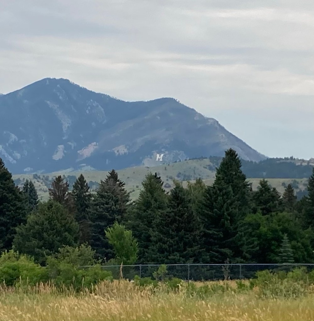
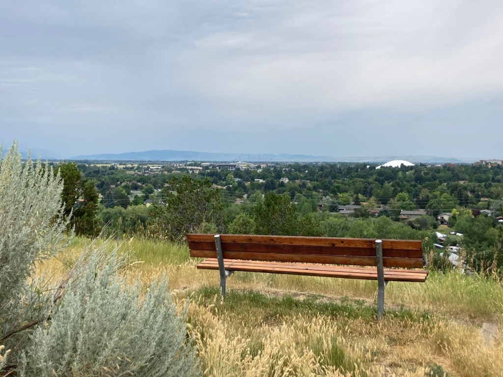
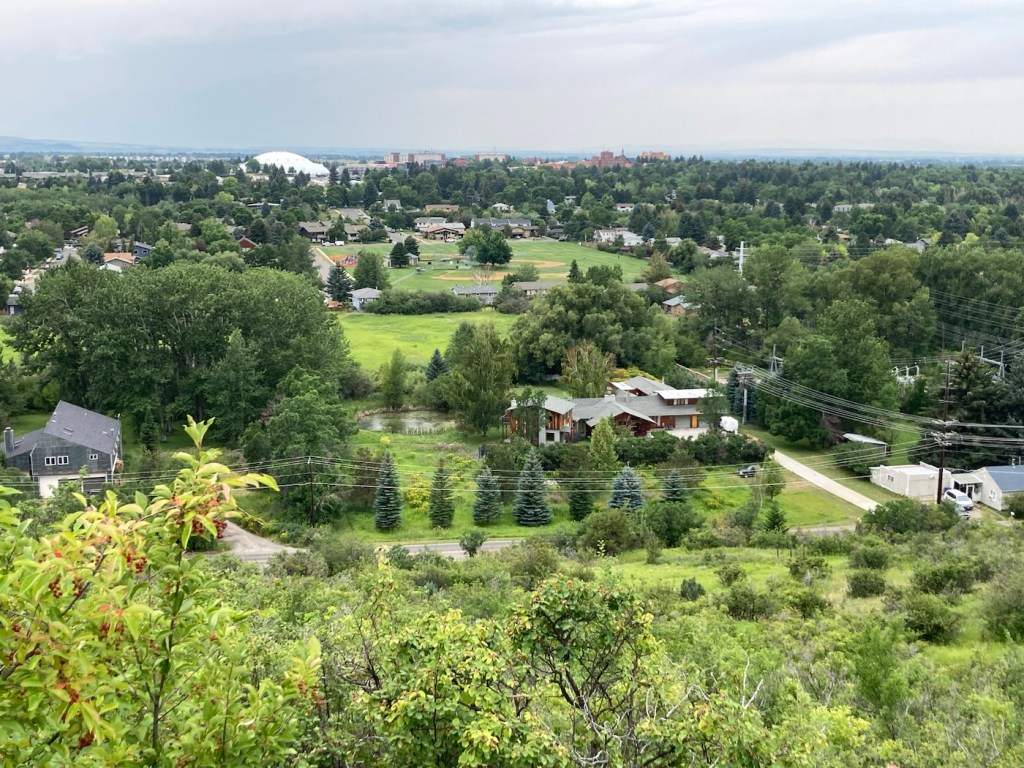
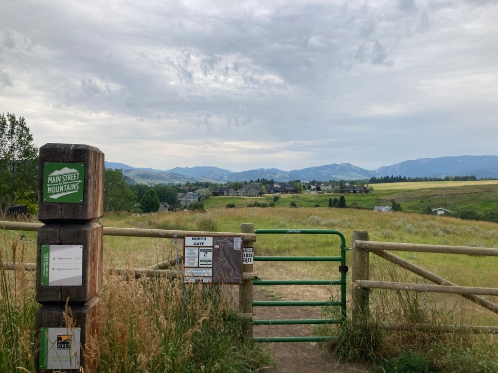
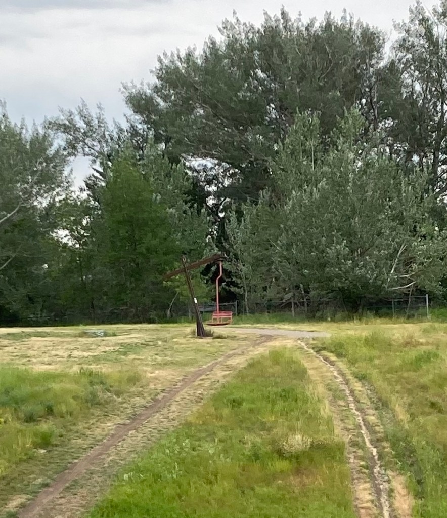
Heading up Peet’s HillA view of Bozeman as we ascendedA view of the Bridger Mountains from atop Peet’s HillLoved the different textures and colorsZooming in to get the MContinuing through the park toward a residential areaA bench for gazing. The white dome is the practice field on the MSU campus.Some of the homes along the pathMore houses with great views Love this scenery!Another view from further on, looking towards the university areaAt the end of Burke Park, we walked along a busy road until we joined up with another trail. I liked the flowers in this yard.Walking back towards the library/sculpture park from a trail near the Highland Glen Nature Preserve a bit southeast of downtown Signage for and a gate into the Highland Nature PreserveAnother ski lift seat as sculpture, at least the 3rd one we’ve seen in Bozeman.
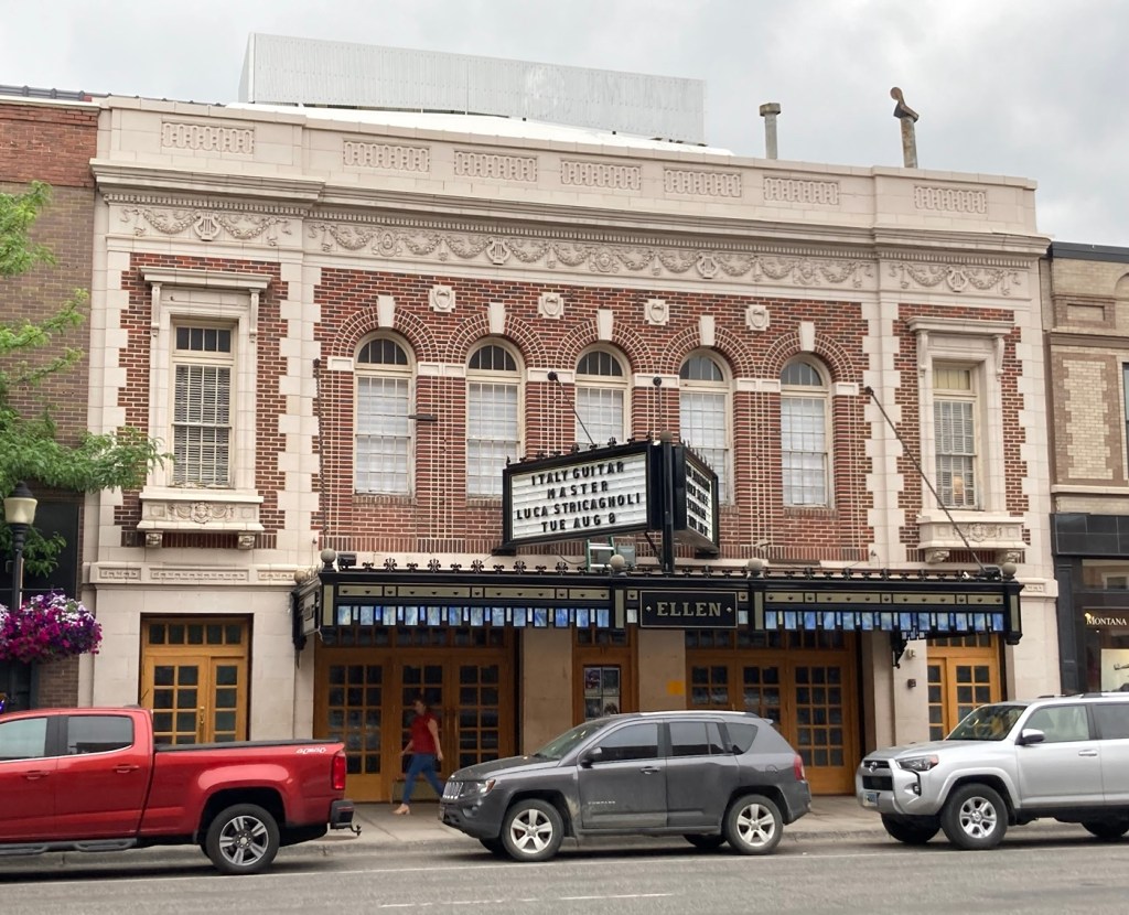
Yesterday, we headed to downtown Bozeman to walk Main Street to check out what this area had to offer. It’s a fairly small downtown area, about 8 blocks or so and not fully utilized, but it was still pretty vibrant with people out and about and lots of variety in retail and restaurants.
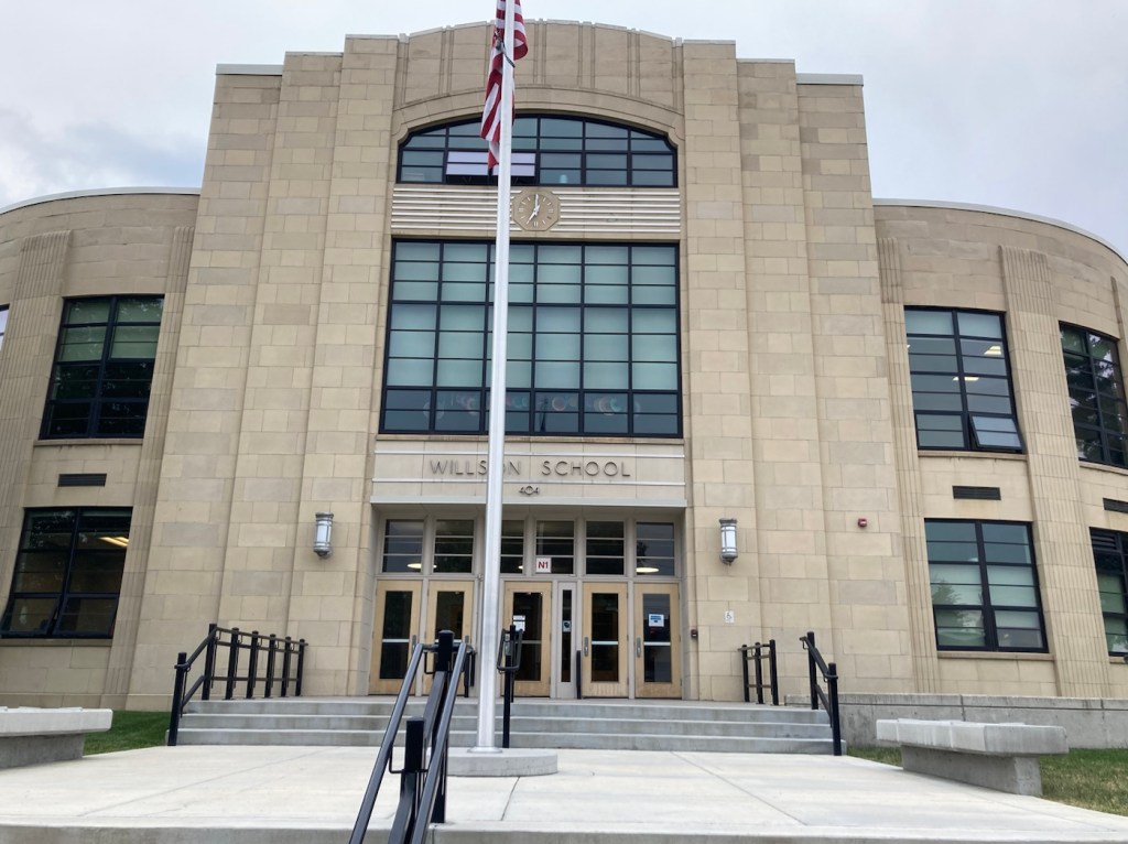
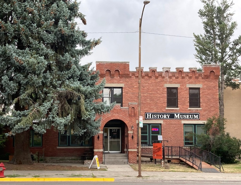
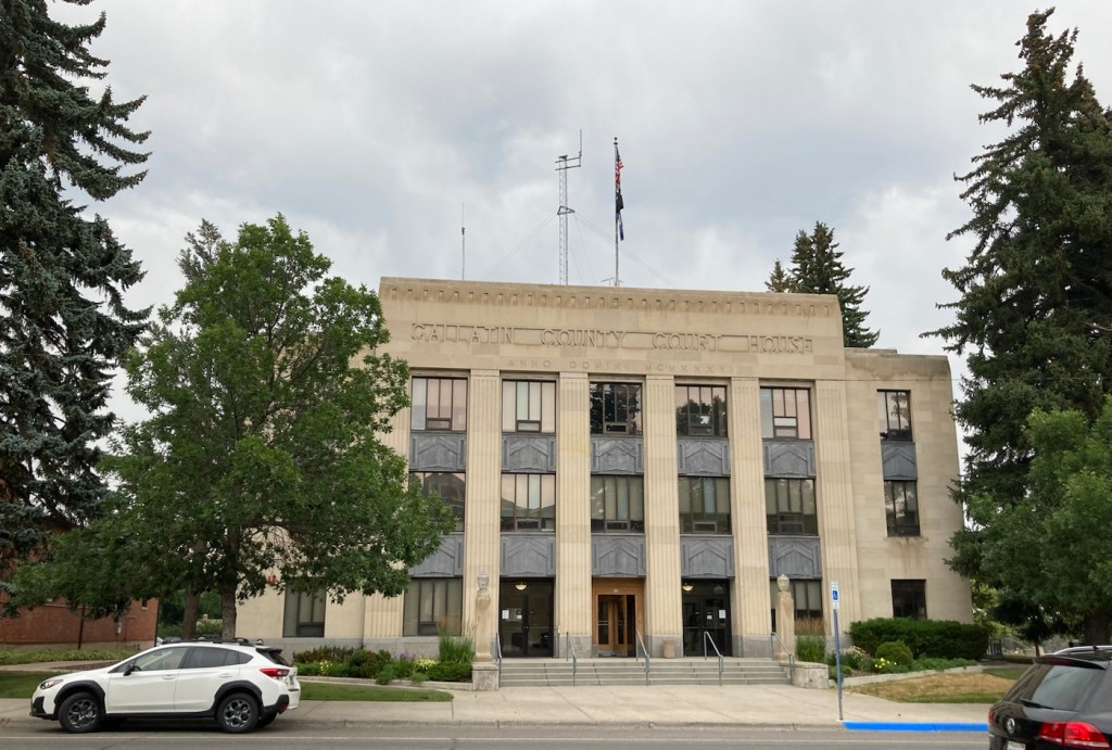
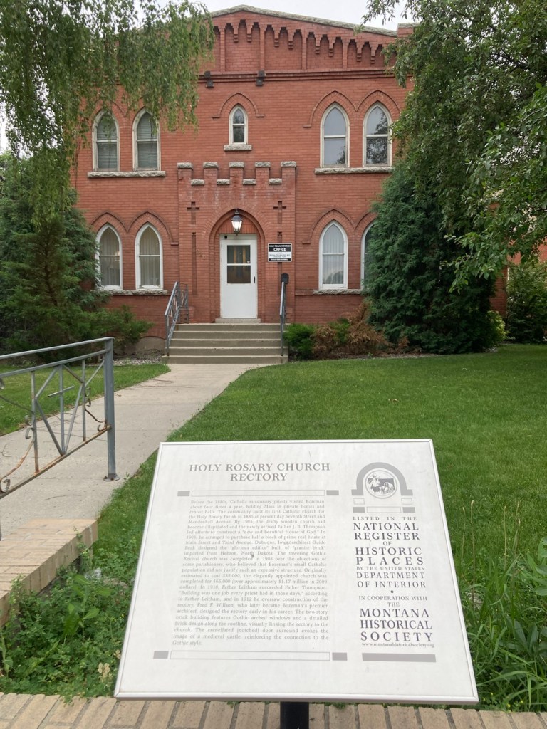
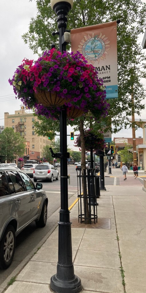
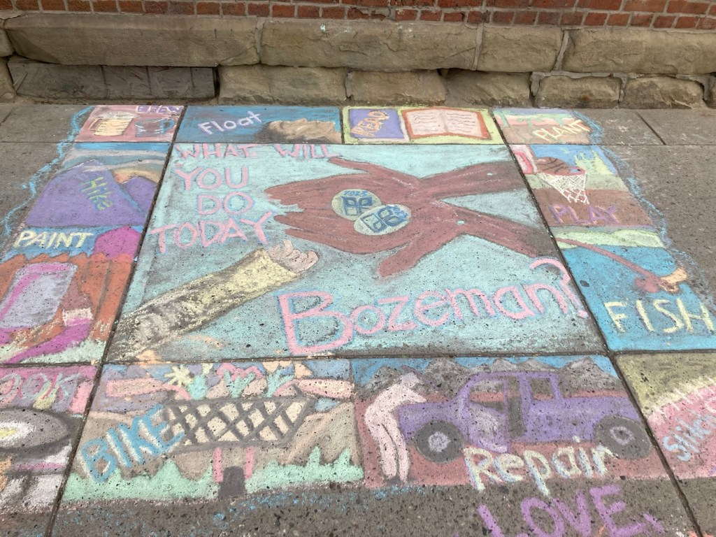
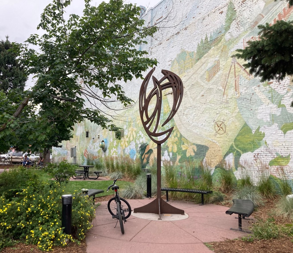
Our first stop was at the Community Food Co-op.The cute sign for the Lewis and Clark Hotel. Hotel prices are crazy here. Almost all rooms go for over $300 per night right now.A very Art Deco looking former school that now appears to serve as an educational foundation The Gallatin County History MuseumGallatin County Courthouse A designated historical building on Main StreetLots of street lamps with banners and hanging flower baskets on MainFormer Hotel Baxter, which is now an event space and also houses a pubNot sure what this currently is but thought it was a lovely building They had had a chalk art event downtown yesterday, so the sidewalks were colorful A pocket park on a cornerApparently, John Steinbeck was a real fan of Montana
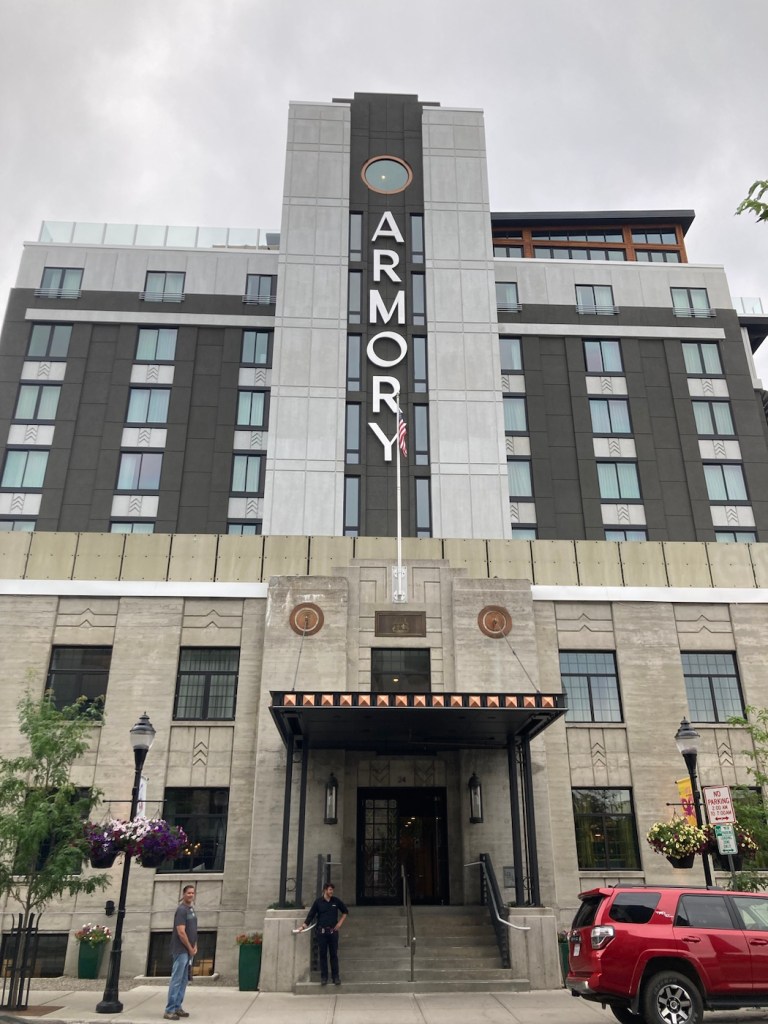
We ended our walkabout with a drink at the Armory Hotel, as its bar has a view.
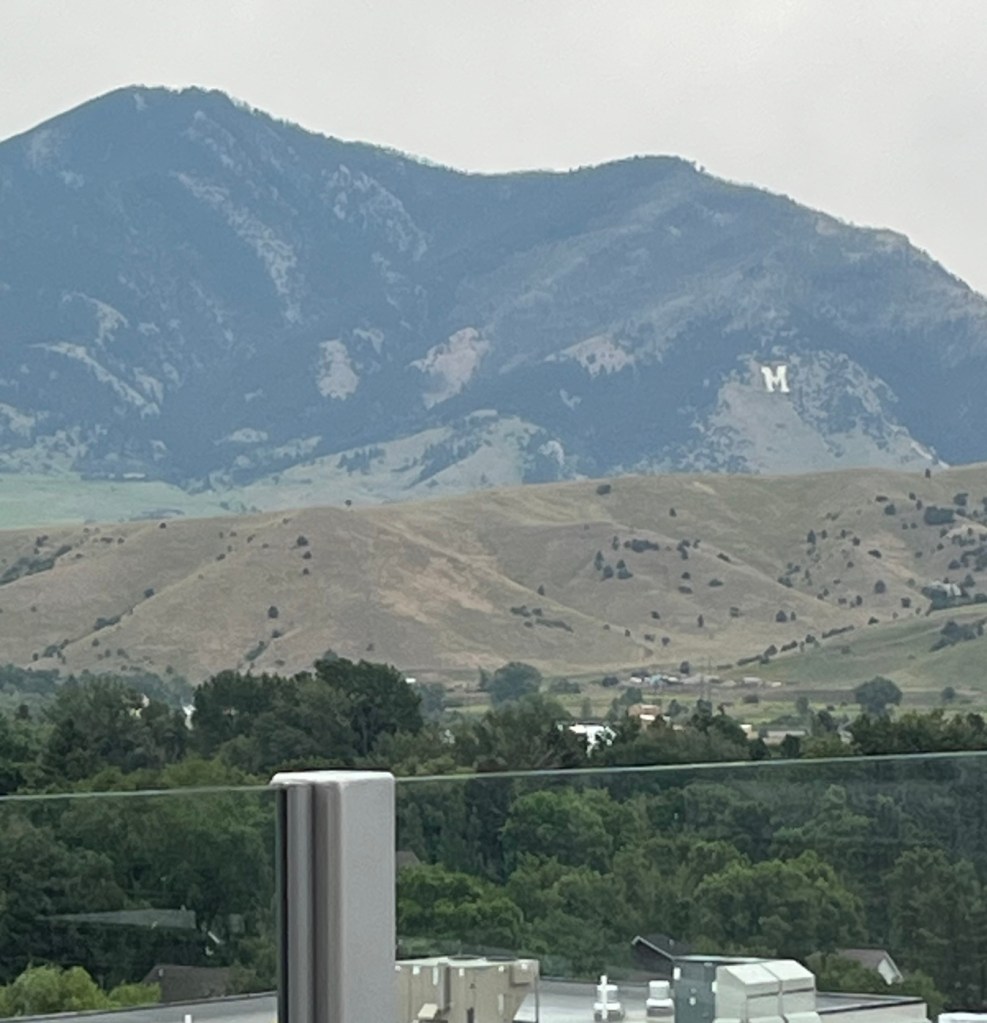
We liked that the new hotel had incorporated a part of an older building for the facadeThe view from the window above the A in the prior photo A zoom in on the mountains with the M for Montana State
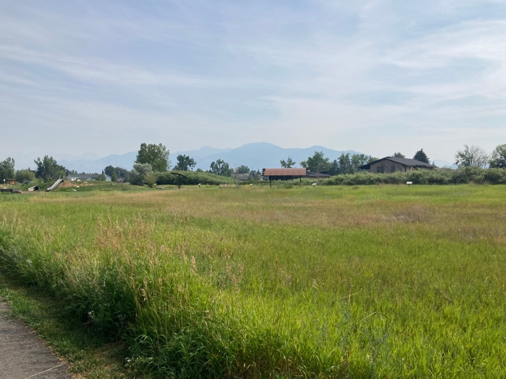
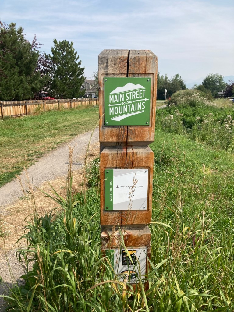
Before getting into todays outing, a few fun facts about our current residence. In 2020, Bozeman had a population of about 54,000, which makes it the 4th largest city in Montana. It lies between the Gallatin and Bridger Mountain Ranges. It is the county seat of Gallatin County, and it has established an impressive Main Street to the Mountains Trail System, a part of which we walked today.
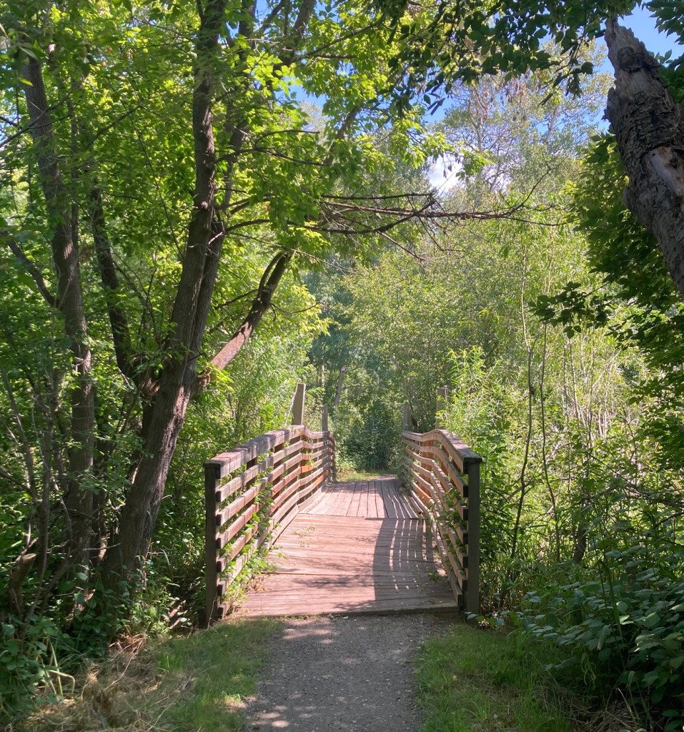
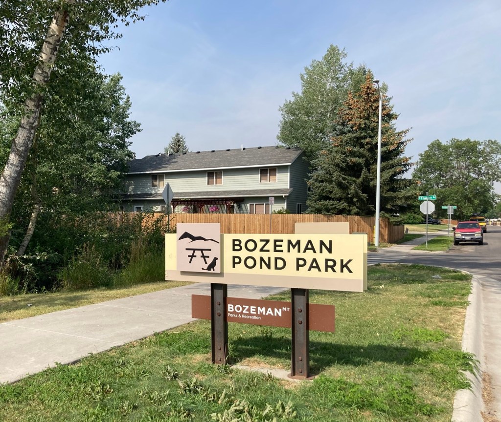
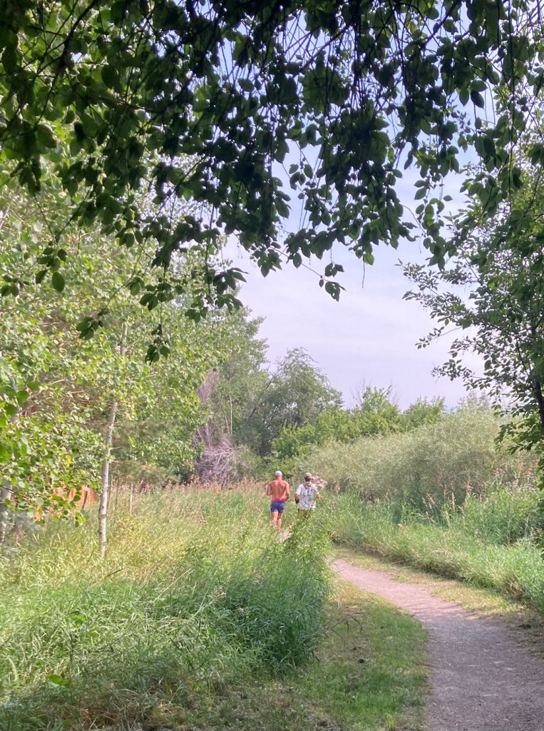
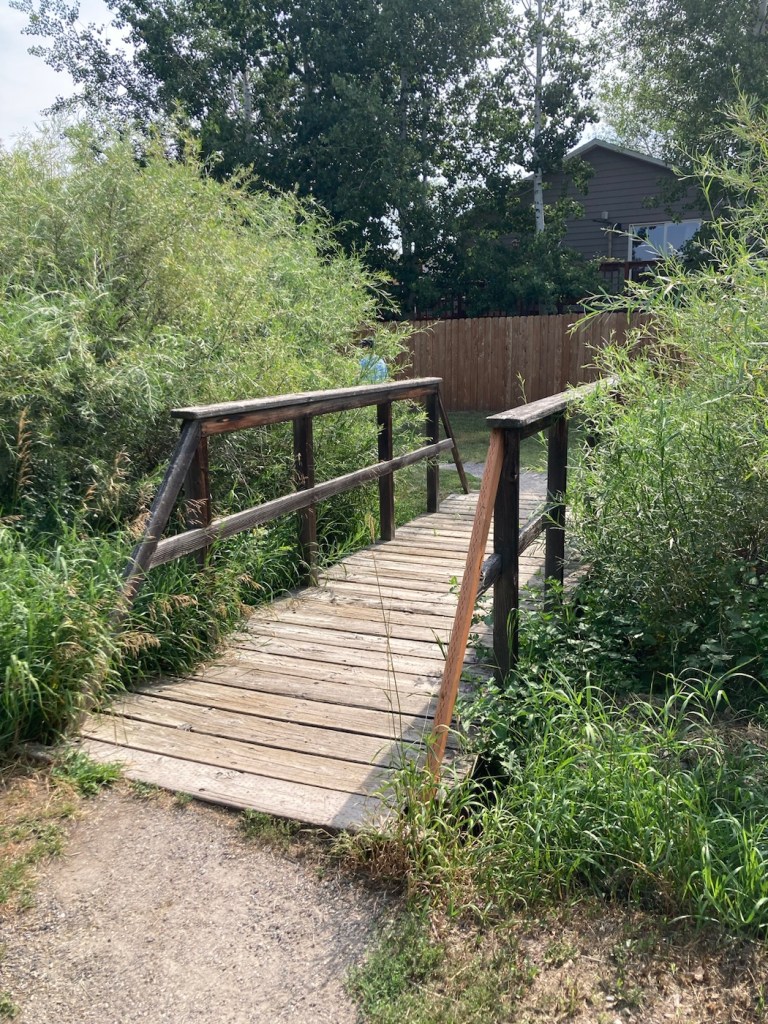
We began our walk at Bozeman Pond Park, which has a dog park (called Lewis and Bark), a fishing pond, as well as some playground equipment. We walked the trail through the park and then took a separate West Side Trail (part of the Main Street to the Mountains system), which followed a creek that emptied into the fishing pond and provided some good views of a number of neighborhoods. We ended up doing about 4 miles.
Below are pics from the outing.
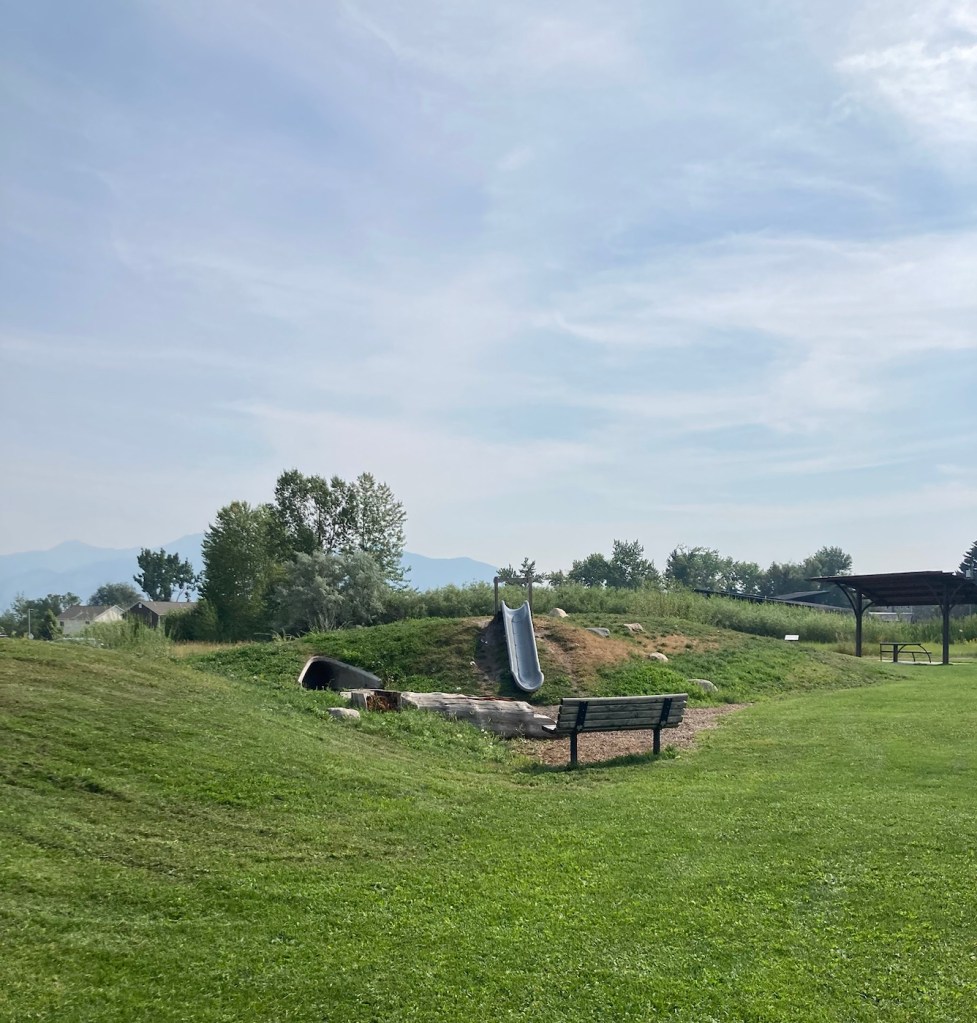
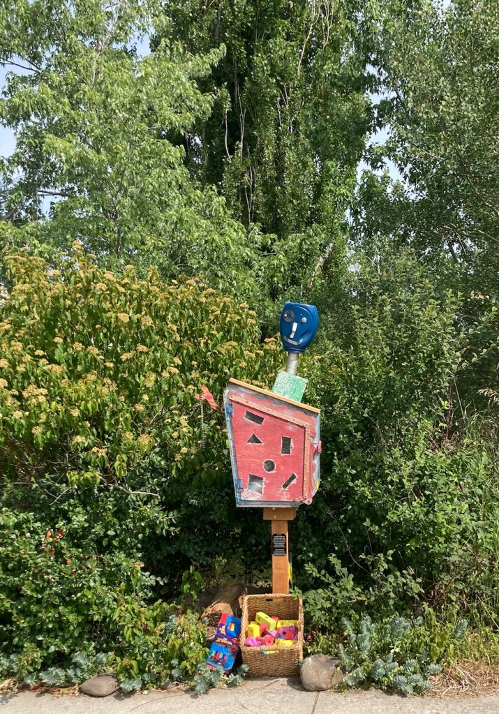
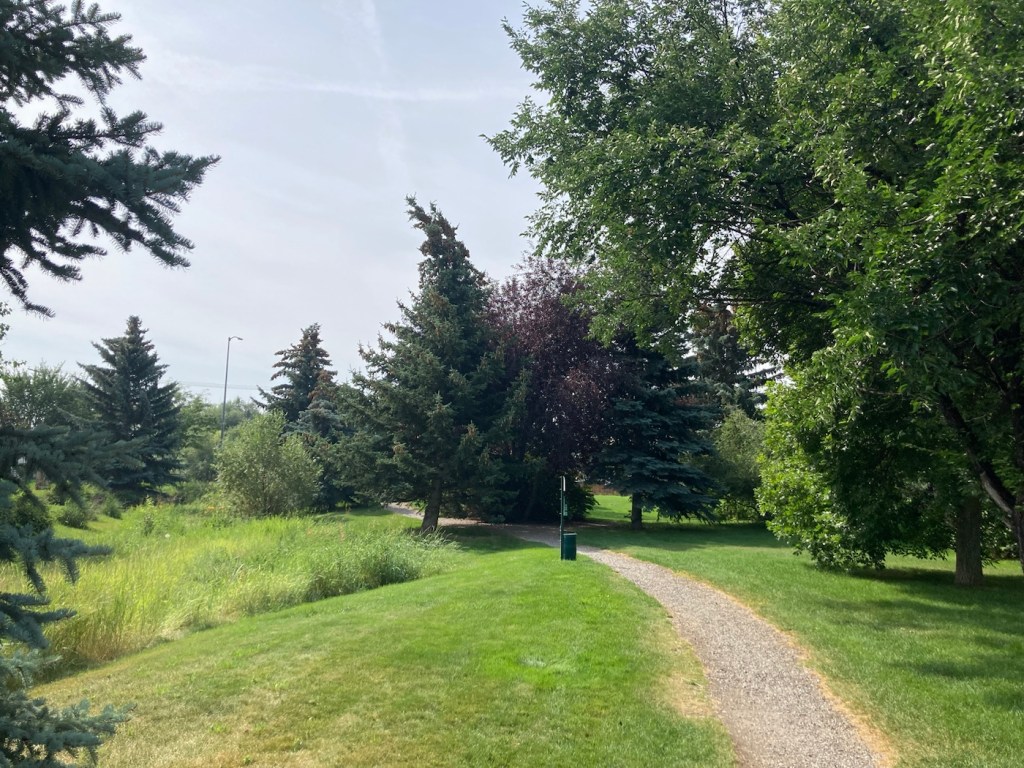
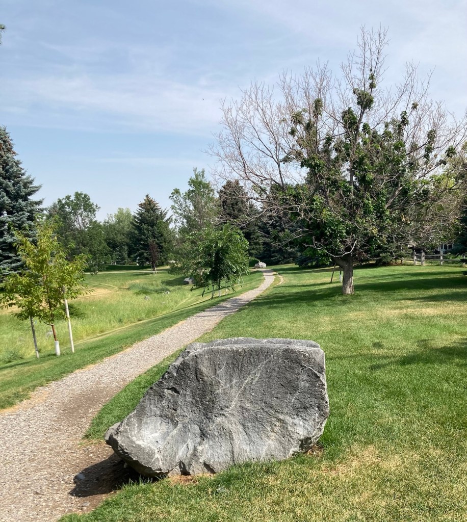
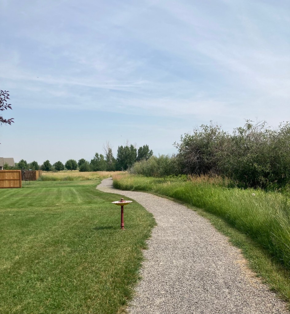
The sign for the parkAn interesting location for a slideLooking back across the first section of the park towards the Bridger Mountains The fishing pond. You can see a dog in for a swim with his human on the side in blue.Another sign for the pond and also the Optimist Club that sponsors an annual youth fishing derby at the pondA rock climbing wall in the parkAnother view of the fishing pond with some benches Signage for the Main Street to the Mountains system and directions for the West Side TrailSome runners passing us on the trail, which was mostly gravel.One of the small bridges along the pathA unique little library or pantry, we didn’t look inside.Some of the lovely greenery along the pathAnother view of the path. This part had these big stones alongside it.Some lovely newer homesComing to the end of the urban path