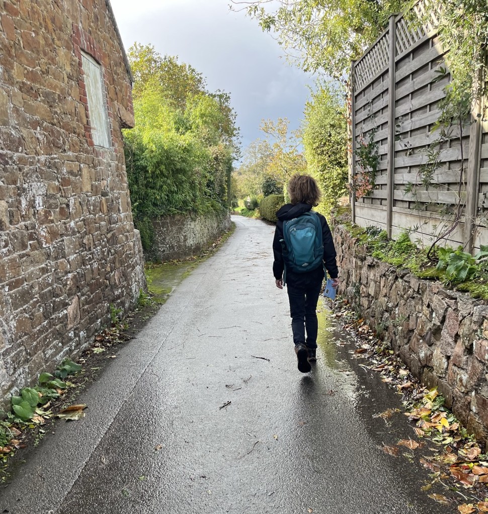
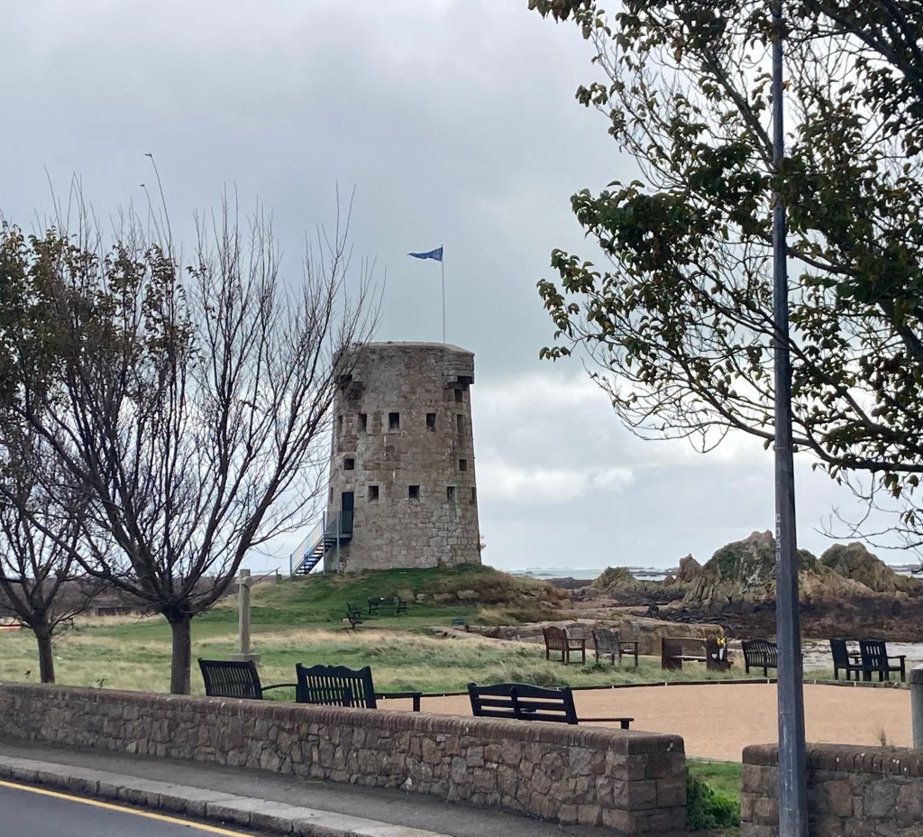
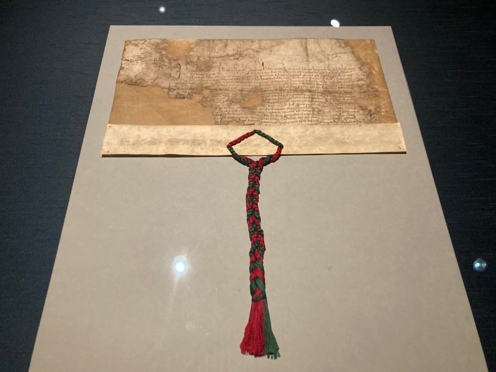
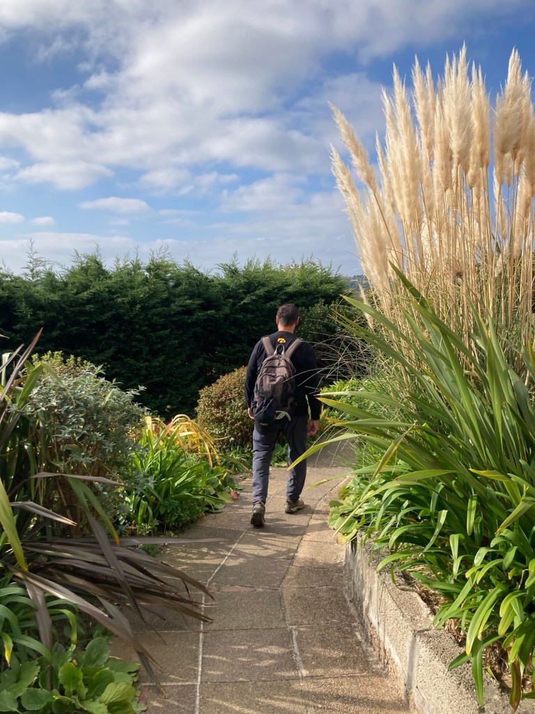
One of the initial brochures that we had picked up on Jersey had a listing of local events. One that caught my eye was a Royal Court and States Chamber Tour. You were to purchase tickets on Eventbrite. When I went to the site, there were no tickets on offer, so I reached out to the contact person to see if there was another site I needed to go to. She kindly opened up 2 more spaces, and Bob and I walked the 40 minutes to Royal Square this morning for the 2 hour guided tour.
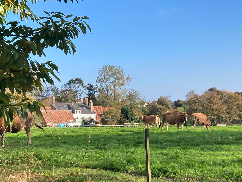
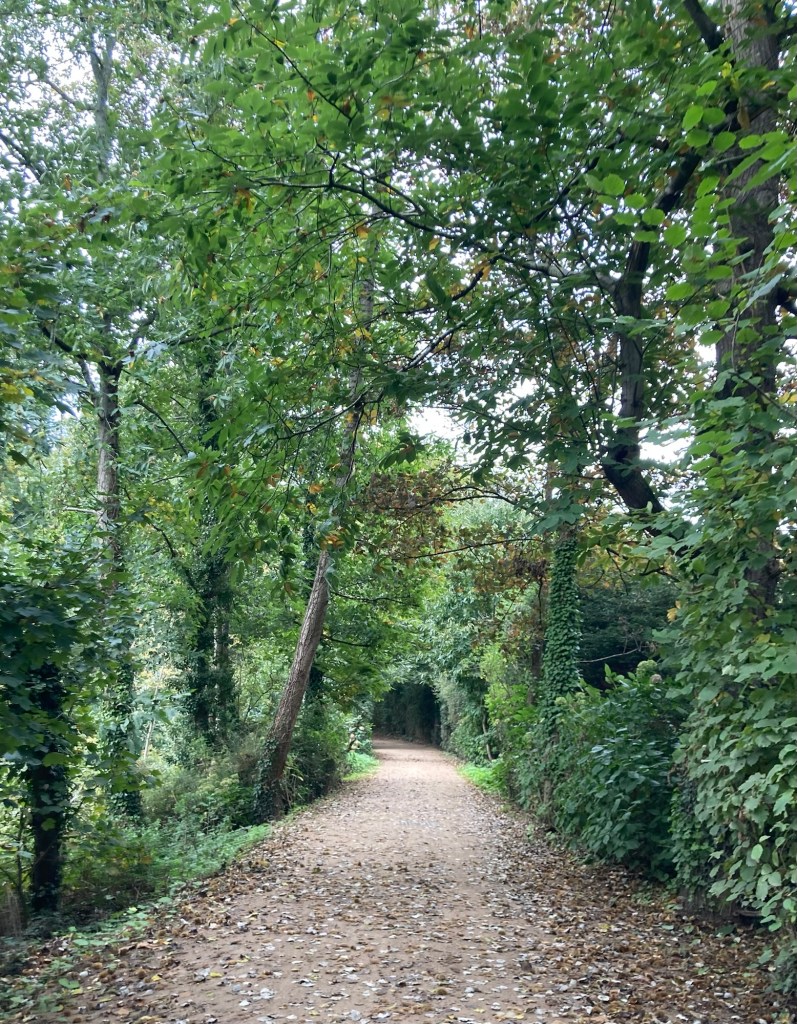
and a couple of the 200+ year old chestnut trees
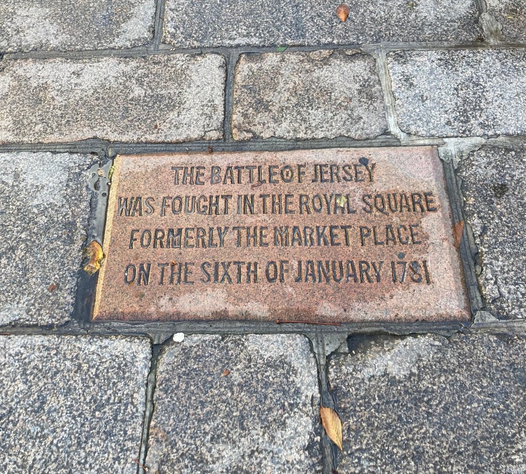
and was also the site of the Battle of Jersey,
when the British successfully defended the island
from an invasion by France
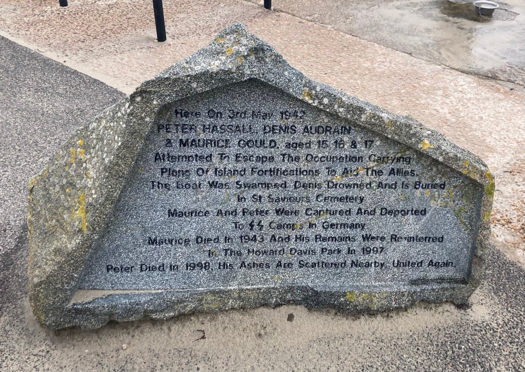
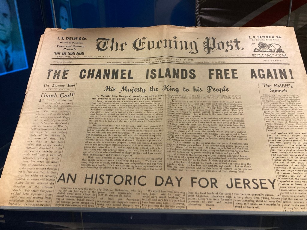
during the occupation. Fearing punishment,
he claimed it was in reference to the Red Cross ship, SS Vega.
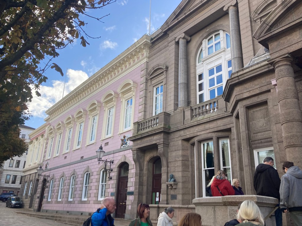
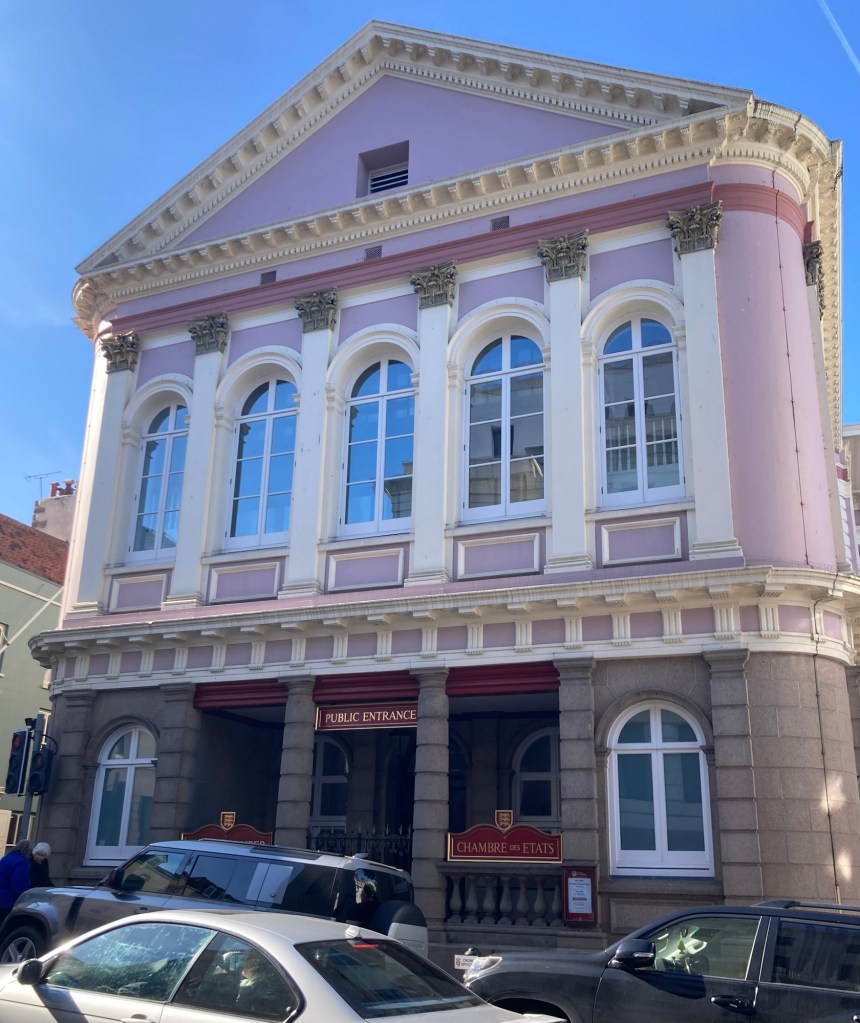
(brown stone building in forefront),
the Royal Court (pink building),
and States Chambers (cream building at the end)
The former library, with a pretty domed room and chandelier, is now used as an overflow courtroom when needed or to hold state dinners or other functions.
The Royal Court is the judicial arm of the state, with many trials decided by appointed or elected jurats instead of a jury.
The State Chambers holds the State Assembly or legislative arm of the state government. The Assembly is made up of 49 elected members, 12 Constables (one for each parish) and 37 Deputies, each representing about 3,000 Islanders, with less-populated parishes being combined to make for more equal representation.

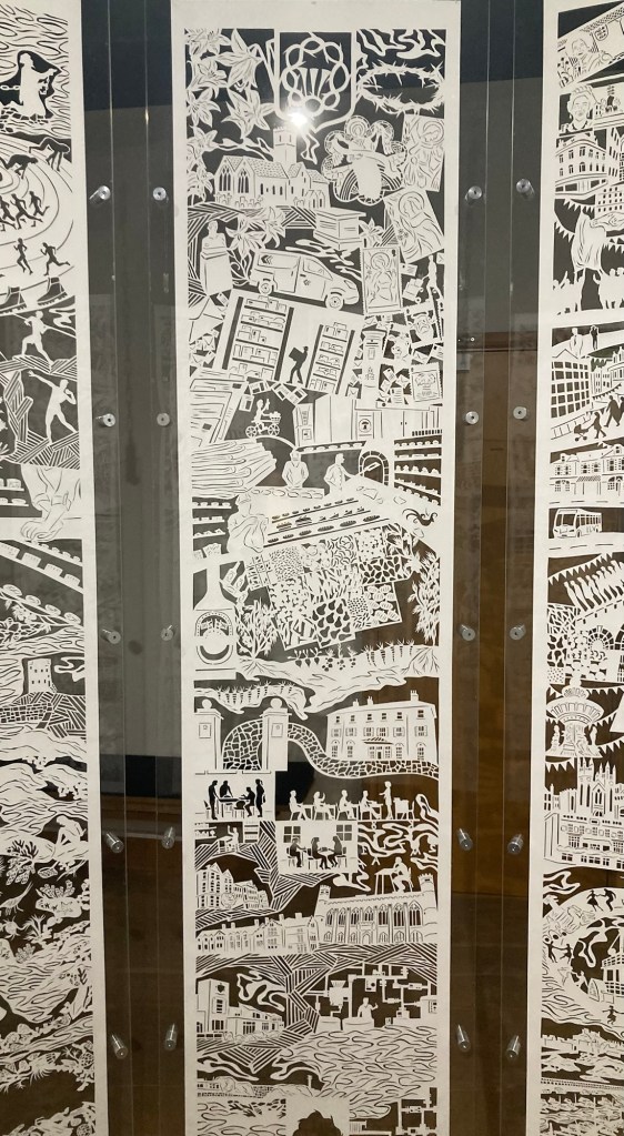
but we got this goodie bag at the end so we have proof
that we did actually do the tour.
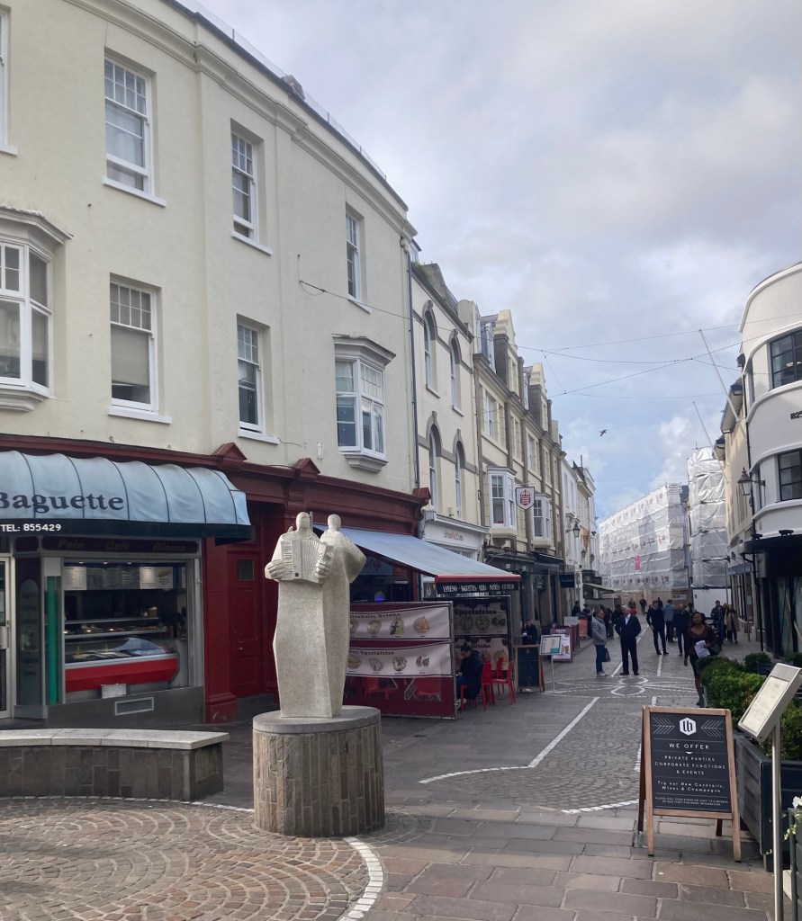
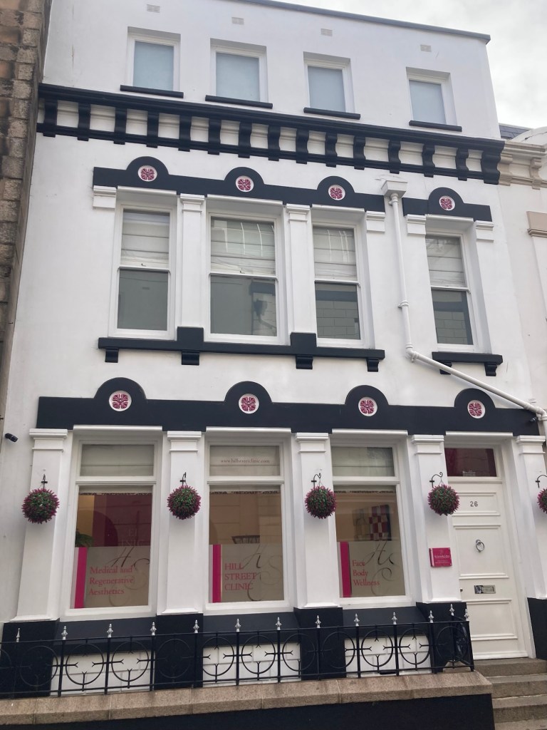
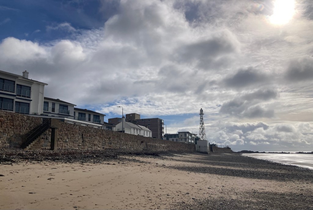
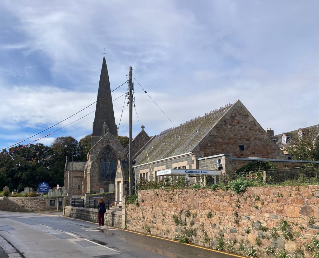
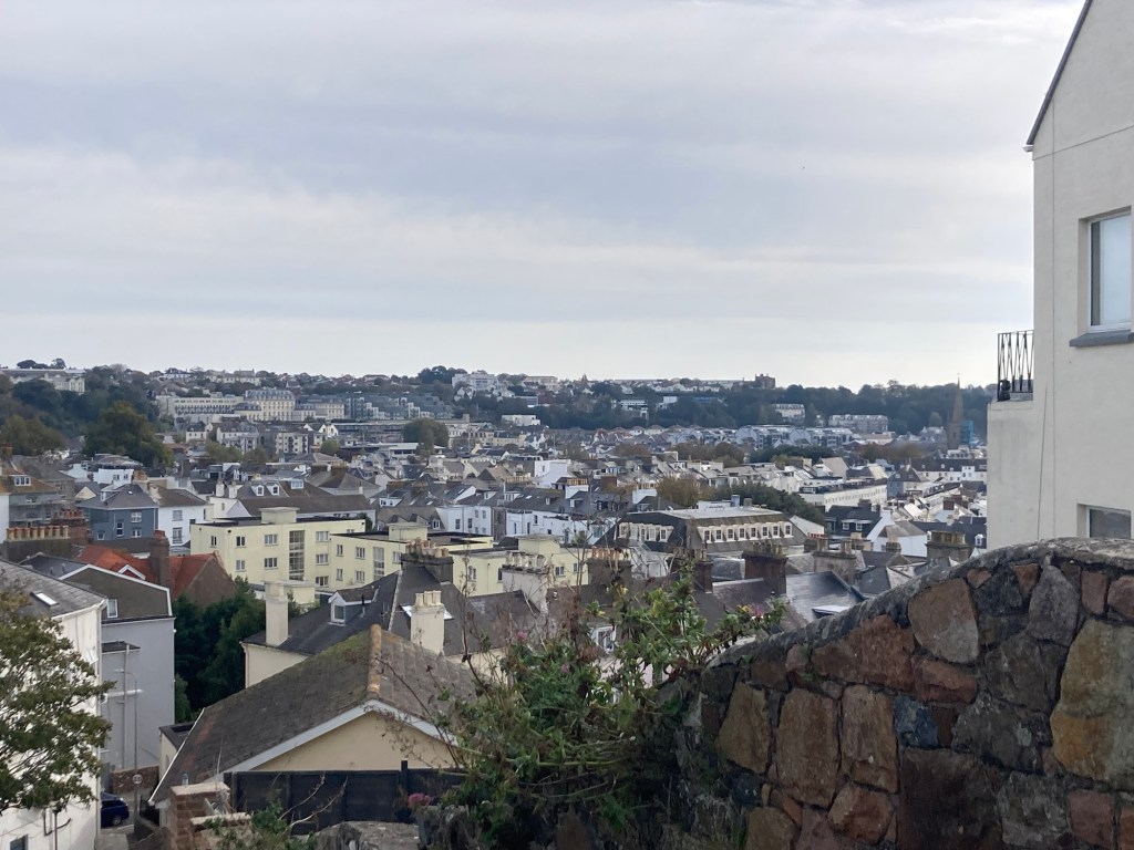
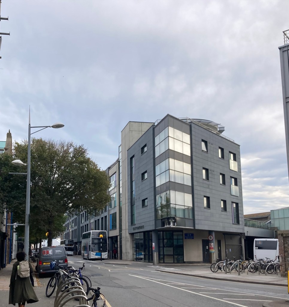
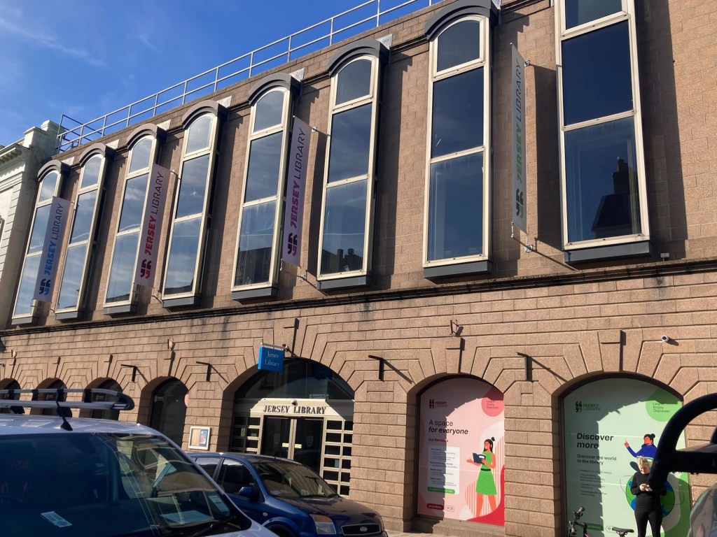
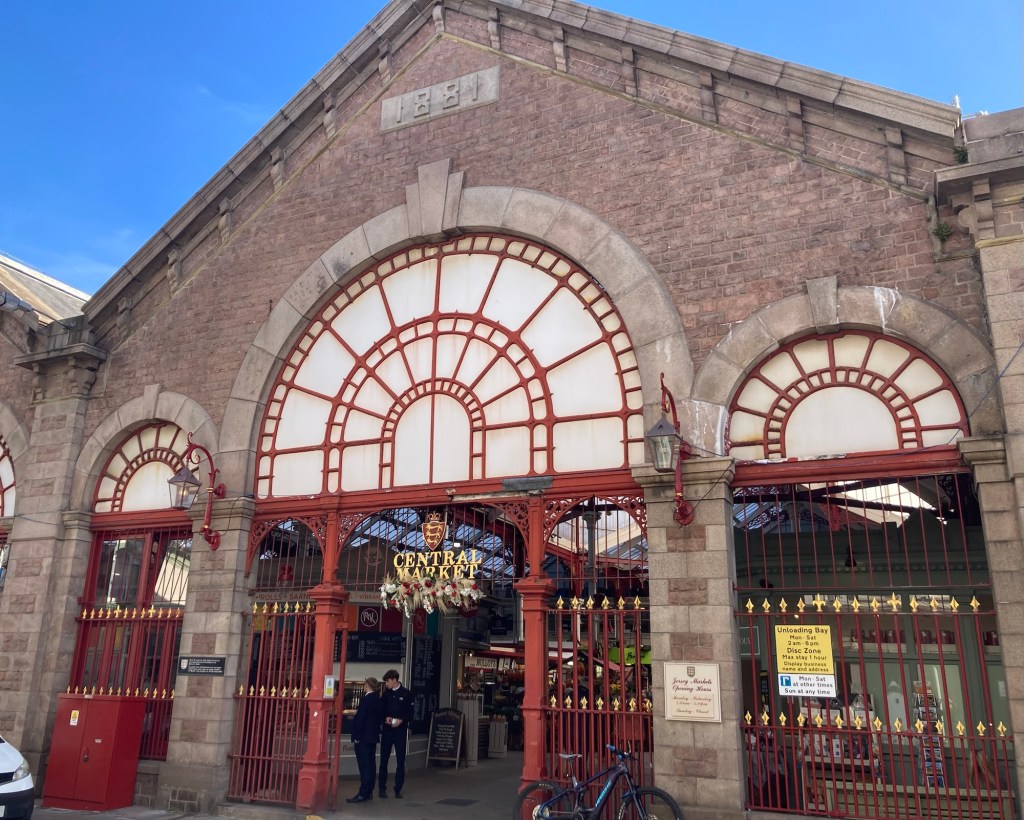
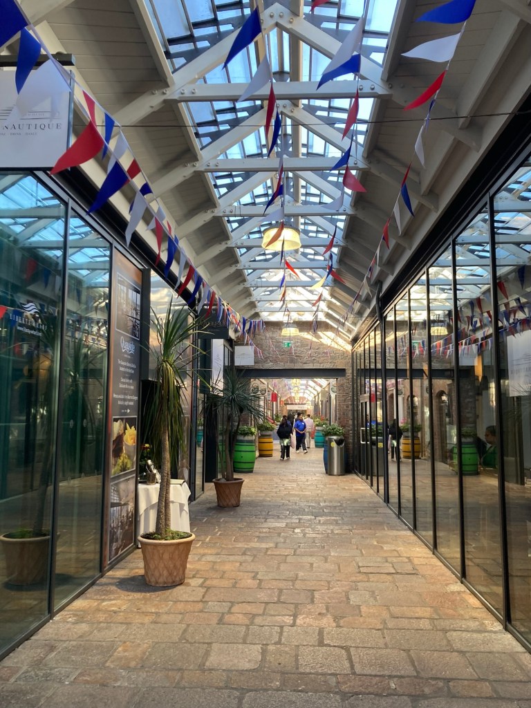
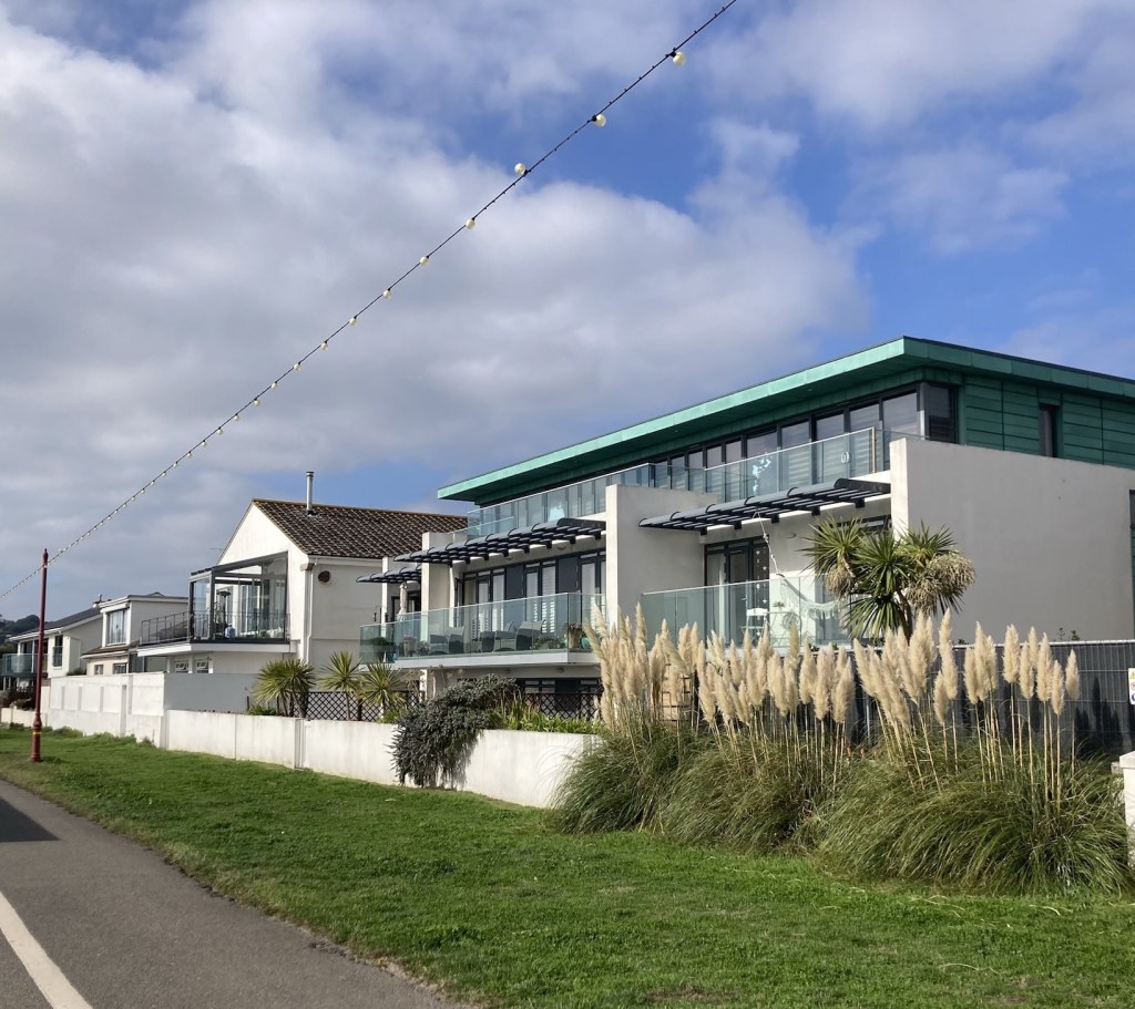
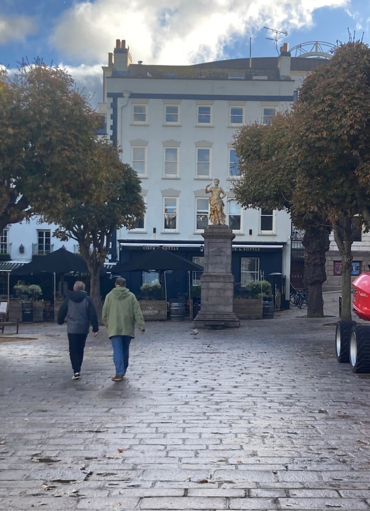
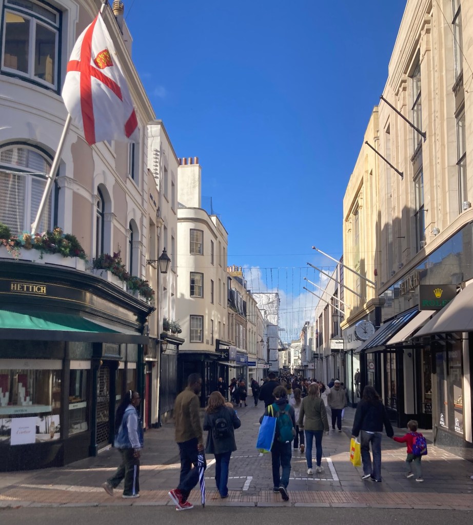
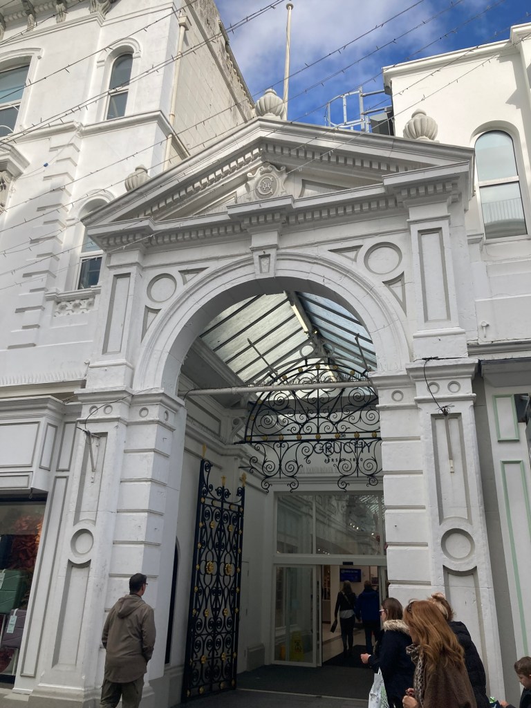
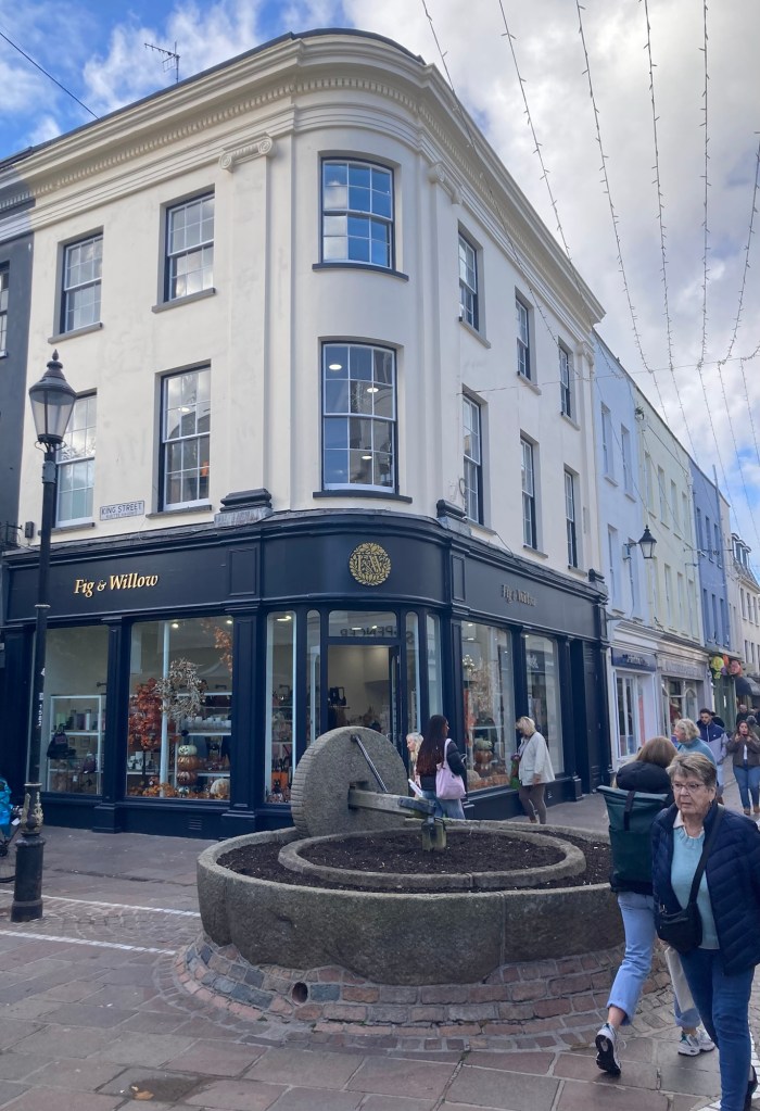
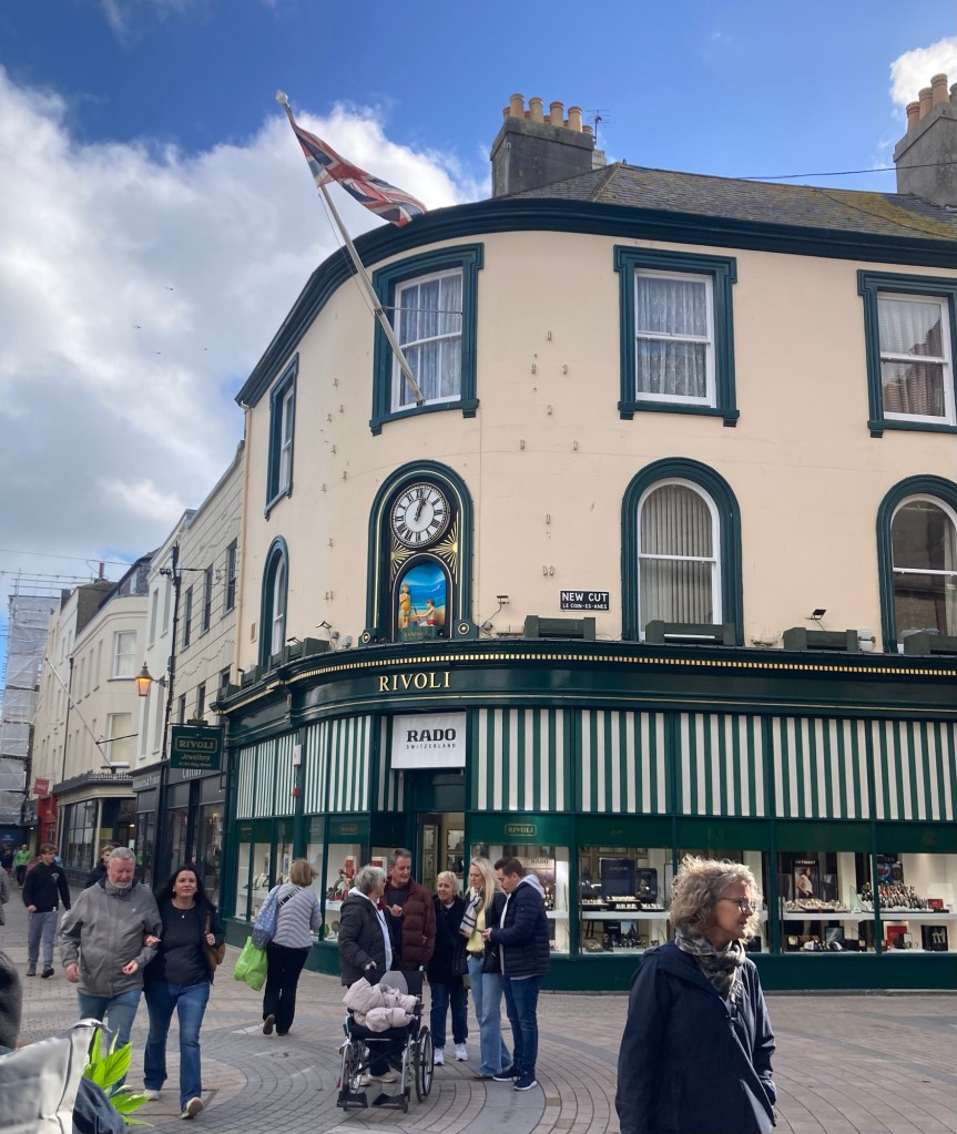
After the tour, we walked to their high street, or main shopping area. The street goes by a few names including Queen Street and King Street. It was busy on a Saturday.
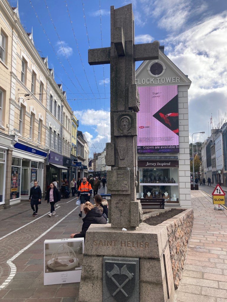
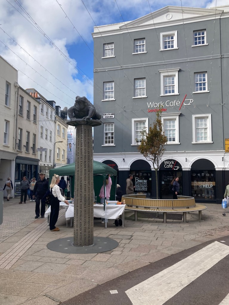
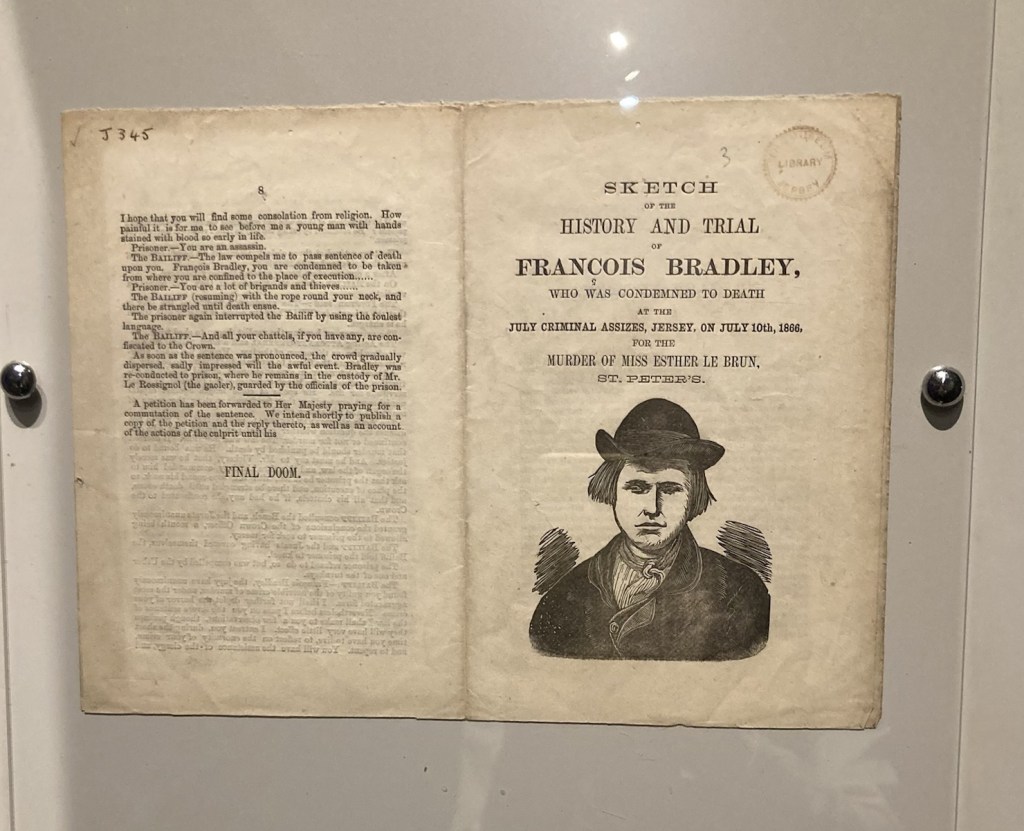
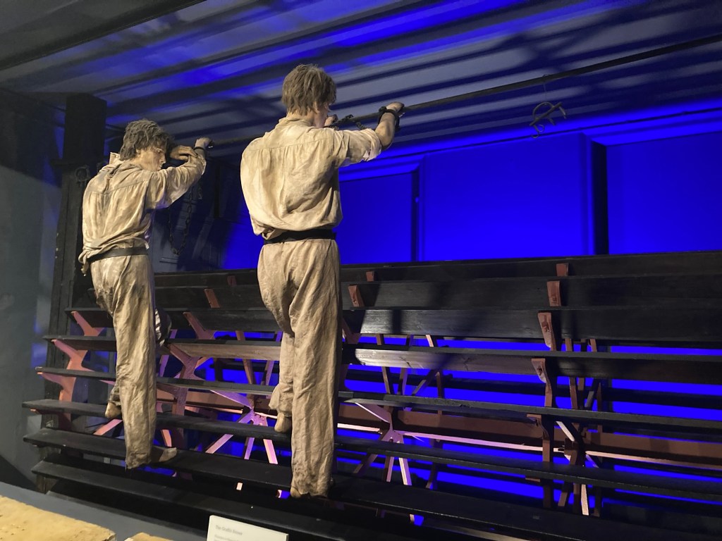
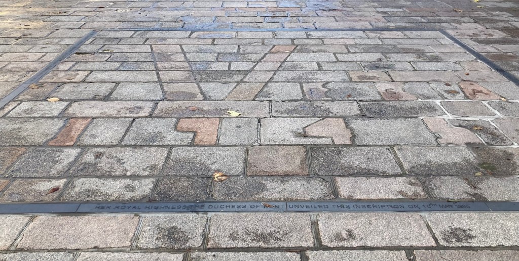
of 800 years of the island’s allegiance to the English crown
and in memory of the presence on the site
(between 1698 and 1811) of the island’s prison.
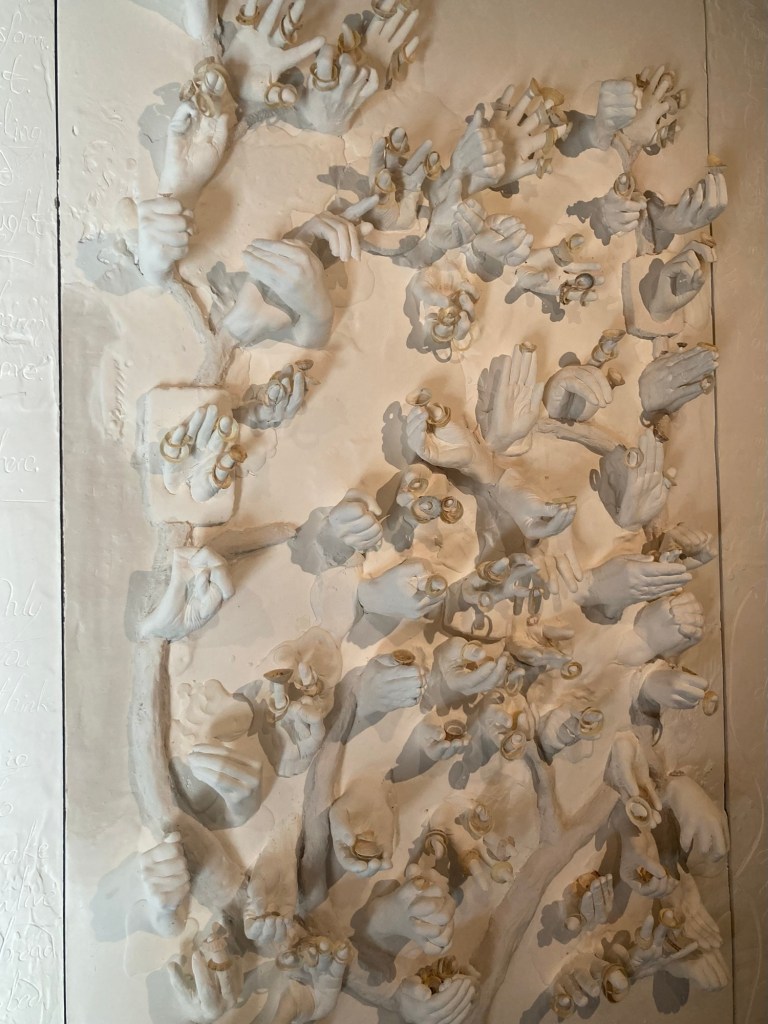
The words on the column of the sculpture are extracts from the Code Le Geyt of 1698 concerning crimes and applicable punishments. The toad on top of the column is the Jersey toad, which the dune covered and marshy island had a lot of when initially settled, so Jersey islanders have the nickname of toad.
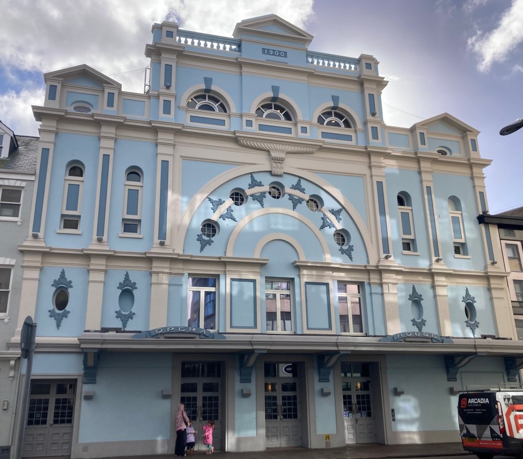
From the high street, we walked towards the Opera House, as we had wanted to see that.

who among other things served
as the Lieutenant Governor of Jersey
from 1806 through the Napoleonic Wars (ending in 1815).


in front of Jersey General Hospital