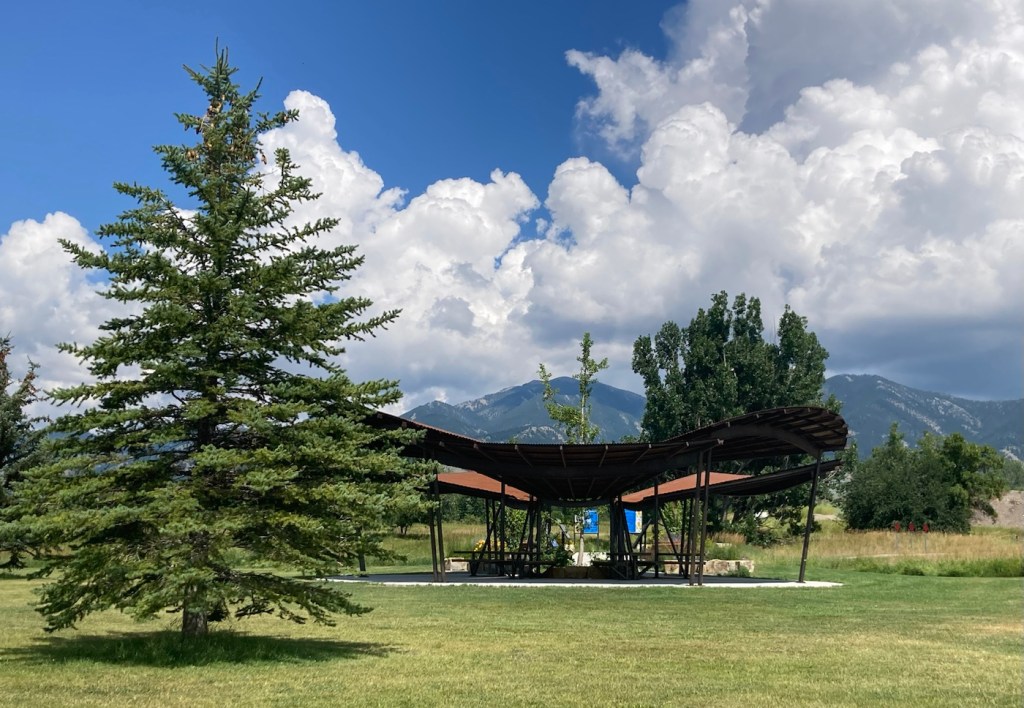
In the question between beaches or mountains in terms of places to vacation and/or live, at least for those of us not fortunate enough to grow up around either, Bob and I tend to fall on the side of mountains. Obviously, both are great (as are forests and other types of geographic phenomena), but the photos from our in-town walk today reinforce my love for mountains, even as a backdrop.
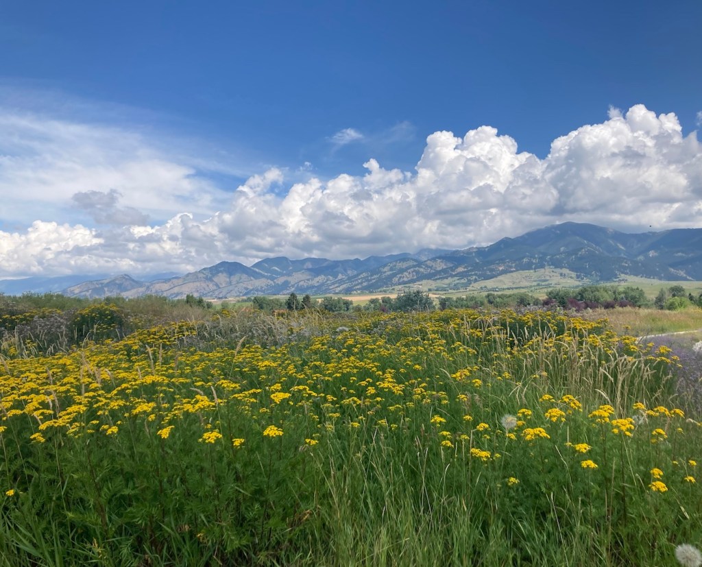
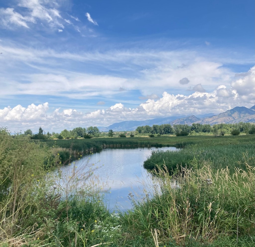
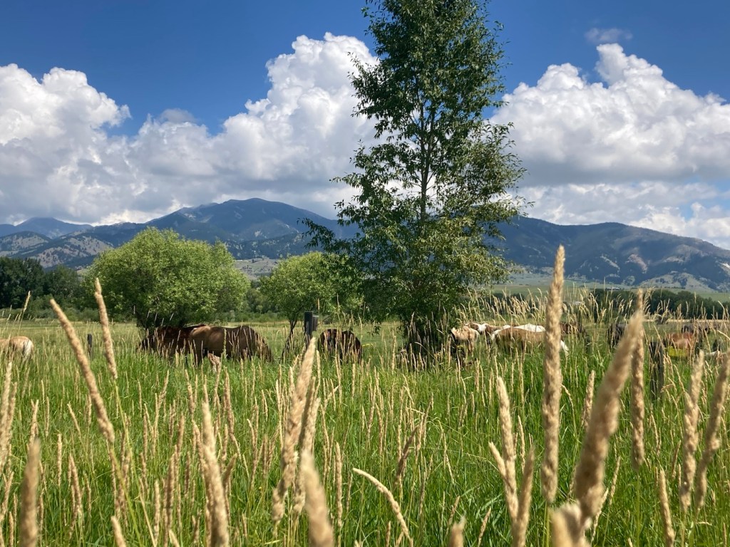
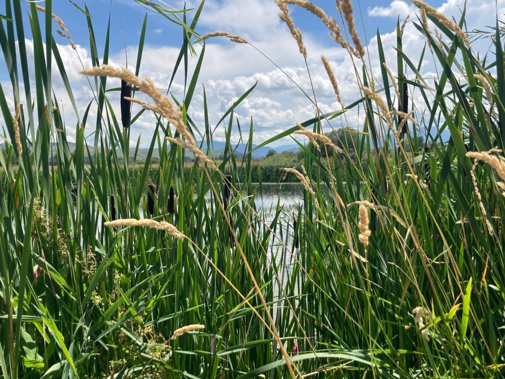
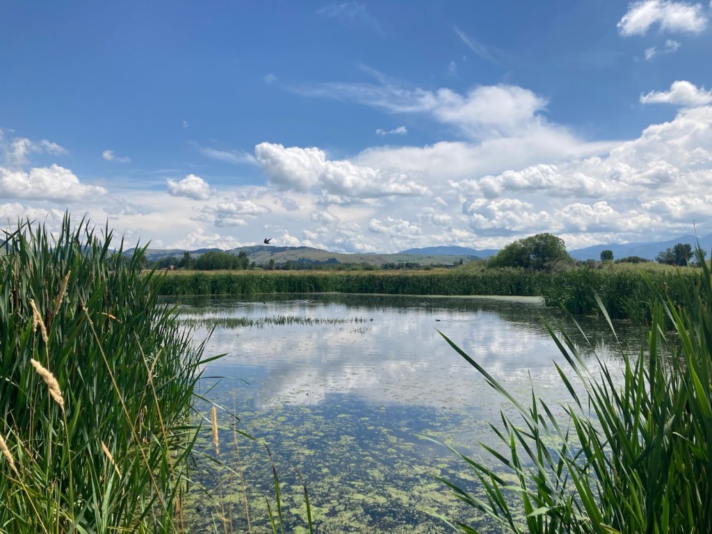
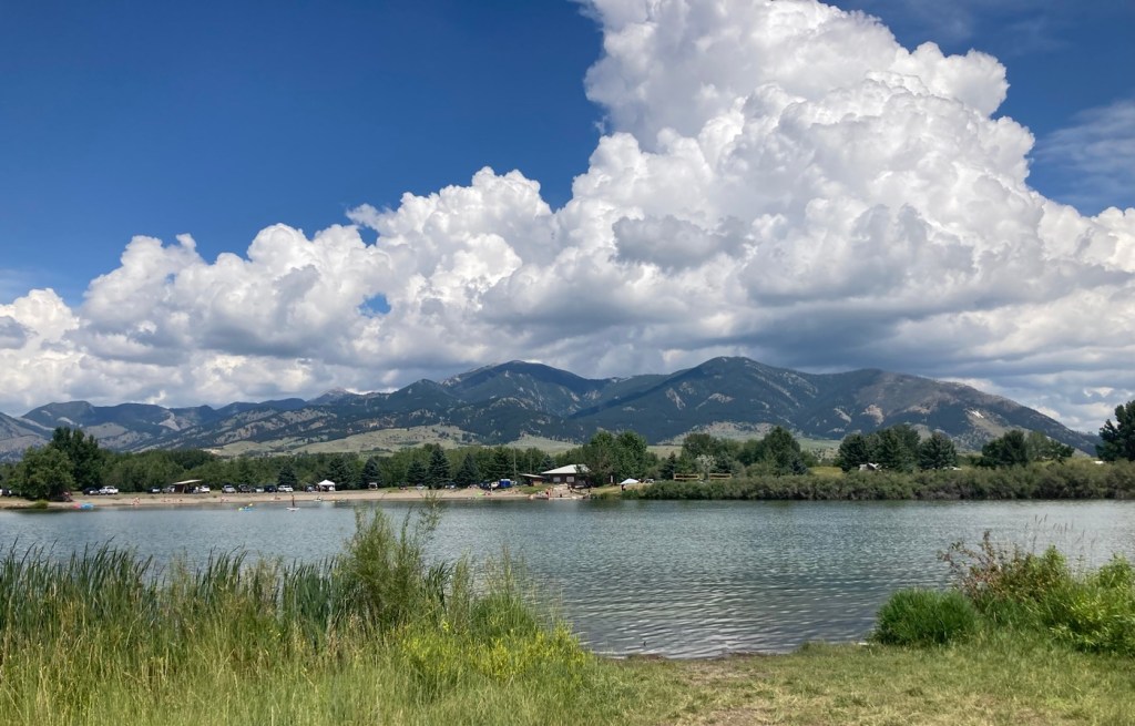
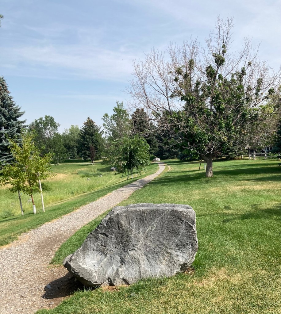
We did about a 5 mile hike this afternoon by combining the trails around the Cherry River and Glen Lake, both in the valley below the Bridger Mountains, on a beautiful, sun-filled day. Enough said, I’ll let the photos do the talking today.
We’ve had a few days recently where it has rained off and on here in Bozeman. Luckily, we were able to get the lawn mowed yesterday in between the morning programmed watering schedule and the afternoon programmed watering schedule (followed by rain and then a brief storm later in the evening). The weather forecast keeps changing, but we had some rain today and look to have more tomorrow.
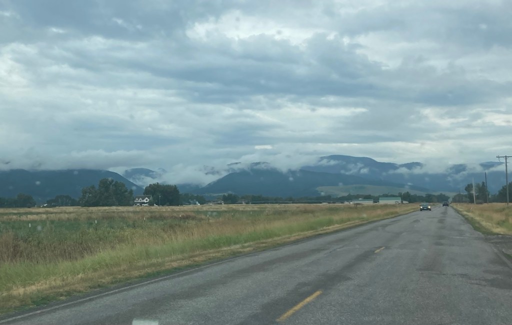
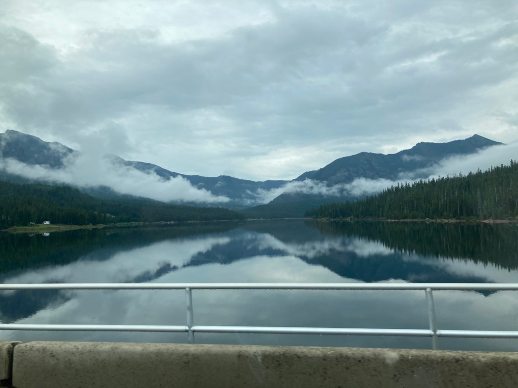
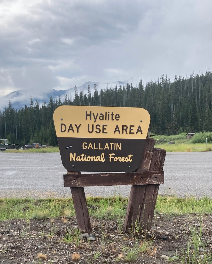
Today, we headed out for Palisade Falls because we wanted to see the waterfall, but also because there is a big music and art festival in Bozeman so we wanted to avoid activities near downtown to avoid traffic, which doesn’t seem to move well here. As per usual for the past few days, the sky was overcast, but it gave us some great views of low clouds against the Gallatin Mountains.
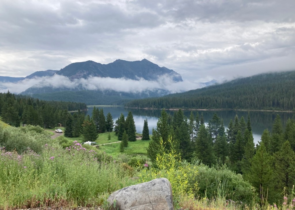
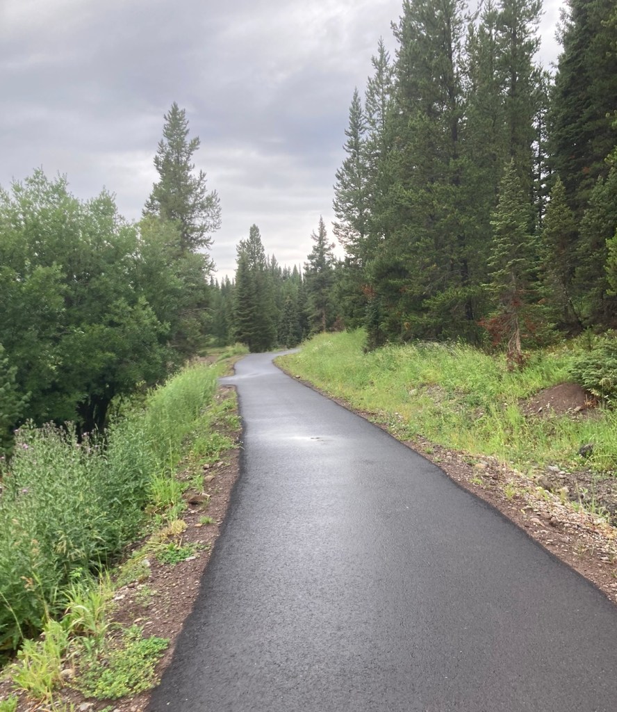
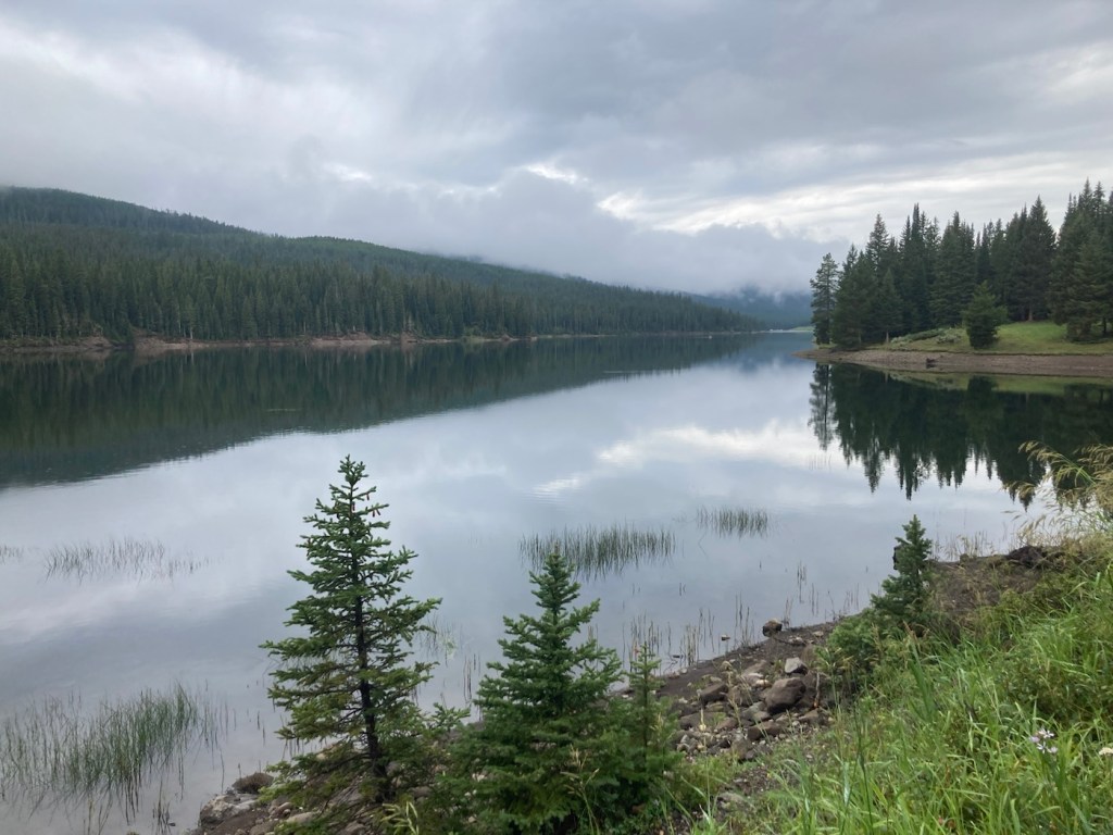
Palisade Falls is a towering waterfall dropping more than 80 feet off a vertical rock wall at the southern base of Palisade Mountain in the Hyalite Recreation Area south of Bozeman. And we will have to take the website’s word about, as we were unable to get there, but we did end up with a beautiful drive through national forest and walked a bit by the lovely Hyalite Reservoir.
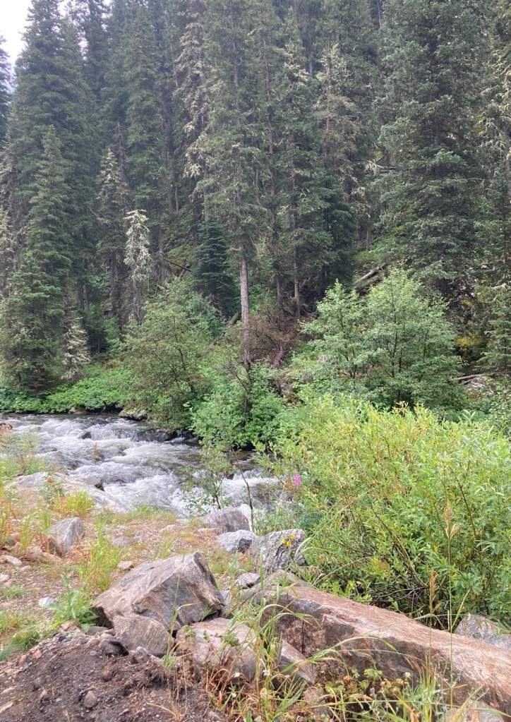
Driving by a fast flowing creek in the national forestOur first sighting of the Hyalite ReservoirAnother view of the reservoir from a pullout area
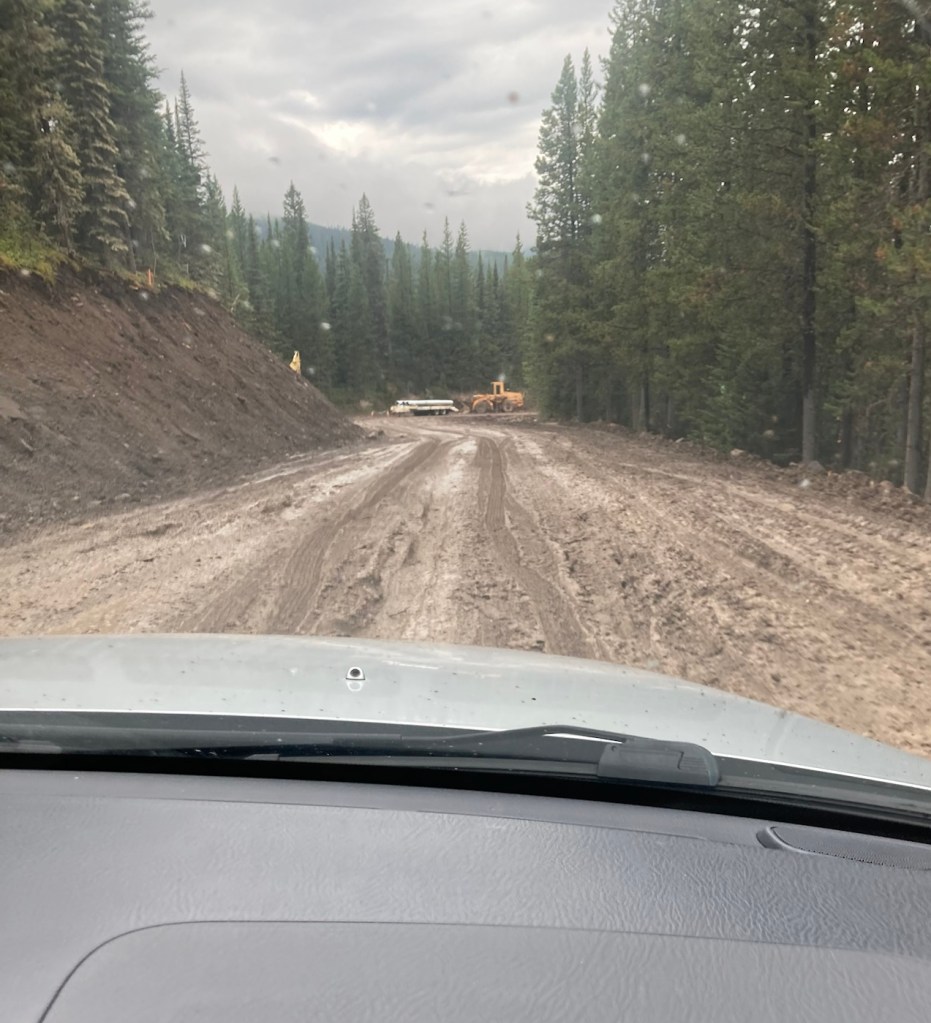
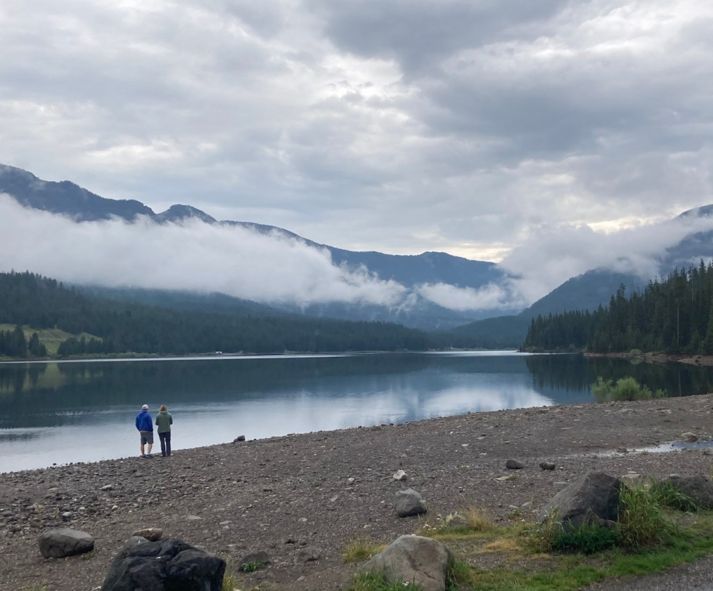
Before we left for the Palisade Falls, we had read that the road to the trailhead was currently only open on Saturday and Sunday. We didn’t know why, but I assumed this was just the most popular time to visit. That could be the reason, but they are also doing roadwork, or maybe creating a paved road from what is a dirt road now. You can see below that with the rain, the dirt had become mud, serious mud in some areas. We made it past the construction vehicles in the photo before things got even worse, and we decided that without 4-wheel drive it might be best to turn around before someone had to dig us out.
We drove back to a picnic area we had passed and walked along a paved path near the reservoir, where some brave woman (local likely) as going in for a cool dip.
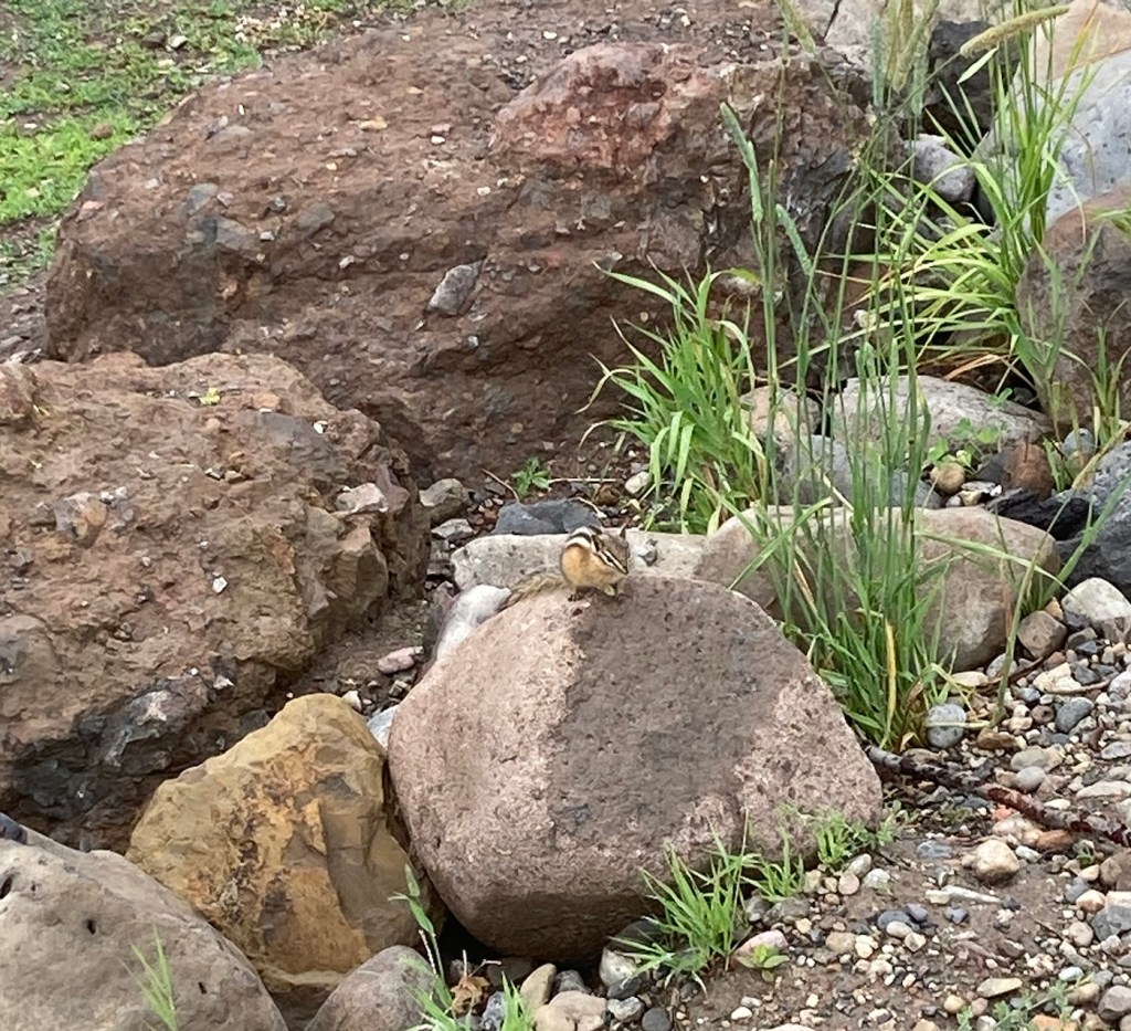
The first real “wildlife” we’ve seen.The trail along the reservoir A view of the reservoir from our walkWe stopped at the reservoir on the way back for a couple more photos Can’t complain about Plan B with this view!
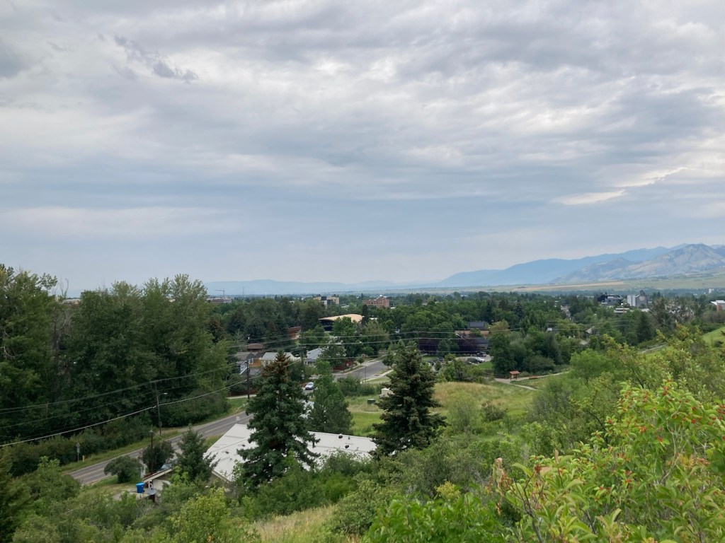
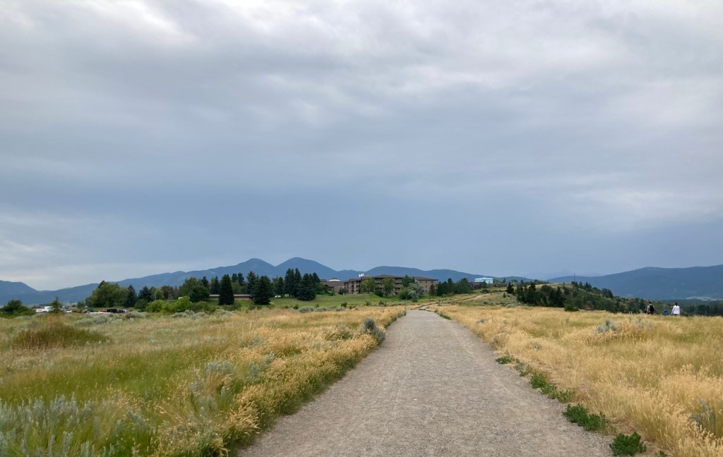
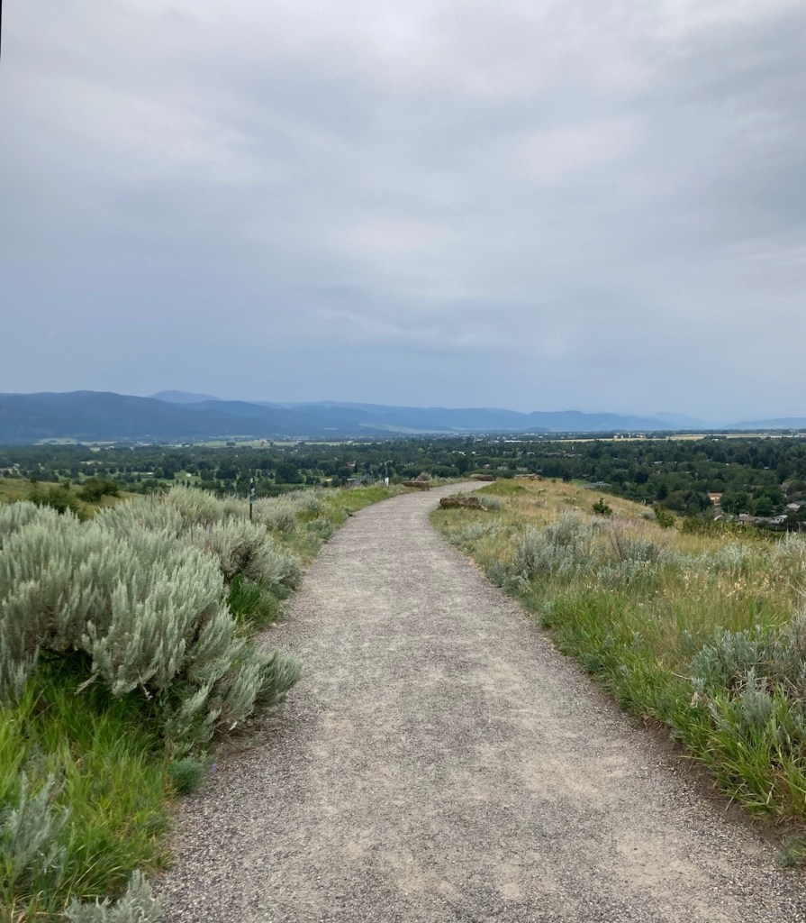
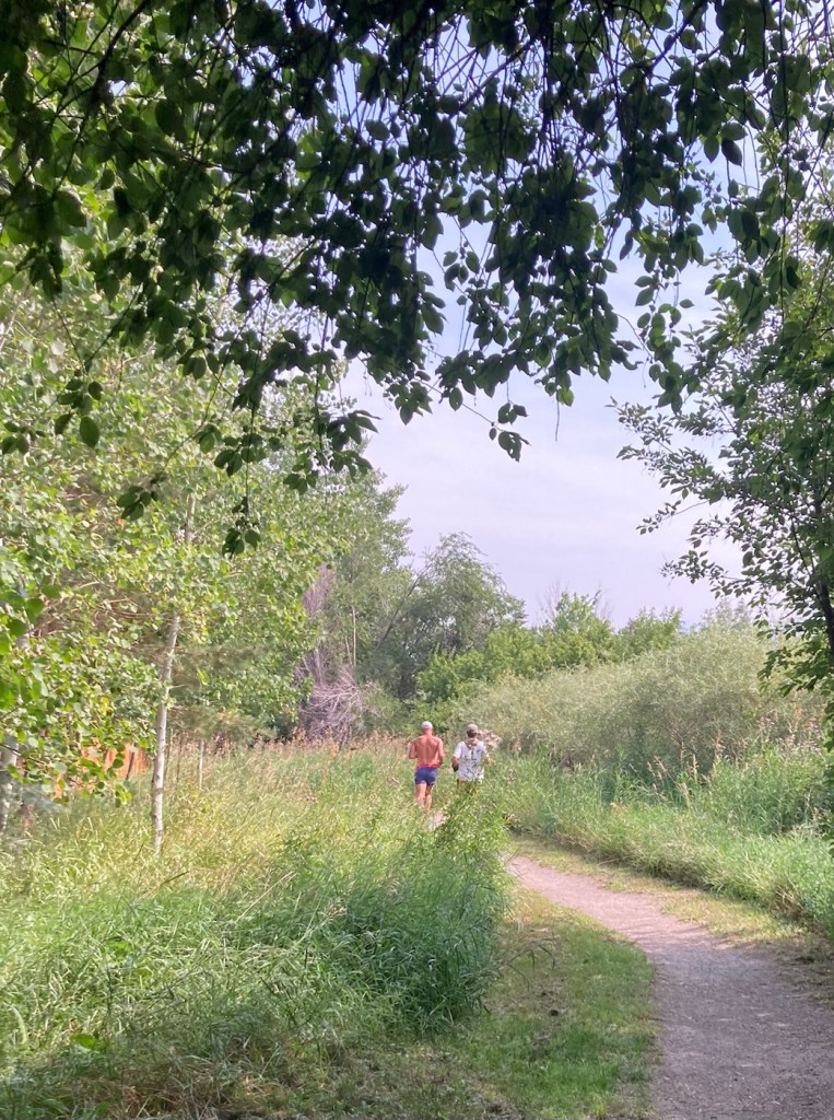
Today, we did a little over five-mile hike in and around Burke Park, which is near the sculpture garden we had explored on our first night in Bozeman. Listed by the city as moderate exertion, trails in the park take you up Peet’s Hill, which is supposedly the best sunset view in town . After walking the main trail (there are many) through the long, narrow parkland, we connected to a few other trails towards the west of town.
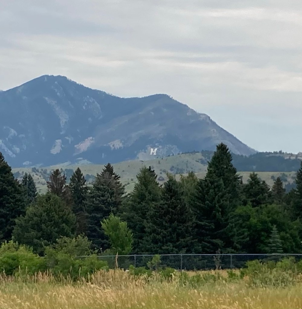
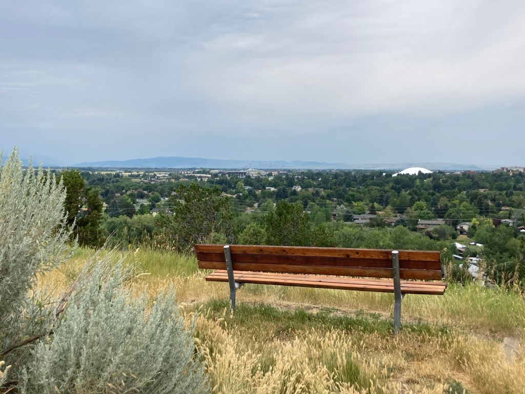
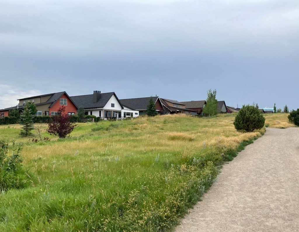
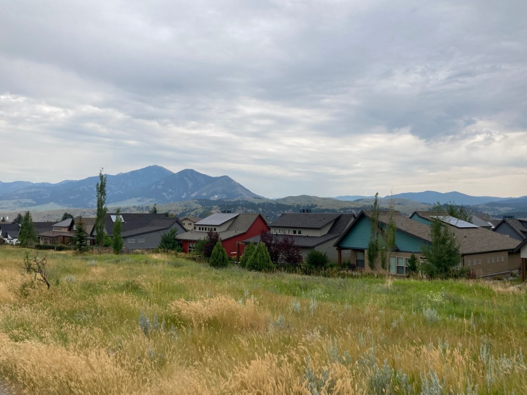
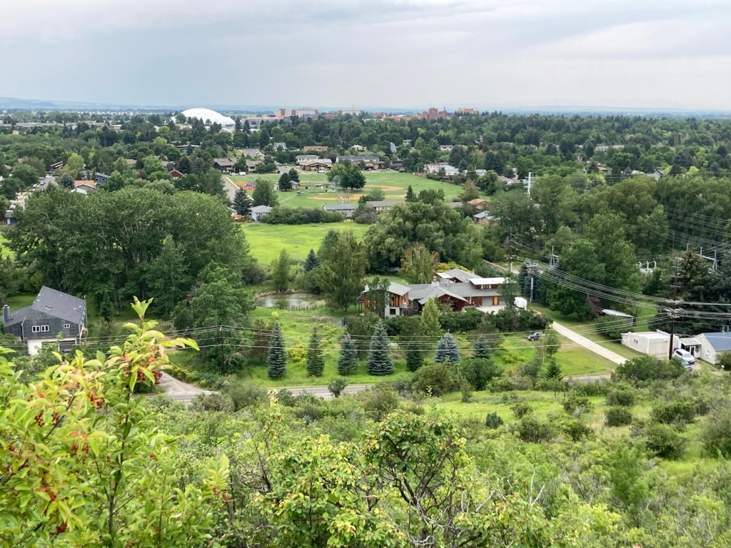
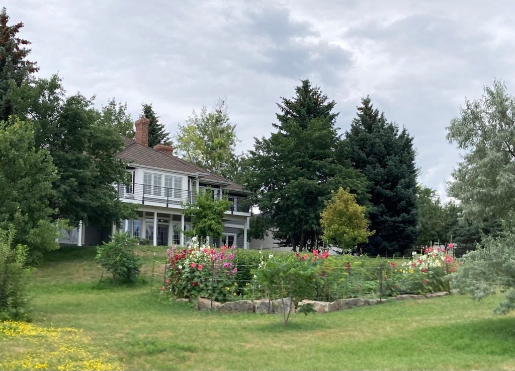
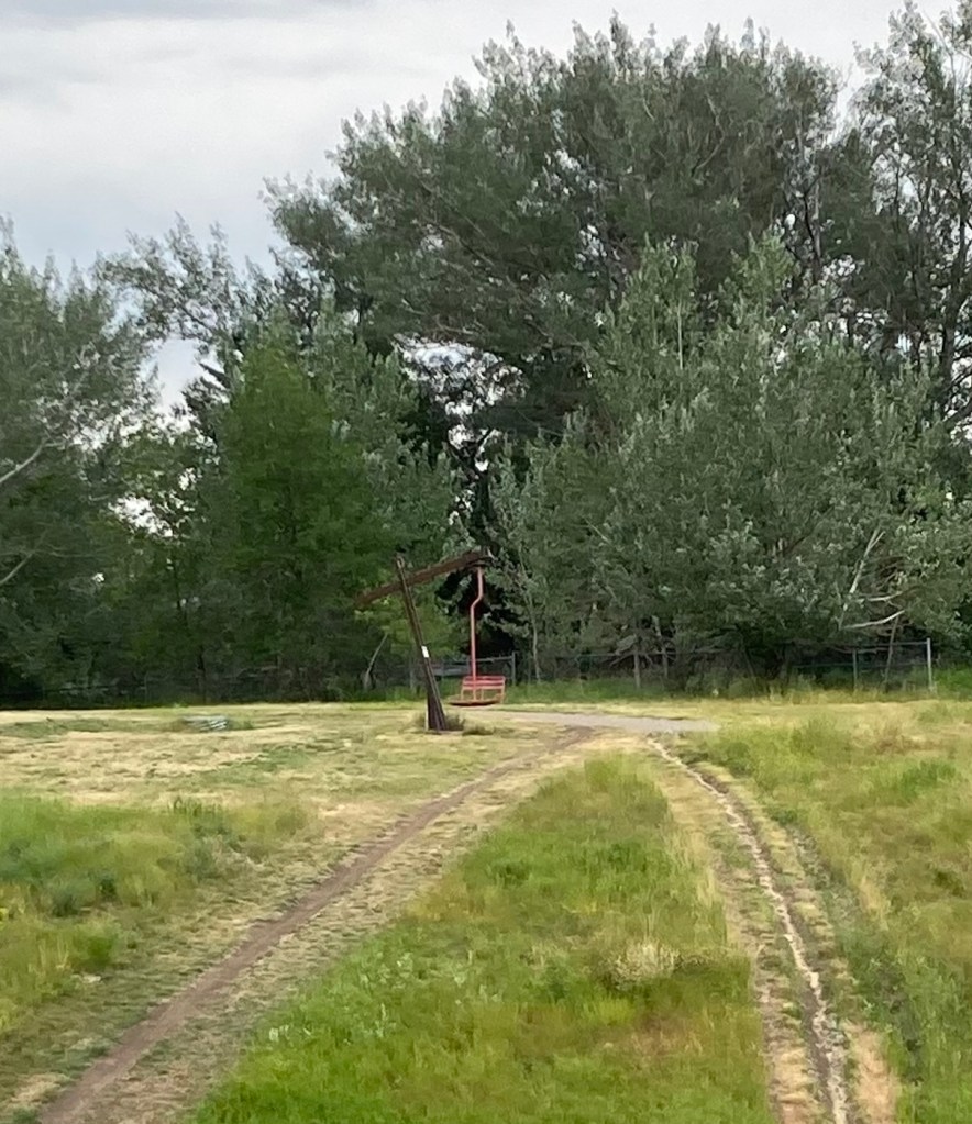
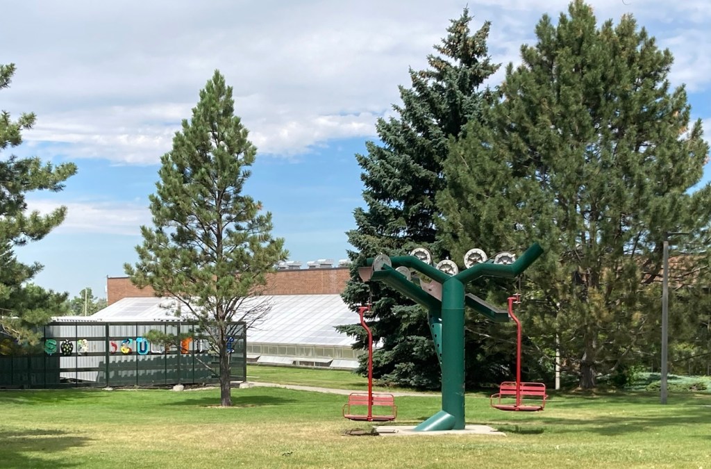
Heading up Peet’s HillA view of Bozeman as we ascendedA view of the Bridger Mountains from atop Peet’s HillLoved the different textures and colorsZooming in to get the MContinuing through the park toward a residential areaA bench for gazing. The white dome is the practice field on the MSU campus.Some of the homes along the pathMore houses with great views Love this scenery!Another view from further on, looking towards the university areaAt the end of Burke Park, we walked along a busy road until we joined up with another trail. I liked the flowers in this yard.Walking back towards the library/sculpture park from a trail near the Highland Glen Nature Preserve a bit southeast of downtown Signage for and a gate into the Highland Nature PreserveAnother ski lift seat as sculpture, at least the 3rd one we’ve seen in Bozeman.
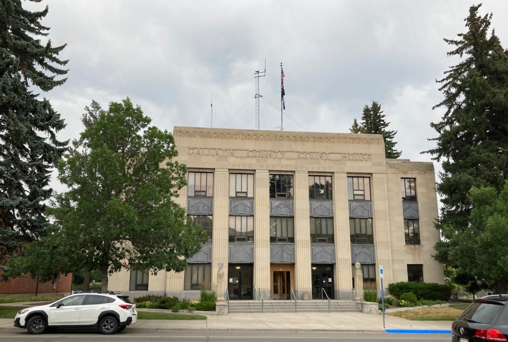
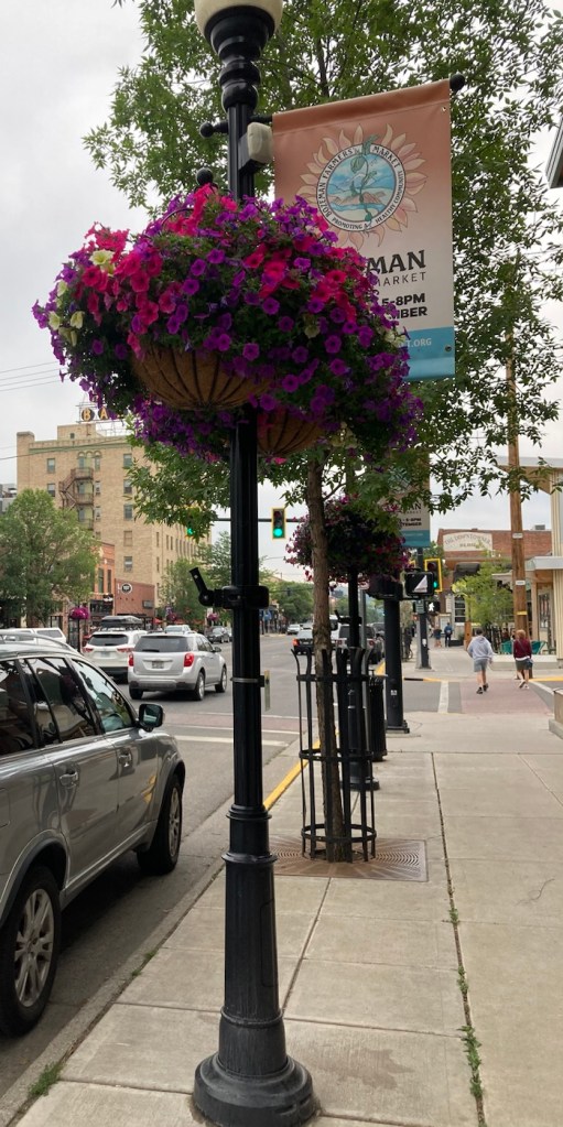
Yesterday, we headed to downtown Bozeman to walk Main Street to check out what this area had to offer. It’s a fairly small downtown area, about 8 blocks or so and not fully utilized, but it was still pretty vibrant with people out and about and lots of variety in retail and restaurants.
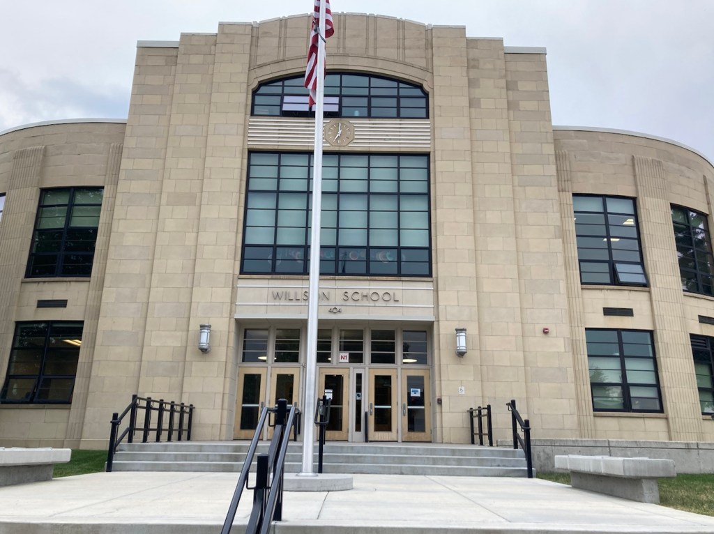
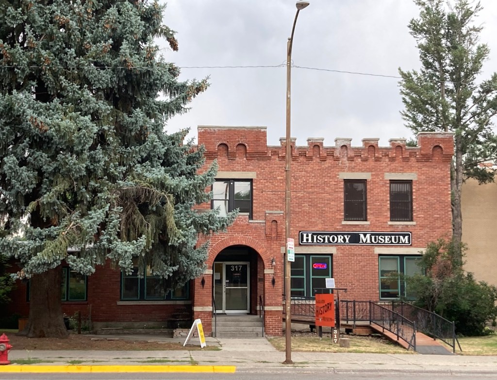
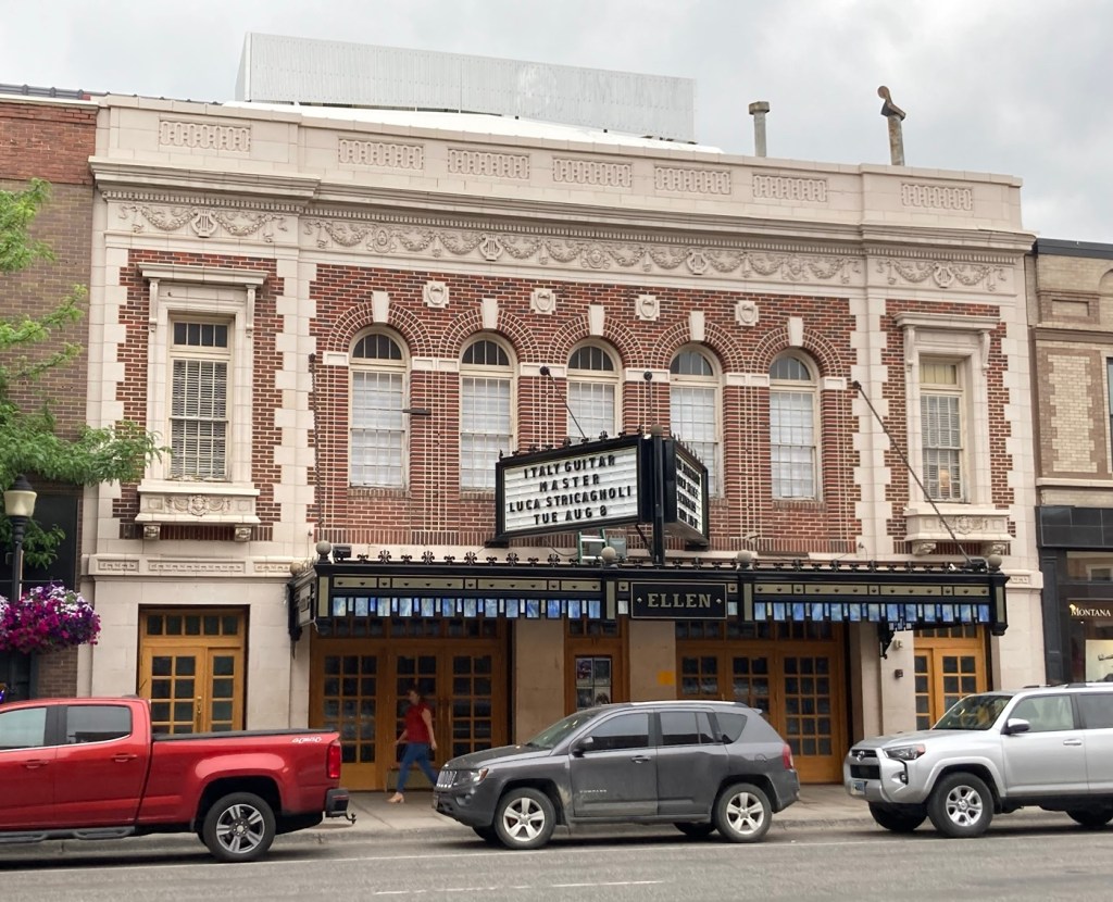
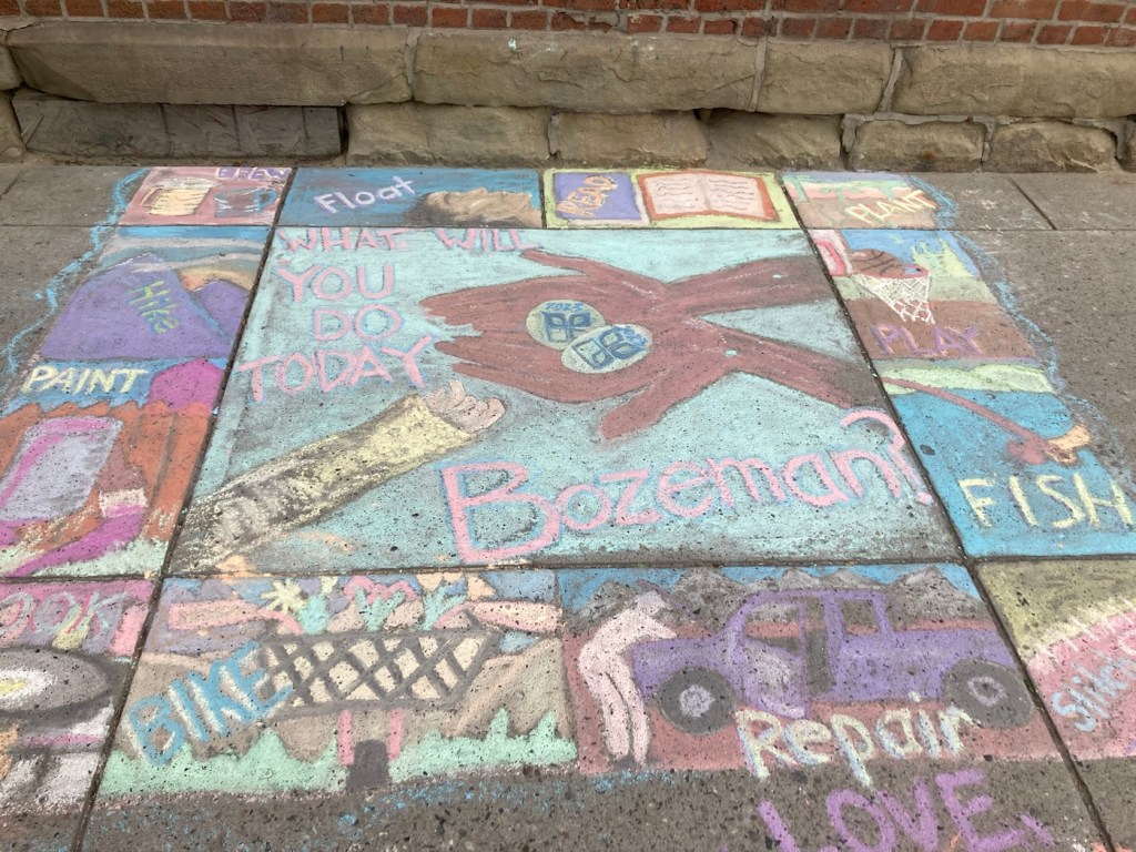
Our first stop was at the Community Food Co-op.The cute sign for the Lewis and Clark Hotel. Hotel prices are crazy here. Almost all rooms go for over $300 per night right now.A very Art Deco looking former school that now appears to serve as an educational foundation The Gallatin County History MuseumGallatin County Courthouse A designated historical building on Main StreetLots of street lamps with banners and hanging flower baskets on MainFormer Hotel Baxter, which is now an event space and also houses a pubNot sure what this currently is but thought it was a lovely building They had had a chalk art event downtown yesterday, so the sidewalks were colorful A pocket park on a cornerApparently, John Steinbeck was a real fan of Montana
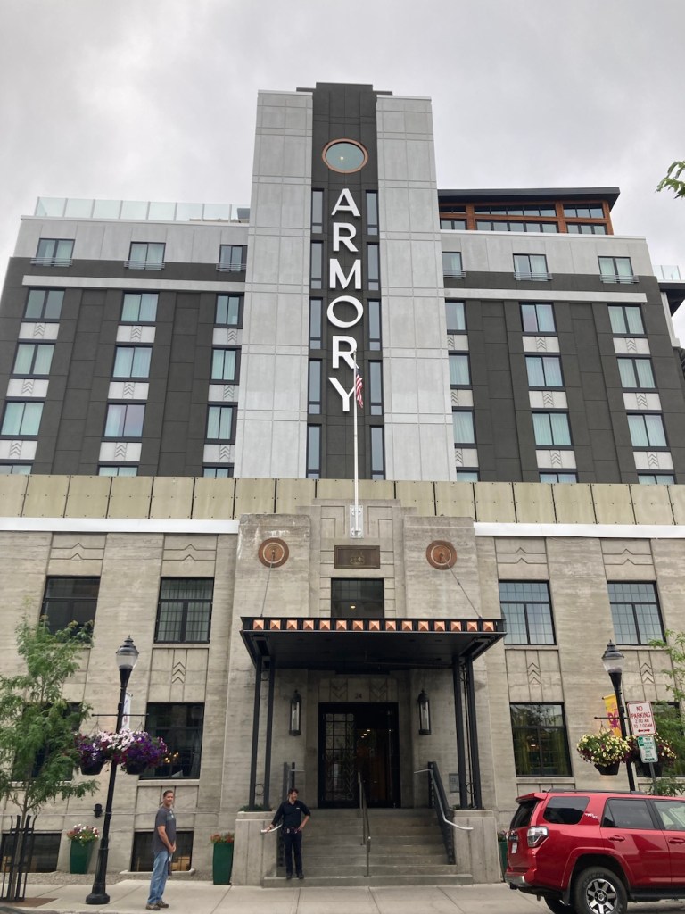
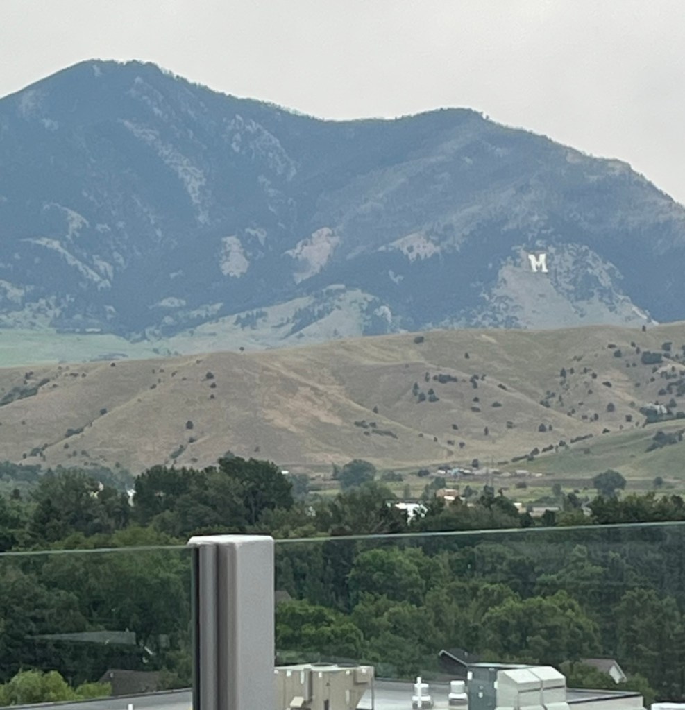
We ended our walkabout with a drink at the Armory Hotel, as its bar has a view.
We liked that the new hotel had incorporated a part of an older building for the facadeThe view from the window above the A in the prior photo A zoom in on the mountains with the M for Montana State
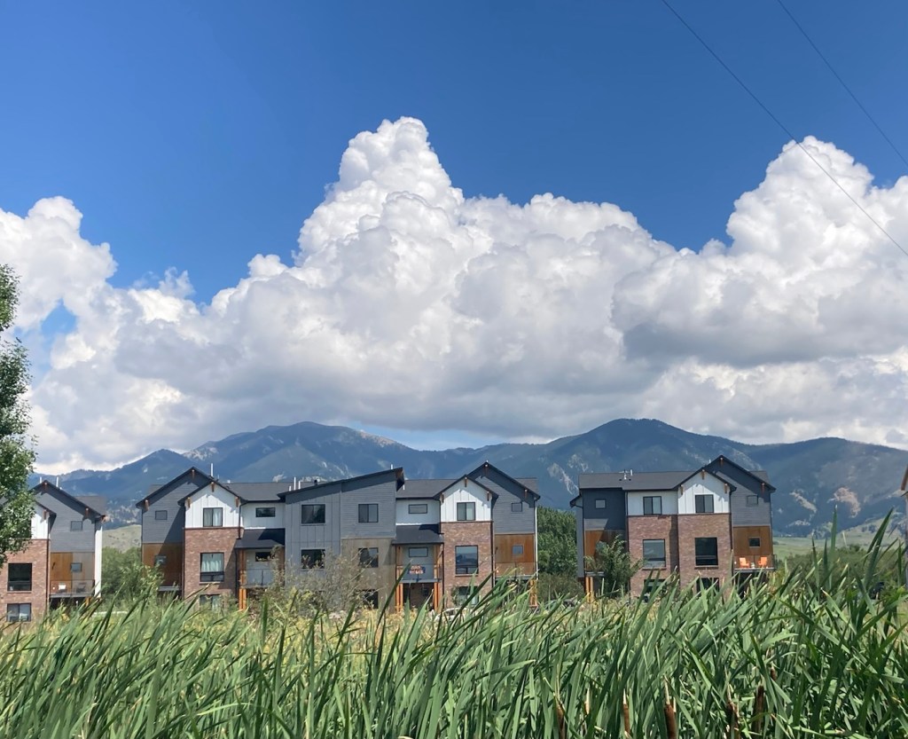
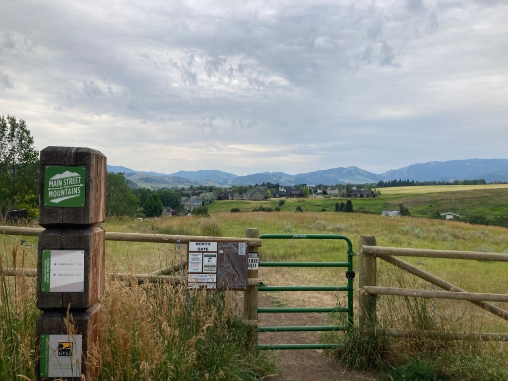
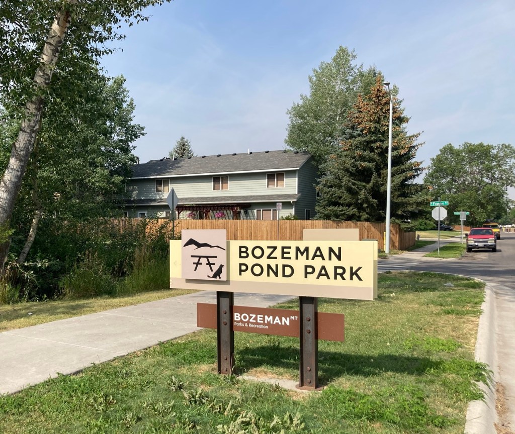
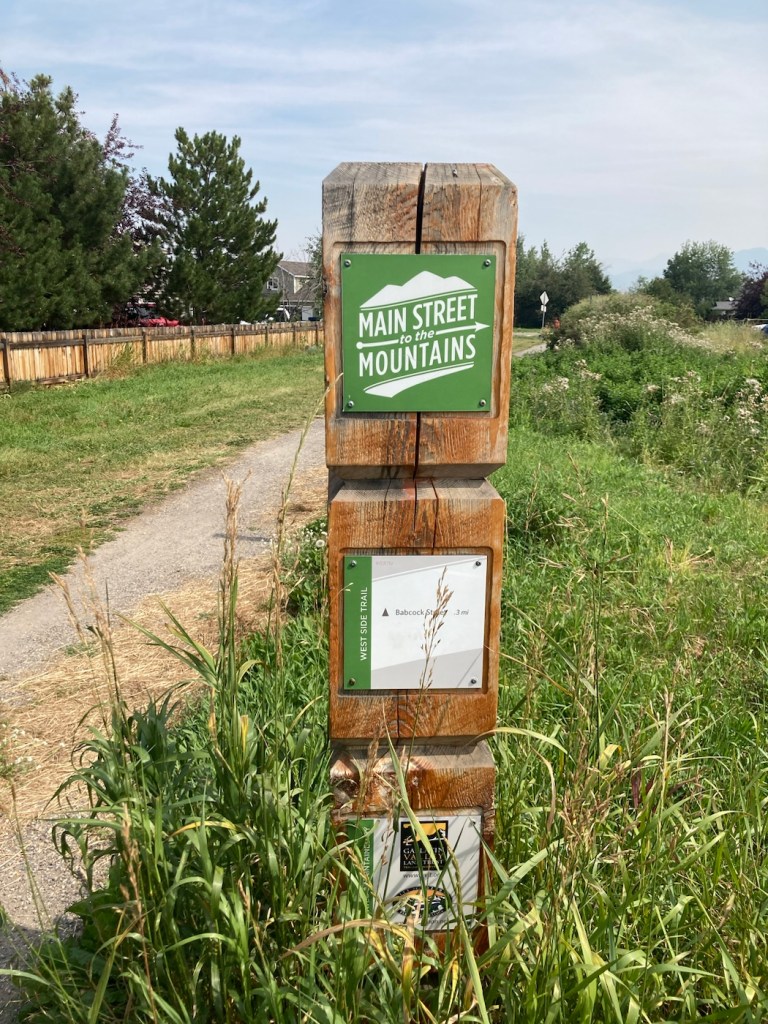
Before getting into todays outing, a few fun facts about our current residence. In 2020, Bozeman had a population of about 54,000, which makes it the 4th largest city in Montana. It lies between the Gallatin and Bridger Mountain Ranges. It is the county seat of Gallatin County, and it has established an impressive Main Street to the Mountains Trail System, a part of which we walked today.
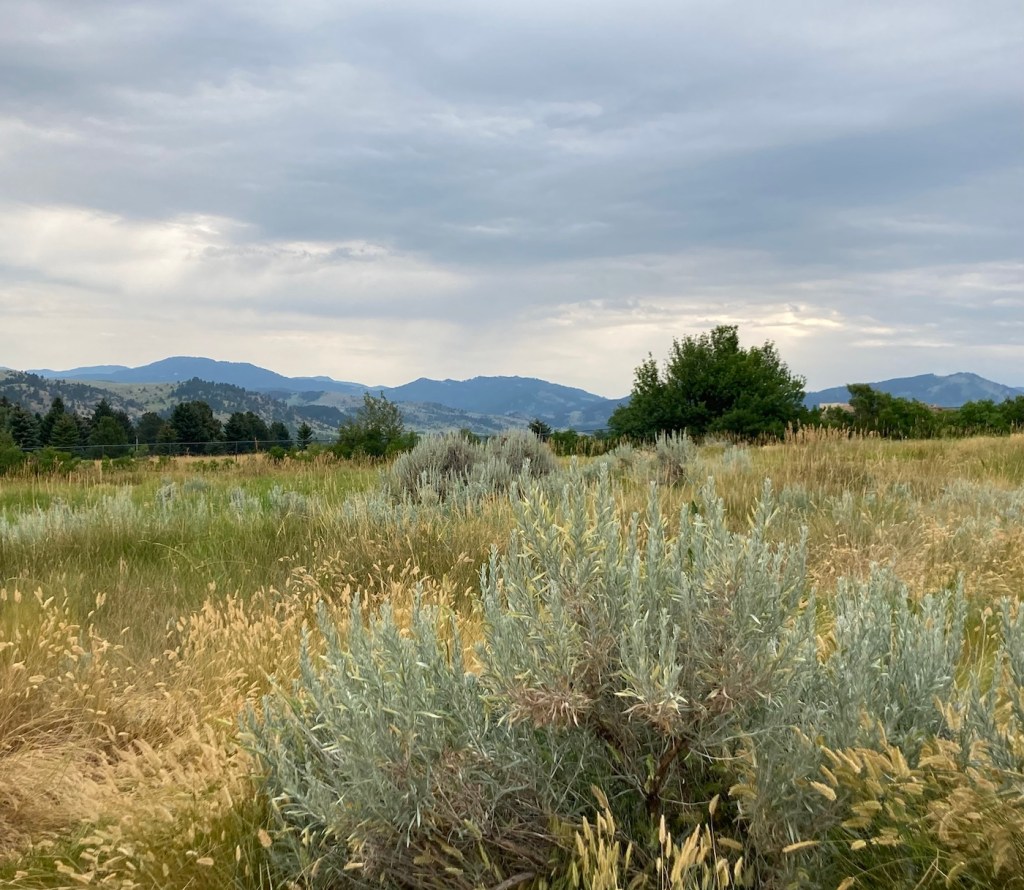
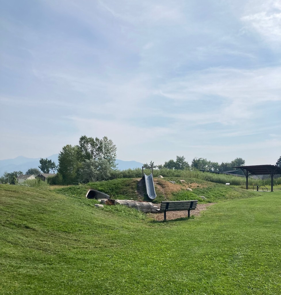
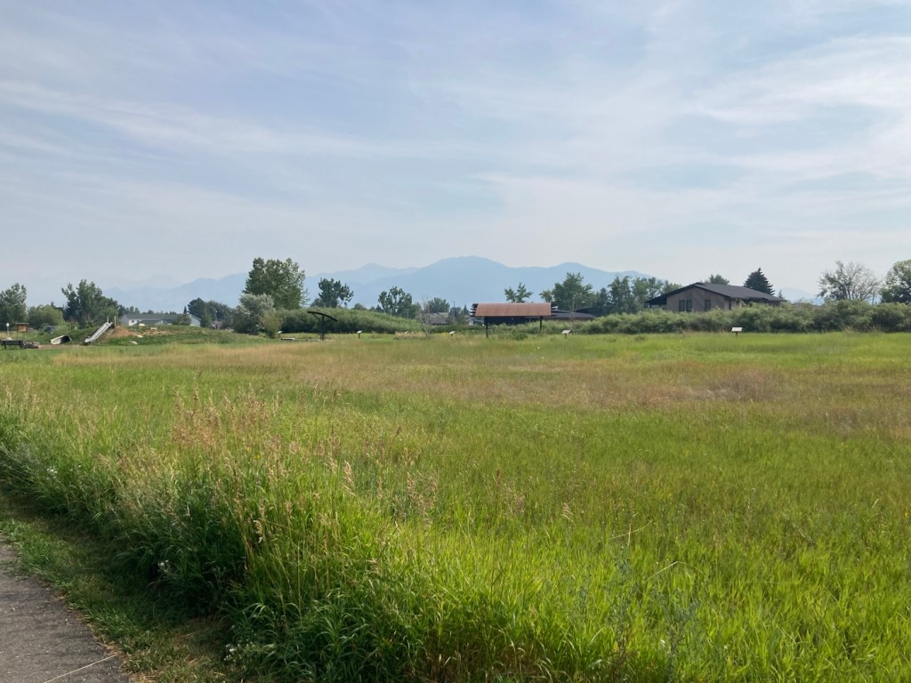
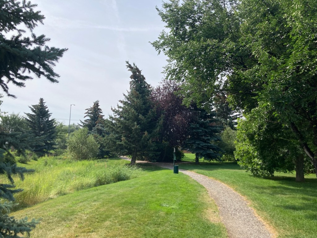
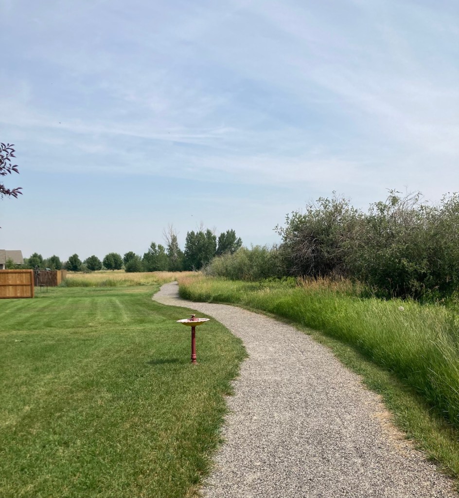
We began our walk at Bozeman Pond Park, which has a dog park (called Lewis and Bark), a fishing pond, as well as some playground equipment. We walked the trail through the park and then took a separate West Side Trail (part of the Main Street to the Mountains system), which followed a creek that emptied into the fishing pond and provided some good views of a number of neighborhoods. We ended up doing about 4 miles.
Below are pics from the outing.
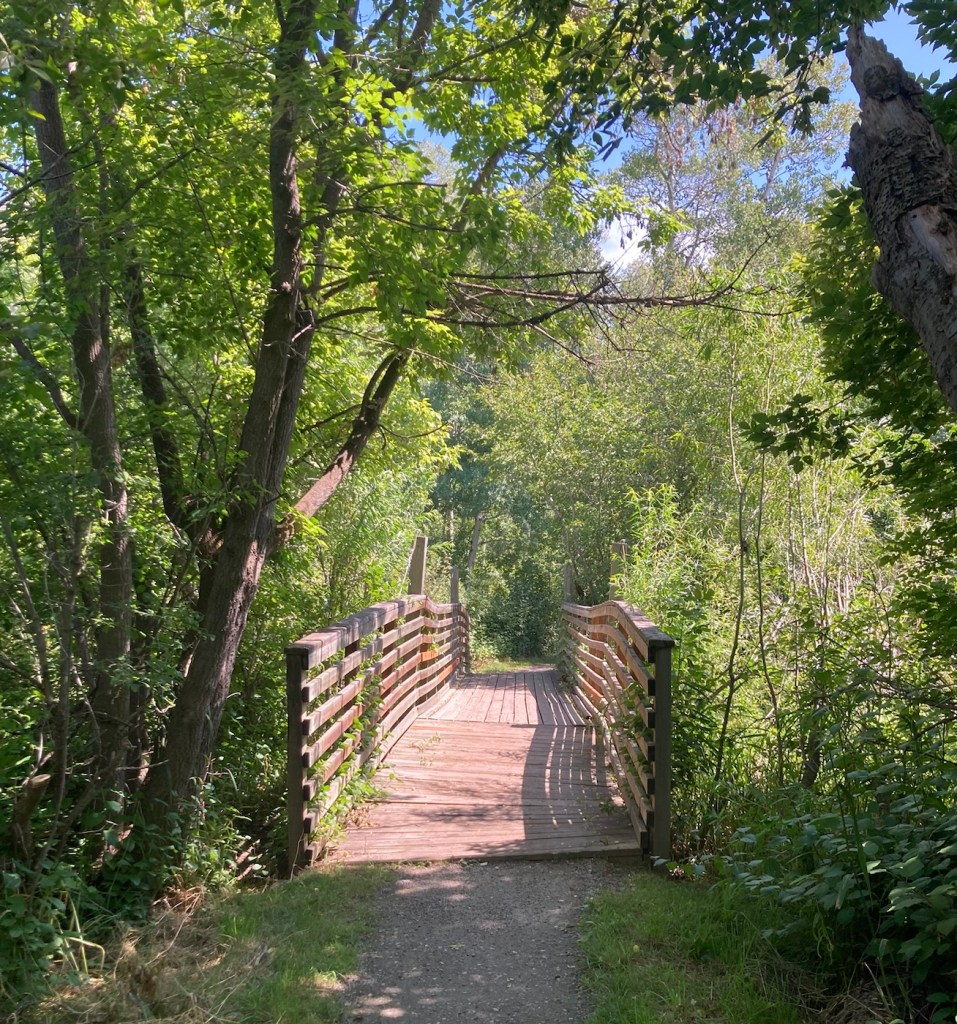
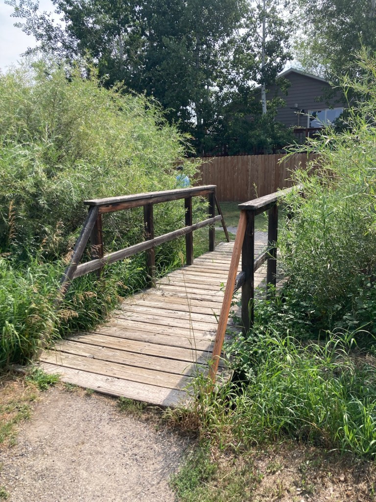
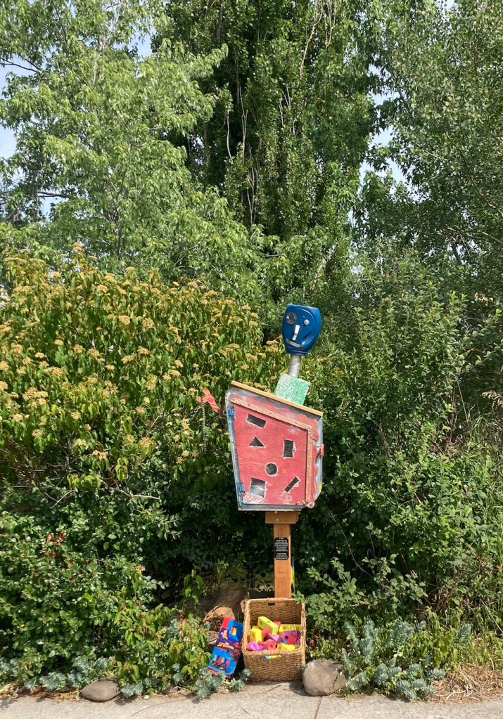
The sign for the parkAn interesting location for a slideLooking back across the first section of the park towards the Bridger Mountains The fishing pond. You can see a dog in for a swim with his human on the side in blue.Another sign for the pond and also the Optimist Club that sponsors an annual youth fishing derby at the pondA rock climbing wall in the parkAnother view of the fishing pond with some benches Signage for the Main Street to the Mountains system and directions for the West Side TrailSome runners passing us on the trail, which was mostly gravel.One of the small bridges along the pathA unique little library or pantry, we didn’t look inside.Some of the lovely greenery along the pathAnother view of the path. This part had these big stones alongside it.Some lovely newer homesComing to the end of the urban path
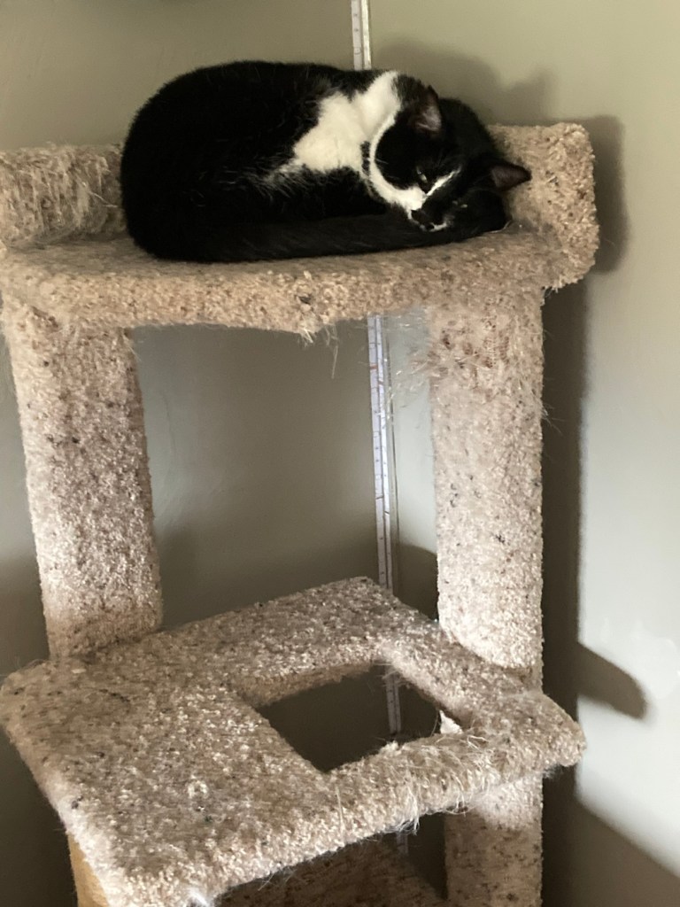
Today was our first full day at our Bozeman, MT housesit, so we are at the beginning of starting a routine with the four dogs and two cats. The dogs, so far, have been much easier than I was anticipating. Eating and sleeping is mostly what all pets (and really humans too) desire it seems, with a little activity thrown in.
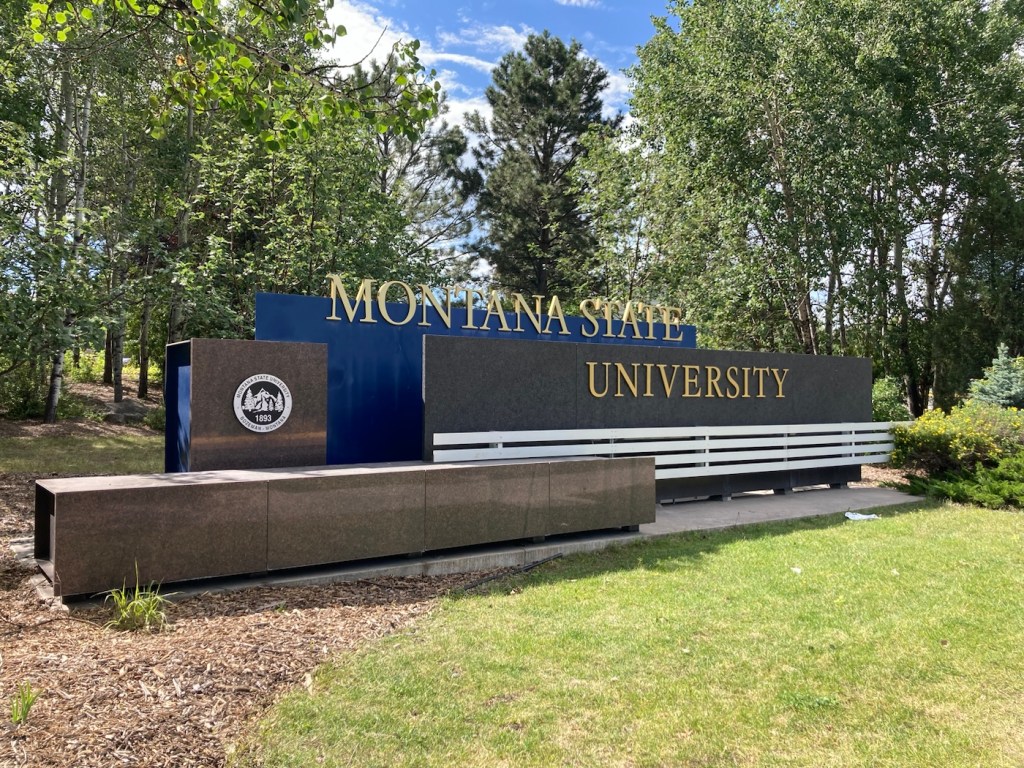
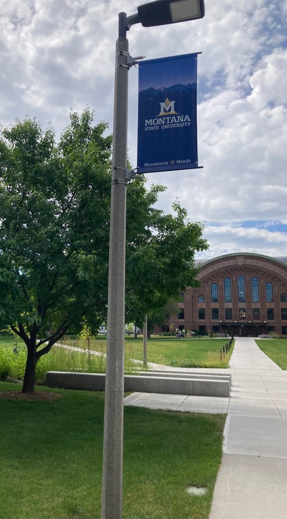
Our time out of the house for today began with a stop at the Bozeman Visitor Center to pick up a few pamphlets and magazines to identify possible activities for our two-week sit. Then, we headed to Montana State University (MSU) and a self-guided walk around their campus.
A nice welcoming sign.
The university is located right in the center of town, just a couple of blocks from Main Street. The university was founded in 1893. It currently has an enrollment of over 16,000 students with around 250 different degree programs. It is among the top 3% of public colleges and universities in the nation in research spending, surpassing $200 million annually in 2022, with expertise in areas such as biomedical sciences, energy, optics, solar physics, agriculture (its focus on fisheries gives it its nickname Trout U), snow science (apparently, there is such a thing), Yellowstone studies, paleontology, and more.
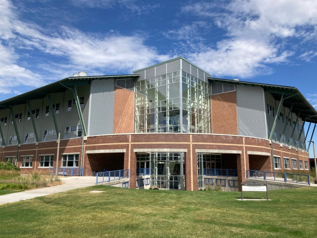
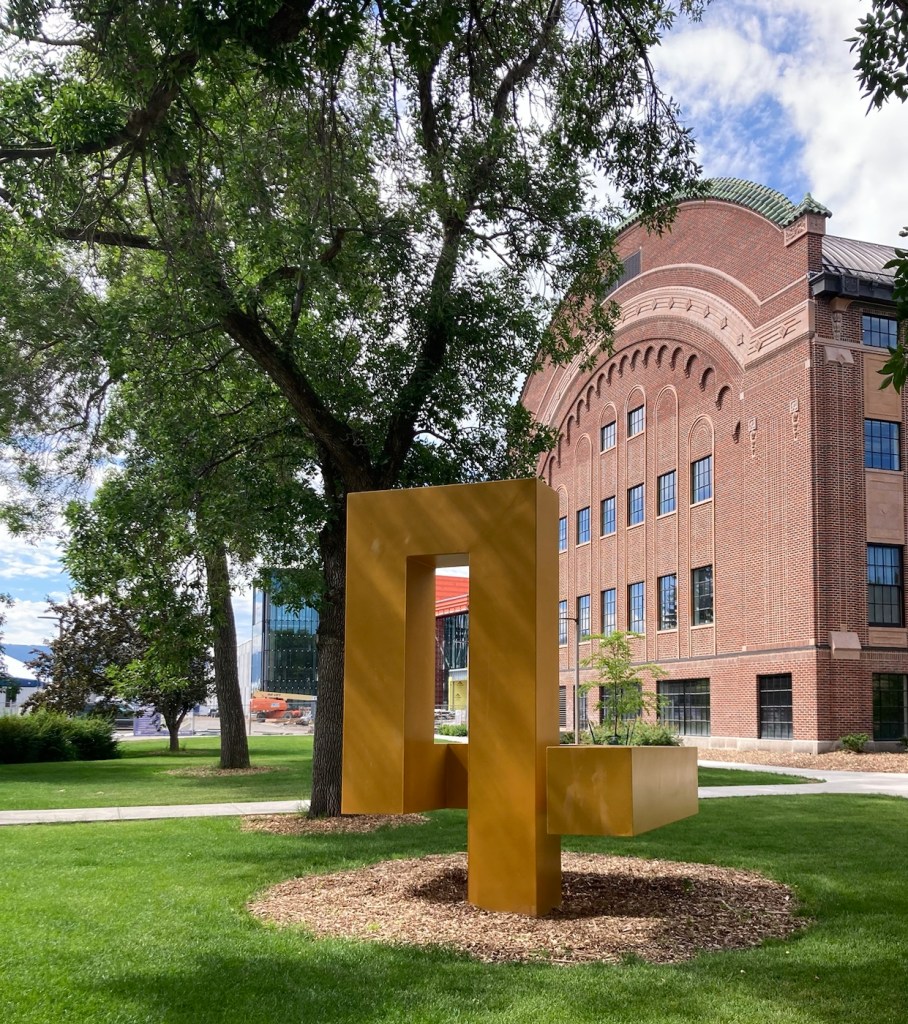
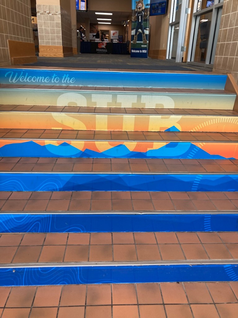
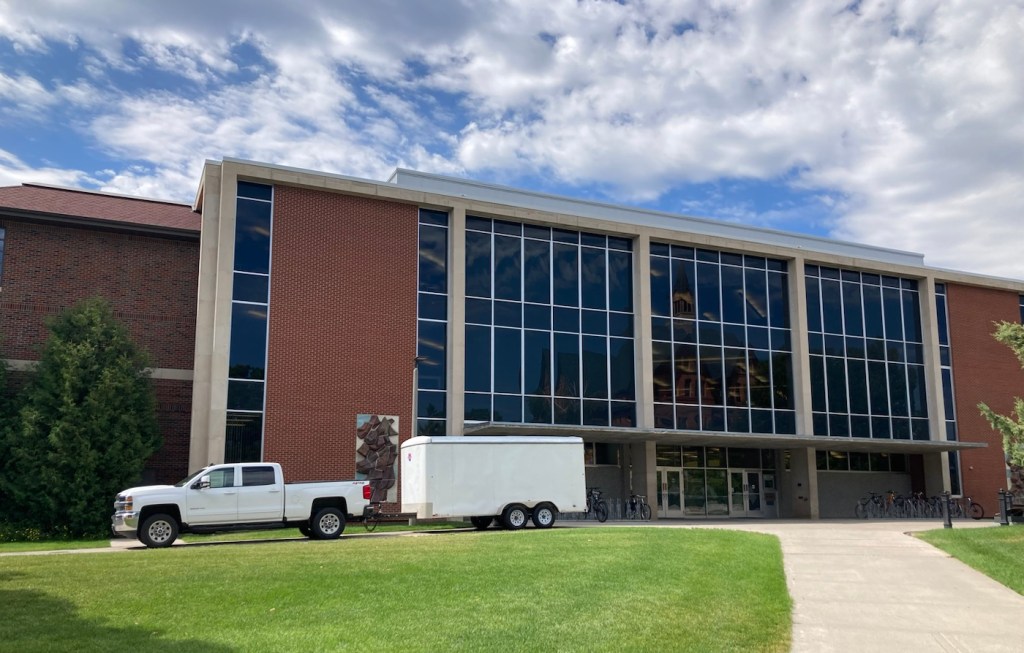
Our walk seemed to be coinciding with New Student Orientation, as we saw a number of tour groups being lead around campus. The campus is attractive, but lacks helpful signage (as in campus maps). Many buildings seemed newer and were impressive. Two buildings we always like to find on campuses are their student unions and library. Unfortunately, these two buildings were unremarkable.
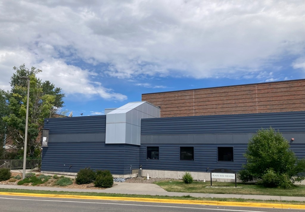
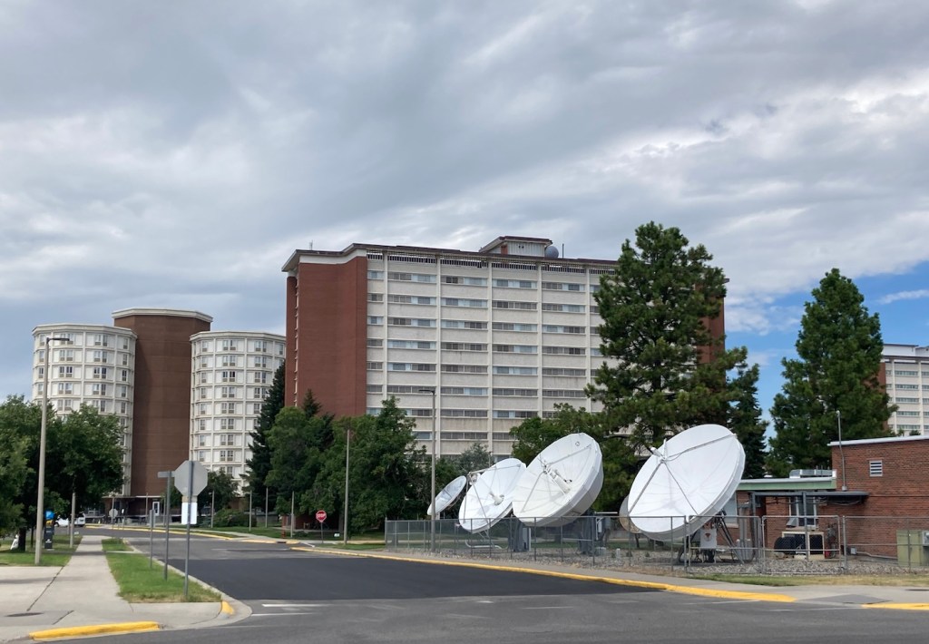
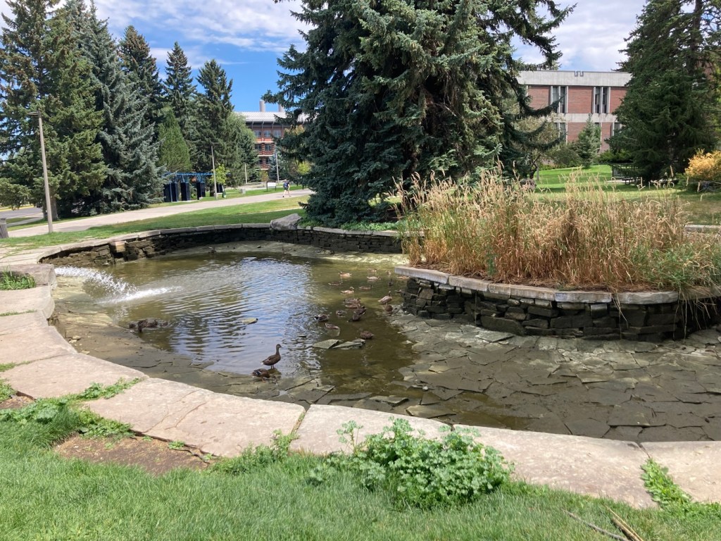
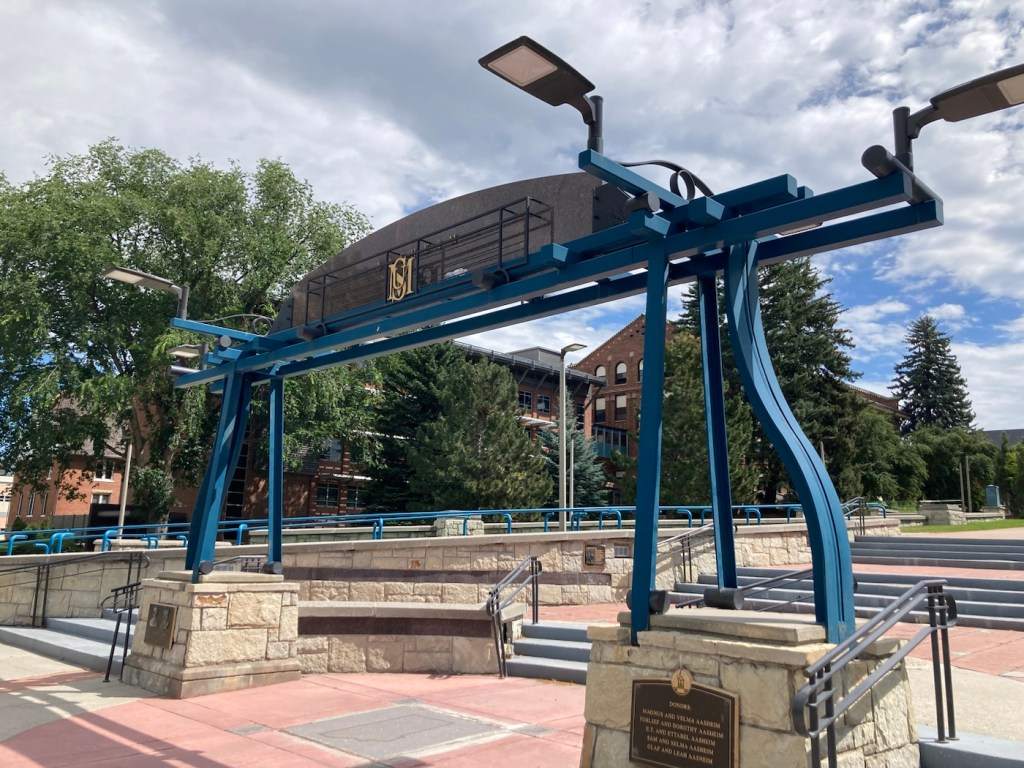
Linfield Hall, home of MSU’s College of Agriculture The new-looking chemistry and biochemistry building The bobcat mascot in the Alumni Plaza.Montana Hall, the Administration Building, completed in 1896Banners located throughout campus. Thought the slogan was appropriate.Public art on campusThe small Strand Student Union building Painted steps in the Strand Union Building A marker on campus commemorating the Lewis and Clark expedition in the local areaThe Roland R. Renne Library, named for a former university president, architecturally and aesthetically uninteresting inside and out.The Black Box Theater on campus. It houses the faculty for the Department of Media and Theater Arts as well as complete scene and paint shops and a costume department.Older dorm buildings on campusThe MSU Duck Pond Spring was being refilled.A nice entrance onto campusBozeman is near some ski country, and this seemed to be a fun design of a ski lift for a bench.
We ended our exploring at a Rosauers Market, a nicer local grocery. Plan A was to get ingredients for dinner, but their prepared foods section was so impressive, we picked up ready made salads and sandwiches. We’ll cook tomorrow.
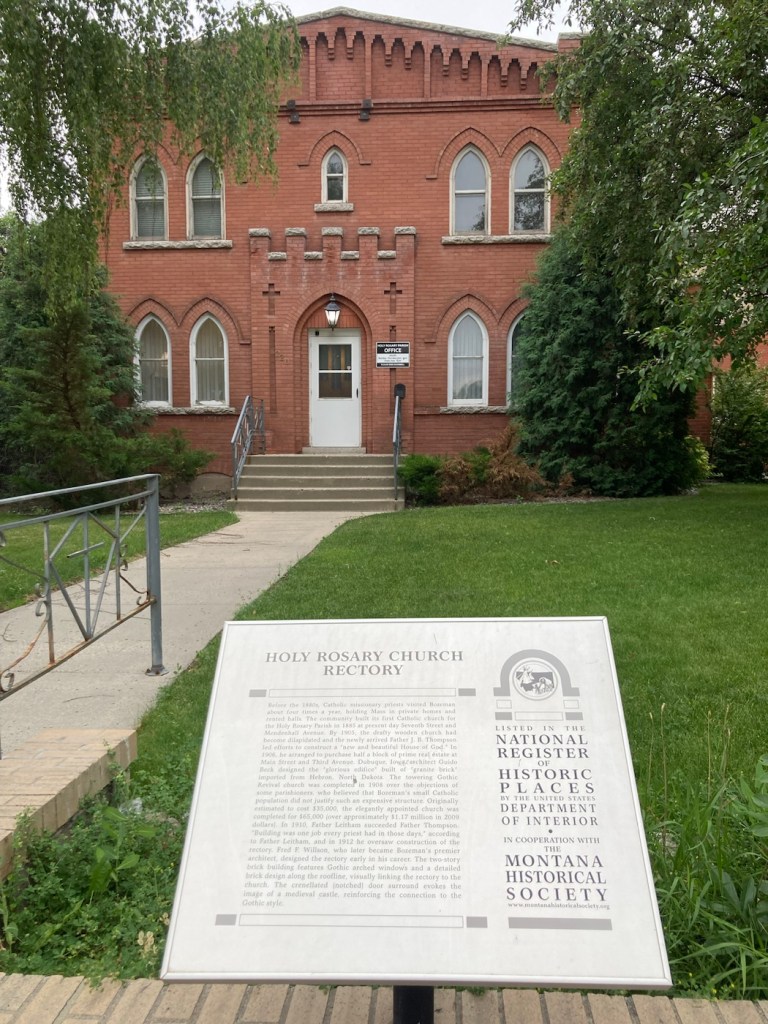
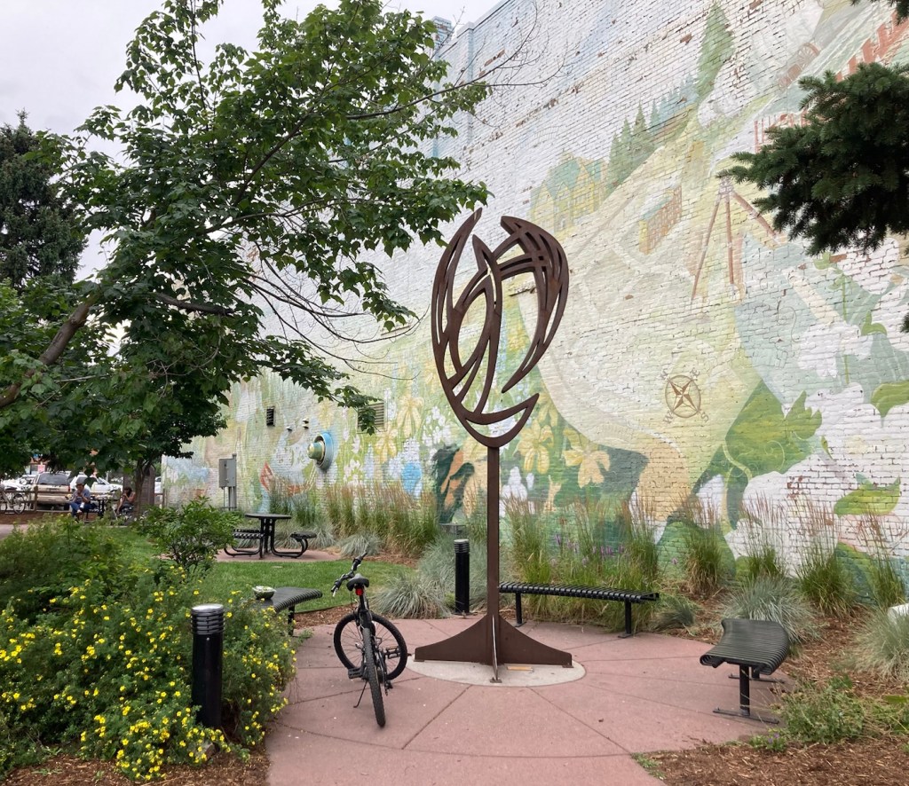
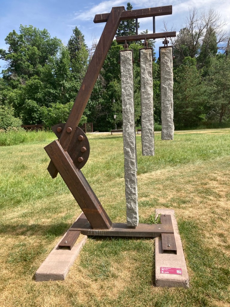
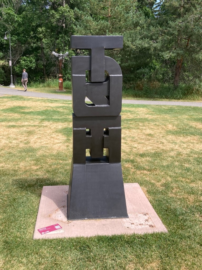
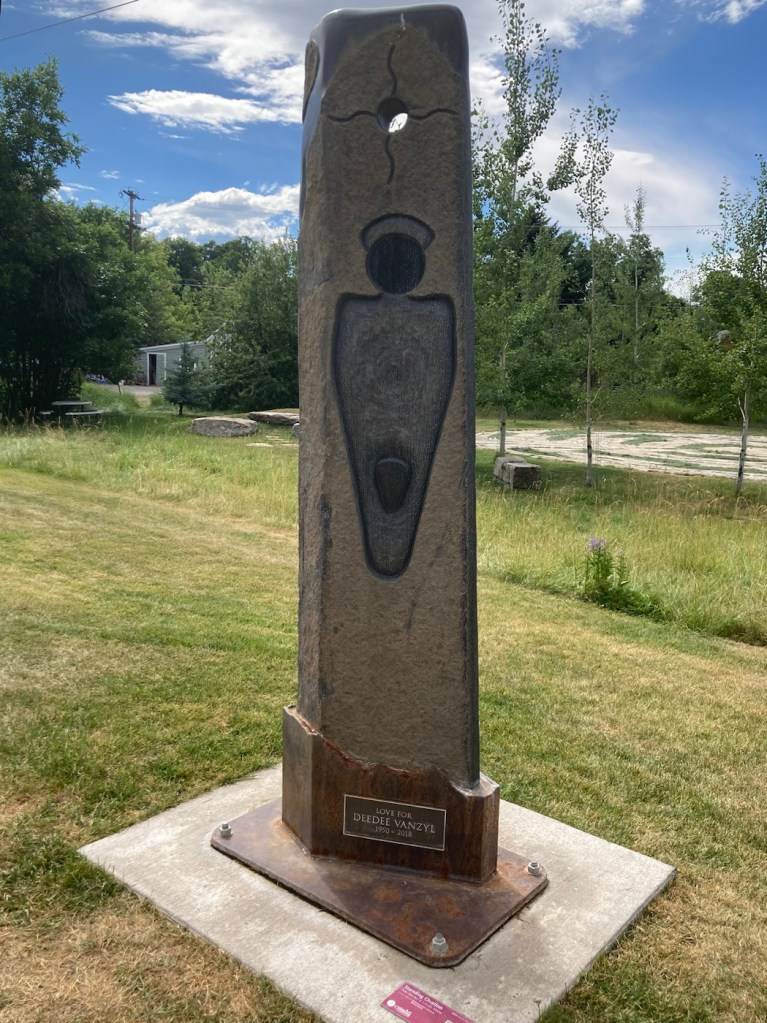
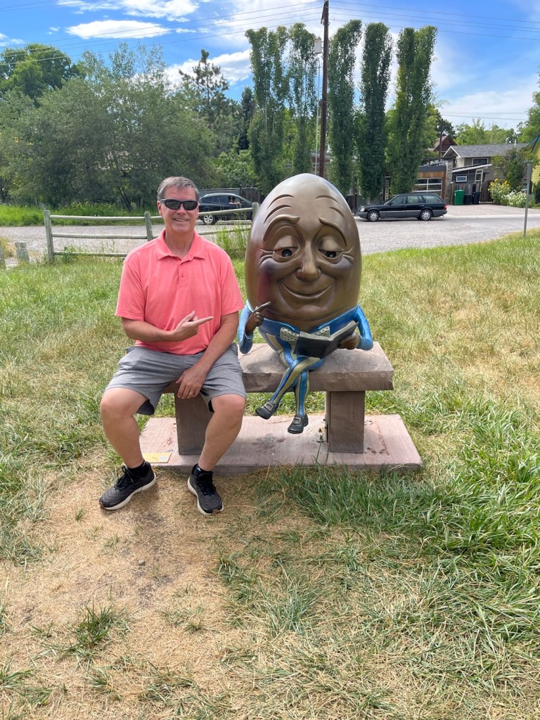
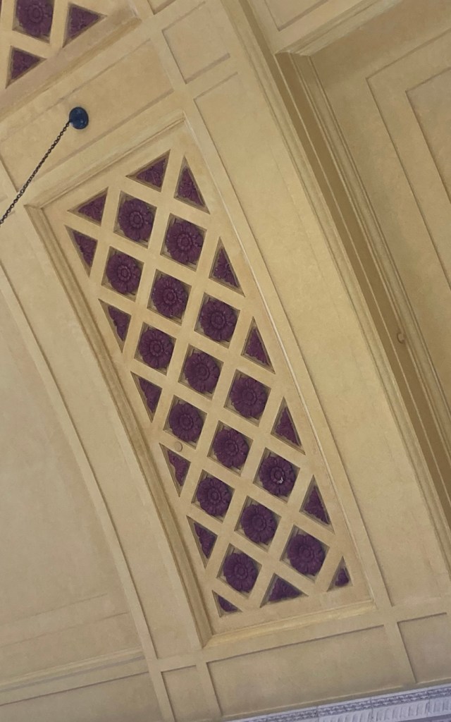
Yesterday afternoon after Bob and I arrived at our hotel in Bozeman, we visited a sculpture park and library just a few blocks from the hotel. It was a fun introduction to our new community home for a couple of weeks.
Three Ancient Harmonics sculpture by Danny KrausTruth IV sculpture by MacRae WildeStanding Ovation statue by Pete Stecher and Ursula Neese for DeeDee VanzylBob even got a big head photo with Humpty Dumpty. He has a similar photo with Humpty Dumpty from St. George, Utah, from a few years ago.
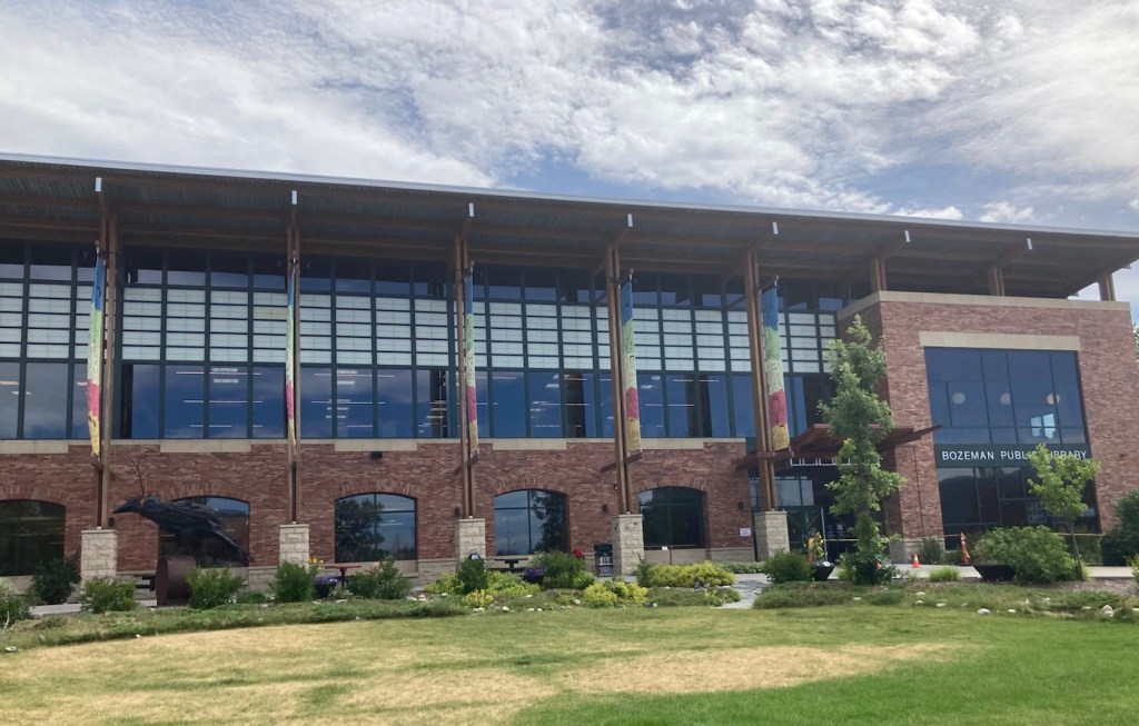
The sculpture park was located in Lindsey Park behind the Bozeman Public Library, so we checked that out as well.
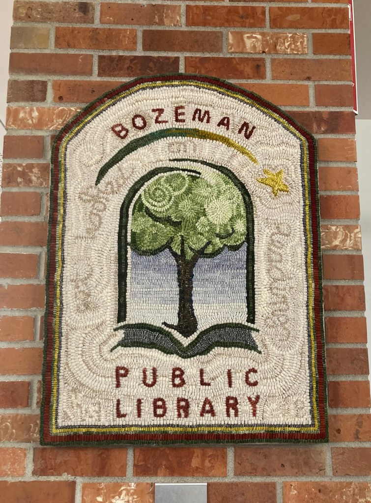
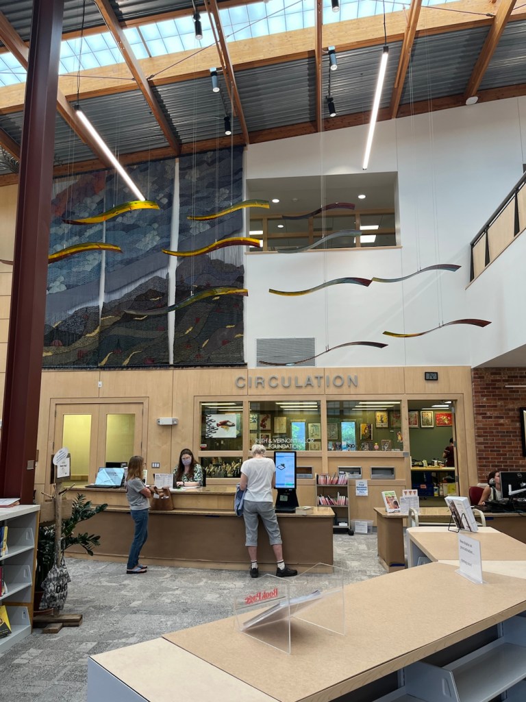
The Bozeman Public LibraryTwo Children on a Bench sculpture beside one entrance to the library A cute hooked rug hanging in the libraryThe main first floor room of the library One of many great views from the 2nd floor of the library
This morning at 8:00 am we met with the family for whom we are currently housesitting for the walk through before they left for a trip to London and then onto Scotland. We will be caring for 4 dogs and 2 cats while they are away.
The chill Beau, although he does like to “talk” to the travelers on the hike and bike path behind the houseCruiser, who will play catch all day, and is also a licker.Jane who is a bit tentative with everything, as she doesn’t see very well.Tiana, the leader of the pack, who likes belly rubsMarie who likes to sleep atop the kitchen cabinets when she’s not hanging out in the daughters’ rooms.Hermione, who prefers to stay in the daughters’ rooms
As they have their unique meals and needs, we’re looking forward to getting to know each one a little better as well as this beautiful community.
Bob and I were up at 5:45 am today to start our drive from Rapid City, South Dakota to Bozeman, Montana for our next sit. However, before we even thought about heading to Montana, we had to see Mount Rushmore. Beth had never been there, and Bob hadn’t been there since high school. It was only a 30 minute drive from Rapid City.
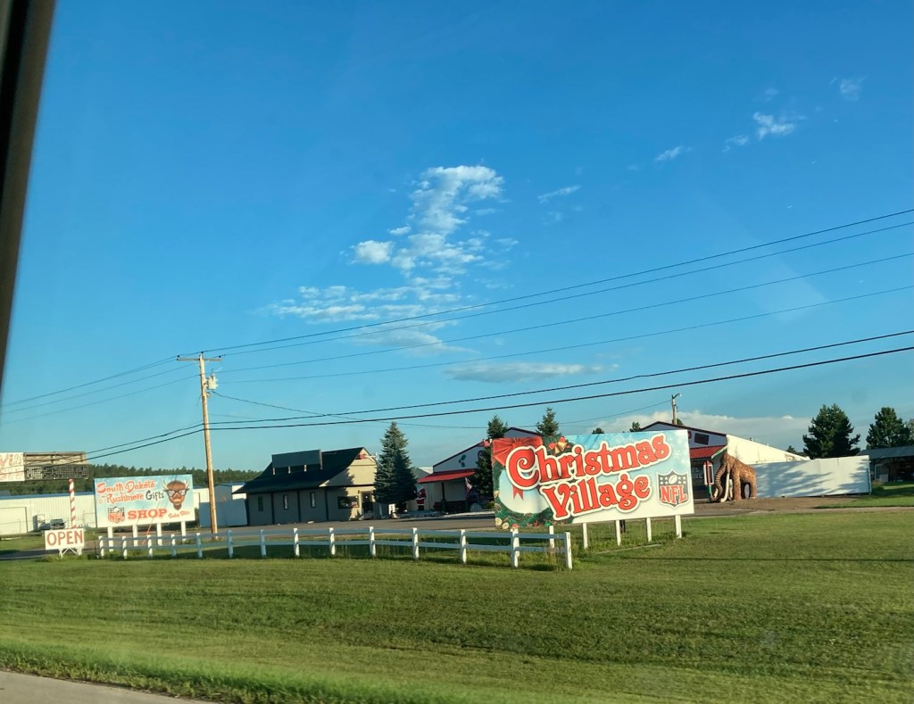
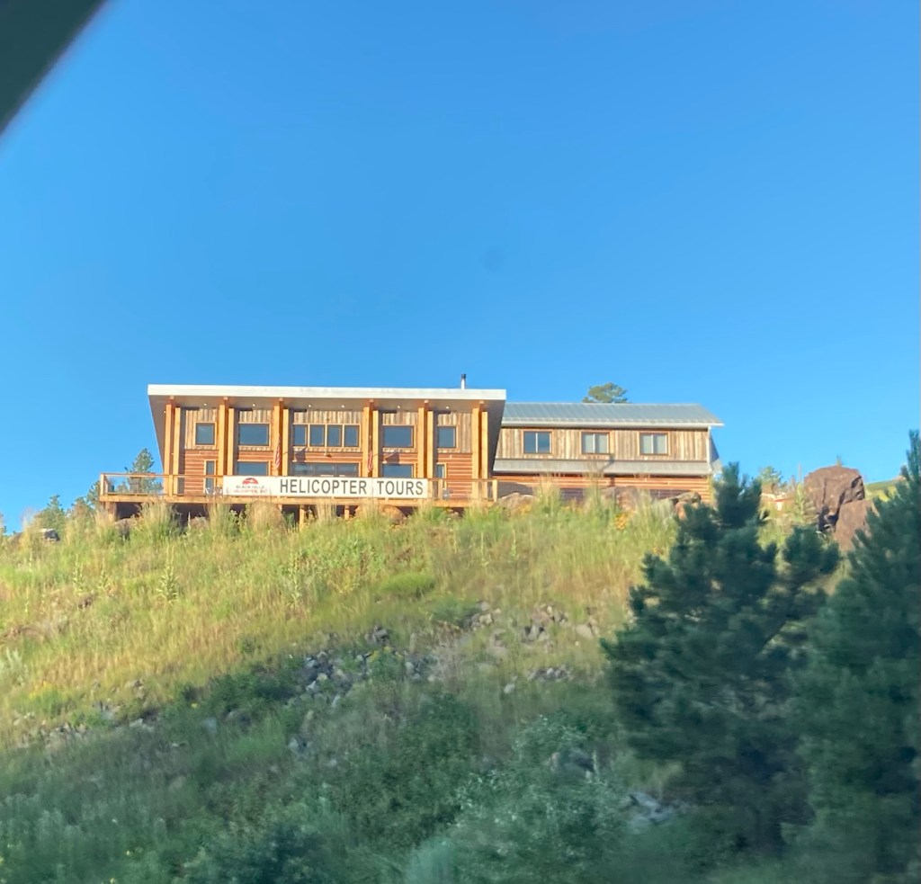
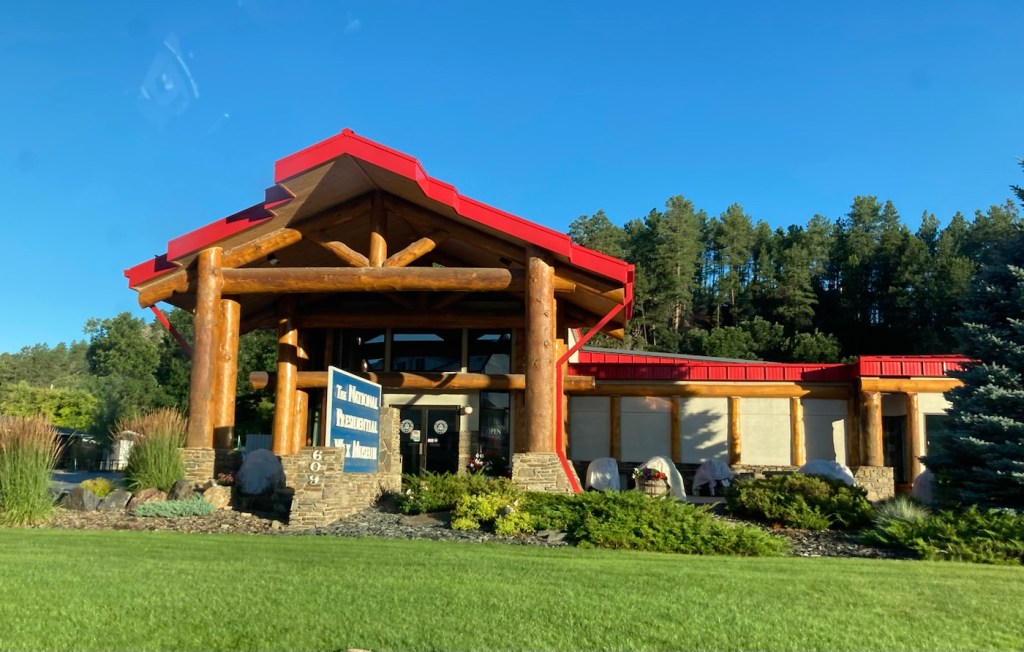
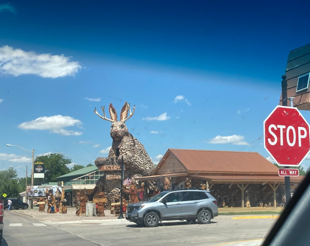
As with yesterday and the advertising for Wall Drug, we passed a lot of touristy sites on the way to Mount Rushmore.
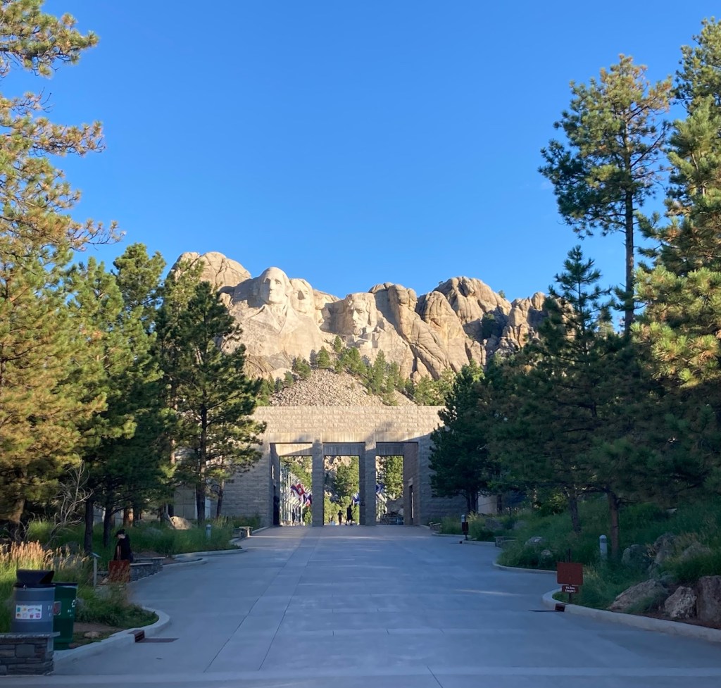
Old MacDonald’s Petting Farm, how could parents say no?Christmas Village, what could be merrier?Okay, no kitschy, just thought this was a cool bridgeHelicopter tours in case you want to look the stone presidents in the eyesThe National Presidents Museum where they say they have every US President created in lifelike wax.Our first glimpse of Mount Rushmore before driving into the National Memorial.
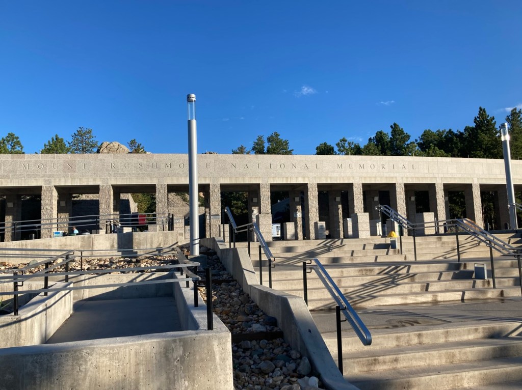
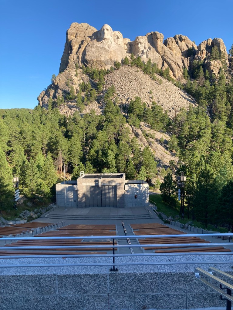
The Mount Rushmore National Memorial opens at 5:00 am daily, and the website encourages you to come before 9:00 am if you want to beat the crowds. After dressing, loading the car, checking out of the hotel, and filling up with gas, Bob and I got to the park a little before 7:00 am. There were only about 6 other people there. It was amazing. The only way to truly take in the incredible sculpture of Washington, Jefferson, Roosevelt, and Lincoln, but also the beauty of the memorial and the natural surroundings.
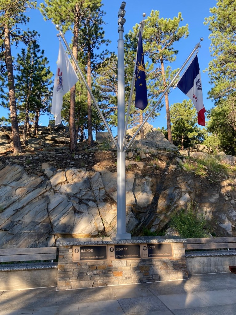
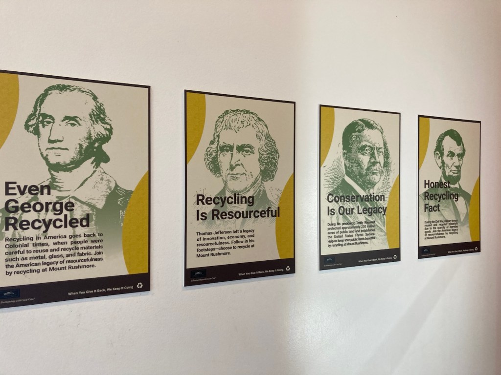
Walking up to the memorial from the parking garage belowLooking towards the sculpture as we entered the memorial A sculpture of the sculptor, who began this work at age 60 and saw it almost to completion after 14 years.Another look at the monument as we approach the Avenue of FlagsThere is a flag for each US state, the District of Columbia, and 2 US commonwealthsAt the end of the Avenue of flags is an amphitheater and the closest view of the monument Using the presidents to encourage recycling at the park
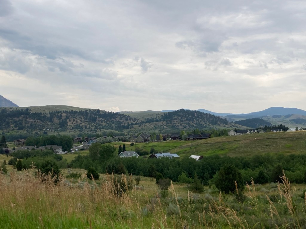
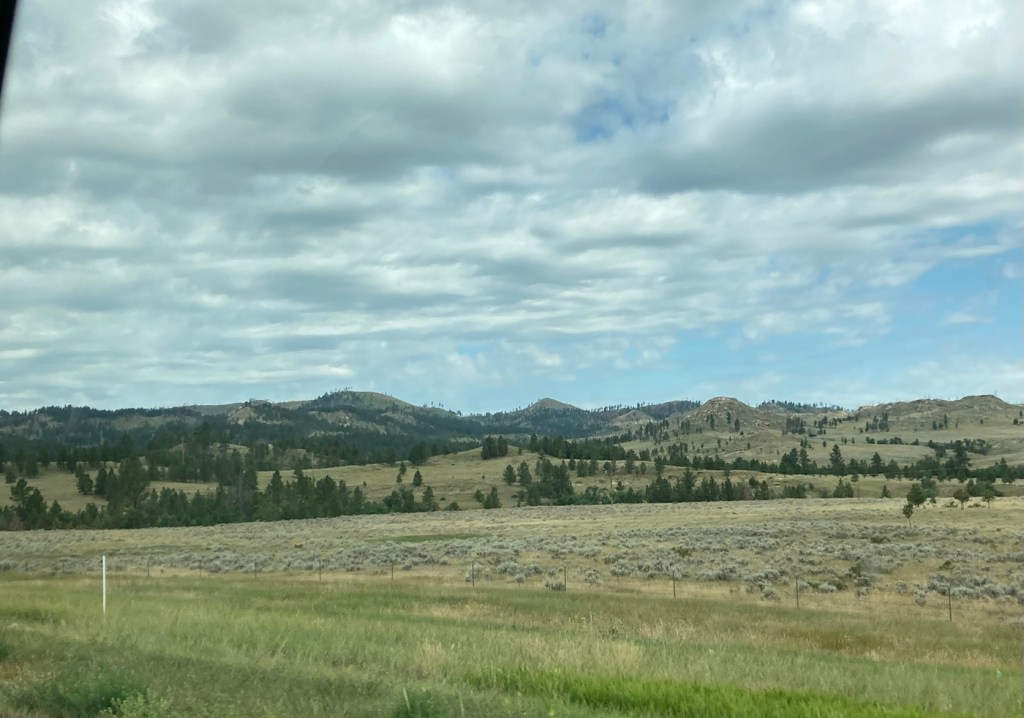
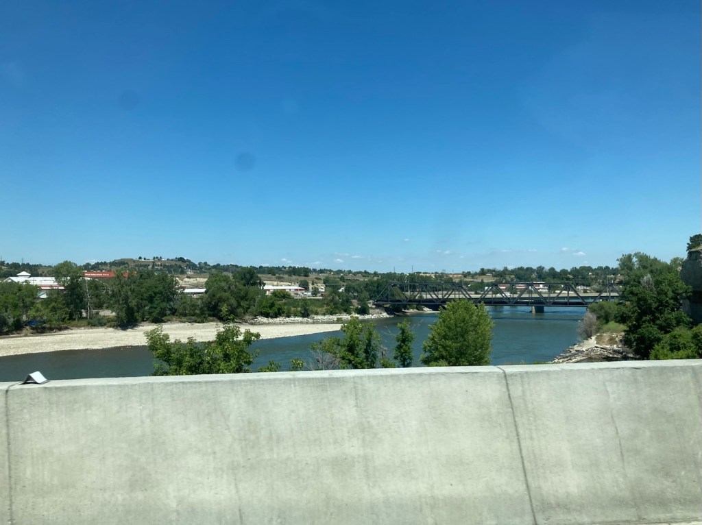
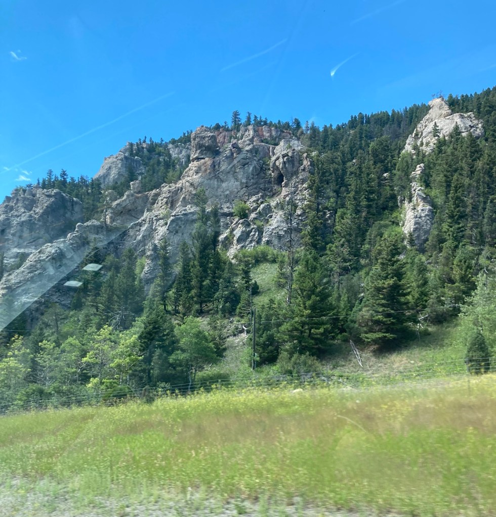
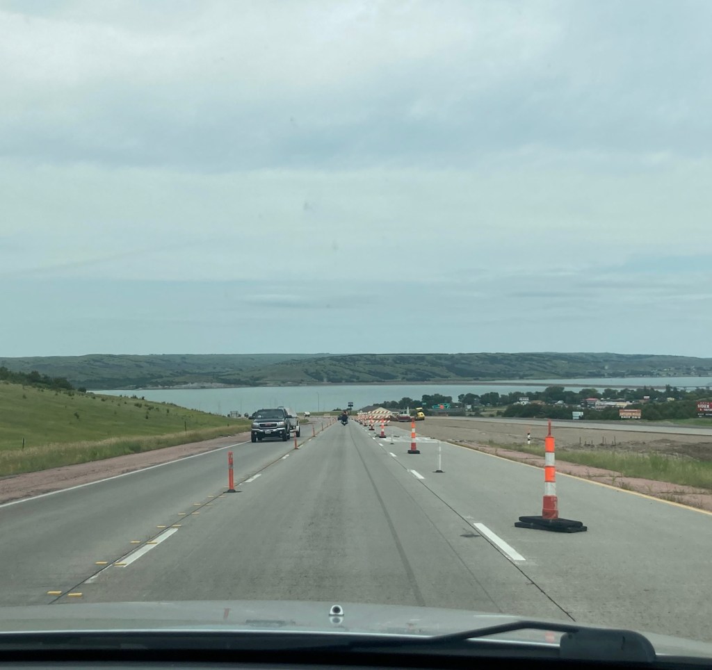
After we left the park , we had about a 7.5 hour drive to Bozeman, Montana, beginning by heading back into Rapid City, South Dakota. The entire drive from Rapid City through a little bit of Wyoming and then through Montana to Bozeman was really scenic and gave us a greater appreciation for this large, geographically varied country.
Heading into a short tunnel as we head back into Rapid City from Mount Rushmore.The beautiful green, grass covered hills of western South Dakota The butte and mesa-filled vistas of MontanaOne glimpse of many that we saw of the Yellowstone River in MontanaPart of the Bridger Mountain range along I-90
Early this morning (about 6:45 am), we left the sweet Becca and headed towards Rapid City, South Dakota, on our way to our next housesit in Bozeman, Montana.
Beautiful Becca
We loved our St. Paul housesit, maybe because both of us being Midwesterners, it felt like home — only with awesome bike paths. The drive today was 8.5 hours without stops.
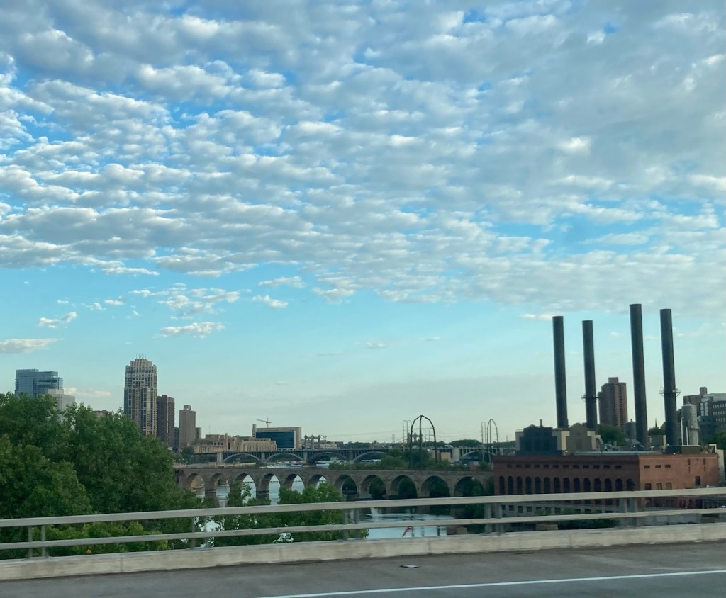
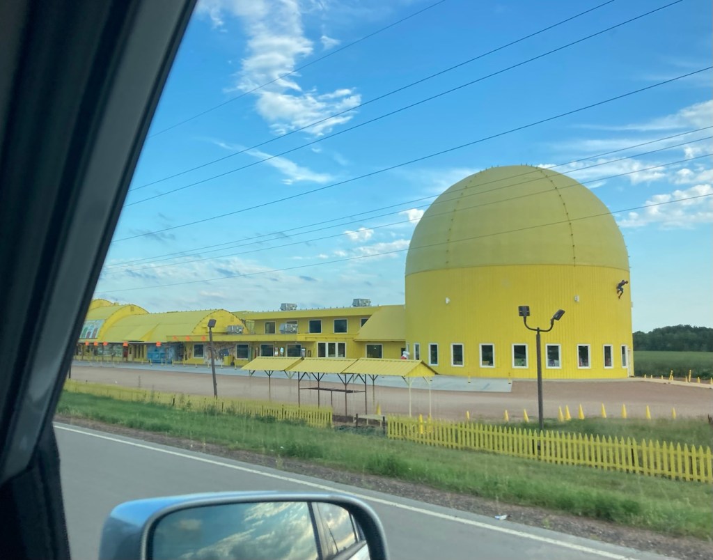
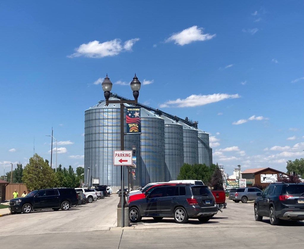
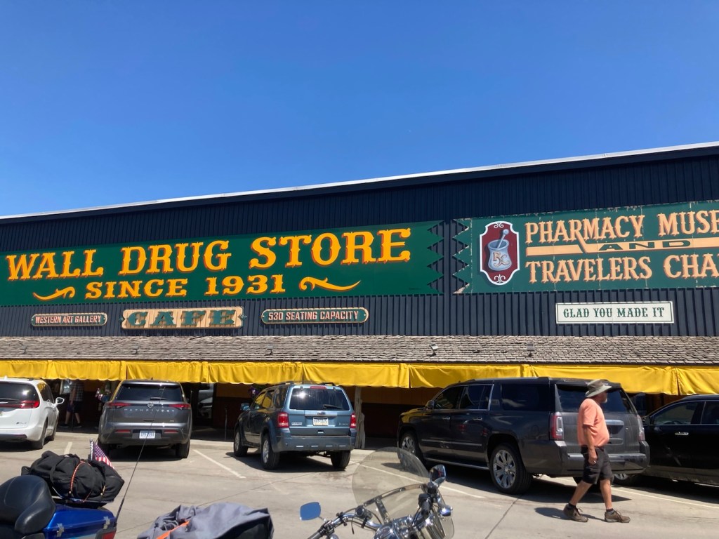
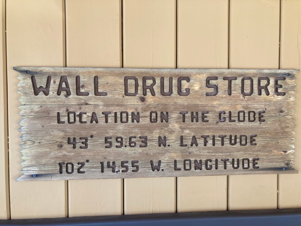
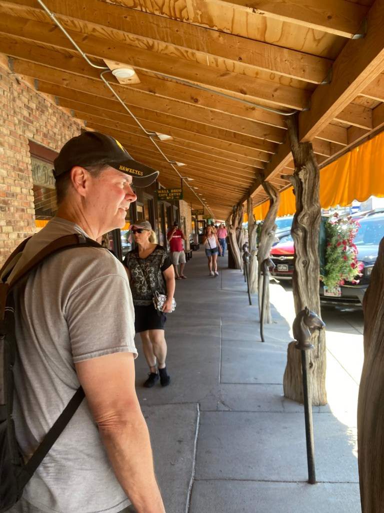
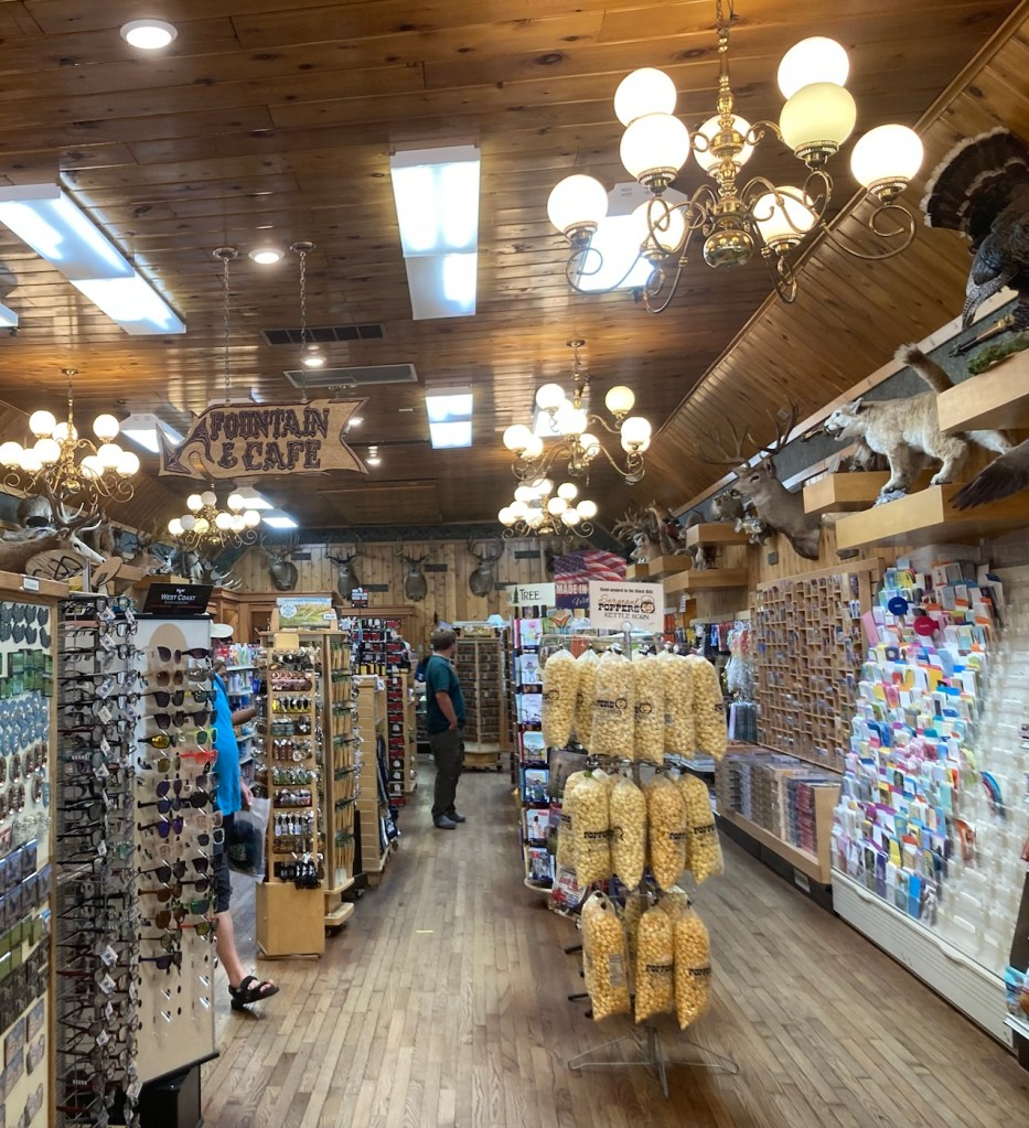
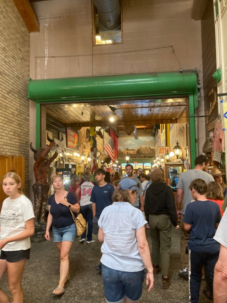
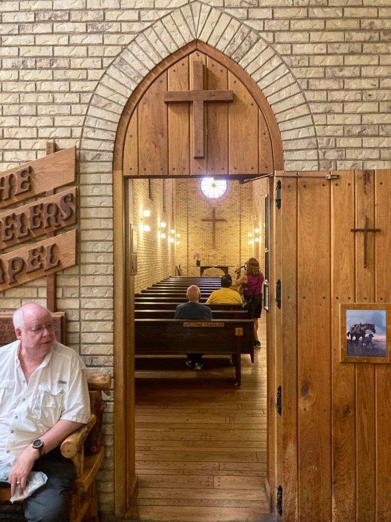
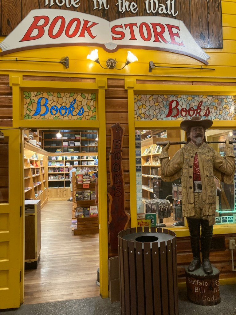
Driving by the Minneapolis Stone Arch Bridge on the way out.Driving by Minnesota’s largest candy store in Jordan, MN.Driving down towards a lake in South DakotaOne of MANY signs throughout South Dakota advertising Wall Drug in Wall, South Dakota Driving past a chainsaw art store in Wall, South Dakota, on our way to Wall DrugCrossing the main street in Wall, South Dakota, towards Wall DrugThe famous Wall DrugJust so everyone knows where they areWalking under the awning of Wall Drug What do you know, it is actually a drug store.That has drawn in many, many people due to all their billboards along I 90.But also with a traveler’s chapelAnd a bookstore And a fake Mount Rushmore
Bob and I gave equal opportunity to each of the Twin Cities today by doing a guided tour of the Union Depot in St. Paul and then doing our own “tour” of Lake Nokomis by walking the 2.5 mile trail around it. We continue to enjoy all the many free activities that this area offers.
I had read about the free historical tour of Union Depot on the Visit St. Paul website. These tours are just getting started and are currently being offered twice a month. We parked in the farthest Union Depot parking lot for $2.00. The tour was an hour long and provided by Cynthia of Cyn City Tours, who is paid a flat rate from Union Depot to conduct them. She also does haunted tours of the depot in October.
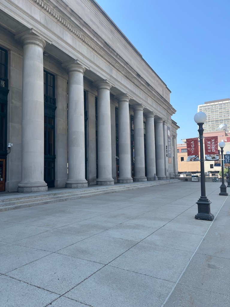
The current Union Depot building is the 3rd one on the site, the first two having been destroyed by fires that started in on-site restaurants. The original Union Depot opened in 1881 after James J. Hill (of the house tour that we did) convinced the other railroad owners to create one main hub. The current building was started in 1917 but didn’t open until 1923. It underwent renovations from 2010-2012.
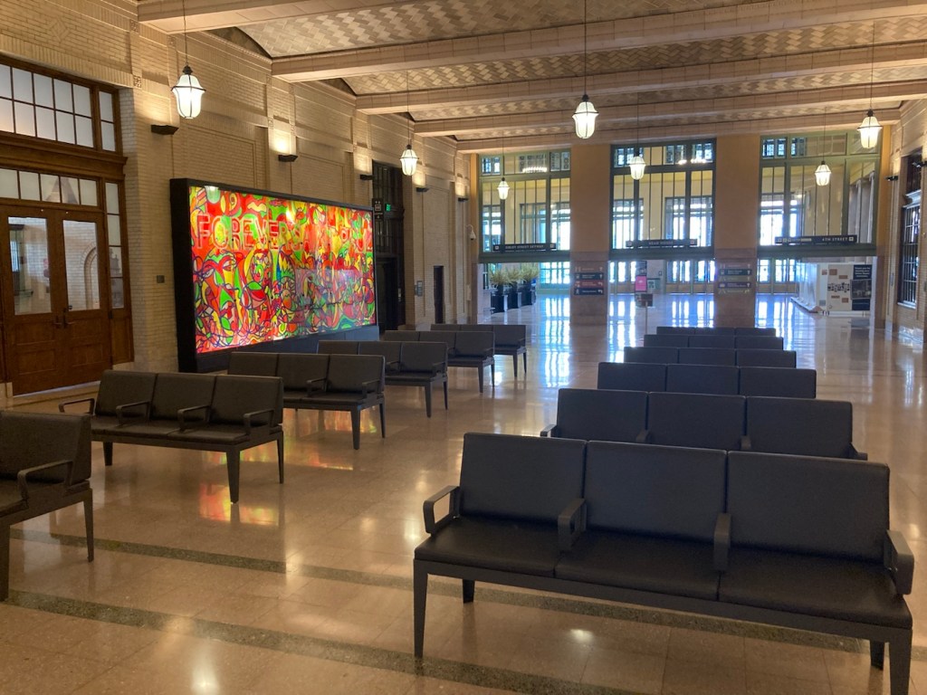
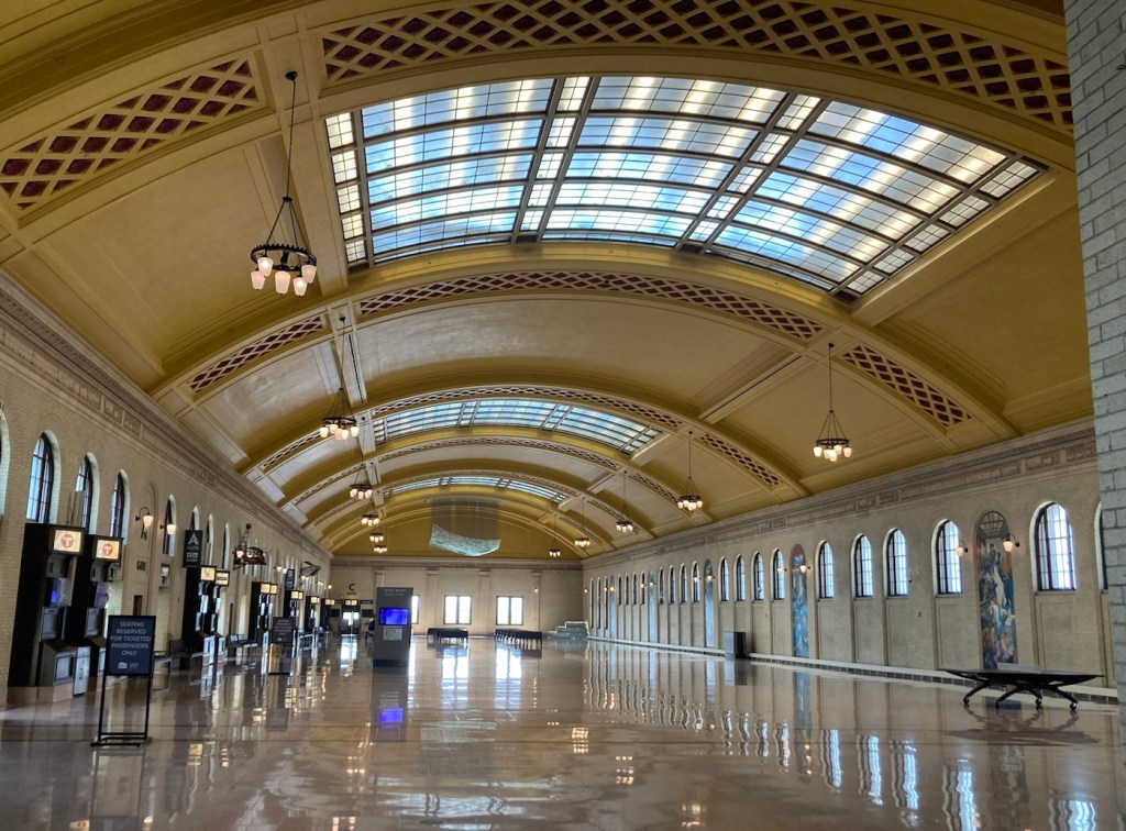
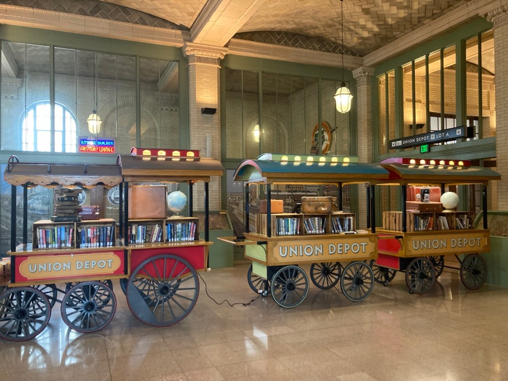
The front facade of the Union DepotThe Head House or entrance room from the street. The upstairs seating for the cafe is situated above what used to be the ticket windows.The waiting room which joins the Head House and the Concourse The Concourse where you board the buses, light rail, or trainsThe mobile free little library in the depotOne of many art installations in the depot. This is Lite-Brite Mural by Ta-Coumba Aiken. It is 216 square feet and contains 600,000 colored pegs that was put together by over 300 people in 22 days.This is Trainscape by Amy Bauer and Brian Bolton for the former carriageway of the depot, now used by taxis and Ubers.The current Union Depot building was designed by Charles Sumner Frost (also designed the Navy Pier in Chicago), whose daughter loved butterflies, so he hides a butterfly in all of his buildings. There is a small yellow butterfly on one of the red rosettes above.
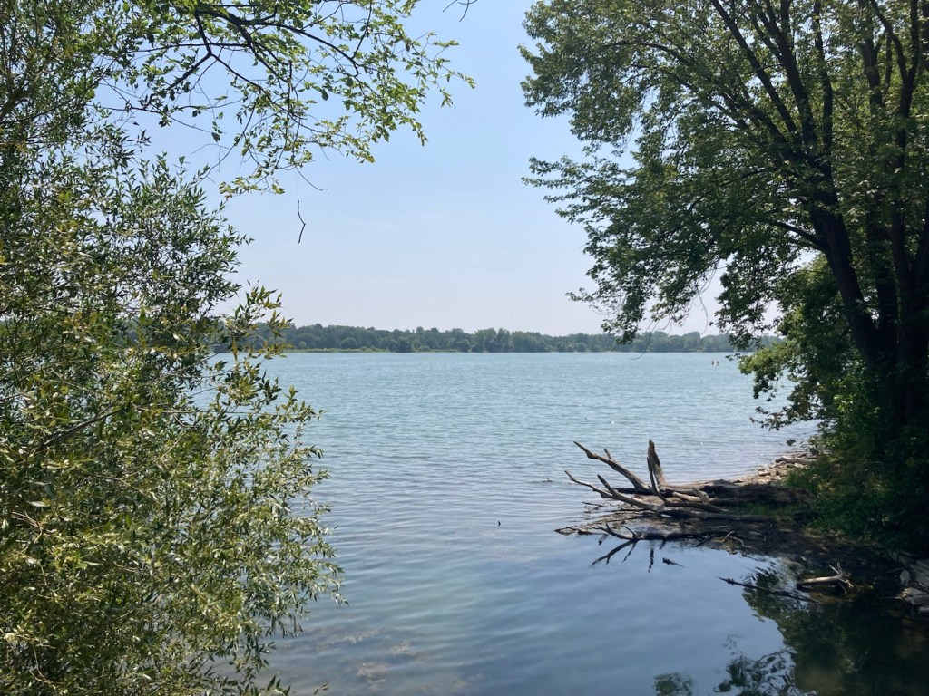
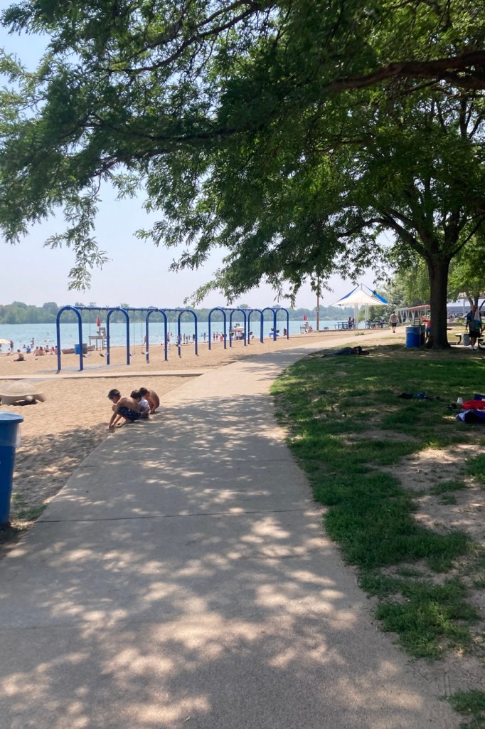
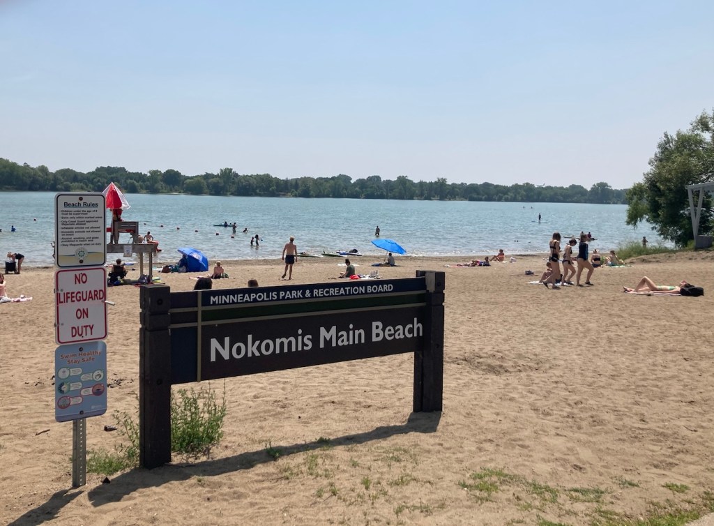
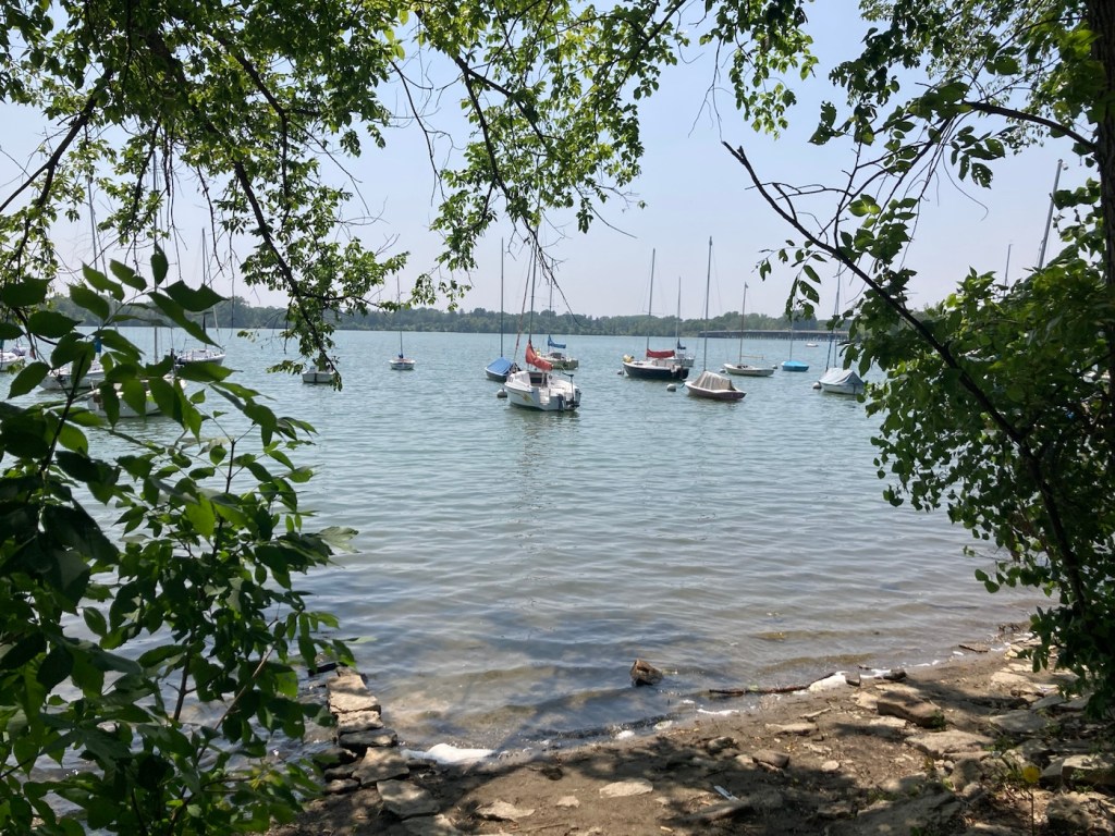
After the tour, we drove into Minneapolis to Lake Nokomis Park for a walk around the lake. Even at midday on a Tuesday, both the lake and the pathway were being enjoyed.
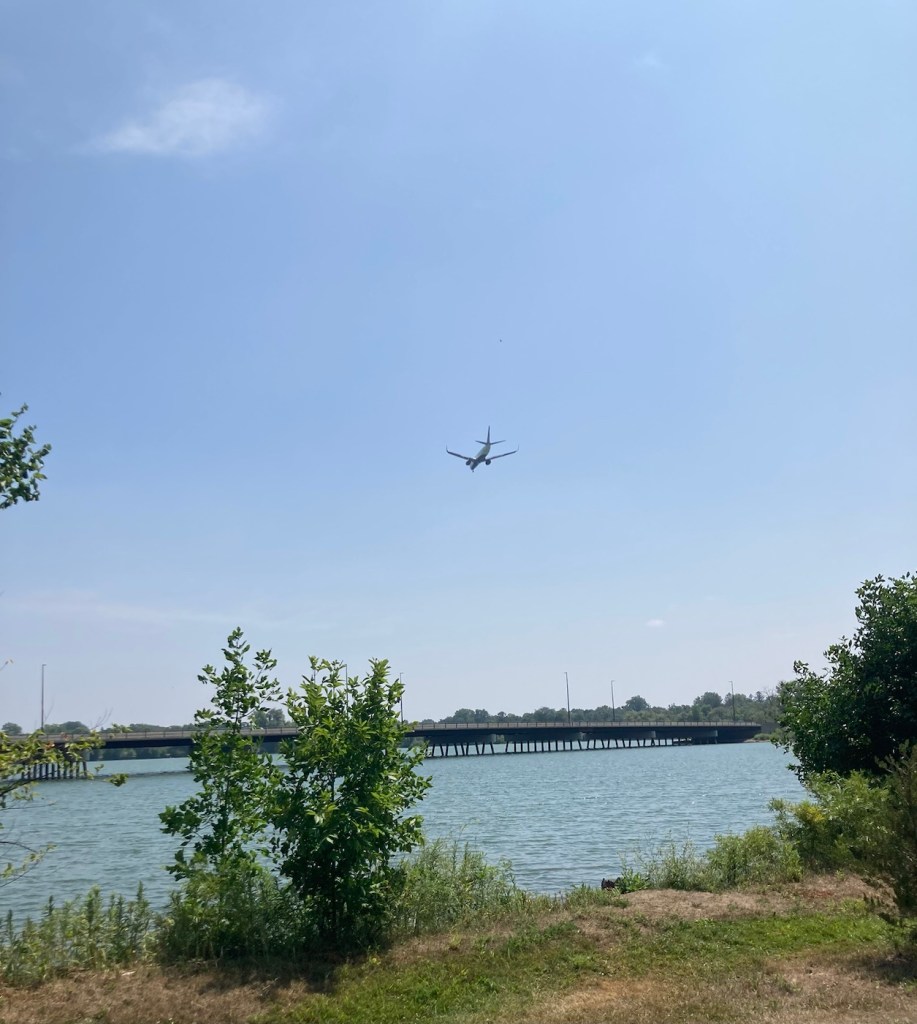
Lake Nokomis The pathway by the main beach areaFun in the sun. The temps have reached 90 F here, so a good day to be in or near water.Boats moored on the lakeMarsh area near the lakeWatching a plane descend at the airport as we walk on the far side of the lake.