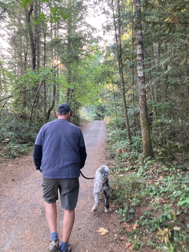
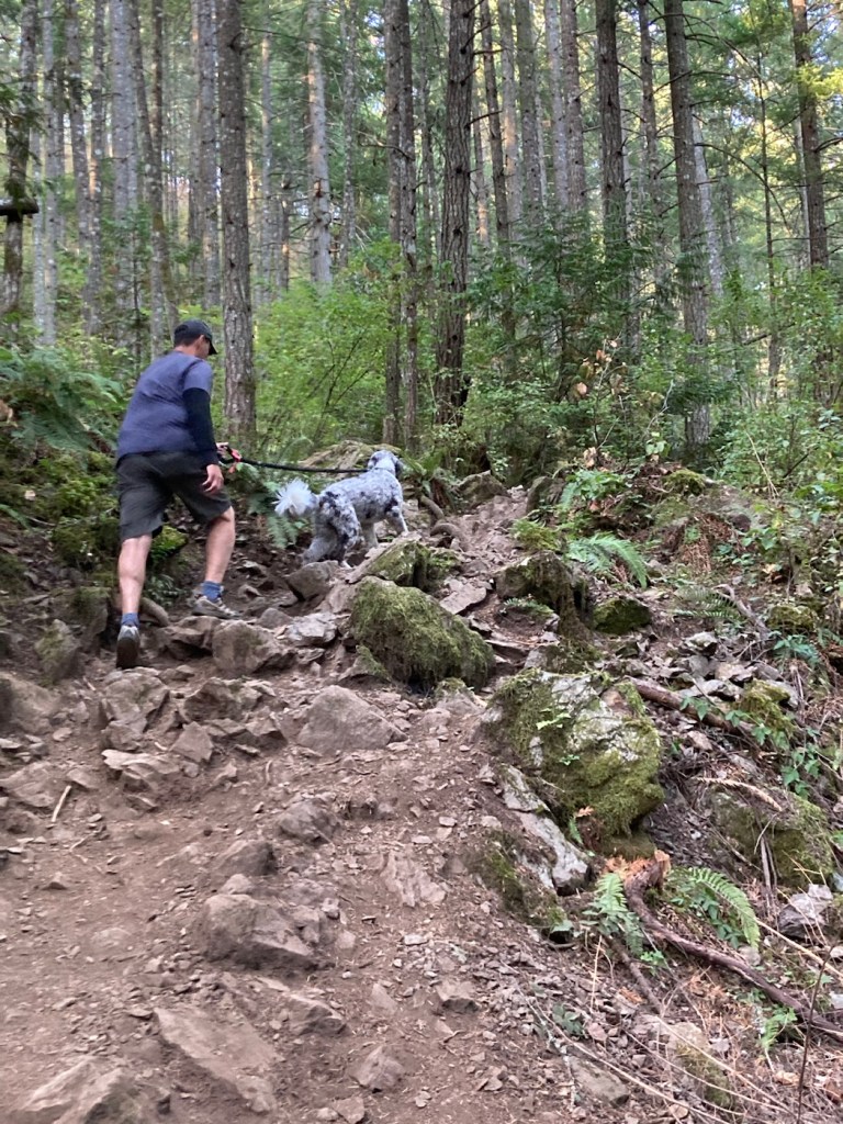
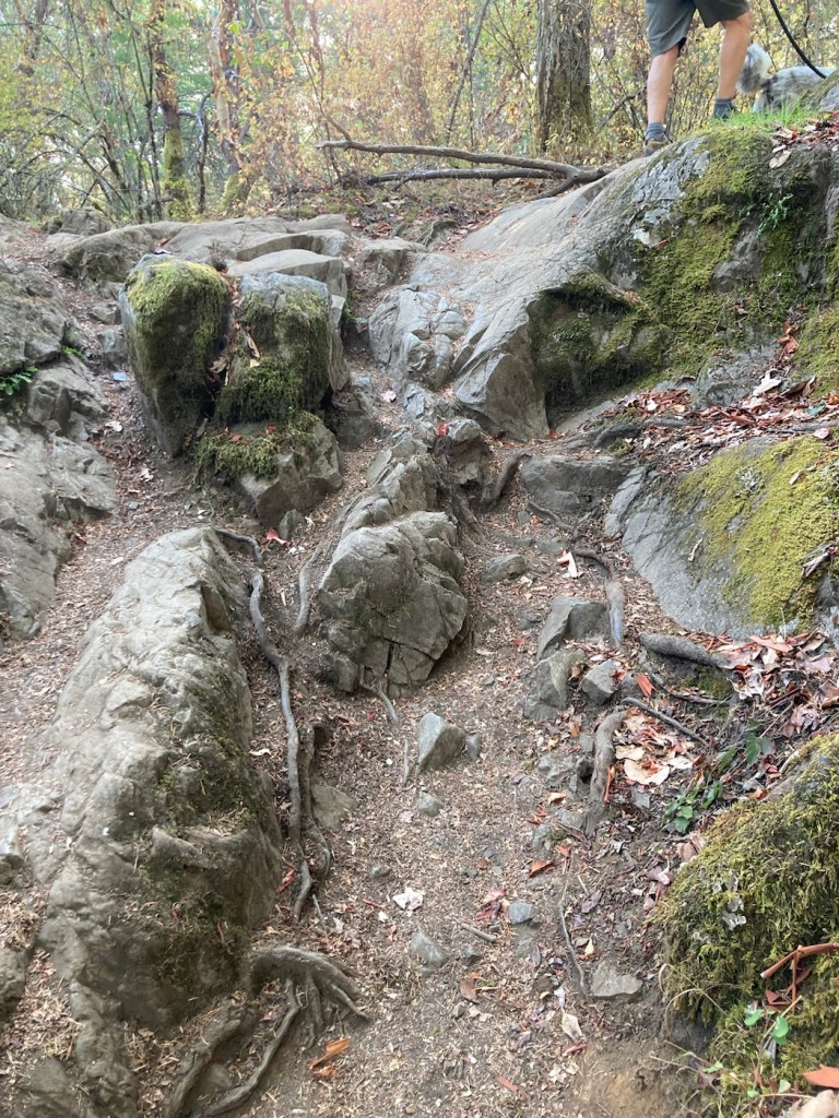
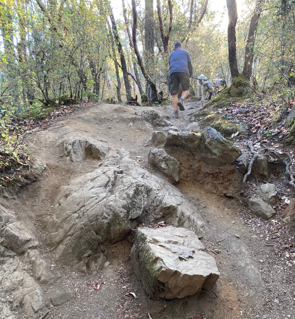
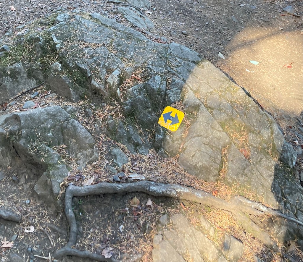
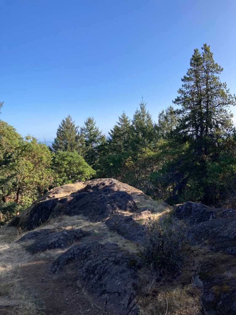
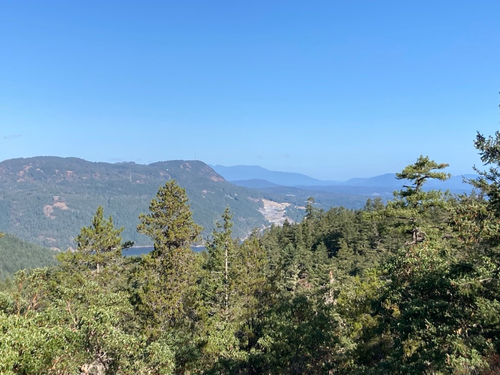
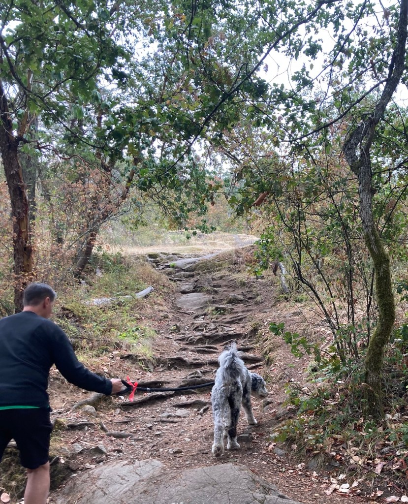
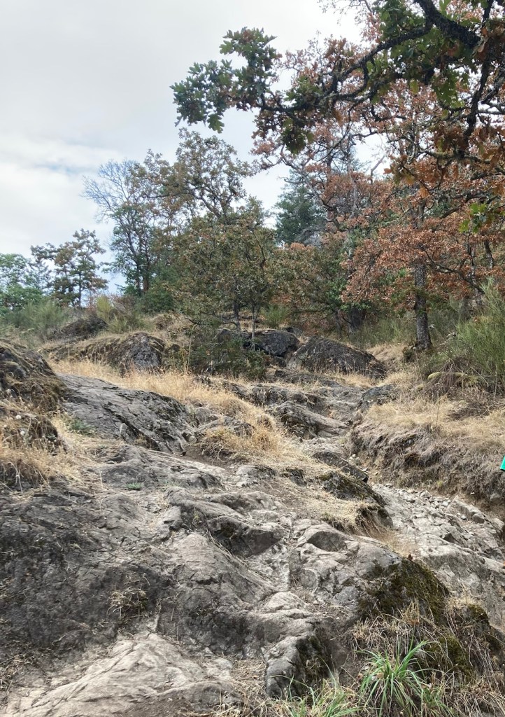
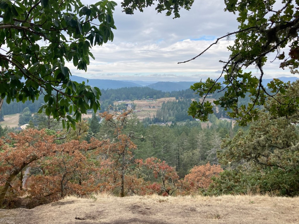
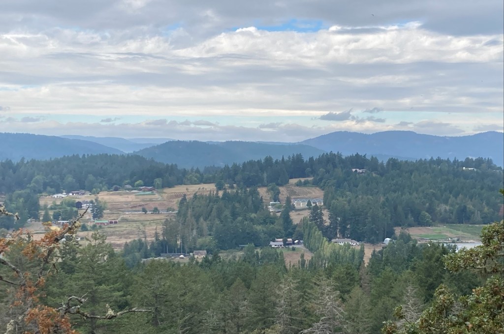
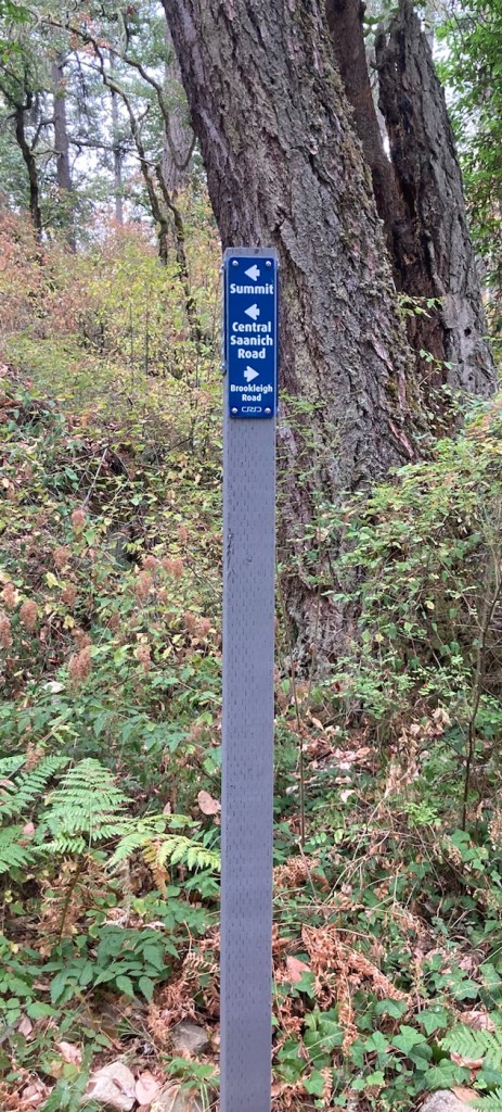
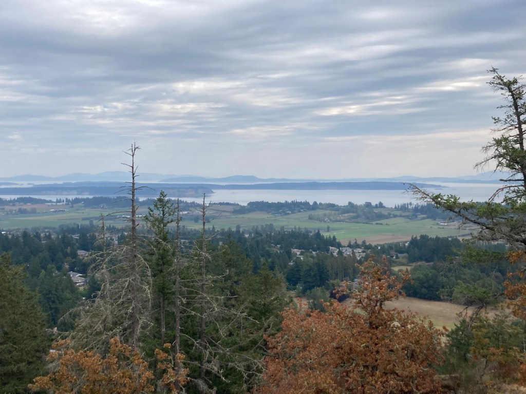
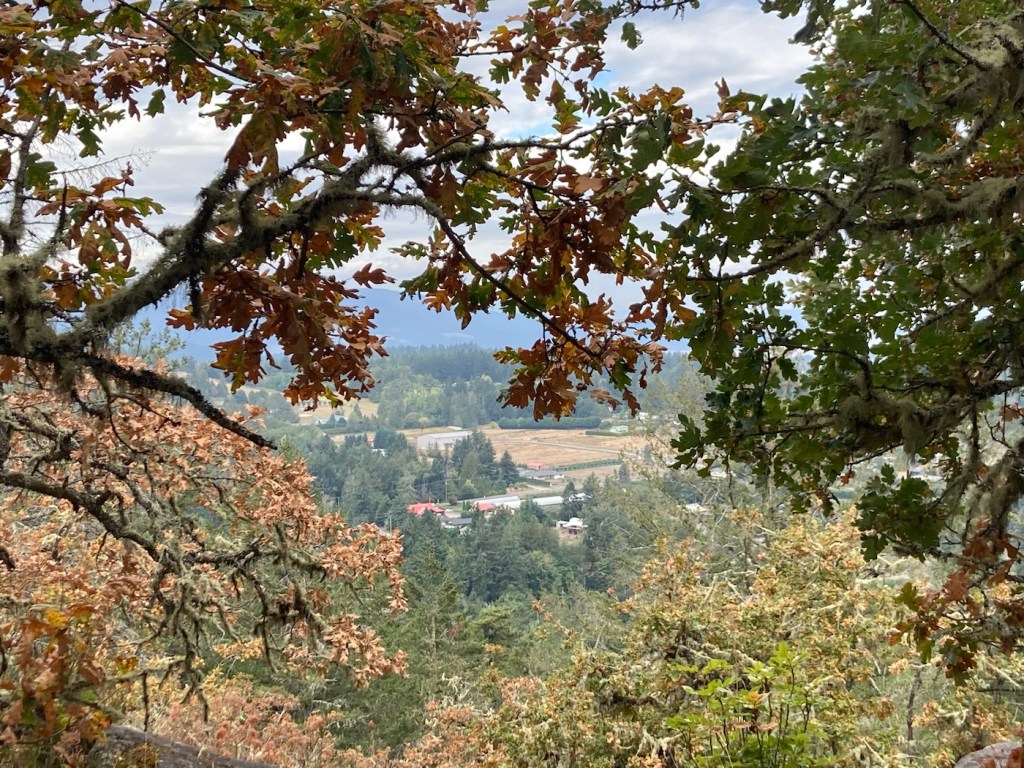
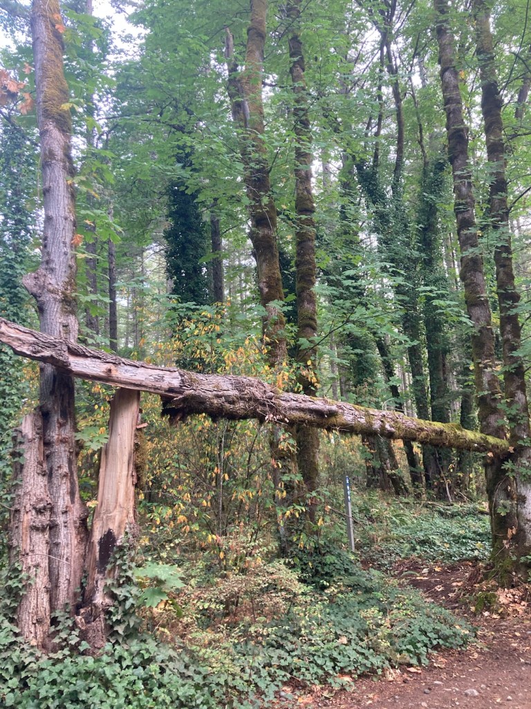
Today, Bob and I decided to explore another park with Rafa for our daily long hike. This time, we went across the island to the Mount Work Regional Park, and it is aptly named, as we did have our work cut out for us on the Summit Trail. While easy to follow, it was mostly rutty and rocky, so we spent a lot of time focusing on our footing — especially on the way down. Rafa was much better at it.
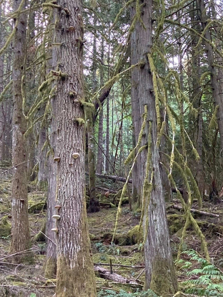
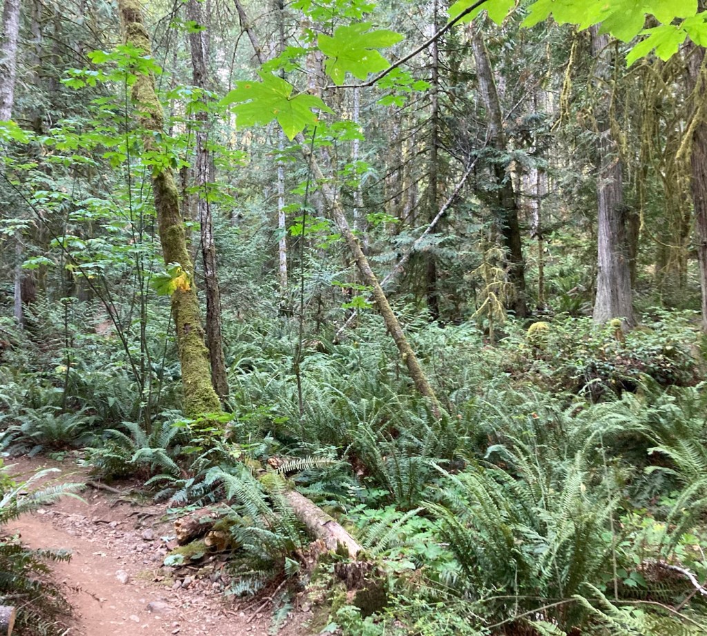
Starting out, it seems so benign.The park is forested, and some of the trees were pretty interesting to look at.Lots of ferns as well, which always reminds us of New Zealand.Rutty pathAnd then stoneBigger rocksRafa leading the wayPart of the path had this helpful yellow signage to help guide us around/over the rocks.View from the top — more rock and treesFinally a view of the surrounding area
We have had a fairly tame, close-to-the-condo few days, as Rafa has been having some stomach troubles that has had us (mostly Bob) getting up in the middle of the night for some potty runs (literally). He’s been otherwise fine in terms of energy, interest in food, etc., but we did get him into the vet the other day to ensure nothing serious was going on. As we suspected, the avid scrounger has likely eaten something that is disagreeing with him, so we are giving him prescribed probiotics as well as a deworming pill. We have kept up with walks but closer to home.
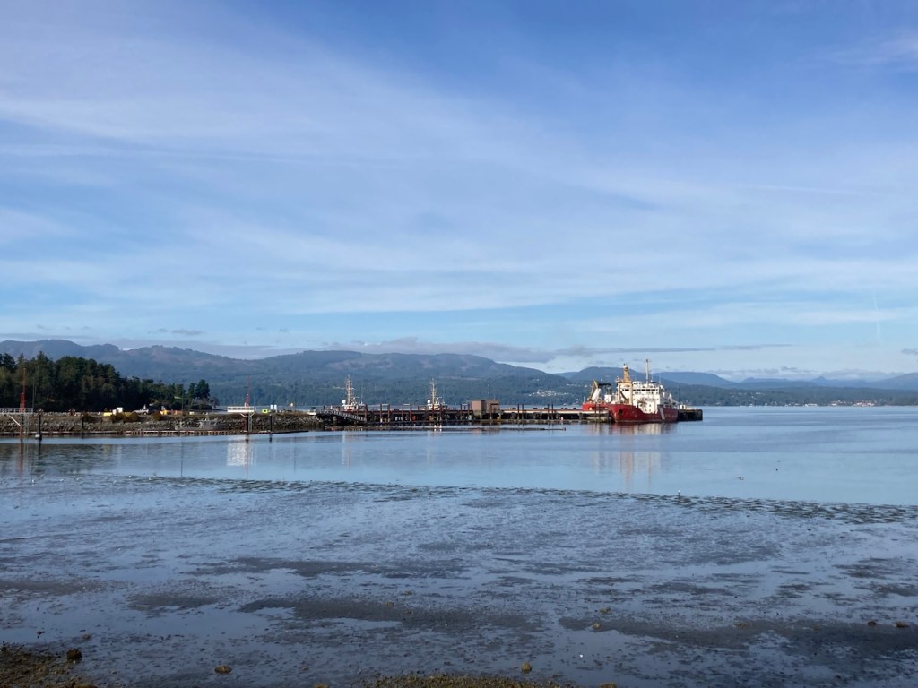
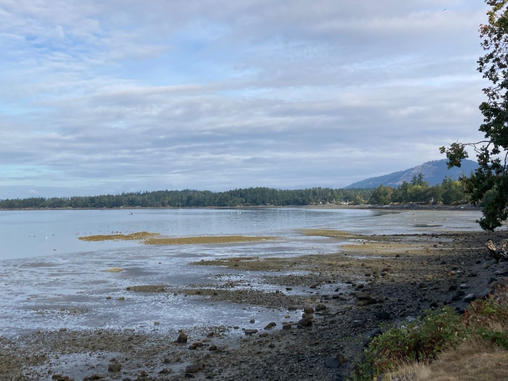
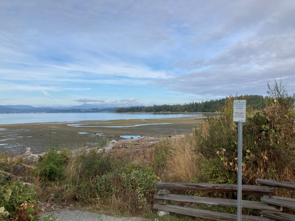
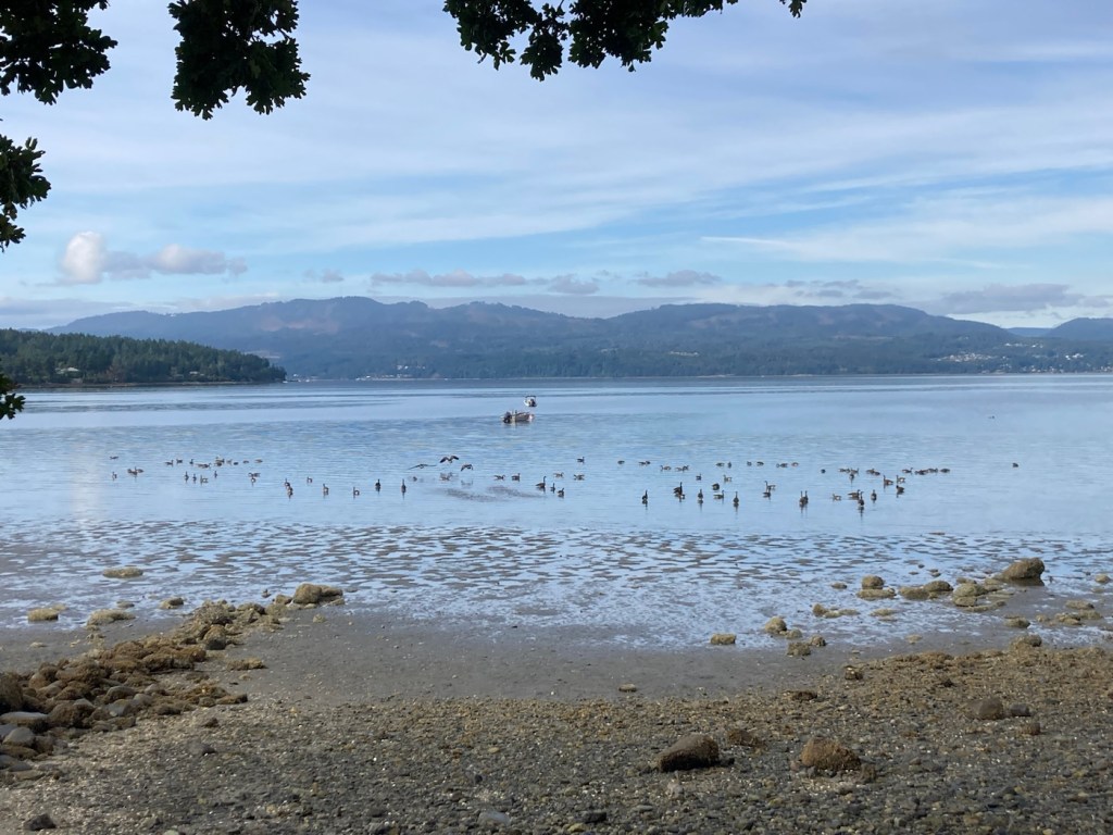
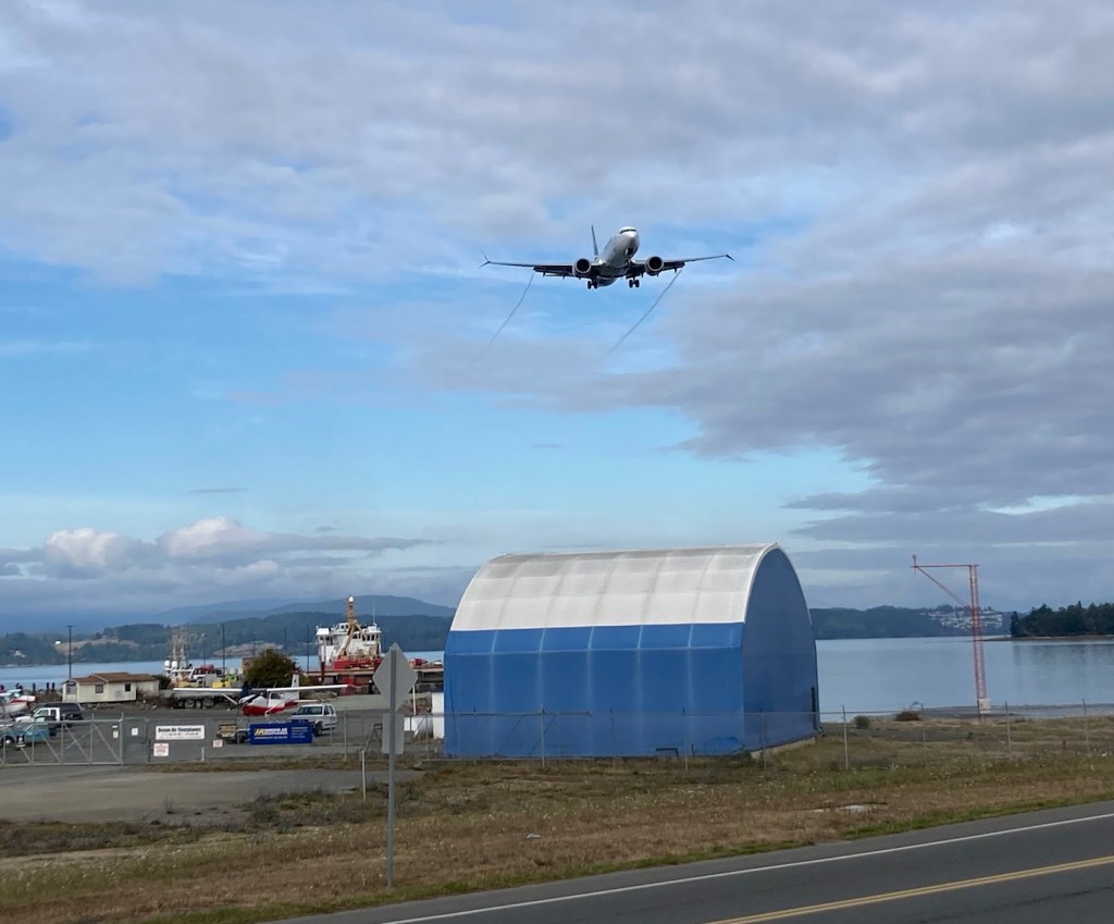
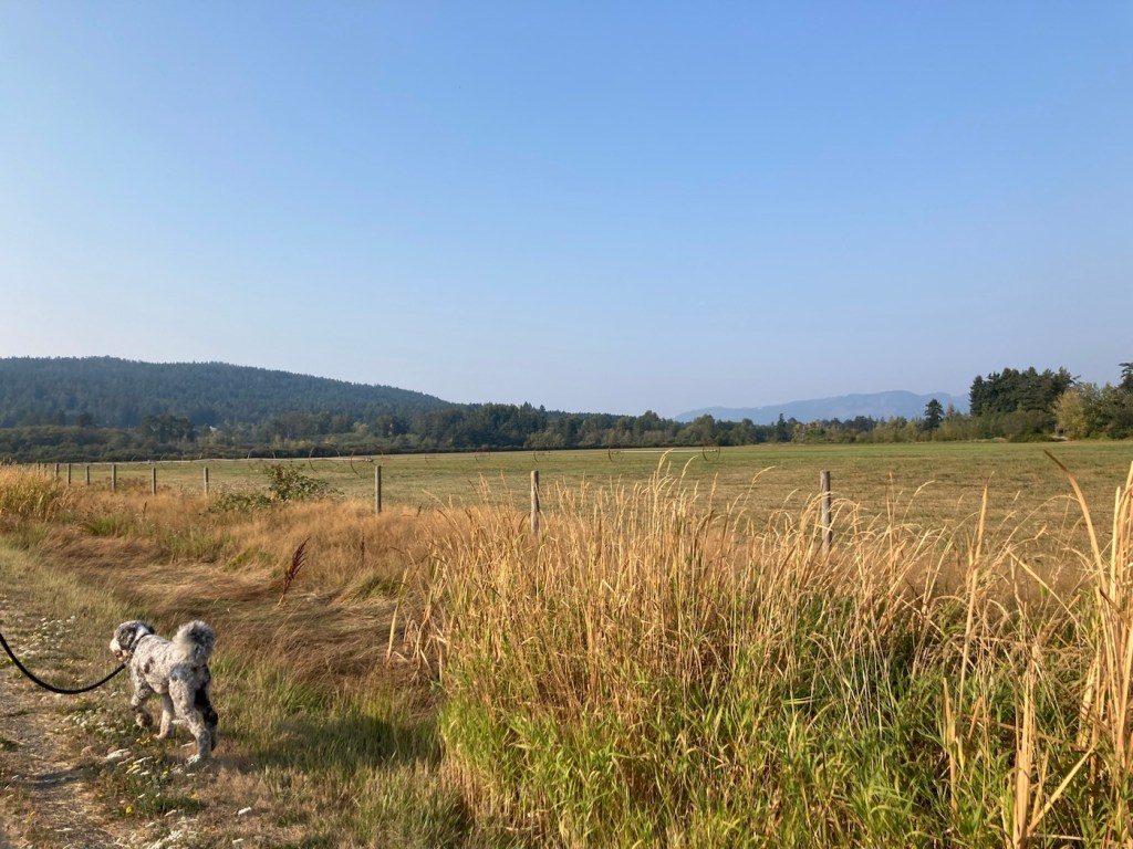
Today, we stumbled on a new trail near the Flight Path around the airport. The short trail runs along Patricia Bay, and it allowed us a closer view of the bay than we’ve had before.
View of maybe a small port or at least a couple of larger shipsA view of the bay in the other direction The end of the trail where the rest of the land beyond the sign is the property of the Tseycum First NationLots of ducks enjoying the bayA plane coming in as we continued onto the Flight Path Trail
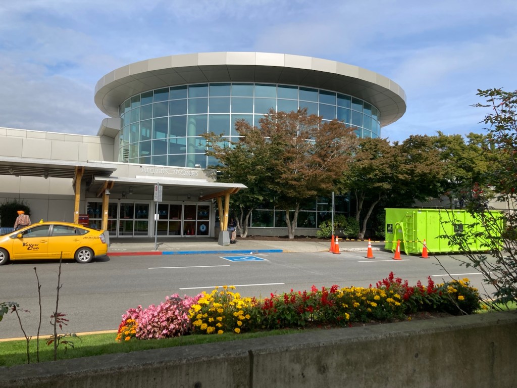
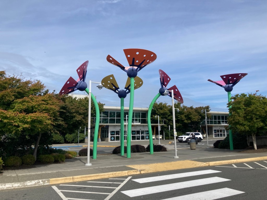
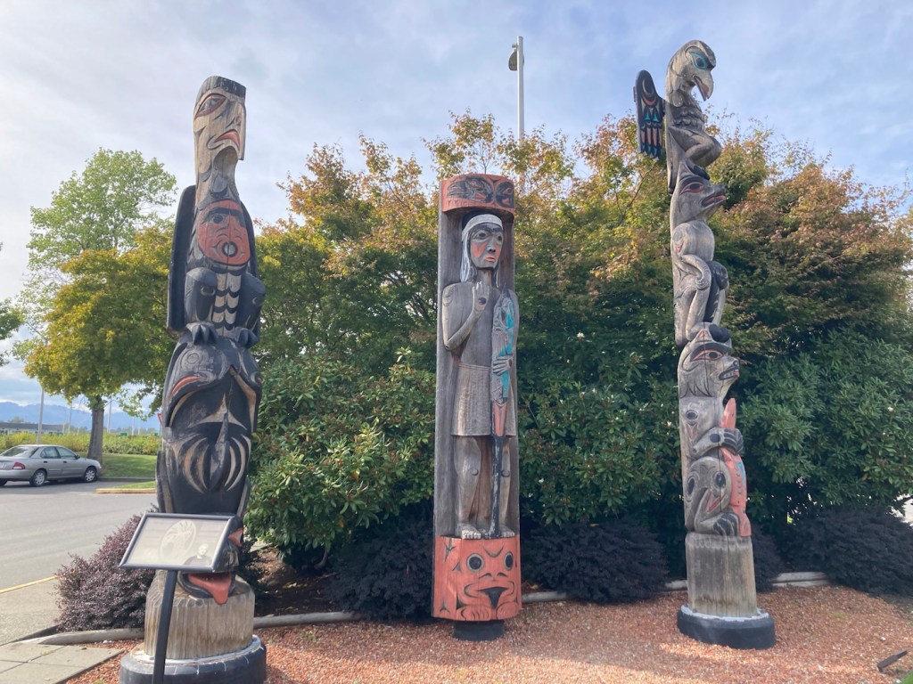
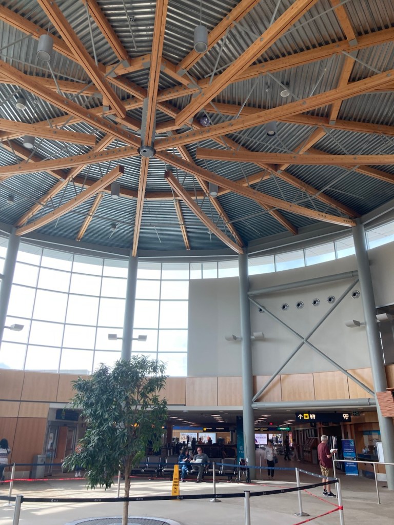
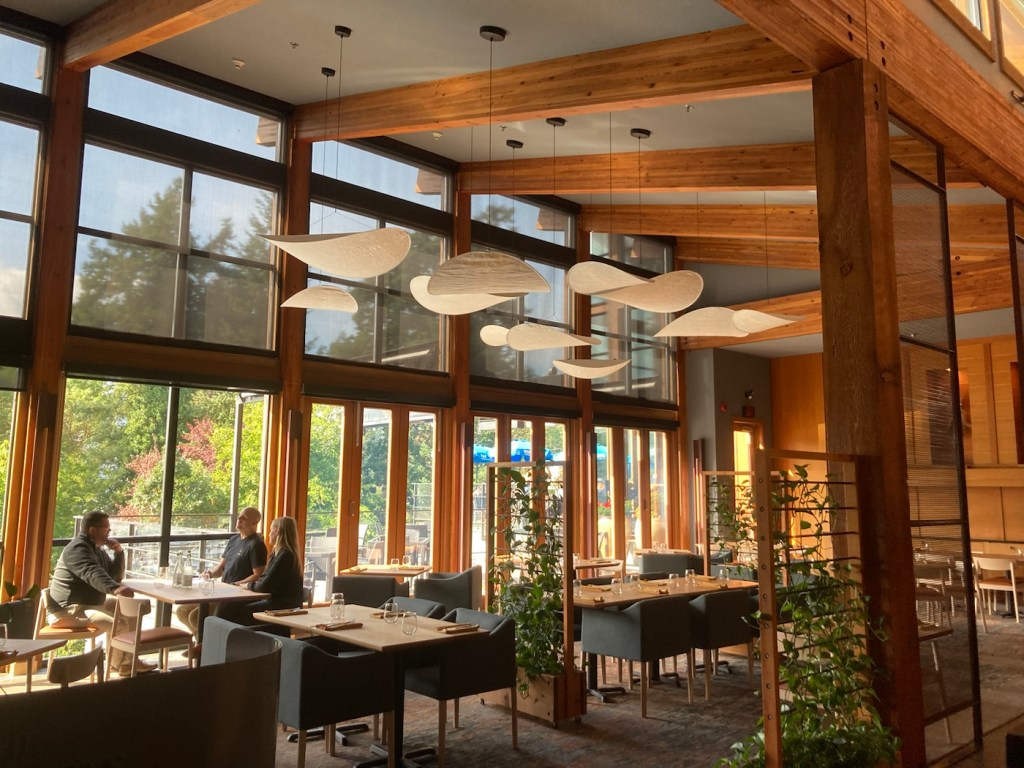
Mid afternoon we headed out to do a bit of sight seeing. We started by checking out the inside of the airport that we’ve been walking around.
The main entry to the airport Some colorful, fun art outside the airport Salish Welcome Figure (middle), Orca and Thunderbird, and Raven and Bear carved by Charles ElliottThe inside atriumView out the back of the airport from the 3rd floor observation deck
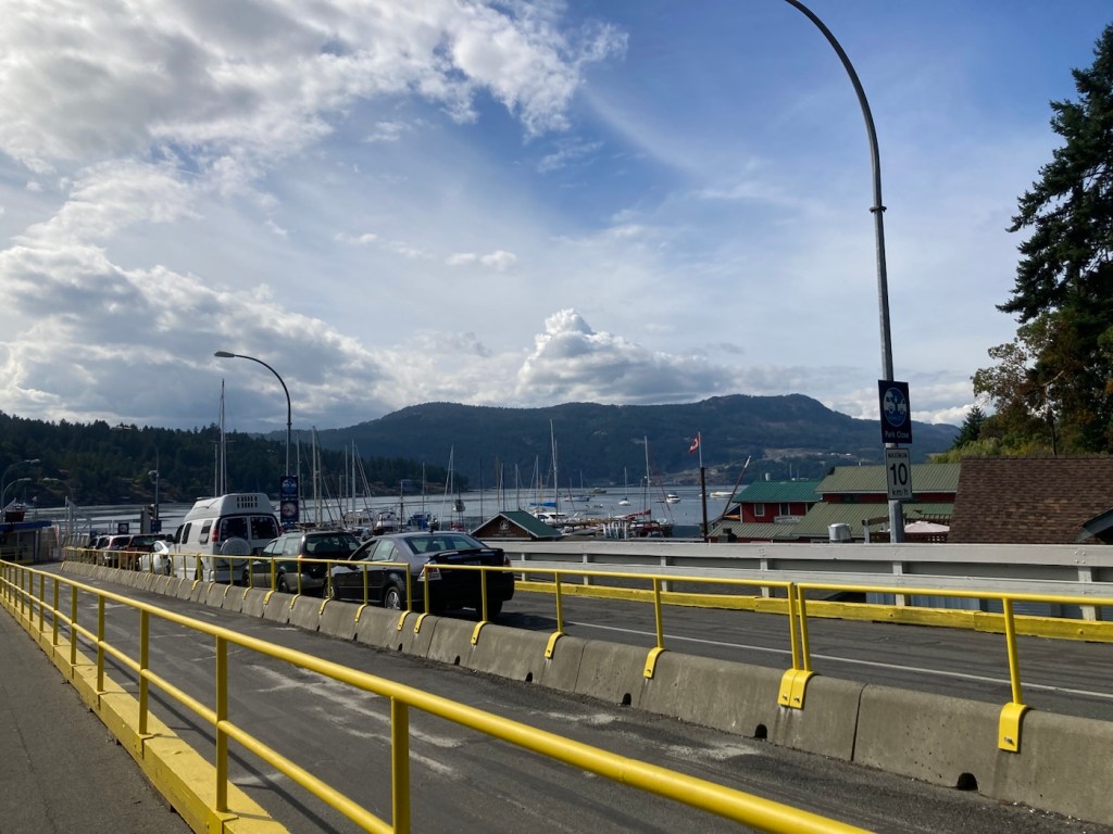
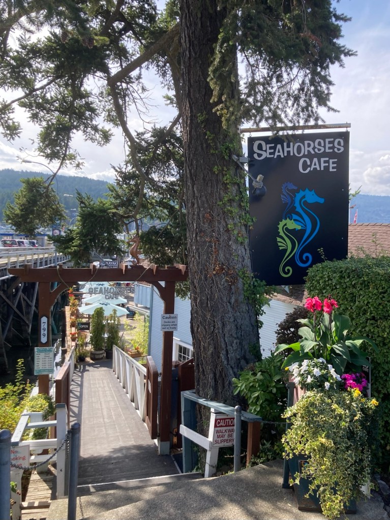
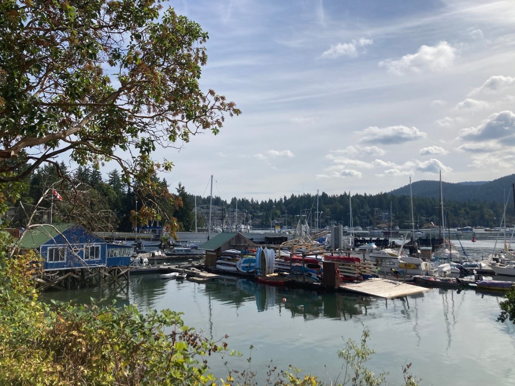
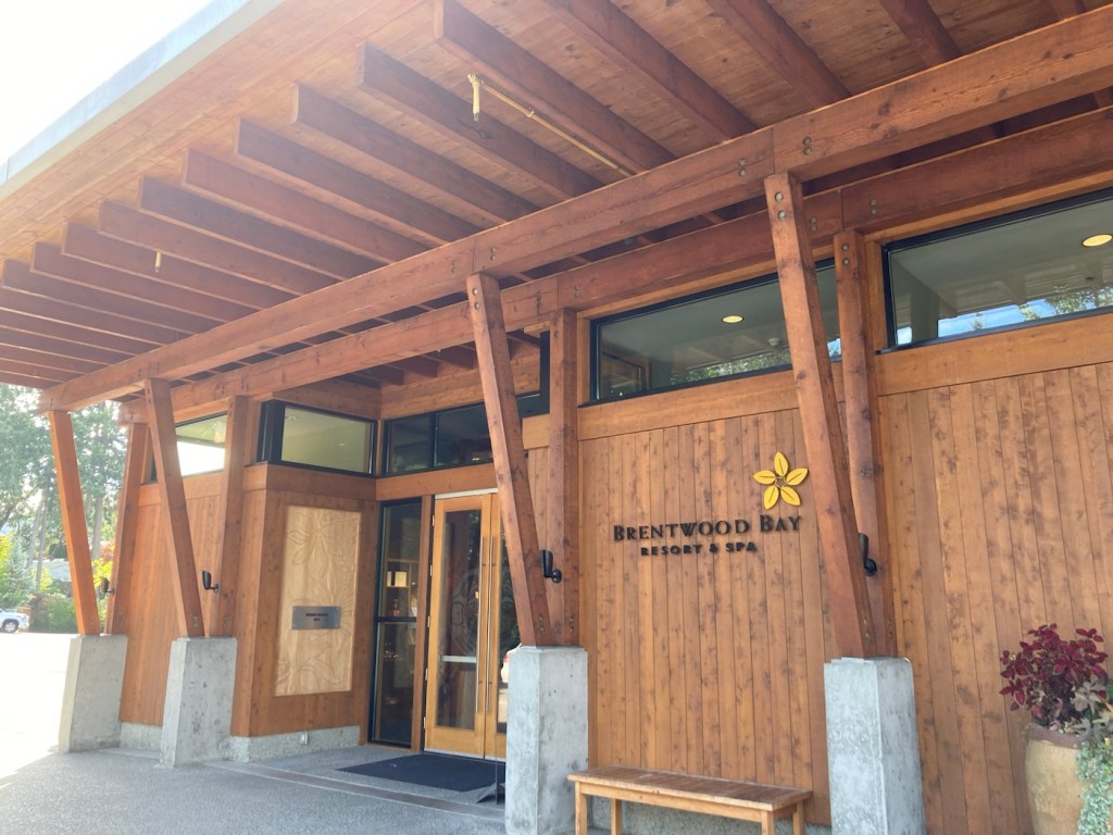
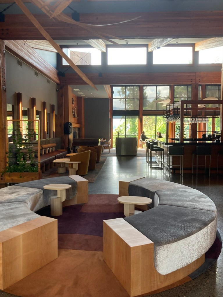
We then drove to the small community of Brentwood to check out the ferry and the Brentwood Bay Resort.
Brentwood Bay MarinaCars lined up for the ferry that goes from Brentwood Bay to Mill Bay.View of Brentwood Bay Resort from the marina A cafe near the ferryPublic marina and canoe/kayak rental area in the bayTrail along Brentwood BayThe entrance to Brentwood Bay ResortThe lobby of the resortThe restaurant of the resort
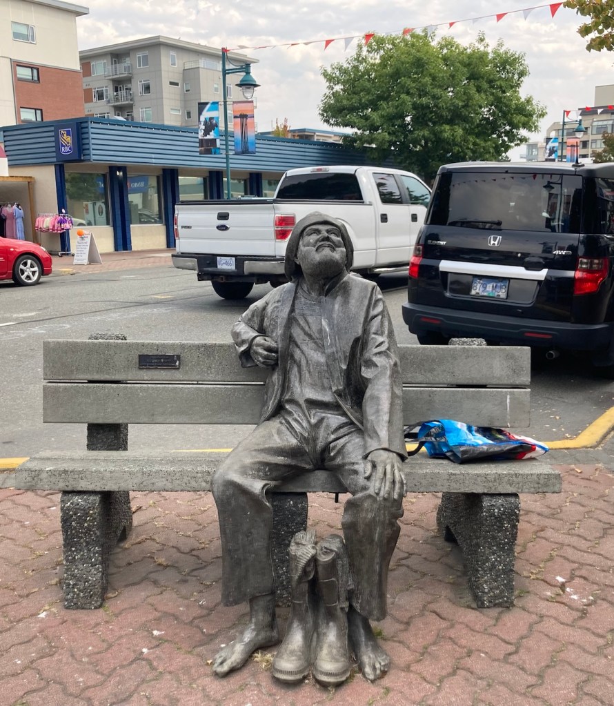
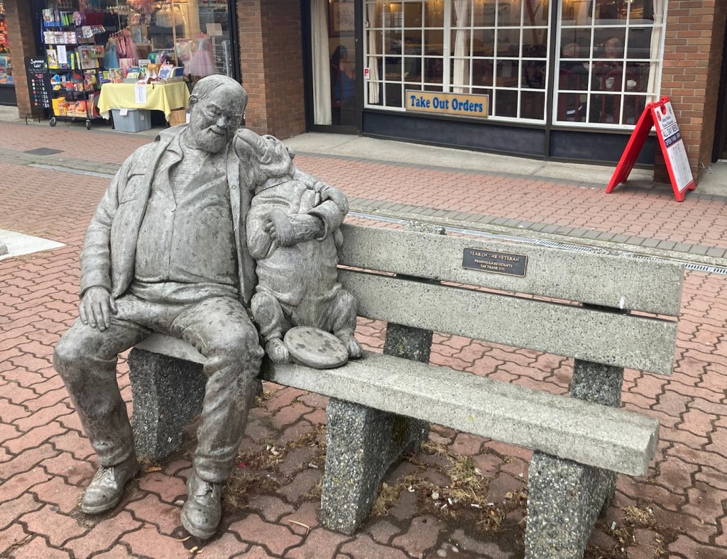
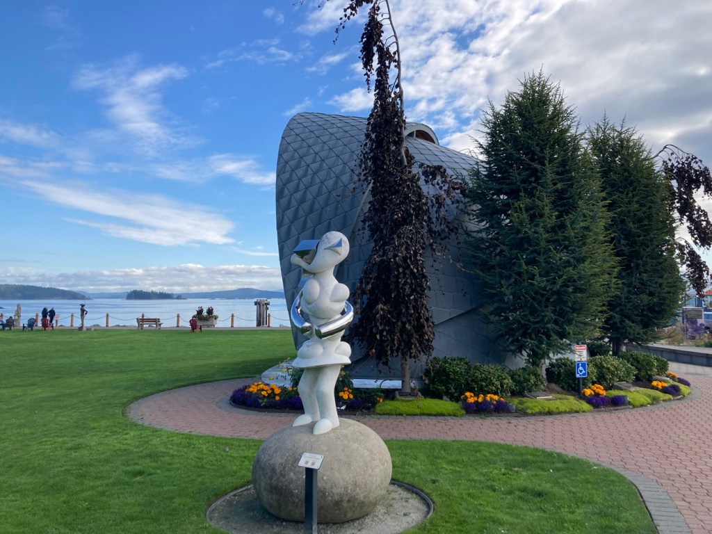
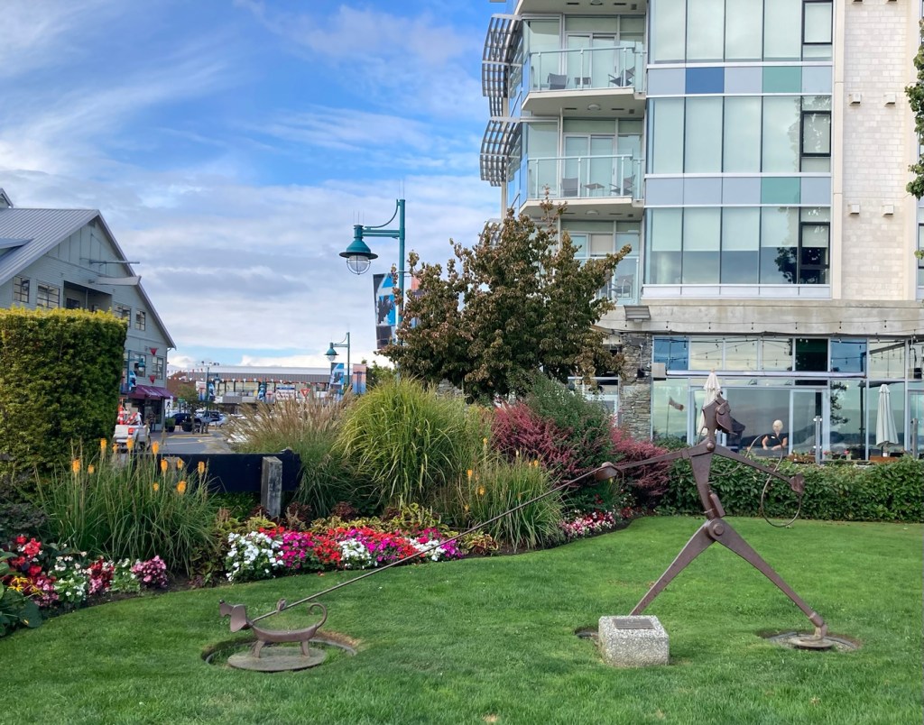
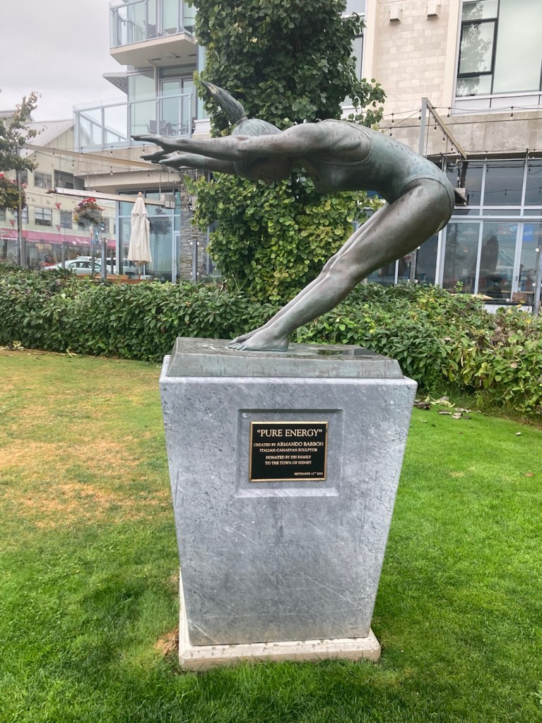
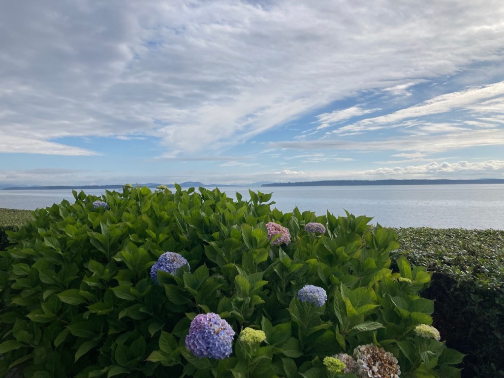
We have been taking photos of Sidney over the past few days — mostly of Beacon Street (the Main Street through town) and along the Waterway Path. There are a number of benches along with Beacon that have statues on them. See below.
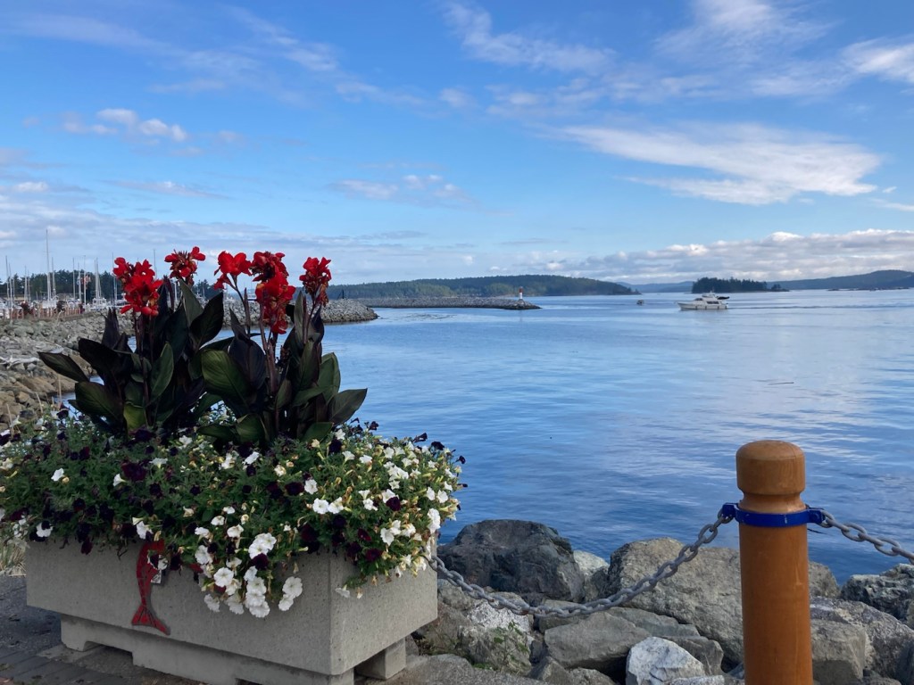
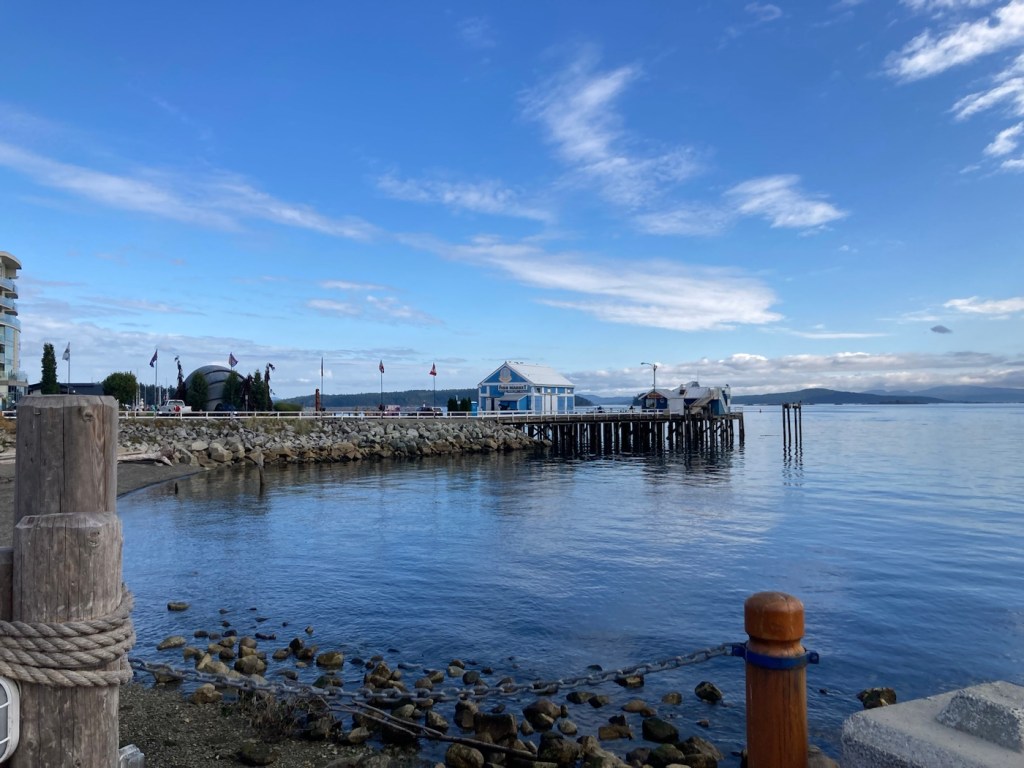
The views along the waterfront change daily. The pics below are from our walk with Rafa this morning.
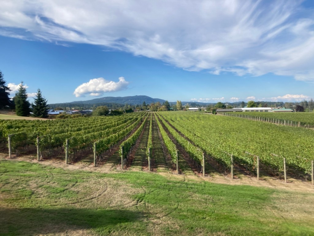
Tonight Bob and I went to the Church and State Winery and had a lovely tasting experience.
The Church and State combination tasting room, bar, event space, and bistro.The view from the bar where we had our tasting experience The Church and State vineyards on the island. They also have a sister winery in the Okanagan wine region, that fortunately escaped the recent fires.
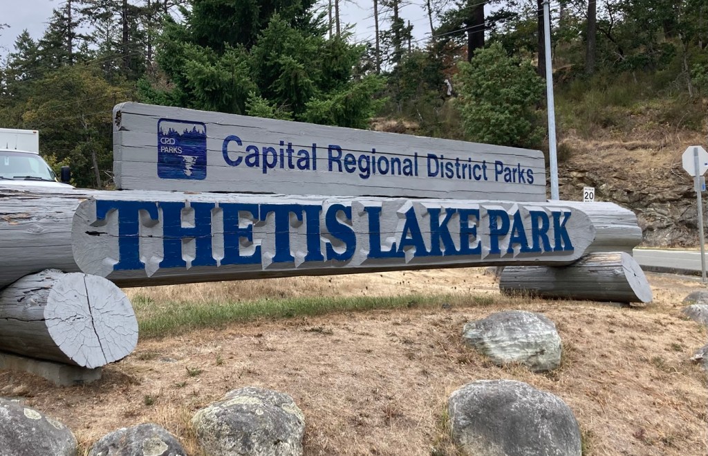
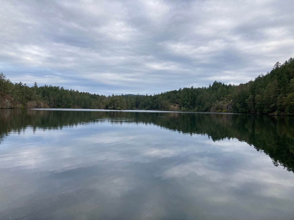
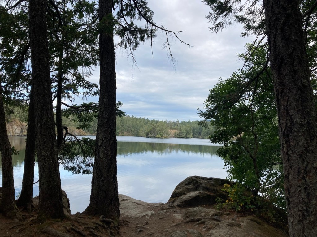
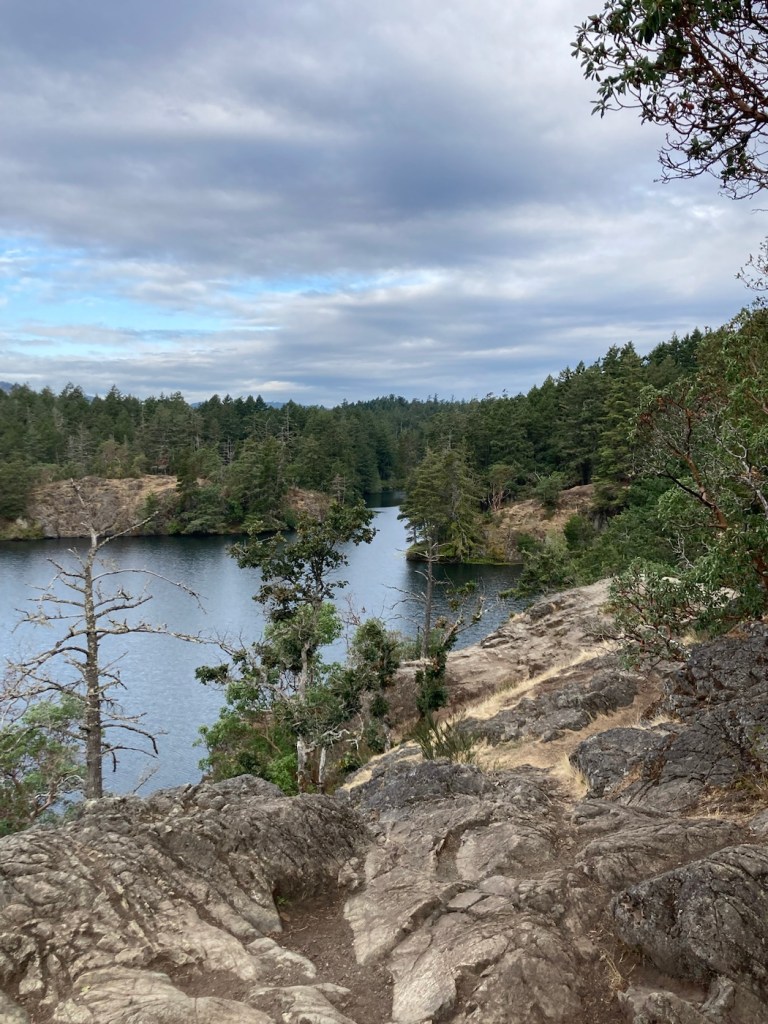
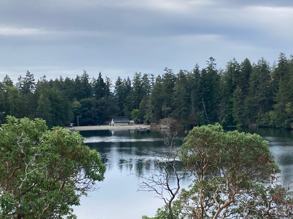
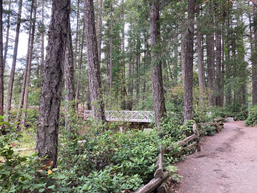
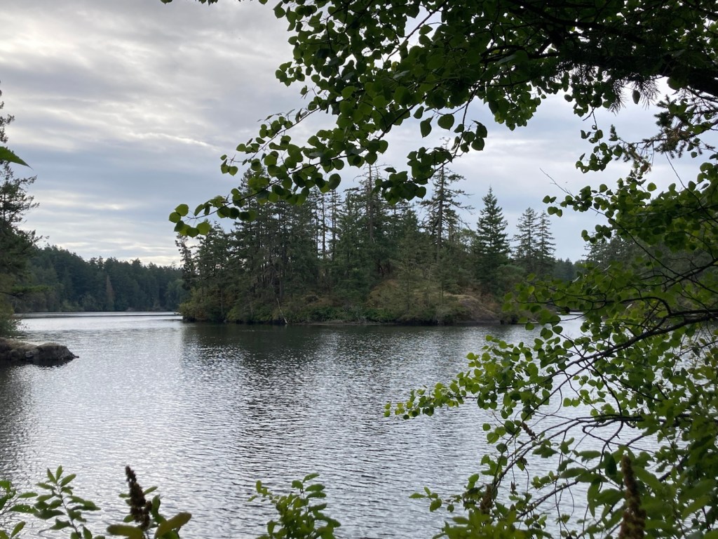
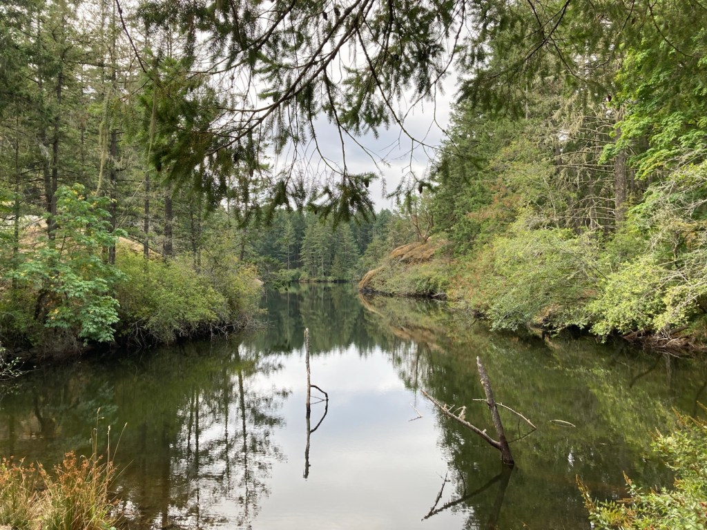
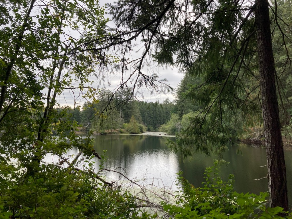
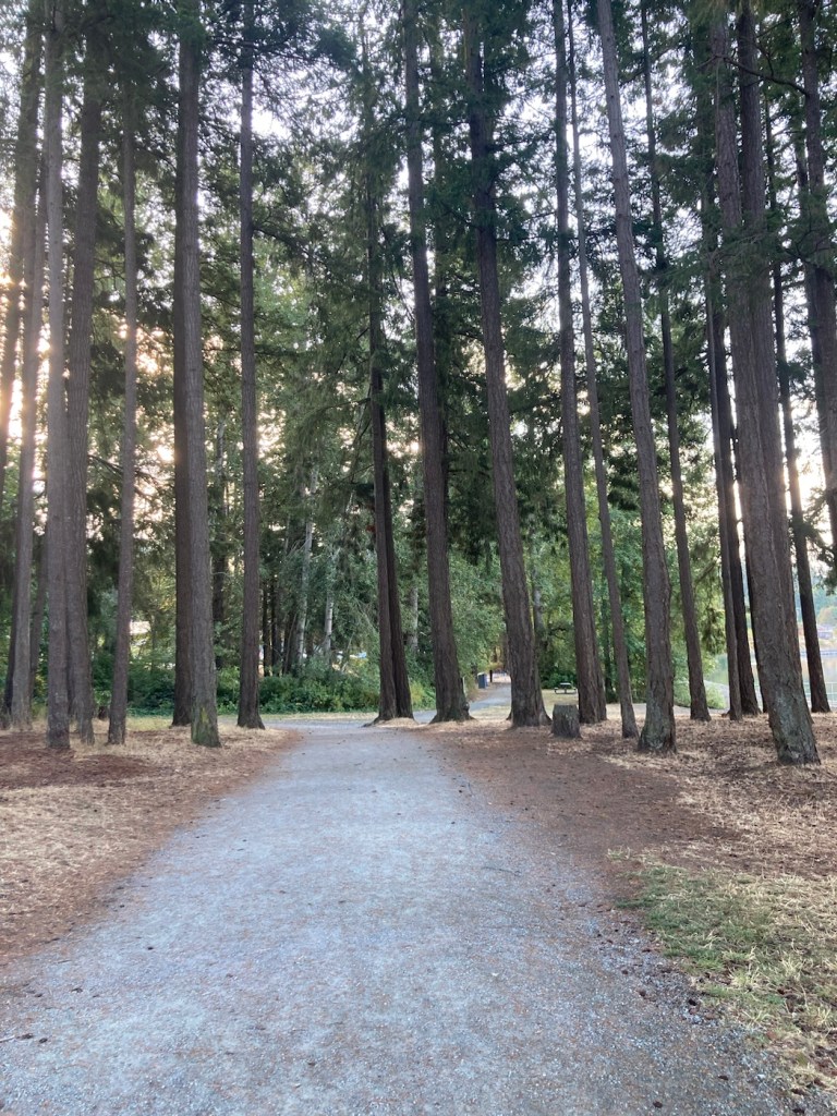
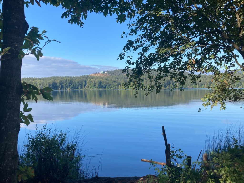
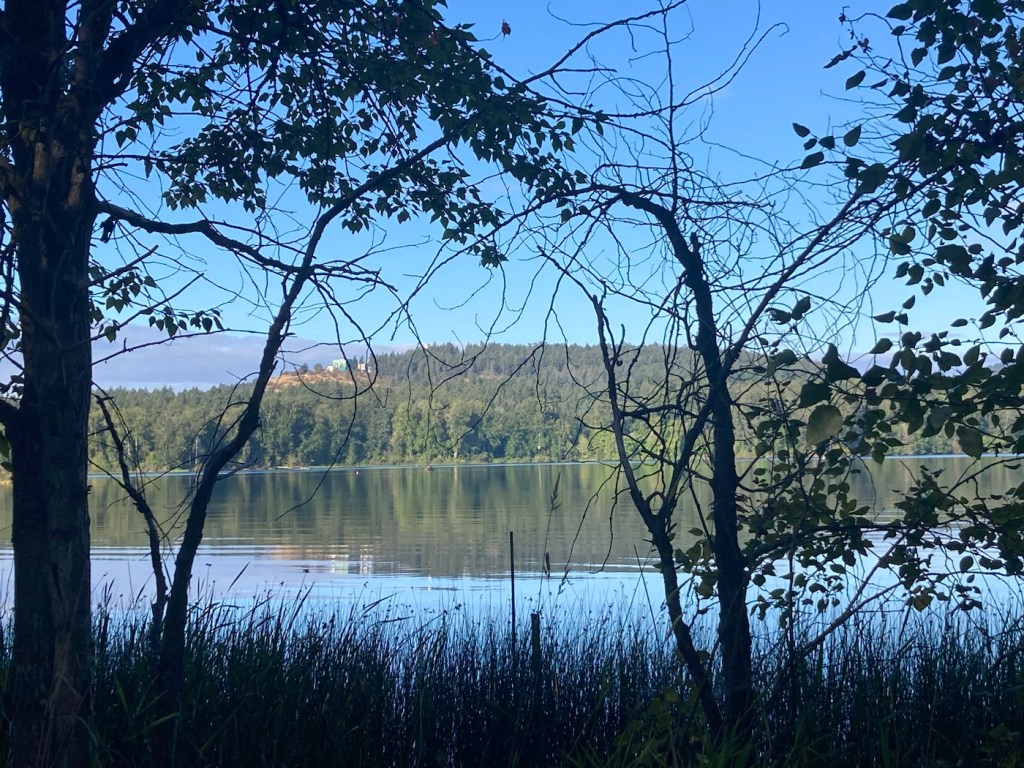
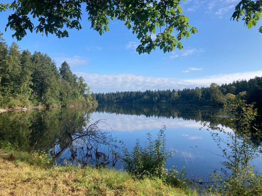
Today, we were off to another of the 34 parks listed on the Capital Regional District (CRD) Parks and Trails map that we picked up earlier in our stay at the Sidney Tourist Office just a few blocks up the street from where we are staying. Today, we were off to Thetis Lake Regional Park, which at 30 minutes from here, was our farthest drive to date.
Thetis Lake Regional Park was established in 1958 as Canada’s first nature sanctuary and has over 40 kilometers of trails. We combined the Lower Thetis Lake trail and Upper Thetis Lake Trail to get lovely views of both lakes and beaches, plus more impressively tall trees and rock formations, that made for a great outing.
It was the first park we have had to pay at, and that was only $2.20 Canadian ($1.66 US) for day parking. Below are pics from today’s tramp.
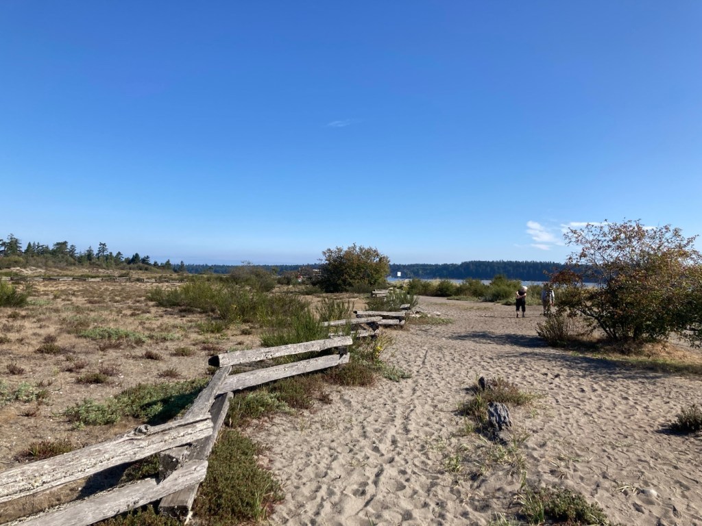
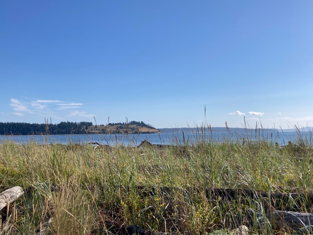
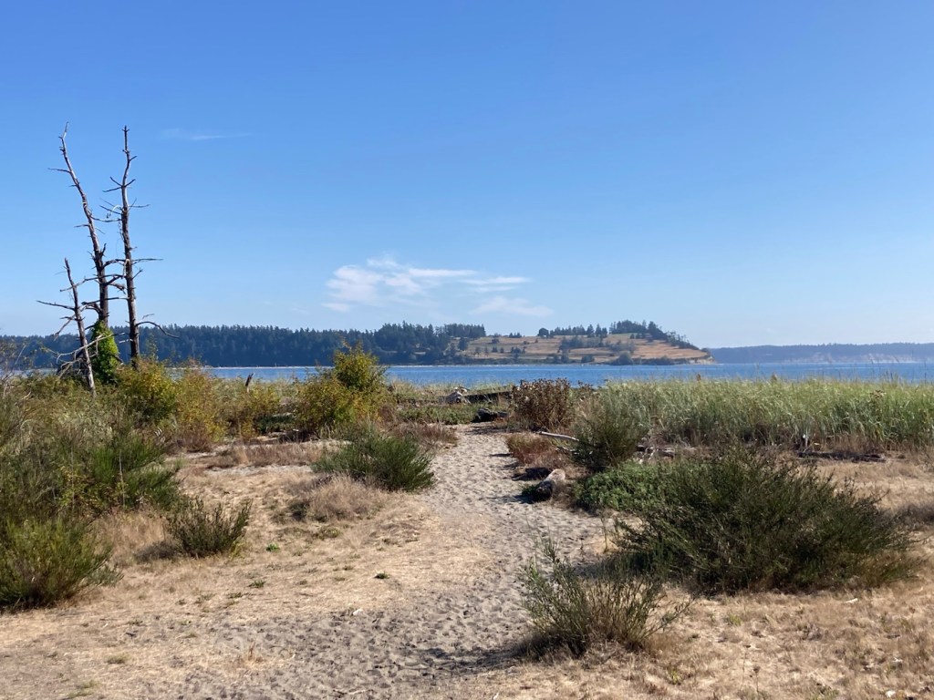
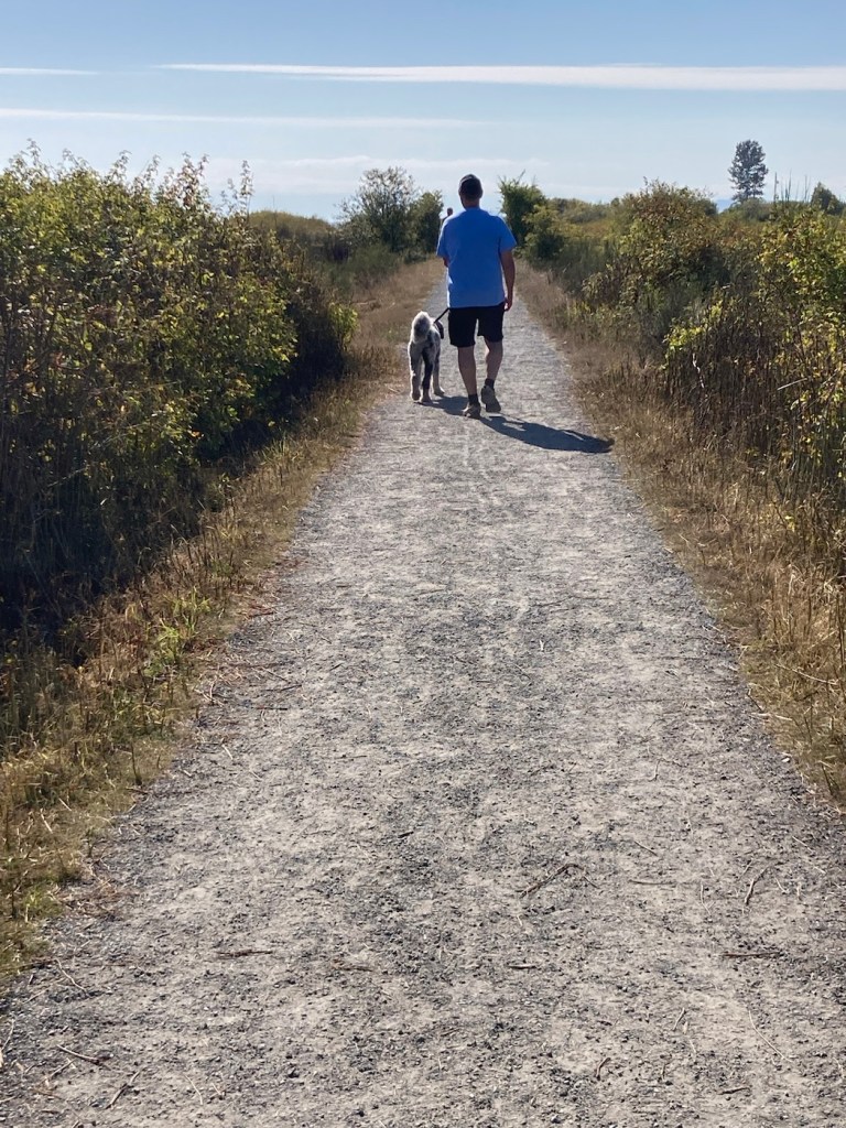
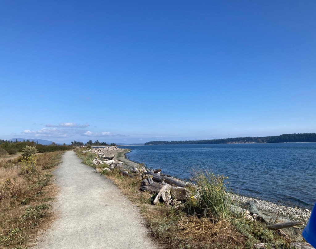
Today, Bob, Rafa, and I went back to the first park that the homeowners had taken us to when we first arrived for the walk through— Island View Beach Regional Park. It’s an easy 10 to 12 minute drive south down Highway 17 to the park along the shore of the Haro Strait. The park itself was as busy as we’ve seen with lots of dog walkers — townies like us but also campers at the park as well. There is a short walking path, but you can walk up and down the shore as well, depending on the tide levels. We were there at relatively high tide, so mostly stayed on the trail for ease of walking.
As you’ll see from the pics, it’s a lovely area and is also a bird habitat for resident and migratory birds.
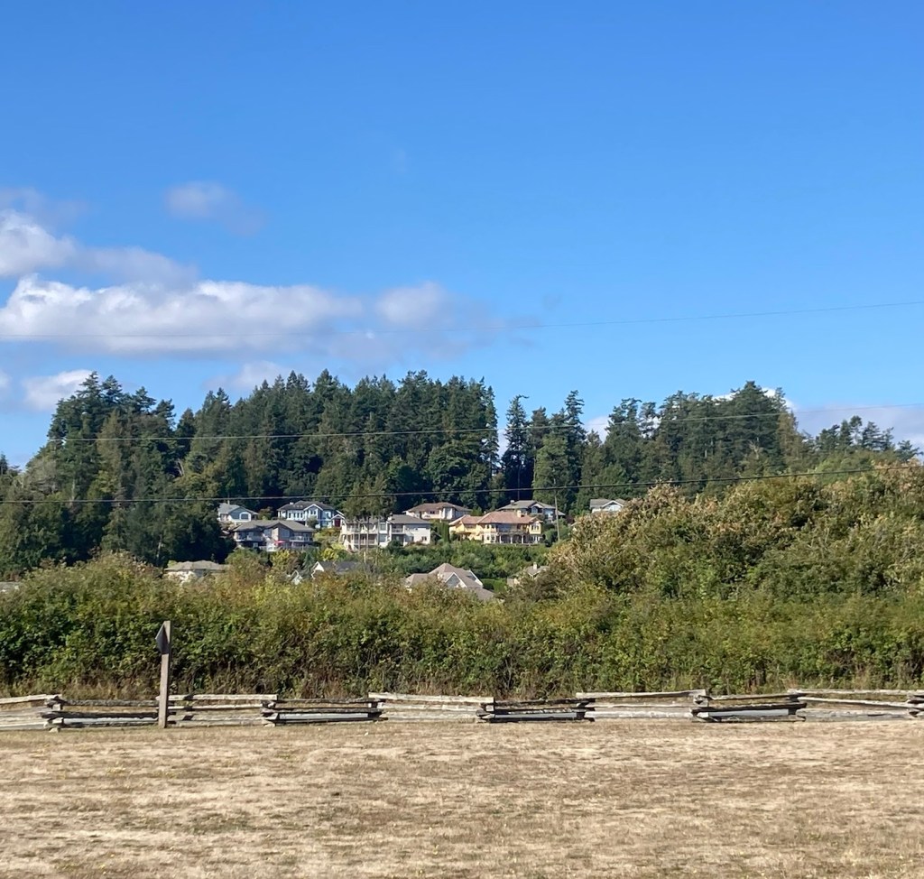
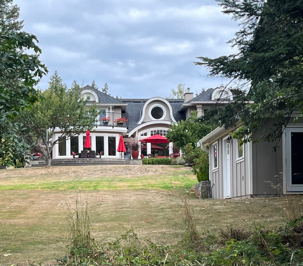
The area behind the fence is a vegetation restoration effortLooking across the bay to James IslandThe beach is filled with logs Looking across the dunes to James IslandOne view of the pathFollowing the boysAnother view back towards James IslandThe path along the waterSome nearby homes with lovely views
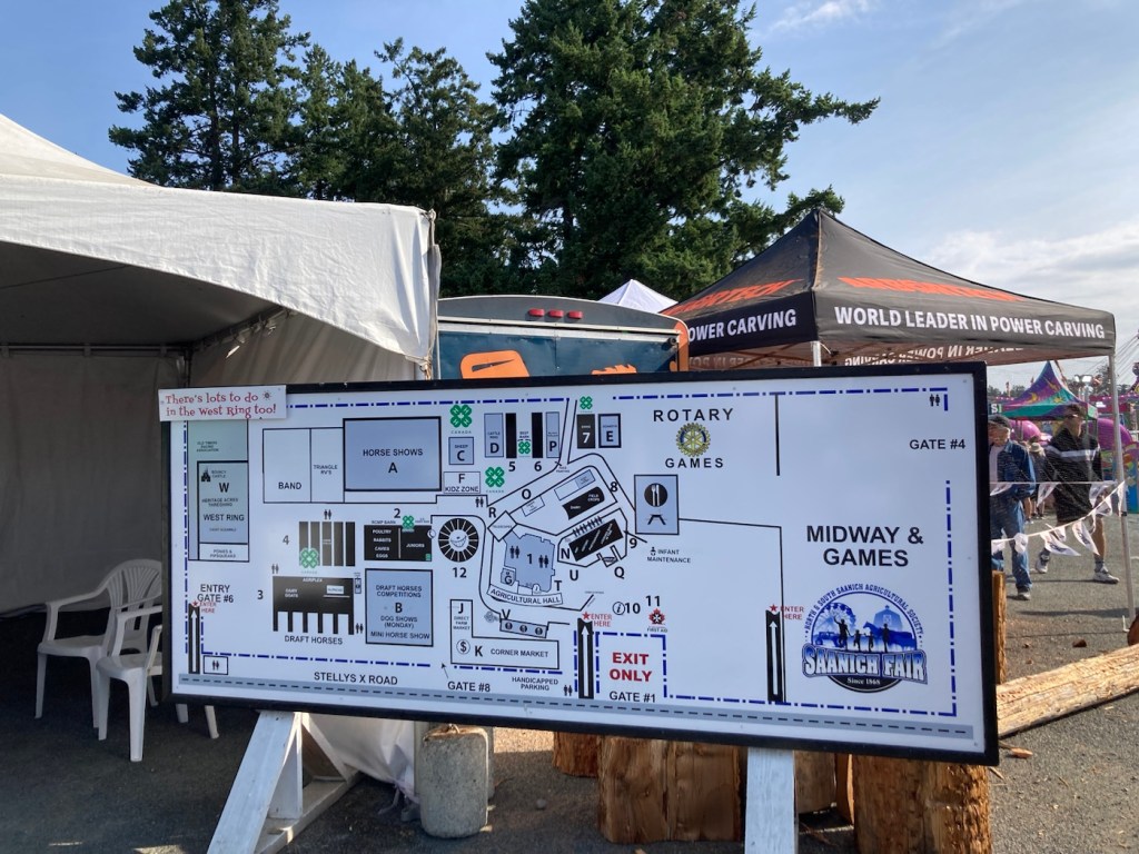
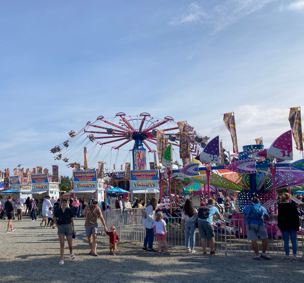
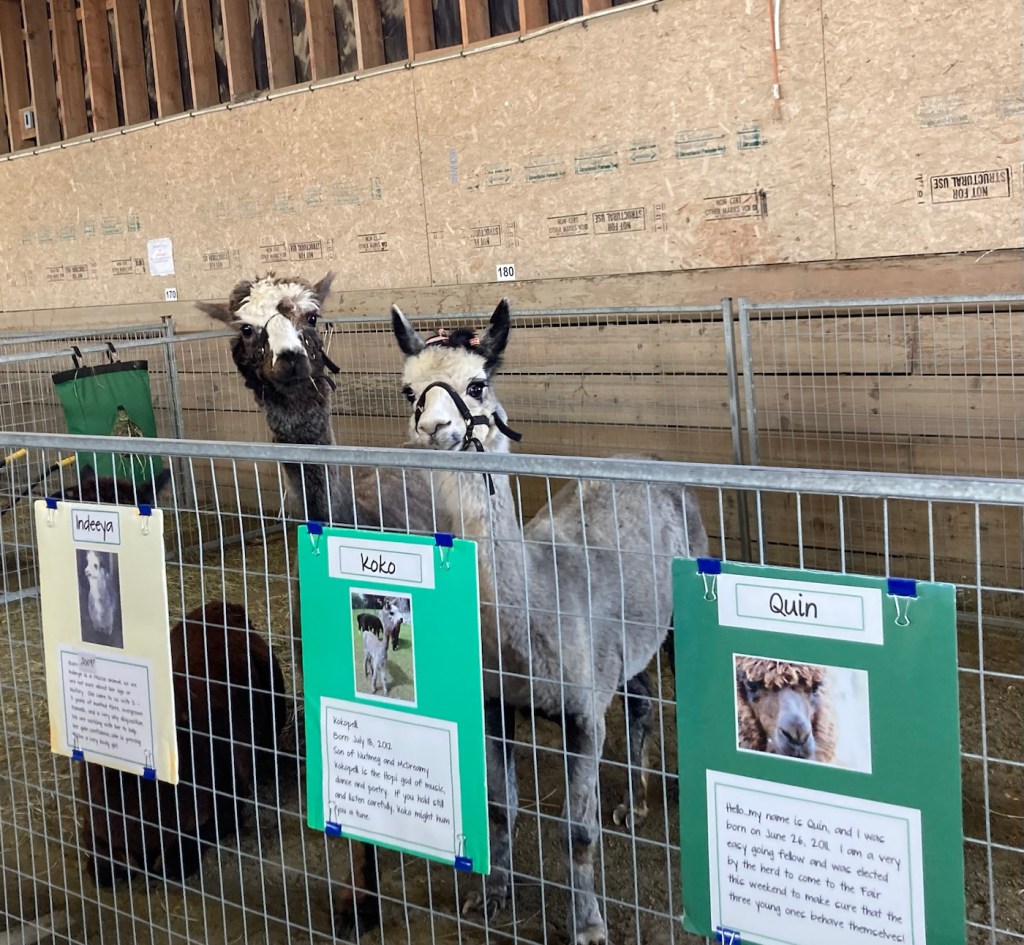
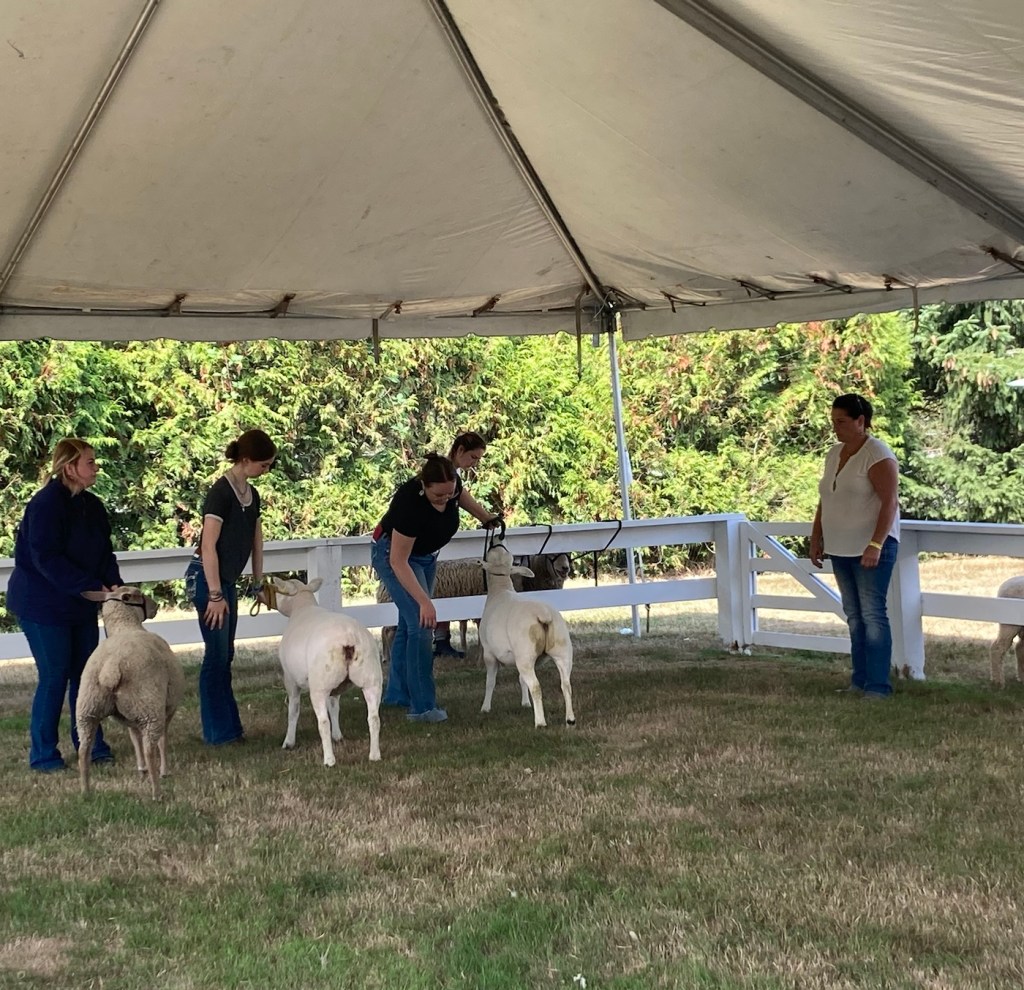
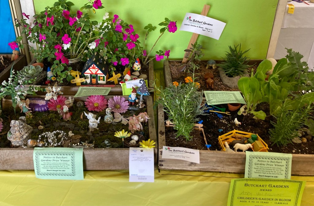
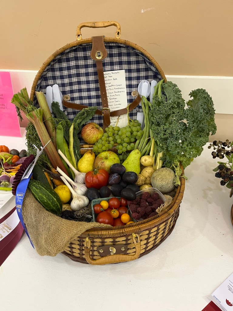
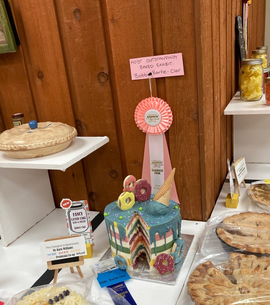
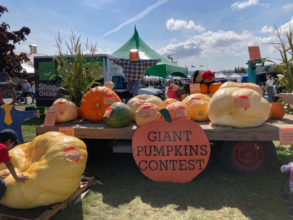
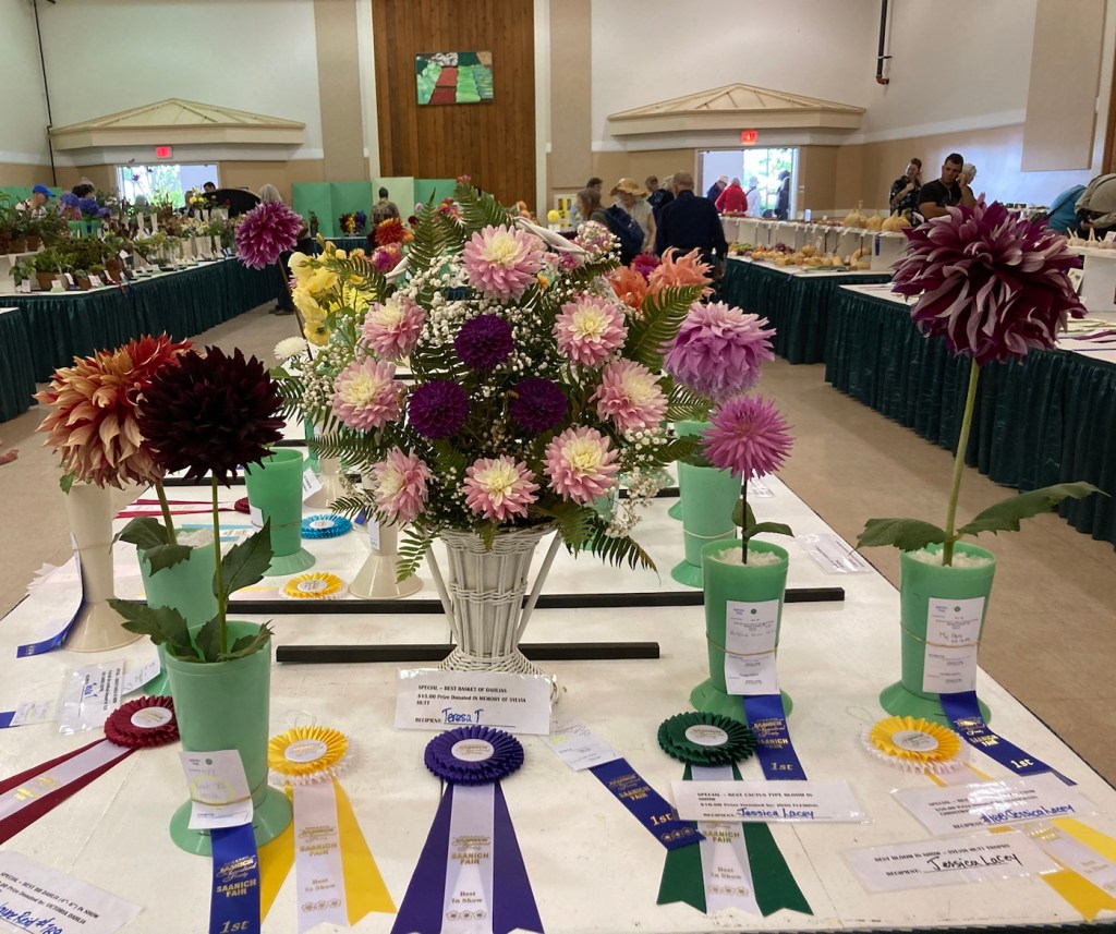
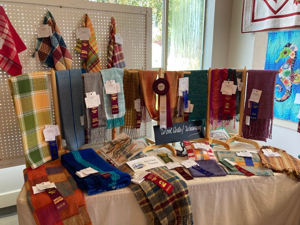
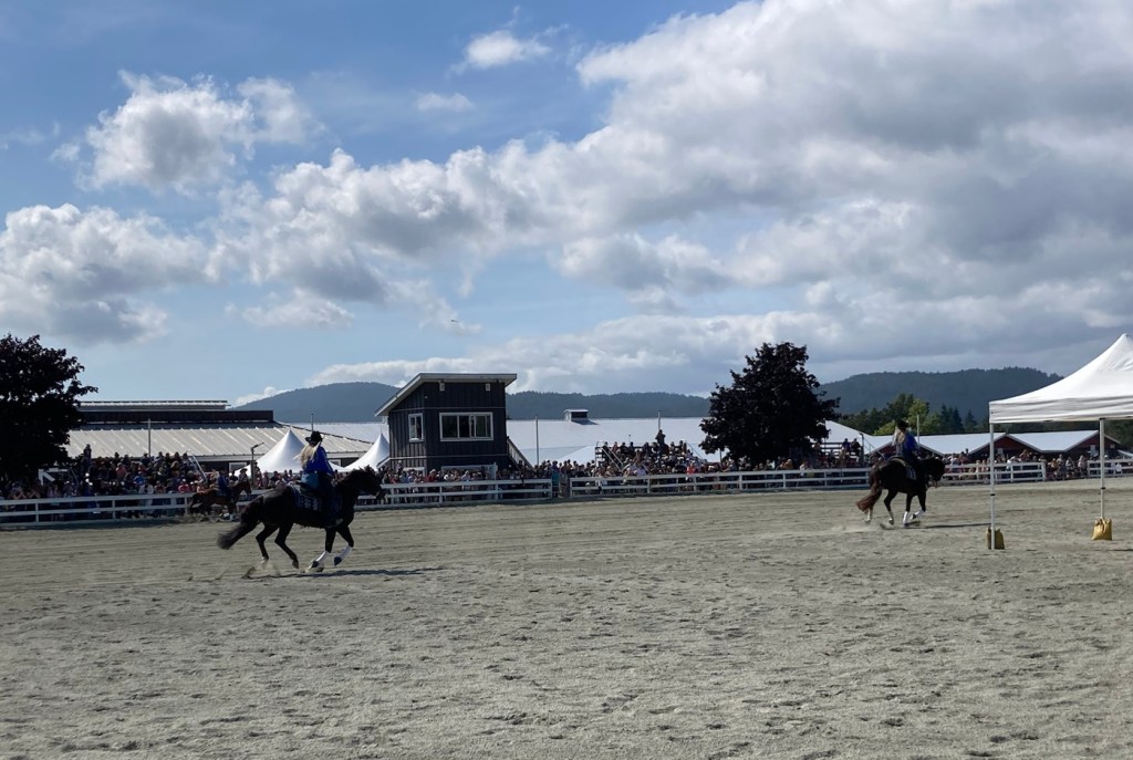
One of the friends of our homeowners had told us about the Saanich Fair that is held over Labor Day Weekend, as I was in 4-H for 8 years and showed exhibits at the fair I am always interested in checking out other fairs. We went today after a trip to the dog park with Rafa. The fair was bigger than we were expecting with a large midway but also lots of exhibits from 4-Hers and maybe others — from animals to food to flowers and stitchery. The weather was sunning and in the mid-60s F, so a lovely day although I’m used to warmer weather for fairs.
Layout of the fairPartial view of the midwayThese cuties seemed friendly!Sheep being judgedMiniature garden box displaysAttractive produce displayA winning decorated cakeSome big pumpkins— the one on the ground is over 600 pounds.We loved the flowers Woolen goods and weavingA horse show
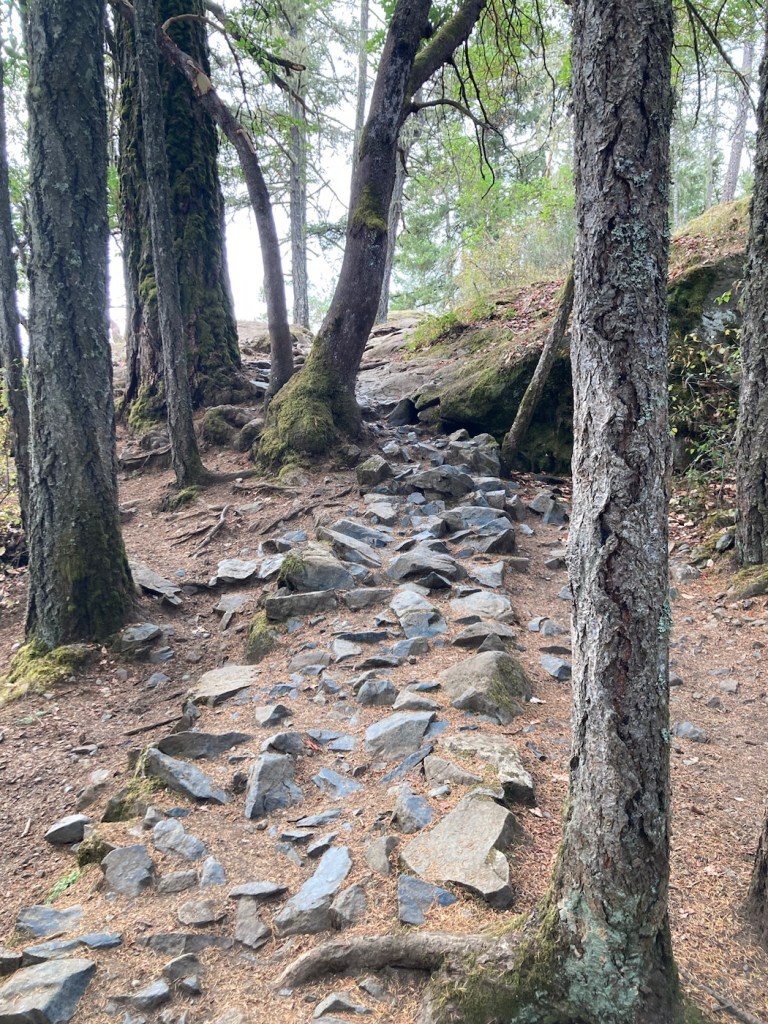
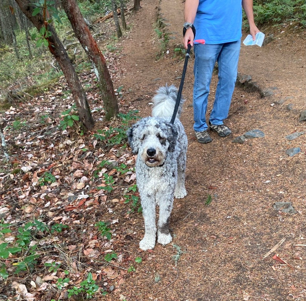
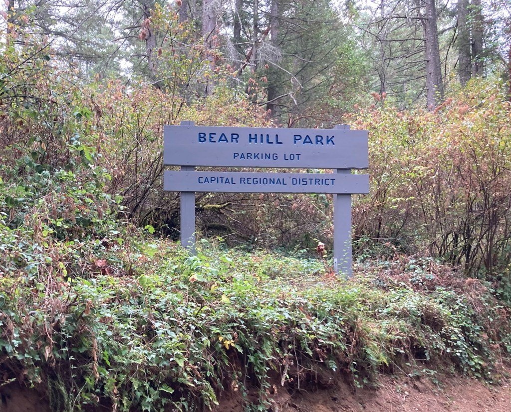
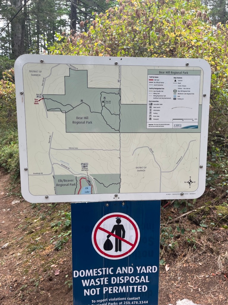
Today, we drove about 15 minutes to Bear Hill Regional Park to summit Bear Hill with Rafa for views of the surrounding area. The description of the trail is 220 meters of glacier-scoured rock. It was definitely one of the rockiest trails we’ve done recently and required some serious attention to footing.
We did a loop trail add-on after the summit for a longer hike. We ran into quite a few dogs and their people towards the end of the hike.
Signage for the parkPark MapHeading upMore rockView to the West from halfway upAnother view to the WestTrail signageView to the East from the topAnother view to the EastView of the rocky top of the hill with the view to the EastView to the West as we’re descending
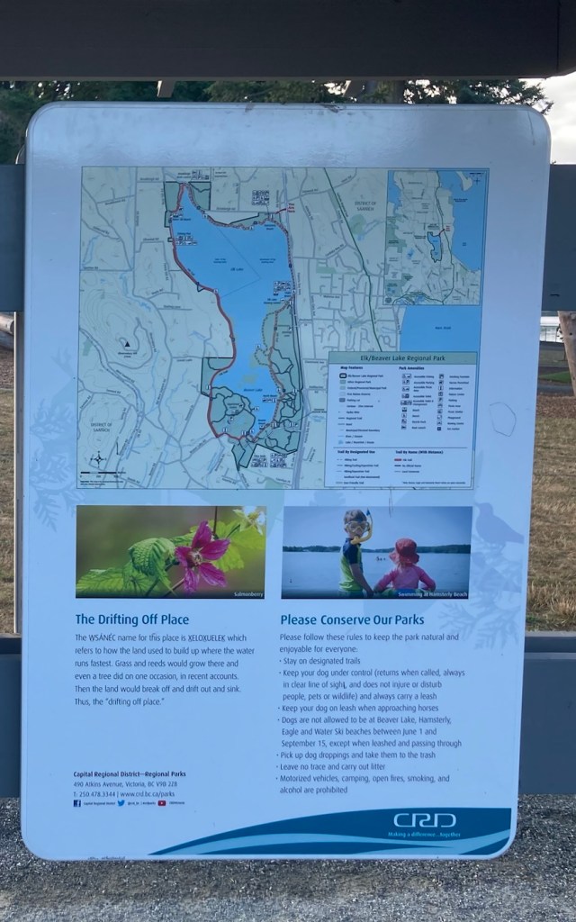
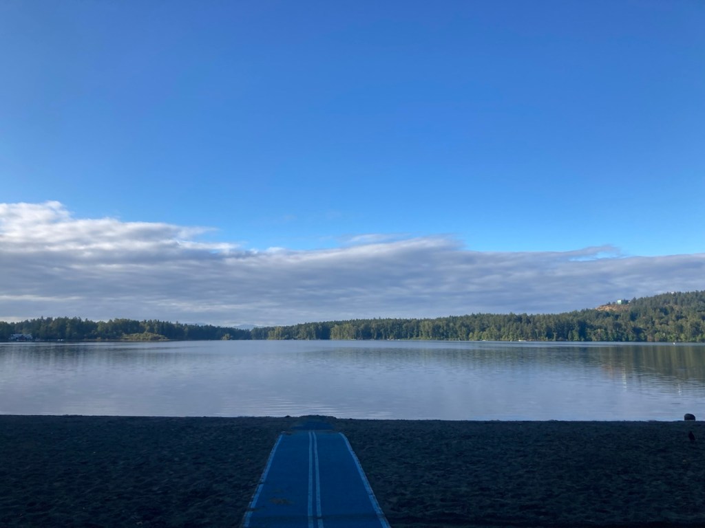
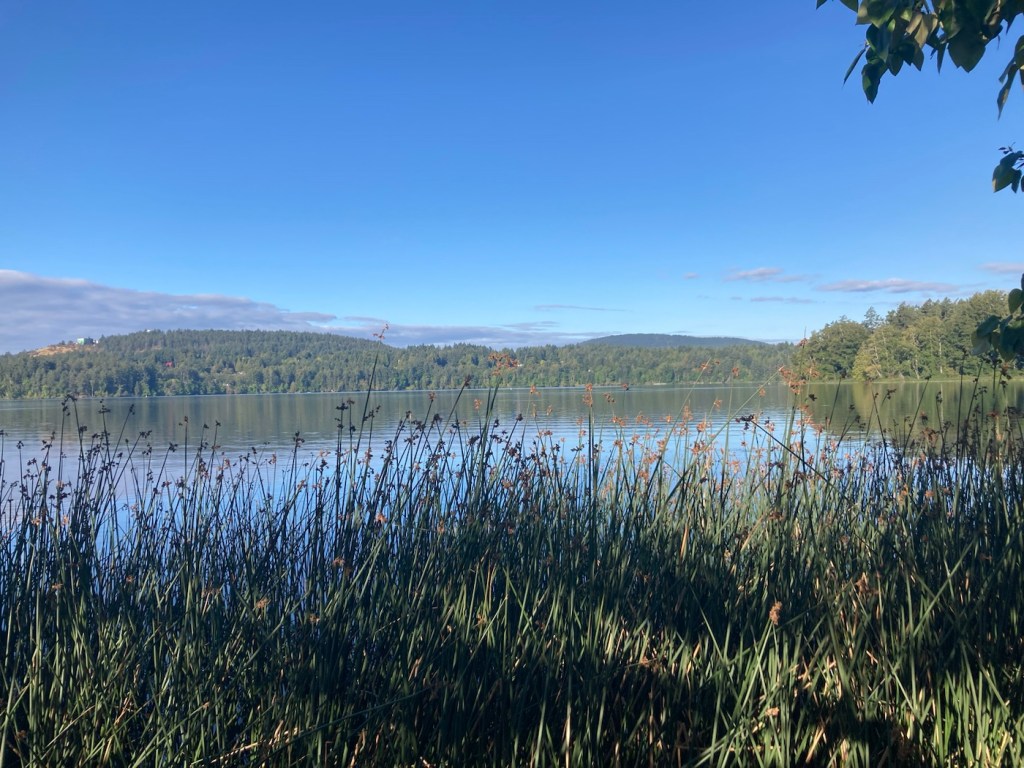
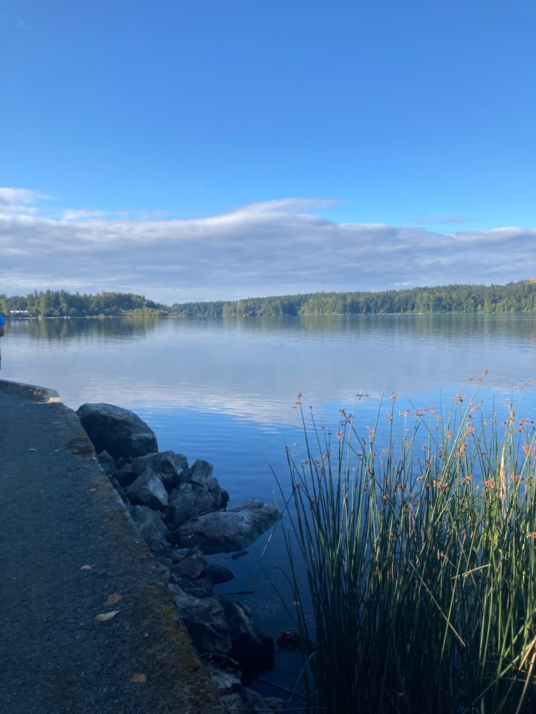
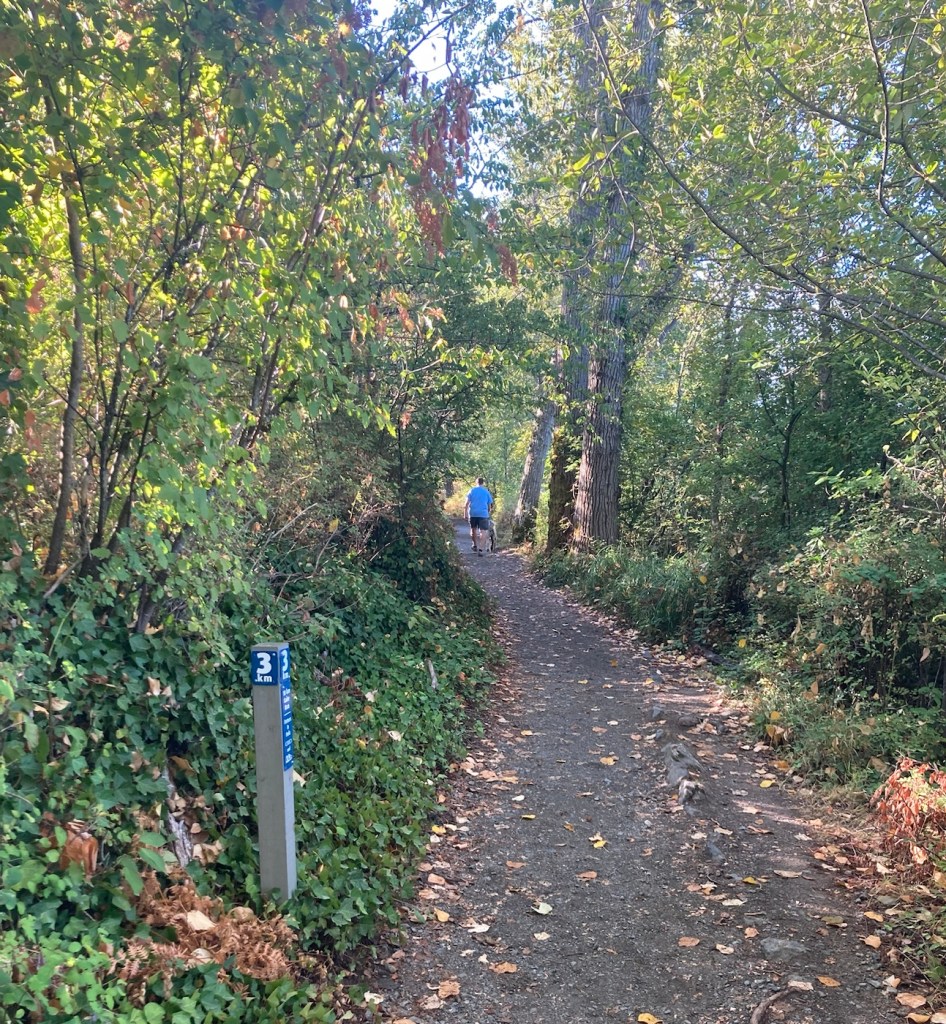
Bob, Rafa, and I did a 10k walk today at Elk/Beaver Lake Regional Park. This is a 1,072 acre park containing Elk Lake and Beaver Lake. We began our walk near Elk Lake.
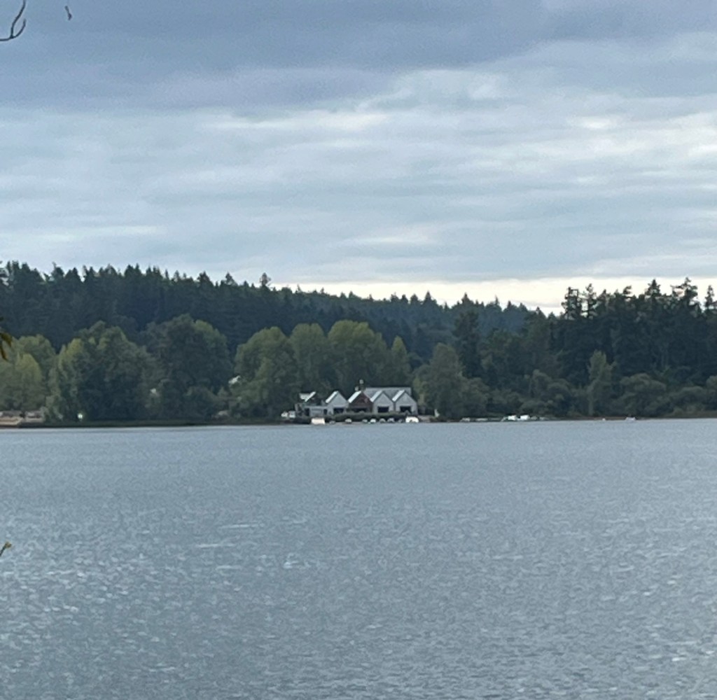
Signage for the parkMap of the 10k trailOur first view of Elk LakeView of the trailAnother view of Elk LakeWalking along Elk LakeAnother view of Elk LakeThe kilometer markers along the trailNearing Eagle Beach on Elk LakeMore of the lovely, forested trailBeaver LakeA fallen tree forming a natural balance beamSome history along the trailA beautiful home along the trailThe Victoria City Rowing Club Boathouse
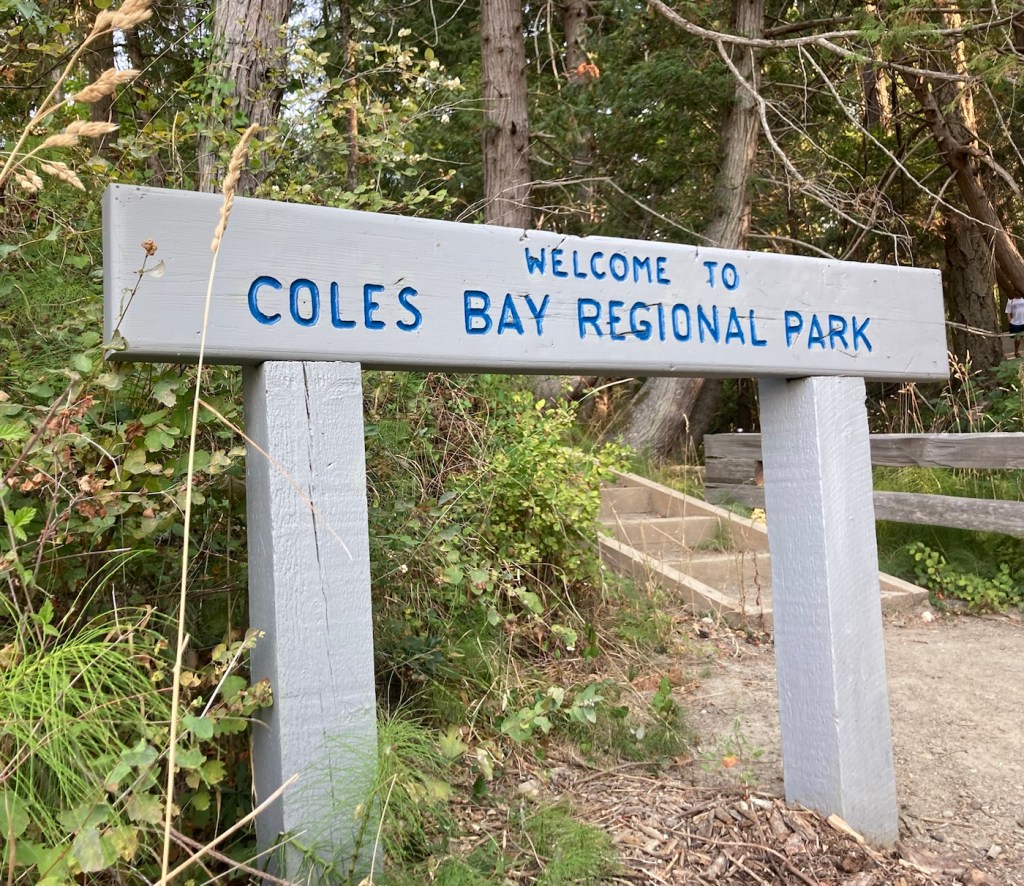
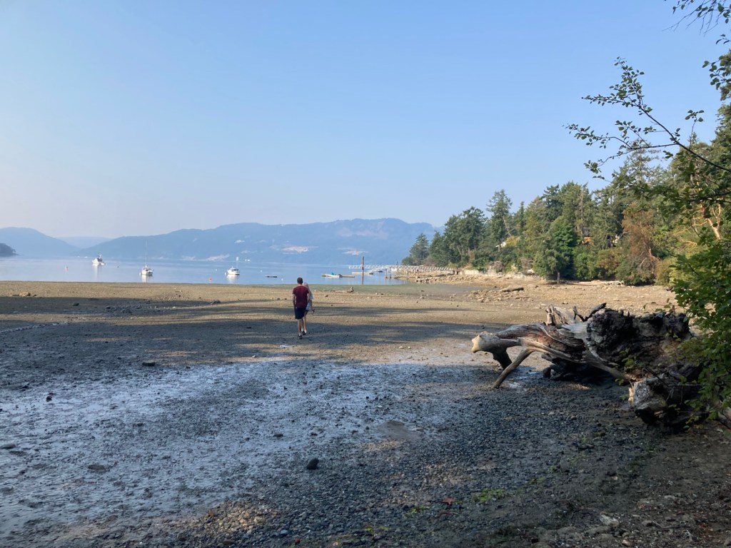
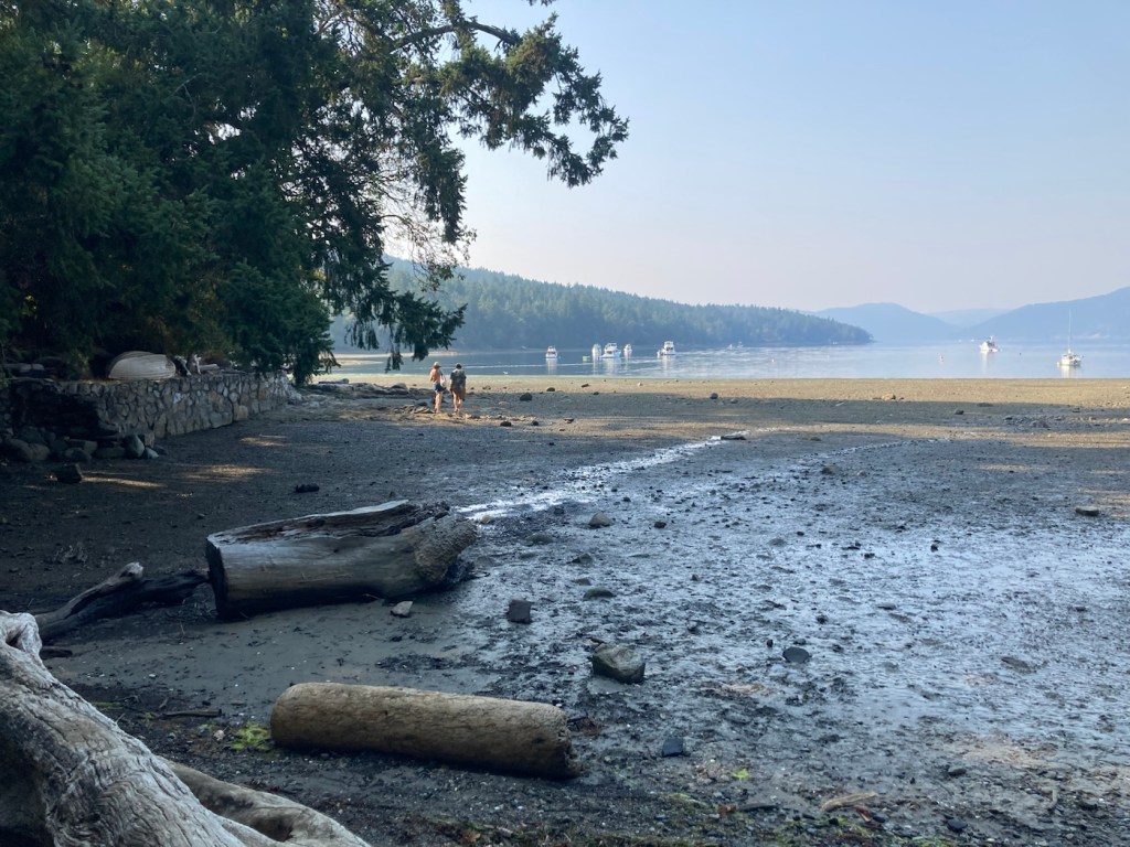
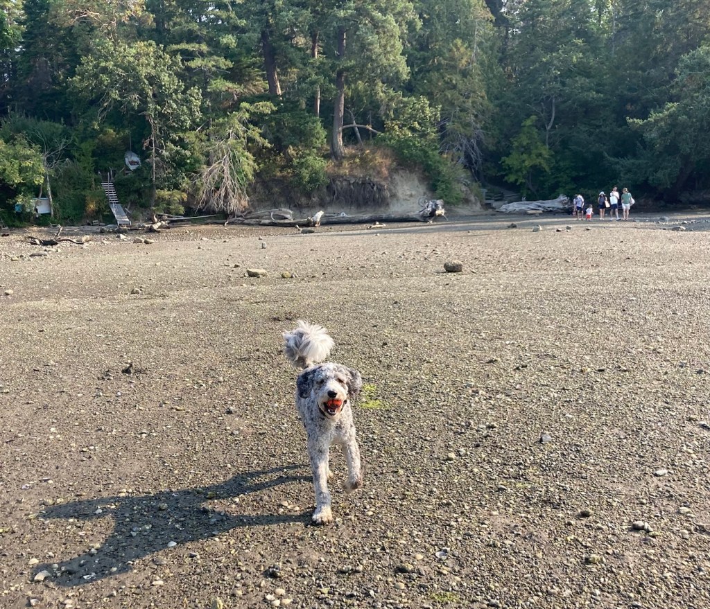
We have been exploring a couple of new parks with Rafa, both on lead and off. Yesterday we went to Cole’s Bay Regional Park for some ball fetching. It was quiet, so Rafa got quite a bit of off-lead time in.
Signage for the parkView of Cole’s Bay at low tideDittoThe happy ball retriever!
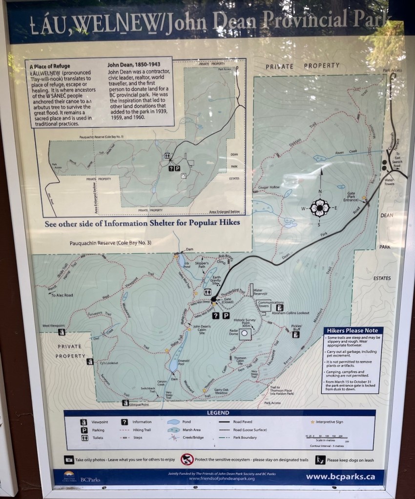
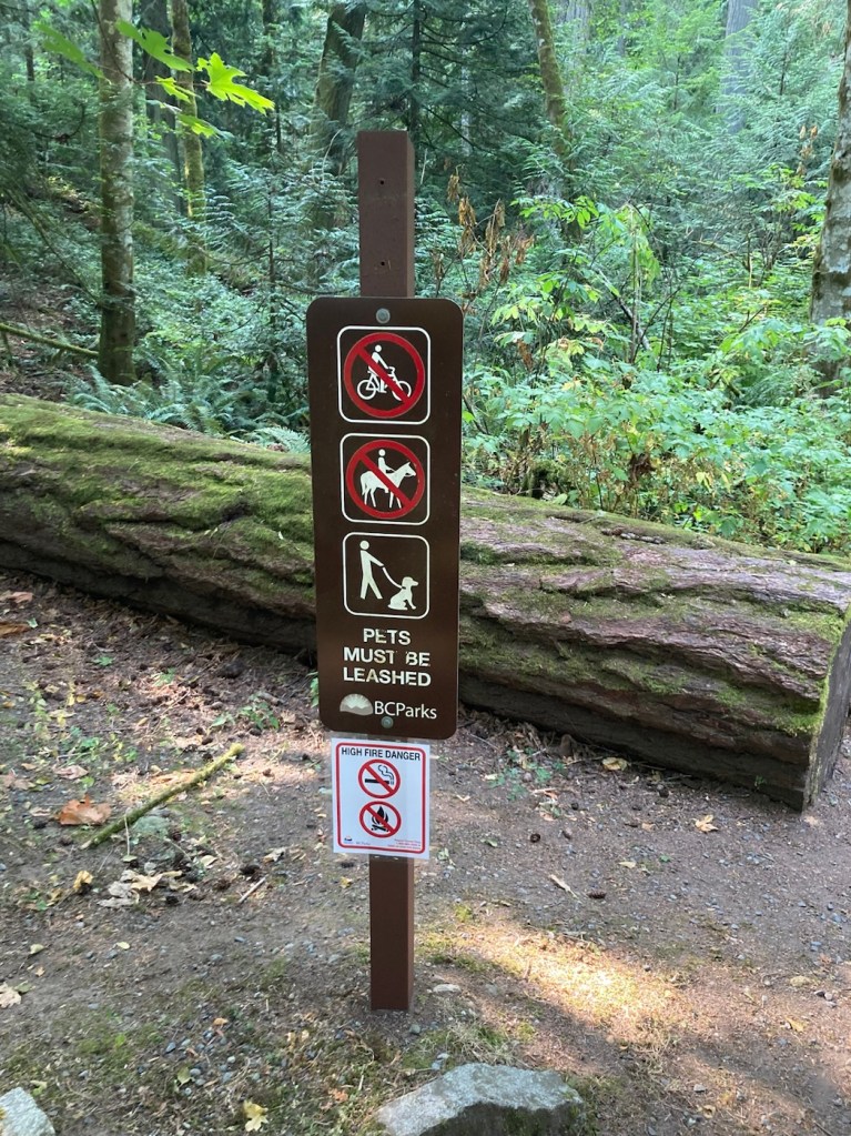
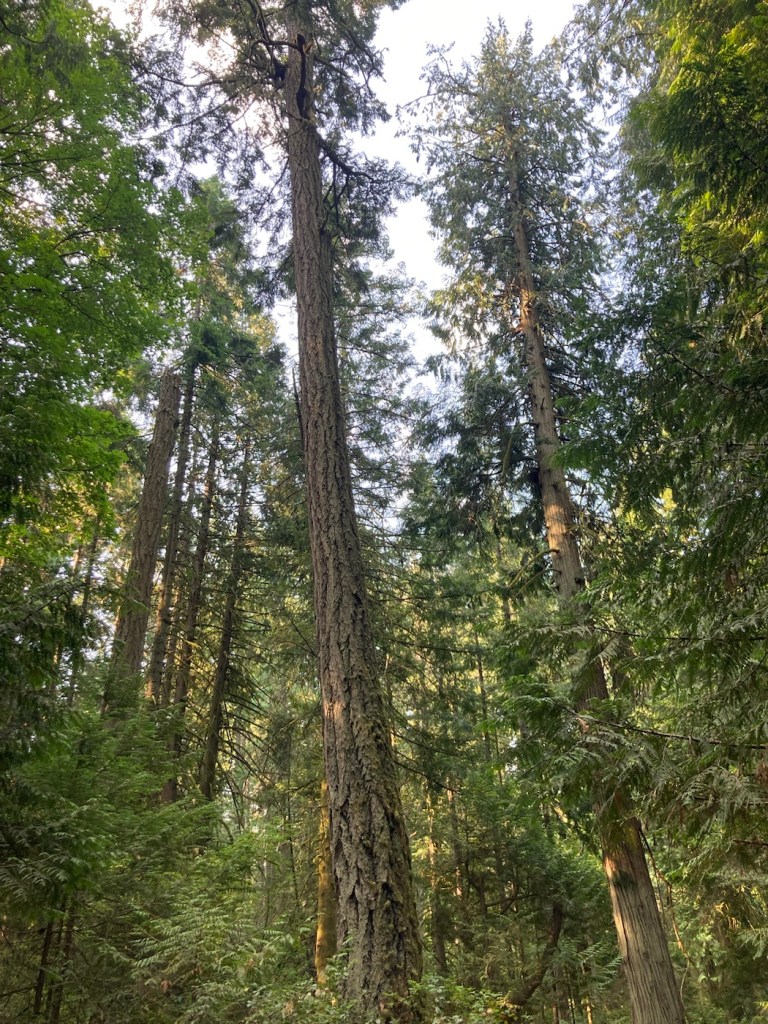
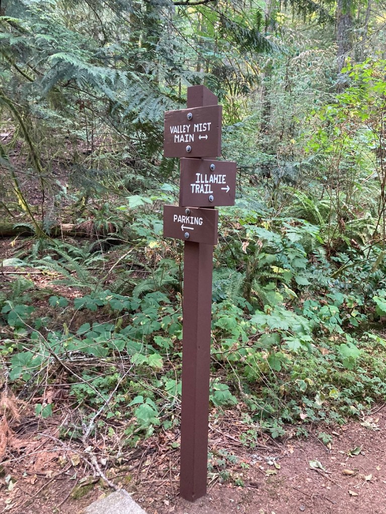
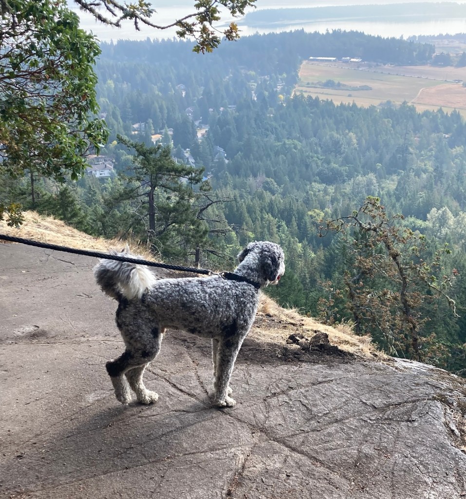
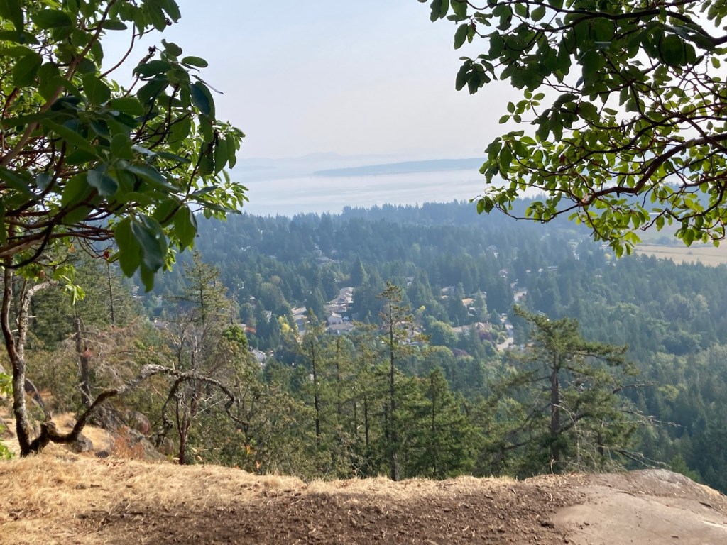
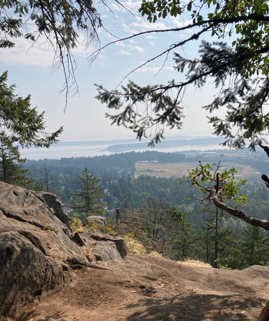
Today, we had a good walk around many trails at John Dean Provincial Park. From the website, the park is “situated on top of Mount Newton on Southern Vancouver Island and overlooks the pastoral Saanich Peninsula, the Gulf Islands, and the Cascade Mountains.” We headed toward a viewpoint, but t was a bit obscured with the still smoky air.
Park trail mapInitial signage dos and don’tImpressively tall treesOnward through the greenPath signageRafa taking in the view from Pickle BluffAnother observation deck that really didn’t allow for any views but the trees
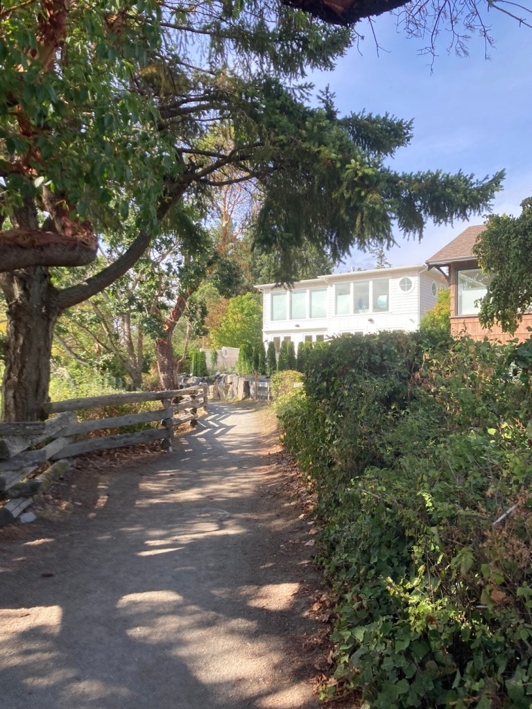
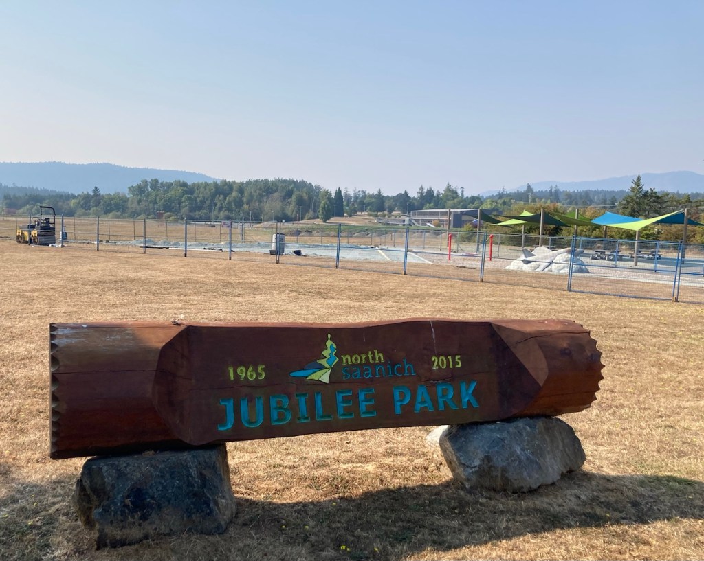
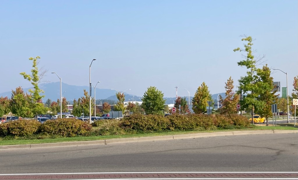
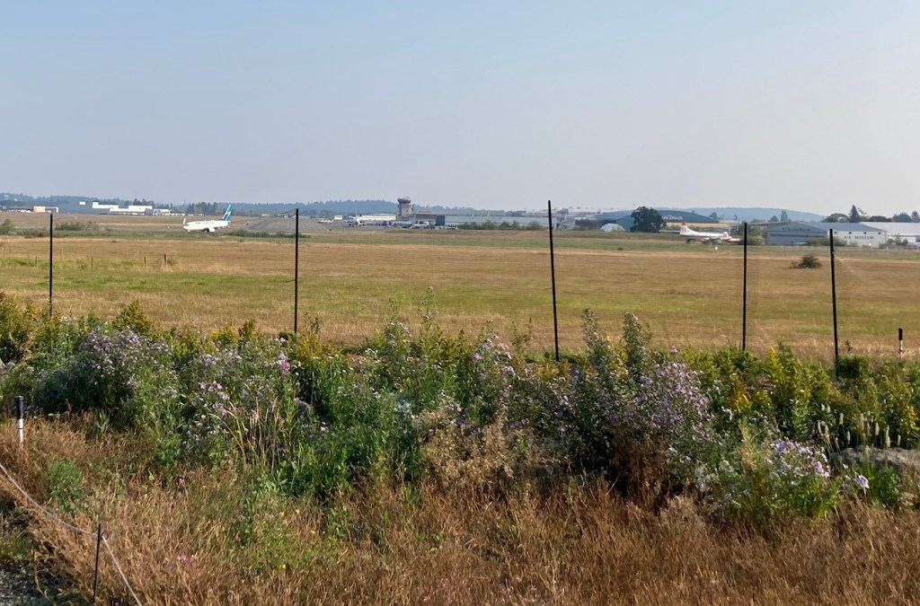
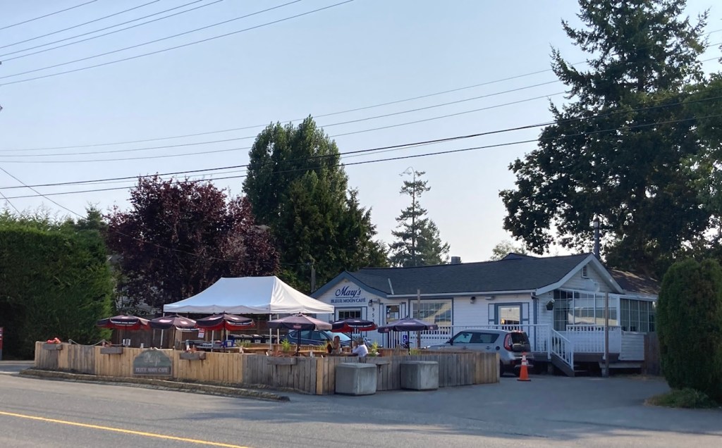
Bob had read about a 9.3 km walking/biking trail around the Victoria International Airport, which is actually located here in Sidney — less than a 10 minute drive from the condo. We thought we’d tackle it today (Saturday) as we assumed the parks might be busy. This trail was also being used but with its length was not crowded.
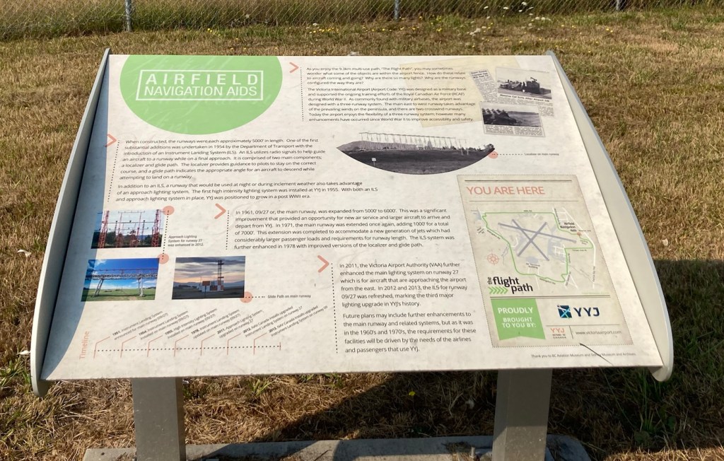
The path goes around the perimeter of the airport and has signs along the route highlighting some of the history of the area. We saw people walking, running, biking, and skating on it. It made for a lovely walk as we watched the airport traffic (both commercial and small planes).
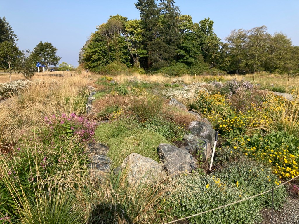
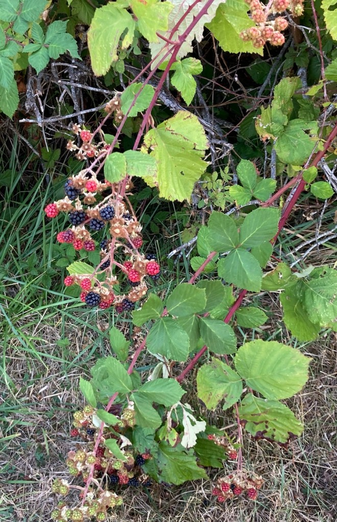
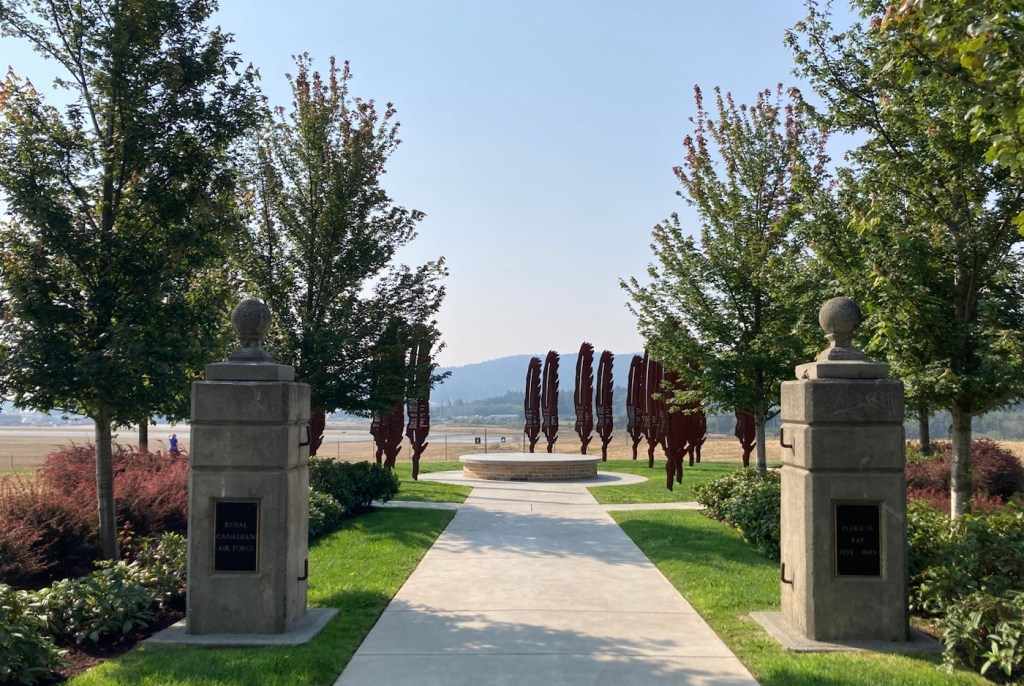
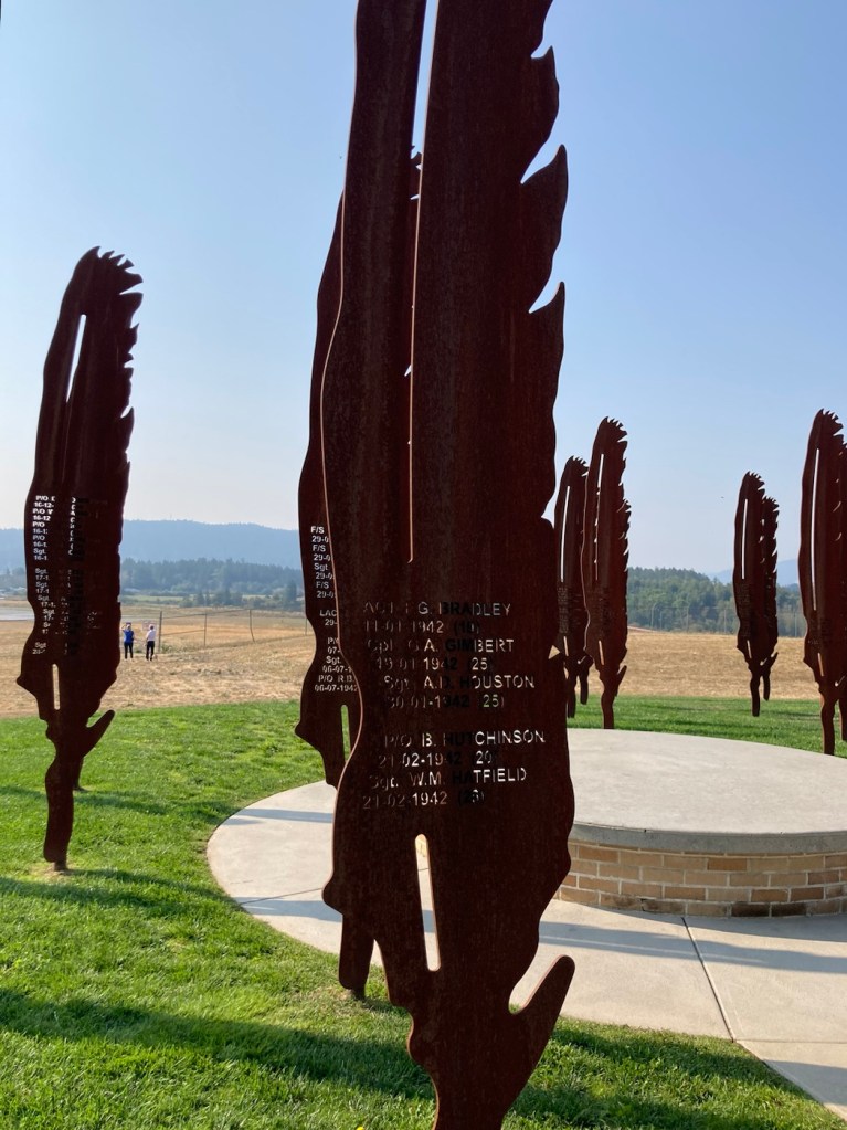
Jubilee Park, a children’s playscape along the route with a parking lot where we parked to start the walk.The first informational sign that we came to with information about the nearby Patricia Bay and it’s role in the Canadian Coast Guard and Victoria Airport Water Aérodrome.Looking out at Patricia BayThe lovely countryside along the trailDittoLooking across the road to the airport The airport website refers to itself as the pastoral Victoria International Airport. That seems right.A pollinator garden along the trailThis area is crazy with wild blackberries A cute cafe near the trailAnother informational sign, this one about the history of the airport (YYJ).Carrying water and a bowl for Rafa.A memorial on Hospital Hill along the trail for the 179 people who perished in WWII who were either stationed or worked at the Patricia Bay Air Force Base.A closer look at the feathers with the individual’s names