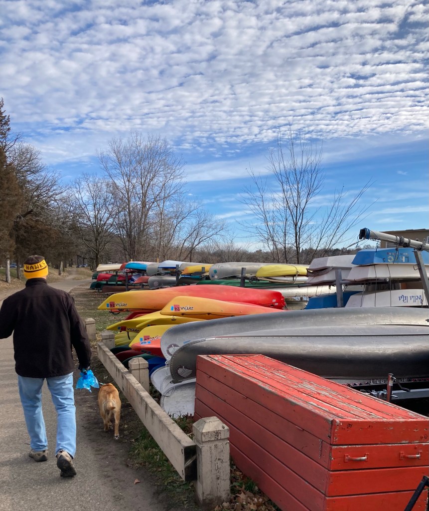
After Bob and I descended from atop the tramway, we headed to Palm Desert, California. The Palm Springs area contains a number of communities, and Palm Desert is another city in the Coachella Valley that is approximately 14 miles east of Palm Springs. It has a population of over 51,000, and has the reputation of being a higher end, flashier version of Palm Springs.
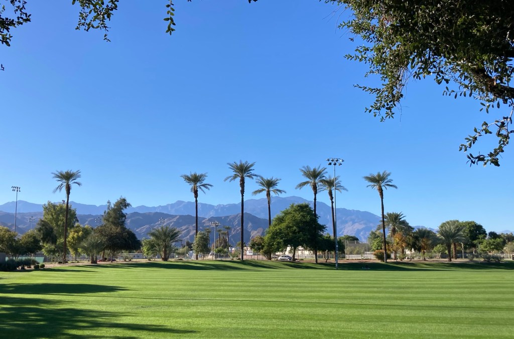
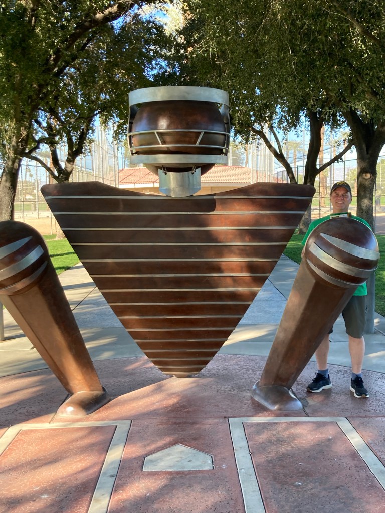
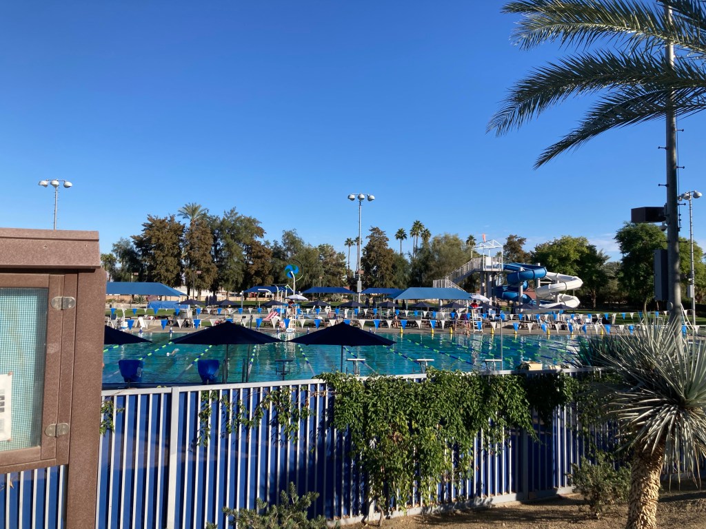
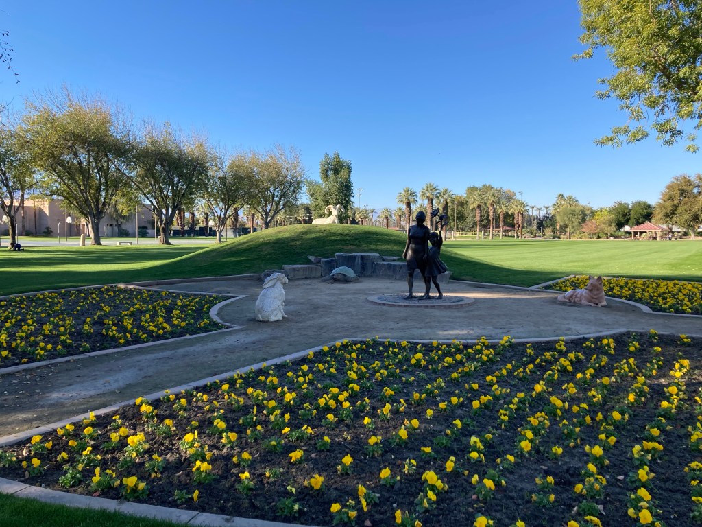
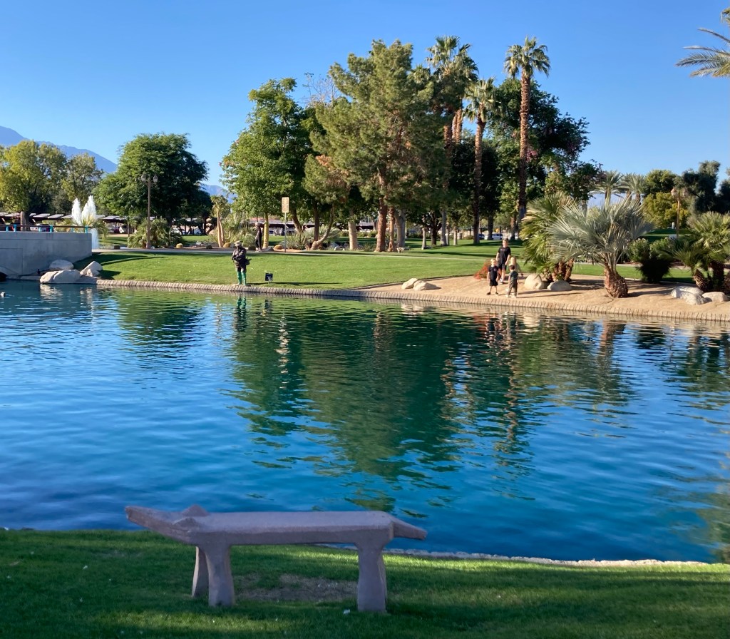
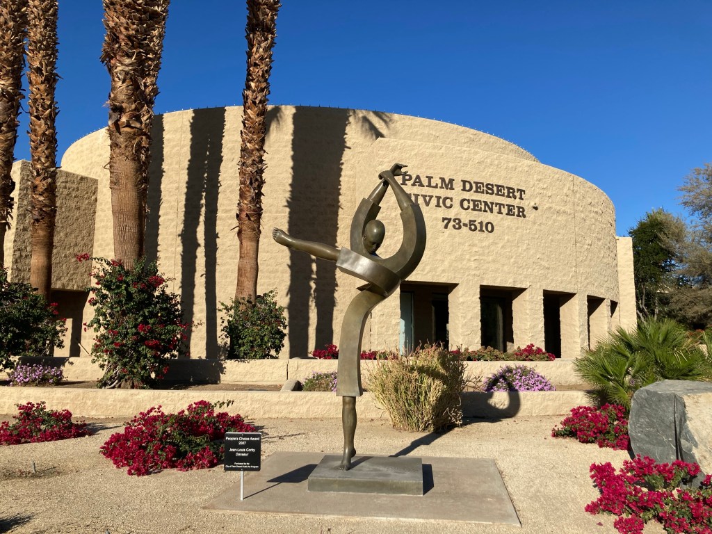
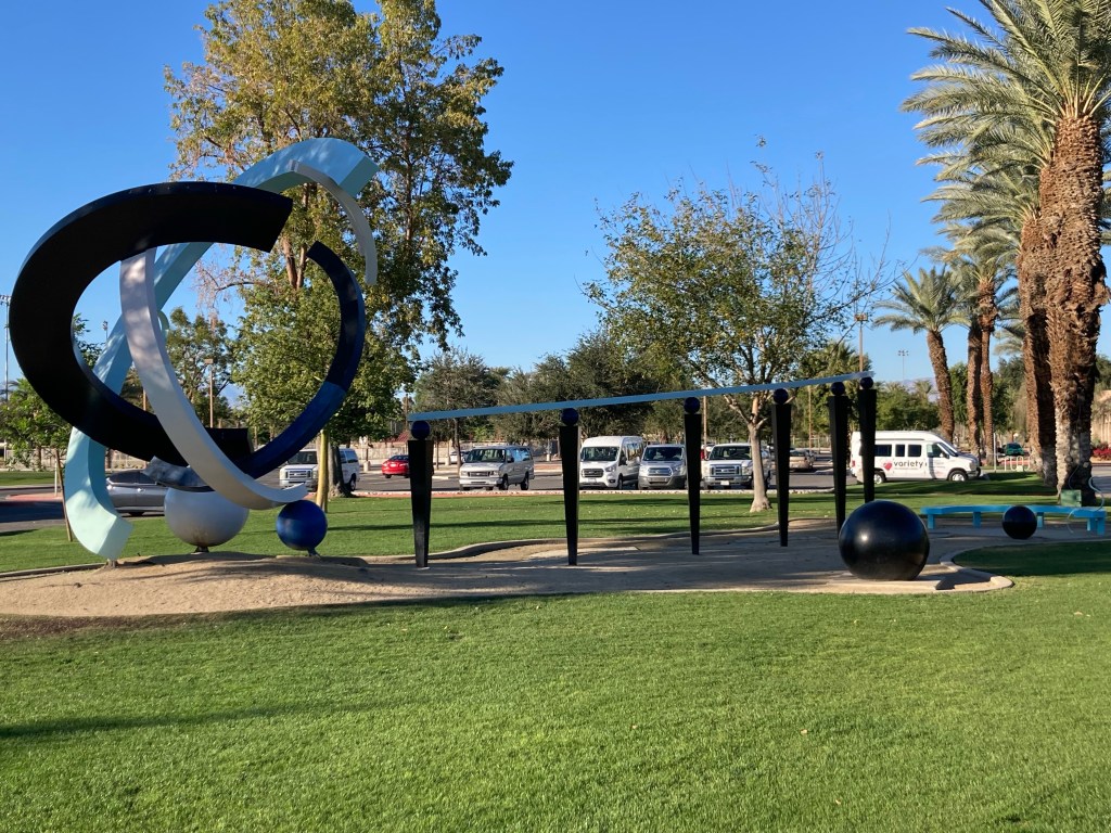
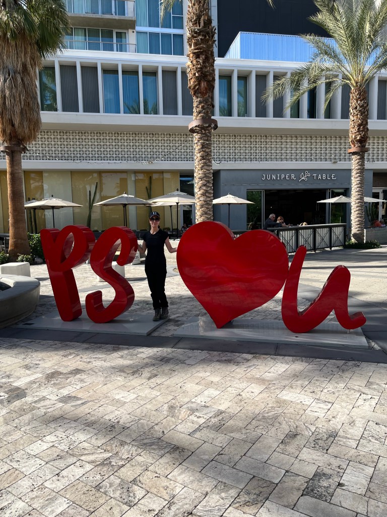
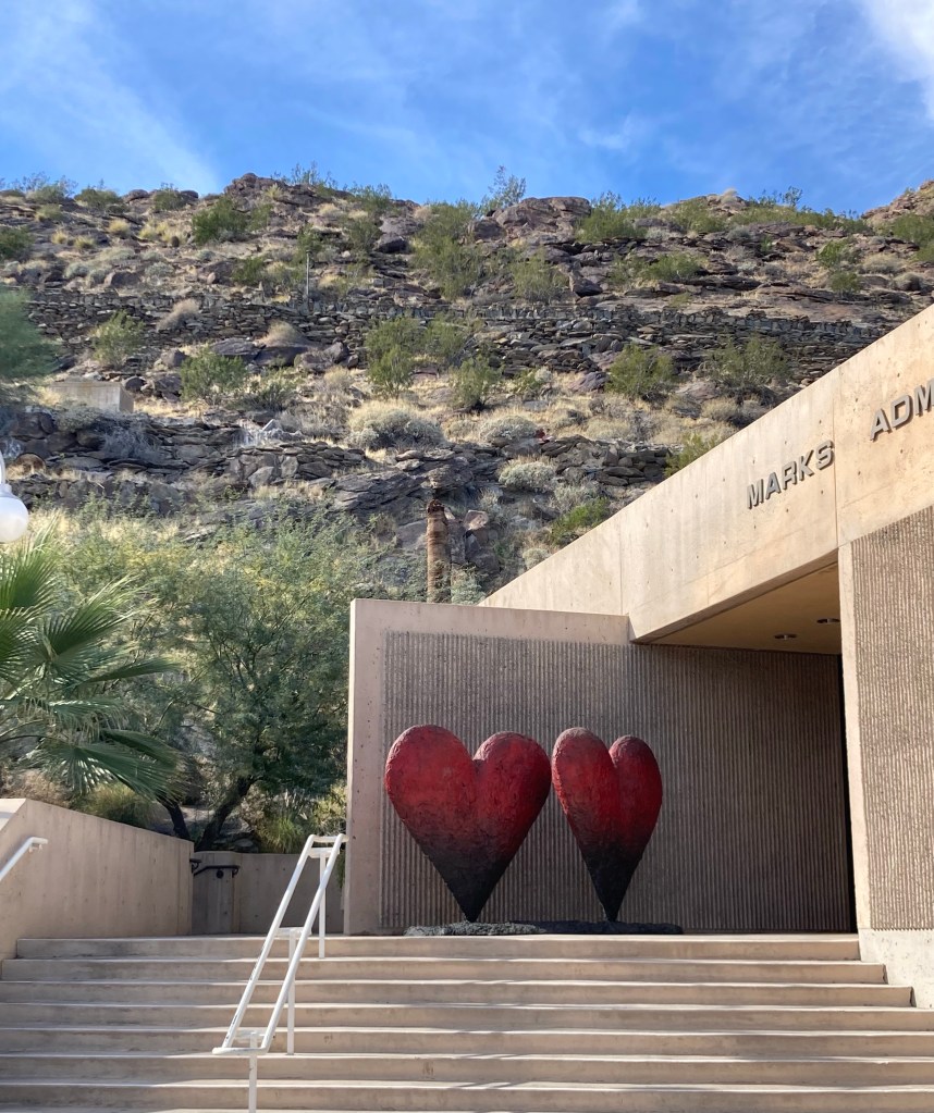
We were headed to the Civic Center Park to walk the public art trail. The Civic Center Park is a 70 acre park that is home to the city of Palm Desert municipal offices as well as recreational and sports amenities, five picnic pavilions, an amphitheater, two skate parks, and a dog park, along with the art walk. It is one of the most beautiful parks we have ever visited.
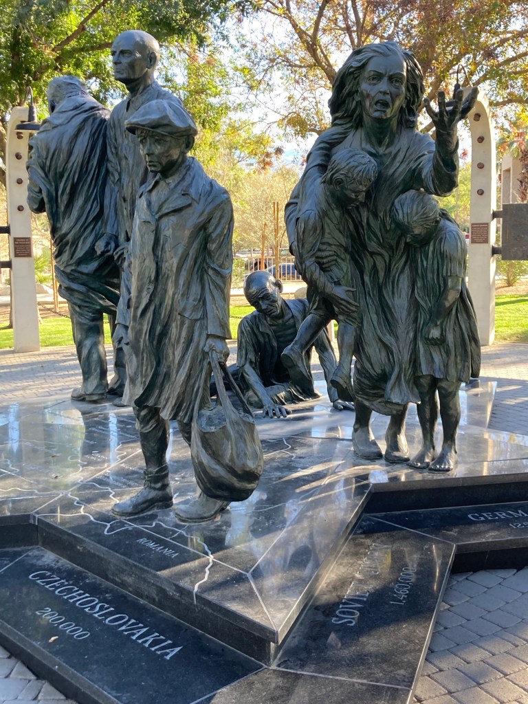
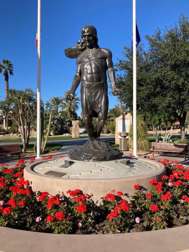
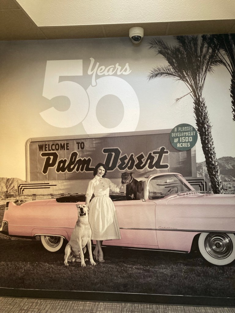
Looking across one of the great lawns of the parkThe first sculpture called Today in the Legends Field area of the park. Baseball, anyone?The lane pool and water park within the parkOne of the pavilions and a volleyball courtThe mother and child sculpture gardenOne view of the Holocaust Memorial The Dreamer by David PhelpsMessenger of the Puul by Curt Mattson Coyote benchmark in the foreground and what appears to be a fisherman is actually a statue called Midstream by J. Seward JohnsonThere was an indoor exhibit on the history of Palm Desert, which is only 50 years old this yearDanseur statue by Jean-Louis CorbyDesert Dessert by Michael Anderson
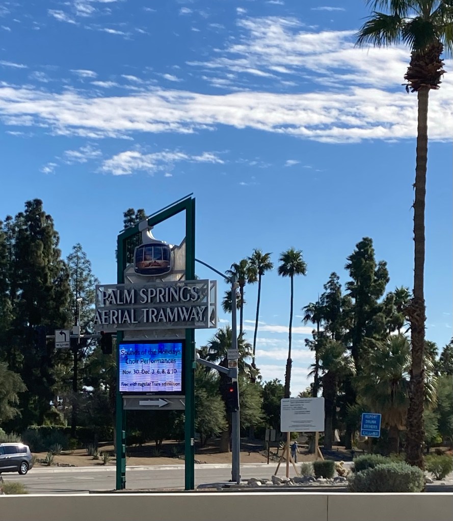
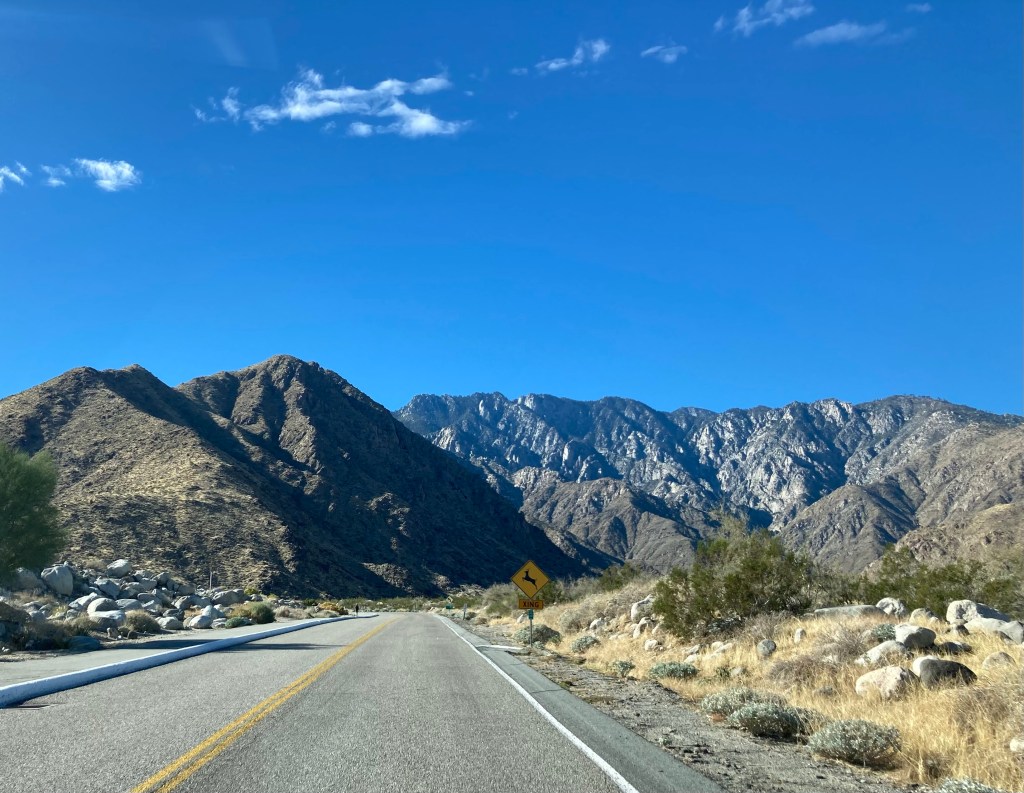
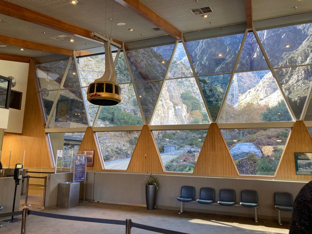
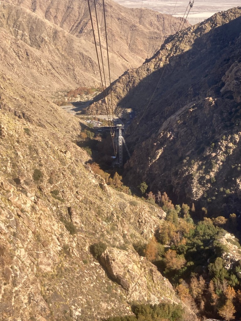
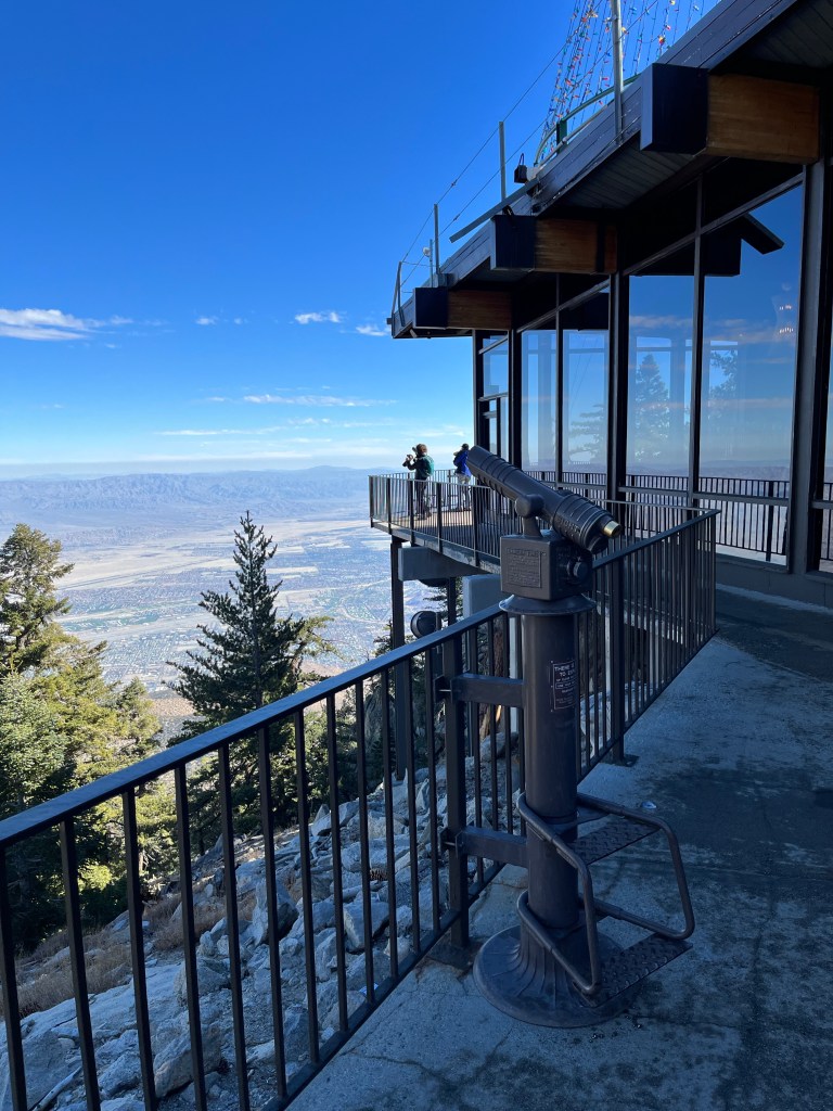
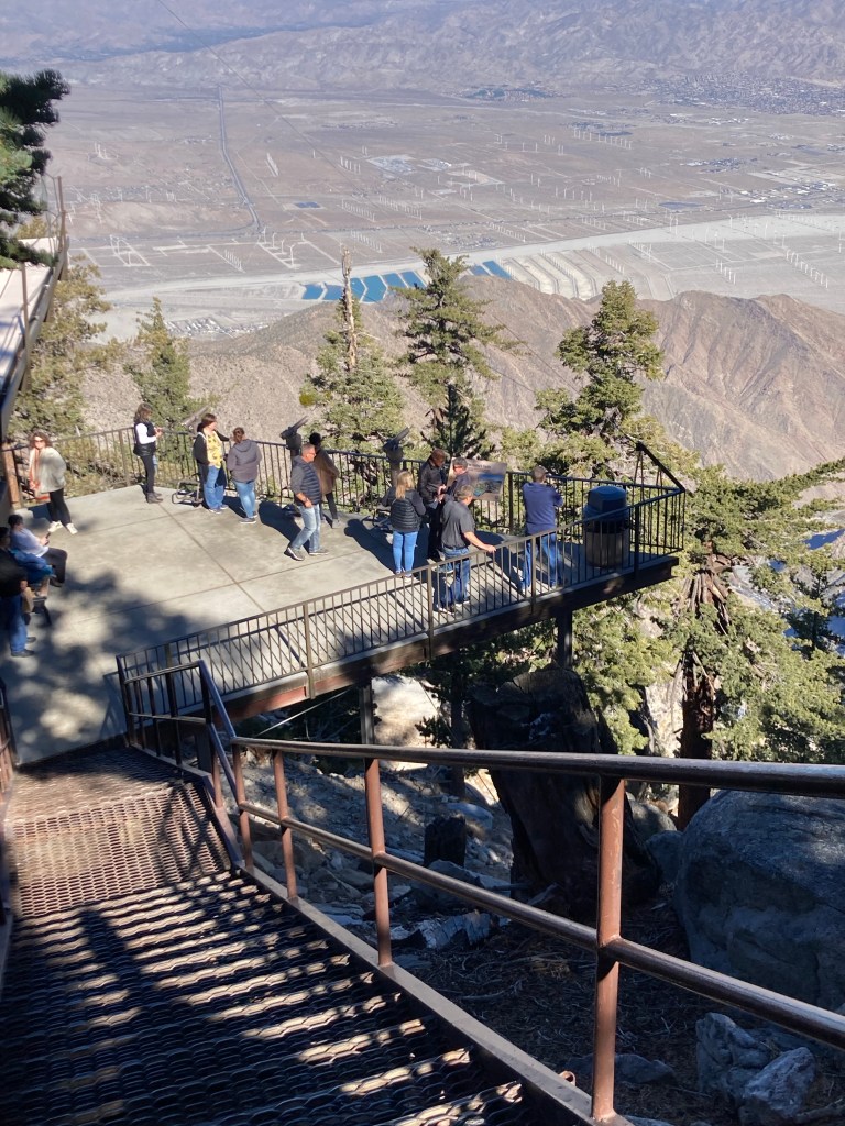
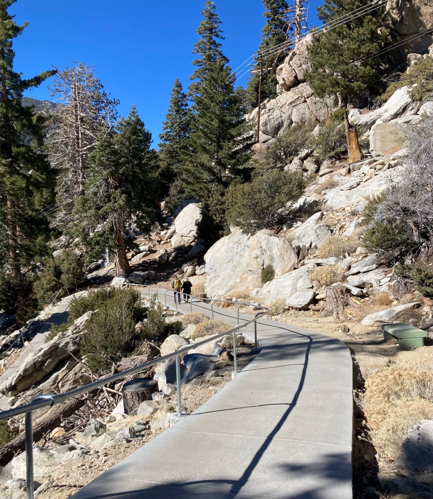
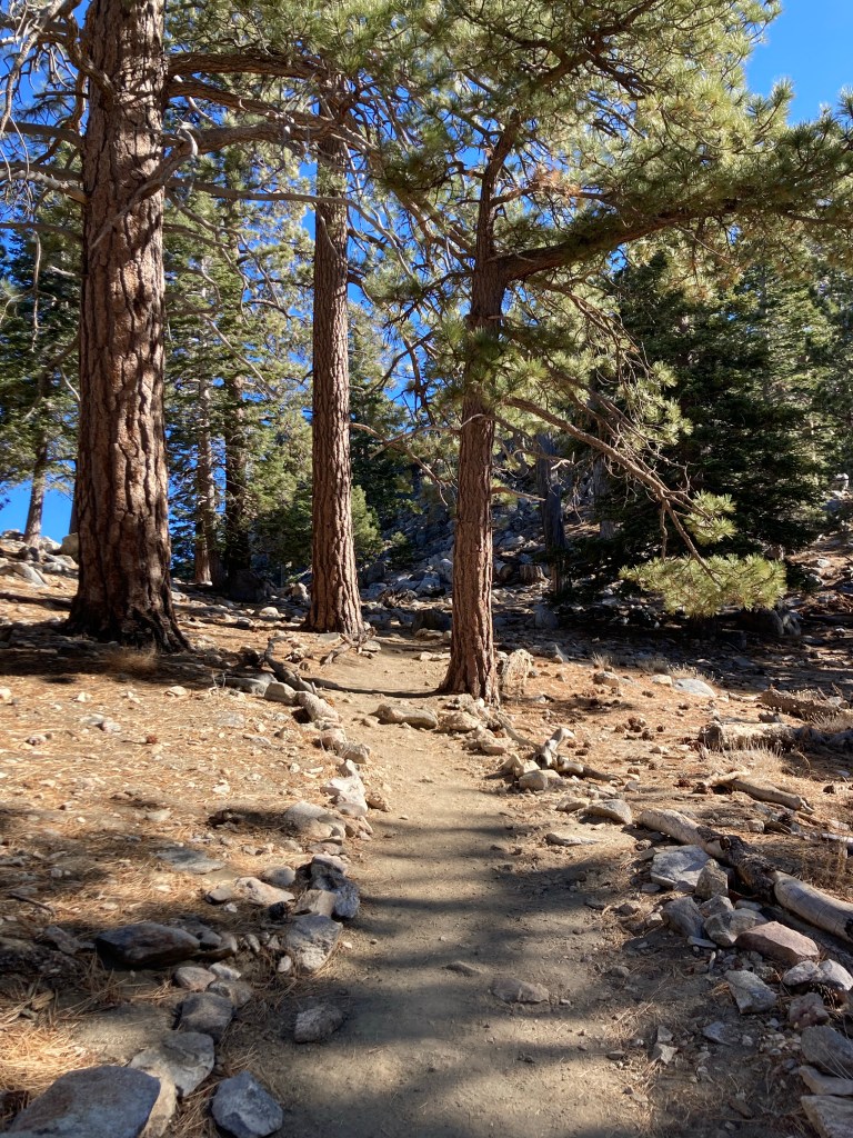
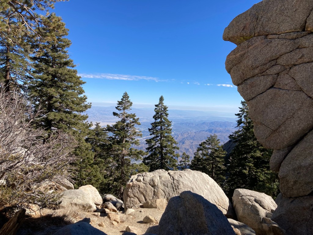
Another too many photos day, so this is the first of two blogs for today. We began our busy day with a trip to the Palm Springs Aerial Tramway that opens at 10 am. The tramway provides a 10 minute, 2.5 mile ride for up to 80 people in the world’s largest rotating tramcar. The tramcar itself doesn’t rotate, but the floor does, so you are provided with a 360 degree view as you move through five different life zones — from the Sonoran desert to the Alpine wilderness. It also allows you to visit and hike through the San Jacinto State Park at the top of the ride.
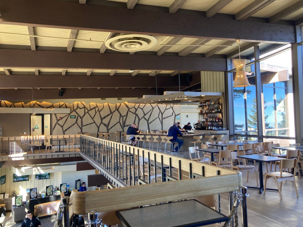
The station at the top also has a bar, restaurant, museum, and shows two 19 minute films, one of which discusses the creation of the tramway, which was completed only with the use of helicopters and their pilots which were required to haul both workers and materials up the mountain in order to build the tramway.
Sign for the tramway across the road from the Palm Springs Visitors CenterDriving up to the base of the tramwayThe inside of the base tramway station Looking down as we headed upThe bar on the top floor of the upper tramway station First views from the topLooking down on one observation point from aboveWalking down into San Jacinto State ParkHeading out onto the Desert Scenic TrailScenic view from the trailScenic view from the trail
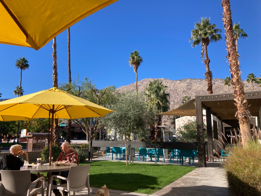
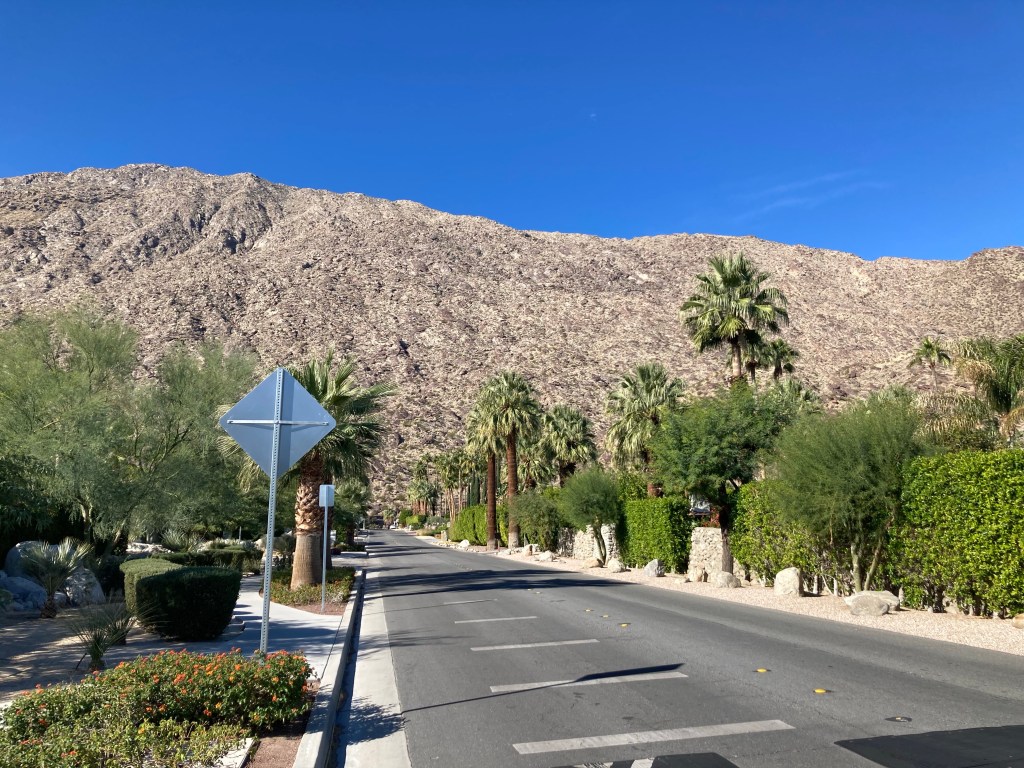
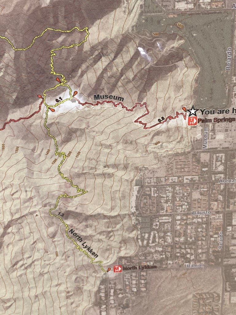
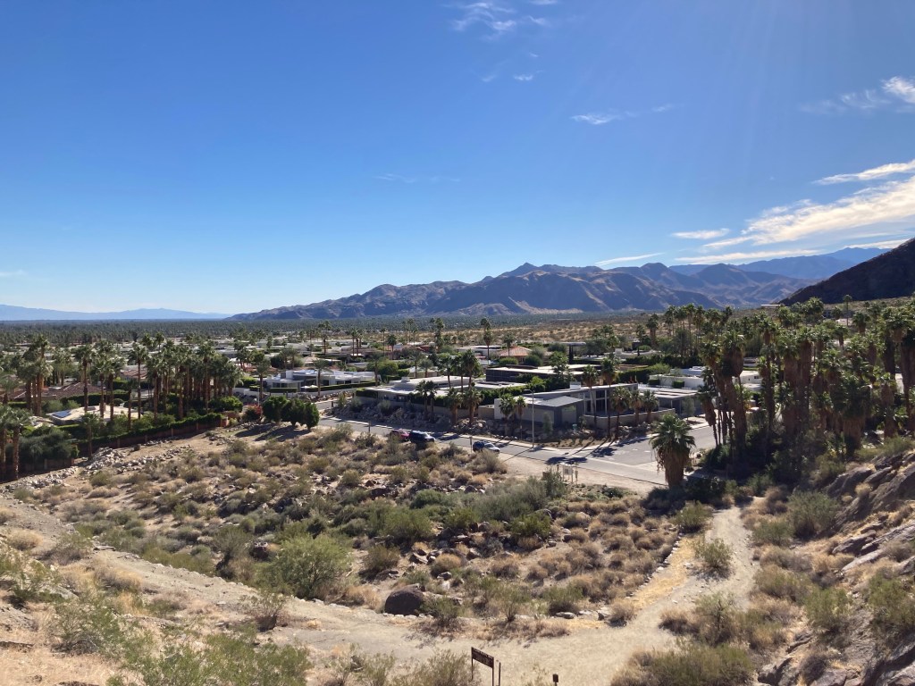
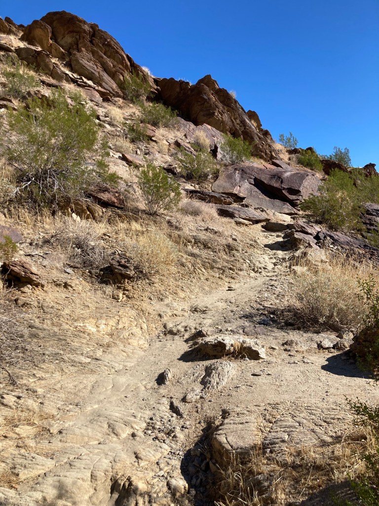
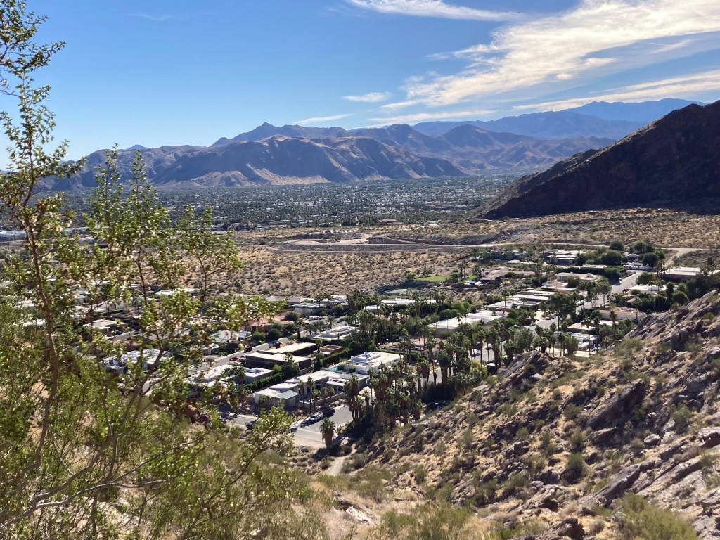
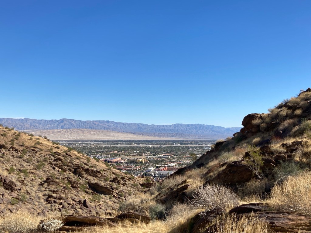
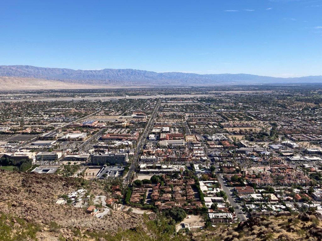
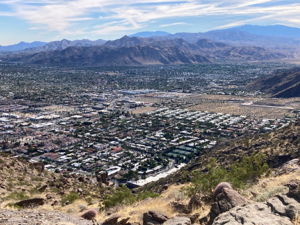
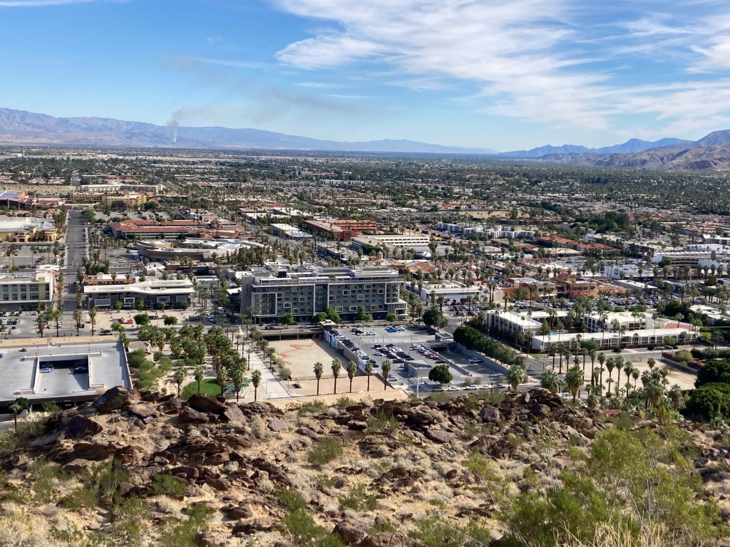
Before our stroll around downtown Palm Springs this am but after coffee and breakfast at a cafe called Koffi, recommended to us by friends in Sidney, British Columbia, Bob and I walked a short bit to the edge of town to hit the trailhead for the North Lykken Trail and then hooking up with the museum trail to bring us back into town. The North Lykken Trail was touted as being moderate difficulty with an 850 foot elevation gain eased by switchbacks and with great views of Palm Springs. The Museum Trail was described as strenuous and steep. Both were as advertised.
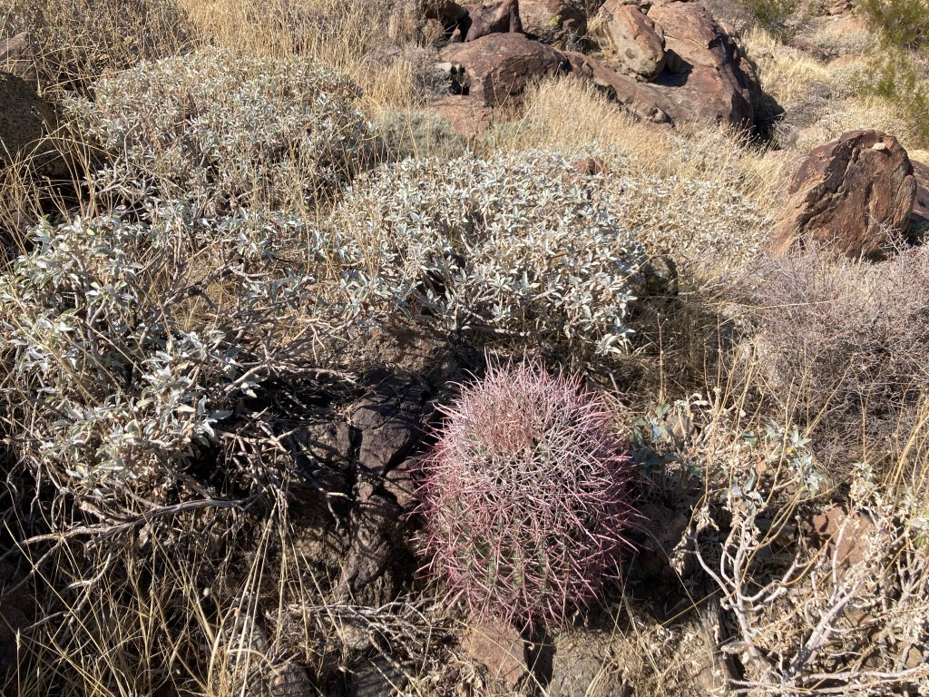
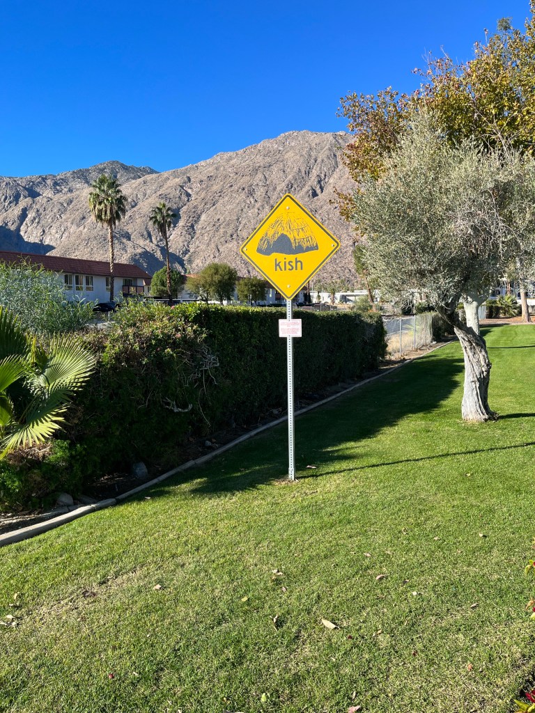
View from KoffiWalking to the trailheadMap of the North Lykken and Museum Trails. I did not get a photo of the elevation gains.First view of a Palm Springs neighborhood as we begin our ascent Up we goA higher view of the surrounding areaAnother peak as we move between mountains Awesome!Desert floraHeading back downAnother perspective Getting closerBack down. This is a sign by our condo. Never seen this before. Google isn’t much help with this, may need to pester a local.
Bob and I have jetted out of the cold Midwest for a few days for some fun in the sun for our 30th wedding anniversary which is today. We survived the post-Thanksgiving holiday travel crush yesterday (not nearly as bad as we were expecting) and arrived at our Airbnb condo last night. We have had a great day exploring this lovely, sunny, warm area and have reservations for a dinner out tonight.
It’s been one of those too many photos days, which is always a good thing, so we’re doing 2 blogs. This first one is a bit more Bob and Beth focused than usual but seems to fit the spirit of the day. The next one will have the photos of the Palm Springs area from our hike this morning.
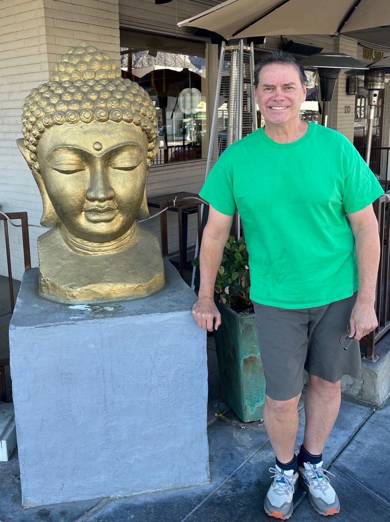
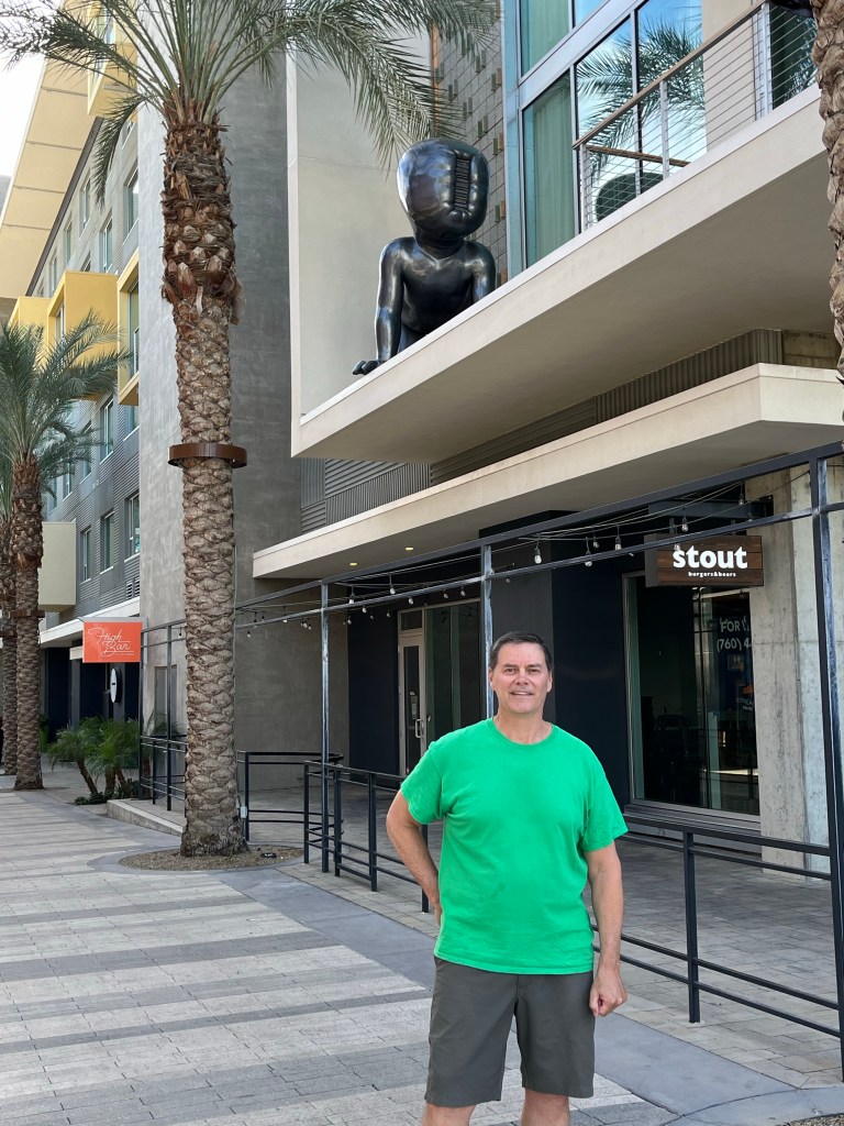
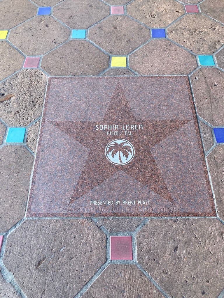
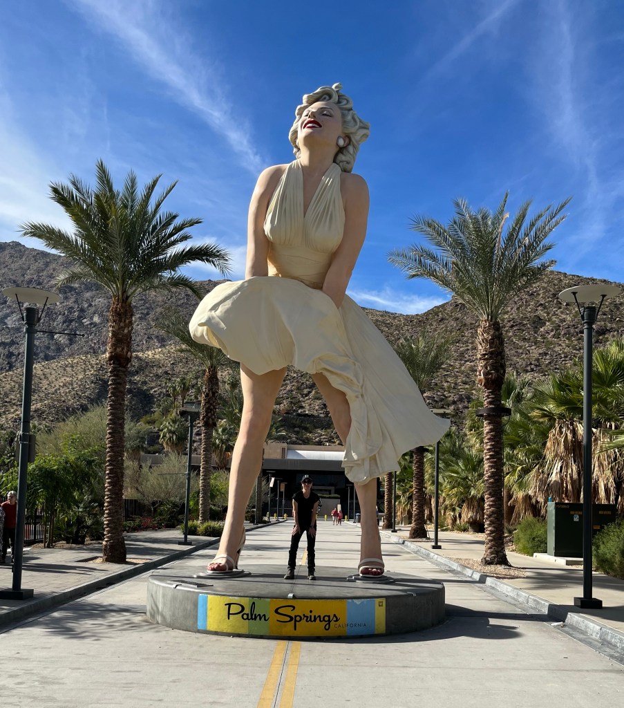
See below for big heads and other fun finds in downtown Palm Springs.
First Big Head find of the dayOne of the more unique big head findsPalm Springs has their own walk of starsAn iconic Palm Springs landmark and a poserInteracting with street artWe saw these at the end of our hike today. It seemed fitting.
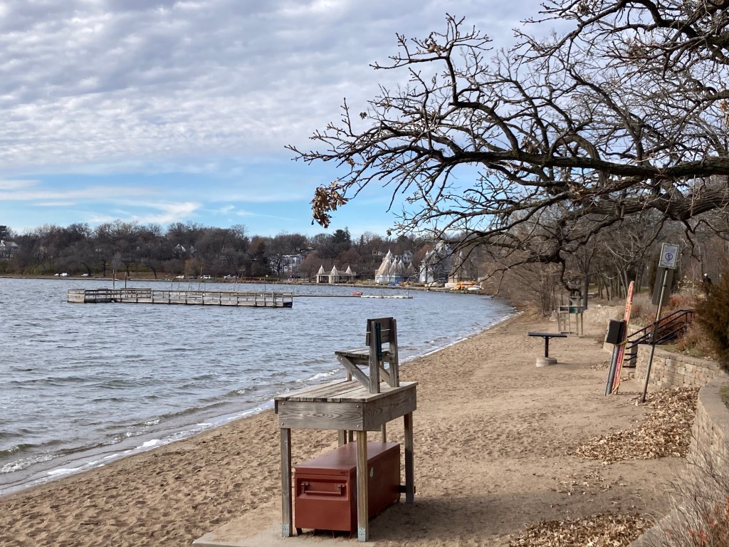
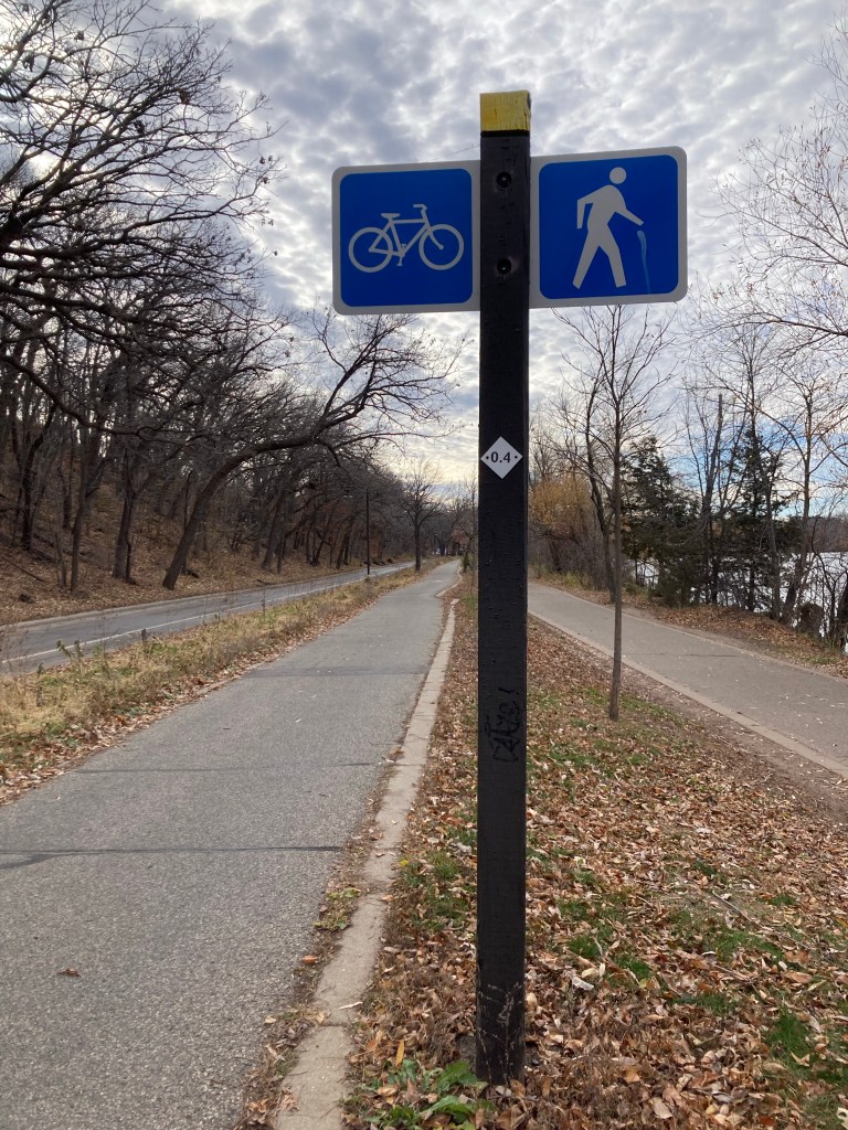
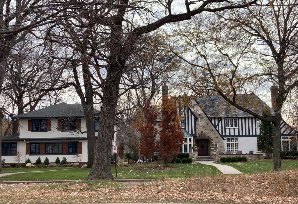
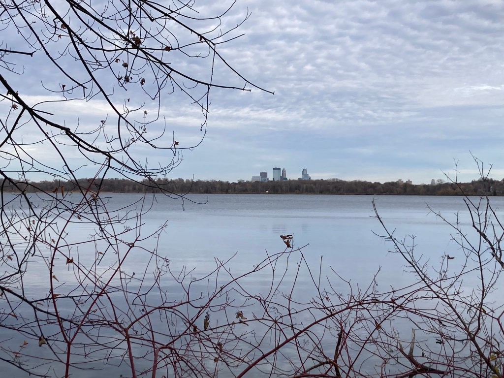
Today, we made the short 10-12 minute drive to Lake Harriet, a beautiful multi-use park in Edina, to walk Charley. The trail around the lake is a little shy of 3 miles. The park has an outdoor stage/bandshell, concession stands, beaches, and canoe/kayak rentals. There were a number of people out running, walking their dogs, and even a group of men in waders fishing in the lake. As impressive as the park and lake were the lovely, large homes surrounding the lake. I have no desire to live in or have to clean a large home, but I like to look at them.
Here’s the photos from our walk in the 30 degree weather.
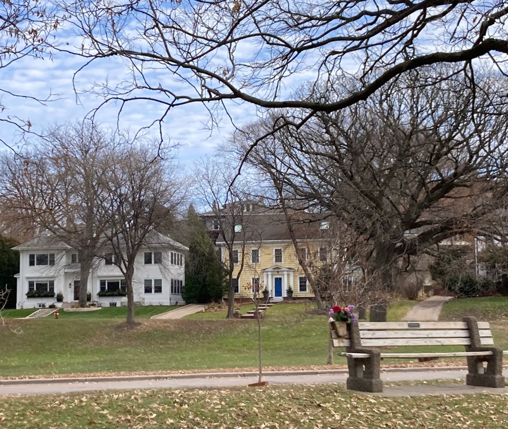
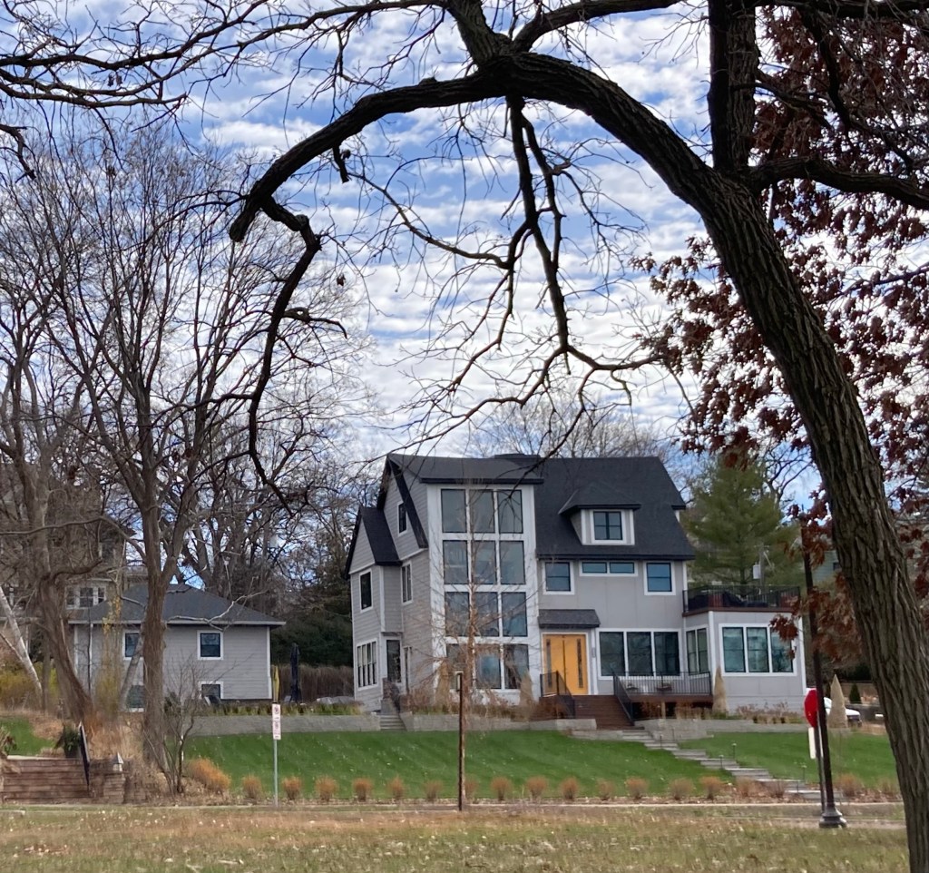
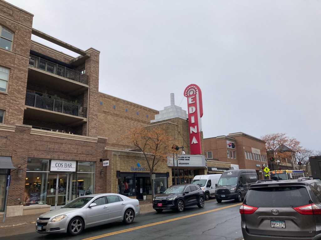
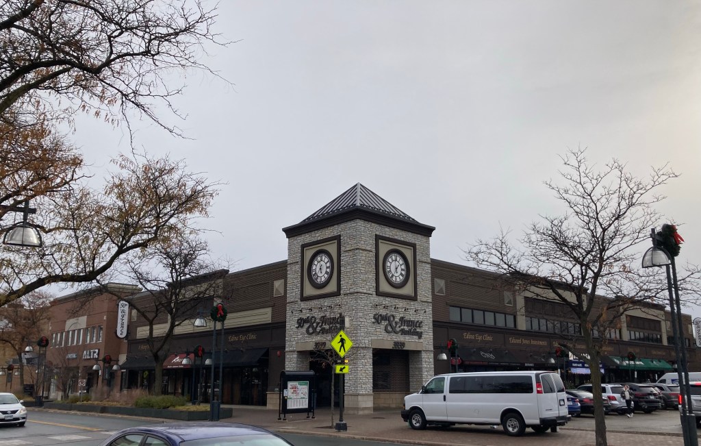
Today, we did a 37-minute walk to downtown Edina to check out the retail center of this area. The walk took us through some very nice neighborhoods and a park. After checking out the downtown section, we did some shopping at a Lunds and Byerlys grocery store, a very nice local chain that we learned about during our summer sit in St. Paul. We found groceries for dinner as well as locally made gifts for future homeowners, and have determined to return another night for other meals as there was too much to choose from.
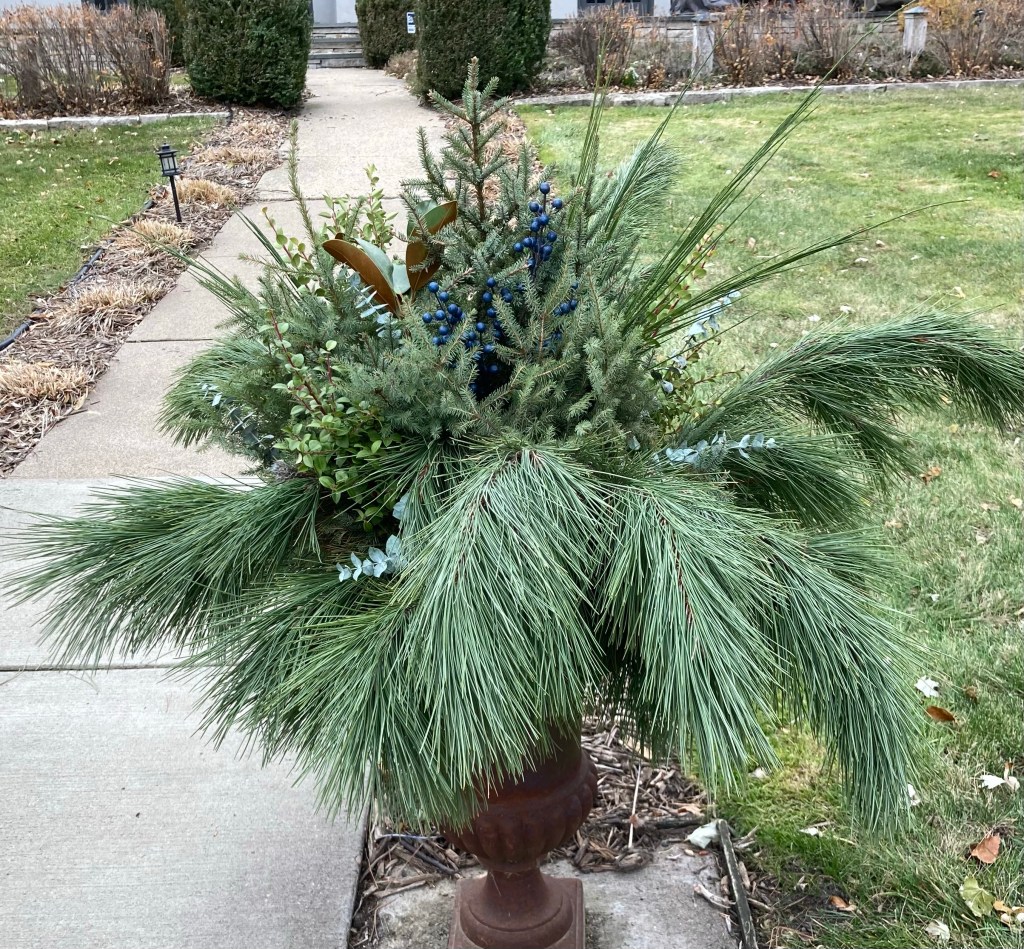
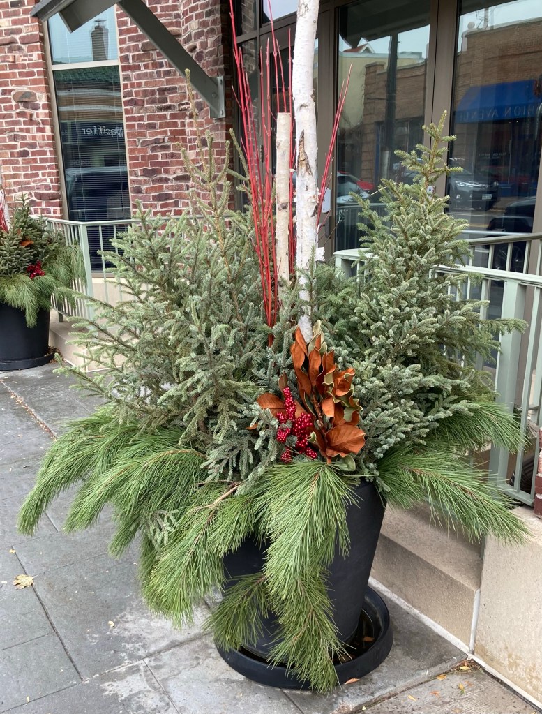
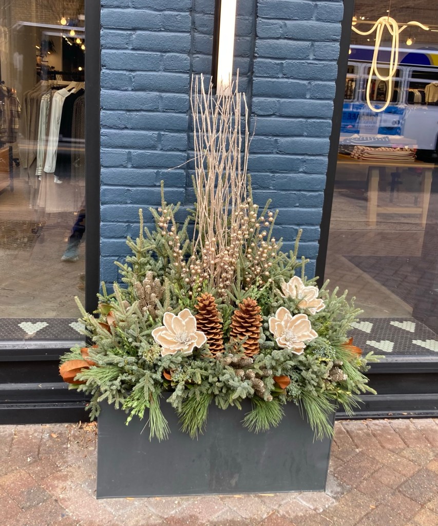
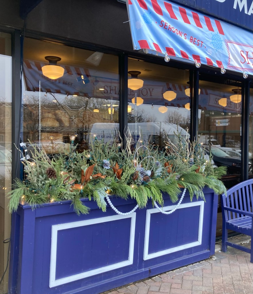
One of nice amenities for where we are staying are the number of pedestrian overpasses over the highway that divides “our” side of Edina from the other side. Today’s walk took us over one of these overpasses. One of the sites we are noticing in the neighborhoods and retail areas are the lovely evergreen based arrangements.
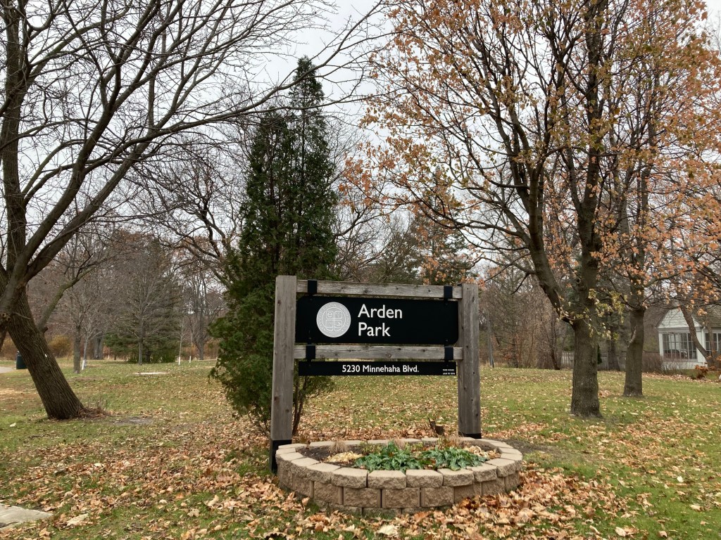
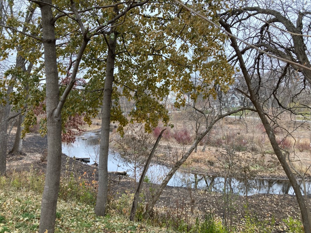
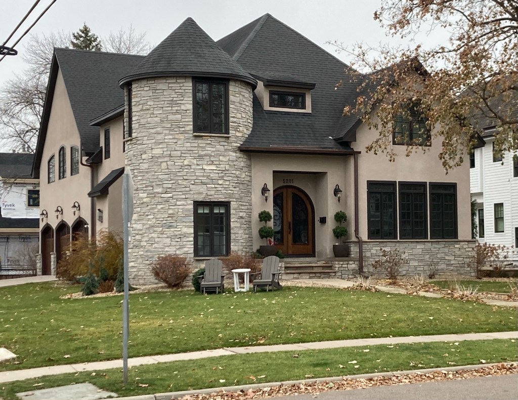
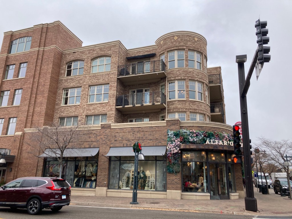
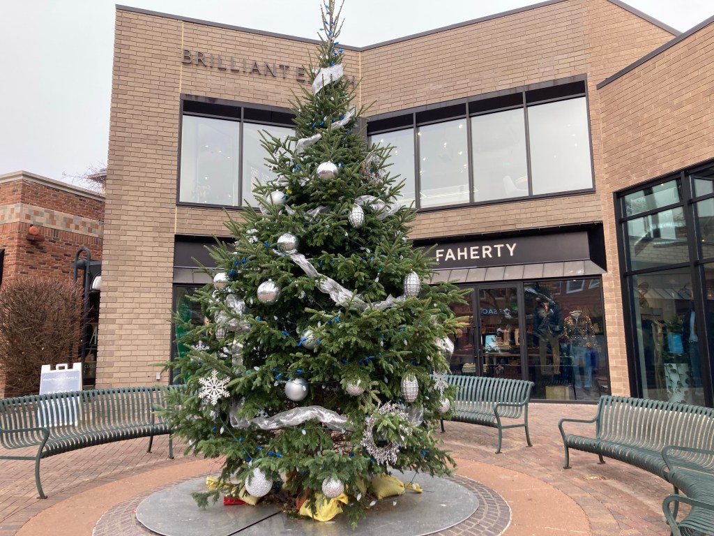
Lake Harvey in the neighborhood just across the highway from usThis arrangement was in front of one of the many, many gorgeous big homes in the area.Arden Park is an 18 acres park with trails, a creek, playgrounds, and an ice skating rink.Minnehaha Creek flowing through Arden ParkA $1.8 million house (according to Zillow). Just an example of the lovely homes, too many to photograph.Multi-unit housing in the city center with ground level retail Another festive arrangement The Edina Mann Theatre is a movie theatre.Another arrangement in the city centerA fully decked out treeOne of the main shopping areasAnother arrangement, this time out of a French bread store
Yesterday we started a house sit closer to Minneapolis for some friends. We had a great visit and dinner with them the night before their departure for Florida and then onto the Bahamas. We get to hang with the very sweet Charley.
Charley
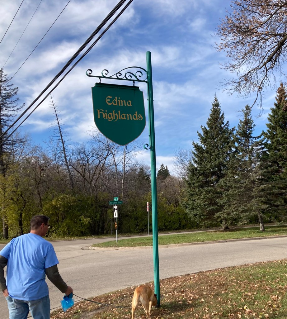
We are actually located in the suburb of Edina, which has a population of 53,000, making it the 18th most populous city in Minnesota. Per Wikipedia, Edina began as a small farming and milling community in the 1860s and became one of Minneapolis’ first incorporated suburbs in 1888. It is known for its shopping, parks, and high quality of life. We’ll be here until the 25th.
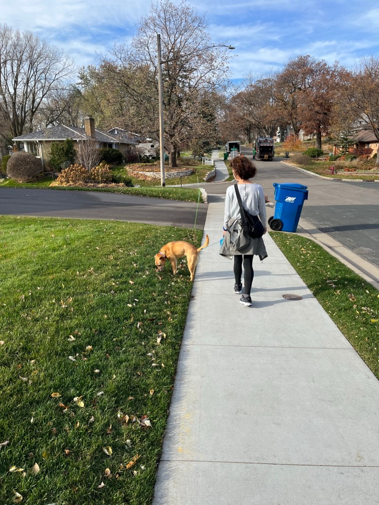
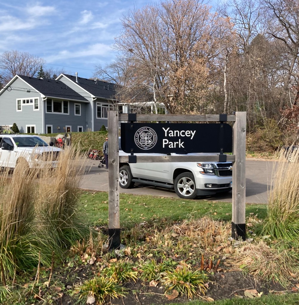
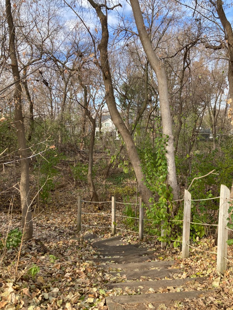
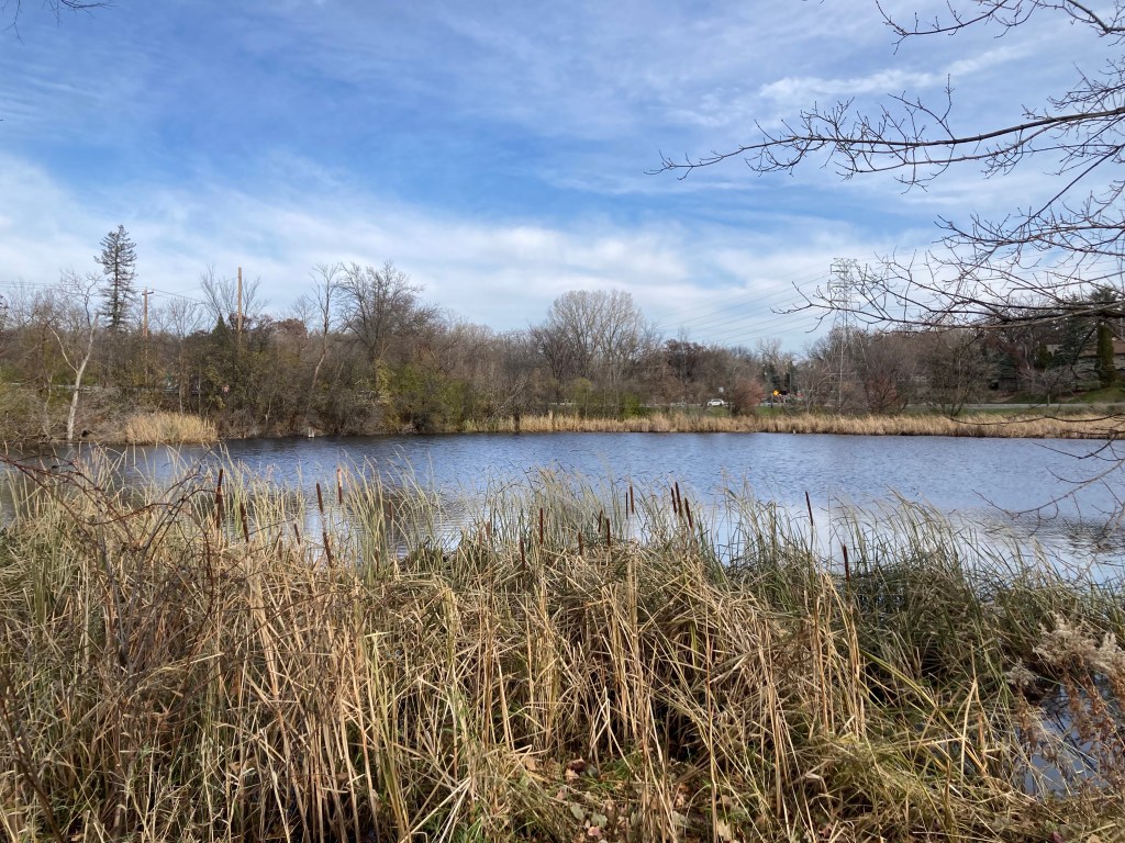
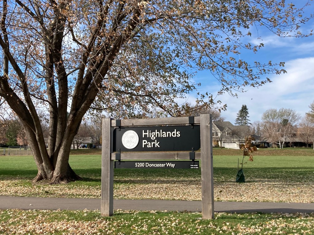
Today, we took Charley on a walk around the neighborhood to explore a couple of parks.
A 60+ degree day!First stop, Yanchey ParkAn entrance to the park from the neighborhood A pond at the parkWalking into another neighborhood Highlands ParkSome lovely homes across the parkThe pond near Highlands Park
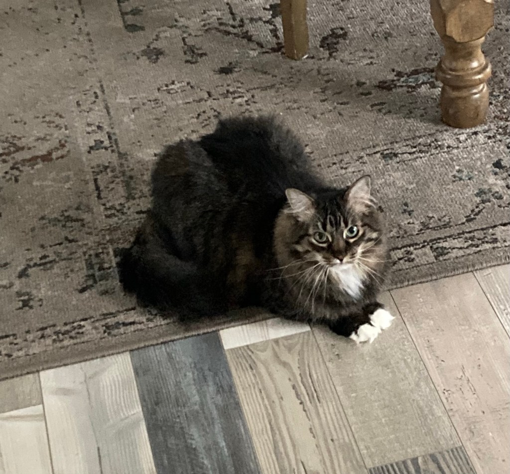
This has been a fast but fun house sit. We have enjoyed this area, and Samee has been such a sweetie. Although not really a cuddler, she loves to rub up against your legs at feeding times, sit near us on the couch, and she could chase the laser all day.
Samee ready to chase the laser
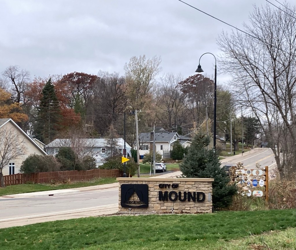
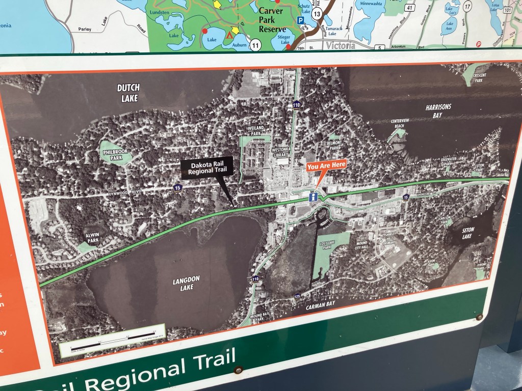
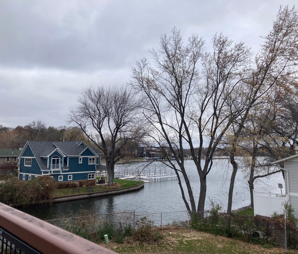
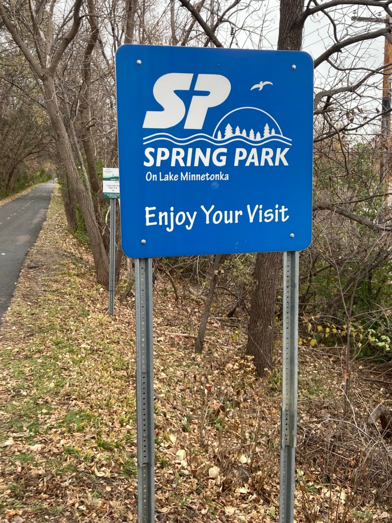
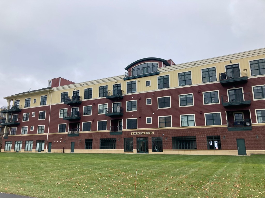
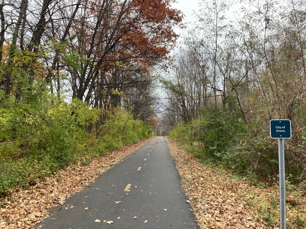
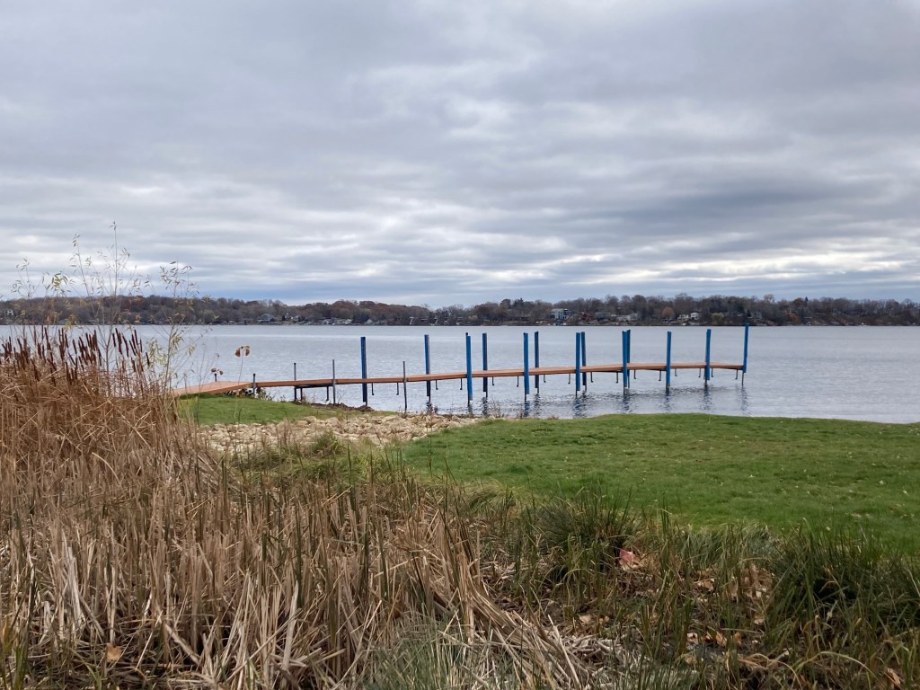
Yesterday, we drove to the small community of Mound, Minnesota, to walk another part of the Dakota Regional Rail Trail and see another part of this lovely, lake-filled area. Mound has one of the few trailheads with parking along the trail. Mound is a city in western Hennepin County (so closer to the Twin Cities). It’s about 18 miles from Waconia, has a population of about 9,000, and Wikipedia tells me that is also home of the Tonka truck, named after Lake Minnetonka, one of many lakes surrounding Mound.
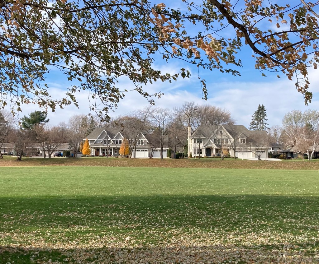
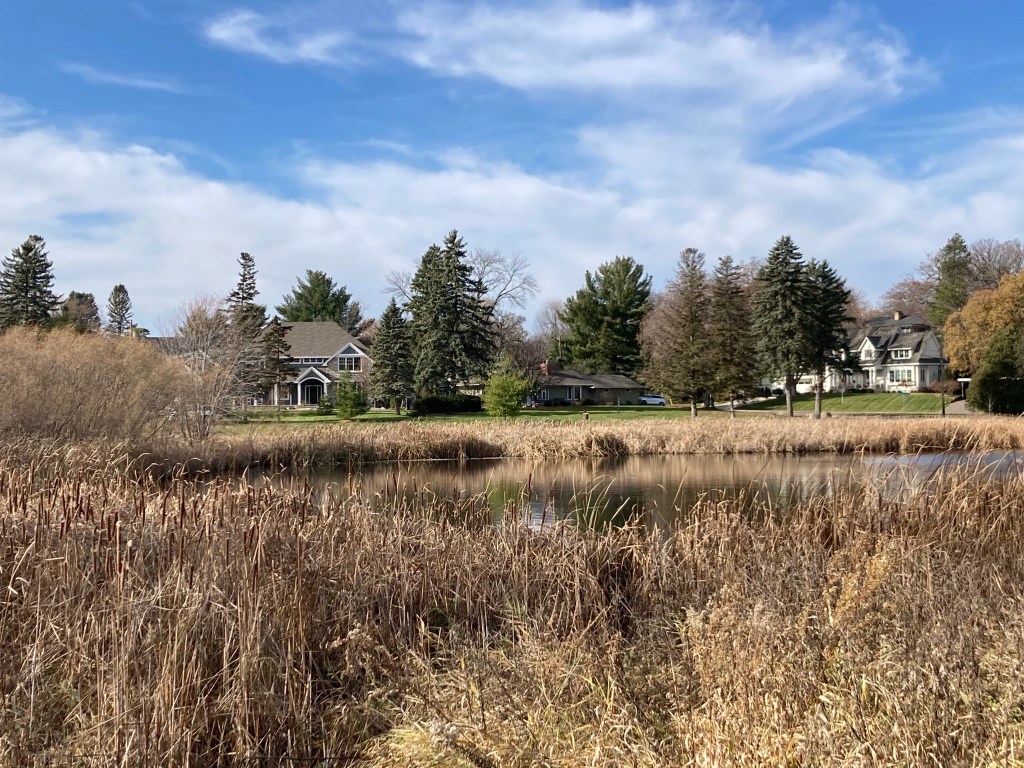
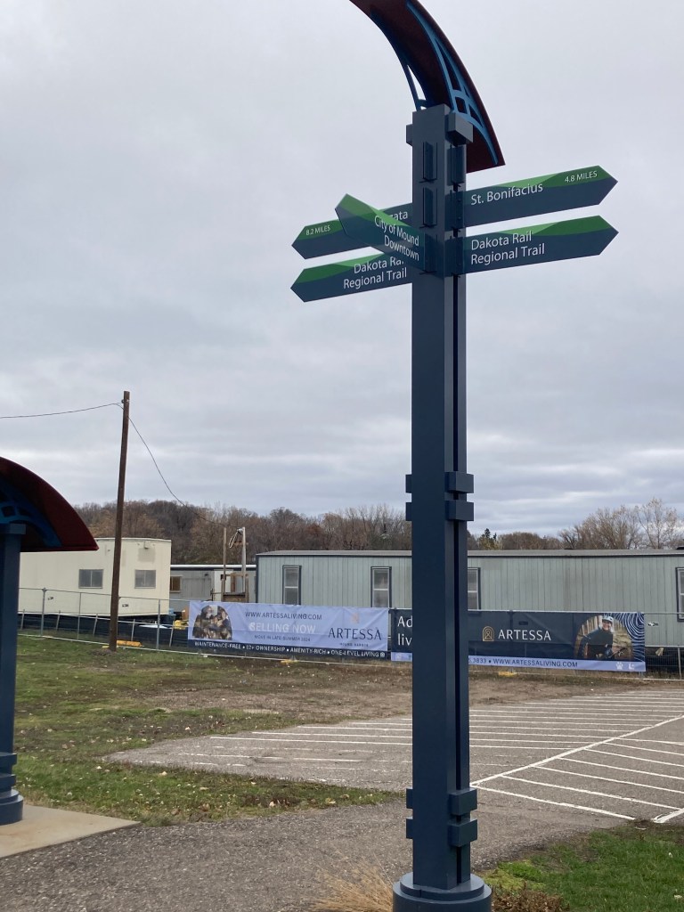
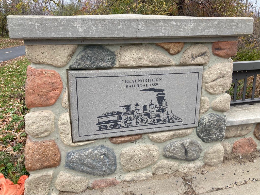
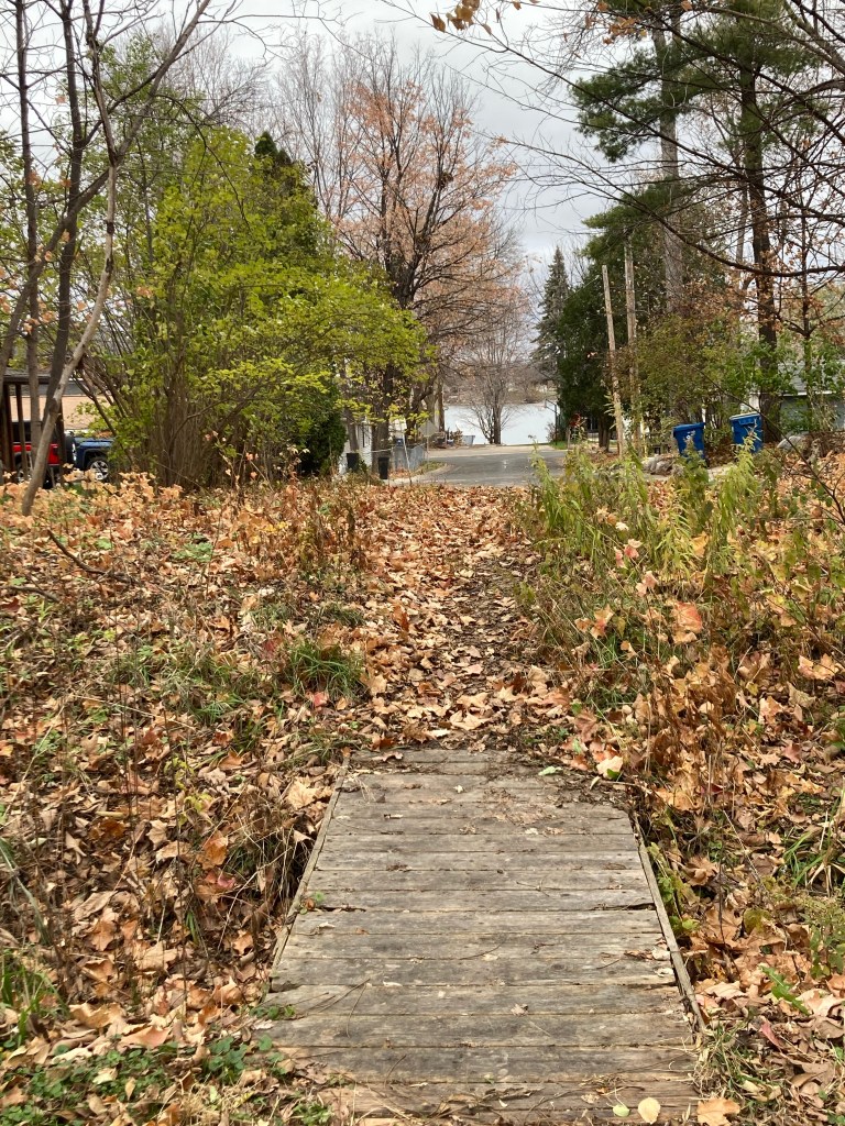
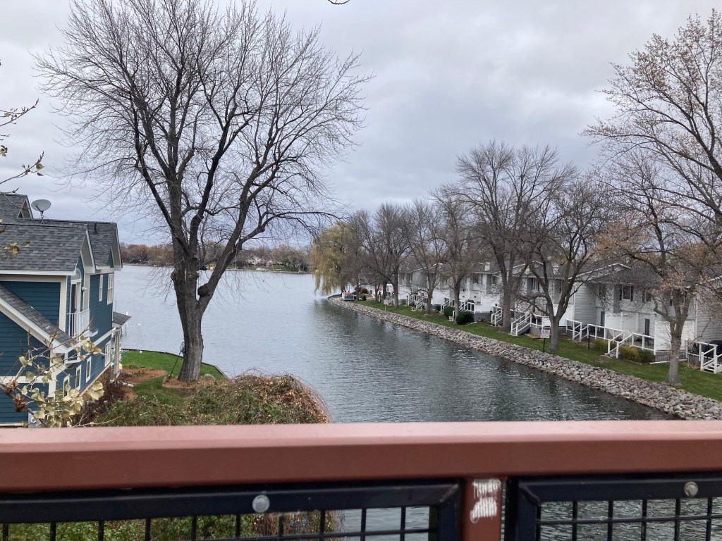
Signage on the trail near the parking lotWelcome to MoundA map of part of the trail. We walked towards Harrison’s BayThe trail is built along one of the old spurs of the Great Northern Railroad A small bridge connecting the nearby neighborhood with the trailA channel from Harrison’s BayA different view of the same channelWalking into Spring Park — on the Tonka truck lakeAttractive housing near the trailThe trail and another town marker Looking out onto Cook’s Bay from Surfside Park in MoundDitto — nice in-town beach and park
This morning I ran on the trail closer to Waconia. What a great resource! Tomorrow, we have a call/interview for a possible house sit next year. We will be doing it at 6:30 am since the couple is in the UK. Our homeowner will likely be back to the house by then or shortly after, so we’ll likely be headed off by 8 am.
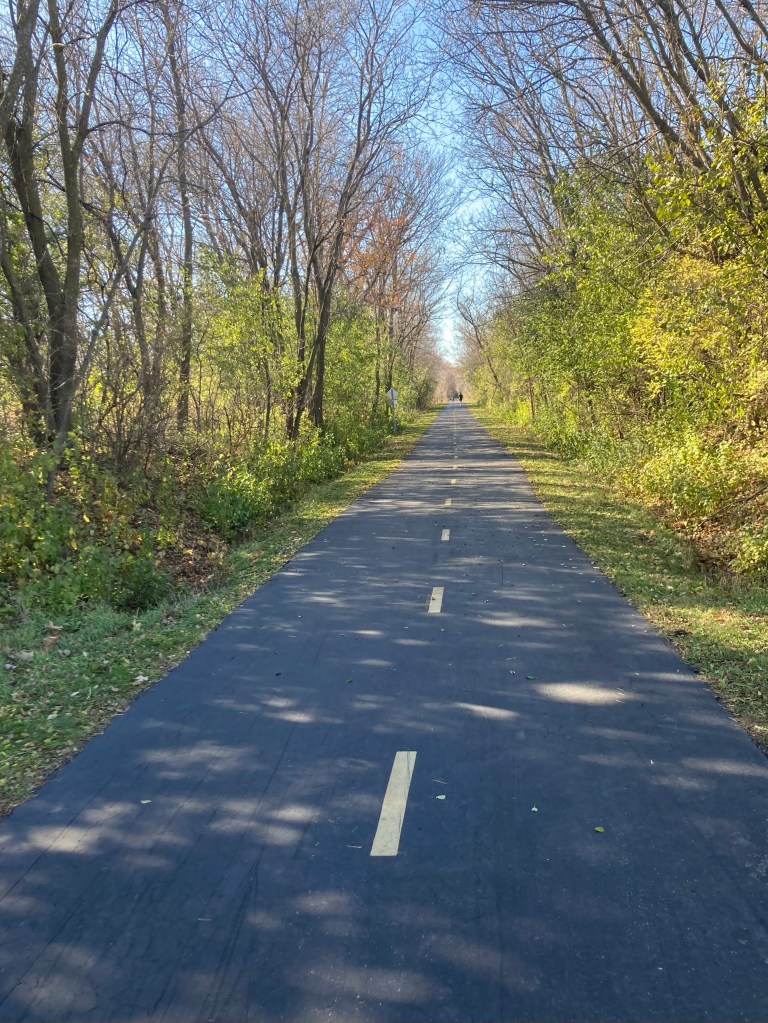
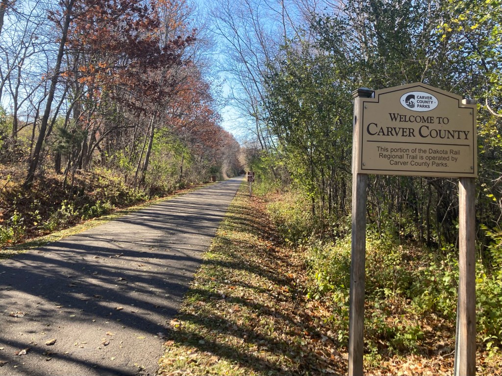
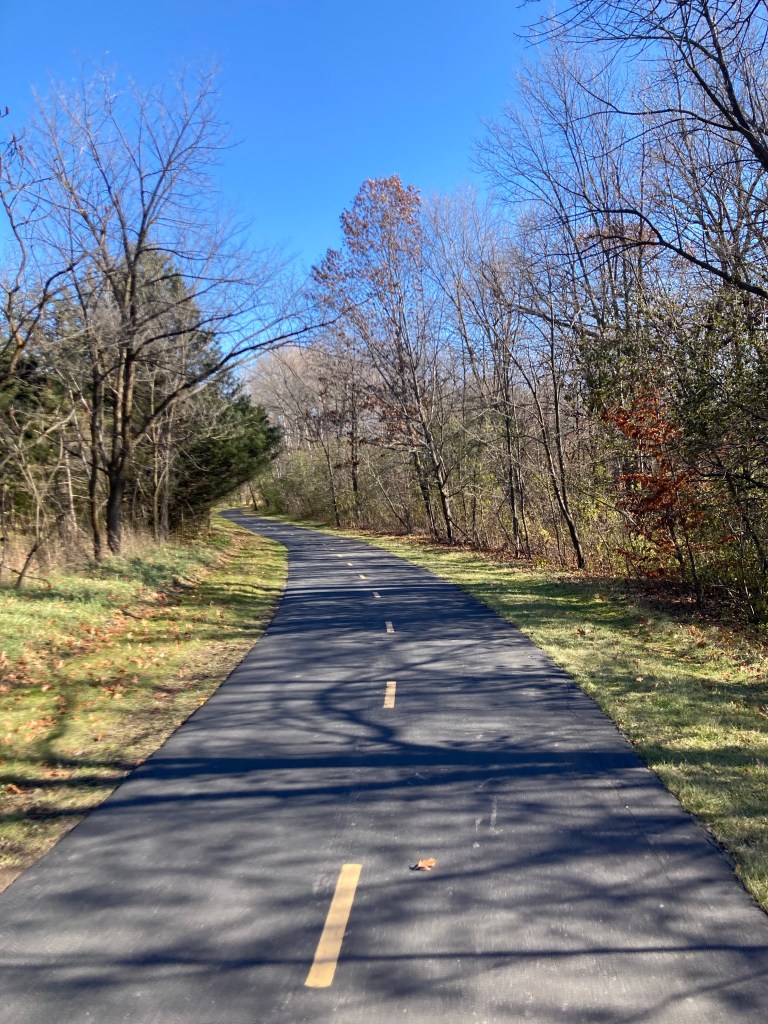
Bob and I got back in the car today to explore a few of Waconia’s highlights. First, we drove a short 8 minutes to Lisle Park, which is the closest trailhead to us for the Dakota Rail Trail, a 28 mile paved trail that I’m hoping to do a long run on on Saturday. We checked out just a small part of it today.
Dakota Rail TrailPrairie and homes along the trailThe start of the Carver County (where Waconia is) section of the trail
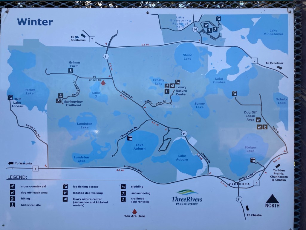
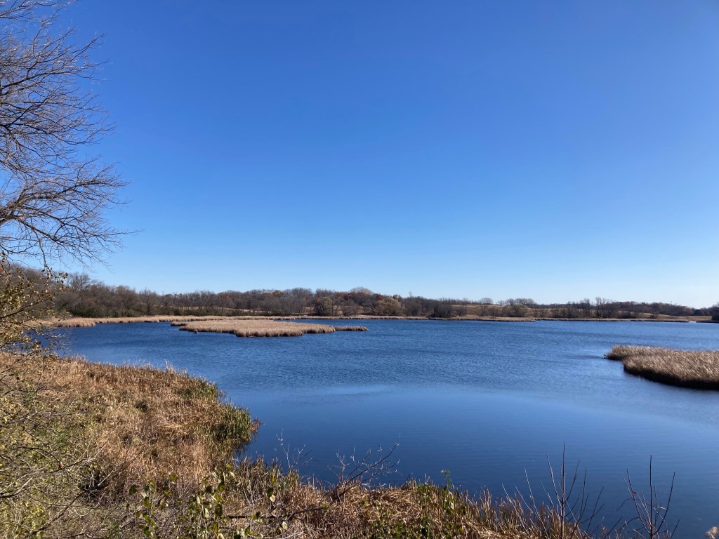
After our perusal of the Dakota Rail Trail, we drove to the Carver Park Preserve to check out some trails there. This is a large park with a nature center, historic farm house, bird sanctuary, and archery range.
Map of the parkPlants along the trailA paved path in the park.One of many lakes within the parti.
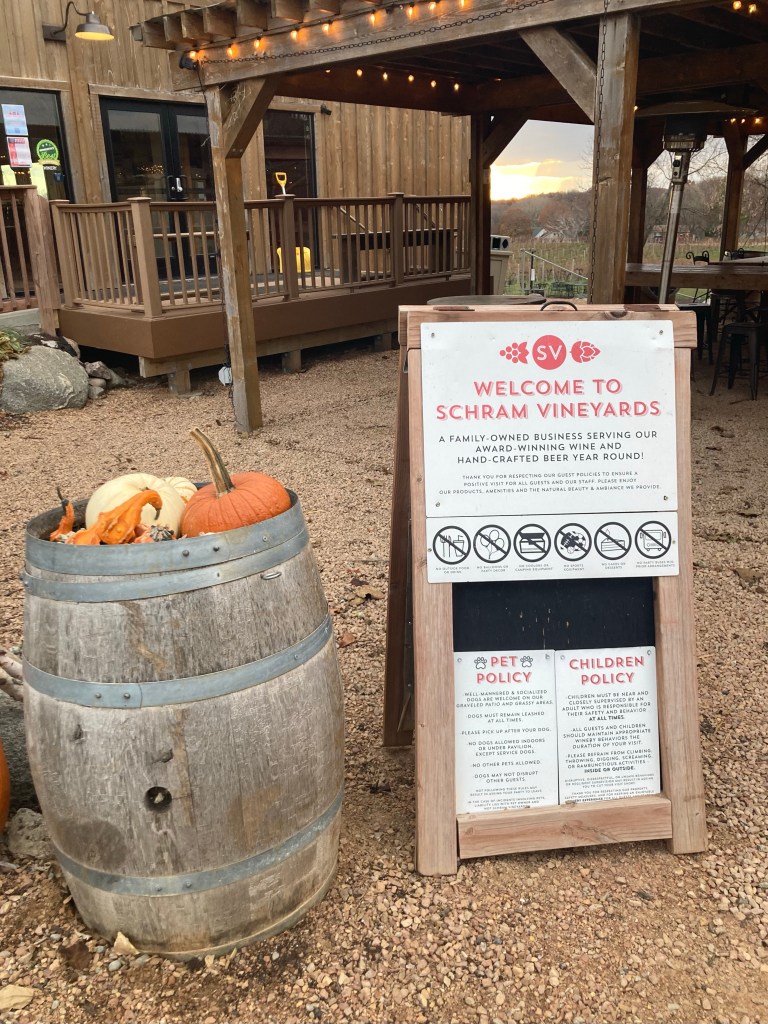
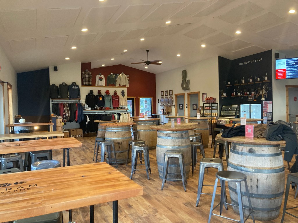
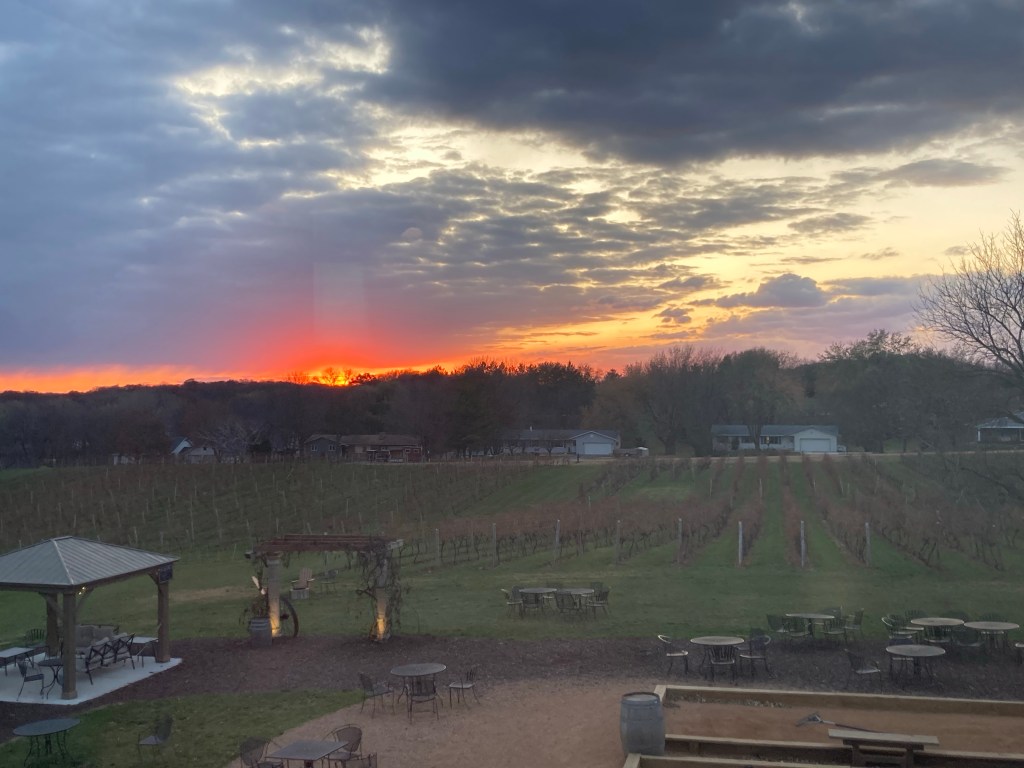
Later this afternoon, we visited one of the many wineries in the area.
Walking up to the Schram Vineyards winery/brewery/bistroThe tasting roomLooking out of the tasting room towards the lakeSunset over the vineyard
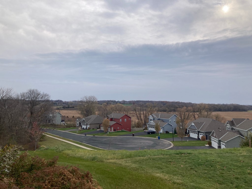
Today was our first full day by ourselves at our short housesit with Samee the cat in Waconia, Minnesota. We will leave on Sunday morning. Yesterday, our homeowner flew to Las Vegas to watch her battalion’s hockey team compete in a tournament.
Waconia is about 45 minutes west of Minneapolis-St. Paul. Its population is just over 13,000. “Our” home is located a few minutes drive south of downtown, and we are conveniently located near running paths and a Super Target.
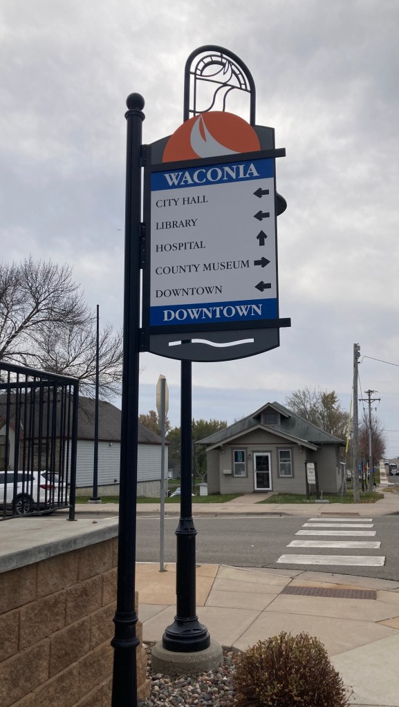
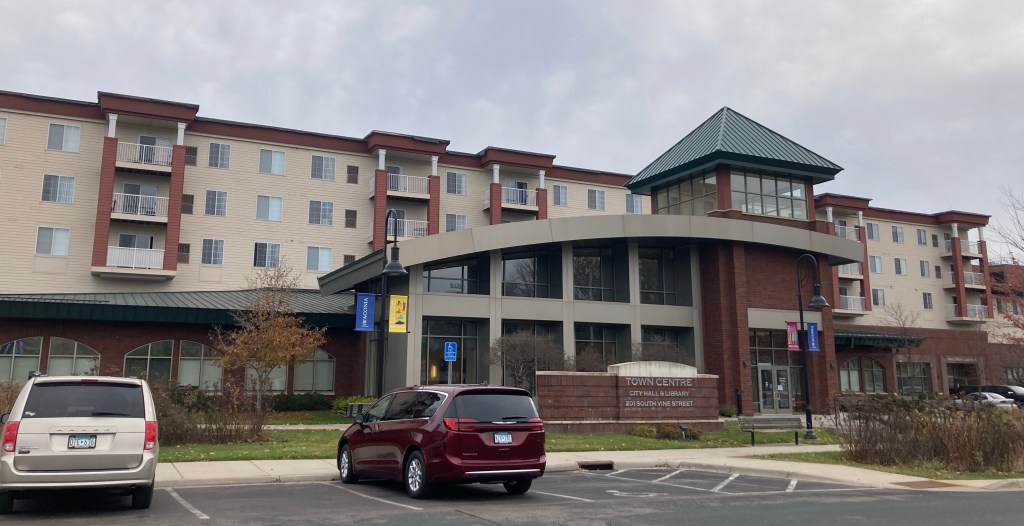
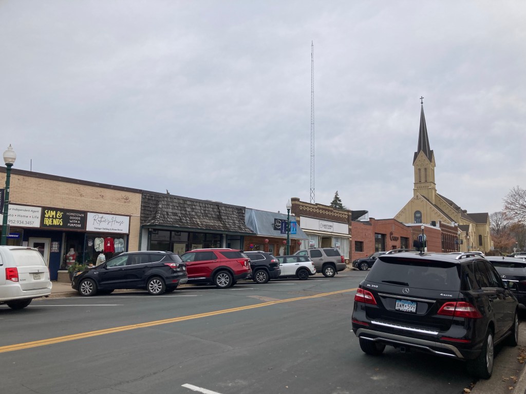
Today we walked into downtown to check it out. Below are some of the pics from our 2.5 mile (each-way) walk. The downtown area was very quiet, but it seemed to have a good mix of shops — a few restaurants and bars, a bakery, an ice cream shop, as well as a variety of small retail stores and a theater.
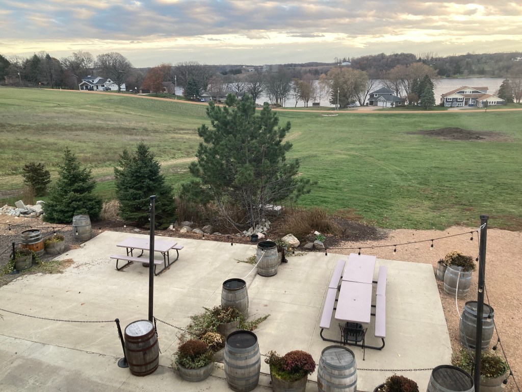
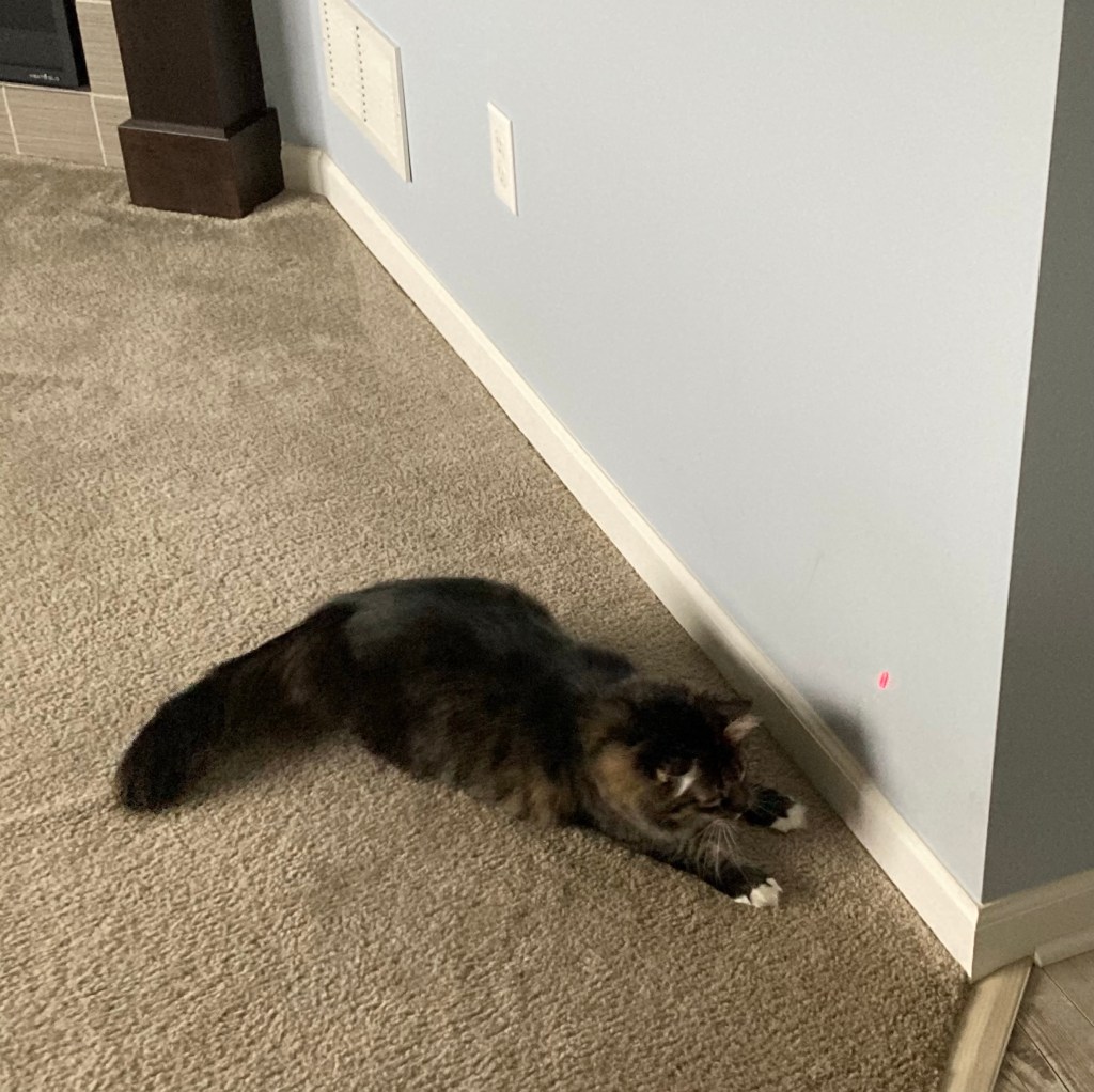
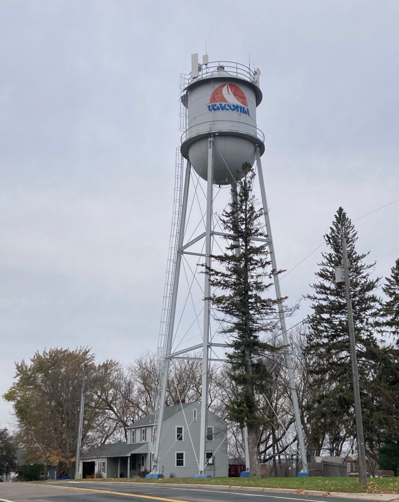
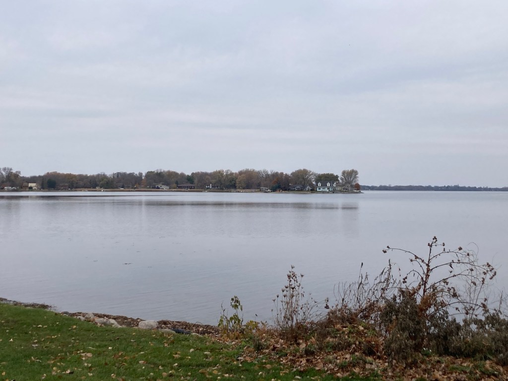
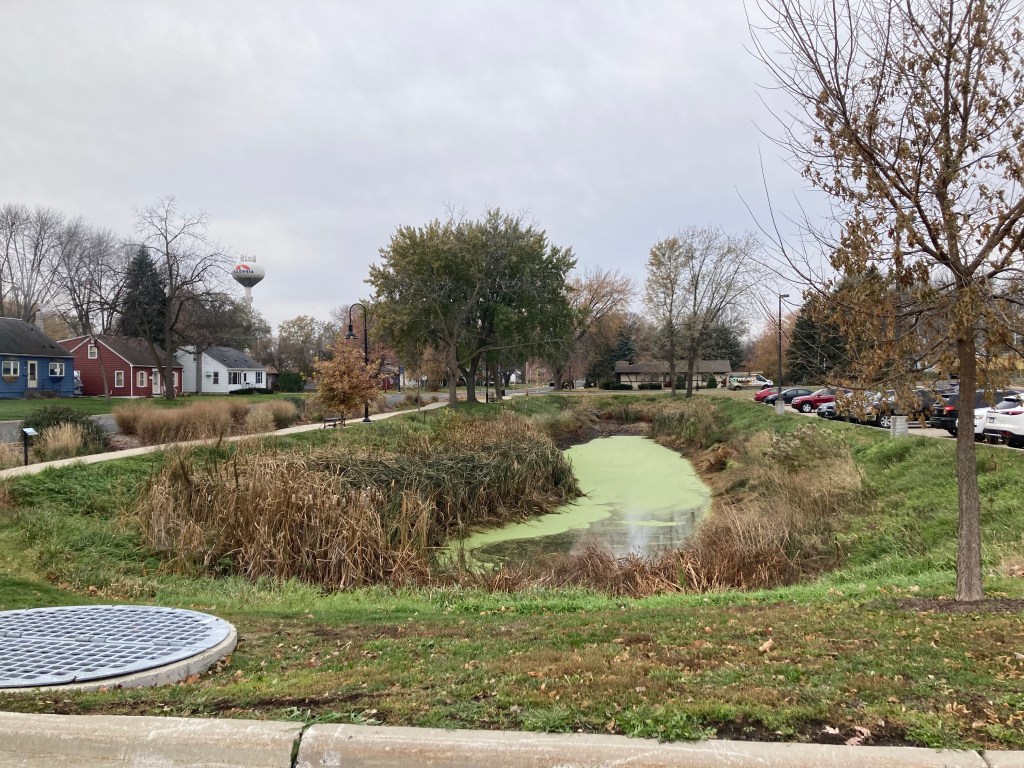
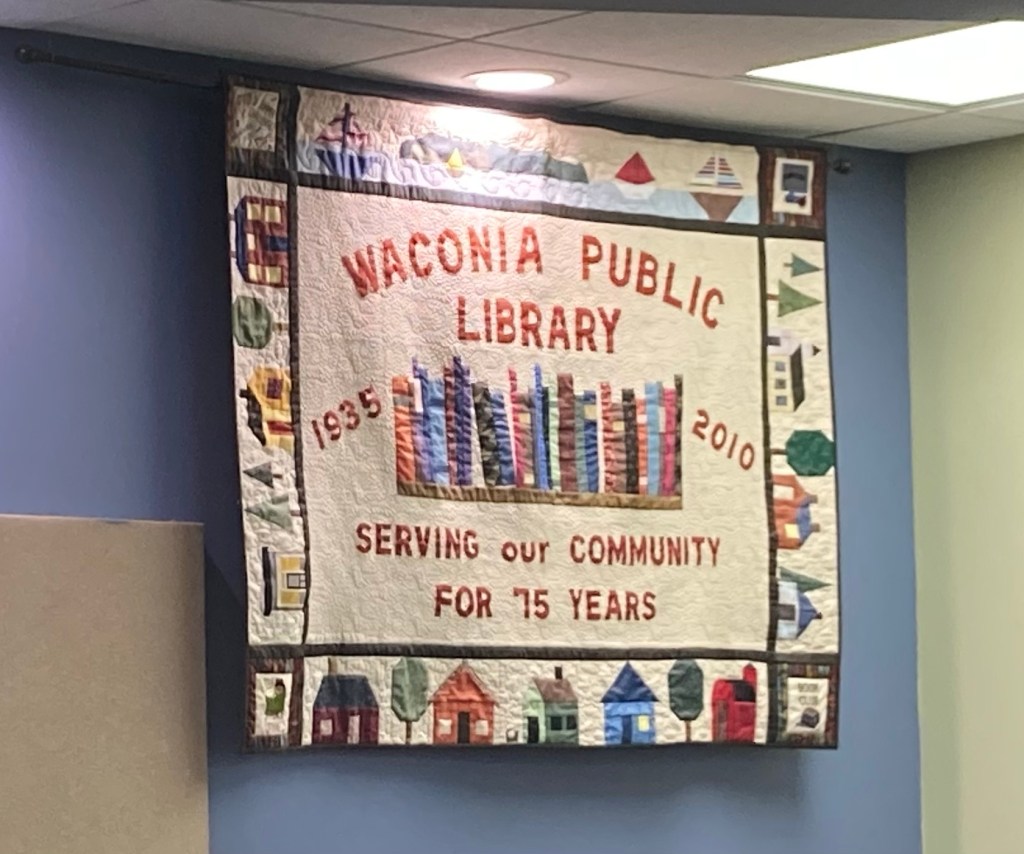
The sweet but shy SameeShe loves to chase the dot from red laser!The back patio of the houseView of the subdivision below the houseWould you know this said Waconia without the rest of this post? Bob and I think that this is one of the worst fonts for a logo.A WWI memorial in City Square Park as we headed into downtown.A nice view of Lake Waconia, which seems to be surrounded by houses.See how they have changed the font in this sign so that you can tell what town you’re in?!Something new for us, a building that is city hall, the public library, and housing above.The walkway and pond across from city hall/library/housingSo this year makes 88 years of serviceWinning bookmarks from the bookmark contest for teensOne of the main streets of downtown WaconiaSt. Joseph Catholic Church