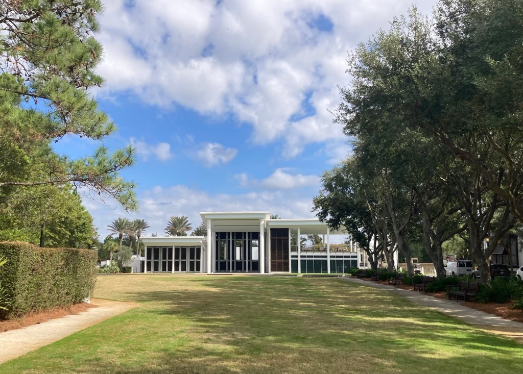
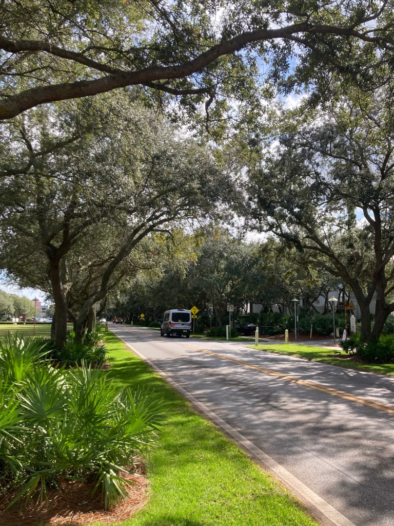
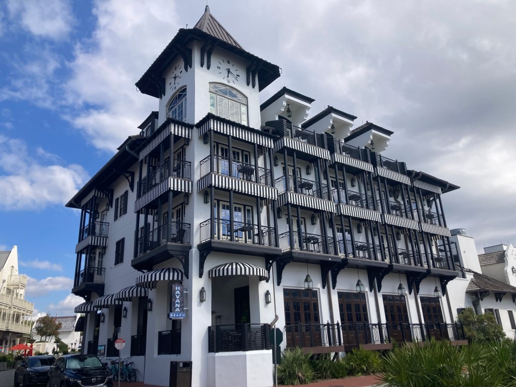
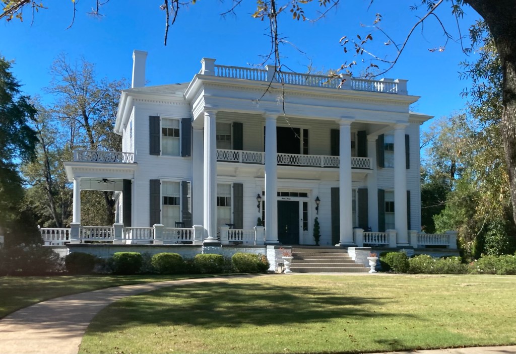
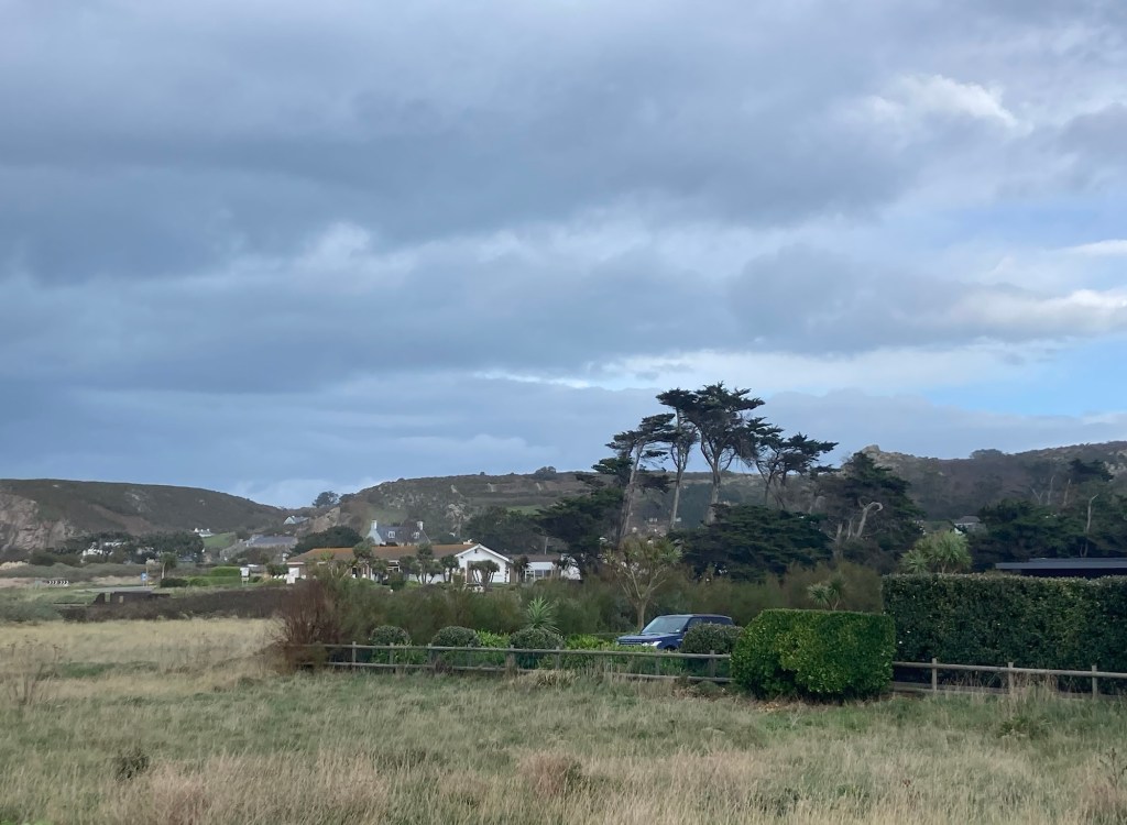
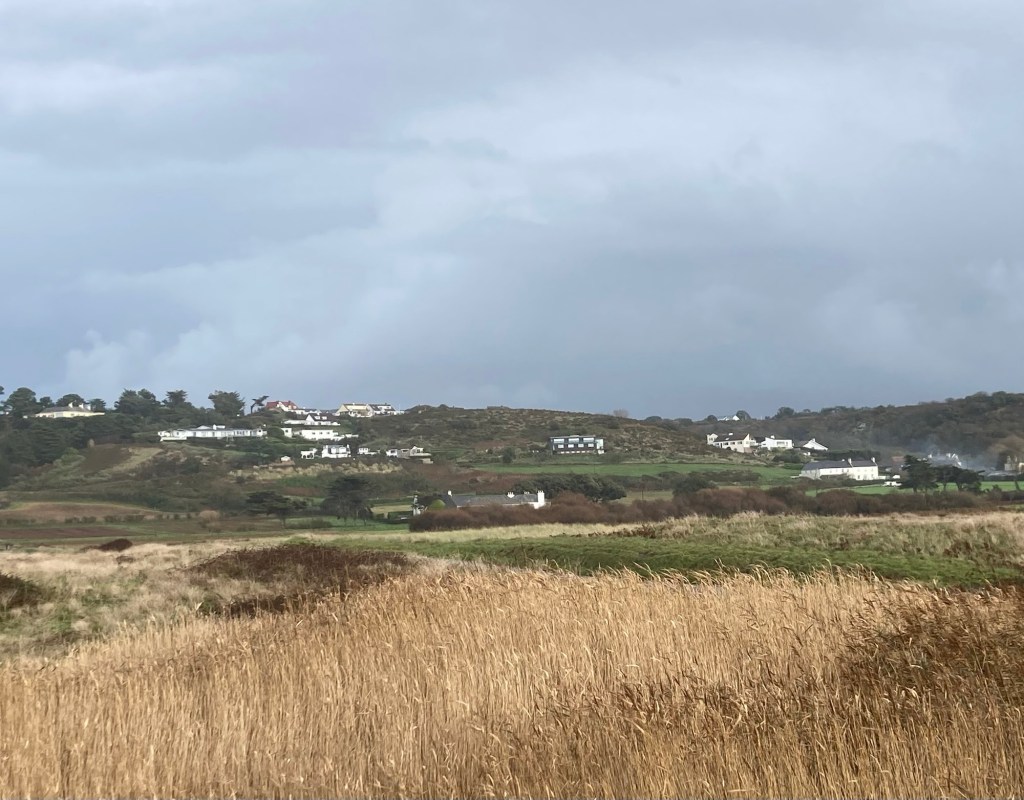
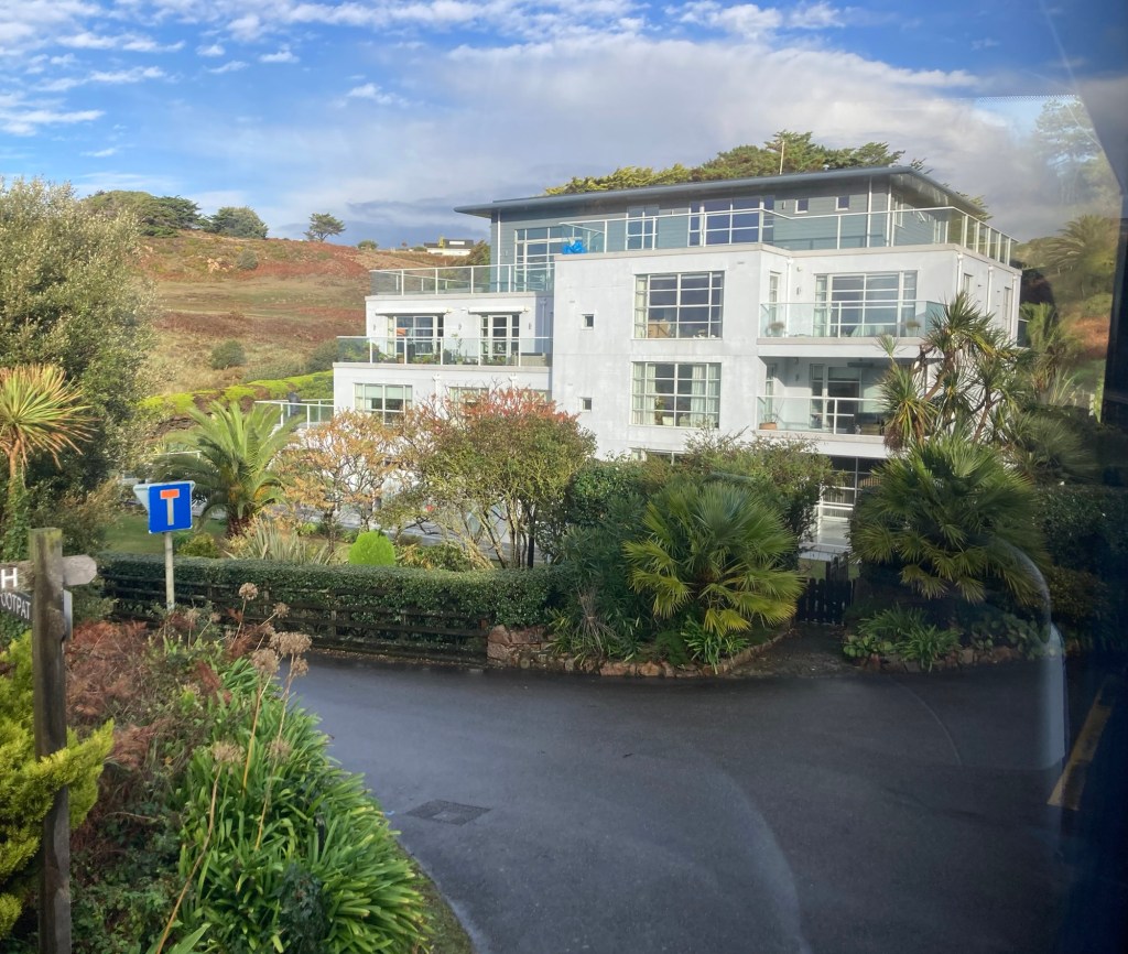
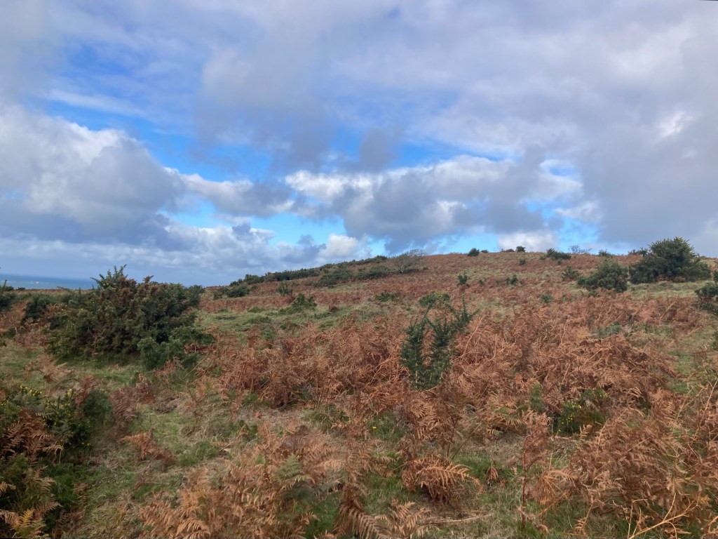
Today was our first full day in Rosemary Beach, which is turning 30 this year. It was founded in 1995 along the rolling dunes of Florida’s Northwest coast as a model of New Urbanism— a philosophy centered on sustainable, walkable neighborhoods, human-scaled architecture and vibrant mixed-use spaces. It encompasses 107 acres along the Gulf of Mexico and scenic highway 30A.
It is definitely walkable (and bike friendly) with lots of mixed-use spaces. It is also easy on the eyes — pretty architecture, clean, nicely landscaped with a good bit of public art. We enjoyed our walk in the 70 degree F heat, but we’re not sure we would highly recommend a visit to this particular area.
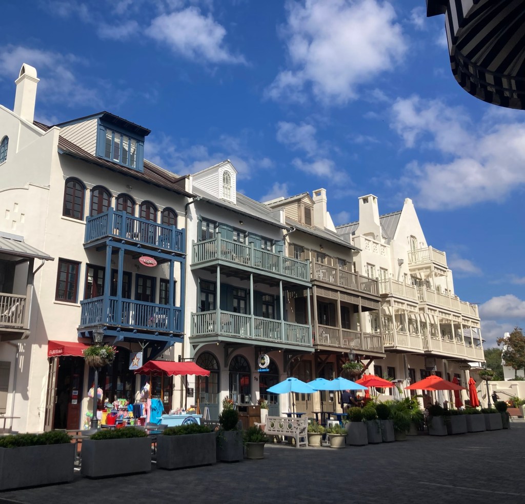
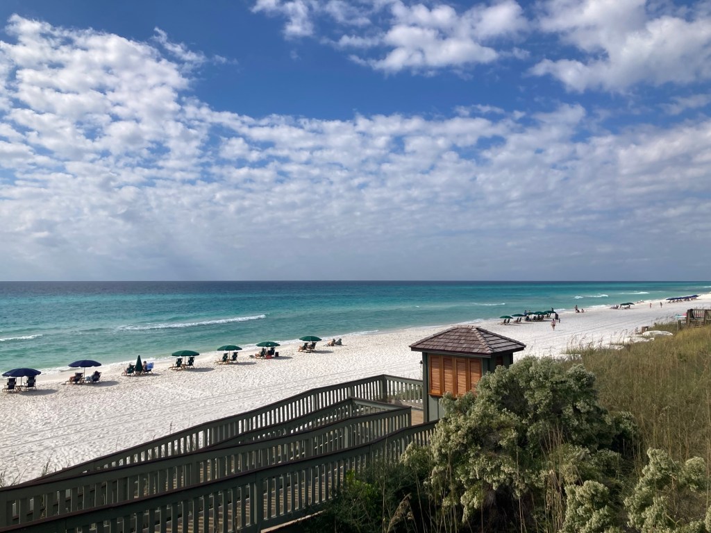
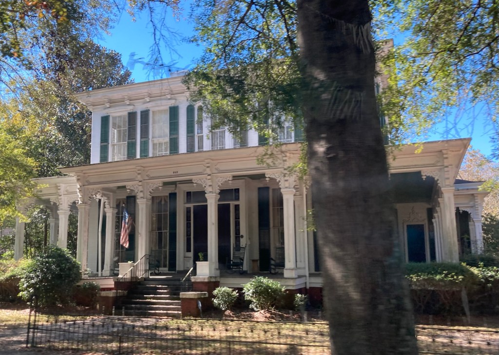
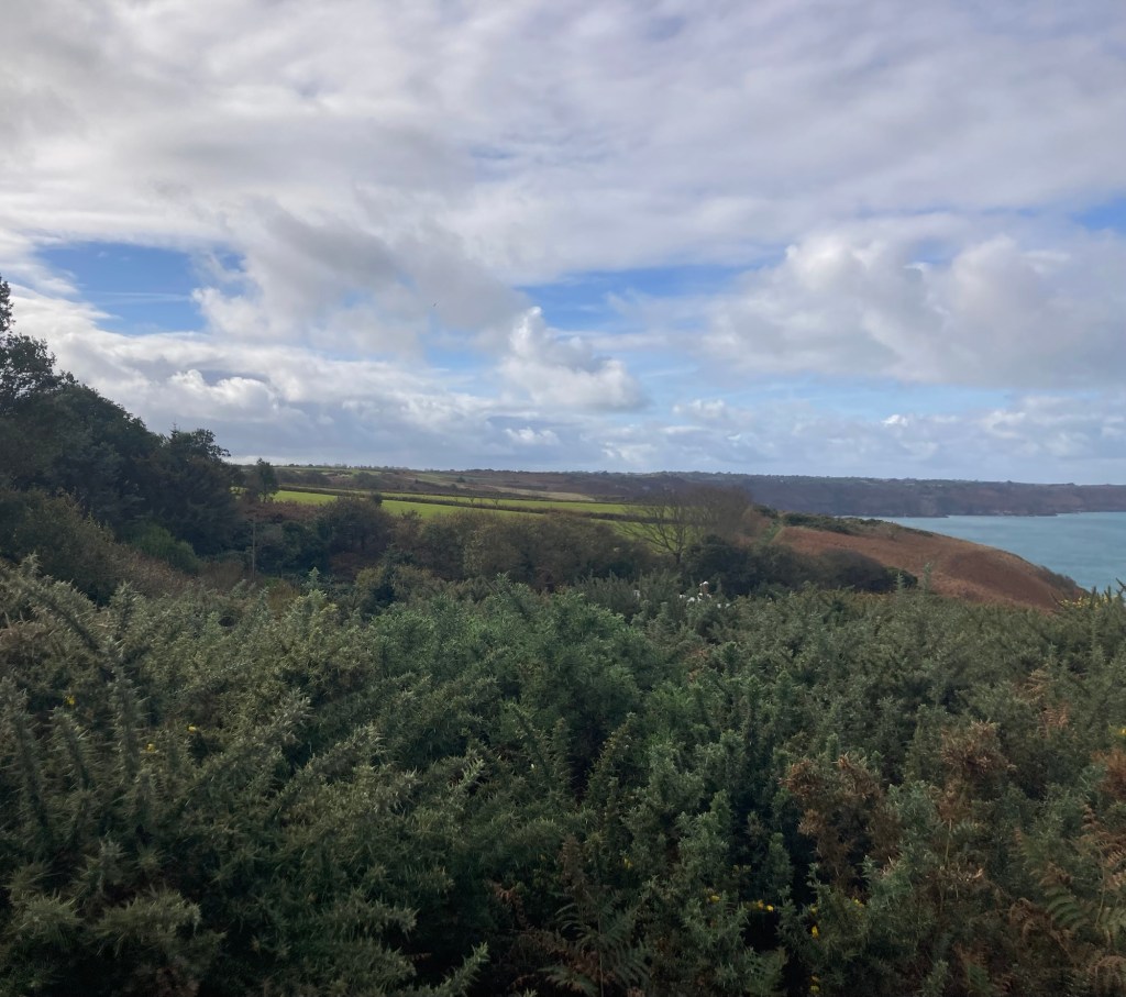
It is walkable — to high end shops as well as a good selection of cafes and restaurants. There is no large grocery store nearby. The beaches in this area are private, so you can only obtain access through a code, key, etc. for your particular residential area. We also saw a lot of “no” signs — no public restroom, no access except for residents, no golf carts or e-bikes. One area even had a no photographs sign. I’m sure all of that helps to maintain the area, but it’s a little off putting as a visitor.
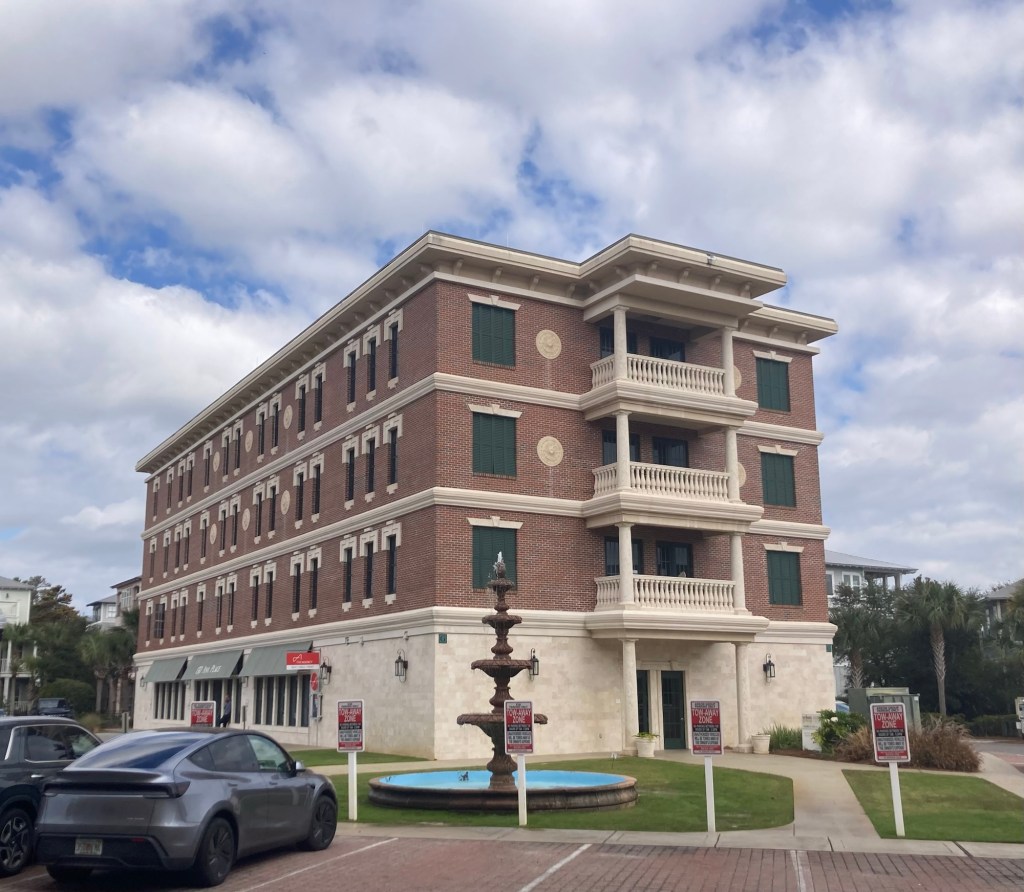
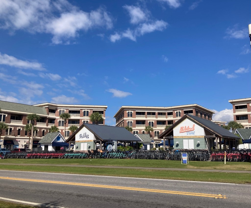
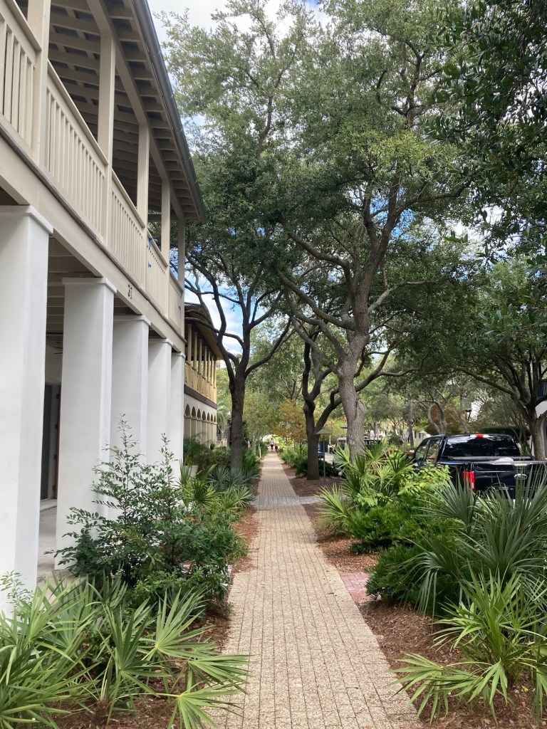
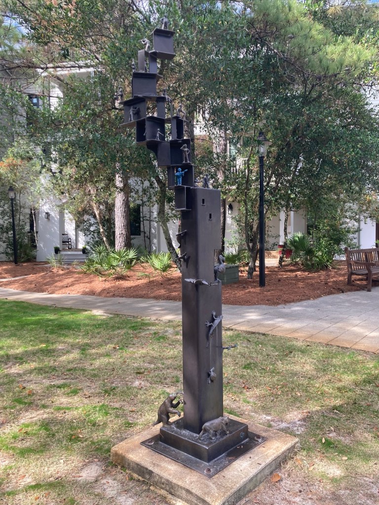
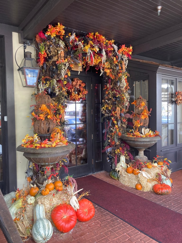
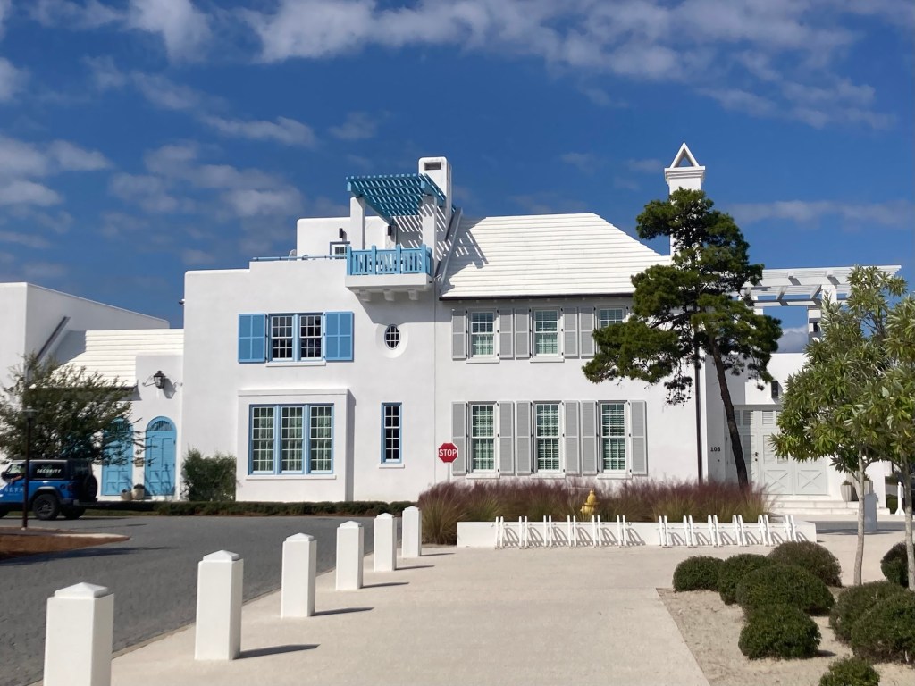
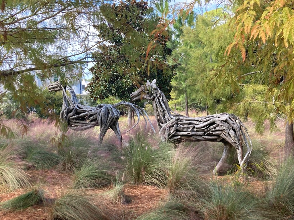
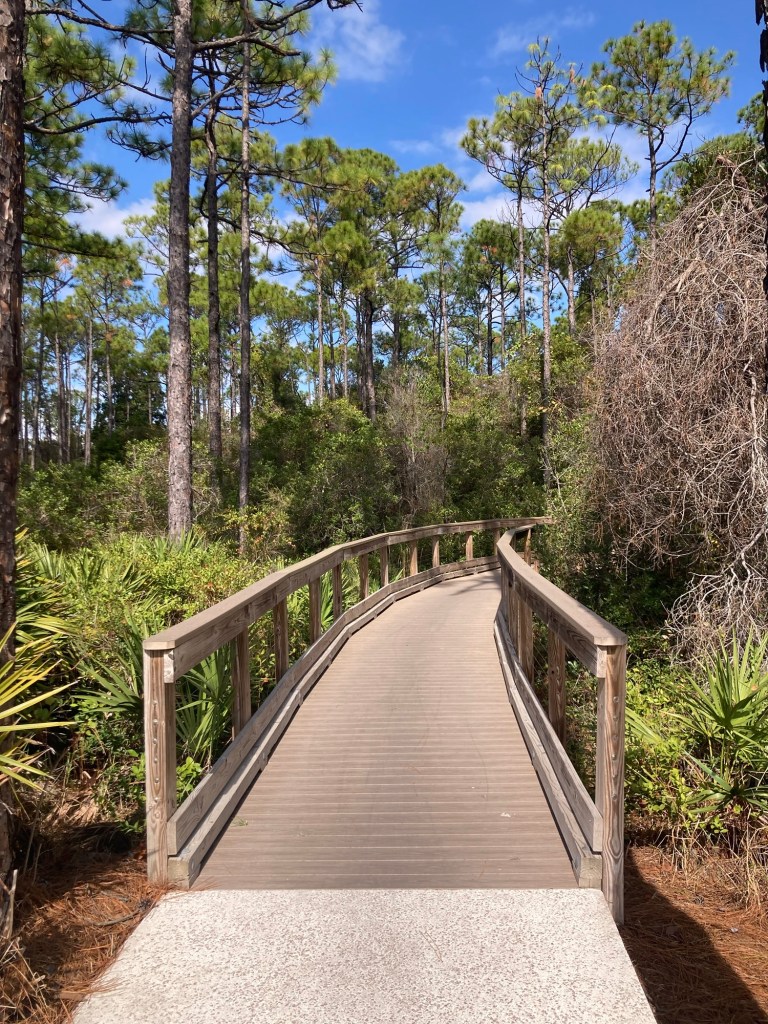
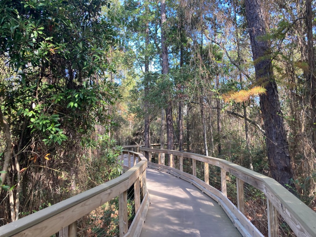
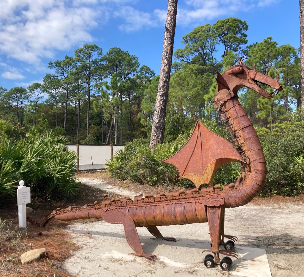
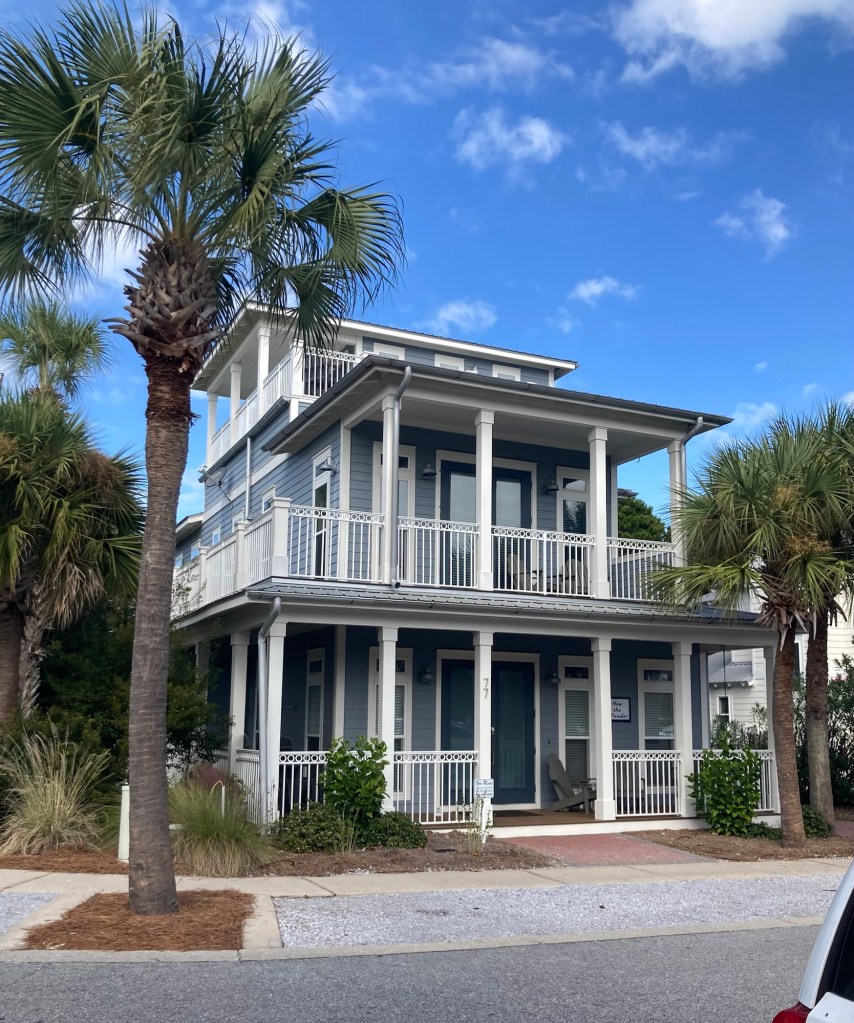
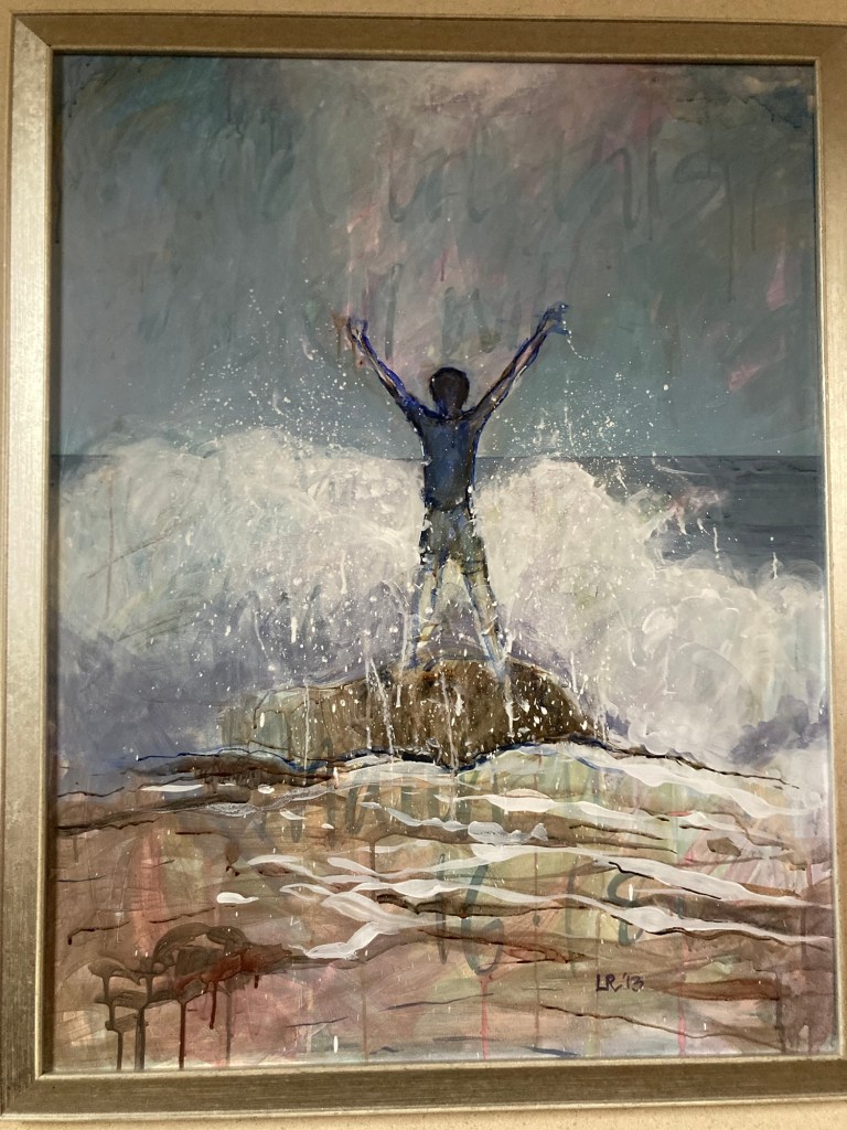
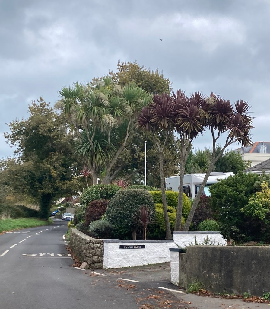
The building where our Airbnb unit is.The retail/bike rental area at the front of our residential neighborhood Nicely landscaped walks“Extinction Blues,” Charles Pilkey, Mint Hill, North CarolinaThe Owners ClubResidential neighborhoods are built on either side of this scenic State highway 30A. They are proud of this highway, selling 30A sweatshirts, mugs, etc.A festively decorated storefrontOne of the main mixed-use shopping (lower level) and residential (above) areasThe Pearl Hotel, the side facing the Gulf of MexicoThe pretty beach along the Gulf. We observed this over a gate that required a code.This house has a great view of the Gulf.The entrance to the Alys Beach neighborhoodA pretty building in the Alys Beach neighborhood The entrance to a private fitness center and poolHorse sculptures near the entrance to a nature walk in Alys Beach Beginning the nature walkMore of the walk“Dragon,” Charles Lawson, Freeport, FL, 2006One of many coastal style homes in the area
Bob and I returned to the states last night. We had an easy flight from Jersey in the morning after a great visit to the small airport’s lounge — very nice. Then a few hours to kill in Heathrow before a 3:30 flight, which got us into the Atlanta airport (with a delay and a strong headwind) at 8:30. With Global Entry, the customs process was super easy, but we had a long wait for luggage, a bus ride from the international terminal to the domestic terminal, a short skytrain ride to the hotel area, and finally a short walk to our hotel. We were in our room about 9:45 pm and in bed shortly after that.
This morning we had breakfast in the AC Hotel where we stayed, and Bob walked to the nearby long-term parking lot to pick up our car. We then headed out for a five hour drive to Rosemary Beach, Florida.
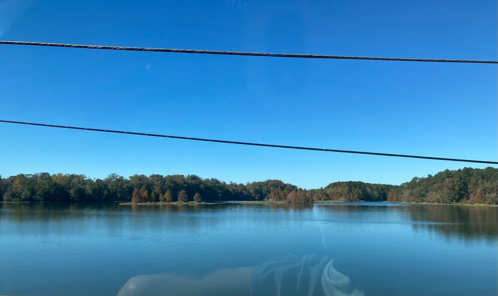
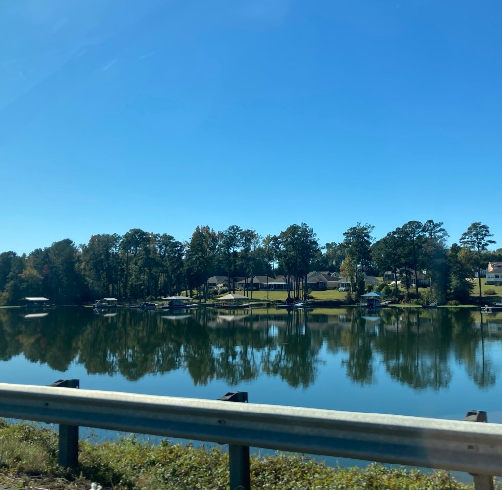
A few photos from the drive on a sunny, warm day. Our route took us mostly south, but a little west of Atlanta, through parts of Georgia, Alabama, and then into the narrow panhandle of Florida.
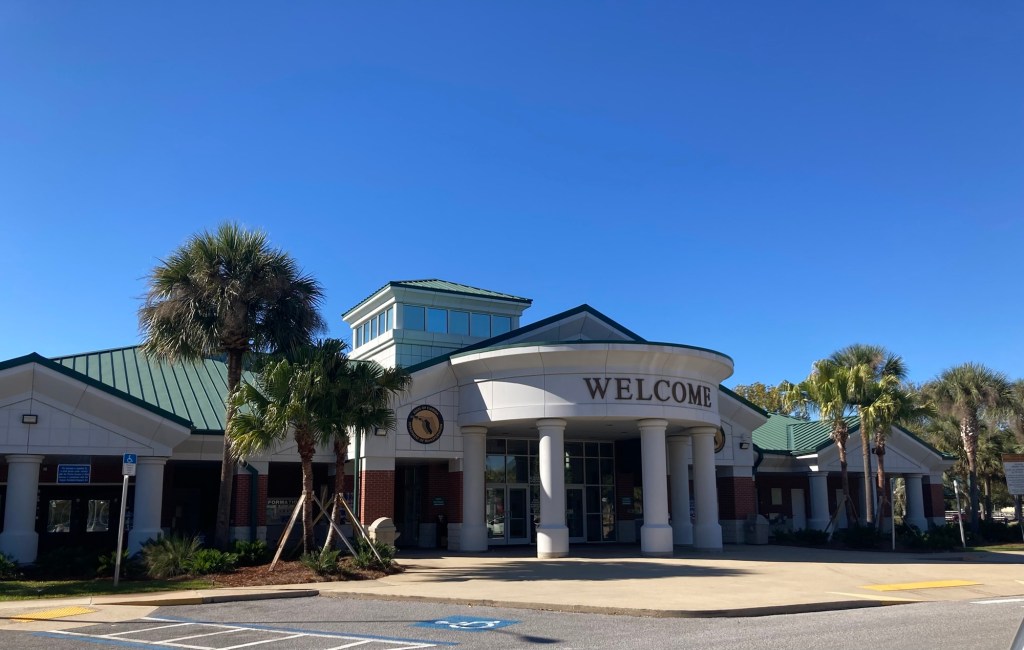
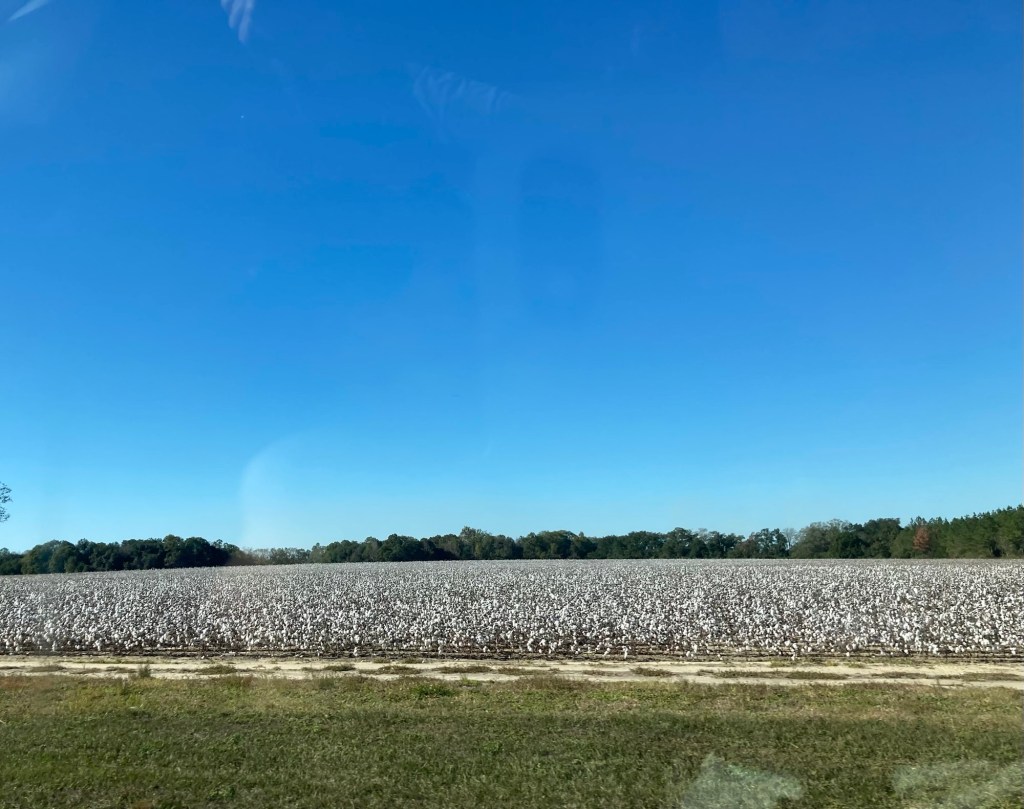
Driving along a noted scenic drive in Georgia One of a few antebellum style homes we saw driving down the main street of Eufaula, Alabama Another pretty homeLake Eufaula, a 45,000 acre lake in Eufaula, AL. It is considered the Bass Capital of the World.The lake and some lakefront homesThe 81st annual National Peanut Festival is currently on in Dothan, AL.The Florida Welcome Center that we stopped at.Apparently it’s cotton picking time. We saw fields of cotton as well as some that had already been harvested.
We are seeing a bit of Florida before starting our St. Petersburg, FL, housesit on November 12. We’ll be in Rosemary Beach for 3 nights. Since we travelled west of Atlanta, we are surprisingly back in the central time zone in Rosemary Beach based on how the dividing line for time zones is drawn.
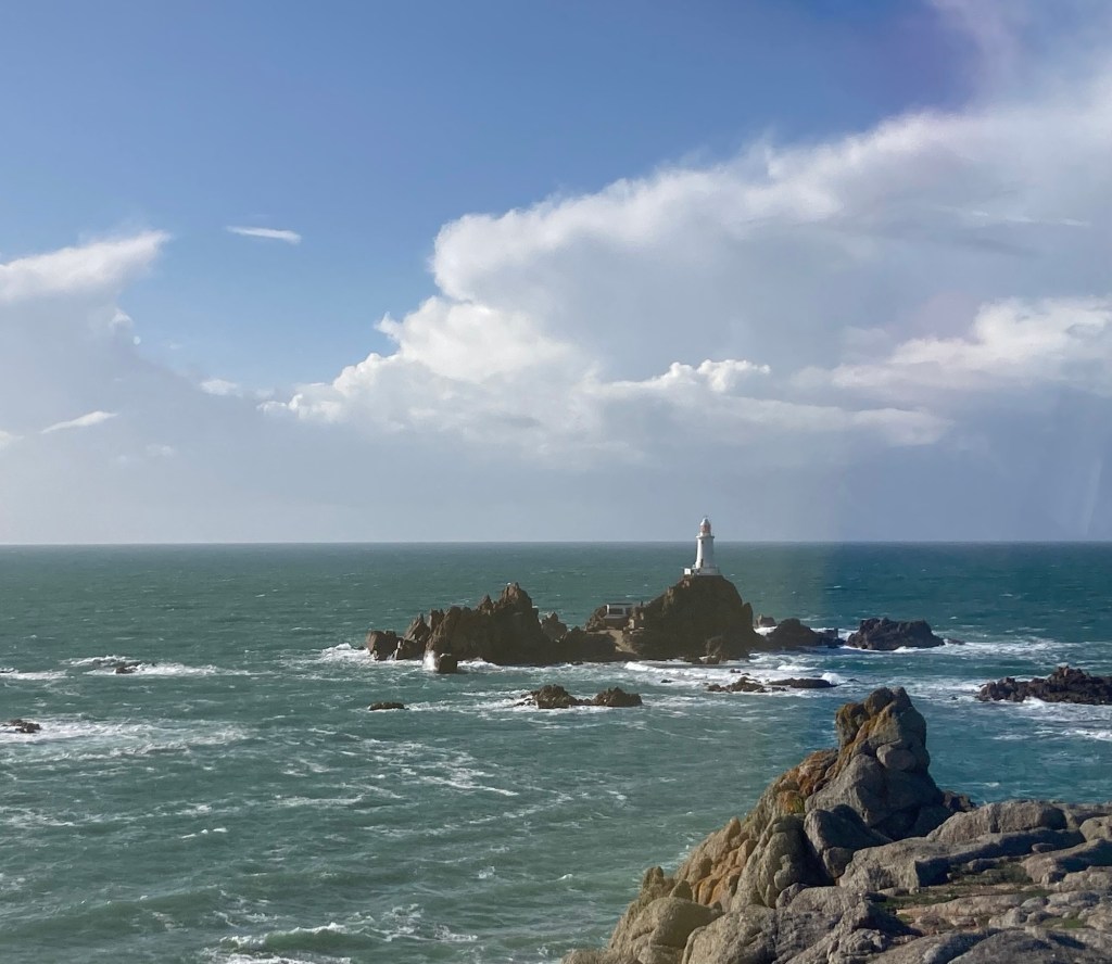
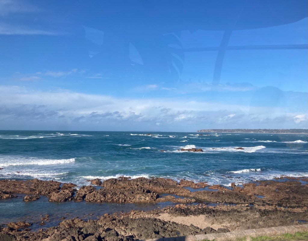
How can it be November?! Time flies, but what a year (so far) it’s been. Bob and I headed west today to see a bit more of the west coast of the island. This time a bit farther north than the Corbiere Lighthouse that we saw on our first day.
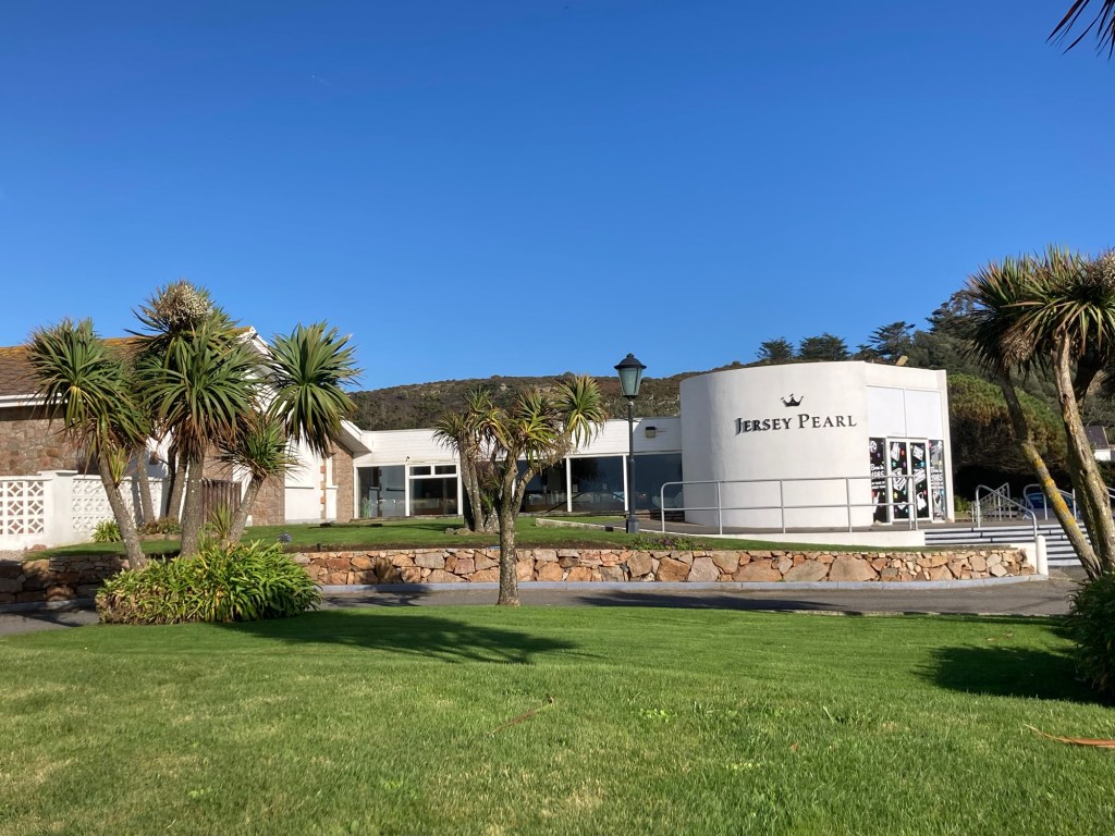
We did see a bit more of the west coast, but mostly from the bus ride there, as bright sunshine turned to blowing rain. We ended up spending most of our time at the Jersey Pearl shop — first perusing the lovely store and exhibits and then keeping out of the rain with a stop at their cafe.
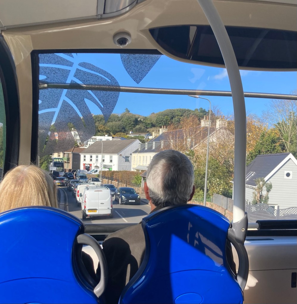
We walked downtown to the bus station to catch the number 22 bus to the Jersey Pearl store near the coast. It was about a 50 minute ride out there. Some photos of the ride out —
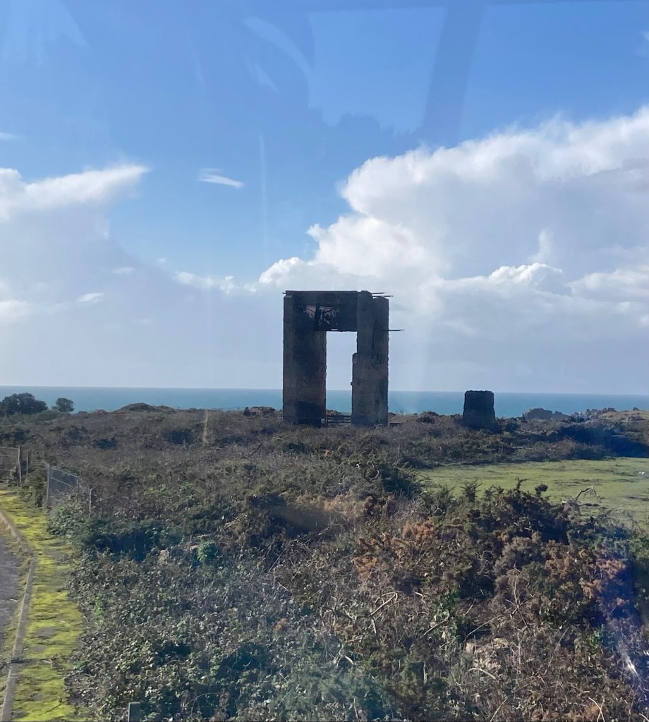
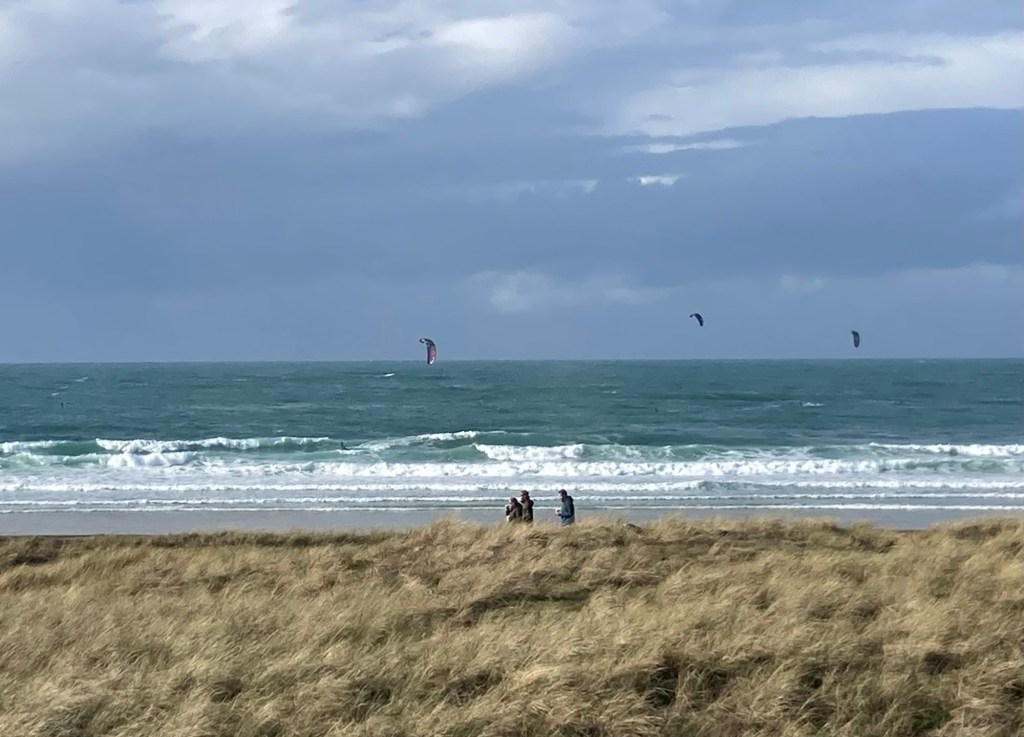
A view of heavy traffic from the top level of the busWhat appears to be part of an old fortress near the coastThe Corbiere LighthouseSerious waves along the coastA tree covered road on the route. Some of the beachesA closer view of the La Rocco TowerOne of a number of restaurants along the beachWalkers and wind surfers enjoying the lovely day
Bob and I had visited the Guernsey Pearl shop while we were there, but only because we had to go into the shop to get tickets for the shipwreck museum. It was packed with jewelry and a bit kitschy. The Jersey Pearl shop was much more refined in presentation.
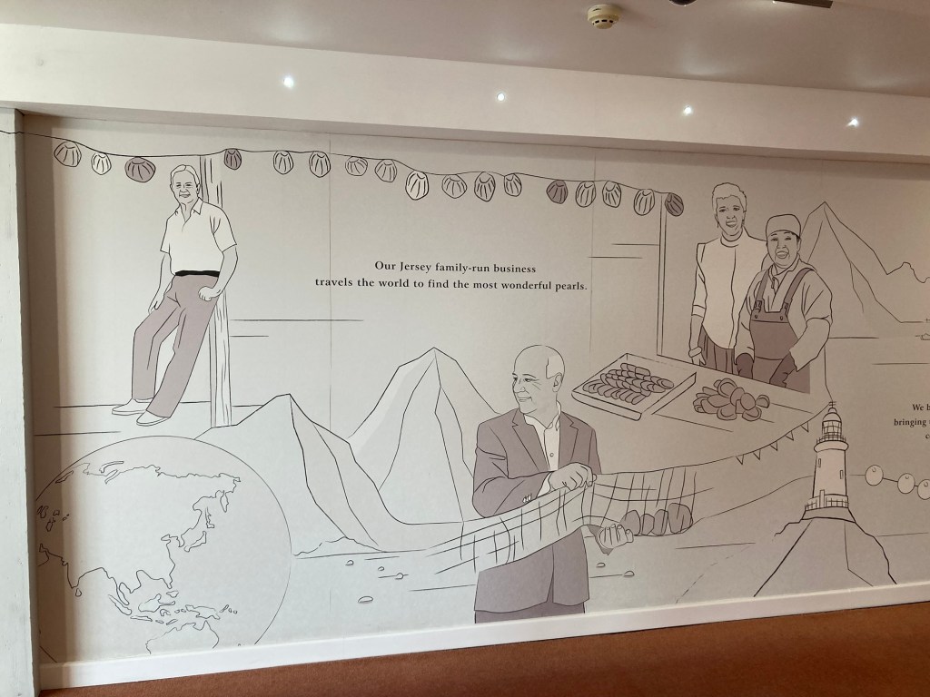
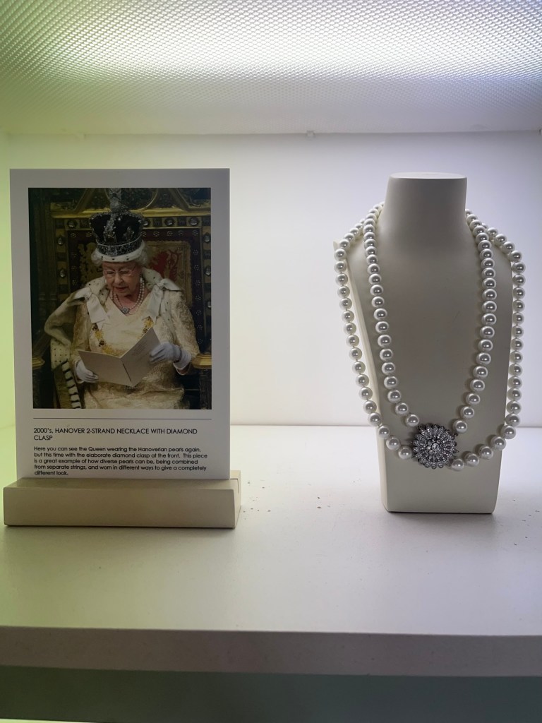
The Jersey Pearl shopA walk in the entry hall to the store They had a number of examples of pearl necklaces with photos of the Queen wearing them.
After we perused the store, we left to explore a bit more of the coast. We got a few photos before the clouds looked like they were about to open up on us. We headed back inside and had a bite at the cafe. We did not end up buying any jewelry.
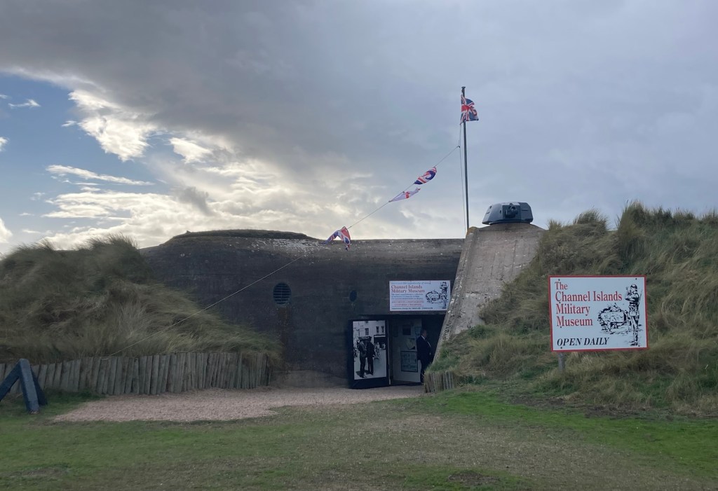
The Military Museum in an old German bunker across the road from the storeLooking along the coast with the darkening clouds coming towards us.Walking back across towards the store
It rained and blew quite hard for most of the time we were in the cafe. We left about 2:00 to catch the bus back and stood in the rain (with umbrellas) to await the bus, but luckily, the wind and rain had lightened considerably by then.
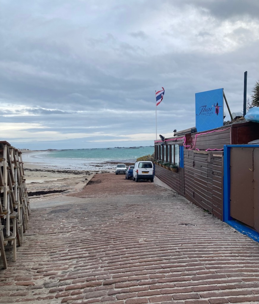
Thursday is house cleaner day, so we tend to schedule our outings for later in the day, as the cleaner comes late afternoon and stays for 2 hours. Yesterday, we decided to do the portion of the St Saviour walk that we hadn’t done before, which is the very narrow bit that runs to the coast.
The book of parish walks that we have been using states that each parish was required to have a bit of seafront access for the collection of vraic (seaweed) for the fields. St Saviour has the smallest stretch of shoreline, the Dicq, squeezed between St Helier and St Clement.
Our walk started along the busy road near our house. When we could (as sidewalks abruptly end here), we switched to the side with a bit more protection from the road.
The wider sidewalk with space between the sidewalk and the road
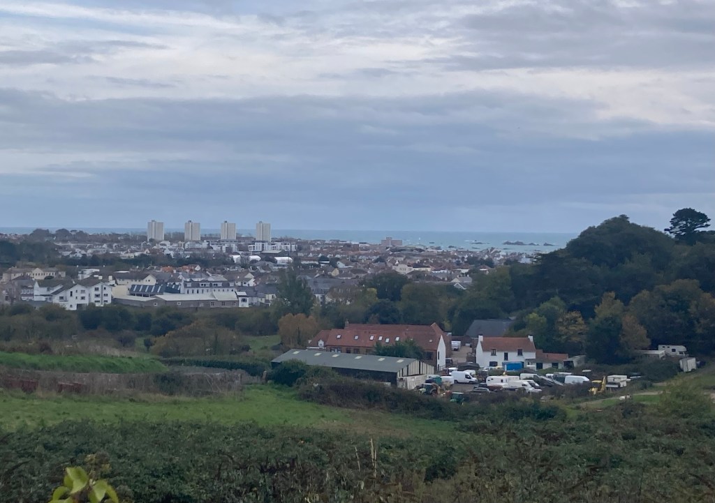
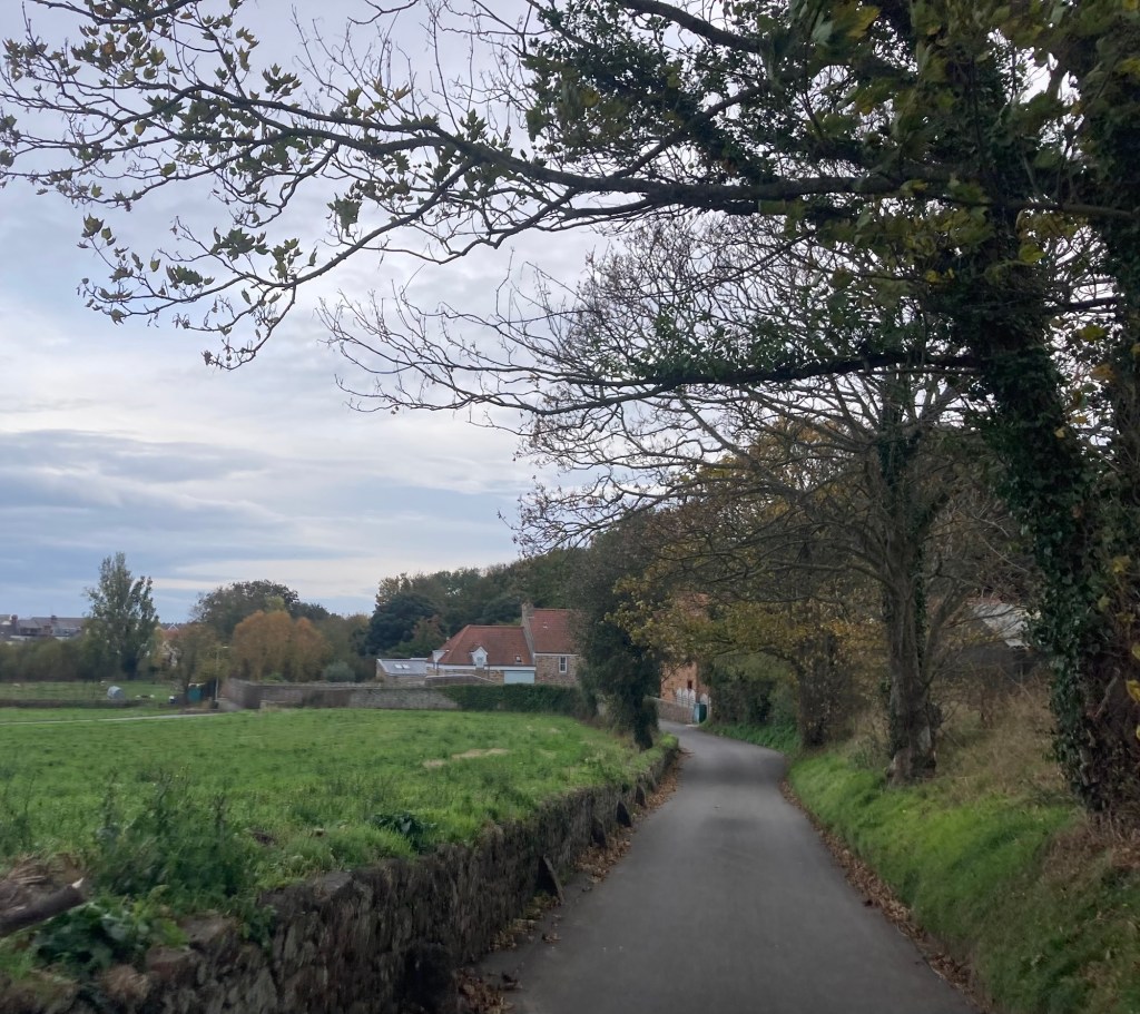
Ironically, for the portion of the walk that was dubbed “more urban,” as it goes into the town center, we began our descent into the town of St Helier via a country road with both rural and urban views.
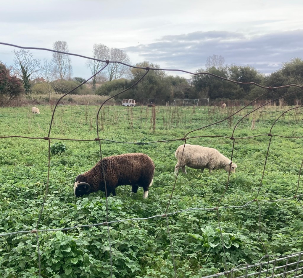
We had been close to the four “high-rise” residential buildings when we did our St Clement parish walk.The narrow country laneSheepAnd a hungry goat
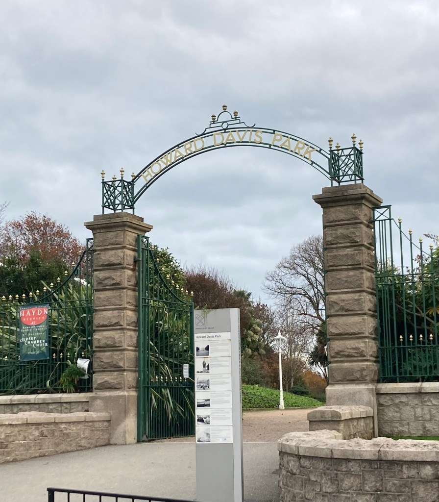
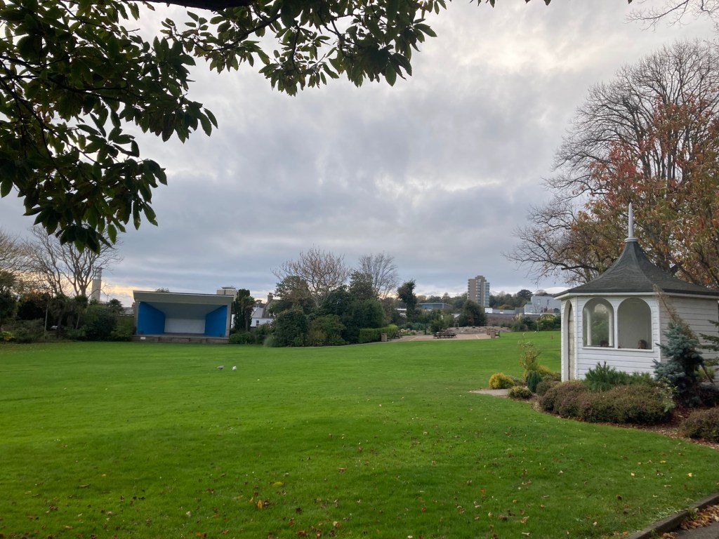
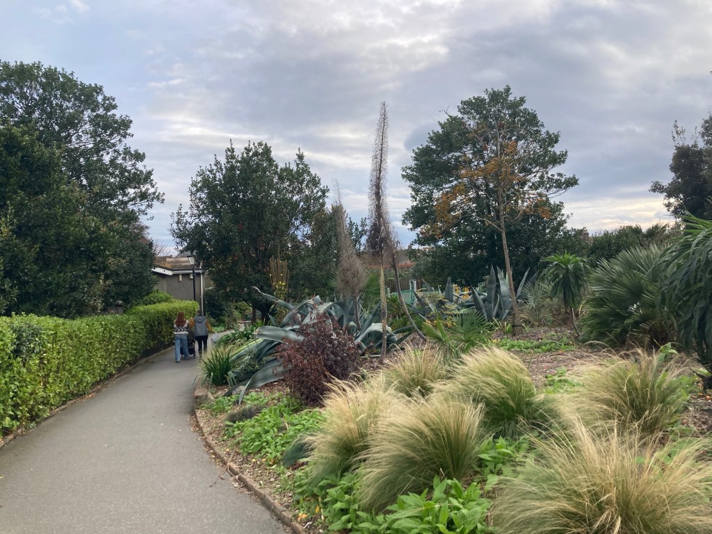
One of the sites that we wanted to see on the walk was Howard Davis Park which is used for some town festivals. The park is on land acquired by entrepreneur TB Davis where his boyhood home used to sit. He demolished his former home after acquiring the land and created a park named in memory of his son who was killed in WW I.
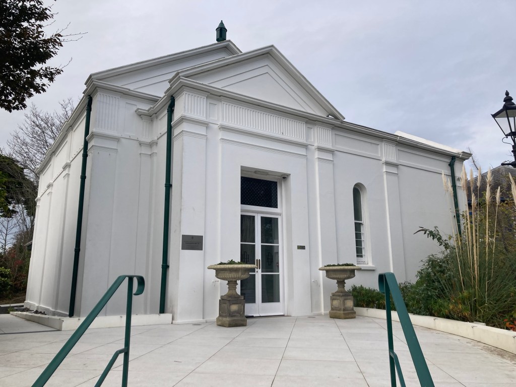
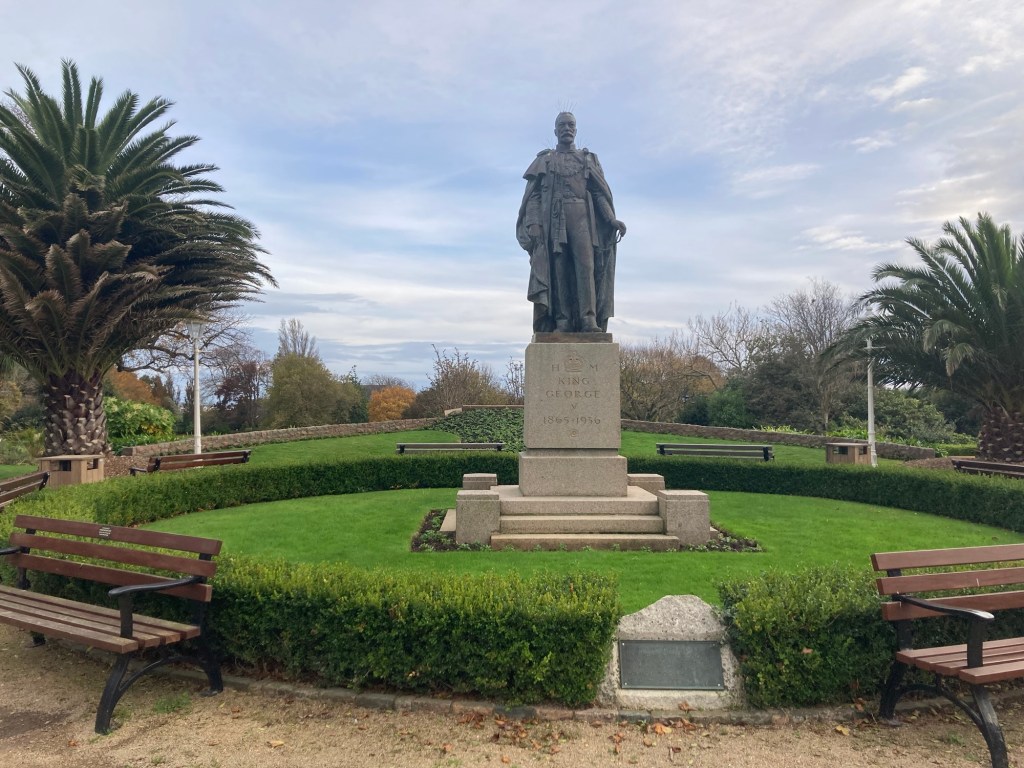
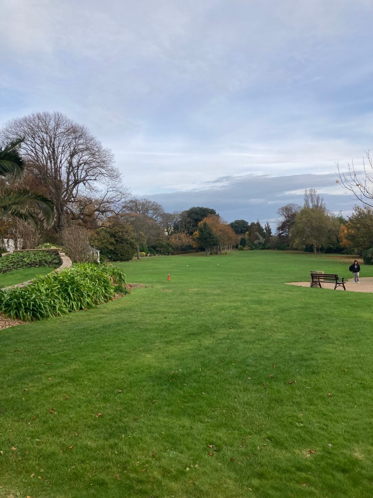
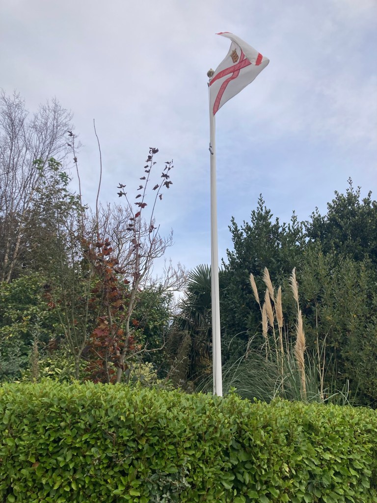
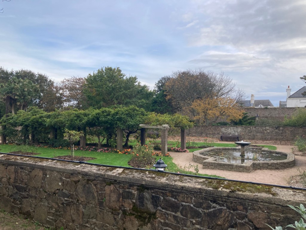
The main entrance to the parkA small bandshell and gazebo and a view into the town center Howard Davis Hall in the park dedicated to Howard DavisA statue of George VAnother view of the large lawn areaPretty landscaping near the park cafe The flagpole is made from the spinnaker pole from TB Davis’ yacht, The Westward The rose garden
Walking out of the park, we began to make our way to the coast.
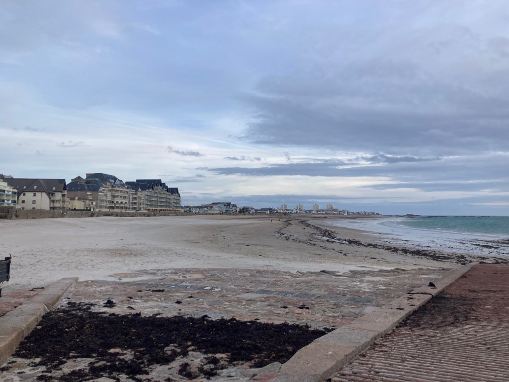
St Luke’s Church, one of the island’s 10 ‘chapels of ease’ (chapels to serve those living far from their main parish church) built in the mid-19th centuryA pretty hotelLe Dicq Causeway, St Saviour’s portion of seashore (total of 100 meters)Looking towards St ClementThe rock named Le Rocher Des Proscrits (Exiles’ Rock) by Victoria Hugo when he lived in St Clement as an exile from France from 1852-55.
Having reached the end of our walk, we headed back to the Five Oaks Pub near the house for a drink before heading home to a cleaner house.
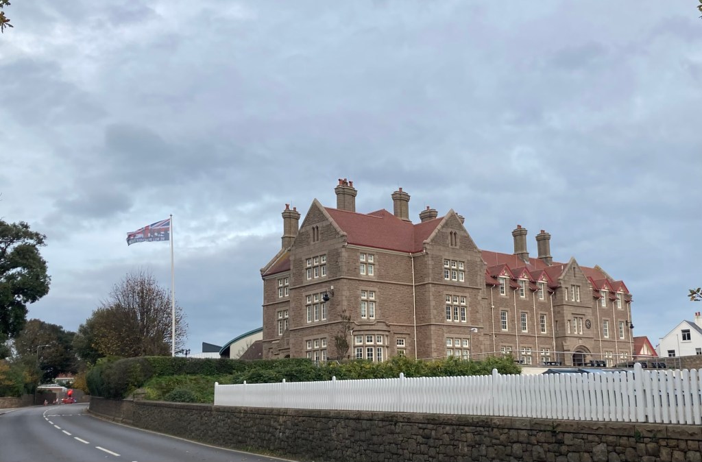
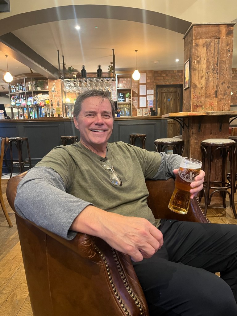
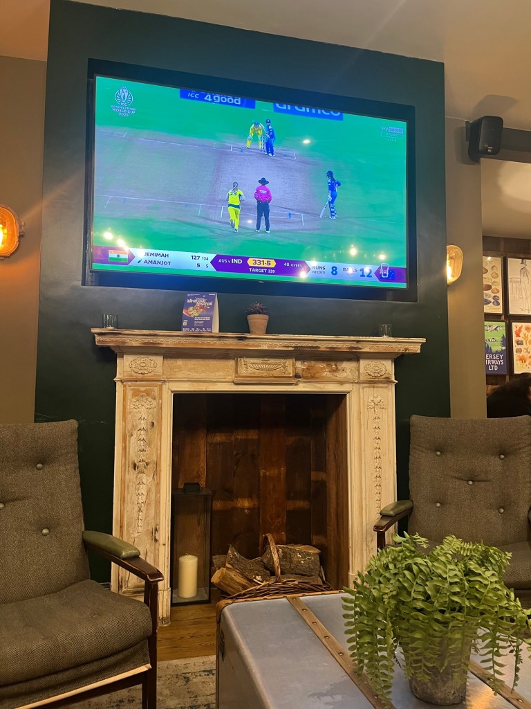
Jersey Preparatory School for GirlsA marker noting our change in parishes as we walked backBob with his Carling in the pubWe watched (though not understanding the game) India beat Australia in the semi-final of the Women’s Cricket World Cup
How can it be that we leave early Monday to fly back to the States?! We have definitely enjoyed Jersey, just like we did Guernsey, and would love to visit again.
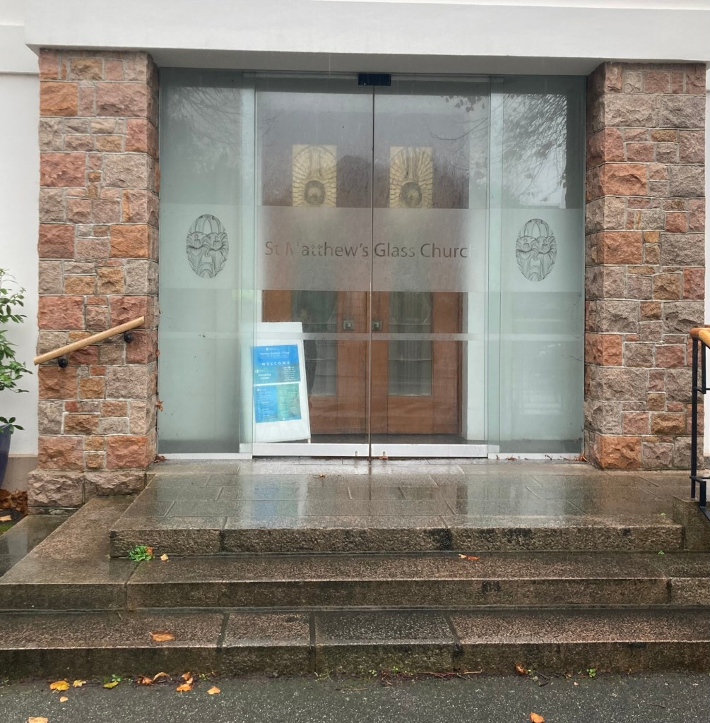
It has been quite the rainy Wednesday here, but with a feels-like temp in the high 40s F and little wind, it still made for an okay day for a walk. One of the sites in Jersey that they stop at on the bus tour that we hadn’t seen yet was the Glass Church. It is free to visit, so after a breakfast at the local pub (Wednesday is discount day, so we thought we’d treat ourselves.), we headed out to see the church.
I didn’t take many photos on the walk as one, it was raining, and two, we had done most of the same walk on the day that we went to the Artisan Market in St Brelade. But, a couple of things caught my eye. The first one was a park near a church that we had seen on our bus ride yesterday.
St Andrew’s Park with St Andrew’s Church on the back rightJust a flowering bush that caught my eye
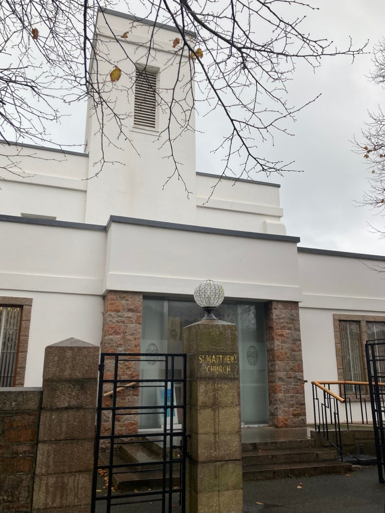
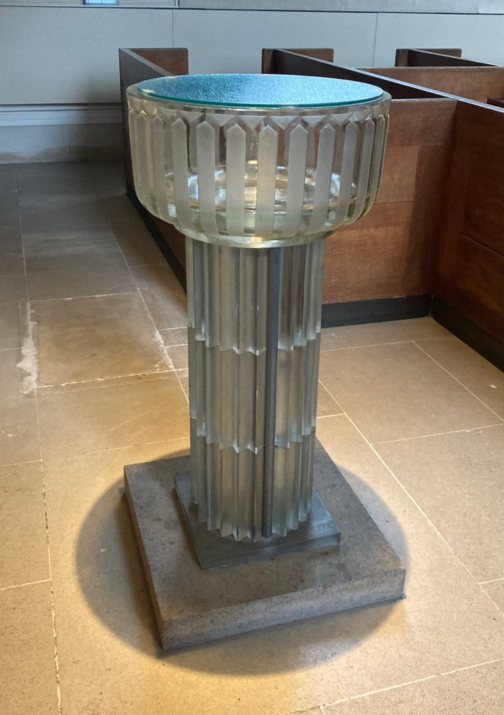
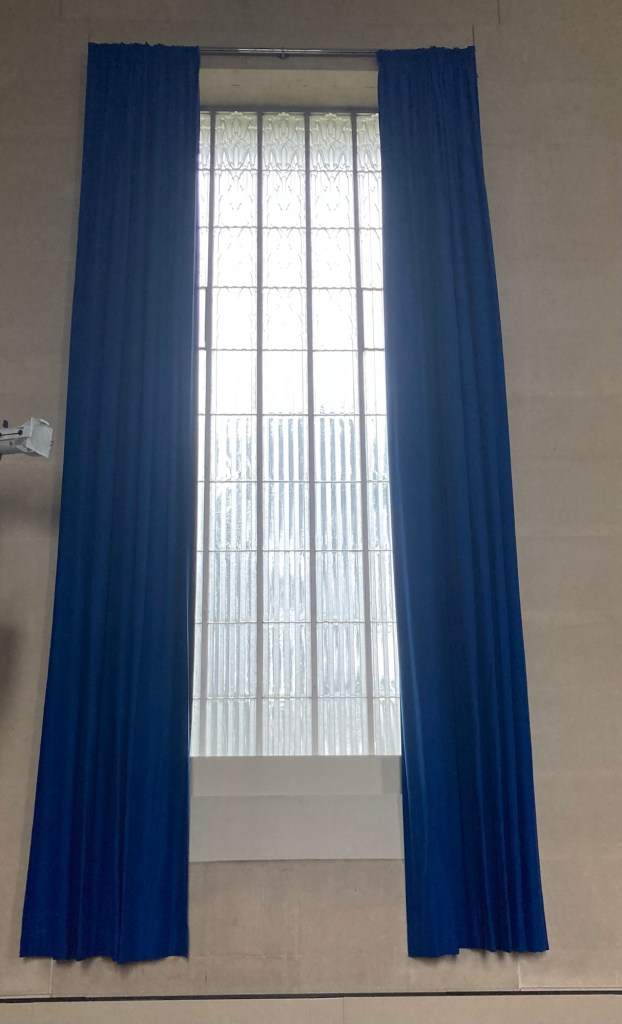
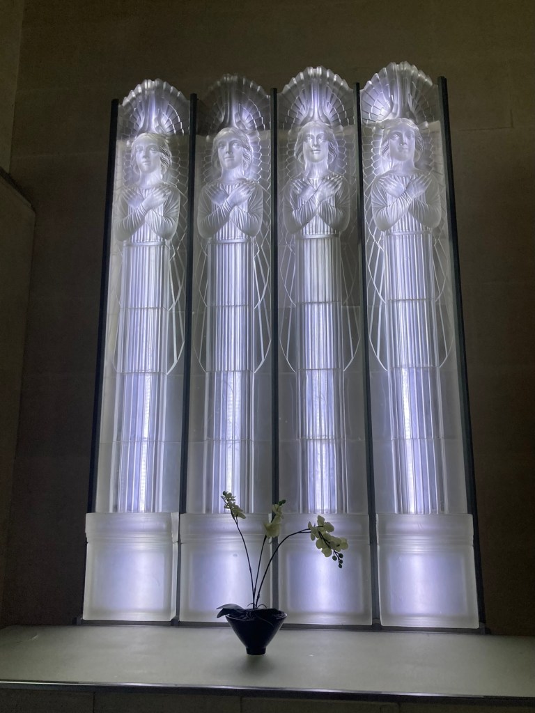
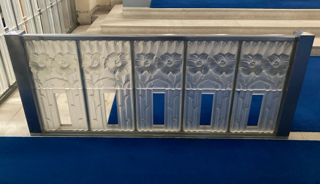
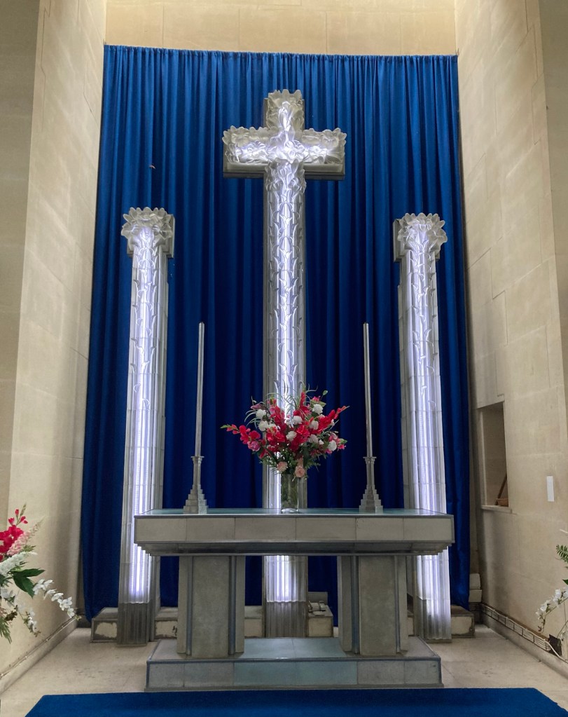
Now for the Glass Church, which is not made of glass but does have a lot of glass features. It is St Matthew’s Church was built as a modest chapel in the 1840s at the foot of Mount Felard to keep parishioners from having to walk up the steep hill to the parish church. In 1934, Lady Trent (widow of Jesse Boot of the Boot Pharmacy chain) commissioned Rene Lalique to decorate the renovated church with glass features, including an illuminated cross, a glass font, and glass screens adorned with the Jersey lily motif. The Glass Church is the only surviving Lalique commission of its kind, making it a unique and globally significant work of art.
Rene Lalique (1860-1945) was a French jeweler, medalist, and glass designer known for his creations of glass art, perfume bottles (notably in collaboration with Francois Coty), vases, jewelry, chandeliers, clocks, and automobile hood ornaments.
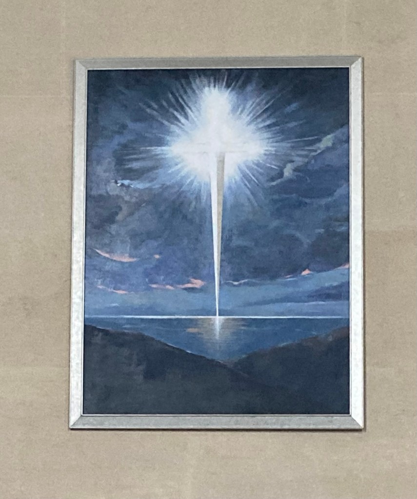
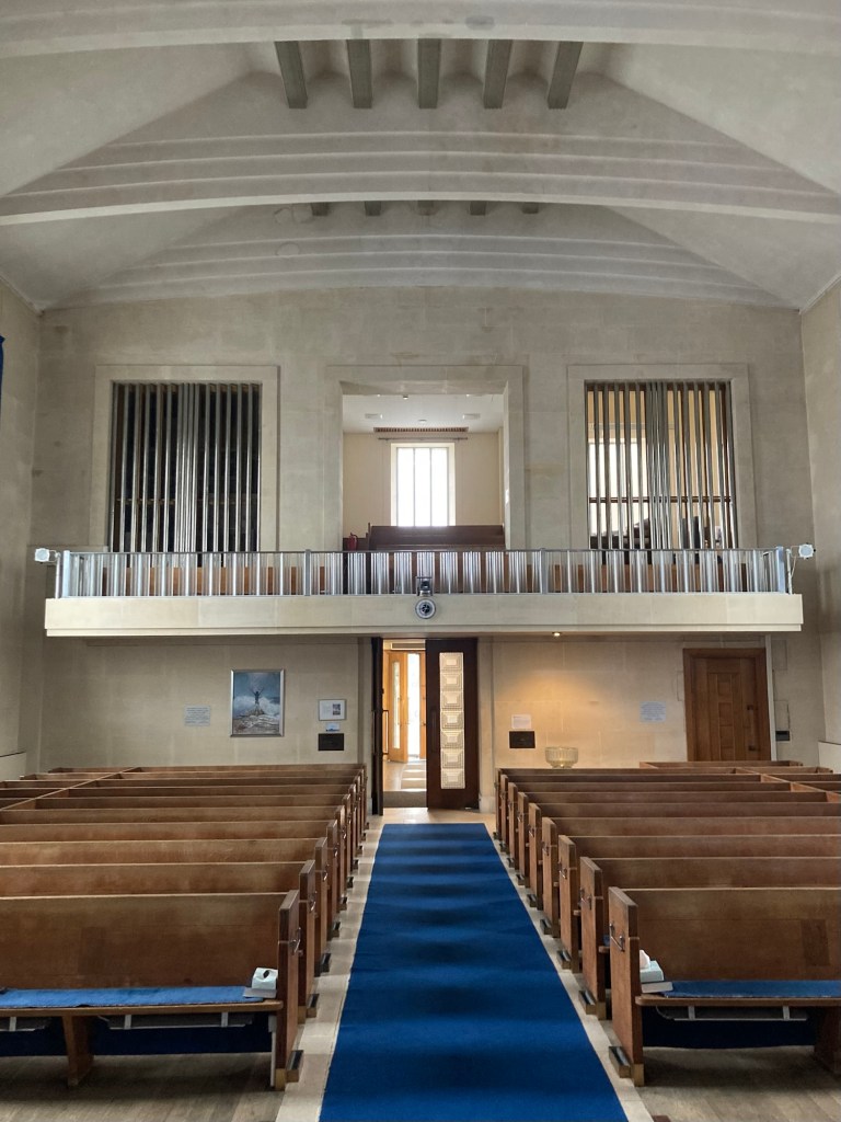
St Matthew’s Church A closer view of the entryA framed lighted glass piece in the foyerThe glass fontA view of the sanctuaryThe Lalique glass windows“The Sword of the Spirit” by Louise Ramsay. It depicts the Sword of the Spirit being planted in the sea between Jersey and Guernsey.Lalique figures in the side sacristy at the front of the sanctuary A Lalique screenThe illuminated cross and pillars at the front of the church Looking towards the back of the sanctuary“The Rock” by Louise Ramsay. It depicts a worshipper standing on a rock while a turbulent sea crashes around him.
Louise Ramsay was born and educated in England but now lives and works in Jersey.
Looking down on St Saviour Parish before we descend a series of steps after having come back up Mount Felard from St Lawrence Parish
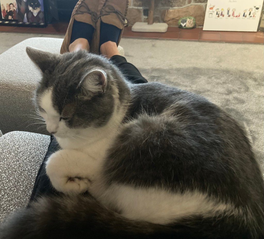
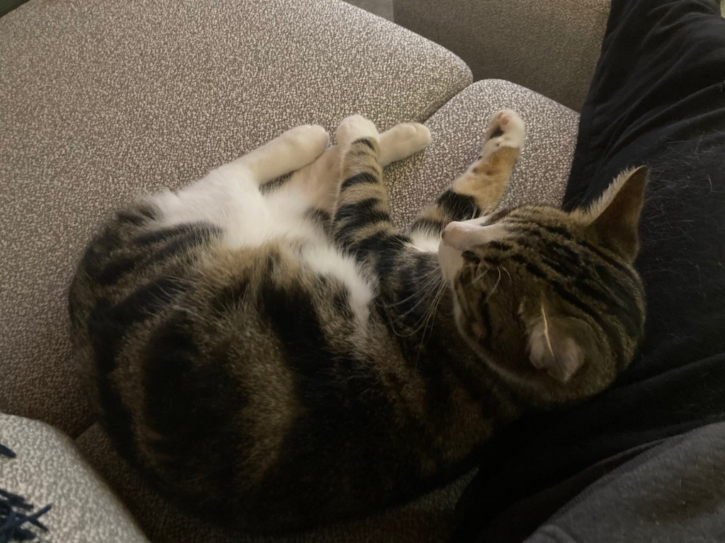
We haven’t included photos of the cats recently. They are both sweet cats with perhaps the strongest interest in food of any cats we have cared for. Although you can see, they can also be sweet snugglers as well.
The very sweet Bella. She is either on your lap or a bit aloof unless she thinks you are going to feed her.Lu is very active and playful, but likes to get close if he’s slowing down for the day.
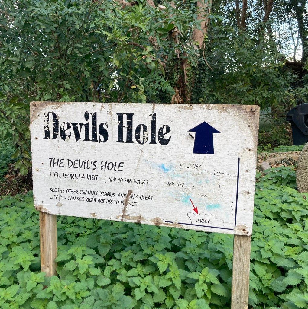
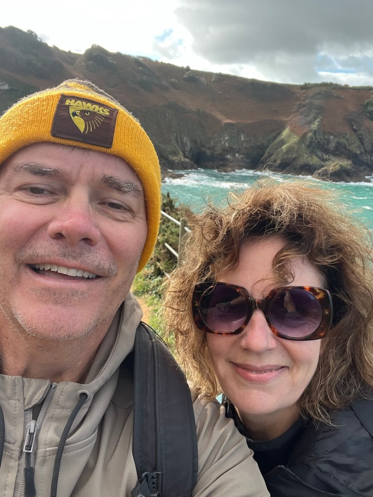
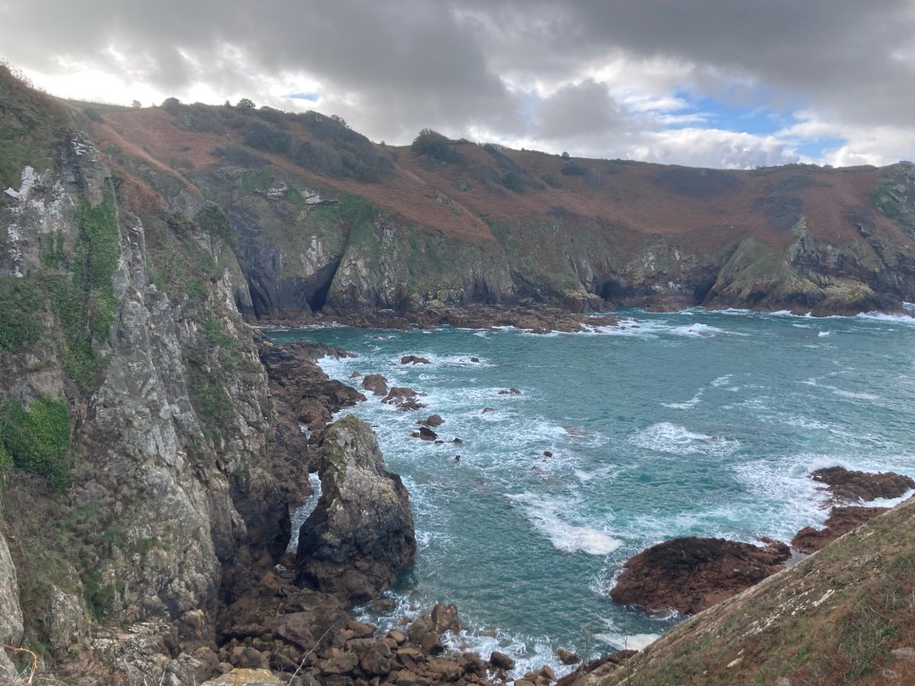
Bob and I walked downtown today to catch the number 7 bus to the Devil’s Hole (a natural crater in a cliff along the sea coast) on the north coast of the island. We hadn’t made it to the north coast before, and it did not disappoint—amazing rugged cliffs, lovely blue sea, and truth in advertising, a devil as well.
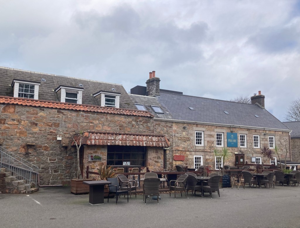
There is a bus stop in the parking lot of an inn/pub where the footpath down to Devil’s Hole begins.
Not the prettiest sign, but it got us started in the right direction.This was one of the first things we saw along the path.
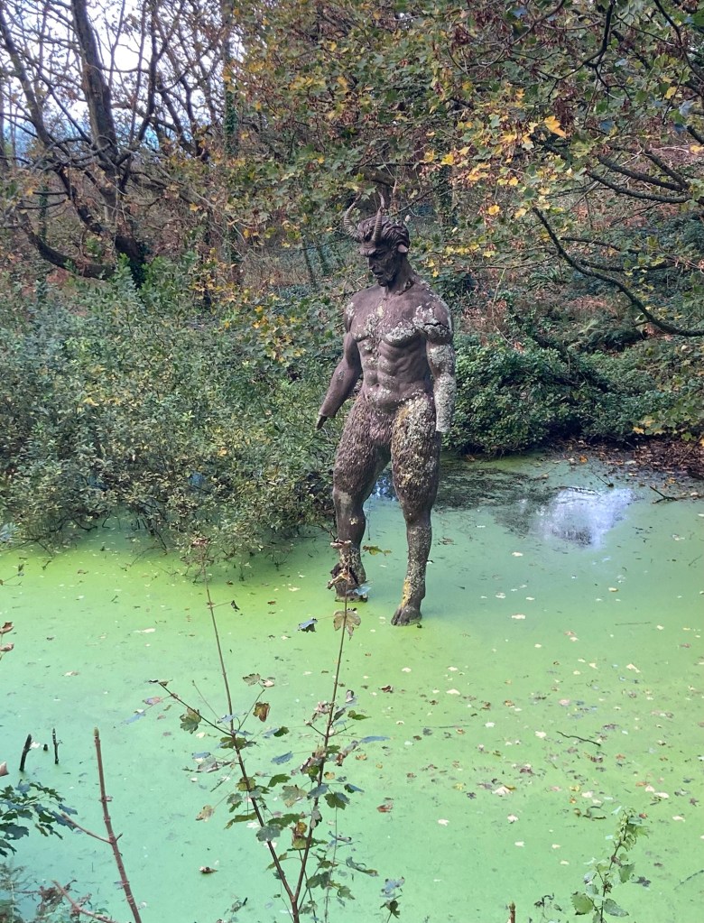
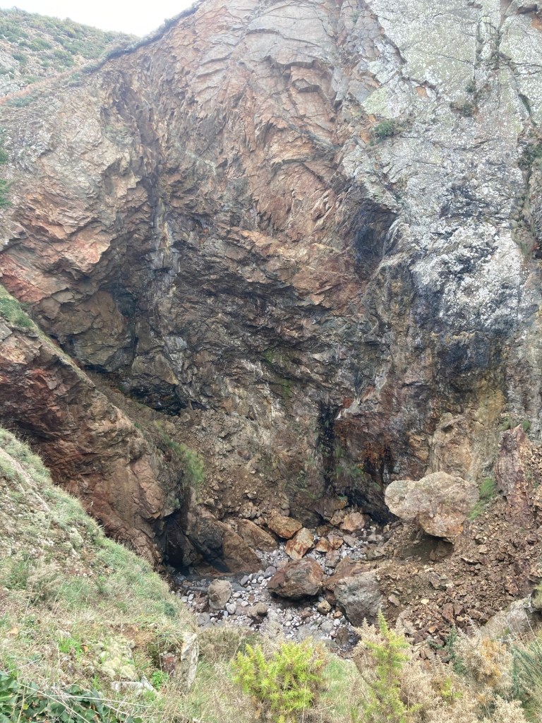
Devil’s Hole used to be called the Spiral Cave. One possible reason for the current name stems from a shipwreck of a French boat in 1851. Its figurehead was thrust straight into the hole by the tide, and a local sculptor transformed the torso into a wooden devil. This is that sculpture. It sets a mood.
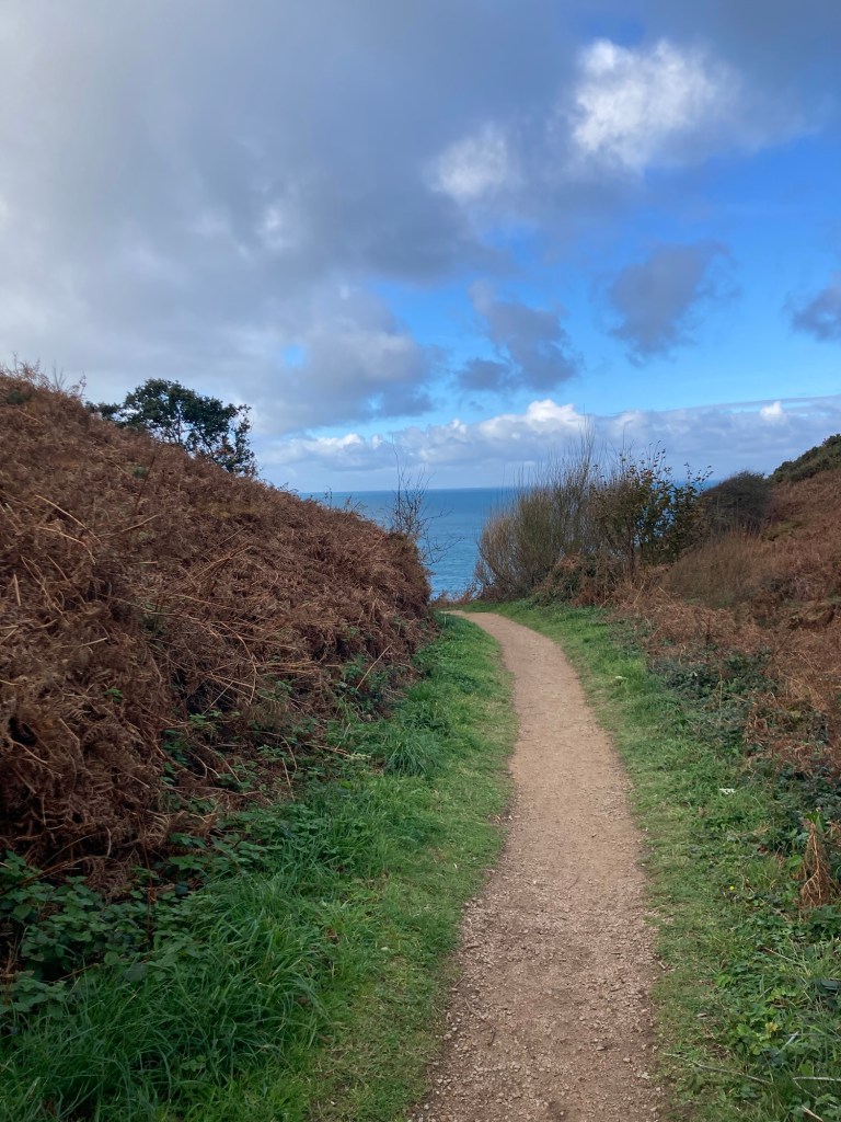
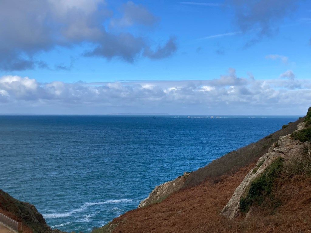
Our first glimpse of the sea on the short walk down to the viewing platform If you enlarge this photo, you can see land just to the left of the the rocks. Not sure if that is France or other smaller Channel Islands near Jersey.Looking down the path, which circles around this cliffSelfie along the north coastMore of the coastline and rugged cliffsThe Devil’s Hole, hard to capture the steepness of itThe Priory Inn and Pub, which was not open while we were there
The bus only runs hourly, so we had some time to kill before walking back near the La Mare Wine Estate where we needed to catch the bus heading back to St Helier. There was a posted footpath nearby, so we followed that for a bit back towards the sea.
Lovely scenery on that walk too.
This is the continuation of the Cliff Path that we were on. We turned around here.Another cave formed in the rock
After a windy, rainy start to the day, the sun came out, and we decided it looked too good to stay inside. We had been talking about doing a half-day bus tour of the island, so we decided maybe today was the day. The website said no tickets were available, but we didn’t know if that was because the tour was full or they don’t sell tickets online for same day tours. We had other things that we wanted to see in St Helier anyway, so we thought we’d walk down to Liberation Square to try to get tickets for the tour, and if not, we’d see more of St Helier.
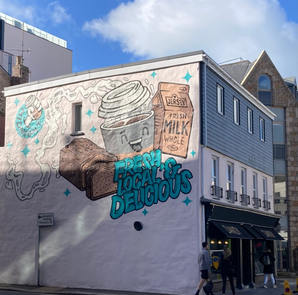
A cute mural on a building on our walk to Liberation Square
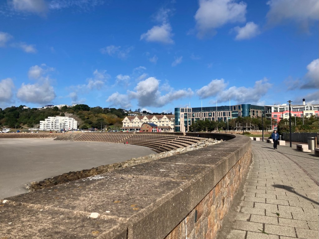
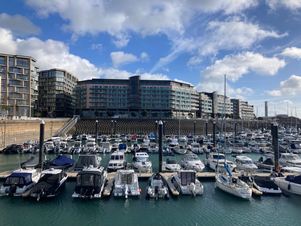
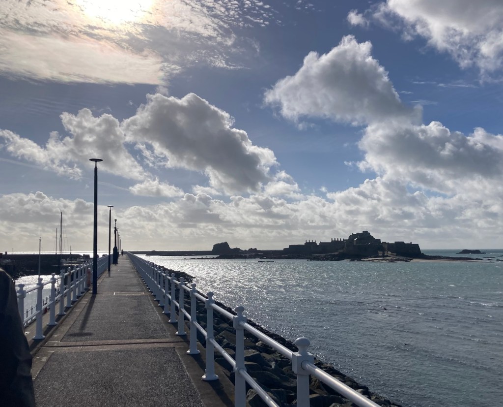
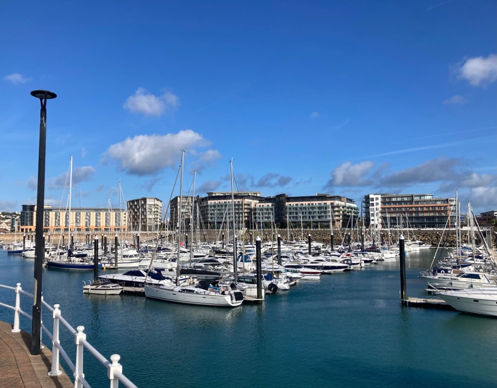
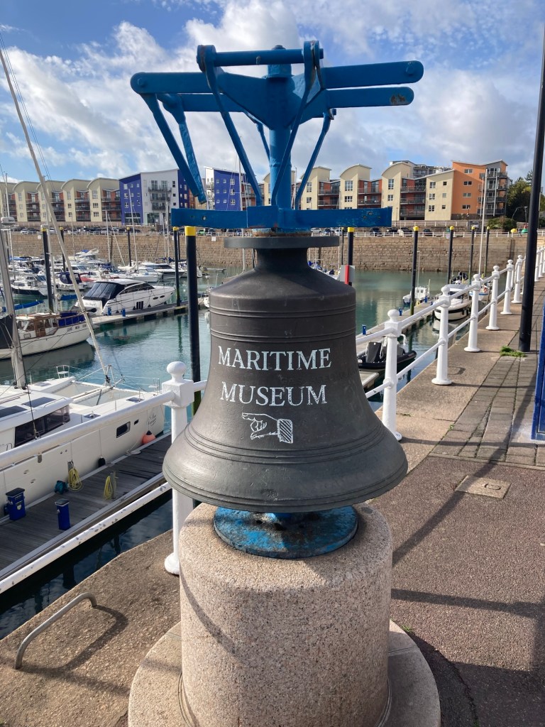
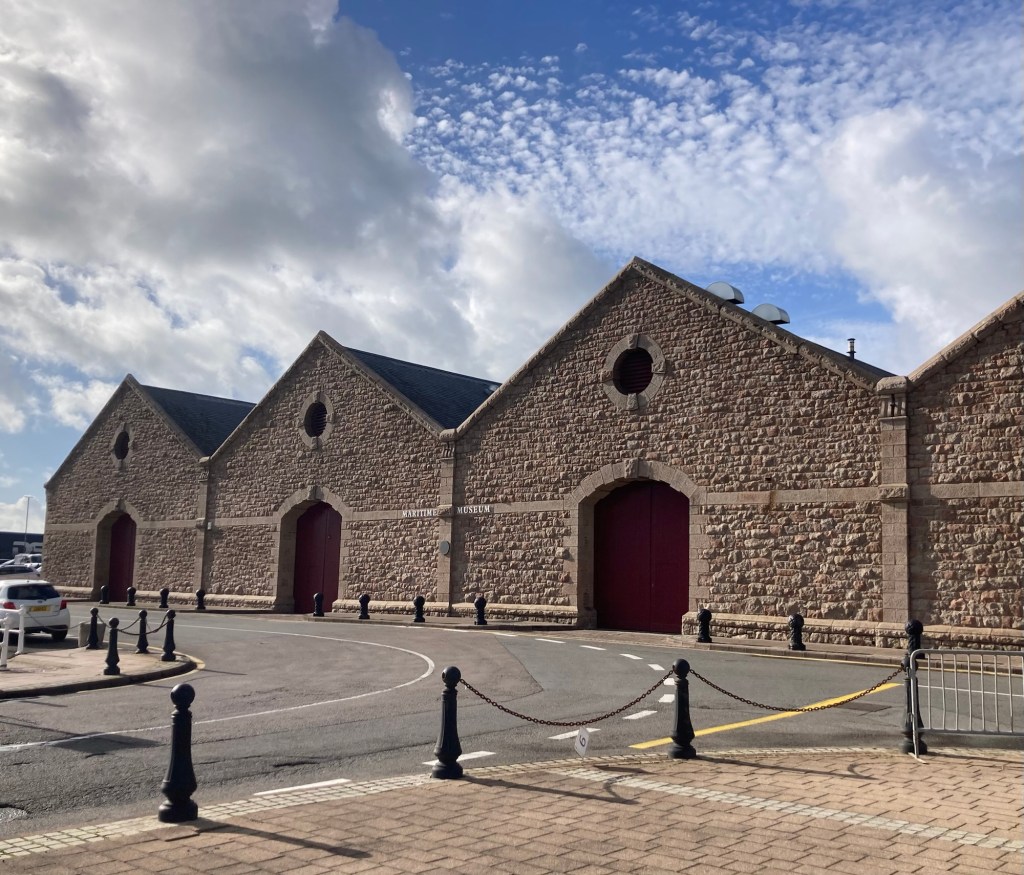
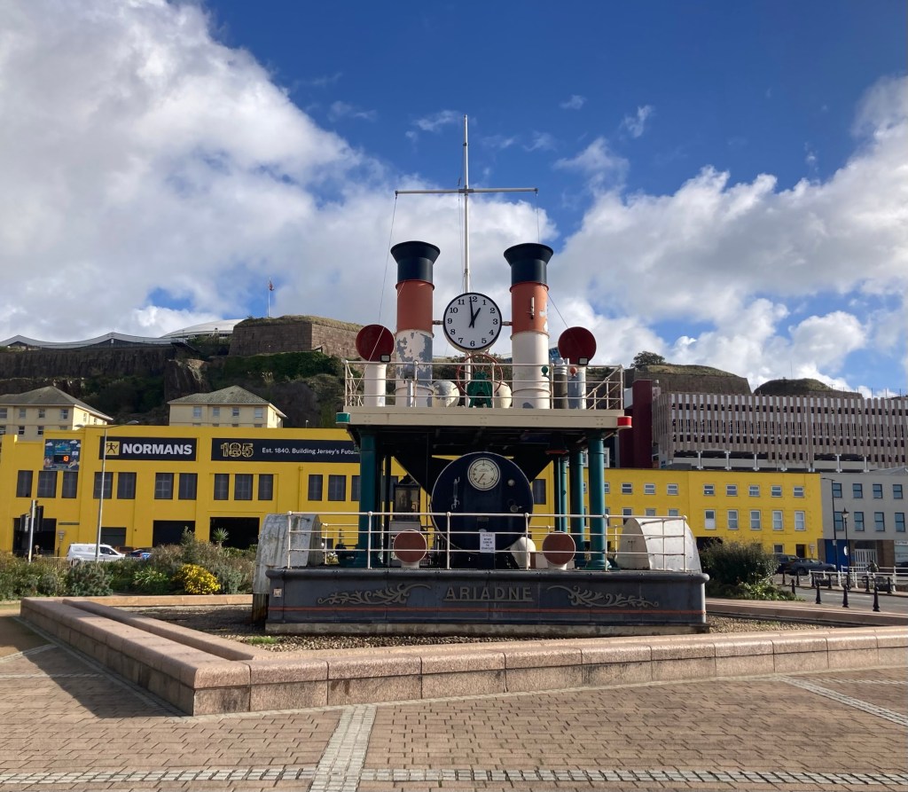
Turns out that no tickets were available because it is the end of the season, so the half day tours are no longer on offer. There is a full day tour option available on Wednesday of this week. We went to our Plan B for today. Bob wanted to walk some of the promenade along the water in downtown St Helier, and I wanted to see the Maritime Museum (just for a photo) and a steam clock.
Looking west along the coastLooking eastA fun local fact posted on the sea wallLooking back along the promenade towards the townThe Freedom Tree sculpture unveiled by The Queen on May 9, 2005, to commemorate the 60th anniversary of the liberation of the islandsThe tide is at least partially in, and there is water under the boats.Walking out on the pier that leads to the causeway that you could walk across (when low tide) to Elizabeth CastleLooking back across the marina towards town
There had been an art show for paintings in the arches of the pier. The time for the exhibition was officially over, but the paintings were still there. Here’s a couple.
In another marina, this statue stands in commemoration of the 60th anniversary of Queen Elizabeth’s reign.Each bench along the marina was inscribed with a letter of the naval phonetic alphabet and semaphore Maritime sculpture and signage Other benches along the harbor identify vessels built in Jersey during its maritime history Cute signage to the Maritime Museum The Maritime Museum The Ariadne Steam Clock erected in 1997 to commemorate the island’s rich maritime history and the innovative spirit of the Victorian Era.
The steam clock apparently actually releases steam at regular intervals, but we weren’t there at the right time. We were quite happy with our Plan B day — and the weather.
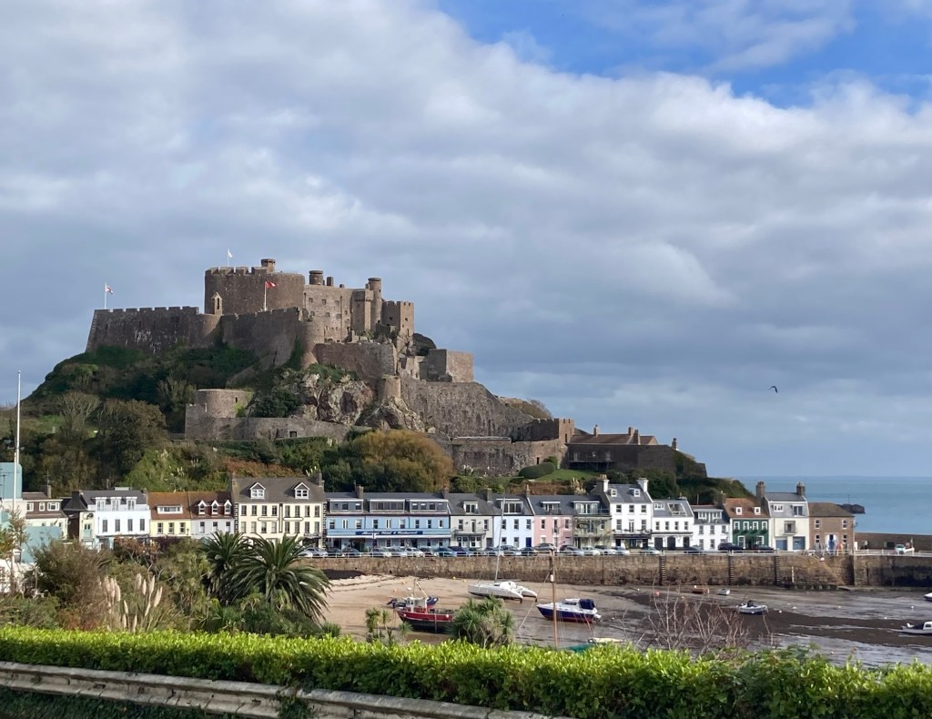
Bob suggested a walk to Mount Orgueil Castle today, as no rain was in the forecast until late tonight. It was a 3+ mile walk that was pretty along the way and even better at the end. Who would have thought that our best view of the trip to date would be in a village called Gorey?
We walked from St Saviour Parish east into St Martin Parish and ultimately to the east coast of the island.
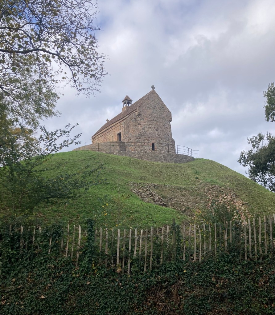
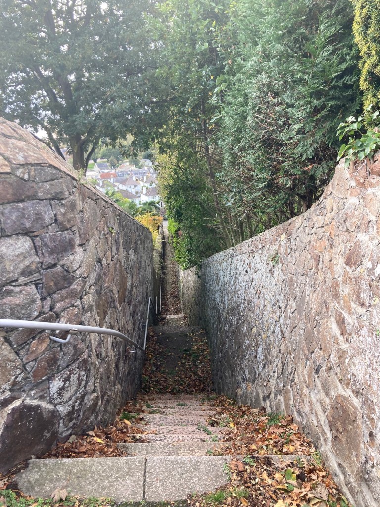
The 16th Century Christian Chapel built above a Neolithic passage grave at La Houge BieWe are now experienced road walkers on these lovely tree-shaded lanesThe houses and landscaping along the route were impressive.Also, some pretty fields and farmland Queen’s Valley Reservoir with a walking trail around the waterMore great landscaping Pretty little cottage along the walled roadLoved the fall colors An impressive gate to a large estateGouray Church, which sits high over the bay overlooking Gorey Village and the harborLooking down a steep stairwell down into Gorey VillageOur first view of Orgueil (Gorey) Castle and the colorful storefronts below
The current structure of Mount Orgueil Castle was built in 1204 when the Channel Islands became a front line between England and France. It successfully withstood several French assaults. It was refortified in the 16th century, but it was eventually replaced by Elizabeth Castle on the south coast of the island due to the invention of cannons.
During World War II and the German Occupation, the castle was used as a barracks and observation post, and the Germans added concrete fortifications.
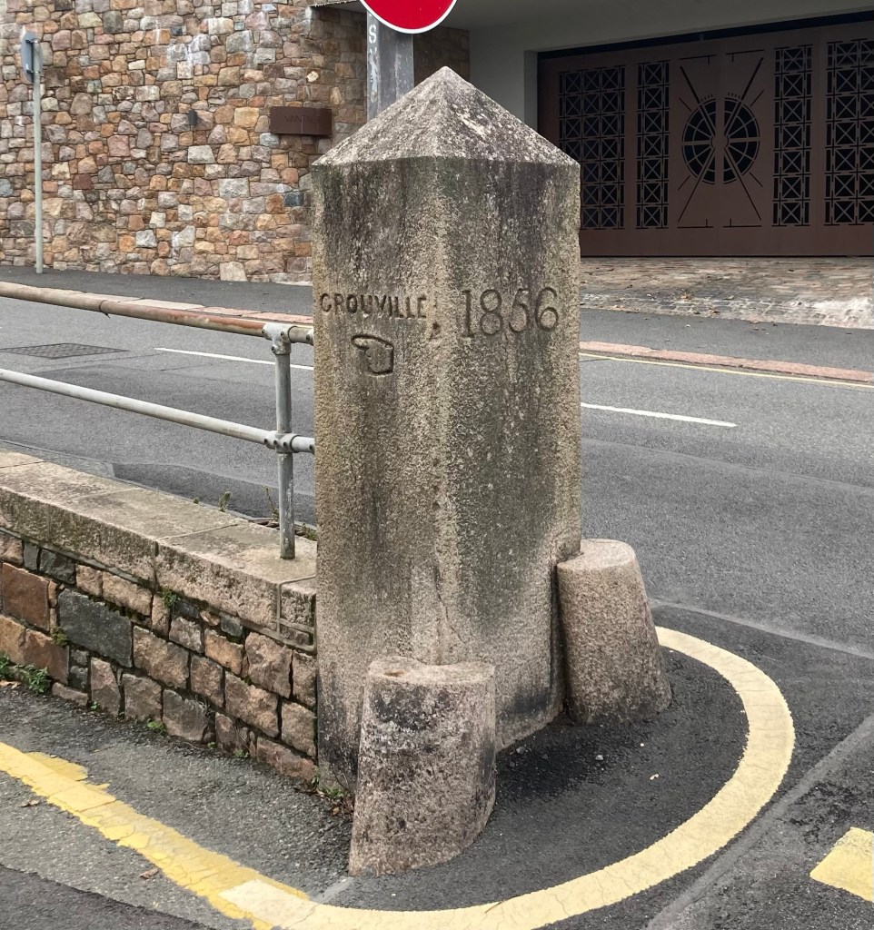
Looking south along the Bay of GrouvilleAnother view of the castle and very low tide in the harborSome nice homes overlooking the bay A boat sculpture and lovely landscaping along the promenade Some of the businesses below the castle at the end of the promenade A pretty coffee shop/cafe
It was all downhill into the village, so up on the way back.
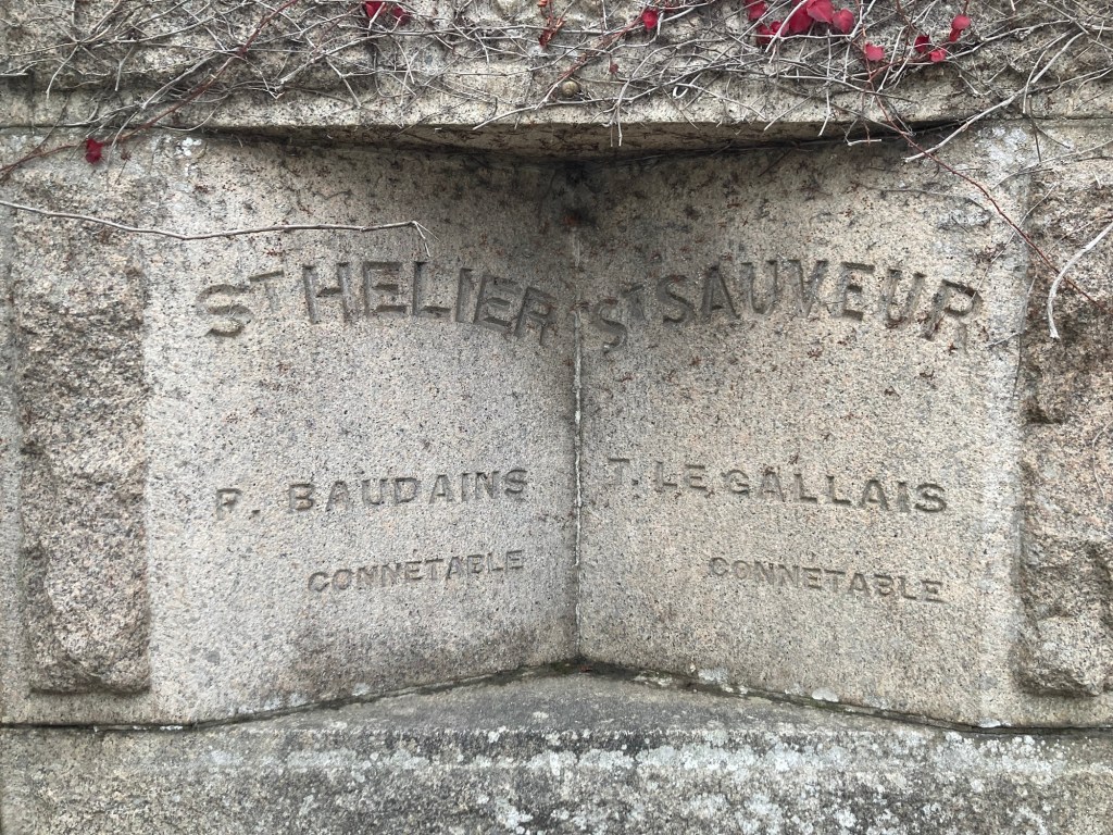
We had a view of the bay through someone’s parking terraceGrouville is the parish immediately south of St MartinA fun find in a wall along our walk backA marker showing the division between St Martin Parish and St Saviour Parish
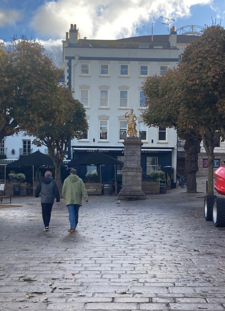
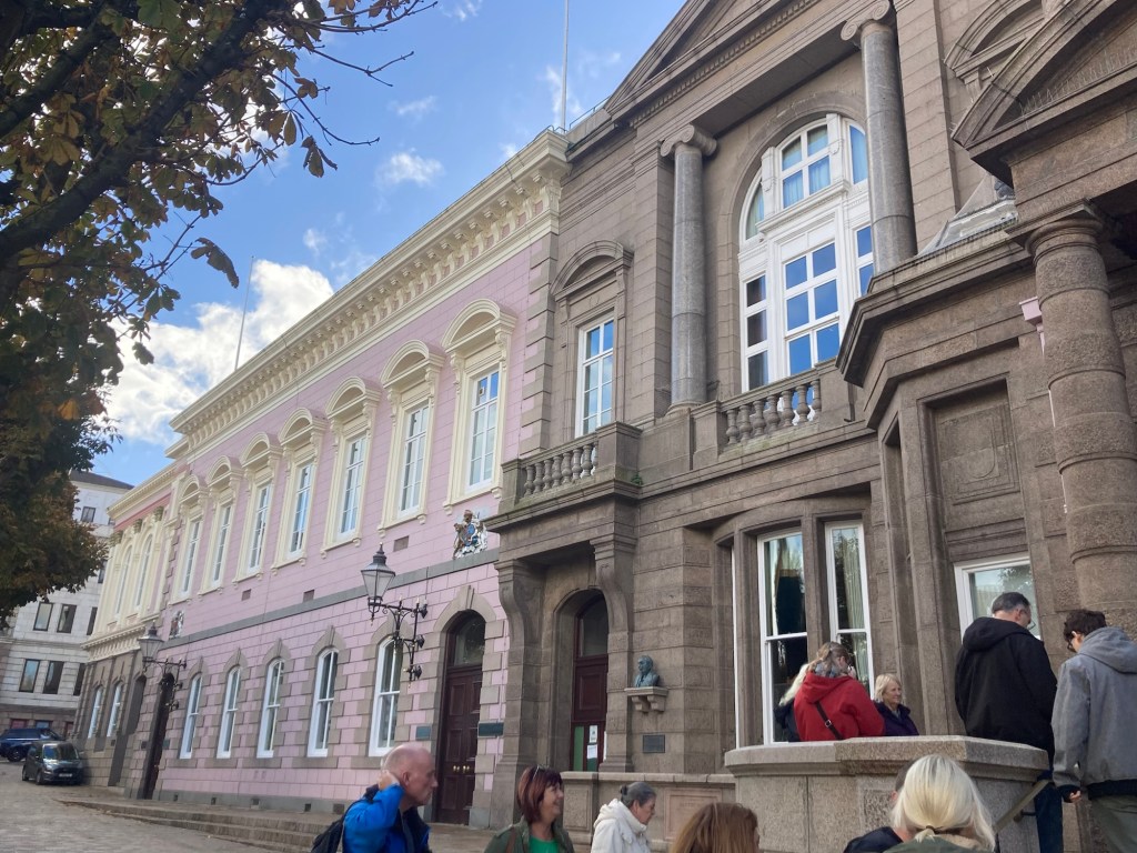
One of the initial brochures that we had picked up on Jersey had a listing of local events. One that caught my eye was a Royal Court and States Chamber Tour. You were to purchase tickets on Eventbrite. When I went to the site, there were no tickets on offer, so I reached out to the contact person to see if there was another site I needed to go to. She kindly opened up 2 more spaces, and Bob and I walked the 40 minutes to Royal Square this morning for the 2 hour guided tour.
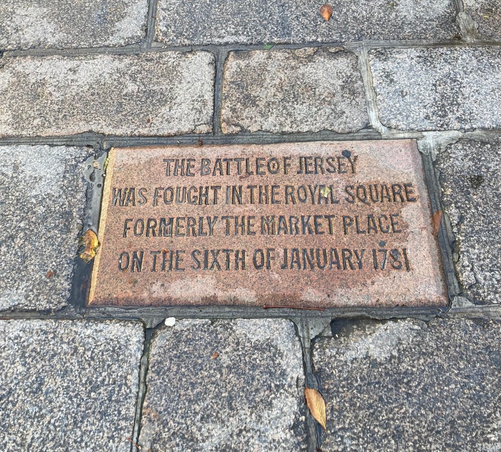
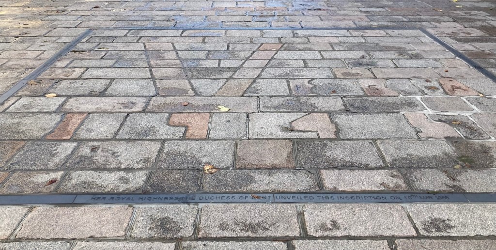
One view of Royal Square with a statue of George II and a couple of the 200+ year old chestnut treesThe current Royal Square was formerly the market place and was also the site of the Battle of Jersey, when the British successfully defended the island from an invasion by FranceA local stonemason put the V in the pavement during the occupation. Fearing punishment, he claimed it was in reference to the Red Cross ship, SS Vega.The 3 buildings that we toured — the former library (brown stone building in forefront), the Royal Court (pink building), and States Chambers (cream building at the end)
The former library, with a pretty domed room and chandelier, is now used as an overflow courtroom when needed or to hold state dinners or other functions.
The Royal Court is the judicial arm of the state, with many trials decided by appointed or elected jurats instead of a jury.
The State Chambers holds the State Assembly or legislative arm of the state government. The Assembly is made up of 49 elected members, 12 Constables (one for each parish) and 37 Deputies, each representing about 3,000 Islanders, with less-populated parishes being combined to make for more equal representation.
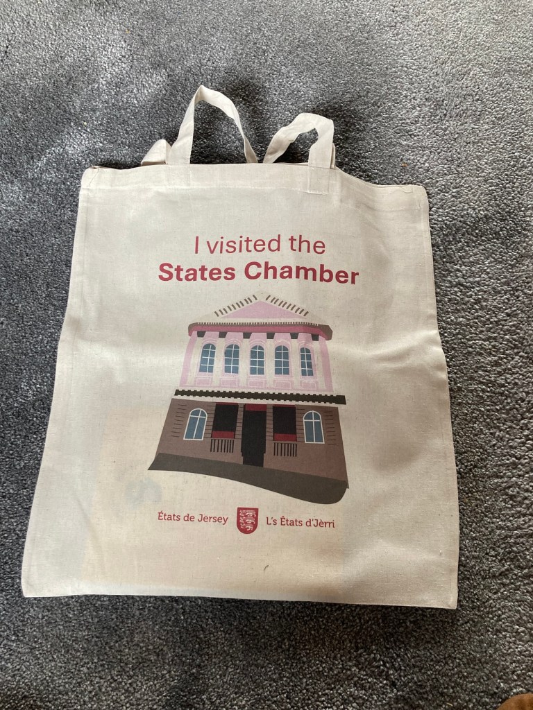
We were not allowed to take photos during the tour, but we got this goodie bag at the end so we have proof that we did actually do the tour.
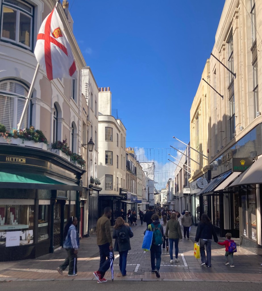
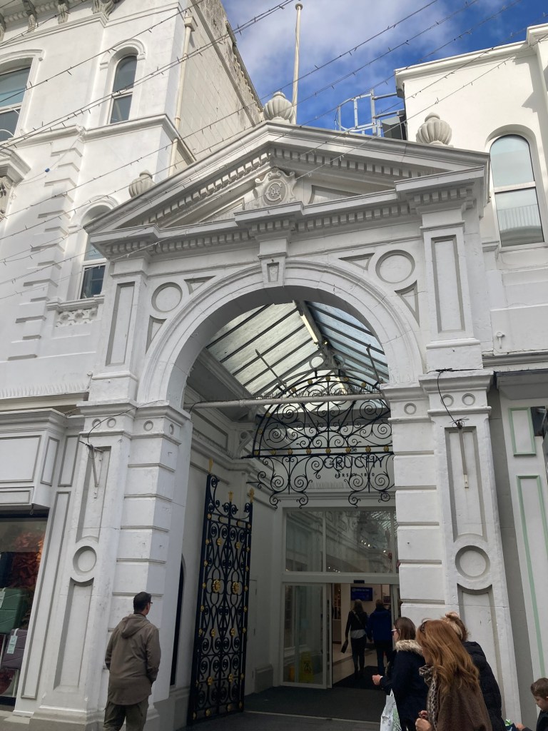
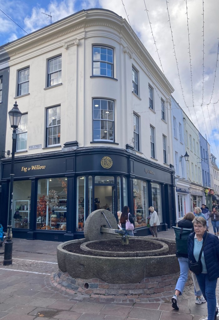
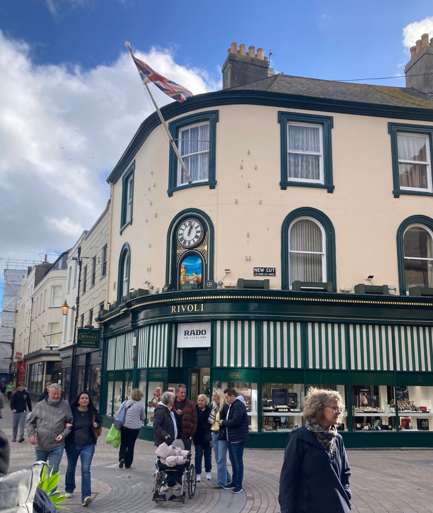
After the tour, we walked to their high street, or main shopping area. The street goes by a few names including Queen Street and King Street. It was busy on a Saturday.
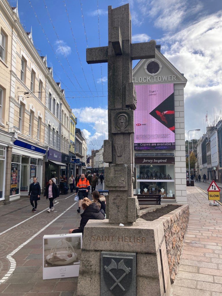
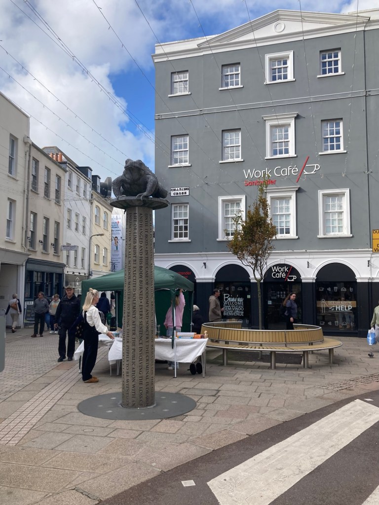
A look down the pedestrian-only streetDe Gruchy, a higher end department storeAn old mill wheel (I think) in the middle of an intersection A pretty clockThe far end of the high streetThe Toad Monument erected in 2004 in commemoration of 800 years of the island’s allegiance to the English crown and in memory of the presence on the site (between 1698 and 1811) of the island’s prison.
The words on the column of the sculpture are extracts from the Code Le Geyt of 1698 concerning crimes and applicable punishments. The toad on top of the column is the Jersey toad, which the dune covered and marshy island had a lot of when initially settled, so Jersey islanders have the nickname of toad.
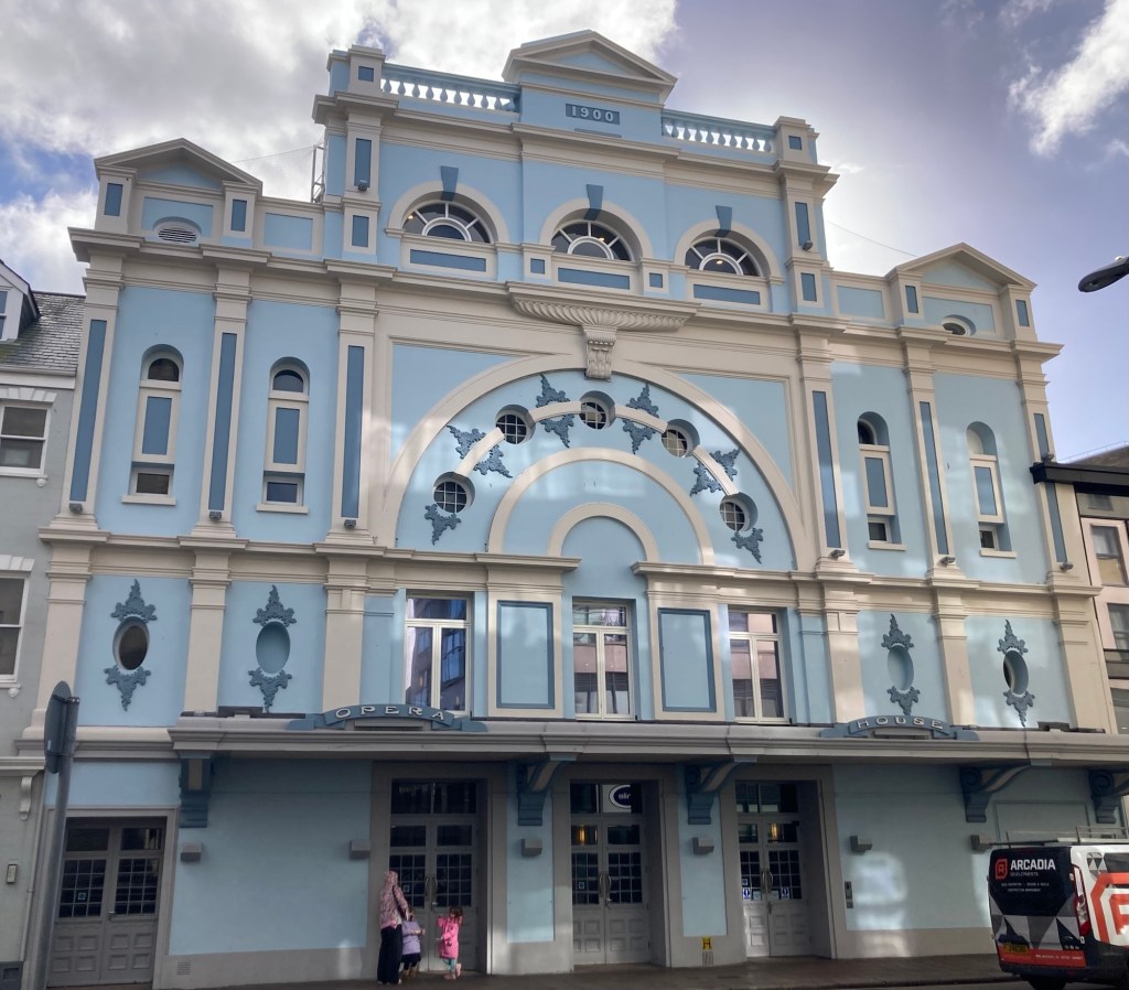
From the high street, we walked towards the Opera House, as we had wanted to see that.
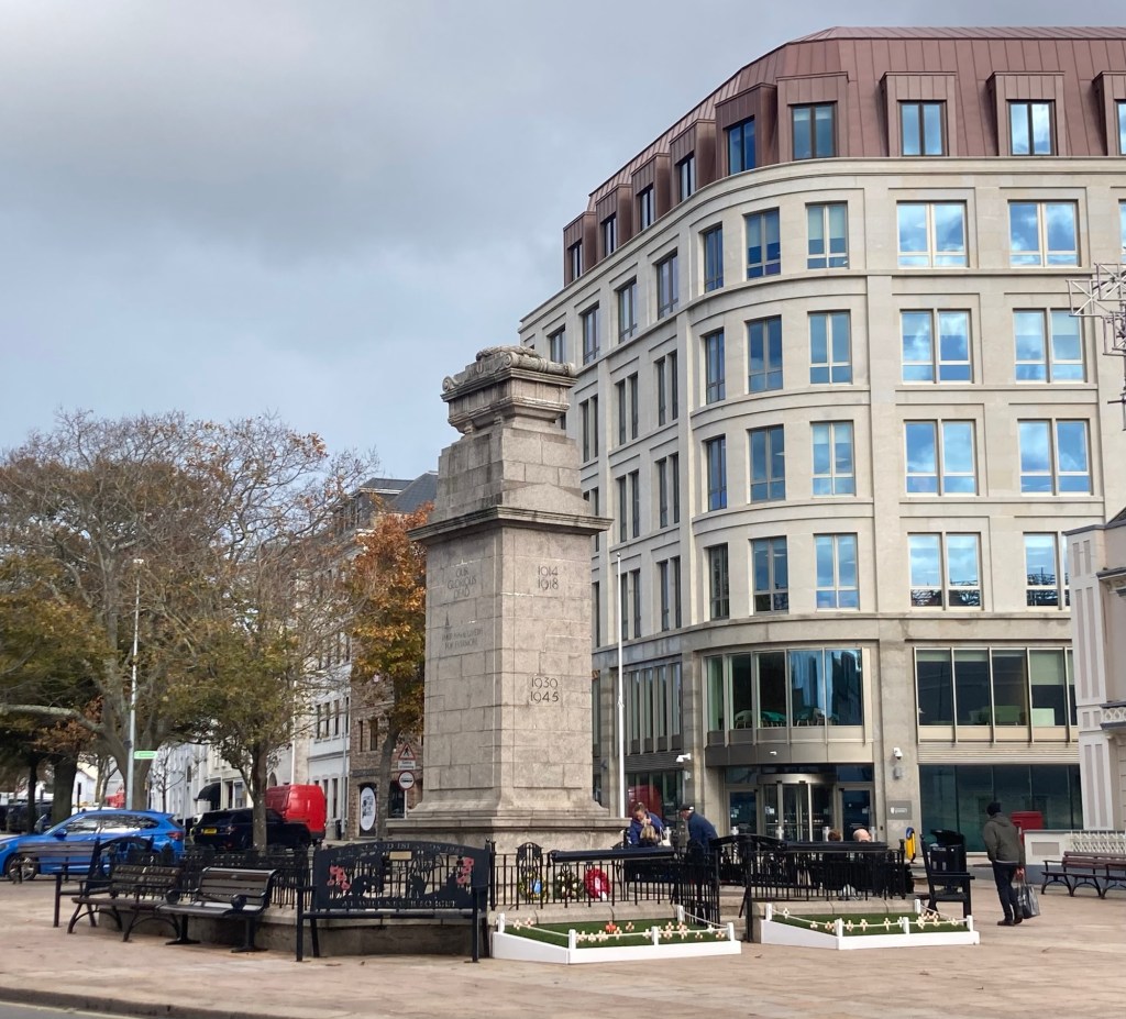
A war memorialThe statue of the Scottish born Sir George Don, who among other things served as the Lieutenant Governor of Jersey from 1806 through the Napoleonic Wars (ending in 1815).A war memorial in Parade GardensA portion of an old wall retained in front of Jersey General Hospital The Opera House
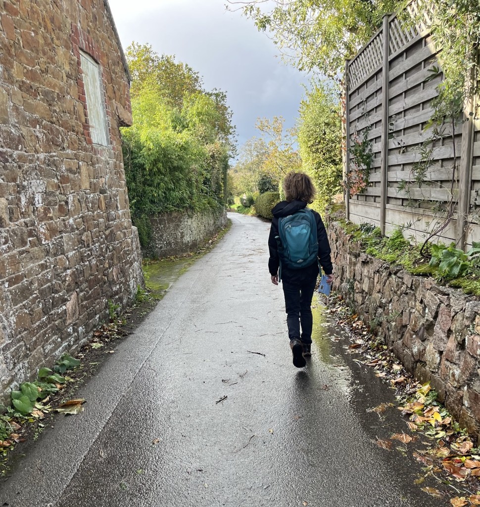
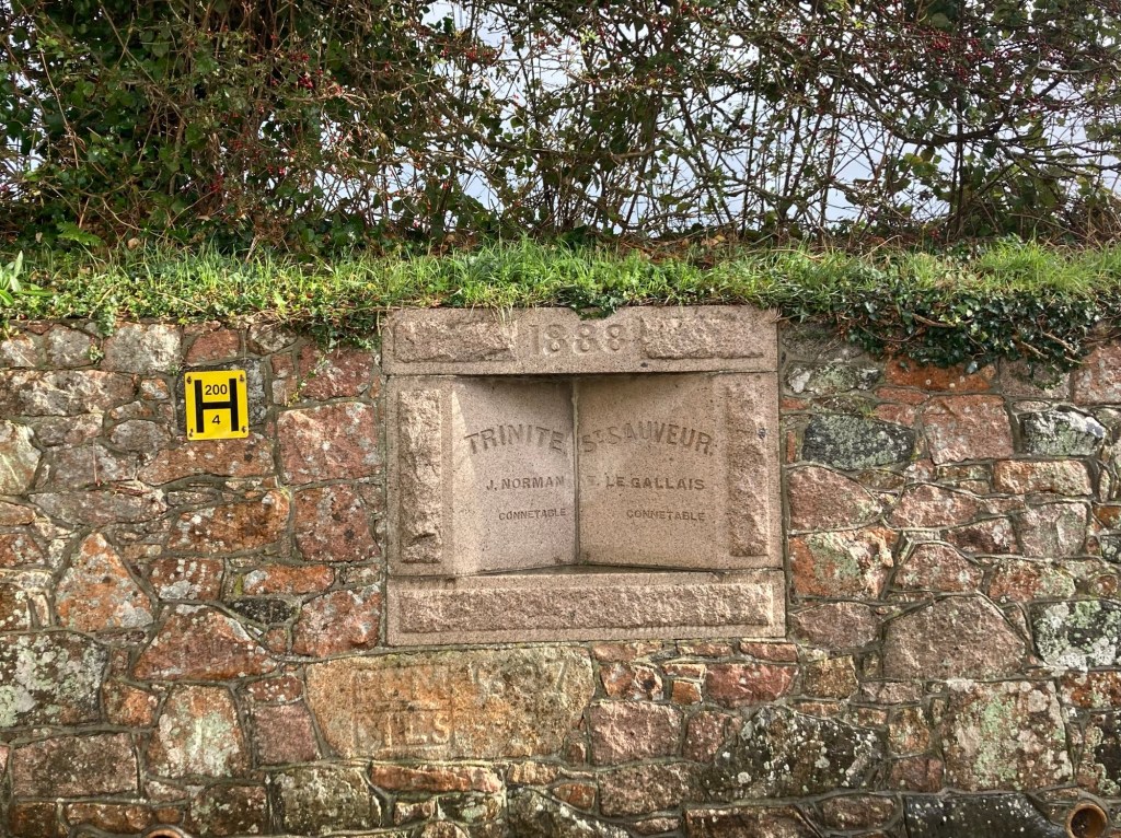
We continue to have very changeable weather with wind and bouts of rain and occasional sun. Today was much better than yesterday when the winds were positively Orkneyesque. So today, we headed back out to explore a section of another parish walk. This time we headed northwest of St Saviour Parish to Trinity Parish, the most rural of Jersey’s parishes, with only 84 houses per square kilometer.
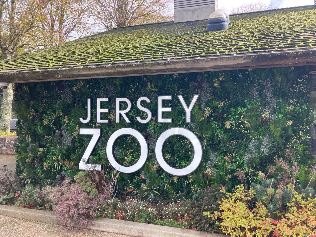
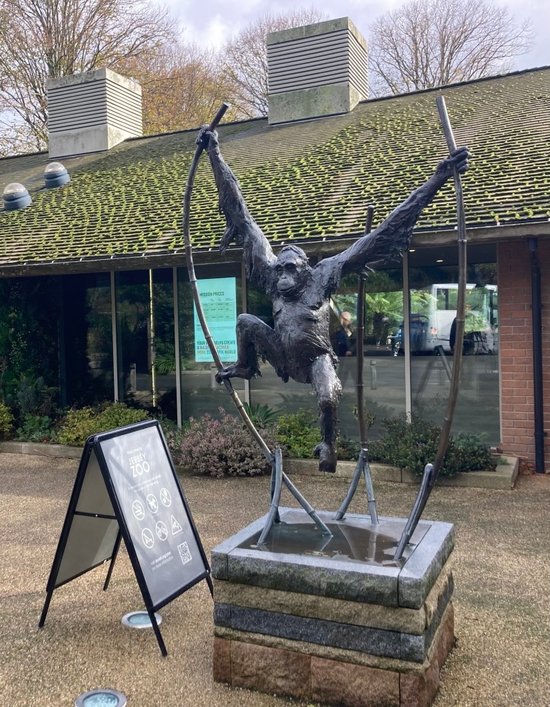
We were most interested in seeing 2 of the sites — the Jersey Zoo and the Eric Young Orchid Foundation, one for a photo op and one to visit. It ended up being about a 6.5 mile walk with a little more rain than had been predicted on the weather app, but we were prepared.
Bob got us to the zoo, which was just a bit over an hour walk.
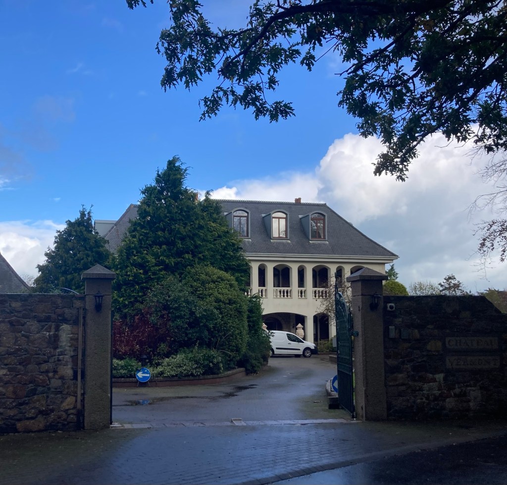
Chateau Vermont, there is some $$ on this islandBob and I were just commenting on how pretty the walk was when we came upon this humble brag sign.
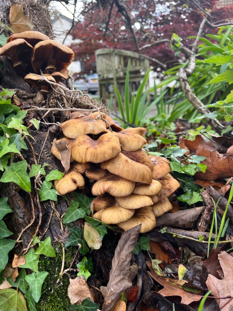
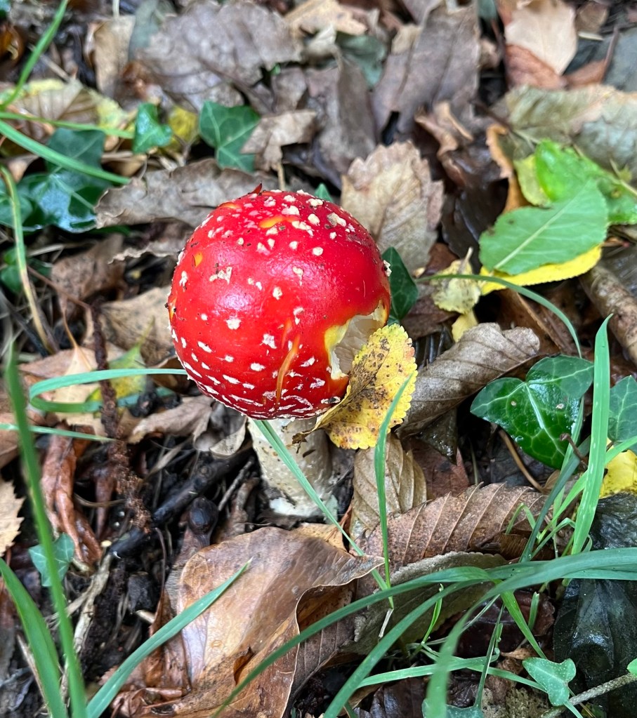
Besides big heads, Bob likes to photo fungus. We found a few interesting mushroom patches on the way to the zoo.
The attractive entrance to the Jersey ZooAnother view of the entrance
We chose not to go into the zoo purely on cost considerations. It would have been $55 for both of us to go, and there are other activities that we want to do, and most things here have an entrance fee. From what we have heard though, it is a good zoo with a conservation focus.
From the Jersey Zoo, we then began following the Trinity Parish walk route to the Eric Young Orchid Foundation.
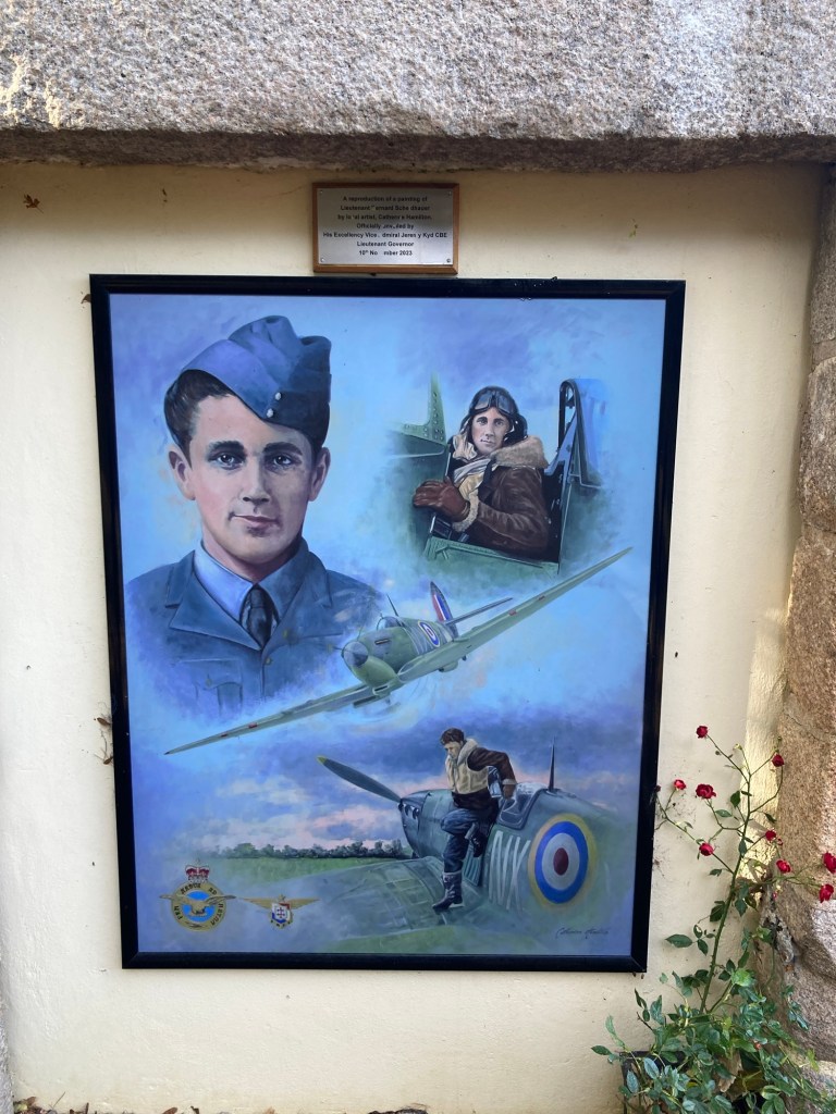
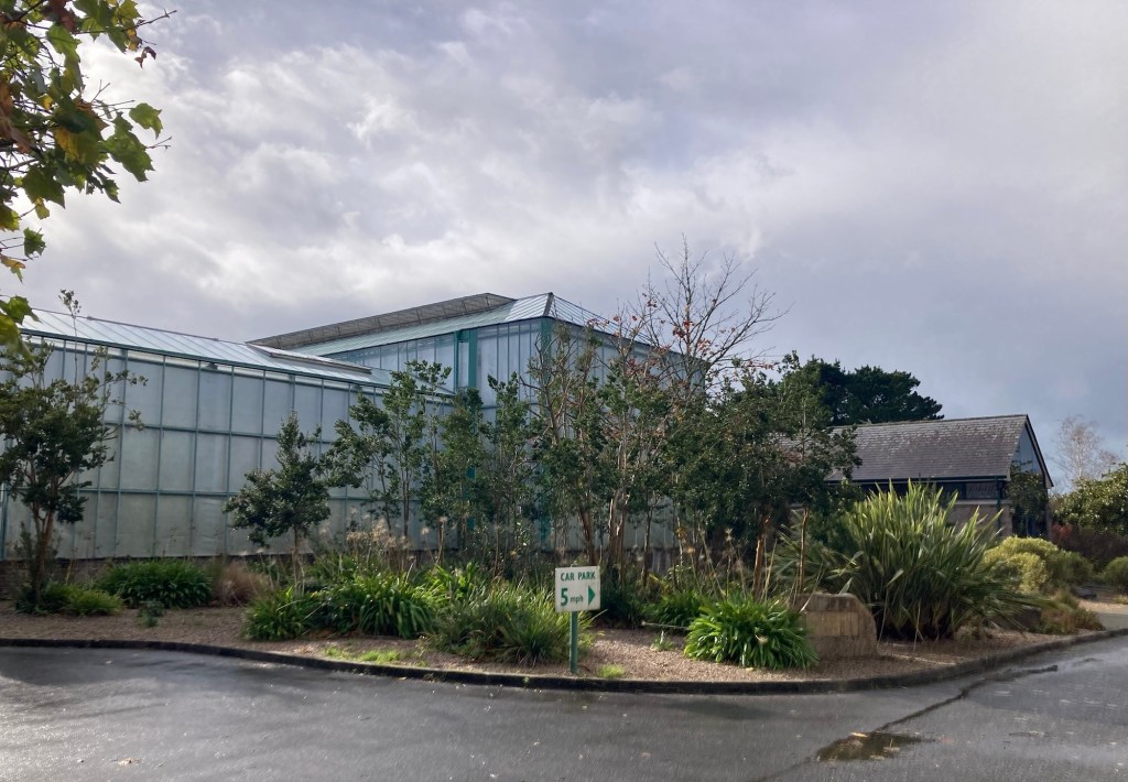
Me carrying the parish walk guide that describes the routes and what you see along the wayThis is a memorial to Bernard Scheidhauer of the French Air Force who crash landed near this spot on 11/18/42. He was taken prisoner by the Germans, but in March 1944 he escaped along with 75 other prisoners. Sadly, he was captured by the Germans 5 days later and murdered.A better photo of a reproduction of a painting of Bernard by a local artist The entrance to the Eric Young Orchid Foundation
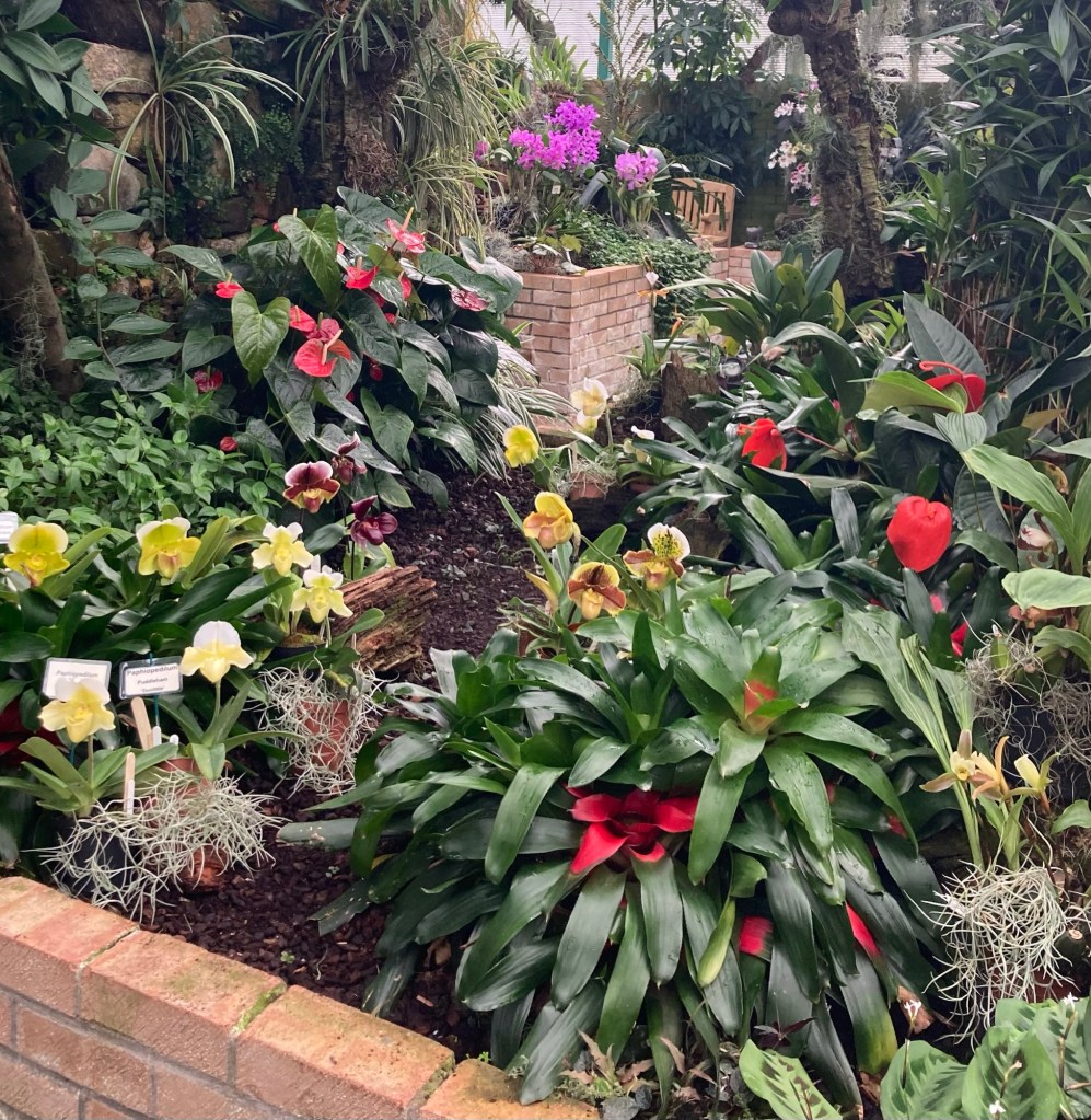
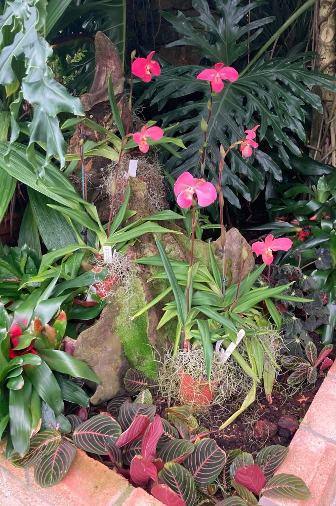
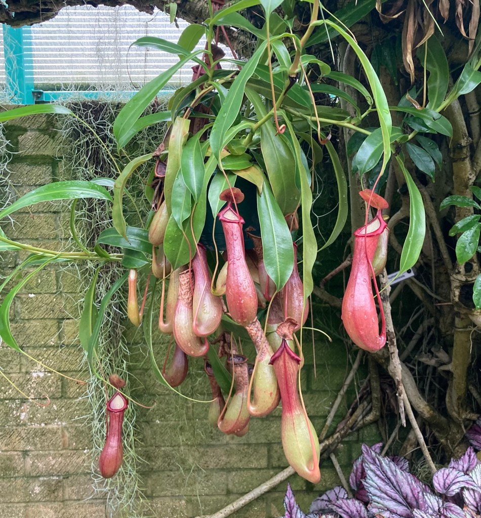
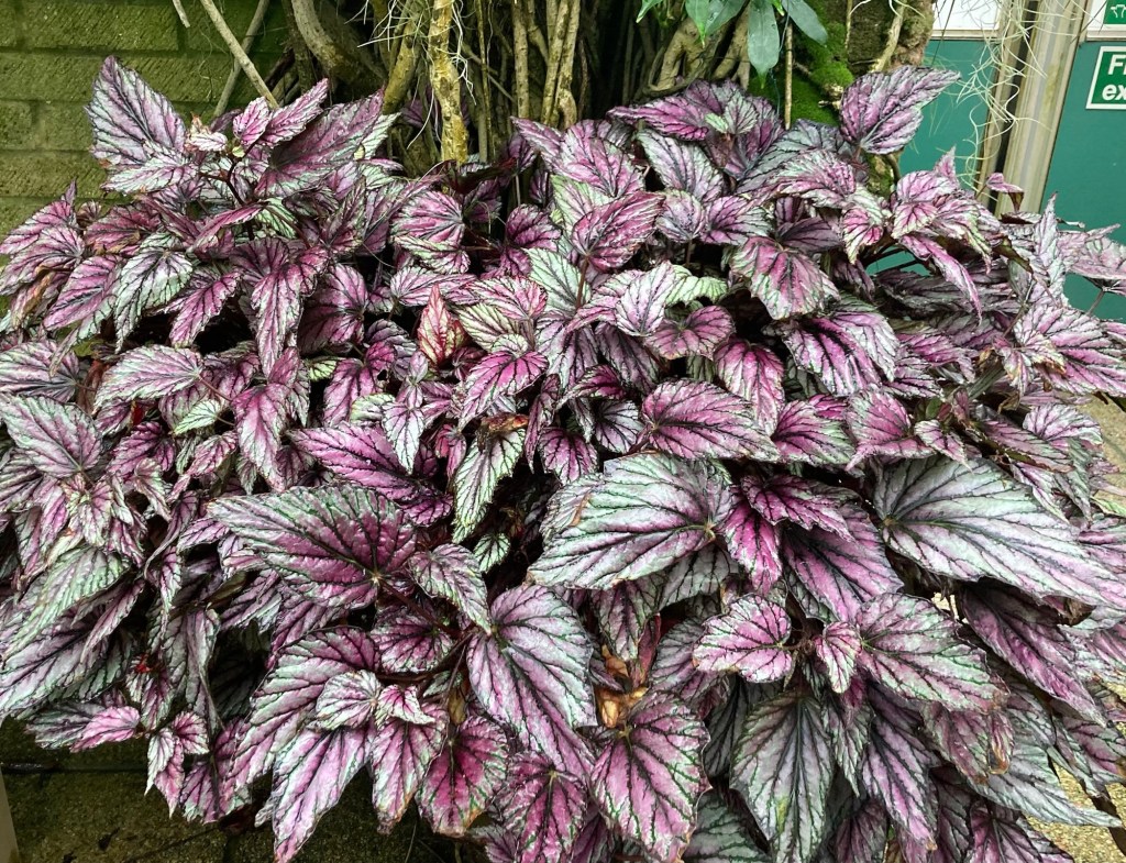
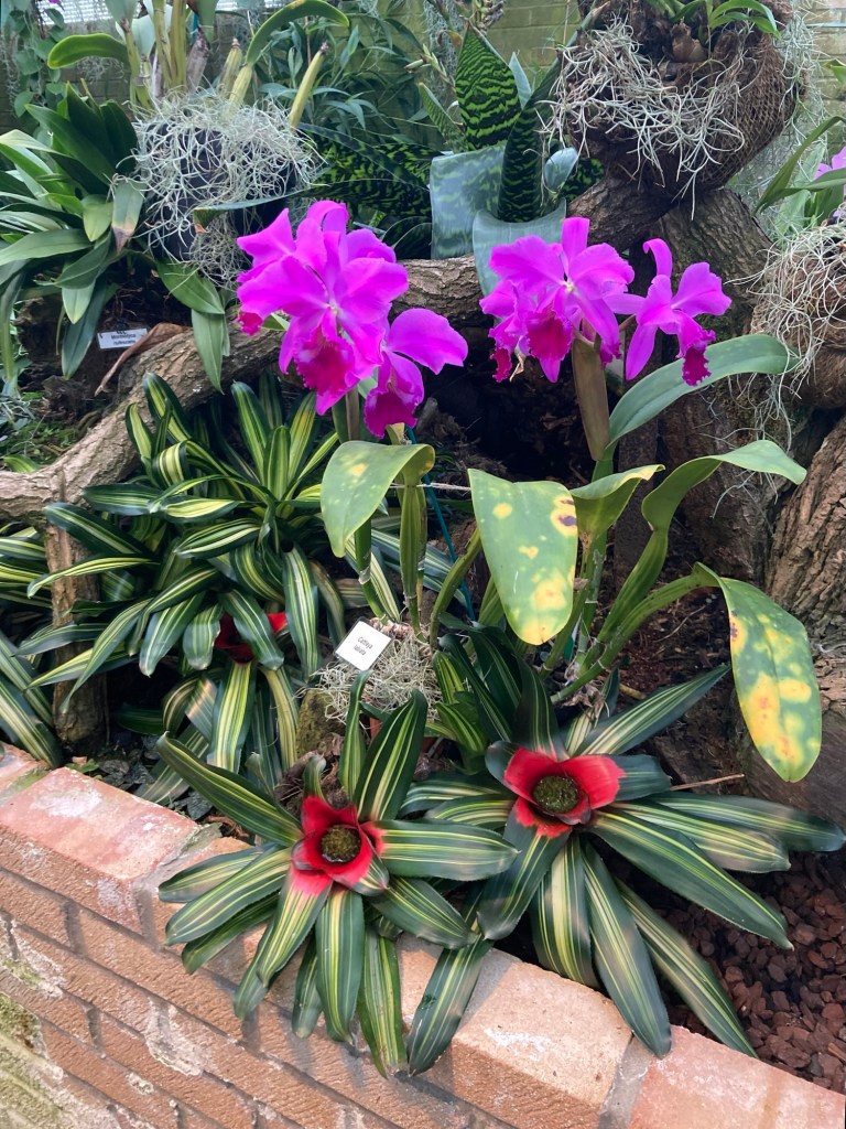
Eric Young was a local man with a passion for orchids that led him to build a collection of world status. The Foundation is his legacy. We have been intrigued with these plants after a housesit in the heart of Texas, where we were tasked (Bob took this on) with the watering and care for over 600 orchids.
Some photos of the orchids and other plants at the foundation.
These make me smile, but we don’t know what they are.A marker showing the division between parishes