Categories
Uncategorized

A Visit to Where the Anglo-Saxon Part of the US Experiment Began (8/19/25)

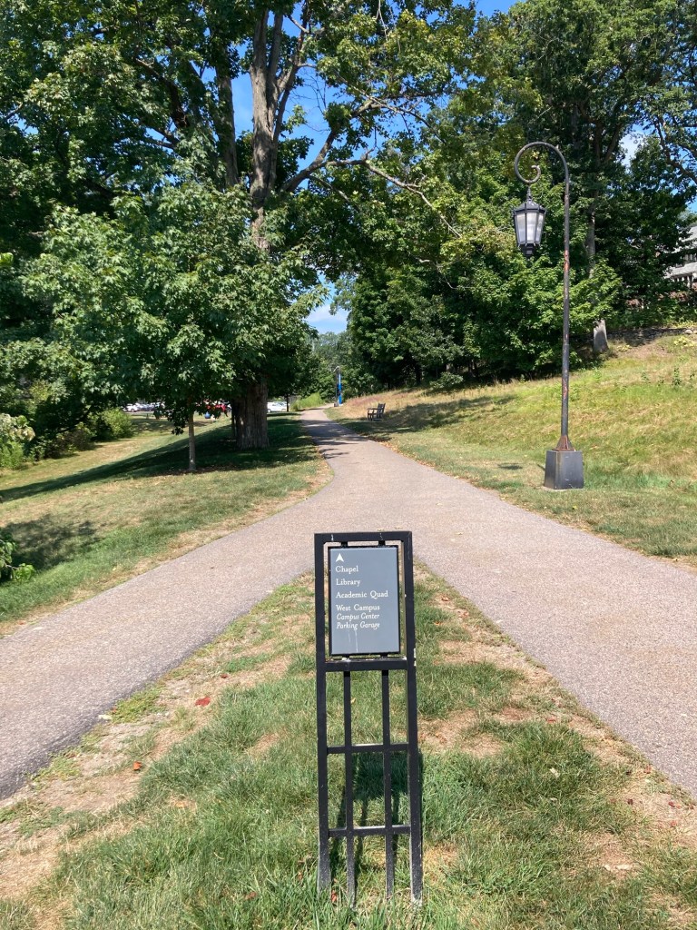
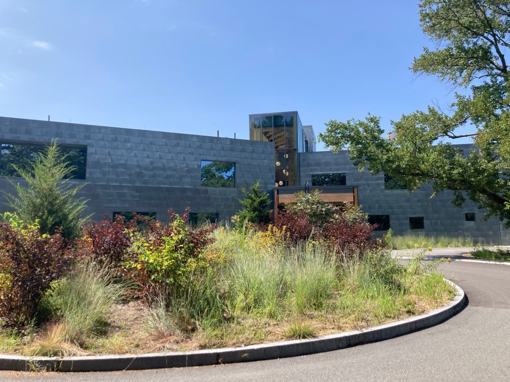
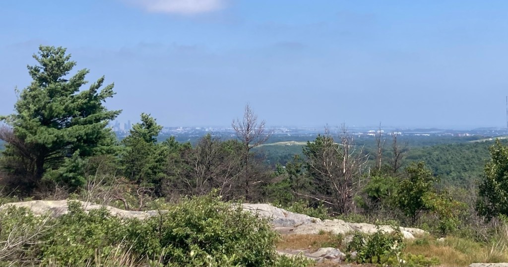
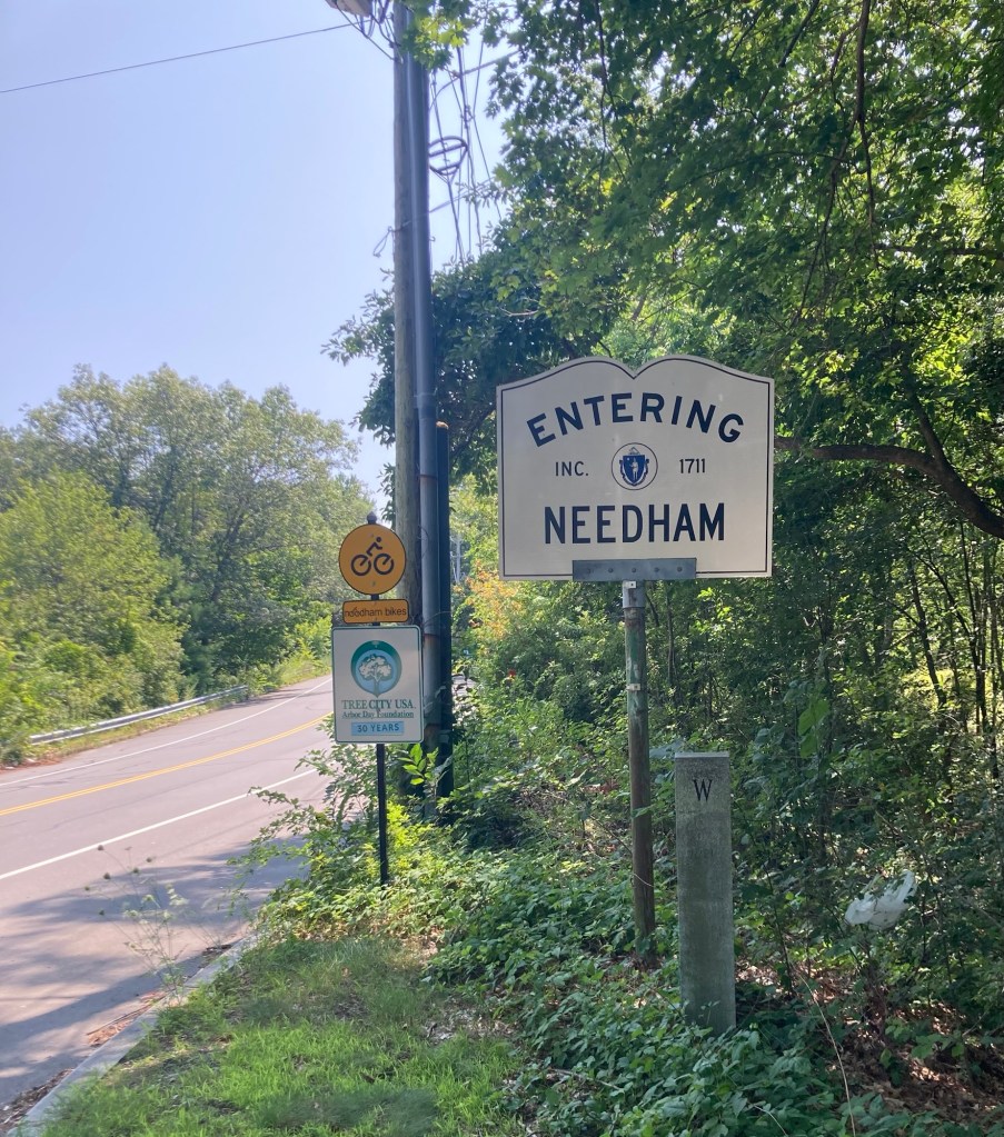
Bob and I decided to go a bit further afield today and drive about an hour southeast of Needham to visit Plymouth, Massachusetts, home of the first Pilgrim settlement. Part of our journey to Plymouth took us on state highway 3, where we were surprised to see signage indicating that driving in the breakdown lane is permitted during certain times of the day, morning rush hour times going towards Boston and evening rush hour times coming out of the city.

Note the yellow sign indicating the hours
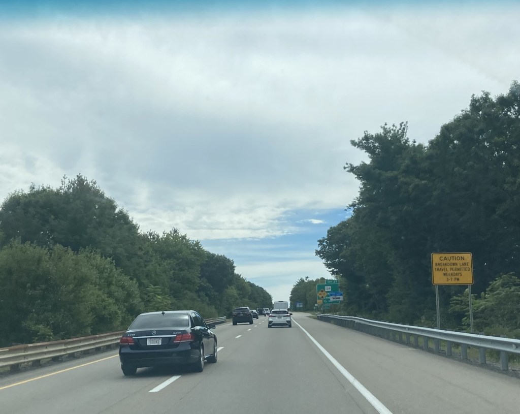
for permitted driving in breakdown lane,
the “lane” on the far right which is generally only used by vehicles that have pulled over due to a mechanical issue
or because they’ve been stopped by police.

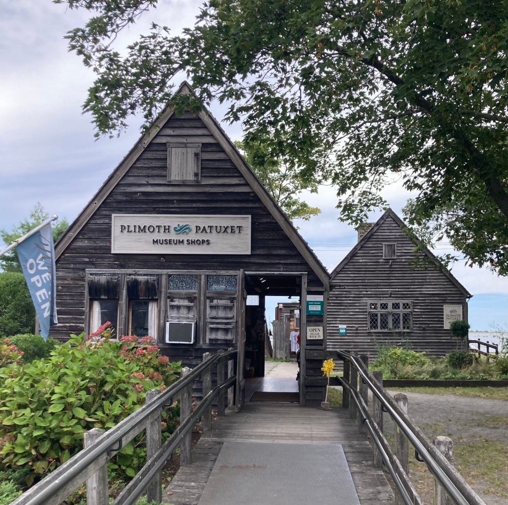
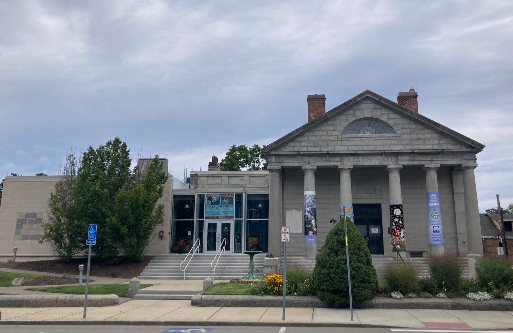
But onto Plymouth. Plymouth was the site of the colony formed in 1620 by the Pilgrims, English settlers who came to the US on the Mayflower. The community was named Plymouth by John Smith after a city in Southwest England. Among other things, Plymouth was the site of the first Thanksgiving feast. It is currently the county seat of Plymouth County, Massachusetts, and has a current population of about 61,000. The US town was historically spelled Plimouth, and there were a number of businesses that we saw that used that spelling.

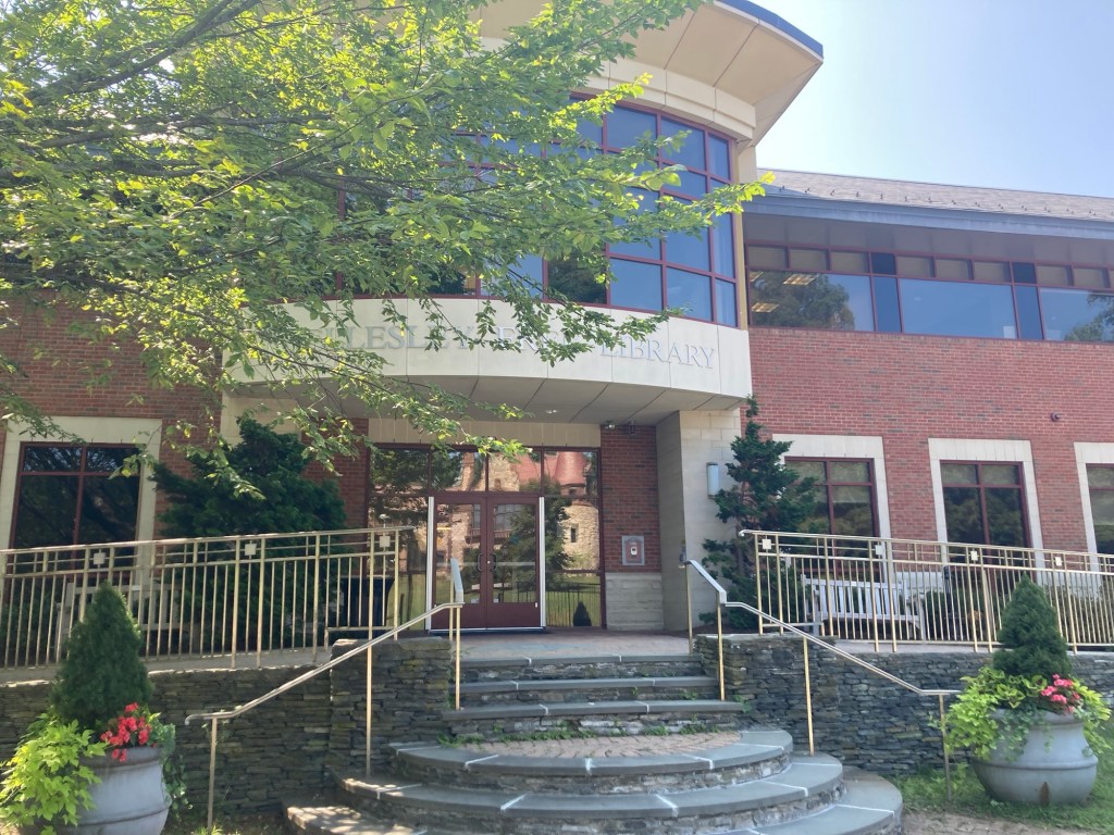
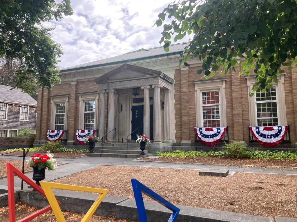
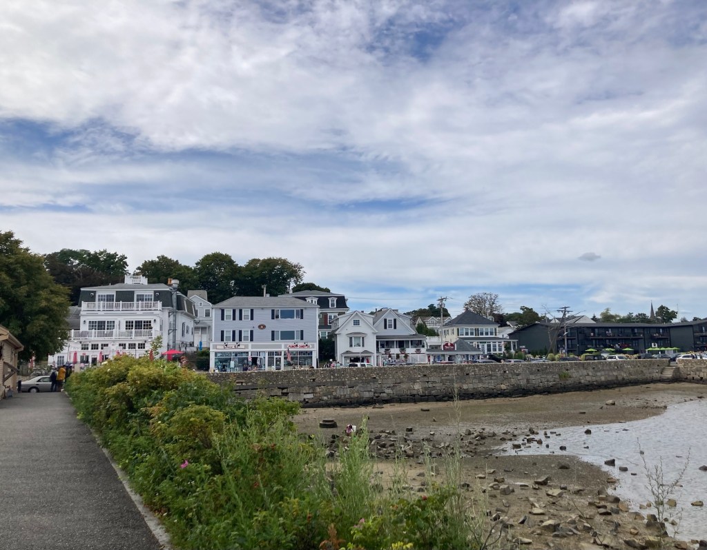
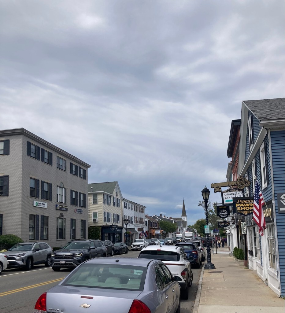
We found free 2-hour parking on Main Street and walked from there down to the harbor before coming back up to explore Main Street.

The Russell Library with colorful bike racks out front.
Home of the Mayflower Society, formed in 1897
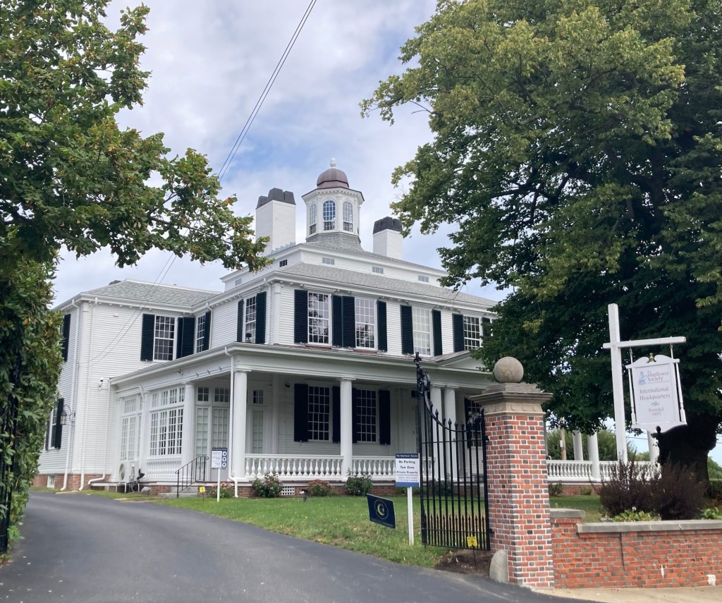
to promote the education on the Mayflower Pilgrims
and research to establish their lineal descendants.
Plymouth Harbor
Plymouth Rock, recognized as the landing site of the Pilgrims. It is housed under a covered but open air structure
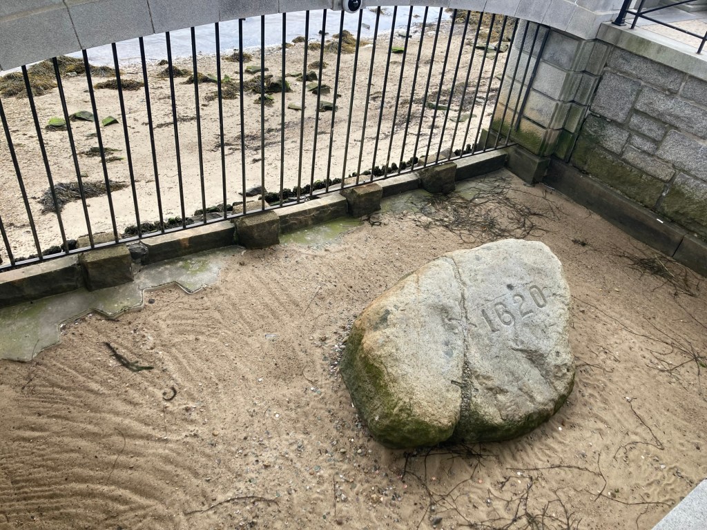
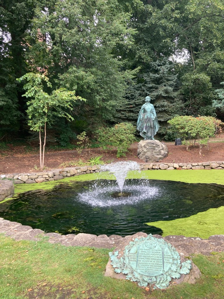
in Pilgrim Memorial State Park,
which runs along Plymouth Harbor.
The Mayflower II, a full-scale reproduction
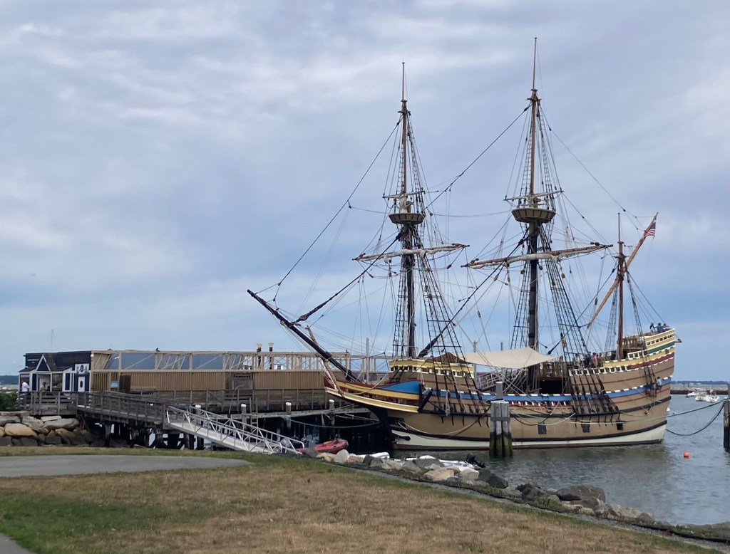
of the original Mayflower
A couple of museum shops in the state park near the Mayflower II
The shoreline and buildings in the opposite direction
from the ship and rock
An important person in Plymouth history
Walking into Brewster Gardens,
which lies between the harbor and Main Street
A statue by Barney Zeitz in 2001,
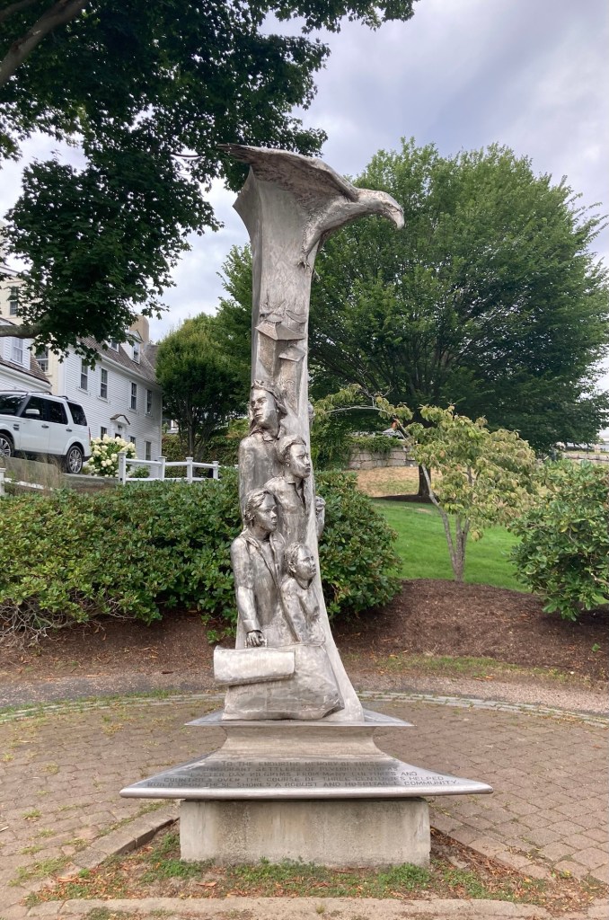
celebrating the immigrant settlers of Plymouth,
“from many cultures and countries
over the course of three centuries helped build upon these shores a robust and hospitable community.”
A statue to the fortitude and resilience of pilgrim women
Town Creek, running through Brewster Park to the harbor
This is the 5th building on the site of the first church in Plymouth
Behind the church is Burial Hill,
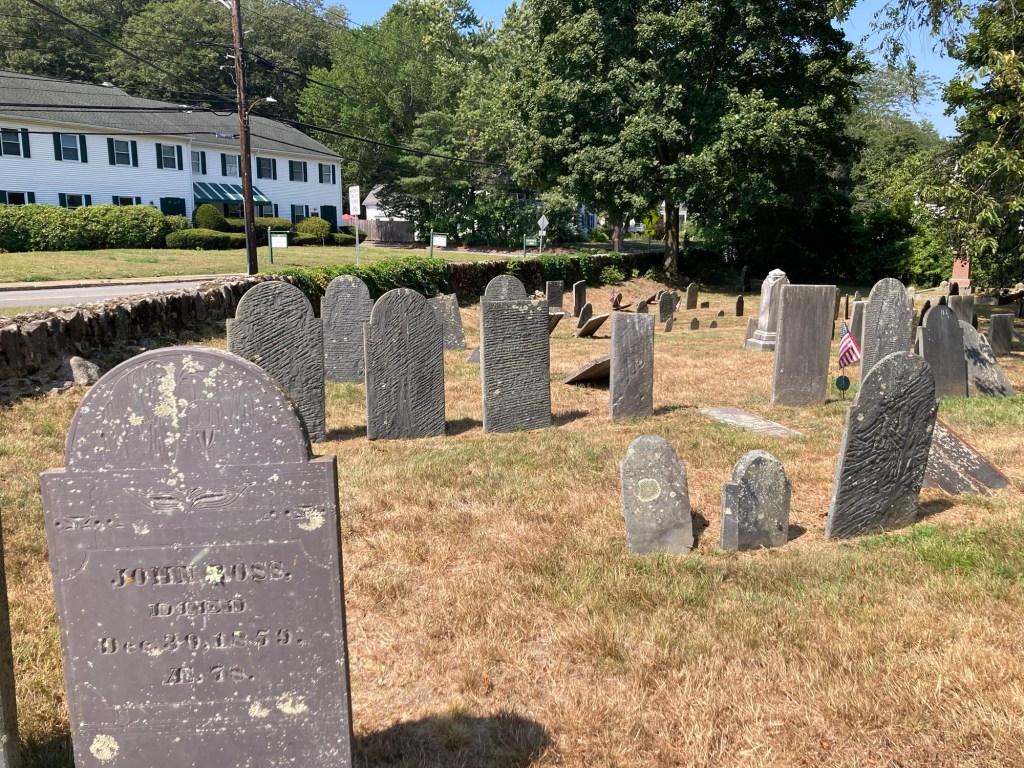
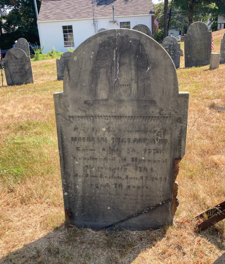
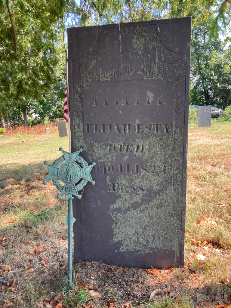
a large cemetery that was used from 1600s-1957.
This impressive marker, from 1923, was close to the church.
Another nearby marker indicated
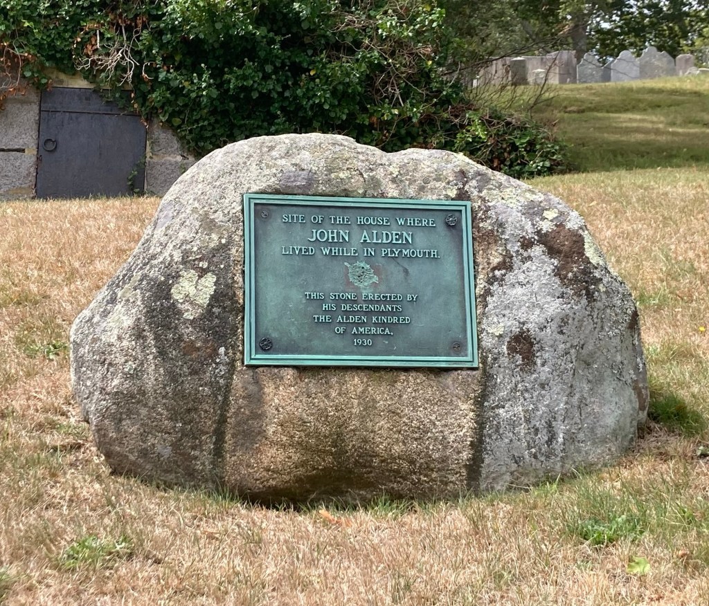
where John Alden lived while in Plymouth.
He was a crew member (cooper) on the Mayflower,
who ended up staying in Plymouth
and was one of the signers of the Mayflower Compact
(first governing document of Plymouth Colony).
The old post office on Main Street,
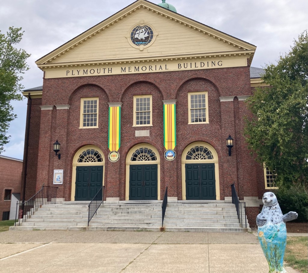
which also now houses retail shops as well
Looking down Main Street in Plymouth
Plymouth Town Hall
Currently a 1,500 seat event venue
A veterans memorial marker next to Memorial Hall
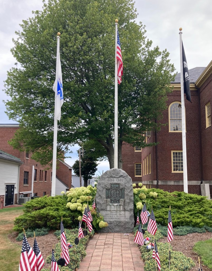
for the Spanish War, 1898-1902
Pilgrim Hall Museum
The building on the right, which appears to be a former church,
is now the Spire Center, a performing art center
Categories
Uncategorized

Weekend Reunion and More Exploration (8/16-8/27/25)

Yesterday, Bob and I were reunited in Needham, Massachusetts, just in time for dinner after Bob flew from Cedar Rapids, Iowa, to Chicago and then onto Boston Logan Airport. His plane in was a bit late, so he caught an Uber for the approximately 40 minute ride from the airport, as he would have had to have waited about an hour to catch the next train from the South Station.

Prior to his arrival yesterday early evening, I walked onto the nearby Babson College to watch a kid’s performance of the musical “Beetlejuice.” I had seen signs up in the neighborhood and thought it would be a good thing to support. I think it was the culmination of a summer camp. It was cute. The sound wasn’t great, and I’m not sure I saw any future Meryl Streeps or Robert De Niros, but it was an entertaining 75 minutes, and we clapped for every song.

The small performing art center at Babson

Today, we did a shop at Trader Joe’s, as Bob is cooking tonight (an onion and kale pizza with mozzarella and anchovies!). Yesterday, he had to settle for me warming up a Spanish omelette with some Spanish cheeses and bread.

Then, we drove about 10 minutes to the community of South Natick for a short walkabout.

The South Natick Dam.
A sign near the dam noted that fish between here
and some dam in Boston are contaminated with PCBs.
A bridge over the Charles River near the dam
The former Bacon Free Library,
which is now the Natick History Museum
A stone on the grounds of the history museum,
noting the boundaries on Indian burying grounds
Eliot Church, named for John Eliot, the founder of Natick.
The sign in front of the church noted
that there are no Sunday services until fall.

In reading about the history of Natick, Wikipedia states that it was founded in 1651 by John Eliot, a Puritan missionary born in England, who received a commission and funds from England’s Long Parliament (from 1640-1660) to settle Massachusetts Indians, called Praying Indians, on land deeded from the settlement at Dedham (another nearby community).

Natick was the first of Eliot’s network of praying towns, which were self-governing under Indians but combined both Indian and Puritan culture and practices. These communities were created by the colonial government in a ring around Boston as a defensive strategy.

A sign in front of the church
noting Eliot’s work with the Indians on this site.
An old cemetery behind the church.

The degradation of the stones make them difficult to read.

This cemetery marker from the Sons of the American Revolution, seems to indicate that Elijah Esty fought in that war.
A small park on the main street (Eliot Street)
through the small town center of South Natick
This unusual (to us) memorial marker for a family of men
who served in WWII and Korean Wars
was located in a residential area along Eliot Street.
Categories
Uncategorized

Wellesley Redux, College Style (8/15/25)

The homeowners had the cleaning service coming today, so I decided to let them clean in peace and take myself out of the house for a few hours. I opted to walk to Wellesley College to see a bit of the campus.

Zeus stayed home and monitored the cleaning efforts (spoiler— they did good work!), but earlier today he assumed what appeared to me to be a cat-like pose.

I have yet to see another dog lay
with his front paws tucked underneath them.

Wellesley College is a private women’s liberal arts college in nearby Wellesley. It was founded in 1870 as a female seminary. It is a member of the Seven Sisters Colleges, an unofficial grouping of current and former women’s colleges in the northeastern United States. It offers 60 majors spanning the liberal arts. I first became aware of it when I ran the Boston Marathon, as they always have a vocal group of supporters along the route.

It was a 2.3 mile walk onto campus from the house. I was able to take the same off-road path that I did the last time I walked to Wellesley (town), but I got to stay on it for longer.

Starting a new (to me) section of the trail
Walking by some homes
A boardwalk across a little stream
More of the path
Beebe Meadow, which I had seen signage for
by a road I have run on.
It is a lovely neighborhood meadow with some mown paths.
Coming off the path, I walked a couple of blocks
and was on Dover Road, with a private golf course

I didn’t know anything about the campus, but it struck me as a very peaceful setting. It is protective of its staff, faculty, and students, with buildings requiring that you scan your ID for entry.

I actually entered at the east entrance,
but this one is more impressive.
Signage on campus
Looking up at the Stone-Davis building from the walking path
The college chapel
The Clapp Library, which is undergoing some renovations
Lake Waban, a lovely surprise.
There is a 2.5 mile trail around the lake.
The portion on campus is open to the public.
The neighborhood owned portion is not.
A viewing deck
Overlooking a meadow
towards the eye-catching Wang Campus Center
Looking back over the meadow
Walsh Alumnae Hall across from the Wang Campus Center
A close-up view of the entry (for those with ID)
to the campus center
The entrance to the botanical gardens on campus
The observatory in the gardens
The Science Complex
The Global Flora and Visitor Center next to the Science Complex

After my walk around campus, I walked down Central Avenue in Wellesley to the library, where I finished reading “The Boston Globe” that I had purchased this morning (my treat on non-running days). On the way back to the house, I exchanged books at a free little library. When I returned to the house, it was spic and span and the lawn people had been here as well.

Categories
Uncategorized

Sometimes Life Rocks (8/13/25)

Today was a Plan B day. I thought I was going to see some gardens in Wellesley, but they were having a sunflower event, where for $22 you could see their field of sunflowers (which I did on the drive in) and also be able to pick some. I decided maybe I’d wait to visit until after the event. Another item on my to do list was Houghton’s Pond Recreation Area, so I headed there instead.

Houghton’s Pond is located on the outskirts of Milton, MA, which is southeast of Needham and almost directly south of Boston. It is an awesome park for swimming, canoeing, hiking, mountain biking, and horse back riding. There were lots of folks out enjoying the park — mostly near the water.

I had a good, if rock abundant, 1.5 hour hike, mostly shaded. I have to say that if I were to be here longer and do more hiking, I might invest in a bug hat that I have seen a few people with. It has netting over your face to keep the bugs out. There just always seems to be a couple of midges or some tiny type of gnat type bug that follow you through your hike.

A boardwalk right off the parking lot
The marshy area by the boardwalk
The beach by Houghton’s Pond
One of 3 hiking maps I saw at the park.
I did all of the green route and an out and back
on the red and blue route to go to the summit.
Starting out before the green and red routes split.
Rocks beside the trail
A boardwalk in the woods
More rocks by the trail
Ditto
And then the rocks were the trail
Following the ruttier, rockier blue/red trail
Ditto
Getting above the tree line
Views of the surrounding area
Ditto
Ditto
The last bit to the top
Maybe Boston? Not sure what direction that was.
A number on the tree that corresponds to the map — very helpful
Another view of Houghton’s Pond
The attractive concession stand
Categories
Uncategorized

A Gorge, Bridge, and Falls (8/12/25)

I have a list of local sites that are recommended to visit in the Needham area. I decided I would visit Echo Bridge today, but in looking at its location and reading some online information, I learned that it was connected to another site on my list — Hemlock Gorge. I didn’t realize I’d get falls too, so even better.

Echo Bridge was the bridge painted by a local artist that I had posted in my blog about the Wellesley Library.

Echo Bridge (per Wikipedia) is a historic masonry bridge spanning the Charles River (what else in these parts?) between Needham and Newton Upper Falls. At the time of its construction in 1876-77, it was the second longest masonry bridge in the country. The bridge was named for how your voice echoes when you talk underneath the bridge. It is 500’ long and consists of a series of 7 arches. At its highest point, it is 70’ above the river.

Hemlock Gorge is a 23 acre natural area along the banks of the Charles River. It is filled with Hemlock trees.

Sign at the Hemlock Gorge parking area
Starting off on a trail through the gorge.
The upper trail leads to the bridge.
Entering the bridge from the Hemlock Gorge/Needham side
and looking towards Newton Upper Falls.
A view of the Charles River from the bridge
The stairs leading up to the bridge from the street
on the Newton Upper Falls side
Street-level view of part of Echo Bridge
Another view
Ditto

Once I crossed the bridge back to the Needham side, I decided to follow the Upper Falls Trail loop.

Trail marker for path
Another view of the bridge from the trail
The horseshoe shaped falls at the north end of the park
Hemlock Gorge Spillway Dike
Top of the dike
Another falls but at the southern end of the park
Categories
Uncategorized

Cutler Park Walk (8/11/25)

Boston has declared a heat emergency through Wednesday of this week. Apparently this occurs when the heat index exceeds 95 for two consecutive days. I don’t know if Needham falls into that or not, but it is to be in the 90s here for a few days. It made for a good day for a morning, mostly shaded hike in Cutler Park.

Cutler Park is a 600 acre park that protects the largest freshwater marsh on the middle Charles River. It has hills formed by glaciers and Kendrick Pond. It seems to be a popular park, as there were a number of hikers and runners out, especially on the shorter trail around Kendrick Pond. One of the trails through Cutler Park is the Blue Heron Trail, which is 6.9 miles long and runs through both Cutler Park and Millennium Park in Needham.

I had to refer back to the map below on my phone while I hiked to ensure I was where I thought I was. There were some blue blazes on trees, but they were not very frequent. Also,the map has some numbers noted along the route that would have been super helpful for way marking. I only saw two during my hike (#40 — which was very helpful in determining where exactly I was and #34).

I only did the trail around Kendrick Pond and then down and over to Powell’s Island before looping back up towards the parking area near Kendrick Pond.

Map of the park from the website
A Charles River preservation marker at one entrance to the trail
The trail around the lake is shaded and mostly flat
The marshy area between the pond and the Charles River
Kendrick Pond
Kendrick Pond
Not sure what this metal structure is
Random boardwalk or a ramp for bikes?
Did not see any bikers.
The trail past the pond had more rocks and elevation changes
A lot of the trail on Powell’s Island was boardwalk
Most of the blazes that I saw were the simple directionals,
not the numbers. Since the map had numbers,
it would have been helpful to have actually had those
on the route.
Kendrick Pond from the other side
Ditto
An office building immediately next
to the Kendrick Street parking area for the park
Categories
Uncategorized

Wellesley and Whole Foods (8/9/25)

While the house that we are caring for is in Needham, we are very close to the town of Wellesley, Massachusetts. I run into Wellesley on my runs, and Babson College, which is the campus where we walk Zeus, is officially in Wellesley. The town currently has a population of about 30,000, making it just a bit smaller than Needham, and Wikipedia tells me it was part of Needham (and known as West Needham) until 1881.

I decided to check out Wellesley town center and Whole Foods today. The initial walk to the town hall was 1.8 miles. It is another lovely day here. It has been sunny (with some occasional cloudiness due to Canadian wildfires) and highs in the 80s F and high 50s and low 60s for morning runs. I’m loving it.

The walk started off on Great Plains Avenue, the main road that runs by the house, but then turned off onto a path that took me into some neighborhoods in Wellesley before getting to the town center.

A trail entrance
Not sure what this building is,
but the trail went around it on the left
The creek in front of the small building
An unusual door on a separate garage or housing unit on a lot
The house and lot sizes continue to impress me

One of the first structures that I saw in Wellesley town center was the Town Hall, which sits up on a small hill.

Wellesley Town Hall

Near the front of the town Hall were stones honoring famous former residents.

A cute shop on Grove Street near the Town Hall
The Wellesley Free Library,
which is directly across the street from the Town Hall

The library had displays of artwork by local artists.

The grounds next to the library
You know you’re in a fancy area when this is what
the Police Department building looks like.
The Whole Foods Store in Wellesley
Walking back into Needham, a few blocks from the house
Murphy, the dog Bob is caring for in Iowa City
Categories
Uncategorized

The Elusive Charles River Peninsula (8/8/25)

So, first full day on my own with Zeus. All good so far on the dog front. Zeus bonded with me right away, and we had a good walk this morning.

I had decided yesterday that for my first outing without Bob I would walk to the Charles River Peninsula (CRP). Per the CRP website, the peninsula plays an important role in protecting the beauty and environmental value of the Upper Charles River corridor. The peninsula rises to a 20-acre open field where the Charles River makes a nearly 180 degree turn. The Charles River is 80 miles long and flows northeast from Hopkinson to Boston.

Now, if Bob were here, he would have thoroughly researched the route to get there to determine length, walkability, etc. I put Charles River Peninsula into Apple Maps last night, saw that it was 2.1 miles, or an estimated 65 minute walk, and decided that I’d do it. I did note this morning that it was basically a 3 street route with 2 turns — easy peasy. I just needed to turn right onto Great Plain Avenue, then onto Central, and then straight until a left past Fisher Ave near the peninsula.

I headed off about 10 this morning with a backpack and a bottle of water. I had been walking for about 25 minutes, was on Central Avenue, when I decided maybe I’d just confirm how things were going by looking at Apple Maps. I hadn’t hit Go on the app to have it instruct me on the route, as it seemed so easy.

Imagine my surprise when the map showed that it was still going to take me an hour and six minutes to get to the peninsula! This was because I had failed to note which way I was to turn on Central Avenue, and I had turned in the direction Bob and I have gone for other walks.

The only upside to this is it allows me to share some photos from a previous walk when we really did need to go in this direction.

This marker is on the wall of a house
at the corner of Great Plains Ave and Central Ave
This is North Hill Farm on Central Avenue
and appears to be maybe an event space
A cute exhibit in front of Volante Farms,
a cute grocery, cafe, and floral market about 25 minutes (by foot) from the house
The signage that shows they do a bit of everything.
We enjoyed our shop there on Wednesday.
Pricey, but they sell a lot of local goods.

I was near Volante Farms on Central Avenue today when I discovered my wrong turn. I headed back to where Central crosses Great Plains and then continued across in the correct direction.

Bob had already discovered this place.
It’s very close to us and apparently free to visit.
May have to check it out.
Needham has a town forest.
This is apparently one of the access points. Another place to visit.
The sidewalk ended on one side of the road, as it seems to do here, and then here the sidewalk is narrowing to a path.
Looking across a pretty meadow to Sunny Hill Horse Farm.
The houses and yards around here are impressive.

So, Apple Maps walking route, which continued on Central Avenue even after the sidewalks disappeared, brought me to the Walker School property. This is not where I wanted to be, but the map seemed to indicate I had arrived at the peninsula.

I did not check-in as requested.

I Googled the website for the peninsula and read the driving instructions for getting there. I just needed to go back to Central Avenue and walk back one street to Fisher Avenue and that would bring me to the peninsula.

Success!
You can see part of the bend in the River
Canoes for rent
The colorful field on the peninsula
A map of the trails on the peninsula
The mowed path
The boulder noted on the map
Some signage about the ecological efforts on the peninsula
Close up of some of the plants
Colorful plants near and on the River

Categories
Uncategorized

Bye and Babson (8/7/25)

The Pecks have split up — for a little over a week while Bob heads to Iowa City, Iowa, to care for Murphy while our nephew and niece have a summer holiday. Bob, ever the resourceful traveler, researched the travel options to Boston’s Logan airport and found that our housesit is very close to two commuter rail stops.

He picked the Needham Heights station, from which the train departs at five past the hour and would take him all the way (about 40 minutes on the train) to Boston’s South Station, from which he could catch a bus that would take him another 15 minutes to the airport.

I saw him off at 1:05 pm, and he is currently at the airport awaiting a late afternoon flight.

The commuter train
Bob’s view from his upper level seat
Exiting the train in Boston

Zeus and I will be holding down the fort in Needham. After Bob left, I walked past the Olin College of Engineering across the street from the house to Babson College, a top school for business and best college for entrepreneurship.

Reynolds Campus Center
Trim Dining Hall, named after a former college president,
but sounds like they focus on health/diet foods

One of my main reasons for exploring the campus a bit was because of a large globe that Bob had seen on one of his walks with Zeus. The globe is located behind a statue of Roger Babson, for whom the college is named.

Babson and his world globe
Quite an impressive man — MIT graduate,
founder of Babson’s Statistical Organization
(one of first publishers of financial statistics),
predicted the 1929 stock market crash, author of 50 books,
one-time candidate for US President, and founder of 3 colleges!
He believed in the importance globalized business
and commissioned the 25 ton globe to impress upon students
and other viewers an appreciation of the world as a whole.
This flag lined walkway is also lined with stone markers which detail highlights of each decade of the college’s history.
Park Manor Central, the building at the end of the walkway

I have included photos of two of the markers, but some highlights from the school’s history include:

The college started as the Babson Institute in 1919 with 27 students focusing on practical business training. The college ceased normal operations during WWII and became a US Navy Supply Corps School, training more than 2,000 reserve officers. The class of 1948 was the first to receive a BS degree in business administration and study liberal arts as well. The first MBA degrees were awarded in 1953. In the 1960s, the school became coed and was renamed Babson College. In the 1970s the college started the first Center for Entrepreneurial Studies. The school has had 4 national championships in Division III sports — 3 in soccer and 1 in ice hockey.

Categories
Uncategorized

Intro to Needham (8/4/25-8/5/25)

Needham is a suburb of Boston, Massachusetts, and has a population of about 32,000. It was officially incorporated in 1711. It is named after the town of Needham Market in Suffolk, England, which we’ve also visited!

Bob and I are exploring the area a bit before he leaves on Thursday to fly to Iowa to care for our nephew’s dog for about 9 days while our nephew and his wife are on vacation.

Yesterday, after a run, Zeus’ morning walk, and a grocery fill-up at Trader Joe’s, Bob and I walked 1.4 miles to the Needham Free Public Library. On the way, we passed an impressive athletic complex near Rosemary Lake.

The Rosemary Recreation Complex
A view of the water slide and one of the pools
The exterior of the Needham Free Public Library
A cute bench and sculpture near the entrance to the library
One end of the upper level of the library
One of two reading rooms

Today, we walked about 40 minutes down Great Plain Avenue, which the house we are caring for is right off of, to explore the small town center of Needham.

A fun find along the way.
Pretty flowers and walkway outside the Needham Bank
A gate showing the year of incorporation of Needham
Information on a local man made good.
Dr. Fisher founded the Perkins Institute of the Blind in Boston
and is credited with introducing the stethoscope into the US.
Needham Townhall
A colorful mural
Some of the stores in the town center
Ditto, but looking over outdoor seating for a local custard shop
A super cute pub.
Zeus playing in the yard