Bob and I arrived early into San Francisco from Redding yesterday afternoon. Bob had made us reservations at the Grand Hyatt at the airport, so after picking up our luggage (first bags off!), we headed to the AirTran station to catch the airport red line to the hotel. Very easy peasy. The most surprising thing was the brisk (65 degree) weather after the heat of Redding.
The hotel was great with a lovely restaurant, market, and an awesome fitness room. We didn’t eat at the restaurant, but we did get food from the market for dinner and breakfast and were pleasantly surprised by the reasonableness of the prices.
Stained glass hallway entrance into the hotel.View of lobby area from the check-in area.View from our room.The hotel restaurant.
Bob and I started the day with a workout in the fitness center before working in the room, packing, and heading to the international terminal via Air Tran (blue line this time). We had been reading about the staff shortage at this airport and the problems it has been causing. We saw a bit of this firsthand with a long wait to check-in (bag drop, really) and then a chaotic TSA security experience. However, it’ll all be fine, as long as the plane leaves on schedule and takes us to London.
It looks like the UK will be greeting us with brisk springlike temps (highs in 60s), rain for the upcoming week, and a possible train strike for good measure. We’ll keep you posted. I’m just wishing I had some of our Canadian home owner’s ability to sleep anywhere. If I sleep for an hour or two that will be more than my last few overseas jaunts.
Bob and I just completed a transition with the next house sitters that are going to finish the sit for our home owners. The home owners weren’t sure they would get takers for a month-long sit, so they had posted it as two sits. This is only the second time we have done this type of transition, so we’ve been a bit stressed about it. However, Jason and Amanda (school teachers from Tucson) seem great, and we’re sure that Jaxon, Peaches, and Leo are in good hands.
We had a Uber ride to the airport from a very friendly driver, named Bob. He and his wife moved here from Sacramento, but he’s originally from Grand Rapids, Michigan. We now have about an hour wait until we can check in for our flight to San Francisco. We’ll be there over night and then catch an early evening flight to London for a few days of traveling before our house sit in Scotland.
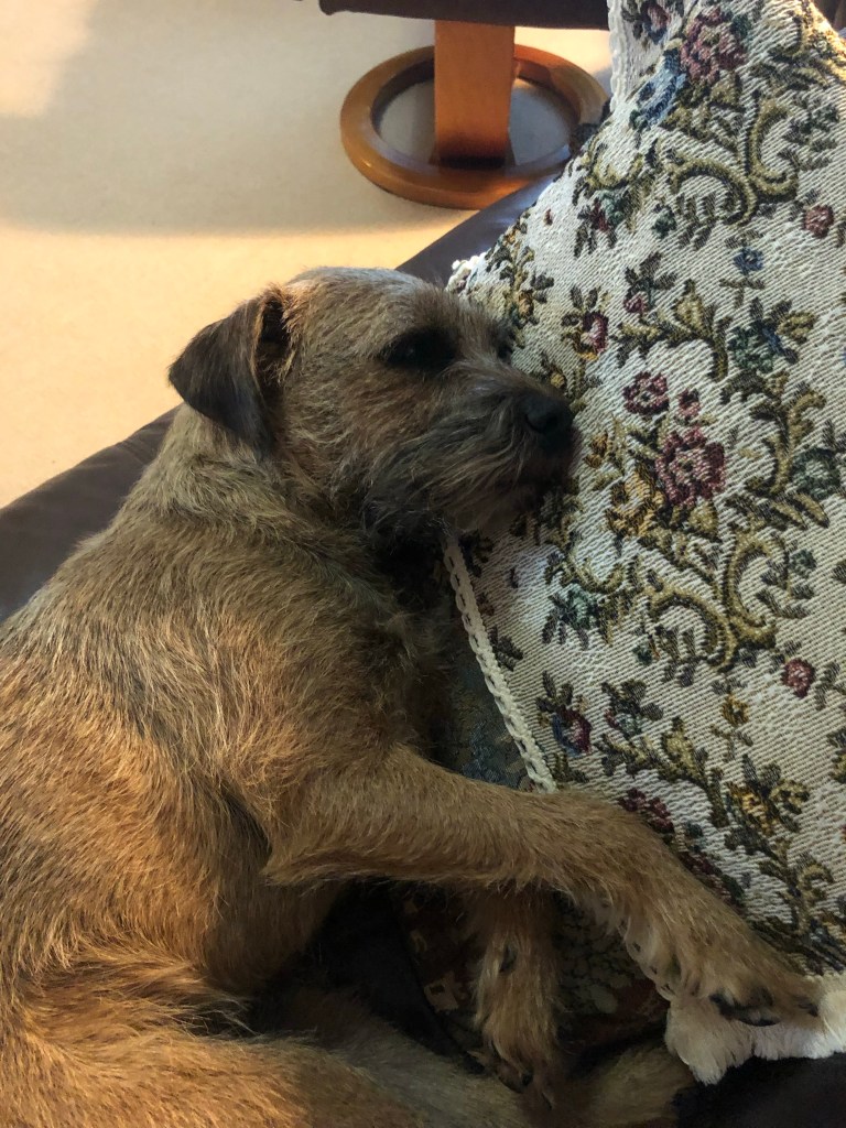
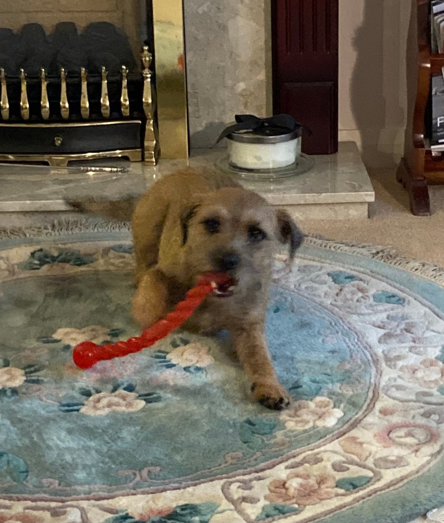
One of my favorite photos of Jaxon (on Bob) and Peaches. They were very sweet, though a bit manic on a leash.
We were both pleasantly surprised with the Northern California area. We love the natural beauty, the abundance of trails for hiking and biking, and the really minimal car traffic. We would definitely love to come back.
Today, I’m going to try to not be as verbose and just let the photos speak for themselves. We had an awesome (especially for the hot temps) hike on the Crags Trail at Castle Crags State Park (about a 50 minute drive north of Redding). While, we had a challenging uphill hike, rewarded with great vistas, the hardest part of the day was the windy, narrow, partially one-laned drive through the park. Drives that make you go, whew!
On the way to the park, we stopped at a vista point just off Highway 5 for this pic.
Mount Shasta, a volcano with multiple cones, four of which have erupted. A fun fact in the parking lot noted that there is a 26-30% chance that it will erupt in a person’s lifetime.
From the vista point, we drove a few more miles into Castle Crag State Park. It was $8 for a day use pass. Very worth it! The trails we were on were clear and good signage throughout. After the challenging drive noted above to the Vista Point parking lot, we headed to the actual vista point for another quick view of Mount Shasta and the castle crag before starting our hike.
Starting up the trail — with my newly purchased, easily packable sun hat.After about 1.25 miles up hill through the pines, we reached a clearing for these shots. Castle Crag pic 1.Castle Crag Pic 2. Castle Crag Pic 3.View of surrounding area from the Indian Springs Trail which we took off of the Crag Trail.Another vista from the Indian Springs Trail.The majestic Mount Shasta.A new growth photo from our descent.
A couple last fun facts about the park. The Pacific Crest Trail (Mexico to Canada) runs through the park, and we crossed it on the Crag Trail. Also, as you ascend up the mountains, the state park ends and becomes the Castle Crags Wilderness and is part of the Shasta-Trinity National Forest.
We are in full-on California heat mode now. We have had really great weather (highs mostly in 80s/27C!) but that changed overnight, and we’ll be in above 100/38C temps until we leave. Because of that, we thought we might try some indoor activities today. Not much to choose from since we’re not shoppers, and we did want something local, so we Googled and found a couple of free options.
The first is a private home that has been converted, by the former owner’s request, into a Victorian museum. The house is in a cute area of Redding, just a few blocks west of downtown proper. It is the Behrens-Eaton home, and though it was the home of Judge Richard Eaton (who wanted the home to become a museum) we learned a bit about him, his family, and his more famous uncle, Earl Behrens.
We were led through the home by a very nice docent after ringing the bell for entry. (After trying to open the door a few times, before noticing the sign about ringing the bell. Luckily, the front door has a good lock.)
In a nutshell, Richard Eaton was a Shasta County Superior Court Judge in Redding who died in 2003. He seemed to be a nice man who was raised by his grandmother, mother, and aunt after his father died during the flu outbreak in 1918 when Richard was 4 years old. Besides the fun facts that he served in Africa in WWII, liked frilly wallpaper and collecting paintings, never married, kept $100,000 in a safe in his closet, and wanted his home to be a museum, we didn’t learn much else about him. His widowed mother and his unmarried aunt both worked. His mother served as the County Treasurer for 13 years, and his aunt was one of the first female bank tellers in Redding.
The outside of the home. The foundation and other work to restore the home have been completed since Mr. Eaton’s death.Richard Eaton’s office with the original carpet, bookshelves, and fireplace. The wallpaper is not original. The original, we were told, was frillier.The piano that came with the house when Richard’s grandfather Behrens purchased it in 1899, as he (Grandpa Behrens) had been elected Sheriff of Shasta County and was required to live in Redding (the county seat).My favorites— the dress on the left is Judge Eaton’s mother’s wedding dress. The dress on the right is the dress that his aunt (his mother’s sister) wore, as the bridesmaid.One of the many china sets that belonged to the family.More of the Judge’s items that they have set up as a study. He and his father and uncle all went to Stanford. See below on more about the uncle.
Judge Eaton’s mother, Edith Behrens, was the oldest of three children. Her sister, Edna, lived with her and Richard. Her brother, Earl Behrens, graduated from Stanford, served as the Athletic Director for Stanford before serving under Hoover in his Food Administration, and then going on to be editor of the San Francisco Journal and then the San Francisco Chronicle. He received the Presidential Medal of Freedom for his journalistic work from President Nixon in 1970.
We also stopped at the Shasta County Historical Society to see what they might have. They had an exhibit on pollinators. Very important, not so exciting. We will resume hiking, even with heat, tomorrow.
Beth mentioned I was making the above so I thought I would provide a few pics and do a blog.
Here is the recipe. NOTE: Ignore the first step 3 under directions.My mise en place. The squid ink is the small square packet.The base of the sauce prior to stirring in the squid ink. I substituted arugula for parsley.Sauce with squid ink stirred in.Cooked pasta stirred into the sauce, resulting in less blackness.Digging in!
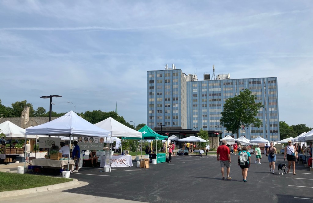
Happy Father’s Day to any fathers reading this! Bob and I had a relatively quiet weekend. Saturday morning we headed for the Farmers Market that is held weekly in the parking lot of the Redding City Hall. It wasn’t large, but it was fun to peruse the market and the grounds of City Hall, where they have a sculpture park. Very nice!
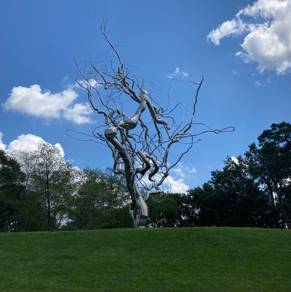
Some of the stalls at the Farmers Market.Redding City HallOne of the sculptures at the Sculpture Park at City HallAnother sculpture
In the afternoon, we went to the historic Cascade Theater. They had a series of three dance recitals going on by a local dance company. Not something we would normally go to, not being parents or relatives of the dancers, but we wanted to see the inside of the theater and thought it might be interesting. I would describe it as a cute hot mess — sometimes cuter and sometimes hot messier. In any case, it didn’t seem like there had been much teaching going on in the classes, as the instructors usually performed with the students and seemed to serve as a reference point for those old enough to realize they should be following them. The age of the performers ranged from four maybe to teens. All well made up, as I guess that is what you do. The most surprising part was the audience “participation.” In between performances, the auditorium would go dark to change the set or something— not ever really much set to be changed. During this time, the parents or other relatives would yell out the name of their child, as if it was a wrestling match or something. Anyway, we were glad to get to see the theater and experience a little local color.
Outside of the Cascade Theater The lobby inside with people queuing at the concession stand
Today, we got back into normal mode for us and did a 2 hour hike up and down the Chamise Trail. It provided great views of the Sacramento River and the Shasta Dam.
Bob on the trail.We saw a lot of trees like this — with both old and new bark.View of Shasta Lake from summit.View of Sacramento River.Just a lovely area.
Bob is making Pasta in Squid Ink Sauce tonight. It’s one of our favorites. We buy the squid ink packets from Amazon, when we’re someplace long enough to order (not Prime members). I am a spoiled woman.
After a run and another near run with our dogs (they pull like crazy on the lead), Bob and I headed off to the Top of the World. We feel like we have already been on the top of the world two other times.
Being on the top of the world is usually how we describe our time in Orkney, Scotland. Orkney, or the Orkney Islands, are some lovely islands off the northern tip of Scotland. They are known for their many Neolithic ruins, and the area just has an otherworldly feel, especially since it is so far north, and it takes a bit of an effort to get there.
The first time we were at the Top of the World (actually billed as The Top of Europe) was in the Alps during an inn-to-inn hike for my 40th birthday. On one of our non-hiking days we took a train up the Jungfrau mountain, near Interlaken, Switzerland. We went through a long tunnel near the top and came out near a building that we entered on foot through an ice tunnel. The area was covered in snow and ice, which we could only see as the clouds lifted. It truly felt like the top of the world, or at least as high as we may ever get while still on land.
Today, we hiked up to Redding, California’s version of the Top of the World (their term). It wasn’t that much of a climb. (We passed an older gentleman and his tiny dog who were on their way down while we were going up. They probably do the hike daily.). However, the hike did provide some lovely views of the surrounding area.
Heading up.One view of the area.Another view.Looking down on the water tower. See Mary’s Lake in the distance.
We thought Mary’s Lake looked lovely, and we had seen it on our trail map, so we decided to hike down to that and do the .7 mile loop around the lake. On our way down the mountain, we saw another hiker, a couple of mountain bikers, and lots of very nice-looking houses. The lake itself was as attractive up close as it was from a distance.
That is a lovely house.Another one.A new subdivision of some not so fancy (and quite similar) homes.Trail sign and temperature gauge in the neighborhood near Mary’s Lake. We had a great day for a hike.Mary’s Lake, named for the Virgin Mary, as the land and lake were once owned by the Catholic Church.We loved all the bright green plants in and around the lake.
Bob and I went through a few ideas of what to do today before Bob found us a couple of close-in hikes that let us both explore more of the area as well as continue to learn about the dams and bridges in Redding (importantly distinct from learning about the damn bridges in Redding).
Anyhoo, back to our beginnings in Redding. The night before we did our transition with our homeowners, we spent the night in the Sheraton Hotel here that is quite nice and located near parks, the Sundial Bridge, and the Sacramento River Trail. We thought we had explored the area while there, but it’s still lovely, and Bob found a short trail around the property that he thought might have some good views of the area. Not really so much, but we did have a surprising find that connected to our Shasta Dam trip yesterday.
We began our short, 30 minute walk near the Turtle Bay Museum which is next to the Sheraton. We did not go in but snapped a photo of the city’s famous Sundial Bridge designed by Santiago Calatrava, a Spanish architect whose works we enjoy. We have seen a number of his works — buildings and bridges around the world from Buenos Aires to Milwaukee to Valencia, Spain to New York City. The shadow cast from the mast of this bridge allows you to accurately tell time between 11 am and 4 pm in the summer months.
Calatrava’s Sundial Bridge. We were there about 9:30 am, so may have to come back another time to check out the time feature.
The rest of the walk was fine. We got to see another hydroelectric plant. Lots of those here. But the real find for us was what the locals call The Monolith, and it looks like a partially destroyed old building, which is pretty much what it is. It is the shell of the old Kutras Tract Aggregate Plant which supplied the aggregate for the concrete in building Shasta Dam. So, the aggregate was loaded onto a conveyor belt at this site and traveled the 10 mile length of the belt to the dam construction site. They have added a bit of artwork and information pieces to the site. See below.
The Monolith. It is located right beside the Sheraton Hotel on the opposite side from The Turtle Bay Museum. We have no idea how we missed seeing it the first time.A stone indicating the old plant.Artwork and a fun fact. There was a fun fact on each side of this cube.A hard hat streamer.
After this little walk, we headed to a local park to do a 4+ mile walk out to another cool bridge near the Keswick Dam. The hike took us out of town along the Sacramento River to near the dam and then back to where we started. I guess loop walks are like that, so no news there. Didn’t learn anything on this walk but had lots of lovely views.
The Sacramento River Trail, which is 12 miles in total but hooks up with lots of other trails to create a great hike and bike network. A lovely home across the river.The Sacramento River Trail Bridge near the Keswick Dam. It’s a 418’ long concrete stress ribbon bridge, which is the first of its kind in North America. I only understand the “first of its kind” part in that sentence.A look across the bridge.A peace circle labyrinth. Not sure if this is the first of its kind, but it’s a first for us. We’re all for anything that might promote peace!The Sacramento River with mountains in the distance. It really is such a lovely area.
Bob and I planned a scaled-back day today, as it was to get to 98. Still can’t believe that we’re chasing cooler temps than our family in the Midwest. We’re only to get to 85 tomorrow. The cooler temps are helpful here to help ease the fire risk.
We decided to check out the Shasta Lake Dam and then walk around the downtown area of Redding. The Shasta Lake Dam on Shasta Lake (funny how that works) is about a 20 minute drive or so from where we are staying. They used to give daily tours but now it’s just a self-guided walk across the dam with material to read about the dam. We lucked out, however, and got to see a film on the making of the dam, which was just starting when we entered the visitor’s center. The dam was built from 1938-1945, and one of the things that I found the most interesting is that during the construction they built a 10 mile conveyor belt to transport aggregate from Redding to the building site. The dam was needed to control flooding, store water for agriculture, and create electricity, with the first 2 being the most important. It is the 2nd largest dam in the US after the Grand Coulee Dam in Washington state. The lake is currently at 40% capacity, which is apparently better than what it was in 2021.
View of front of dam from nearby picnic site.The working (to me, not a technical term) side of the dam with the 5 pen stocks (tubes) that send water to hydroelectric plant.Another view of this side of the dam that also shows the hydroelectric plant and river.What 40% capacity looks like. It is 517’ deep when completely full.
Redding, California has a current population of about 92,000. It feels smaller to me, but it is pretty spread out. The downtown is very small and feels like it is being redeveloped. There isn’t a lot there now, but we were struck by its cleanliness and the fun artwork.
A cute entrance into the downtown corridor.What appears to be new multi-unit housing. Still advertising for first floor retail.This is also the cultural district — photo of one of two theaters we saw coming up.The historic Art Deco Cascade Theater. We will see a show there this Saturday.Enough said.
We have been getting settled in Redding — laundry, grocery shopping, establishing daily routines, finding running routes, etc. We even interviewed with a homeowner for a nearly 5 month housesit starting next January in North Carolina. She chose us, so fingers crossed the world doesn’t turn upside down so that can happen
But there is so much to see here, that today we headed out for a little excursion. (We’re trying to figure out the best balance between seeing sights and not going crazy with the driving since gas is so pricey right now.) We headed west out of Redding for a 20-30 minute drive to Whiskeytown National Recreation Center. No real whiskey involved for us, though when the nearby community was established during the Gold Rush, I’m sure there was plenty.
We started at the Visitor’s Center, which isn’t open on Tuesdays. We knew this but wanted to see if we might get a site map. We could and did. As you can see, it’s a beautiful entrance to the large (42,000 acre) national park in the foothills of the Klamath Mountains.
Entrance to the park
After looking at the map, we saw that there was a JFK memorial, so we knew we wanted to see that before starting a hike. It turns out that JFK dedicated the Whiskeytown Lake Dam at the exact site of the memorial in September of 1963, just a couple months before his assassination.
The JFK memorial erected following his assassination.The Glory Hole near the memorial site which keeps the dam from flooding.
Prior to driving to Whiskeytown we had read that some of the hiking trails remained closed due to being impacted by the Carr fire in 2018. Sadly, you see evidence of burned trees all along the drive to the park as well as in the park. We started with a hike along the Mount Shasta Mine Loop Trail before driving further into the westernmost part of the park to see some historical structures and one of three waterfalls.
Some of many charred or bare trees within the park along our hiking route.Another burned tree along the path.Another view of Whiskeytown Lake and the Klamath Mountains as we started our hike.Camden House in front of more burned trees. Charles Camden was an enterprising man, originally from England, who came to this area and created a toll bridge that connected Eureka and Weaverville from which he collected tolls for 50 years.A grave across the creek from the back of the Camden House. We had read that there was a Tower House Hotel along what is now Hwy 299 near the Camden Houe. We assume that Levi may have been associated with that.Based on the park map, it appears that there are three waterfalls within the park. We visited Crystal Creek waterfall, which seemed to have a pretty good flow.On our way back to Redding, I snapped this photo from the car of the Oak Bottom marina.
When we got back, we enjoyed the pool a little bit. Bob braved the cold water and got in. I sat and dangled my legs. We also played a bit of ping pong, which we’ve been enjoying— just to see how long of a volley we can do, not really to play. I’m enjoying trying to improve my eye/hand coordination.
Chef Bob is creating a veggie pizza for us tonight. We may start including some photos of his creations.