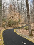
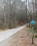
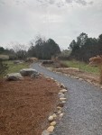
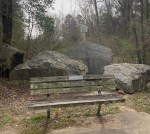
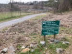
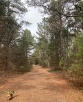
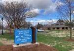
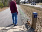
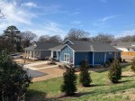
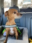
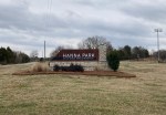
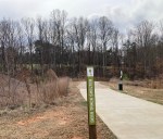
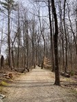
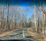
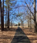
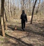
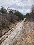
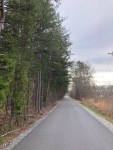
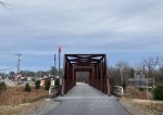
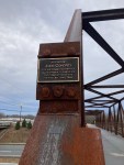
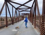
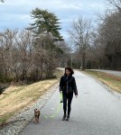
This past Thursday a high temp record was set in our neck of the woods, reaching 80 degrees Fahrenheit and not yet March. Before it got quite to that temp, Bob, Cooper, and I headed to the northern start of the Thermal Belt Rail Trail, the incredible 13.5 mile trail that has been such a gift for my long runs in preparation for my marathon in Australia at the end of May. I have completed a 16 mile run and an 18 mile run on this lovely trail. Next weekend, I’ll do a 20 miler.
Since I do an out and back when I run, I haven’t reached the northern end/start point on my runs, so it was great to see what it looks like in daylight. We were also pleased to see a number of cyclists and walkers out as well.
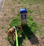
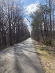
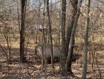
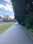
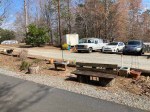
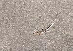
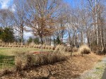
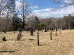
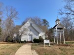
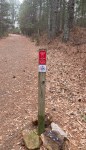
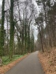
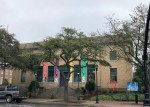
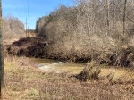
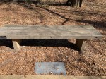
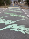
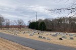
There are always (apparently) lots of smells near the mile markers.Heading out on the trailThe SS Minnow has somehow landed along the trail, but no sign of Gilligan or the crew.Another portion of the trailA cute little rest areaAnother little critter enjoying the trailA corner of a lot along the trail. I liked their natural edging.Another cemetery along the trail A cute community churchCooper leading the way back to the car
Today, Bob and I headed to the amazing and free(!) Kings Mountain National Military Park to learn more about this battle that apparently helped turn the tide of the Revolutionary War. The battle was part of the Southern campaign and occurred on Kings Mountain (more of a hill really) in October 7, 1780.
Driving into the park
One thing that I needed to be reminded of, as this war is often presented as colonists/Americans vs the British, but really this battle in particular and many others I’m sure we’re fought between colonists who wanted to be a free country (Patriots) and colonists who were loyal to the king (Loyalists). So a fight among neighbors sadly. In fact, the battle has been described as the largest all-American fight.
The overview of the battle is presented through a 25-minute film in the Visitor’s Center and then on placards and memorials along the 1.5 mile battlefield trail in the park. In a nutshell, the Patriots defeated the Loyalists by driving them back up the mountain and then encircling them there. As a British Commander had opted to kill all of the captured Patriots in a couple of prior battles, even as they waved a white flag, it didn’t go well for the remaining Loyalist troops on the top of the hill at the end of the battle.
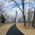
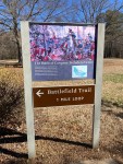
After watching the film, we walked the Battlefield Trail Loop. The trail was filled with memorials to many of the men who were wounded or killed in the battle, including a surprising tribute to the leader of the opposition.
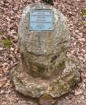
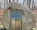
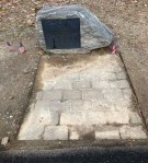
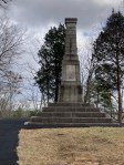
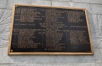
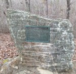
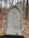
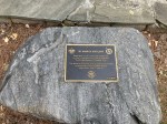
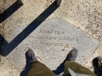
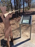
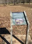
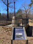
The Visitor’s CenterThe handicapped-accessible trailMetal figures representing the combatants A memorial to Major William Chronicle A plaque noting that President Hoover addressed a crowd in this location in honor of the 150th anniversary of the battle.A memorial to the three Black soldiers known to have participated in the battle An older memorial to the battleThe newer memorial to the battleA list of all known participants who were killed, mortally wounded, or wounded in the battleA plaque to honor Frederick Hambright who was wounded in the battleA memorial to Patrick Ferguson who led the Loyalist forces in the battle
Major Patrick Ferguson was the only Briton to fight at Kings Mountain. He was born in Scotland in 1744 and began his military career at 14. He redesigned the flintlock rifle to increase firing speed. His rifle received the Crown’s patent in 1776. He was an excellent marksman and was very successful in recruiting Loyalists to fight with him, neither of which saved him during the battle.
There are quite a few trails near Boiling Springs, North Carolina, where we are currently house sitting, so today we ventured out and drove to the town of Kings Mountain to explore a new area with our four-legged sidekick.
We drove through Shelby to Kings Mountain, North Carolina, to check out some of the Gateway Trails. It was about a 30 minute drive to the trailhead/parking lot. The trailhead area had great parking, very nice facilities, and seemed new. It was, in fact, started as a National Park Service led effort in 2001 to connect the city of Kings Mountain with area parks. The land for these trails was provided by Martin Marietta Mining Company among others. We got to see a bit of the mining company in action.
The Gateway Trail map showed four different trails. The longer trail, Foote Trail, was nine miles round trip, which we thought we’d come back to do in the future, likely without Cooper. We opted to do the three shorter trails.
We did the Rail Trail Loop that had two out and back offshoots, one called the Plateau Loop and the other the Cardio Hill. It was a total of about three miles. The trails were very wide and well-marked, and the Rail Trail was asphalt.
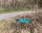
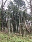
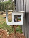
Restrooms and information at the trailhead Map of the trails. We did the yellow, red, and blue trails at the top.Starting out on the Rail Trail LoopCooper leading the wayOne of the many exercise stations on the Rail Trail LoopSignage at the start of the Plateau Loop Mileage marker along the routeA lovely landscaped path through the Butterfly GardenLooking through the trees to the mining operation literally over the hill from the parkA bench to relax, although the sign behind warns of open pit blastingSignage for the path yet untaken by usSignage for the second out and back up to a lookoutThe nature path up Cardio HillRoute marker on the Cardio Hill TrailKudos to the Hamricks for the overlook. There must have history in this area, as I’ve seen a number of headstones with the Hamrick name in the small cemetery in Boiling Springs.Great viewI’m always happy to be looking at mountains. Hopefully, they don’t all get mined away.Back on the Rail Trail LoopBamboo!Another NC trail, another small library. Love it!
Bob and I made the short drive into Shelby to check out the recent exhibit at the Cleveland County Arts Council and to ride the carousel in the City Park.
The Cleveland County Arts Council is on the square in Shelby across from the Earl Scruggs Center. It provides exhibit and performance space for the community and also offers art classes. Their current exhibit, Treasures of the Earth, is a pottery show that opened on February 9th. It is free to the public.
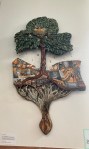
The Cleveland County Arts Council Building The exhibition spaceArtwork called Time and Money by Beth Regula that depicts the need for the gifts of both time and money to help a community thrive.
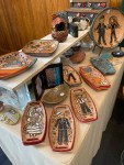
Samples of the pottery exhibits are below.
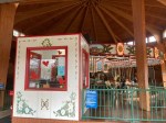
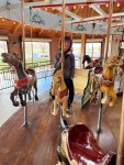
After the lovely perusal of the pottery, Bob and I headed to City Park behind the Shelby Library to ride the carousel at $0.50 each. The park carousel is a rare 1919 Herschell Spillman Carousel that has been restored. We haven’t learned the history of how Shelby came to acquire it or restore it.
Park signage, our car, and the pavilion where the carousel is housedThe ticket booth and carouselThe carouselGetting in touch with my inner child. Bob rode too, but chose to sit on one of the benches.
Today, Bob and I visited an obscure international museum. For anyone, who appreciates having the lights on, staying warm (or cool), or answering a land line, you may also appreciate this small, free museum in Shelby, North Carolina. It is the International Lineman Museum.
Bob and I both have a bit of work history in the utilities. I spent about 3 years doing administrative planning work for the municipal utility in Austin, Texas, and Bob worked for about 20 years for 3 different utilities, also doing white collar work. We were both safely removed from doing the important work (as Austin has once again learned the hard way) of keeping the lights and heat on. It was pretty eye-opening to learn more about the lineman role and how it has evolved.
The museum provided a fun overview of various parts of the lineman’s role, electricity in general, and (who knew?) the cultural celebration of linemen. I guess I’m sticking with the male terminology in accordance with the museum, although I’m sure there must be a few women doing this important work by now.
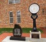
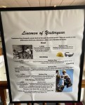
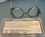
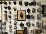
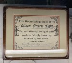
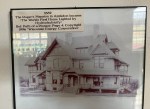
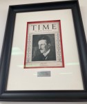
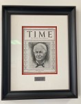
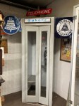
The signage for the museum One side of the monument to those inducted into the Lineman Hall of Fame. Additional plaques and memorials outside of the museum The evolution of equipment and safety techniques. Yikes! Can’t believe anyone took this job at the turn of the century with a 50% death rate. Another poster showed that it cost $105 to outfit a lineman in 1961 and over $1600 today.Here’s looking at you — safely.A selection of metersDifferent styles and sizes of insulatorsJust a reminder that electricity was once a novel thing.Field manuals for linemenThese are hot sticks, insulated poles that allow linemen to work on live wires without getting shocked. We had to find an Iowa and Wisconsin connection. Here’s the entry for my home state of Wisconsin.Nikola Tesla, Mr. AC.Thomas Edison, Mr. DC.Remember this? Clark Kent has slim pickings these days.A tad more modern version
We were surprised to find the following cultural celebrations of lineman.
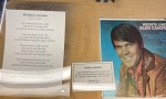
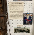
My dad had this album, so I knew the song, and yet never thought about the lyrics.The museum provided information and materials to “The Lone Ranger” movie, which starred perhaps two of Hollywood’s most notorious bad boys.Here’s the Iowa find, in case you’ve read either “Slim” or “High Tension,” or seen the movie version of “Slim.”
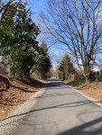
On Tuesday, Bob and I went back to the Thermal Rail Trail with Cooper to walk a different section of it. The prior Friday, I had driven to the trail to take advantage of the lengthy trail to do a 16 mile run. Tuesday, we walked a little over a 1.5 mile section (and then back) of the trail that parallels Main Street in Forest City. It was a great day for a walk, and we saw others, mostly bikers, also using the trail.
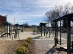
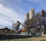
An exercise station near the trail and the lot where we parked.The trailA concrete company along the trailCooper checking out the smellsSome cute cottages along the trailCooper ready for the ride back
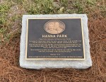
Today, we picked another item off of the Things to Do brochure that we picked up at the Visitor’s Center in Shelby and headed towards Hanna Park in Shelby to check out their nature trail with Cooper. It was a lovely 60+ degrees but mostly overcast. The park was super impressive — large with 6 soccer fields, a playground, and pristine.
Park signage at entrance The couple that gave the 85 acres to the city of Shelby for the parkThe map of the amenities— soccer fields, shelters, restrooms, concessions, playground, and nature trailStarting onto the trailThe nature part of the nature trailBob and Cooper in the Deer Track ShelterMore of the trailNature in actionThe playground
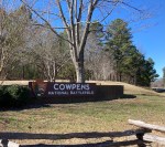
Today, we made our first foray into South Carolina with a visit to Cowpens National Battlefield. It was recommended to us by our homeowner as not only a good place to visit but also another option for running, as it has a 3.2 loop through the park that has minimal traffic and a shoulder. Bob and I went solo today to check it out and learn about this unusually (to us) named place.
The sign for the battlefield as you drive into the park.
The site is about a 20 minute drive from Boiling Springs, NC, and was the location of the Battle of Cowpens in January 1781 between the British and the Americans during the Revolutionary War. We had hoped to learn more in the Visitor’s Center, but we discovered that is closed on Mondays and Tuesdays. Luckily, they had a helpful brochure out front and some informational signs posted along the Battlefield Trail, which we walked after driving the loop to check it out for a possible run for me or a walk with Cooper.
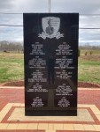
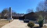
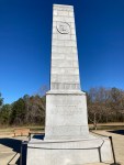
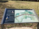
The Visitor’s Center and Memorial Close up of the Memorial This was in the cement near the memorial, and we saw signage on the road for this trail as well. It is part of the US and NC Trail Systems and recognizes the Revolutionary War Overmountain Men who crossed the Unaka Mountains and then fought in the Battle of Kings Mountain.Driving the loop around the park
Our visit reminded me, yet again, about how little I seem to know about US history. While I certainly aware of the Revolutionary War, I couldn’t name many battles and certainly was not aware of this one.
In a nutshell, based on the brochure and the signage posted at the park, the Battle of Cowpens was fought during an effort by the British to regain control of the southern colonies. It was fought after the British had taken Charleston, SC, in May of 1870, but after the Overmountain Men had secured a victory for the Americans at King’s Mountain in October of 1780.
The Battle of Cowpens lasted less than 30 minutes and was led by Daniel Morgan for the Americans and Banastre Tarleton for the British. It was fought in a cow pasture (thus the name) and the Americans secured victory with a double envelopment maneuver that trapped the British. A recreation of the battle is apparently held annually.
Helpful signage along the trailThe Battlefield Trail begins behind the Visitor’s Center.Descriptions of the battleFollowing instructions Figure with signageFigure in the field where part of the battle was heldA sign about the grasshopper cannon with a representation in the field behind the sign
A monument erected in 1856 in honor of the Cowpens victory
After almost a full week of rain and mostly short walks in the neighborhood or down to the post office, the three of us took advantage of the sunny day to explore a new (at least for the humans) trail. Bob had found the First Broad River Trail in Shelby, so it was close and also allowed for a quick pop in to the library for a book return and pick up.
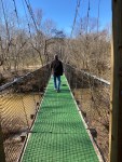
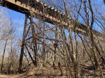
We had done a short walk at the Broad River Greenway in Boiling Springs. The First Broad River Trail is a 1.5 mile natural surface trail that follows the First Broad River. As you will see, it runs under a steel railroad trestle and across the First Broad River via a 170-foot long suspension bridge.
Fun Wikipedia Fact: The Broad River originates in the Blue Ridge Mountains and flows generally south-southeasterly through or along Rutherford, Polk, and Cleveland (where we are) counties in North Carolina before going into South Carolina. The First Broad River and the Second Broad River are 2 of the tributaries of the unenumerated Broad River.
We had a great walk and crossed paths with about 8 other humans and 3 other dogs.
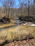
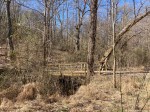
Signage for the trailStarting outThe old railroad trestle Mile marker with latitude and longitude notedWalking up to the suspension bridgeCrossing the bridgeWalking under the steel trestleWater flowing into the First Broad RiverA smaller bridge A weir in the riverA bench from a scout projectHeading back to the car
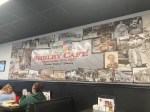
Happy February! As Cooper had a doggie play date today with a neighbor’s canine, we took the opportunity to go to the nearby town of Shelby, North Carolina, to try the Shelby Cafe, recommended by our homeowner, and to tour the Don Gibson Theater, a former movie theater and now a small concert venue.
The Shelby Cafe has been operating since 1922 and is a local institution. It had two dining areas and had the feel of a large diner. Bob was really excited to eat here, as he had seen the menu had livermush, which is defined by Wikipedia as a food product prepared using pig liver, parts of pig heads, cornmeal, and spices that is common in Western North Carolina. Who wouldn’t be excited by that description?! It first caught our eye when we saw a package of it in the grocery store and wondered about the marketing decision in using the word mush in the product name, but truth in advertising in this case.
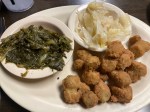
But Bob loves to try unique, regional foods, so he ordered the livermush omelette at the cafe (all-day breakfast) and thought it was good, very similar to a pork sausage, though much more finely minced. I had some good southern veggies.
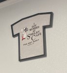
The exterior of the cafe, which has more of the feel of a diner.A banner insideBob should have bought one of the t-shirts.Very good prices. The livermush omelet was $7.50 and included two sides.The livermush omelet with hash browns and toast.The 3 vegetarian plate option for $4.99! I went Southern — steamed cabbage, turnip greens, and fried okra. The cabbage and turnip greens were my favorite.
After lunch, we grabbed some gifts in the town square for our neighbor who was hosting the doggy play date and then went to the Don Gibson Theater. Beth had read that they offered free tours and called last week to learn that the free tours were on Wednesday afternoons. The manager of the theater walked us around and gave us the history of the building, recent renovations, and took us backstage and even on stage.
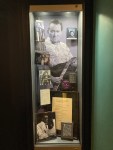
Don Gibson is nationally-known songwriter and country musician from Shelby. Two of his top hits were, “I Can’t Stop Loving You” and “Oh, Lonesome Me, ” which we learned he wrote on the same day! They were released as the a and b sides of the same 45. The theater was opened as the Don Gibson Theater in 2009 in a space that was originally a movie theater and then an antique shop.
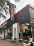
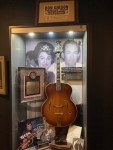
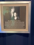
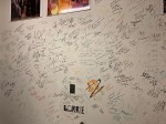
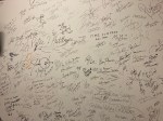
The outside of the theater. The digital sign is a recent replacement for a manual marquee where you had to put the letters up by hand (though likely aided with a pole).The first wall you see as you walk in. It lists the primary donors.The lyrics to “I Can’t Stop Loving You, “ and photos of some of the over 700 artists who have recorded that song.More Don Gibson memorabilia. The photo in the back is of him and Patsy Cline. He wrote the last song she recorded before she was killed in a plane crash.More memorabilia. Don Gibson died in 2003.Don and Bobbi Gibson both grew up in Shelby. Bobbi is still alive and attends all of the concerts at the theater.A painting of Don GibsonThe hallway outside of the auditorium The bar in the rental space next to the auditorium. It’s also used for pre-concert acoustic performances.Each artist that has performed at the 420 seat venue has signed their name on the backstage walls.More signatures, including John Oates from Hall and Oates.The signature above Sarge 2018 is Lisa Marie Presley’s.The photo of Lisa Marie signing the wall.The new green room for the performers to use prior to the show.Looking out at the auditorium from the stage
Cooper, Bob, and I headed to another nearby trail today before more rain heads in this week. It’s called the Thermal Belt Rail Trail, and it’s a 13.5 mile paved trail that runs from Forest City, past Rutherfordton (where we walked the other day) to Gilkey. We were checking it out, not just for a good walk, but to see if it might be a good option for my long training runs in preparation for my May marathon.
We were very impressed. The trail itself was well paved, looked new, and there were mile markers along the course.
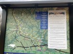
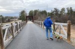
A map of the trail with various resources noted along the wayFinal (or in our case initial) mile marker on trailBridge over a railroad crossingThe railroad The path (asphalt and not concrete!)Leaf decorations A small cemetery in Forest CityThe bridge over Highway 74Shout out to John Condrey. The trail is an awesome resource.Cooper checking things outHeading back to the car