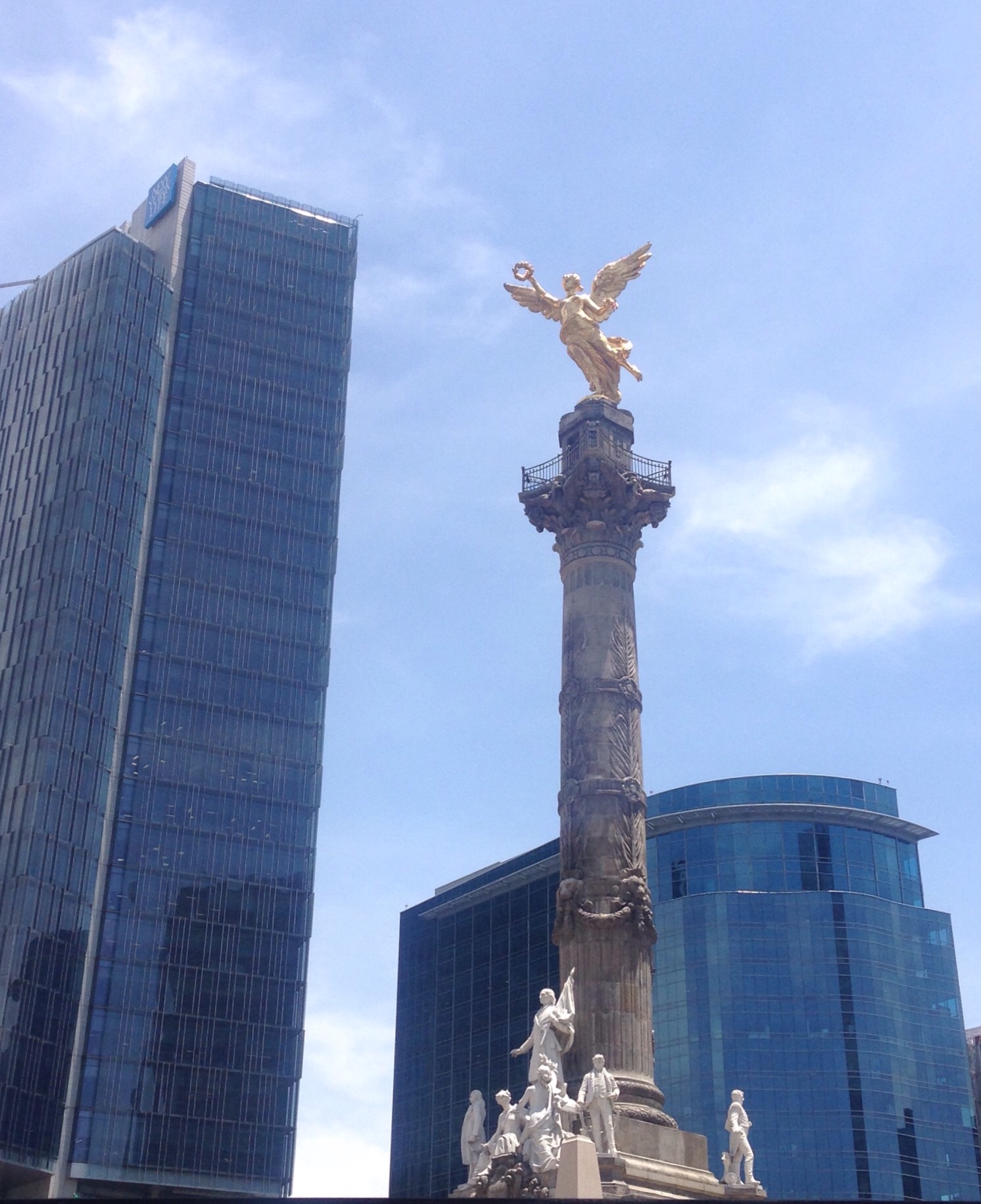
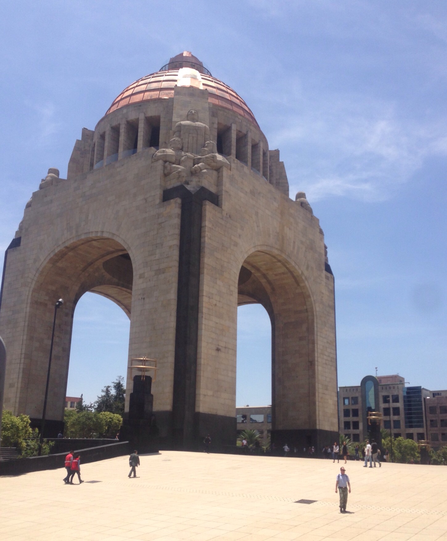
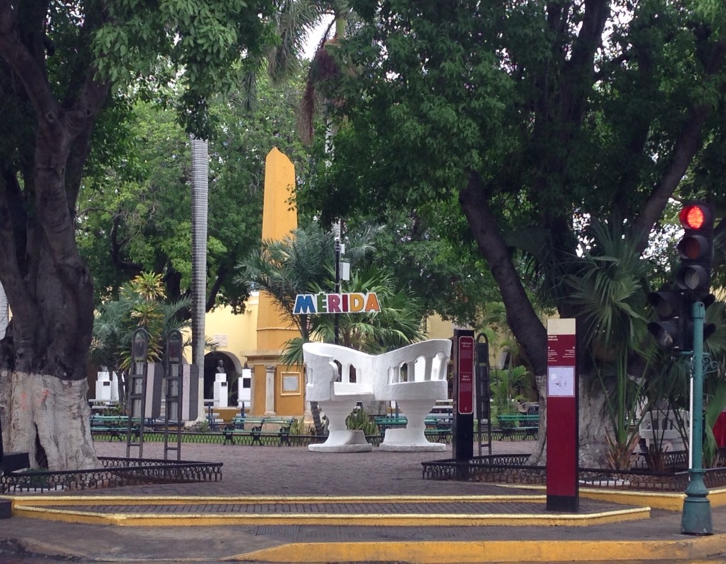
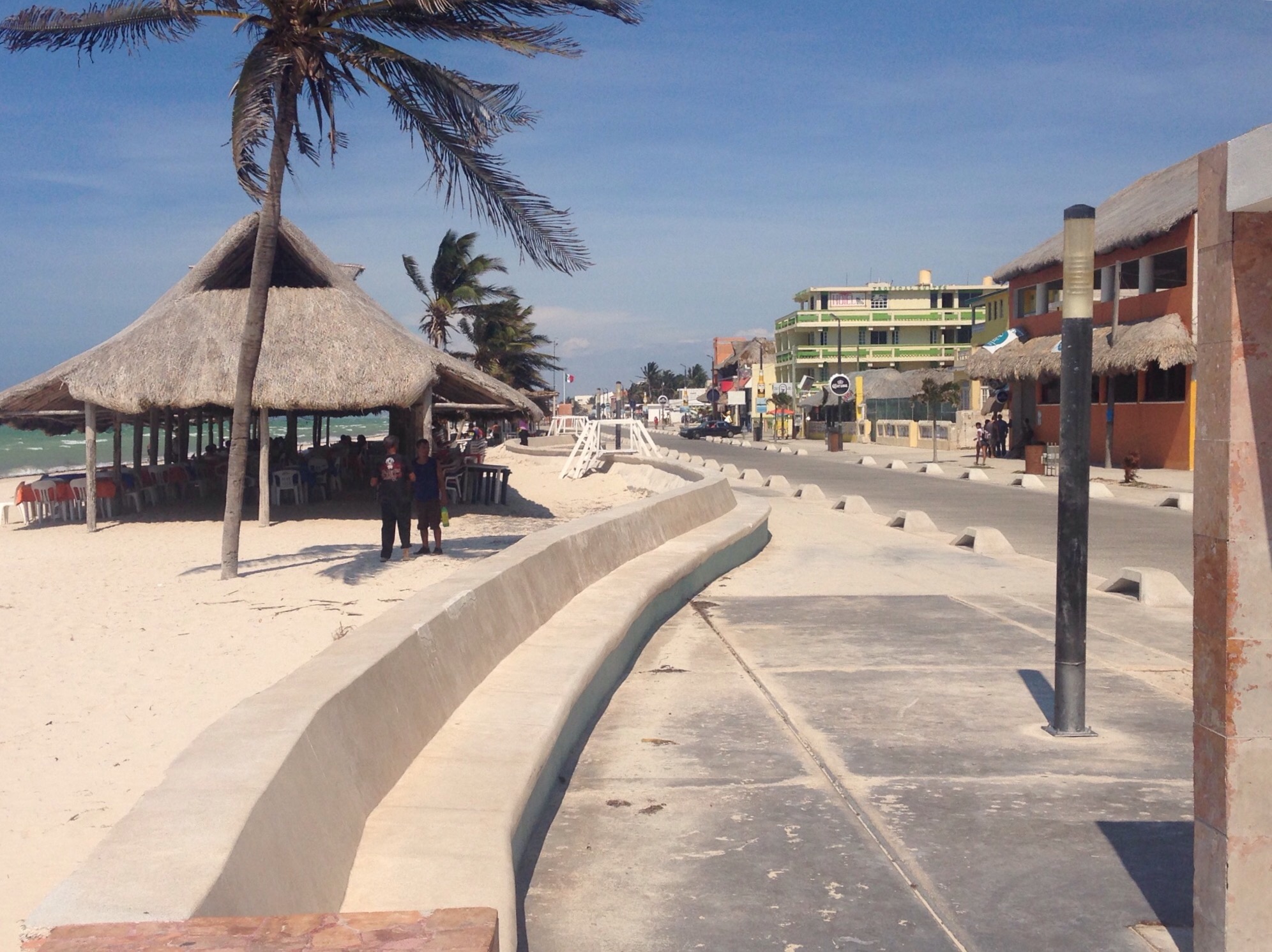
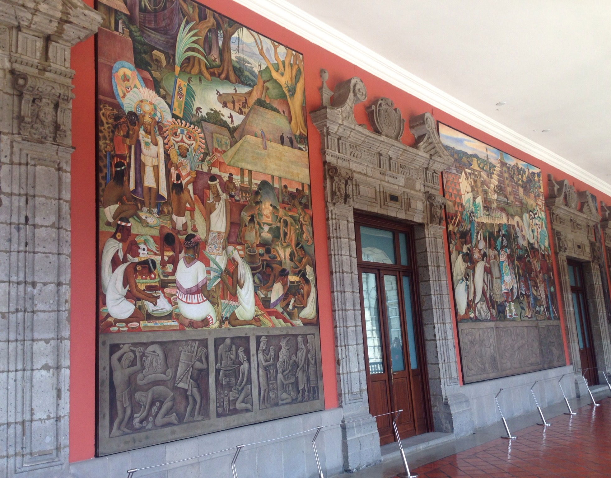
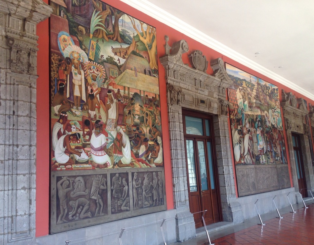
Actually, we only needed one of each of the above-mentioned modes of transportation (with the exception of buses) to get us from Mexico City to Encinitas, California, for our current housesit, but then I couldn’t riff on the John Candy movie, so please excuse the poetic license.
Planes — Bob and I had a 6:55 am American Airlines flight on Wednesday, June 14, from Mexico City to LAX, which entailed a 4:00 am alarm to catch the free shuttle from our hotel. The airport must never sleep, as it was already going strong at that time of day. Our flight was uneventful, and we landed at LAX ahead of schedule. This rarely seems to be a good thing as the arrival gate is seldom ready. We stopped and started towards a gate and then were finally informed that we would be going down stairs at the back of the plane to be bussed to the terminal. After that, however, it was the most efficient airport departure ever. Customs and Immigration was super fast with our Global Entry status, and we were very close to our baggage claim carousel. Our baggage was unloaded pretty quickly, and we were off to make our way to Union Station in LA to catch a 3:00 pm Amtrak train to Solano Beach (near Encinitas).
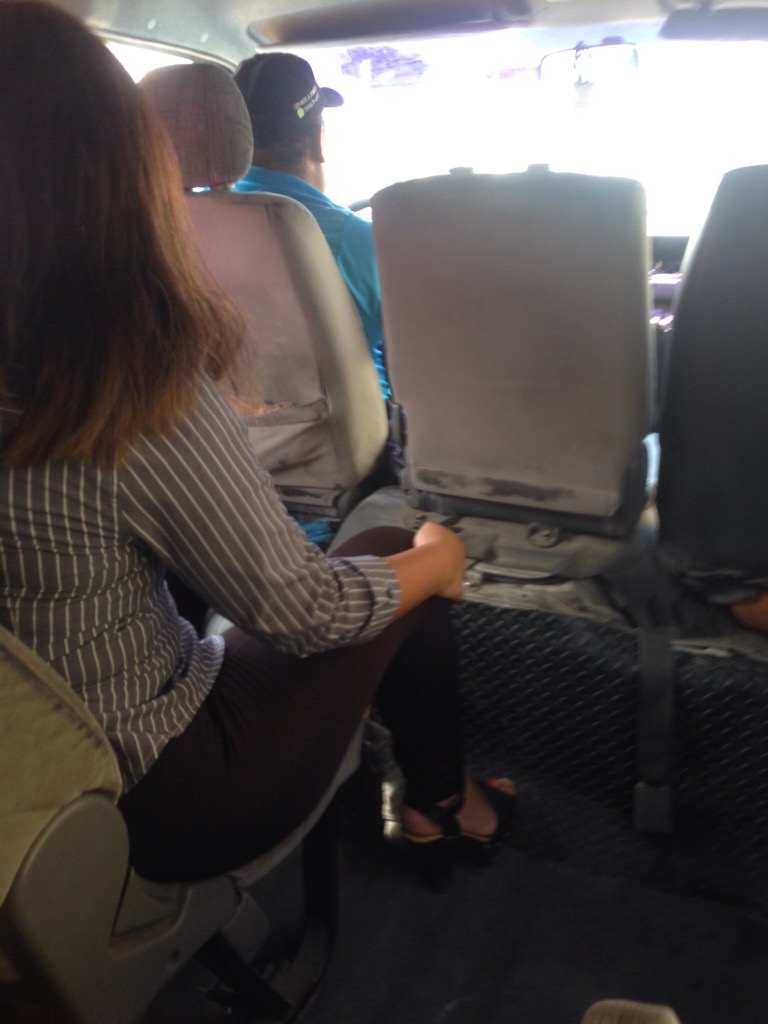
Metros — It was barely after 10 am, so since we had lots of time we decided to take the metro to Union Station instead of the more direct (and expensive) bus. To get to the metro we had to wait in the designated area outside of the terminal for the free Airport “G” bus to take us to the airport metro station. At the airport metro station, we purchased a metro card for $1.00 each and then paid the $1.75 one-day fare. We then took the green line to the Rosa Parks Station, switched to the blue line to the Metro Center station, and then switched to the red line to Union Station. The entire trip from leaving the baggage claim area at the airport to Union Station was about 2 hours and 10 minutes.
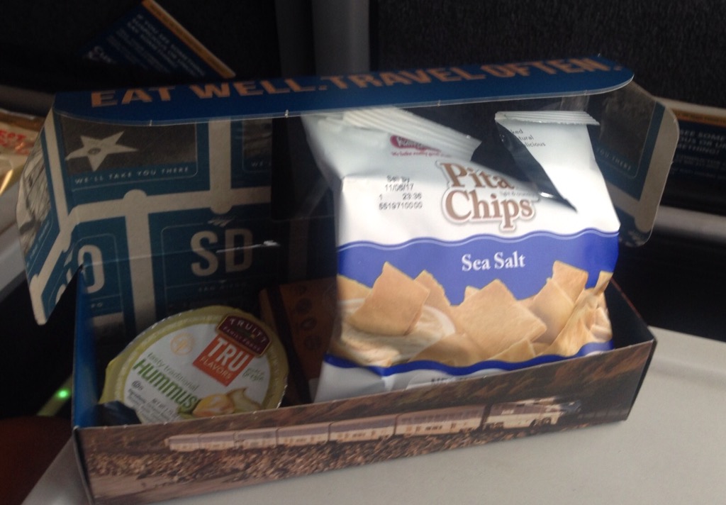
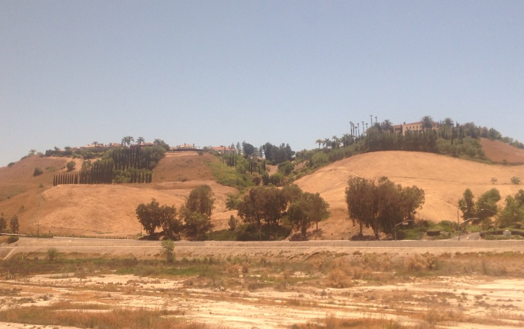
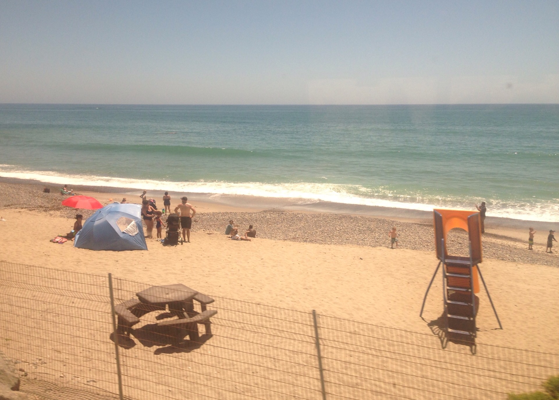
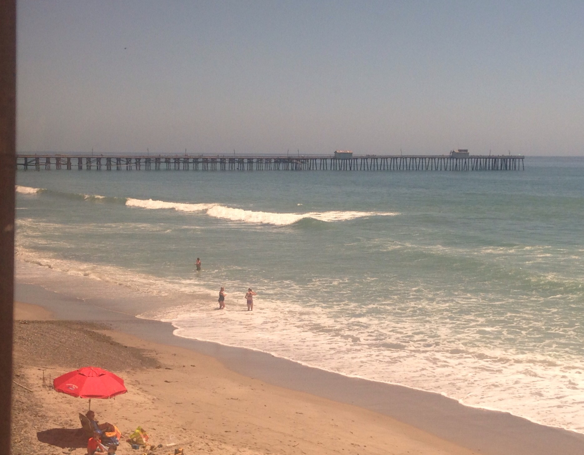
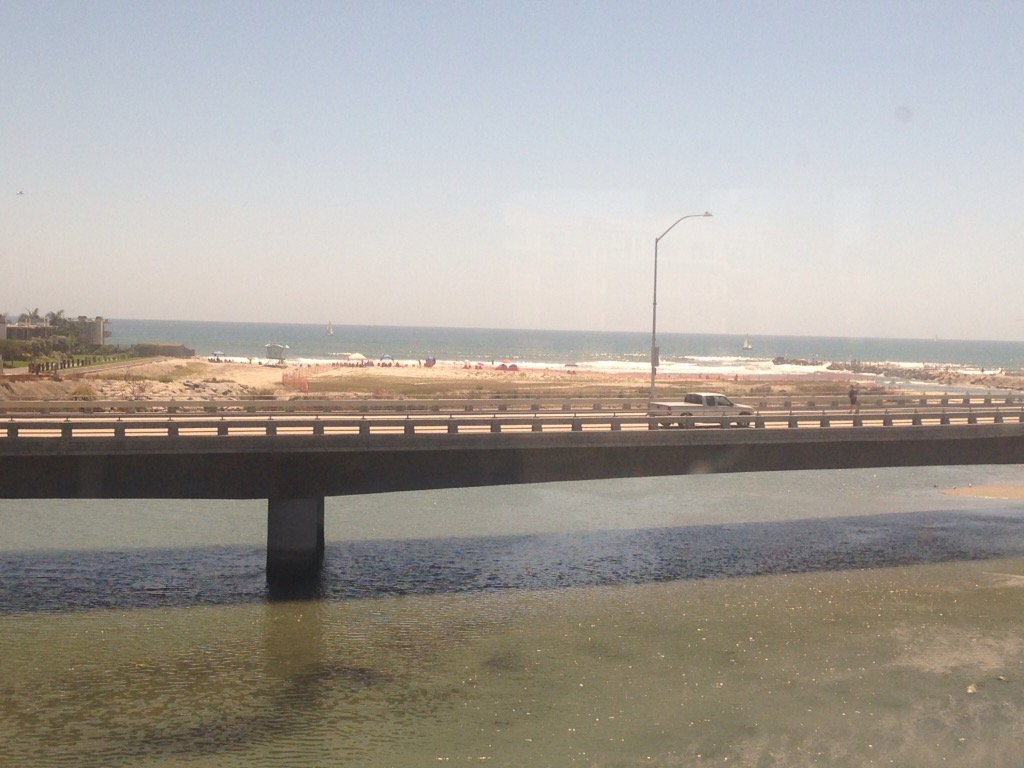
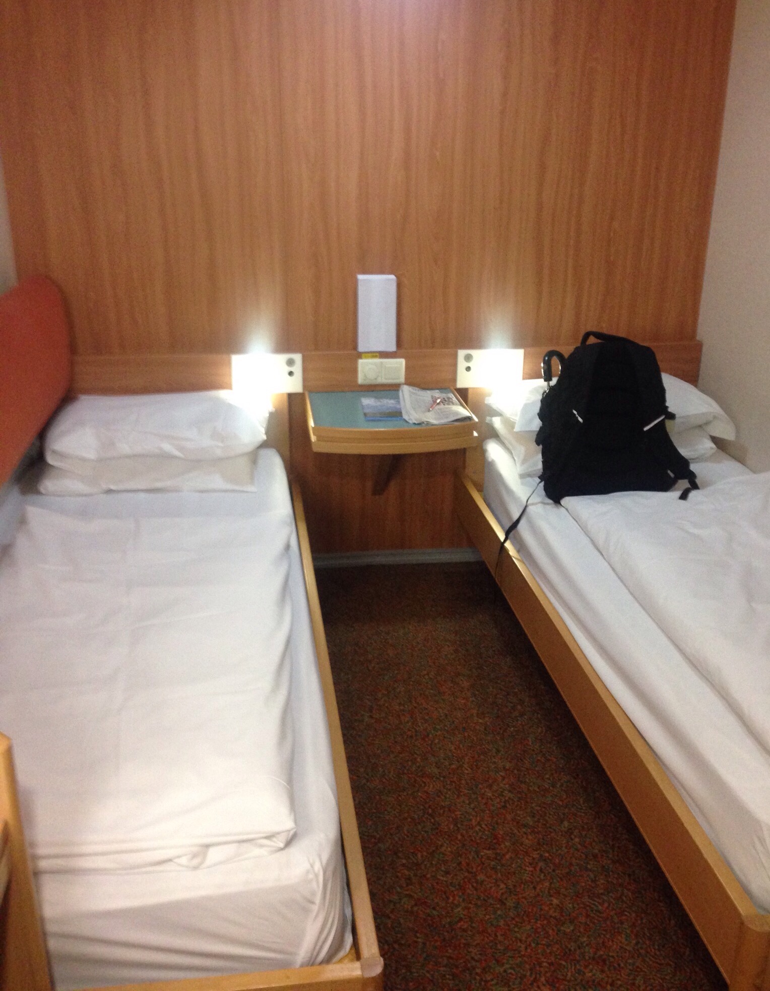
Trains — Once at Union Station, we found the Amtrak Customer Service window and were able to exchange our 3:00 pm tickets for the 12:30 departure. We hightailed it to the platform and were soon boarding the business class! coach. We had splurged on the upgrade over general seating in economy. We thought there might be more room for our luggage in Business Class, and we had heard about the great views from this route and wanted to be sure we could take advantage. It was a difference of paying $90 for the two of us instead of $60. To our pleasant surprise (as we hadn’t eaten since very early on our flight), we were provided with a free snack box and one free drink — water, juice, soda, or alcohol.

Buses — Amtrak was the gift that kept giving. Once we arrived in Solana Beach, we walked across the street to wait for the Breeze Bus to take us back up to Encinitas (about a 15 minute ride). We were able to show our Amtrak tickets for a free ride on the bus.
NOTE: Bob is the logistics guru. He researched all of this before we left Mexico and knew the transportation options out of LAX, where we needed to catch each one, and the costs. He is also the chief chef. Not sure of my value-add on this adventure, but I picked my partner wisely!
Automobiles — After we arrived in Encinitas, we found a cafe with wifi to communicate with our homeowner. She collected us and our bags and brought us to the house where we met Sadie and settled in while she and her husband finished their work for the day. We had a lovely meal with them prior to their departure early the following morning.


