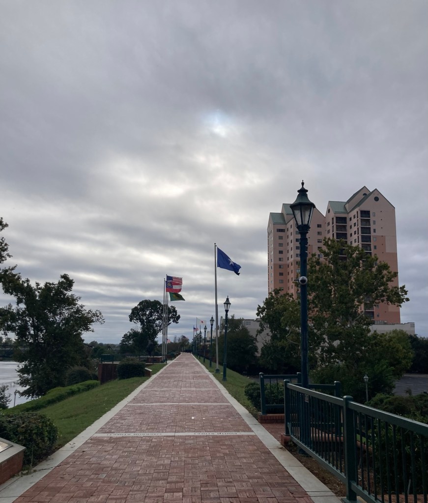
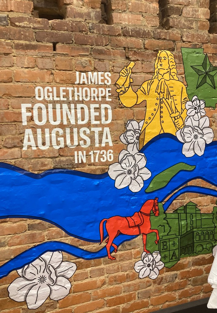
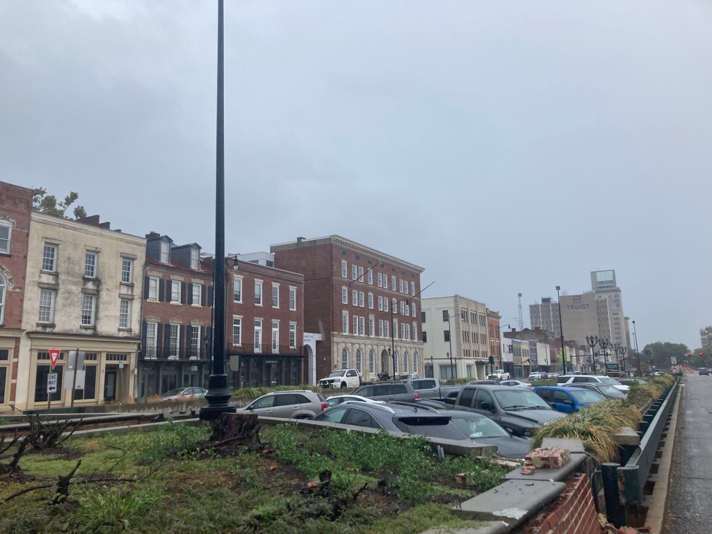
After our stay in Augusta, GA, Bob and I spent Saturday night at the Marriott Hotel near the Atlanta airport for our Sunday flight to London and then Jersey. Bob had also found a long-term parking option for the car near the hotel. The hotel was large, clean, and had a great fitness center. Unfortunately for us, the Concierge Lounge wasn’t open during our stay, so no free dinner Saturday night, but we had a great free breakfast Sunday morning at the Renaissance Hotel across the street.
We get free breakfasts at certain level Marriott hotels due to our membership status, and since their lounge isn’t open on Sunday mornings, they must have an agreement with the Renaissance Hotel (also a Marriott property) to provide the breakfast in their restaurant.


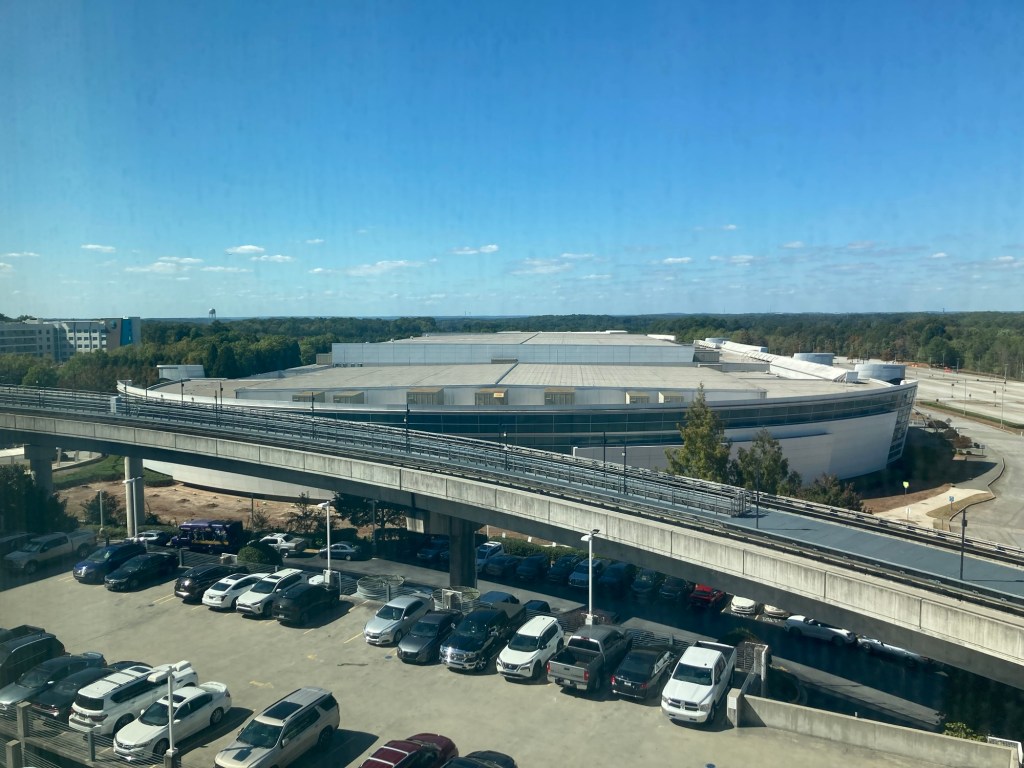
that goes to the domestic terminal at the airport
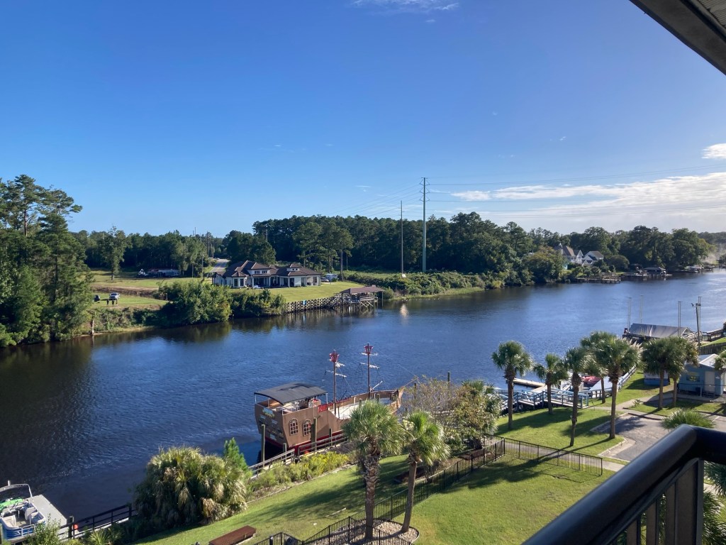
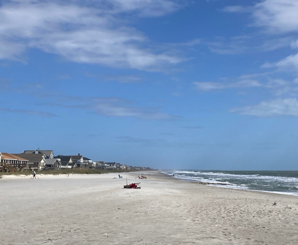
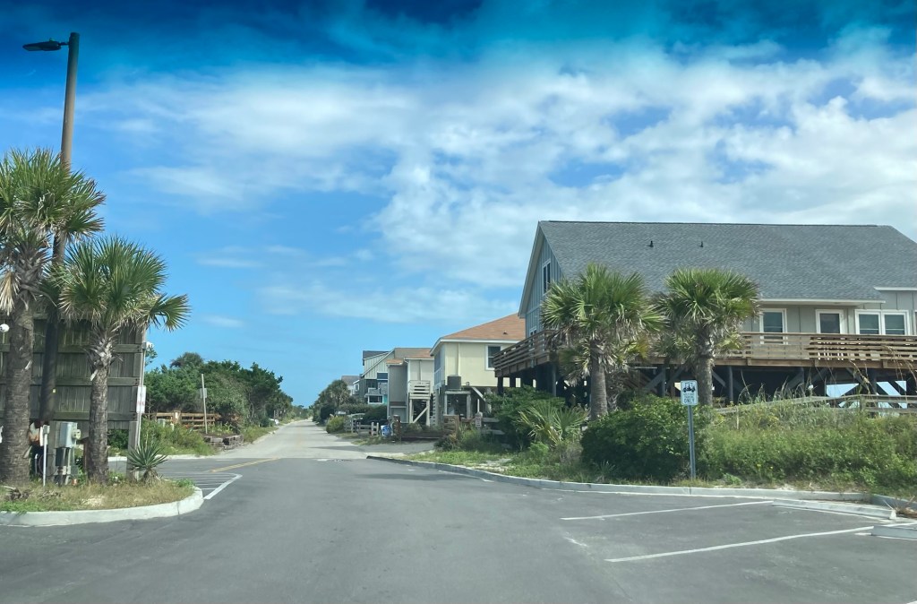
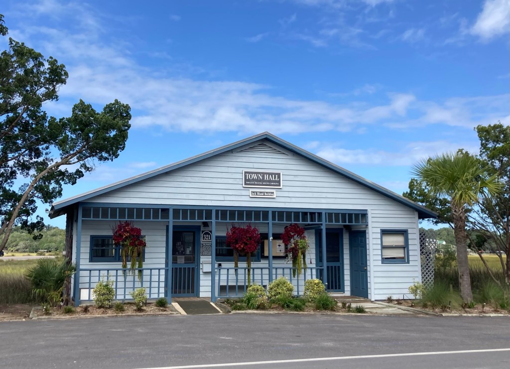
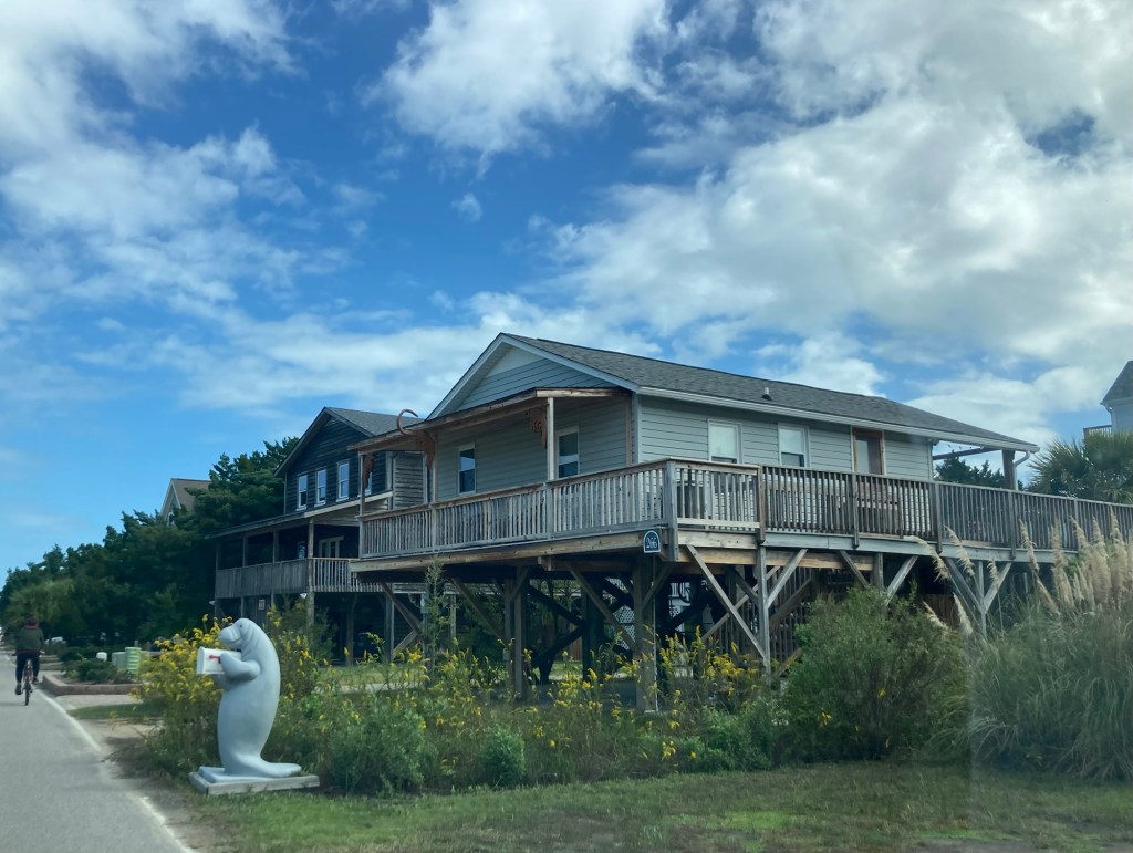
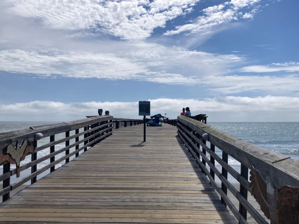
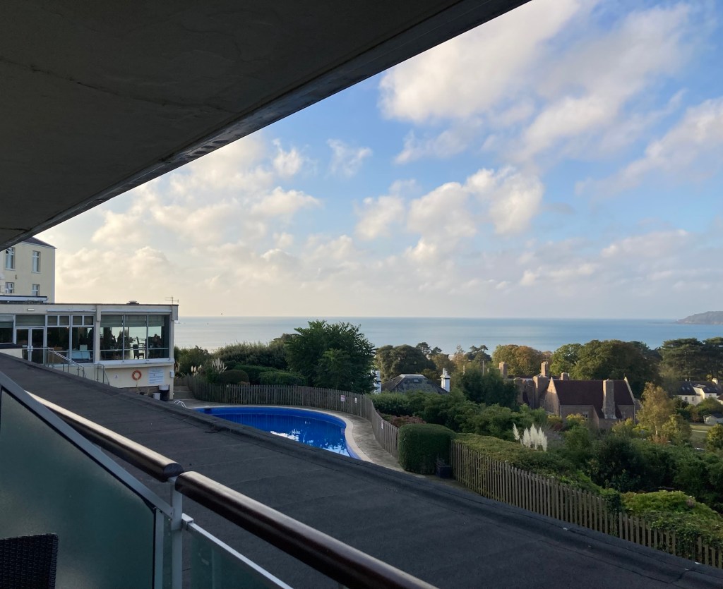
from our room
We had a long wait Sunday, as our flight didn’t depart until after 10 pm. We got a late checkout at the hotel, so we stayed in our room until 4:00 and then waited in the lobby and took turns walking around without luggage for another 2 hours. At 6:00, we walked to the sky train for the quick ride to the domestic terminal. We then boarded a bus near the sky train to take us to the international terminal. That was a longer ride than we expected, but we still had plenty of time for check in and security. Check-in there though was a bit of a stressor since no regular (non British Airways elite travelers) could be assisted until any elite traveler that showed up was checked in. We got through eventually and security was a breeze. I was worried that the wait times might be longer with the government shutdown, but everything went well and our flight left on time.
One thing that was new for us on this trip is that our flight into London landed at Heathrow Airport, but the flight to Jersey left from Gatwick Airport. We had 5 hours in between, but we were still a bit concerned about whether our flight would be on time and the customs and luggage pickup process and then the check-in and security process at Gatwick. Bob had scheduled us a car transfer service (Blackberry), so that we wouldn’t have to worry about figuring out a bus or train transfer.
Everything worked out really well. The longest wait was waiting for a gate after we landed at Heathrow. Customs and luggage pickup were very quick, and our car transfer driver (though a slow walker) was a great driver. The ride to Gatwick was 45 minutes. We spent most of the next 3 hours in a lounge.
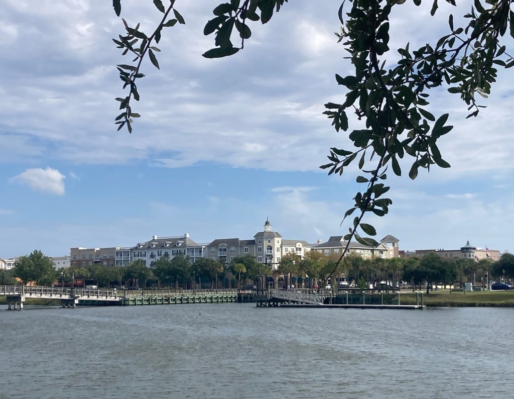
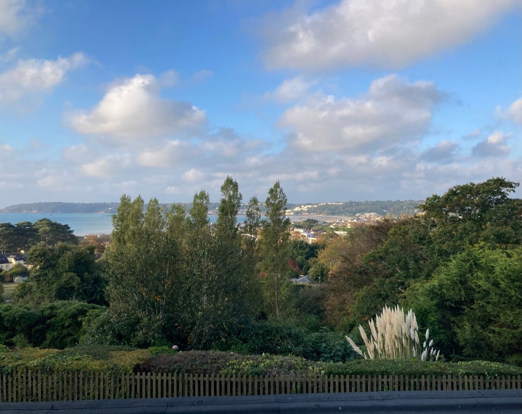
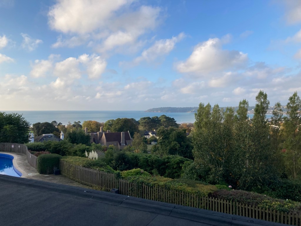
We arrived into Jersey, where we were immediately welcomed on WhatsApp by our homeowner, and were into our hotel,The Hotel Cristina, by 6:45. This is a beautiful hotel with great views of Jersey and St. Aubin’s Bay. We had a quick drink in the bar last night while we looked over all the tourist info we picked up and a great free breakfast in the restaurant this morning.
Even though I slept for about 4 hours on the plane, I slept almost 12 hours last night. Bob didn’t sleep much at all on the plane to London, but a little on the short flight to Guernsey. He was awake before me this morning.
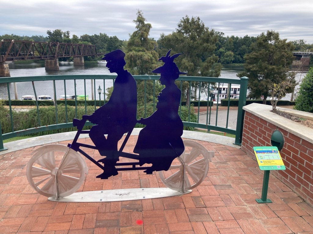
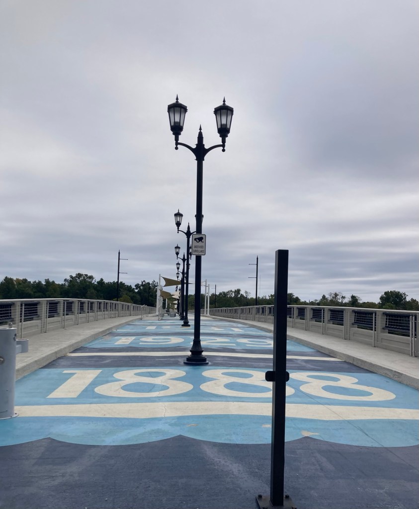
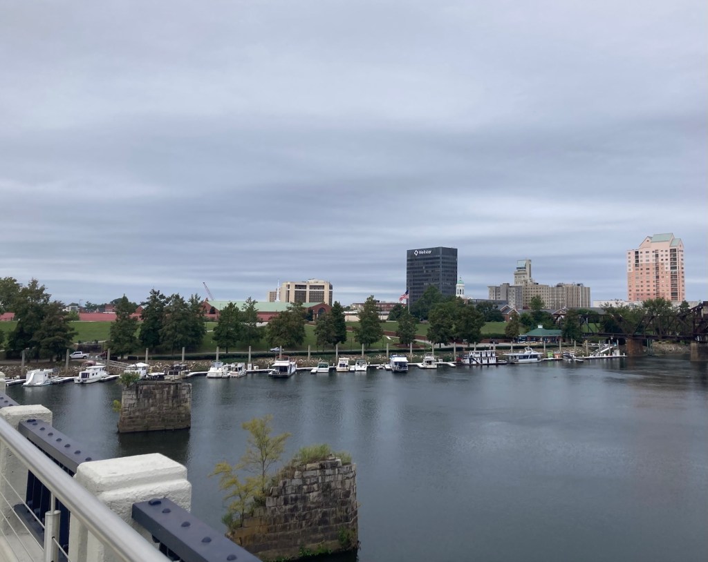
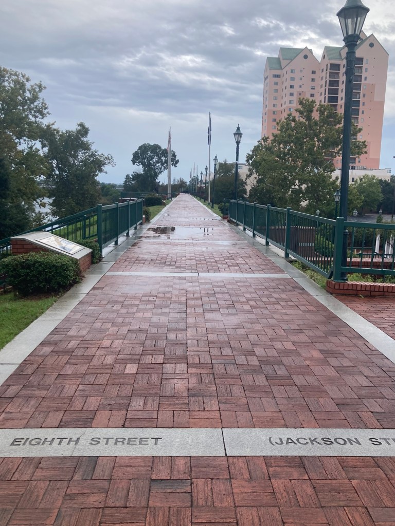
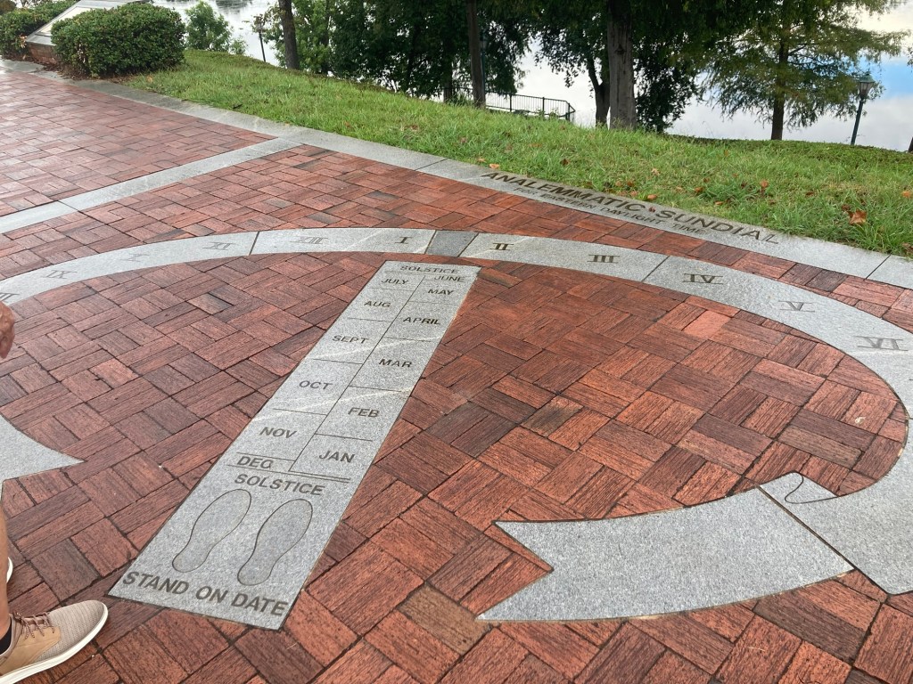
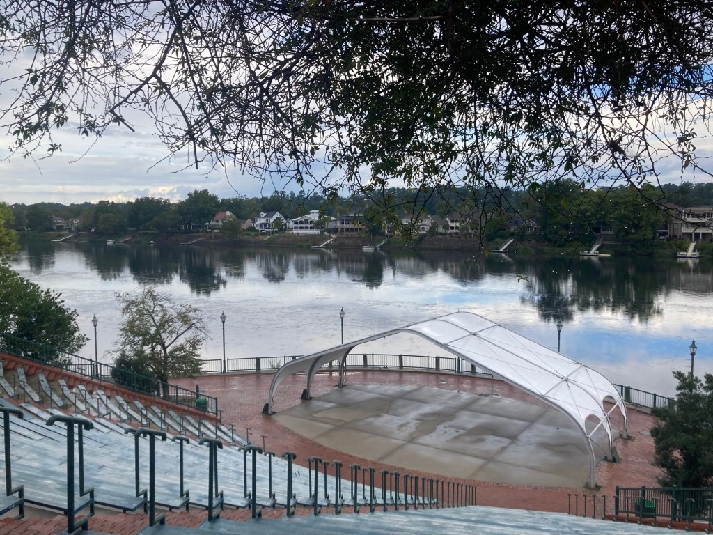
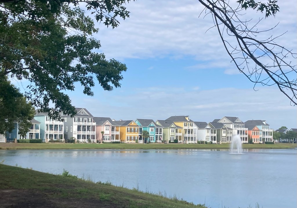
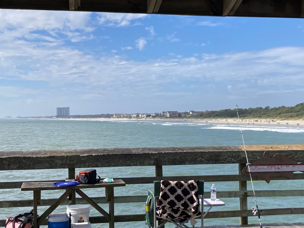
Some photos from our room.
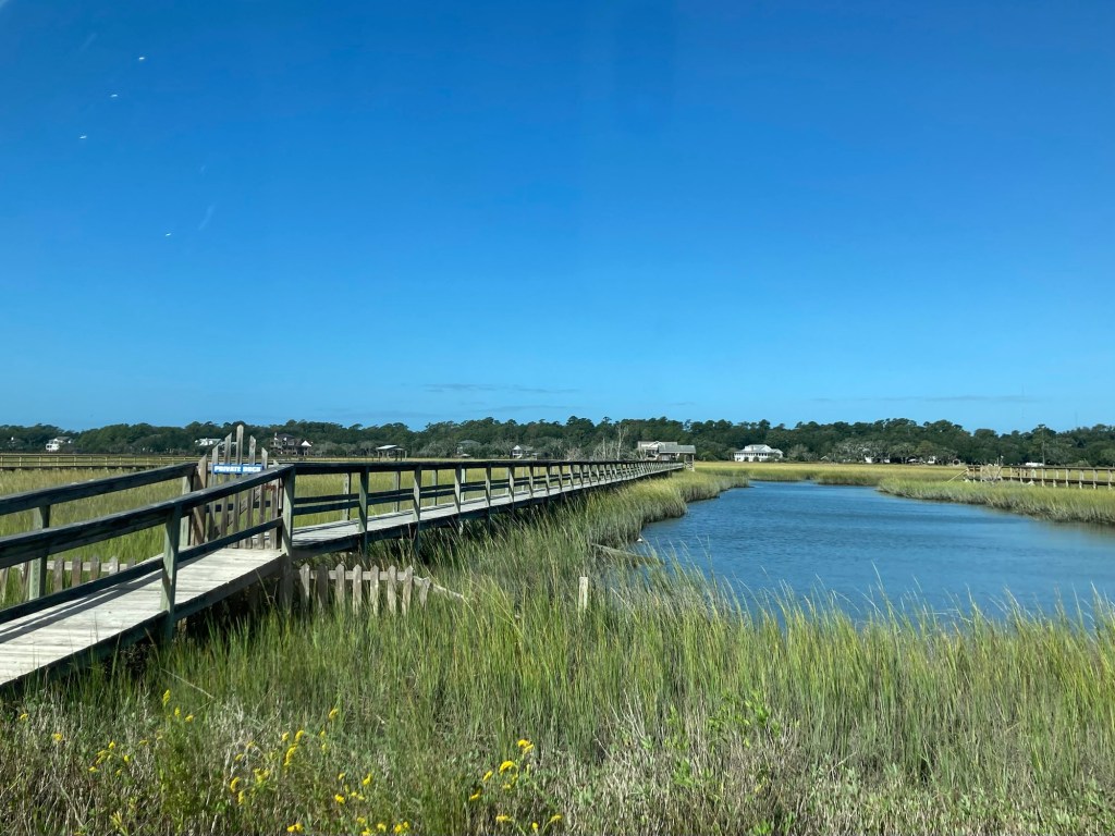
Our homeowners will pick us up here at 6:00 this evening after work. We have paid for a late checkout at 1:00, then we’re going to do a 2+ hour walk to a lighthouse and then catch a bus back after looking around. Tomorrow evening after work when our homeowners head off on their cruise, we will be The Real Housesitters of Jersey.