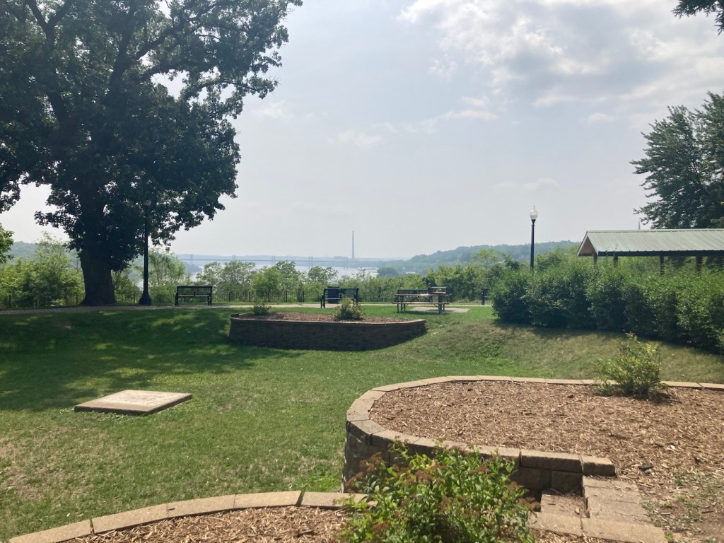
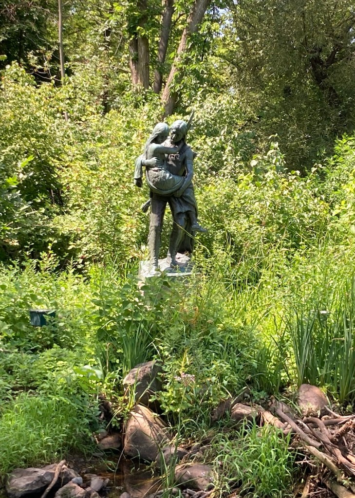
Yesterday afternoon after Bob and I arrived at our hotel in Bozeman, we visited a sculpture park and library just a few blocks from the hotel. It was a fun introduction to our new community home for a couple of weeks.
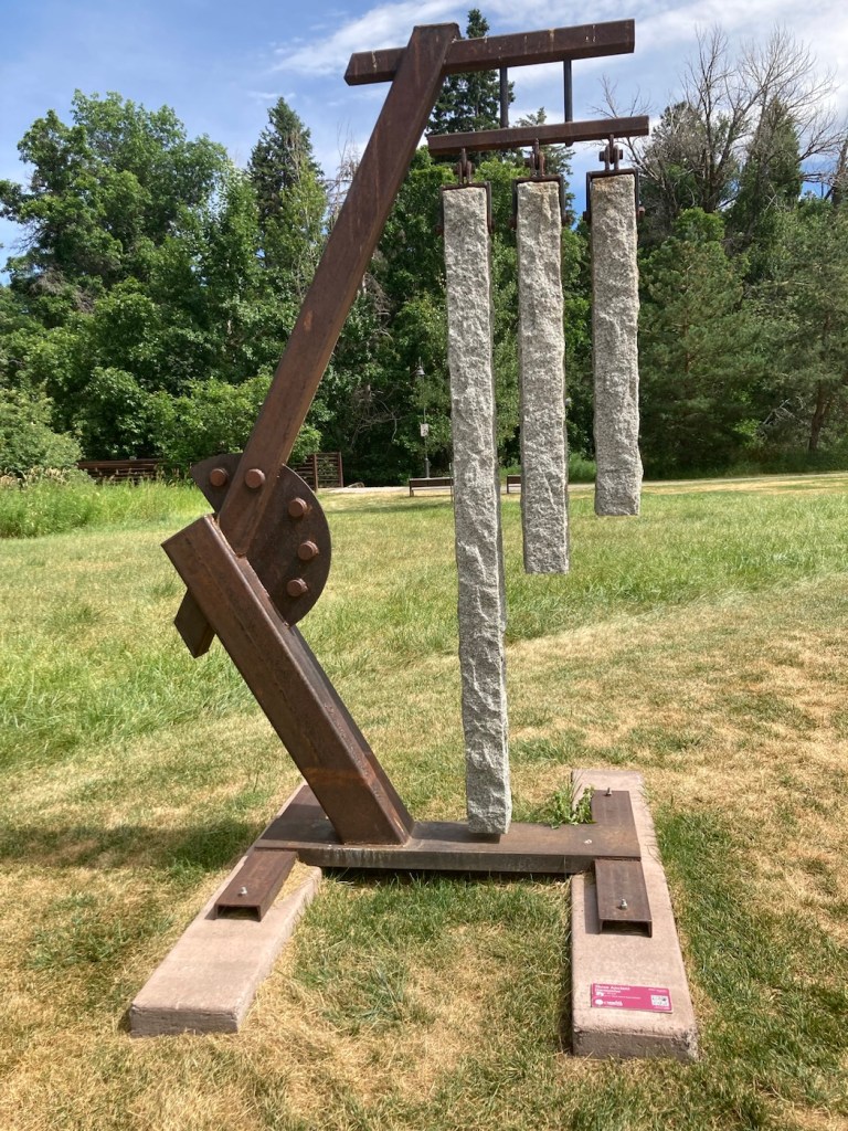
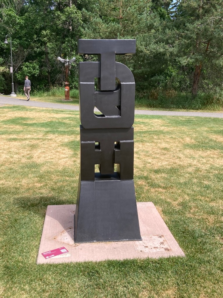
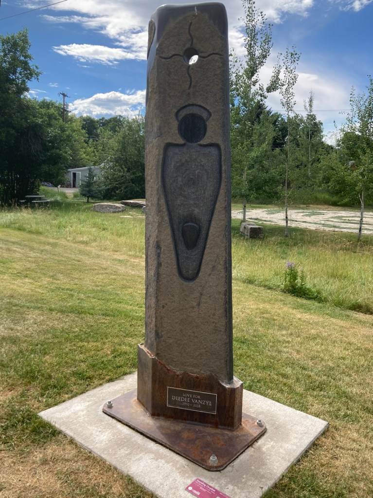
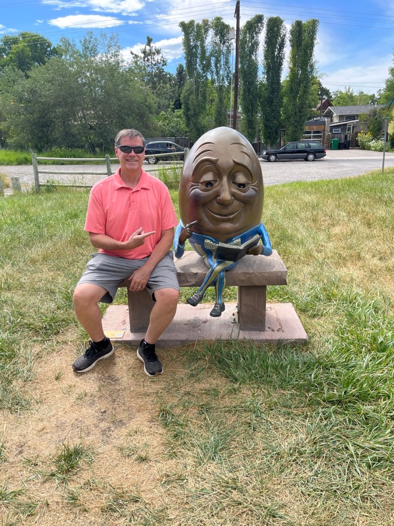
Three Ancient Harmonics sculpture by Danny KrausTruth IV sculpture by MacRae WildeStanding Ovation statue by Pete Stecher and Ursula Neese for DeeDee VanzylBob even got a big head photo with Humpty Dumpty. He has a similar photo with Humpty Dumpty from St. George, Utah, from a few years ago.
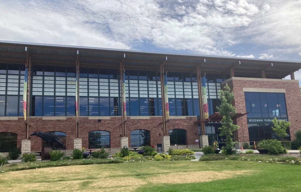
The sculpture park was located in Lindsey Park behind the Bozeman Public Library, so we checked that out as well.
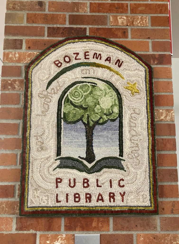
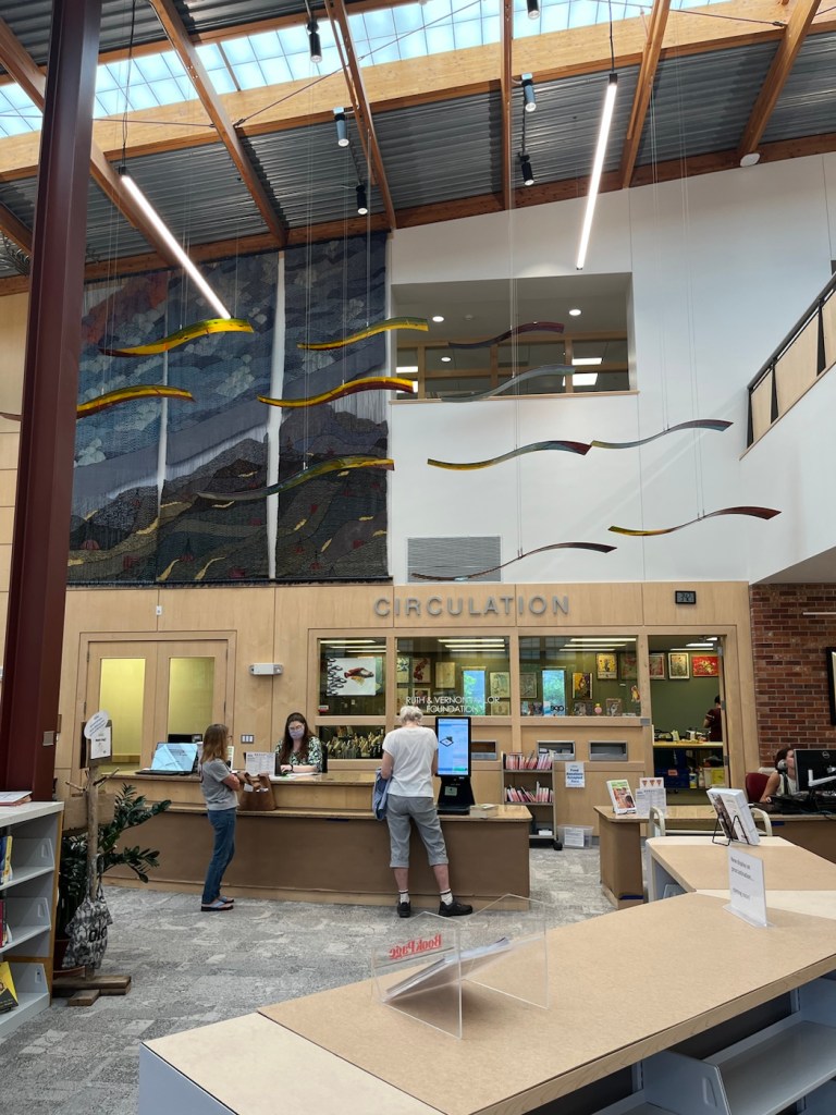
The Bozeman Public LibraryTwo Children on a Bench sculpture beside one entrance to the library A cute hooked rug hanging in the libraryThe main first floor room of the library One of many great views from the 2nd floor of the library
This morning at 8:00 am we met with the family for whom we are currently housesitting for the walk through before they left for a trip to London and then onto Scotland. We will be caring for 4 dogs and 2 cats while they are away.
The chill Beau, although he does like to “talk” to the travelers on the hike and bike path behind the houseCruiser, who will play catch all day, and is also a licker.Jane who is a bit tentative with everything, as she doesn’t see very well.Tiana, the leader of the pack, who likes belly rubsMarie who likes to sleep atop the kitchen cabinets when she’s not hanging out in the daughters’ rooms.Hermione, who prefers to stay in the daughters’ rooms
As they have their unique meals and needs, we’re looking forward to getting to know each one a little better as well as this beautiful community.
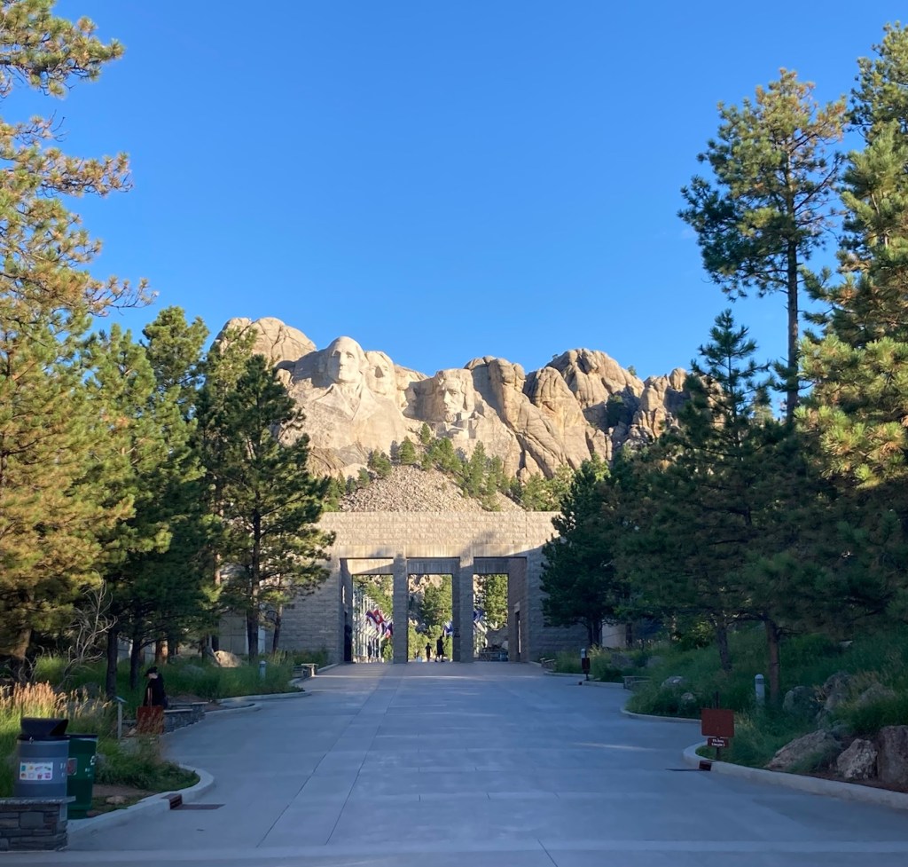
Bob and I were up at 5:45 am today to start our drive from Rapid City, South Dakota to Bozeman, Montana for our next sit. However, before we even thought about heading to Montana, we had to see Mount Rushmore. Beth had never been there, and Bob hadn’t been there since high school. It was only a 30 minute drive from Rapid City.
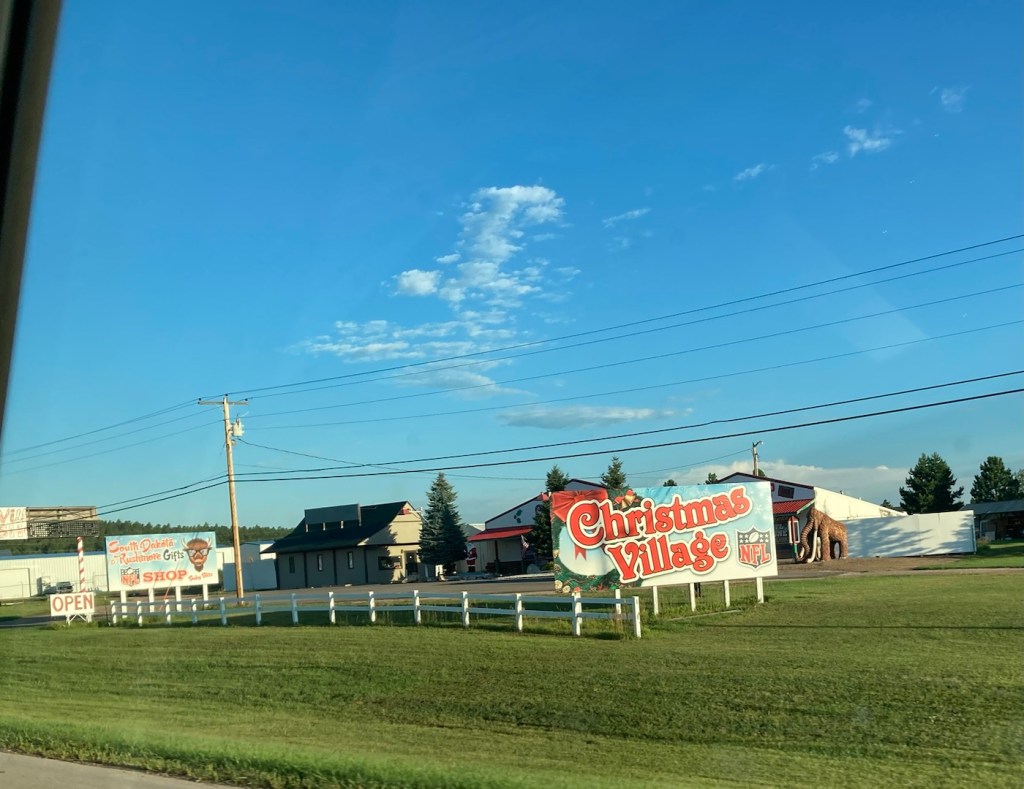
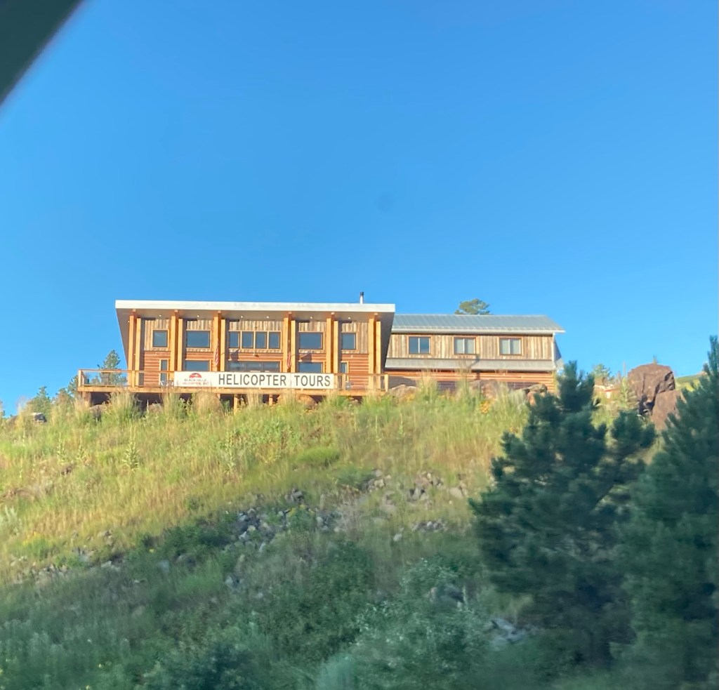
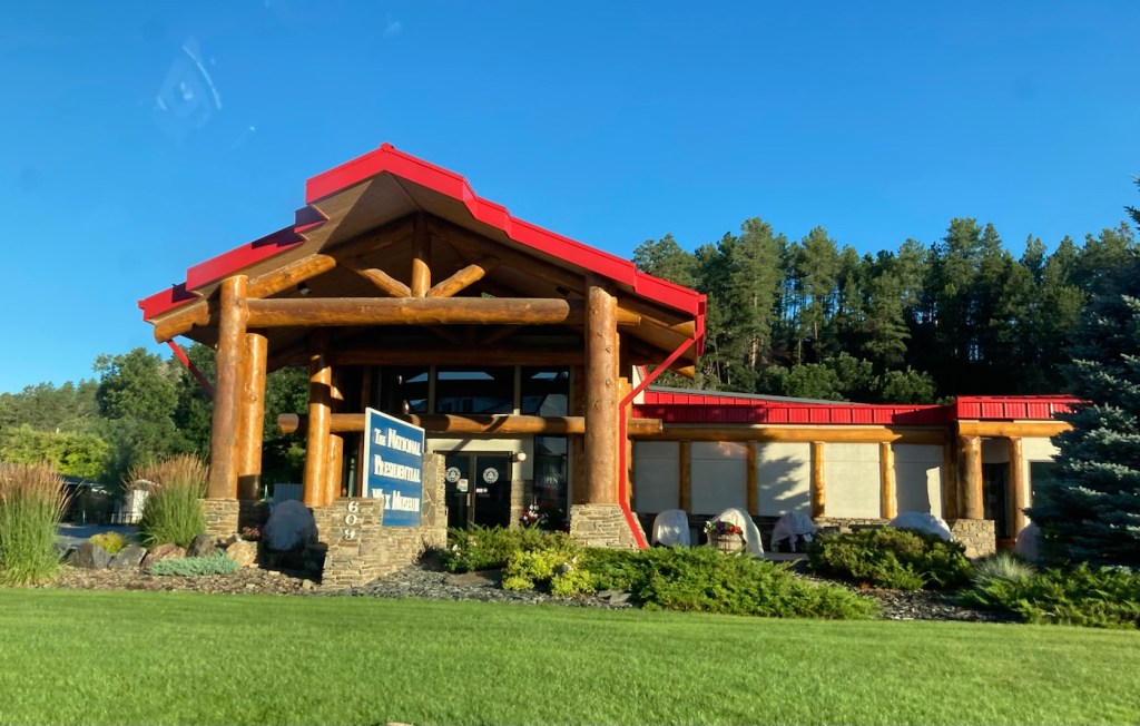
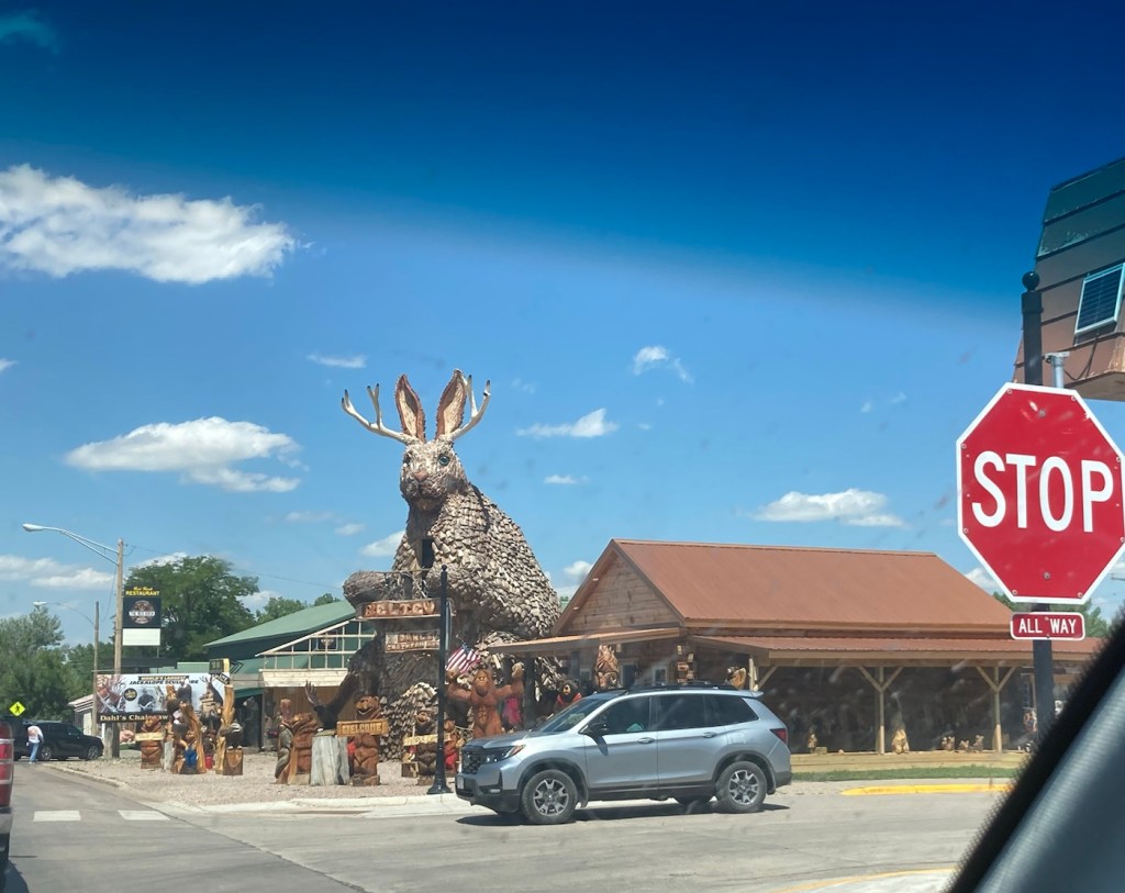
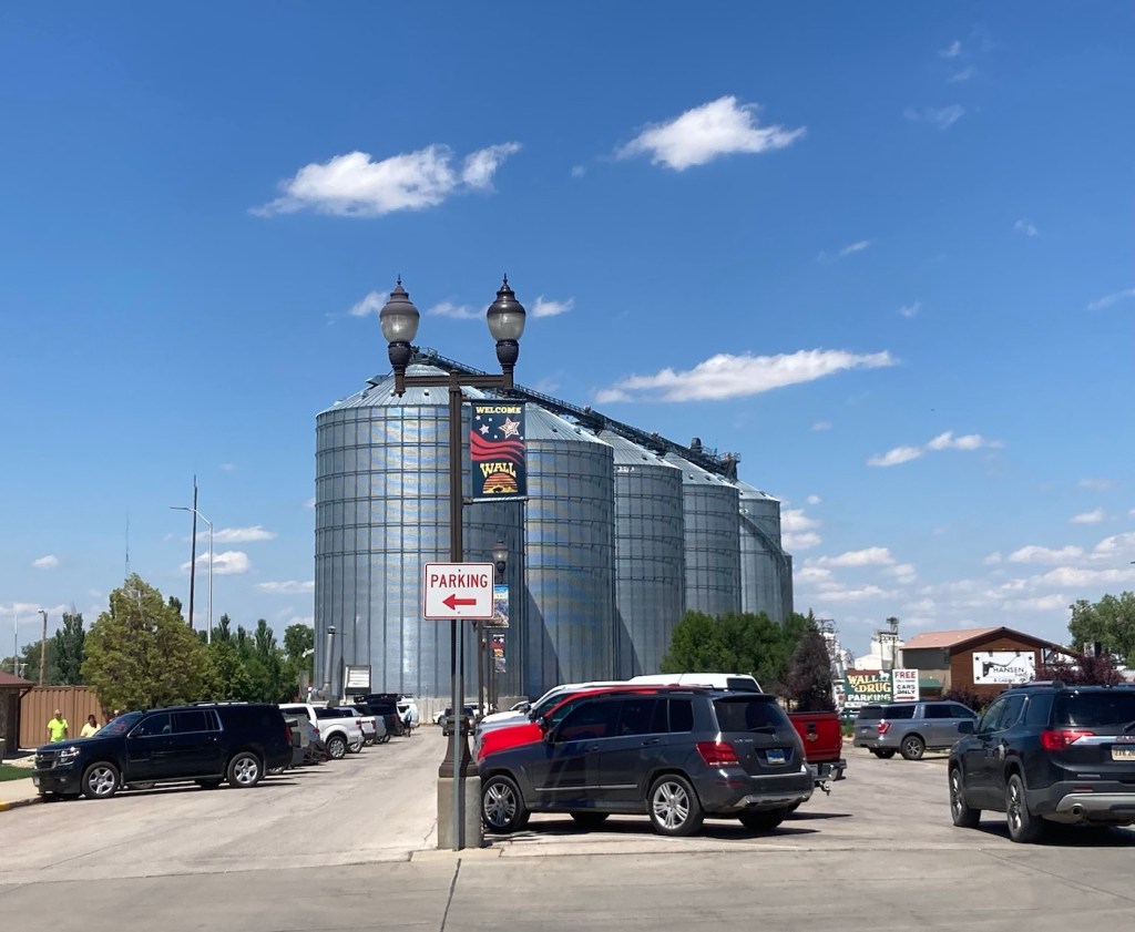
As with yesterday and the advertising for Wall Drug, we passed a lot of touristy sites on the way to Mount Rushmore.
Old MacDonald’s Petting Farm, how could parents say no?Christmas Village, what could be merrier?Okay, no kitschy, just thought this was a cool bridgeHelicopter tours in case you want to look the stone presidents in the eyesThe National Presidents Museum where they say they have every US President created in lifelike wax.Our first glimpse of Mount Rushmore before driving into the National Memorial.
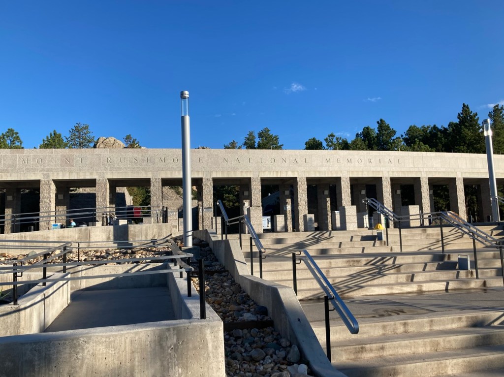
The Mount Rushmore National Memorial opens at 5:00 am daily, and the website encourages you to come before 9:00 am if you want to beat the crowds. After dressing, loading the car, checking out of the hotel, and filling up with gas, Bob and I got to the park a little before 7:00 am. There were only about 6 other people there. It was amazing. The only way to truly take in the incredible sculpture of Washington, Jefferson, Roosevelt, and Lincoln, but also the beauty of the memorial and the natural surroundings.
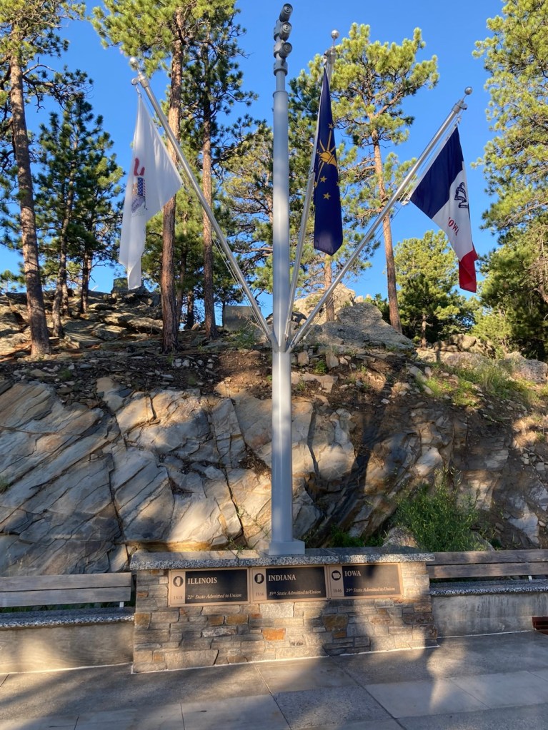
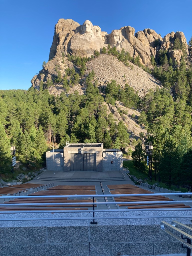
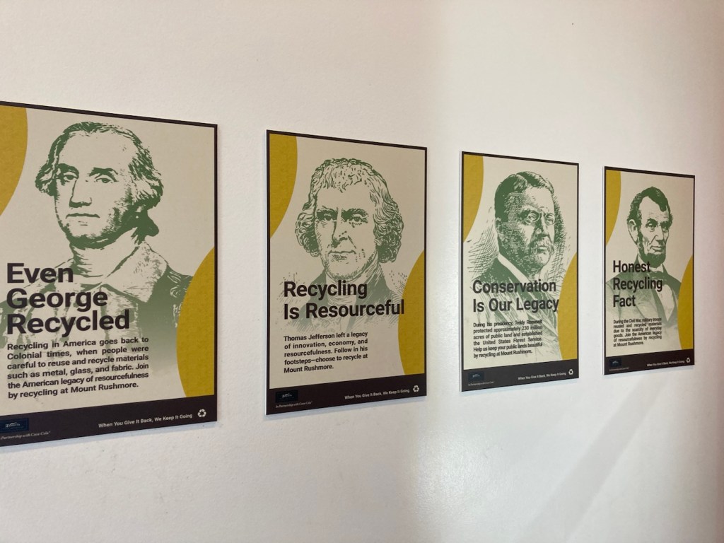
Walking up to the memorial from the parking garage belowLooking towards the sculpture as we entered the memorial A sculpture of the sculptor, who began this work at age 60 and saw it almost to completion after 14 years.Another look at the monument as we approach the Avenue of FlagsThere is a flag for each US state, the District of Columbia, and 2 US commonwealthsAt the end of the Avenue of flags is an amphitheater and the closest view of the monument Using the presidents to encourage recycling at the park
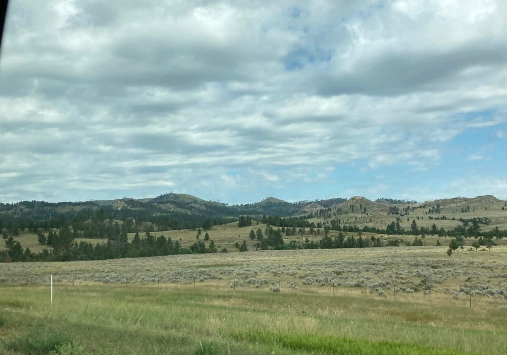
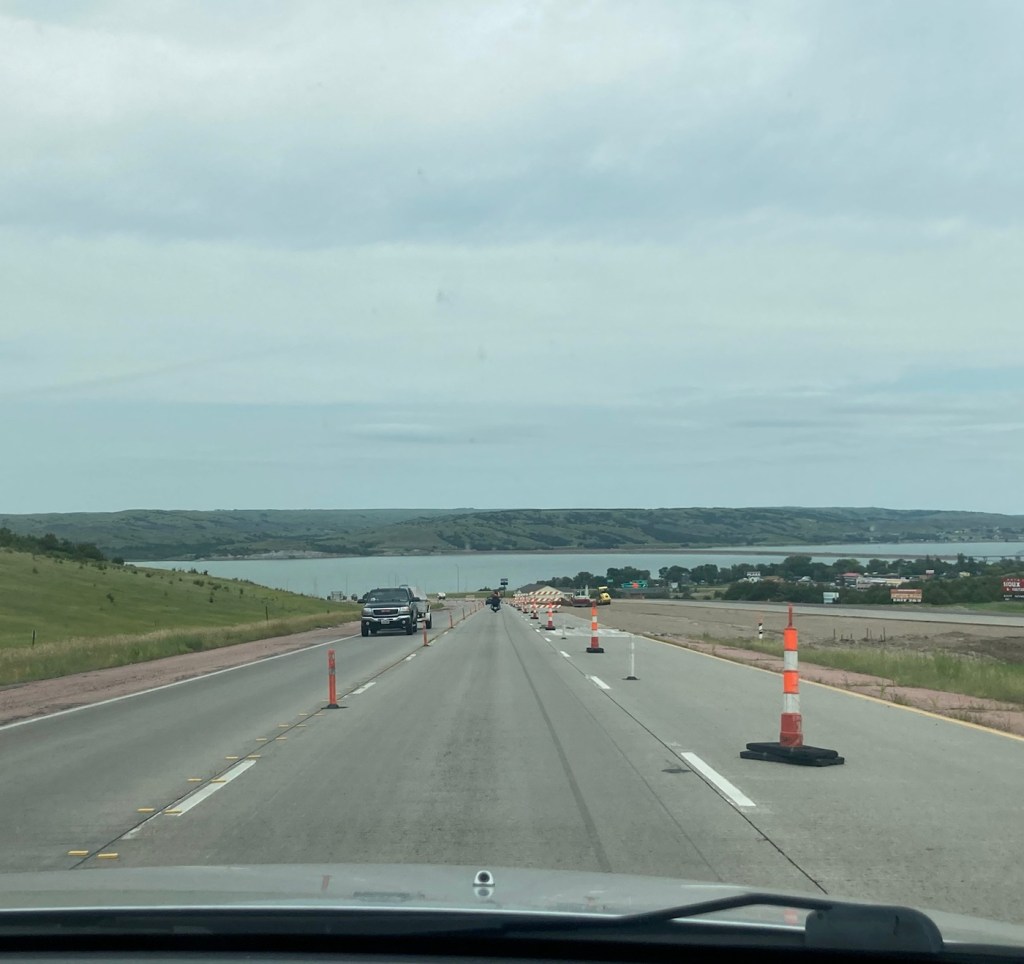
After we left the park , we had about a 7.5 hour drive to Bozeman, Montana, beginning by heading back into Rapid City, South Dakota. The entire drive from Rapid City through a little bit of Wyoming and then through Montana to Bozeman was really scenic and gave us a greater appreciation for this large, geographically varied country.
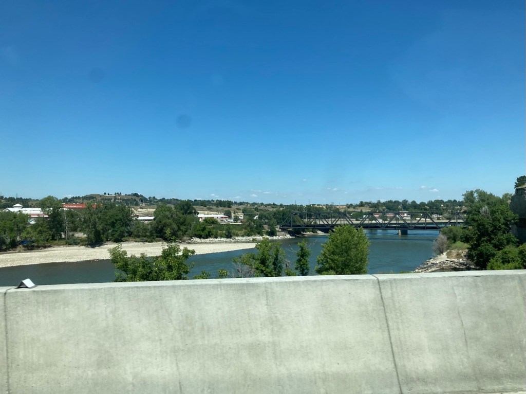
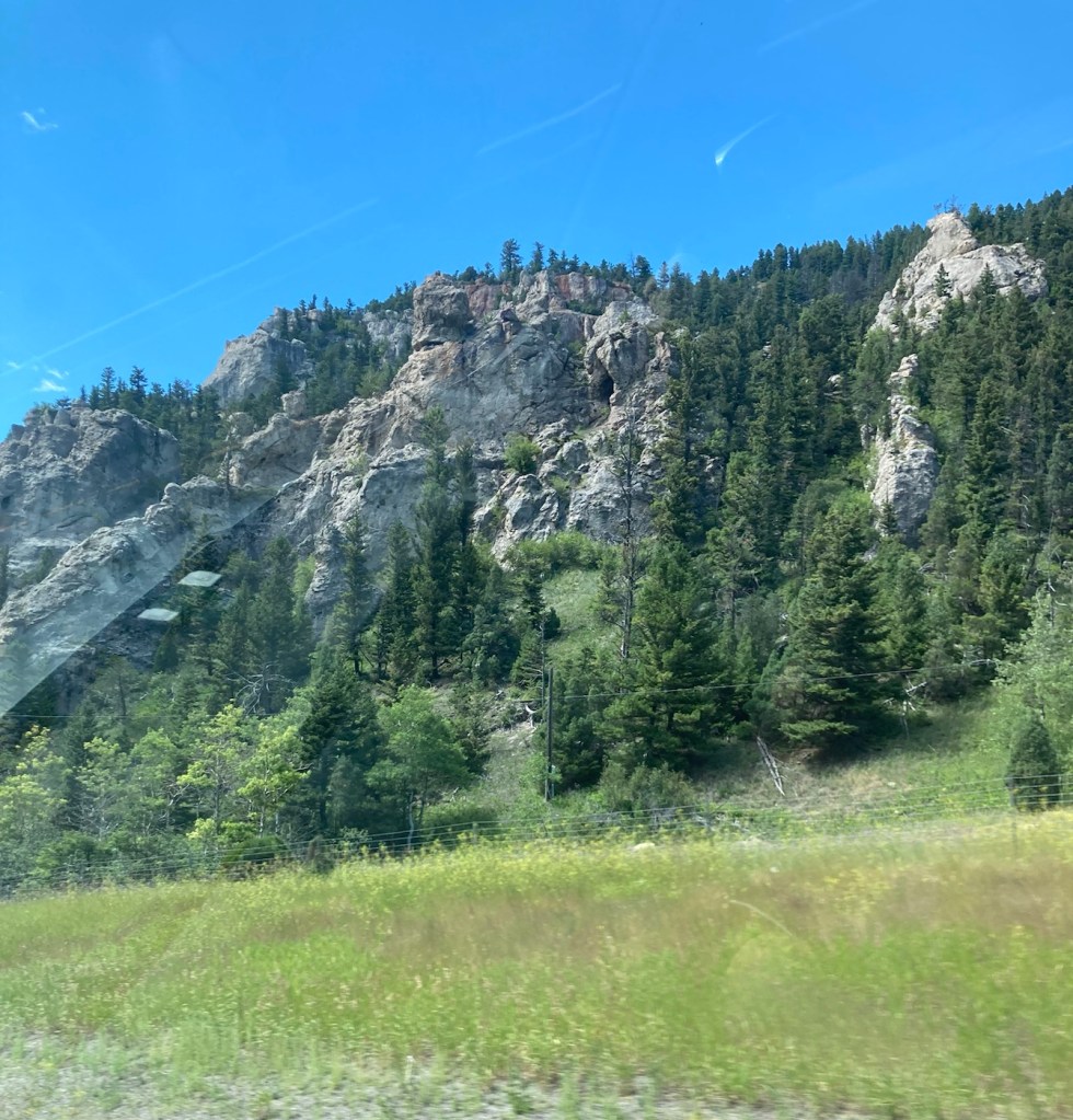
Heading into a short tunnel as we head back into Rapid City from Mount Rushmore.The beautiful green, grass covered hills of western South Dakota The butte and mesa-filled vistas of MontanaOne glimpse of many that we saw of the Yellowstone River in MontanaPart of the Bridger Mountain range along I-90
Early this morning (about 6:45 am), we left the sweet Becca and headed towards Rapid City, South Dakota, on our way to our next housesit in Bozeman, Montana.
Beautiful Becca
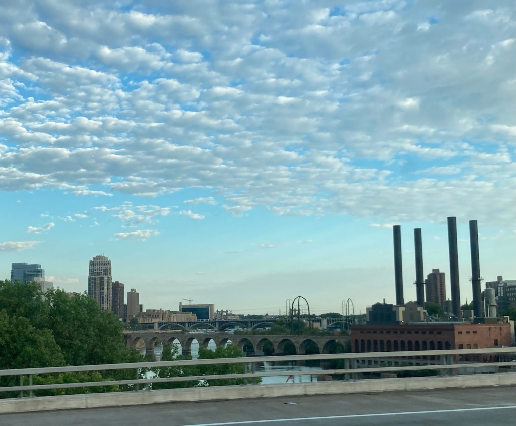
We loved our St. Paul housesit, maybe because both of us being Midwesterners, it felt like home — only with awesome bike paths. The drive today was 8.5 hours without stops.
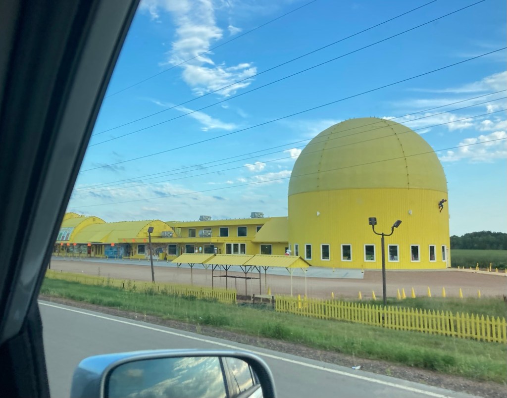
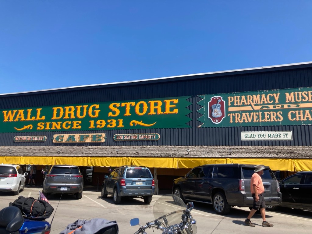
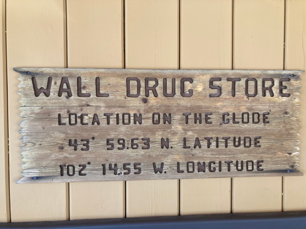
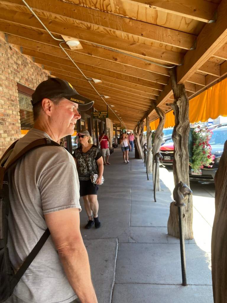
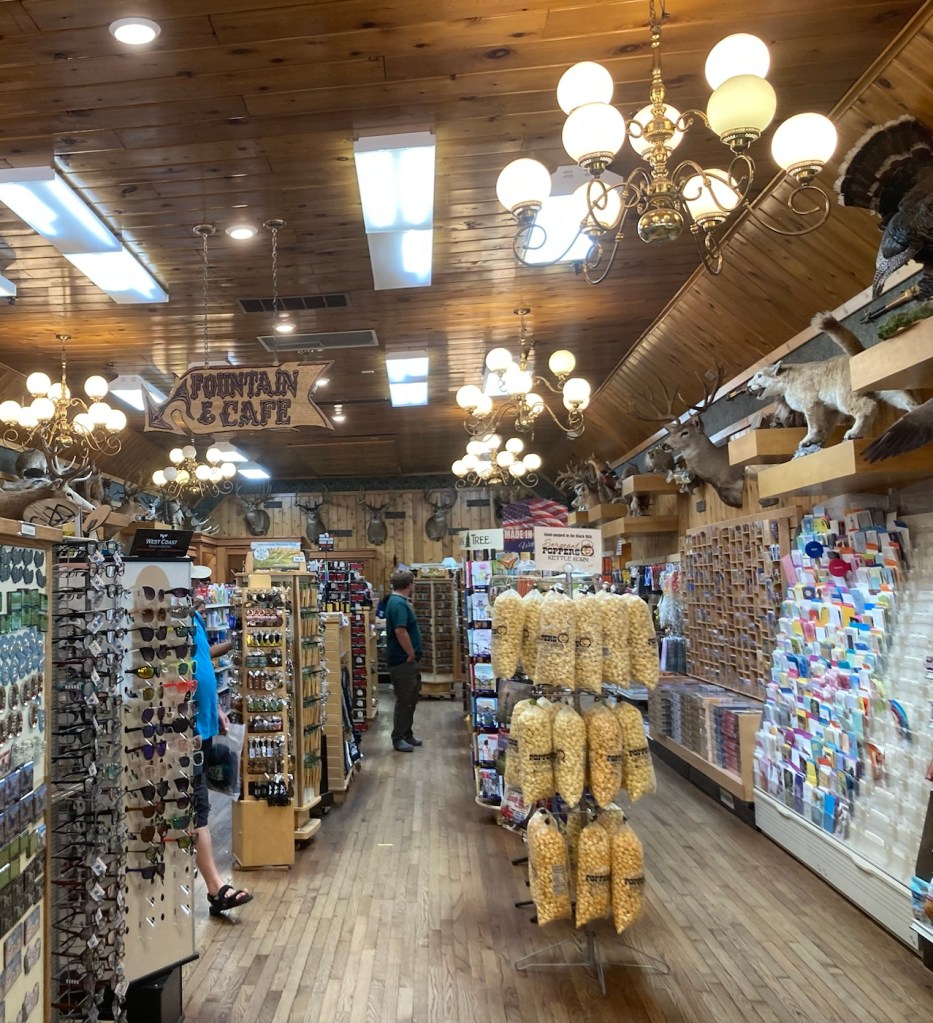
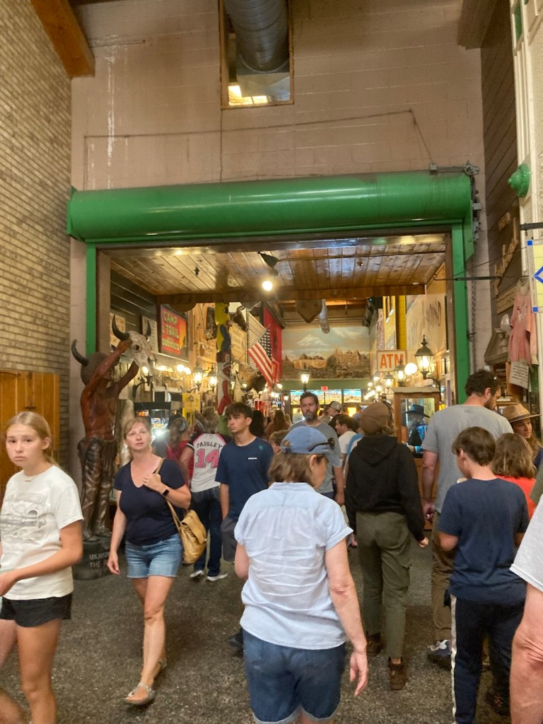
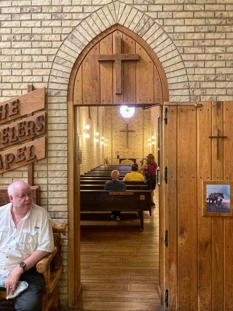
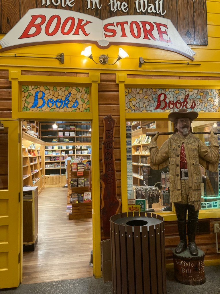
Driving by the Minneapolis Stone Arch Bridge on the way out.Driving by Minnesota’s largest candy store in Jordan, MN.Driving down towards a lake in South DakotaOne of MANY signs throughout South Dakota advertising Wall Drug in Wall, South Dakota Driving past a chainsaw art store in Wall, South Dakota, on our way to Wall DrugCrossing the main street in Wall, South Dakota, towards Wall DrugThe famous Wall DrugJust so everyone knows where they areWalking under the awning of Wall Drug What do you know, it is actually a drug store.That has drawn in many, many people due to all their billboards along I 90.But also with a traveler’s chapelAnd a bookstore And a fake Mount Rushmore
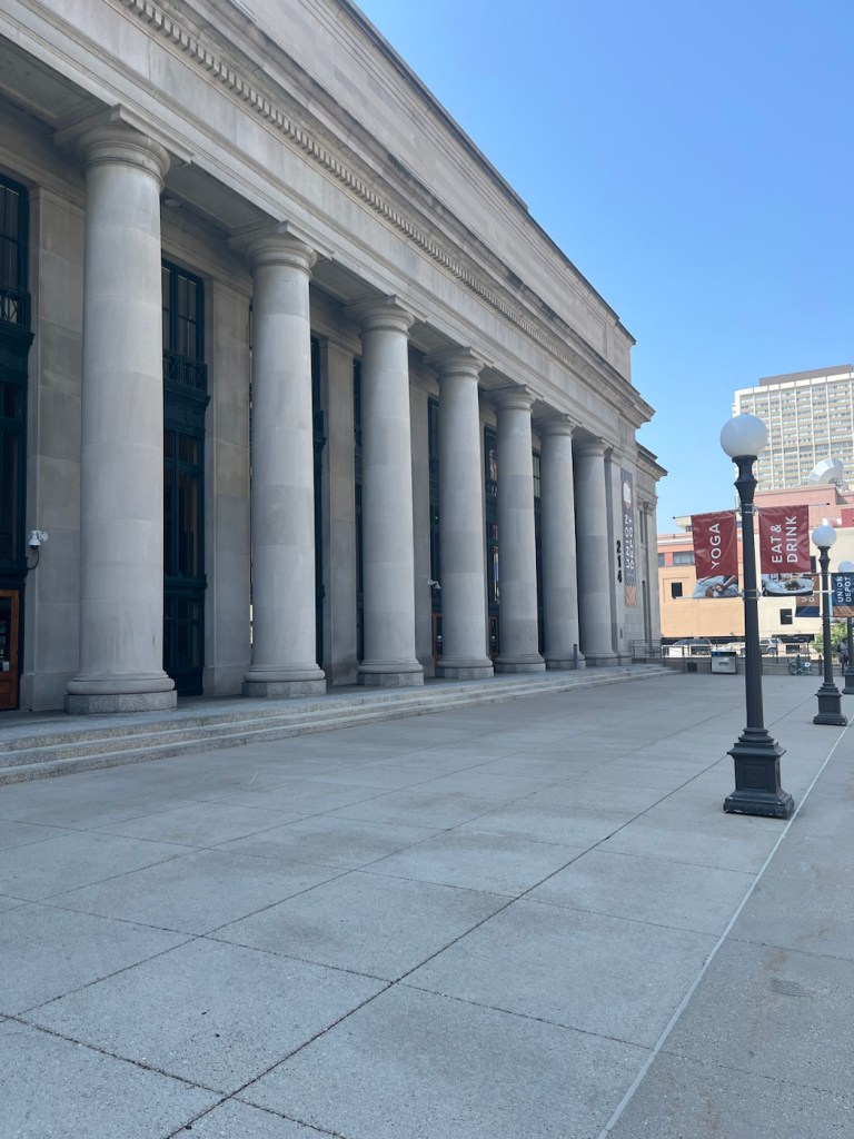
Bob and I gave equal opportunity to each of the Twin Cities today by doing a guided tour of the Union Depot in St. Paul and then doing our own “tour” of Lake Nokomis by walking the 2.5 mile trail around it. We continue to enjoy all the many free activities that this area offers.
I had read about the free historical tour of Union Depot on the Visit St. Paul website. These tours are just getting started and are currently being offered twice a month. We parked in the farthest Union Depot parking lot for $2.00. The tour was an hour long and provided by Cynthia of Cyn City Tours, who is paid a flat rate from Union Depot to conduct them. She also does haunted tours of the depot in October.
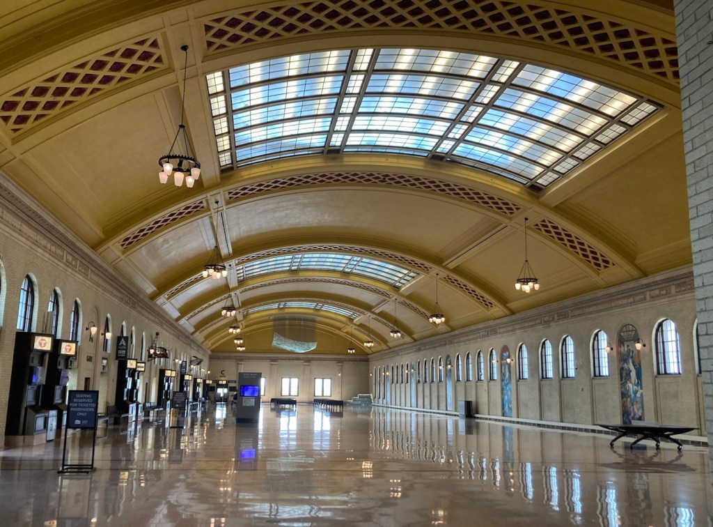
The current Union Depot building is the 3rd one on the site, the first two having been destroyed by fires that started in on-site restaurants. The original Union Depot opened in 1881 after James J. Hill (of the house tour that we did) convinced the other railroad owners to create one main hub. The current building was started in 1917 but didn’t open until 1923. It underwent renovations from 2010-2012.
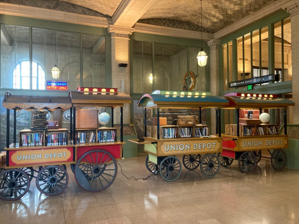
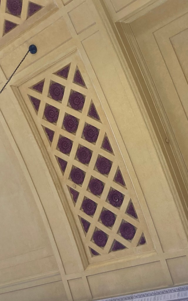
The front facade of the Union DepotThe Head House or entrance room from the street. The upstairs seating for the cafe is situated above what used to be the ticket windows.The waiting room which joins the Head House and the Concourse The Concourse where you board the buses, light rail, or trainsThe mobile free little library in the depotOne of many art installations in the depot. This is Lite-Brite Mural by Ta-Coumba Aiken. It is 216 square feet and contains 600,000 colored pegs that was put together by over 300 people in 22 days.This is Trainscape by Amy Bauer and Brian Bolton for the former carriageway of the depot, now used by taxis and Ubers.The current Union Depot building was designed by Charles Sumner Frost (also designed the Navy Pier in Chicago), whose daughter loved butterflies, so he hides a butterfly in all of his buildings. There is a small yellow butterfly on one of the red rosettes above.
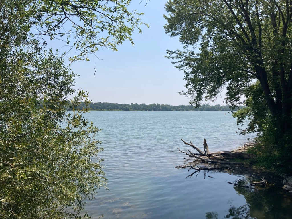
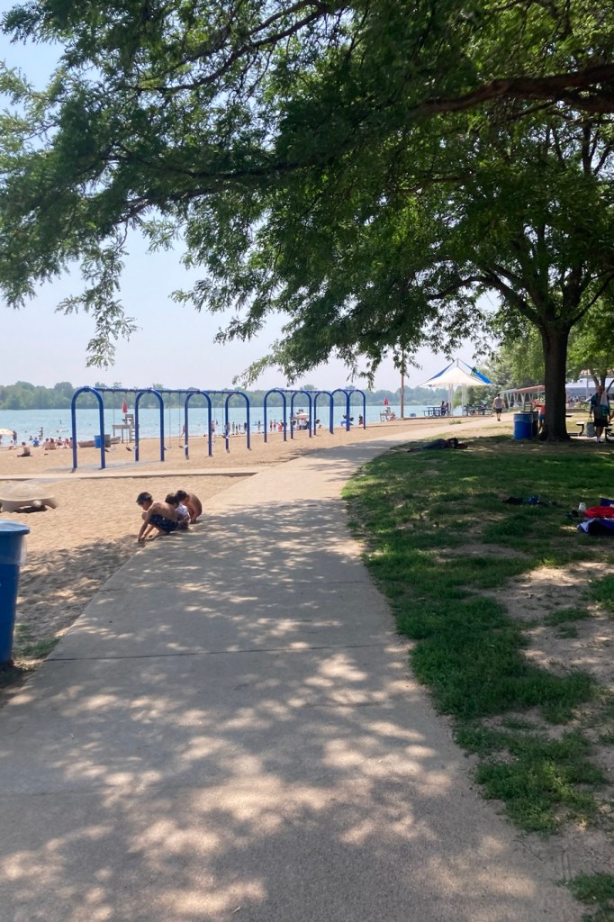
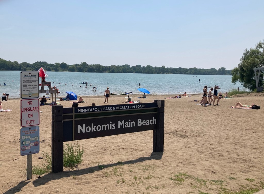
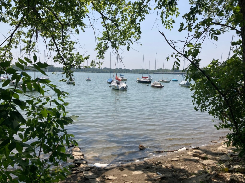
After the tour, we drove into Minneapolis to Lake Nokomis Park for a walk around the lake. Even at midday on a Tuesday, both the lake and the pathway were being enjoyed.
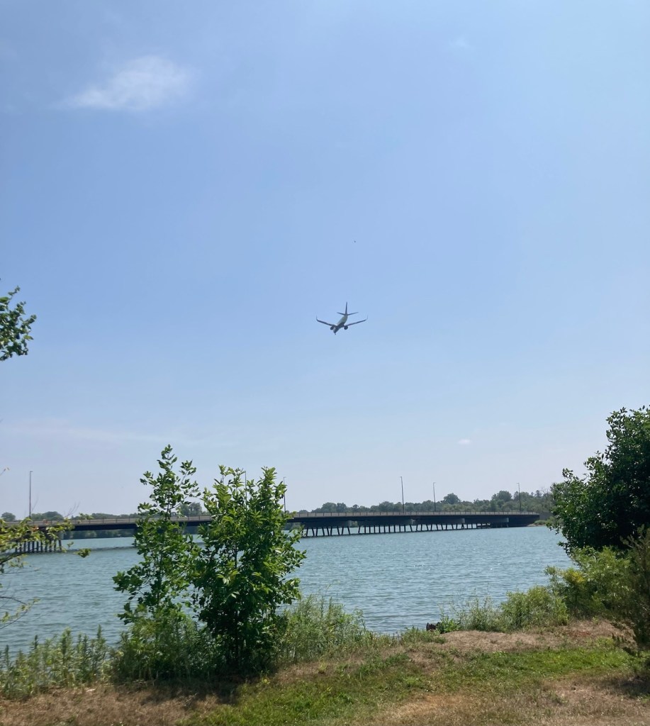
Lake Nokomis The pathway by the main beach areaFun in the sun. The temps have reached 90 F here, so a good day to be in or near water.Boats moored on the lakeMarsh area near the lakeWatching a plane descend at the airport as we walk on the far side of the lake.
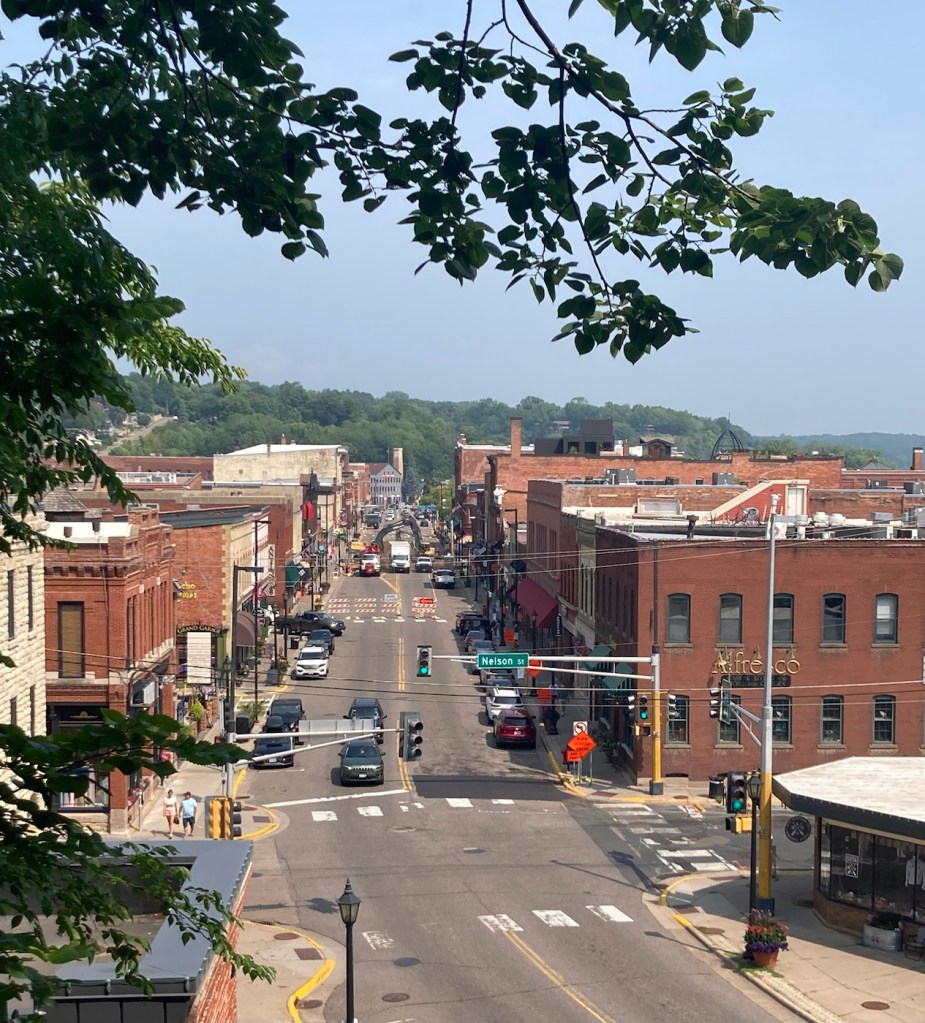
Bob and I broadened our horizons a bit today with a short 25 minute drive to the cute little town of Stillwater, MN. We had seen a sign for Stillwater when we did our bike ride on the Gateway Trail on Friday, and it had also been recommended as a place to visit by our friends here.
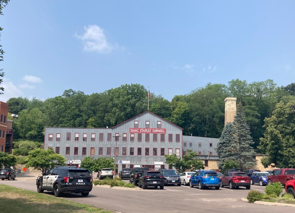
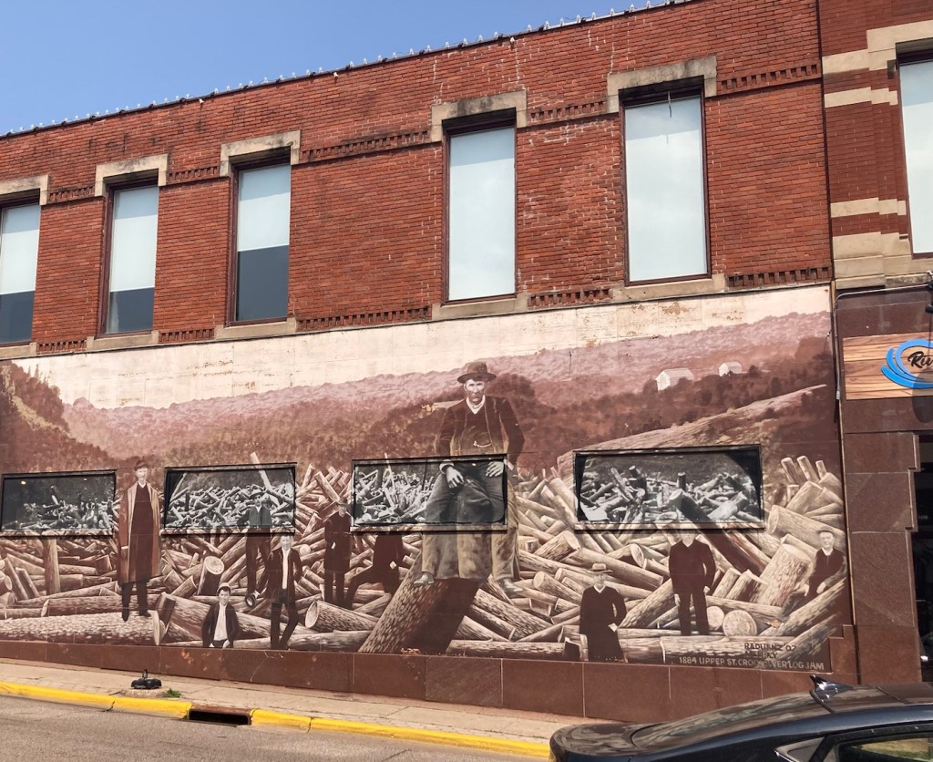
A quick online search told us that Stillwater has a population of about 19,000, sits on the St. Croix River, and is often called the Birthplace of Minnesota due to the territorial convention held here in 1848 in which the process of establishing Minnesota as a state was laid out. It was a lumber town in the last half of the 19th century, so Stillwater had a number of active sawmills at that time.
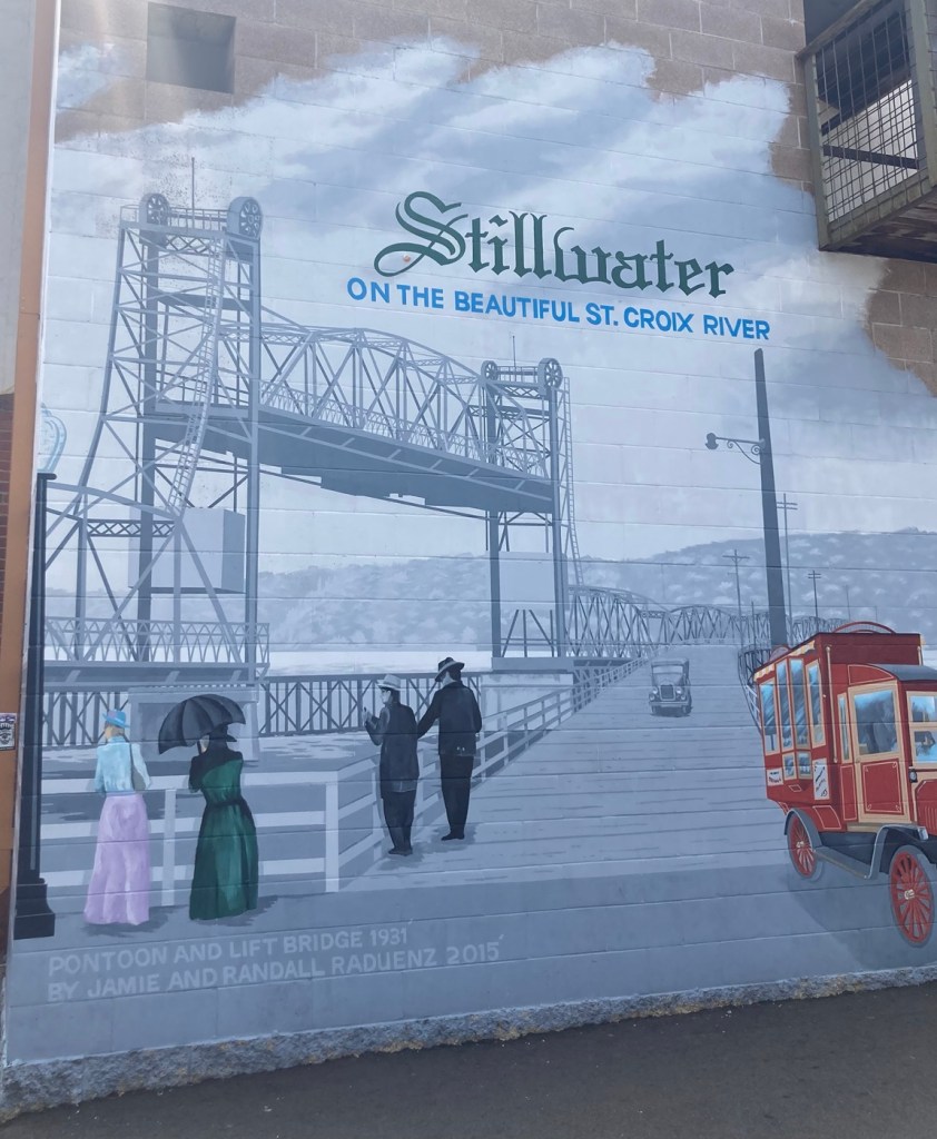
Currently, Stillwater is popular for its attractive downtown riverfront area, hiking, biking, and water recreation, and historical sights such as the Stillwater Lift Bridge.
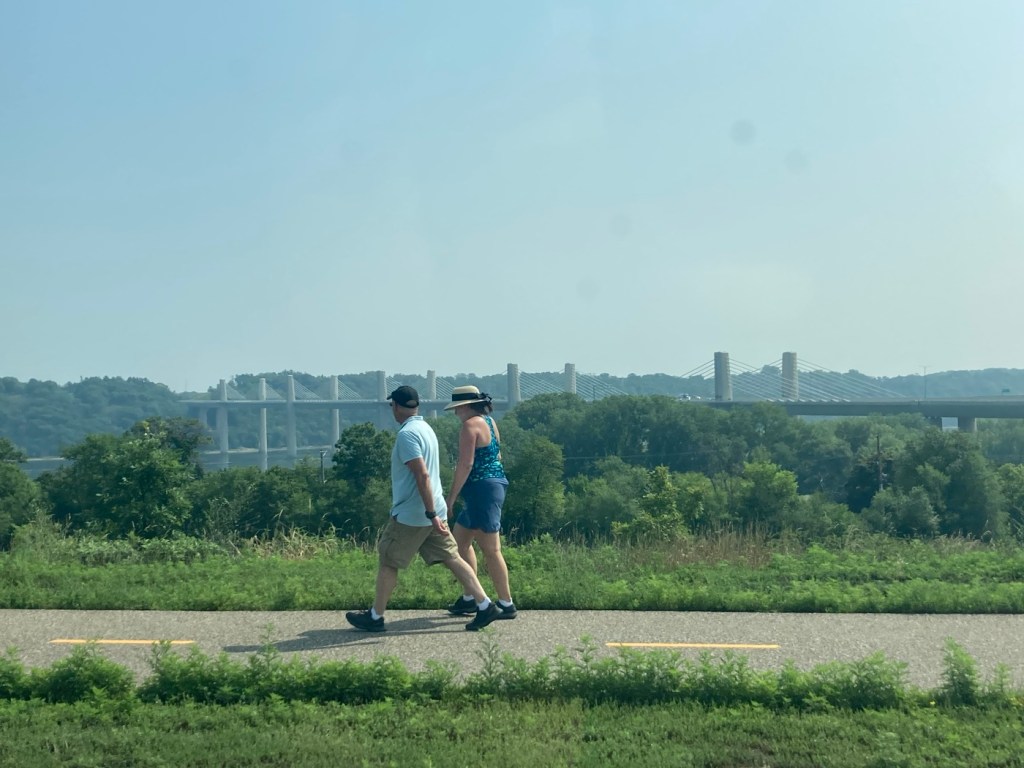
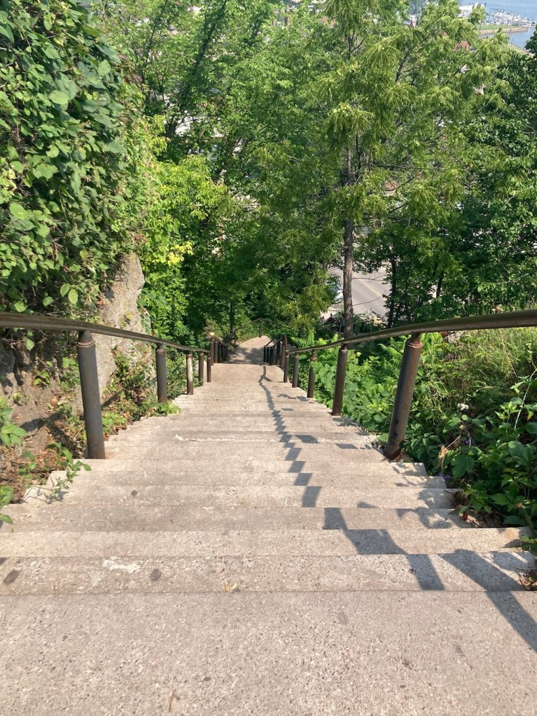
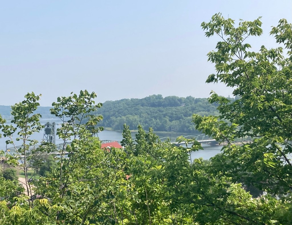
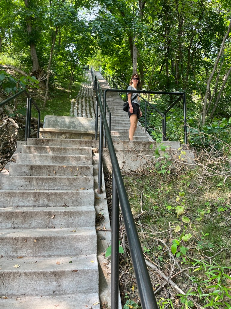
Two people walking the St. Croix River Crossing Loop Trail, which encompasses parts of both Minnesota and Wisconsin as you cross the bridge in the photo as well as the Stillwater Lift Bridge.Stillwater is built along a bluff. The downtown is lower, along the river, while most of the residential area lies above. We walked up (and down) a couple sets of stairs for the views.A view of the Stillwater Lift Bridge from aboveA view of downtown as we descended the stairs. The construction in the distance is for a new plaza that is supposed to be completed sometime this summer.
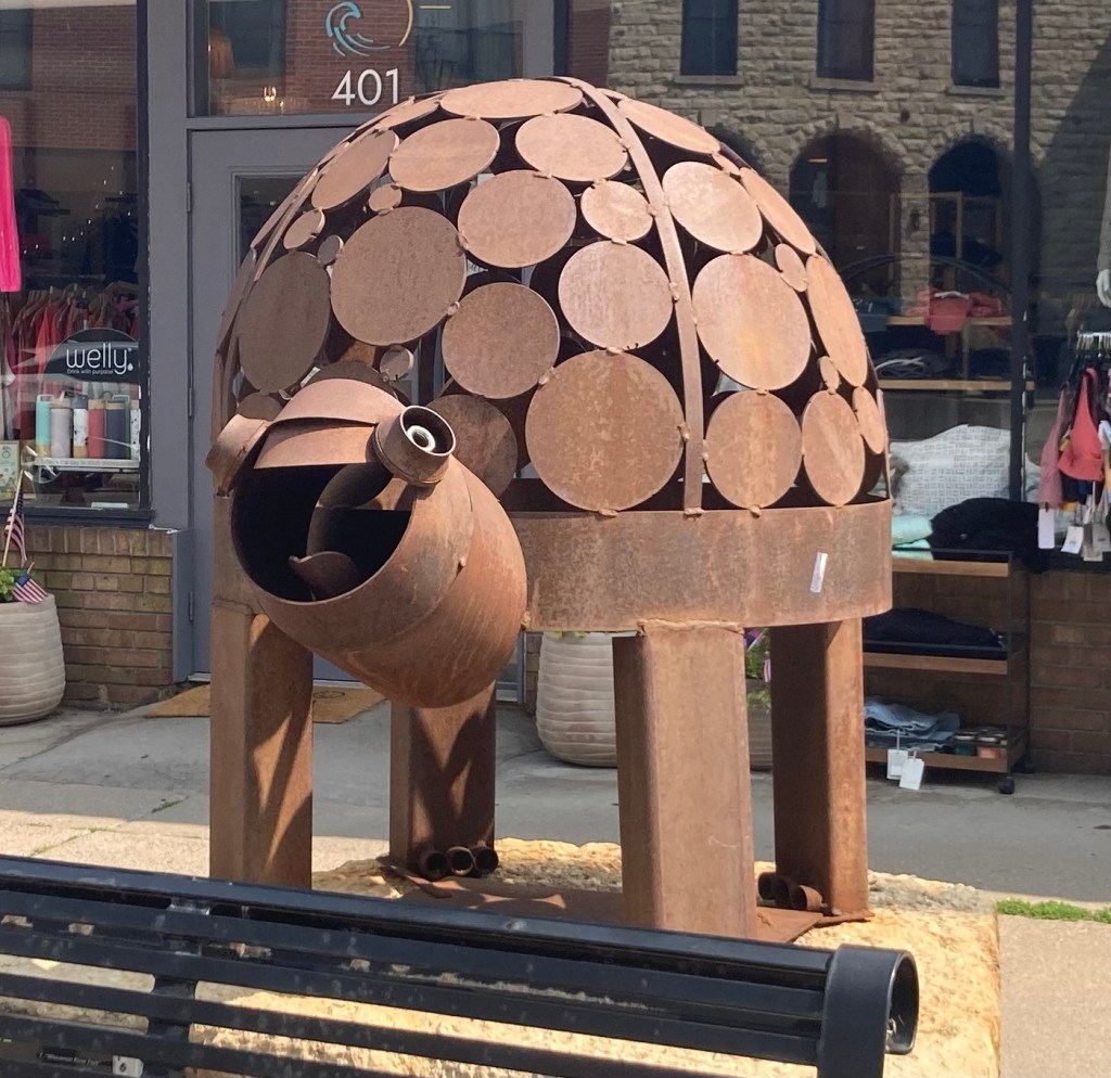
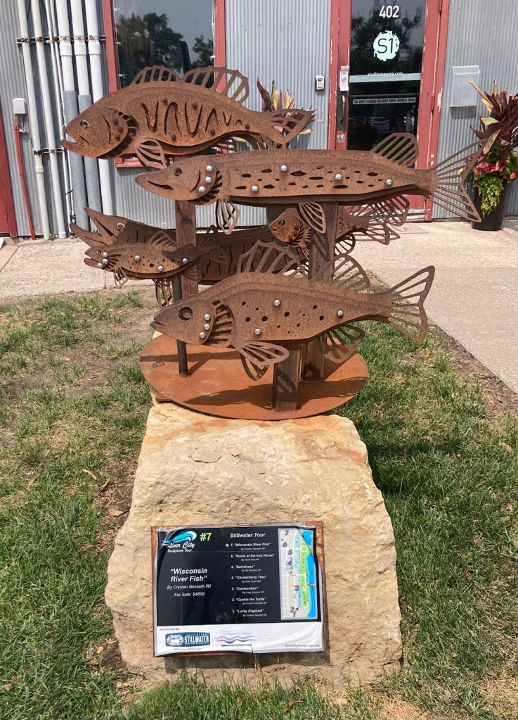
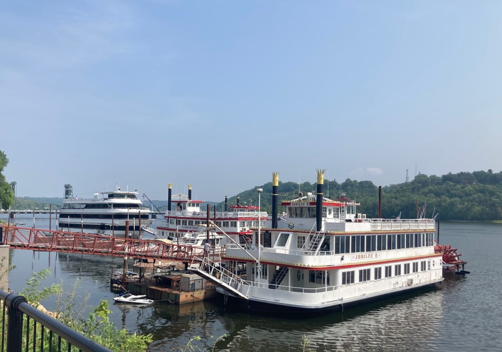
The downtown area had a number of attractive shops, restaurants, and hotels, as well as public art in the form of sculptures and murals. And, of course, the beautiful St. Croix River and bridges.
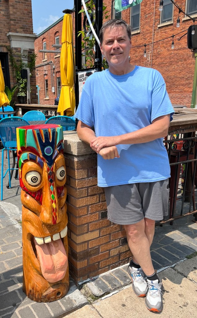
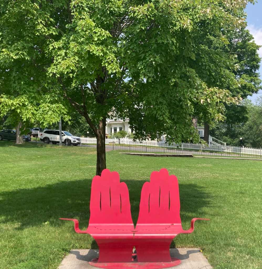
One of the old sawmills that is now a restaurant Another old sawmill that now holds a number of businessesOne of a number of metal sculptures downtown.Another metal sculpture Bob and a big tiki head.A pretty mural downtown Another mural portraying the town’s history Boats on the St. Croix for public and charter river cruises.A closer view of the Stillwater Lift Bridge, which connects Stillwater, MN and Houlton, WI.Walking across the Stillwater Lift Bridge (pedestrian and bike traffic only now)Walking back into Stillwater on the Stillwater Lift BridgeClimbing up another set of stairsThe helping hands bench in the pretty park at the top of the stairsLooking across the park to the St. Croix. The haze is from the Canadian wildfires.On the walk back down, we saw that the Stillwater Lift Bridge had lifted.
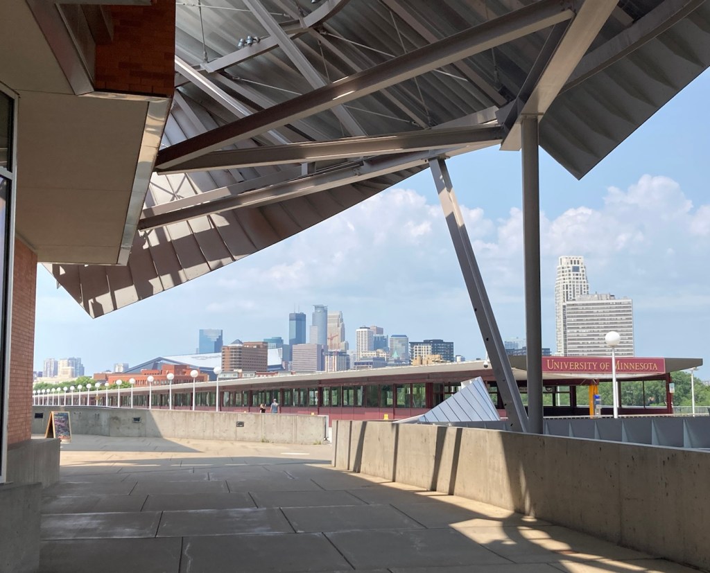
We started out the day headed for the free Weisman Art Museum on the University of Minnesota campus. We didn’t know much about the place but it was listed on a Things to Do in Minneapolis list and the photo of the building caught our eye with its curvy metal construction. It was designed by Frank Gehry (also of Guggenheim Bilbao and Walt Disney Concert Hall in Los Angeles fame).
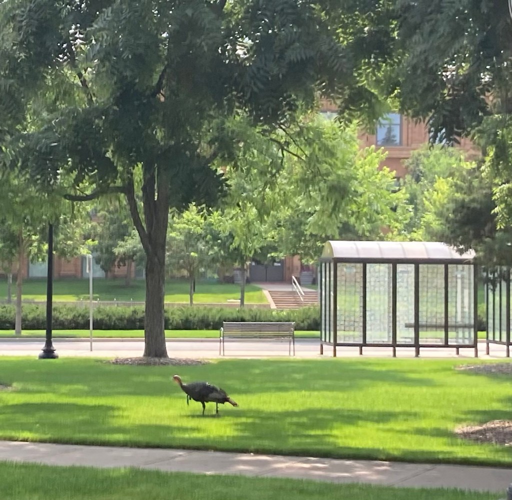
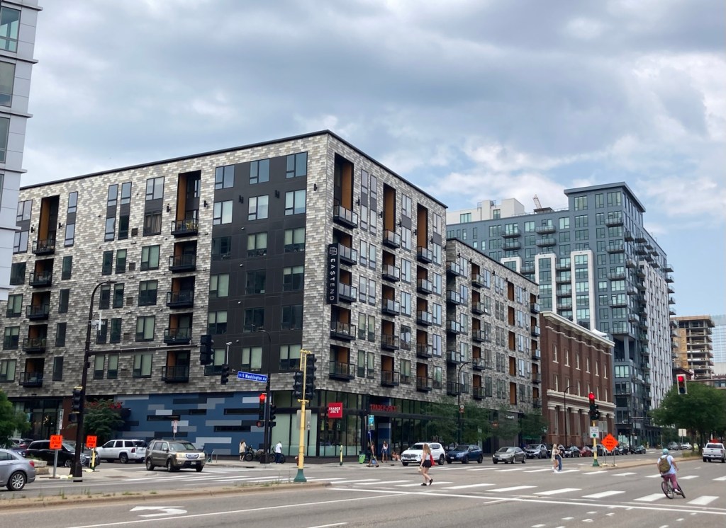
We parked in a section of Minneapolis near the university called Dinkytown, which is the commercial center of student life. So you can imagine our surprise when one of the first things we saw when we crossed the street onto campus was a wild turkey. In fact, there were quite a few of them wandering around.
Ensuring we weren’t the only turkeys roaming the U of M campus today
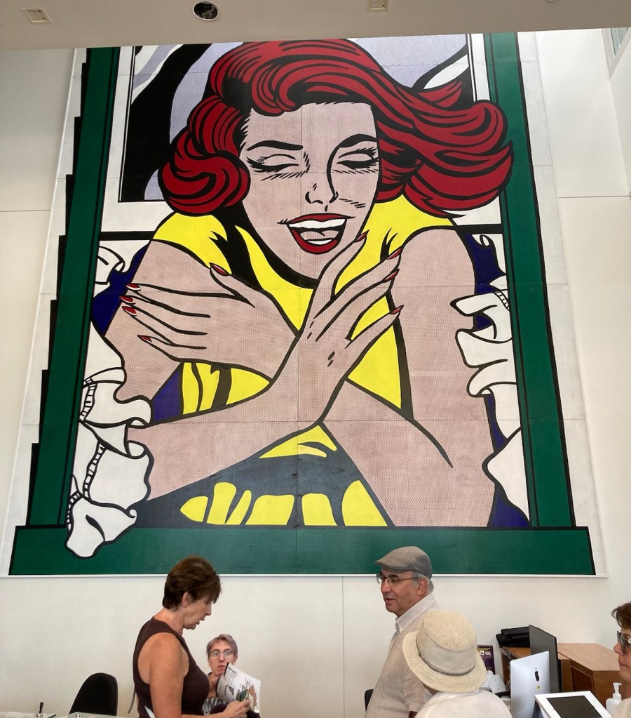
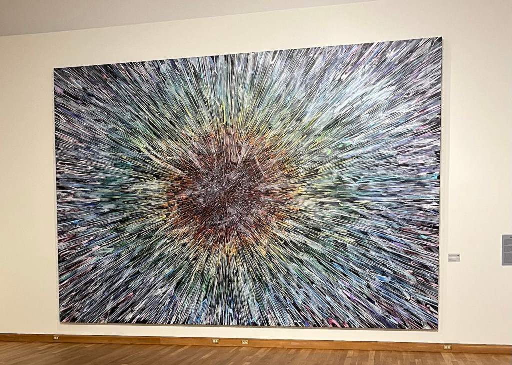
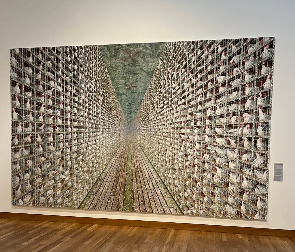
Not having a ton of expectations about the art museum, the five or six room museum was really well done, so many interesting pieces, including some by Doug Argue, a Saint Paul native.
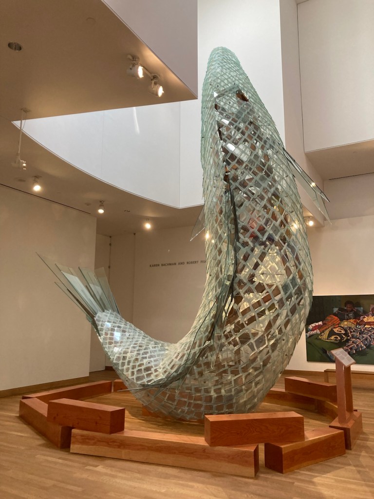
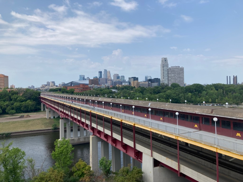
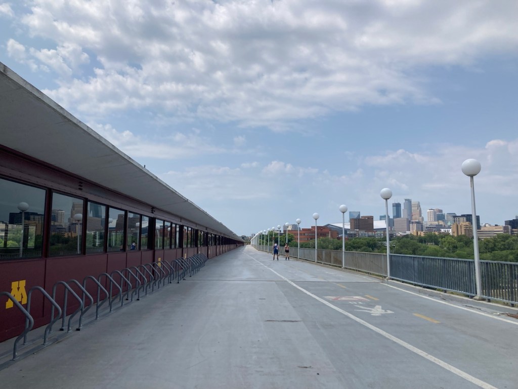
The very cool Weisman Art Museum (WAM)A Lichtenstein above the check-in deskFrank Gehry’s “Standing Glass Fish” that’s on loan to the WAM from The Walker Art Center in Minneapolis A very clever exhibit by Edward and Nancy Keinholz. Once you enter the outer door, you walk down a hallway with apartment doors that play sounds when you lean into listen (a dog barking, tv, and other noises you would hear coming from an apartment).“Genius” by Doug Argue. This was commissioned for the new World Trade Center building. Letters and words appear in the work, which I found fitting for someone named Argue.This is commonly referred to as the chicken painting, and really who could Argue with that? We were just amazed at the detail and amount of work.The view of downtown Minneapolis from the entrance to the WAM.A two-tier bridge which allows autos, light rail trains, bikers, and pedestrians to cross the Mississippi. University buildings lie on both sides of the river, so this is very helpful.Another view of the Mississippi from the WAM.
After exploring the WAM, we headed over the Mississippi to see some of downtown Minneapolis as well as the Stone Arch Bridge.
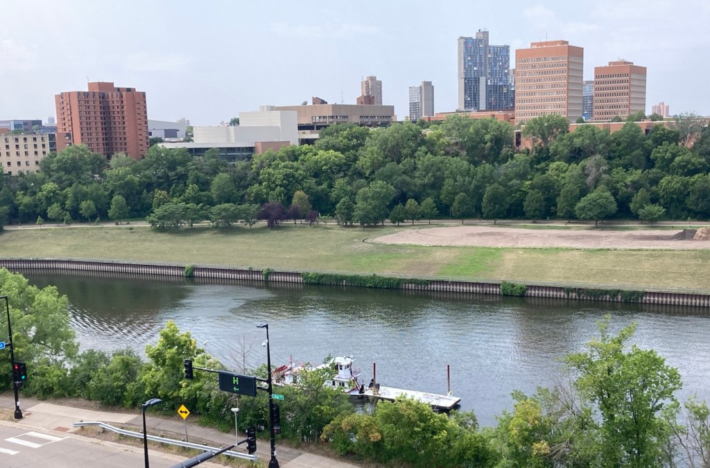
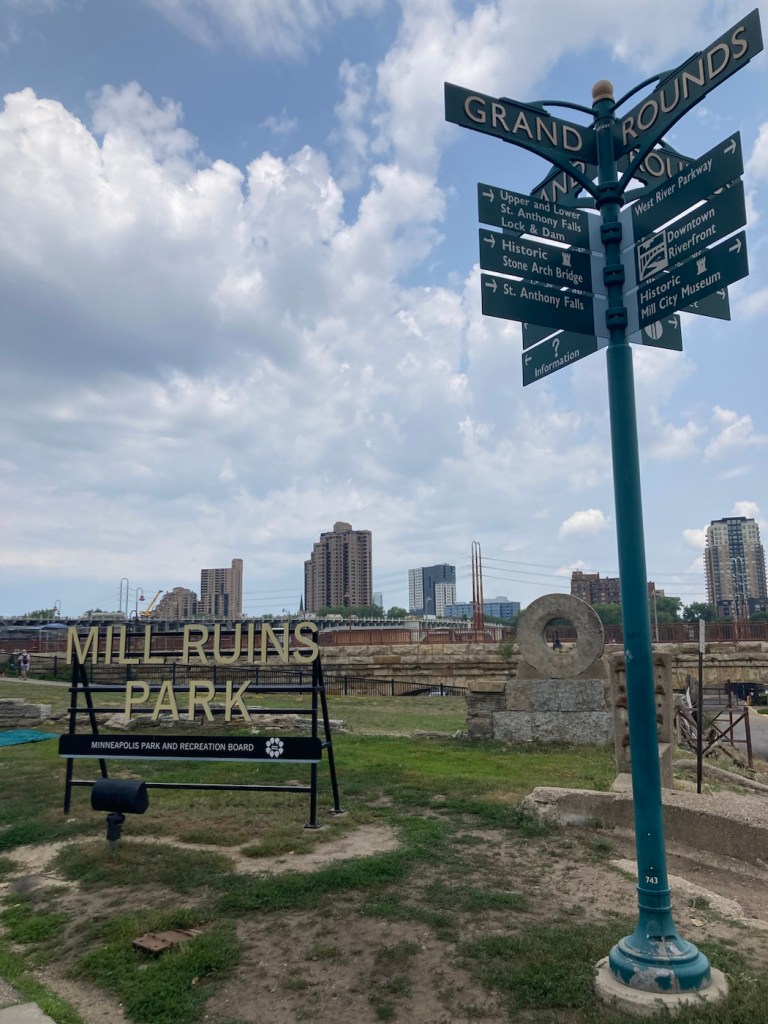
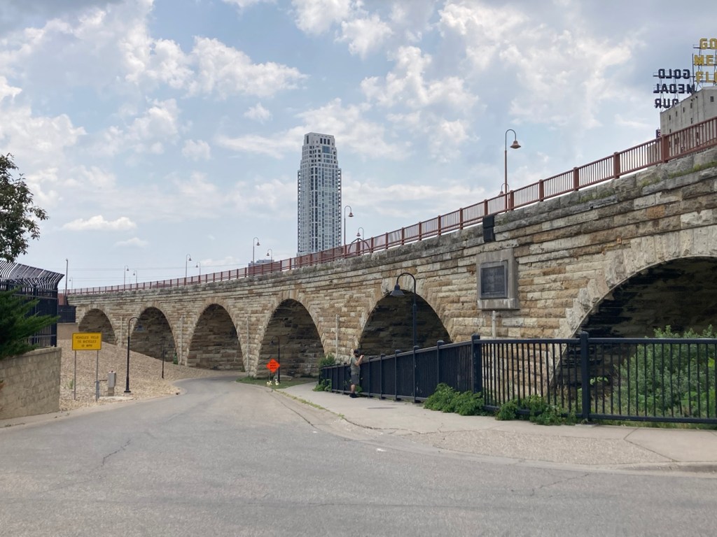
Crossing the Mississippi via the pedestrian portion of the two-tiered bridge Modern buildings in downtown Minneapolis Some older buildings in the old mill area of the cityMill Ruins Park opened in 2001 and includes the ruins of 19th century mills. The park encompasses the original property of the Minnesota Mill Company.The Stone Arch Bridge was beautiful is recognized as a National Civil Engineering Landmark and was built by James J. Hill’s (from Thursday’s tour) Great Northen Railroad.The Hennepin Bridge that we crossed over to get back to our car since the Stone Arch Bridge crossing was closed for an event.A bridge connecting Nicollet Island to Boom Island Park, which we saw as we crossed the Hennepin Bridge.
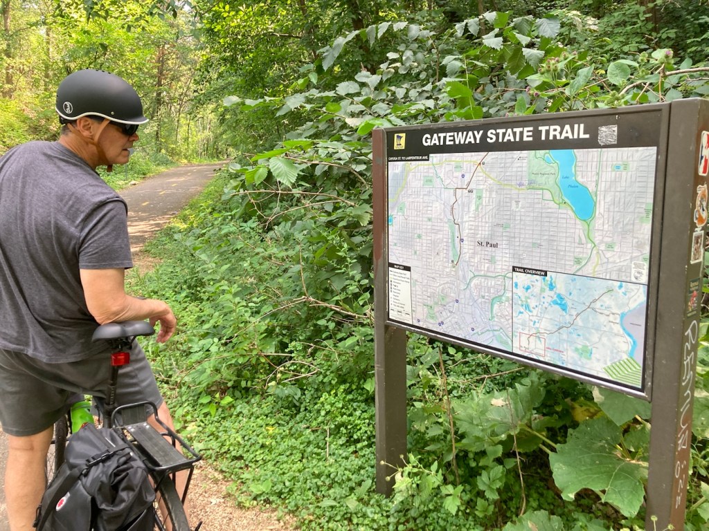
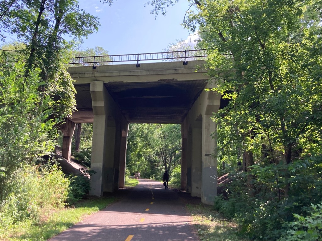
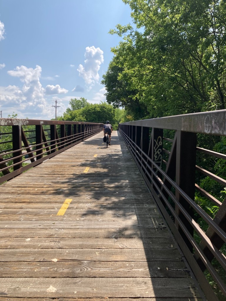
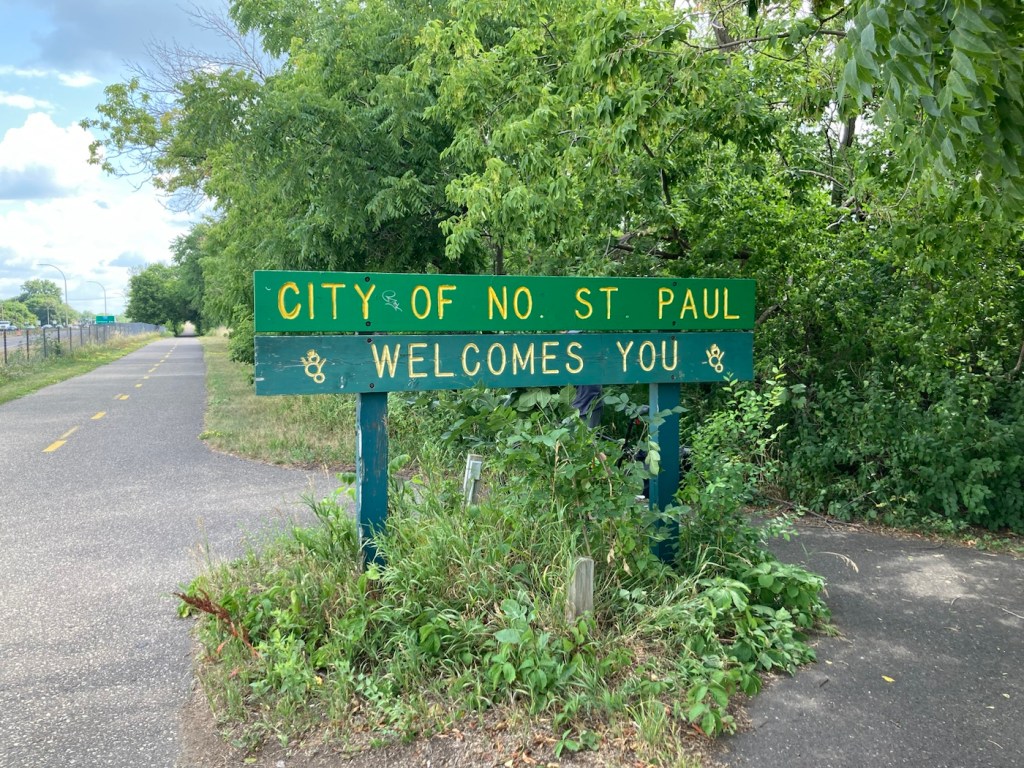
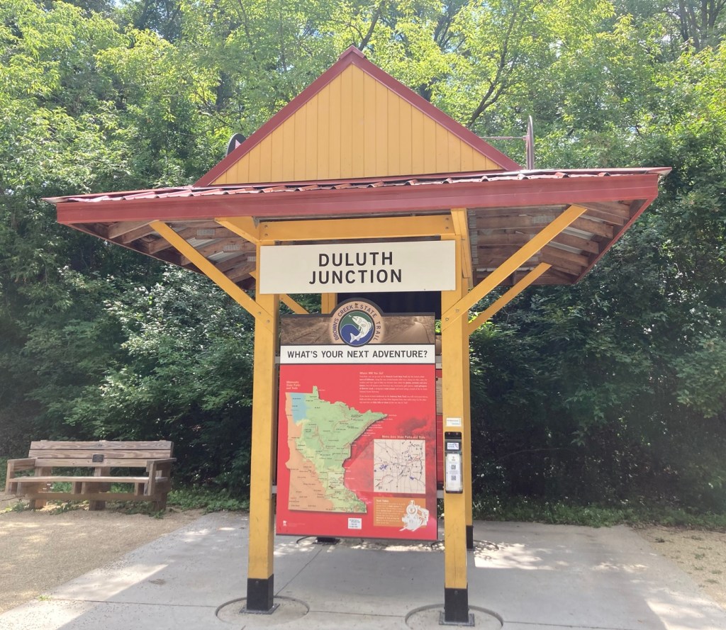
Bob and I were back on the bikes today to cycle part of a trail that we had passed when we biked to Phelan Park a few days ago. The Gateway State Trail is an 18-mile multiple use trail that begins in the city of St. Paul and travels northeast through the cities of Maplewood, North St. Paul, and Oakdale, and ends at Pine Point Regional Park. It is located on a former Soo Line Railroad grade.
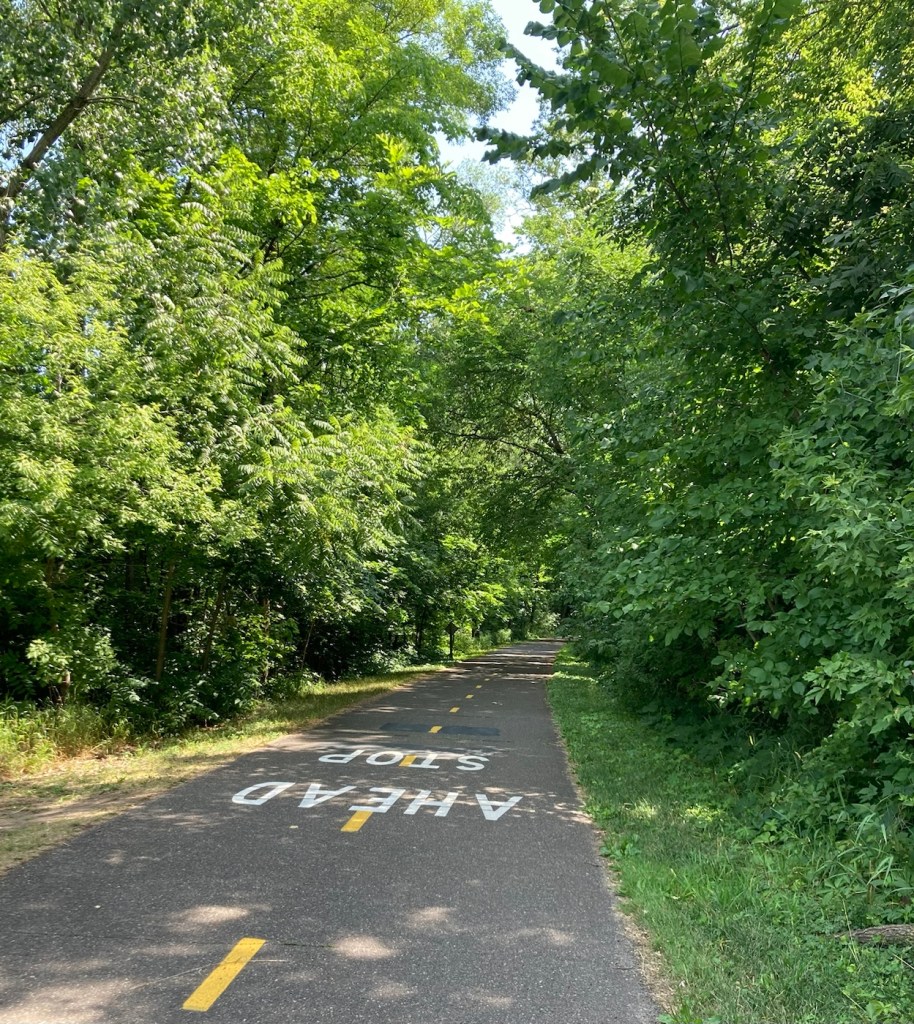
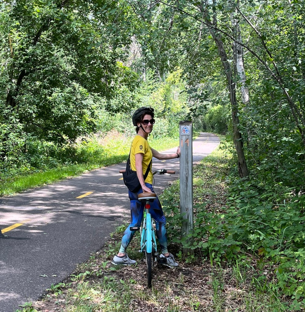
We didn’t do the full 18, as part of it is closed for maintenance, and we haven’t done that much biking recently, but we did 12 miles out and back for a total of 24. Plus we did a few miles to the trailhead and back. The Gateway State Trail was impressive, fairly level, and shaded. Sections of the trail have a horse path that runs alongside of it.
We started our bike ride using Wheelock Parkway, as we did the other day. However, on the way back, we branched off onto Trout Brook Pathway, which took us along McCarrons Lake and then into the Reservoir Woods, which we could exit into the neighborhood where we are doing the house sit.
We were out biking for almost 3.5 hours and got into the house a few minutes before a quick downpour came through.
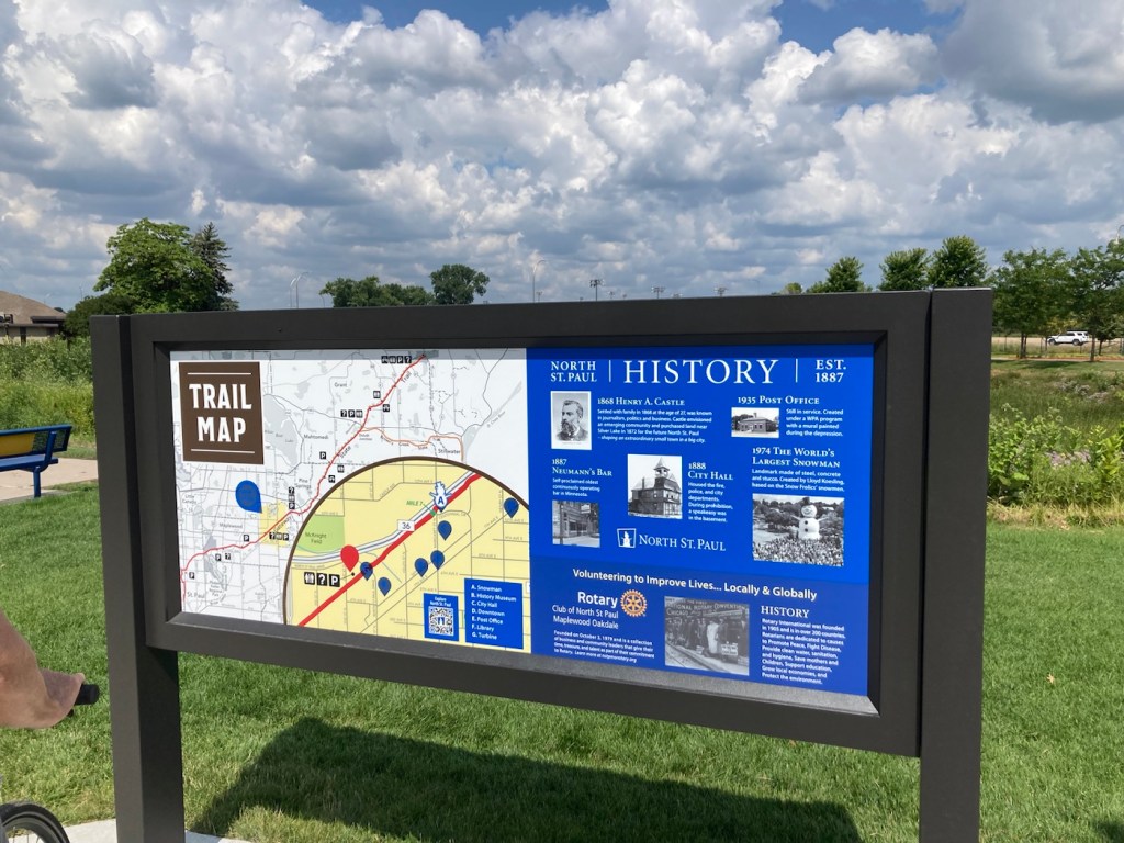
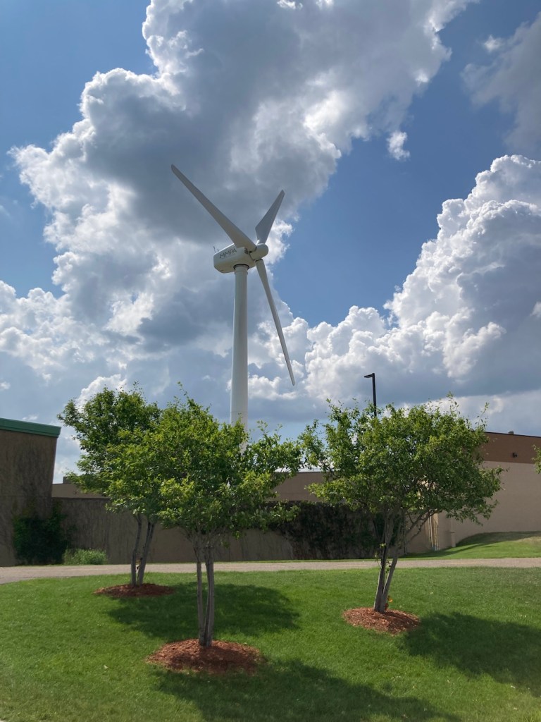
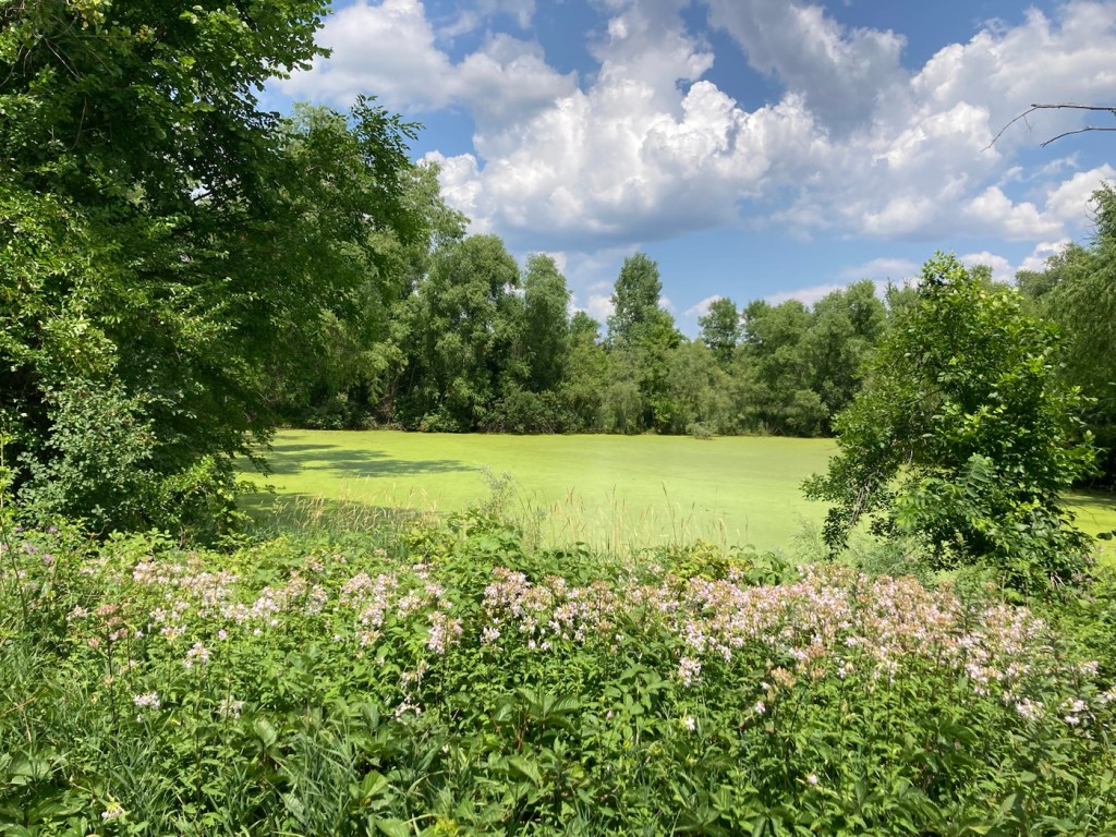
Checking out the trail mapThe lovely, shaded trailOne of many underpasses And one of many bridgesAlways nice to be welcomed There were a number of trailheads along the trail. This was a nice one in North St. Paul with a small building with restrooms and benches provided by the Rotary Club.A wind turbine across from the trailhead and near North St. Paul administrative offices.A lake along the trailA cute rest area along the trailHelpful signage. We continued in the direction of Pine Point Regional ParkOur turnaround point. We began the trail at mile 2.Lots of green, including the algae-filled water, which seems pretty common hereOne view of McCarrons LakeAnother view of the pretty lake with a number of homes along it
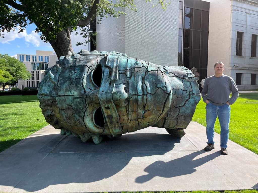
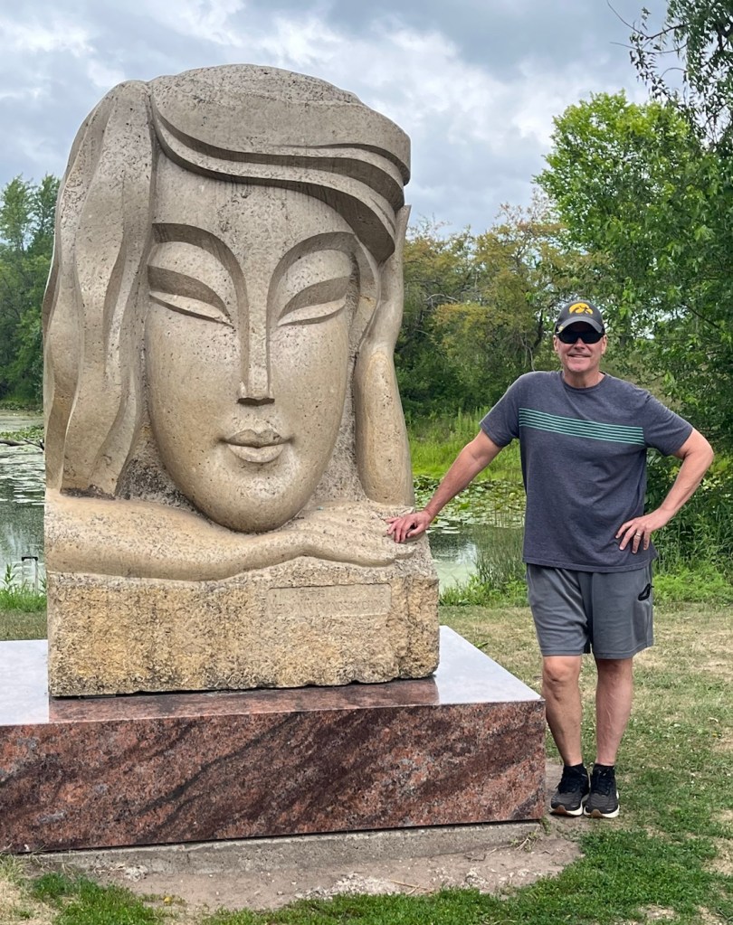
We’ll, it wouldn’t be much of a visit, at least not for Bob, if we didn’t get a big head photo or two for his collection. So far during our St. Paul sit, we have two — one in front of the Minneapolis Institute of Art and one in Phelan Park in St. Paul.
Bob and Eros Bendato Screpolato by Igor Mitoraj.Bob and Contemplation by Lei Yixin (who also sculpted the impressive MLK Statue of Hope near the National Mall)
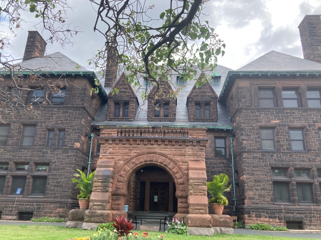
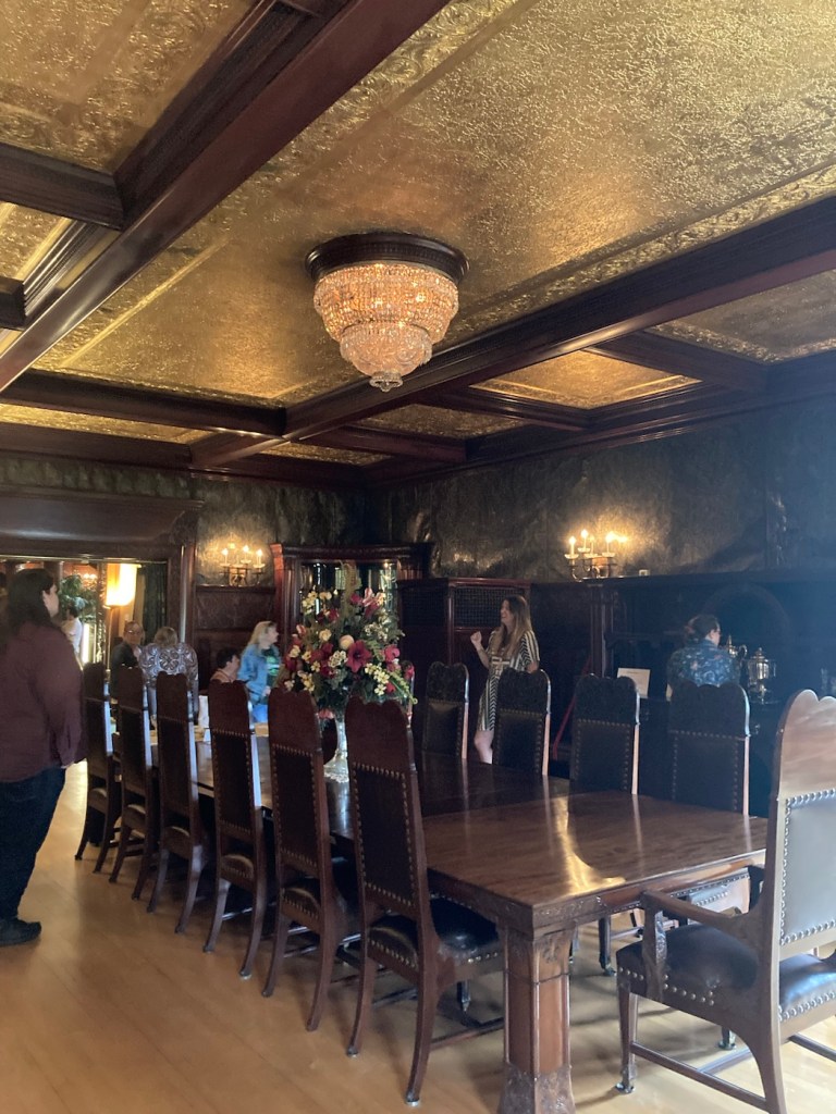
Today, we did a guided tour of the James J. Hill house. James J. Hill was a native Canadien, who made his fortune in the US as a railroad titan. He was called the Empire Builder. He built a line from St. Paul to Seattle and Amtrak calls the line the Empire Builder, a few years ago we road that line.
His home, completed in 1891, was once the largest private residence in the state. At 36,000 square feet, the house had with 13 bathrooms, 22 fireplaces, a three story pipe organ, as well as electric lights and security system. The final cost to build the home was $932,000, which would equal 31 million in today’s dollars. The guide provided interesting details of his and his family’s life as well as the home.
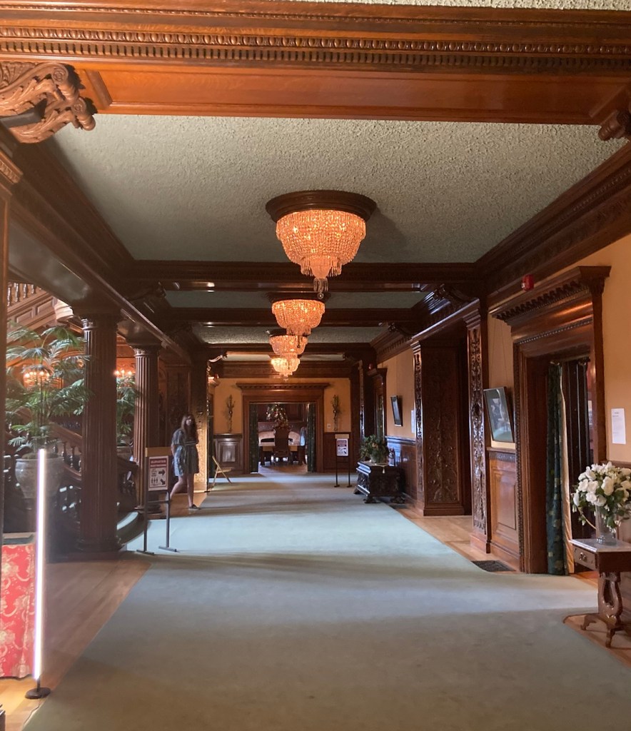
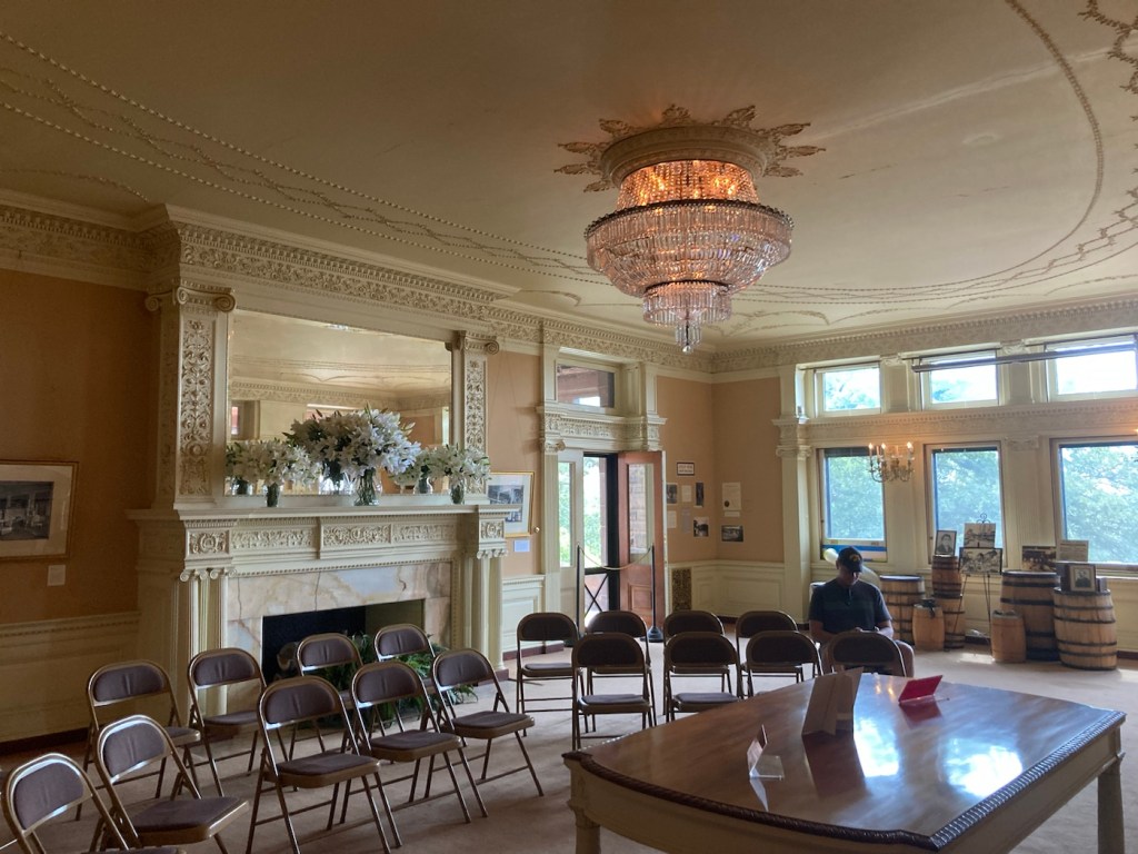
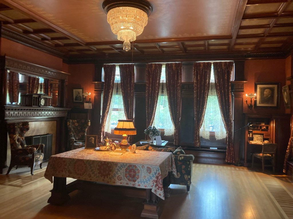
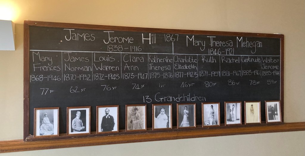
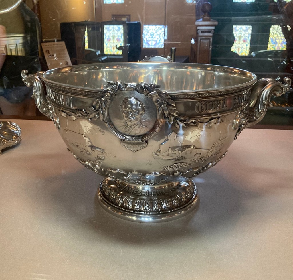
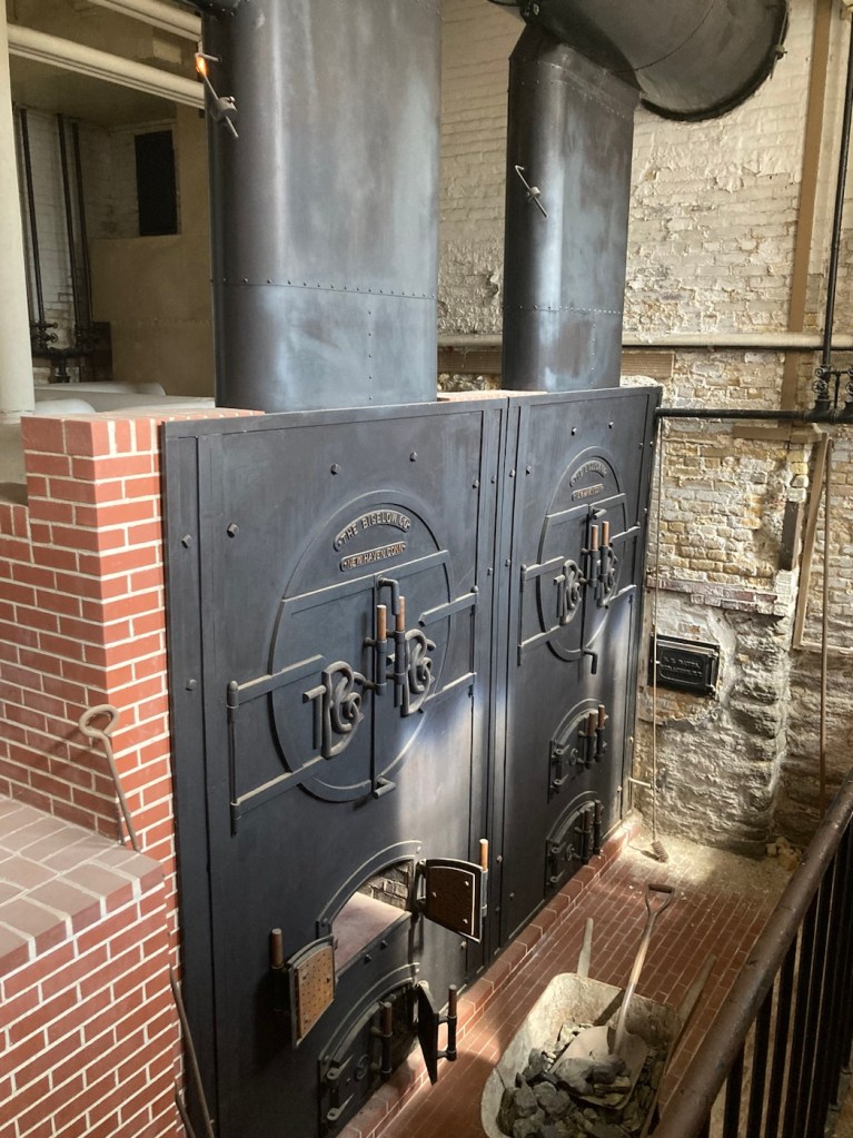
The James J Hill House on beautiful Summit Avenue in St. Paul.The 2,200 square foot ground floor hallway that the Hills used as a ballroom for entertaining.The impressive pipe organ in the family’s music roomThe Drawing Room where our tour beganThe family’s informal dining roomThe formal dining room. The wall covering is hand-tooled Venetian leather above hand carved wood.A view from the home. In Hill’s time it would have looked onto the Mississippi River.The names of the Hill’s 10 children on a blackboard in the upstairs school room A silver punch bowl given to James Hill by the city of St. Paul upon the completion of the Great Northern Railway, much of which he personally financed.A replica of the locomotive coal furnaces that were used to heat the home
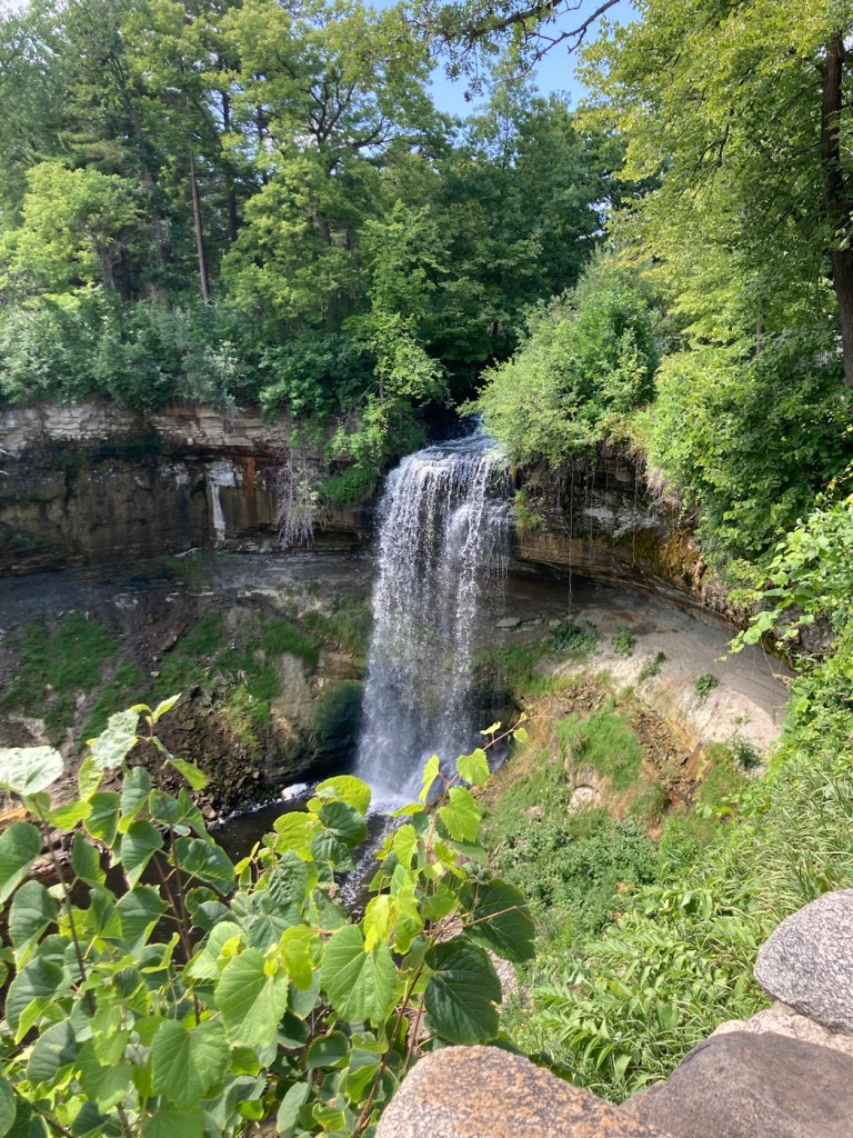
Minnehaha (Ha Ha!) Regional Park is a city park in Minneapolis, the “twin” city to St. Paul. Minnehaha Regional Park is home to Minnehaha Falls and the lower reaches of Minnehaha Creek. It lies within the Mississippi National River and Recreation Area (didn’t know there was such a thing). The 170-acre park was designed by landscape architect Horace W. S. Cleveland in 1883 as part of the Grand Rounds Scenic Byway.
The Wikipedia entry for Minnehaha Falls claims that the lovely waterfall within the park was made famous by Henry Wadsworth Longfellow (who never visited the park but saw photos of the falls which were made as early as 1852) in his 1855 poem, “Song of Hiawatha.” There are a number of references to Hiawatha, Minnehaha, and Longfellow throughout the park.
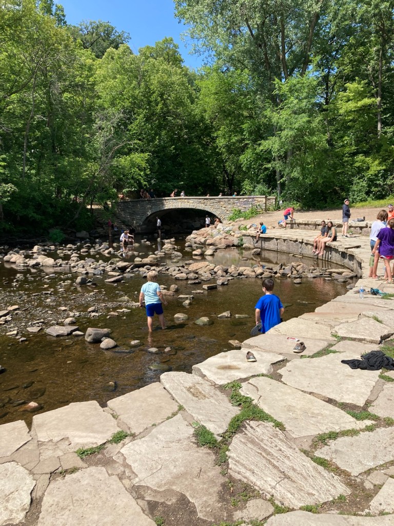
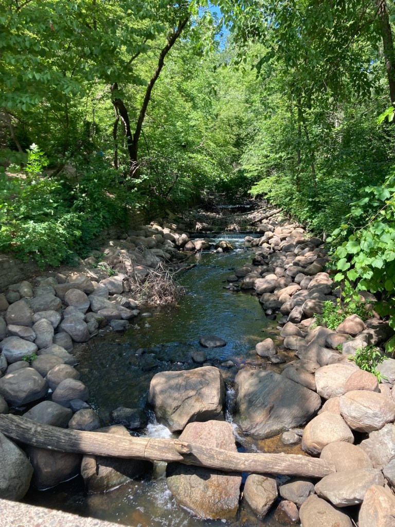
The park was full of children at summer camp, families, and other visitors. After we visited the falls and the main section of the park, we continued on to the Longfellow Gardens and walked part of the great hike and bike path along Minnehaha Creek to Lake Minnehaha.
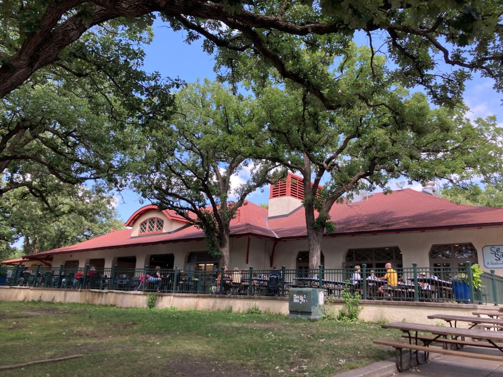
The popular Sea Salt Restaurant within Minnehaha ParkMinnehaha FallsSong of Hiawatha Garden near the fallsPeople enjoy the creekAnother view of Minnehaha CreekThe statue “Hiawatha and Minnehaha” by Jacob Fjelde, erected in 1911.Some of the beautiful flowers in Longfellow GardensMore flowers in the Longfellow GardensStatue of Longfellow (sign noted it was temporarily closed, so maybe it’s going to be restored/cleaned)Lake Minnehaha Selfie by the lake
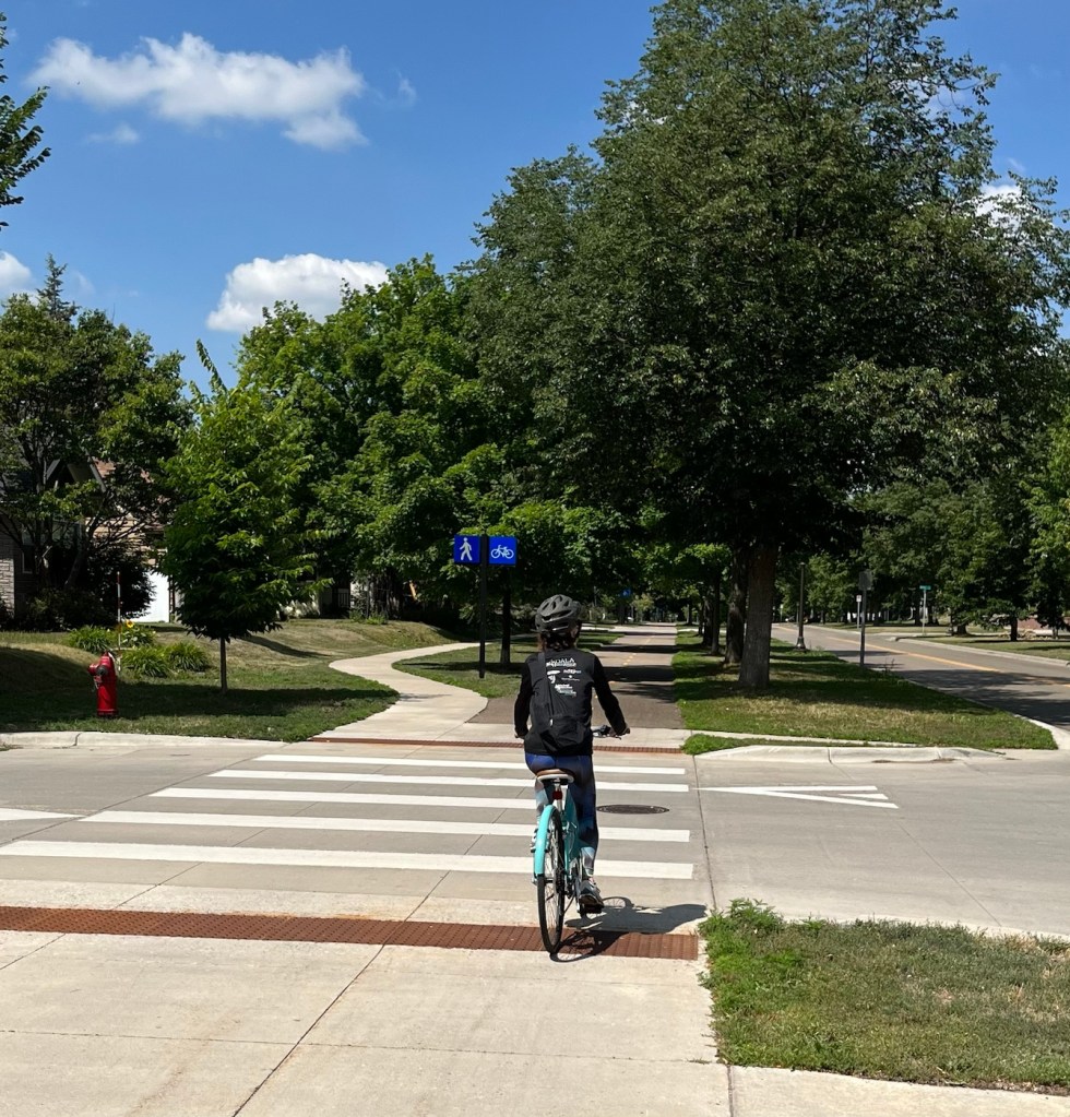
Bob and I are often blessed with having generous home owners. Our current homeowners left us 2 bikes for our use, should we so desire. We do so desire and took them out today for a first trial run, as there are a wealth of bike paths in the area.
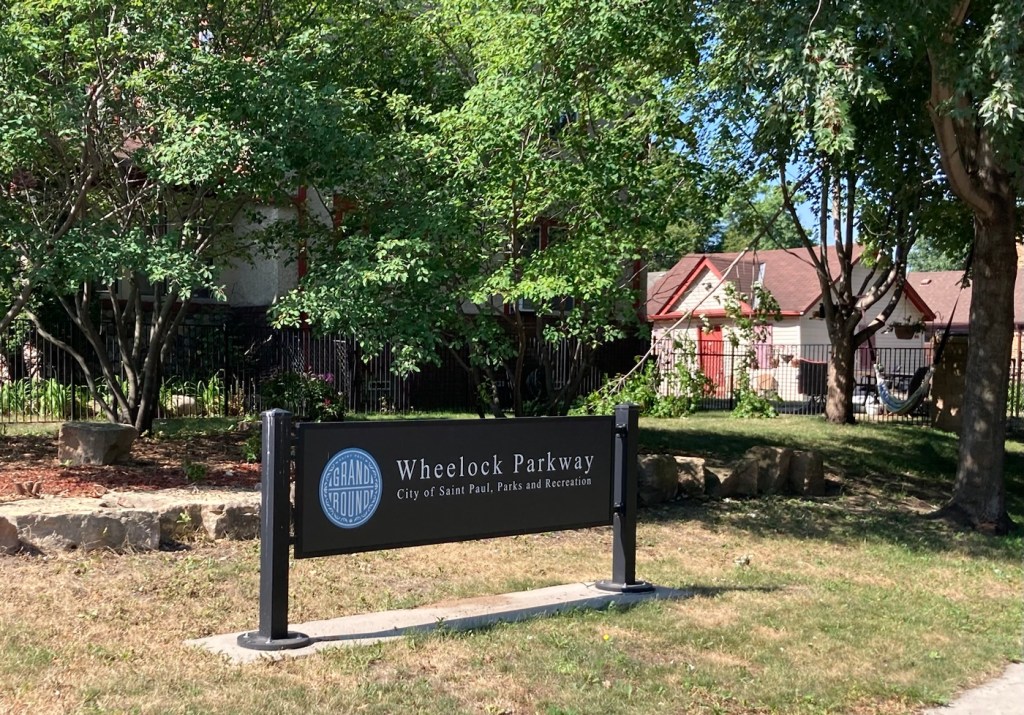
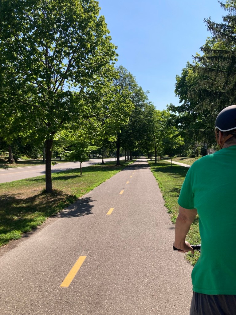
We rode down Dale Street to Wheelock Parkway, which has an impressive bikeway that runs alongside it. The parkway is named for Joseph Wheelock, who immigrated to Minnesota from Nova Scotia in 1850, 8 years before Minnesota became a state. He was a newsman and parks advocate. In the 1890s, he proposed a system of parkways then known as the Outer Circle, but which are now recognized as the Grand Round.
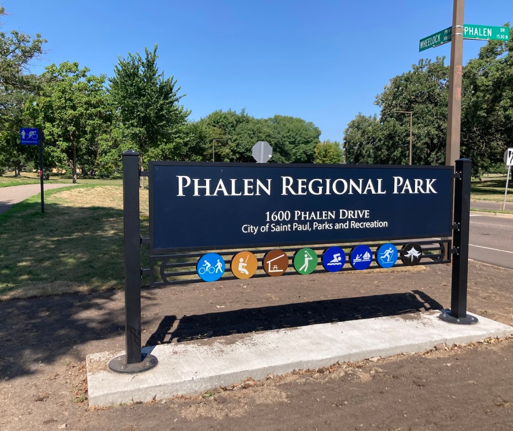
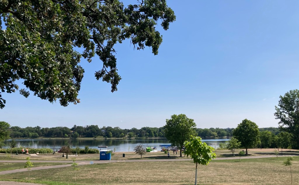
The bike path was lovely — physically separated from the road, shaded by trees, and usually separated from a walking path. We biked east on it through lovely neighborhoods to Phelan Park, another great St Paul regional park with a lake, splash pad, hiking/biking trails, and a golf course.
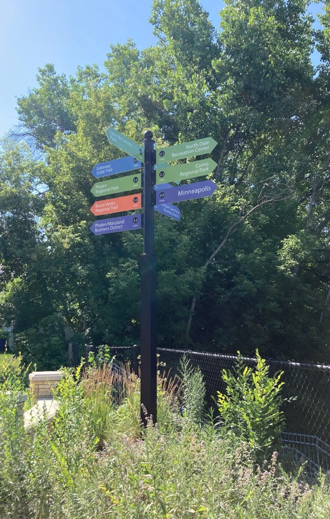
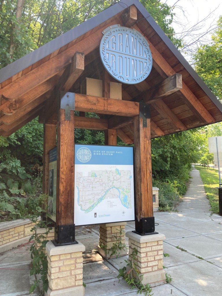
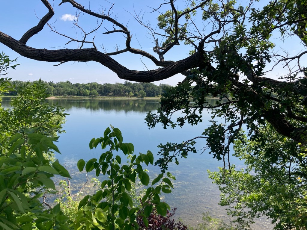
Wheelock Parkway sign, which also notes the Grand RoundHeading off on the bike pathOh, the places we could go!A map of the St. Paul bike systemEntering Phalen Regional Park, with helpful photos showing its various amenities Biking up to Lake Phalen to bike the path around the lakeFlora and lily pads in and near the lakeLooking across the lake to the small beachAre there more beautiful colors than blue and green?Heading back to the house