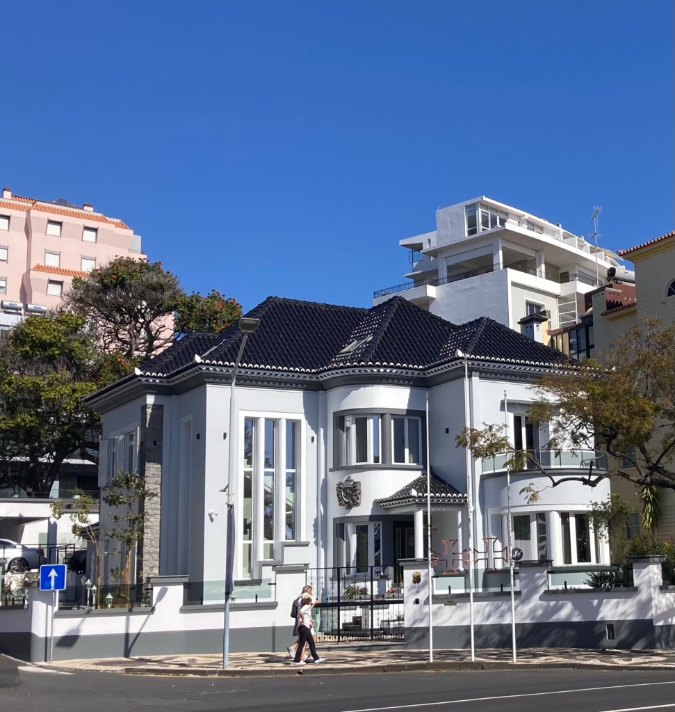
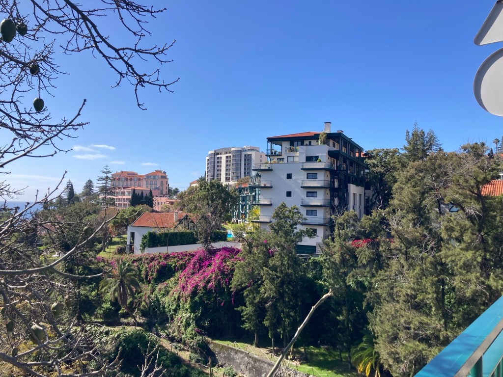
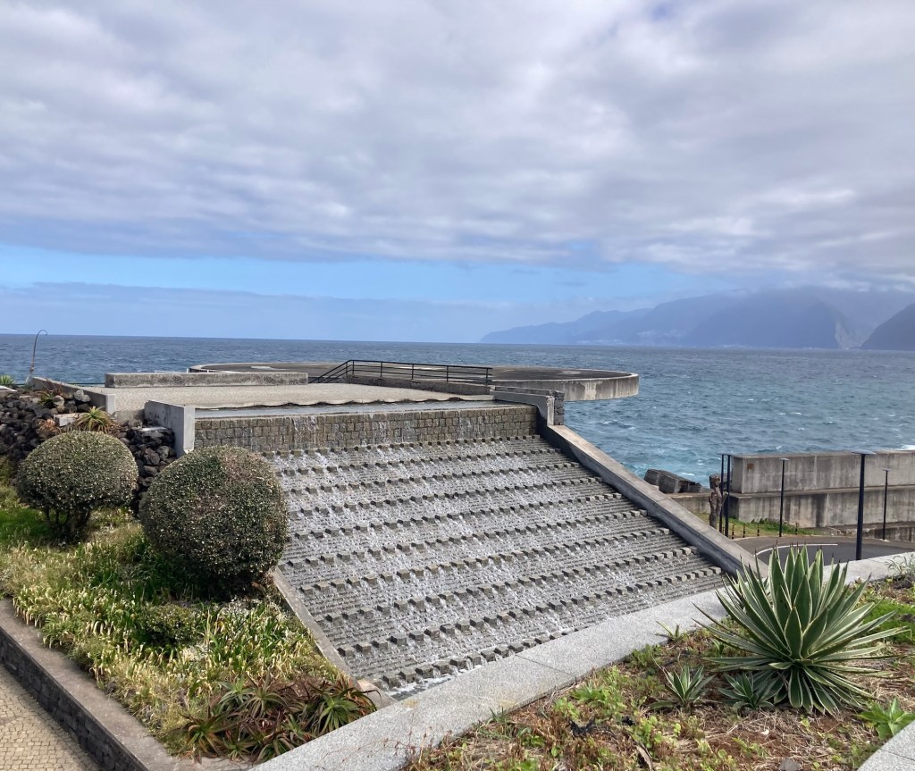
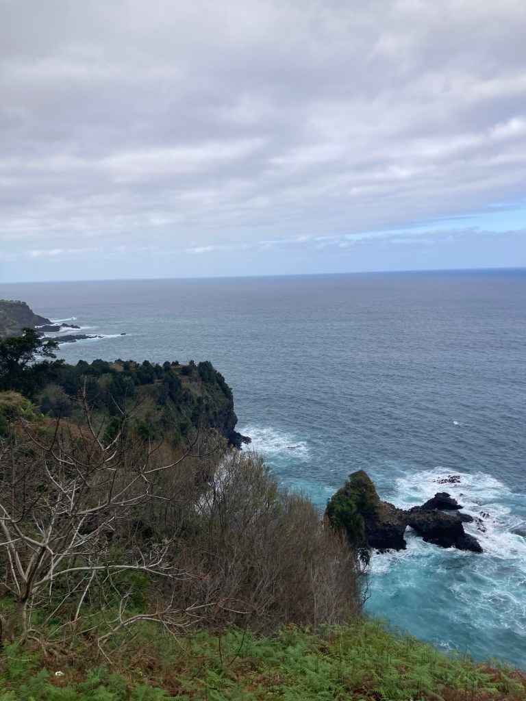
A few Wikipedia facts about Madeira and Funchal. Madeira is an autonomous region of Portugal in the Atlantic Ocean, about 500 miles southwest of mainland Portugal and 520 miles west of Morocco. It was discovered in 1418 and claimed by Portugal in 1419. The word Madeira means wood in English. The entire island (actually archipelago) has a population of about 250,000. Funchal is the capital of the region. Funchal’s population of just over 105,000.
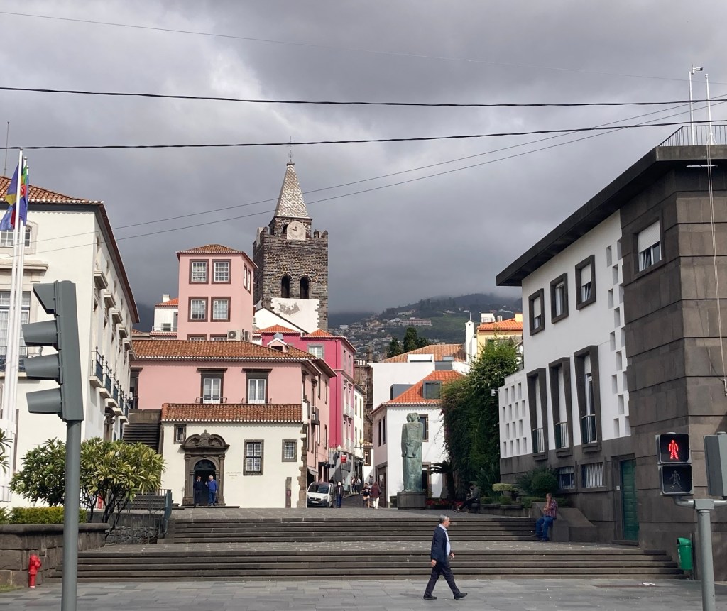
Bob and I decided to stay in Funchal today and took a Bolt into the town center to check out the market and a bit of a Main Street that runs from near our hotel to near the market. It was hopping. We can’t imagine how busy this place must be in the high season.
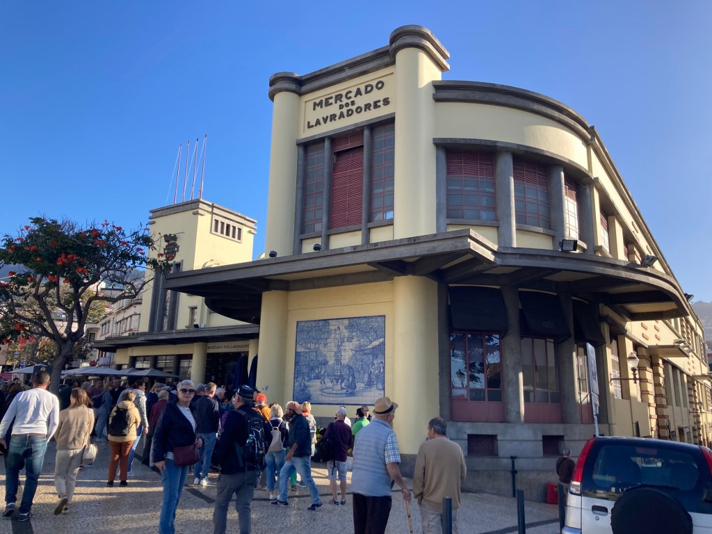
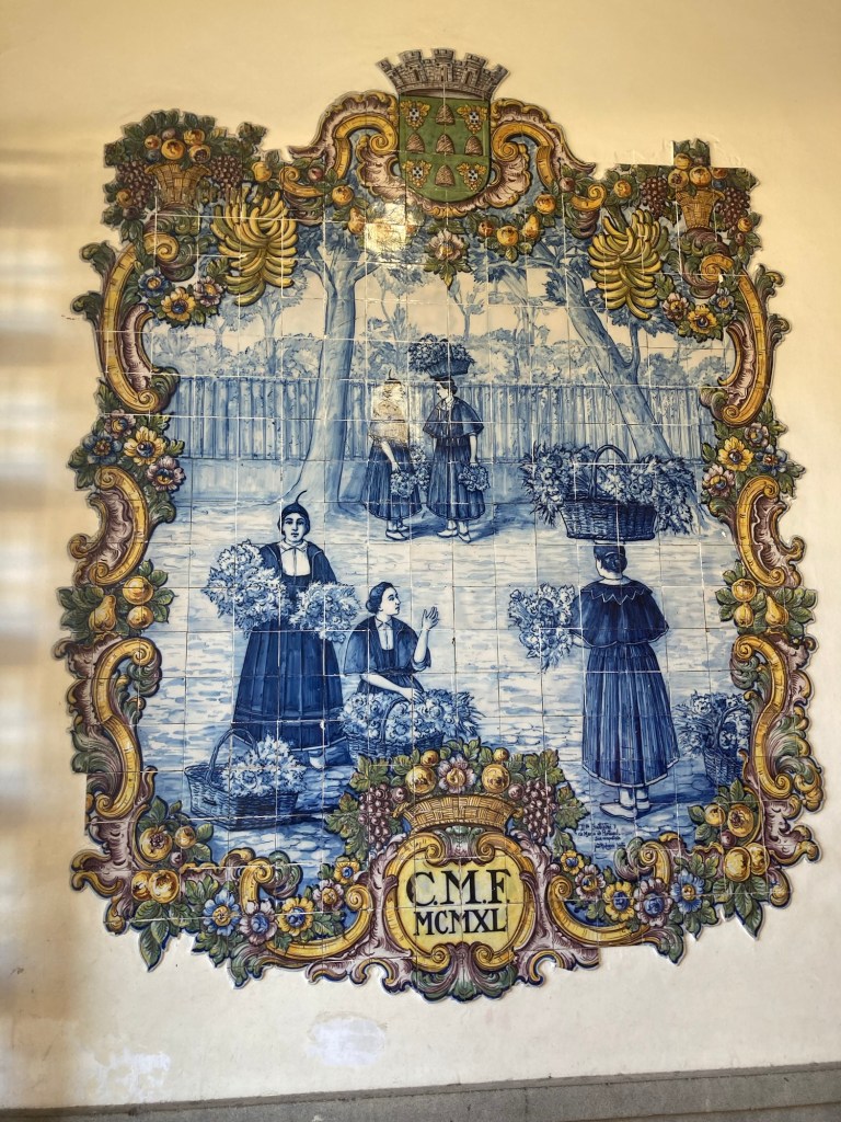
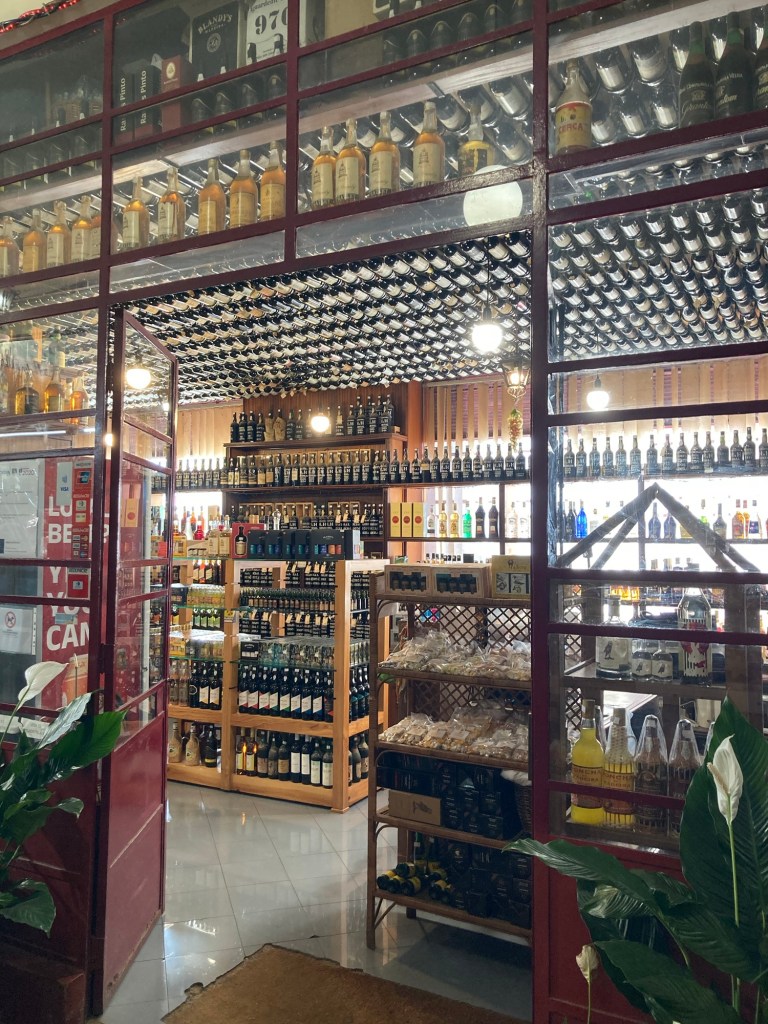
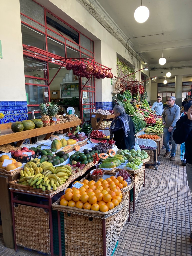
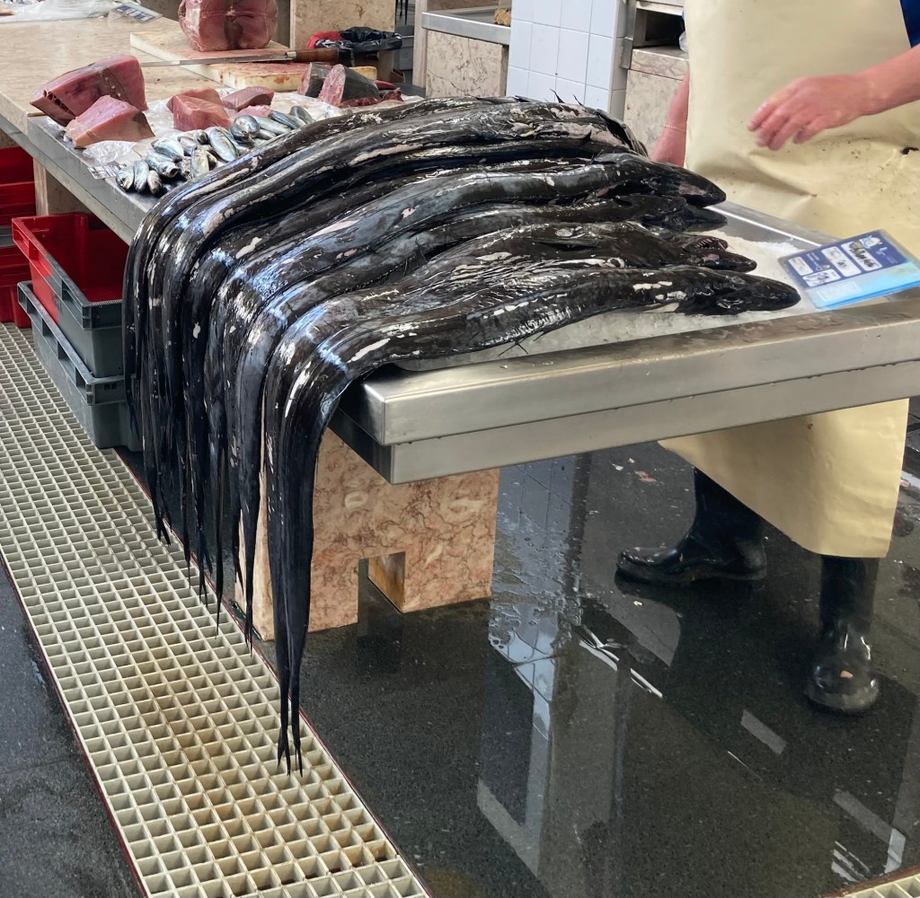
The market building, opened in 1940 and designed by Edmundo Tavares.We’re in Portugal, so of course there is beautiful tile work adorning the walls of the marketA liquor store where even the ceiling is covered in bottles Colorful produce. The fruit has been amazing here.The Black Scabbard or Espada fish, a typical fish in Madeira
After we left the market, we made our way along the Avenida do Infanta for a few blocks before Bob caught a Bolt back to the hotel (sort of — the driver left him at the sister property and Bob had to make his way up hill to our room).
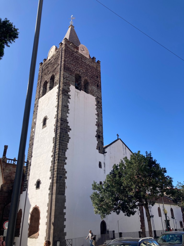
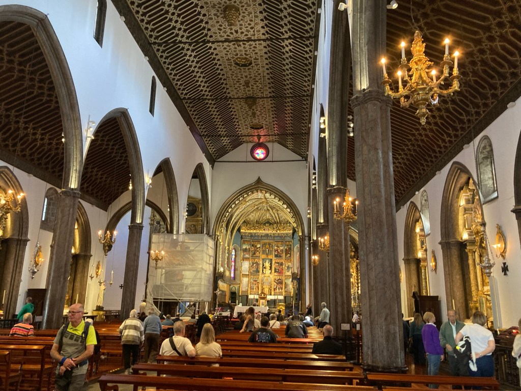
The tower of the Funchal Cathedral Inside the cathedral, which opened in 1508
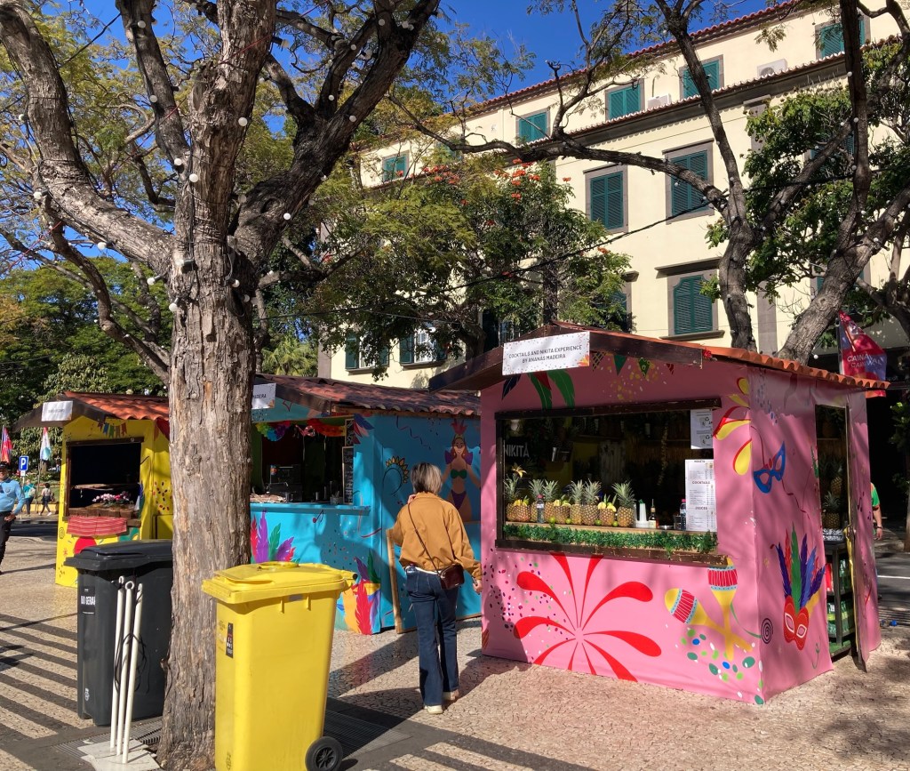
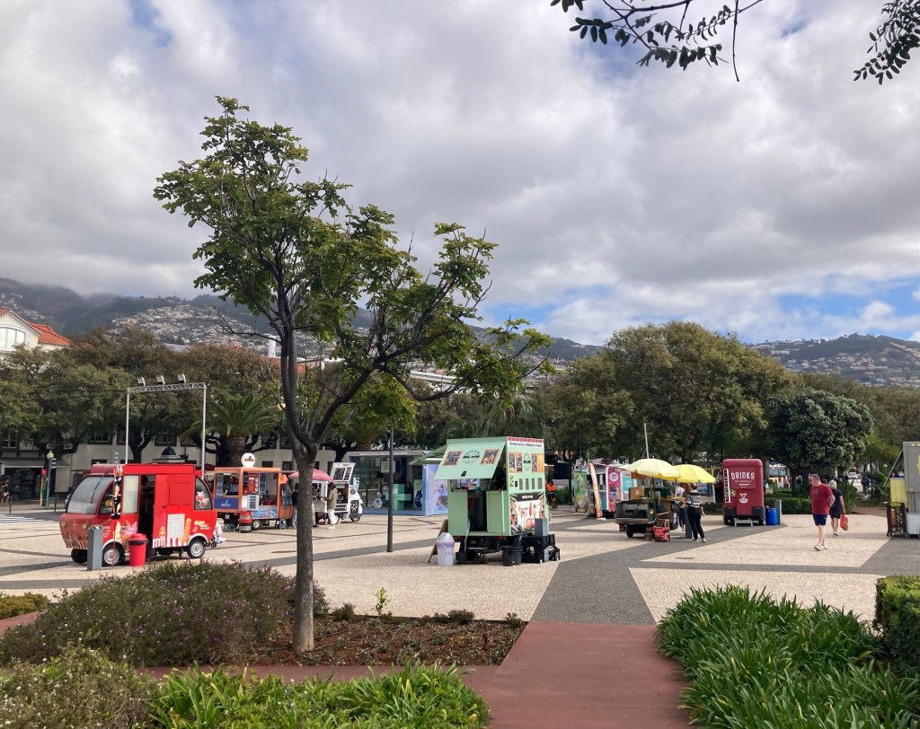
Also along the street were a series of brightly colored vendor huts selling typical Madeira products, often including alcohol.
The pink hut was advertising cocktails including one called a Nikita (not yet tried by us) that is supposed to be a combination of beer, ice cream, and fruit. No idea why.
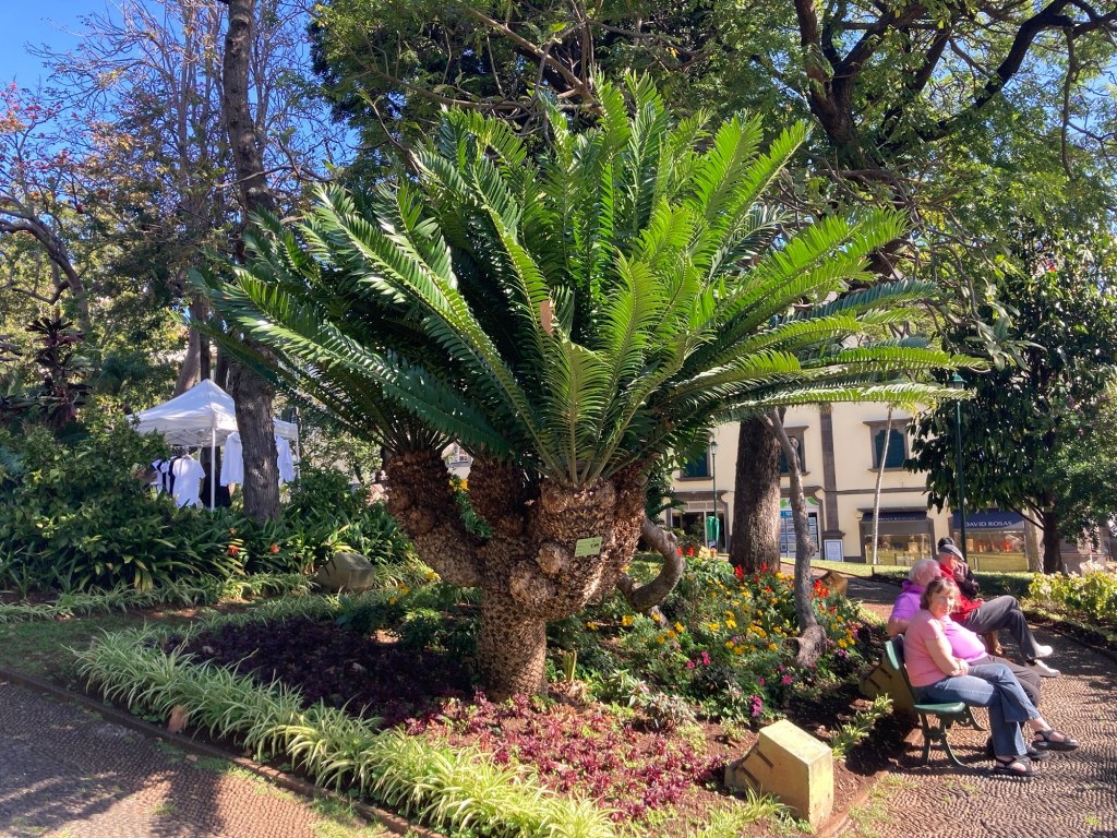
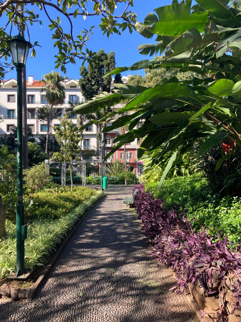
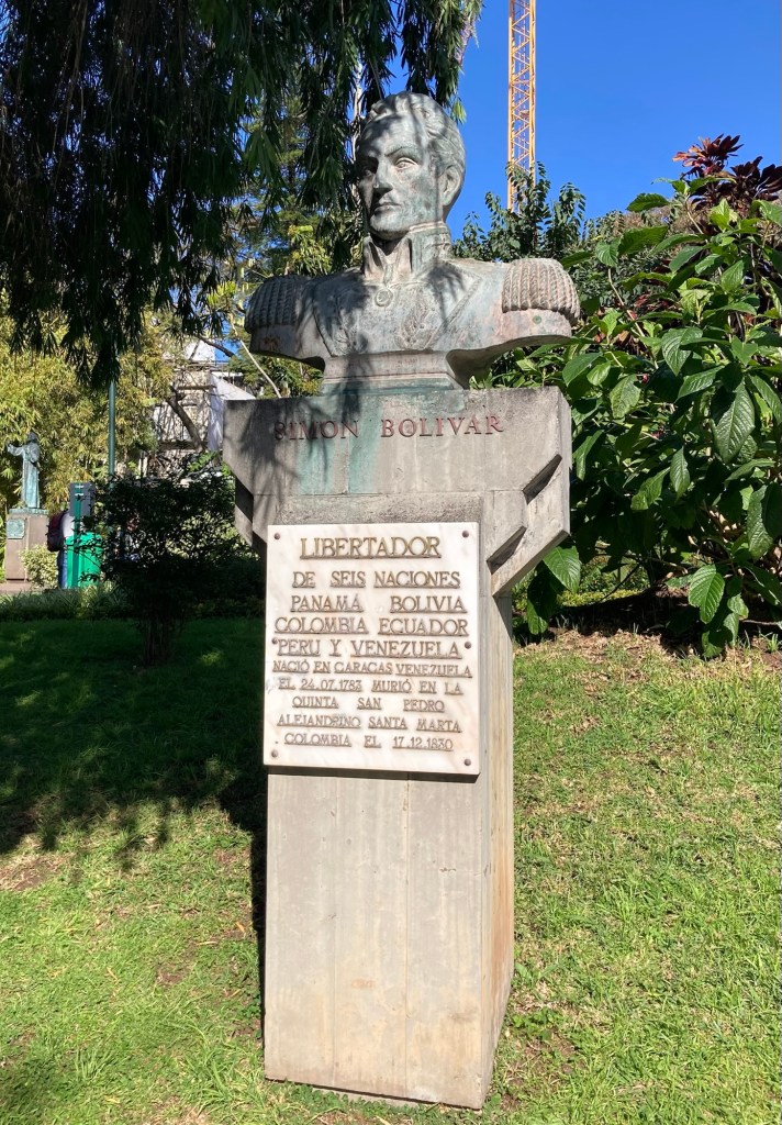
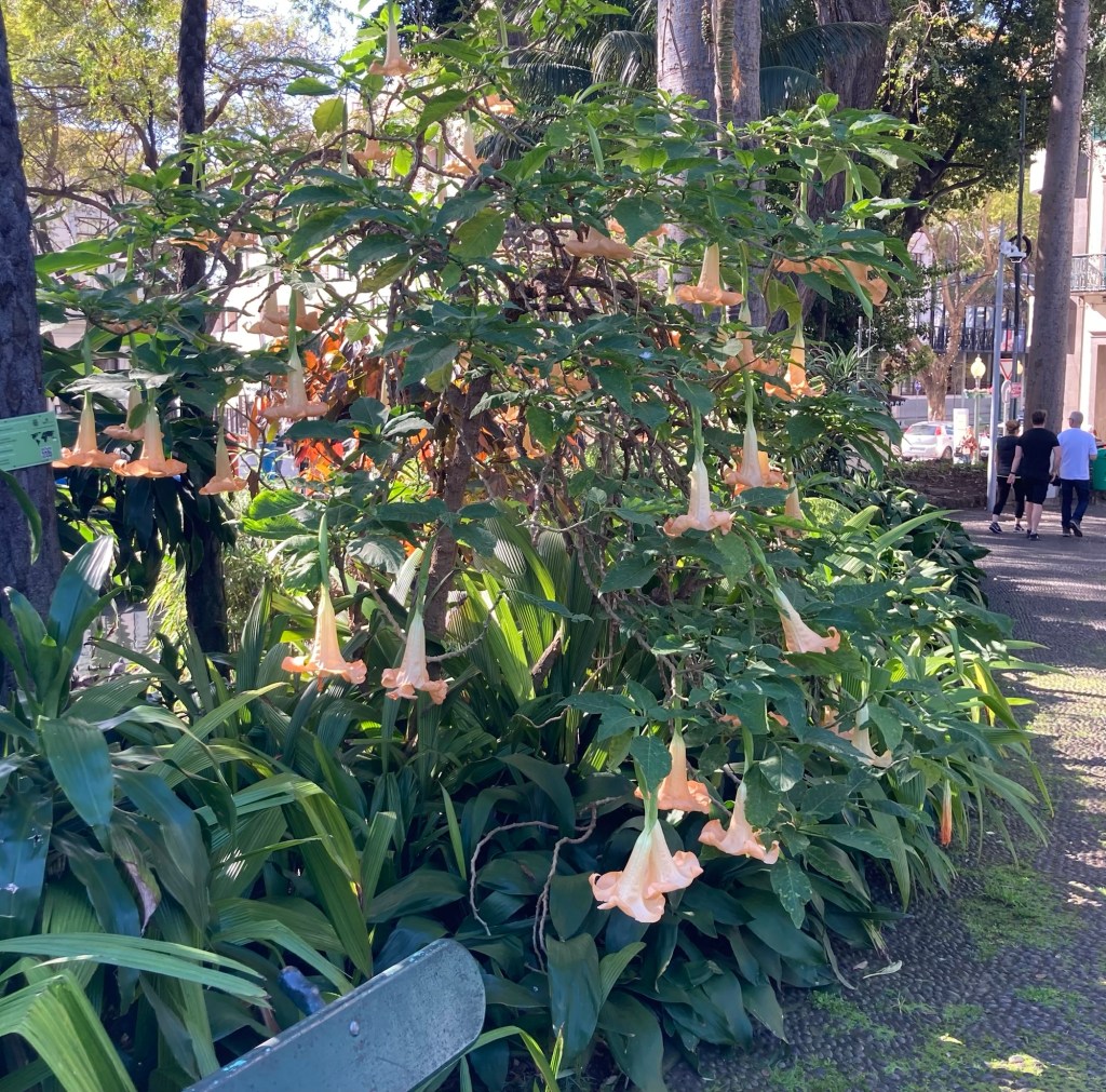
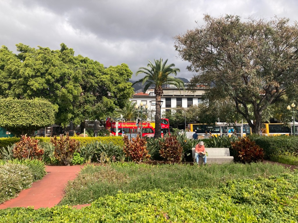
I checked out two very pretty parks along the street. The first one, in the direction I was headed, was the Municipal Garden. The next few photos are of this garden, which in 2000 won a Gold Award for the European Competition for Cities and Towns in Bloom.
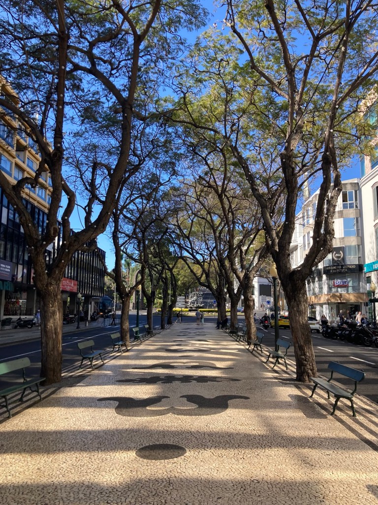
Onward down the avenue where the sidewalks are covered in tiles (not unusual for Portugal), including a center pedestrian median that ran for a block or two.
The pedestrian median
The next park I explored was the Santa Catarina Park, which runs for a number of blocks from the Avenida do Infanta to the Avenida do Mar along the water. It is at a higher level than the seafront, so also provides some lovely views to the Atlantic.
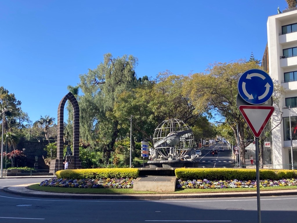
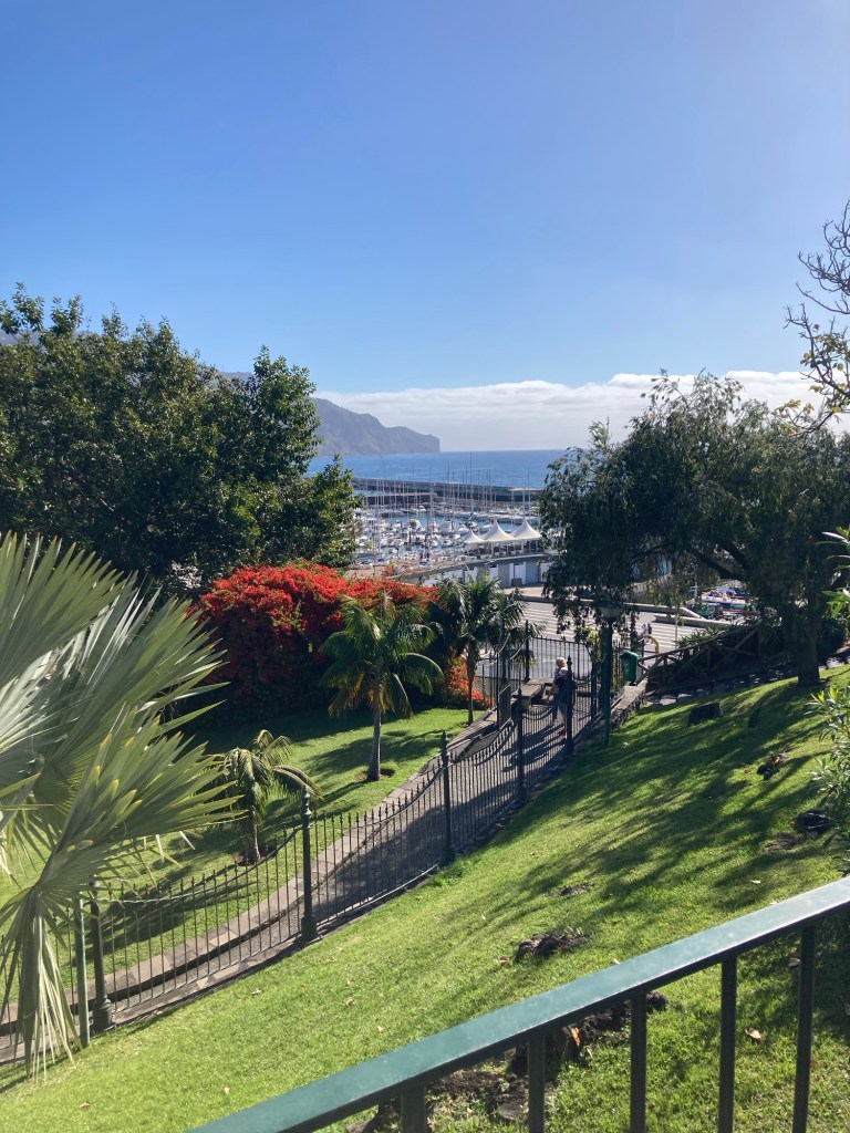
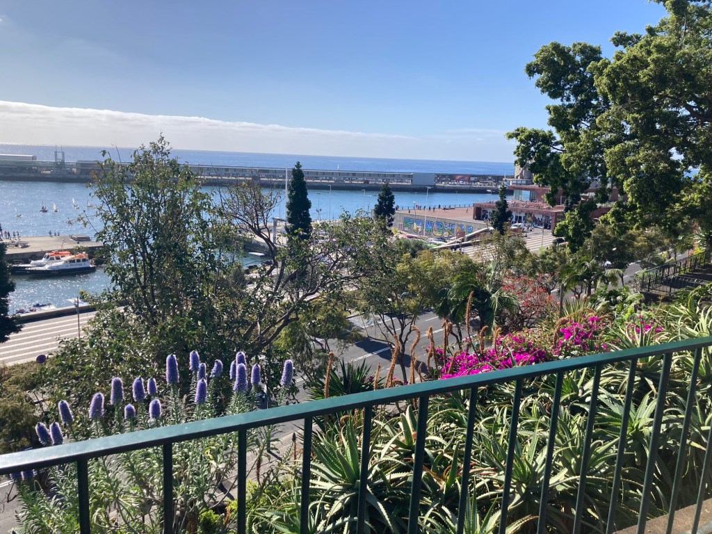
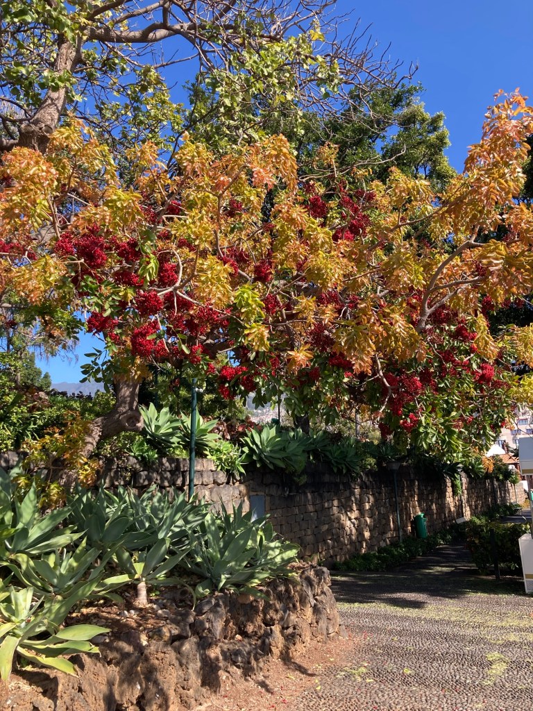
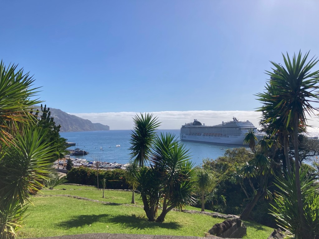
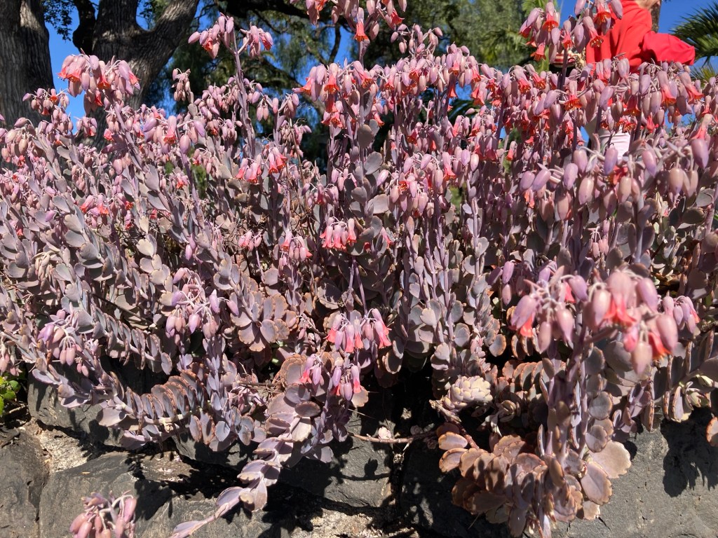
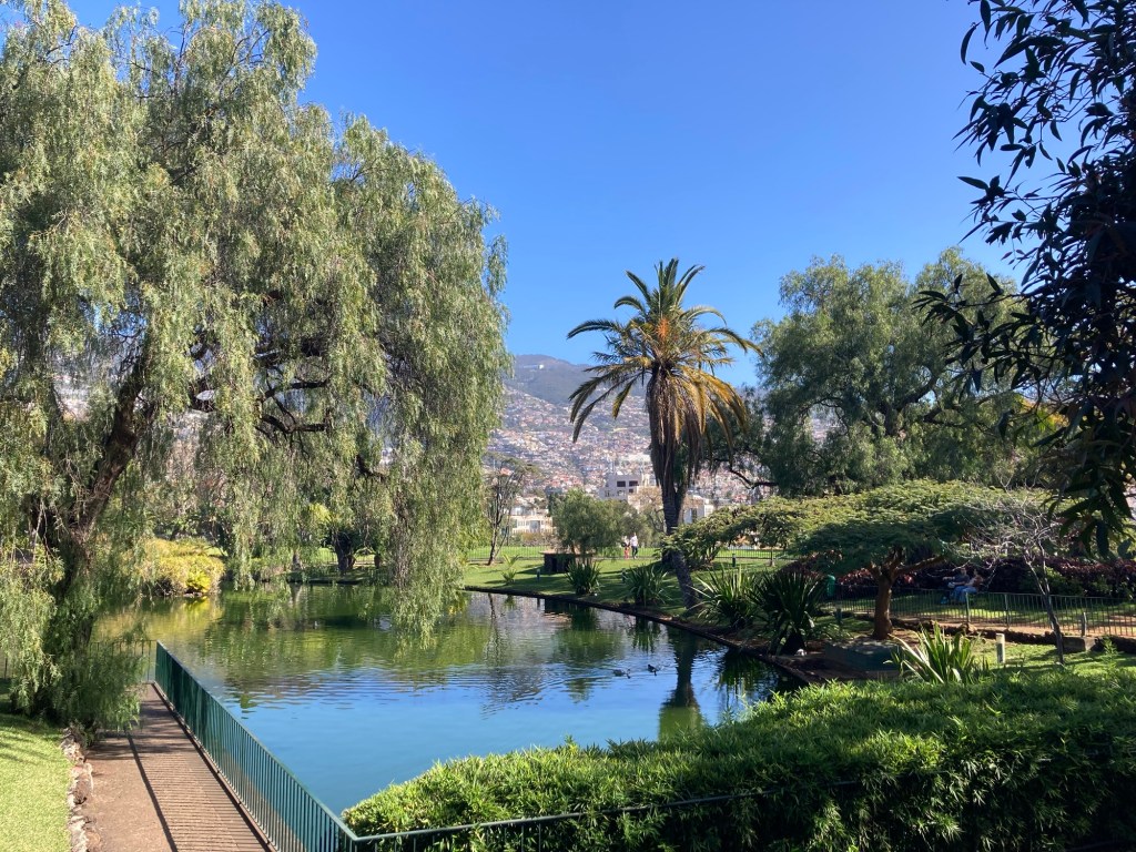
This is the roundabout right outside of one entrance to the park, with the entrance being through the arched brick structure.Looking out to the marina, as I’m walking up into the parkLooking over the gardened wall towards the portLoved the colorful tree. The berries look like pomegranate seeds.Another water view from the parkNo idea what this is, but very unique to meA pond in the park
Along the street were some government buildings and banners advertising the start of a European Summit here on Monday.
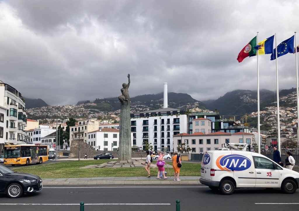
This looked like a government or embassy building A view from my walk. Love all the greenery!Another statue in a roundabout
Today Bob and I took a full-day Discover Madeira tour to the west and then north of the island. We had a full van of a driver and 14 guests.
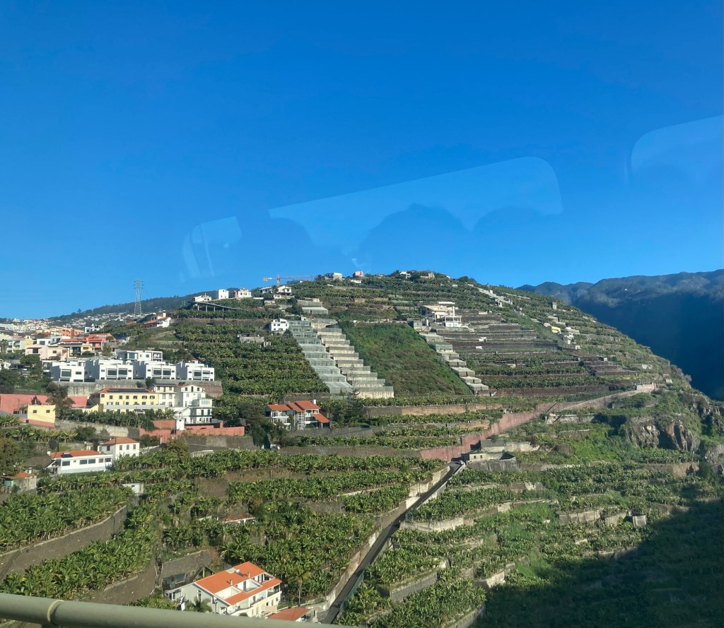
We learned a little bit about Madeira. First, bananas are a main crop, and we saw banana trees all over the terraced slopes of the island. The bananas are only exported to mainland Portugal due both to limits of production and EU standards for size, etc of fruit. Sugar cane is also a main crop, and we saw lots of eucalyptus and then laurel trees, one variety of which provides the bay leaf for cooking.
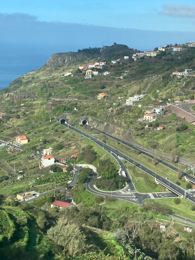
It is also an island of tunnels, with almost 200 on the island to facilitate transportation. We had 8 stops during the tour.
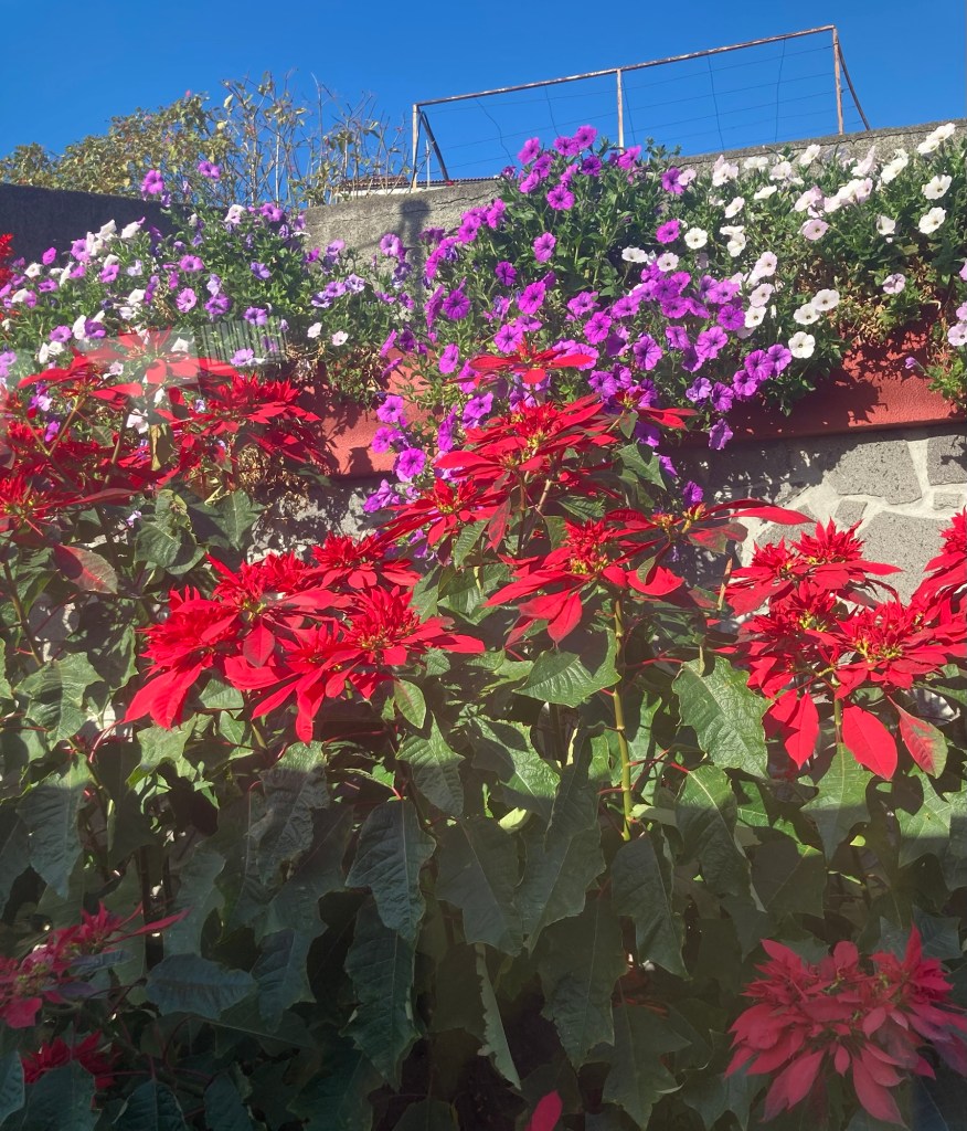
A photo from the bus to show the terraced slopes of banana treesThe red flowers are pointsettias
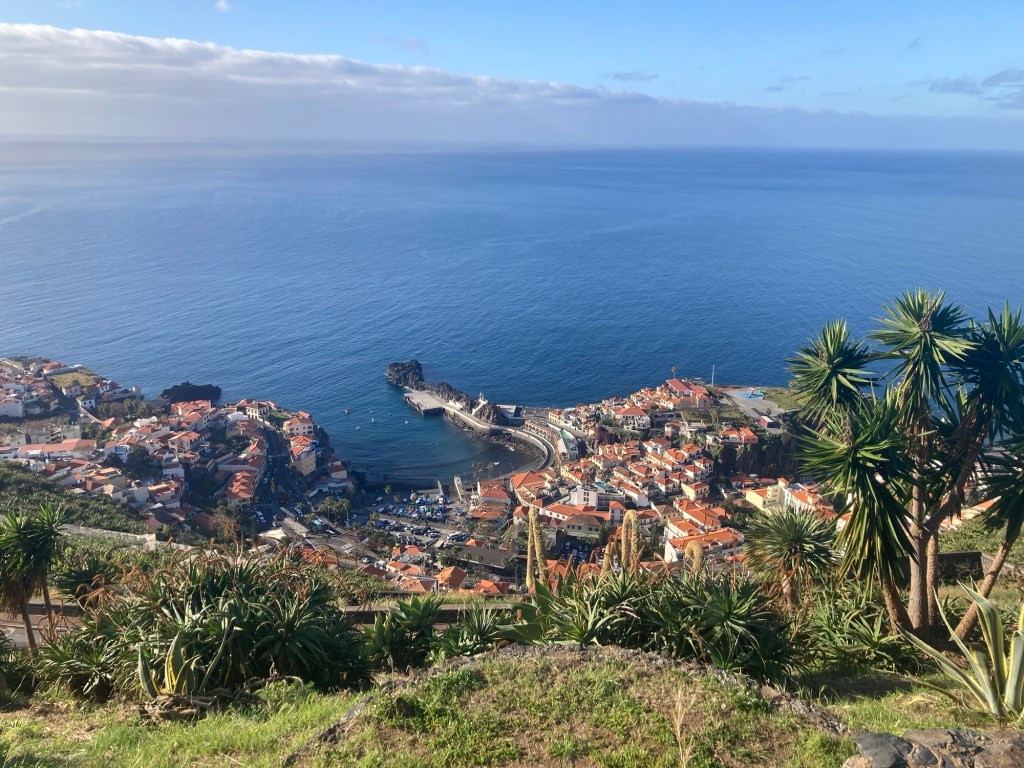
Stop 1: A viewpoint of the fishing village, Pico Da Torre
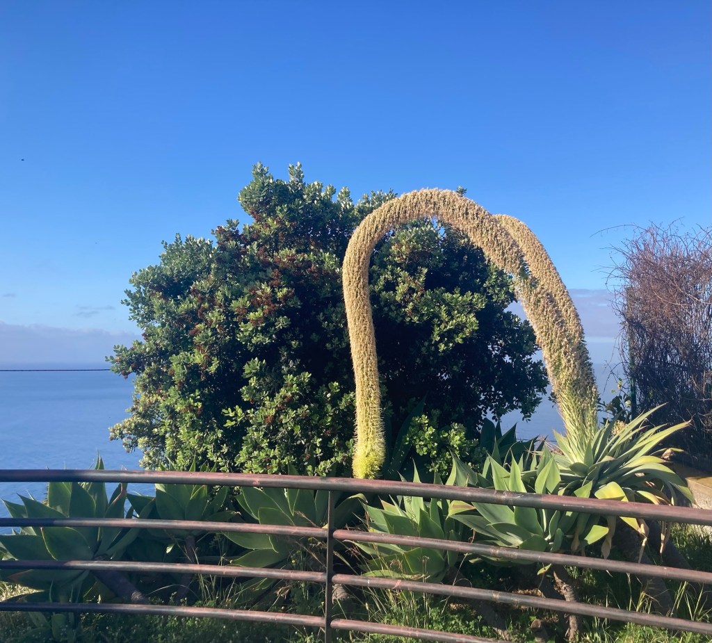
Pico Da Torre from aboveAnother viewThe fun looking, curved plant is aptly named a Swan’s Neck
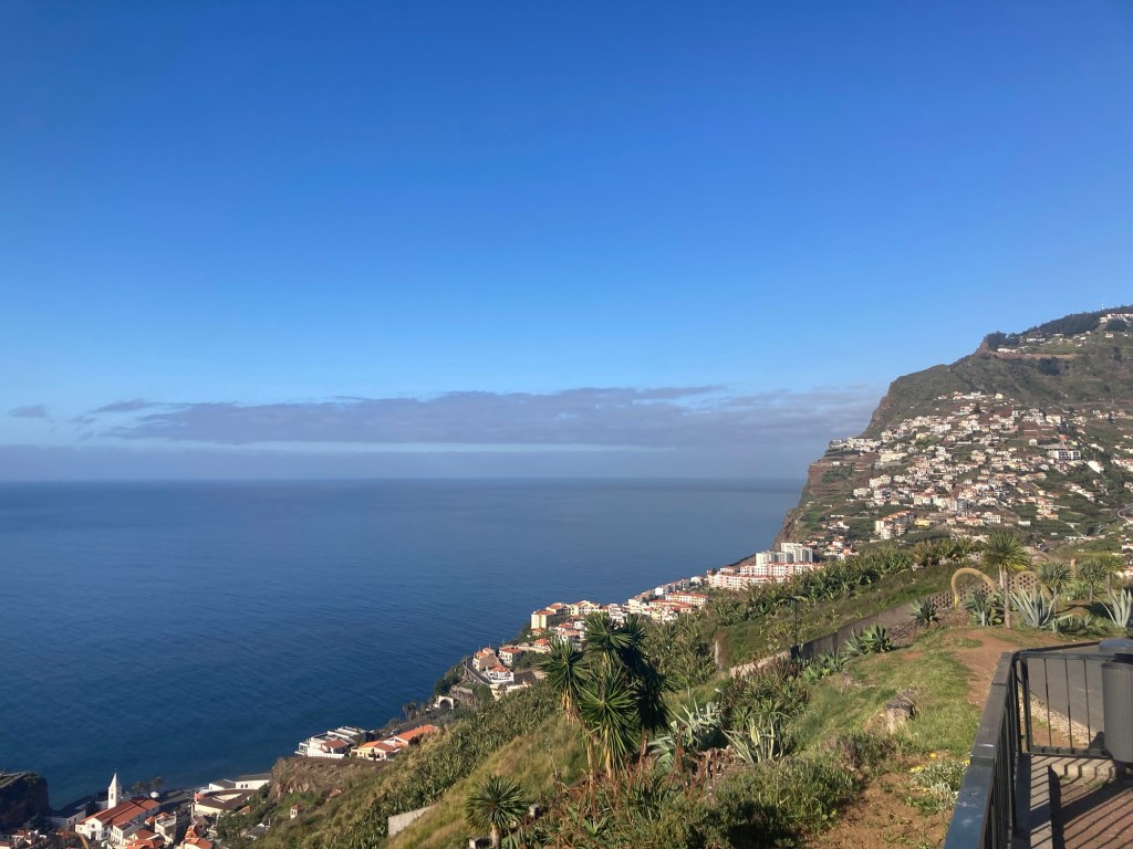
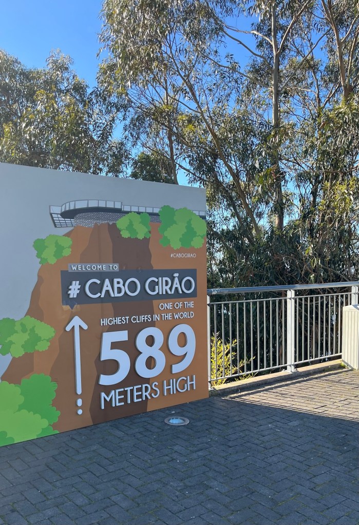
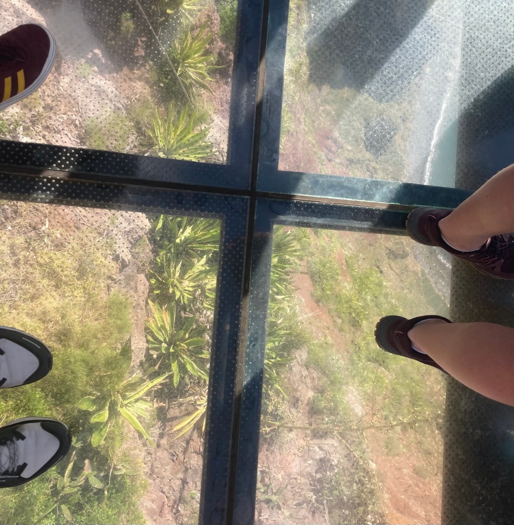
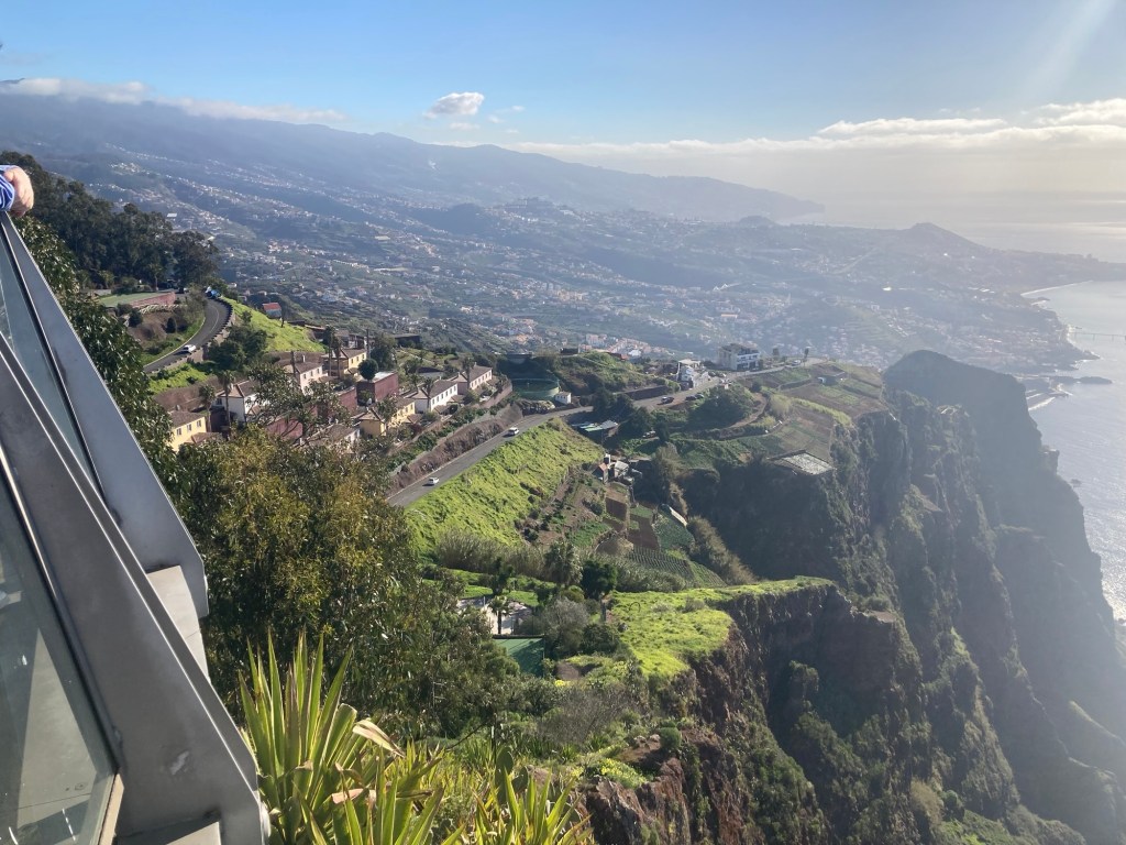
Stop 2: A pay to view stop at Cabo Girao. There is a glass floor viewing platform here.
The sign at the entranceLooking down the cliff through the glass platform Looking across the coast from the viewing platform A view from the van showing a couple of the many tunnels
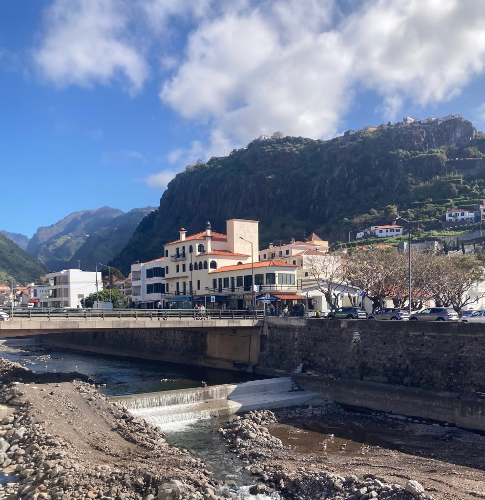
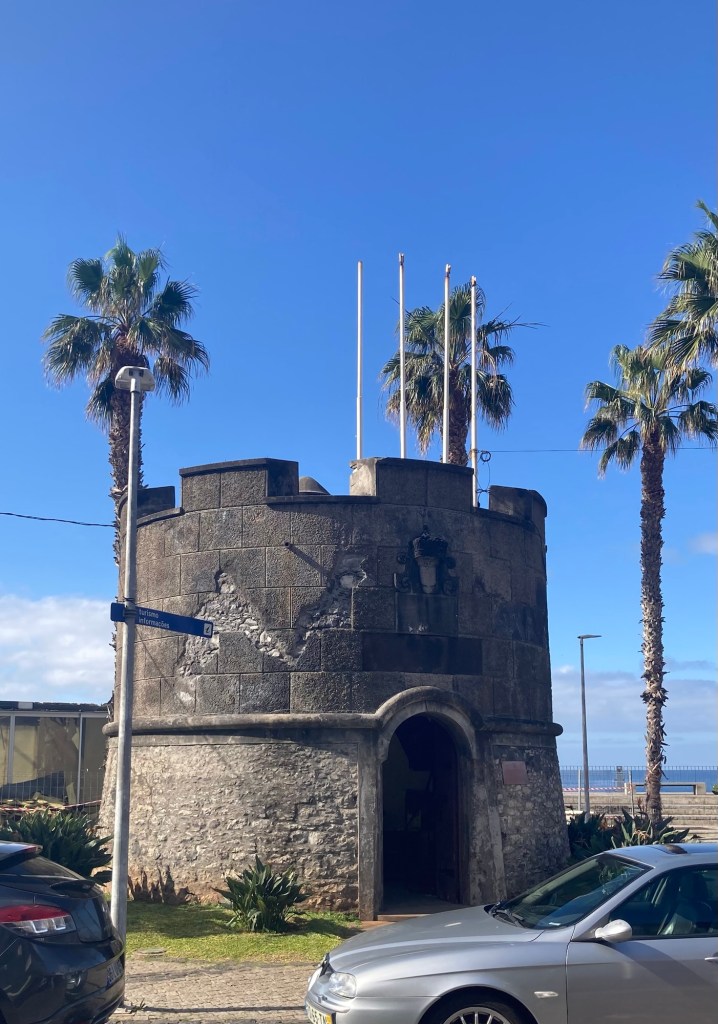
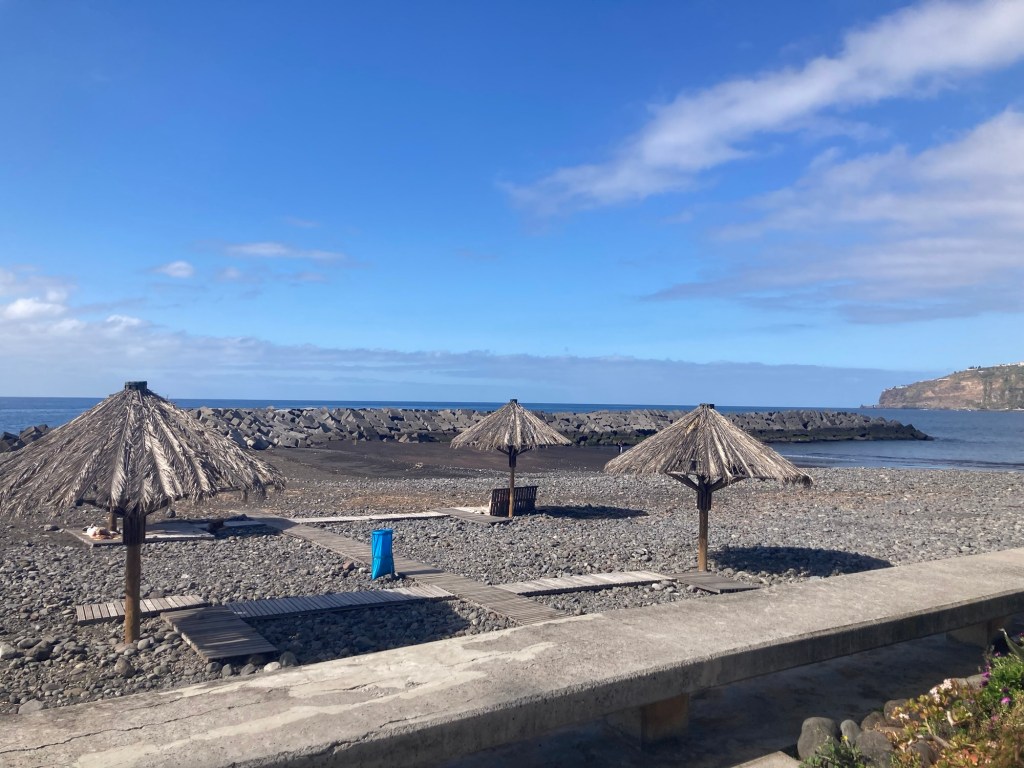
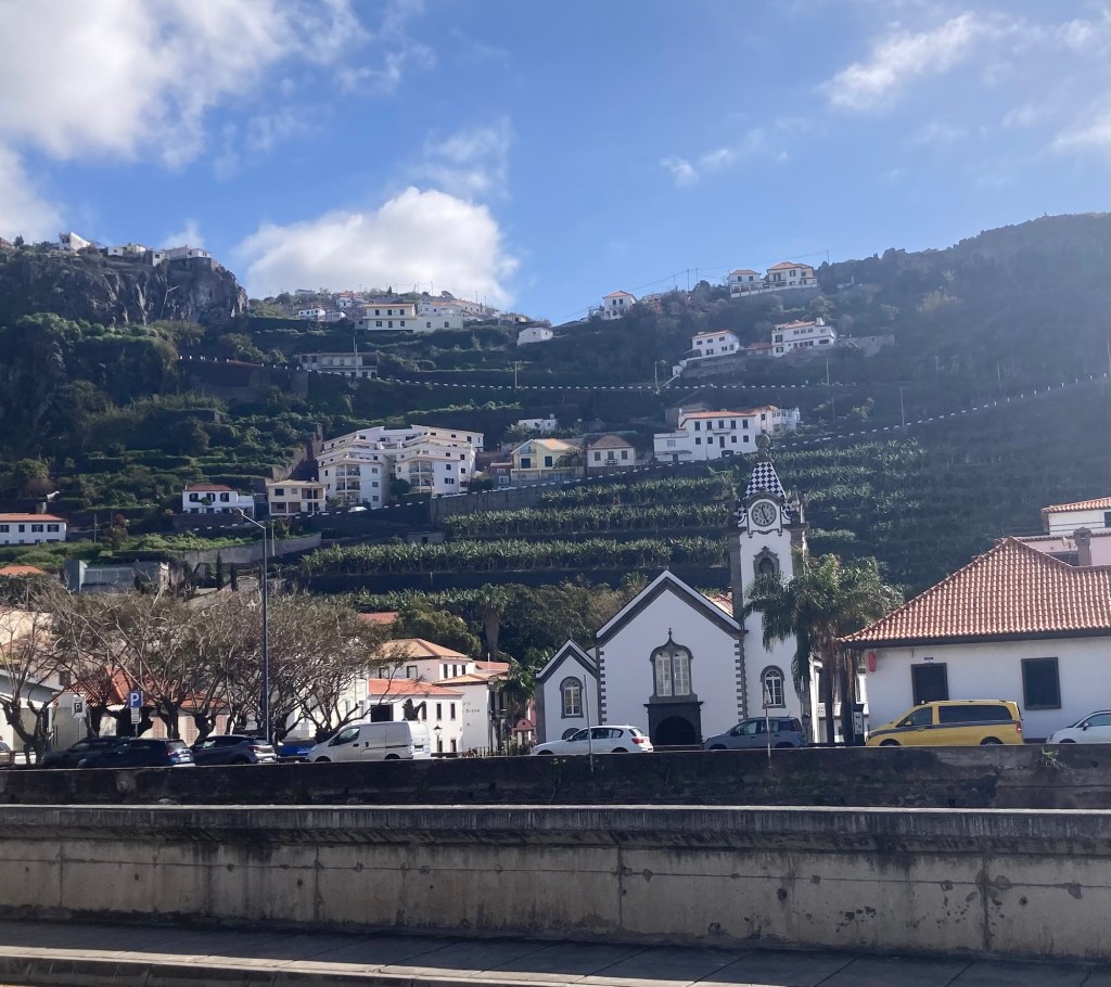
Stop 3: The small, pretty community of Ribiera Brava.
Looking back towards the town center from nearer the coastThe tourist office in a plaza near the coastNatural beach umbrellas on the small public beachA pretty church in the terraced town
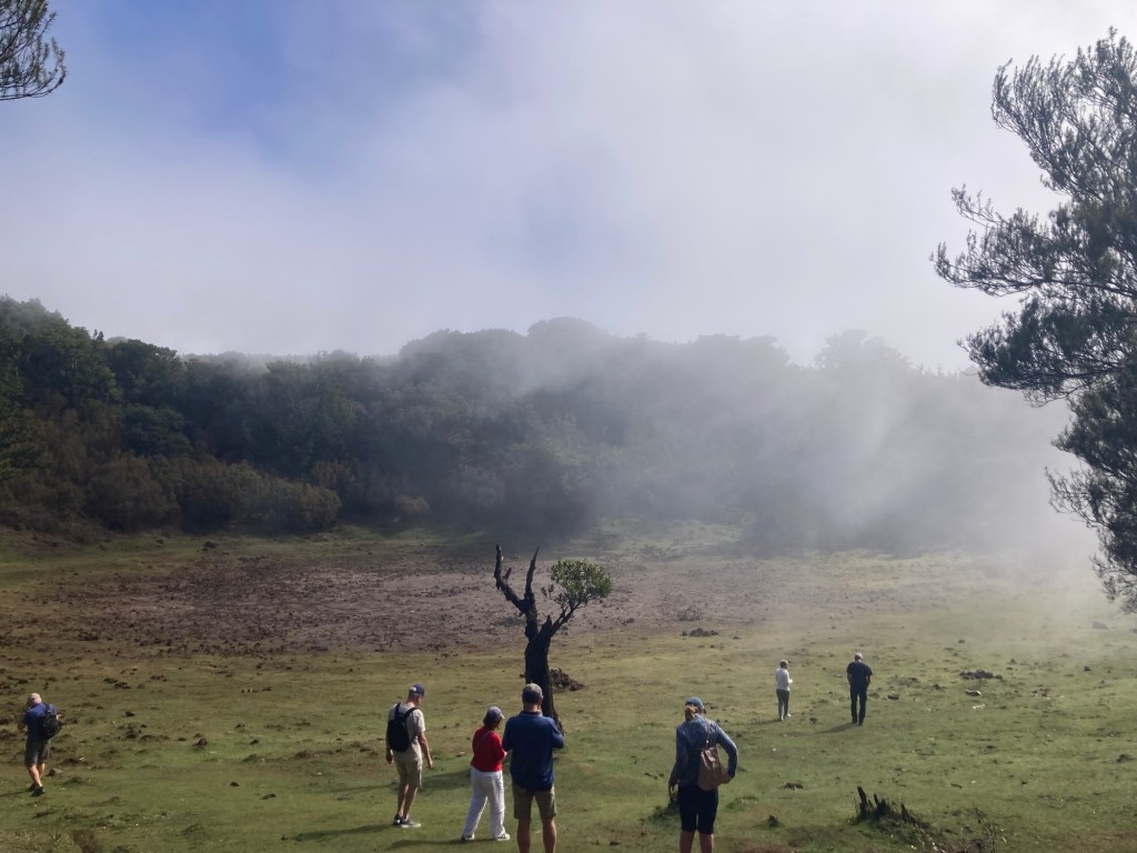
Stop 4: We then drove to the top of the west part of the island to Fanal, which is a UNESCO site to help preserve the native laurel trees.
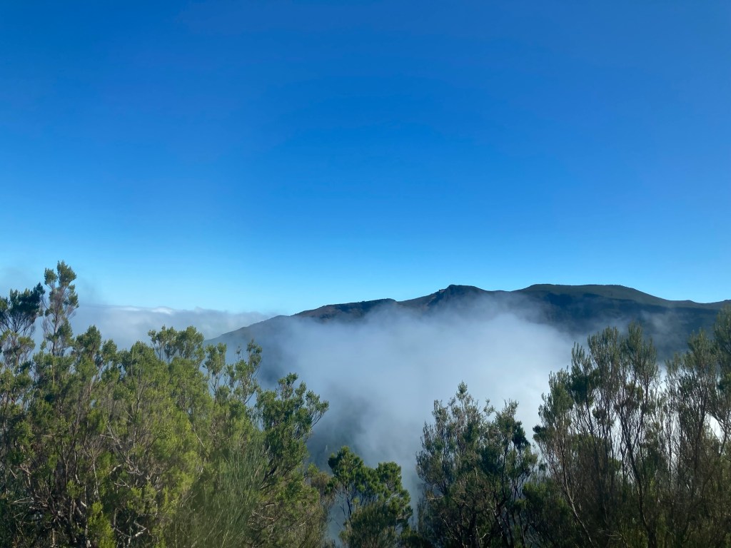
A view of us above the cloudsA caldera at the top of the mountain
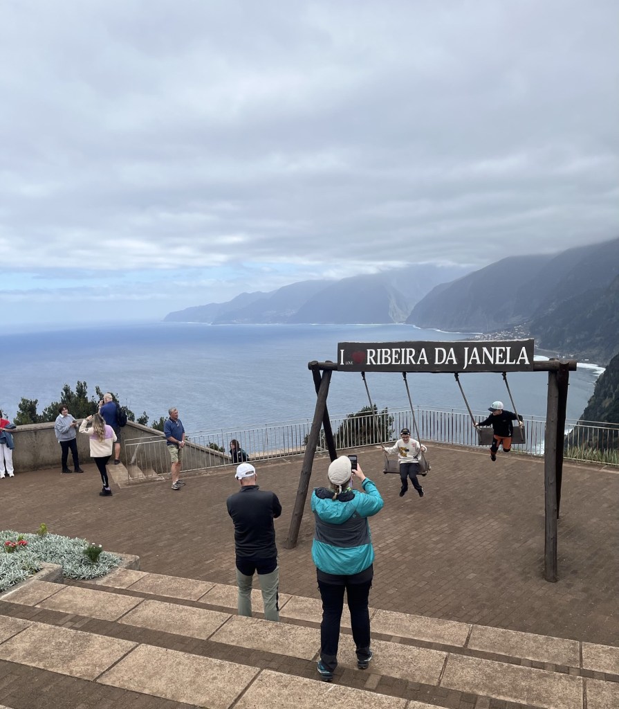
Stop 5: A brief photo stop at the Ribeira Da Janela, as we came back down the mountain before reaching our long stop for lunch
The phot-op plaza
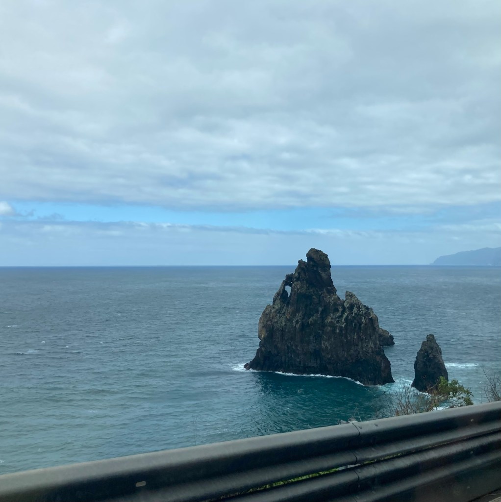
Stop 6: A 1.5 hour stop at Porto Moniz in the north of the island. This town is known for its rock with a window and its natural pools.
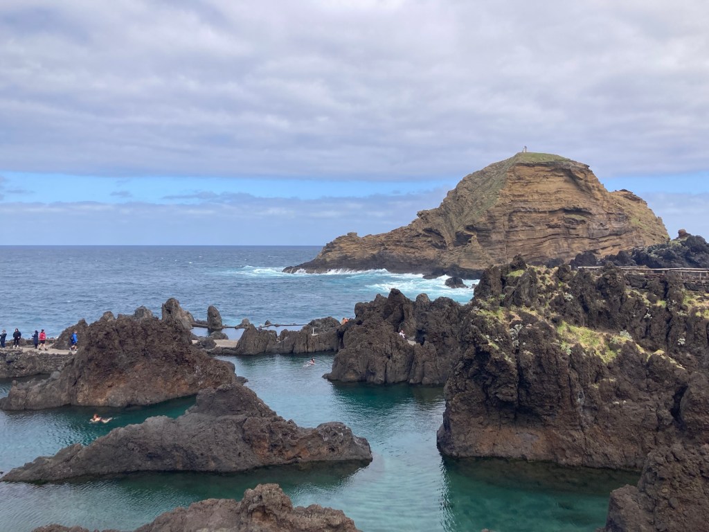
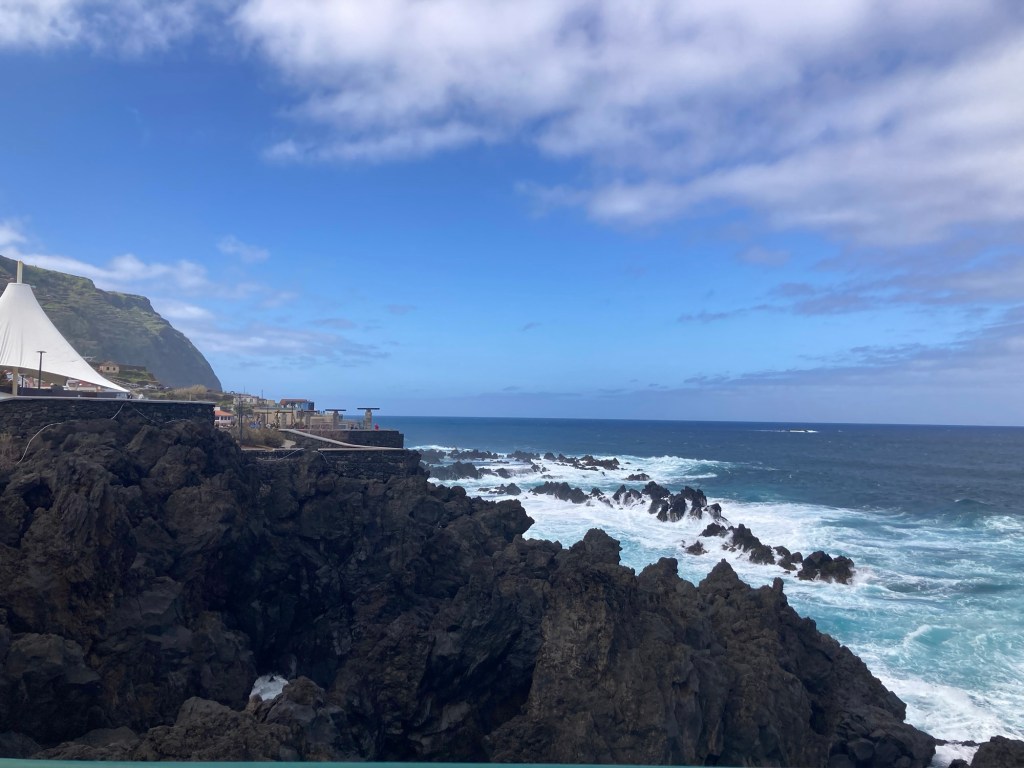
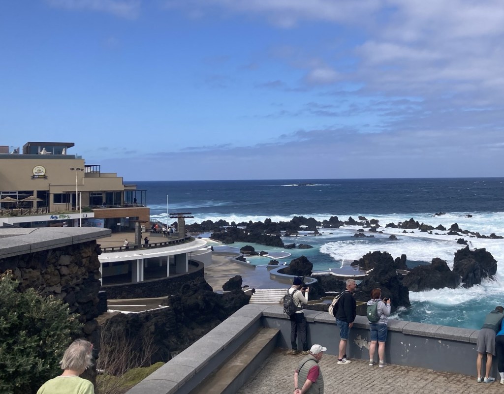
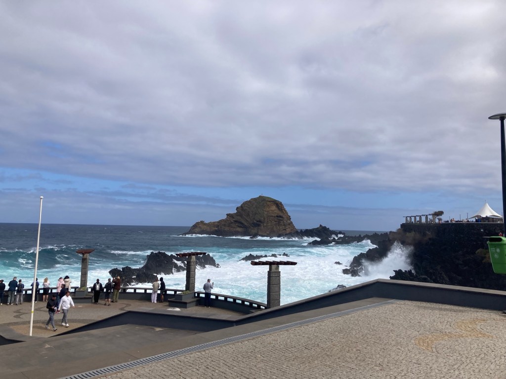
The rock with the windowThe public natural poolsThe black basalt rock and gorgeous blue water Private natural pools in front of a brew house where we had lunchLooking over the sea walk towards the public poolsA waterfall near the town aquarium
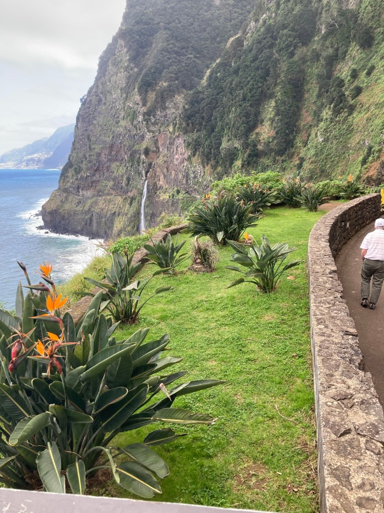
Stop 7: A photo-op of a waterfall near Seixal, also along the north coast
The bride’s veil waterfallThe view in the opposite direction
The 8th stop was another photo-op of a waterfall, this time near Sao Vicente
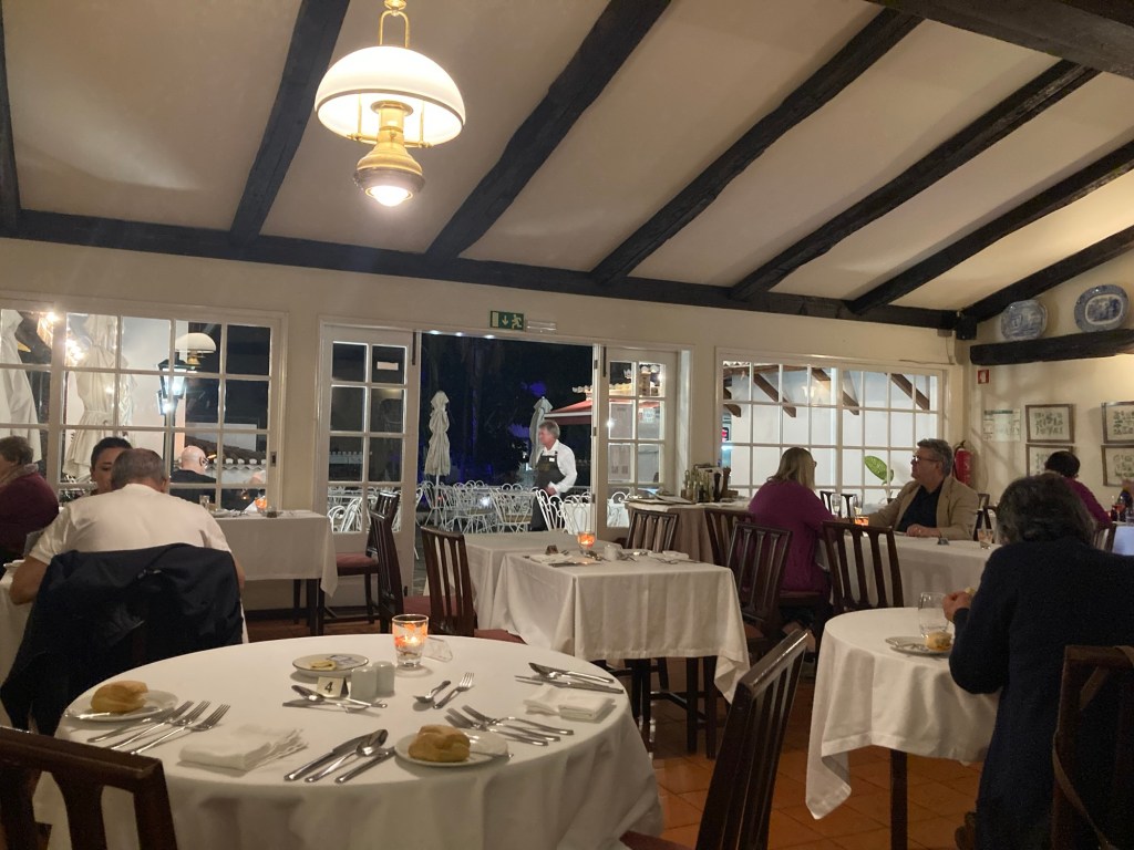
Last night we ate at the hotel restaurant. We had great seafood — clams and octopus — and a great local bread — bolo do caco (flat bread made with sweet potato and served warm with garlic butter).
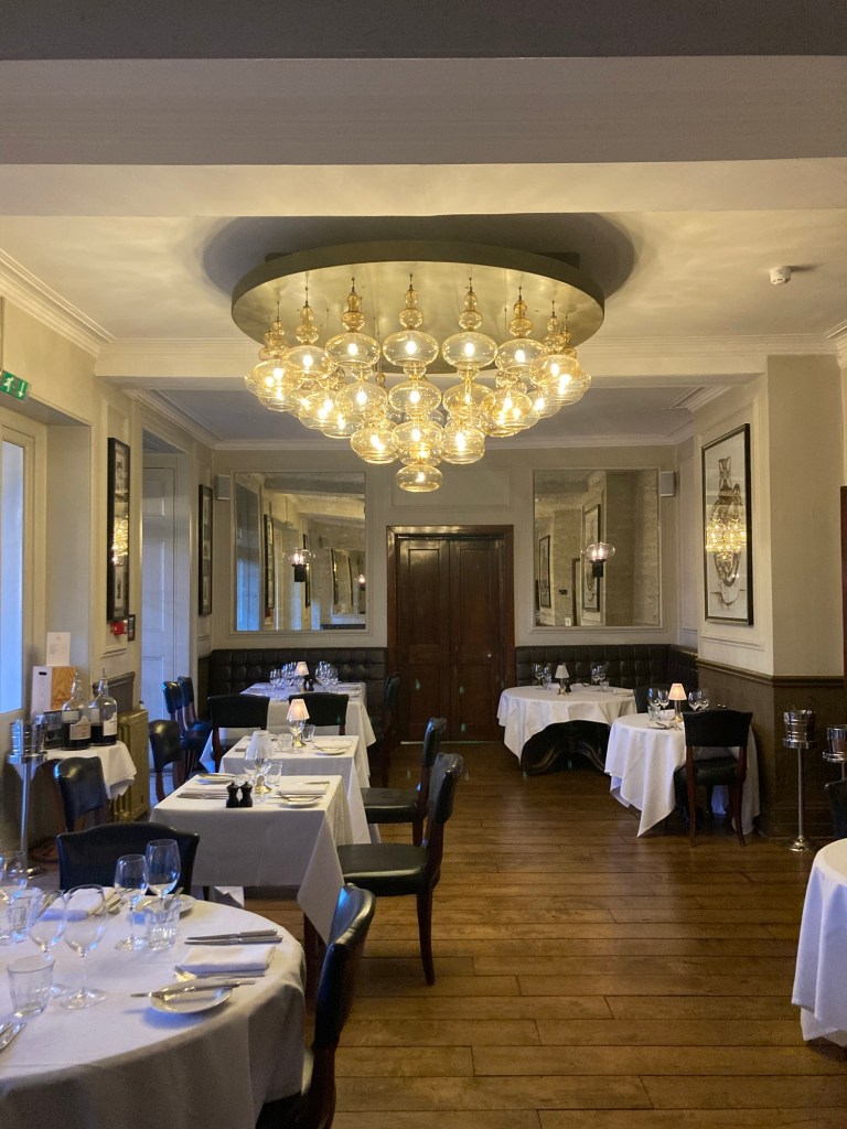
The dining room of The Brothers Restaurant at our hotel
This morning after breakfast (included with room cost and served in the same dining room), Bob and I walked around our hotel and walked down to the sister property. Almost all walking is up or down here. It reminds us of the Amalfi Cost, and is sadly less than ideal for Bob’s hip at the moment.
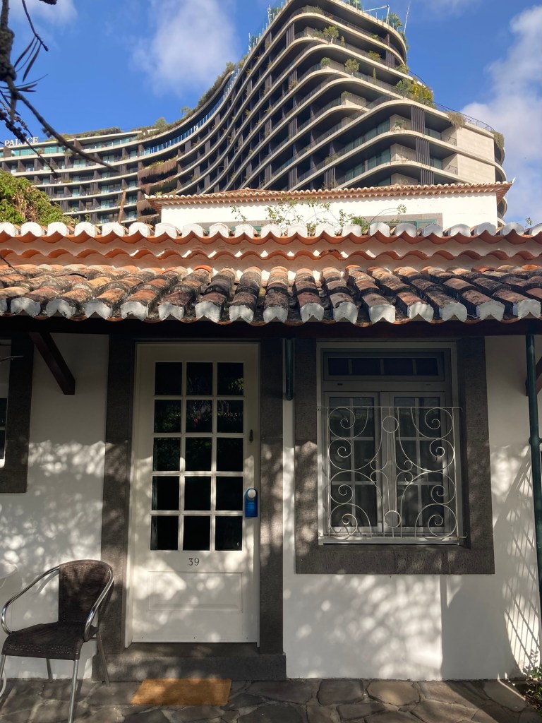
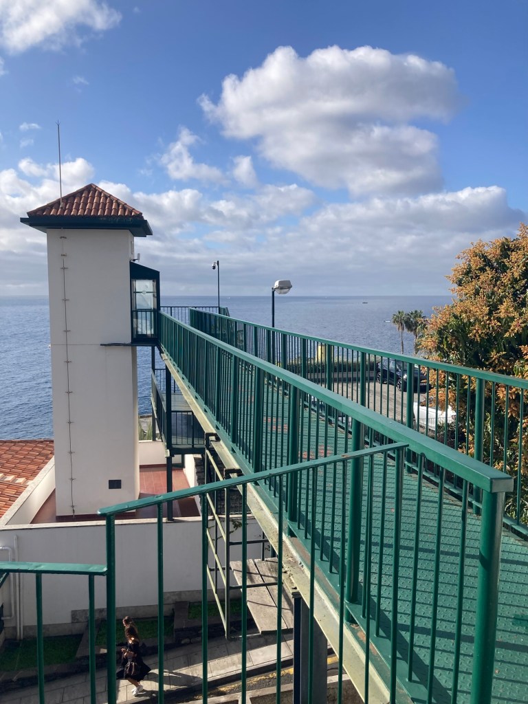
Our room in front of the much larger Savoy Palace Residences behind usTo get to the sister property, we walk down through the garden by our pool, out a gate, down a street for a bit (watching for traffic as warned by posted signs), and then across this bridge.The view from the bridge, looking south along the Atlantic Ocean.Looking back inland
After returning to the room to collect some things, we returned the same way, took the elevator down from the bridge to the ground level, walked through the lobby of the sister property and out onto the street to reach the lovely and busy Avenida do Mar to see a bit more of Funchal. There were two cruise ships in, so it was hopping. Bob walked for about half of it, and then had to stop and took a Bolt (like Uber or Lyft) back to the hotel. I continued to the end of the pedestrian promenade along the water and then did my run.
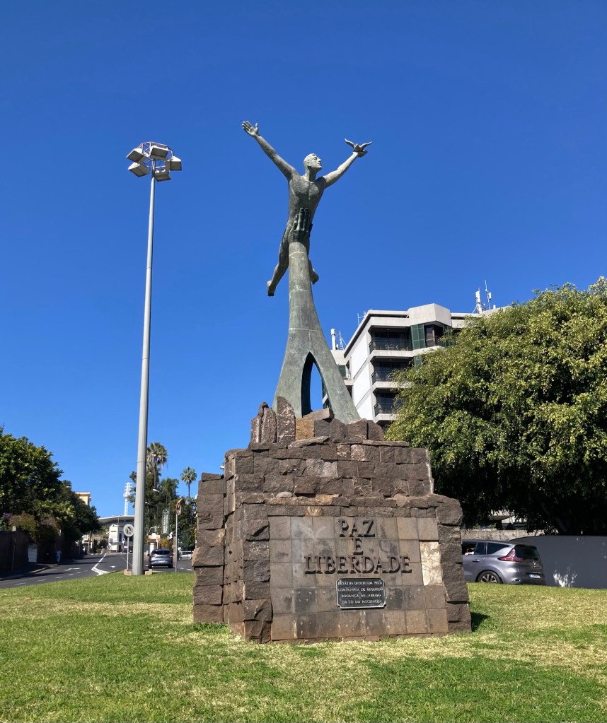
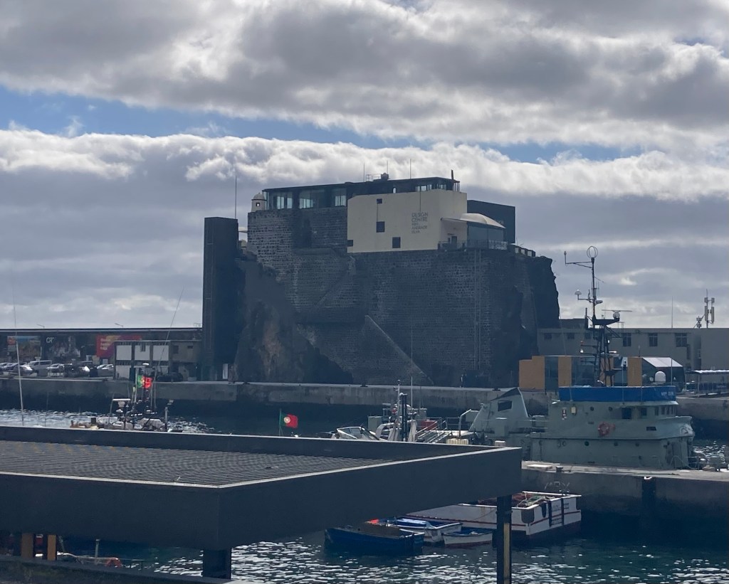
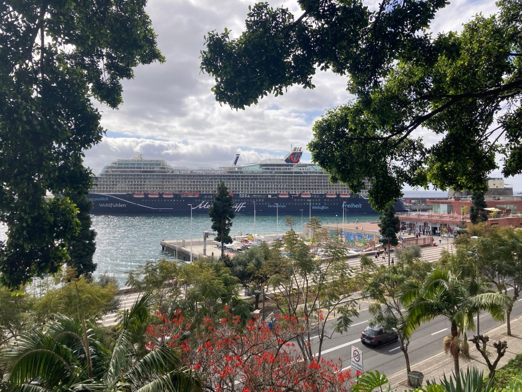
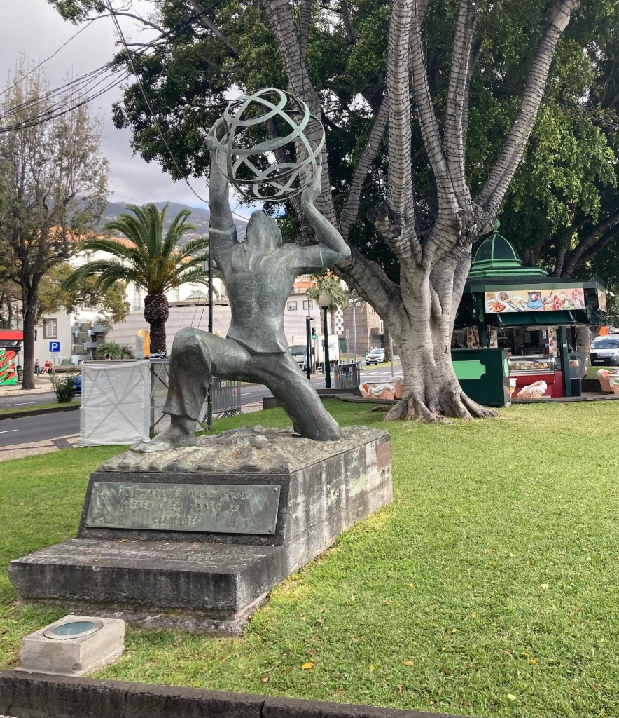
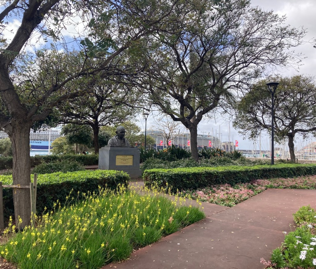
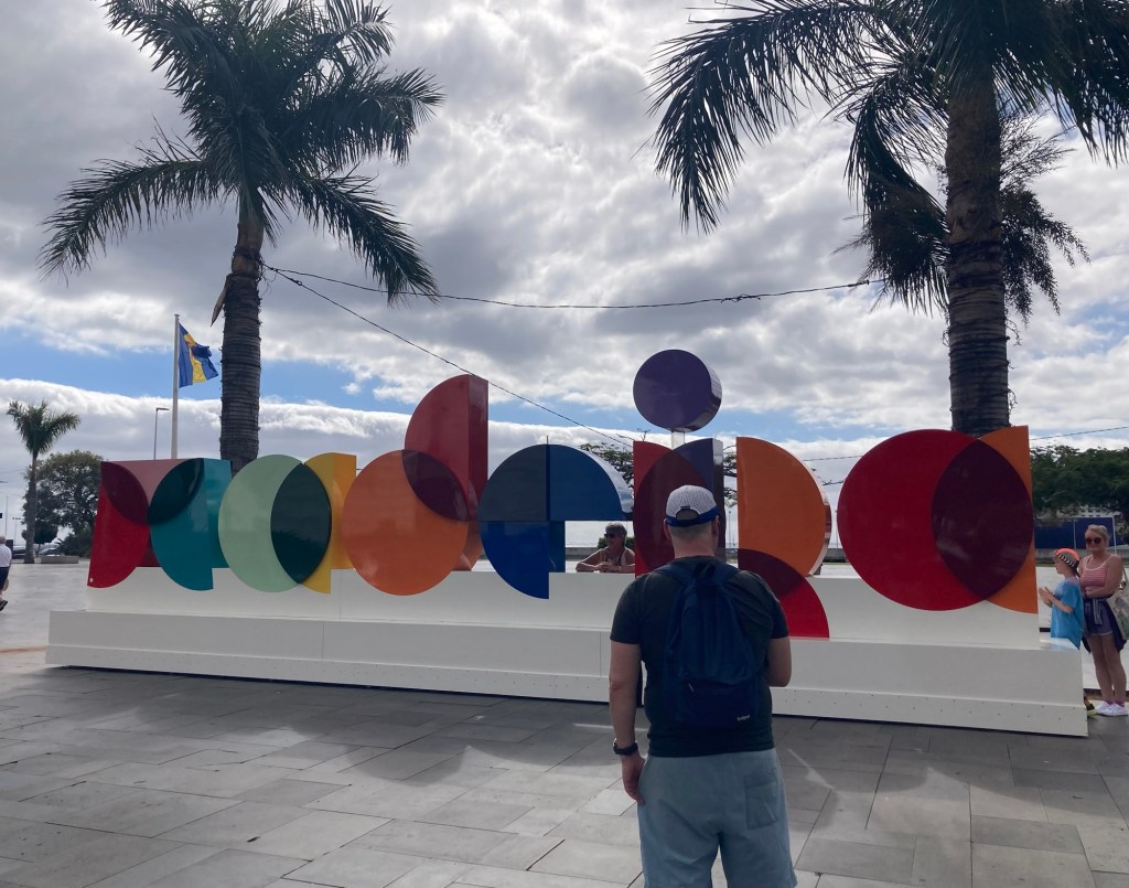
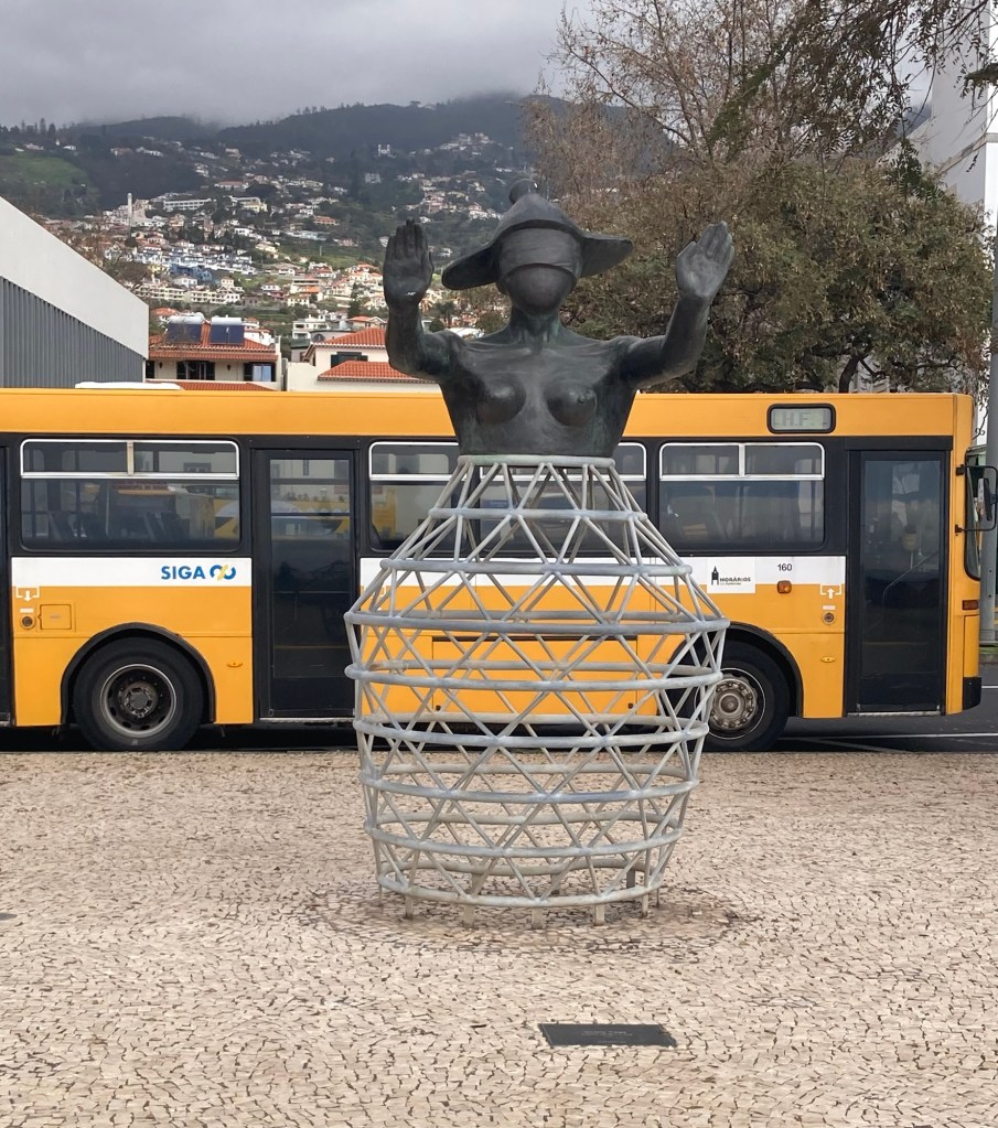
A cool design building built atop what looks to be an old fortress A museum along the promenade in a hotel also named for the famous footballer I found a public bathroom in a pretty park up the hill from the promenade and got a nice shot of one of the cruise shipsOne of many cafes along the wayA cool sculpture to immigration There were a number of small gardens or parks along the promenade. This one has a bust of Gandhi.A colorful Madeira sign and popular photo opLooking across towards the townAnother pretty parkFood and drink trucksMonument to FreedomLots of stone barriers along the coast“Cabra Cega (blind goat or blind man’s bluff),” by Silvio Cro, 2000.
Tomorrow, we have an all-day tour to the west part of the island.
Bob and I left our housesit in Tunbridge Wells and the sweet Nellie on Tuesday. Our very generous homeowners made a car reservation for us to take us from Tunbridge Wells to the Hampton Hotel at the Gatwick Airport. It seemed to be a good sign that our driver was from Portugal and the hotel receptionist was from Madeira (our Portugal destination).
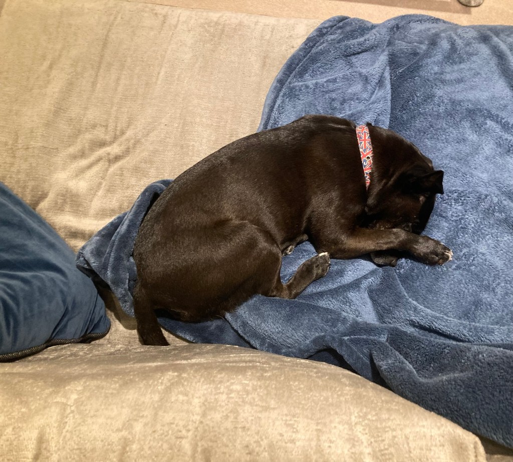
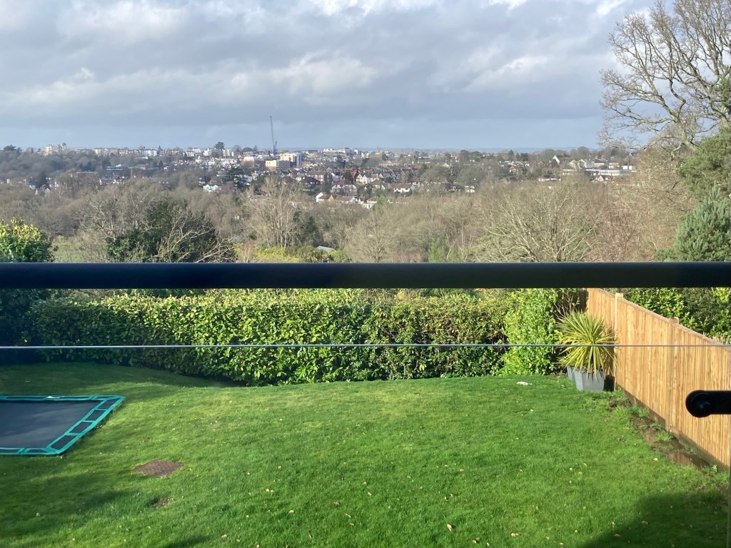
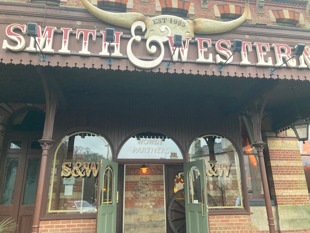
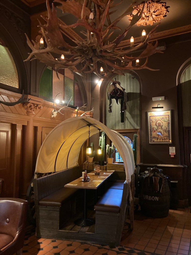
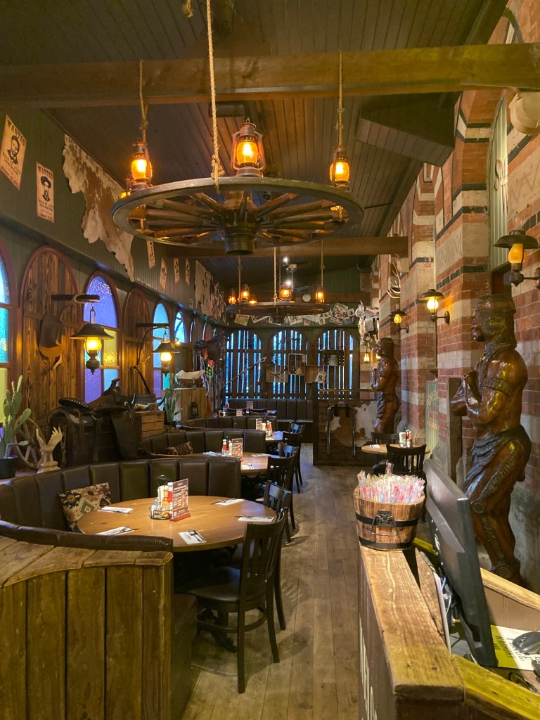
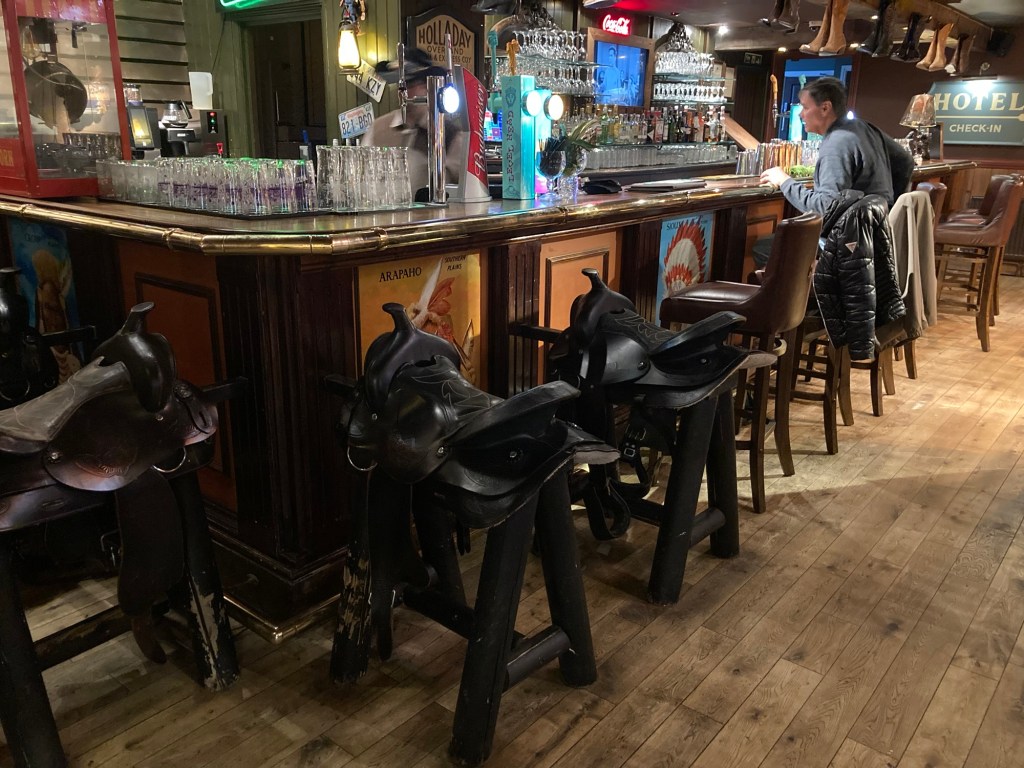
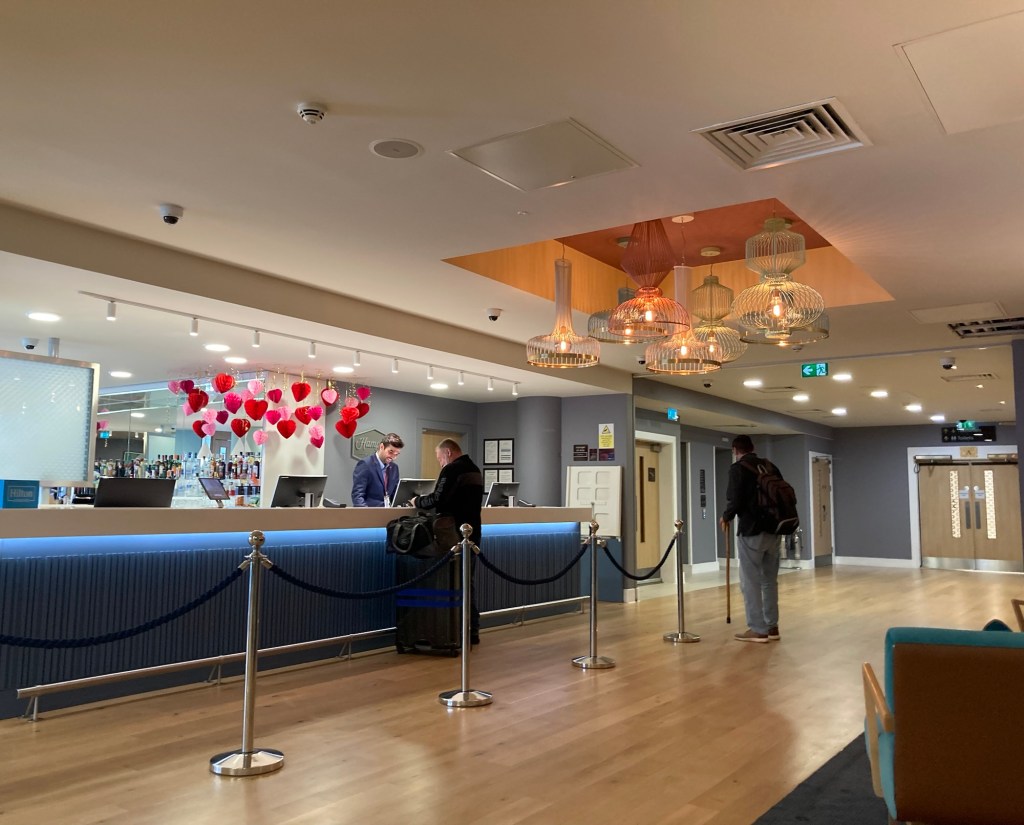
Sweet NellieA rare moment of sun in Tunbridge WellsOn the last maid’s day, Bob and I took the bus to the Sainsbury’s grocery store and then walked across the way to the Smith and Western Hotel/bar.A chuckwagon table The Cowboy themed restaurant Saddle bar seatsBob getting ready to check into the Hampton, North Terminal Gatwick
Once we started on our journey today (after a good workout for me in the Hampton fitness center and then a free breakfast), it was a quick 5 minute walk to the EasyJet gate. We had asked for special assistance with Bob’s hip, so after we got through security, we waited in the special assistance lounge until 1:00 pm when we were taken by a special assistance hostess all the way on board our flight. It pays to be disabled,
It wasn’t as handy once we landed, as we had to wait to debark until the very end and then we were walked quite a ways to customs, where we went through the new enhanced EU screening before picking up our luggage.
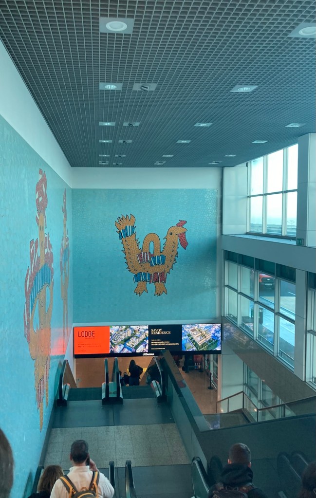
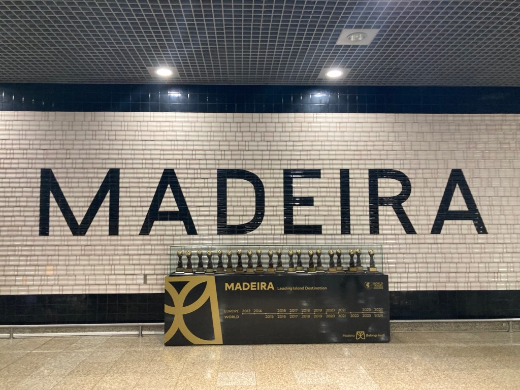
Coming down the escalator in the Madeira Airport to claim our luggageA sign to remind us where we are
We grabbed a cab ( number three in line that would take credit cards) to take us from the town of Santa Cruz to our hotel in Funchal (about $50). Once in our room, we unpacked while enjoying a free bottle of sparkling wine from hotel.com through which we had made the hotel reservation,
I took advantage of a Tuesday dog walker’s day to do a final train trip out of Tunbridge Wells. This time I went all the way to the coast (about a 35-40 minute ride depending on the number of stops) to the town of Hastings (as in the Battle of Hastings, which as we all now know happened in the current town of Battle).
Hastings has a current population of about 91,000, and Wikipedia tells me that it remains a popular seaside resort and fishing port, with the UK’s largest beach-based fishing fleet. I definitely saw a number of fresh fish vendors in my 2.5 hour walkabout.
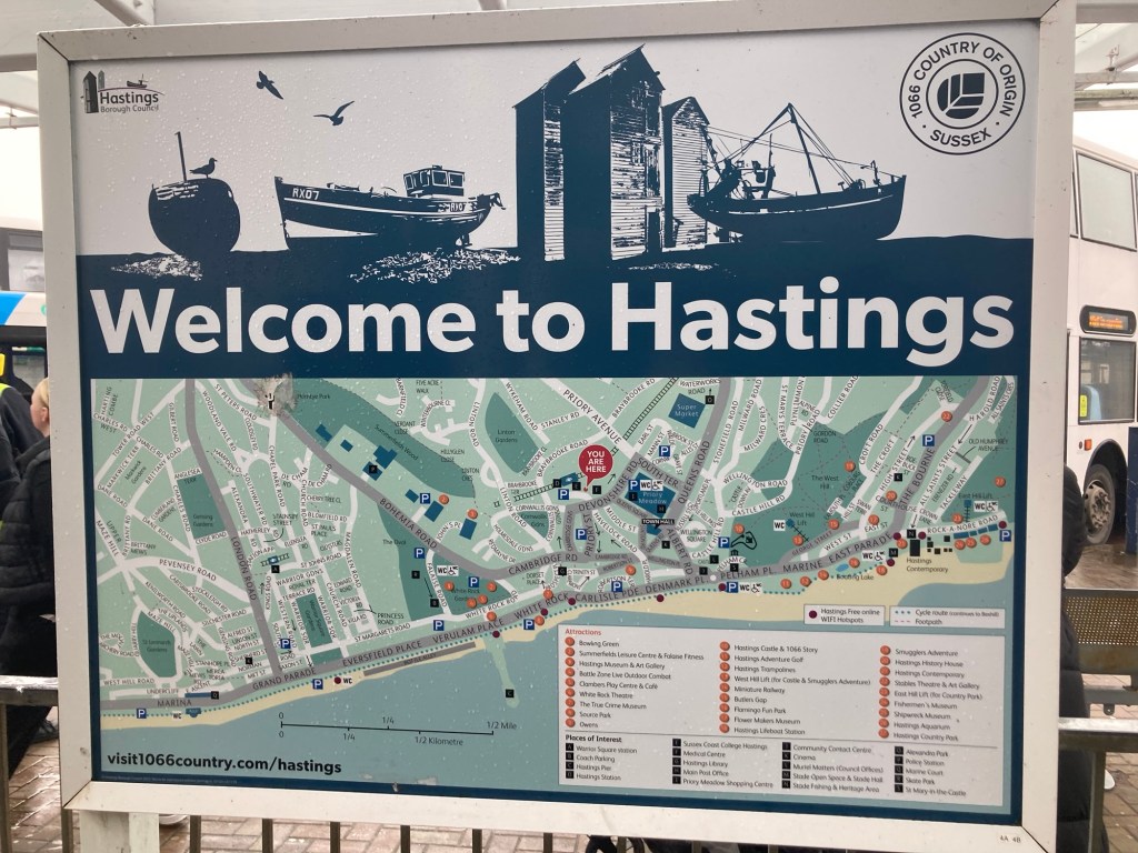
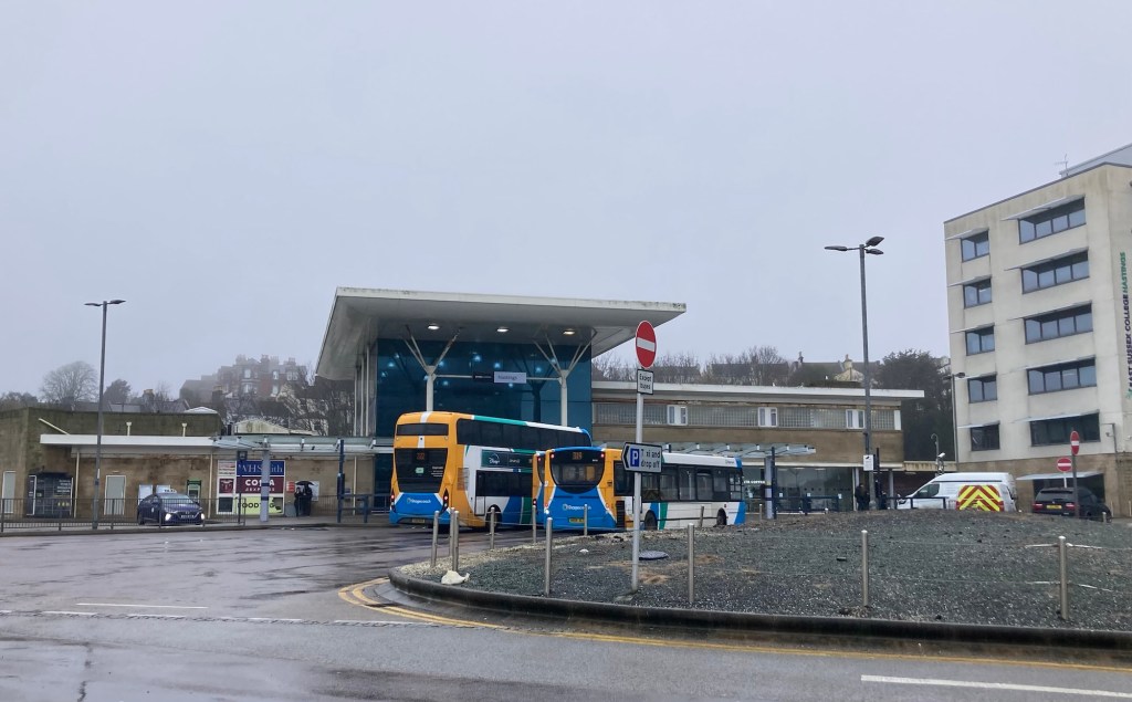
A helpful map posted right outside the train station A transportation hub — train and bus station
My first walk was down to the beach to see the Hastings Pier, which I sadly deleted photos of when I was editing my photos on the train ride back to Tunbridge Wells. Lesson learned (hopefully) about multi-tasking on a moving vehicle.
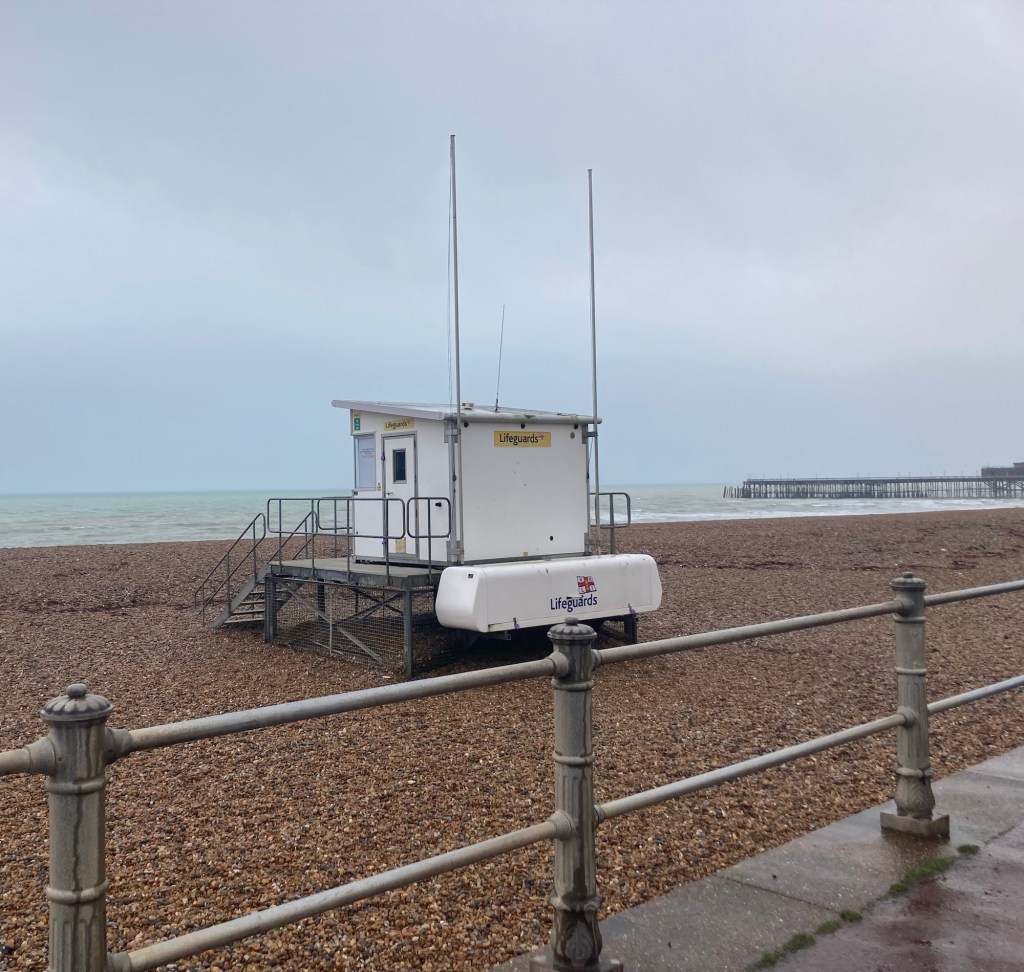
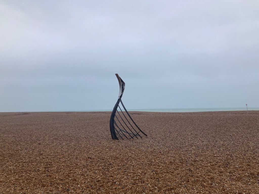
This is the best that remains of a lifeguard station, the pretty beach, and the pier in the distance.I love this sculpture not far from the lifeguard station. It looks like the remains of an old ship. There is a shipwreck museum further along the coast.
I was walking along the coast towards the East Hill. Hastings has two hills — East Hill and West Hill — both of which you can ascend via funicular (when they are not closed for necessary maintenance). I wanted to go up to the top of the East Hill, as there is a country park there and the views (when not raining or foggy) are supposed to be good. As I learned through some posted signs, neither funicular was running, but I was still able to get to the top of the East Hill.
Some discoveries before I got to East Hill —
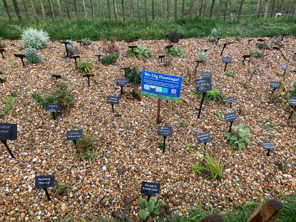
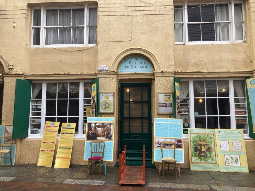
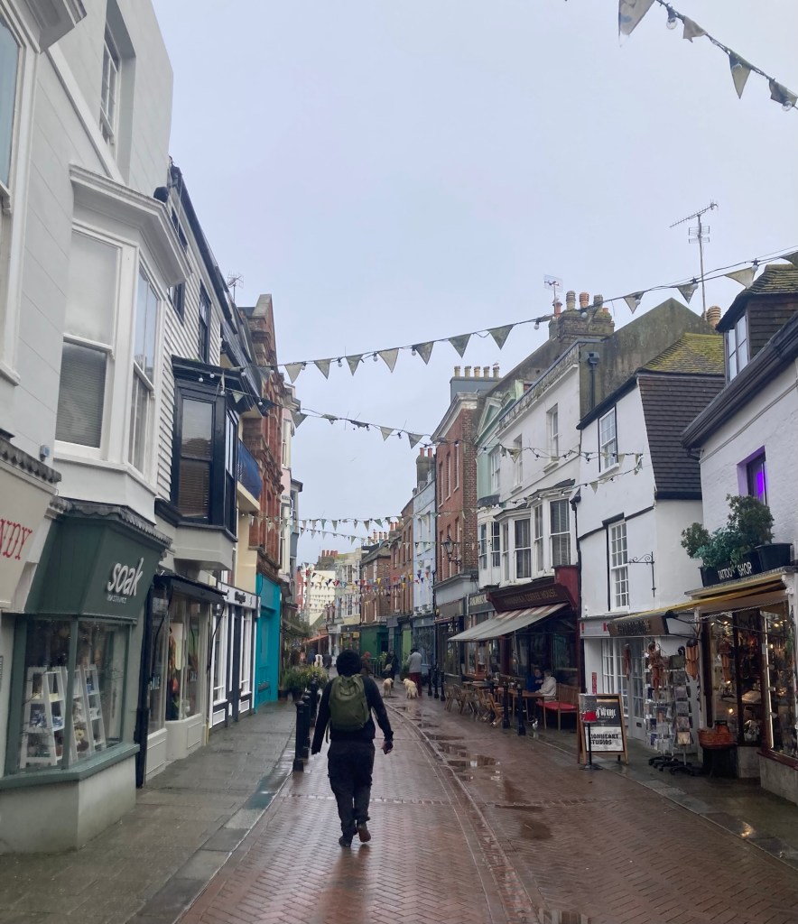
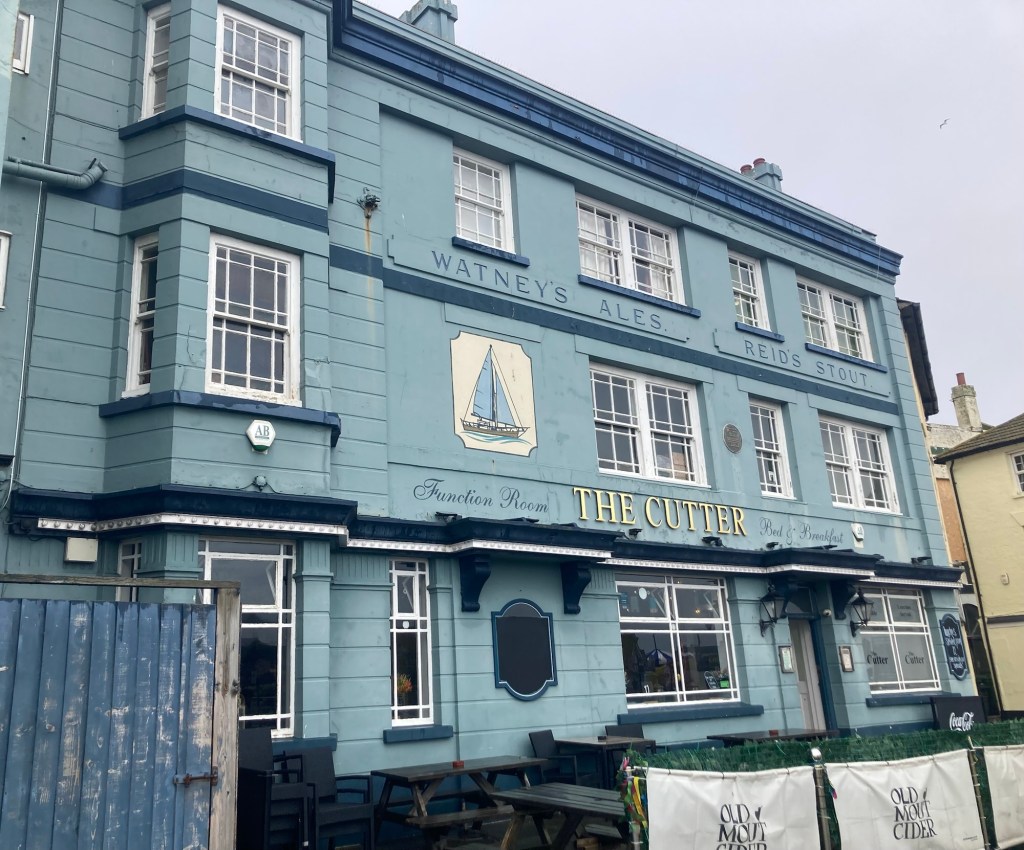
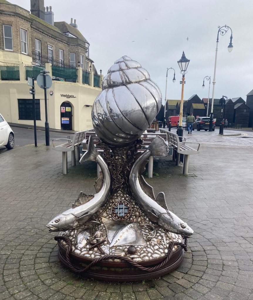
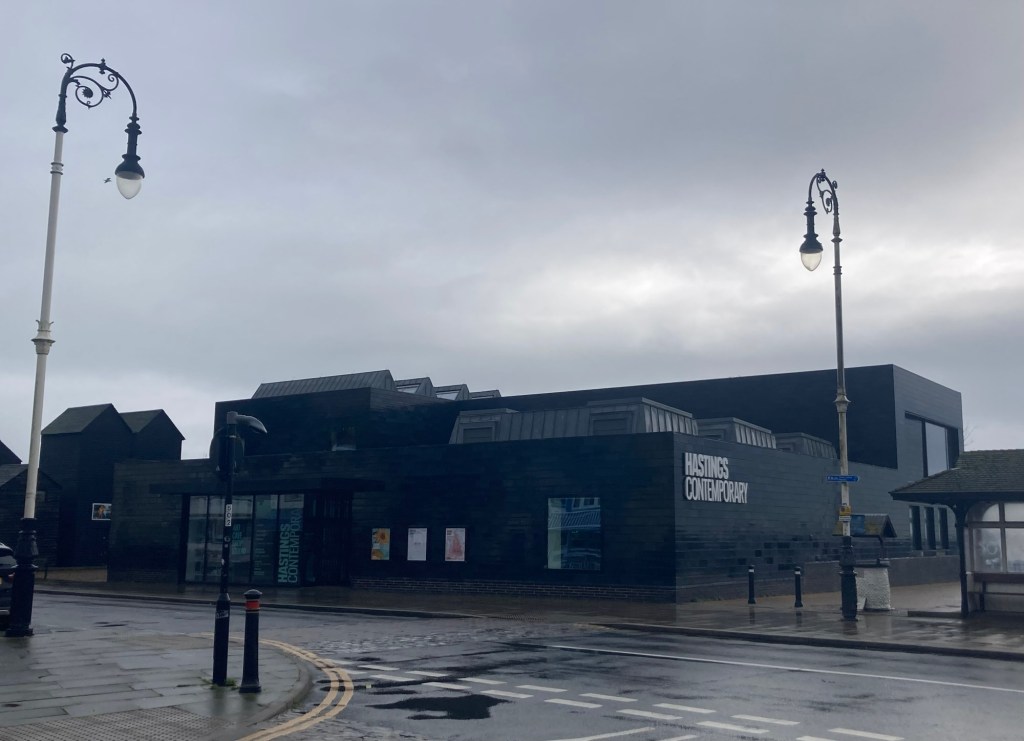
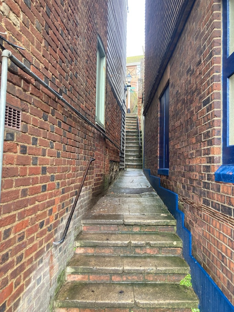
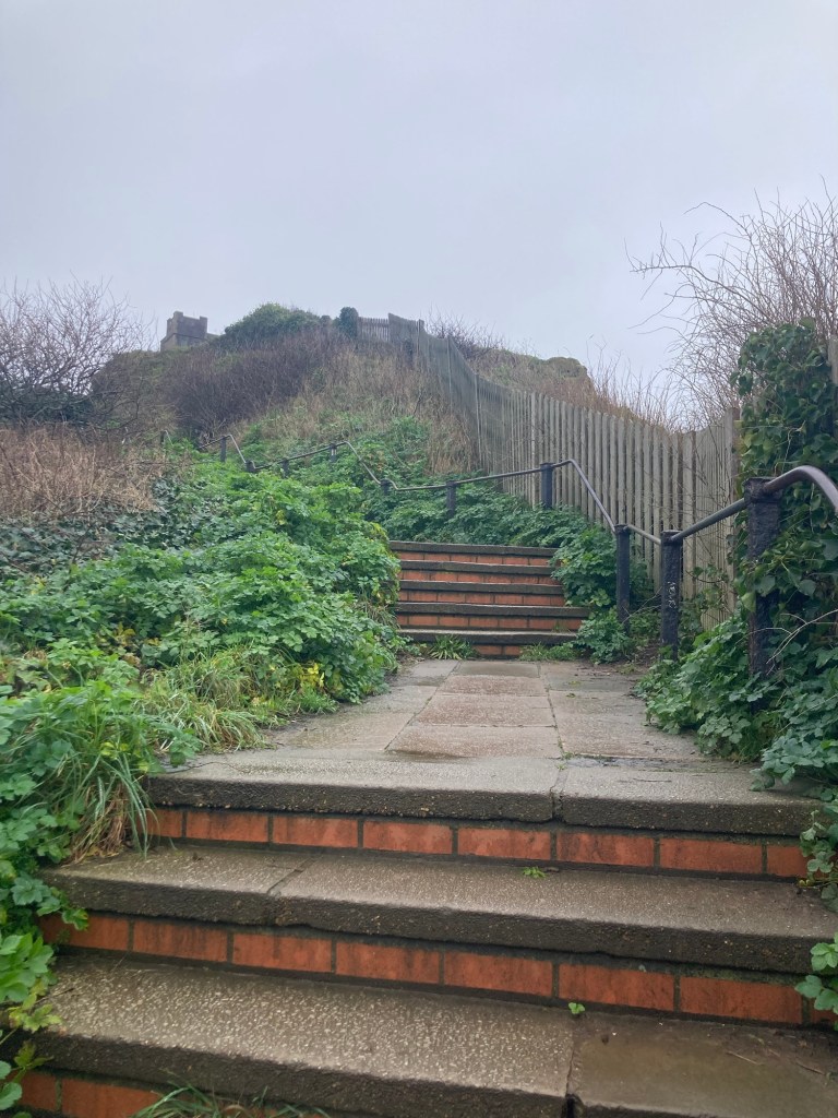
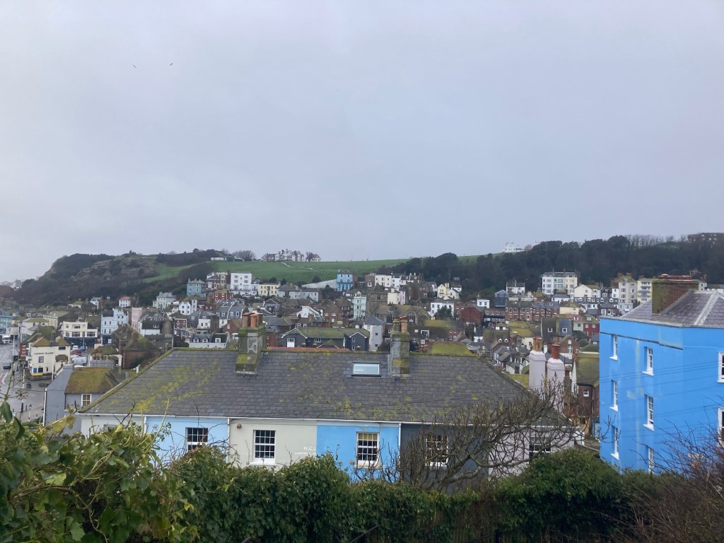
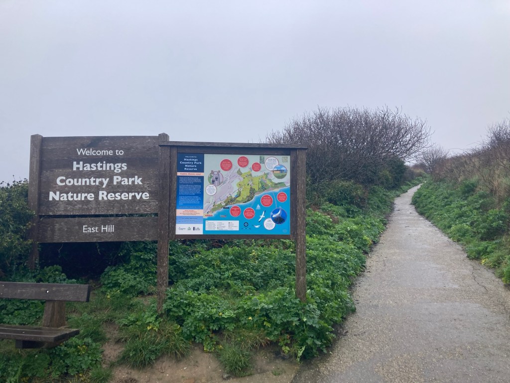
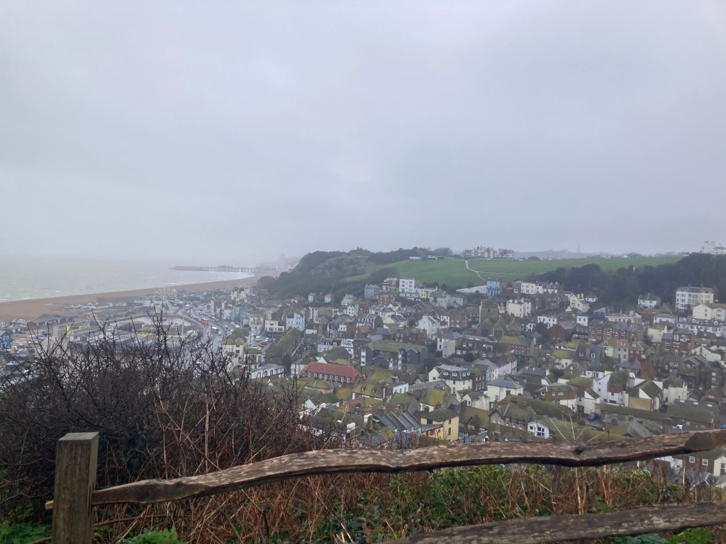
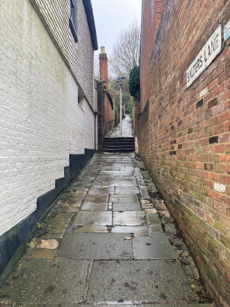
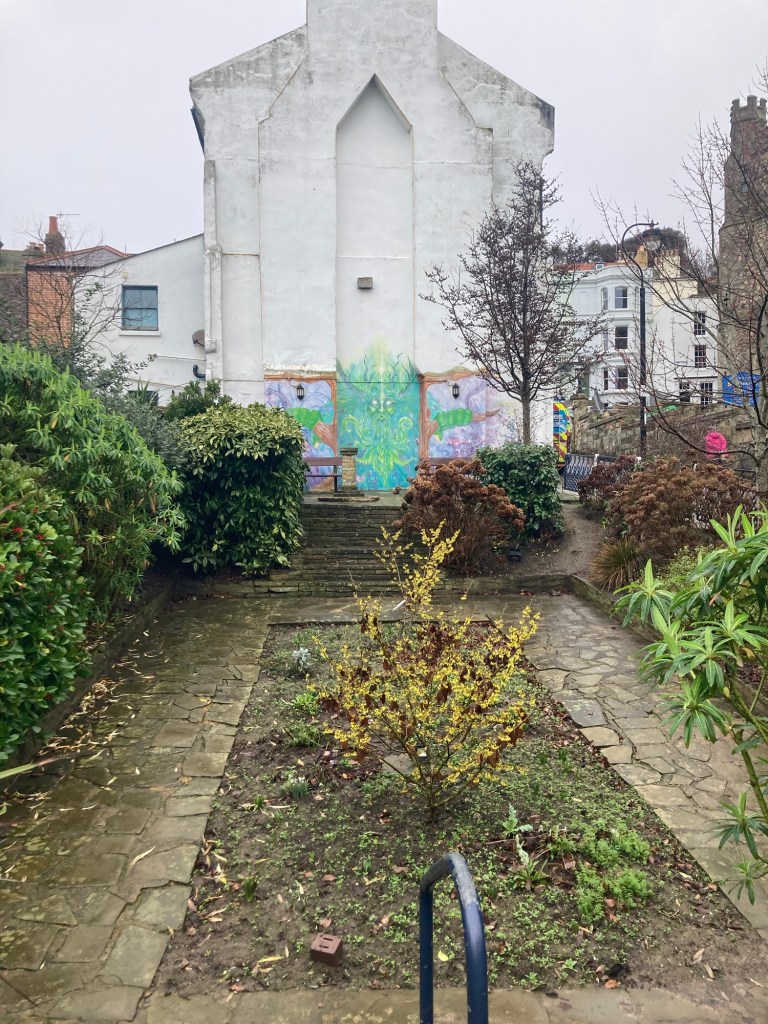
Hastings first living laboratory for climate-resilient gardening, right along the seafront The British Tea Museum, only open for tours to groups of 20 or moreEntering into the Old Town section of Hastings One of many pubs along the waterfront A plaque states that this statue was erected on Winkle Island by members of the Hastings Winkle Society. Winkles are a small mollusks with a spiral shell.The Hastings Contemporary, an arts charity located on the historic fishing beachOne of a number of passageways in Hastings. At the top of the stairs, I saw a sign for East Hill, so I went up.More stairs up to the funicular building at the topA view on the way up over the town to the West HillThe entrance to the Country Park at the top of the stairs. The paved path led to a large green space which I didn’t opt to walk on due to the wetness.A view of the beach, town, and West Hill from the top
The rain had returned, so I made my way back down to continue walking east along the coast.
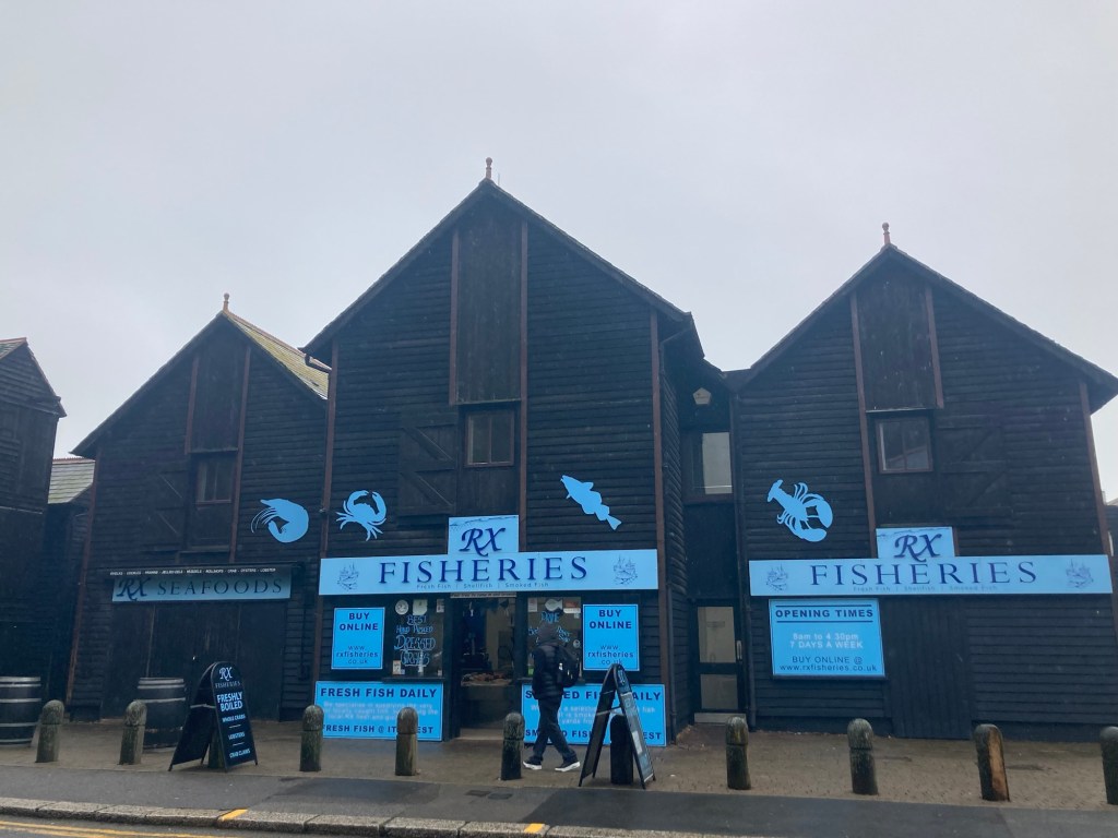
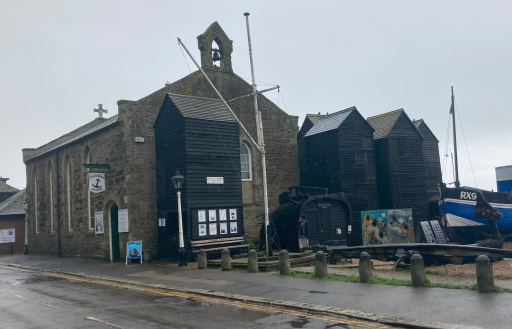
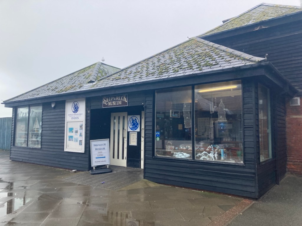
One of the many fresh fish vendors near the waterThe free Fisherman’s MuseumThe free Shipwreck Museum
I briefly went into the Shipwreck Museum, but both this and the Fisherman’s Museum were being used for lessons for a school class. I did get to see the world’s earliest archaeological evidence of a ship’s steering wheel which was recovered on the Goodwin Sands in Kent. I also learned about Samuel Pepys role as Secretary to the Admirality during the reign of Charles II and James II. Prior to this trip, I only knew Pepys for his diary, but we saw a show on tv the other day about the Great Fire of London, in which Pepys played an important role. Both of these efforts (naval and fire) were likely detailed in his diary, but I don’t remember the contents of what we read in school.
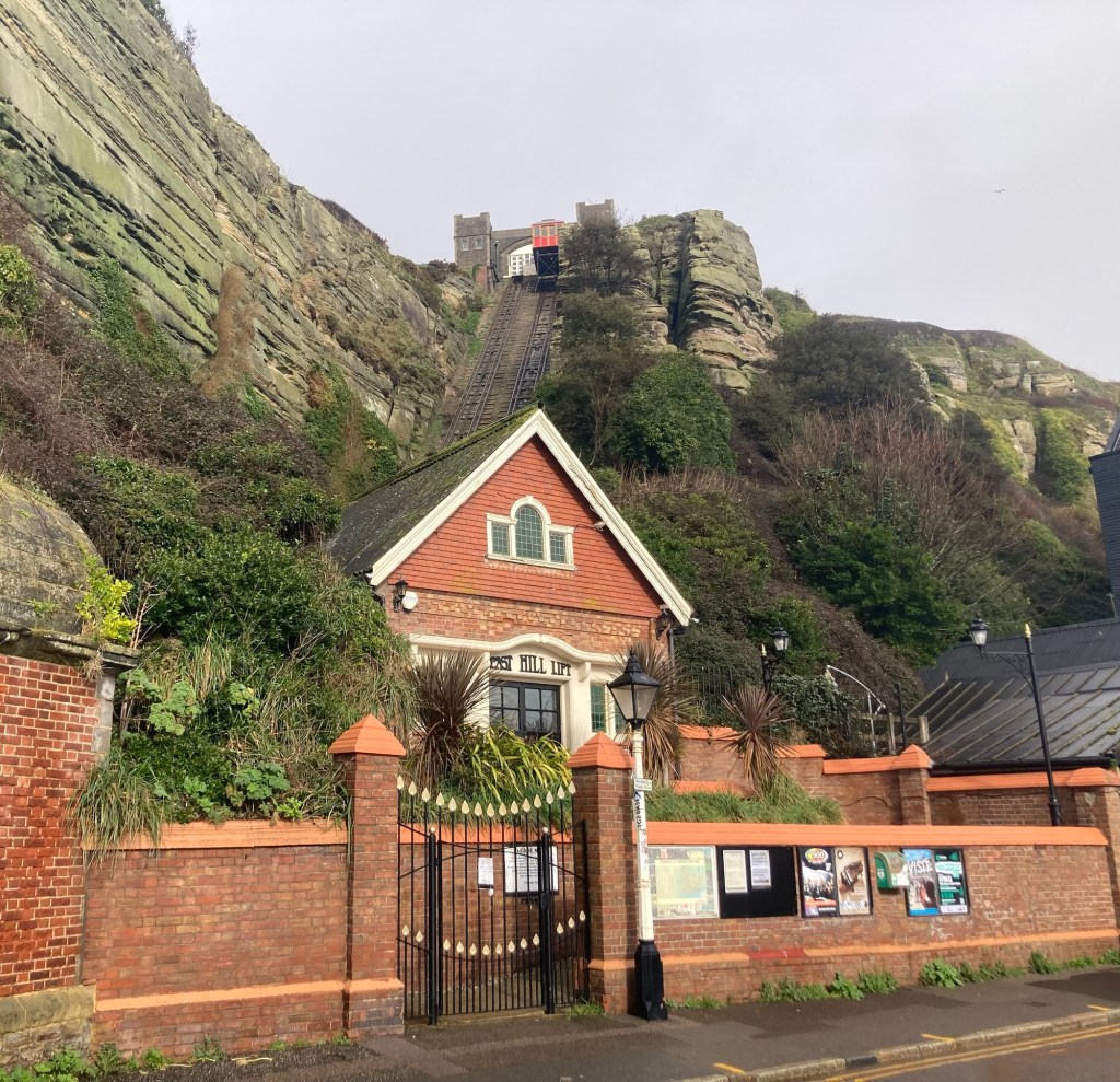
The pretty entrance and funicular rail for the East Hill, when operating
I then walked back into Old Town to do more exploring there.
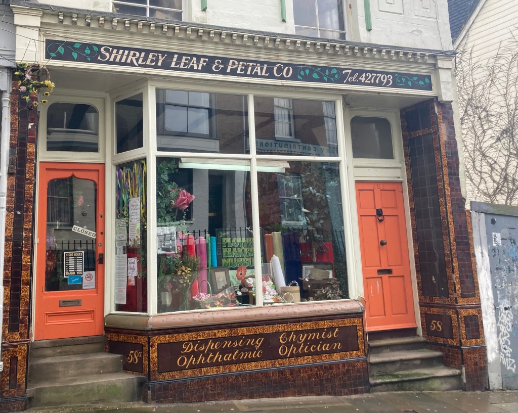
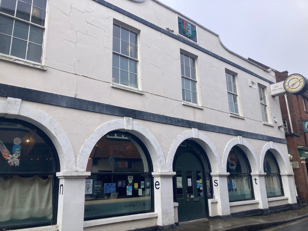
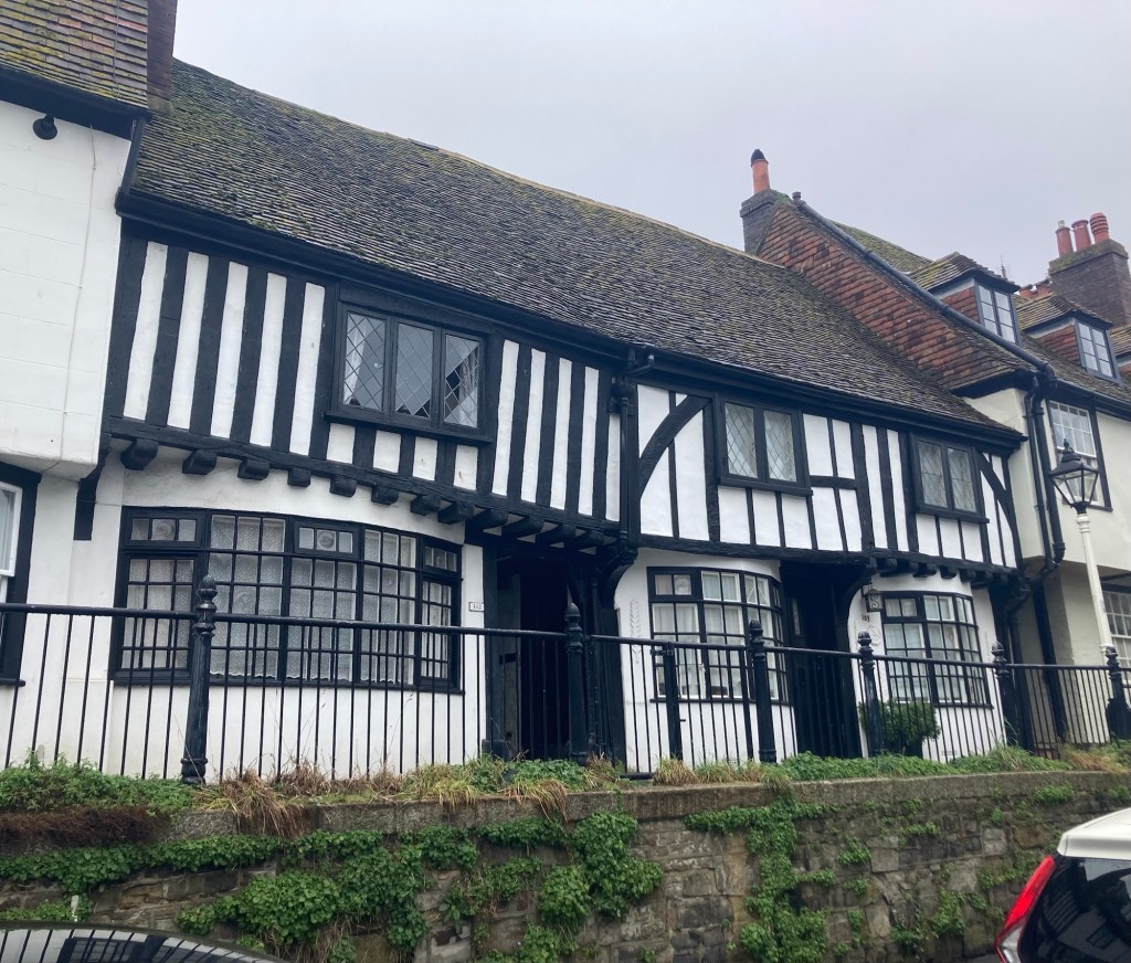
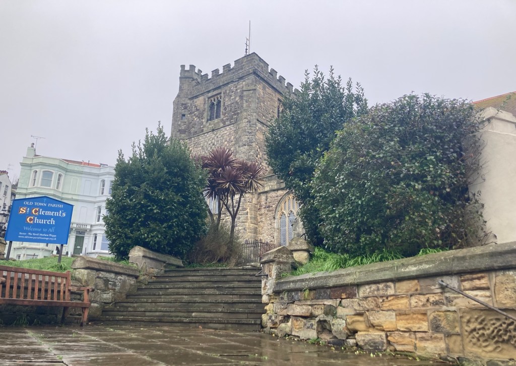
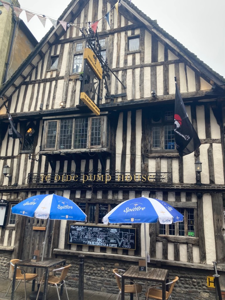
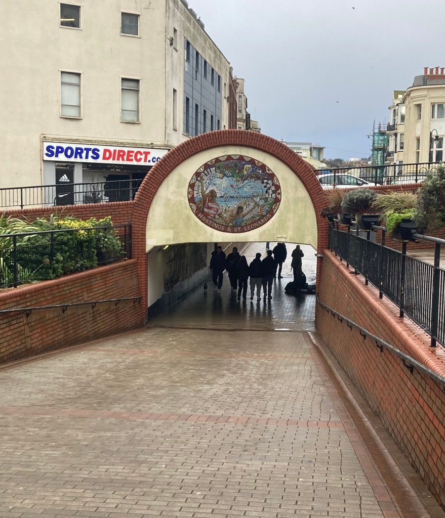
The Flower Makers’ Museum, dedicated to the making of artificial flowers, but not openThe Old Town HallSome older looking homes along the high streetAnother pretty passageway This was the location of the Swan Inn, first recorded in 1523 during the reign of Henry VIII. It survived fires by the French during the 100 Years War and was completely rebuilt in 1889. However, it was completely destroyed by a low-flying enemy bomber on May23, 1943, with considerable loss of life.St Clement’s ChurchA cute pub in Old TownA mosaic- covered pedestrian walkway
One of the most important battles in English history was the Battle of Hastings in 1066. If you have ever had a British Lit course or other American or World history course, you likely have come across this event at some point. To go to the site of this battle though, you would head today not to the town of Hastings, England, but to the town of Battle about 6 miles northwest.
I headed to Battle by train today to look at the site of the important battle, see a bit of the town of Battle, and then look at what remains of the abbey that was built by the battle’s victor to commemorate those who died in the battle.
It was a 30 minute train ride south to Battle, which gets its name from the Battle of Hastings. (Guess the only other option for the town name would have been “Of” since Hastings was already taken.). Its current population is about 6,700.
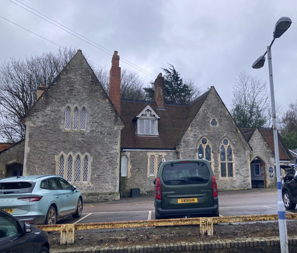
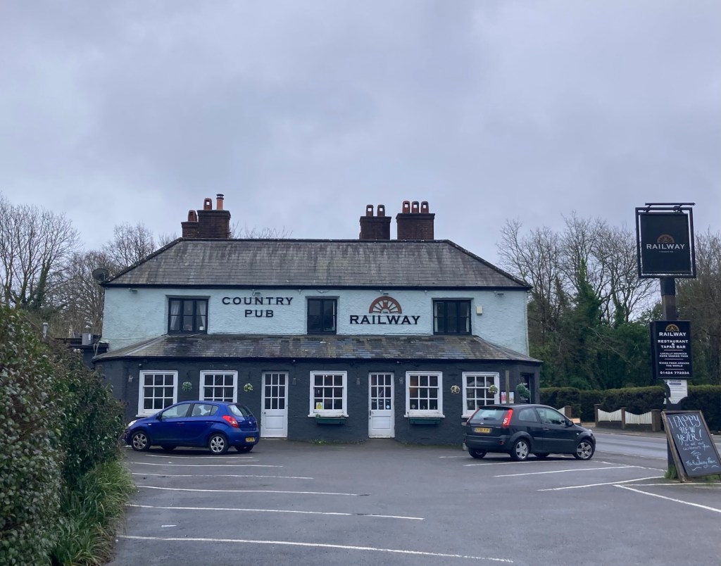
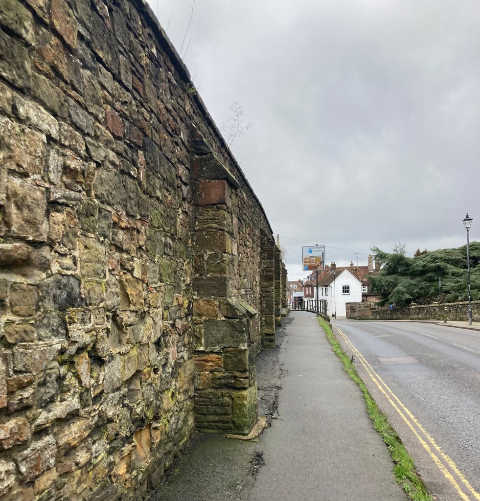
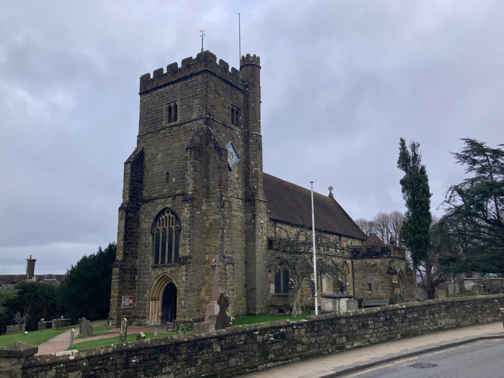
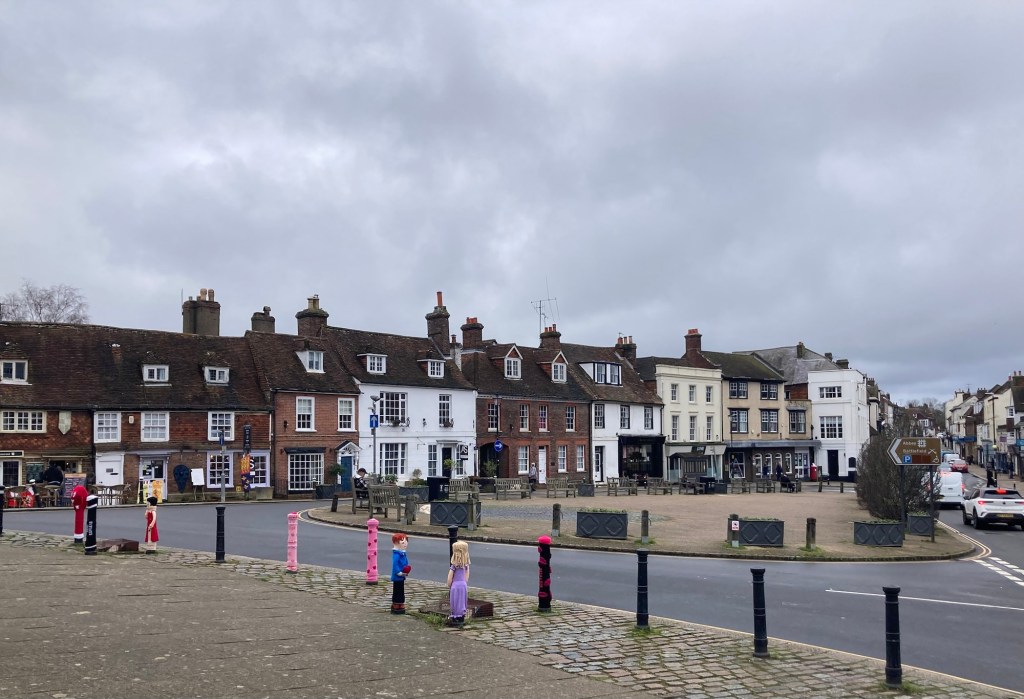
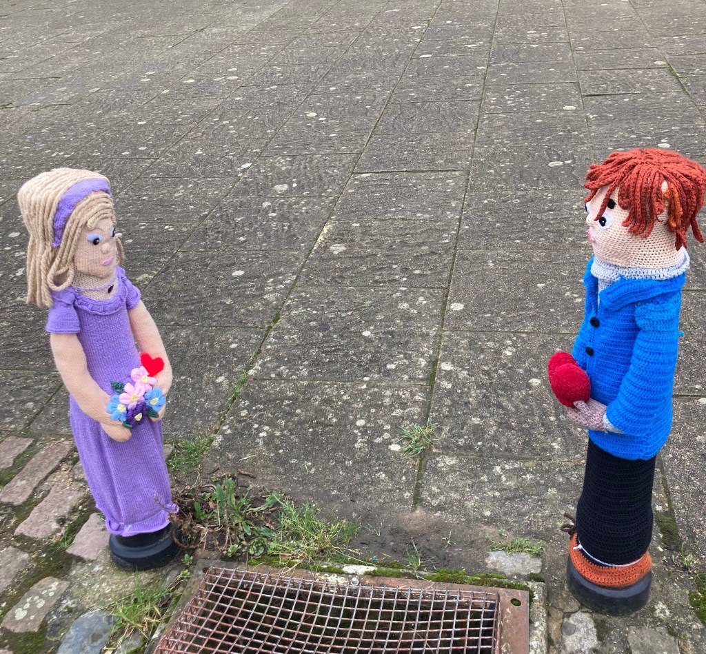
The Battle Rail Station, completed in 1852 and designed in the style of the Battle Abbey.A pub near the Battle Rail StationWalking along the abbey wall on the way to the entrance St Mary the Virgin Church near the abbey and battlefield Stores and a plaza across from the entrance from the abbey and battlefieldA close up of some Valentines themed yarn art in front of the entrance
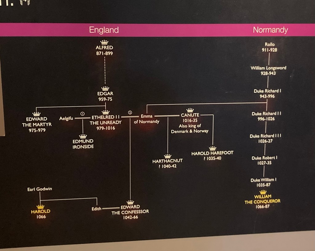
A bit of background on the battle and abbey. The English Anglo-Saxon King Edward the Confessor died without an heir in January of 1066 which set up a struggle for succession to the throne. The two armies at the Battle of Hastings were that of the Anglo-Saxon King Harold, who claimed that Edward had wanted him to be king, and William, Duke of Normandy, a region of France. Both wanted to be seen as the true ruler of England.
William’s armies sailed from France to Hastings for the attack. Harold brought his army to Hastings after hearing of William’s intent and after his army had just had to fend off an attack from his brother and a Viking army. After the day long battle, Harold and much of his army was killed, and William became known as William the Conqueror and initiated the Norman conquest of England.
William founded the abbey in 1094 to atone for the violence of the battle and to commemorate his victory. It was a Benedictine Abbey for up to 140 Benedictine monks until 1538 when it was closed as part of Henry VIII’s Suppression of the Monasteries to confiscate their wealth. For the next 400 years, the abbey was an aristocratic residence for a number of families. In 1976, Battle Abbey was presented to the State.
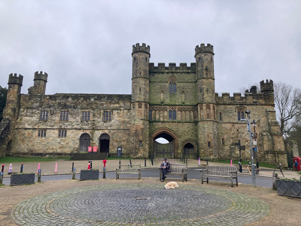
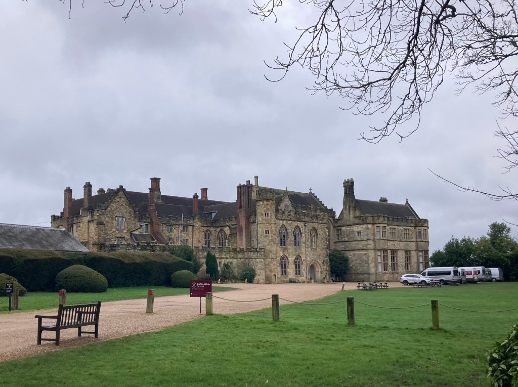
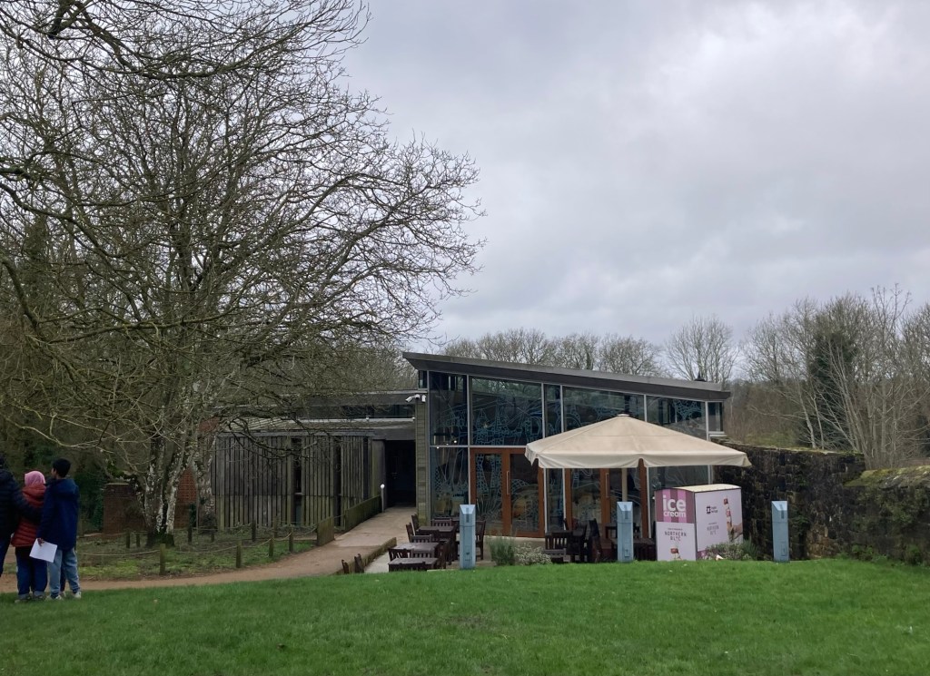
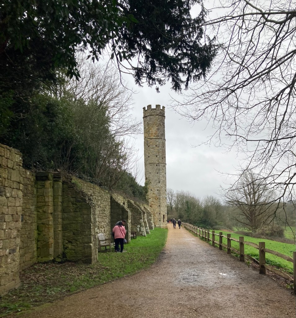
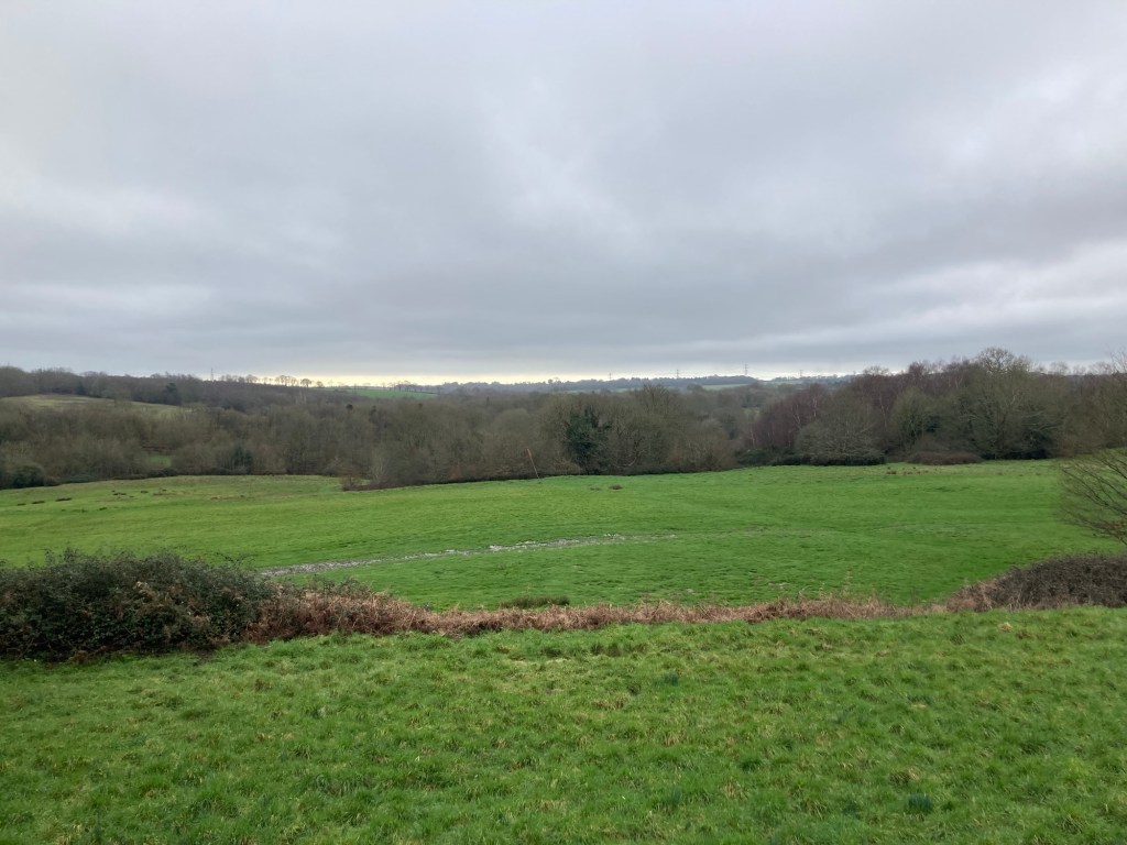
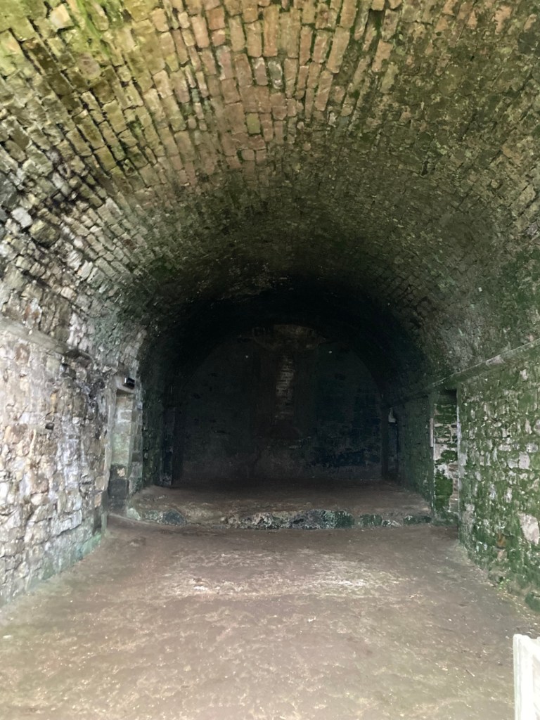
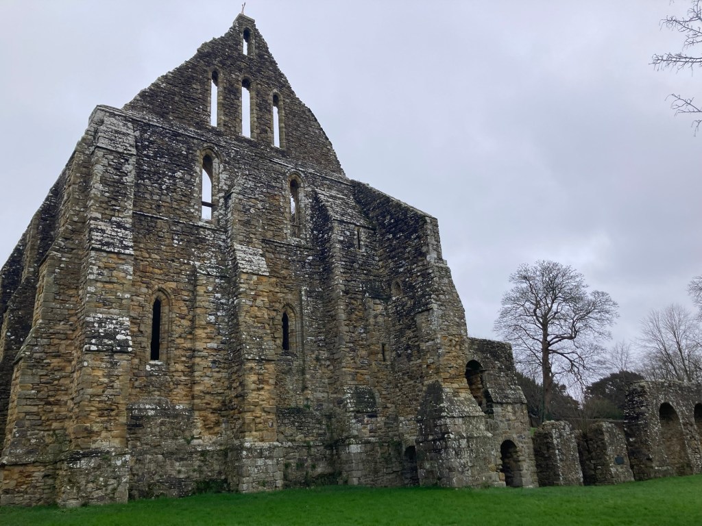
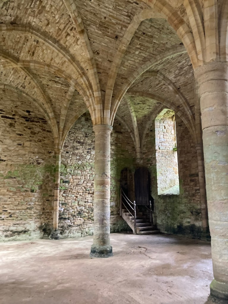
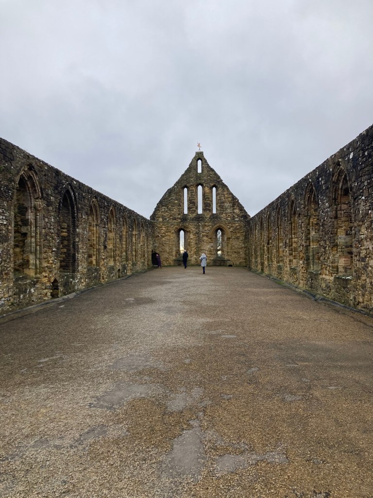
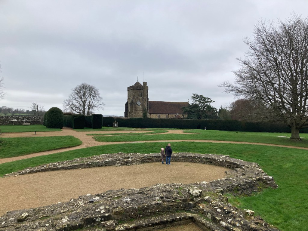
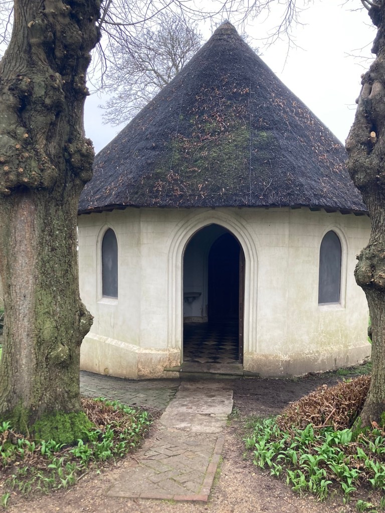
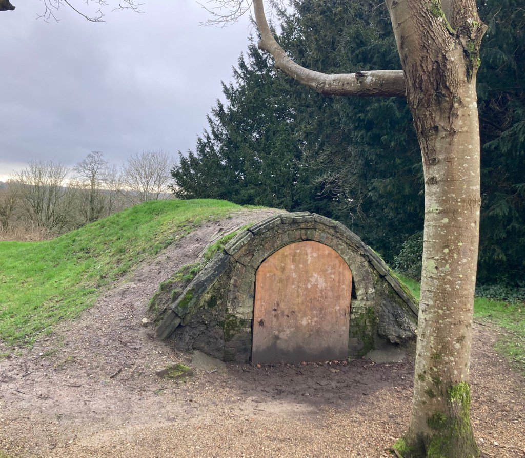
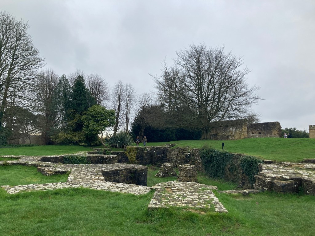
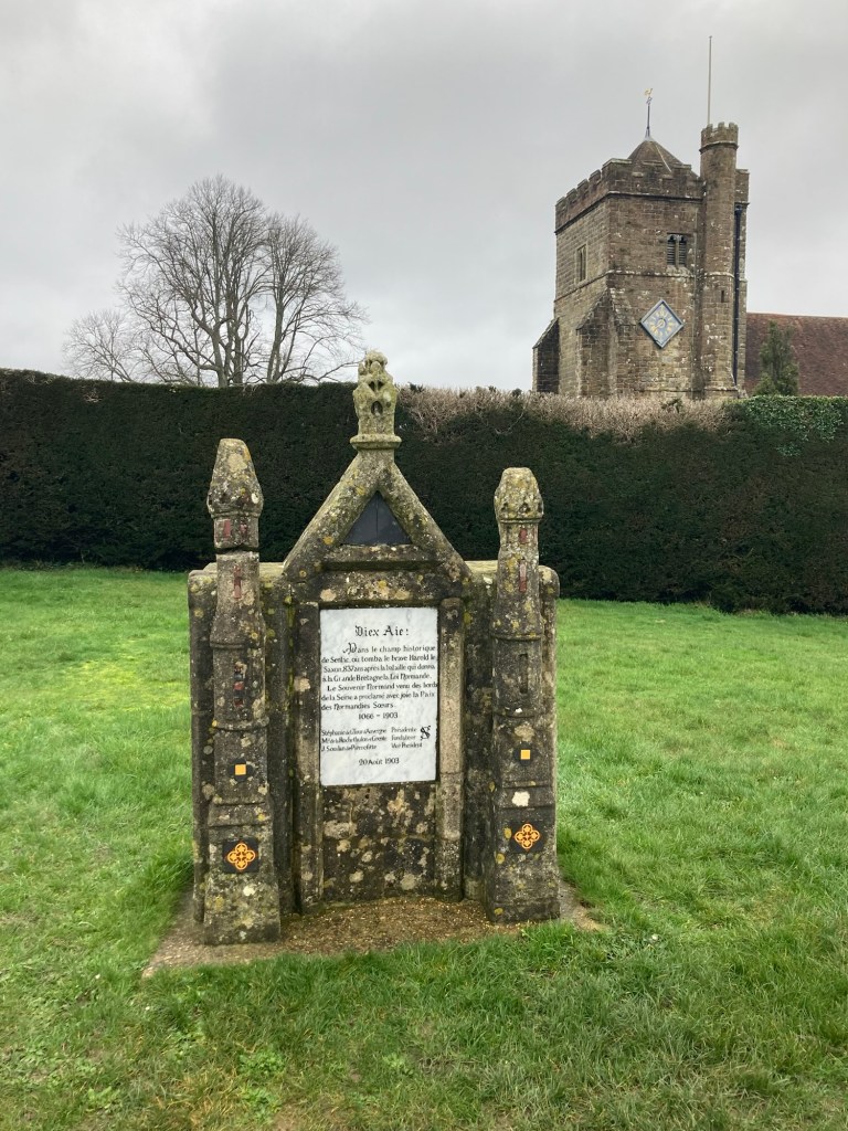
Looking at the gate house entrance to the abbey and battlefield from the plazaThe former great hall for the abbey which is now a school The Museum and cafe with exhibits and a film that provides a good overview of the battle The history of kings for England and Normandy, with the Battle of Hastings participants highlighted in yellowWalking along the terrace between an abbey wall on the left and the battlefield on the rightThe battlefield. William struggled to break the ranks of the English until part of his army started retreating and the English army followed.A former storage room for provisions for the abbey under accommodations for abbey guests The remains of the dormitory for the monksInside the lower level of the dormitory The communal sleeping room in the dormitory A view of the remains of the chapter house (where monks assembled in the mornings to hear readings) from the upper level of the dormitory A dairy from when the property had been converted to a country houseAn ice house from the same period The remains of the crypt of the church which was built on the site where King Harold had been killed A memorial presented to the English in 1903 by the Norman Historical Society of France to dispel the cloud which hovered over relations between England and FranceThe abbey wall which could be walked onThe towers of the gatehouse contain relics found on site and descriptions of the lives of the monks at the abbeyA view of the town of Battle from the top of the towers Looking back to the former abbey grounds and battlefield
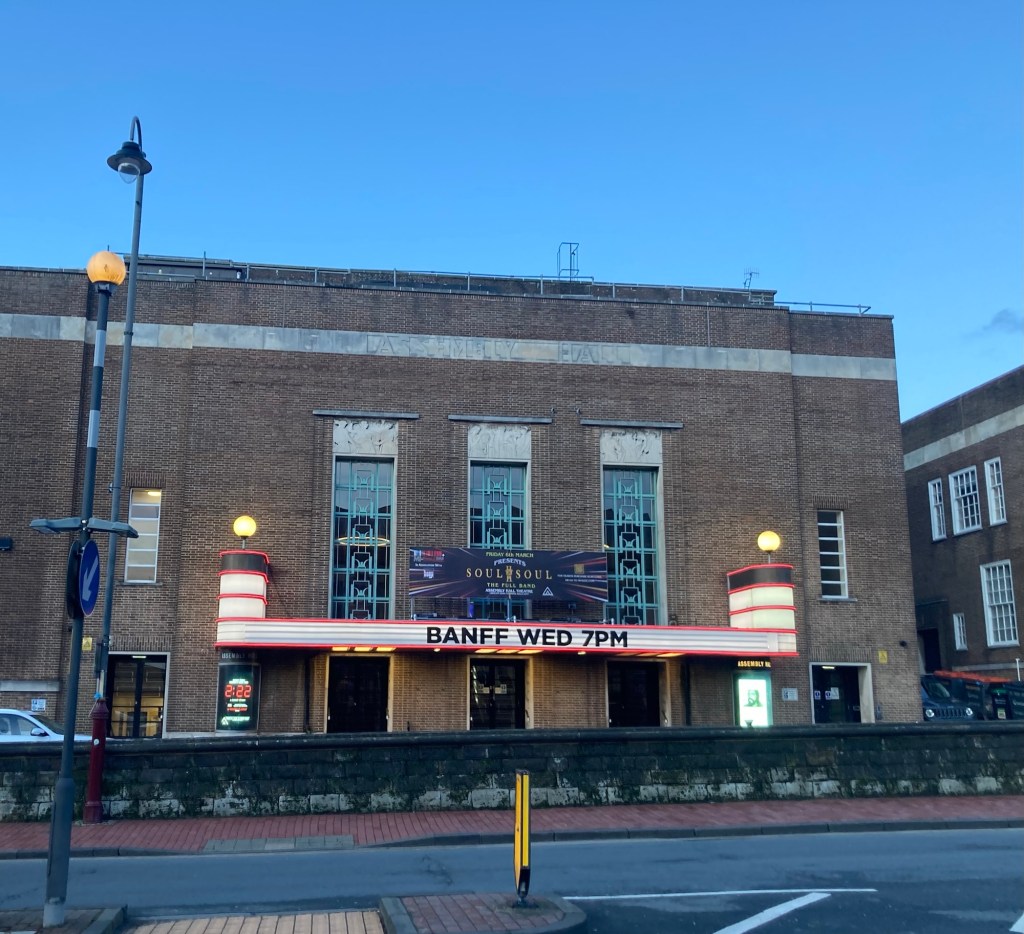
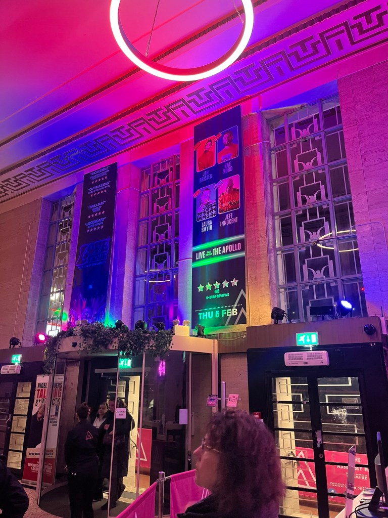
One of the places we like to check out in the areas we stay in are the theaters. Sometimes there are tours provided, but sometimes we’ll look for shows that appeal to us so we can see the inside of local theaters. There are two theaters in town, the Assembly Hall Theatre, which seems to be part of the same building as the Town Hall and Amelia Museum, and the Trinity Theatre which is in the former Trinity Church building.
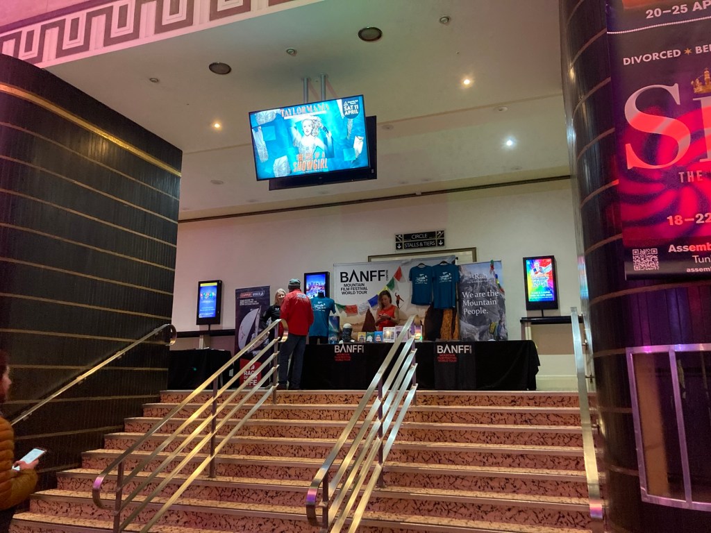
The Trinity Theatre does a lot with children’s theater and also offers community classes like exercise groups for seniors. We decided to focus on the more varied offerings at the Assembly Hall Theatre. We found a program of short films that we used to go to see when we lived in Austin, Texas. These are part of the Banff Mountain Film Festival World Tour. They are always films about people doing active, adventurous things in beautiful parts of the world.
The Assembly Hall Theatre announcing the Banff program
We thought we’d make it a big night out for us by going to dinner beforehand. Happily, last night was one of the few nights we’ve been here where it didn’t rain.
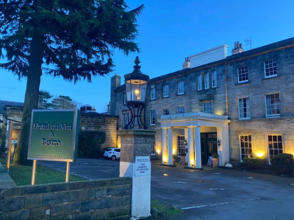
We caught a bus right at the end of the driveway that took us into downtown. We got off at the war memorial right in front of the Town Hall. It was a short walk from there to the Hotel du Vin where we had reservations for an early dinner.
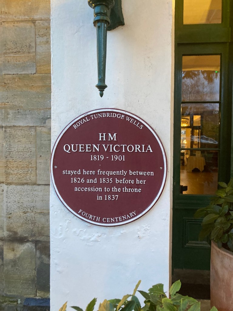
The pretty Hotel du Vin, a hotel and bistro, and one of 19 around Great Britain A Royal fact for this particular hotel location
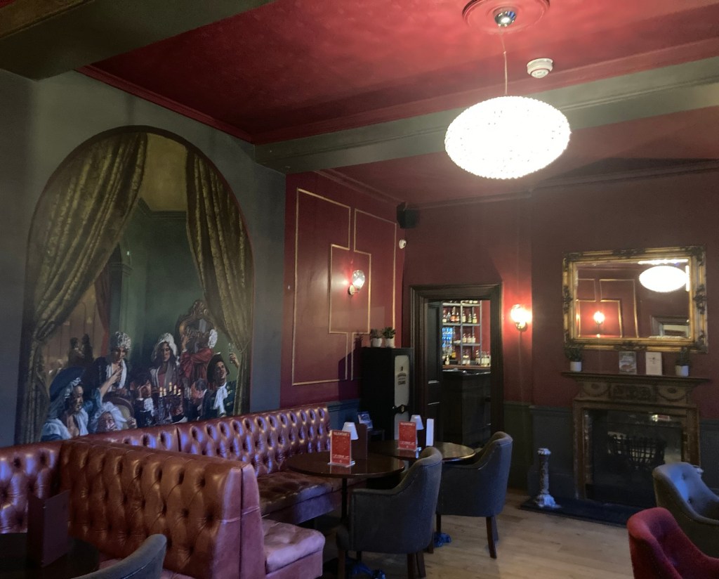
We had a few minutes before our 5:00 pm reservation, so we had a quick look around the ground floor of the hotel.
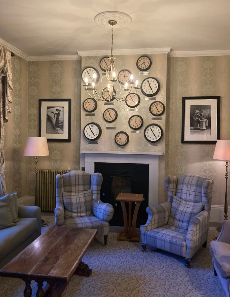
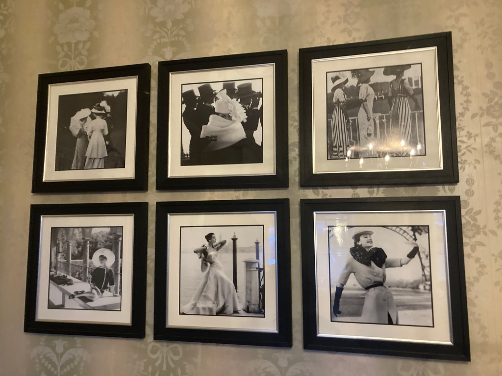
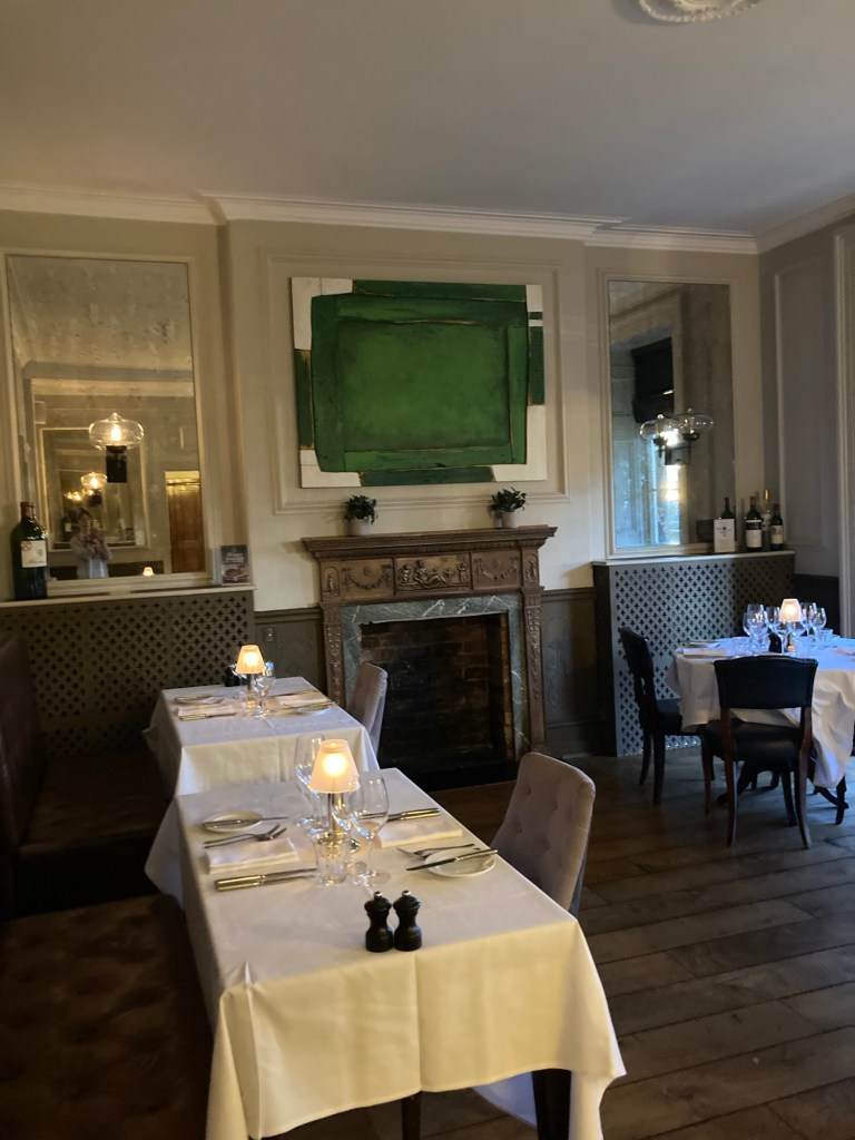
The outer room of the hotel bar One of the rooms of the tea lounge Some French-inspired photos in the loungeThe main room of the bistroThe side room we chose to sit in
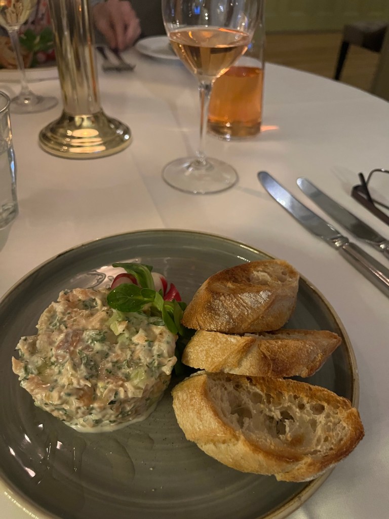
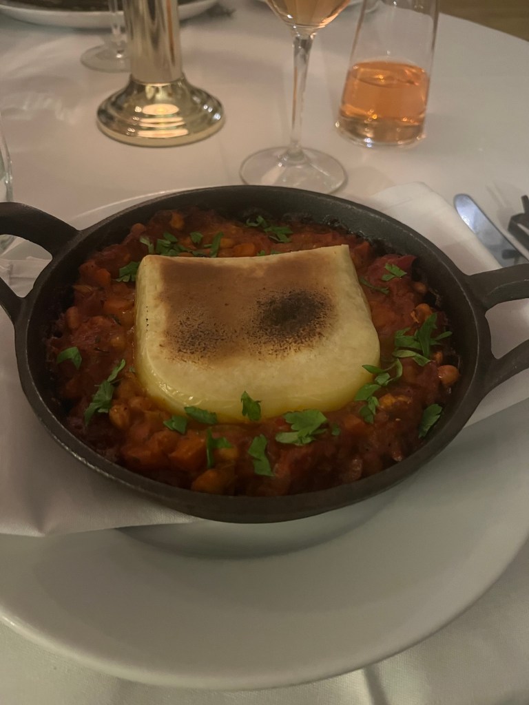
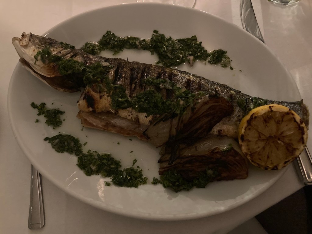
We opted for the 3-course prix fixe menu for 29 pounds or about 40 US dollars. We both ordered the same starter and dessert but chose different main courses. We preferred the starter and dessert to the mains.
This was the starter — salmon rillettes with perfectly toasted baguette slices.Bob ordered the halloumi cassoulet.I got the sea bass, which came with the head on and lots of spiny pieces to look out for. Bad order on my part, as I do not enjoy feeling like a hunter eating my prey and having to dig for the meat. Not much was eaten. The roasted fennel, however, was quite yummy.
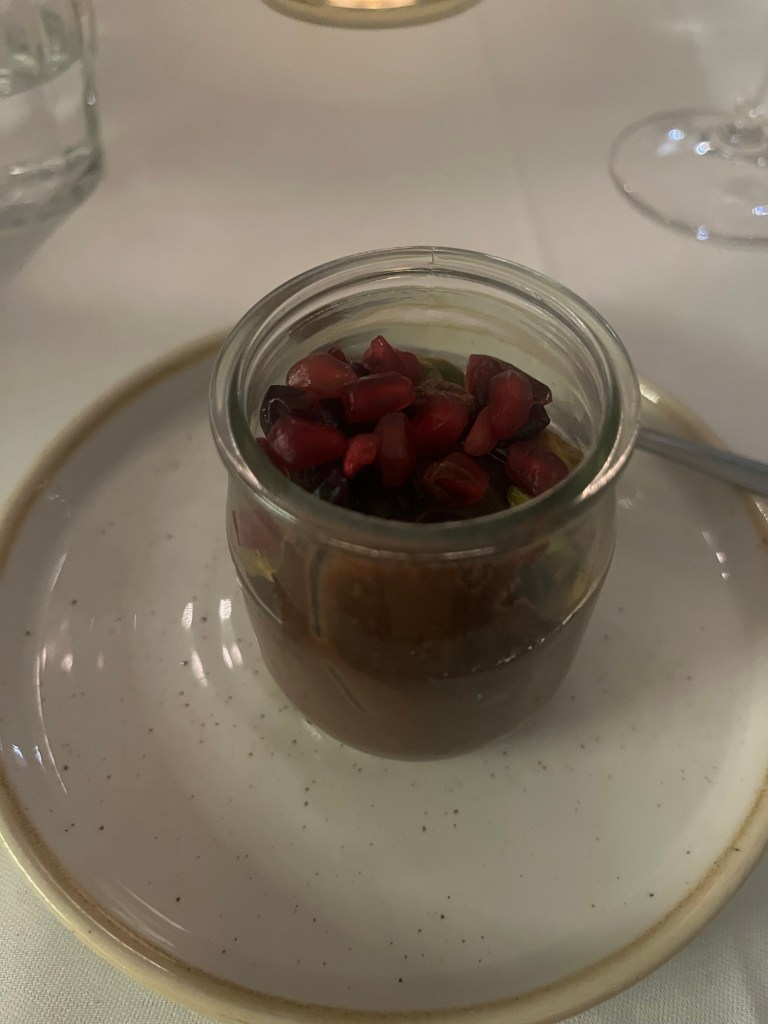
And finally, the lovely dessert.
Pot de chocolat with pomegranates, pistachios, and cranberries. I could eat it every night.
After the posh meal, we walked across the street to the theater. The inside wasn’t near as attractive as many we have been in, but the seats were comfy and the staff was friendly.
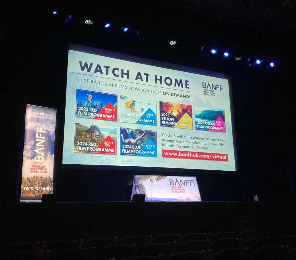
The theater lobbyLooking up to the orchestra level of the theaterThe screen in the theater before the movies started
We saw a total of five short films — from 6 minutes to 47 minutes. Most were just shy of 1/2 hour. The films we saw included mountain biking in Nepal, river rapids rafting in Gabon, running a 100+ mile race in Tennessee, two dads with their 2 year old sons biking in Switzerland, and rock climbing in Patagonia. There was a drawing for gifts after intermission (called interval here), but we didn’t have our names drawn. Still, a lovely night out.
Happy Groundhog Day if you’re a celebrator of this holiday and/or if your favorite animal prognosticator gave you the verdict you were hoping for in terms of length of winter. We don’t have any wild parties planned.
One of the Things To Do in Tunbridge Wells is to take a train ride on the short Spa Valley Railway. It runs from the old Tunbridge Wells West Train Station to the little town of Eridge, stopping at Groombridge and sometimes High Rocks. They offer both train rides on a steam train or historic diesel train (an out and back trip being about an hour if you don’t get off) as well as themed rides on the same trains for Burns Night or Valentines Day, etc.
We’ve been intrigued about these rides (me a bit more than Bob), but the trains currently only run on the weekends and the weather hasn’t been great. However, my recent research on Apple Maps showed me that one could walk to the High Rocks station (first one out of Tunbridge Wells) in about an hour from the house. Since this looked like the cutest stop, and the train doesn’t always stop there due to being a popular place for private events, I thought I might try walking there today.
No rain was in the forecast (but some fell anyway), and I headed out about 10:30 for a walk that would take me down to the busy road across from the Commons before heading west through a short neighborhood road before getting onto a path that took me all the way to High Rocks. It proved to be an inexpensive and close up way to experience the nature that the train would be passing, but it was not the easiest or cleanest of walks. Rain has consequences.
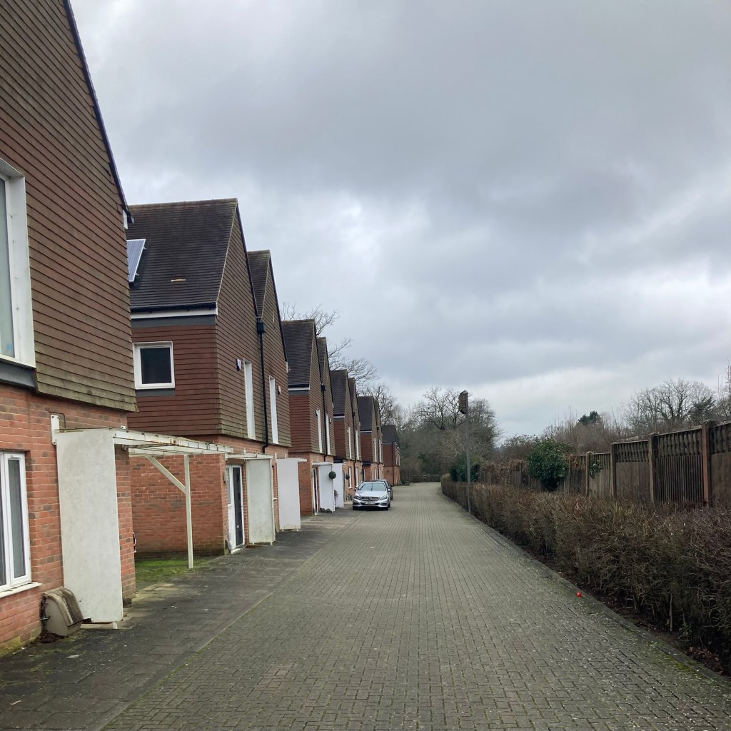
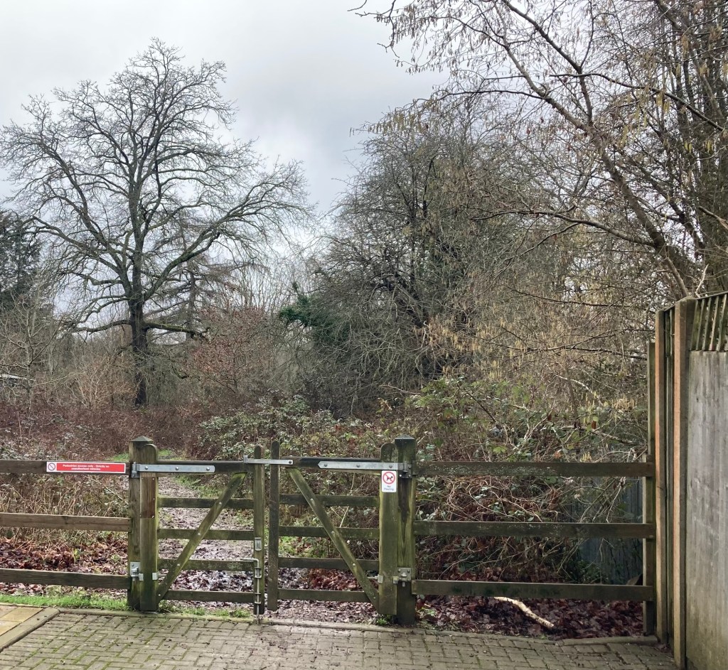
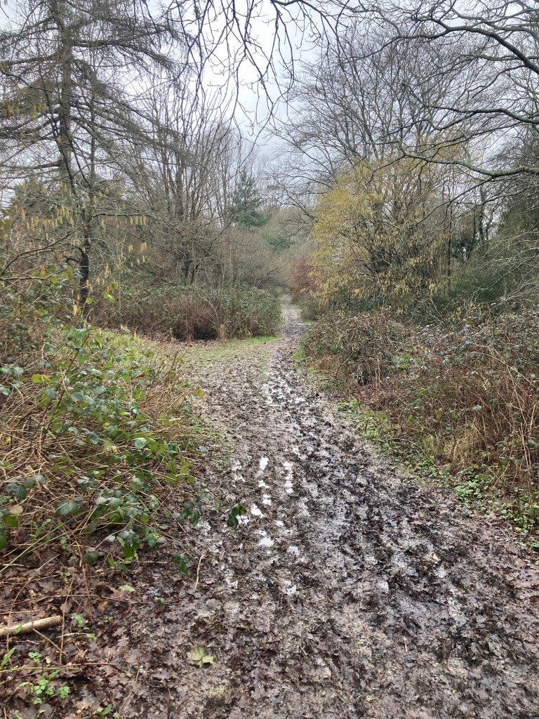
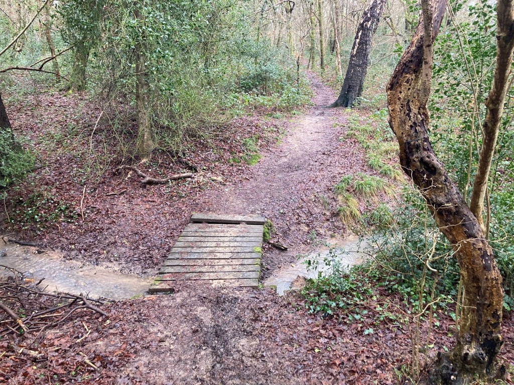
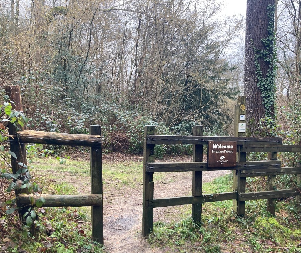
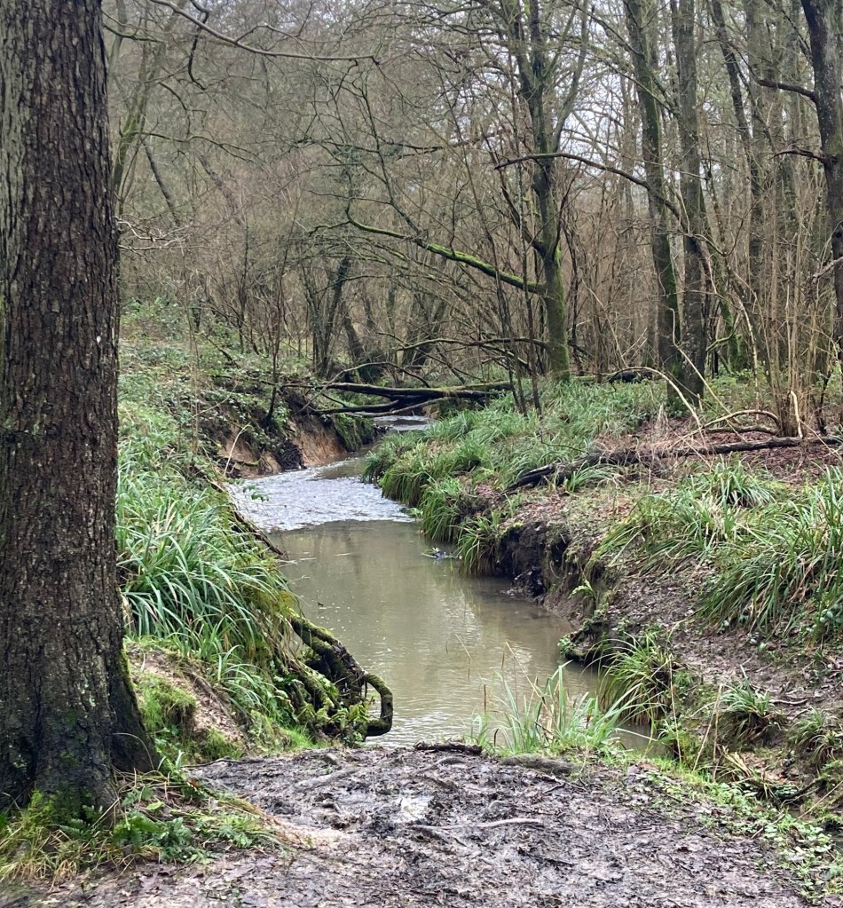
A small pond in the CommonsThe short road through a neighborhood that ended at the start of the pathThe gate onto the pathThe beginning of the mud festCrossing a small streamA natural obstacle course At some point the path entered the Friezland Wood.
The Friezland Wood lies on the border of Kent and East Sussex. It is 8 hectares, has some impressive high sandstone rocks, and lies within the High Weald Area of Outstanding Natural Beauty. The High Weald National Landscape covers an area of 1,450 square kilometers and takes up part of Kent, Surrey, East Sussex, and West Sussex . The landscape has small farms and woodlands, historic parks, sunken lanes, and ridge top villages.
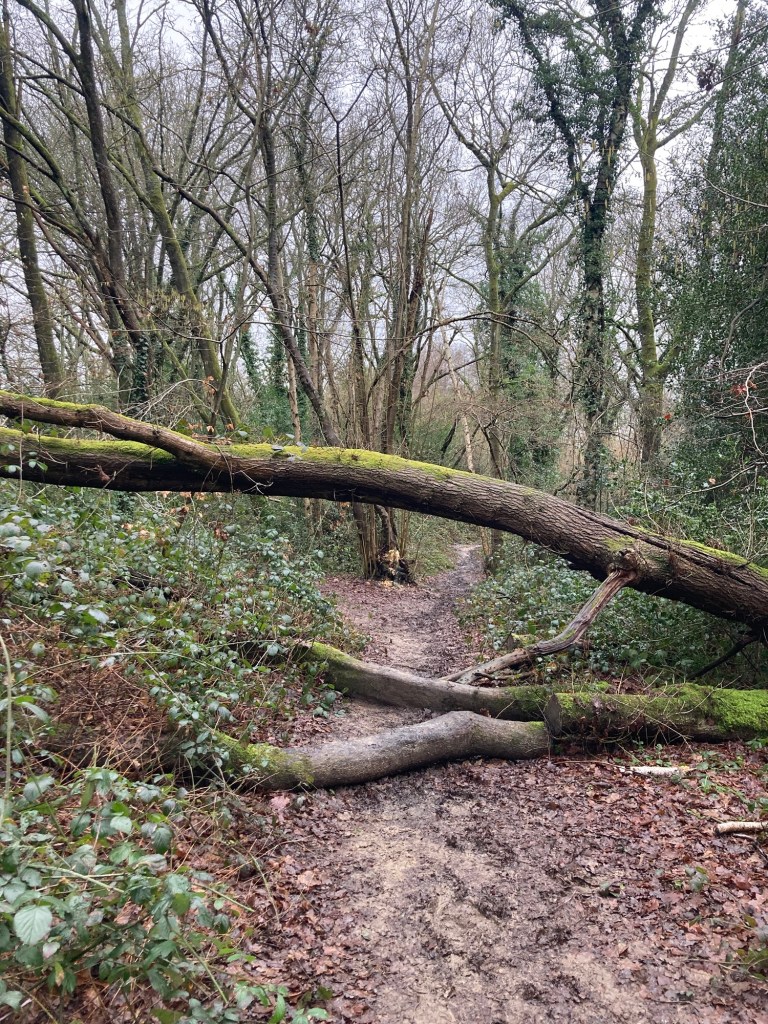
I may have missed some of the natural beauty while I was focused on my footing.
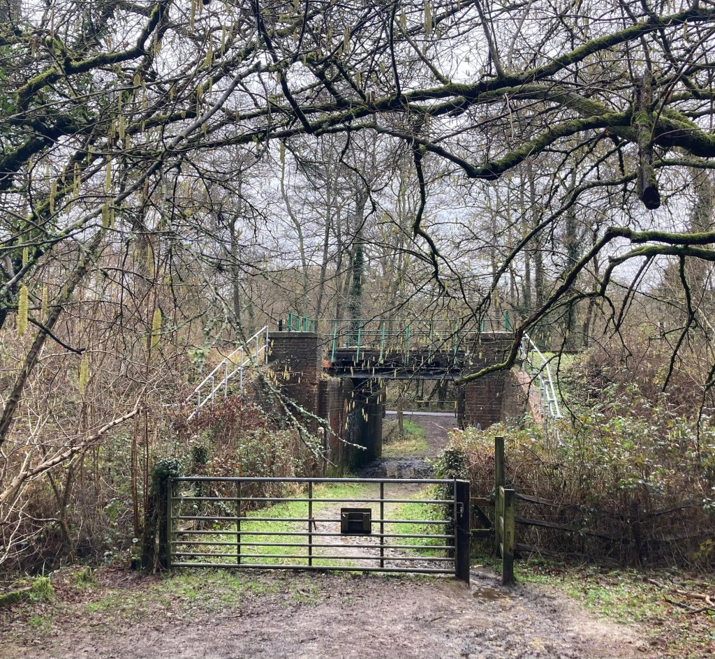
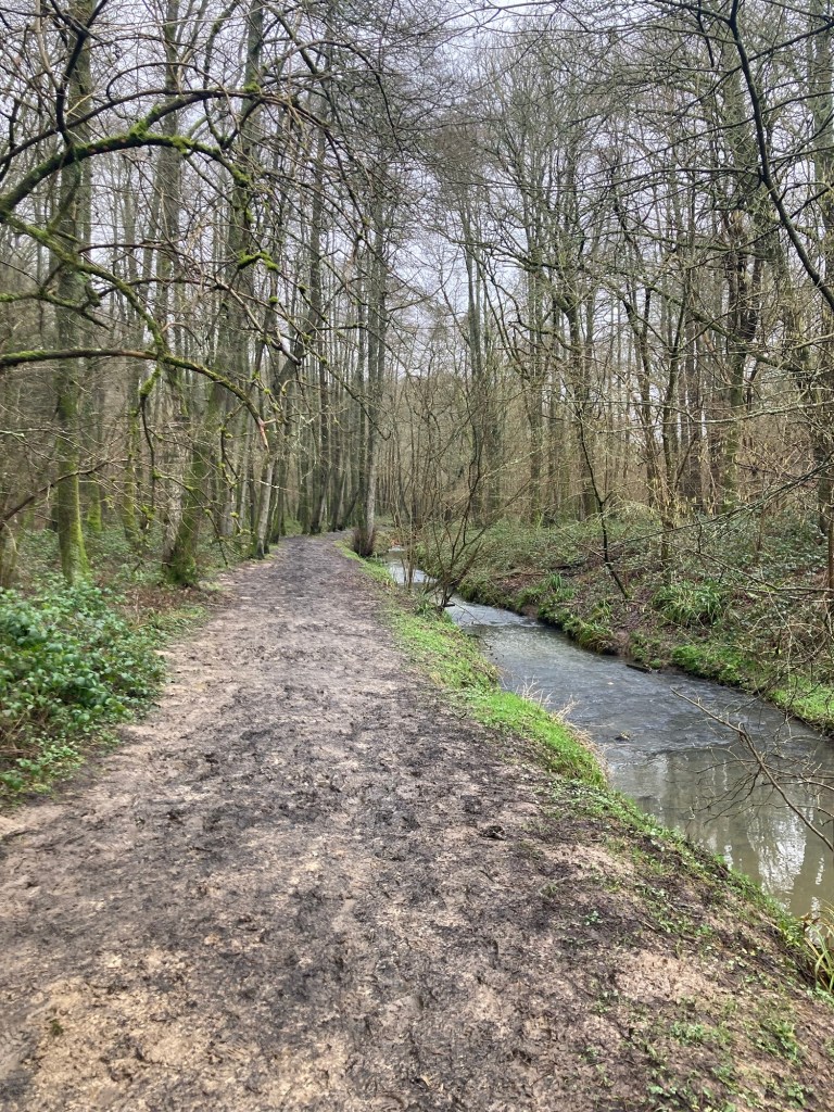
An underpass below the rail lineThe path along a streamAnother view of the stream and the different shades of green
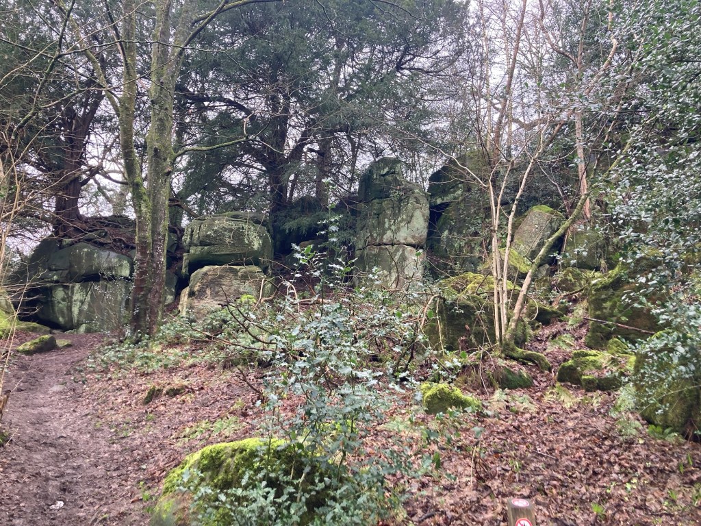
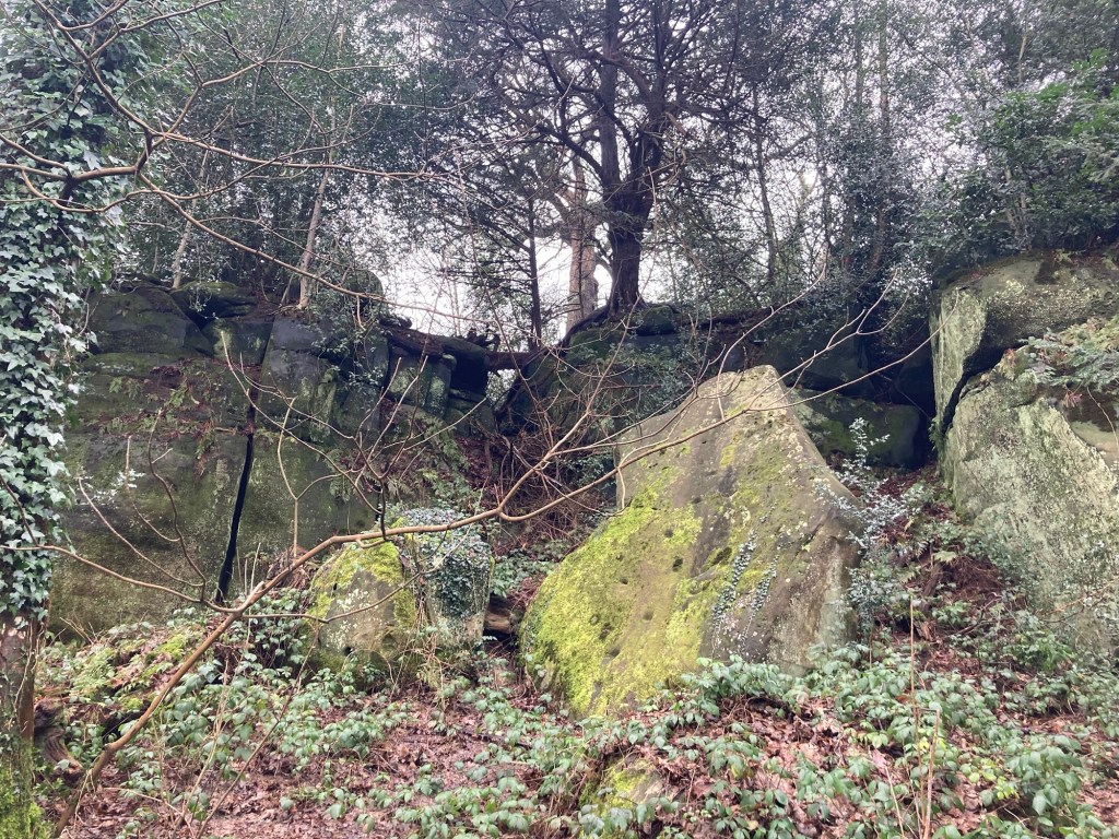
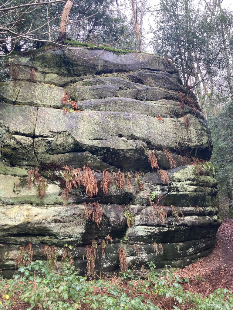
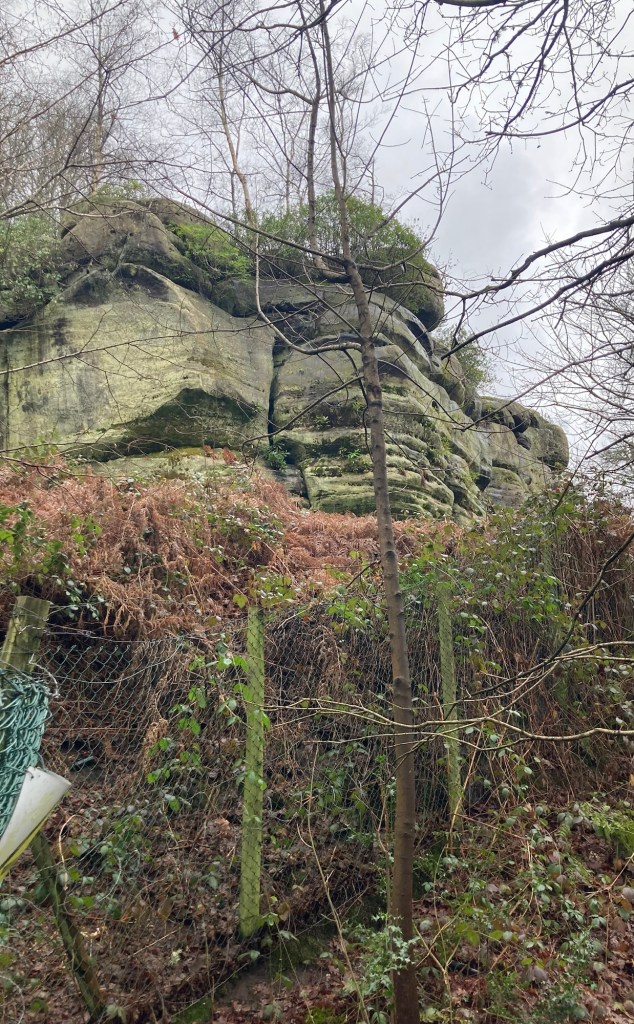
The following pics show some of the High Rocks that give the area that I was walking to its name.
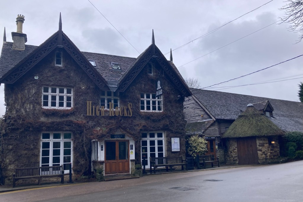
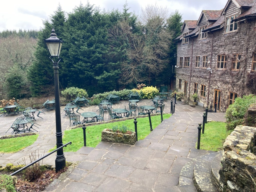
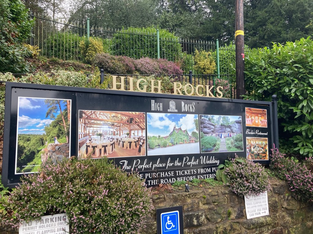
This one was on the very edge of the wood, as I walked onto the road towards the station.This is the very cute High Rocks event venue, closed on Monday and Tuesdays.The side patio of the event venue Across the street from the event venue, you can enter the High Rocks National Monument for 10 pounds, Wednesday through Sunday.
Access to the train station was gated off as it lies just below the event venue.
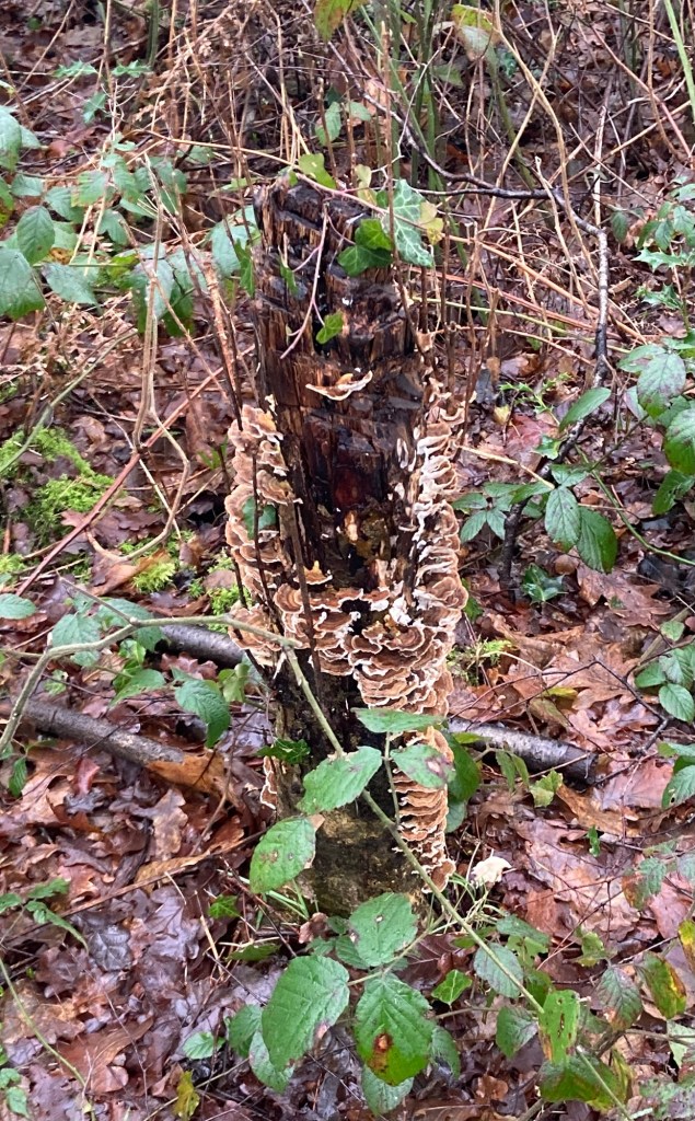
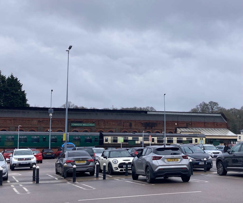
A fun fungi photo on the way backThe train station in Tunbridge Wells where the train departs, at the other end of the car park for the Sainsbury’s where we have been grocery shopping.
Today I took the train to Tonbridge, a short 10 minute ride, to visit the Tonbridge Castle. Bob didn’t come with, as there a lot of uneven stairs in the castle and his right hip has been really bothering him.
The castle is conveniently located along the High Street in Tonbridge, a town that’s a good location for a fortified castle as it’s between London and seaports to the south. (Fun fact if AI can be trusted, Tonbridge was originally Tunbridge, but was forced to change its spelling in the 1870s to avoid confusion with Tunbridge Wells, which was faster growing due to its reputation as a spa town.)
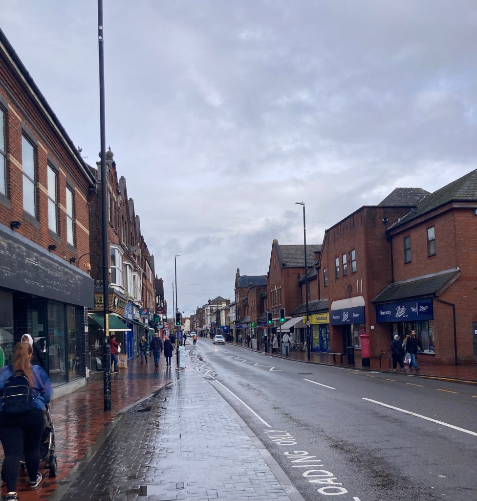
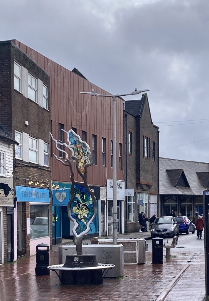
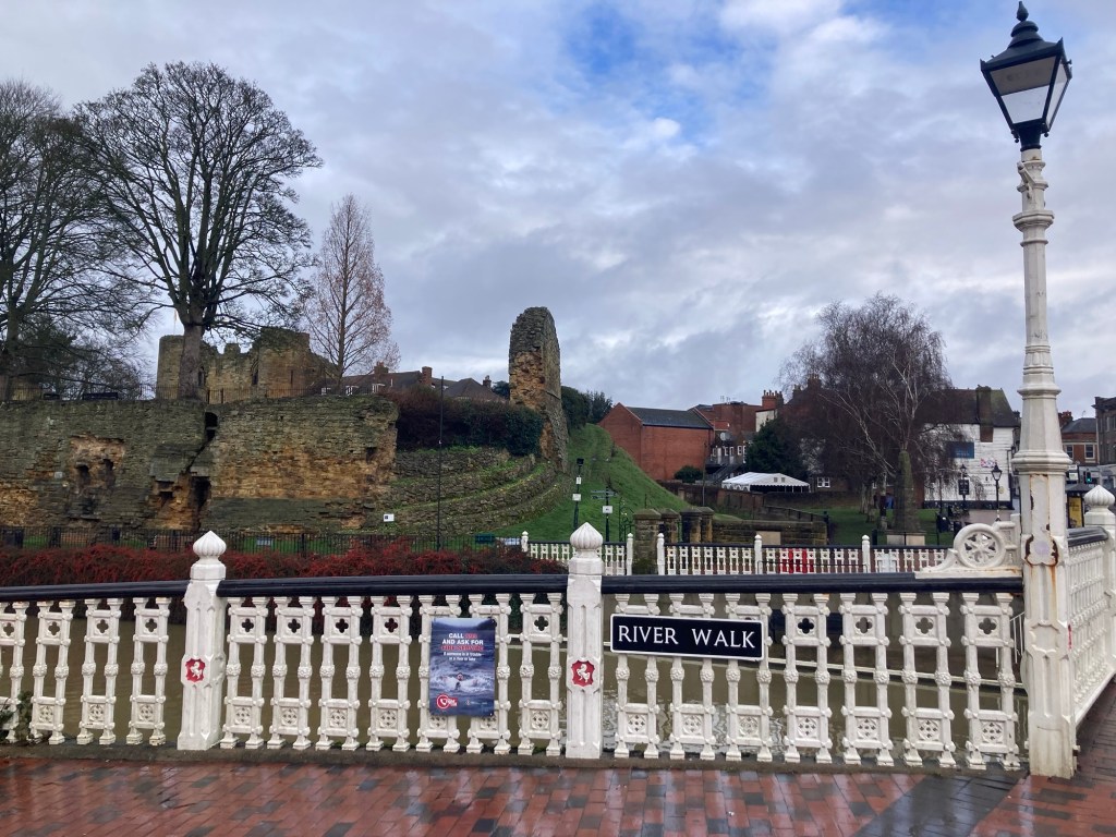
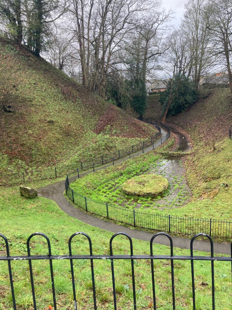
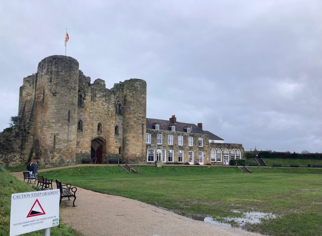
Walking along the High Street between the rail station and castle Some functional public art in a plaza along the High StreetAn example of the buildings along the streetMy first view of the castle from the street
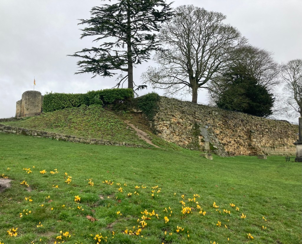
The site of the castle was chosen for its views of the town and for its close proximity to the River Medway. It was originally a motte (mound) and bailey (courtyard) design — a fortified tower on a mound, surrounded by a timber wall surrounding a yard.
The old castle was gifted to Richard Fitzgilbert (later to be called de Clare) by William the Conqueror for coming with him from Normandy and fighting with him in the Battle of Hastings, the start of the Norman Conquest. The de Clare family owned the castle, in various iterations, for over 300 years. The castle was ultimately seized by Henry VIII in 1521 and bought by the town in 1897.
The tour cost 10 pound 50 (or 14.45 US dollars), and it included an audio guide for the self-guided tour. This being a slow season and a rainy day, I pretty much had the inside of the castle to myself, which was sometimes a little freaky.
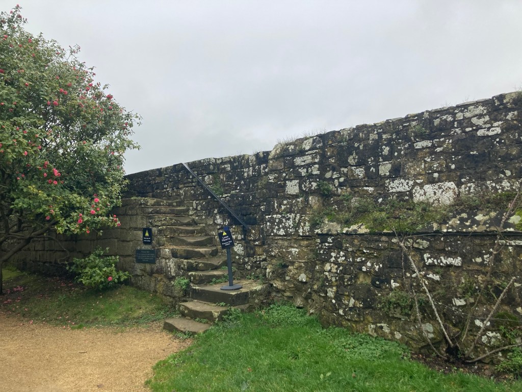
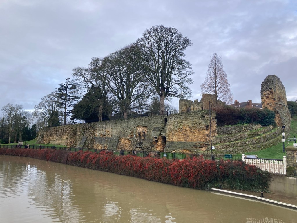
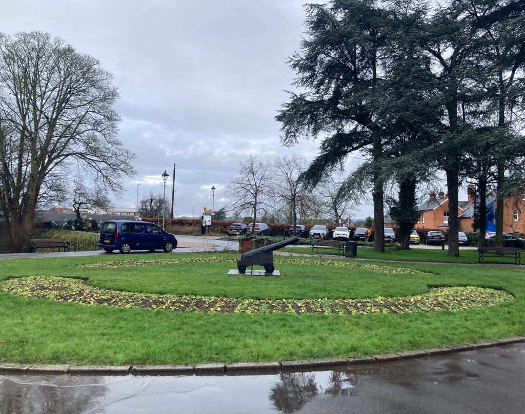
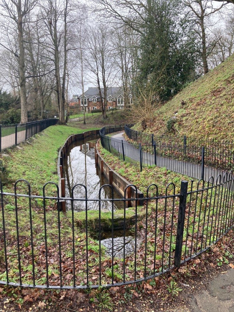
Another view of the walls and castle along the RiverA cannon on a small green area near the car park and entrance to the castle Looking down on the moat near where I entered through the gatehouseThe gatehouse and gift shop from the castle grounds side (as opposed to the parking lot side). This stone gatehouse was probably built between 1260 and 1265.
Once I had purchased the ticket and received the audio guide, I went back out to the parking side of the gatehouse while the audio described the different features of the towers and archway. One of the features noted in the archway were the “murder holes,” square holes in the ceiling which guards inside could fire through to kill raiding armies. These will be seen later on.
I then used a fob provided with the audio set to gain entrance to the gatehouse, where I started the inside portion of the tour in the dark basement— by myself.
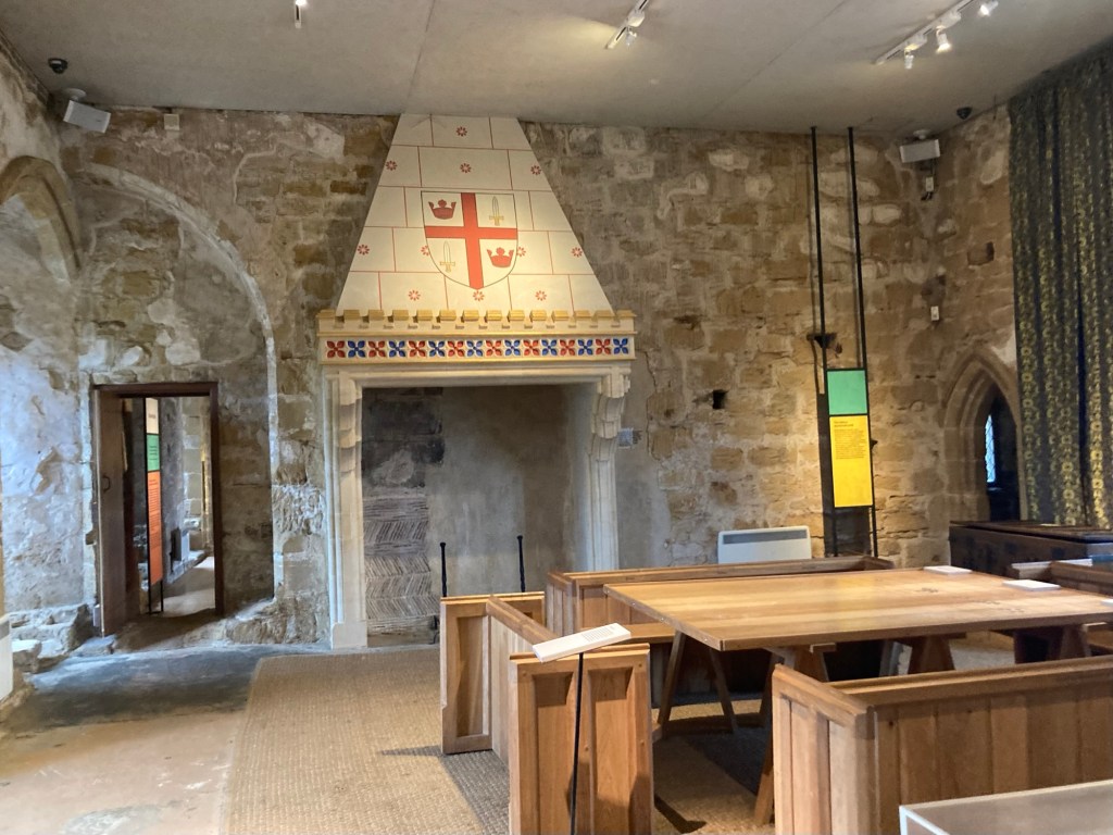
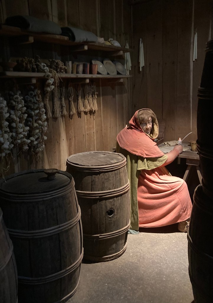
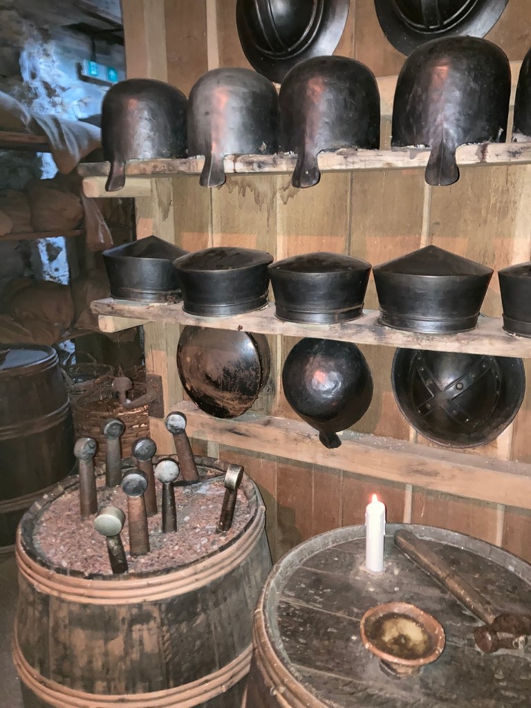
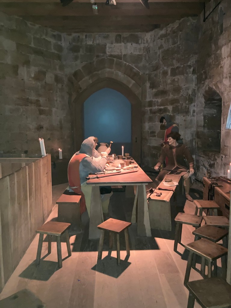
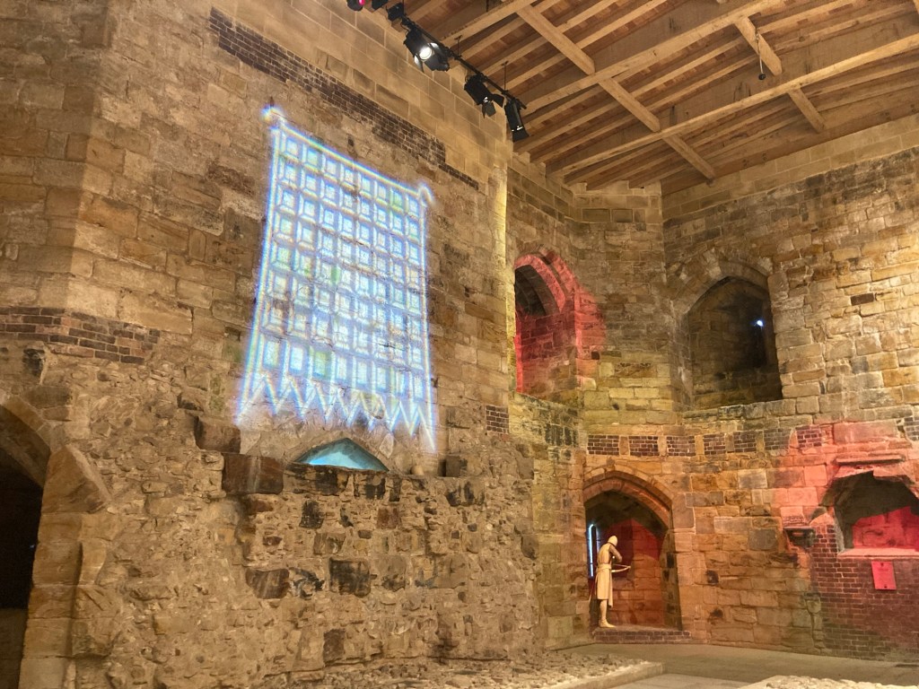
This is the store room, and that very real looking person is the bookkeeper. I had to walk by him to get into the next small, dark room.This is the armory with swords in the barrel and evolving headwear on the wall. The ones that I have cut off on top are the most recent versions (relatively speaking).More people for me to hang out with. These are the seldom bathed and lice-covered guards, or so said the short film that appeared on the screen behind the table.
From here, I got to peek into a privy, where they had a guy sitting on the loo. Sorry, no photos of that. But then I got to climb all the way to the top and go out a door for some outside photos of the area. It was raining but still impressive.
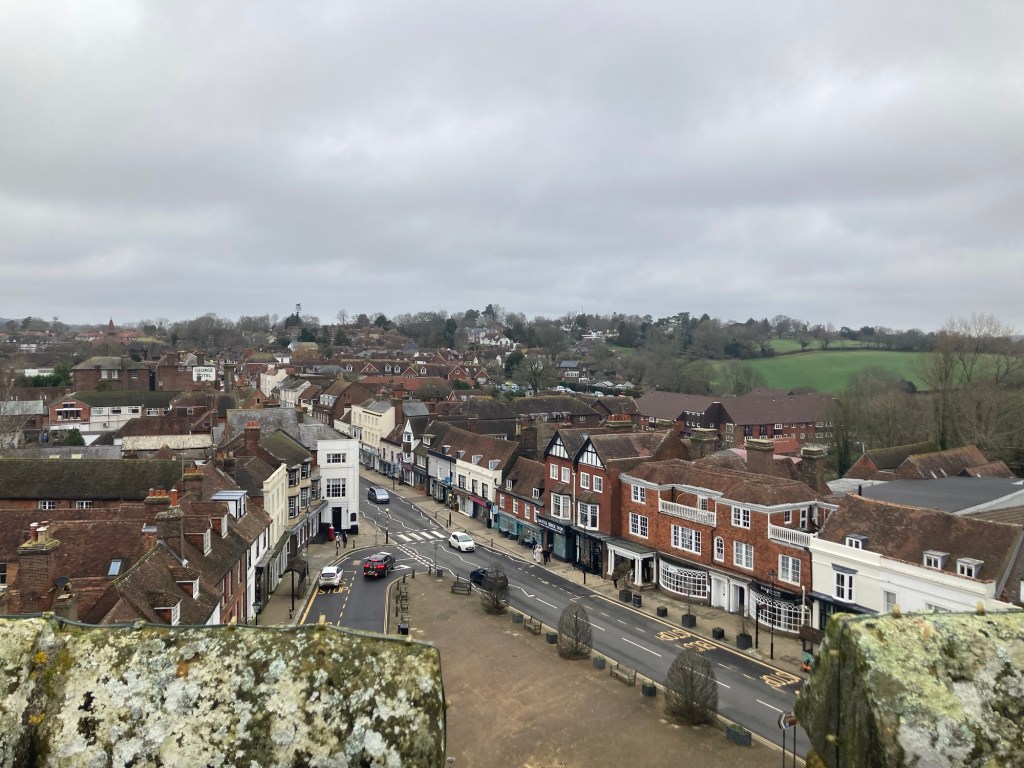
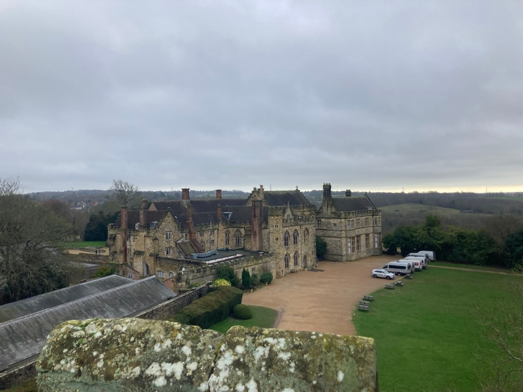
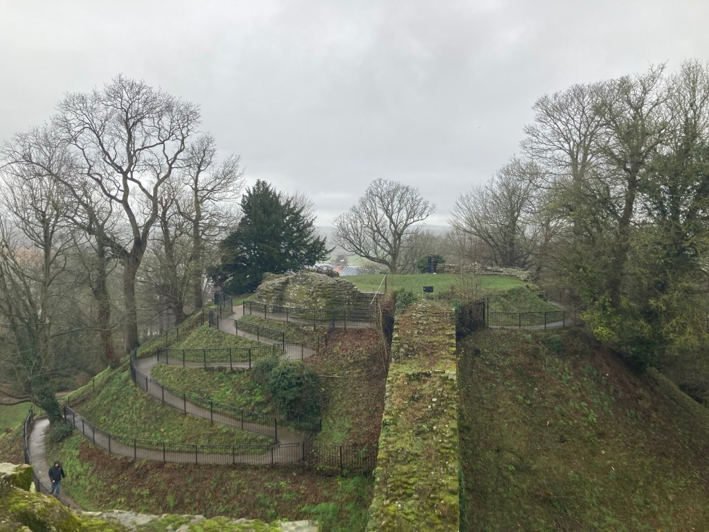
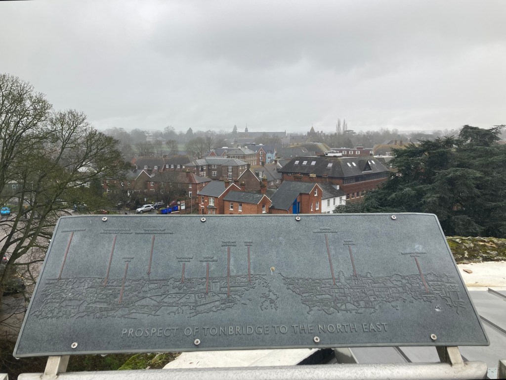
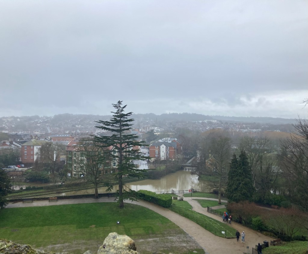
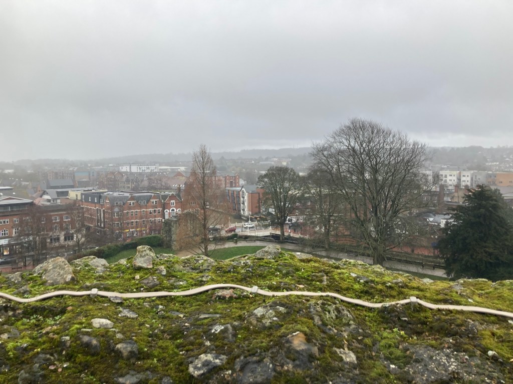
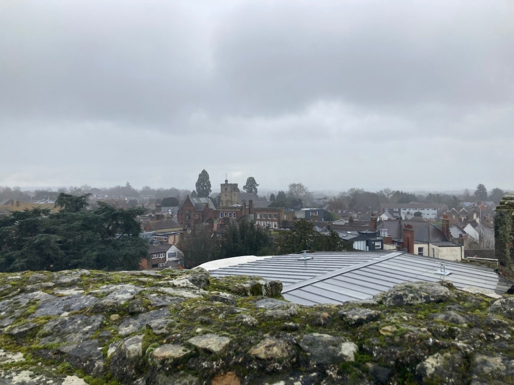
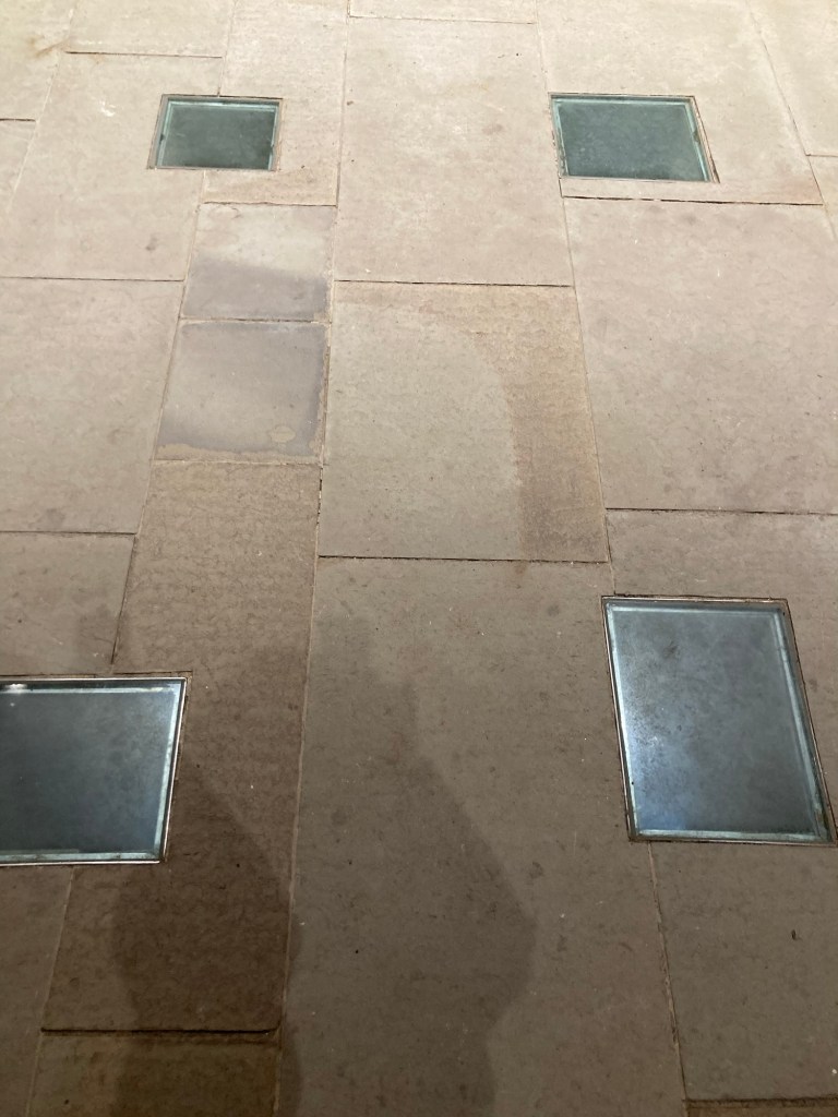
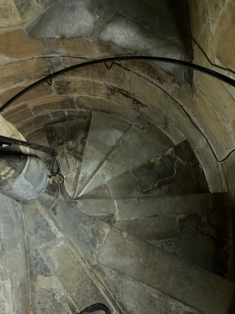
This is the motte (a large man-made hill) next to the castle A view to the northeast A hazy view over the riverLooking over the top of one towerAnother view of the town over the roofThis was the main living area but also the area above the entry archThese are the “murder holes” in the floor, now filled in with glassOne of the 2 steep circular staircases that I took during the tour (as guided by instructions on the audio set)Looking at the partial wall around the castle that still standsAnother view of the castle moat
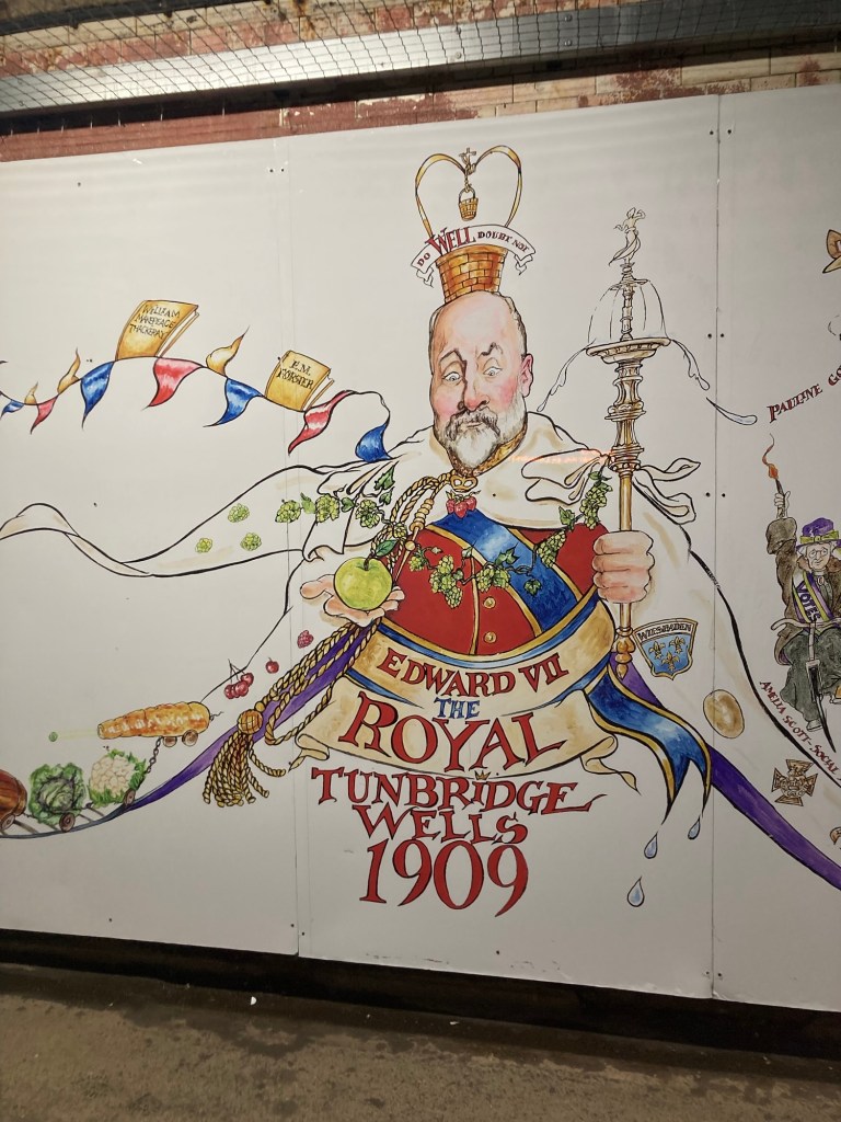
After the tour, I popped into a couple of shops as I made my way back to the station. The train was on time in both directions. There was a fun mural in the Tunbridge Wells train station highlighting significant moments in their history.
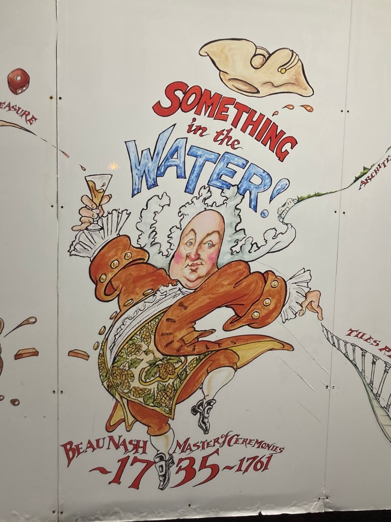
Of course, the receipt of the Royal appendage to the town nameStill not sure of the importance of a Master of Ceremonies, but the town is proud of Beau Nash.
One of the best parts of housesitting is being able to live like locals in all different parts of the world. Recently, that has meant finding a hairdresser and dealing with the same weather and transportation issues that everyone else is having to deal with.
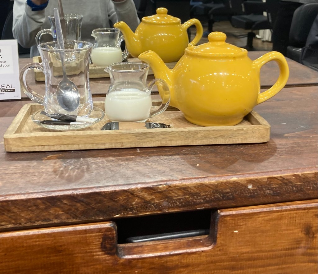
On Tuesday, I had a much needed hair appointment with a local salon that had responded to my email inquiry and then provided the required patch test to make sure I wouldn’t react to the color solutions being used. It was a very wet day, so a good day to be inside and they even provided a proper tea set for me to enjoy while work was in progress.
So posh!
Wednesday was to be a rain-free day, so we had purchased tickets on the Trainline app to go to Tonbridge (a 10 minute rail journey from Tunbridge Wells) to see the castle and whatever else we might find. Unfortunately, there was a break in a rail between Tunbridge Wells and Hastings (the other direction), but it caused all trains on the line to be cancelled, at least around the time we needed to go. So, maybe another day. Bob was able to get a refund through the app.
Thursday afternoons are house cleaner days at this house, so we leave about 3:00 pm and return about 6:00. Yesterday, we went back to the library downtown, which is co-located with the Amelia Museum, but this time, we explored the museum exhibits and learned a bit more about the local area. See below for a random set of fun facts about the local area.
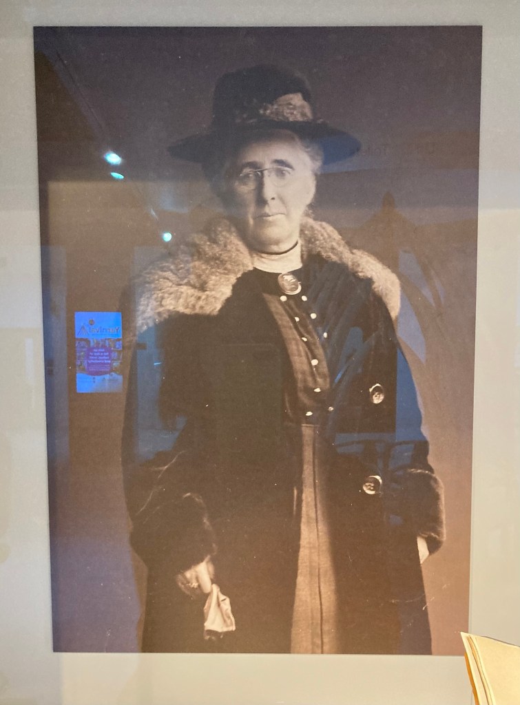
The museum is named after Amelia Scott (1860-1952), a local activist, campaigner for women’s voting rights, humanitarian, and Tunbridge Wells Borough Councillor instrumental in the founding of the local library services.
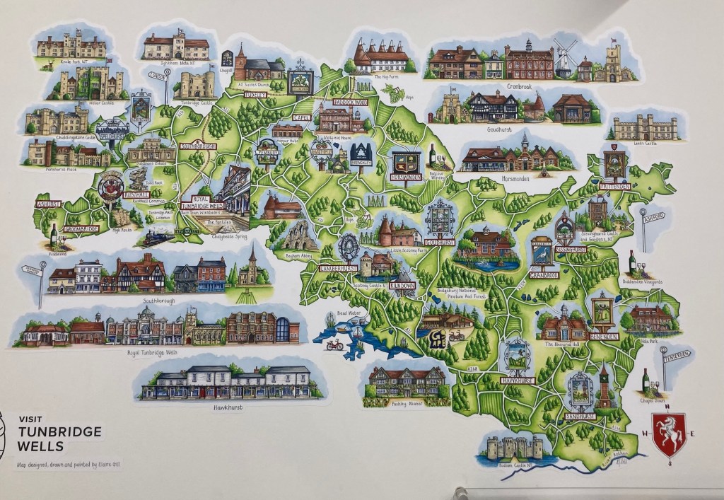
The museum namesake There is a tourist site also in the museum. This is a map of the greater Tunbridge Wells area.
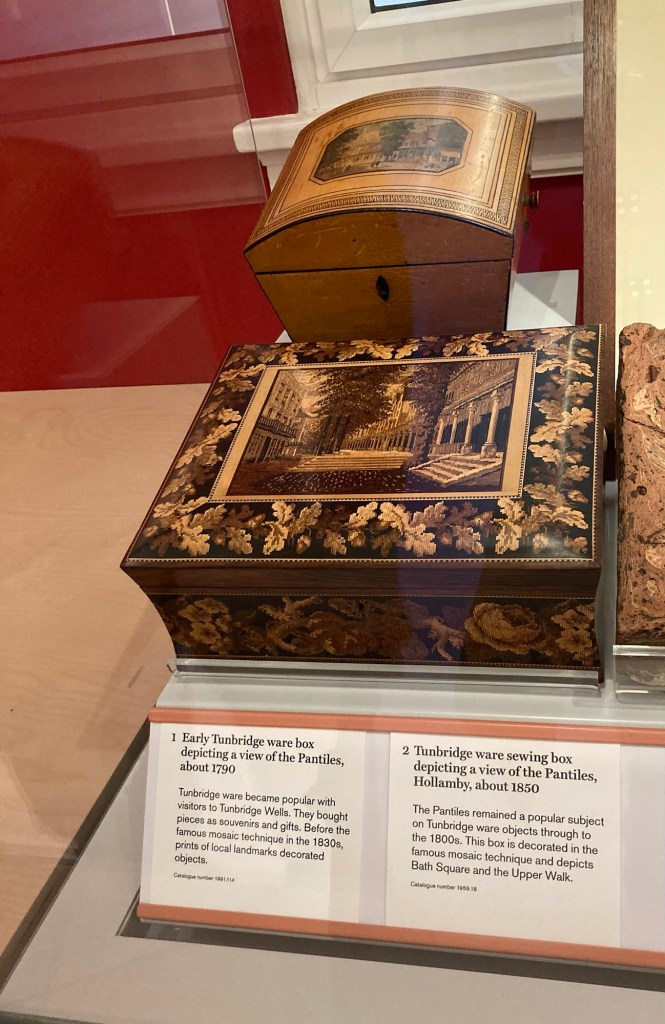
The museum has thousands of pieces of local history, only about 1% of which are on display. One of the new things we learned about was the Tunbridge ware which began to be made by local artisans in the late 1600s.
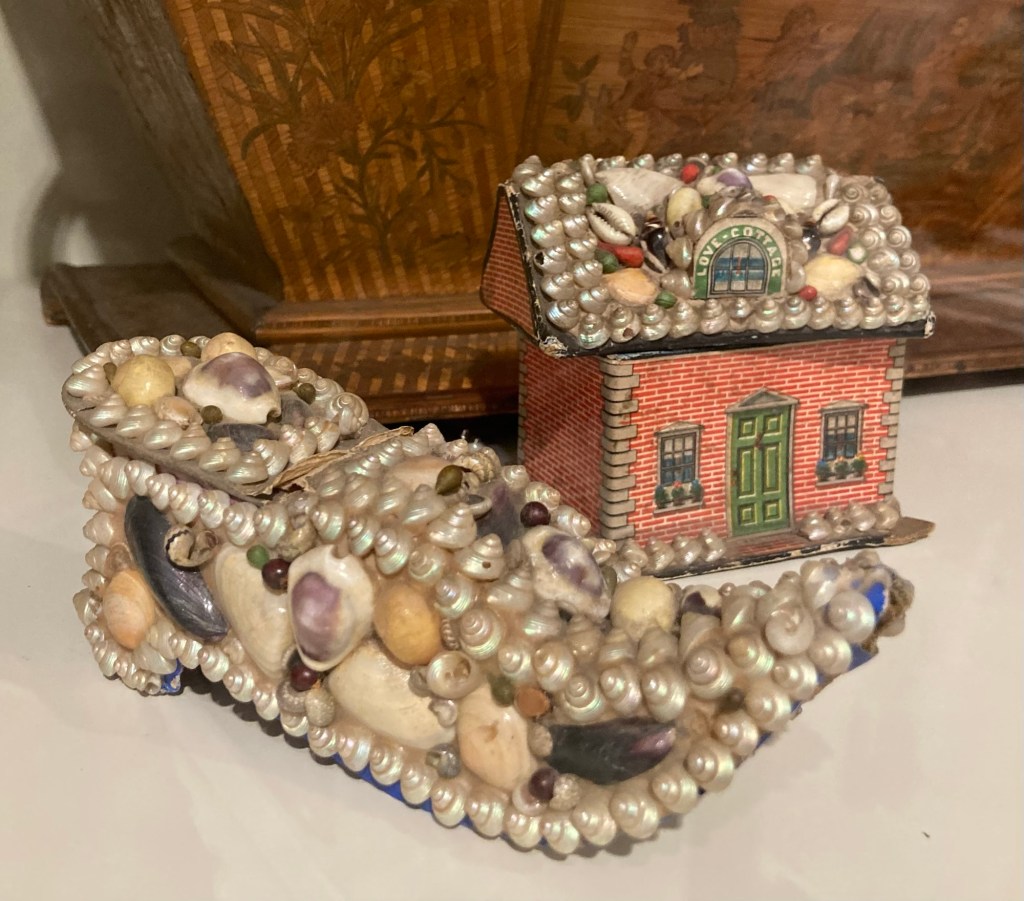
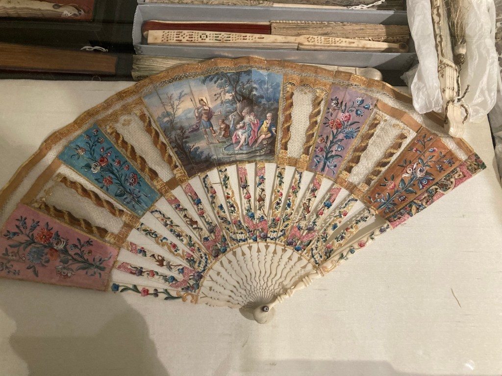
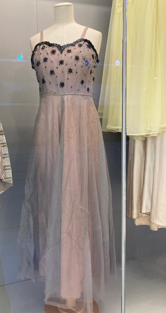
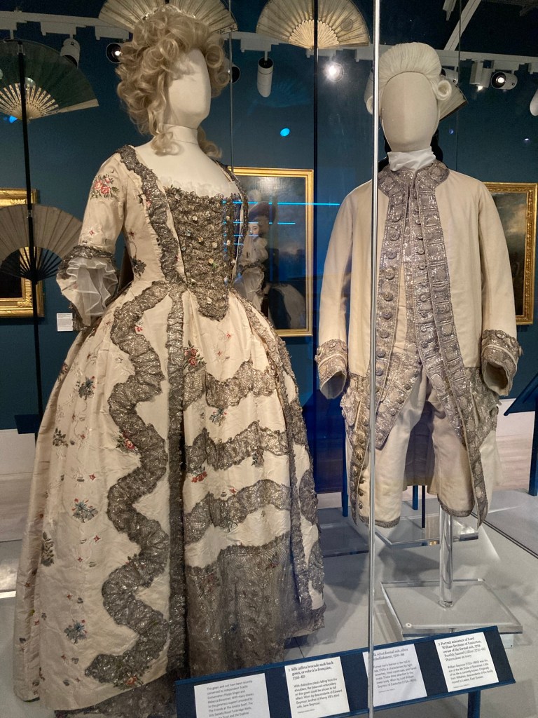
Two examples Shell artThey had a drawer full of fans that were fashion accessories through the early 1900s.They had a whole section on local fashions. This was an evening dress from the 1950s.
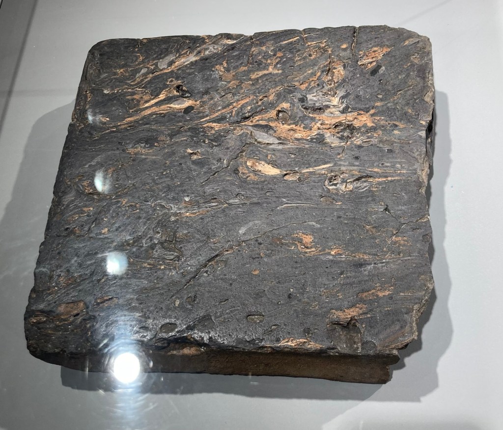
The older retail section of town is called The Pantiles, named for the type of tiles that were used to pave the walk in the area. The name was derived from the wooden pans used to shape the tiles.
This is an example of a pan tile made from local Wealdan clay.
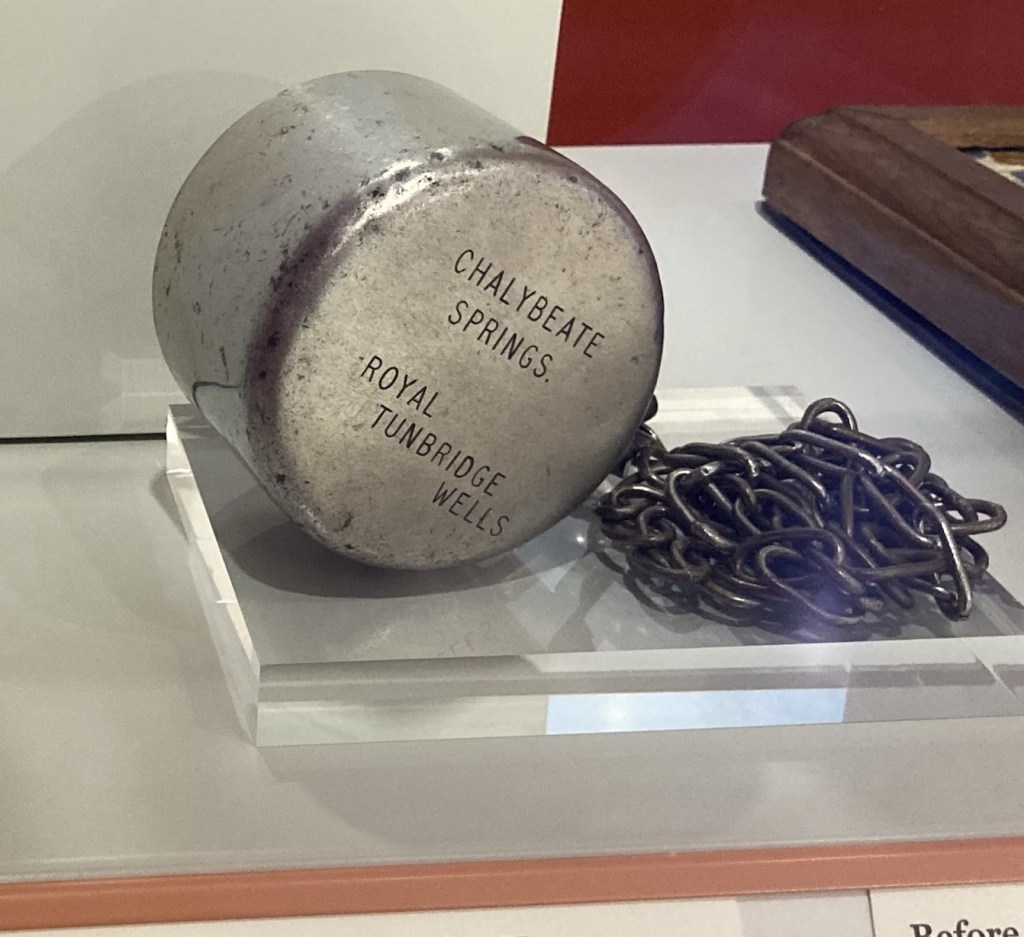
And Royal Tunbridge Wells acquired its Royal title due to the discovery of a chalybeate (iron-rich) spring on a local heath in 1606.
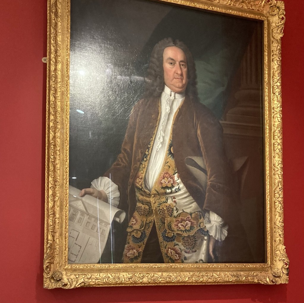
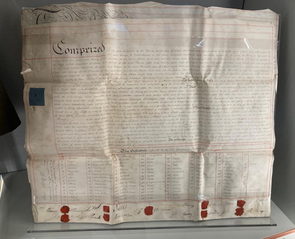
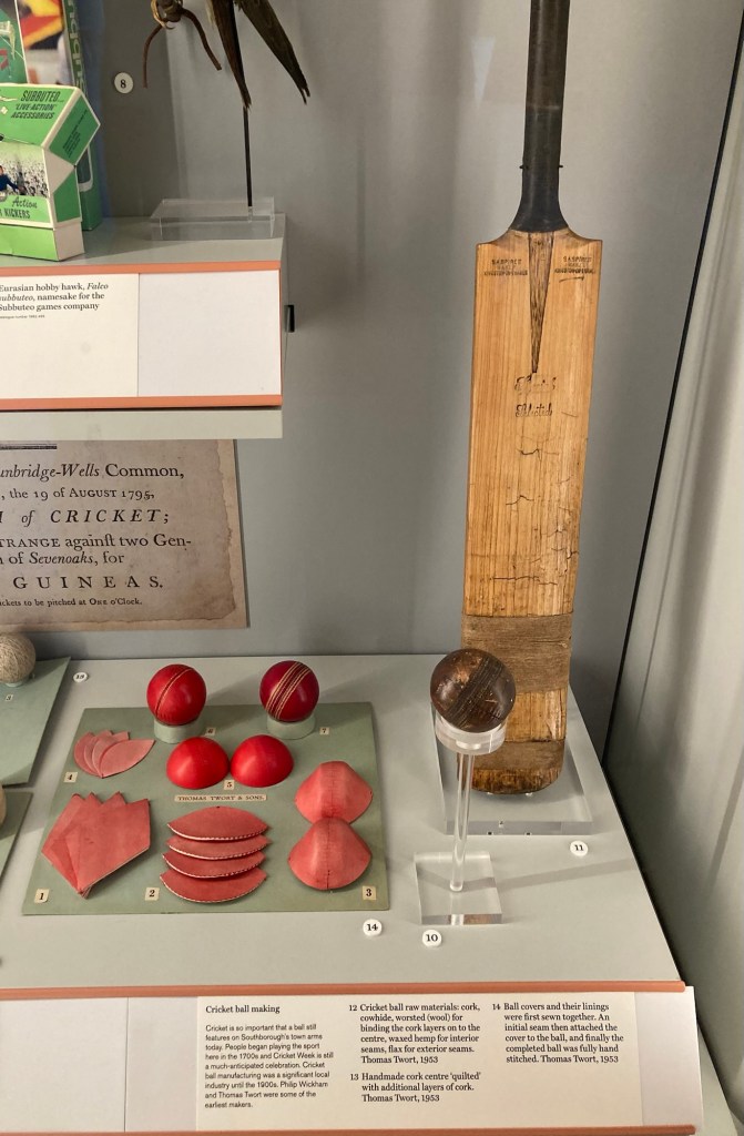
This was a cup used to lower into the springs.Richard ‘Beau’ Nash (1674-1761) who took on the role of Master of Ceremonies in Tunbridge Wells in 1735. He was a local social organizer, trend setter, and matchmaker.A slavery indenture document from 1818 for a local merchant, which recorded the sale of his land, including 52 enslaved people.Cricket was a big deal locally, apparently there is a Cricket Week that has nothing to do with getting rid of little black bugs. And cricket ball making was a significant local industry until the 1900s.
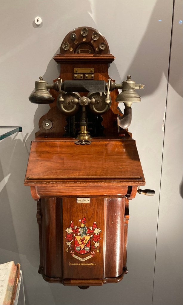
In 1901, the Tunbridge Wells municipal telephone service was launched. It was the first in England to be managed by a local authority, at least briefly. It was sold to the National Telephone Company in 1902.
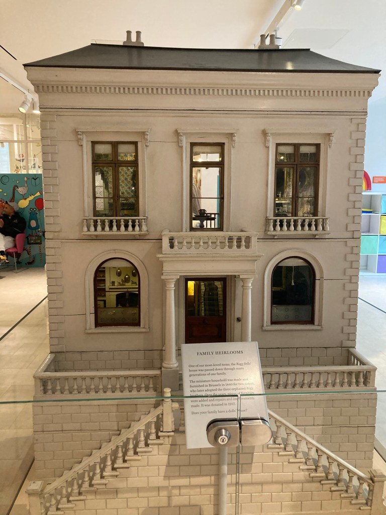
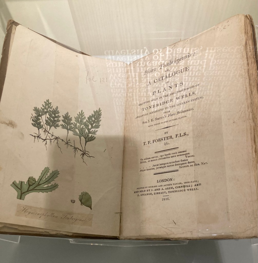
A1901 municipal telephone with the Tunbridge Wells coat of armsA very elaborate dollhouse A book by the English botanist, Thomas Furley Forster, which features the rare Tunbridge Filmy Fern discovered in 1688. Some people and plant names are just Fun.Local formal attire from circa 1750-60
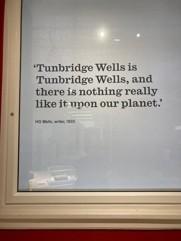
Finally, there were quotes posted from various people of note. Here is one from the famed science fiction writer, HG Wells.
It seems like this could be read as a positive or a negative statement or perhaps he was implying that there might be something like it on another planet…
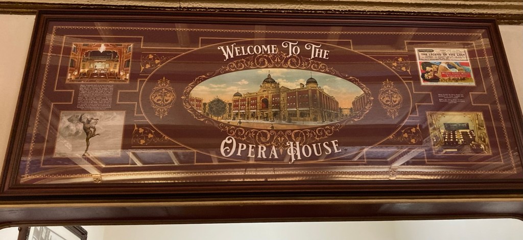
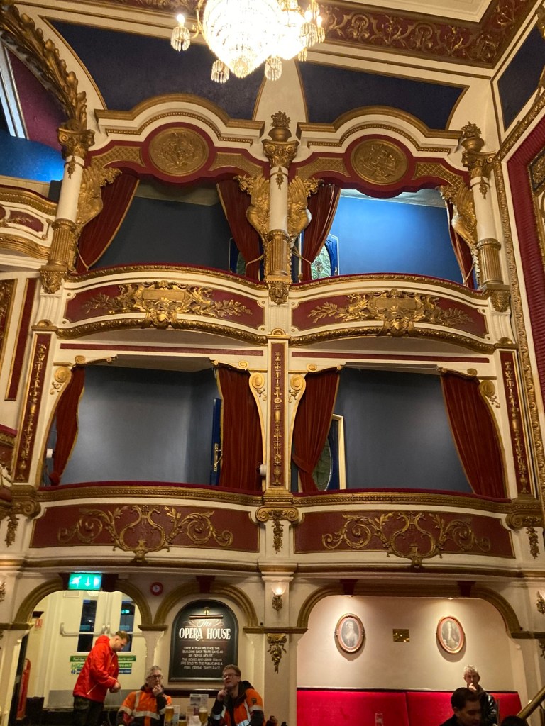
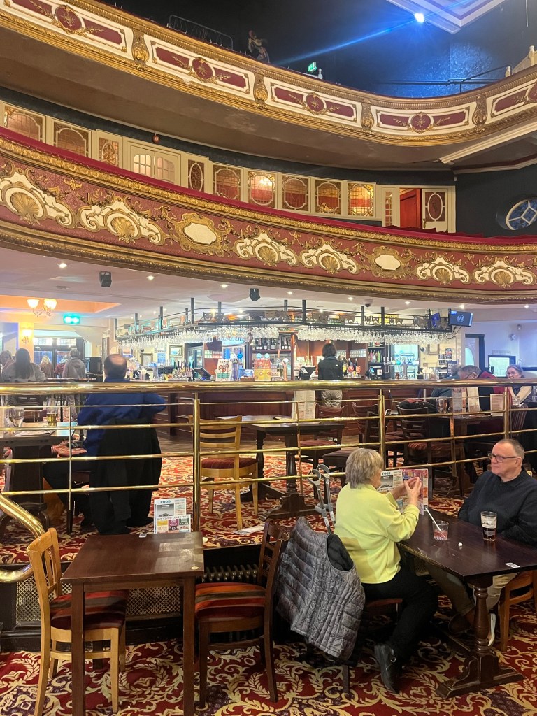
Last week after our library excursion, we walked back into our neighborhood to check out the local pub, The Bull. Yesterday, we just walked across the street to the local pub of the Wetherspoon’s chain, which is located in the former opera house.
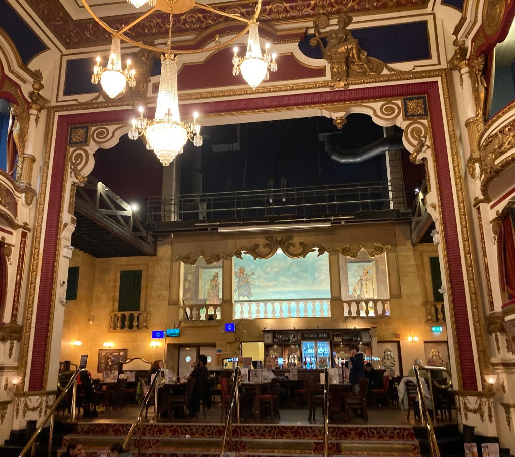
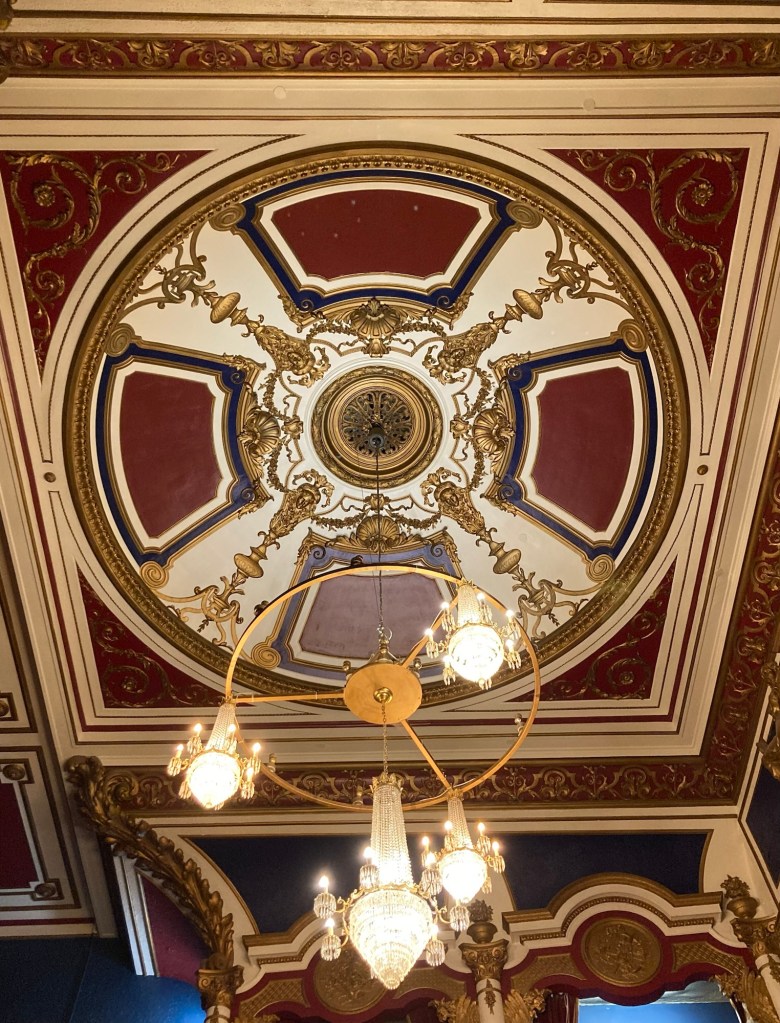
The building has been a number of things since it’s heyday as an opera house, but Wetherspoon’s does clear away the tables and chairs once a year so that a full opera can be performed on site again. Some pics from inside.
Looking at the stage Some of the box seatsUpper level seatingA better look at the ceiling and chandelier
Regulars to Wetherspoon’s likely go for the cheap prices, but since it was the first place we were taken by a homeowner for dinner (by a single woman from South Africa), they have a special place in our hearts especially when they are in historic properties.