Categories
Uncategorized

OCA to Dobbs Ferry (8/11/26)

Bob and I headed back out on the OCA (Old Croton Aqueduct) trail today. We have walked it north for about an hour from right in our neighborhood, and we’ve walked it south as far as the village of Irvington. Today, we drove to Irvington to walk the trail from there to Dobb’s Ferry. It was a warm walk, as it is a bit more humid than yesterday and much of our walk in Dobb’s Ferry was not shaded,

Just as a reminder, the Croton Aqueduct was built in the 1830s to bring water from the Croton Reservoir, 41 miles north of New York City, into the city using just gravity to convey the water. In 1968, the state bought 26.2 miles of the original aqueduct path to create a linear park.
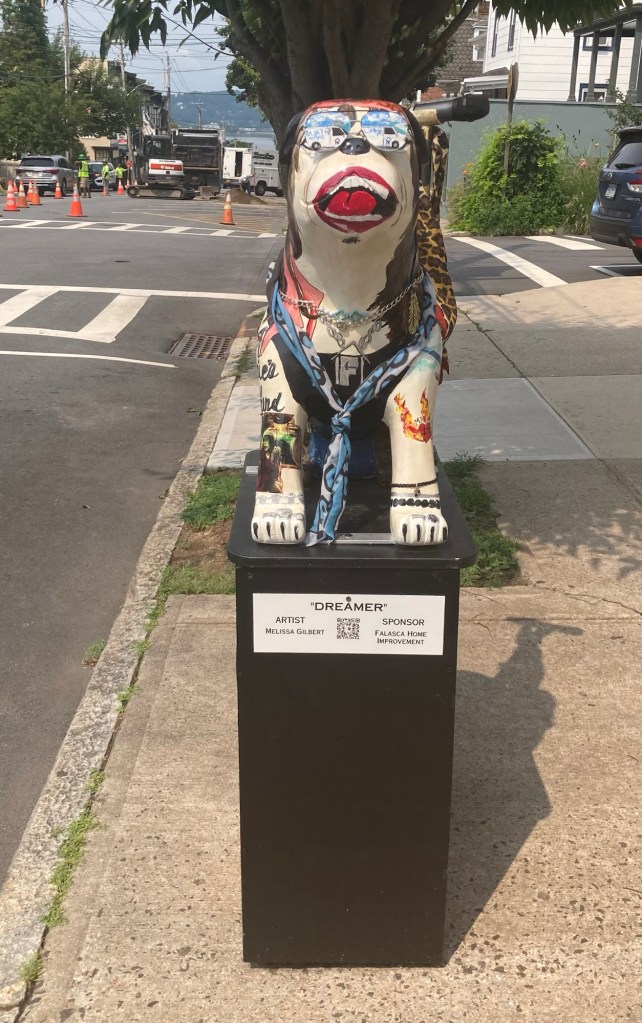
Main Street in Irvington displays painted bulldogs.
This one was next to our parking space for today’s walk.
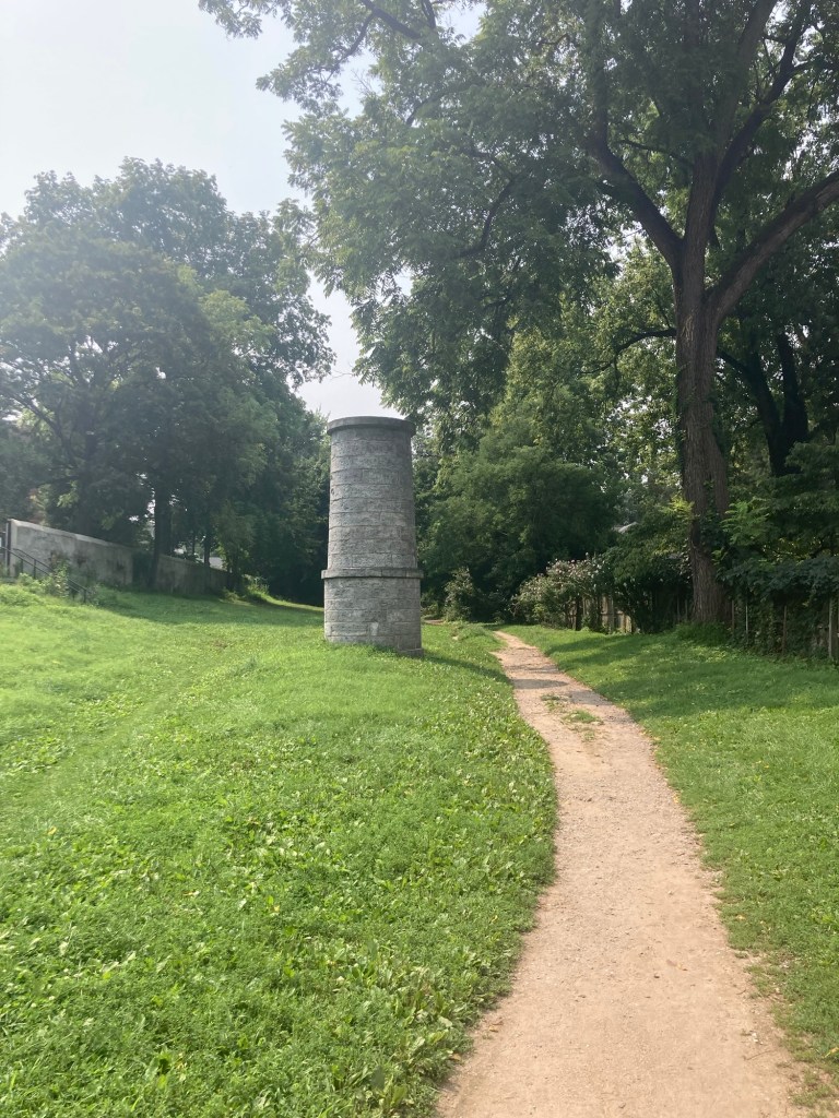
Our entrance onto the trail in a park off Main Street

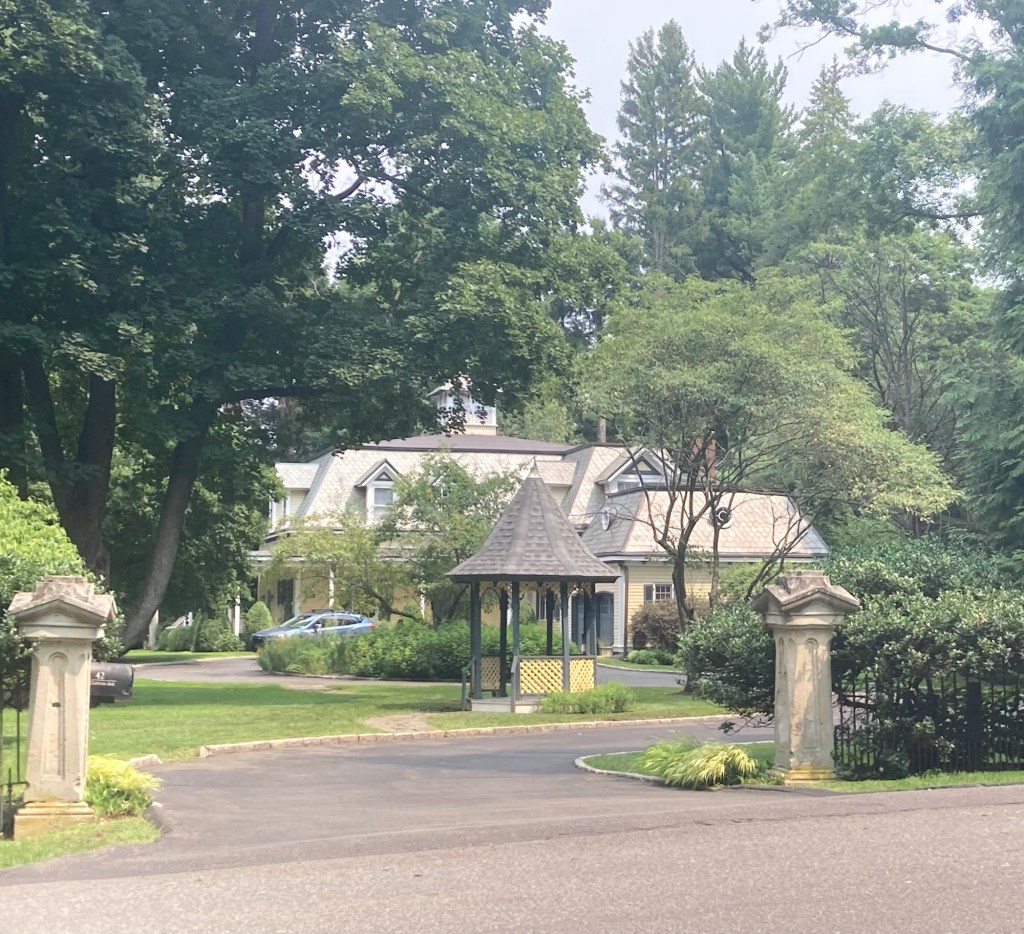
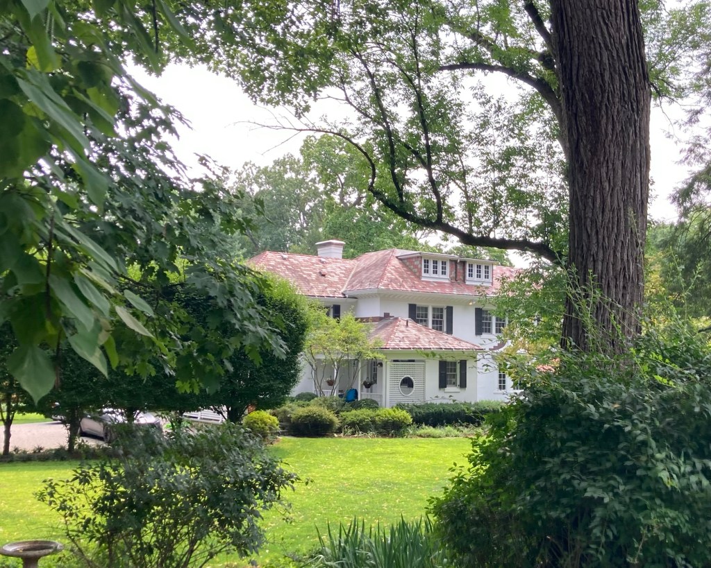
As when we walked from Tarrytown to Irvington, we saw a number of lovely homes along the trail.
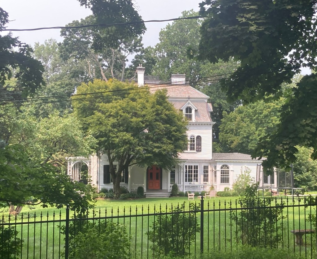
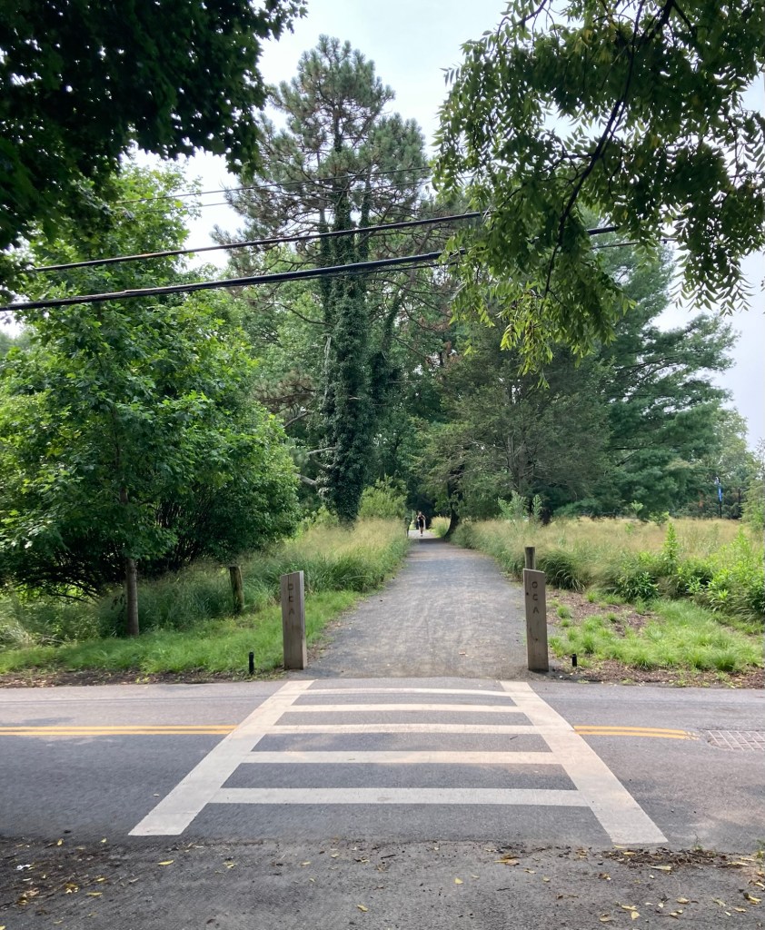
We had a few crossings of quiet roads
between Irvington and Dobbs Ferry
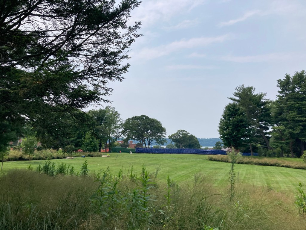
A pretty lawn between the trail and the Hudson River
near Mercy University, which lies directly alongside the trail

Mercy University is a private, non-sectarian, non-profit, co-educational research university. Its main campus is on these 66 acres in Dobbs Ferry, but it also has campuses in Manhattan, the Bronx, and Yorktown Heights. It offers more than 90 undergraduate and graduate programs.
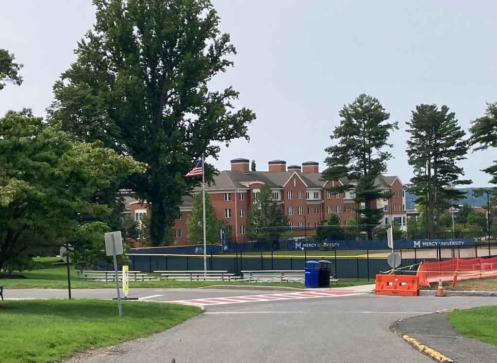
The main Mercy University building we saw from the trail
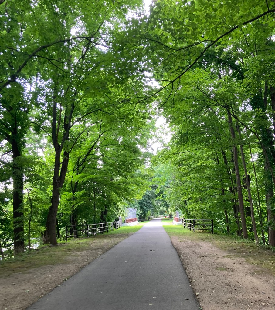
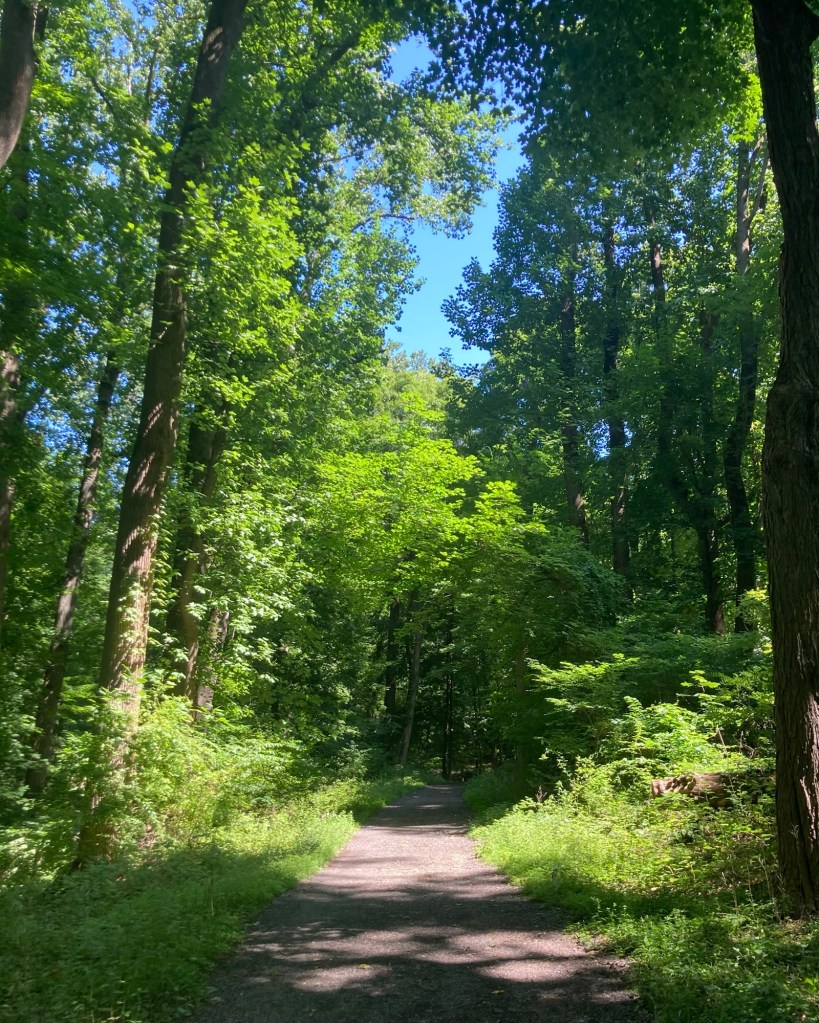
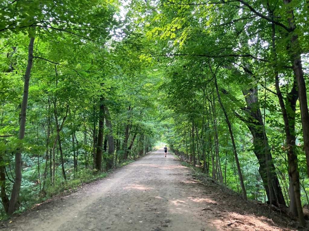
A nicely shaded portion of the walk
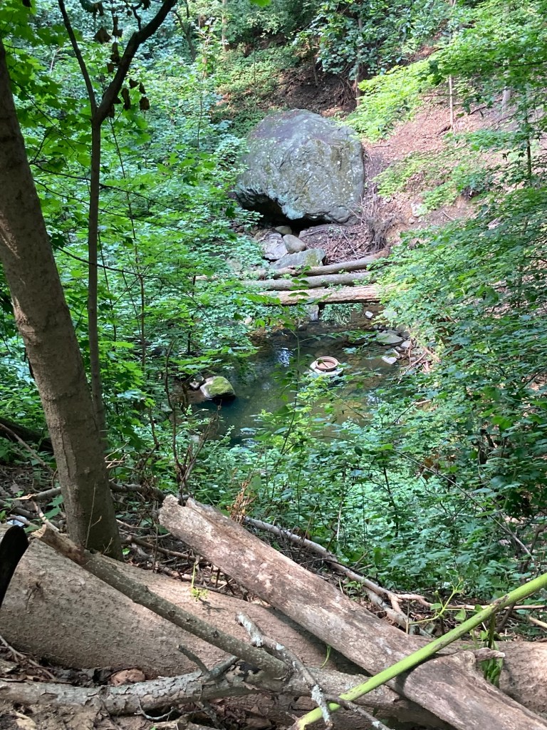
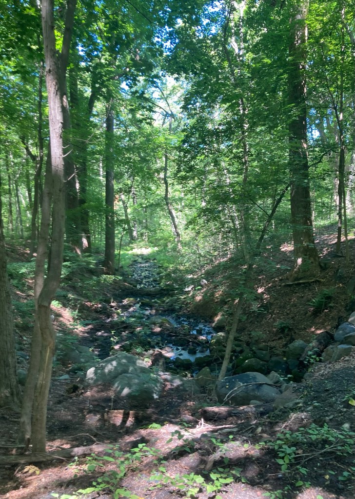
Looking down into a creek

The portion of the trail that we walked today is sometimes on the same level as the surrounding land, but is sometimes above the areas surrounding it.
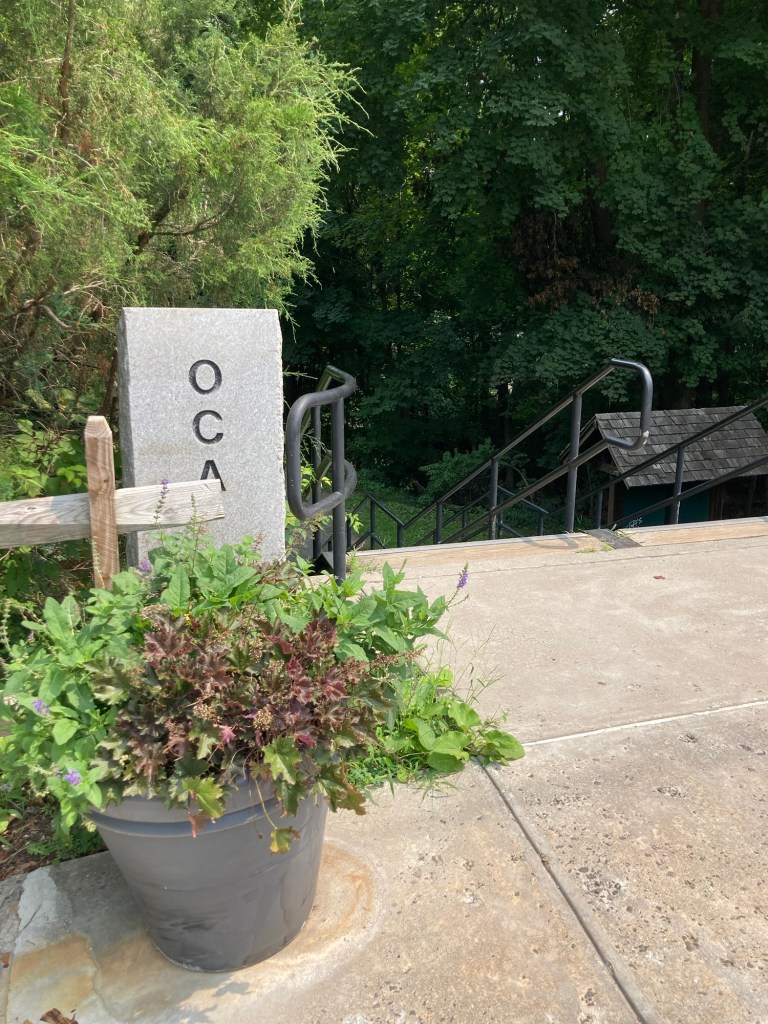
Where we exited the OCA in Dobbs Ferry
to explore the Main Street and the park along the Hudson River.

Dobbs Ferry, also in Westchester County, is a village of about 11,500 people today. It is named for the ferry service started in the early 1700s by John Dobbs. The ferry service provided key transportation for American forces in August of 1781 to allow additional troops to join Washington’s in a battle at Yorktown that helped end the war. The ferry service here continued until 1945.

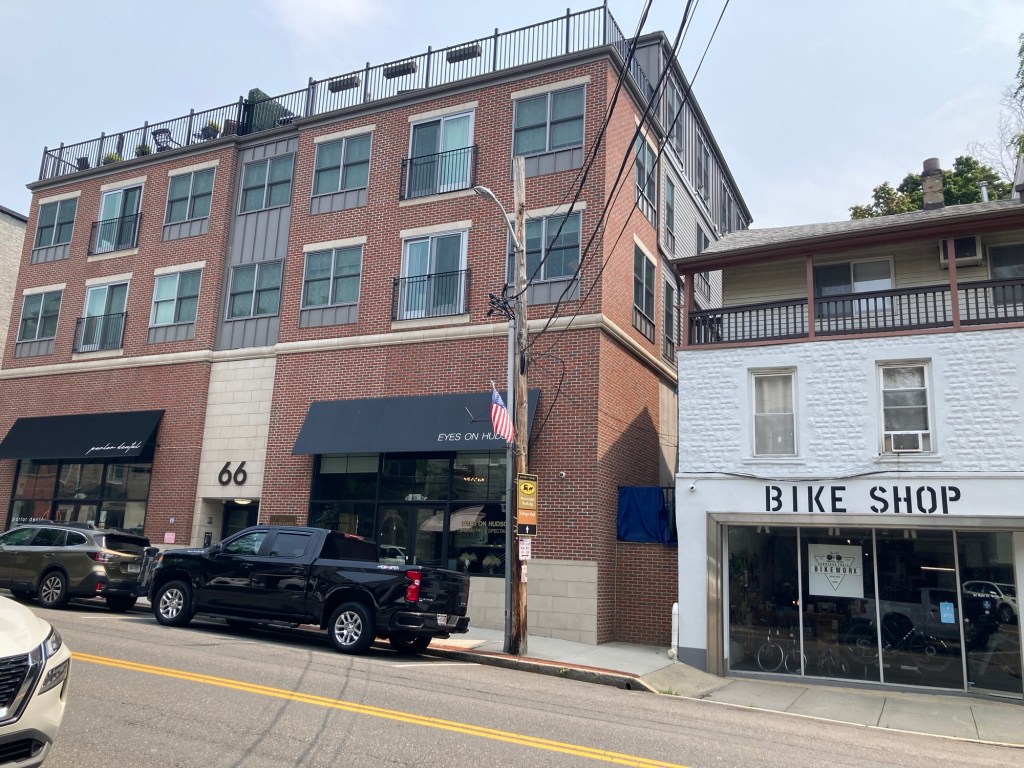
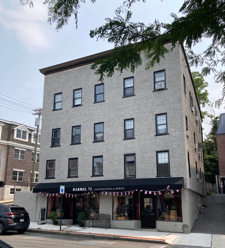
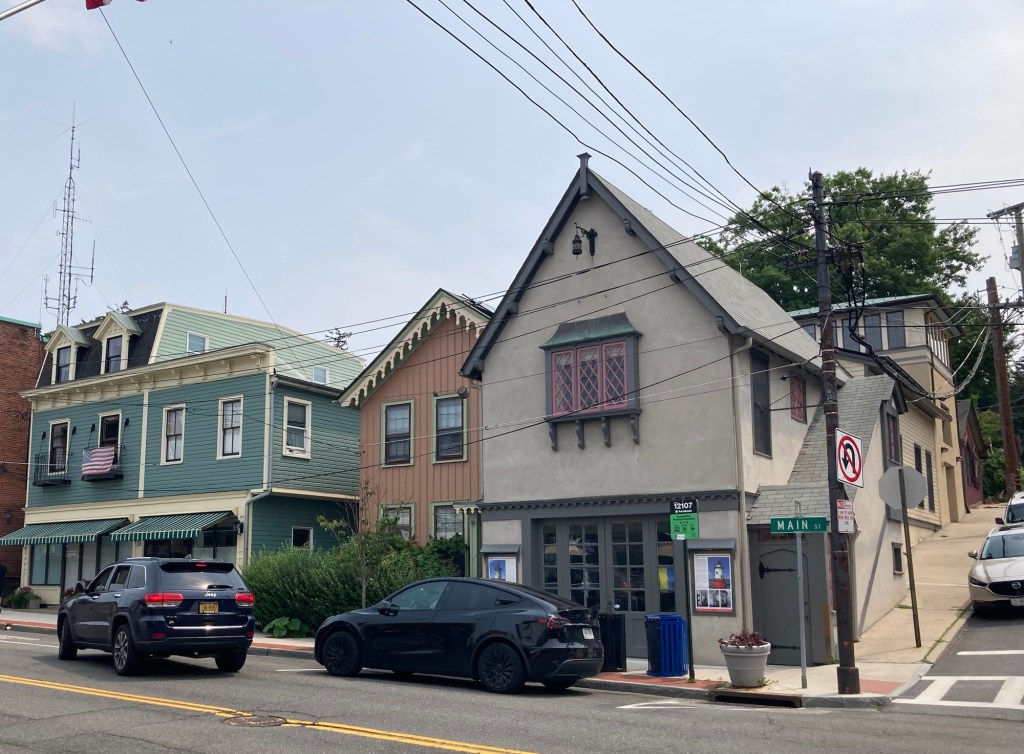
We walked along Main Street in Dobbs Ferry and saw a number of retail stores and restaurants as well as a bank and a library in a mix of older and newer buildings.
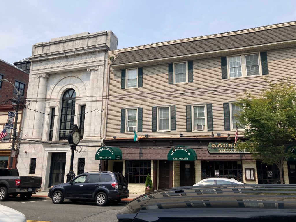
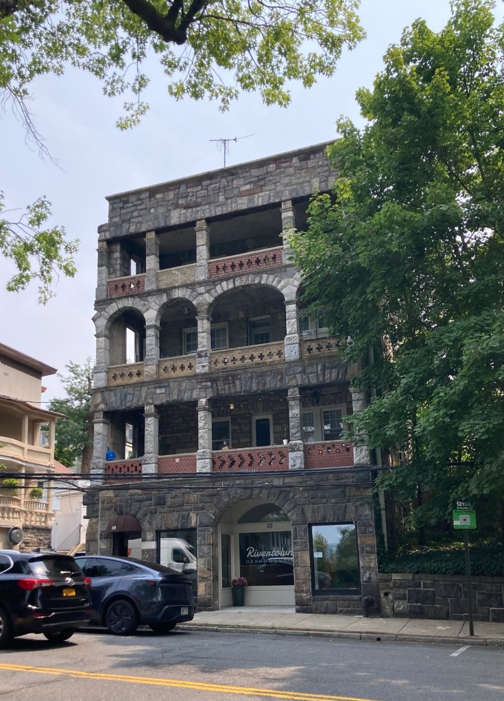
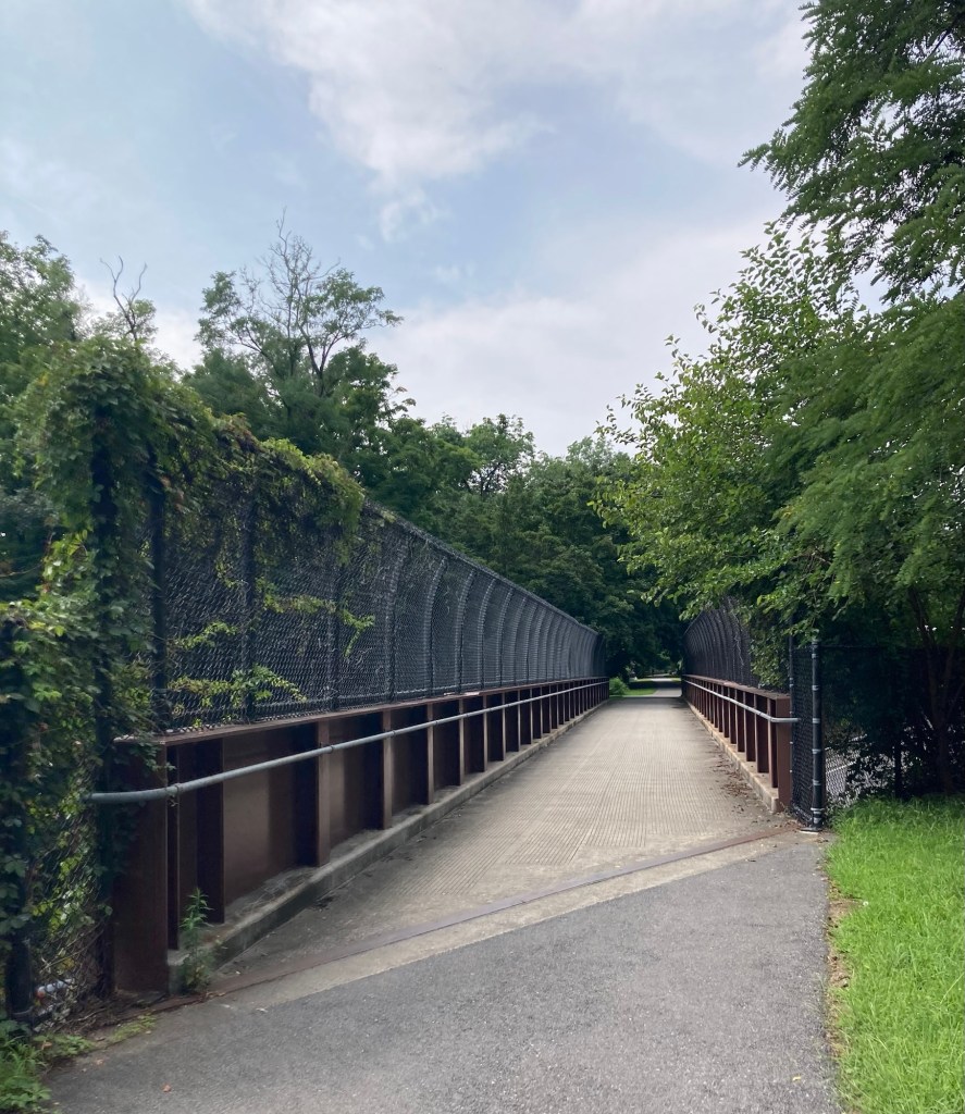
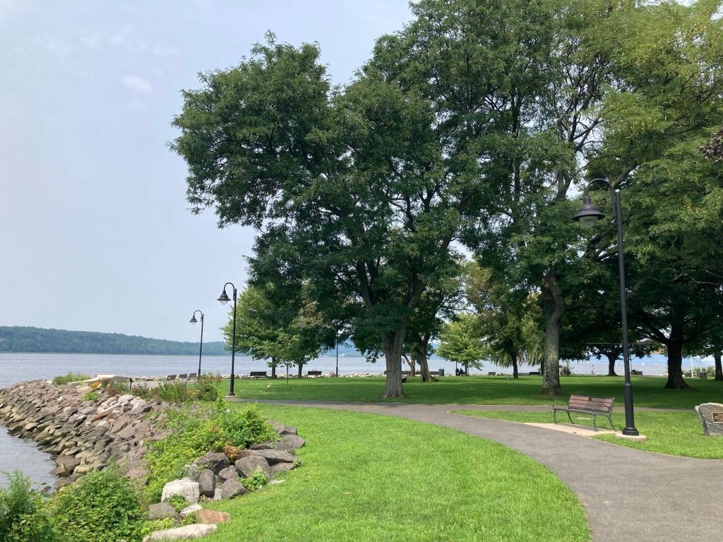
We then walked across the train tracks, via the walkover bridge, to check out the Dobbs Ferry Waterfront Park. We even got a faint view of part of the New York City skyline.
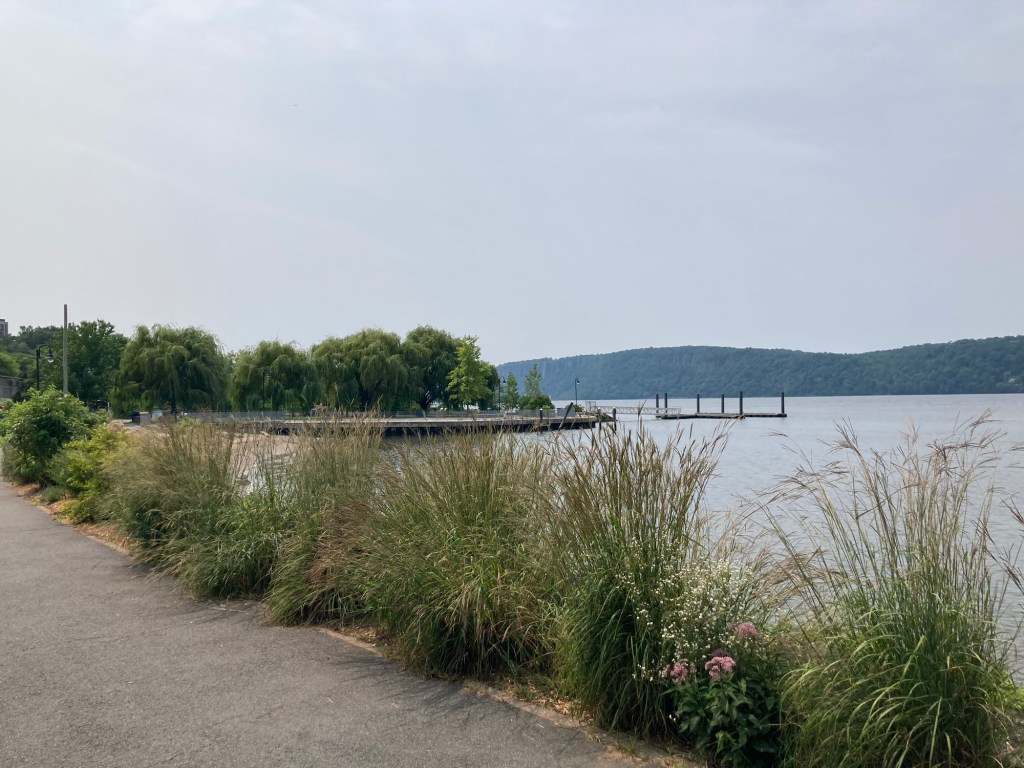
Looking south towards the city
Looking north towards Irvington
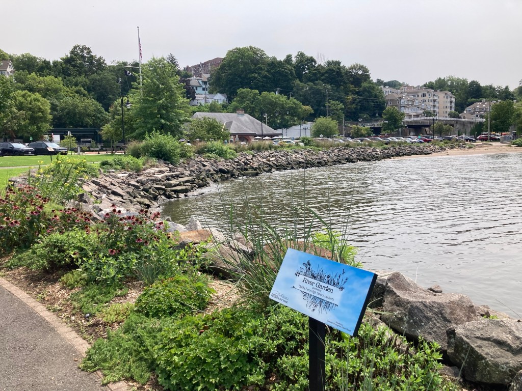
Pretty landscaping along the shoreline
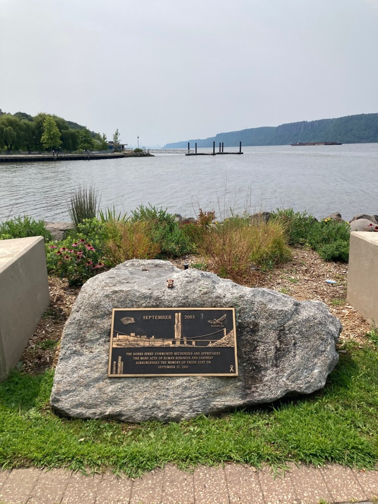
A memorial marker to honor those killed on 9/11.
If you enlarge the photo, you can faintly see the city skyline.
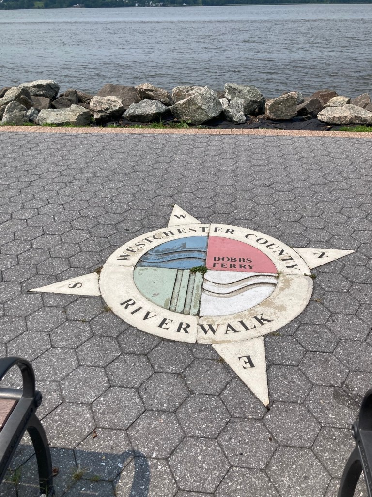
The walk along the river appears to be a continuation
of the Westchester County Riverwalk that we have walked on
in Tarrytown and from Tarrytown towards Irvington.
Categories
Uncategorized

A Walk in Gnature (8/10/26)

Yesterday, Bob and I had a great visit with my cousin Traci and her husband Paul who made the 2 hour drive down from Kinderhook, NY, to Tarrytown. They got here about 12:30. We were able to catch up for about 45 minutes before we walked downtown for our lunch reservations and then we chatted back at the house again afterwards until they headed back about 4:15. It was a lovely and very unusual day for us when we are housesitting, and, of course, we had cleared having them in the house with the homeowners ahead of time.
Since the weekend was mostly filled with us planning and cleaning for their arrival (we may be a bit OCD about this since we don’t entertain very often), we were ready to get out for a walk today.

We drove back to the trailhead near the reservoir to walk on the Empire State Trail again, but this time heading south. It was still a lovely, shaded walks with lots of cyclists, but it took us by an industrial/business area with a couple of street crossings. There is a humane society located along the path as well, so we saw a number of volunteers out walking the shelter dogs. The downside was there were a lot of gnats along the trail, mostly at the end of the walk, otherwise we may not have walked as far.

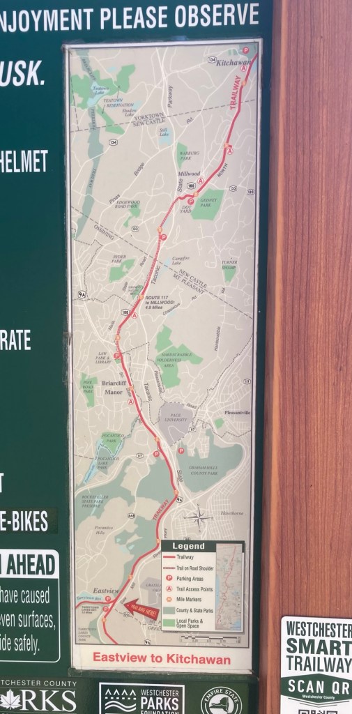
This is the map at the trailhead.
Today, we walked off of the map to the community of Elmsford.
A bridge across a busy road
Walking towards a second bridge/road crossing
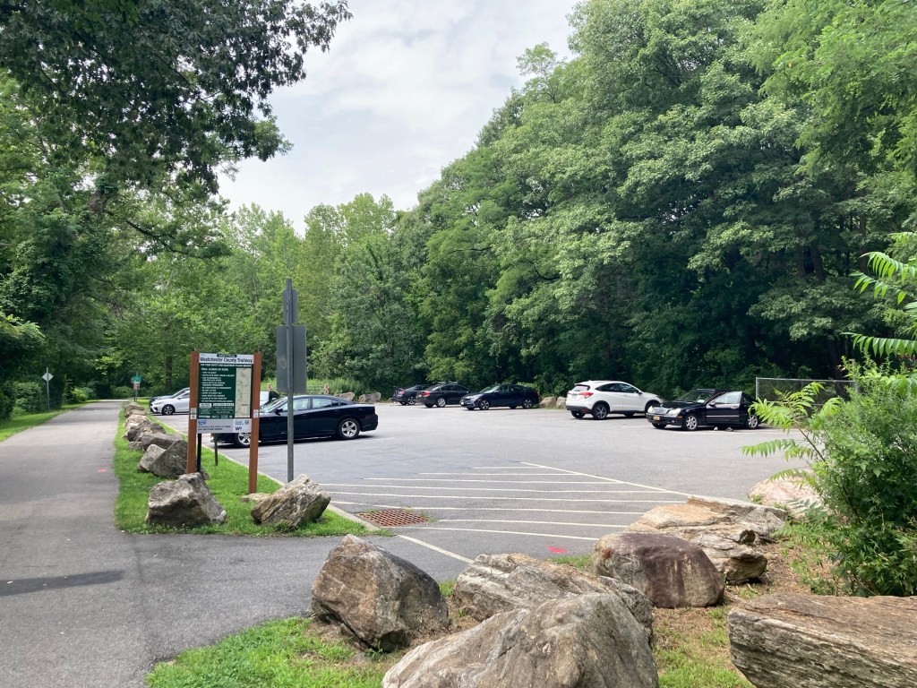
Another trailhead along the path
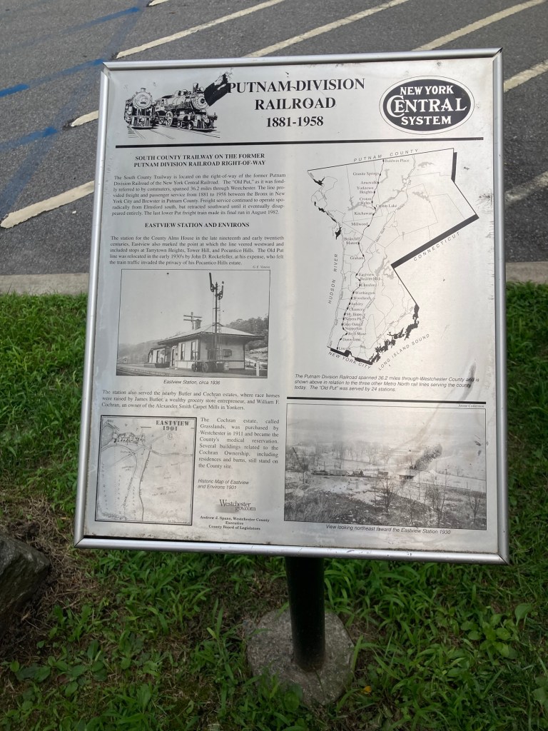
A description at the trailhead about the path’s connection
with a former railroad
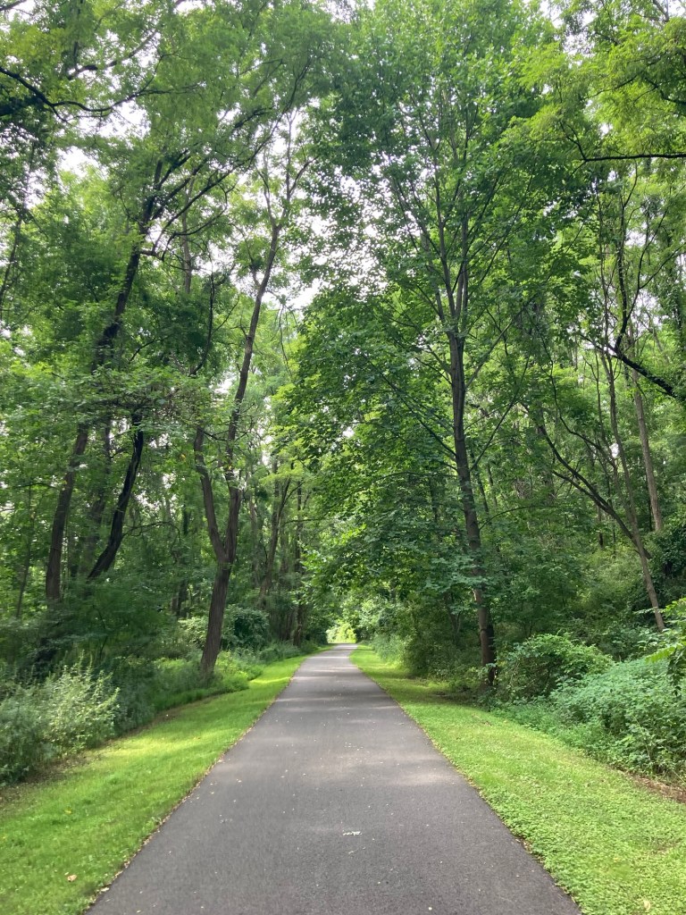
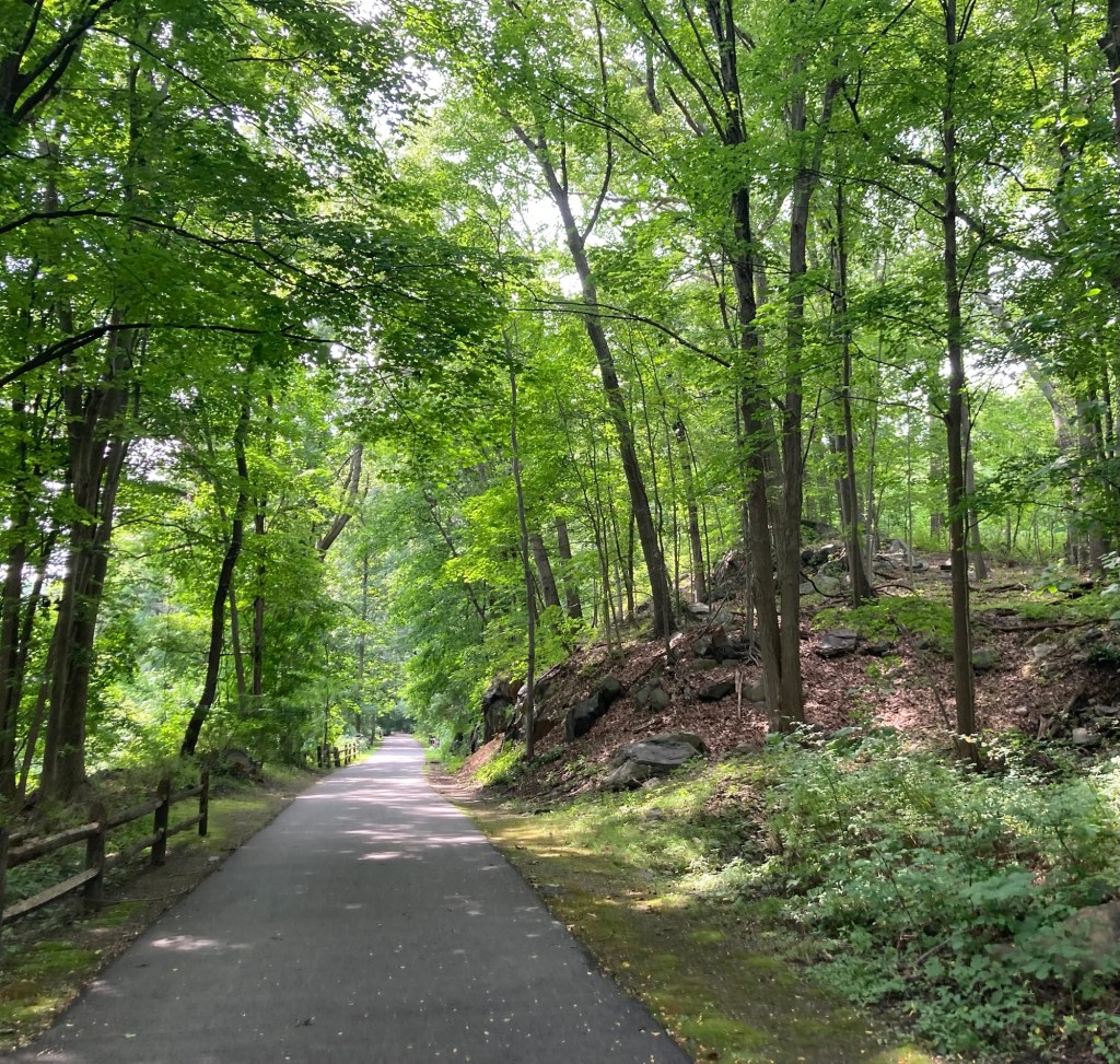
Another view of the shaded path
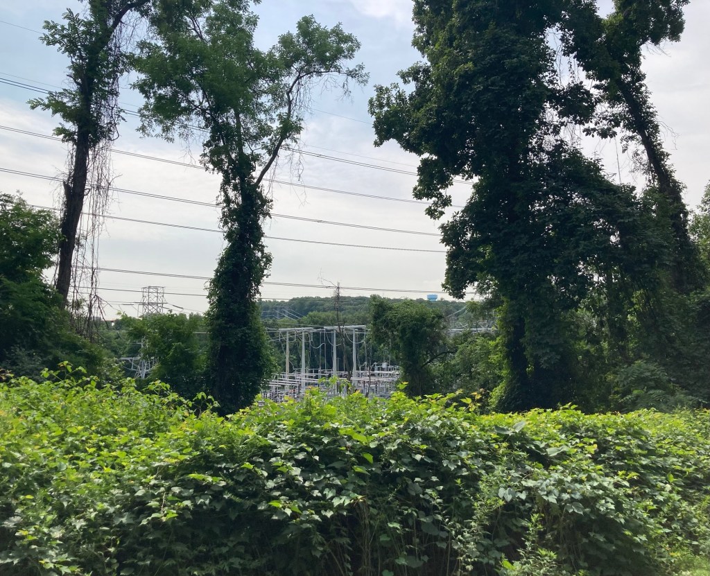
The trees hid a lot of the businesses, etc,
but we did get a view of an electrical substation below the trail
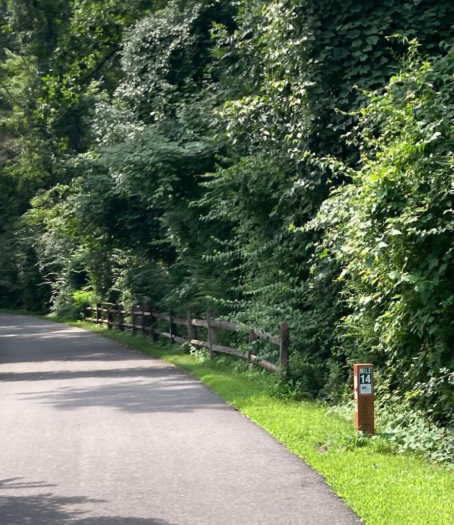
Passing the mile 14 marker.
Going north, we passed markers 15-17.
Some more of the big rock that we see in this area
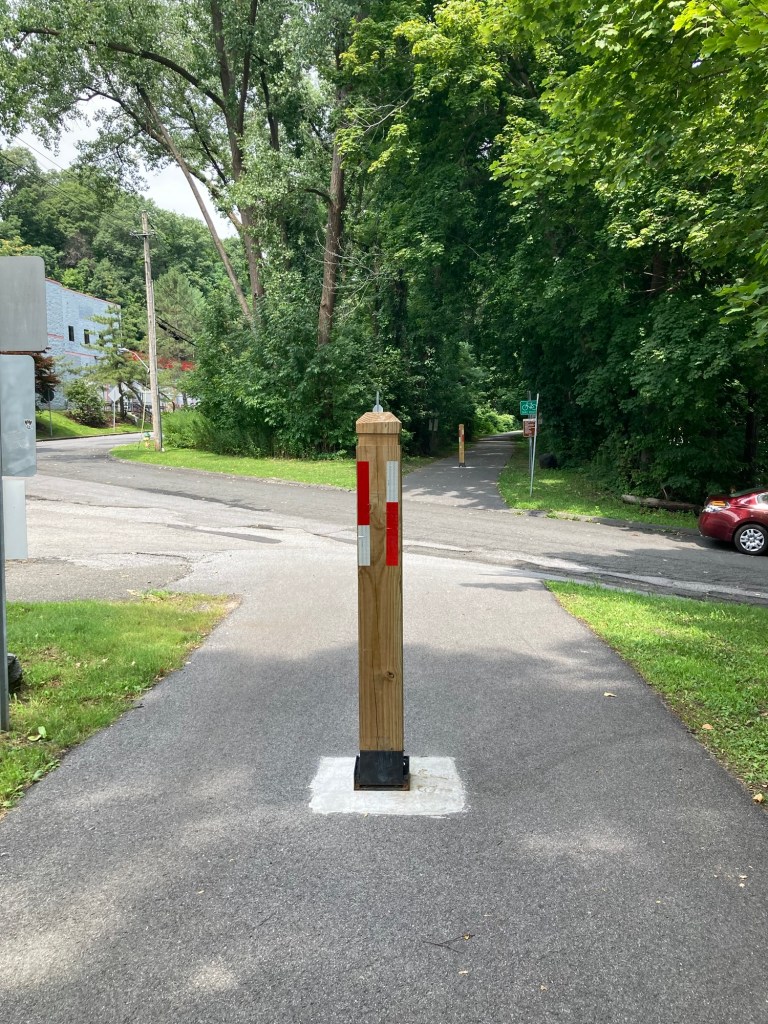
One road crossing
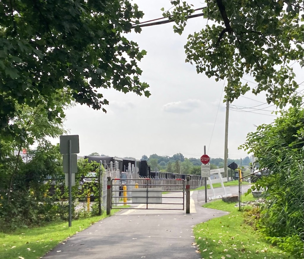
A gate at a second road crossing.
This one was near a scrap metal yard behind the fence on the left.
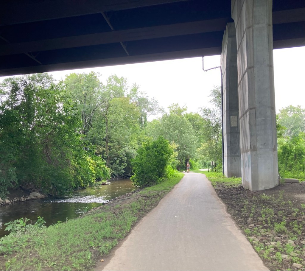
Walking under a highway and beside a fast moving creek
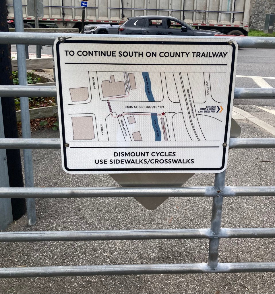
A helpful sign in Elmsford to show you how/where
to reconnect with the trail to continue south
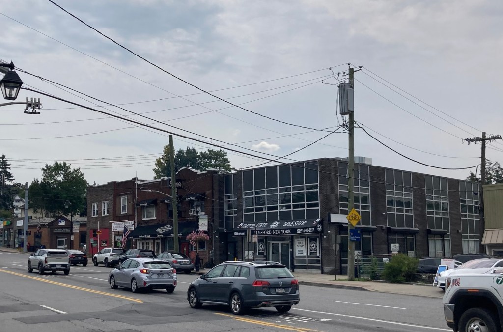
The busy street in Elmsford that you need to cross
to reconnect with the trail
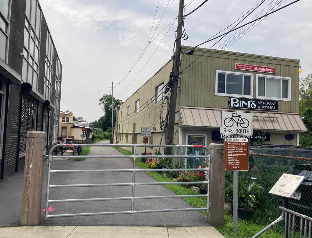
The start of the trail to continue south

We did not continue on the trail at this point. We stopped at a gas station instead to cash in a winning lottery ticket ($4) and to purchase a couple of tickets for tonight’s drawing.

Categories
Uncategorized

Swan Lake Without Tutus (8/4/26)

Before I start on today’s short outing, I wanted to make a quick remark about the weather. While large parts of Europe, Canada, and the American Northwest are or have been dealing with destructive and sometimes deadly wildfires, the weather worry here has been rain. We have had at least one flood watch or warning here every week that we’ve been here and many places in the surrounding states have been flooded.

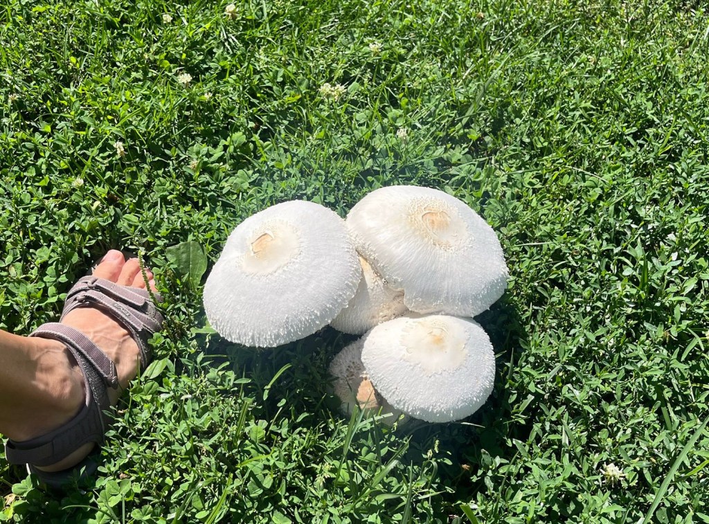
We have been lucky so far in Tarrytown, and perhaps living at least half a mile steeply uphill from the river helps, but there are signs of the wet weather, including the photo below.

These huge mushrooms are growing in the front yard of a home just around the corner from us.

Anyhoo, today was sunny after another rainy day yesterday, so we got out to do a bit of hiking. We headed back to the Rockefeller State Park Preserve for our 3rd hike. This time, we were headed for the trail that goes around Swan Lake within the park. This was the most populated trail that we’ve hiked in the preserve, with lots of dog walkers, a couple of photographers (with actual cameras), and a bird watcher, in addition to others of us just out for a walk. As with the duckless Duck Pond in Croton-on-Hudson the other day, Swan Lake was swanless but pretty all the same.

Heading out on the trail
A gurgling creek
A meadow
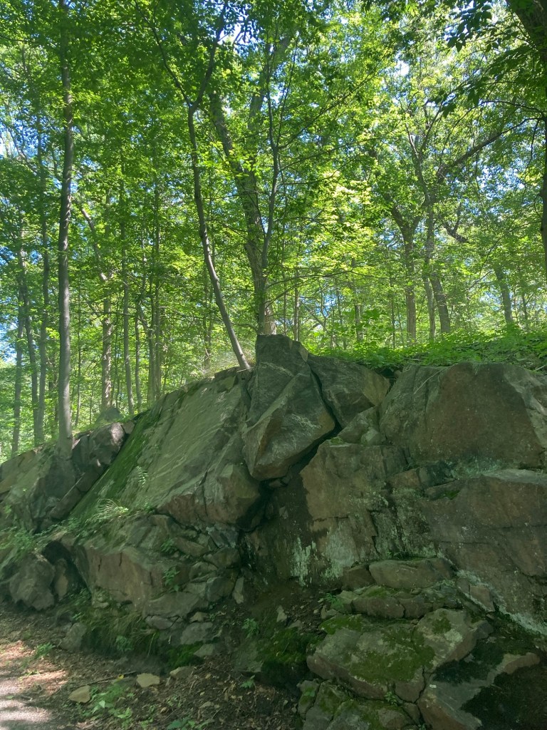
My kind of big rocks
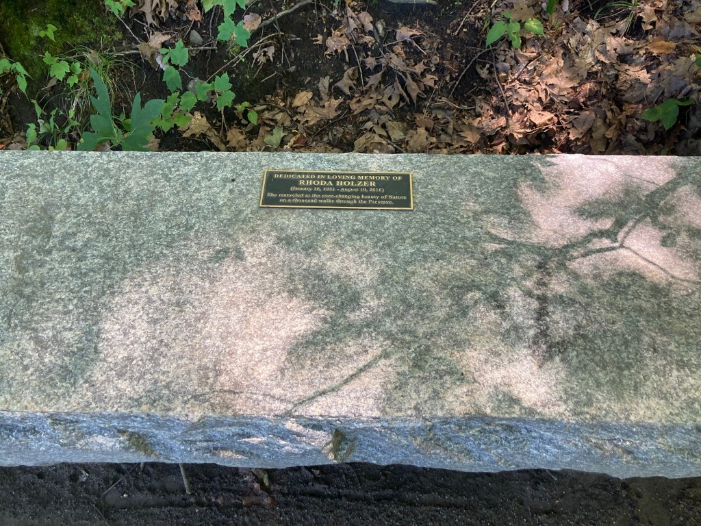
A bench beside the lake dedicated to someone
who apparently spent a lot of time in the preserve
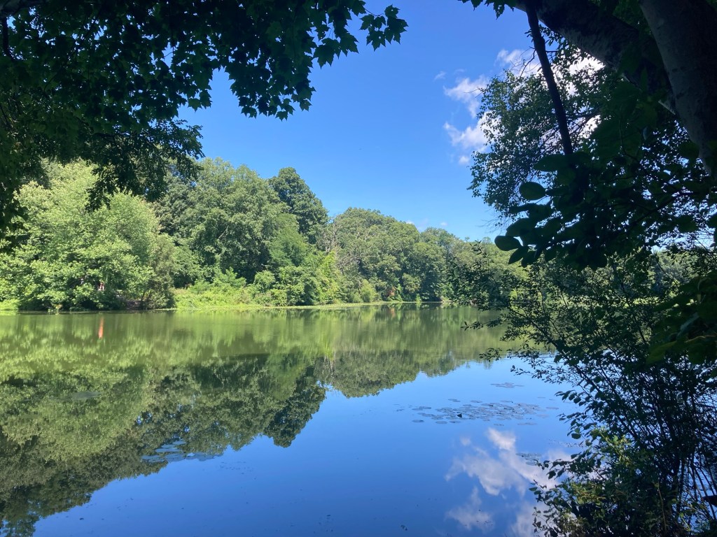
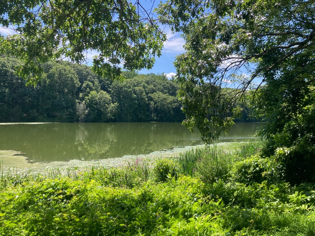
Swan Lake
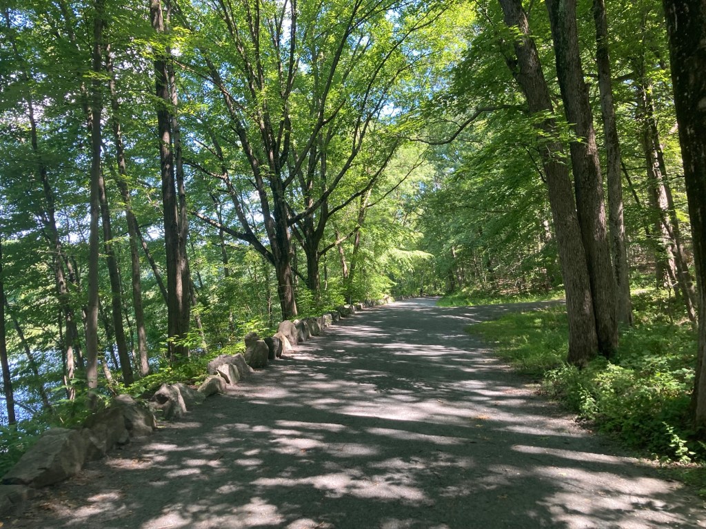
The wide stone lined path along the lake
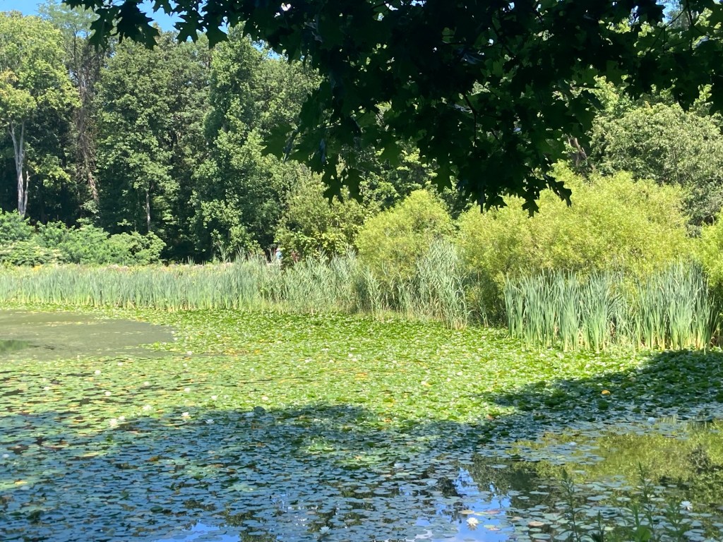
Lilypads!
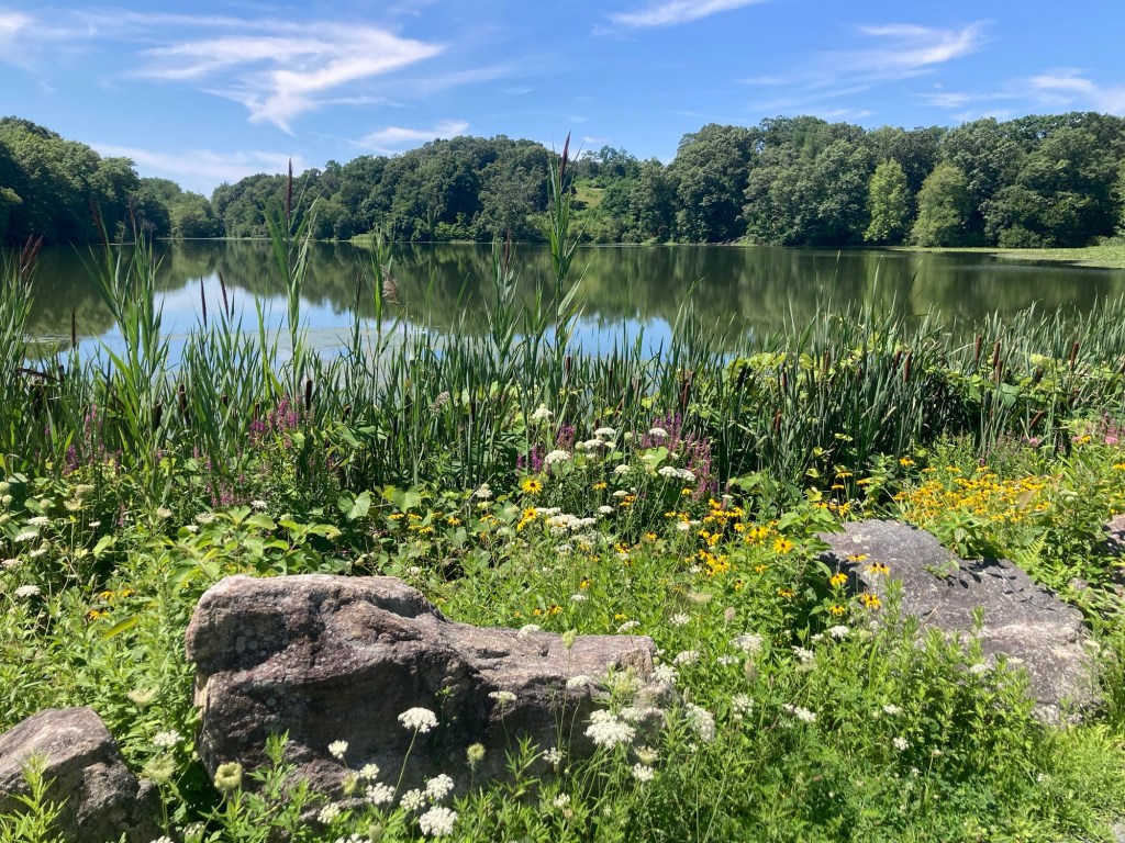
Loved the flora at one end of the lake
Shades of green
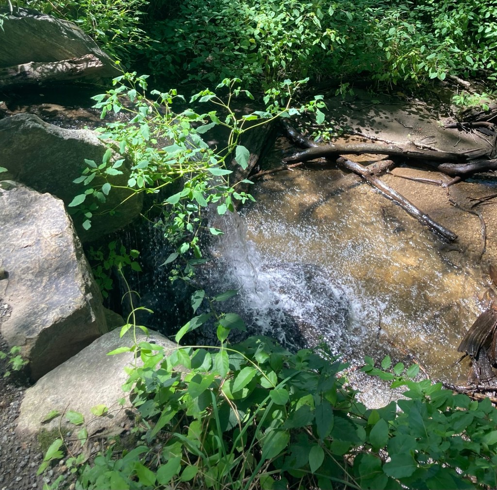
A small waterfall from a stream
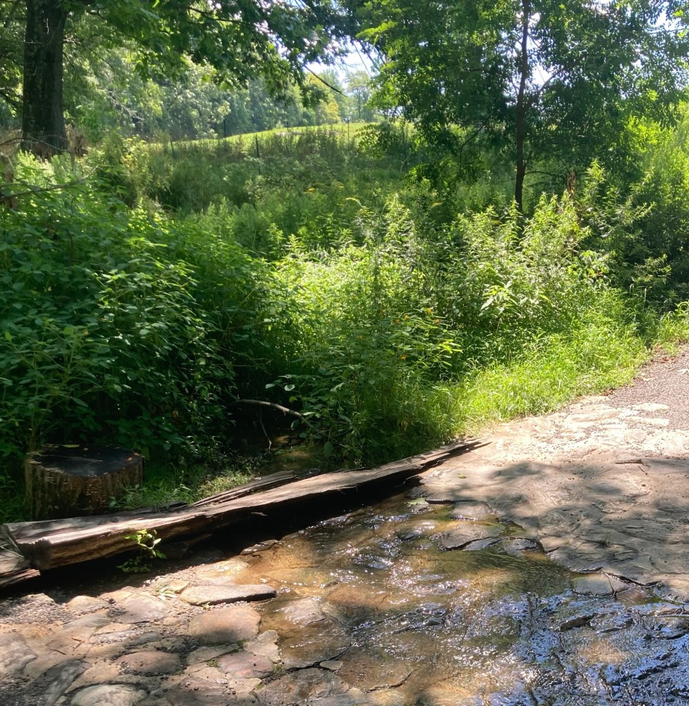
A shallow creek over the path
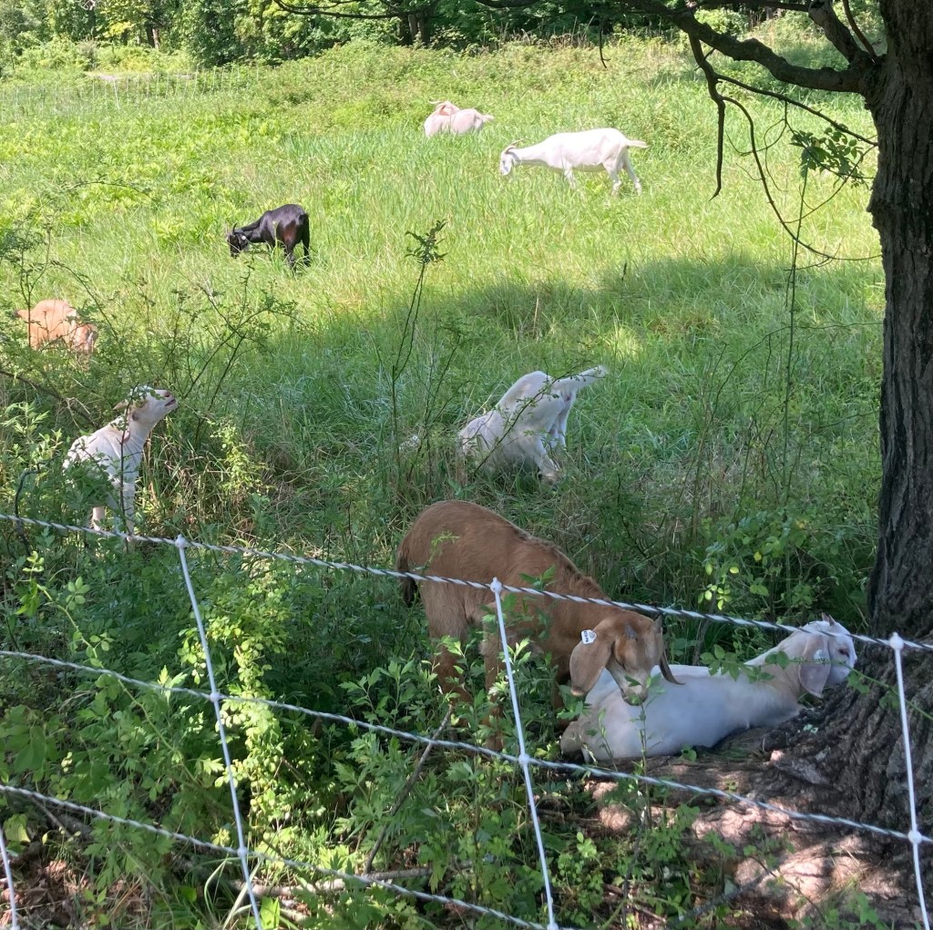
There appears to be a working farm on part of the preserve. In addition to these goats, we also saw chickens and plowed fields.
Categories
Uncategorized

More New York Rambles (7/31-8/1/26)

Some days on our outings we walk to walk, and sometimes we walk to explore. Yesterday, we headed out to walk part of yet another trail in the area. We drove about 10 minutes to a trailhead for the 750-mile Empire State Trail. We walked an hour out and an hour back — somewhere between 2 and 3 miles each way, so we barely scratched the surface of this trail. And we were not alone, we saw a couple of runners and two or three other walkers, but we were passed by quite a few bikers on the paved trail.

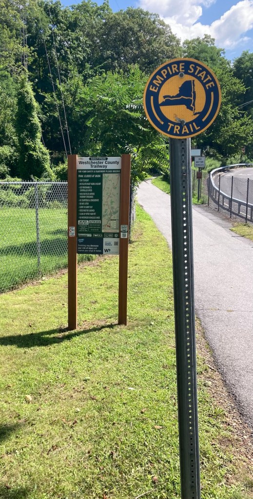
Signage at the trailhead we started at
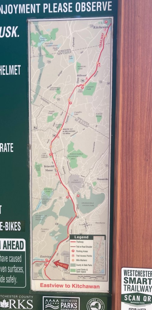
A posted map of a portion of the trail
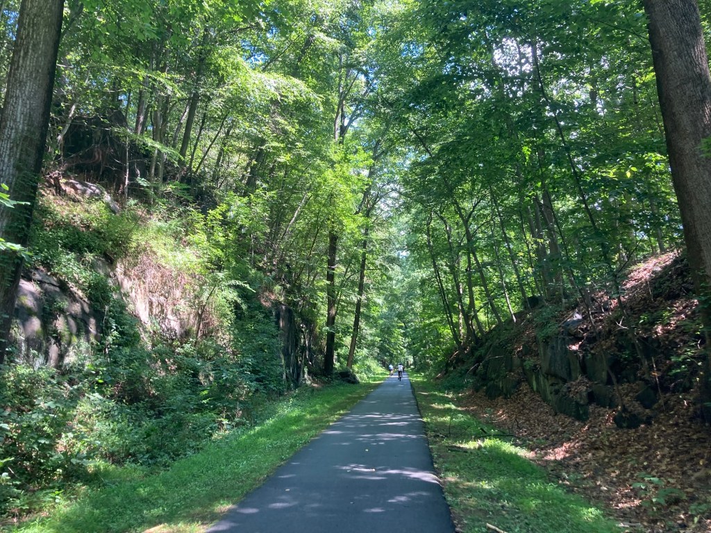
Heading out — it was pretty shaded
throughout the section that we walked.
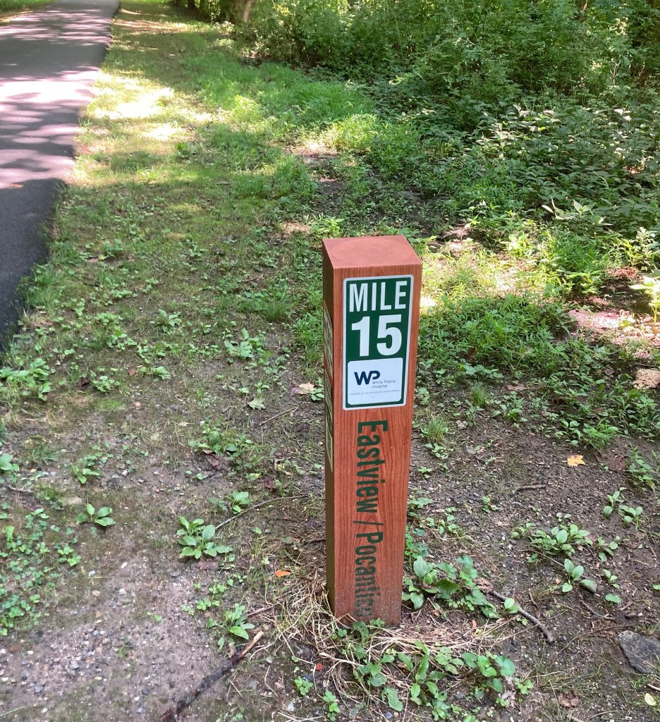
We passed the markers for miles 15, 16, and 17.
The portion of the trail that we were on
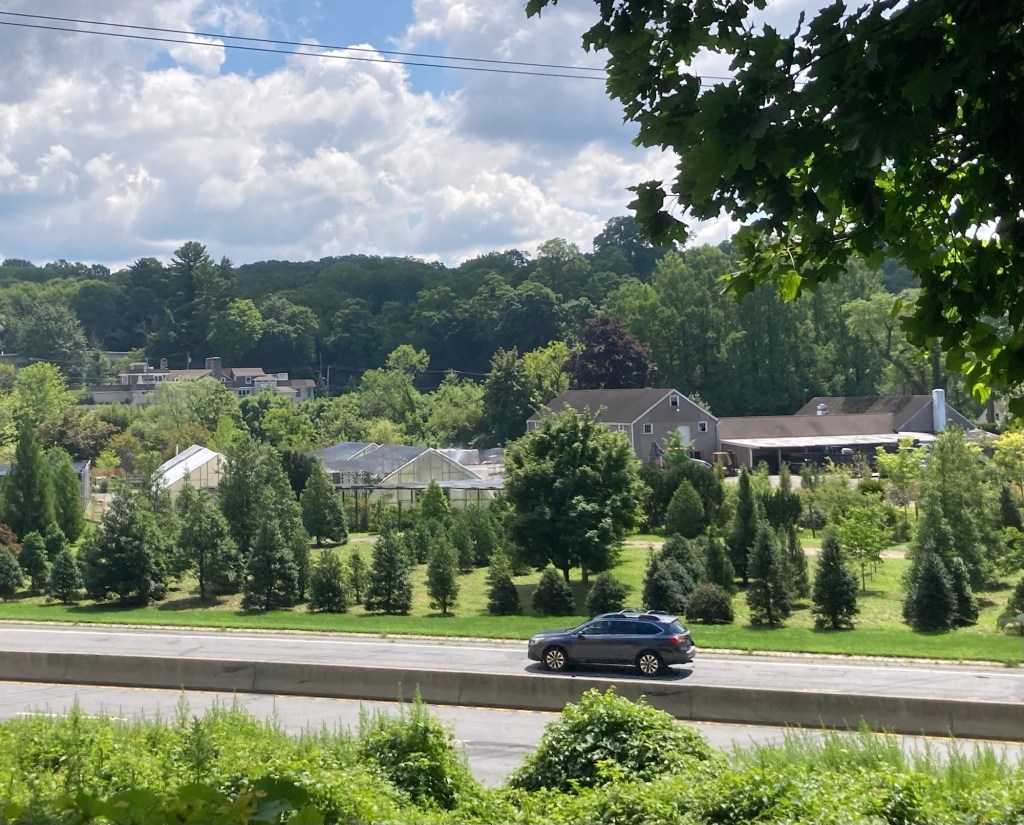
runs alongside (but higher up) a busy highway.
Usually the trees kept us from seeing too much of it.
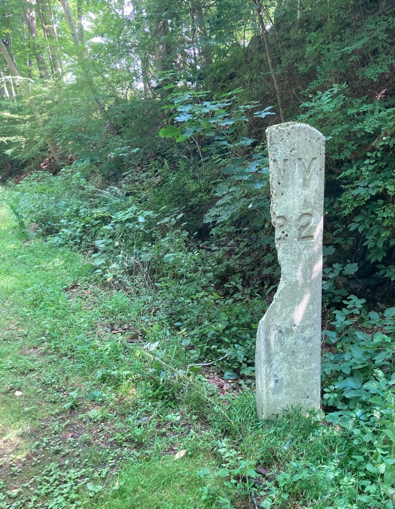
A much older mile marker — maybe for an old rail line,
as much of the trail route repurposes historic railroad beds,
canal towpaths, and off-road bike paths.

Today we took the Metro North Railroad train that runs south to Grand Central Station in New York City and north along the Hudson River to Poughkeepsie for the first time. We went north for the 20 minute trip to the Croton-Harmon station, the second stop from Tarrytown. We first explored Croton Point Park, which lies west of the train station, and then walked back past the train station to explore a bit of the town.

Croton Point Park is a 508 acre park situated on a peninsula in the town of Croton-on-Hudson, New York. It has a small beach, Nature Center, and lots of picnic areas along the Hudson River which were being used on this sunny Saturday.

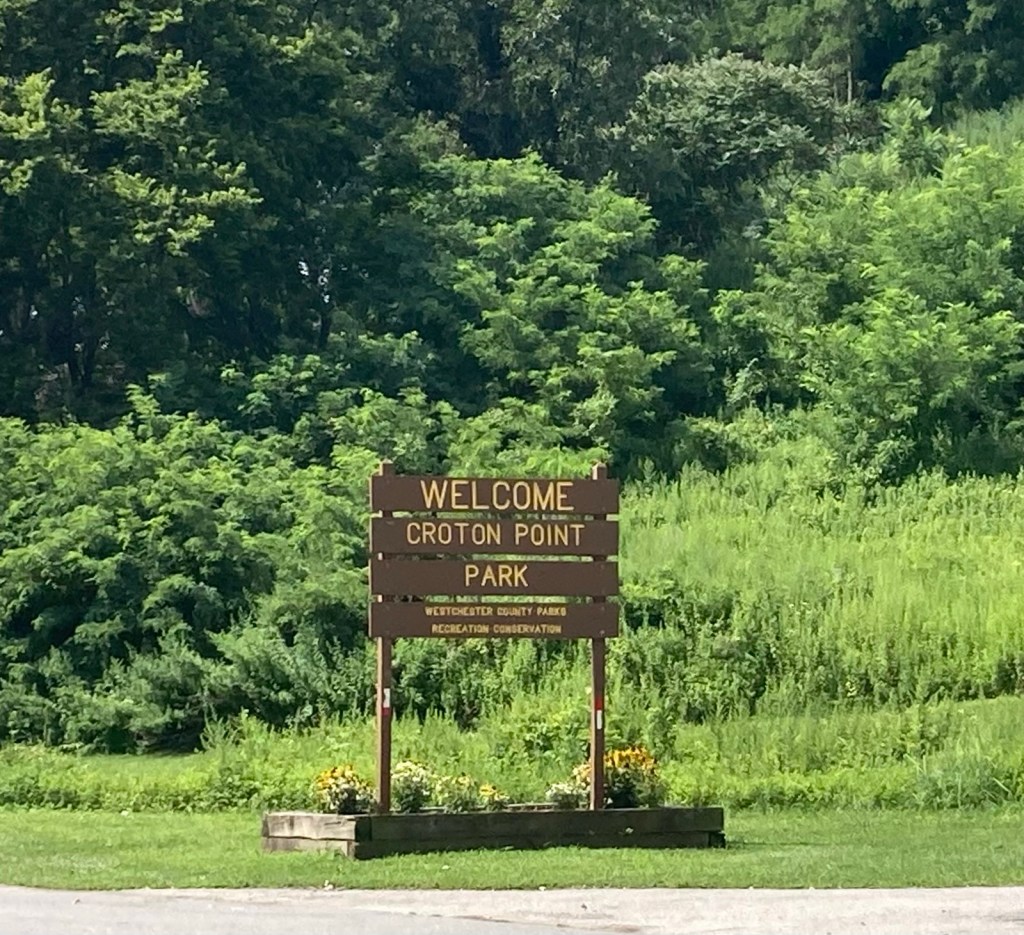
The sign at the park entrance
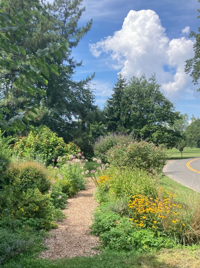
A path through a pollinator garden
The path we walked up and over a grassland reclamation area
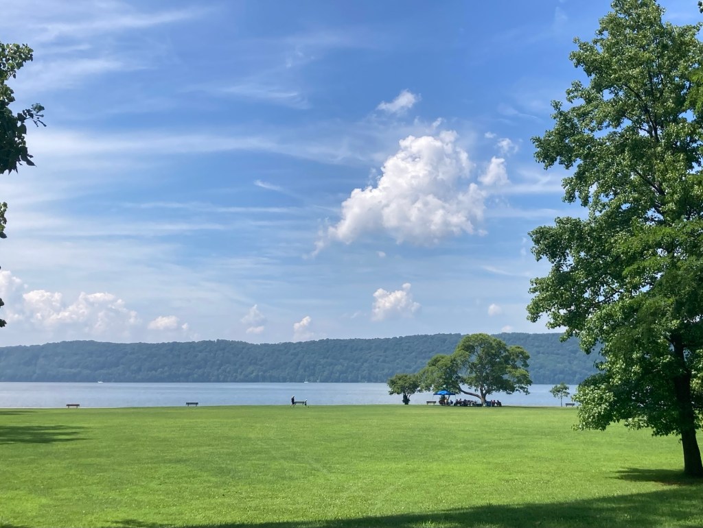
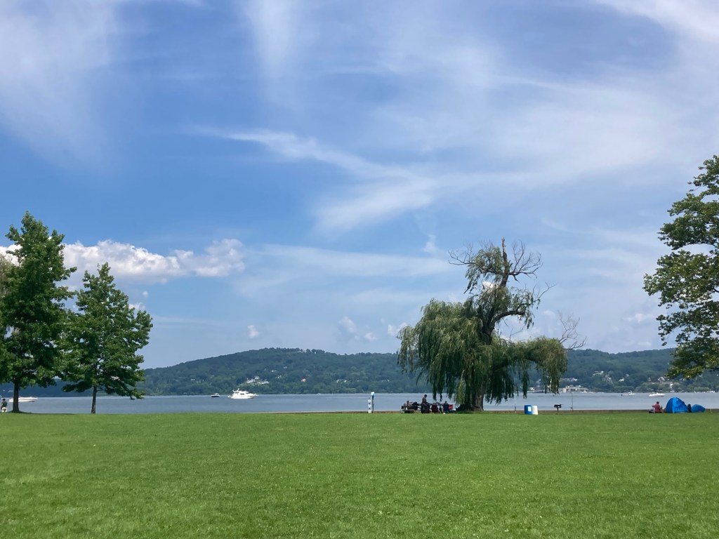
The view from the top of the small hill
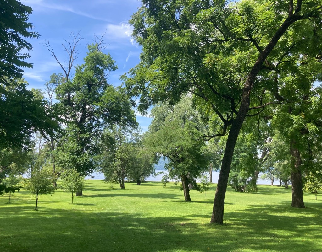
The lovely parkland
Benches along the Hudson
A small cove/inlet
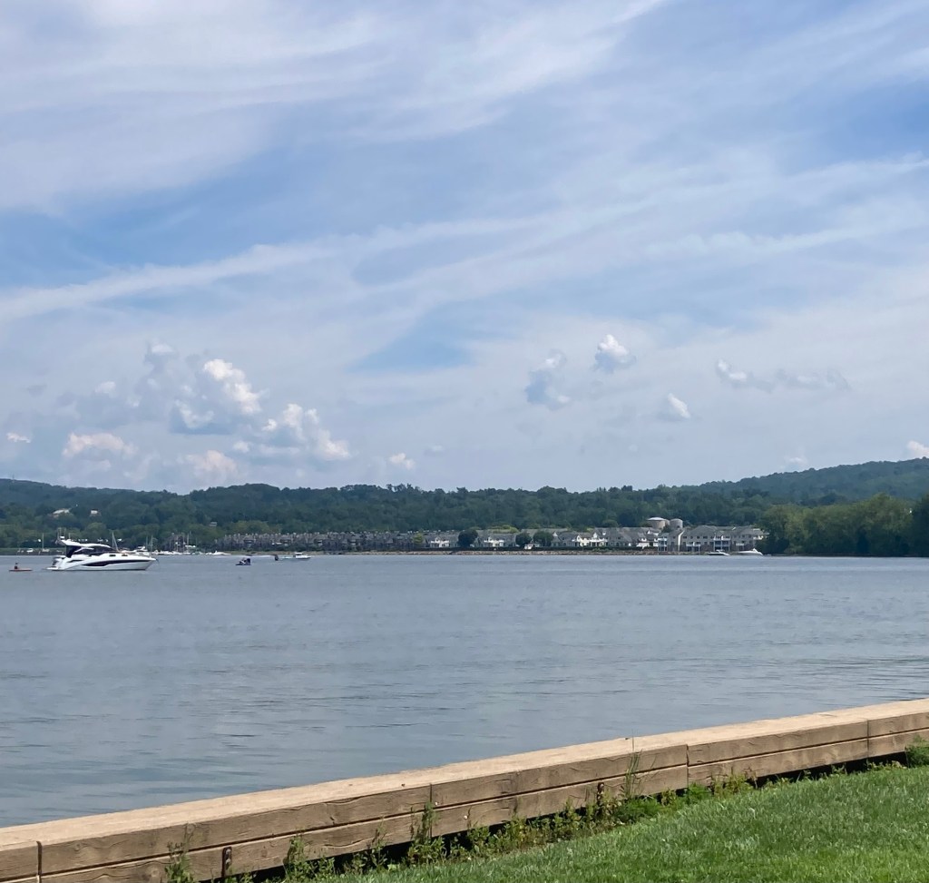
Looking across the inlet towards Croton-on- Hudson
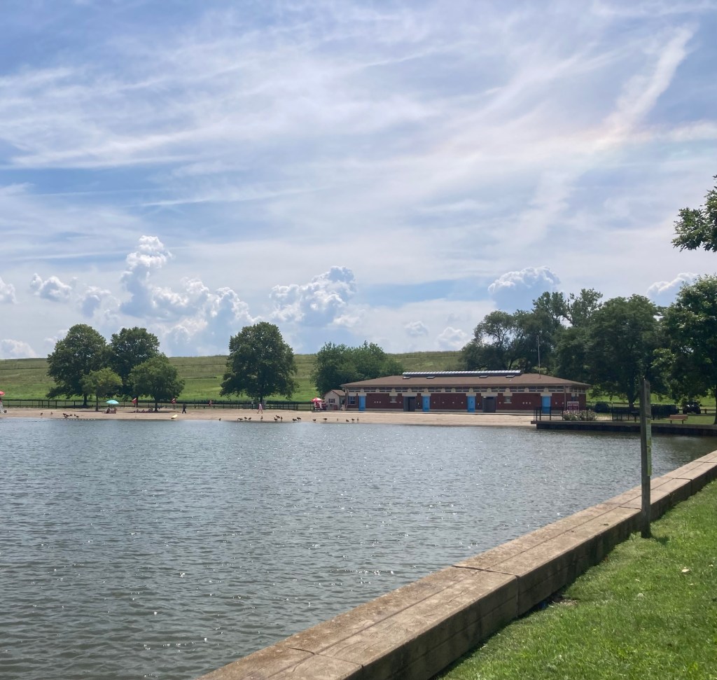
The small beach and bathhouse
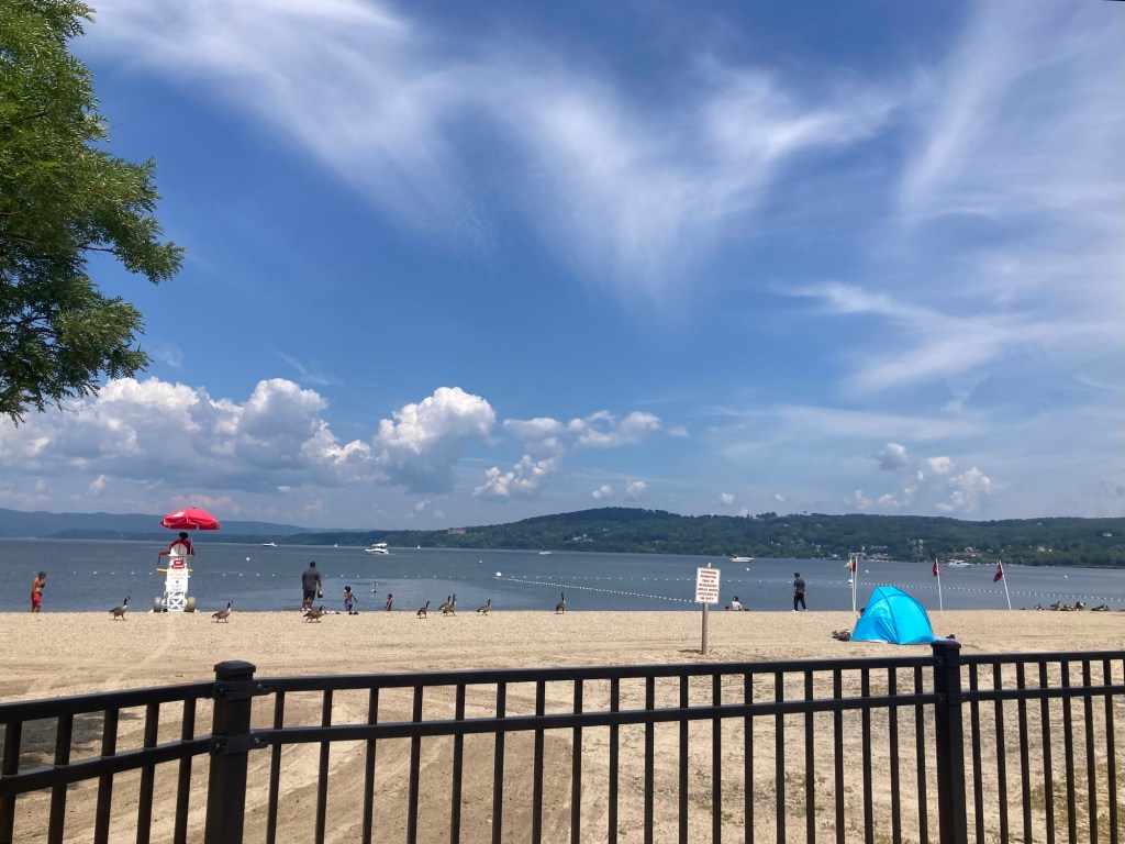
Some people and lots of geese
were enjoying the pay-to-enter beach ($10/adult).
It was also $10/car to drive into the park.

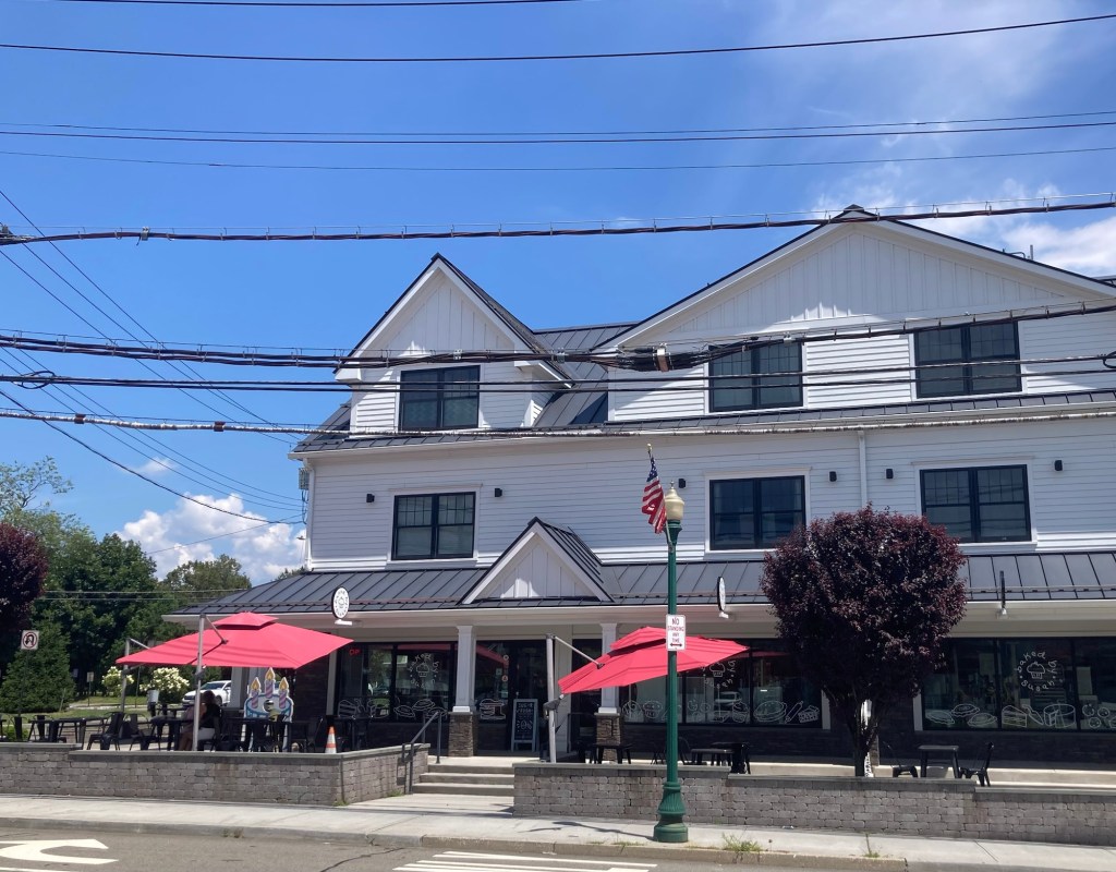
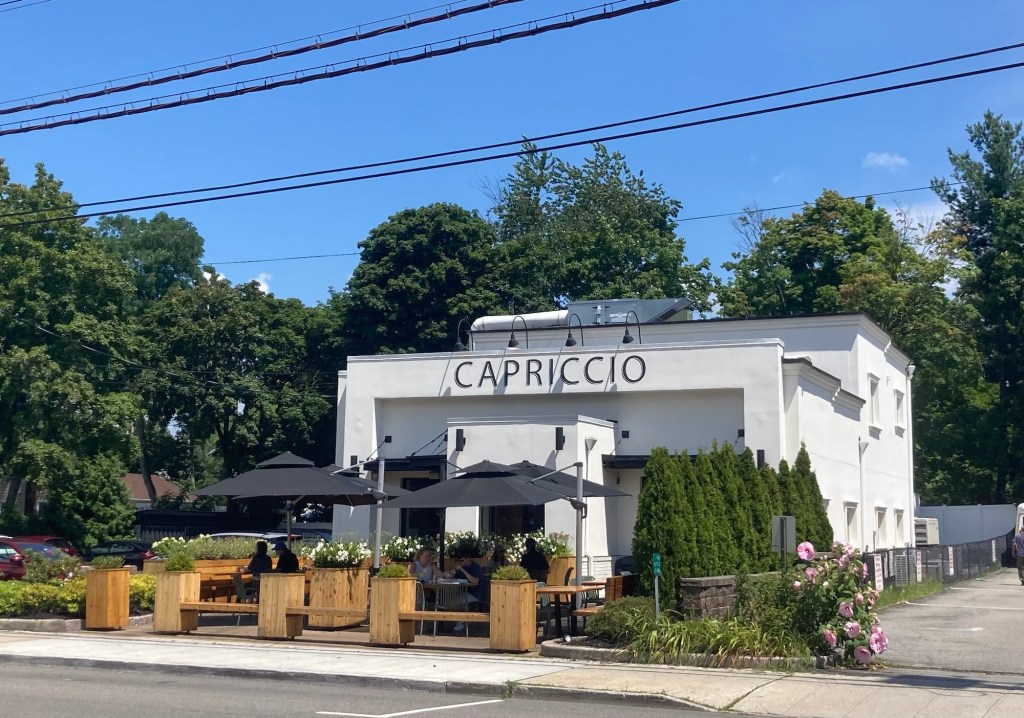
Croton-on-Hudson, still in Westchester County, is a village of about 8,300 about 21 miles north of Tarrytown. Bob found us a couple of different retail areas to explore.

Baked by Susan, a cute, local bakery
A pretty Italian restaurant close to the bakery
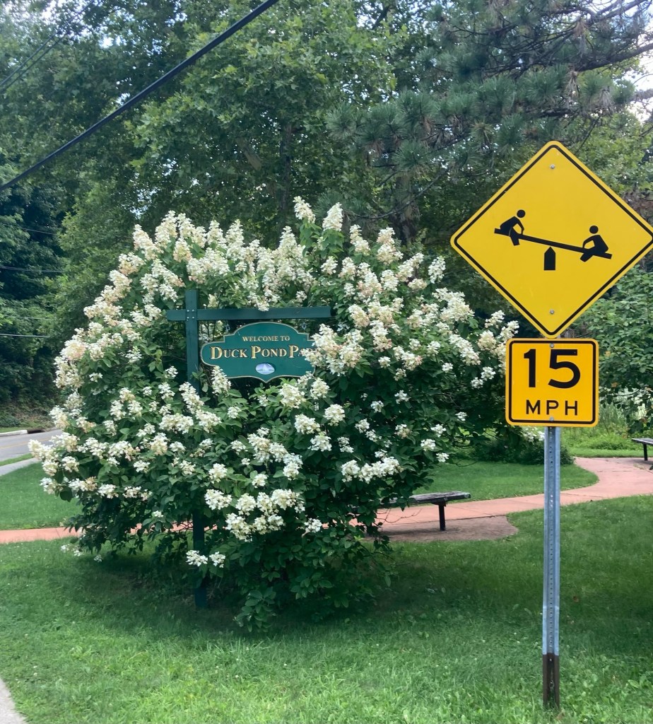
A sign for the small Duck Pond Park
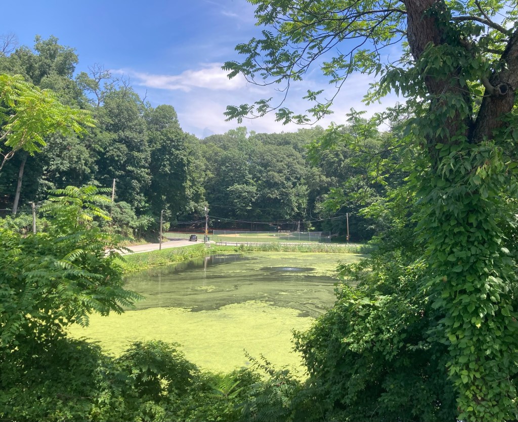
The duckless Duck Pind
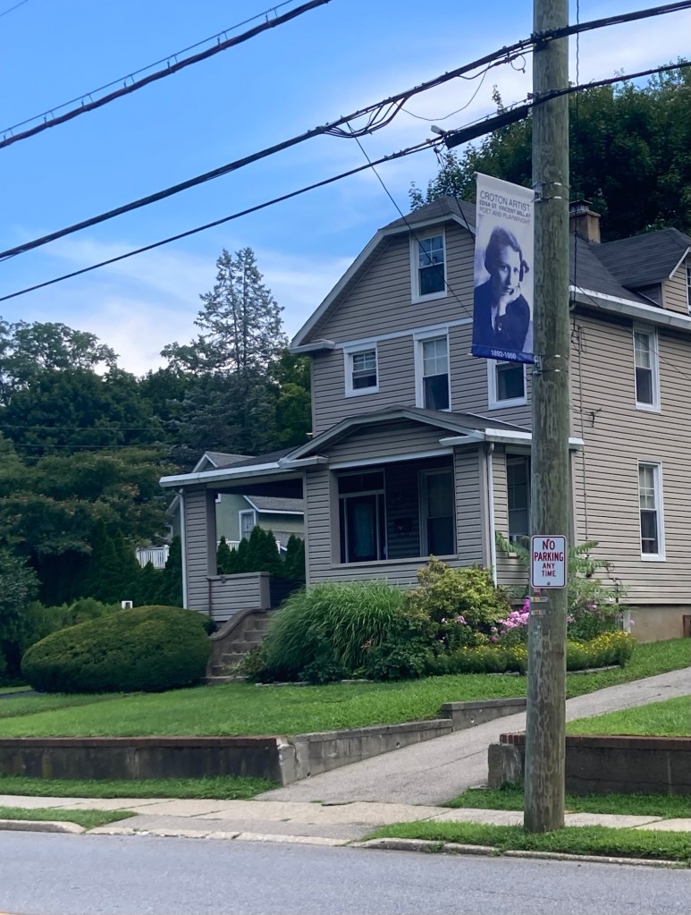
Edna St. Vincent Millay, one of many Croton artists
celebrated by these banners
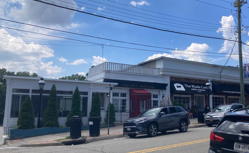
More local businesses
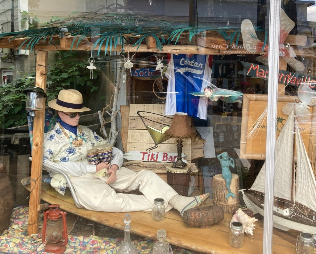
A unique window display in a liquor store
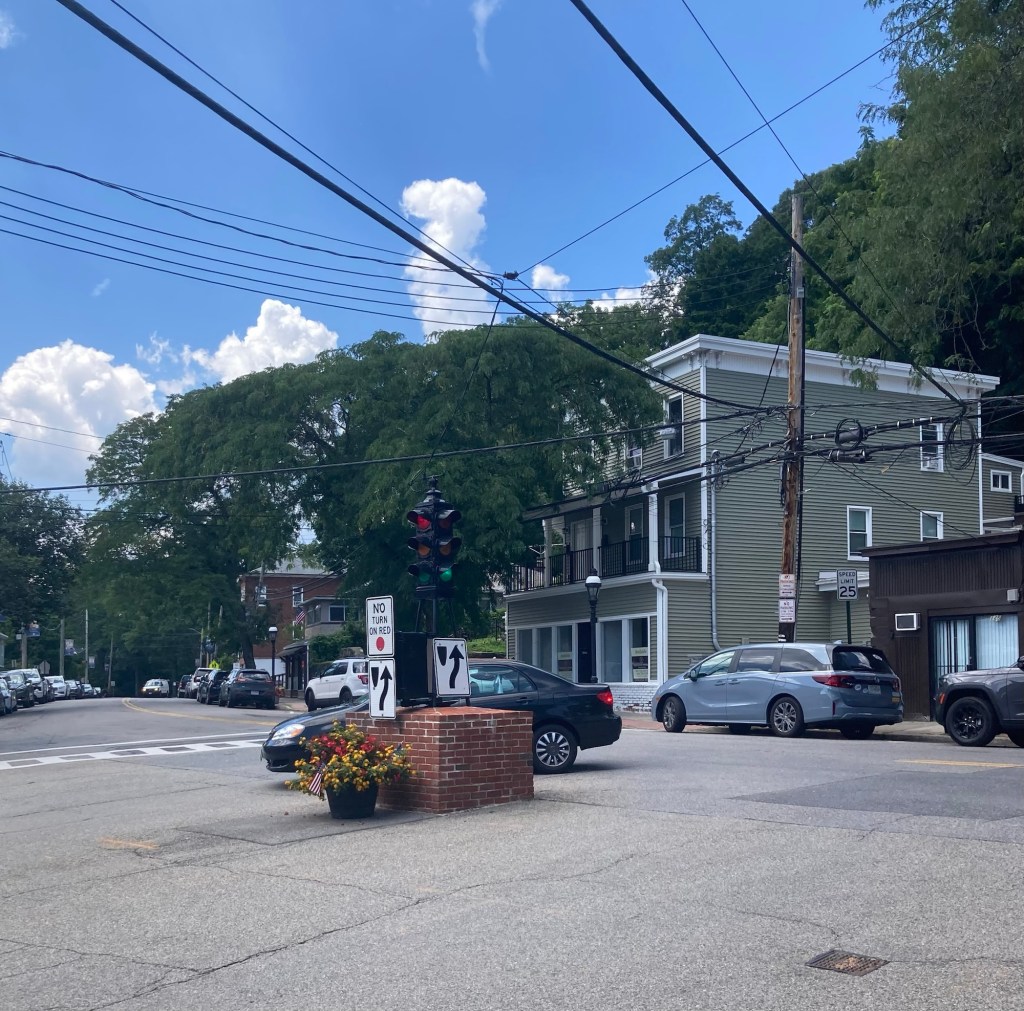
A very short streetlight in the center of an intersection
in the small downtown
A business in a historical house
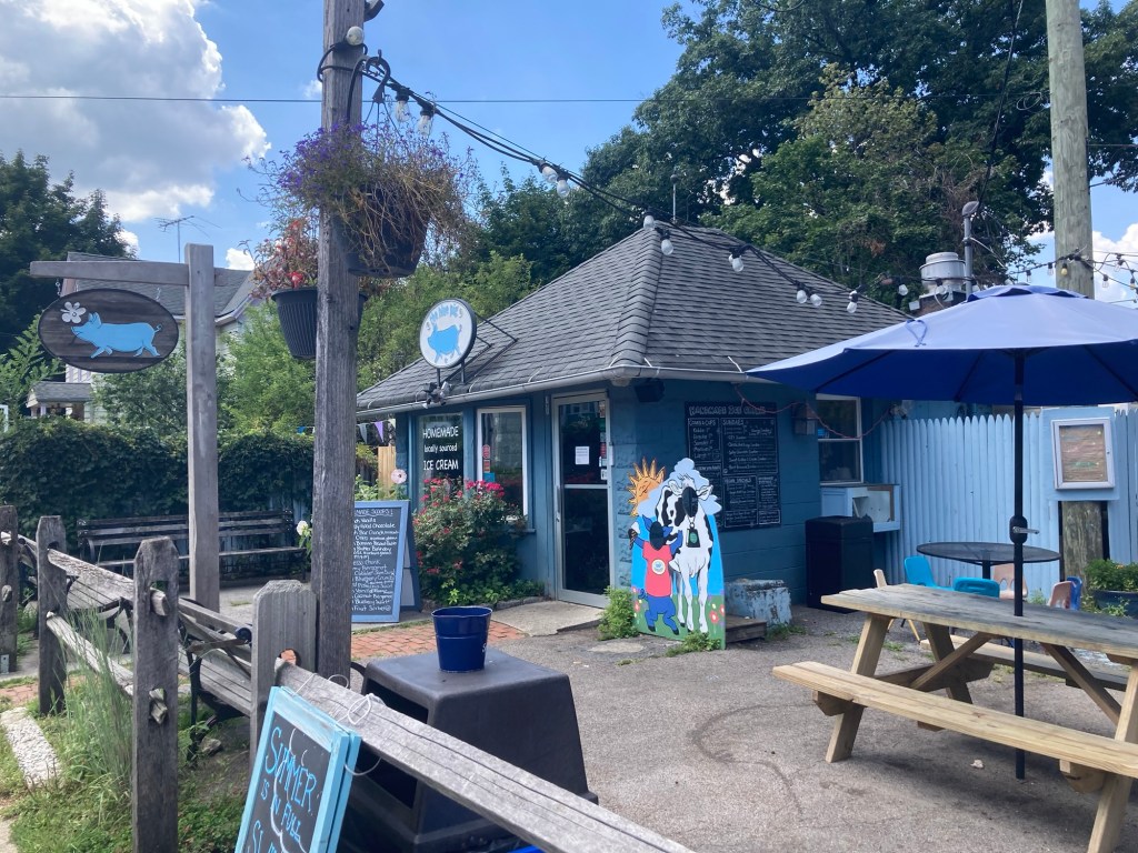
The Blue Pig local ice cream store