While the house that we are caring for is in Needham, we are very close to the town of Wellesley, Massachusetts. I run into Wellesley on my runs, and Babson College, which is the campus where we walk Zeus, is officially in Wellesley. The town currently has a population of about 30,000, making it just a bit smaller than Needham, and Wikipedia tells me it was part of Needham (and known as West Needham) until 1881.
I decided to check out Wellesley town center and Whole Foods today. The initial walk to the town hall was 1.8 miles. It is another lovely day here. It has been sunny (with some occasional cloudiness due to Canadian wildfires) and highs in the 80s F and high 50s and low 60s for morning runs. I’m loving it.
The walk started off on Great Plains Avenue, the main road that runs by the house, but then turned off onto a path that took me into some neighborhoods in Wellesley before getting to the town center.
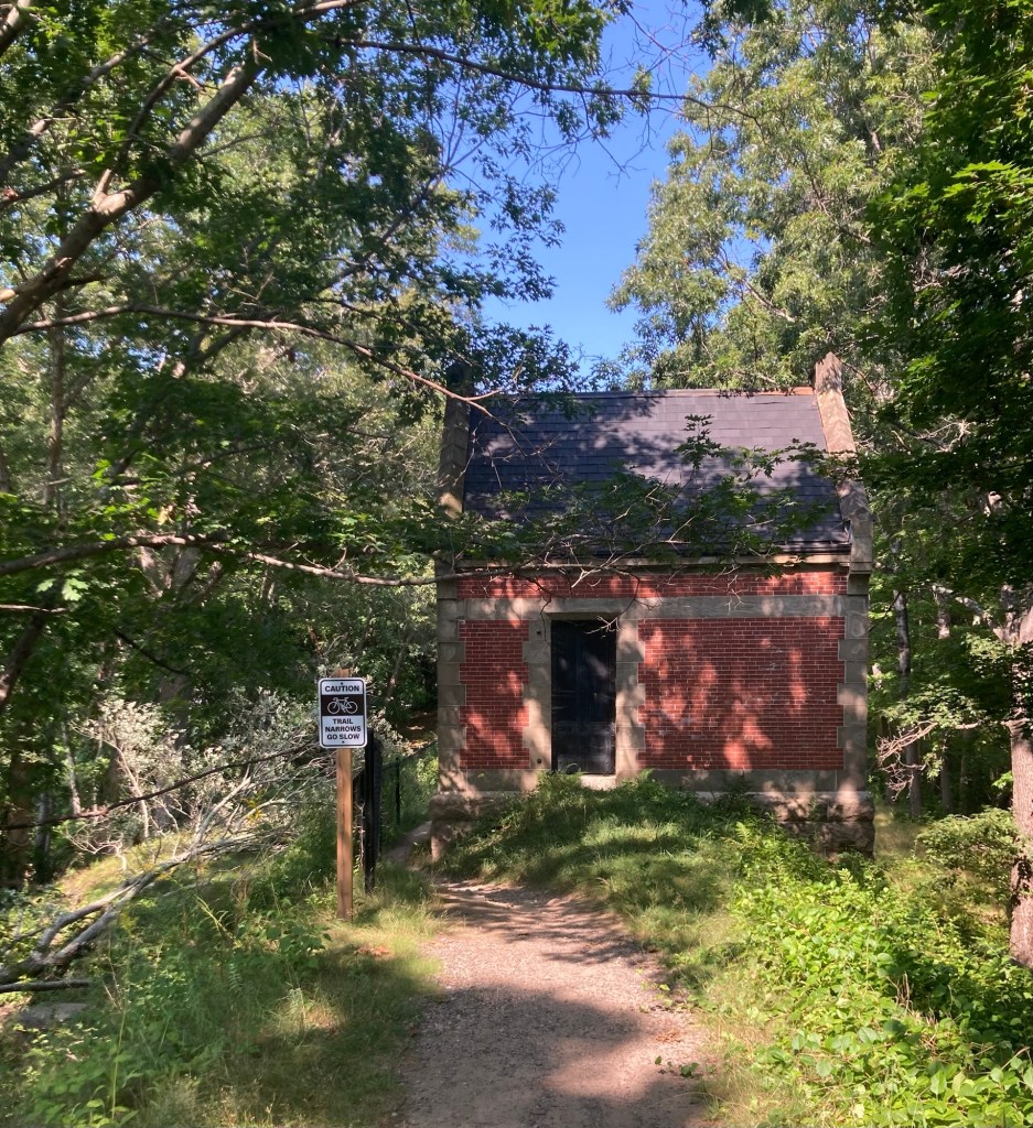
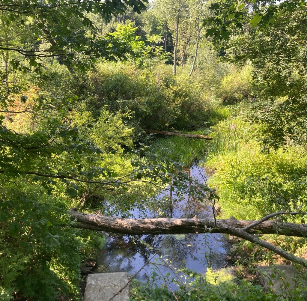
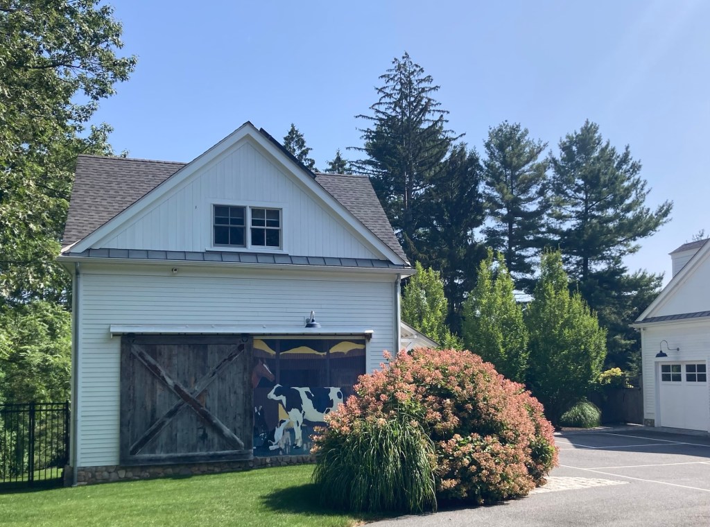
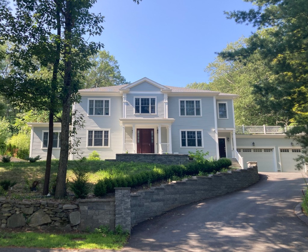
A trail entranceNot sure what this building is, but the trail went around it on the leftThe creek in front of the small building An unusual door on a separate garage or housing unit on a lotThe house and lot sizes continue to impress me
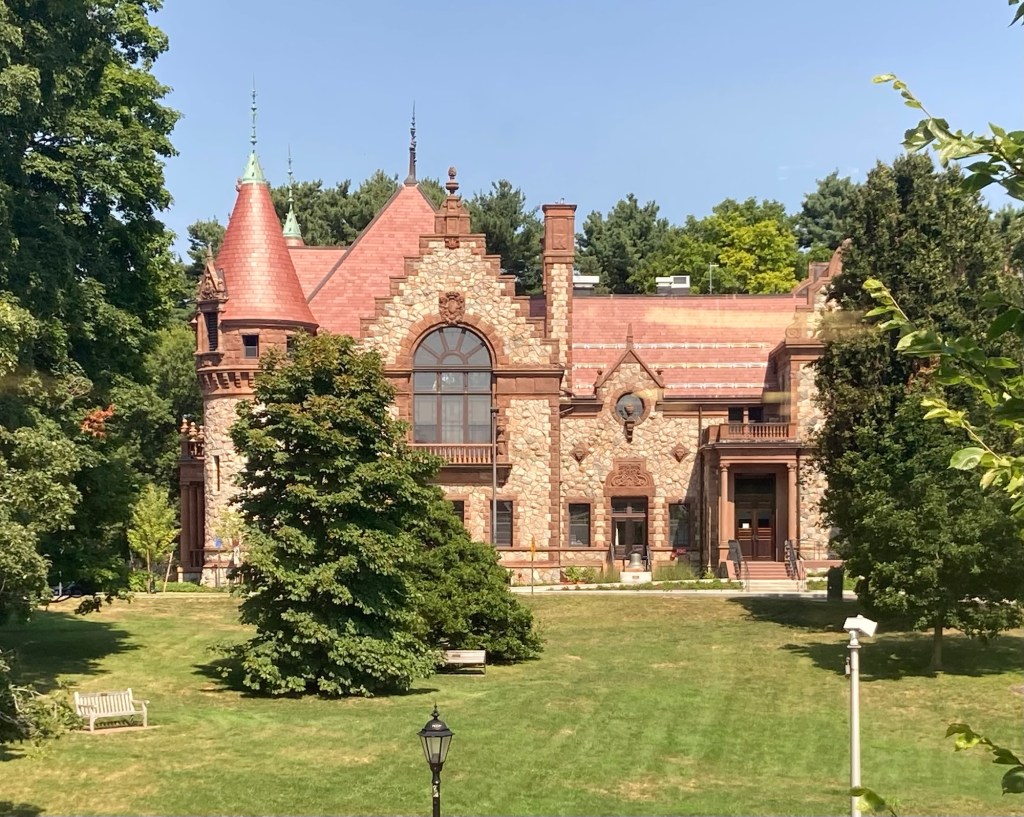
One of the first structures that I saw in Wellesley town center was the Town Hall, which sits up on a small hill.
Wellesley Town Hall
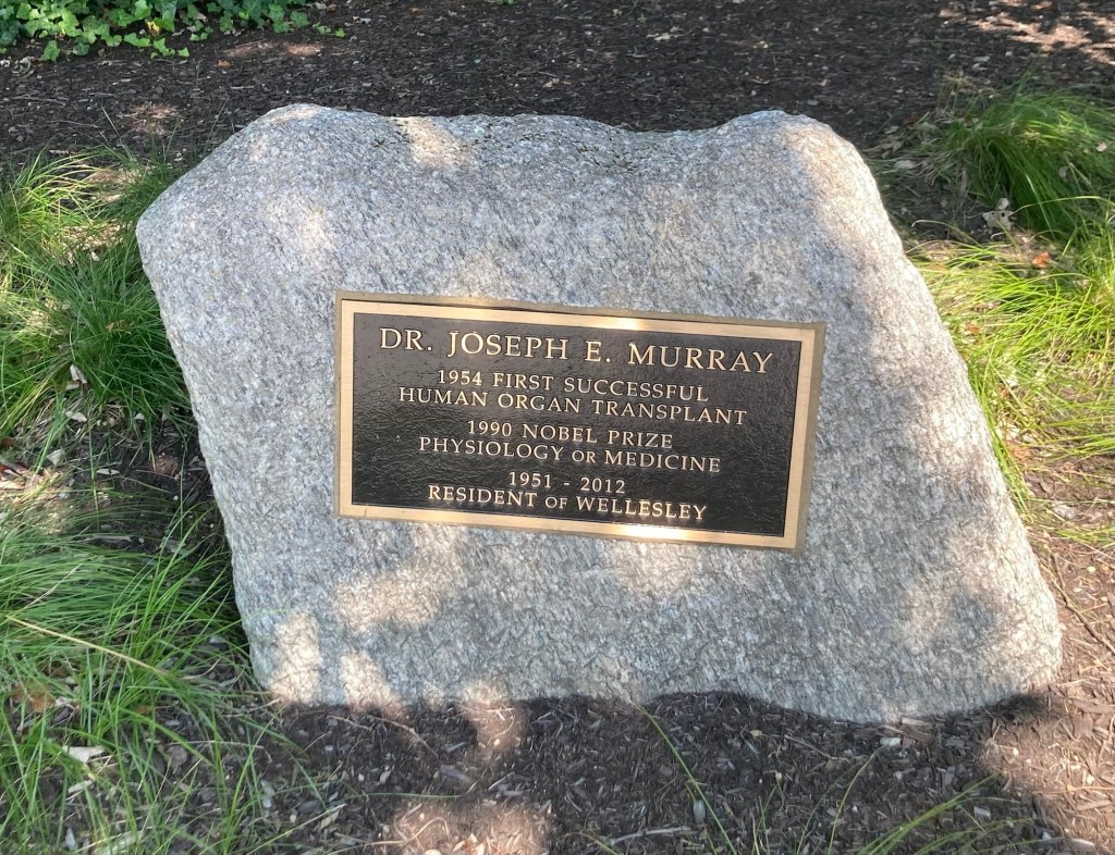
Near the front of the town Hall were stones honoring famous former residents.
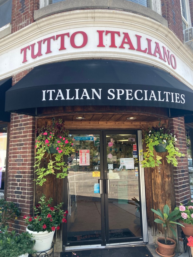
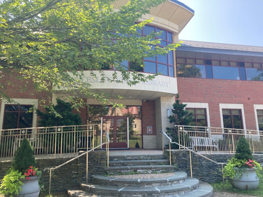
A cute shop on Grove Street near the Town HallThe Wellesley Free Library, which is directly across the street from the Town Hall
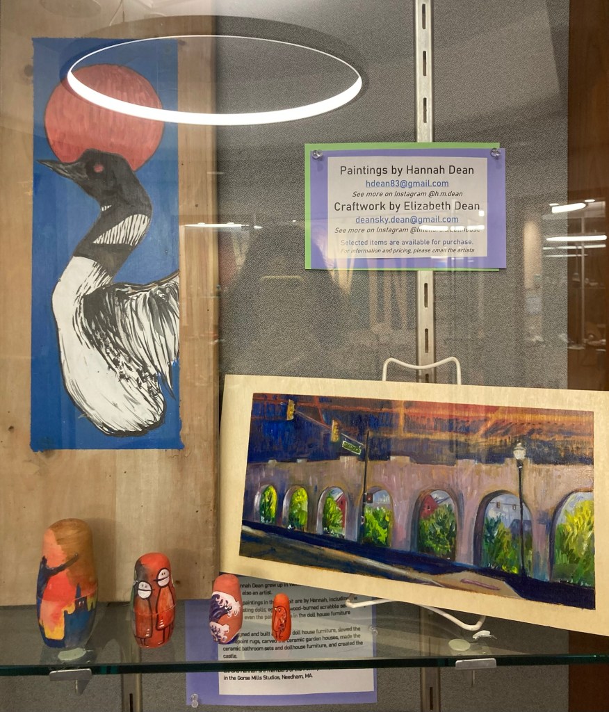
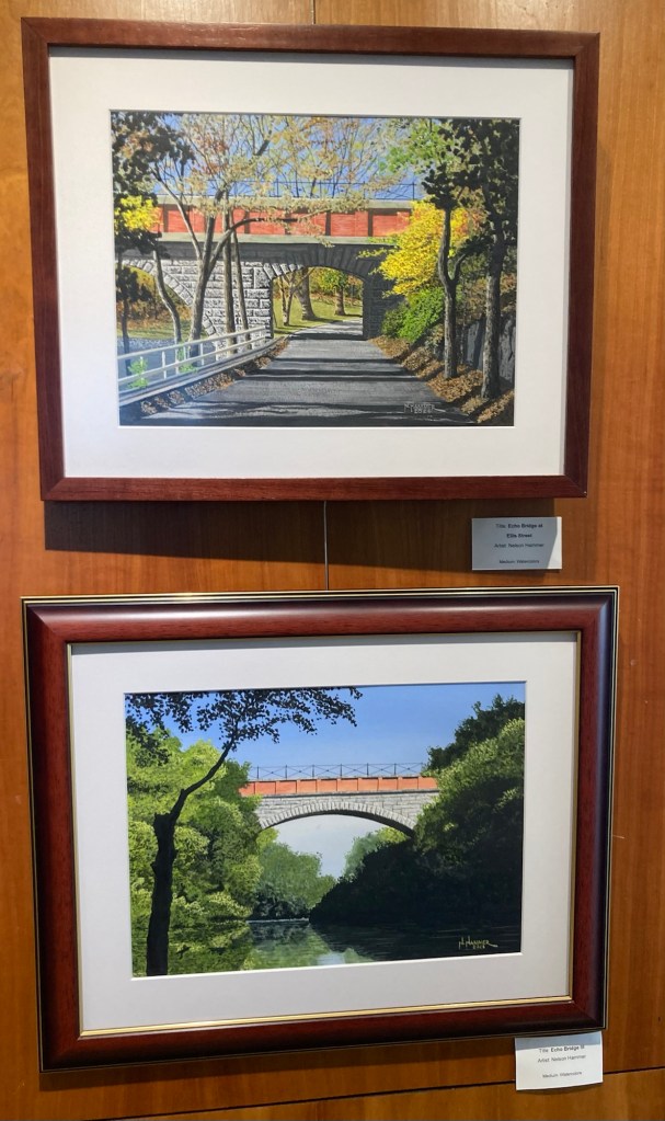
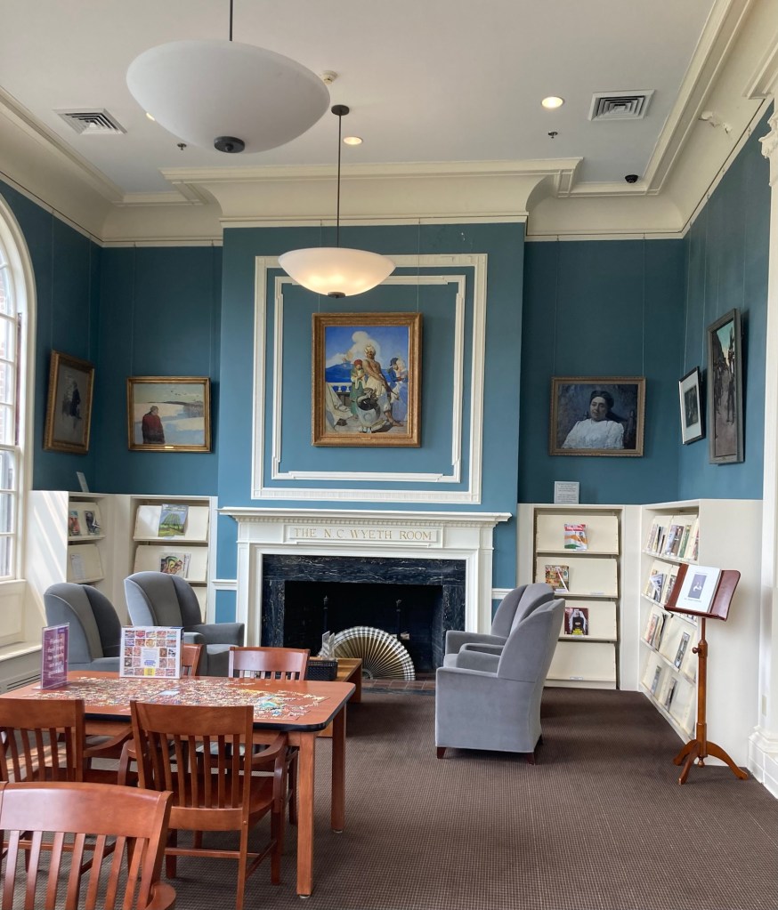
The library had displays of artwork by local artists.
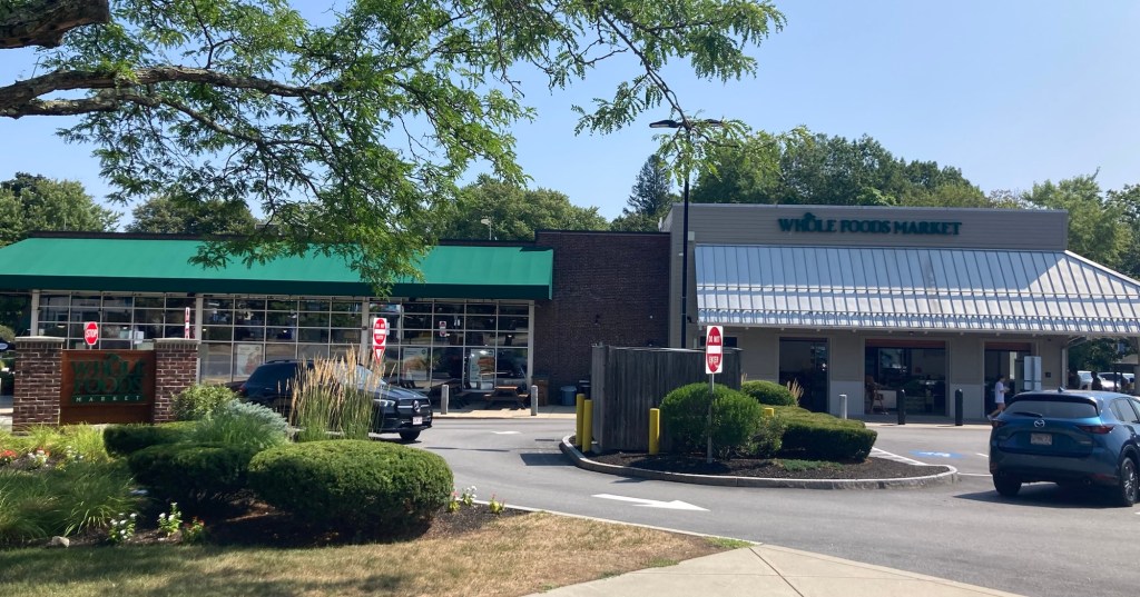
The grounds next to the libraryYou know you’re in a fancy area when this is what the Police Department building looks like.The Whole Foods Store in Wellesley Walking back into Needham, a few blocks from the houseMurphy, the dog Bob is caring for in Iowa City
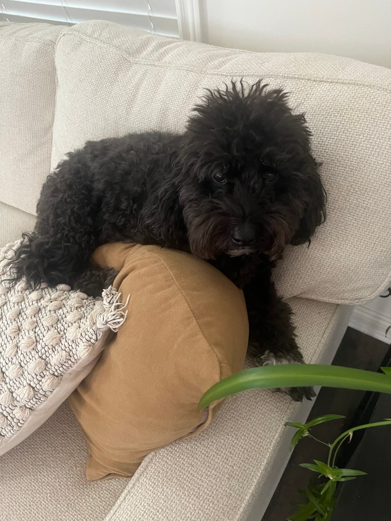
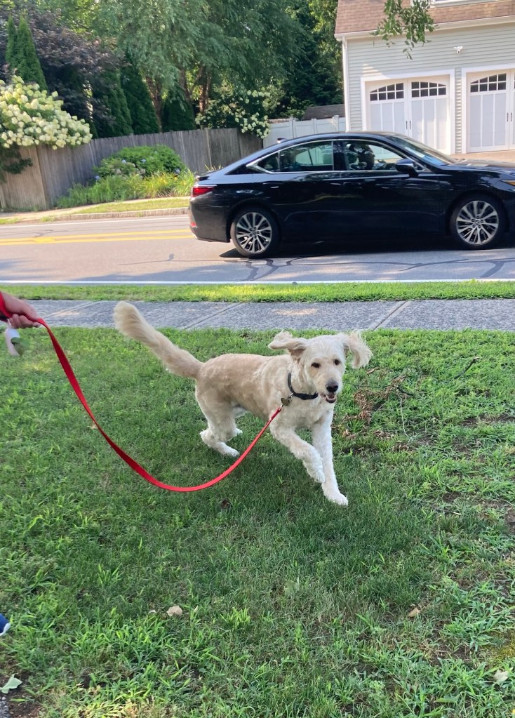
So, first full day on my own with Zeus. All good so far on the dog front. Zeus bonded with me right away, and we had a good walk this morning.
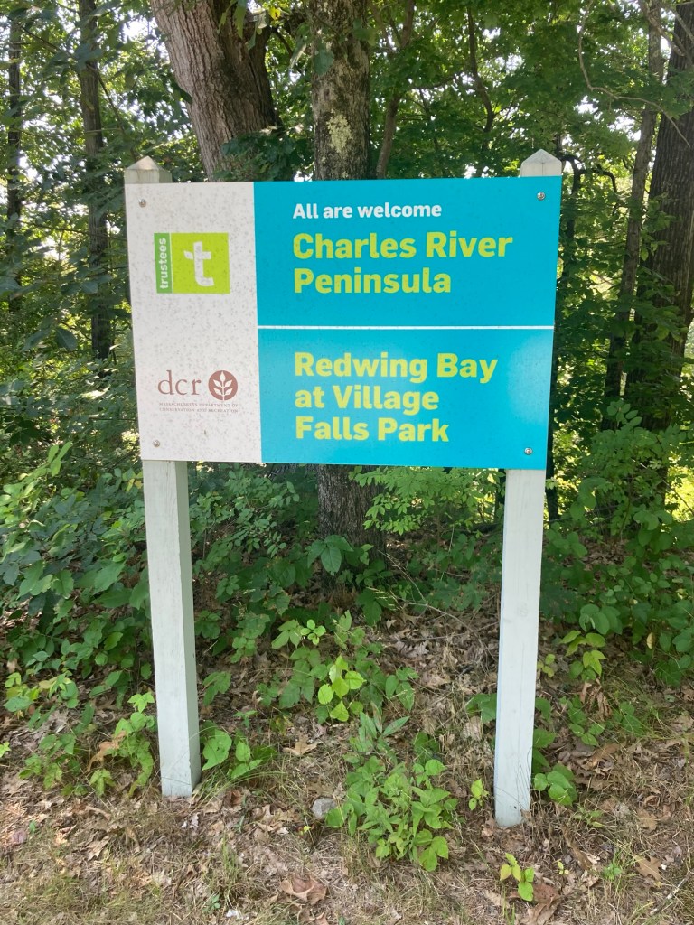
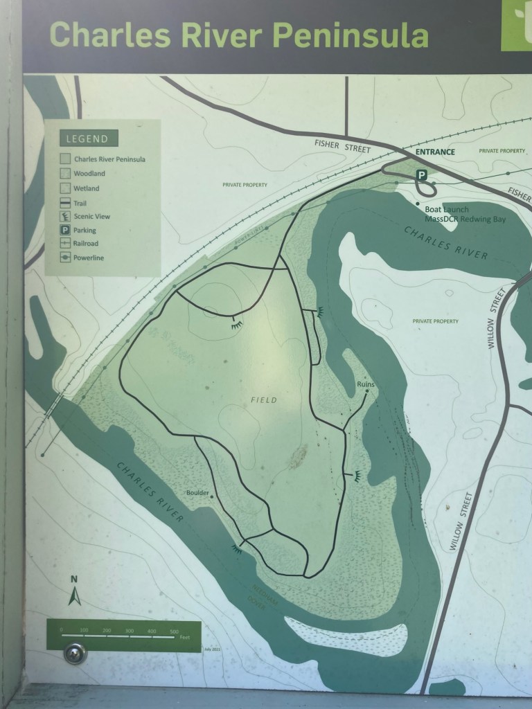
I had decided yesterday that for my first outing without Bob I would walk to the Charles River Peninsula (CRP). Per the CRP website, the peninsula plays an important role in protecting the beauty and environmental value of the Upper Charles River corridor. The peninsula rises to a 20-acre open field where the Charles River makes a nearly 180 degree turn. The Charles River is 80 miles long and flows northeast from Hopkinson to Boston.
Now, if Bob were here, he would have thoroughly researched the route to get there to determine length, walkability, etc. I put Charles River Peninsula into Apple Maps last night, saw that it was 2.1 miles, or an estimated 65 minute walk, and decided that I’d do it. I did note this morning that it was basically a 3 street route with 2 turns — easy peasy. I just needed to turn right onto Great Plain Avenue, then onto Central, and then straight until a left past Fisher Ave near the peninsula.
I headed off about 10 this morning with a backpack and a bottle of water. I had been walking for about 25 minutes, was on Central Avenue, when I decided maybe I’d just confirm how things were going by looking at Apple Maps. I hadn’t hit Go on the app to have it instruct me on the route, as it seemed so easy.
Imagine my surprise when the map showed that it was still going to take me an hour and six minutes to get to the peninsula! This was because I had failed to note which way I was to turn on Central Avenue, and I had turned in the direction Bob and I have gone for other walks.
The only upside to this is it allows me to share some photos from a previous walk when we really did need to go in this direction.
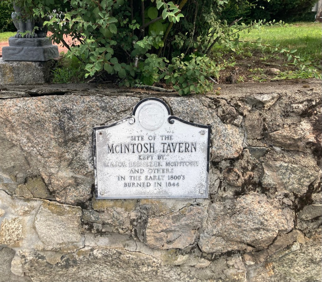
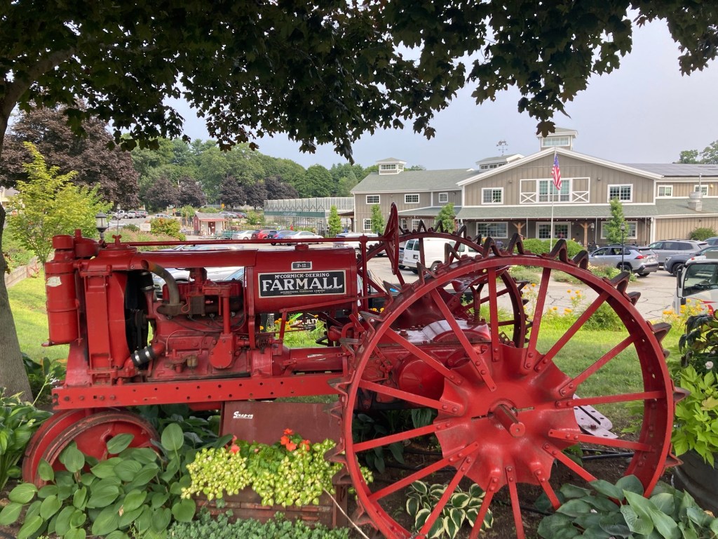
This marker is on the wall of a house at the corner of Great Plains Ave and Central AveThis is North Hill Farm on Central Avenue and appears to be maybe an event spaceA cute exhibit in front of Volante Farms, a cute grocery, cafe, and floral market about 25 minutes (by foot) from the houseThe signage that shows they do a bit of everything. We enjoyed our shop there on Wednesday. Pricey, but they sell a lot of local goods.
I was near Volante Farms on Central Avenue today when I discovered my wrong turn. I headed back to where Central crosses Great Plains and then continued across in the correct direction.
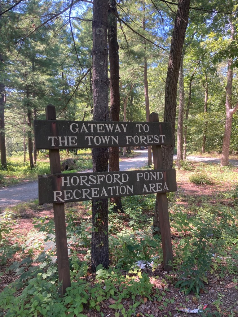
Bob had already discovered this place. It’s very close to us and apparently free to visit. May have to check it out.Needham has a town forest. This is apparently one of the access points. Another place to visit.The sidewalk ended on one side of the road, as it seems to do here, and then here the sidewalk is narrowing to a path.Looking across a pretty meadow to Sunny Hill Horse Farm. The houses and yards around here are impressive.
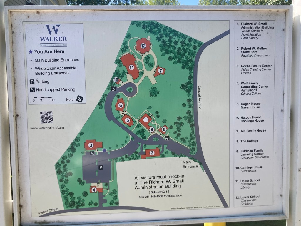
So, Apple Maps walking route, which continued on Central Avenue even after the sidewalks disappeared, brought me to the Walker School property. This is not where I wanted to be, but the map seemed to indicate I had arrived at the peninsula.
I did not check-in as requested.
I Googled the website for the peninsula and read the driving instructions for getting there. I just needed to go back to Central Avenue and walk back one street to Fisher Avenue and that would bring me to the peninsula.
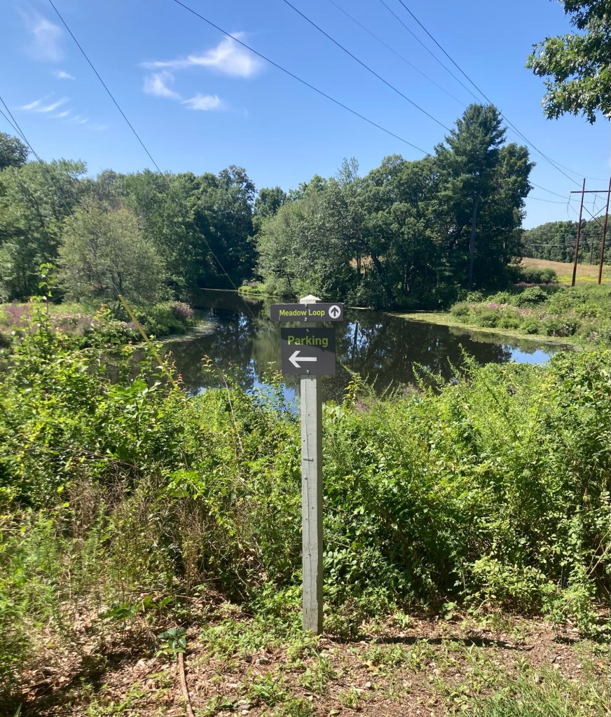
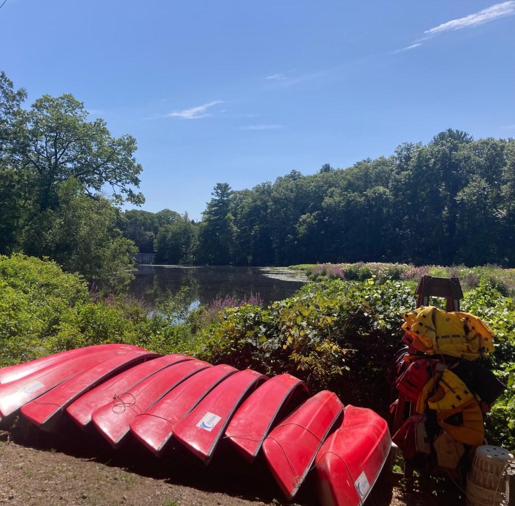
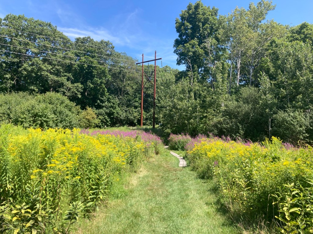
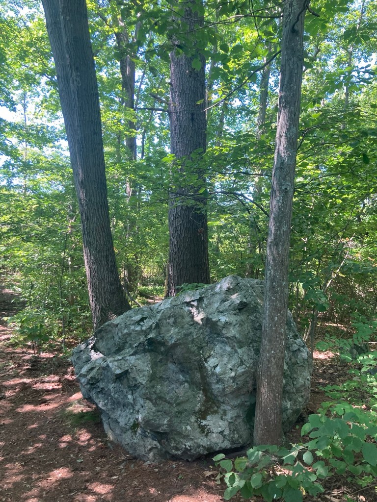
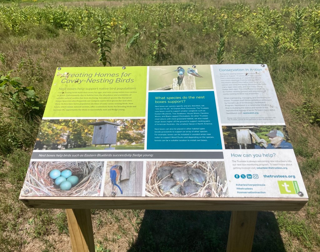
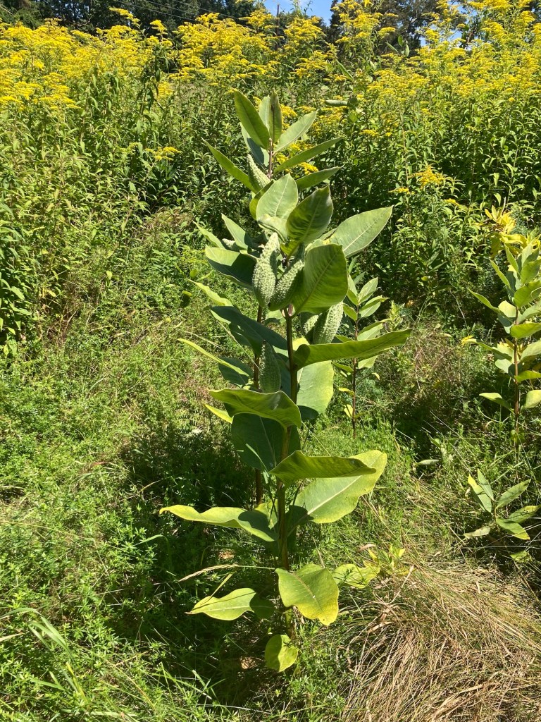
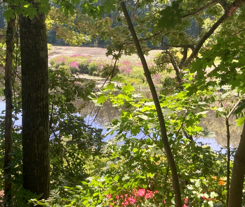
Success!You can see part of the bend in the RiverCanoes for rent The colorful field on the peninsula A map of the trails on the peninsulaThe mowed pathThe boulder noted on the mapSome signage about the ecological efforts on the peninsula Close up of some of the plants Colorful plants near and on the River
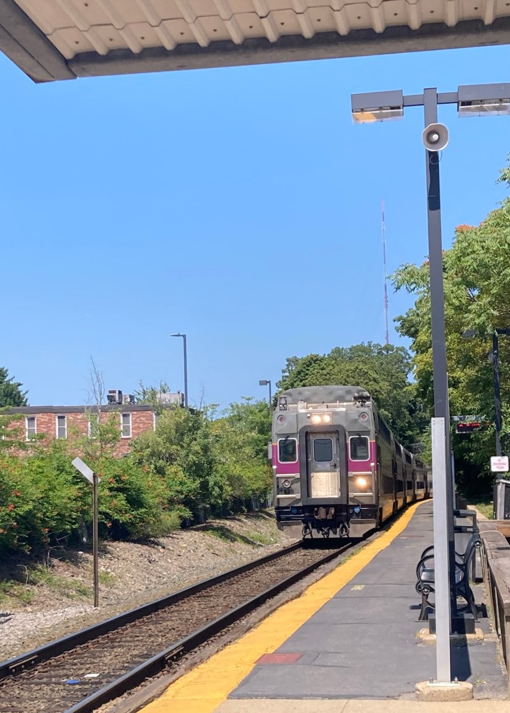
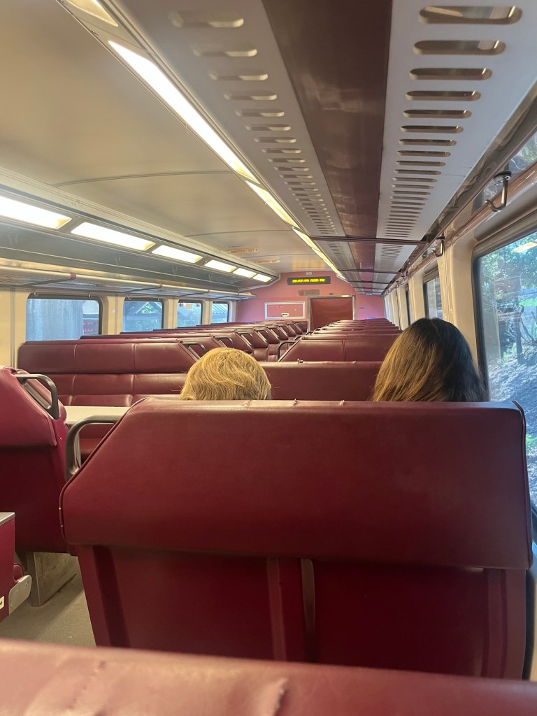
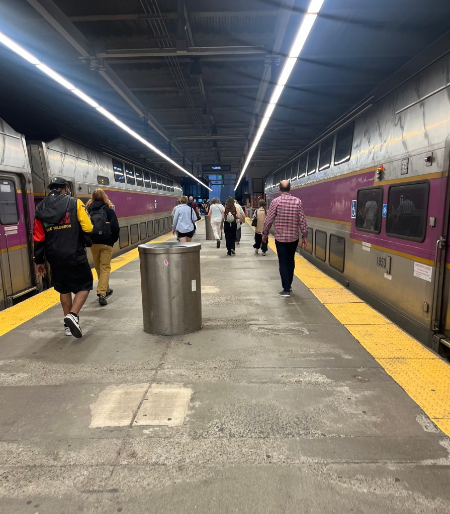
The Pecks have split up — for a little over a week while Bob heads to Iowa City, Iowa, to care for Murphy while our nephew and niece have a summer holiday. Bob, ever the resourceful traveler, researched the travel options to Boston’s Logan airport and found that our housesit is very close to two commuter rail stops.
He picked the Needham Heights station, from which the train departs at five past the hour and would take him all the way (about 40 minutes on the train) to Boston’s South Station, from which he could catch a bus that would take him another 15 minutes to the airport.
I saw him off at 1:05 pm, and he is currently at the airport awaiting a late afternoon flight.
The commuter trainBob’s view from his upper level seatExiting the train in Boston
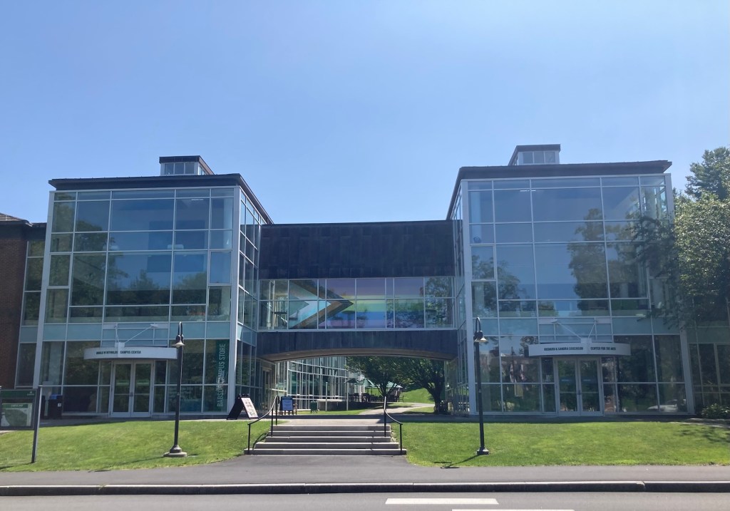
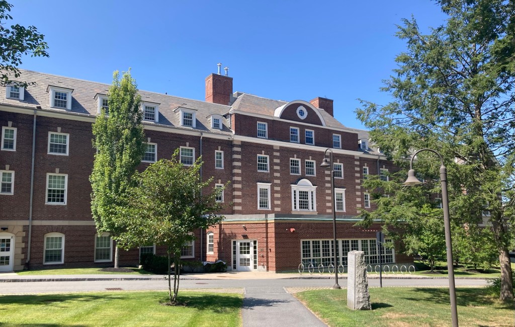
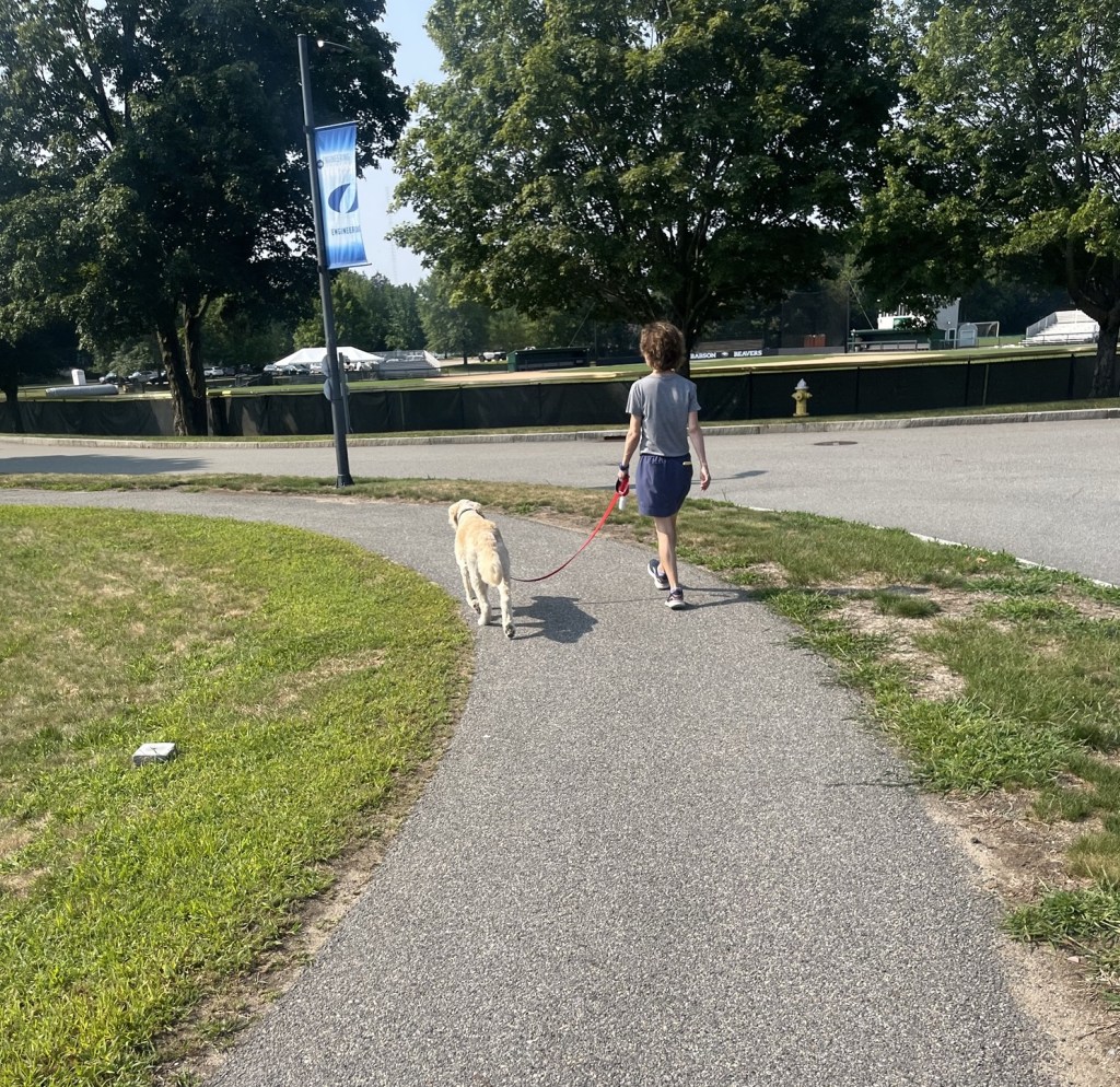
Zeus and I will be holding down the fort in Needham. After Bob left, I walked past the Olin College of Engineering across the street from the house to Babson College, a top school for business and best college for entrepreneurship.
Reynolds Campus CenterTrim Dining Hall, named after a former college president, but sounds like they focus on health/diet foods
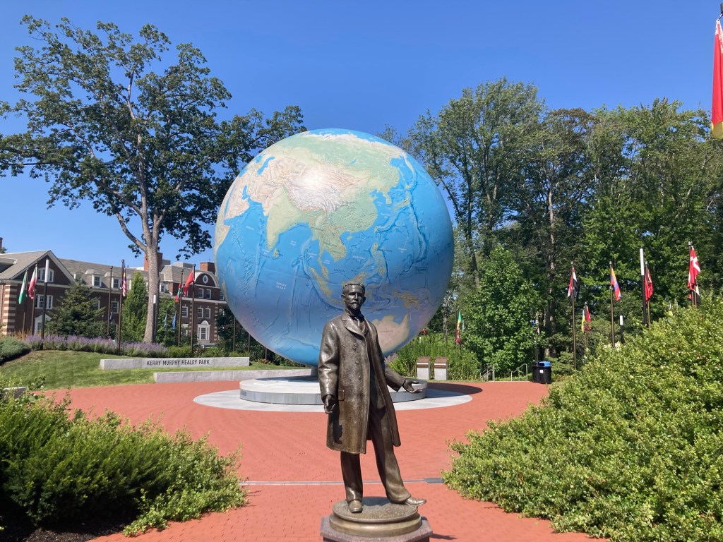
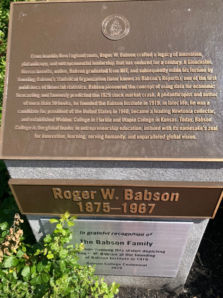
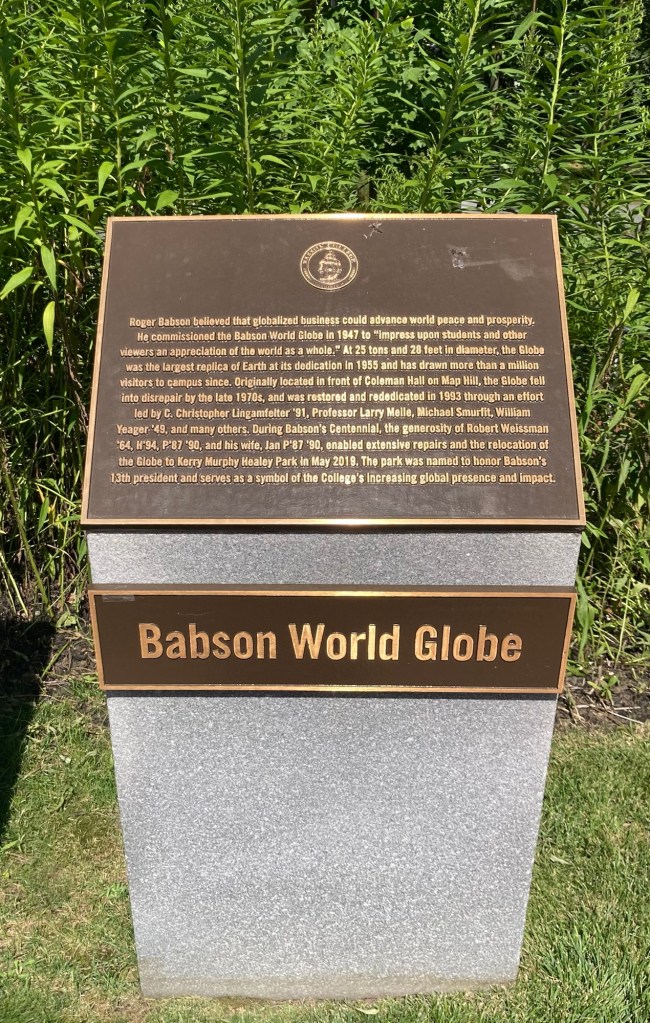
One of my main reasons for exploring the campus a bit was because of a large globe that Bob had seen on one of his walks with Zeus. The globe is located behind a statue of Roger Babson, for whom the college is named.
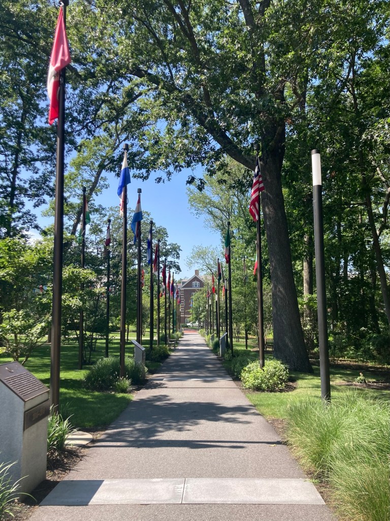
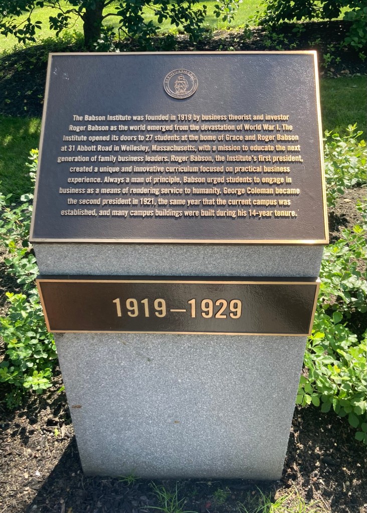
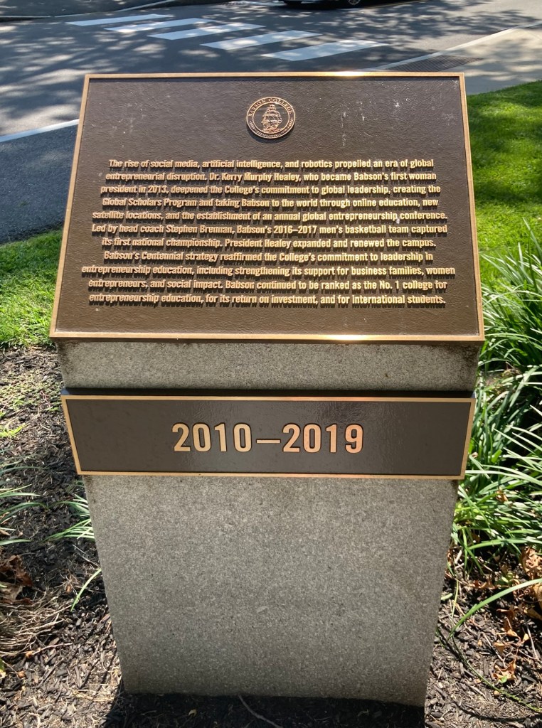
Babson and his world globeQuite an impressive man — MIT graduate, founder of Babson’s Statistical Organization (one of first publishers of financial statistics), predicted the 1929 stock market crash, author of 50 books, one-time candidate for US President, and founder of 3 colleges!He believed in the importance globalized business and commissioned the 25 ton globe to impress upon students and other viewers an appreciation of the world as a whole.This flag lined walkway is also lined with stone markers which detail highlights of each decade of the college’s history.Park Manor Central, the building at the end of the walkway
I have included photos of two of the markers, but some highlights from the school’s history include:
The college started as the Babson Institute in 1919 with 27 students focusing on practical business training. The college ceased normal operations during WWII and became a US Navy Supply Corps School, training more than 2,000 reserve officers. The class of 1948 was the first to receive a BS degree in business administration and study liberal arts as well. The first MBA degrees were awarded in 1953. In the 1960s, the school became coed and was renamed Babson College. In the 1970s the college started the first Center for Entrepreneurial Studies. The school has had 4 national championships in Division III sports — 3 in soccer and 1 in ice hockey.
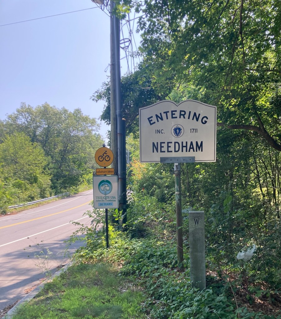
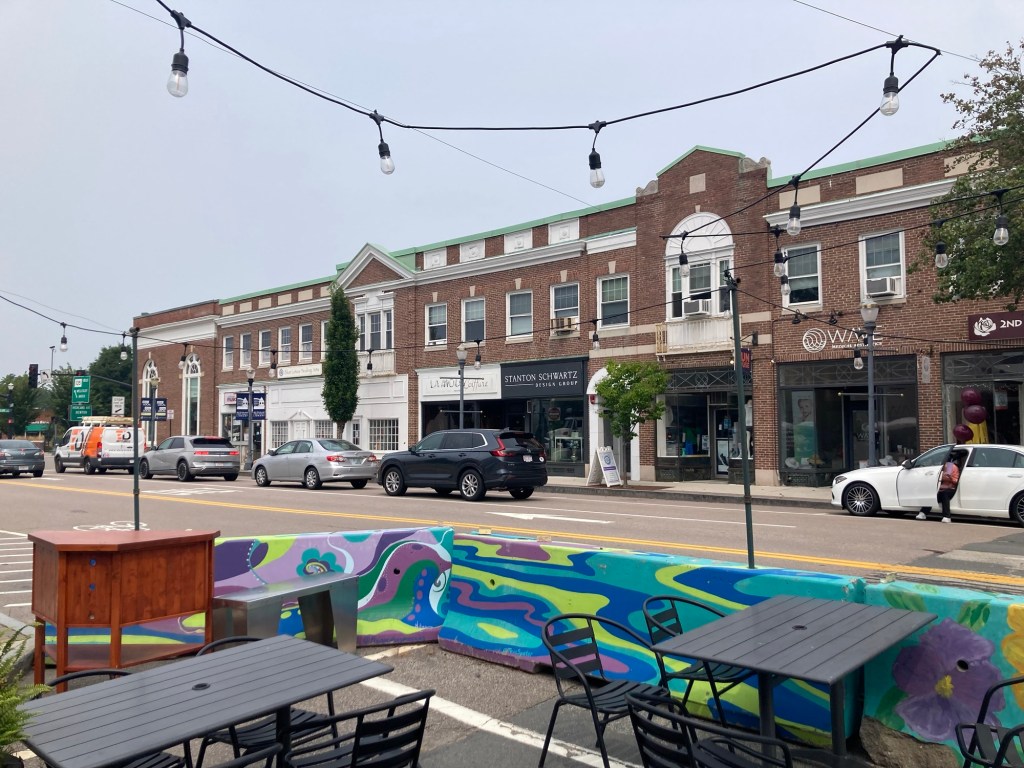
Needham is a suburb of Boston, Massachusetts, and has a population of about 32,000. It was officially incorporated in 1711. It is named after the town of Needham Market in Suffolk, England, which we’ve also visited!
Bob and I are exploring the area a bit before he leaves on Thursday to fly to Iowa to care for our nephew’s dog for about 9 days while our nephew and his wife are on vacation.
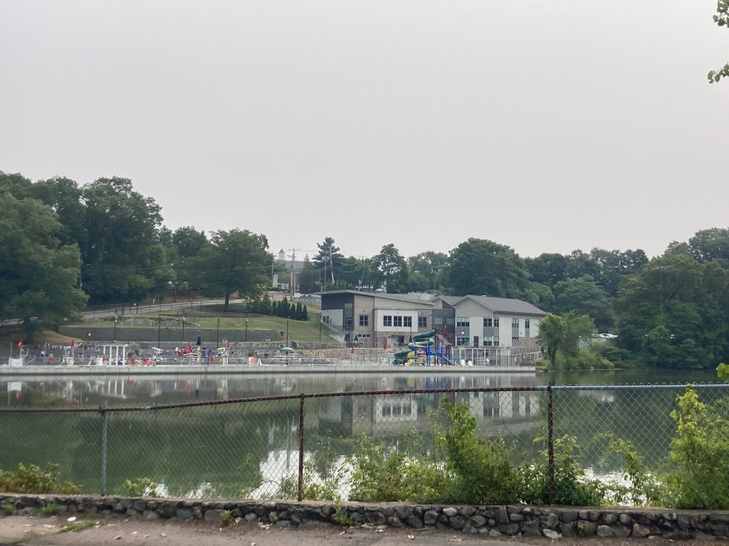
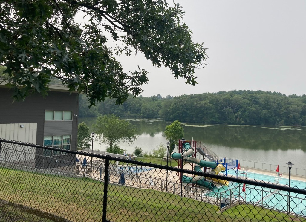
Yesterday, after a run, Zeus’ morning walk, and a grocery fill-up at Trader Joe’s, Bob and I walked 1.4 miles to the Needham Free Public Library. On the way, we passed an impressive athletic complex near Rosemary Lake.
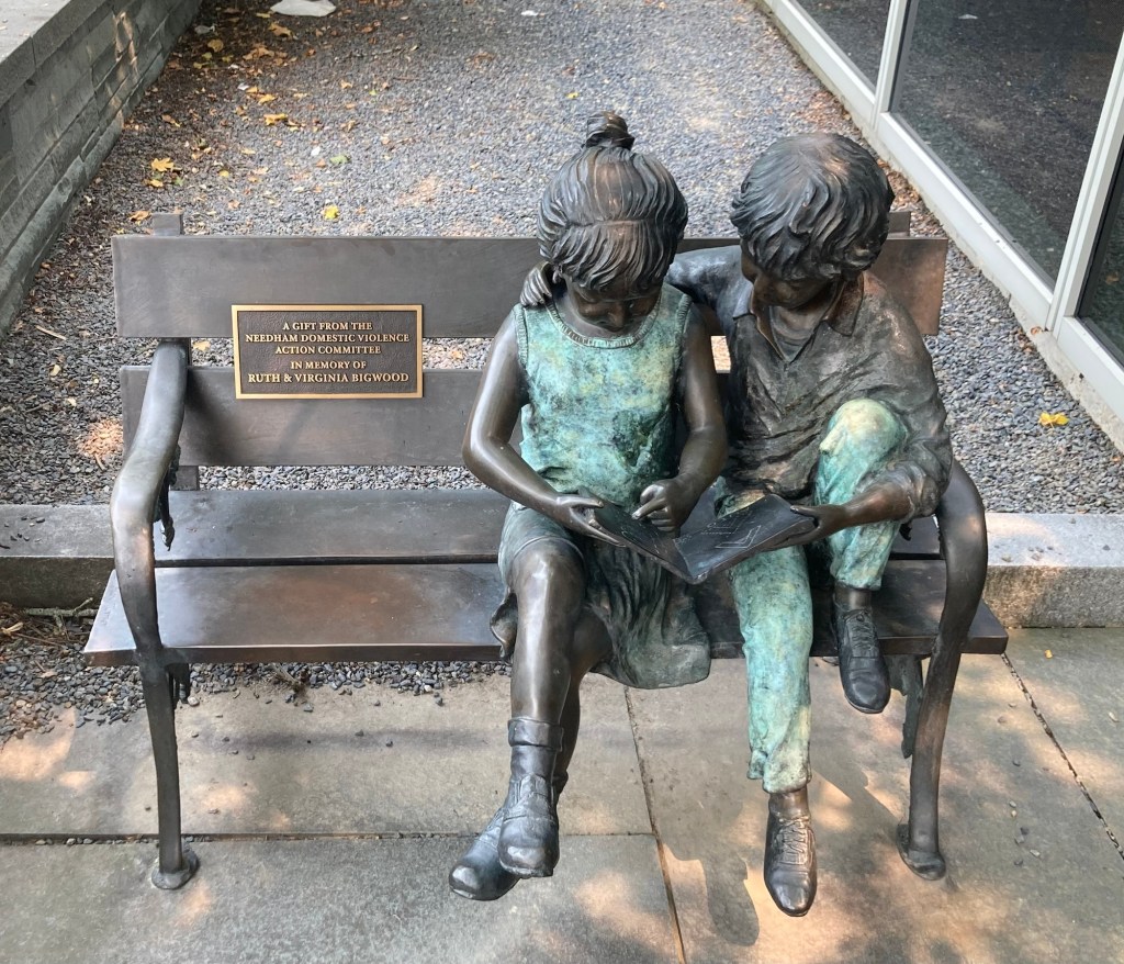
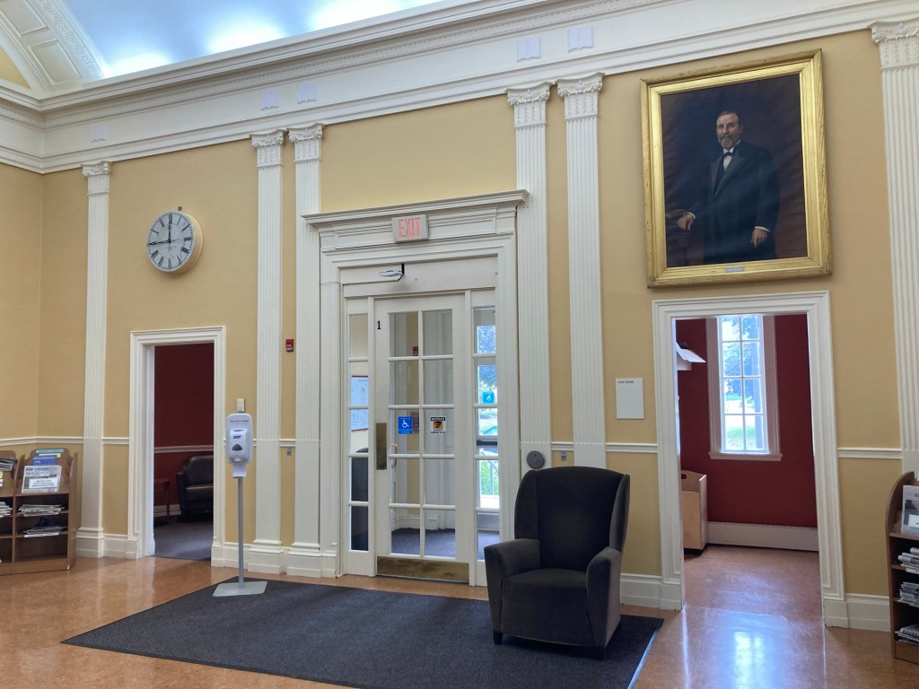
The Rosemary Recreation ComplexA view of the water slide and one of the poolsThe exterior of the Needham Free Public Library A cute bench and sculpture near the entrance to the library One end of the upper level of the library One of two reading rooms
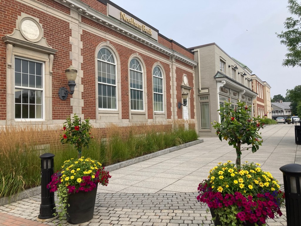
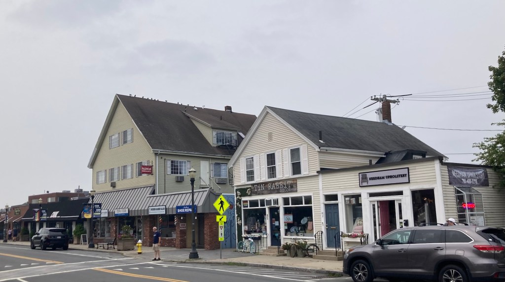
Today, we walked about 40 minutes down Great Plain Avenue, which the house we are caring for is right off of, to explore the small town center of Needham.
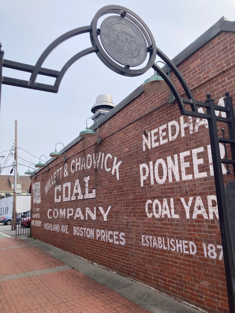
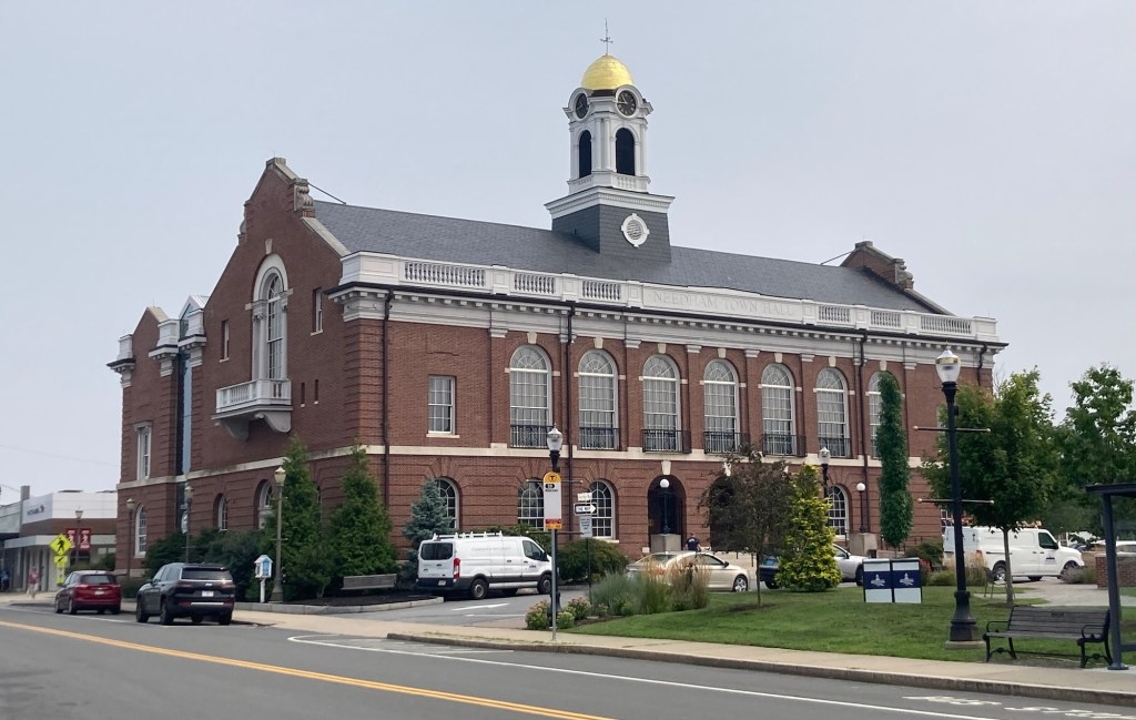
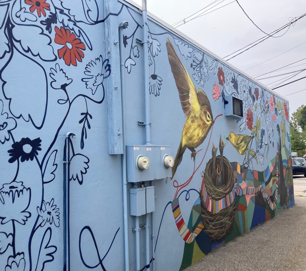
A fun find along the way.Pretty flowers and walkway outside the Needham BankA gate showing the year of incorporation of NeedhamInformation on a local man made good. Dr. Fisher founded the Perkins Institute of the Blind in Boston and is credited with introducing the stethoscope into the US.Needham TownhallA colorful muralSome of the stores in the town center Ditto, but looking over outdoor seating for a local custard shopA super cute pub.Zeus playing in the yard
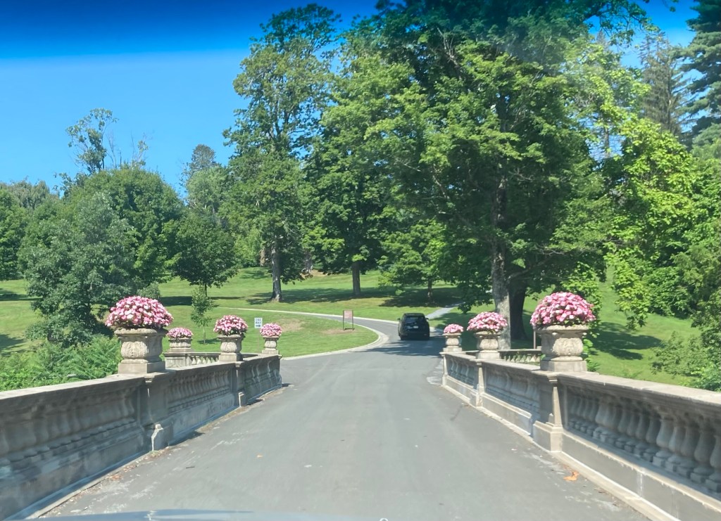
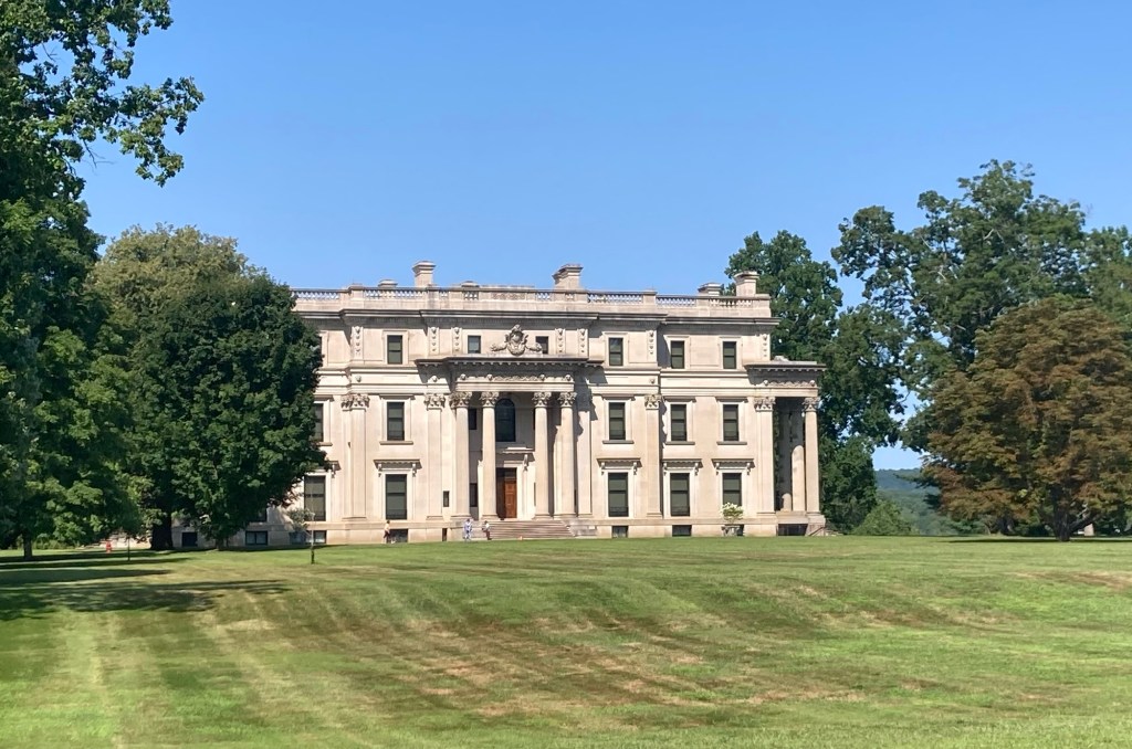
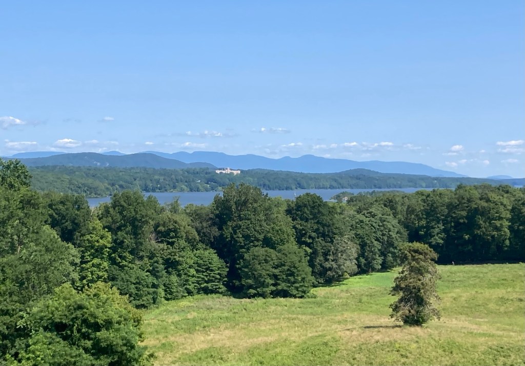
Bob and I drove about 3.5 hours from Hyde Park, NY, to Needham, MA, yesterday. We started the drive with a quick stop at the Vanderbilt Mansion National Historic Site for a couple of quick photos. The property was acquired in 1895 by Frederick Vanderbilt, grandson of Cornelius Vanderbilt. While there was a house on the property when he purchased the 153 acres, it proved structurally unsound, so he had the house built that remains on the property today.
Driving across a small bridge onto the National historic siteThe Vanderbilt MansionLooking across the Hudson River from an outlook on the property One of the marshy areas we passed on our drive
On the way into Needham, we did a walkthrough by phone with our homeowner, so we were able to cover some questions that weren’t addressed in the Welcome Guide while allowing her time to get her young daughter to her activities and pack for their trip. We met the homeowner and daughter (husband and two sons already in California) this morning for final instructions before they headed out.
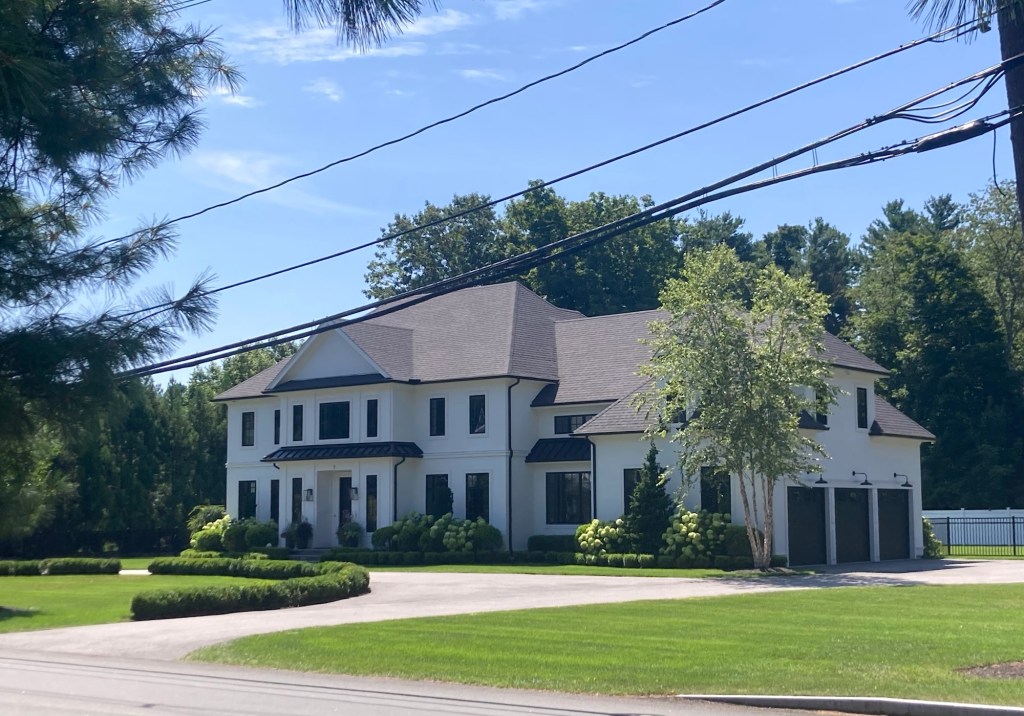
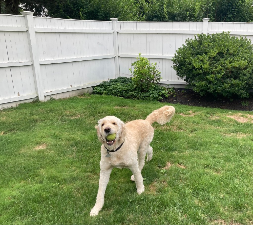
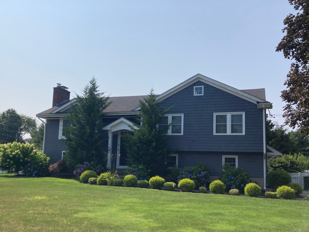
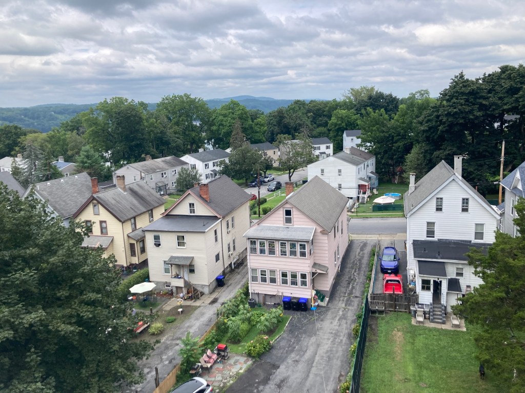
Our home for the next 3 weeksThe large but sweet ZeusGetting excited for his walk
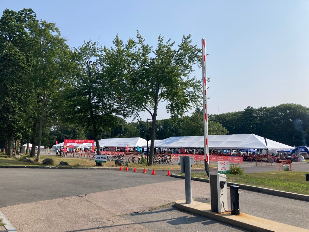
We walked Zeus across the street on the campus of Olin College of Engineering. To our surprise, they were hosting a bike race today. We went before most of the riders returned.
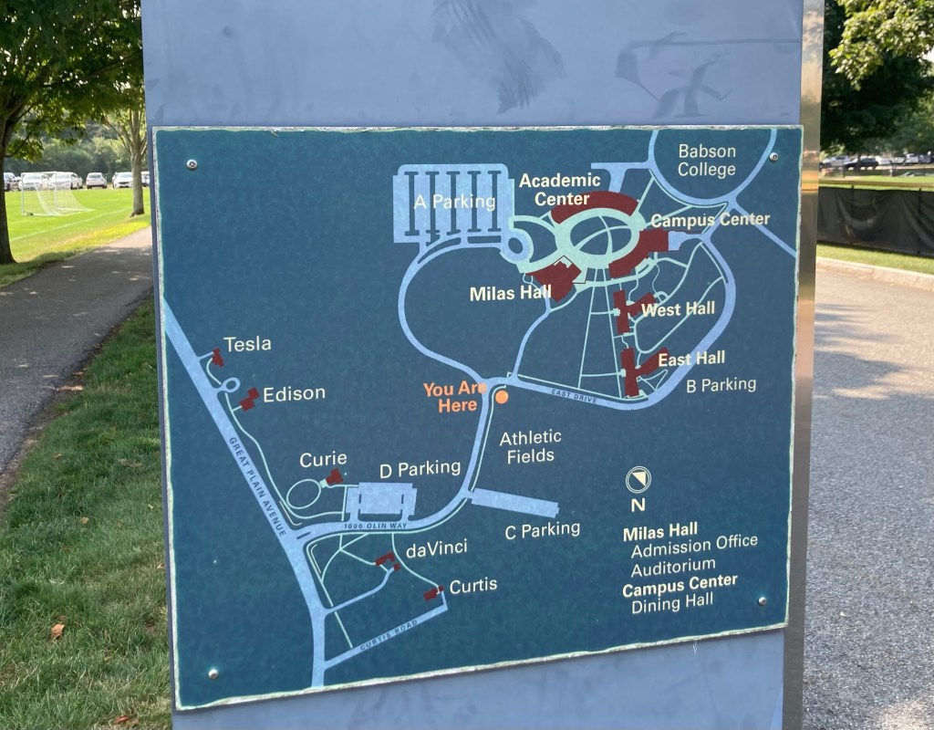
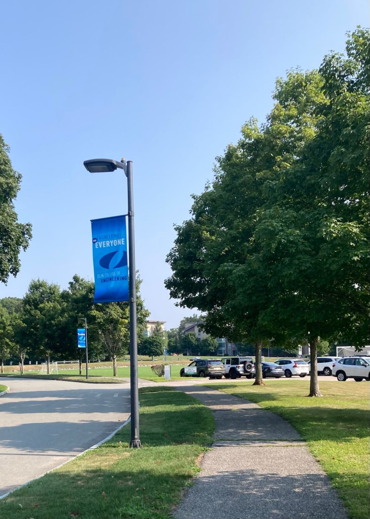
Map of Olin College, which is next to but not part of Babson CollegeBanners along the walking paths through the college Looking across athletic fields to the east and West Halls of the campusThe race tentsWalking back to the house
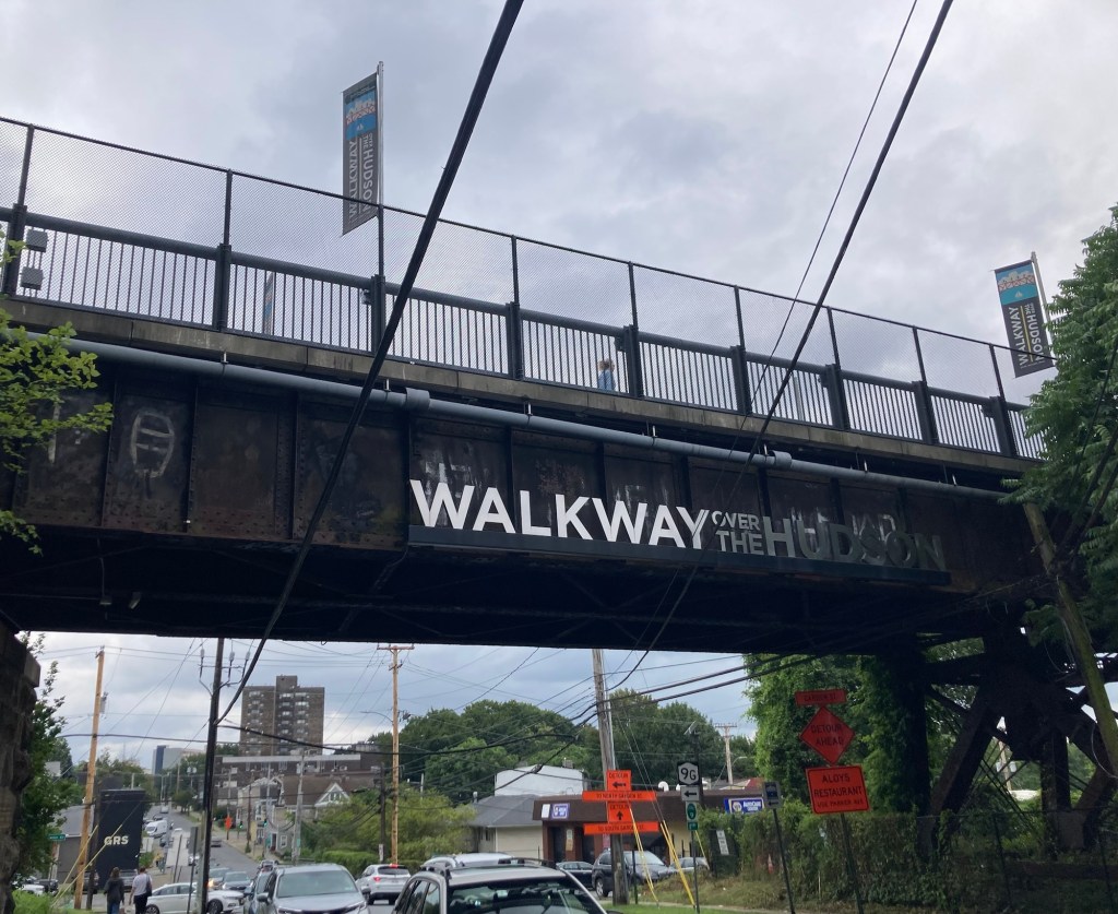
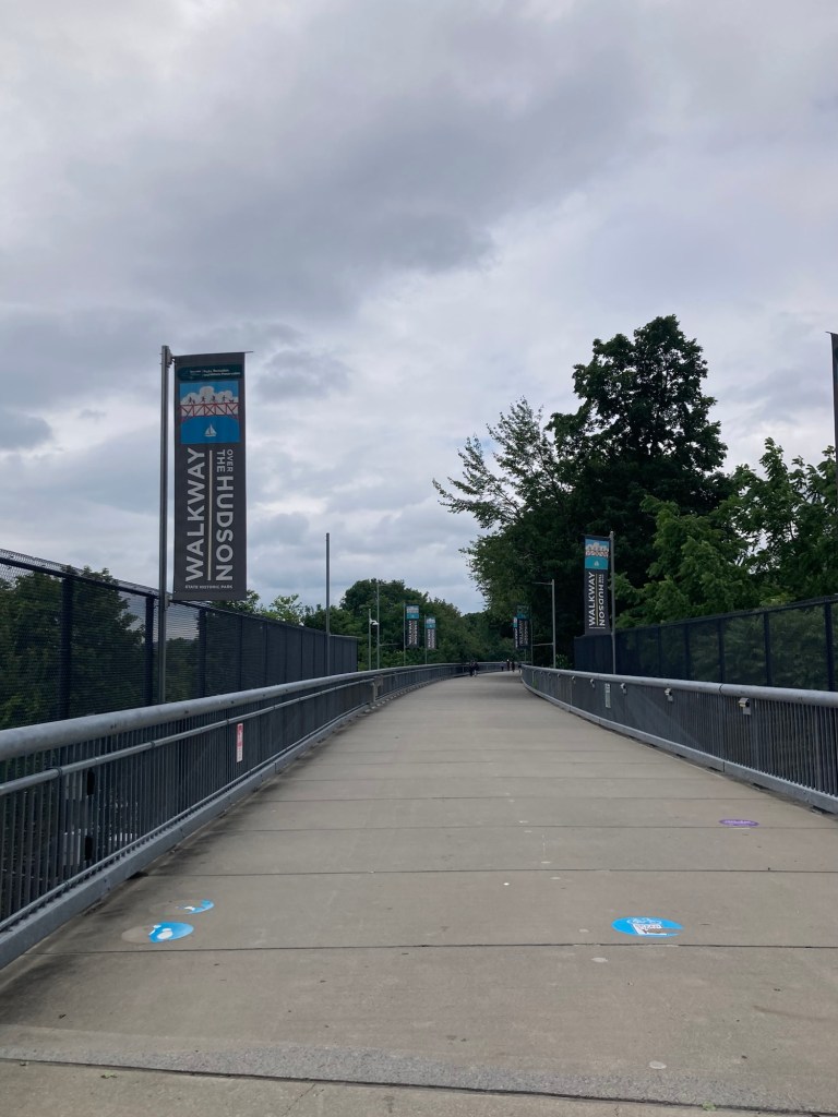
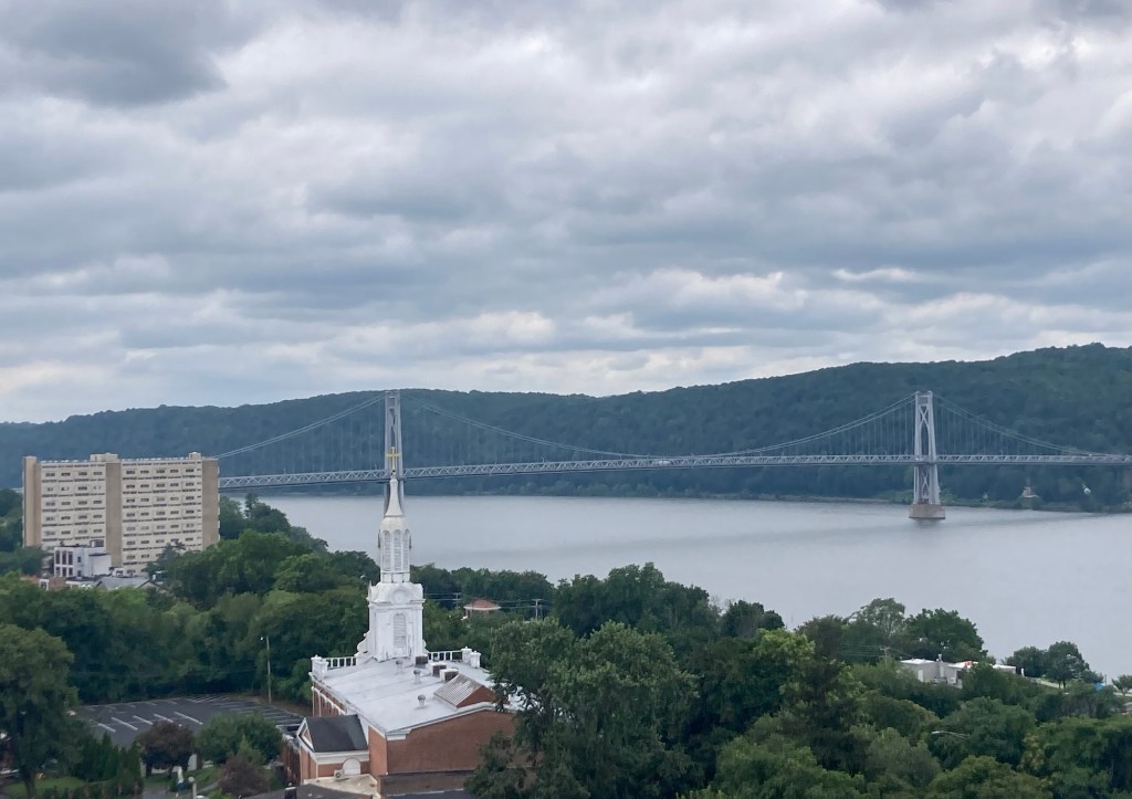
After Bob and I finished our visit to the FDR Library and Museum, we headed into Poughkeepsie to walk on the Walkway over the Hudson. This parallels the Mid-Hudson Bridge that we drove over to get into Poughkeepsie and then onto Hyde Park. The Walkway over the Hudson, formerly the Poughkeepsie Railroad Bridge, is the world’s longest elevated pedestrian bridge. It is a steel cantilever bridge spanning the Hudson River between Poughkeepsie, NY, on the east bank and Highland, NY, on the west. The bridge is 212’ above the Hudson River, and is 1.3 miles long.
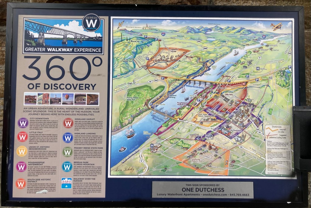
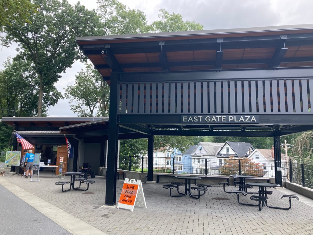
Walking up to the bridge from the overflow parking lotA map showing the pedestrian and car bridges as well as the towns of Poughkeepsie and Highland.The plaza at bridge level where we started our walkHeading out on the bridge Looking down on a Poughkeepsie neighborhood Walking away from Poughkeepsie and towards Highland and the Catskill Mountains in the distance One of many information panels along the bridgeGetting closer to the Hudson River on the north side of the bridge Walking back towards Poughkeepsie on the south side of the bridge The Mid-Hudson Bridge, which costs cars $5 to cross
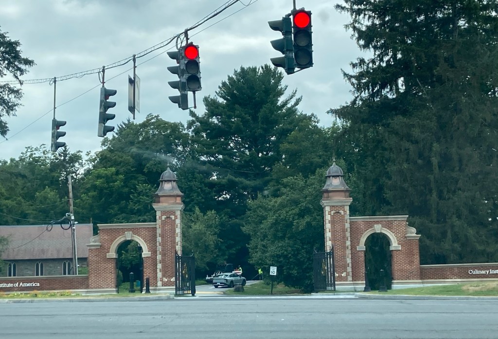
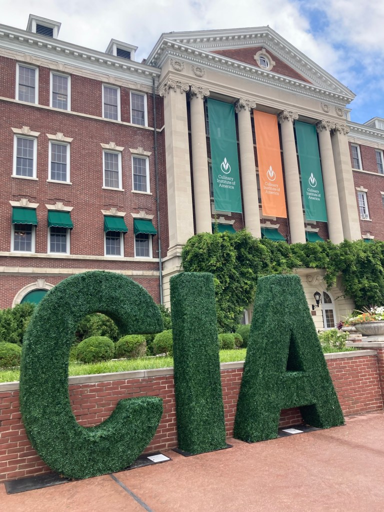
After the bridge,we picked up dinner from a local grocery store to take back to our room and then headed across the street to the Culinary Institute of America for our 2:30 tasting and tour. We have visited their two campuses in California, but this is the original and has trained many of the famous chefs in America— Anthony Bourdain, Amanda Siegfried, Geoffrey Zakarian, Cat Cora, Rocco DiSpirito, etc,
One of the entrance gates to the campusRoth Hall where our tour started
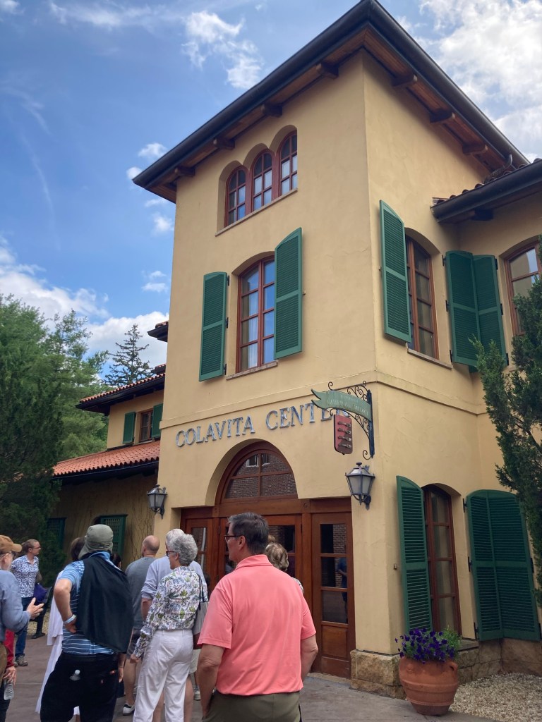
We actually started the 90 minute tour in a classroom, watching a couple of short videos about the history of the CIA and some of their alumni. Following that, we did a 20 minute tasting exercise to help us taste like a chef and understand just how much your sense of smell adds to the flavor of food as well as how salt, acid, spice, and sugar can add complexity or change the flavors of food.
Our classroom Our tasting tray. Step 1, eat a jellybean holding your nose and then letting go. Step 2, eat 1/2 a plain grape, then with each of the different seasonings by themselves and all together. It was very interesting to really focus on the different flavors.
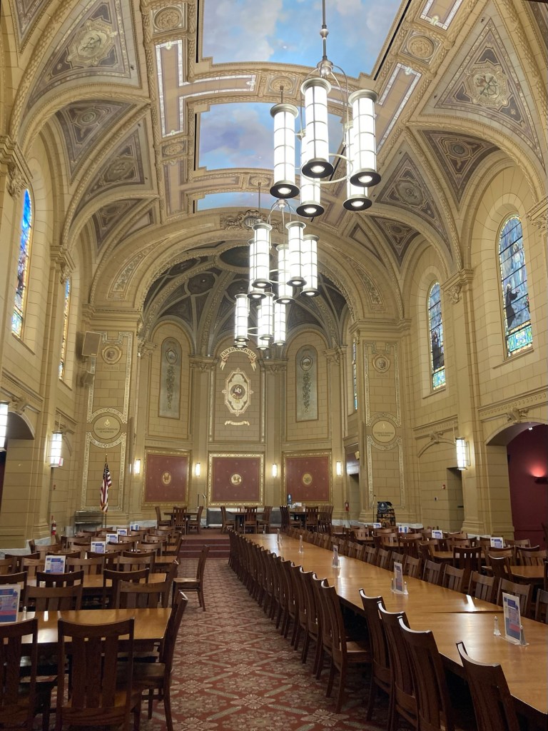
Finally, we had our tour which took us to each of their different restaurants and some of the classrooms. No photos of students allowed.
This was their Italian restaurant. All restaurants are student-run.This is their somewhat Hogswart-seque dining hall
Saturday we will head to Needham, Massachusetts, where we will begin our next housesit on Sunday.
Yesterday (Thursday), Bob and I drove the 7+ hours from Streetsboro, Ohio, to Hyde Park, New York. We drove the first 1 hour or so in rain and were a bit concerned the whole trip, as the skies were gray and there was a flood watch for the drive area into Friday morning. We lucked out and didn’t get more rain for the rest of our drive.
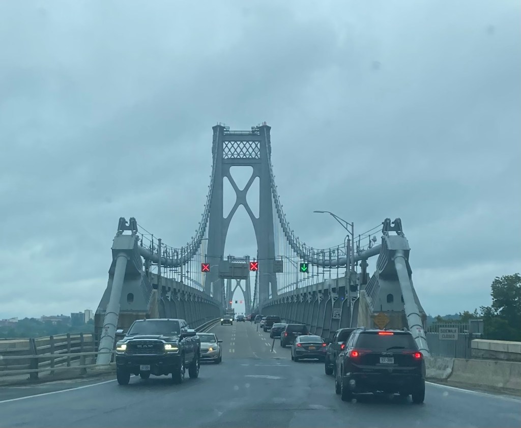
Crossing the Mid-Hudson Bridge into Poughkeepsie, New York
We checked into the Inn at Bellefield Hotel (actually a Marriott Residence Inn) right before the deluge started. We were worried about flooding, but we awoke today without our car having floated away, which allowed us to proceed with our plans.
While we were in Wisconsin, we had purchased tickets to the Franklin Delano Roosevelt (FDR) Library and Museum and a public tour of the Culinary Institute of America (CIA), both of which are very close to our hotel. This blog covers our visit to the FDR Library and Museum. The visit to the CIA and a walk across the Hudson River is covered inthe next blog (Hudson Views and Tastes).
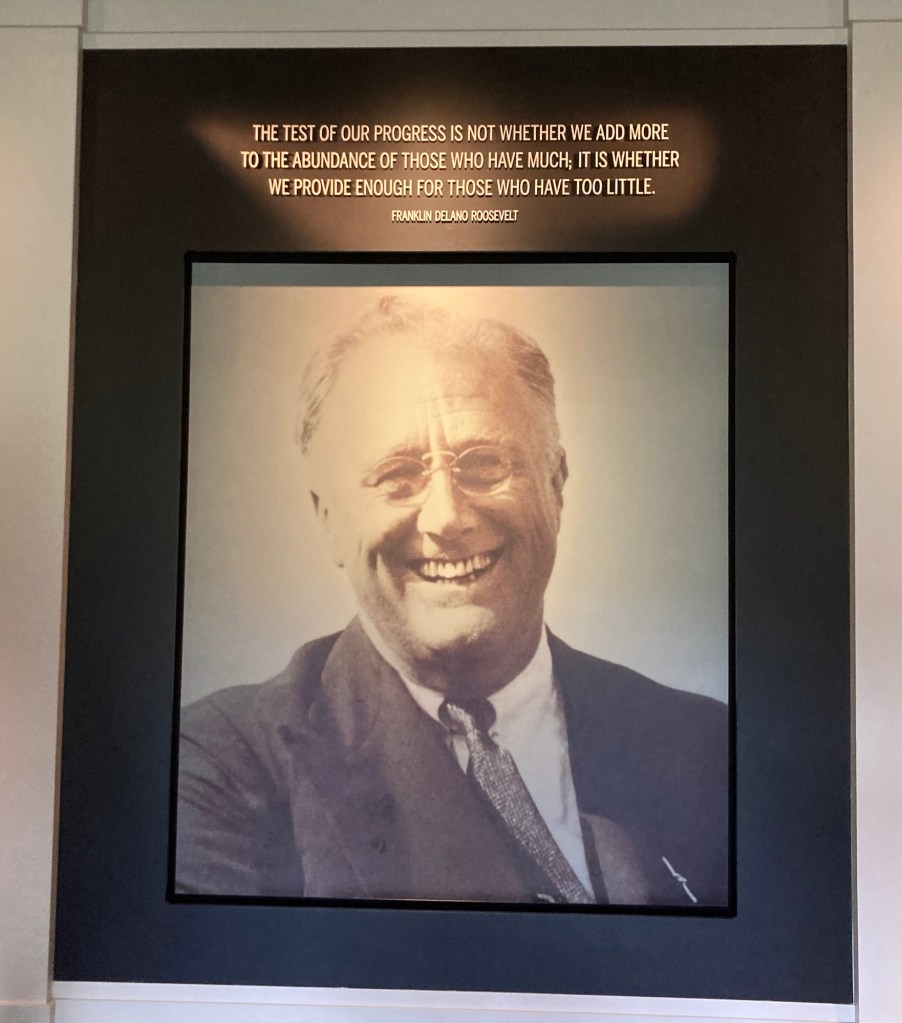
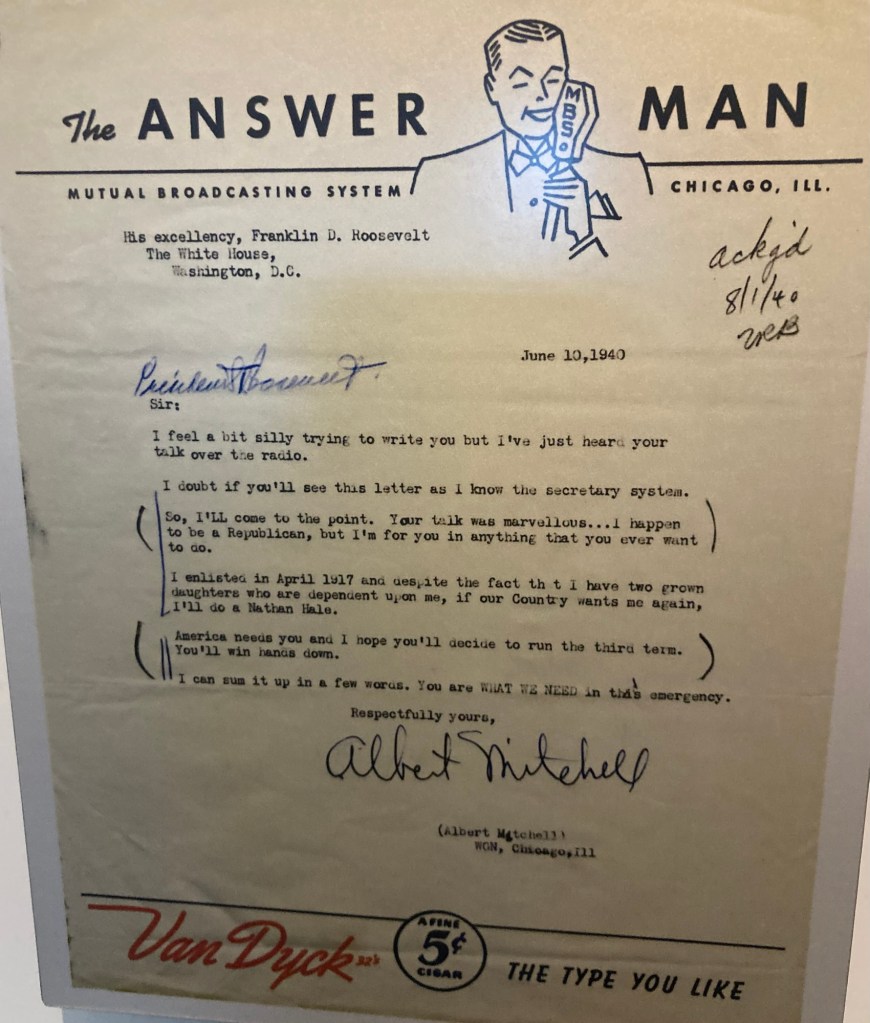
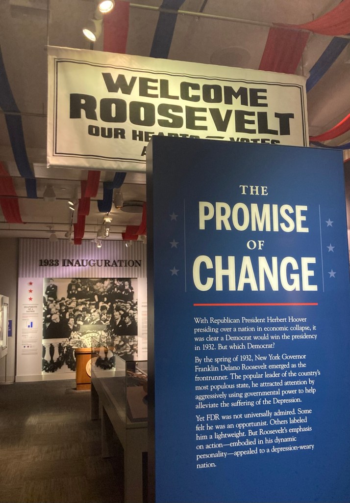
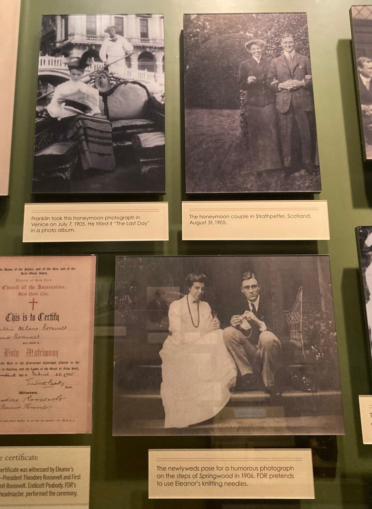
A statue to Roosevelt’s Four Freedoms Speech — Freedom from Want, Freedom of Speech, Freedom of Worship, and Freedom from FearThe FDR Presidential Library and Museum, the only one opened by the president while still president The first thing you see upon entering the museum, a still timely quote, but the opposite of what our current president believes One of many letters from everyday Americans featured in the library In a special exhibition about letters, etc. from more known people, this is a book written by JFK and signed by both JFK and FDRThe start of the presidential exhibition describing how FDR promised a much needed change from Hoover, who had overseen the Great Depression and didn’t have an answer for itPlenty of info on FDR and his marriage to his 5th cousin, once removed, Eleanor
There was lots of information on his 4 presidential terms, with 3 different vice presidents. One interesting fact shown was the percentage with which FDR won every election.
In FDR’s first win, with John Nance Garner as the Vice Presidential candidate, he beat Herbert Hoover in 1932 with 57% of the vote and 472 electoral votes. They won all but 6 of the states.
FDR’s second election in 1936 was the biggest landslide in American history, winning 61% of the vote and 523 electoral votes. With John Nance Garner again as the Vice Presidential candidate, they won all but 2 states against Alf Landon.
Bob found a big head opportunity with a paper mache FDR as the Great Sphinx for a Washington Correspondents event.
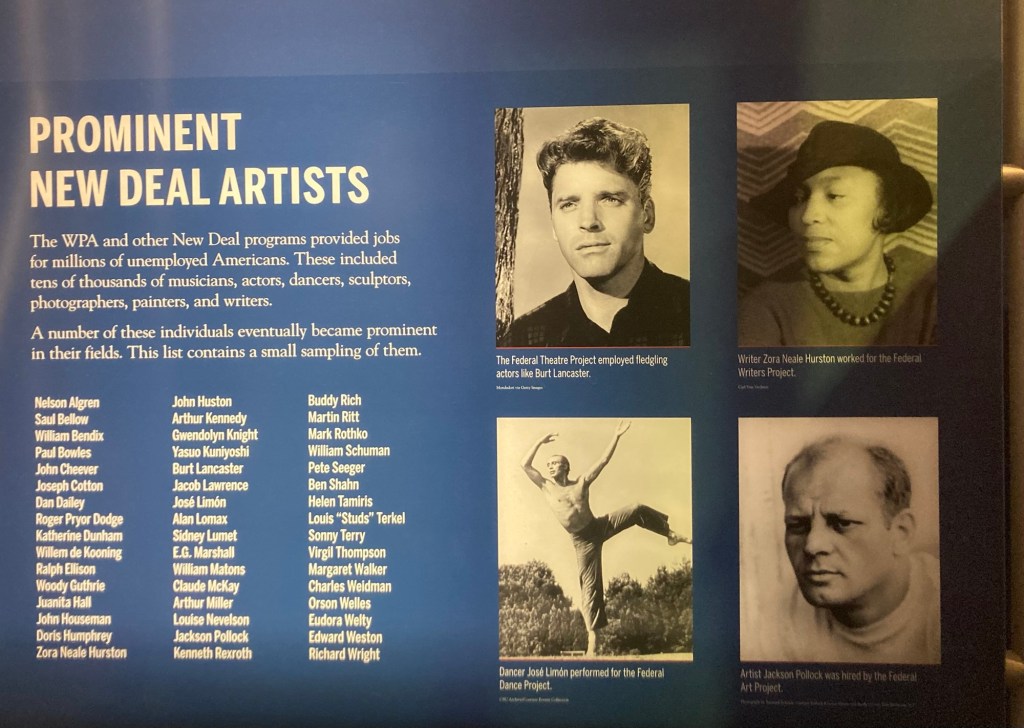
FDR fought to bring American out of the Great Depression by putting Americans to work. That included the Works Progress Administration (WPA), the Civilian Conservation Corps (CCC), along with other programs, and even artists.
A sampling of artists that received government funded work
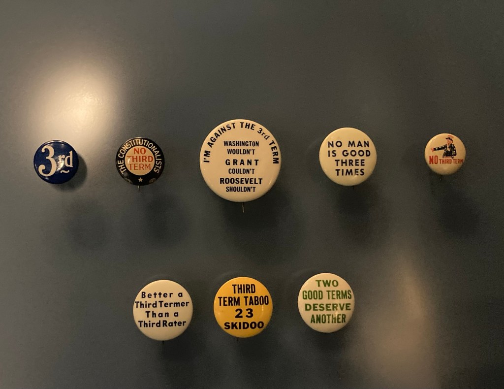
FDR won his unprecedented third term in 1940 with Henry Wallace as the Vice Presidential candidate against Wendell Willkie. It was a narrower victory with 55% of the vote and 449 electoral votes. Roosevelt had promised to keep the US out of WWII. Fortunately (to the extent we helped end the war), he didn’t keep that promise.
Some pro and con buttons for a 3rd presidential term
As we know, the 3rd term wasn’t his last, although Roosevelt died during his 4th term. FDR won his 1944 campaign with Harry Truman as the Vice Presidential candidate. They beat Thomas Dewey with 54% of the vote and 432 electoral votes. Sadly, FDR died on April 12, 1945, only months after his 4th inauguration at his presidential retreat in Georgia.
In 1947 after FDR’s death, Congress approved the 22nd amendment to the constitution which limits the number of times a person can be elected President of the United States to twice.
FDR’s actual private study, not a re-creation FDR’s actual desk accessories on top of a recreation of his Oval Office desk
FDR was far from a perfect man. The museum made mention of his affairs and some policy misses while he was president, however, it was hard to not feel nostalgic for a president that cared so deeply for the good of America as a country over his own personal wealth or benefits from his actions.