In addition to the new scenery that Bob and I are seeing on this trip, we have been learning some new geography terms as well in reading the route instructions in the guide book. For example (definitions based on a quick Google search) —
Downs (as in South Downs Way) — an area of open land with low hills, especially in South England.
Weald — a formerly wooded district of Southeastern England
*Combe (rhymes with room according to our host for the night) — a short valley or hollow on a hillside or coastline
That’s it for today’s lesson, but interesting to learn some terms particular to this region.
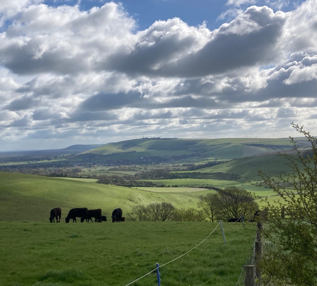
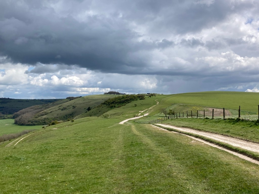
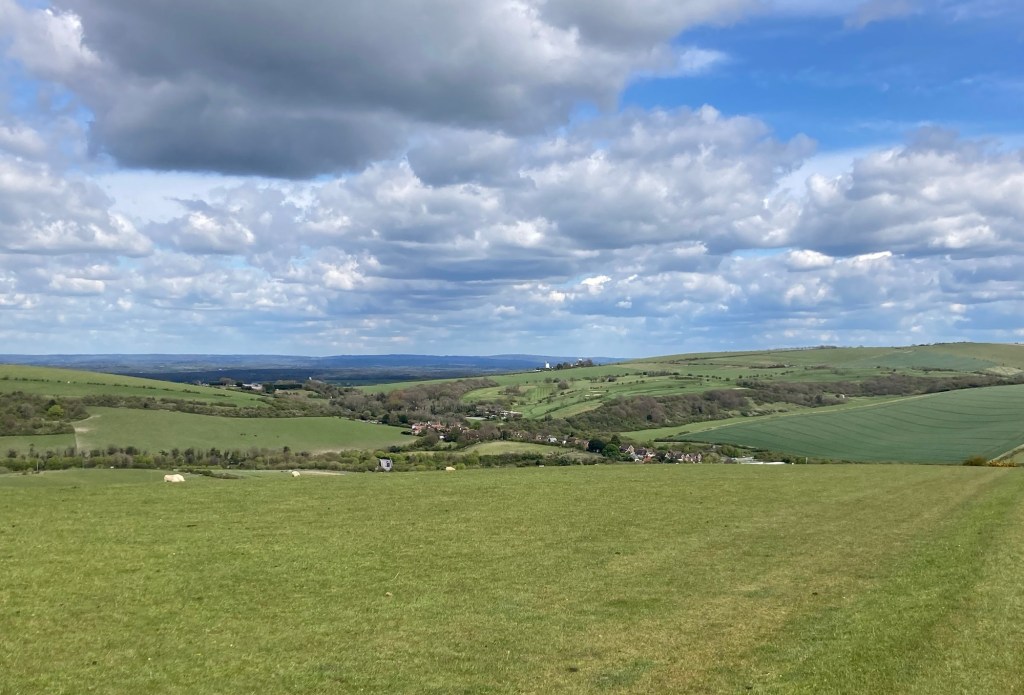
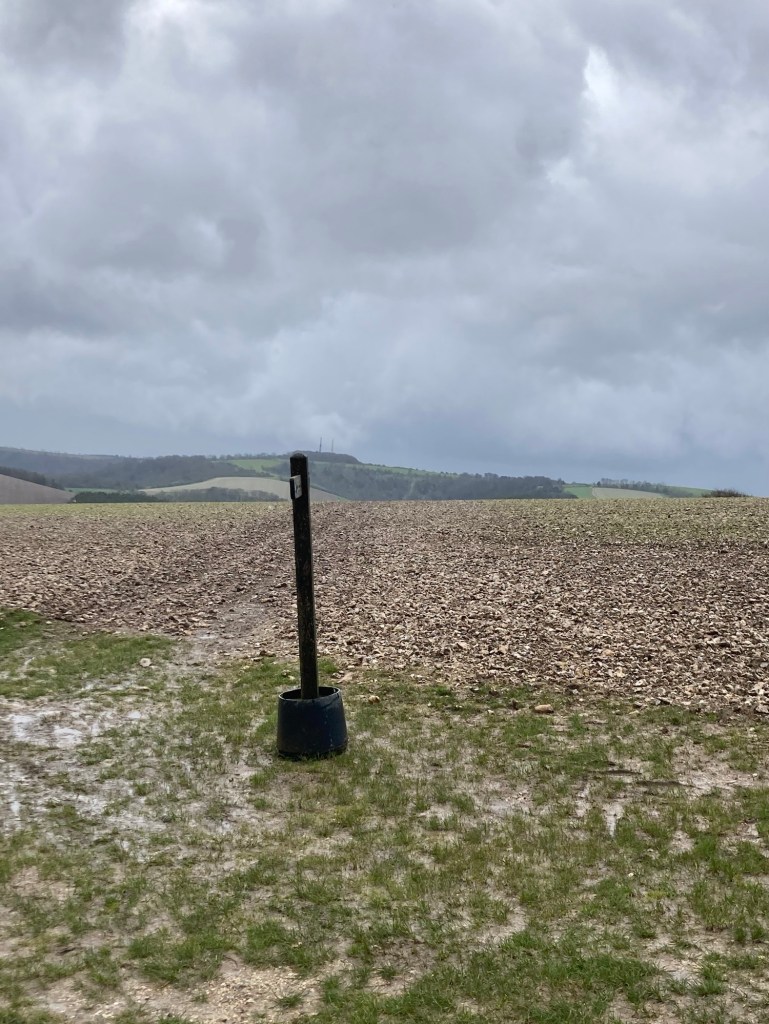
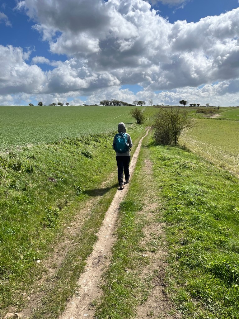
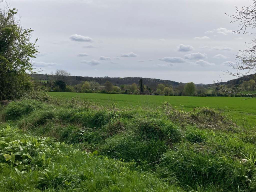
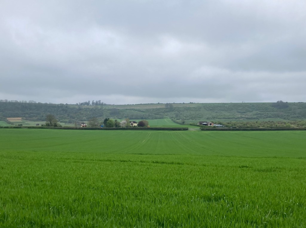
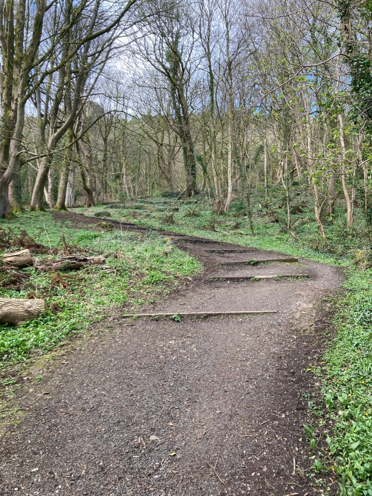
Today’s hike was a short 12 miles; however, with a number of ups and downs, weather related clothing changes, and a short stop for a lunch snack, it took us almost exactly 6 hours, which is about the same or a bit longer than our last 2 hikes even though the mileage was longer.
We had breakfast (included in the tour daily) at about 7:30 and we’re on our way by about 8:15. The wind continued to be fairly strong and chill, and we had a bit of rain as well today, although not as strong as Monday. We began with an hour walk through and out of Steynring to get back to where we had left the trail yesterday.
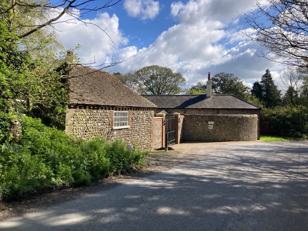
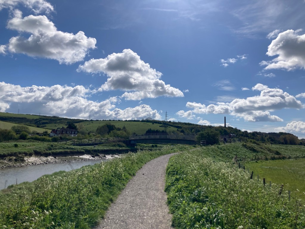
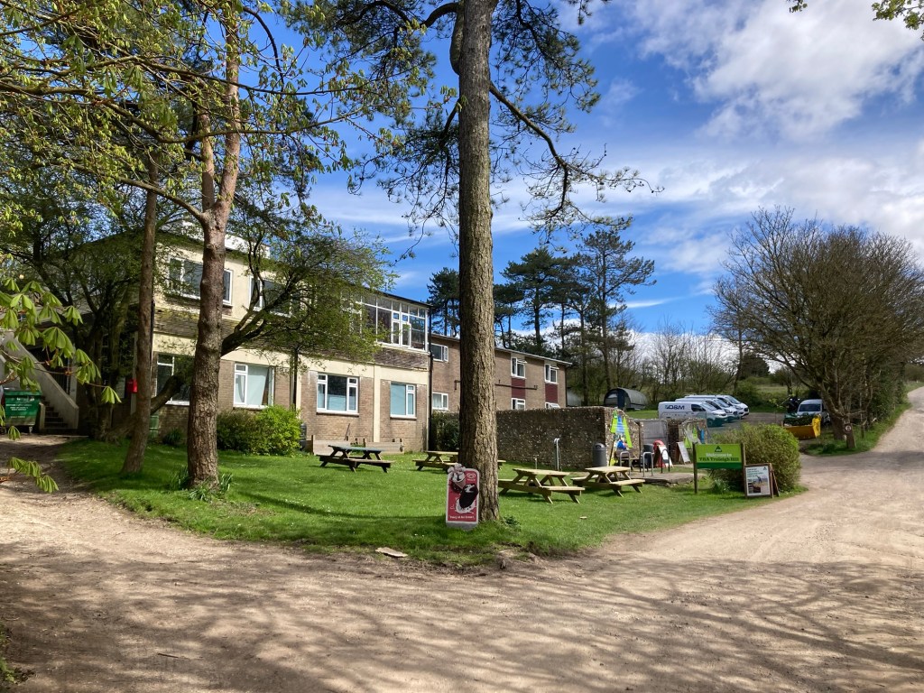
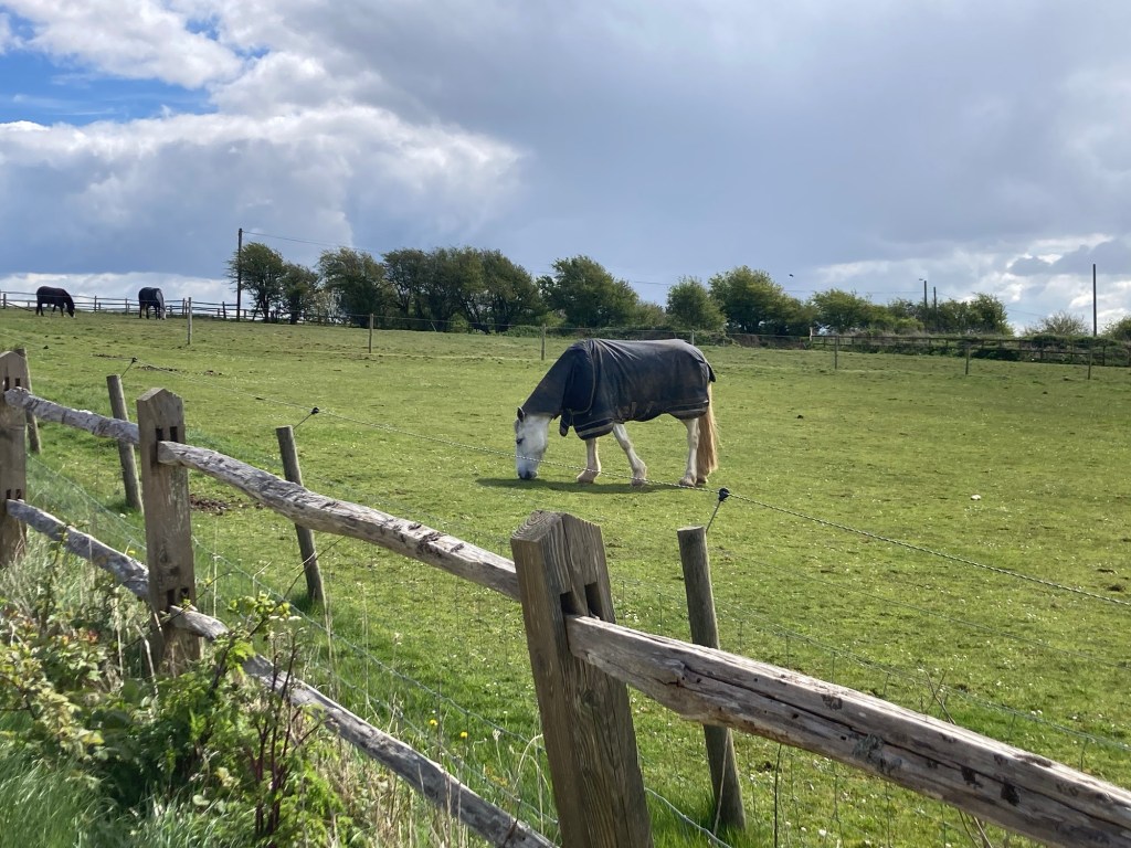
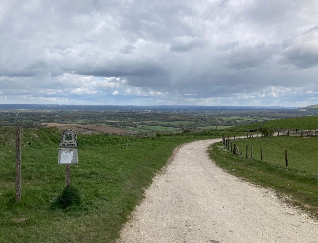
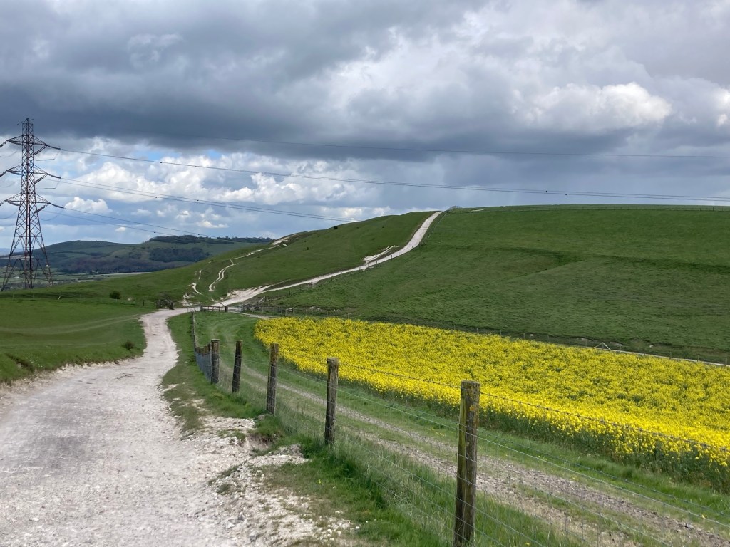
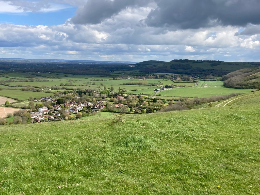
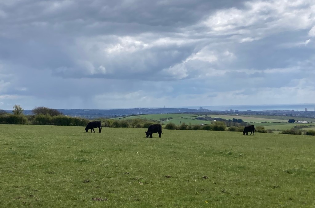
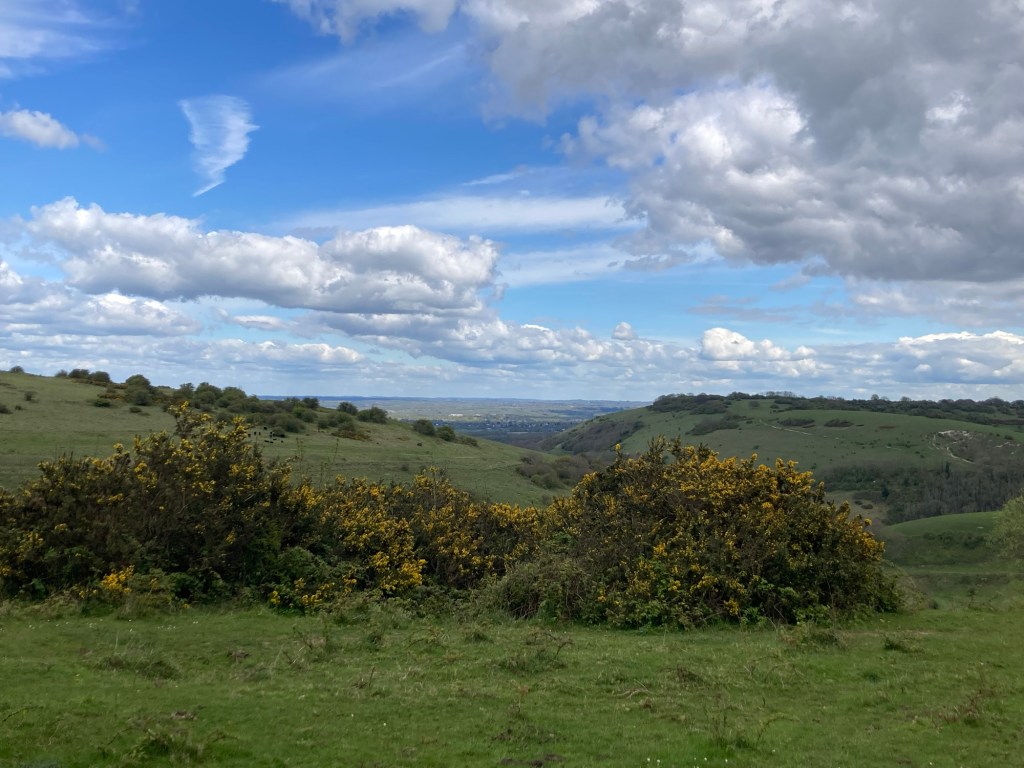
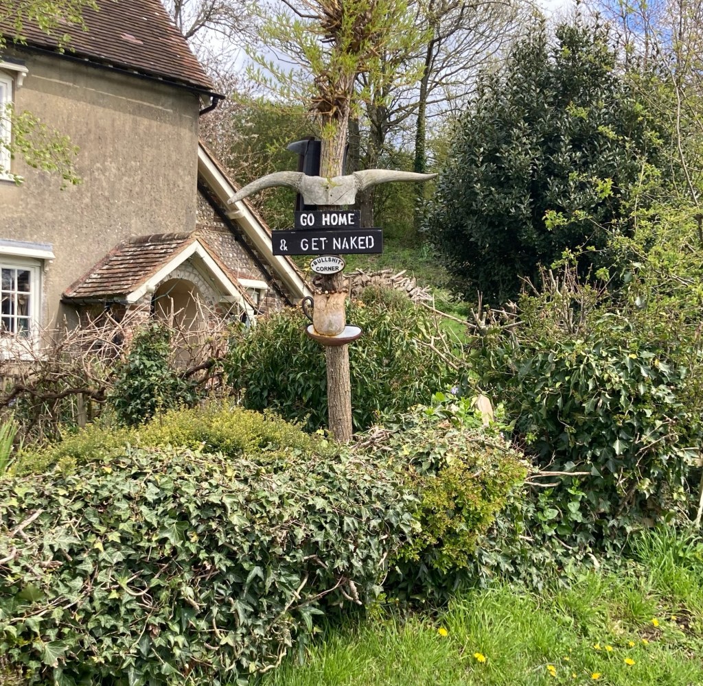
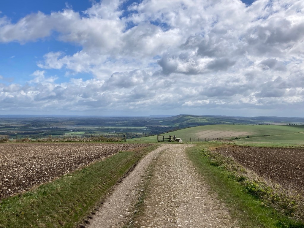
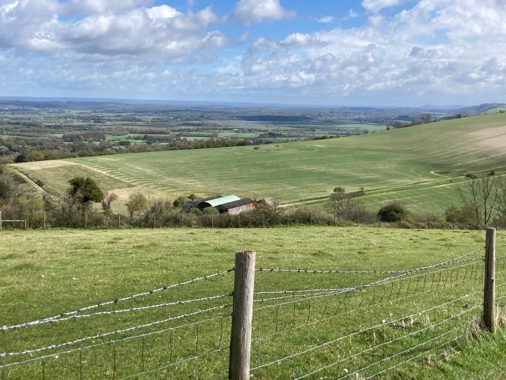
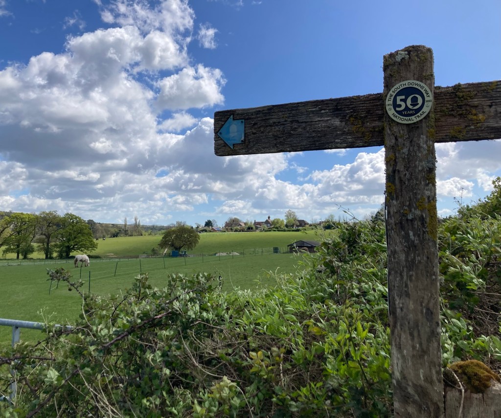
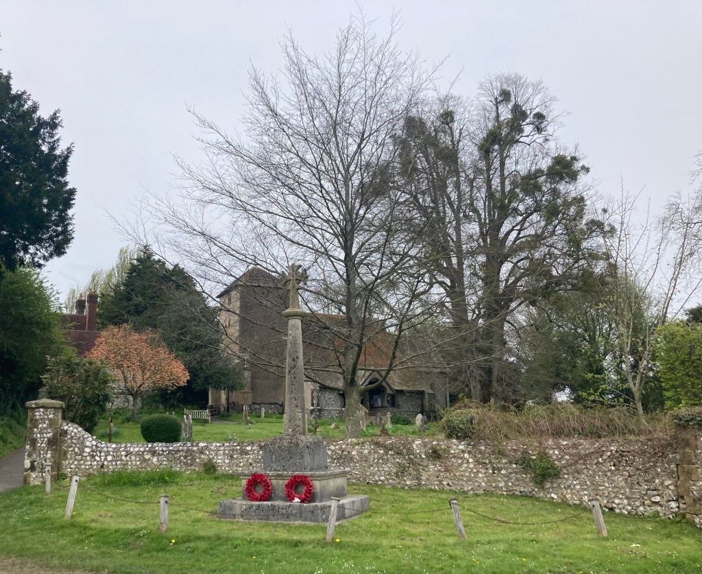
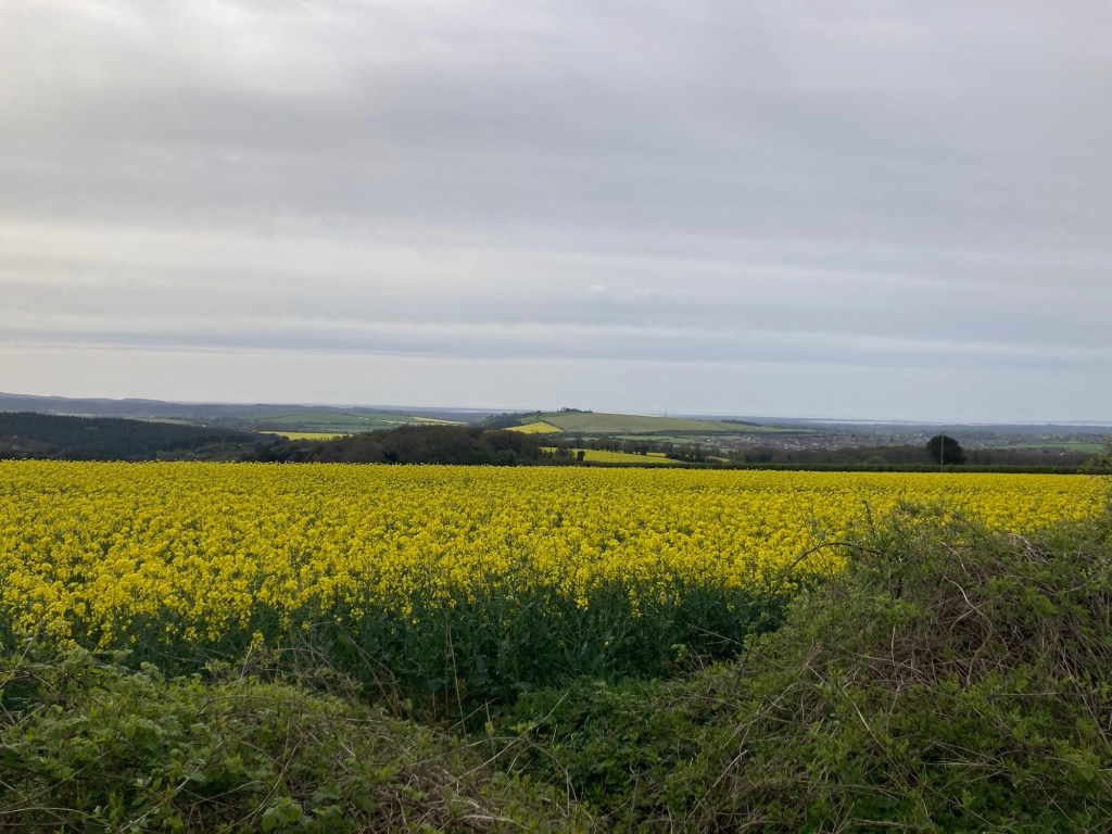
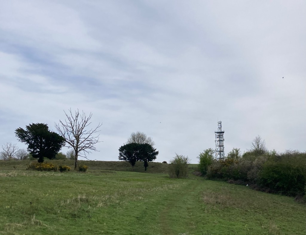
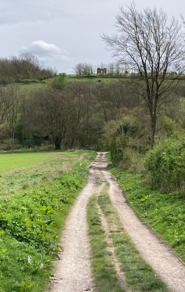
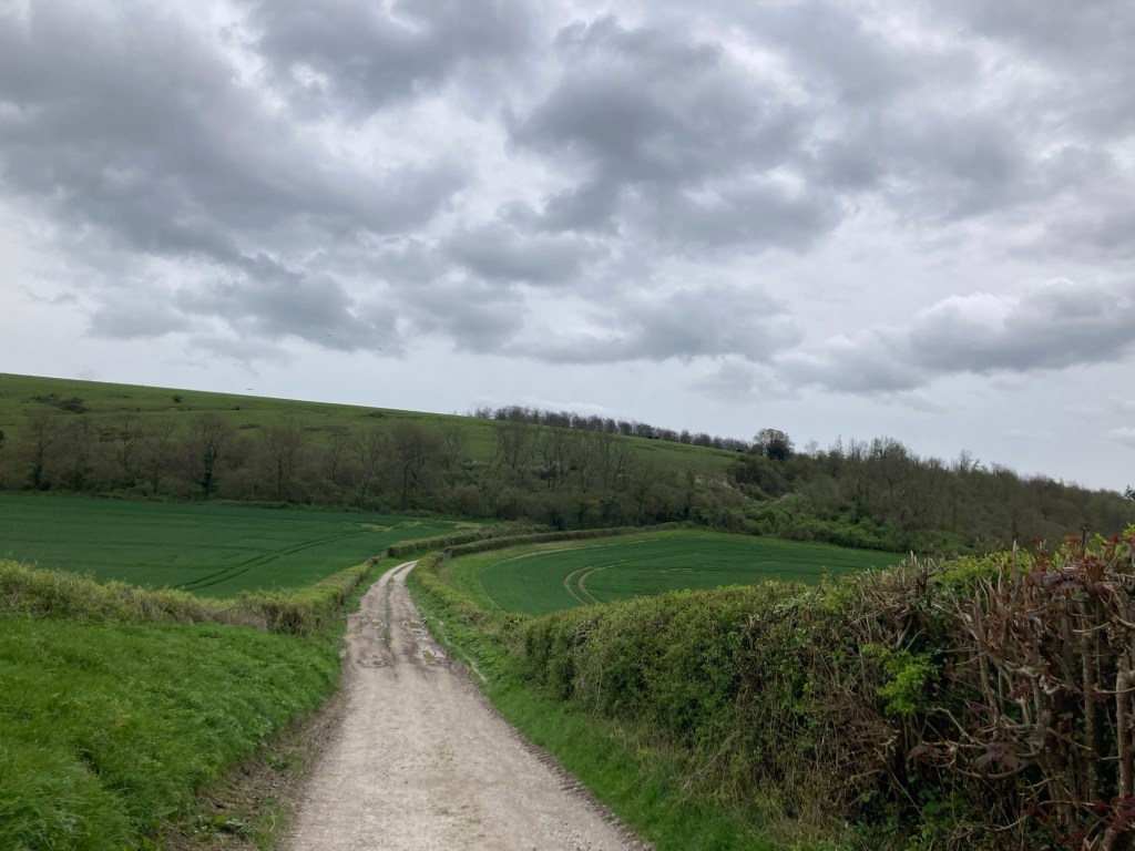
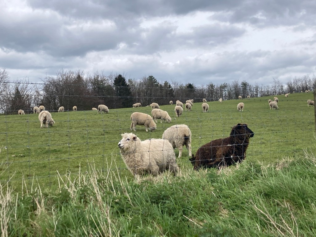
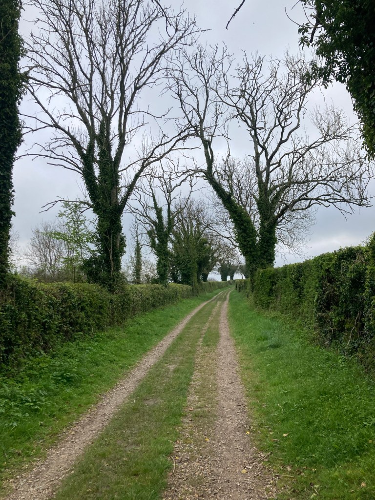
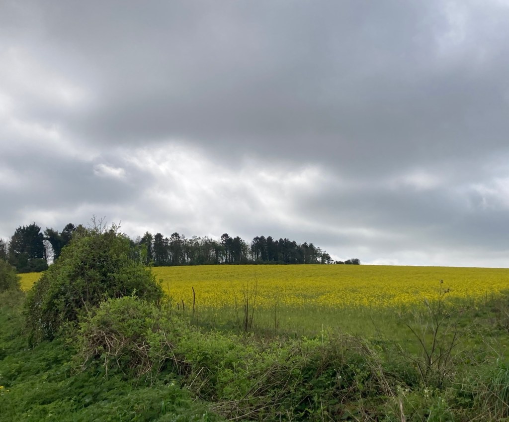
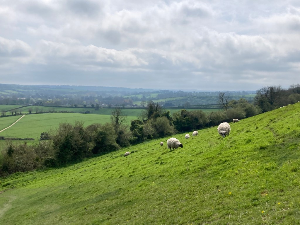
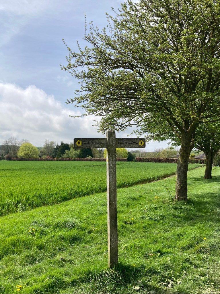
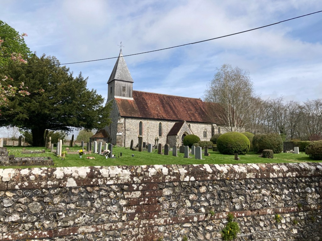
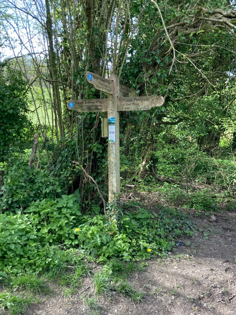
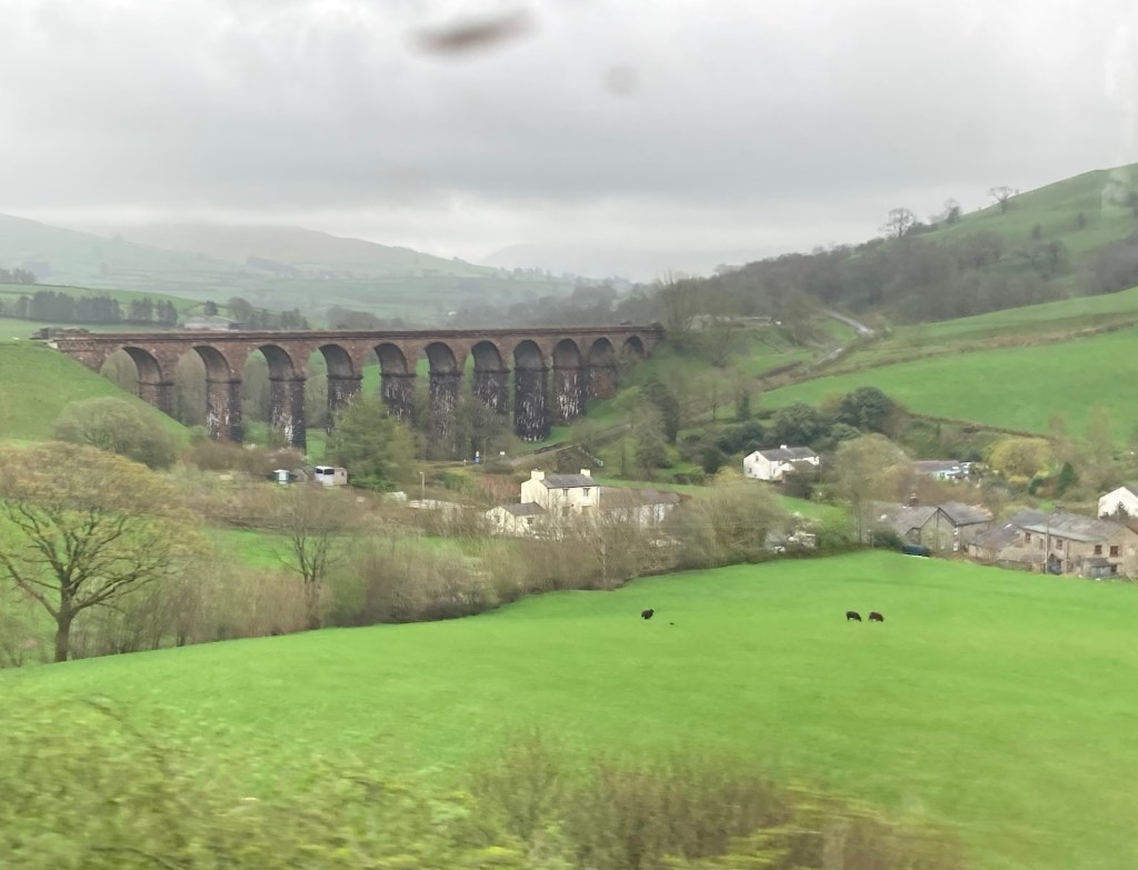
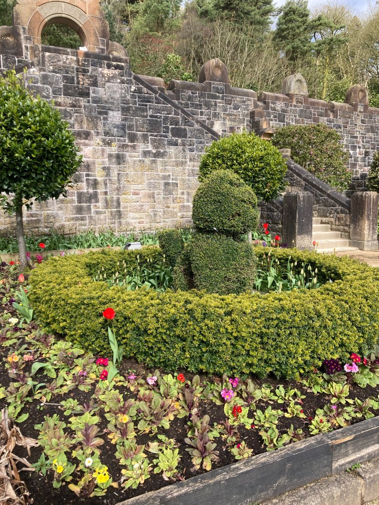
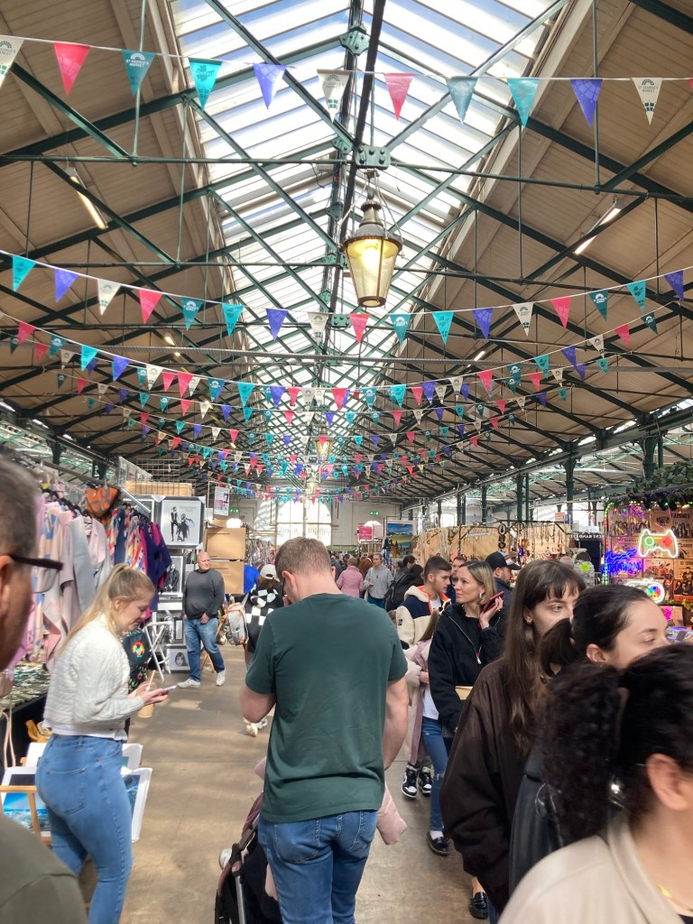
A nice memorial right where we reconnected with the trail todayCows and the low hilly horizon (see definition of downs above)And pigsWe love the flint rock (see house above) that is seen on many local buildings, although our feet aren’t as found of it as a walking surface. A short walk on an embankment along the River ArturA youth hostel we passed on Truleigh HillEven the horse has a coat onOne of a number of National Trust lands that we’ve walked through. This one is on the Fulking Escarpment, which is clearer written than pronounced.The chalky path aheadLooking down on the village of FulkingThe Devil’s Dyke Pub on top of Fulking HillLooking south towards the coast. We’re definitely getting closer to water and saw Brighton for much of the day.Looking north over the Devil’s Dyke, Britain’s largest coombe of chalk karstNo judgment Looking down at PyecombeWalking across the busy A23 to reach PyecombeThe Tallai House B & B, our accommodation for the night
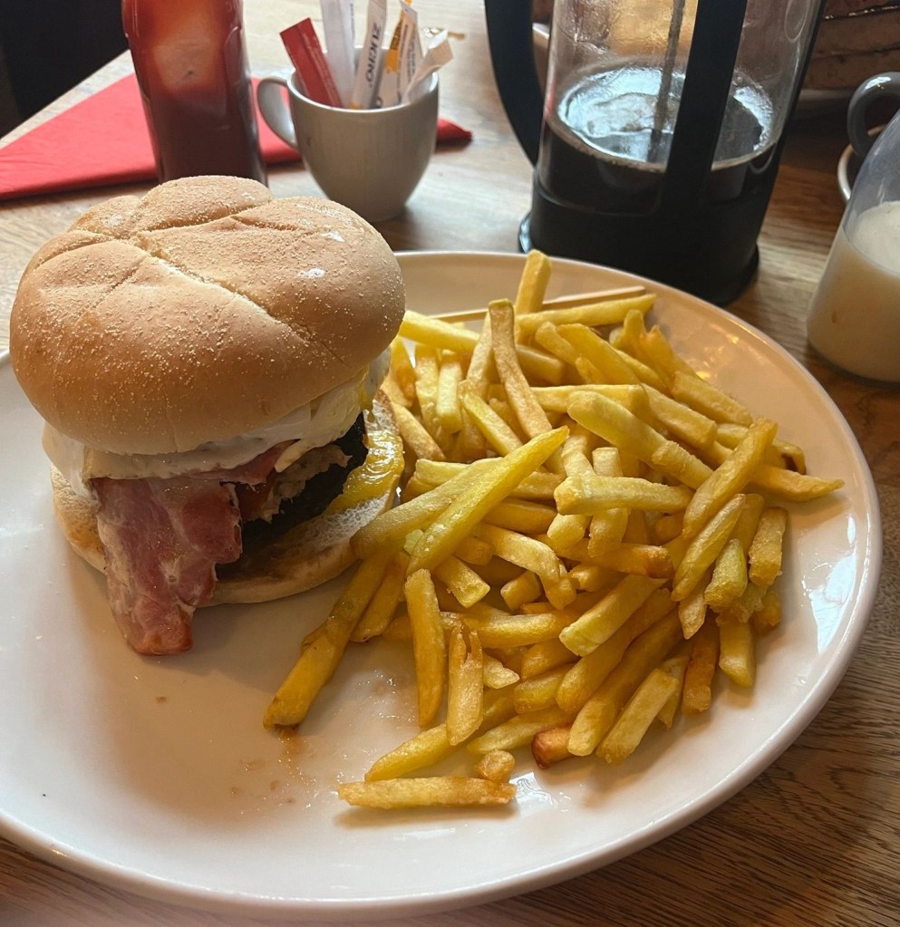
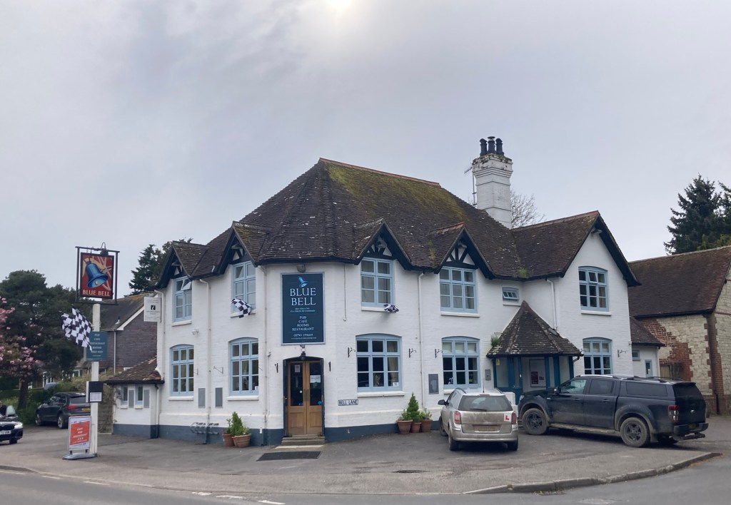
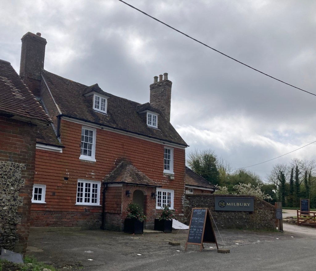
Day 3 of 8 hiking days. The lodging properties that our hiking outfitter selected includes breakfast. This morning’s meal at the Blue Bell Inn in Cocking was our best yet. Bob got a breakfast burger (egg, sausage, bacon, hash brown, and mushroom) that came with fries, and Beth got a vegetarian main. Both were tasty.
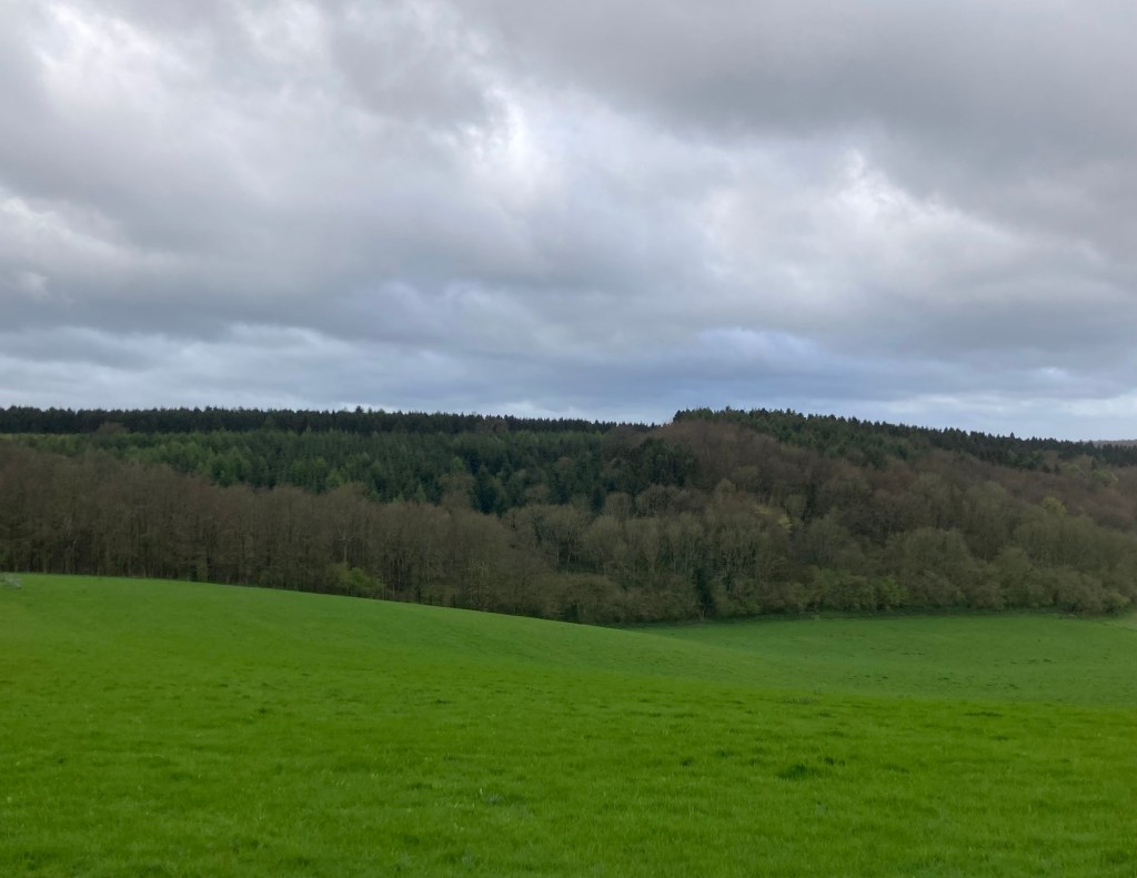
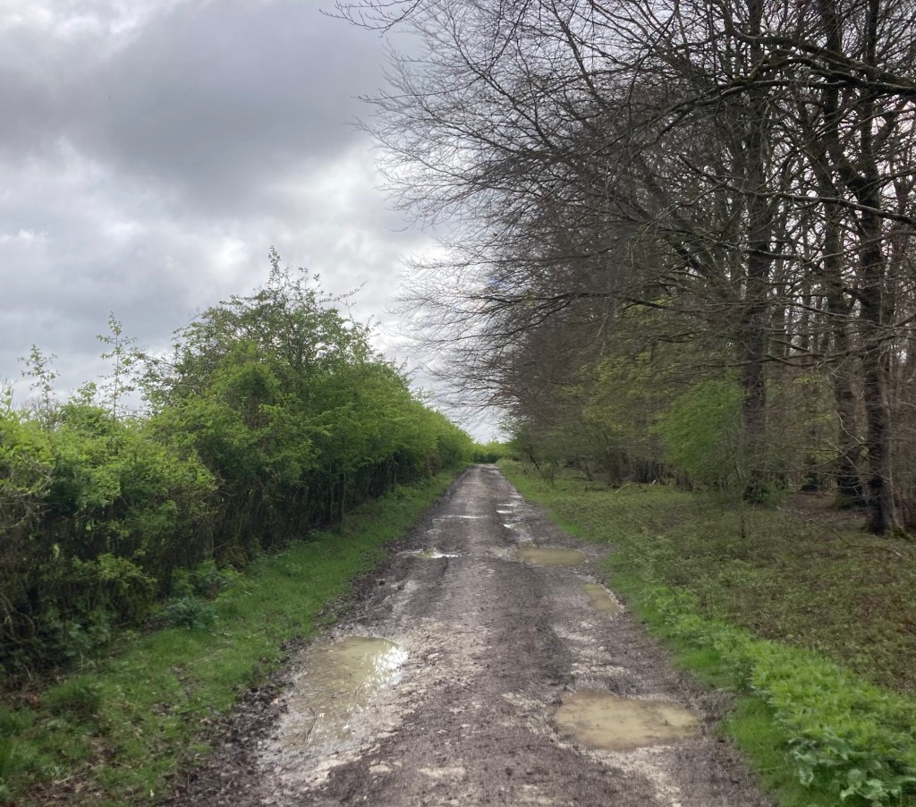
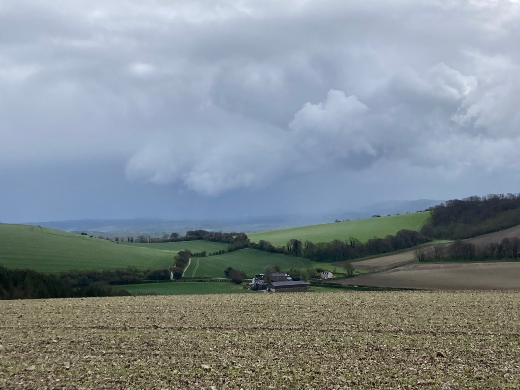
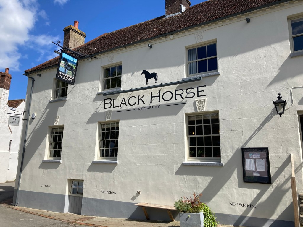
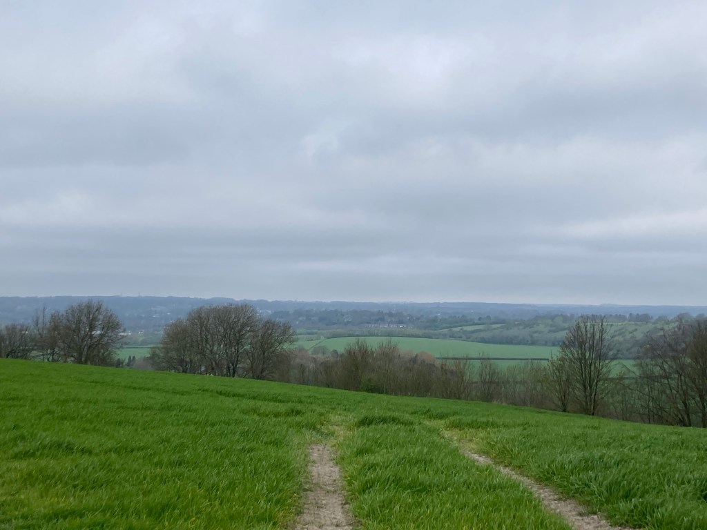
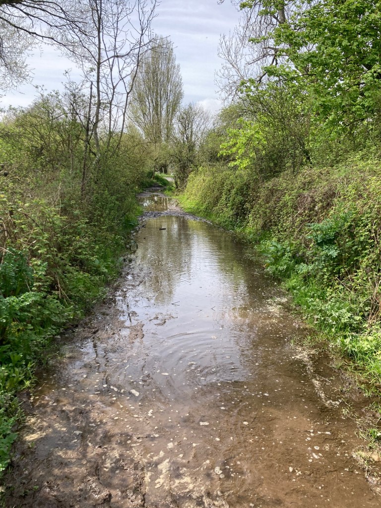
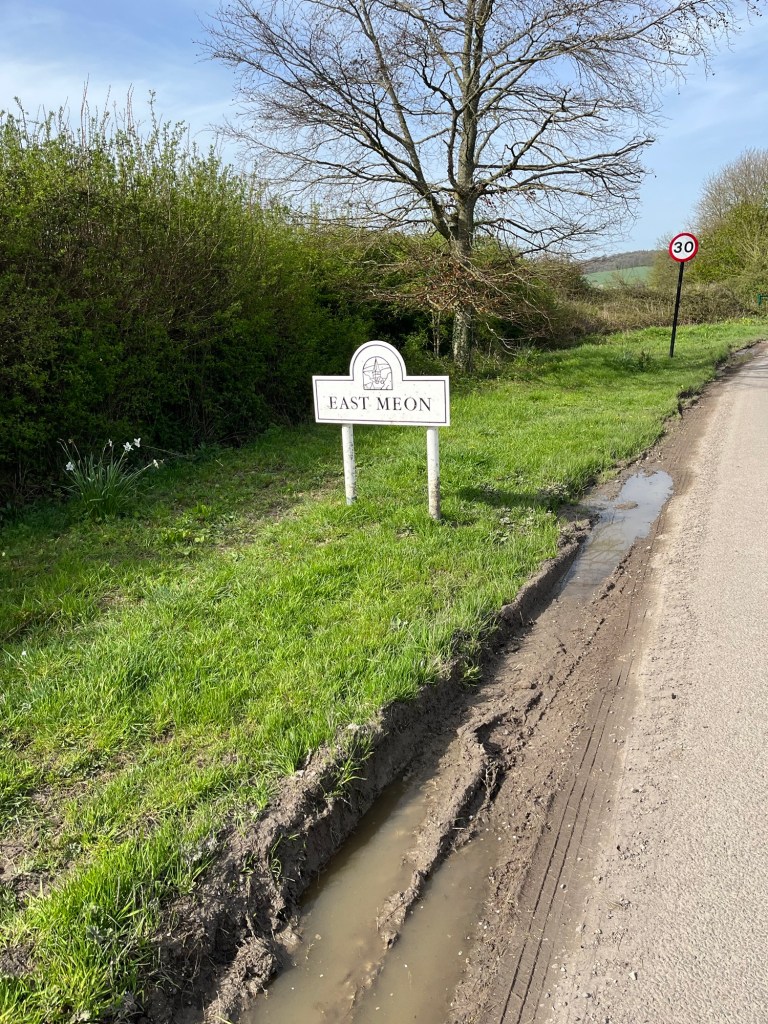
Today’s route took us from Cocking to Amberley. Checking our weather apps, we saw chances of rain around 9-10 am, so we got out ahead of it so we might get an initial big hill in prior to the rain. We succeeded, but Bob saw on radar a fairly big system likely to pass through at 10:30. We were prepared for it, but the wind and rain for awhile was fairly intense. Luckily, both came from behind and slightly to the right, so as we had trees on our right-side, they helped serve as a buffer to both. Of course, the rain increased the muddiness of the trail.
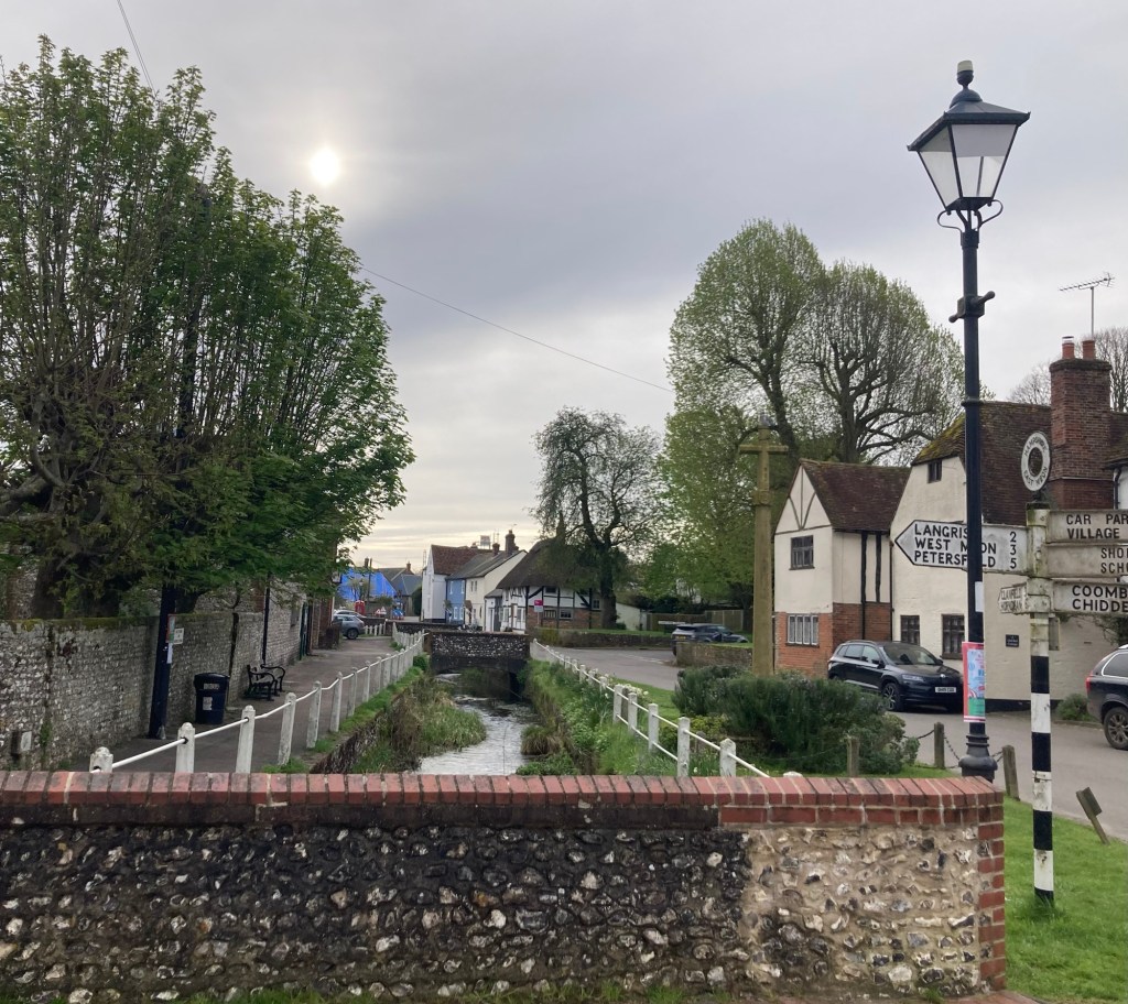
Even after the front went through, the wind stayed strong and was mostly at our backs, pushing us to Amberley. The mileage today of 12 miles was significantly lower than the 21 and 20 miles we had the previous two days, which allowed us to get to town early. We couldn’t check-in until 3pm, so we walked around the small town.
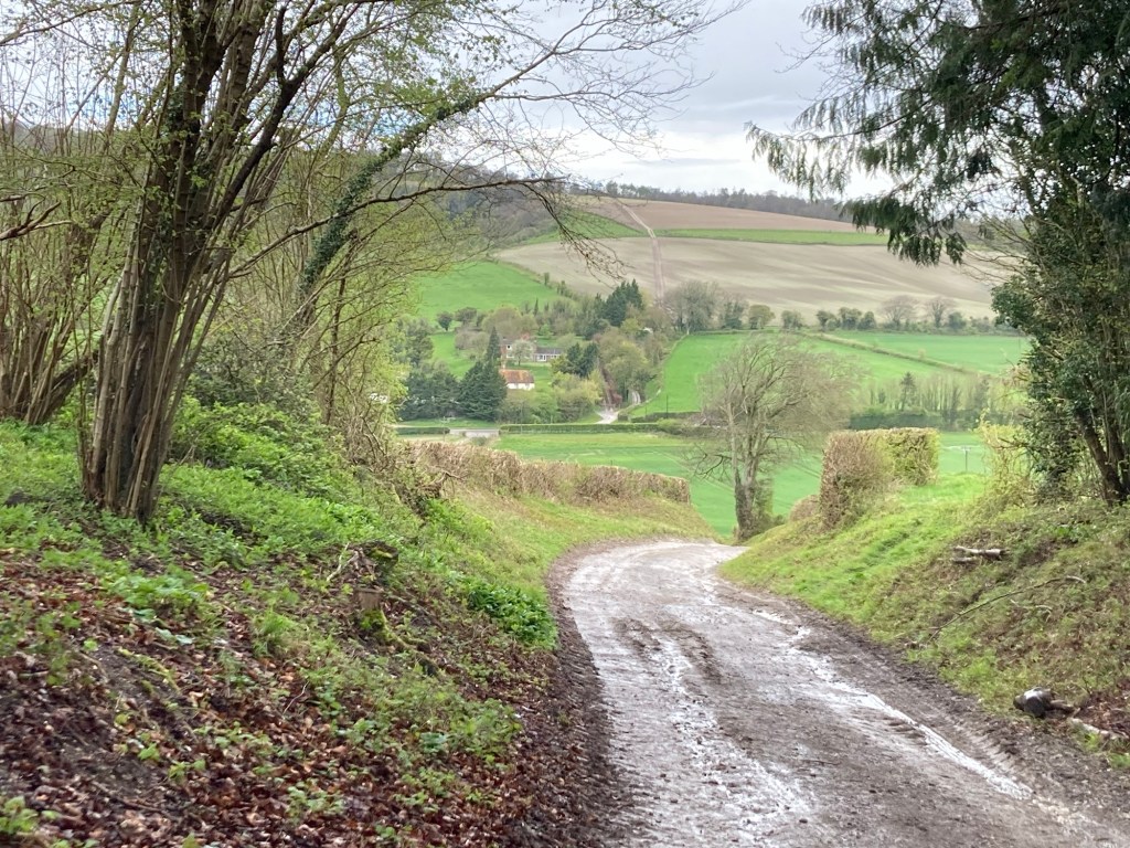
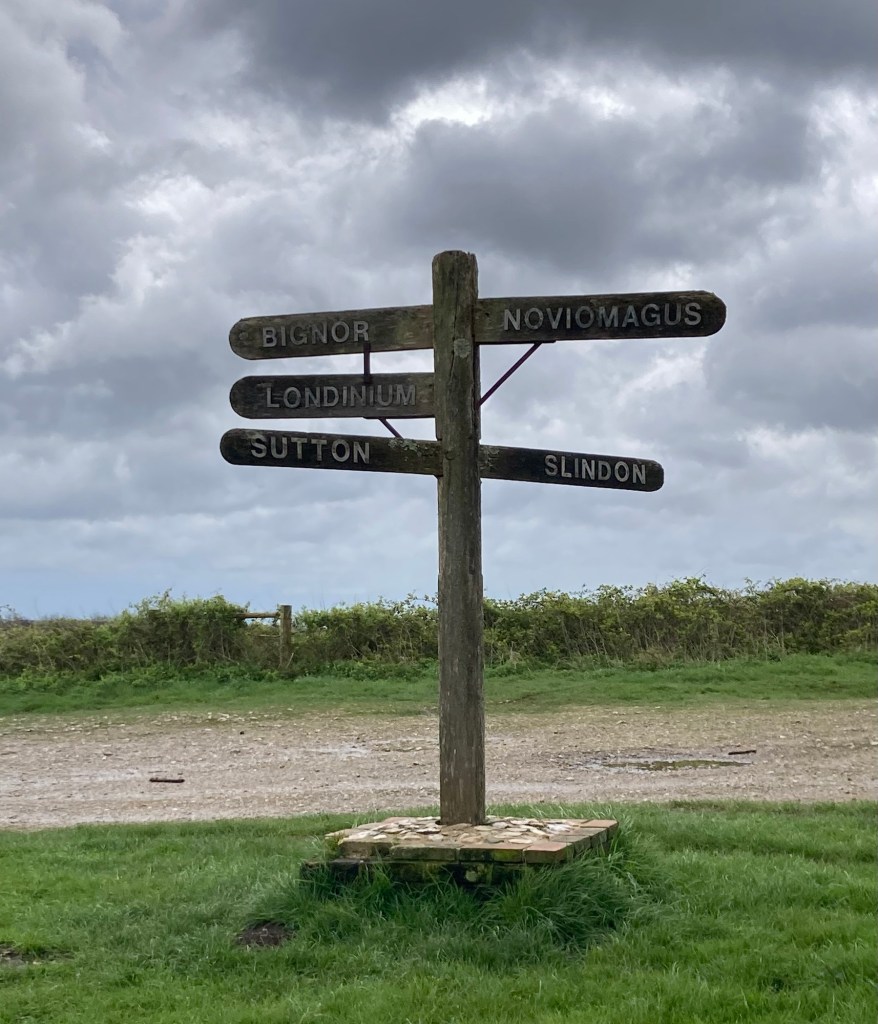
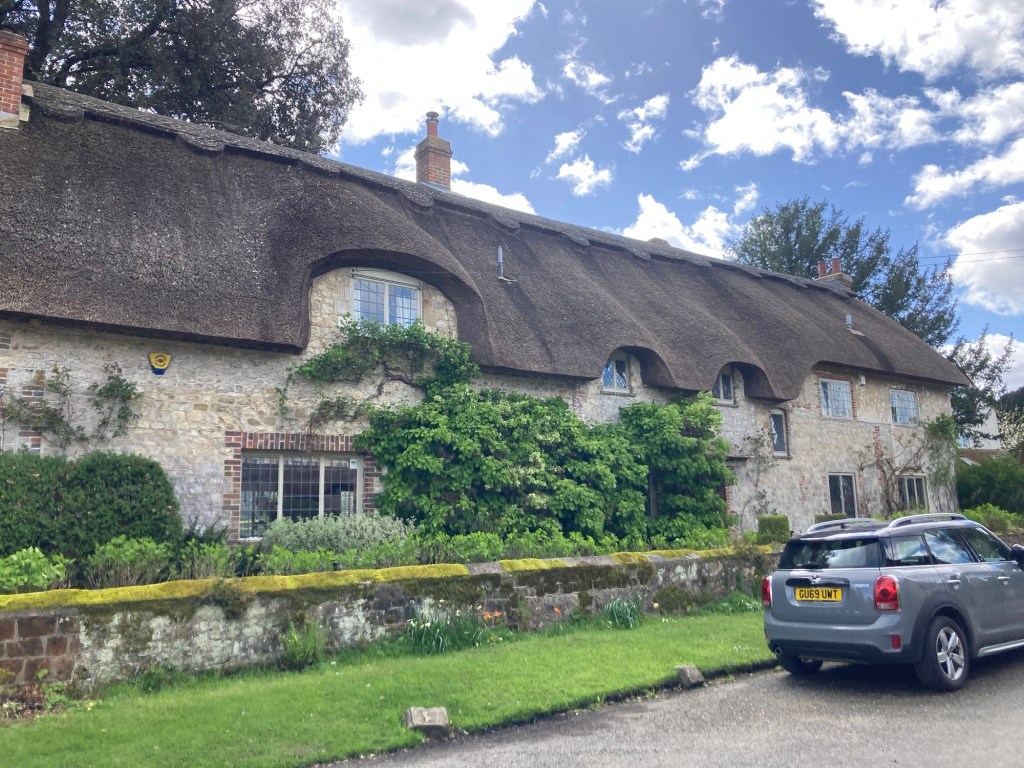
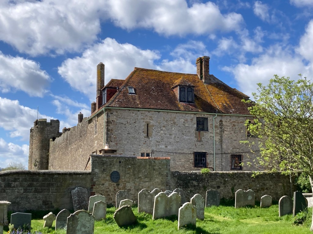
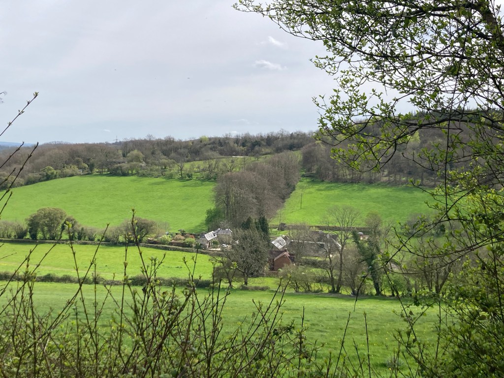
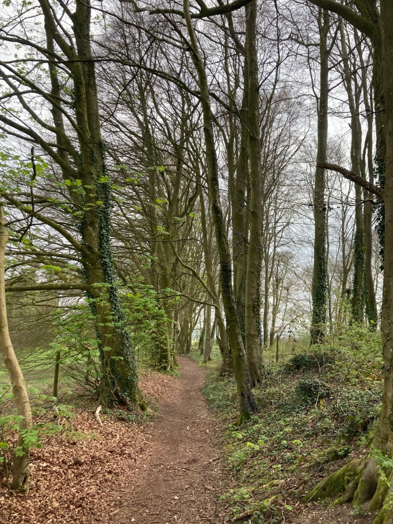
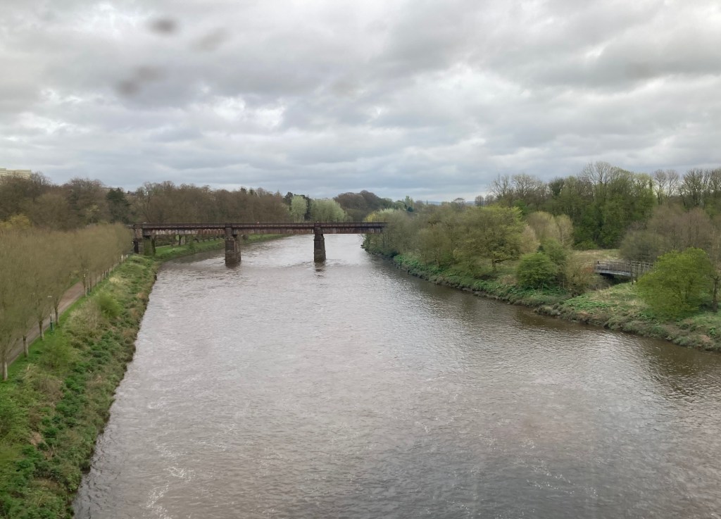
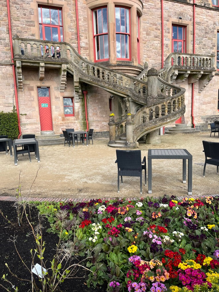
View of some of the woods before the rain startedOnward through some mudWe were not happy to see we’d be slogging through an open field after the rain.View to the side as we made our way down the field Heading down One of the markers referenced in our trail description And back upI kept the rain gear on the entire walk, as it helped with the wind and muddy fields.The view from a summit of Bignor HillA memorial at the top of the same hill for Toby Wentworth-Fitzwilliam, one time secretary of the Cowdray Hounds (trail hunting)We ended up walking right below the barnsDirections near a muddy field walk to cross the River Arun close to where we turned to head into AmberleyRiver ArunOur room for the nightLots of lovely thatch roofed homes in the village St. Michael’s, a 12th century church in the villageLooking over the church wall to the Amberley Castle (open as hotel and restaurant)
Bob and I have completed our longest hike of the tour. 21 miles, 8 hours and 20 minutes. We rolled into the Blue Bell Inn and Pub in Cocking at about 5 pm and quickly showered and changed, so we could hit the pub before it closed at 6:00. We were out of luck for food since it’s a Sunday and kitchen closed at 4pm but we’re able to get a celebratory wine and a couple bags of chips. We had also picked up some canned goods before leaving East Meon, knowing that nothing would be open tonight.
Our abode for the evening
We’re feeling pretty cocky after having climbed and descended quite a few hills (Salt Hill, Hyden Hill, Tegdown Hill, Butser Hill, Tower Hill, Pen Hill, Treyford Hill) and trekked through a park and natural area (Queen Elizabeth Country Park, Harting Downs Nature Reserve). And we think we should feel cocky in Cocking, a small village with an 11th century church that we passed on the way into town.
St. Catherine of Siena Church
Our day didn’t start great, as we wanted to have an early start. However, our bed and breakfast didn’t start serving until 8:00 am and that seemed to be a stretch for them. We were down right at 8 and were offered coffee, orange juice, cereal, and toast. Not bad, but we were hoping for a bit more before the long hike. However, it ended up being fine, as did the hike today since we didn’t run into bad weather and didn’t have to walk through water today until coming into Cocking.
Here are photos of the hike.
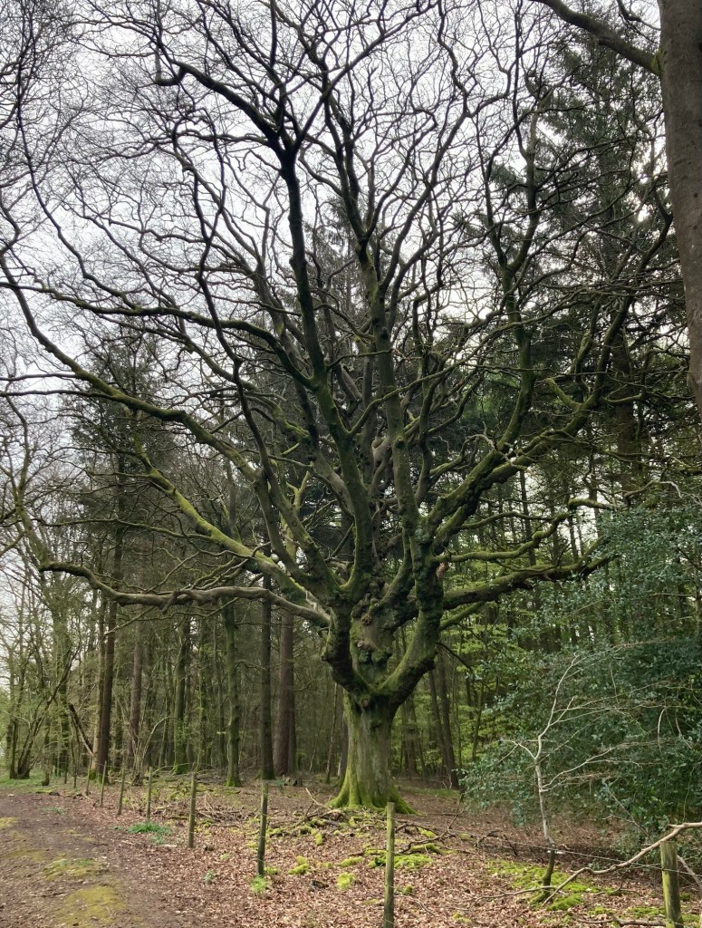
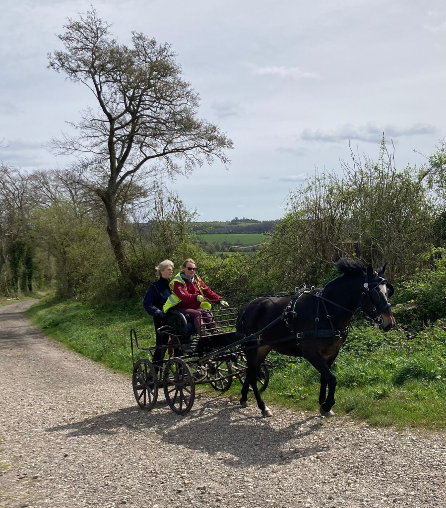
Leaving East Meon this morning After the steep summit of Salt Hill, we came to a section of really cute homes.We walked through some great wooded areas. We loved the moss covered trees here.Eye candy along the routeSummitting a hill on a grass pathAnd heading back down Beautiful countryside A small horse and buggy. They turned around shortly after the photo, and we followed them for awhile.Green!Heading down while looking at the next “bump” in the roadSouth Harting2 hills meeting On we goEvery family has one. . .
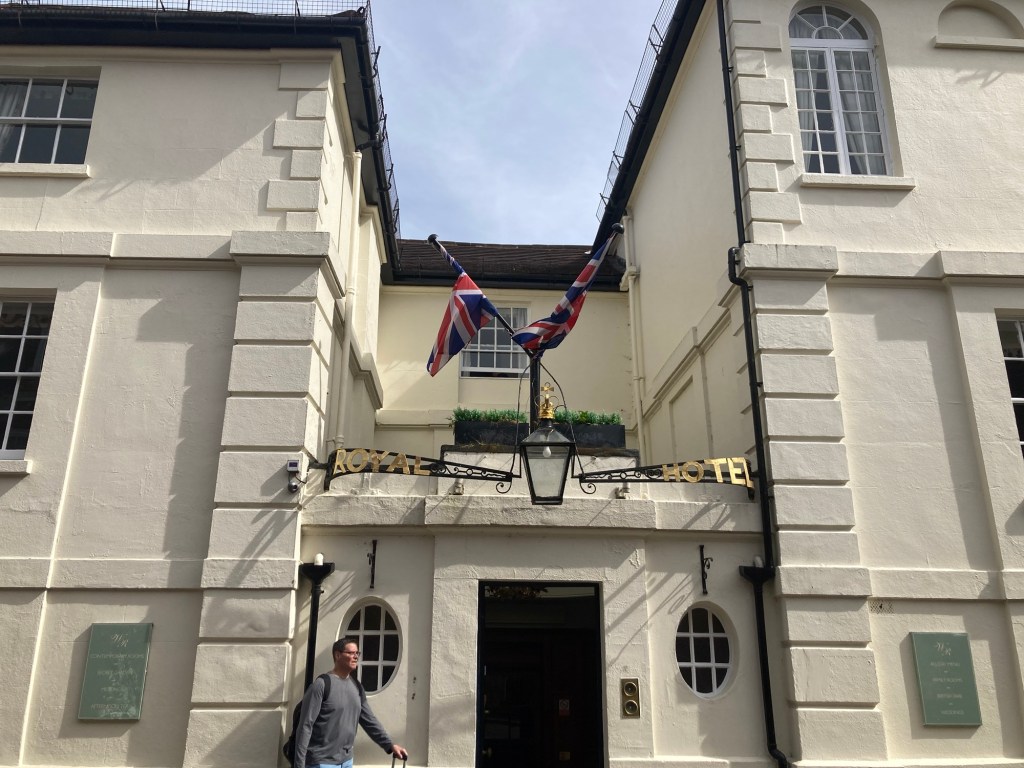
Bob and I have officially started our South Downs Way walking tour. It will be approximately 100 miles on foot from Winchester to Eastbourne. Day 1 had us arrive at our Winchester Hotel to pick up our information packet for the tour, spend the evening, and then head out for our first day of walking. The information packet was to contain luggage tags for our daily luggage transfer, detailed route notes, and maps.
We had a crazy afternoon in Winchester at the Windsor Royal Hotel, with Bob heading to a launderette when we were curtly told at 2:40 that Check-in starts at 3, and me on the phone to our tour company to let them know that the hotel didn’t have our information packet as I watched multiple other couples check in. We finally received the information packet on our 3rd request. We later got to leave the hotel for a bit when a fire alarm went off.
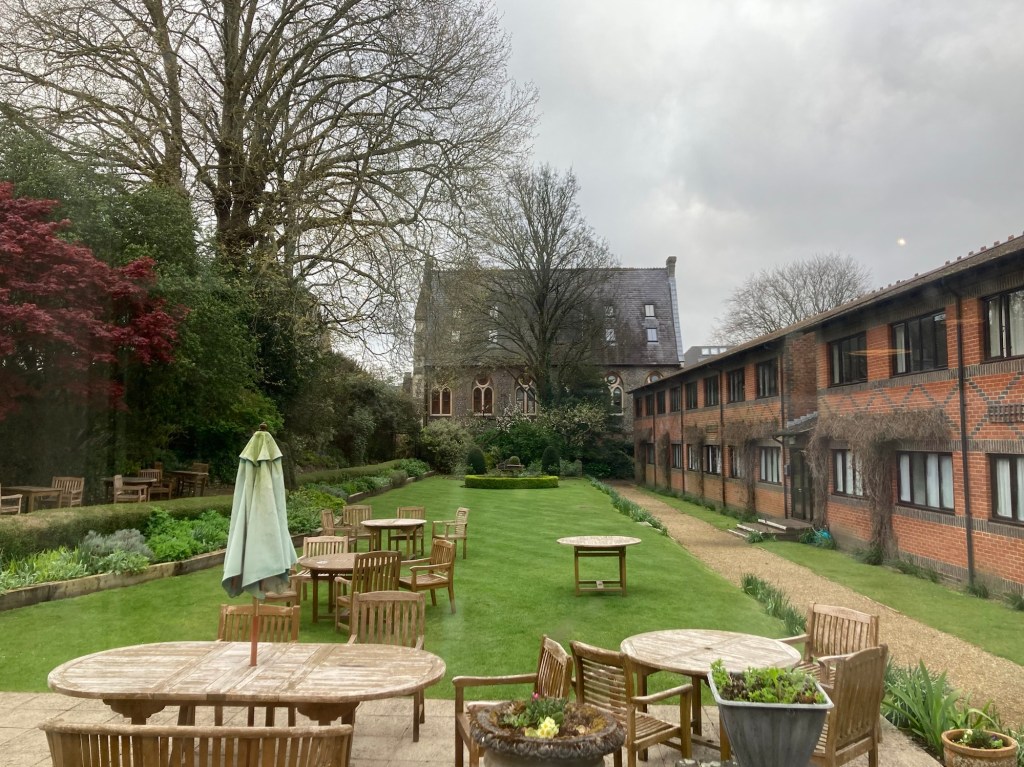
The Windsor Royal Hotel in Winchester, where our excursion startedThe garden of the Windsor Royal Hotel
So, not a great start, and can’t recommend their breakfast either, but we were still able to leave Winchester at about 8 am this morning with all of our materials.
The route was very well marked and pretty busy with foot and bike traffic (likely because it’s Saturday). The trails were in good condition too until after lunch when we ran into a stretch of very muddy and rain covered path that eventually ensured that both our shoes and socks would be wet for the remainder of the walk. But after almost 8 hours over 20 miles, Bob and I are relaxing in our bed and breakfast and about to grab some dinner at the pub next door.
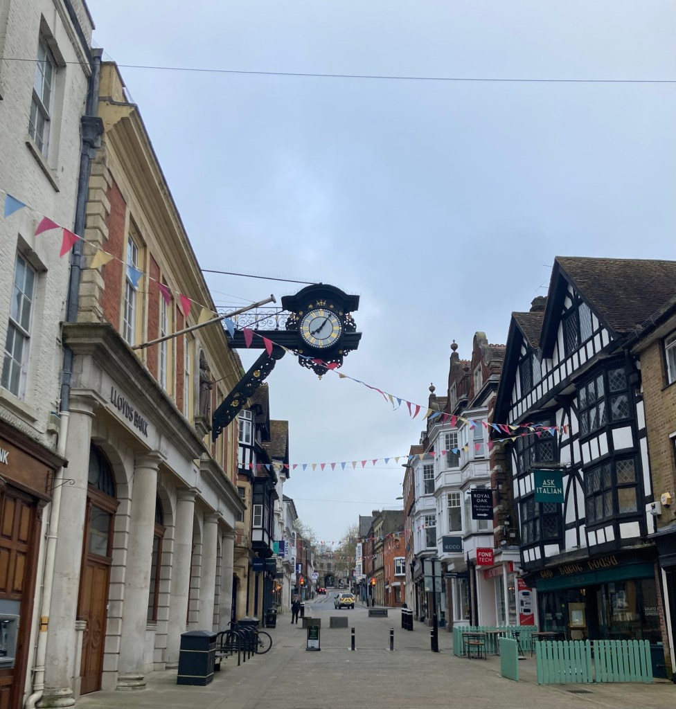
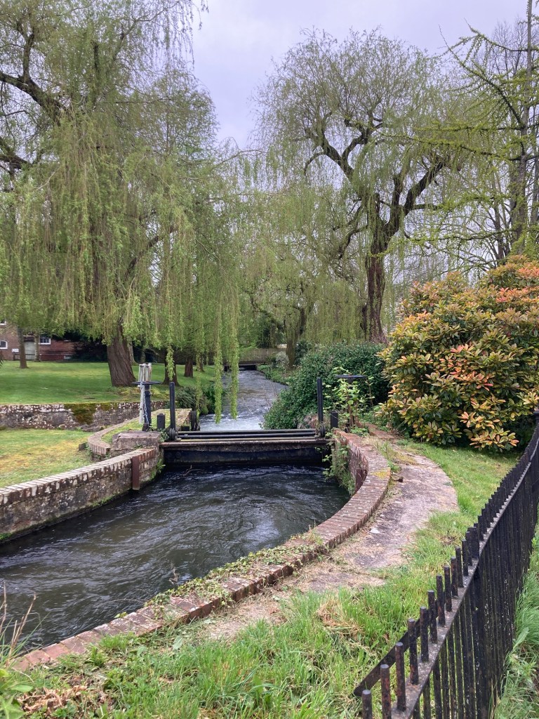
Part of the High Street in Winchester A small canal First view of the countryside as we got out of townOne example of the path (surface varies throughout)Another view of the beautiful countryside A different section of the pathSome black barns along the trailA field of yellow flowers (cowslips?)A pub and accommodation along the trailCrossing a field to enter the community of ExtonSharing the fieldOne of the many way markers along the pathThe church of St Peter and St Paul in Exton. We sat on a bench in the grounds for a brief lunch snack.After lunch, we had a few sections of the trail like this. Heading up Winchester Hill on our walk between Exton and East MeonThe summit of Winchester HillWalking down to and through Whitewool FarmThe creek that runs through Whitewool FarmWhere we will rejoin the trail tomorrow Walking into East Meon
Tomorrow, we’re off to Cocking,which makes us smile. It will be a couple miles longer than today.
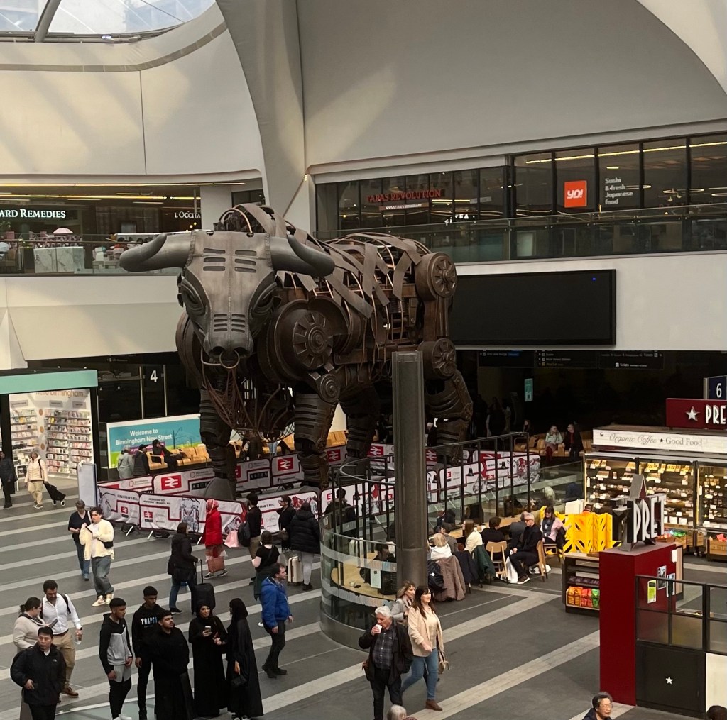
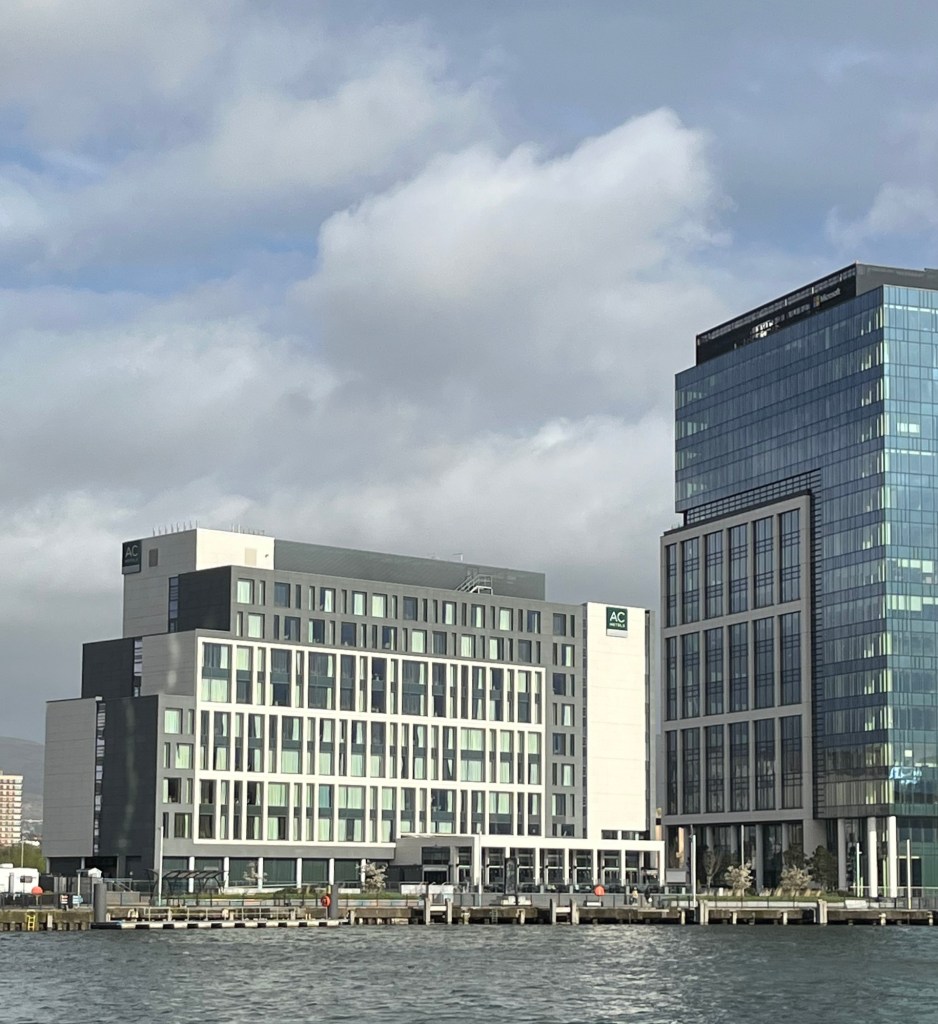
Bob and I arrived in Birmingham about 1:20 this afternoon and made our way to the AC Hotel where we will be spending the evening before taking the train to Winchester to begin our 10 day walk to Eastbourne.
Exiting the train station into a mall — no bullThe view from our room
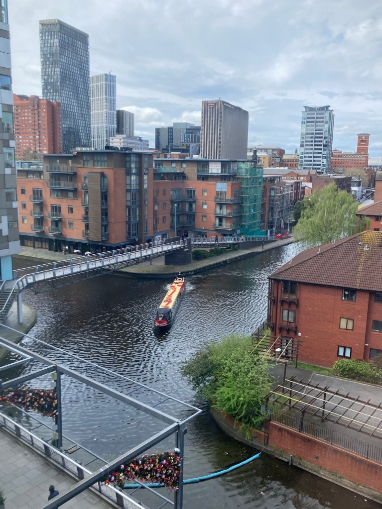
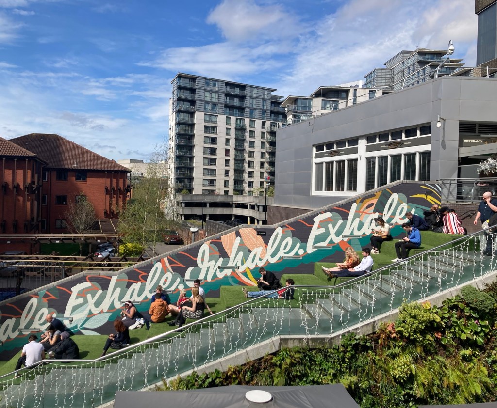
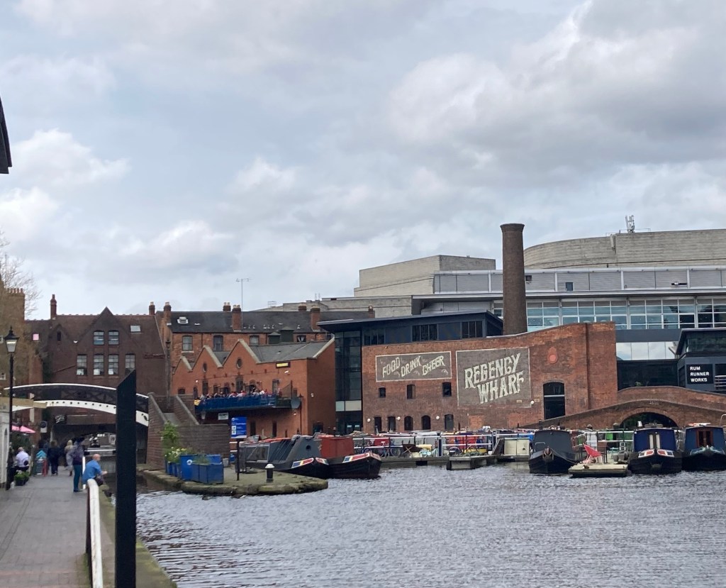
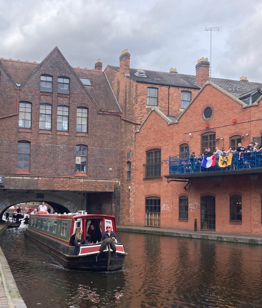
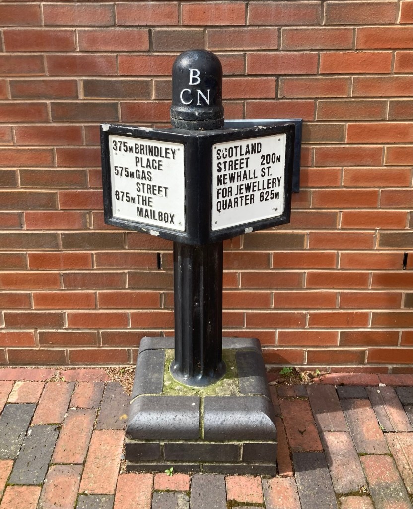
Birmingham is a major city in the West Midlands region of England, with a population of about 1.2 million. It is home to a network of canals (one of which you can see above). After dropping our bags in our room, Bob and I set off to explore a bit of Birmingham, starting with the trail along this canal.
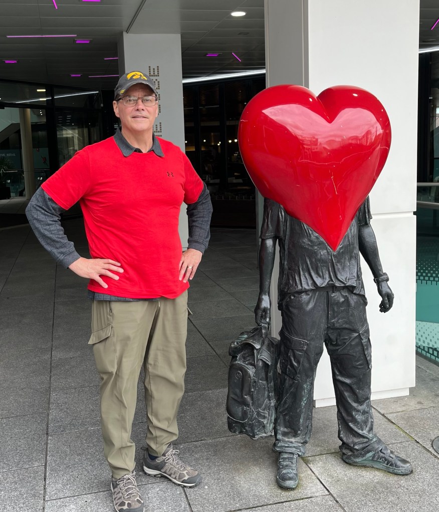
Seating along the canal, which is lined with bars and restaurants Bob’s first big “head” heart photo. A happy find.Views of the canal, walking path, and canal boatsAnother restaurant and a Hyatt hotelA family coming in on a canal boat and very boisterous people getting ready for a game maybe?Signage along the canal
We ventured off the canal to explore other areas of the city.
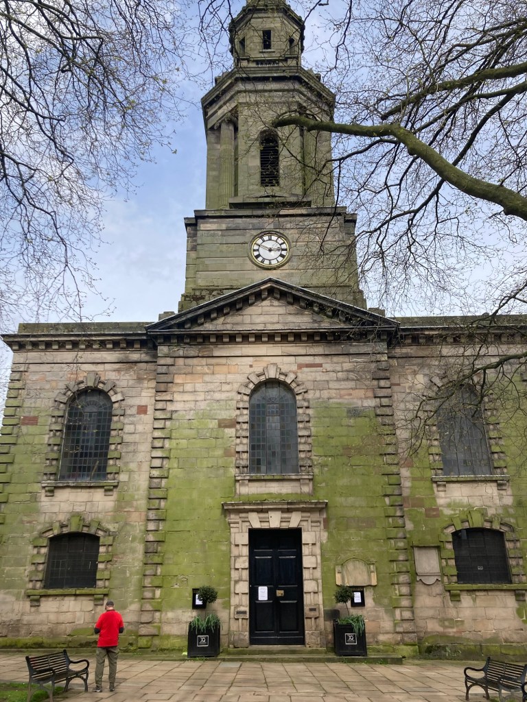
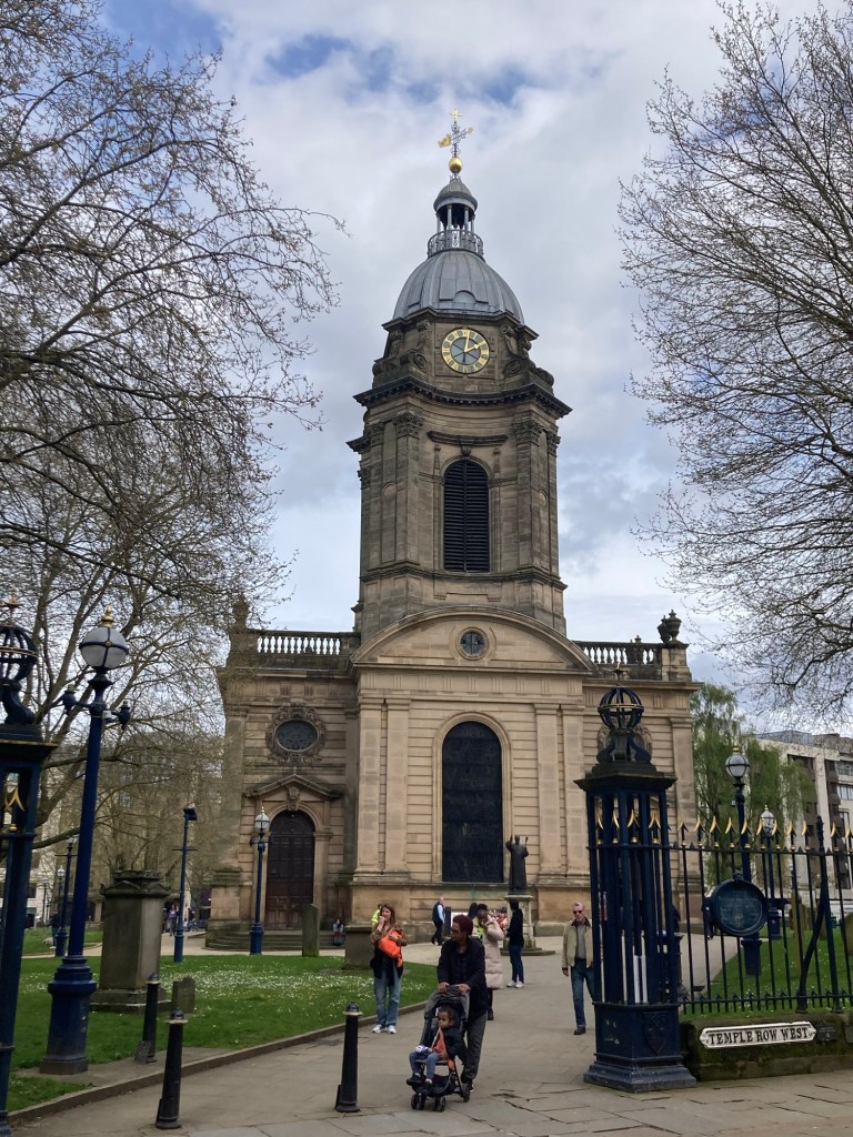
St. Paul’s Cathedral in the Jewellery Quarter Saint Philip’s CathedralThe Bullring Shopping District, connected to the train station St. Martin’s Church
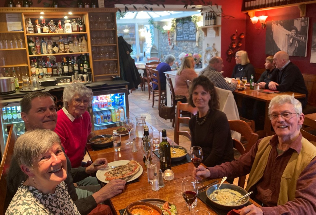
Bob and I traveled from Northern Ireland to Scotland by ferry on Monday, and today we traveled from Scotland to England by train. On Tuesday and Wednesday, we had a lovely visit with our friends, Stan and Mary (and canine friend Otter) in Thornhill, Scotland and were even able to help celebrate Mary’s birthday yesterday. We like to say that they are who we want to be when we get older, but we wouldn’t mind being more like them now. They are the consummate hosts, dear friends, and knowing them will always ensure that Thornhill and the greater Dumfries and Galloway area will hold a special place in our hearts.
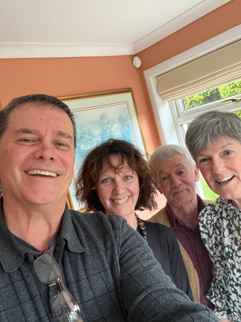
The very sweet OtterA selfie of Bob, me, Stan, and Mary before we left for dinnerMary, Bob, Nancy (Mary’s sister), me, and Stan
They sent us off with another good breakfast and Stan drove us to the train station in Dumfries, Scotland, where we caught a 9:00 am train to Carlisle, England (about 40 minutes) and then changed trains for a 3 hour trip to Birmingham, where we’re spending the evening.
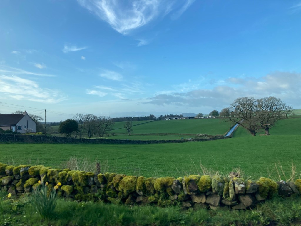
Some of the beautiful green Scottish countryside on the way to the rail station in Dumfries.
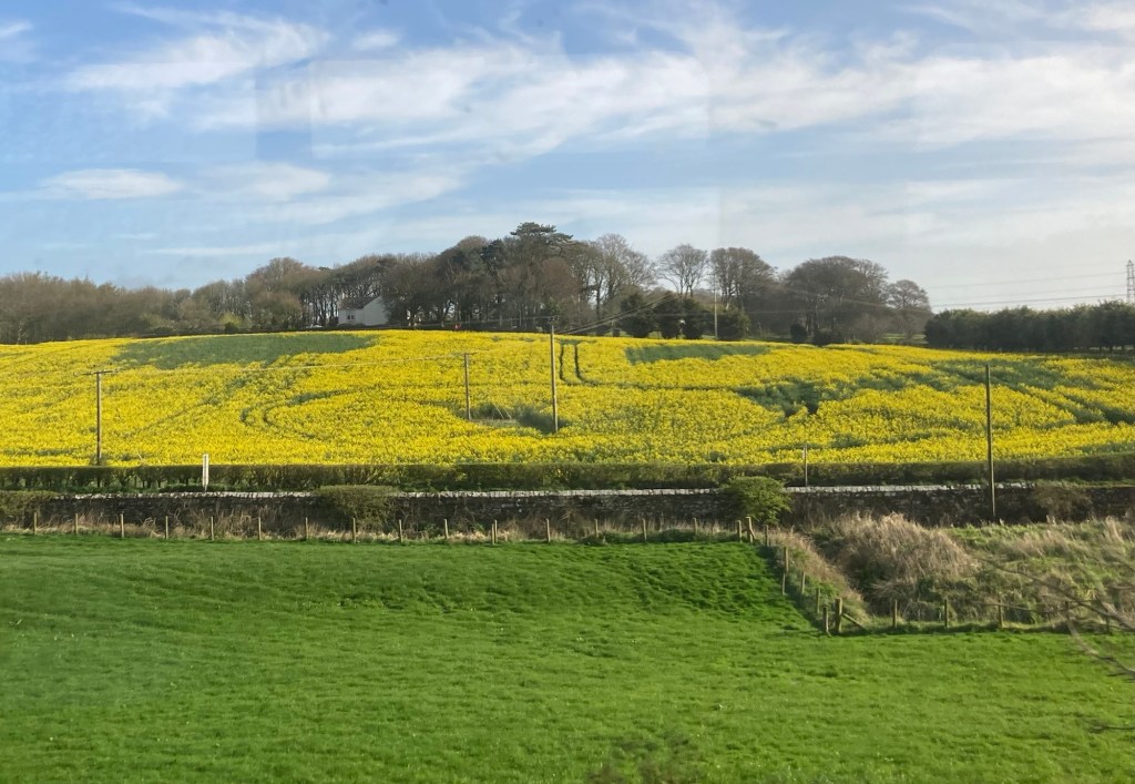
The following are some photos from our train journey to Birmingham.
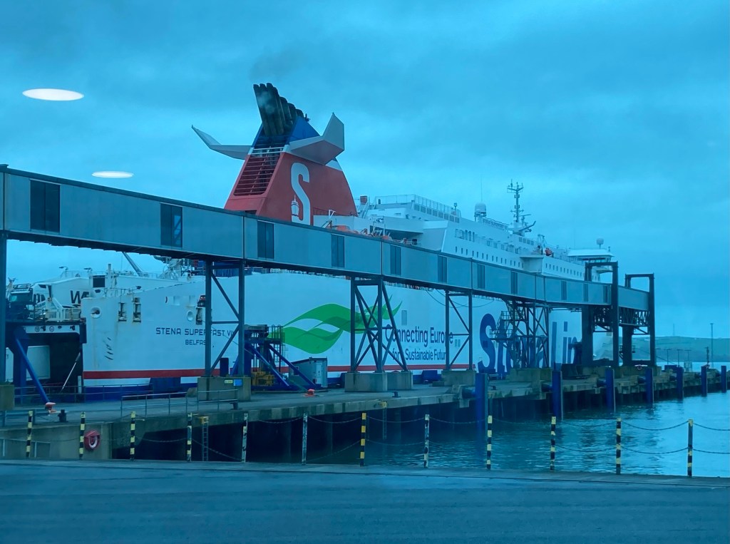
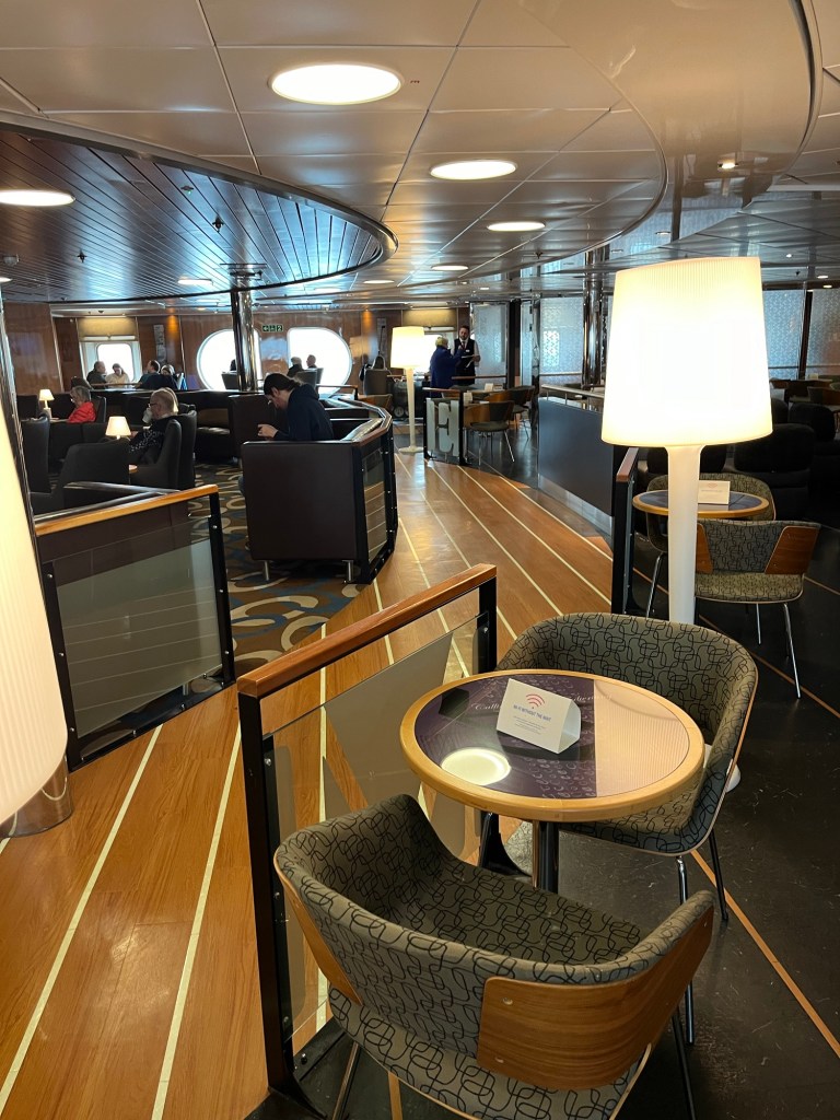
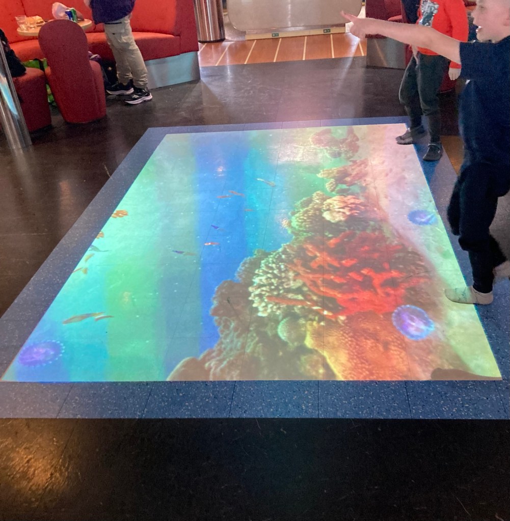
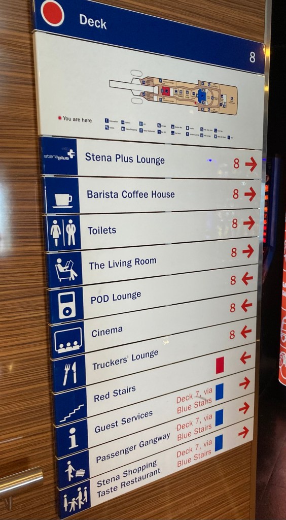
Bob and I left our Belfast hotel today by Uber for a quick 15 minute ride to the harbor to catch the Stena Line ferry to Scotland. We were very happy that the winds had calmed for our sailing. The voyage was 2.5 hours and was happily very smooth. In fact, it is a mode of travel that we would recommend if you have time. Compared to air travel, the check-in and boarding process is super quick with no security screening to worry about, and the boat has comfortable seating with plenty of leg room and lots of options for snacks or eating as well as shopping and diversions for families.
The ferry that took us from Northern Ireland to Scotland One of the lounge areas on the ferryA video display on the floor for kids to interact withSignage for the various offerings on the ferry
We arrived into Scotland at Cairnryan where we called a cab to take us just up the road to Stranraer to spend the evening in the North West Castle Hotel.
Sailing into Scotland Bob checking in at the hotel
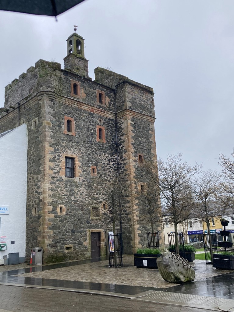
After we got settled in our hotel room, which is actually in a separate small building behind the hotel, we did a short walk about into town and got to experience school let out traffic (both auto and pedestrian). Stranraer is the 2nd largest town in Dumfries and Galloway with a population of nearly 13,000. Stranraer is a Gaelic place name that means fat stream. It used to be the ferry port for the trip from Belfast but that was transferred to Cairnryan in 2011.
Castle of St John, an early 16th century tower house which has been used as a house, court, prison, and military garrison. It’s now a museum.
Tomorrow we will take a bus to Dumfries to meet up with friends and celebrate a birthday.
First, some new news from yesterday’s outing. Yesterday’s wind wasn’t just any wind, it was part of Storm Kathleen. And Kathleen damaged part of the roof of the Titanic Museum, luckily after we left. The wind was still pretty blustery today, but much more manageable for our outing.
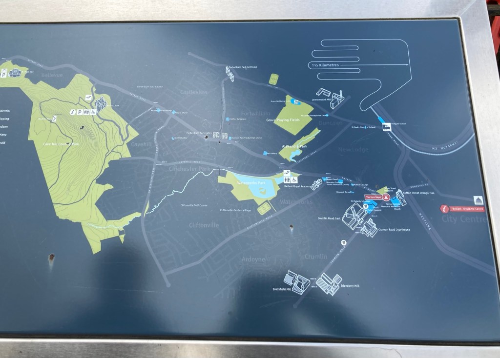
For our last full day in Belfast, we opted to walk to Cave Hill Country Park to check out views, see Belmont Castle, and do a short hike before walking back into town to do some shopping. The 3.5 mile walk to Cave Hill Country Park took us through North Belfast, and we discovered some maps along our walk.
A map of the area showing our location at that time as we headed to the big green space on the left.
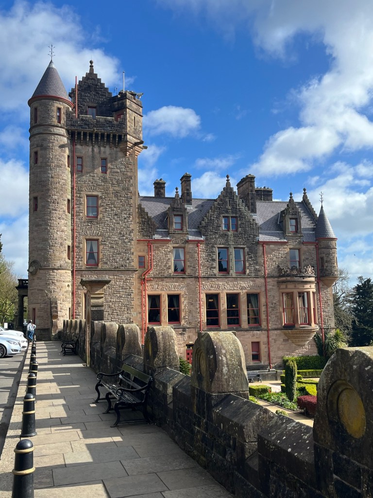
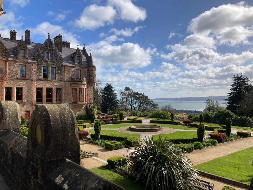
Cave Hill Country Park gets its name from the five caves located there, which could be early iron mines. The large park is currently used for cattle grazing, hiking and mountain biking, and visiting Belmont Castle for the views, lovely gardens, or events. The current Belfast Castle was built in the Scottish Baronial style for the 3rd Marquis of Donegall. It was completed in 1870. It isn’t much to look at on the inside now but the building itself and the gardens and views were worth the visit.
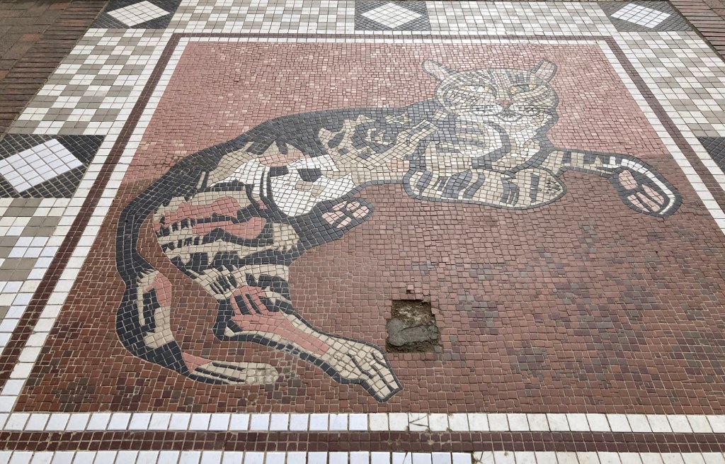
Walking up to Belmont Castle Looking across the gardens towards Belfast Harbor, where we’ll be sailing out of tomorrow A tiger mosaicA hedge sculpture. We’re guessing a cat since there seemed to be a cat theme going on.The gardens and spiral staircase in the rear of the castle (and 2 people trying to stay out of the photo)
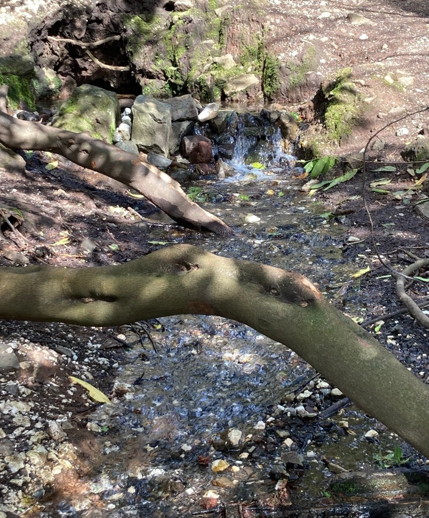
After touring the castle, we walked the 2.4 mile Estate Trail, one of a number of trails on the property.
One of the trail markersVolunteers’ Well along the trail, a natural spring named for the Irish Volunteers militia group who conducted their drills on the slopes near the spring A portion of the Estate Trail
We had the wind at our backs for much of the walk to the park/castle, so we had a little tougher go of it on the way back into town. We poked into the lovely Waterworks Park that we had seen on the way.
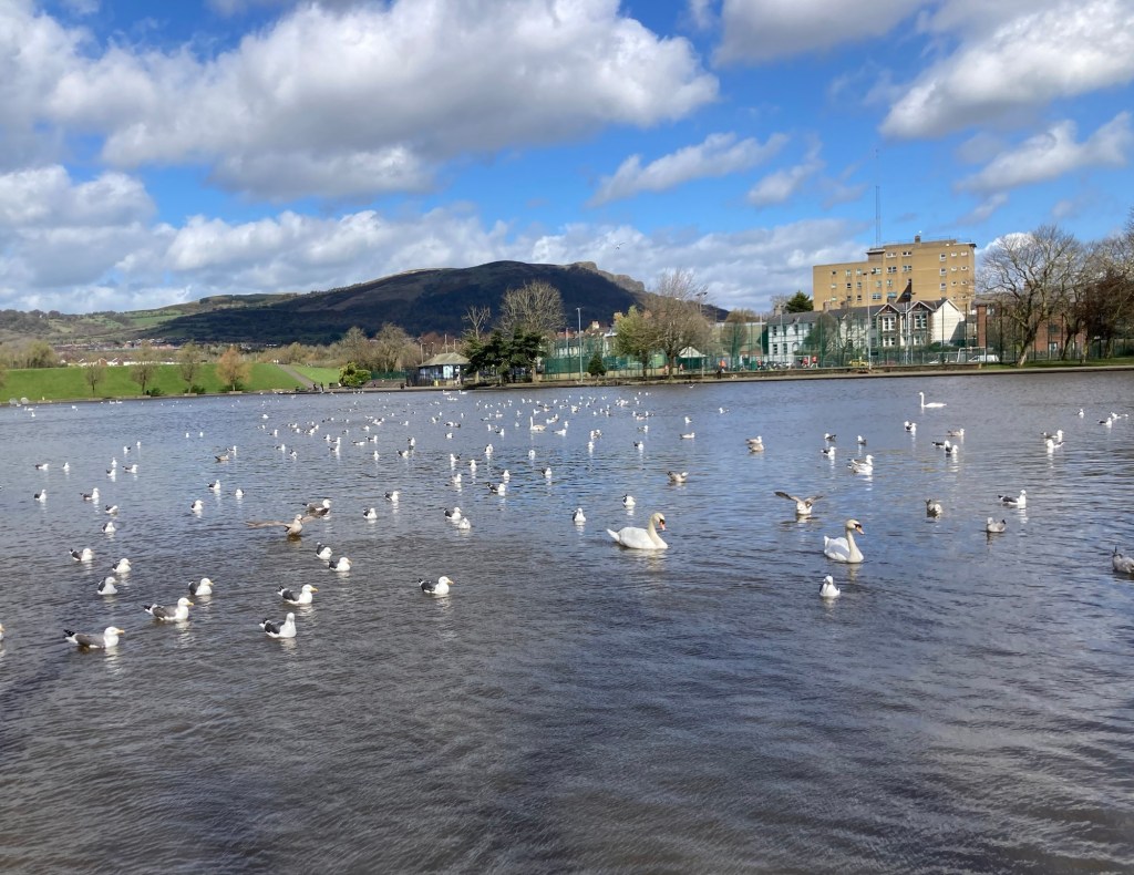
The waterfall in Waterworks ParkThe seagull and swan filled lake in the park
We finally got to see the Belfast Cathedral (known locally as St. Anne’s). Our cab driver had pointed out its very thin, steel spire on our drive in from the airport. It is known as the Spire of Hope and wasn’t added until 2007.
Belfast Cathedral or St. Anne’s (spire out of view)
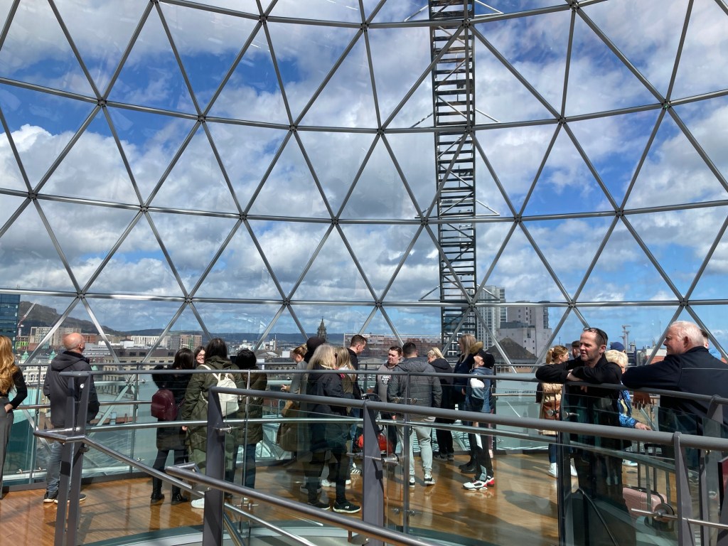
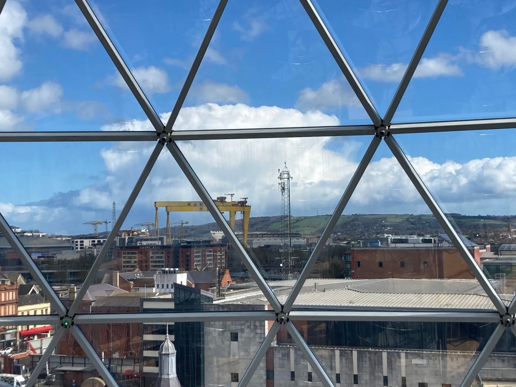
Finally, we headed to Victoria Square Shopping Center, an open air mall where we were able to climb to the observation deck on the top level (floor 3 here, would be floor 4 in the States) to get another view of Belfast.
Lots of people taking in the views at the mallOne view of Belfast from the observation deckLooking out towards the shipyards and the famed Samson and Goliath cranes.
Fun fact — Goliath was erected in 1969 and Samson in 1974. Goliath stands 315’ tall, and Samson is 348’ tall. Samson wins again.
We didn’t end up shopping at Victoria Square, but a helpful employee recommended another store to help us and Bob now has his trekking poles for our upcoming walking trip.
Bob and I had an interesting visit to the Titanic Museum and then onto the fun and active St. George’s Market, but the story of the day and maybe tomorrow was the wind. They said on the news last night that it might get as strong as 60 mph. We don’t know yet if it got there, but it was definitely the strongest we have ever felt. We were literally blown around, sideways or flung forward or had to fight to move forward against it. Quite impressive!
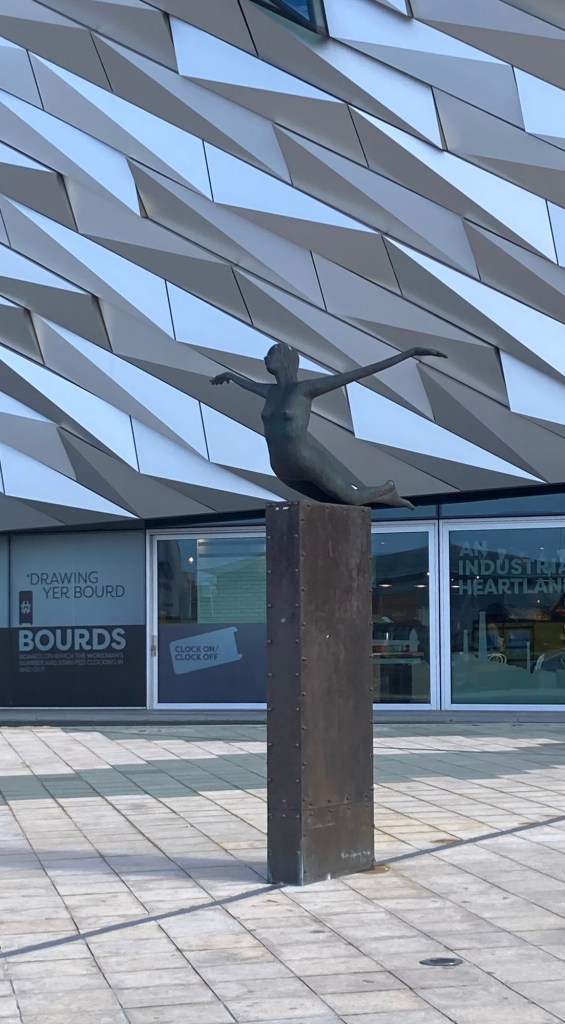
But back to today’s events. We started with a walk to the Titanic Museum for our 9:30 am timed-entry. We had to walk away from the museum to a pedestrian crossing over the Lagan River before heading back towards the museum.
Looking at our hotel across the Lagan RiverA sculpture and new development along the river before the Titanic Museum
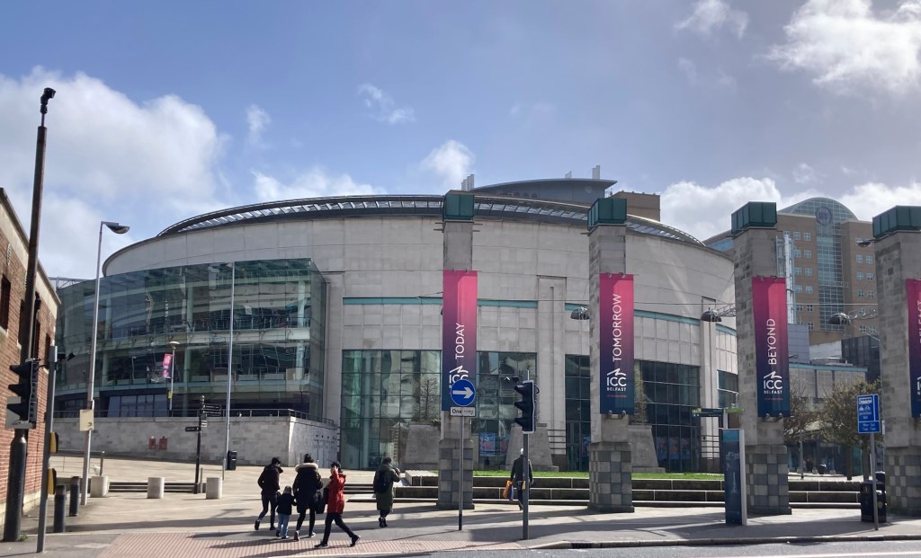
The Titanic Museum was completed in March 2012 in time for the centenary of the sailing and sinking. It tells the story of Belfast at the time the Titanic was built, the building of the ship, its sailing, disaster, and aftermath, using multiple-media and even a ride. We had also paid for the audio tour, which provided a great commentary and also allowed for us to learn the information even if we couldn’t get right up to a particular exhibit.
The very striking Titanic MuseumThe Titanica sculpture by Rowan Gillespie in front of the museum
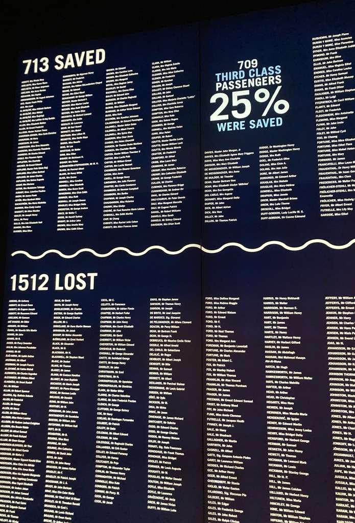
The short story of the Titanic. It was built by Harland and Wolff in Belfast and owned by White Star Line out of Liverpool. It sailed on its maiden voyage on April 10, 1912, out of Southampton, England, and sunk on April 15, 1912, after striking an iceberg. It was the deadliest sinking of a single ship at that time and spurred major changes in maritime safety regulations.
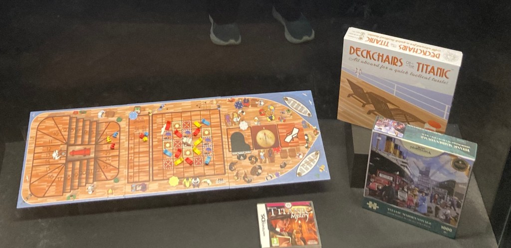
The cars we rode through an exhibit describing the construction of the ship.The listing of all passengers and crew.Who knew there was actually a game about rearranging deck chairs on the Titanic?
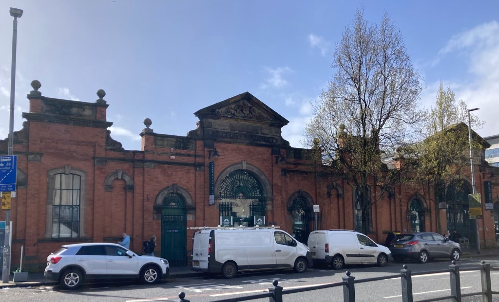
After we completed our tour of the Titanic Museum, we walked a little closer into the city center to check out the St. George’s Market, which had food, crafts, and antiques and other vendors. The market was originally opened in 1890 to sell butter, eggs, and poultry.
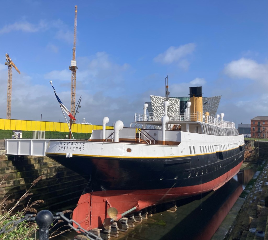
The last remaining White Star ship, which lies just in front of the Titanic Museum.The Belfast Opera HouseSt. George’s MarketInside the busy marketThe statue of Harmony along the riverfront
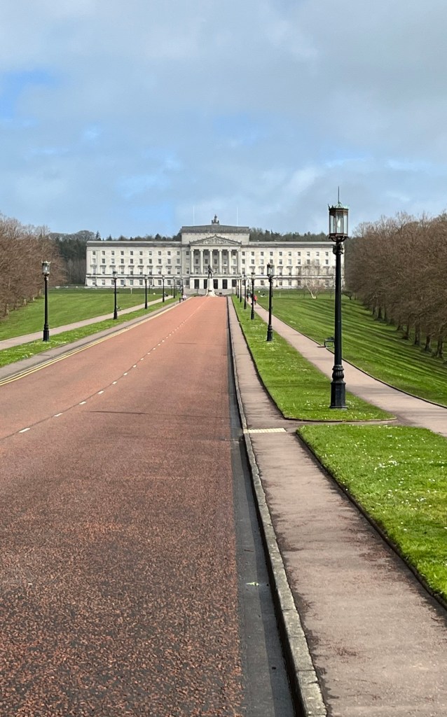
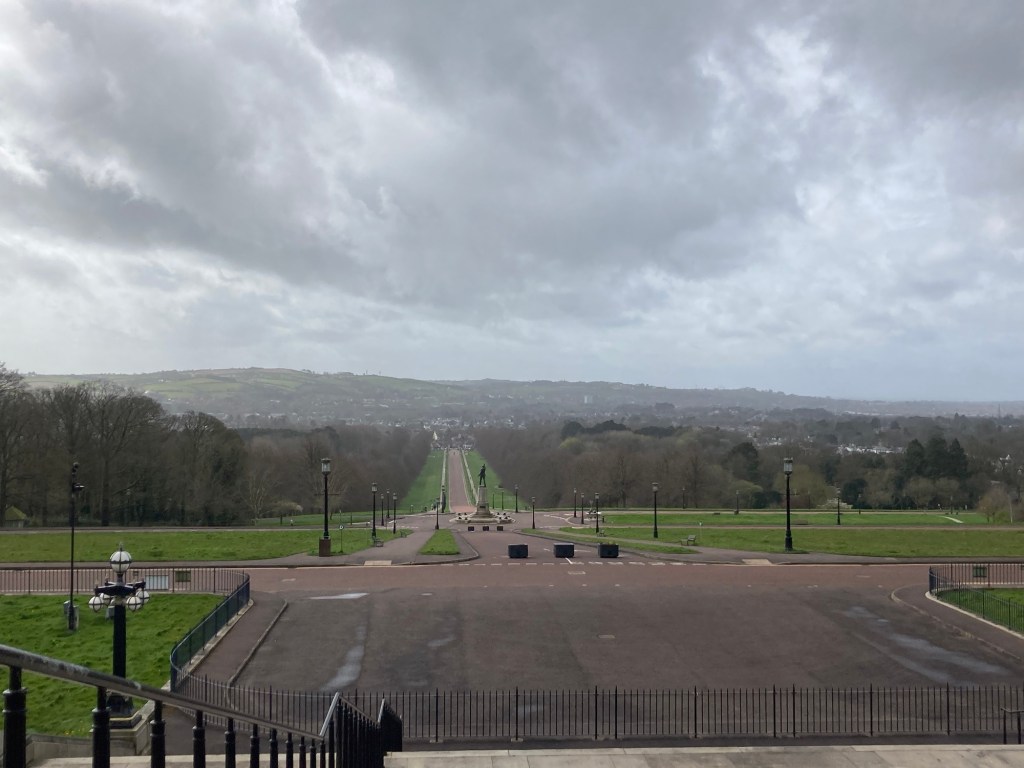
One of the places Bob and I knew we wanted to visit in Belfast is Stormont, which is the Northern Ireland Assembly building. The building is the seat of the devolved government for Northern Ireland, and as we just discovered today, lies on a beautiful estate that is well used by the public.
The walk from our hotel to Stormont was 4.5 miles and took about an hour and 45 minutes. It took us over a pedestrian bridge and then through East Belfast and other neighborhoods. As is typical in the UK, we had clouds, sun, rain, and sometimes a mixture. The temperature was great, however, mid to upper 50s, and the rain was never very heavy.
We started our walk on the promenade behind our hotel and had an early opportunity for a mixed species big head shot for Bob.
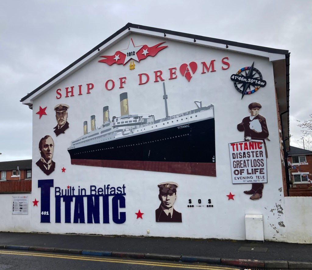
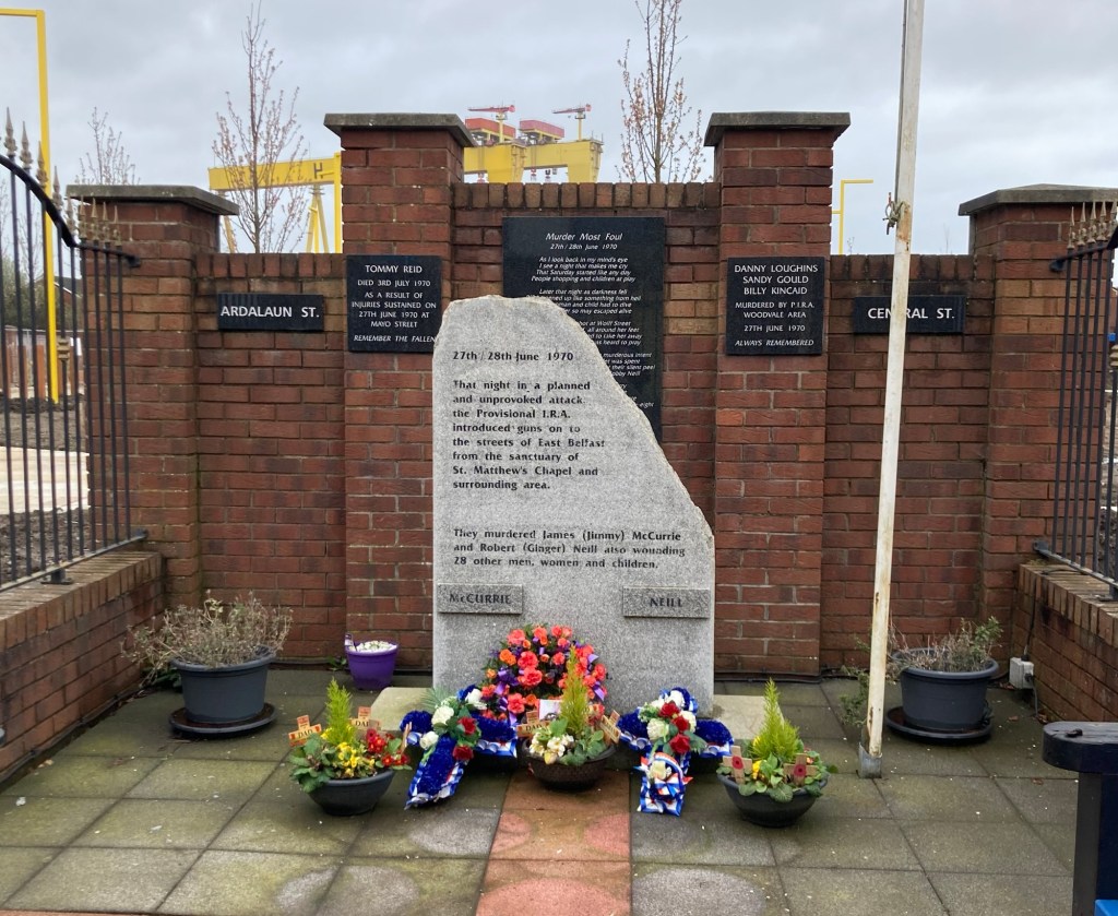
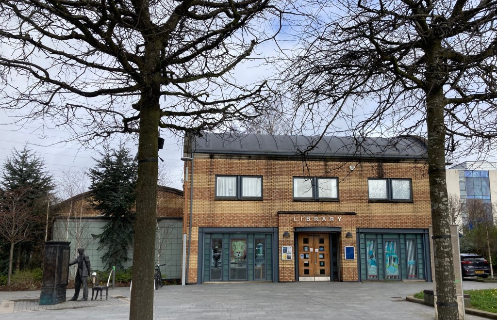
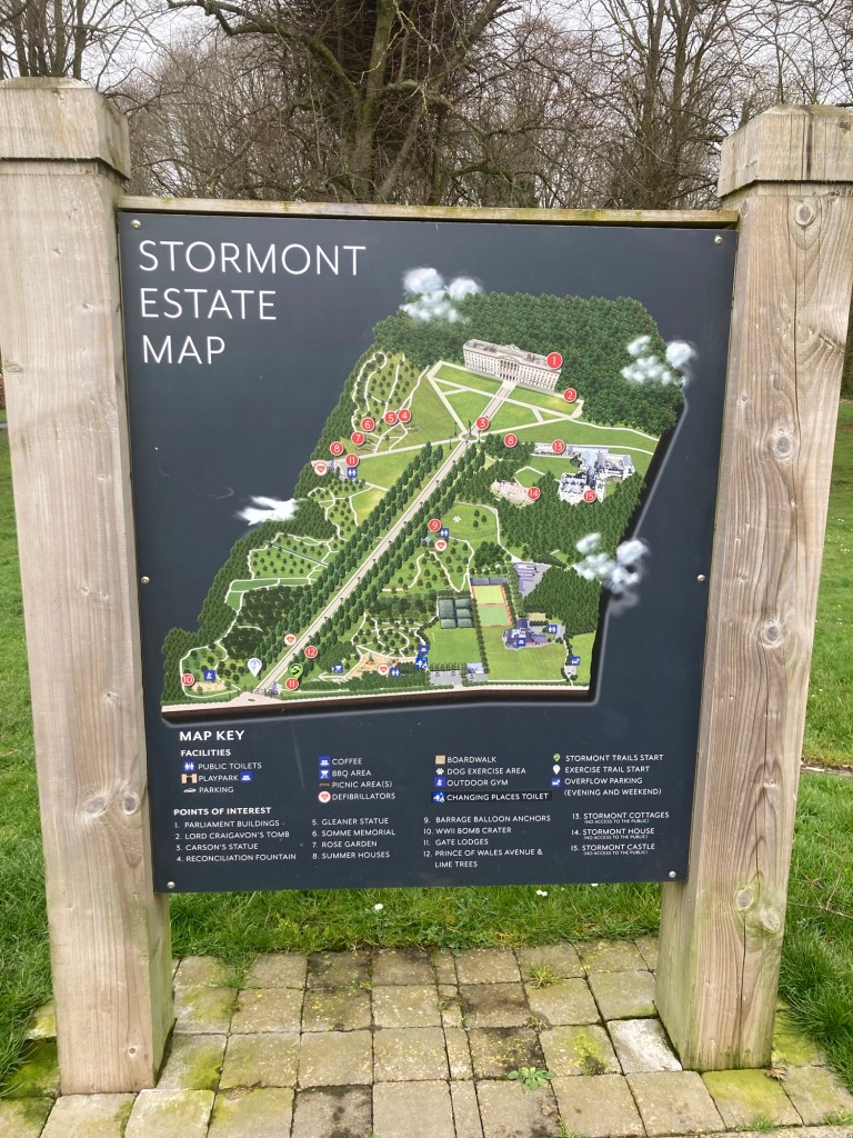
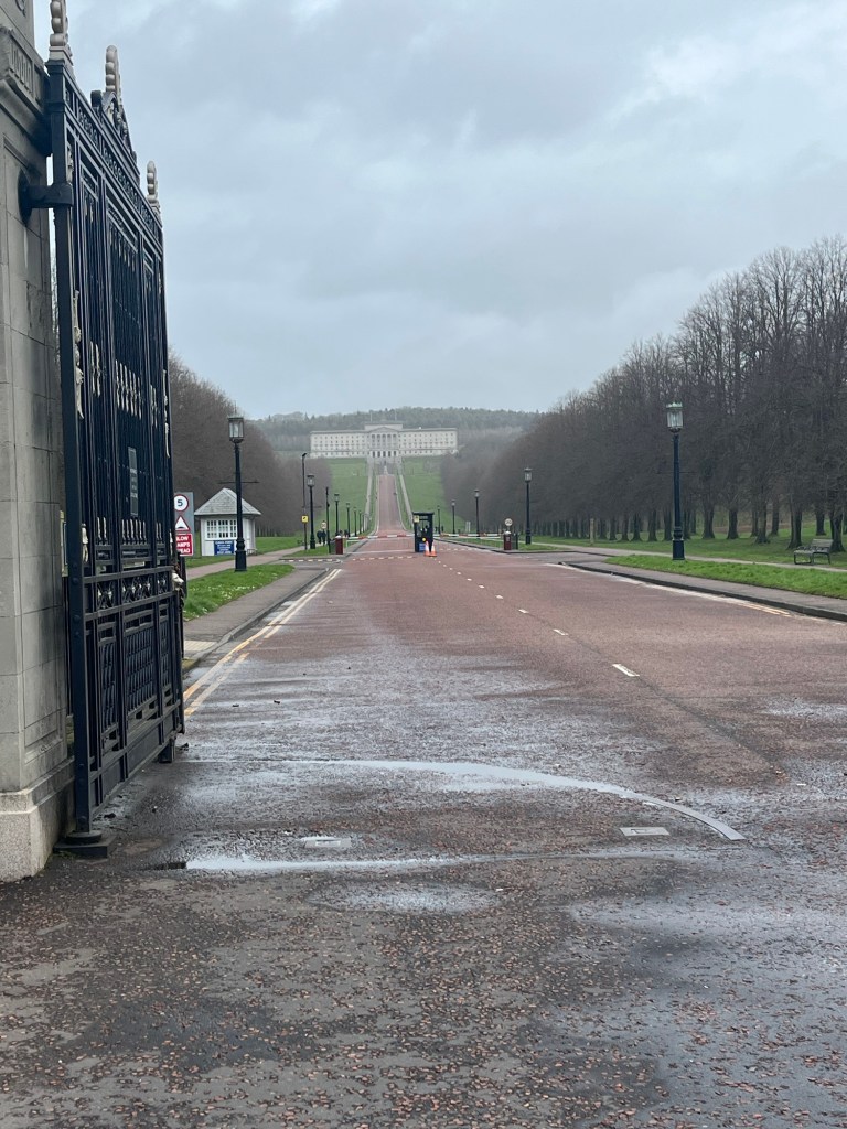
Looking towards the pedestrian bridge from the promenade Bob is inclusive with his big headsCapturing the city train crossing the Lagan River near usA titanic mural on a building on the wayEast Belfast is the Unionist/ Loyalist side, so the memorials we passed today were those individuals killed by the IRA.A cute local branch library near C.S. Lewis Square. C.S. Lewis was born in BelfastMap of the lovely Stormont Estate, including a castle, the parliamentary building, a children’s park, woodland trails, and gardensOne of the woodland trails near the children’s playground Looking up Prince of Wales Avenue towards the parliament building
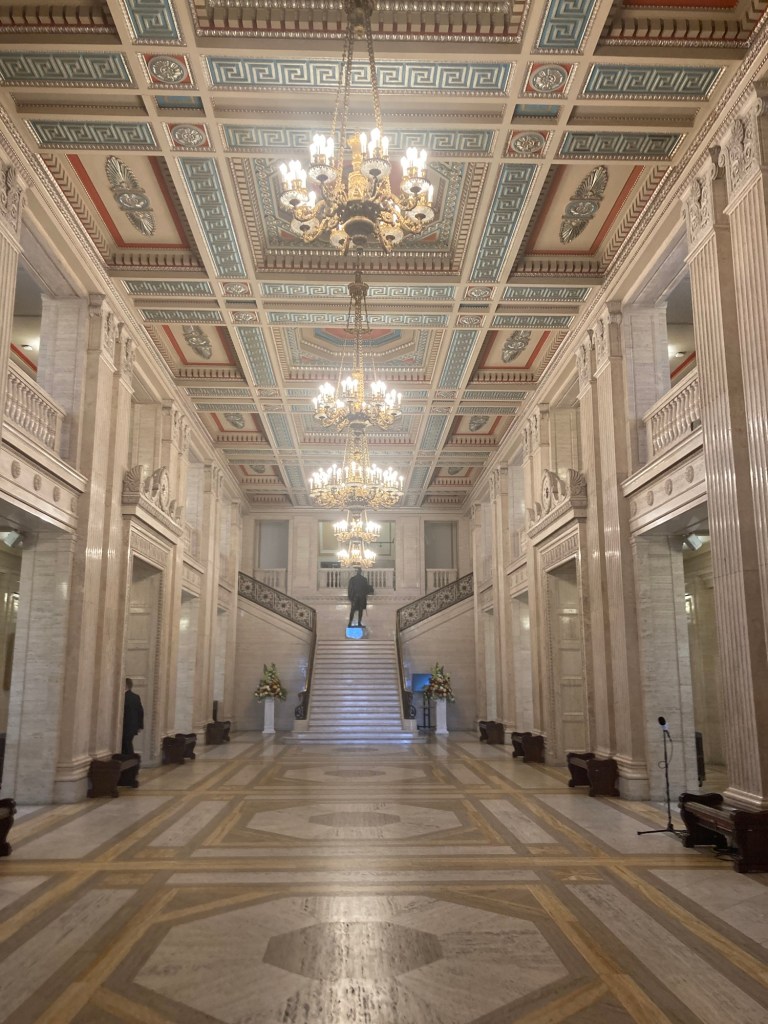
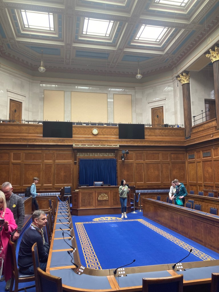
The parliament building is open to the public during weekdays from 9-4, and tours are conducted at 11 and 2 daily. You have to reserve tickets for the tours. We did not because they were all reserved by the time we checked into it. However, when we entered the helpful guy up front took us to the Assembly Chamber where the 11 am tour was ending so we could see the chamber before doing our own self-guided tour later.
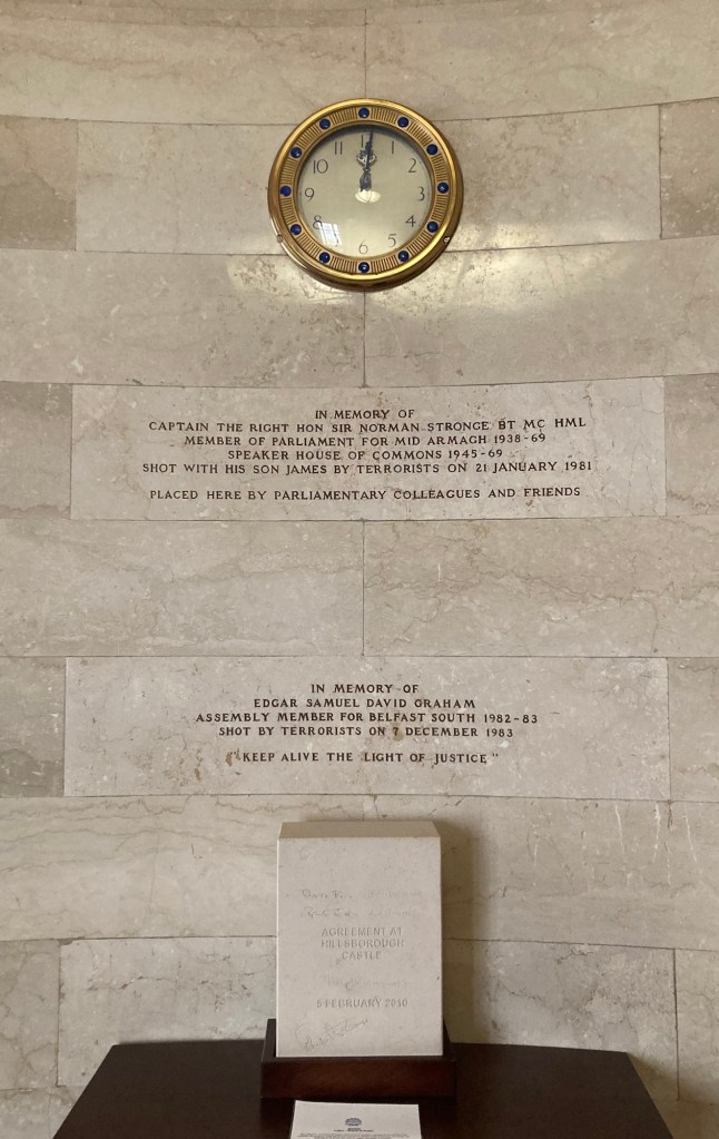
Although the Northern Ireland Parliament was established in 1921, this building wasn’t completed until 1932, when it was officially opened by the Prince of Wales, Edward VIII. The Northern Ireland Parliament was dissolved in 1972 by the Stormont Government as a response to the violence (start of “The Troubles”) enacted by the Republicans (IRA) who felt that their needs were not being equally addressed by the government. It was reinstated under the Northern Ireland Elections Act of 1998 as part of the Good Friday Agreement.
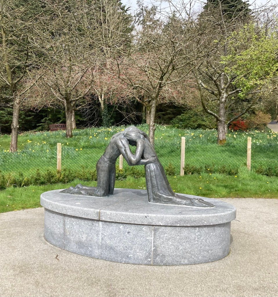
The entrance hall of Stormont. This was the only floor we could access as visitors.The Assembly Chamber where we walked in on the guide promoting the benefits of Hobnobs as snacks for children vs. digestive biscuits as a way to explain how members would introduce issues to the chamber.Memorials to two Assemblymen killed by terrorists (IRA)View of the surrounding area from in front of the parliament building Reconciliation statue presented by Coventry Cathedral and Sir Richard Branson. Identical statues were placed in Berlin and Hiroshima.A view of Stormont from over the gardens