In addition to the new scenery that Bob and I are seeing on this trip, we have been learning some new geography terms as well in reading the route instructions in the guide book. For example (definitions based on a quick Google search) —
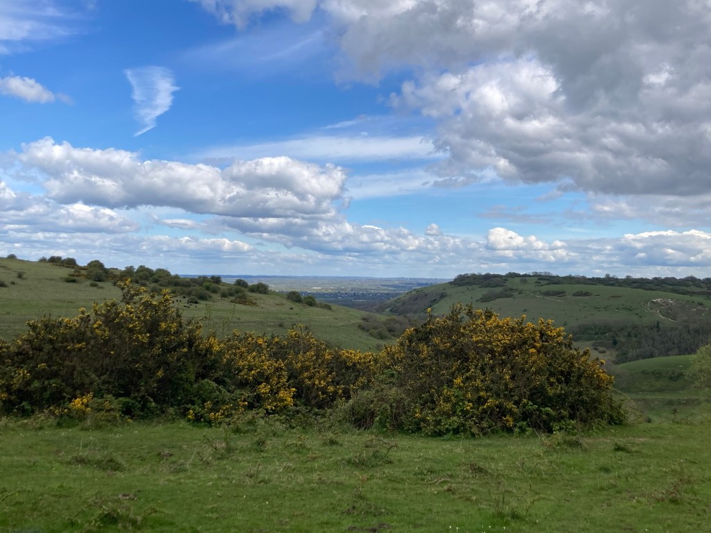
Downs (as in South Downs Way) — an area of open land with low hills, especially in South England.
Weald — a formerly wooded district of Southeastern England
*Combe (rhymes with room according to our host for the night) — a short valley or hollow on a hillside or coastline
That’s it for today’s lesson, but interesting to learn some terms particular to this region.
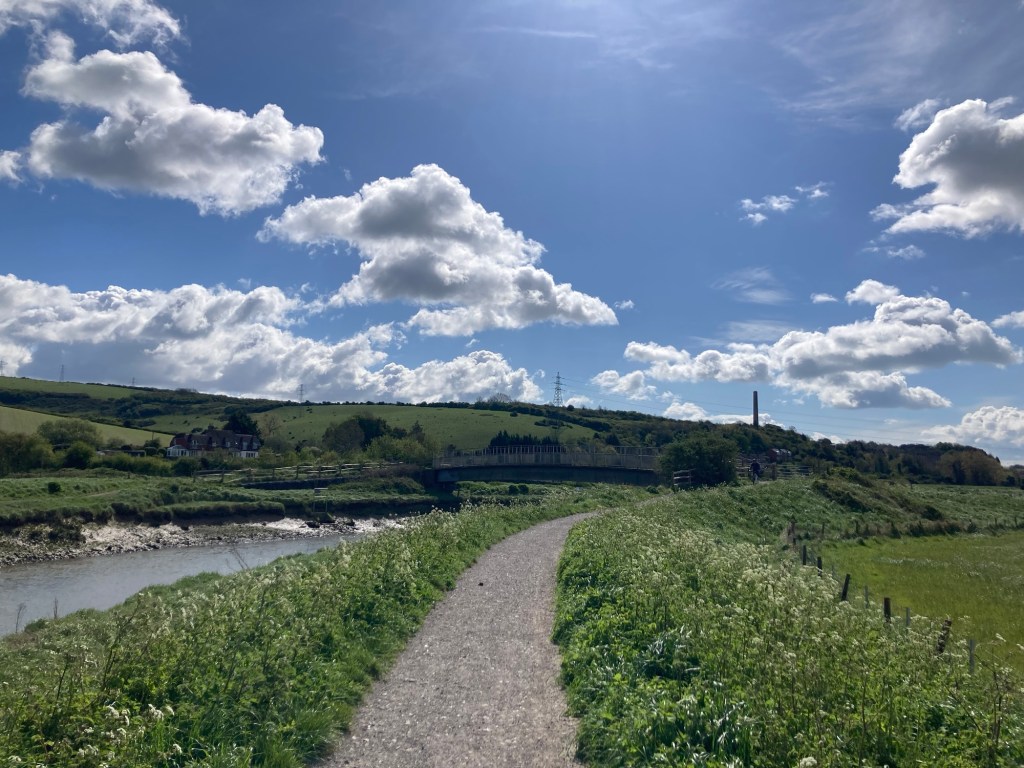
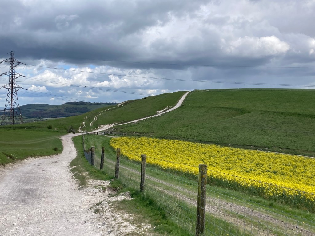
Today’s hike was a short 12 miles; however, with a number of ups and downs, weather related clothing changes, and a short stop for a lunch snack, it took us almost exactly 6 hours, which is about the same or a bit longer than our last 2 hikes even though the mileage was longer.
We had breakfast (included in the tour daily) at about 7:30 and we’re on our way by about 8:15. The wind continued to be fairly strong and chill, and we had a bit of rain as well today, although not as strong as Monday. We began with an hour walk through and out of Steynring to get back to where we had left the trail yesterday.


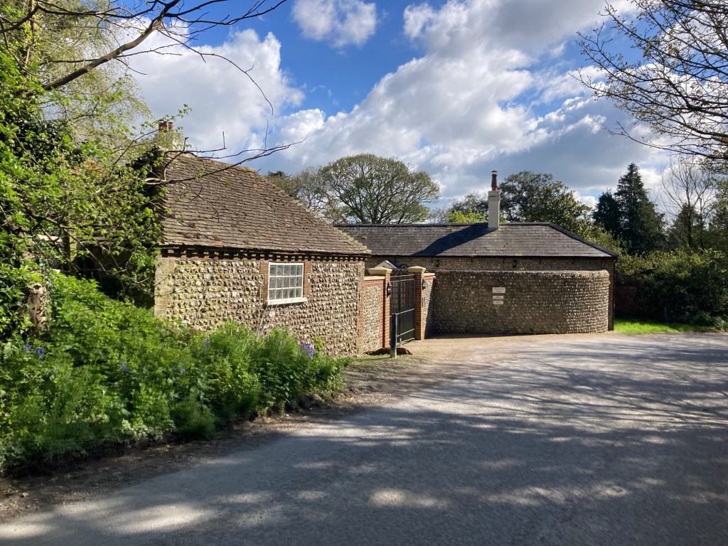
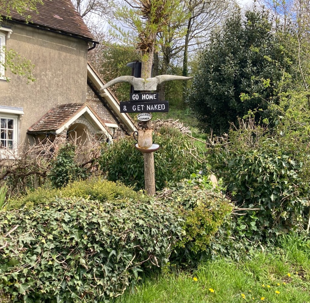
that is seen on many local buildings,
although our feet aren’t as found of it as a walking surface.
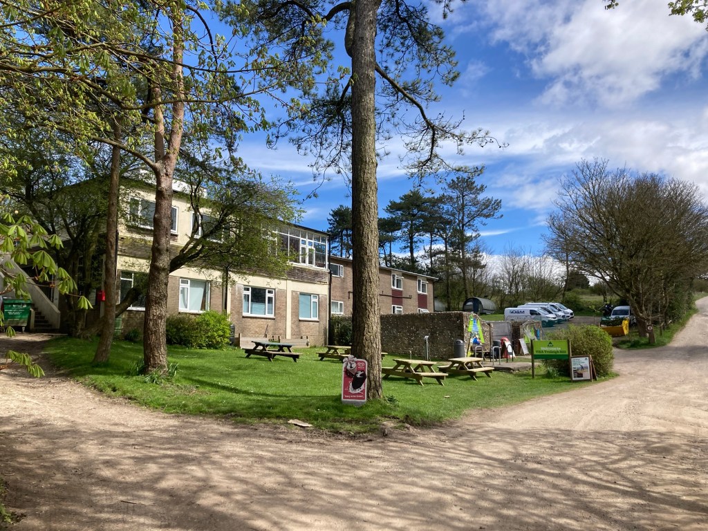
that we’ve walked through.
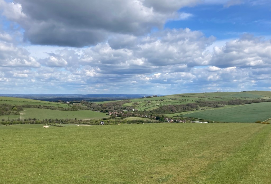
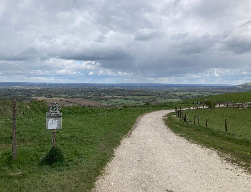
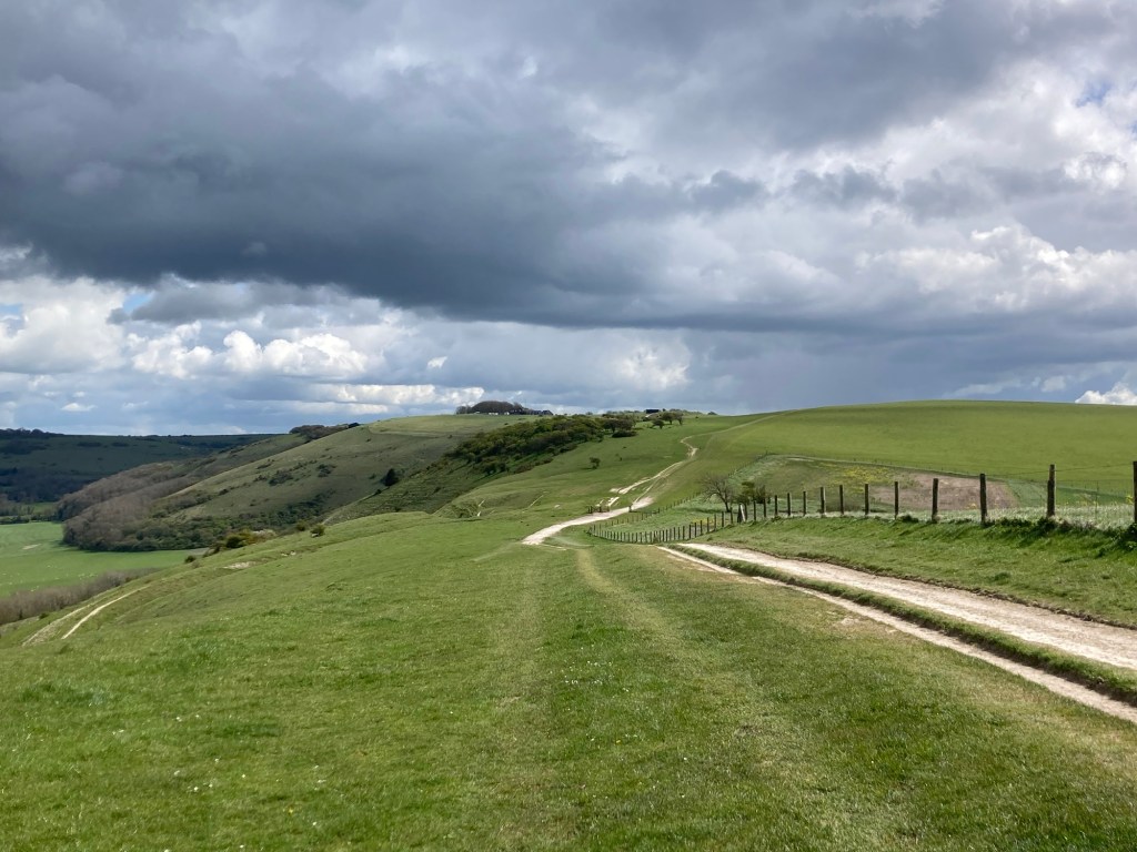
This one is on the Fulking Escarpment,
which is clearer written than pronounced.
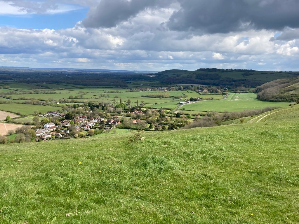
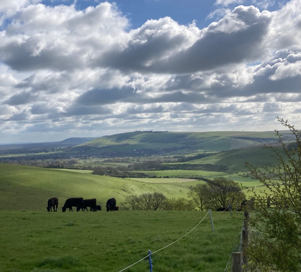
We’re definitely getting closer to water
and saw Brighton for much of the day.
Britain’s largest coombe of chalk karst