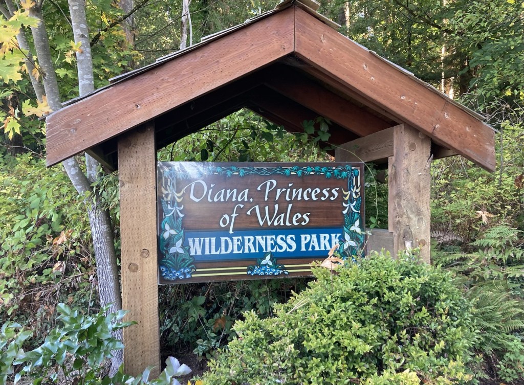
We did another trip slightly north today. This time, first stopping in the little community of Saltair, which is between Chemainus and Ladysmith. We had noticed the Diana, Princess of Wales Park on the map and stopped to check it out.
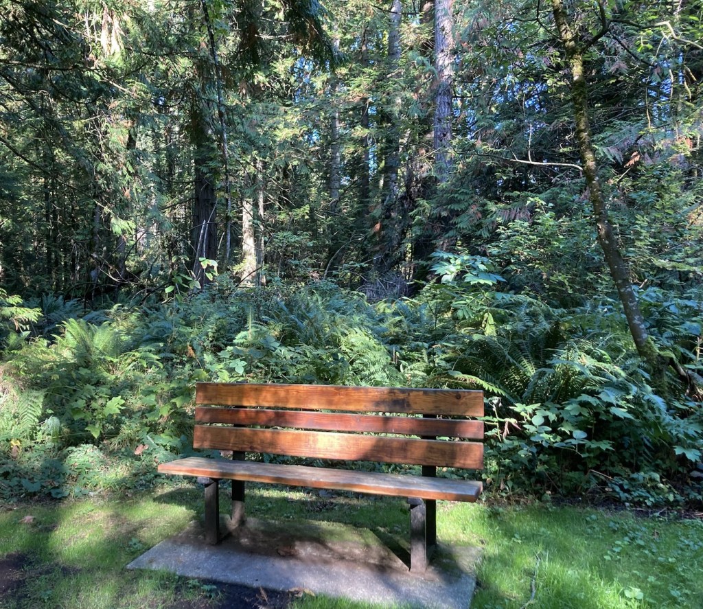
It is a relatively small wilderness park with an easy walking trail. No idea why it’s named for Diana, and the walk was a bit colored by the sign posted that a bear had been spotted in the area.
Sign at the entrance of the parkThere are a couple of nice benches along the path and more ferns and moss
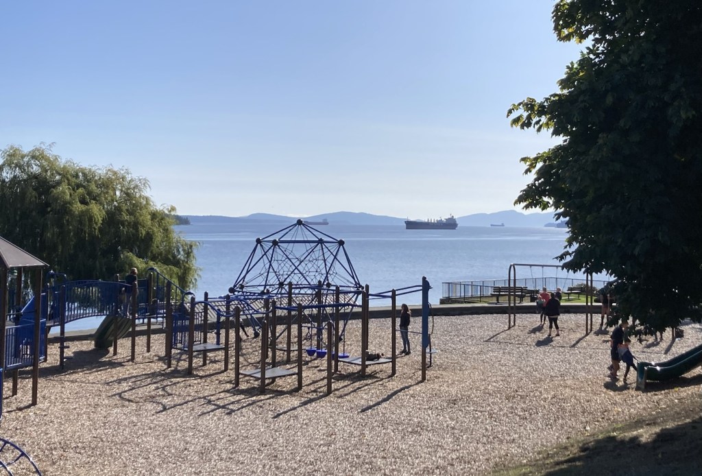
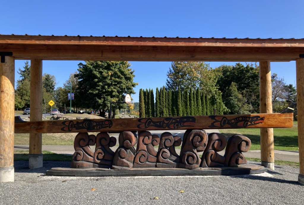
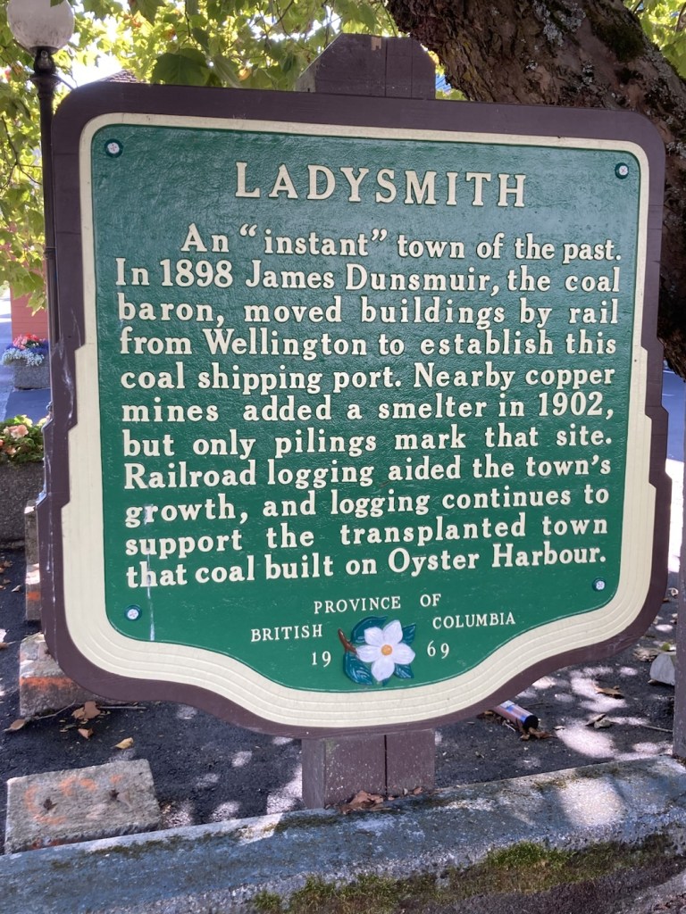
From the park, we headed into Ladysmith to walk their Marine Walk along the water and then check out their heritage area downtown. it was another beautiful fall day.
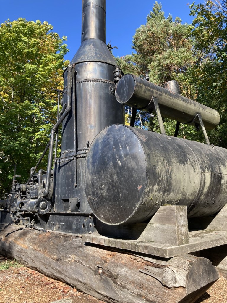
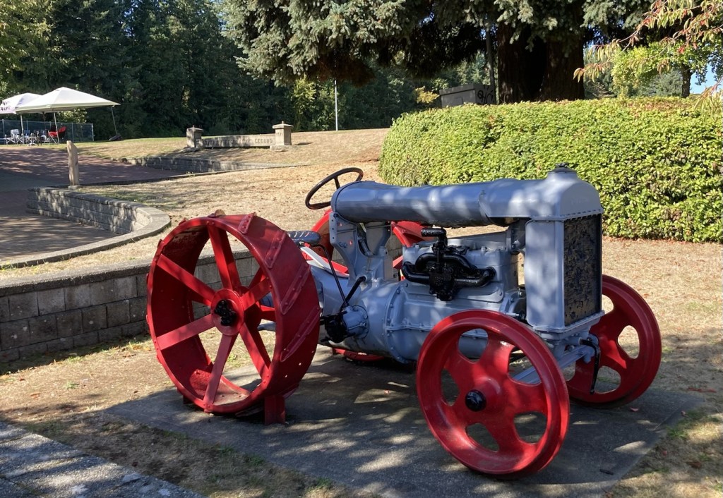
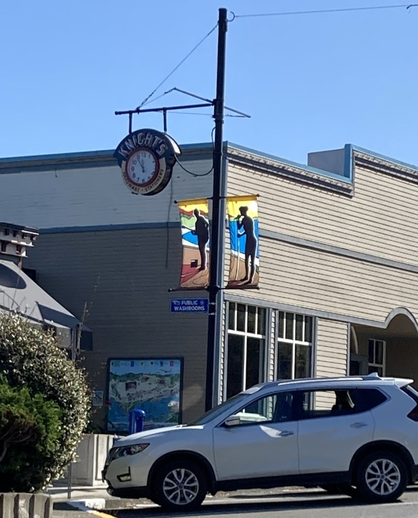
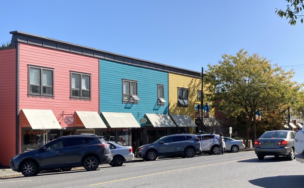
The sign for Ladysmith Transfer Beach where the Marine Walk startedThe children’s play area in the park along the beachAn example of an indigenous canoeA boater out enjoying the dayA marinaA steam donkey engine used in local logging operations Some fun (now that things are settled) US and British/Canadian history A Fordson tractor that was repurposed for hauling logs over groundKnight’s Clock which was originally mounted on Knight’s Hardware StoreSome of the retail buildings in downtown More Ladysmith history
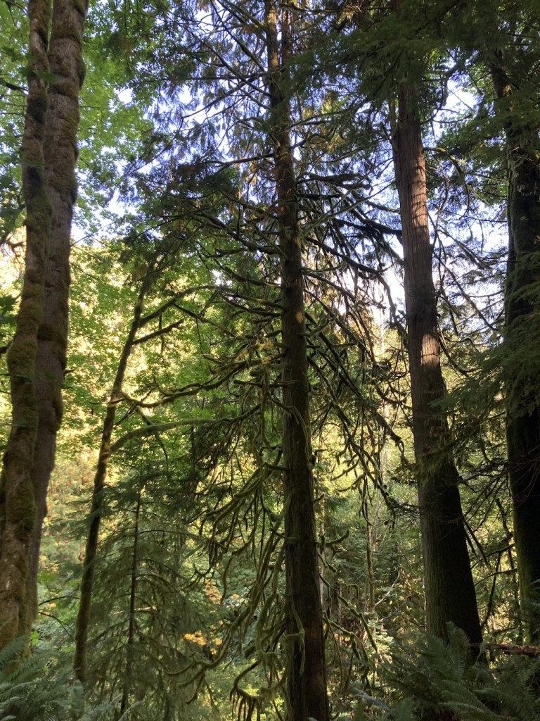
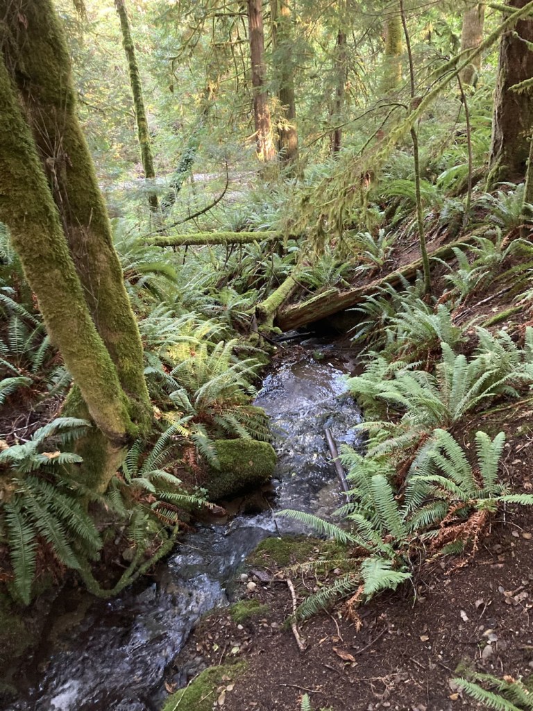
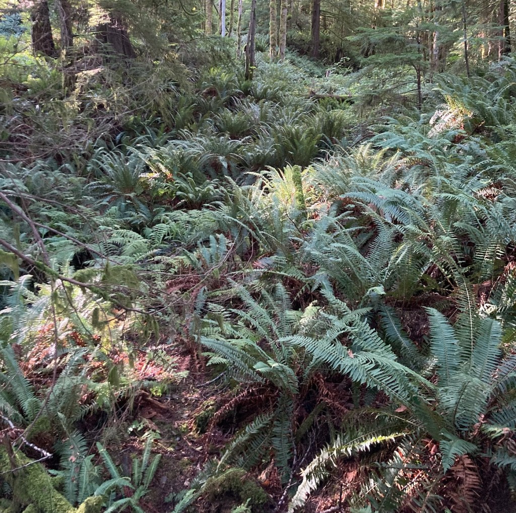
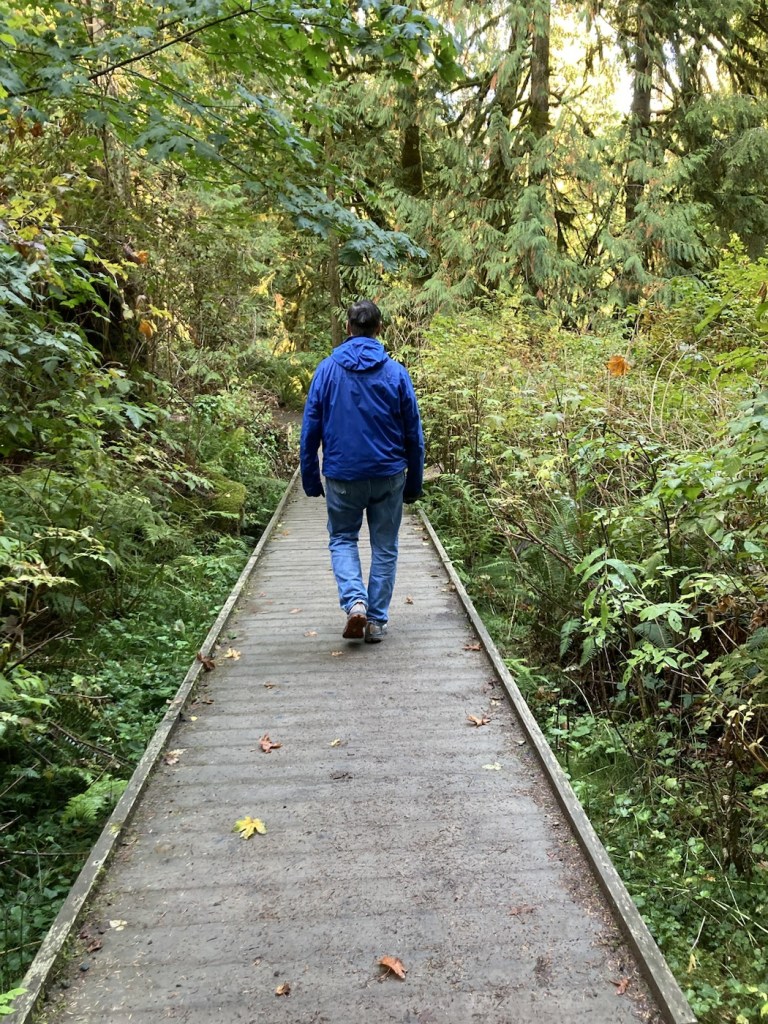
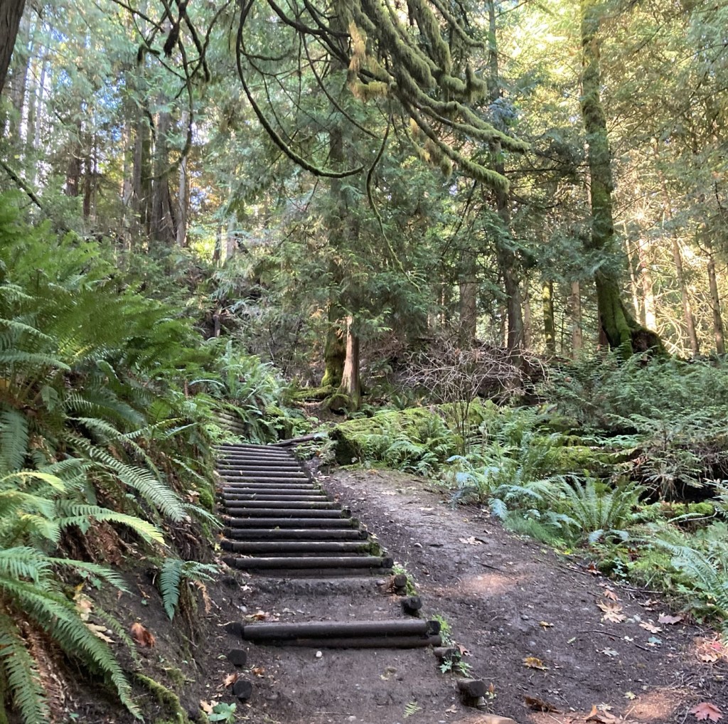
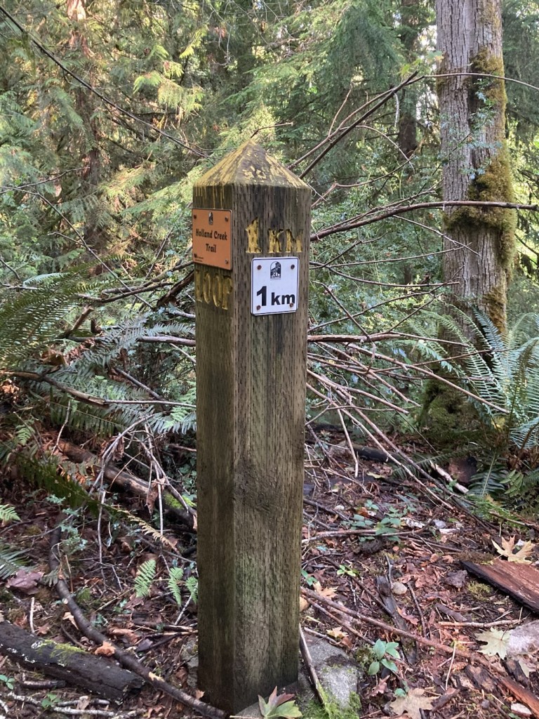
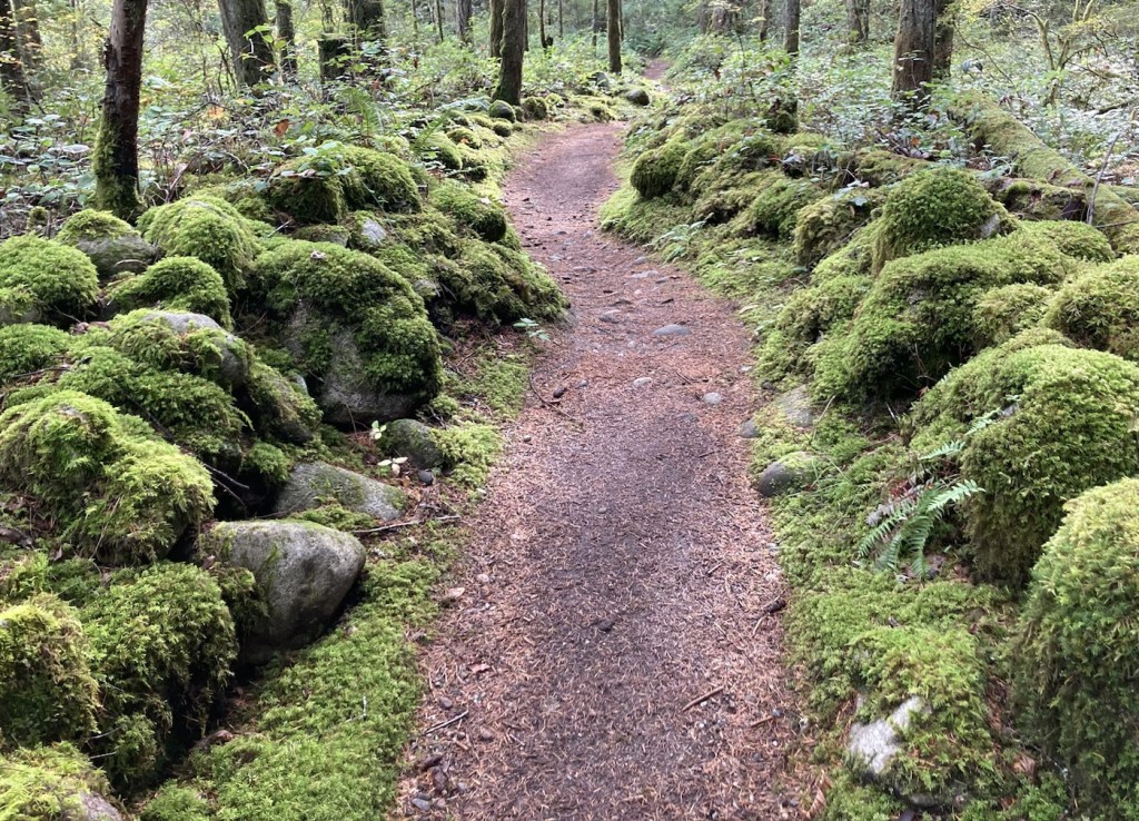
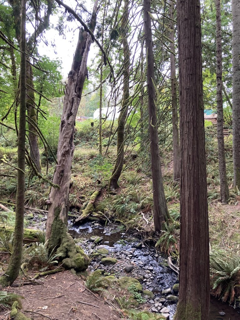
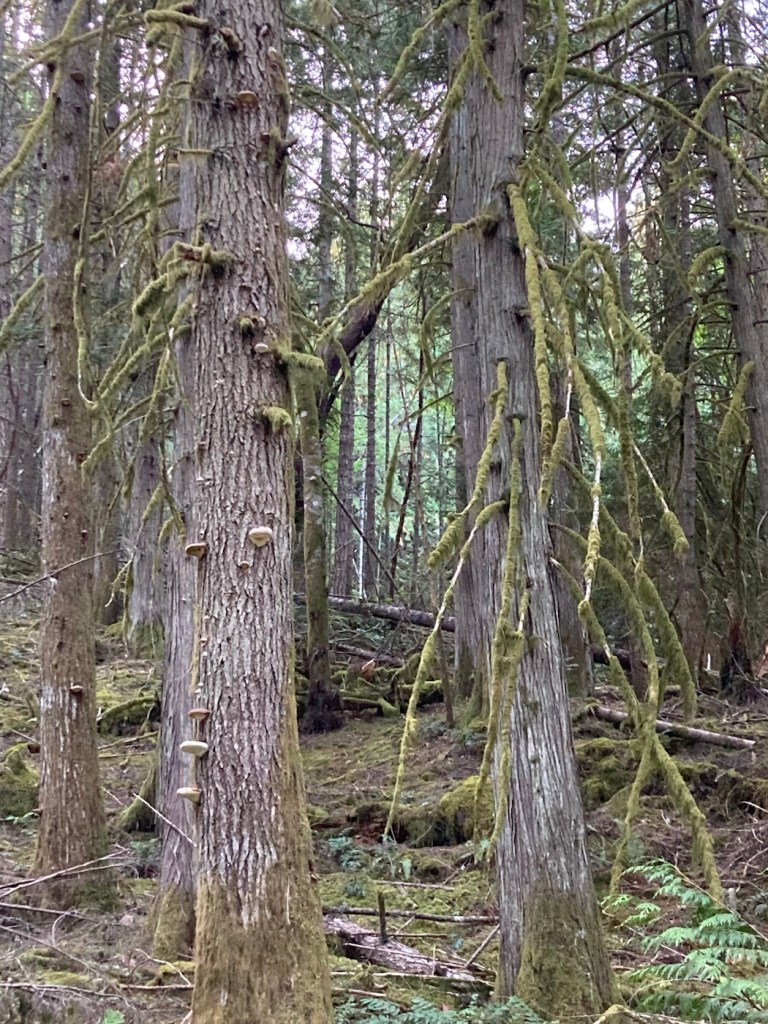
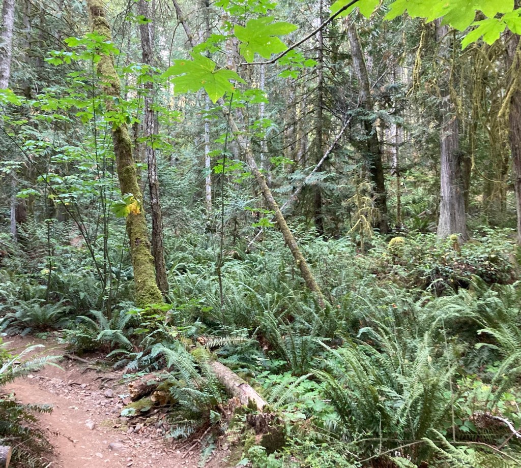
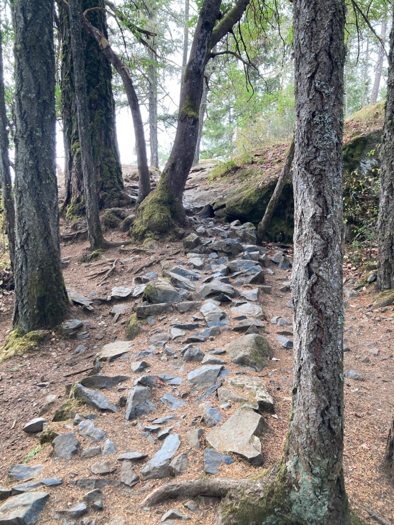
Today was a hiking day on trails in Ladysmith, a town (population of about 10,000) just under 15 minutes north of Chemainus. We had found a map that identified scenic views on a couple trails, one being the Holland Creek Trail. We started there. It was very green and almost rainforest like. The trail was well marked.
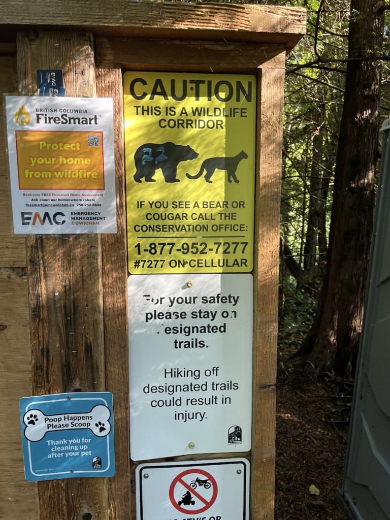
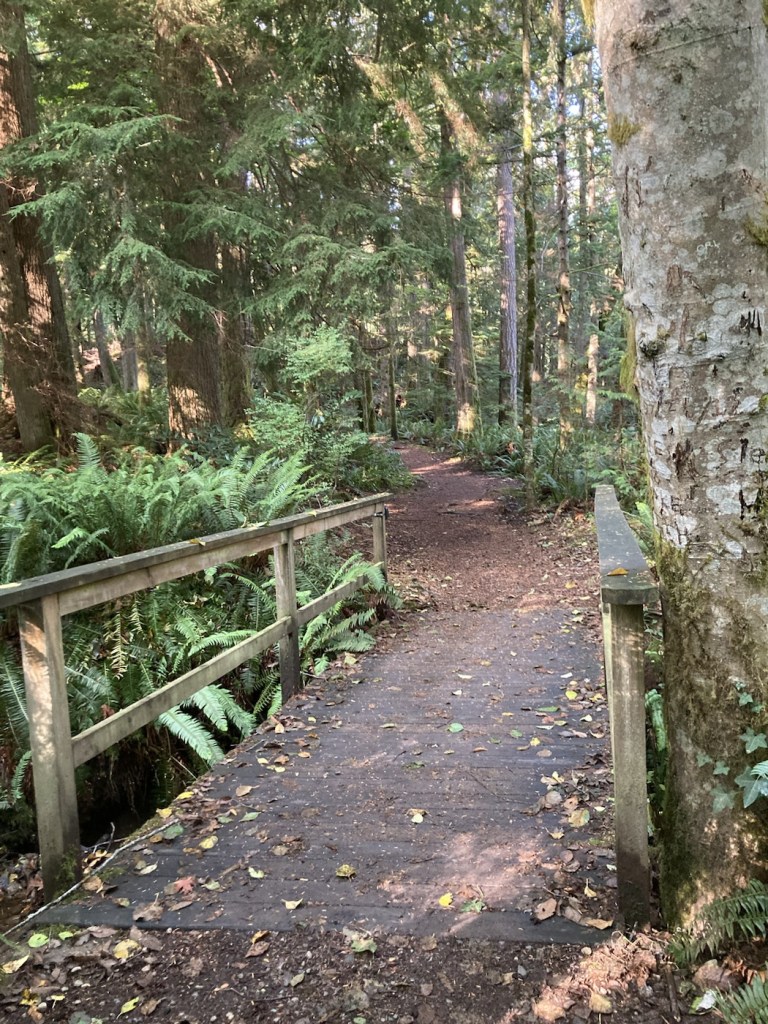
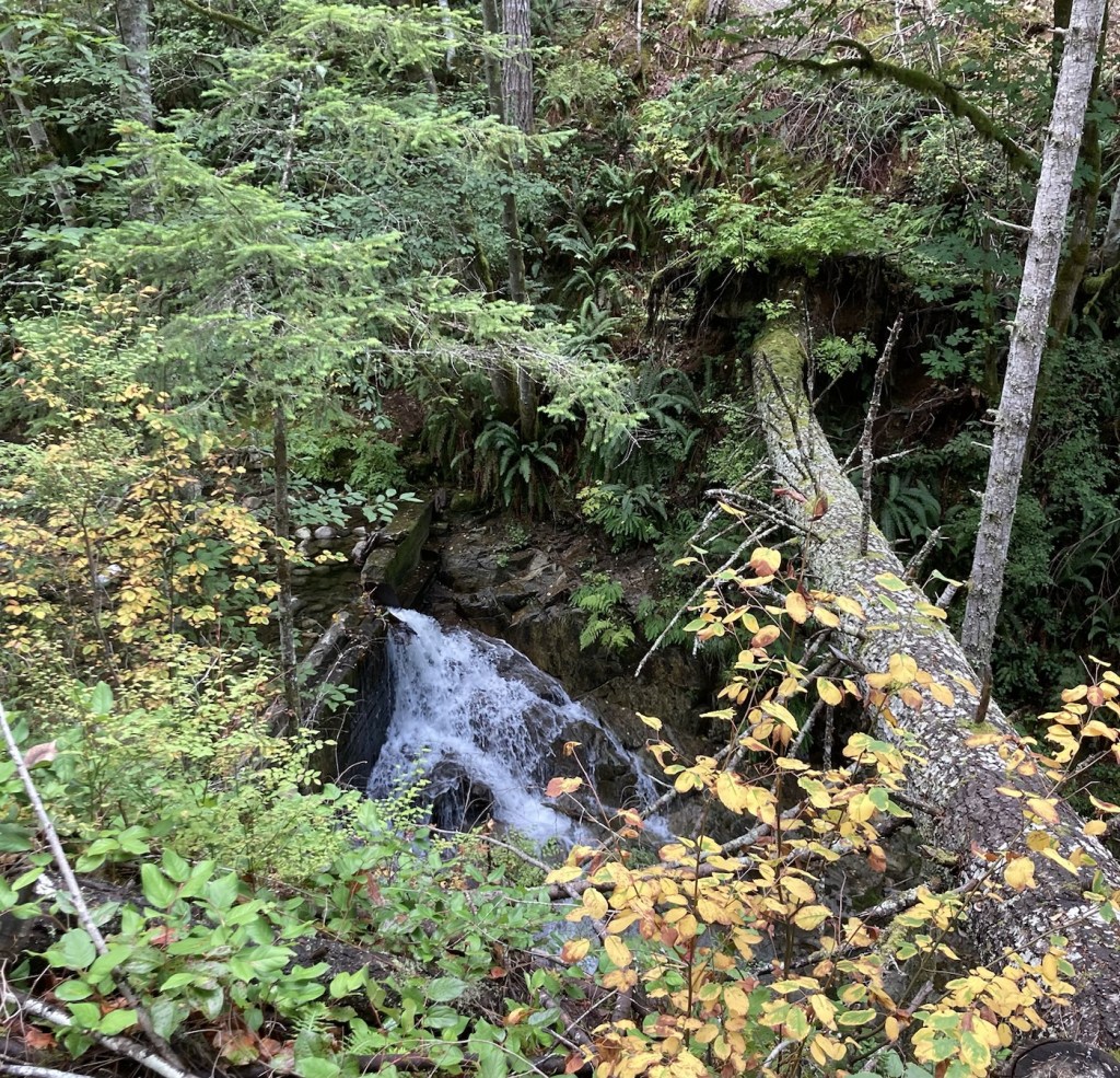
A few warnings at the beginning of the Holland Creek Trail.The trail was very, very green.A nice bridge over a stream that fed into Holland Creek.Pic from the bridge. As always, ferns remind us of New Zealand.Bob crossing another bridge.Stairs cut into part of the path. Lots of up and down along the route.Example of the km markers along the routeMoss covered stones providing a natural fence along this portion of the trailA small waterfall in Holland Creek.A new culvert over Holland Creek completed this June from one housing development to maybe a new, future development.Another trail bridge over Holland Creek.
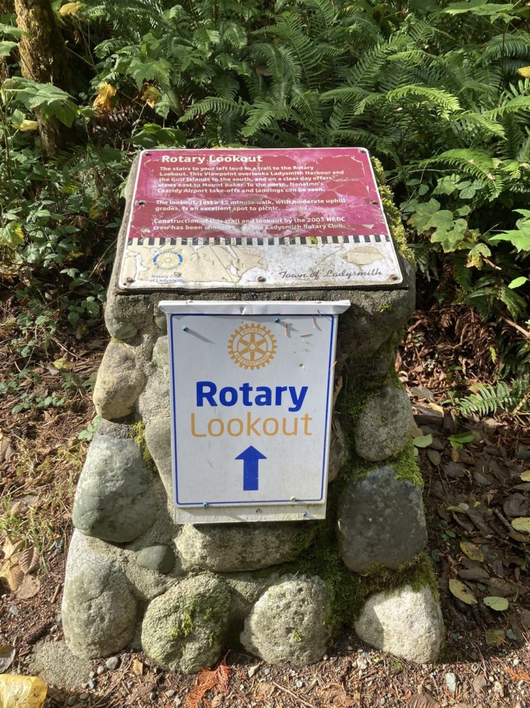
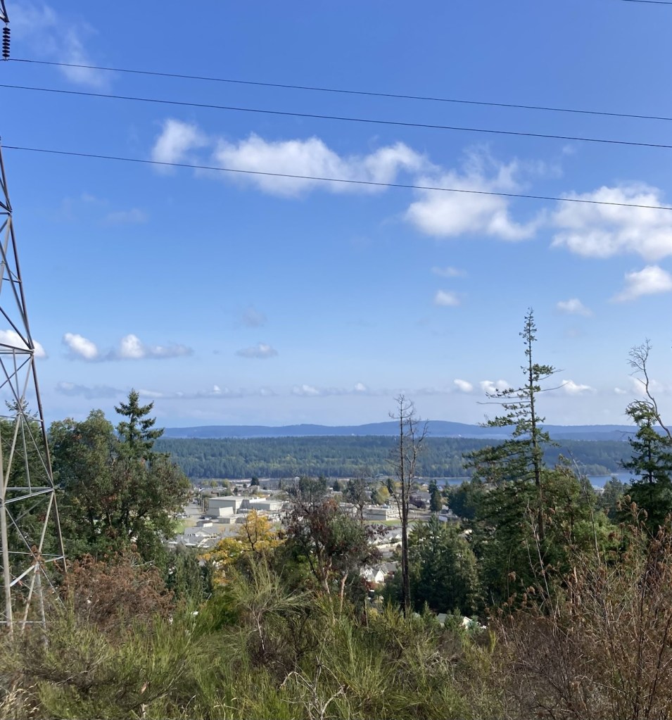
After we did the one side of the Holland Creek Trail, we crossed over it to do the Rotary Lookout Trail for one of the noted views on the route. The trail was an easy 15 minute uphill, but the promised scenic view was less exciting than we had hoped..
A nicely-signed trail start.Looking towards Ladysmith from the Rotary Outlook.Looking north to the Nainamo airport
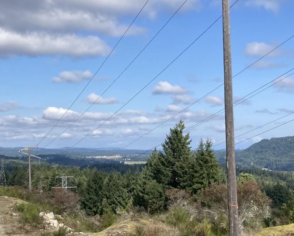
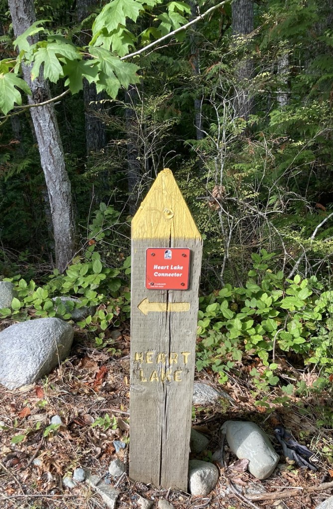
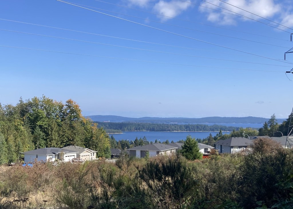
After the Rotary Lookout, we attempted to find the viewpoints on the Heart Lake Trail, but we ended up giving up. It took us awhile to find the Heart Lake Trail from the connector trail from the Holland Trail. We were working with a poor map out of a tourist brochure as the trail had run out of maps and didn’t post a large picture of the trail as per usual. Once we finally found the Heart Lake Trail, it was not well defined and was not well marked or blazed. After at least 1k of steep uphill, we decided just to head back to the car.
A promising marker that lead to confusion The 1km marker on the Heart Lake TrailA view of the bay after heading towards the car
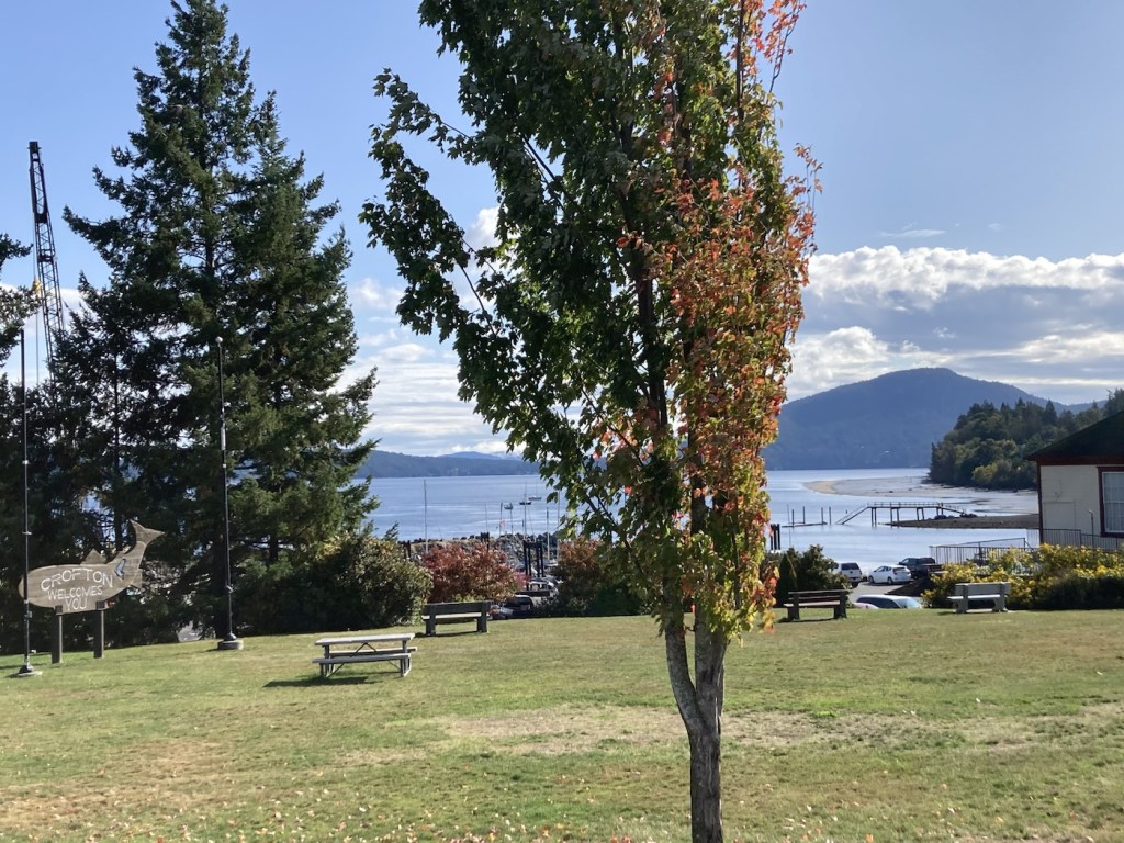
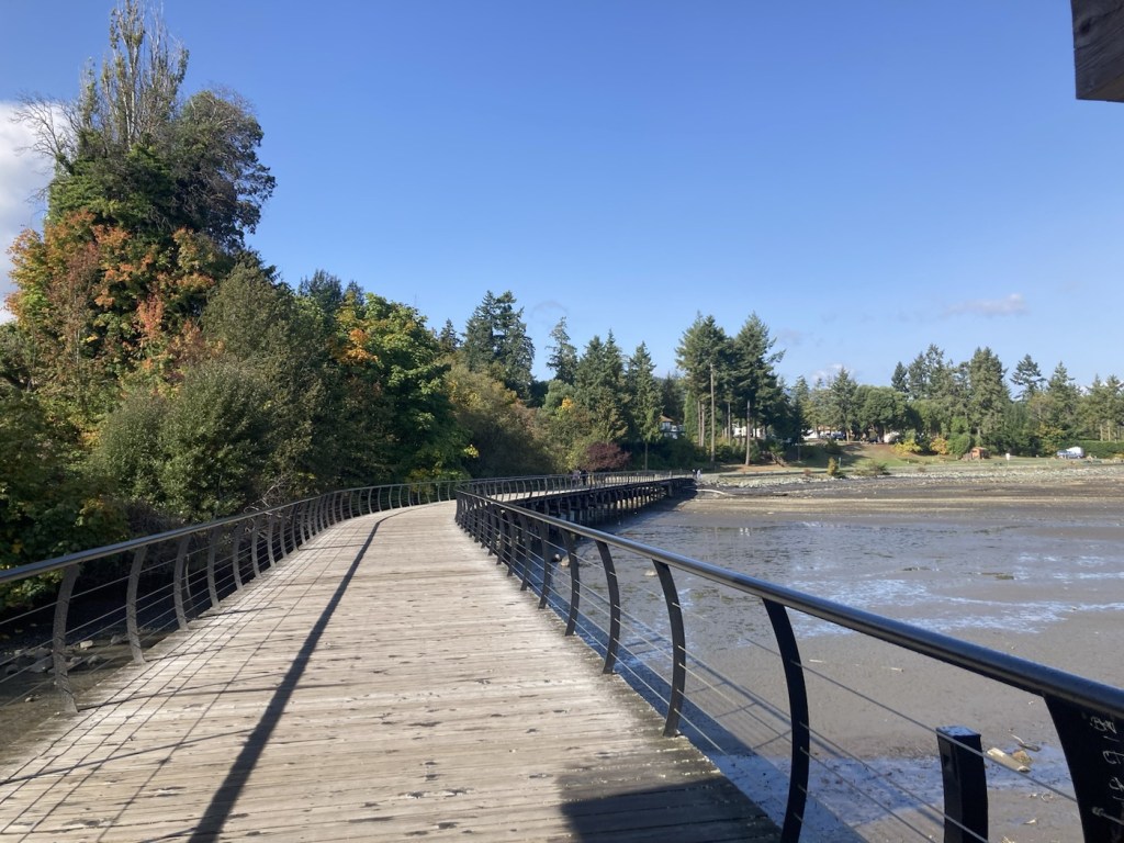
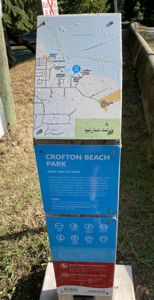
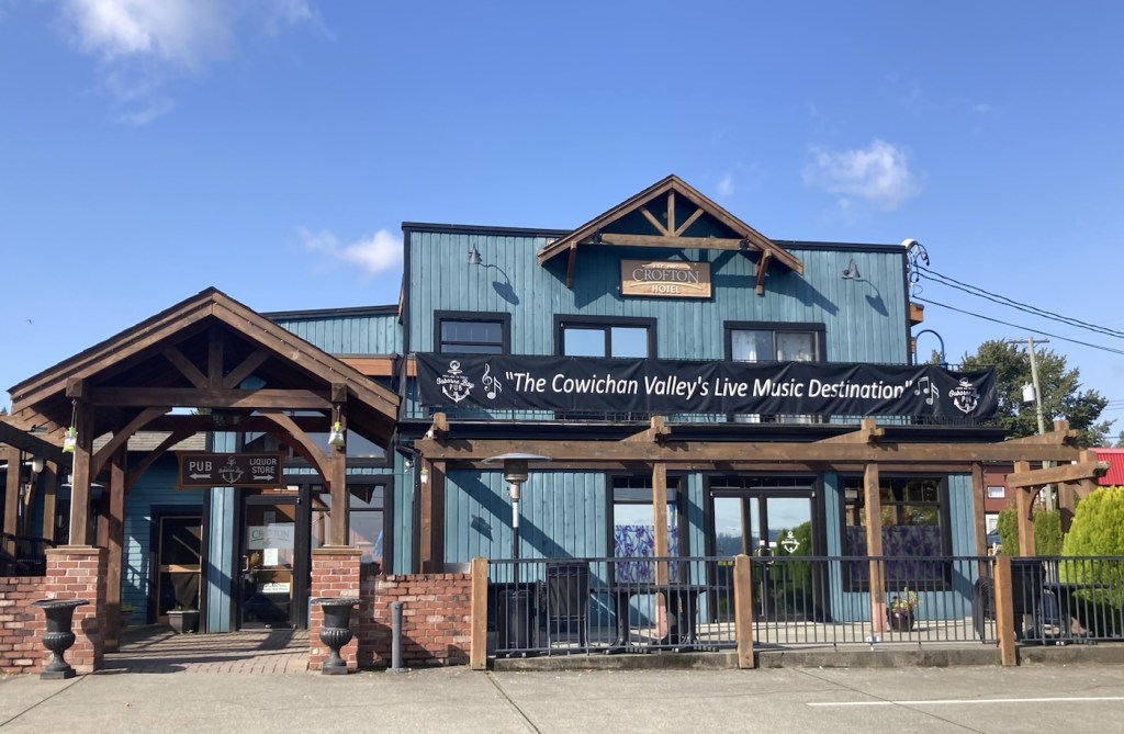
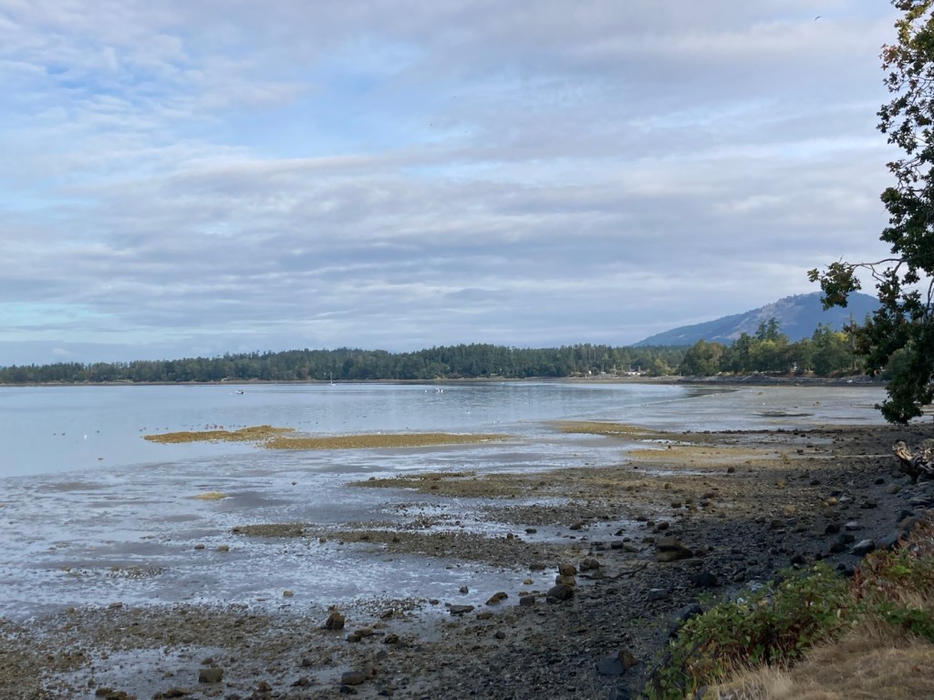
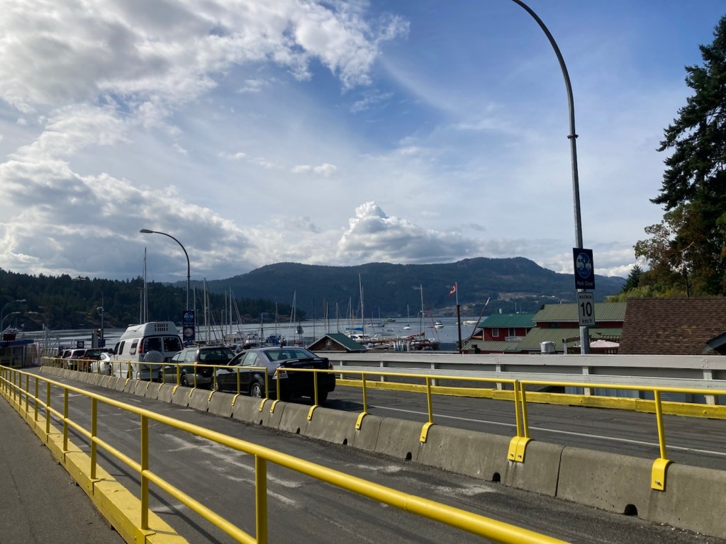
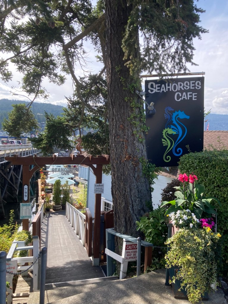
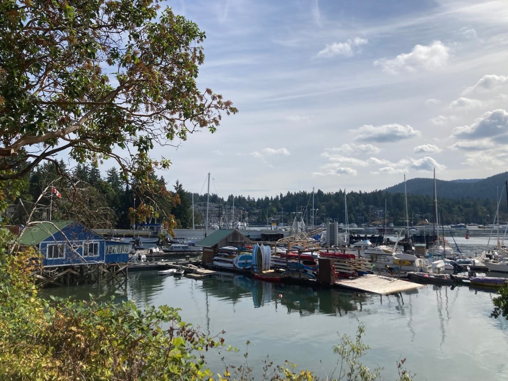
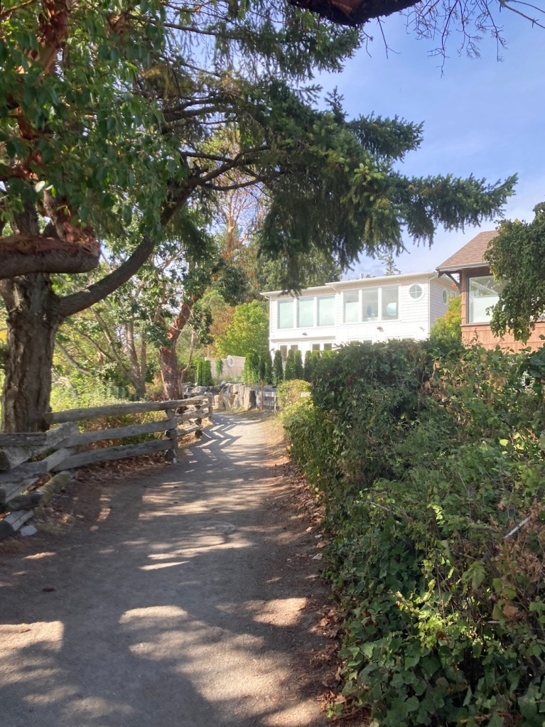
We had more rain overnight, but otherwise, a sunny day today. We decided to head down (south) to the small community of Crofton (population 1,500ish), which was on the news last night for the reopening of their paper mill. But we were headed there to walk along their newly extended waterfront walkway that we had read about in some of our travel brochures we picked up at the local Visitor’s Center.
It was a short but lovely walk that lead us by two parks, along the Stuart Channel, and we got to see a ferry going to the nearby Salt Spring Island being loaded with cars.
Sign near the ferry terminal and at the start of the walkA small park near the ferry terminal and right in front of where we parkedBoats moored in the marina, low tidePart of the waterway walkwayThe walkway sign at Crofton Beach Park at the end of the walkBob found a big head sculpture at Crofton Beach Park.The Crofton Hotel, which appeared to be a pub and bistroThe ferry to Salt Spring Island, which you can see across the channel
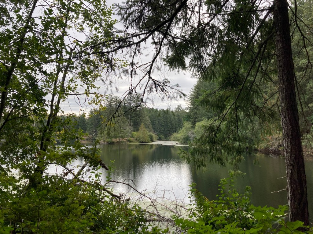
After our walk around Crofton, we headed to Fuller Lake Park, which is near the exit to Chemainus off of Trans Canada Route 1, so we had seen signs for it. It is a lovely park, even though much of the land around the lake is privately owned, so you can’t hike around it. No one was swimming, but there were a number of people fishing, and quite a few games of pickleball underway on the courts across from the parking lot. The tennis courts, on the other hand, were not being used.
Fuller Lake Another view, along with a lovely home that looks out onto itWe walked a short trail to the boat launch.More homes along the lake
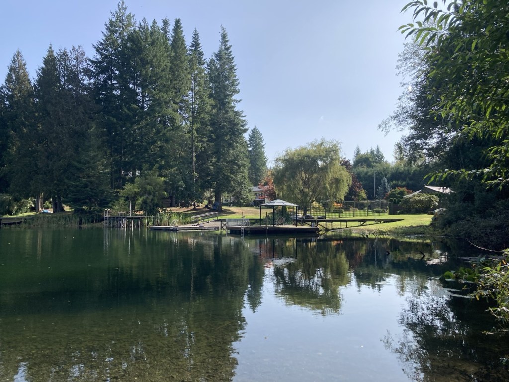
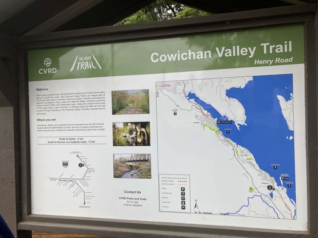
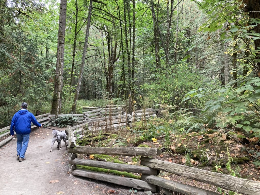
We woke up in Chemainus and after feeding the cats and ourselves began our 12-night housesit with a walk along the Cowichan Valley Trail, which we can access at the end of our street. The mixed-use trail runs for 63 miles. It is mostly off road but does currently have some on road sections as well.
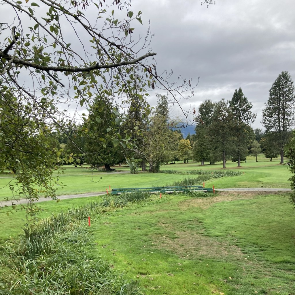
A map of the trailThe trailPart of the trail south goes by a golf course. This is a view across the golf course towards the mountains.
After we got off the trail heading south, we walked back in towards town to check out the small downtown and Old Town before heading to the grocery store, Country Grocer, to pick up some groceries and ingredients for tonight’s dinner.
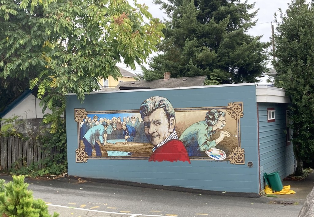
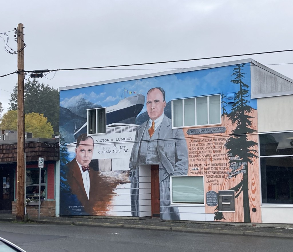
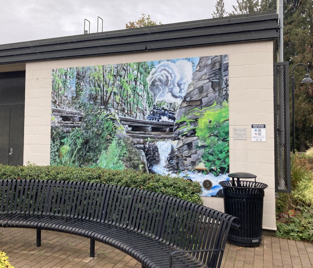
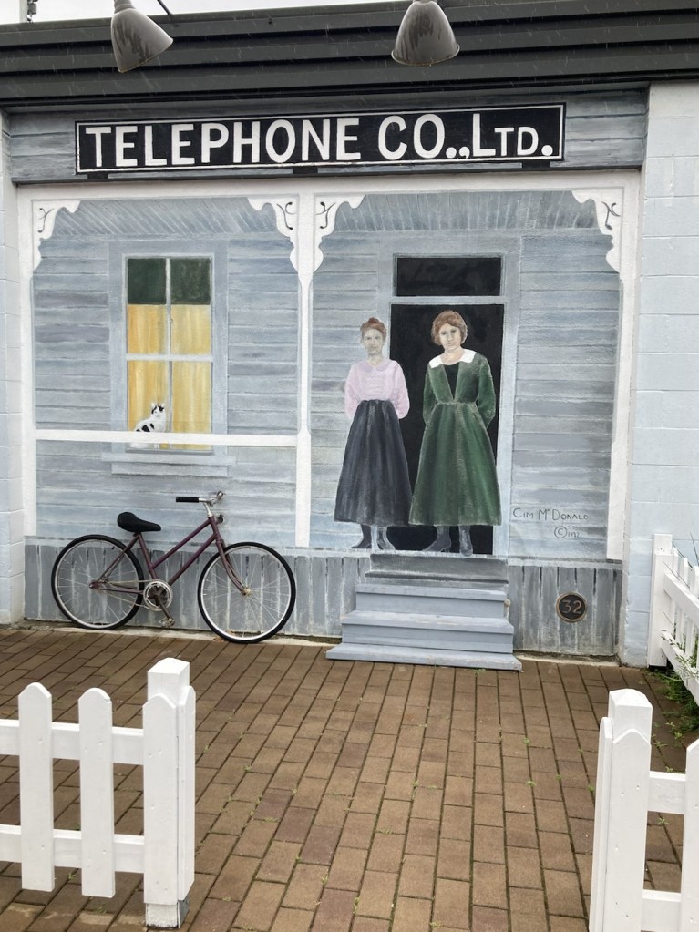
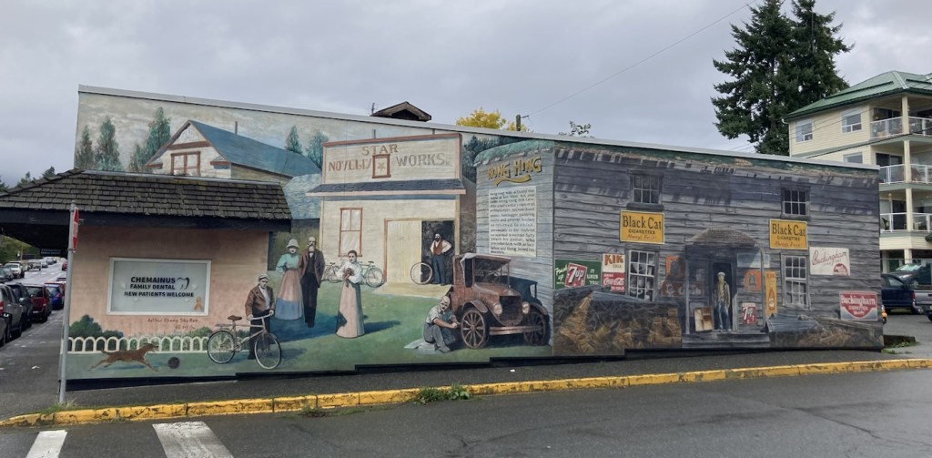
A few facts about Chemainus, British Columbia, population 4,033 as of 2021. It is most famous for its theater, which we’ll talk more about Sunday after our visit, and it’s 53 outdoor murals depicting important aspects of the town’s history. It was founded in 1858 as an unincorporated logging town, and there is still a large logging company in operation.
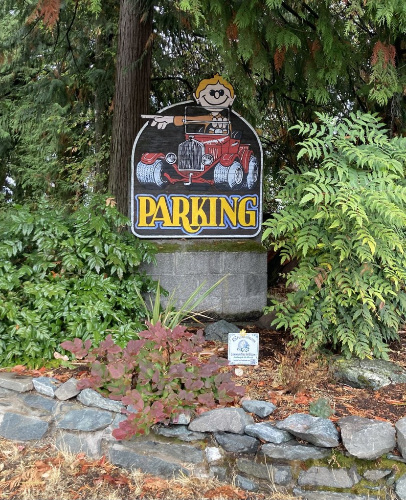
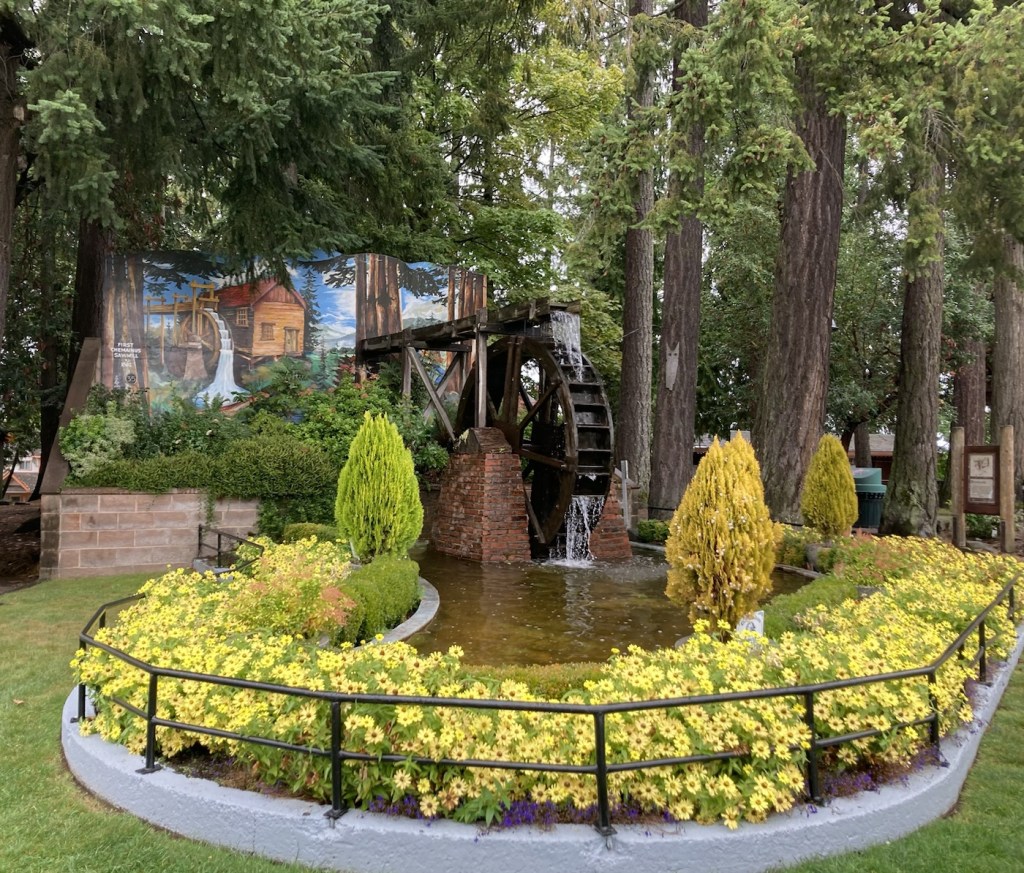
An attractive Rotary sign near where you enter the main section of Chemainus from the SouthMural #40 showing the cutting of the ribbon to officially open the Downtown Revitalization Project.Mural #36, depicting Charlie Abbott, a man who lived in the woods and was known as “The Hermit”Mural #31, the lumber barons of Chemainus, Jon Humbird and H.R. MacMillanNot a mural but a fun parking signMural #3 depicting a steam train on a bridge over the Chemainus RiverMural #32 about the telephone company circa 1915 but with a 3D bike. An attractively landscaped mural and waterwheel at the entrance to Waterwheel Park, which connects downtown to Old TownHad to check out the local library Mural #4, The Hong Hing Waterfront Store, owned by a Chinese man called Hong Hing who immigrated to Canada in 1915.
Even with today’s rainy weather, we enjoyed our first impressions of Chemainus.
We had a lovely last few days in Sidney before moving to our current housesit in Chemainus, on the other side of the island. Last Thursday, we drove the 1.5 hours over the Malahat with its beautiful views to do a walkthrough with our Chemainus homeowners before their departure. They are a great couple with 2 Ragdoll cats and a cute house on a quiet street in the small town of Chemainus.
Late afternoon on Thursday we were treated to a happy hour at the lovely home of Heather and David, friends of our homeowners. The house was built to incorporate one of the large rocks on the property and gives the impression that you’re in a tree house. Rafa was thrilled to visit again, and it was a great evening. We continue to meet interesting people on our travels and enjoyed hearing from David, who has outbiked us, by biking all the way across Canada!
Our final longer walks with Rafa included a trip to the dog park, another perambulation of the Flight Path around the airport, and a trip to Centennial Park, which had lovely trees and a shaded, undulating path (I’m trying to fit in all my big words.), as well as a couple more in Sidney walks. Then we focused on last minute errands and prepping for one of our homeowners return on Tuesday.
Rafa at the dog park on FridayRafa leading us around Centennial Park on SundayA creek in Centennial Park
Our Chemainus homeowners left early morning on Tuesday, so Bob drove me to Chemainus before heading back to Sidney to await the evening flight of the Sidney homeowner to pick him up. That went well, and Bob enjoyed getting to see him in person again and witness the reunion between Rafa and his human. We will definitely miss Rafa’s sweetness and charm but are happy that he’s back with his owner.
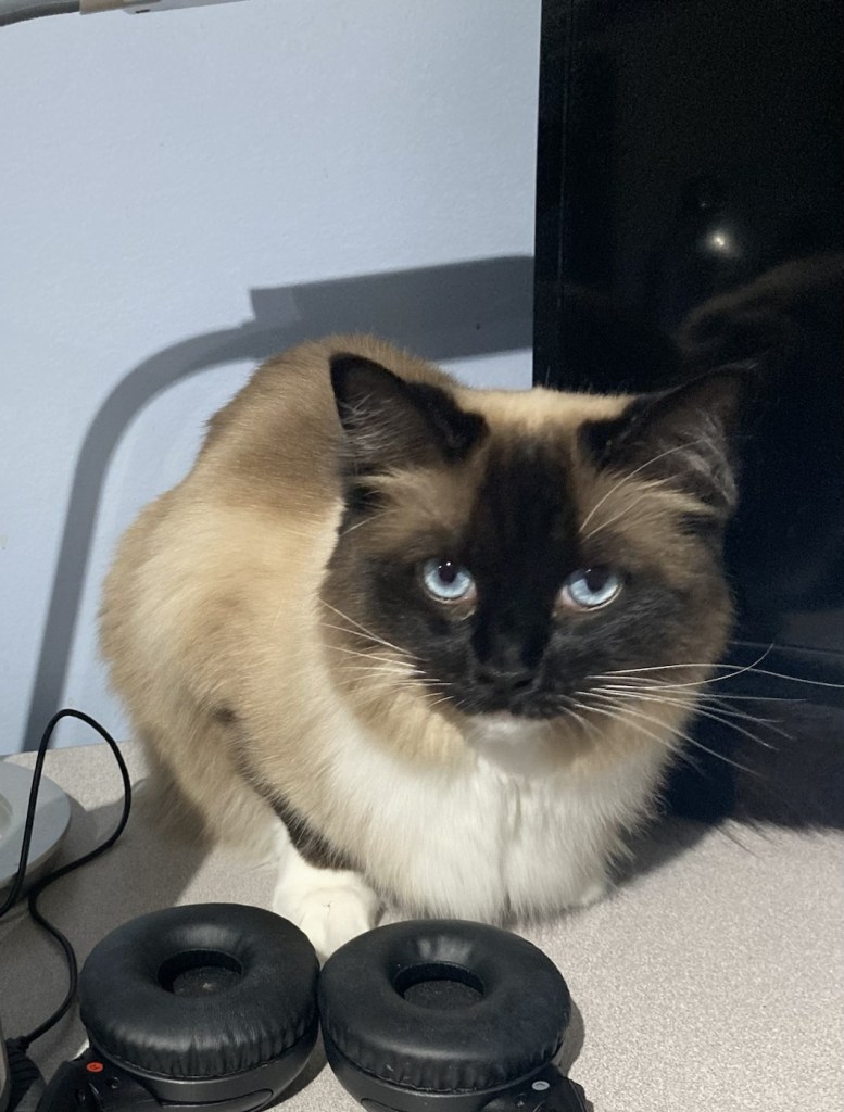
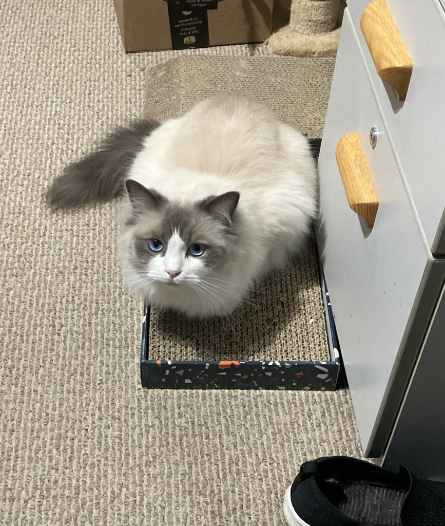
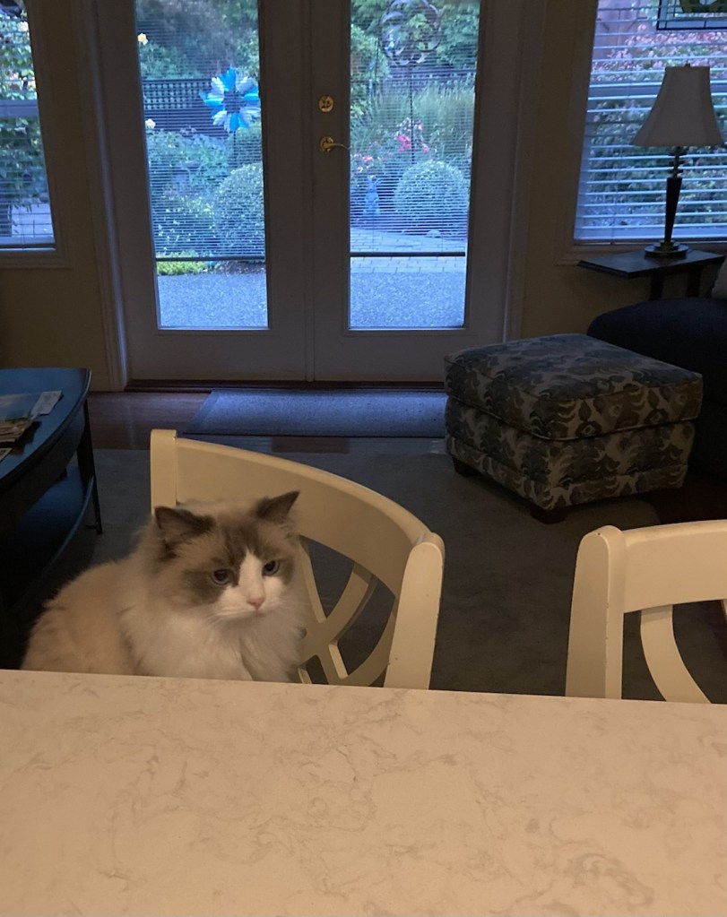
And now we’ll begin to get to know Willow and Wall-e, while their humans enjoy a Disney vacation.
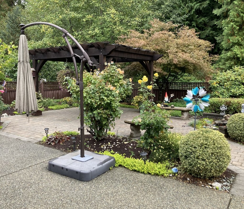
Willow, the more social cat, who prefers her meals on the counterWillow watching me work on the computer Wall-e who prefers to observe from a distance Wall-e waiting on his breakfast The lovely back garden at our current house
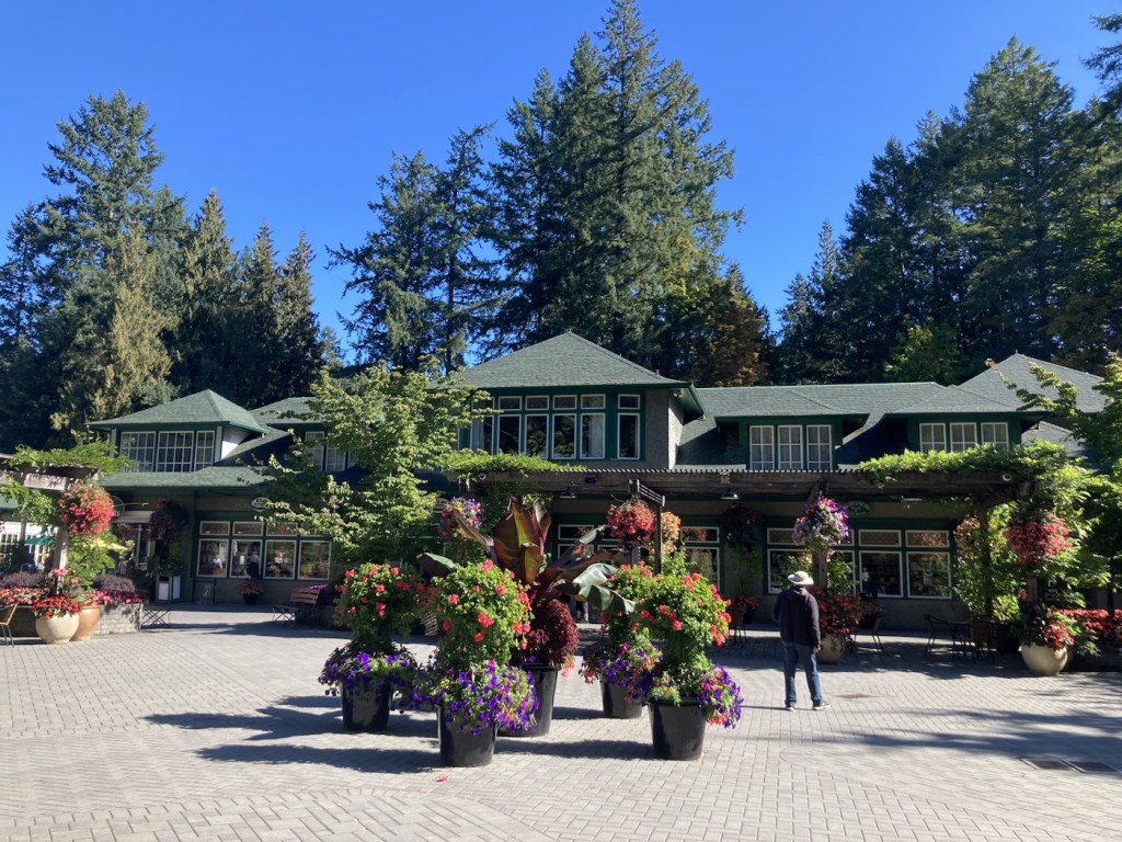
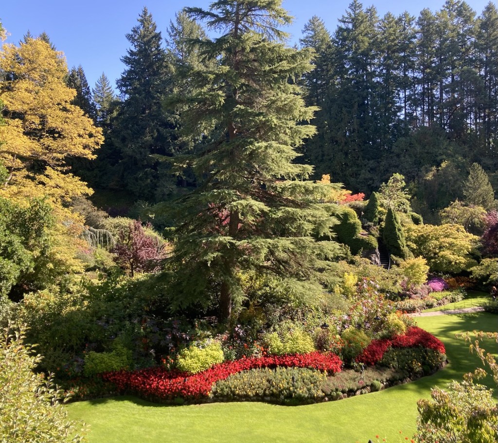
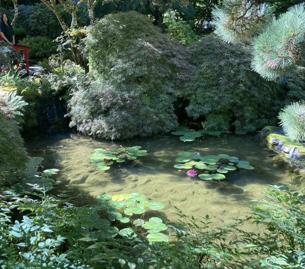
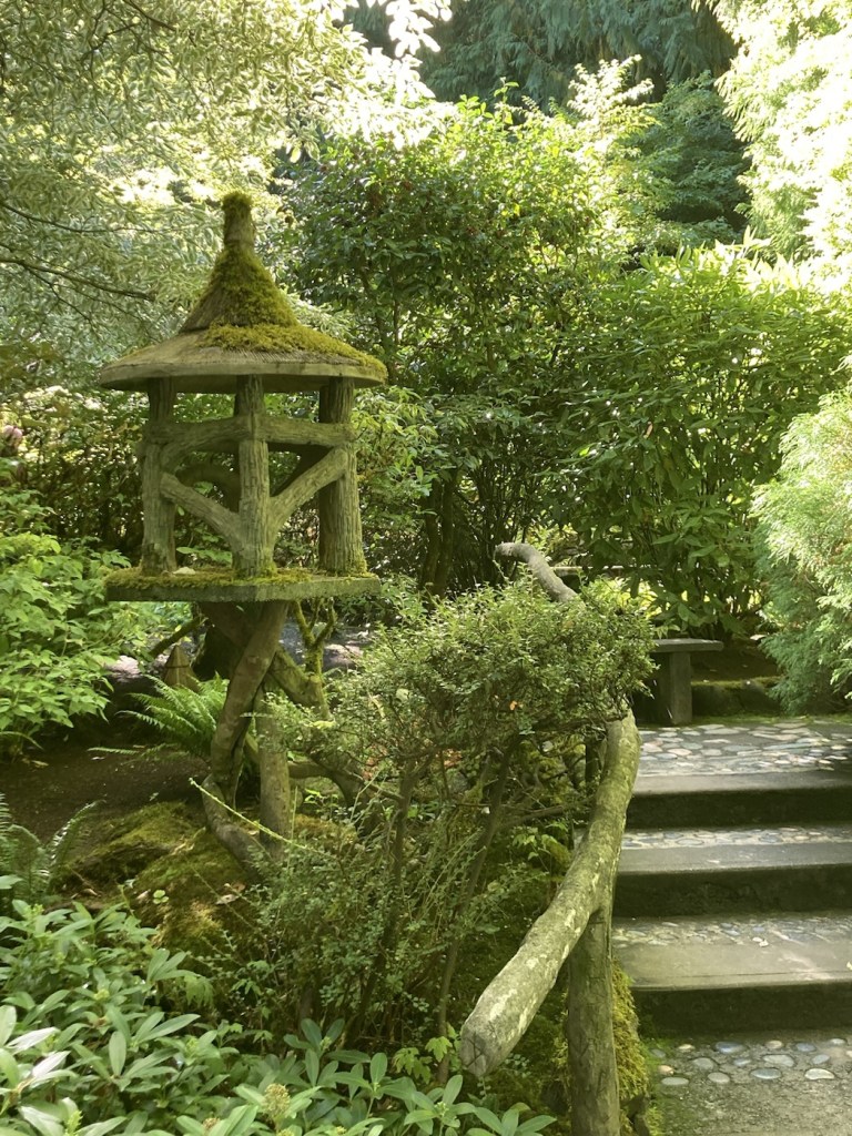
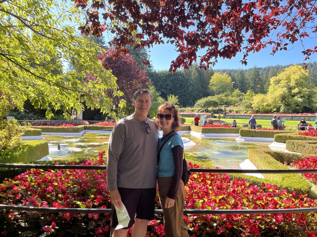
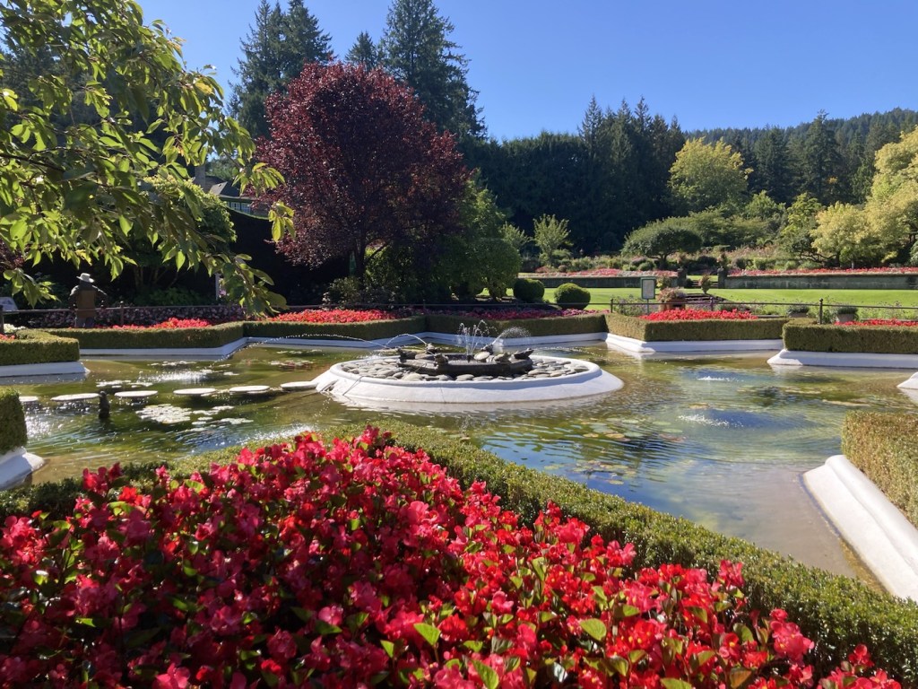
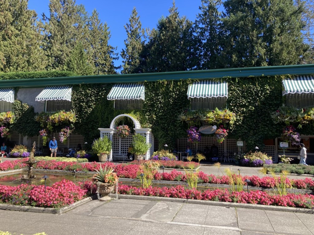
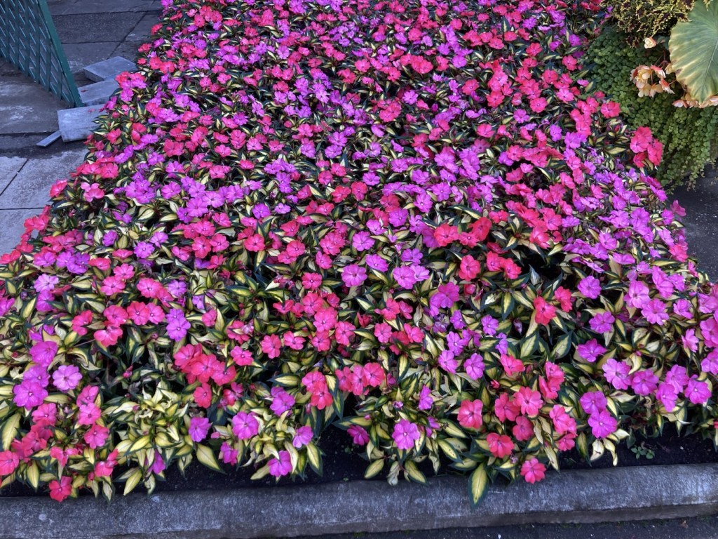
It seems that if people know anything about Vancouver Island, they know about the Fairmont Empress Hotel in Victoria and they know about Butchart Gardens. The Gardens are a 119 year old internationally renowned 55 acre display garden located in Brentwood Bay (about 20k northwest of Victoria), created by Jennie Butchart and still privately owned by the family. Jennie Butchart moved to Vancouver Island in 1904 with her husband and began transitioning a old limestone quarry into a sunken garden in 1912. Other gardens, including a rose garden, Japanese garden, Italian garden, and Mediterranean garden were added later.
Bob and I had visited the gardens on our first visit to Vancouver Island many moons ago when we also stayed at the Fairmont and enjoyed high tea there. We thought it was beautiful and decided we needed to see it again.
It was a happy, too-many-photos day, where we were constantly saying, “Oh my gosh, look at that.” It felt like nature’s version of walking through the largest box of Crayola Crayons. Highly recommend it.
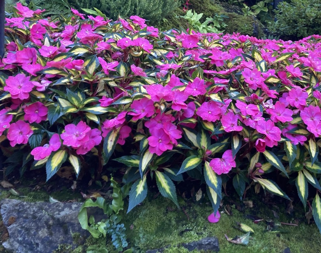
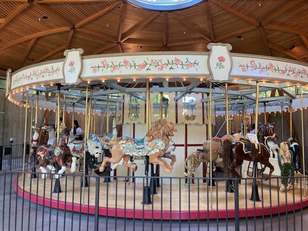
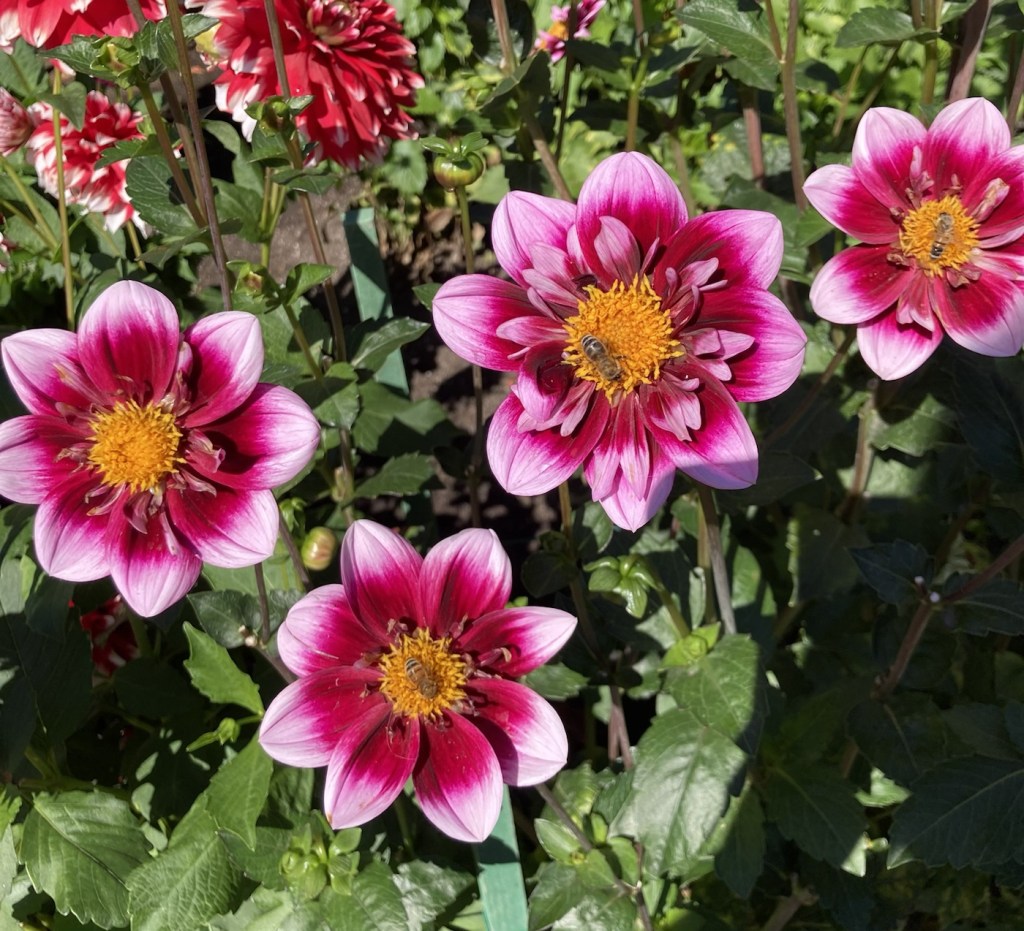
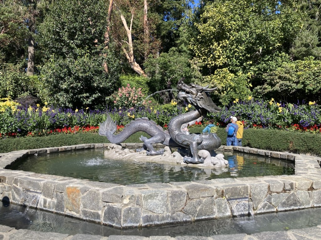
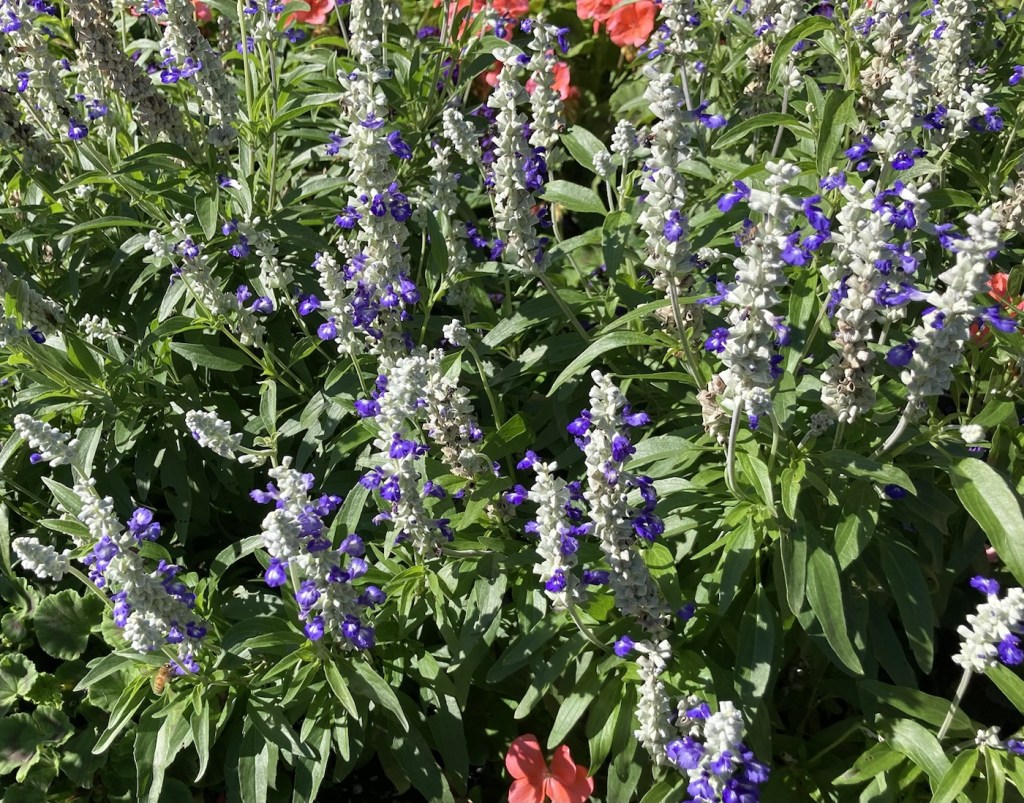
The cafe and Visitor Info CenterA sign near the starting point of the path around the gardensLooking down on the Sunken GardenA lovely statue in the Sunken GardensA gorgeous floral mash-upThe Ross Fountain— created by Ian Ross, the grandson of Jennie Butchart, for the 60th anniversary of the gardensThe Sunken Garden is full of a variety of different flora in lots of colorsThe Rose Carousel, introduced in 2009 by Jennie Butchart’s great-granddaughter and current owner of the gardens, Robin-Lee ClarkeSome of the beautiful dahlias A dragon fountain presented to the gardens in 2015 by China to celebrate the 35th anniversary of the sister city relationship between Suzhou, China, and Victoria.Angelonia plants maybe? We got a flower and plant guide on the way in, but I have a seriously untrained eye.The Saanich Inlet Cove. You can boat to the gardens.One of the ponds in the Japanese GardenMore of the very green Japanese GardenUs by the lovely Star Pond (thank you kind stranger)The Star Pond without us blocking the viewLooking across the Italian GardenAnother pretty floral mashup
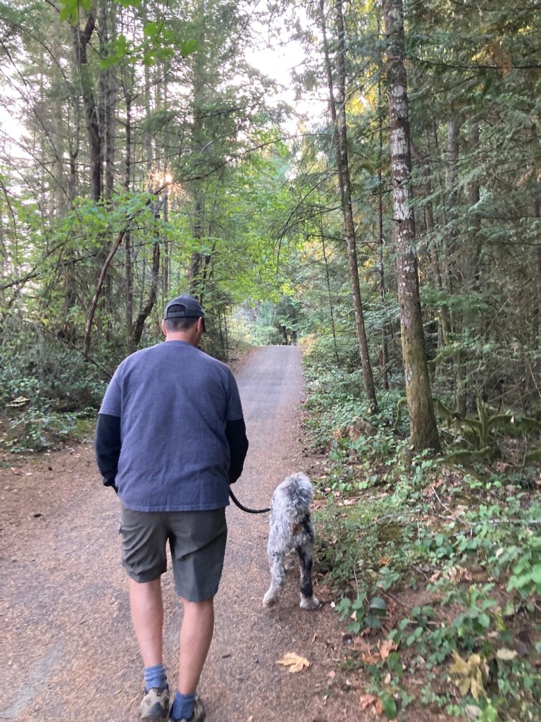
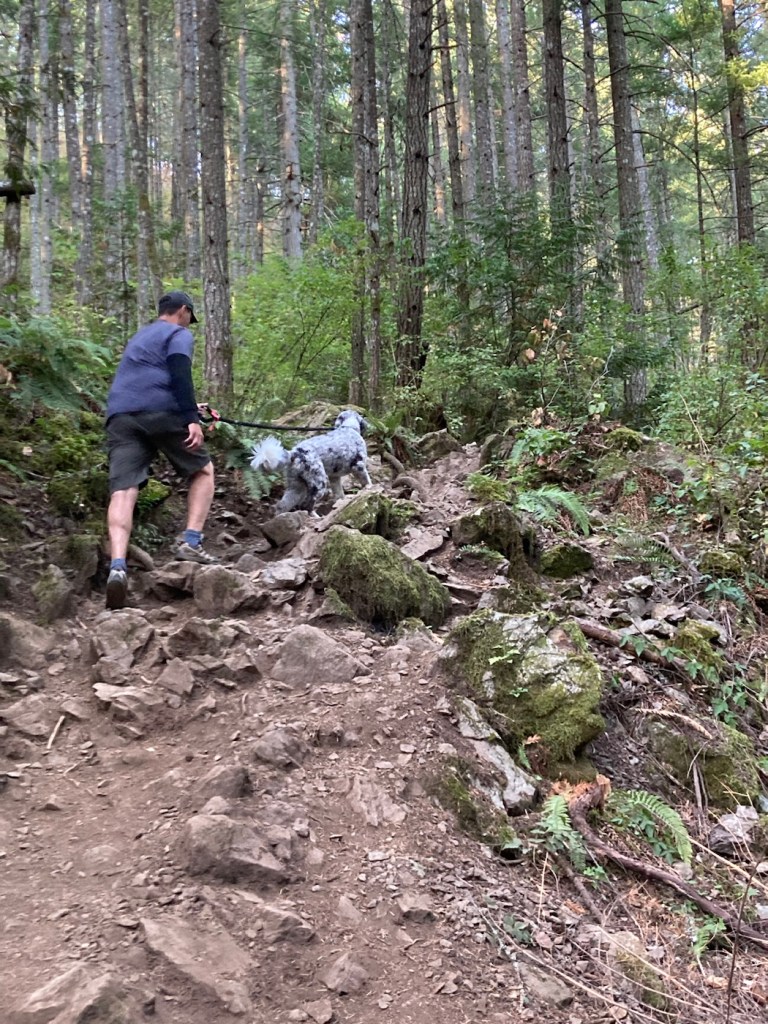
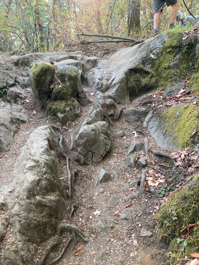
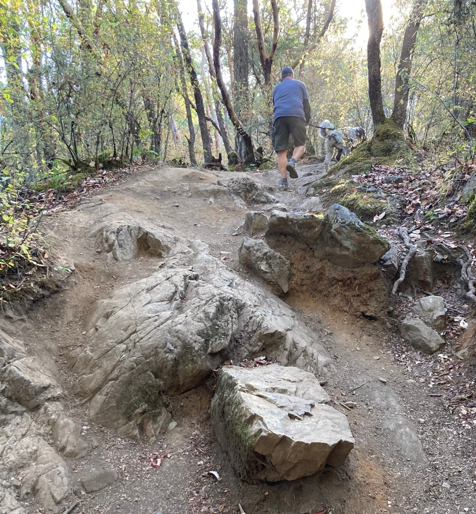
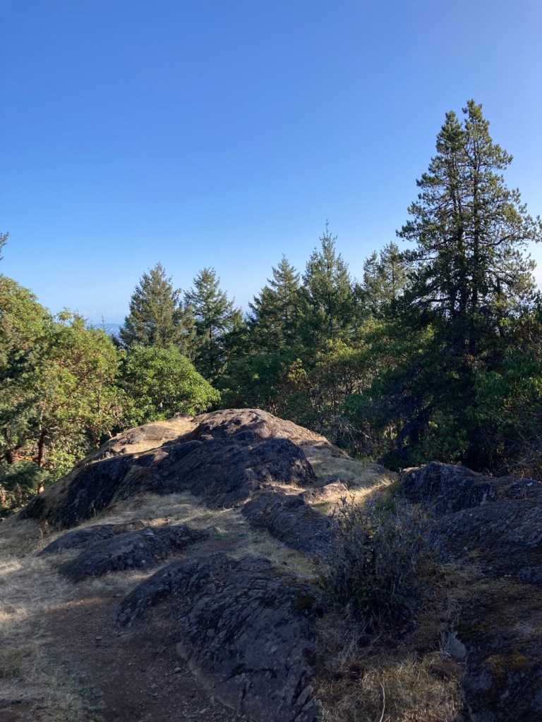
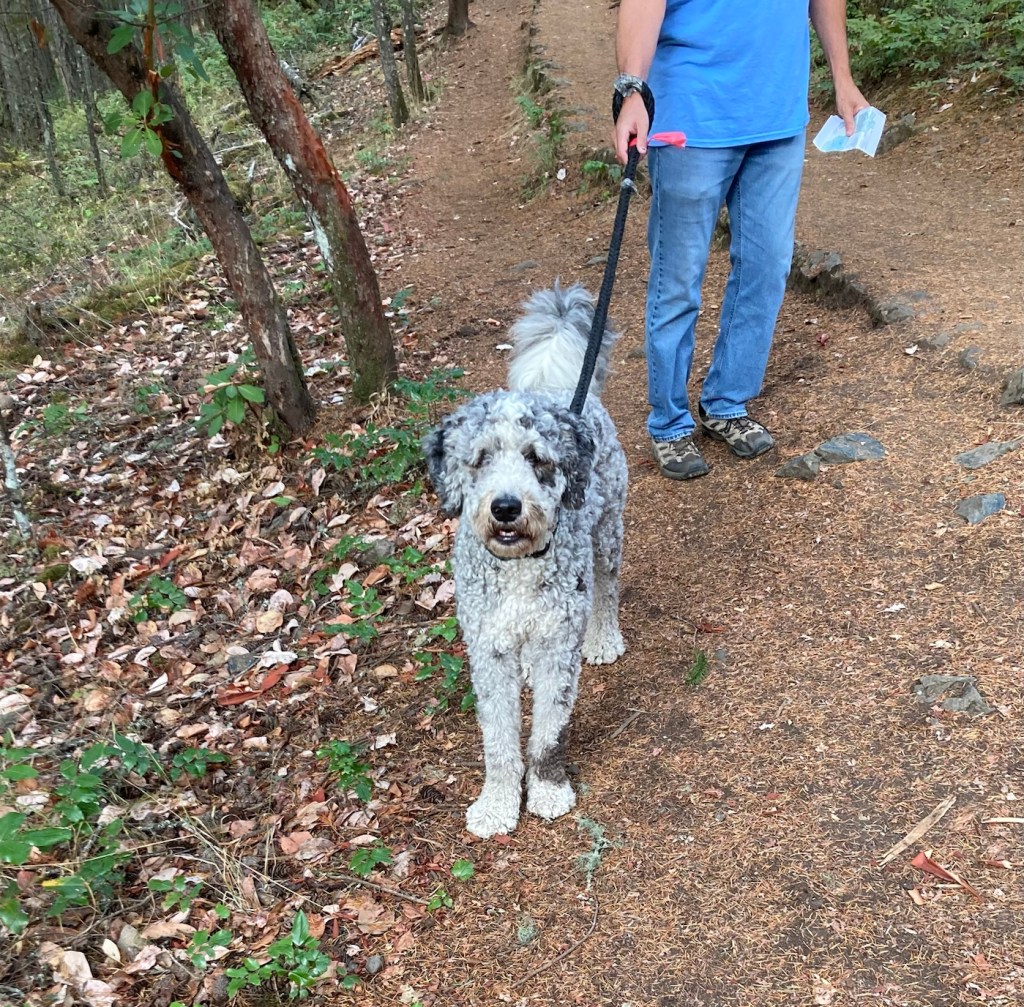
Today, Bob and I decided to explore another park with Rafa for our daily long hike. This time, we went across the island to the Mount Work Regional Park, and it is aptly named, as we did have our work cut out for us on the Summit Trail. While easy to follow, it was mostly rutty and rocky, so we spent a lot of time focusing on our footing — especially on the way down. Rafa was much better at it.
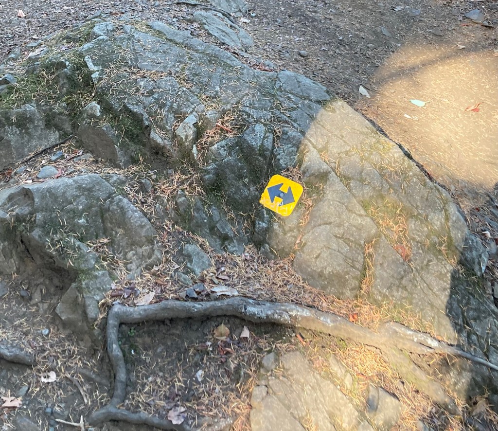
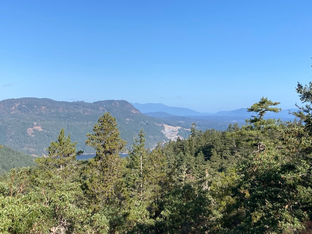
Starting out, it seems so benign.The park is forested, and some of the trees were pretty interesting to look at.Lots of ferns as well, which always reminds us of New Zealand.Rutty pathAnd then stoneBigger rocksRafa leading the wayPart of the path had this helpful yellow signage to help guide us around/over the rocks.View from the top — more rock and treesFinally a view of the surrounding area
We have had a fairly tame, close-to-the-condo few days, as Rafa has been having some stomach troubles that has had us (mostly Bob) getting up in the middle of the night for some potty runs (literally). He’s been otherwise fine in terms of energy, interest in food, etc., but we did get him into the vet the other day to ensure nothing serious was going on. As we suspected, the avid scrounger has likely eaten something that is disagreeing with him, so we are giving him prescribed probiotics as well as a deworming pill. We have kept up with walks but closer to home.
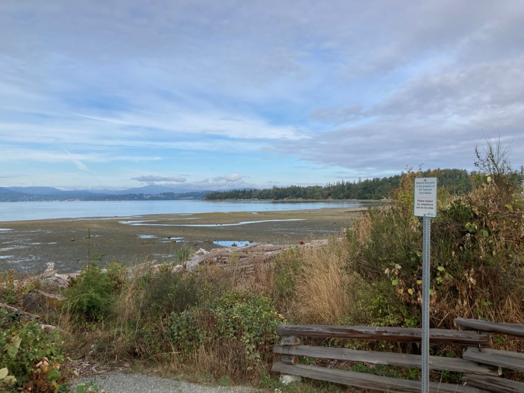
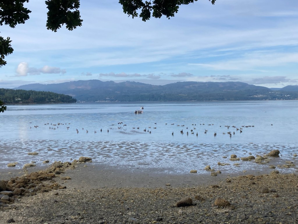
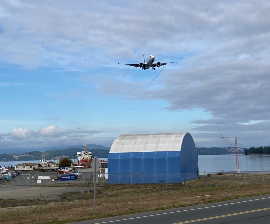
Today, we stumbled on a new trail near the Flight Path around the airport. The short trail runs along Patricia Bay, and it allowed us a closer view of the bay than we’ve had before.
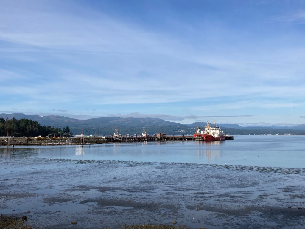
View of maybe a small port or at least a couple of larger shipsA view of the bay in the other direction The end of the trail where the rest of the land beyond the sign is the property of the Tseycum First NationLots of ducks enjoying the bayA plane coming in as we continued onto the Flight Path Trail
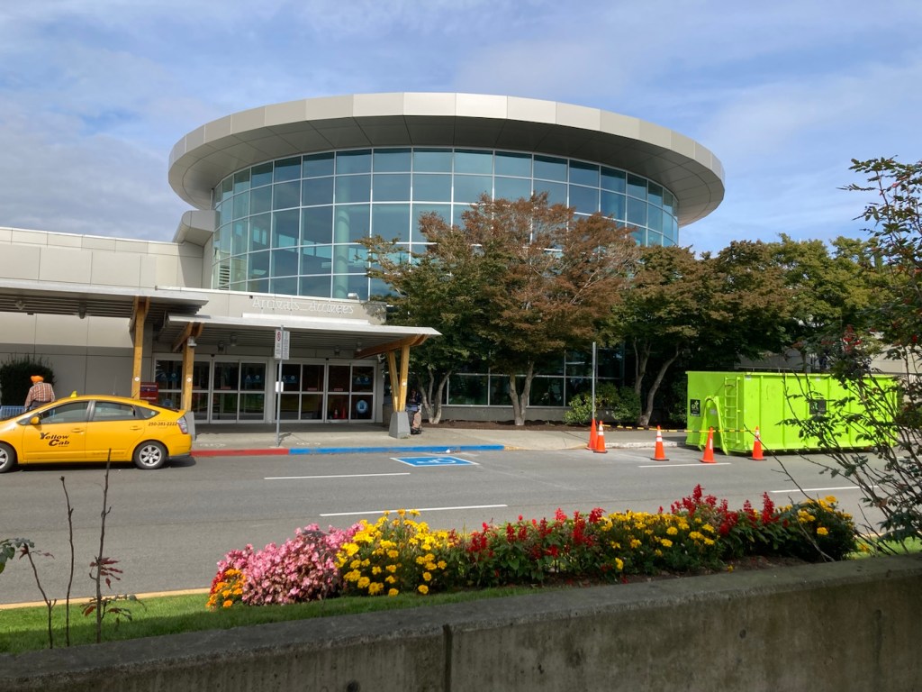
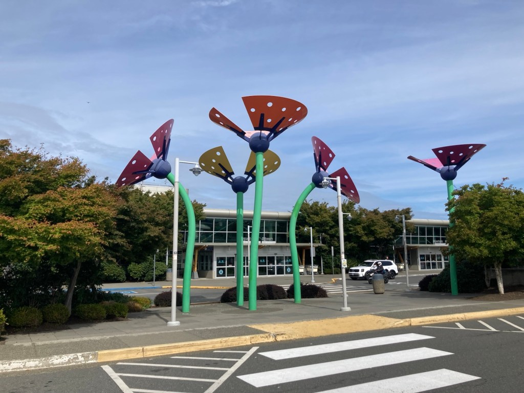
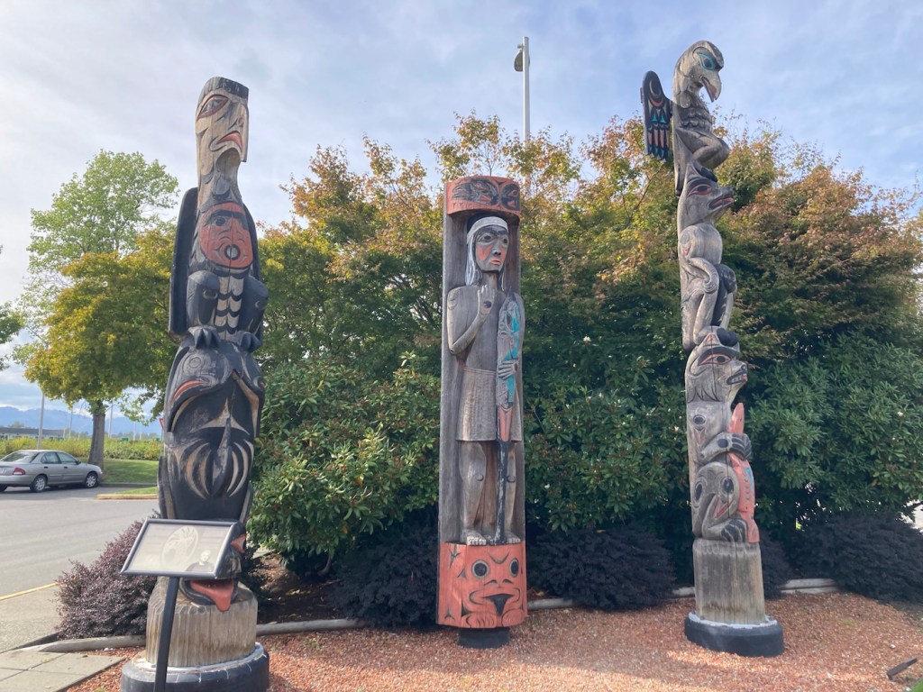
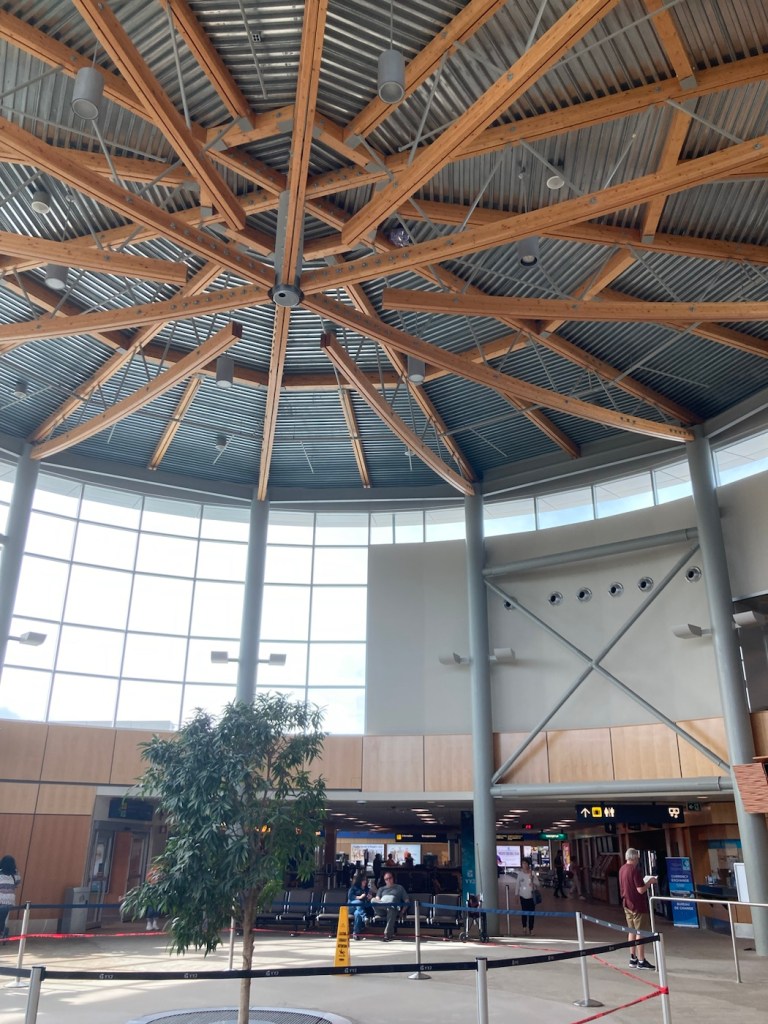
Mid afternoon we headed out to do a bit of sight seeing. We started by checking out the inside of the airport that we’ve been walking around.
The main entry to the airport Some colorful, fun art outside the airport Salish Welcome Figure (middle), Orca and Thunderbird, and Raven and Bear carved by Charles ElliottThe inside atriumView out the back of the airport from the 3rd floor observation deck
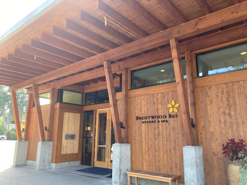
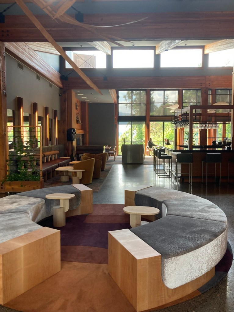
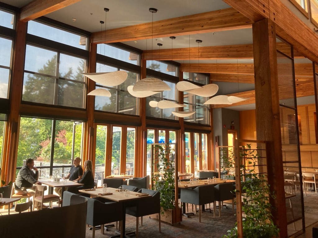
We then drove to the small community of Brentwood to check out the ferry and the Brentwood Bay Resort.
Brentwood Bay MarinaCars lined up for the ferry that goes from Brentwood Bay to Mill Bay.View of Brentwood Bay Resort from the marina A cafe near the ferryPublic marina and canoe/kayak rental area in the bayTrail along Brentwood BayThe entrance to Brentwood Bay ResortThe lobby of the resortThe restaurant of the resort
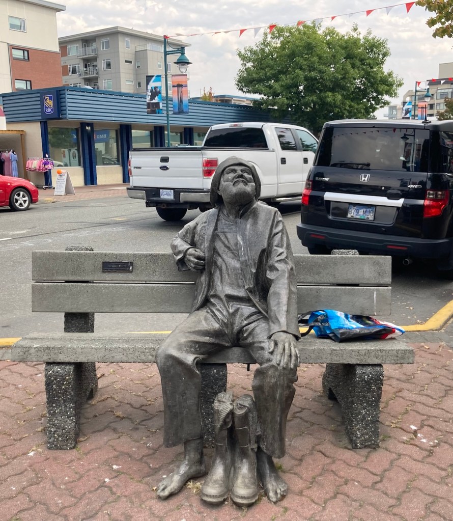
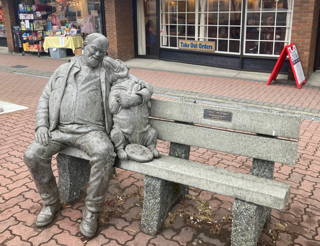
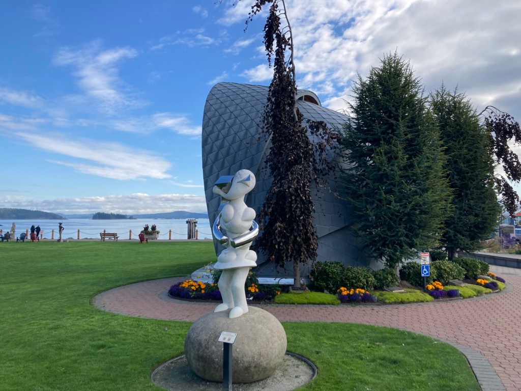
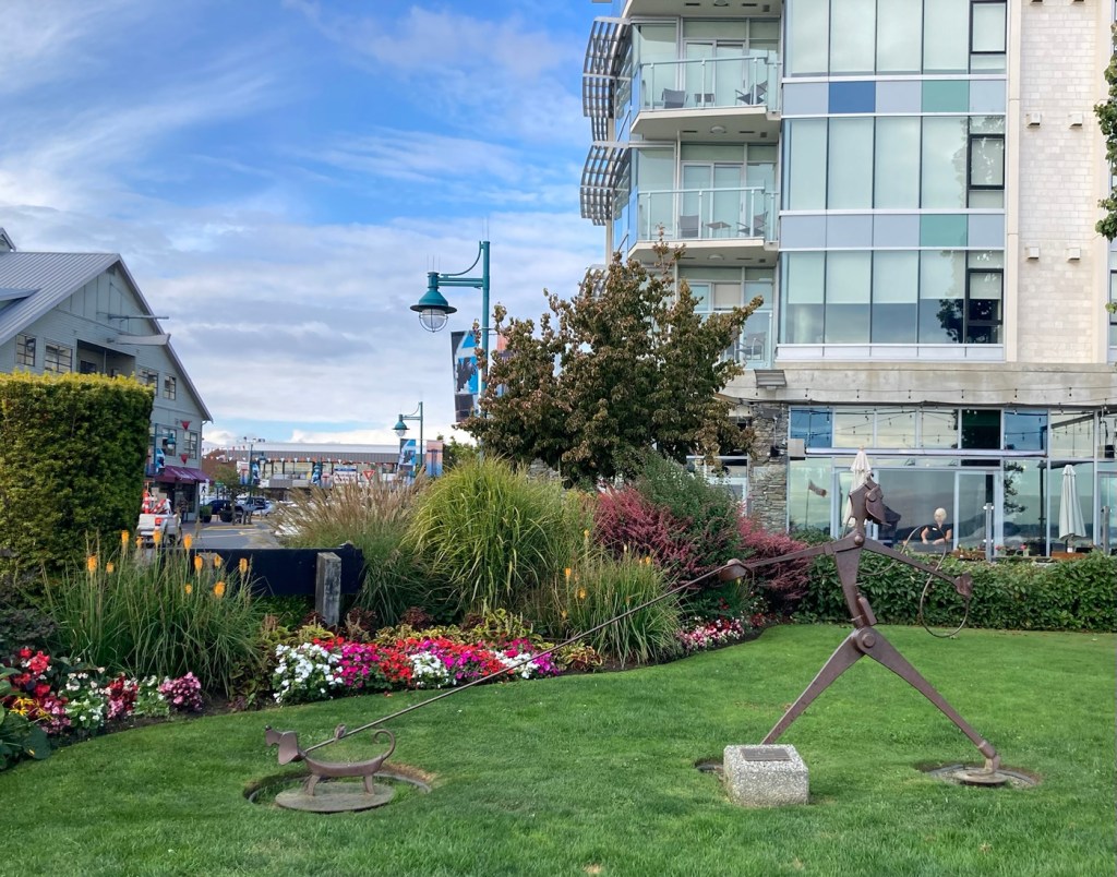
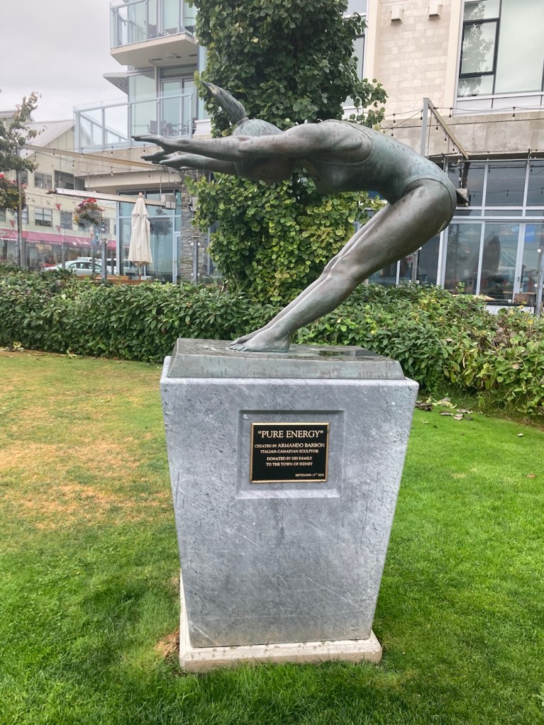
We have been taking photos of Sidney over the past few days — mostly of Beacon Street (the Main Street through town) and along the Waterway Path. There are a number of benches along with Beacon that have statues on them. See below.
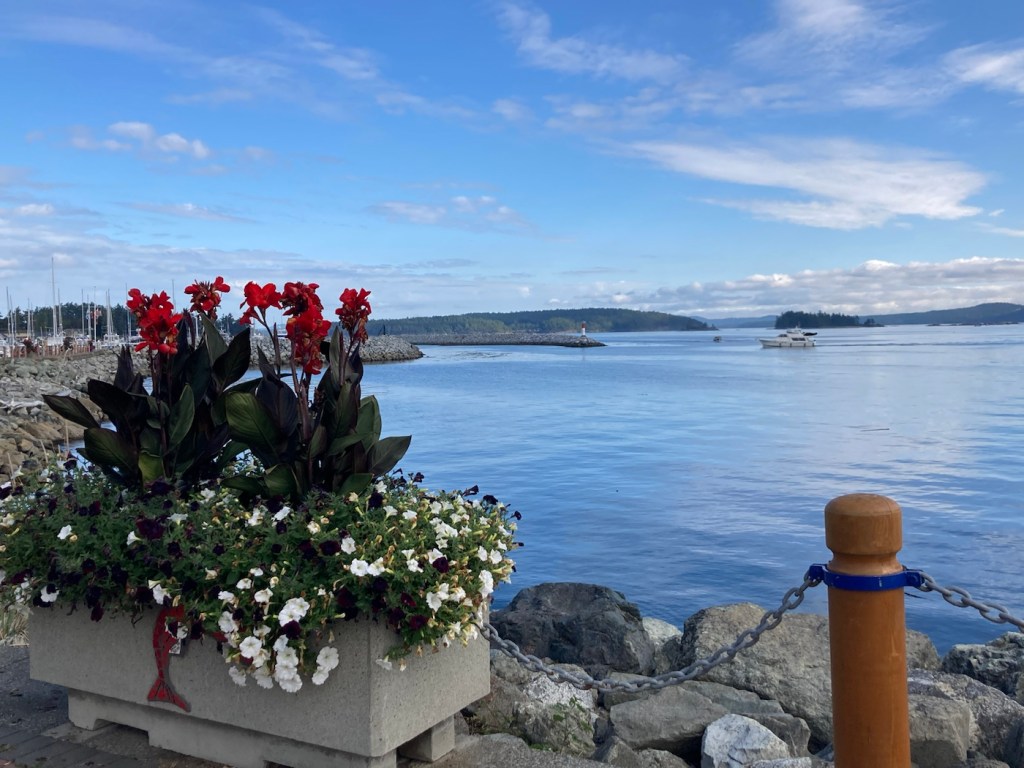
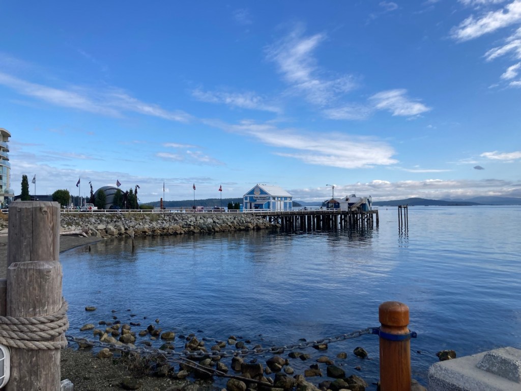
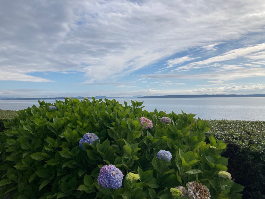
The views along the waterfront change daily. The pics below are from our walk with Rafa this morning.
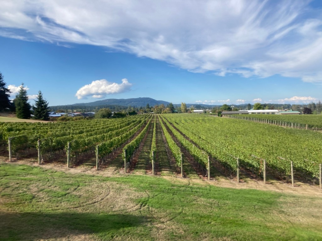
Tonight Bob and I went to the Church and State Winery and had a lovely tasting experience.
The Church and State combination tasting room, bar, event space, and bistro.The view from the bar where we had our tasting experience The Church and State vineyards on the island. They also have a sister winery in the Okanagan wine region, that fortunately escaped the recent fires.
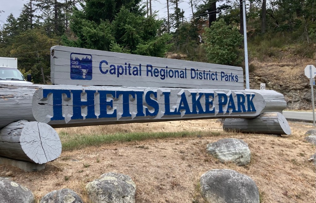
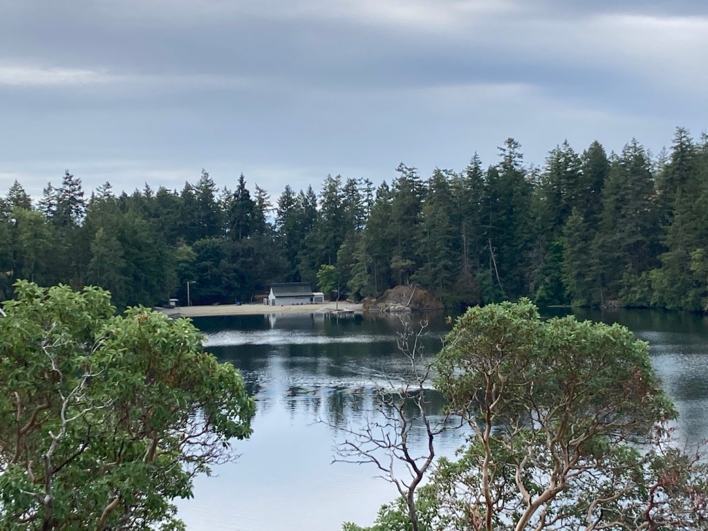
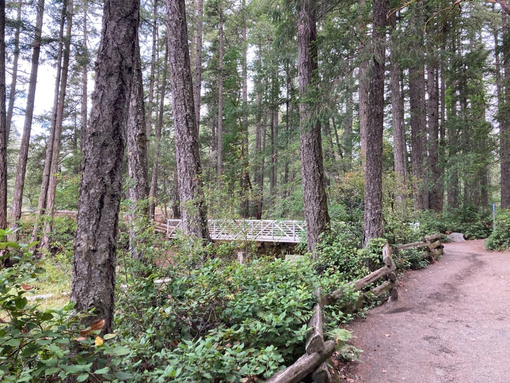
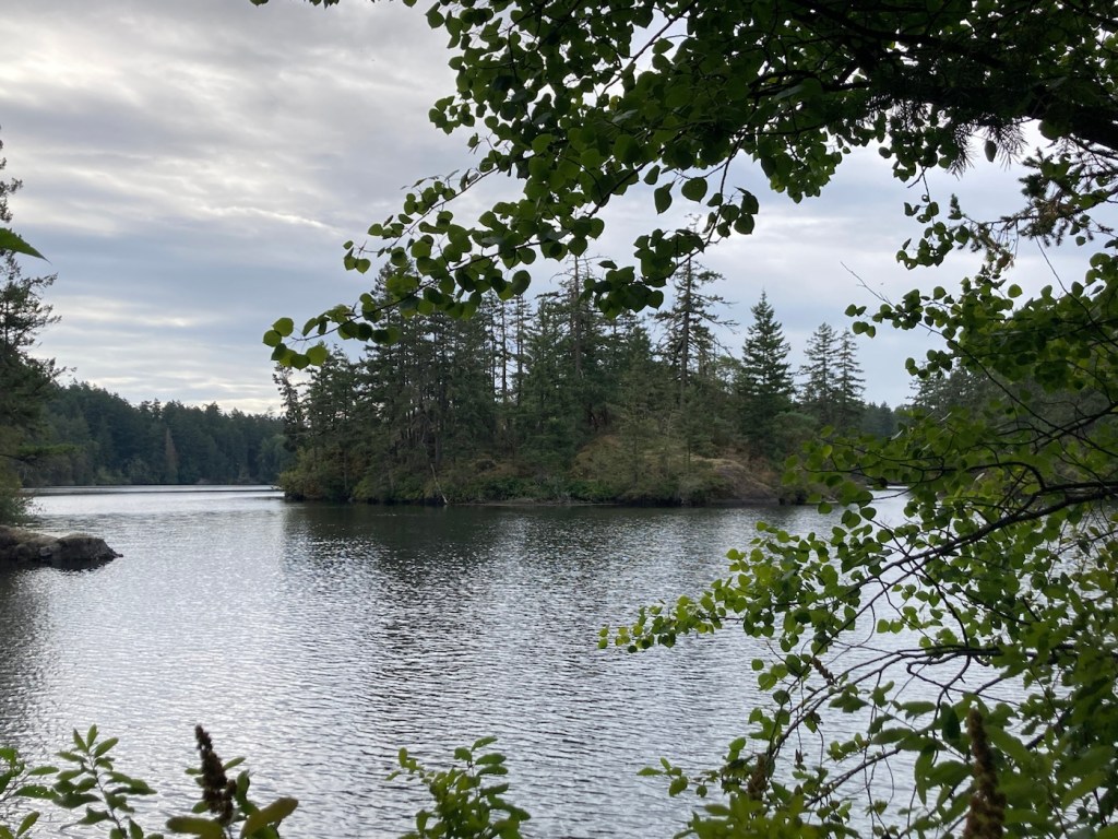
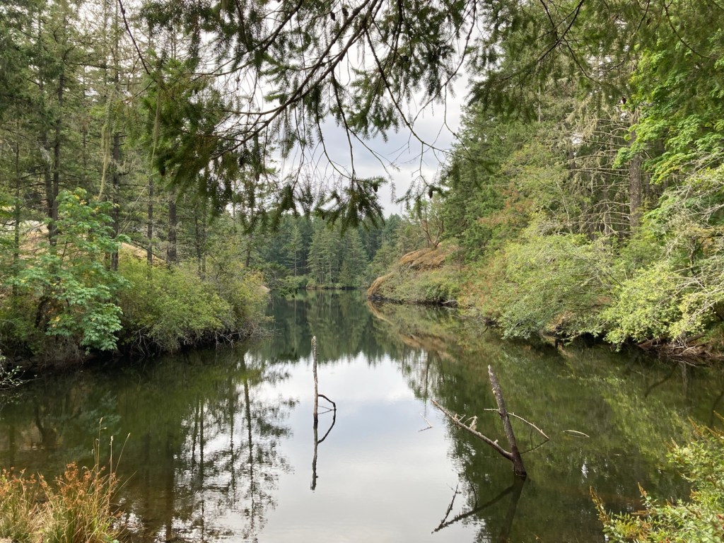
Today, we were off to another of the 34 parks listed on the Capital Regional District (CRD) Parks and Trails map that we picked up earlier in our stay at the Sidney Tourist Office just a few blocks up the street from where we are staying. Today, we were off to Thetis Lake Regional Park, which at 30 minutes from here, was our farthest drive to date.
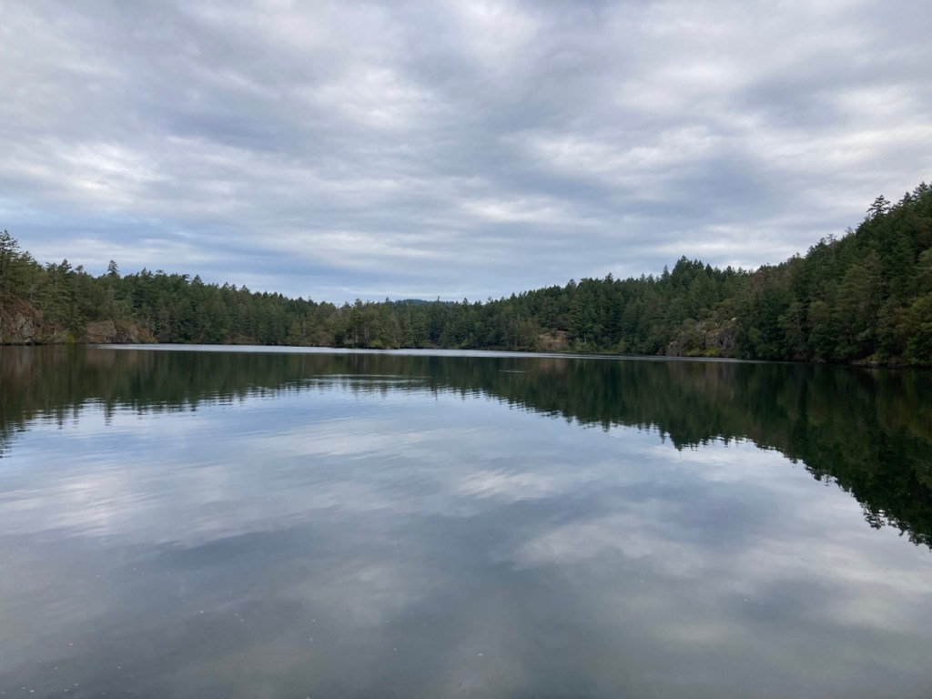
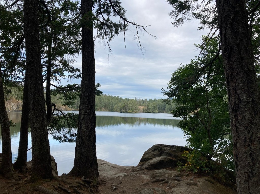
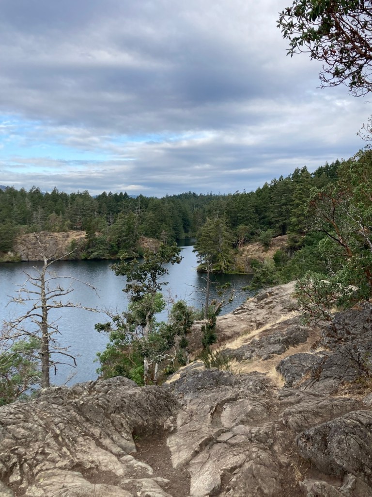
Thetis Lake Regional Park was established in 1958 as Canada’s first nature sanctuary and has over 40 kilometers of trails. We combined the Lower Thetis Lake trail and Upper Thetis Lake Trail to get lovely views of both lakes and beaches, plus more impressively tall trees and rock formations, that made for a great outing.
It was the first park we have had to pay at, and that was only $2.20 Canadian ($1.66 US) for day parking. Below are pics from today’s tramp.