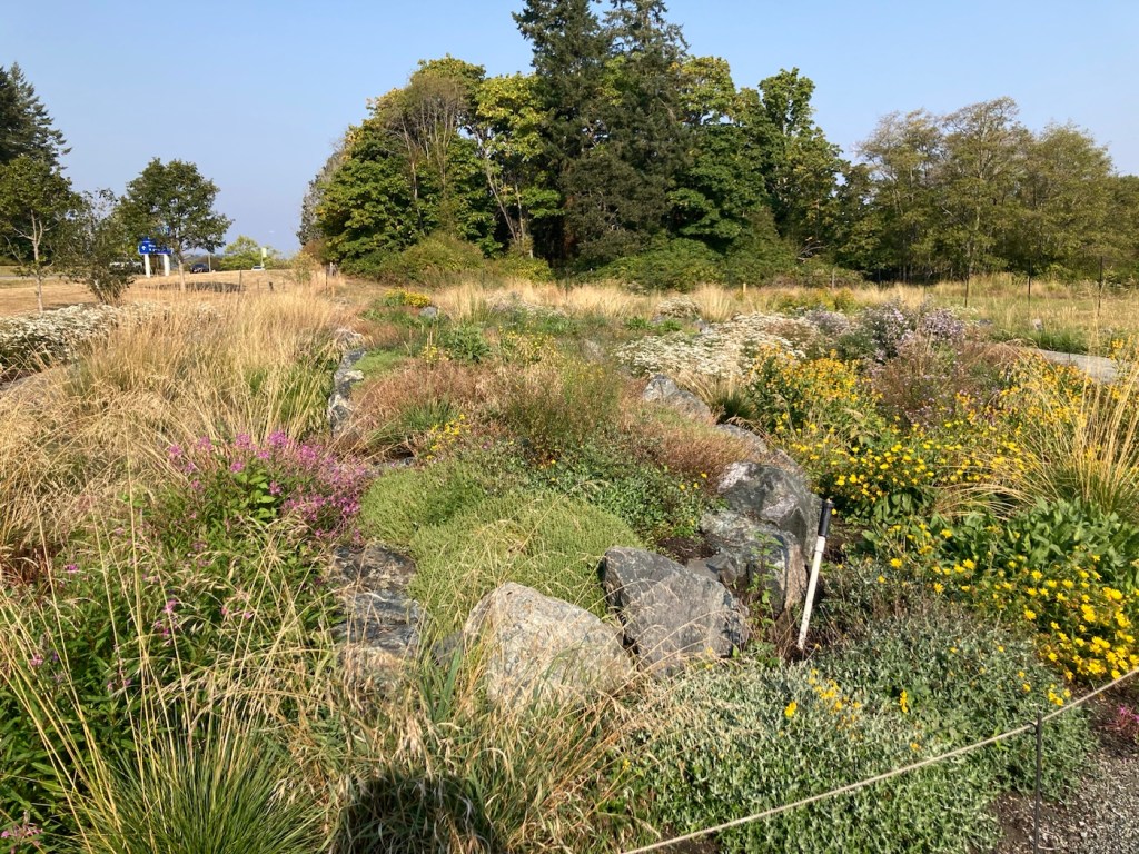
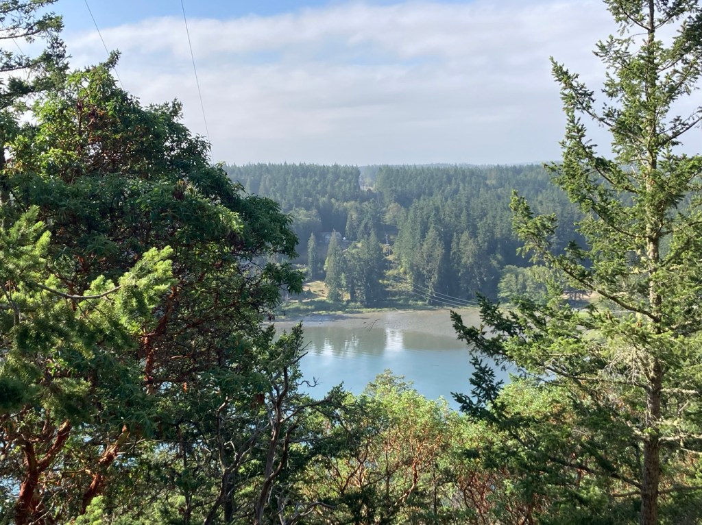
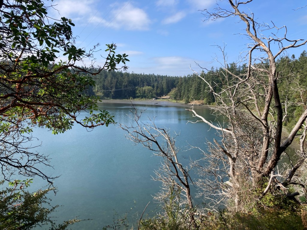
Bob, Rafa, and I did a 10k walk today at Elk/Beaver Lake Regional Park. This is a 1,072 acre park containing Elk Lake and Beaver Lake. We began our walk near Elk Lake.

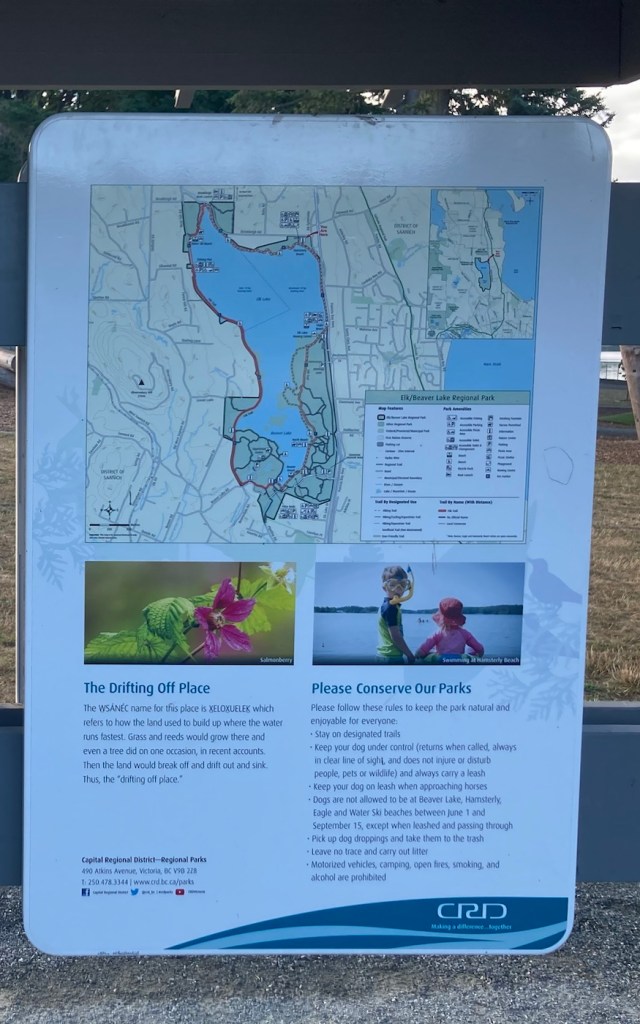
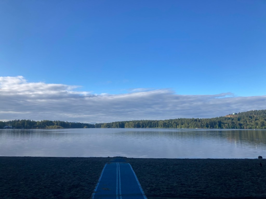
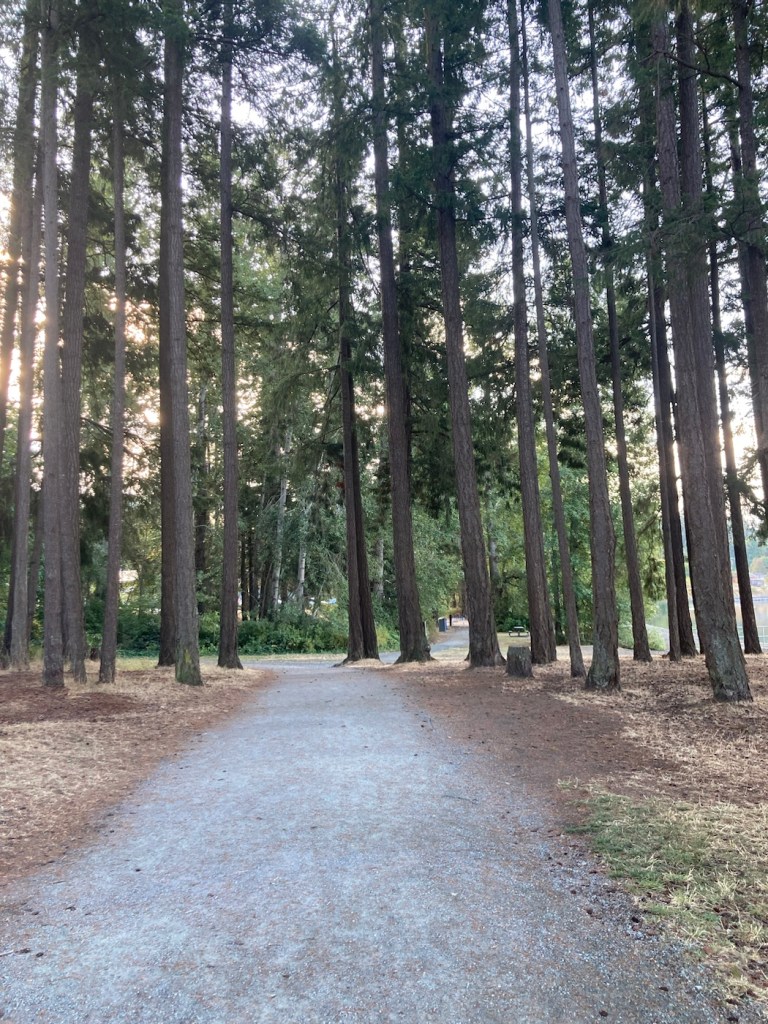
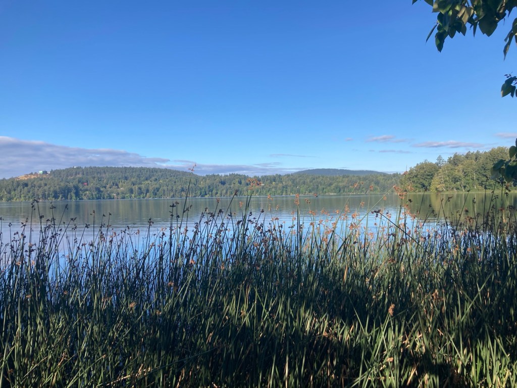
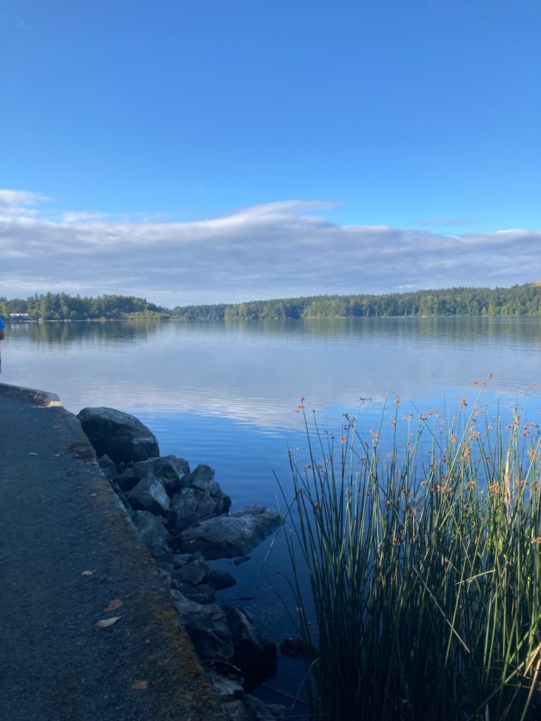

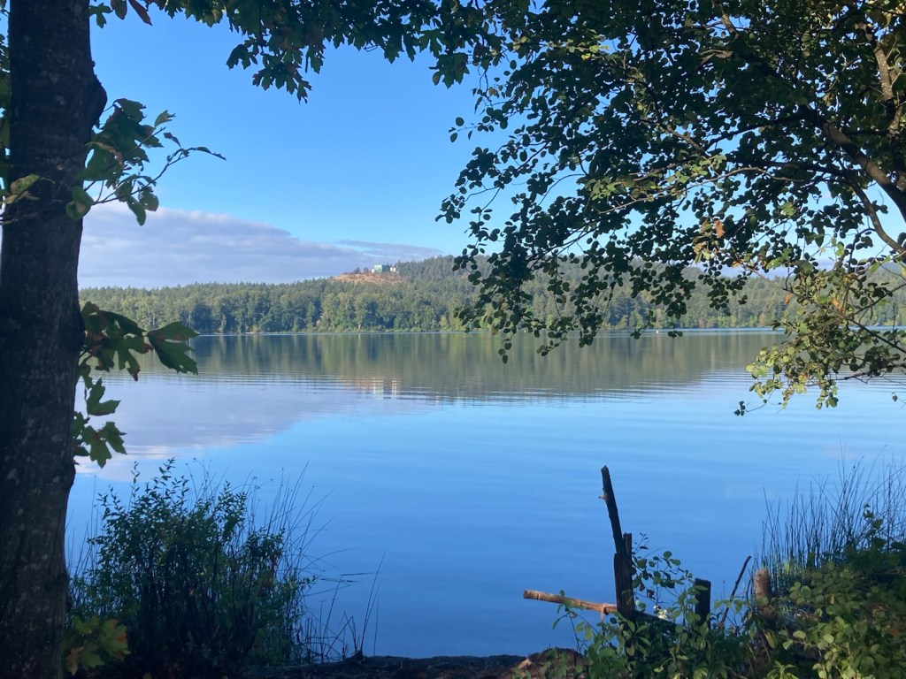
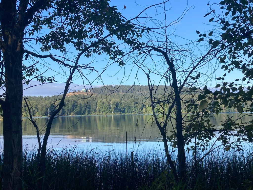


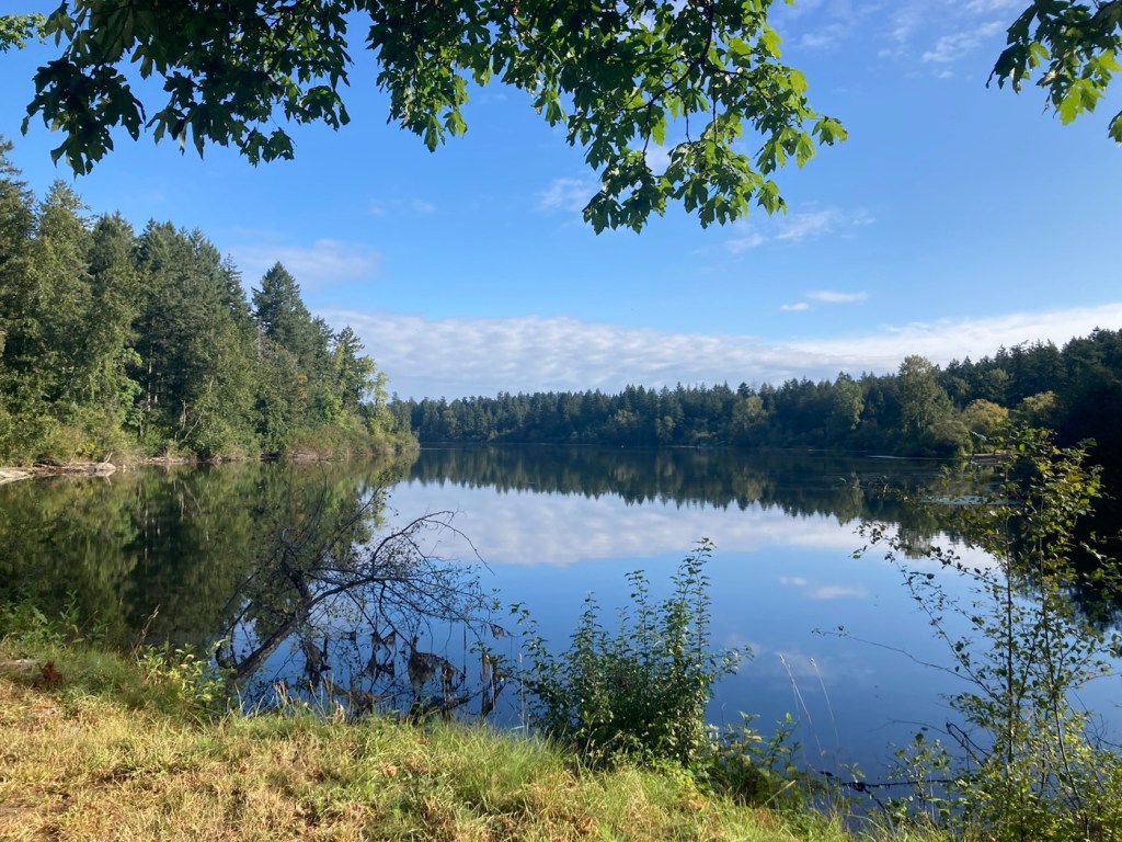

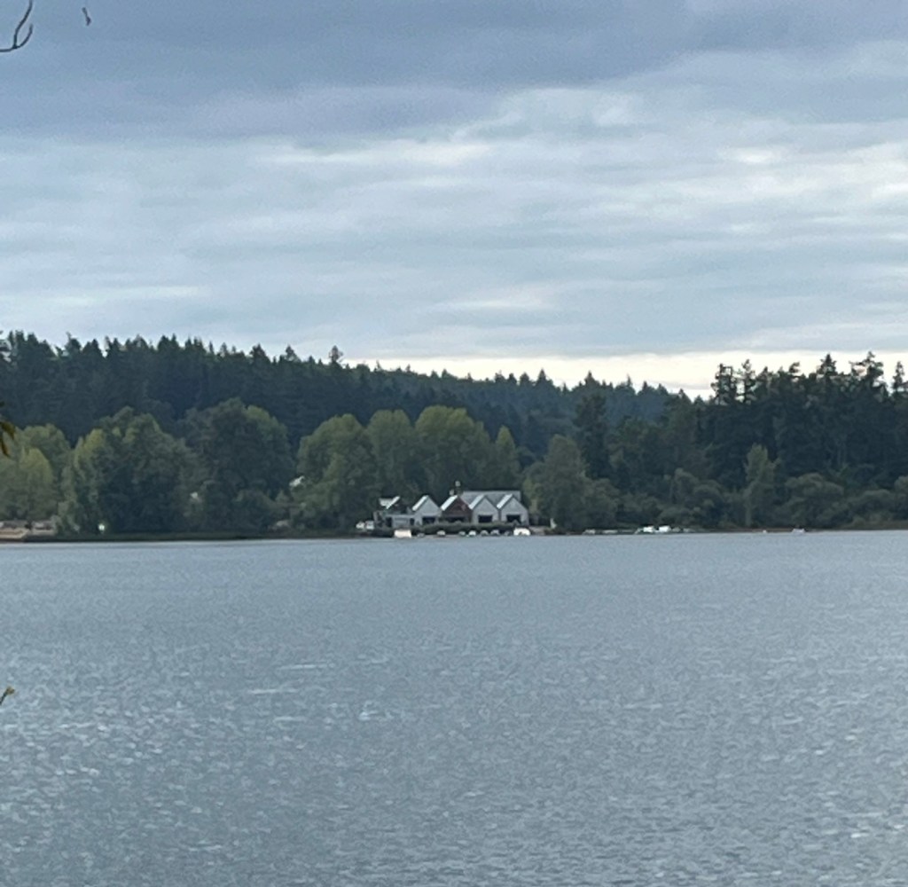
Bob, Rafa, and I did a 10k walk today at Elk/Beaver Lake Regional Park. This is a 1,072 acre park containing Elk Lake and Beaver Lake. We began our walk near Elk Lake.
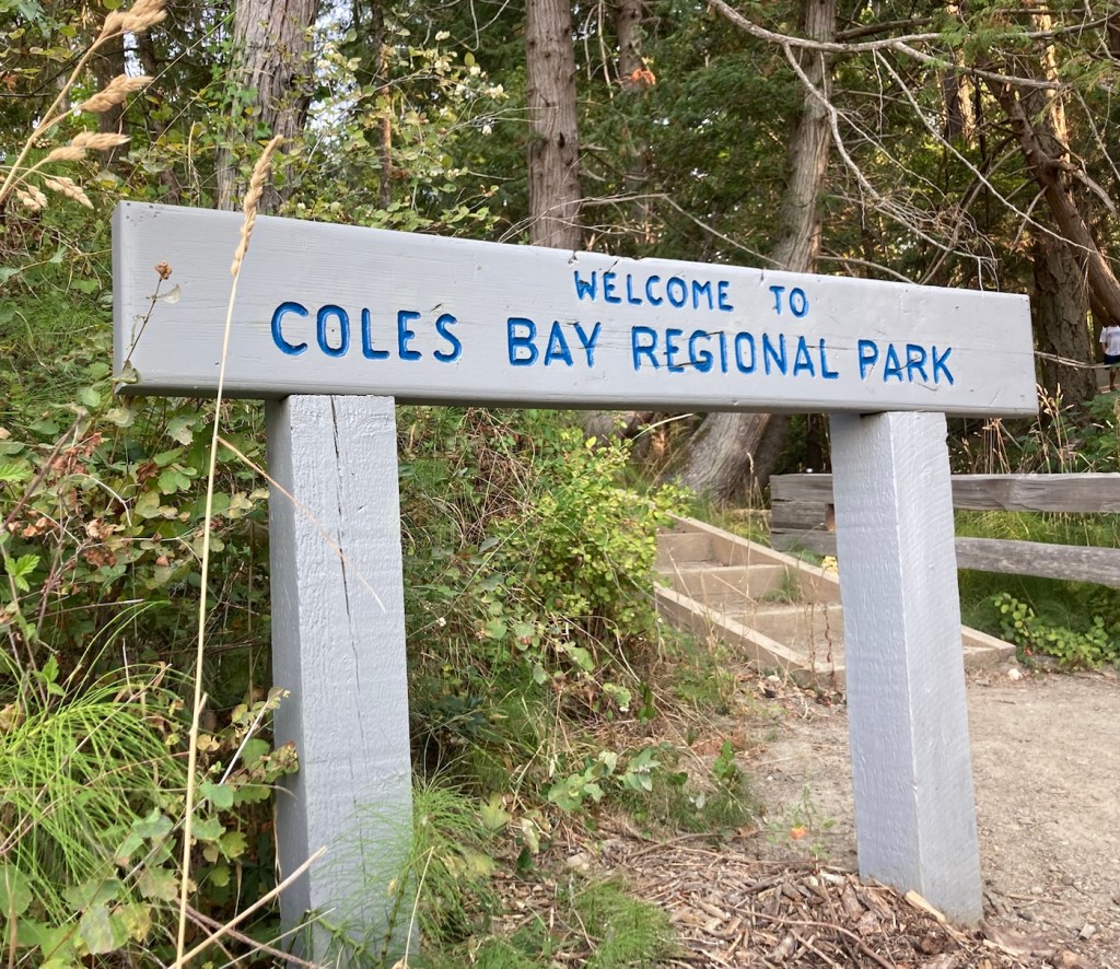
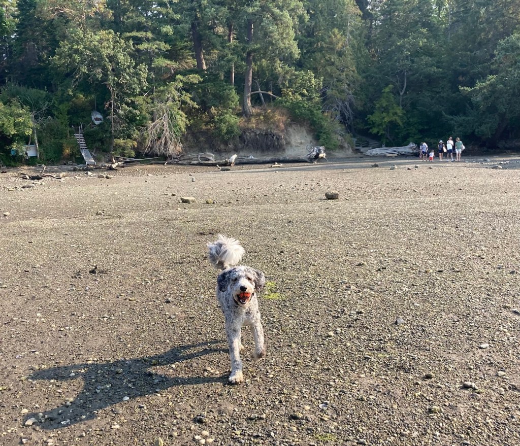
We have been exploring a couple of new parks with Rafa, both on lead and off. Yesterday we went to Cole’s Bay Regional Park for some ball fetching. It was quiet, so Rafa got quite a bit of off-lead time in.

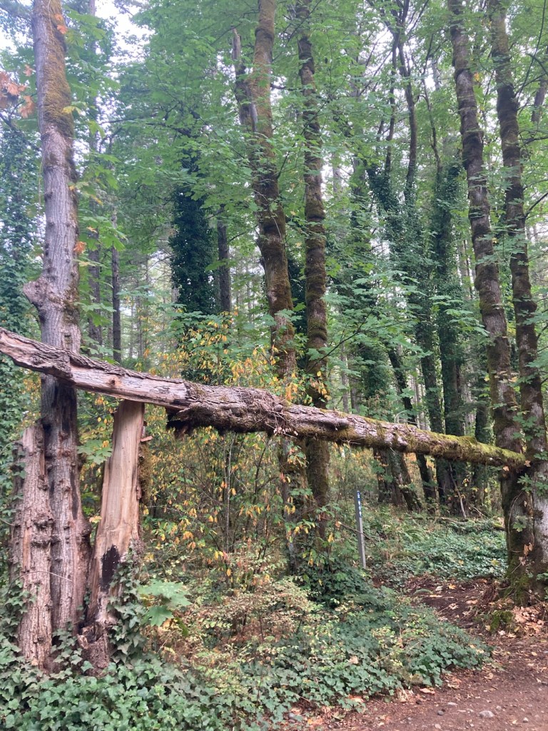
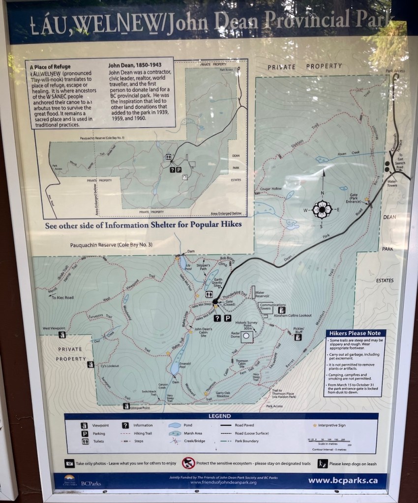
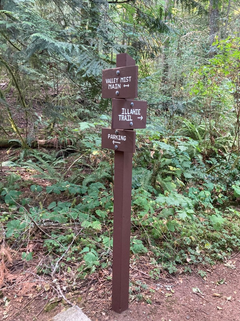
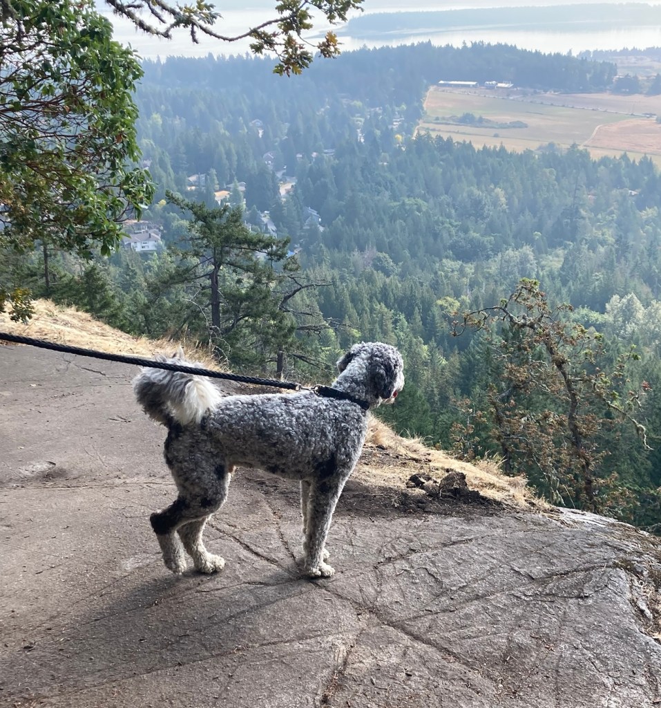
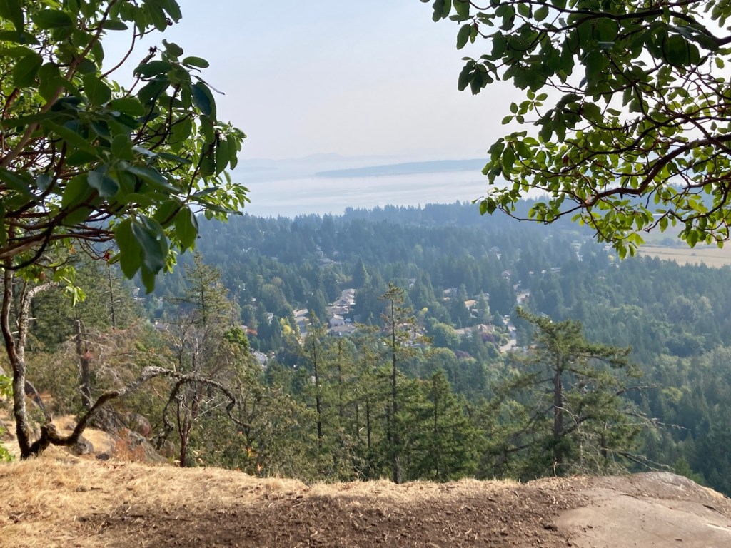
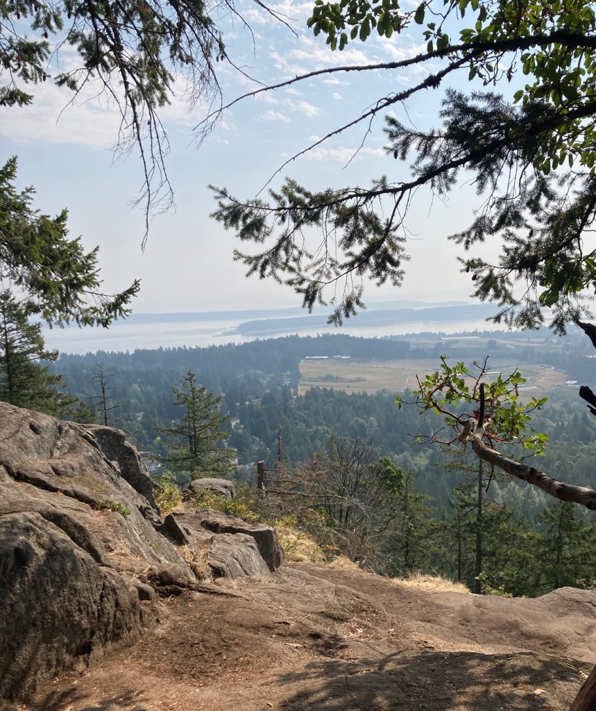
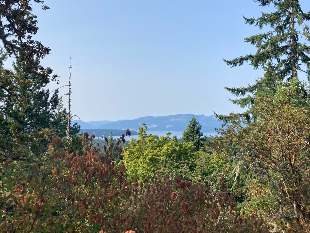
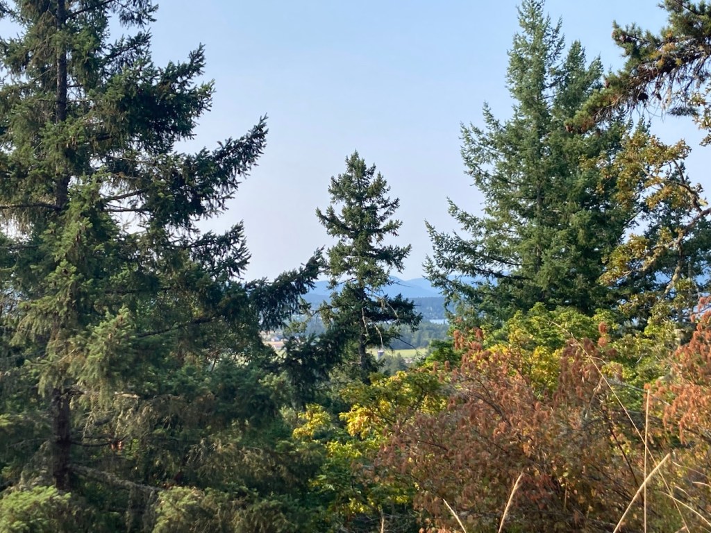
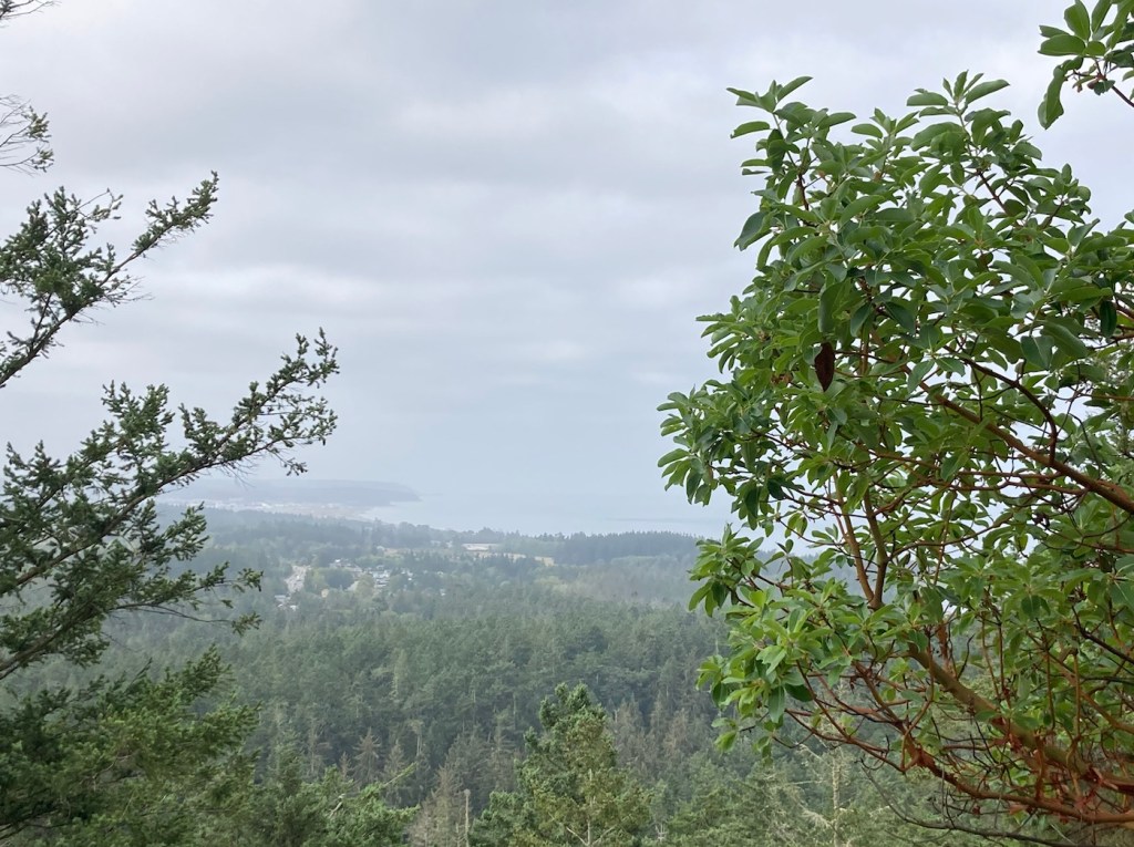
Today, we had a good walk around many trails at John Dean Provincial Park. From the website, the park is “situated on top of Mount Newton on Southern Vancouver Island and overlooks the pastoral Saanich Peninsula, the Gulf Islands, and the Cascade Mountains.” We headed toward a viewpoint, but t was a bit obscured with the still smoky air.


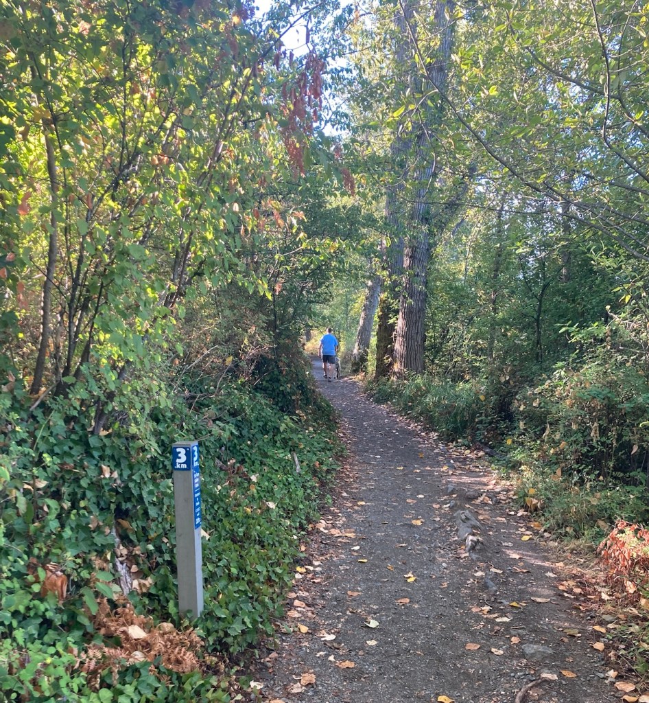
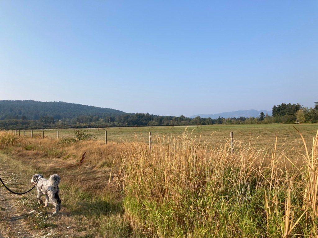
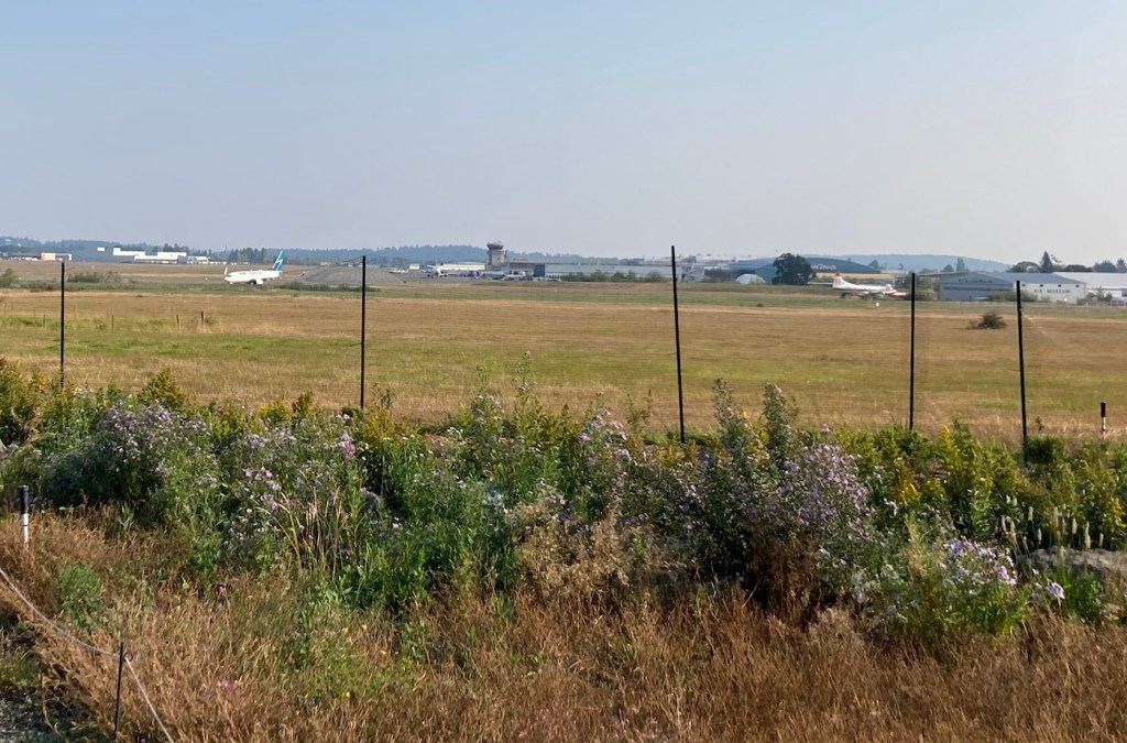
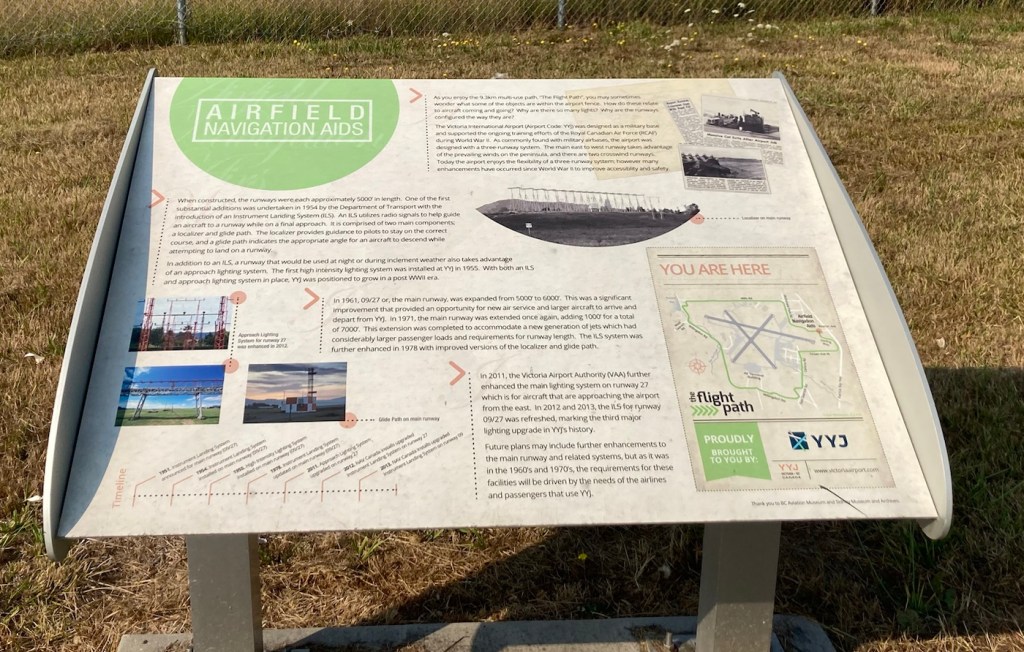
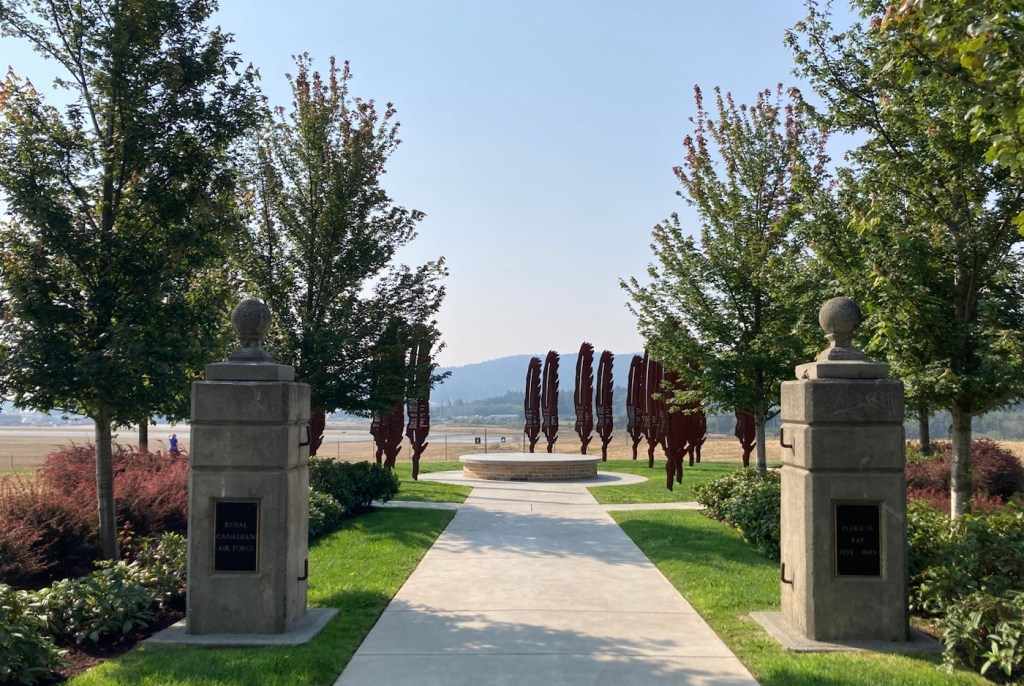
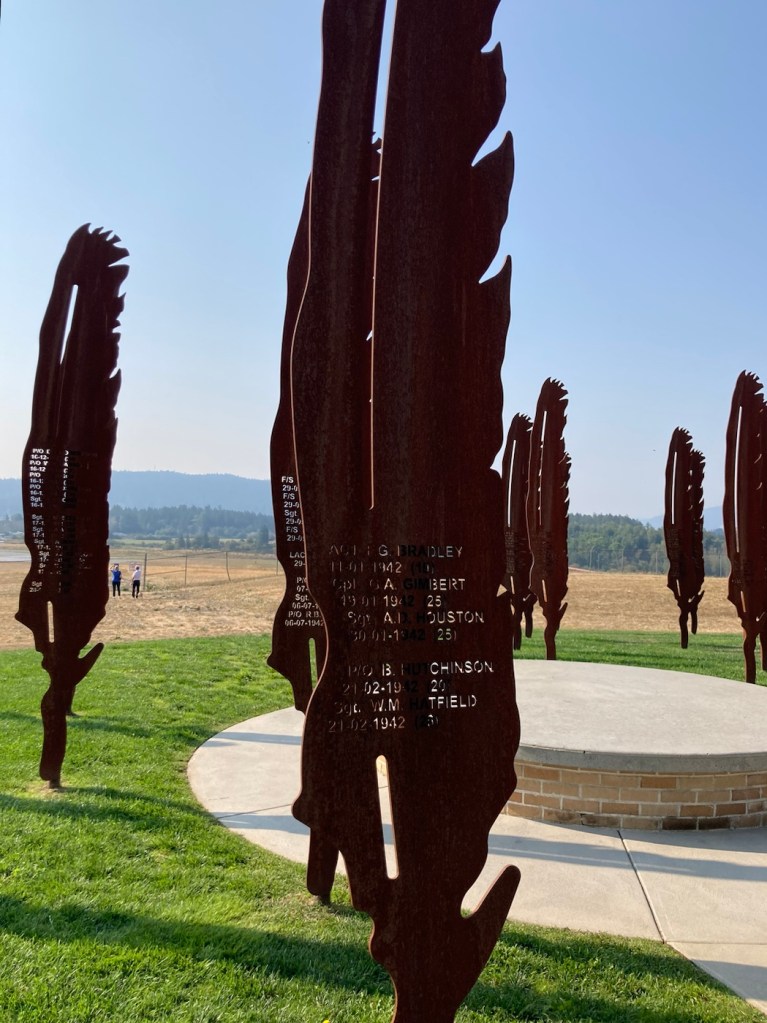
Bob had read about a 9.3 km walking/biking trail around the Victoria International Airport, which is actually located here in Sidney — less than a 10 minute drive from the condo. We thought we’d tackle it today (Saturday) as we assumed the parks might be busy. This trail was also being used but with its length was not crowded.
The path goes around the perimeter of the airport and has signs along the route highlighting some of the history of the area. We saw people walking, running, biking, and skating on it. It made for a lovely walk as we watched the airport traffic (both commercial and small planes).
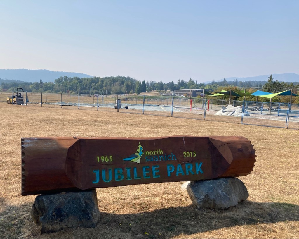


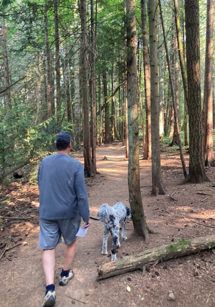
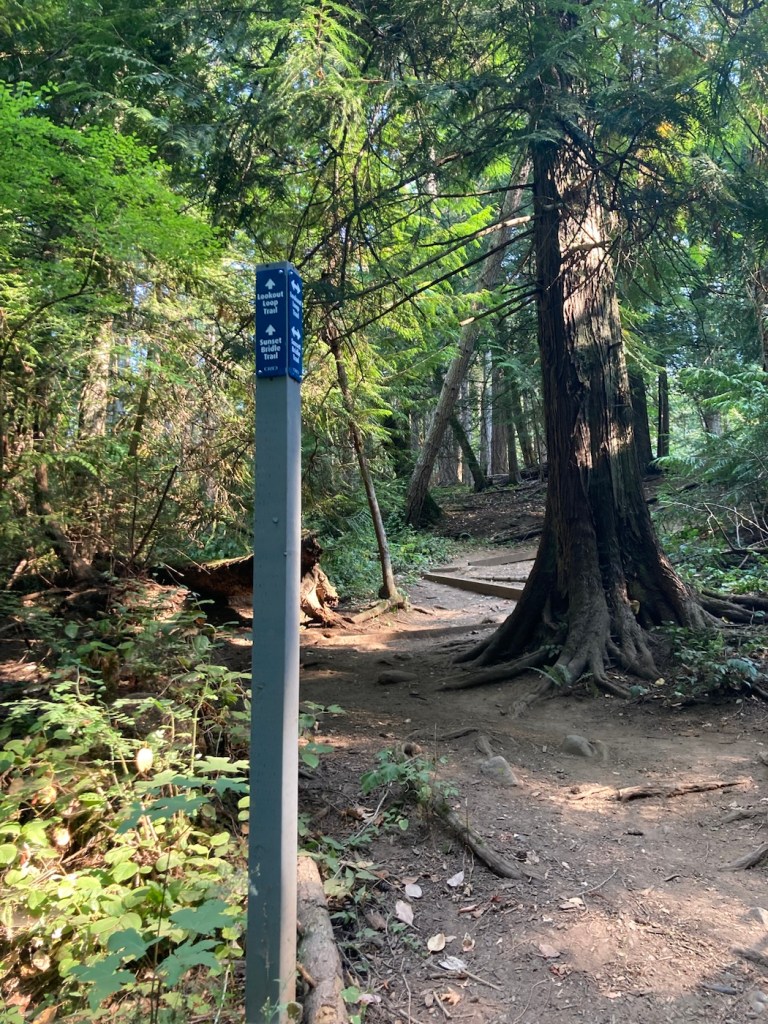
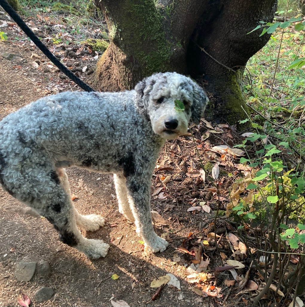
Bob is officially 60 years old! His birthday was Tuesday, and we celebrated with a lovely dinner out in downtown Sidney after a trip to the dog park with Rafa. While we have done a couple of urban walks with Rafa, today we ventured out a bit to Horth Hill Régional Park at the very north part of the island. It was a quick 10 minute drive from the condo.

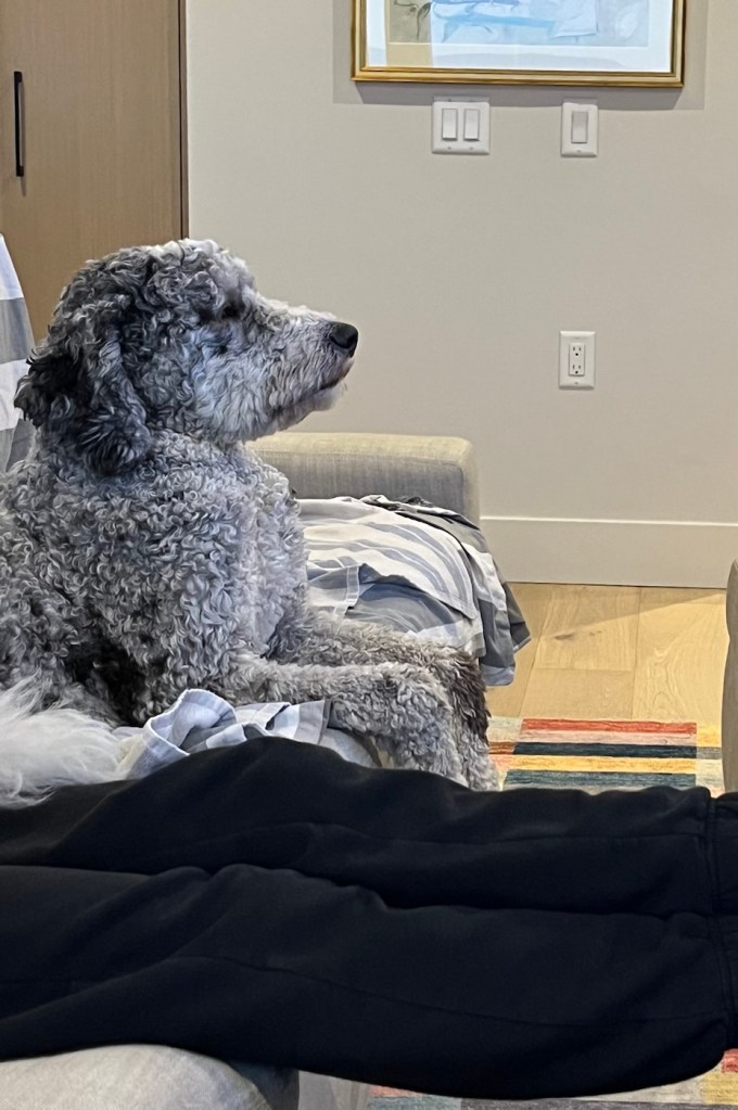
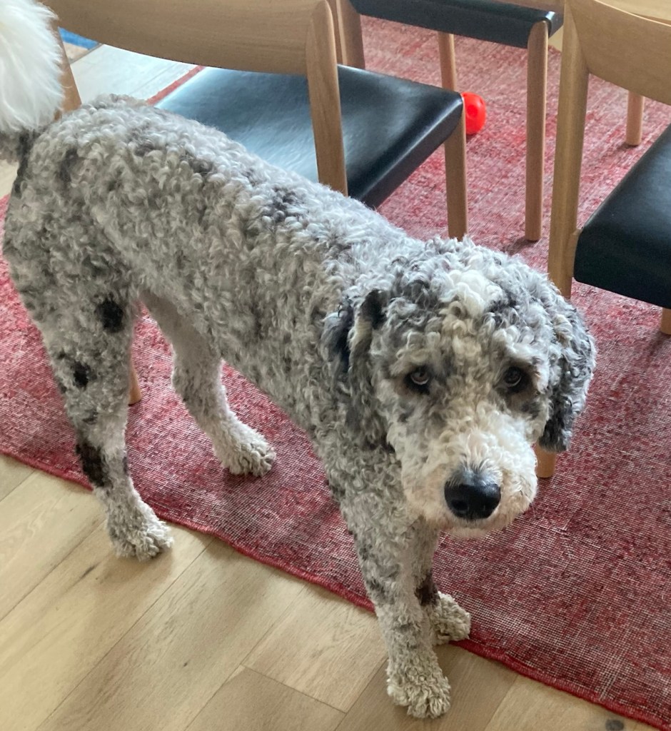
We enjoy watching tv at night with Rafa, as he often seems quite intent on what is happening, especially if there’s a dog involved.
Bob and I left La Conner, WA, on Saturday to drive across the Canadian border and then take a 1.5 hour ferry ride to Vancouver Island. It was then a quick drive to Sidney, and we had a great walk through with our homeowners starting at 4. We were able to go with the homeowners to a popular park/beach to walk Rafa, our cute new canine charge. They also made a great pasta dinner. On Sunday, we were able to visit another dog park and meet some of Rafa’s and the homeowner’s friends before Bob drove them to the airport for their visit with family and friends in England and Spain.
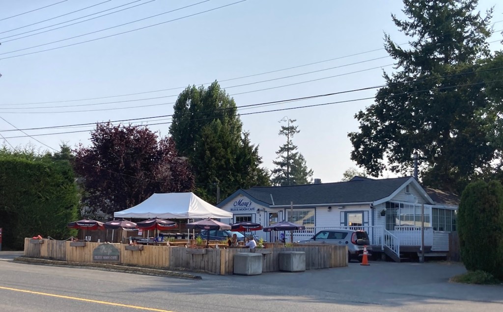
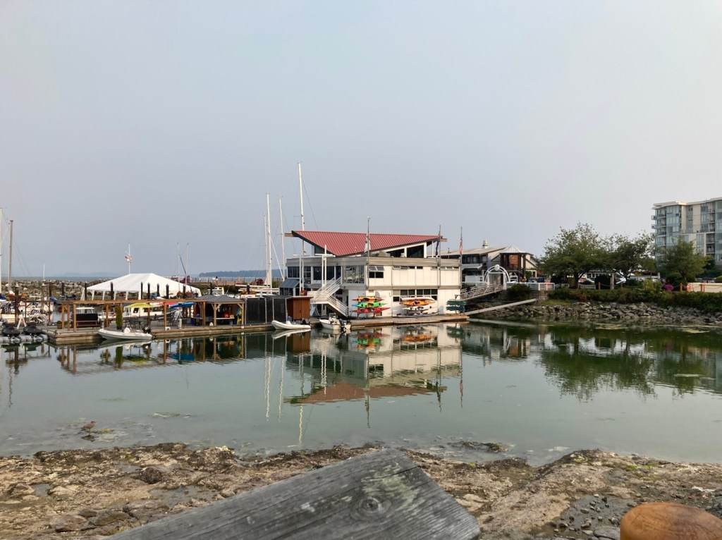
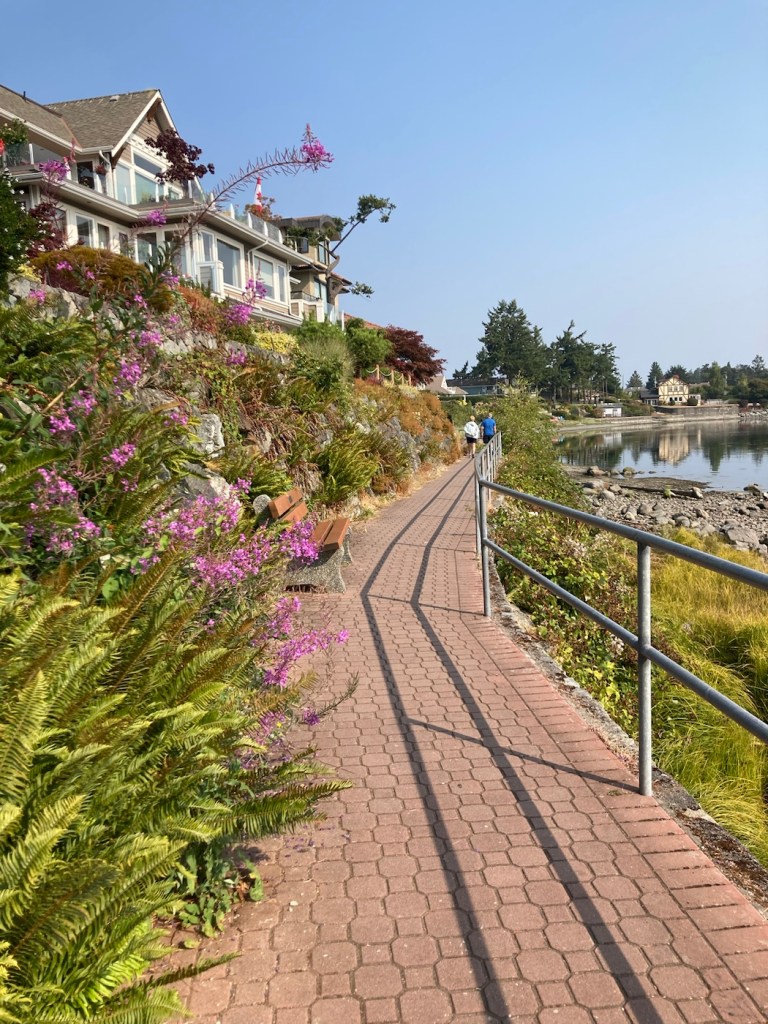
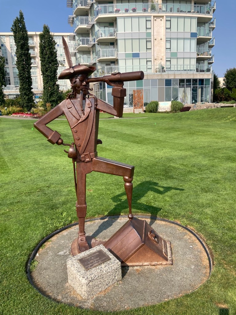
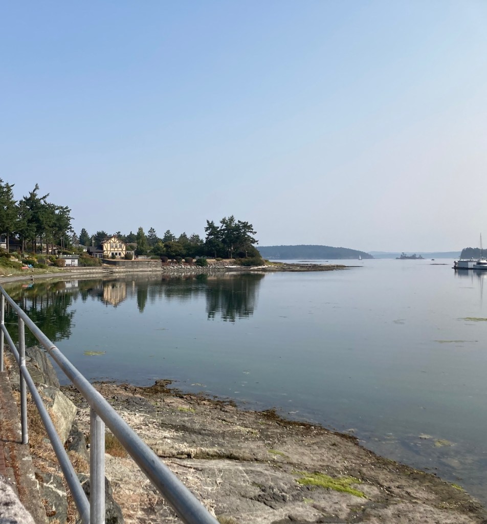
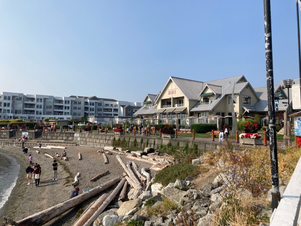
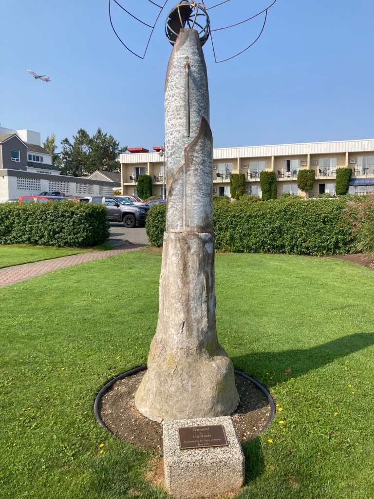
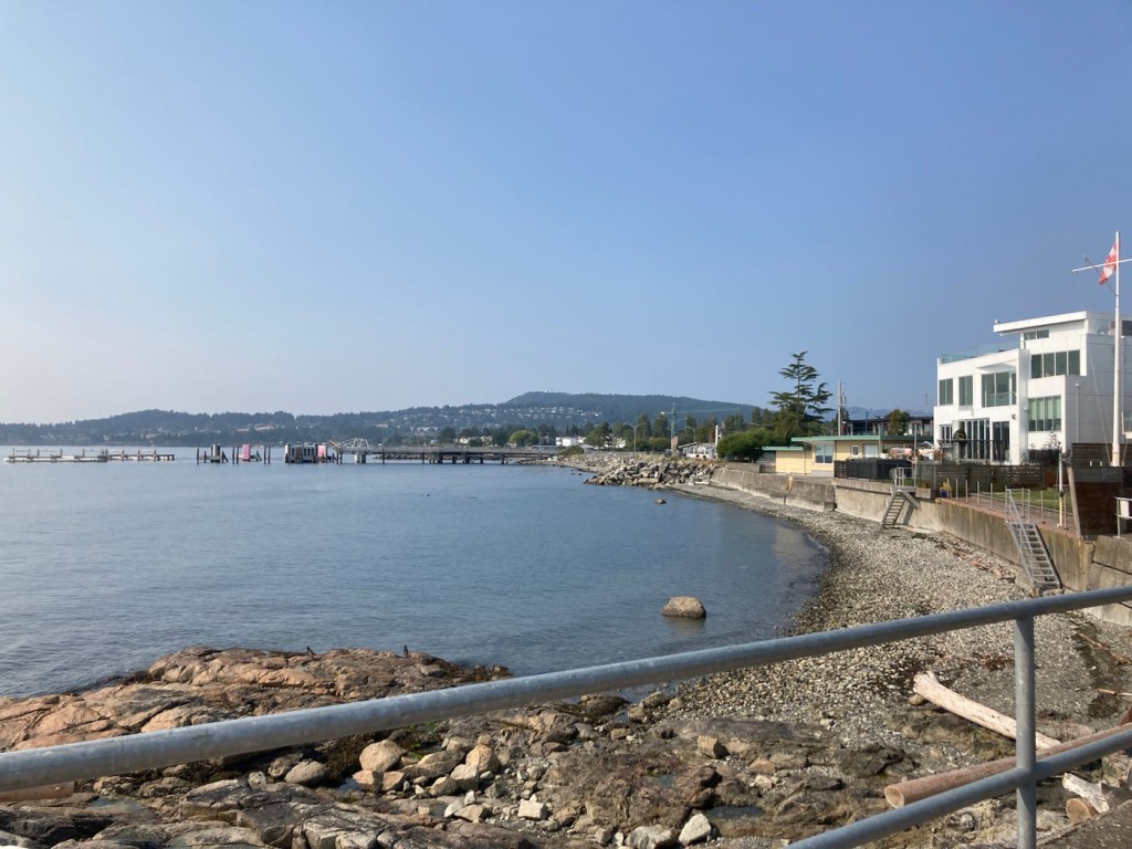
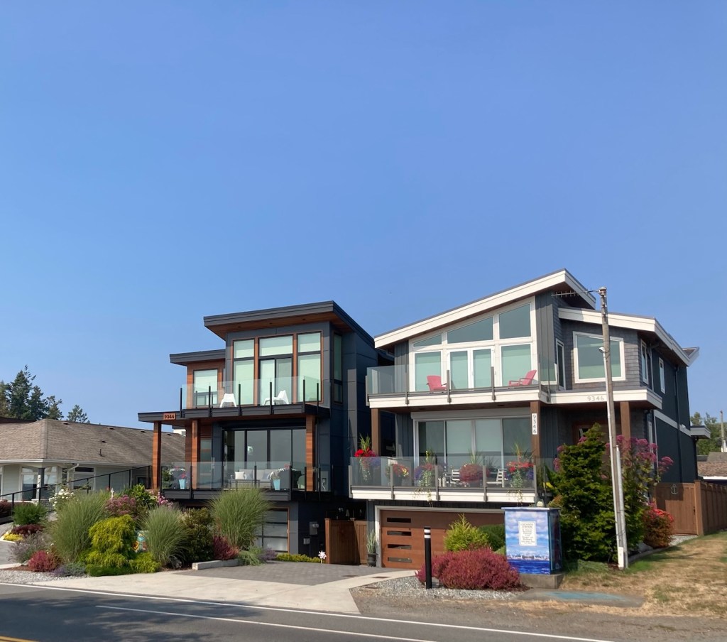
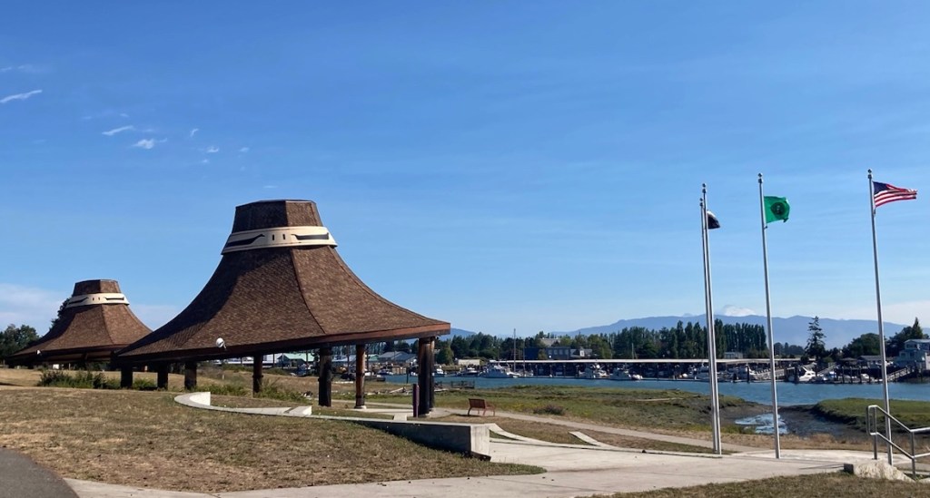
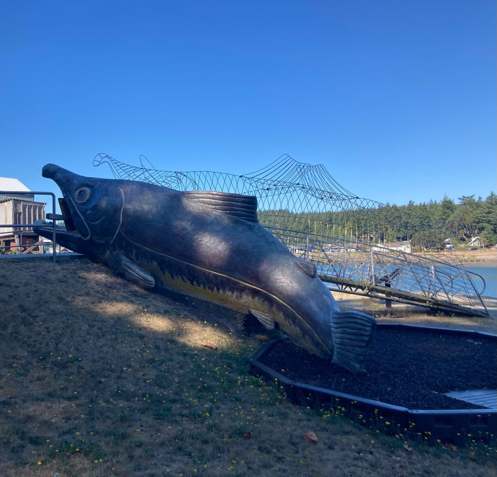
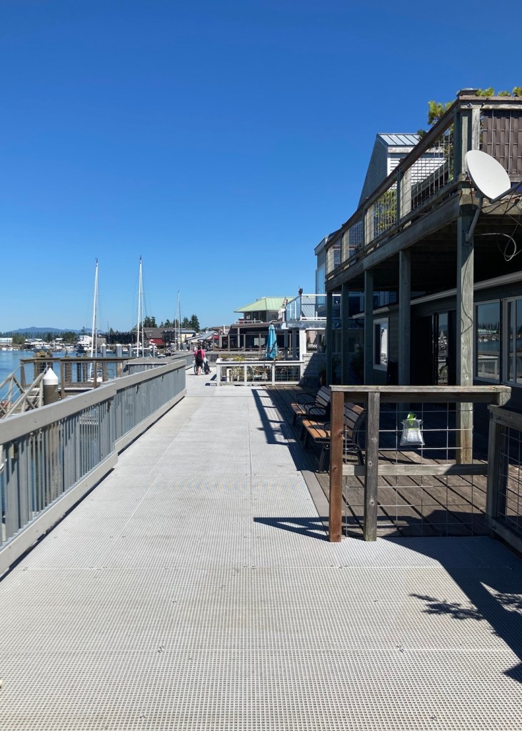
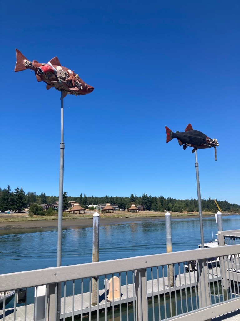
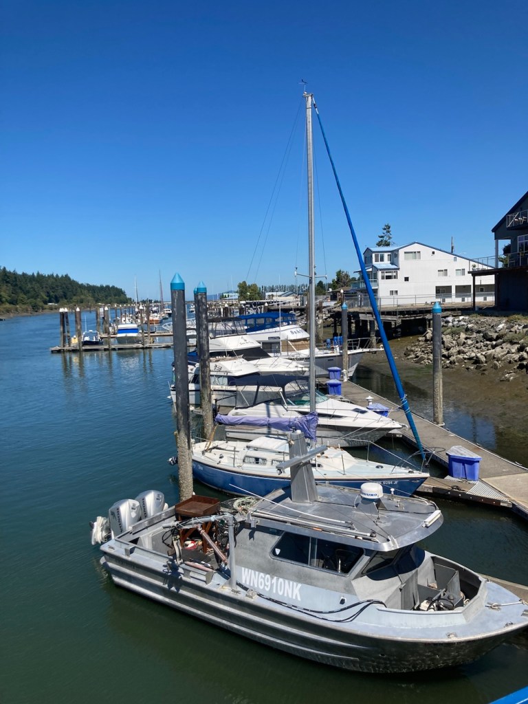
Today, for our longer walk with Rafa, we walked the 2.5k Sidney Waterfront Walkway and Sculpture Walk. This took us by a marina, restaurants, homes, city parks, and public art.


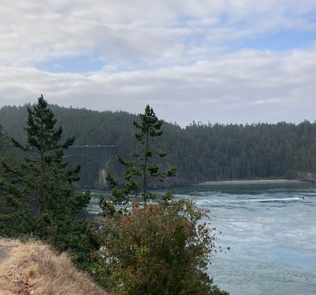
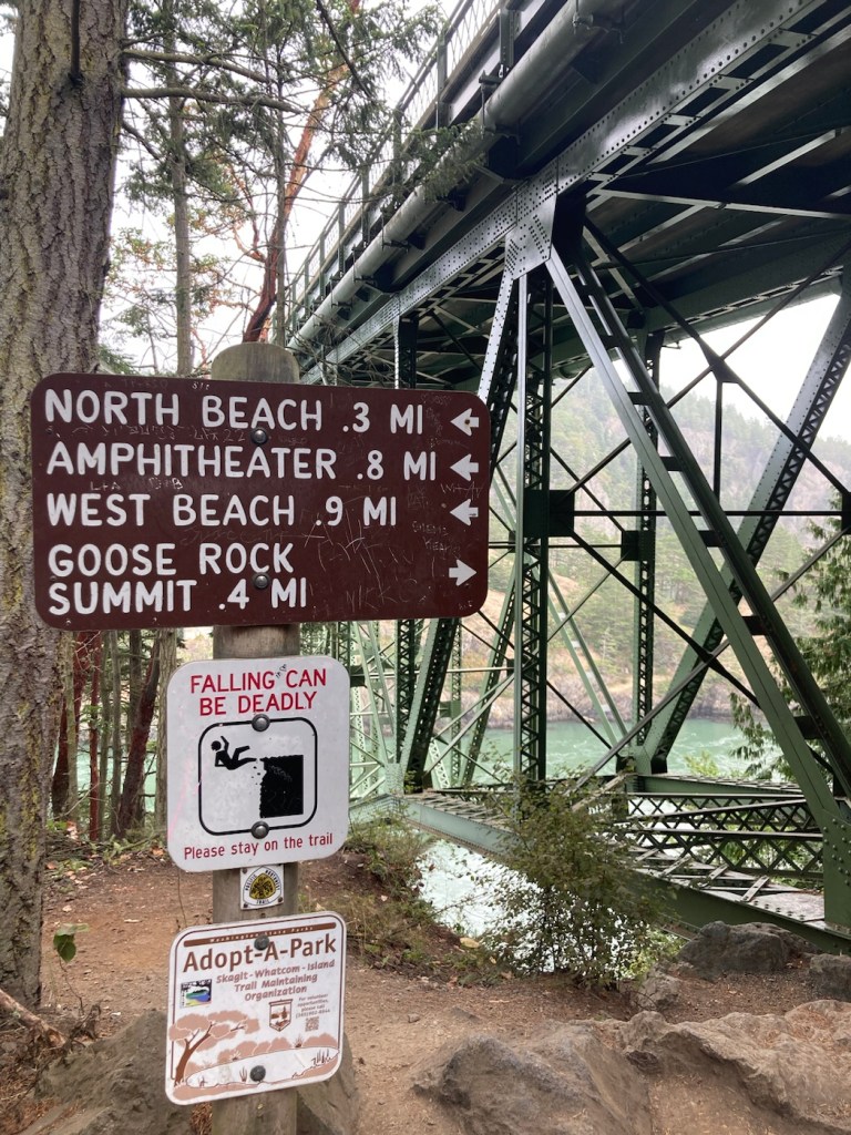
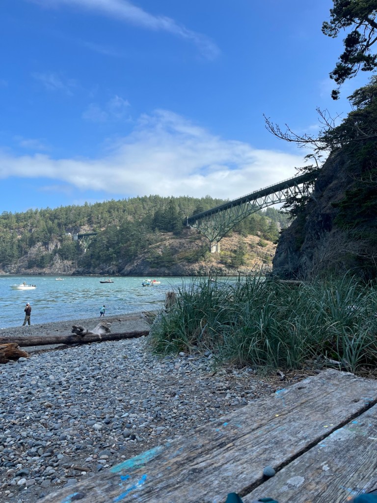
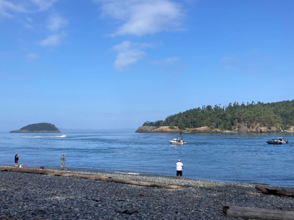
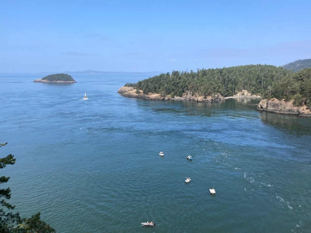
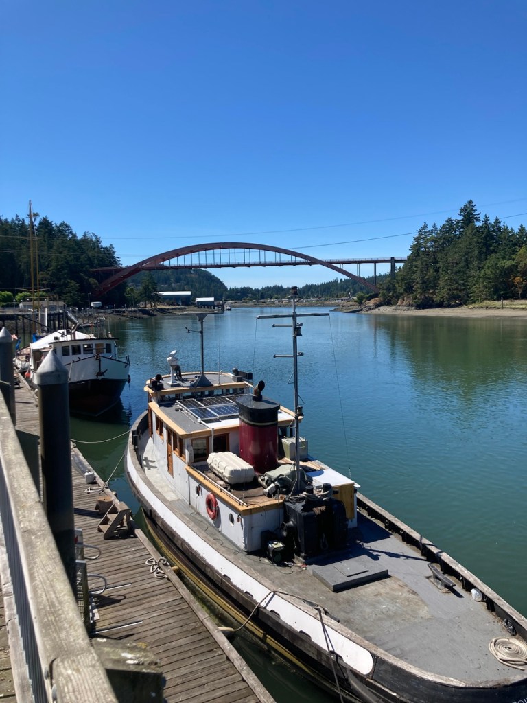
This morning Bob and I headed out early for the 25 minute drive to Deception Pass State Park to beat the crowds. We arrived a little before 9 am, and it was a brisk 58 degrees. I have since learned that Deception Pass is Washington’s most visited state park, which just shows that we are in the know even when we’re not!
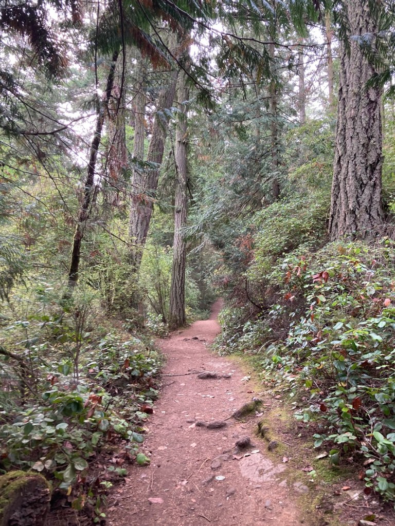
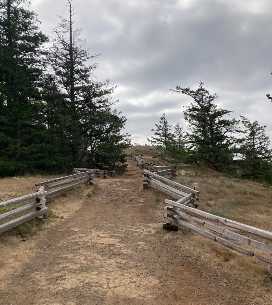
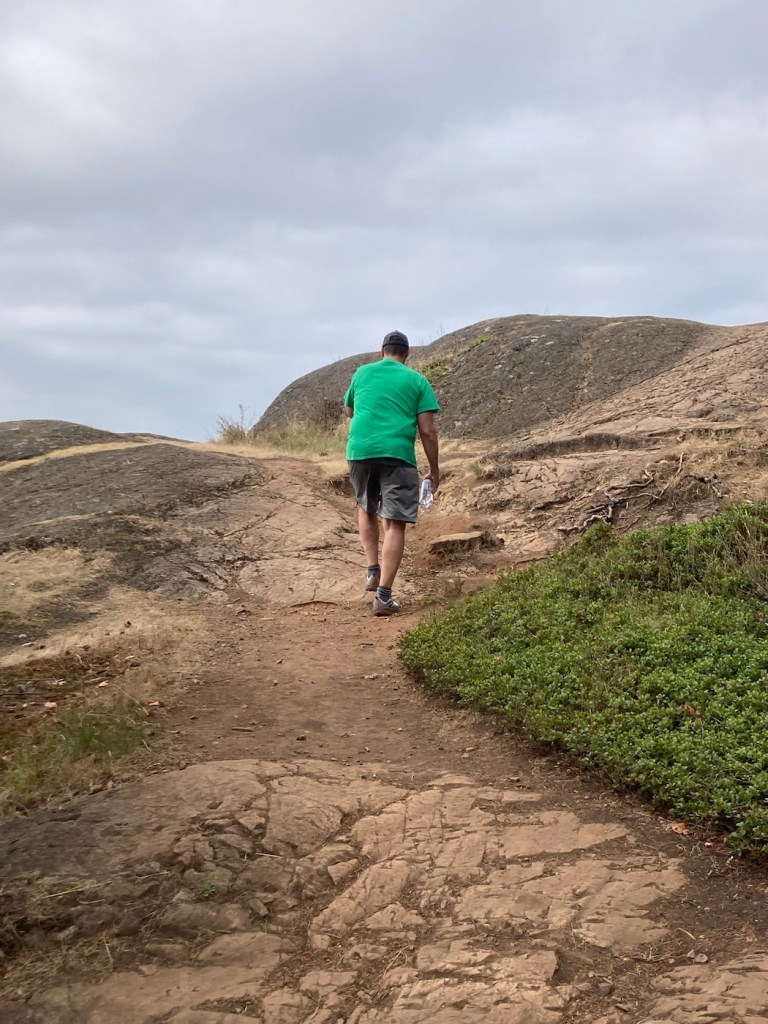
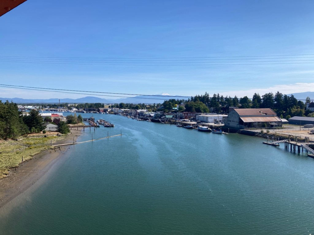
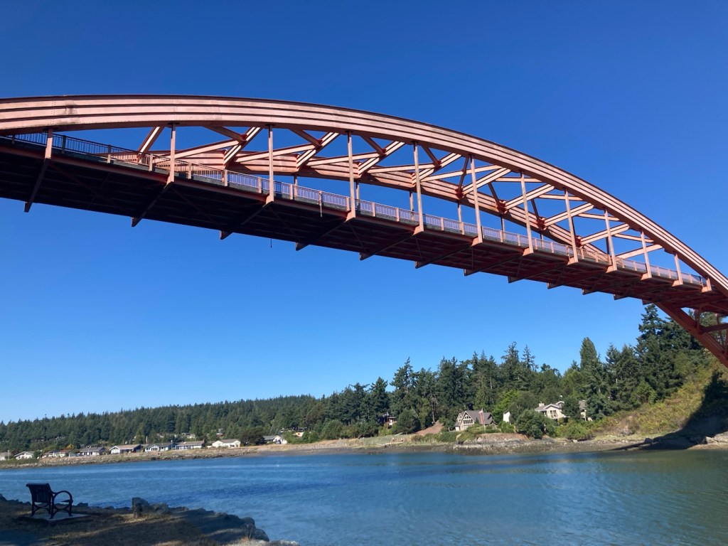
Deception Pass State Park spreads over 3,854 acres across 2 islands, Fidalgo to the north and Whidbey to the south. We drove across Fidalgo Island and the Deception Pass Bridge to get to the park. We happily paid the $10 park fee and went off to explore the Goose Rock Summit and Perimeter Trails before heading down to the bay for a light breakfast as we watched the boats, fishermen, and got a proper look at the impressive bridge.


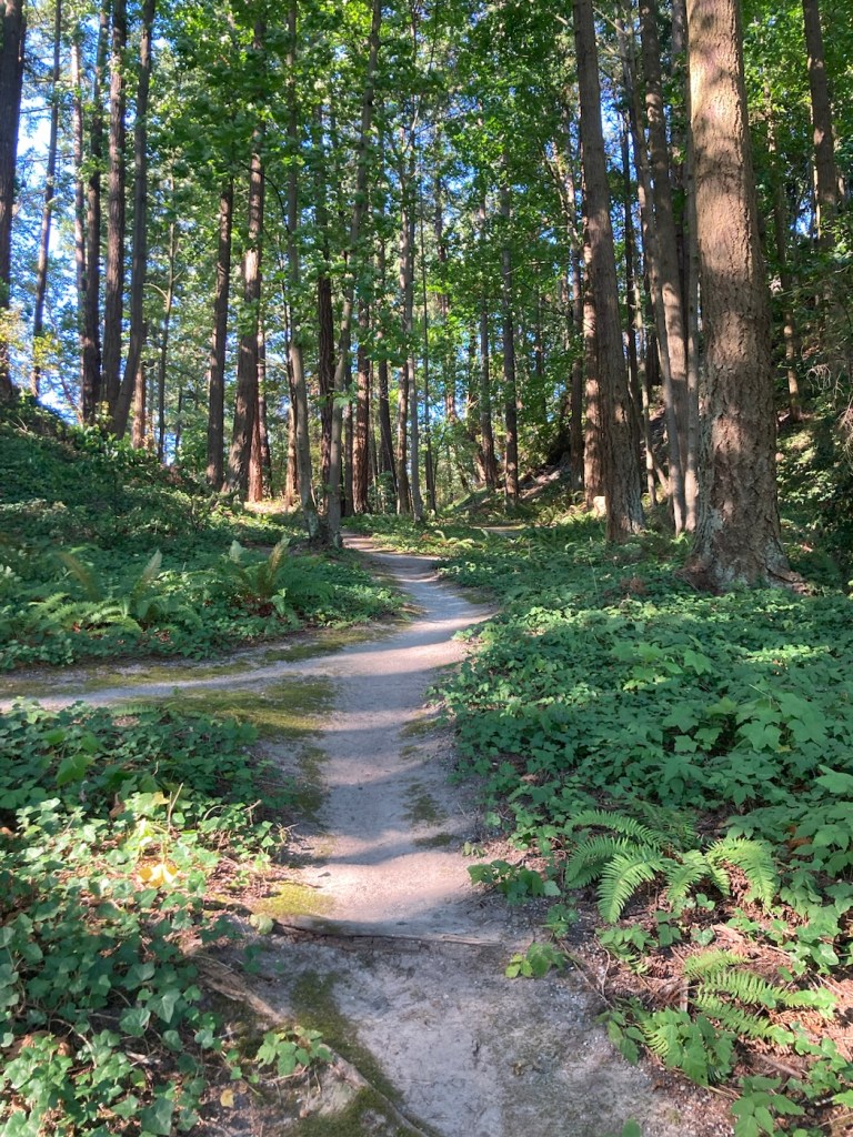
We explored a variety of sites with our first full day in La Conner, Washington. First, we walked to Pioneer Park, which had a short trail with somewhat of an overlook of La Conner.
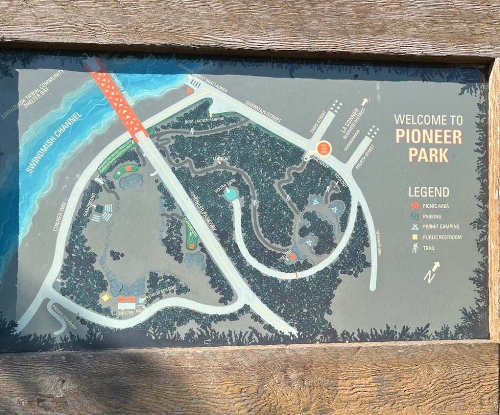

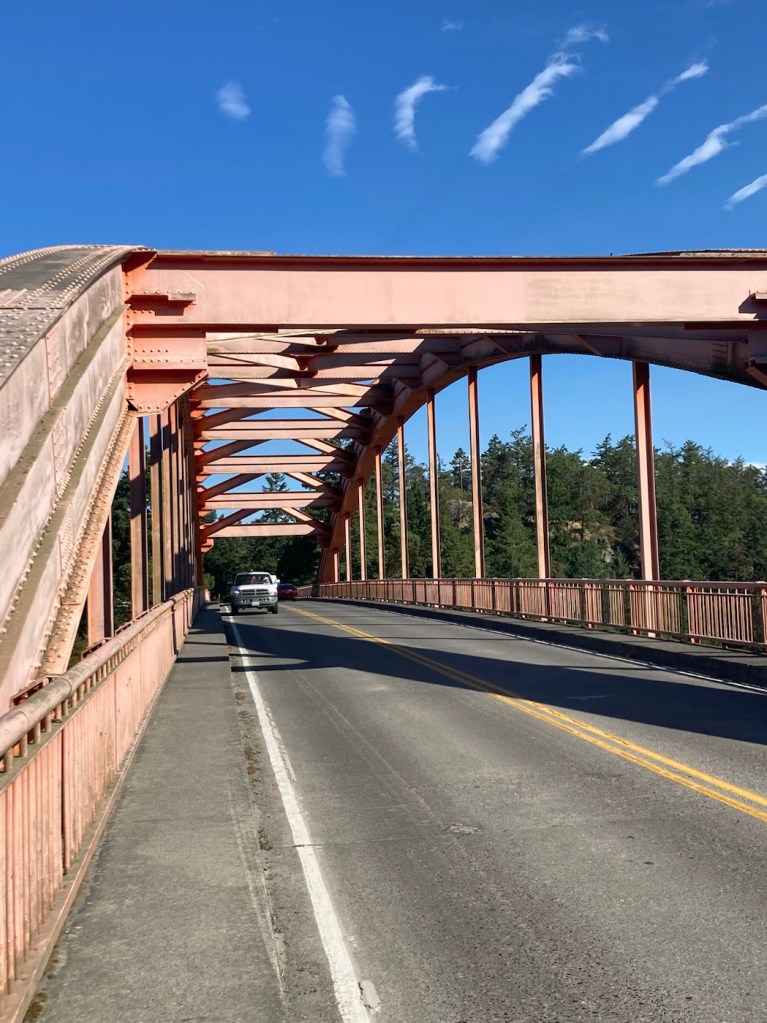
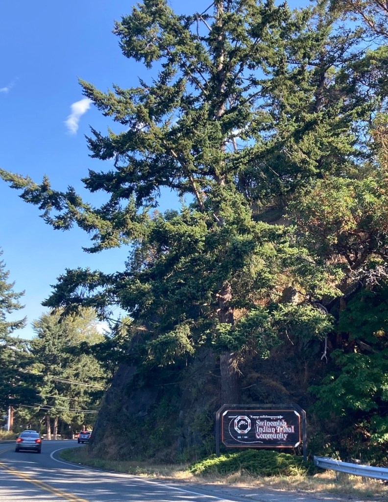
The park trail descended close to the road across the Rainbow Bridge, so we walked across and explored some of the area in the Swinomish Indian Tribal Community.
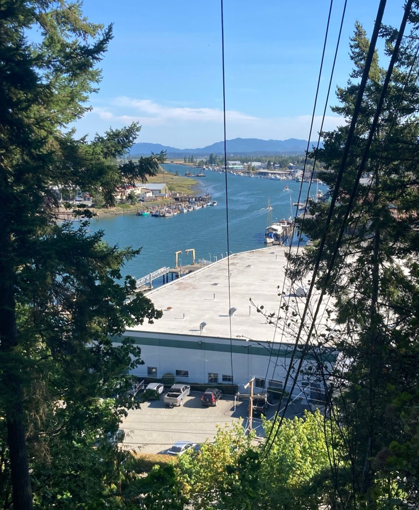
We returned over the Rainbow Bridge back to La Conner and walked through the La Conner Waterfront Park before heading back into the town center.
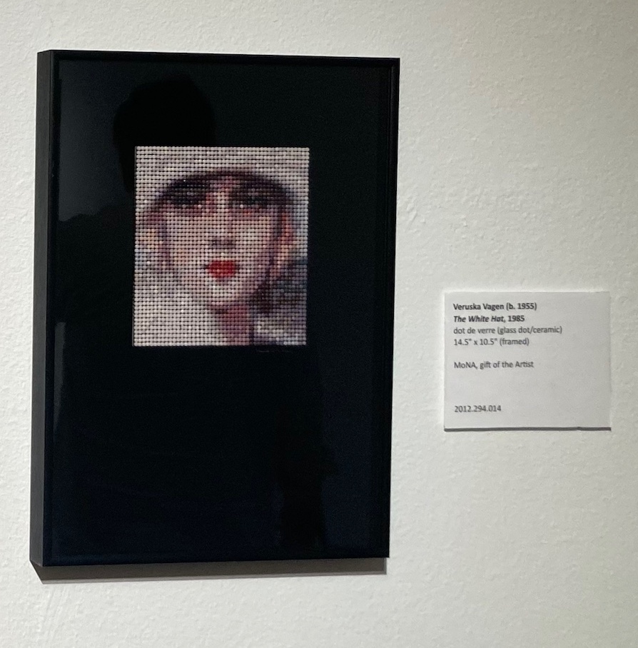
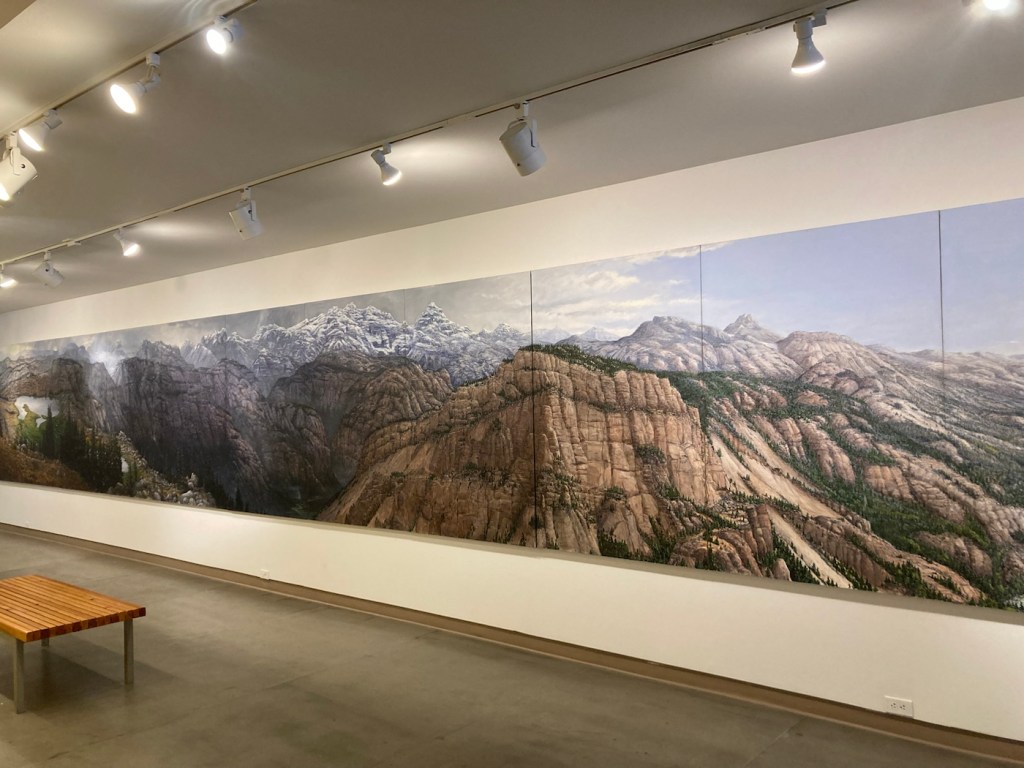
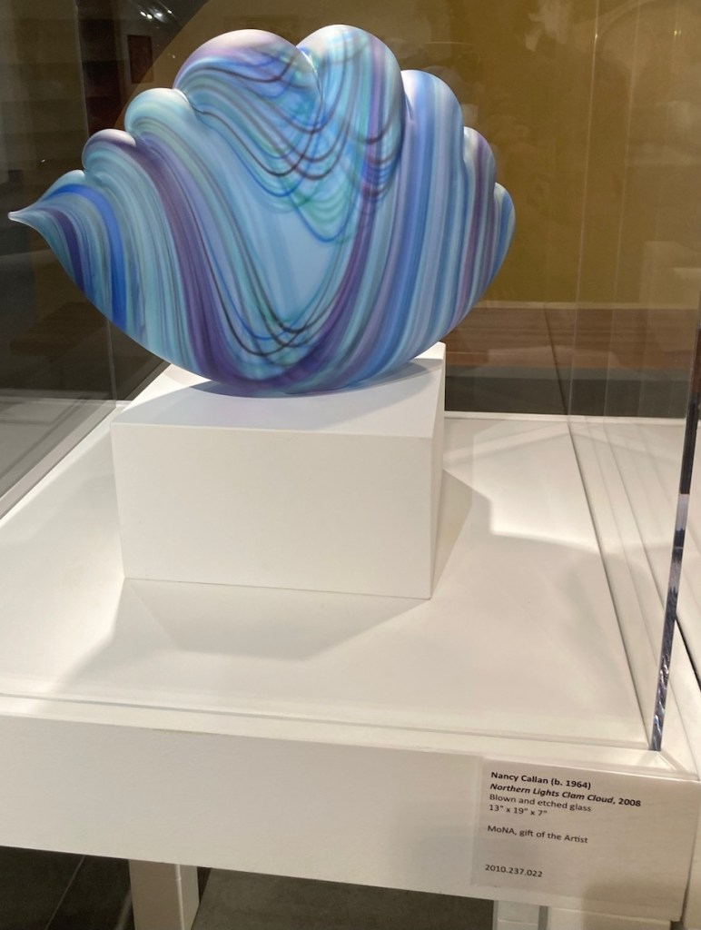
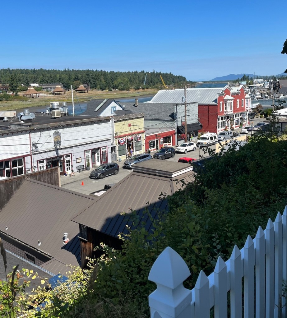
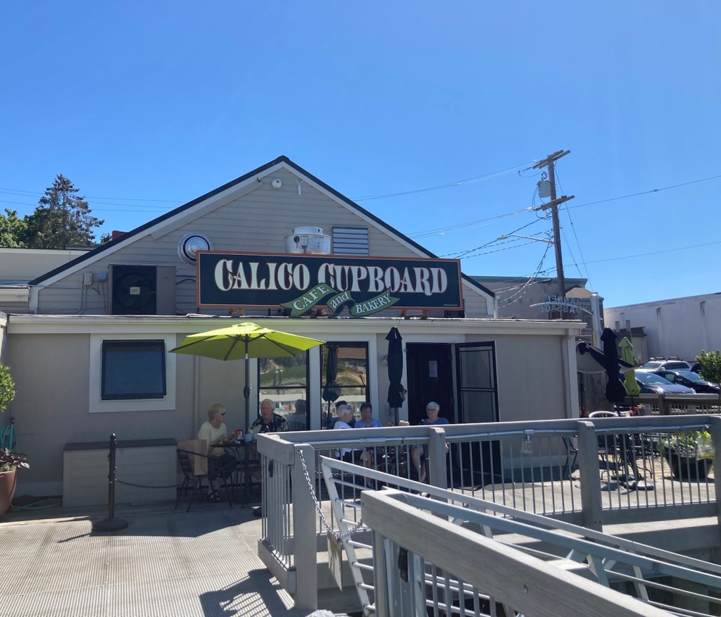
Back in the town center, we headed down 1st Street, the street that runs along the waterfront with much of the retail and restaurant business, to visit the Museum of Northwest Art (MoNA). The MoNA has a permanent collection of more than 2,400 artworks that showcase the rich artistic history of the Northwest. Admission was free.


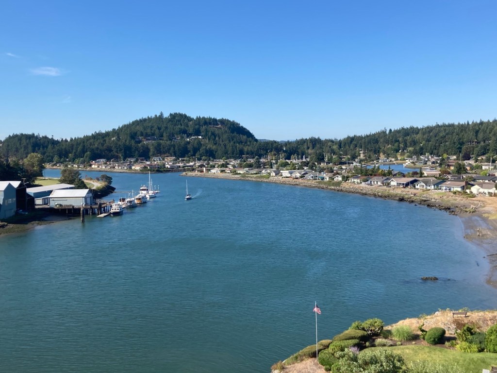
We then climbed some stairs for an overlook of 1st Street and the channel before returning to the hotel.
This afternoon, we’re headed to the small community of Mount Vernon to check out what’s on offer there.
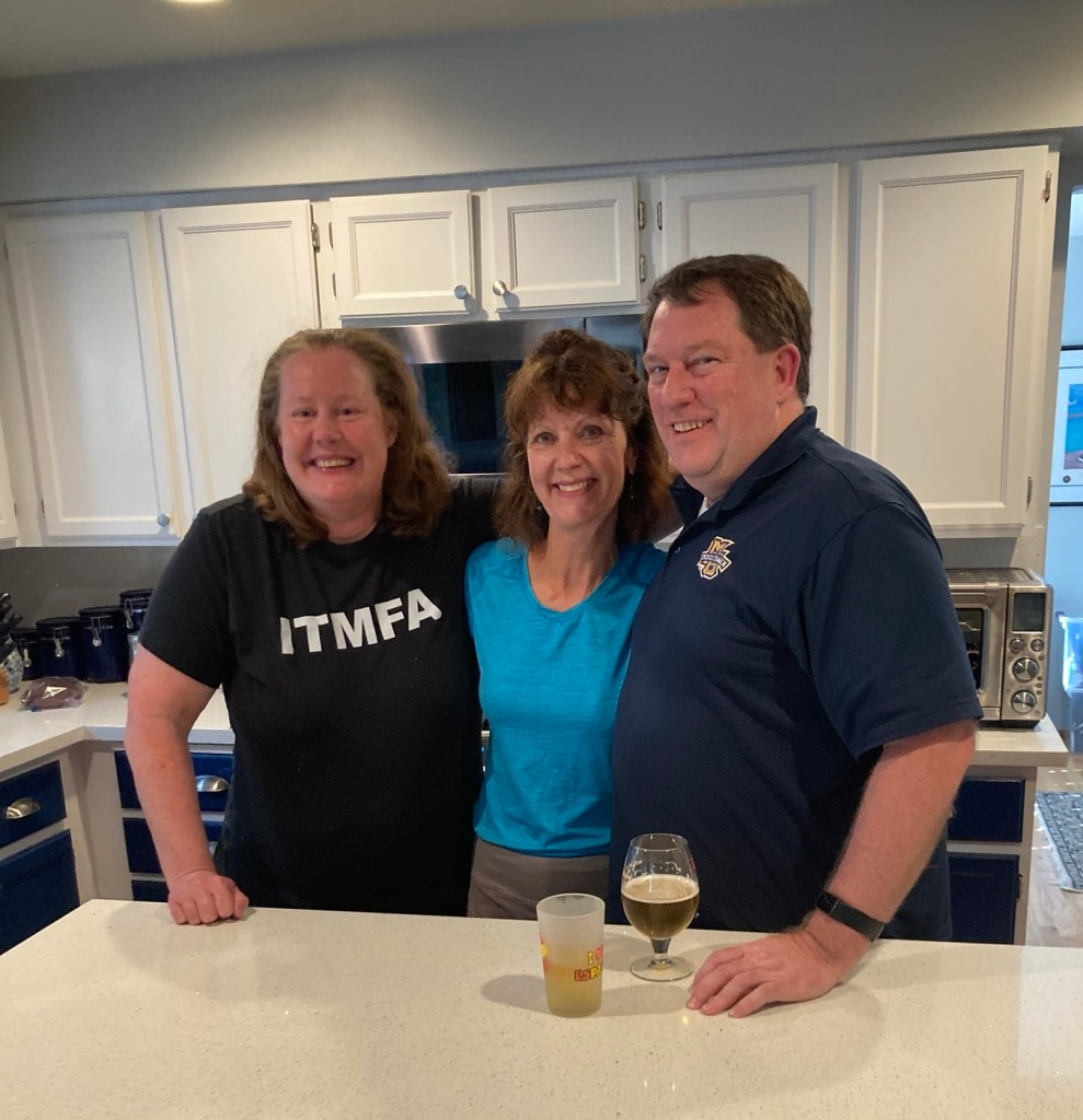
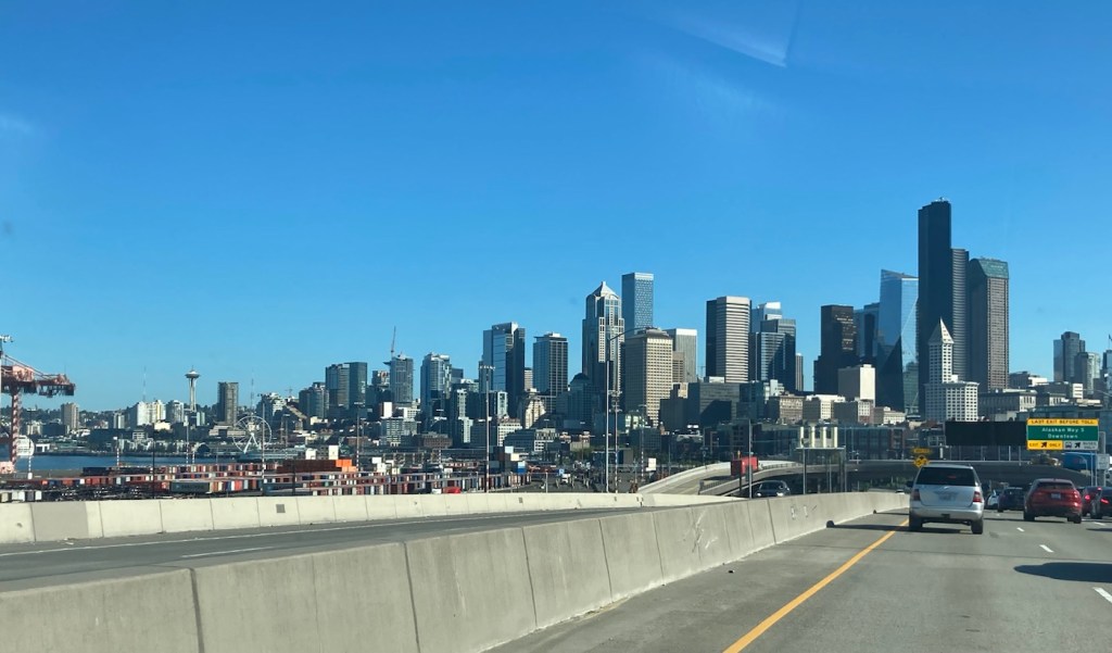
Bob and I left our Bozeman housesit shortly after 4:00 pm on Monday, August 14, to drop the homeowners’ car at the airport for their use when they flew in later that night and then headed out for a 3 hour drive to Missoula, Montana. We only spent the night there (home to the University of Montana and 2nd largest city in the state). Tuesday, we were off early for a 7+ hour drive to Kent, Washington (a southern suburb of Seattle) for a meet-up with Beth’s cousin and his wife.
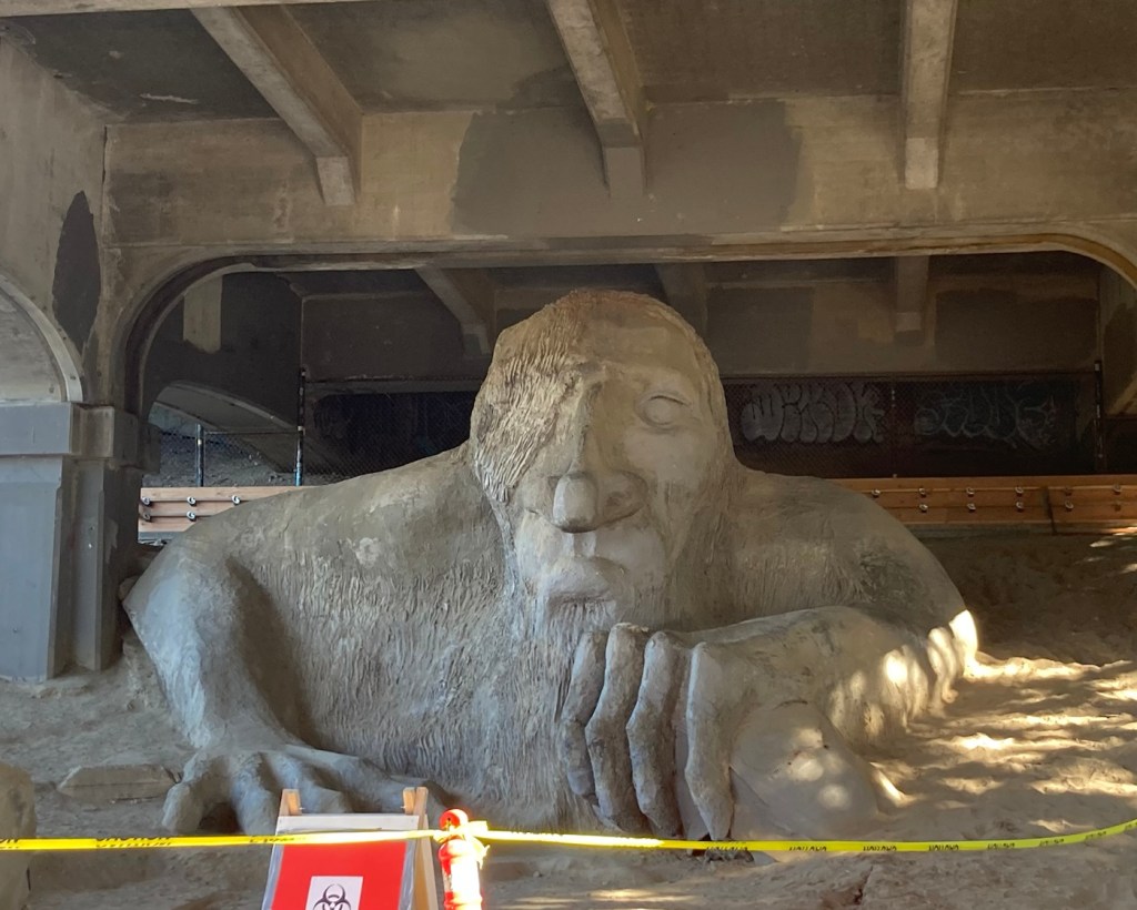
Jennifer and Kris also recommended a local site that Bob might want to see. We stopped by this am after we left their house, but we couldn’t get Bob in the photo, as there was no available parking in the area, and the parking police were out.
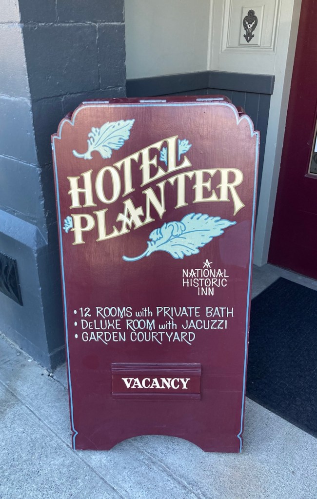
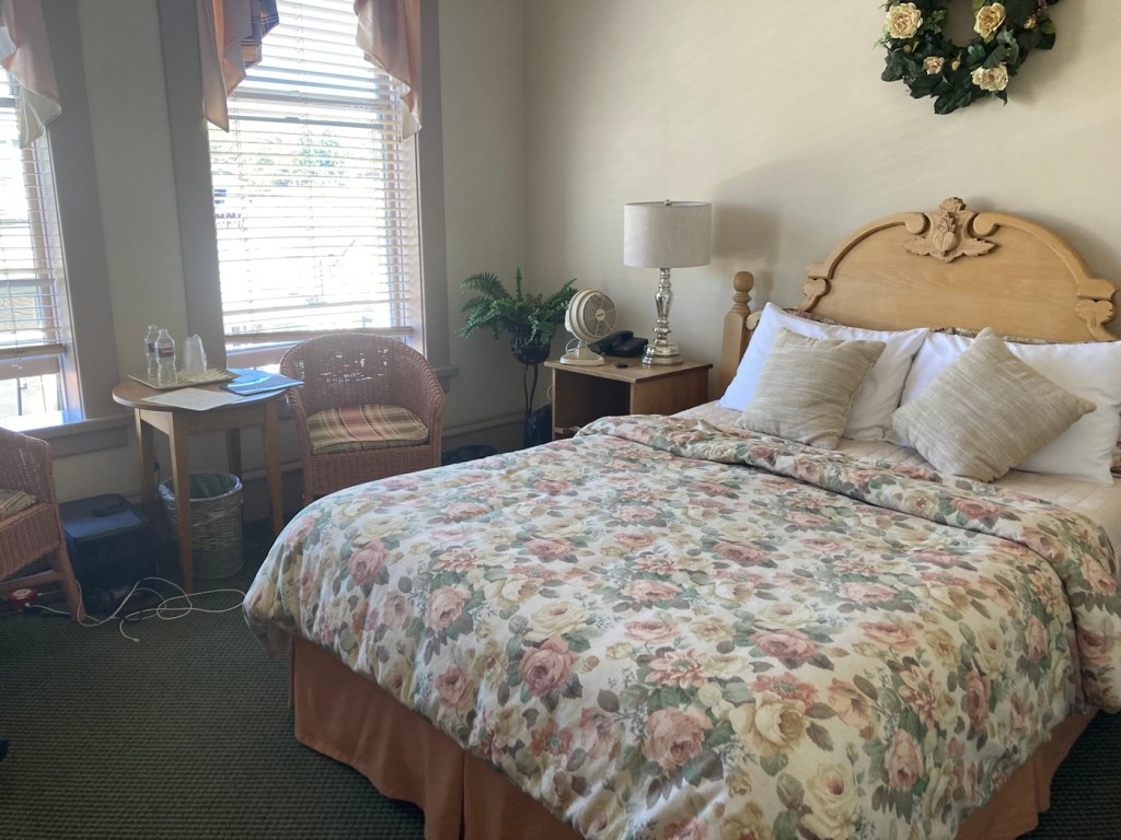
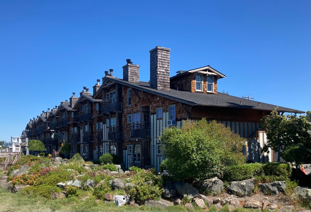
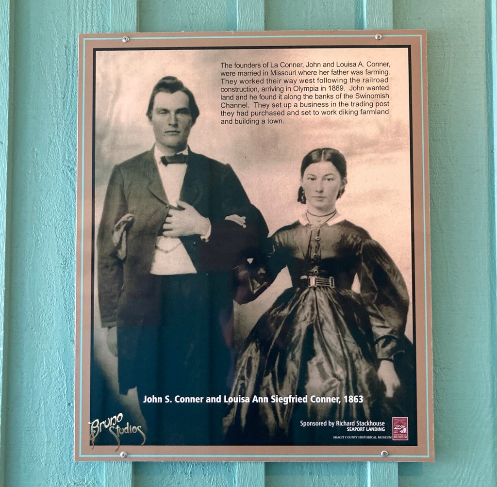
We are spending 3 days in La Conner, Washington, before our next housesit in Sidney, Vancouver Island, Canada. La Conner is a small town (population 965) in Skagit County, in the far upper northwestern corner of Washington state. It is located on the Salish Sea between Seattle and Vancouver. We’re staying in the historic Hotel Planter on the main road in La Conner.


The other night, Bob and I went to the Gallatin River Lodge for a drink. It was an easy 10 minute drive from the house and further west of town, which is not our usual direction. We enjoyed the views as well as talking to the local staff, who gave us some good recommendations on places for gifts as well as another sight to see while we are here. We took advantage of both recommendations.
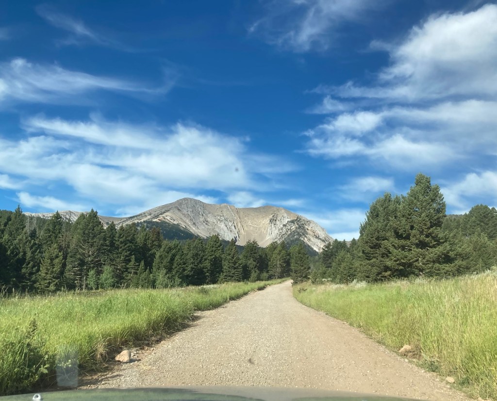
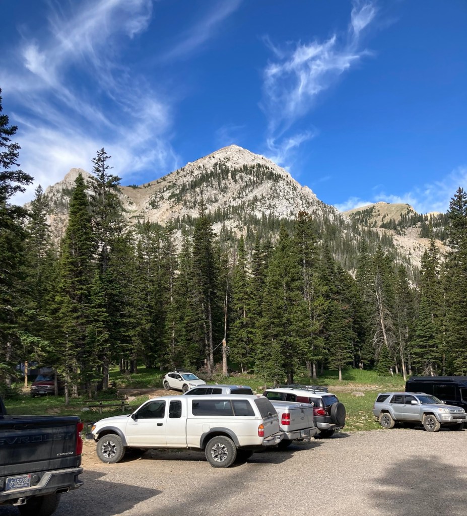
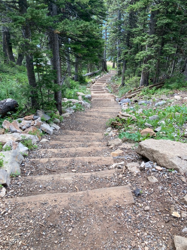
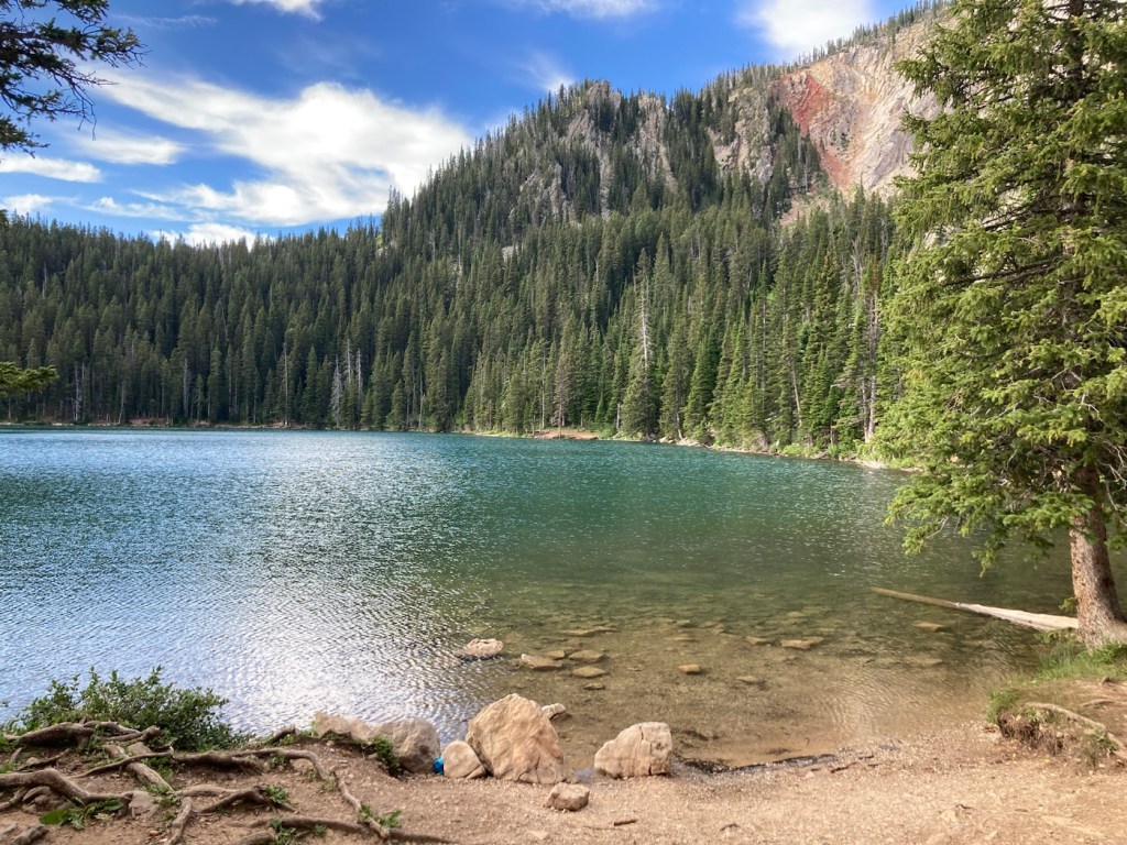
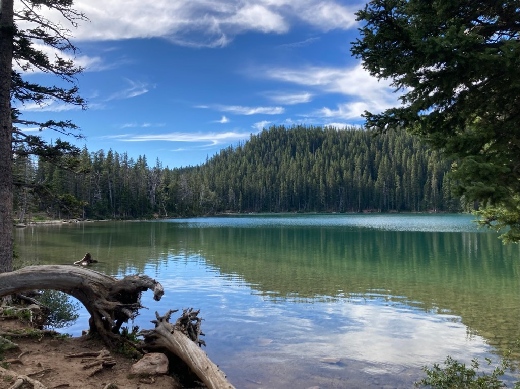
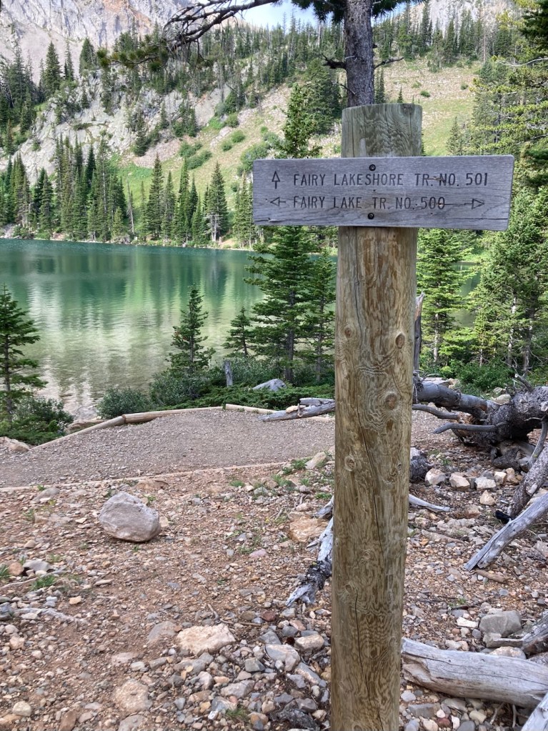
The young bartender, who has moved to Bozeman to ski, recommended that we check out Fairy Lake, which is a few miles from Bridger Bowl, where he likes to ski. Both are “easily” accessible from Bozeman.
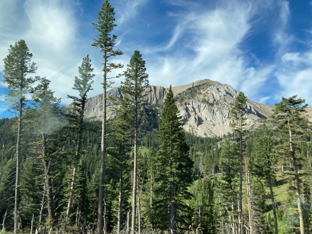
Fairy Lake is an alpine lake in a forested bowl at the base of Sacagawea Peak in the Bridger Mountain Range. It sits at an elevation of 7,557 feet.
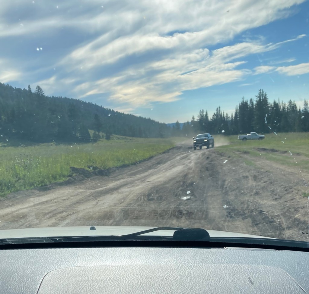
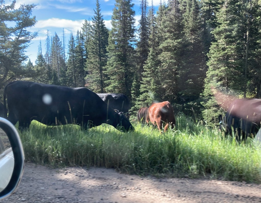
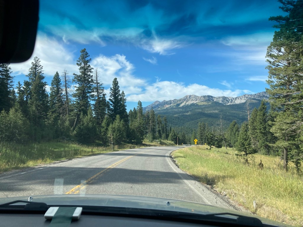
It is just 34 miles from where we are staying but takes over an hour to reach, even though all but 6 miles of the drive are on city streets and a well-paved highway. The last 6 miles are on a narrow dirt, gravel and/or rocky road that is negotiated at a slow pace to accommodate the many, many curves as well as cattle and oncoming autos. It was a relief (especially for Bob, the driver) to get out of the car! Luckily, the view was worth it.

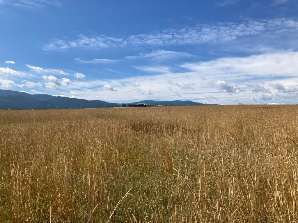
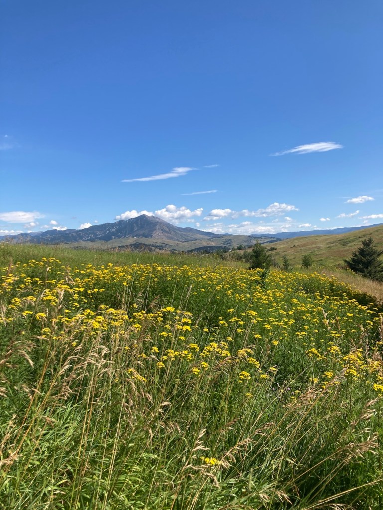
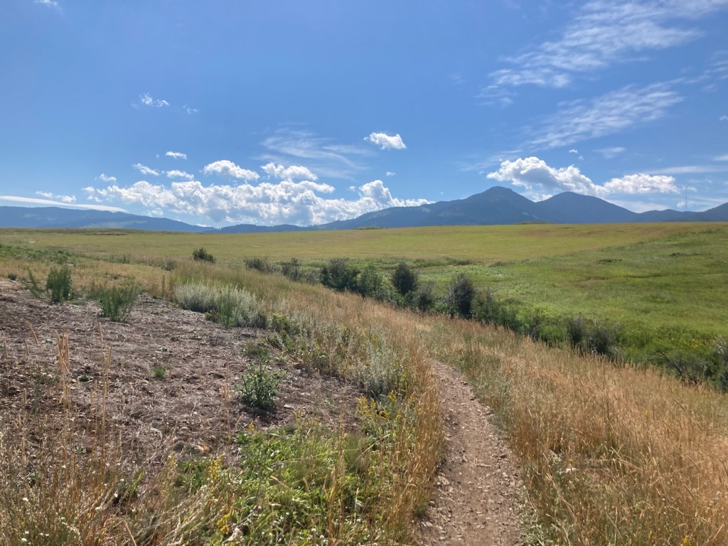
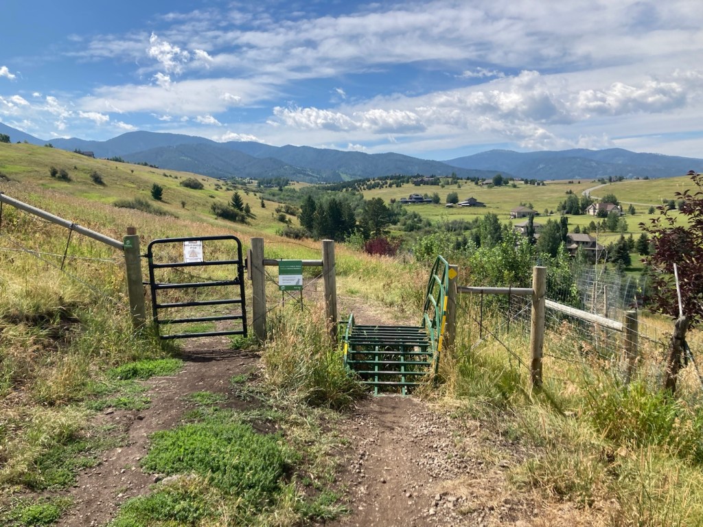
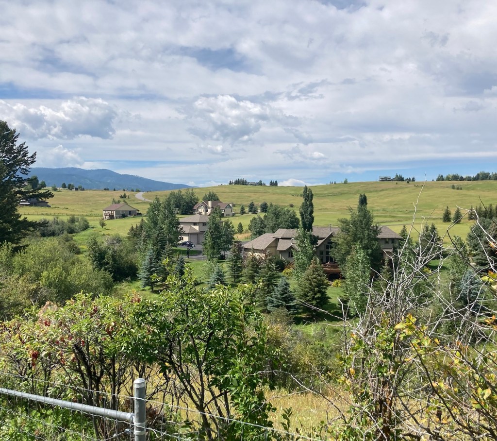
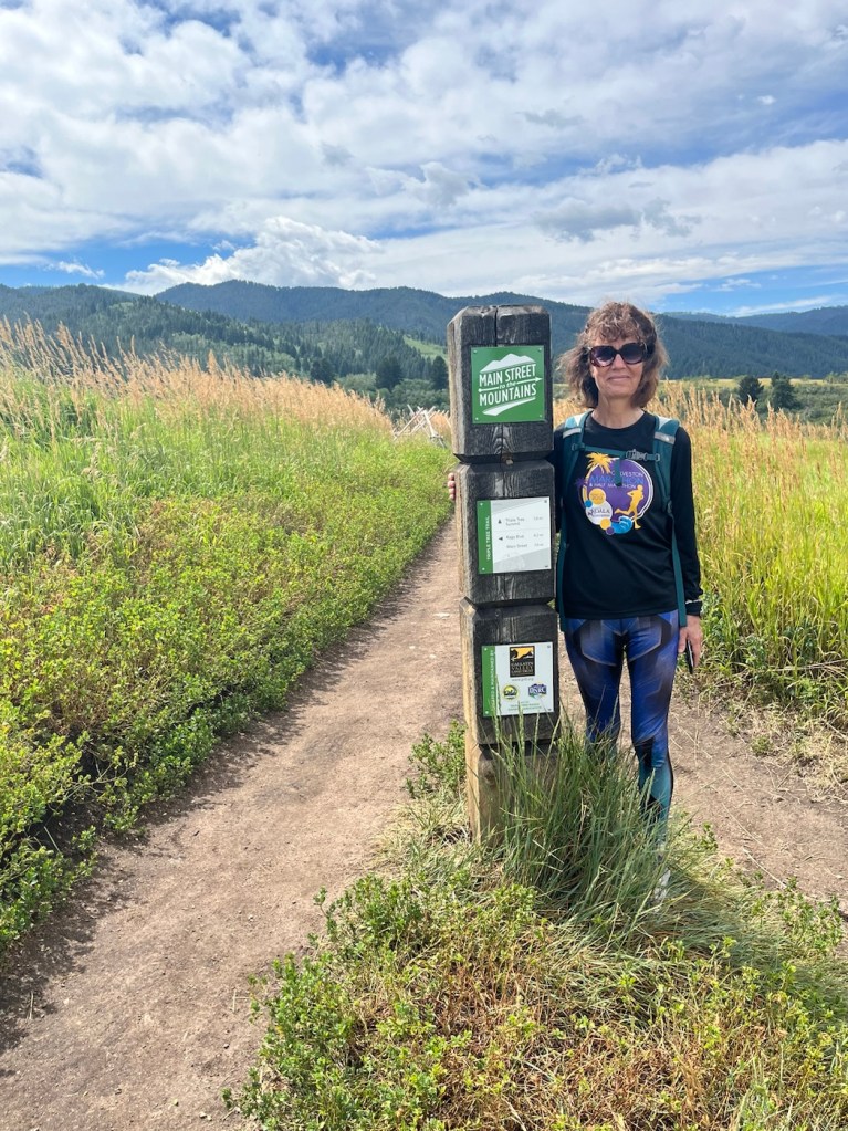
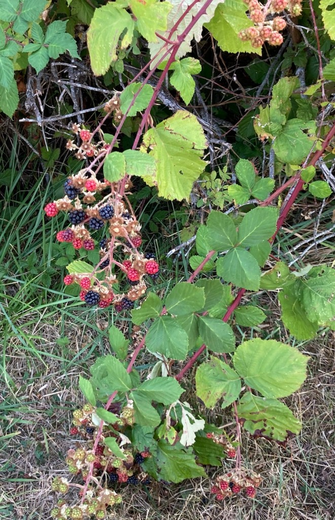
Yesterday, Bob and I walked the Painted Horse Trail, which started in town, to the t intersection with the Triple Tree Trail that we had hiked the day before. We walked a total of about 8.4 miles with the out and back route. We didn’t go up a mountain, but we did climb just a bit from prairie to a ridge line and, like the prior day, encountered runners and bikers on the mostly narrow trail.