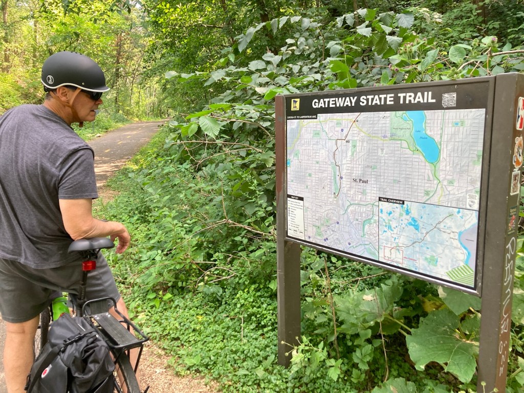
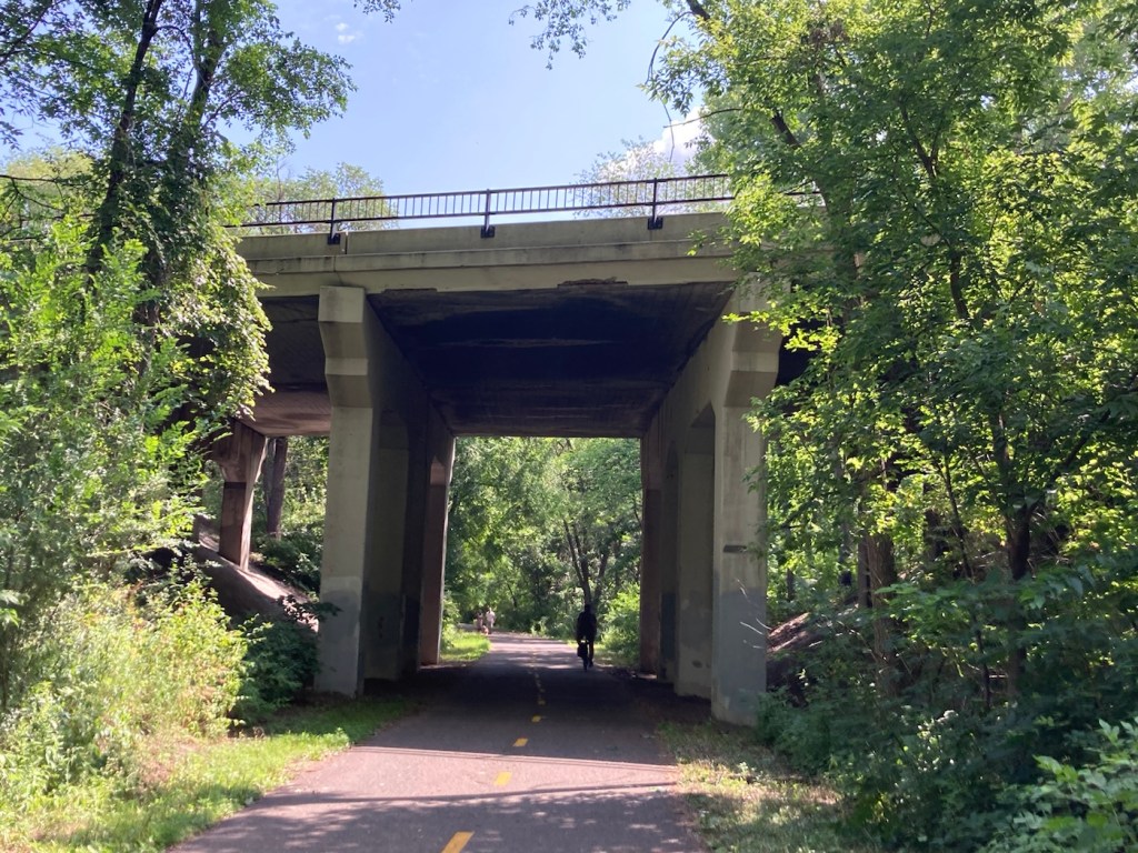
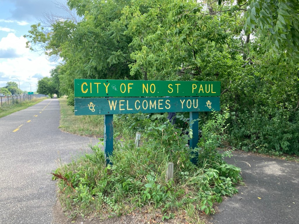
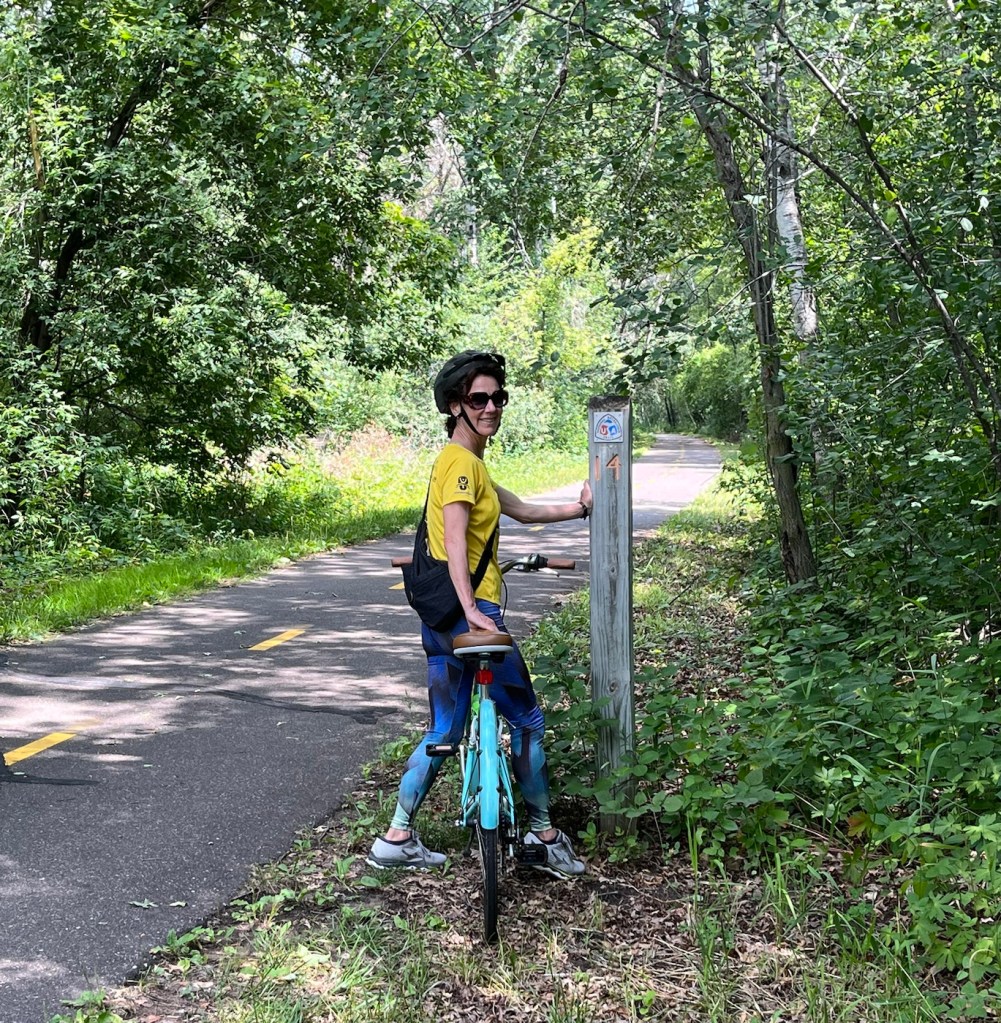
Bob and I were back on the bikes today to cycle part of a trail that we had passed when we biked to Phelan Park a few days ago. The Gateway State Trail is an 18-mile multiple use trail that begins in the city of St. Paul and travels northeast through the cities of Maplewood, North St. Paul, and Oakdale, and ends at Pine Point Regional Park. It is located on a former Soo Line Railroad grade.
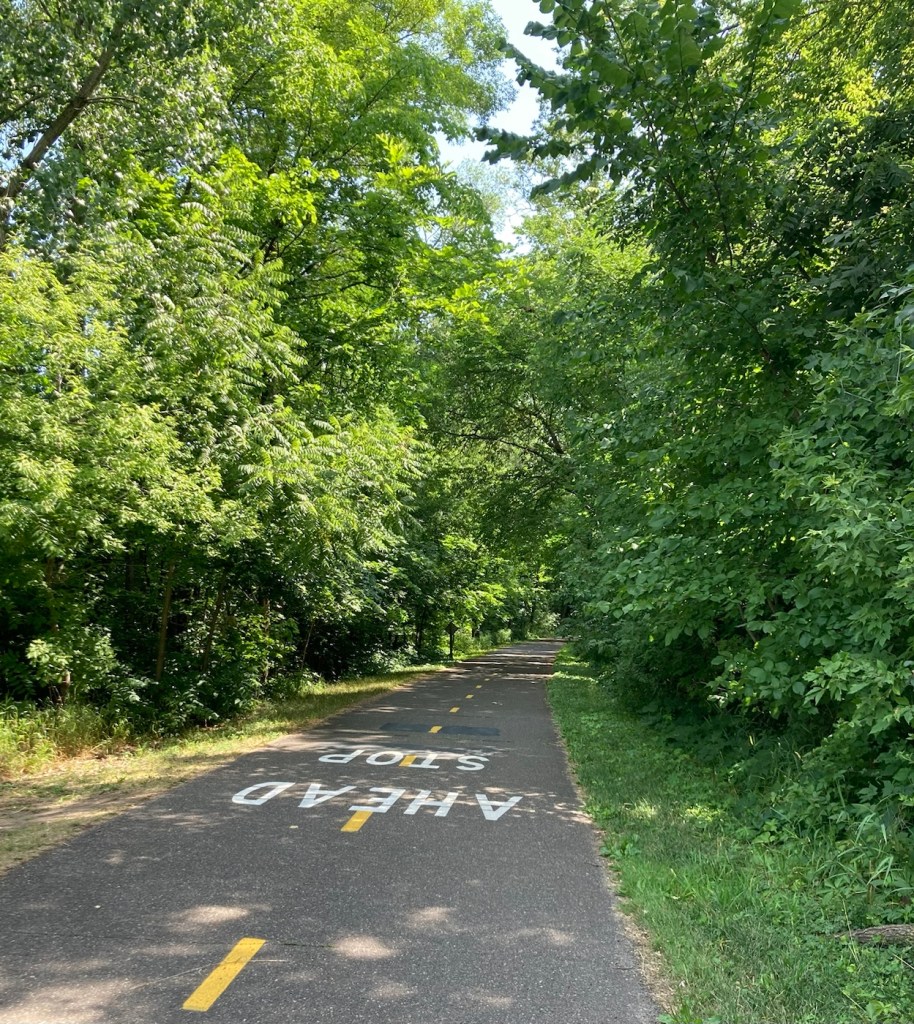
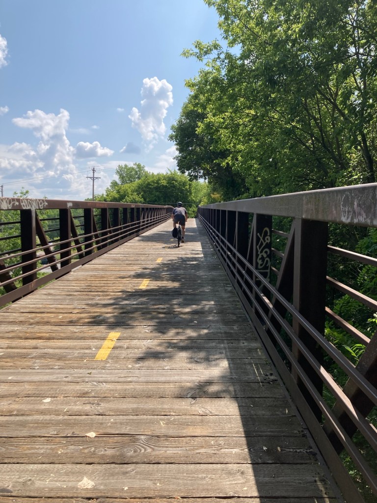
We didn’t do the full 18, as part of it is closed for maintenance, and we haven’t done that much biking recently, but we did 12 miles out and back for a total of 24. Plus we did a few miles to the trailhead and back. The Gateway State Trail was impressive, fairly level, and shaded. Sections of the trail have a horse path that runs alongside of it.
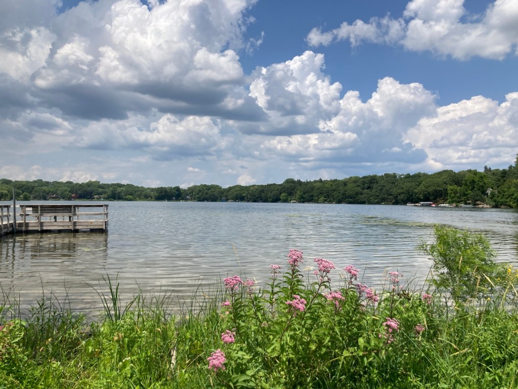
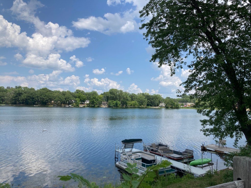
We started our bike ride using Wheelock Parkway, as we did the other day. However, on the way back, we branched off onto Trout Brook Pathway, which took us along McCarrons Lake and then into the Reservoir Woods, which we could exit into the neighborhood where we are doing the house sit.
We were out biking for almost 3.5 hours and got into the house a few minutes before a quick downpour came through.
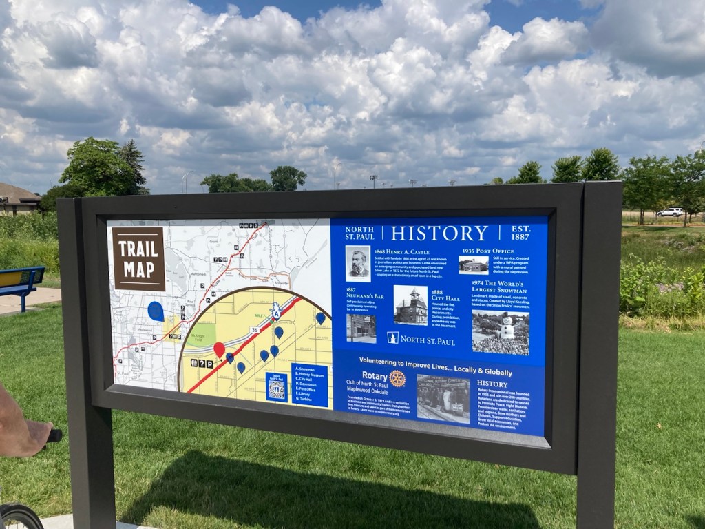
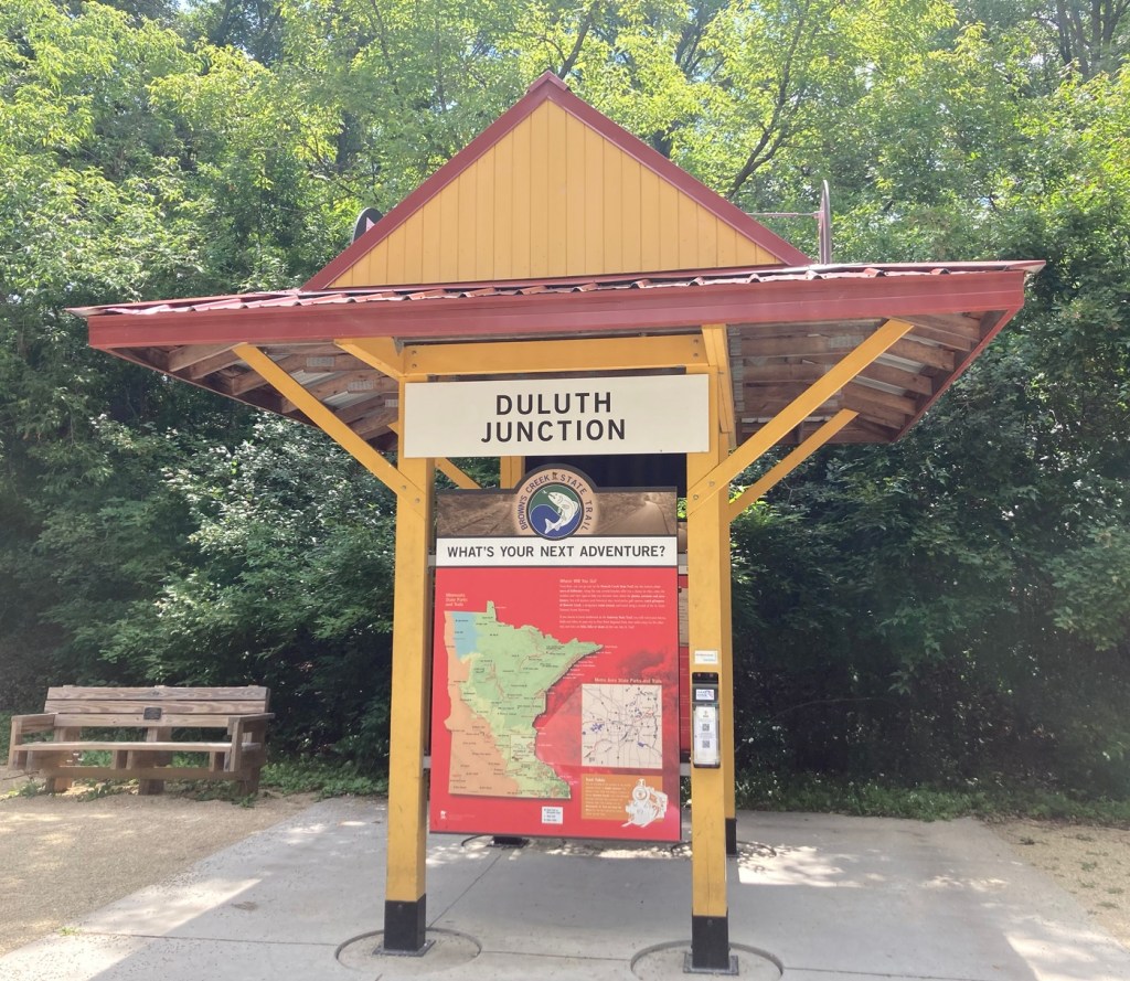
This was a nice one in North St. Paul with a small building with restrooms
and benches provided by the Rotary Club.
and near North St. Paul administrative offices.


which seems pretty common here