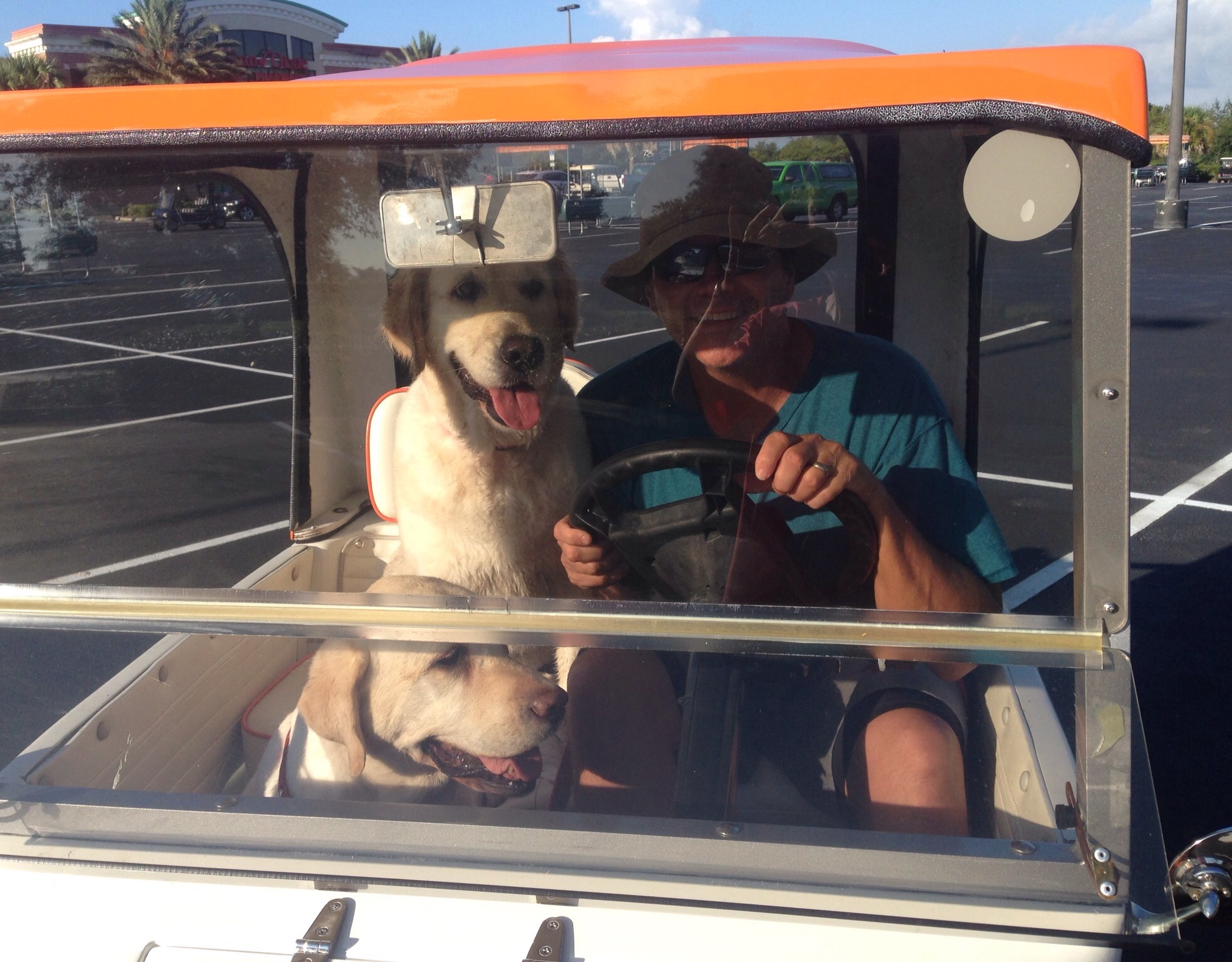
Bob and I have been having a pretty laid-back time in The Villages with our two dogs. We (as in Bob) are now golf-cart driving and parking pros. We like that the golf cart is electric-powered and definitely enjoy golf cart traffic “jams” rather than car ones. We have also bonded with our sweet dogs who enjoy treats, play time and/or walks, and time at the dog park.
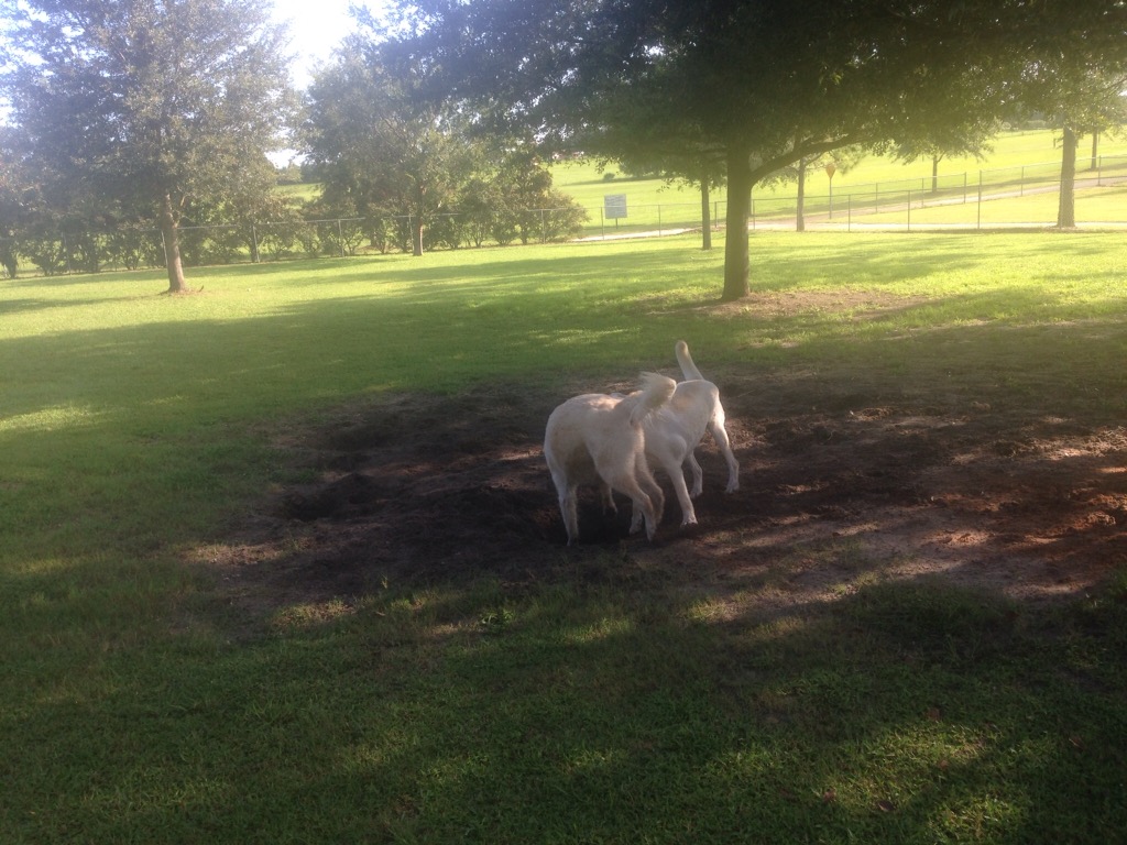
Digging in the dirt at the dog parkTaking turns cooling off in the dog park poolBob and the dogs in riding posture for a trip to the dog park — I get to sit in back
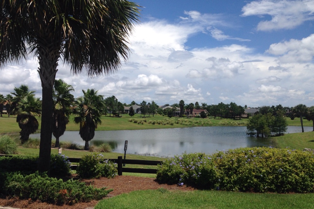
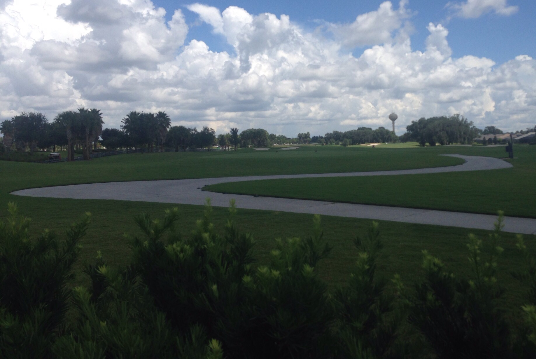
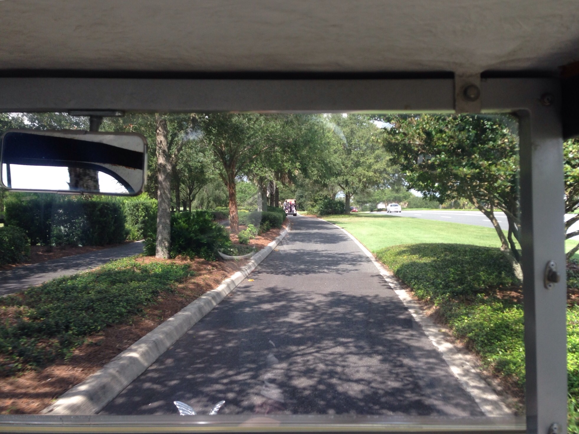
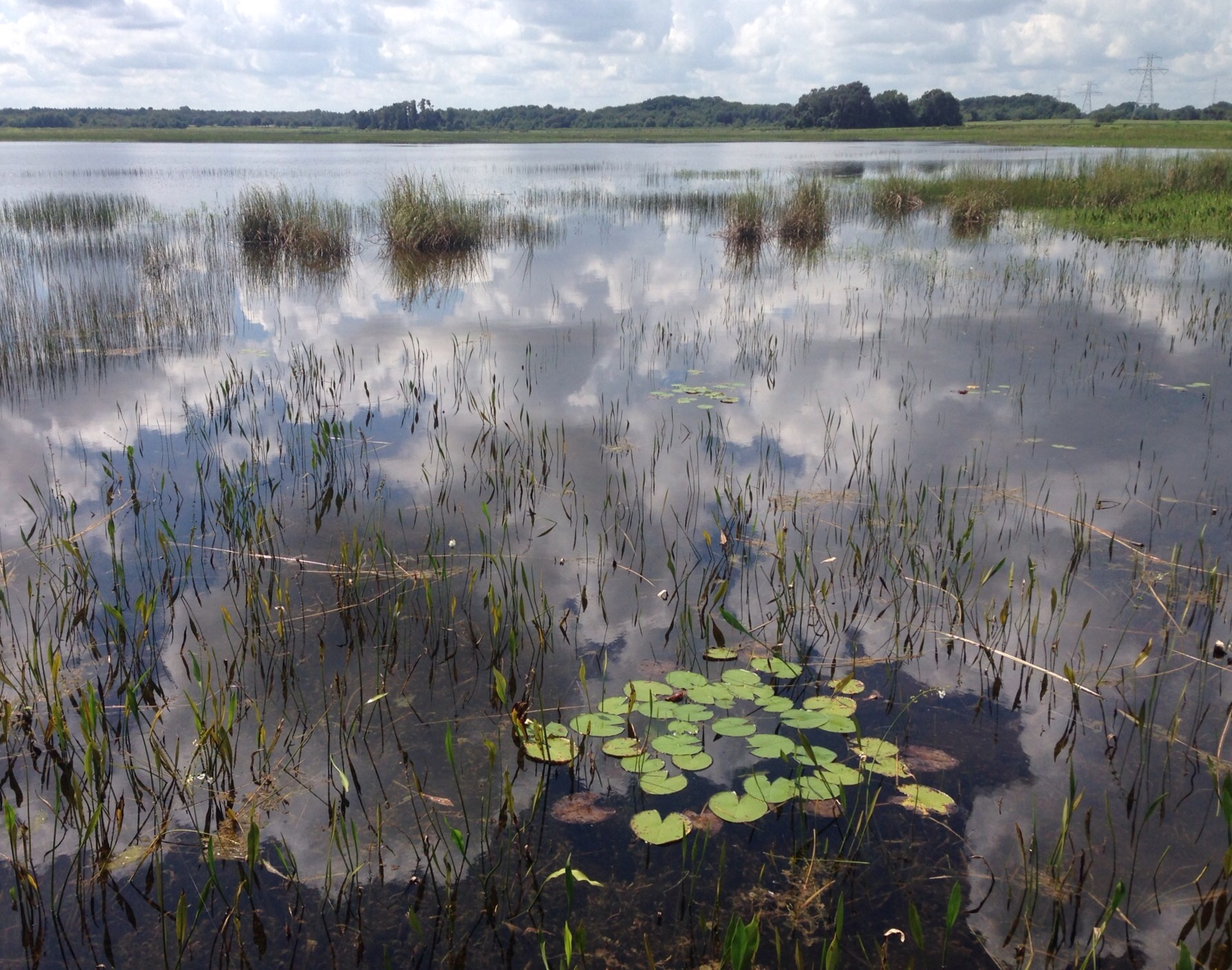
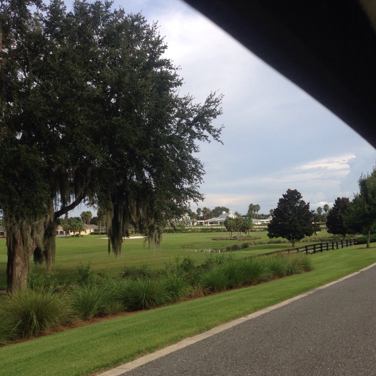
One of the advantages of golf cart riding is the ease of snapping photos en route of the beautiful local scenery. See some “moving” pics below —
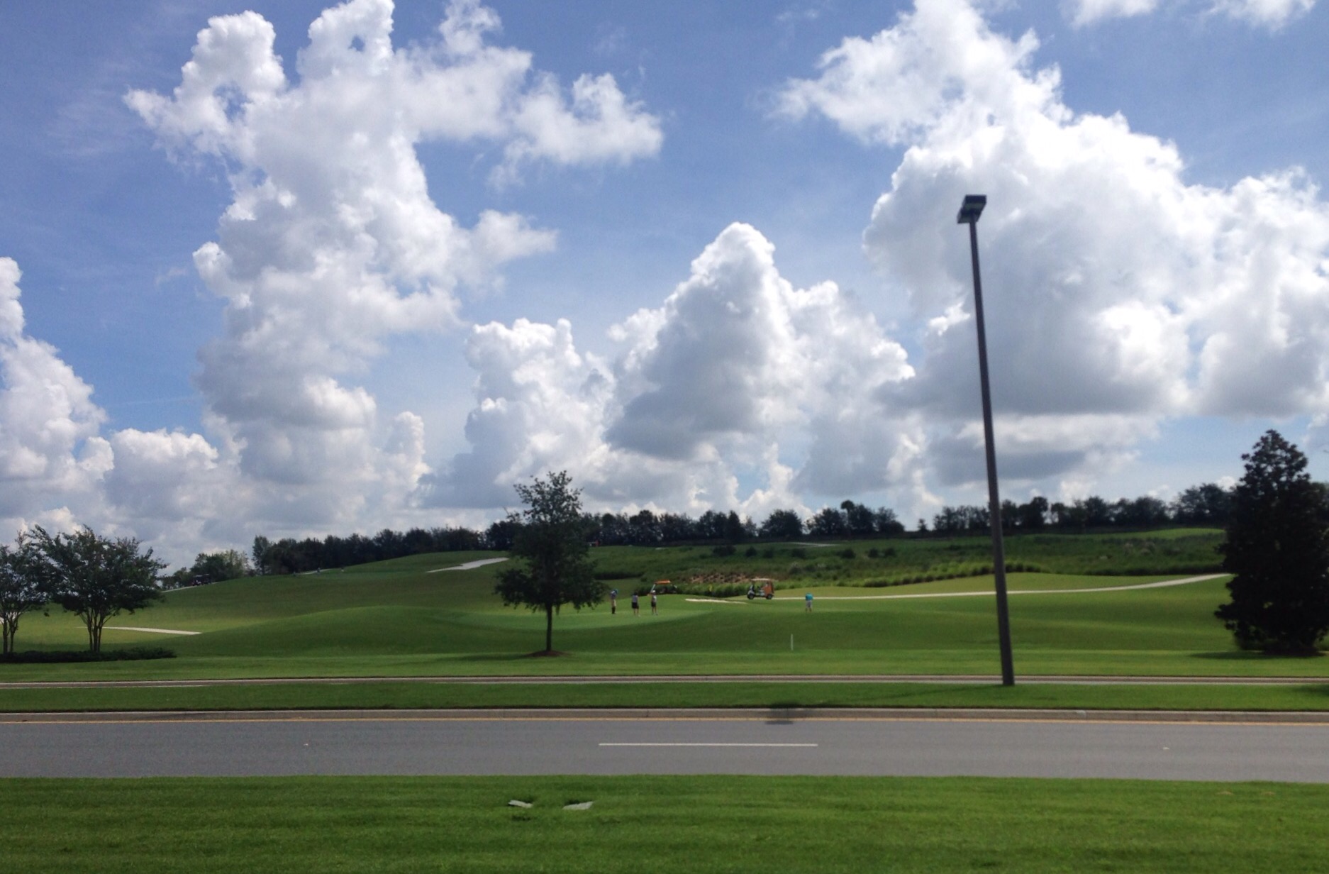
One of the many local lakesLooking across a golf course to one of the neighborhoods with its water towerOn a golf cart path along a main roadAnother golf course
We have also spent some time checking out the various town squares and recreation centers.
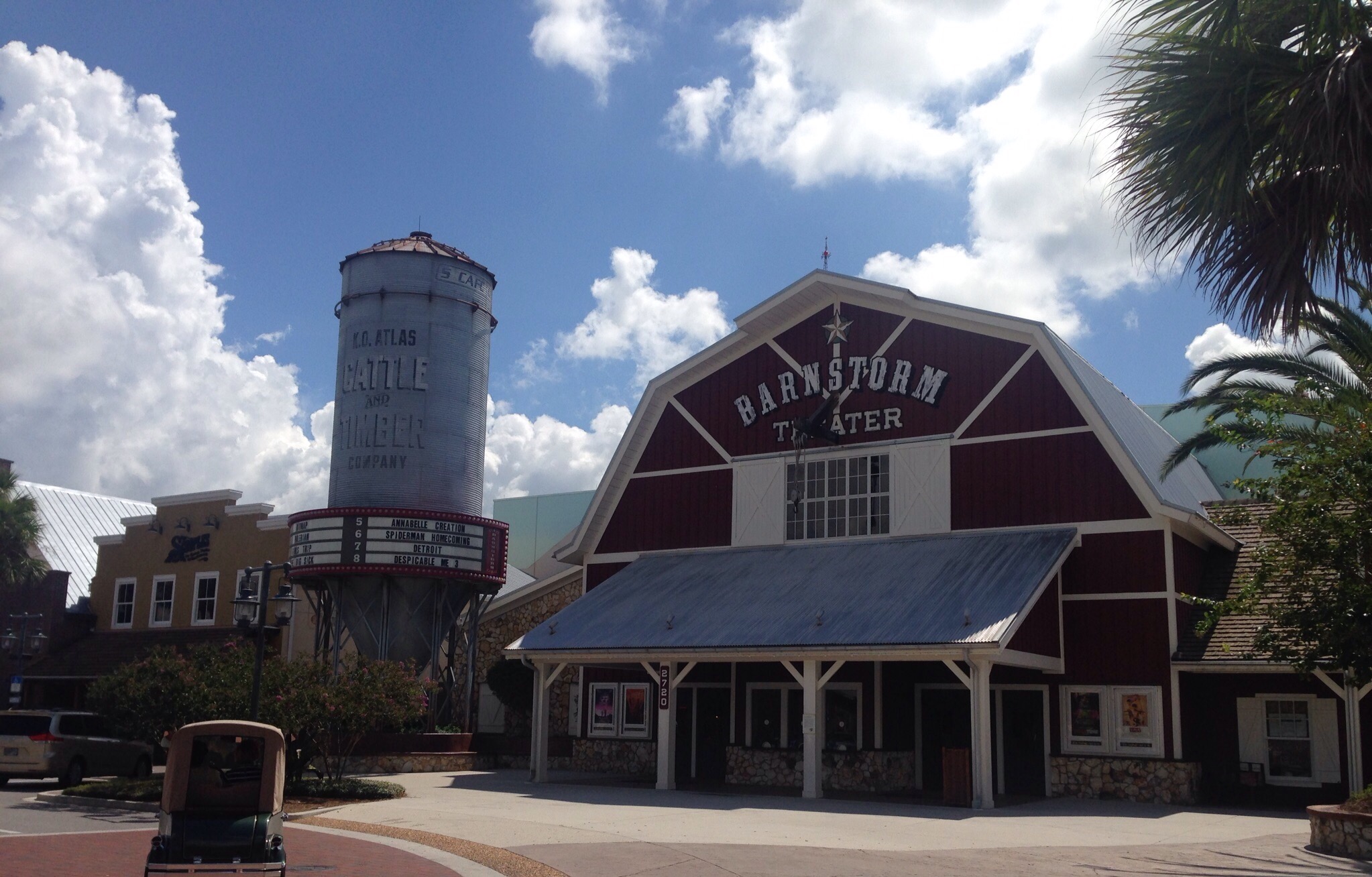
The theater in the Brownwood Town SquareRetail stores in the Brownwood Town Square
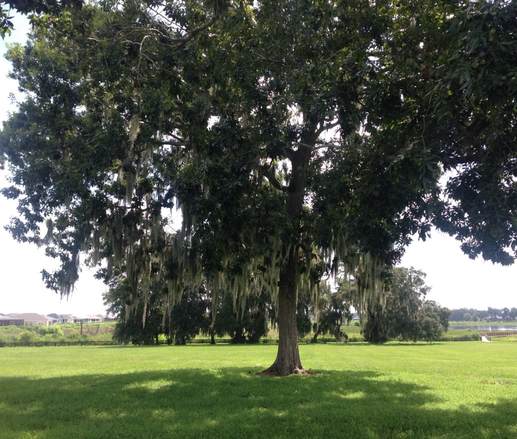
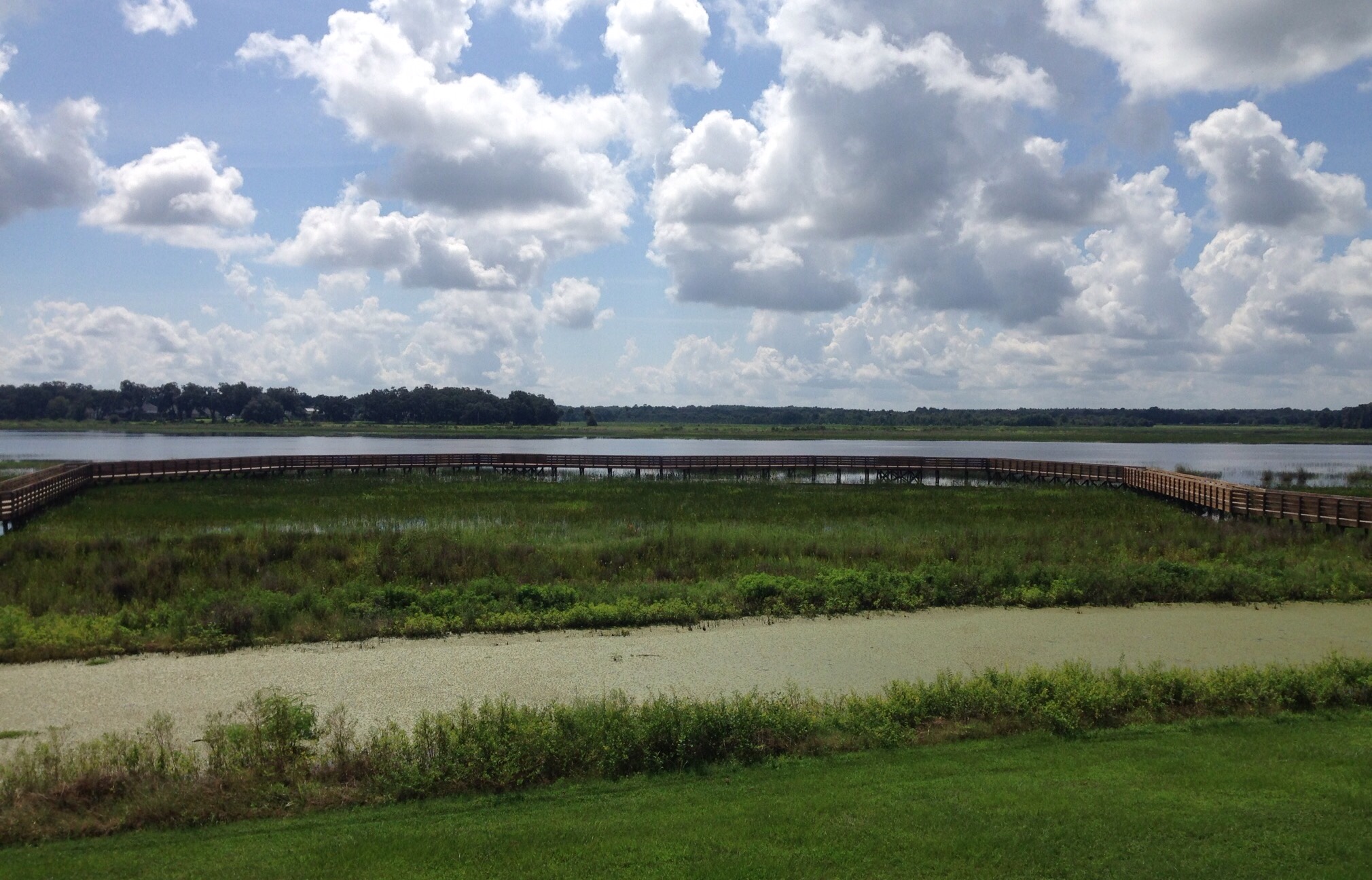
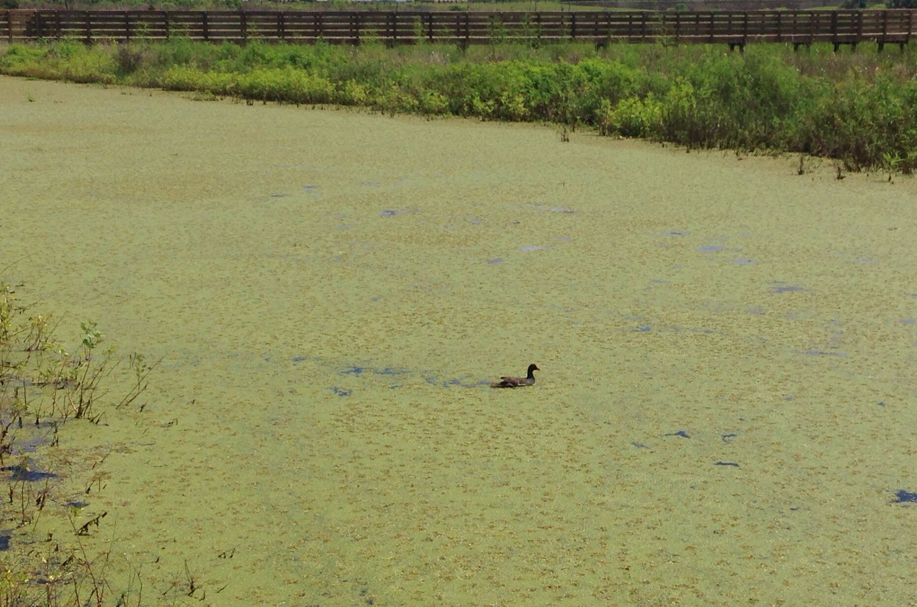
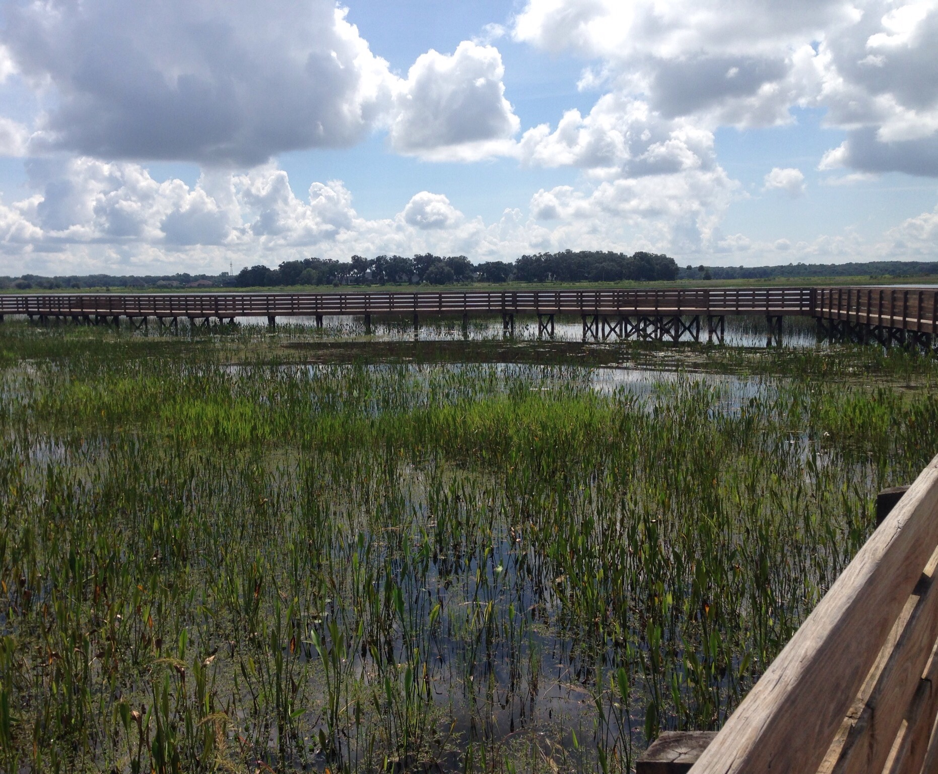
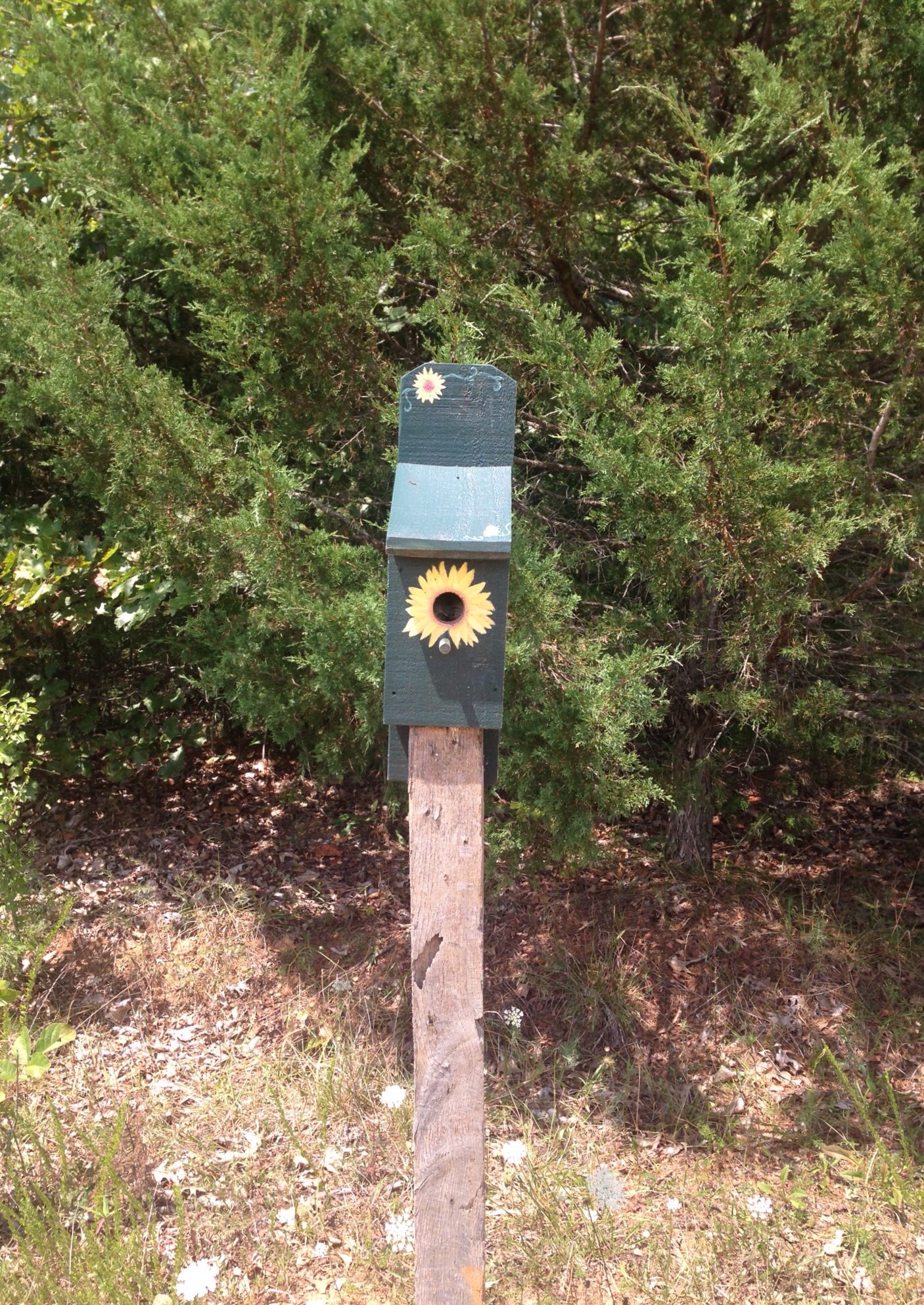
We found a nature center to visit as well. The Sharon Rose Weichens Preserve is a wildlife refuge in The Villages.A Live Oak tree with Spanish moss at the entrance to the preserveThe boardwalk around the preserveA lone duck in the lagoonAnother view of the boardwalk and the waters as we walked aroundLooking past the boardwalk to the surrounding neighborhood
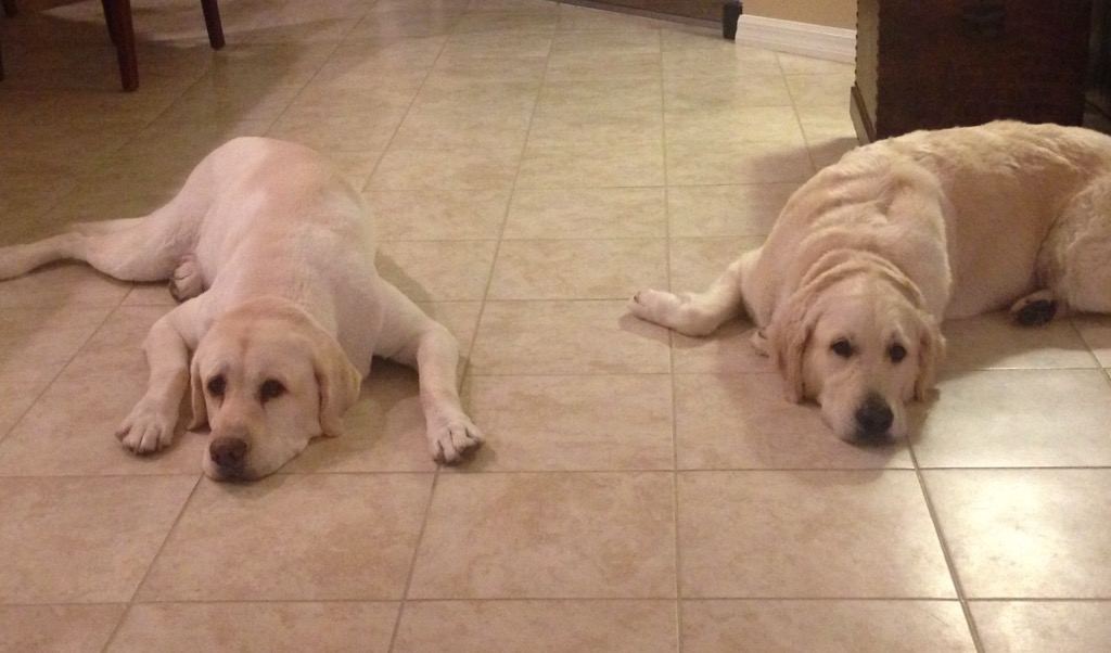
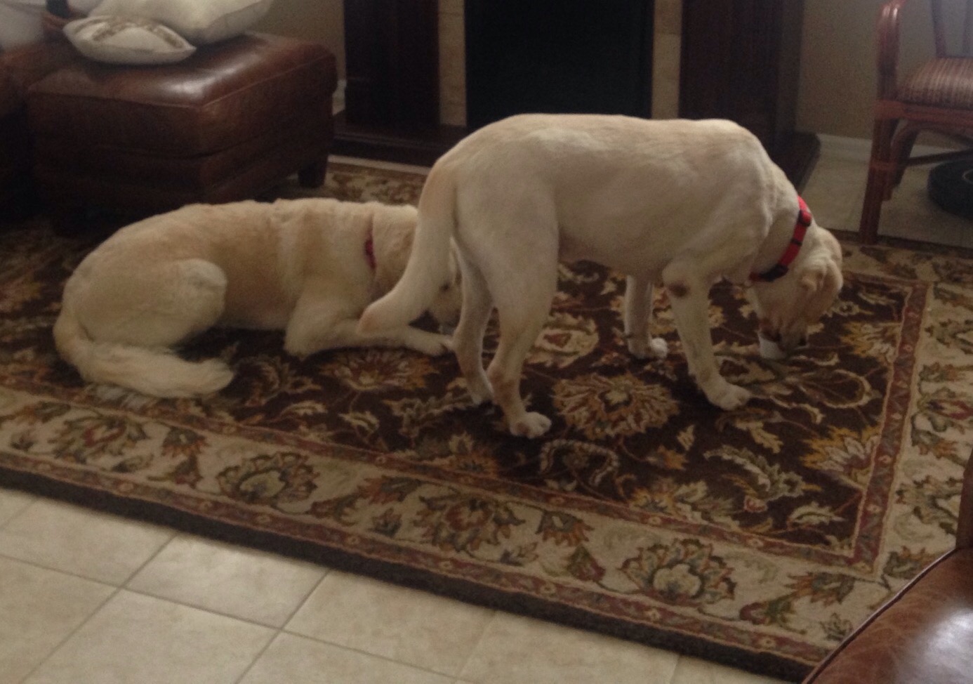
Bob and I are living the good life in The Villages, Florida, a retirement community about 45 miles northwest of Orlando. It is an active area with over 36 golf courses, and we are learning how to tool around the area in the home owners golf cart. We had a lovely transition with the owners on Thursday evening before they headed off Friday morning. We are caring for their beautiful home and caring for their 2 great dogs — Reagan, a 9 year old Labrador Retriever, and Winter, a 3 year old Golden Retriever. They are sweet, sweet dogs who love their ice cream and peanut butter treats. Walks and chasing geckos is pretty okay too.
Reagan and Winter at rest after their walkWinter and Reagan enjoying their “happy hour” ice cream treat.
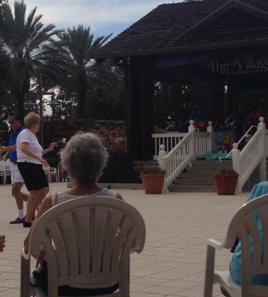
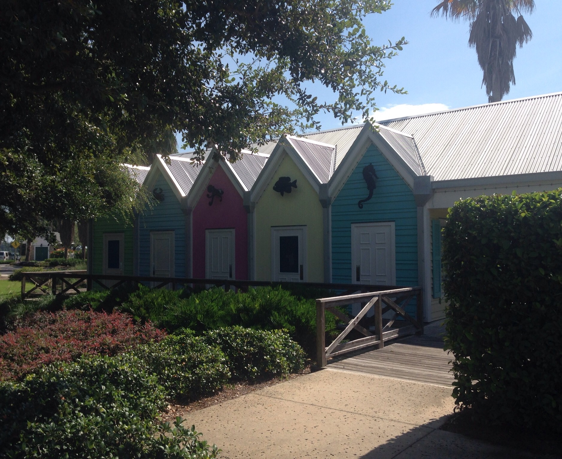
The Villages is a beautiful, active community with numerous recreation centers that offer a full slate of classes or groups in which to participate. We have guest passes from our home owners that allow us access, and we can access the fitness facilities for $5 per day. In addition to the recreation centers and golf courses, there are also 3 town squares with dining and retail options, including nightly entertainment that begins at 5. It also seems like there are more hours of the day designated as happy hours than times that are not!
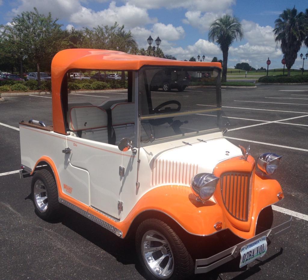
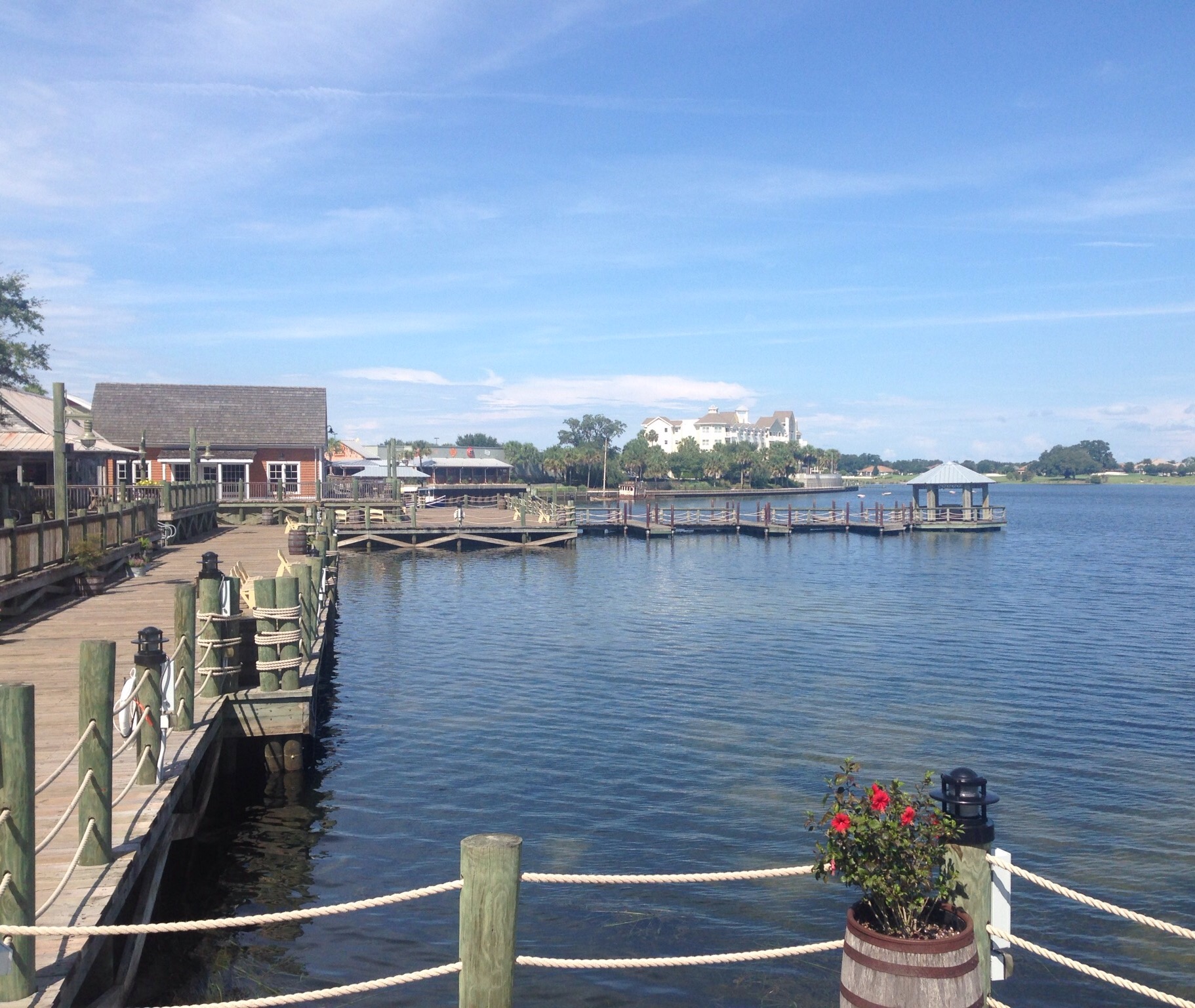
Our current mode of transportation — our homeowner played football for Tennessee. We get lots of positive comments on it, so they aren’t the only Vols fans in the ‘hood.Music on the square on Friday night — a Jimmy Buffet cover band who had a bigger group up dancing later on.A view from the golf cart – one of my favorite things here, a Live Oak tree with Spanish mossWalking along the pier at Market Square at Lake Sumter LandingEverything is attractive here — even the public restrooms!Continuing our meander around the lake — the lighthouse is associated with a seafood restaurantA sign for Market SquareThe community rec center where we have used the fitness facility. The fitness center is great. The main area is also cute but looks a bit as if it was designed by Laura Ashley on speed.
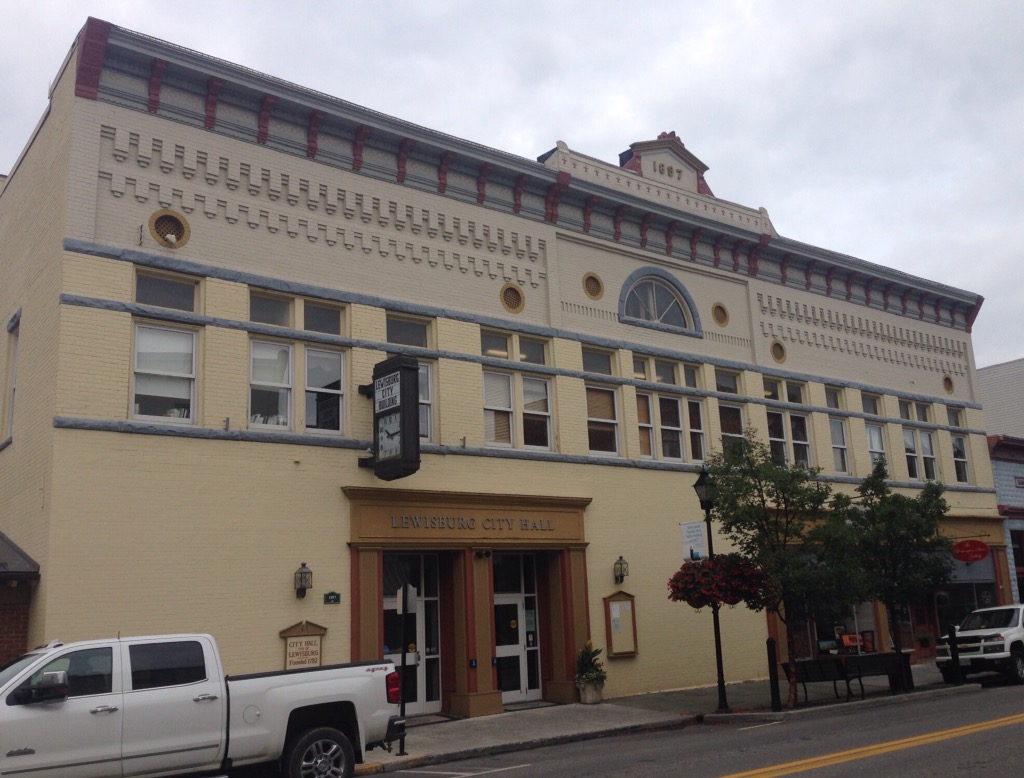
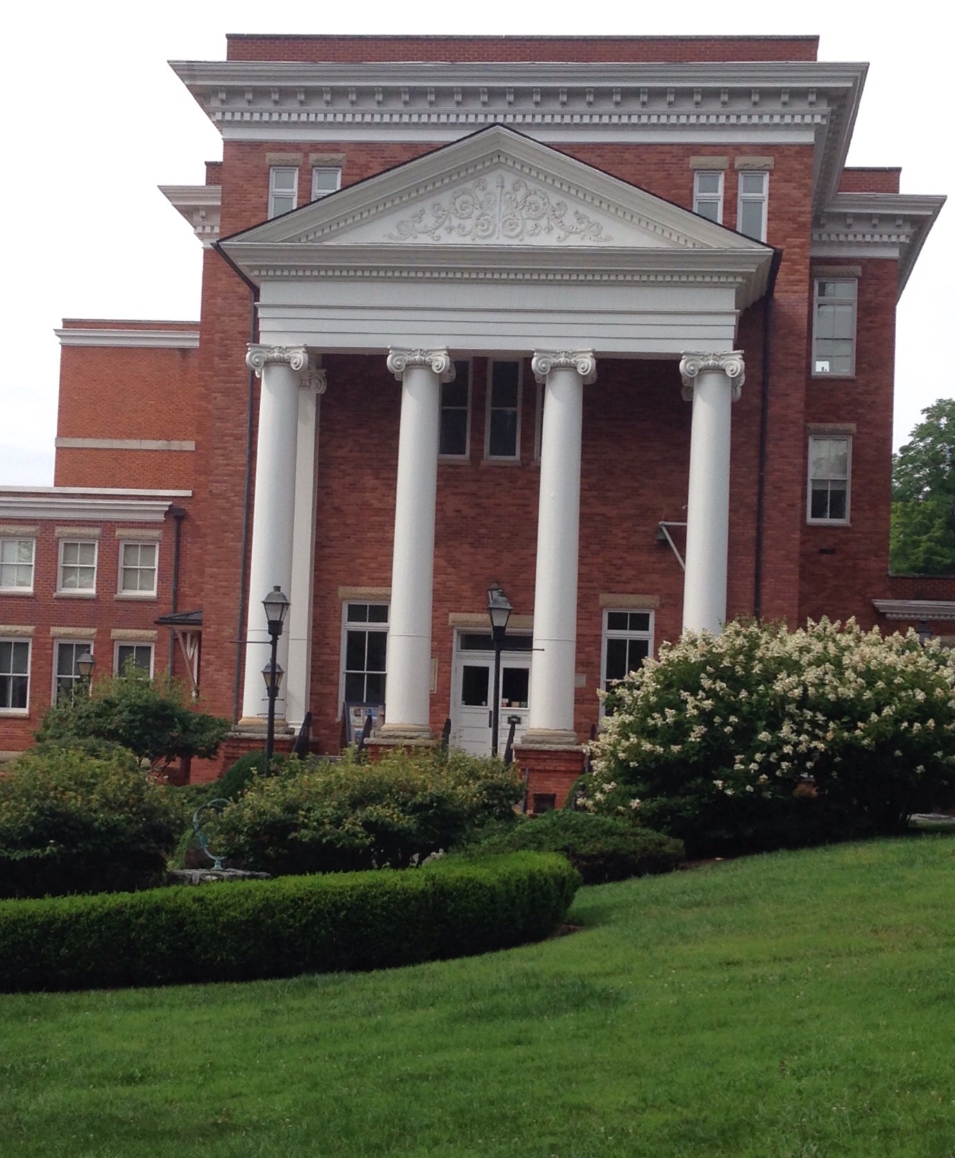
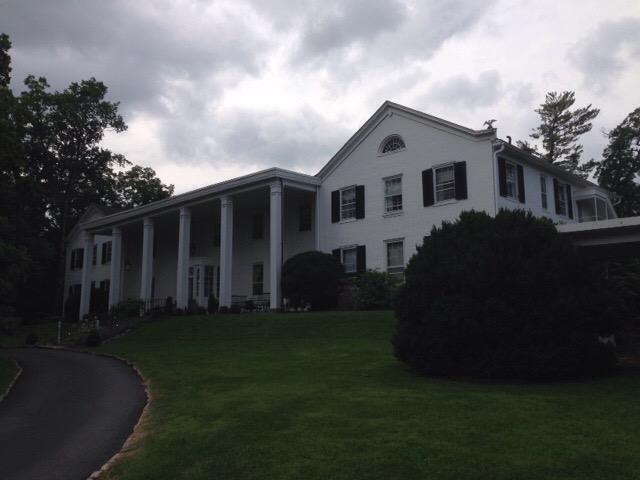
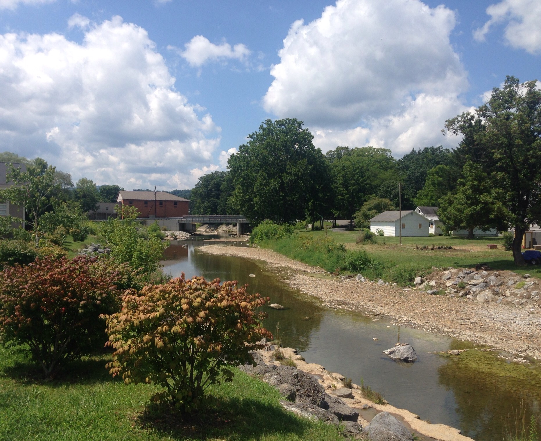
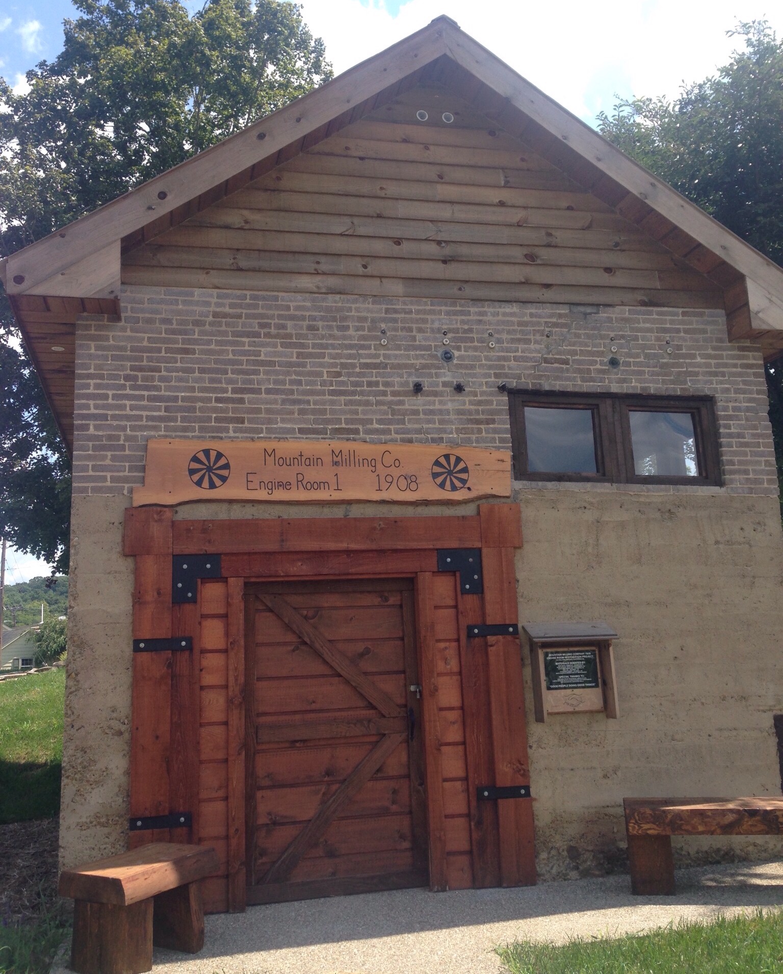
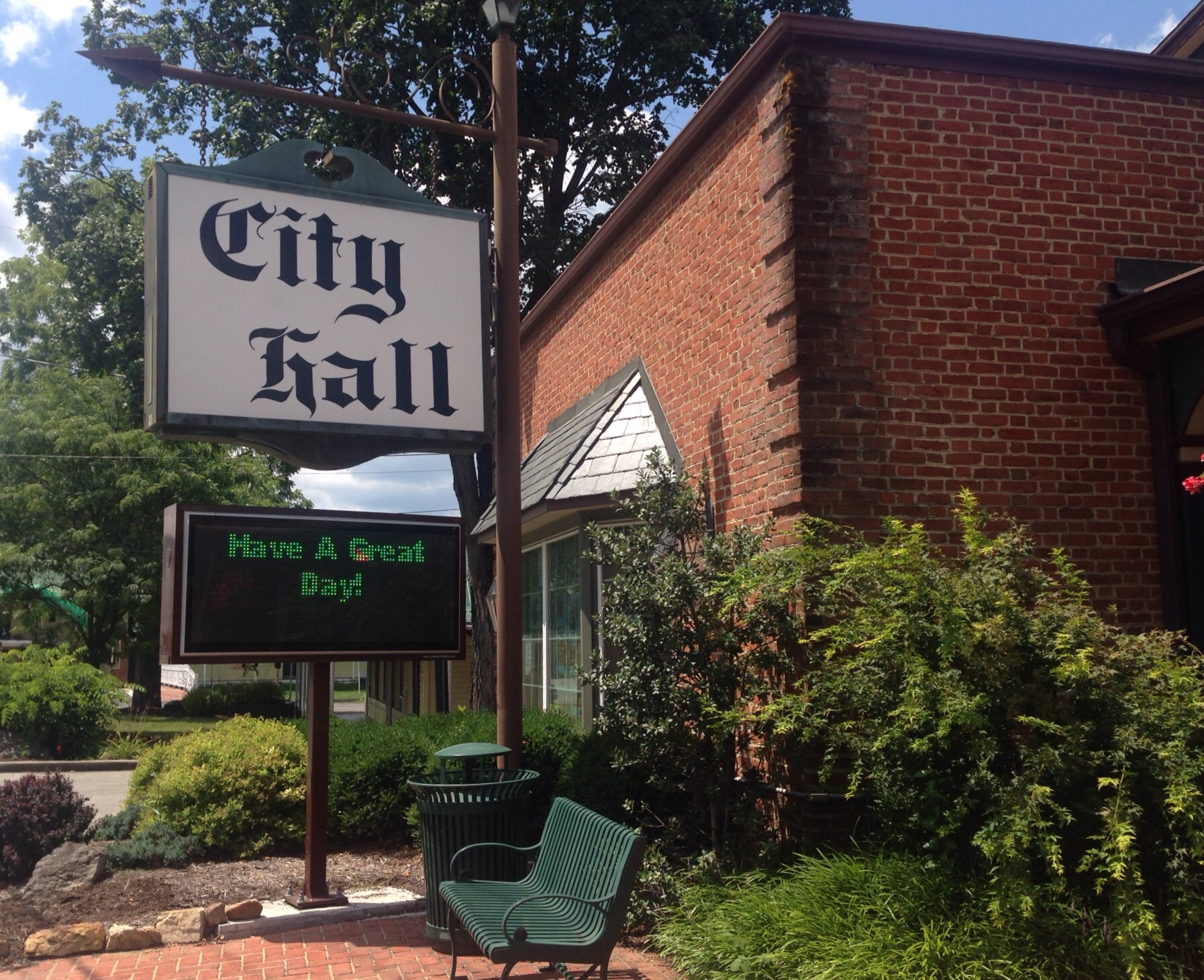
After our lovely Charlottesville house sit, Bob and I rented a car to drive to West Virginia to visit our 47th state with just Montana, North Dakota, and Hawaii yet to visit. We stayed in Lewisburg, WV, about a 2 hour drive from Charlottesville. Lewisburg is a small town of about 4,000 located in Greenbrier County (Greenbrier is a popular name in these parts). It has a cute historic downtown and lots of opportunities for hiking.
The City Hall buildingCarnegie Hall built in 1902 — one of 4 halls in the US named for Andrew Carnegie who provided a portion of the funding for the building. In addition to being a performance theater it also houses art exhibits.The historic General Lewis hotel where we had cocktails one evening
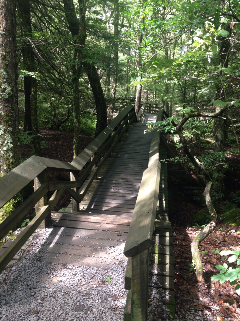
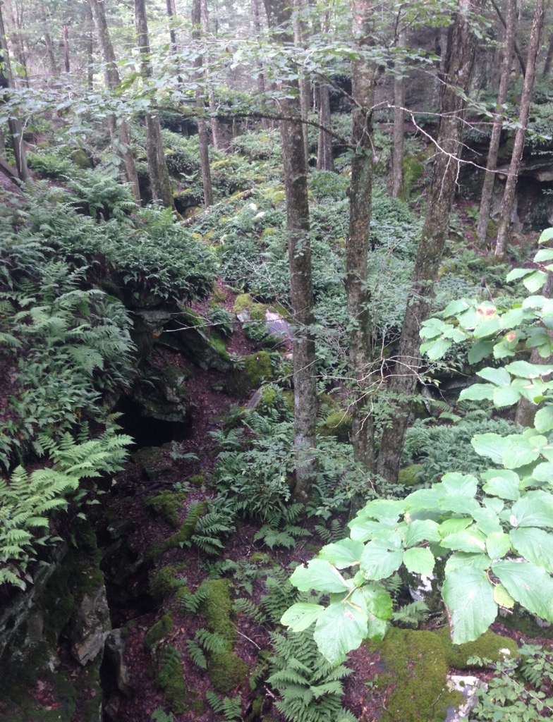
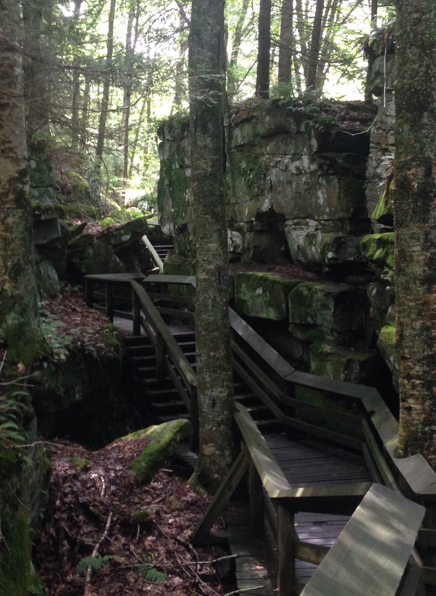
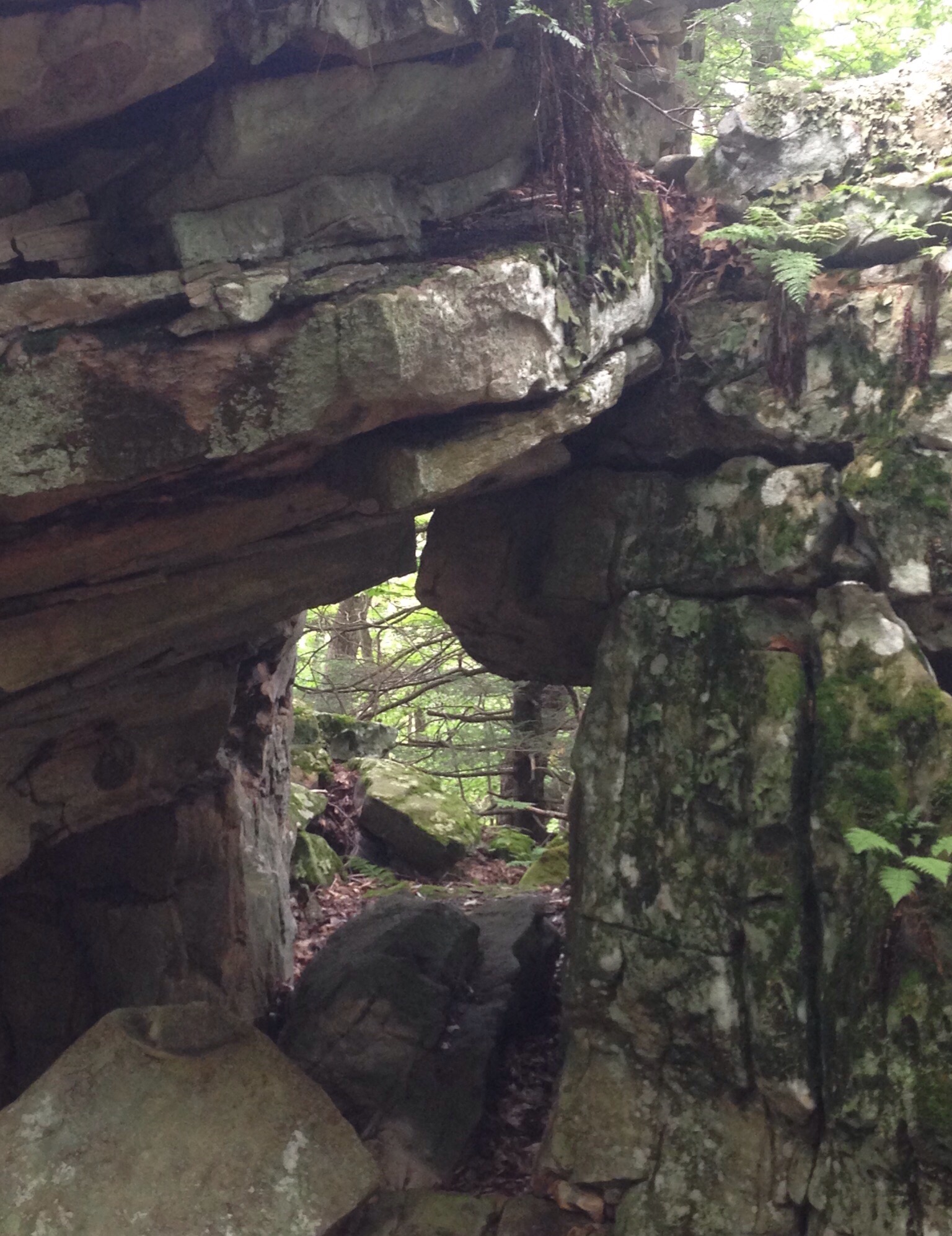
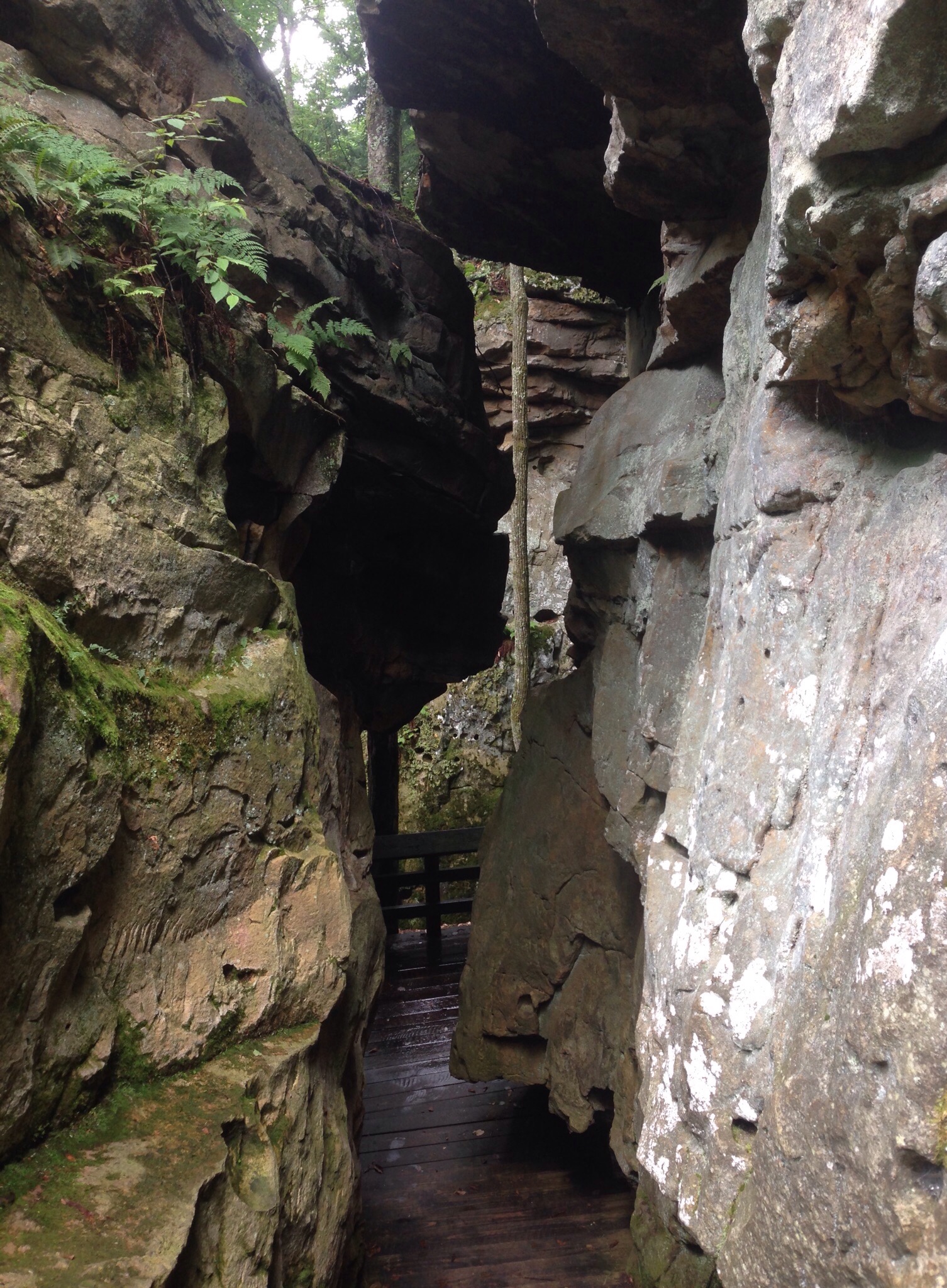
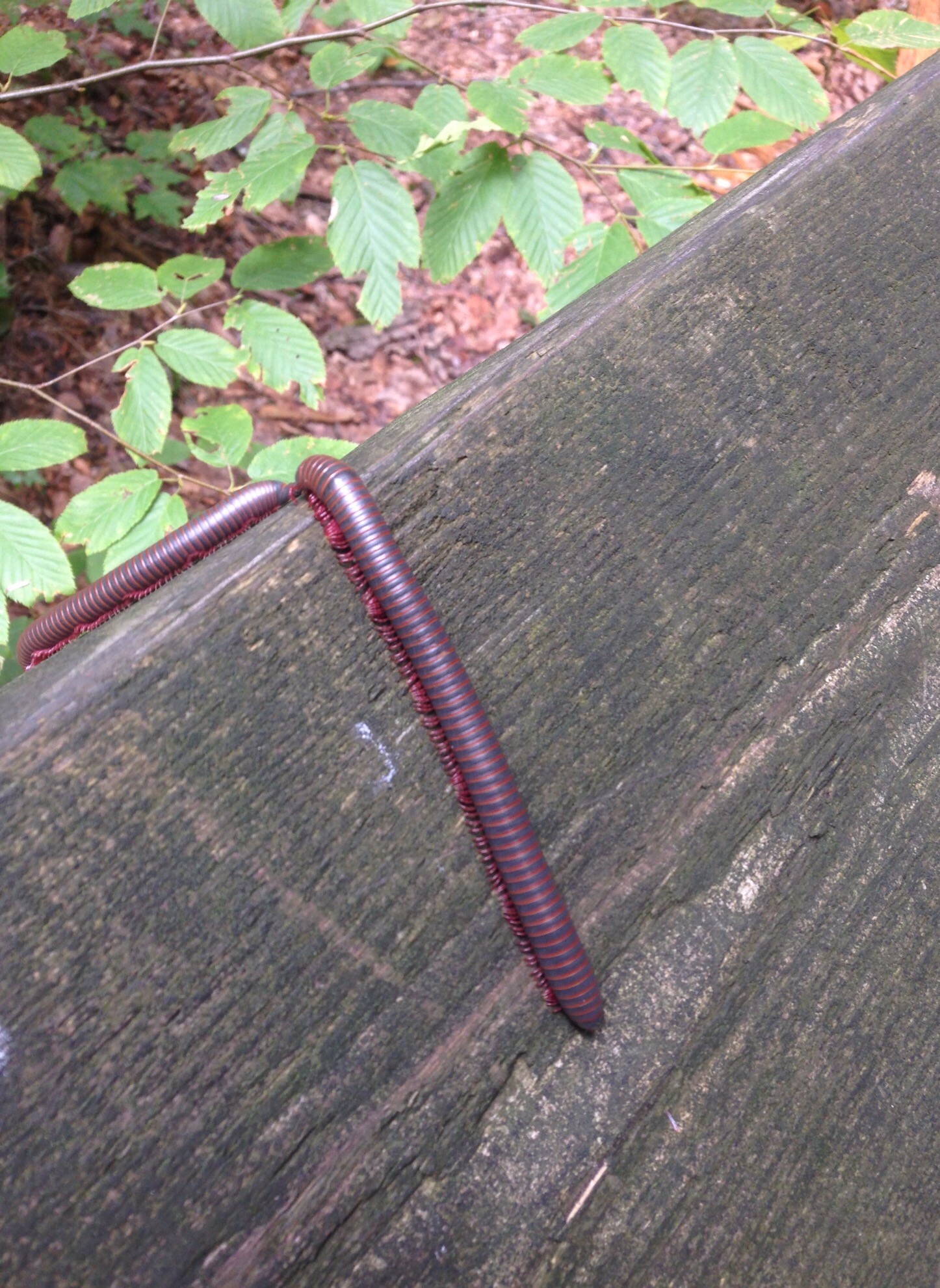
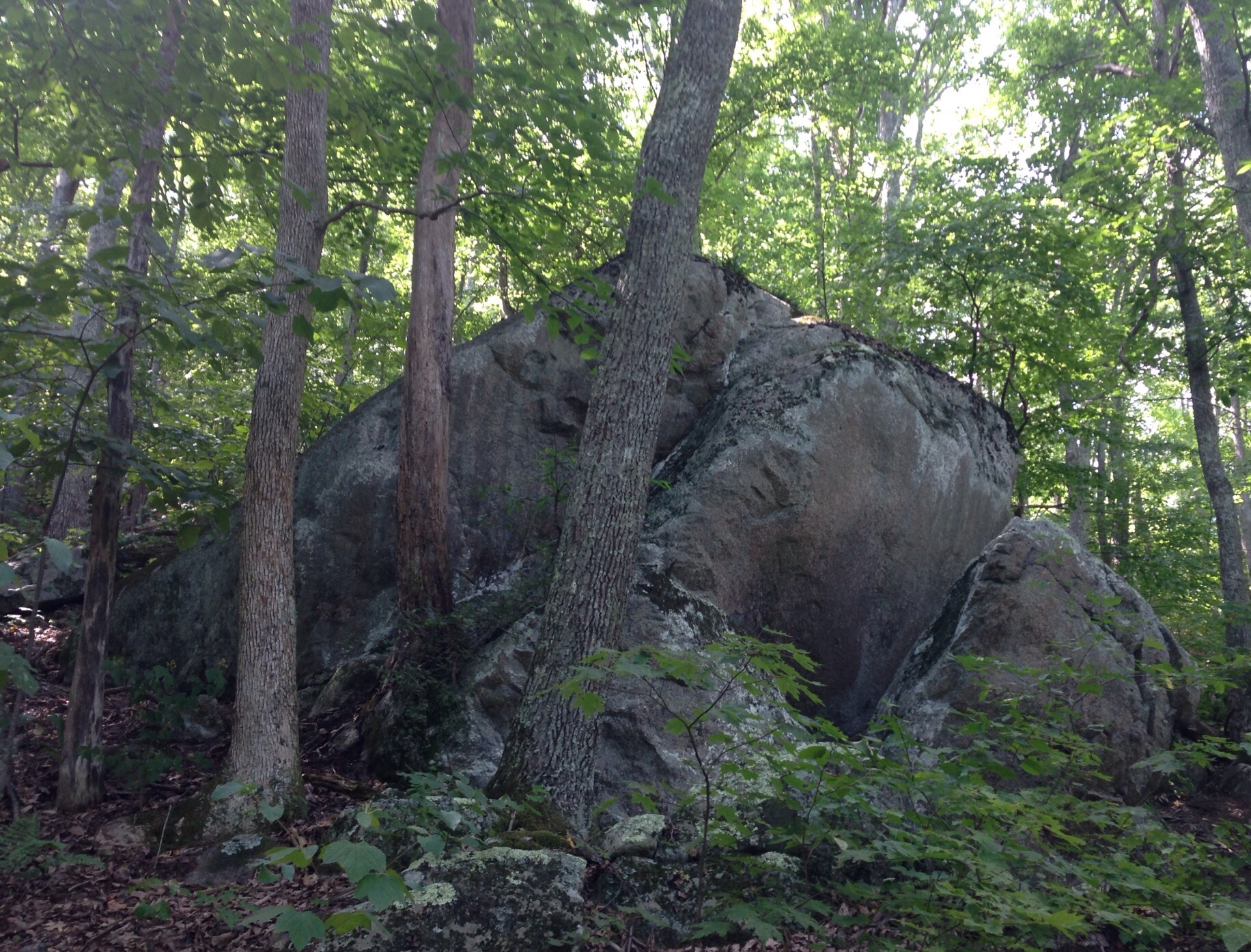
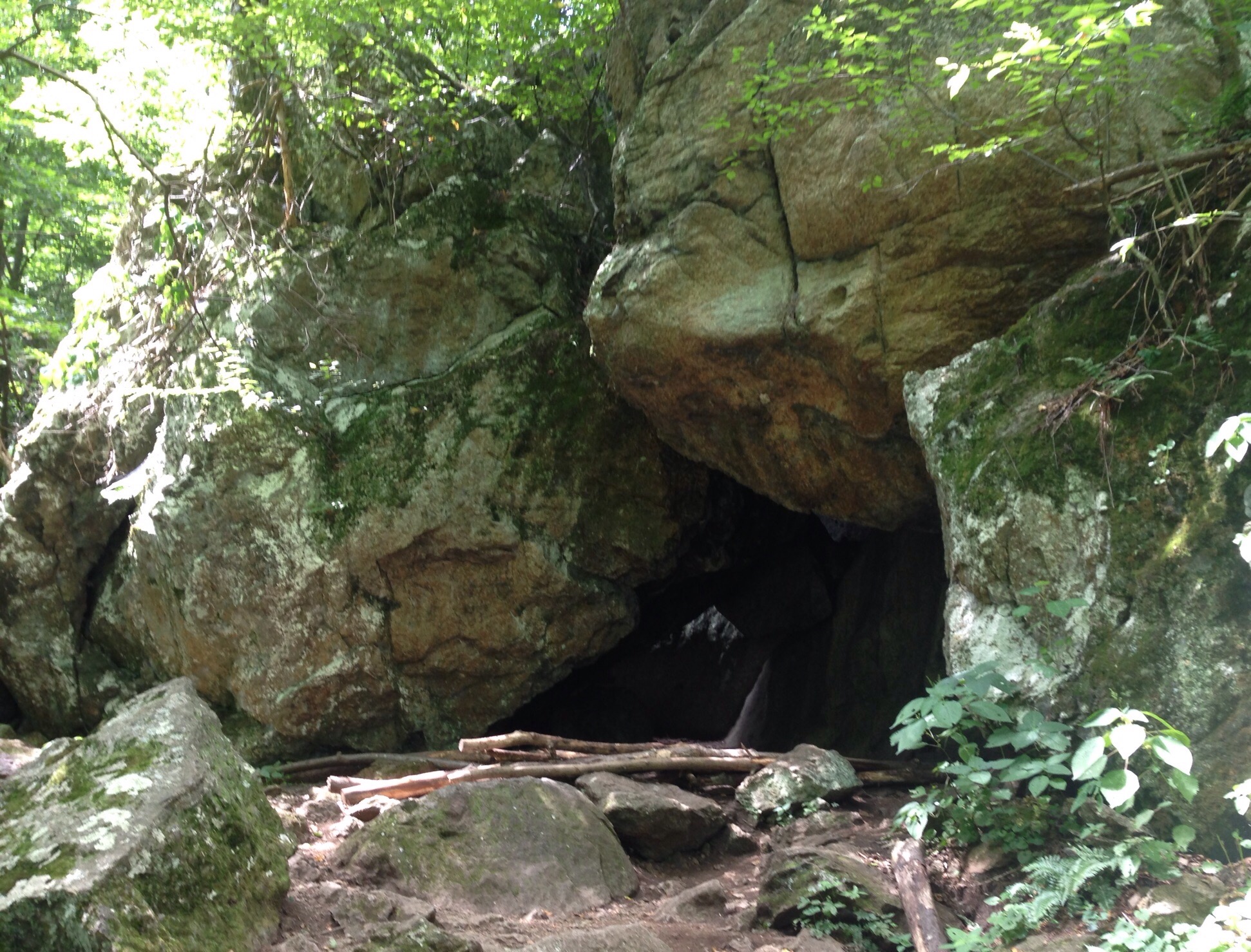
One of the best parts of our stay was a visit to Beartown State Park an ara of massive fragmented boulders and deep crevasses surrounded by almost rain forests-like vegetation. It is a short hike along a boardwalk but really unique. We even saw a bit of “wildlife.”
Starting on the boardwalk into the parkThe rainforest-like vegetationA hairy boulderThe boardwalk trail through the bouldersA natural windowThe trail narrowsOur “wildlife” sighting — there were lots of these little guys around — which reminded Bob of one of his few kid-friendly jokes
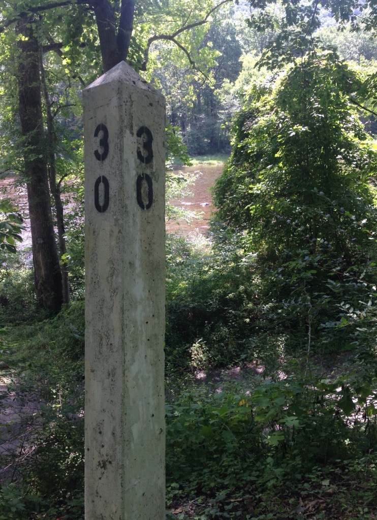
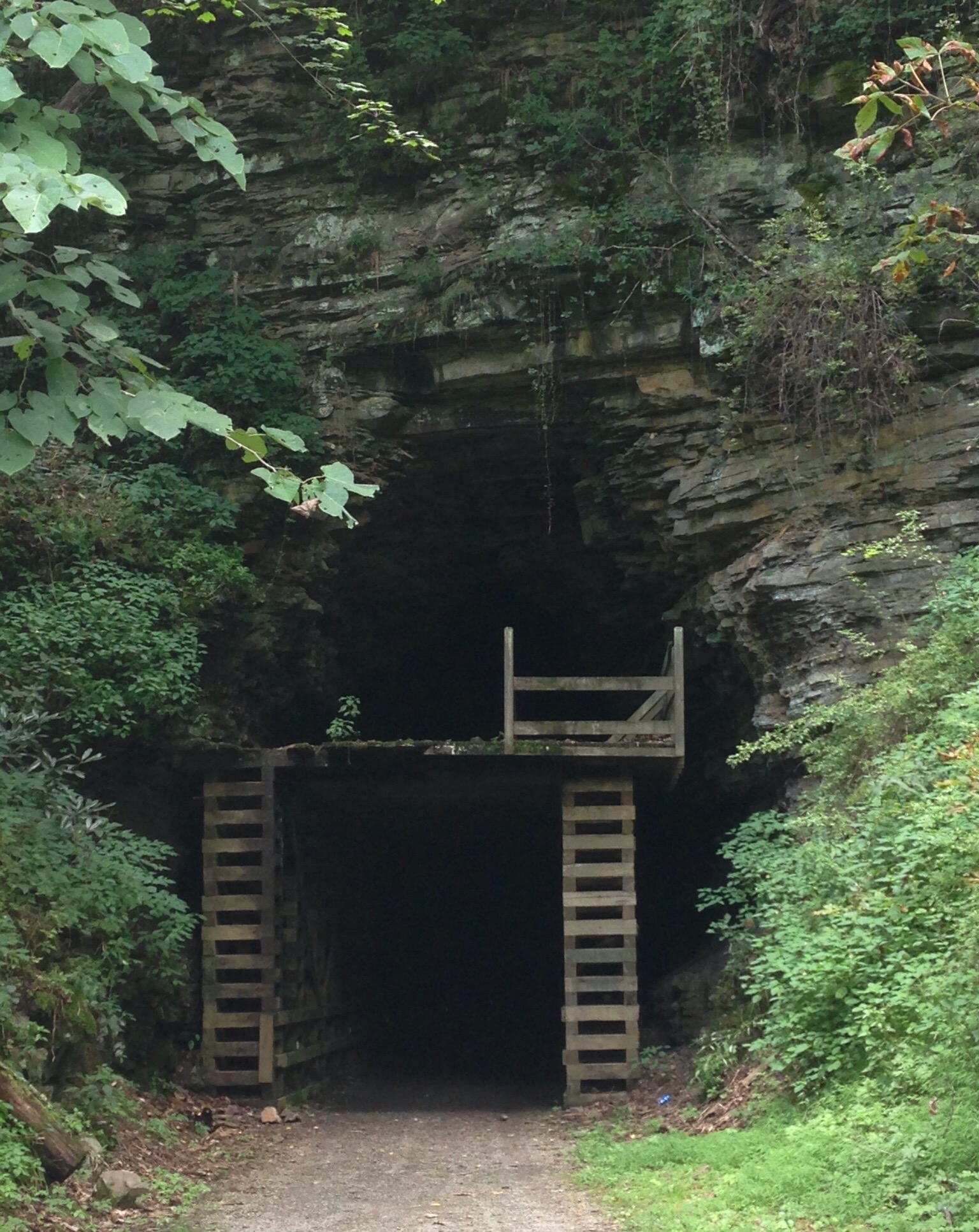
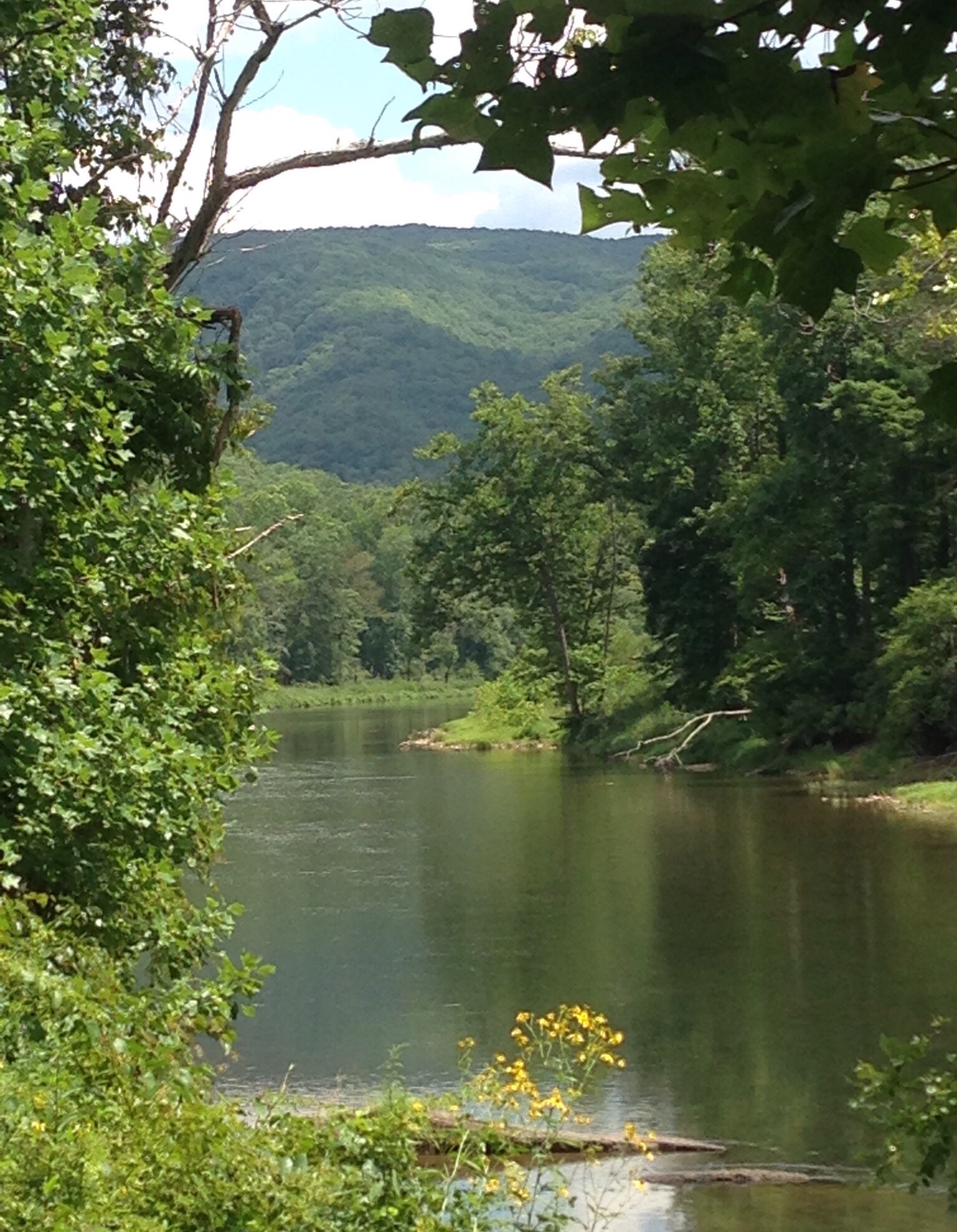
The Greenbrier River Trail is a 78 mile long trail that is a repurposed former railroad that follows the Greenbrier River. The trail is used for hiking, biking, cross country skiing, and horse back riding. There are a number of campsites and other lodging opportunities along the route. Bob and I did an 8.2 mile out-and -back section starting at Horrock, not far from the Beartown State Park.
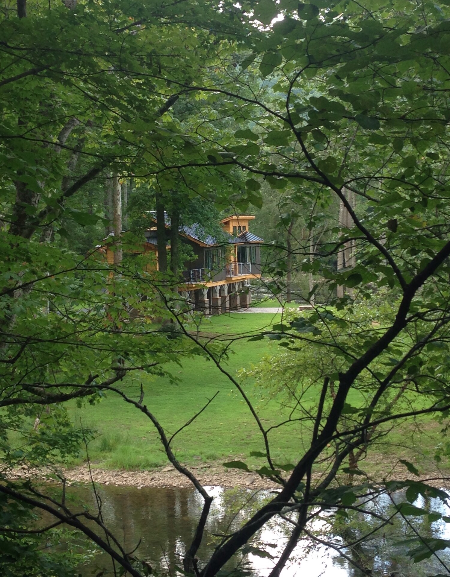
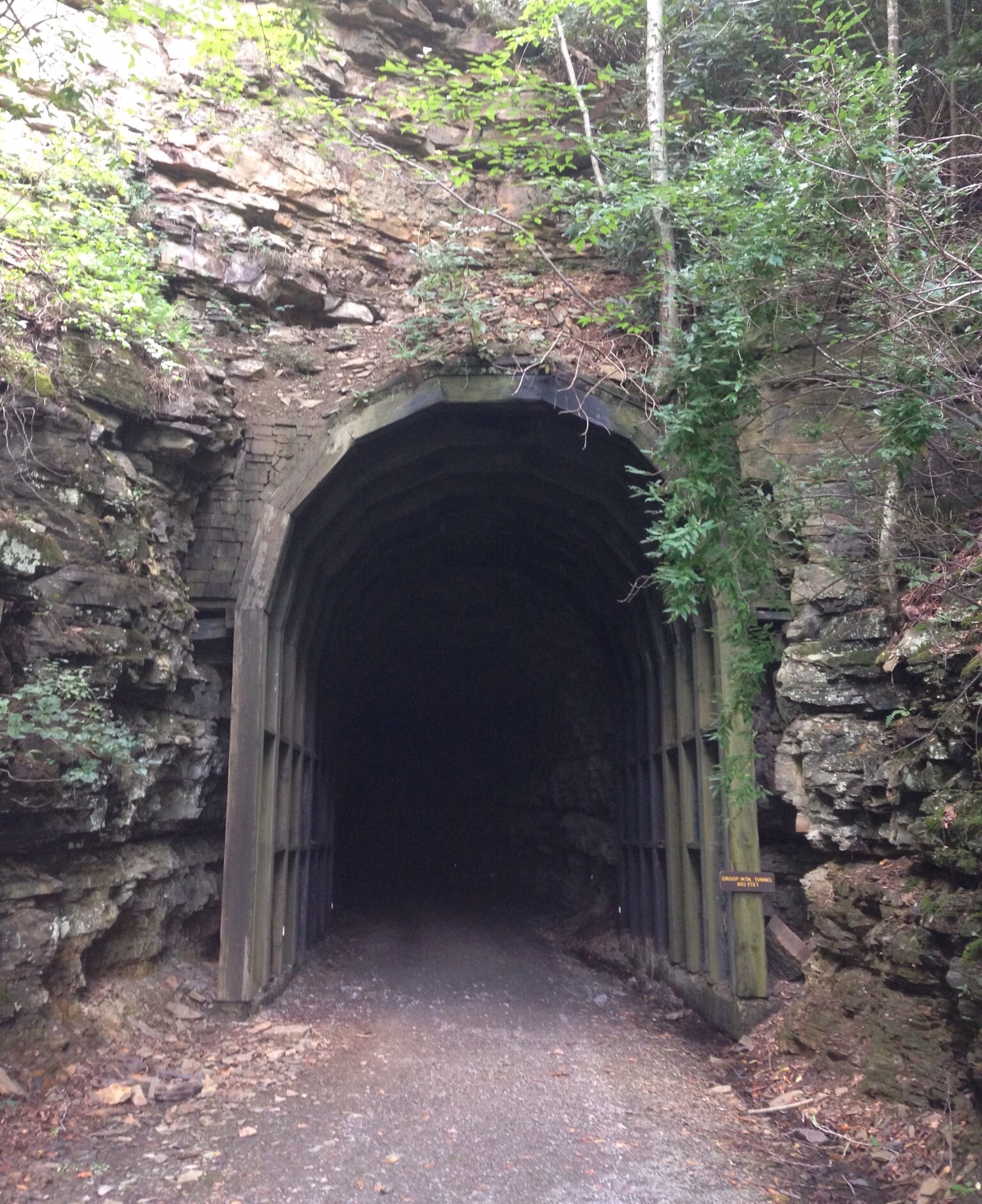
A mile marker along the route and a glimpse of the Greenbrier RiverA beautiful house on an island in the RiverWe walked through a 430 foot long tunnel along the route.The other entrance to the tunnelA better view of the Greenbrier River and the Monongahela National Forest
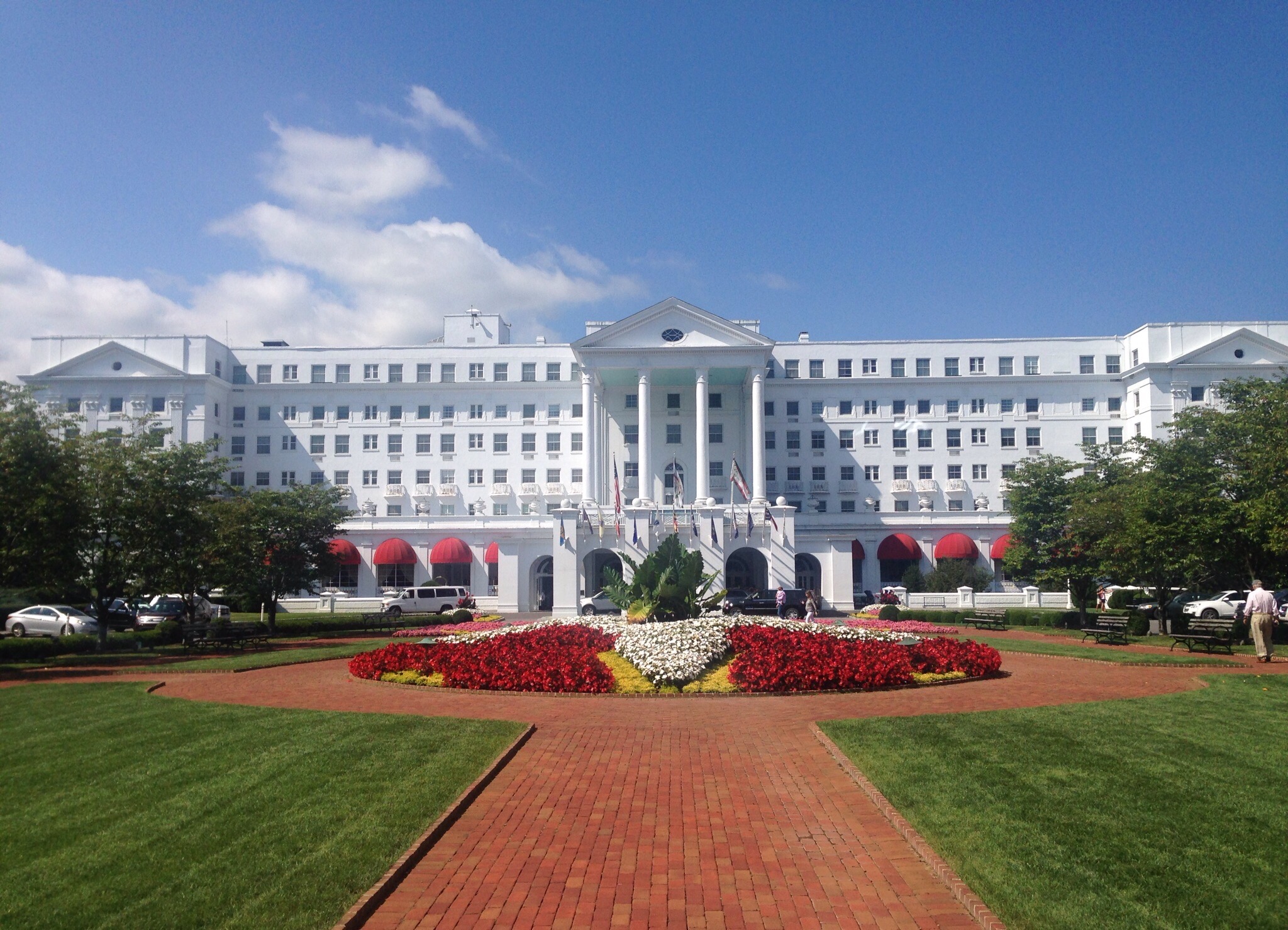
The morning of our second day in West Virginia, we spent walking around the very, gorgeous Greenbrier Resort in White Sulphur Springs. This historic landmark has been open since 1778. Along with the many hotel amenities and natural beauty, the site also contains natural mineral springs which were the original draw for visitors.
Fun facts about the Resort:
If you follow golf, you may know that this is the home of the Greenbrier Classic which is played around the 4th of July every year.
While we were there, the Houston Texans were staying at the resort and holding their training camp.
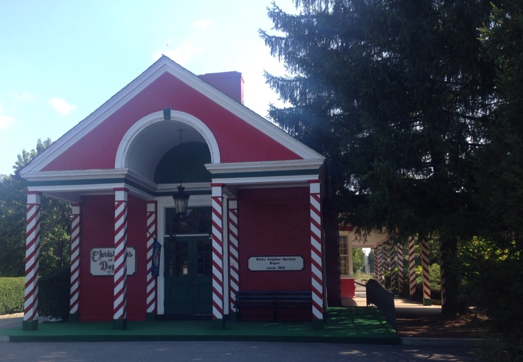
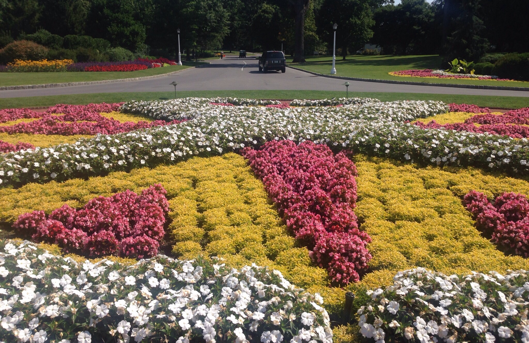
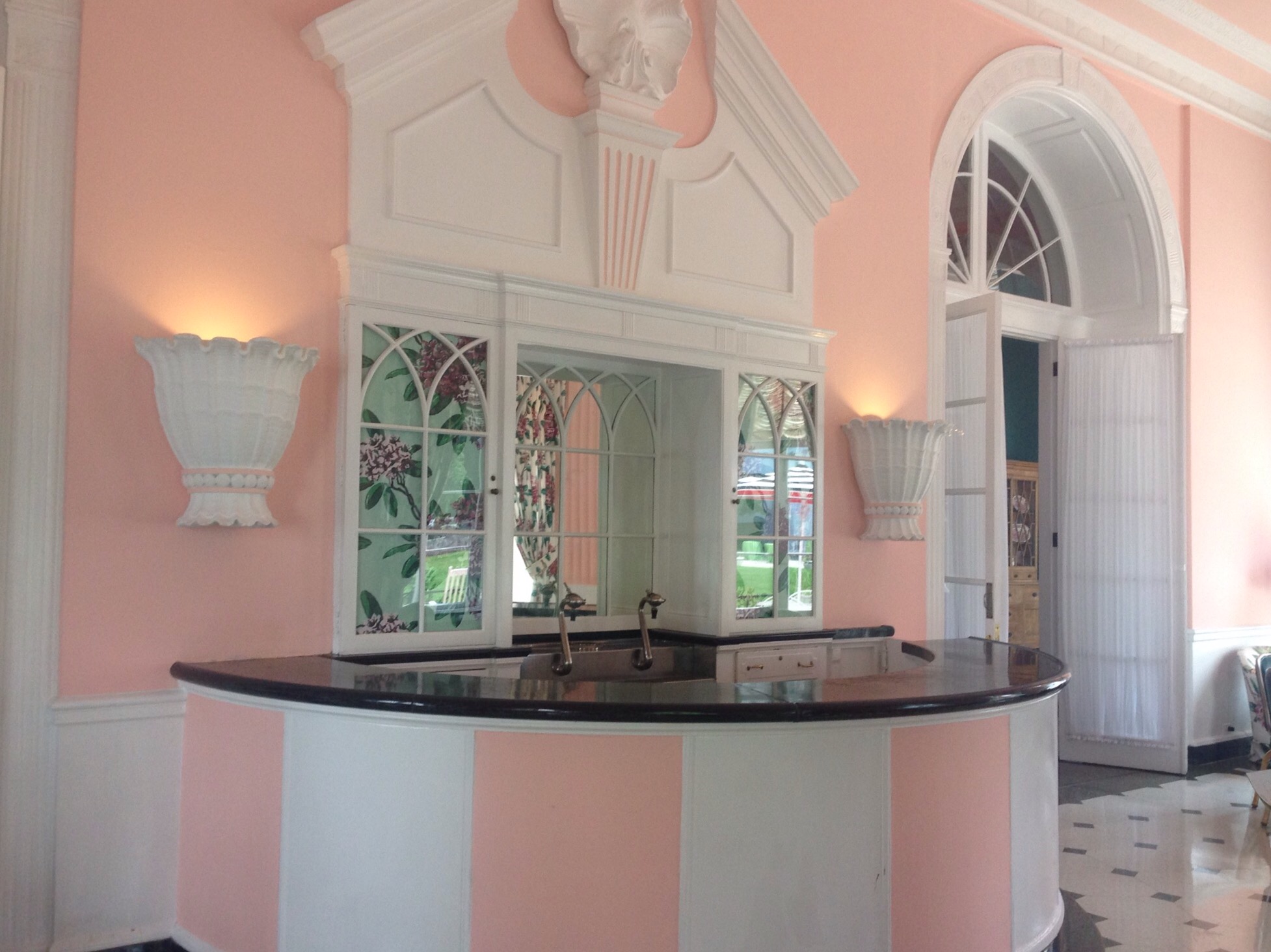
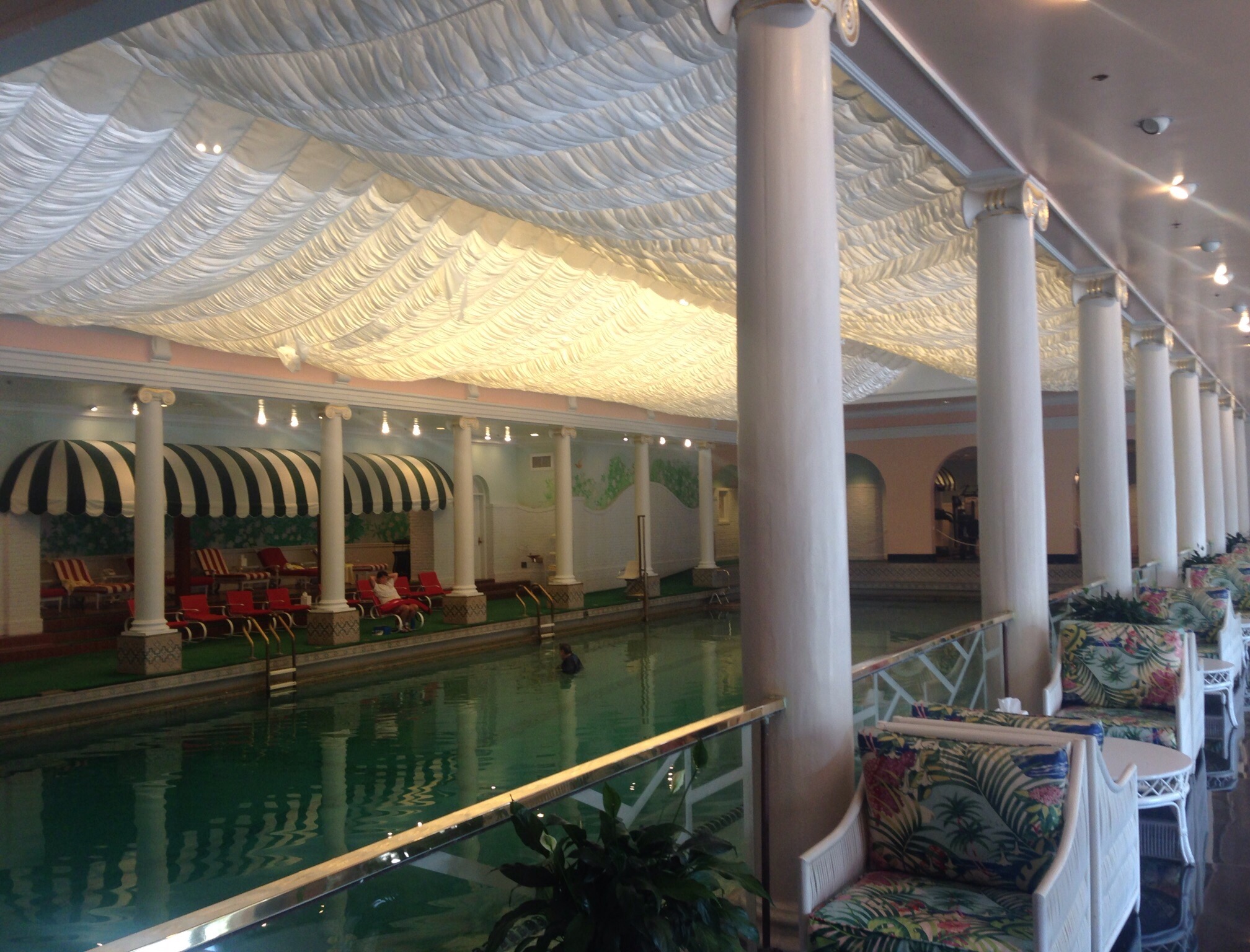
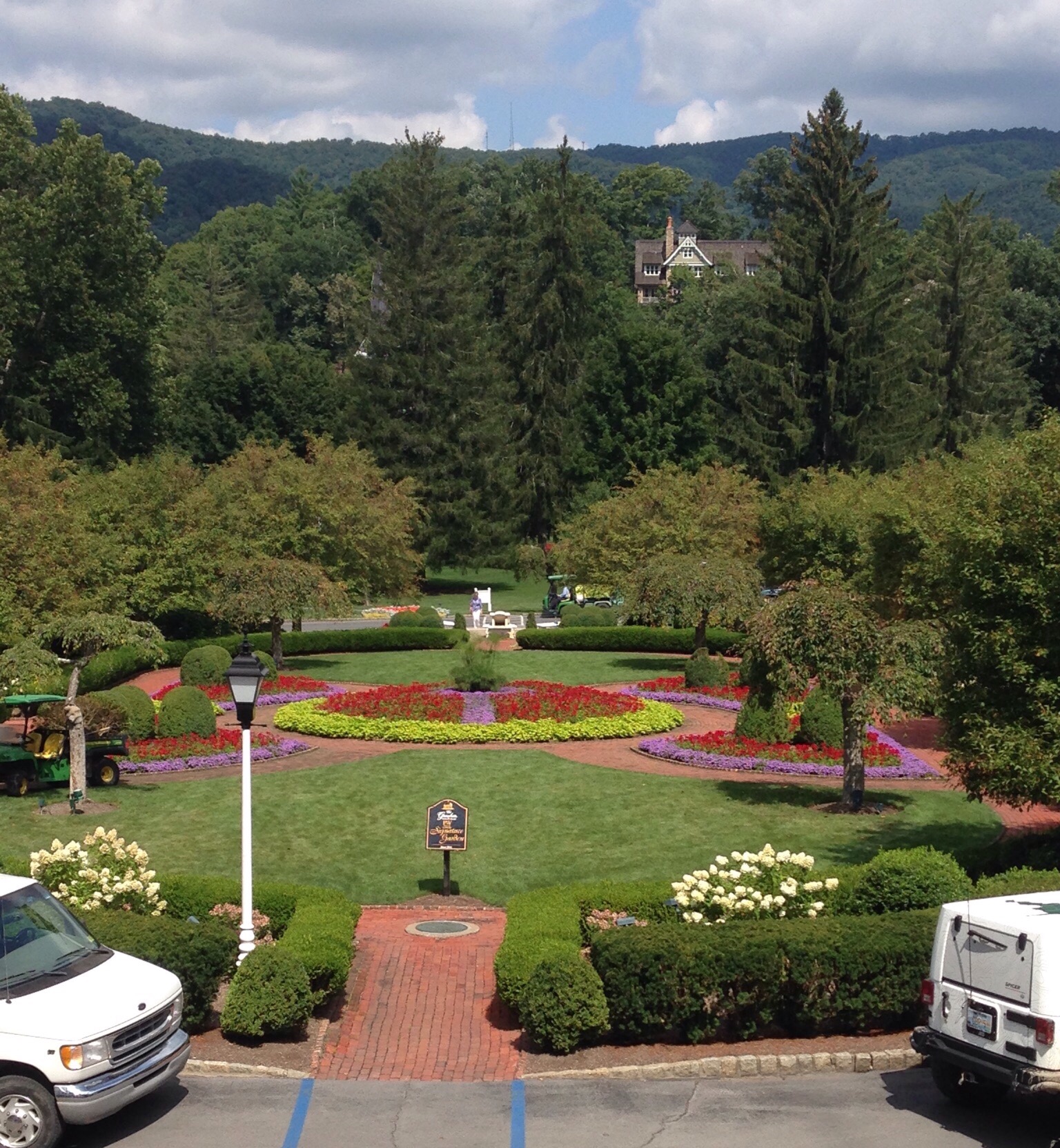
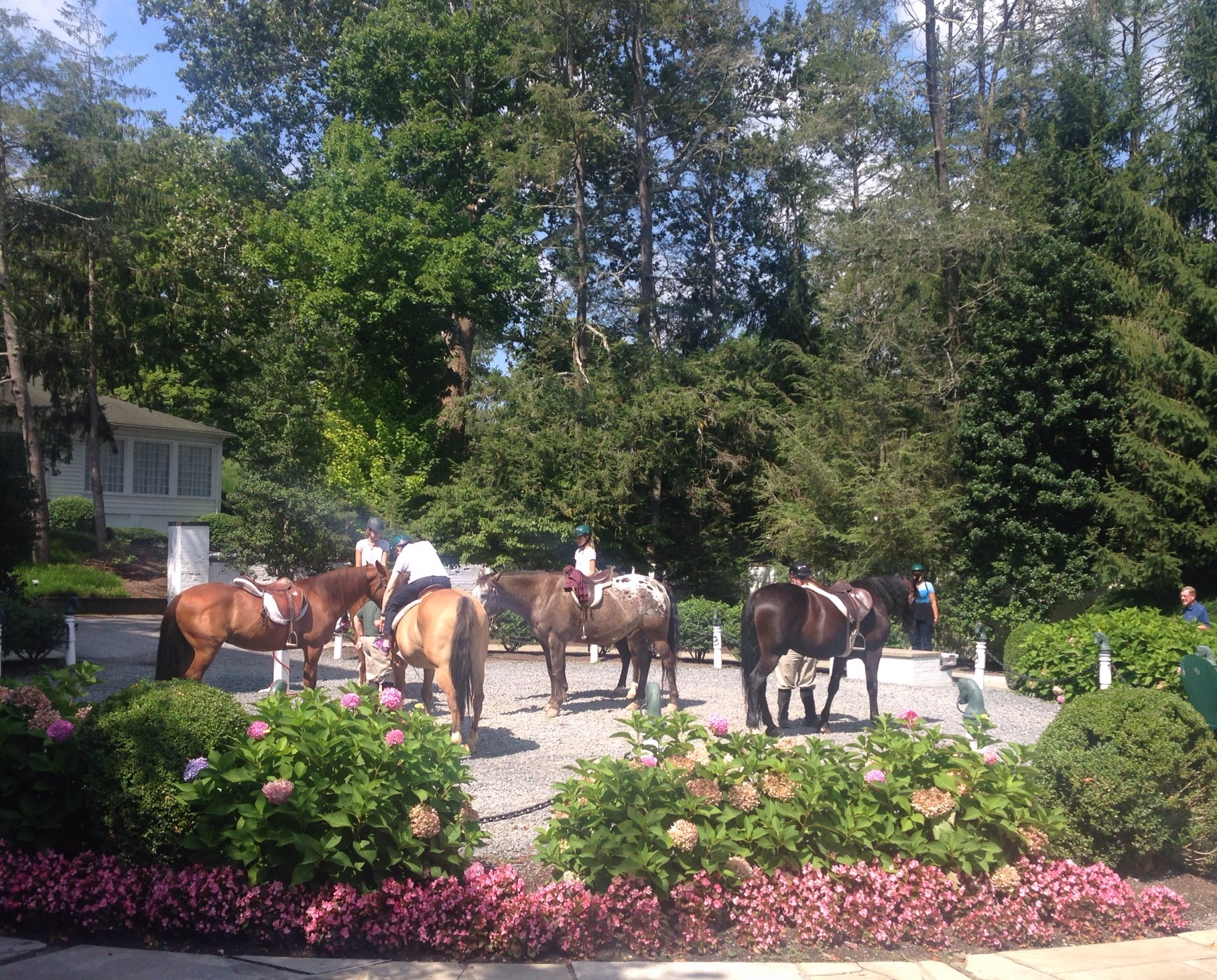
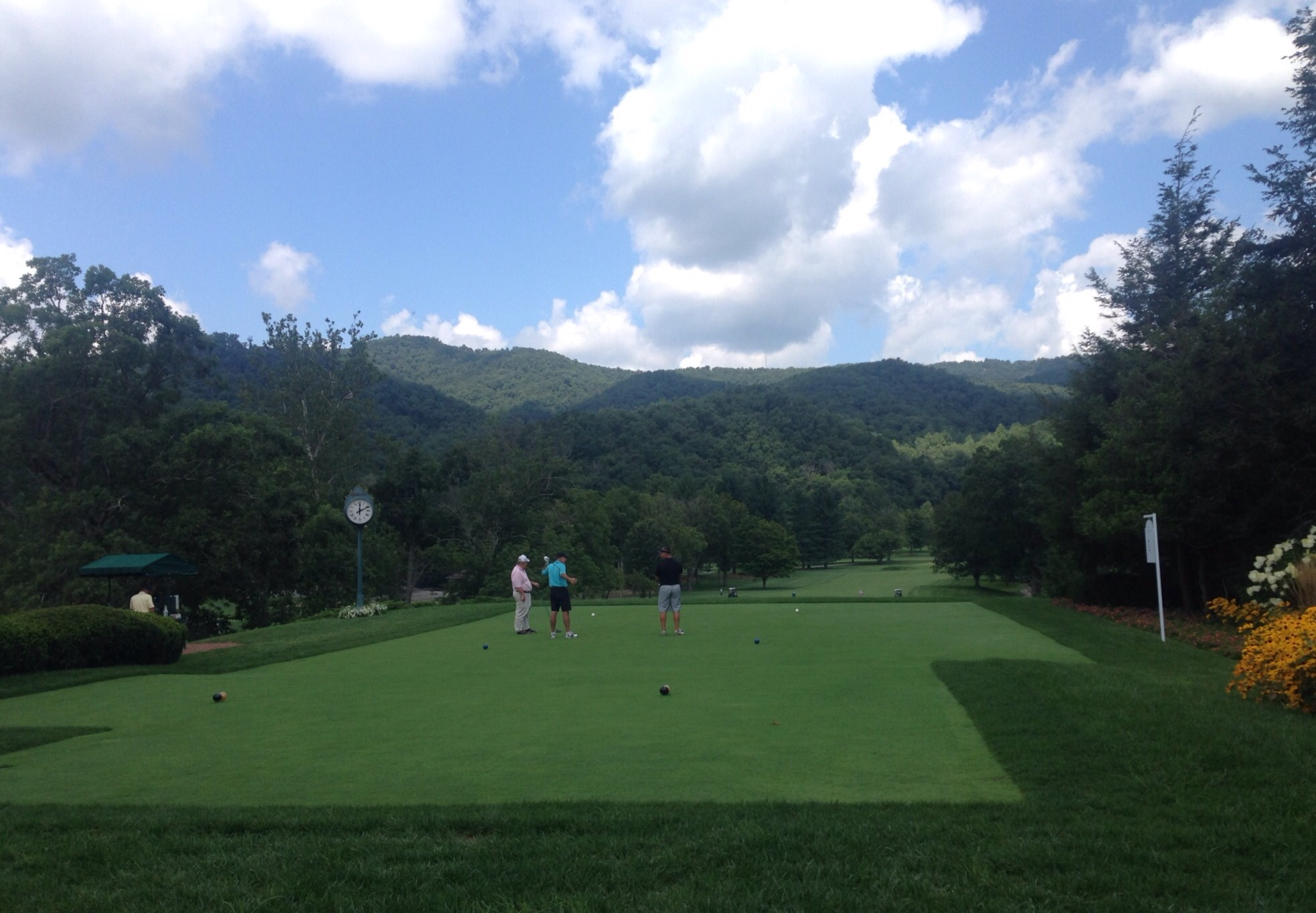
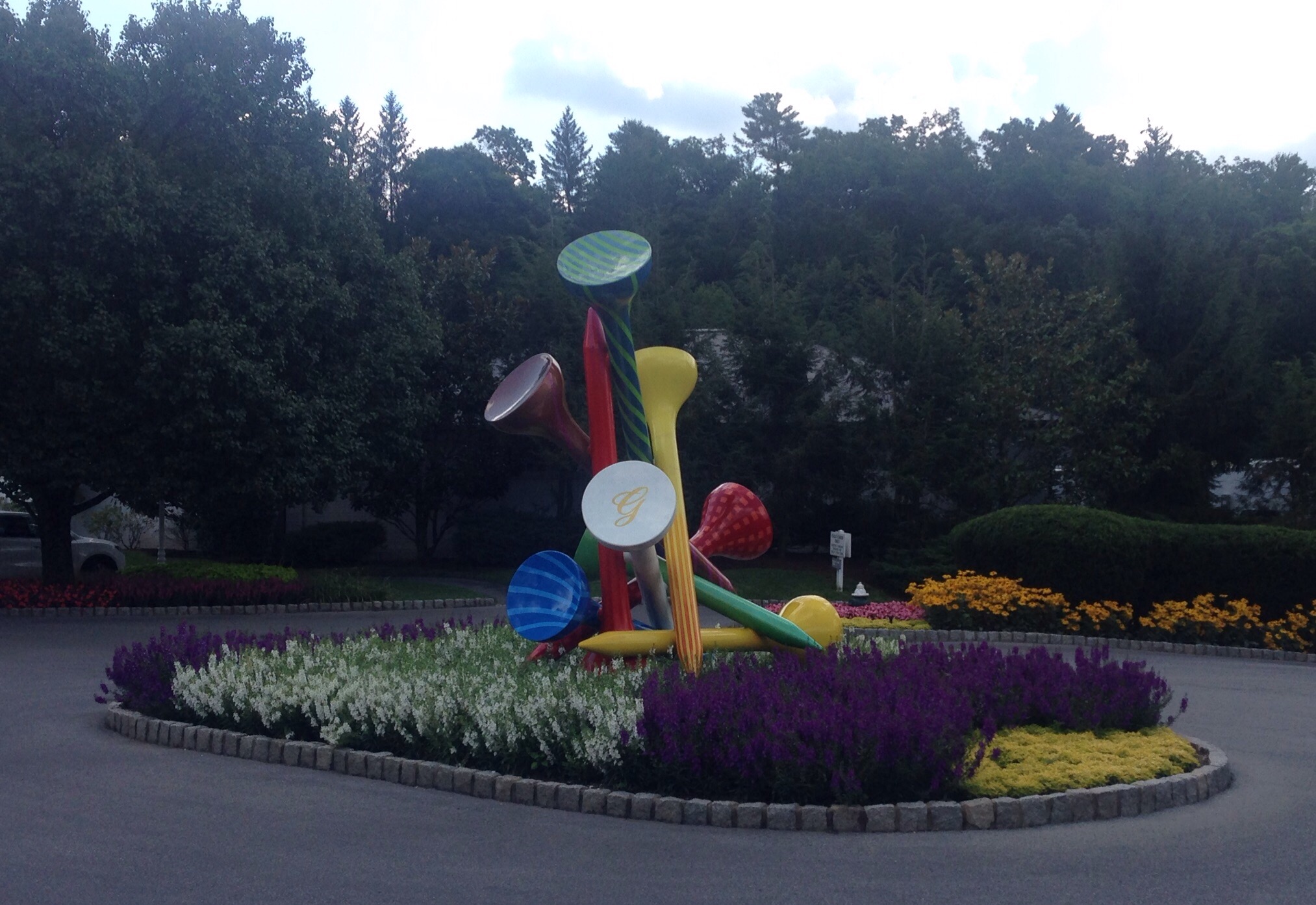
Our first experience of the Greenbrier was unexpected. We stopped to check out the Amtrak Station in White Sulphur Springs and stumbled onto an amazing Christmas store — run by the Greenbrier.Walking up to the hotel -– if you don’t want to stay here you can rent one of the cottages or houses on the property.One of the many floral landscapes on the propertyThe ballroomThe bar off of the ballroomThe indoor pool in the hotelA view of some of the grounds from the north entranceA group getting ready for horse riding — the resort also offers Segway tours, tennis, golf, skeet, spa servicesPart of the golf course at the resortA cute sculpture near the club houseThe infinity pool — and gorgeous view
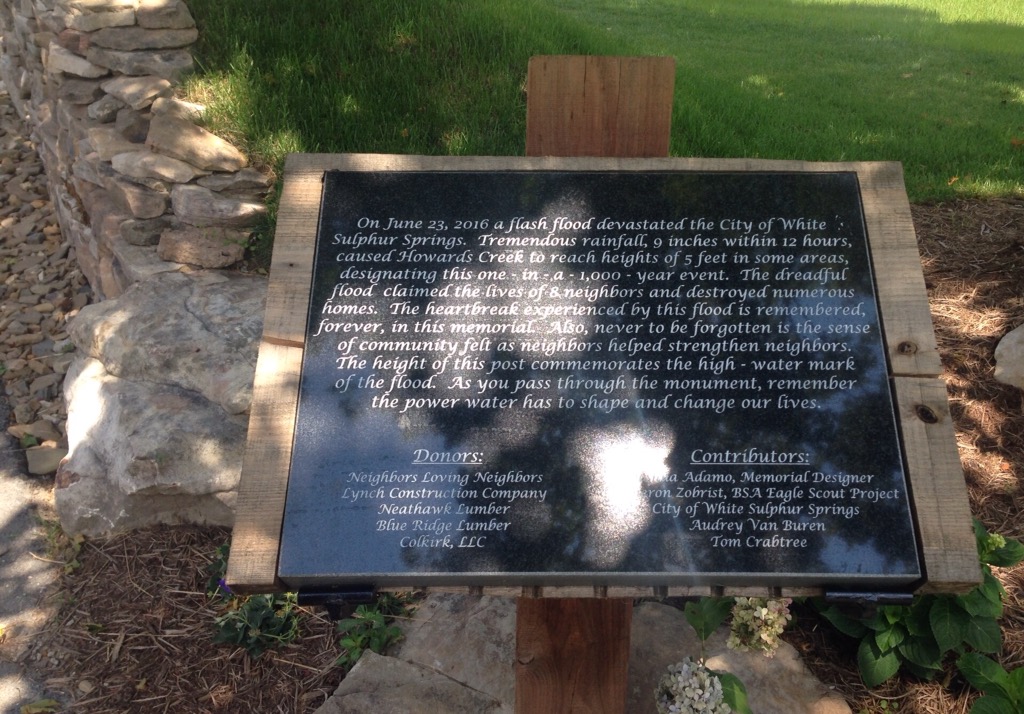
From the resort, we drove into downtown White Sulphur Springs. It was pretty small, but there was a nice memorial to the victims of last year’s flood and a store related to the DIY network show — Barnwood Builders. We were not familiar with the show but had read articles about it in the local papers, as the six individuals on the show are from West Virginia.
The sign about the flood in front of the stone bridge memorialThe creek level when not floodedA historic building in the park with the memorialA nice message from city hall
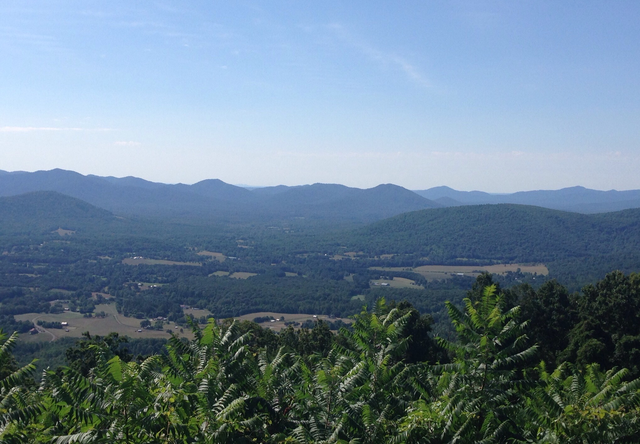
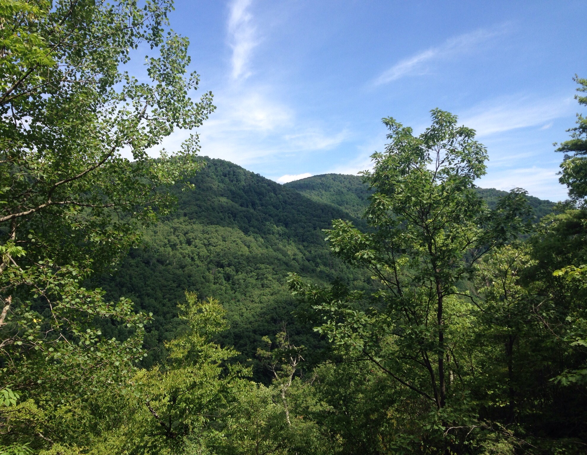
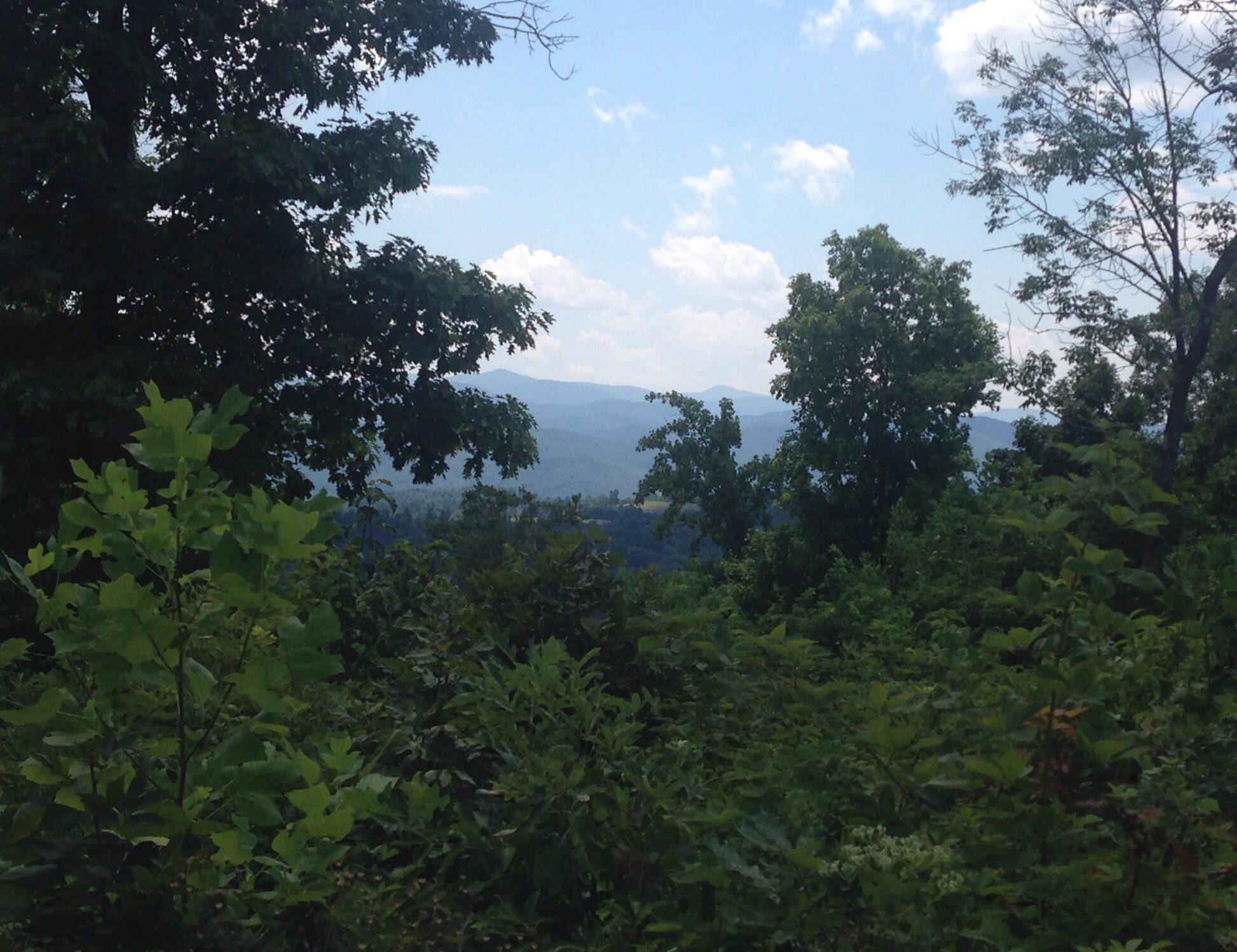
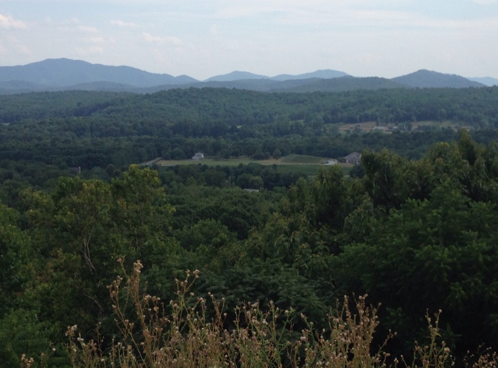
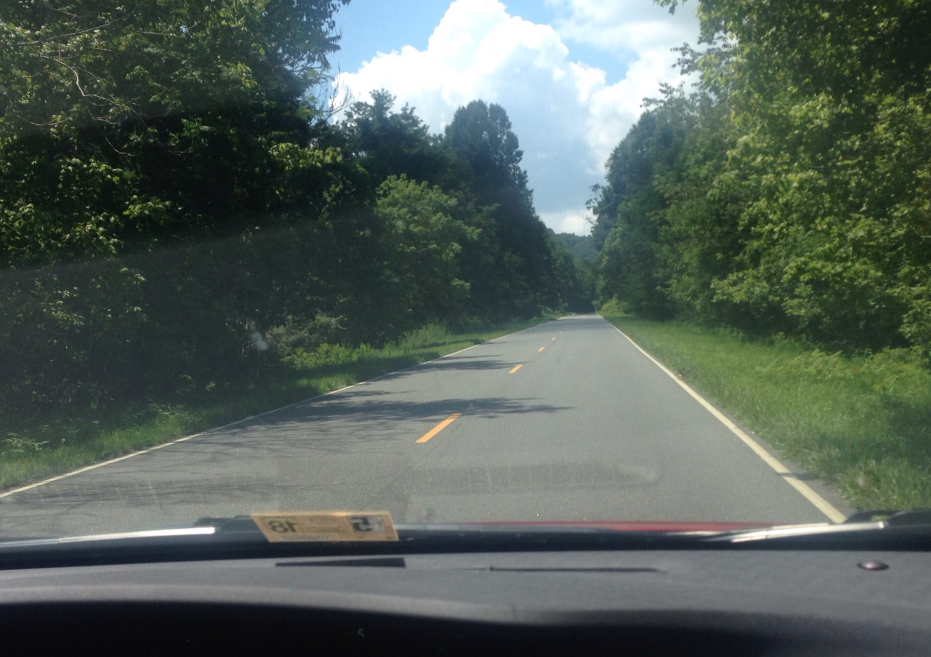
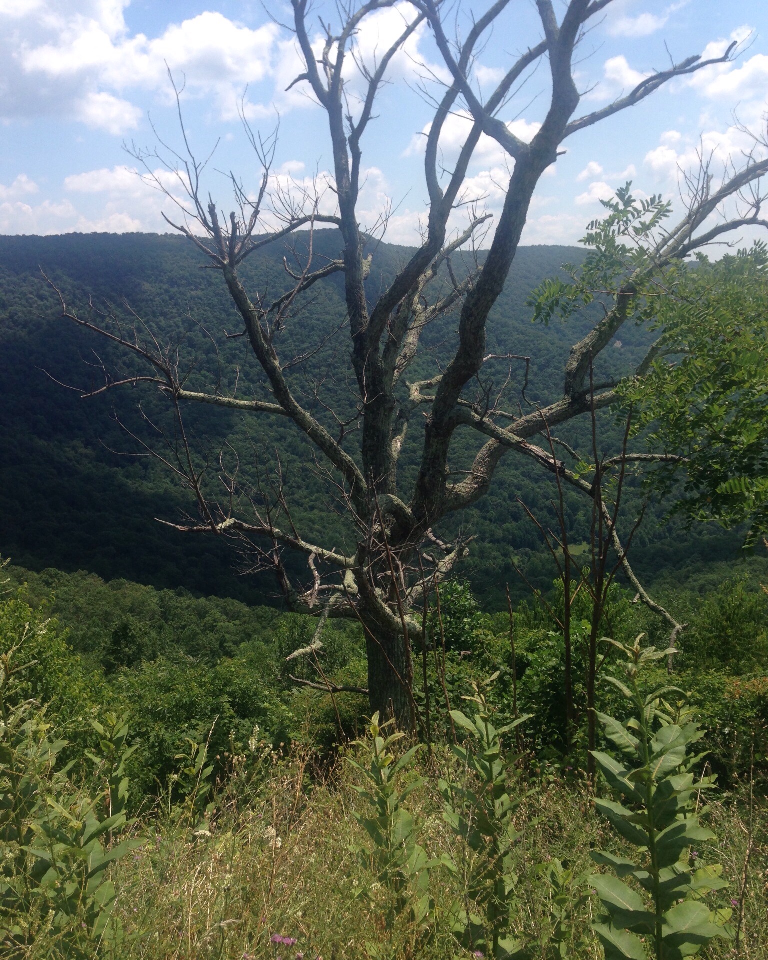
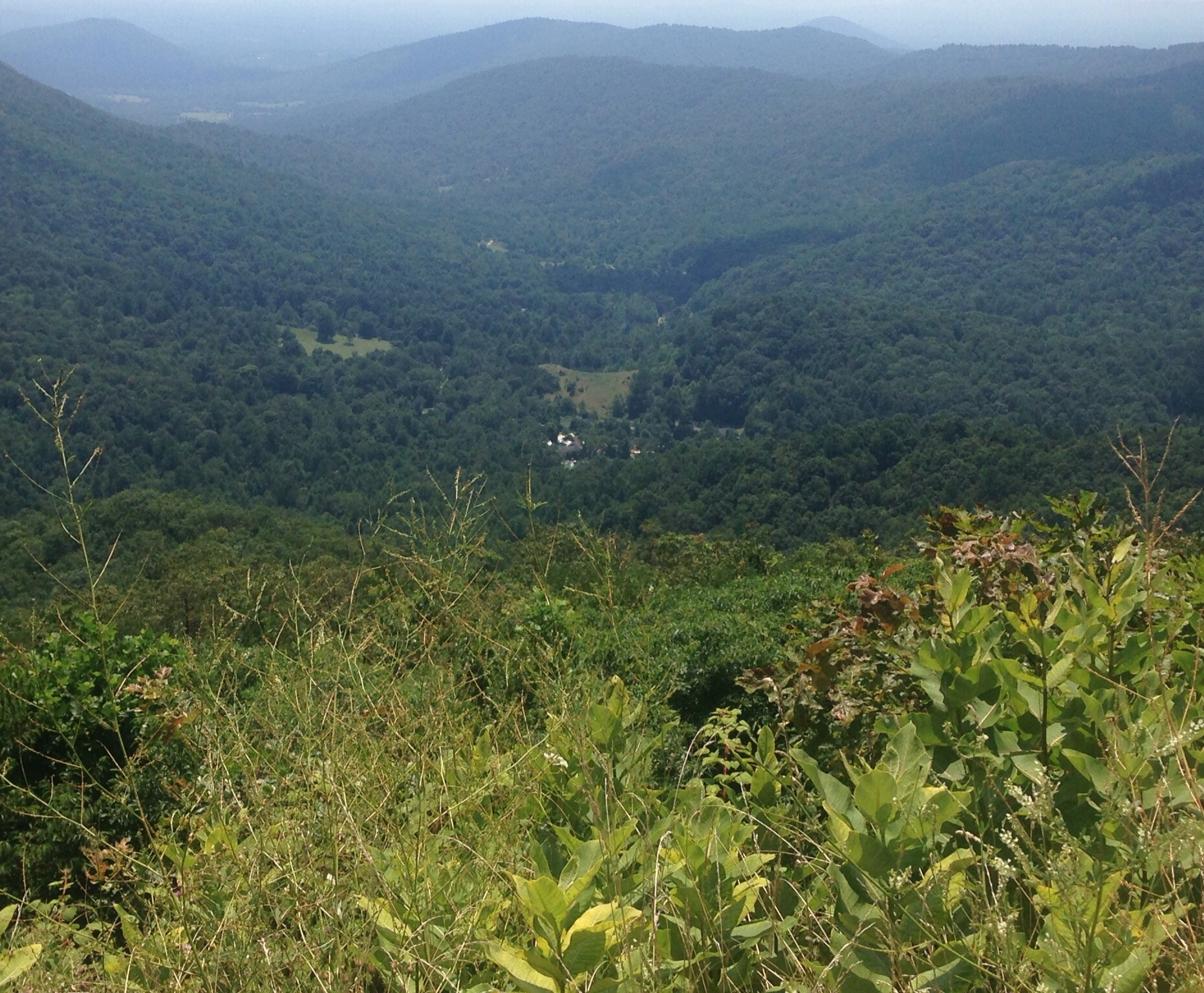
On Sunday, Bob and I headed to the George Washington National Forest in nearby Nelson County to hike Crabtree Falls. To get there, we drove part of the gorgeous Blue Ridge Parkway. This road is apparently America’s longest linear park, though free to drive on (at least in Virginia). The road is 469 miles long, runs through North Carolina and Virginia, and connects the Shenandoah and Great Smoky Mountains National Parks. We barely scratched the surface but did stop at a couple of overlooks for some photo ops.
We are definitely going to miss this beautiful area!Ditto thatAn educational sign at one of the overlooks with information on the building of stone fences by slaves
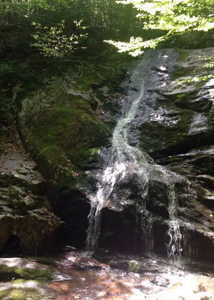
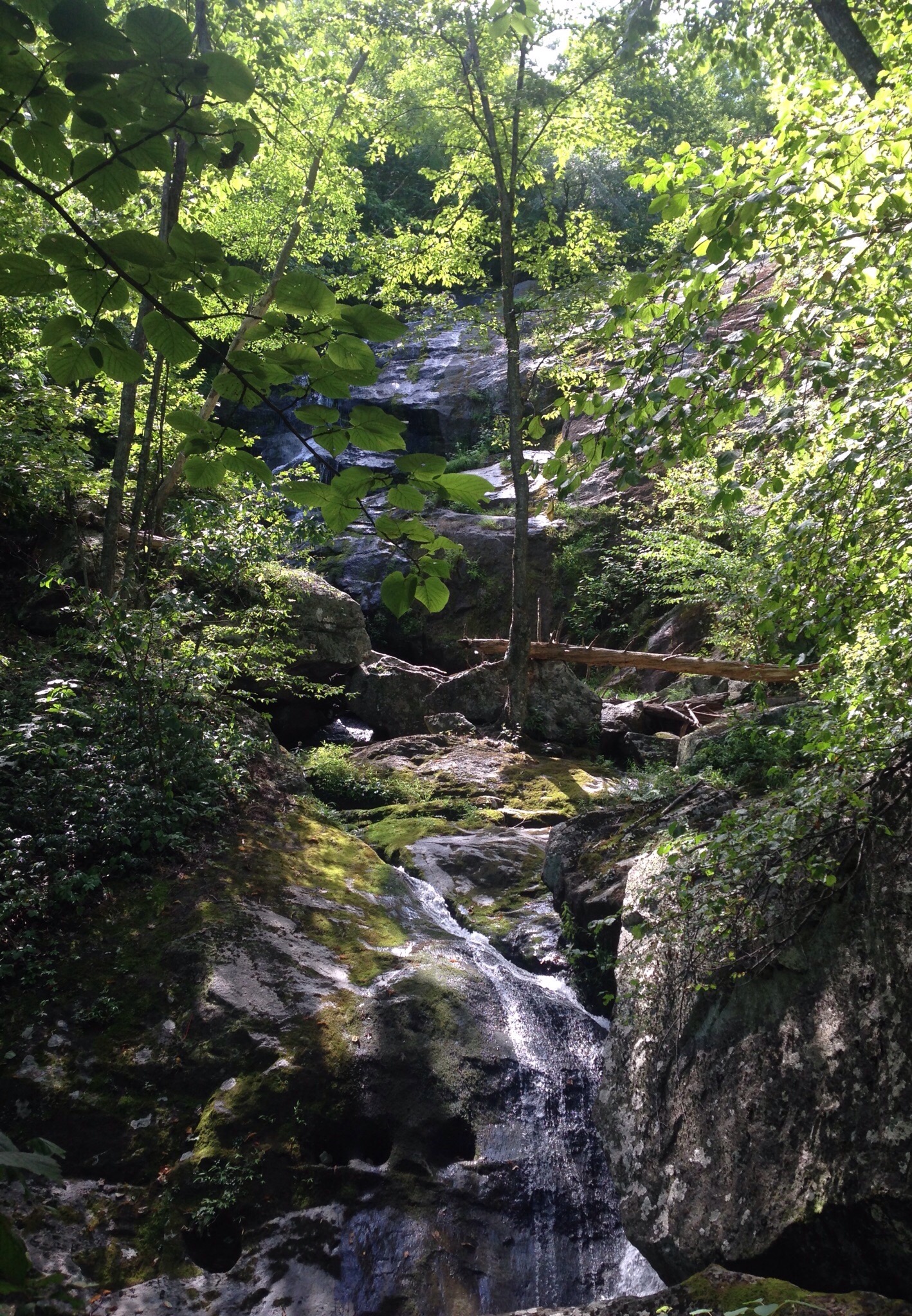
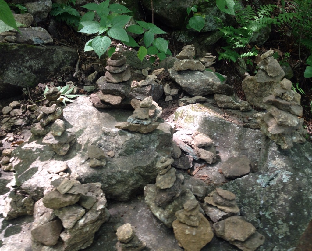
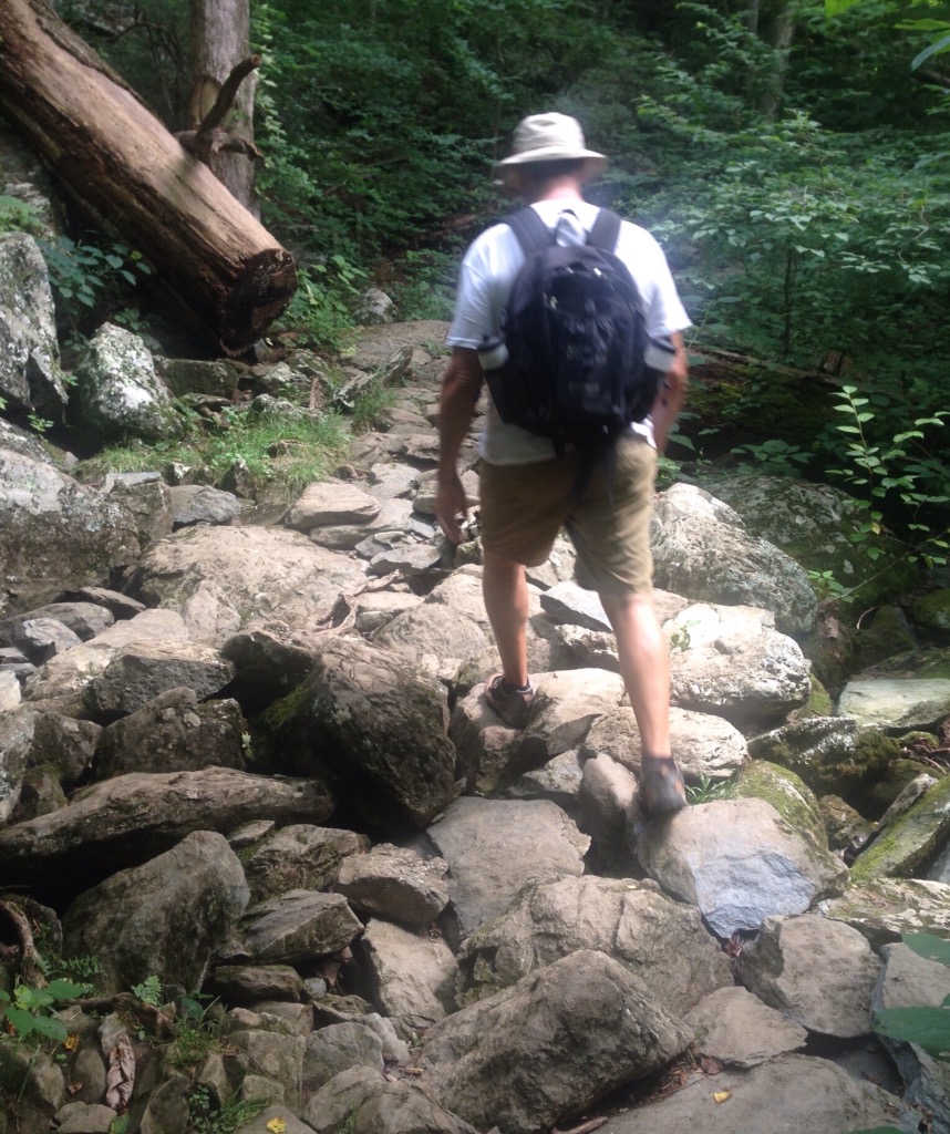
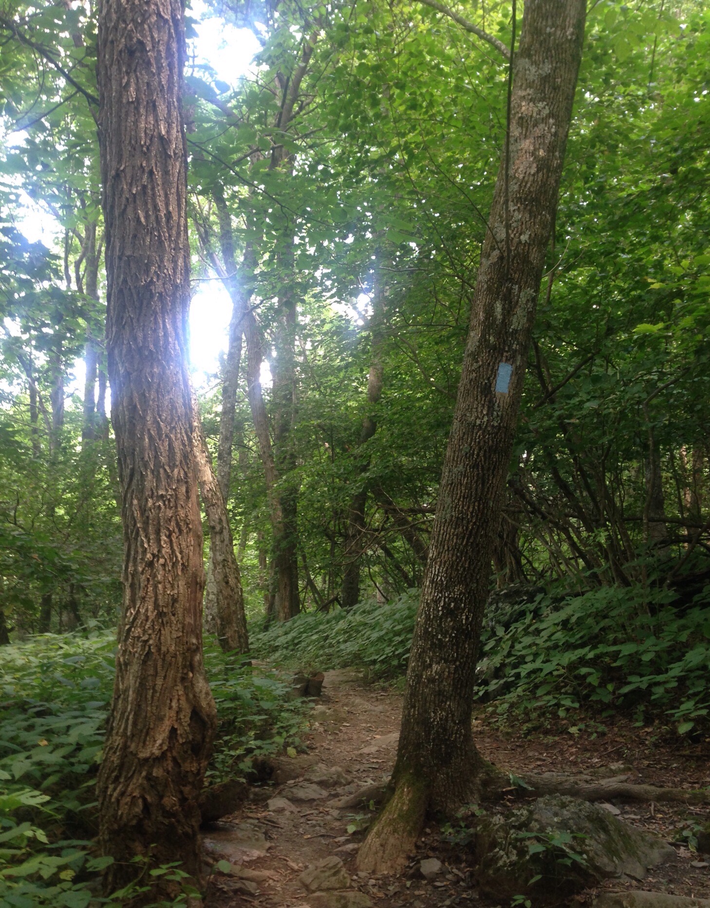
Crabtree Falls is one of the tallest sets of waterfalls in the US east of the Mississippi River. it seems to be as the place where hikers go to get in the water (disobeying multiple posted signs) with less than good resulted. We enjoyed the hike on a gorgeous 70 degree day!
The best view of the falls (which never seemed terribly tall)The well-marked trailA higher view of the fallsSome of the big rocks we saw along the wayA view of the surrounding National ForestAn opening in a rockA clan of cairns
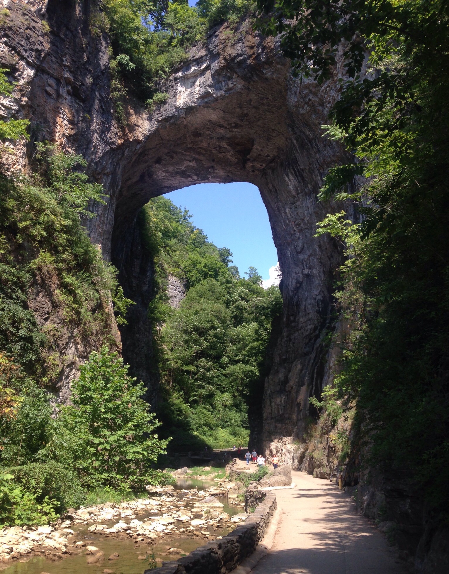
Our last two hikes in Virgnia have been in very popular spots so have been much more crowded than our usual haunts. Both the Natural Bridge State Park and Crabtree Falls (separate post) were impressive though very different. The Natural Bridge State Park is a little over an hour drive from Charlottesville in Natural Bridge, VA. The town and state park are named for the natural stone bridge that everyone comes to see and which has ties to 2 former presidents. Thomas Jefferson purchased 157 acres of land, including the Natural Bridge, from King George in 1774. See below for the 2nd president associated with the site.
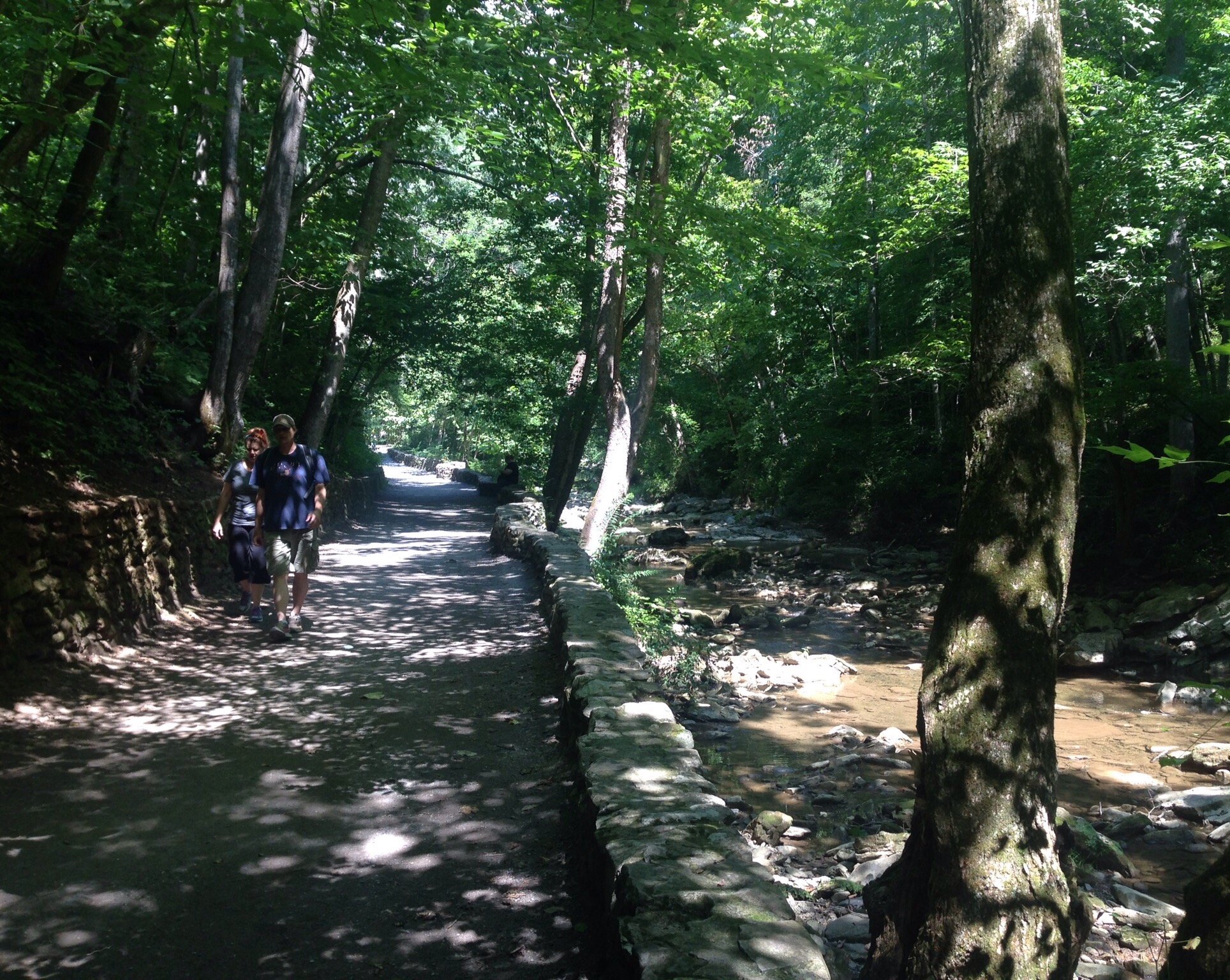
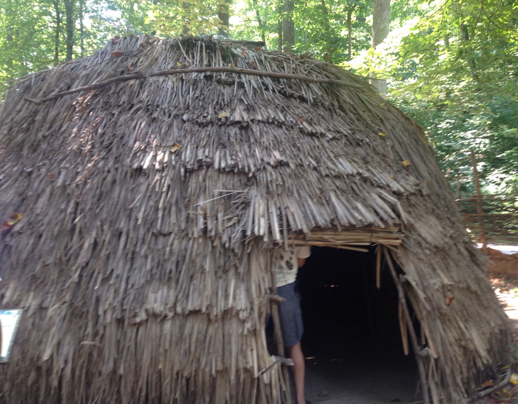
The $8/person entry fee gives you access to a main trail which takes you under the bridge, through a replica of a Monacan Indian village, into a saltpeter cave, and ends at a falls. The state park also has a couple of other trails that you can currently hike for free. Also in the town of Natural Bridge, to take advantage of the tourist traffic, is a hotel, caverns, a zoo, and some kind of amusement park.
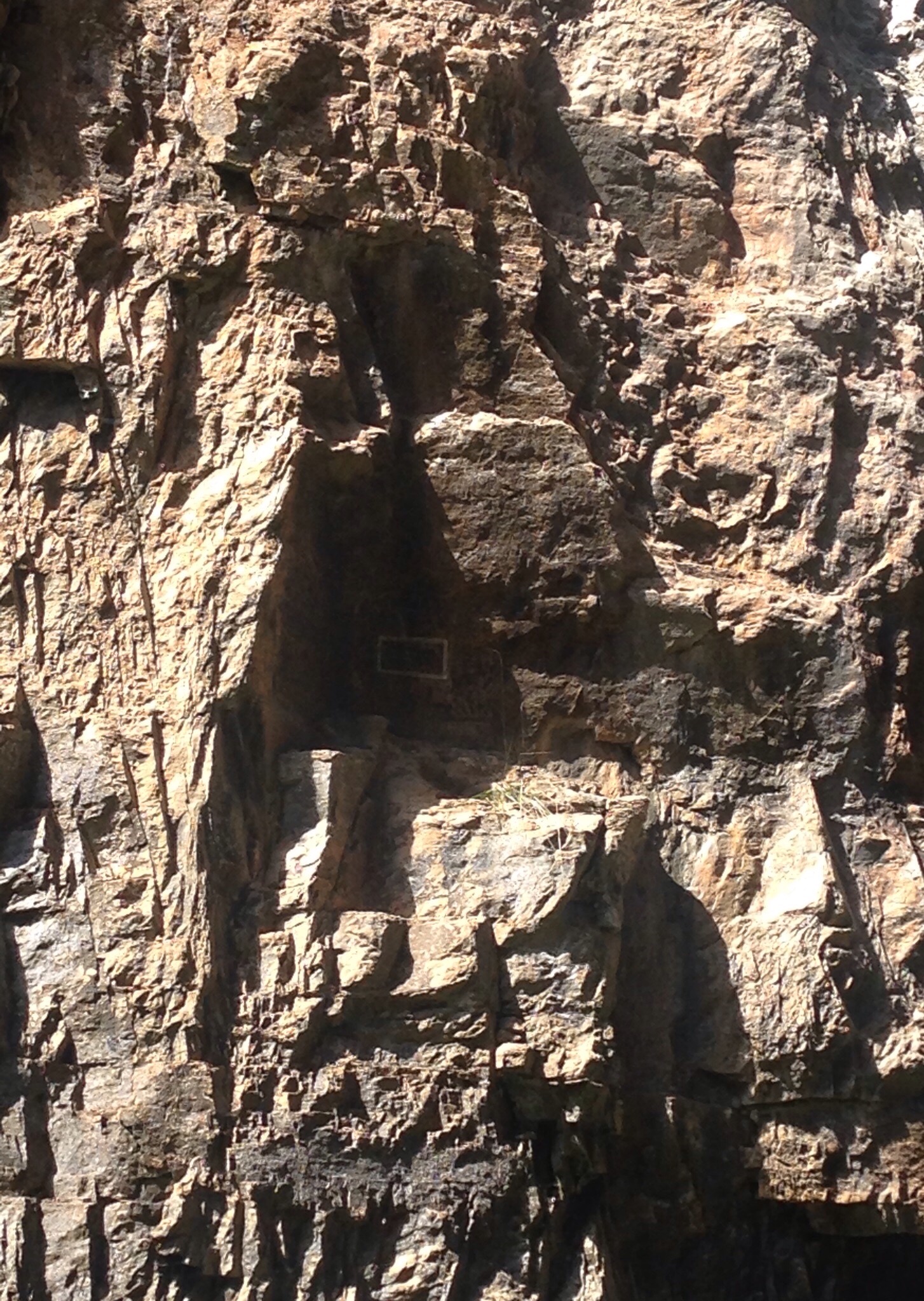
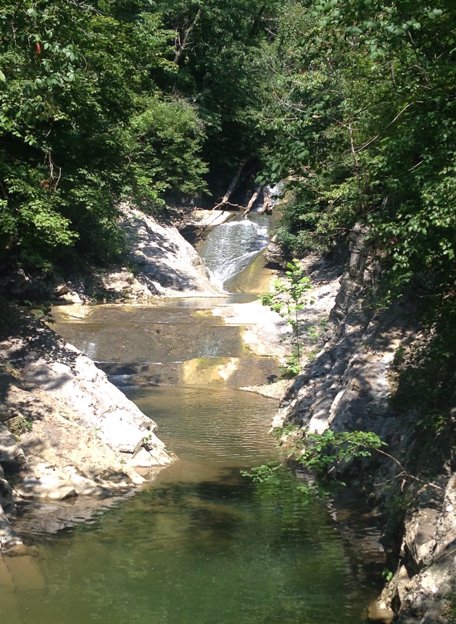
The very large, and stately Visitor Center from which you start the walkThis is the official entrance to the trail that you see as you exit the Visitor CenterStill on our way to the start of the trail, I was amazed at the growth of this treeThe 215 foot tall natural bridge on land once owned by Thomas Jefferson and surveyed by George WashingtonGeorge Washington may never have told a lie but he wasn’t above a little “graffiti.” In the white box are his initials that he apparently carved in the bridge while he was surveying the land.The very nice walking trail along Cedar Creek which is what created the natural bridge structureA recreation of a Monacan Indian family living hutThe cave on the property that was once used for mining saltpeter for gunpowderLace Falls at the end of the 1 mile trail. It’s an out and back, so you just turn around here and walk back the same way.
After walking the popular trail, Bob and I drove up the road a bit to walk the much quieter Monacan Trail. As is more typical for us, we had the 3.3 mile trail to ourselves.
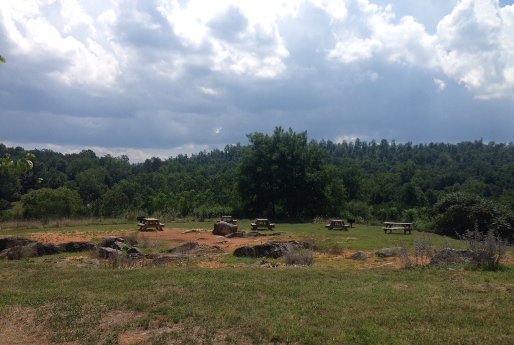
A picnic area at the start of the loop trailOne of the many bird houses along the trailThe initial part of the trail was in meadow before heading into woodsView 1 from the highest point of the hikeView 2
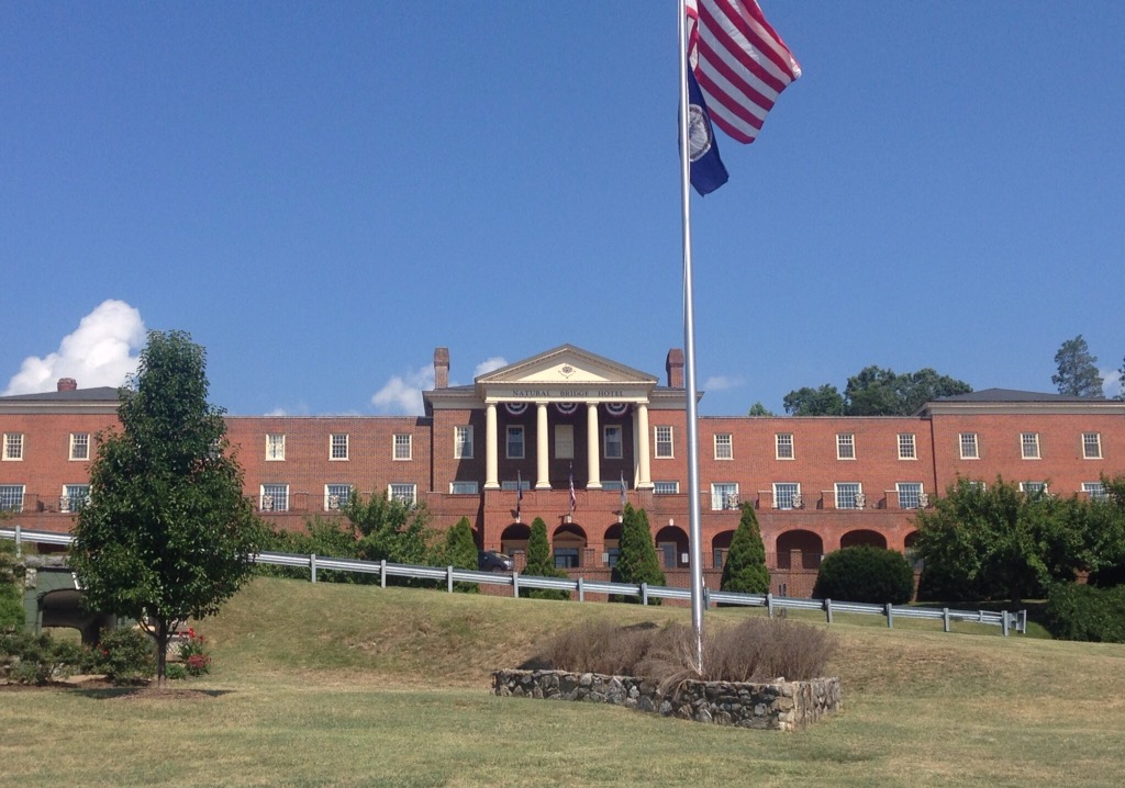
After our hike, we had a look through the Visitor Center gift shop and them walked under the street to the Natural Bridge Historic Hotel and Conference Center. A space for people to come and stay after visiting the site has been in existence on the property since Jefferson built a guest cabin there shortly after buying the land. While it is a beautiful hotel, we saw photos of the lovely original wooden structure built on the current location (built in1890) with wrap-around porches that burned down in 1963 (cause unknown).
Current Natural Bridge Hotel
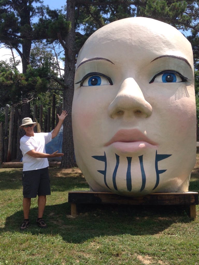
On our way out of town, we stopped at the local amusement park for a quick photo op with a big head.
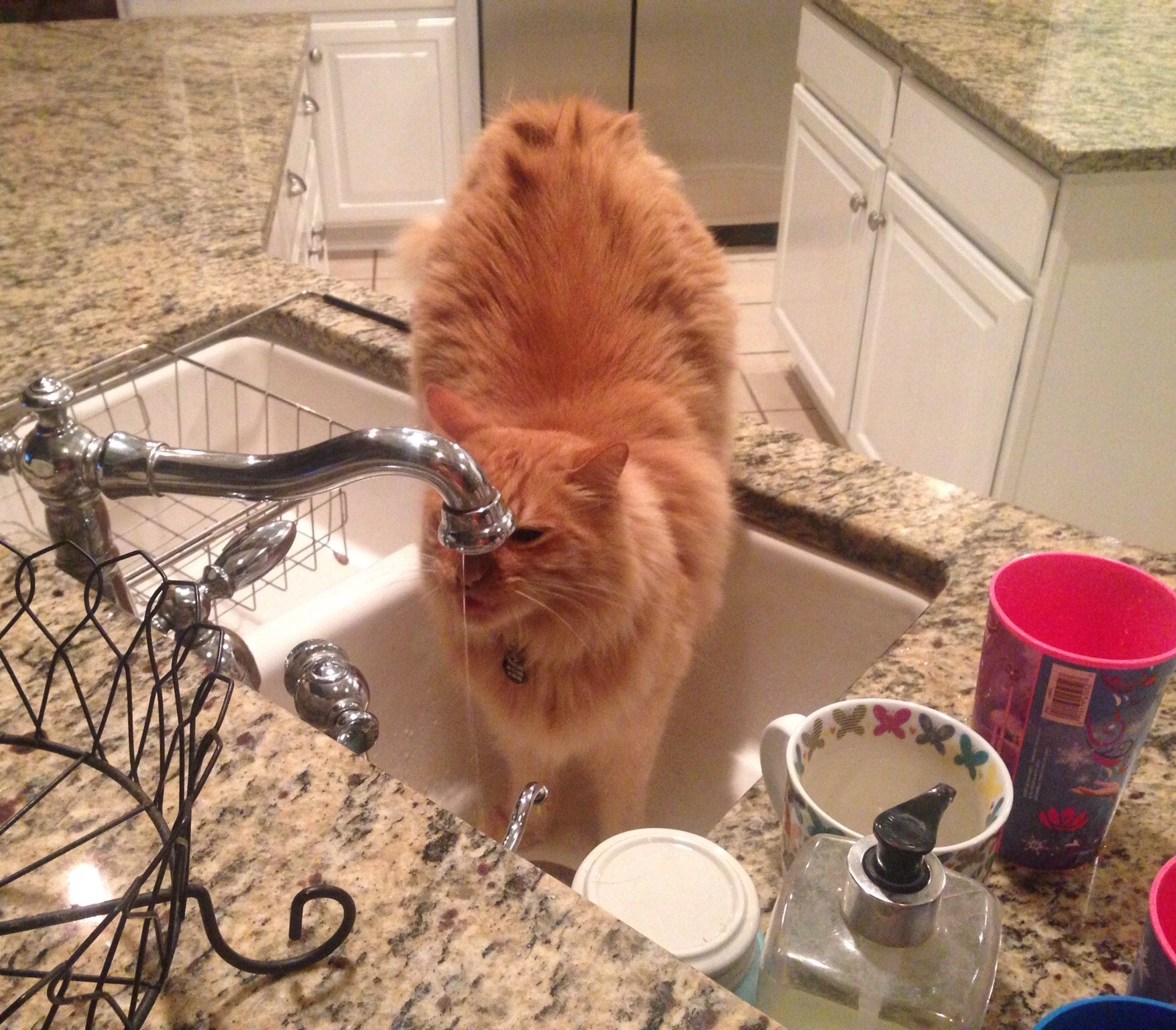
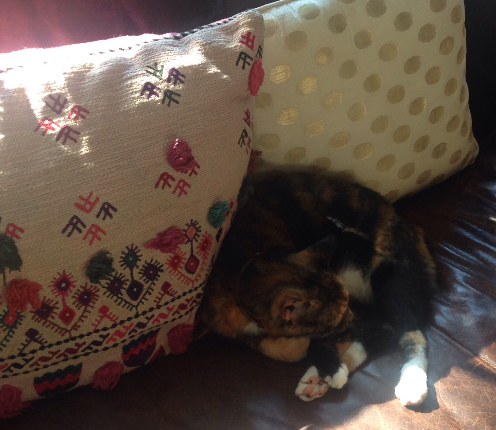
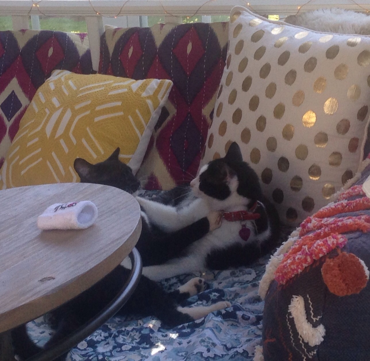
Bob and I welcomed our family home from Mexico Monday night before heading off for West Virginia for a short break before our next house sit. We will miss our menagerie of pets, some of whom are captured below.
The very blue-eyed Velvet blending in with the carpetAnderson drinking from the faucetLeona chillinRafa and Derek at play
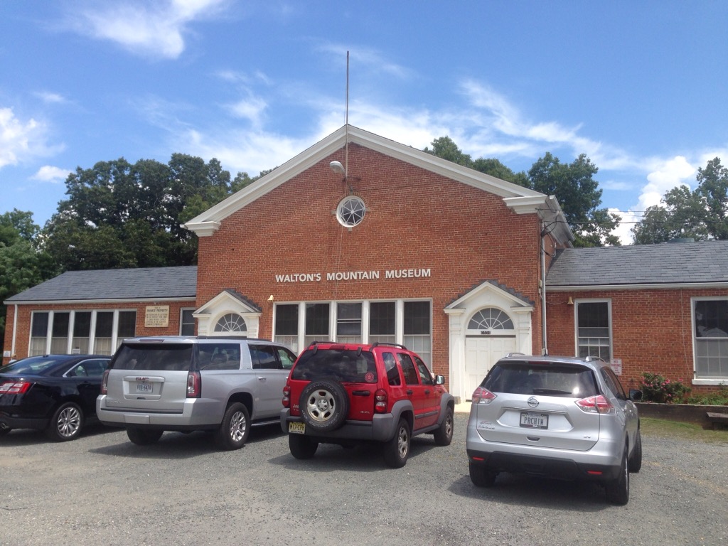
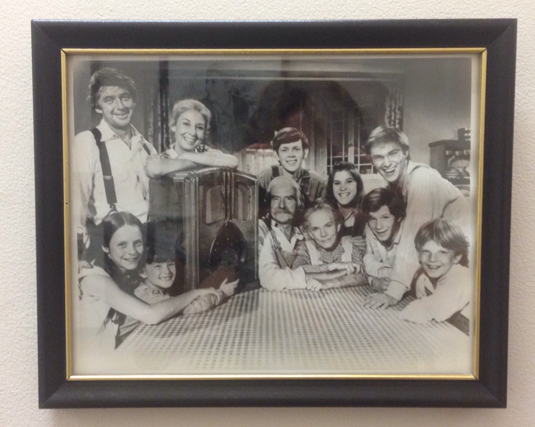
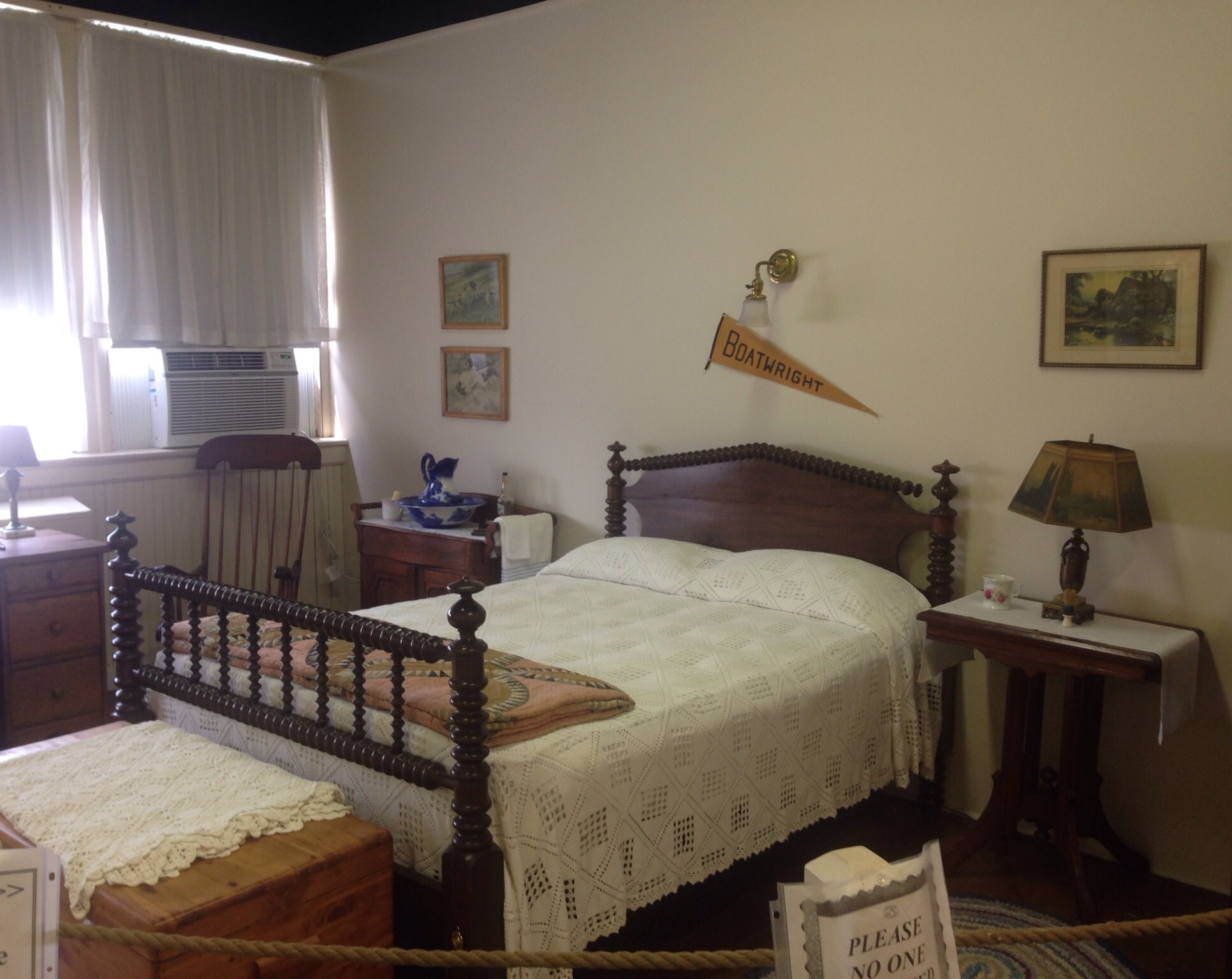
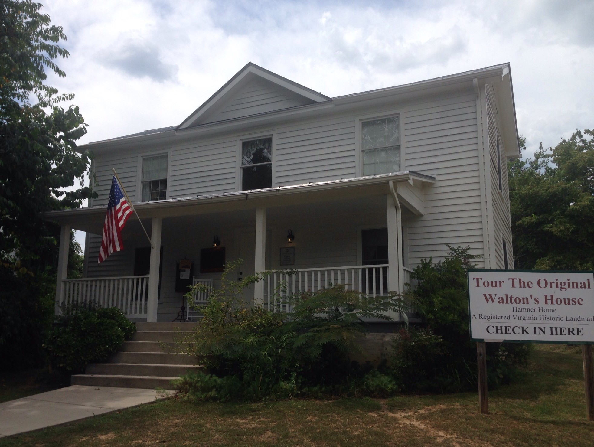
The following are some photos of other places we visited during our stay. One of the most unique may have been the Waltons Museum in Schuyler, VA, home of Earl Hamner, Jr., creator of the television series. The series was based on the Hamner family. You can pay to tour the museum ($8) and separately to tour his family home (which appears to be for sale). We just visited the museum.
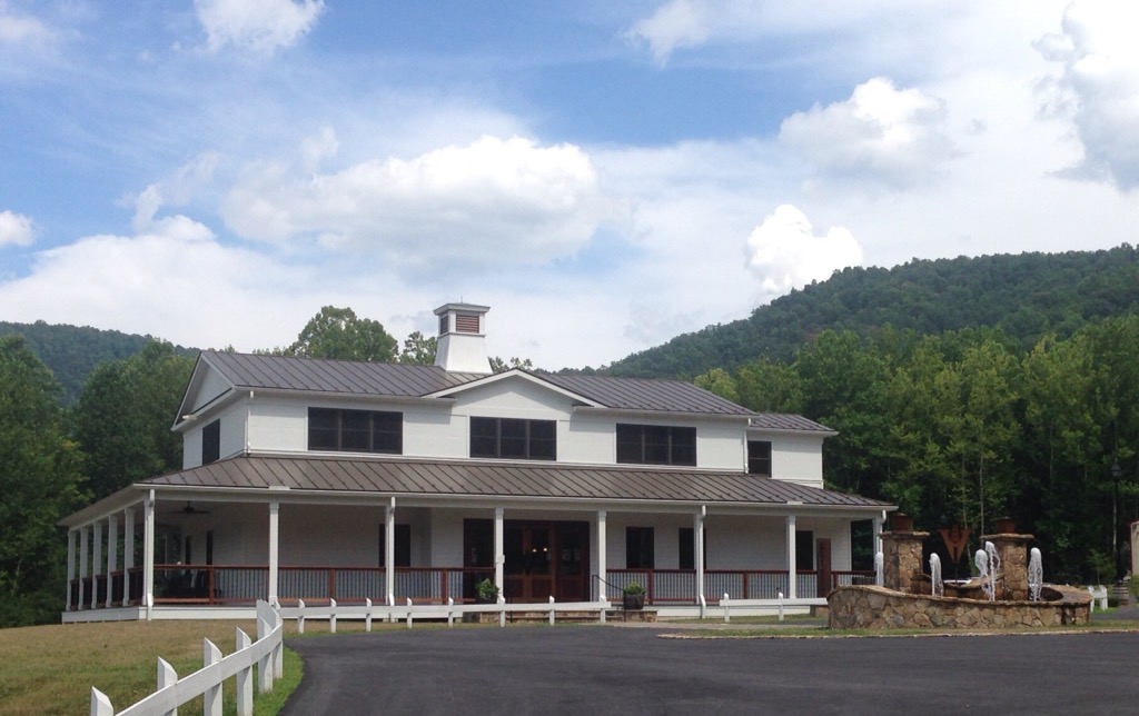
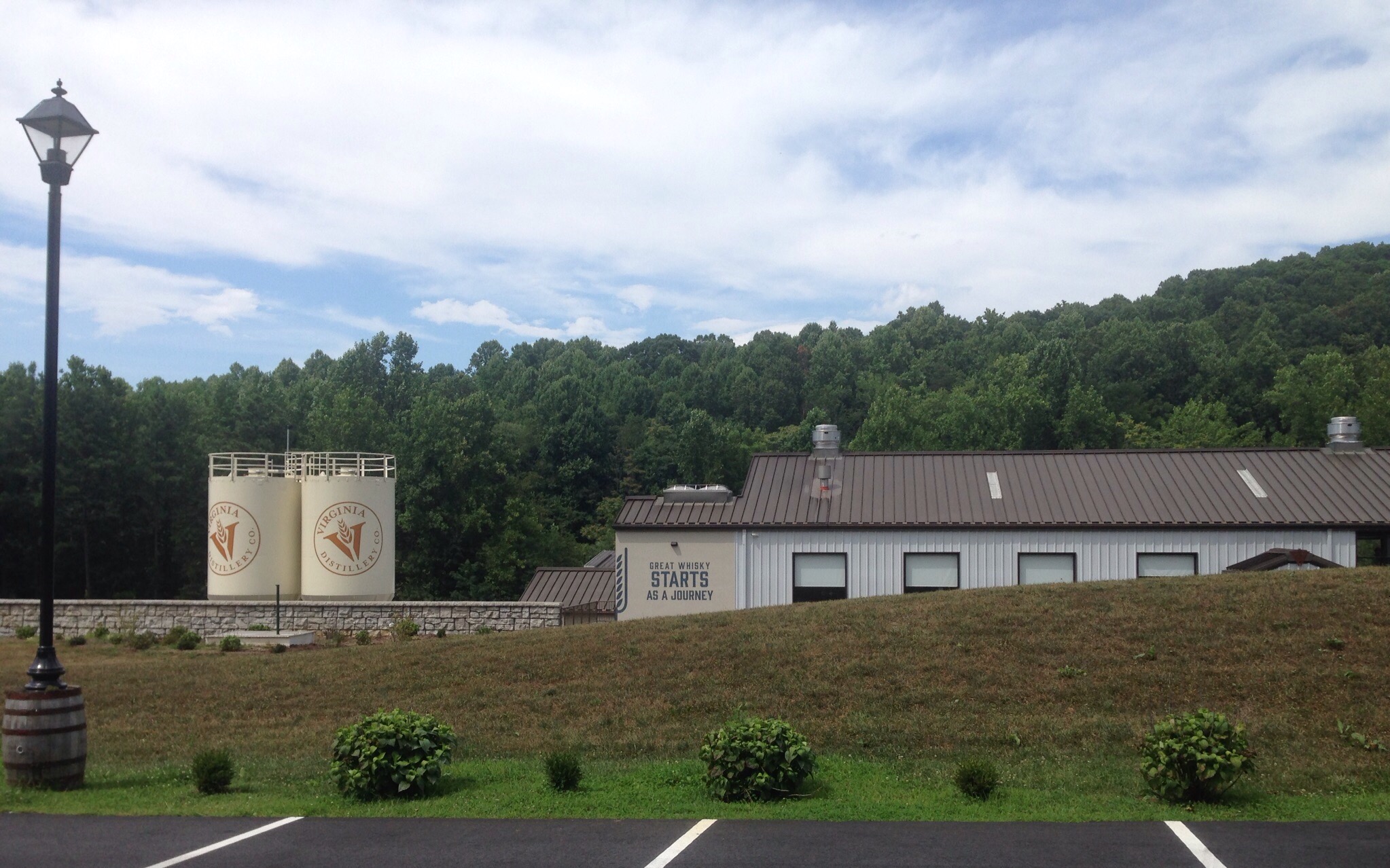
The museum is housed in the school which Earl Hamner attended. The building also serves as the area community center.A photo of the castThe recreation of John-Boy’s bedroom from the showThis bulletin board showed which Hamner sibling each actor portrayed. The black ribbons indicate that individual is deceased.The Hamner homeOther sites in the area that we visited included some of the many, many wineries, distilleries, and breweries in the area . We never did get to any of the hard cideries.
The tasting room of the Virginia DistilleryThe distillery makes whiskey in partnership with a distillery in ScotlandThe back patio of the distillery
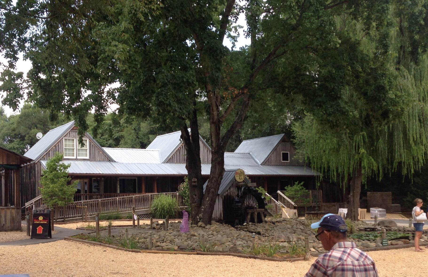
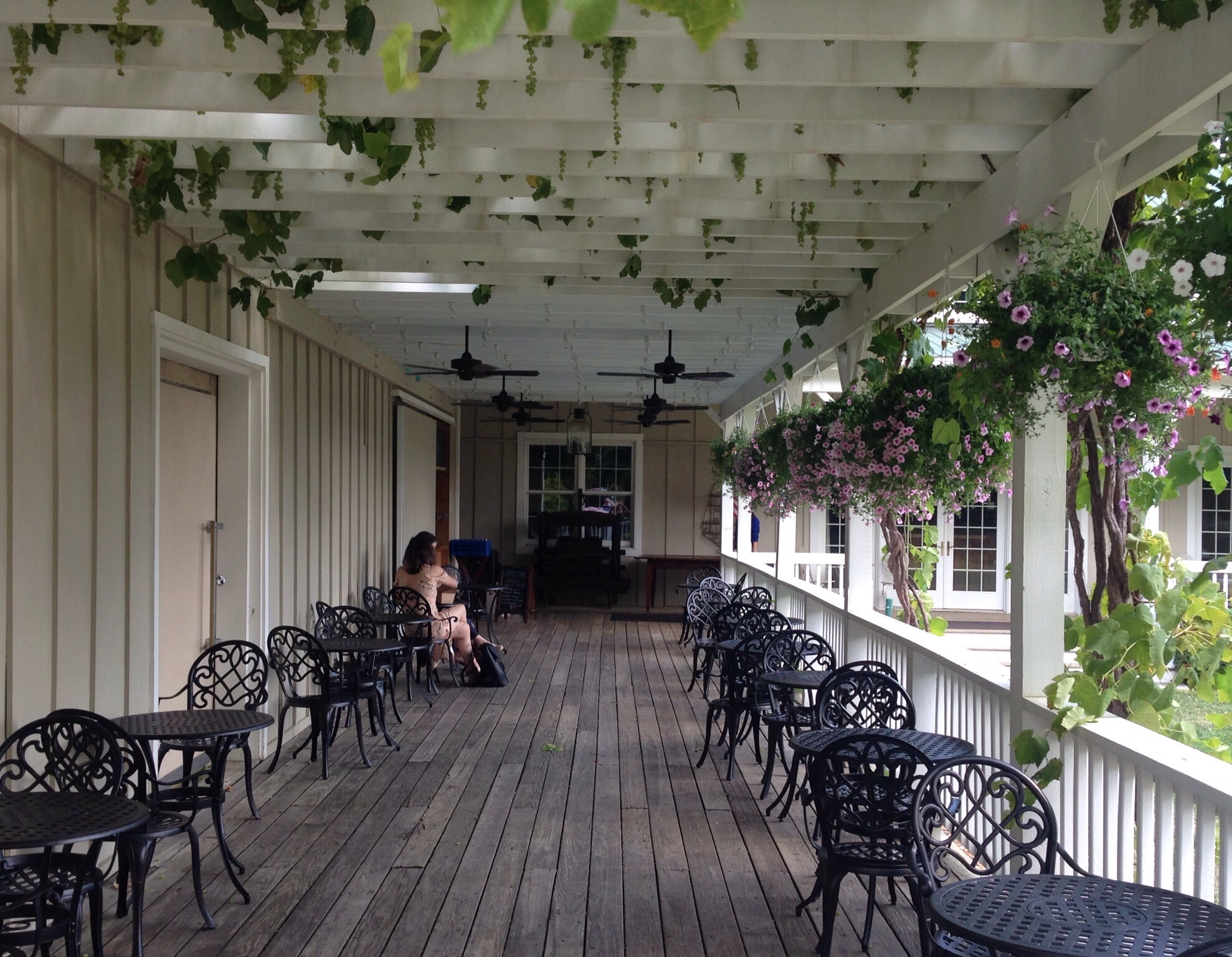
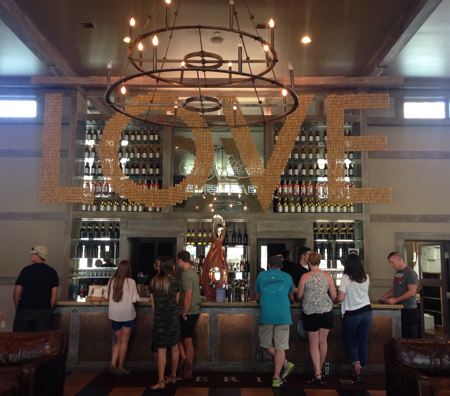
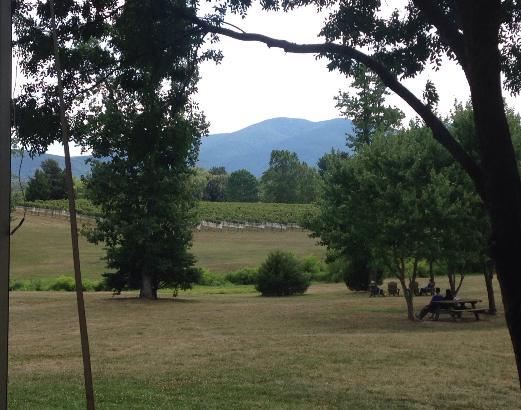
The Wild Wolf “Brewery” which is actually a restaurant, bar, gift shop, play yard, and event center. We just walked around and gawked here.A putt putt course and the event center at the breweryThe lovely and yummy Veritas Vineyards and WineryThe inside of the tasting room — the love sign is made from corkA view of the yard and vines
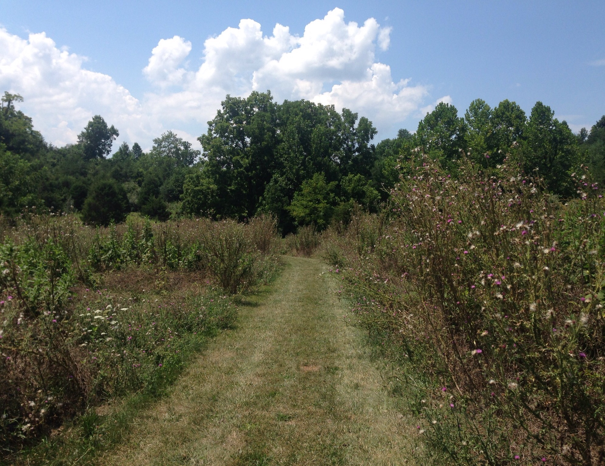
Friday we did a hike in Albermarle County right outside of Charlottesville’s city limits. It was in the Ragged Mountain Natural Area, which is a 980 acre forest with 2 lakes. We did an out-and-back hike to see the main lake as well as the “sights” indicated on the trail map.
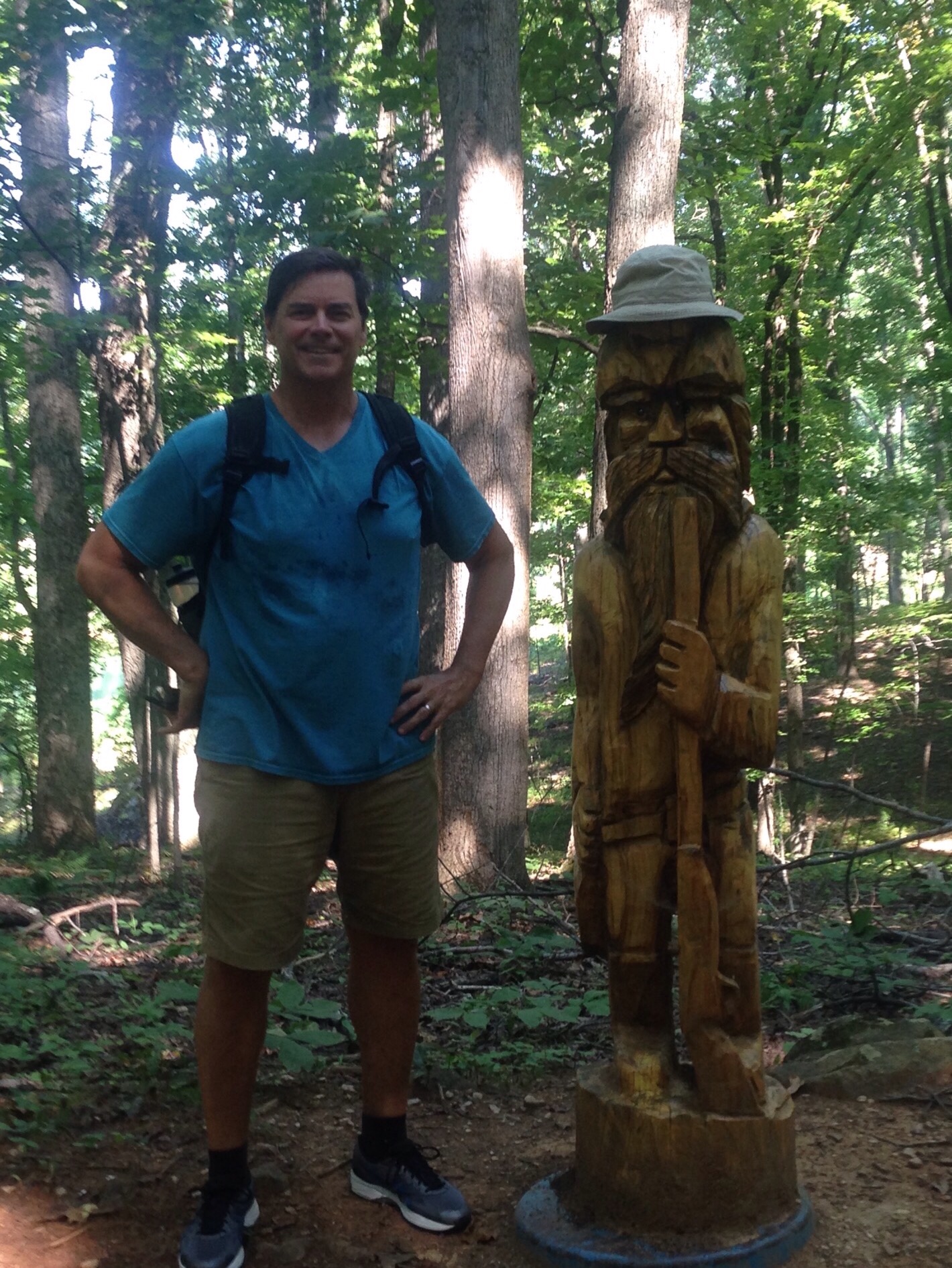
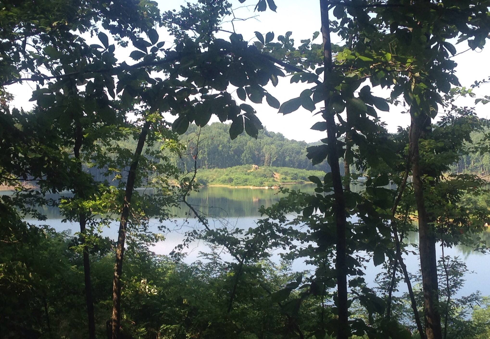
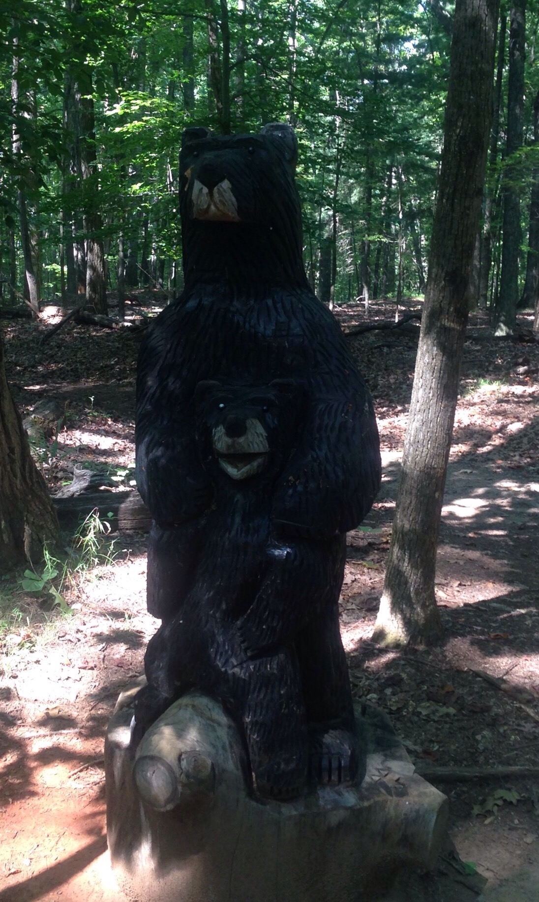
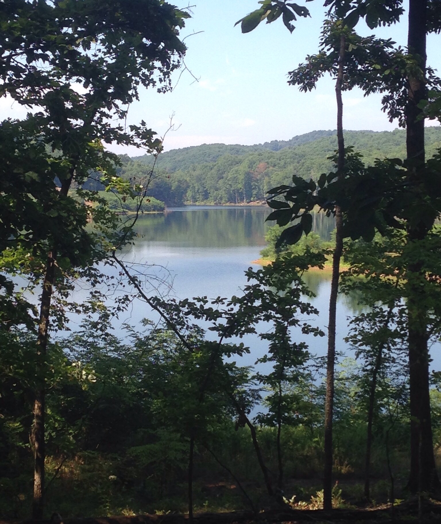
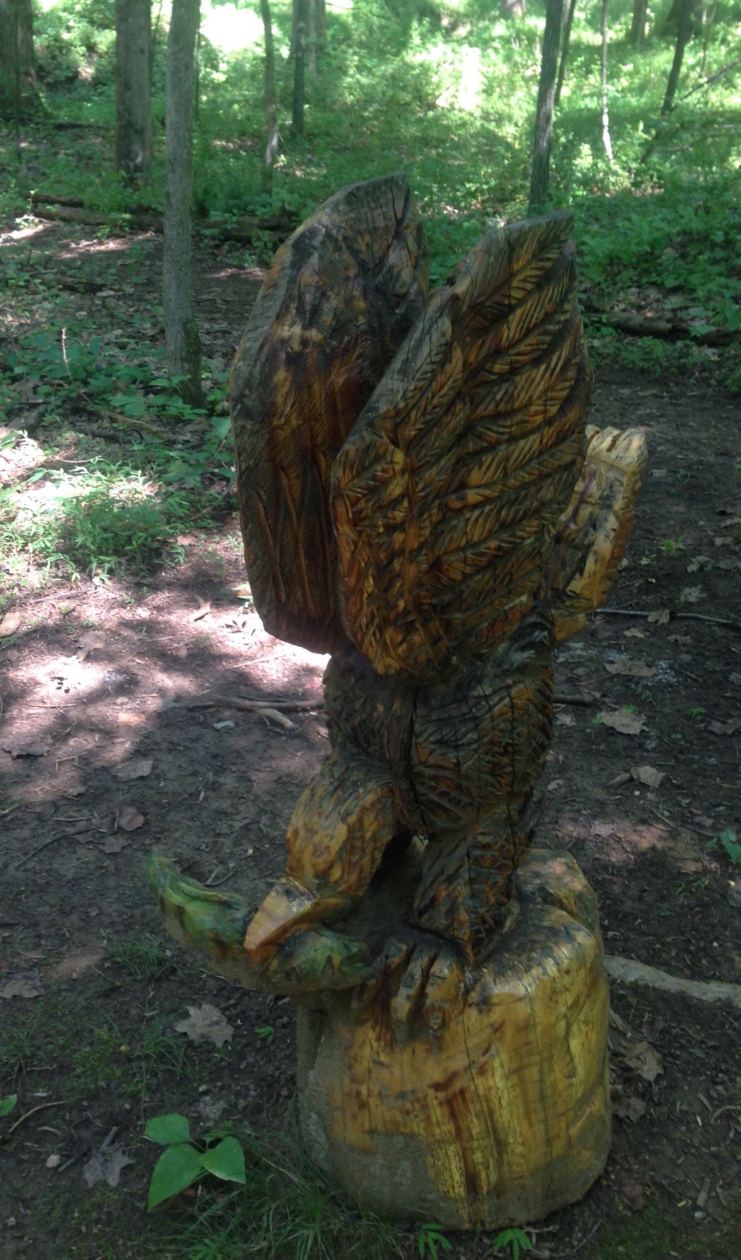
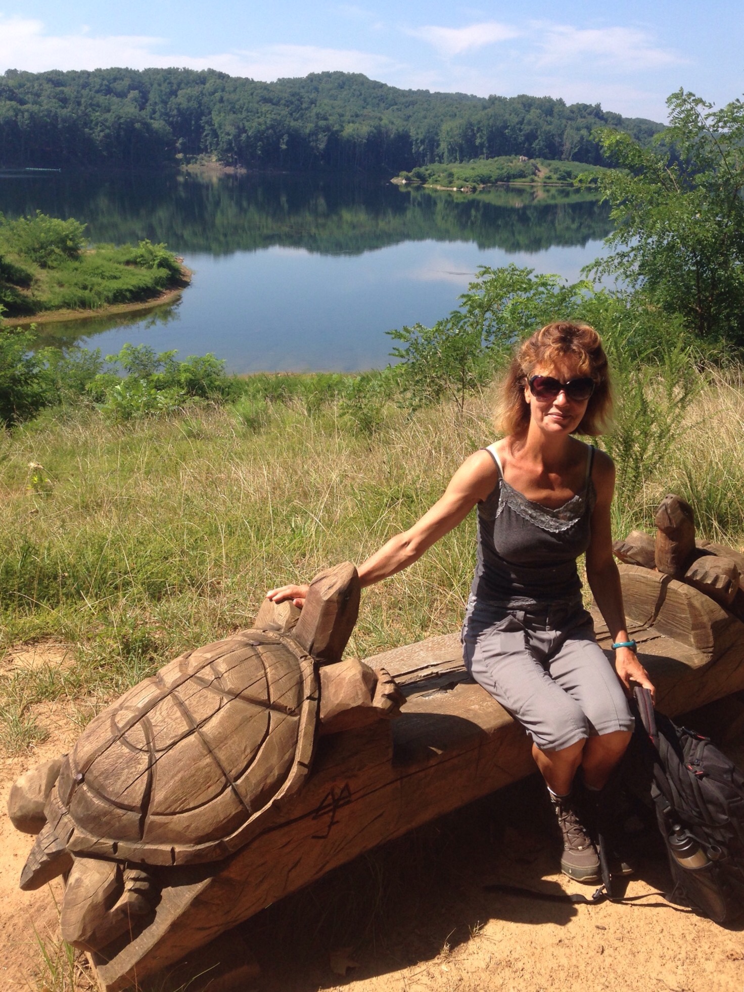
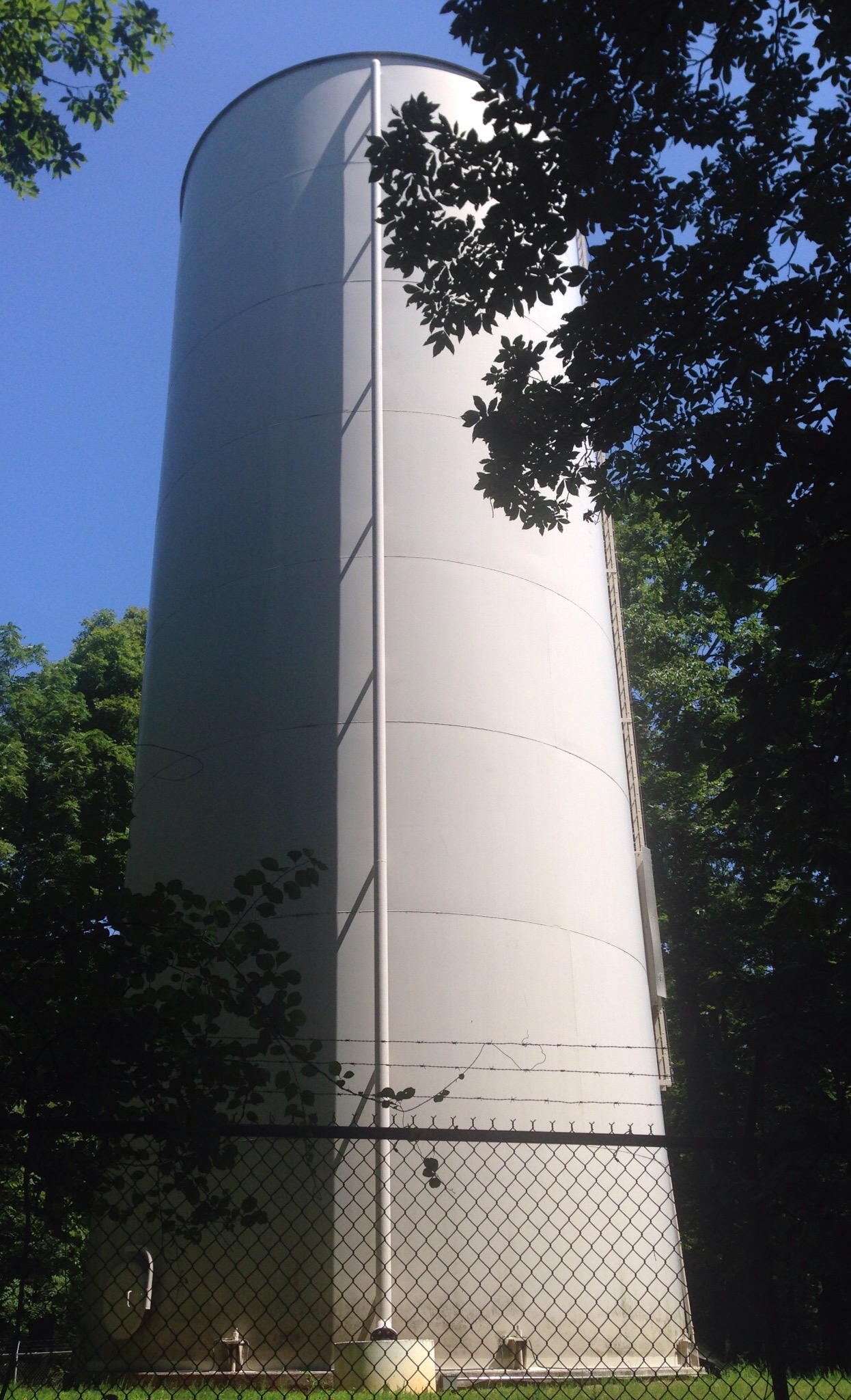
The Ragged Mountain LakeThe lake and damThe first “sight” along the trail — the mountain man and BobAnother view of the lakeThe only time I want to be this close to a black bear and her cub!Apparently, I’m partial to lake viewsThe next “sight” a bird with a fishPart of the forest trailBonding with the turtlesA water tower in the park
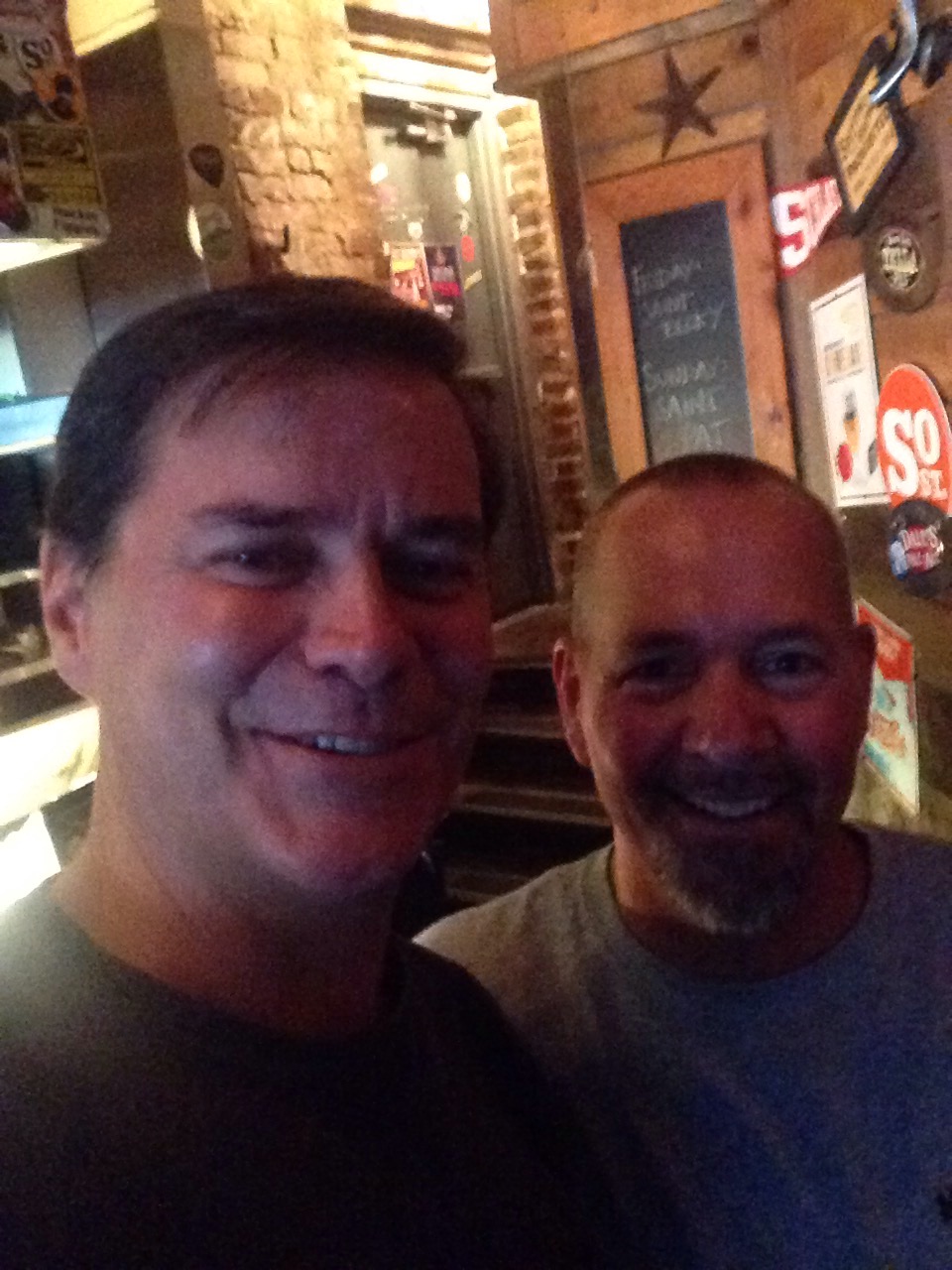
Last weekend Bob was able to meet up with another college colleague. They met in a town, Harrisonburg, half-way between where we are staying and where Barry (the college friend) and his family live. See below for photo of the meet-up.
Bob and Barry at Jack Brown’s Beer and Burger Joint in Harrisonburg, VA
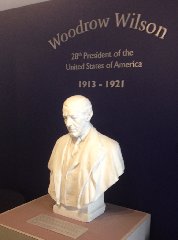
On the way to Harrisonburg, Bob saw a sign for the Woodrow Wilson Museum in Staunton, VA. We checked out the website and decided we needed to go. Staunton (now pronounced Stanton) is a city of about 24,000 in nearby Augusta County. It is about a 30 minute drive from Charlottesville. It is super cute and can claim more than Woodrow Wilson as a famous son.
Woodrow Wilson was born in Staunton and lived there for about 2 years while his father was the pastor of the First Presbyterian Church. While he grew up in Georgia and South Carolina during the Civil War (which led to his hatred of war and desire to stay out of WWI), he visited Staunton often to see family. He was the 28th president, a Democrat, and the first, and only, president to earn a Ph.D. The museum cost $8 per person and included a 30 minute tour of the Wilson home, a film on his life, as well as the museum.
The docents were very friendly and informative. We learned the origins of some common sayings from them (put it on the back burner, keep your irons in the fire, and mind your beeswax) as well the fact that the 3 “servants” (slaves) that supported the Wilson family were rented from their owners.
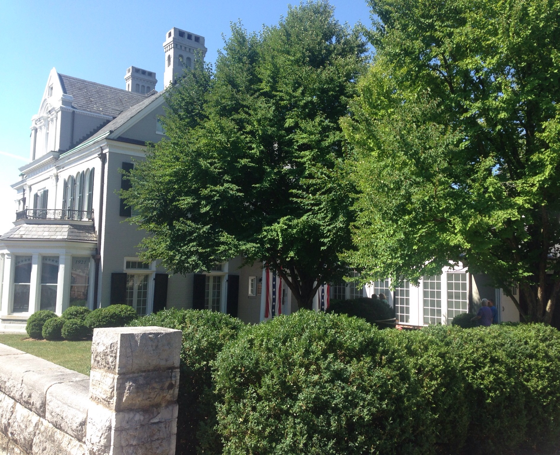
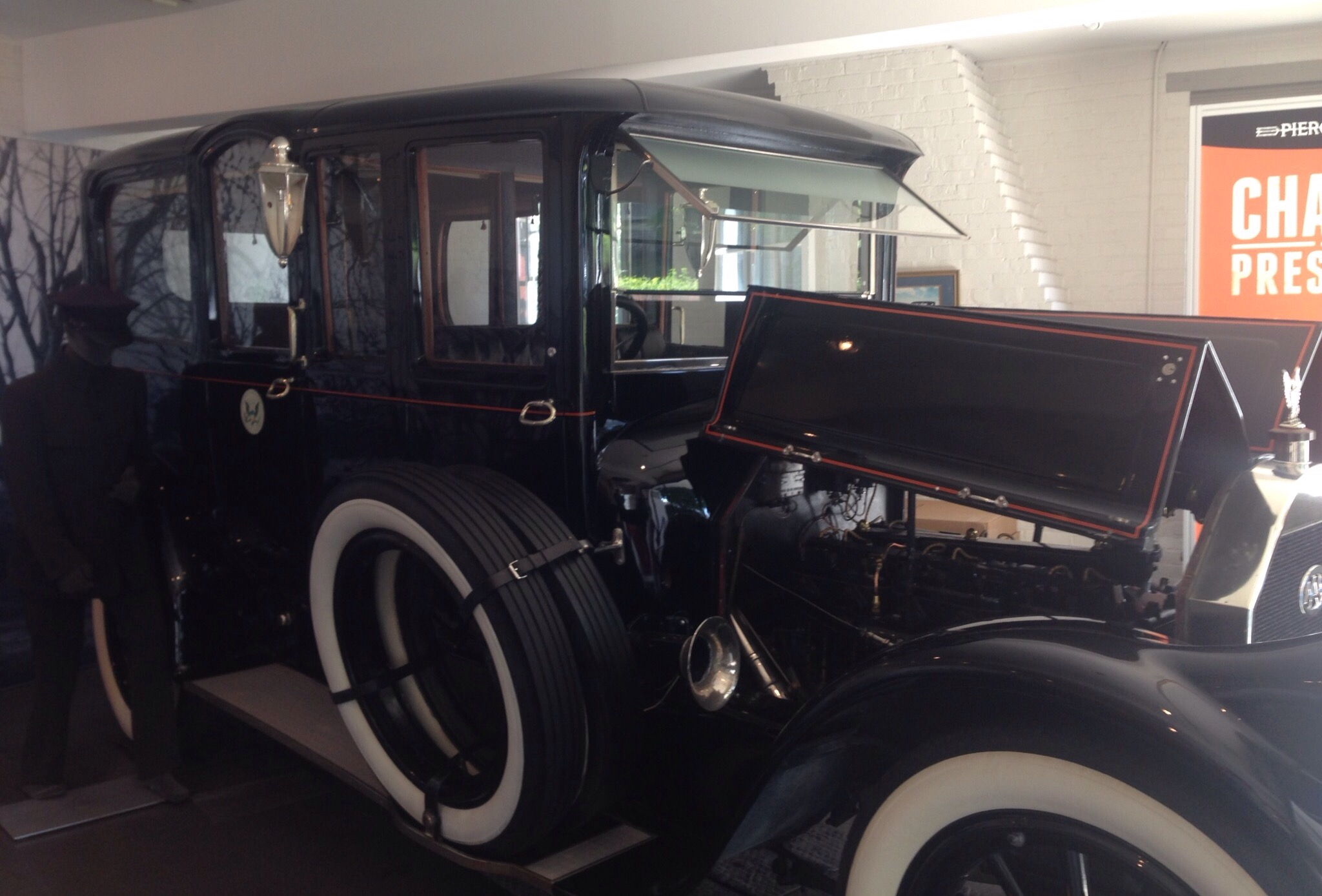
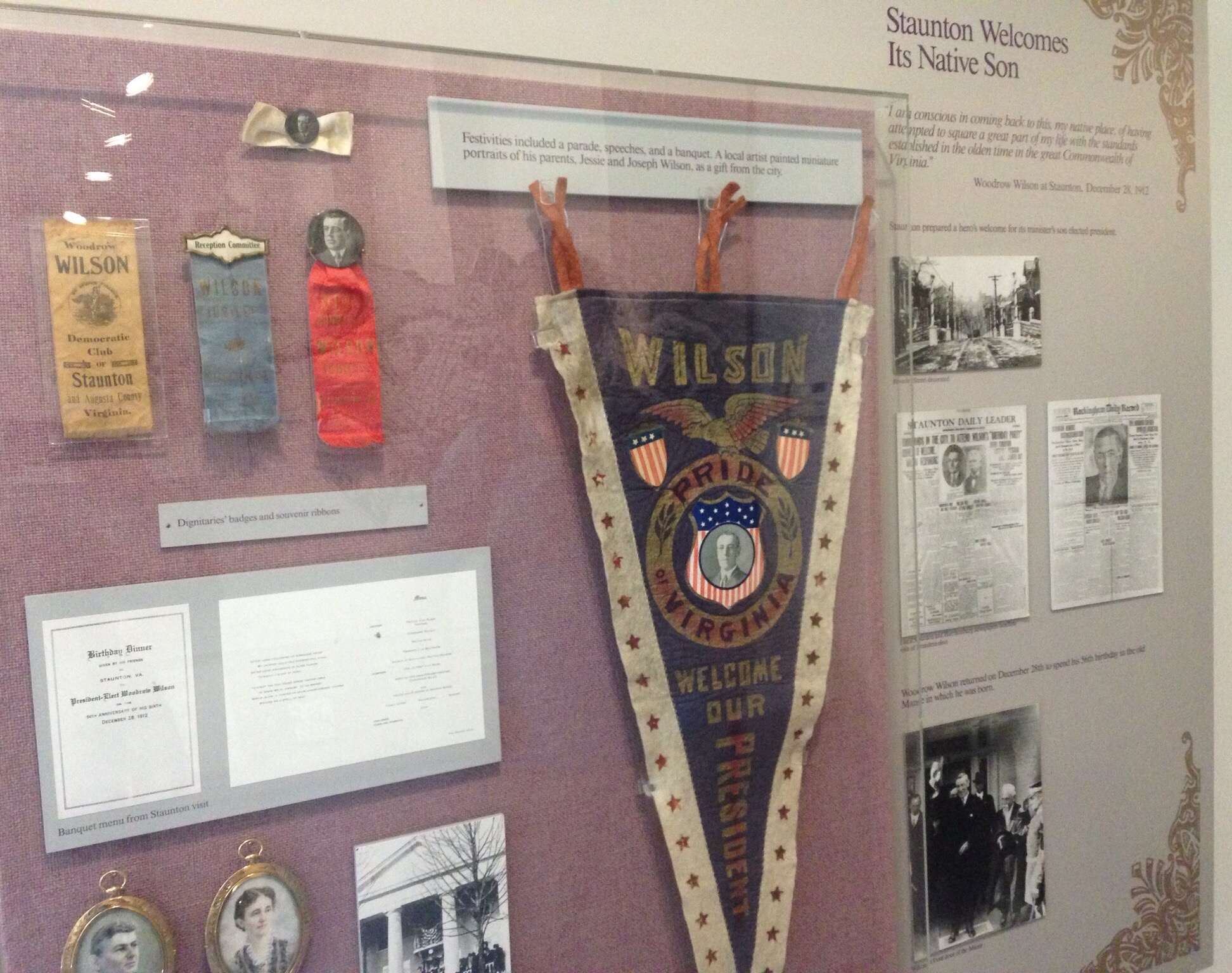
Setting the stage — the entry into the museumThe gorgeous parsonage that the Wilson family got to use while they were in Staunton. It was used as the church parsonage through the 1920s when it was purchased to use as a museum.The building, immediately adjacent to the Wilson home, that houses the museumThe Pierce-Arrow automobile that was used as the presidential limousine during Wilson’s presidency. It is still used in annual parades.Memorabilia that claim Wilson as Staunton’s favorite sonThe spire of the First Presbyterian Church (still active) as seen from the Wilson home
We also learned from the docents that because Staunton was not burned by the Yanks at the end of the Civil War it still has many of the original buildings from when it was in its hey day as the intersection of 2 railroads.
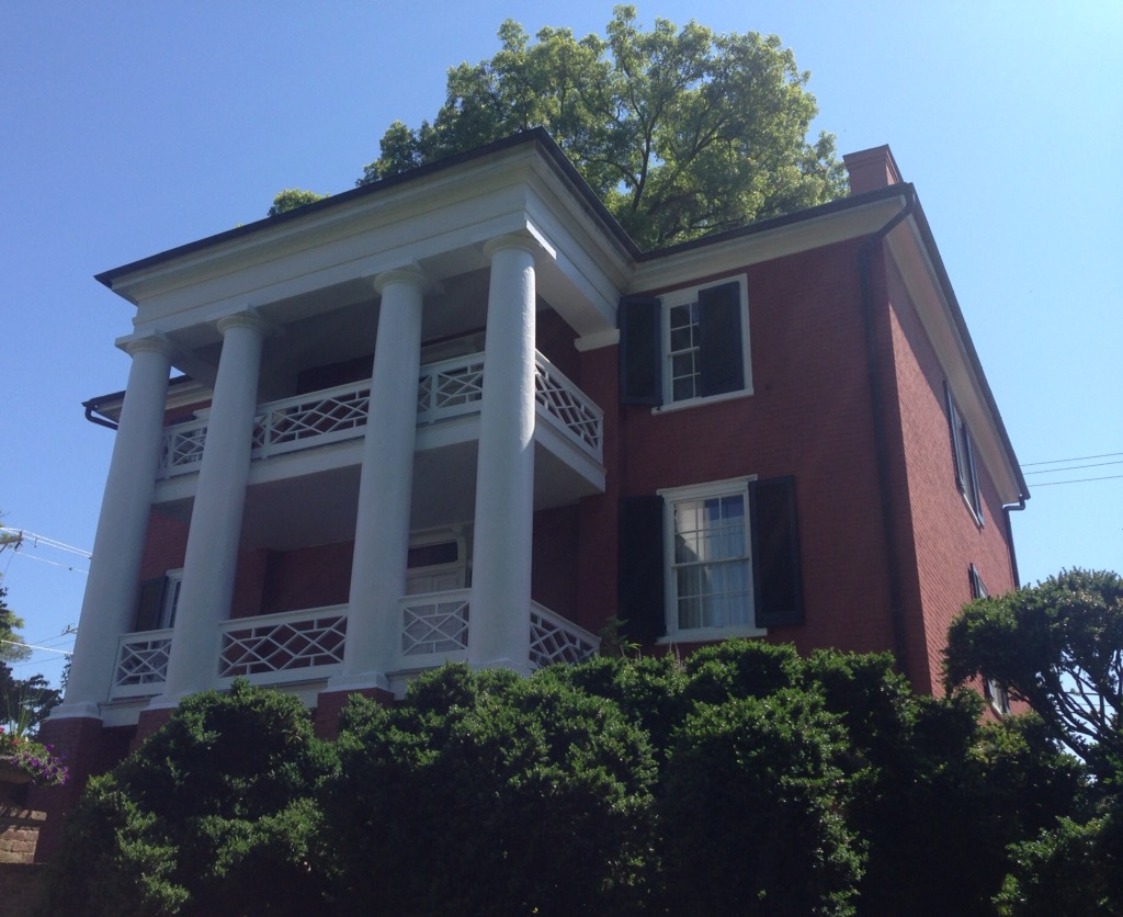
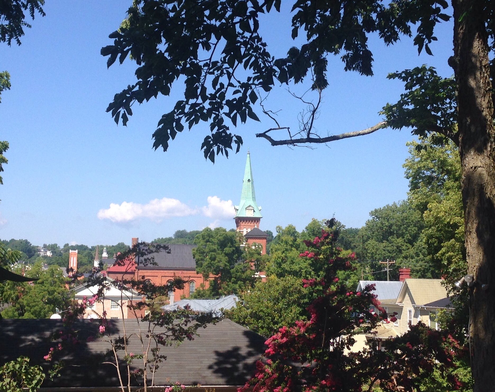
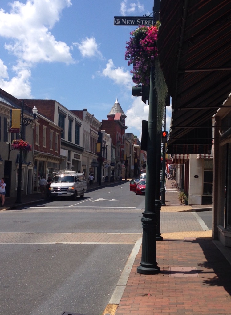
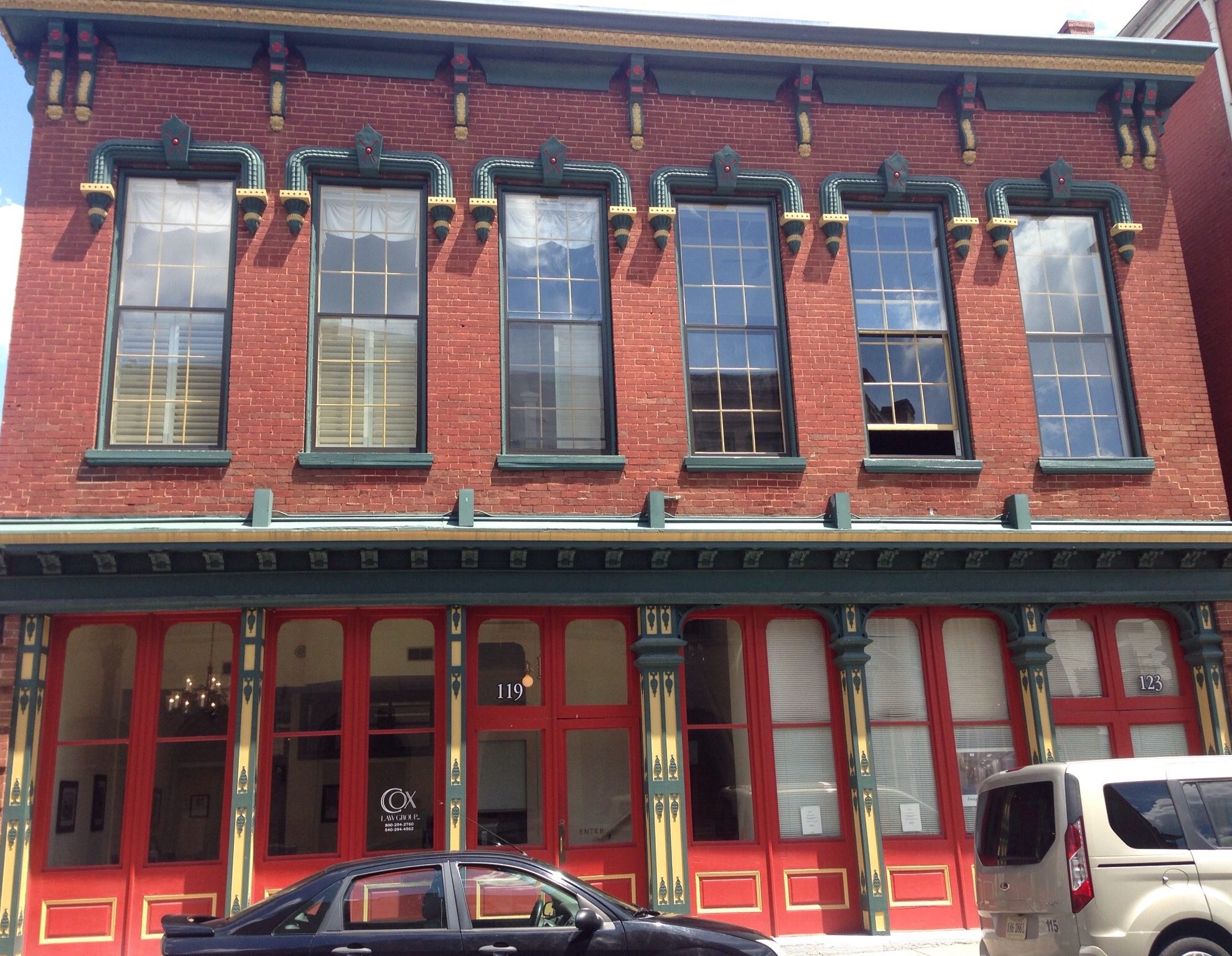
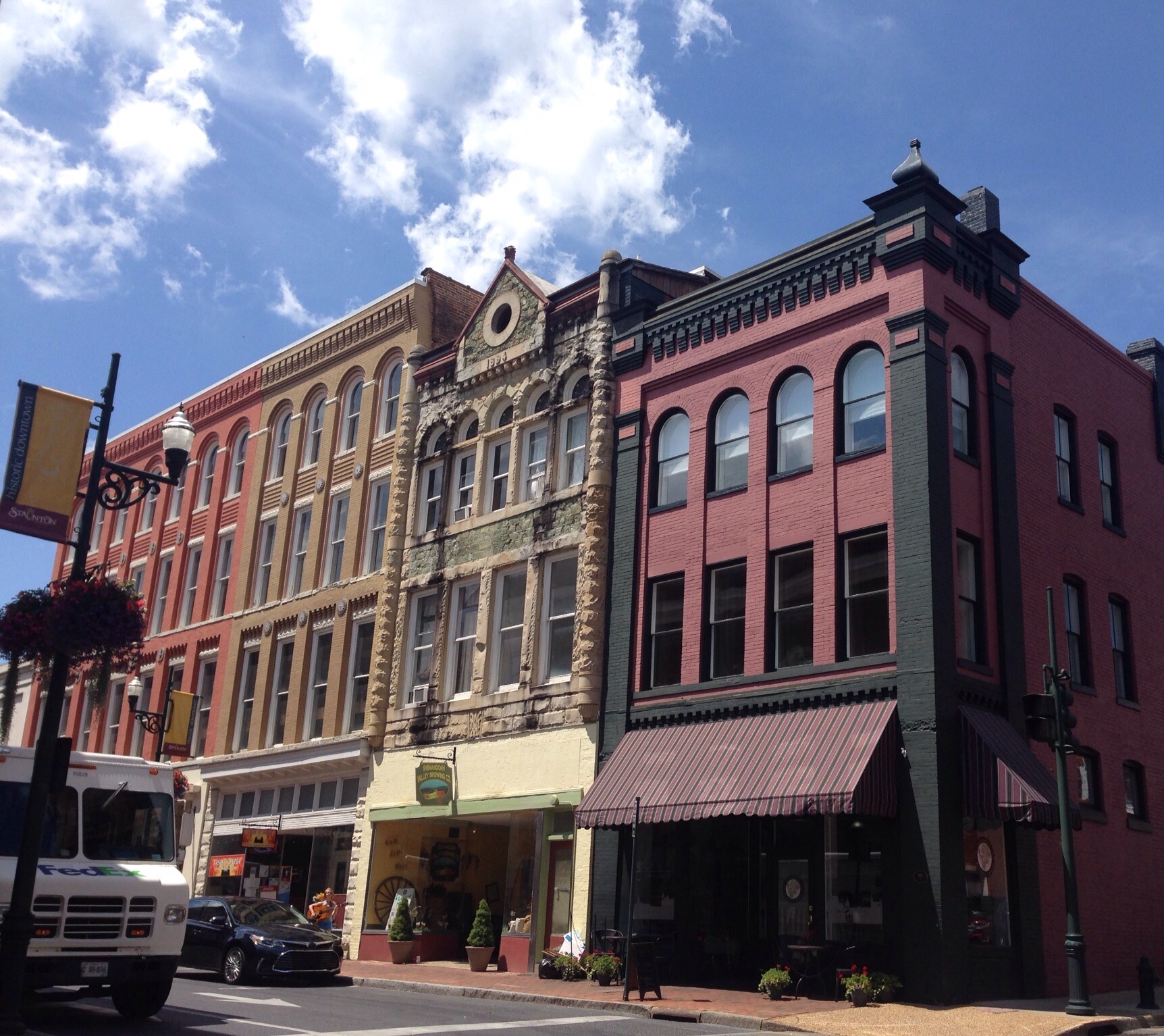
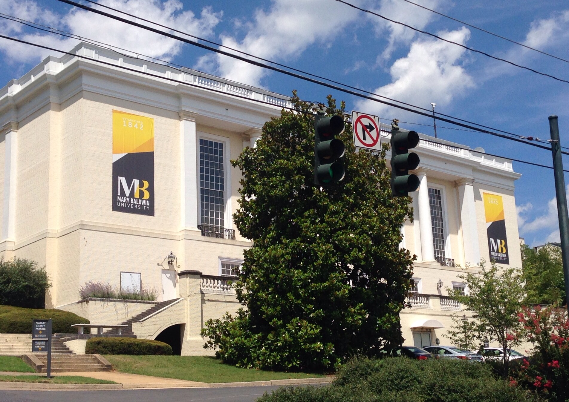
Looking down Beverley Street, the Main Street in the downtown areaA cute old building in downtown, the lower level is now a cigar storeAnother cute older building that’s been recently repaintedMore cute buildings — we love this town. A good mix of retail and dining.Mary Baldwin College which was originally a female seminary (finishing school) associated with the Presbyterian Church. Woodrow Wilson’s sisters attended the seminary.
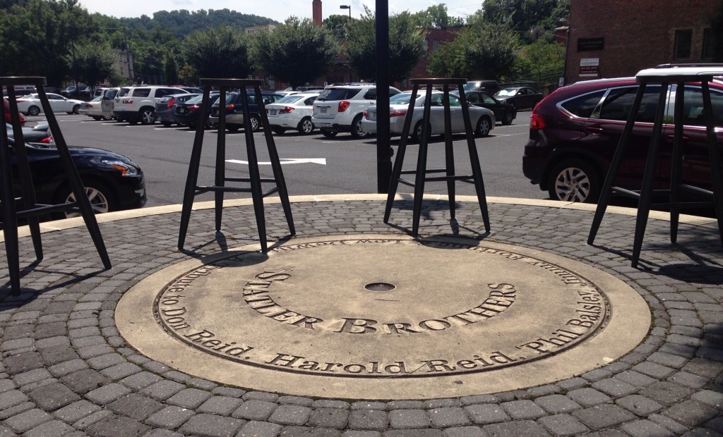
A tribute to Staunton’s other favorite sons — The Statler Brothers — some of whom still live in the areaOn the drive back to Charlottesville, we stopped at a memorial for Department of Transportation workers who have been killed while on the job for a unique Big Head photo op for Bob.Posing with the memorial A view of the area from the Memorial Overlook
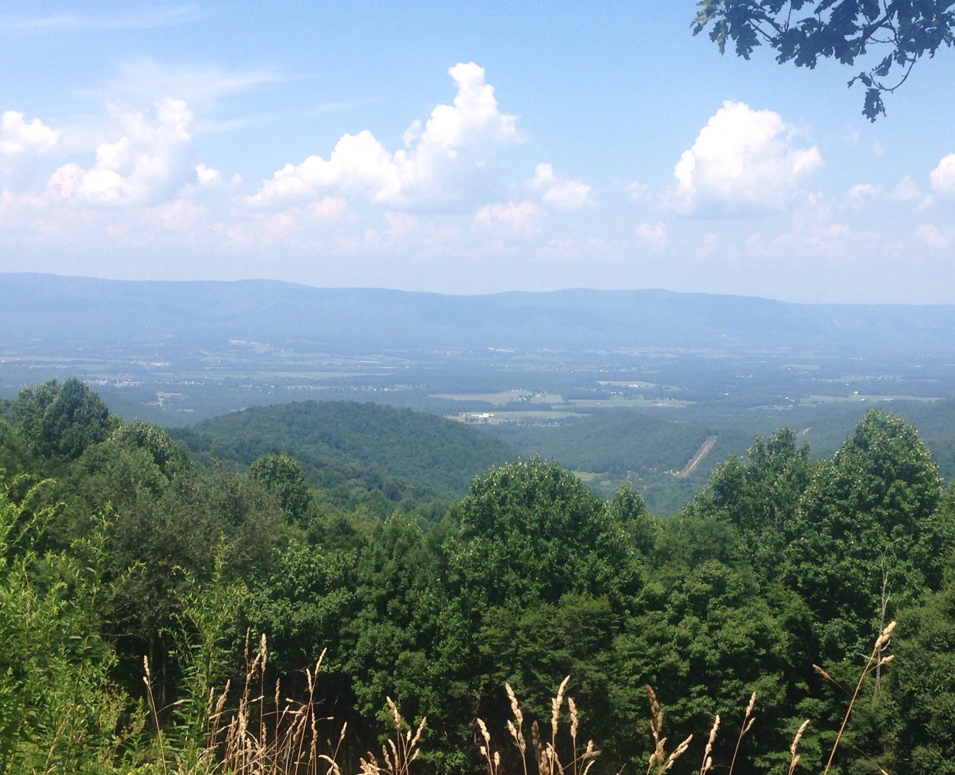
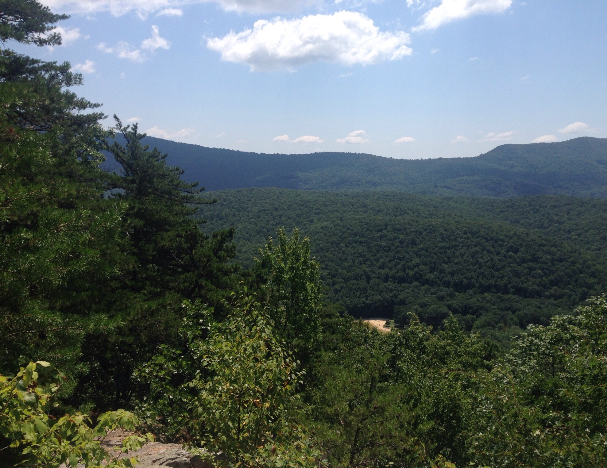
On Tuesday, we spent $25 to enter the Shenandoah National Park (good for 7 days) which runs north of the Blue Ridge Parkway once you cross interstate 64. The road through the park is known as “Skyline Drive.” The speed limit on Skyline Drive is 35 mph except when it’s slower. We entered Shenandoah National Park at the Swift Run Gap Entrance Station and did 3 short hikes and stopped at a couple of overlooks as we drove south back towards Interstate 64. The park was established in 1935 and has over 500 miles of trails. Skyline Drive follows the crest of the Blue Ridge Mountains for 105 miles and has 75 scenic overlooks.
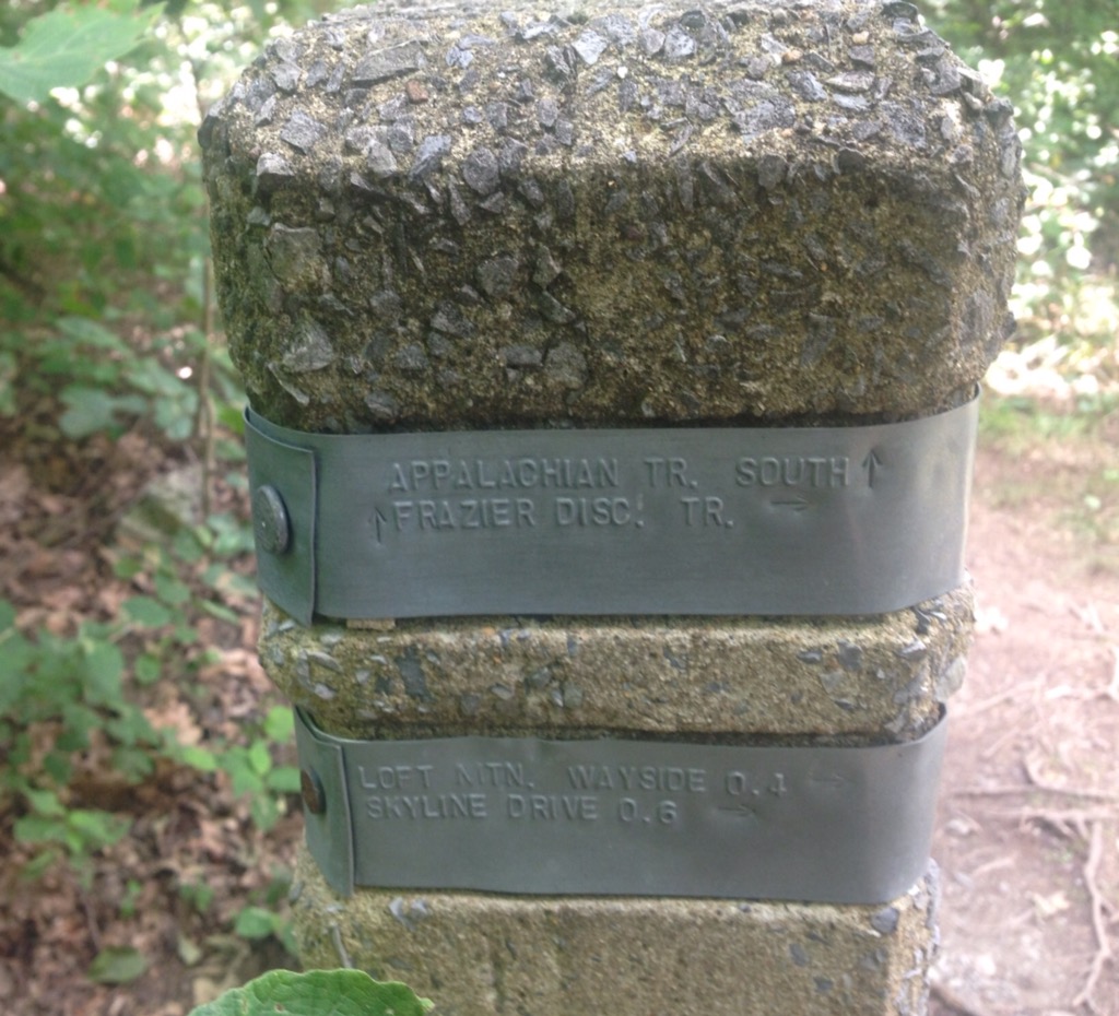
We hiked the South River Trail, the Frasier Discovery Trail, and the Blackrock Summit Trail.
Photos from the South River Trail (mile 63) —
Crossing a streamA view of the falls
Rocky Top Overlook View and scenic drive —
Rocky Top OverlookTypical view on Skyline Drive
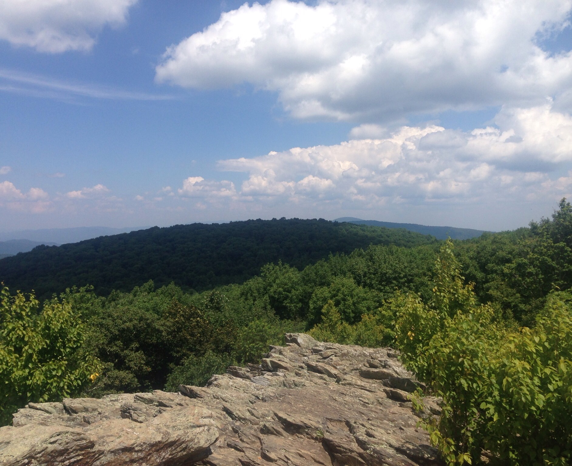
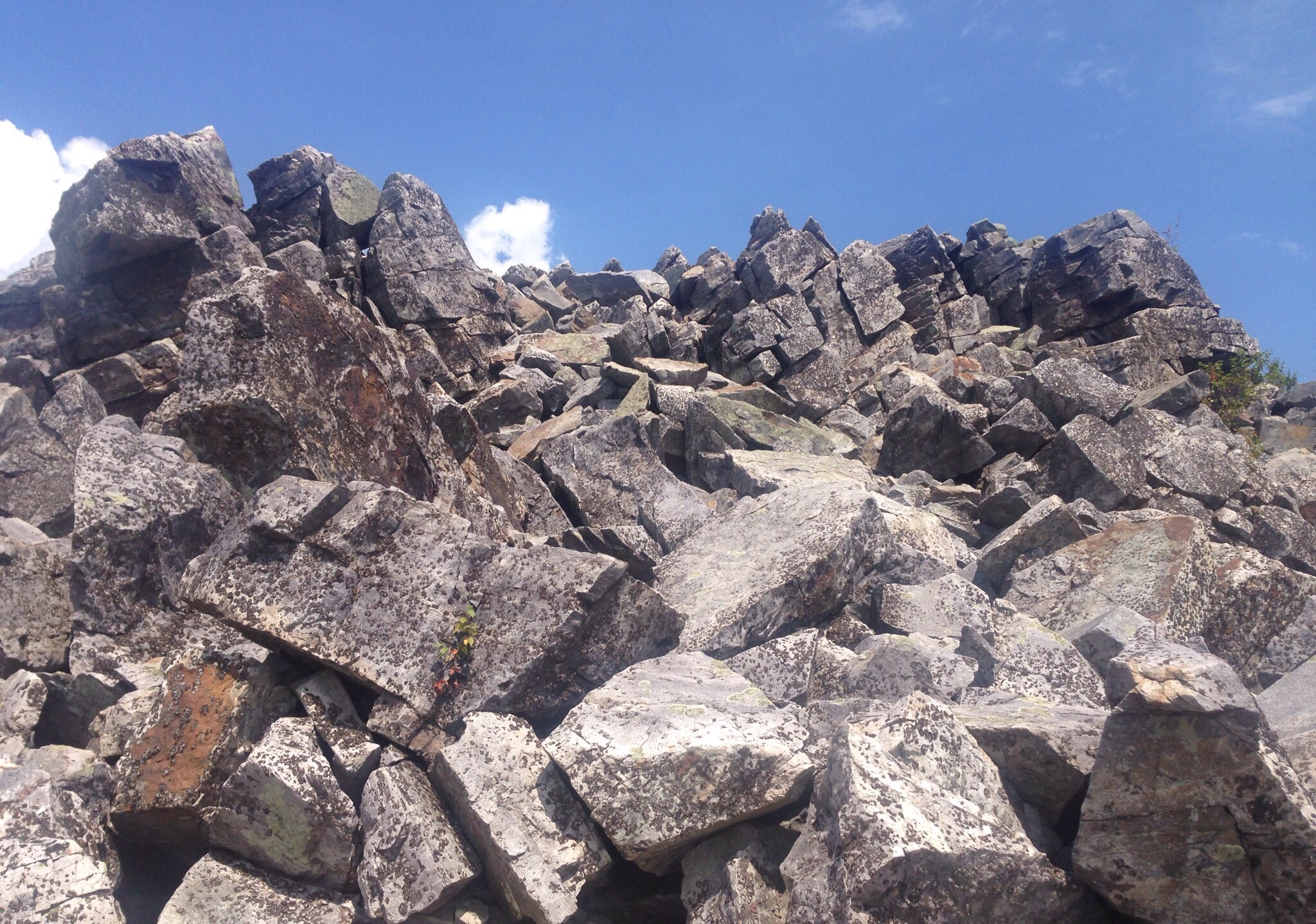
Our second hike was the Frasier Discovery Trail which was a fairly steep trail through a forest to an overlook at the the top of Loft Mountain.Overlook View 1Overlook View 2In the woodsWe were excited to be on the Appalachian Trail for part of our hikePhotos from the Blackrock Summit Hike —Walking under a big rockA view from the summitLots of rocks at the summitMore rocksAnd more rocks
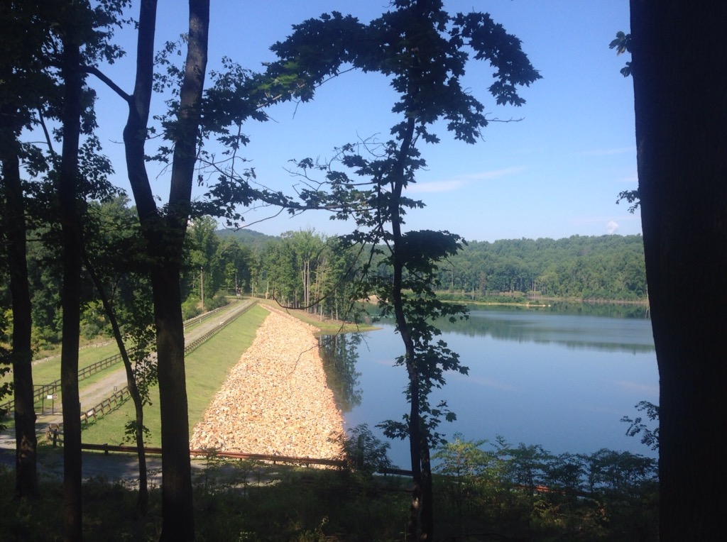
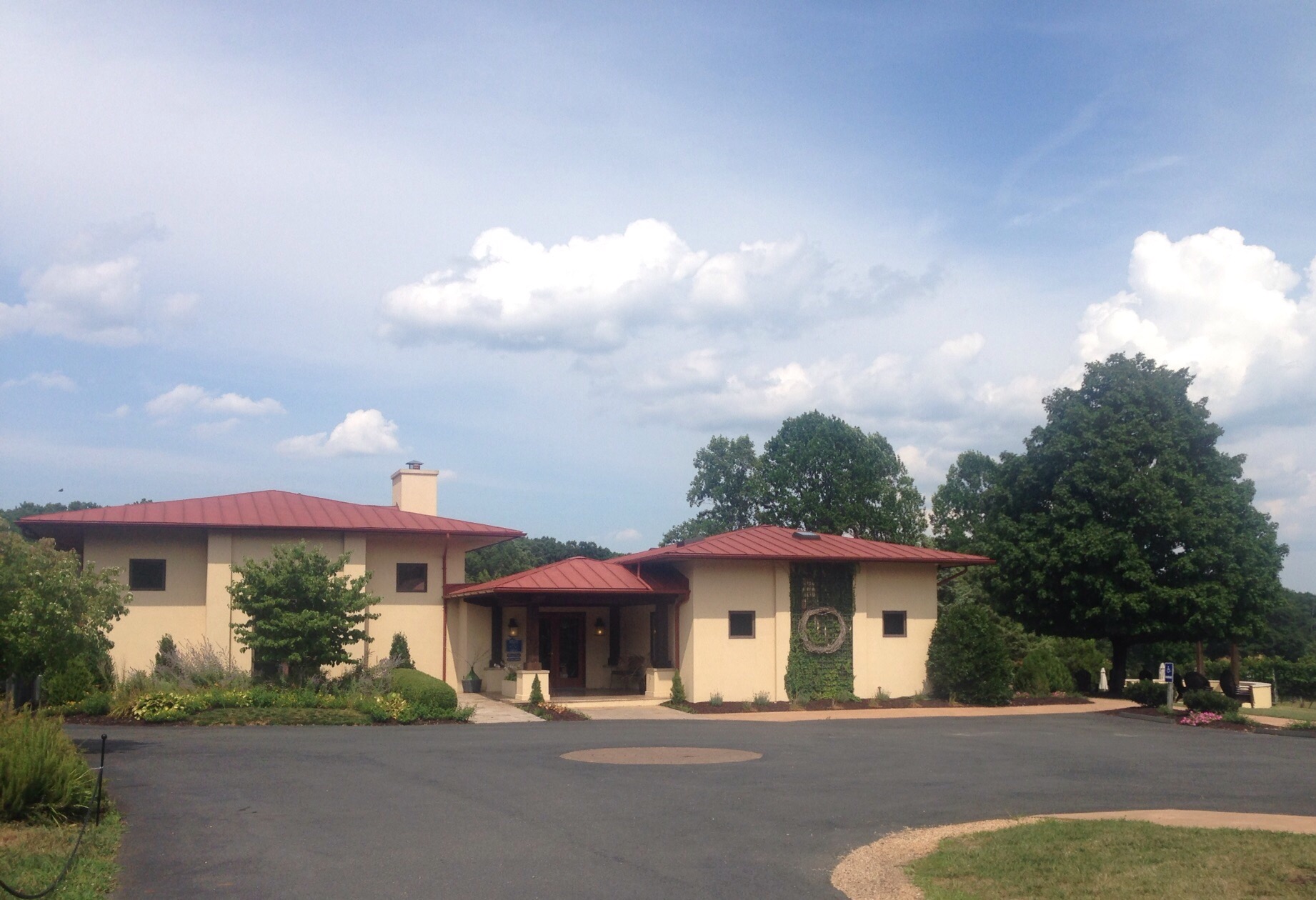
We ended our day out by splitting a glass of wine at the lovely Afton Vineyards.The tasting roomThe vines and the Blue Ridge MountainsThe lake behind the tasting room
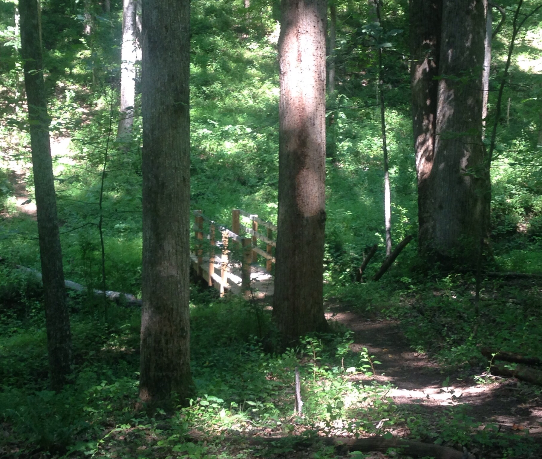
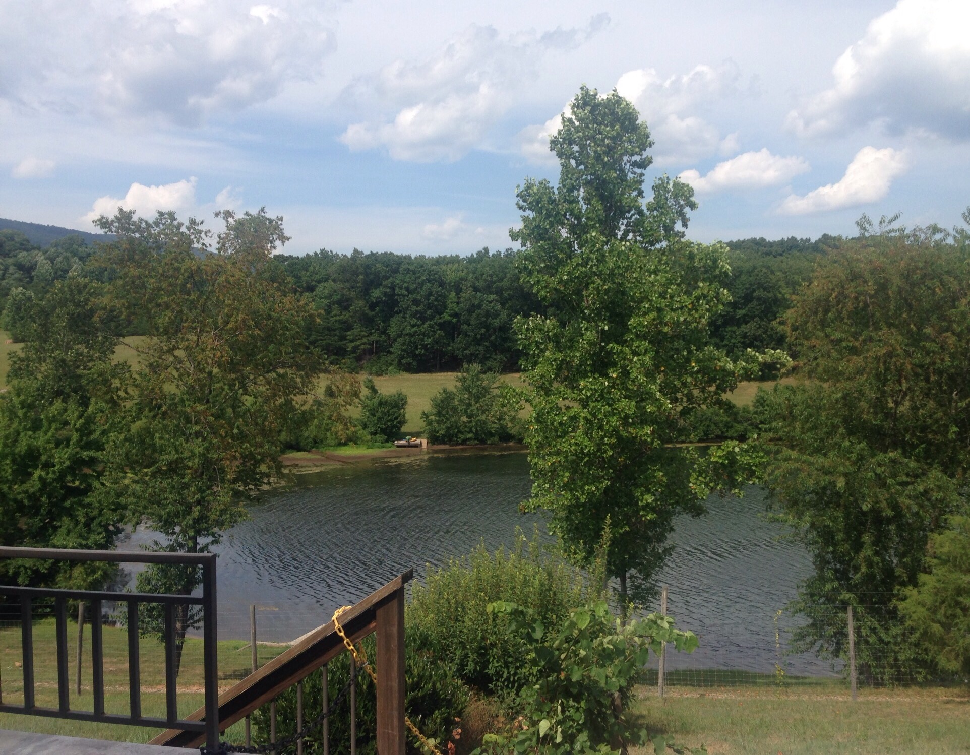
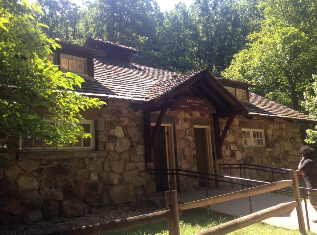
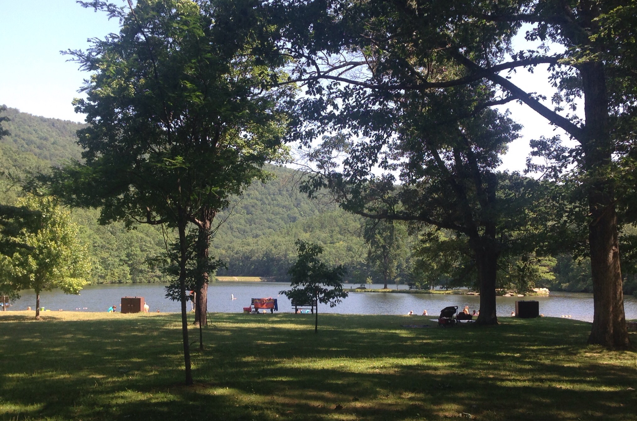
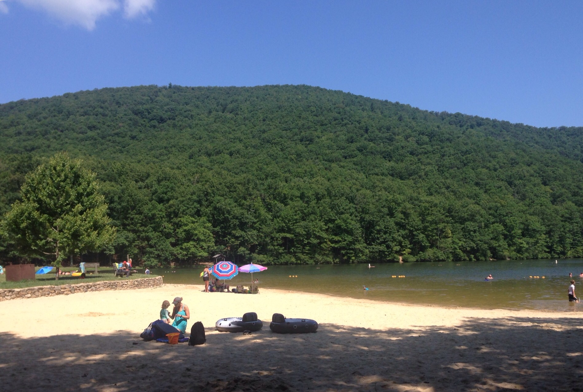
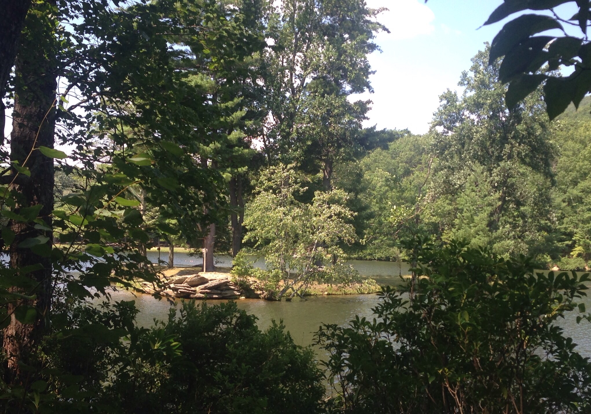
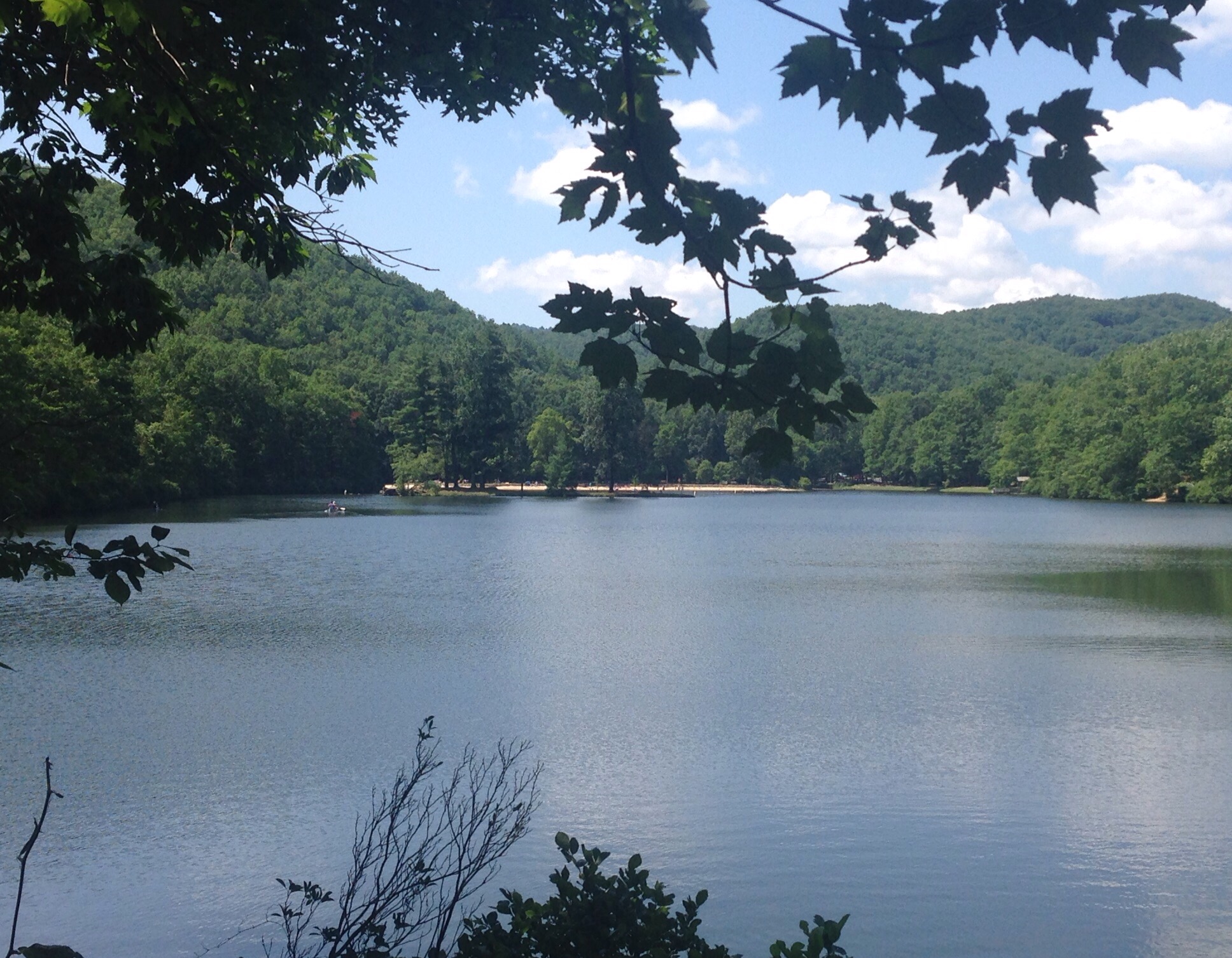
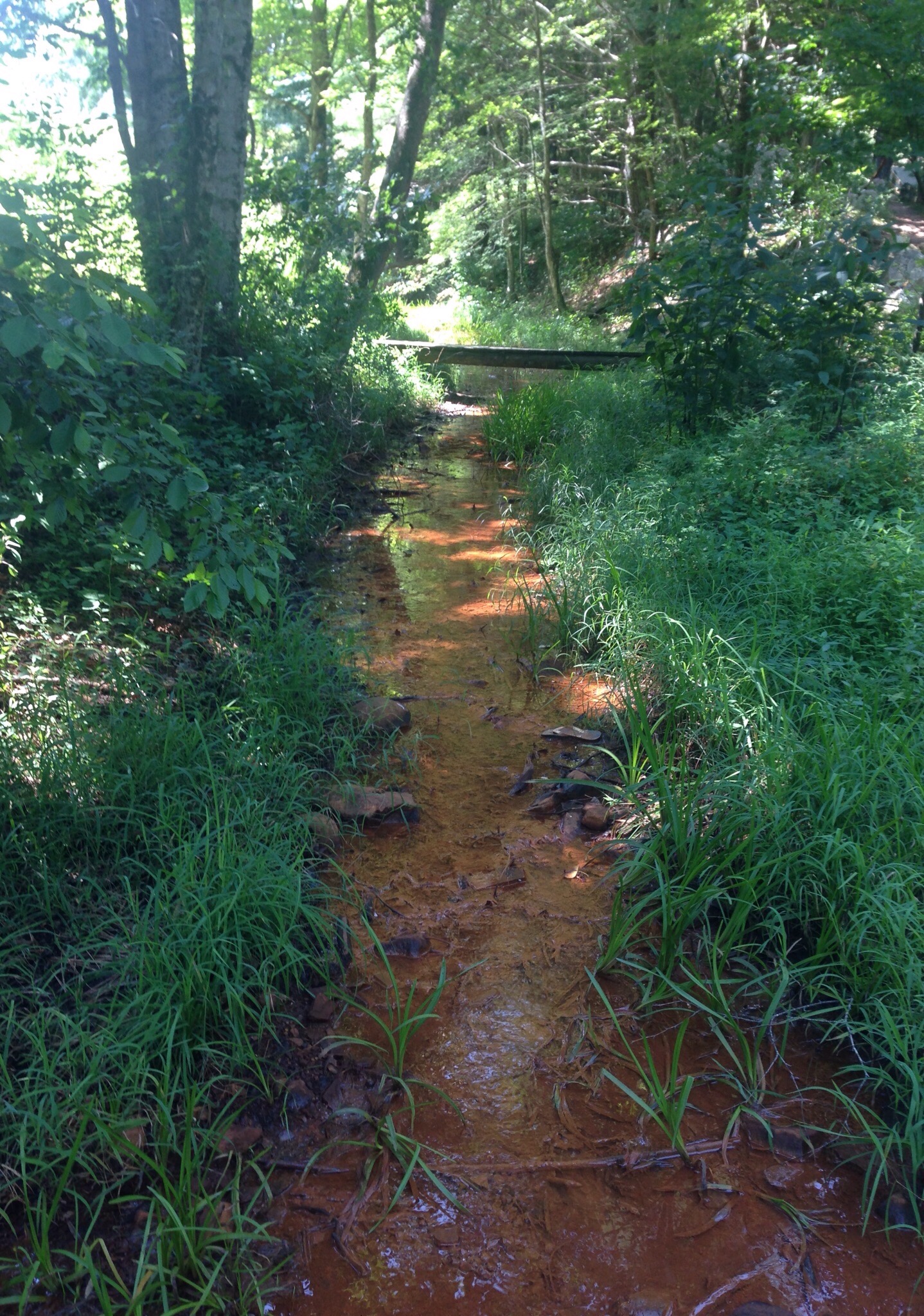
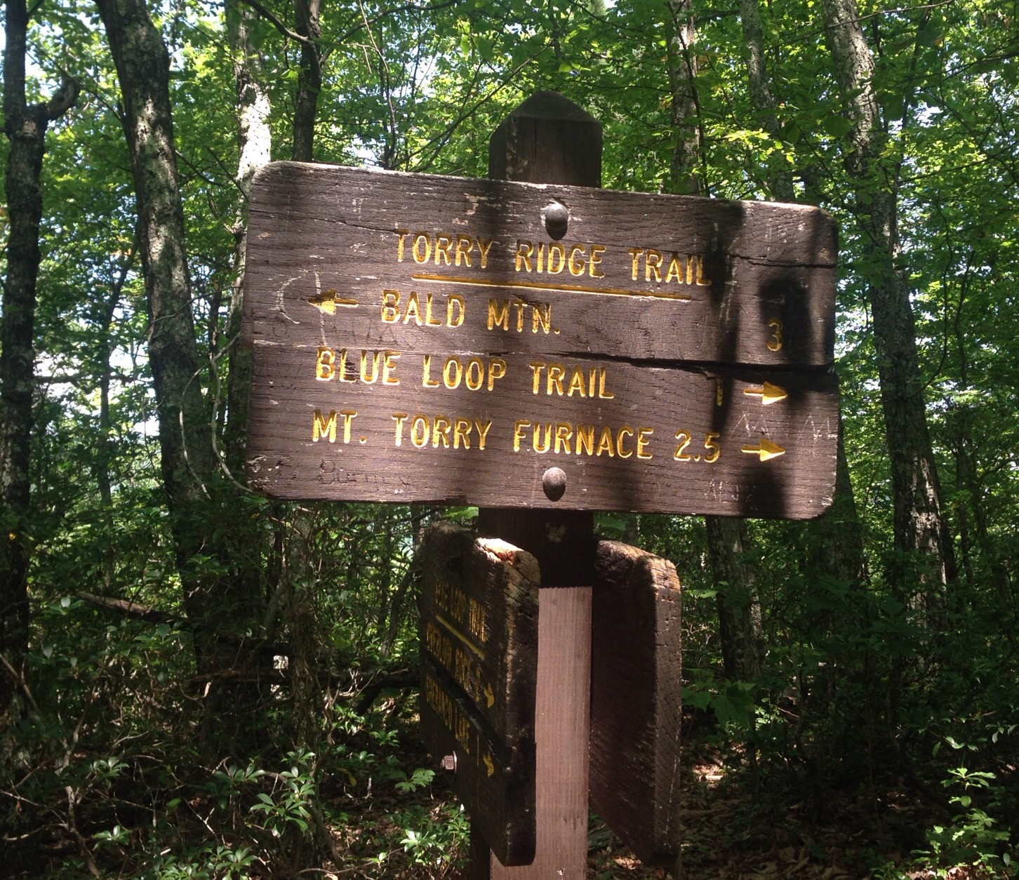
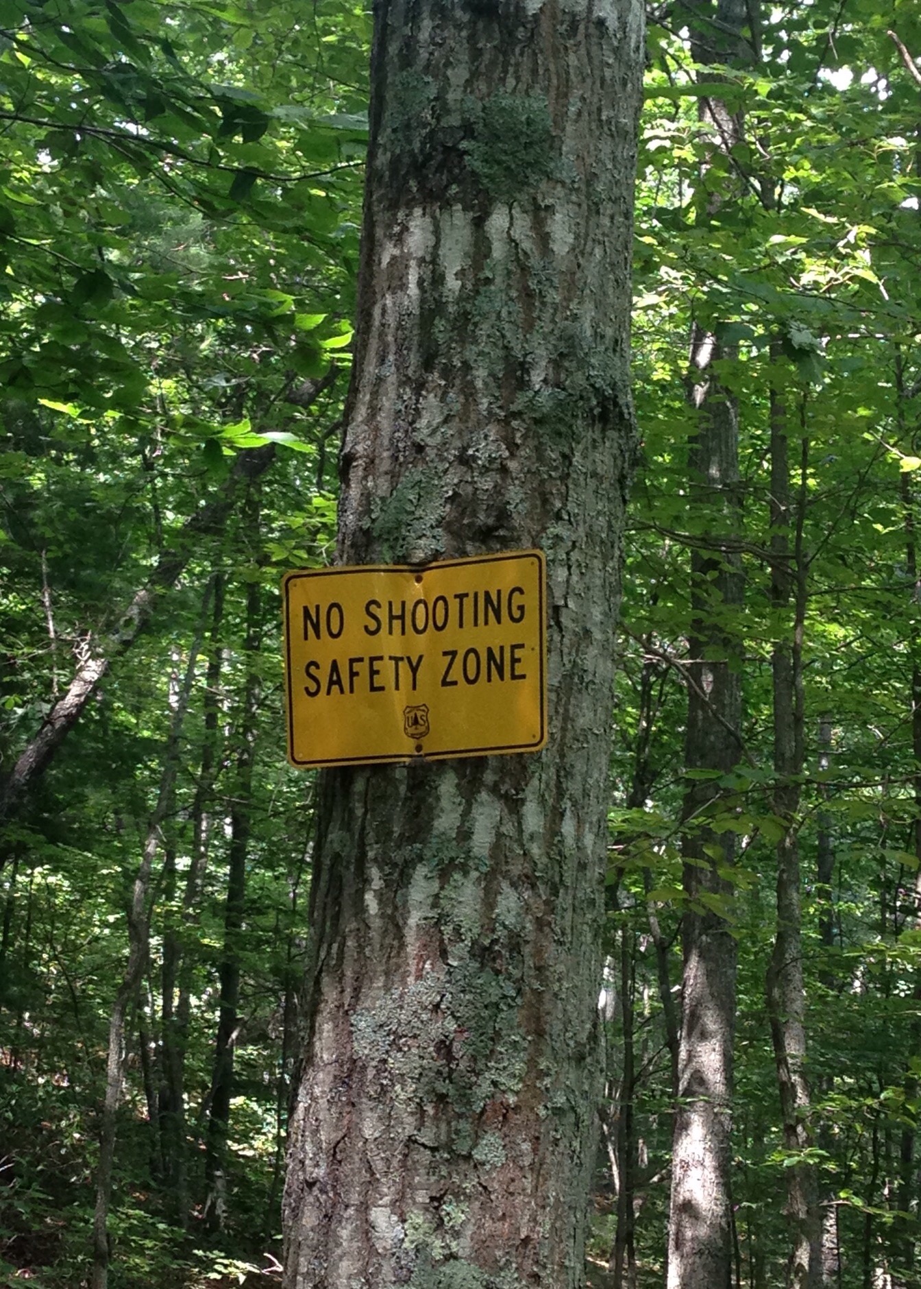
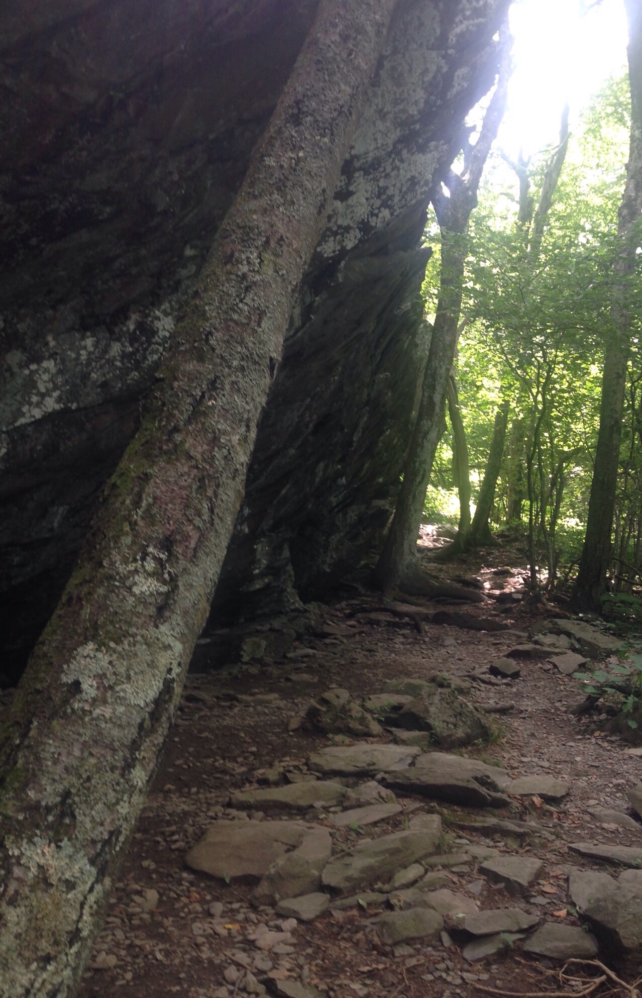
On Monday, we traveled about 45 minutes southwest out of Charlottesville to the Sherando Lake Recreation Area. This is a beautiful park in the Blue Ridge Mountains where you can swim, hike, picnic, and/or camp. There were a number of families enjoying the lake, but Bob and I had a great 3+ hour hike by combining a number of trails. It was $8 per car to enter. We have had lovely hiking conditions — temps in high 80s or low 90s with LOTS of shade.
The Bath House near the lakeOur first view of the lakeThe beach and lakeAn island in the lakeRounding the lake and heading into the woods — and hillsCrossing a clear stream that shows this region’s red soilGetting a view of the surrounding mountains through the treesLook at these tree-covered mountains!Connecting with the Torrey Ridge Trail from the Blue Loop TrailWe saw this at the end of our walk — good to know


