Categories
Uncategorized

Dogged in Mexico

One fun fact that we have learned in our short time in the Yucatan is that the Mayan word for “dog” is “pek” pronounced like our last name.  While we are currently cat-sitting, this information is somewhat relevant to our current stay, as I was bitten by one of the many street dogs in Chelem on my second morning out for a run here.  While I have flesh to spare, I wasn’t really looking to off-load it from my right calf.  I had run on the same road the prior day and had seen two locals running there as well.  Apparently, I smelled worse on Sunday.  Anyway, not to prolong the sad story too much, we are getting to know the local clinics (the staff of which have been very nice and from whom we learned the aforementioned fun fact), and I am getting to try out some antibiotics and rabies shots. During my initial visit to one of the clinics in Progreso, I was one of 4 dog bite cases that day, so there is a bit of an issue.    I find out Monday if they think I need to have stitches. I’ll keep you posted.

As you’ll see below, Bob and I are still getting out and about (otherwise the dog would win!), but it has made it a tad more stressful.  We generally make sure we have an umbrella or stick handy just in case.  

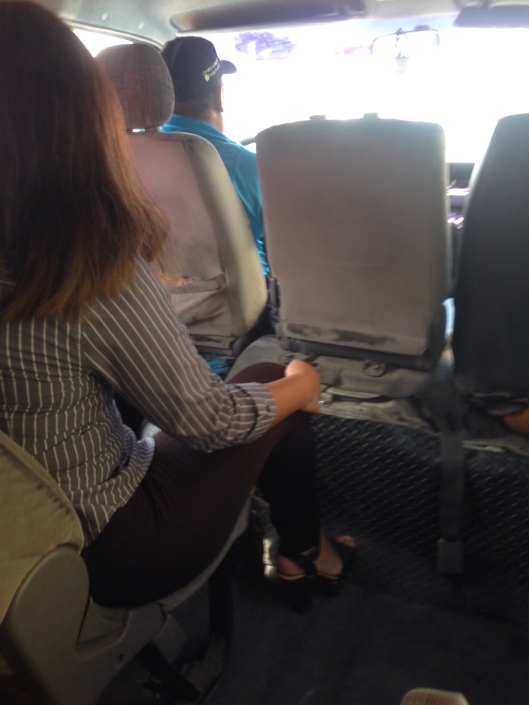
We chose to go to Progreso for the doctor visits so have been there a few times now.  We opted to walk back one day (about 6 miles), but generally we have taken a colectivo– white vans that run between Chelem and Progreso.  You can flag them down from the main road at the end of our driveway, and they will drop you off anywhere in Chelem or Progreso along their route.  It’s not luxurious (see below), but it is very convenient as they run pretty frequently for the better part of the day.  It costs 9 pesos (roughly 50 cents) a person each way.

Looking at the passenger row ahead of us as well as the driver’s row. The van holds between 10-15 people.

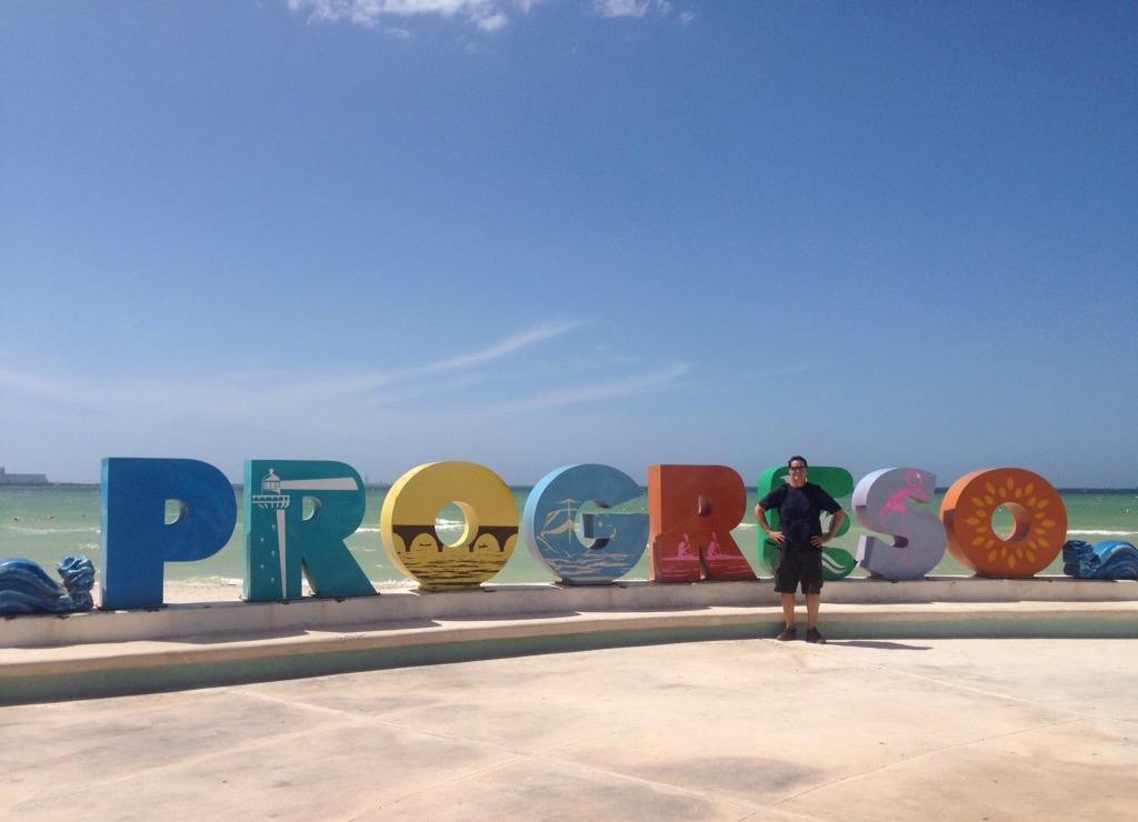
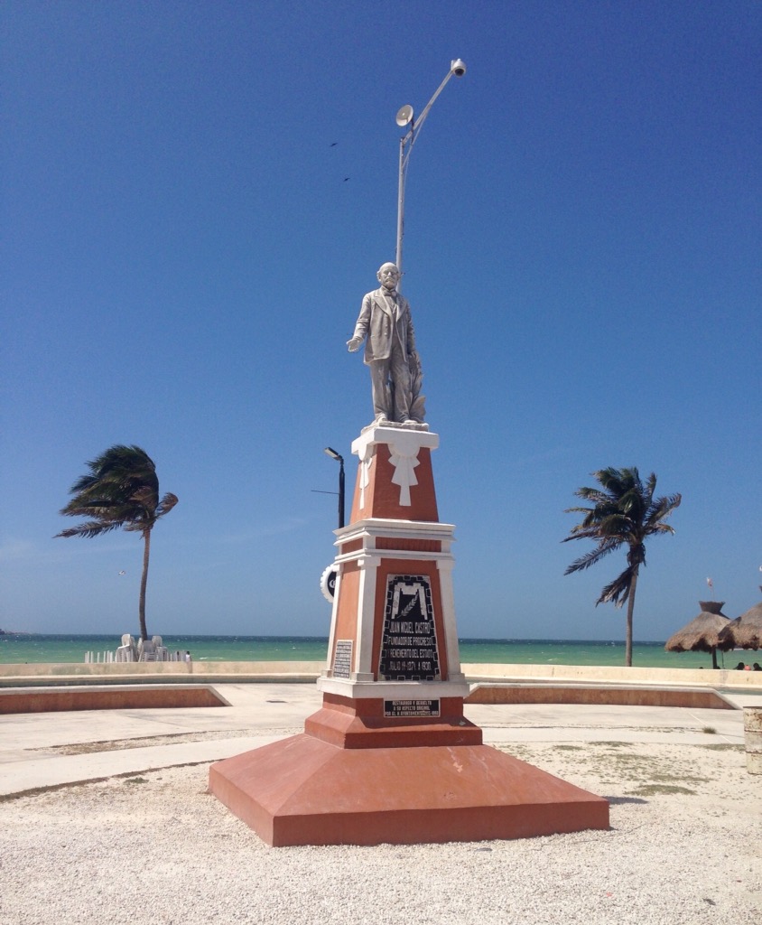
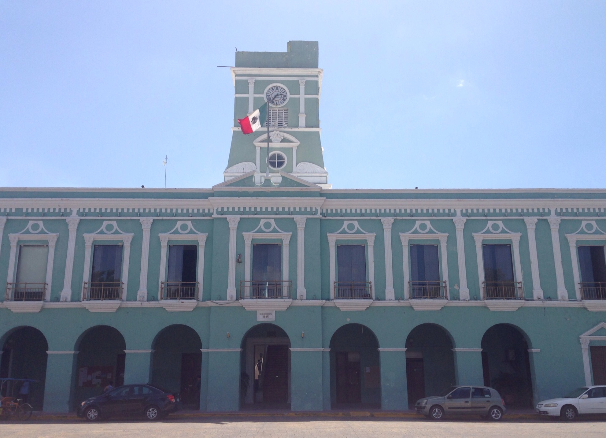
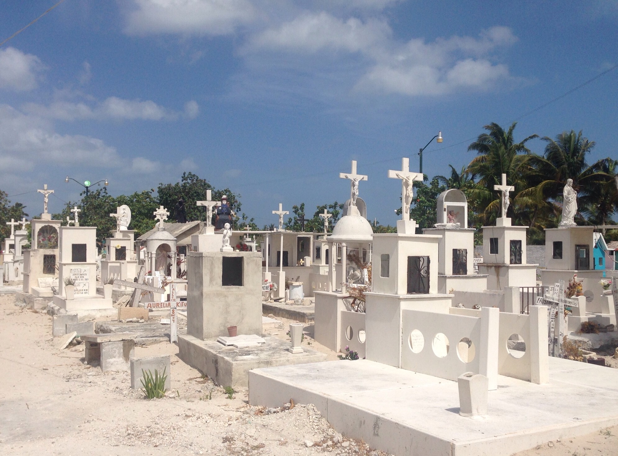
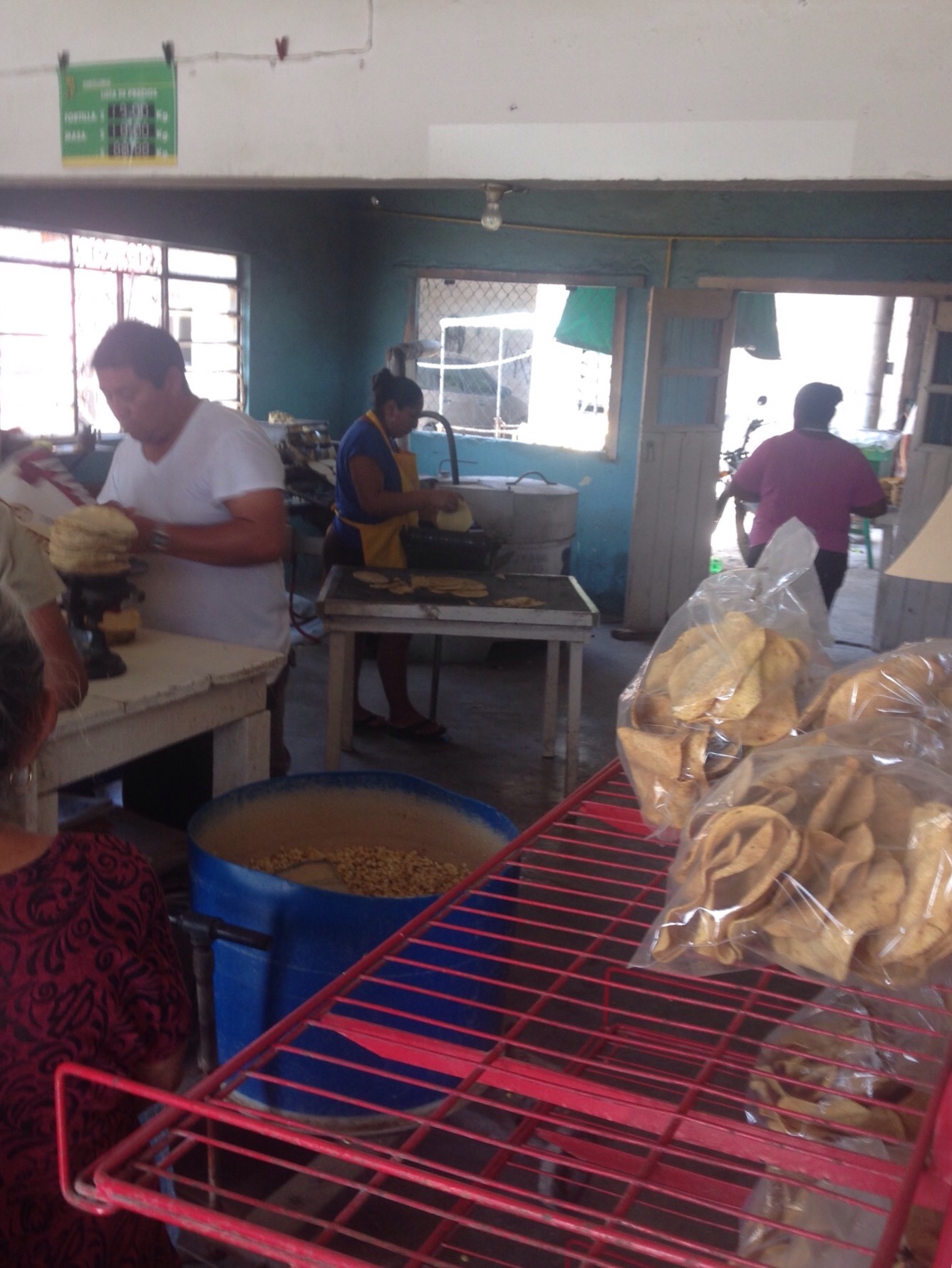
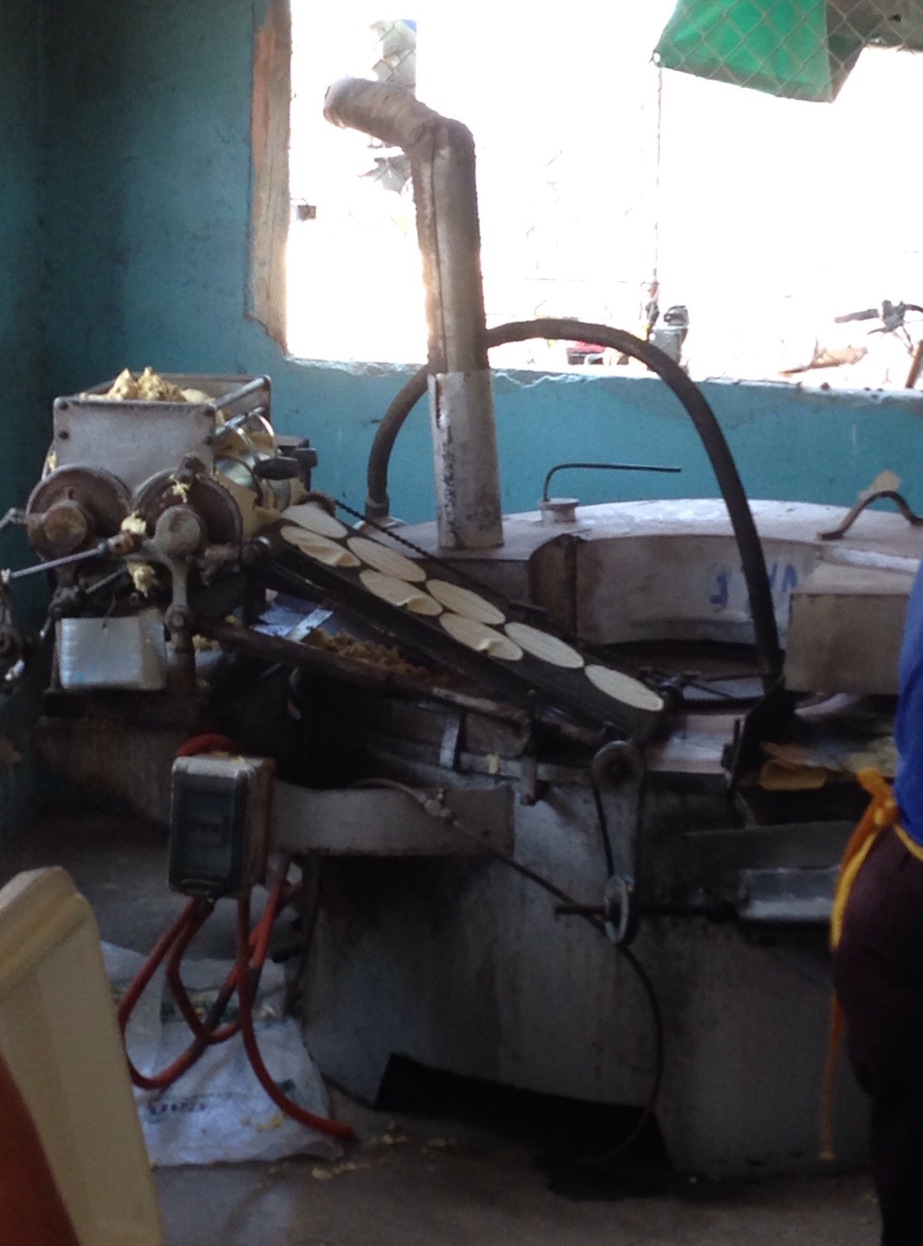
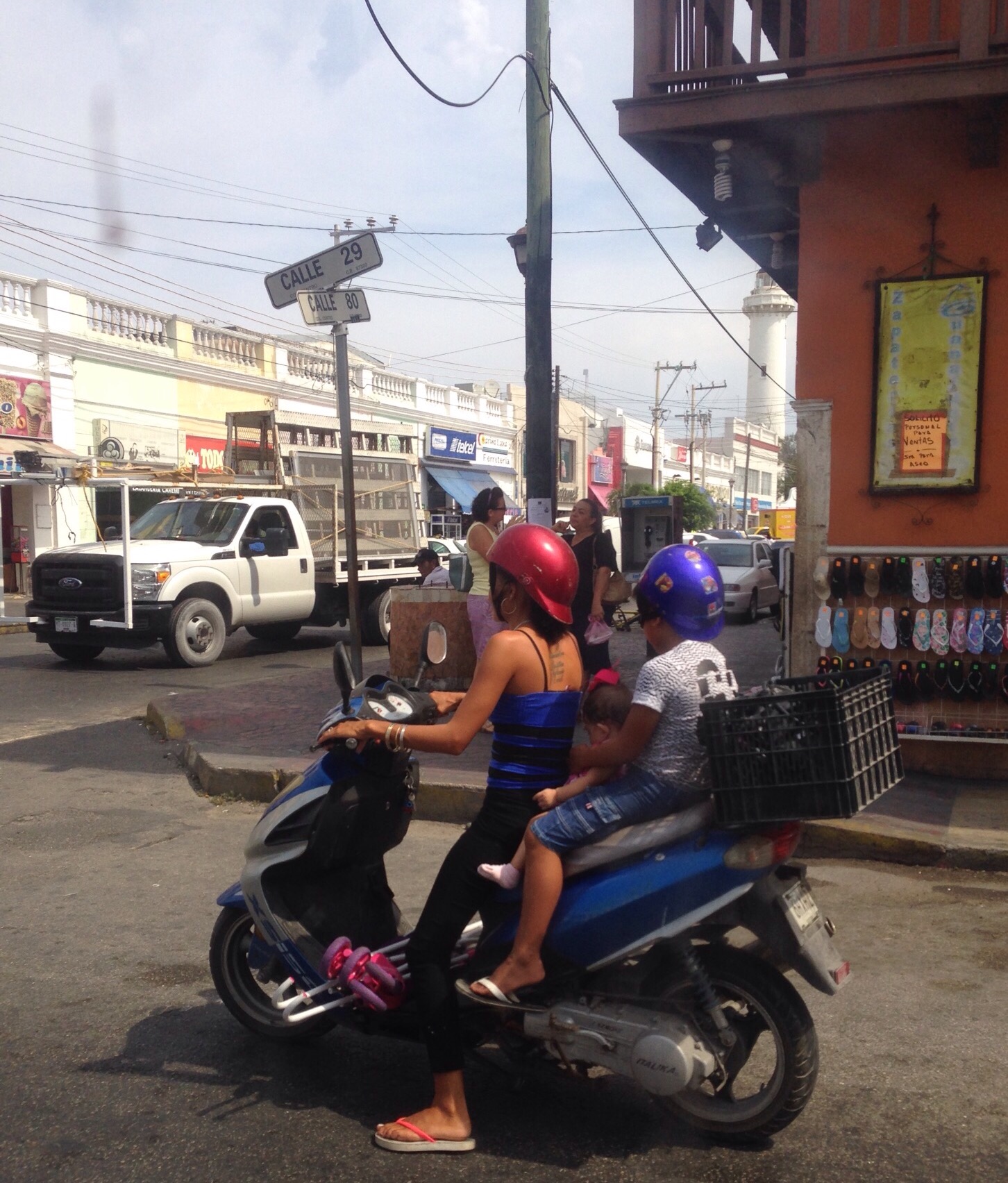
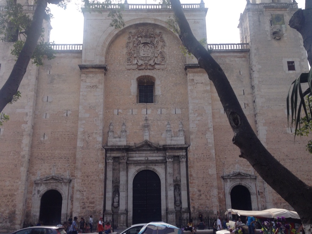
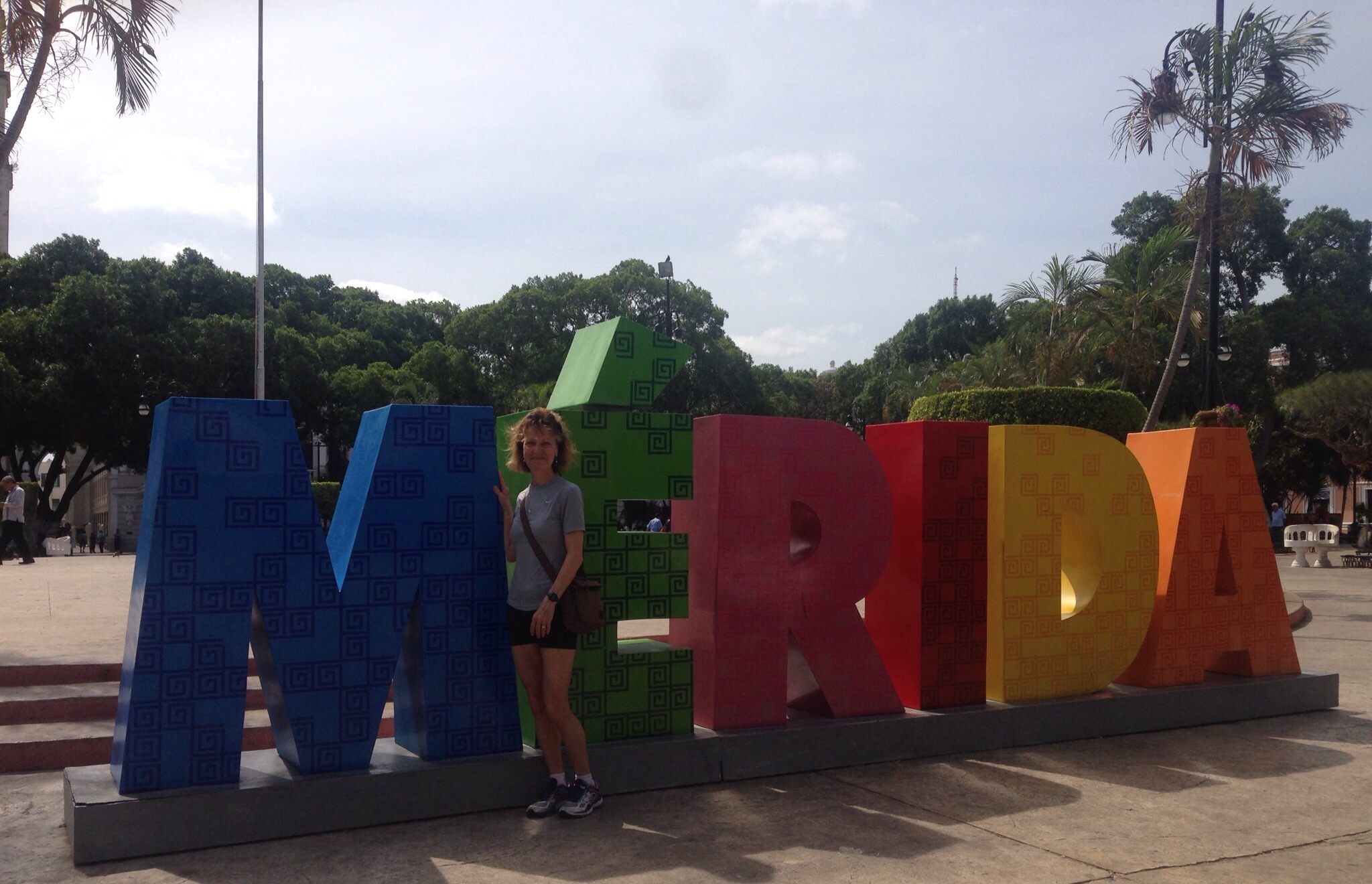
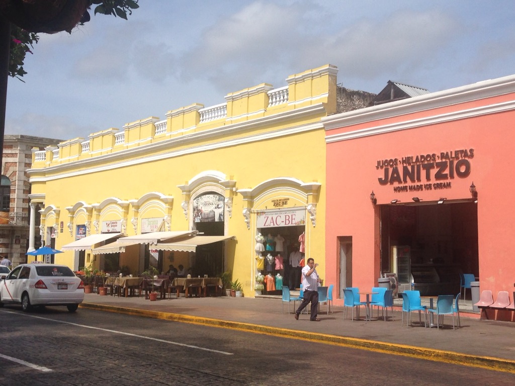
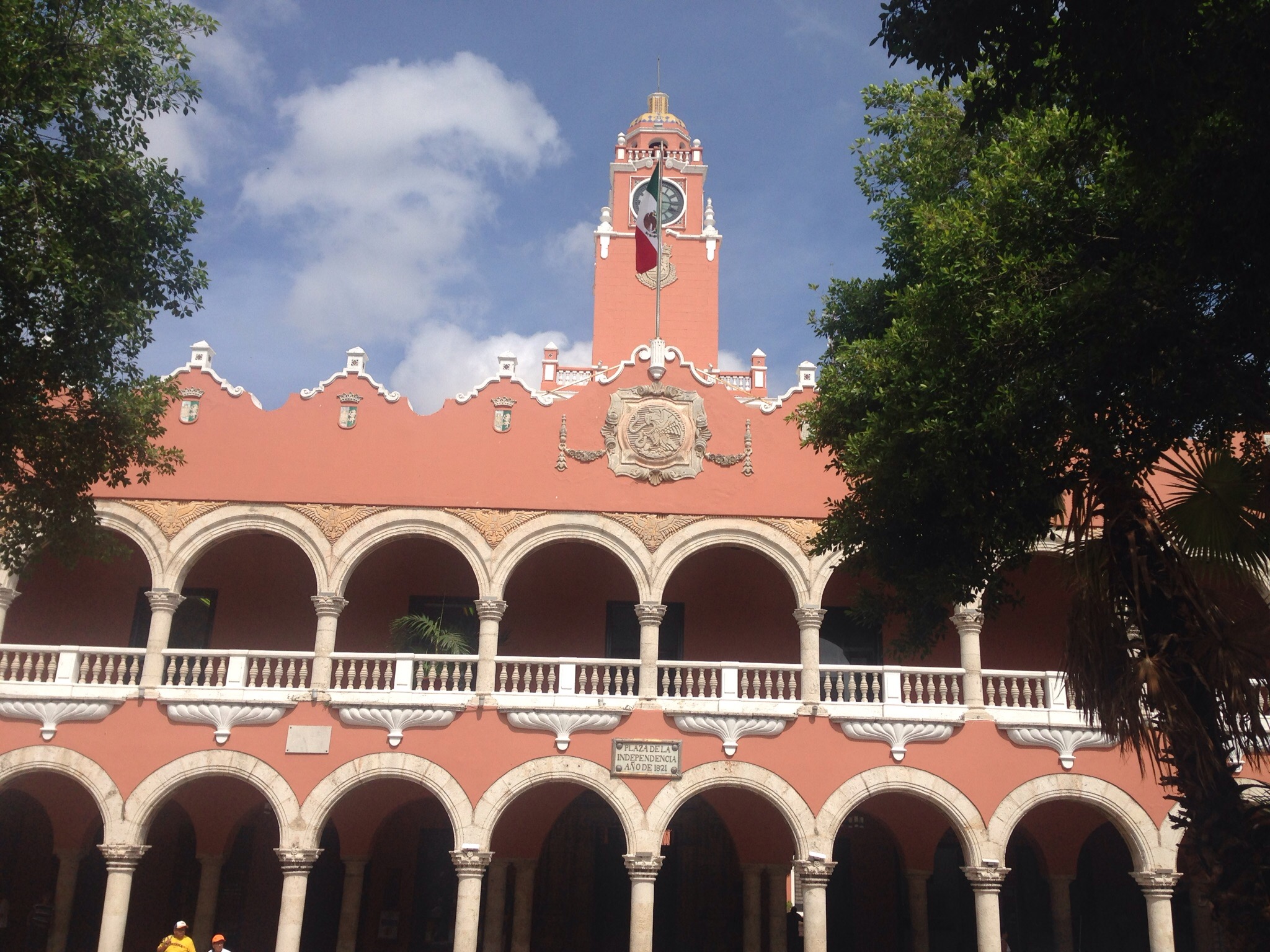
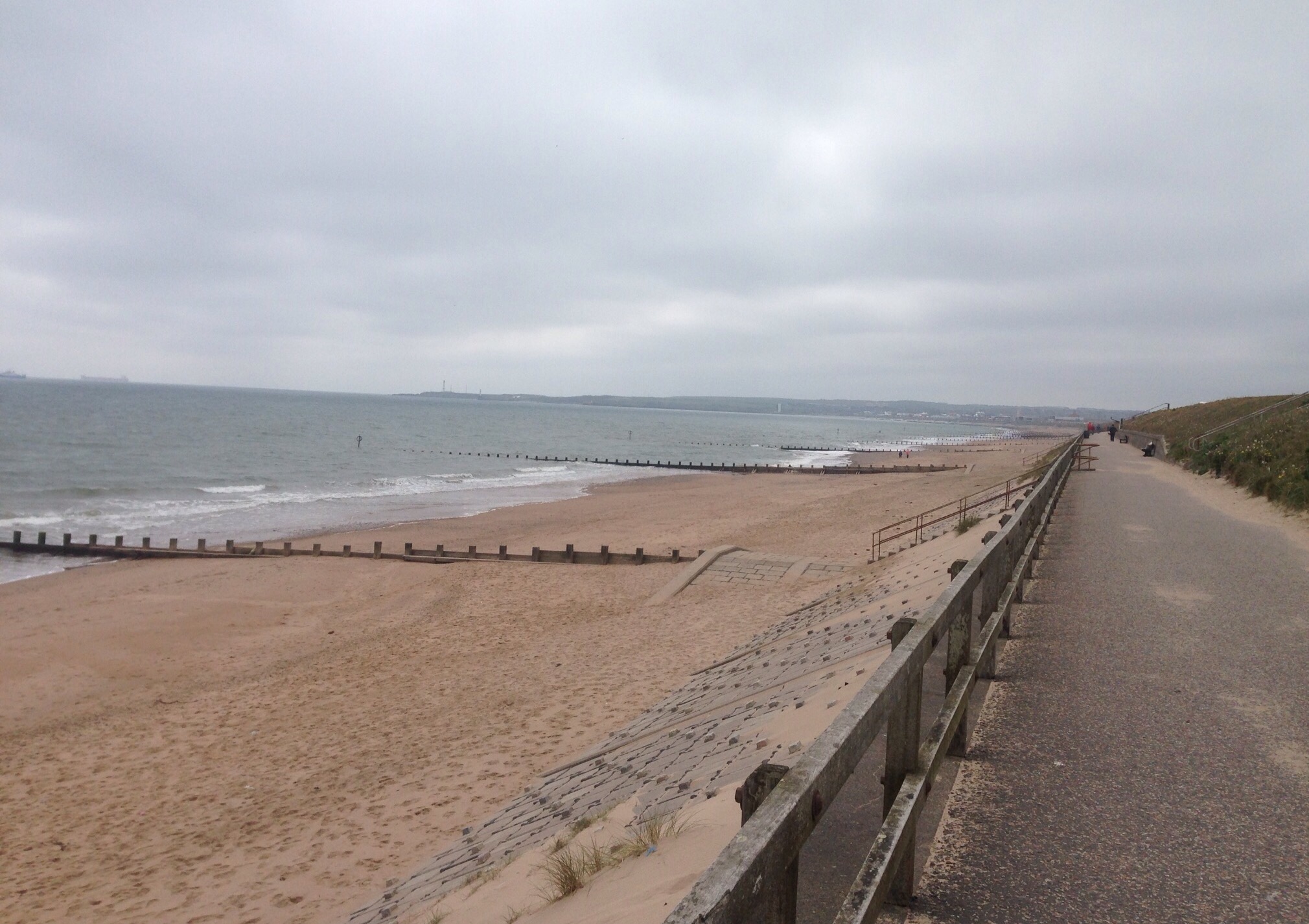
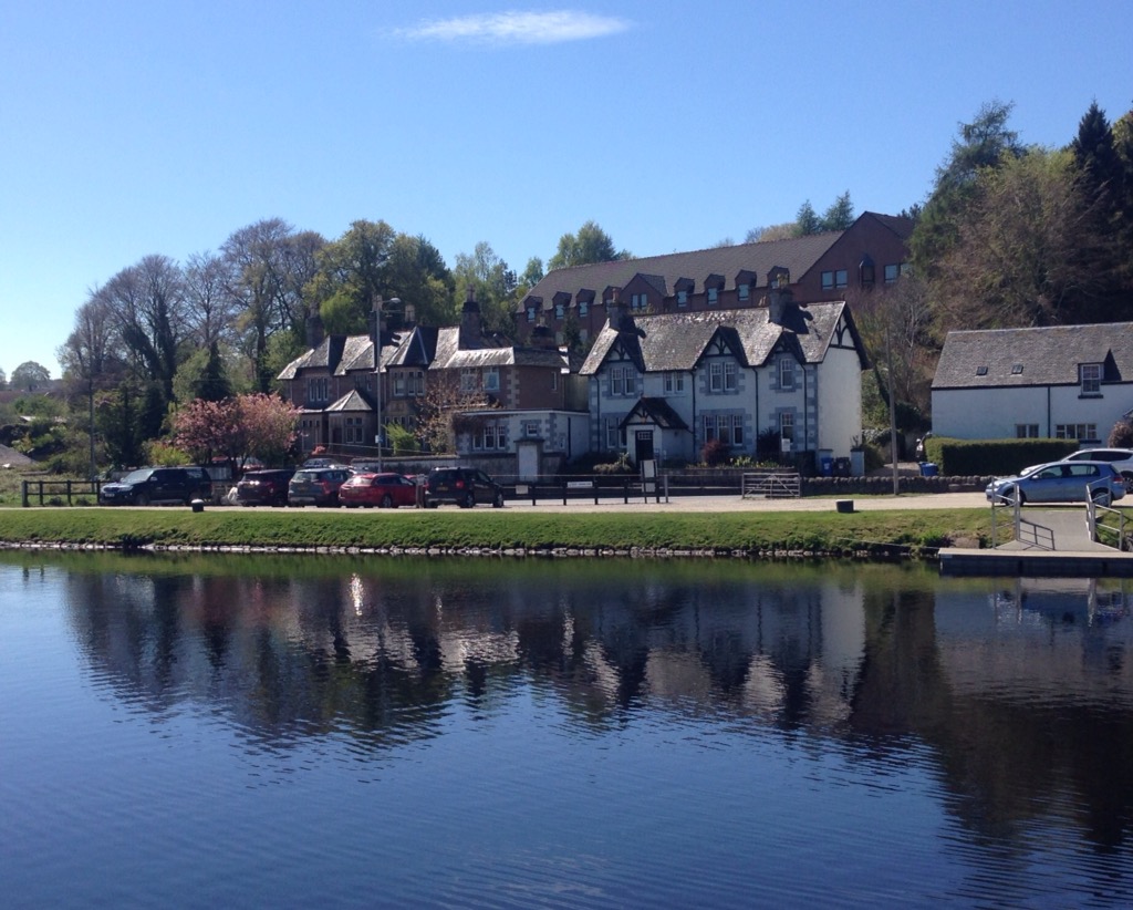
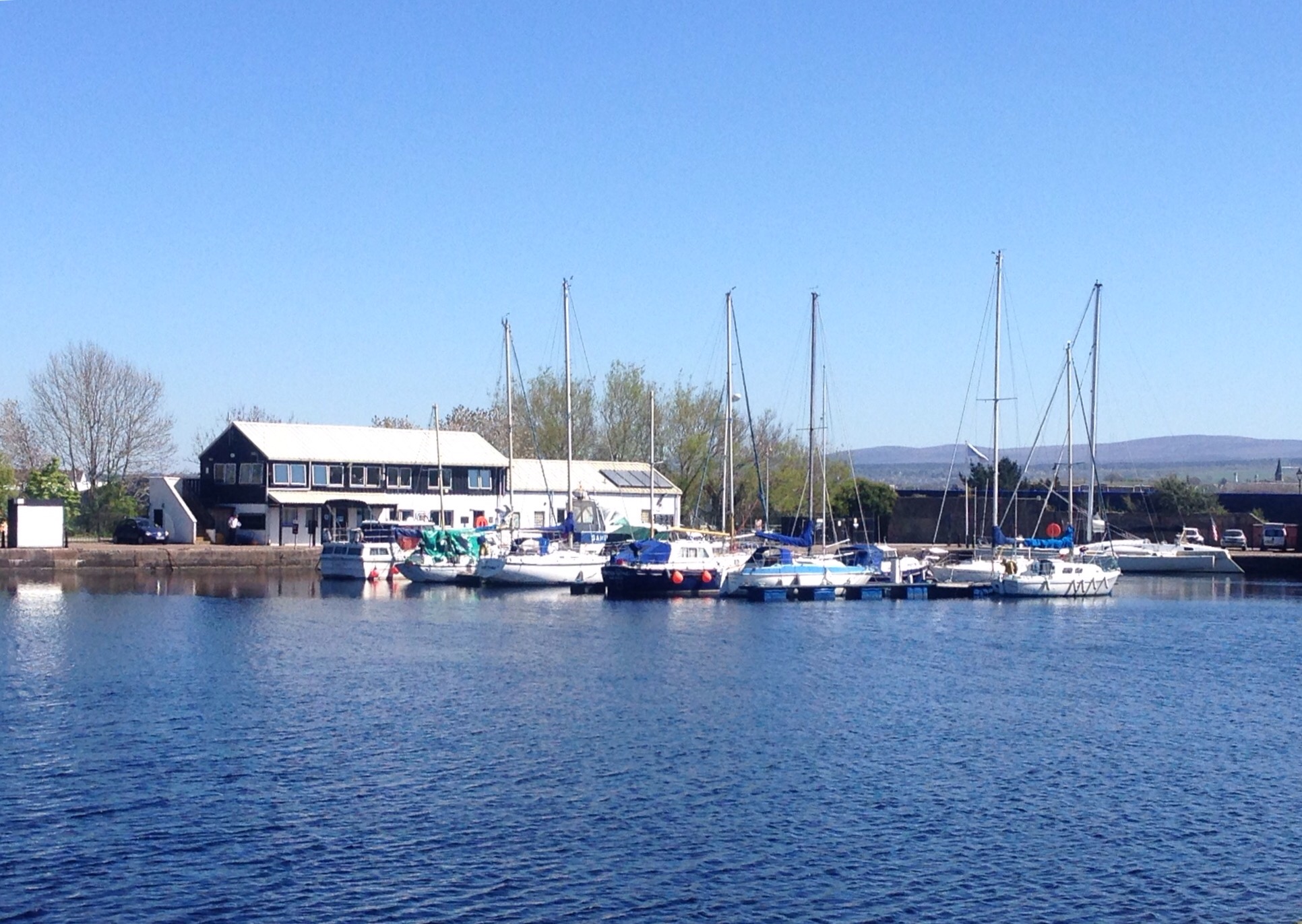
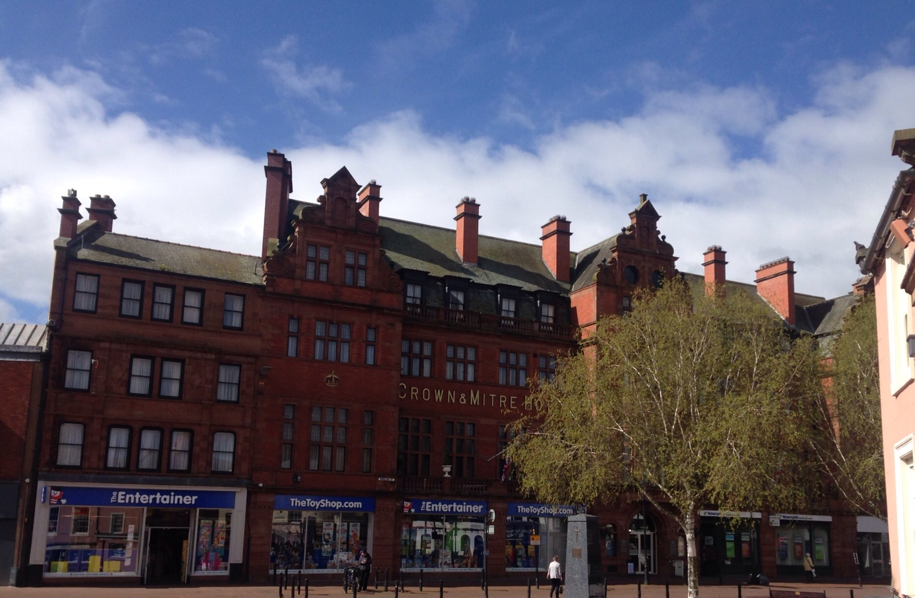
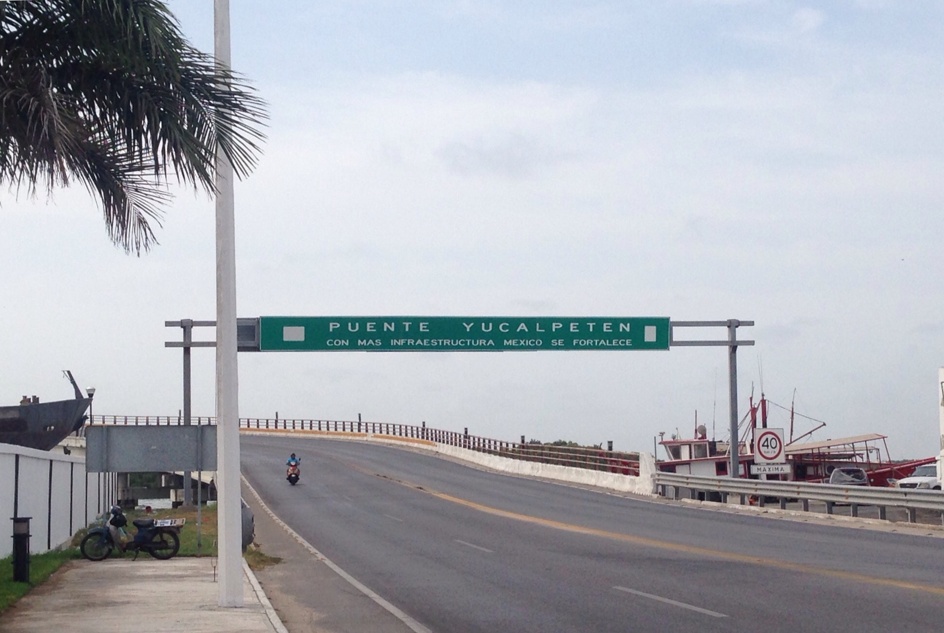
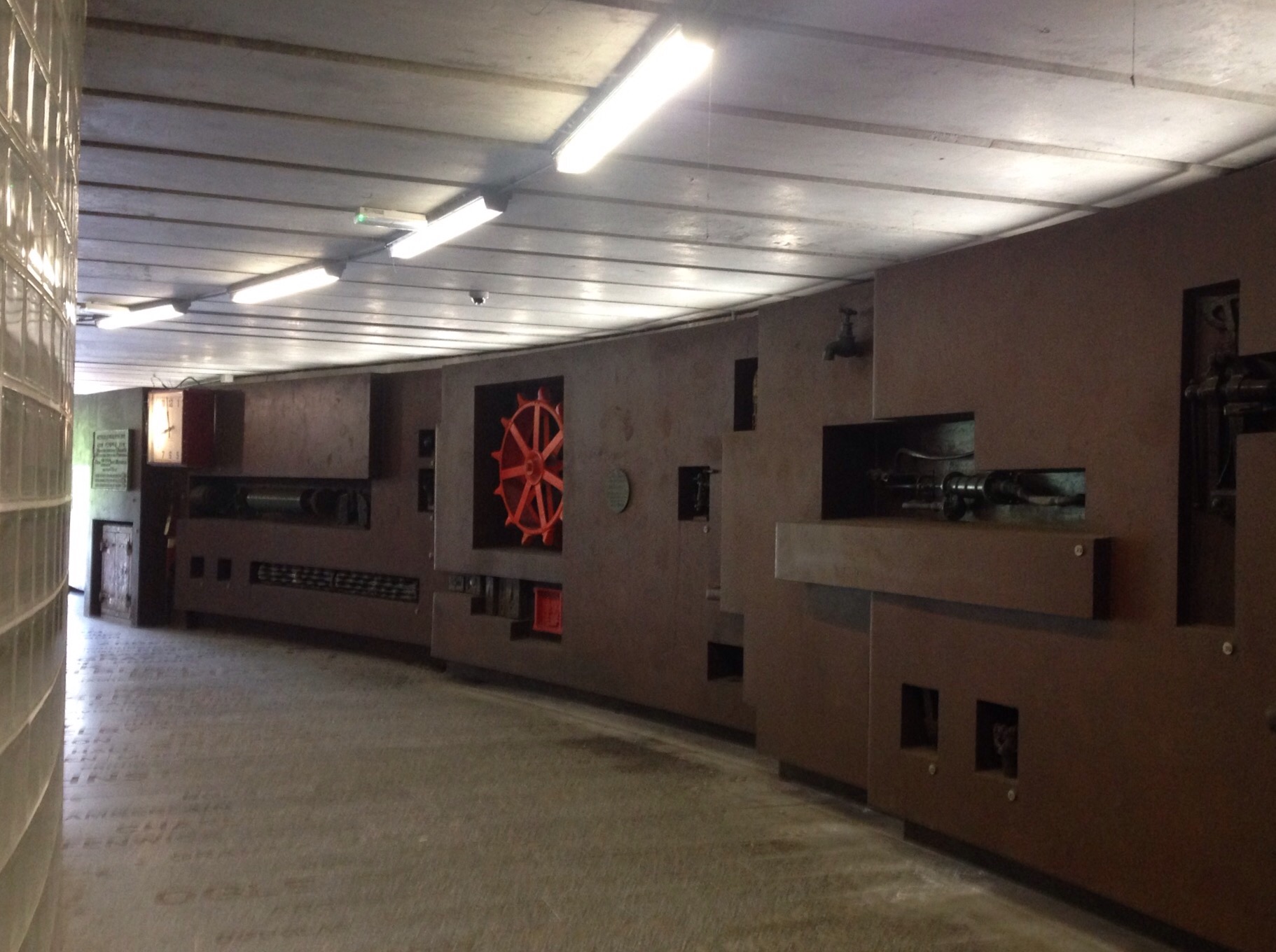
More photos of Progreso —
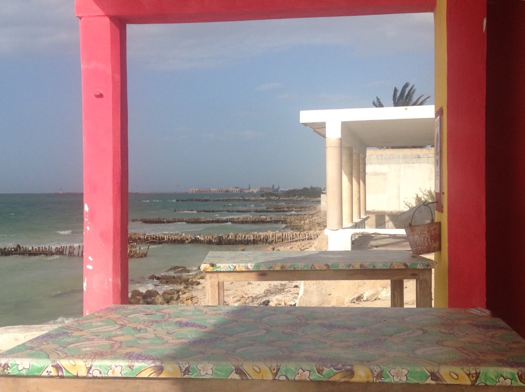
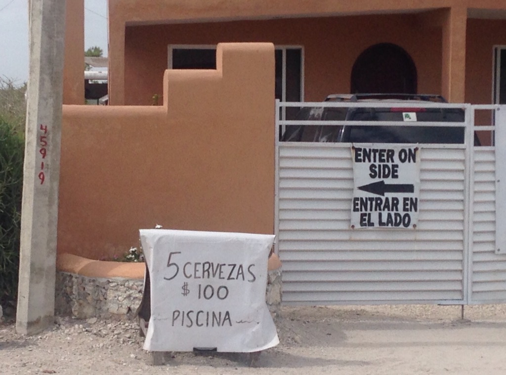
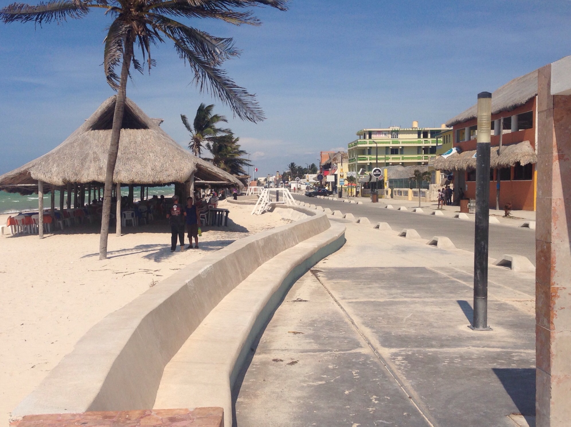
Bob in front of the Progreso sign at one end of their Boardwalk.
A statue along the boardwalk
Looking down the beach on the east side of the pier where many of the popular restaurants are
The Progreso beach on the west side of the pier
A couple of nice properties along the west side beach

Looking across the beach to the pier
 
The municipal building in front of the Plaza de Independencia in Progreso
Starting across the bridge on the day we walked back to Chelem
Later on the day (yesterday) when we walked back to Chelem, we walked to a local restaurant that was having an art show and wine event. Over our $3.50 flights of white wine, we got to talking with the co-owner of the restaurant  (a US native from South Dakota via Colorado).  She noted that had seen us walking into Chelem earlier that day.  

Photos of Chelem —

The Chelem beach/coastline as viewed from the patio of the La Playa bar/restaurant just up the street from us
A sign outside the Sliders bar (that we haven’t been to yet), the advertised price comes out to about $1/beer.
The cemetery in Chelem
Inside one of the local tortillerias, they were cranking them out as the electricity had been off throughout the area that day and had just come back on..
Corn tortillas hot off the grill. we bought a 1/2 kilo of them ( a stack of maybe 25 or so) for about 50 cents.
 

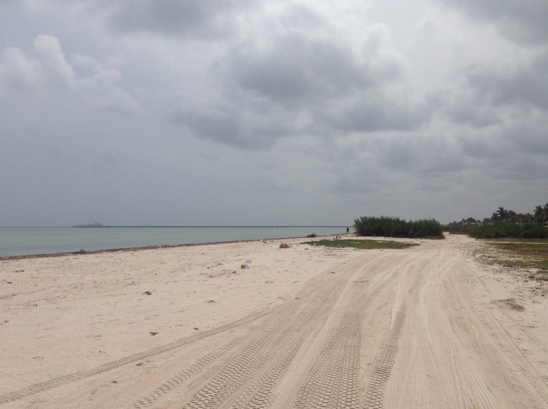
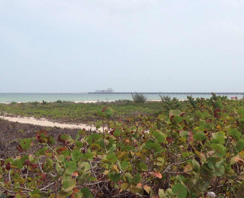
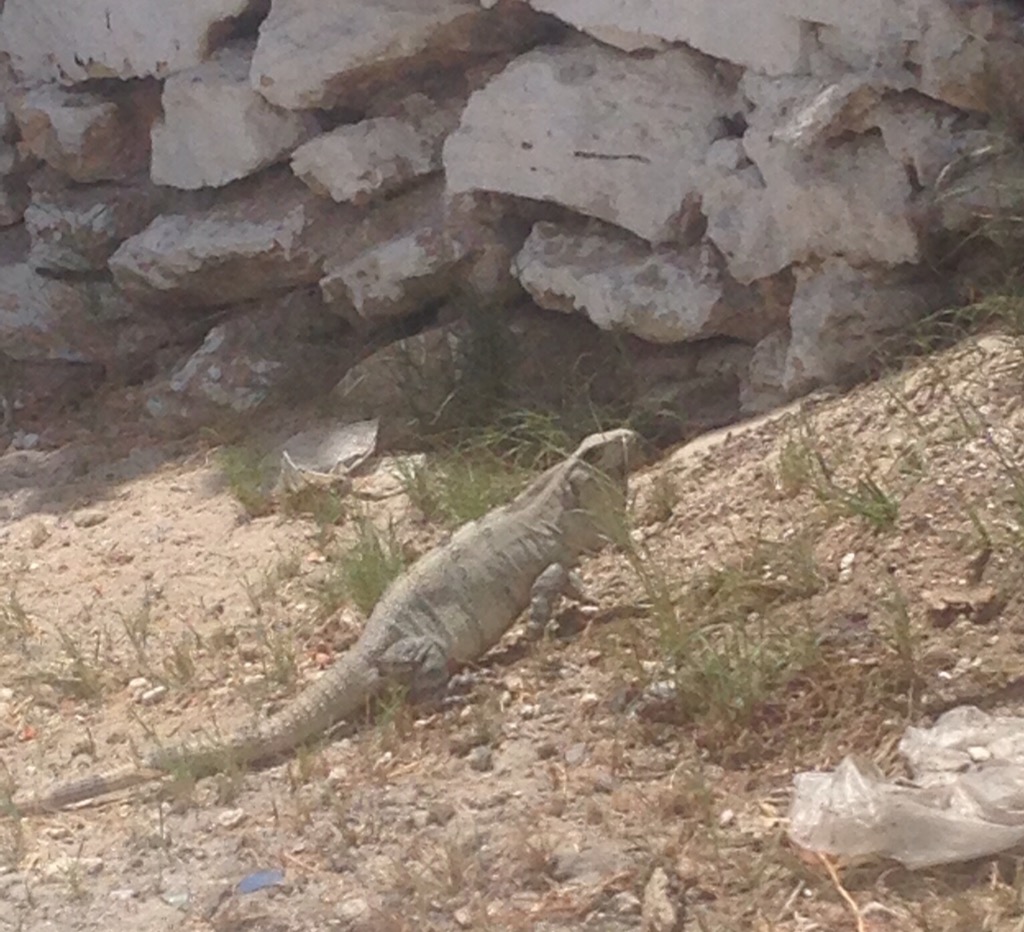
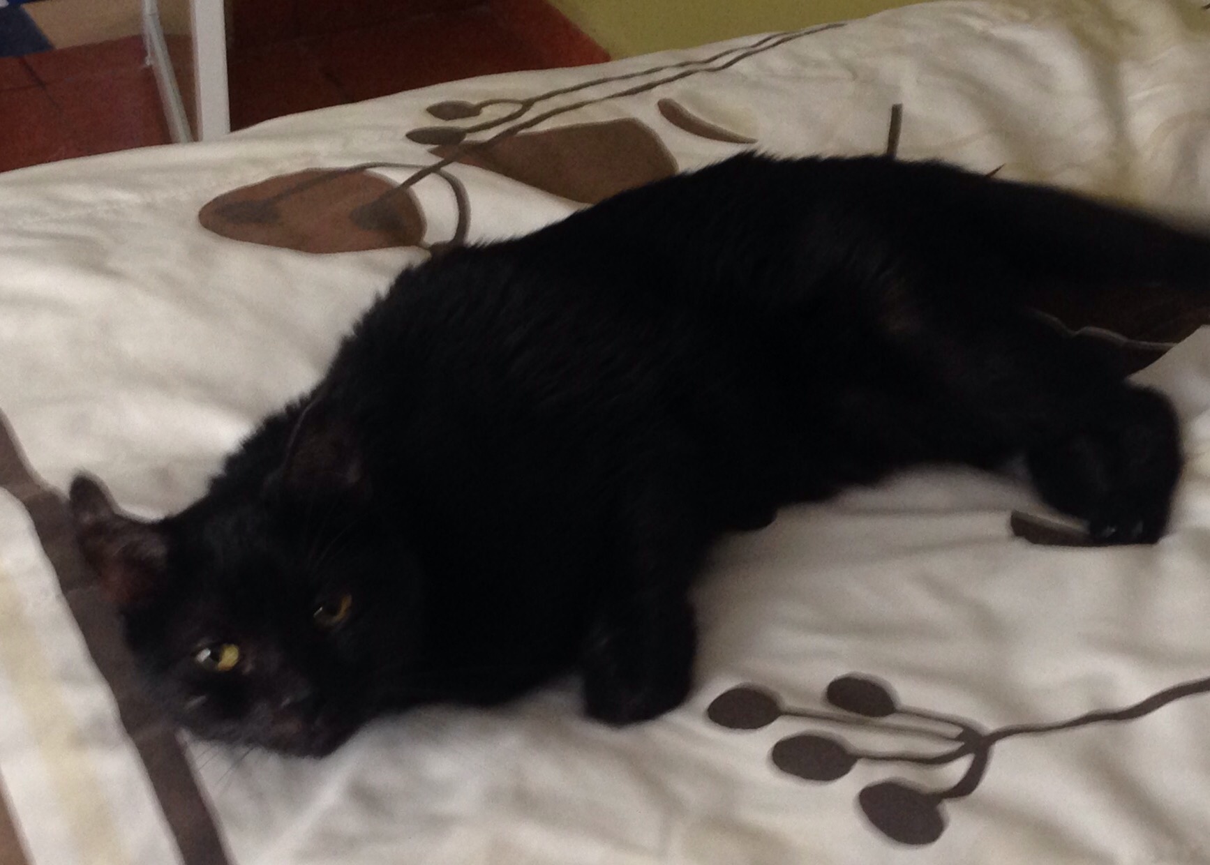
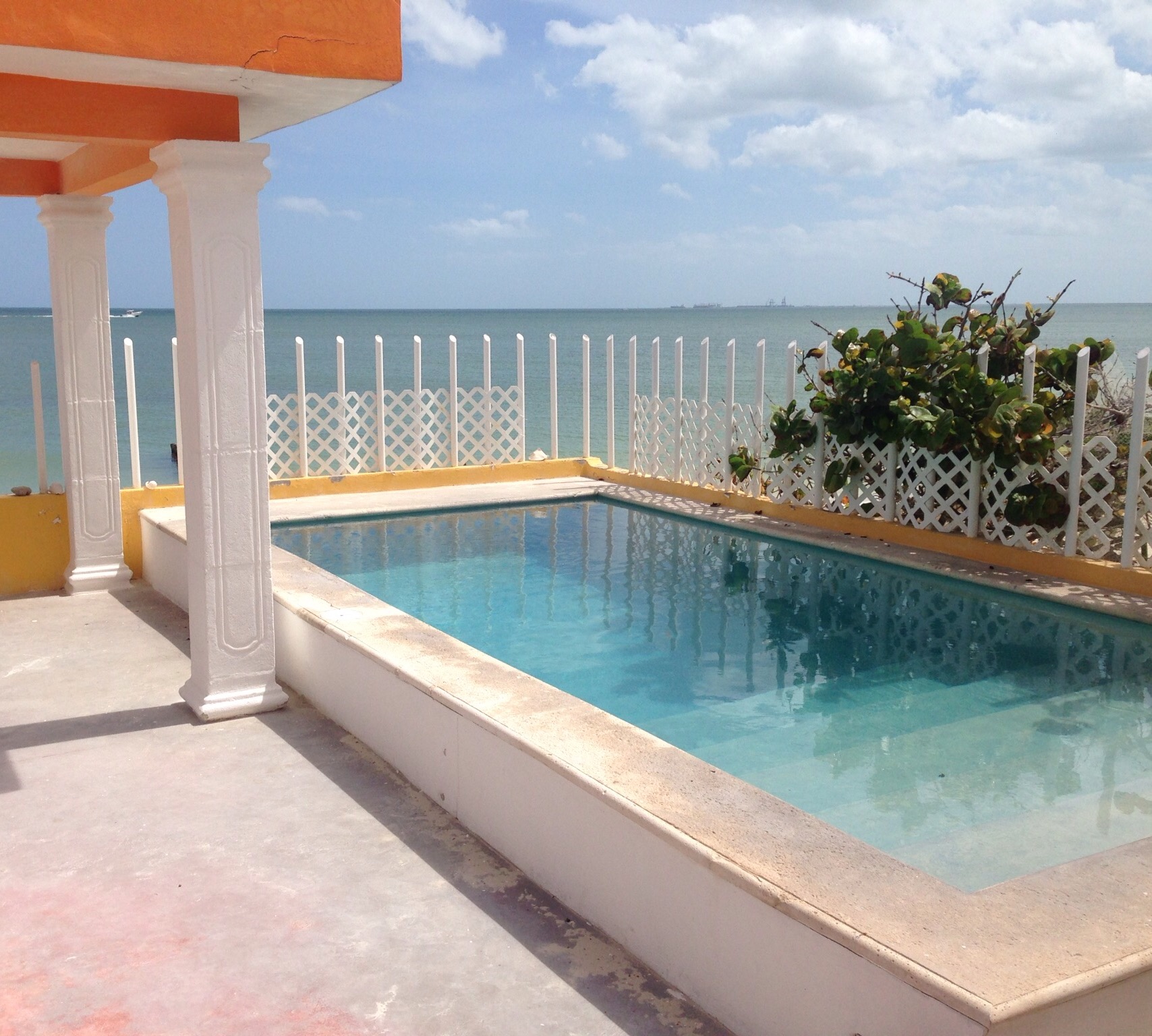
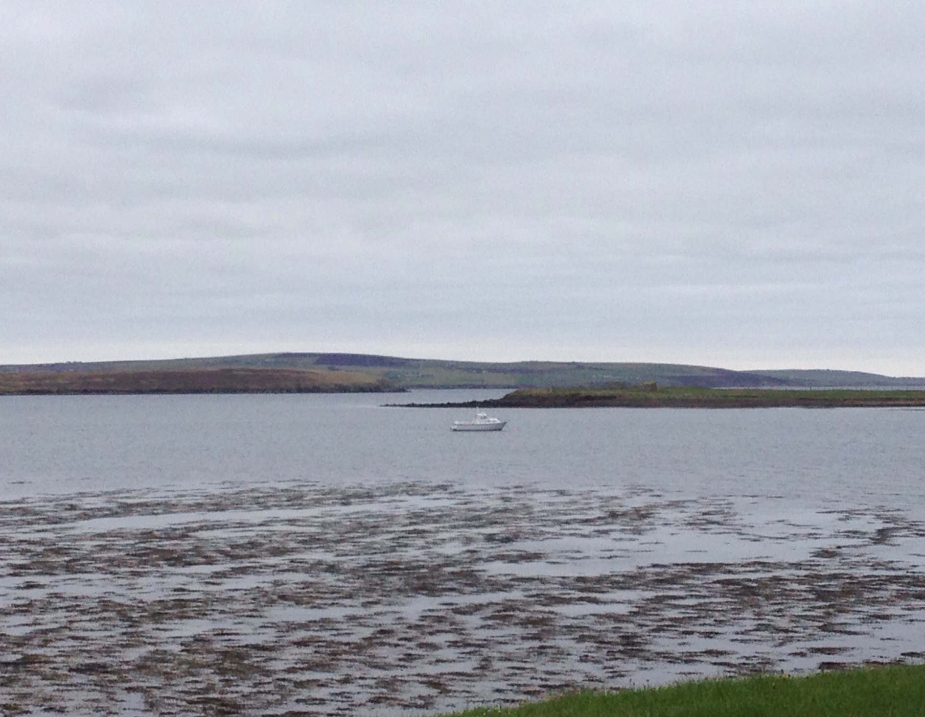
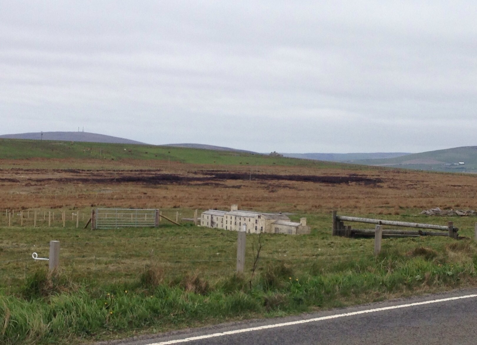
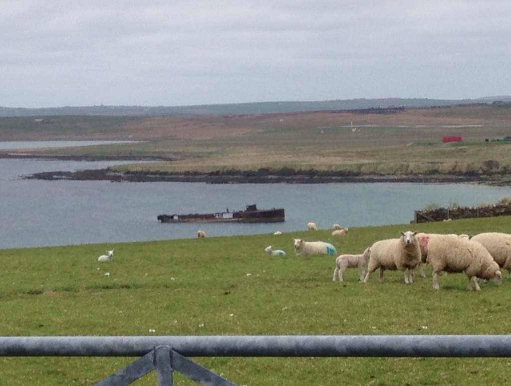
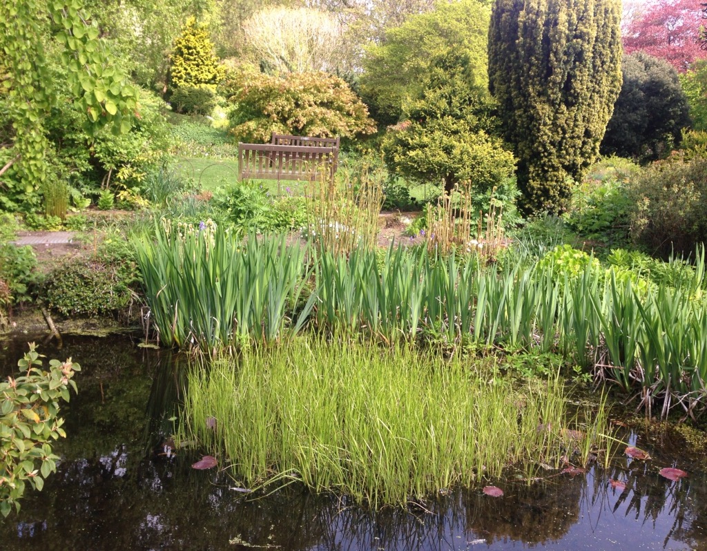
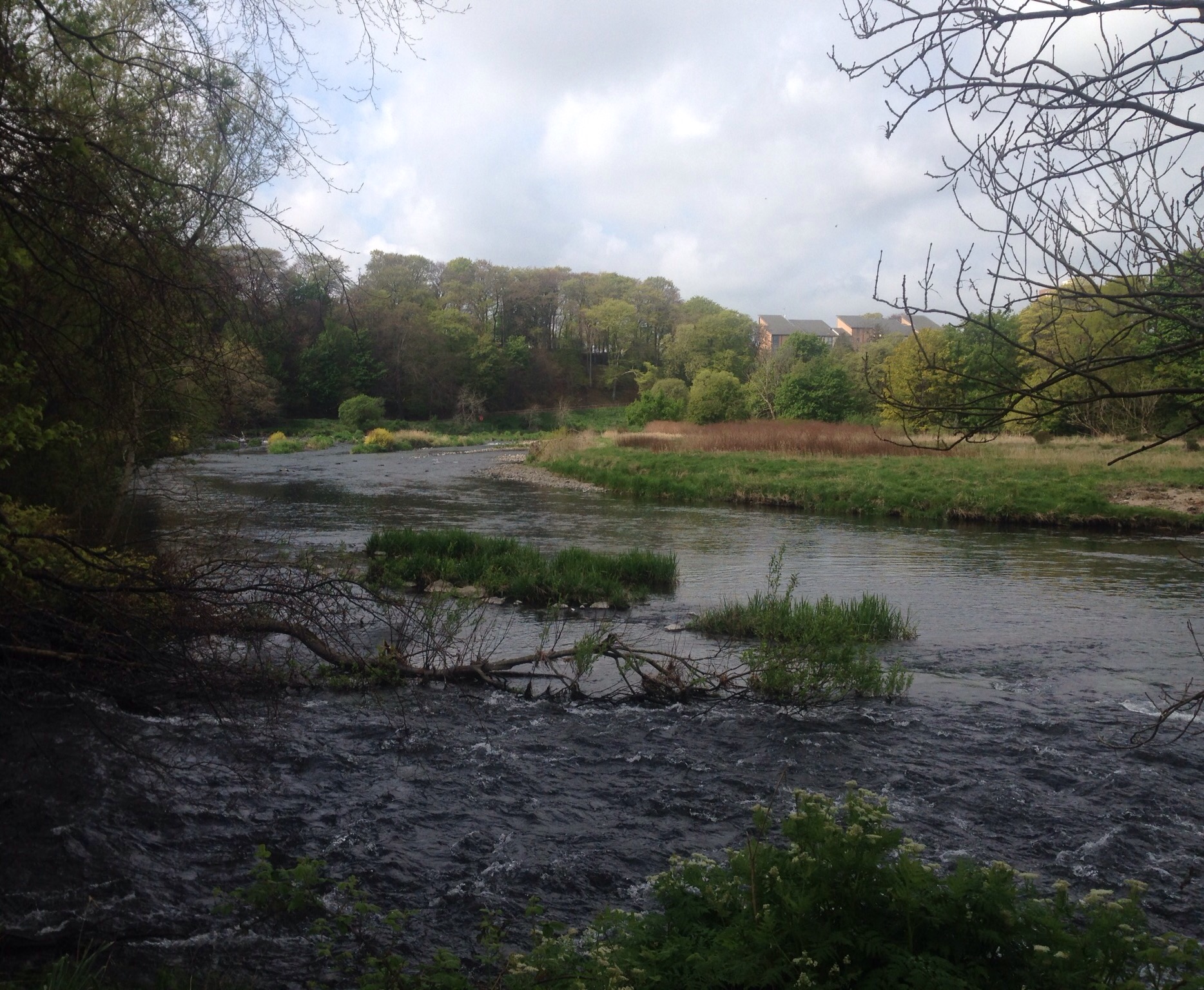
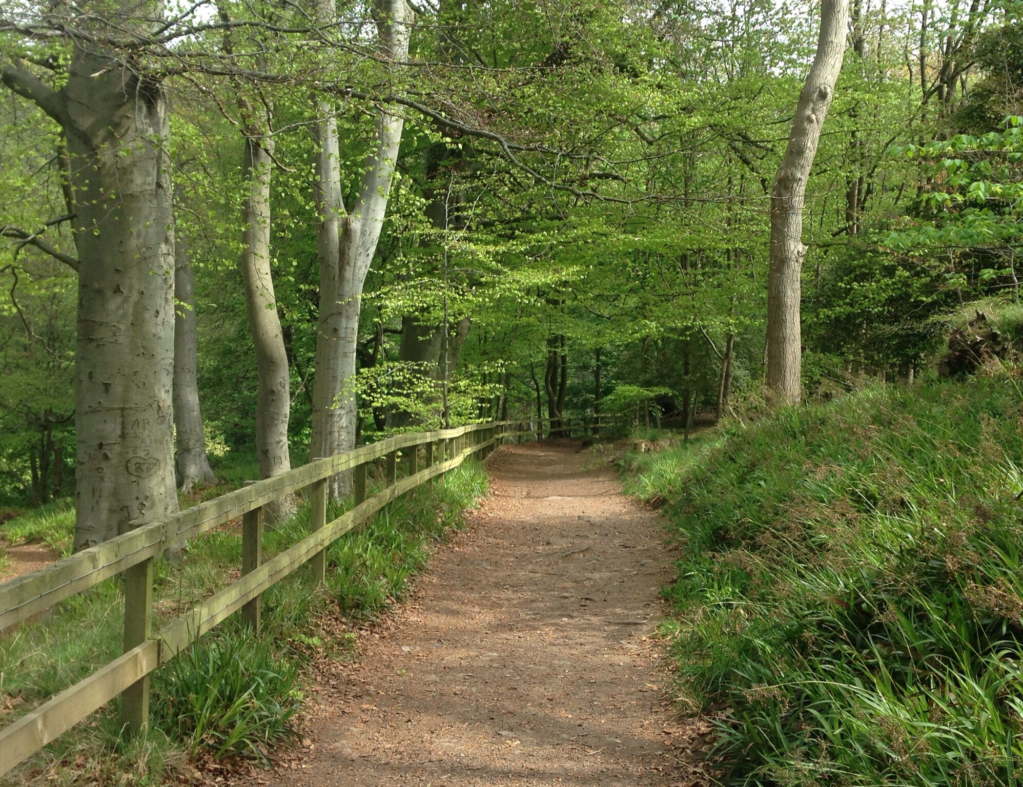
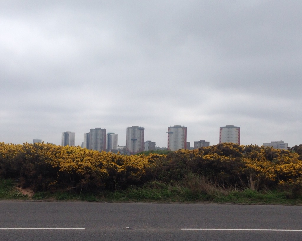
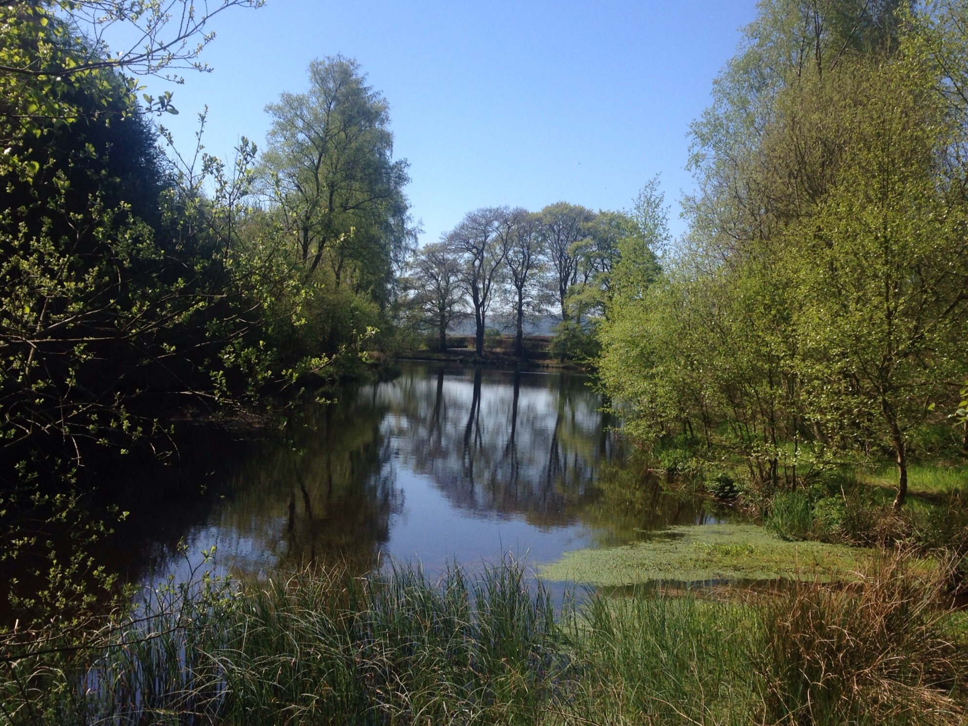
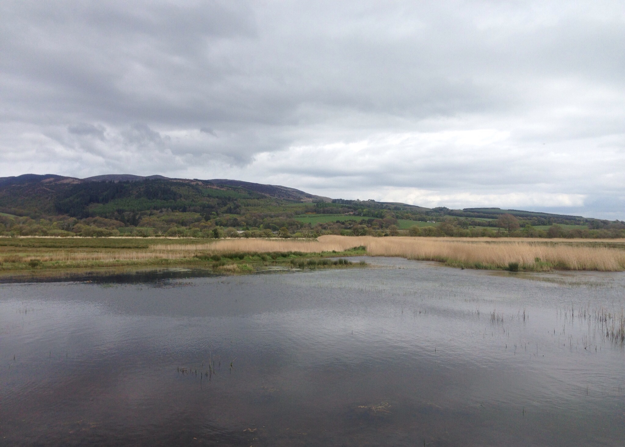
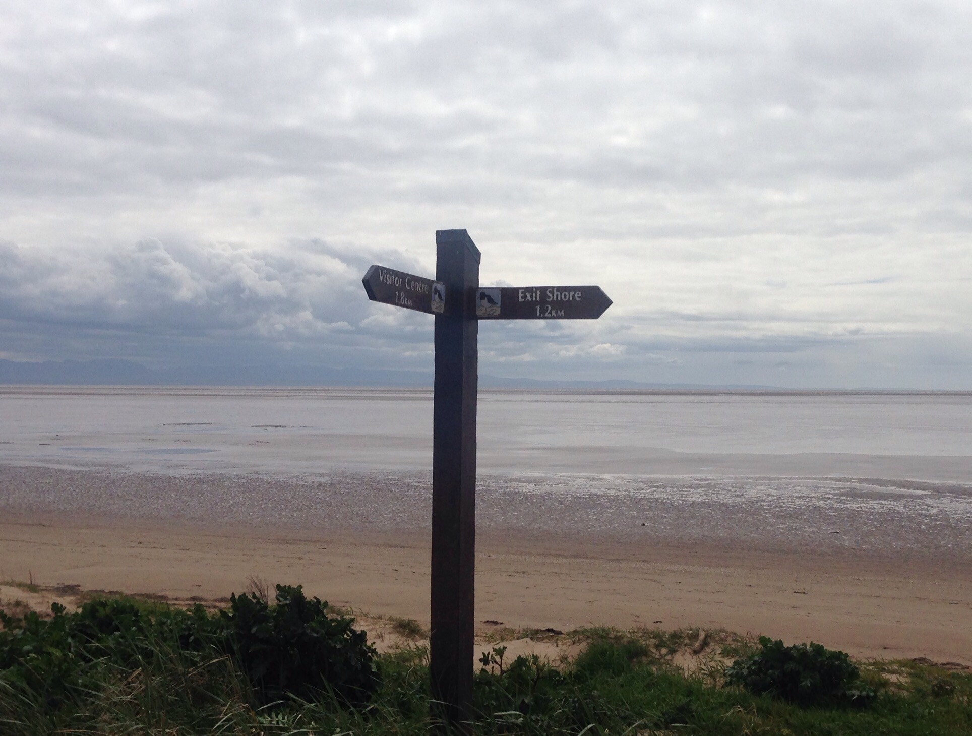
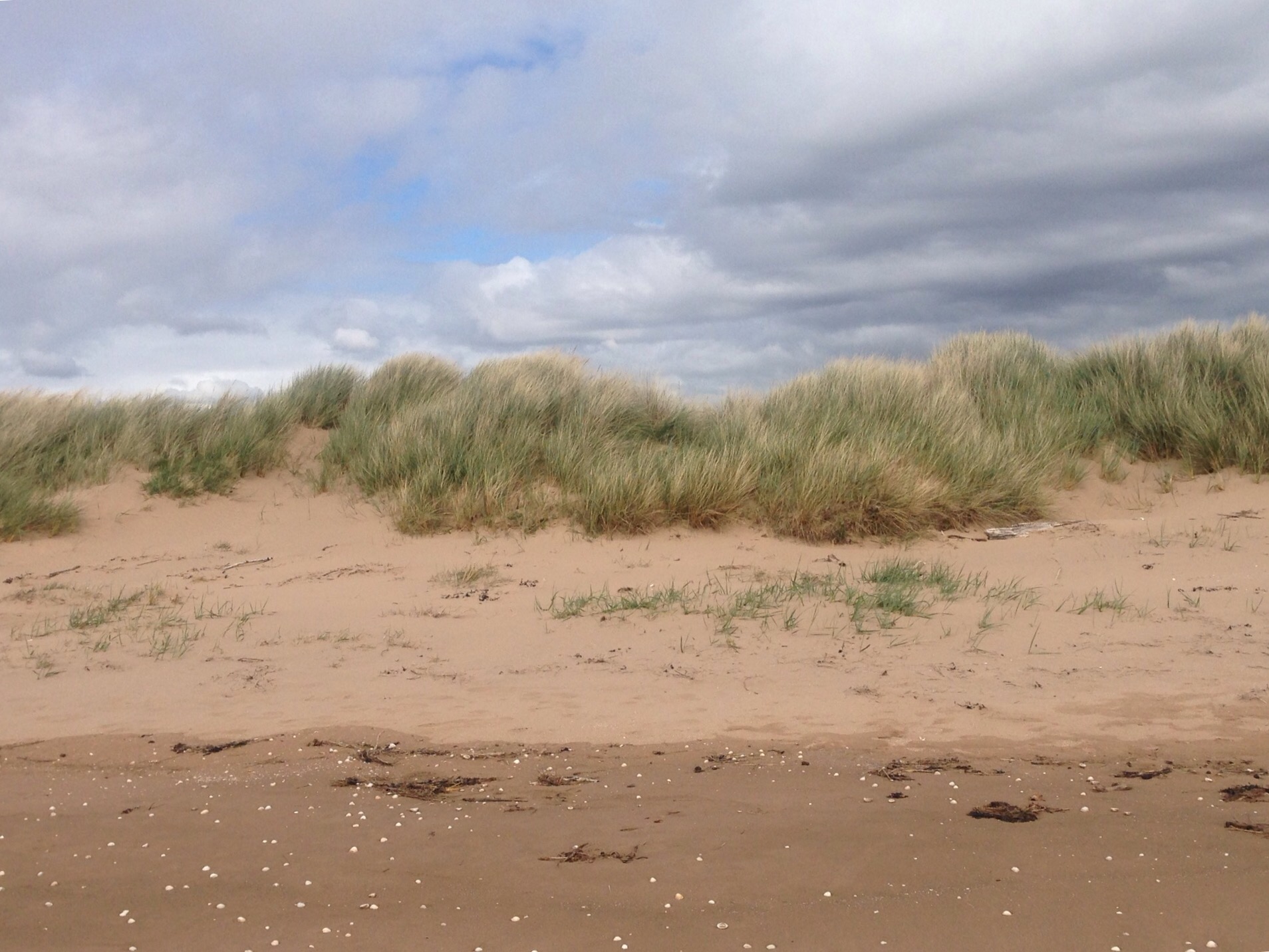
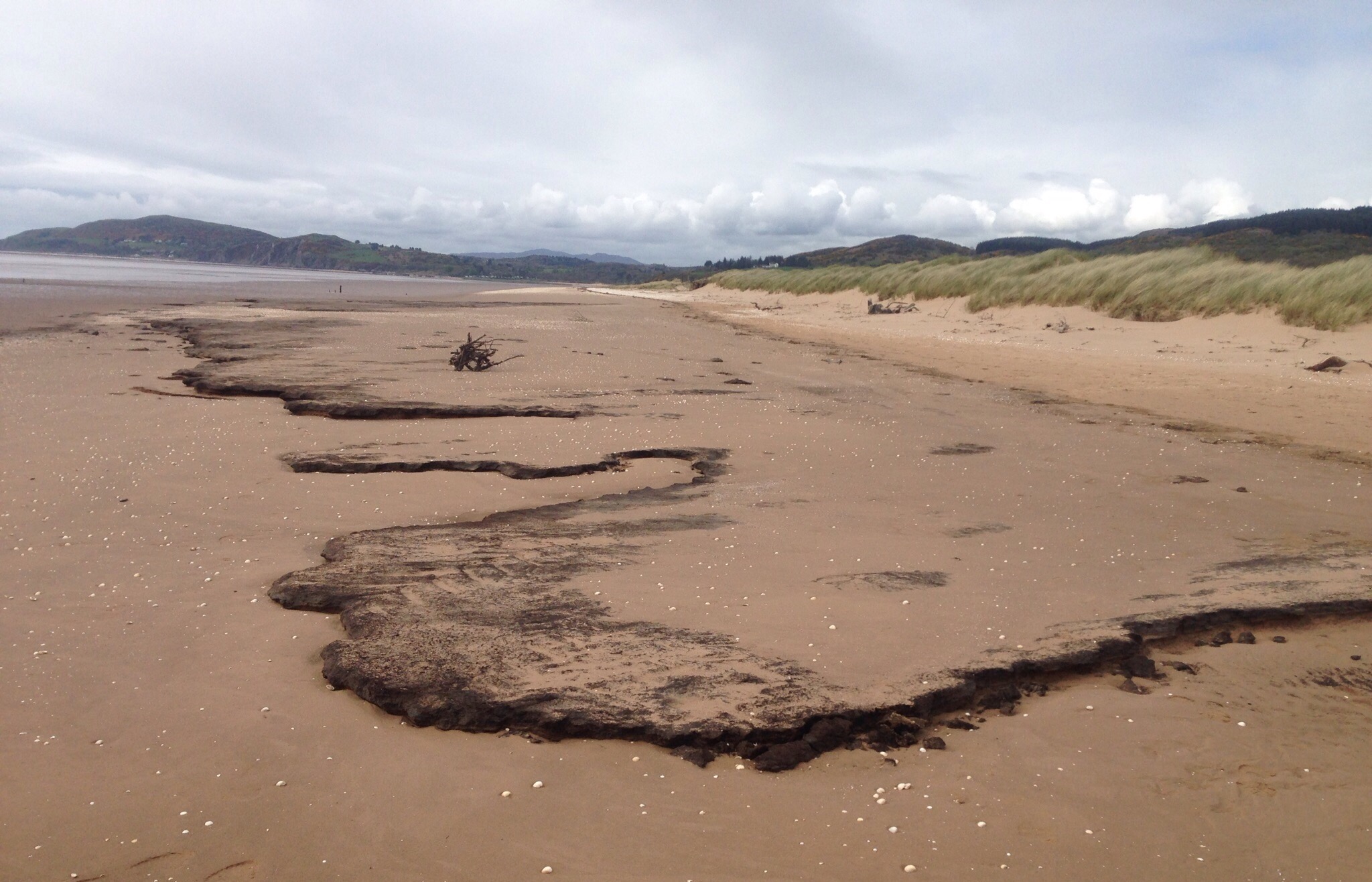
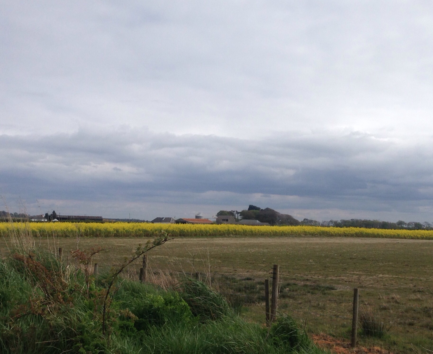
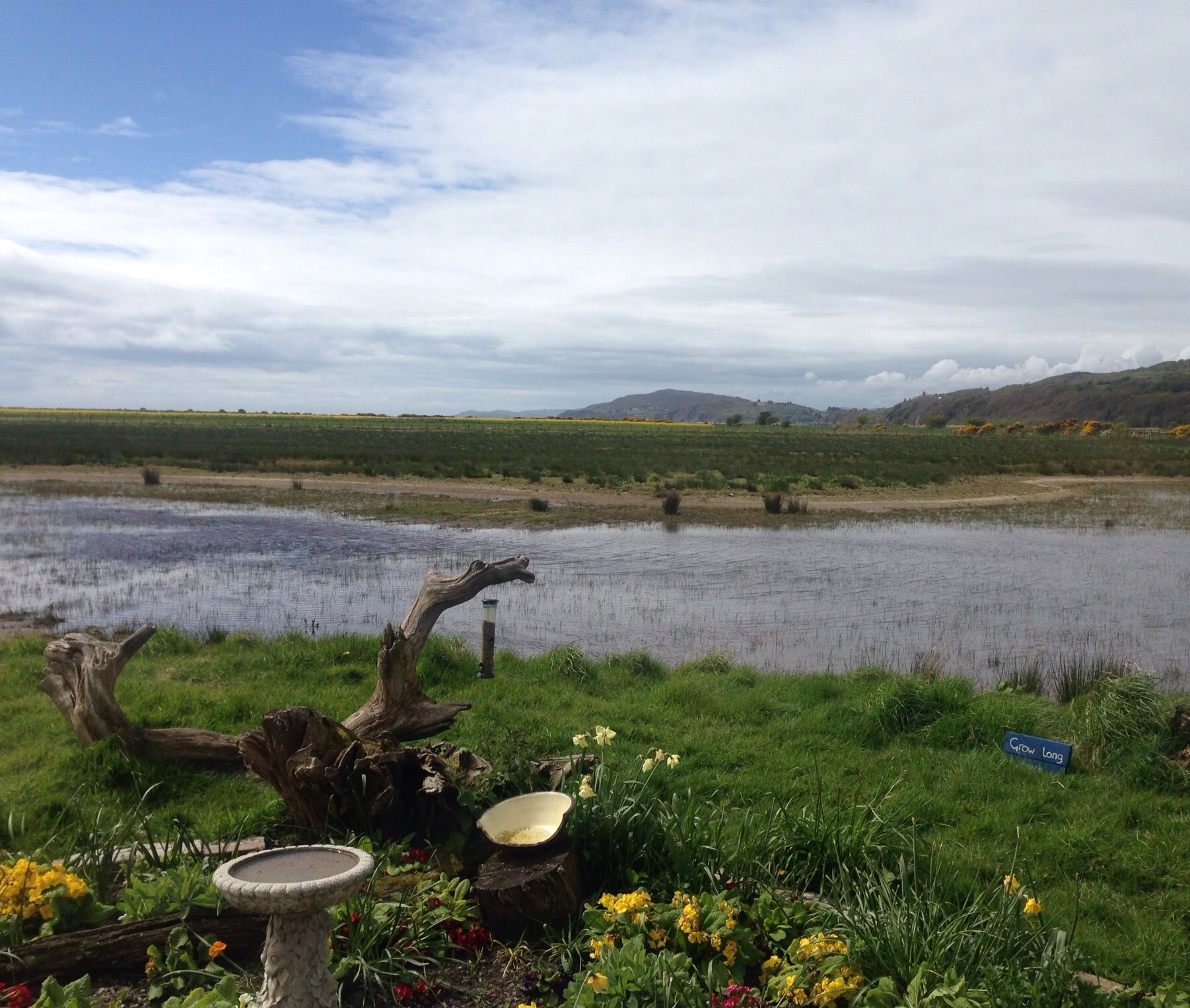
A couple of the local “habitat” —

We are in lizard country. They try to hide with their well-camouflaged skin but there movement gives them away.
While we like the smaller modes of transportation (bikes, bike carts, motors,etc), this takes some getting use to.

Categories
Uncategorized

Viva Mexico!

We have ended our brief US layover after a great stay with Bob’s sister and brother-in-law in Iowa.  While there, we were also able to connect with our mothers on Mother’s Day and spend some time with Bob’s parents.  After a leisurely couple of days (though we did have a bit of time in the basement as a bad storm passed through) in Glidden where we changed out our winter clothes for summer garb and met with the CPA who had helped us with our tax filing, we headed to Des Moines for a night with one of our nephews before catching an early flight to Dallas, then Mexico City, and finally Merida.

Merida is the capital of the Yucaran, the Mexican state in which we will be staying for our current house sit.  It has a population of approximately 980,000.  We arrived at about 6:30 pm, and it was a 104 degrees.  A bit of a change from Iowa and Scotland!  We had the lovely proprietress of our inn pick us up at the airport which made for a relaxing entry into the city.  (Just for a bit of drama, however, after having traveled back and forth between Canada, the US, and the U.K., our bank decided that trying to withdraw money in Mexico was a no-go.  Luckily, we were able to fairly quickly resolve the issue.)

We stayed one night in Merida at the Casa Catrina before our home owners picked us up on Friday.  We only saw a bit of Merida before our noon pick up but hope to get back during our 3-week stay.

This is the Catrina of the hotel name. In Mexico, Catrina represents the great dame of death, and Mexicans ability to both laugh at death and see it as the great equalizer as Catrina is portrayed as a rich, well-dressed woman.
Merida Cathedral on one edge of the Plaza de Independencia in Merida.
An atrium displaying artwork between the cathedral and art museum.
The colorful Merida sign on the opposite side of the Plaza de Independencia from the cathedral
Other buildings along the plaza
City government office along the plaza
Our home owners, whom we last sat for in Calgary, took us to Progreso for some grocery shopping and lunch after dropping our bags off at the house and walking us through the home and pet care instructions.    Progreso is a port city of about 55,000 in the Yucatan.  it is a popular cruise ship stop with cruise ships in port every Tuesday and Thursday during the cruise season.  It has a lovely boulevard along the water (Gulf of Mexico).

The bridge into Progreso
The boulevard along the waterfront

Our house sit is actually in the little fishing village of Chelem (population of just over 5,000) about 6 miles from Progreso.  We will be caring for 2 cats –Puurcy and Squeak, as well as looking after a beachfront home with its own pool.  Chelem has a number of restaurants and a couple of small stores as well as some fruit and vegetable stands.  we will be drinking bottled water and disinfecting our fresh produce while we are here and trying to get use to buying things for much, much less than they would cost in the states.

More on all of that and Chelem, etc. later.

Puurcy on his perch
Squeak chillin’
Beach scene from back patio
Back patio overlooking the Gulf
The pool where we’ll be chillin’

Last night’s sunset
Categories
Uncategorized

Orkney is OK with us! Part 2

The other tourist site outside of Kirkwall that we really wanted to see was the Italian chapel. We took a local bus there (arriving just before a couple of coaches full of other tourists) but then walked the 6 miles back — against the wind. The Italian Chapel and the nearby Churchhill Barriers are just a couple of reminders from Orkney’s involvement in WWII.  During WWII, Italian prisoners of war were brought to Orkney to build naval defense barriers but were given permission to also build a place that they could worship with the scrap materials that were available.  The chapel has led to a continued relationship between Italy and Orkney, especially with the community of Meana (the home of the Italian that designed the chapel).

The front facade of the Italian chapel — the rest of the structure is a Nissen hut, or what we would call a Quonset hut.
The interior of the chapel with painted plasterboard covering the corrugated steel of the external structure.
A close up of the altar area
A statue of St. George slaying the dragon that was also built by the Italian POWs
One of the Churchill barriers that were built to defend boats anchored in Scapa Flow after a German sub managed to sink the Royal Oak battleship in the harbor during WWI.
The barriers are now used as roads that connect the Mainland Island to two other islands. This is a memorial to the men who helped build the causeways.
Looking out over Scapa Flow on our walk back to Kirkwall
We saw a couple of unique sites on our walk back.  See what you think.
This seemed like an odd location for a model home.
Meet our friend Curly, the most unique looking pig (we think) that we’ve seen.
Coming back into Kirkwall with its impressive cathedral (more on that below)

We  found some sites of interest in Kirkwall as well including the St. Magnus Cathedral, the Highland Park Distillery, lots of great retail shops with artisan crafts, and an interesting local museum. There was also this boat that I first saw on a morning run and made Bob go back and look at with me to make sure I wasn’t seeing things.  We were told it’s an old warship.


The St. Magnus Cathedral is Kirkwall’s most dominant building and an important part of its history.  It was founded in 1137 by the Earl of Rognvald to honor St. Magnus who was ordered by his cousin to be slain over a dispute over the ruling of Orkney.  It was built during the time when Orkney was under the rule of the Norse Earls.

The front of the cathedral
The side of the cathedral and churchyard
The remains of both St. Magnus and St. Rognvald are in the church
We had a late afternoon tour of the Highland Park Distllery on the day  we were to sail off to Aberdeen.  We lucked out and got in with a group of cruise ship workers, so we got an extra taste.  

The distillery
The barley germinating on the malting floor
The tasting bar
The Wednesday cruise ship that held over 4,000 passengers

Categories
Uncategorized

A Quick Trip Thru Aberdeen

While we had arrived into Orkney via ferry from Scrabster to Stromness, we left by ferry from Kirkwall to Aberdeen.  This time it was a night sailing that would take approximately 7 hours (from about midnight to 7 am), so we paid to have a berth on board.  We also learned upon boarding that we wouldn’t’ have to leave the ship until 9:30 am.  This was nice as it allowed us to sleep in a bit and shower in our room once the ship was docked.

Hallway to our room on the ferry
Our luxurious suite!

After leaving the ship we walked to our inn to check our bags.  We were staying at a pub/hotel owned by one of the large UK beer companies — Belhaven.  The staff were great, and we got breakfast the following morning before heading to Edinburgh.

Our accommodations for the evening

For our one day in Aberdeen we walked a 6.5 mile route that we had found in one of our Travel Scotland brochures.  It took us out of the city center, past the University of Aberdeen, St. Machar’s Cathedral, through Seaton Park, along the River Don, and then along the Esplanade to the City of Aberdeen Beach before heading back into town.

Loved the mural
More fun building art

Town House building
Marischal College building, used for city council when not under construction
Maybe the most impressive statue we’ve seen of Robert the Bruce
Building where city council offices are currently being held
Awesome sculpture in the same building
King’s College, part of the University of Aberdeen
Building in the internal courtyard of King’s College

The botanical gardens on the University of Aberdeen campus
Another view of the botanical gardens

St. Machar’s Cathedral — it supposedly holds the remains of the left quarter of William Wallace (Scottish dissenter of Braveheart fame — more on him later)
Seaton Park
The River Don as it flows through Seaton Park
Our path through the park
Pedestrian bridge across the River Don

Looking back towards the city as we walk along the Esplanade before it turns to run along Aberdeen Bay
Public Art between the Esplanade Road and the pedestrian esplanade closer to the water
Aberdeen Bay and the pedestrian esplanade
Walking back into town towards Town House

Later in the day , after officially checking into our hotel, we did another walk about in the city center and spied the following —

Station Hotel across from the Aberdeen Rail Station
Aberdeen Central Library
Fun public art in a park near the library
His Majesty’s Theatre — guess they didn’t change the name for the Queen
William Wallace statue
In case you didn’t see, or don’t remember, Braveheart, this is why William Wallace is important. Apparently, after his execution he was quarter and each part was sent to a different part of Scotland as a deterrent to other dissenters

Categories
Uncategorized

Orkney is OK with us! Part 1

Early on Saturday, May 6, Bob and I traveled to Kirkwall, Scotland, the largest town (@ 10,000 residents) in the Orkney Islands via train, taxi, ferry. We traveled by train from Inverness to Thurso on the Scottish mainland where we caught an already scheduled cab to take us to the nearby community of Scrabster. There we boarded a Northlink ferry for an hour and a half trip to the town of Stromness on the Orkney Mainland and then caught a bus right outside the ferry area to go to Kirkwall. We left Inverness at 7:00 am and arrived at our bed and breakfast about 3:30 pm.

On the outside platform viewing the Orkney Isle of Hoy on the way to the Mainland Island
The Old Man of Hoy — a 449 ft sea stack of old red sandstone
Coming into Stromness (2nd largest town in Orkney)

We had wanted to see more of Scotland after our housesit.  Orkney was recommended to us by our Thornhill home owners. The Orkney Islands is a set of 70 islands (about 20 of which are occupied) off the northeastern coast of Scotland.  They are renowned for World Heritage Neolithic sites, war history, craftsmanship and wind (maybe not in that order). The people and whisky are pretty great too!  We had a lovely, relaxing (though BRISK) holiday on the mainland island.

For our first full day, we splurged on a tour of some of the major Neolithic sites on the western mainland. It was well worth it.  Clive, our tour guide was great.  He made what could have been just an exceptionally chilly day (see how we are all bundled up below) pondering the meaning of old stone formations really educational. We learned as much about the area as we did about the sites.

NOTE:  There is old and then there is crazy old.  This was a crazy old day.  The Neolithic Age though it means the “New Stone Age,” ended when metal tools were becoming mainstream — somewhere between 4000 and 2500 BC!

Our first stop was the Unstan Chambered Cairn (tomb).

We had to bend in half and look at our toes to enter, but it was fairly spacious once inside.
A chamber inside the cairn for the storage of bones once the flesh of the deceased had been picked off by animals or otherwise rotted away.
Our second stop was the former community of Skara Brae
Some of the 8 houses in the settlement that was occupied from roughly 3180-2500BC.
A closer view of one of the homes
Skaill House, a 17th century (old not crazy old) manor house. Home of William Watt who discovered Skara Brae in 1850 after a storm.
Next on the itinerary were a couple of henge (circular or oval-shaped bank with an internal ditch) and standing stone structures.
Ring of Brodgar, fencing is for work being done on the trail around the stones
The alliterative Standing Stones of Stennes — maybe the oldest henge in the British Isles
Appropriately enough, we end with another cairn (tomb).  This one was built around 2800 BC and has some impressive examples of runic inscriptions.  No photos were allowed inside.
Maeshowe, named for the type of cairn limited to Orkney

Orkney is a cruise destination and unbeknownst to us when we were making our plans two cruise ships were due into port while we would be there. Monday was to be the first ship  (@ 3,500 passengers), so we planned to keep away from the main tourist sites by hiking up a nearby hill and then to a cairn. The ship ended up not being able to dock due to technical issues, but we went ahead with our plans anyway. Later in the afternoon, we met some friends of our home owners who had tea for us and then gave us a tour of the Eastern mainland.

Heading up Wideford Hill
We passed a golf course on the way up.
Nearing the top of the hill
Heading down the other side of the hill towards the cairn
The Wideford Hill Cairn, a maeshowe type cairn dating from around 3000 BC
Looking into the cairn from above, you can enter by sliding back a concrete slab but we chose not to go in.
The Gloup, a collapsed sea cave, one of the sites we viewed with our new Orkney friends

Categories
Uncategorized

In Inverness — with no sightings of a River Ness monster

Bob and I left Thornhill on a 6:30 am bus to Cumnock (1 hour commute), switching to a bus to Glasgow (approximately 1.5 hour commute) where we had about an hour wait for our train to Inverness.  We spent about a day and a half in Inverness before continuing on to  Kirkwall, the largest town in the Orkney Islands for a longer holiday.

We had beautiful weather in Inverness and were able to see much of the central city as well as some outlying areas.  Inverness, with a population of about 47,000, is considered the capital of the Scottish Highlands. It is the northernmost city (as opposed to a town, village, etc.) in the UK.  The River (not Loch/Lake) Ness runs through the city and joins up with the Moray Firth (an inlet of a sea).  

We enjoyed walking along the river.

Looking across the River Ness towards the St. Columba High Church
Looking back towards town as we walk towards the Ness Islands (This island nation is crazy with islands!)
The Old High Church and houses along the river as we walk towards the Moray Firth
The Inverness Castle (currently being partially used for court offices)
In addition to our walks along the River Ness, we also walked the City Heritage Tour which began at the Inverness Castle.  There are no tours of the Castle since it is being used for other purposes, but you can stroll the grounds and take in some good views of the city

View across the river to the Palace Hotel and outer environs
Looking down over the beautiful Castle gardens
Looking past the Ness bridge towards the Moray Firth

Below are some photos of some of the cool buildings we saw on our walkabouts.  

Maybe it’s just my sweet tooth, but this hotel reminded me of a gingerbread house every time I saw it
The Tollbooth Steepl, dating from 1789, next to it is the original courthouse and jail (now shops below and flats above)
The Old High Church, its curfew bell has been rung every weekday evening at 8 pm since 1720
St. Andrews Cathedral, completed in 1869
The beautiful, modern (1979) Eden Court Theatre which incorporates the Bishop’s Palace (older building on right built 1878) and includes an auditorium, 2 cinemas, a dance studio, theatre, cafe (but of course!), bar, and a restaurant
 

We had a lovely walk out to the Merkinch Nature Reserve which is 54.7 hectares of land and lies on the shore to the west of where the River Ness enters the sea.  it’s southern boundary is the Caledonian Canal (more on that below).

On the edge of the reserve, along the river
Looking forth over the Firth
One of the footpaths in the reserve
Low tide — the white building is an office building for the canal
Looking over water within the reserve
 

The Caledonian Canal connects the Scottish east coast at Inverness with the west coast near Fort William.  It is 60 miles long, and you can boat, paddle, cycle, or walk/run the length of it.

Beautiful buildings along the canal
One of the locks along the canal
A marina in the canal
 

One of our last walks was up the Tomnahurich Cemetary Hill.  This was an interesting cemetary with graves all the way up the hill.

Looking through the trees to the graves below
Soldiers Memorial at the top of the hill

Categories
Uncategorized

A Short Tribute to Thornhill

Bob and I welcomed our home owners back to Thornhill from New Zealand and Australia last Wednesday afternoon.  Bruce was thrilled to see them!  We had a lovely catch-up Wednesday evening before we caught the 6:30 am bus on the way to our Inverness/Orkney/Aberdeen adventure.  The following are some of our last photos of our time in Thornhill.

Some final pics of our beloved Bruce.

Our selfie photo to welcome home our homeowners
Bruce demanding that his bud Bob give him some attention
 

On the final weekend of April, Thornhill held its annual Music Festival.  We were here for it last year as well.  We went to see Redfish at the Farmers Arms Pub.  This was the same band we had seen last year but at a different venue.  We loved it — though the bit where we were having to stand directly in front of the speakers was a bit loud for our aging ears!

Redfish — the lead singer reminded us of Joe Cocker
Spotlight on the pianist
 

We got a few final hikes in around Thornhill.  One of the prettiest was around the nearby Dabton Loch.

Dabton Loch — view 1
Dabton Loch — view 2
Looking back towards Thornhill while walking on the sidewalk along the A76 towards Carronbridge

Categories
Uncategorized

Last Road Trips during Thornhill House Sit

Do you ever get the urge to leave the country?  Not like a post-election desire to head someplace for at least four years but just a momentary yen to check out what the neighbors on the other side of the border are up to?  Bob and I had a yen to visit Carlisle, England where we had briefly stopped a couple of times but only on train journeys to somewhere else.  Carlisle is about an hour drive from Thornhill, so we decided to check it out.

We began at the Information Center in the Town Hall on the main square
Carlisle Coat of Arms — I just like their motto.😀
Across the plaza from Town Hall was the lovely Crown & Mitre Hotel
The Carlisle Cathedral
Some of the other buildings on the large cathedral campus
The back of the Tullie House Museum and Art Gallery
A very cool subway (pedestrian underpass) leading from the museum to the castle
The cursing stone, also in the subway. It features just over 300 words of a 1,069 word curse from the 16th century against robbers, blackmailers, and highwaymen. The stone has been blamed for bringing bad luck to Carlisle since its installation.
Carlisle Castle which sits near the ruins of Hadrian’s Wall.
Another decorative subway, this time leading from the town center to Rickerby Park. It was painted with fun facts about Carlisle.
Lovely flowers and cool statue on the other side of the subway
Carlisle Coat of Arms — I just like their motto
Walking along the River Eden in Rickerby Park
Footbridge over the River Eden
War memorial in Rickerby Park
Gardens in Rickerby Park
One tower of The Citadel, former defensive entrance into the city
Street view near rail station
Depiction of Carlisle’s historic quarter in the rail station
During our travels between Thornhill and Dumfries, we would pass a sign for the Friars Carse House Hotel.  It sounded nice, and it had a good website, so we decided to check it out one night.  It was lovely — beautiful hotel and grounds.  We got to check it out with a group of motorcyclists who had just ridden in for dinner or a visit or both.

Friars Carse House Hotel
Grounds of the hotel
It is apparently a popular spot for weddings

We chose a hike out of a local community called Durisdeer for our last proper hike with Bruce.  I don’t know that it was one of our favorite hikes, as the  ground was fairly boggy and the views were not nearly as impressive as we have seen.  In fact, we didn’t even notice the Roman ruins that we were suppose to see on the way out until we were on the way back.  Still, it’s hard to complain about being out in nature on a nice day and seeing a new area.

The Durisdeer church where we parked to begin our hike
A memorial near the church
Heading out on the road path before veering off into farmland
Helpful signage along the route
Bruce leading the way across a helpfully placed bridge
The out portion of our out-a day-back hike. This is not the Roman ruins.
Scenery walking back into Durisdeer
The cemetery beside the Durisdeer church
 

Our last journey by car had us headed back to the Solway Coast to visit the Mersehead Nature Reserve.  This is a lovely area set aside for the preservation of wildlife with a circular walking trail and is especially favored by birders.

The visitors center at the reserve
One of the huts for watching birds, ducks, etc
The forest portion of the nature trail
One of the lagoons by the bird huts
Signage for the coastal portion of the walk
On the Solway Coast at very low tide, it looked like we could walk out into the water for quite a ways.
Dunes along the coast
Coastal wind turbines
The beach looked like there had been a lava flow — thick, black, and spongy. The volunteer in the Visitors Center thought it was something to do with the farmland having extended out that far in the past.
Walking back toward the Visitor Center
Looking out the rear window of the Visitor Center
 

From the Mersehead Nature Reserve, we drove to the town of Dalbeattie.  We had driven through it a couple of weeks ago on our way to Rockcliff.  Wikipedia says that it is famed for its granite industry which we had confirmed for us by a stone monument that we saw in the local park.  

If you believe the sign (we didn’t), this is the Dalbeattie Primary School. it was Saturday when we were there, so we couldn’t confirm.
Gazebo in the local park
Footbridge near the park over the Urr Water
The pond in the park and the surrounding houses
On the way back to Thornhill, we finally stopped at Ellisland Farm to at least view the farm where Robert Burns lived during the final years of his life (though he died in a house in the town of Dumfries).

The farm