Over the past three days we have continued to explore various parts of the greater Olhao area. One day we visited the Environmental Education Centre of Marim that is a large designated park area that contains education and representative samples of the biodiversity and historical and current uses of the Rio Formosa, the estuary between Olhao and the Atlantic Ocean. The information is provided through exhibits in the visitor’s center but also along a 3-kilometer nature path through the park. The trail features aspects of the Rio Formosa ecosystem such as salt marshes, dunes, and pine woodlands. There is information on local birds to be seen within the park. There are also buildings such as a traditional farmhouse and waterwheel, a mill that ran on the power of the tide (aptly called a tidal mill), and the lovely former villa of a locally renowned poet that has been repurposed into an educational center for children.


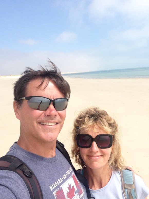
The following day we got to see the Rio Formosa park from the water, as we took the water ferry to the barrier island of Armona — a bit east of Culatra and Farol which we had visited last week. The ferry trip to Armona was very short — maybe 20 minutes at most. In fact, on the way out, it seemed like you could almost walk there, as it was low tide so a number of men were out crabbing. When we came back in the afternoon the tide was up, and you couldn’t see where the men had been working in the morning. On Armona, we had a lovely walk on the beach before lunch at a local cafe. Bob had to try the grilled sardines and local brandy that one of our homeowners had been telling us about. You will see that he enjoyed it.


Yesterday we decided to walk to, and climb up, a hill that we can see from the place we are staying. It is one of the hills that run behind the town of Olhao, and we noticed it because of the long poles that are atop it. Bob had read about the possibility of going up it, so we had to do it. It was a fairly urban hike in that the majority of it was along roads (but not sidewalks) though towards the end we were on a gravel road for a bit before the final ascent along a rocky path. Apparently others have done this, as we noted some helpful arrows and cairns along the way. It took us about 2 and 1/4 hours to get to the top from where we are staying.


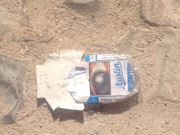
On our way back to town, we saw a number of discarded cigarette packages. Smoking is still very popular here even with the disgusting photos that must be required on the packages. We were a bit dismayed at the name of these butts.